
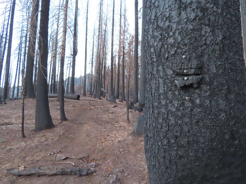
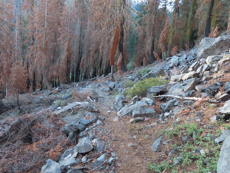
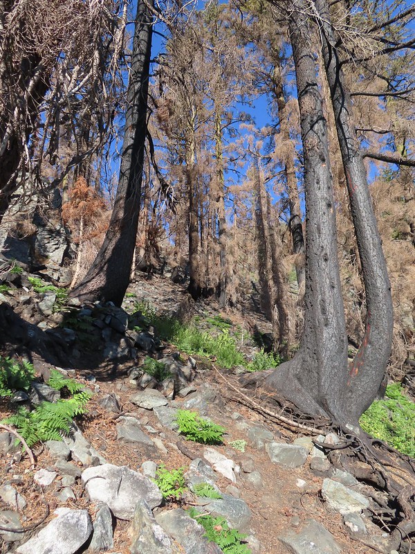
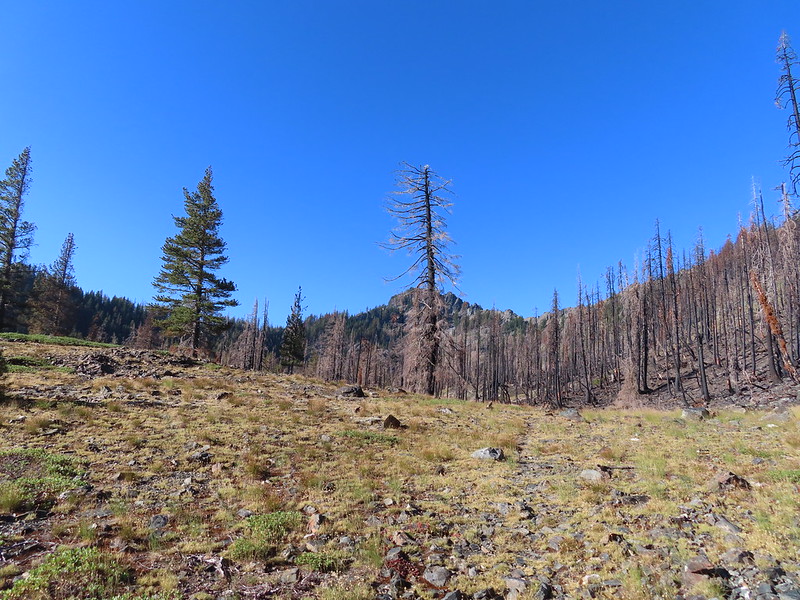
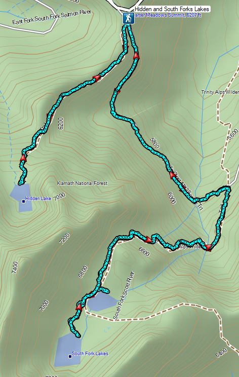
For the last hike of our week in Etna, CA we had chosen Hidden and South Fork Lakes in the Trinity Alps Wilderness. (Featured hike #91 in Sullivan’s “100 Hikes/Travel Guide Southern Oregon & Northern California” 4th edition.) This was both the shortest hike and drive of the week which would allow us to get home as early as possible. We began the hike at the Carter Meadows Summit Trailhead which is right next to a helipad. This area was hit pretty hard by the 2021 Haypress Fire.

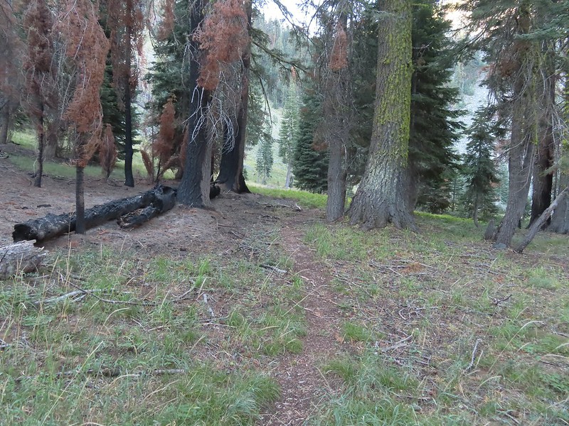
From the small parking area a trail descends 50′ to a junction which was left unsigned by the fire. Here the to the left was the Pacific Crest Trail coming up from the south and heading uphill to the north on the far right. A second trail to the right led downhill to the Carter Meadows Campground and finally the Hidden Lake Trail went straight ahead on along a ridge.
 The PCT running left to right with the Hidden Lake Trail extending straight ahead.
 Remnants of a trail sign. The sticks across the Hidden Lake Trail are to let PCT hikers know that is not their trail.
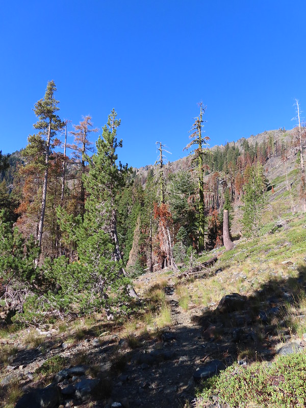
We followed the Hidden Lake Trail just under a mile to Hidden Lake. (Sullivan showed a distance of 1.2 miles but our GPS put it at 0.9 each way.) The trail followed a ridge and gained a little over 500′ of elevation which doesn’t sound like a lot but it felt quite a bit harder than we’d expected. Perhaps it was the fact that it was the final day of our trip and we were just worn out, but we were glad that we hadn’t tried to do this portion of the hike the day before after our Gulch Lake Loop (post).

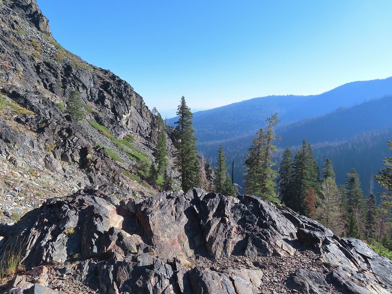
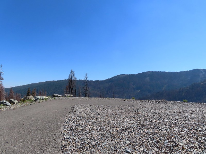
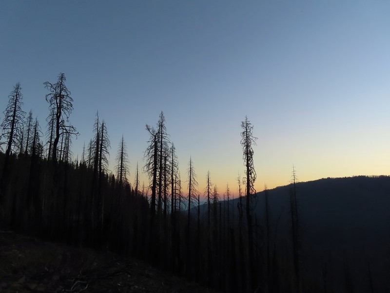 A layer of smoke over the valley on the horizon.
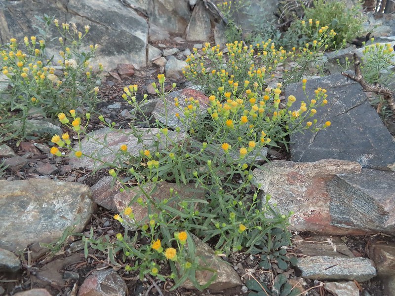 A fleabane, possibly California rayless fleabane.
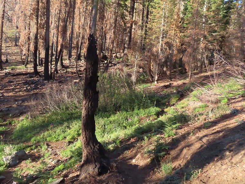
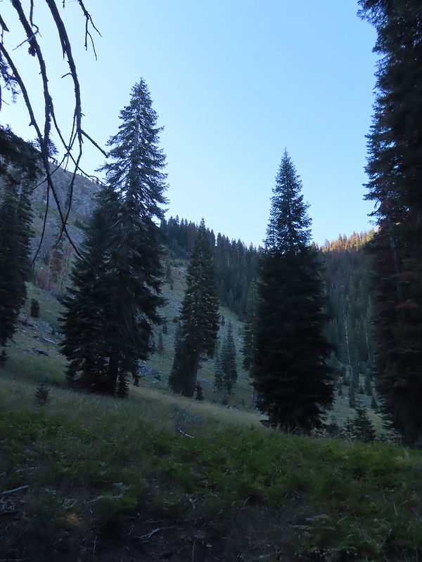
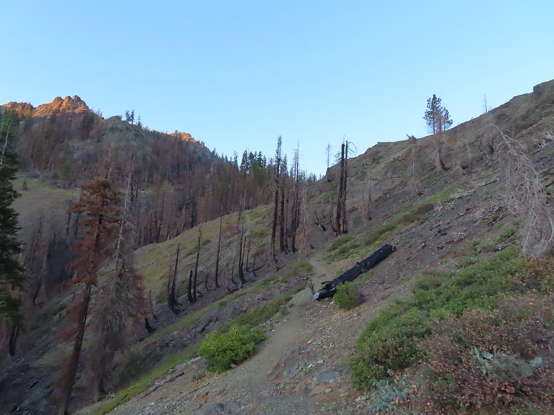 Hidden Lake Trail following the ridge.
 Dwarf purple monkeyflower
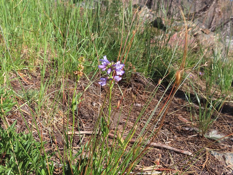
 Blue-eyed Mary
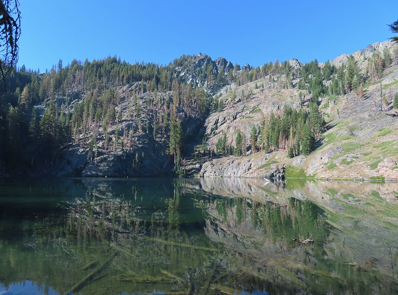
 Approaching Hidden Lake.
We arrived at Hidden Lake right around 7am, early enough that the Sun hadn’t had time to rise high enough to hit the lake.
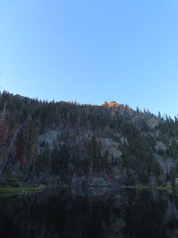
The lighting conditions were not ideal for photos but it was nice to sit in the shade by the lake after the climb up.

After a short break we headed back along the ridge to the PCT.

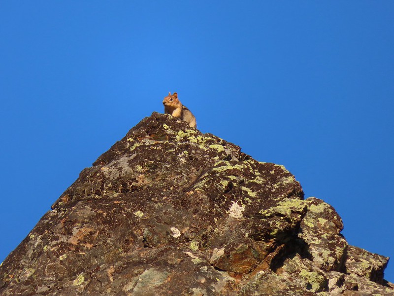 Golden-mantle watching us from atop the ridge.
 Looking back now that there was a little more sunlight.
We turned right onto the PCT and began a 0.9 mile descent to a crossing of the South Fork Scott River.

 Diamond clarkia
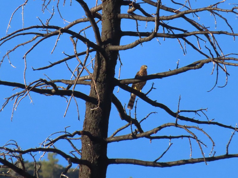 A small raptor watching from a snag.

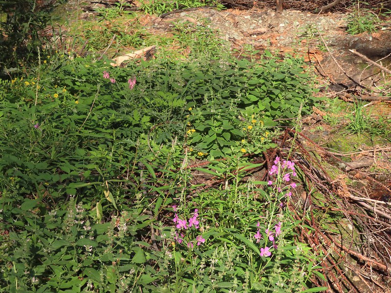
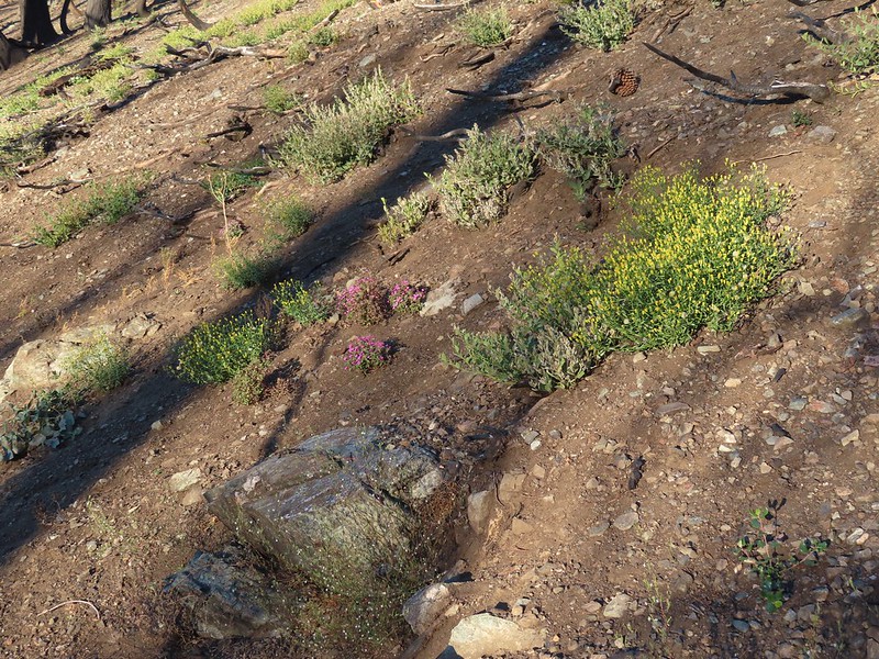 Wildflowers in the burn scar.
 Spreading dogbane
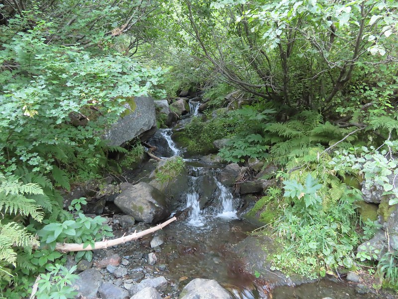
 A small stream/spring providing some green.
 Bleeding heart, fireweed, monkeyflower, and hedge nettle along the stream.
 Yarrow and Oregon sunshine.


 California harebells
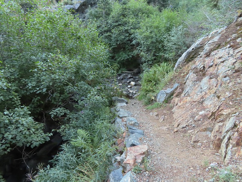
 A lot more green vegetation near the river crossing.
 South Fork Scott River
 Mountain coyote mint
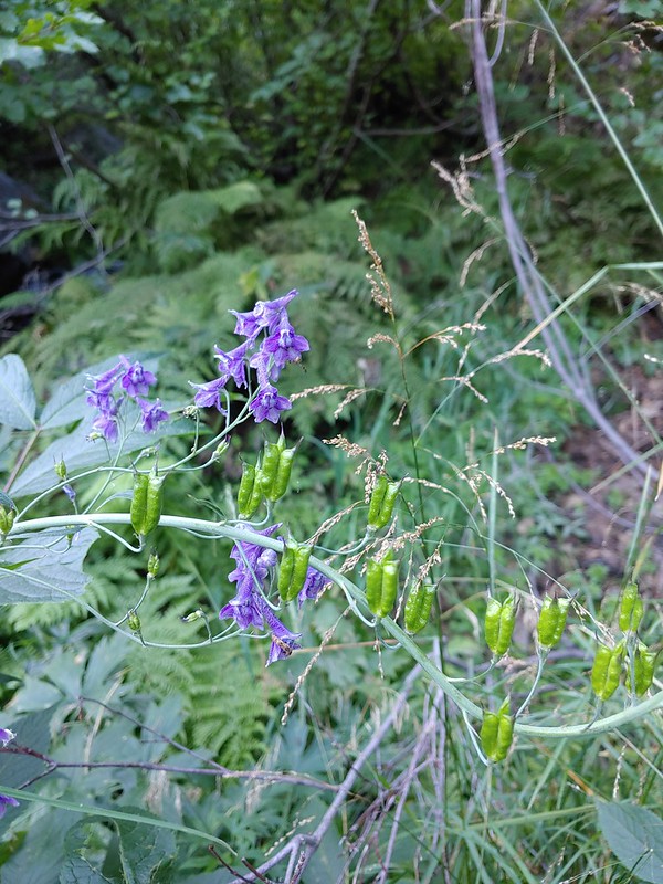 Mountain larkspur
 Mountain larkspur
 Snacks
 Campsites along the PCT near the river crossing.
Two tenths of a mile beyond the river crossing we came to an unsigned junction with the South Fork Lakes Trail.
 You can just make out the trail ahead heading uphill to the right.
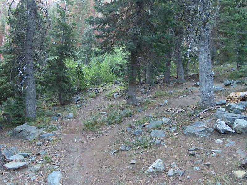
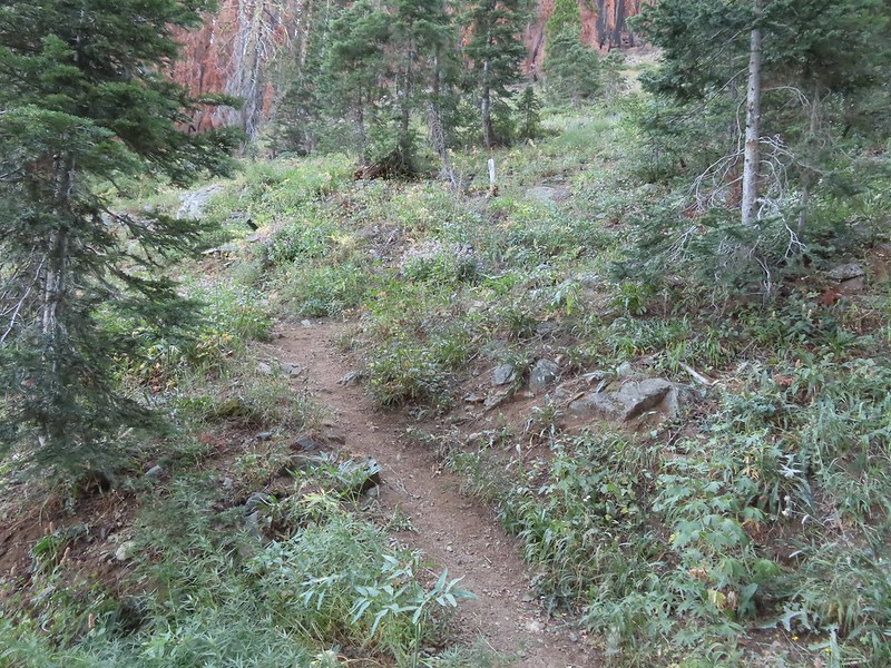
We turned onto this trail and climbed a quarter of a mile to a meadow where the tread became faint.
 This trail was the most overgrown/least maintained of all the trails we’d been on this trip.
 Nearing the meadow.
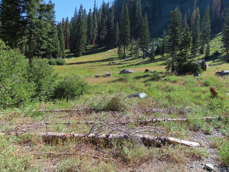
 Entering the meadow and losing the trail.
 As of yet unidentified flower in the meadow.
We were behind a pair of bow hunters who were just exiting the meadow at the other end so we were able to follow their path through the tall grass. Beyond the meadow the trail began a steep rocky half mile climb before leveling out in a basin near Lower South Fork Lake.
 There was a brief pause in the climb while the trail passed a series of springs.
 Vegetation along the trail at the springs.

 Back to climbing.
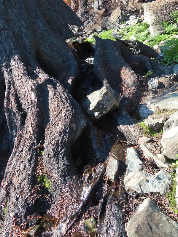 The final spring that we passed was coming out of this hollowed trunk.


 There were several places where it looked like the trail was going to finally crest but when you got there you just found more uphill.
 Finally the trail is leveling out.
It had just been a mile between the PCT junction and the lower lake but it had been the hardest mile of our trip. A well deserved break was taken at the lake.

After the break we followed the trail around the west side of the lake and then bushwhacked two tenths of a mile to Upper South Fork Lake.
 Looking back over the lower lake.
 Heading off-trail for the upper lake.
We took another break at the upper lake watching dragon flies zoom up and down the shore.

The bow hunters arrived as we were starting to head back. It had been years since they’d visited the lake and were glad to see that at least most of the trees, including those around the campsite had survived the fire. We headed back down to the PCT and then hiked back up to the trailhead passing another group of backpackers heading for the lakes along the way.
 Back to the lower lake.
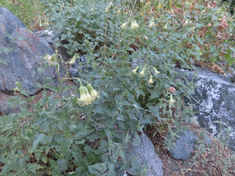
 A penstemon
 Another look at the cool spring.
 Monkeyflowers along the springs.
 Butterfly on western snakeroot
 Back through the meadow.
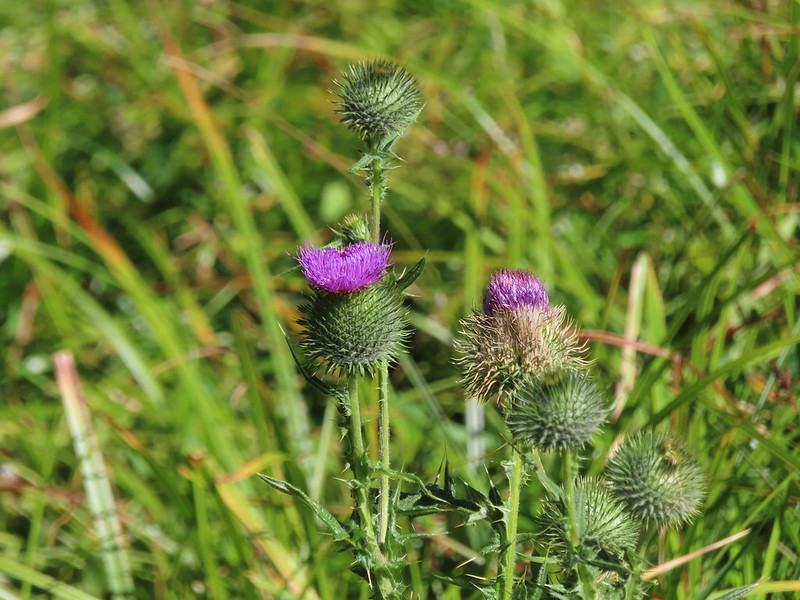 Thistle
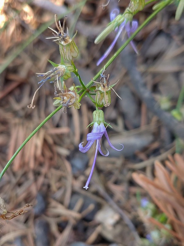 Close up of a California harebell.
 I can see a car at the trailhead.
 The helipad at the trailhead.
 The helipad at the trailhead.
Sullivan has these hikes listed as 2.4 miles out-and-back to Hidden Lake and 6 miles out-and-back to Upper South Fork Lake. Our GPS put the distances as 1.8 and 5 respectively giving us a 6.8 mile total for the day. The cumulative elevation gain was 1770′.
The lower mileage allowed us to get an earlier start on our drive home than expected which was nice. We were back home in Salem a little after 4:30pm giving us plenty of time to unpack and relax for a bit. Despite the flat tire on Wednesday it had been both a successful and enjoyable trip. It also marked our completion of all of Sullivan’s featured hikes in California. That doesn’t mean we are done hiking in that State but it does mean we are that much closer to completing our goal of hiking all the featured hikes in Sullivan’s Southern Oregon & Northern California guidebook (post). Happy Trails!
Flickr: Hidden and South Fork Lakes

One reply on “Hidden and South Fork Lakes – 08/26/2022”
[…] Lake-Hiked 7/24/2017 #90 Russian Lake-Hiked 8/24/2022 #91 Hidden & South Fork Lakes-Hiked 8/26/2022 #92 Trail Gulch Lake-Hiked 8/25/2022 #93 East Boulder Lake-Hiked 8/23/2022 #94 Kangaroo […]