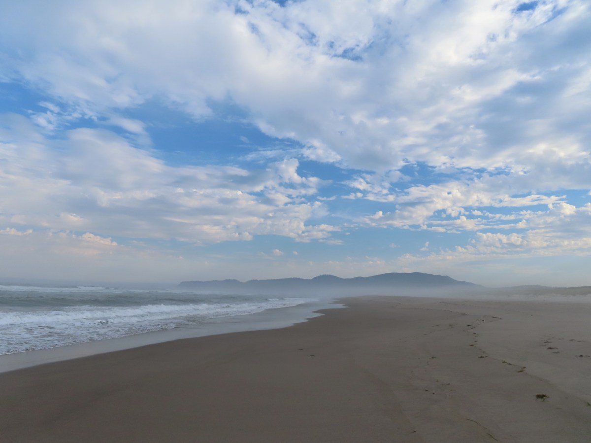
As we finished up a four day stretch of hiking to start a week of vacation we were looking for the best chance of decent weather which brought us to the Oregon Coast for our second visit to Cascade Head. I had originally had a grandiose plan to hike from the lower trailhead all the way over to Harts Cove (post) but I hadn’t paid close enough attention to detail and we wound up going with a plan B.
We started the morning at Knight County Park.
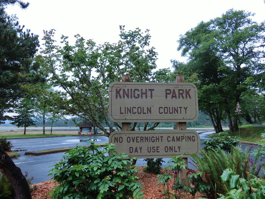
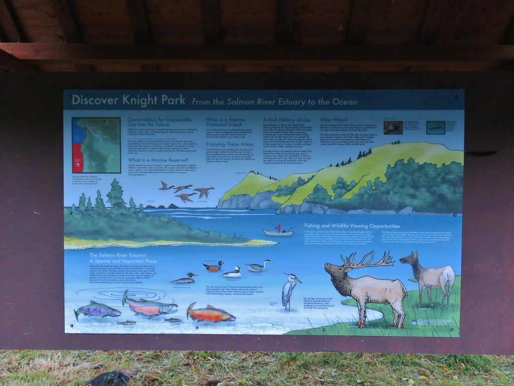
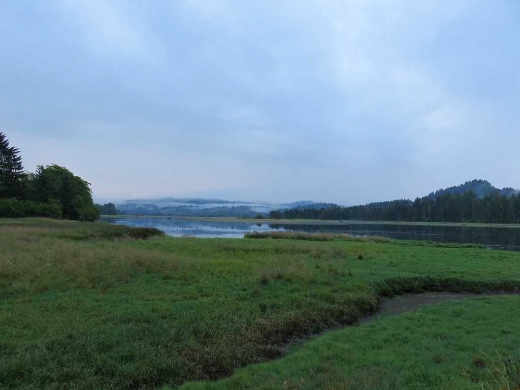 Salmon River at Knight County Park
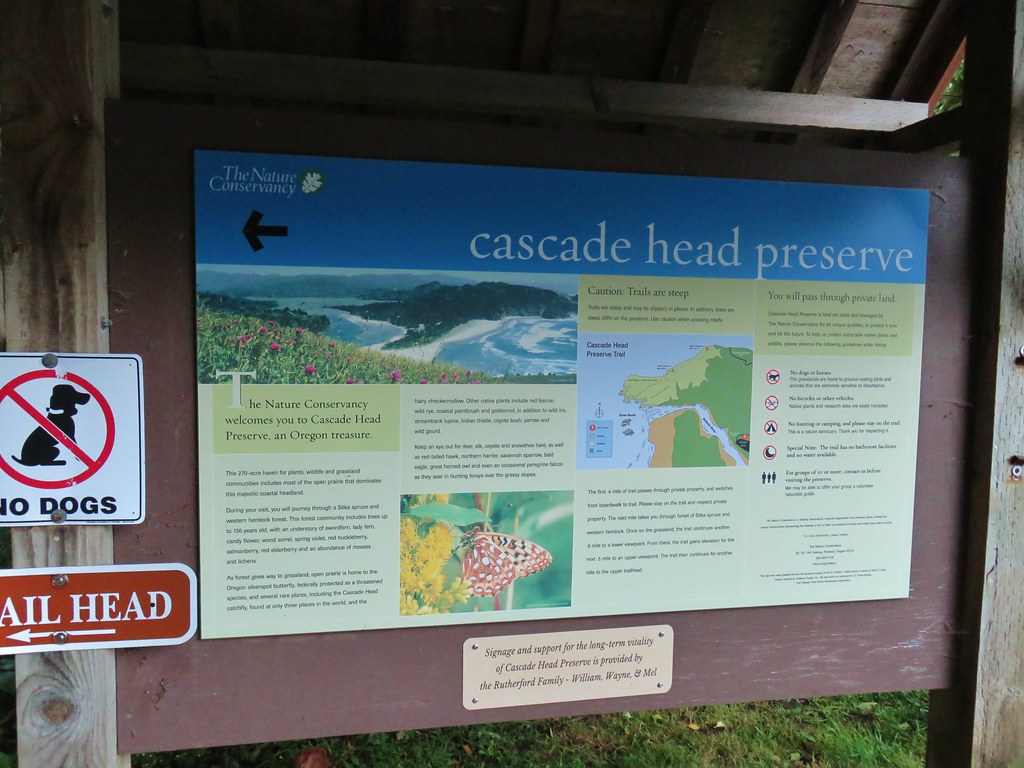
It had rained throughout most of our drive through the Coast Range but we were pleased to have been able to see the meadows on Cascade Head as we drove to the trailhead. We set off on the Nature Conservancy Trail which quickly crossed Three Rocks Road.

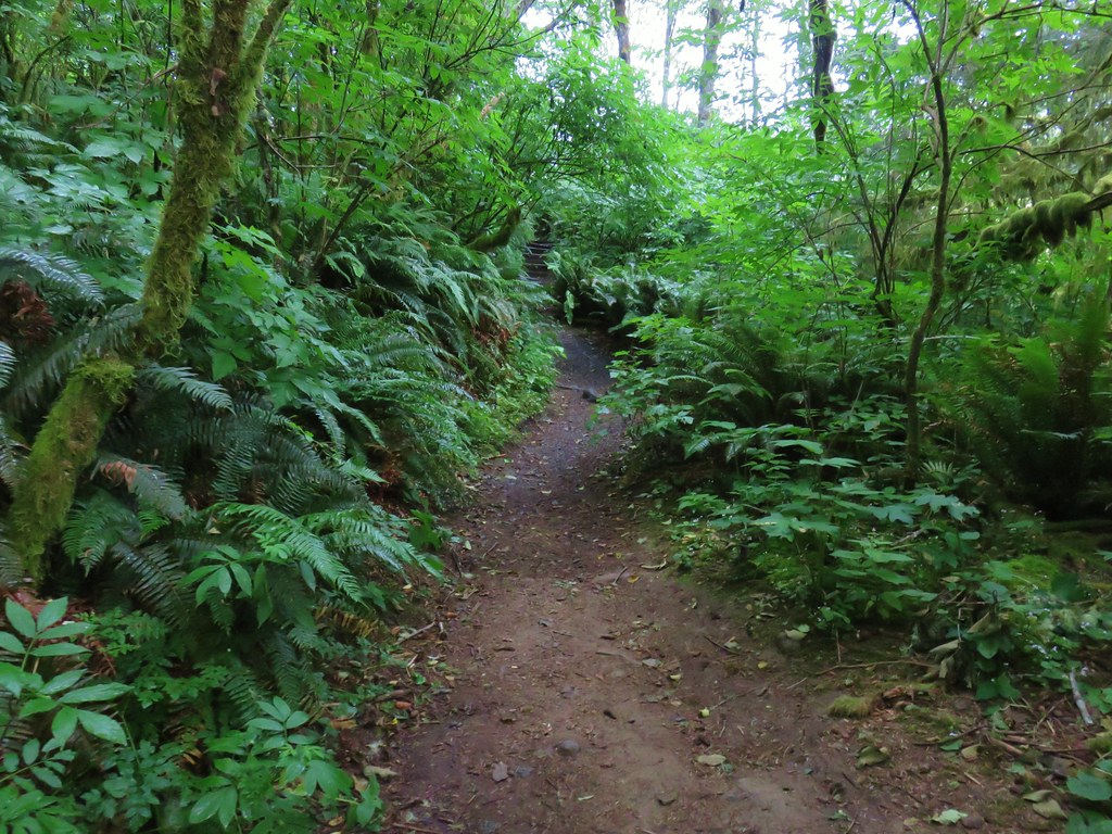
The trail climbed through the forest along Savage Road popping out of the trees at a field where we could see that the meadows were not nearly as clear as they had been just a bit earlier.
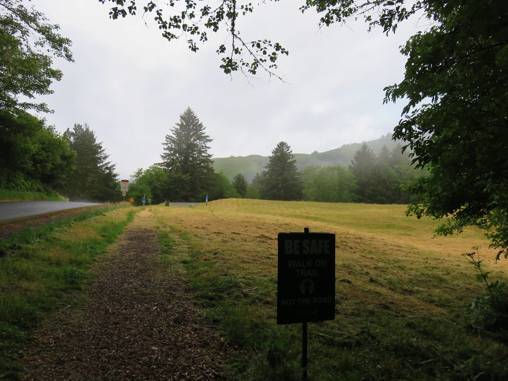
The fact that we could see the ocean was a bit encouraging though.

After crossing to the other side of the road the trail passed an active slide and recrossed to the original trailhead.

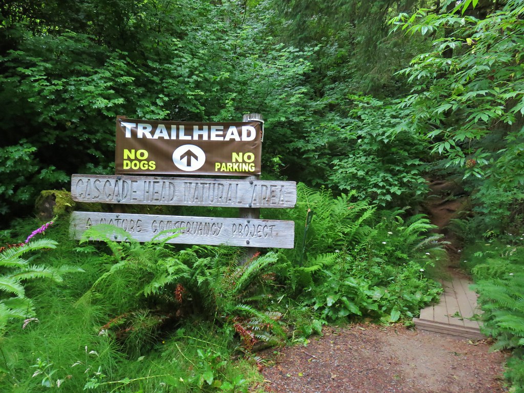
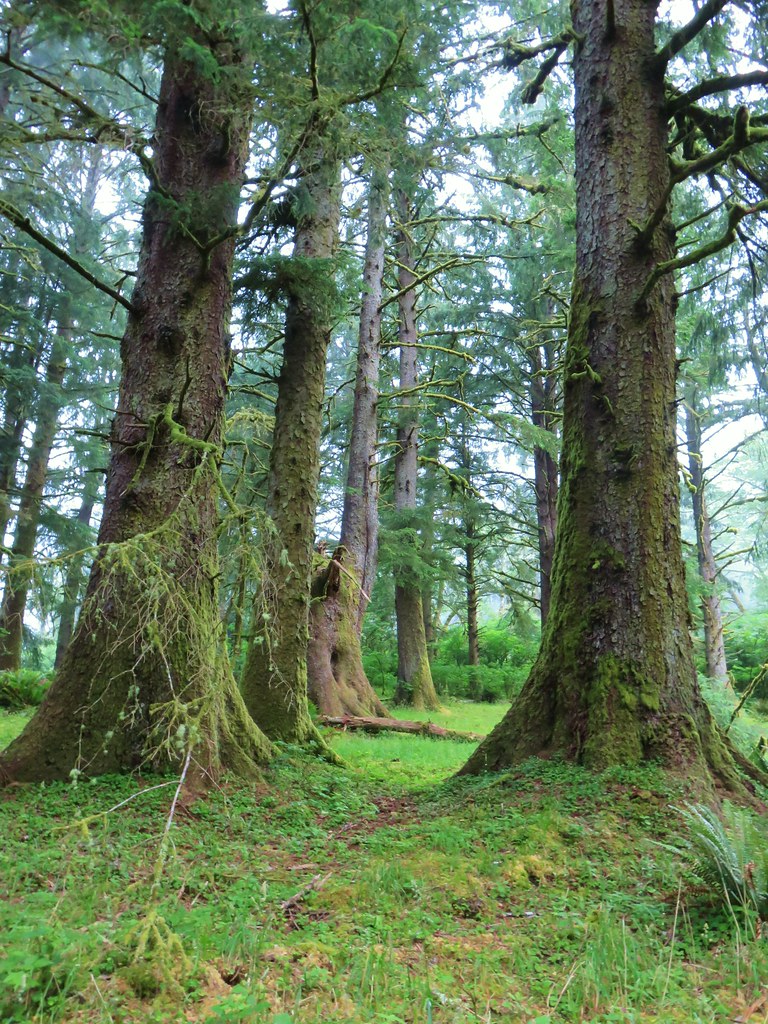
The trail continued to climb through the forest before leveling out for a bit as it crossed a series of overgrown streams on footbridges.
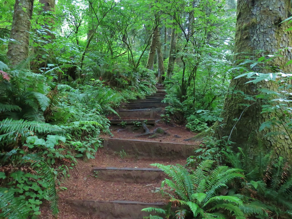
 One of the bridges.
 Overgrown stream
When we finally popped out of the trees around the mile and a half mark we found ourselves in some pretty thick fog.
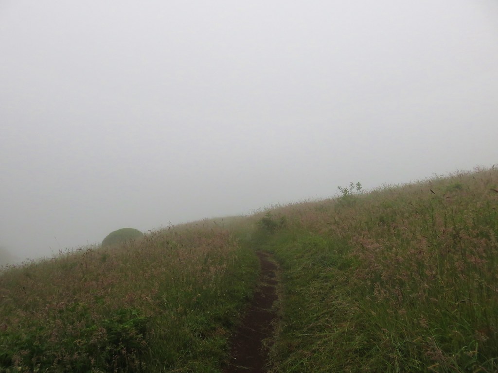
We had hoped to see some of the elk herd that lives on Cascade Head but we couldn’t see much of anything, although we did spot a few birds.
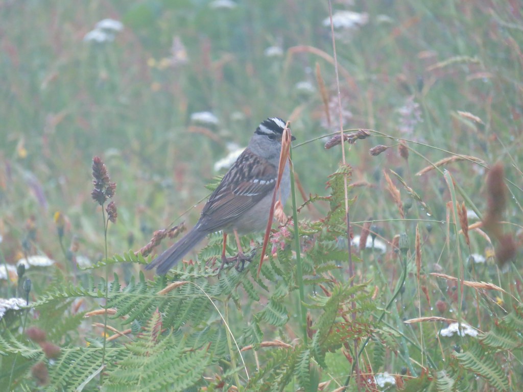 White crowned sparrow
 One of three hummingbirds
 Another white crowned sparrow
There were just a few flowers scattered about as we made our way through and up the grassy meadow.
 Checkerbloom
 Monkeyflower
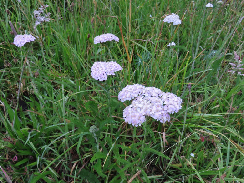 Yarrow
 Field chickweed
 Lupine

Parsley-leaf Lovage
 Foxglove with a spider web
 Clovers
 Iris
Iris
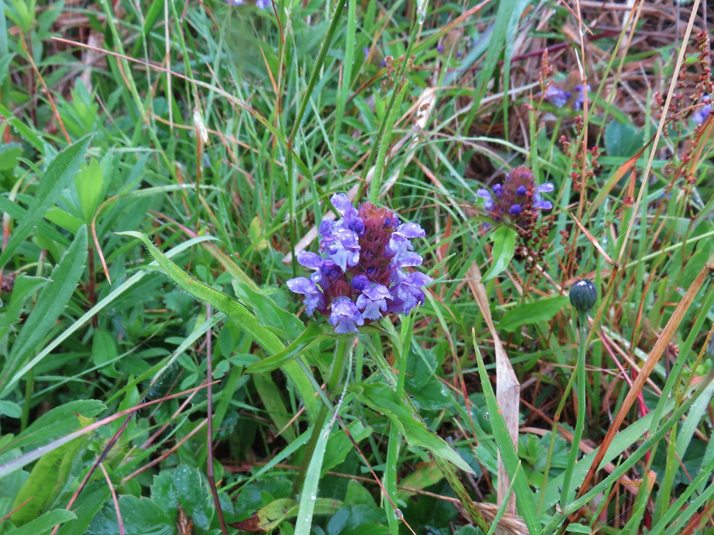 Self-heal
With no views from the meadows when we finally reached the upper viewpoint we headed into the forest.
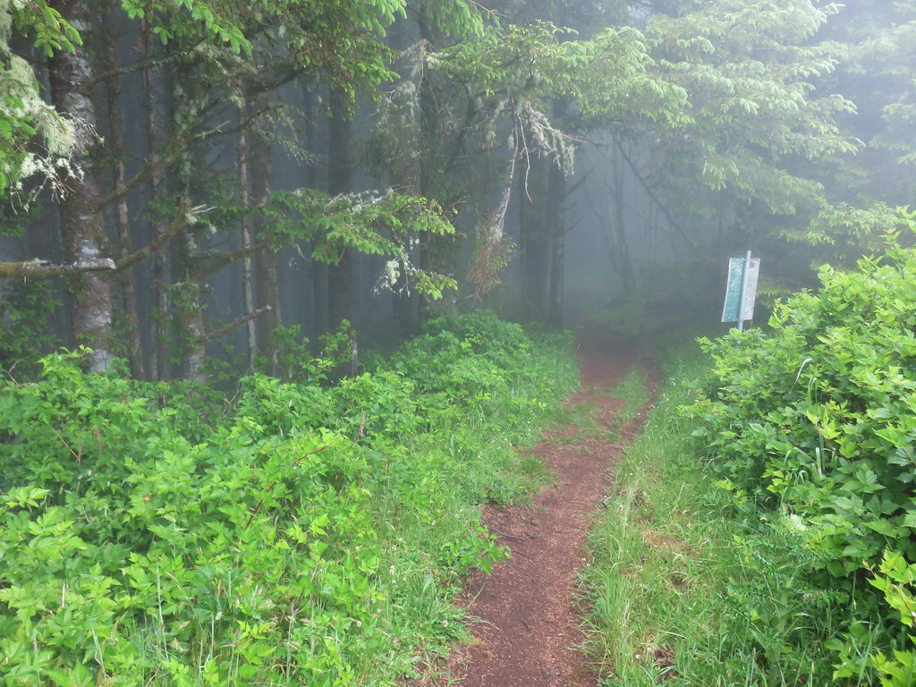
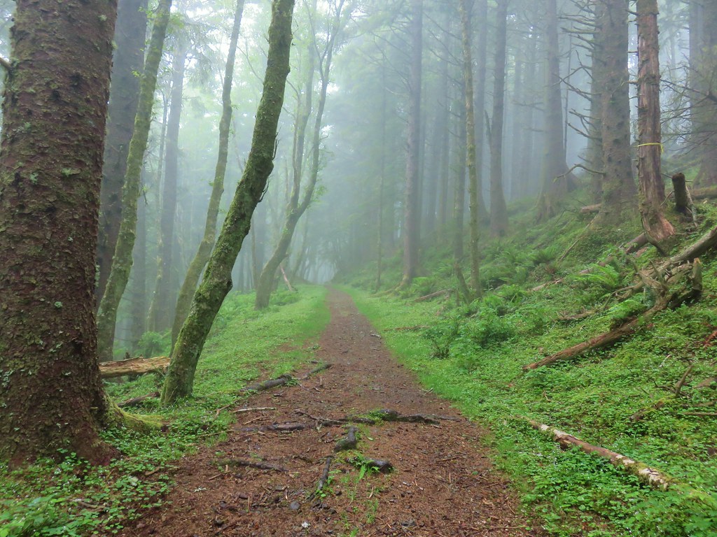
When we came to Siuslaw National Forest boundary my lack of attention to detail became apparent. I had seen where the road to the Upper Trailhead was closed annually from January 1st through July 15th, but I hadn’t noticed that the entire area starting at the boundary was closed to all traffic during that time period.
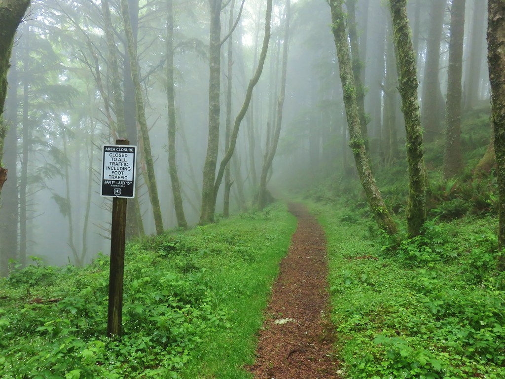
So much for that plan. We gathered under the awning over the Nature Conservancy signboard and mulled over our options. We decided that it might be a decent time to check out a couple of other nearby hikes – Whalen Island and Sitka Sedge. These two hikes would be just a little less mileage than our original plan with quite a bit less elevation gain, plus they were close to Pacific City which gave us a great excuse to have lunch at the Pelican Brewing Company.
With a new plan we headed back to the upper viewpoint where the conditions had improved slightly. We could make out the trees and even a bit of the ocean in the distance through the fog.
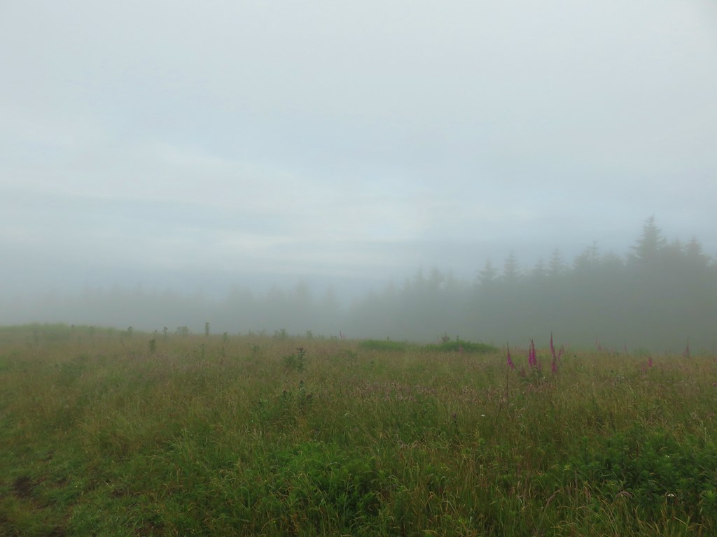
The problem seemed to be that the clouds/fog wasn’t coming in from the Pacific but was instead coming from inland up the Salmon River. We paused for a moment wondering if the view might clear up. While we were watching we spotted a doe walking along the tree line.
 Look for the head to the right of the tall foxglove stalk.
We decided to keep descending figuring that we would still have a good view if the fog did happen to lift.

As we were headed in the direction of the Salmon River the fog did indeed clear in a span of just over a minute.
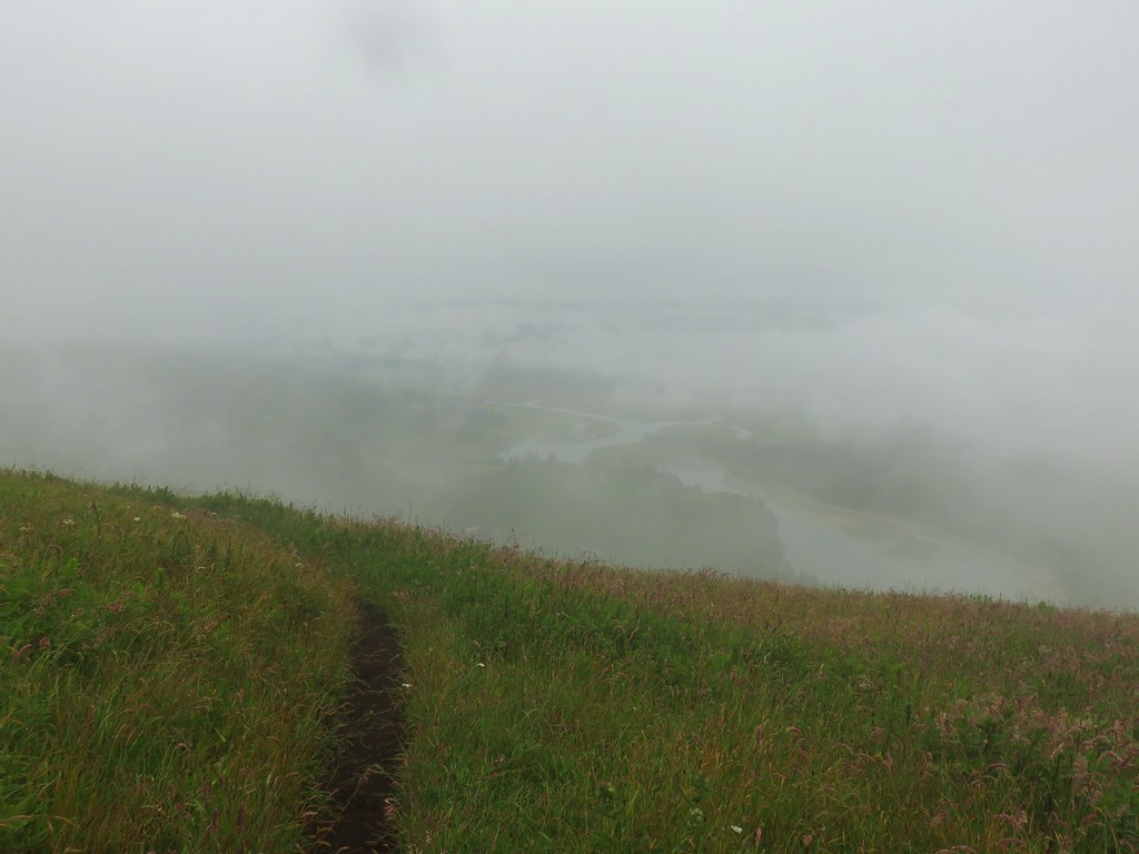
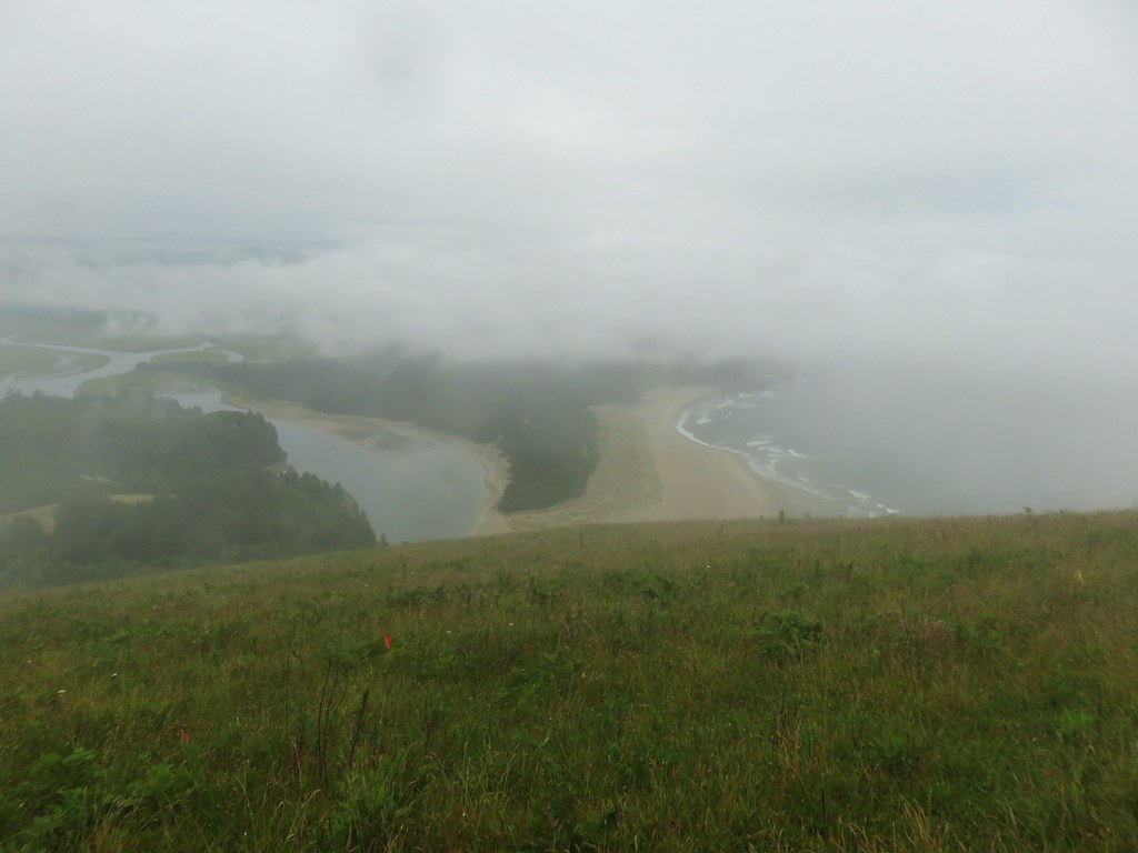
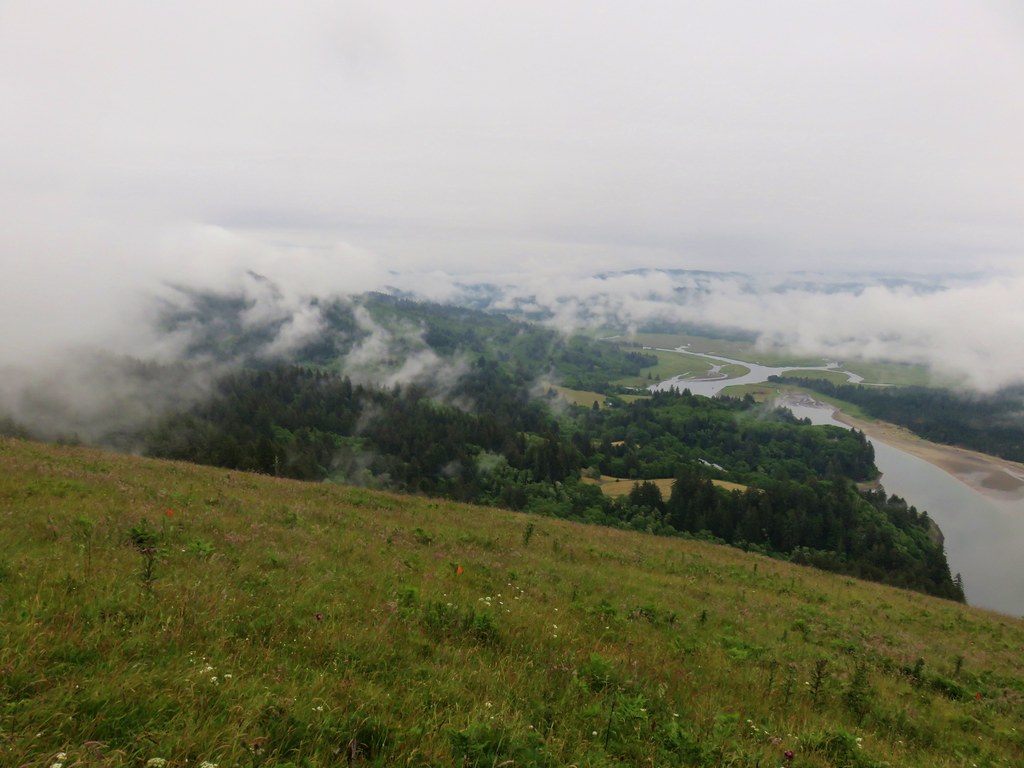

It was a remarkable change. As we were admiring the new, clearer view we noticed a pair of deer feeding in a gully far below us.

As we continued downhill we were encourage to see an actual pocket of blue sky.
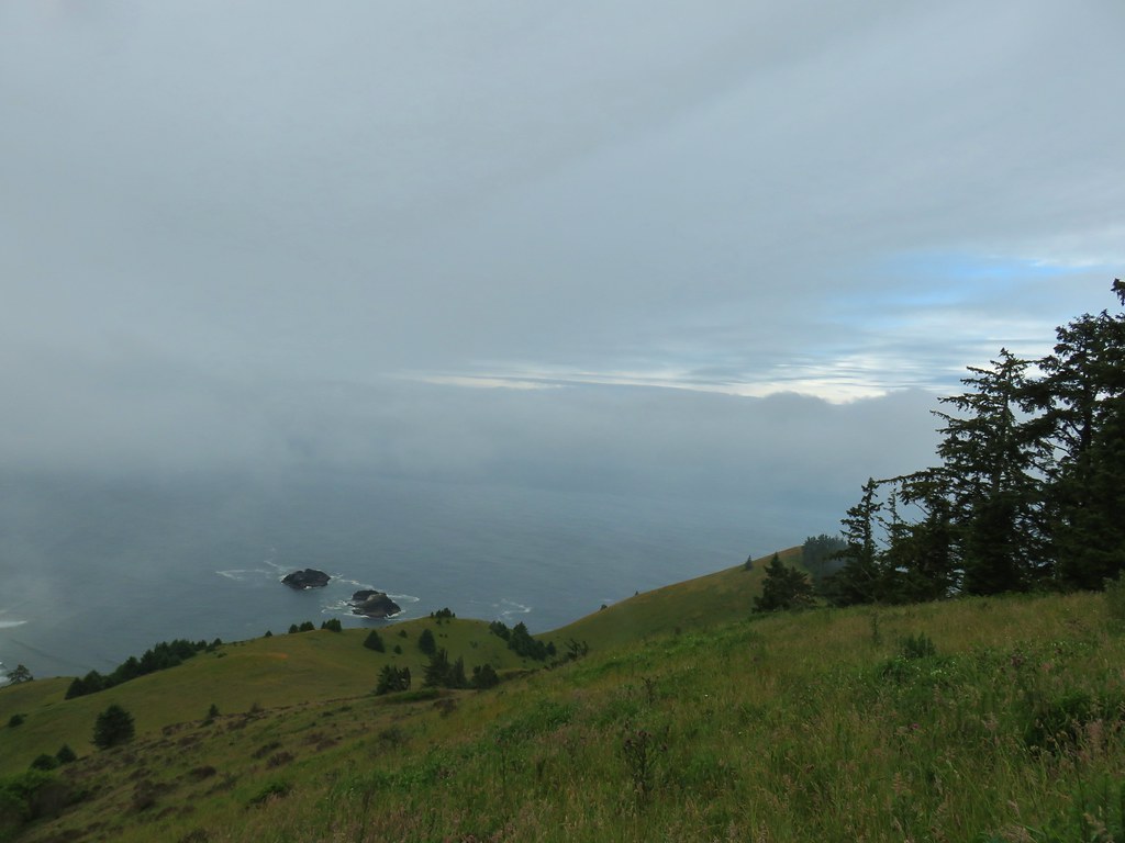
We stopped to take in the view from the lower viewpoint.


From the lower viewpoint the trail turned back inland where things were taking another turn. It was now beginning to rain.

It was a fairly quick, damp, descent back to the car. We were briefly followed by a young fawn who quickly ran the other way when we turned around and spotted it. We had heard a couple of odd noises which caused Heather to turn and notice it. Were aren’t sure what prompted it to follow but hopefully it got back to it’s bed and mother.
The rain had ended by the time we arrived back at Knight Park and we headed north along Highway 101 for 12.7 miles to a sign for Pacific City and Sand Lake where we turned left. This was Brooten Rd. which we followed for 3.5 miles before turning left onto a bridge across the Nestucca River and into Woods. After 2.3 miles on what was now Sandlake Rd. we turned right at a T-shaped junction remaining on Sandlake Rd. for 2.9 more miles to the Clay Myers State Natural Area at Whalen Island on the left.

It was overcast here but not raining or foggy so that was a plus. We began our loop hike here by taking a trail near the southern end of the parking area.

The 1.5 mile loop here passes several viewpoints of Sand Lake and the Lillian Parker Craft wetland. Near the first viewpoint we spotted a rabbit.


The trail was nice and there were a few flowers along with the views.

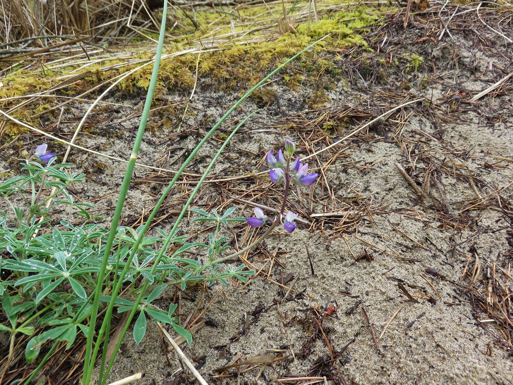 Lupine
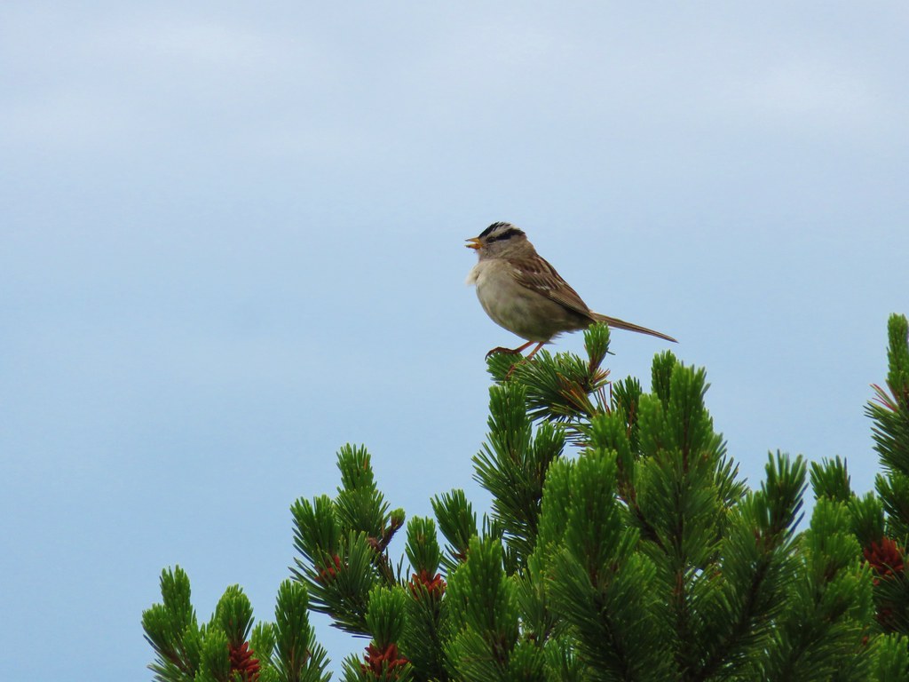 White crowned sparrow

 Cape Lookout (post)
 Beach morning glory
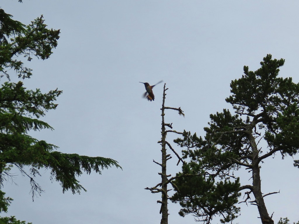
At the wetlands a curious hummingbird came to check us out.

 Groundcone
 Tiger lily
After completing this short loop we drove back south along Sandlake Rd a mile and turned right into the Sitka Sedge State Natural Area. Purchased by the State in 2014 this is a relatively new hiking area offering a couple of loop options.
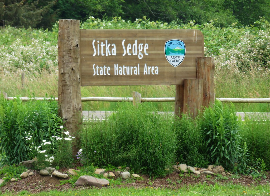
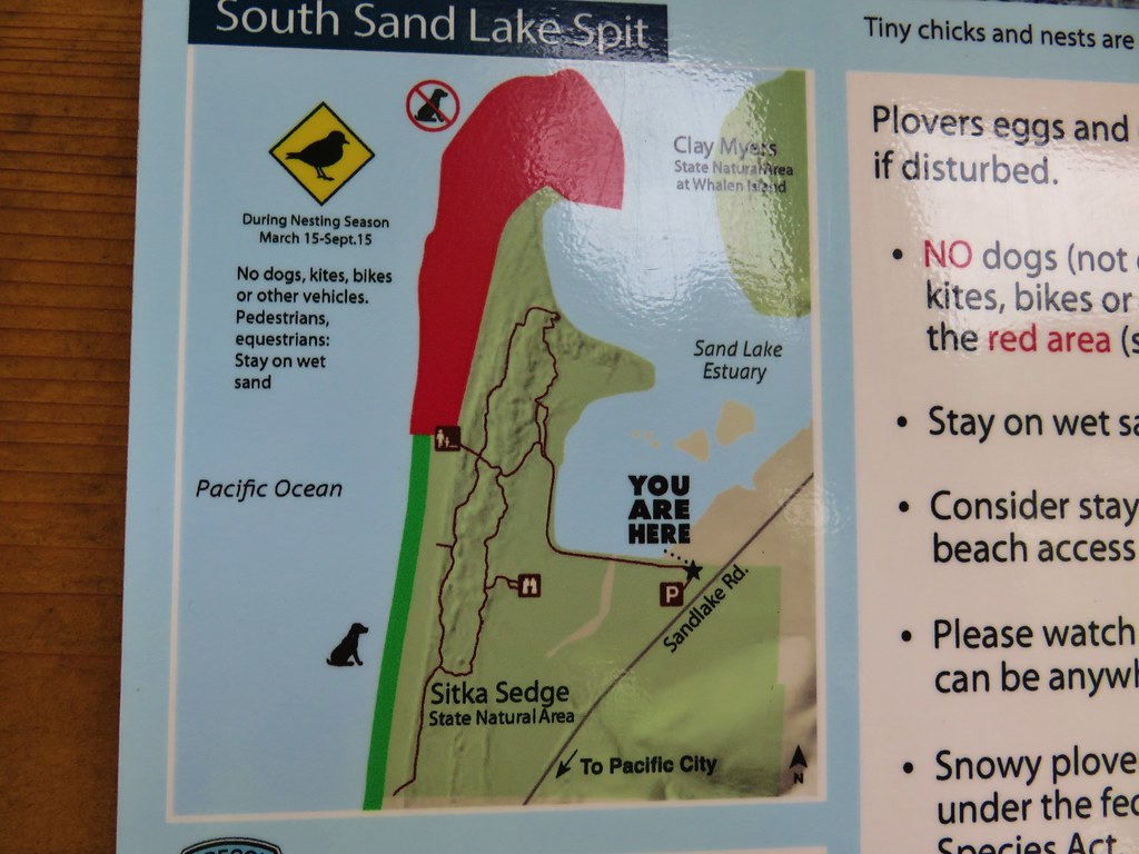
We followed the Beltz Dike Trail to the start of the loops.
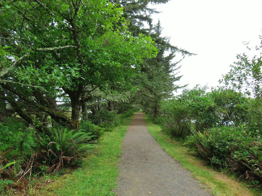
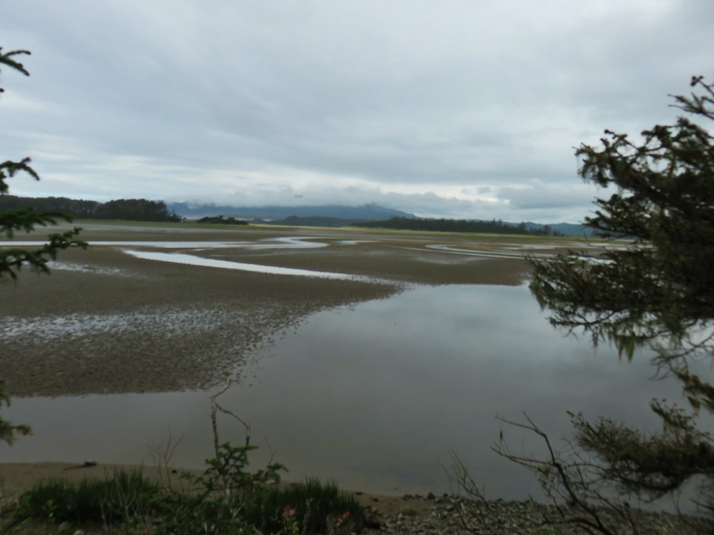
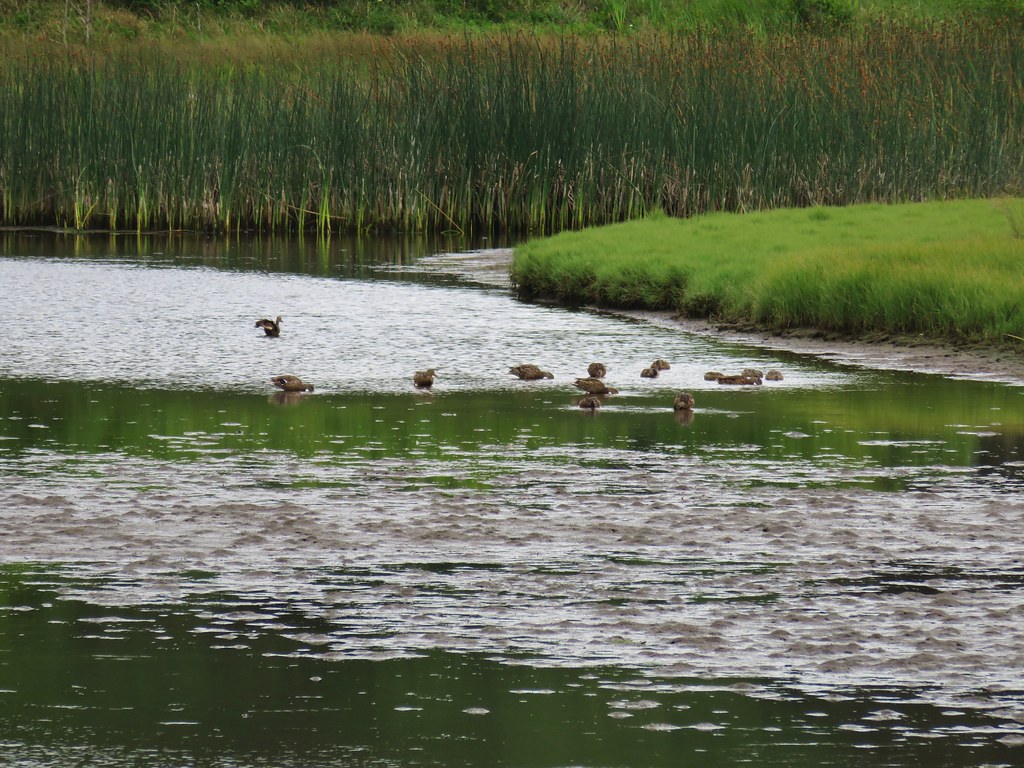
With water and wetlands on both sides of the dike we were a bit surprised by the lack of wildlife which was basically just a few ducks, some crows, and a number of smaller birds.

There appeared to have been quite a display of roses a bit earlier in the year.

On the far end of the dike we turned right onto the Estuary View Loop.
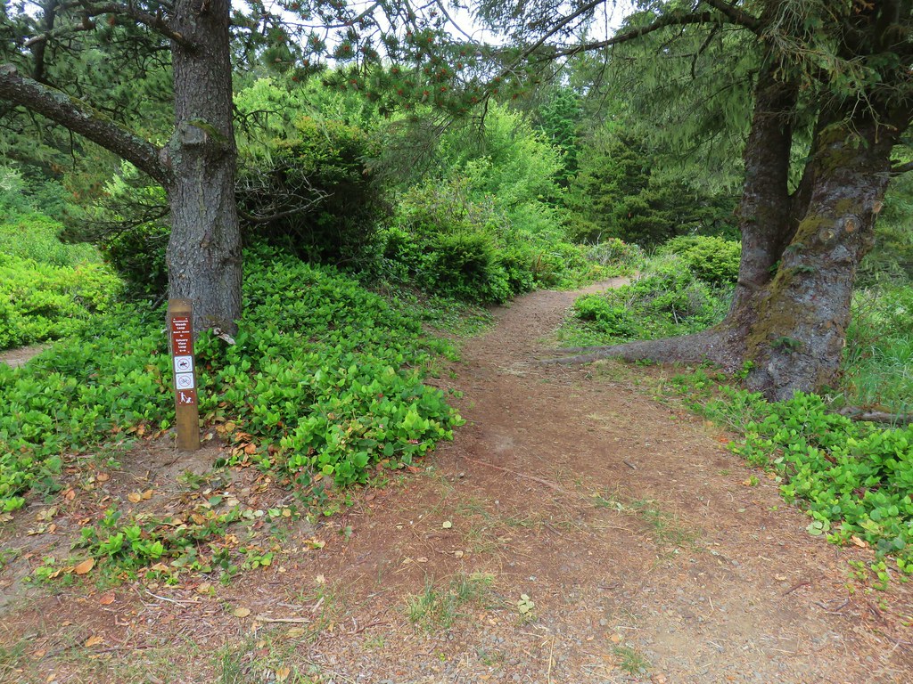

This trail passed through a typical coast forest and climbed to a viewpoint above the Sand Lake Estuary.

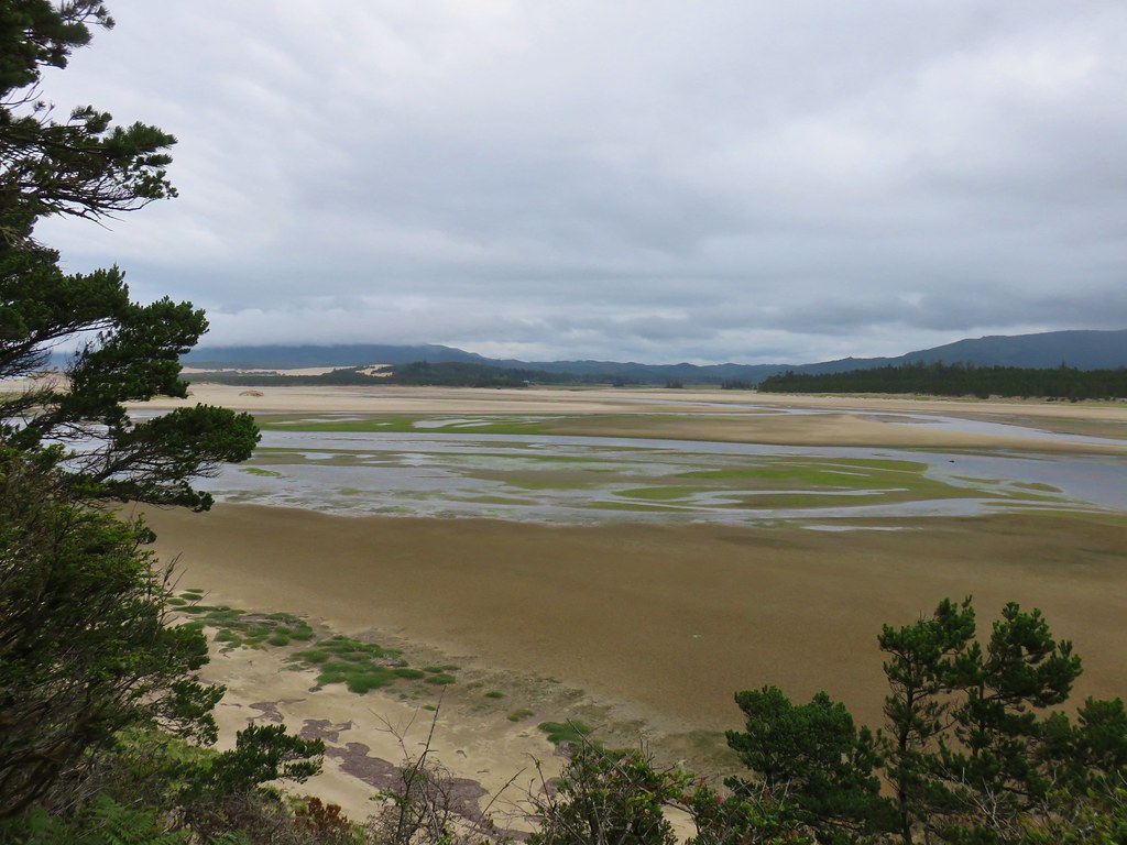
We scanned the estuary for any interesting wildlife but didn’t spot anything so we continued on. As the trail looped around and began heading south it became quite a bit sandier requiring a little extra effort.
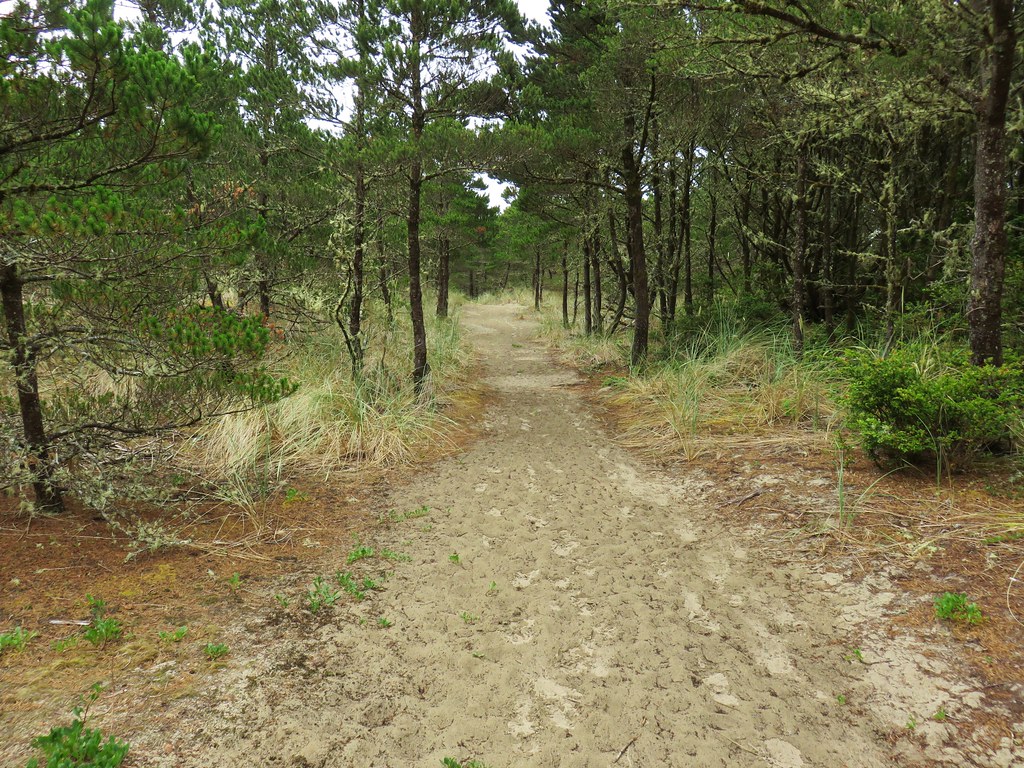
At a rise in the trail there was a view south to Cape Kiwanda and Haystack Rock (post).

We missed the the pointer for beach access where the Woods and Estuary View Loops met and continued south on what was now the Kinnikinnik Woods Loop.
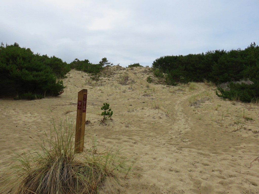
This section was much less sandy which made it easier to walk on.

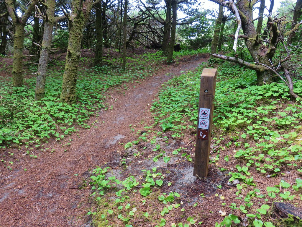
At the next trail sign we did follow the beach access pointer but we mistook it on the map for the one we had already passed.

This path was a slightly longer route to the beach as it first paralleled it for nearly two tenths of a mile before a short spur trail to the right led out to it.

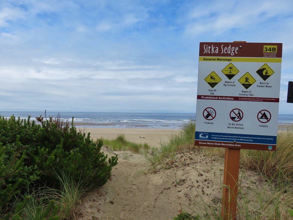
Cape Lookout lay to the north while Cape Kiwanda and Haystack Rock were to the south.


When we left the beach we turned right thinking that this was still the Kinnikinnik Woods Loop but a quick look at the Garmin showed that we were quickly approaching the outskirts of Pacific City so we promptly turned around and headed back to the junction and got ourselves back on the correct path.

We took a final short detour at the pointer for the Elk Knoll Trail.
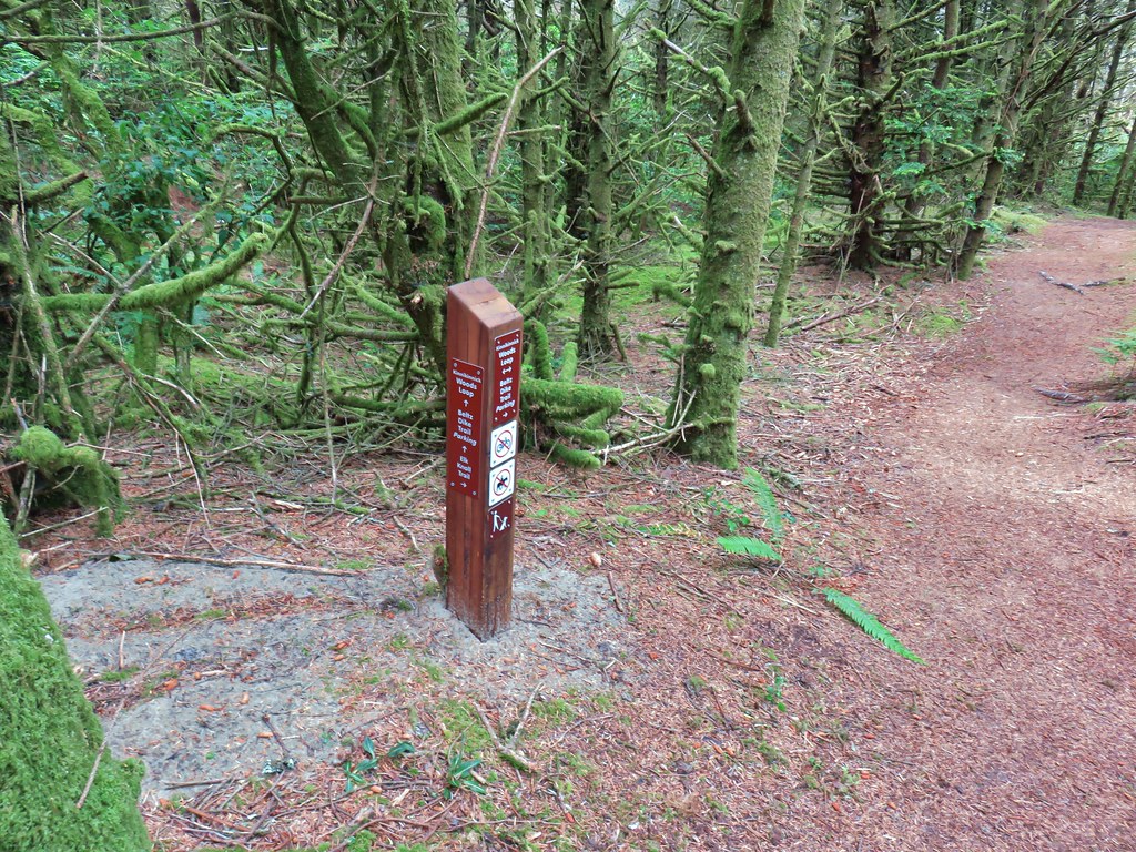
This 500′ long path led to a bench atop a small knoll, there were no elk present.


After sitting briefly on the bench we completed the loop but not before Heather did one of the craziest dances I’d ever seen as we were walking along the trail. She had suddenly seen something right in front of her and thought it was some kind of big insect coming for her. It wasn’t.
 Obstacle hanging over the trail.
We both got quite a laugh out of her fancy moves and chuckled all the way back to the trailhead. Despite our detour the hike here was still under 4 miles bringing the days total to 11.1 miles.
After a quick change we drove into Pacific City and stopped at the Pelican Brewery before heading back to Salem. The food and drink were a nice way to end four days of hikes. With more rain in the forecast over the next couple of days we’ll see when and where our next hike takes us. Happy Trails!
Flickr: Cascade Head, Whalen Island, and Stika Sedge