Late June is typically a good time to catch the wildflower displays on Silver Star Mountain in the Gifford-Pinchot National Forest. Located in Washington between the Columbia Gorge and the snowy peaks of Mt. St. Helens and Mt. Adams the Silver Star Scenic Area offers several trails. Many of the trails pass through areas that were part of the 1902 Yacolt Burn, the largest fire in Washington State’s history. The series of September fires left exposed ridges and hillsides which are now wildflower filled meadows. The two most popular routes to Silver Star Mountain are via the Silver Star Trail/Ed’s Trail, a 5.2 mile loop, and an 8.2 mile loop via the Grouse Vista Trailhead. Each of these starting points come with their own drawbacks. Road 4109 which leads to the Silver Star Trail is an awful drive full of rocks, ruts, and potholes. The Grouse Vista Trailhead is on Washington Department of Natural Resource land and thus a Discovery Pass is required to park a car there. Passes are currently $10/day or $30/annually. We had done an expanded loop starting on the Silver Star Trail in 2013 https://wanderingyuncks.wordpress.com/2013/07/04/silver-star-mountain/ and didn’t feel like shelling out another $10 for a discovery pass so for this visit we chose a third option – the Bluff Mountain Trail.
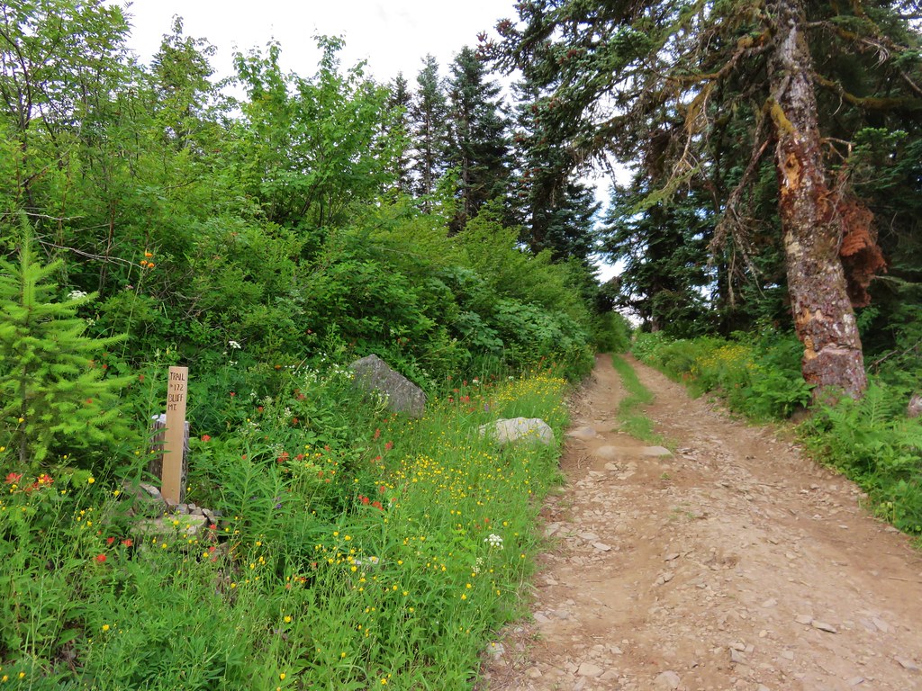
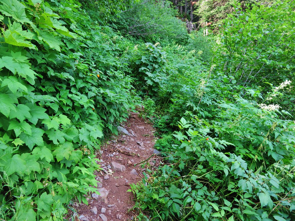
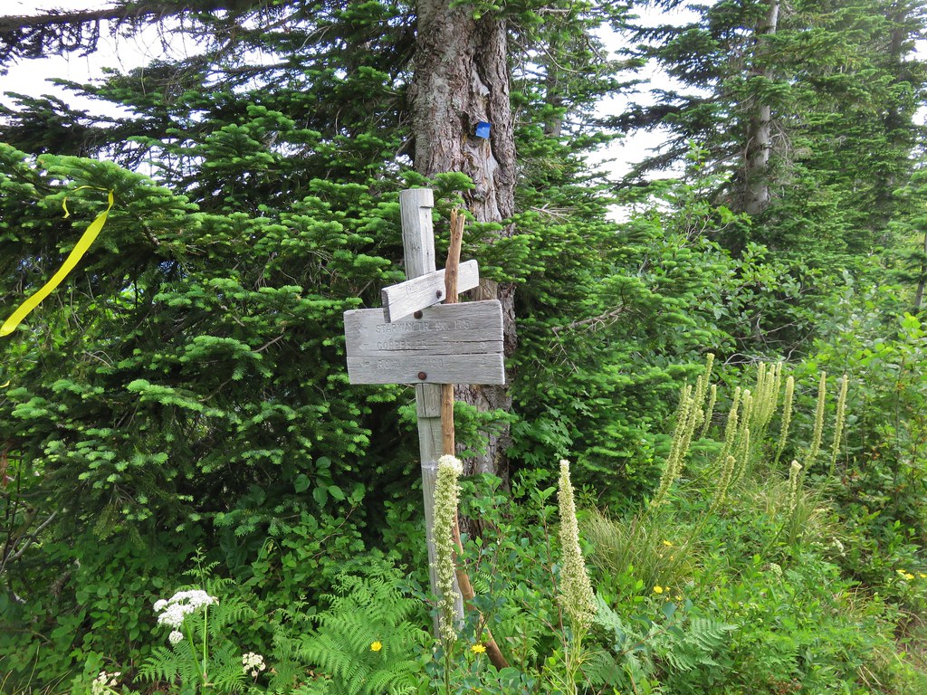
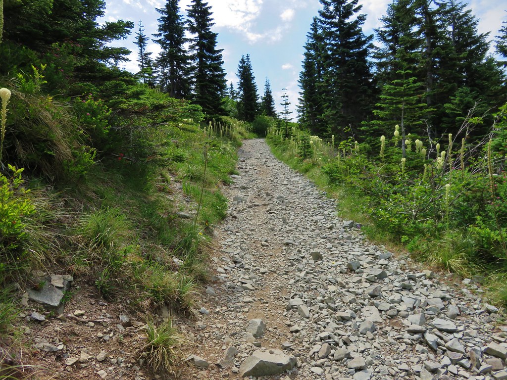
The Bluff Mountain Trailhead has its drawbacks too, mostly a slow drive on a rock and pothole filled Forest Service road. I don’t think it is as bad as road 4109, you do pass this road on the way to the trailhead, but it is longer and took us a little over 45min to cover the 9.4 miles. It is also the longest route to Silver Star at 6.5 miles one way. The trailhead is at a poorly marked junction where the road bends around a ridge at a large swath of dirt. Only a small wooden stake marks the start of the trail which follows an old roadbed for the first 2 miles.
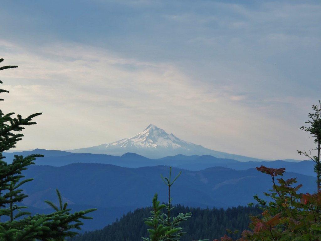
Both Mt. Hood and Mt. Adams were visible from the trailhead parking area. It was going to be another hot day here with the highs near 90 degrees, but it was also fairly cloudy so the air was humid and the horizon hazy. We had prepared for the heat by filling the bladders for our packs the night before and leaving them in the refrigerator, bringing a couple of additional Hydro Flasks full of water, and packing some extra salty items such as potato chips and some after hike pickles.
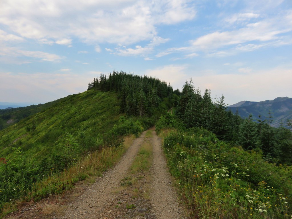
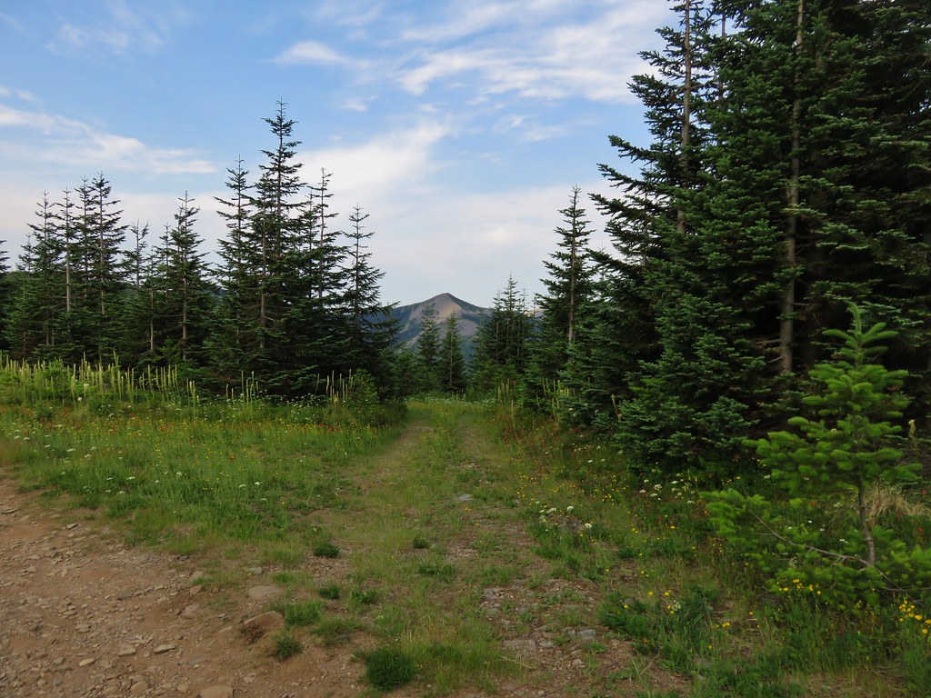
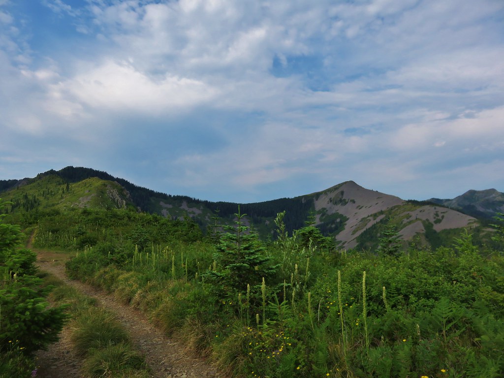
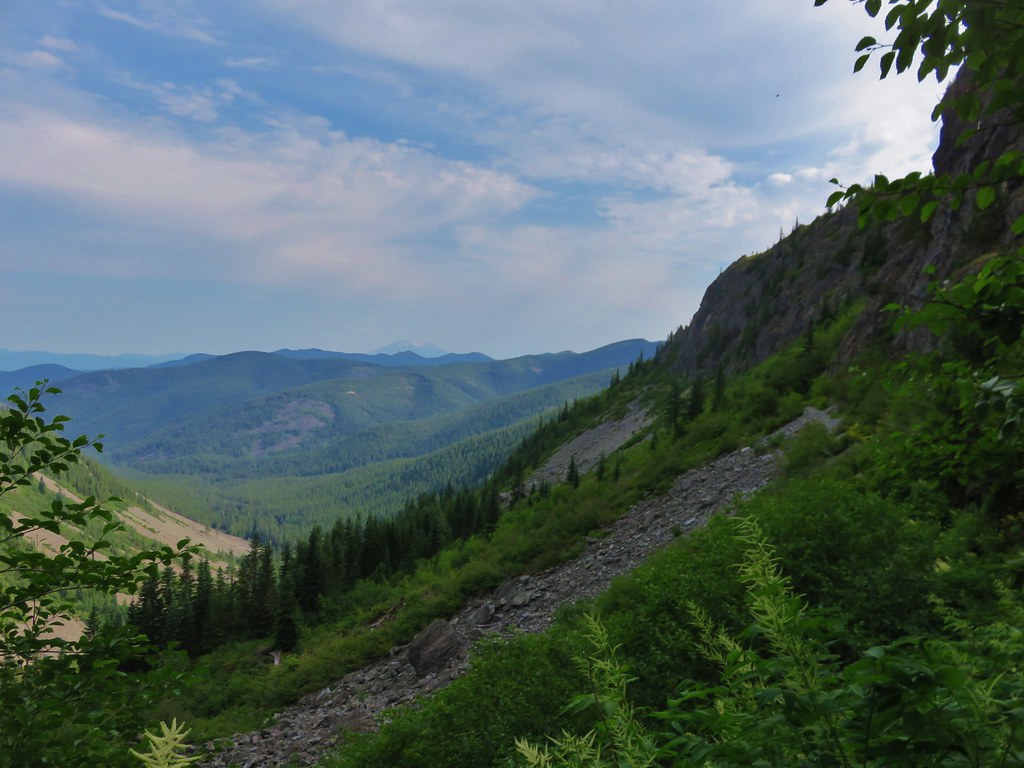
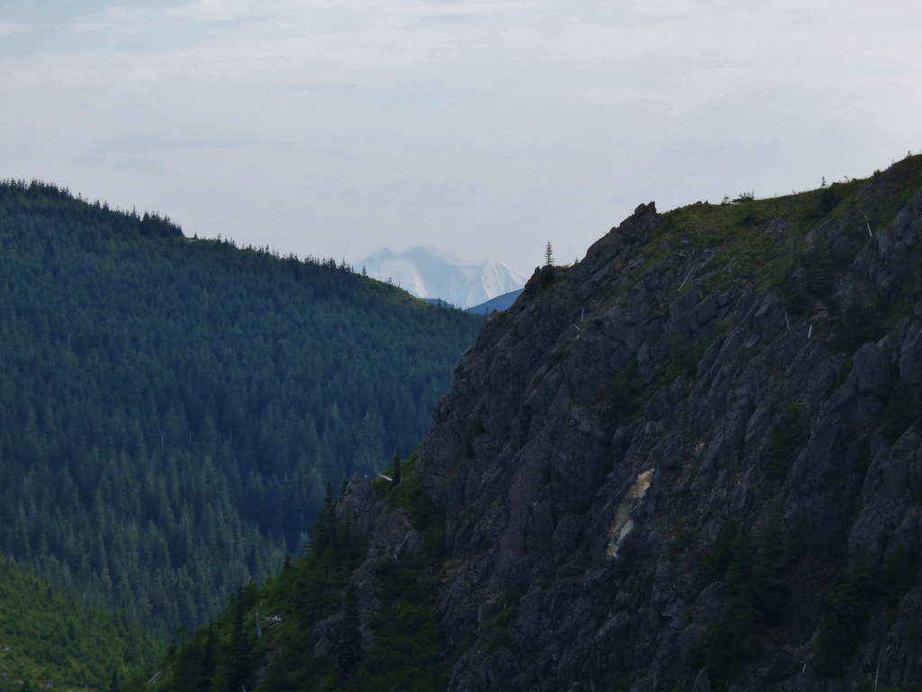
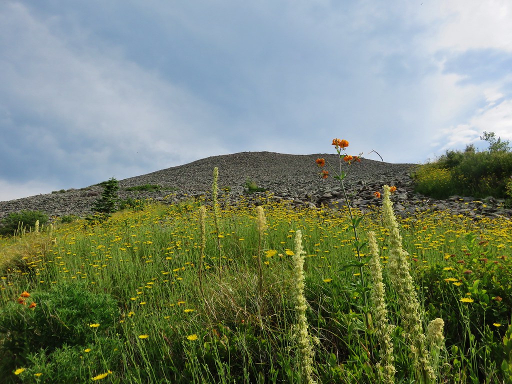
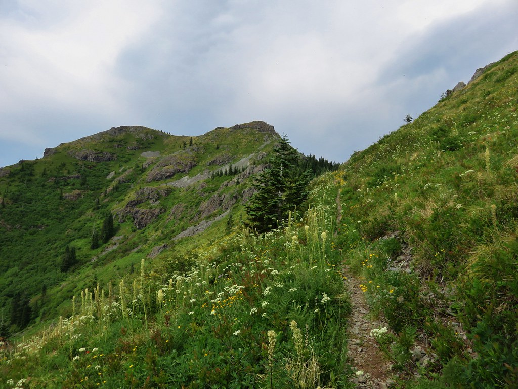
The old road traveled along ridges past a couple of small hills where a few trees were present. After passing the first of these hills Silver Star Mountain was visible in the distance.
Silver Star Mountain on the far right.
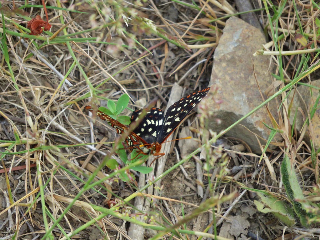
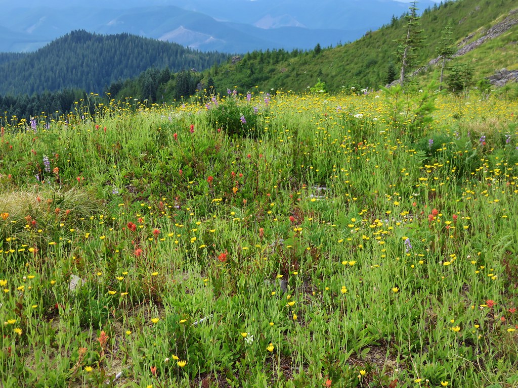
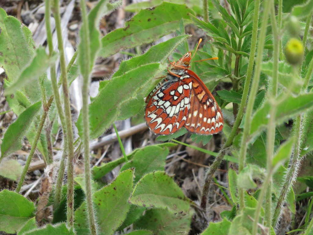
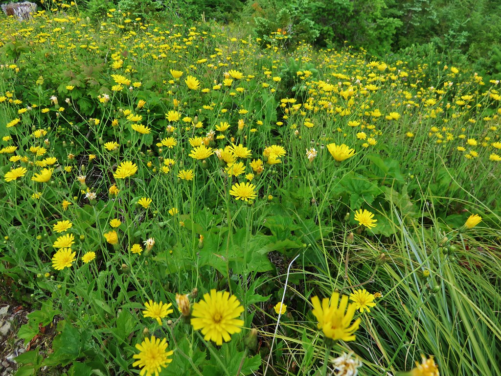
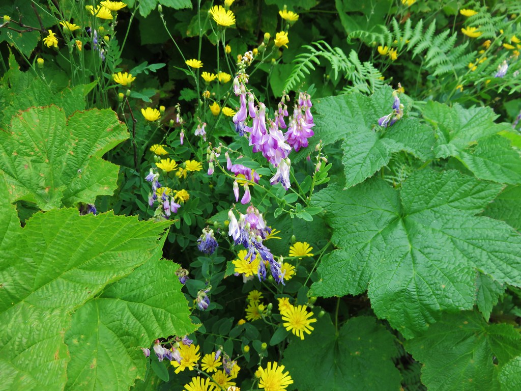
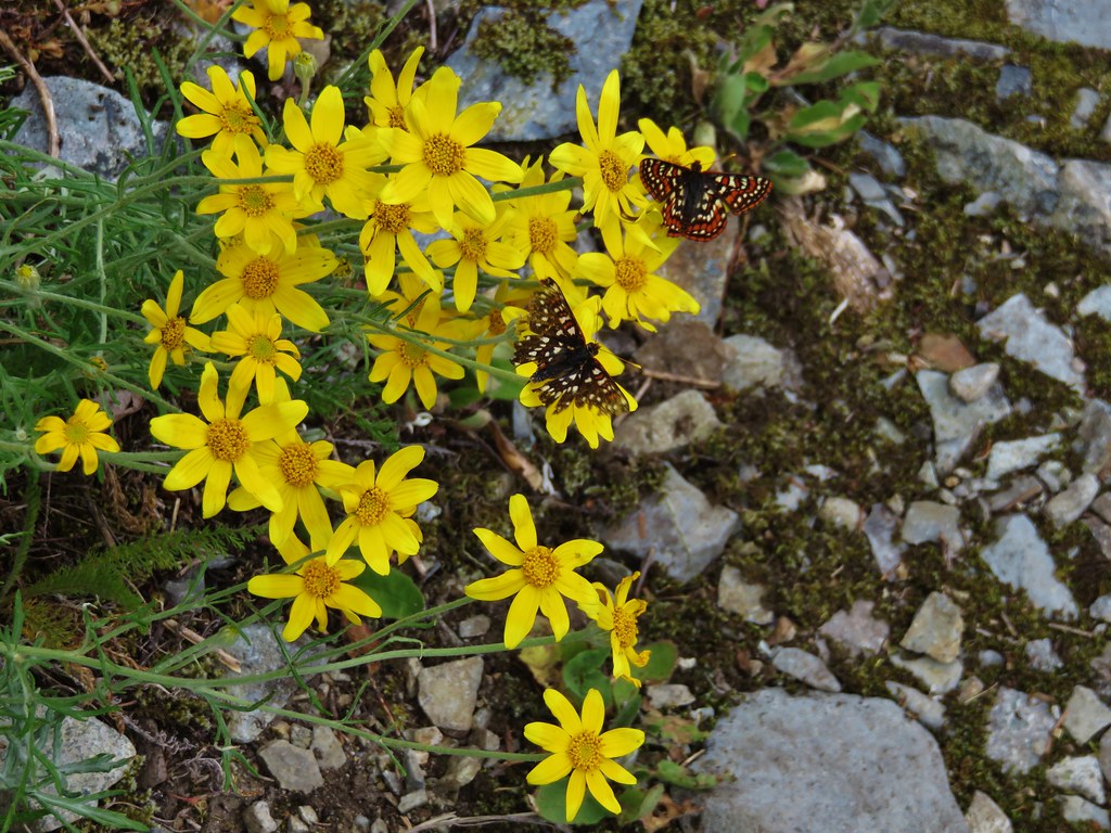
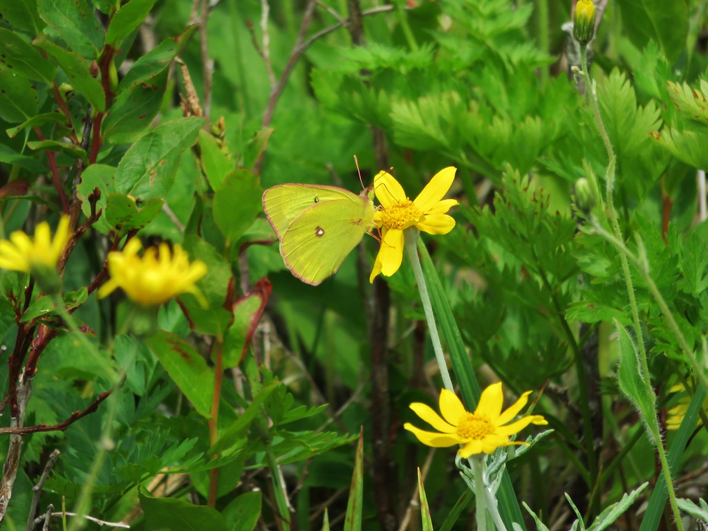
There were still quite a few flowers along the ridge despite the hot and dry conditions, and there seemed to be butterflies everywhere we looked.

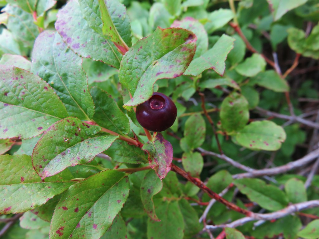
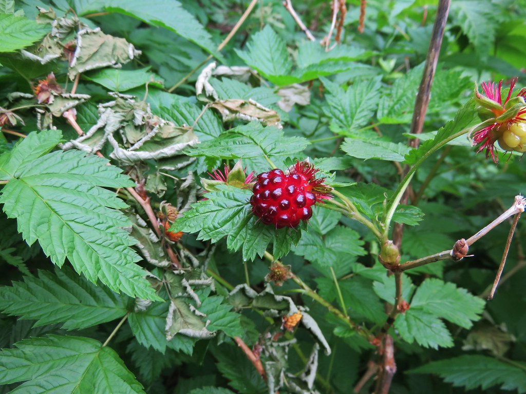
There were even some huckleberries beginning to ripen.
One sight that was not welcome was a fire pit filled with garbage where someone had obviously been shooting a shotgun.
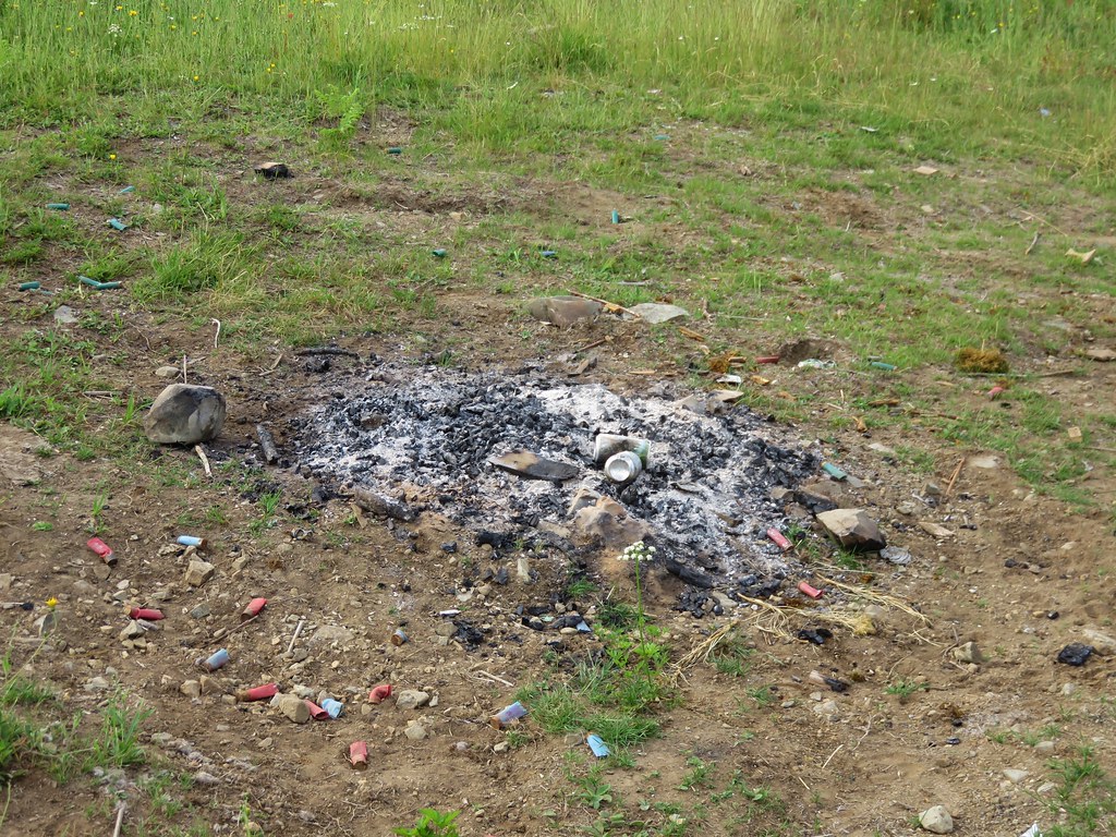
This is something we see far too often and it’s really disappointing that people bother to head out into nature just to make it their personal garbage can.
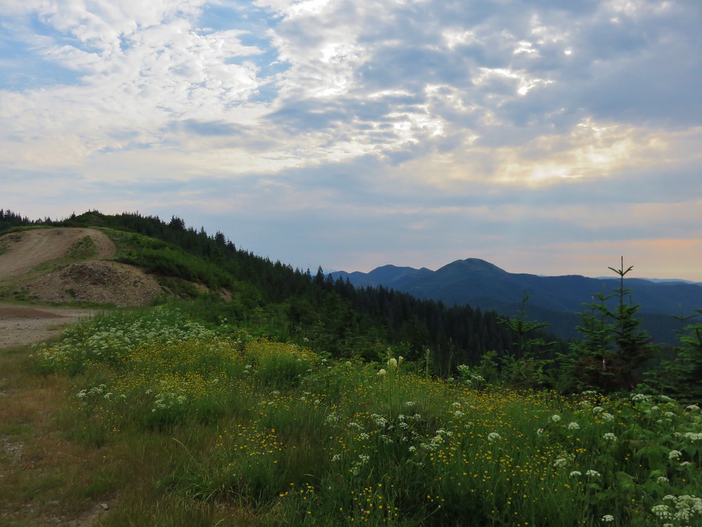
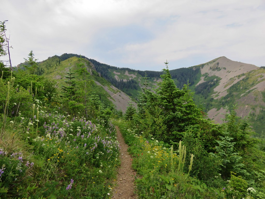
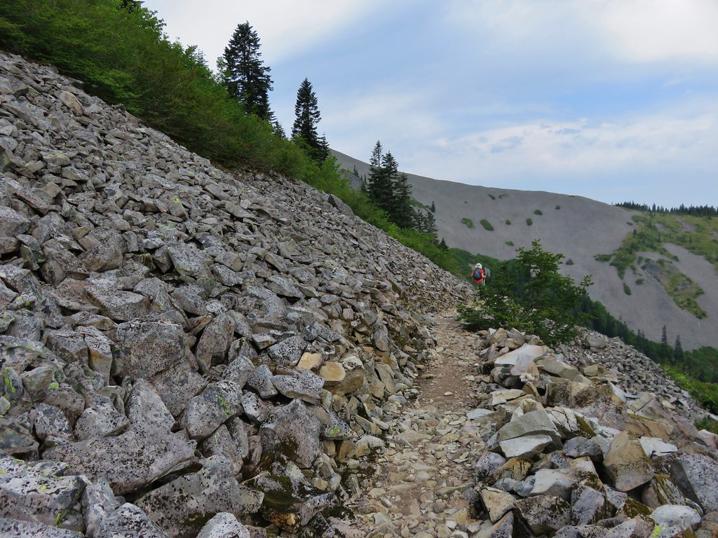
We continued along the road toward Bluff Mountain amid the wildflowers and butterflies. The views kept shifting as the old road made its way around the small hills along the ridge.

Little Baldy
Silver Star Mountain and Little Baldy
At the two mile mark the trail left the road and diped along the right hand side of a small knoll. At the split the view included all three of the peaks we would be passing – Bluff Mountain, Little Blady, and Silver Star Mountain.
It was interesting to be able to see so much of our route due to the open views. Often times we could see the trail in the distance giving us a glimpse of what lay ahead.
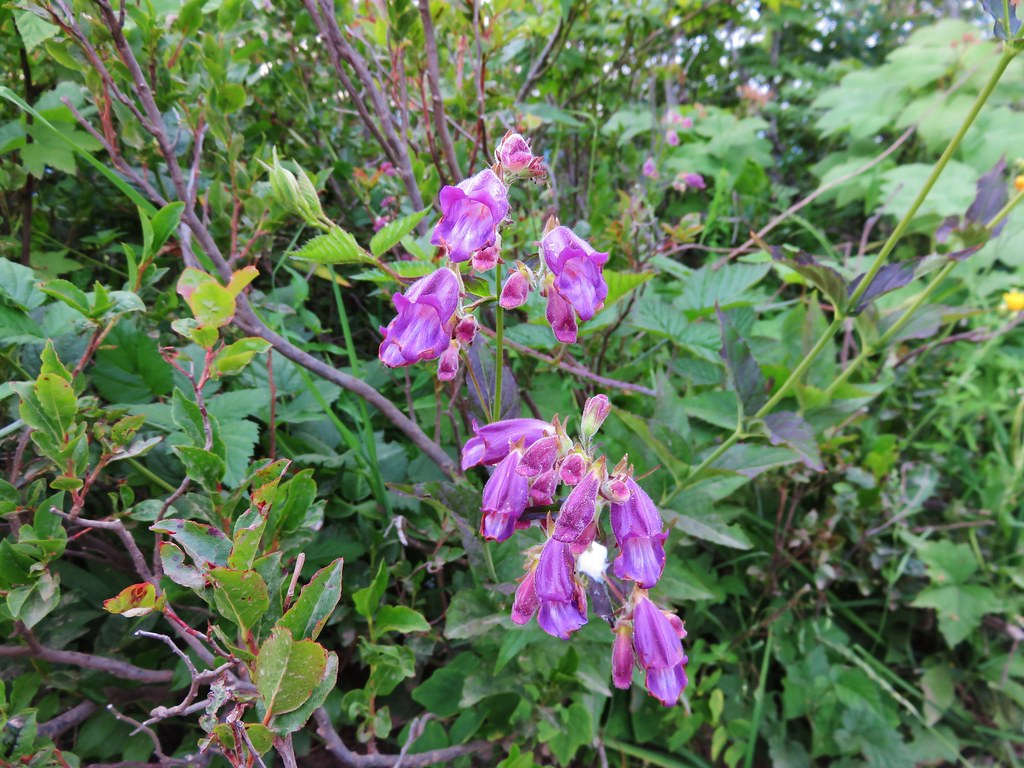
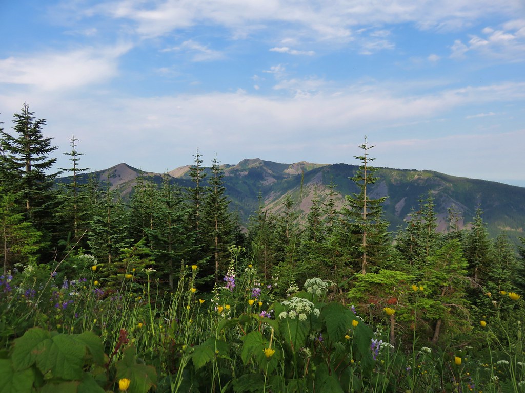
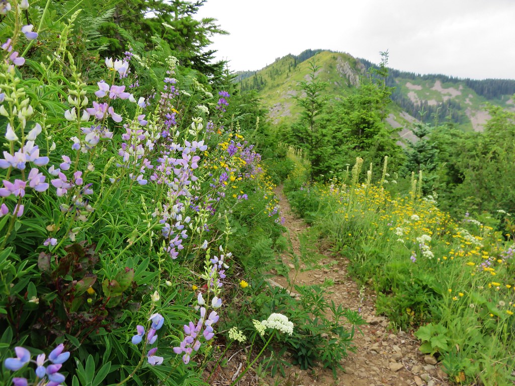
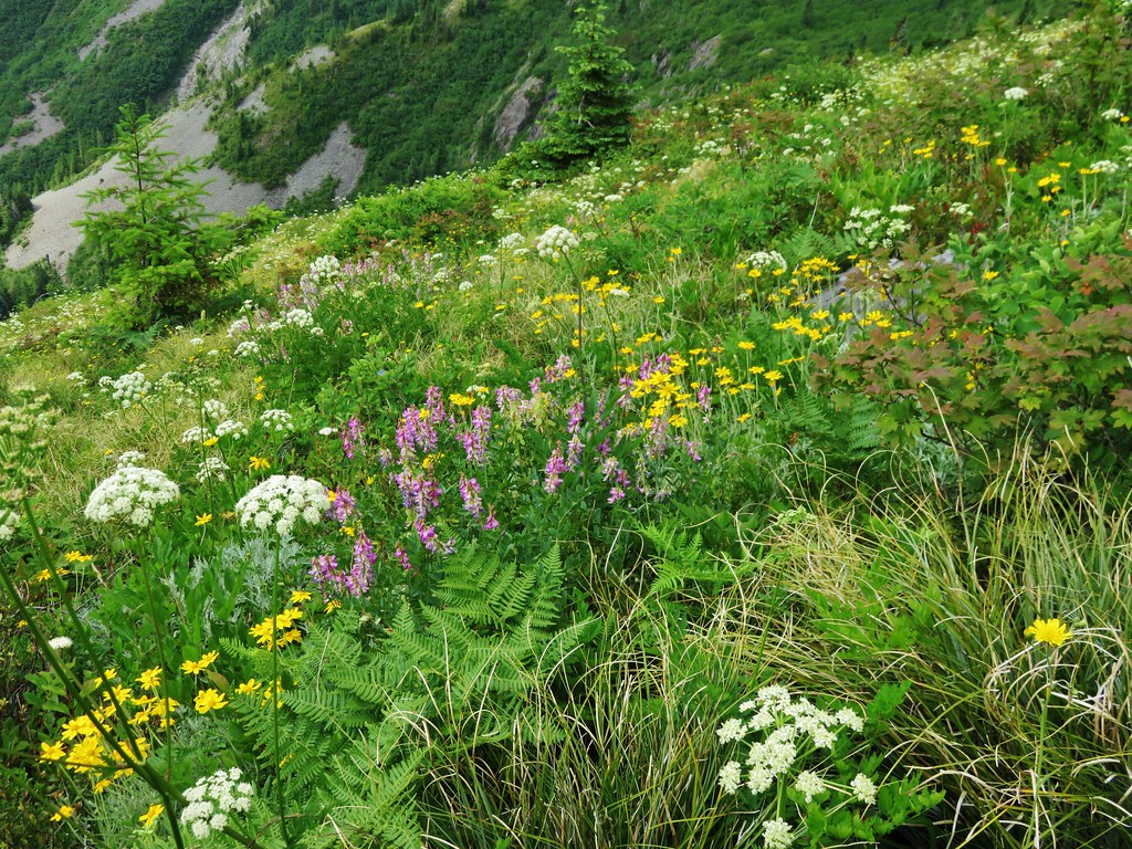
The section of trail between the road and Bluff Mountain was full of flowers. Some had seen better days a week or two before but many were still blooming strong and crowding the trail.
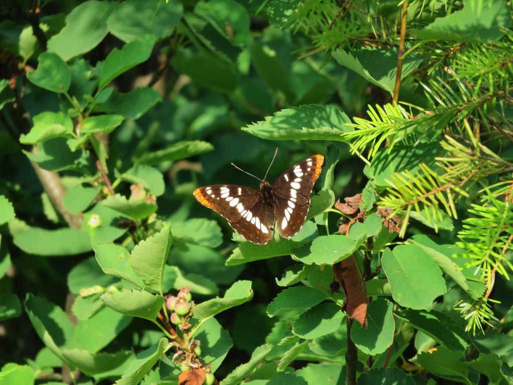
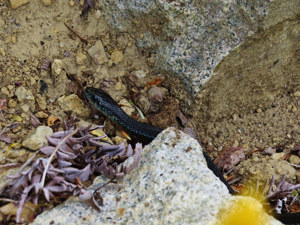
In addition to the numerous butterflies we were seeing we also spotted several snakes during the hike. This one was spotted as we were passing below Bluff Mountain.
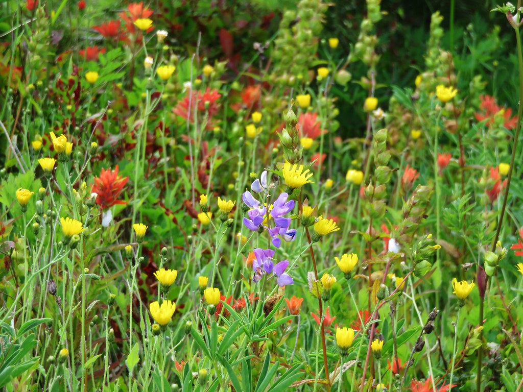
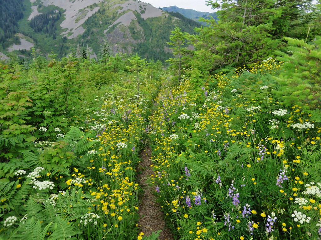
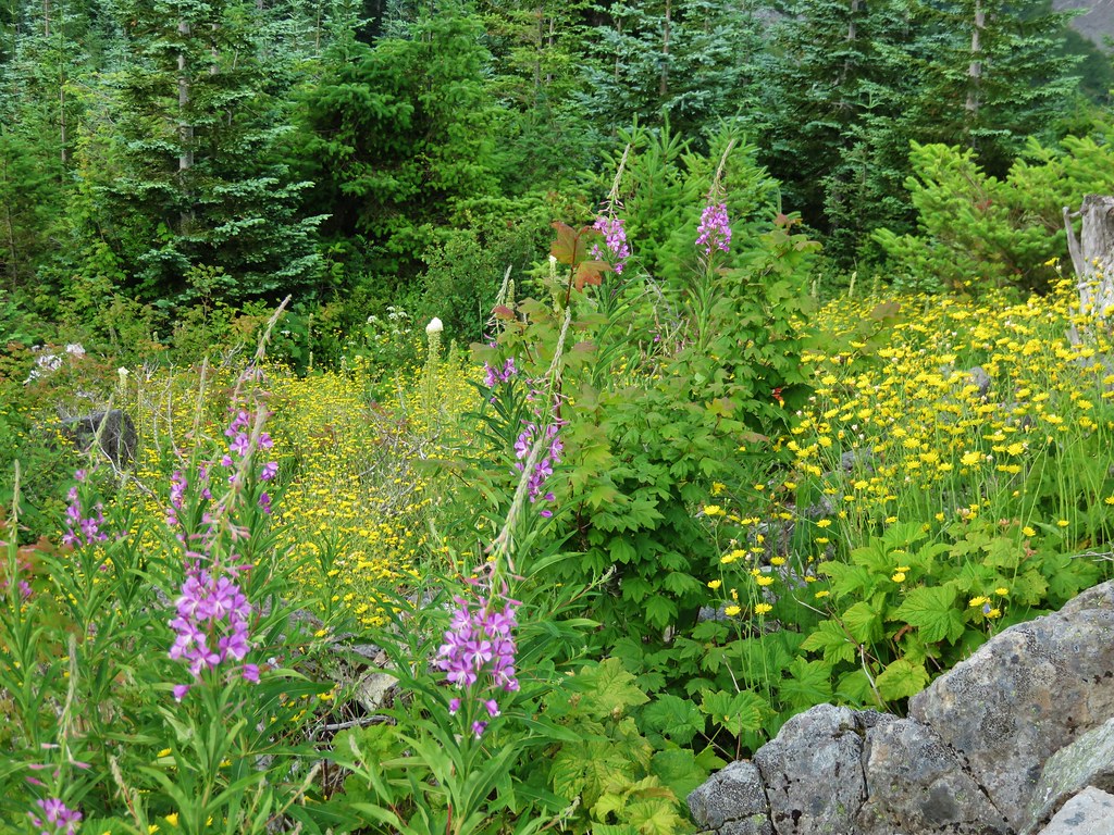
New flowers and more butterflies joined the views as we passed under the cliffs of Bluff Mountain.

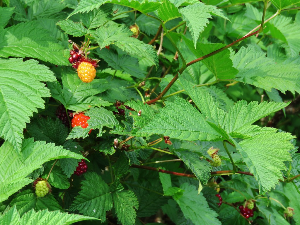
There were also lots of thimble and salmon berry bushes. The thimbleberries were not ripe yet but we found plenty of red and orange salmonberries ready to be eaten.
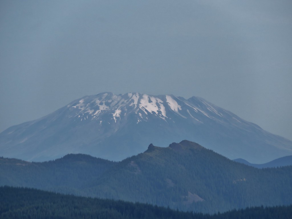
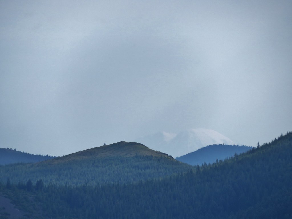
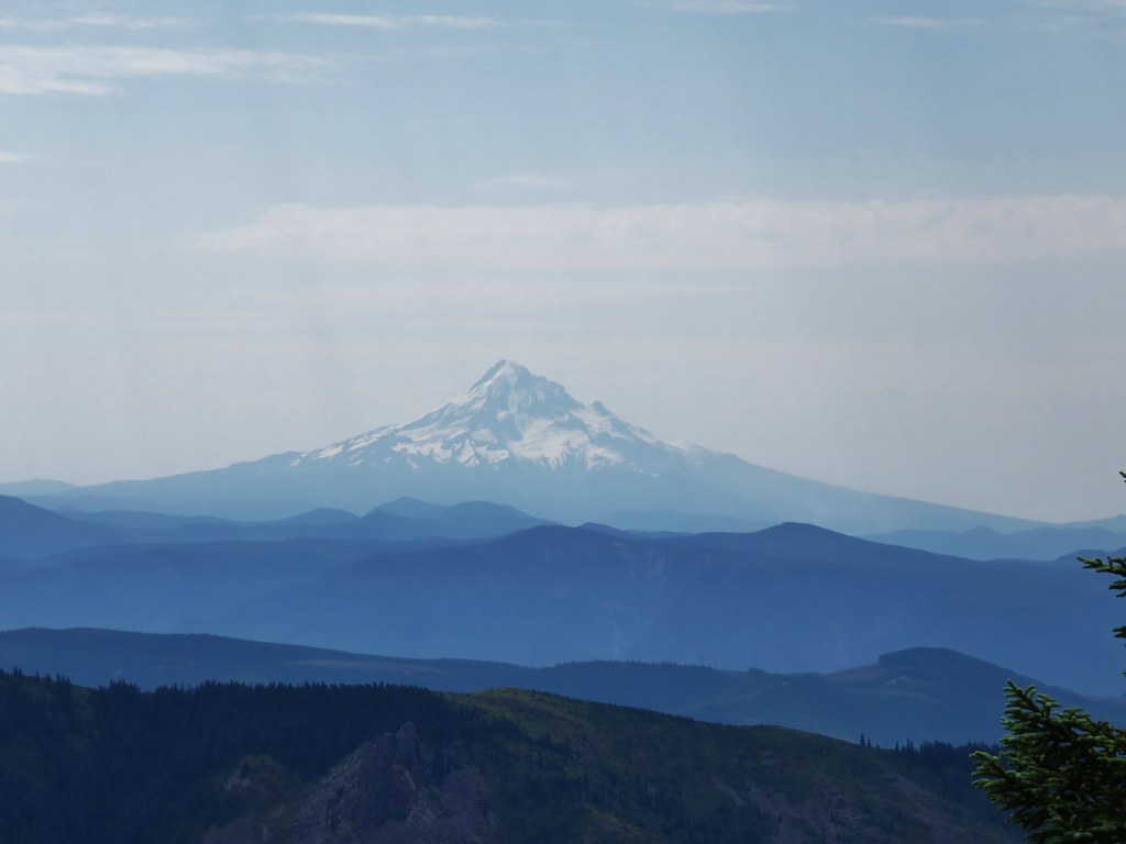
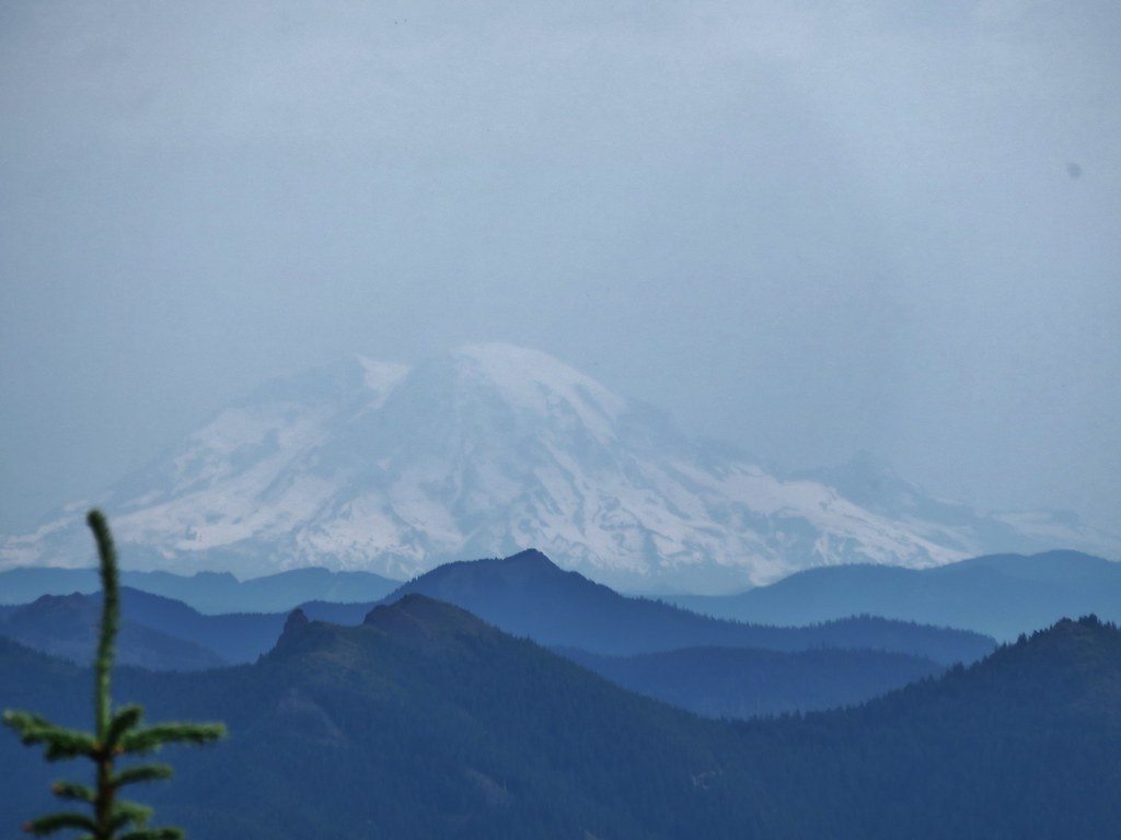
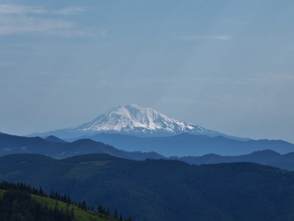
Looking back from where we’d come we could see three Cascade mountains. (Some better than others)
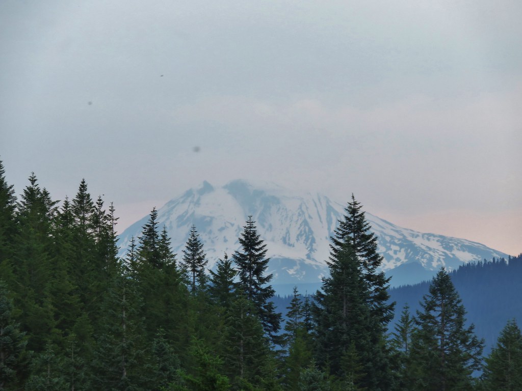
Mt. St. Helens
Mt. Rainier
Mt. Adams
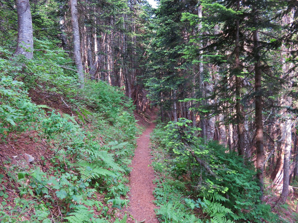
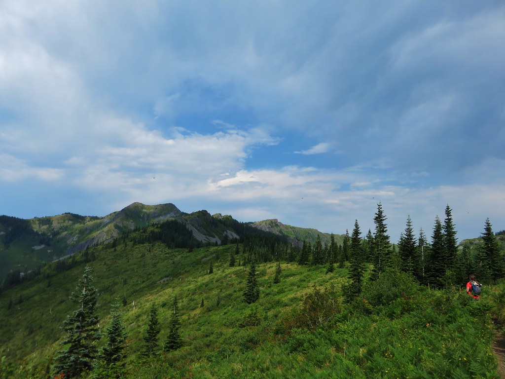
After passing through the thick berry bushes the trail crossed a rock field then entered an forest of trees on a wide ridge between Bluff Mountain and Little Baldy.
We spotted a small rock cairn and what looked like a possible trail leading off to the right but didn’t have time to investigate.
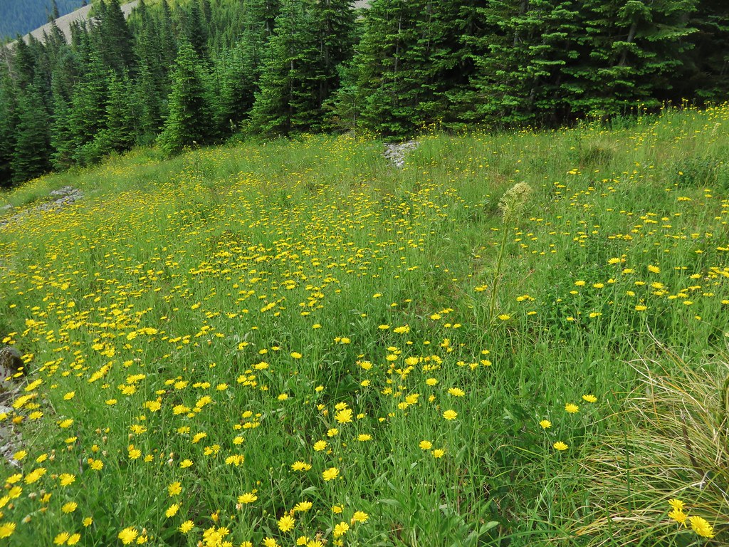
When we emerged from the trees we were in a small meadow with a view of Mt. Hood.


The meadow was full of yellow flowers.
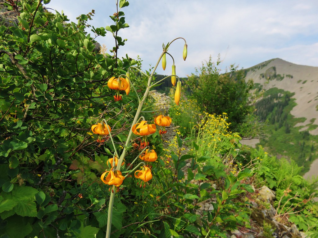
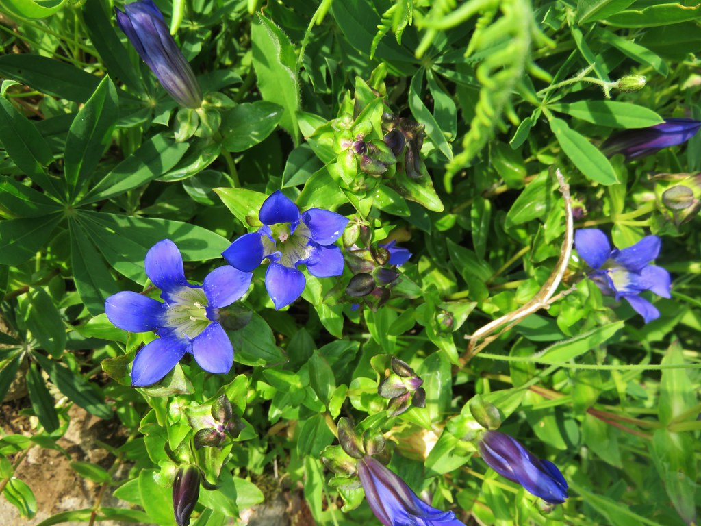
We also spotted some of my favorite flowers – gentians.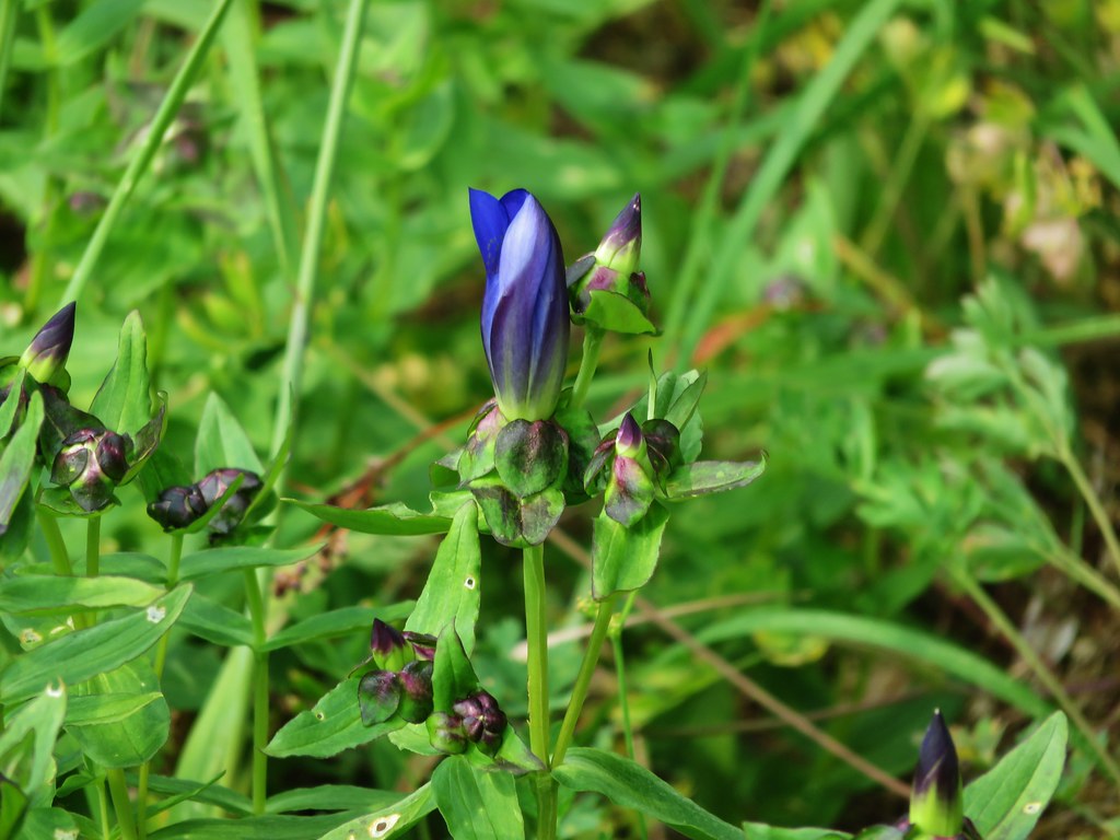
We were now on the opposite side of Little Baldy from what we’d been seeing all morning. Silver Star Mountain spread out ahead of us across a deep valley.
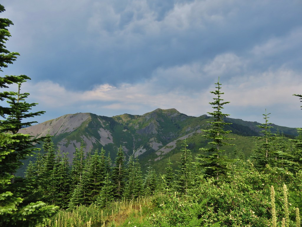
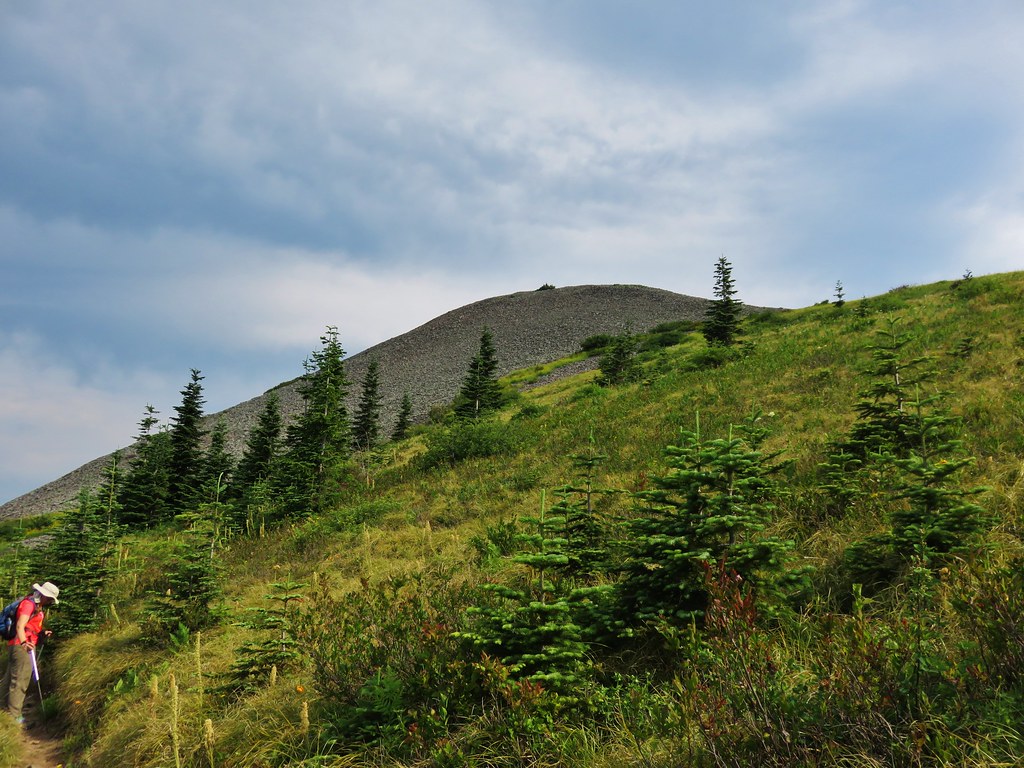
Little Baldy looked like a giant rock pile with a few patches of vegetation growing on its flanks.
Gentians dotted the trail wherever plants were able to grow.
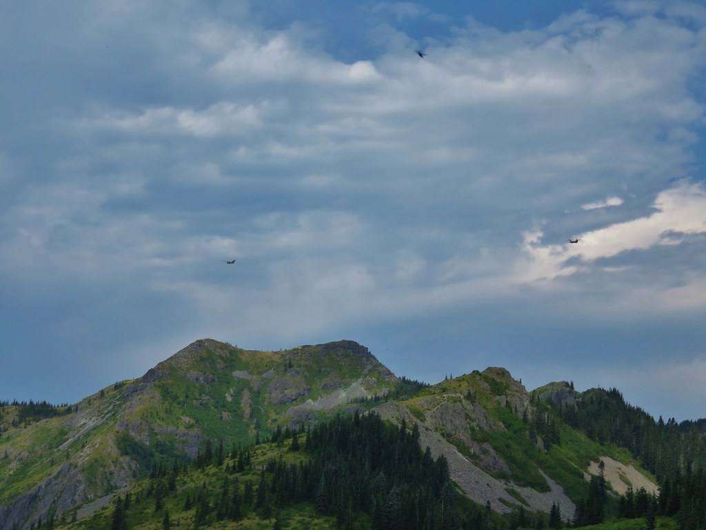
As were were walking we started to hear a loud noise in the distance. At first I thought it might be thunder since the forecast had called for some storms later in the afternoon, but the noise kept growing and getting closer. Heather was the first to identify it as helicopters and then we spotted three of them crossing the sky above Silver Star.

At the 5 mile mark we reached the junction with the Starway Trail. This trail starts on the same Forest Service Road as the Bluff Mountain Trail but at an elevation almost 2000′ lower and is reportedly difficult to follow due to light usage and maintenance. We had watched for the trailhead during the tedious drive along road 41 but were unable to spot it on the way up or back down in the afternoon.
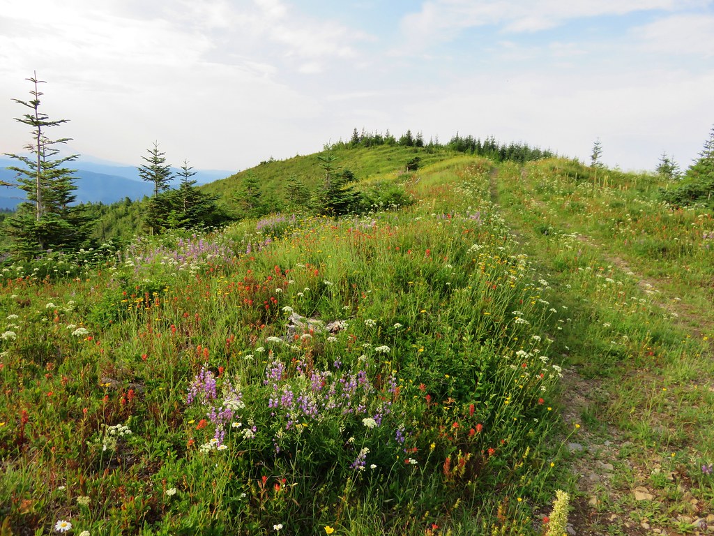
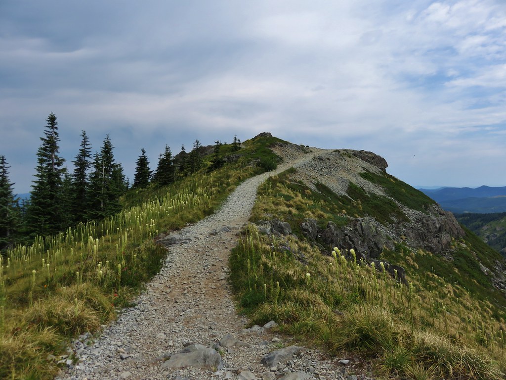
We were now on the final half mile section of the Bluff Mountain Trail before its end at the Silver Star Summit Trail. The trail skirted along the ridge amid wildflower covered slopes and mountain views.

I had been trying to get one of the many lighter colored butterflies to land long enough for a picture and finally a pink-edged sulpher landed long enough for one.
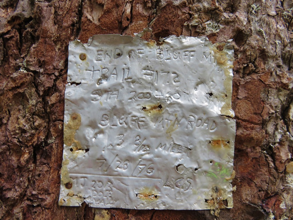
As we neared the end of the trail it suddenly forked with the left hand path heading up the hillside while the right hand side turned and began a traverse along a ridge away from the summit. We initially went right due to that fork looking more like an official trail than the left hand fork but we were getting further from the summit and starting to lose some elevation. I checked the map then the GPS unit and decided we should have taken the narrower left hand fork up so we hiked back and took the other path up to a camp site next to an old road that serves as the Silver Star Summit Trail. The only sign in the area was a small metal plate attached to a tree at the campsite.
We turned up the old road and headed for Silver Stars dual summits.
The views are great all along the long summit of the mountain. Our route was laid out below us all the way to the large dirt parking area where we’d left our car that morning.
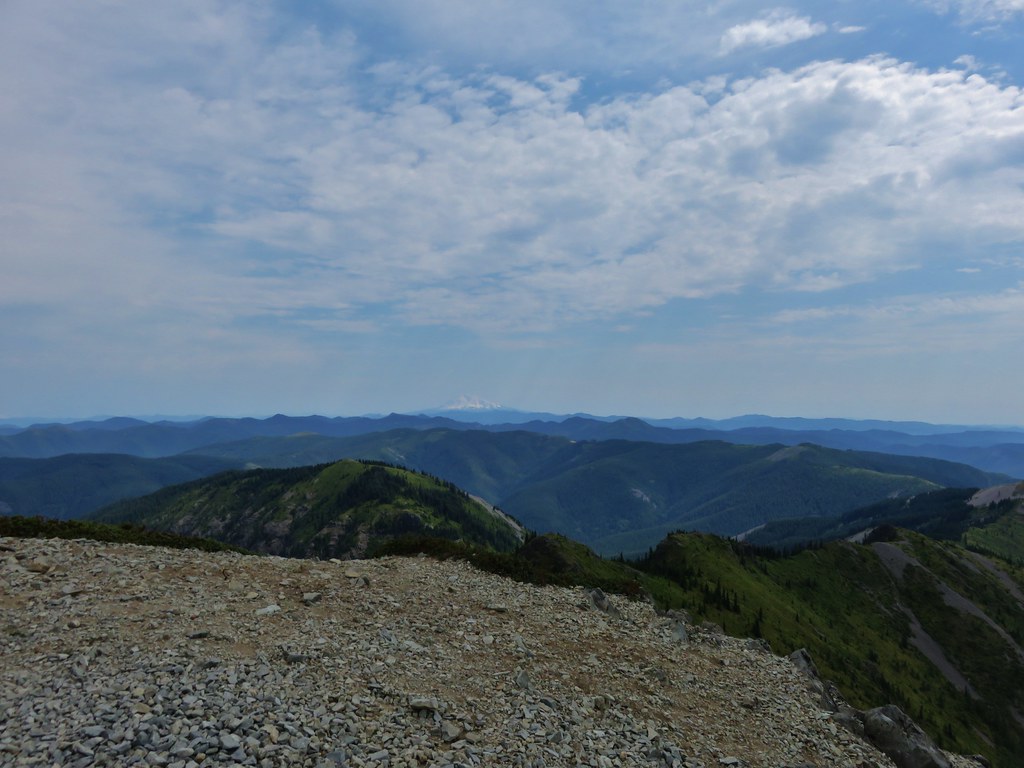
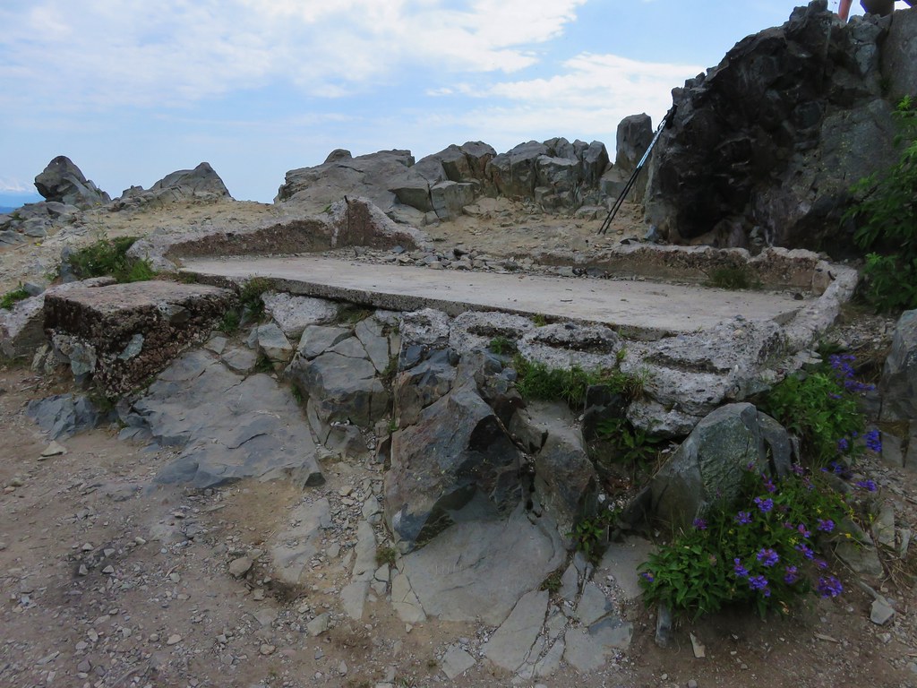
On our previous visit we had visited the southern summit first so this time we headed for the northern rocky summit where a lookout tower once stood.

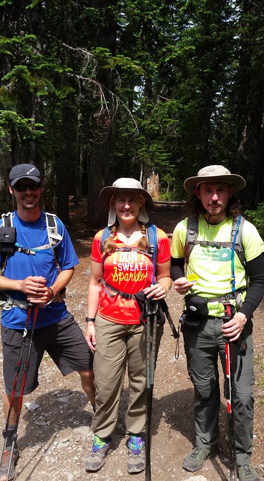
We took a seat on the rocks and ate the potato chips we’d brought along for their extra salt. They really hit the spot after all the hot climb we’d just finished. While we were relaxing and enjoying the view another pair of hikers arrived. I noticed a yellow button hanging from one of their packs and thought it might be a “I’m A Portland Hiker!!” button that some of the members of Oregonhikers.org (formerly Portlandhikers.org) had. It turned out to be miah66 from the forum and a friend who had come up the Silver Star Trail and was planning to return via Ed’s Trail. This was the second time that we’d crossed paths with another member of the forum but the first time we realized it at the time. The first time it wasn’t until we saw a trip report posted on the website that we realized we had passed another forum member.
After a nice conversation we headed to the southern summit then started back down the road. As we were starting to turn into the campsite and the start of the Bluff Mountain Trail miah66 caught up to us. He had realized that he had an extra button which he was nice enough to gift us. After a group photo it went straight on my pack.
It was a warm hike back to the car but the views and the butterflies helped keep our minds off the heat. We arrived back at the car with a little water to spare and a shiny new button. 🙂 Happy Trails!
flickr: https://www.flickr.com/photos/9319235@N02/sets/72157655183073161


