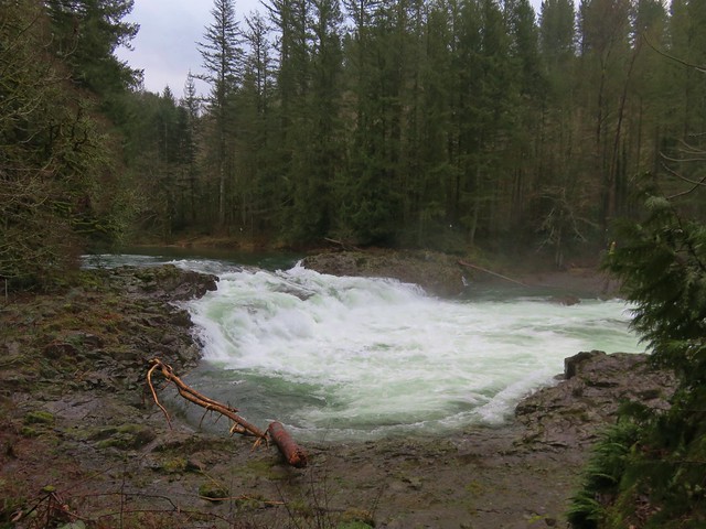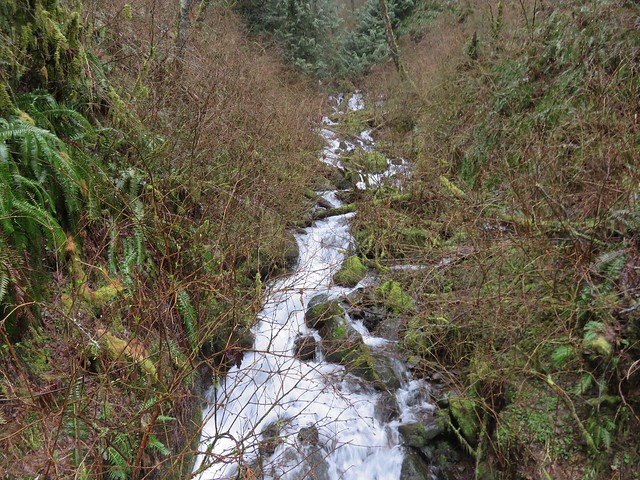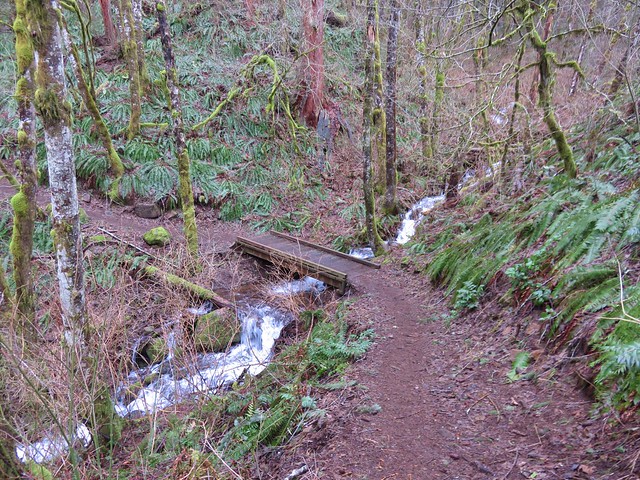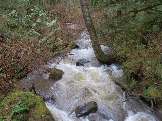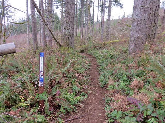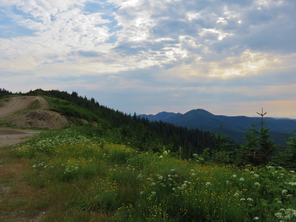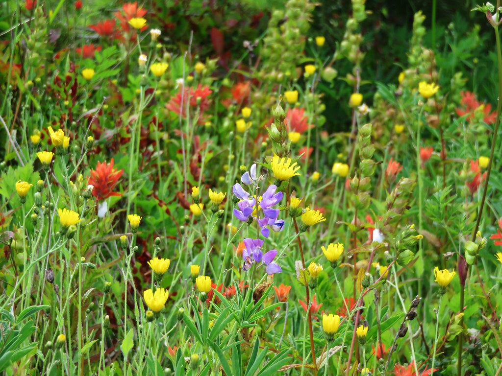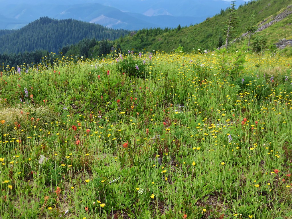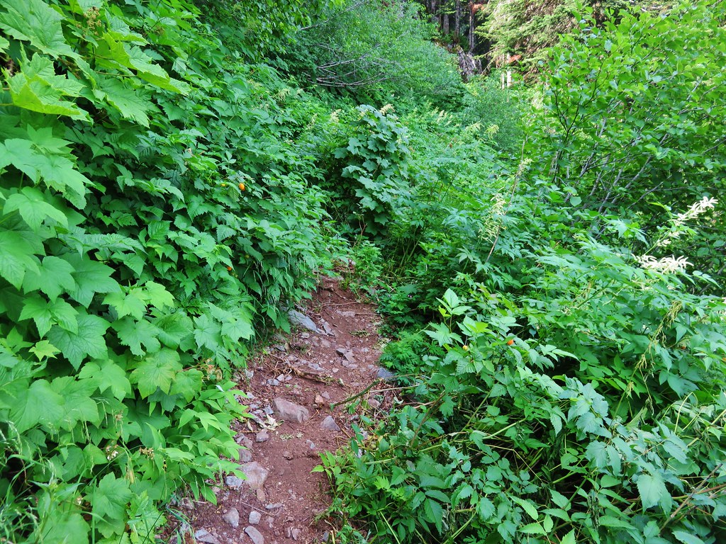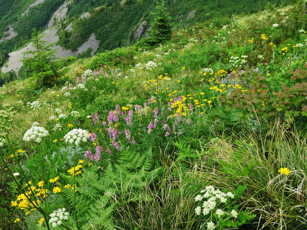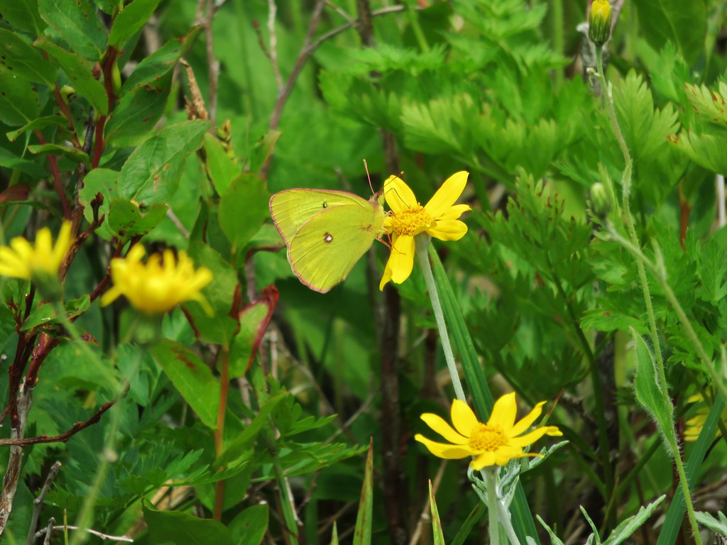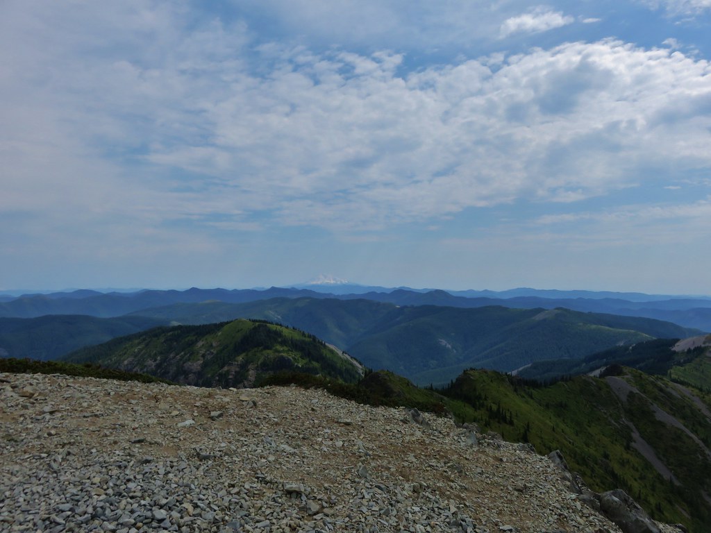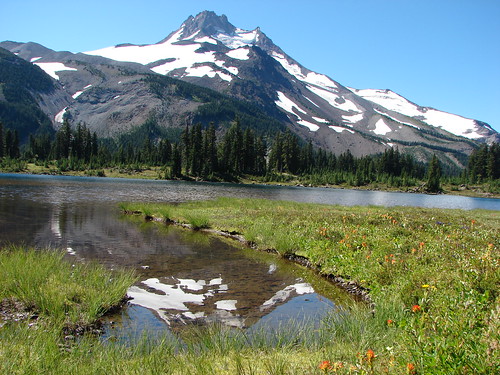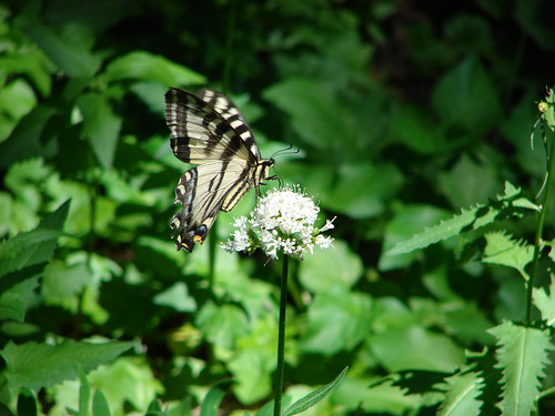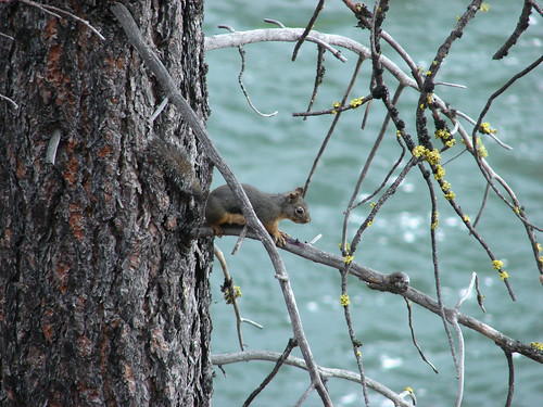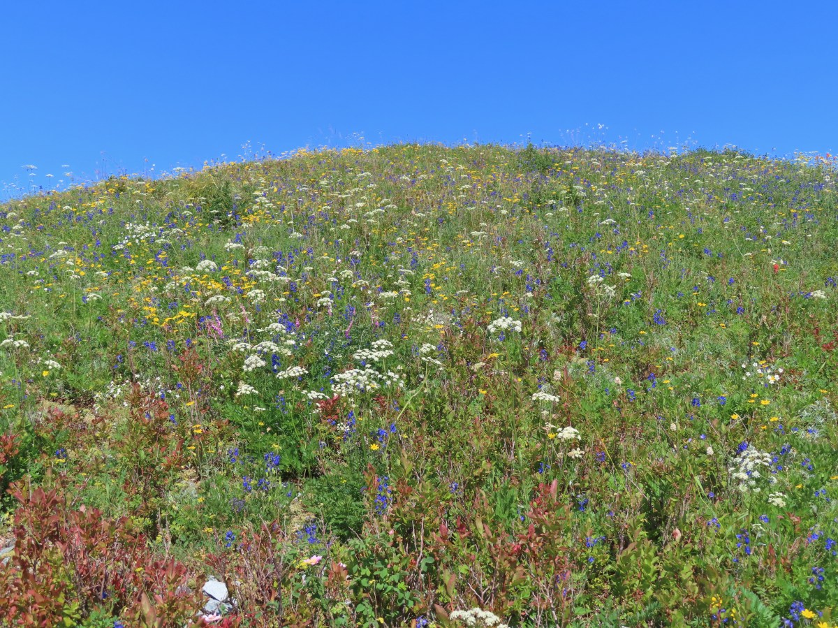
In 2018 we began a tradition of posting a collection of the variety of flowers that we encountered during the years hikes. It’s always a bit shocking to see just how many different varieties we actually saw over the course of the year. It appears that the total in 2022 was right around 400. We are still learning to identify the flowers and are a long way from being able to tell some of the different species apart. For instance, we encounter species in both the genus Castilleja as well as Penstemon regularly but are not typically knowledgeable enough to determine which one we are seeing. That doesn’t take away from our ability to enjoy the flowers though, but the large number of different flowers makes it difficult if not impossible to get them all in one post.
With that in mind here are some (but not all) of the different flowers we saw this past year, in no particular order. (Any IDs provided are best guesses and any corrections or additional IDs are greatly appreciated.)
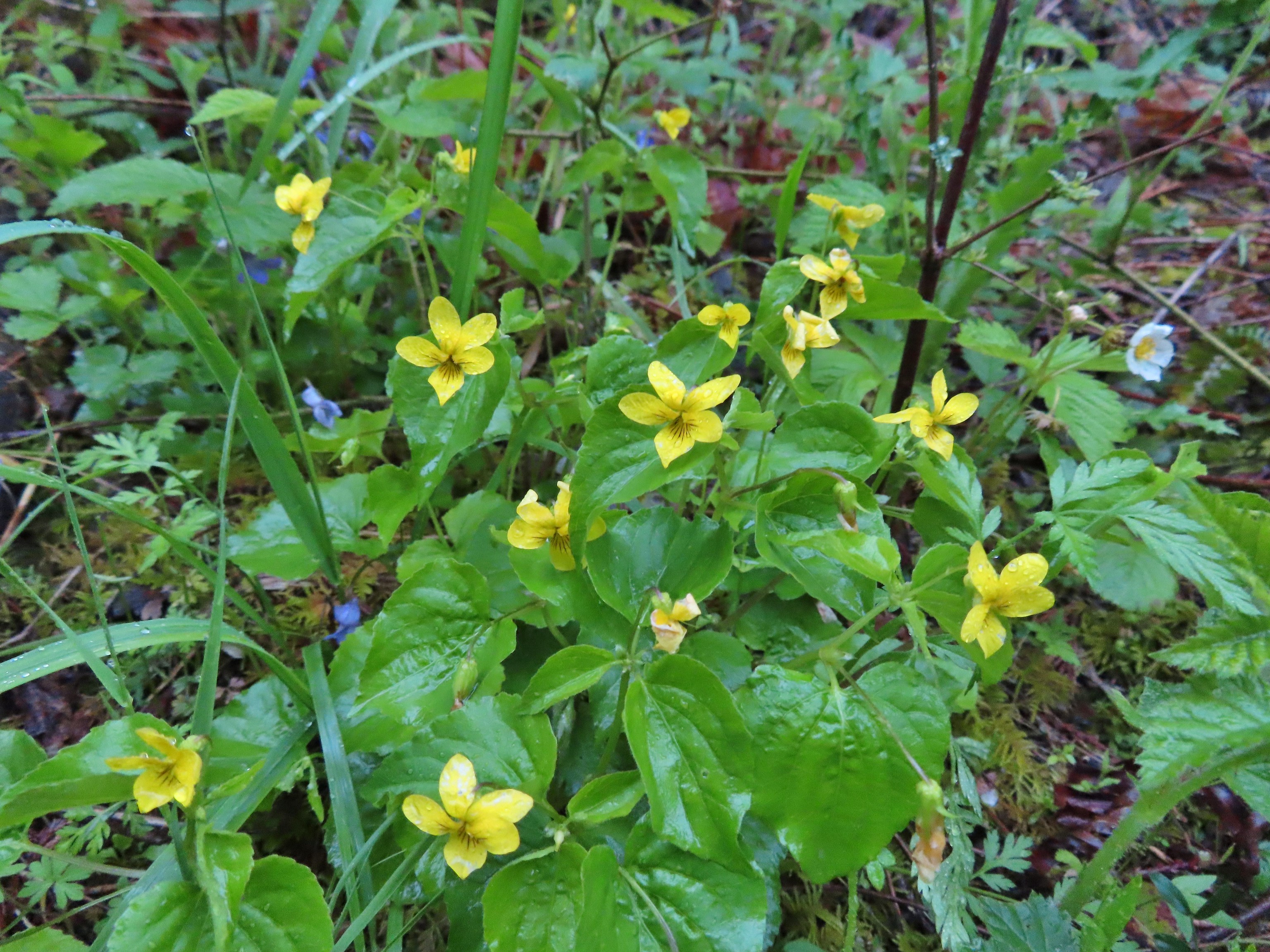
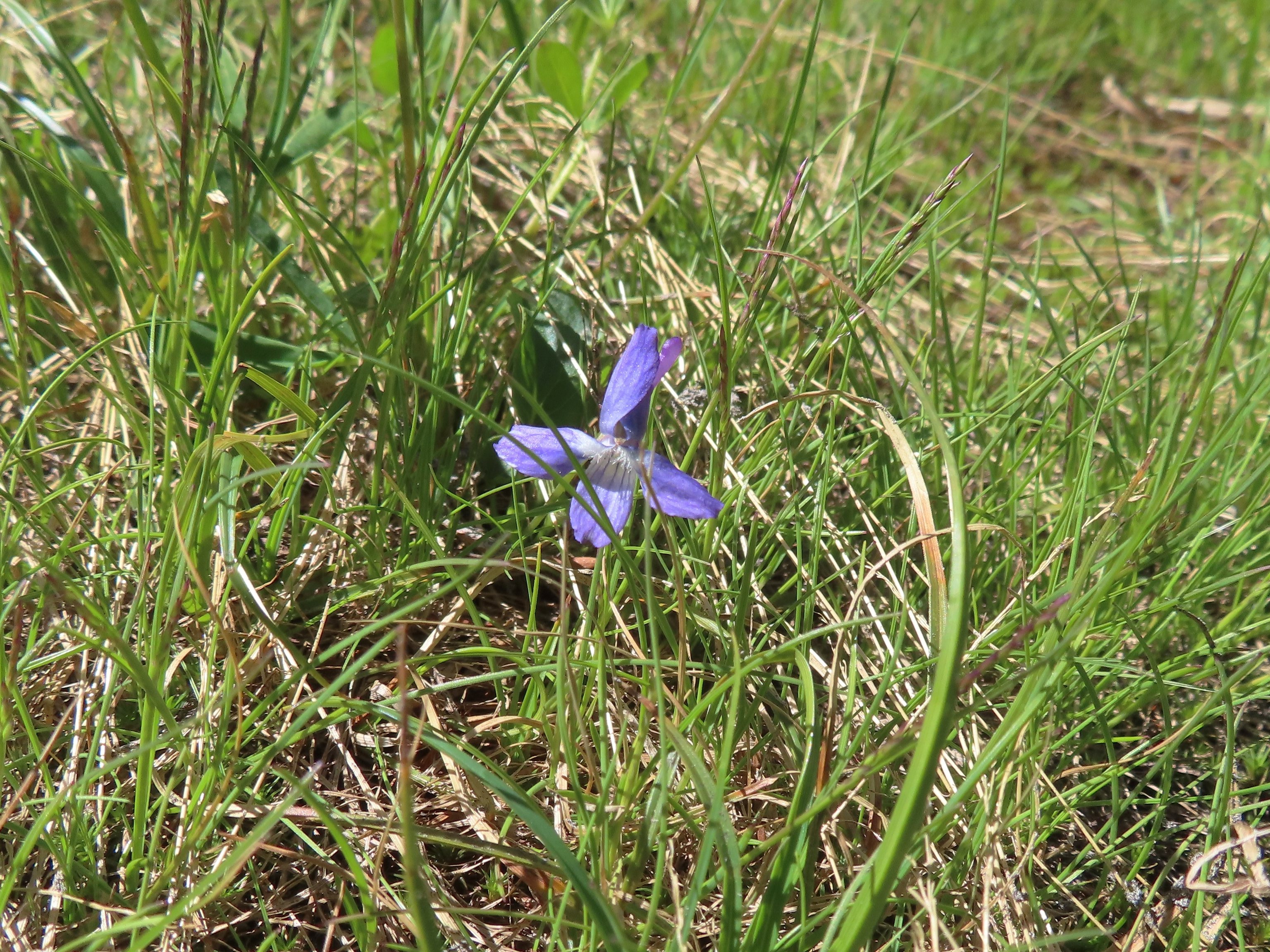
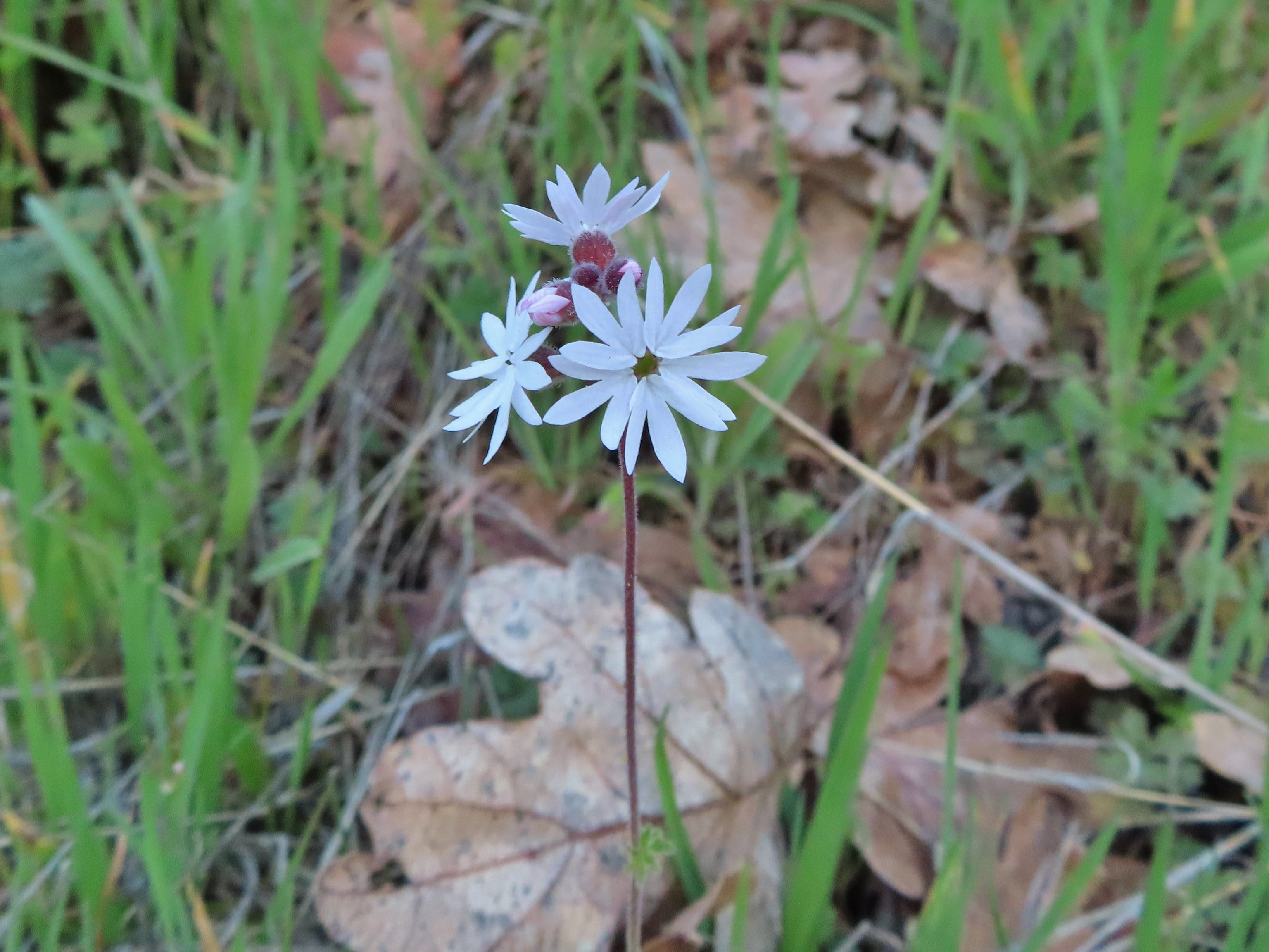
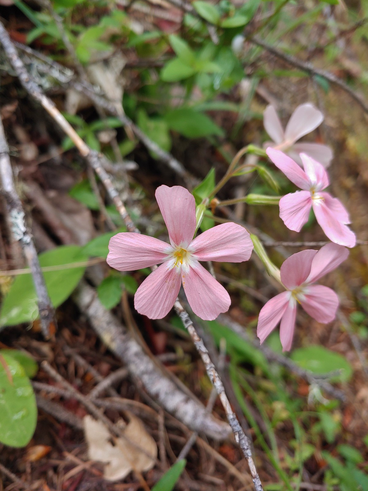
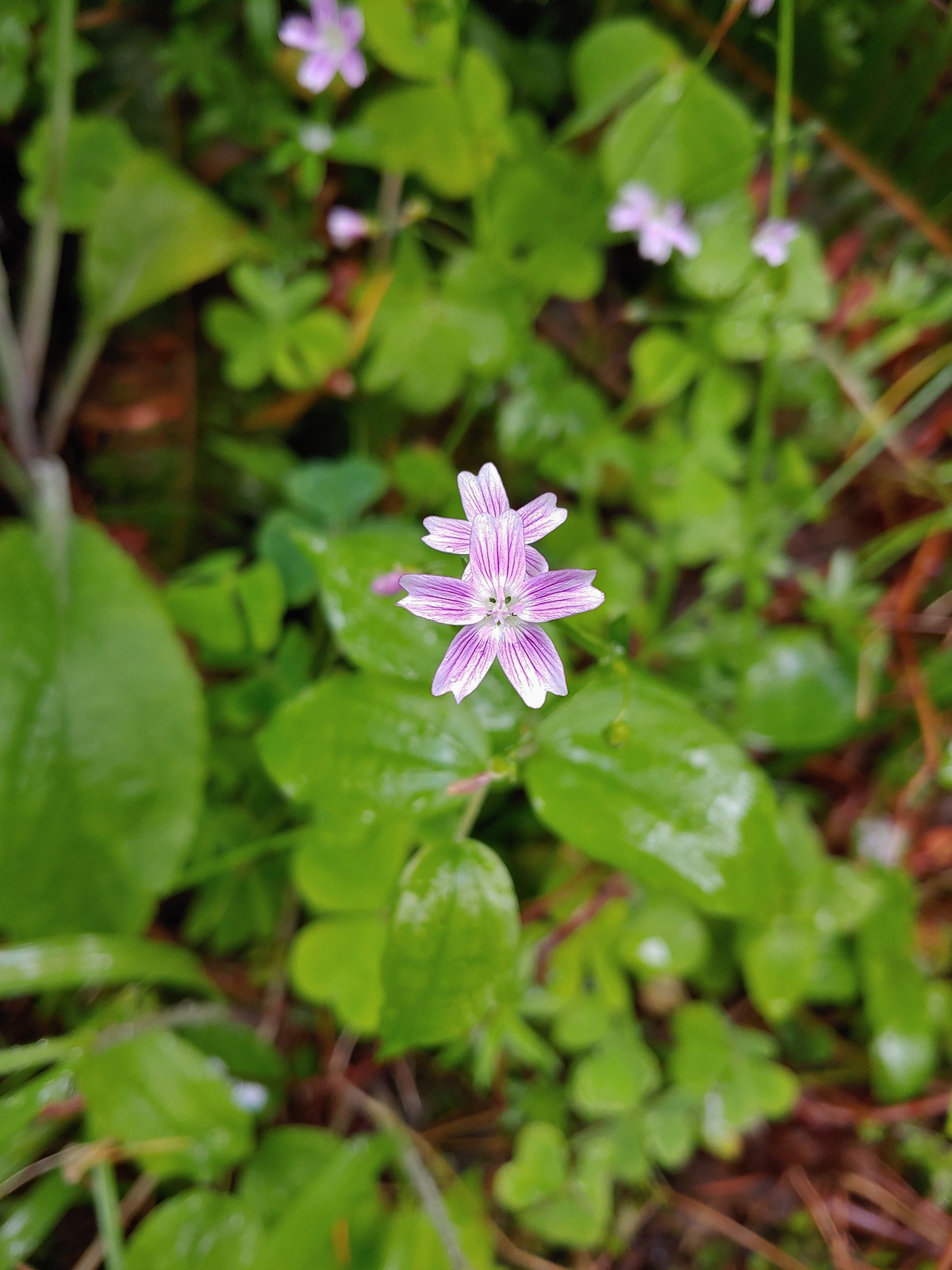
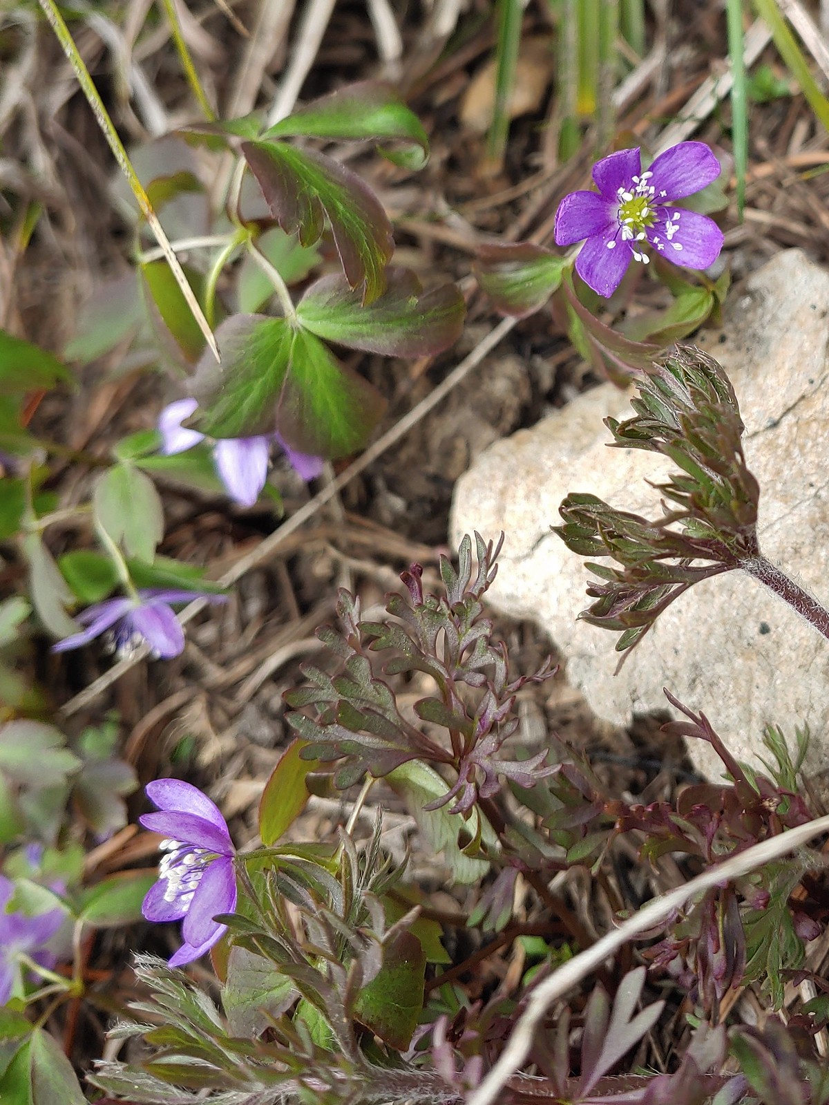
The first wildflower we spotted was a little violet on February 5th at the Yakona Nature Preserve.

It was certainly not the last violet we’d encounter as they are one of the more common flowers we see and also one that struggle to identify beyond “violet”.
 May 14th – Chehalem Ridge Nature Park
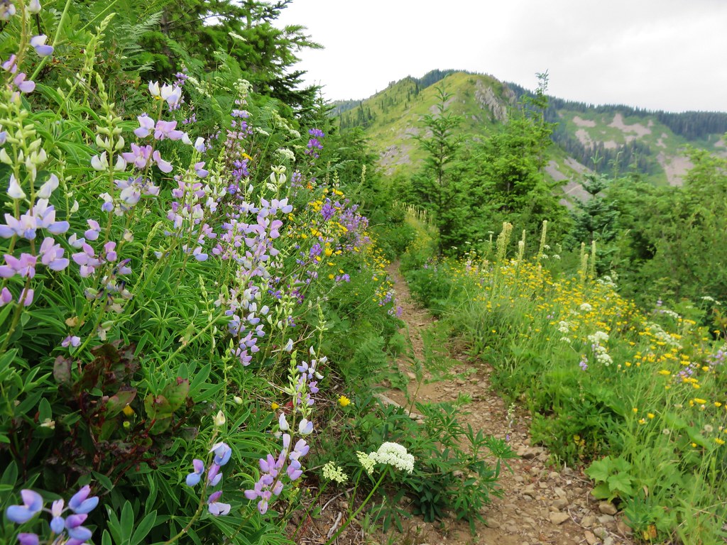
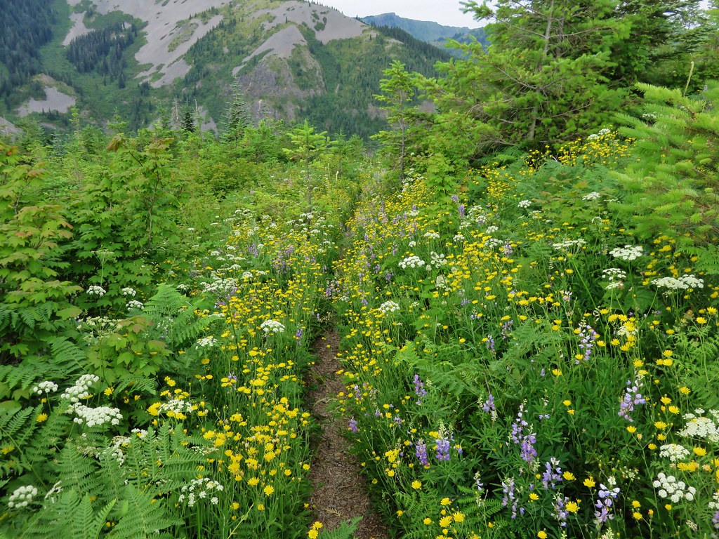
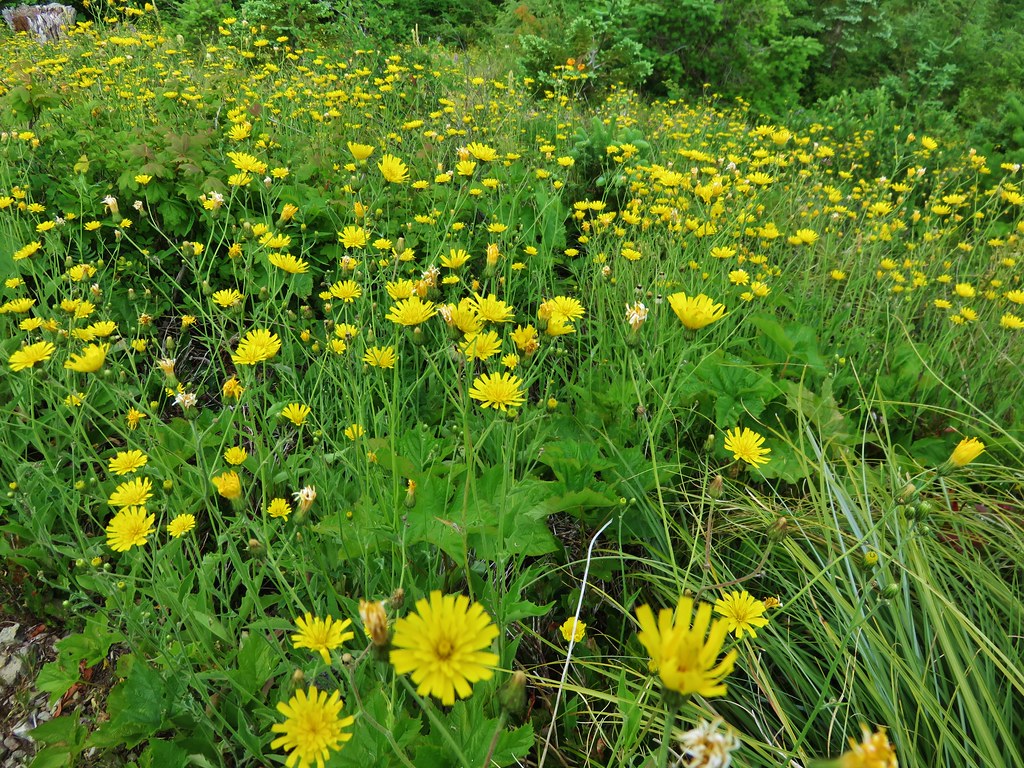
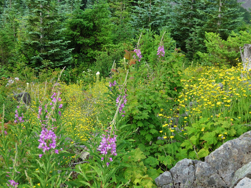
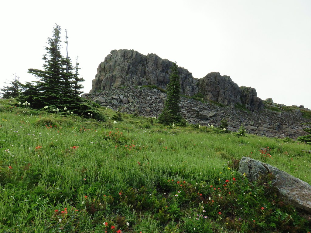
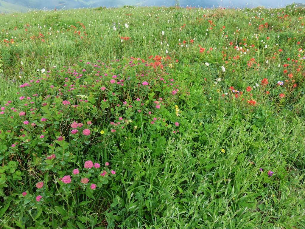
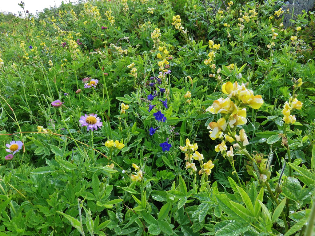
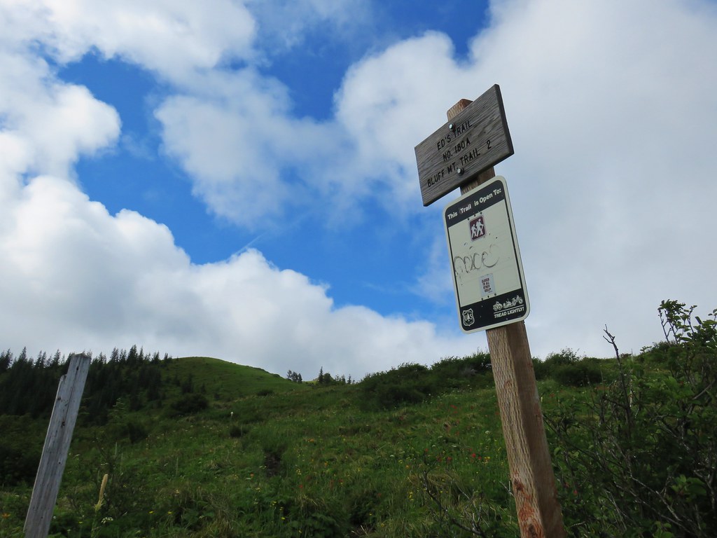
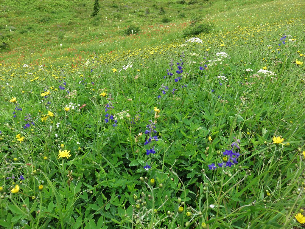
 June 15th – Donomore Meadows
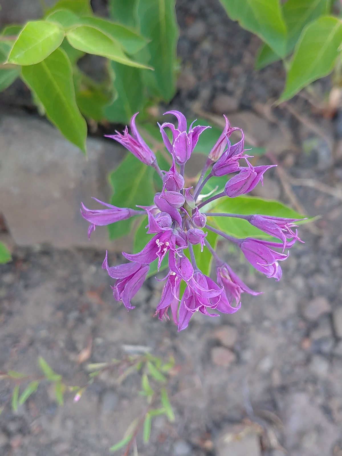
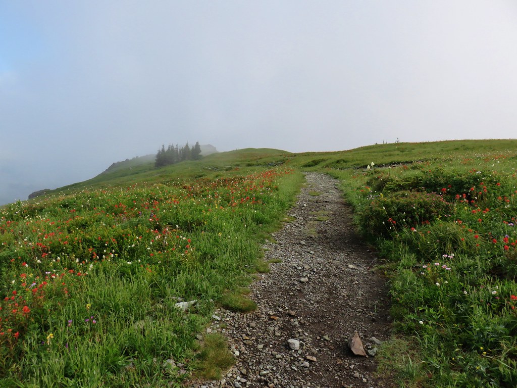
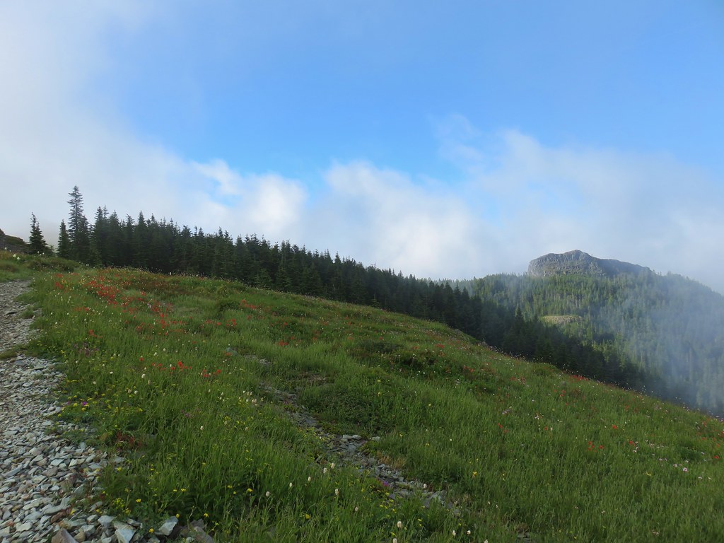
 June 16th – Pacific Crest Trail near Siskiyou Gap
 Marsh violet, June 25th – Goat Marsh Lake
 July 1st – Siskiyou Wilderness
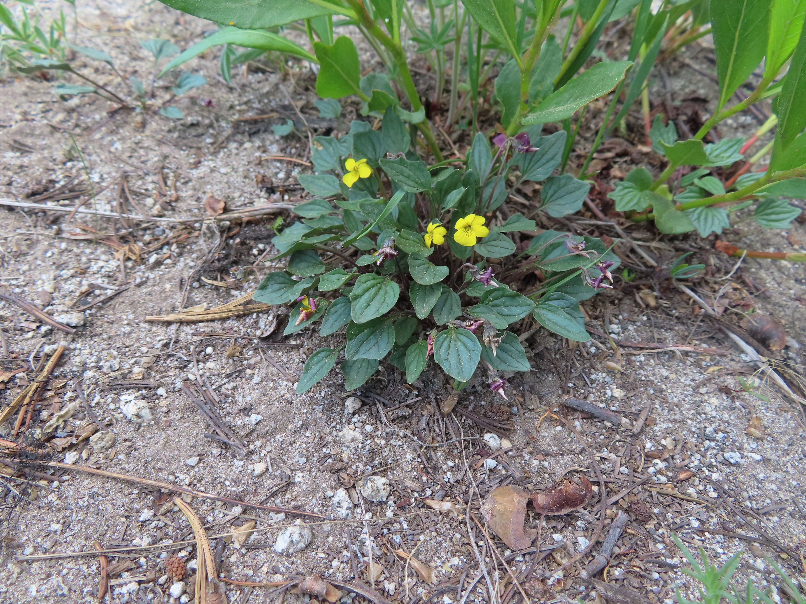
 Wedgeleaf? violet – July 1st – Youngs Valley, Siskiyou Wilderness
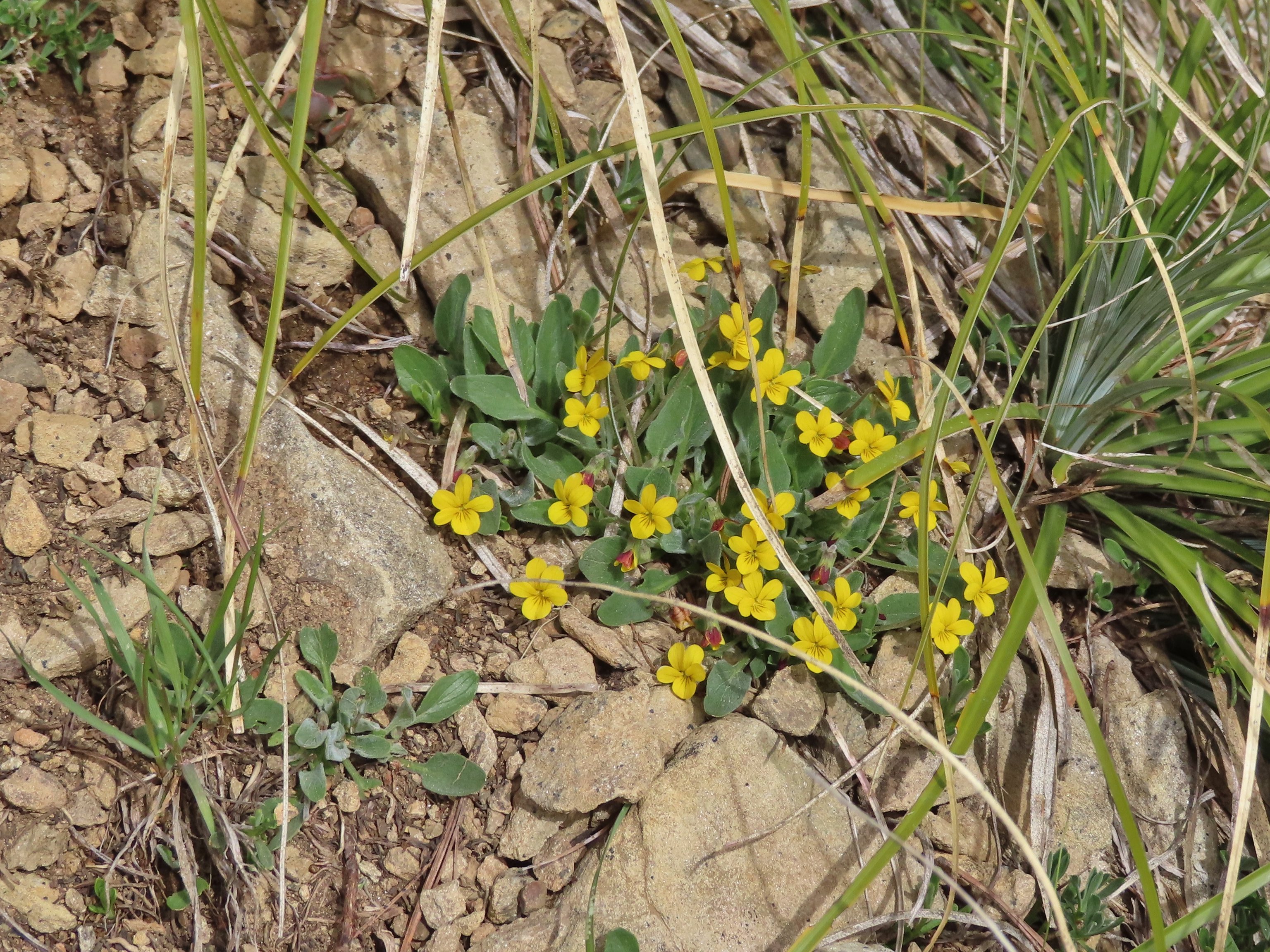
 Goosefoot? violet, July 9th – Mt. Ireland
 July 9th – Mt. Ireland
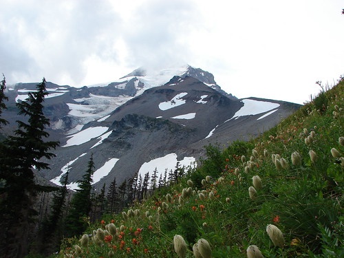
 August 13th – Mt. Adams Wilderness.
The final flower to be photographed was a bleeding heart enjoying a late season bloom along the Eagle Creek Trail on November 19th.

 Here is a more photogenic bleeding heart from May 21st on the Kings Mountain Trail.
We were lucky enough to see a handful of bucket list flowers during our trips to Southern Oregon and Northern California.
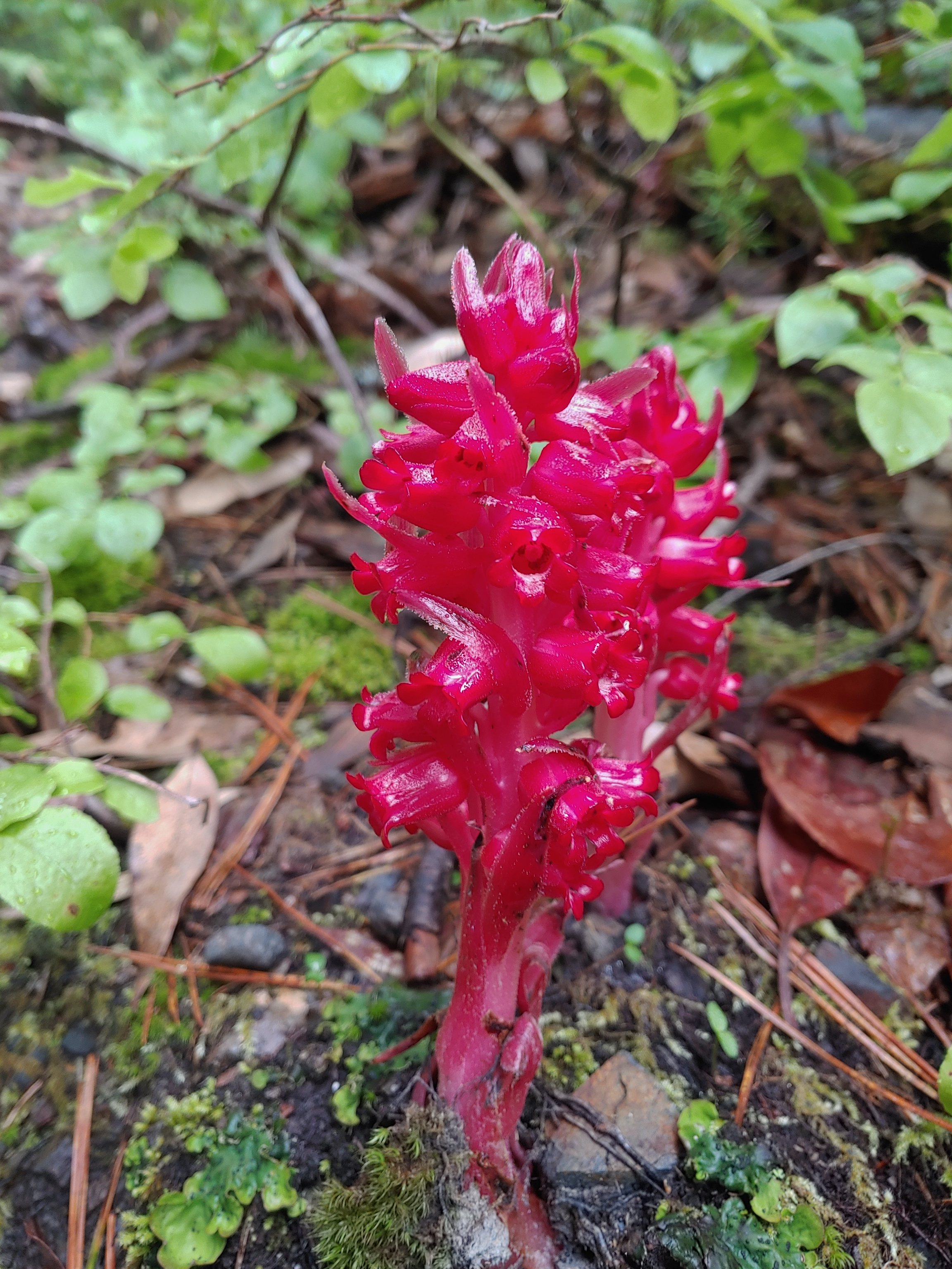 Snow plant, June 18th – Red Buttes Wilderness
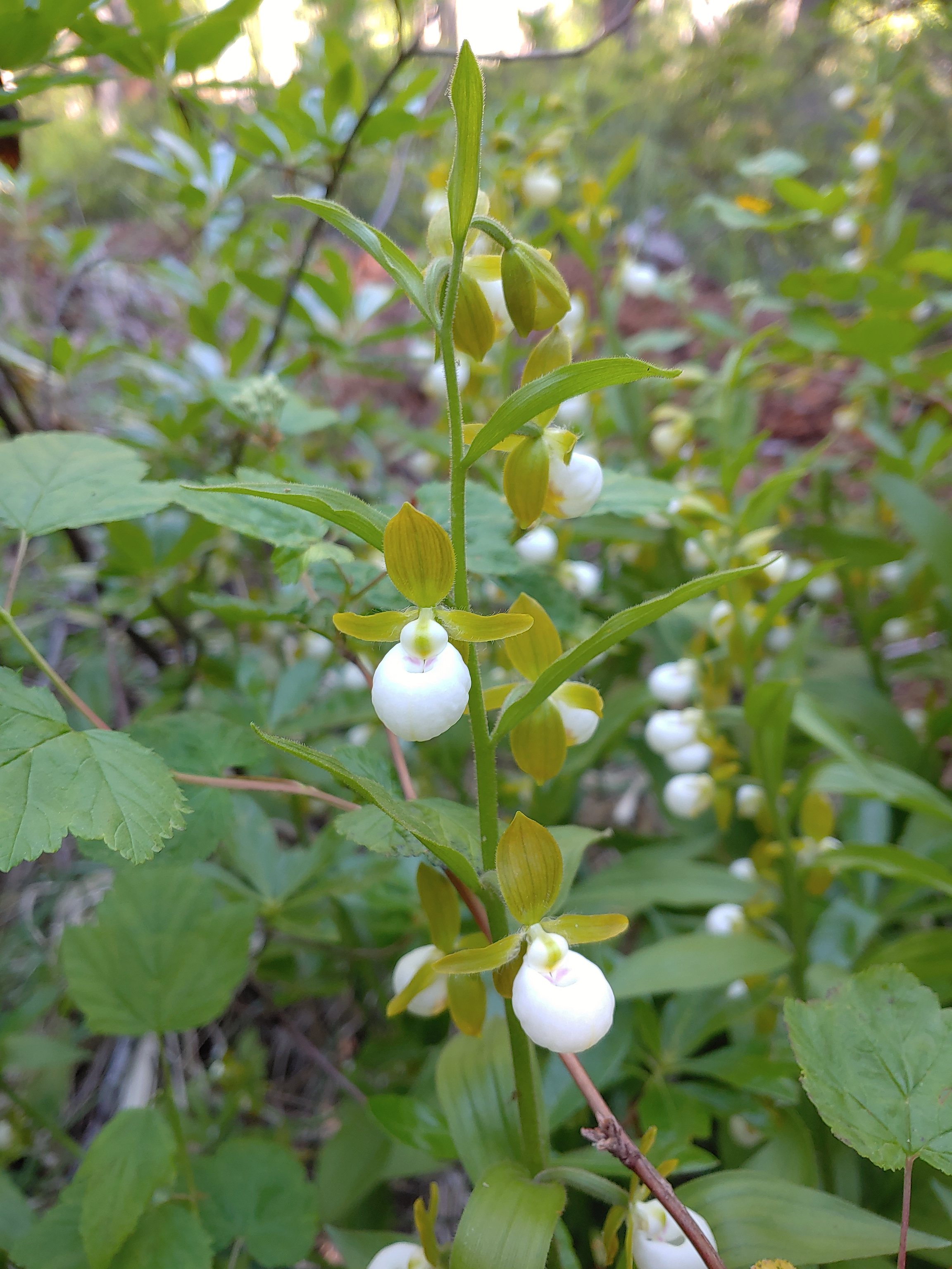 California lady slippers, July 2nd – Siskiyou Wilderness
 Bolander’s lily, July 2nd – Siskiyou Wilderness
 Scarlet fritillary, May 27th – Jack-Ash Trail
 Henderson’s fawn lily, May 27th – Jack-Ash Trail
Here are some of the other’s that we encountered over the course of the year.
 Pungent desert parsley, April 2nd -Balfour Trail
 Columbia desert parsley, April 2nd – Klickitat Trail
 Woodland stars, April 2nd – Balfour Trail
 Pacific hound’s tongue, April 2nd – Balfour Trail
 Lupine, April 2nd – Klickitat Trail
 Big leaf maple, April 2nd – Klickitat Trail
 Slender phlox, April 2nd – Klickitat Trail
 Fringecup, April 23rd – Ankeny Wildlife Refuge
 Buttercups, April 23rd – Ankeny Wildlife Refuge
 Checkermallow, April 23rd – Ankeny Wildlife Refuge
 Another checkermallow, April 23rd – Ankeny Wildlife Refuge
 Iris, April 23rd – Ankeny Wildlife Refuge
 A paintbrush, May 1st – Memaloose Hills
 Balsamroot, May 1st – Memaloose Hills
 Large-flower triteleia, May 1st – Memaloose Hills
 Naked broomrape, May 1st – Memaloose Hills
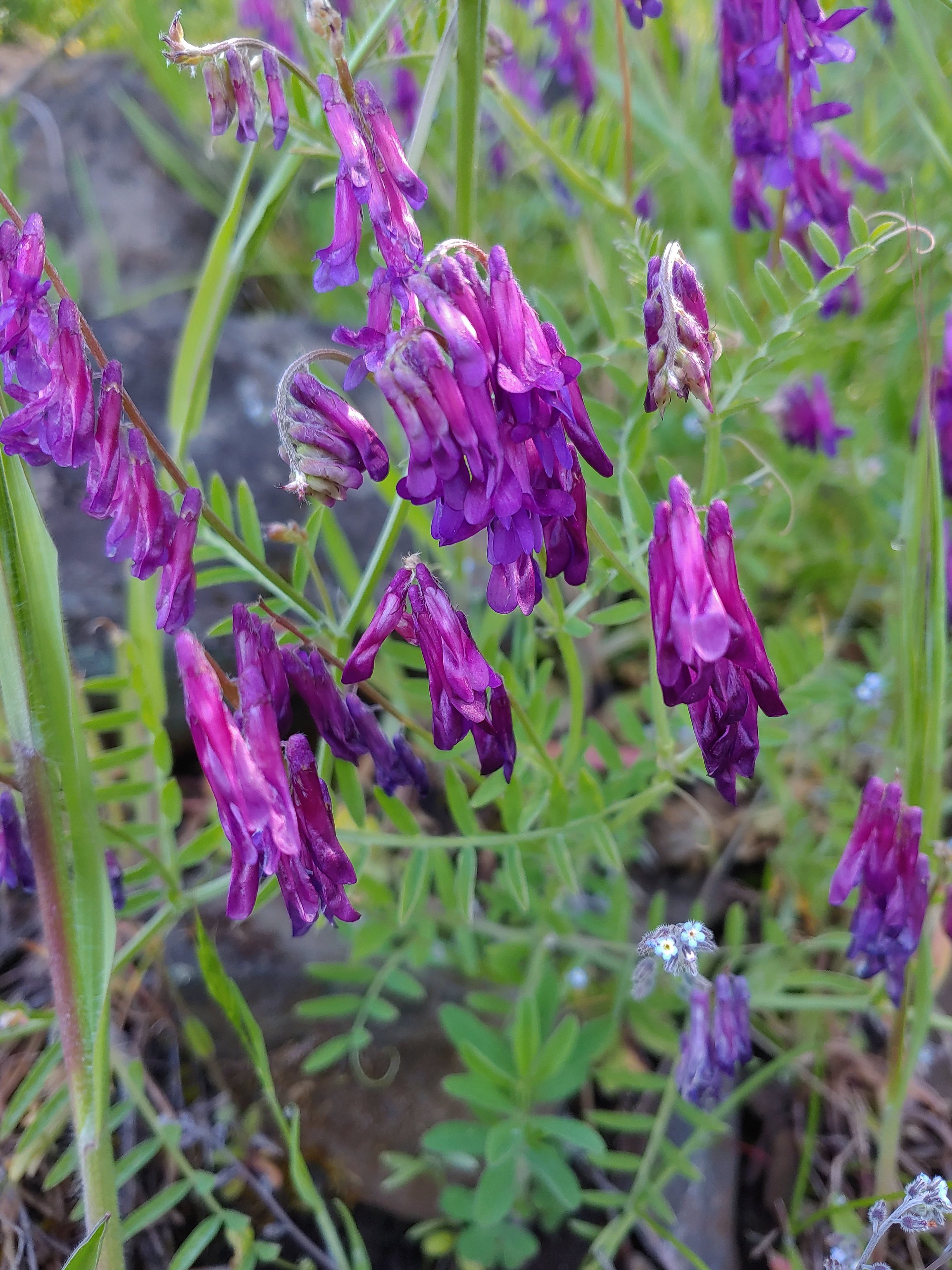 Vetch, May 1st – Moiser Plateau
 Large-head clover, May 1st – Moiser Plateau
 Fiddleneck, May 1st – Moiser Plateau
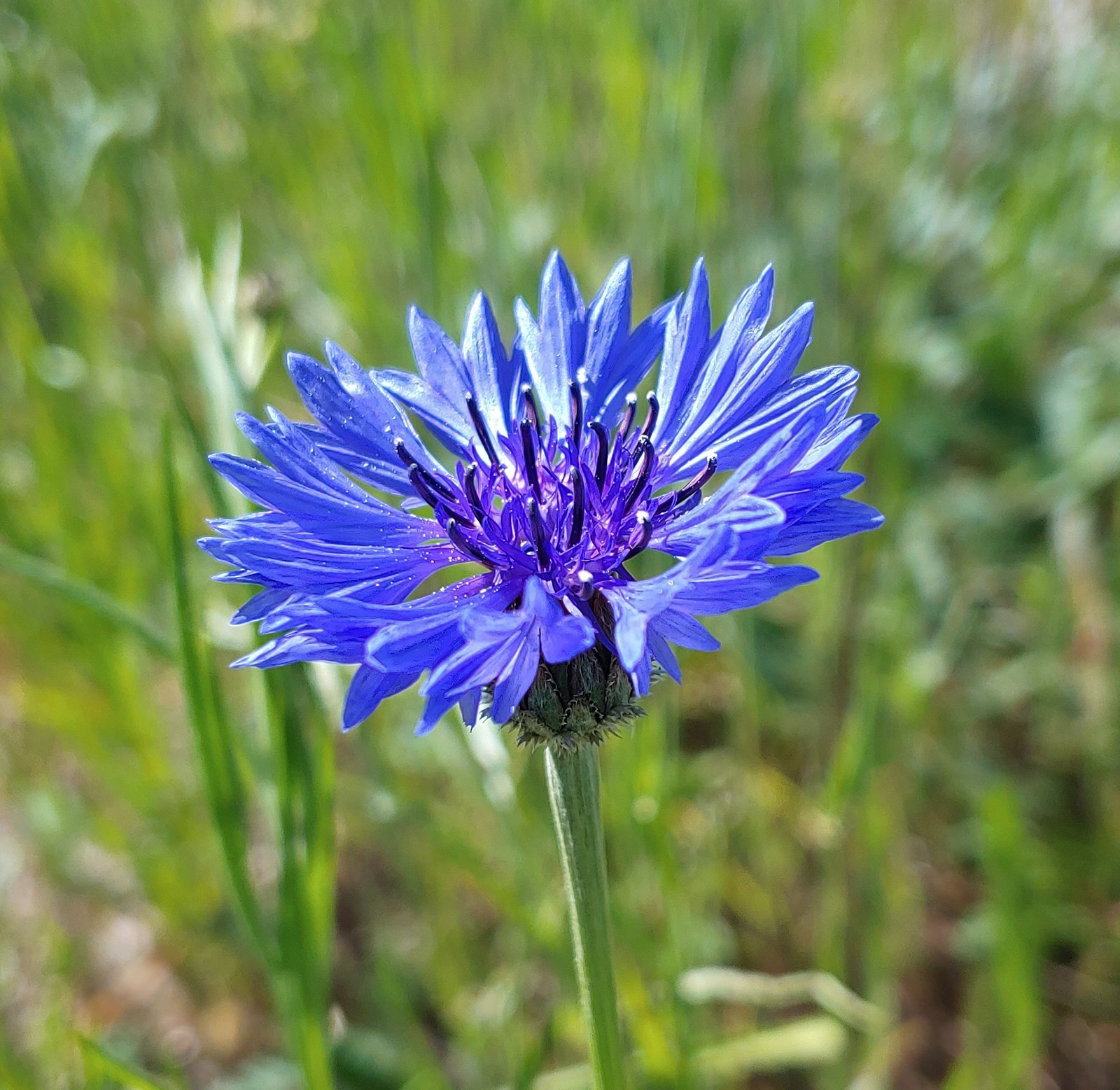 Bachelor button (non-native), May 1st – Moiser Plateau
 Service berry, May 7th – Orenco Woods
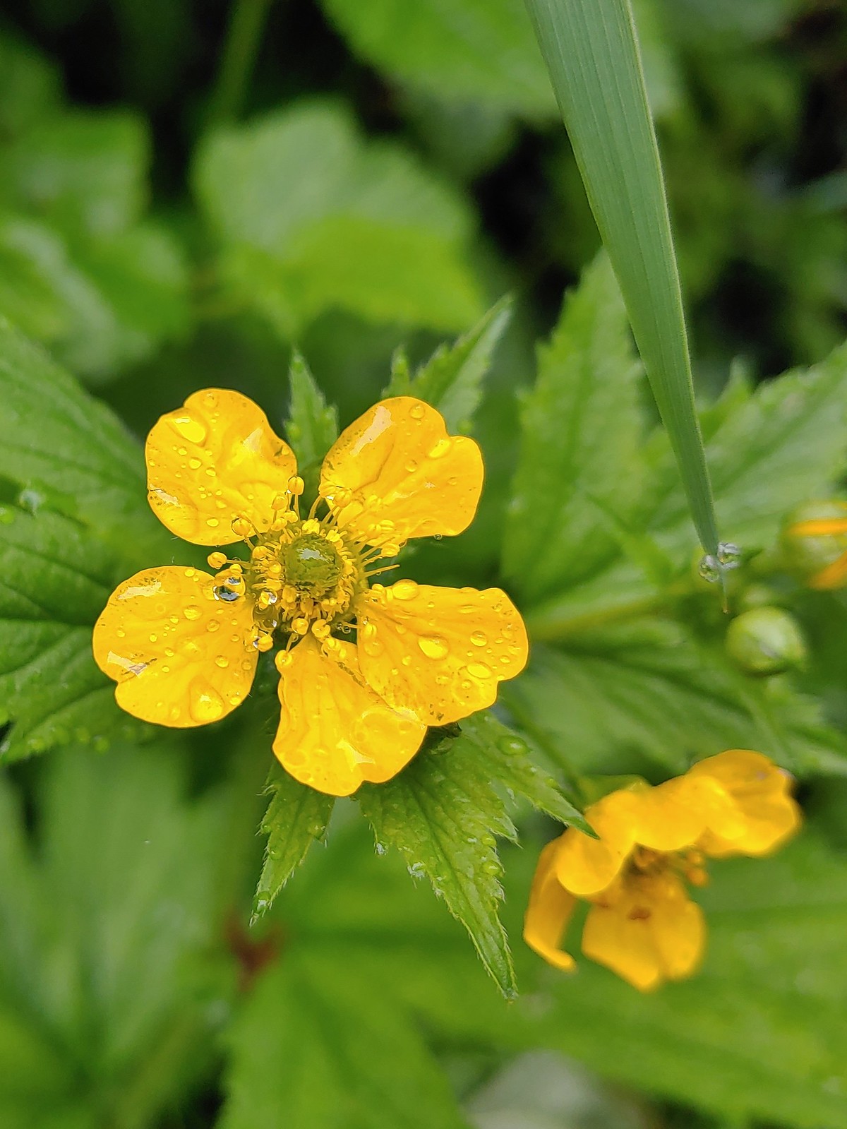 Aven, May 7th – Noble Woods
 Camas, May 7th – Miller Woods
 Wild ginger, May 7th – Miller Woods
 Striped coralroot, May 7th – Miller Woods
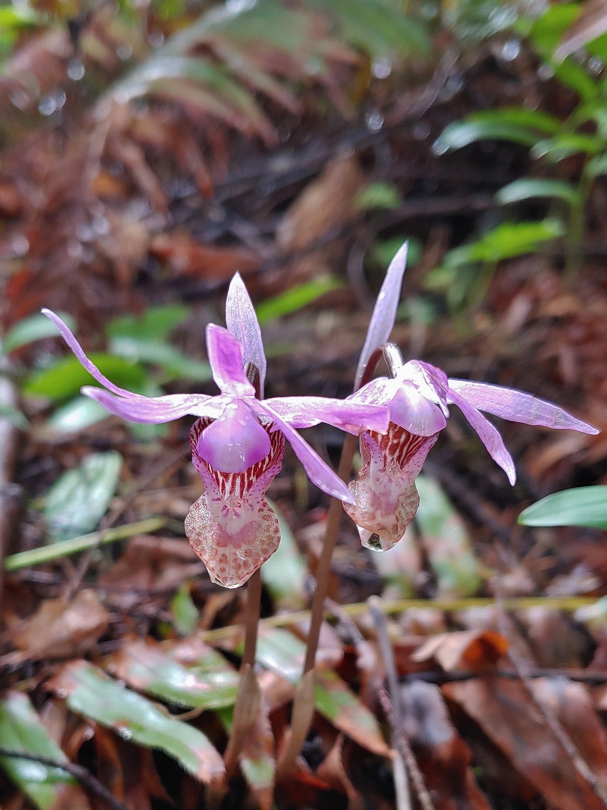 Fairy slippers, May 7th – Miller Woods
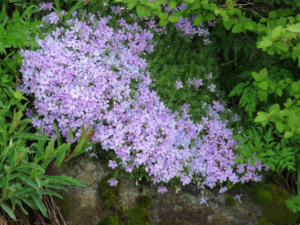
 Plectritis, May 14th – Chehalem Ridge Nature Park
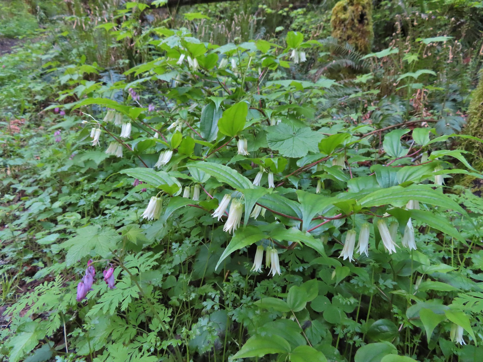 Fairy bells, May 21st – Elk/Kings Mountain Traverse
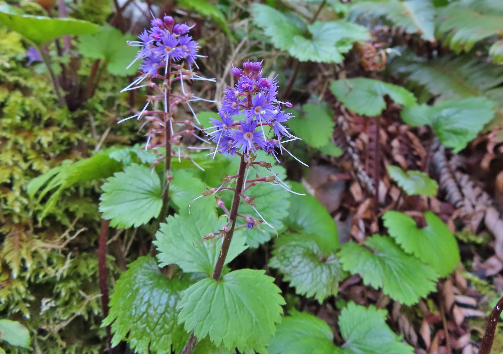
 Snow queen, May 21st – Elk/Kings Mountain Traverse
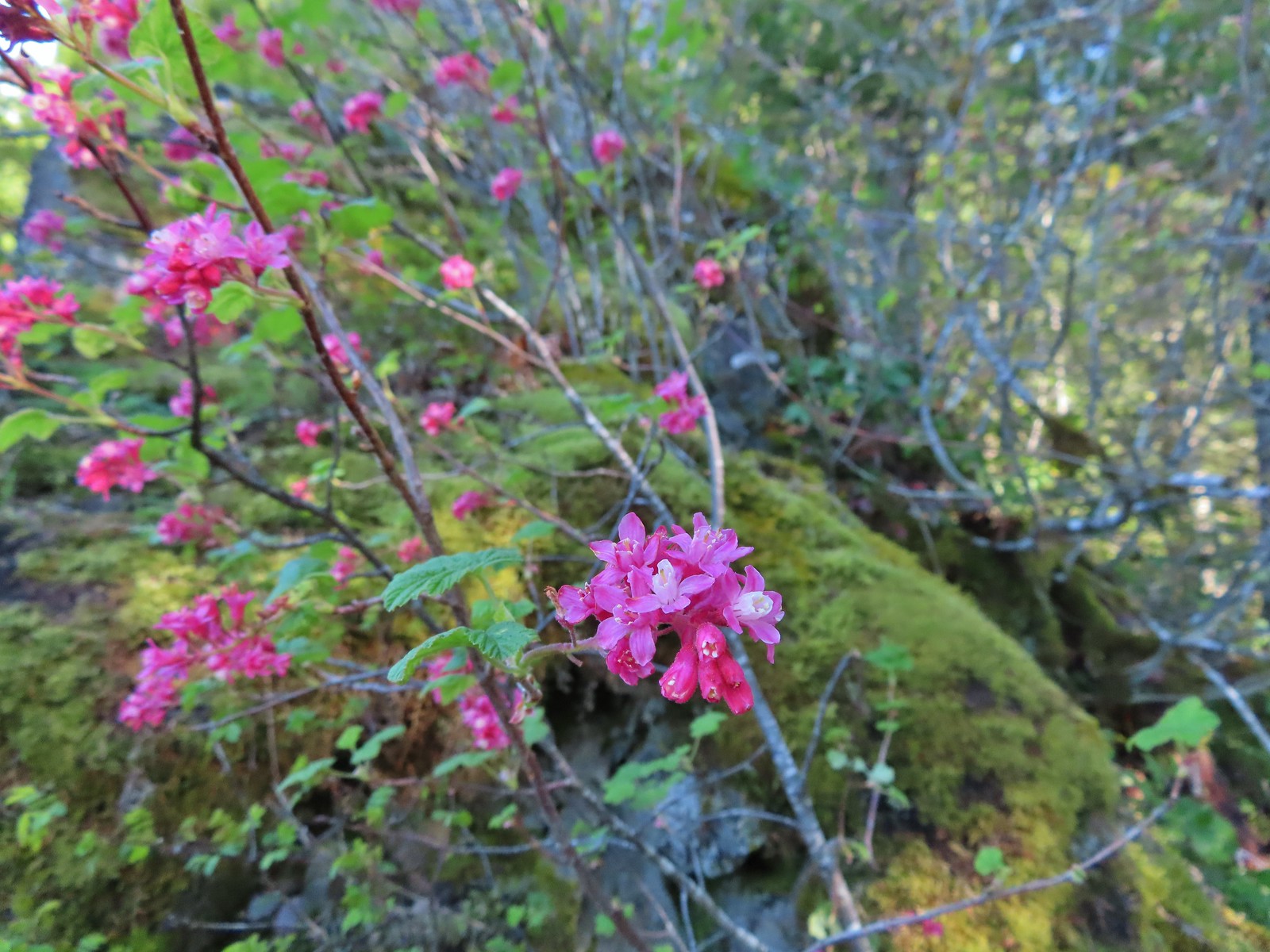 Red flowering currant, May 21st – Elk/Kings Mountain Traverse
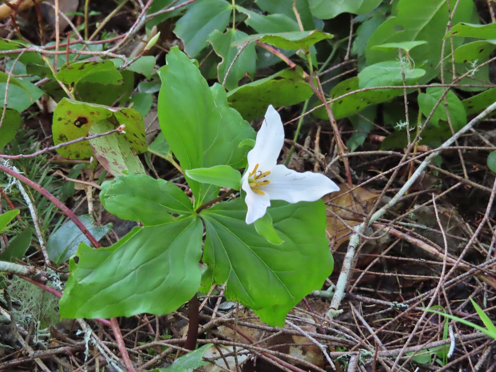 Trillium, May 21st – Elk/Kings Mountain Traverse
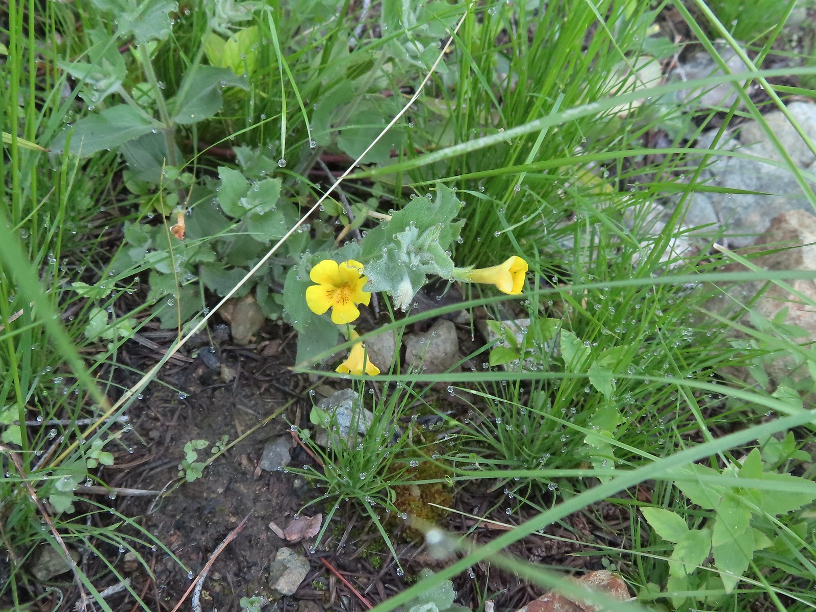
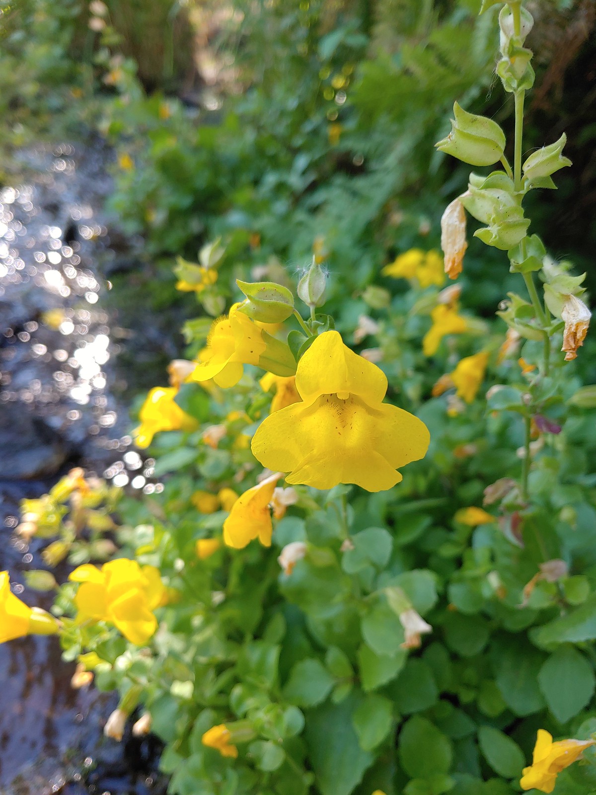
 A monkeyflower, May 21st – Elk/Kings Mountain Traverse
 Chocolate lily, May 21st – Elk/Kings Mountain Traverse
 Kittentails, May 21st – Elk/Kings Mountain Traverse
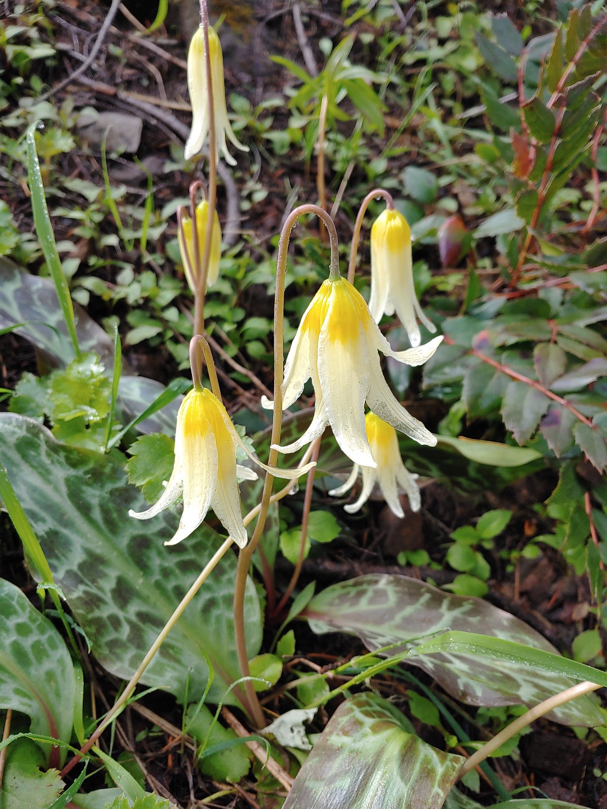
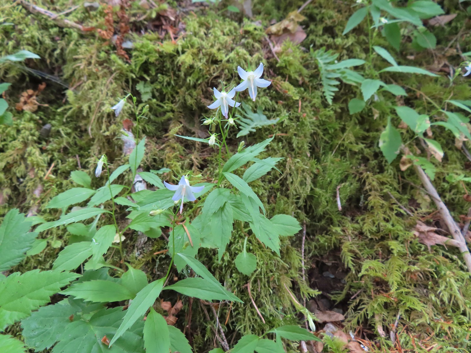
 Glacier lily, May 21st – Elk/Kings Mountain Traverse
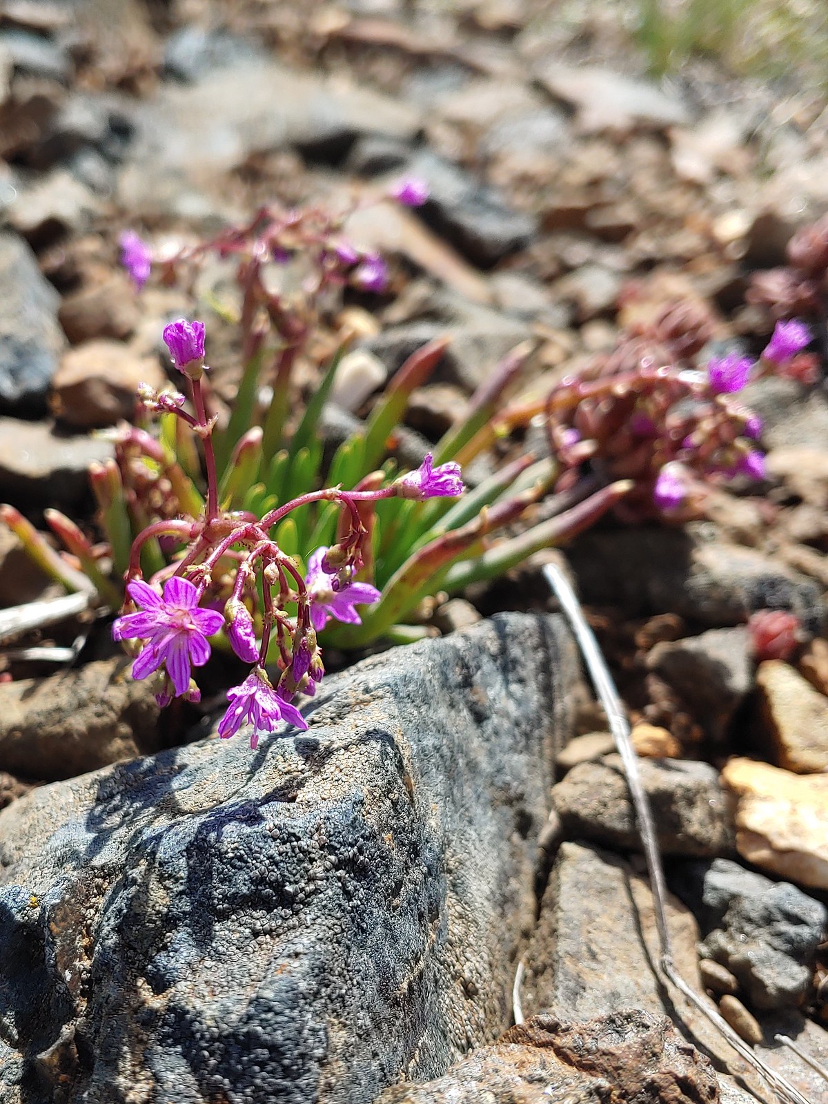
 Henderson’s stars, May 25th – Mule Mountain
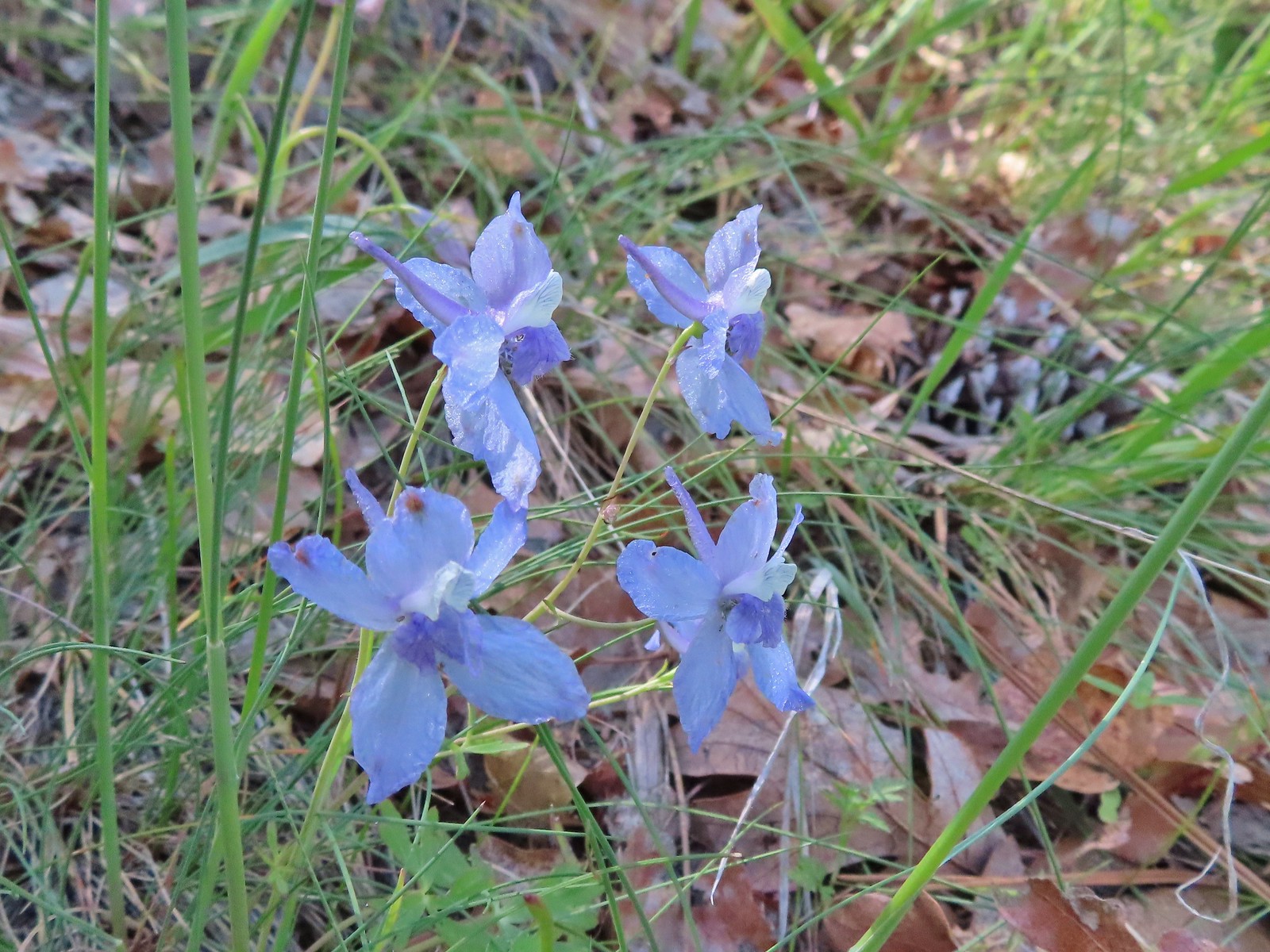 Larkspur, May 25th – Mule Mountain
 Not sure if this is a cryptantha or a popcorn flower, May 25th – Mule Mountain
 Douglas’ stichwort, May 25th – Mule Mountain
 A blue-eyed Mary, May 25th – Mule Mountain
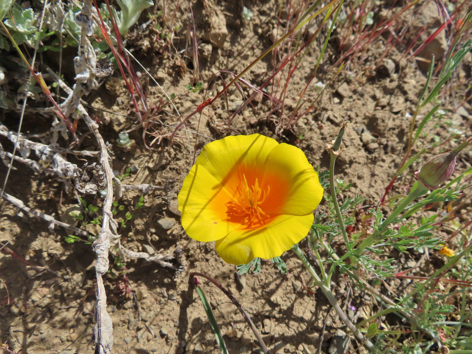 California poppy, May 25th – Mule Mountain
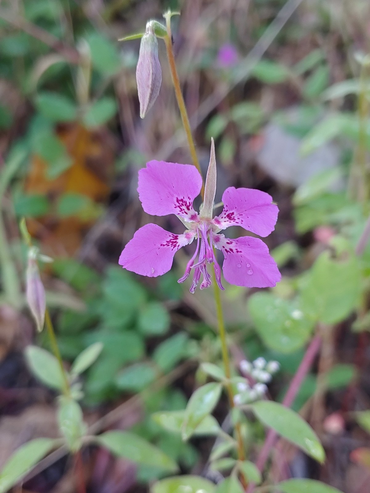
 A clarkia, May 25 – Mule Mountain
 Hooker’s Indian pink, May 25th – Mule Mountain
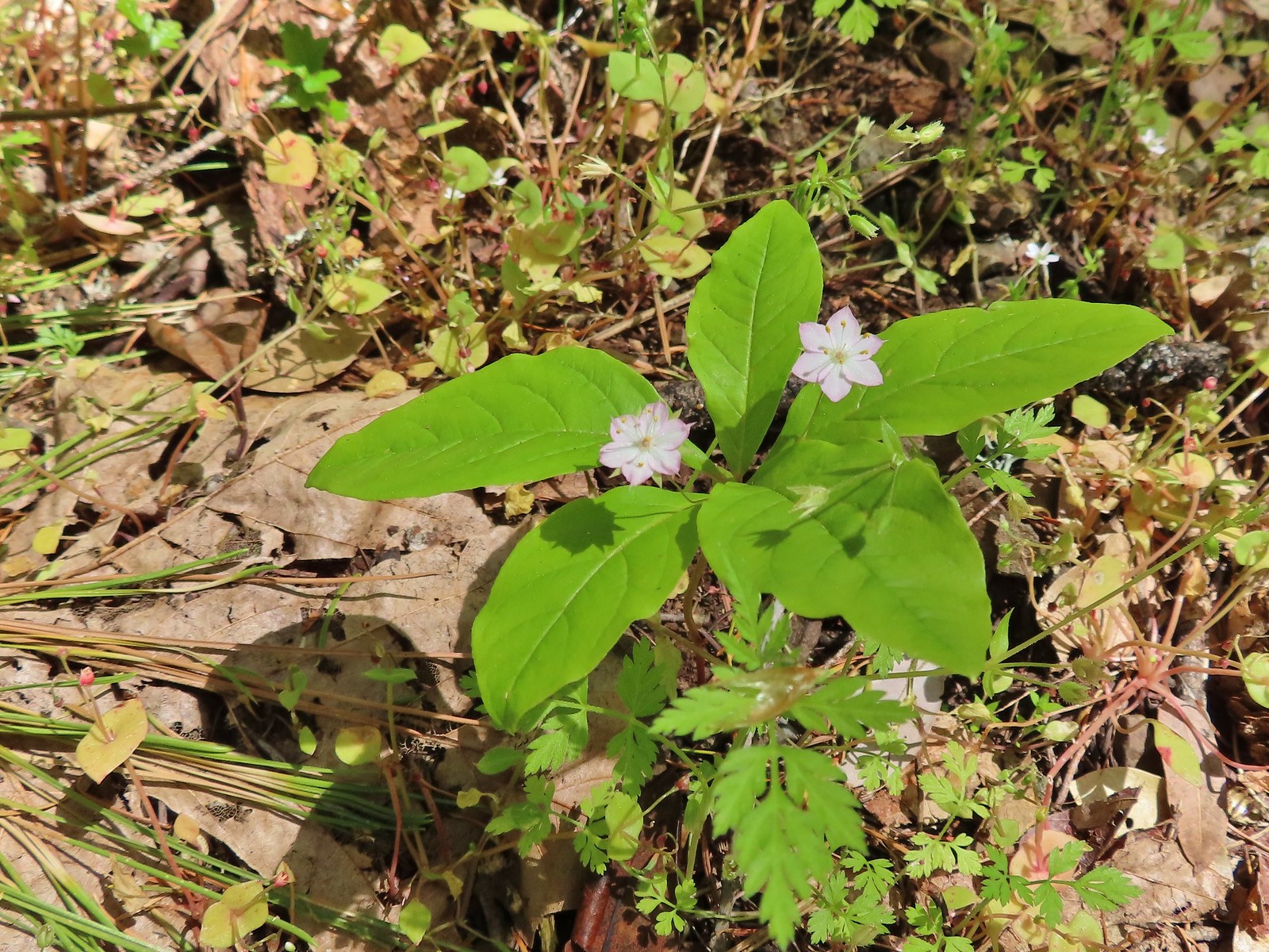 Star flower, May 25th – Mule Mountain
 California ground cone, May 25th – Mule Mountain
 Ookow, May 26th – Upper Table Rock
 Blow wives, May 26th – Upper Table Rock
 Best guess is Parry’s hawkweed, May 26th – Upper Table Rock
 Clustered broomrape, May 26th – Upper Table Rock
 Narrowleaf onion, May 26th – Upper Table Rock
 California goldfield, May 26th – Upper Table Rock
 Possibly Fitch’s tarweed, May 26th – Upper Table Rock
 Marigold pincushion plant, May 26th – Upper Table Rock
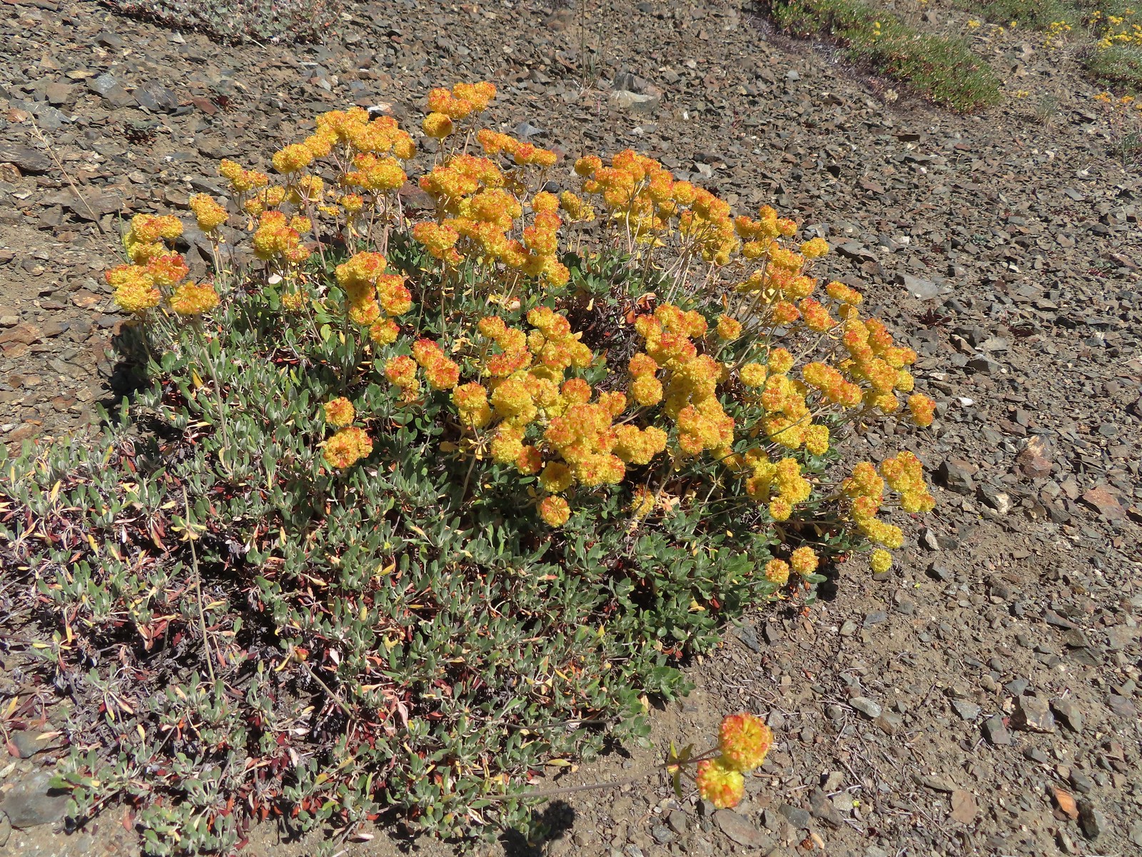
 Arrowleaf buckwheat, May 26th – Upper Table Rock
 A clarkia, May 26th – Upper Table Rock
 Iris, May 27th – Jack-Ash Trail
 Milkvetch, May 27th – Jack-Ash Trail
 Unknown on Anderson Butte, May 27th – Jack-Ash Trail
 Giant white wakerobbin, May 27th – Jack-Ash Trail
 A larkspur, May 27th – Jack-Ash Trail
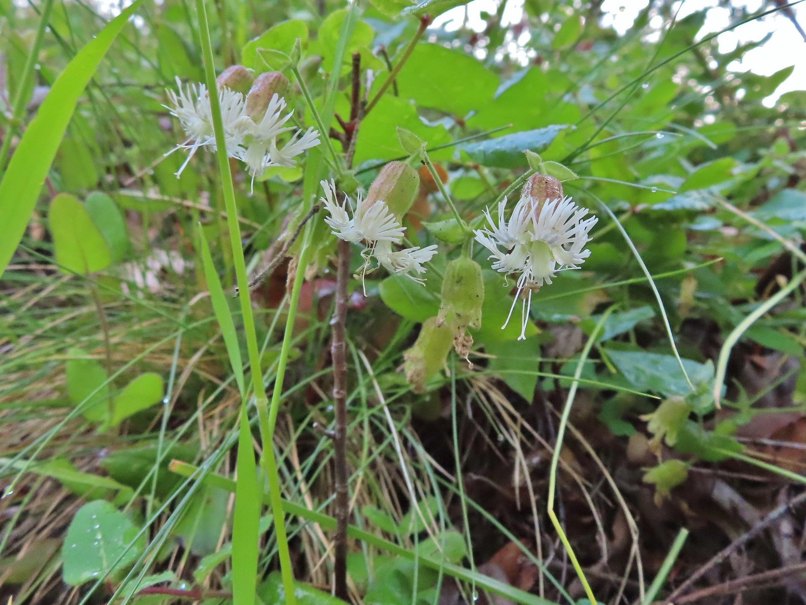
 Rough eyelashweed, May 27th – Jack-Ash Trail
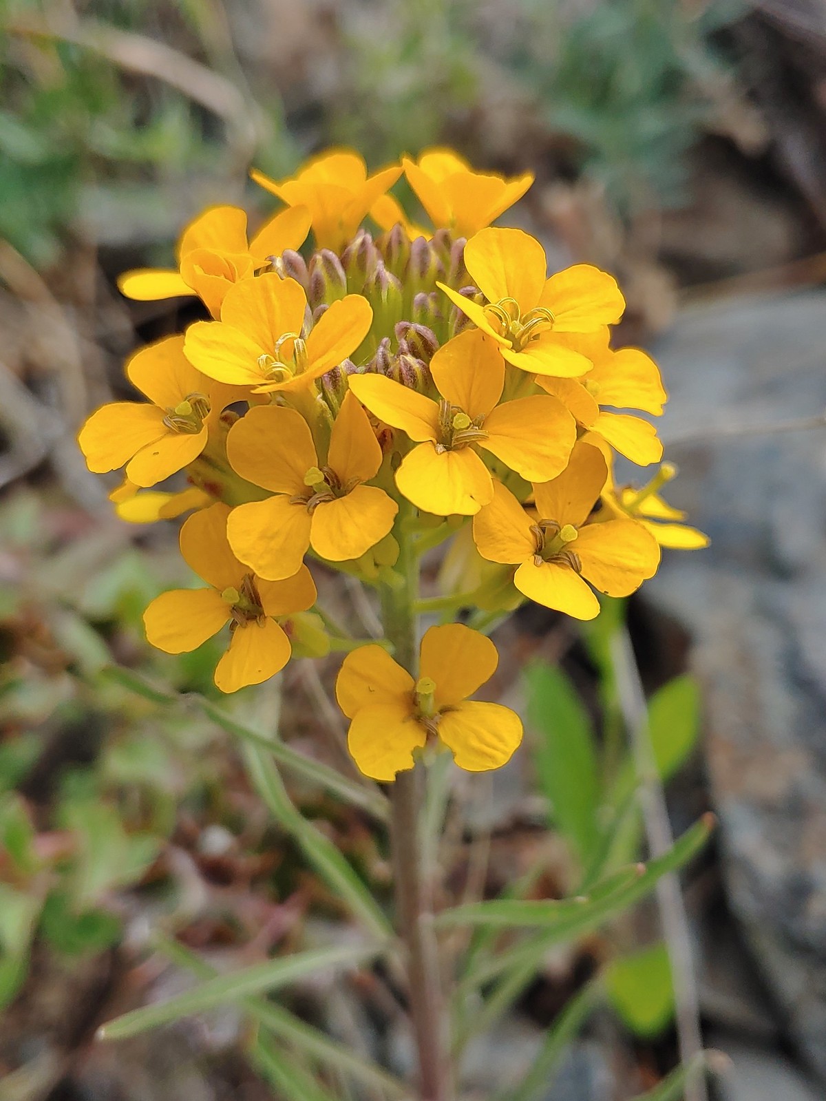 Wallflower, May 27th – Jack-Ash Trail
 A wild onion, May 27th – Jack-Ash Trail
 Jacob’s ladder, May 27th – Jack-Ash Trail
 Death camas, May 28th – Denman Wildlife Area
 Common madia, May 28th – Denman Wildlife Area
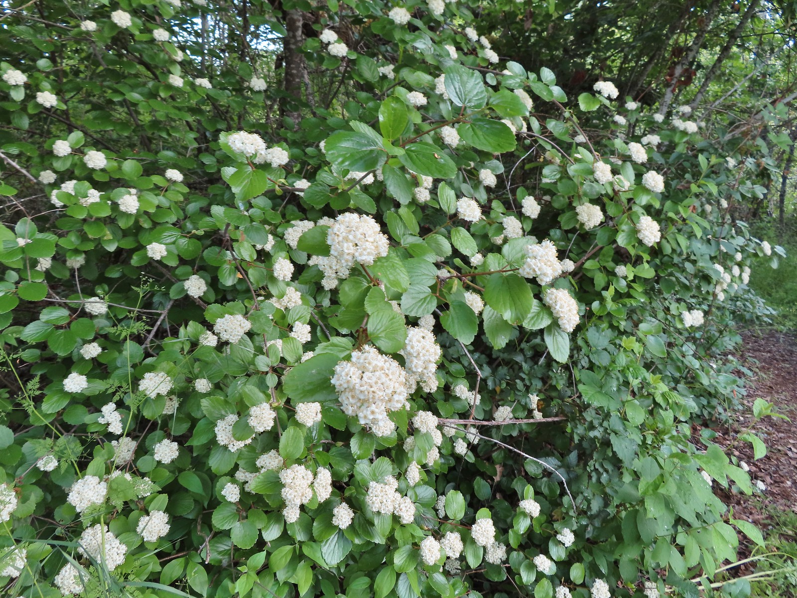 Common viburnum, May 28th – Denman Wildlife Area
 Hairy Indian paintbrush, May 28th – Denman Wildlife Area
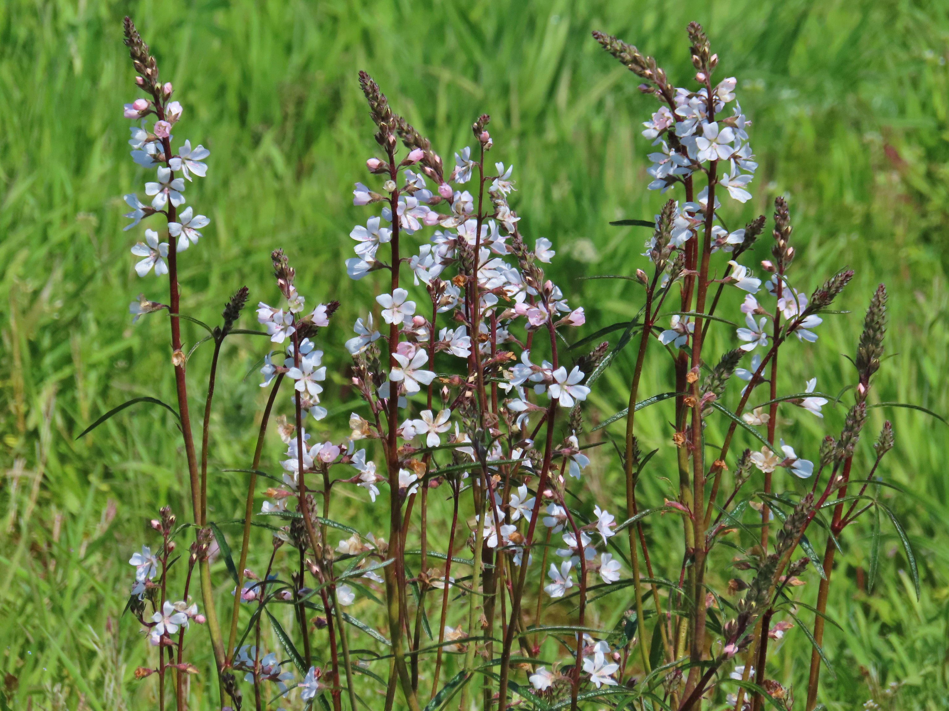
 White campion, May 28th – Denman Wildlife Area
 Pale flax, May 28th – Denman Wildlife Area
 Purple oyster (non-native), May 28th – Denman Wildlife Area
 Rose, May 28th – Denman Wildlife Area
 Pea, May 28th – Denman Wildlife Area
 Kellog’s monkeyflower, May 29th – Applegate Lake
 Heart-leaf milkweed, May 29th – Applegate Lake
 Northern phlox, May 29th – Applegate Lake
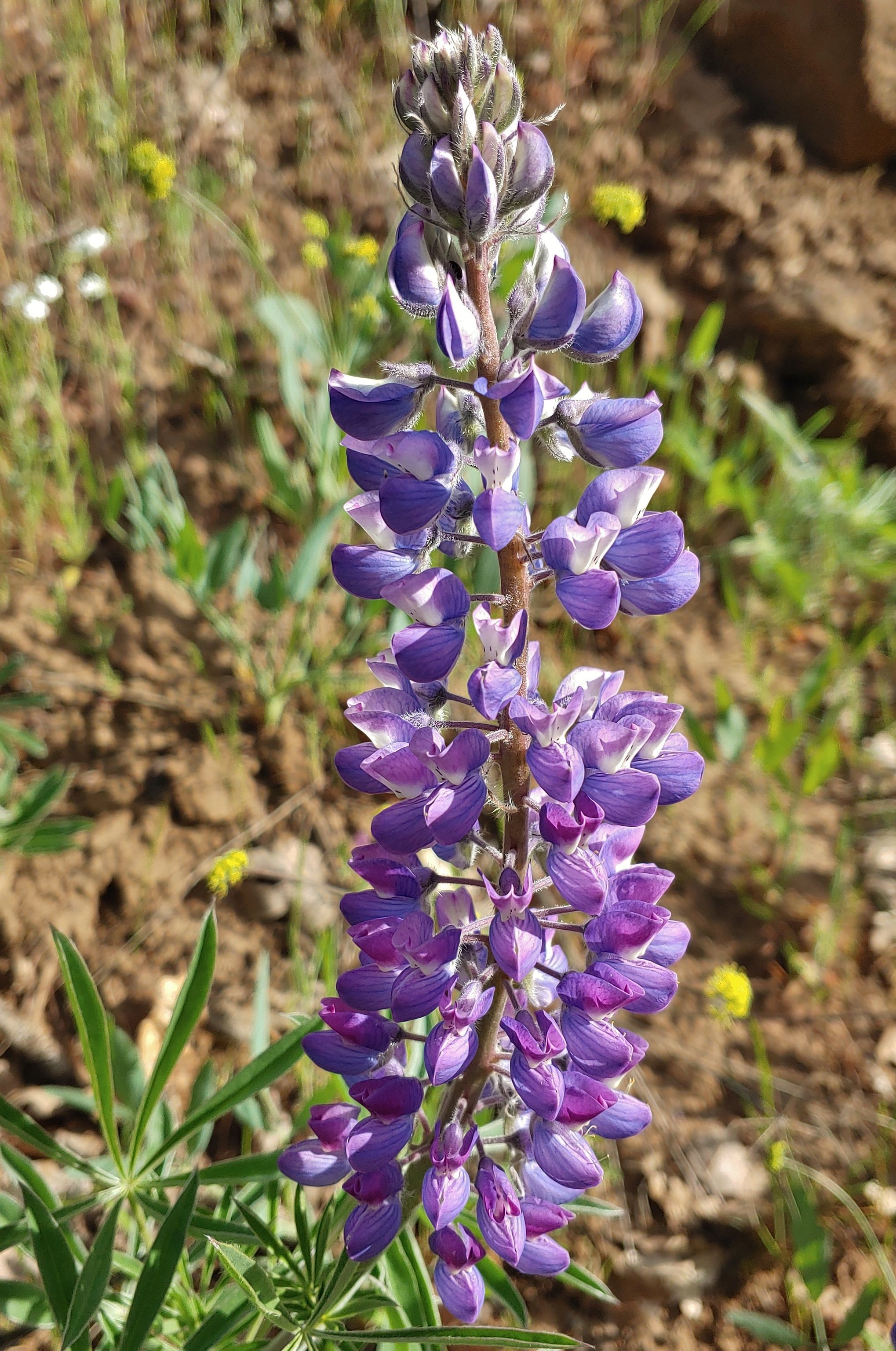
 White lupine, May 29th – Applegate Lake
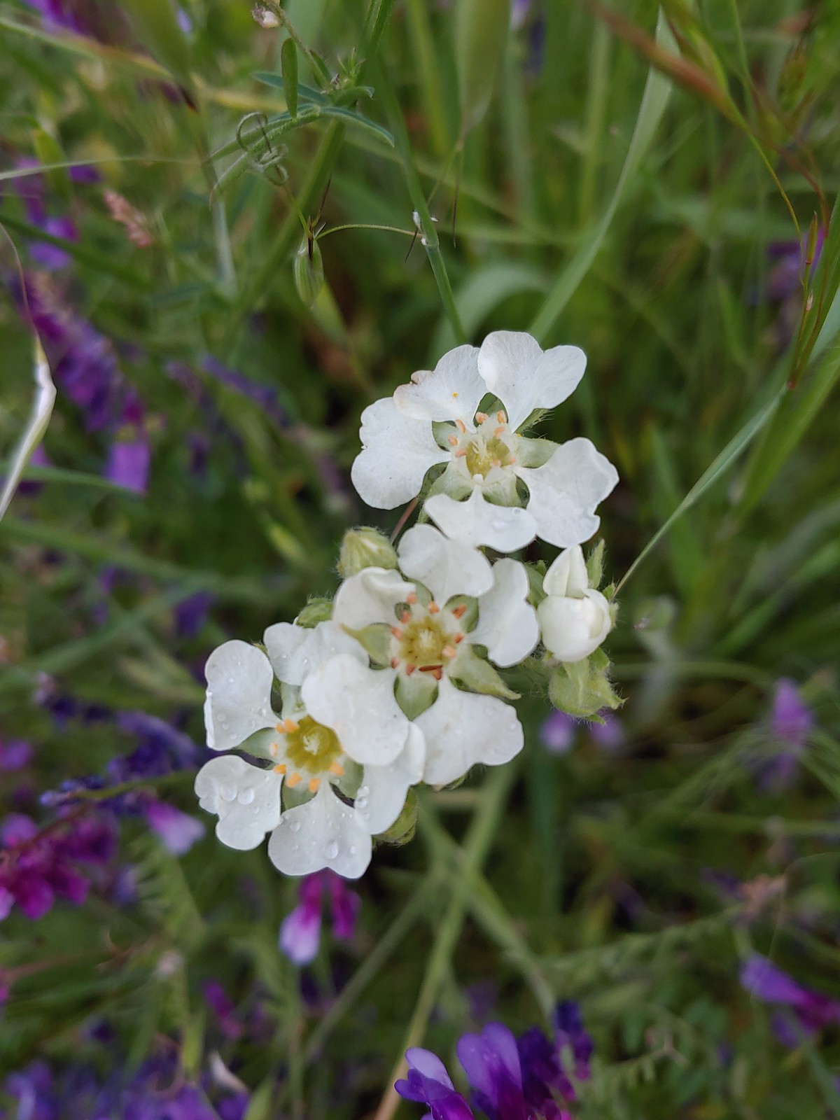 Carrotleaf horkelia, May 30th – Roxy Ann Peak
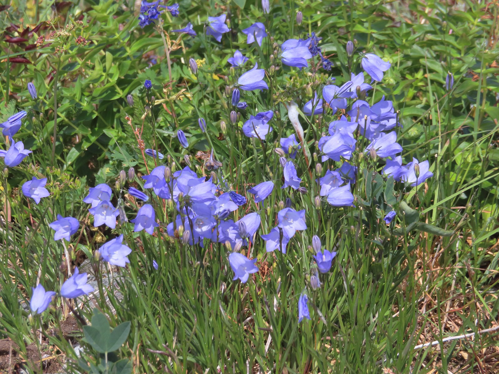
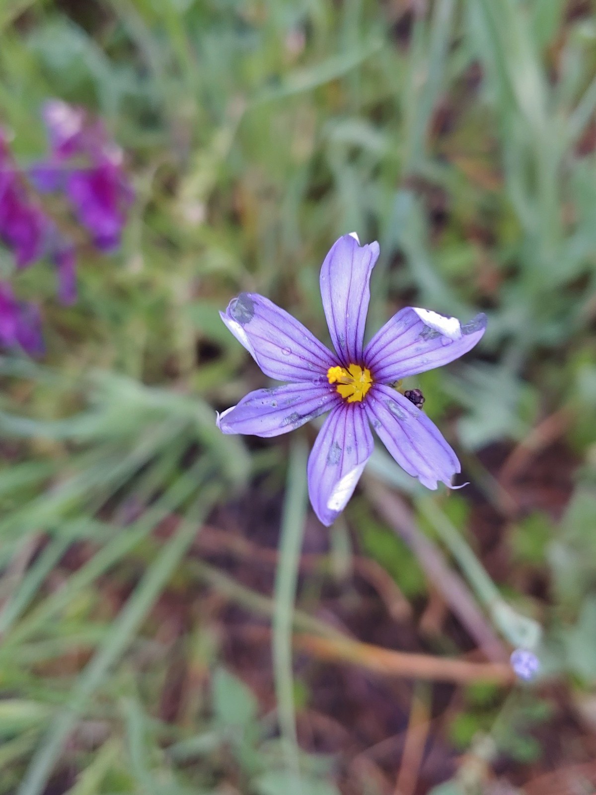 Blue-eyed grass, May 30th – Roxy Ann Peak
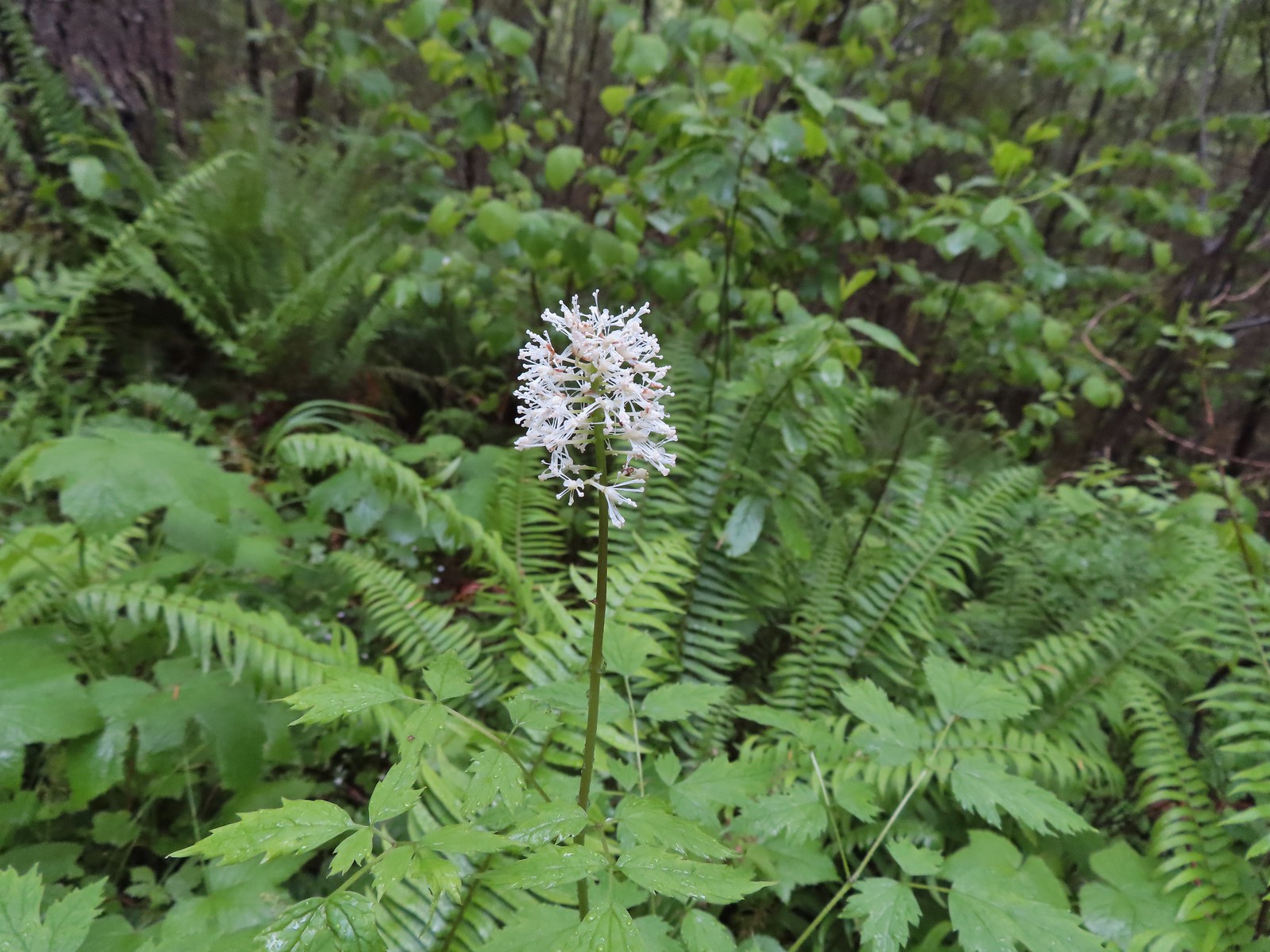 Baneberry, June 4th – North Siouxon Trail
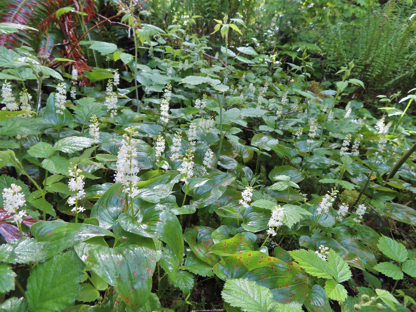
 Star-flower solomonseal, June 4th – North Siouxon Trail
 False lily-of-the valley, June 4th – North Siouxon Trail
 Candyflower, June 4th – North Siouxon Trail
 Scouler’s corydalis, June 4th – North Siouxon Trail
 Yellow glandweed (non-native), June 11th – Julia Butler Hanson Wildlife Refuge
 Daisy (non-native), June 11th – Julia Butler Hanson Wildlife Refuge
 Unknown shrub (non-native), June 11th – Julia Butler Hanson Wildlife Refuge
 A vetch or pea, June 13th – Susan Creek Falls Trail
 Columbine, June 13th – Susan Creek Falls Trail
 Solomonseal, June 13th – North Umpqua Trail
 Valerian, June 13th – Lemolo Falls Trail
 Gooseberry, June 14th – Illahee Rock
 Blue-eyed Mary, June 14th – Illahee Rock
 Fawn lilies, June 14th – Illahee Rock
 Pussytoes, June 15th – Pacific Crest Trail near the Stateline Trailhead
 Bistort, June 15th – Donomore Meadows
 Cutleaf daisy, June 15th – Observation Peak
 Lance-leaf spring beauty, June 15th – Observation Peak
 A rockcress, June 15th – Observation Peak
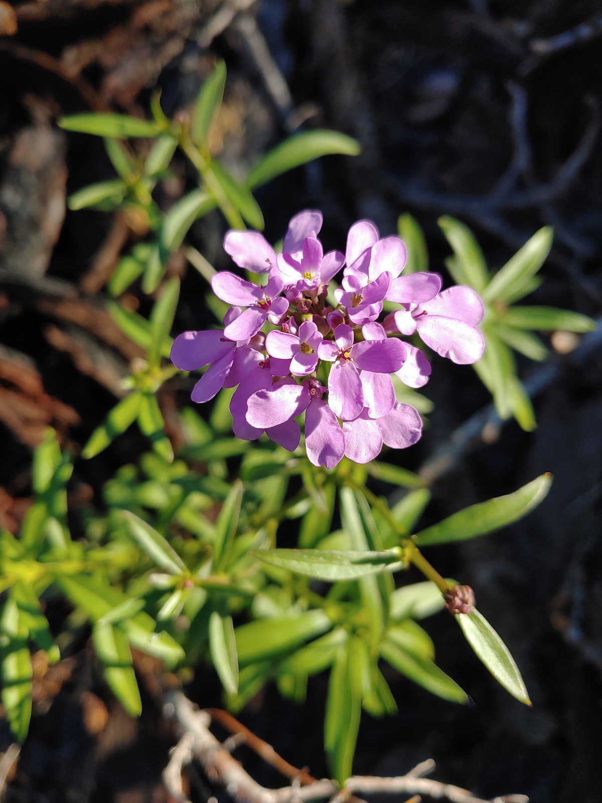
 Alpine pennycress, June 15th – Observation Peak
 Quill-leaf lewisia, June 15th – Observation Peak
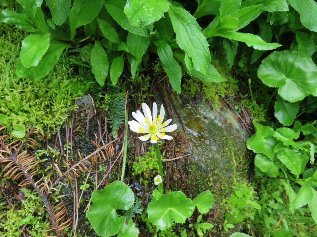
 Marsh marigold, June 15th – Pacific Crest Trail
 Anemone, June 16th – Pacific Crest Trail near Siskiyou Gap
 Jacob’s ladder, June 16th – Pacific Crest Trail
 Buds of an unknown flower, June 16th – Pacific Crest Trail near Big Red Mountain
 A paintbrush, June 16th – Pacific Crest Trail near Big Red Mountain
 Drummond’s anemone, June 16th – Pacific Crest Trail near Big Red Mountain
 Ballhead waterleaf, June 16th – Pacific Crest Trail near Big Red Mountain
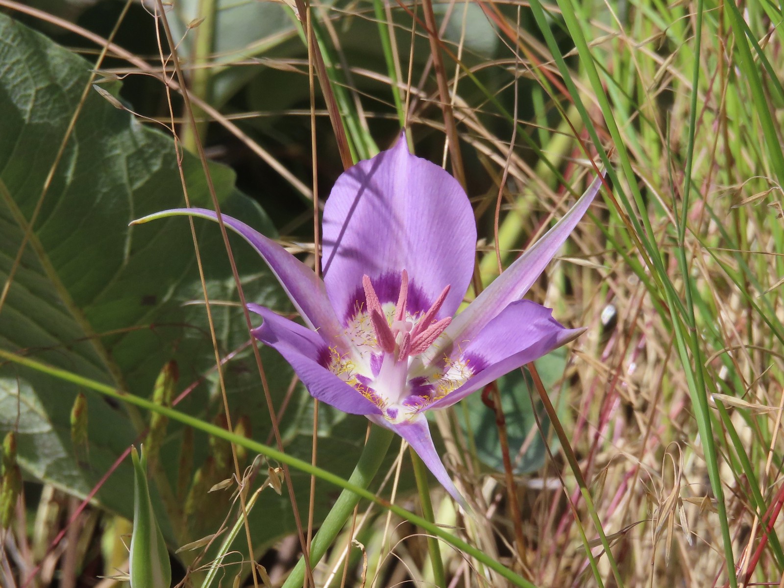
 A mariposa lily, June 16th – Pacific Crest Trail near Siskiyou Gap
 Diamond? clarkia, June 17th – Bandersnatch Trail
 A honeysuckle, June 17th – Bandersnatch Trail
 A catchfly, June 17th – Bandersnatch Trail
 Blue-head gilia, June 17th – Red Queen Trail
 Deerbrush, June 17th – Mike Uthoff Trail
 Grand collomia, June 17th – Mike Uthoff Trail
 A phaceli, June 17th – Mike Uthoff Trail
 Rhododendron, June 18th – Frog Pond Trail
 Pretty Face, June 18th – Frog Pond Trail
 Believe this is some sort of saxifrage, June 25th – Toutle Trail
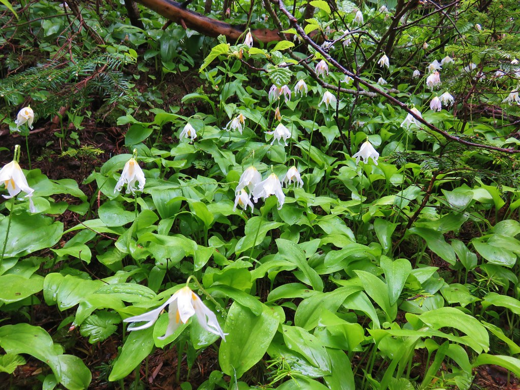
 Avalanche lily, June 25th – Toutle Trail
 A penstemon, July 1st – Siskiyou Wilderness
 A phlox, July 1st – Siskiyou Wilderness
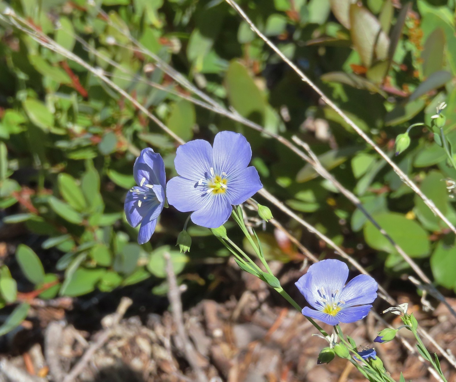 Lewis flax, July 1st – Siskiyou Wilderness
 A paintbrush, July 1st – Siskiyou Wilderness
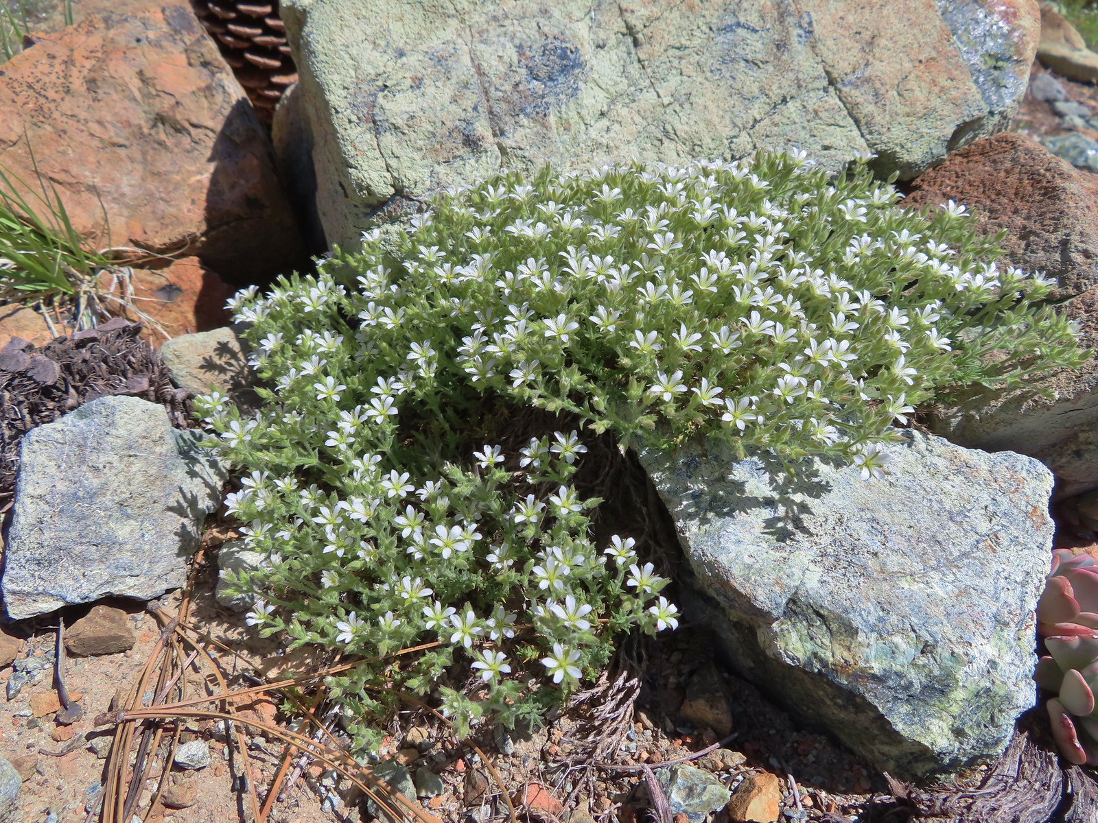 Nuttall’s sandwort?, July 1st -Siskiyou Wilderness
 Queen’s cup, July 1st – Siskiyou Wilderness
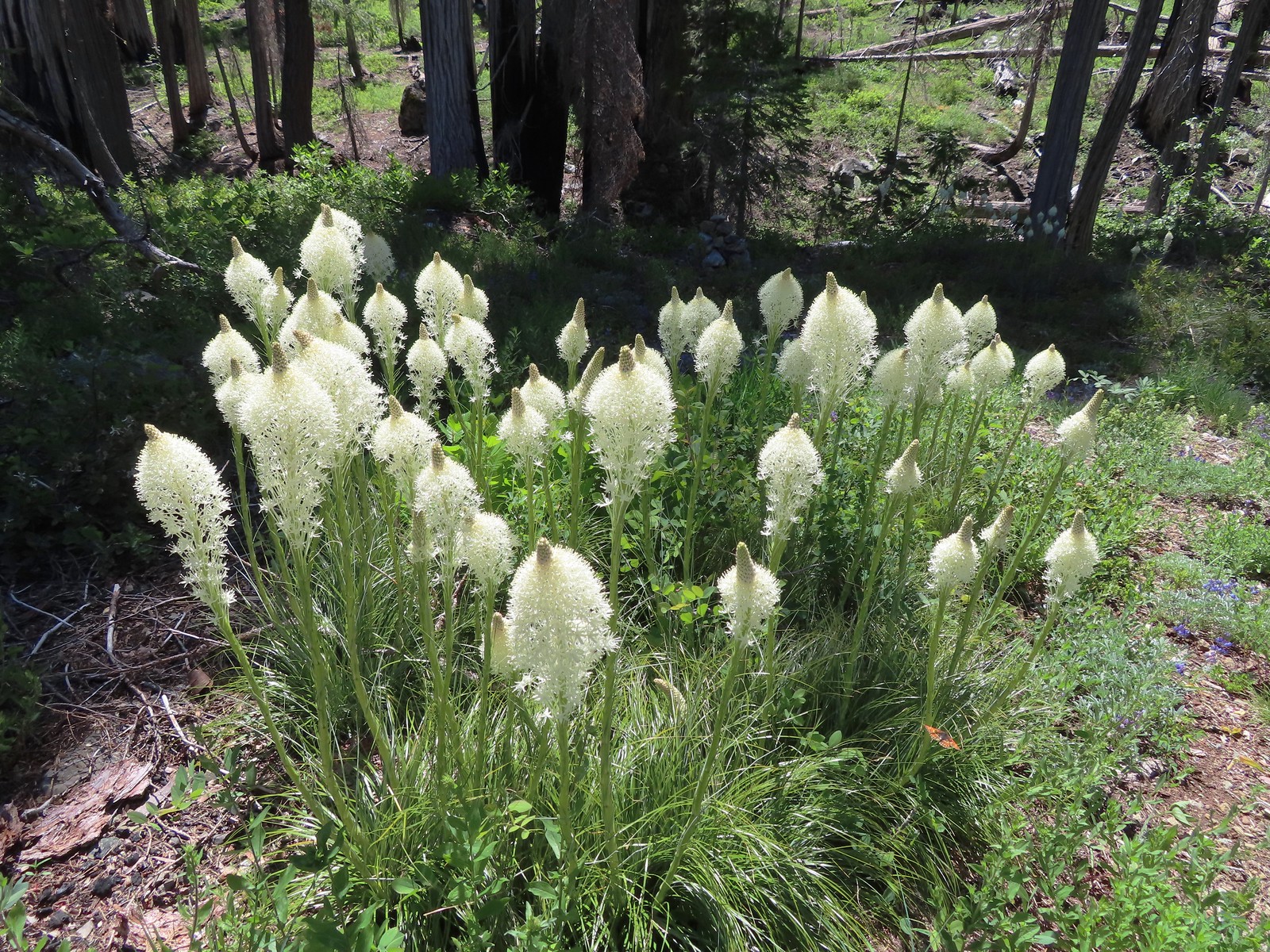 Beargrass, July 1st – Siskiyou Wilderness
 Shooting star, July 1st – Siskiyou Wilderness
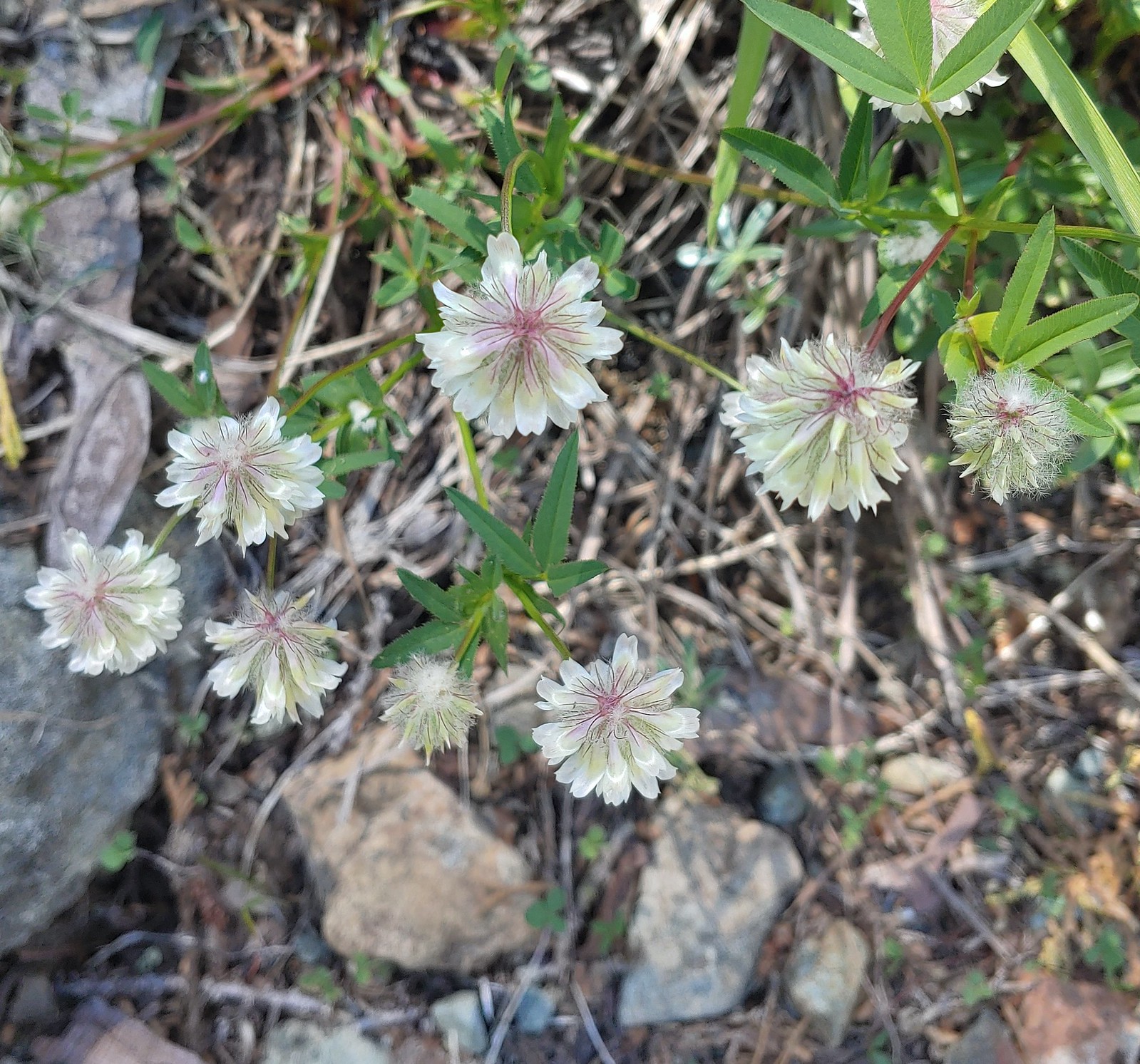 Wolley-head clover, July 1st – Siskiyou ikyWilderness
 A nightshade, July 1st – Siskiyou Wilderness
 Siskiyou lewisia, July 1st – Siskiyou Wilderness
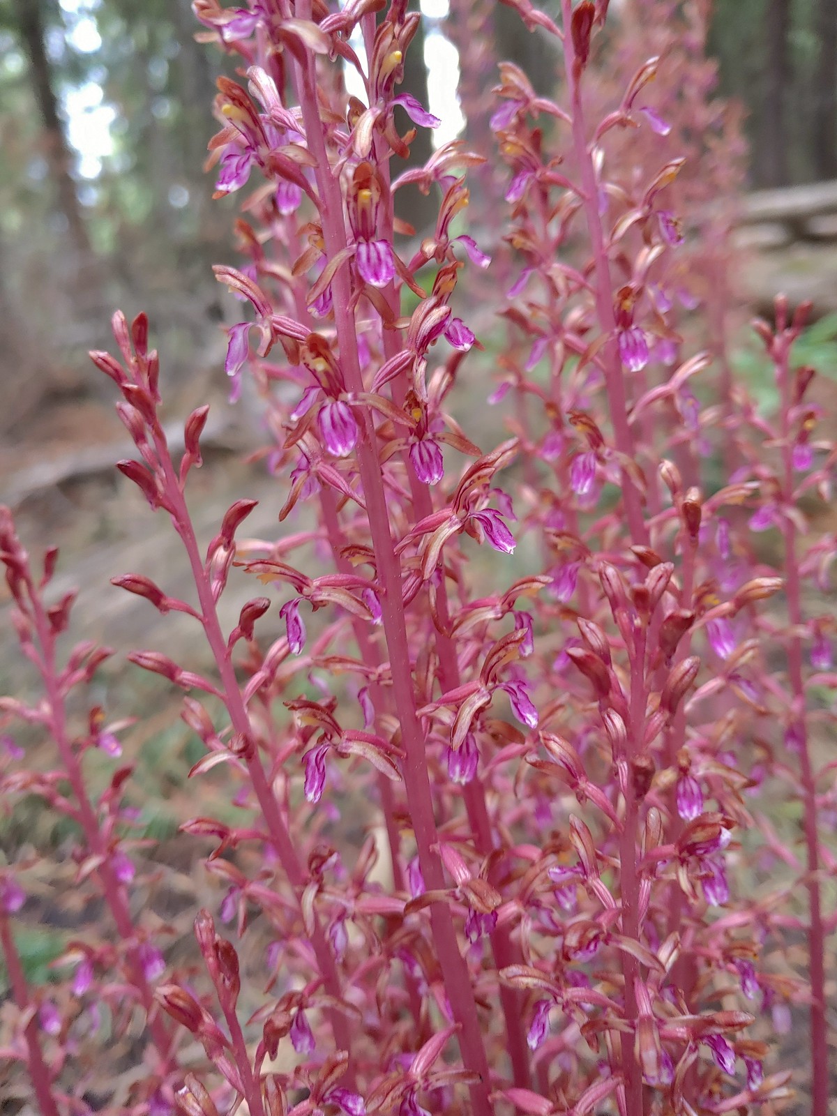
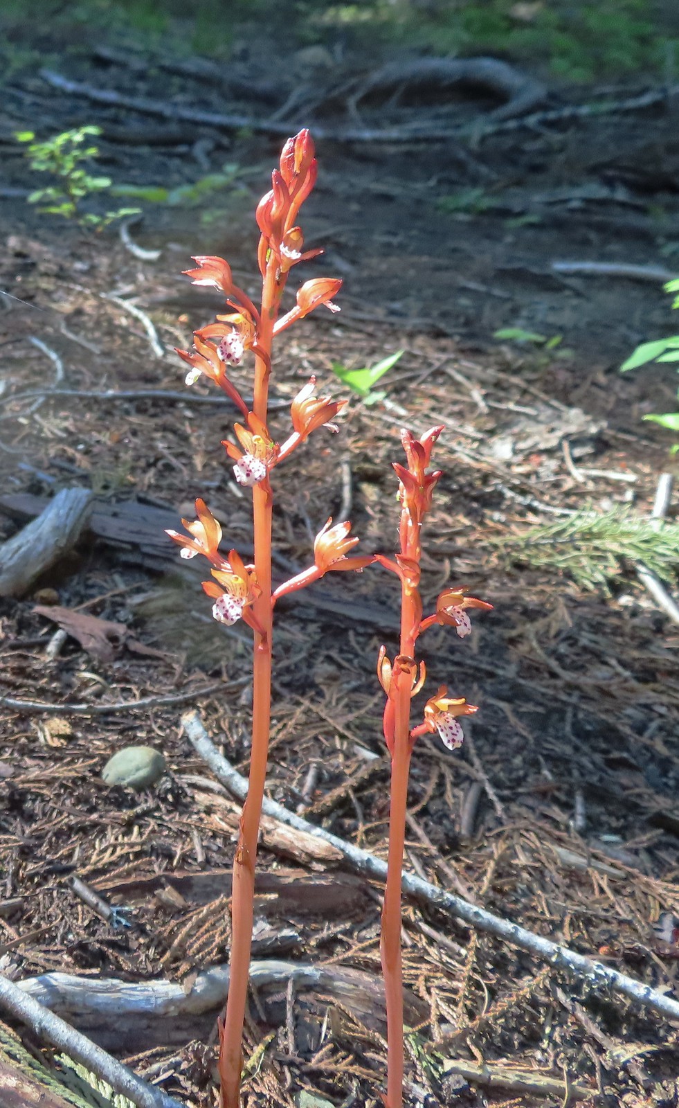 Spotted coralroot, July 1st – Siskiyou Wilderness
 This tiny flower was at the edge of the meadow in Young’s Valley, July 1st – Siskiyou Wilderness
 Azalea, July 2nd – Siskiyou Wilderness
 Honeysuckle, July 2nd – Siskiyou Wilderness
 Pacific ninebark, July 2nd – Siskiyou Wilderness
 Streambank bird’s-foot trefoil, July 2nd – Siskiyou Wilderness
 White-vein wintergreen, July 2nd – Siskiyou Wilderness
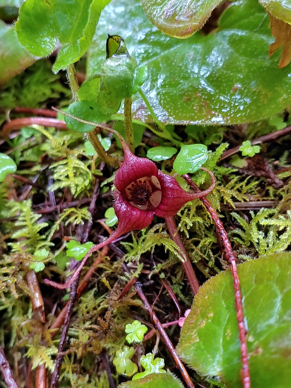
 California pitcher-plant, July 2nd – Siskiyou Wilderness
 Also California pitcher-plant, July 2nd – Siskiyou Wilderness
 White-stemmed frasera, July 2nd – Siskiyou Wilderness
 Washington lily, July 2nd – Siskiyou Wilderness
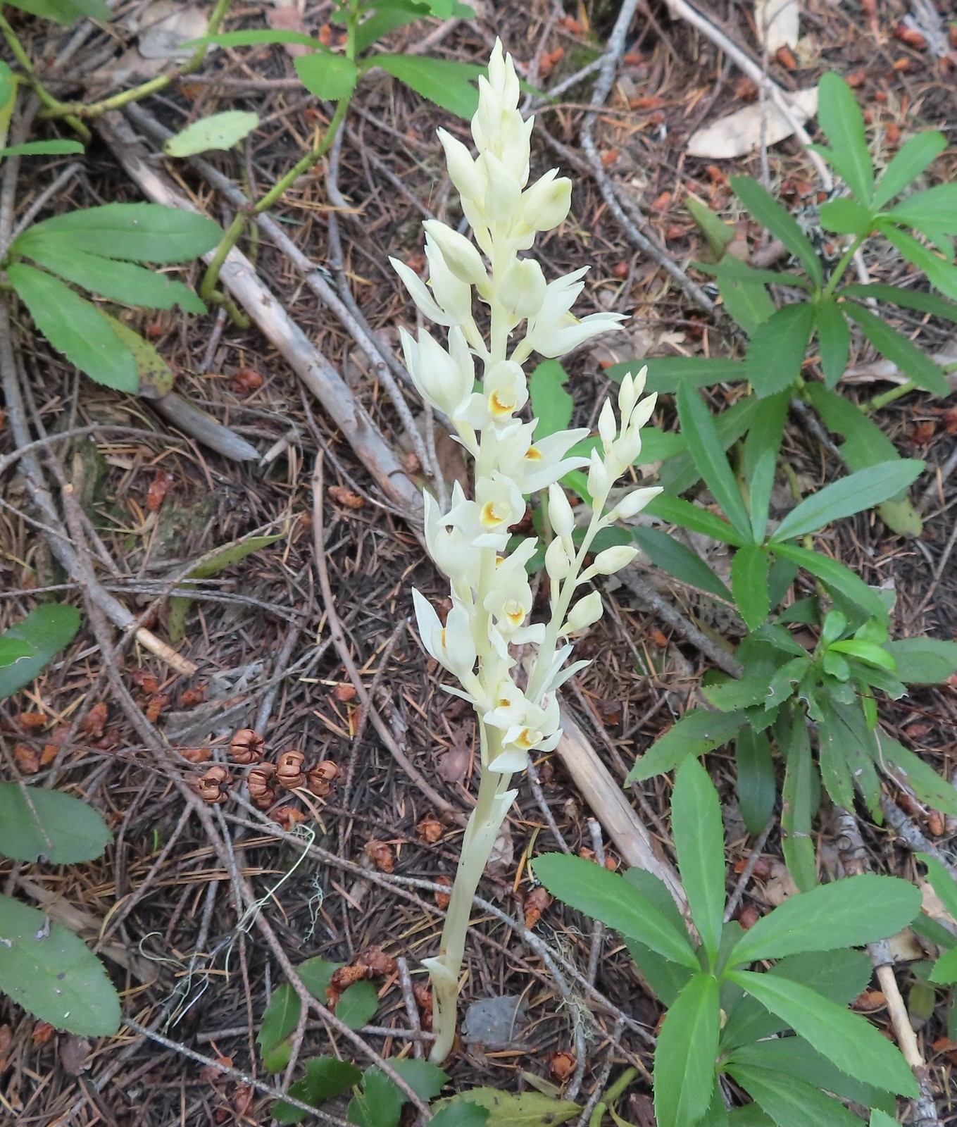 Phantom orchid, July 2nd – Siskiyou Wilderness
 Oregon sunshine, July 2nd – Siskiyou Wilderness
 Pussypaws, July 2nd – Siskiyou Wilderness
 Musk monkeyflower, July 3rd – Siskiyou Wilderness
 Klamath arnica, July 3rd – Siskiyou Wilderness
 White rushlily, July 3rd – Siskiyou Wilderness
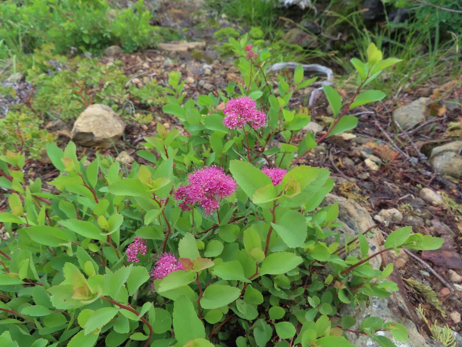 Spirea, July 4th – Siskiyou Wilderness
 Wild onion, July 4th – Siskiyou Wilderness
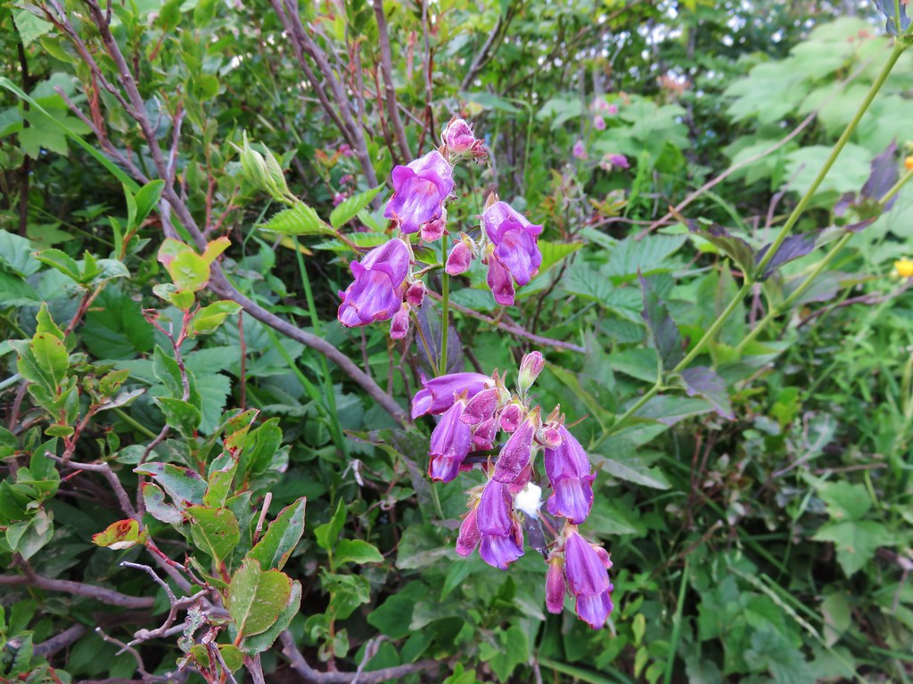
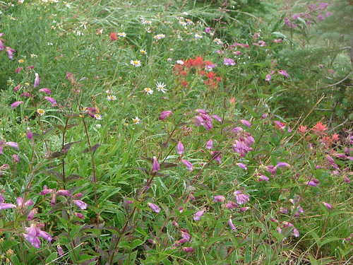
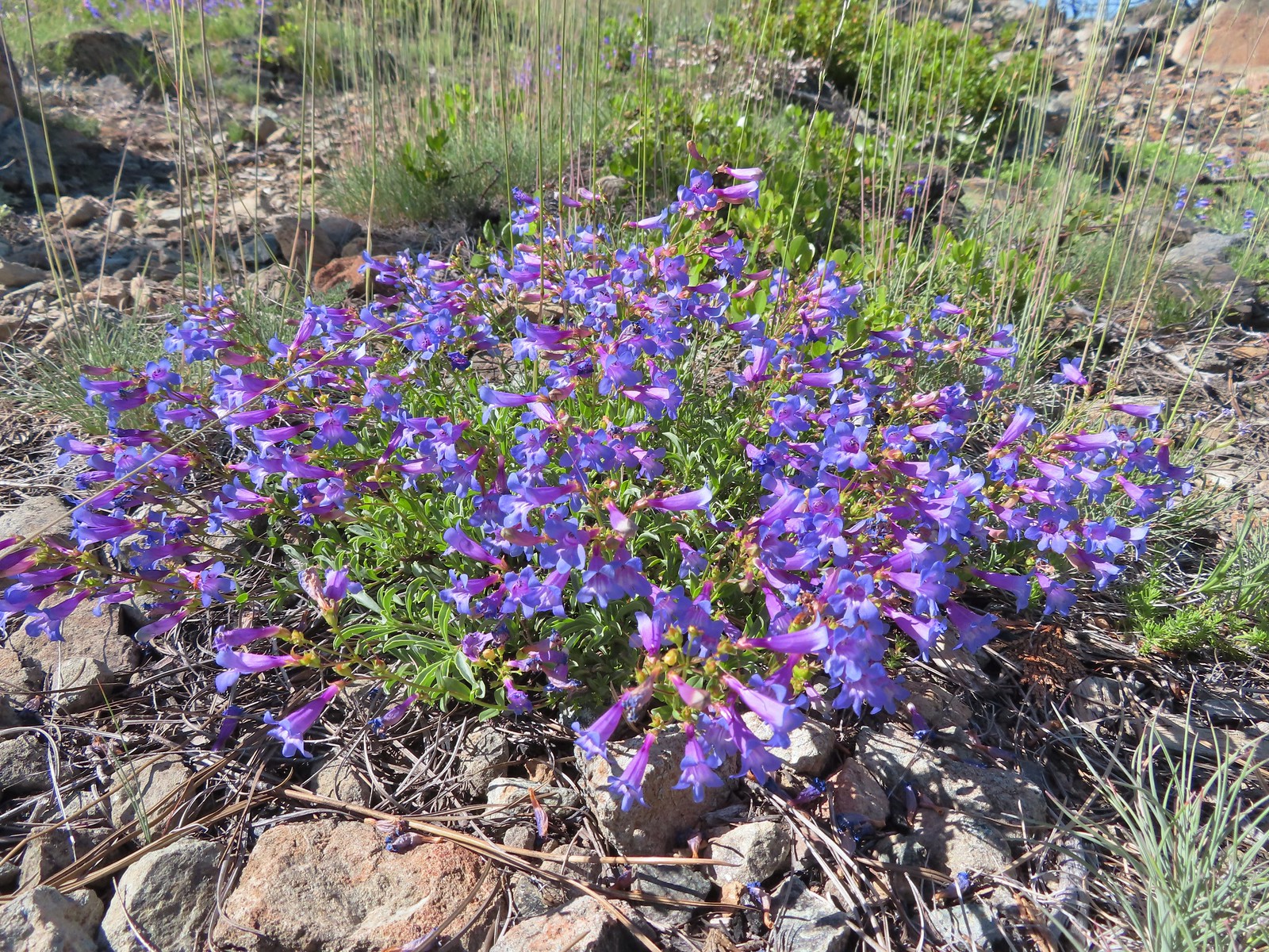
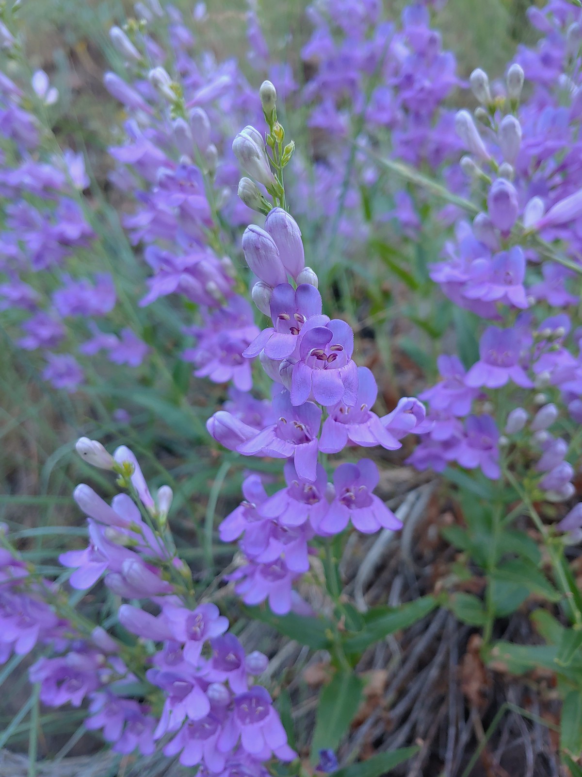
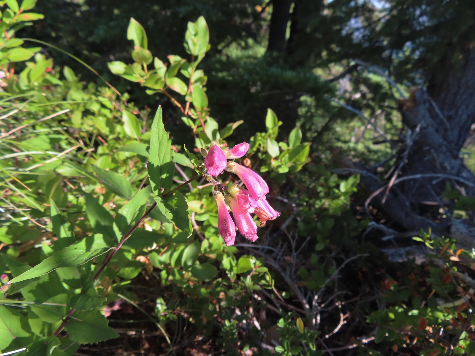
 A penstemon, July 4th – Siskiyou Wilderness
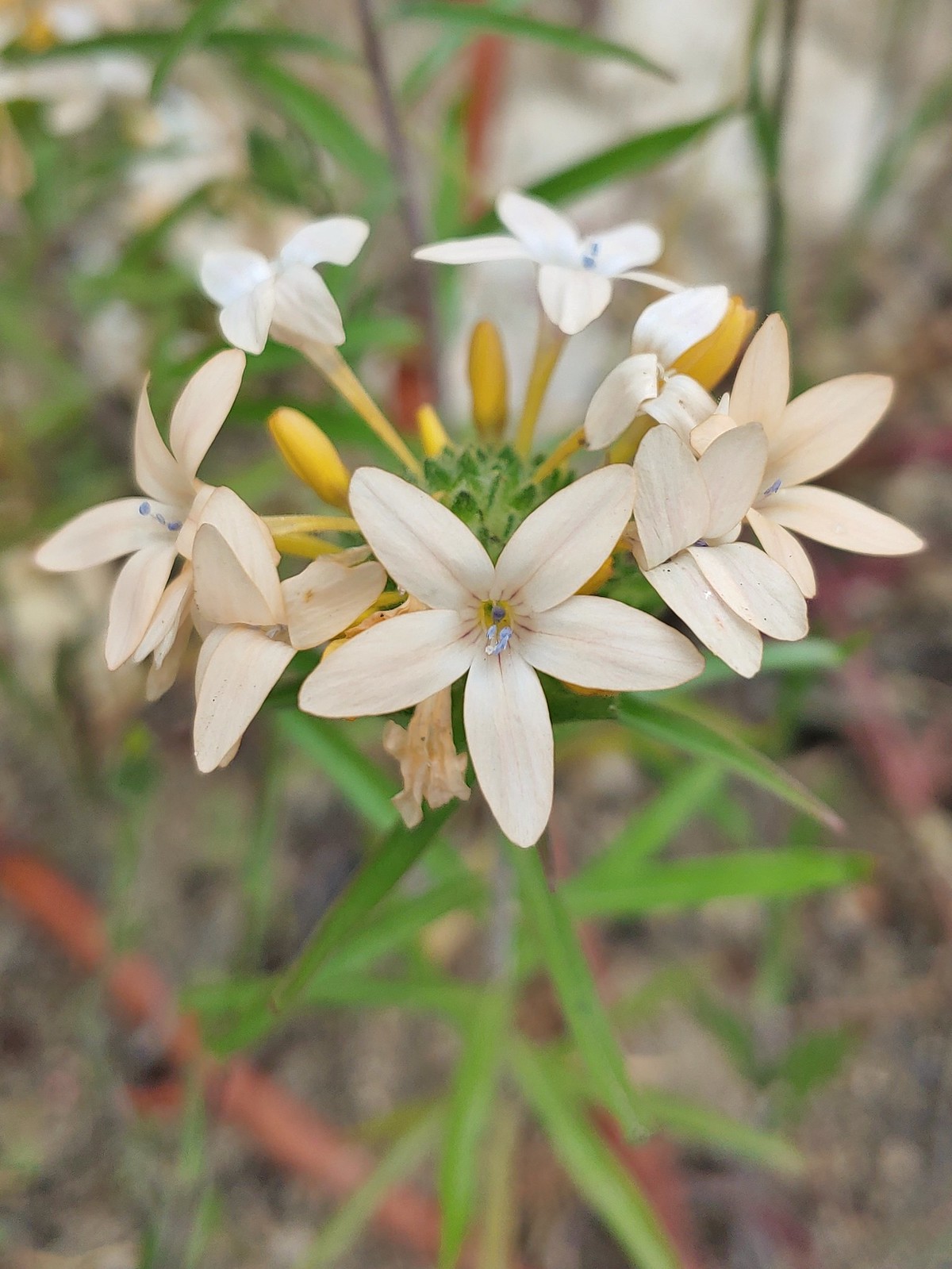
 Phlox, July 9th – Mt. Ireland
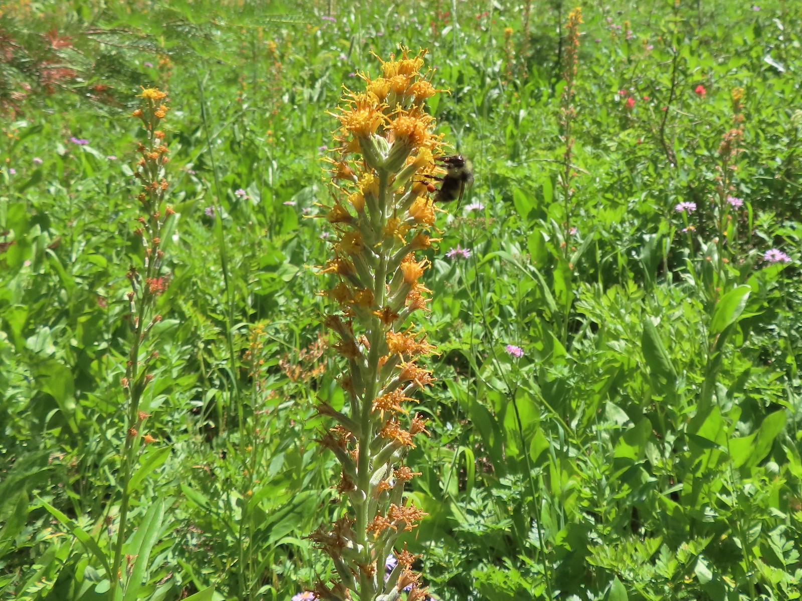
 Brown’s peony, July 9th – Mt. Ireland
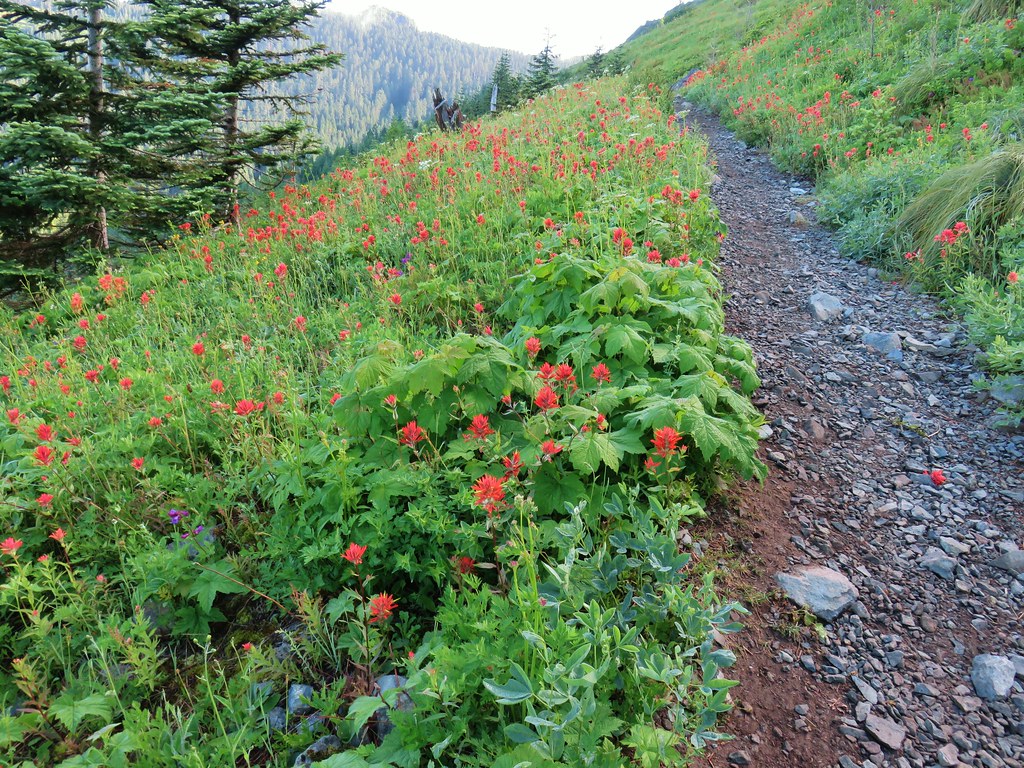
 Yet another paintbrush, July 9th – Mt. Ireland
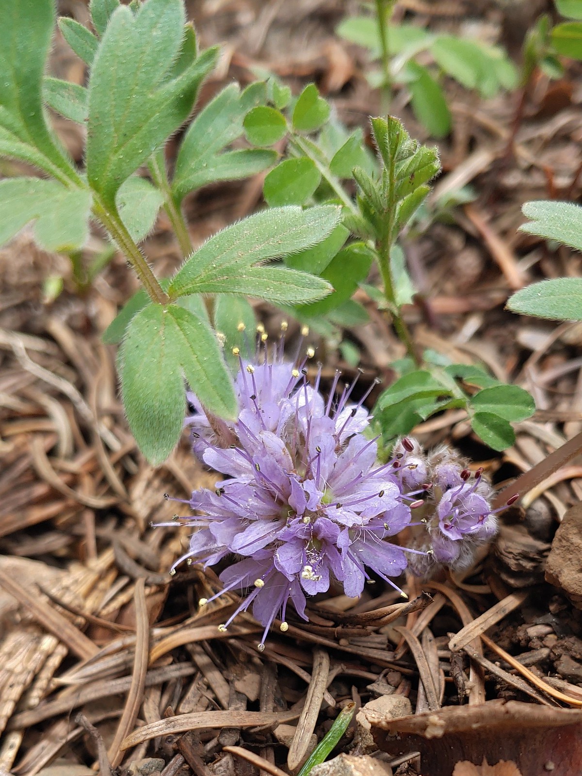
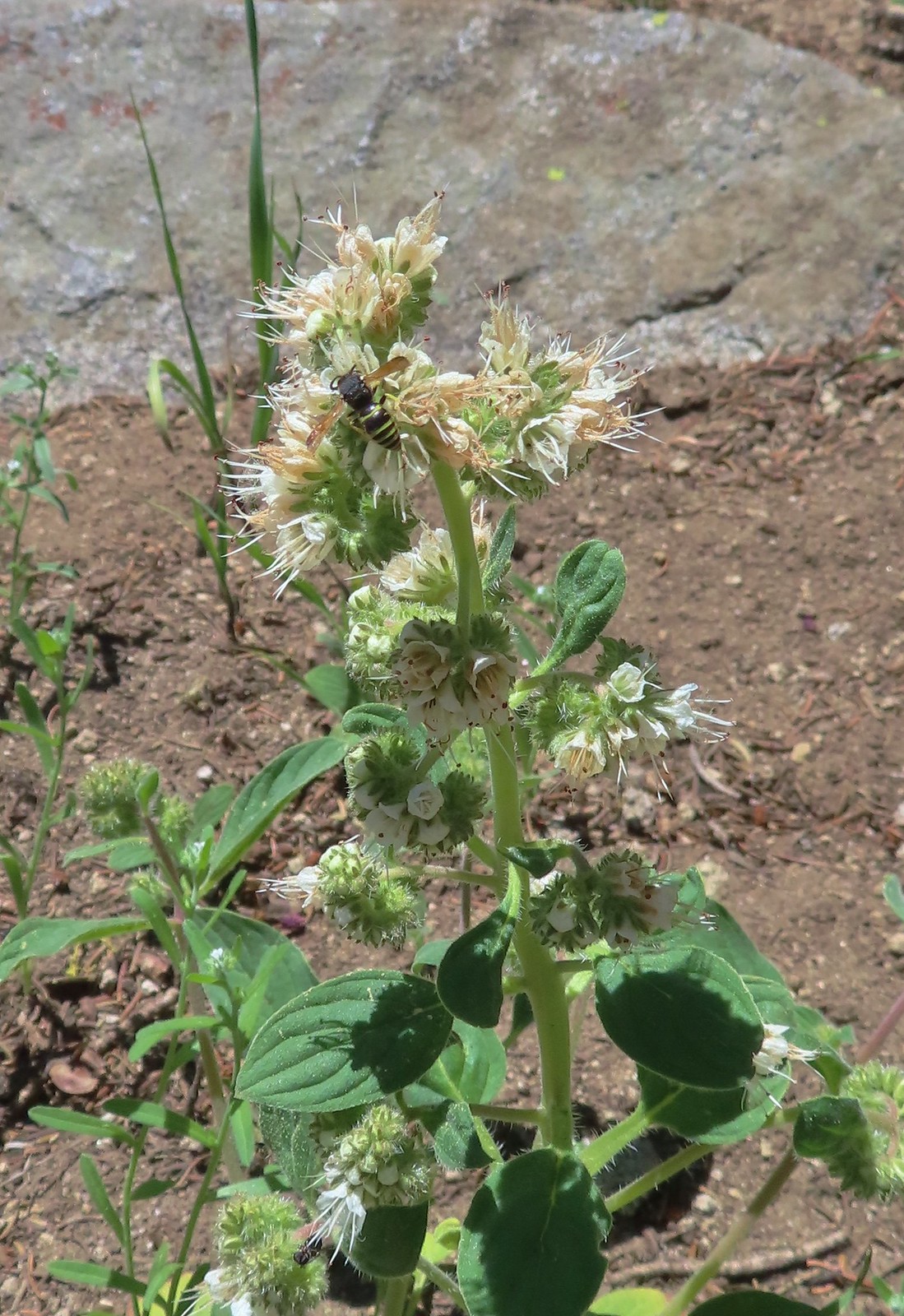 Silverleaf phacelia with visitor, July 9th – Mt. Ireland
 Venus penstemon, July 10th – Catherine Creek Trail
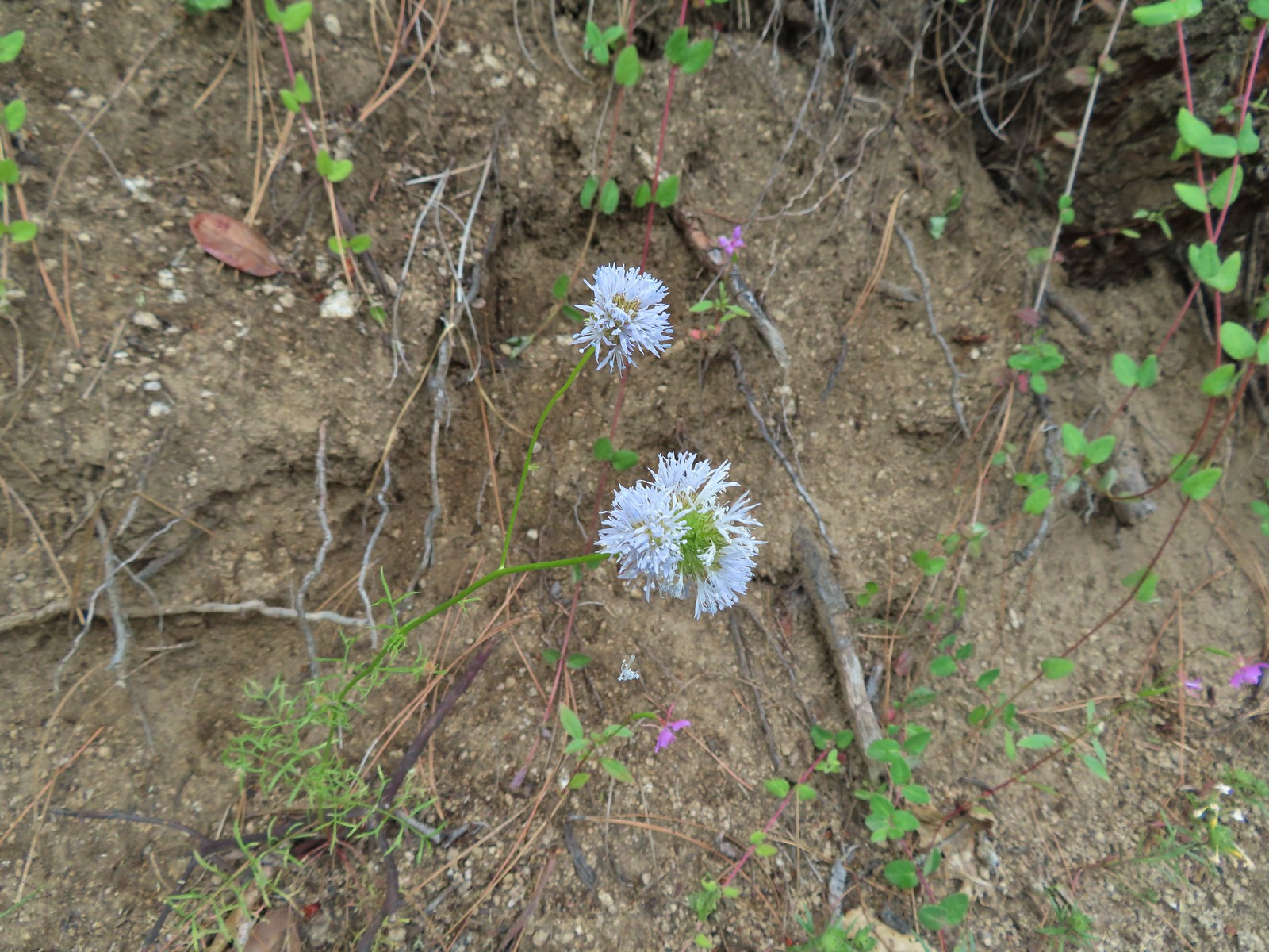
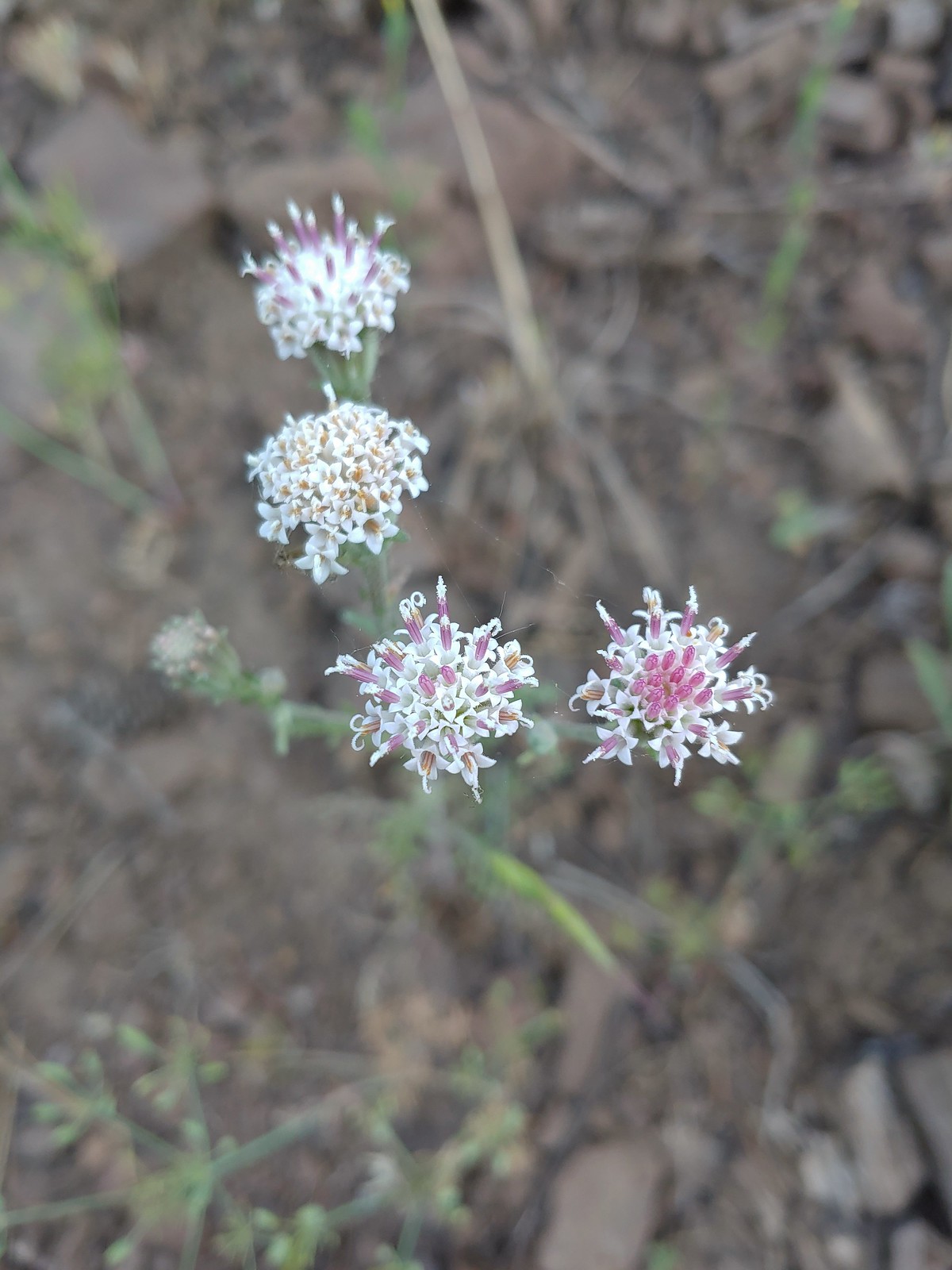 Douglas dustymaidens, July 10th – Catherine Creek Trail
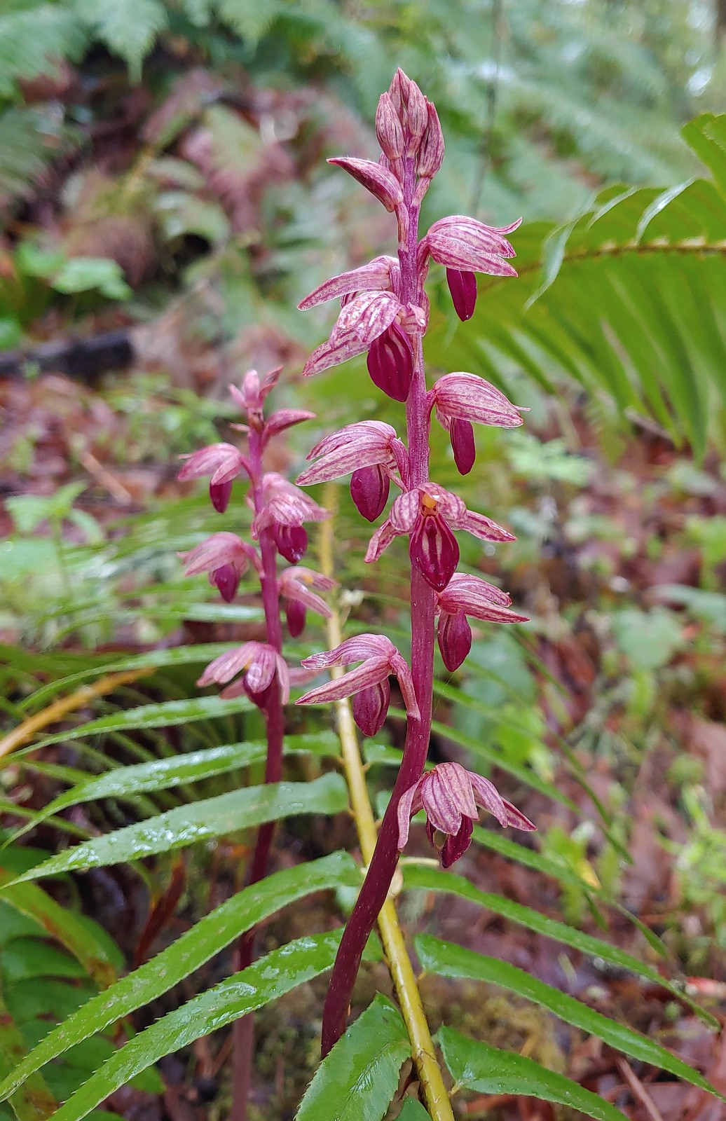
 Bog orchid, July 10th – Catherine Creek Trail
 Mountain lady slippers, July 10th – Catherine Creek Trail
 Rosy pussytoes, July 10th – Catherine Creek Trail
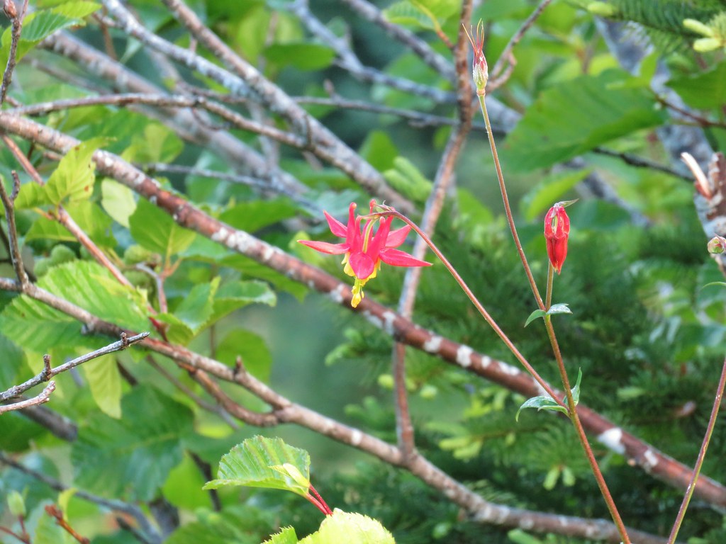
 Yellow columbine, July 10th – Catherine Creek Trail
 Heart-leaved bittercress?, July 10th – Catherine Creek Trail
 Elephants head, July 10th – Catherine Creek Trail
 Cone flower, July 10th – Catherine Creek Trail
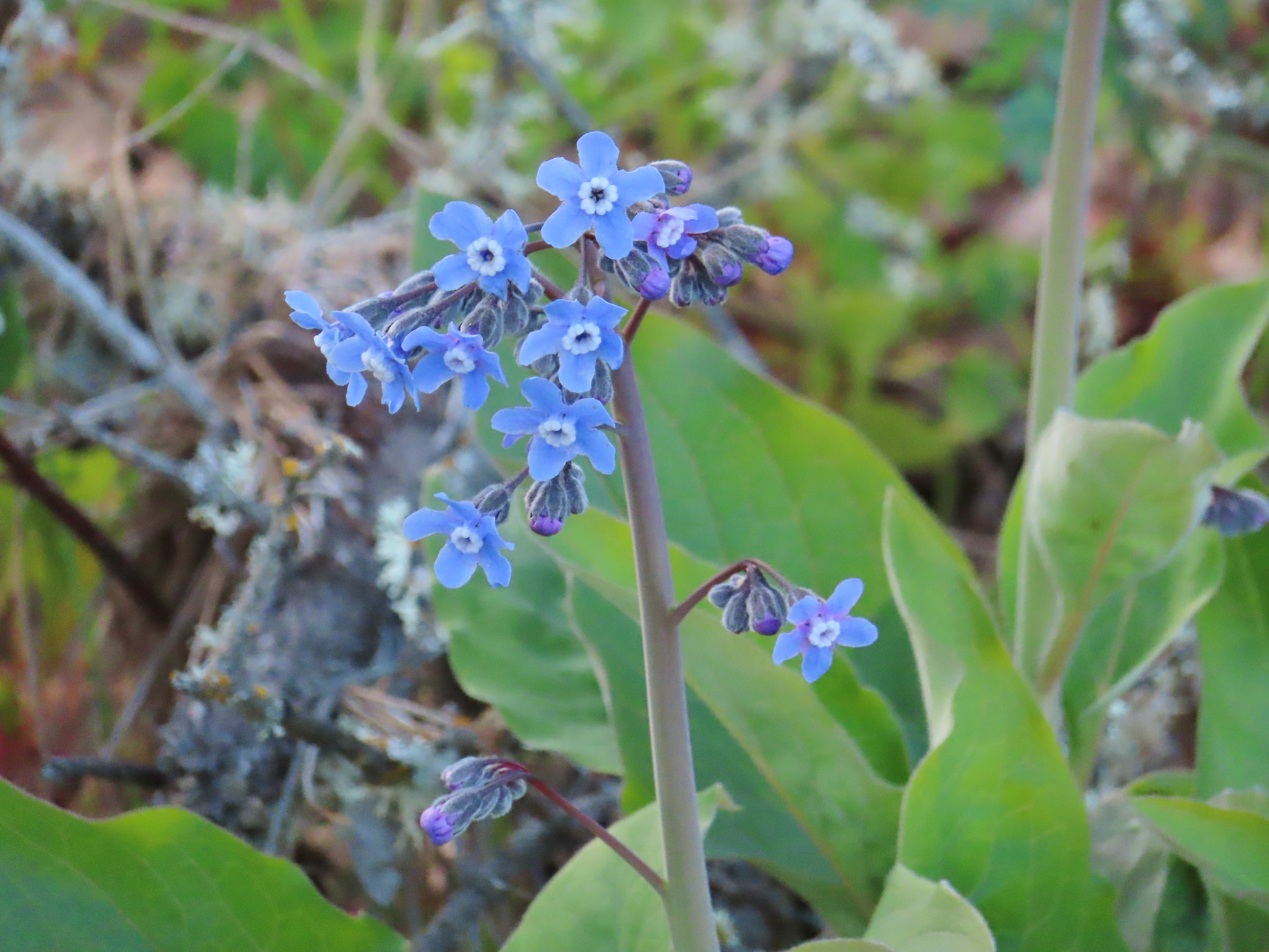
 Tall mountain bluebells, July 10th – Catherine Creek Trail
 Another wild onion, July 11th – Horse Ranch Trail
 Scarlet gilia, July 11th – Horse Ranch Trail
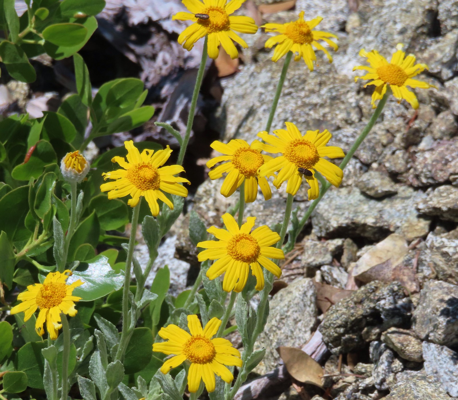
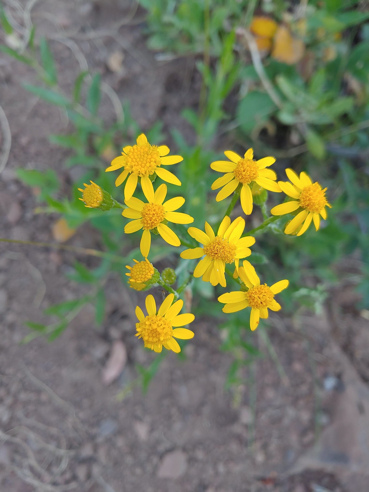 Arrowleaf groundsel, July 11th – Horse Ranch Trail
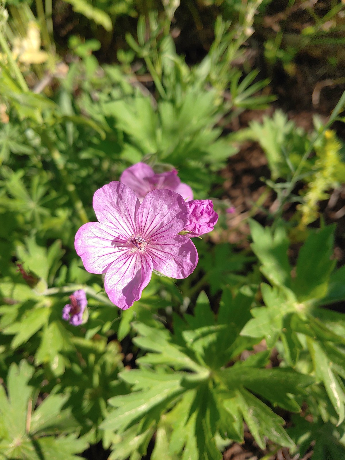 Purple sticky geranium, July 11th – Horse Ranch Trail
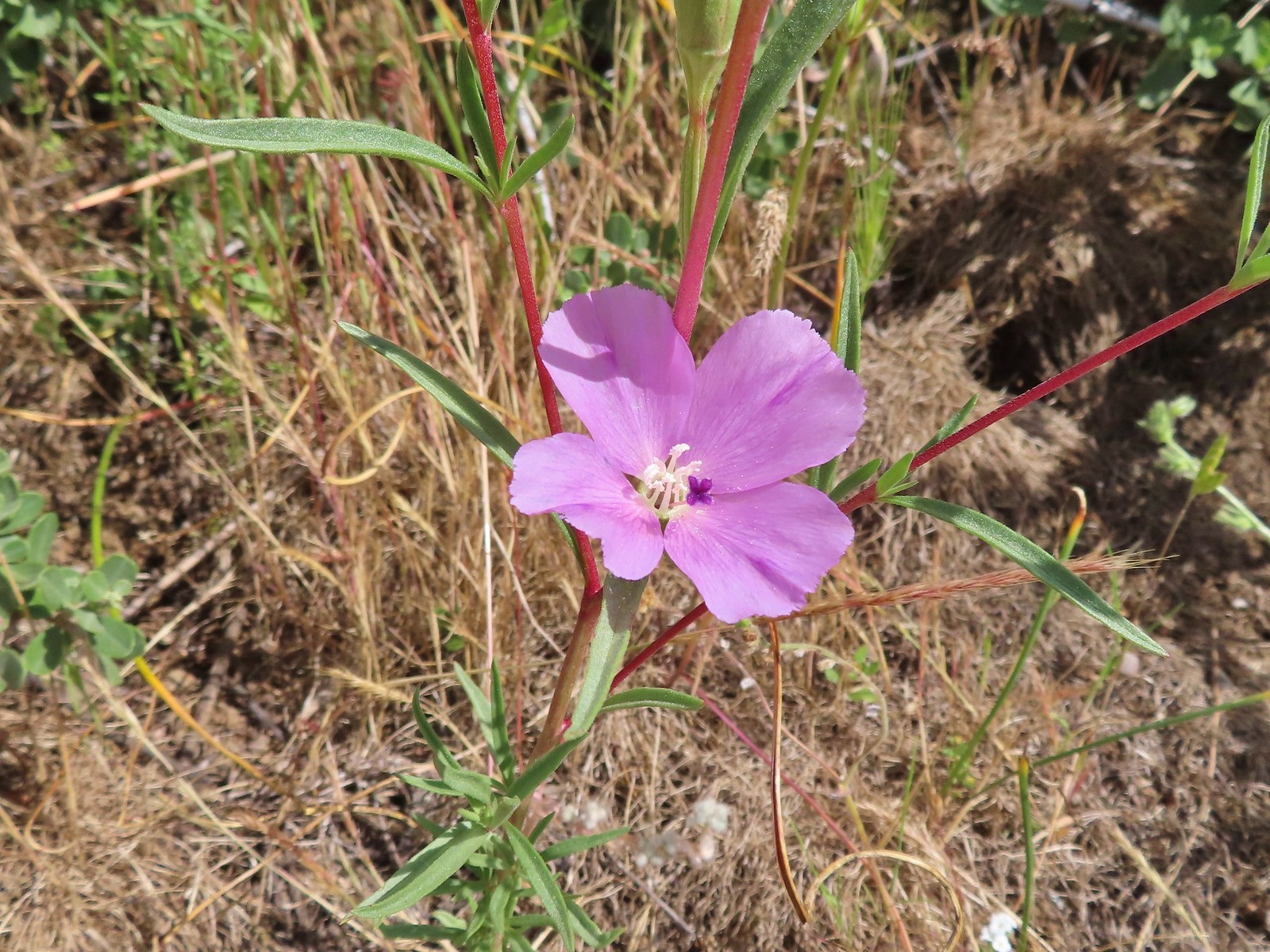
 Ragged robin, July 11th – Horse Ranch Trail
 False? sunflower, July 11th – Horse Ranch Trail
 White mariposa lily, July 11th – Horse Ranch Trail
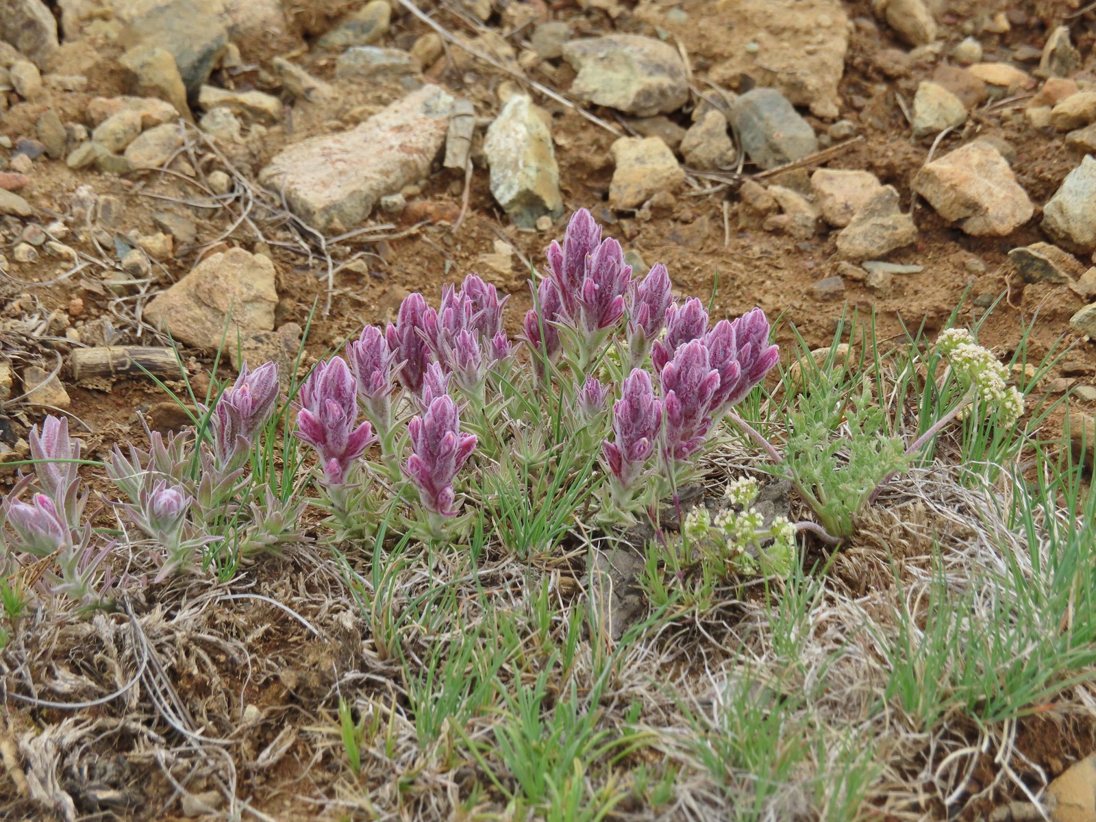
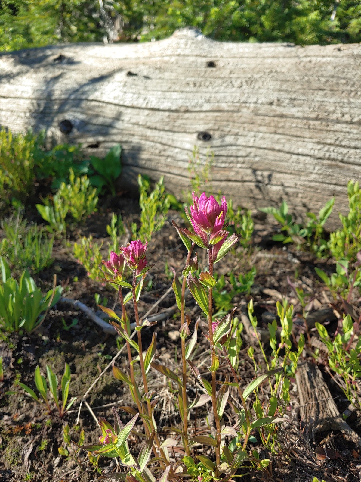 Rosy paintbrush, July 12th – Buck Creek Trail
 Lyall’s rockcress, July 12th – Buck Creek Trail
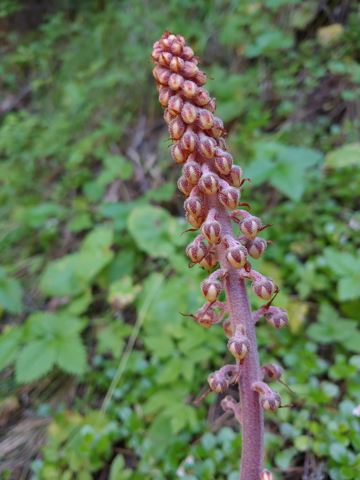
 Pacific coralroot, July 13th – Rock Springs
Trail
 Hyssop, July 13th – Rock Springs
Trail
 Another penstemon, July 13th – Rock Springs
Trail
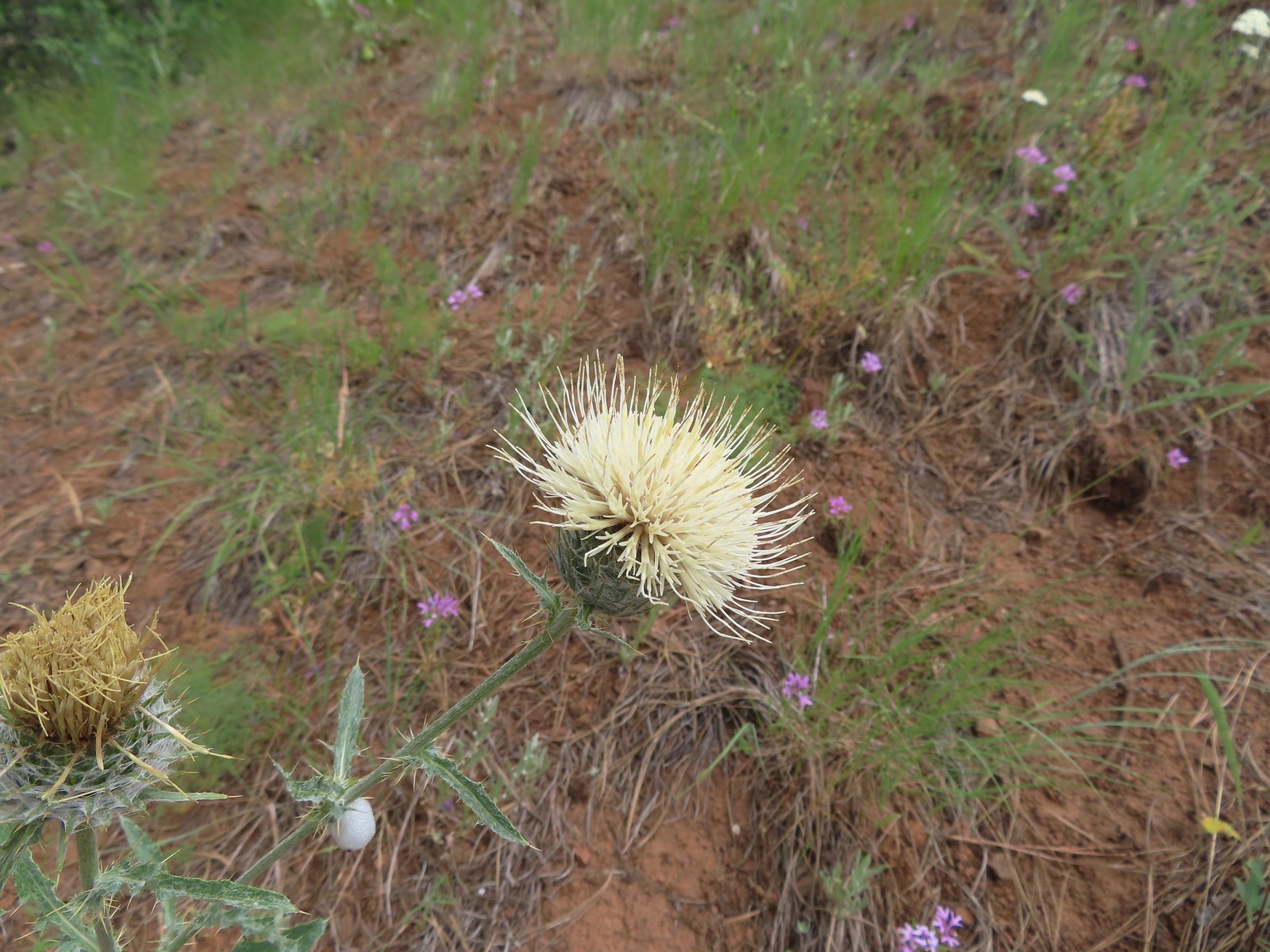 Thistle, July 13th – Rock Springs
Trail
 Oregon checker-mallow, July 13th – Rock Springs
Trail
 This was a new one for us one-flowered moneses, July 14th – Bear Creek Trail
 Pinedrop, July 14th – Bear Creek Trail
 Sagebrush mariposa lily, July 14th – Wallowa Homeland
 Blanket flower, July 14th – Wallowa Homeland
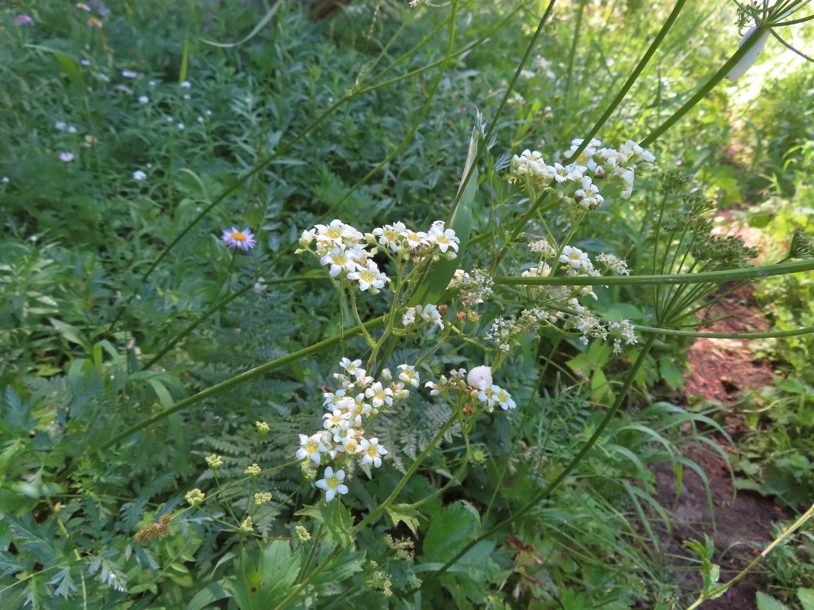
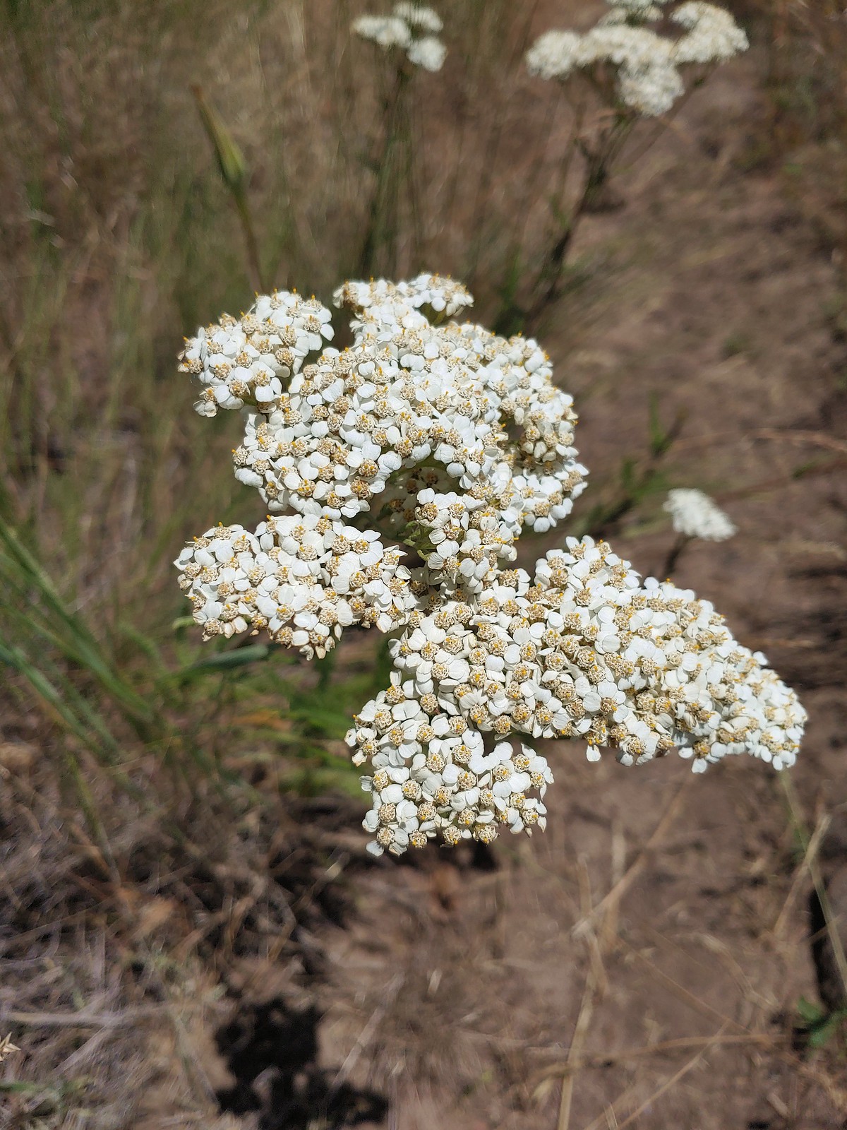 Yarrow, July 14th – Wallowa Homeland
 Scouler’s bluebells, July 23rd – Silverstar Mountain
 Inside-out flower, July 23rd – Silverstar Mountain
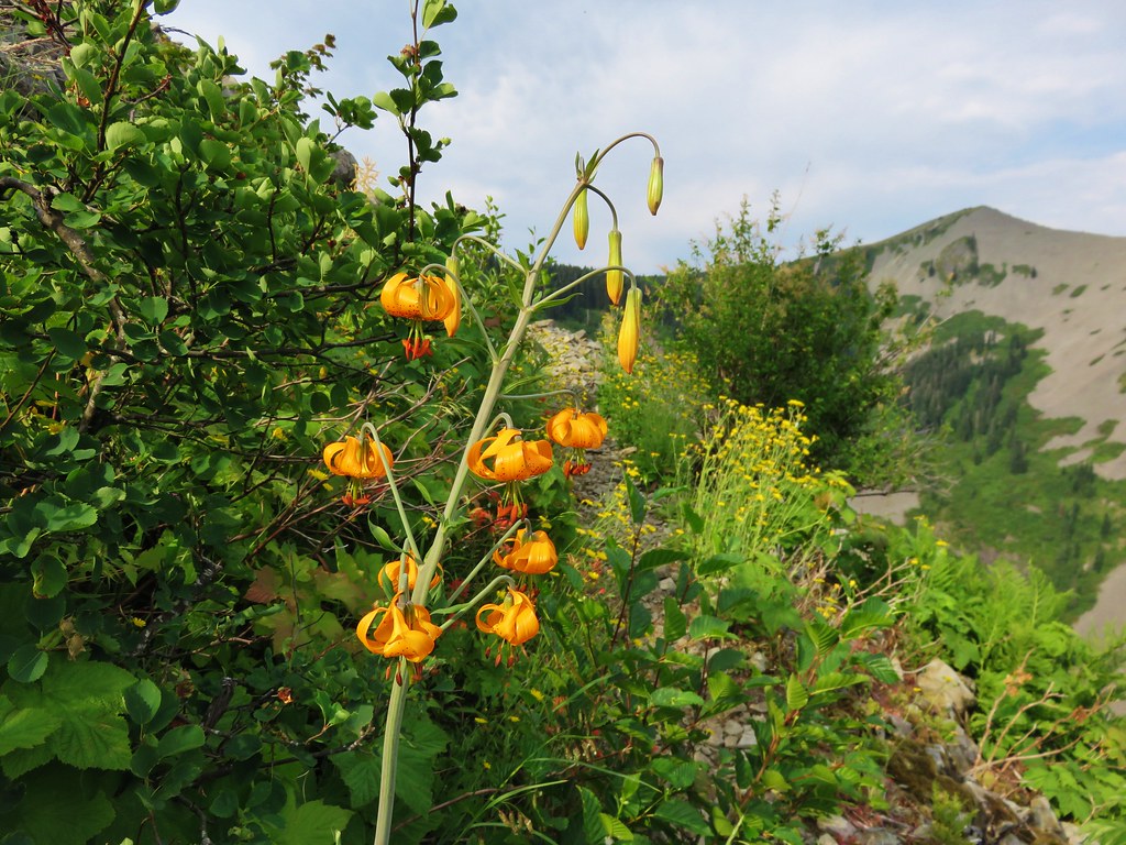
 Tiger lily, July 23rd – Silverstar Mountain
 Bluebells of Scotland, July 23rd – Silverstar Mountain
 Subalpine mariposa lily, July 23rd – Silverstar Mountain
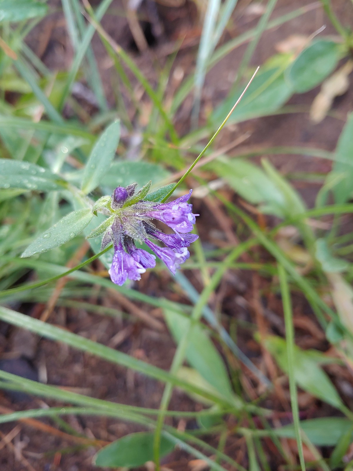
 Western sweetvetch, July 23rd – Silverstar Mountain
 Coiled lousewort, July 23rd – Silverstar Mountain
 Best guess is subapline fleabane, July 23rd – Silverstar Mountain
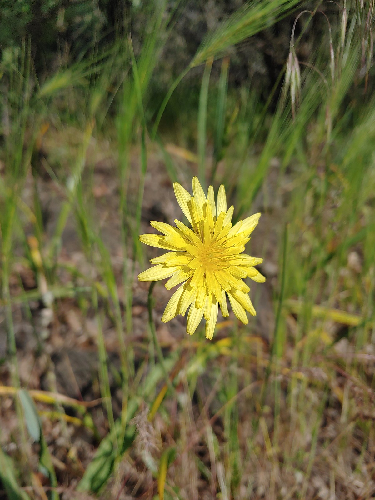
 Orange agoseris, July 23rd – Silverstar Mountain
 A larkspur, July 23rd – Silverstar Mountain
 Mock orange, July 23rd – Silverstar Mountain
 Chicory (non-native), July 30th – E.E. Wilson Wildlife Area
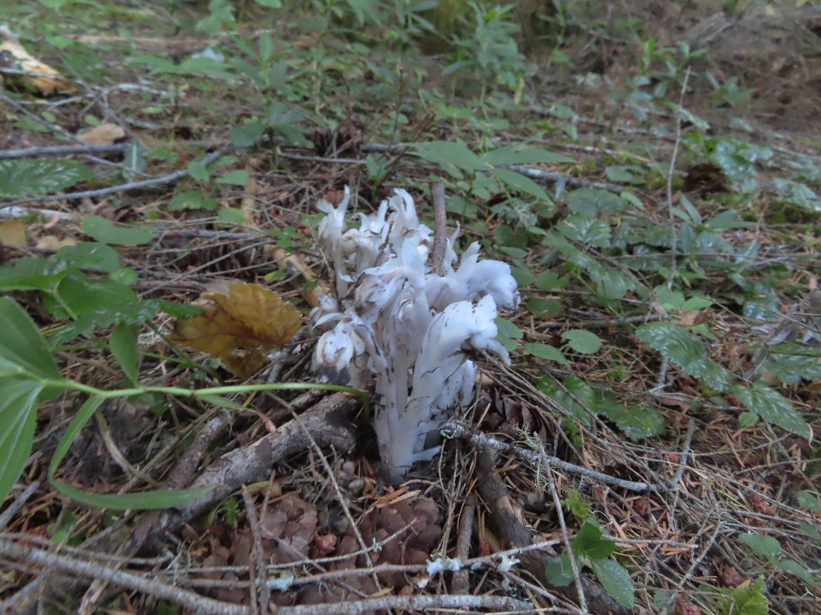 Indian pipe, August 6th – Yasko Falls Trail
 Leopard lily, August 6th – Hemlock Creek Trail
 Mountain owl’s clover, August 6th – Yellowjacket Loop Trail
 Rainiera, August 6th – Yellowjacket Loop Trail
 Hedgenettle, August 6th – Yellowjacket Loop Trail
 Large boykina, August 6th – Yellowjacket Loop Trail
 Candy sticks, August 6th – Yellowjacket Loop Trail
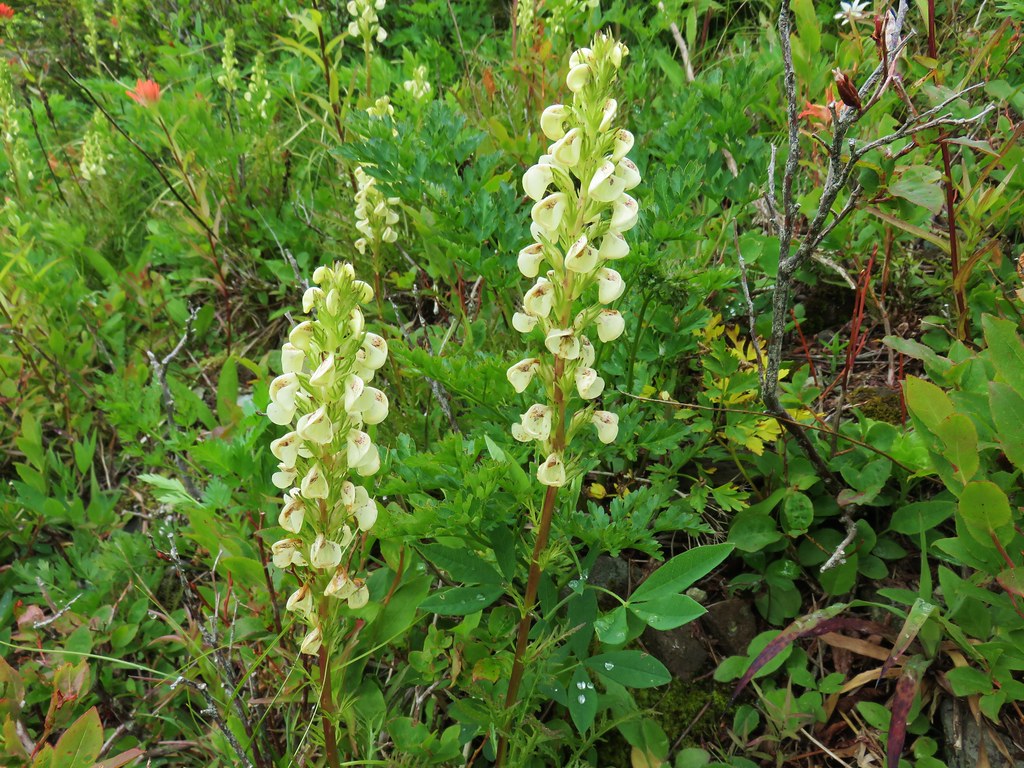
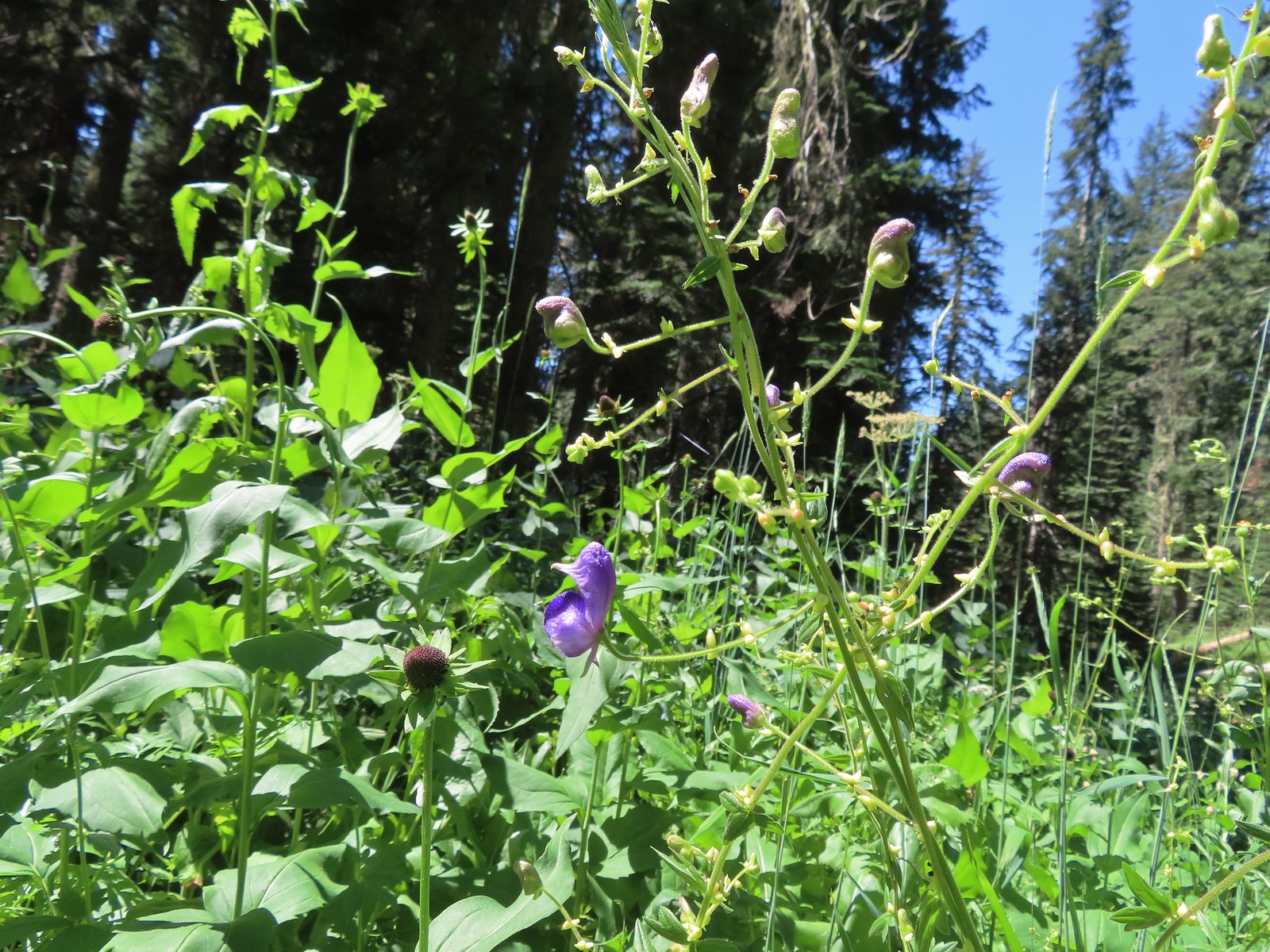 Monkshood, August 6th – Yellowjacket Loop Trail
 Scarlet monkeyflower, August 7th – Fall Creek Falls Trail
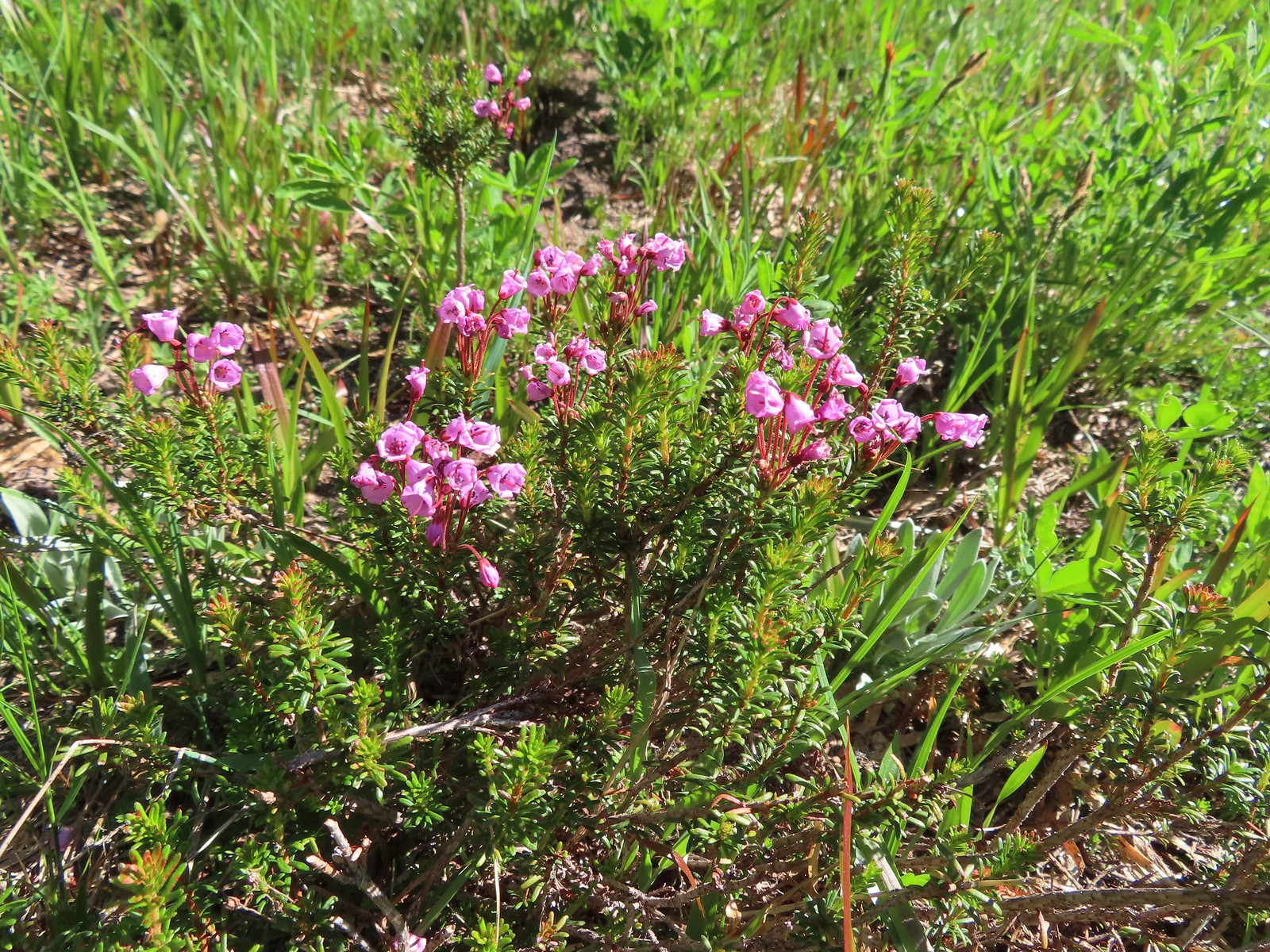
 White mountain heather, August 13th – Mt. Adams Wilderness
 Mountain heather, August 13th – Mt. Adams Wilderness
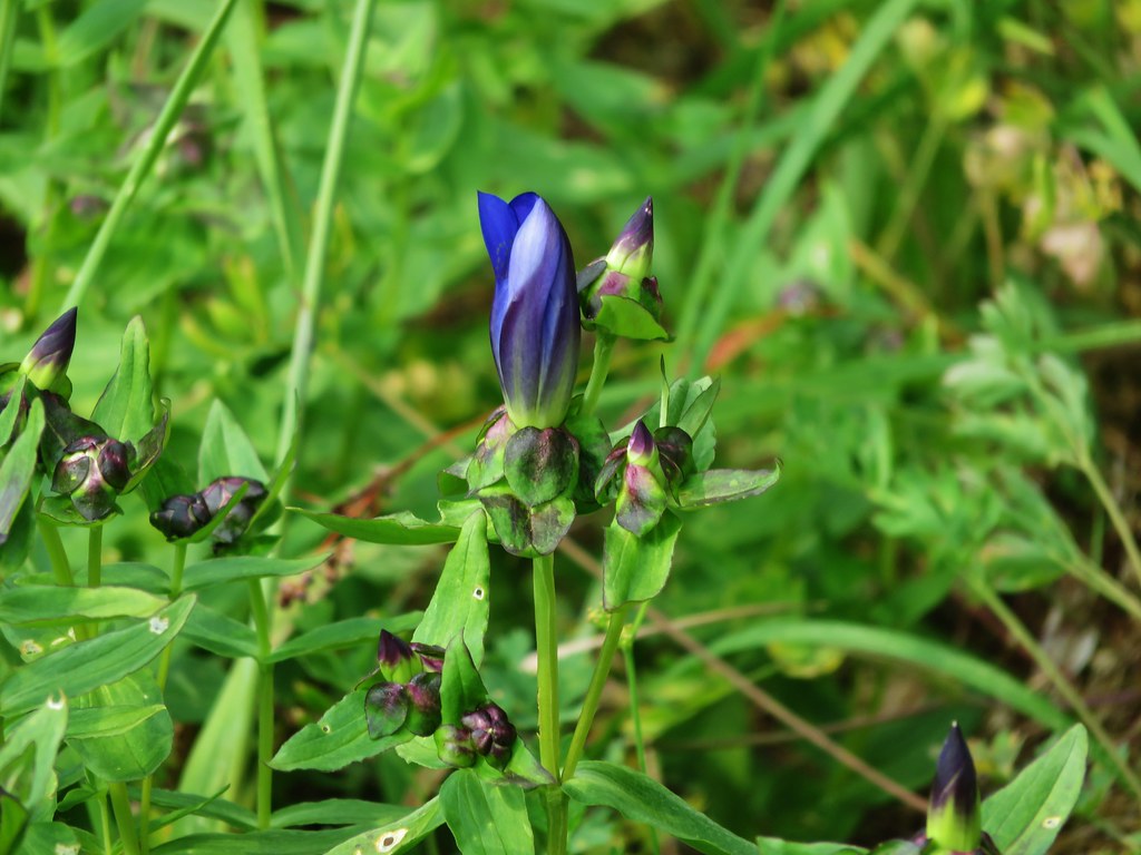
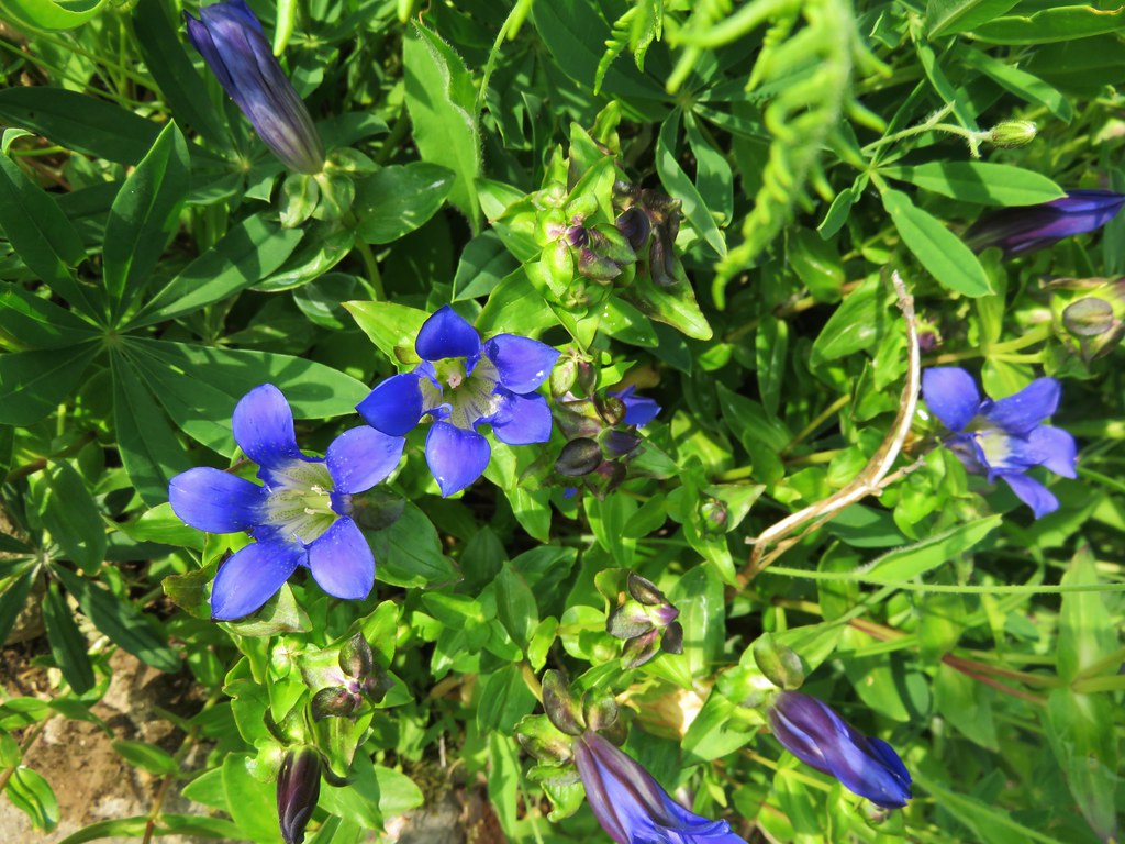
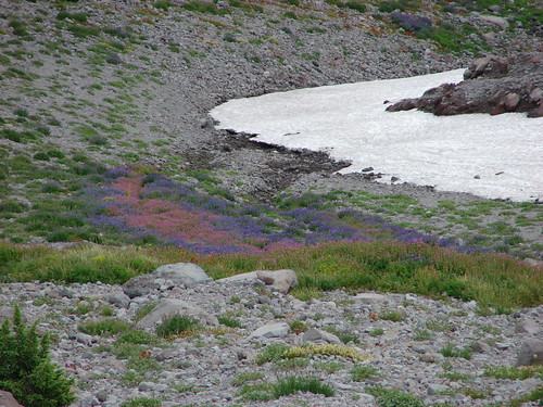
 Gentian, August 13th – Mt. Adams Wilderness
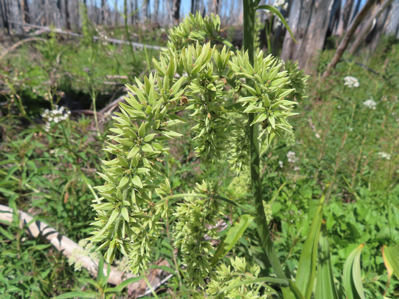 False hellebore, August 13th – Mt. Adams Wilderness
 A saxifrage, August 13th – Mt. Adams Wilderness
 Beardstongue, August 20th – Grizzley Peak
 Shasta knotweed, August 22nd – Mt. Shasta Wilderness
 Marsh grass-of-Parnassus, August 22nd – Mt. Shasta Wilderness
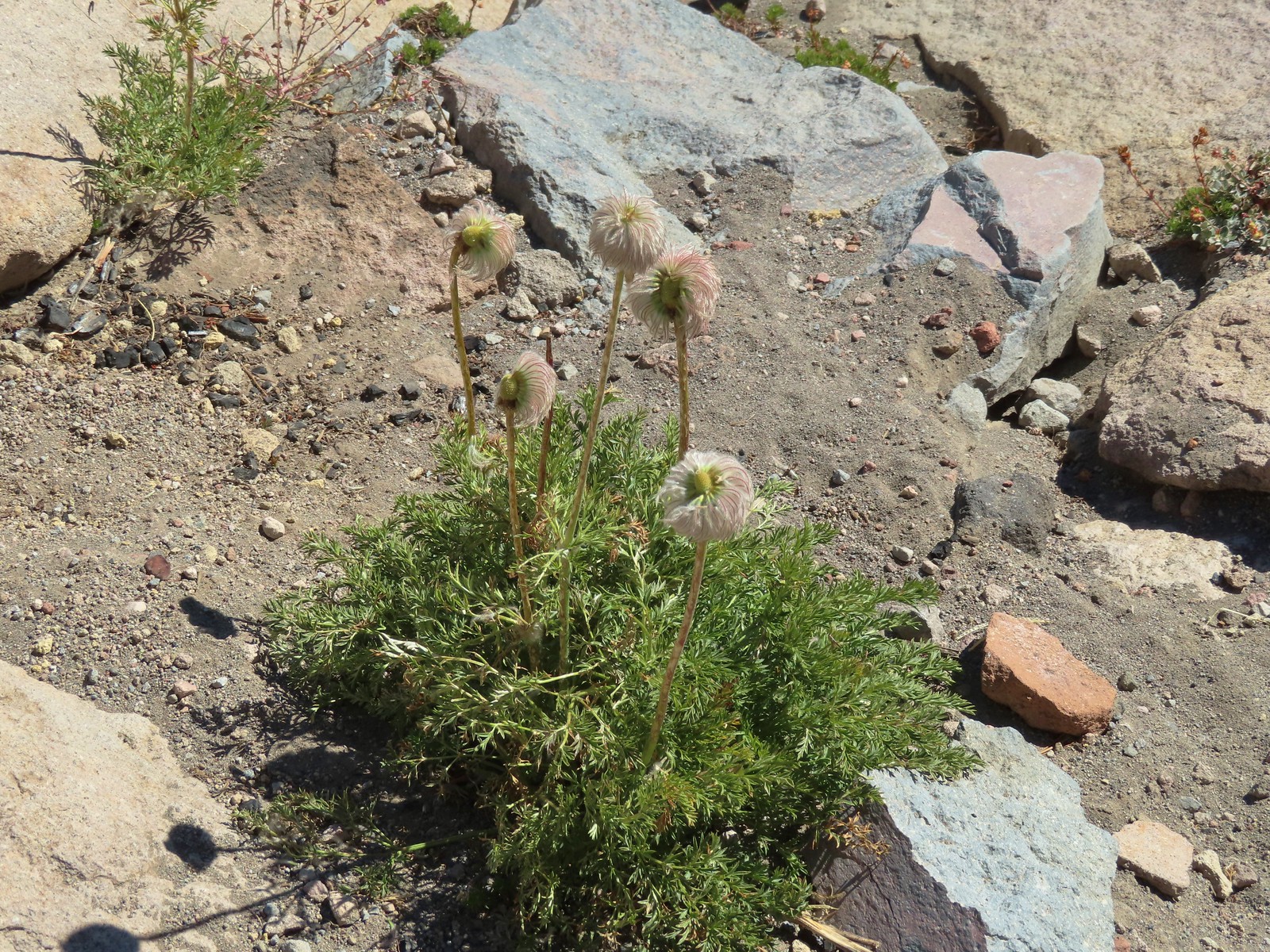 Western pasque flower, August 22nd – Mt. Shasta Wilderness
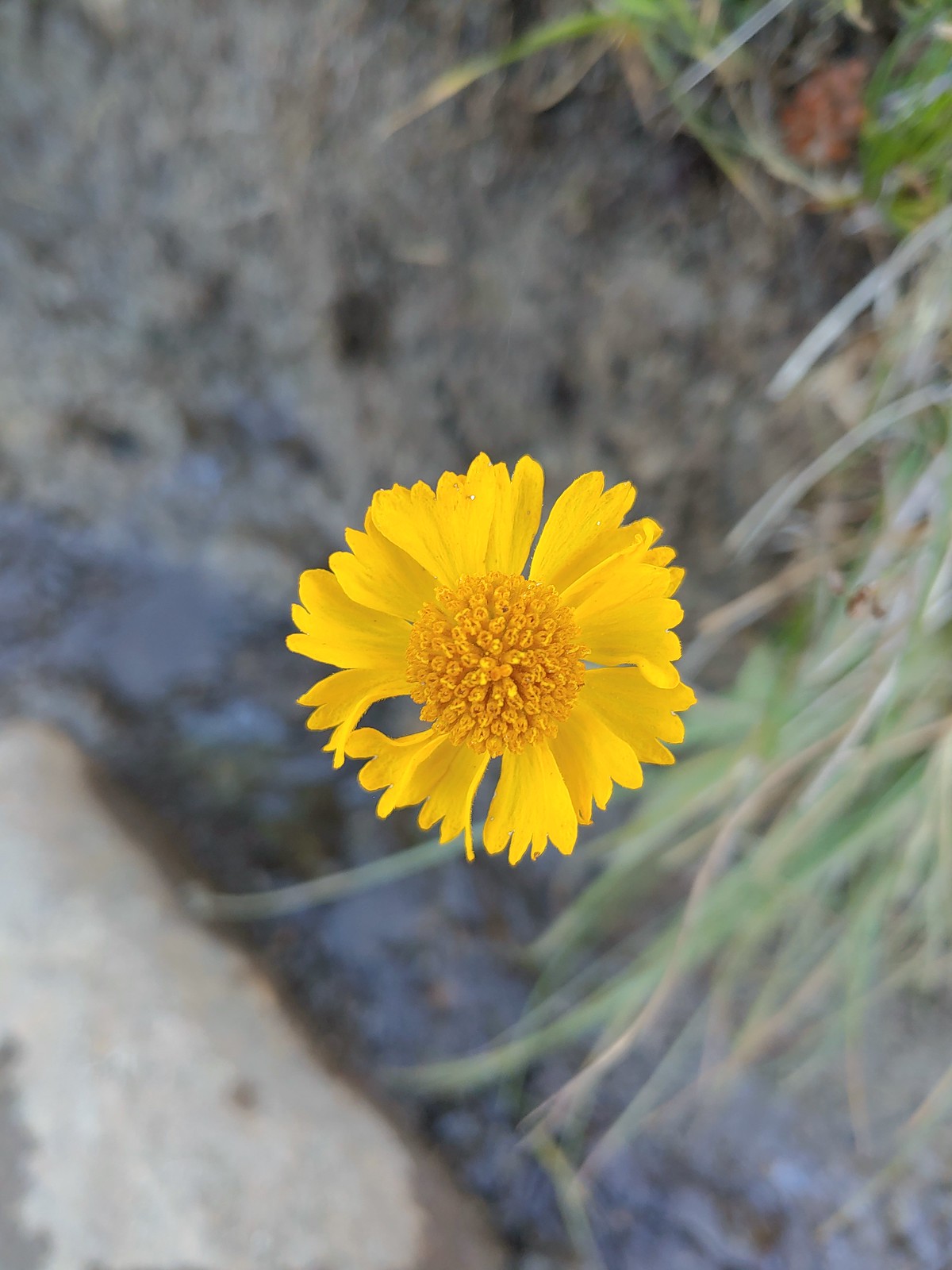 Bigelow’s sneezeweed, August 23rd – Trinity Alps Wilderness
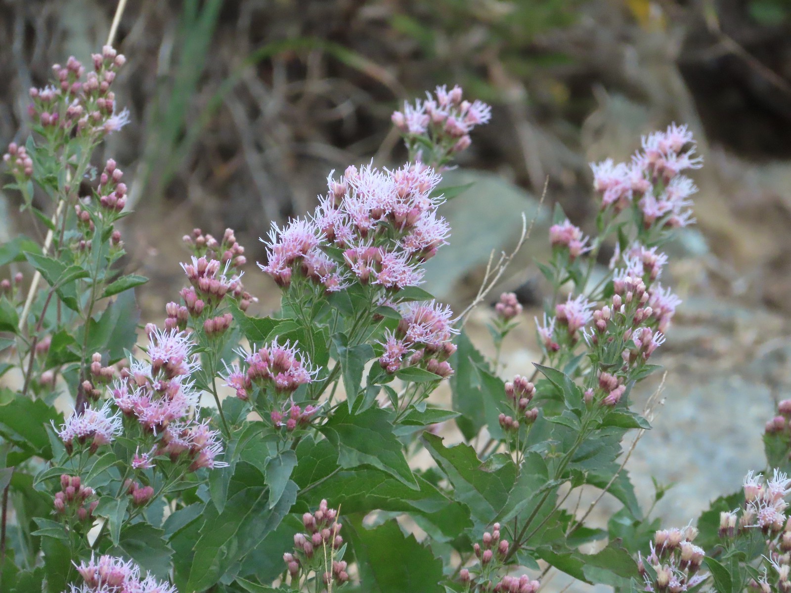 Western snakeroot, August 23rd – Trinity Alps Wilderness
 A buckwheat, August 23rd – Trinity Alps Wilderness
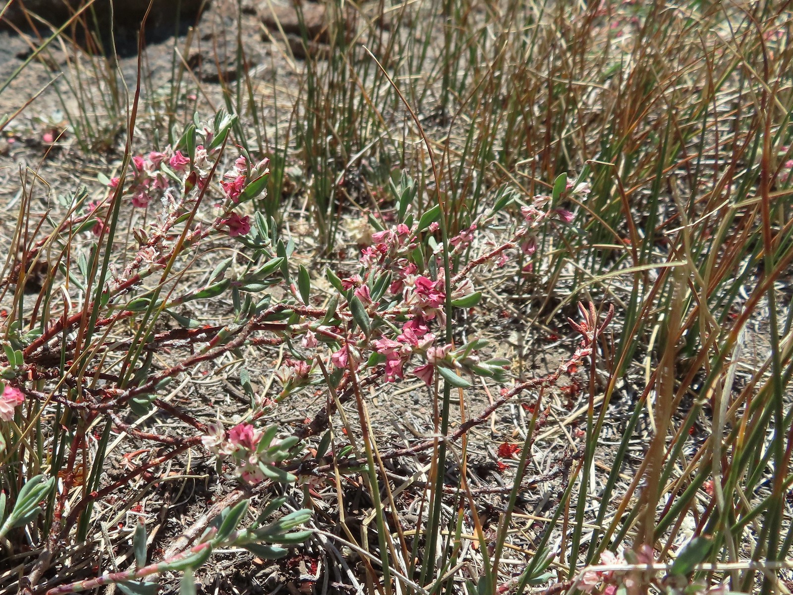
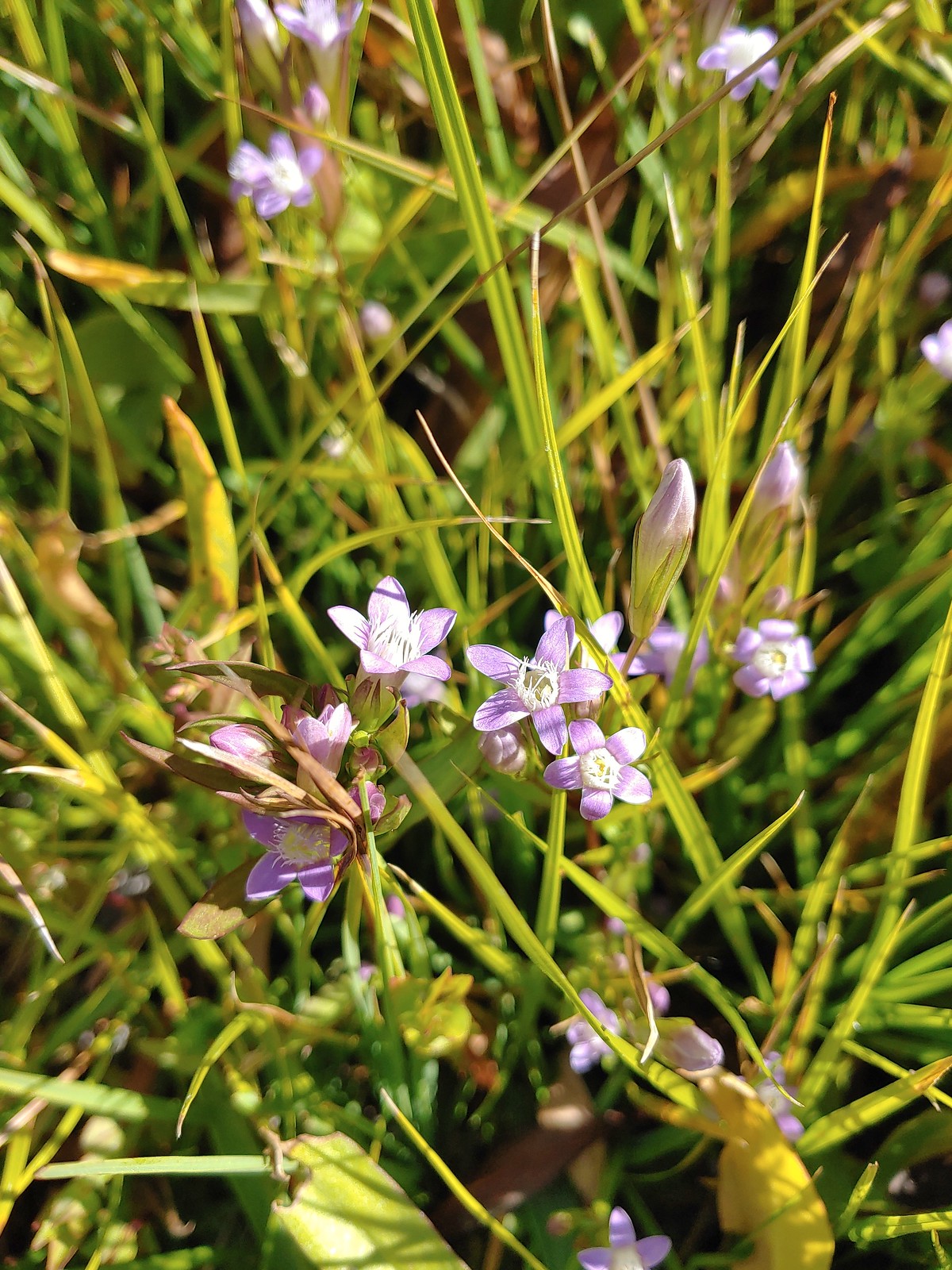 Autumn dwarf gentian, August 23rd – Trinity Alps Wilderness
 Saffron-flowered lupine, August 23rd – Trinity Alps Wilderness
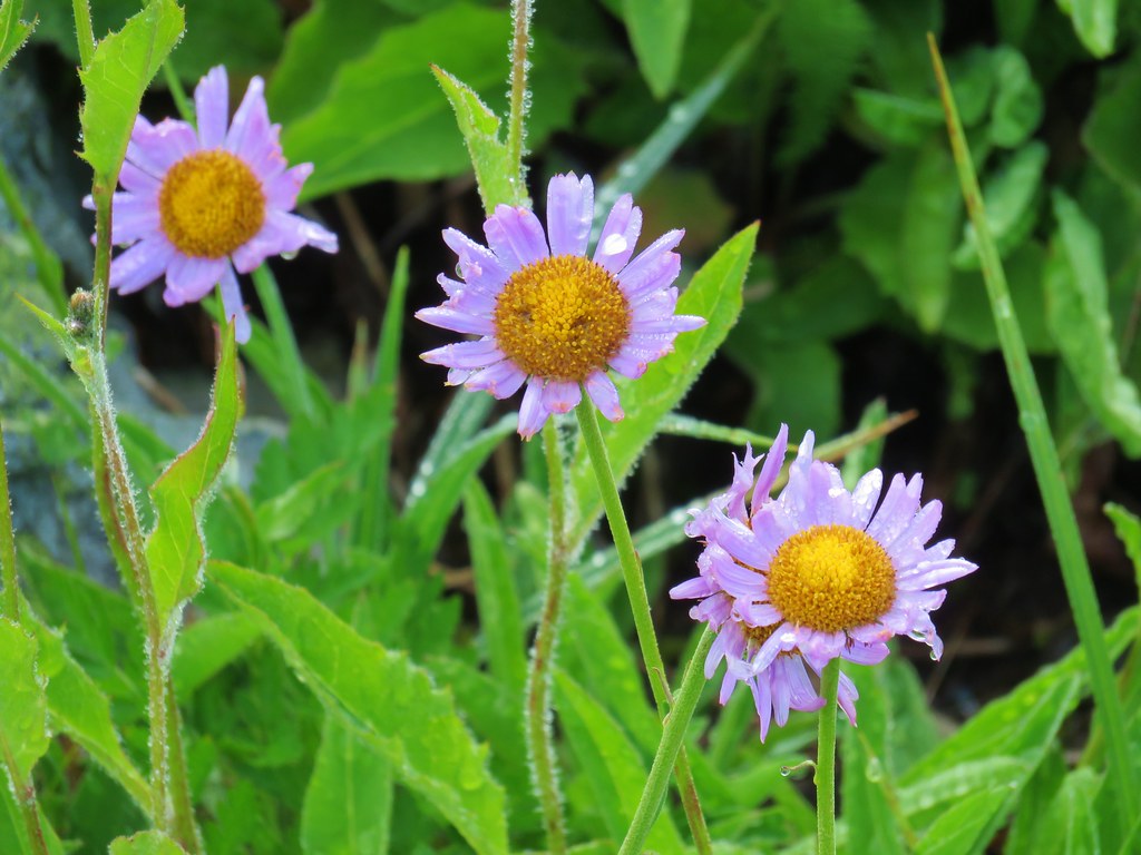
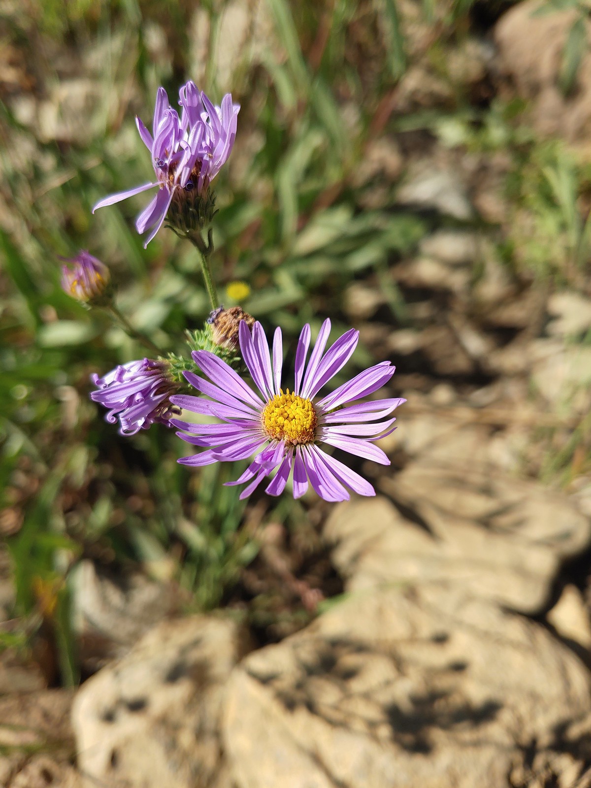 An aster or fleabane, August 23rd – Trinity Alps Wilderness
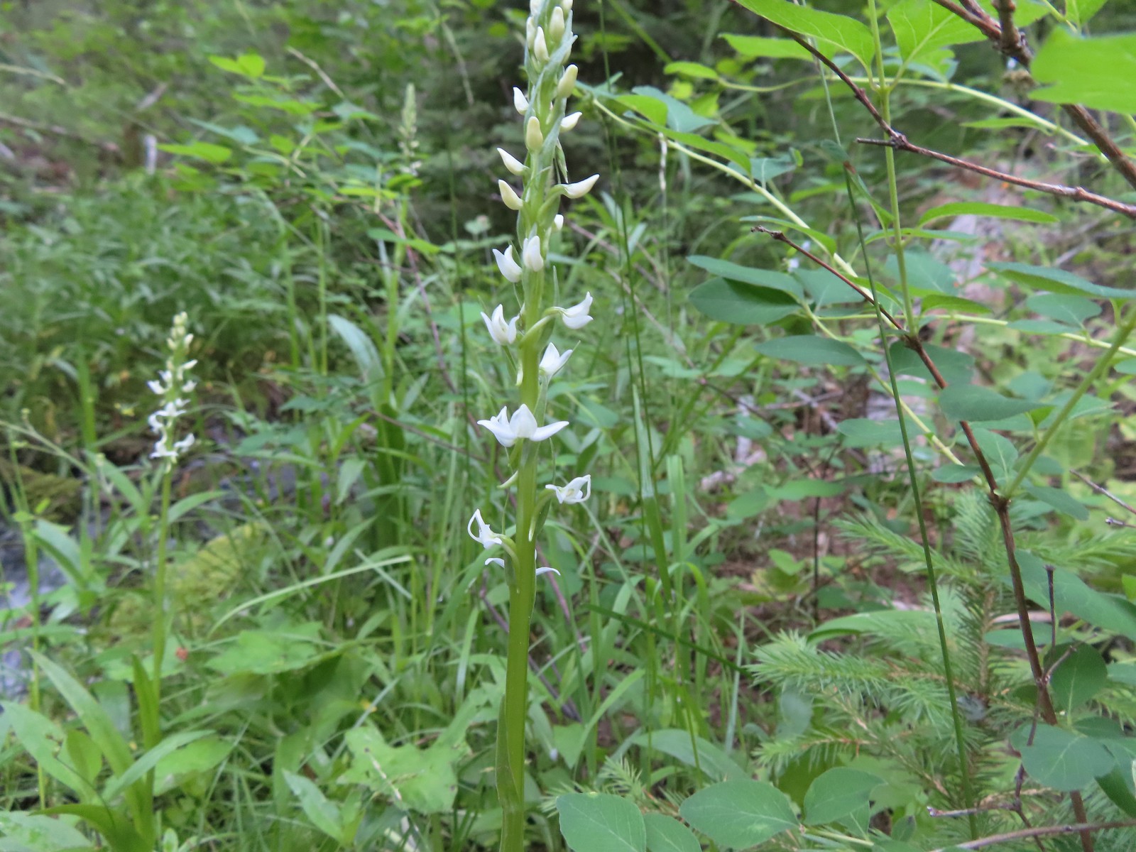
 Hooded ladies tresses, August 24th – Russian Wilderness
 Can’t seem to identify this flower on the shore of Russian Lake, August 24th – Russian Wilderness
 This one has me a bit stumped too, it looks like a wirelettuce or some sort of lewisa, August 24th – Russian Wilderness
 Buckwheat, August 24th – Russian Wilderness
 A monkeyflower (dwarf purple?), August 26th -Pacific Crest Trail near Carter Meadows Summit
 Mountain coyote mint, August 26th – Pacific Crest Trail near Carter Meadows Summit
 Sierra larkspur, August 26th – Pacific Crest Trail
 Tasselflower brickellbush, August 26th – South Fork Lakes Trail
 Monkeyflower, August 26th – South Fork Lakes Trail
 Thistle, August 26th – South Fork Lakes Trail
 California hairbells, August 26th – South Fork Lakes Trail
 Common toadflax (non-native), September 10th – Spring Valley Greenway
 Fireweed, September 17th – Union Peak Trail
 Douglas spirea, September 18th – Sky Lakes Wilderness
 Best guess is Crater Lake collomia, September 19th – Dutton Creek Trail
 Another mystery seen near the Cold Springs Trailhead, September 25th – Sky Lakes Wilderness
We have a few wildflower hikes planned in 2023. We are hoping to see at least one or two more that we haven’t before along with plenty of familiar faces. Happy Trails!


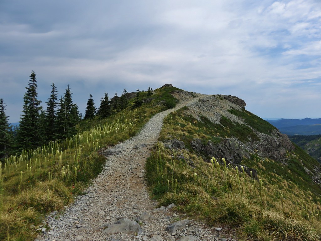
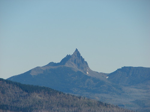
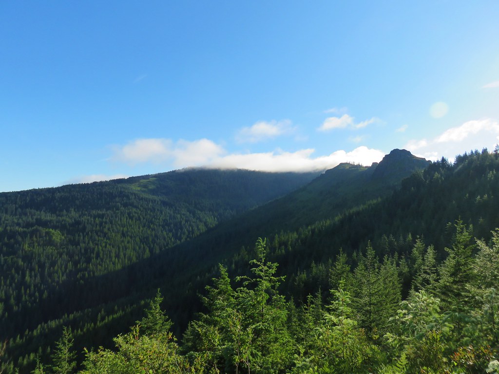 Sturgeon Rock (still with cloud) and Pyramid Rock
 Wild iris
 Paintbrush and lupine
 Daisies
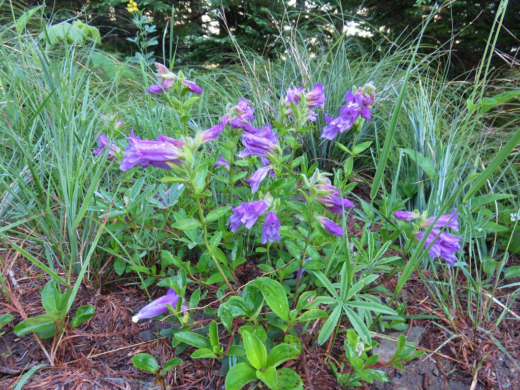 Penstemon


 paintbrush and mountain spirea
 Beargrass

 Columbine
 A penstemon
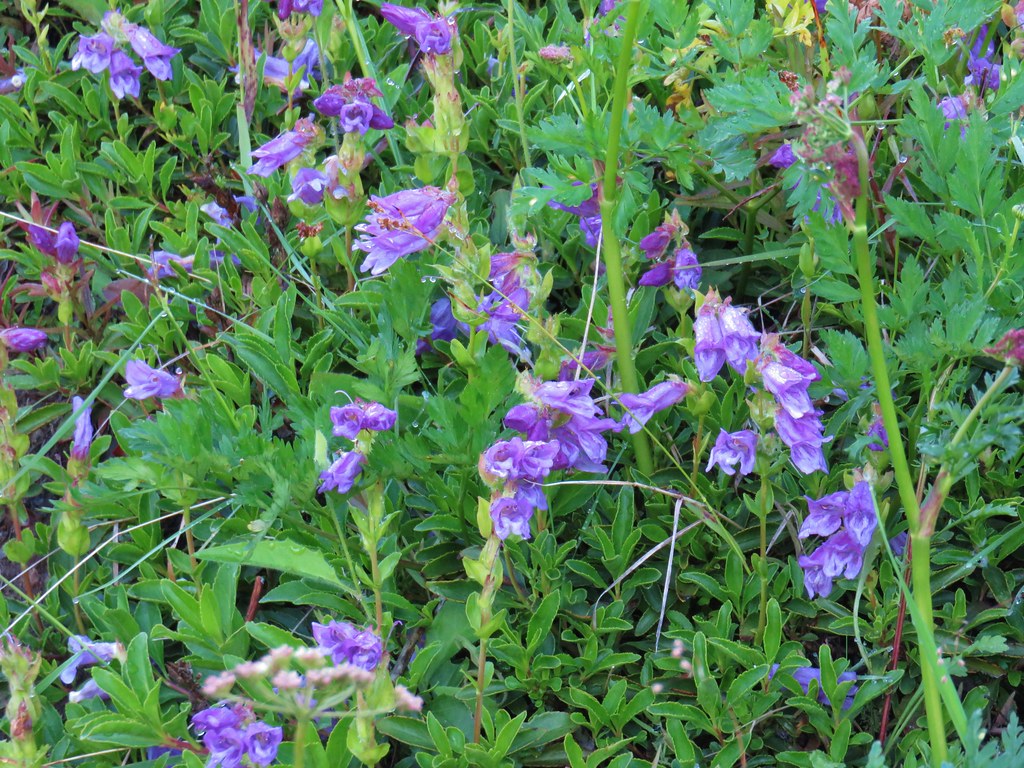 More penstemon
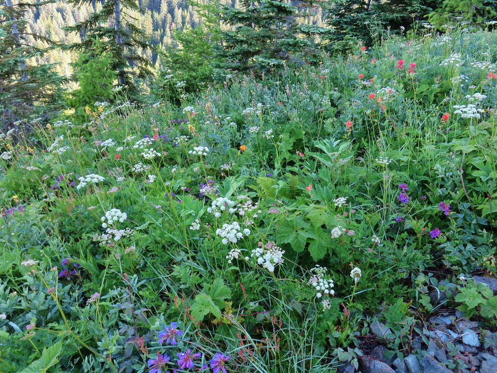 Variety pack
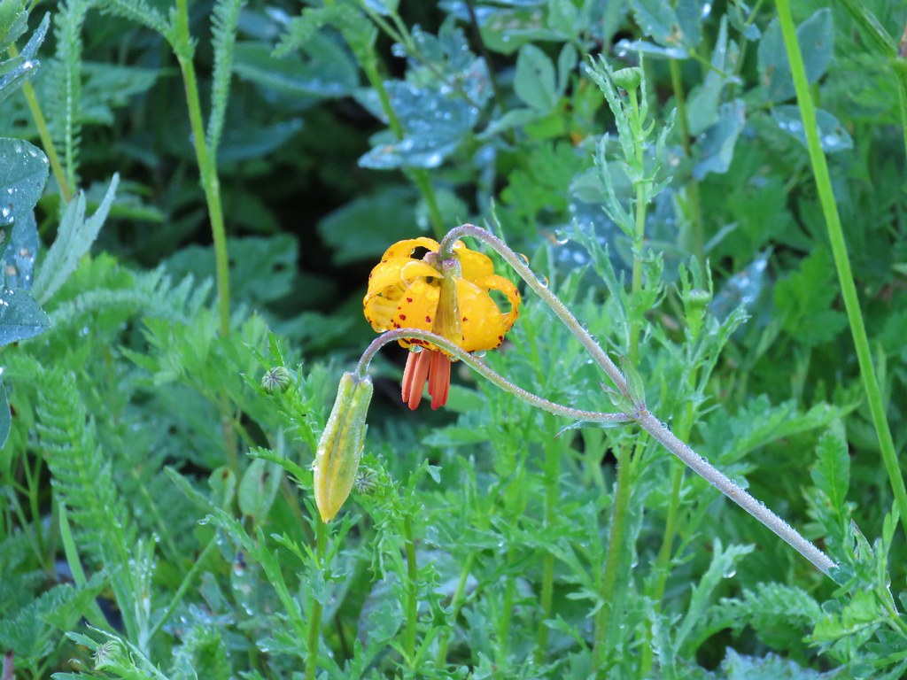 Tiger lily
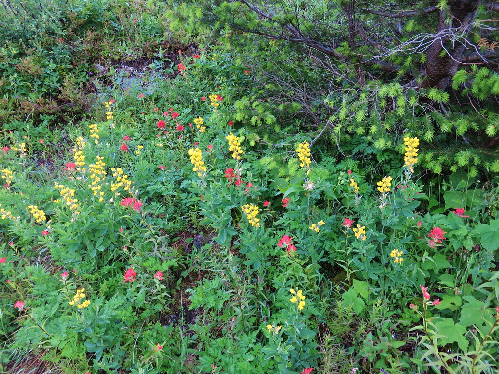 Golden pea and paintbrush
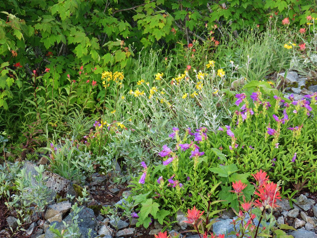 Another variety pack
 Wallflower

 Avalanche lilies near the junction.
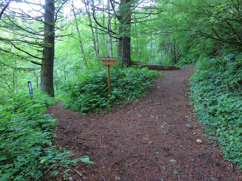
 Sign for the Silver Star Trail.
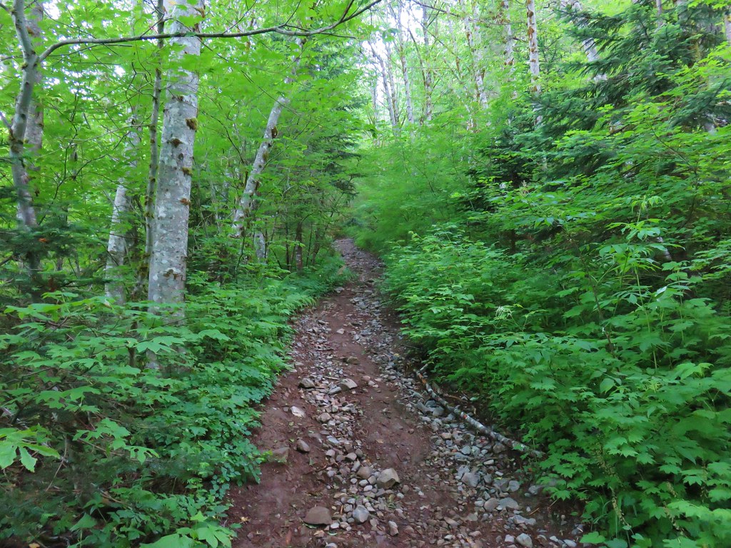
 Silver Star Trail


 Sturgeon Rock momentarily out of the clouds.


 Phlox
Phlox Beargrass


 White crowned sparrow
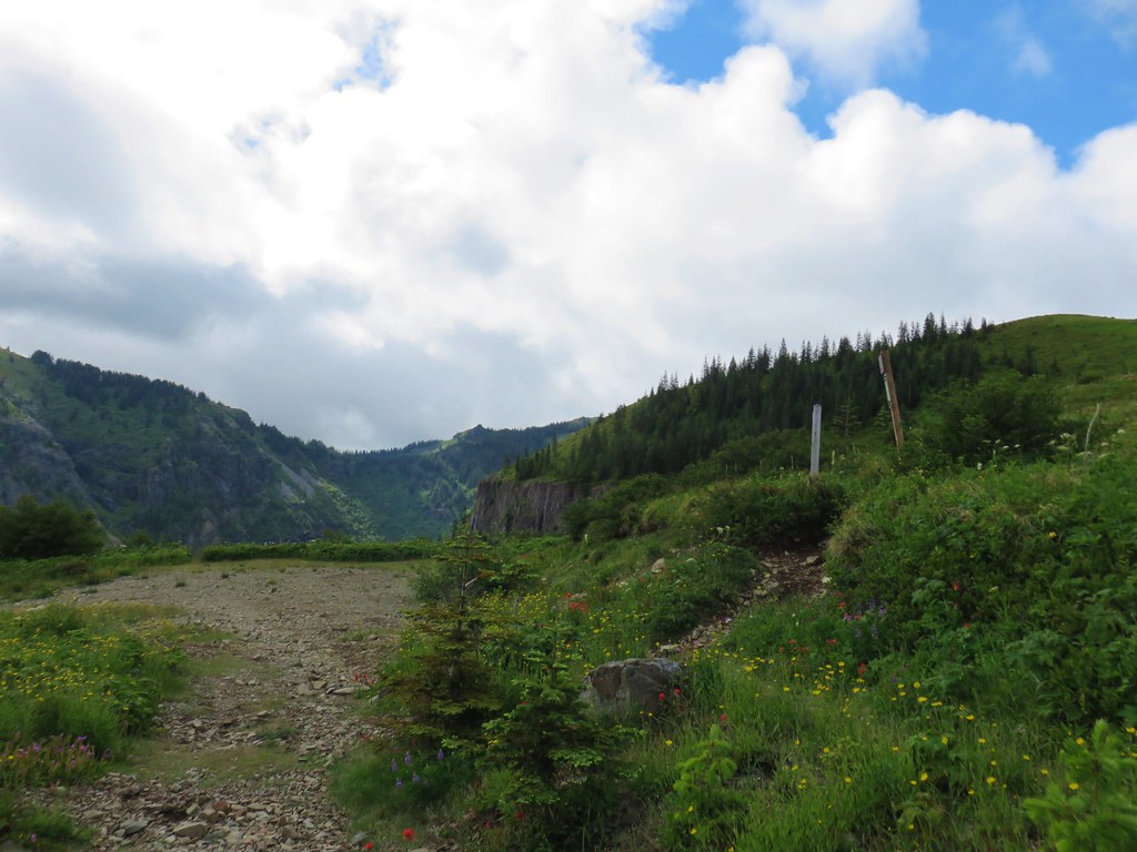


 Cat’s ear lily
 Rose
Rose Violets
 Rock penstemon
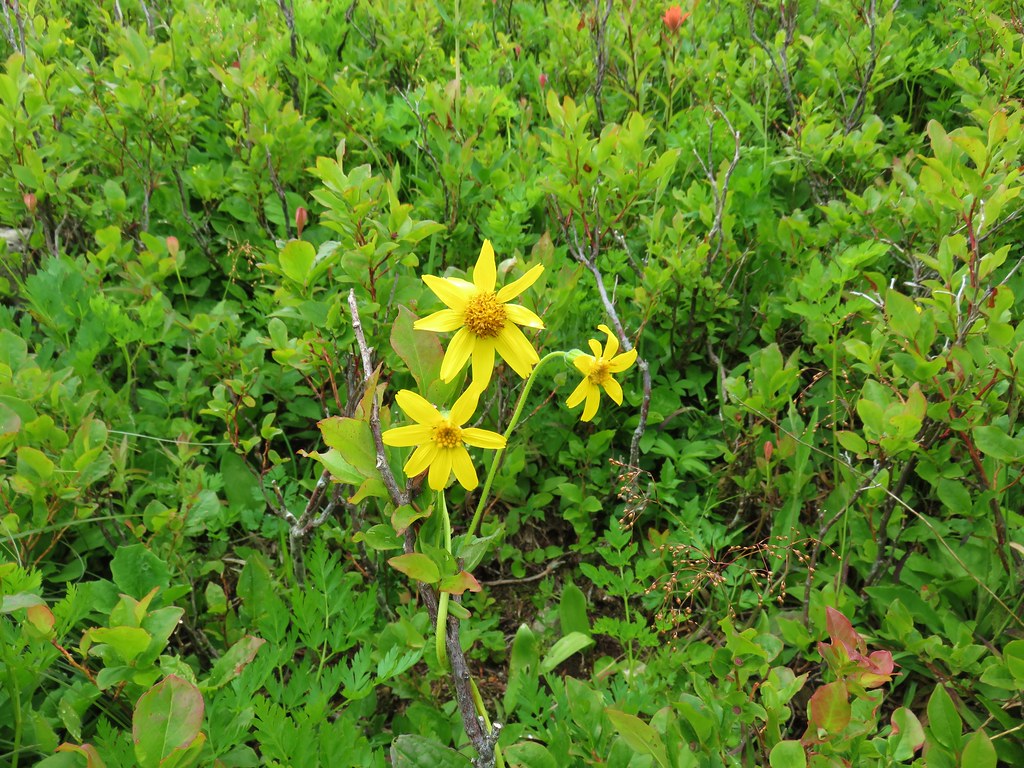
 Bleeding heart
 Candy flower
 Lousewort
 An aster or fleabane
 Backside of the arch.


 Marsh marigold
 Marsh corydalis


 Pyramid Rock from the Tarbell Trail
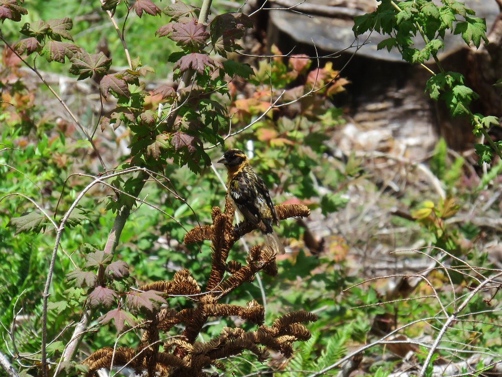 Black headed grosbeak
 Mountain parnassian