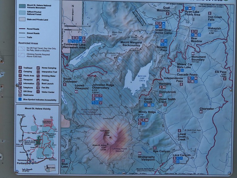
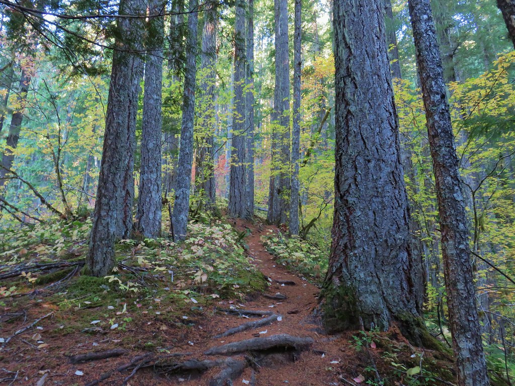
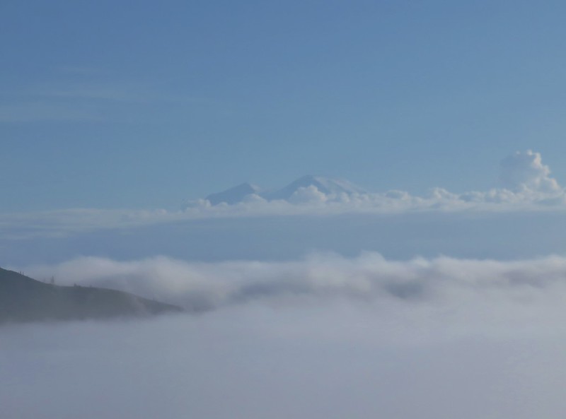
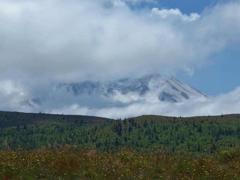
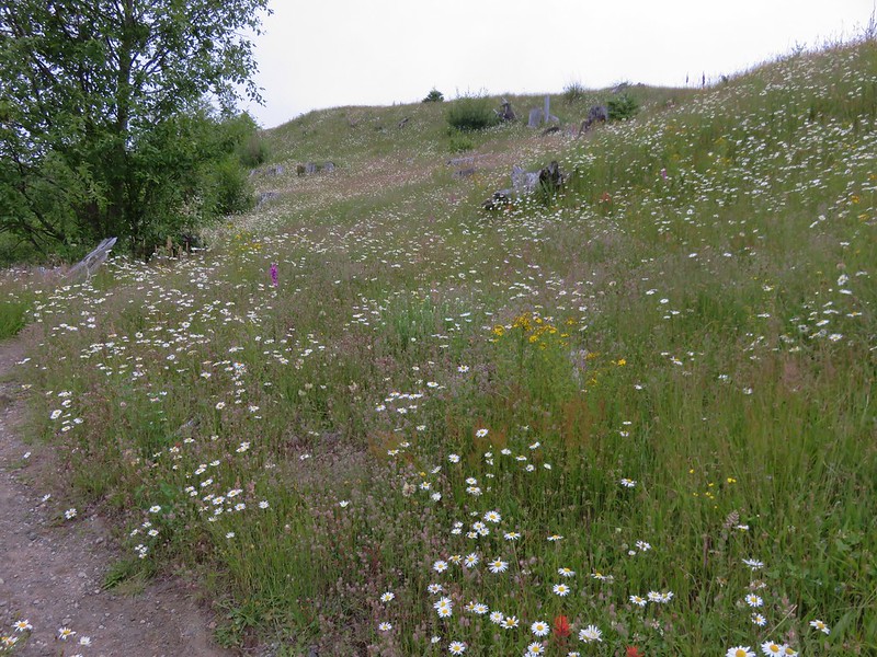
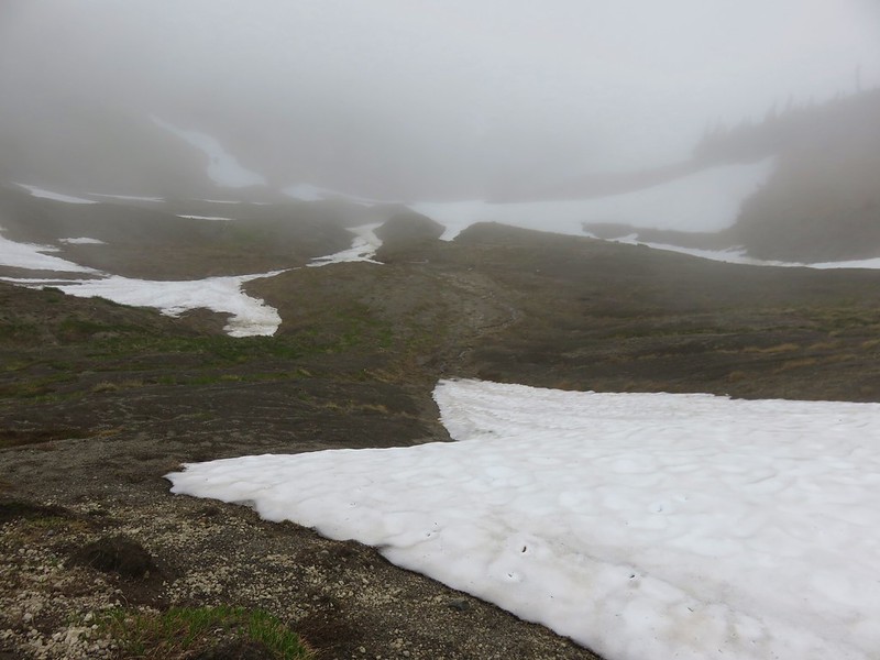
After a few solo hikes we were able to hit the trail together to wrap up my final week of vacation for 2025. The hike I’d penciled in at the beginning of the year was out due to a road closure blocking access to the trailhead and my plan B was also out due to a closure for hazard tree removal. I turned to my list of “extra” hikes that were not currently on the schedule, which runs through 2029, and the one that jumped out was June Lake in the Mt. St. Helens National Volcanic Monument. I checked the weather/smoke forecast, and it was clear skies with a high in the low 60s. That was enough to convince us.
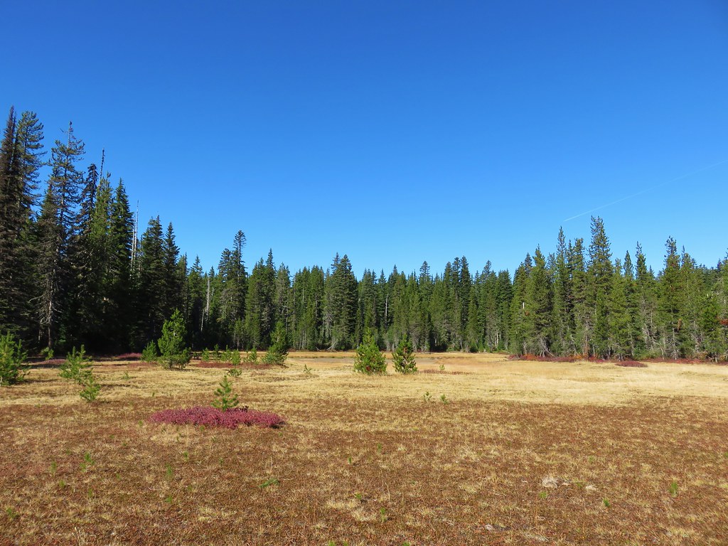
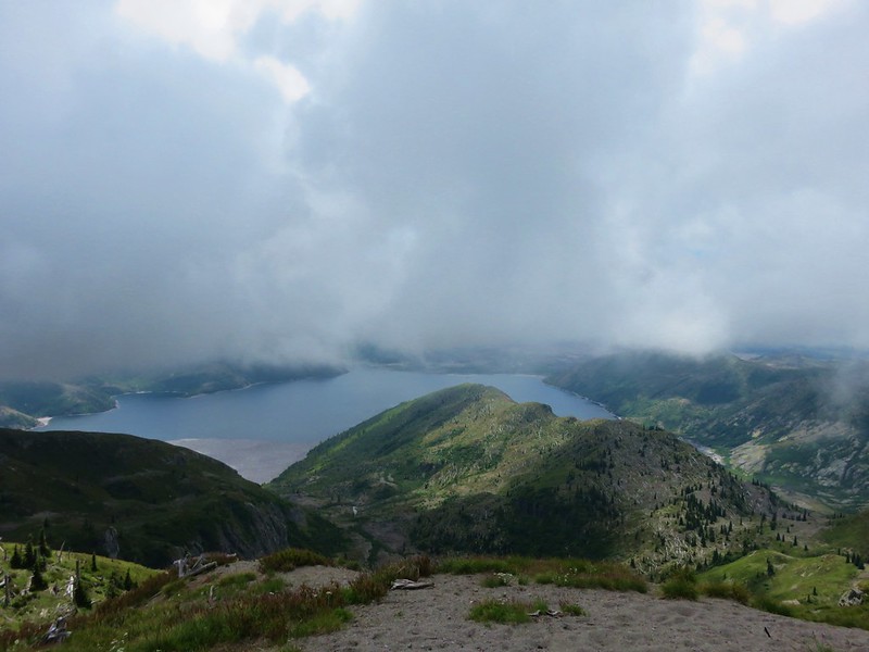
This would be our second visit to June Lake with the first having been in July of 2014 (post). The hike to June Lake is just 1.3-miles (2.6-miles round trip with 410′ of elevation gain) so during our 2015 visit we continued past the lake 0.3-miles to the Loowit Trail which circumnavigates Mt. St. Helens. We turned left (clockwise) on that trail for nearly 5-miles before turning around. Our plan for this outing was to go right (counterclockwise), possibly as far as Ape Canyon (post).
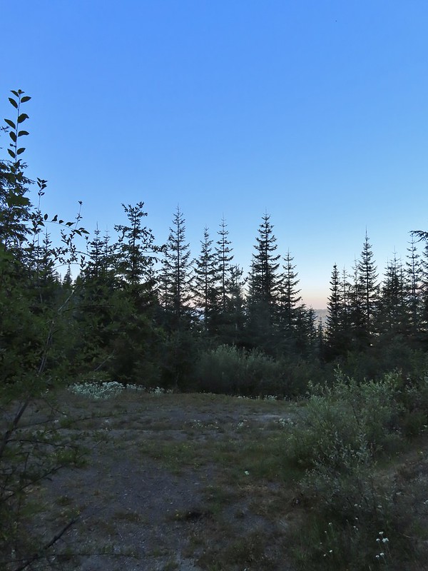
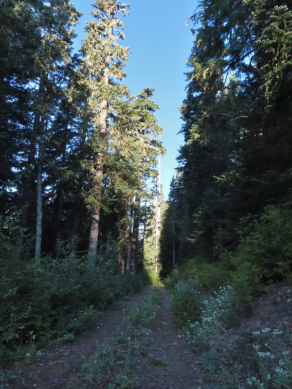
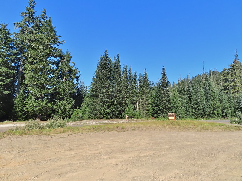
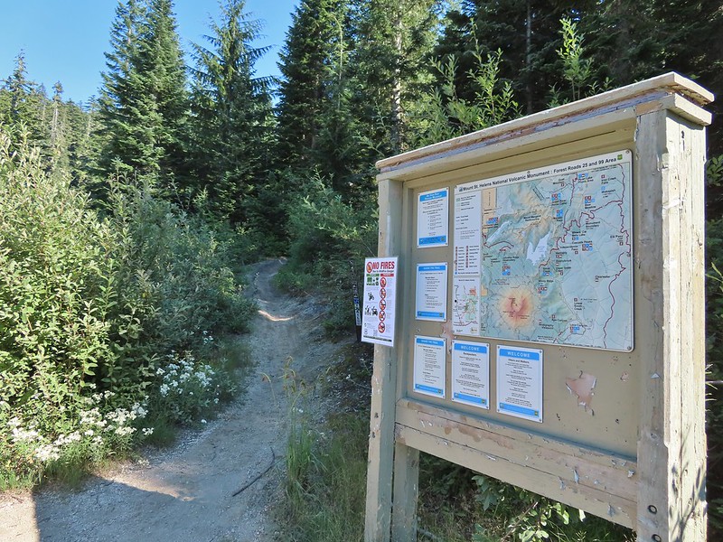
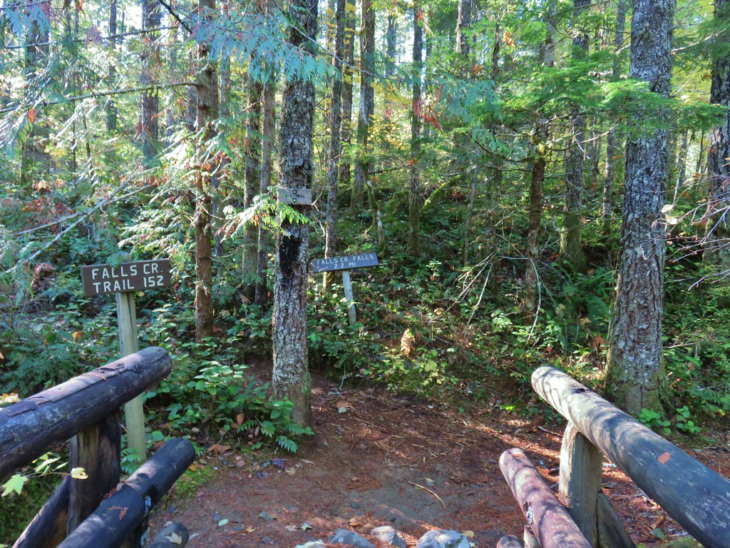
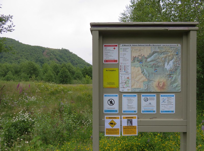
We parked at the June Lake Trailhead and set off just after 7am.

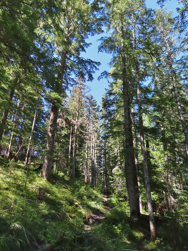
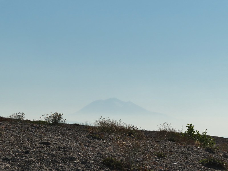
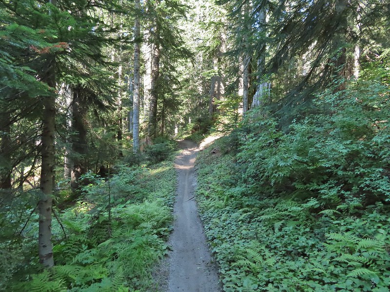
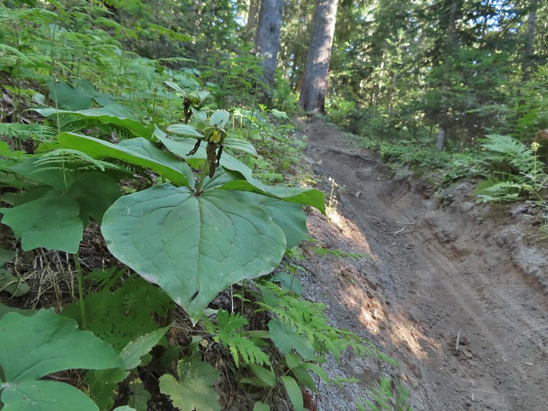
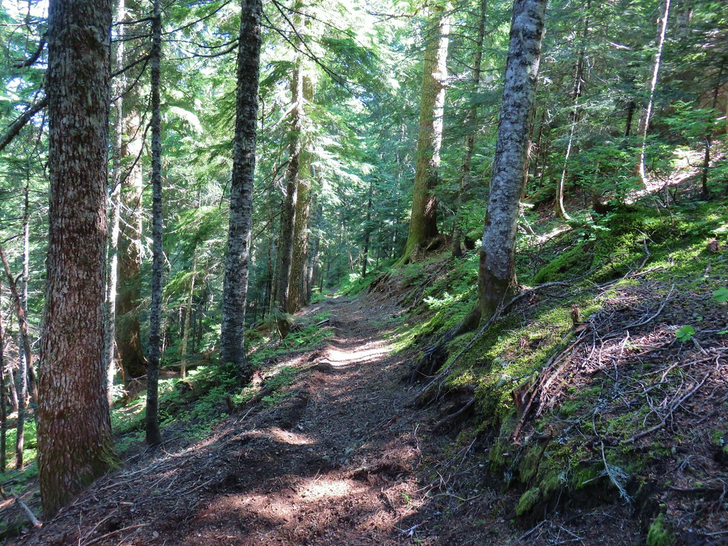
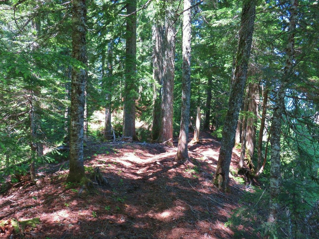
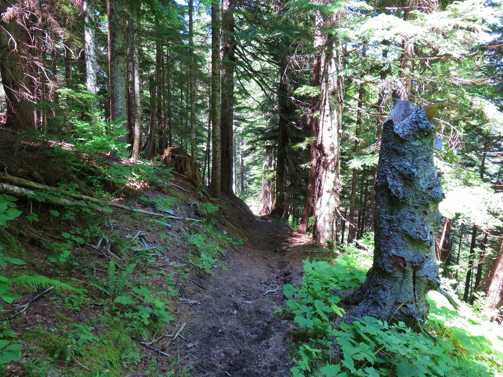
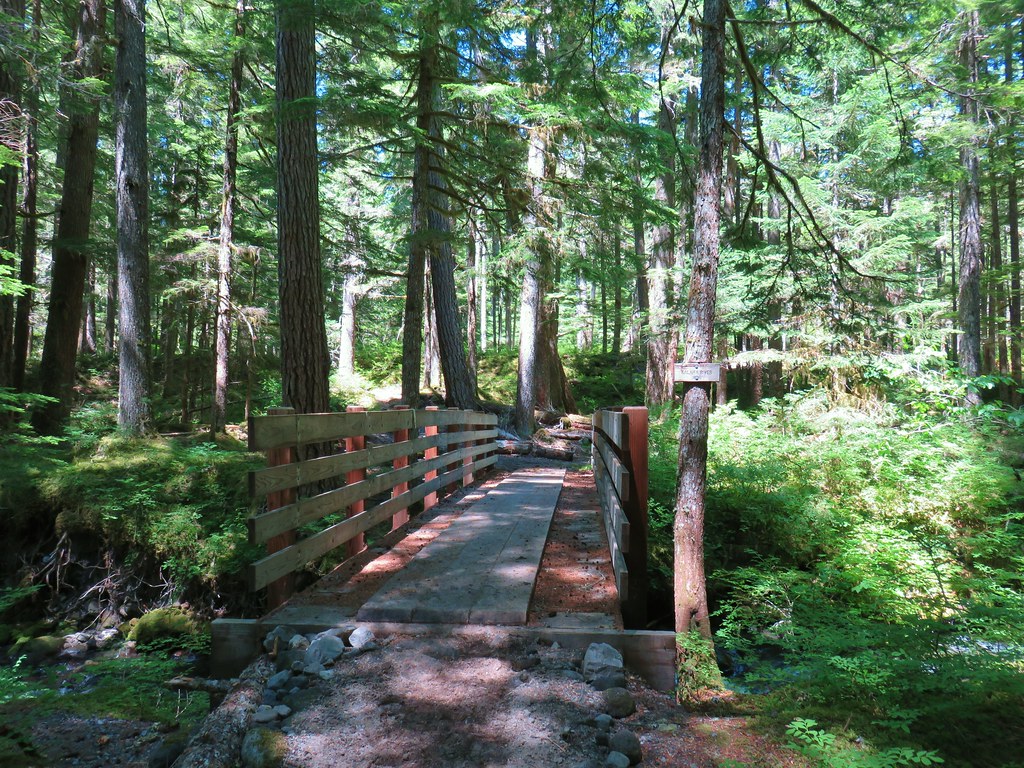
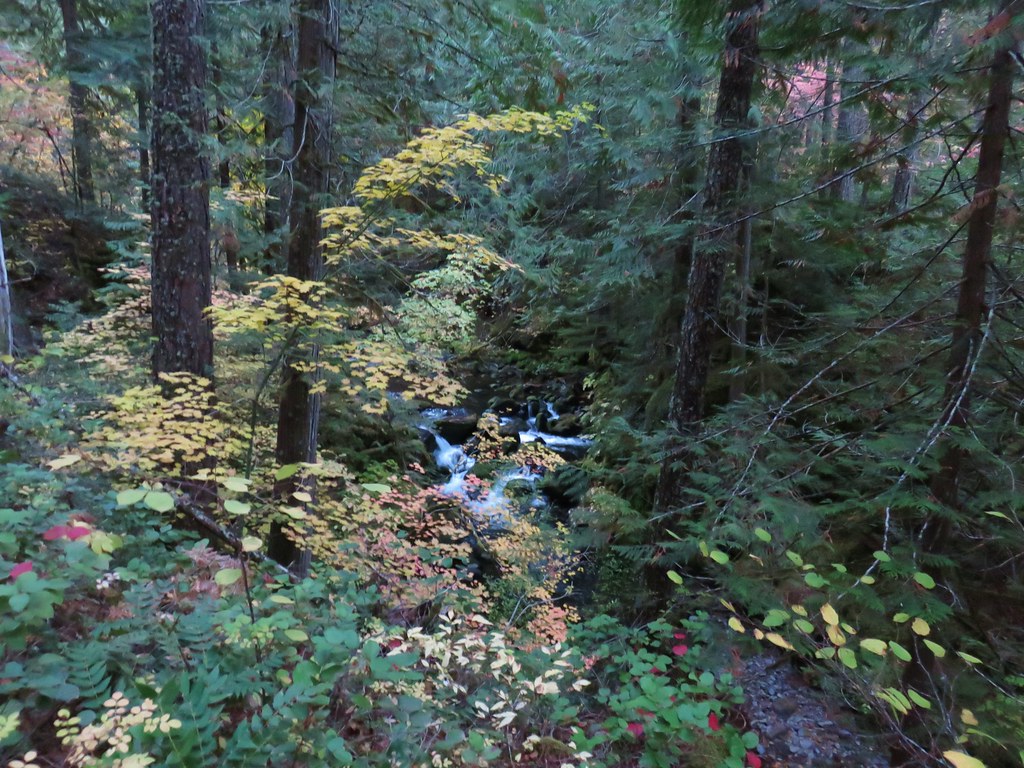
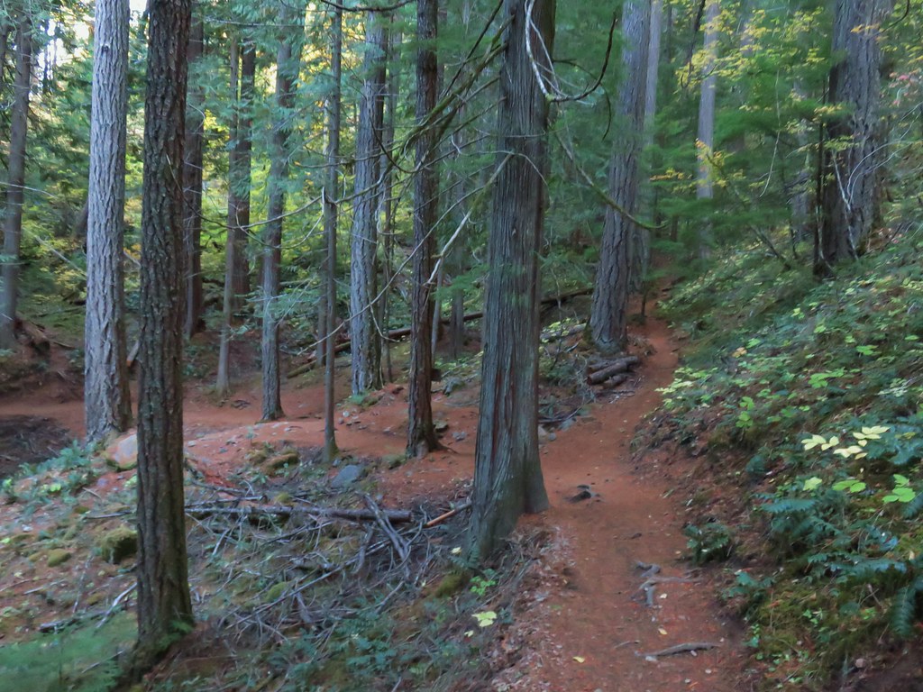
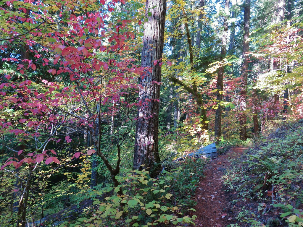
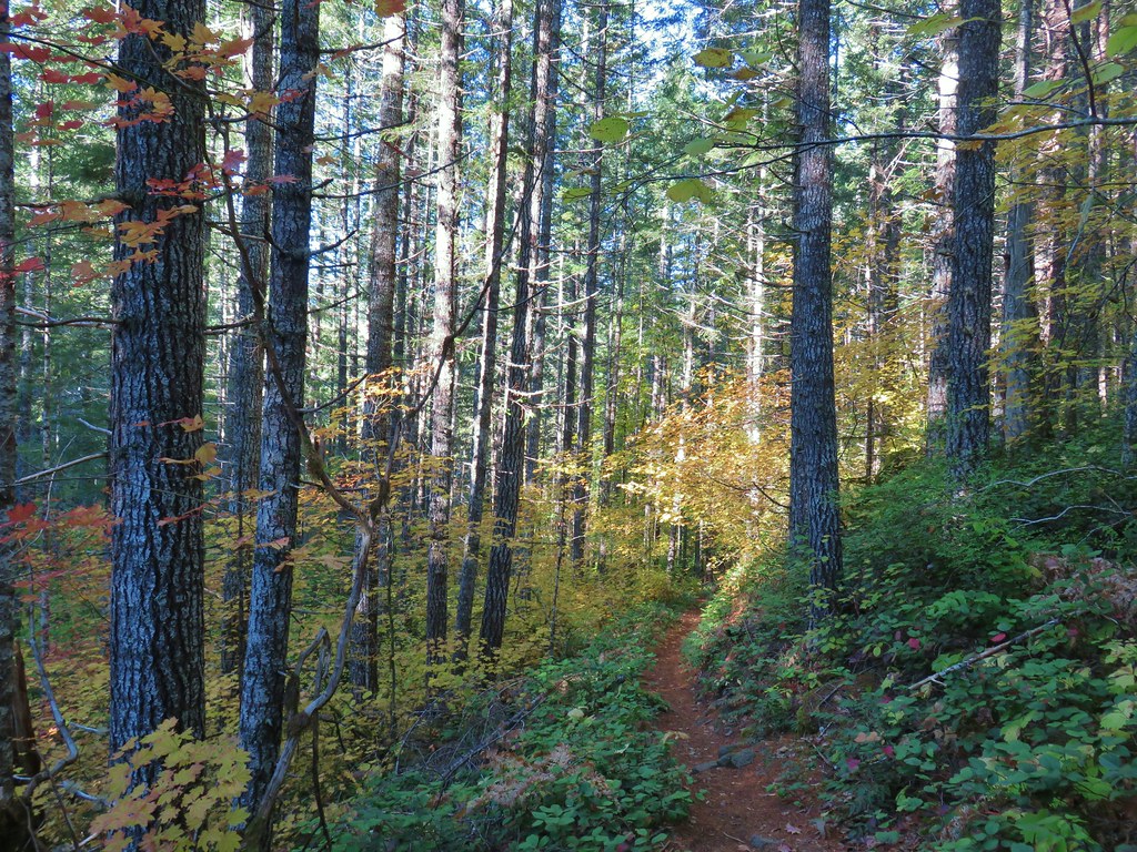
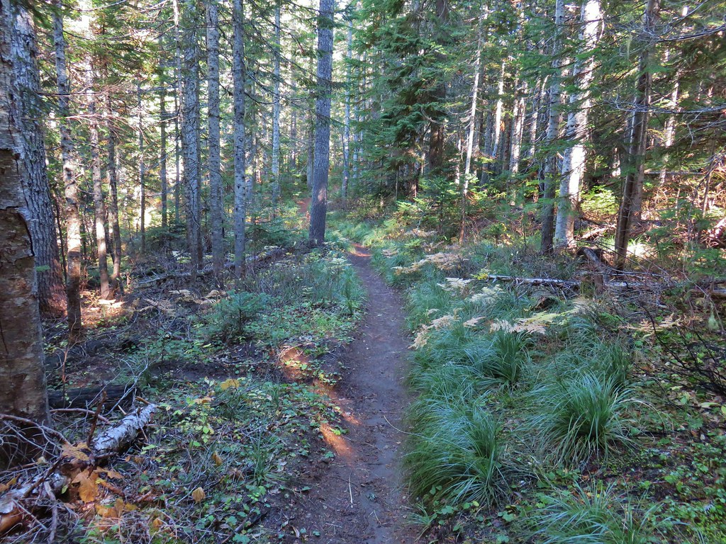
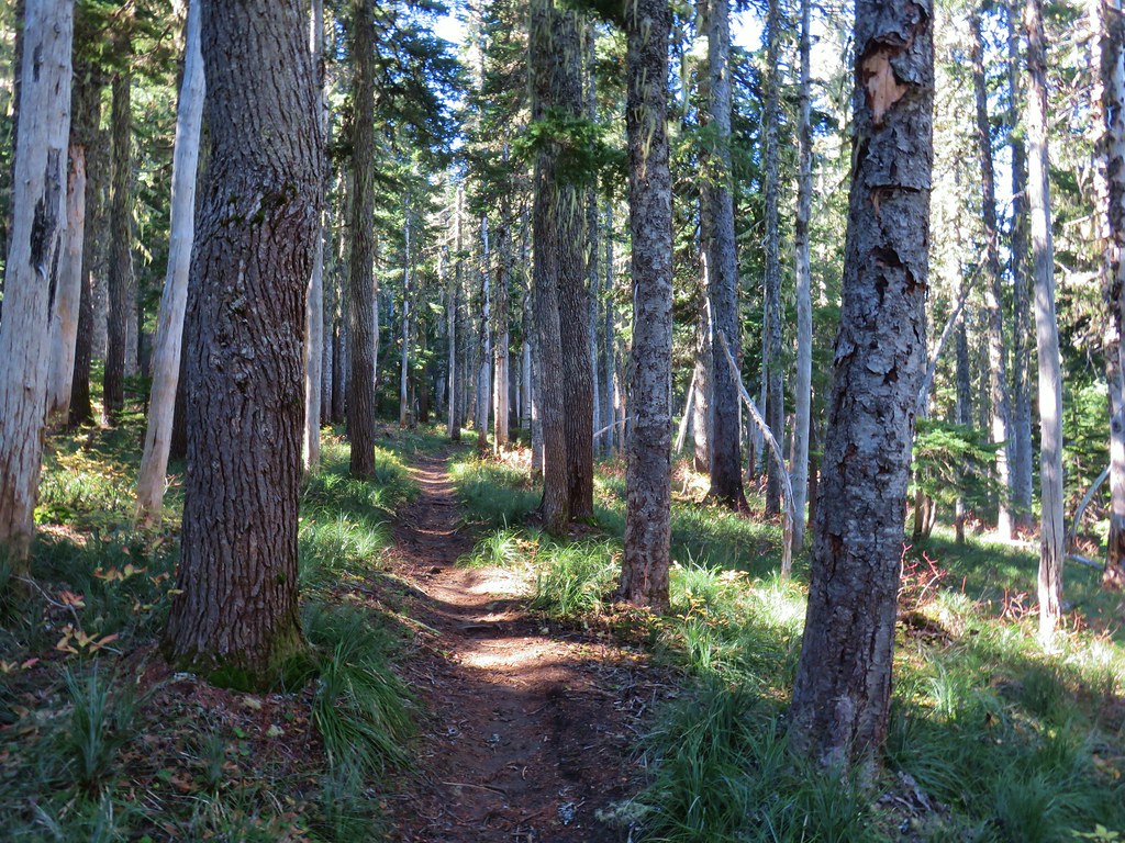
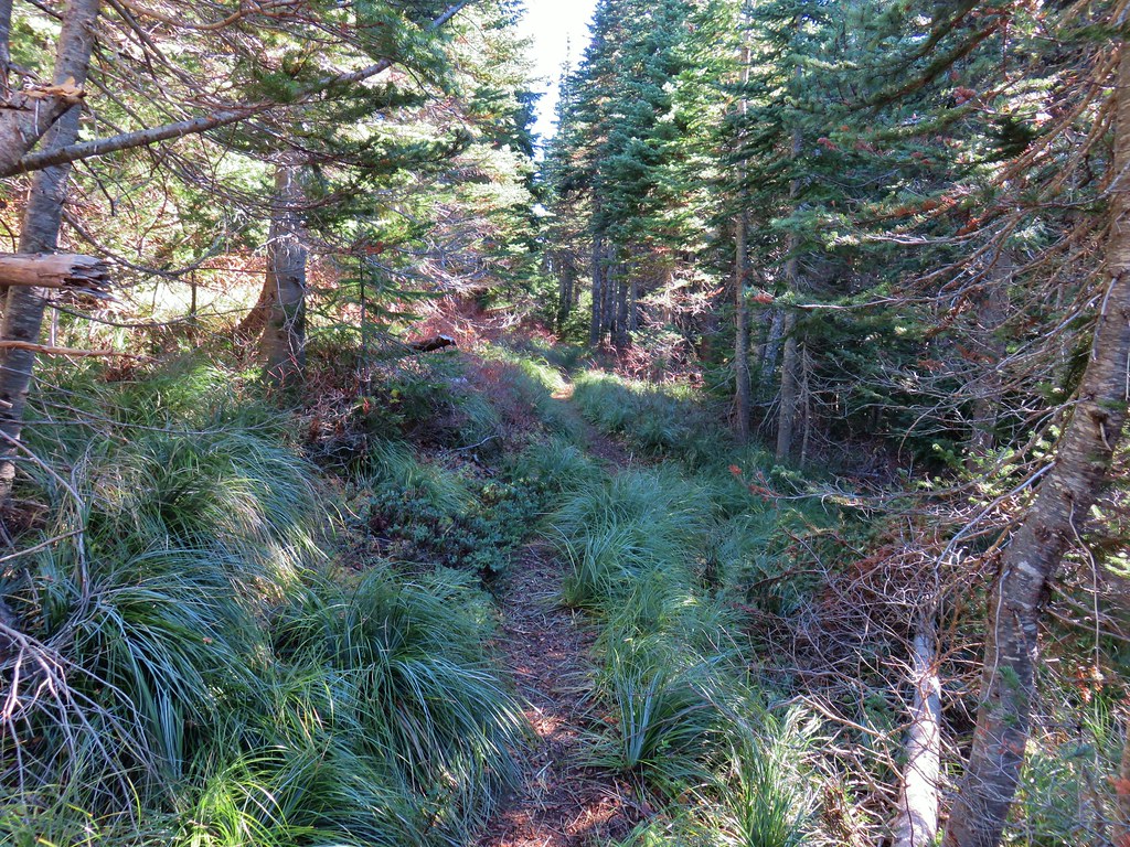
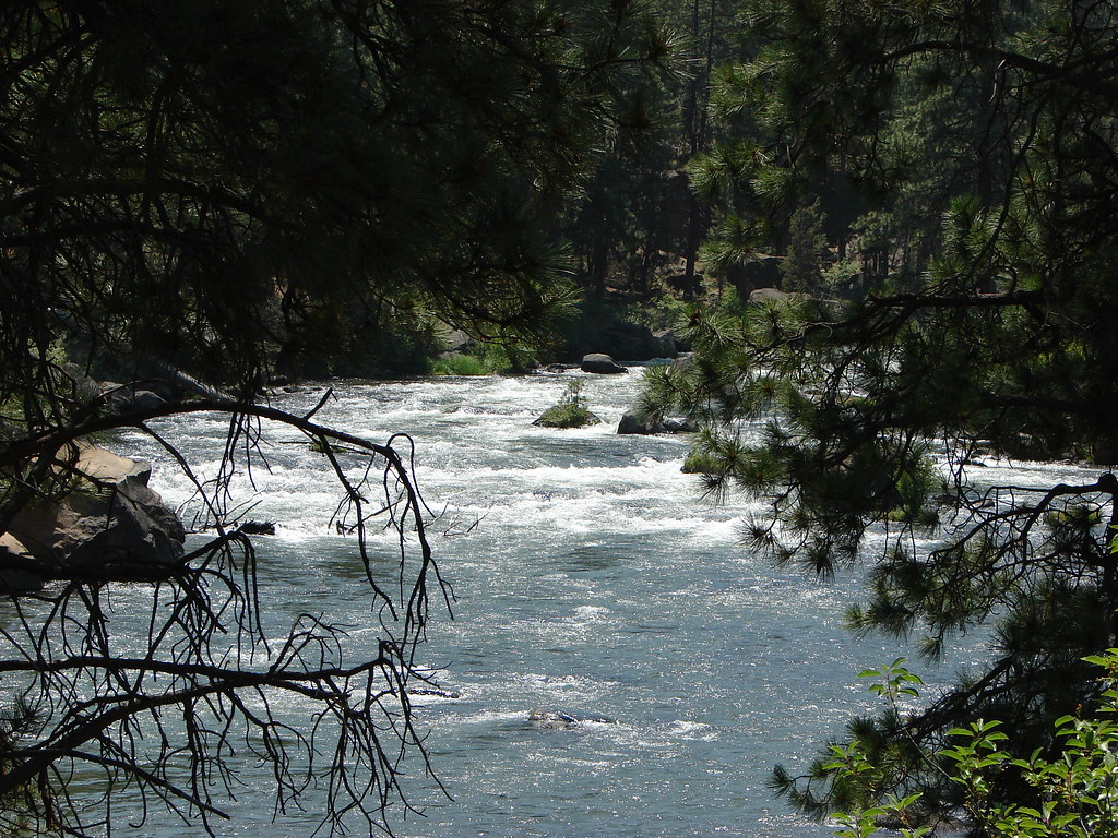
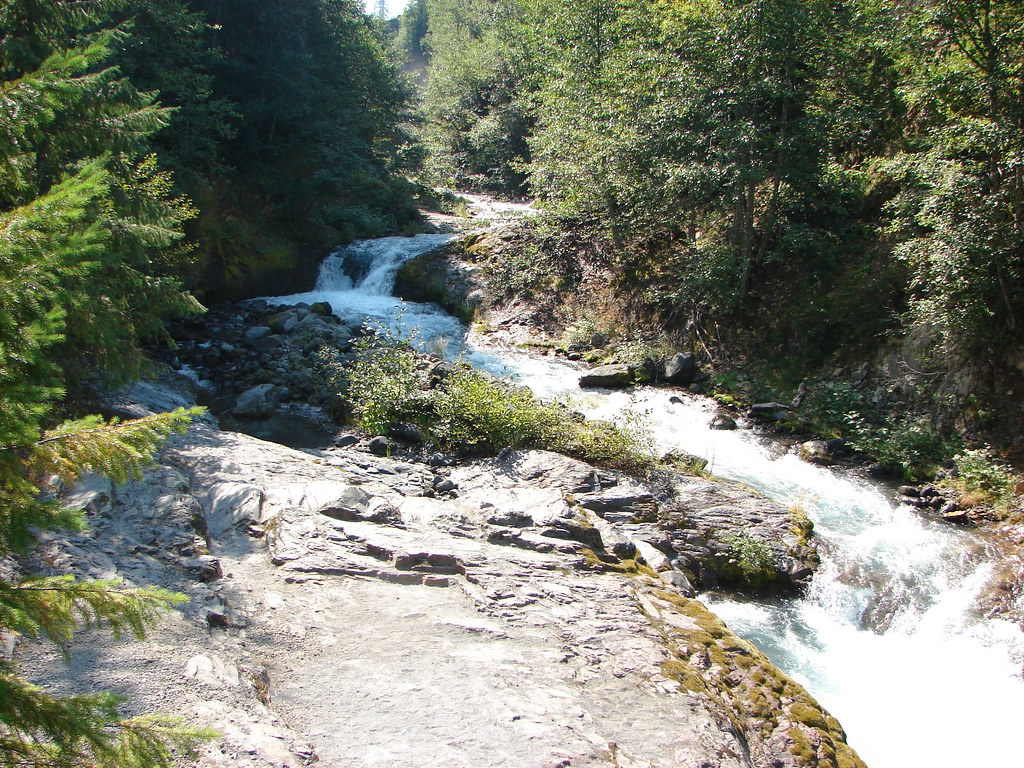
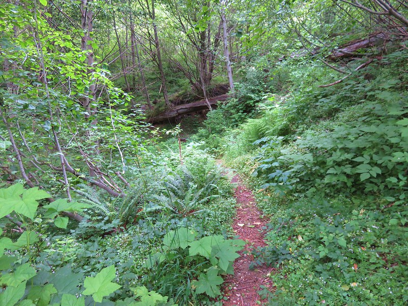
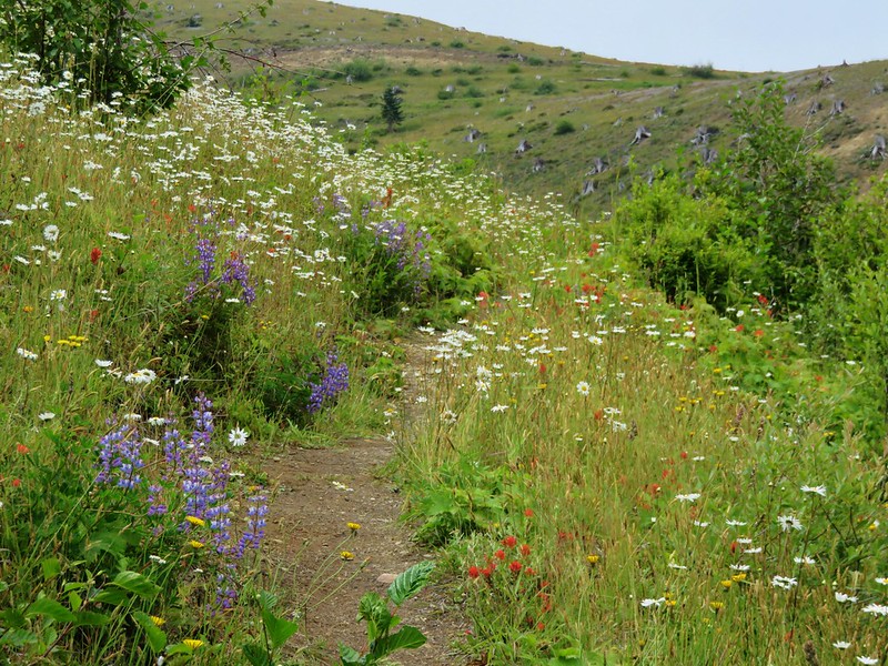
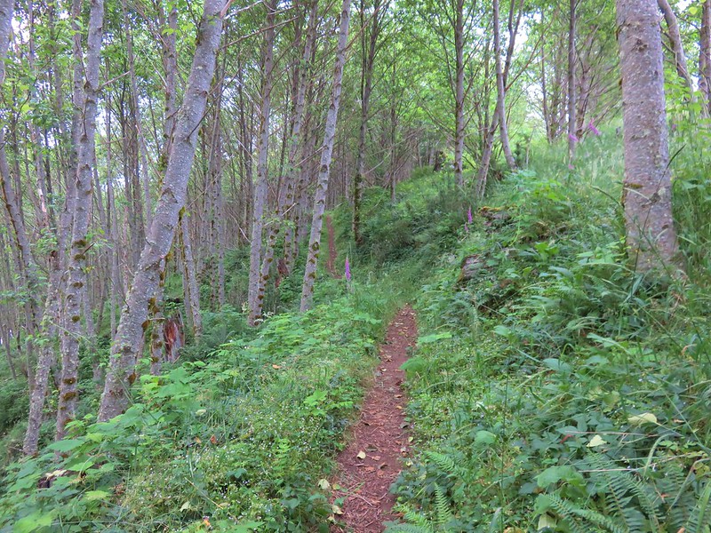
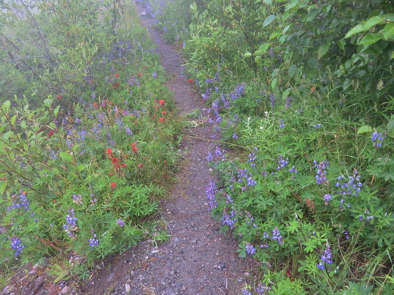
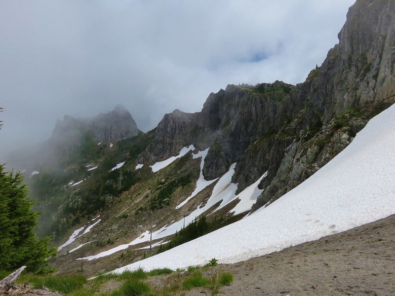
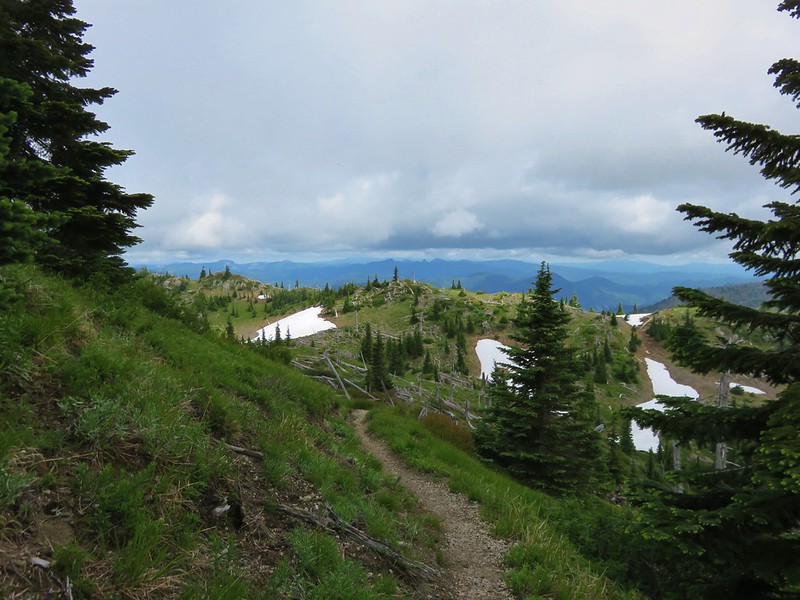
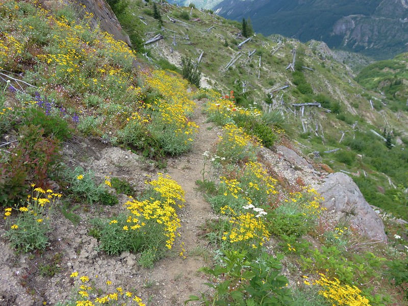
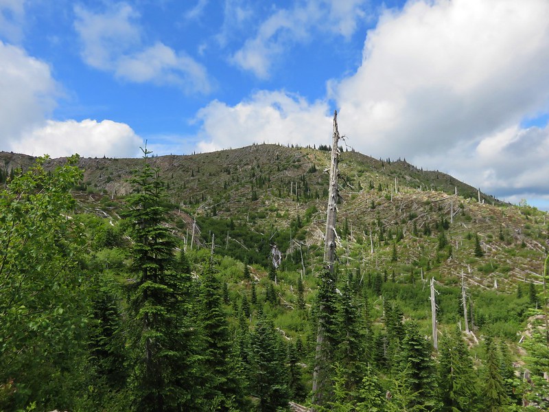
The trail briefly follows June Creek with some views of the top of Mt. St. Helens before veering away to climb through the forest.


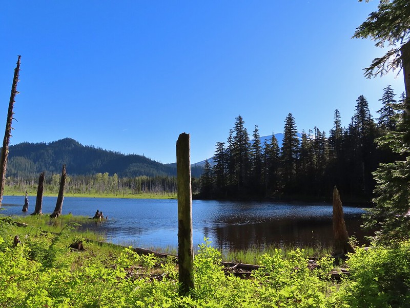
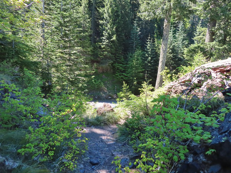
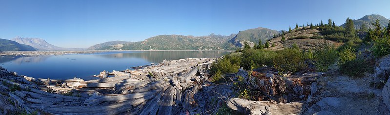
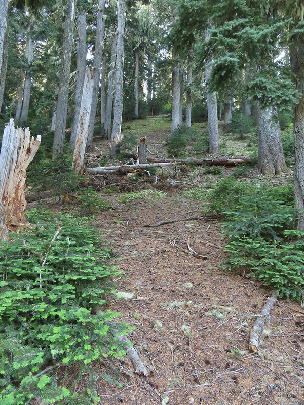
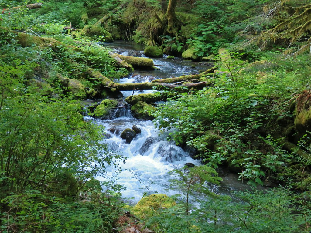
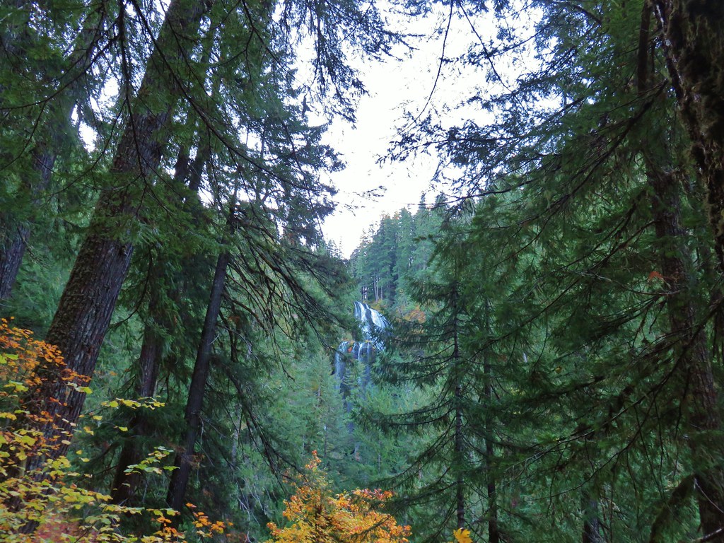
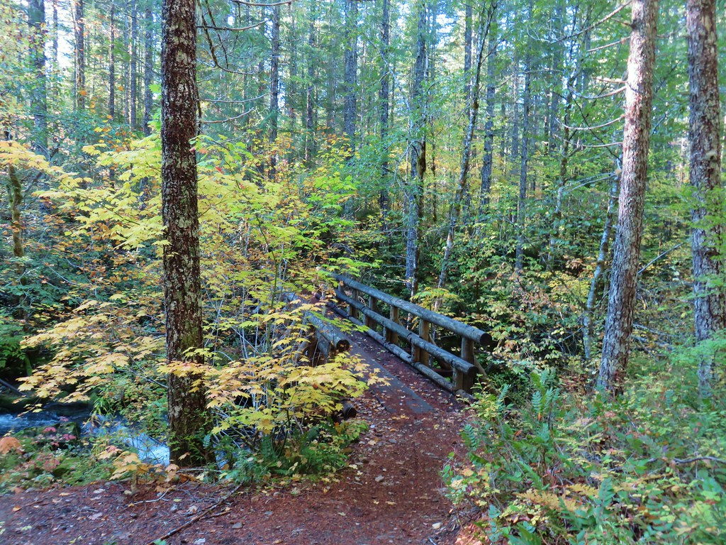
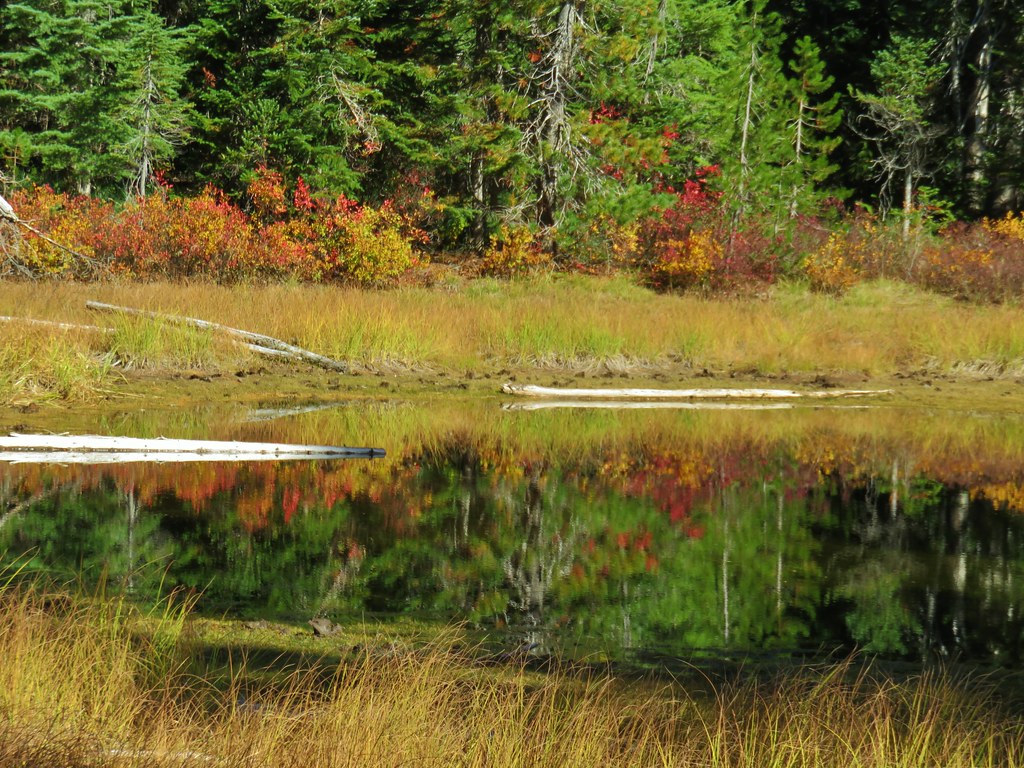
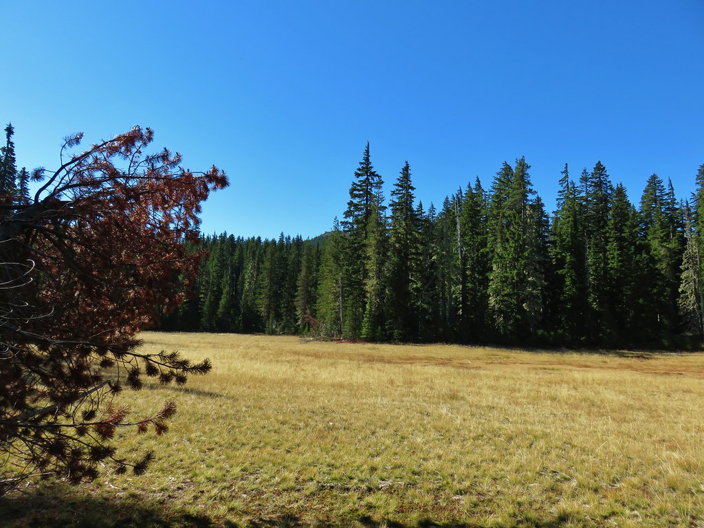
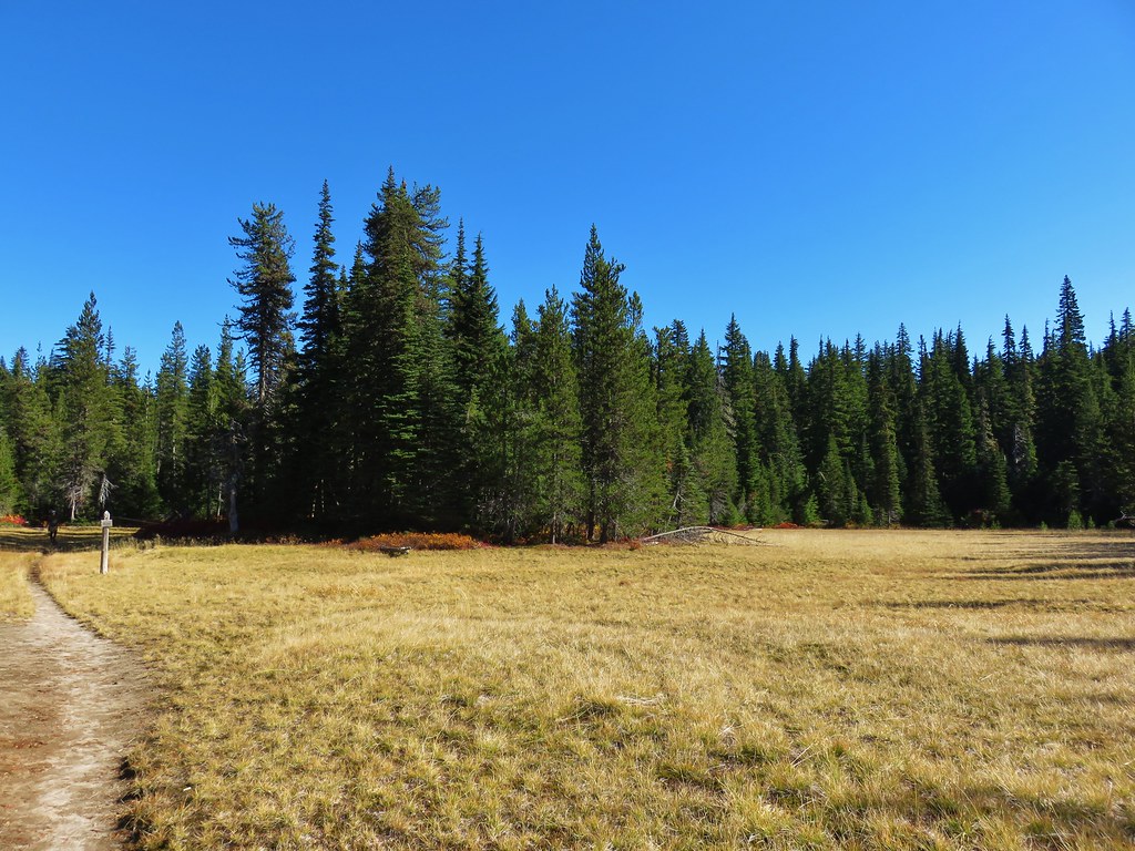
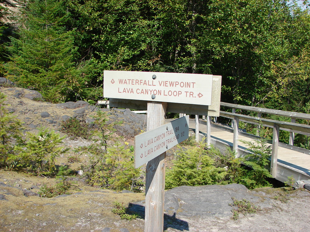
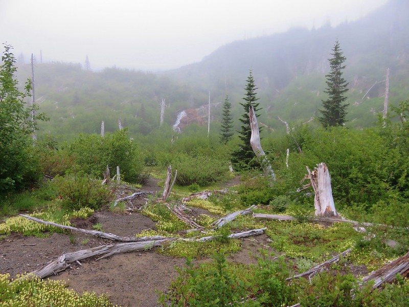
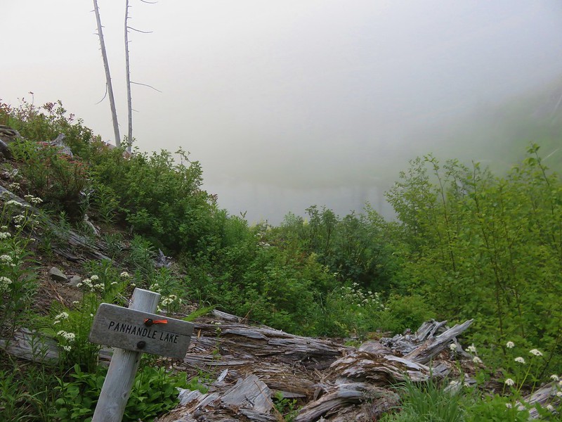
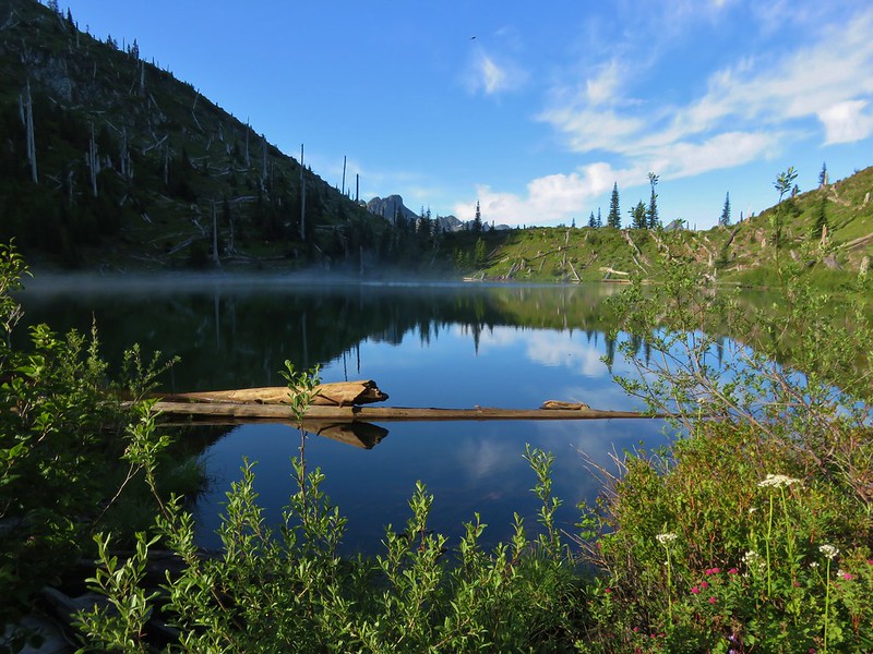
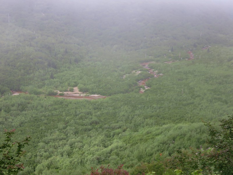
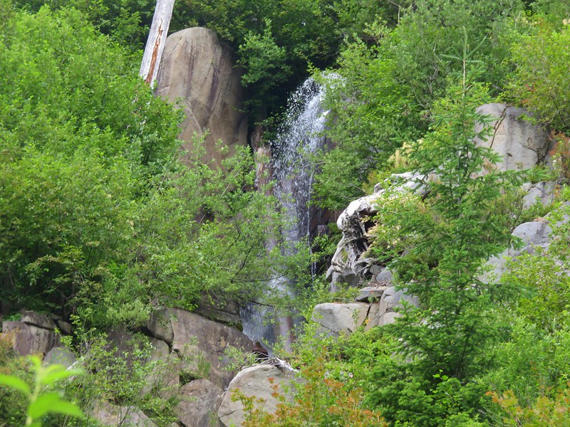
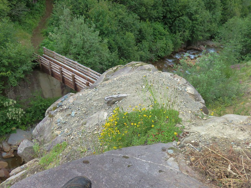
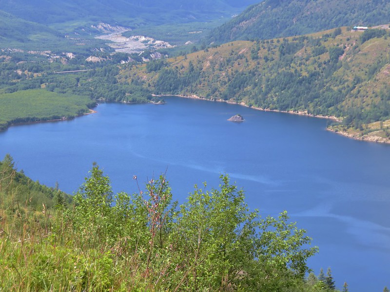
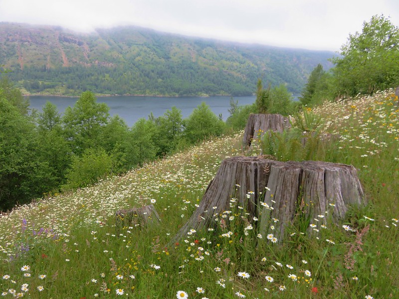
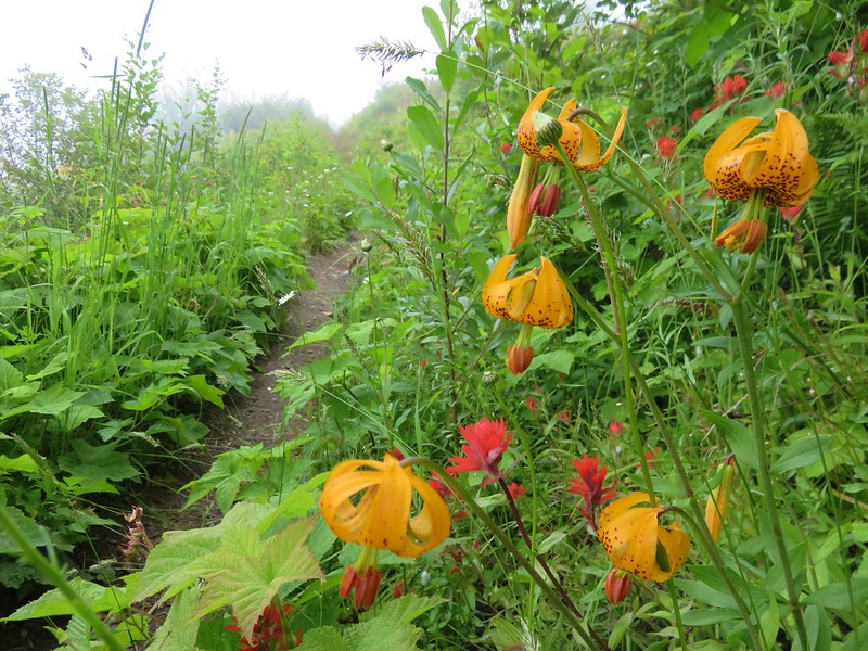
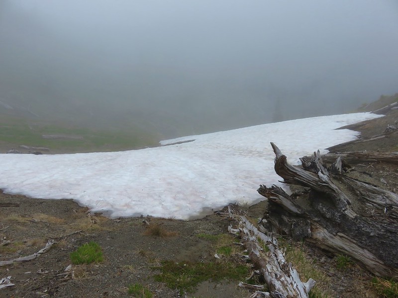
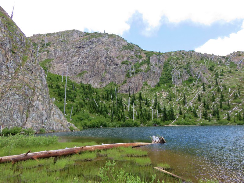
The trail nears the creek again to cross it on a footbridge then arrives in an open flat where June Lake lies hidden behind bushes on the right.

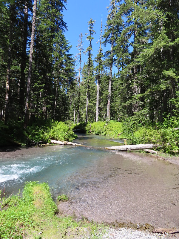
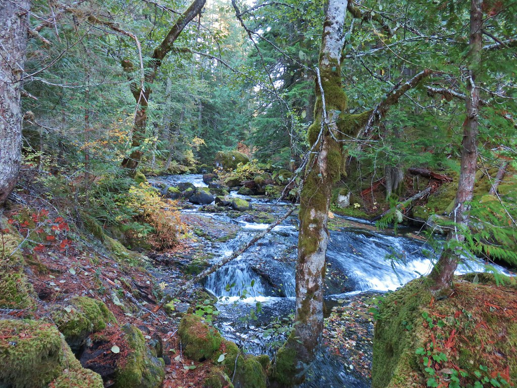
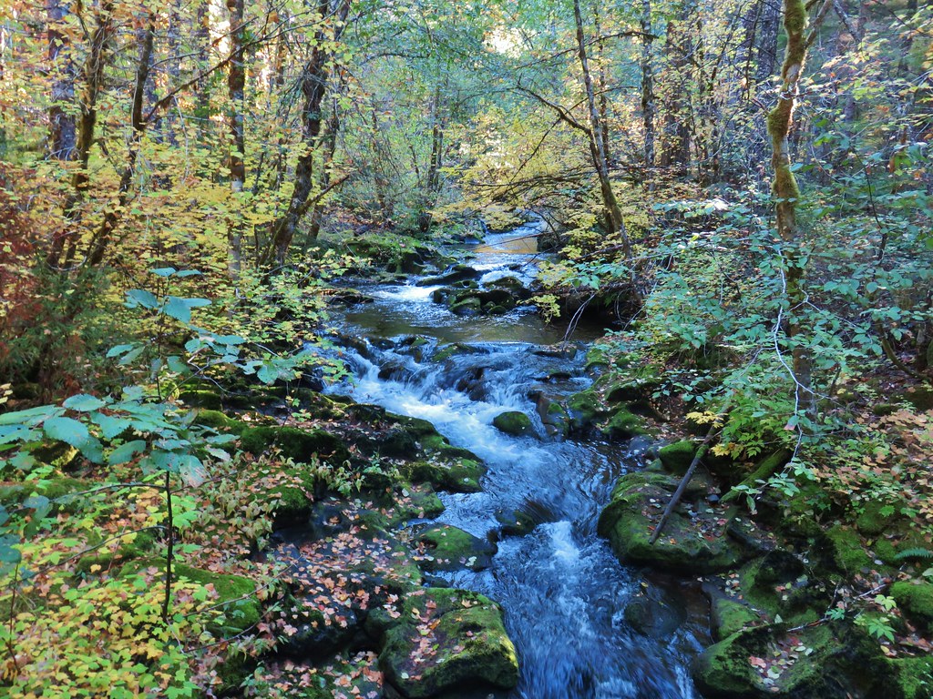
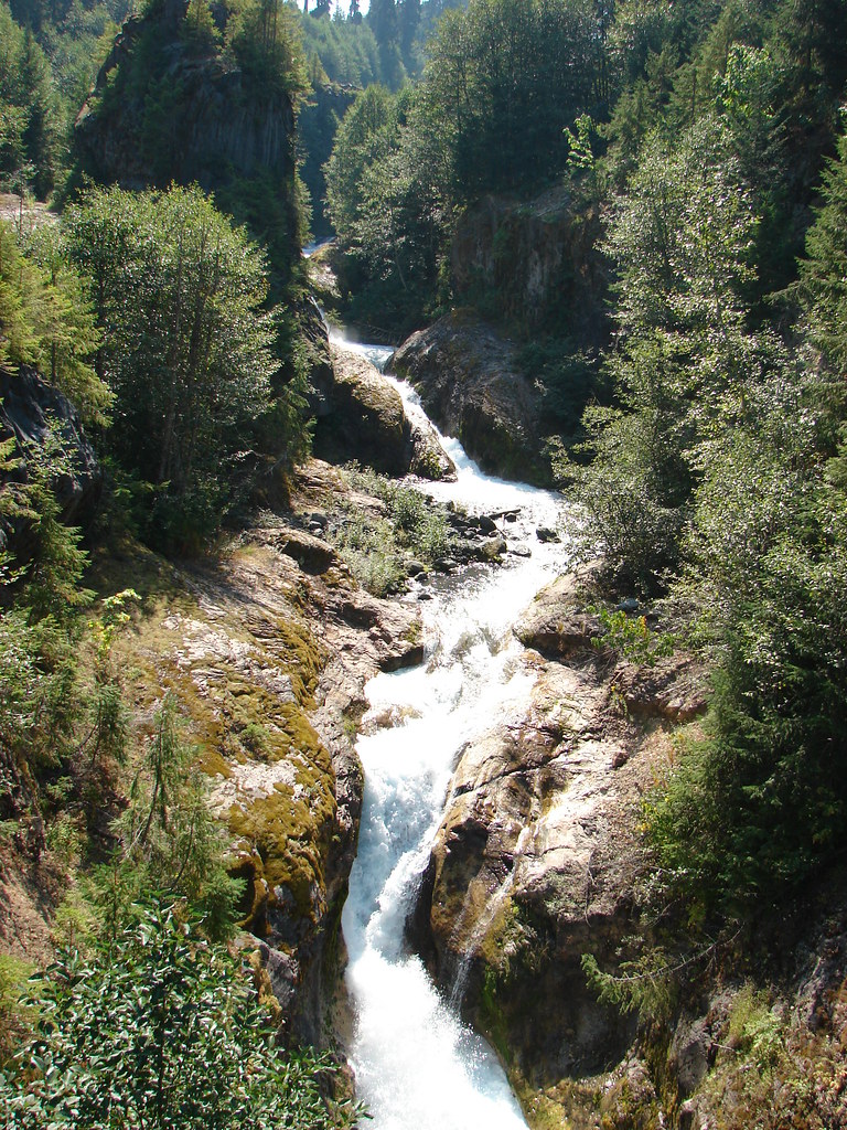
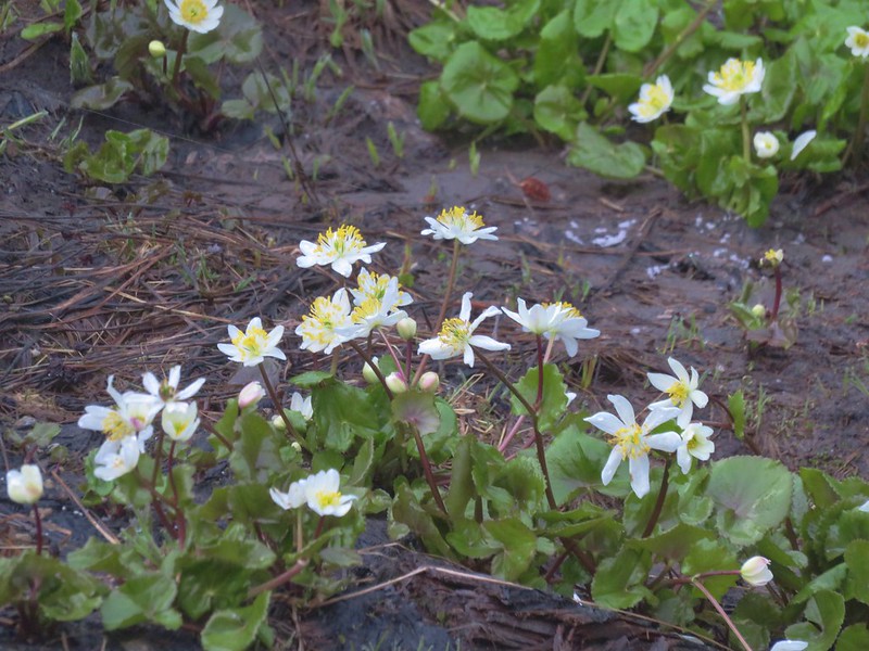
June Creek


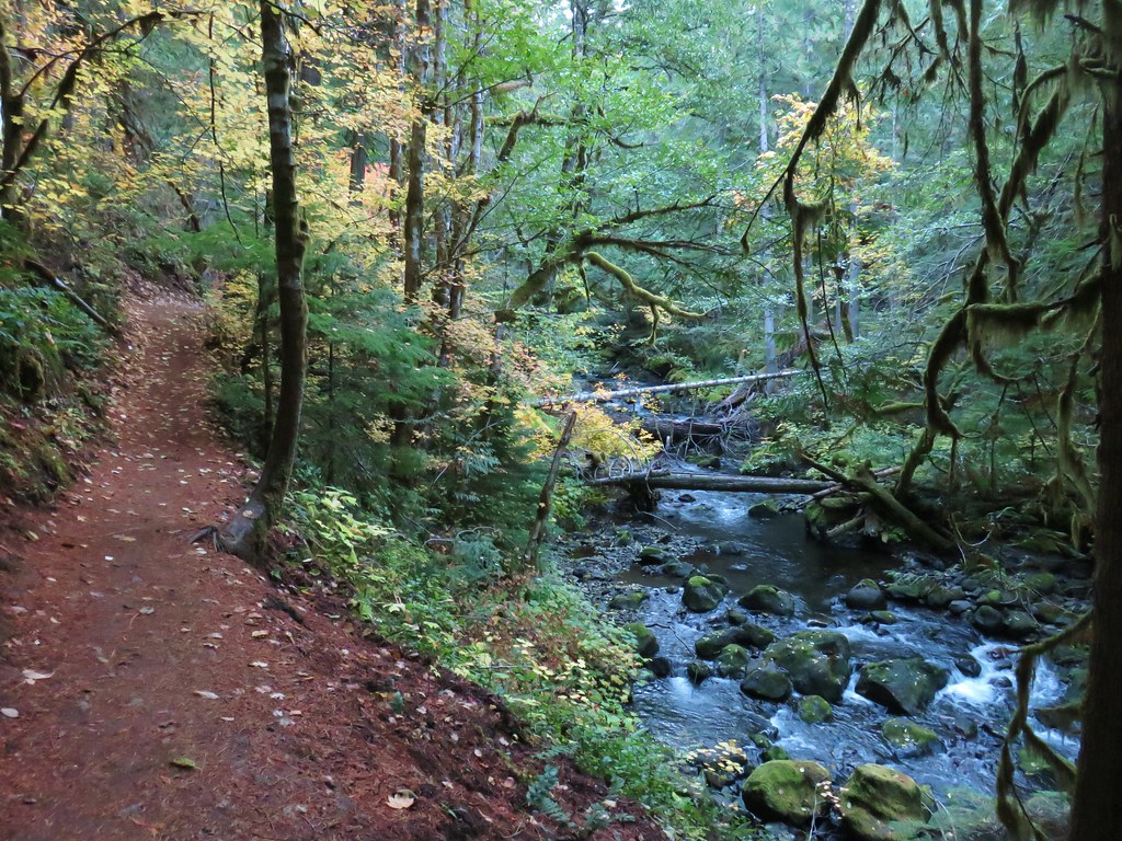
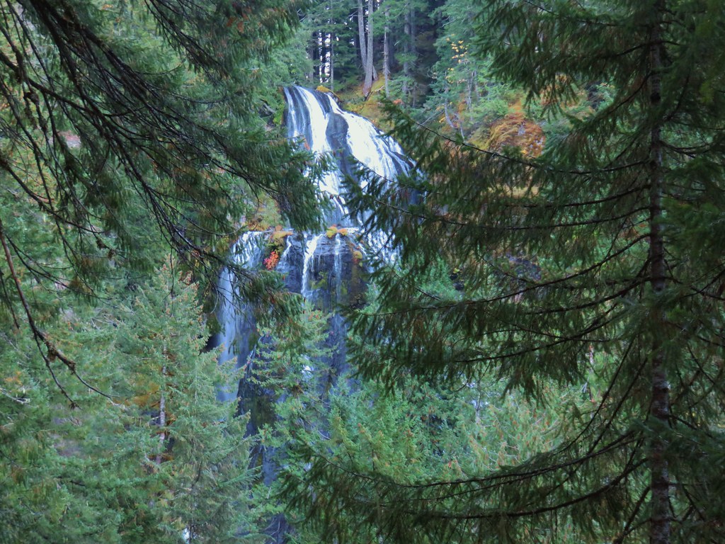
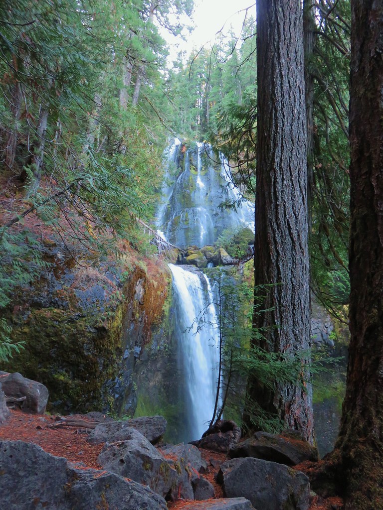
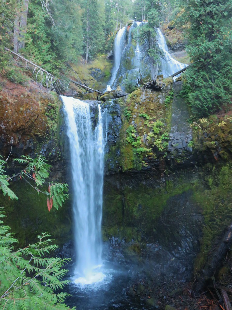
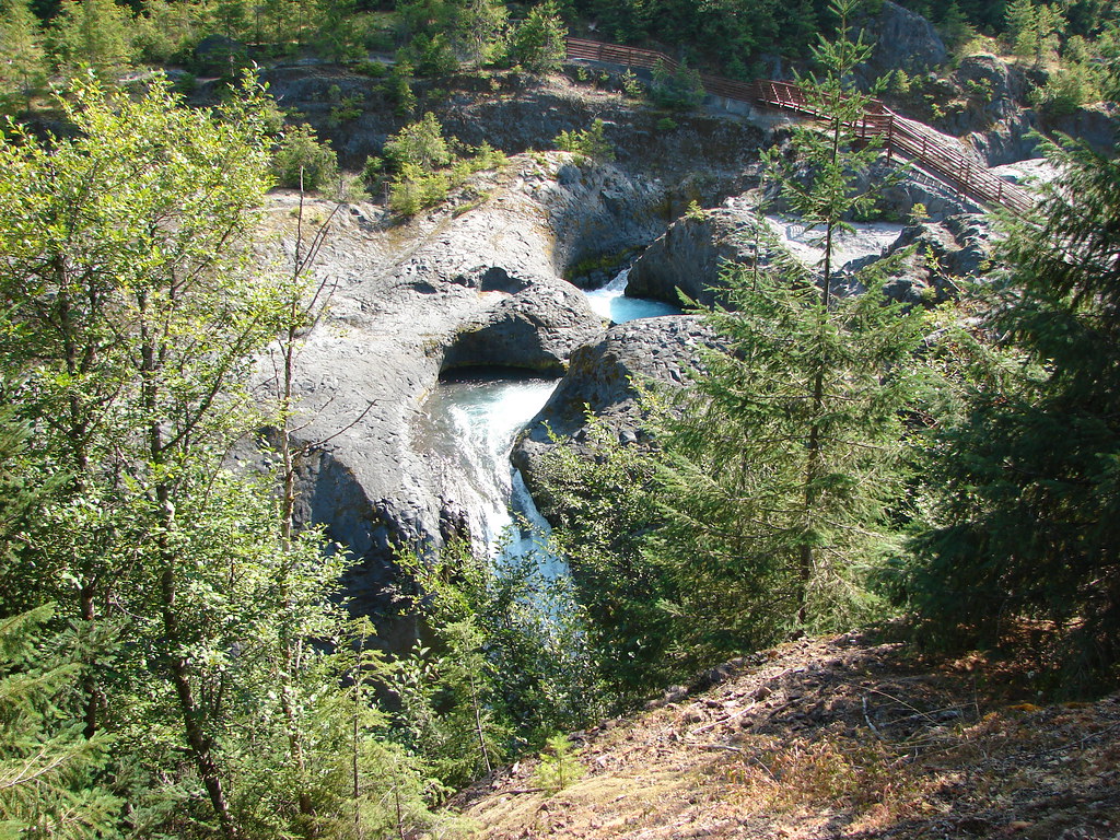
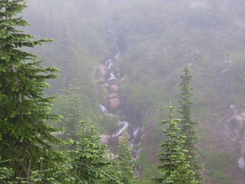
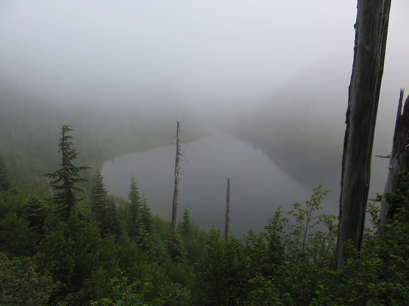
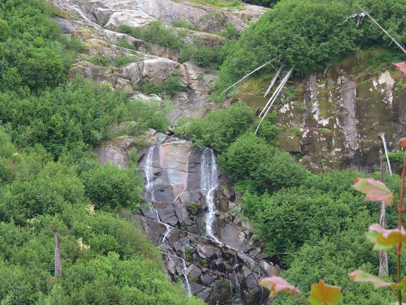
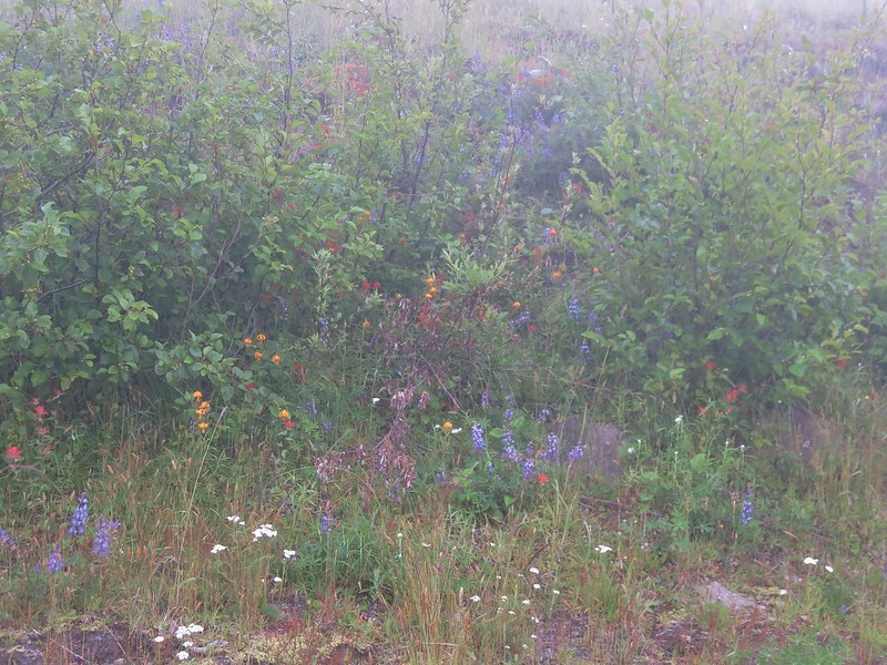
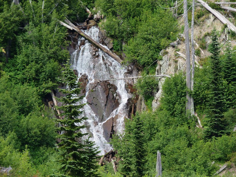
The first path we followed through the bushes led to a view of the lake but not the waterfall that flows into the lake.

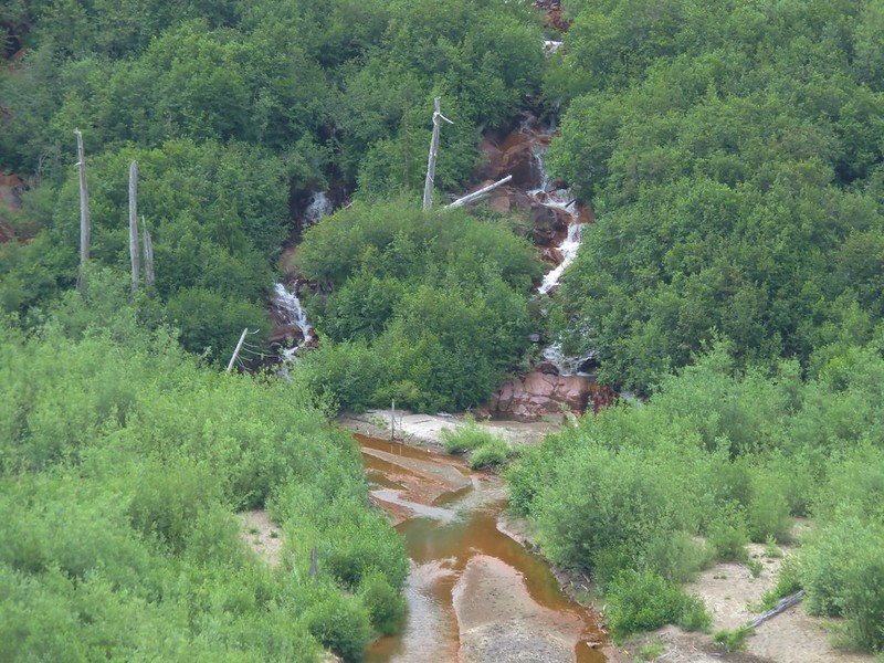
We ducked down a second path to get a view of the falls.


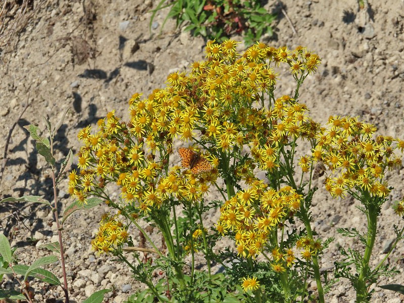
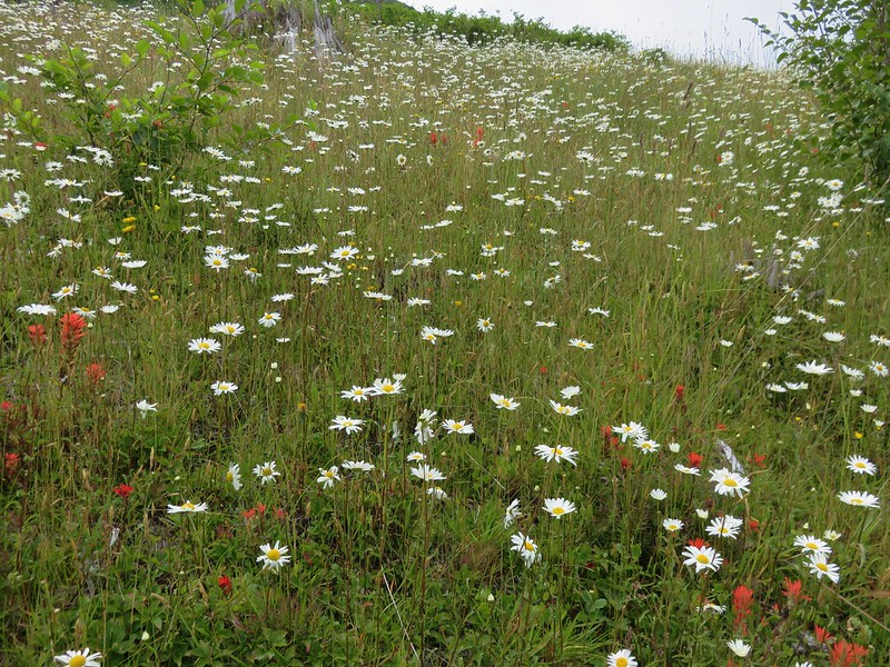
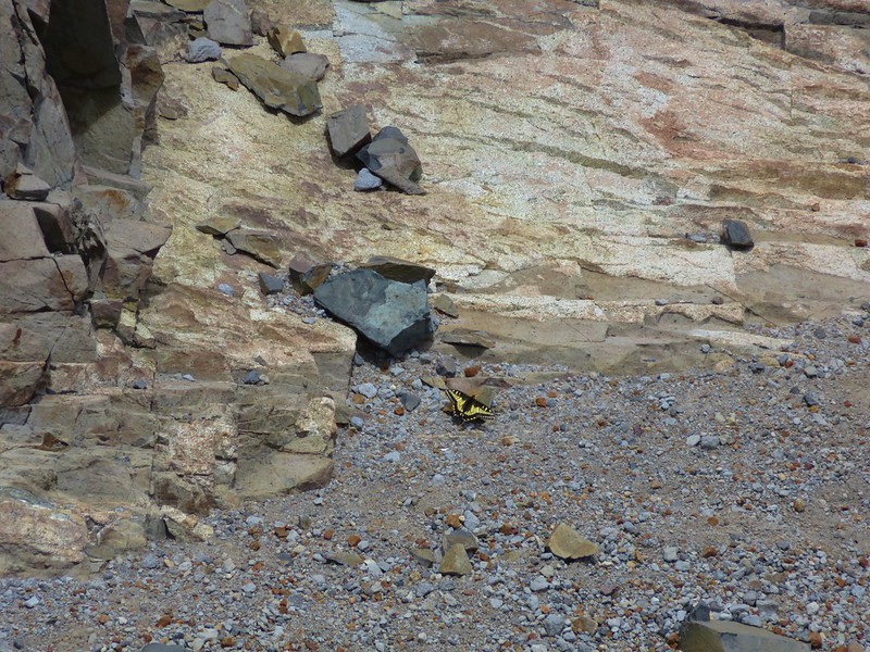
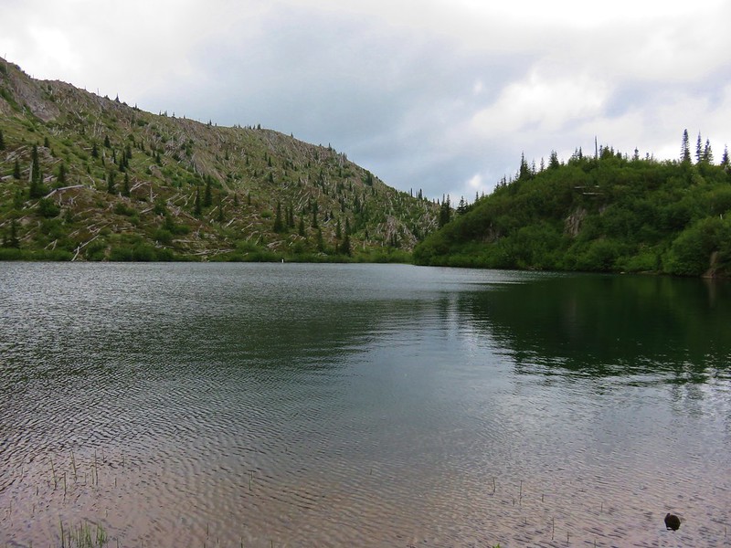
Aside from a few dragonflies and an American dipper we were alone at the lake and took a short break there to enjoy the scenery and sound of the waterfall.


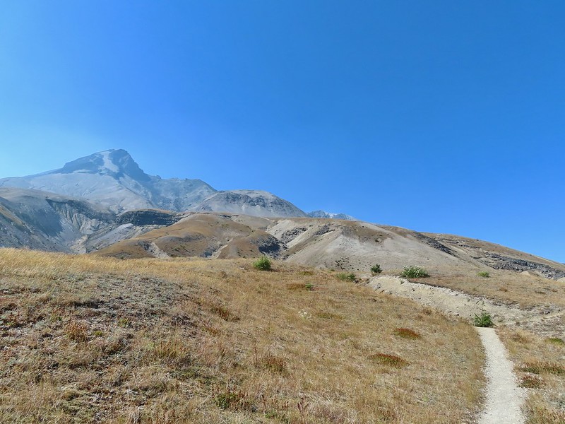
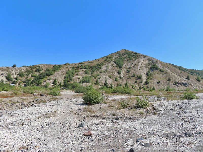
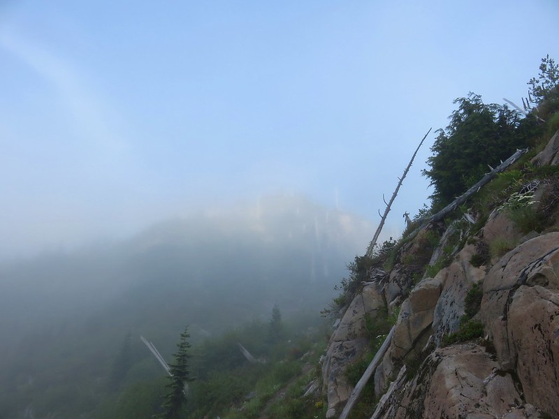
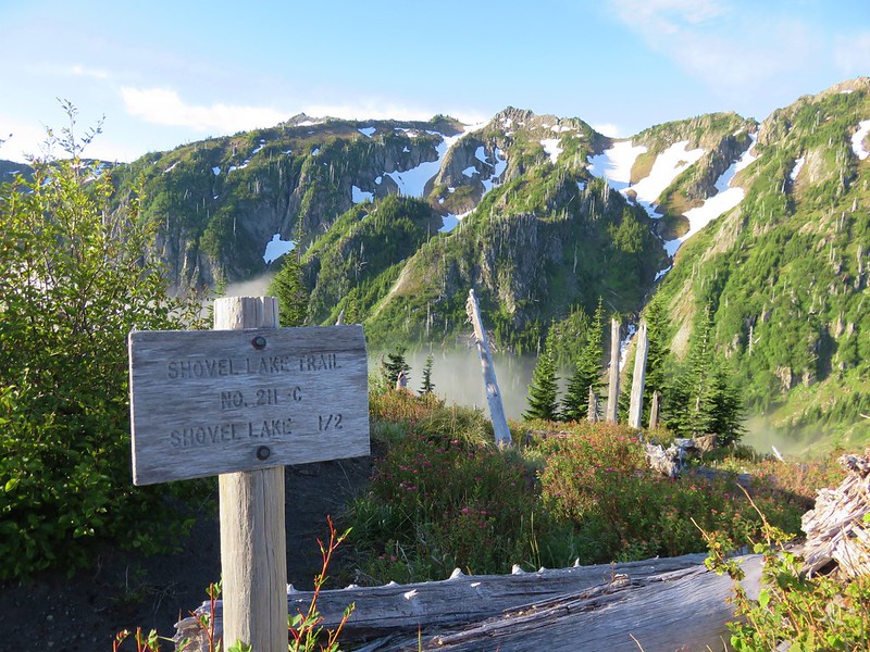
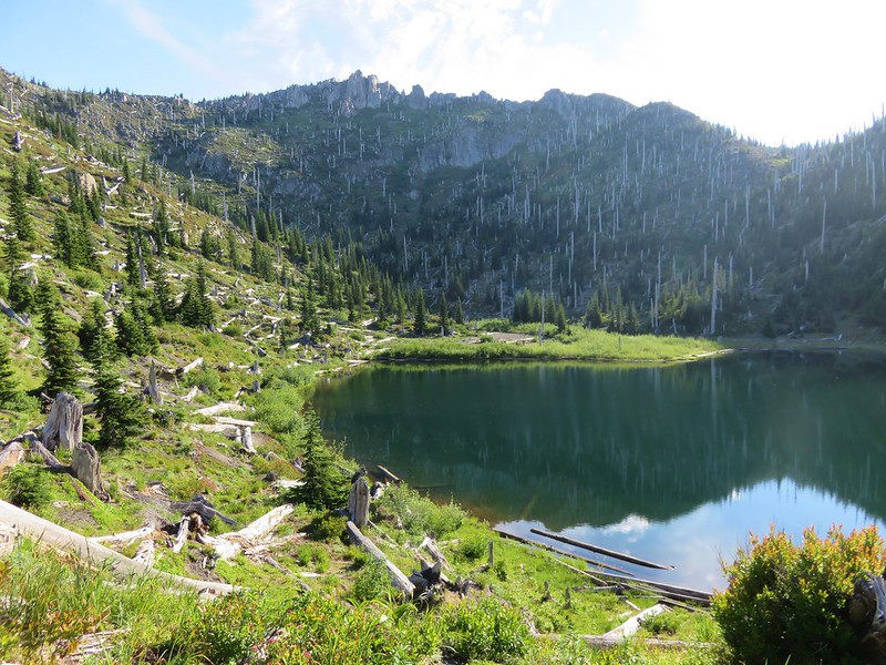
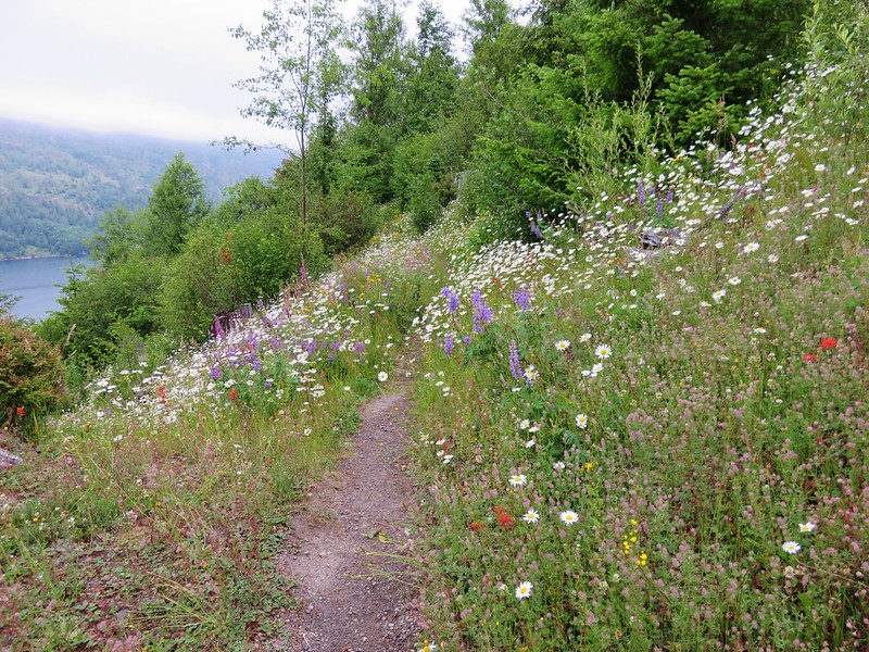
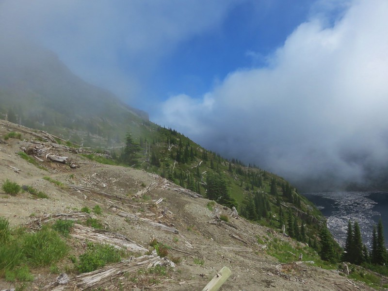
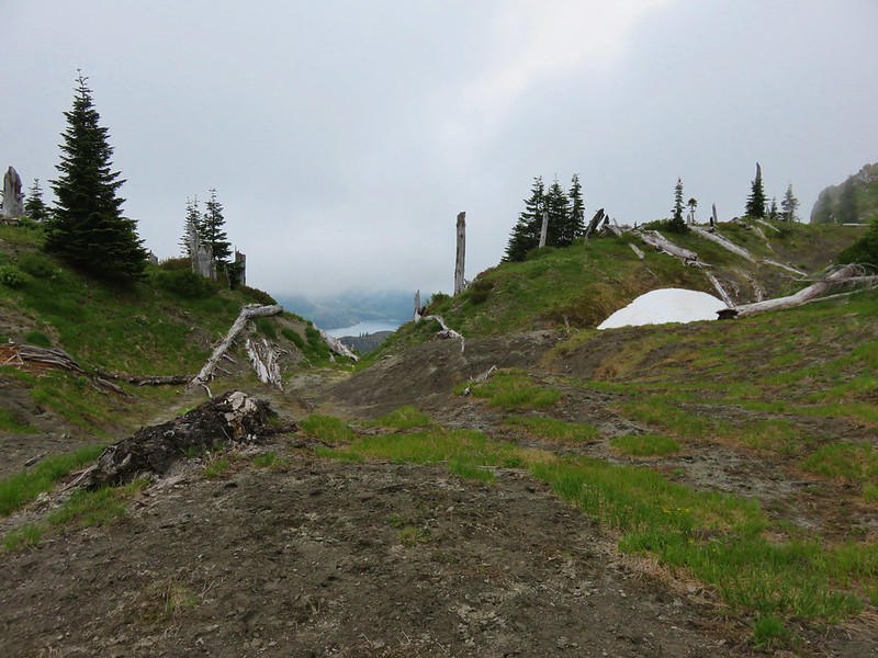
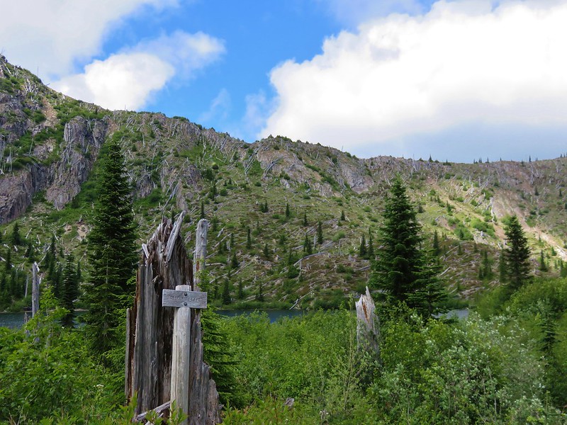
From the lake we made the stiff climb up to the Loowit Trail and headed toward Ape Canyon.

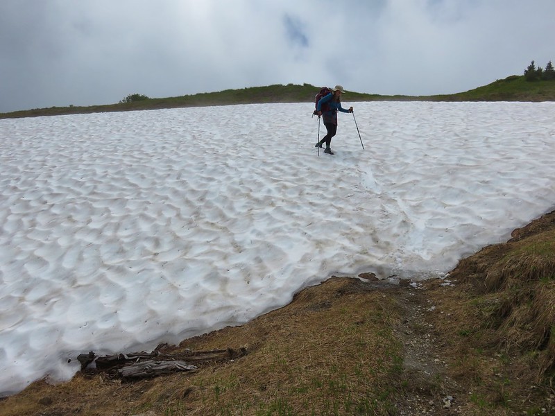
It’s hard to tell in the photo but this section was both steep and loose. We both used the trees/roots on the left as handholds going up and when we came back down.

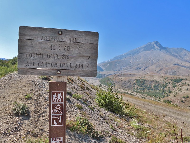
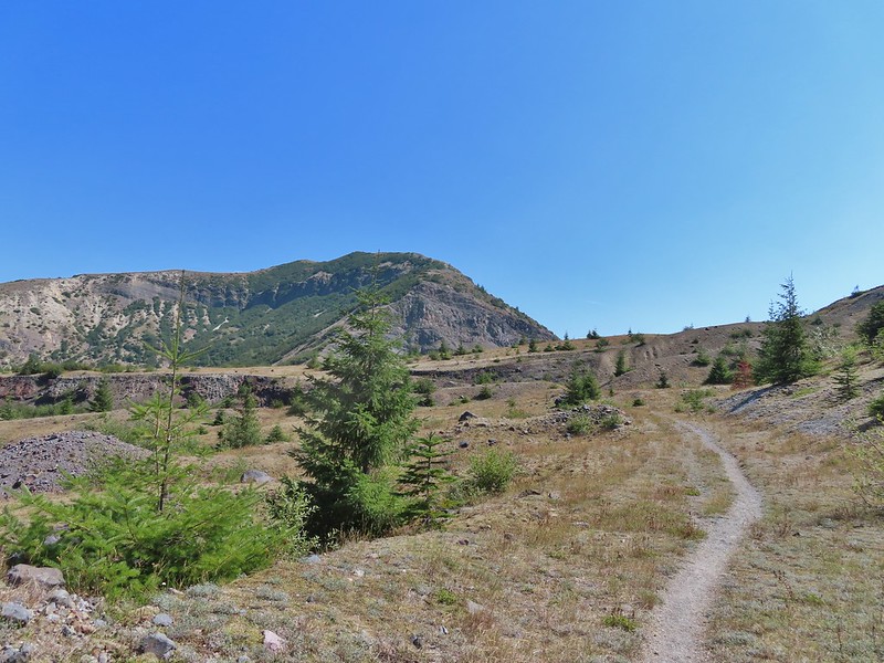
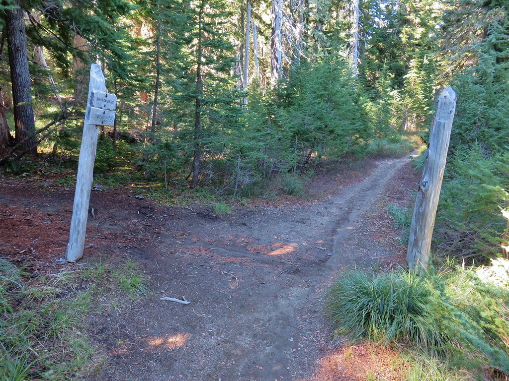
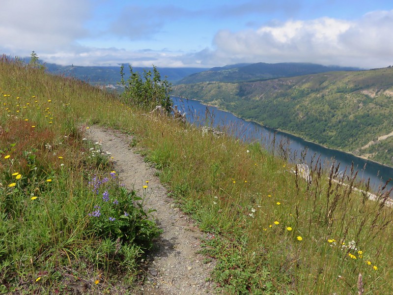
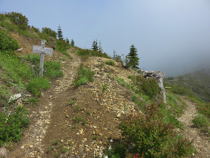
The trail leveled out some as it neared the junction.

The trail sign at the Loowit Trail junction said the Ape Canyon Trail was 5-miles. From the Ape Canyon Trail the canyon itself is a little over an additional half mile.
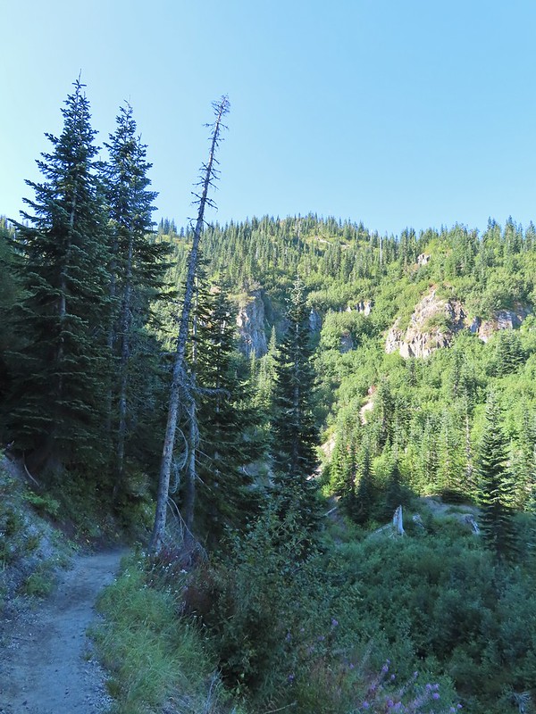
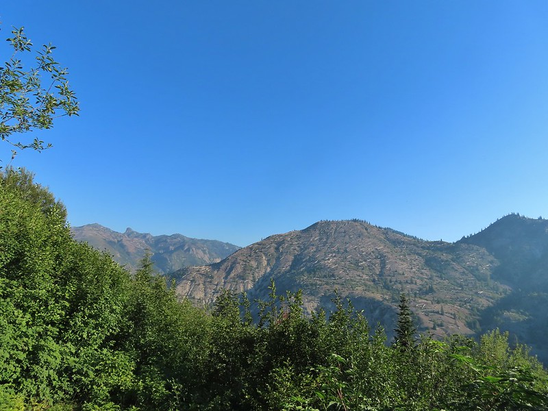
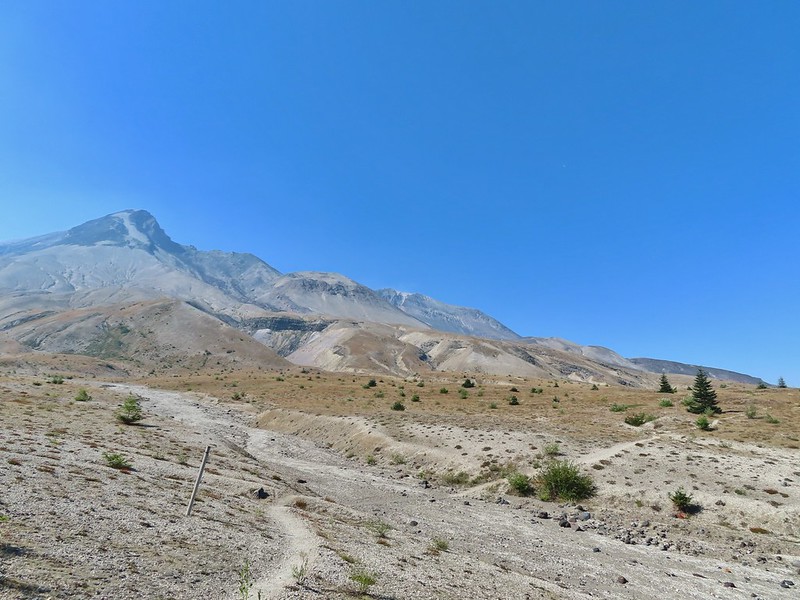
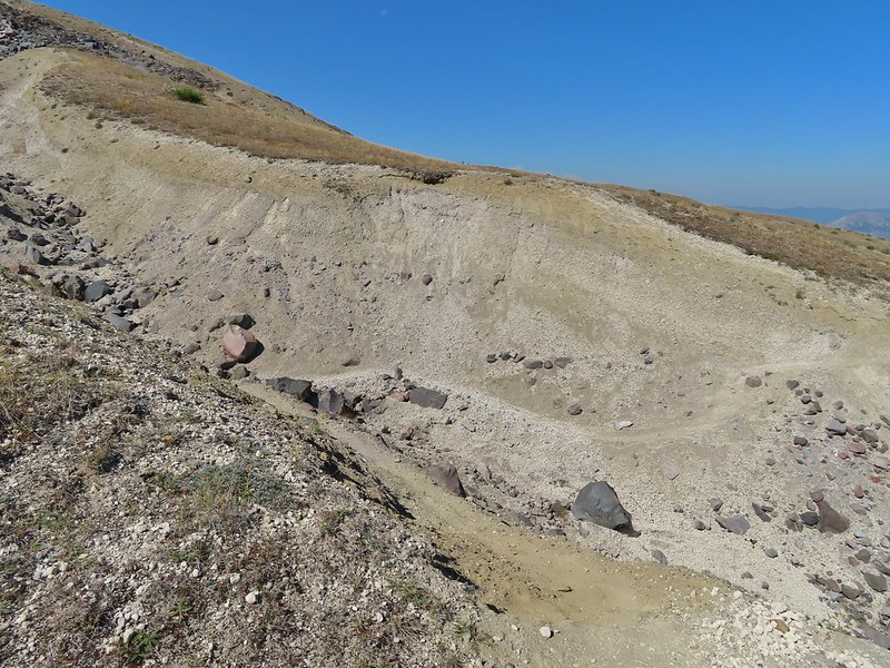
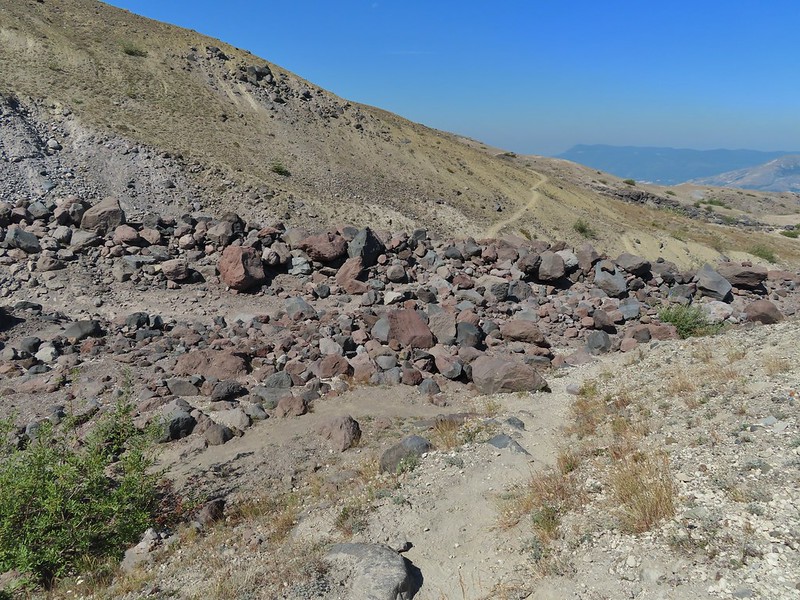
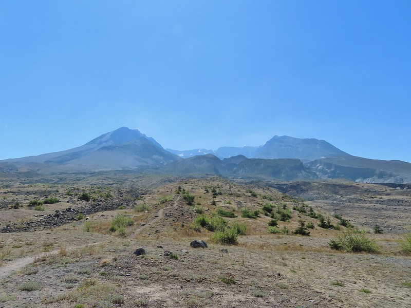
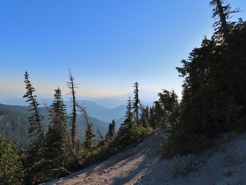
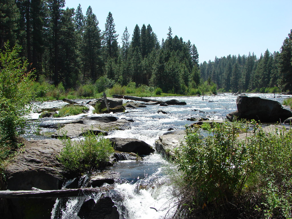
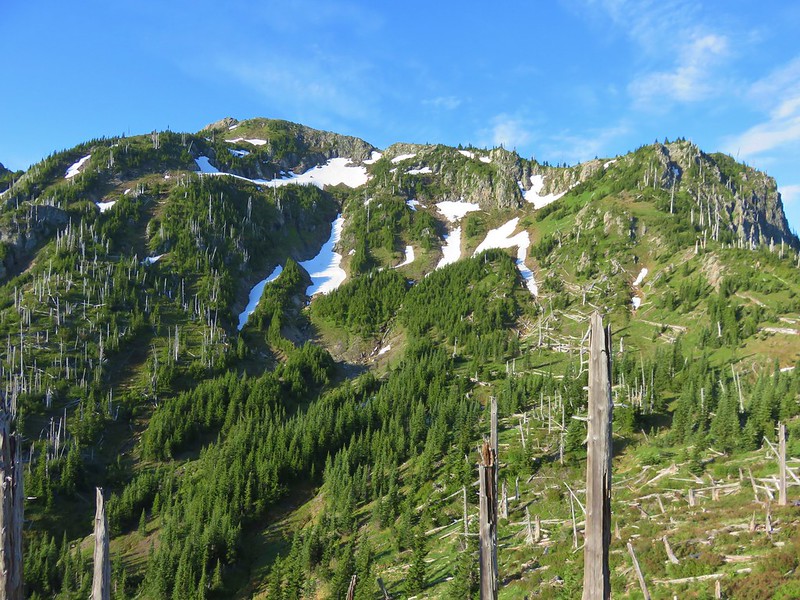
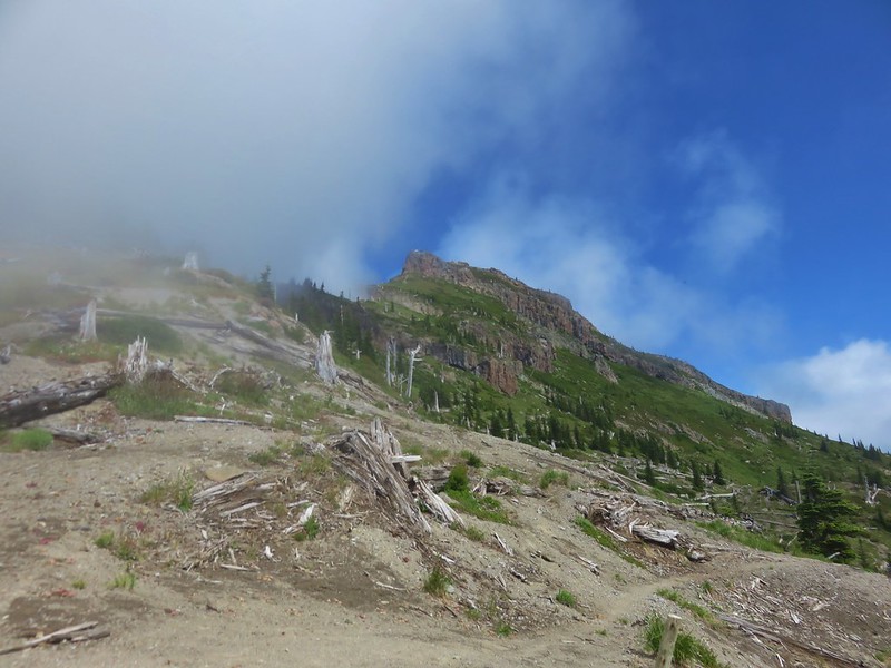
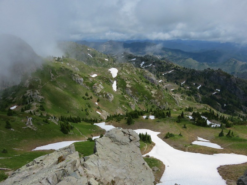
The Loowit Trail crossed a lava flow then spent a little time in the forest and along the lava flow before climbing into the rocks.

Various poles and posts mark the trails when they are passing over the lava flows.


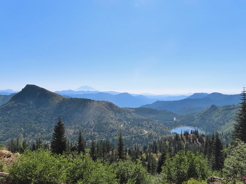
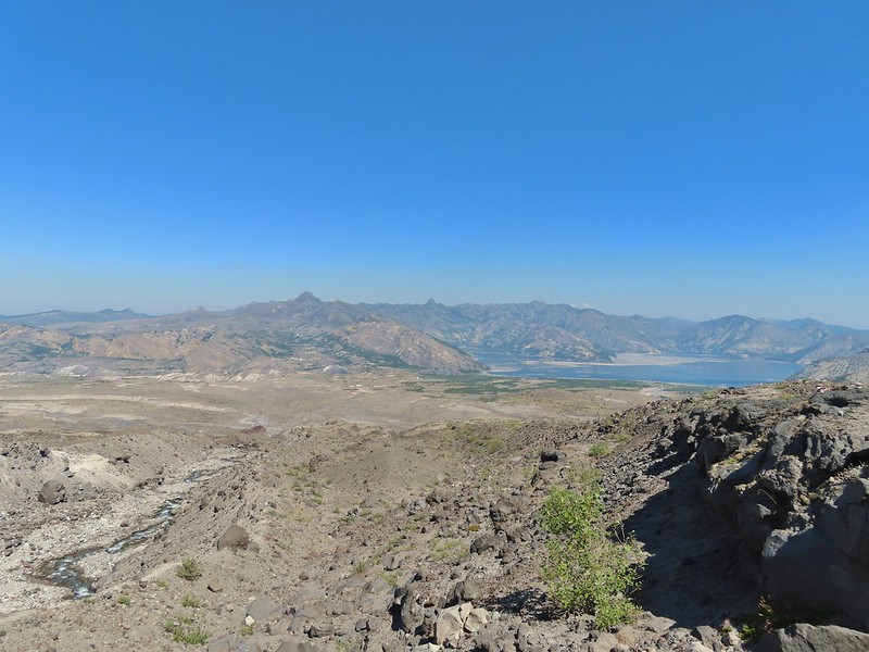
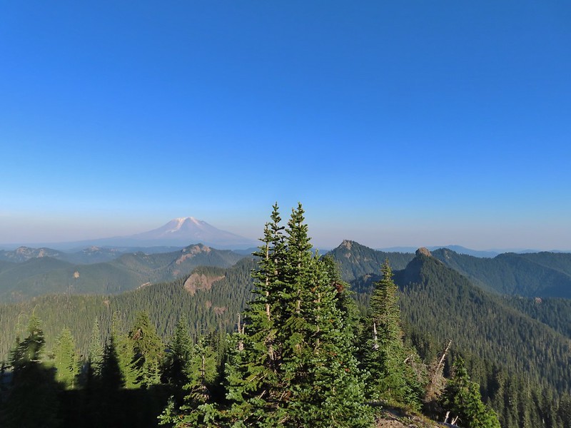
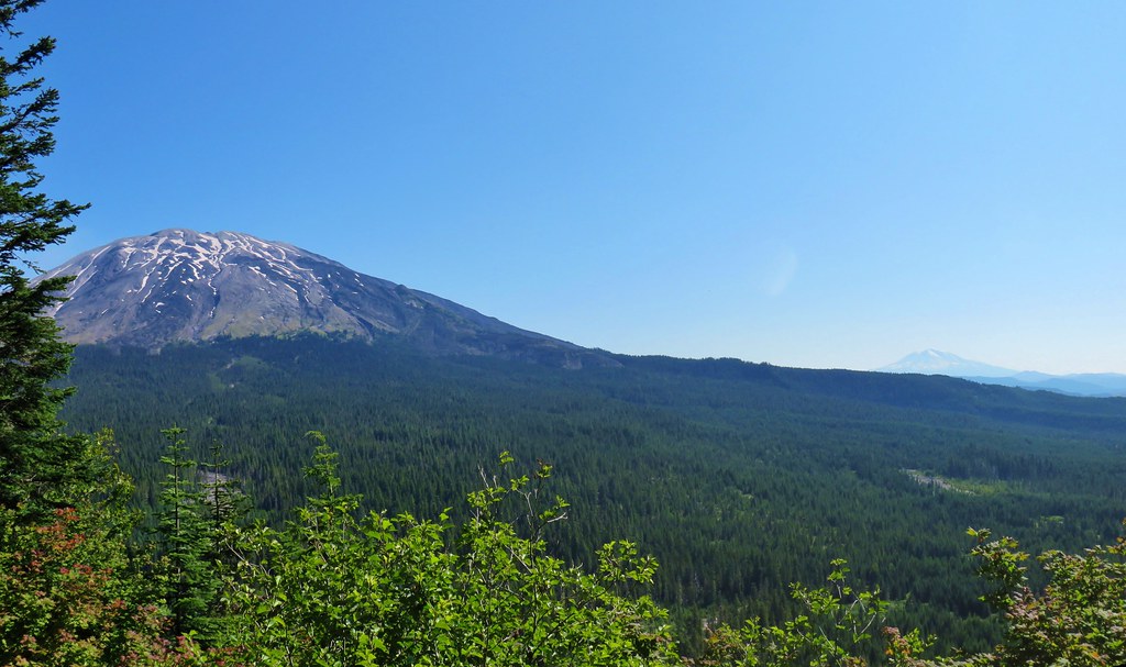
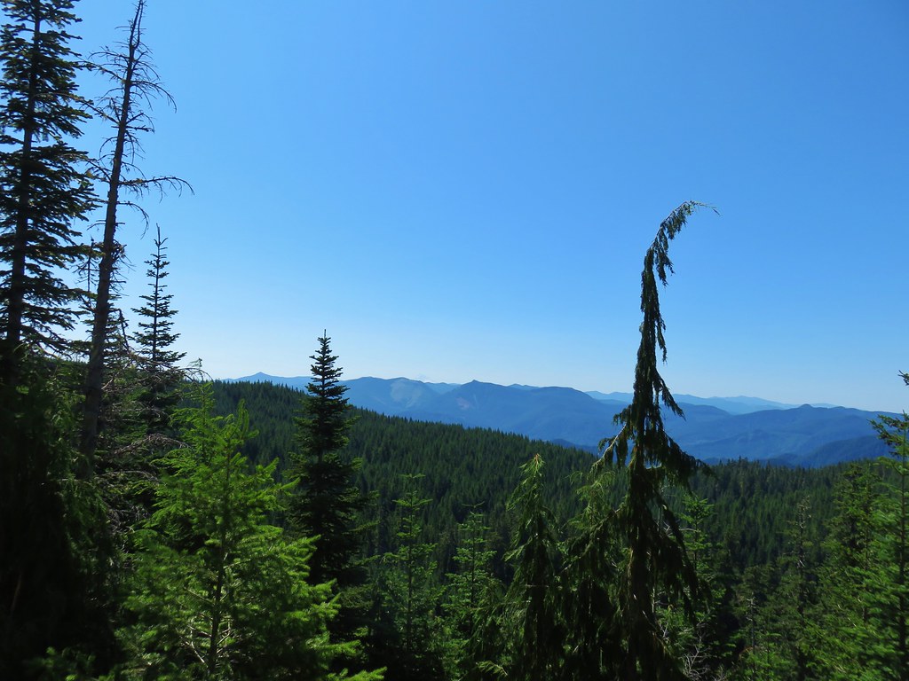
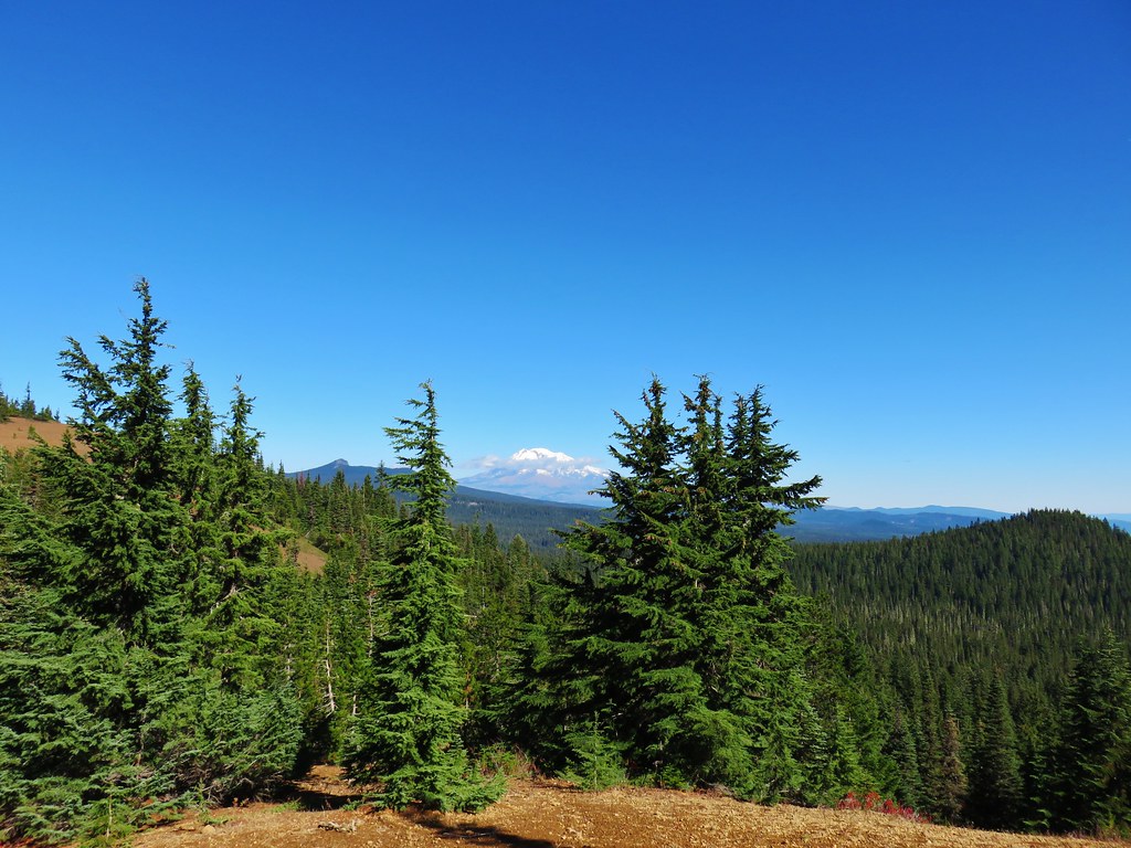
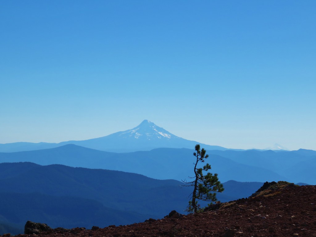
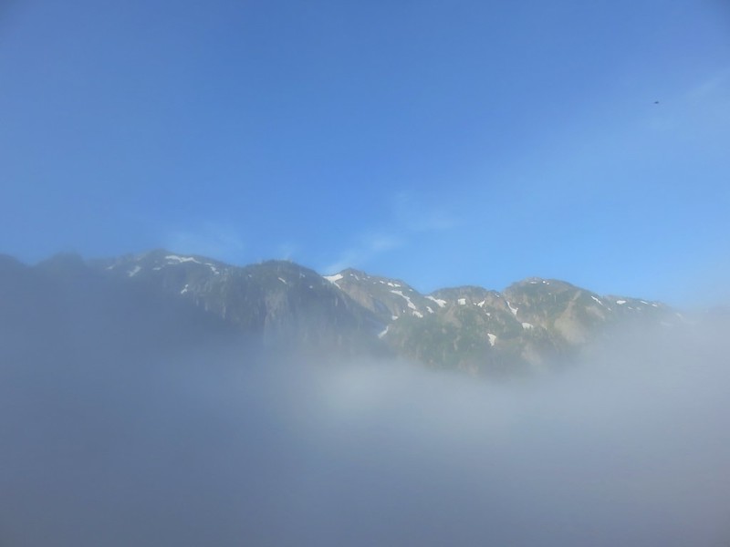
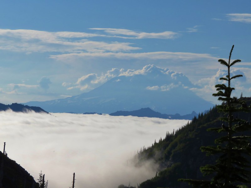
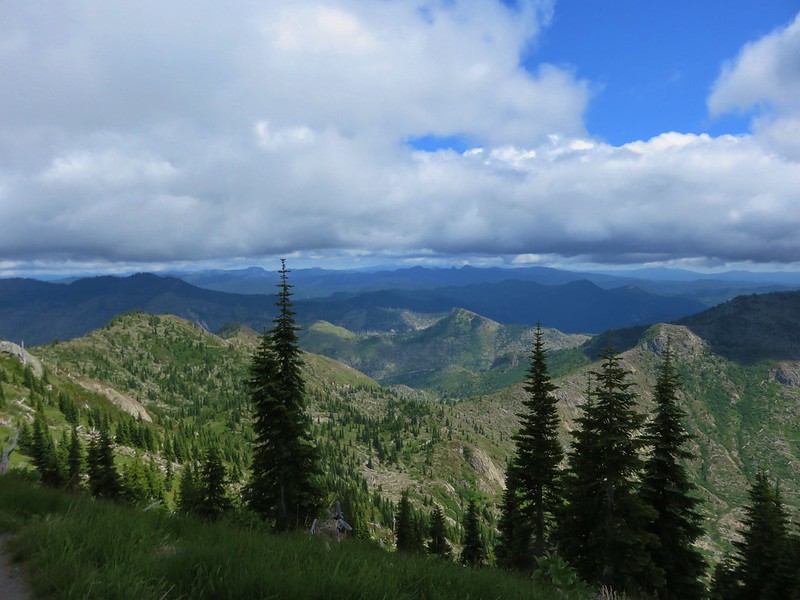
The trail made a pretty significant climb (approx. 200′) when it reentered the lava flow gaining a view of Mt. Adams to the east and Mt. Hood to the south.


Marble Mountain is the closest peak, and Mt. Hood is behind to the left through some smokey haze.

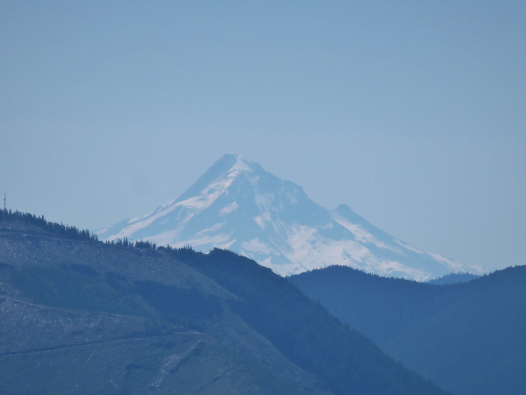
A little better look at Mt. Hood.

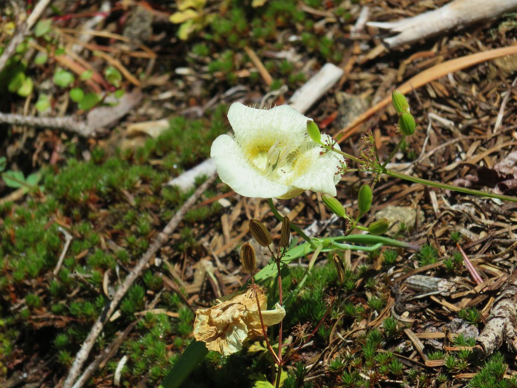
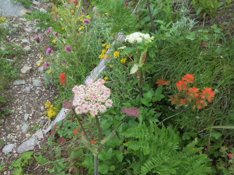
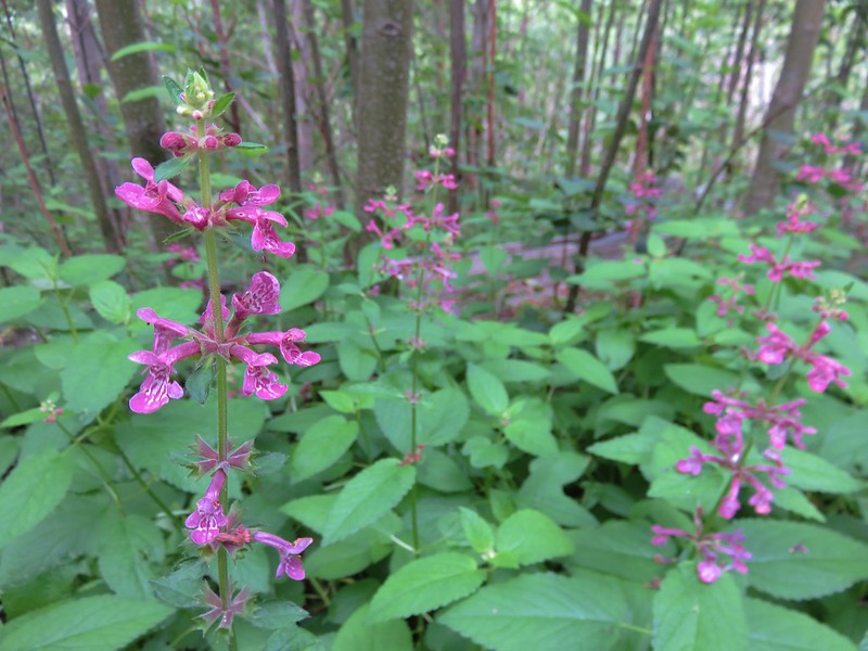
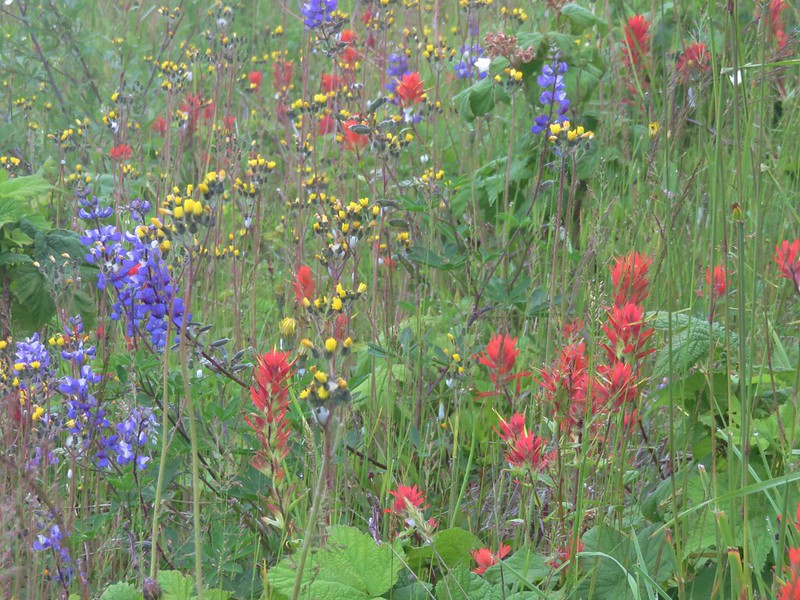
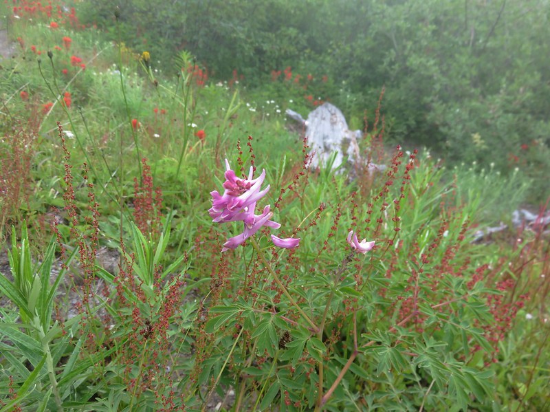
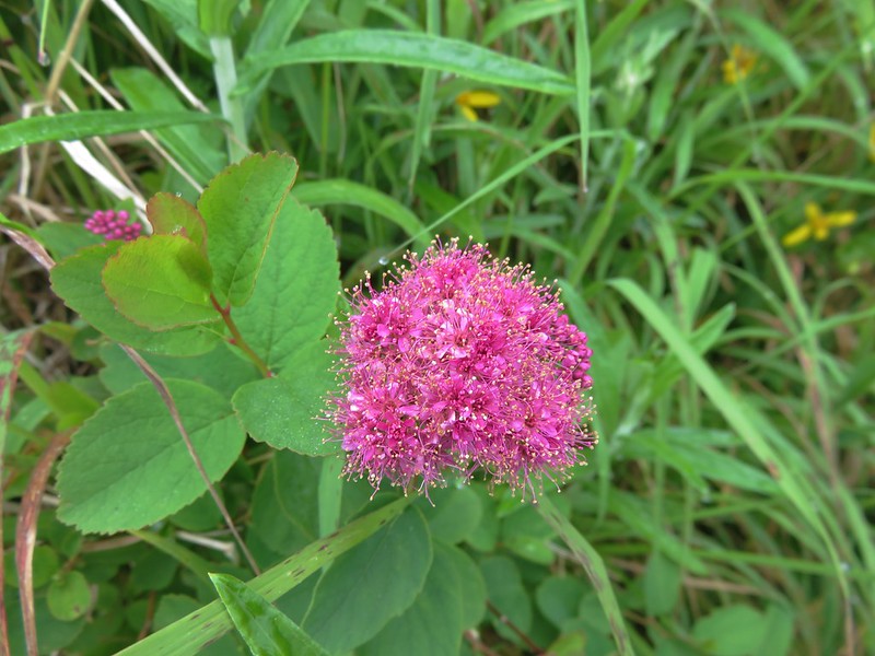
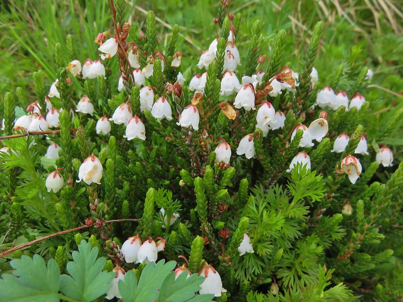
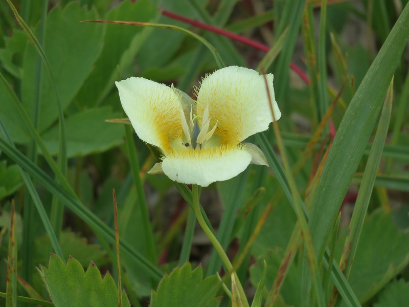
Pink mountain heather

Heading up.

The Loowit Trail to the left crossing over the large rock with Mt. Adams in the distance.

Looking back down from near the top of the climb.
We were still about 3.2-miles from the Ape Canyon Trail at this point. From this crest the Loowit Trail would make a series of ups and downs as it crossed a half dozen gullies/canyons of various depths including several forks of the Muddy River. We momentarily lost the trail at one of the first gullies when we missed a hairpin turn around a post marking the route and instead headed straight following footprints along a rocky ridge.

The trail passing between large rocks.
Mt. Adams was visible for much of this stretch and Mt. Rainier occasionally made an appearance to the north.


Mt. Rainier over the trees.
There were also plenty of great views of Mt. St. Helens.


Mt. Adams from one of the posts.


This is where we missed the turn and were following footprints along this ridge.
When we finally spotted a post and the trail way down in the gully below we checked the GPS and confirmed we were off the actual trail. A little scrambling connected us back up to the correct path.

Mt. Adams from the ridge. The post is barely visible between some trees ahead to the left, but we didn’t want to try to recross the top of the ridge as there were some large gaps that were almost too sketchy for us on the first pass.

A little downclimbing to the actual trail below.

Passing the post we had seen from above.

Dropping into another gully. At this point Heather decided she was not going to try and push for Ape Canyon and sent me ahead while she would take her time and turn around when she felt like it.
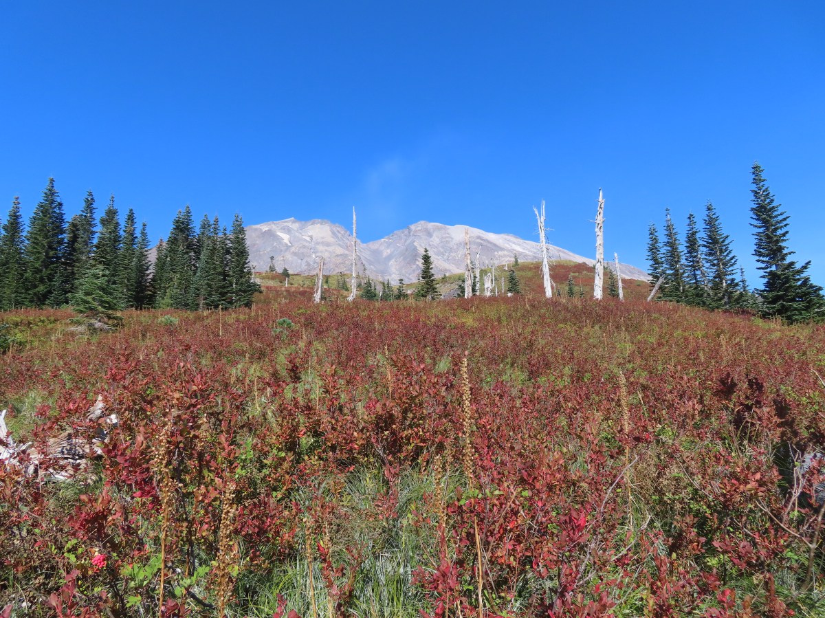
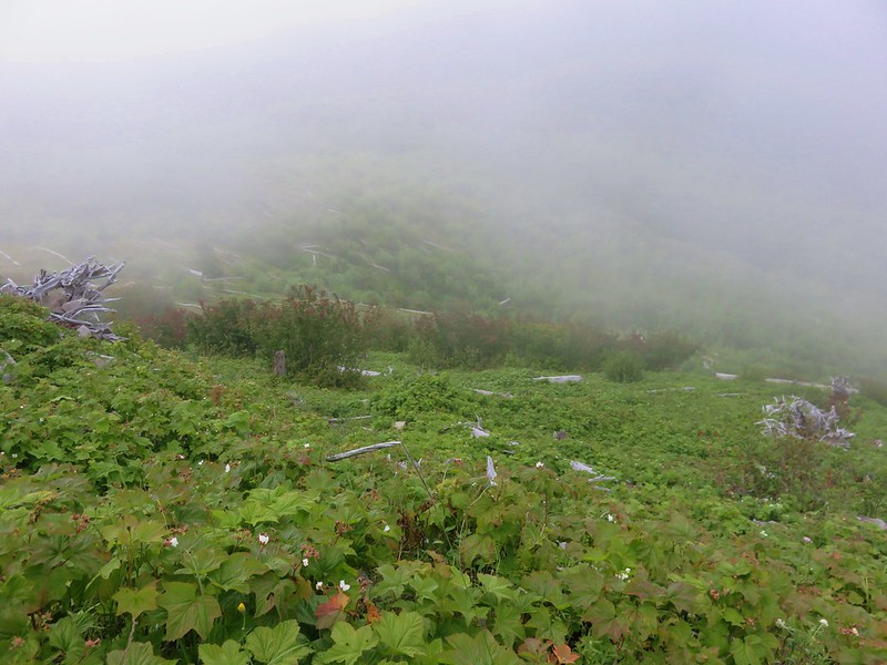
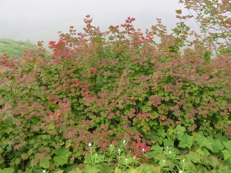
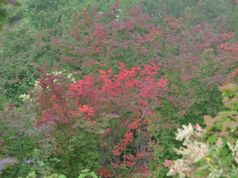
The trail briefly left the rocky landscape to traverse up and along a hillside with a few trees and a lot of huckleberry bushes that were sporting their fall colors.


Looking back at Mt. Hood and the direction we’d come.

Mt. Adams and a lot of huckleberry bushes.

Mt. Rainier in the distance.

Mt. Rainier behind Pumice Butte.


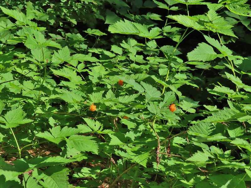
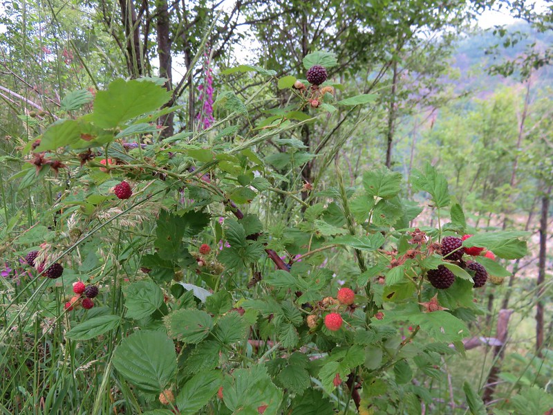
Ripe serviceberries mixed in with the huckleberries.

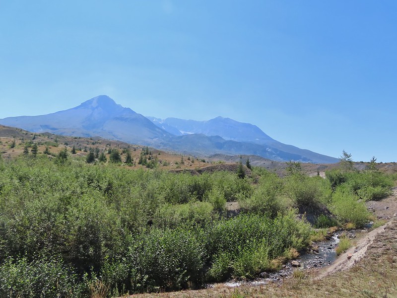
After traversing the huckleberry covered hillside it crossed another tributary of the Muddy River.


Closer look at Mt. St. Helens.

Heading for the next post.

Mt. Rainier became more visible as I continued north.

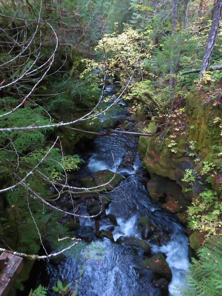
One of the larger canyons of the Muddy River. The entire route was dry this late in the year.

Dry waterfall above the trail.

Looking down the canyon toward Mt. Adams.

Mt. Hood and a layer of haze behind one of the posts.

The trail turning uphill before the next canyon.

The Loowit Trail climbing out of another canyon to a post with Mt. Rainier in the distance.

Mt. Rainier and Little Tahoma

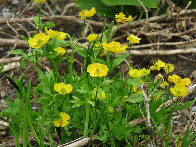
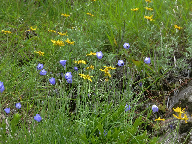
Dwarf lupine
The next ravine was the main channel of the Muddy River and it proved to be the trickiest as the trail climbing out was not obvious.

There was a post visible on the far side poking up from a patch of green but no visible path leading to it.

It almost looked like there might be a path on the shelf above the dry riverbed, but I didn’t see a clear path to it, nor did it appear to lead anywhere near the post on the ridge above.
Once I was in the riverbed I spotted two small rock cairns, one with a pink ribbon so I headed for those.

That brought me to the far side but there was still no clear tread that I could see.

The post is uphill just to my left. There were some prints leading up from here so I angled uphill toward the trees above.
This route quickly turned into a class 3 scramble. I had to be very careful which rocks I used as hand and footholds due to how loose the hillside was. I momentarily considered turning around but I was closer to the top than the bottom and wasn’t sure I could safely downclimb, so I continued. I finally managed to climb out near the snags.

The post is hiding back behind the snags here.
After gathering myself I continued on figuring that it should be easier to follow the correct path down starting from the post on the way back. The Loowit trail now began a nearly three-quarter mile long descent.

Mt. Rainier to the left and the Loowit Trail ahead to the right.

The Ape Canyon Trail was visible climbing along the ridge below.
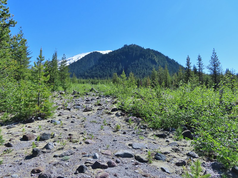
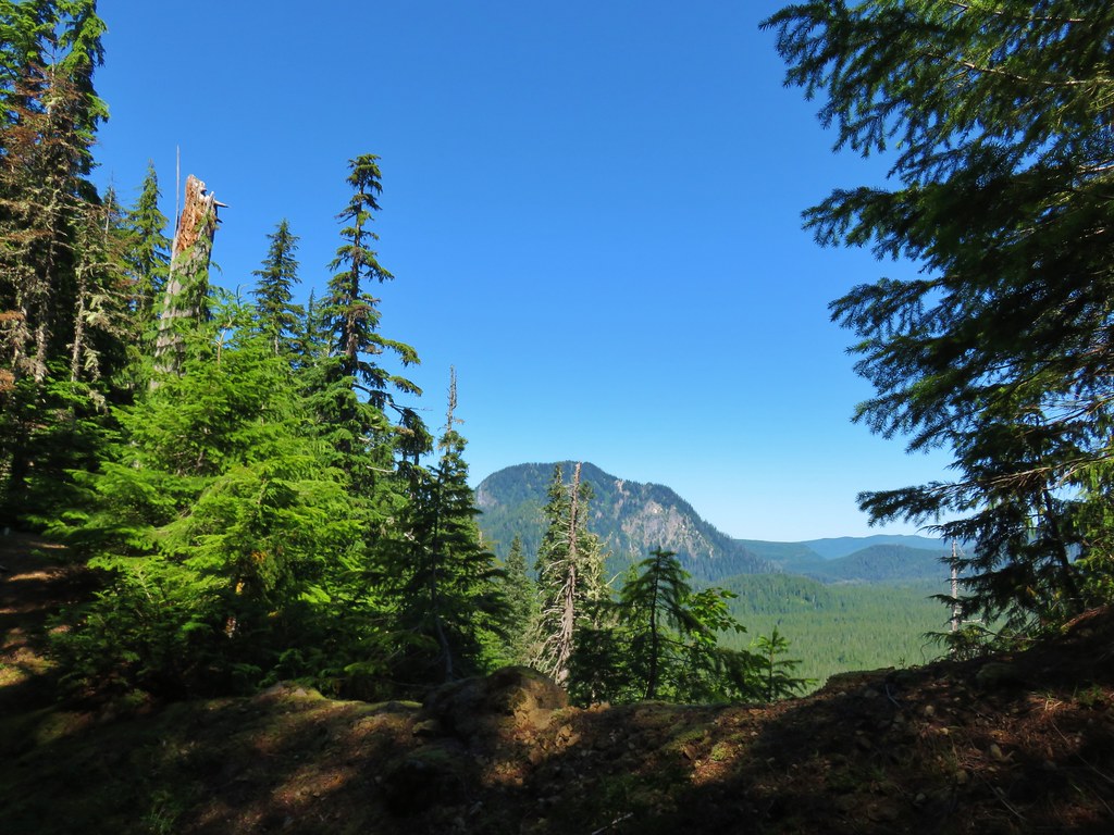
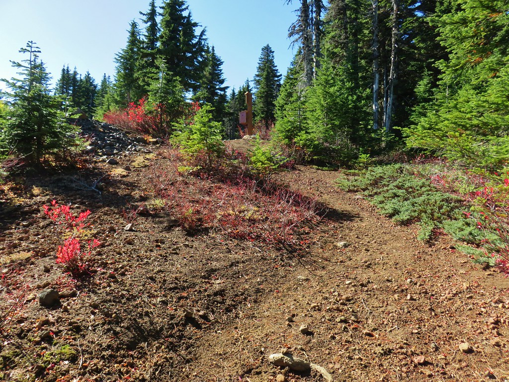
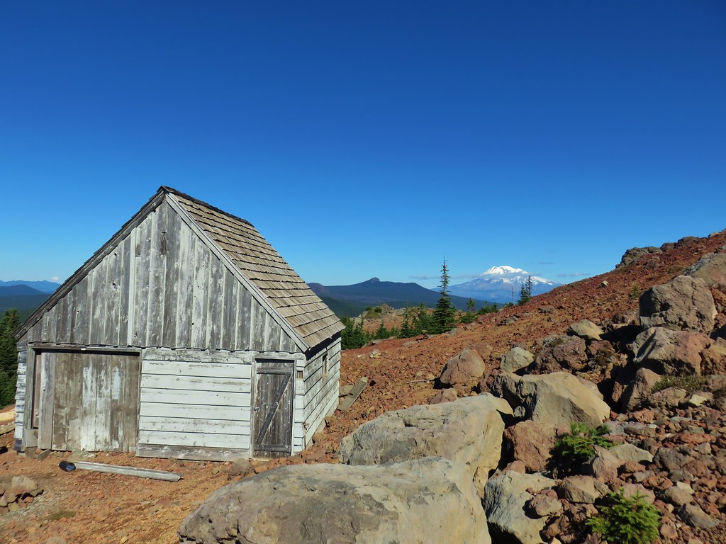
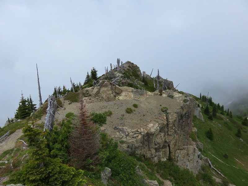
The trail leveled out shortly before arriving at the junction with the Ape Cayon Trail at a post with a great view of Pumice Butte.

I almost called it quits here. In addition to a great view of Mt. St. Helens I could see the Loowit Trail below in the distance as it bowed out and around toward Ape Canyon which was on the far side of Pumice Butte.

The Loowit Trail is visible on the right-hand side about halfway up the photo.

The trail then bent around to climb the ridge in the distance on the far side of the butte.
The deciding factor was that on our previous two visits Mt. Adams had not been visible from the viewpoint above Ape Canyon. Despite there being a little haze today I knew Mt. Adams would be visible, so I sallied forth.


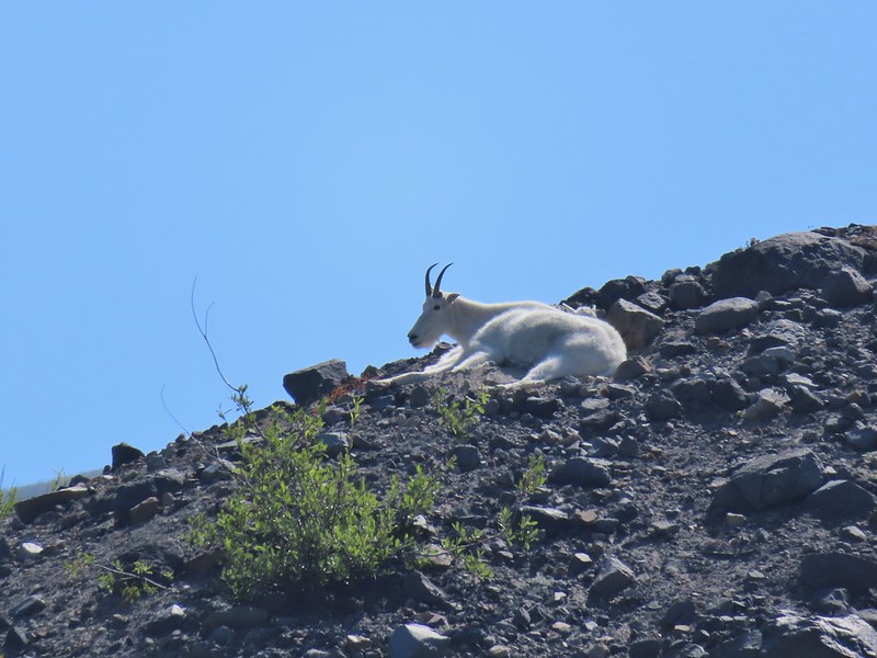
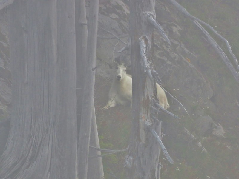
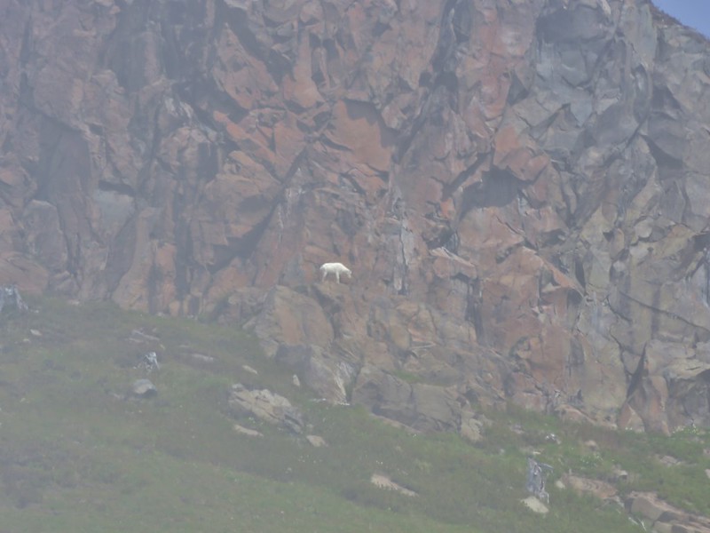
Heading toward Pumice Butte now. If you look closely, on the left-hand side toward the top, there are several mountain goats. At this point I had dismissed them as fallen snags and hadn’t bothered looking closely.

Passing through yet another gully.

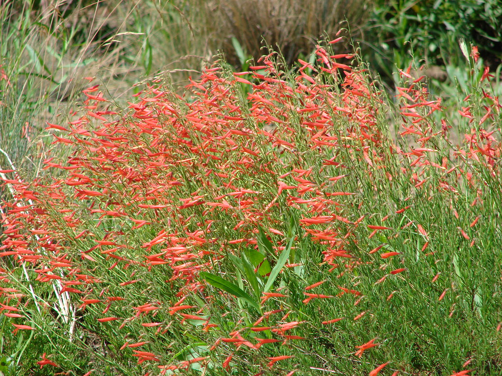
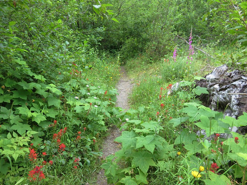
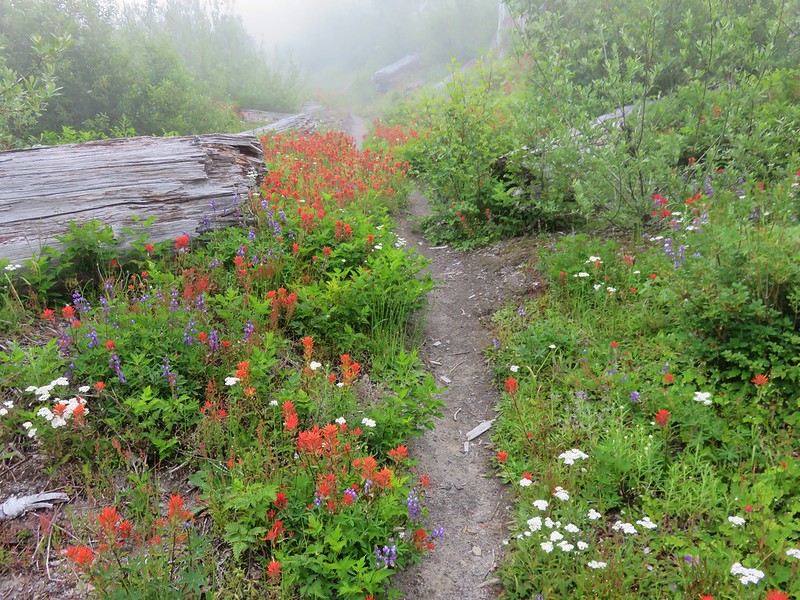
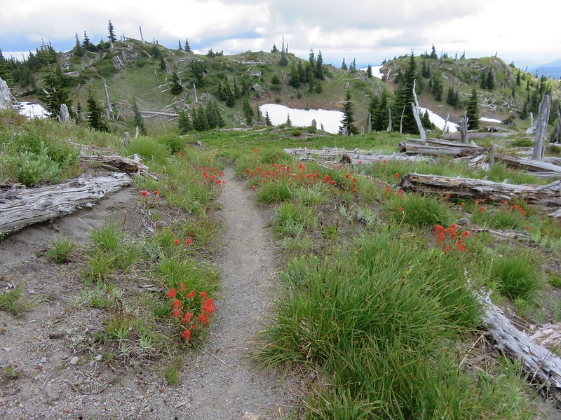
Paintbrush

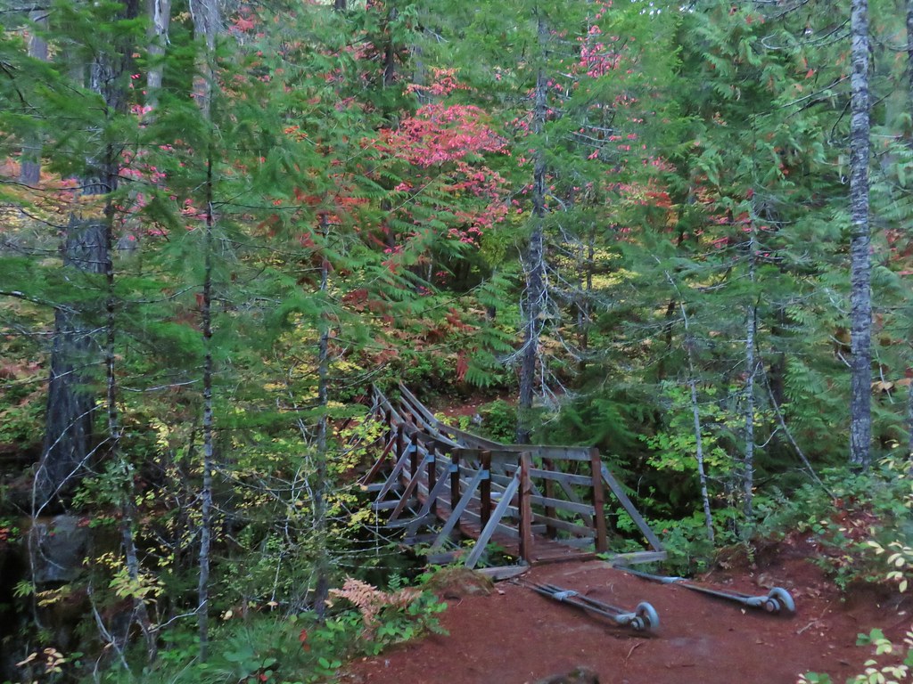
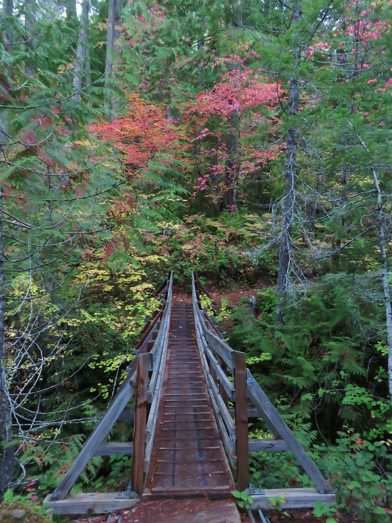
The trail passes the top of Ape Canyon and crosses what is sometimes a small spring fed stream.


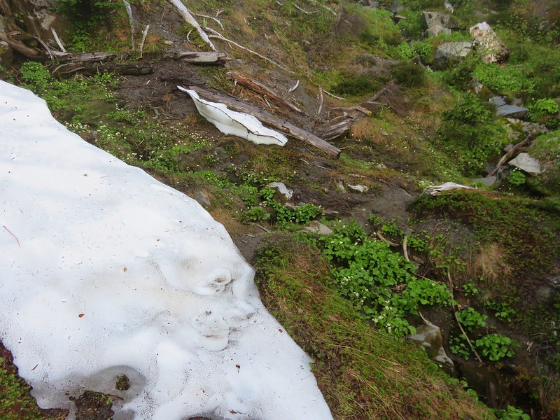
No water, just a little bit of mud. Speaking to backpackers there were few sources of water available this late in the year.

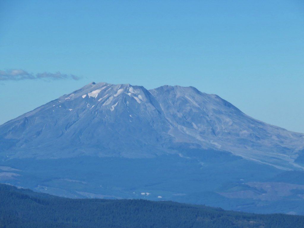
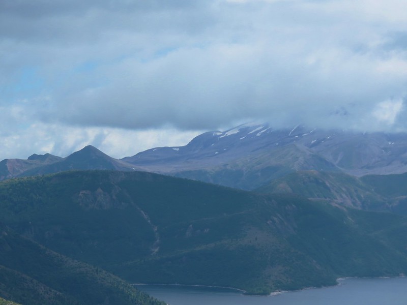
Success! Mt. Adams from Ape Canyon

This was the 2013 view.

And the 2015 view.
I took a break on a rock and had a snack and changed into dry socks before starting back.

The rock I used as a bench.
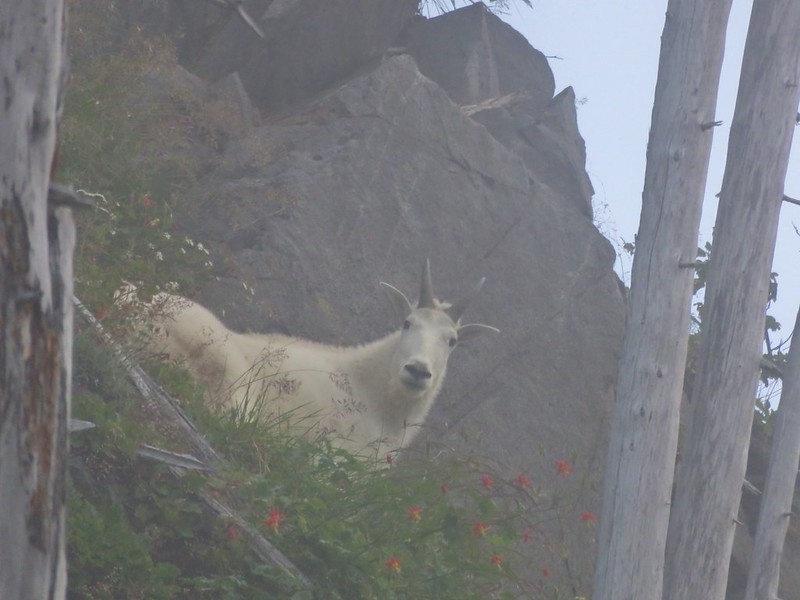
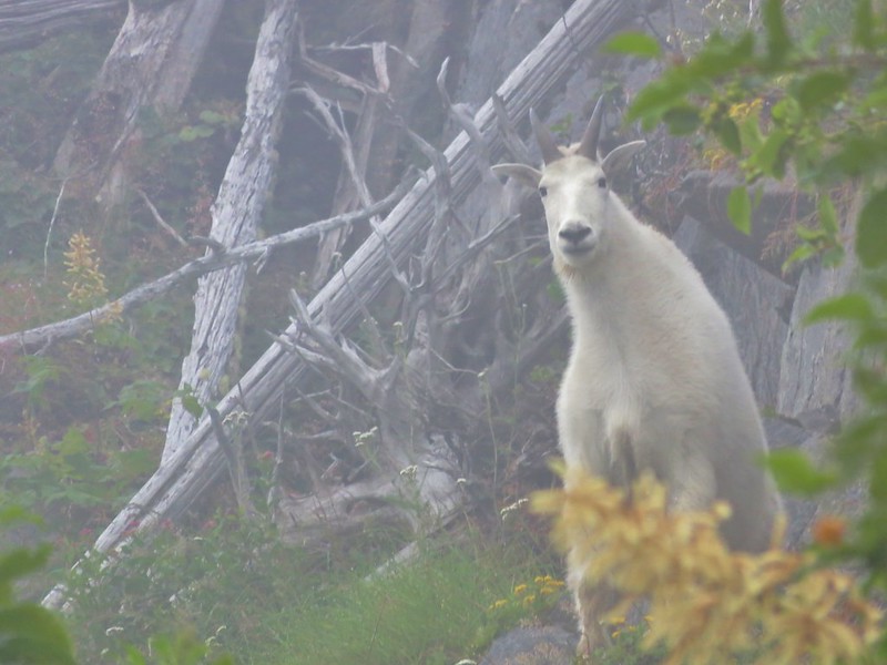
It was while I was heading back that I realized it was mountain goats on Pumice Butte and not stumps/downed trees.


Looking north toward Windy Pass where the Loowit Trail passes between the mountain and the butte ahead.

Mt. Adams, Pumice Butte, and mountain goats.

I returned the way I’d come, except for the two places that I’d lost the trail on the way to Ape Canyon. As the sun moved overhead the view of Mt. Adams improved a bit and the view of Mt. Hood became hazier.


Mt. Hood was barely visible now.
When I reached the post above the Muddy River I followed the path as it began to descend the side that I’d scrambled up.


The section of trail that I had thought I’d seen from the other side was visible below but again there was no clear route to it. I believe it is a remanent of a previous route through the canyon that has since washed out.
The route down made a switchback and basically led me back to where I had begun my scramble up. There was a pretty good drop near the bottom though. It was significant enough that I sat down and slowly lowered myself by sliding down the loose pumice. Looking back, I am sure I considered that as a possible route up but the drop, or climb going up, seemed pretty daunting and since I wasn’t positive it was indeed the current trail I veered right instead. Once I was done with the butt slide, I found myself in the riverbed at the cairns I had followed earlier. It was a little perplexing at the time, but I was through the worst section now and could enjoy the rest of the hike back.

Dust kicking up from a rockfall on the mountain.


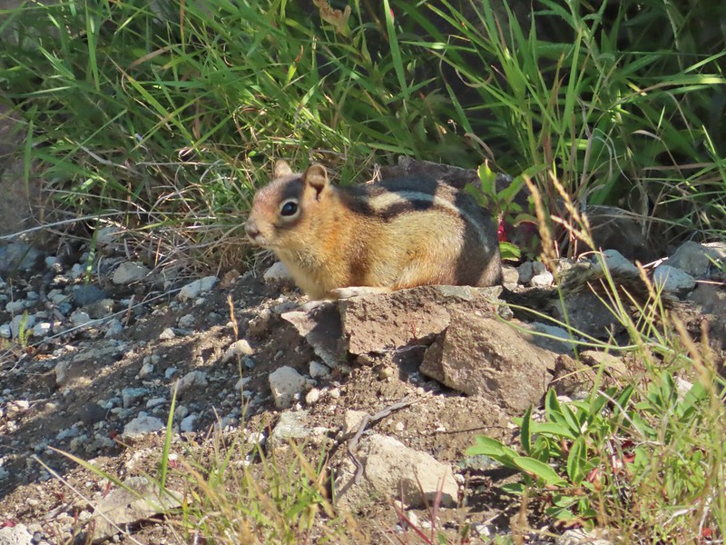
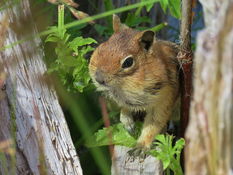
Golden-mantled grounds squirrel. I heard a few pikas along the way but never saw any, just the golden-mantles and some chipmunks.


Coming up to the post on the ridge where we’d lost the trail earlier.


Mt. Adams near the end of the hike.

The trail below in the rocks.

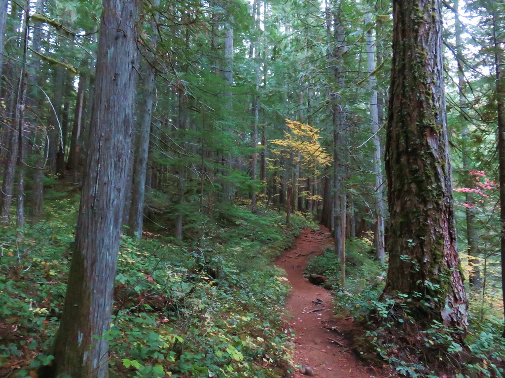
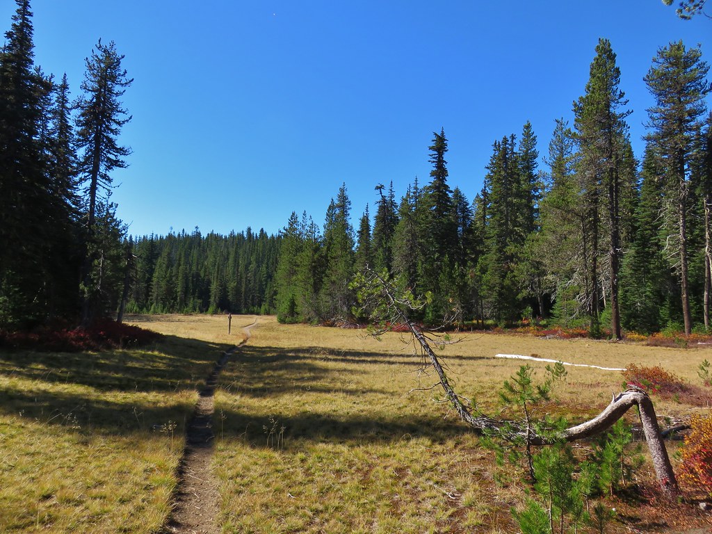
Back on the June Lake Trail.
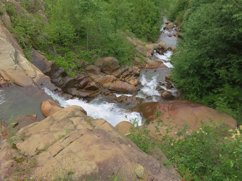
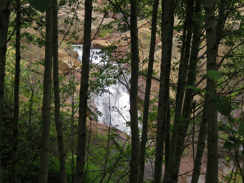
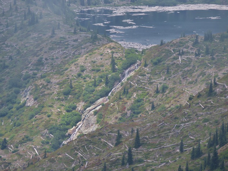
I caught up to Heather a little before reaching June Lake. She had gone through the huckleberries and stopped at the edge of one of the big canyons and taken a nice long break before taking her time on her way back. We stopped at June Lake again for a final look at the waterfall then returned to the car.


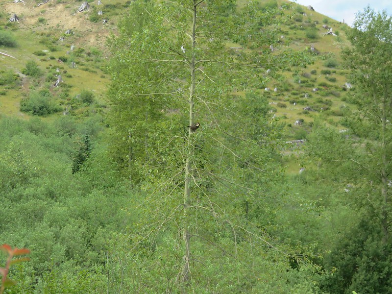
Ouzel with a snack.


The hike to Ape Canyon came in at 14.4-miles on my GPS. I am just guessing on elevation, but I’d say it was in the 2500′ range due to all the ups and downs.


This little orange section is my scramble out of the Muddy River Canyon.
Mt. St. Helens never disappoints. This might have been my favorite hike we’ve done at the mountain to date but it’s hard to say. Happy Trails!
Flickr: June Lake to Ape Canyon


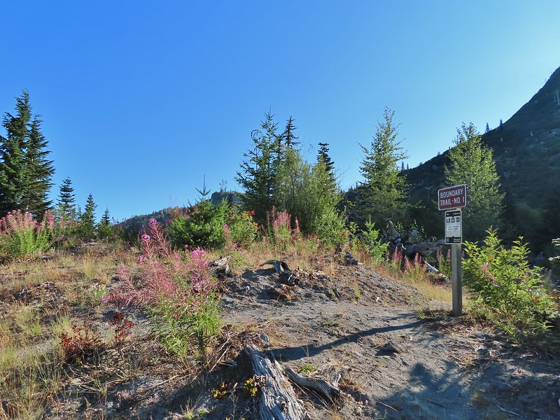
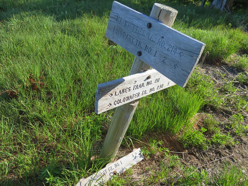
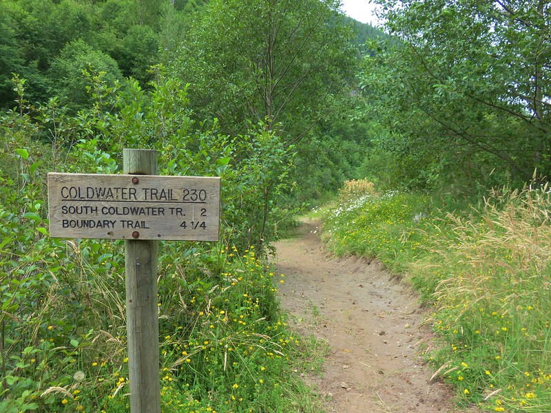
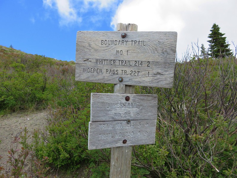
 While the loop did come in at 2.5-miles it was a little over 3/4 of a mile to the Boundary Trail.
 Lupine
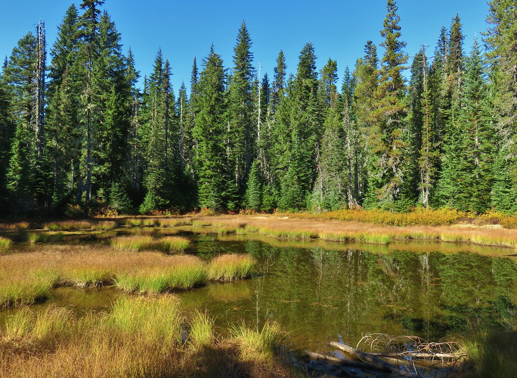
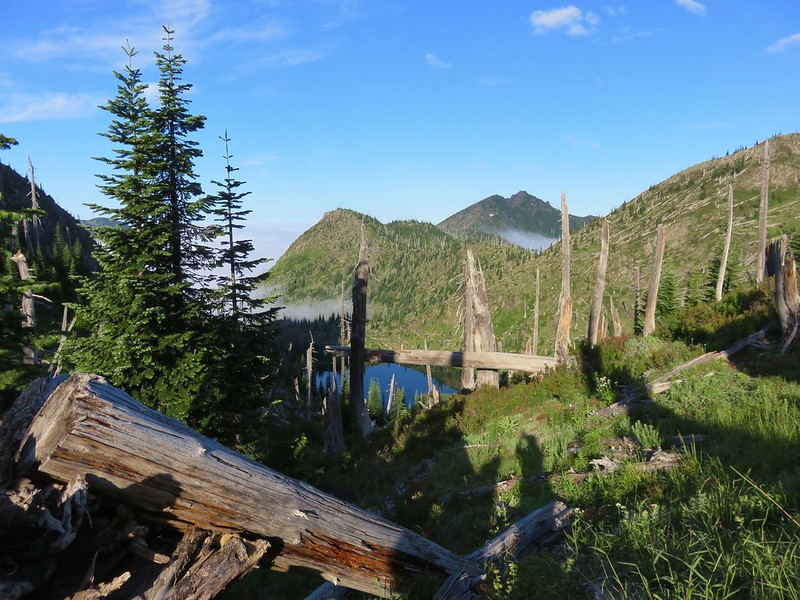
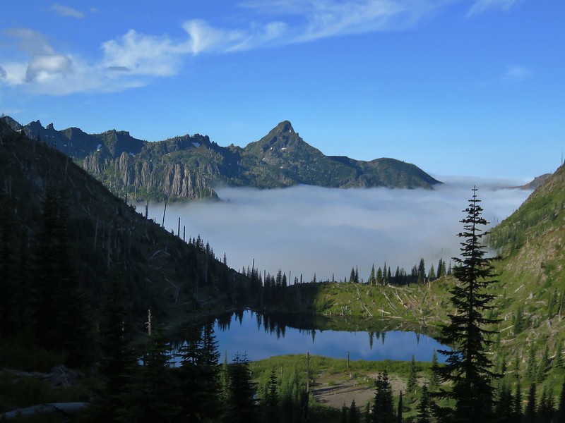
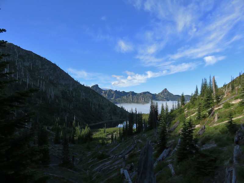
 One of several ponds along the trail.
 A “Student Stop” marker surrounded by dwarf lupine. We aren’t sure what the these meant or what program they are related to.
 An interpretive sign along the trail facing some of the hummocks.
 Penstemon
 Mt. St. Helens as we neared the Boundary Trail junction.
 Trail guide marker #3 and an interpretive sign at the junction.
 The lower left map shows the current closure area and open trails. In a nutshell, all the trails are open but everything off-trail to the side facing SR504 is currently closed.
 The views of Mt. St. Helens were great.
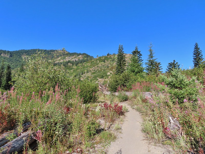
 The trail began to climb as it squeezed between a gap in the hillsides ahead.
 View back to the hummocks from the gap.
 Trees in the gap.
 After exiting the gap we got another good view of the mountain before the trail veered left turning away from the mountain.
 Heading away from Mt. St. Helens to start the climb.
 Dwarf lupine was profuse below the ridge.
 Scouler’s bluebell
 Thimbleberry blossoms
 Castle Peak above Castle Lake with Spud Mountain to the right and the North Fork Toutle River below.
 Horned lark
 Tiger lily
 Savannah sparrow
 Heading back toward Mt. St. Helens.
 The North Fork Toutle River flowing between Spud Mountain (left) and Elk Rock (right).
 Castle Peak and Castle Lake
 Elk Rock on the left and Coldwater Lake on the right.
 Coldwater Lake
 Mountain bluebird.
 At one point quite a bit of dust? kicked up from the South Fork Toutle River canyon.
 Cardwell’s penstemon

 Coldwater Peak with Mt. Adams to the far right of the photo. The hiker ahead to the left of Coldwater Peak was from Belgium. He was here on work but using the weekends to explore the area. We would see him two more times, once from the observatory as he continued on the Boundary Trail and then as we were exiting the trailhead. He had done a loop using the Coldwater Trail (
 Mt. Adams from the viewpoint on our way back. The angle of the Sun earlier caused the mountain to look pretty washed out.
 Mt. St. Helens from the viewpoint.
 Variable-leaf collomia
 The Loowit Viewpoint on the ridge ahead.
 Paintbrush covered hillside.
 Mt. St. Helens from the Loowit Viewpoint.
 Mt. St. Helens crater.
 Golden mantled-ground squirrel. These brazen con-artists often convince visitors they would starve without humans help. While this is definitely not the case and
  A single plant.
 A lot of paintbrush.

 Daisies and paintbrush
 Penstemon, yarrow, and Scouler’s woolyweed along with the paintbrush.
 Paintbrush and penstemon along the trail.

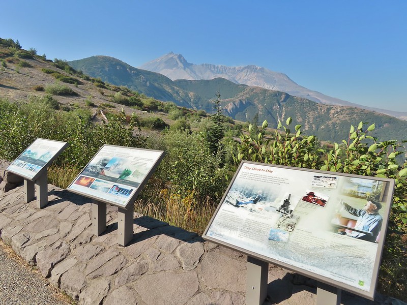
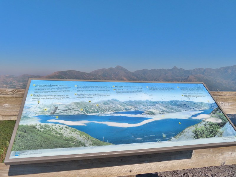
 Passing by the Johnston Ridge Observatory.
 Before and after photos of the 1980 eruption.
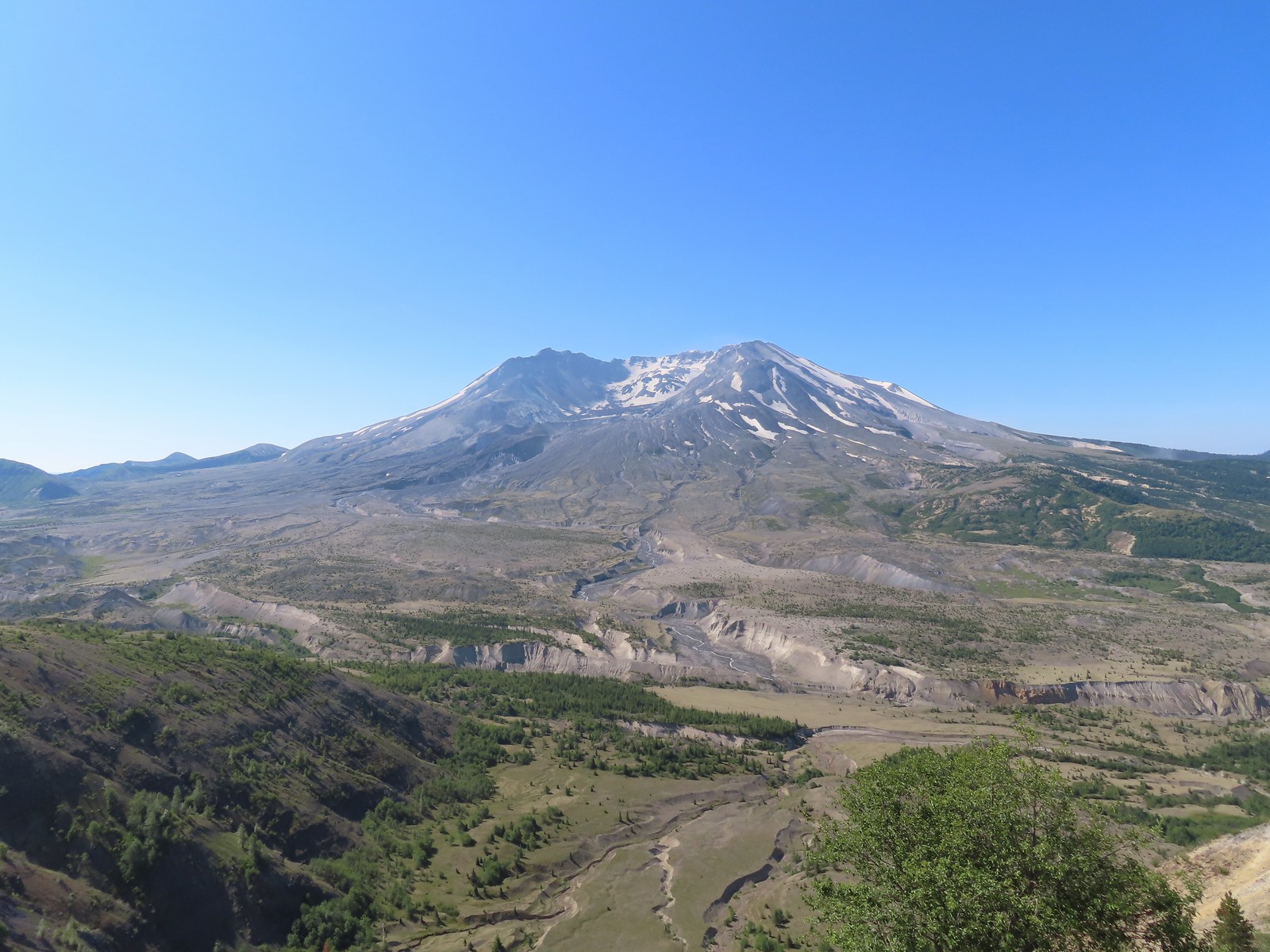

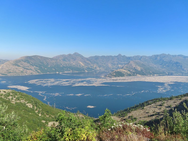
 Mt. Adams peaking over the ridges with Spirit Lake also visible (center).
 Spirit Lake
 The mountain identifier ahead on the left.
 We could see where the repair work was happening on SR504 from this trail.
 The rounded peak to the right is Goat Mountain (
 Goat Mountain with a few patches of snow still showing up.
 Rock Arch near Coldwater Peak.
 Memorial for the lives lost in the 1980 eruption.
 Junction with the Boundary Trail.
 Pussypaws


 Another view of the washout.

 Our turn around spot. You can see the trail on far side of the saddle veering left behind the ridge.
 Coldwater Peak from our turnaround spot.
 The Johnston Ridge Observatory from the trail. We hadn’t realized how much elevation we’d lost until we turned around.
 Castle Peak and Spud Mountain on the left and the observatory above some colorful cliffs.
 Penstemon
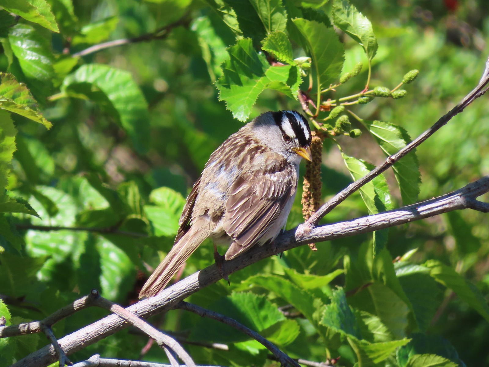 White crowned sparrow
 Boundary Trail leaving the Loowit Viewpoint.
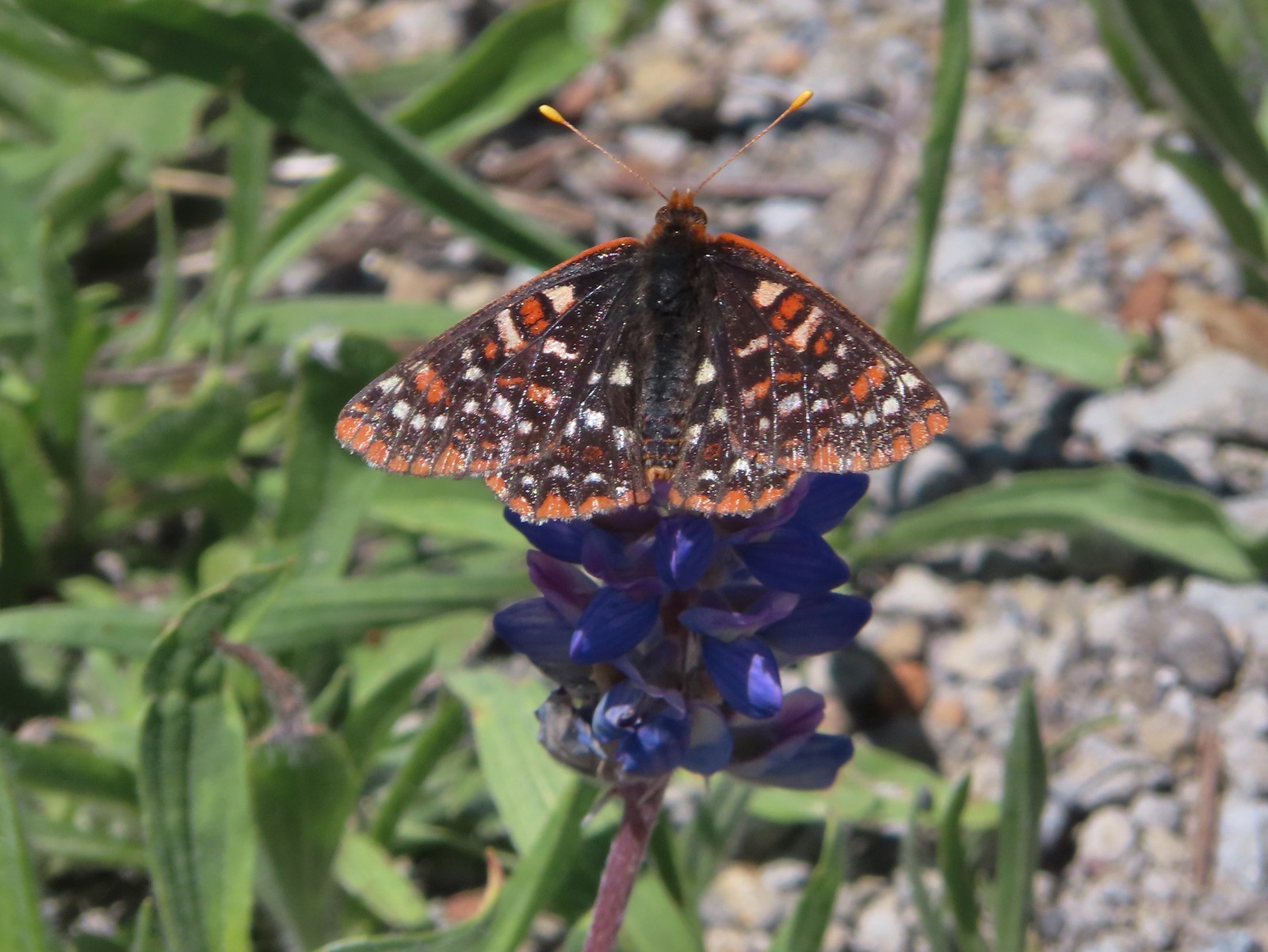
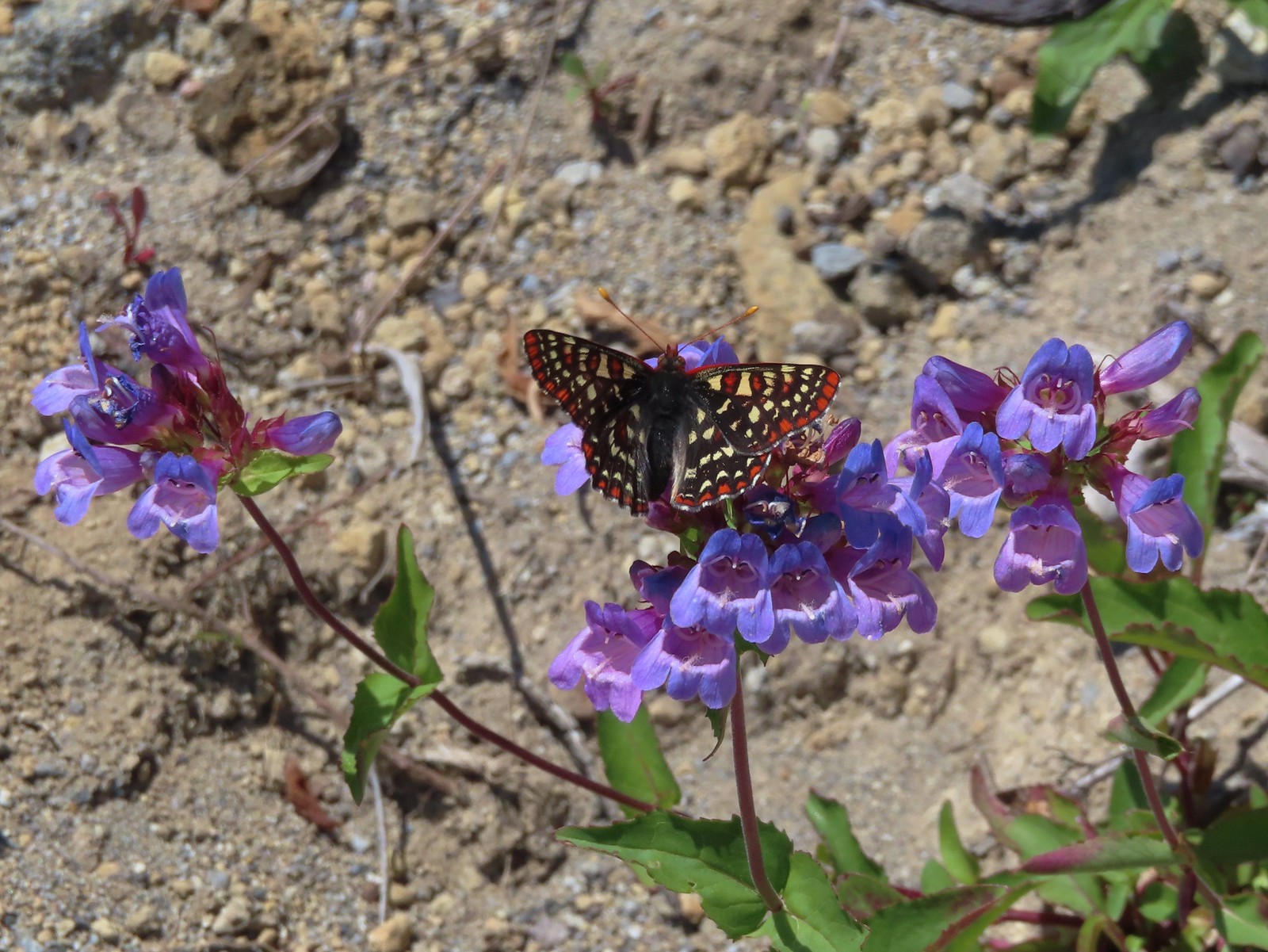 Snowberry checkerspot on penstemon.
 Another checkerspot, this time on lupine.
 Cedar waxwings


 Mt. St. Helens and the North Fork Toutle River.
 The same view in May 2014.
 Same spot, different angle 2014.
 Monkeyflower
 Maybe a yellow-rumped warbler.
 Caterpillar
 Dragonfly
 Pearly everlasting
 Arriving back at the Hummocks Trailhead.

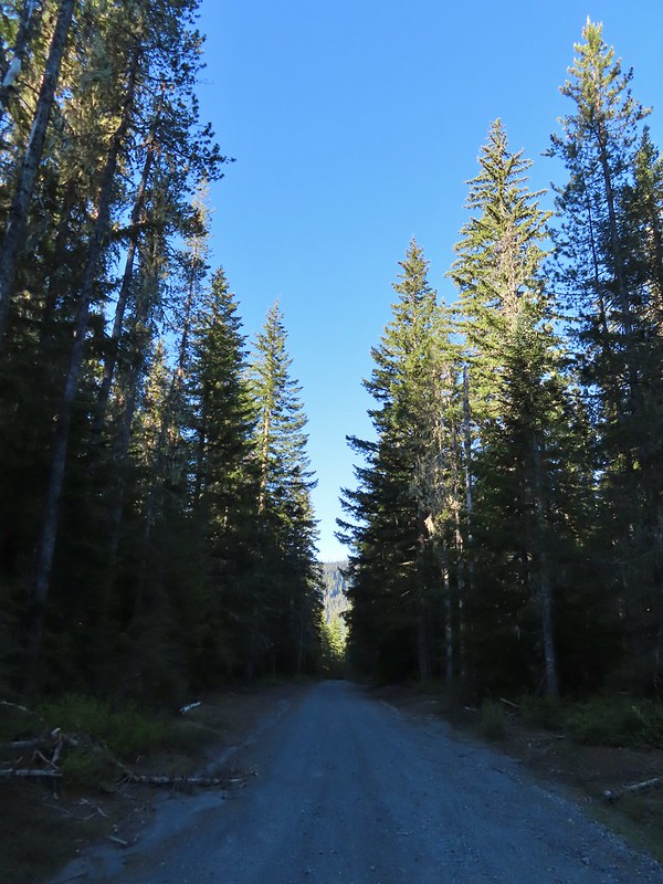 FR 8123

 It appeared the trail had been rerouted at least a couple of times to cross this dry creek bed.


 Fence at the boundary for the Research Area.
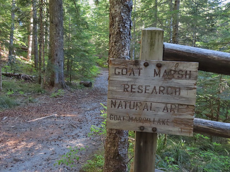
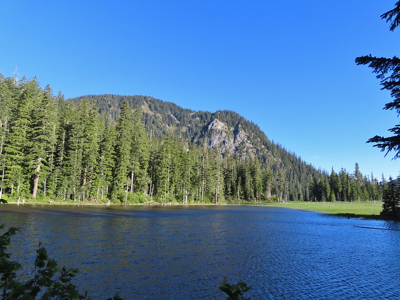 Goat Mountain and Goat Marsh Lake.
 Mt. St. Helens
 Trillium
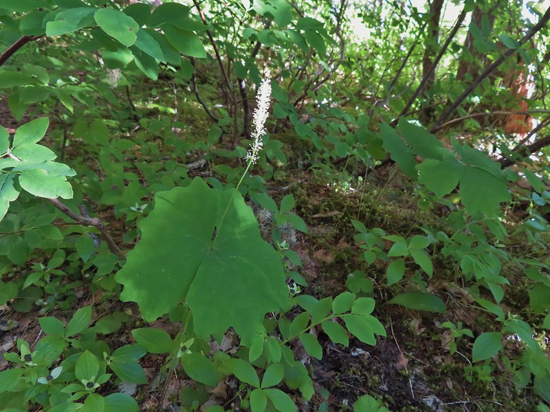 Vanilla leaf

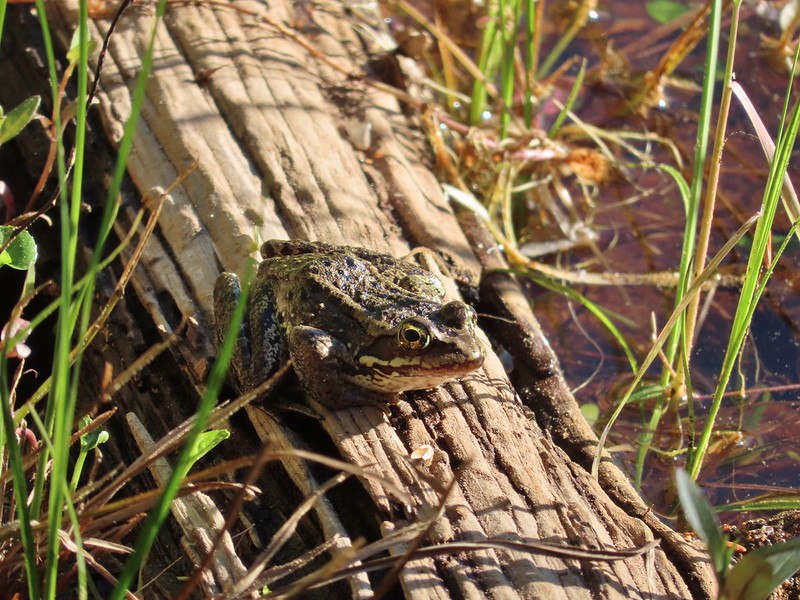 Frog on a log.
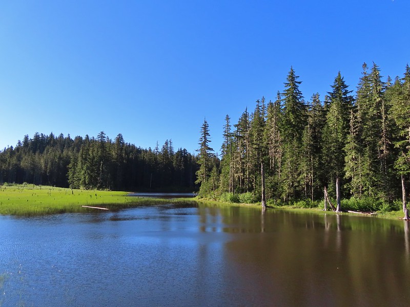
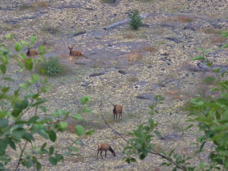
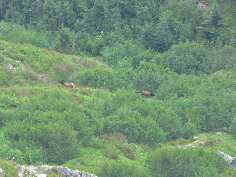
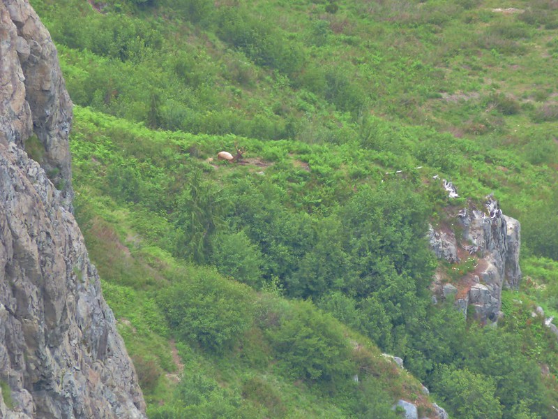
 The two cow elk in the middle of the grassy area.

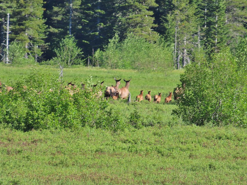 Calves lined up, this one is a bit blurry due to them moving and the amount of zoom used.
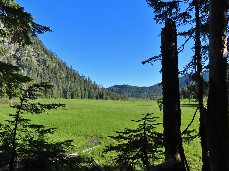 The elk herd not zoomed in.
 Zoomed
 Coralroot
 Goat Mountain
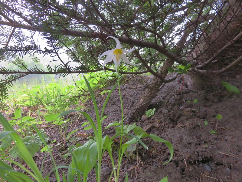
 Avalanche lilies
 Mt. St. Helens
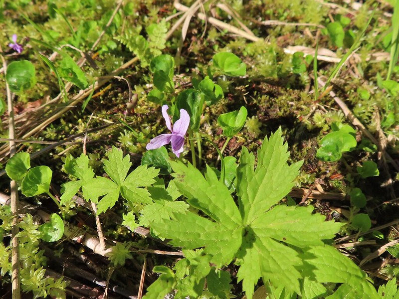 Marsh violet
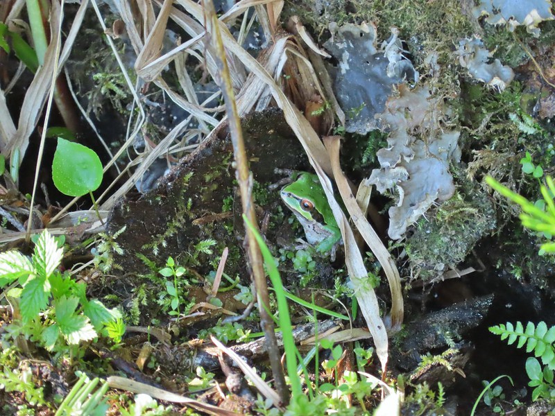 Frog under a log.
 Salmonberry
 Sign near the end of the trail.
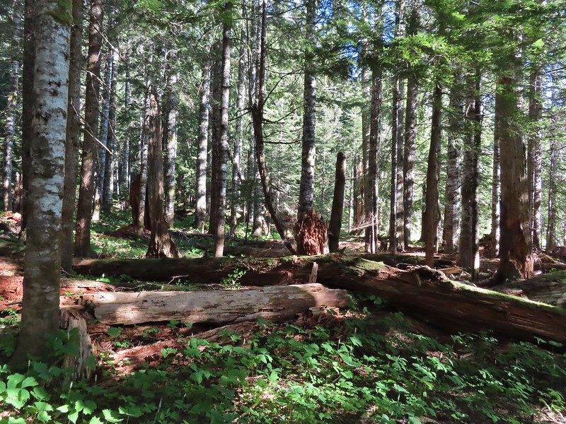 At the end of the trail.
 Beaver lodge
 Duck and ducklings
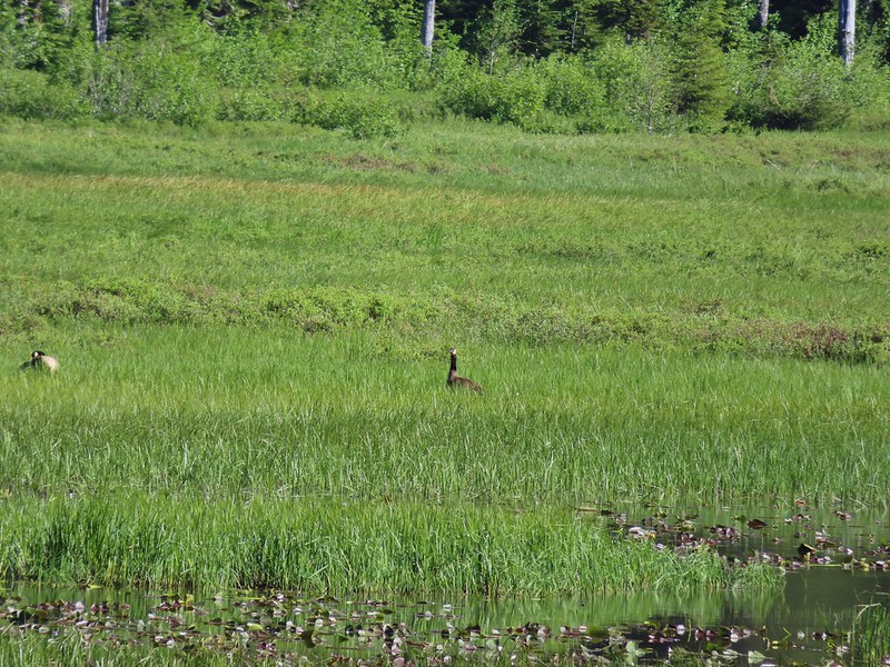 Geese out in the grass.
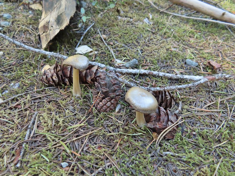

 The road crossing.
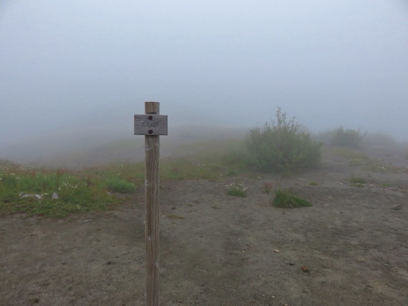
 In the campsite trying to decide which way to go.
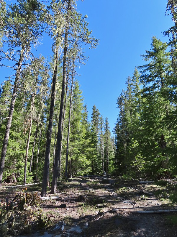 Once we found it the trail was pretty obvious, at least for a while.
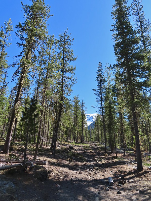


 Gray jay with a snack.
 Western tanager. Right after this photo he flew straight at us snatching an insect out of mid-air.
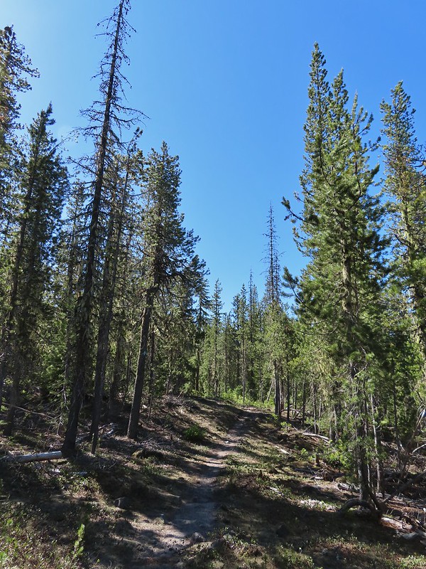

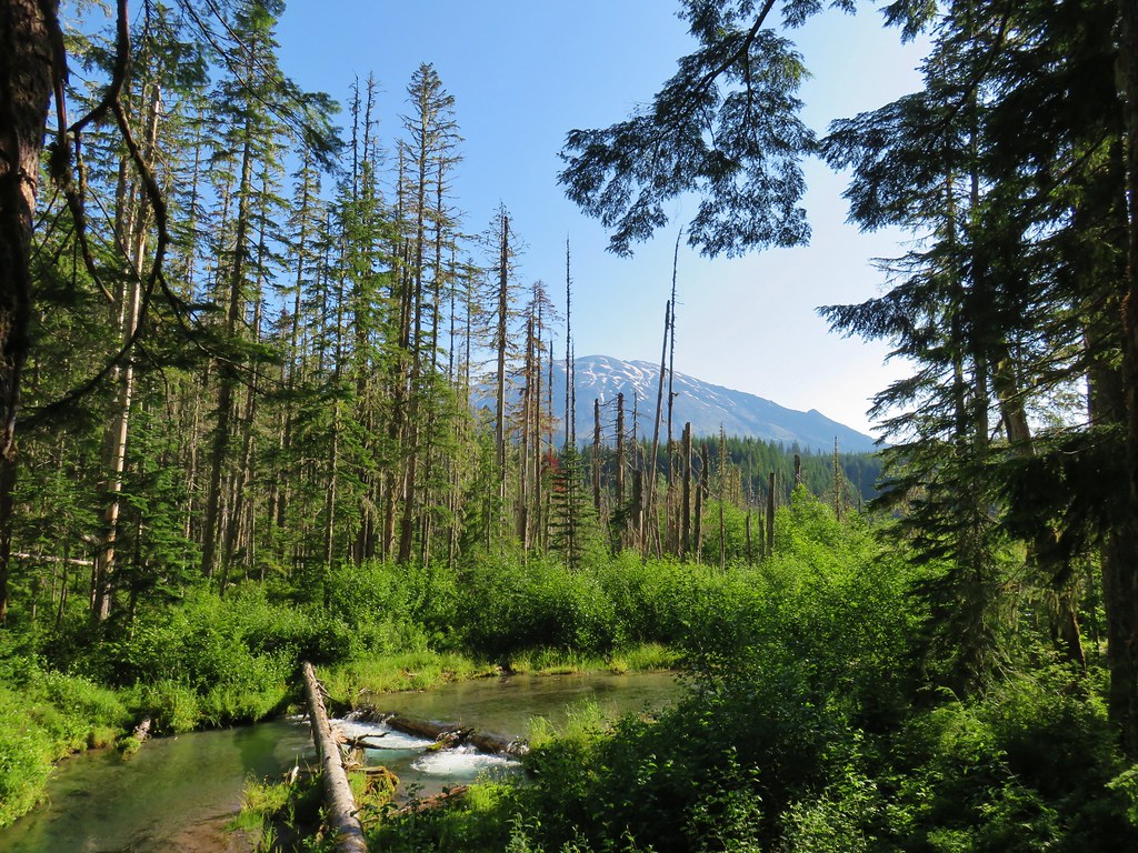
 Butte Camp Dome in front of Mt. St. Helens.
 Crossing another dry bed.
 Where is the trail?
 In one of the creek beds. We were using the GPS along with looking for cairns and/or flagging.
 Goat Mountain
 You can’t really make them out in the photo but there is a pink flag and a blue diamond (on a downed tree) near the edge of the green trees.
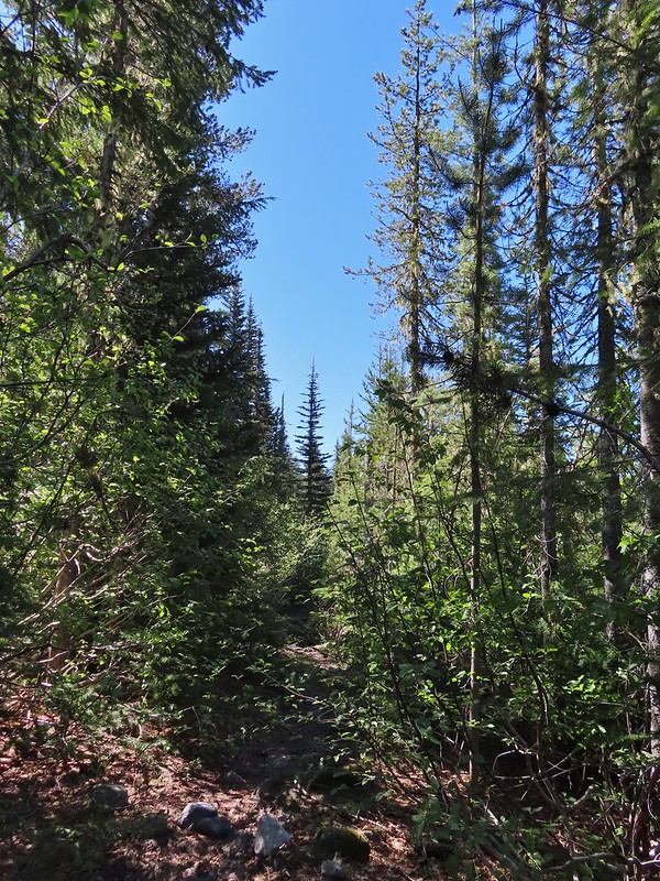 There was another short brushy section before the forest opened up.
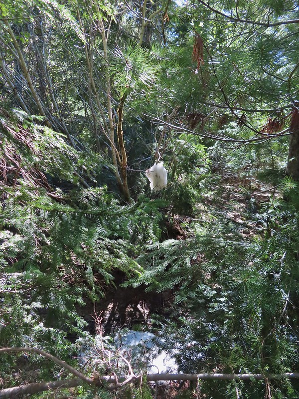 One of the strangest snow sightings we’ve come across.
 My theory was bigfoot hung this.

 The NOHRSC estimated 2″-3.9″ of snow and that seemed to be about right.
 Looking back at the junction from the Toutle Trail. The post with no sign is the continuation of the Toutle while the trail on the left is the ski trail.

 Last years beargrass.
 Strawberry
 Phlox
Phlox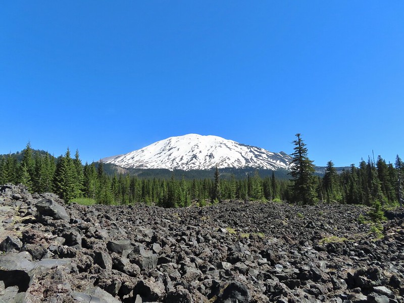
 FR 81 below the trail.
 Trail sign at the trailhead.
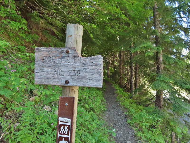
 Raven flyover
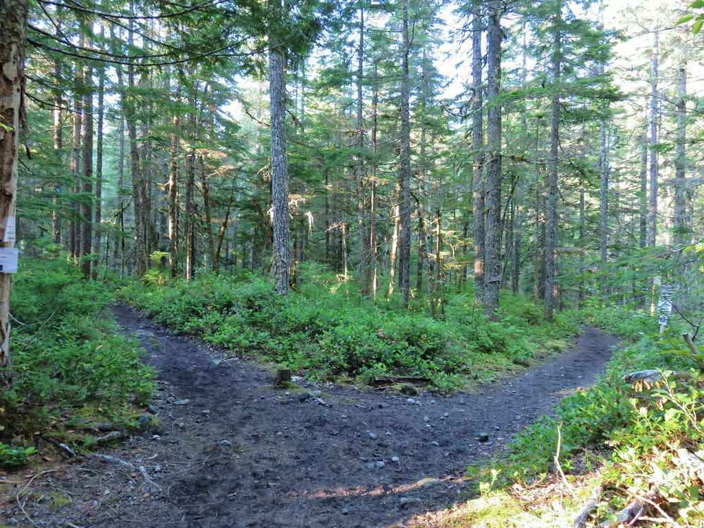
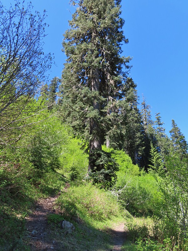 The fork.
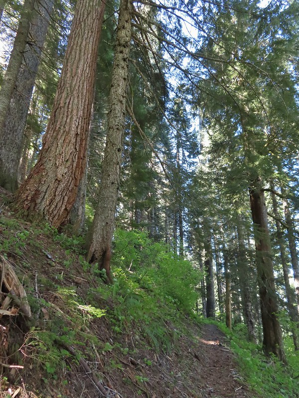
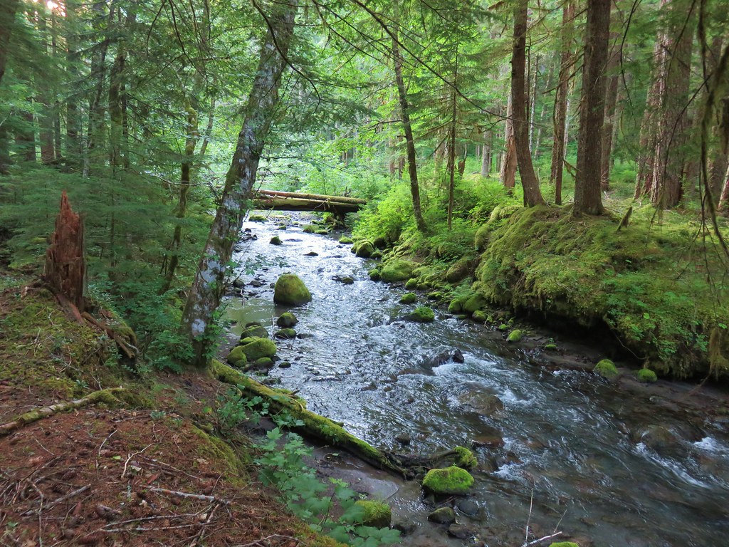
 One of several side creeks we crossed.
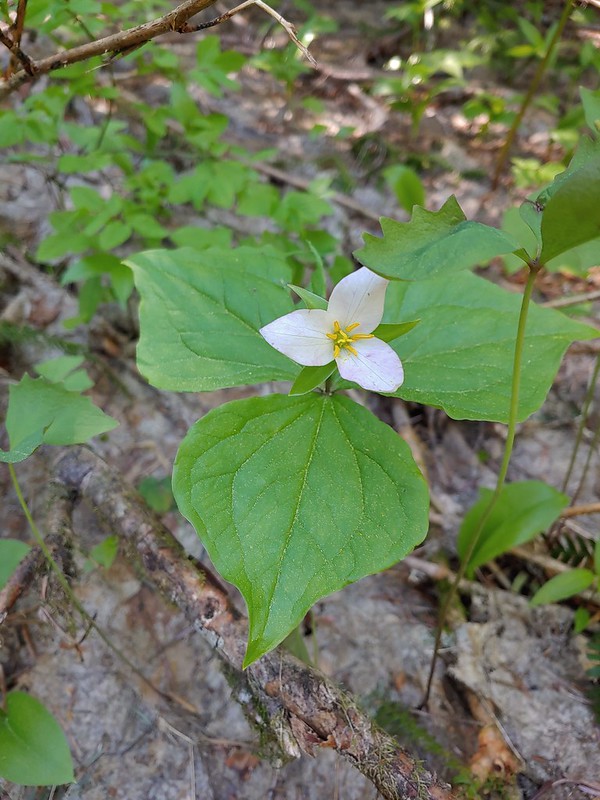 Trillium
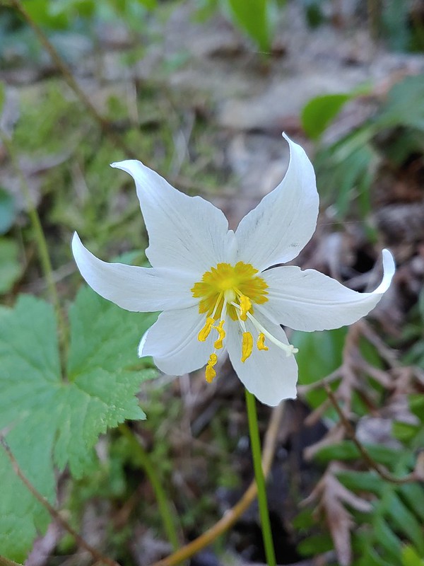 Avalanche lily
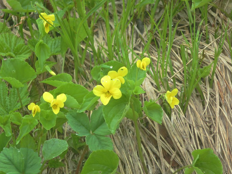
 Violet
 Goat Mountain beyond McBride Lake.
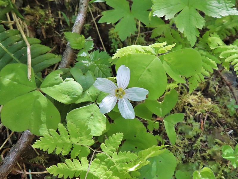 Sourgrass
 Valerian
 Solomonseal
 Saxifrage
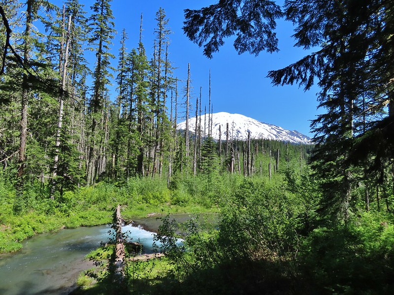


 Kalama River from the road bed.
 The Blue Lake Horse Trail on the far side of FR 81.
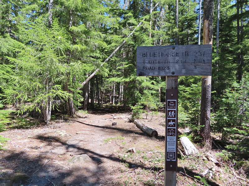 The sign did show FR 8123 which was the road the trailhead was on so that fed into us not realizing our mistake at first.
 An orange diamond on a tree ahead.
 Where we left the horse trail.
 Typical terrain for the cross-country walk.
 It seems like every time we go off-trail we come across a mylar balloon. We’ve really come to despise those things. We packed it and the ribbon out.
 The trickiest part was crossing this dry stream bed but we fortunately came to it at a spot that was perfect for crossing.
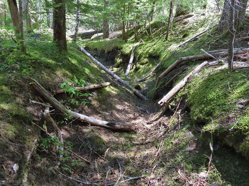
 FR 8123
 Coming up to the Goat Marsh Lake Trailhead (and our car) on FR 8123.

 The view from the trees surrounding our campsite as we prepared to leave.
 Mt. St. Helens catching some morning light.
 Mt. Rainier without a whole bunch of smoke.
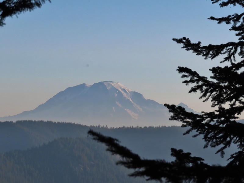
 We snagged a few black caps along the road to as a post breakfast snack.
 FR 2551
 The very top of Mt. St. Helens from FR 2551.
 Sullivan had labeled this stretch with the word slide which had caused a little apprehension in deciding to try this return route but despite the obvious slide(s) that had occurred here the road was in decent shape.
 Not sure what kinds of birds were in this tree but there were a lot of them.
 FR 25 at the end of a long straight away.
 The Boundary Trail crosses FR 25 near the road sign ahead. The picture was taken from FR 2551 at FR 25.

 Paintbrush
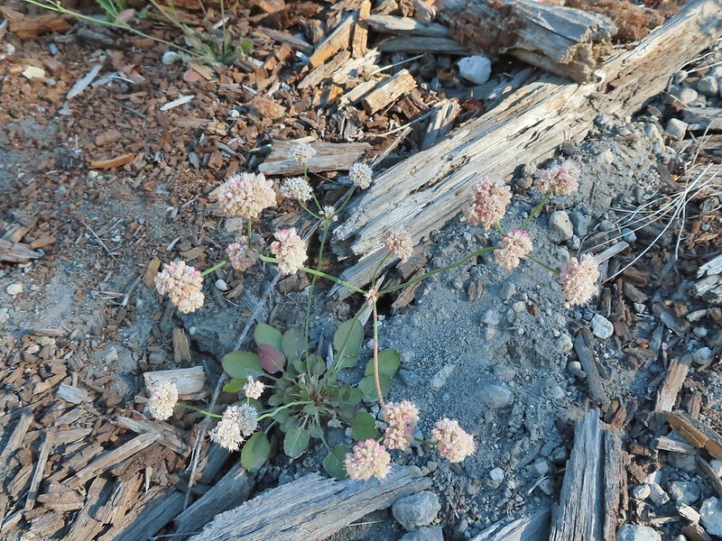 Buckwheat
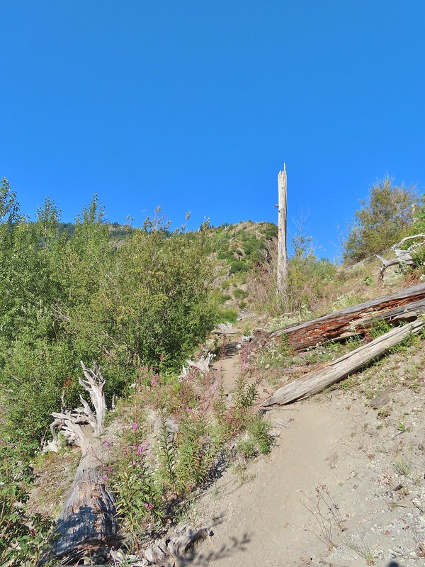

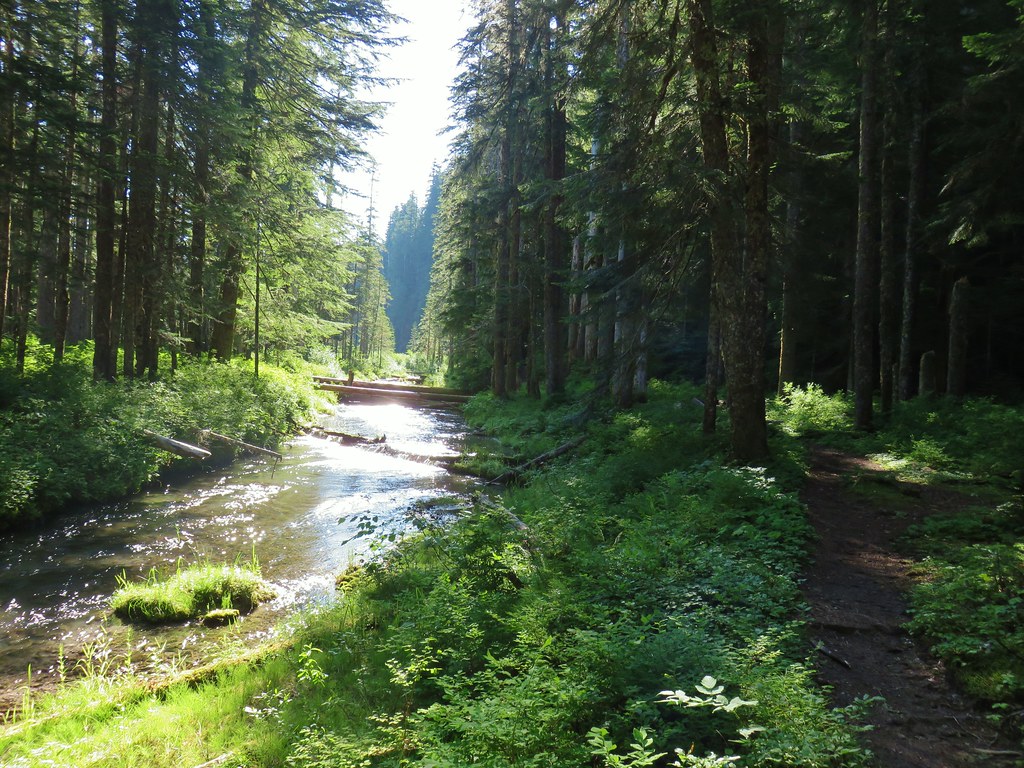
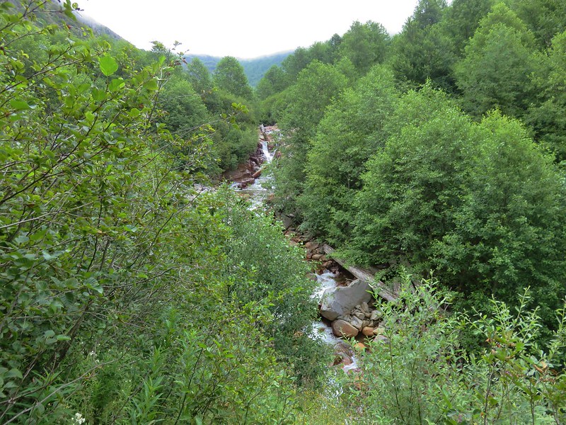
 We could hear a waterfall in the valley below.
 The top of the waterfall.
 Penstemon and pearly everlasting.
 Looking back over our shoulders to Meta Lake.
 Mt. Adams also from over our shoulders.
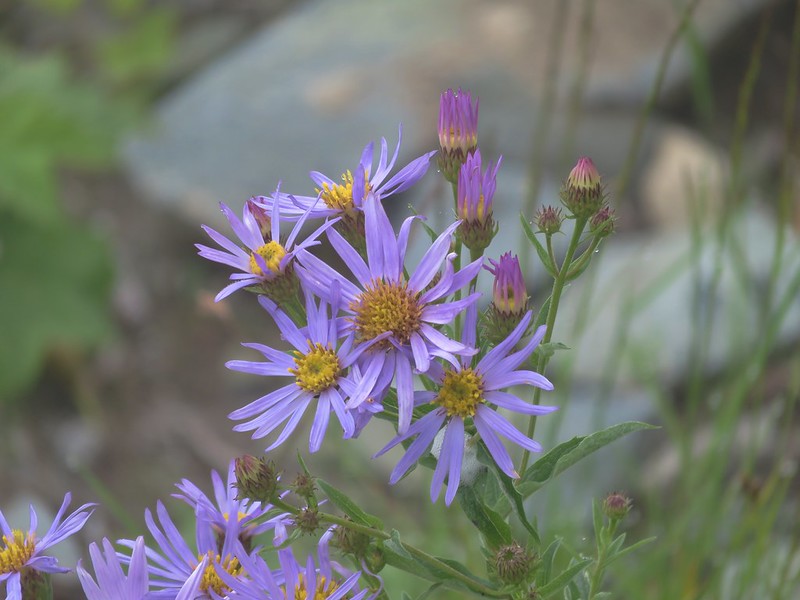
 Aster
Aster
 Switchback at the Independence Ridge Trail junction.
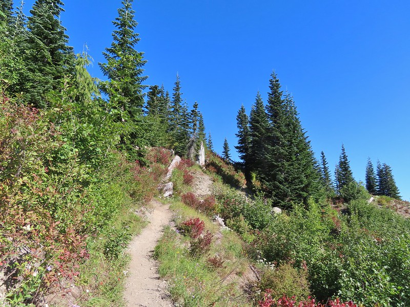
 Heading down to the stream bed.
 Penstemon
 Monkeyflower

 Norway Pass (the low saddle to the right) from the trail.
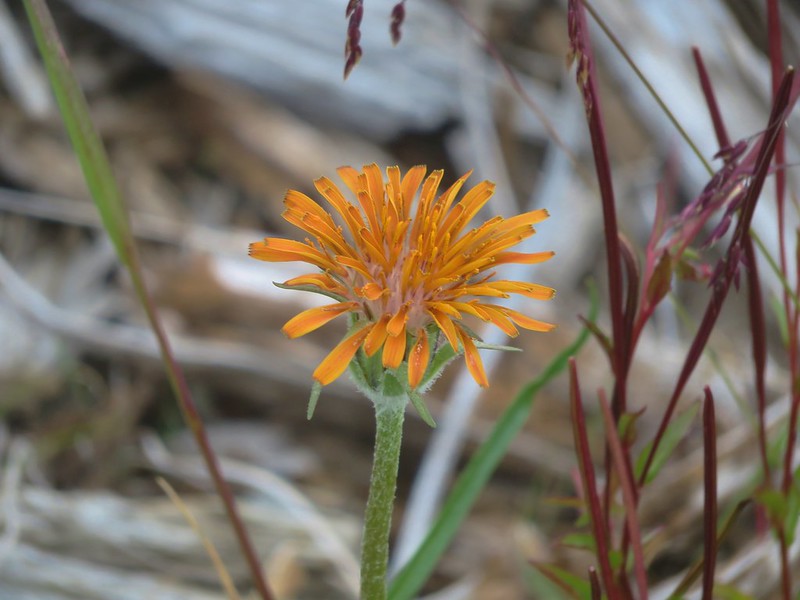
 Orange agoseris
 Approaching the pass.


 Mt. Adams and Meta Lake from the trail.


 Mt. St. Helens from the viewpoint.

 Pearly everlasting
 Penstemon
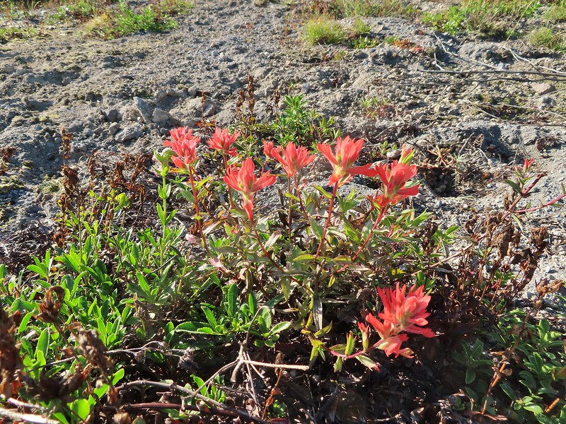 Paintbrush
 Mt. St. Helens
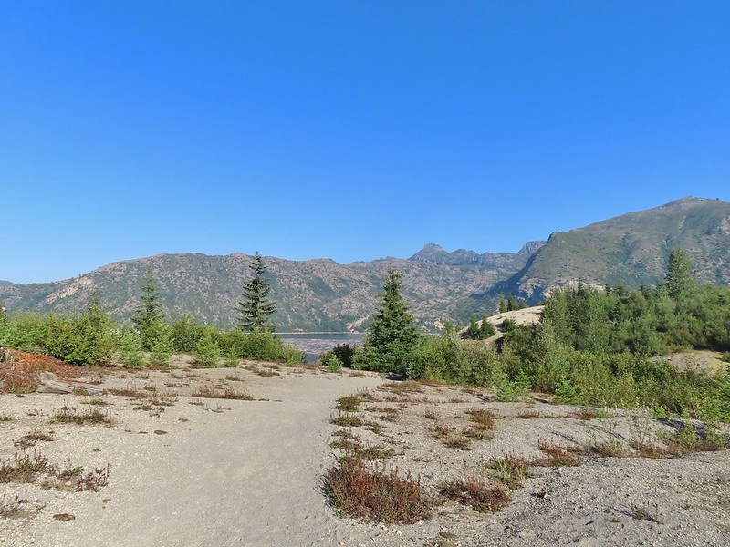


 Mt. St. Helens and Spirit Lake from the end of the trail.
 Coldwater Peak (
 The Dome
 Mt. Margaret
 Mount Teragram
 Mt. St. Helens.

 Mt. Adams
 Mt. Rainier

 The Johnston Ridge Observatory was visible across Spirit Lake on a far hillside.
 It’s often hard to tell if you’re seeing dust from rockfall or steam from one of the vents.

 Butterfly on ragwort
 Butterfly on pearly everlasting
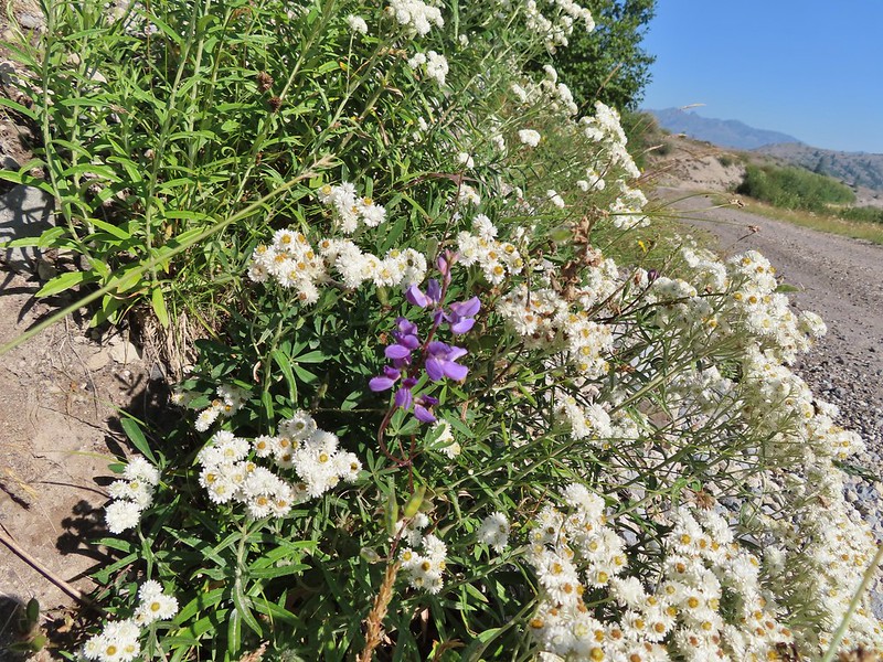 Lupine in the pearly everlasting
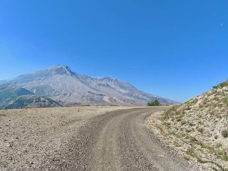
 Golden-mantled ground squirrel
 Might be Oregon sunshine
 Penstemon
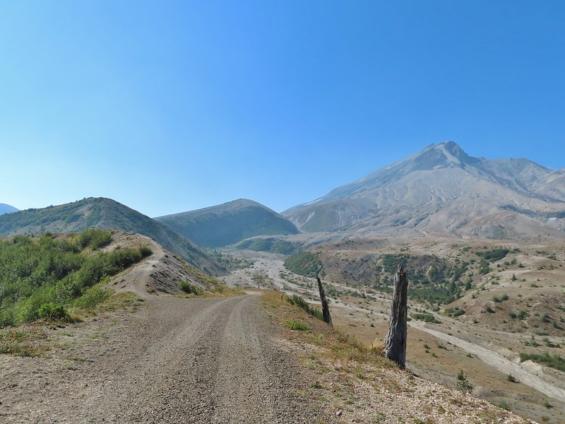


 Paintbrush and dwarf lupine
 Pearly everlasting
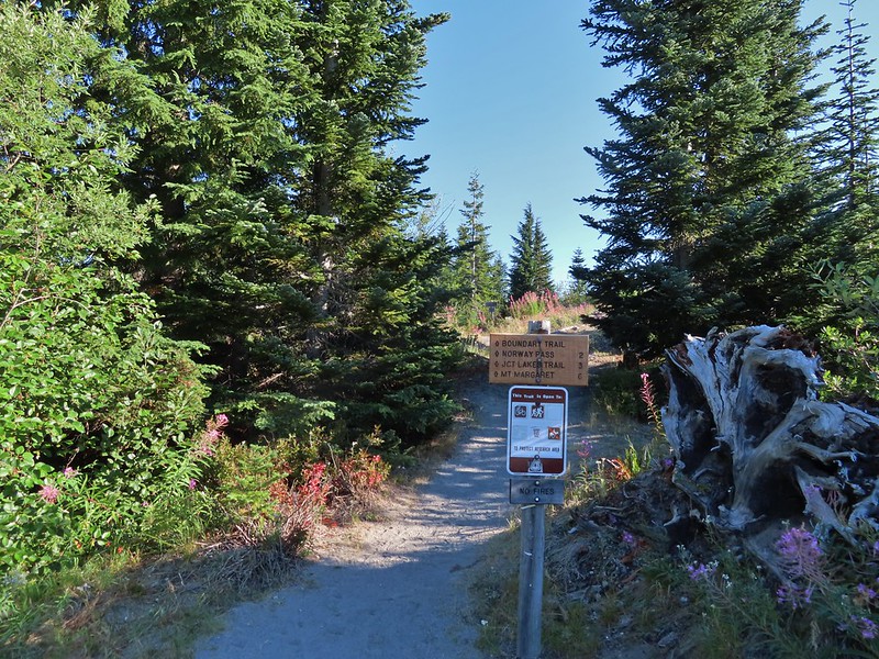
 The Loowit Trail junction.
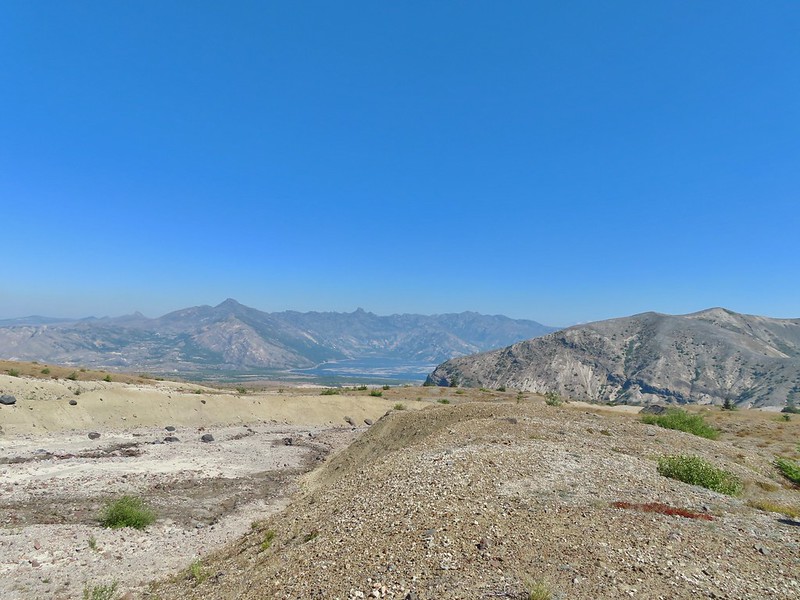 Spirit Lake from the junction.
 In the gully.
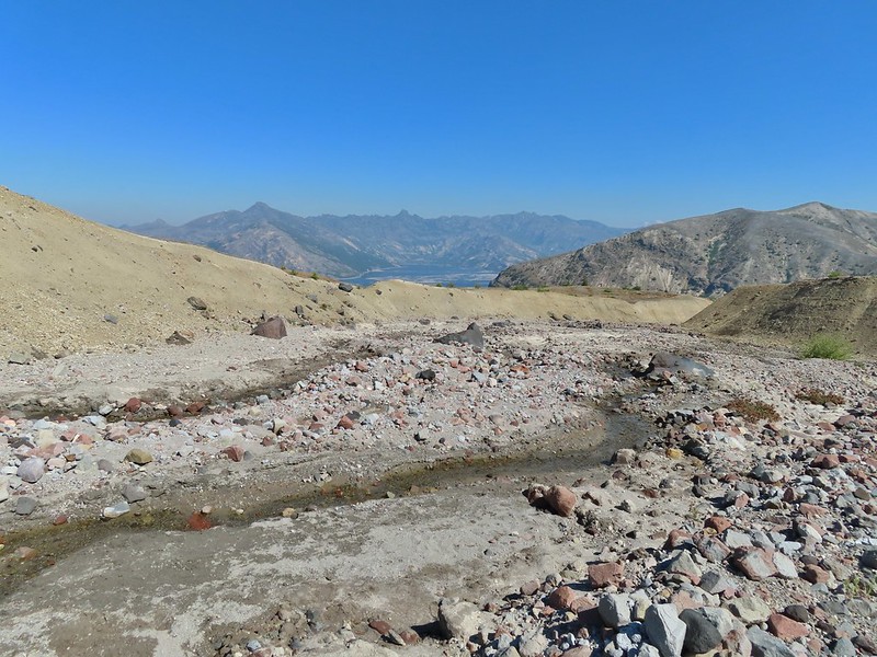
 Another gully to cross.
 Big Spring is in the willow thicket.
 The stream flowing over the Loowit Trail.
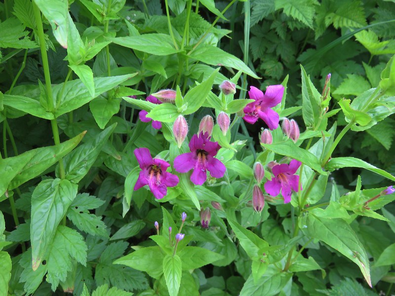
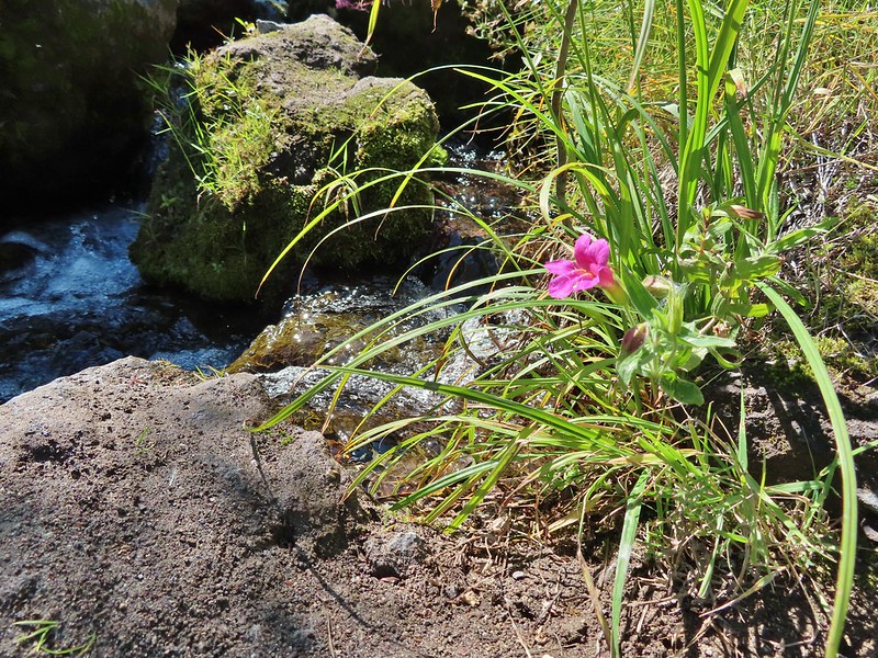 A pink monkeyflower at the spring.
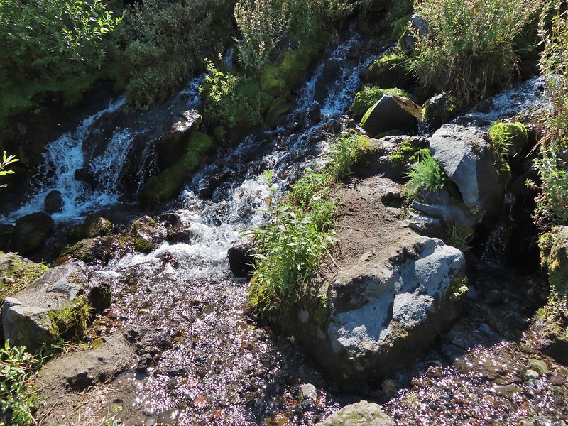
 Looking back at the willows and Big Spring.
 Coldwater Peak to the right.
 The Sugar Bowl lava dome.
 Spirit Lake from the trail.
 The first goats we spotted are on this ridge above the lone tree.
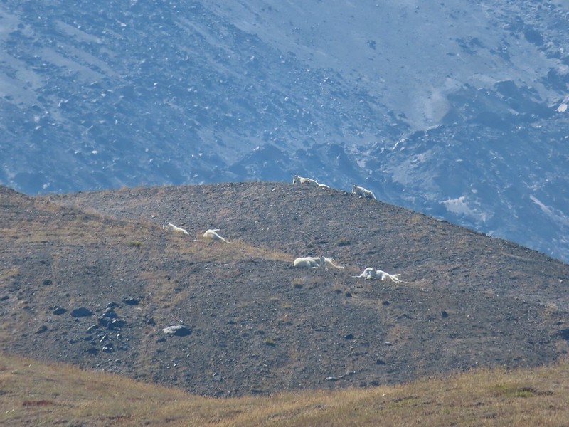
 The Loowit Trail crossing two gullies in a short stretch, one red one black.
 Dropping into the second gully.
 From the second gully we could see quite a few more goats on the ridge.
 Approaching the junction with the side trail to Loowit Falls.
 Sign for Loowit Falls.
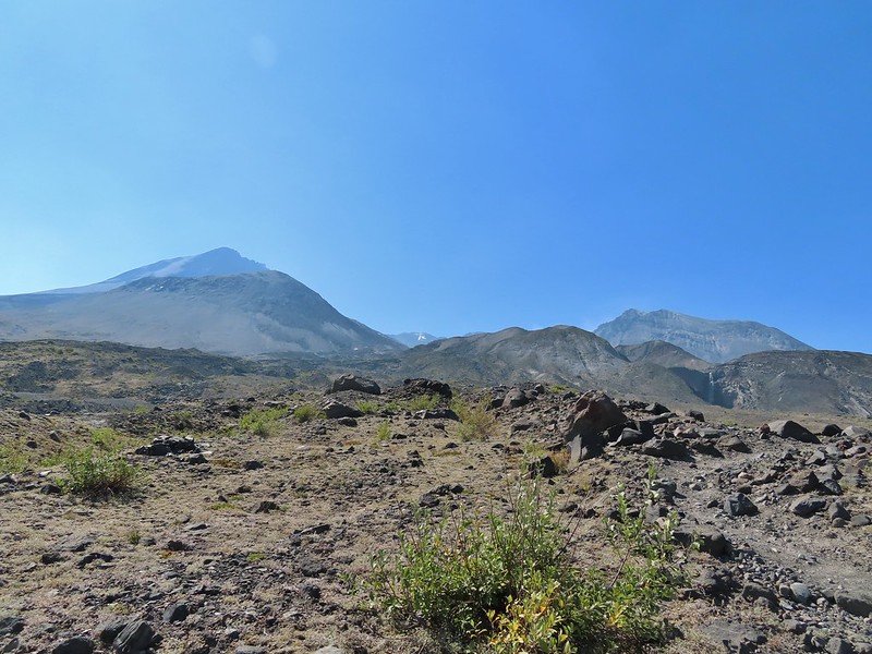 Loowit Falls (right side of the photo) was visible for much of the half mile.
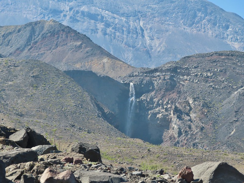
 Looking back at Coldwater Peak and Spirit Lake. (The top of Mt. Rainier is barely visible peaking over the top of the ridges.)


 Spirit Lake from the viewpoint.
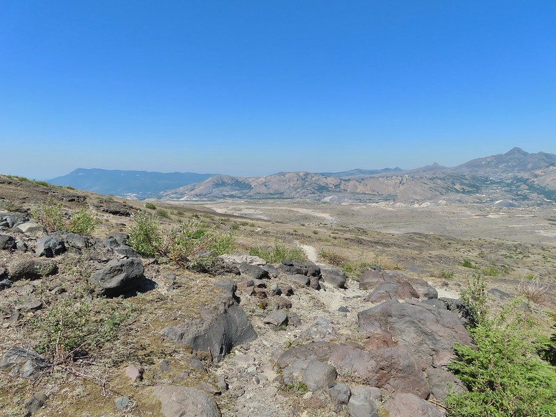

 Paintbrush
 Dwarf lupine
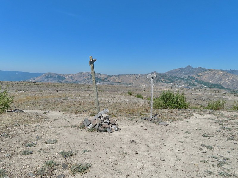
 Mt. St. Helens from the Willow Springs Trail.
 Heading toward Spirit Lake.
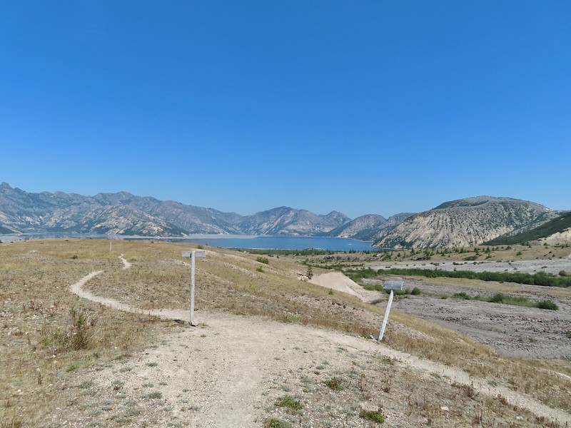


 The Dome above Spirit Lake

 Vehicles ahead in the research parking area.
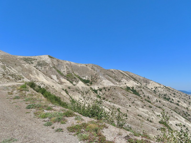
 Mt. Adams to the left.
 Mt. Adams
 Look out for snakes, not the poisonous kind just don’t want to step on them.
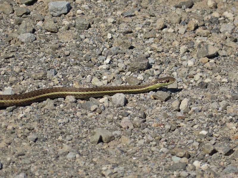
 Some sort of sulphur butterfly on pearly everalsting.


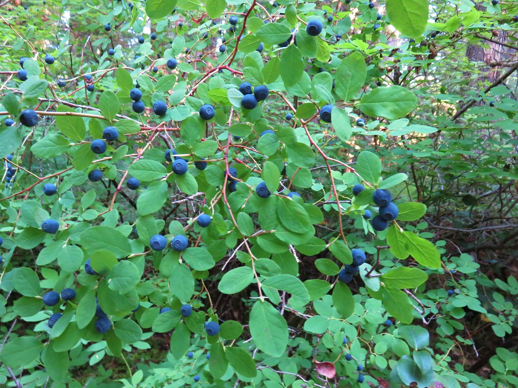
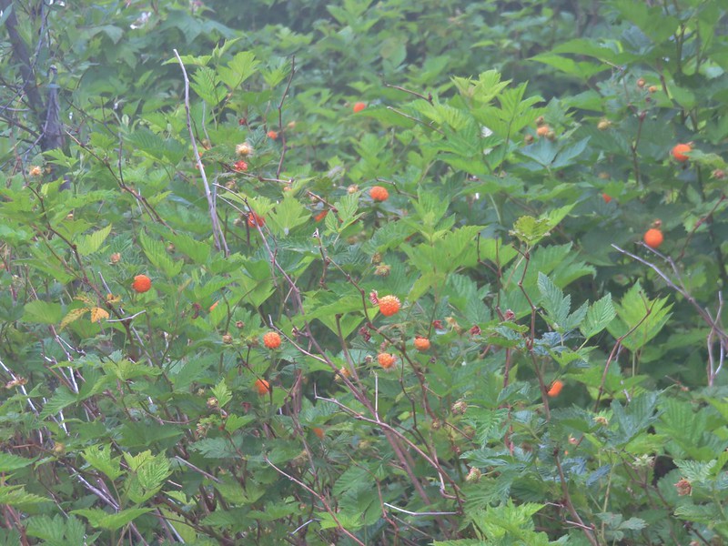
 Salmonberries
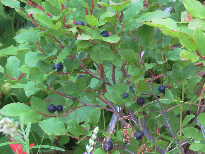
 Blueberries
 Huckleberries
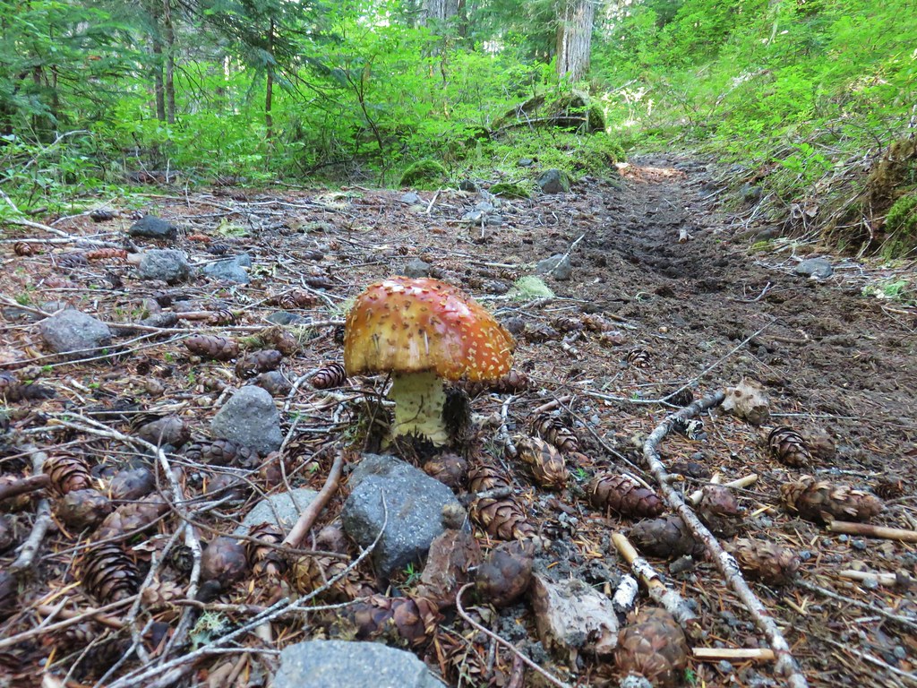
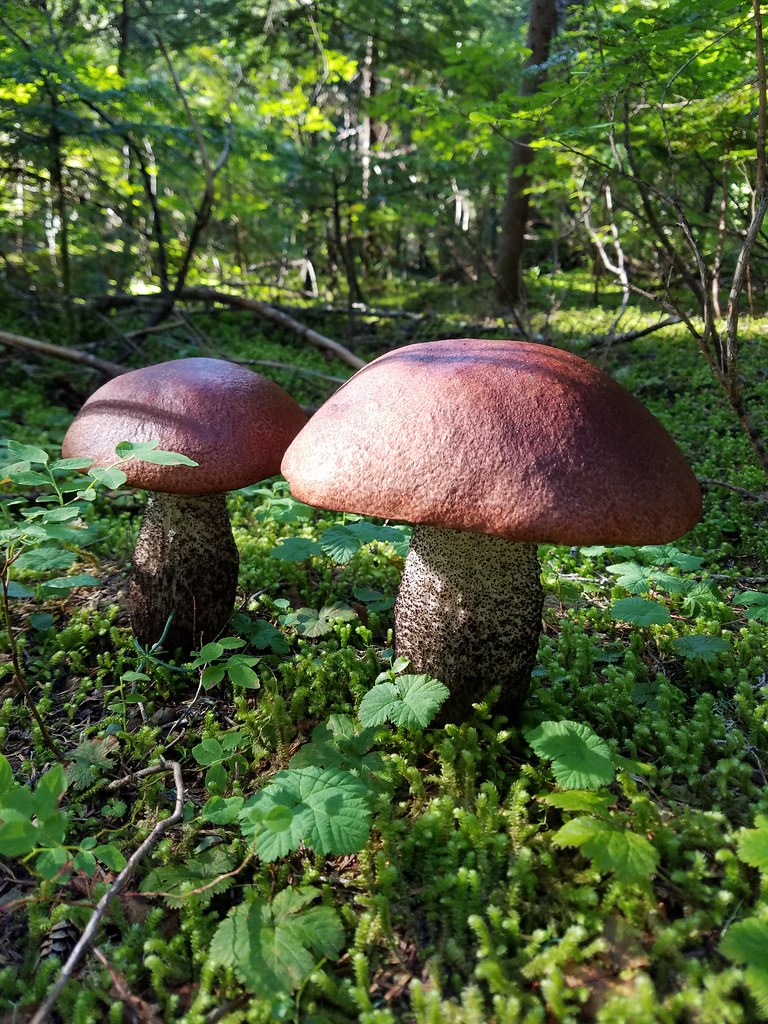
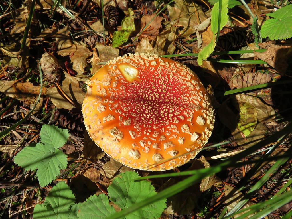
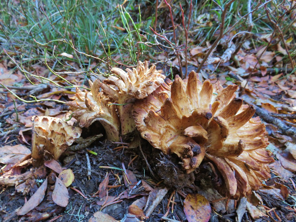
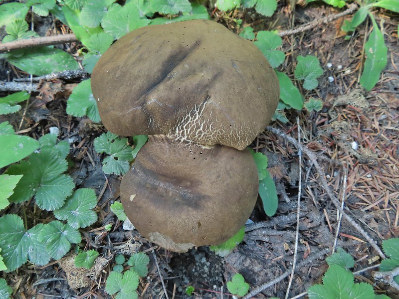 Mushrooms (the flowers of Fall)
 I was really surprised to still be able to make out the remains of the petals on these trillium.
 These bunchberries with a few petals left were near the trillium above.
 Candyflower

 These thimbleberries weren’t ripe but a short distance further were a lot of ripe ones. I thought I might have to hike back and retrieve Heather from them.
 A brief glimpse of Mt. Rainier from the ridge the trail was following, it looked like a lot of the smoke had blown away.

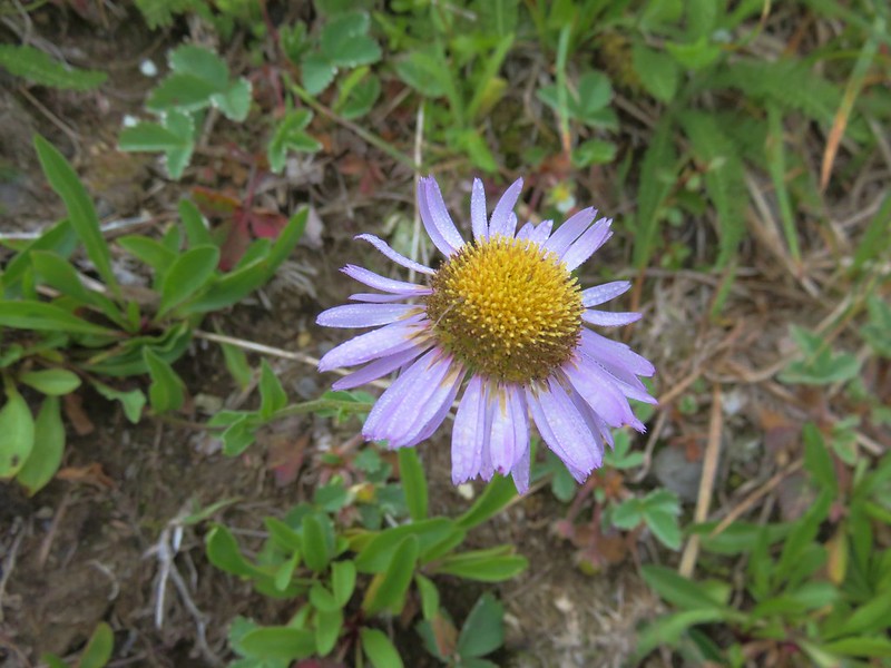
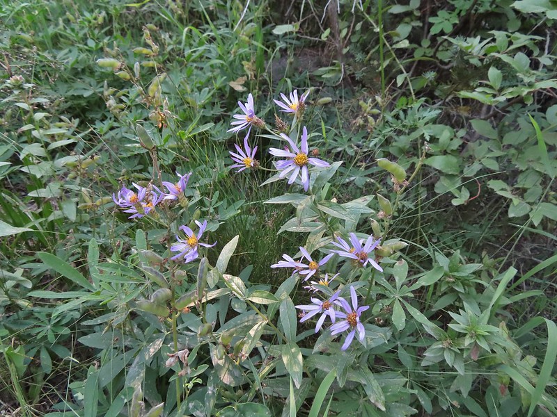 Aster
Aster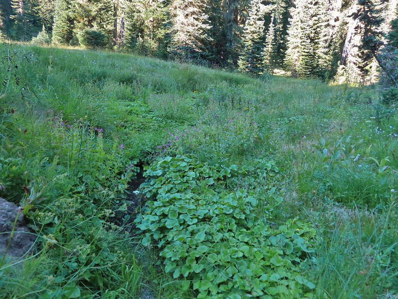 Elk Creek
 Pink monkeyflower along Elk Creek
 Lupine
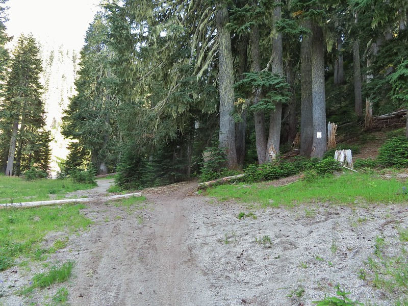 The trail near Badger Lake was particularly torn up and there were several signs posted admonishing motorcyclists to stop driving off trail.
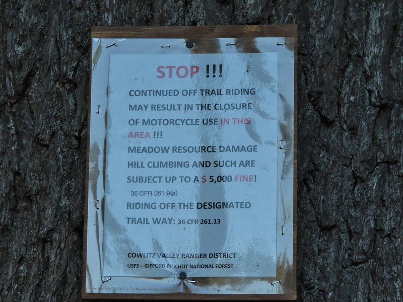
 Torn up hillside near the lake, it only takes one or two idiots to cause a lot of damage (the same goes for hikers/mountain bikers).
 The little puddle in the foreground is not the lake, it is further back.
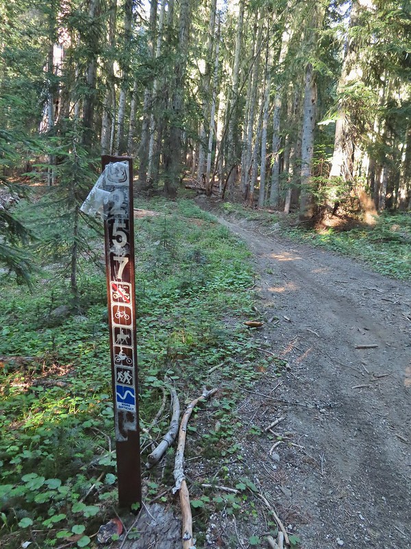
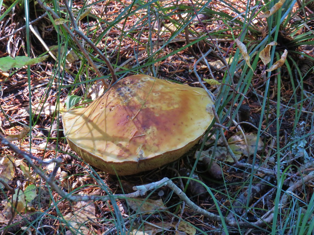
 This mushrooms was at least as wide as a salad plate.


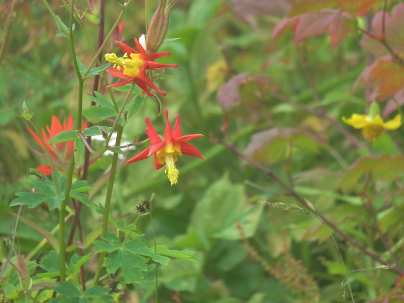
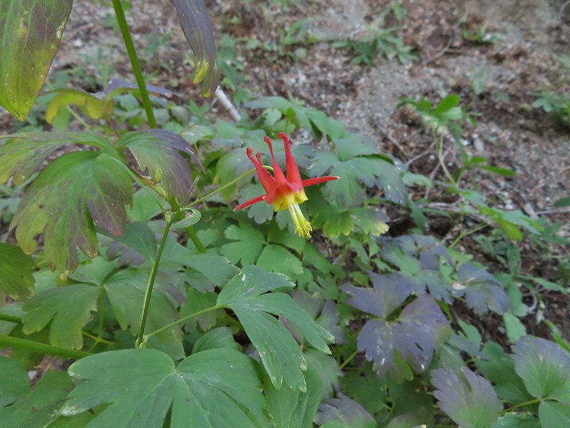 A columbine
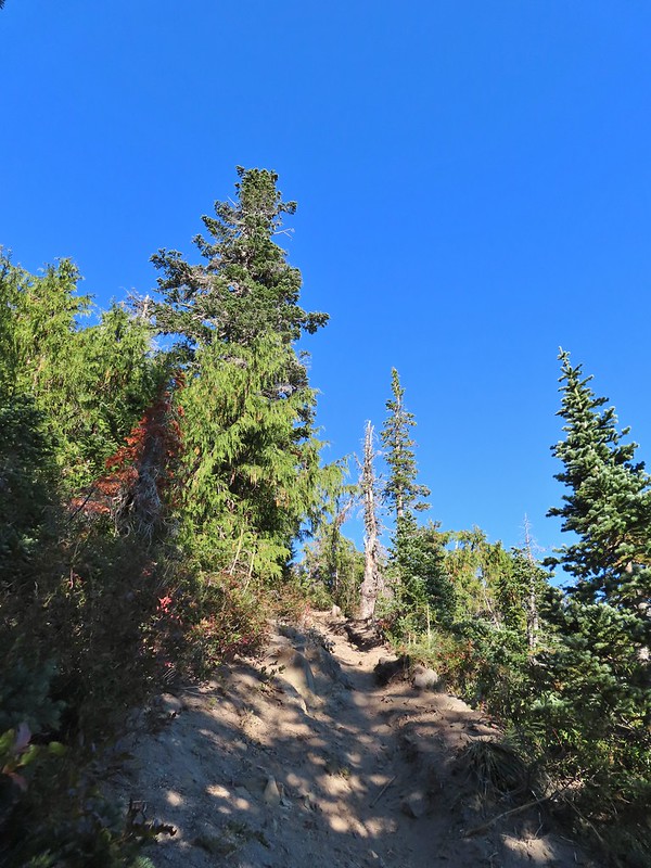
 Mt. St. Helens was hard to make out with the combination of haze and Sun position.
 Looking south toward Mt. Hood (I could make it out with the naked eye.)
 Mt. Hood in the haze.
 Mt. Rainier
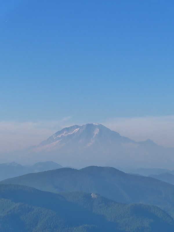 Mt. Rainier
 Mt. Adams
 The Goat Rocks were also hard to make out due to the smoke.
 Western pasque flowers, aka hippies on a stick, below the summit.


 The last of the sunlight hitting Badger Peak.


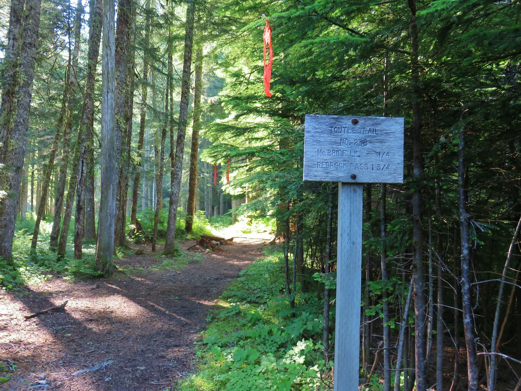
 Toutle Trail
 Candy sticks


 Pinesap
 Pinesap and a puffball
 Lousewort
 Twin Flower


 Mt. St. Helens beyond the remnants of McBride Lake.
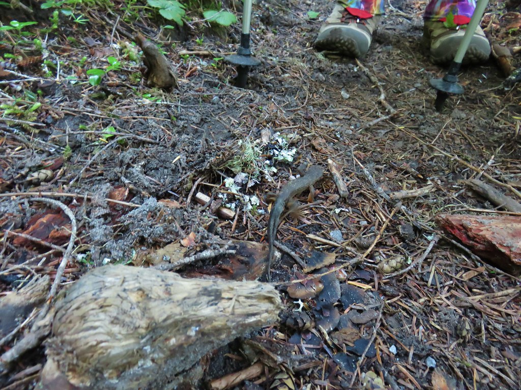

 Cars parked at Red Rock Pass
 Cinnamon Trail on the left and Toutle Trail on the right from the unsigned junction.


 Fungus on a stump.

 The butte ahead (we didn’t want to have to climb that.)
 Trail wrapping around the south side of the butte.
 Toad near the saddle.
 Mt. St. Helens from the saddle.
 Goat Mountain
 Mt. St. Helens and Mt. Adams
 Another frog.
 Crossing #1
 Crossing #2
 Crossing #3


 old road crossing.
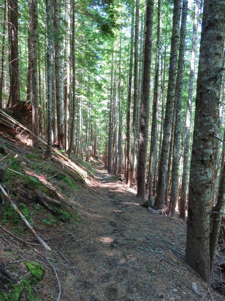
 Dropping to FR 8022(8122).
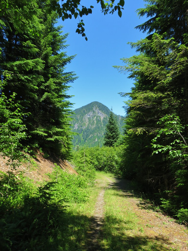 Goat Mountain from the roadbed.
 Goat Mountain and Mt. St. Helens
 Ripening berries
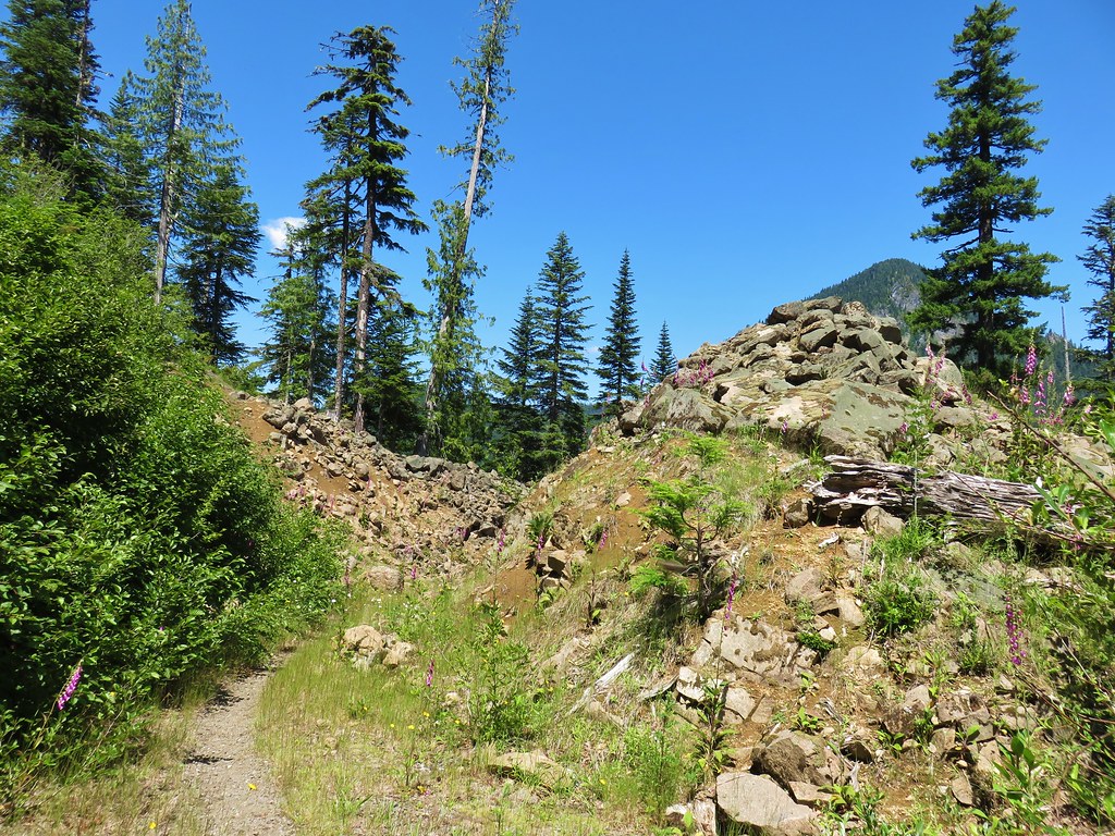 Rock slide along the roadbed.
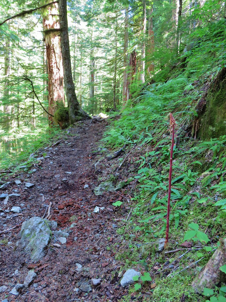
 Pinedrop


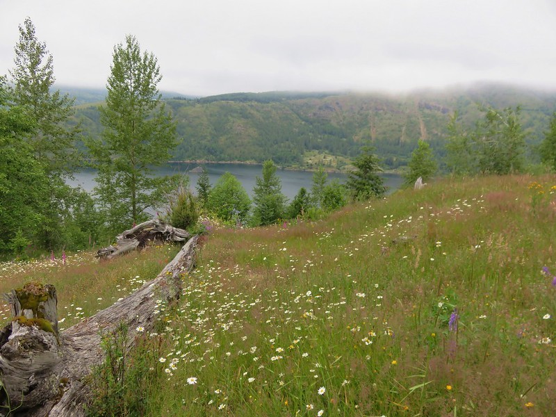
 This may named be Green Lake


 Lemei Rock and Mt. Adams
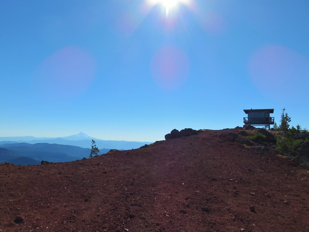

 Mt. St. Helens
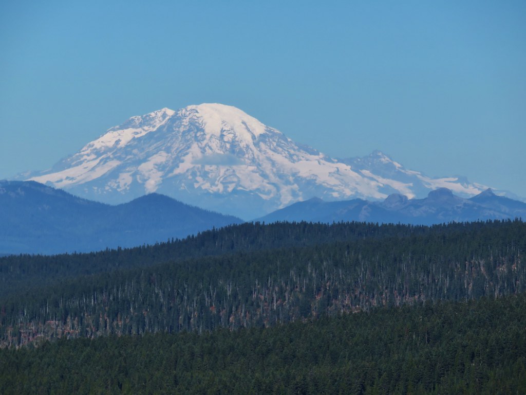 Mt. Rainier
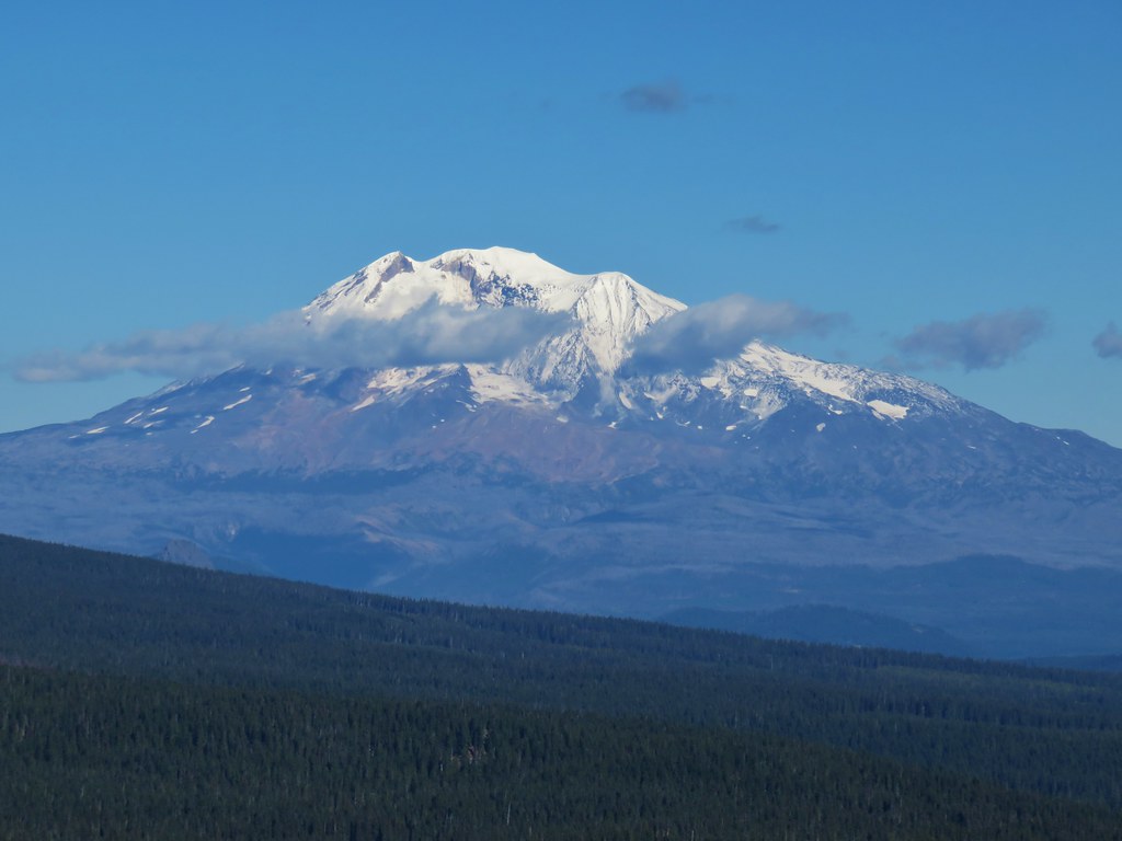 Mt. Adams
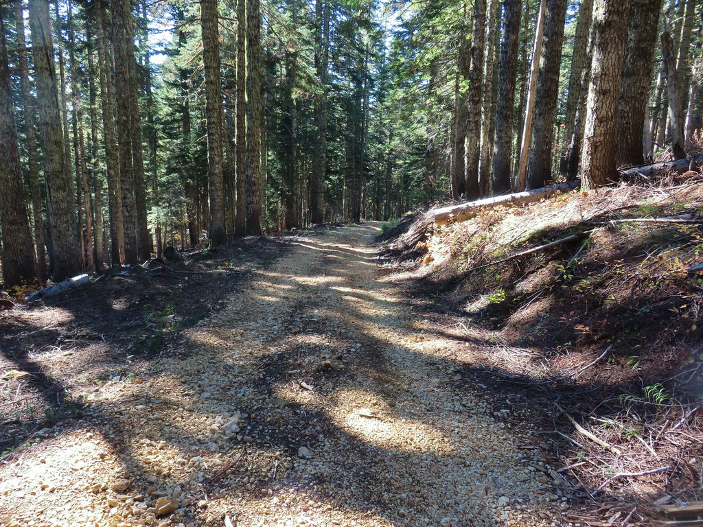


