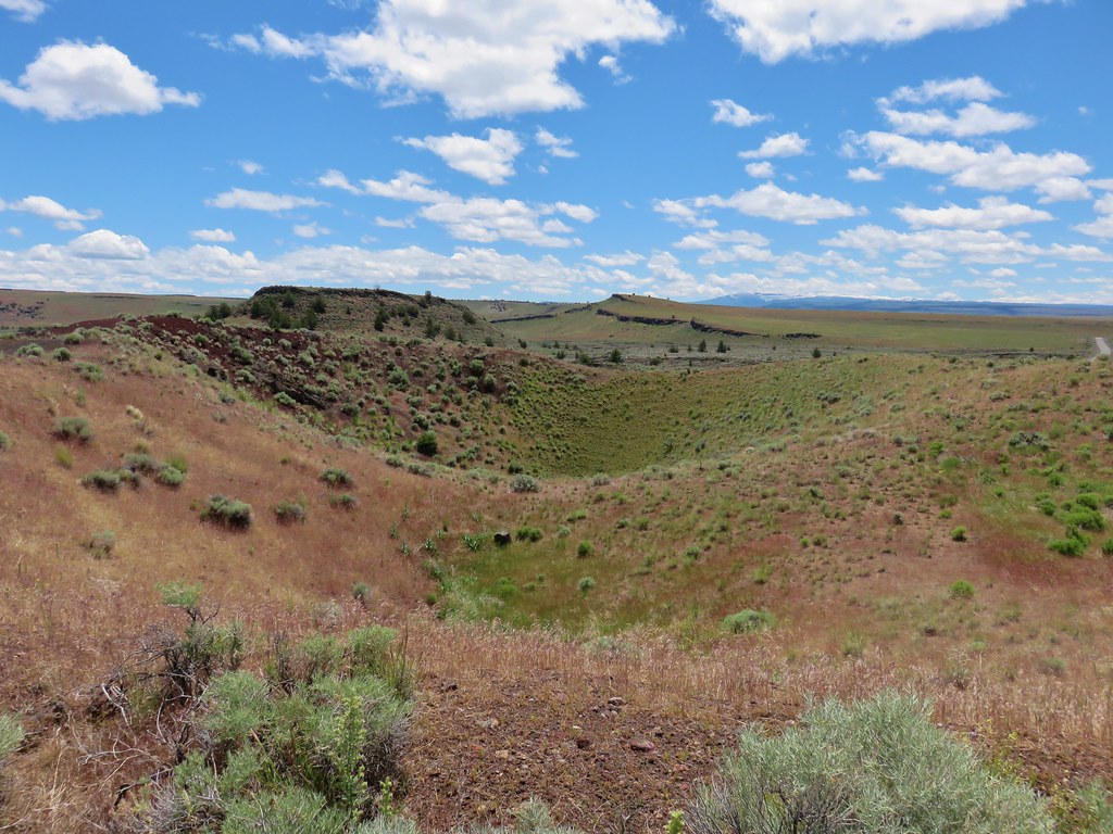
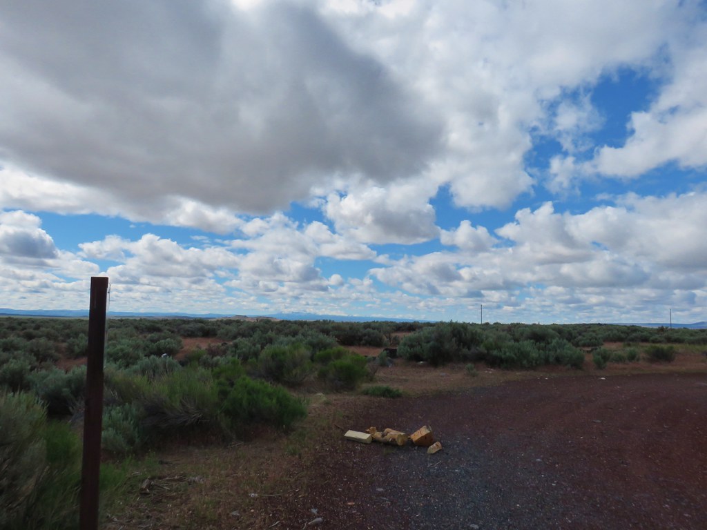
While we didn’t have another hike scheduled for February a decent forecast was too much to pass up. We were looking for something nearby (less than an hour from Salem) on the shorter side that would be more of a leisurely stroll than a hike. We decided it would be a good day to check out the Wapato Lake National Wildlife Refuge . Originally added (2007) as part of the Tualatin River National Wildlife Refuge (post) the Wapato Lake National Wildlife Refuge was designated in 2013. Eight years later the refuge was opened to public use and now has approximately 2.85 miles of trail. The trails are currently open from Feb 1st through Nov 30th each year (note the 1.3-miles of natural surface is closed to hiking starting Sept 1st). Also of note is that during periods of heavy rains the access trail may become flooded, but the Refuge website has a link to the USGS Monitoring Tool where you can easily check to see if the creek’s level is over 7.5 feet.
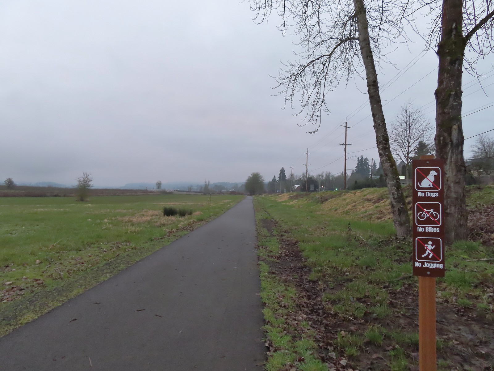
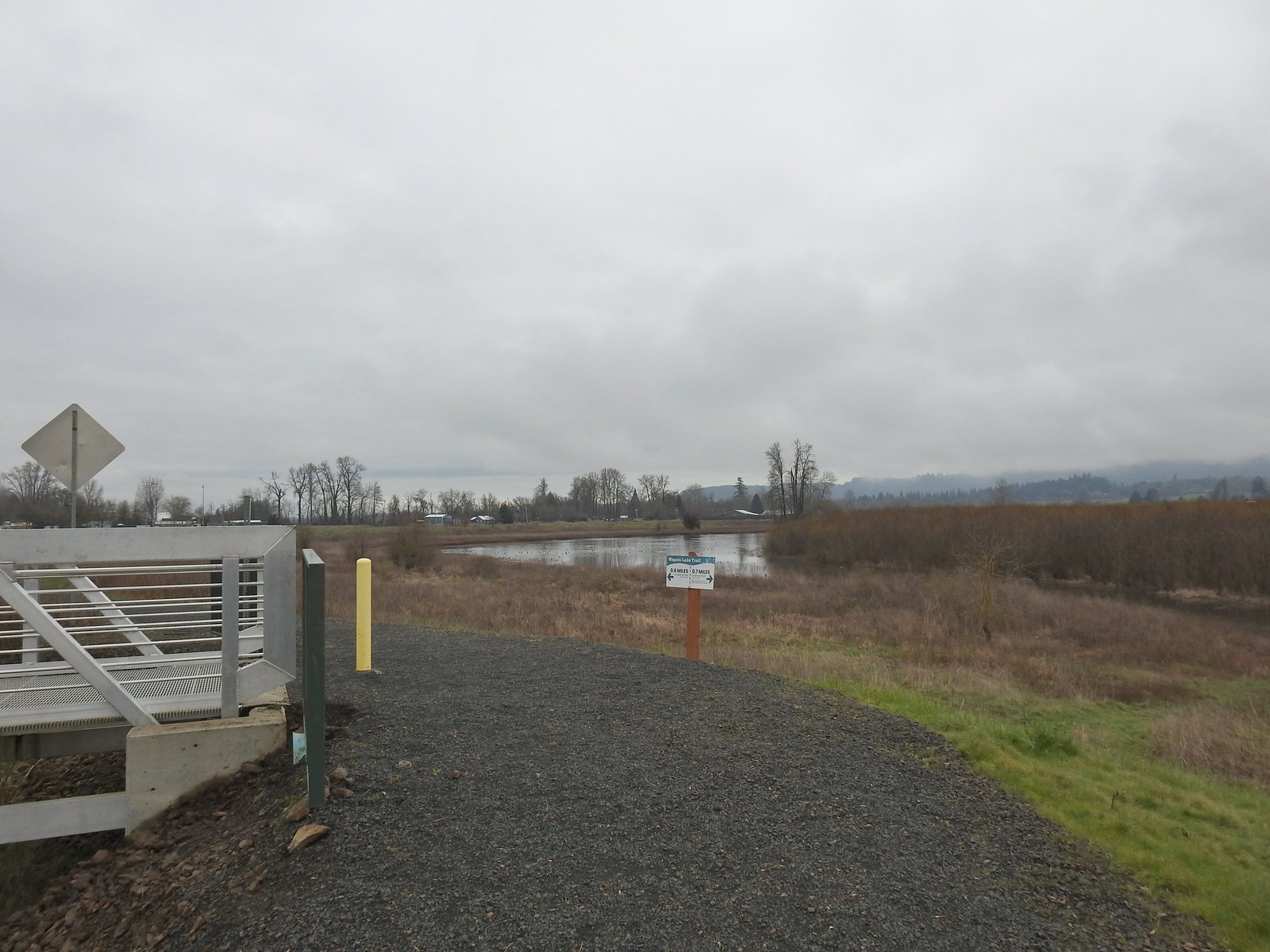
The trailhead is adjacent to Brown Park in the city of Gaston, OR and includes two ADA parking spaces and a restroom. What it lacks is signage from Highway 47. The parking area can be accessed from that highway or via Onion Lane by turning South off of E Main Street/SW Gaston Road. A paved trail begins at an informational signboard where you can also pick up a brochure.

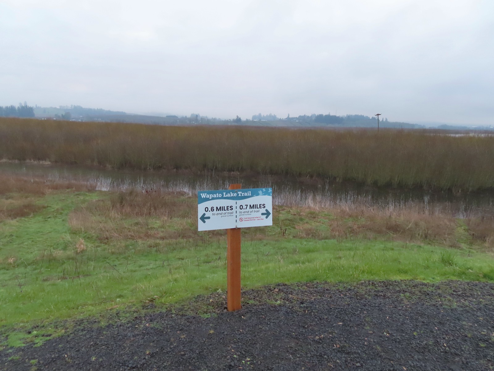
It was a little cloudier than we’d hopped as we set off on the paved path. We followed the path to a footbridge over Wapato Creek to the levee that partially surrounds the lakebed. We faced a choice of heading left for 0.6-miles or right for up to 2-miles. Another person had just turned left so we opted to go right.
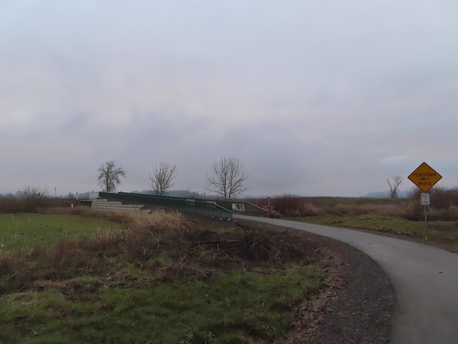
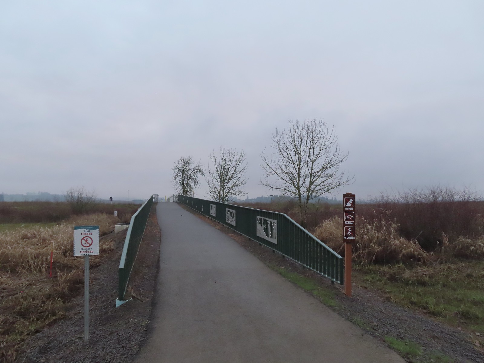 We were a little confused by the sign on the left here stating the trail was closed. The website and signboard had said nothing about a closure and the gate at the far end of the bridge was open and others were already out on the levee. We assume they just hadn’t taken the sign down after the seasonal closure period.
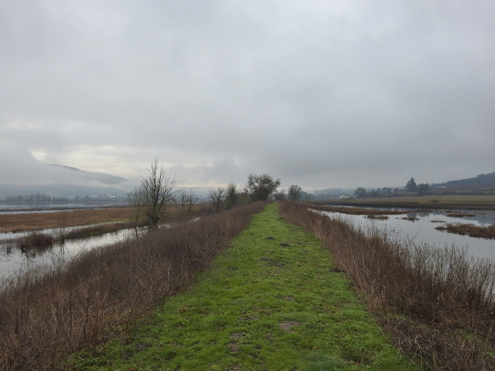
 Pointers on the levee.
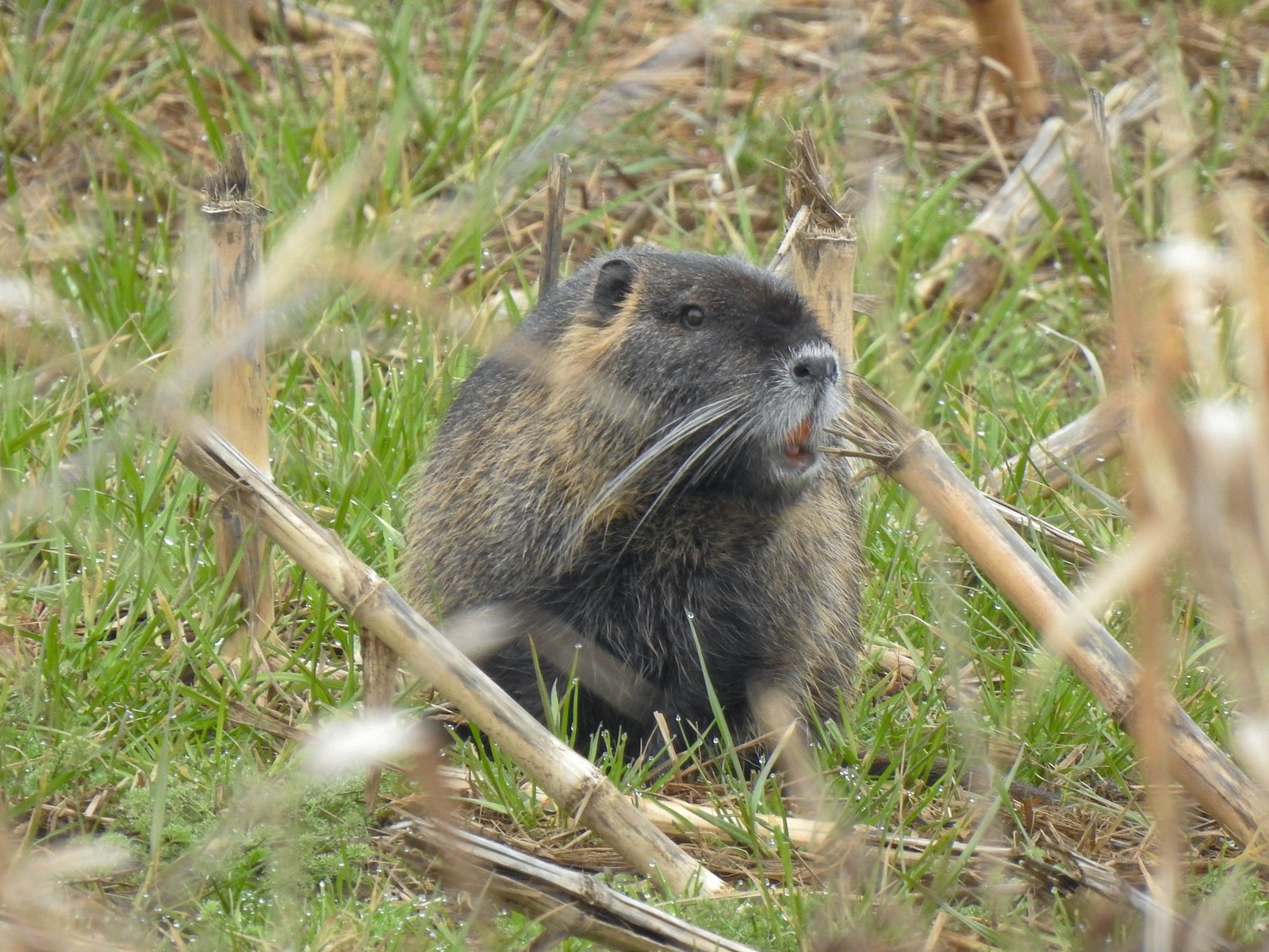
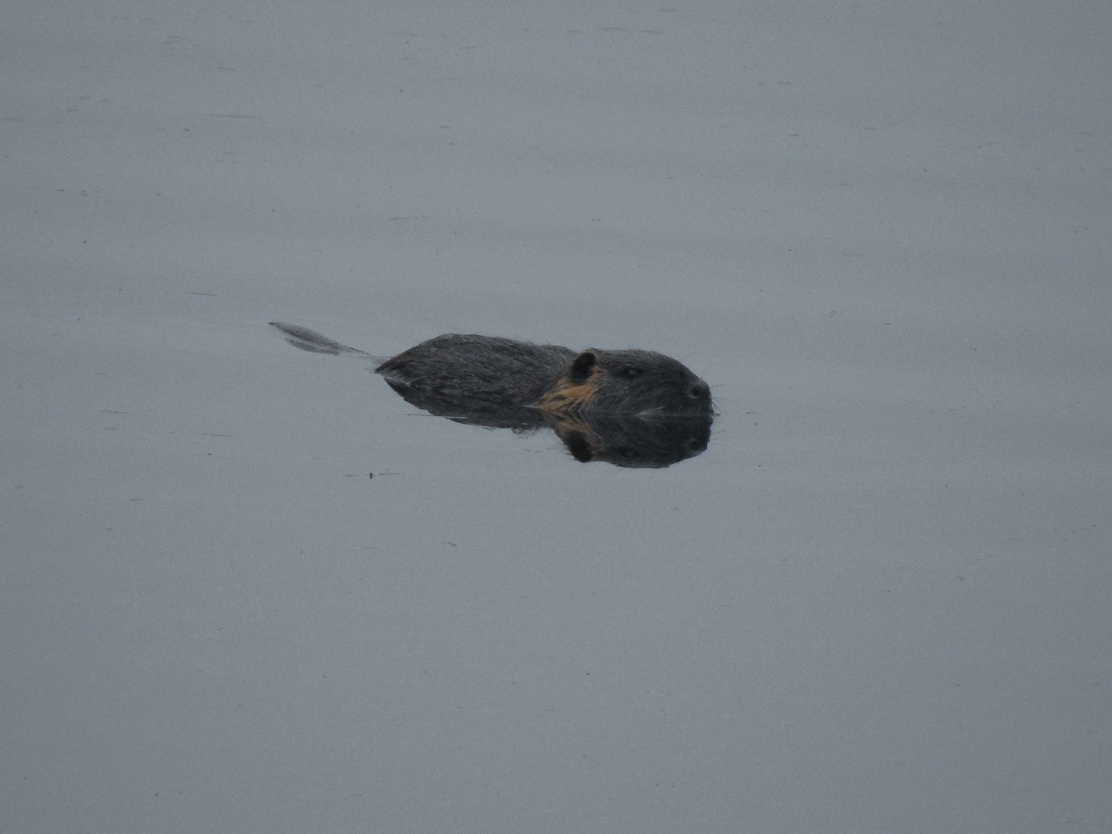 Nutria (sigh). We had hopped it was a beaver but alas the whiskers give it away.
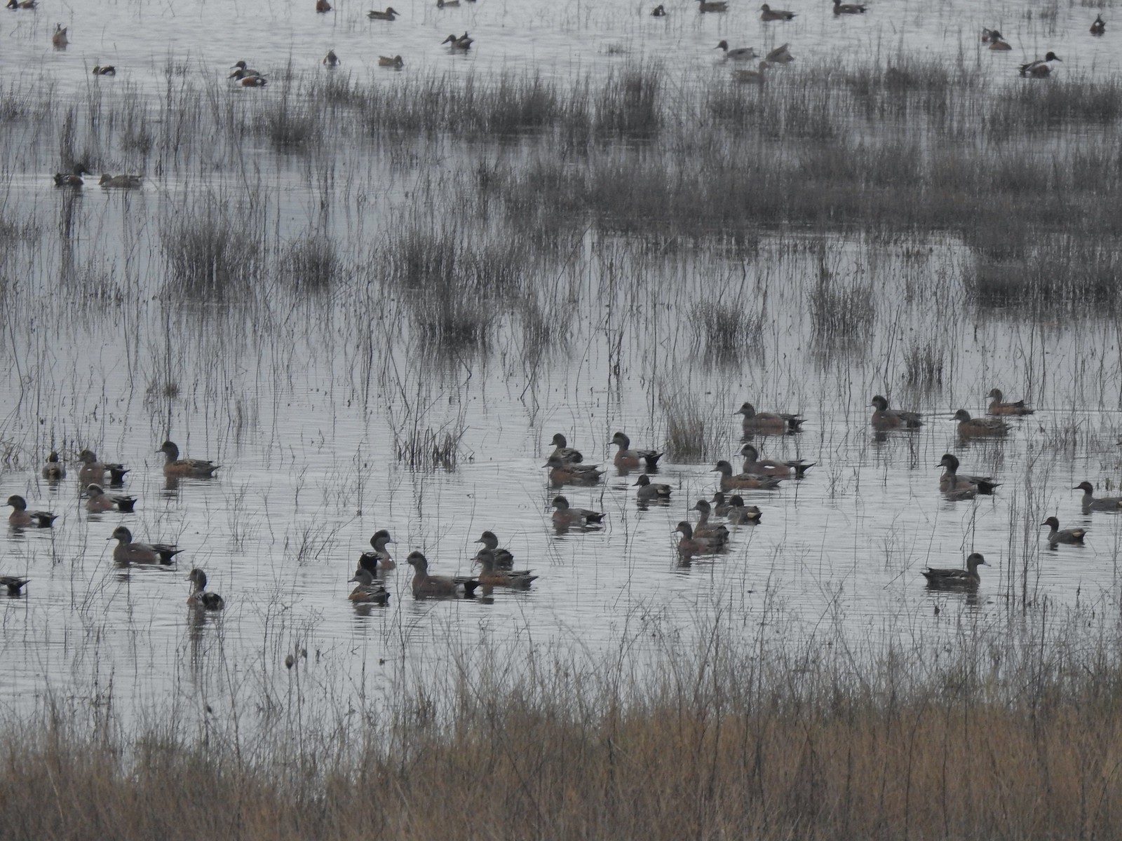
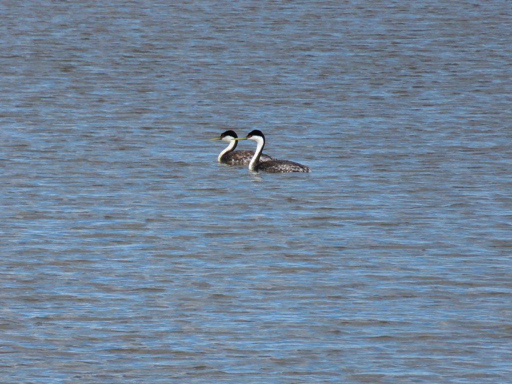
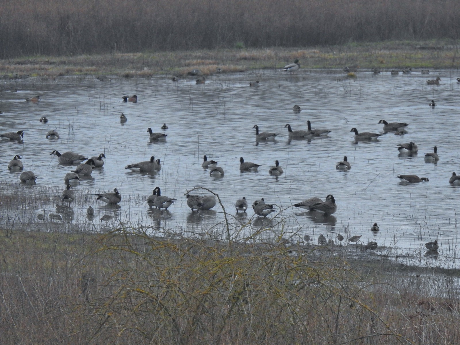 Geese, several species of ducks, and some shore birds.
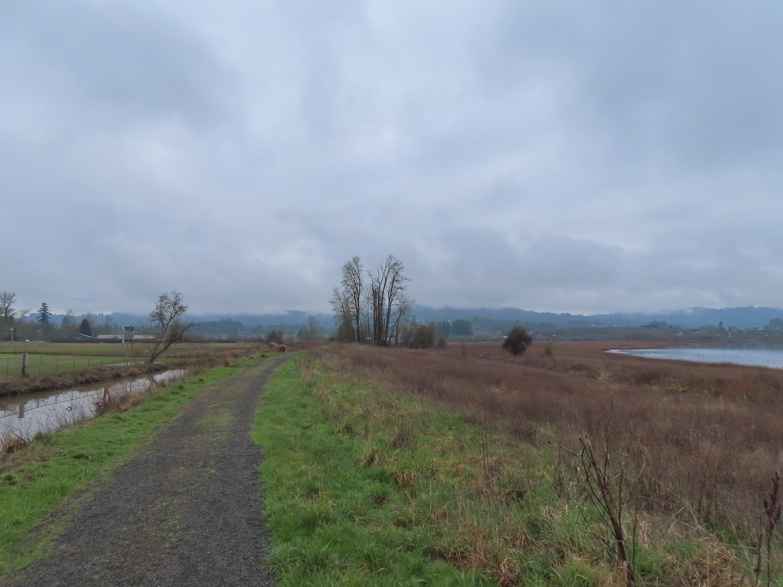
From the bridge to the right the levee’s surface is good gravel. We took our time as we strolled south trying to discern which types of ducks we were seeing.
 A great blue heron along Wapato Creek.
 Great blue heron
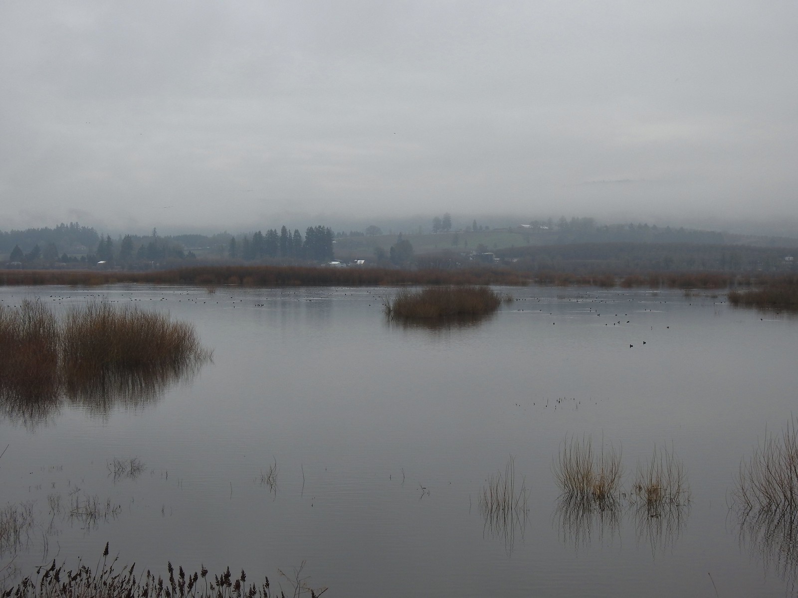
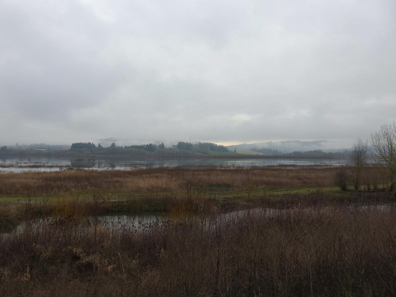
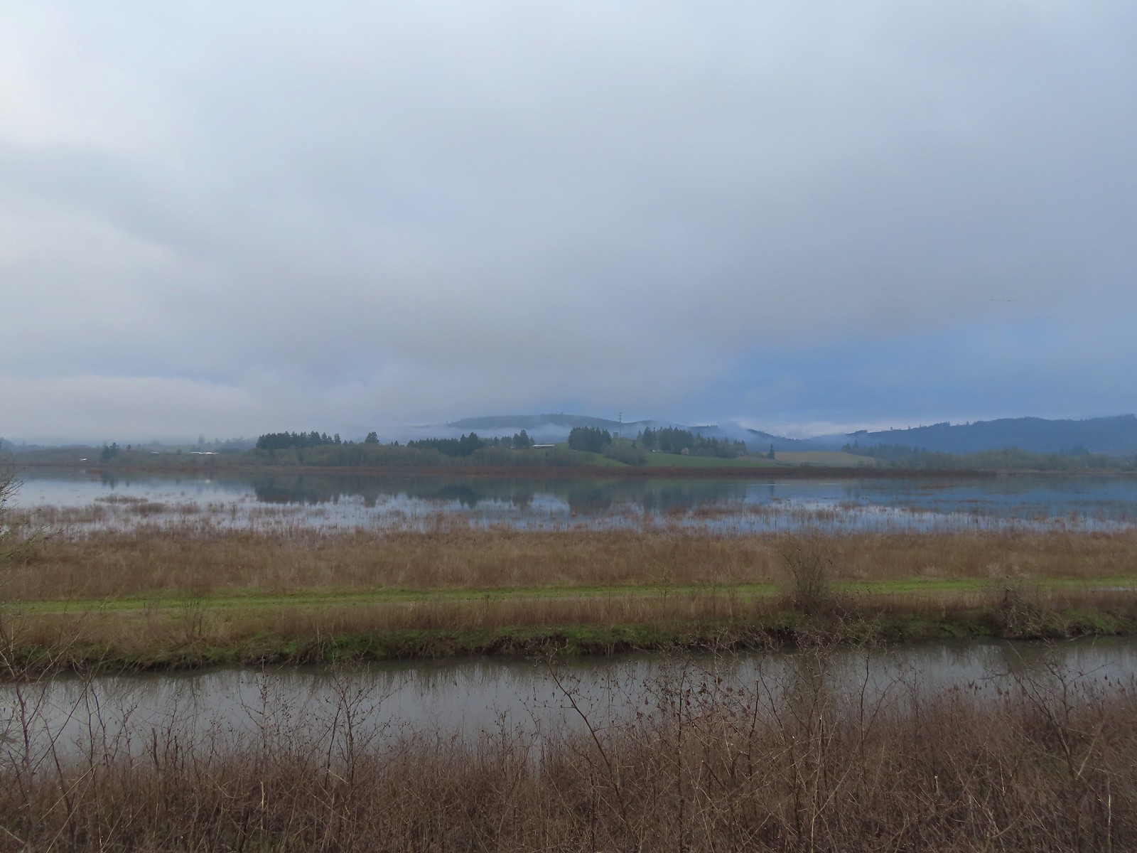
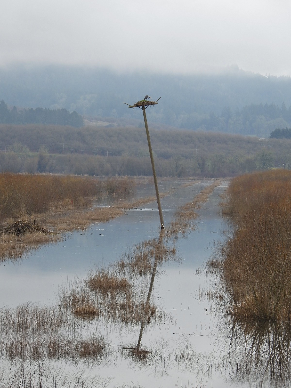
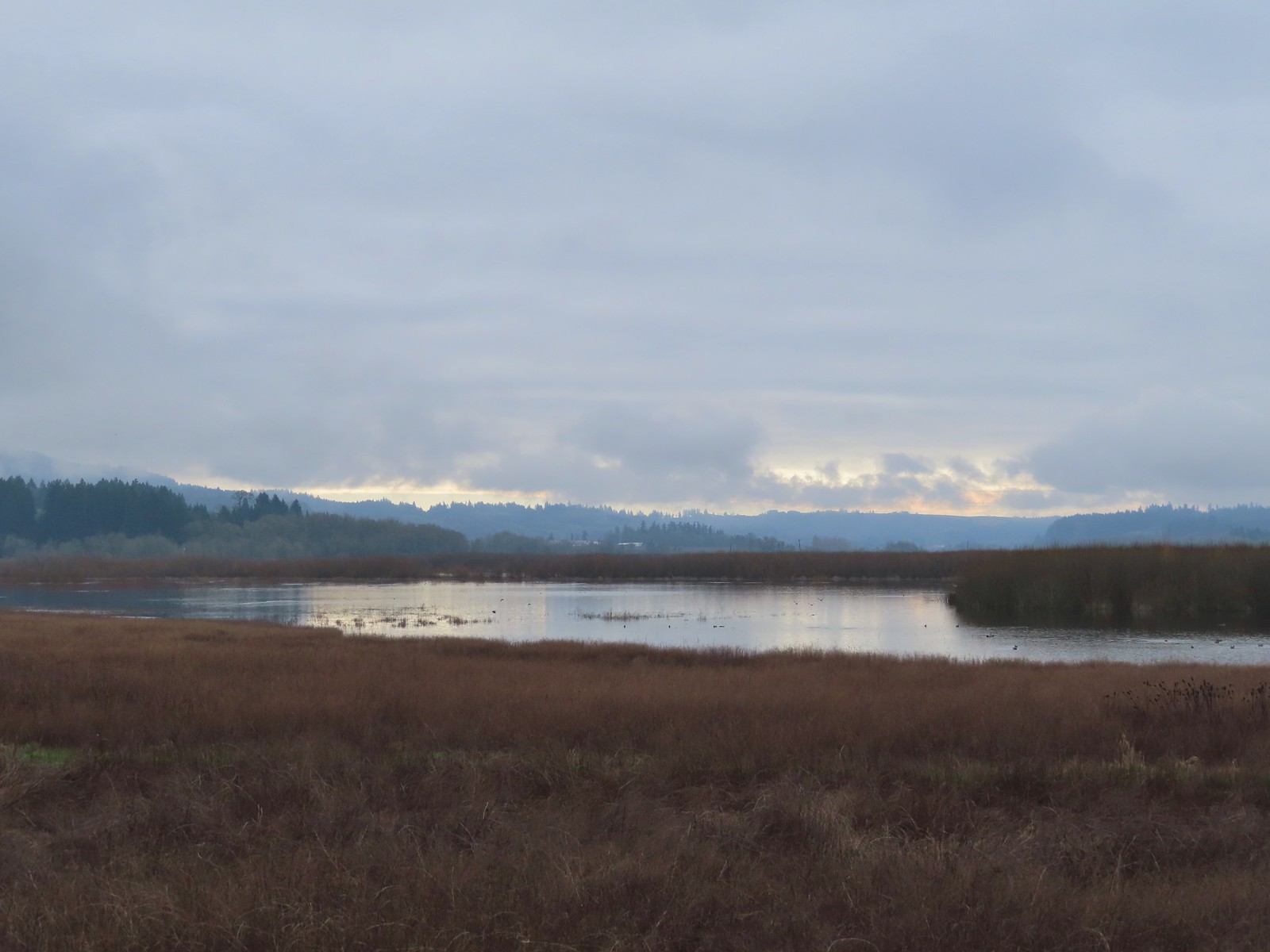
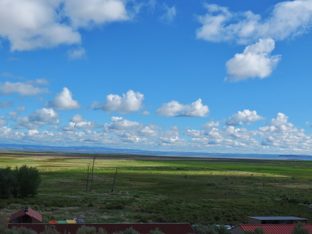
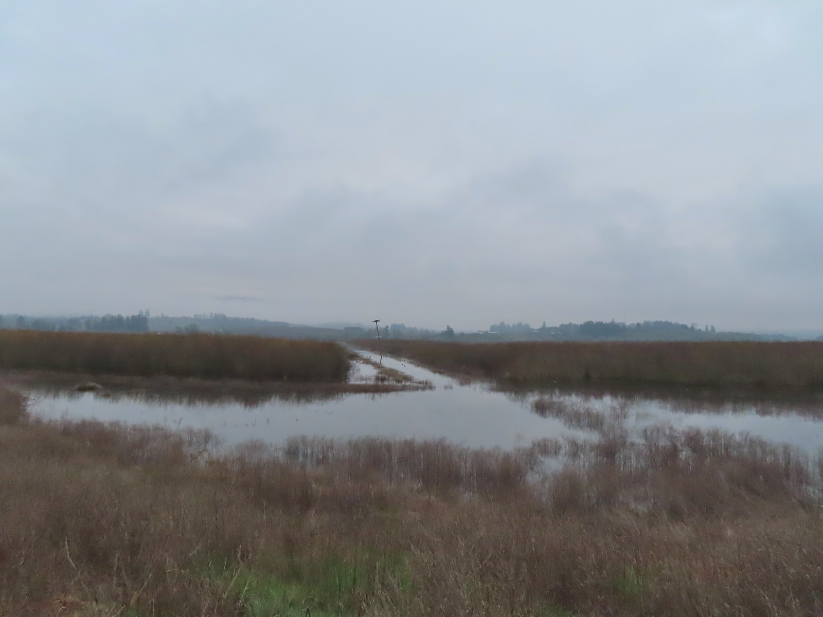 Wapato Lake
 Beaver lodge

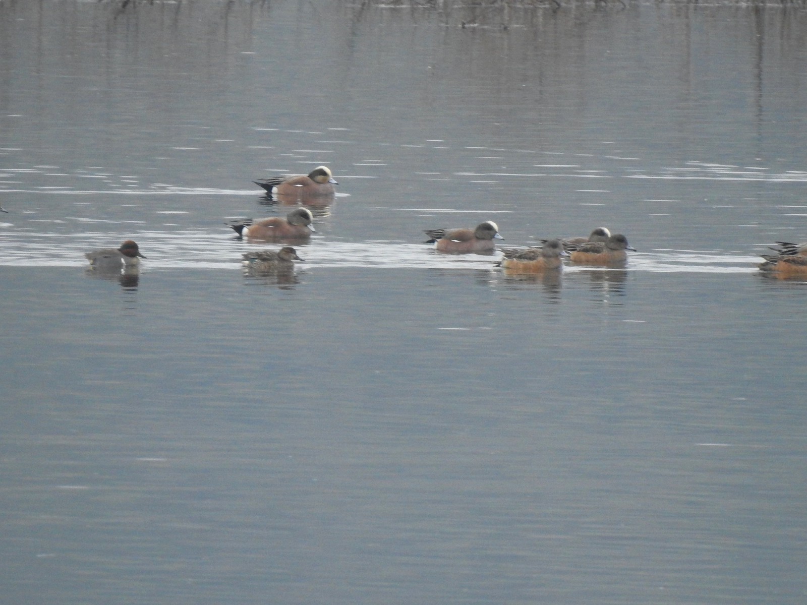
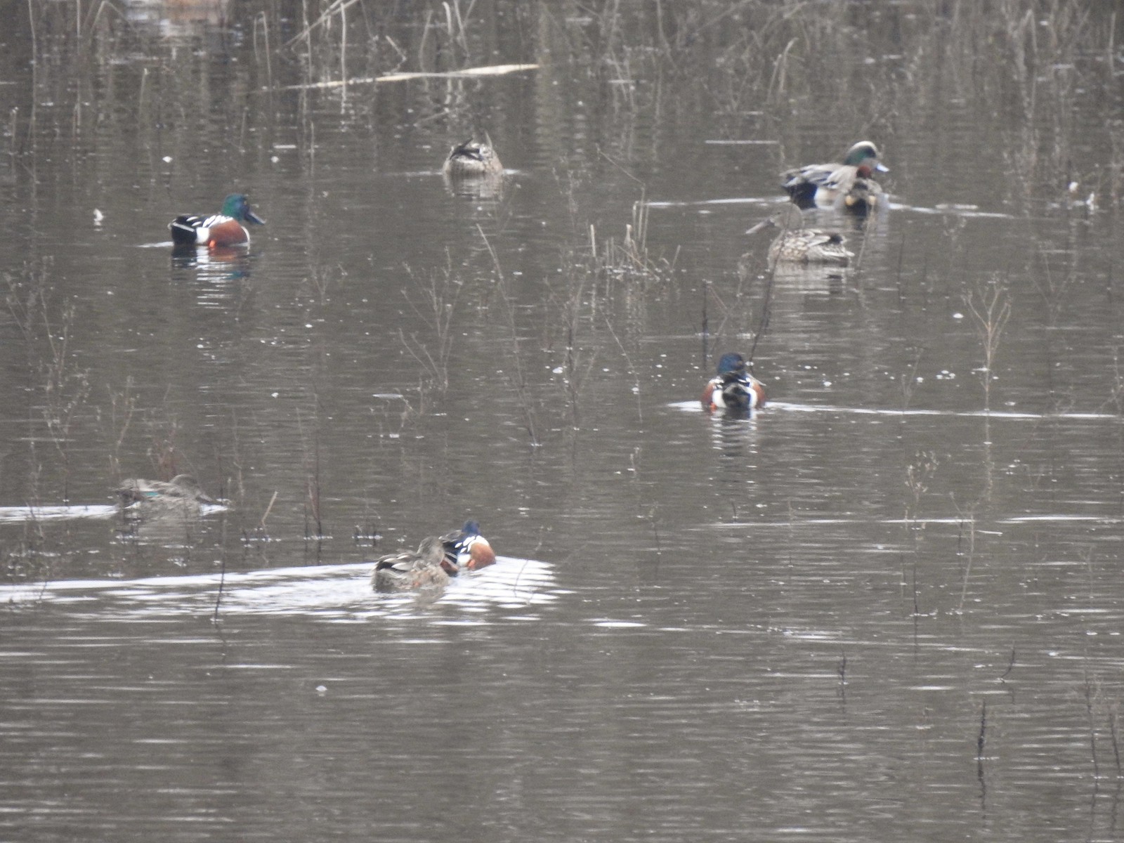 Northern shovelers and an American wigeon
 Of course we forgot to bring binoculars making it even harder to make out which types of ducks were out there.
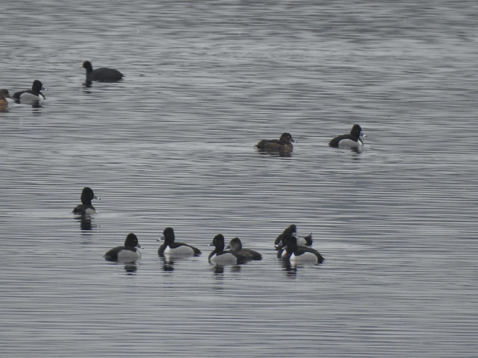 Ring-necked ducks with an American coot in the background.

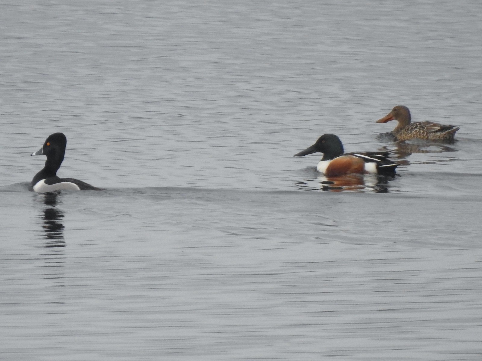 Ring-necked duck and northern shovelers
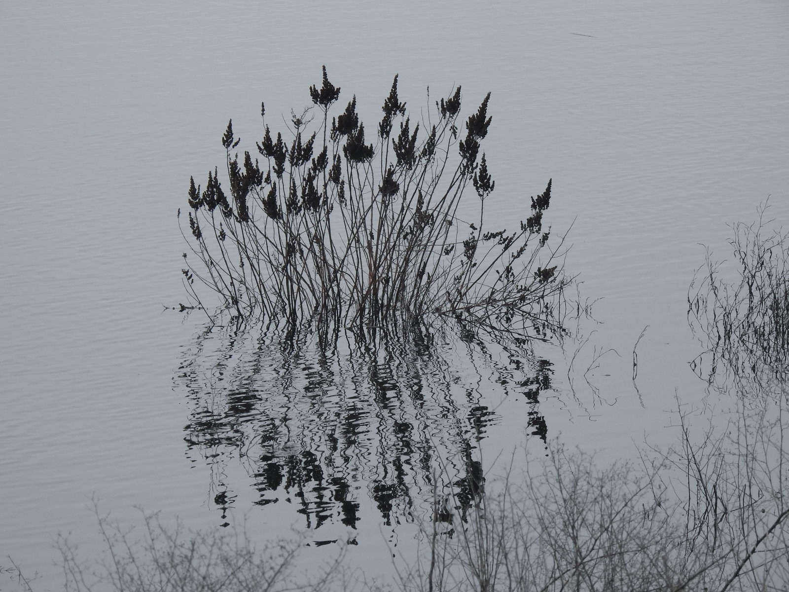 Reflections in Wapato Lake
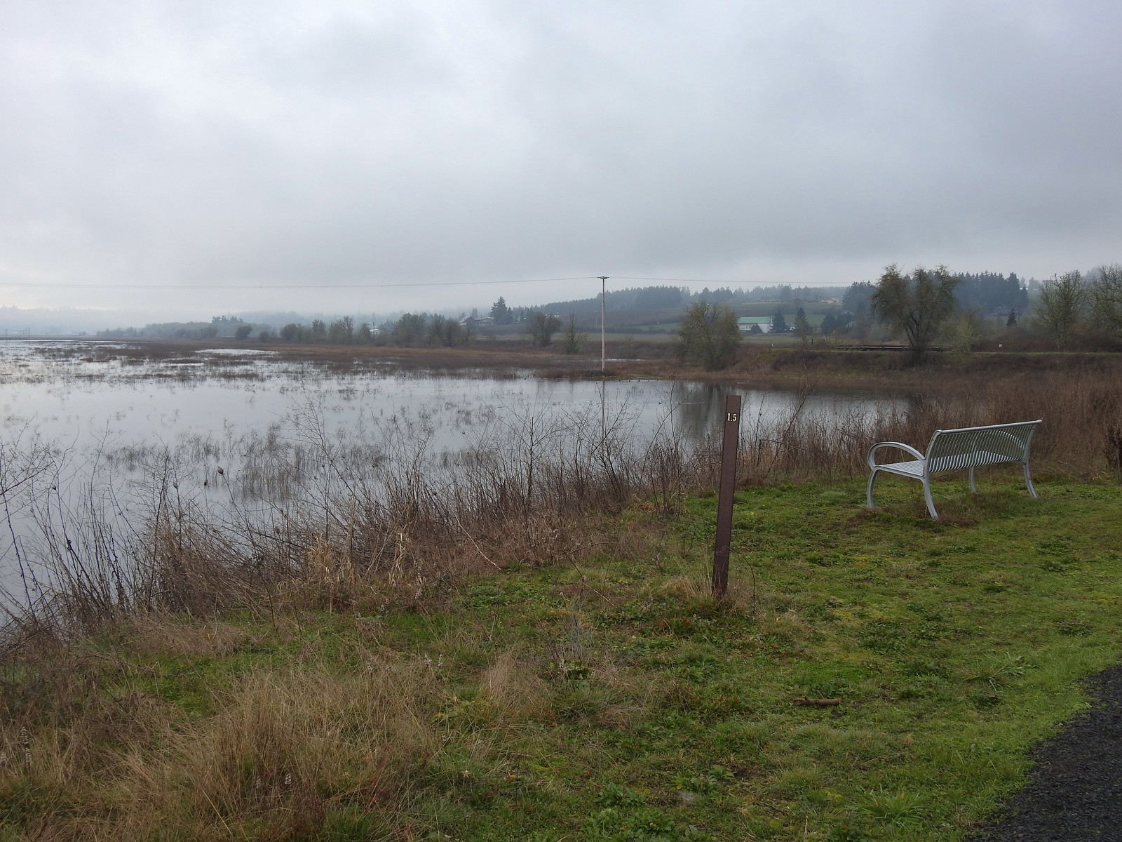 There is virtually no shade along the lake which wasn’t an issue today but could be in the heat of Summer. There are however three benches along the levee allowing for a place to sit and watch the birds.
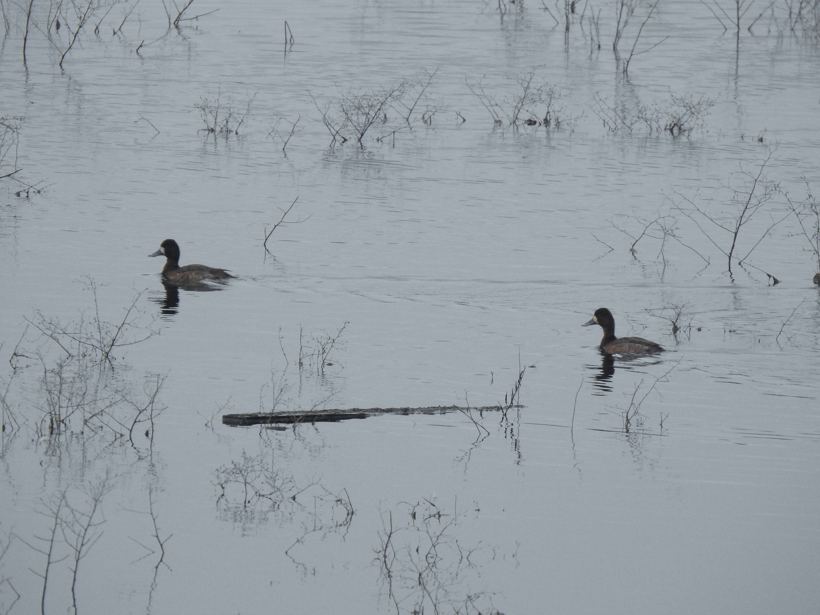 Lesser scaups
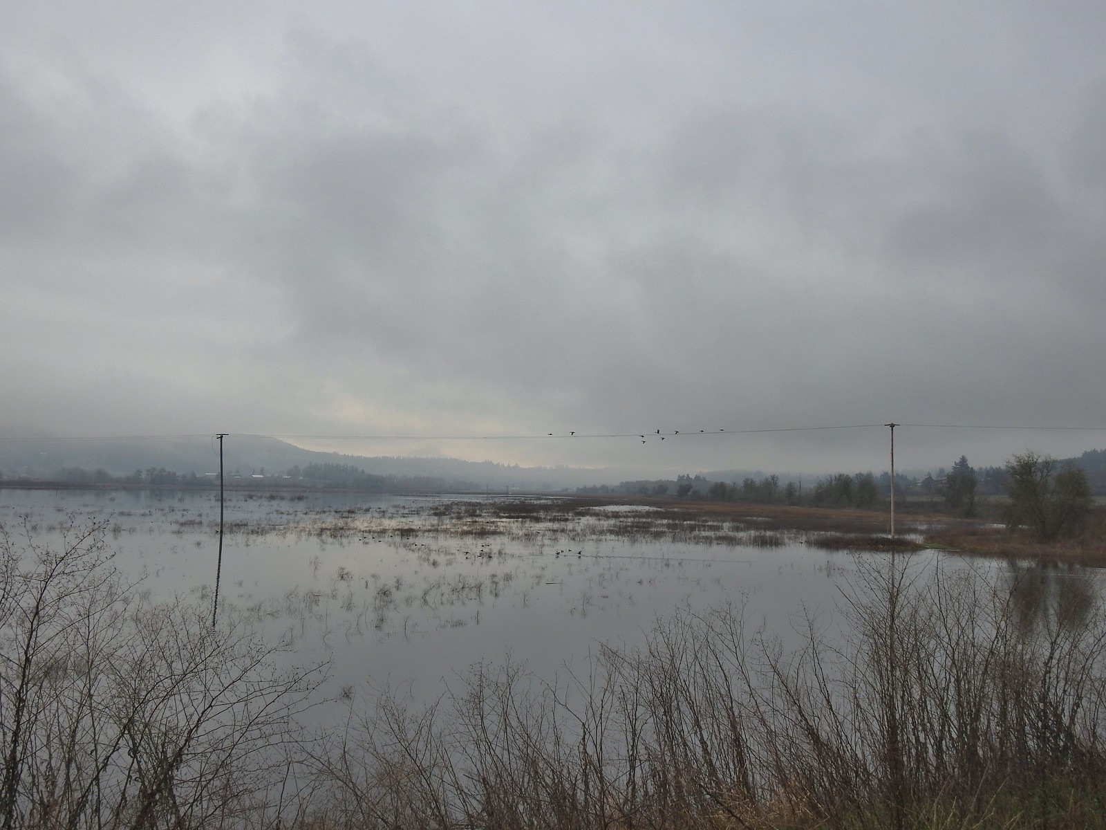 Ducks flying over the lake.
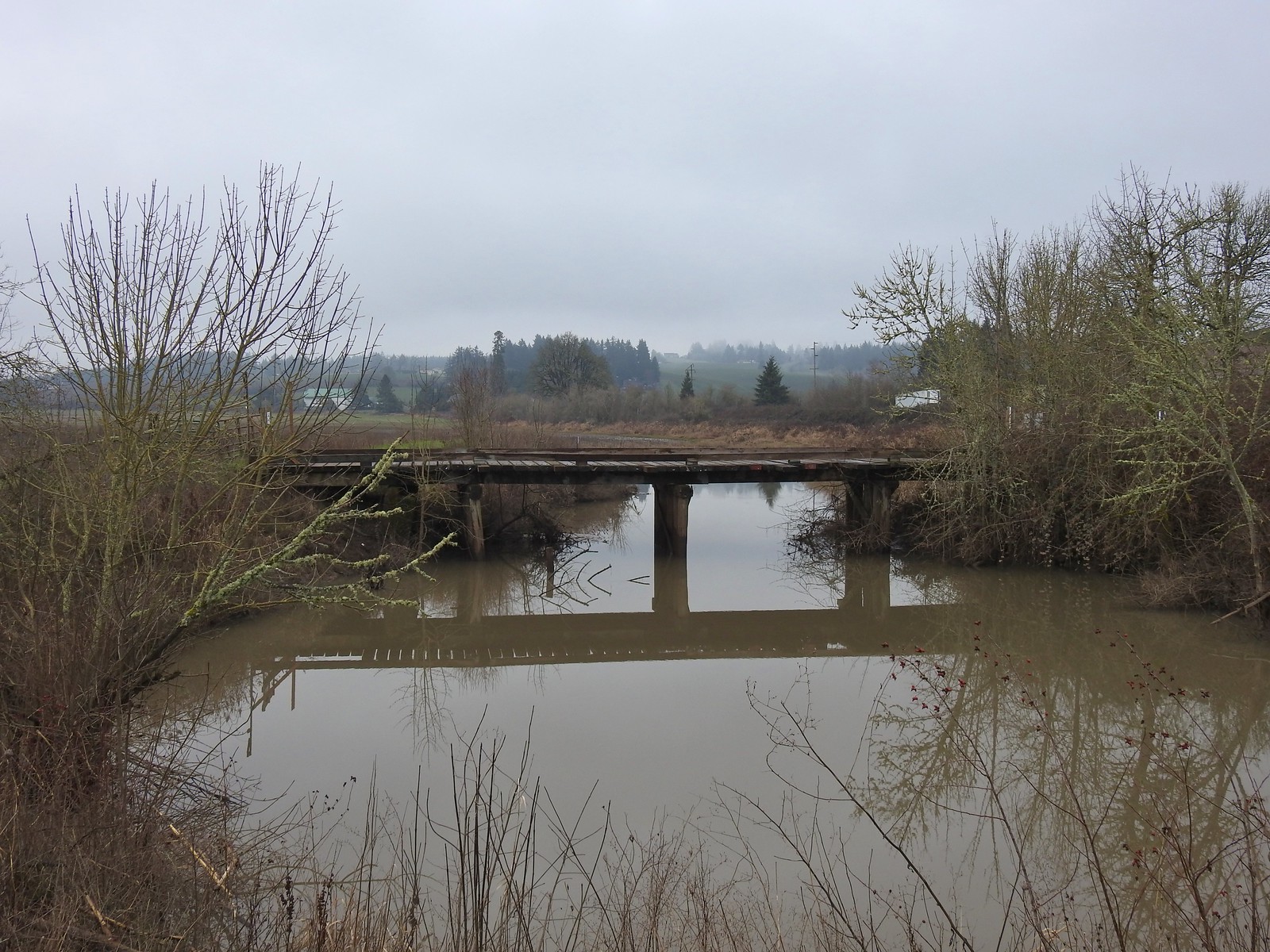 Old bridge over Wapato Creek. The gravel surface ended at this bridge.
After 0.7 miles of gravel the levee continued as a natural surface. The unevenness of the natural surface was a stark difference to the gravel.
We continued on the natural surface another three quarters of a mile to a gate at another old bridge. Across the lake we could see some tundra swans which were a first for us, and we startled a coyote that raced off through the brush along the lakebed.
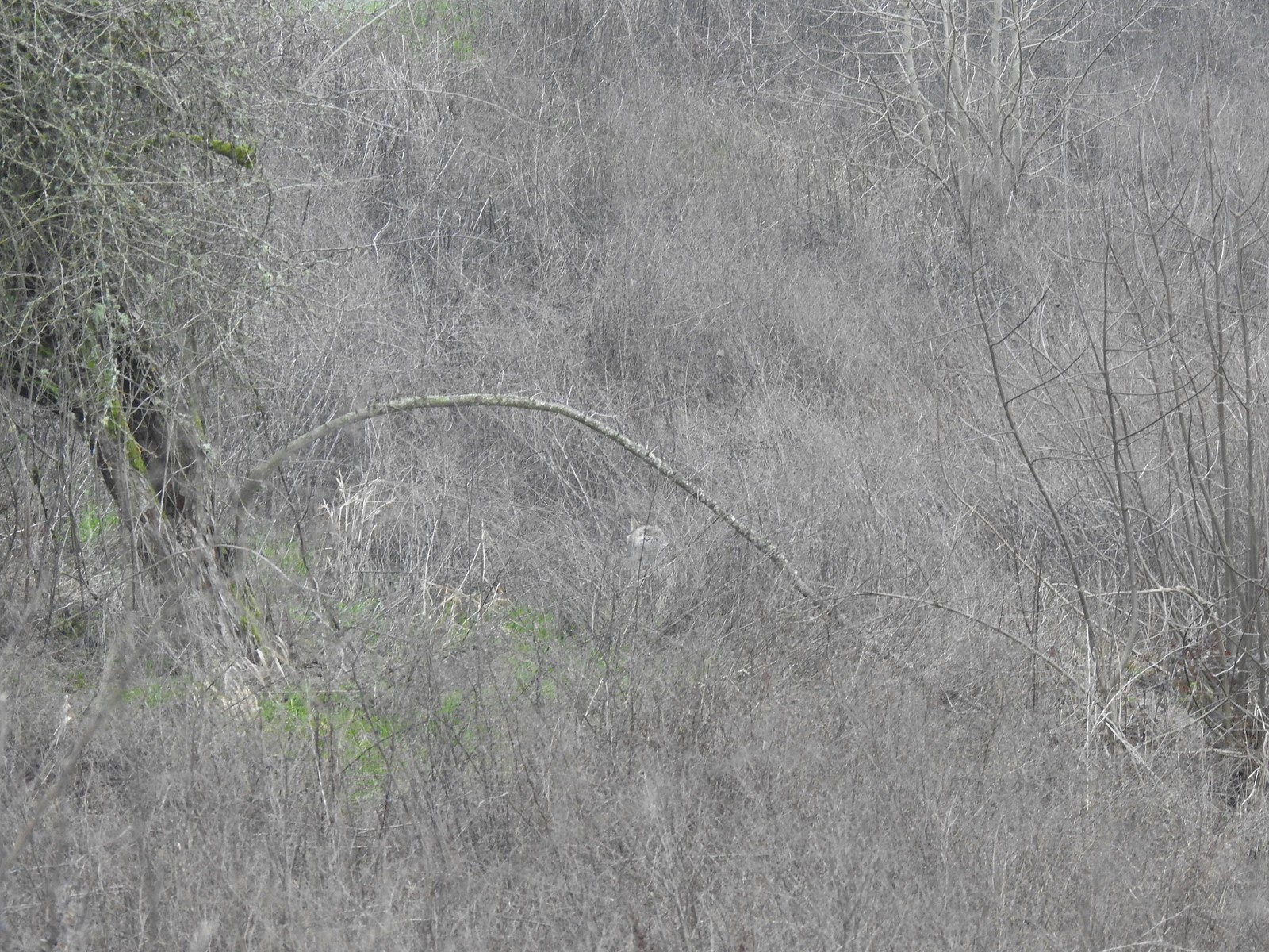 The coyote running off through the brush.
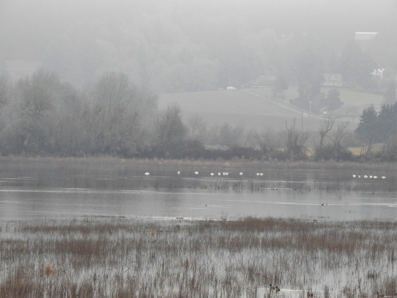 Tundra swans
 Tundra swans
 We decided to turn around at this bridge even though the levee continued. It appeared that the water was further away from the levee going forward and we hadn’t planned on going much more than 3-miles today.
We were hoping that the partly sunny skies that had been forecast would make an appearance as we made our way back, but that never happened. Nevertheless, we were enjoying trying to identify the different ducks and birds we were seeing.
 Northern pintails and some green-winged teals.
 American wigeons and a pair of green-winged teals.
 There were a couple of times that blue sky seemed imminent.
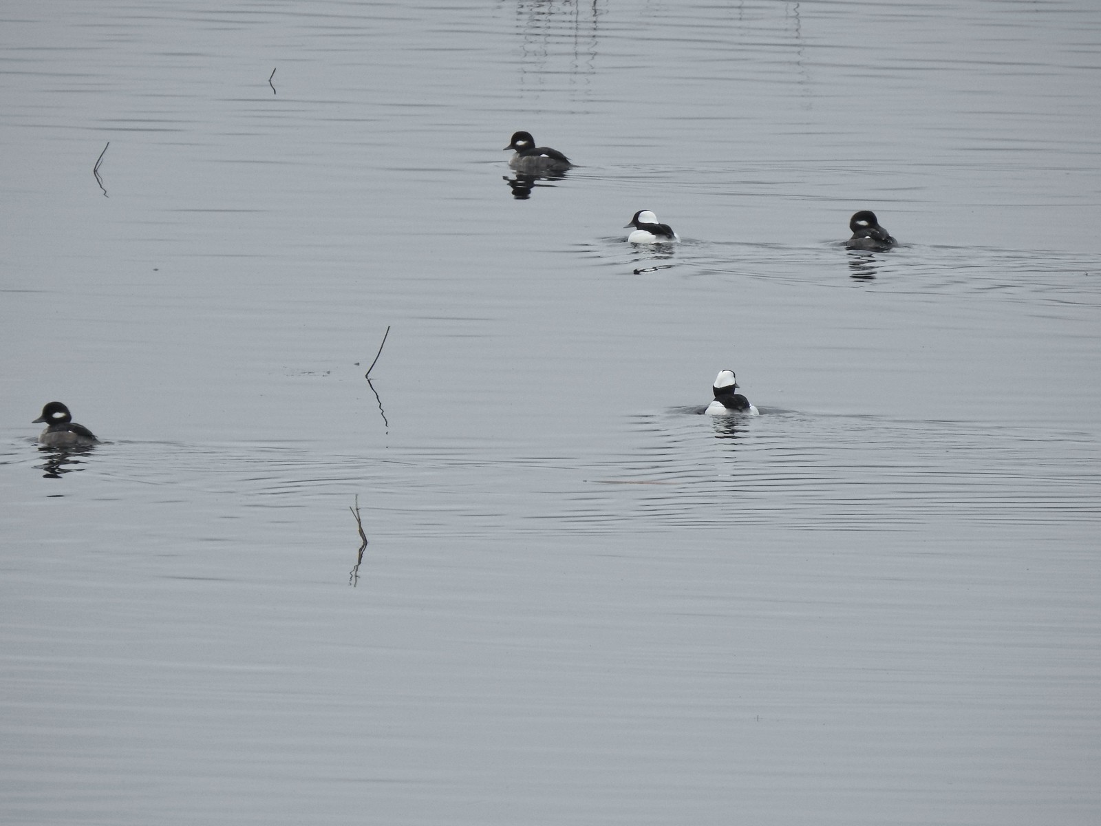
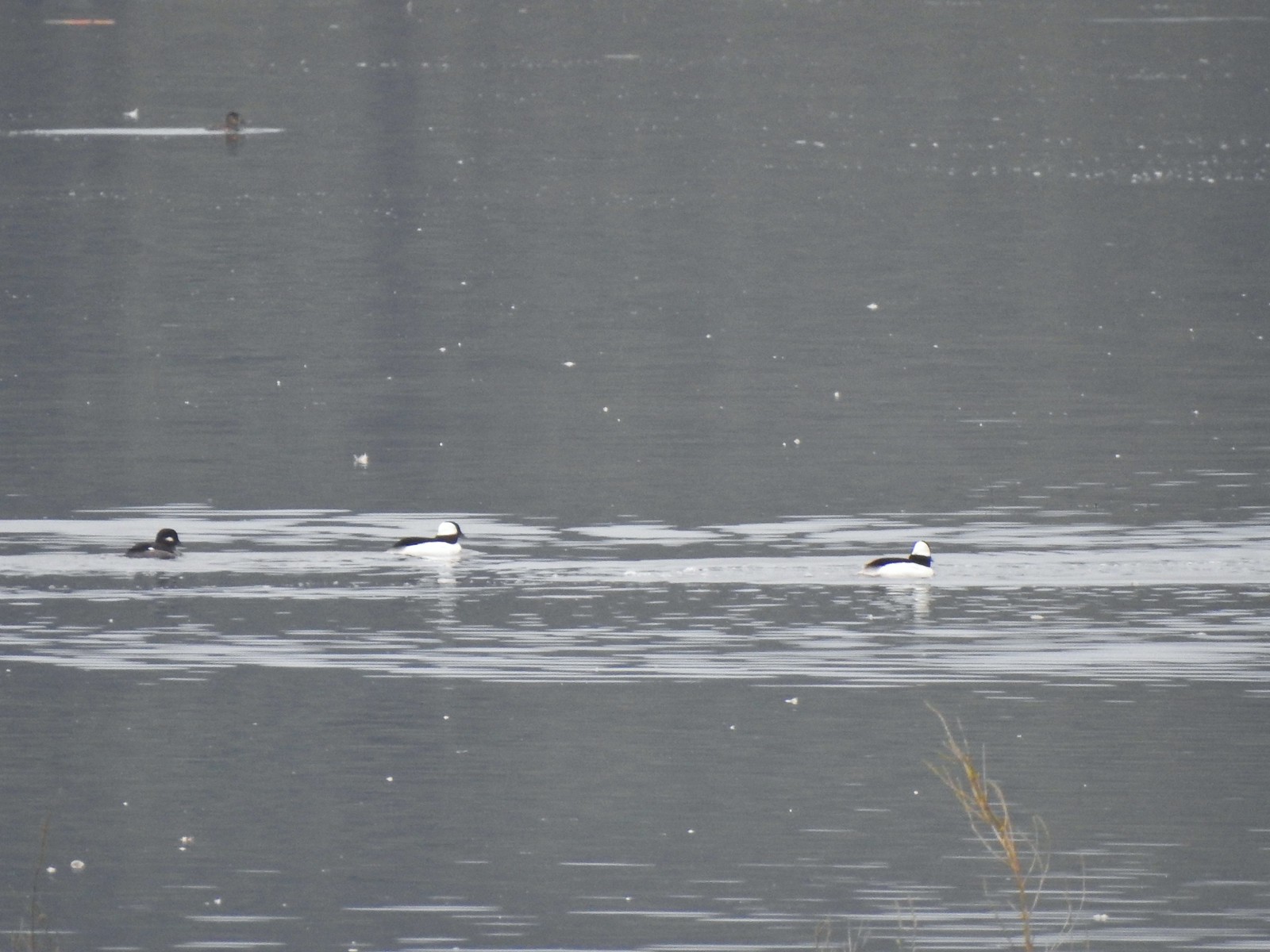 Buffleheads
 Iowa Hill (post) across the lake.

 More buffleheads
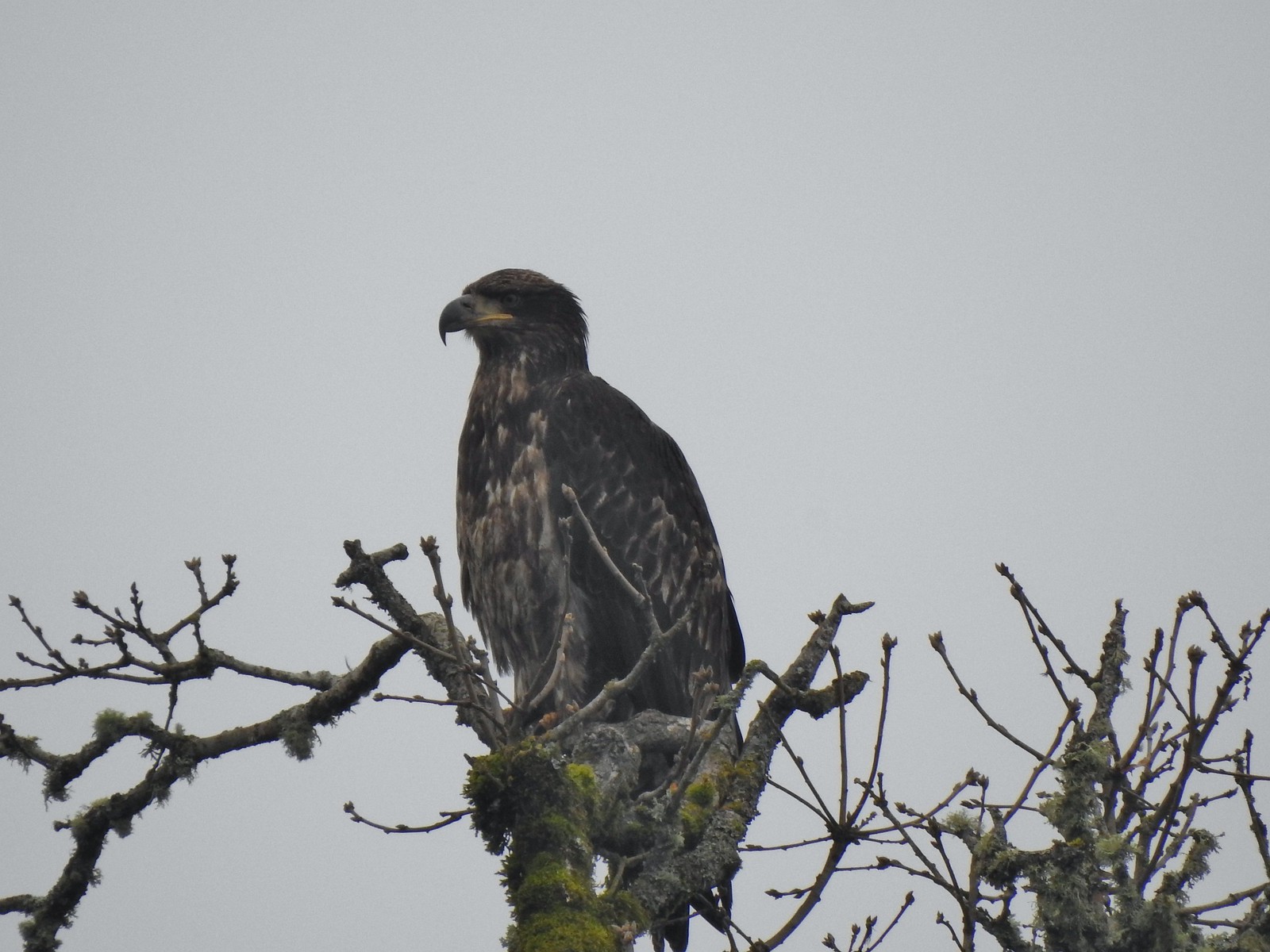 Immature bald eagle
 Sparrow
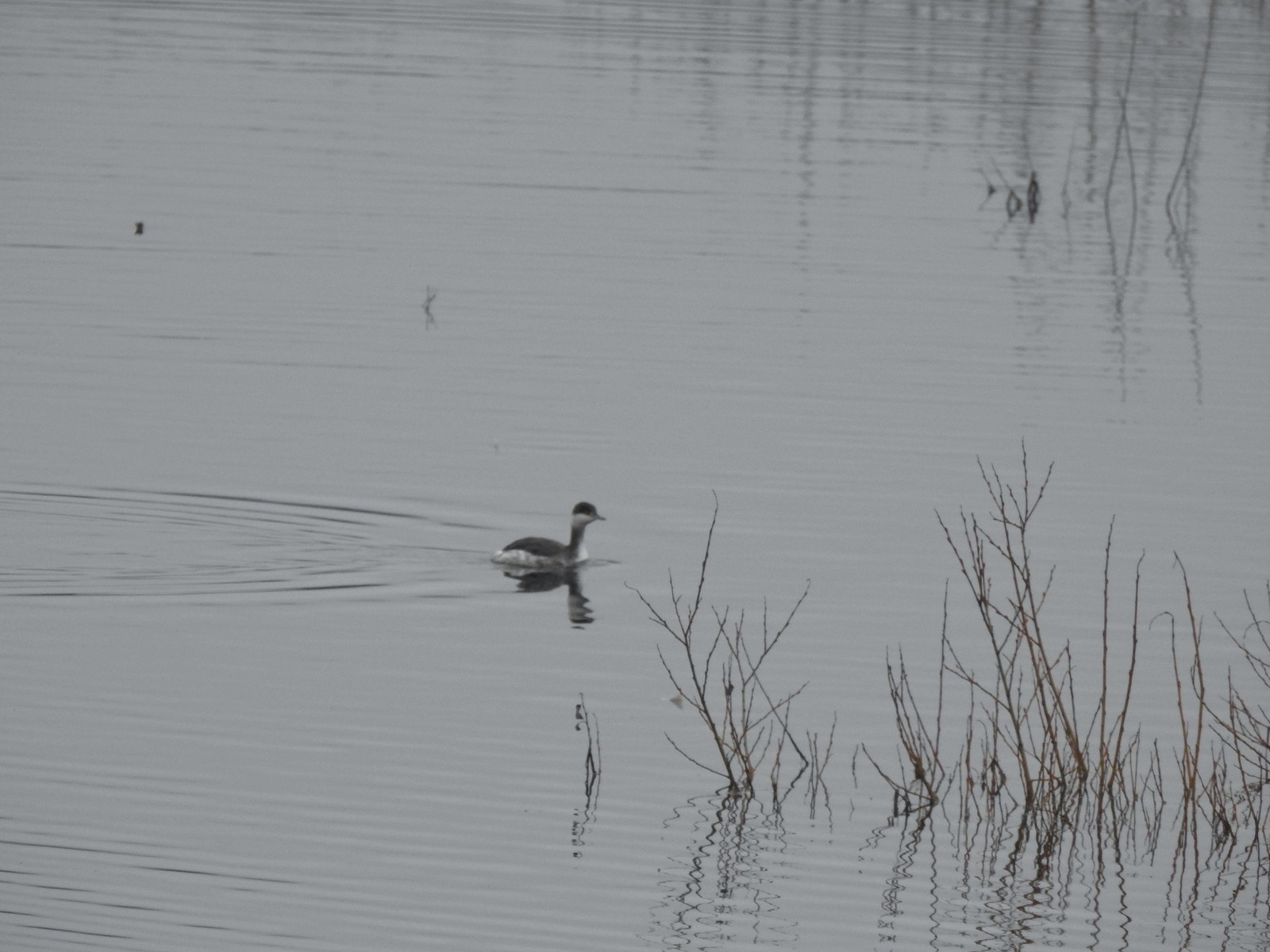 Horned grebe
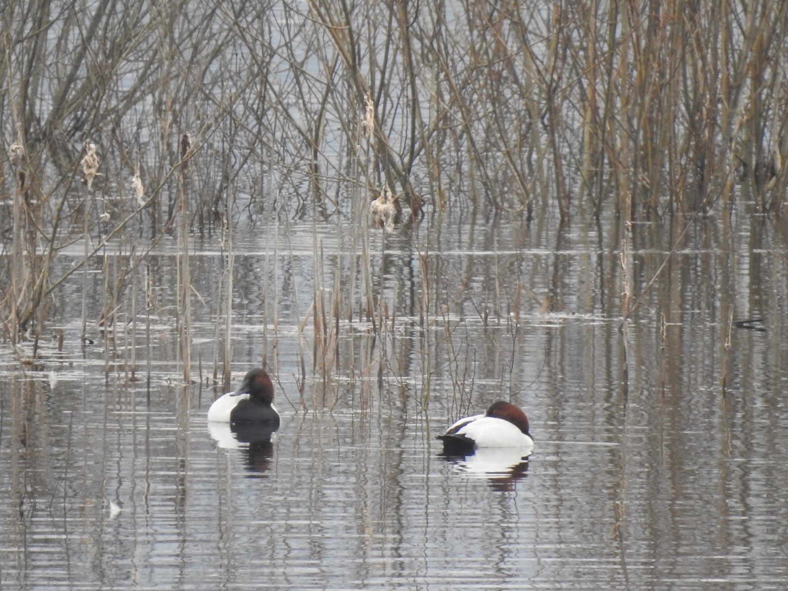 Canvasbacks, another first for us.
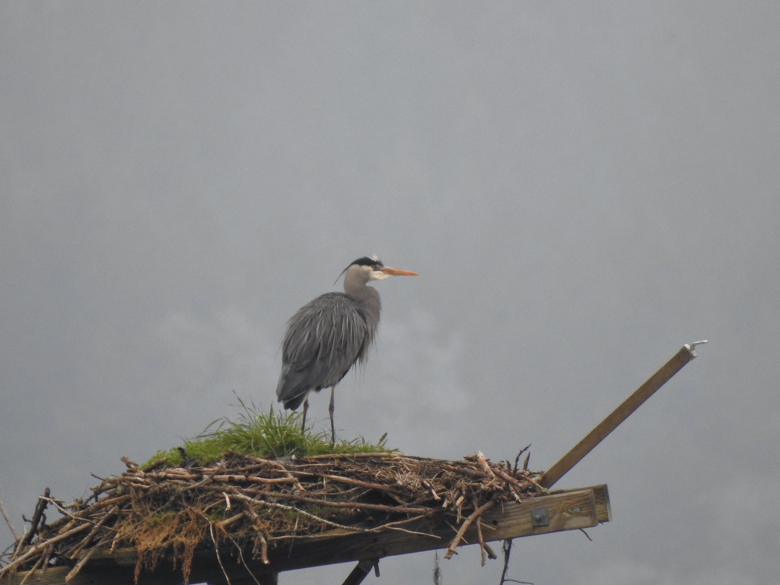 Great blue heron on the osprey nest.
 Ther heron on the nest.
When we arrived back at the bridge over Wapato Creek we stayed straight on the level and followed the gravel path north 0.6-miles to a gate where we turned around and returned to our car.
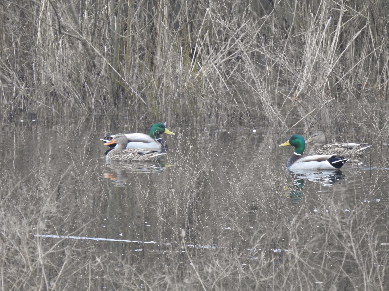 Mallards
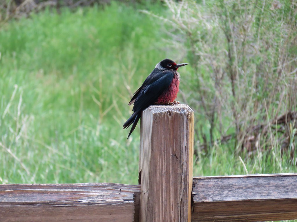
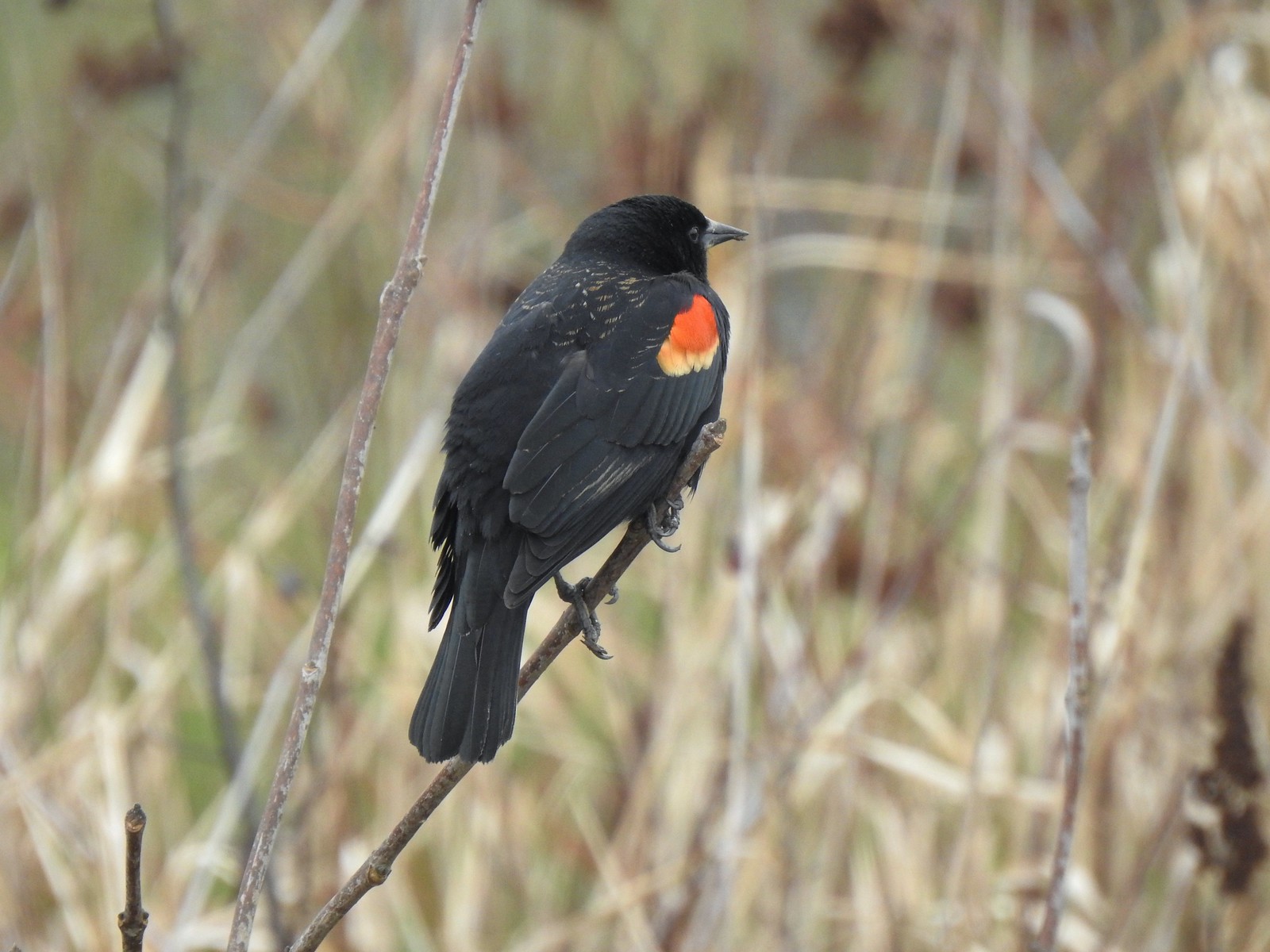 Red-winged blackbird
 Bald eagle
 Nutria

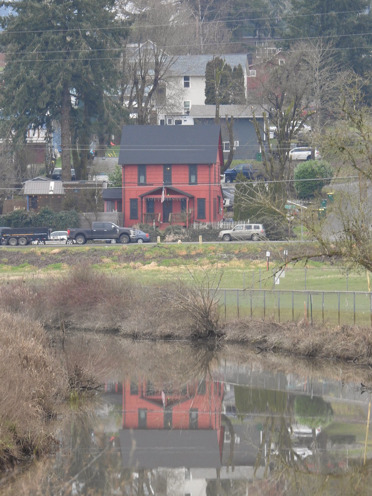 Gaston from the refuge.
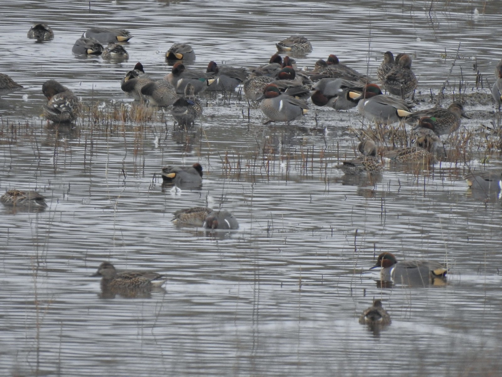 Green-winged teals
 Northern pintails
 Mostly American wigeons and green-winged teals
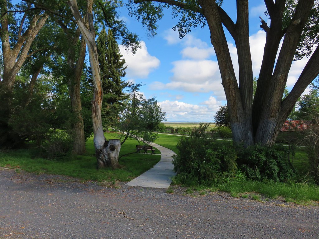
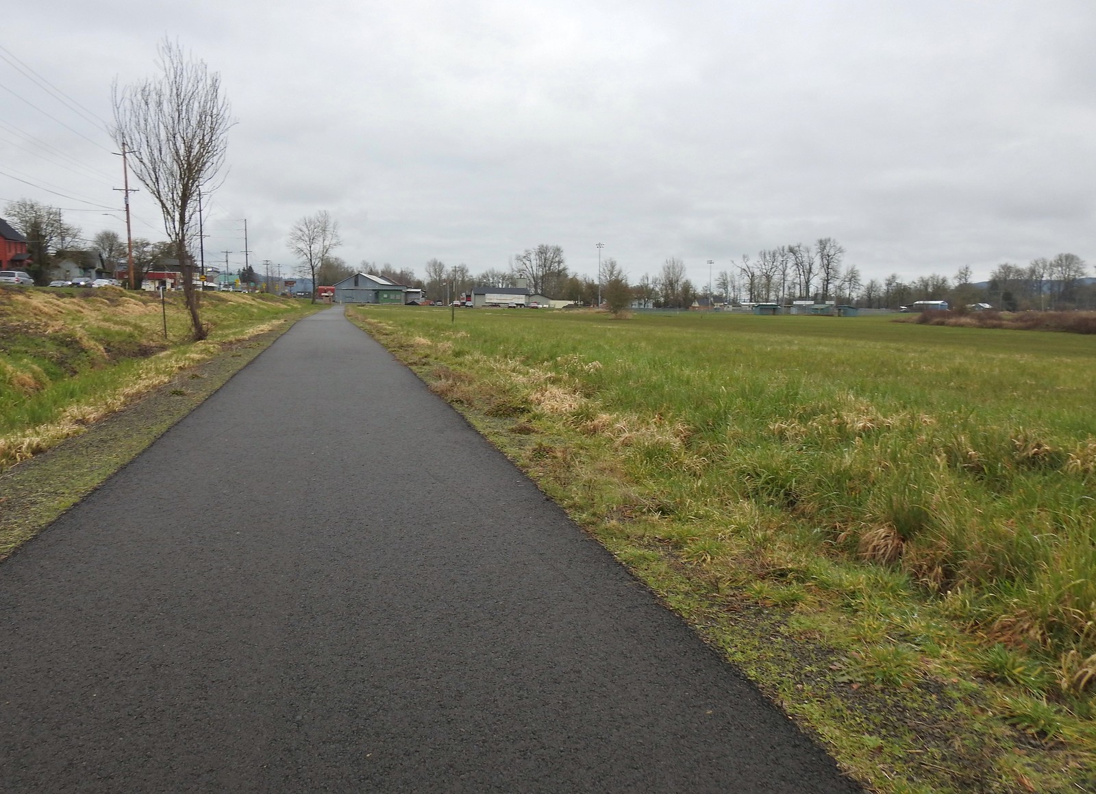 On the paved path back to the parking lot.
We wound up going a total of 4.8-miles (according to both our GPS units) which was a little further than we’d planned, but we got to see a lot of wildlife without much effort on the level trails.

This was an enjoyable visit and given its relative proximity to Salem one that we’ll likely revisit down the line. Happy Trails!
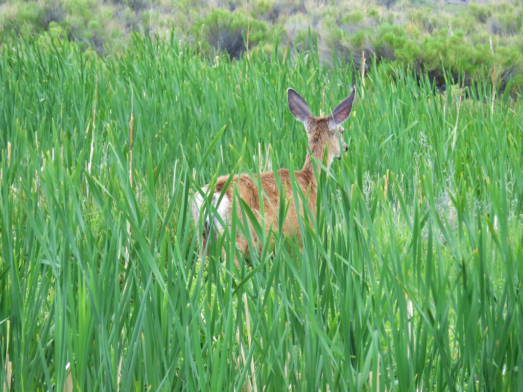
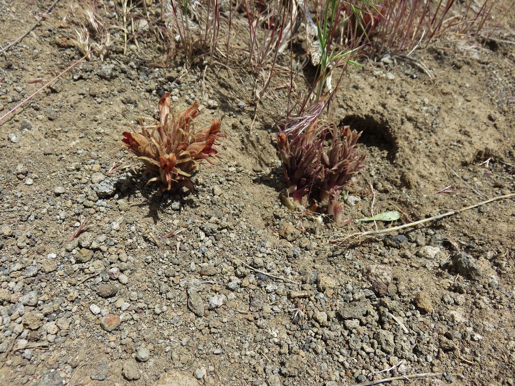
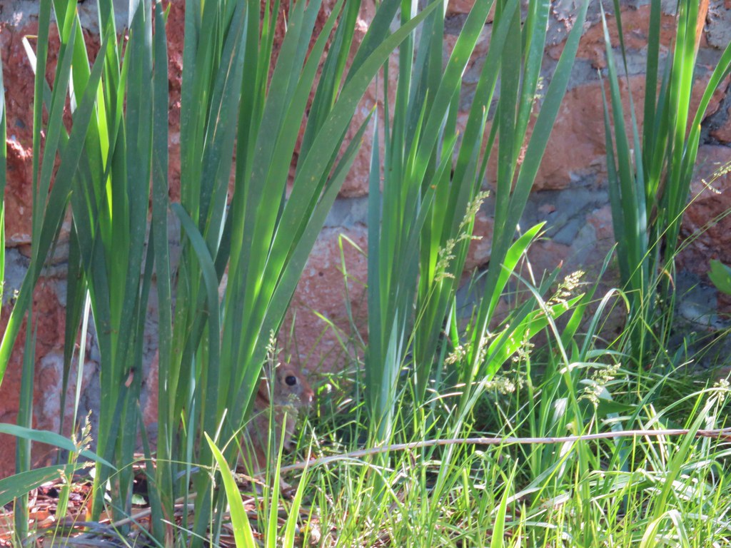 Rabbit behind the plants
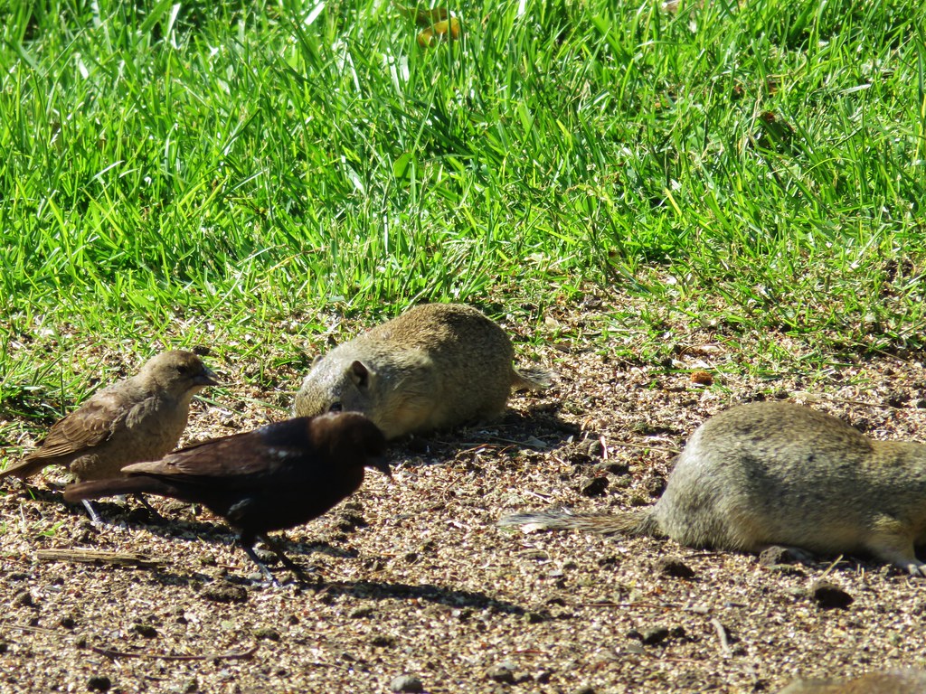


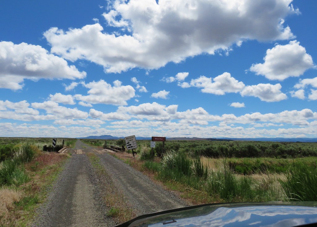
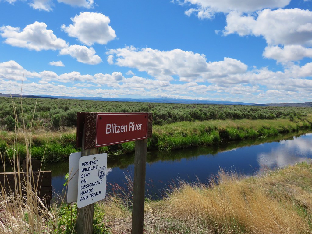
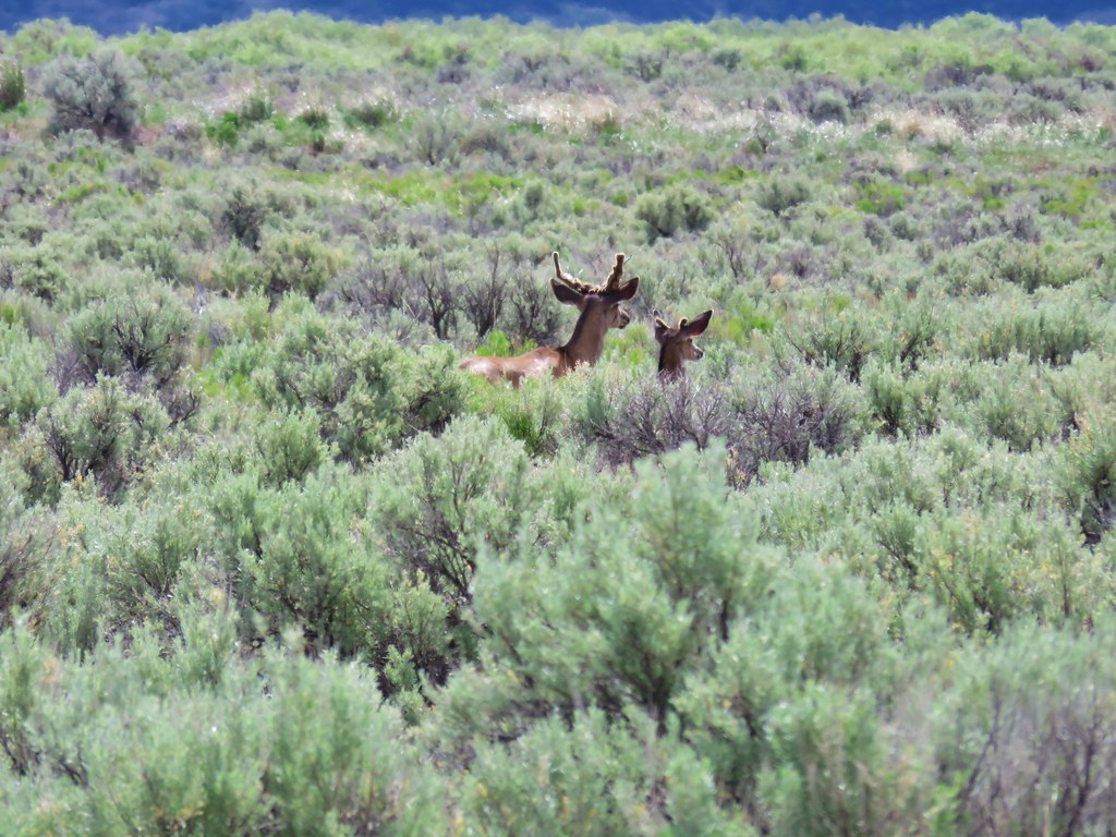
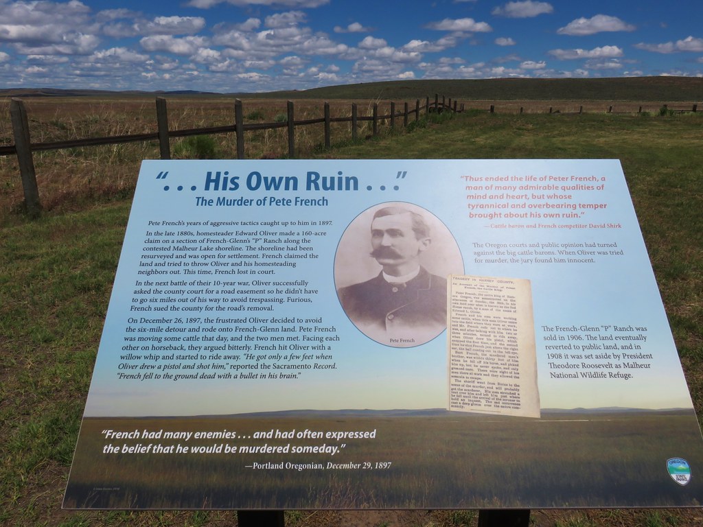
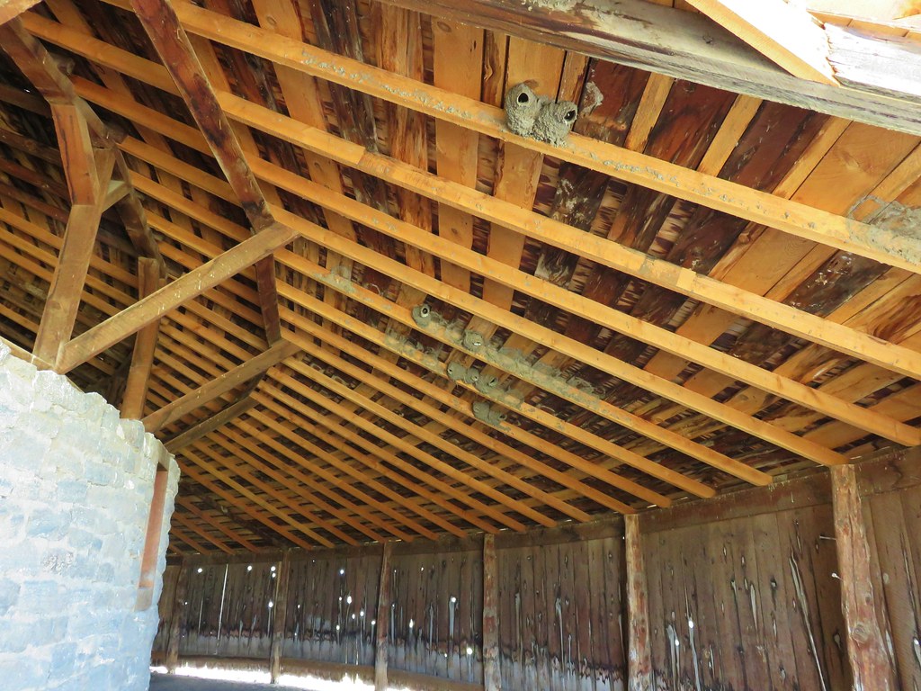
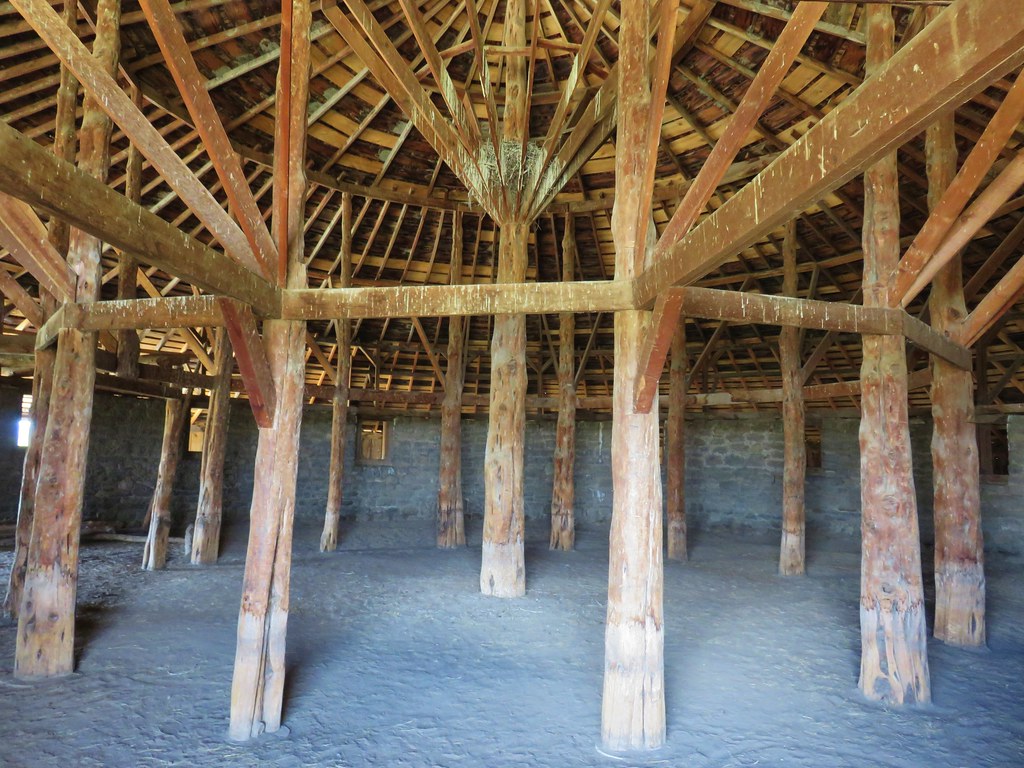
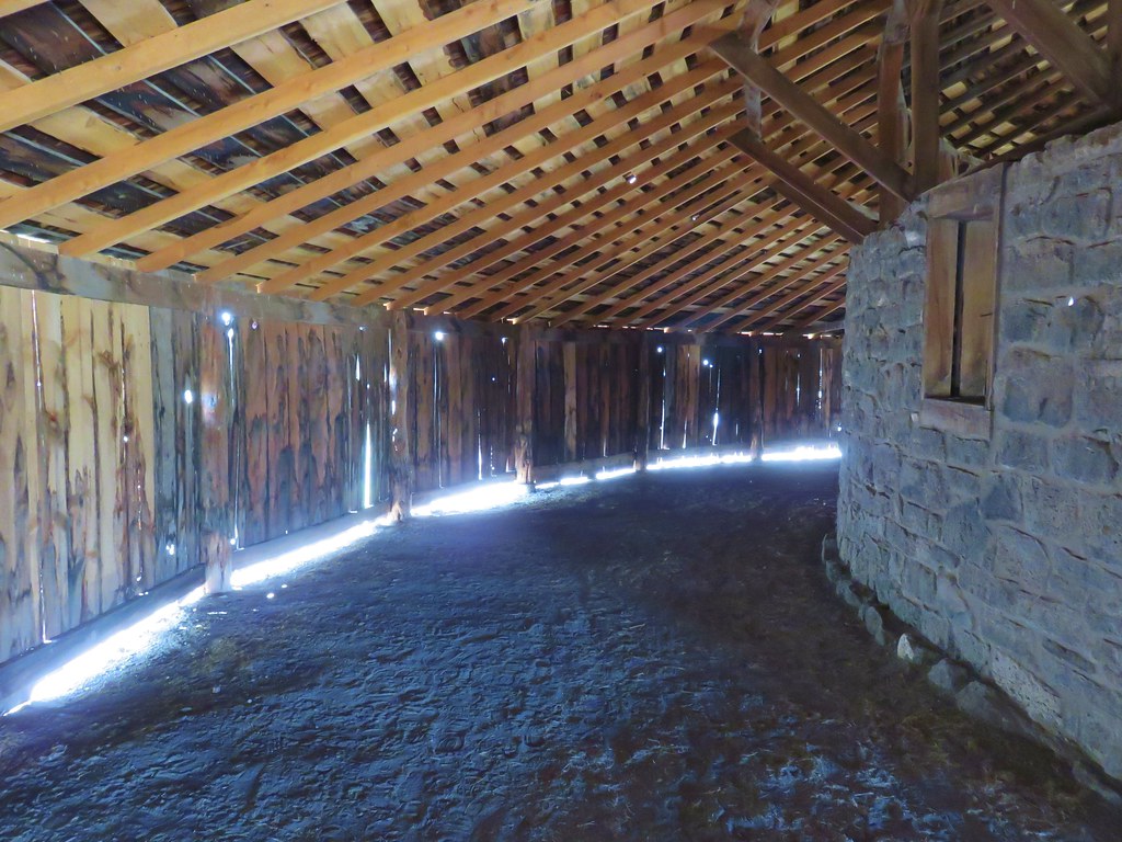
 Stop 2 – Sod House Ranch
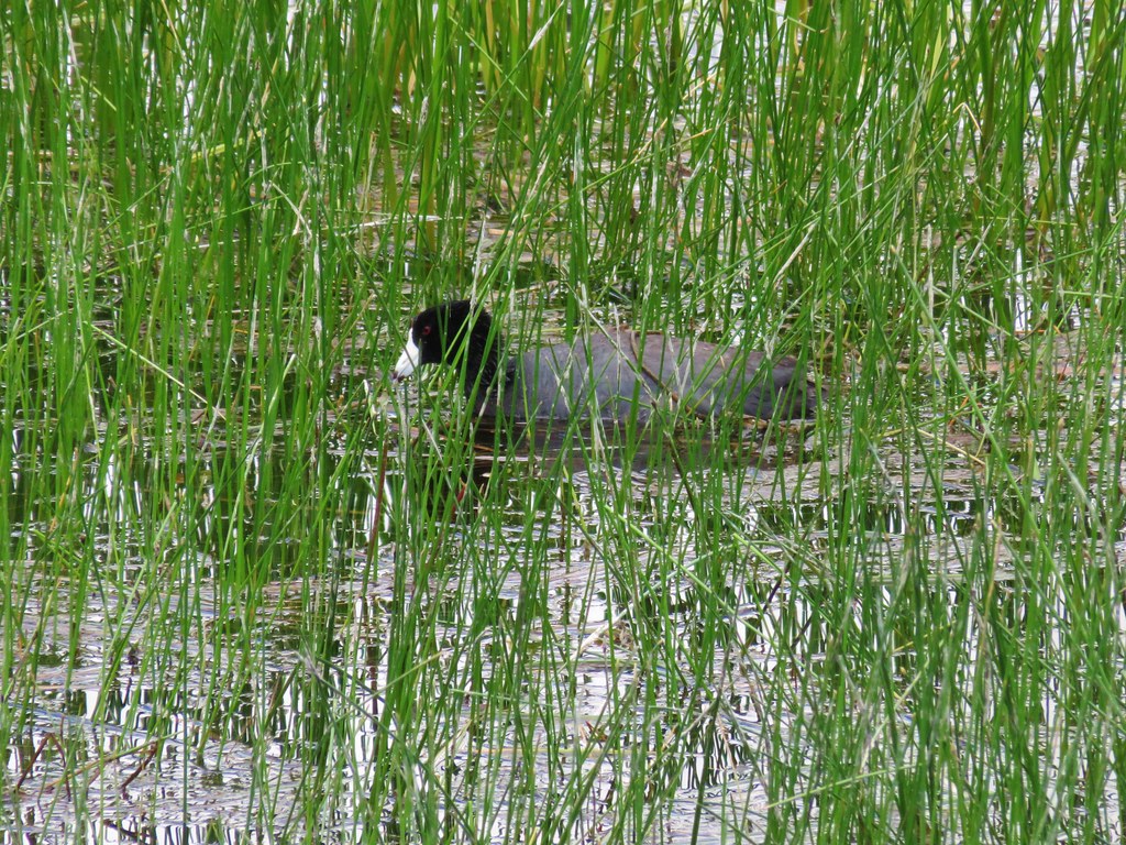 American Coot
 White Faced Ibis
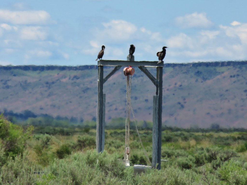 Cormorants
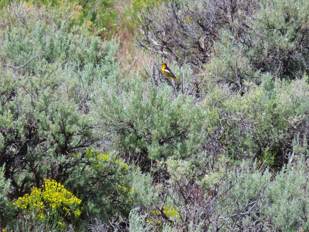
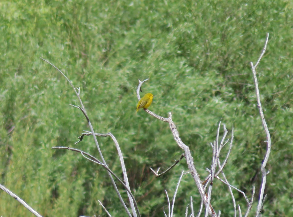 Yellow Warbler?
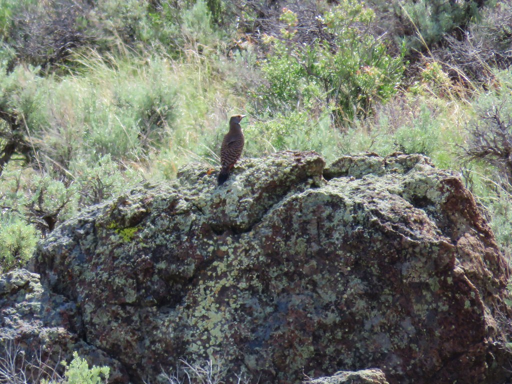
 Western Meadowlark