May continues to be wet this year despite being in the midst of a drought. Hopefully these rainy days will help with that to some extent but in the meantime for the second week in a row we found ourselves looking for a “Plan B” hike that was more inclement weather friendly. We decided on the recently opened (December 2021) Chehalem Ridge Nature Park. Located in the Chehalem Mountains this 1260 acre park is managed by Metro which also manages Orenco Woods where we had started last week’s hike (post). Chehalem Ridge offers a network of hiking, biking, and equestrian trails but does not allow pets/dogs. The park website states that the park is open from sunrise to sunset which I mention because Google seemed to think it opened at 6:30am and entries in the Oregon Hikers Field Guide (Iowa Hill & Chehalem Ridge) give the hours as 8am to 7pm. With sunrise being a little before 6am this time of year we gambled on the Metro website hours and arrived at the large Chehalem Ridge Trailhead at 6am to find that the gate to the trailhead was indeed open.

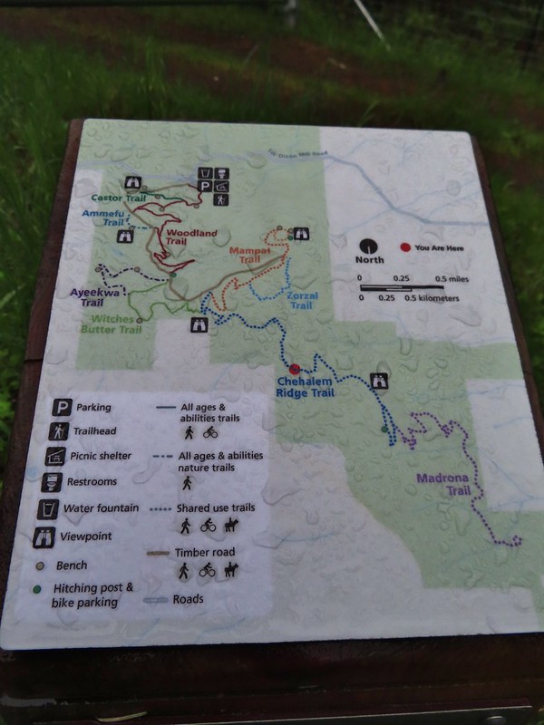
We had spent most of the hour drive passing through rain showers but there was no precipitation falling as we prepared to set off. We stopped at the signboard to read up on the park and to study the map to confirm out plan for the hike.

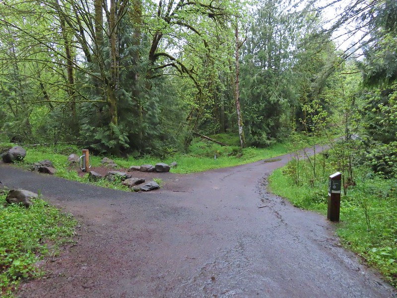
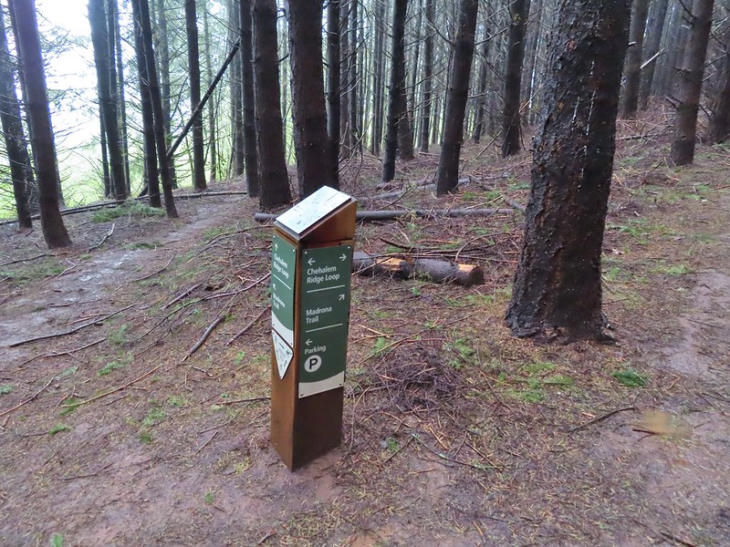
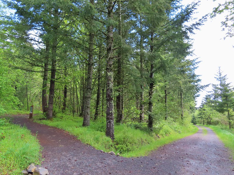
Simply put the plan was to stay right at all junctions. This meant taking the Timber Road to the Ammefu (mountain in Atfalti (Northern Kalapuya)) Trail back to the Timber Road then to the Ayeekwa (bobcat in Atfalti) Trail to Witches Butter to the Chehalem (outside place in Atfalati) Ridge Trail. We would then follow the Chehalem Ridge Trail (detouring on a small partial loop) to the Madrona Trail and follow it to it’s end at a loop near some madrone trees. Our return would be back along the Madrona Trail to the Chehalem Ridge Trail (skipping the partial loop this time) to the Mampaꞎ (lake in Atfalati) Trail then right on the Zorzal (Spanish for thrush) Trail back to the Mampaꞎ Trail to Iowa Hill where the Mampaꞎ Trail ends in a loop around the hill. From Iowa Hill we would return to the Timber Road via the Mampaꞎ Trail and follow the road downhill to the Woodland Trail which we would follow back to the trailhead. The route could have been confusing but Metro has done an excellent job with not only placing posts identifying the trails at all of the junctions but also including maps on top of the posts.
The other nice touch is that the maps on these posts were oriented differently to align with the direction of the trail with north identified in the legend which made them quicker to read.
We set off down the Timber Road past the first of three figures located throughout the park representing the traditional storytelling of the Atfalti.

 The Castor (Spanish for beaver) Trail on the left, this was the only trail in the park that we didn’t hike on during our visit. It was always a left turn.
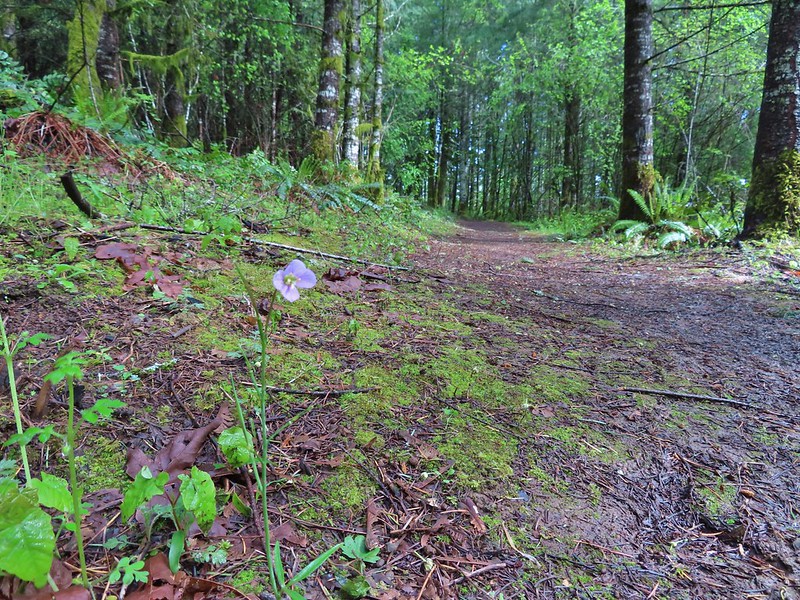
 Fawn lilies
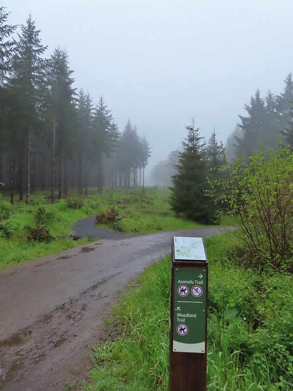
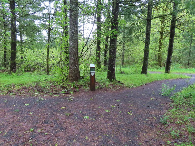
 Our first right turn (left was a short connector to the Woodland Trail).
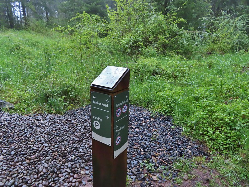 Again the posts and accompanying maps were some of the best trail identifiers we’ve run across.
 Bench at the viewpoint along the Ammefu Trail.
 We had to imagine the view today.
 The second figure.
 Back at the Timber Road and another short connector to the Woodland Trail.
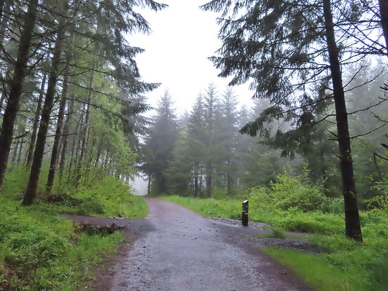
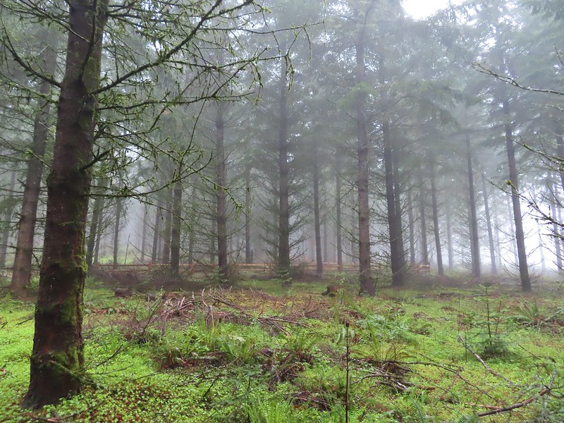
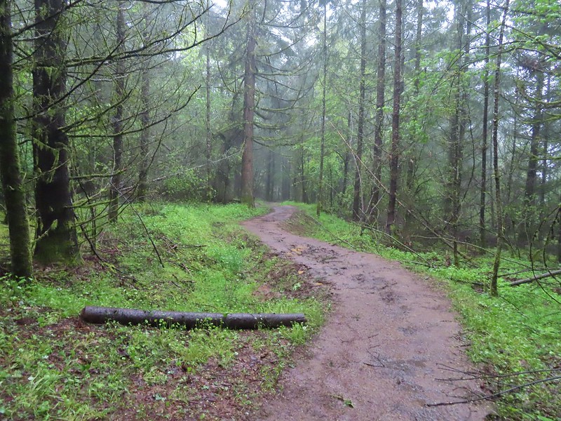
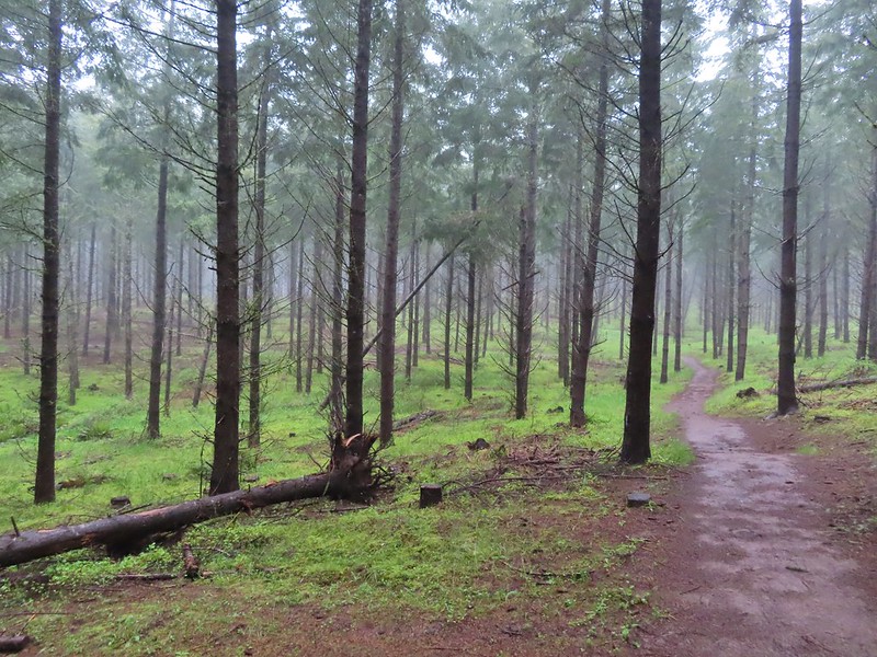
 Fog on Timber Road
 Passing the Woodland Trail on the left which would be our right turn on the way back.
 Christensen Creek
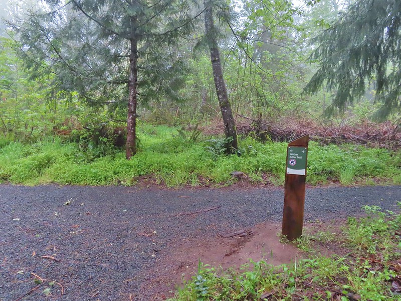
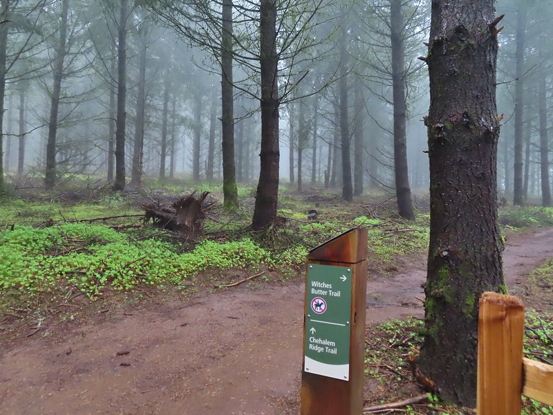
 Right turn for the Ayeekwa and Witches Butter Trails.
 Witchs Butter on the left and Ayeekwa on the right.
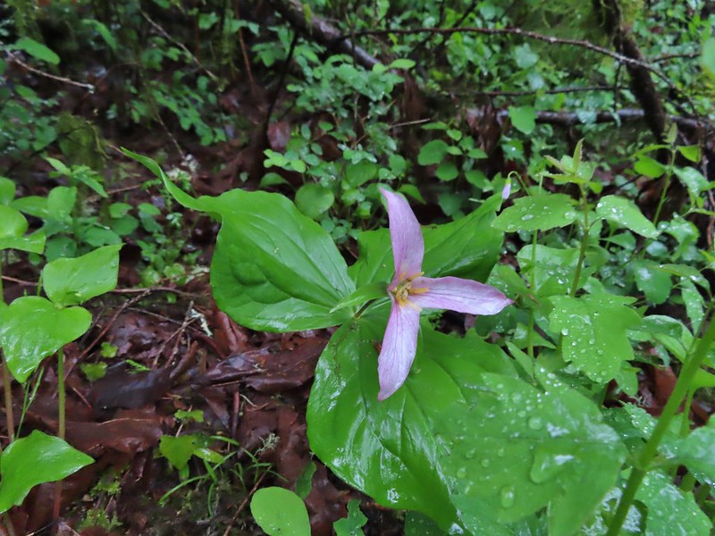 Trillium
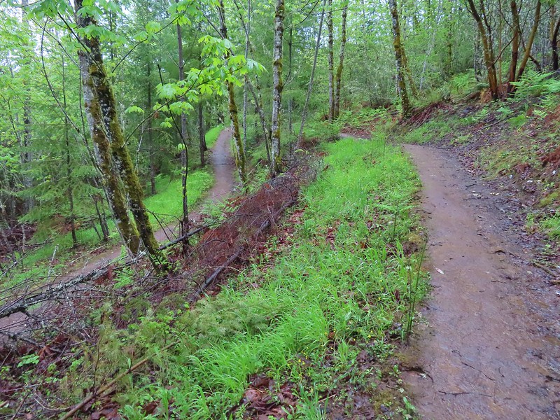
Some of the trails were gravel which helped keep mud from being an issue given the damp conditions. In fact there was only one spot (along the Madrona Trail) where mud was an issue at all.

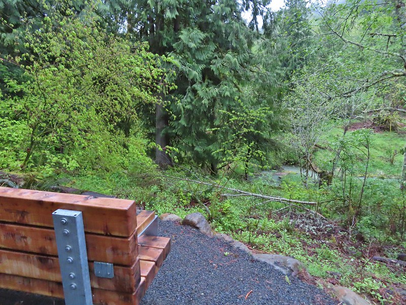 Another bench, this one overlooked Christensen Creek.
 Common blue violet
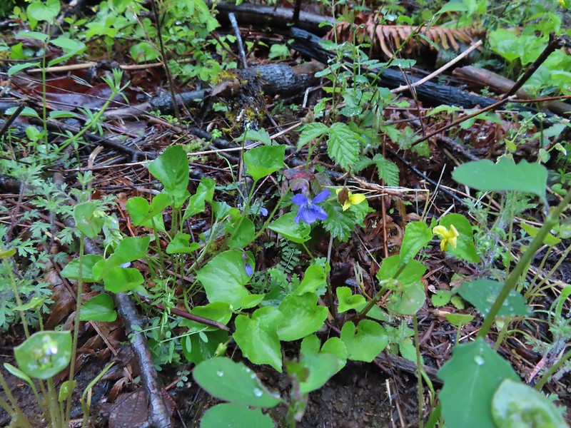
 Pioneer violets and a strawberry blossom.
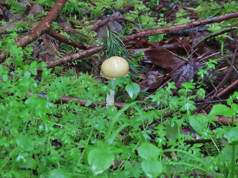
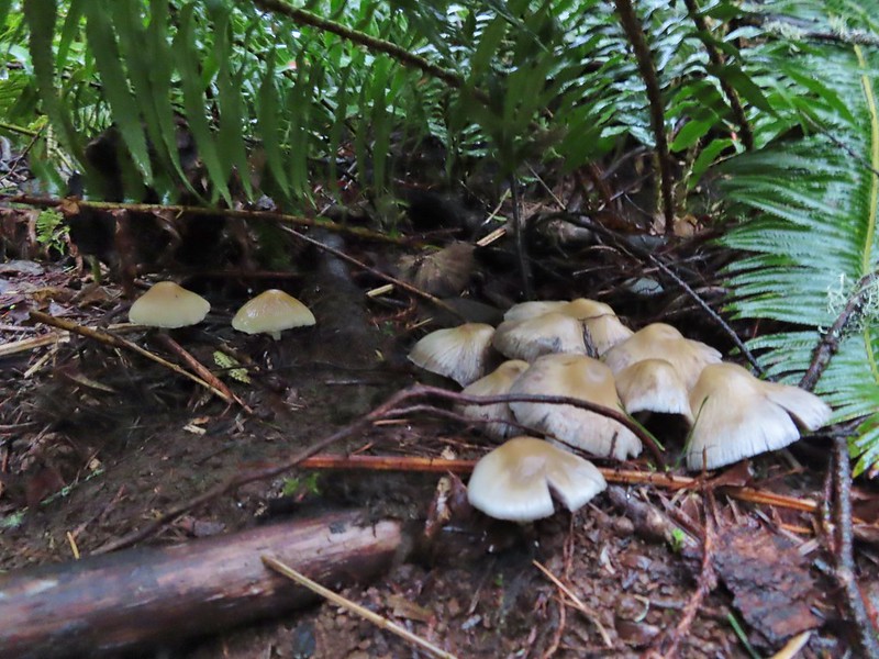 Mushrooms under a fern.
 Popping out on the Witches Butter Trail.
 Witches Butter Trail
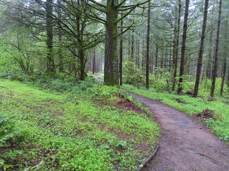
 Witches Butter Trail winding through Douglas firs.
 Turning right onto the Chehalem Ridge Trail.
 There was a little more mud on the Chehalem Ridge Trail.
 Spring green carpet.
 A good example of the differently oriented maps, on this one north is down.
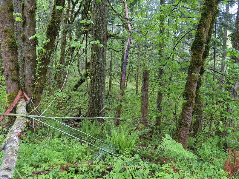
 Another fir plantation. The land had been owned by a timber company prior to being purchased by Metro in 2010.
 Start of the Chehalem Ridge Loop. We went right which simply swung out along the hillside before dropping down to the Madrona Trail in 0.4 miles.


 The loop continued to the left but we turned right onto the Madrona Trail.
The one thing that was hard to distinguish on the maps was the topography so we were a little surprised when the Madrona Trail continued to descend the hillside. (Had we read the Oregon Hikers Field Guide more closely we would have been prepared.) The trail switchbacked a total of 11 times before arriving at an old roadbed which it continued along to the right.
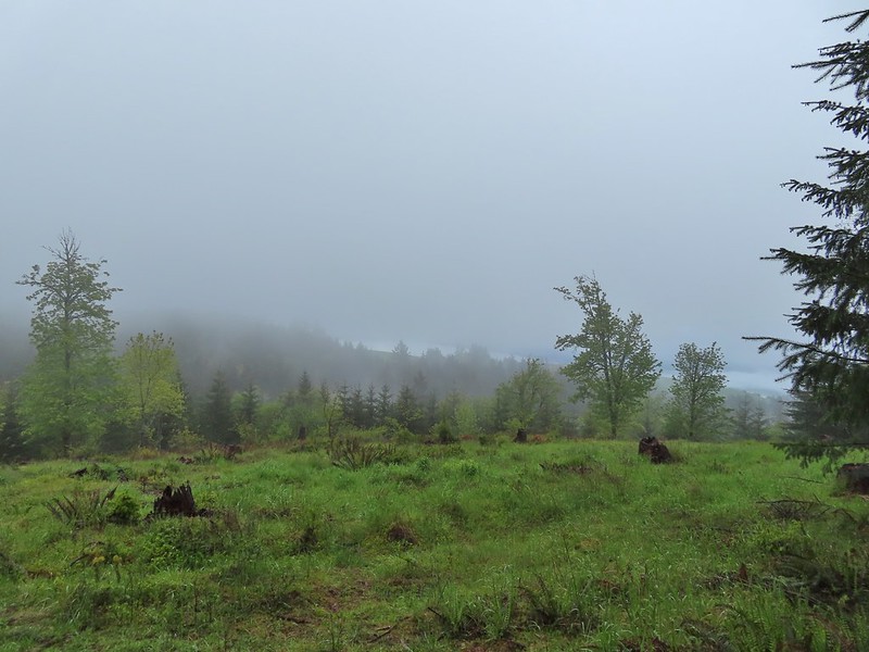
 Still cloudy and gray but we’d experience very little if any precipitation yet.
 Lots of tough-leaved iris along this trail.
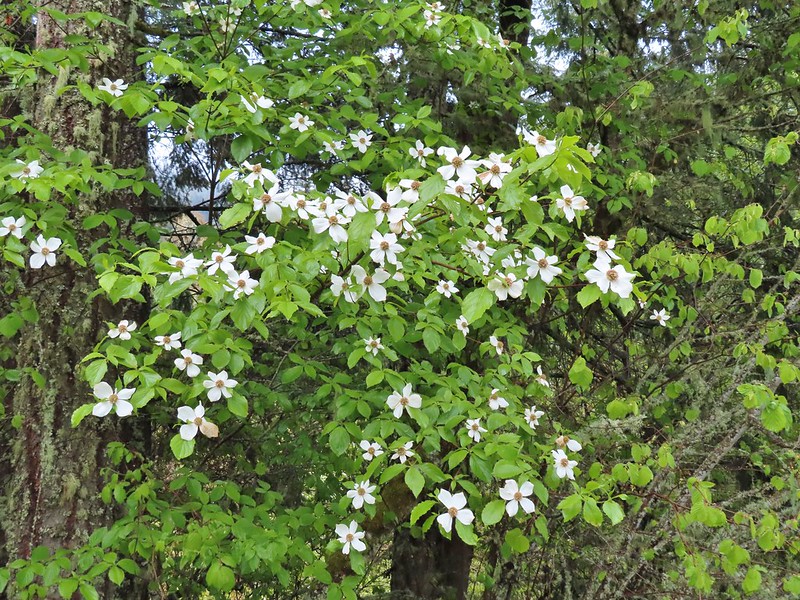 One of several blooming dogwood trees.
 View on the way down.
 Madrone trees began to be a common sight as we descended.
 One of the 11 switchbacks.
 We hadn’t seen a lot of mushrooms recently but this hike had plenty.
 Following the roadbed.
The trail left the roadbed at a post and dropped down to the 0.1 mile loop at the end of the Madrona Trail.
 Aside from one other very small (3 in diameter) tree this was the only obstacle we encountered all day.
 The start of the loop along with several madrones.
As we started back from the loop Heather mentioned that there should be a deer in the brush nearby and I jokingly said that there probably was and pointed out a game trail heading down to a small stream. As soon as I had finished my remark Heather spotted a doe that emerged from the bushes along the game trail. The doe made her way to the far hillside before we could get a good look at her.

After watching the deer for a while we began the climb back up to the Chehalem Ridge Loop. It had felt like we’d come a long ways down but the climb back wasn’t any where near as bad as we expected it to be (In reality we’d only lost about 400′). It was as we were hiking back up that the first vestiges of blue sky appeared.

 The Tualatin Valley and Coast Range.
We stayed right at the Chehalem Ridge Loop to finish that loop and then retraced our steps on the Chehalem Ridge Trail back to Witches Butter Trail junction where we stayed right on the Chehalem Ridge Trail to its end at a three way junction. We had only seen 3 other people all morning, a trail runner on our way to the Madrona Trail and two hikers as we were coming back. We did however need to keep our eyes out for other trail users.
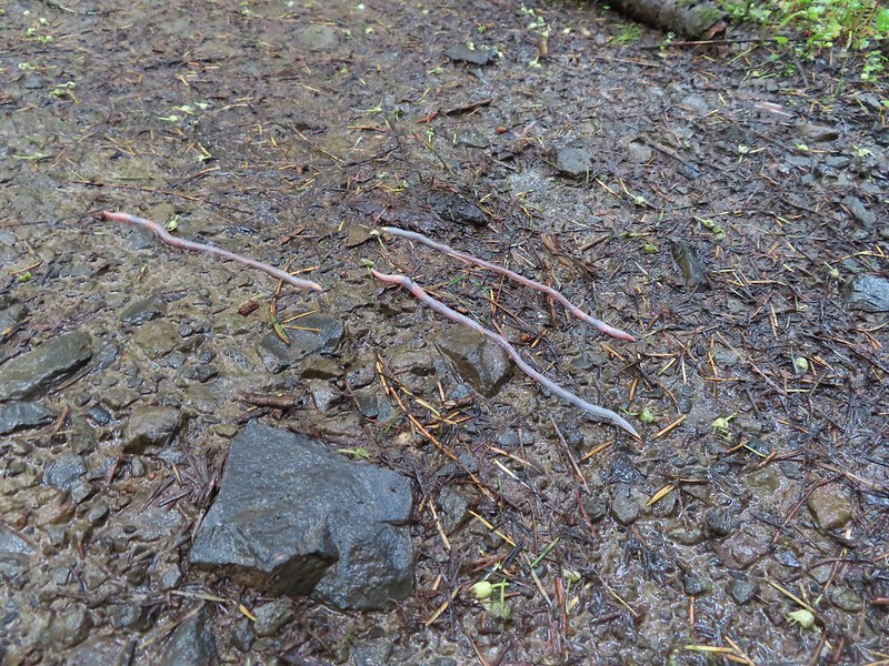 Either these worms were racing or it was a bird buffet. The rain had brought a lot of earthworms onto the trails.
 Another trail user a rough skinned newt.
 A closer look at the rough skinned newt.
We also spotted a pileated woodpecker at the top of a dead tree. Between the distance and other trees in between I couldn’t get a good picture.

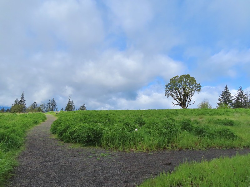
 It had been so foggy when we had come up the Witches Butter Trail that we hadn’t realized that there was a giant green field nearby.
 The end of the Chehalem Ridge Trail with the Mampaꞎ Trail to the right and a very short connector to the Timber Road to the left.
We briefly followed the Mampaꞎ Trail then turned right onto the Zorzal Trail.
 Sunlight hitting the Mampaꞎ Trail.
 Fairy slippers
 Squirrel
 The Zorzal Trail to the right.
 Toothwort along the Zorzal Trail.
 Stripped coralroot
The Zorzal Trail swung out and then rejoined the Mampaꞎ Trail near the Timber Road. We yet again turned right, crossed the Timber Road near a gate and continued on the Mampaꞎ Trail.
The Mampaꞎ Trail passed along Iowa Hill before turning uphill and entering a wildflower meadow on the hilltop where a loop began.


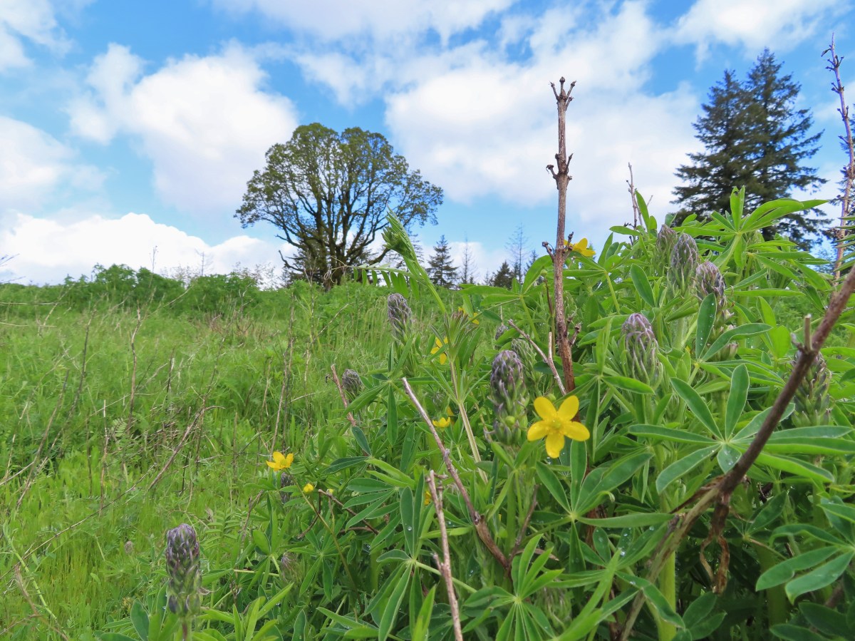
There was a large amount of lupine in the meadow but we were several weeks early and only a few plants had any blossoms. There were a few other flowers blooming and many more to come over the next few weeks.
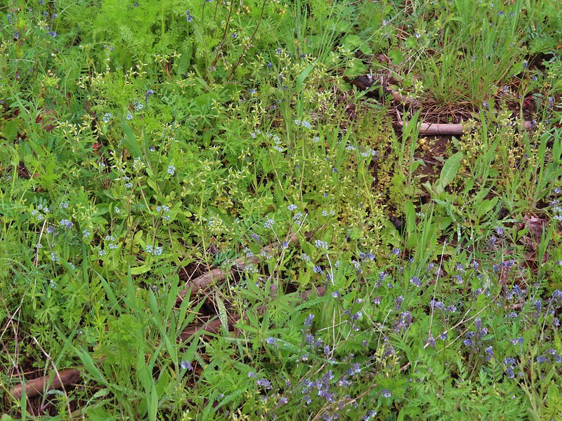 An assortment of smaller flowers.
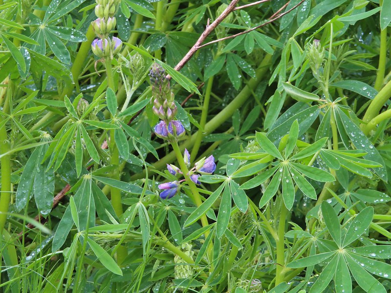 One of the few lupines with blossoms.
 Camas buds
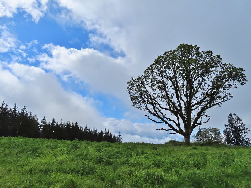 Oak tree on Iowa Hill. Most of the larger green clumps are lupine.
On the western side of the loop was a horse hitch, bike rack and stone circle where we sat and took a break.

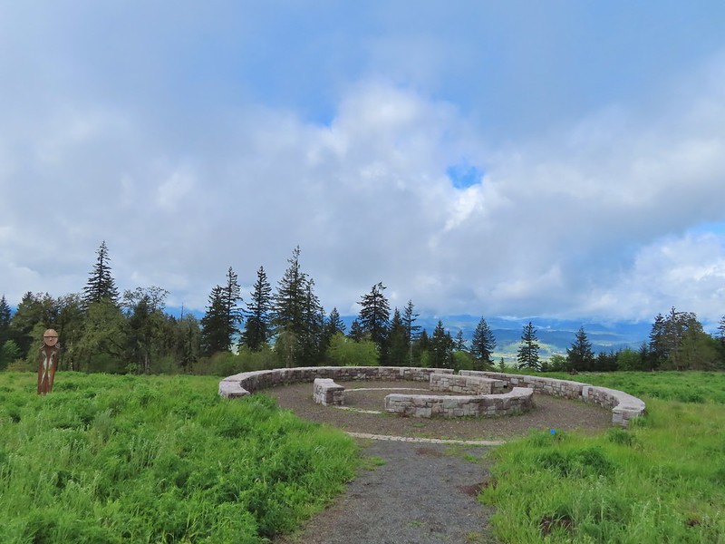 The third and final figure was also located near the stone circle.
As we sat and enjoyed the sun breaks and views we began spotting a few other wildflowers hiding in the lupine.
 Yarrow
 More lupine starting to blossom.
 Tualatin Valley
 Plectritis
 Believe this is a checker mallow.
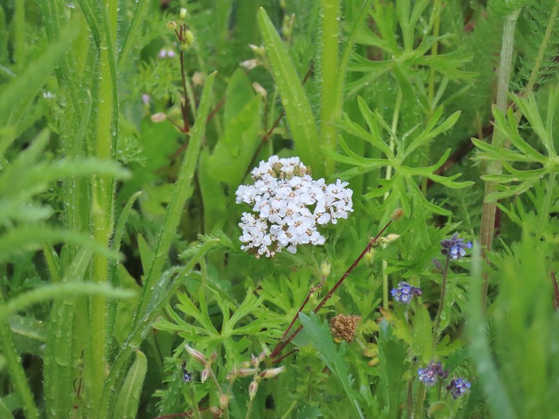
 Parsley
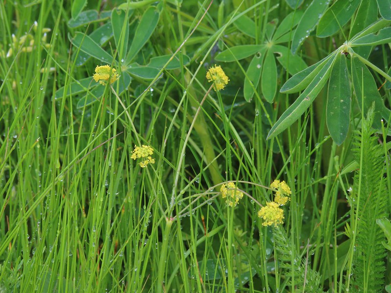
 Camas
Camas
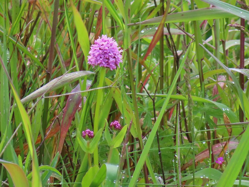
 Iris
Iris
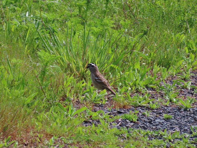 White crowned sparrow
 Buttercups in the lupine.
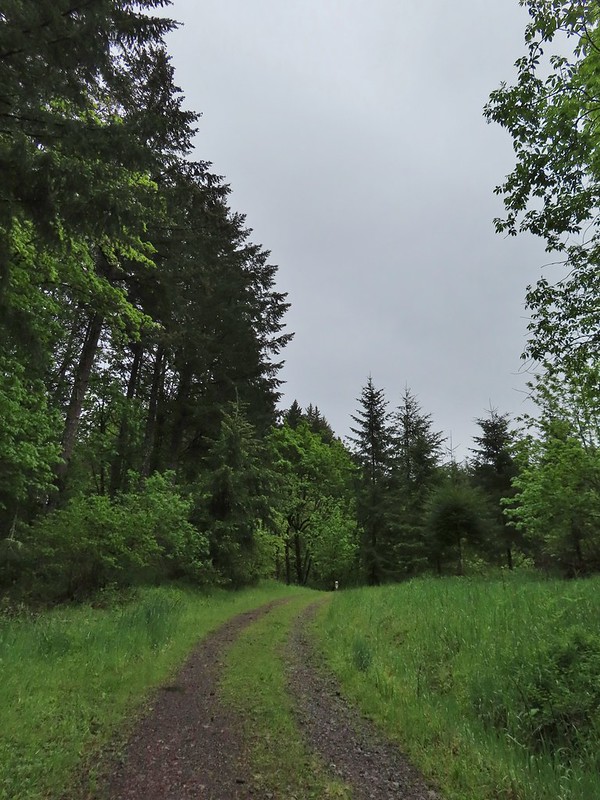
After a nice rest we finished the loop and headed back to the Timber Road which we followed downhill for six tenths of a mile to the Woodland Trail.
 Turning down the Timber Road.
 I’m not good with these little yellowish birds. It could be an orange-crowned warbler.
 Black capped chickadee
 Approaching the Woodland Trail on the right.
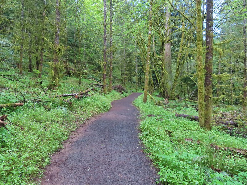
 Woodland Trail
We followed this trail for 1.4 winding miles back to the trailhead.
 Candyflower
 Coming to a switchback.
 We ignored a couple of shortcuts that would have led back to the Timber Road.
 We also skipped the Castor Trail which would have slightly lengthened the hike.
 Lupine along the Woodland Trail as we neared the trailhead.
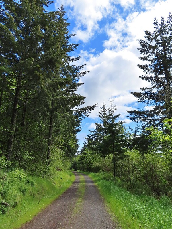
 Much nicer conditions than we’d had that morning and way nicer than anything we had expected.
Our hike came to 12.1 miles with approximately 1200′ of elevation gain utilizing portions of all but one of the parks trails.

Again we had been fortunate enough to avoid any significant precipitation. The weather forecast had kept the crowds away though and we only encountered about 15 other hikers all day, the majority of which had been during the final hour of our hike. We were very impressed by the park and have put it on our list of nearby go to destinations when weather or other factors keep us from going someplace new. The number of different trails provide for hikes of various lengths with none of the trails being too challenging. There was also a decent variety of scenery in the park and it looks like the wildflower display on Iowa Hill toward the end of May will be amazing. Happy Trails!
Flickr: Chehalem Ridge Nature Park

3 replies on “Chehalem Ridge Nature Park – 05/14/2022”
[…] Before we started the difficult loop though we stopped at Killin Wetlands Nature Park just outside of Banks, OR for a short warmup hike on the 0.7 mile loop. An unintended result of having altered the plan for our two previous outings was that this stop would mark our third straight outing visiting an Oregon Metro managed park. (Orenco Woods)(Chehalem Ridge) […]
[…] Hill (post) across the […]
[…] first visit to the park was in May of 2022 (post). We had hiked the majority of trails in the park during that visit, but our route had missed the […]