We woke up to the news of military action in Iran, a somber reminder of the state of the world today. Our prayers are with all the families across the globe impacted. We’re thankful to still have the opportunity to step away and enjoy the outdoors.
We had picked a pair of hikes near Lebanon, OR McDowell Creek Falls and Cheadle Lake. We had visited the former in February 2014 (post) while the latter would be new for us as a hike. (We had run part of this route in the early 2010’s as part of the Runaway Pumpkin half marathon races.)
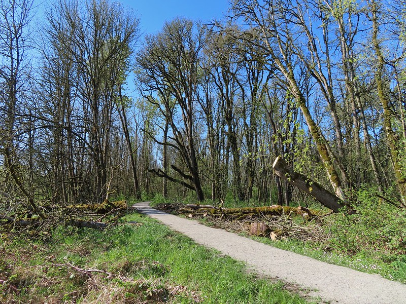
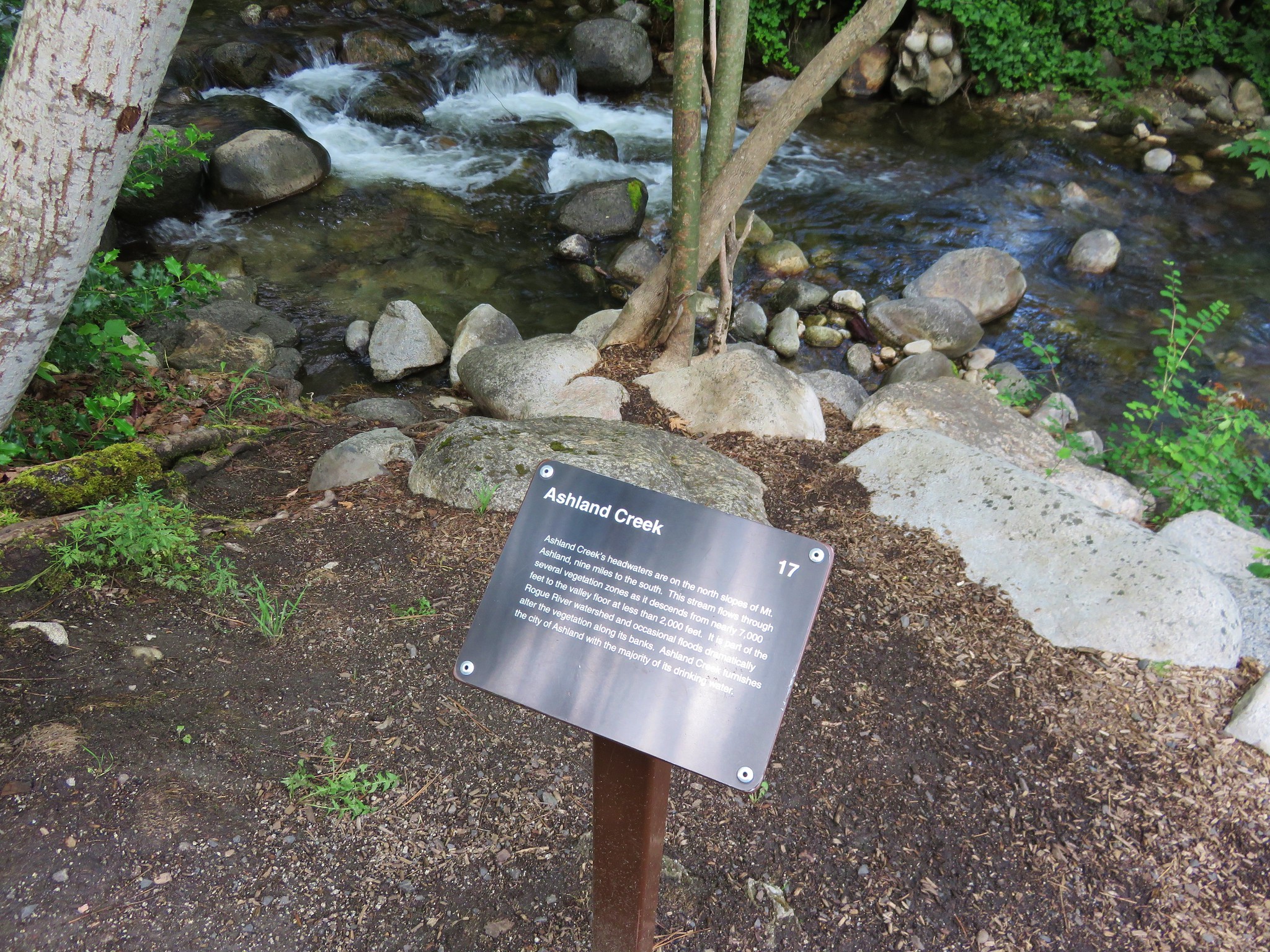
We started our morning at McDowell Creek County Park for the relatively short loop that visits four named waterfalls. We parked in the lower (western most) parking lot which is referred to as the Royal Terrace Falls Trailhead in the Oregon Hikers Field Guide.


There are restrooms and picnic tables available at the trailhead.
After double checking the map, we set off on the trail across McDowell Creek.


After 0.2-miles we came to the start of the loop and opted to go left for a view of Royal Terrace Falls from the footbridge across Fall Creek.


The start of the loop.


Royal Terrace Falls

Bench of the far side of the bridge.
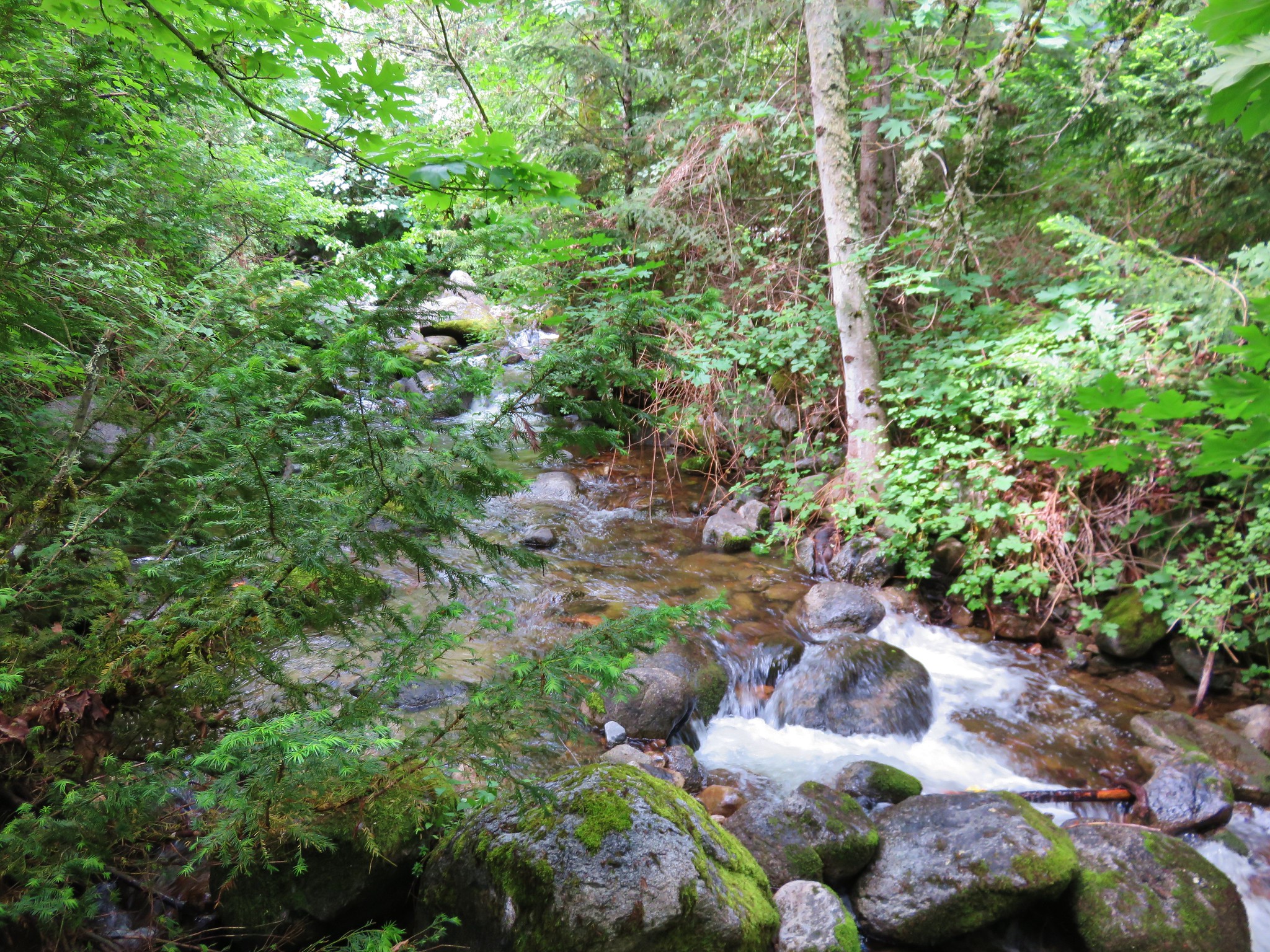
Beyond Royal Terrace Falls the trail recrossed McDowell Creek then crossed McDowell Creek Road before arriving at Crystal Falls aka Crystal Pool a third of a mile from Royal Terrace Falls.


McDowell Creek


McDowell Creek Road from the crossing.

Crystal Falls ahead through the trees.
A use trail led down to the creek for a better view of the falls.

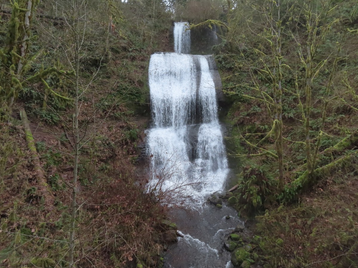
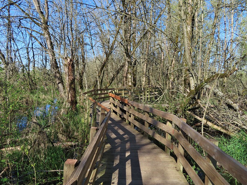
Just over a tenth of a mile past Crystal Falls the trail arrives at an impressive wooden walkway near Majestic Falls.


Majestic Falls
Stairs led up from Majestic Falls to a viewpoint platform at the top of the waterfall.


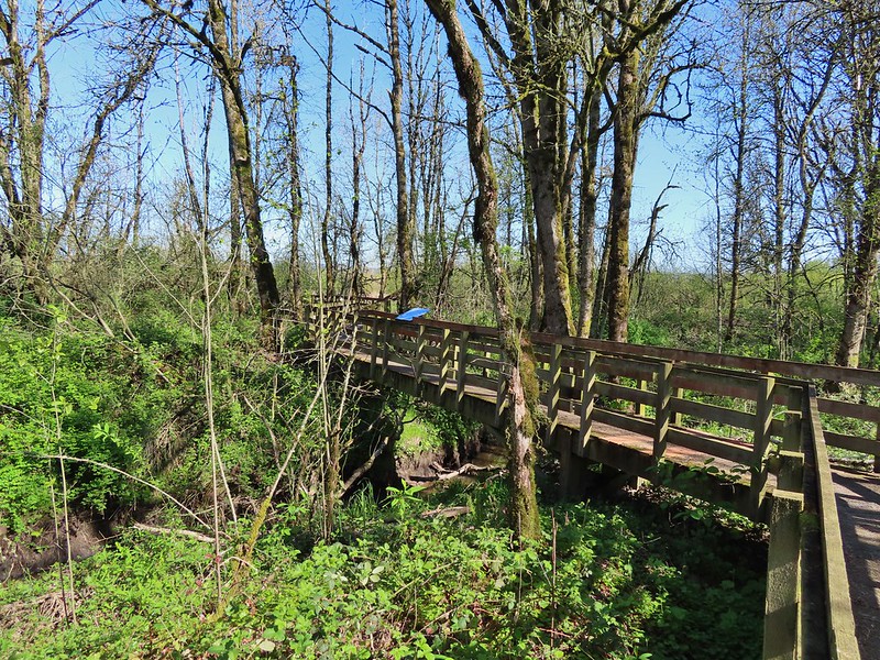
From the upper viewpoint we faced a choice of going directly uphill to the upper parking lot or taking a slightly longer route by swinging out along the creek for a short distance. We had gone directly up in 2014 so this time we chose to swing out along the creek.


Stairs up to the upper lot.

Robin near the upper lot.
We crossed the road near the upper parking lot and in 0.3-miles
recrossed McDowell Creek Road.


Pointer for Royal Terrace Falls at the crossing of McDowell Creek Road.
In another 0.3-miles we arrived at Fall Creek above Royal Terrace Falls.


Viewing platform above Royal Terrace Falls

Looking down at the bridge below Royal Terrace Falls.
We took a short detour up a use trail along Fall Creek which didn’t lead anywhere of note then headed down the stairs along Fall Creek to complete the loop.

Fall Creek along the use trail.


Royal Terrace Falls from the stairs.
When we were back at the lower parking lot we followed a short trail downstream to a view of Lower McDowell Falls.

The hike here was just 2.2-miles with a little over 200′ of elevation gain leaving us plenty of energy for a second stop.

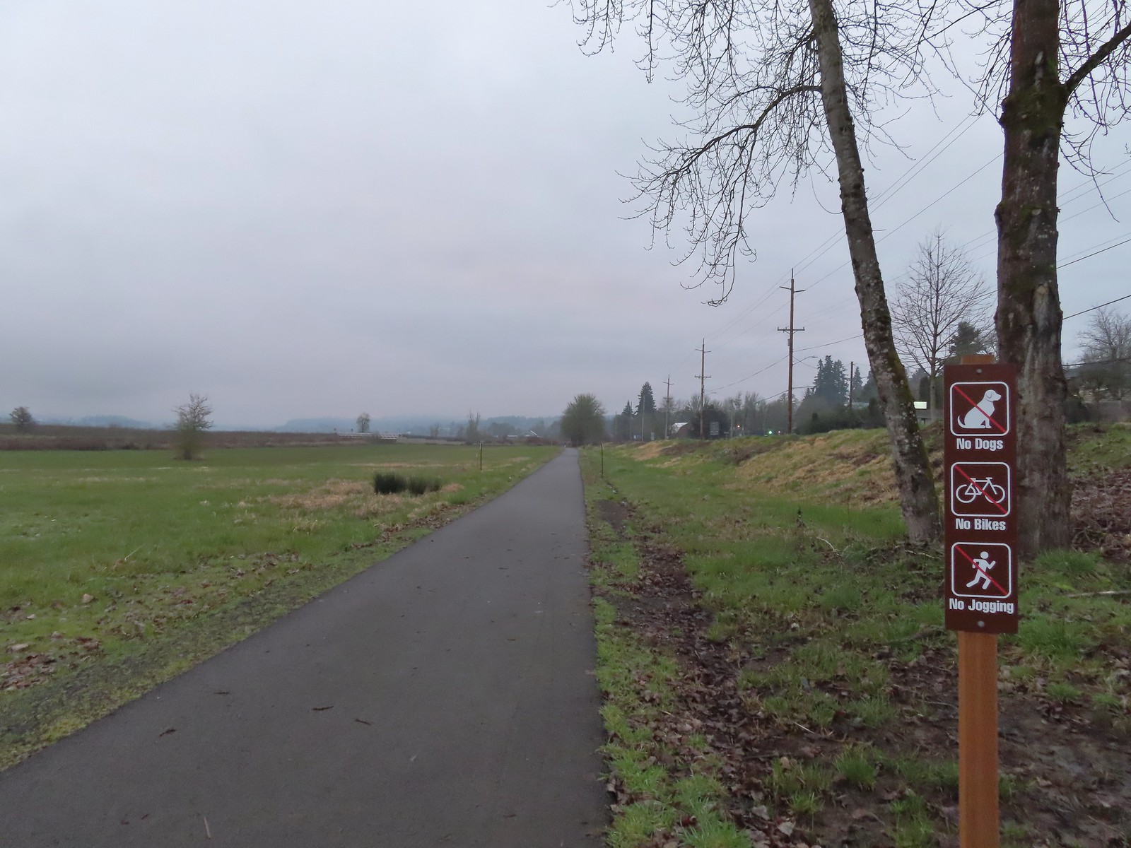
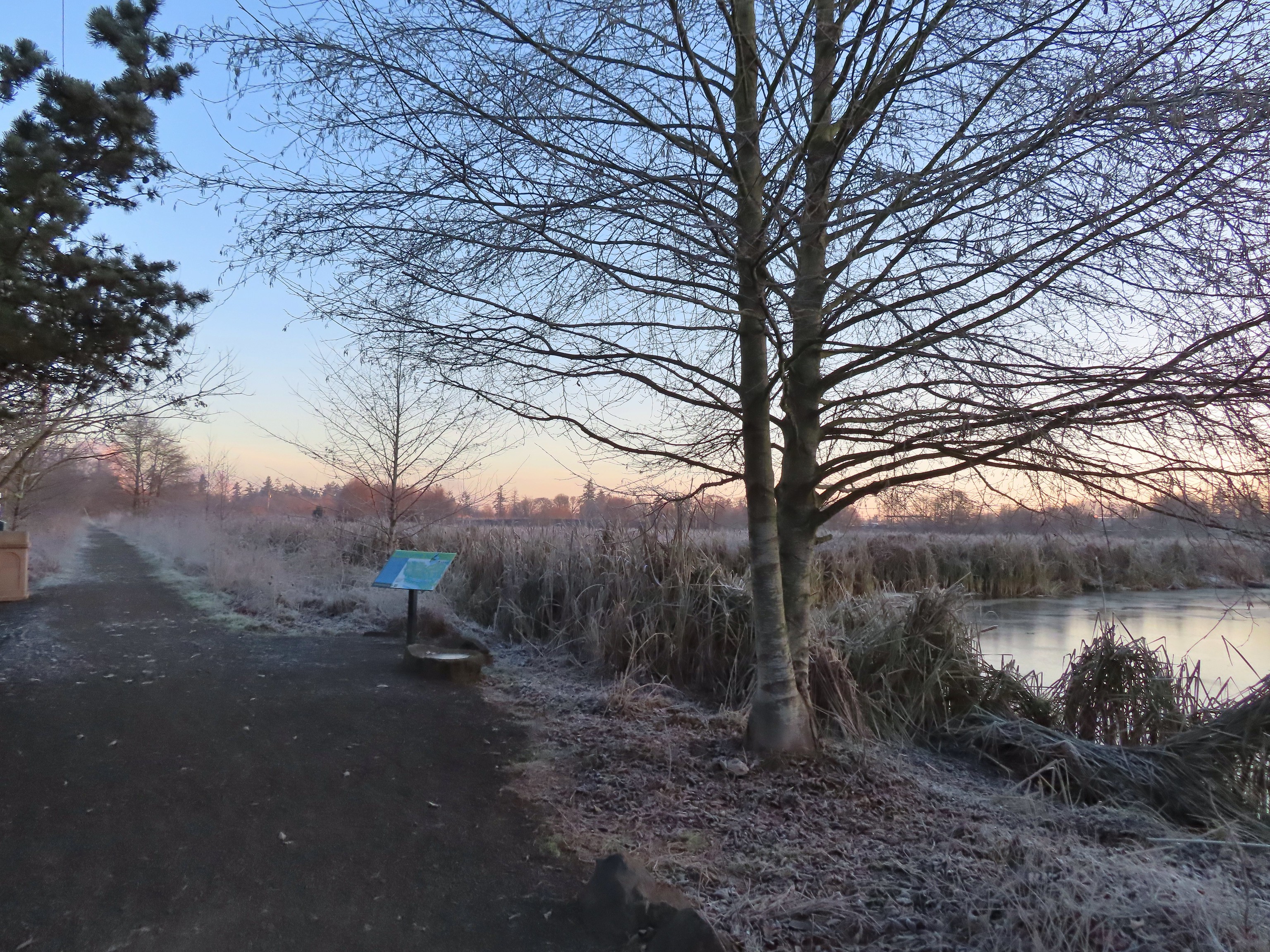
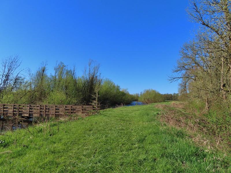
It was less than a 20-minute drive from McDowell Creek to Cheadle Lake in Lebanon. We had initially planned on parking at Cheadle Lark Park however there was quite a bit of construction equipment present, and it was unclear if the trails at this end of the area were open, so we shifted to “Plan B” and made our way to nearby Riverview Park.

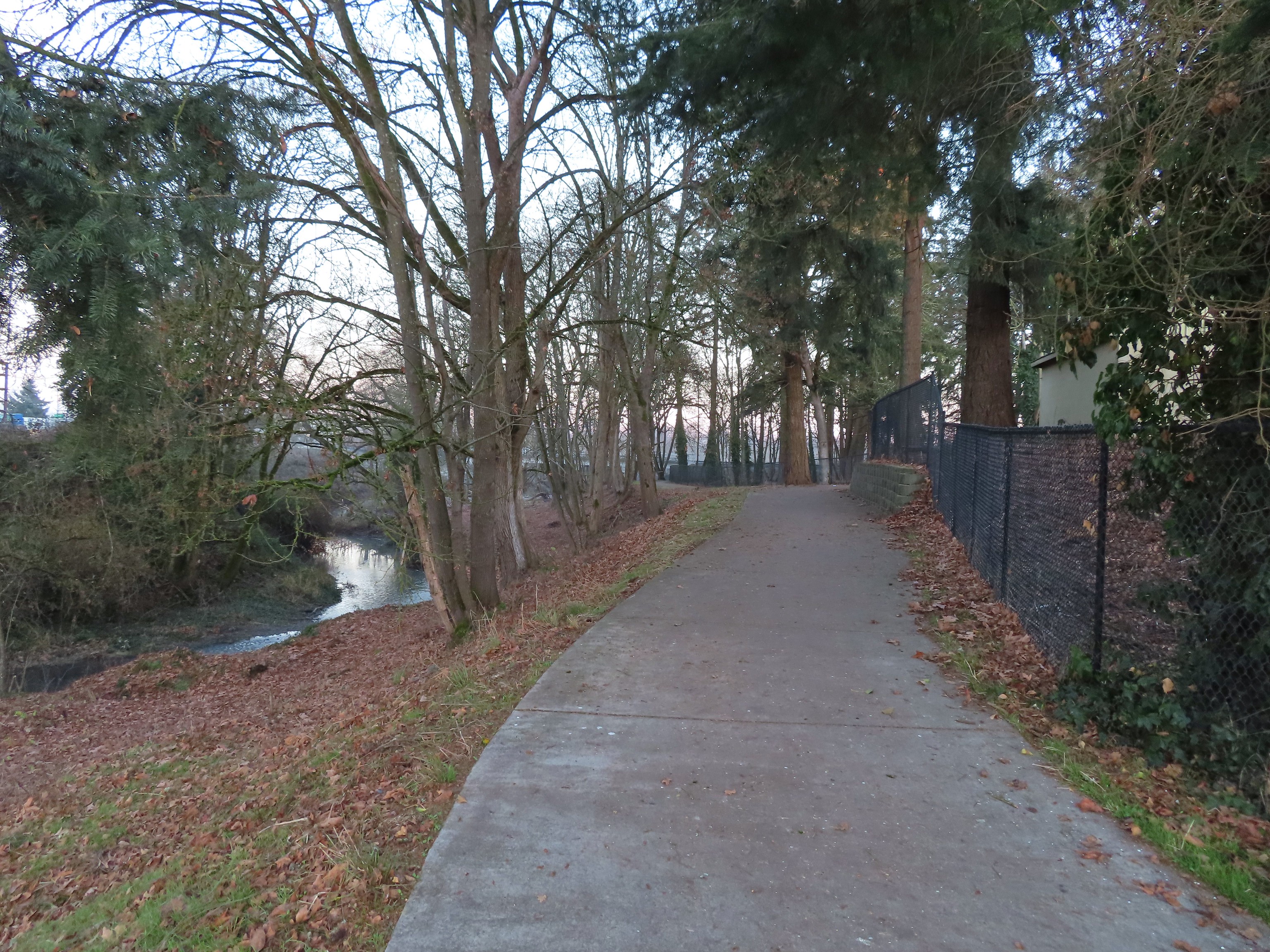
We stopped at the signboard for the Old Mill Trail and studied the map for a moment and downloaded a digital copy then headed right (south) on a paved path. (It was unclear if this was the Old Mill Trail or the West River Trail, nevertheless it would take us to Cheadle Lake.)


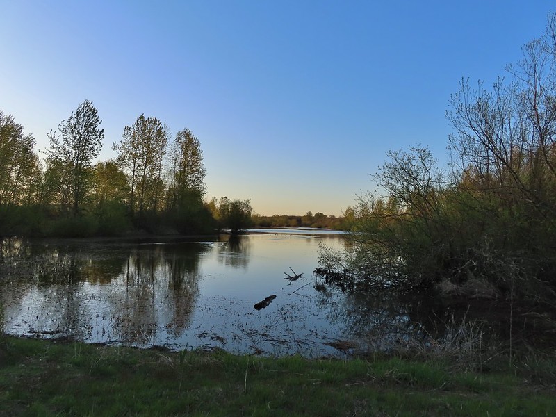
The South Santiam River from the trail.
This trail led us into a neighborhood and to Mountain River Drive.


Here the pointers refer to the West River Trail.
We followed the sidewalk for 100 yards to a crosswalk at River Drive then continued another tenth of a mile to Cheadle Lake Park’s boat ramp parking area.


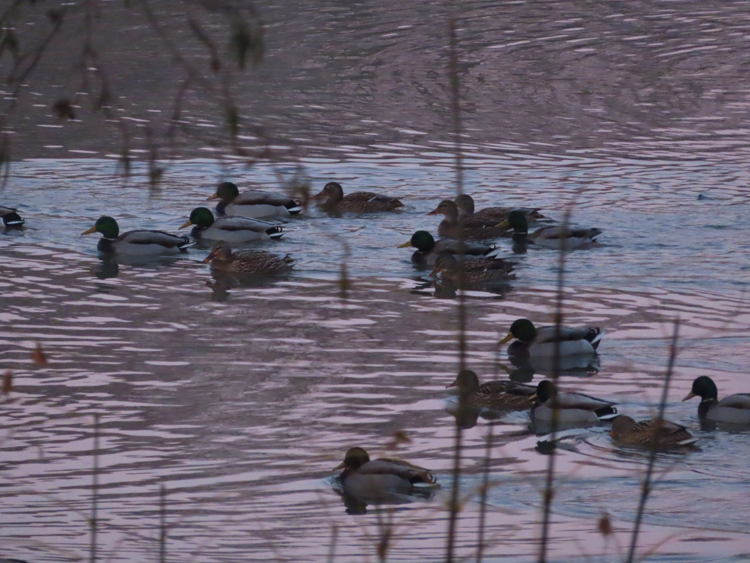
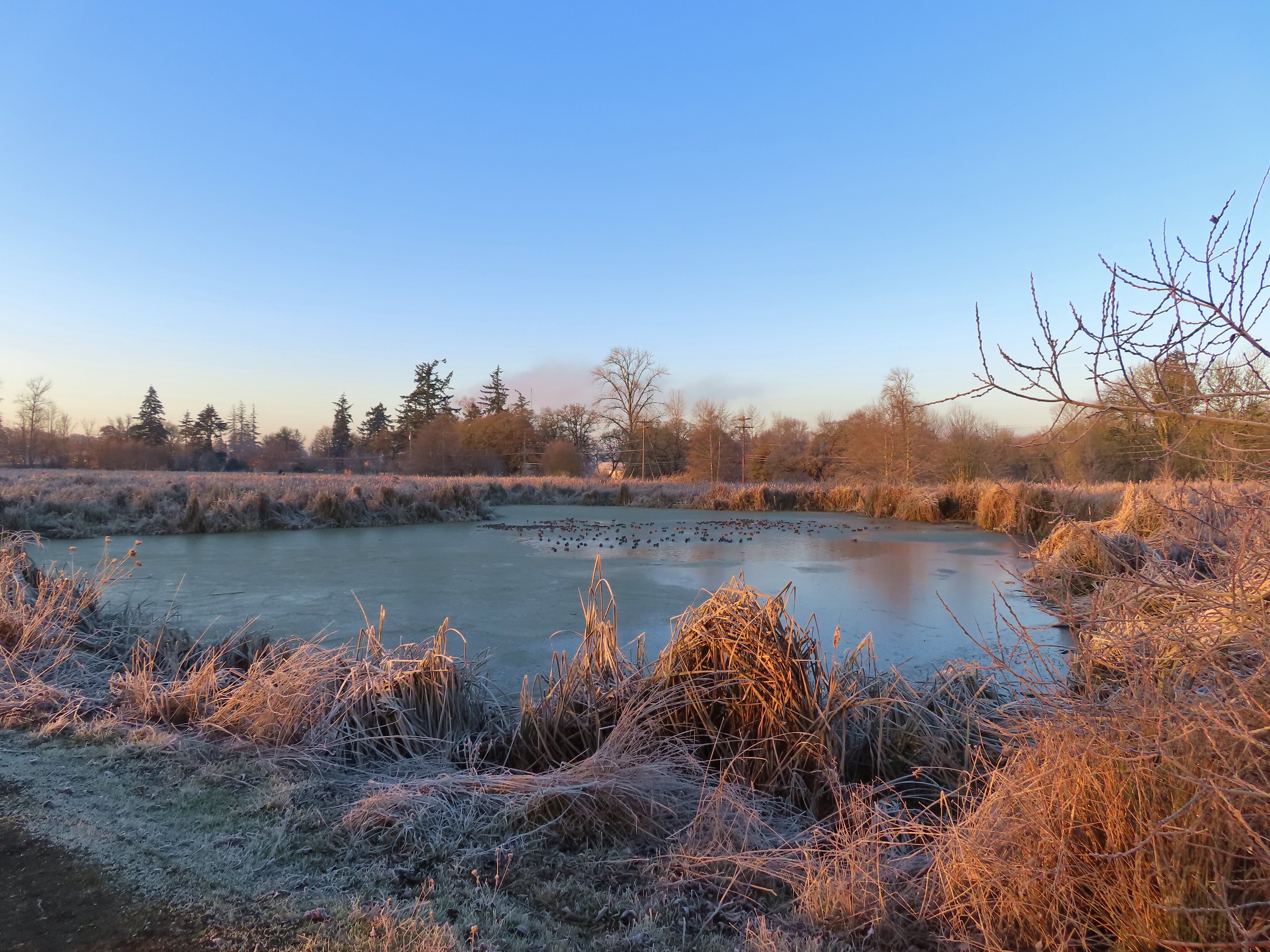
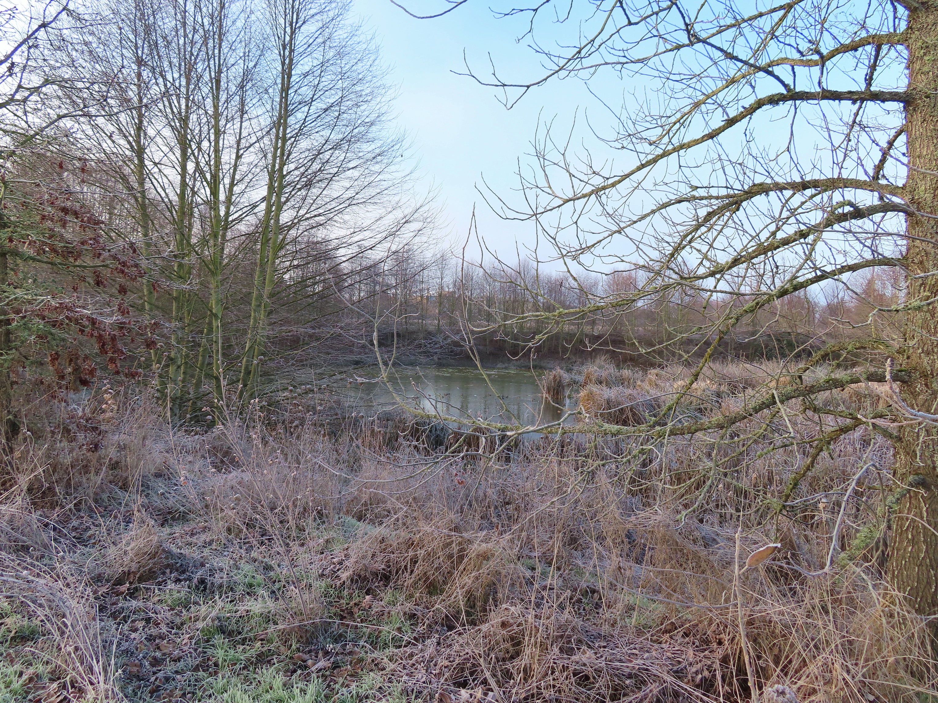
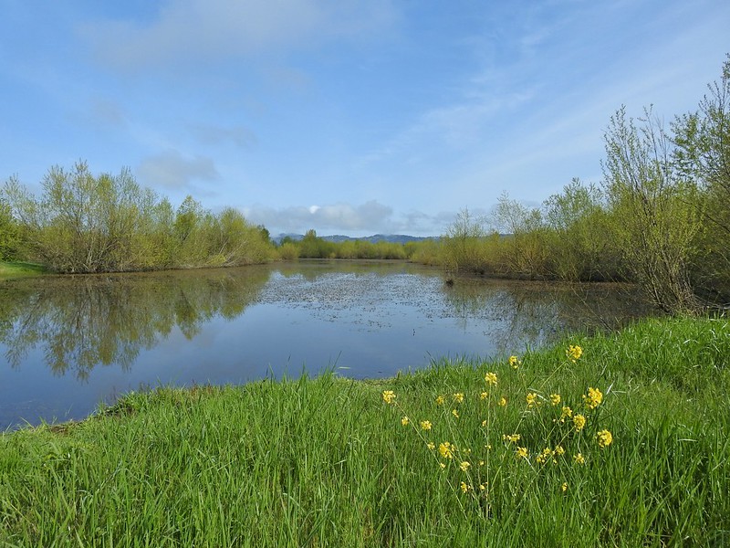
From this parking lot the paved North Shore Trail passes along the northeastern shore of Cheadle Lake between the lake and the Lebanon Santiam Canal. We were on the lookout for waterfowl and other birds as we started off.


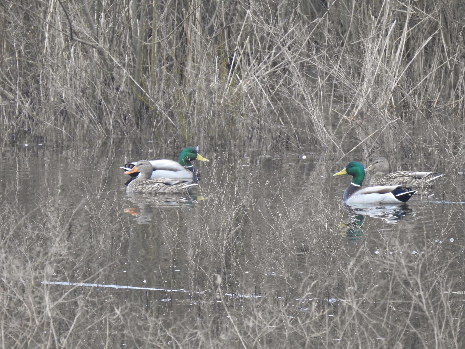
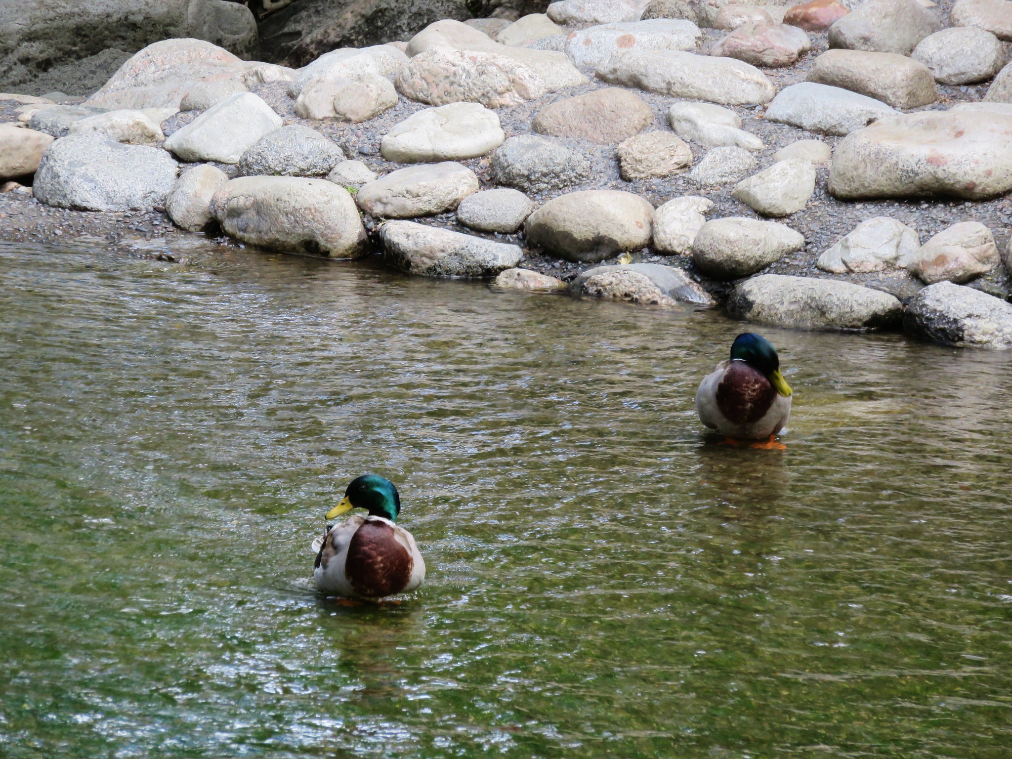
Mallards


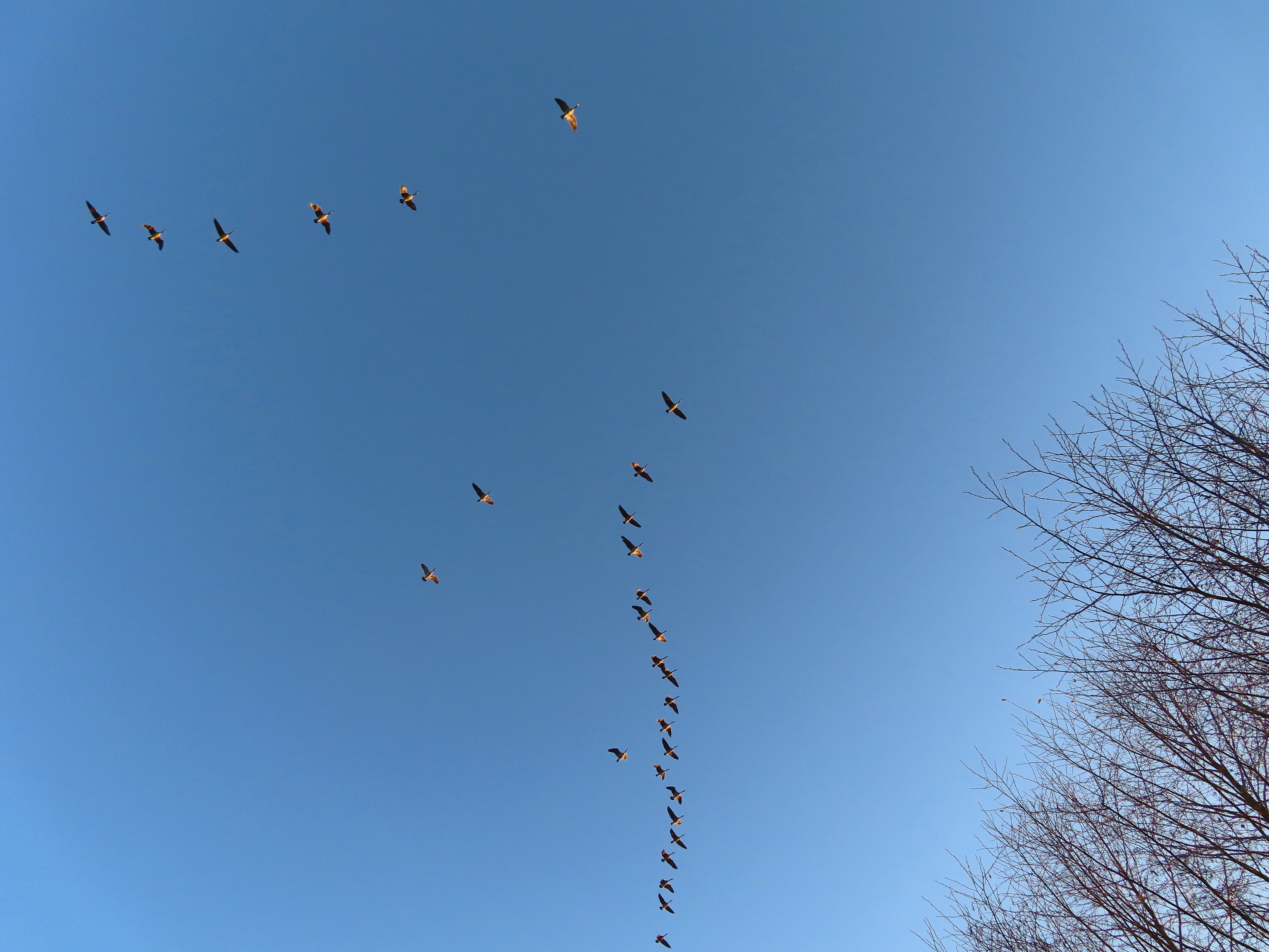
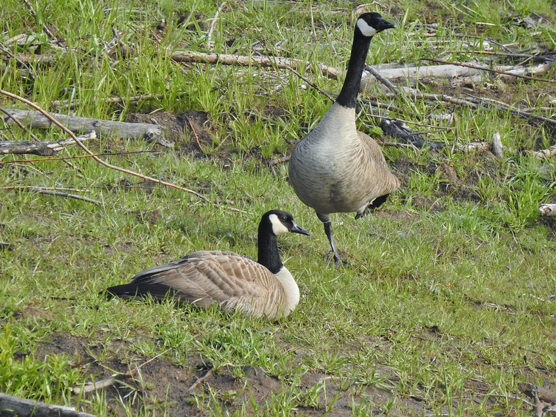
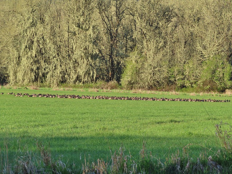
Geese

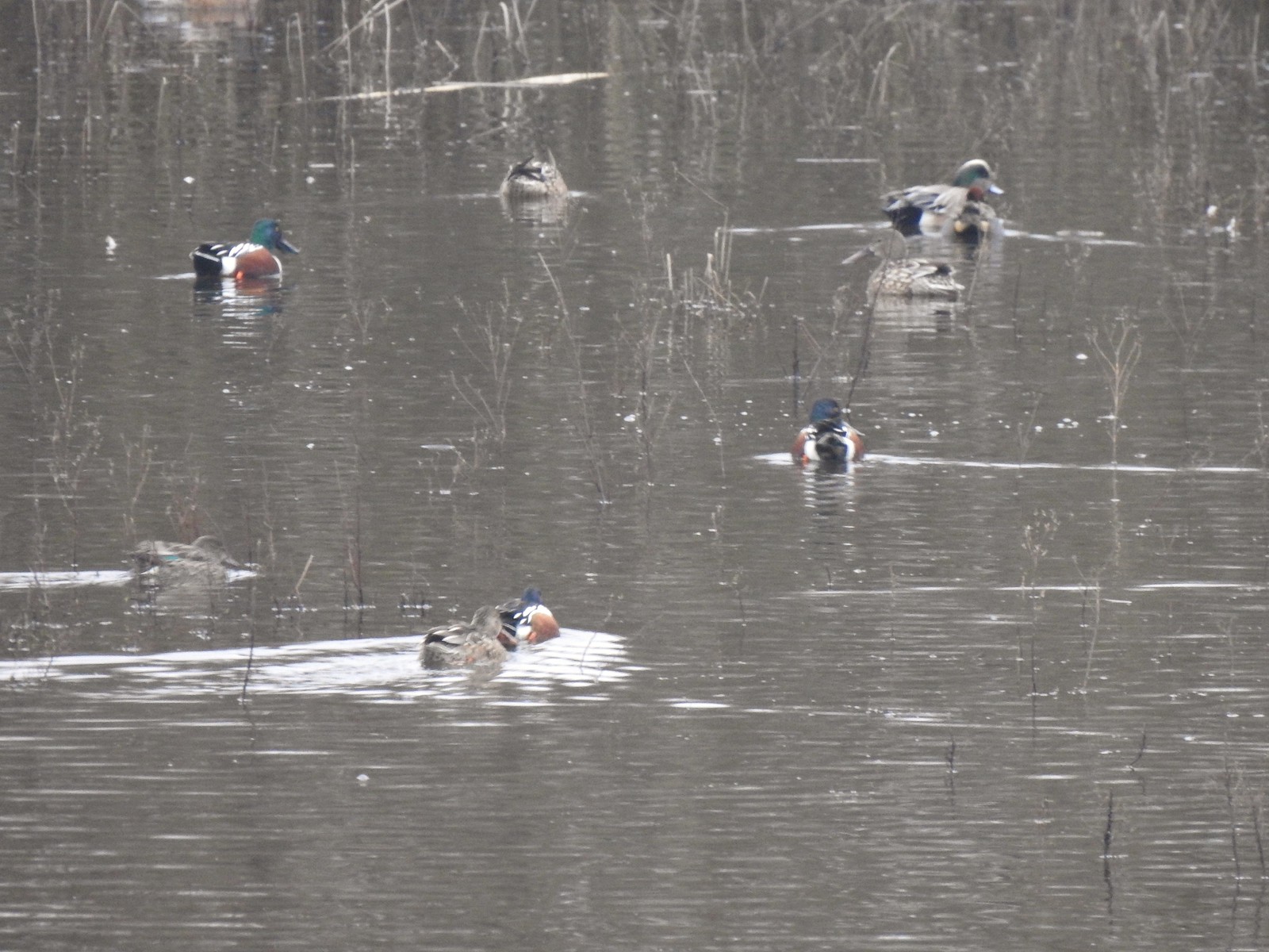
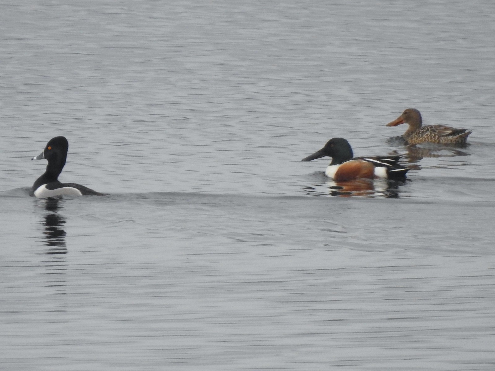
Ring-necked duck

American wigeon


Ridgeway Butte beyond a farm across the canal.

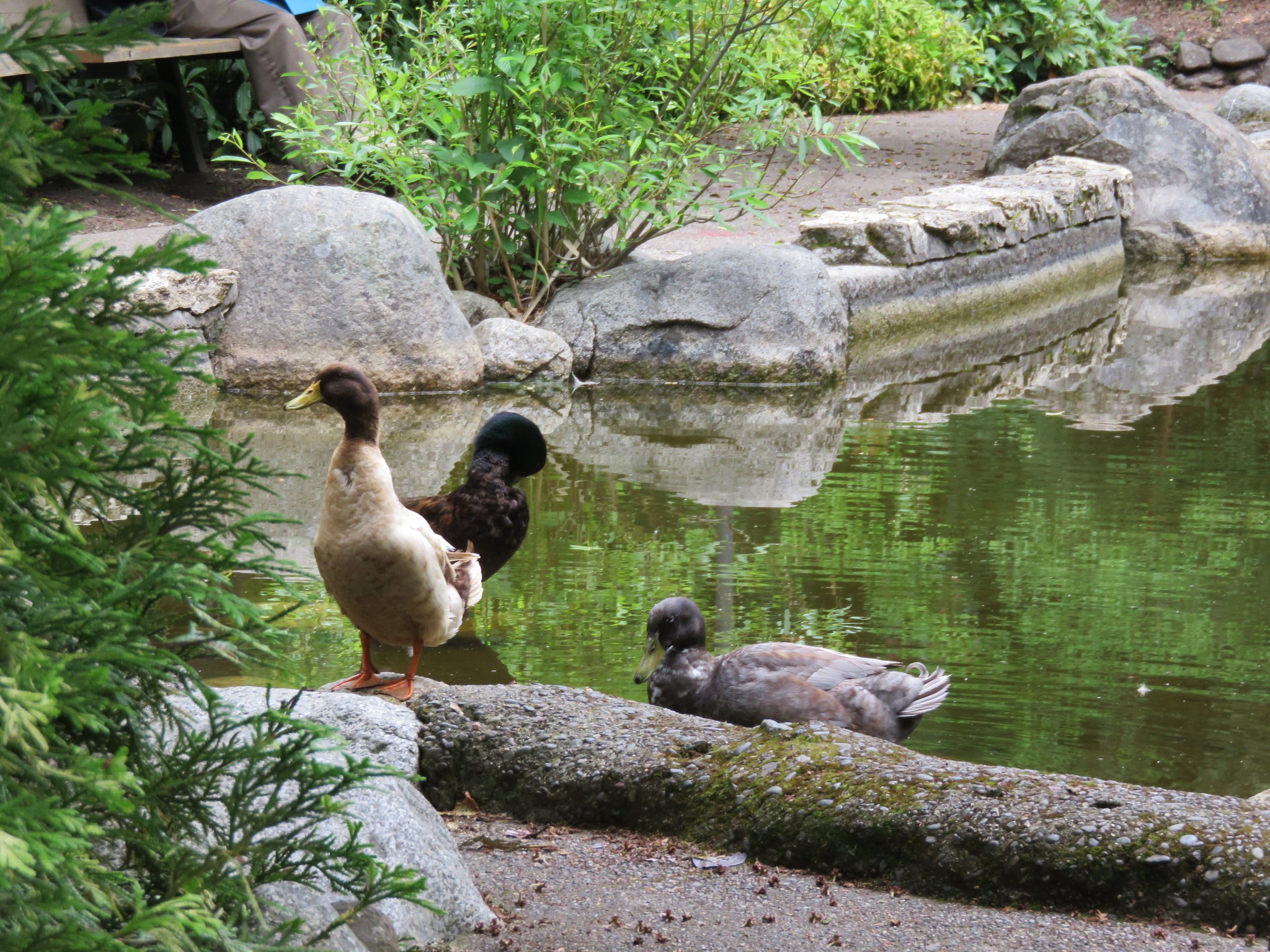
American wigeons and domestic ducks on the farm.
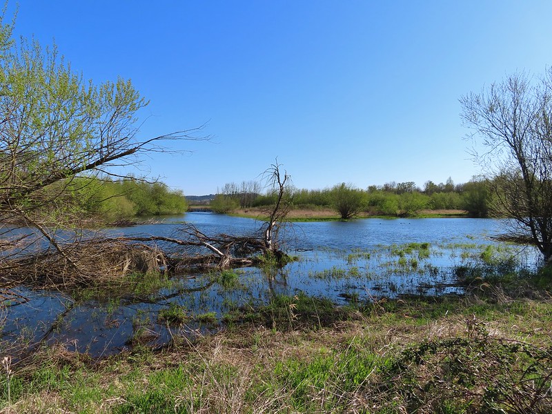
After four tenths of a mile we arrived at the Island Loop Trails which are a series of fingers in the middle of the lake.


We hiked out-and-back on the eastern most finger before returning to the North Shore Trail.


Pied-billed grebe

Bench at the end of the finger.

Gadwall
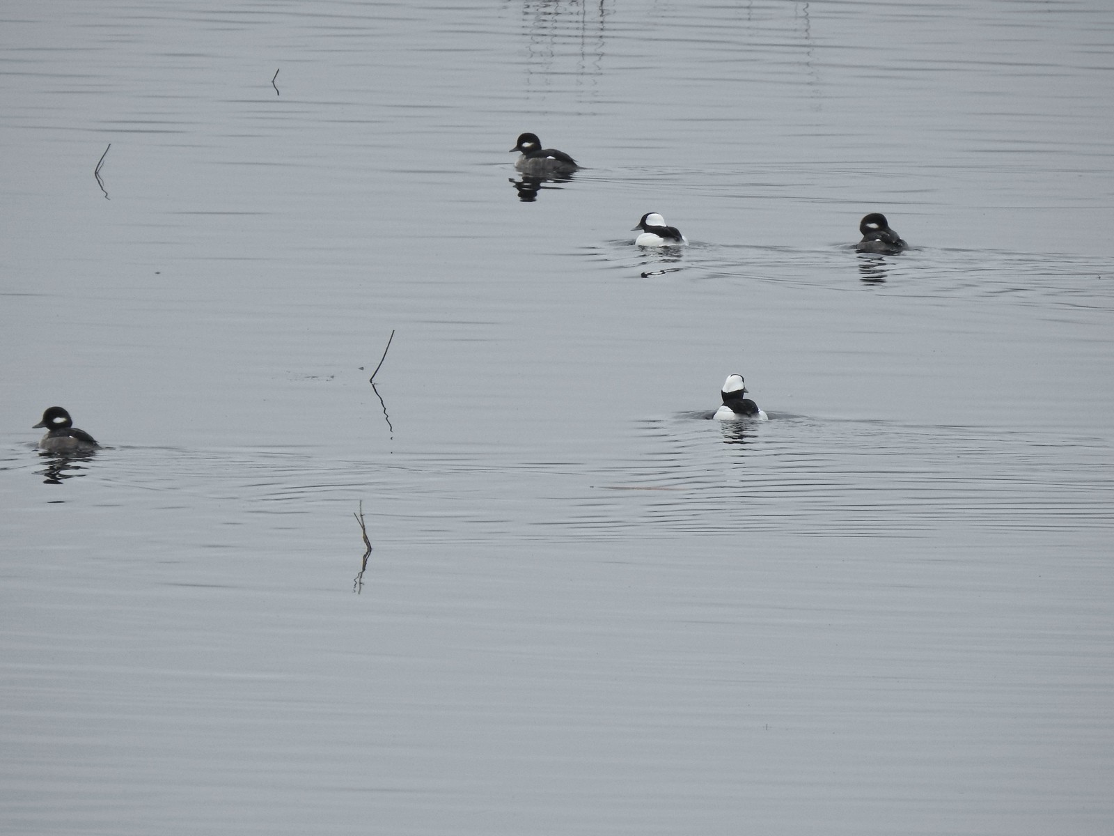
Back on the North Shore Trail we continued SE and spotted a pair of hooded mergansers in the canal.


Spotted towhee


Song sparrow
At the far end of the lake, we arrived at a 4-way junction within sight of the parking lot we had originally planned on starting from.

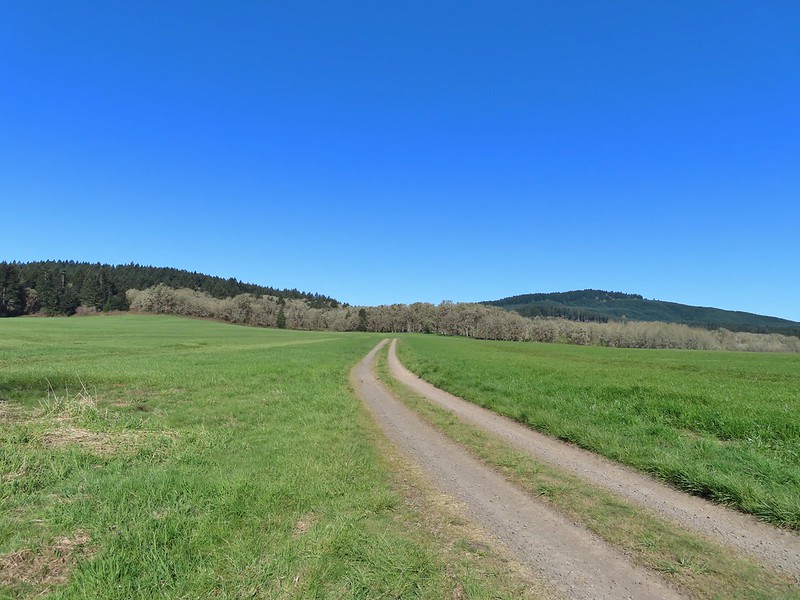
The park map showed a dashed (proposed) Southshore Trail heading right from this junction. The proposed trail would loop around the lake to the boat ramp. We had not paid attention to the “proposed” verbiage when we decided to turn right and try the loop. Initially the trail was paved with benches but the pavement soon ended and was replaced by a dirt trail through the grass.


California scrub jay.

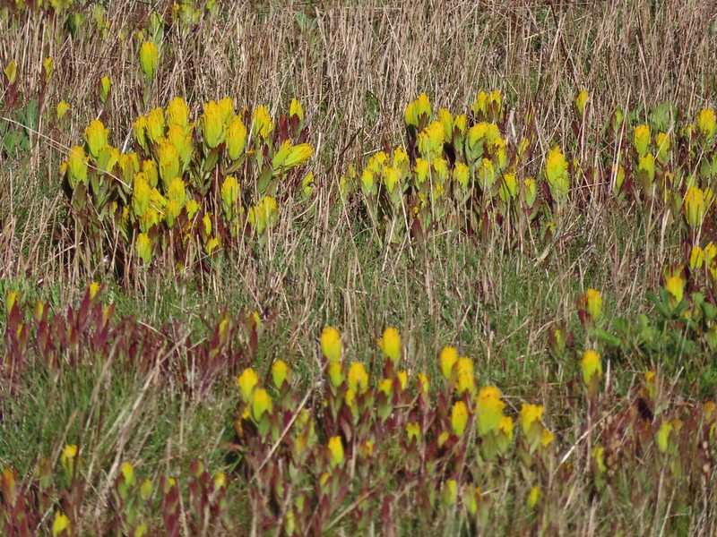
Oregon grape

The finger that we had hiked out earlier.
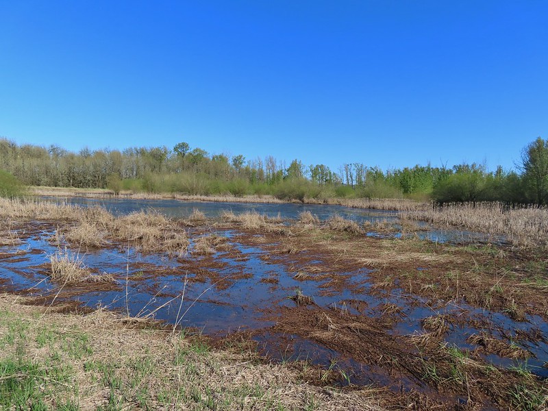
The trail lasted a little over half a mile before petering out on the north side of a soccer field at a marsh. It was at this point that we noticed the “proposed” label on the map. Since looping around the lake wasn’t an option, we looped around the soccer field and headed back the way we’d come.

The soccer field is to the left with Ridgeway Butte ahead.

Heading back on the North Shore Trail.
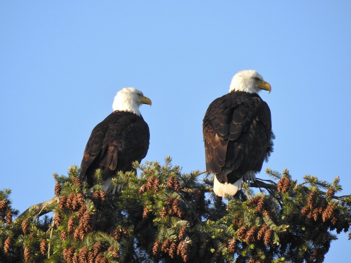
We had discussed being surprised at having not seen a bald eagle on our first pass along the lake. That changed as we passed the Island Loops.

Bald eagle spotted.


Cormorants
From the boat ramp we headed back toward Riverview Park and took the gravel fork at the southern end of the park.


Heather had a blister starting so she headed back to the car while I continued around the park to the Eagle Scout Trail.


I turned on the Eagle Scout Trail and followed this dirt path 0.8-miles to the paved Old Mill Trail near Gill’s Landing


Indian plum

Bewick’s wren

Old Mill Trail near Gill’s Landing.
I returned to Riverview Park on the Old Mill Trail completing a 6.4-mile hike with minimal elevation gain.


Old mill site.

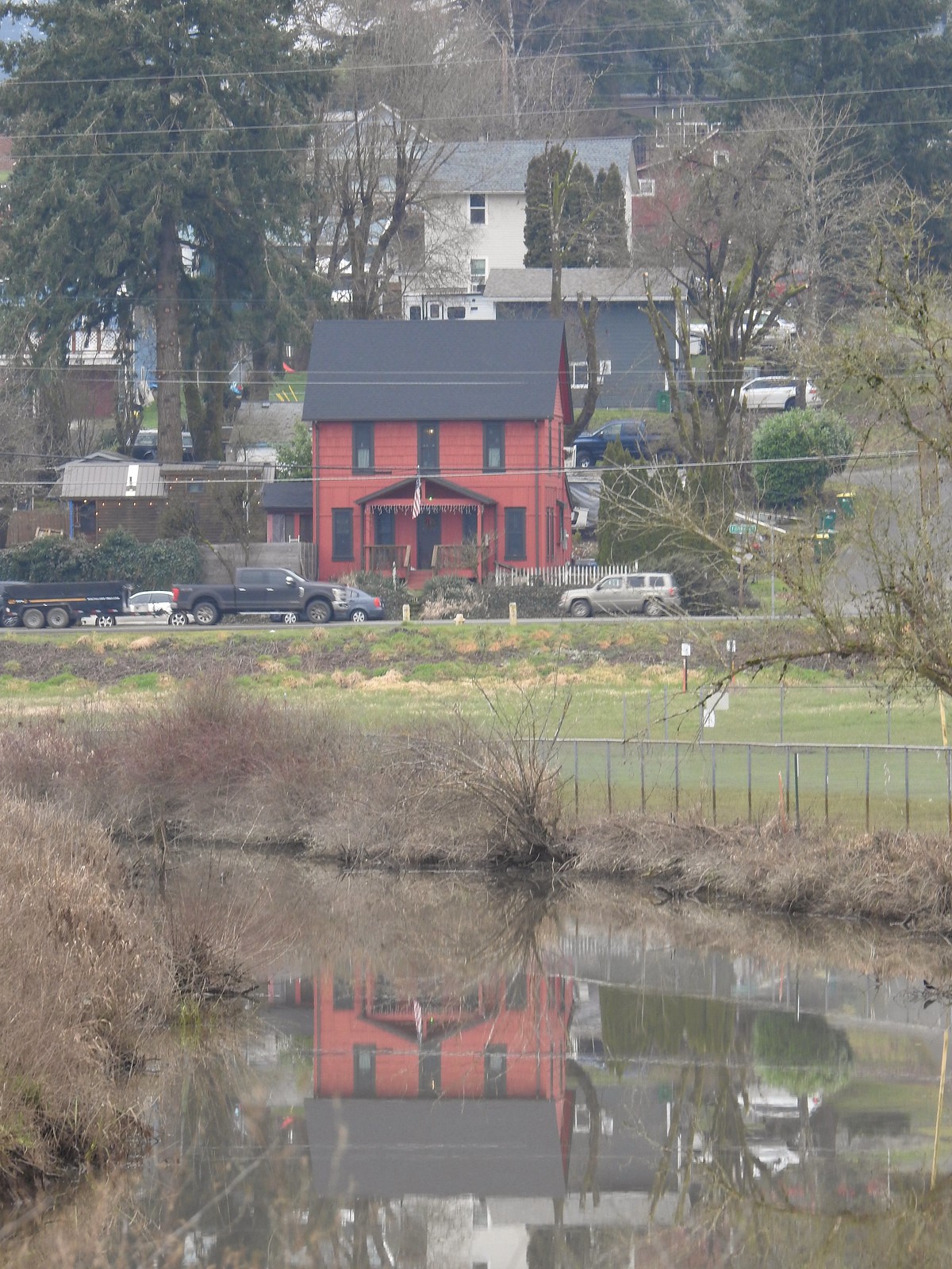
Riverview Park

This was a nice pair of hikes. We knew that McDowell Creek Falls was a great hike, but Cheadle Lake was surprisingly quite for an in-town hike and the birding turned out to be pretty good. Happy Trails!


 The yellow-headed blackbirds were particularly noisy.
 A cinnamon teal in front of two mallards?
 This loop was 3.4-miles.
 Grizzly Mountain from Pond 4.
 Killdeer
 One of the interpretive signboards ahead.
 Goose family
 There were plenty of benches to enjoy the views from.
 Mallards
 Cinnamon teal
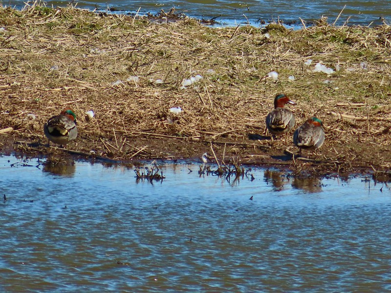
 Must be a green-winged teal but the angle of light made the patch on his head look blue.
 We’d never seen so many killdeer in one area.
 Spotted sandpipers
 Brewer’s blackbird
 Swallow
 Pollinator garden
 Ring-necked ducks
 Wilson’s phalarope
 Yellow-headed blackbirds
 American coot
 Adolescent geese
 Dove
Dove Gadwalls
 Female yellow-headed blackbird
 Pair of bucks.
 Ruddy ducks
 Red-winged blackbird harassing an osprey.
 Gray Butte
 A pair of hawks.
 Not birds.
 Marsh wren
 Great blue heron
 Observation deck at Pond 10.
 Another marsh wren.

 Heading back to the parking area.

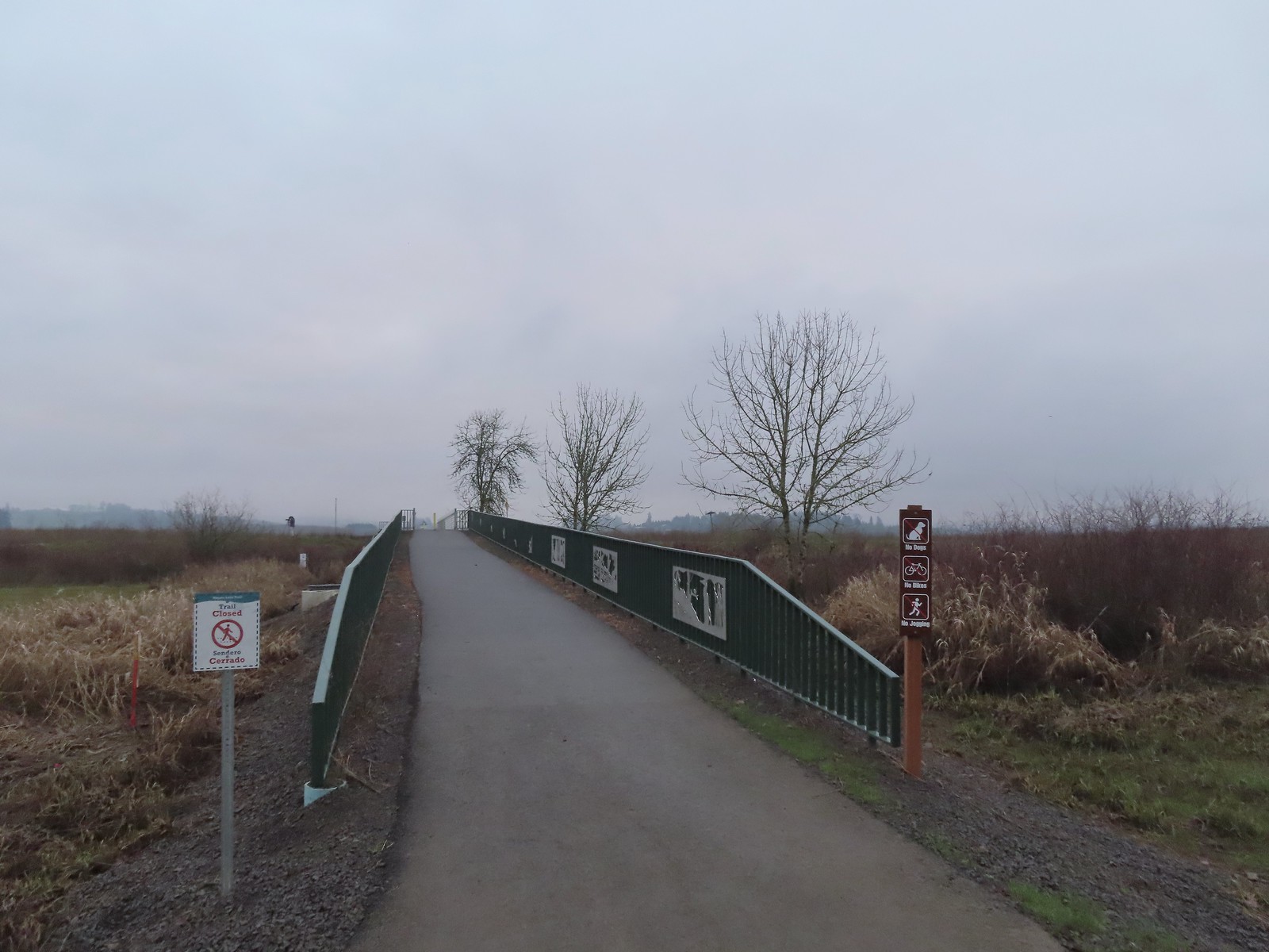 We were a little confused by the sign on the left here stating the trail was closed. The website and signboard had said nothing about a closure and the gate at the far end of the bridge was open and others were already out on the levee. We assume they just hadn’t taken the sign down after the seasonal closure period.
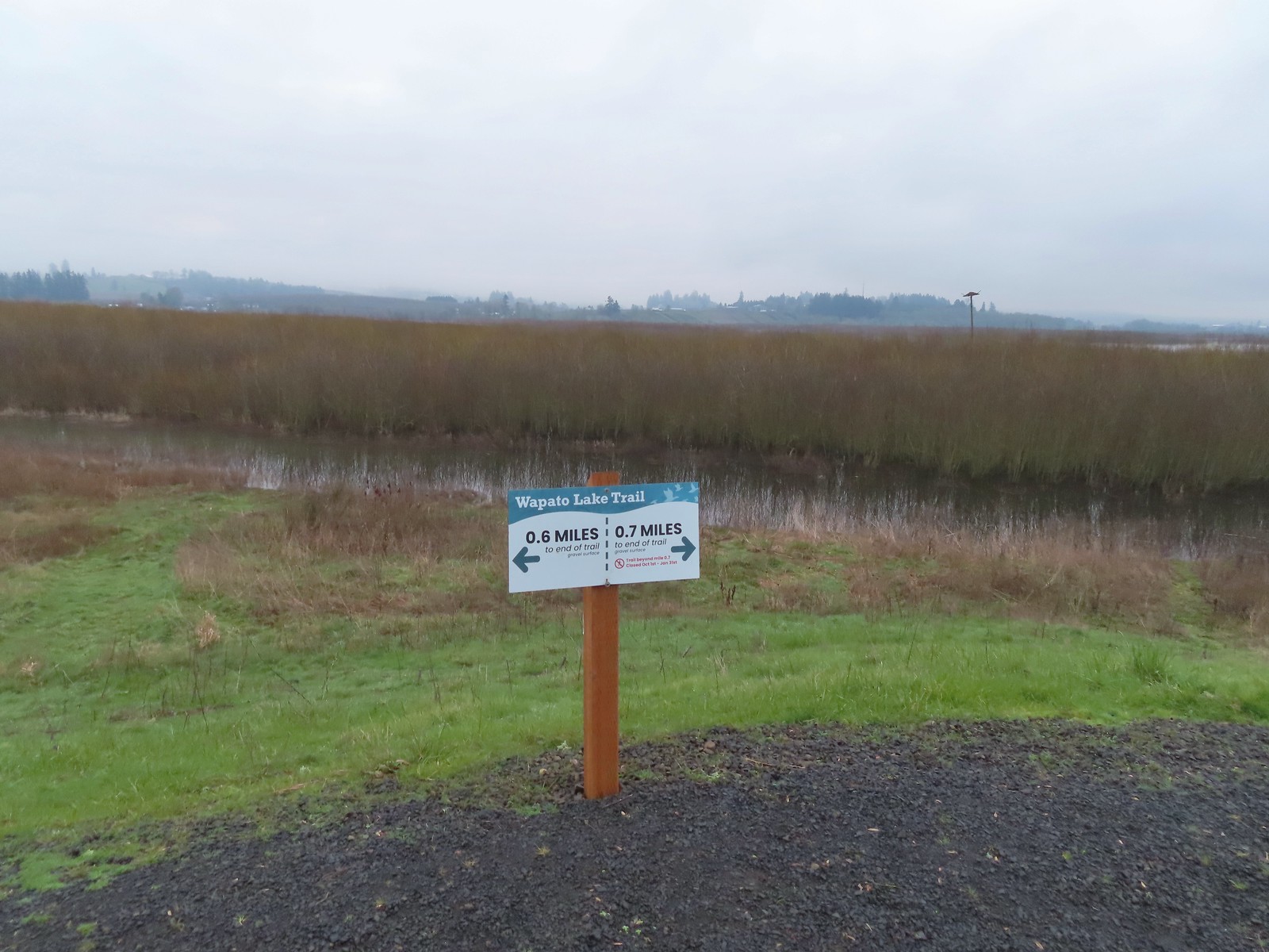 Pointers on the levee.
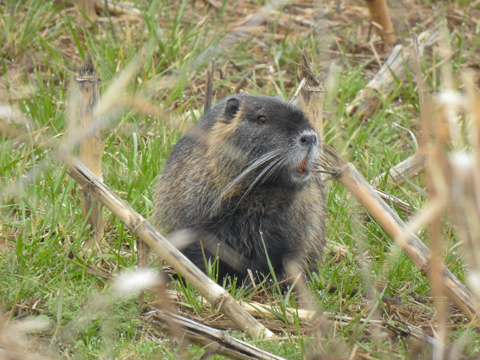
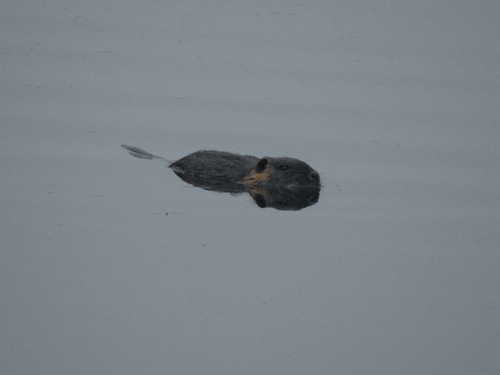 Nutria (sigh). We had hopped it was a beaver but alas the whiskers give it away.
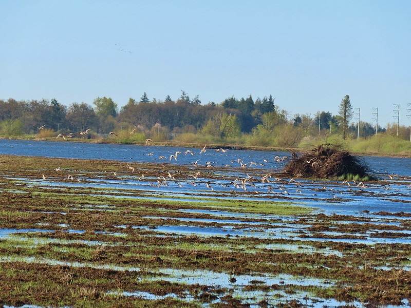
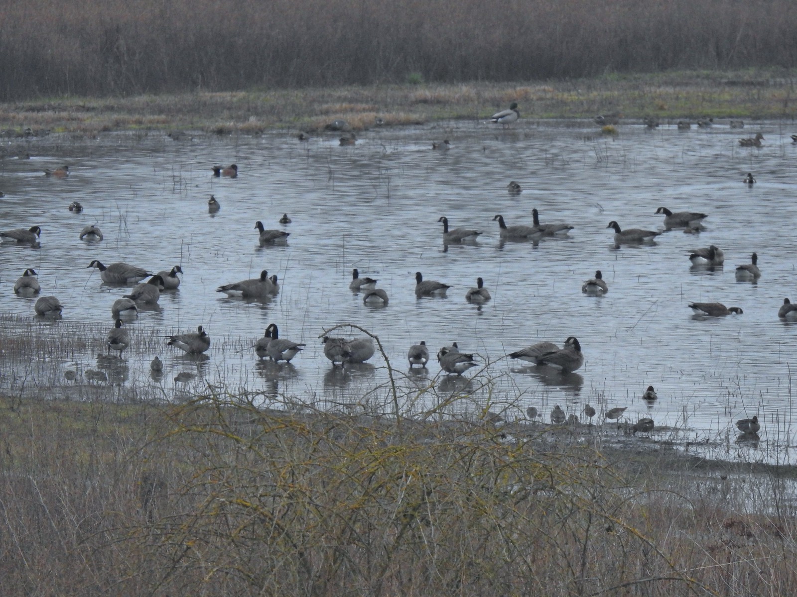 Geese, several species of ducks, and some shore birds.
 A great blue heron along Wapato Creek.
 Great blue heron
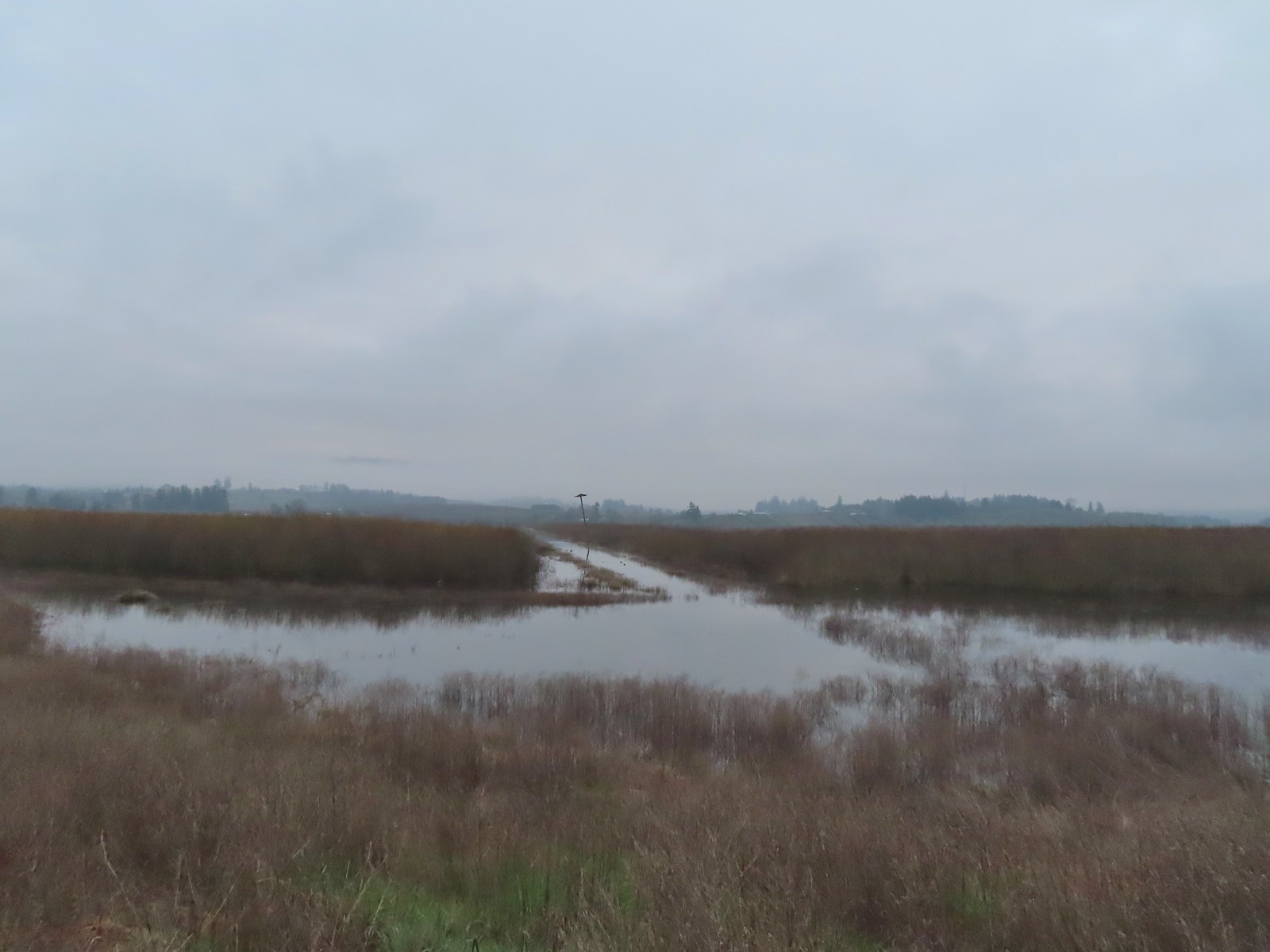 Wapato Lake
 Beaver lodge
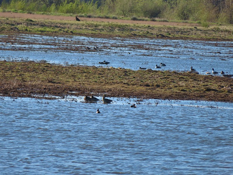
 Northern shovelers and an American wigeon
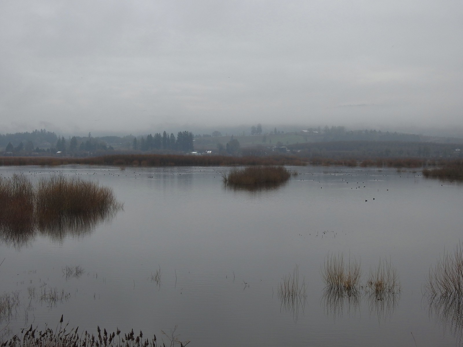 Of course we forgot to bring binoculars making it even harder to make out which types of ducks were out there.
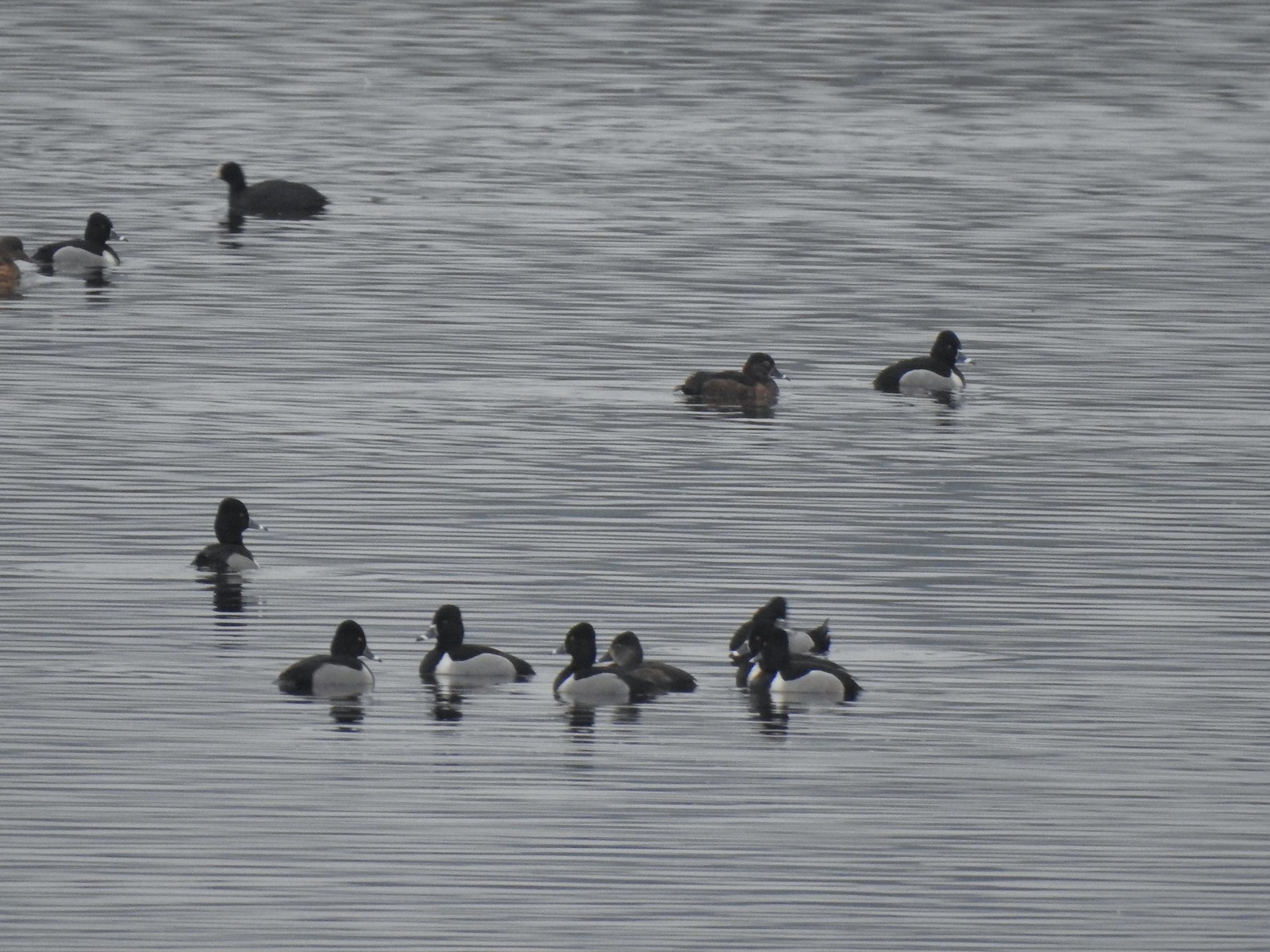 Ring-necked ducks with an American coot in the background.
 Ring-necked duck and northern shovelers
 Reflections in Wapato Lake
 There is virtually no shade along the lake which wasn’t an issue today but could be in the heat of Summer. There are however three benches along the levee allowing for a place to sit and watch the birds.
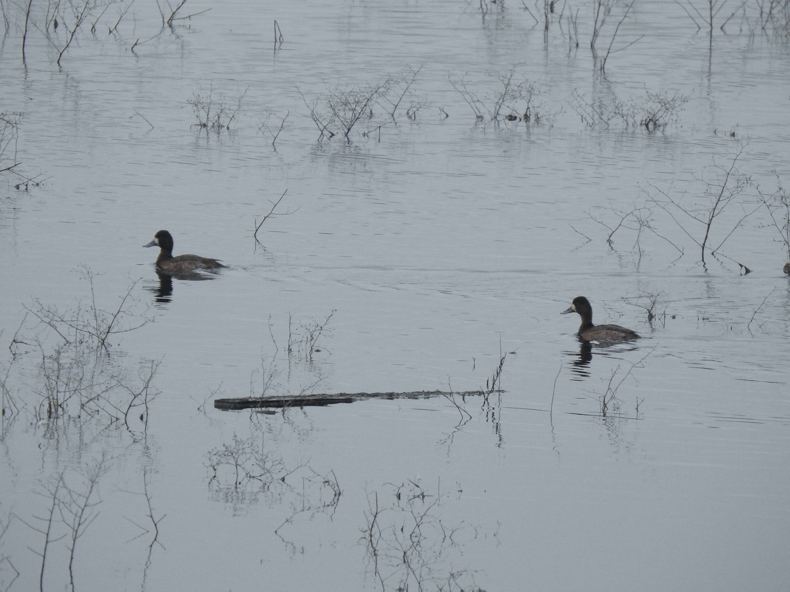 Lesser scaups
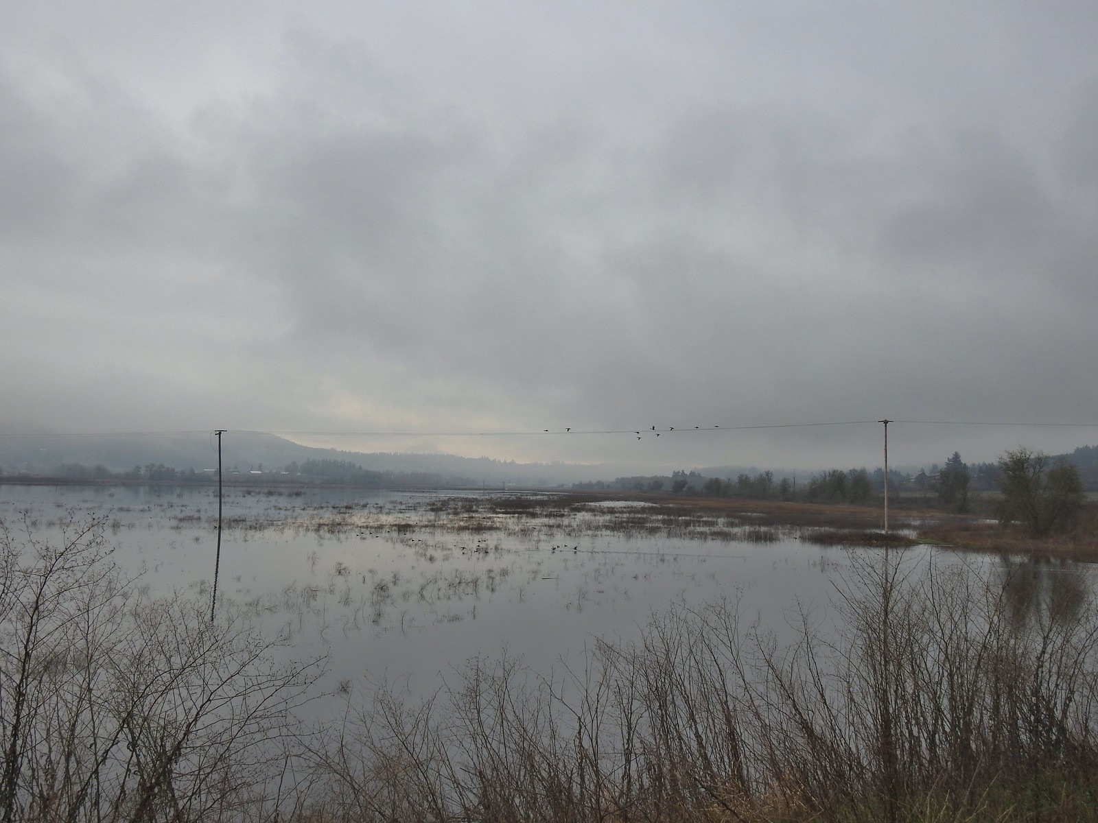 Ducks flying over the lake.
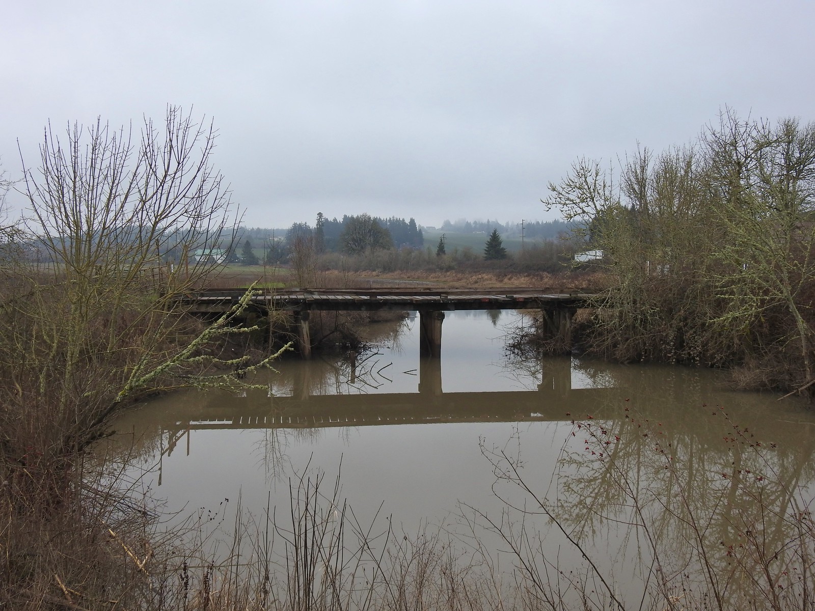 Old bridge over Wapato Creek. The gravel surface ended at this bridge.
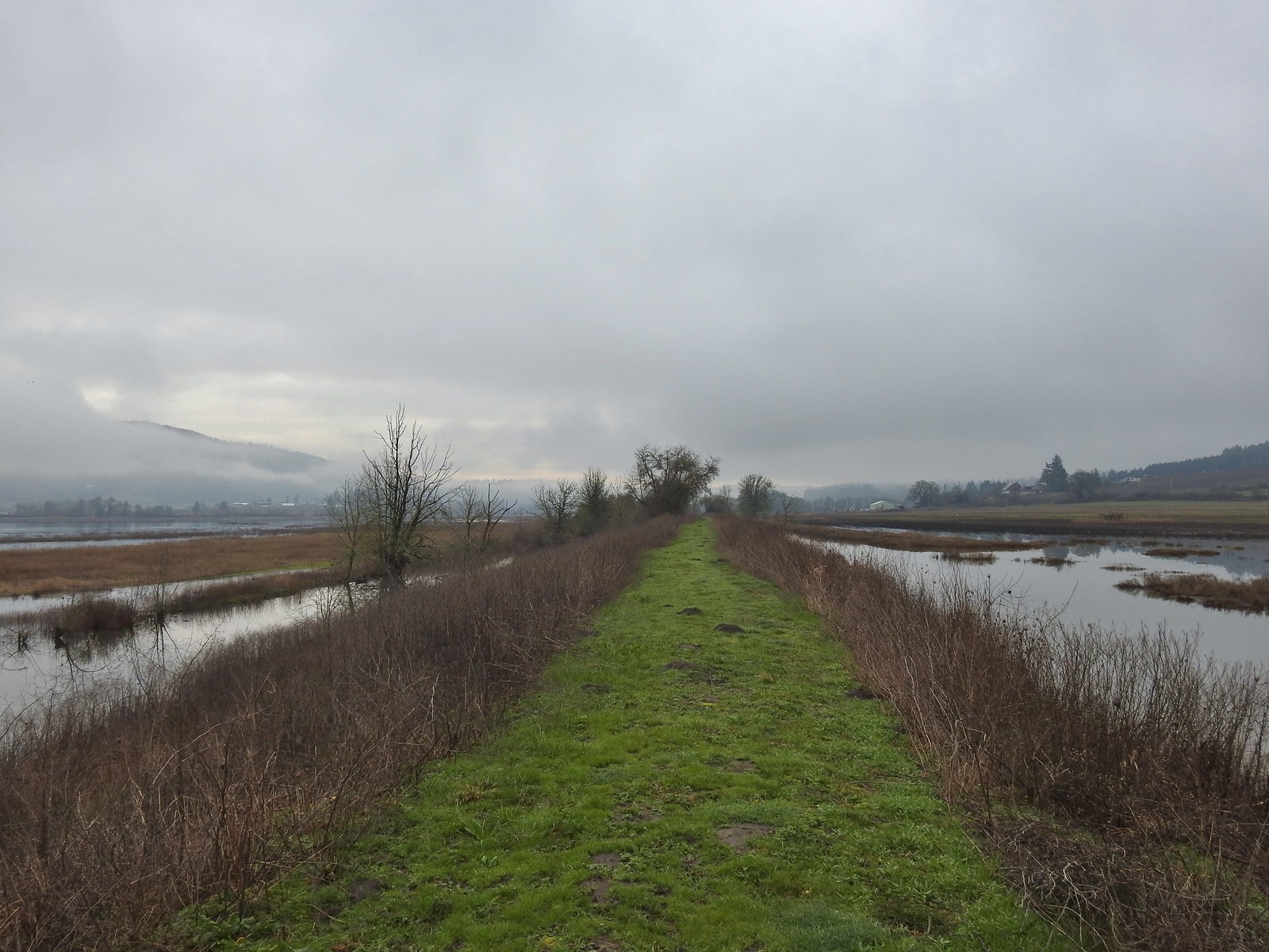
 The coyote running off through the brush.
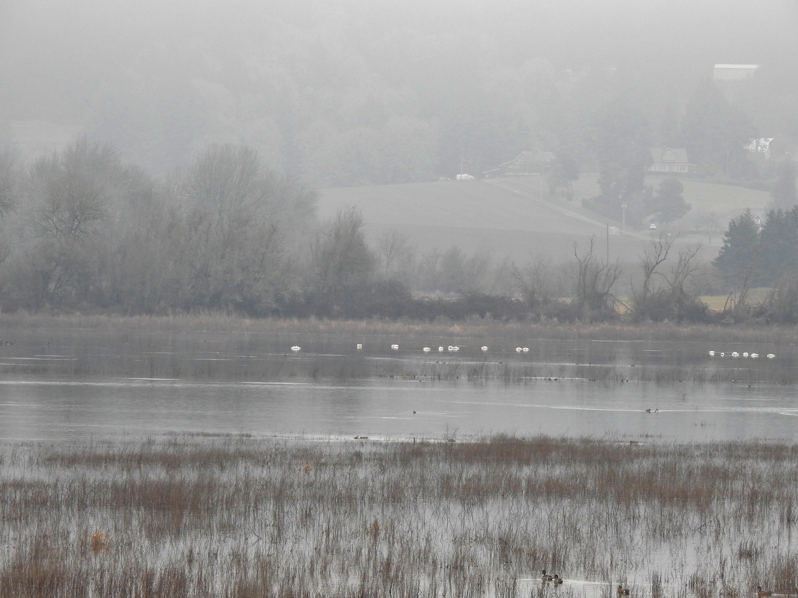 Tundra swans
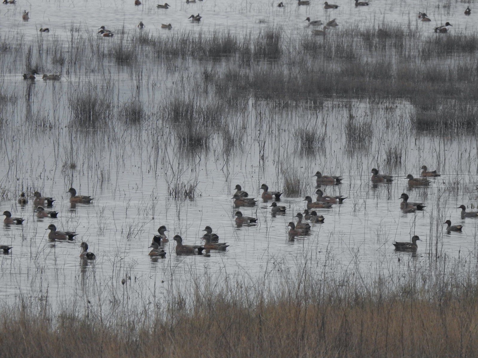
 Tundra swans
 We decided to turn around at this bridge even though the levee continued. It appeared that the water was further away from the levee going forward and we hadn’t planned on going much more than 3-miles today.
 Northern pintails and some green-winged teals.
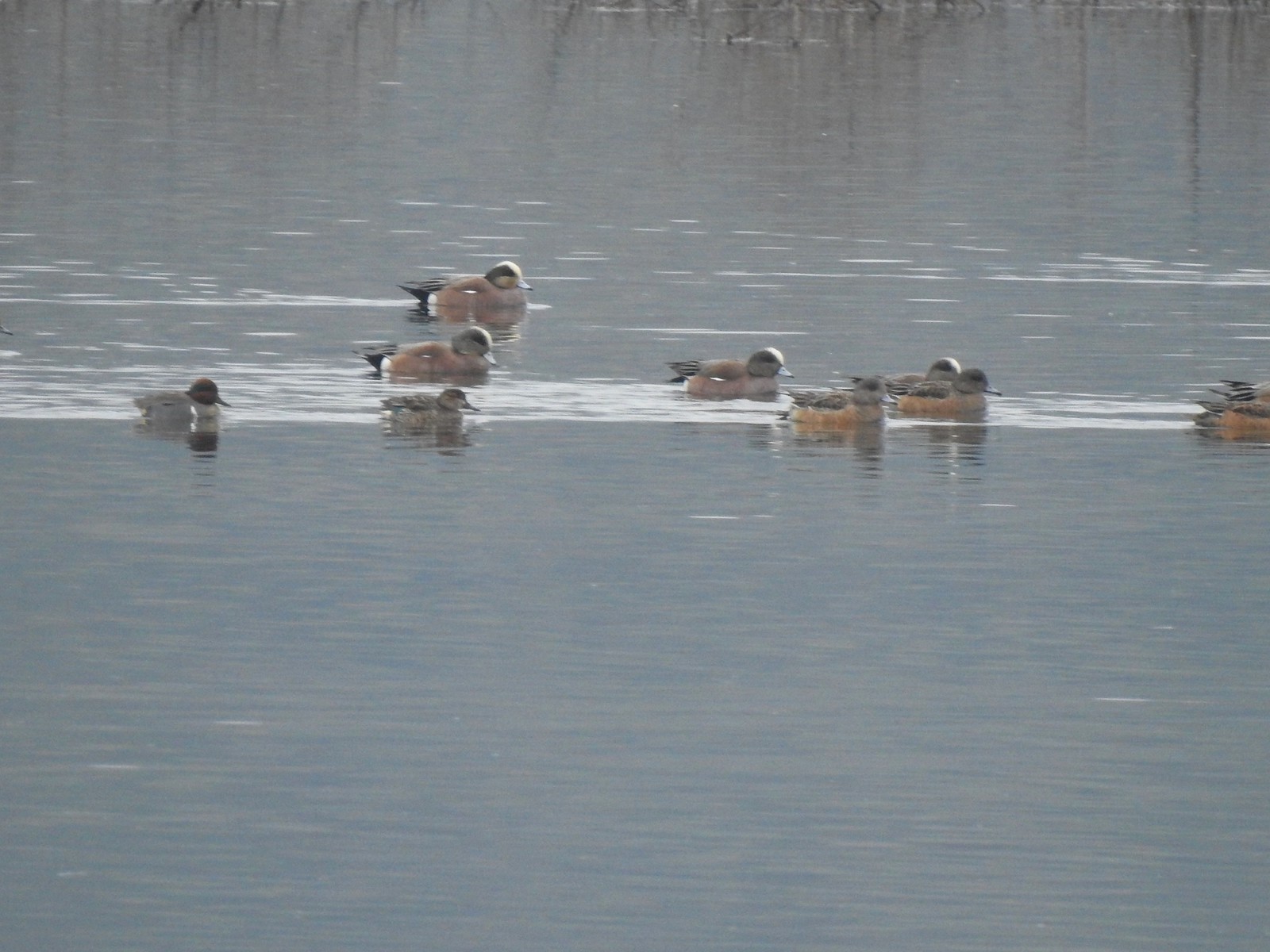 American wigeons and a pair of green-winged teals.
 There were a couple of times that blue sky seemed imminent.
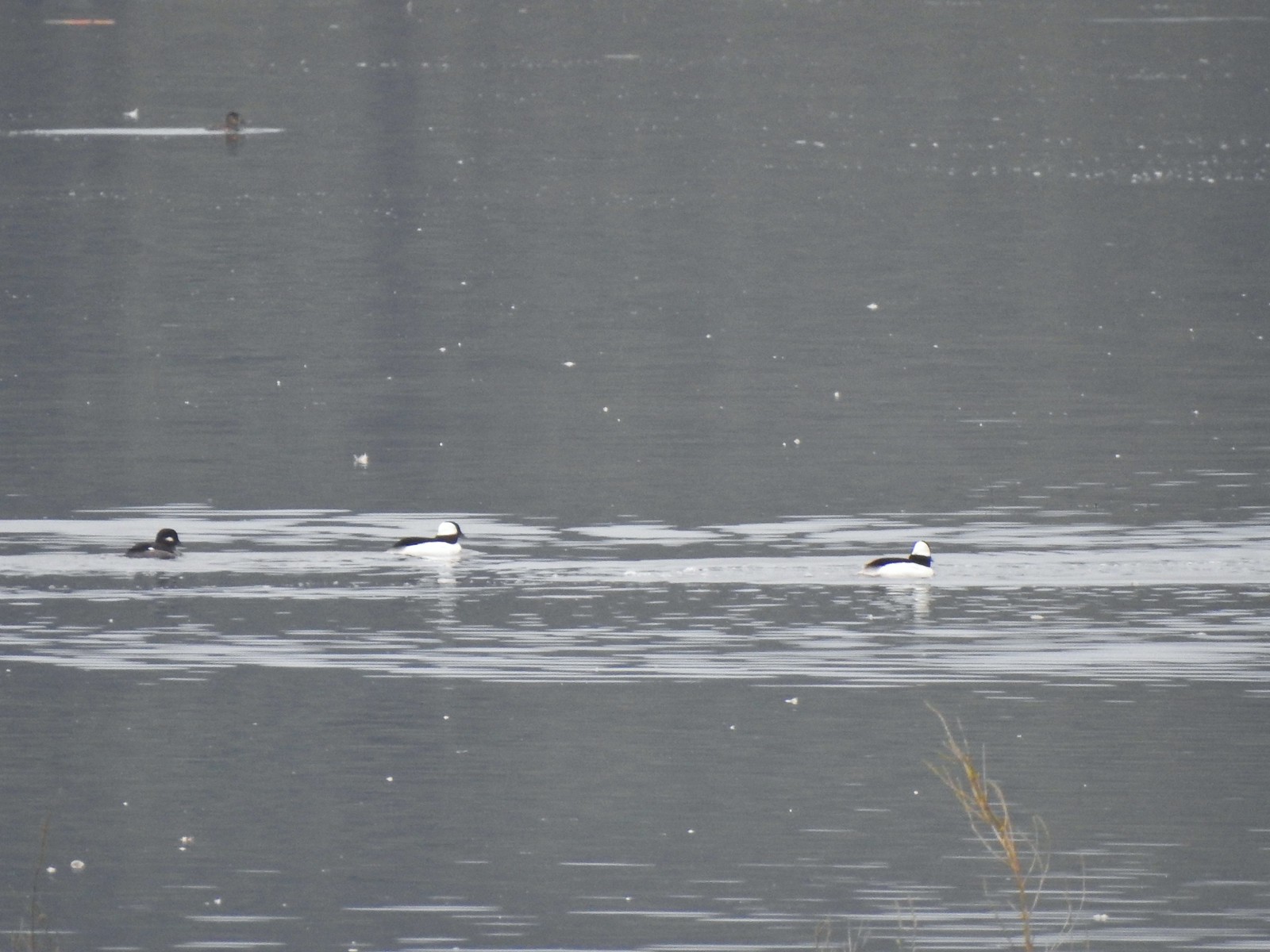 Buffleheads
 Iowa Hill (
 More buffleheads
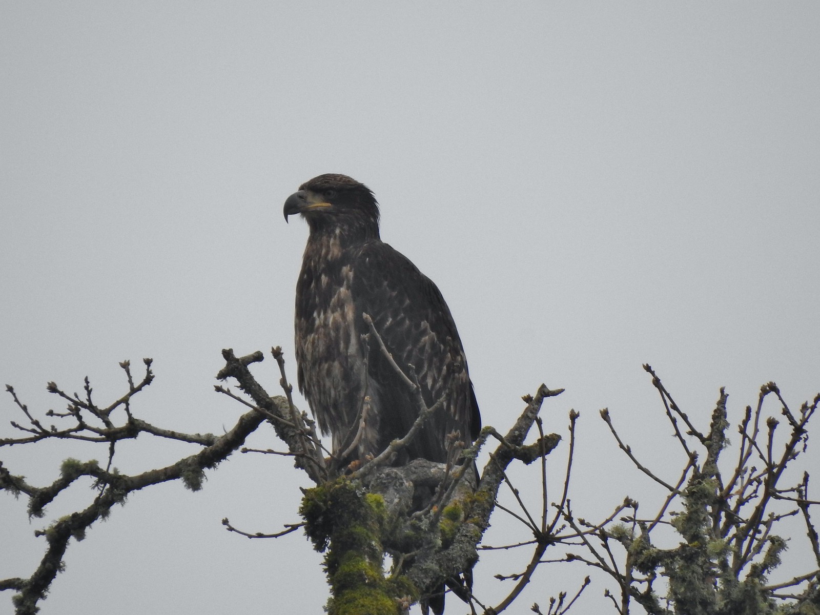 Immature bald eagle
 Sparrow
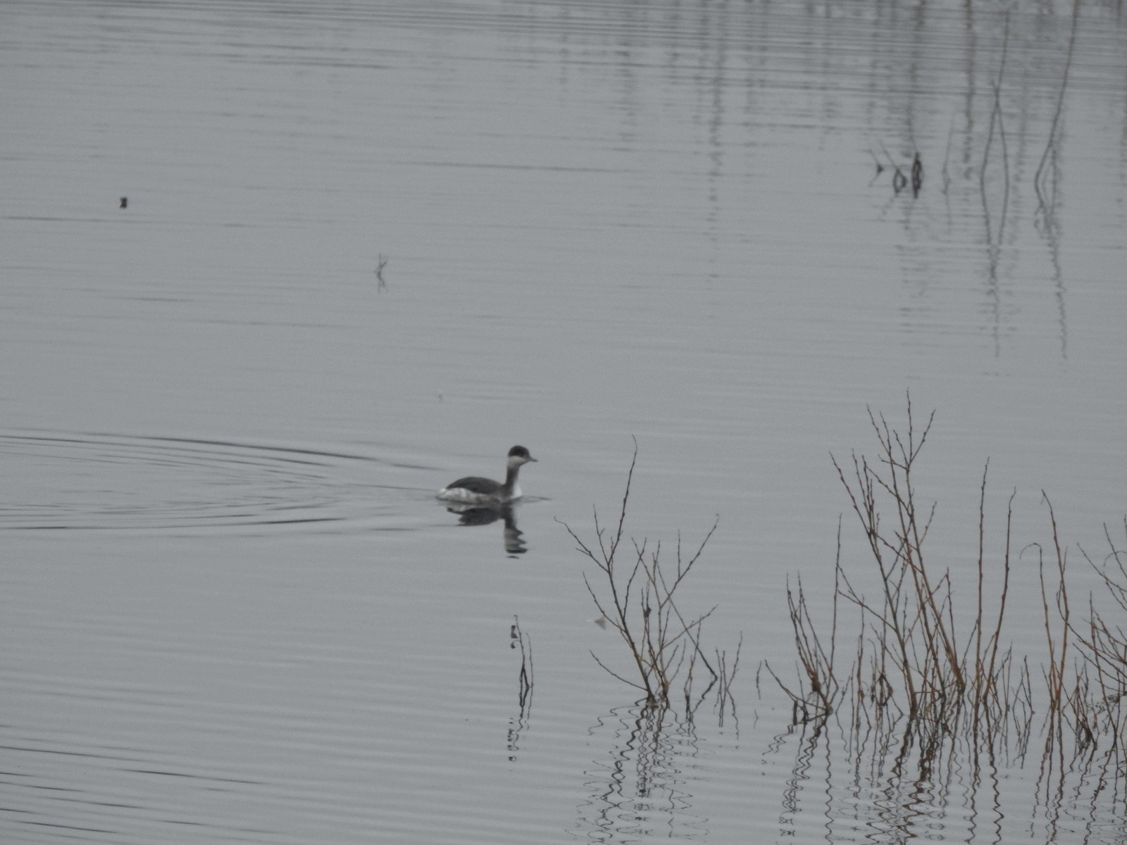 Horned grebe
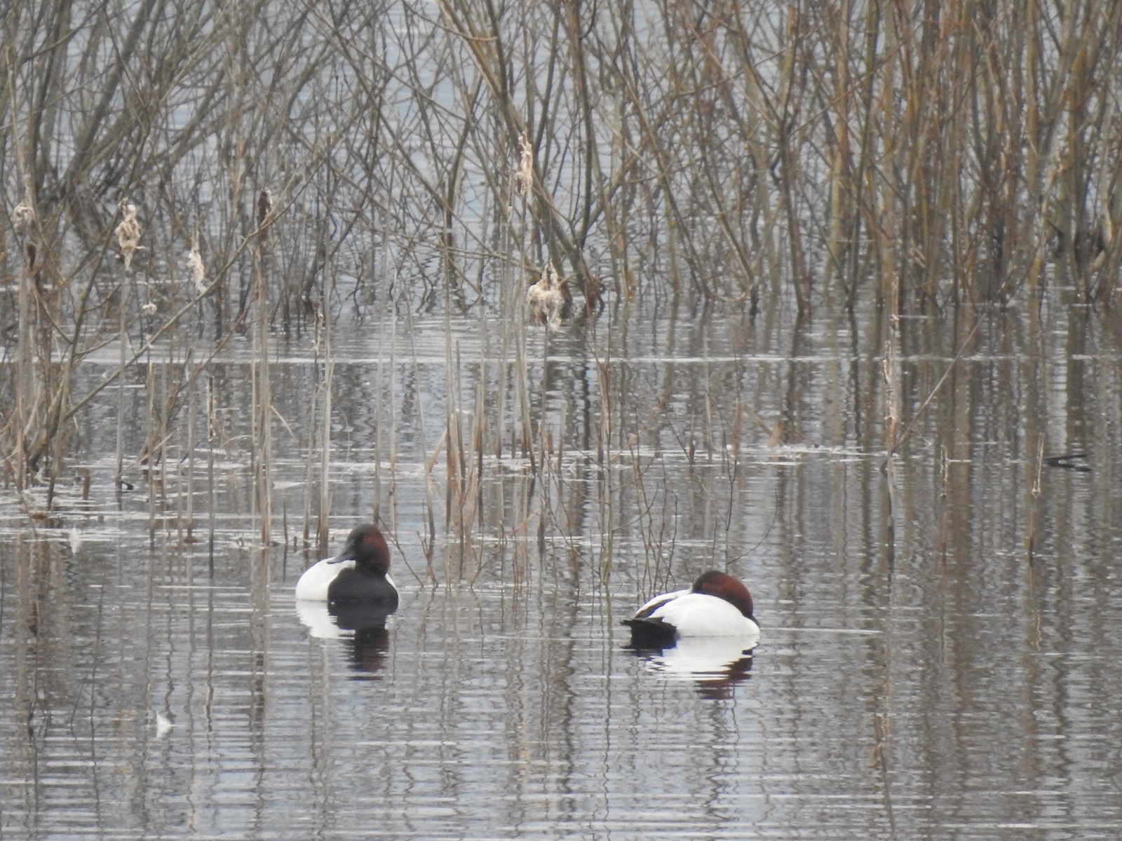 Canvasbacks, another first for us.
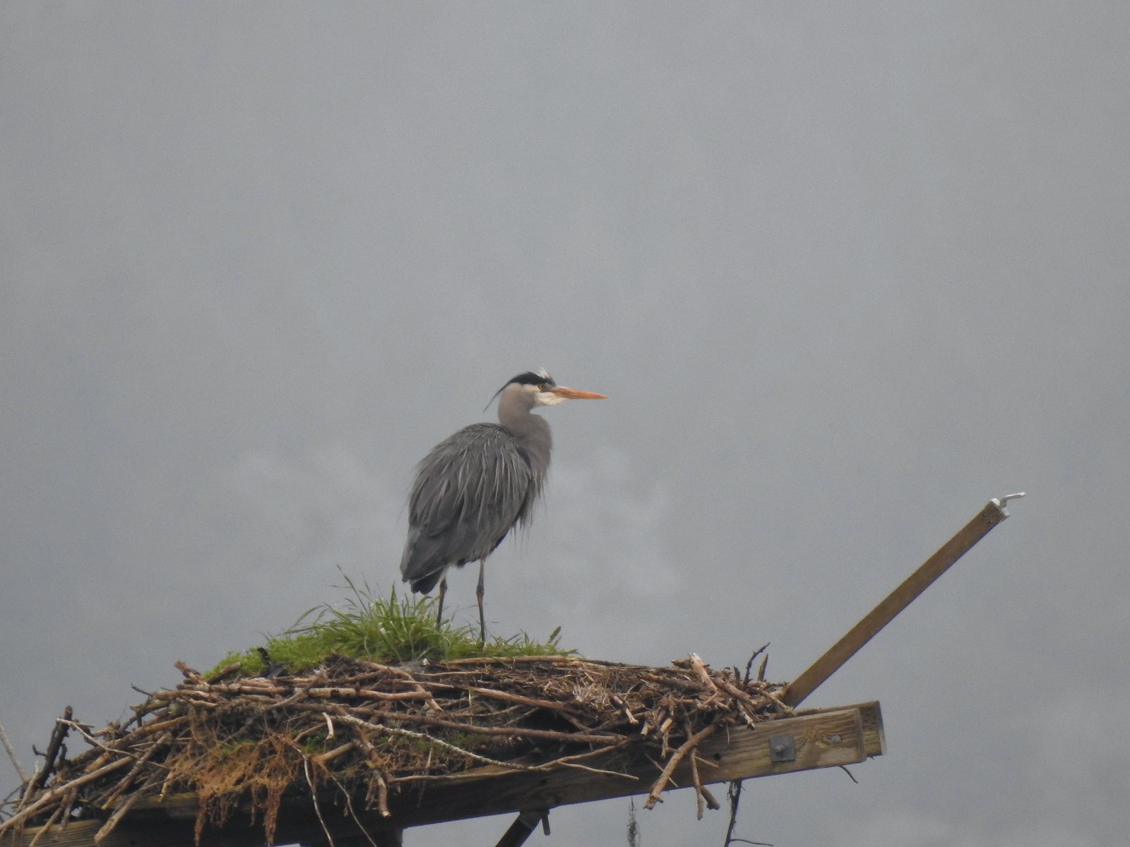 Great blue heron on the osprey nest.
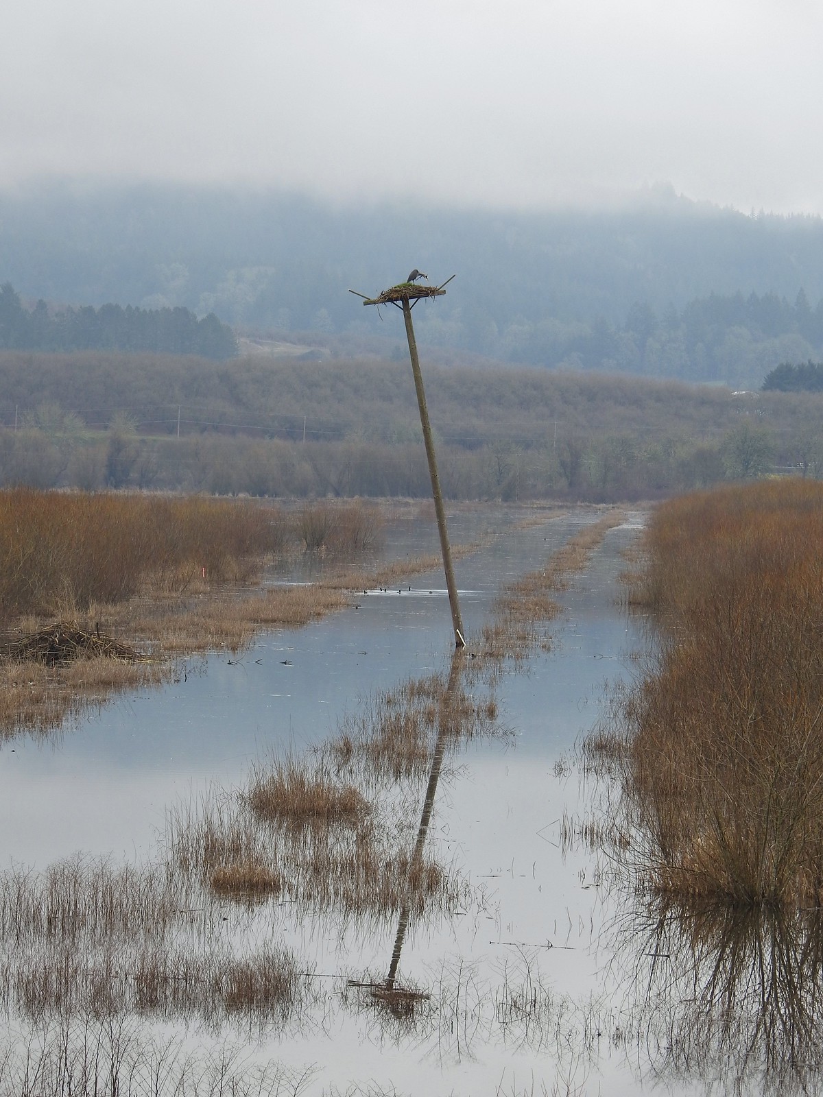 Ther heron on the nest.
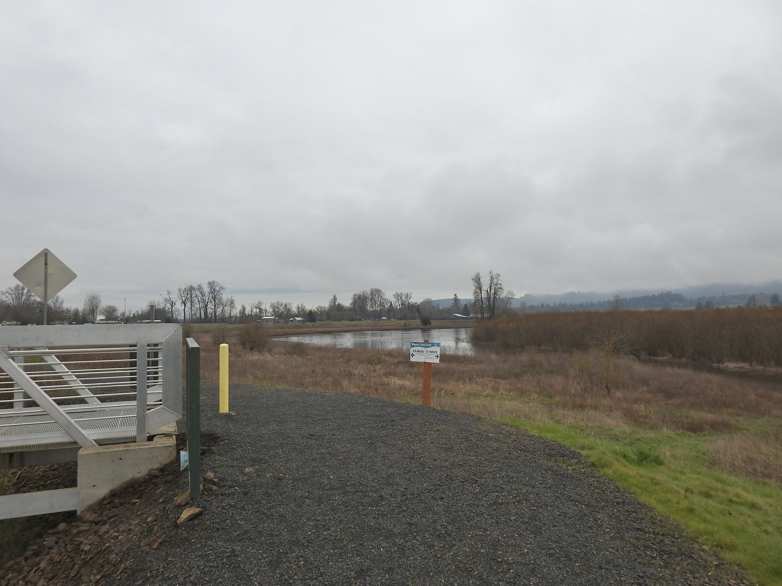
 Mallards
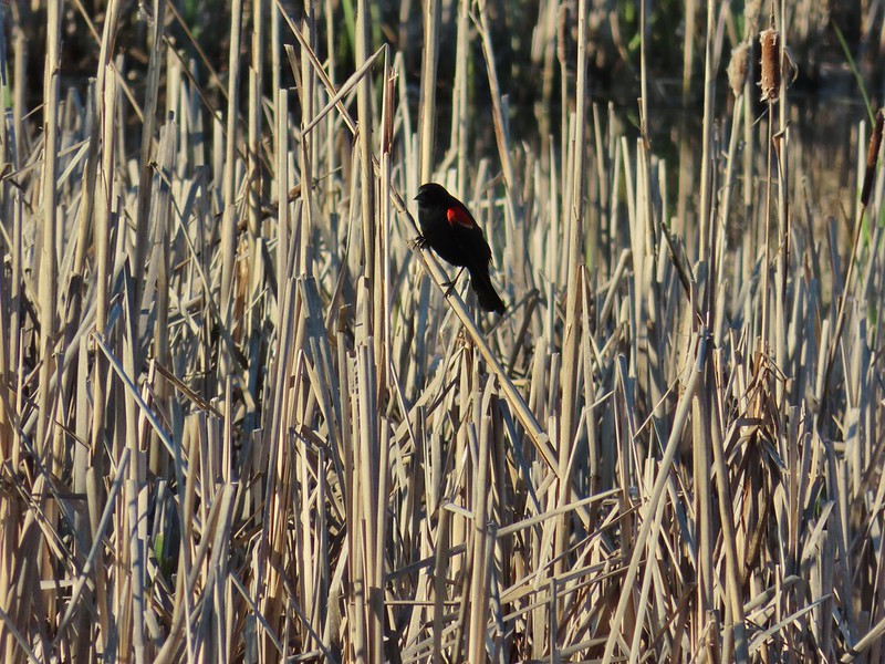
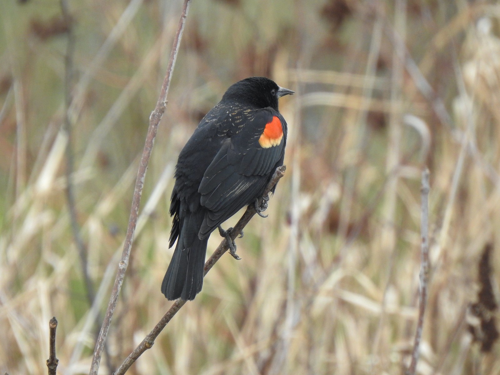 Red-winged blackbird
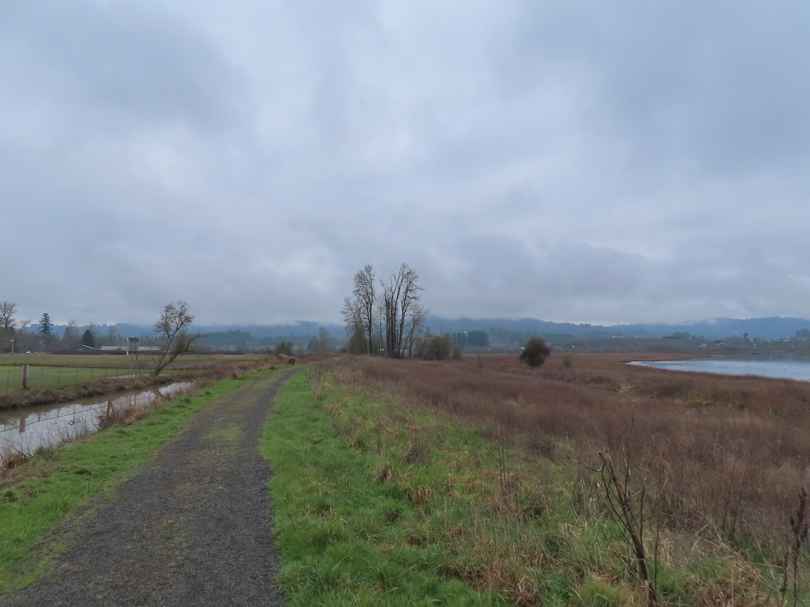
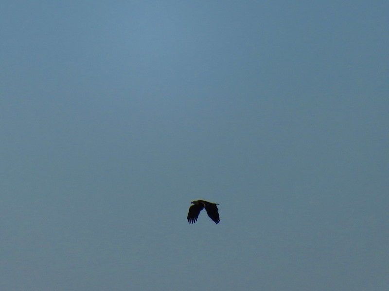
 Bald eagle
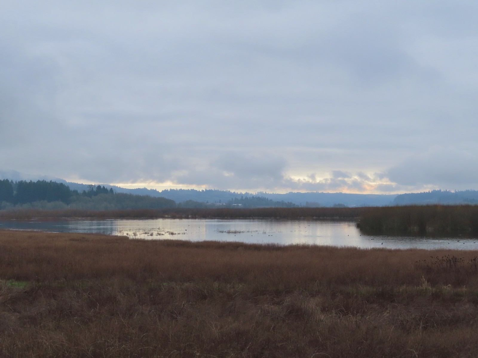
 Nutria
 Gaston from the refuge.
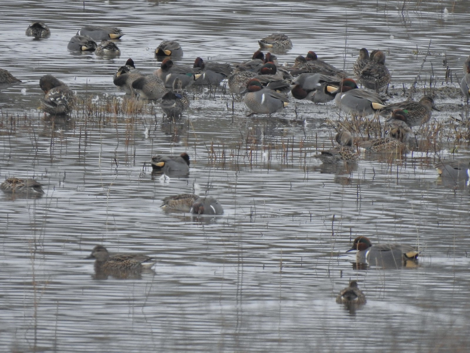 Green-winged teals
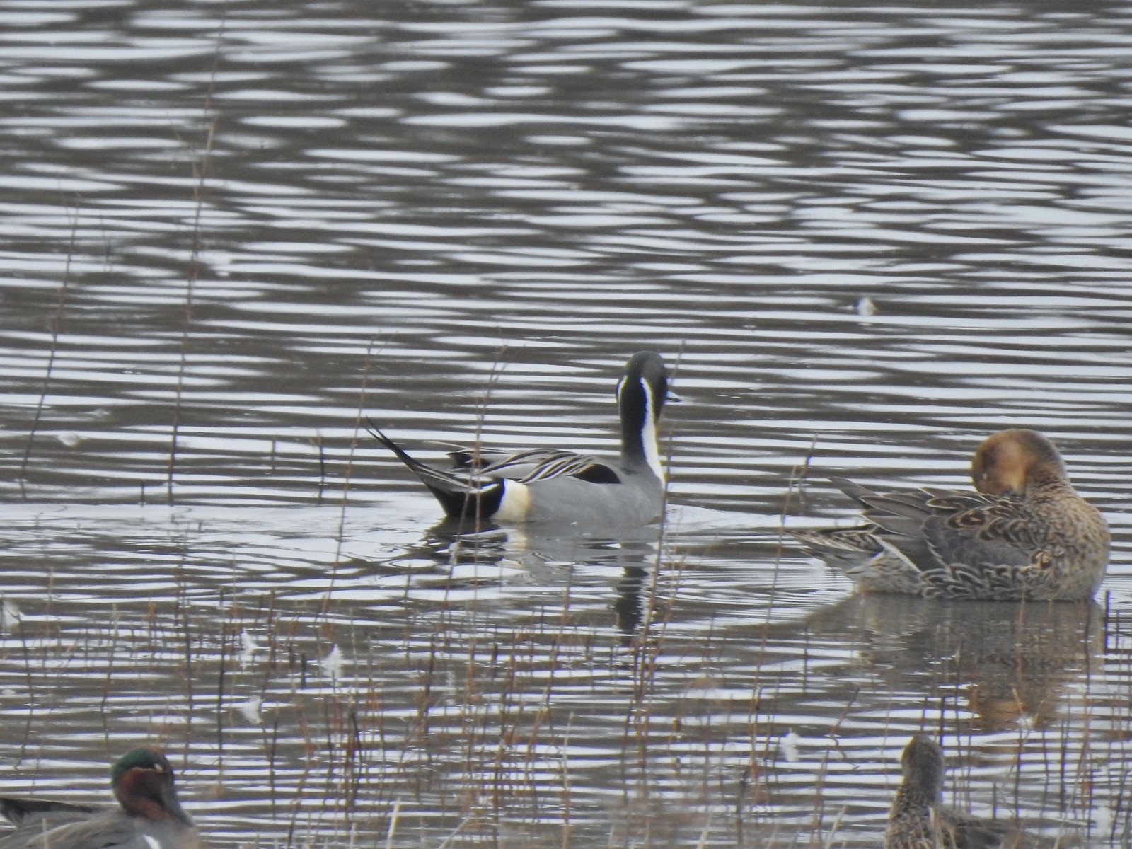 Northern pintails
 Mostly American wigeons and green-winged teals
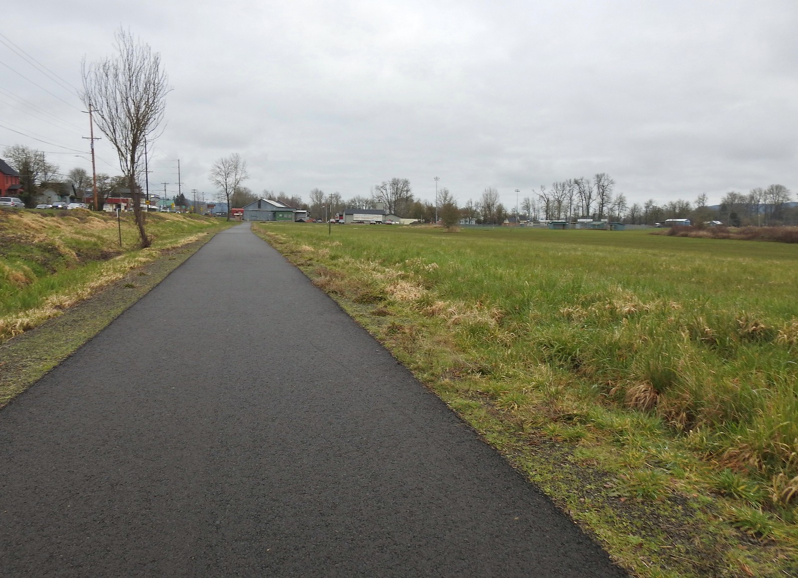 On the paved path back to the parking lot.

 Hummingbird at Memaloose Hills in May.
 Hummingbird at Upper Table Rock in May.
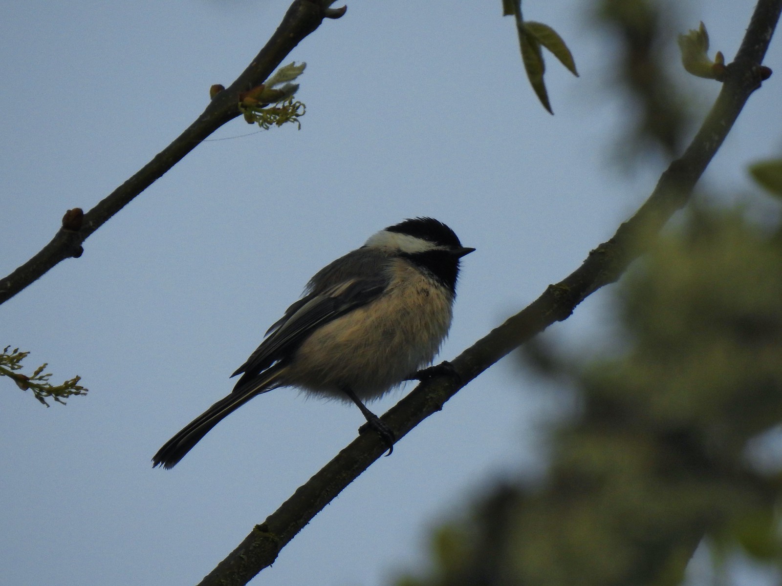 Black capped chickadee at Ankeny Wildlife Refuge in April.
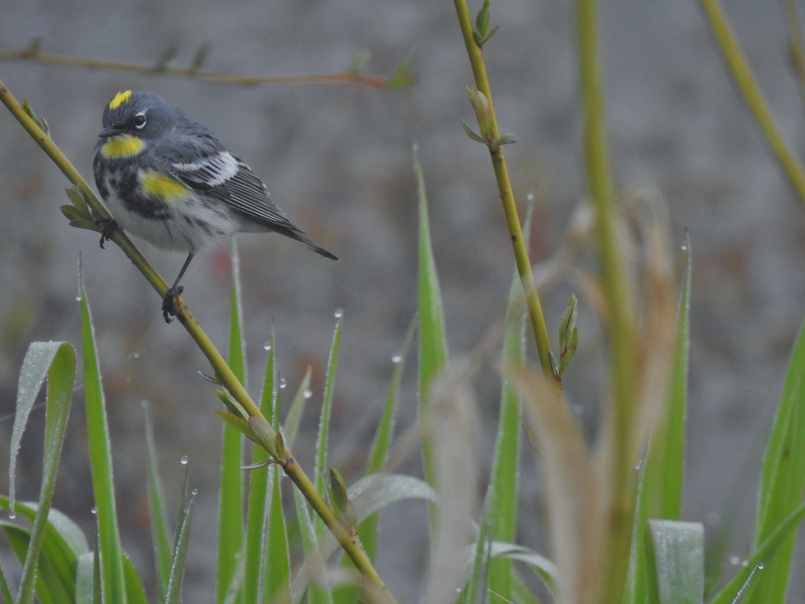 Yellow-rumped warbler (Audubon’s) at Ankeny Wildlife Refuge in April.
 Wren (marsh?) at Ankeny Wildlife Refuge in April.
 White-crowned sparrow at Ankeny Wildlife Refuge in April.
 Sparrow? at Ankeny Wildlife Refuge in April.
 Common yellow throat at Ankeny Wildlife Refuge in April.
 Yellow-rumped warbler (Myrtle) at Ankeny Wildlife Refuge in April.
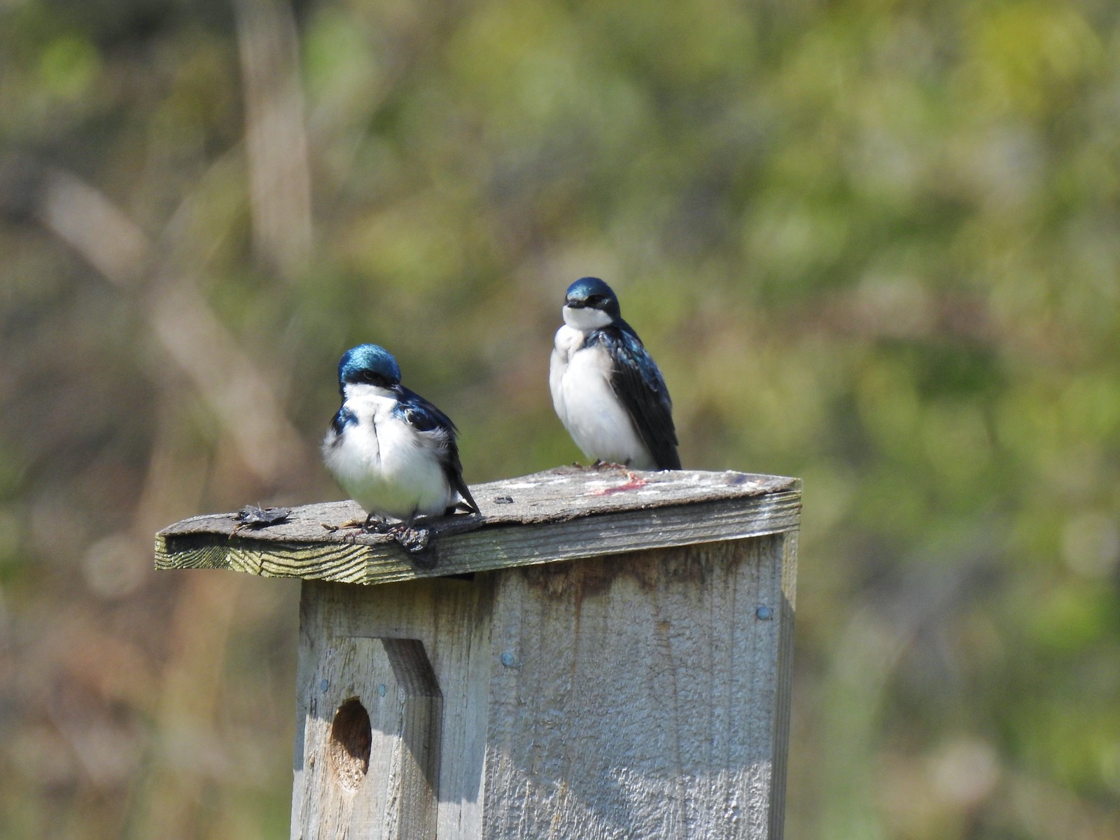 Tree swallows at Ankeny Wildlife Refuge in April.
 White-crowned sparrow and a wren at Miller Woods in May.
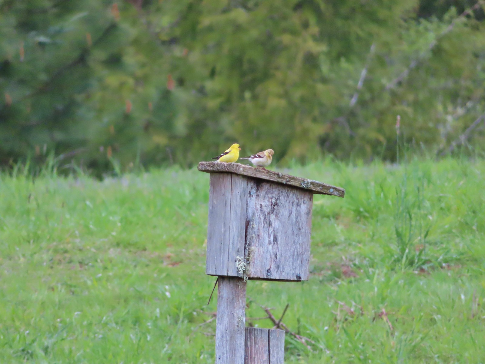 American goldfinch pair at Miller Woods in May.
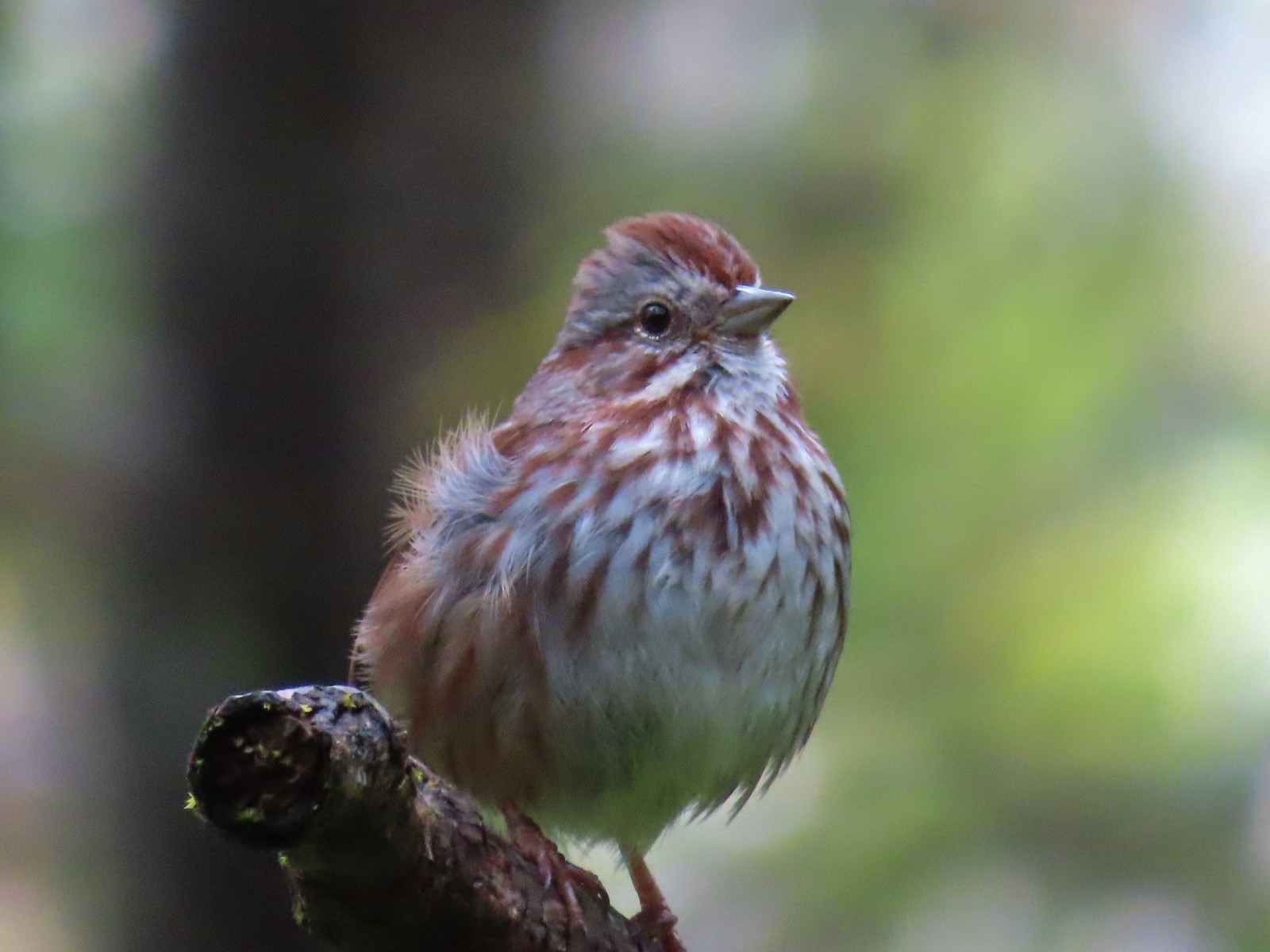 Another sparrow at Miller Woods in May.
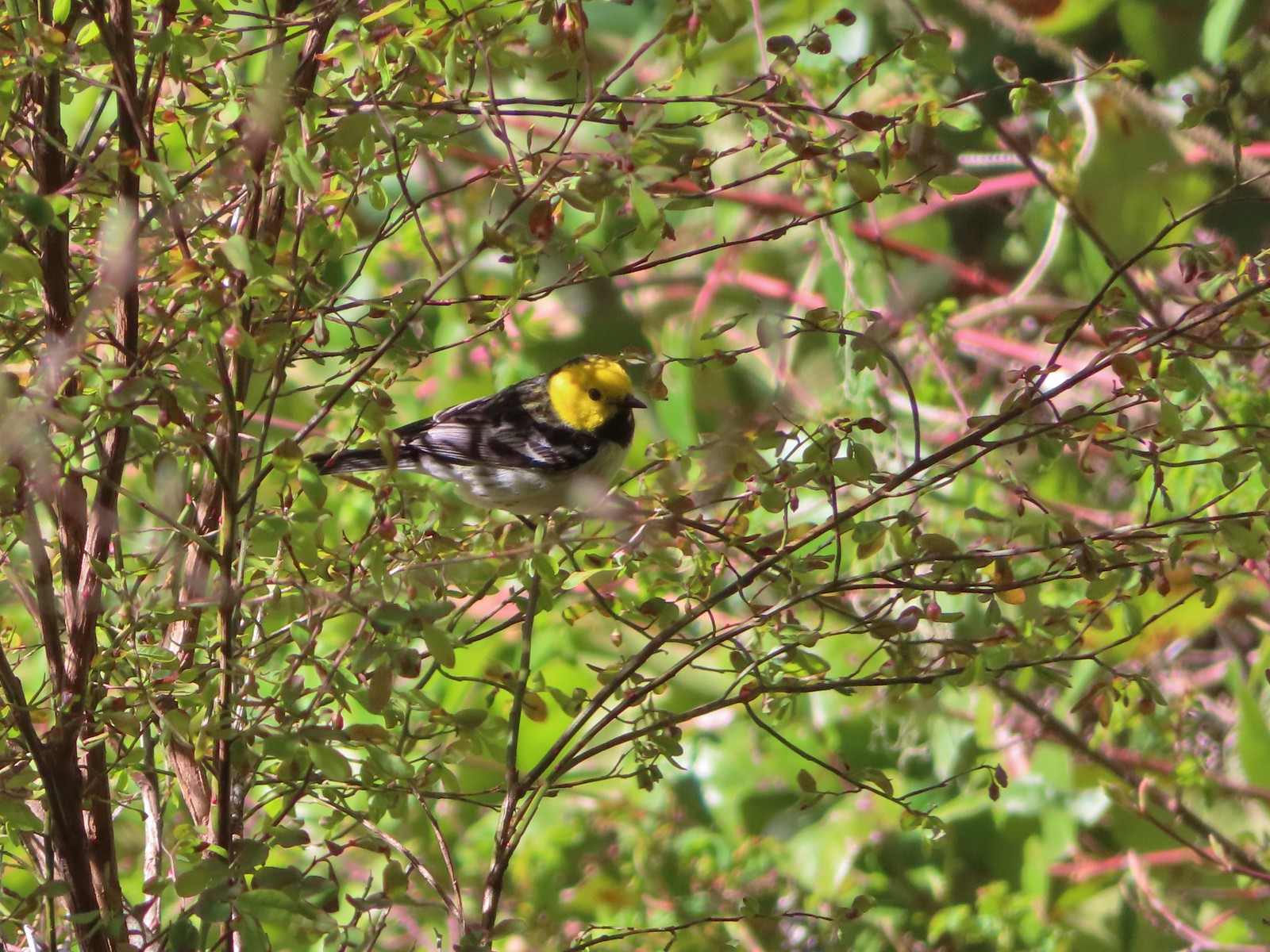 Hermit warbler? near Kings Mountain in May.
 House finch? at Upper Table Rock in May.
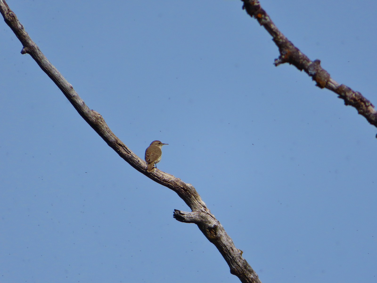 Rock wren? at Upper Table Rock in May.
 Ash-throated flycatcher at Denman Wildlife Area in May.
 Unknown at Denman Wildlife Area in May.
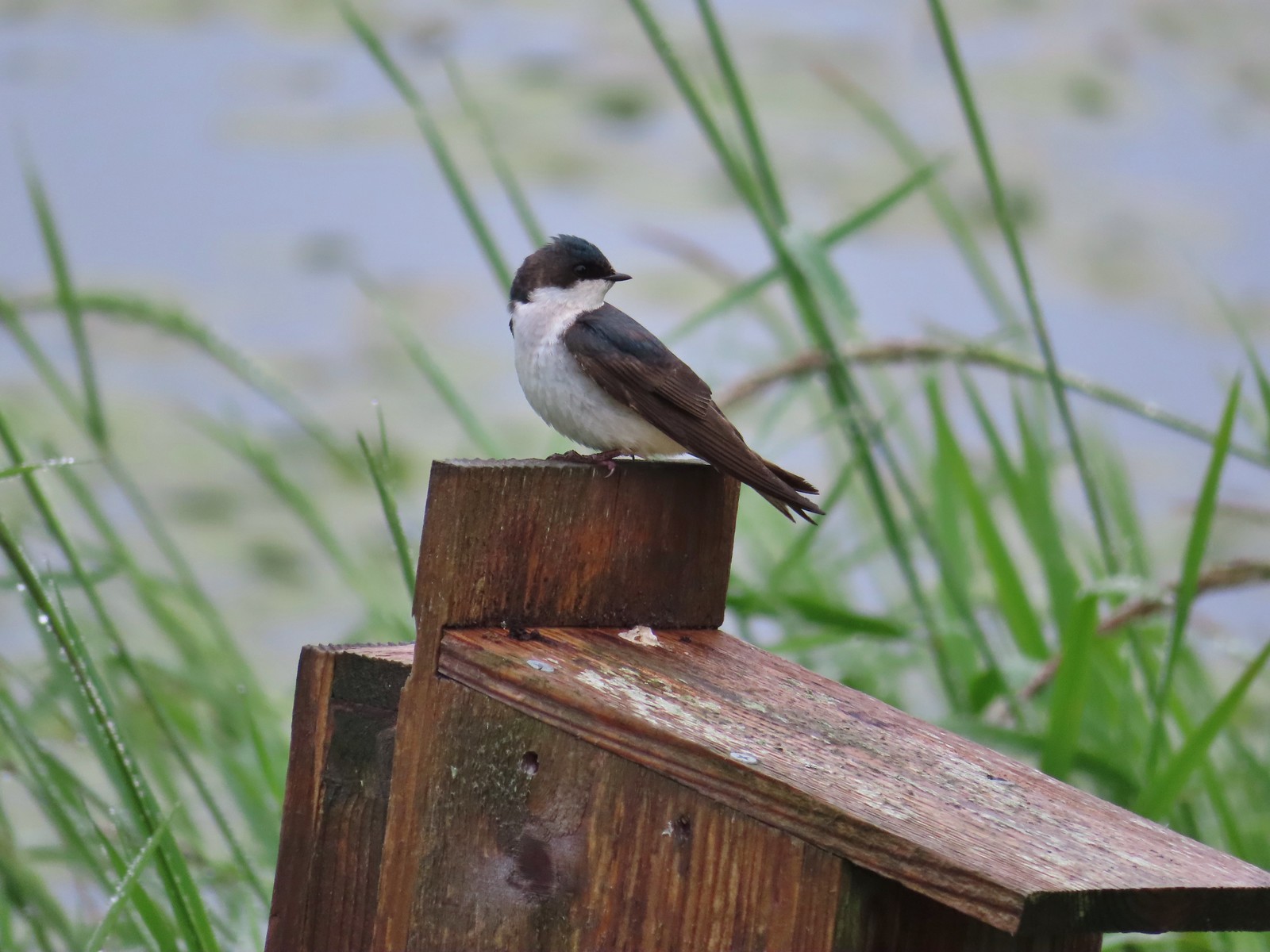 Swallow at Julia Hansen Butler Wildlife Refuge in June.
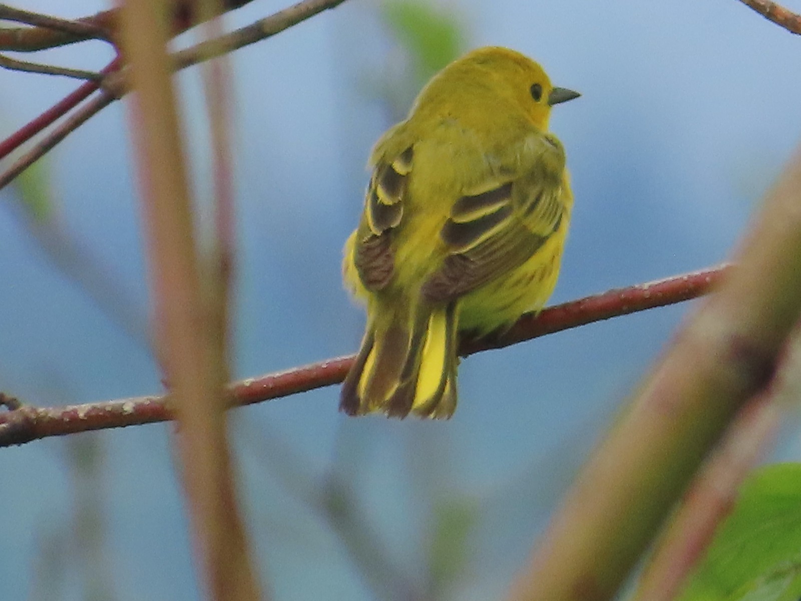 Some sort of warbler? at Julia Hansen Butler Wildlife Refuge in June.
 Purple martins at Julia Hansen Butler Wildlife Refuge in June.
 Another wren at Julia Hansen Butler Wildlife Refuge in June.
 Unknown at Julia Hansen Butler Wildlife Refuge in June.
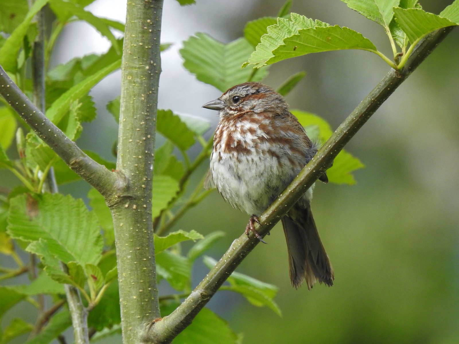 Sparrow? at Julia Hansen Butler Wildlife Refuge in June.
 Warbler? at Julia Hansen Butler Wildlife Refuge in June.
 Black phoebe? at Julia Hansen Butler Wildlife Refuge in June.
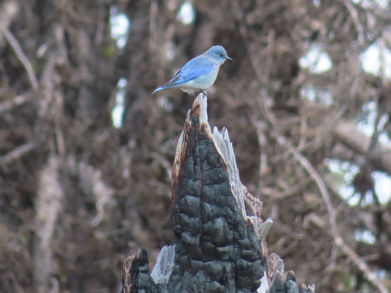 Mountain bluebird near Union Peak in September.
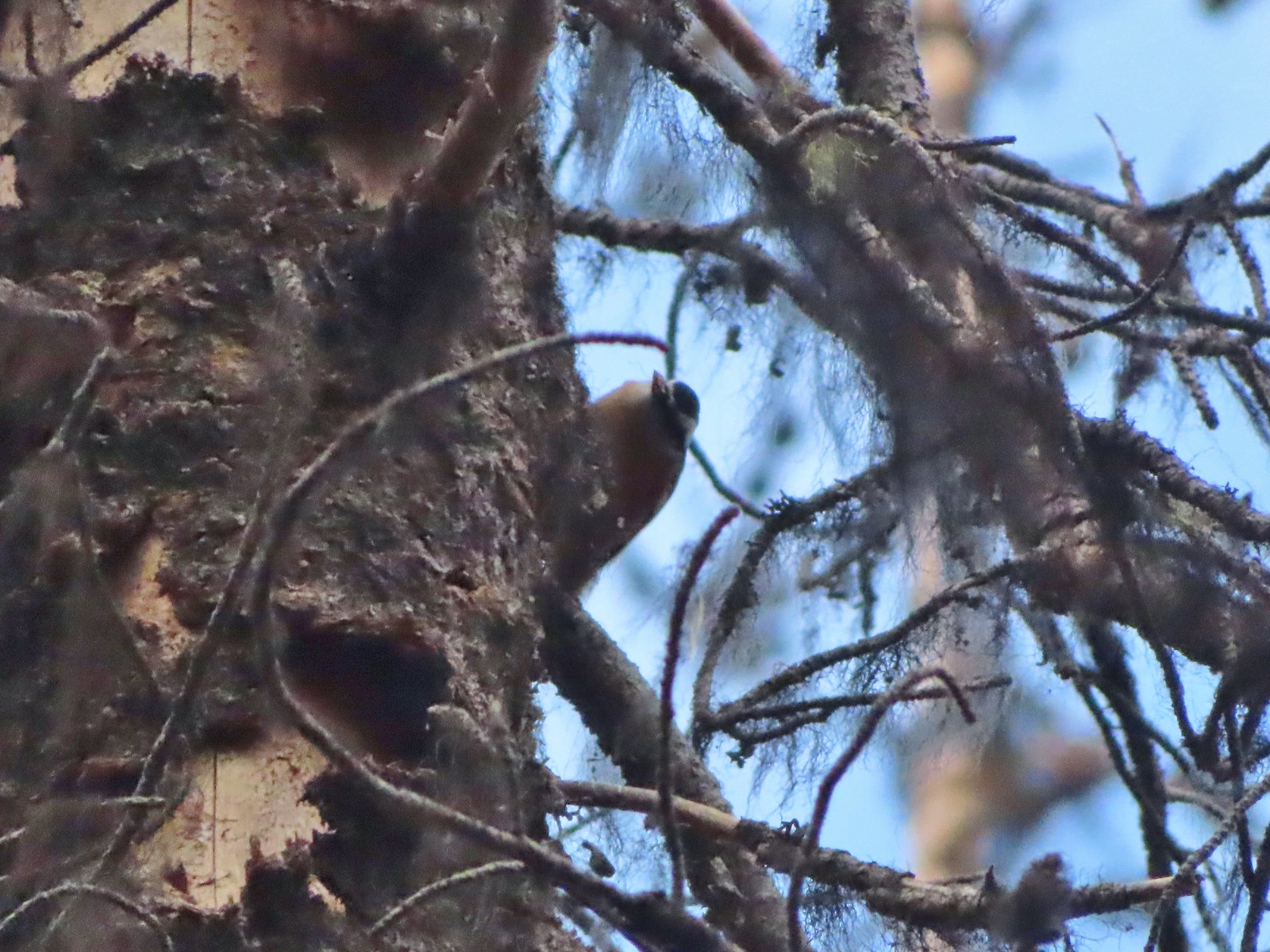 Red-breasted nuthatch (best I could get) at Crater Lake in September.
 Red crossbilss at Crater Lake in September.
 Wren on the Eagle Creek Trail in November.
 Dark eyed junco at Waverly Lake in December.
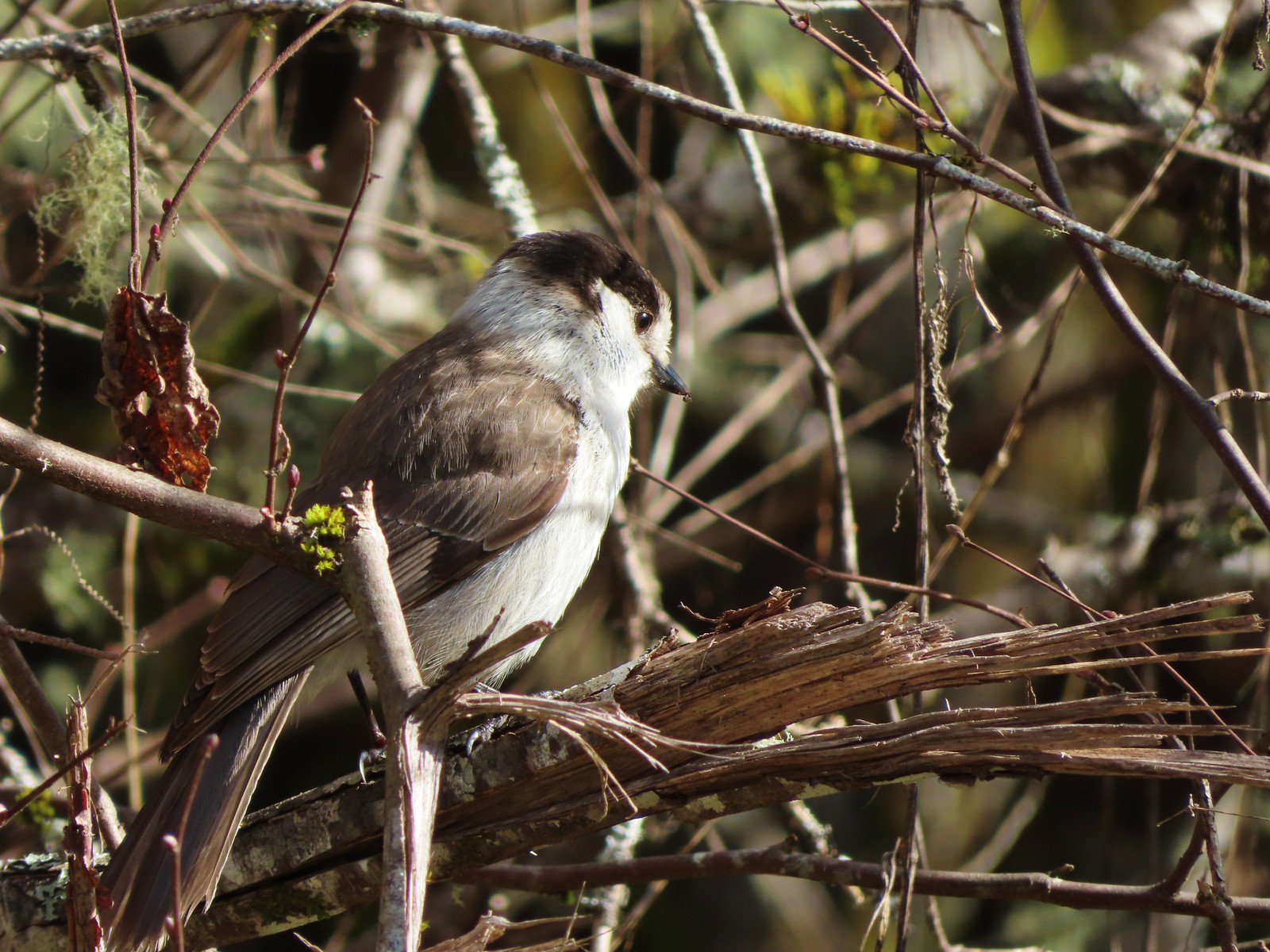 Canada jay (grey jay) along the Crown Zellerbach Trail in March.
 California scrub jay along the Balfour-Klickitat Trail in April.
 Stellar’s jay along the Hood River Pipeline Trail in May.
 Female red-winged blackbird at Ankeny Wildlife Refuge in April.
 Red-winged blackbird at Ankeny Wildlife Refuge in April.
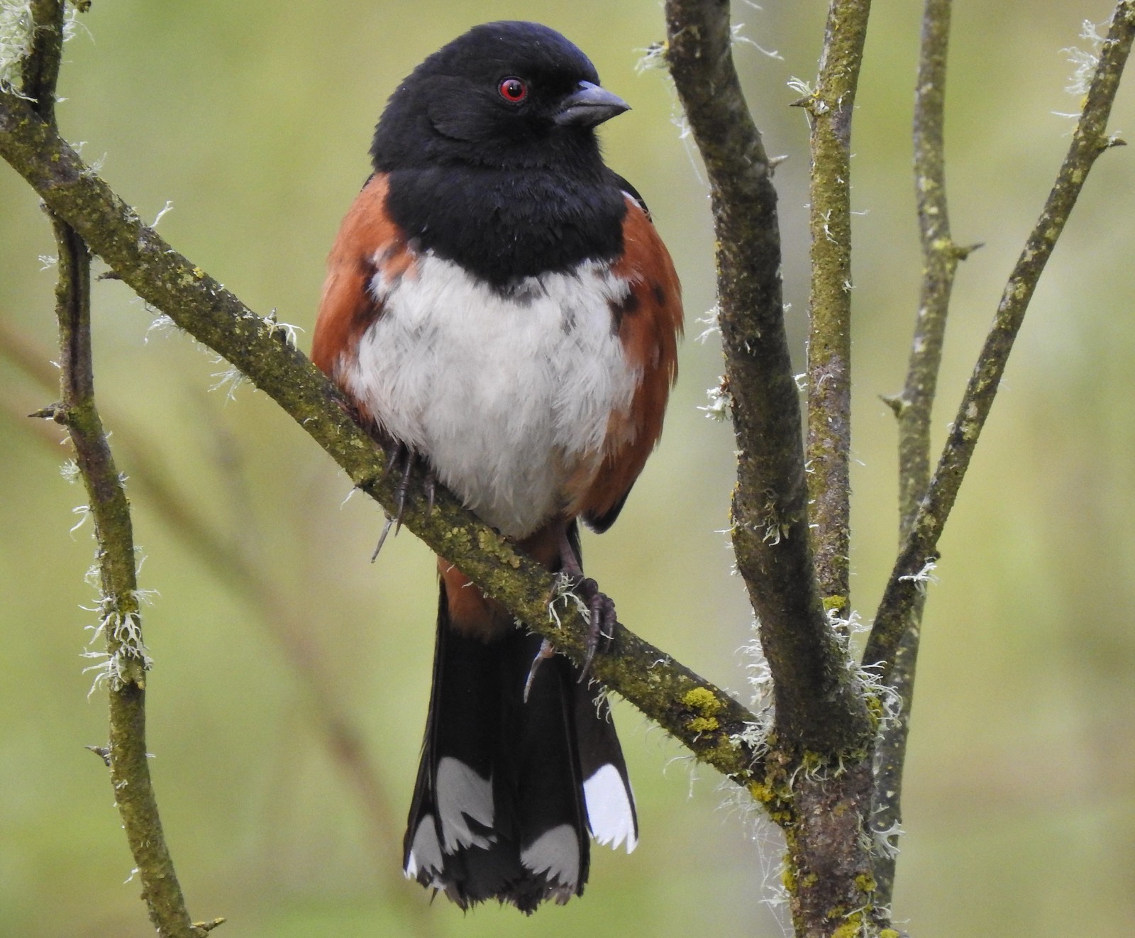 Spotted towhee at Ankeny Wildlife Refuge in April.
 Starlings along the Hood River Pipeline Trail in May.
 Brownheaded cowbird at Upper Table Rock in May.
 American robin at Ankeny Wildlife Refuge in April.
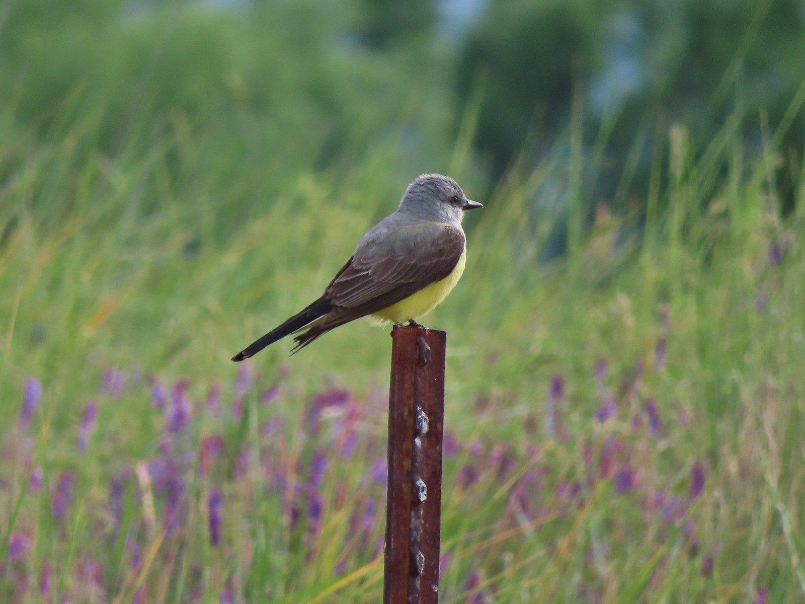 Tropical kingbird? at Denman Wildlife Area in May.
 Black-headed grosbeak (also all I could get) at Applegate Lake in May.
 Lazuli bunting at Roxy Ann Peak in May.
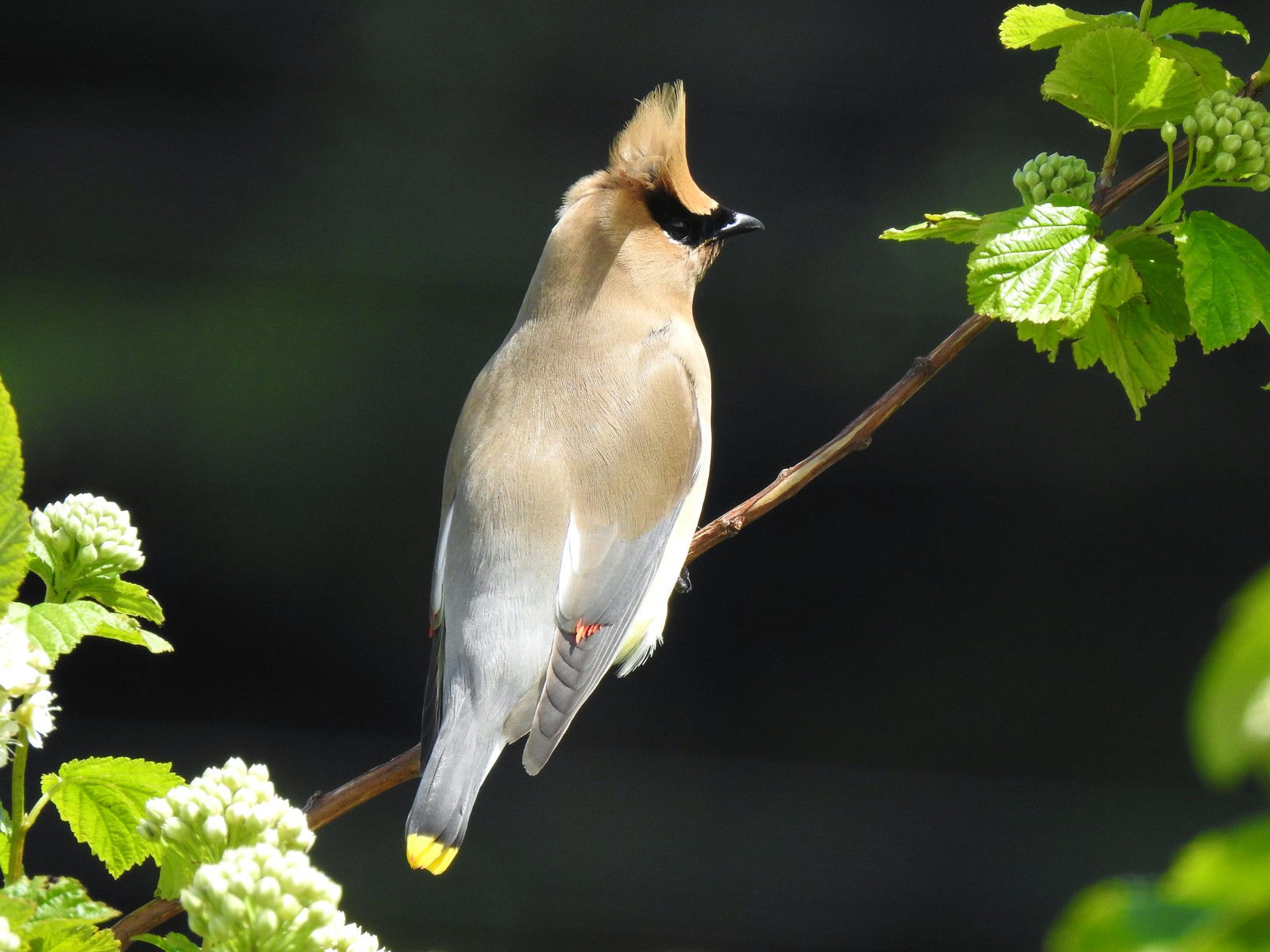 Cedar waxwing at Julia Hansen Butler Wildlife Refuge in June.
 Western tanagers, Siskiyou Wilderness in July.
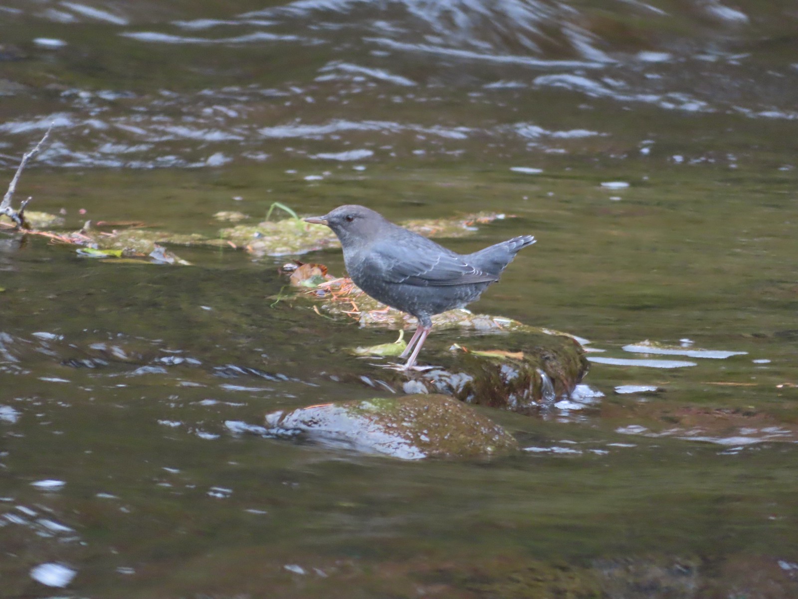 American dipper (Ouzel) near South Umpqua Falls in September.
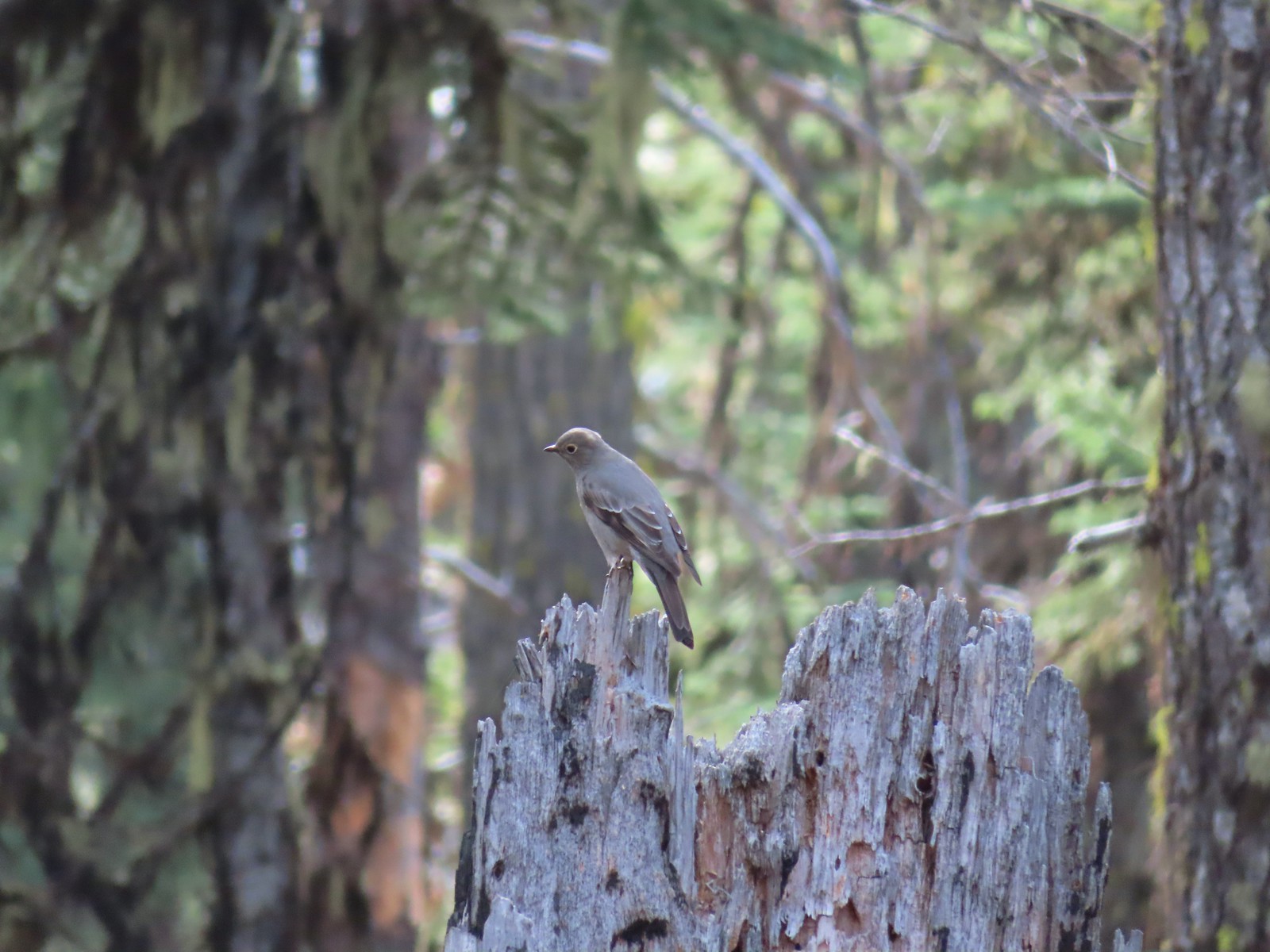 Townsends solitaire at Crater Lake National Park in September.
 Clark’s nutcracker at Crater Lake National Park in September.
 Varied thrush along the Eagle Creek Trail in November.
 Unknown at Cascade Head in October.
 Forest Park in January.
 Northern flicker at Ankeny Wildlife Refuge in April. We seem to see flickers on nearly every hike, but they don’t often sit still long enough for us to get a decent picture.
 Pileated woodpecker at Chehalem Ridge Nature Park in May. We rarely see these but like the flickers, when we do they are very difficult to get a photo of.
 Acorn woodpecker at Denman Wildlife Area in May.
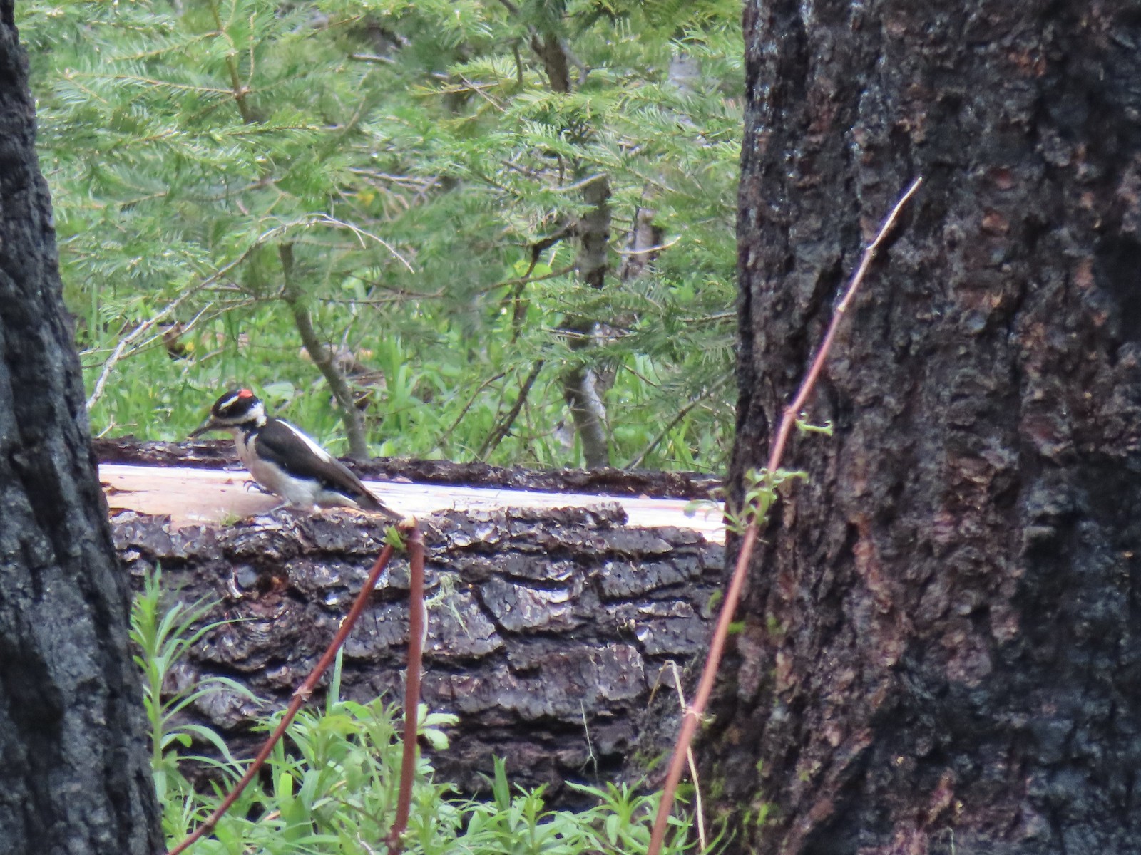 Hairy? woodpecker near Twin Lakes in the Umpqua National Forst in June.
 Red breasted sapsucker at E.E. Wilson Wildlife Area in July.
 Either a hairy or downy woodpecker along the Eagle Creek Trail in November.
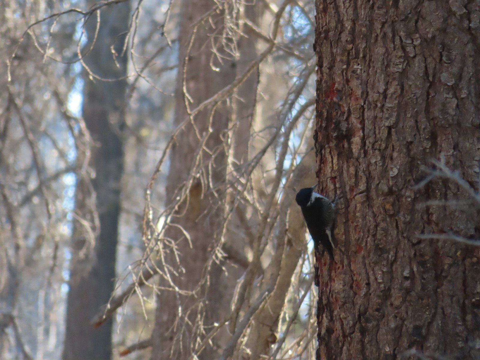 Unknown, Sky Lakes Wilderness in late September.
 Crow along the Crown Zellerbach Trail in March.
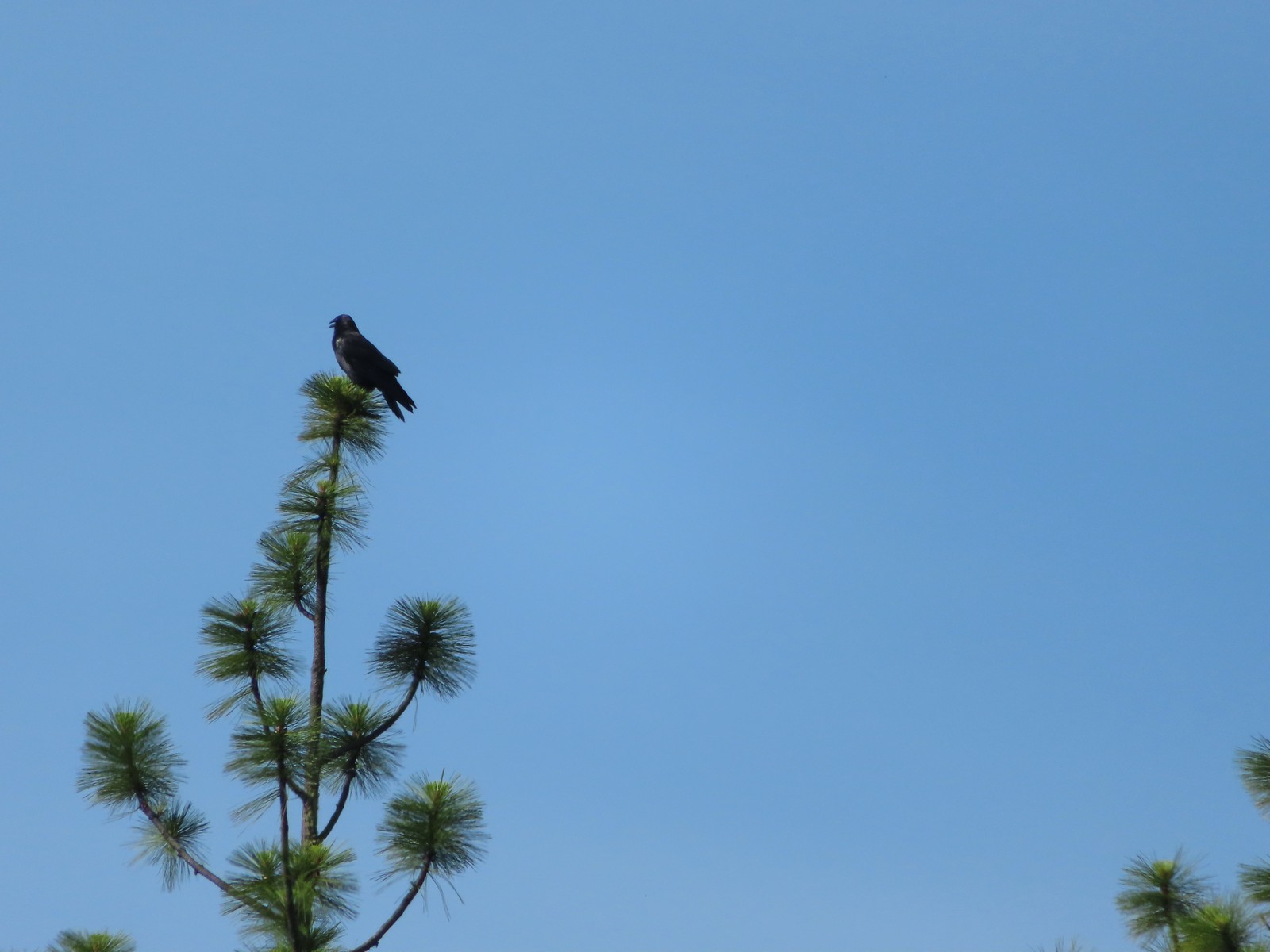 Raven at Upper Table Rock in May.
 Turkey Vulture at Julia Hansen Butler Wildlife Refuge in June.
 American kestral along the Crown Zellerbach Trail in March.
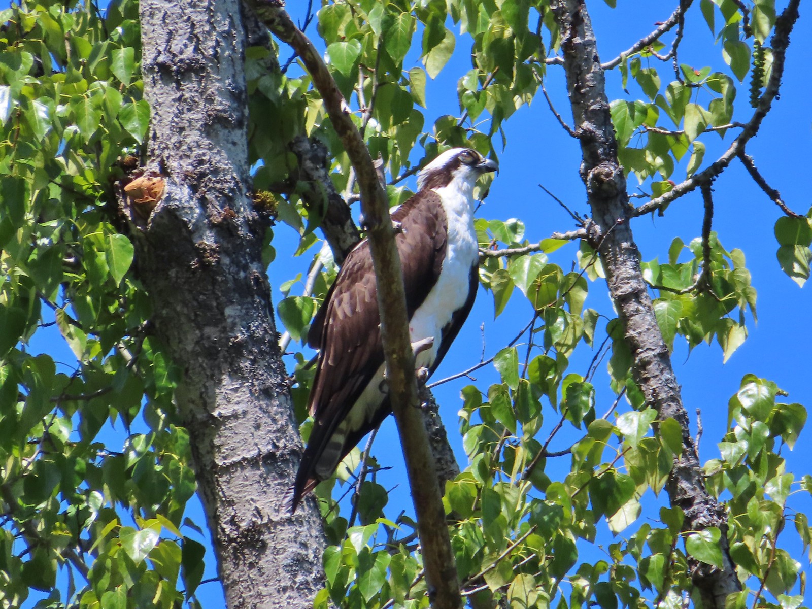 Osprey along the Hood River Pipeline Trail in May.
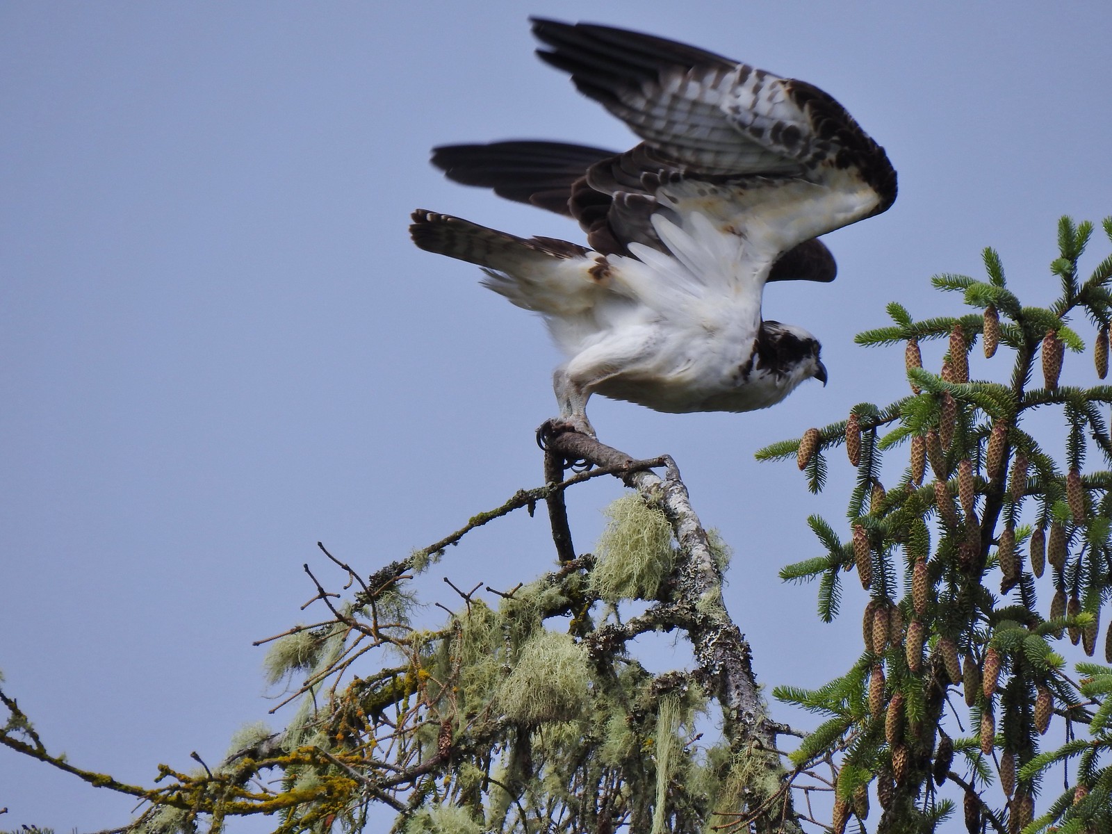 Another osprey at Julia Hansen Butler Wildlife Refuge in June.
 Bald eagle at Julia Hansen Butler Wildlife Refuge in June.
 Eagle in the Sky Lakes Wilderness in September. Not sure if it is a bald or golden.
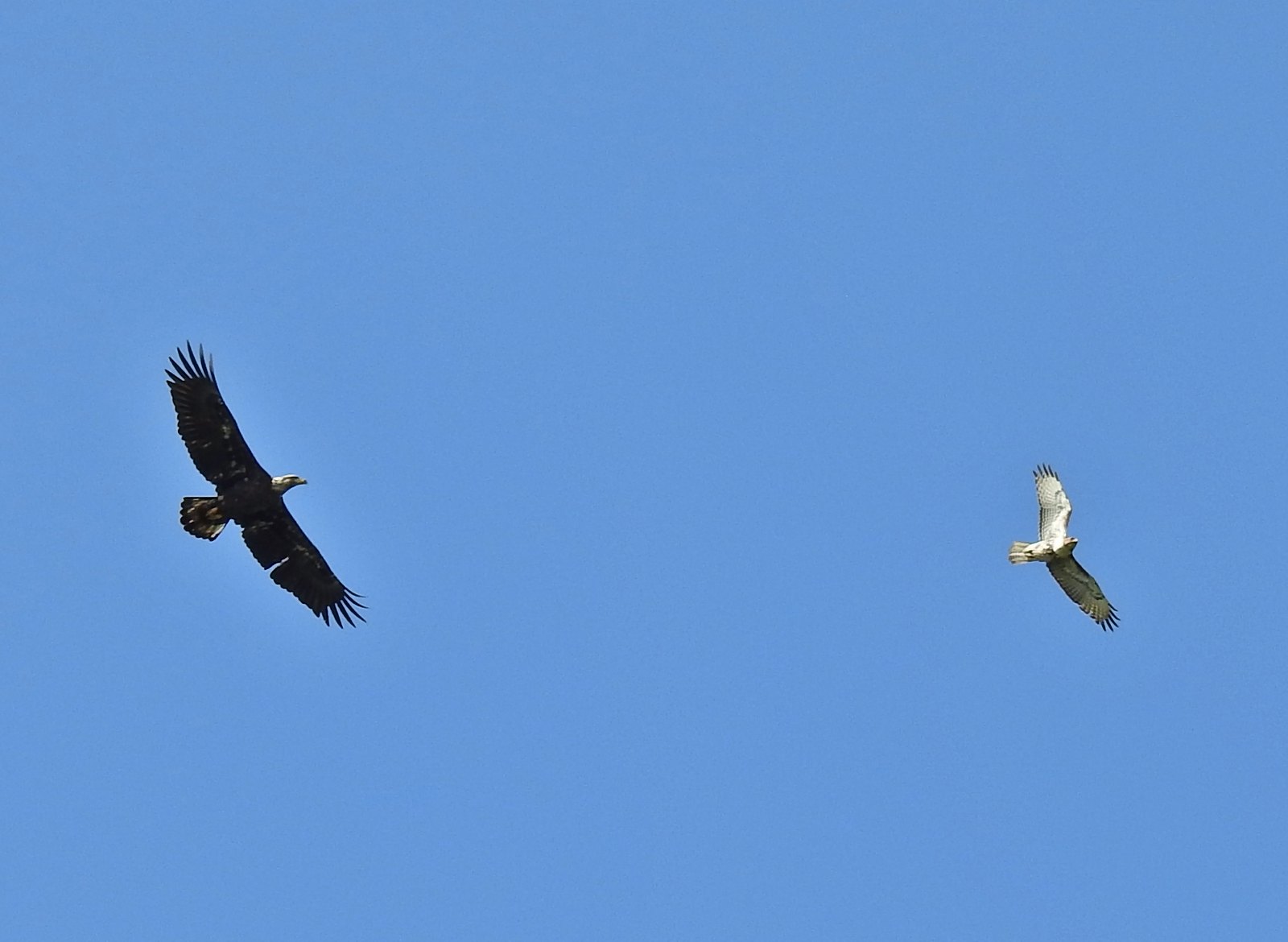 A bald eagle and hawk at Ankeny Wildlife Refuge in April.
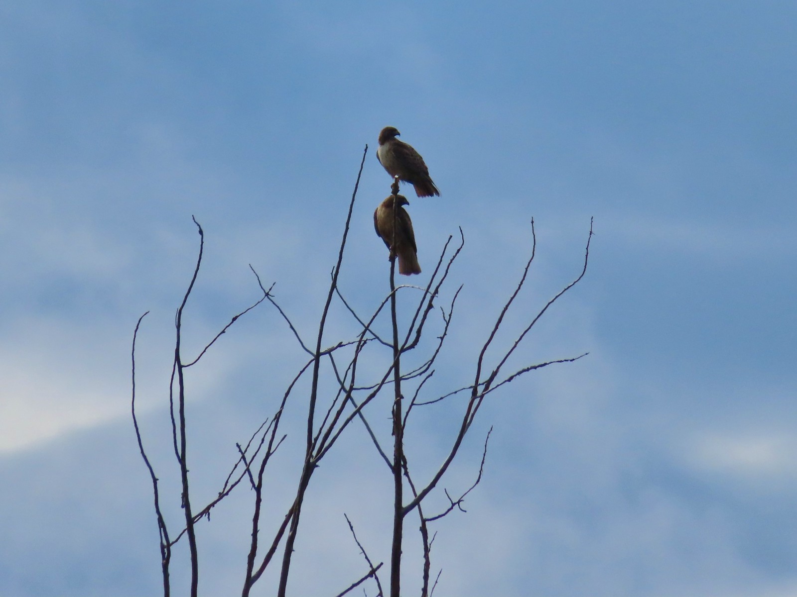 Pair of hawks at Denman Wildlife Area in May.
 Hawk at Denman Wildlife Area in May.
 Hawk at Julia Hansen Butler Wildlife Refuge in June.
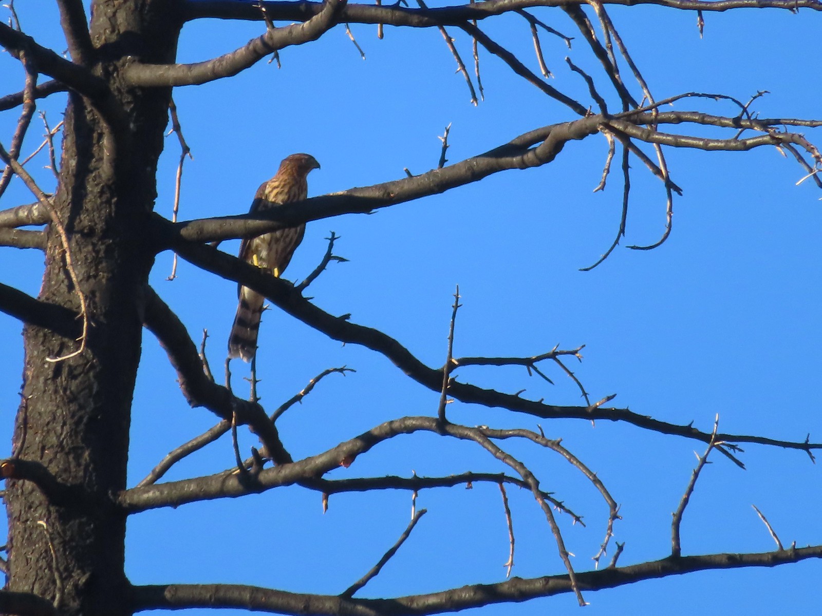 Hawk along the Pacific Crest Trail near Carter Meadows Summit in August.
 Hawk at Crater Lake National Park in September.
 Barred owl at Noble Woods in May.
 Great horned owl at Denman Wildlife Area in May.
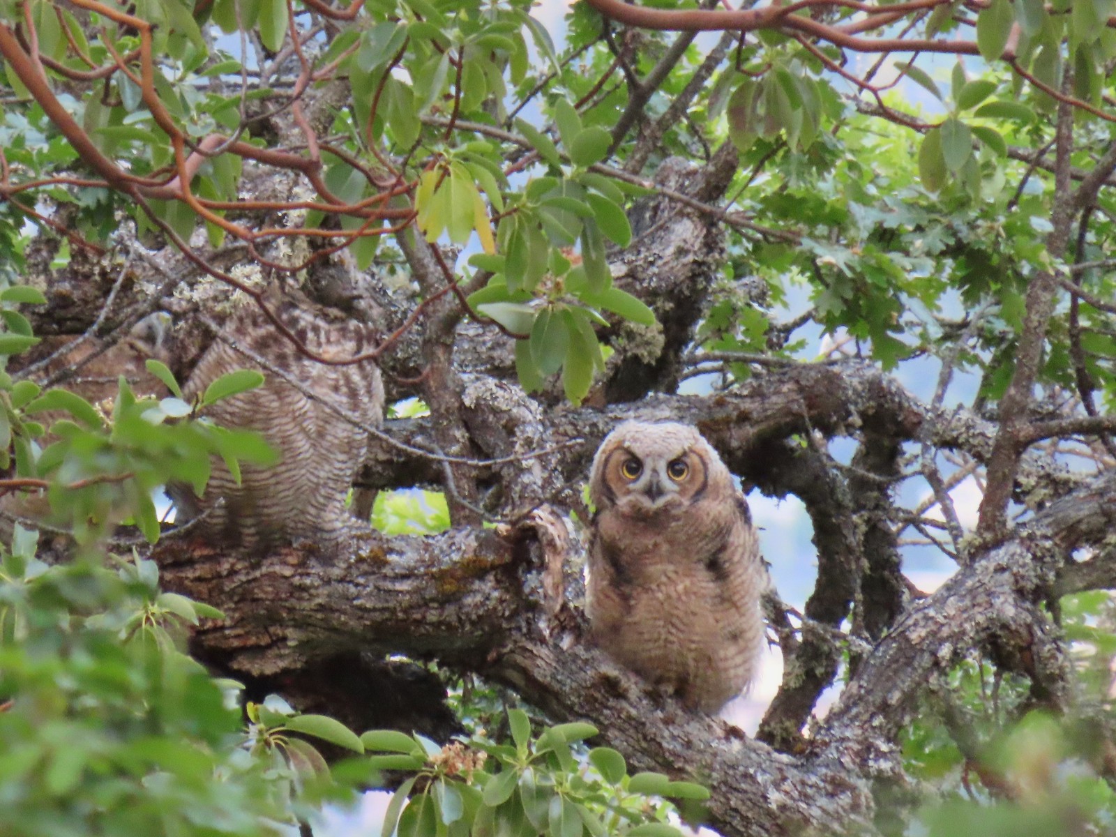 Young great horned owl at Roxy Ann Peak in May.
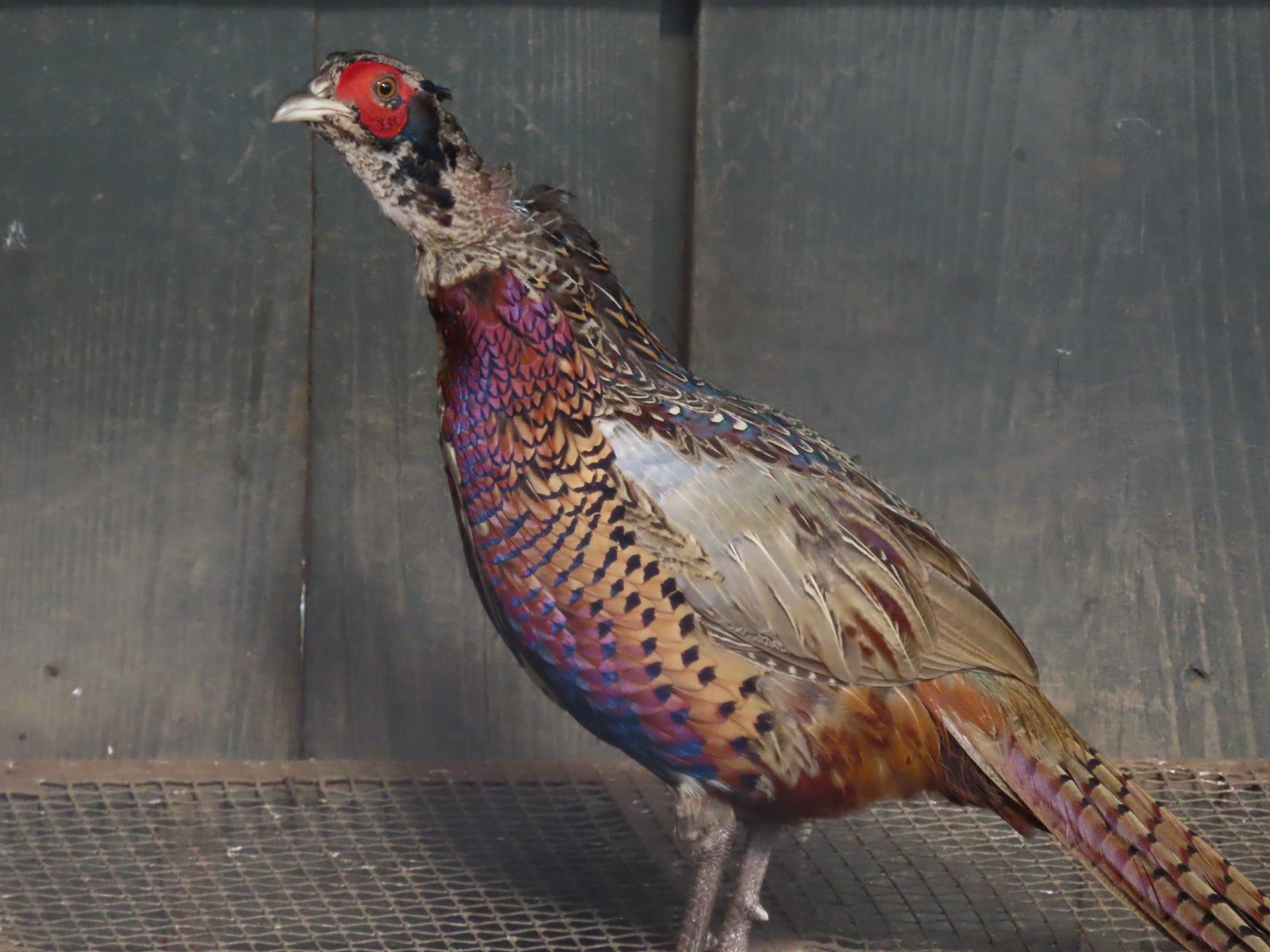 Ring-necked pheasant
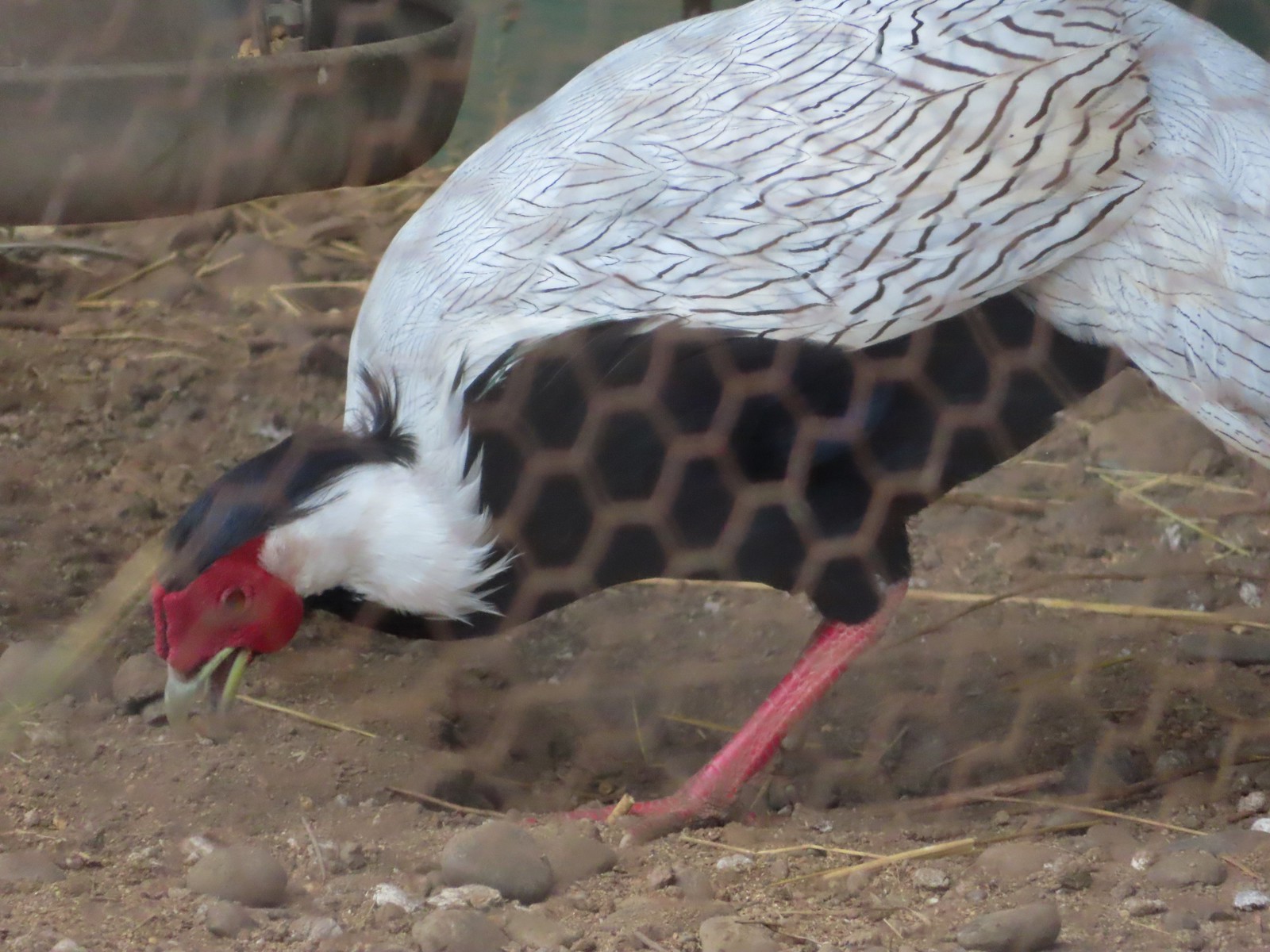 Silver pheasant
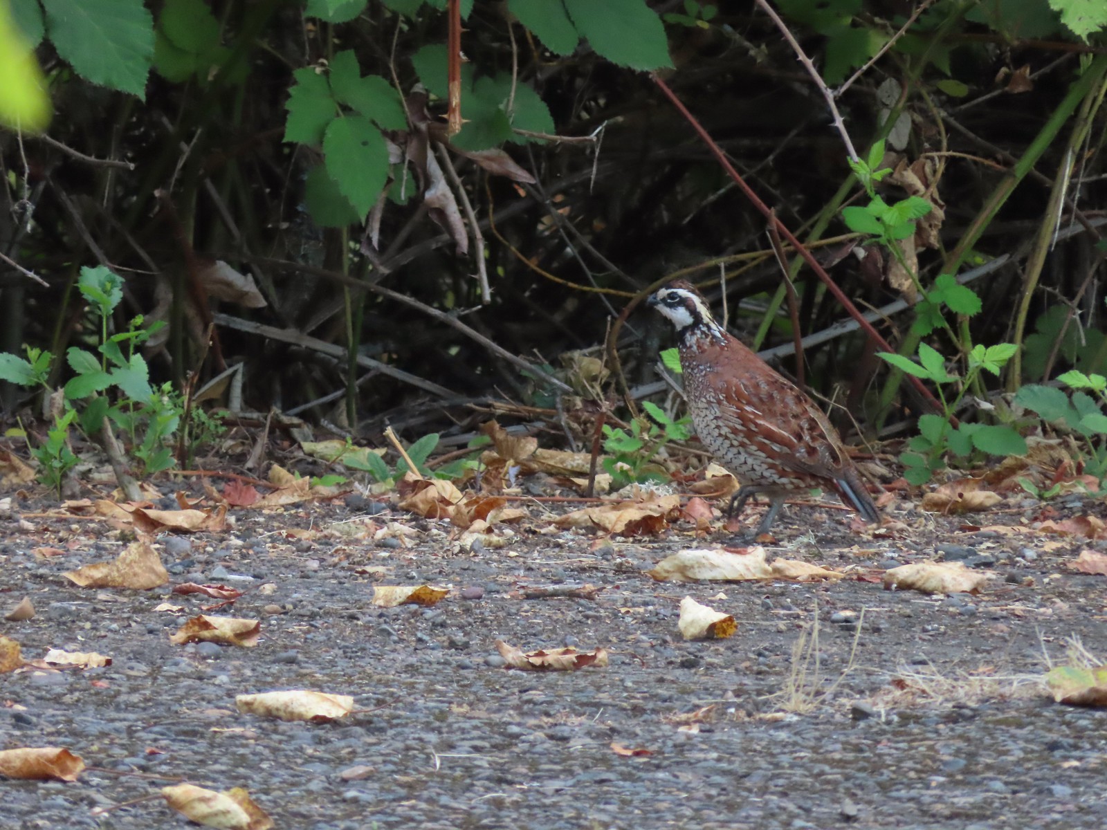 Near the breeding facility at E.E. Wilson Wildlife Area.
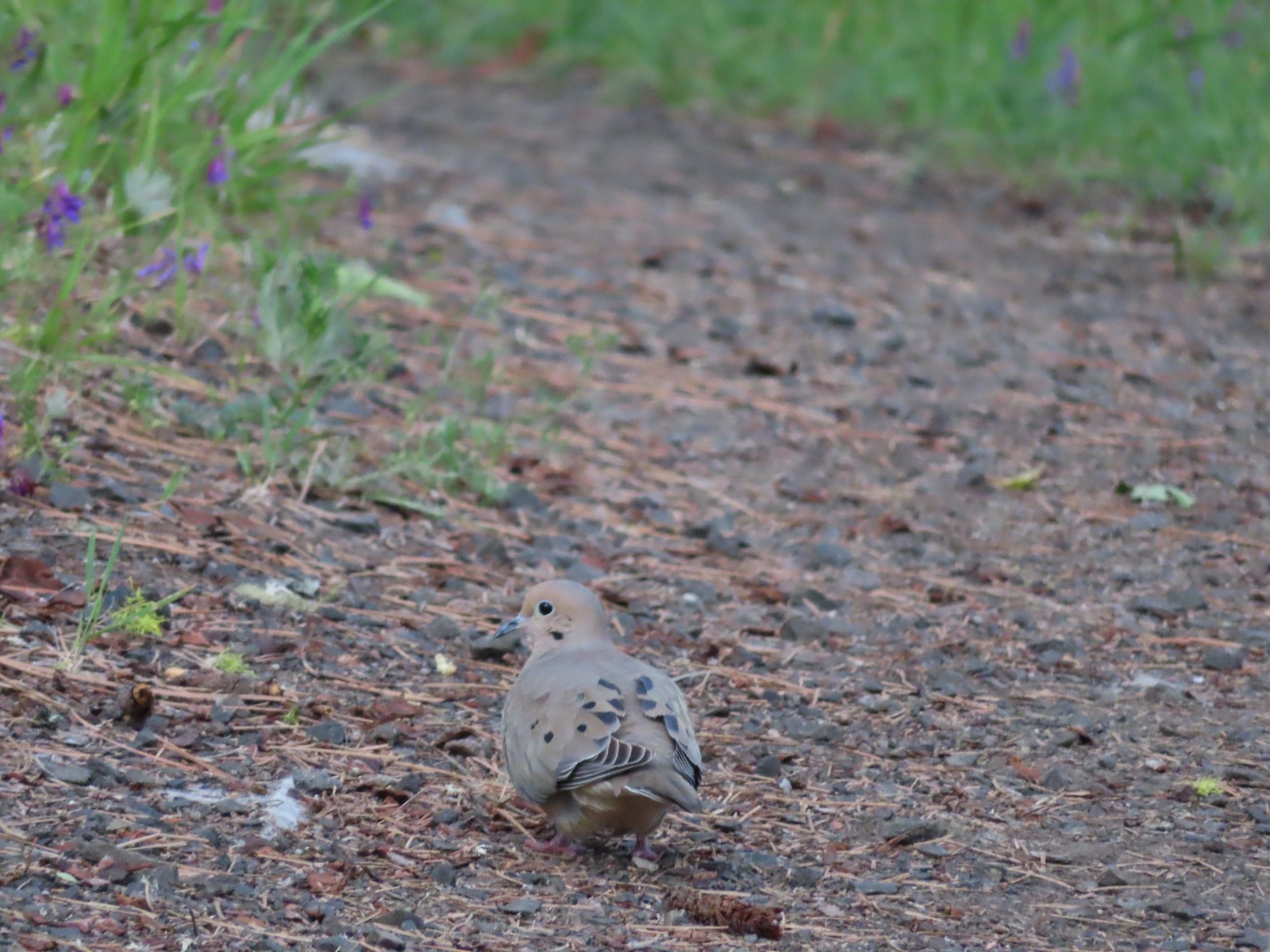 Mourning dove at Roxy Ann Peak a in May.
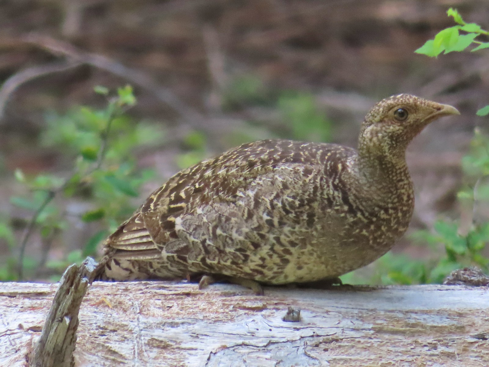 Grouse? in the Siskiyou Wilderness in July.
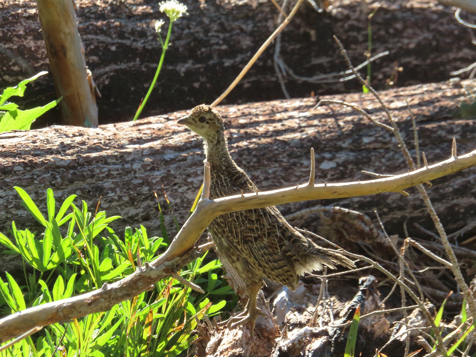 Grouse in the Mt. Adams Wilderness in August.
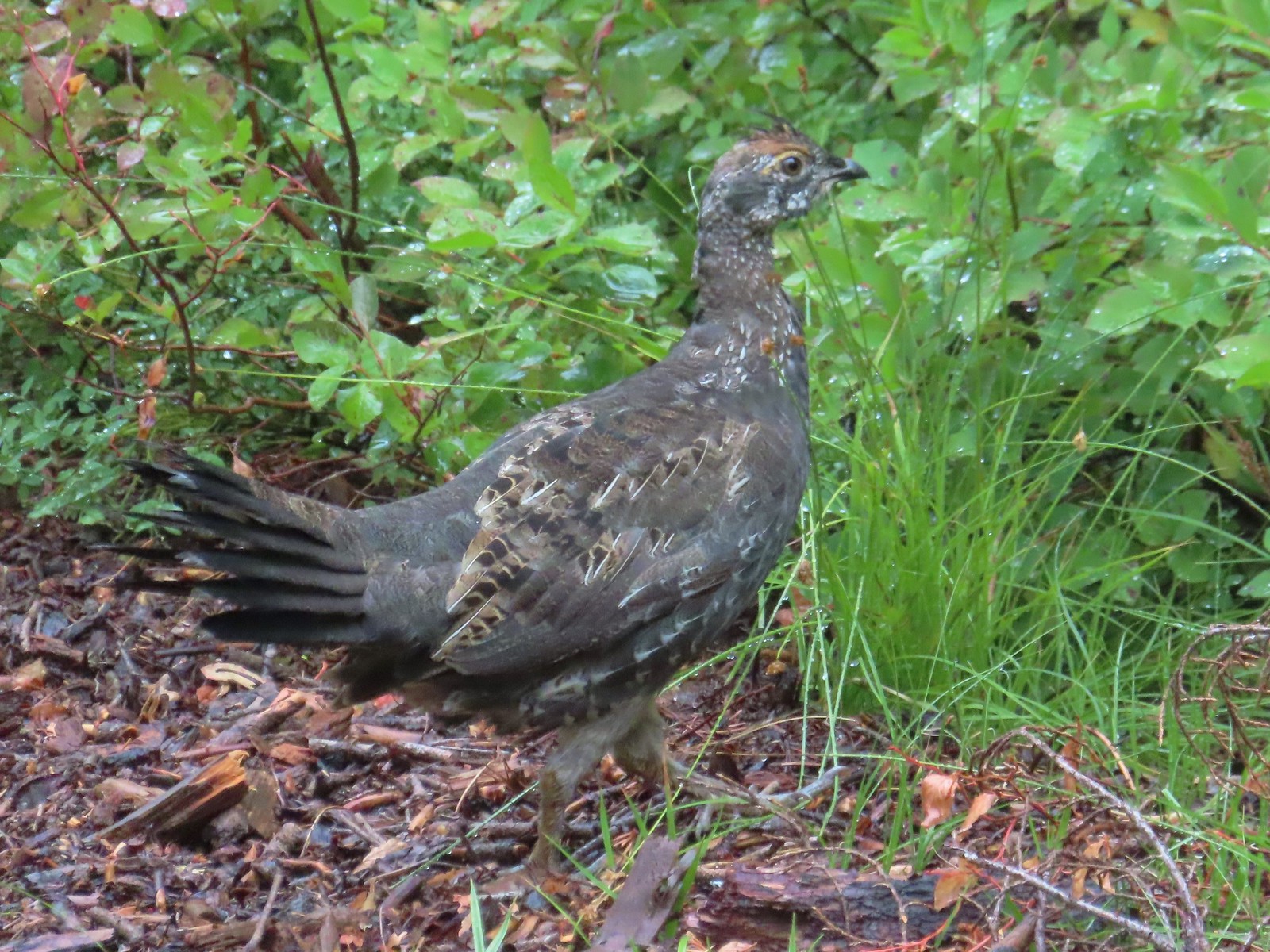 Grouse in the Sky Lakes Wilderness in September.
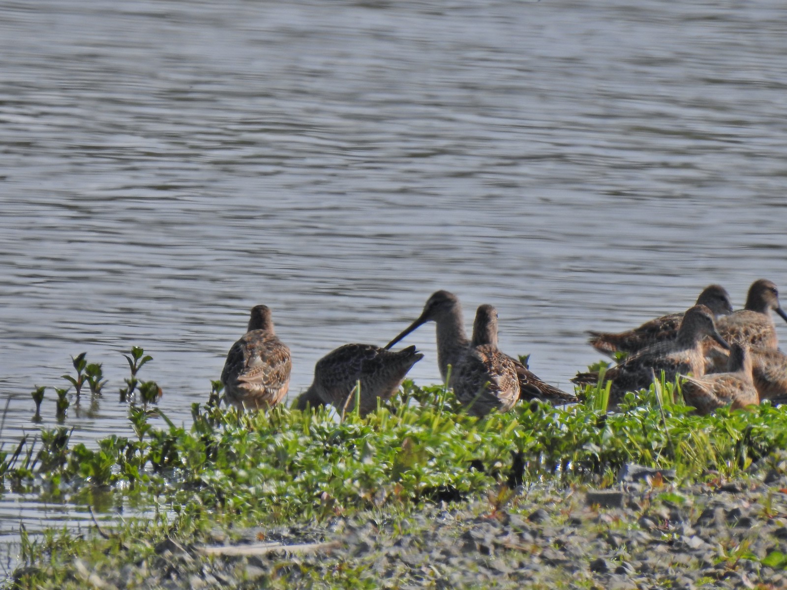 Long billed dowitchers? at Ankeny Wildlife Refuge in April.
 Killdeer at Ankeny Wildlife Refuge in April.
 Sandpiper? at Ankeny Wildlife Refuge in April.
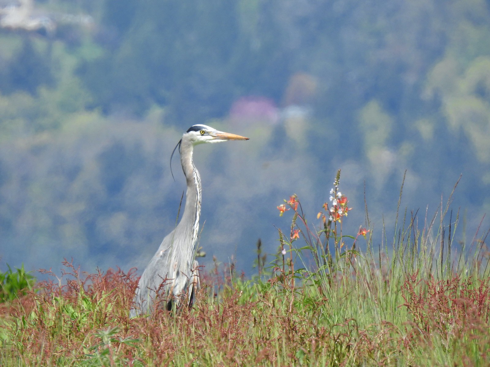 Great blue heron at Ankeny Wildlife Refuge in April.
 Kingfisher at Julia Butler Hansen Wildlife Refuge in June.
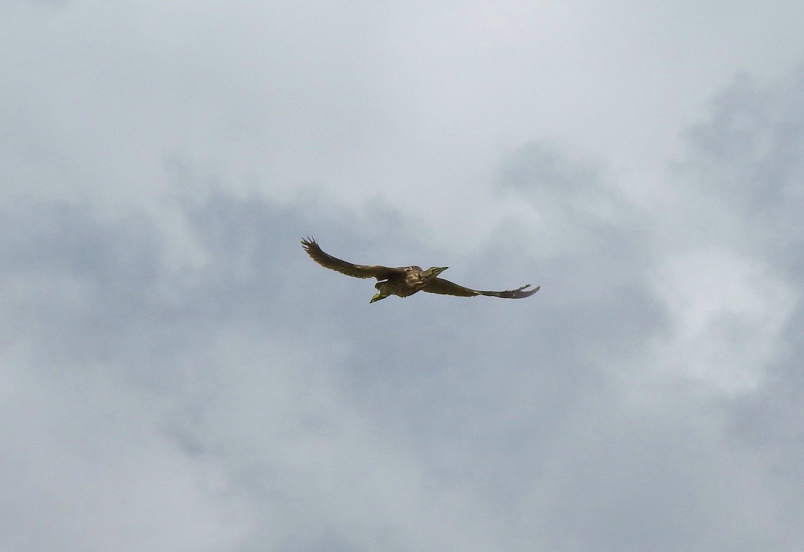 American bittern at Julia Butler Hansen Wildlife Refuge in June.
 White pelicans at Julia Butler Hansen Wildlife Refuge in June.
 Hooded mergansers at Yakona Nature Preserve in February.
 Common mergansers along the Klickitat Trail in April.
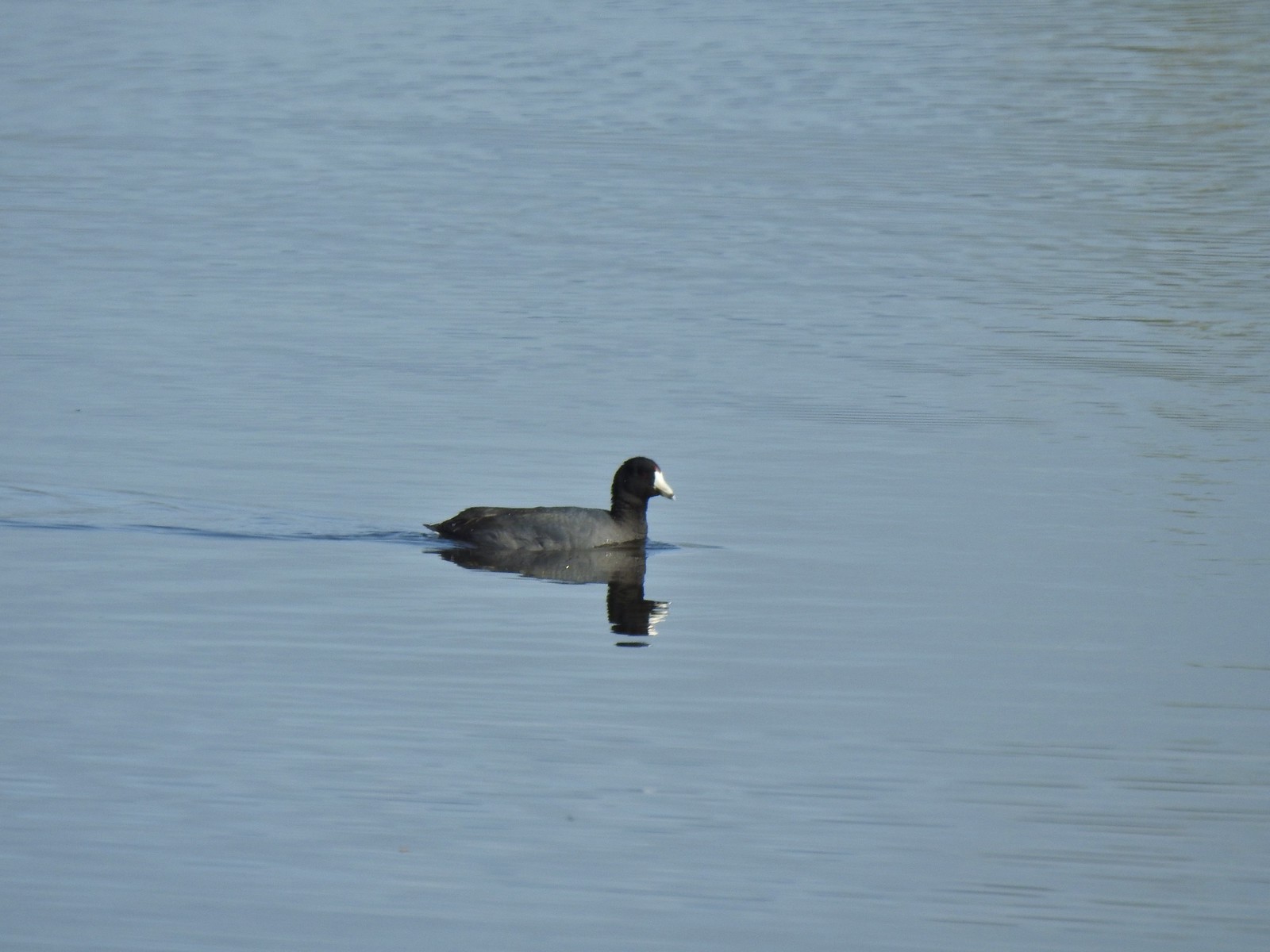 American coot at Ankeny Wildlife Refuge in April.
 Cinnamon teal at Ankeny Wildlife Refuge in April.
 Ring-necked ducks (and an American coot) at Ankeny Wildlife Refuge in April.
 Northern shoveler at Ankeny Wildlife Refuge in April.
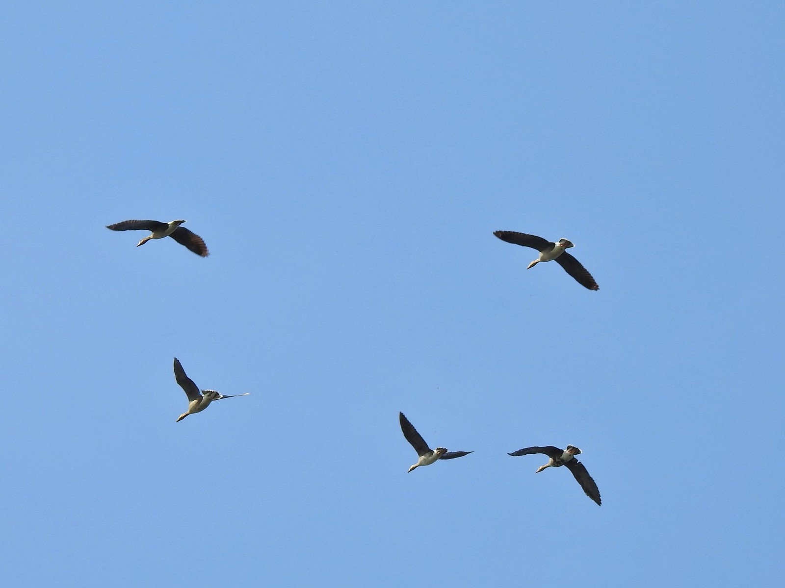 White-fronted geese at Ankeny Wildlife Refuge in April.
 Mallard along the Hood River Pipeline Trail in May.
 Wood duck at Denman Wildlife Area in May.
 Not sure if this is a ruddy duck at Waverly Lake in December.
 Mostly American widgeons with a green winged teal and a female bufflehead or two mixed in at Talking Water Gardens in December.
 Bufflehead at Talking Water Gardens in December.
 Canada geese at Applegate Lake in May.
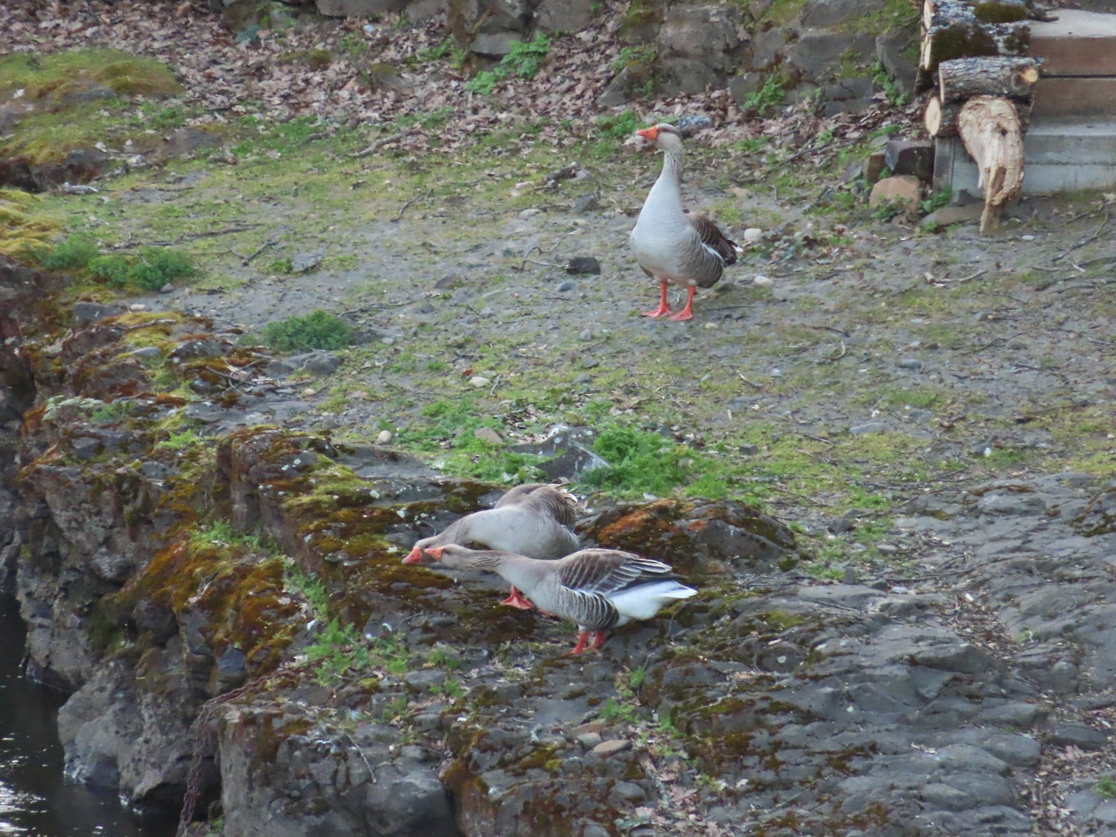 Domestic geese near the Klickitat Trail in April.
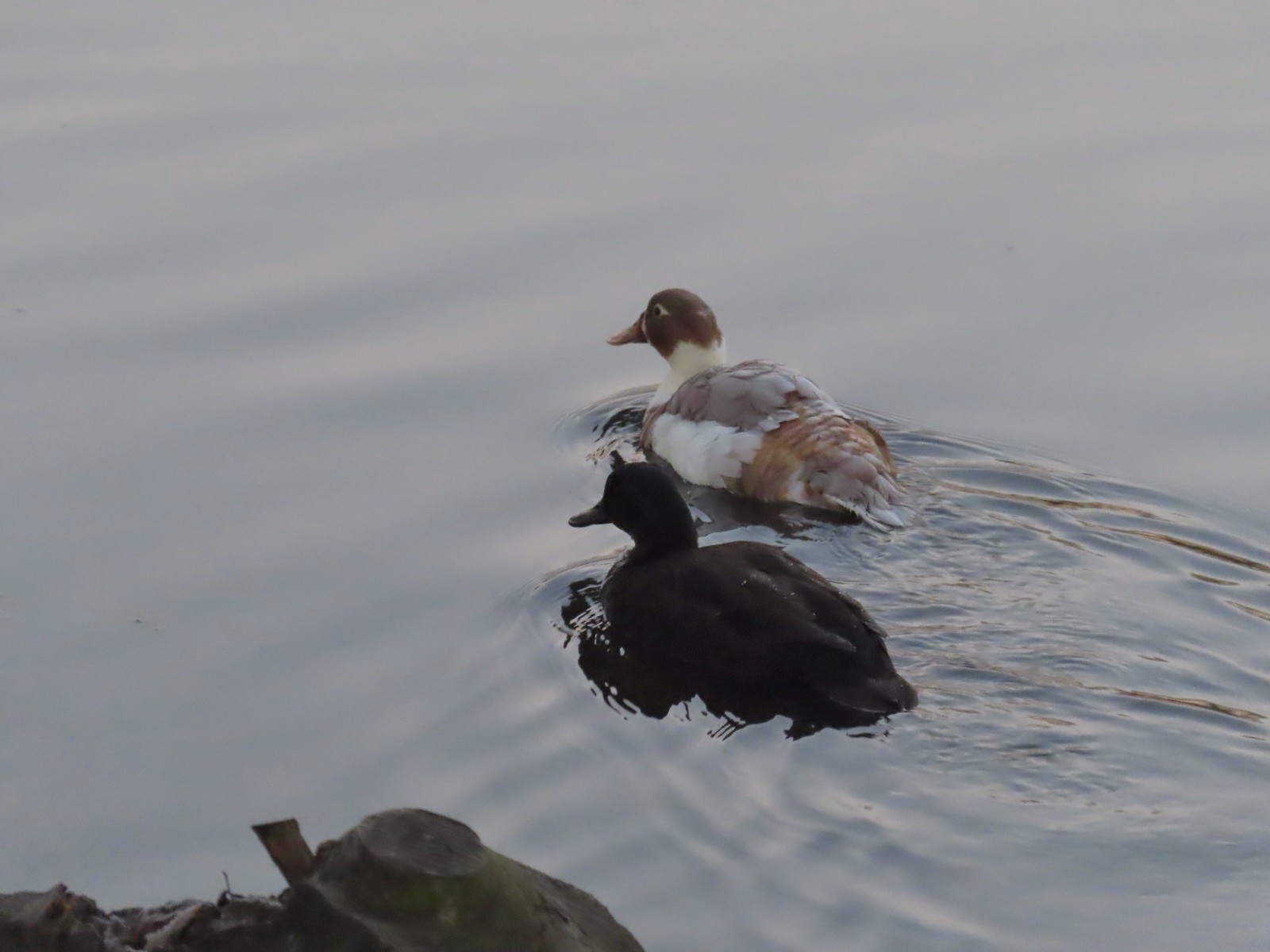 Domestic or hybrid? ducks at Waverly Lake in December.

 Waverly Lake at sunrise.
 Mallards
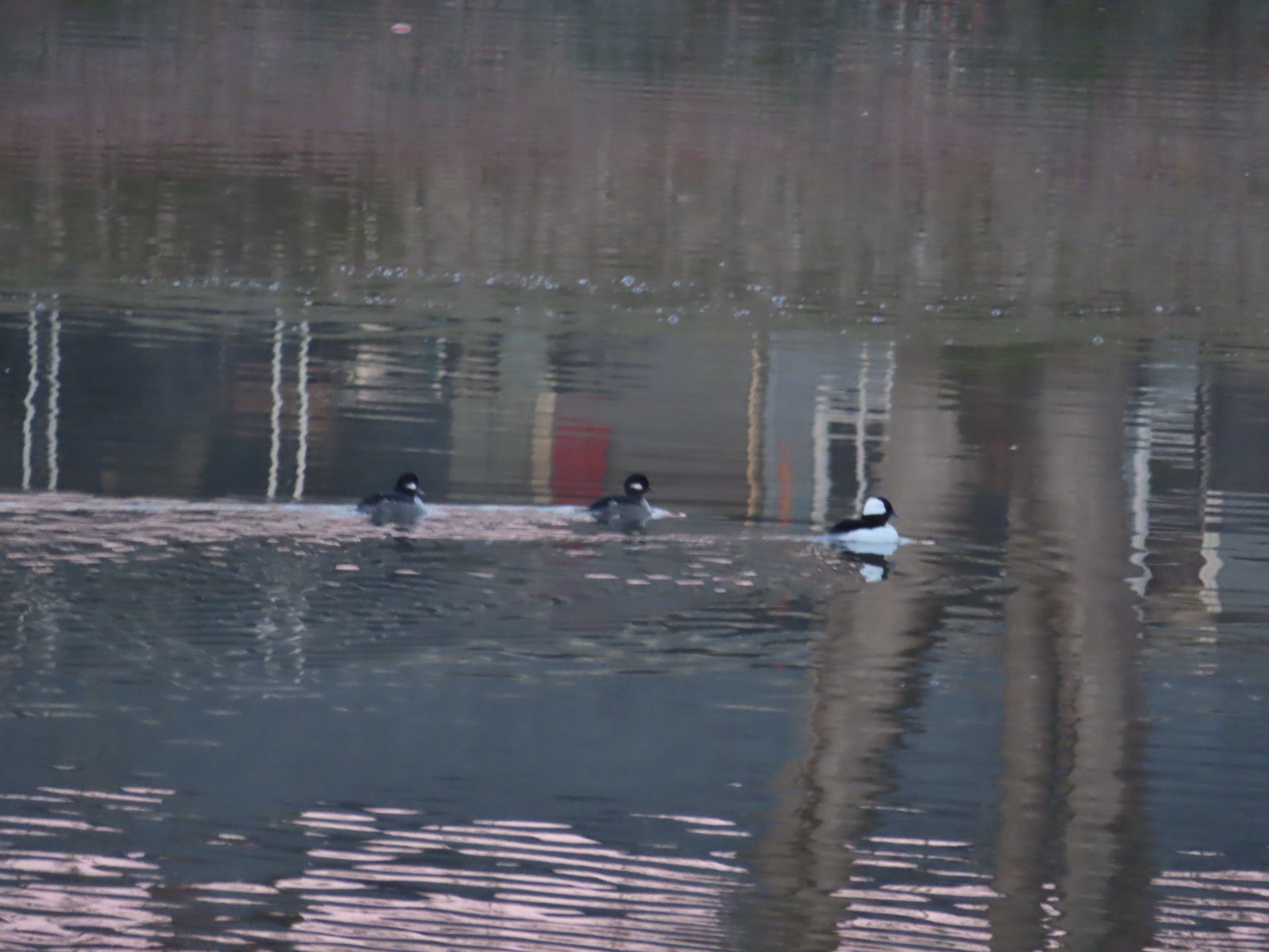 Buffleheads
 I think this is a ruddy duck.
 American coots
 Guessing these are some sort of domestic/mallard? crossbreeds. Very interesting looking.
 More mallards near Cox Creek
 Cox Creek flowing toward Waverly Lake.
 Nearing the outlet of Cox Creek.
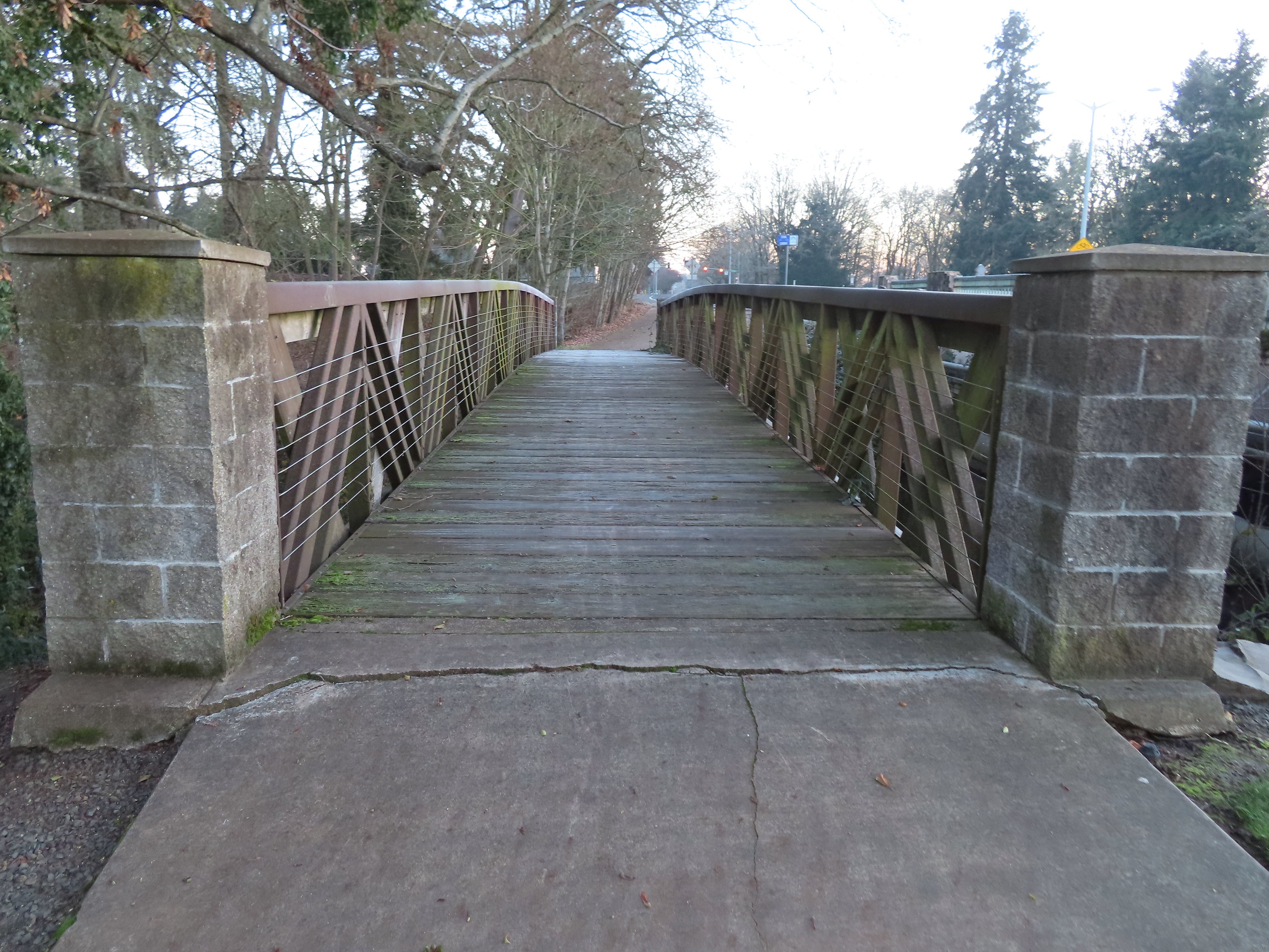
 We almost got off-track here. This path on the right (just after passing under some railroad tracks) does lead into the wetlands but it wasn’t part of the Oregon Hikers described hike.
 One of several interpretive signs along the trails.
 Frosty leaves, it had been a chilly 28 degrees when we started out.
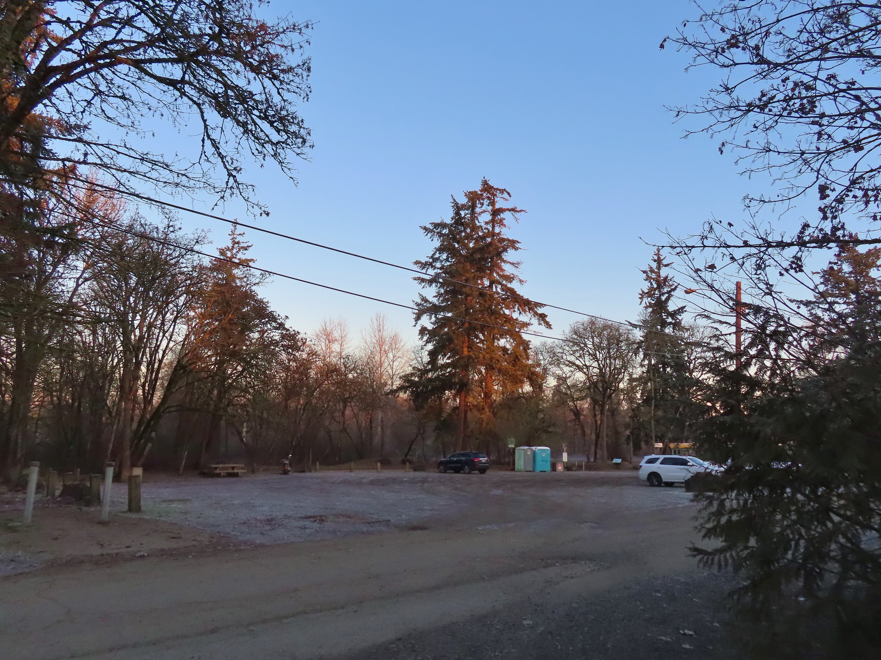 Simpson Park
 The Simpson Park Trail is a 1 mile out and back along the Willamette River. It also offers access to the Riverfront Trail which one could follow SW almost 3.5 miles to Monteith Riverpark at the mouth of the Calapooia River. With Heather being limited to shorter hikes for now that wasn’t an option today but will be something we look forward to trying in the future.
 Map on a welcome sign.
 Frozen leaves


 American wigeons
 Bald eagle fly over
 Flock of geese flying over
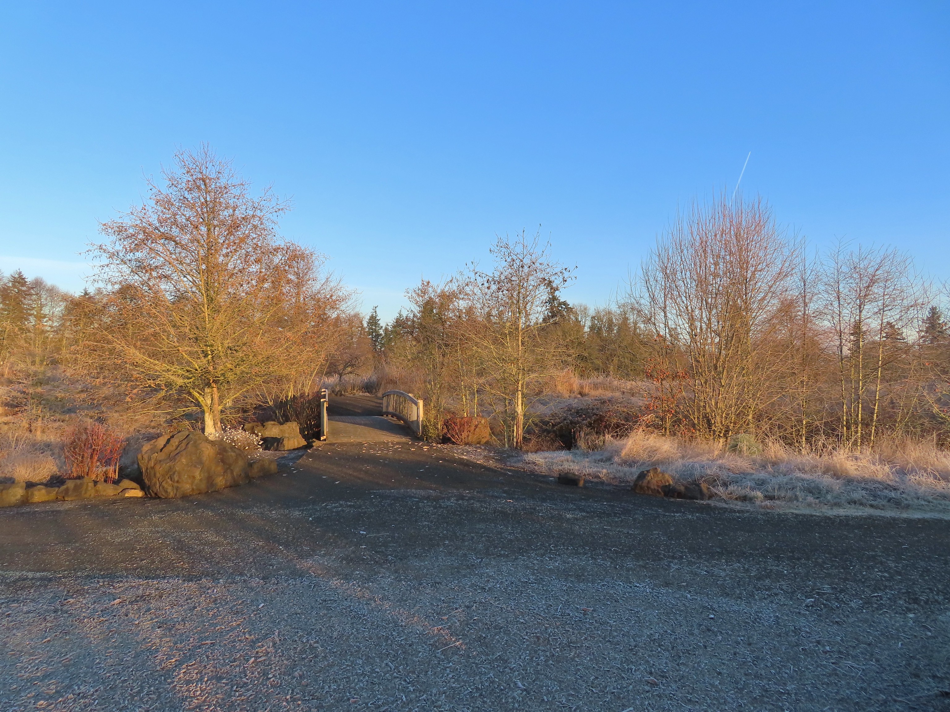 One of many unsigned intersections.
 Robin
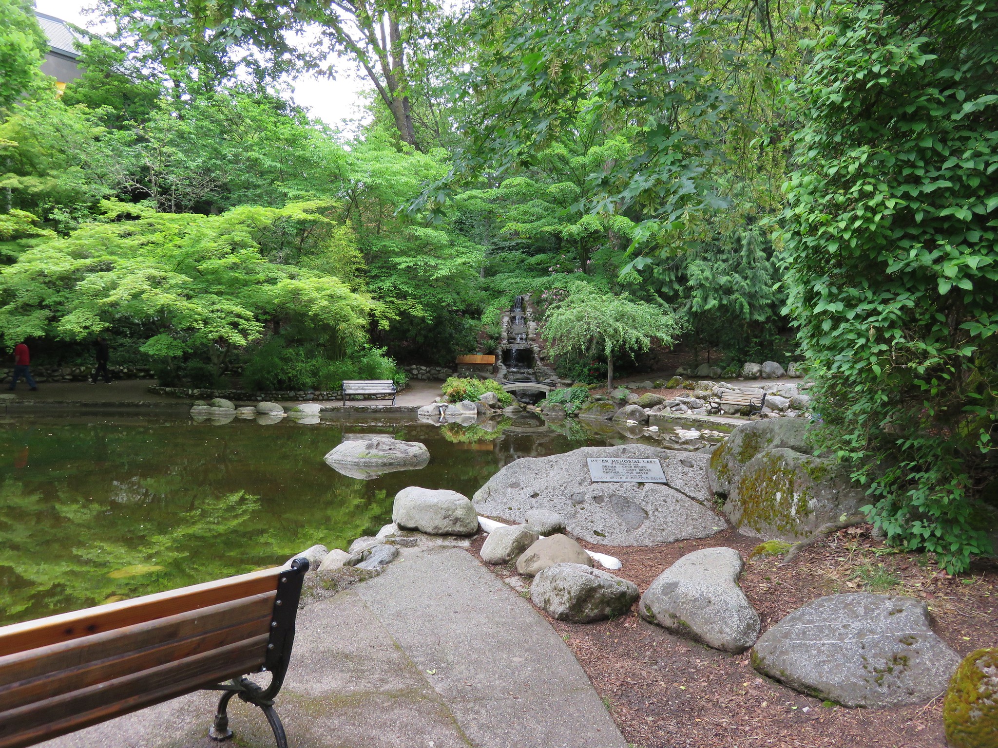
Robin One of two memorials in the gardens.


 Bufflehead
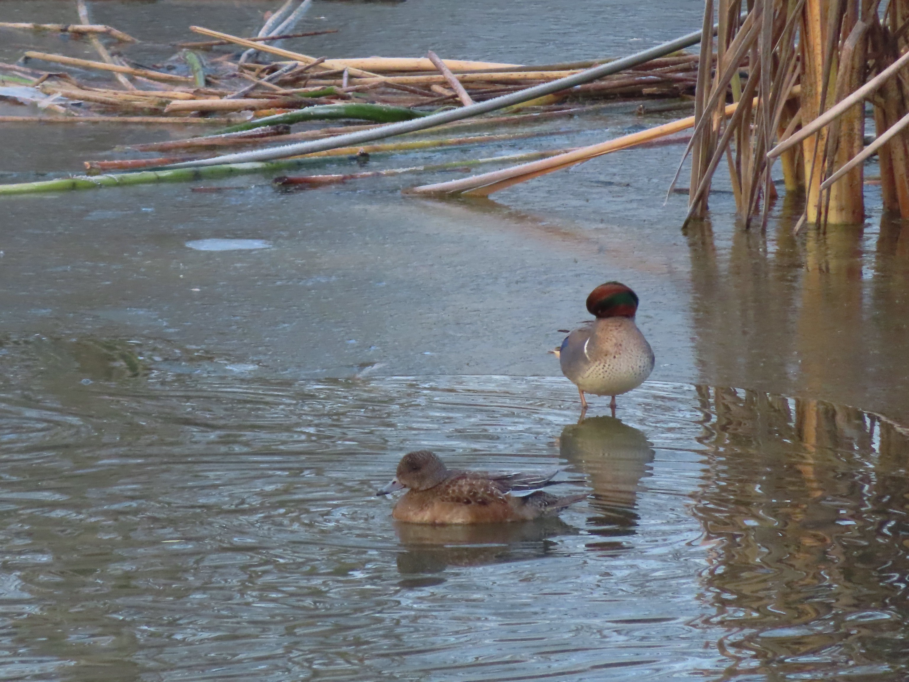 Green winged teal
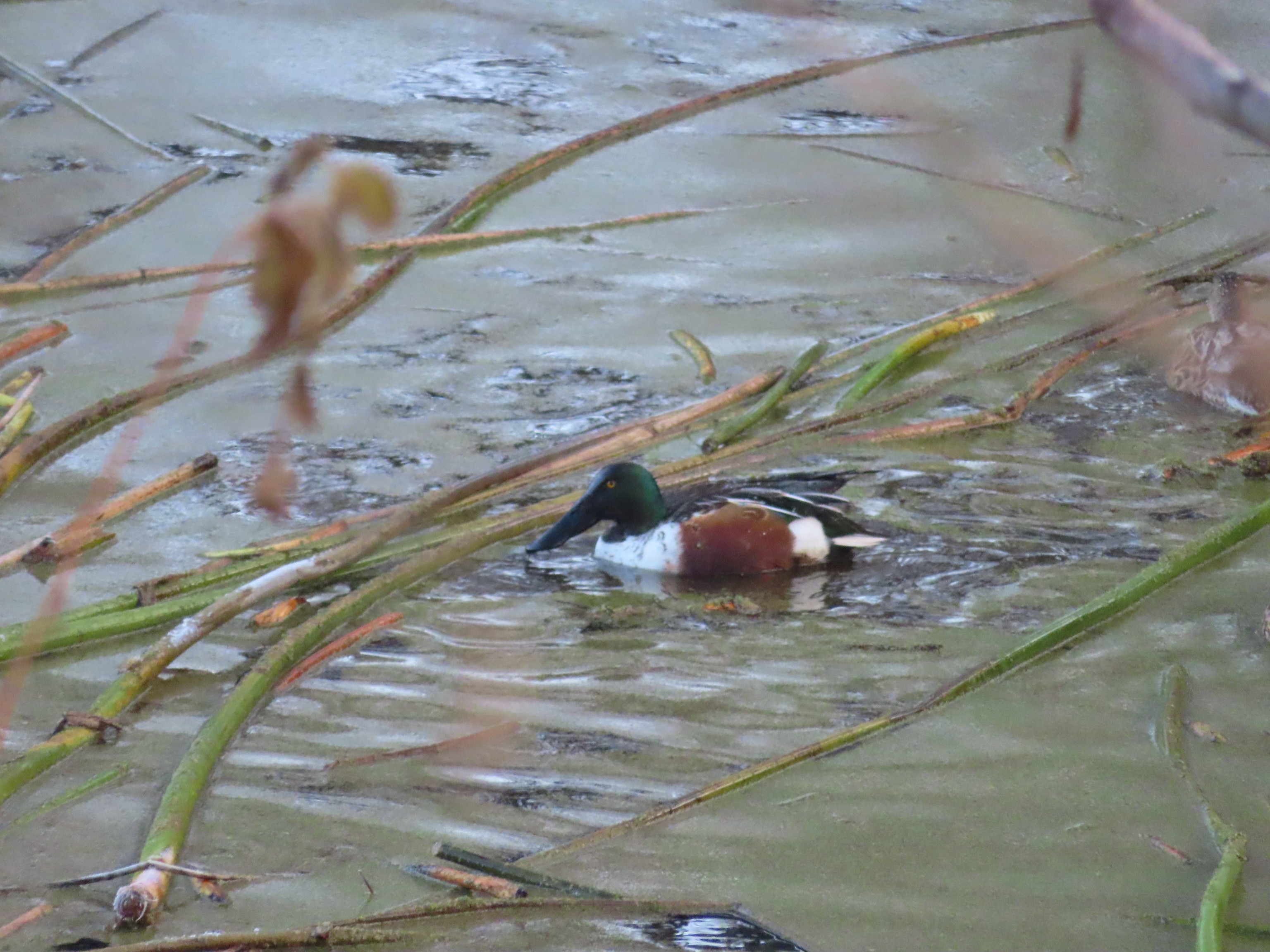 Northern shoveler
 Frost
Frost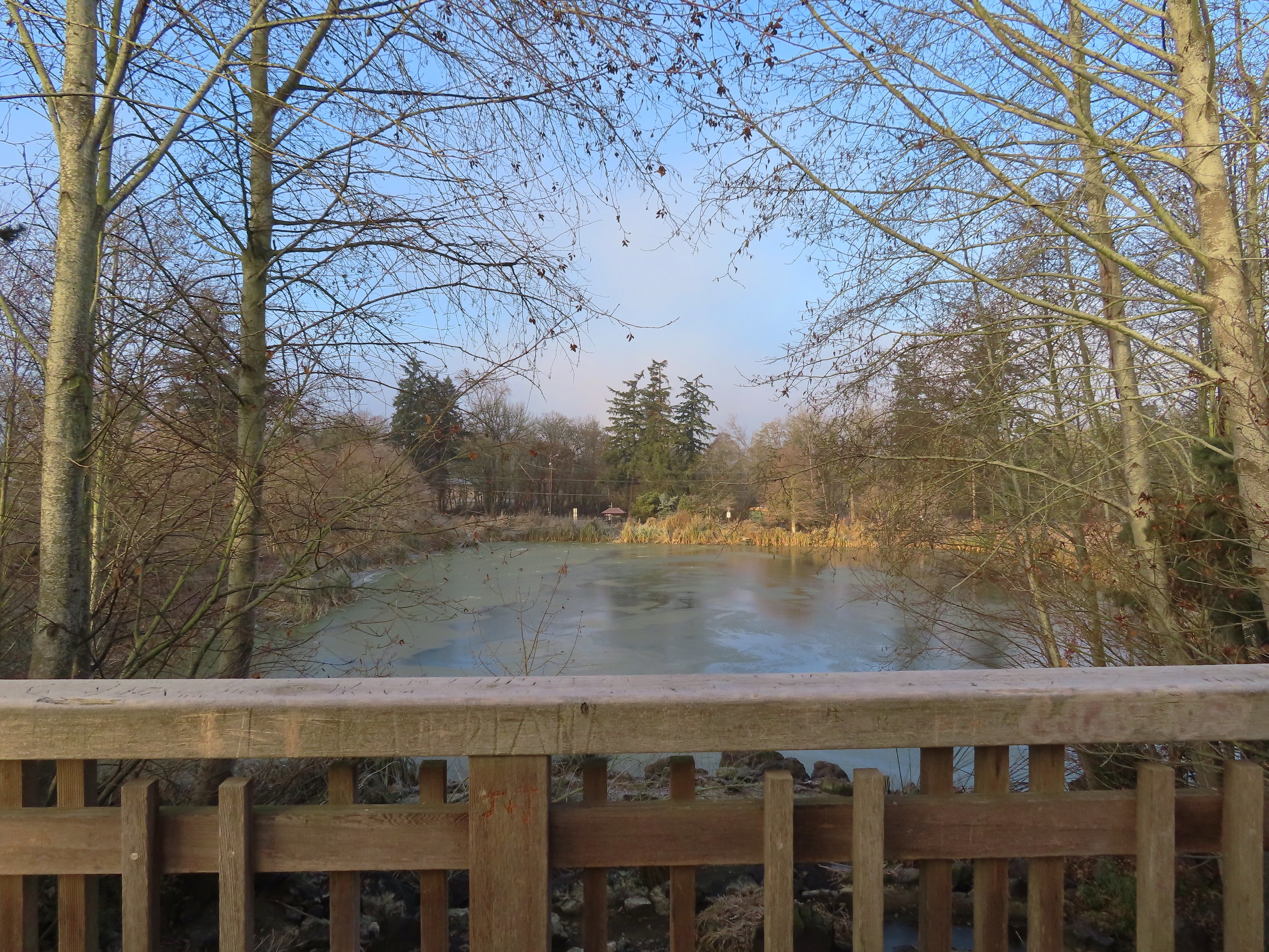 Simpson Park across a pond.
 Fishermen heading into the fog at Waverly Lake.
 Mallards hanging out in the fog.
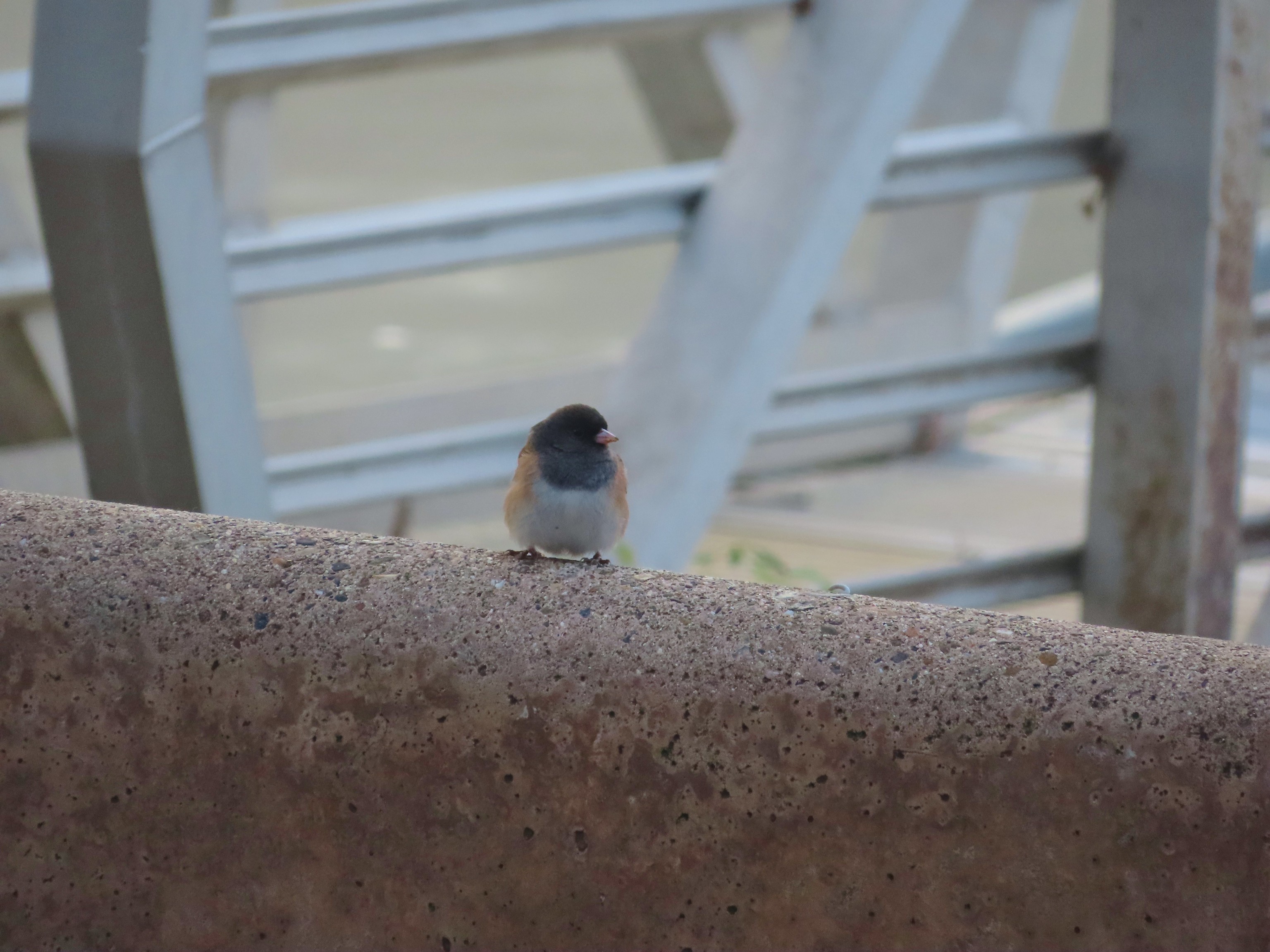 Dark eyed junco
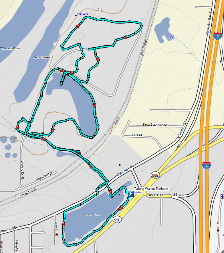


 Camas
Camas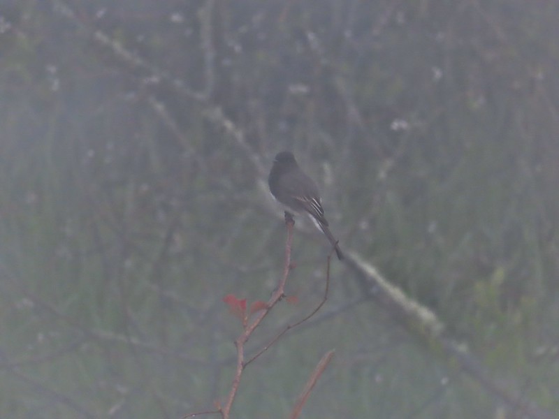 Black phoebe in the fog. It’s the only one seen all day so despite the poor quality I kept the photo.
 Wet spider webs are the best.
 There was a brief respite in the fog before it rolled in again.
 The fog bank waiting to move back in.
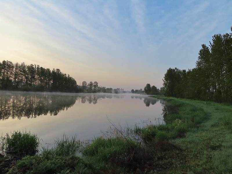 Teal Marsh
 Northern flicker
 A very grumpy looking spotted towhee
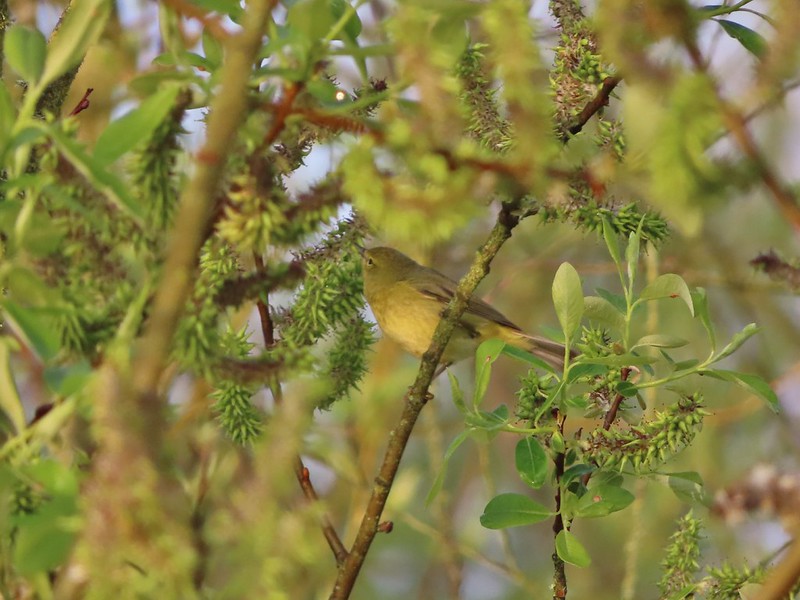 I have a hard time identifying some of these little birds. This one may be an orange-crowned warbler.
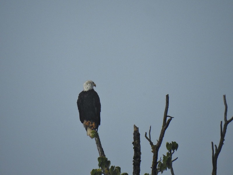 A bald eagle that was across Willow Marsh.
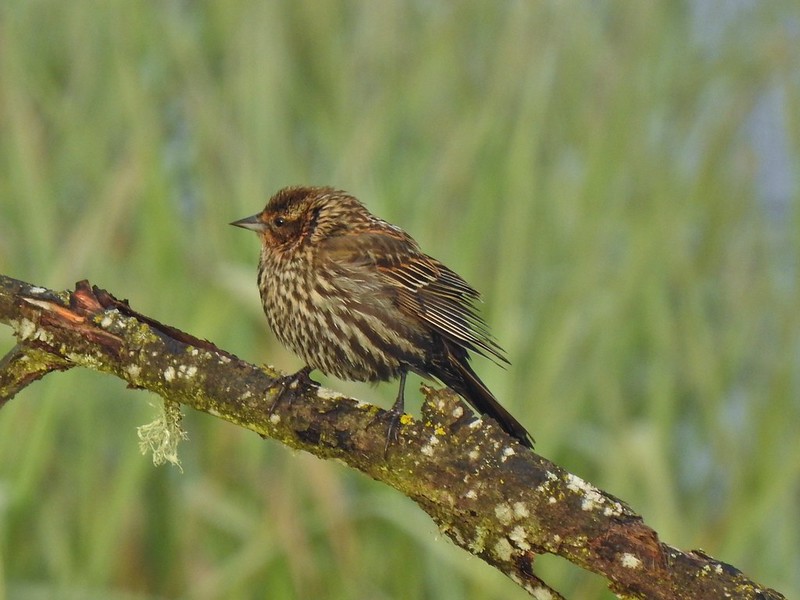 Female red-winged blackbird
 Buffleheads
 A less grumpy looking spotted towhee
 Here comes the fog again.
 Black capped chickadee
 Yellow-rumped warbler (Audubon’s)
 Red-winged blackbird
 Wrens can be tricky too, I think this is a marsh wren.
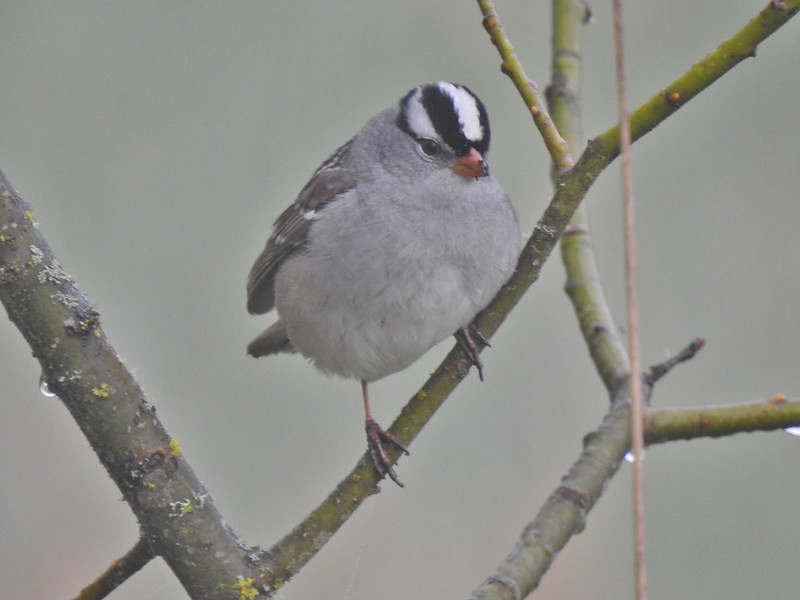 White-crowned sparrow
 Song sparrow
 Eagle Marsh, still can’t see much.
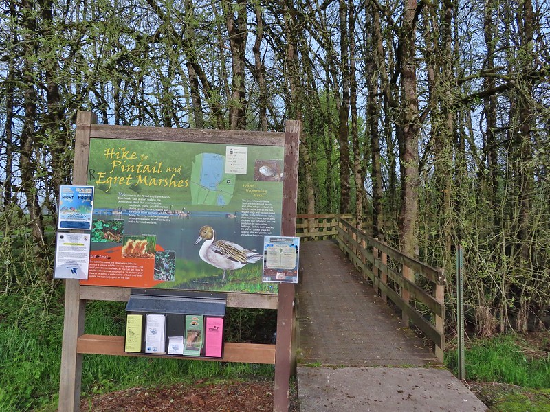
 Bashaw Creek
 Egret Marsh from the blind.


 Lots of fringecup along the trail.
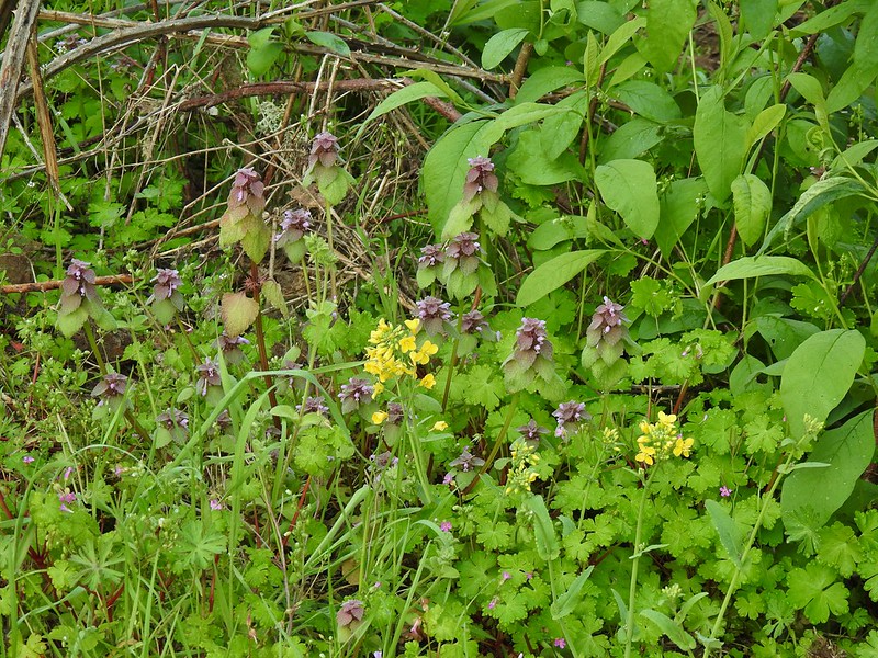 Purple deadnettle and field mustard
 Common yellow-throat
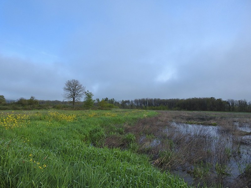 Looking back along the eastern side of the marsh. There was a lot less water this year.
 Water level on 4/13/21.
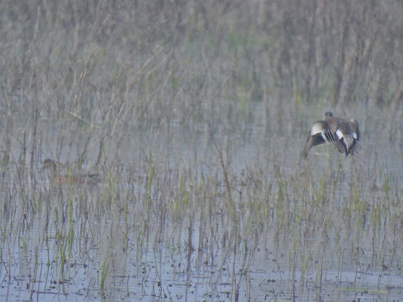 Seeing them was a lot easier than getting photos.
 Canada flamingo?
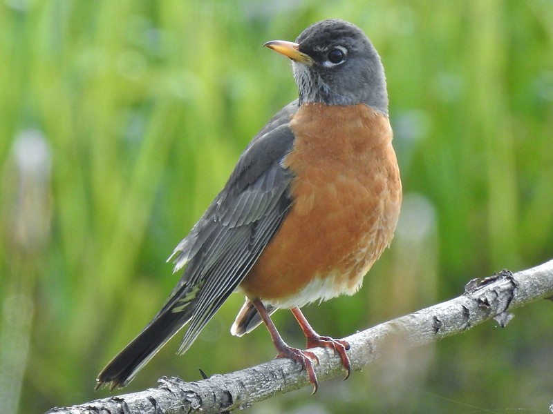 American robin
 Dunlin Pond from the boardwalk.

 Egret Marsh
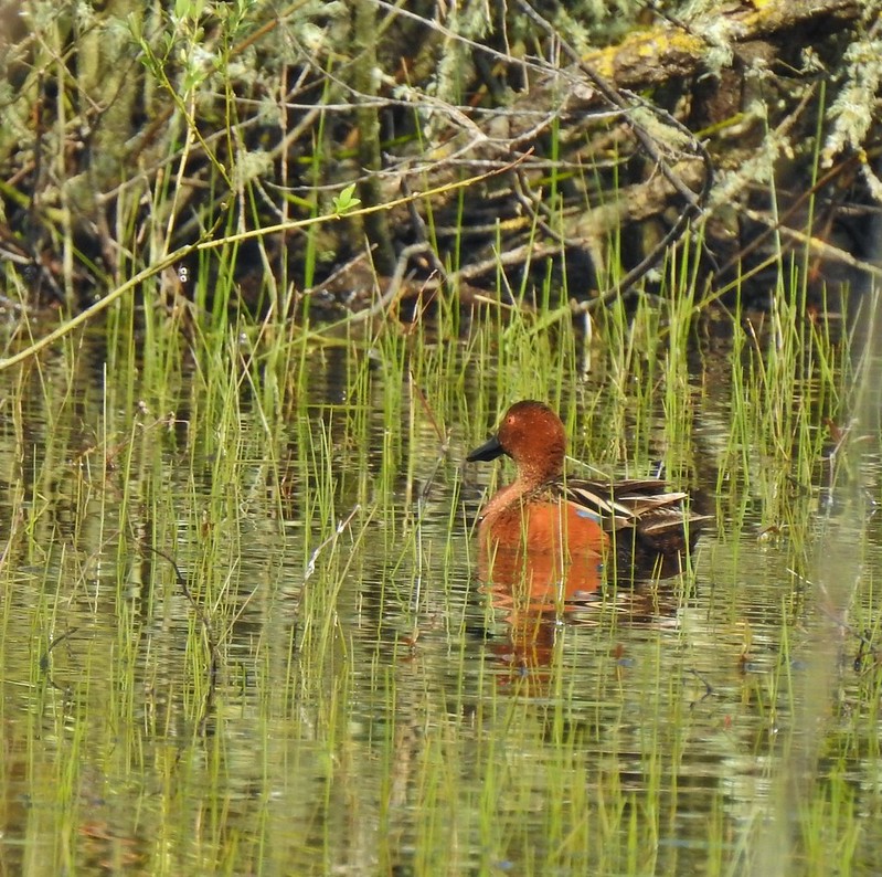
 Ring-necked ducks.
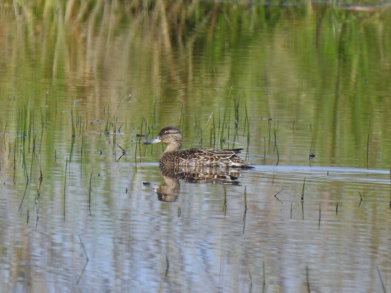 Anyone know if this is a female cinnamon or blue-winged teal?
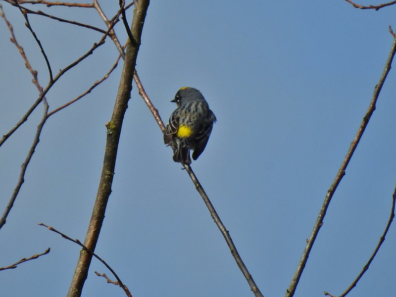 Another yellow-rumped warbler (Audubon’s) showing off its yellow rump.
 Egret Marsh
 The trail around Egret Marsh.
 I think these might be long-billed dowichters. Please correct me if I’m wrong.
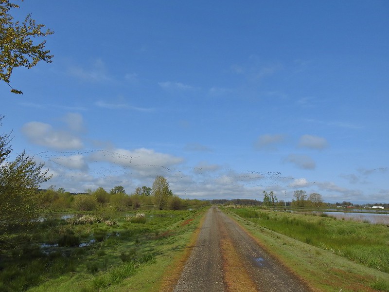 Heading to the right turn. Egret Marsh is on the left and Mallard Marsh on the right. A huge flock of geese had just taken to the sky.
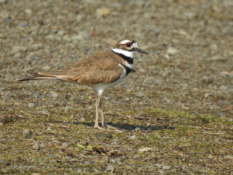 Killdeer
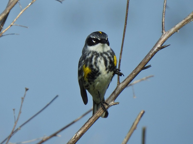 Today I realized that there are two yellow-rumped warblers, this one is a Myrtle, note the white throat compared to the yellow throat of the Audubon’s above.
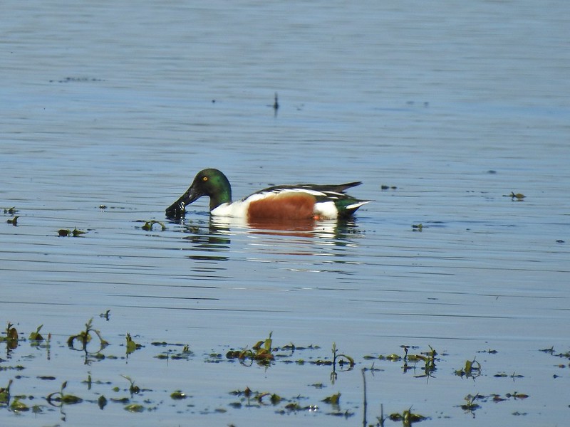 Northern shoveler
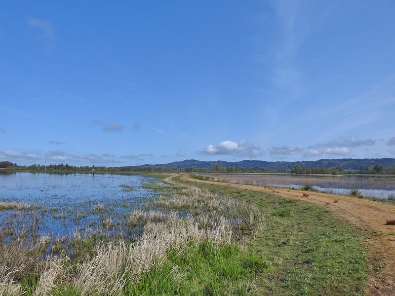 Mohoff Pond and Mallard Marsh
 Canada goose with various ducks in the background. At least one of the ducks is a ruddy duck which is one I hadn’t seen yet (that I know of). They were too far to get clear photos of though.
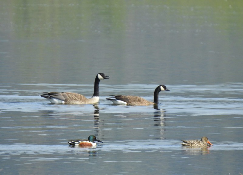 Canada geese and northern shovelers giving a good size comparison.
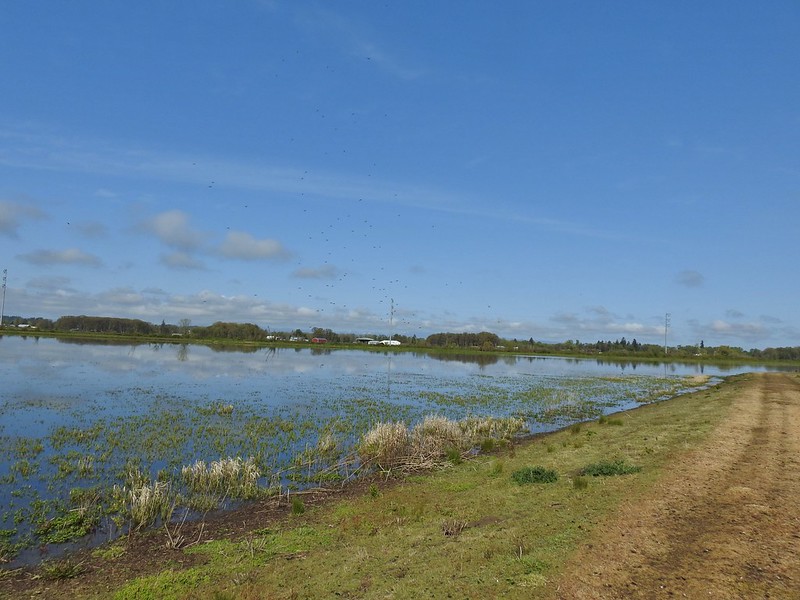 The black dots in the sky here aren’t geese, they are little insects that followed me along the dike.
 Not Canada geese flying over.
 Immature bald eagle.
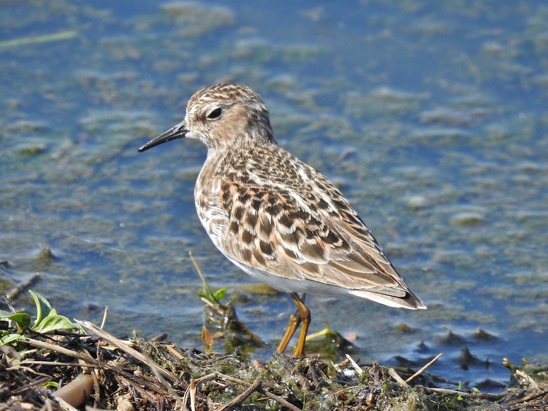 Sandpiper
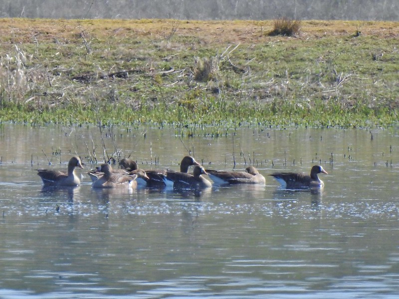 Greater white-fronted geese, another first.
 Bushtit. Several flew in here but I couldn’t make them out once inside so I took a few pictures hoping to get lucky.
 Can anyone ID the hawk? Another thing that I find difficult.
 Swimming lessons, Canada goose style.


 Buttercups
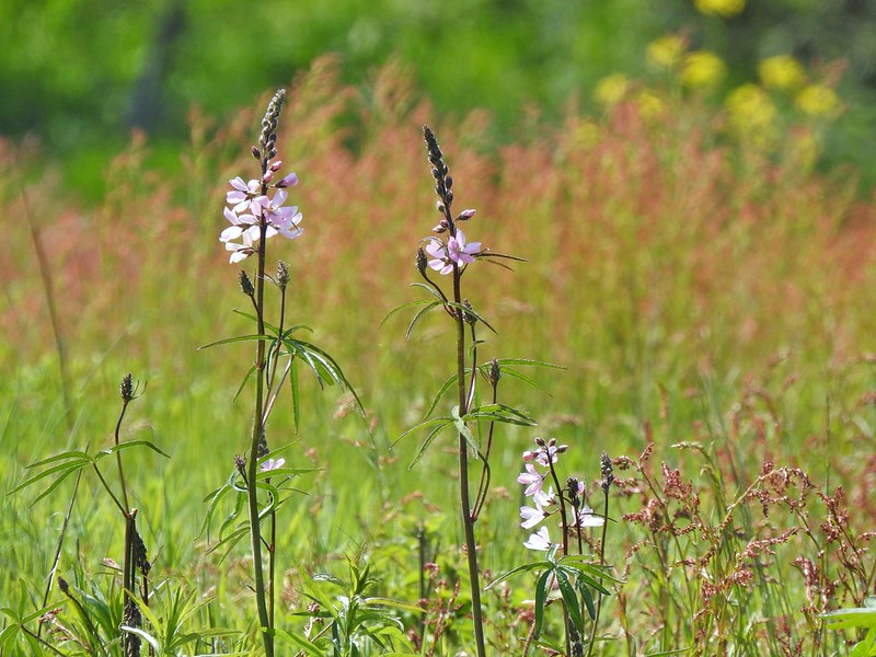 Meadow checker-mallow
 Columbine
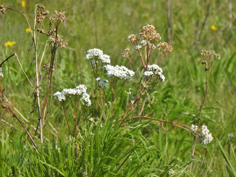 Yarrow
 Possibly Nelson’s checker-mallow
 Lupine that will be blooming soon.

 Iris
Iris Swallows
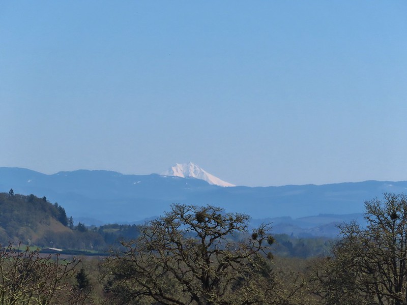
 Mary’s Peak (

 Mt. Hood from the refuge road
 The Three Sisters from the road
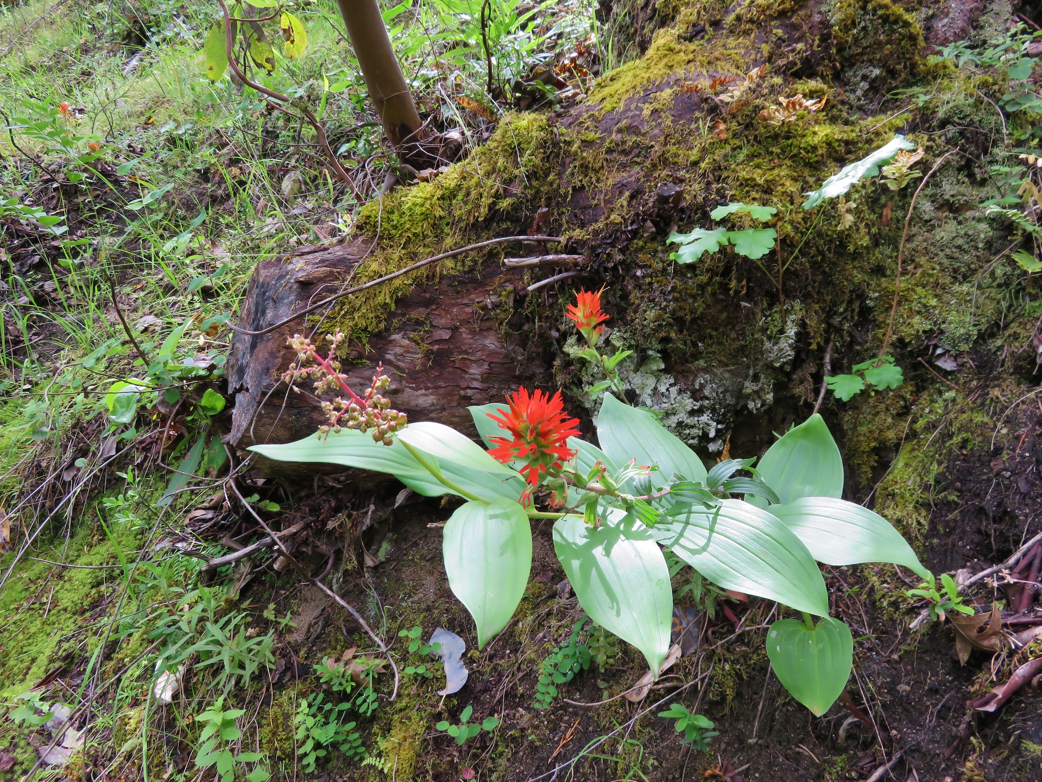
 Yellow paintbrush
 Cabell Barn
 Rabbit at the lodge
 Cabell Marsh Overlook
 White crowned sparrows
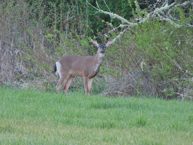 Deer in a field near Cabell Marsh
 Cabell Marsh (the marsh had been drained when we visited in 2020)
 Norther shovelers
 American coots
 Ring-necked ducks
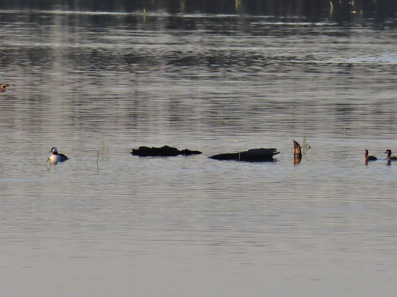 Buffleheads
 Black pheobe
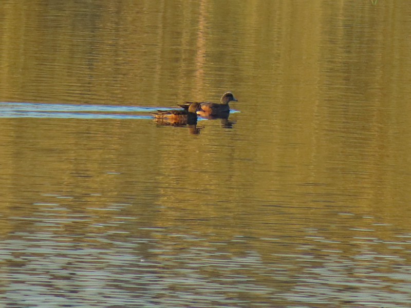 American wigeons
 Cabell Marsh
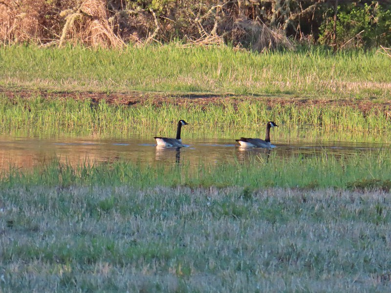 Canada geese
 Wood duck, ring-necked ducks and a pied billed grebe
 More northern shovelers
 Ring-necked ducks
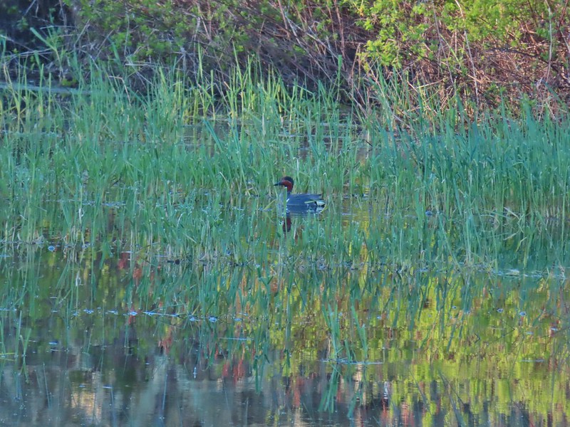 Green winged teal
 Robin
Robin

 Killdeer
 Red-winged blackbird
 Junction with the Pigeon Butte Trail (grassy track heading uphill)
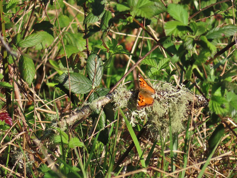 Tortoiseshell butterfly
 Spotted towhee serenade
 Bewick’s wren
 Madrone
 Mourning dove
 Camas blooming near the summit
 View from Pigeon Butte
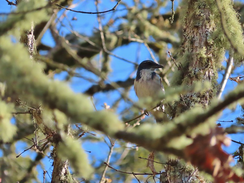 Scrub jay spotted on the way down.
 One of the “blue” butterflies, maybe a silvery blue
 Acorn woodpecker
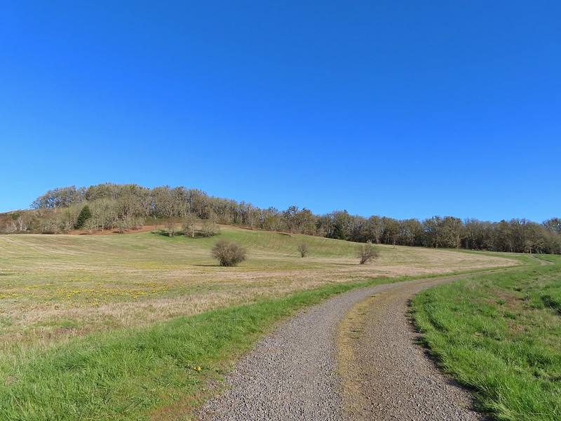 Looking back at Pigeon Butte, the yellow paintbrush was starting its bloom on the hillside.

 Looking back at Pigeon Butte and the Cheadle Barn
 Western bluebird
 Bruce Rd and a sign for the overlook.
 Swallows at the overlook
 Mary’s Peak and Pigeon Butte from the overlook.
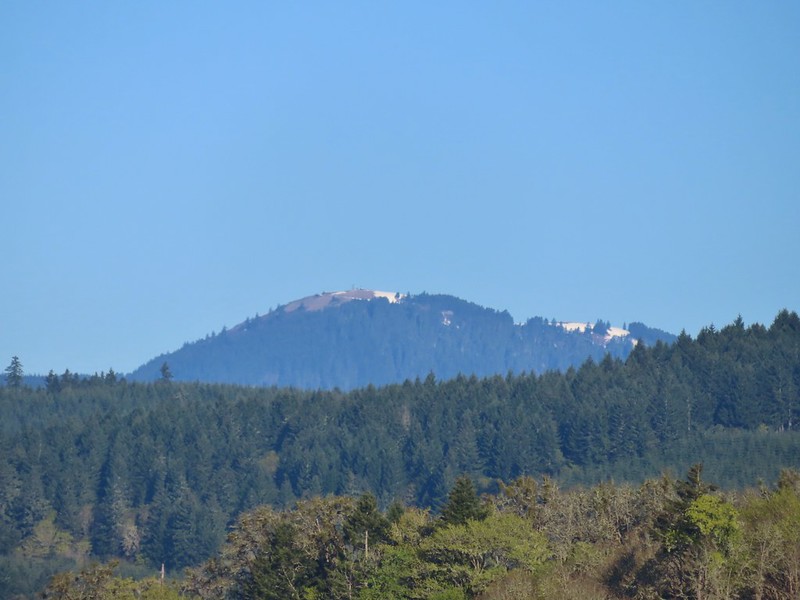 Mary’s Peak (
 Ground squirrel on Bruce Rd.
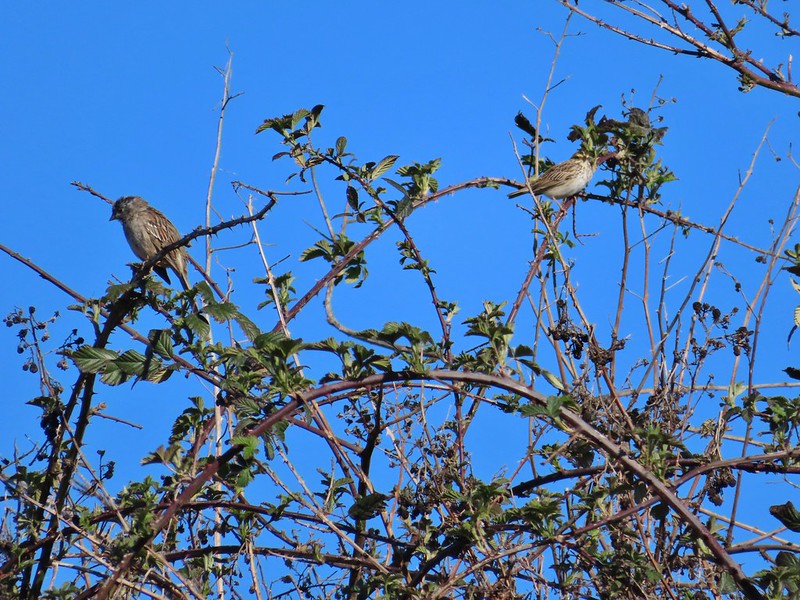 Sparrows
 Western bluebird
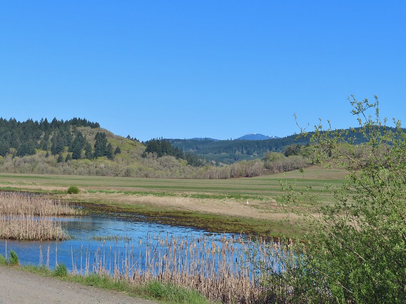 Mitigation Wetland
 Egret
Egret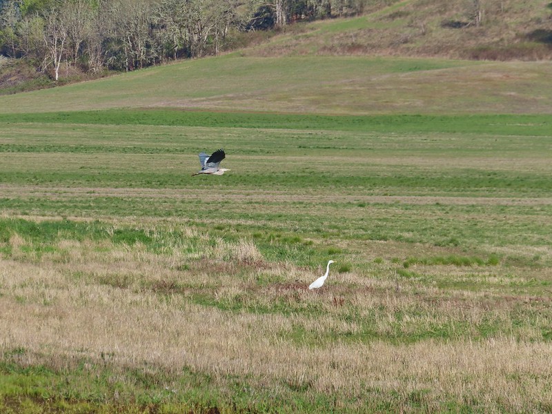 heron flying by the egret
 Northern shoveler
 Green winged teals
 Trailhead off of Bruce Road
 Ground squirrel
 Entering the woods
 Giant white wakerobin
 Fairybells
 Startled heron
 Egret and a cinnamon teal pair and maybe an American wigeon
 Candyflower
 The pink turned out to be shooting stars.
 Iris
Iris Bleeding heart
 One of many fairy slippers
 It took some work to get the camera to stop focusing on the brush in the foreground.
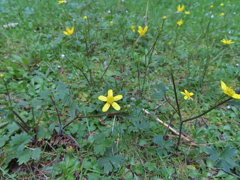 Buttercups
 Violets
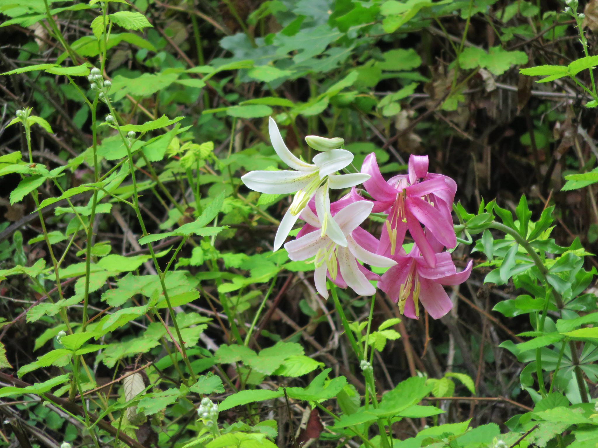
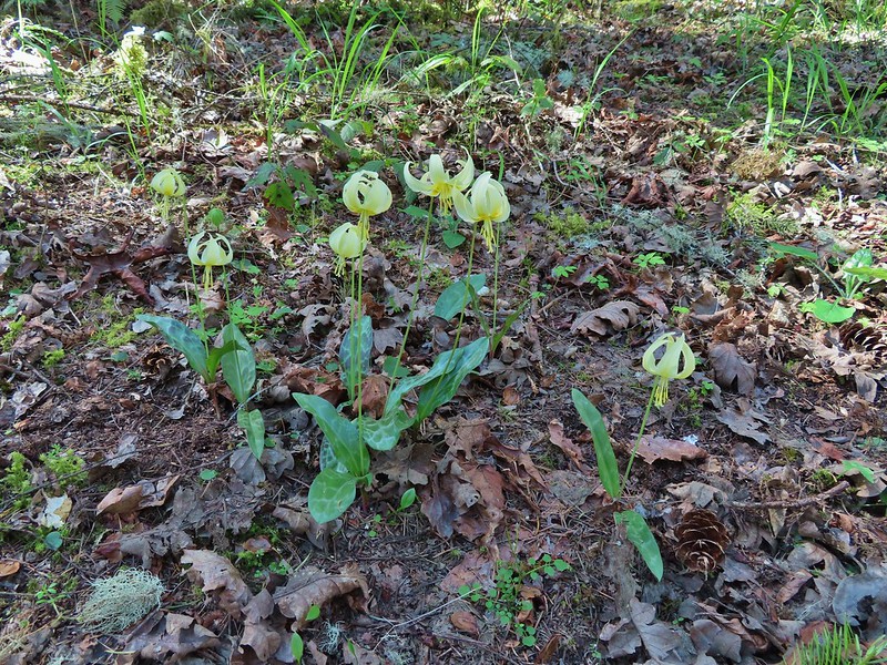 Fawn lilies
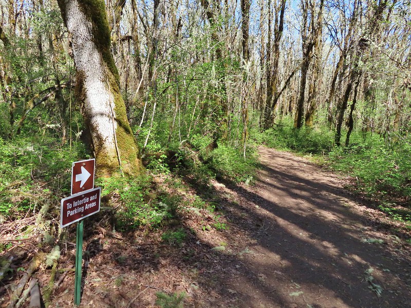 Back at the junction and onto the Intertie Trail

 Service berry
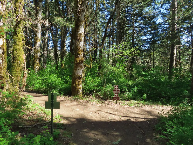 The Woodpecker Loop
 Norther flicker along the Woodpecker Loop
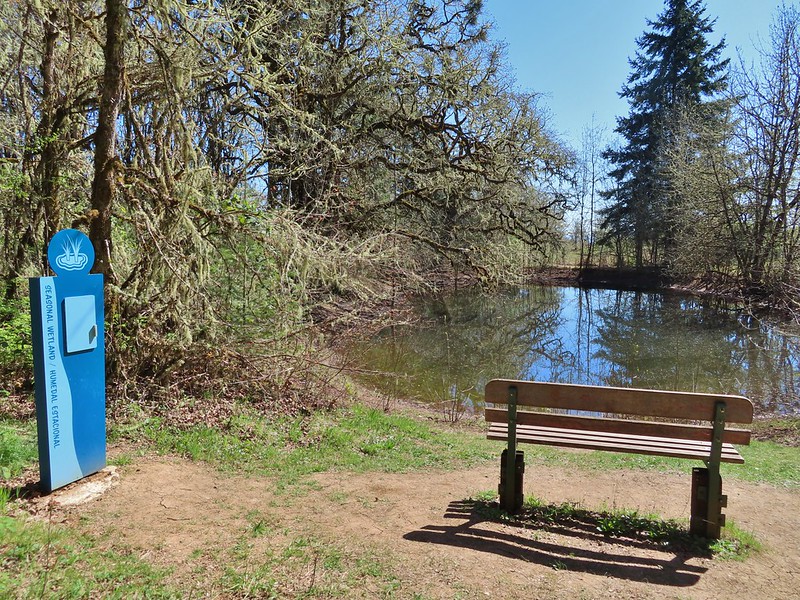 Amphibian pond and interpretive kiosk.
 Viewing structure
 Mt. Jefferson
 The Three Sisters
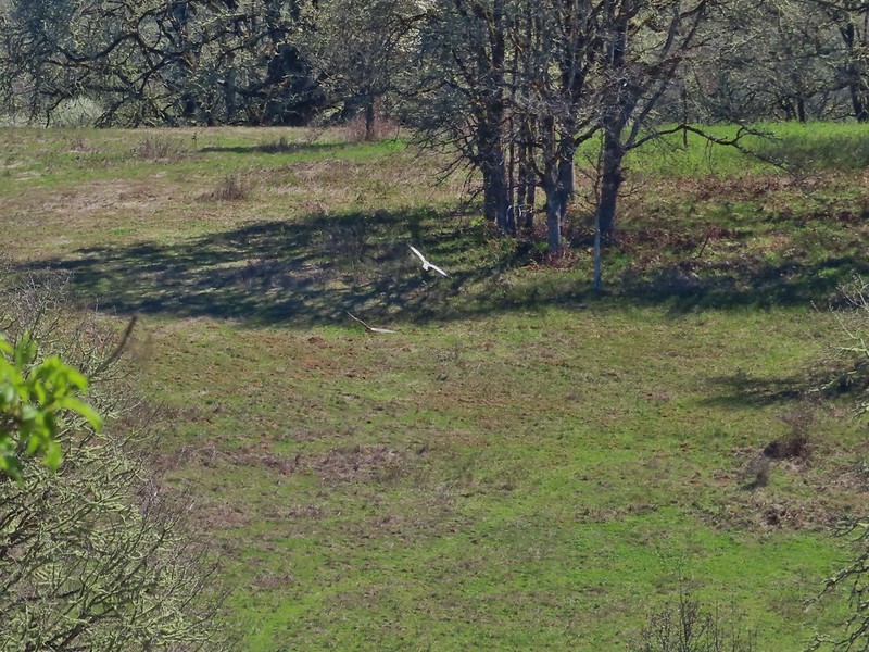
 This was the best shot I could get at 40x zoom with the sun in front of me.


 Buffleheads
 Canada goose and mallards
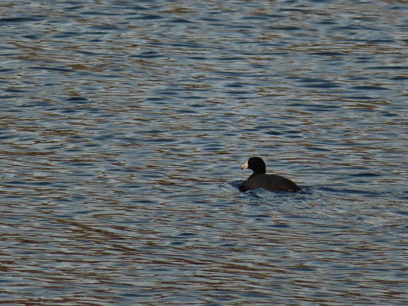 American coot
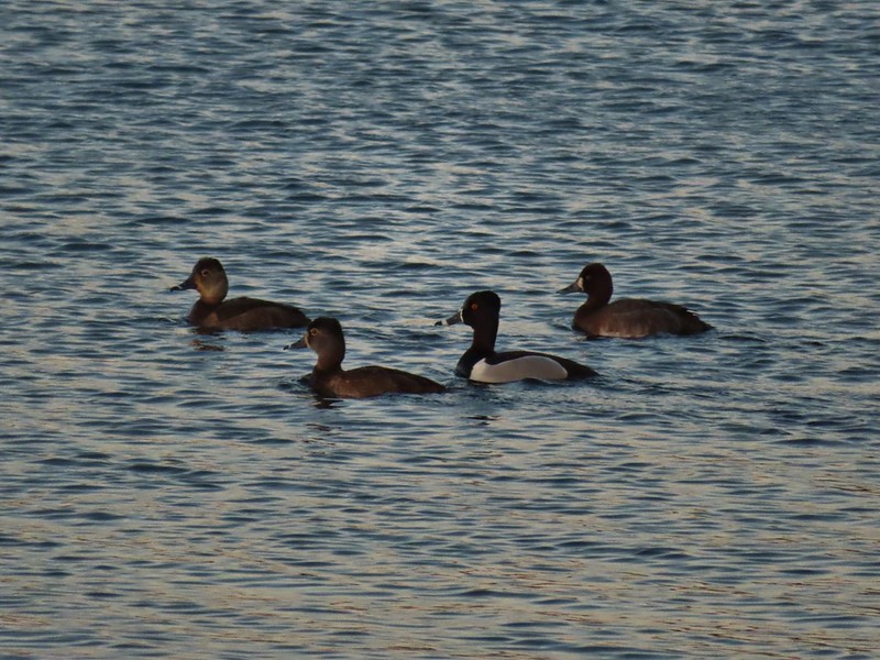 Ring-necked ducks (I’m not sure all the females are the same.)
 Geese flying over Eagle Marsh as the Sun rises.
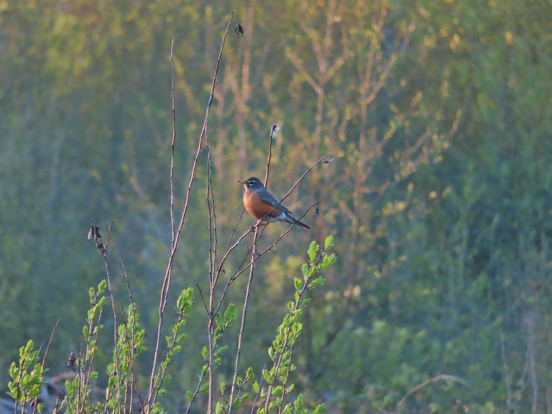

 Willow Marsh
 A bufflehead and mallards
 Mallards and ring-necked ducks
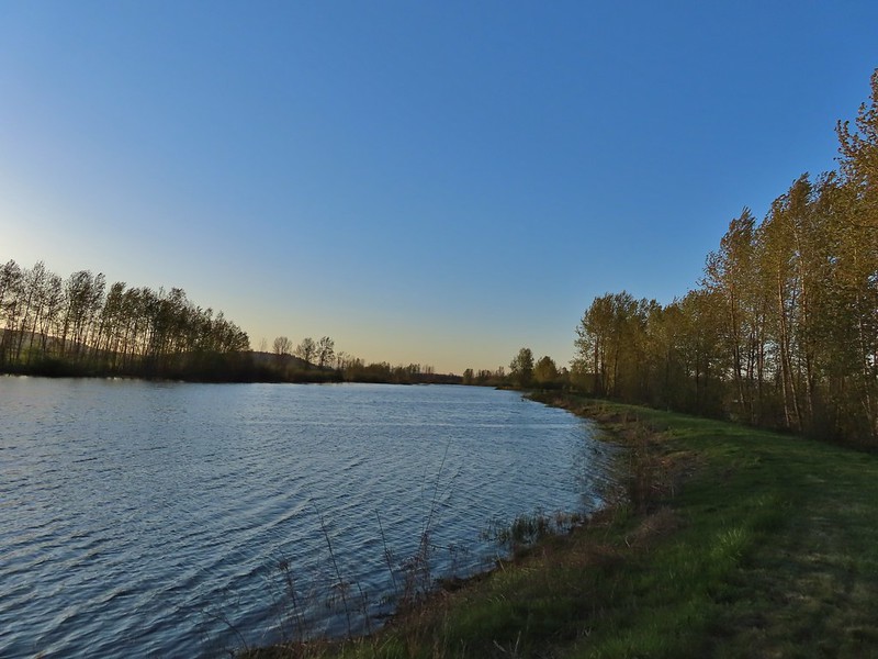 Teal Marsh to the left of the dike.
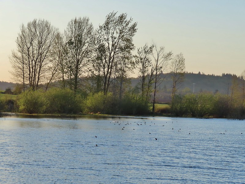
 Mallards an northern shovelers
 Buffleheads
 Spotted towhee
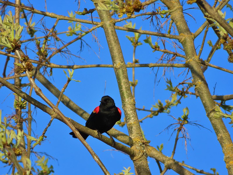 Red-winged blackbird
 Female red-winged blackbird
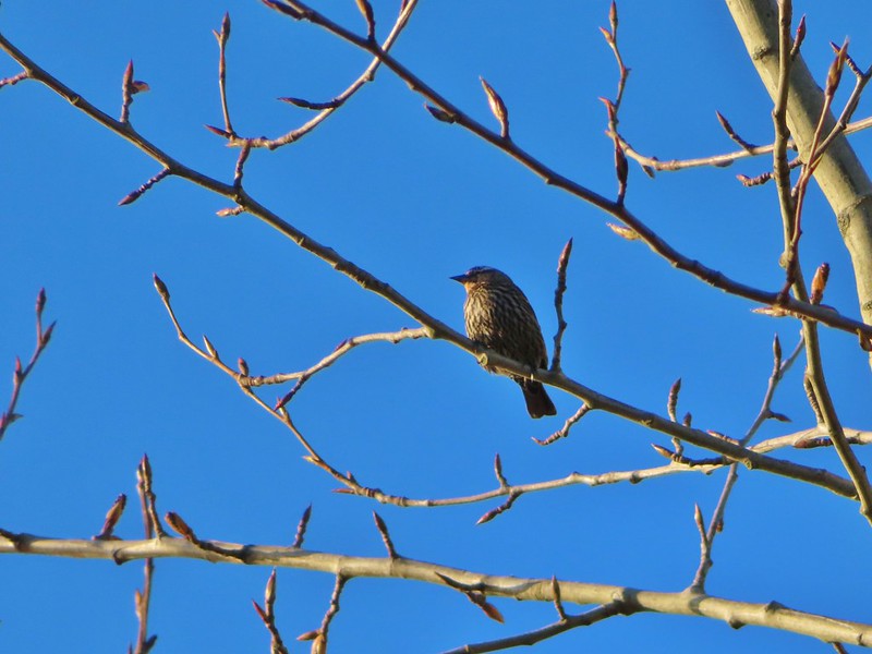 Sparrow
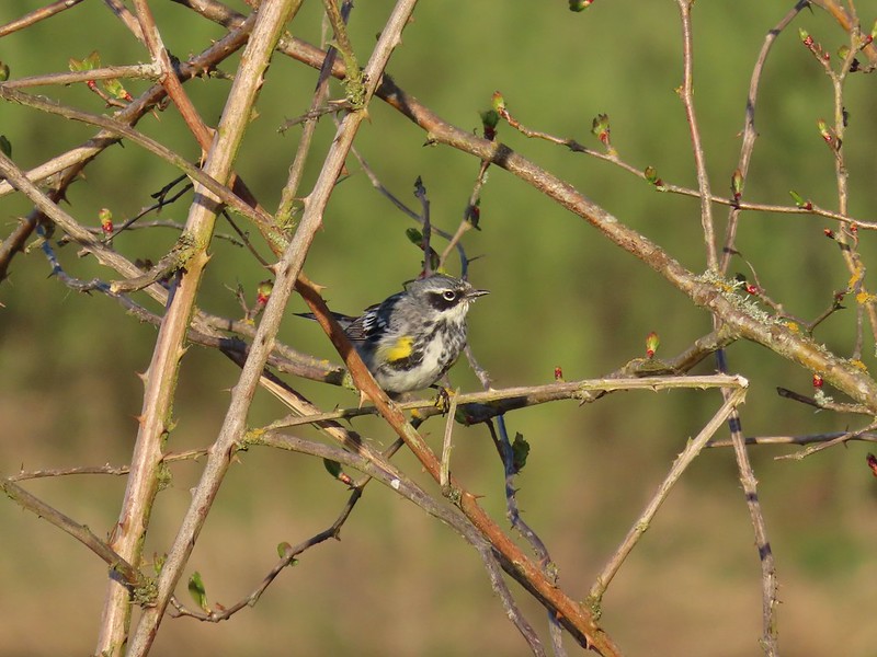 Yellow-rumped warbler
 Geese coming in for a landing on Teal Marsh
 Northern flicker
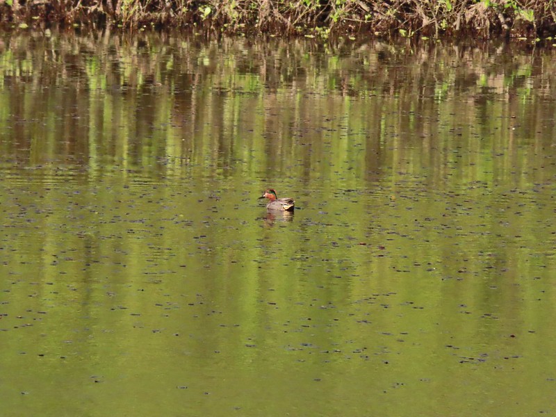 Green-winged teal
 Ring-necked ducks and a bufflehead pair
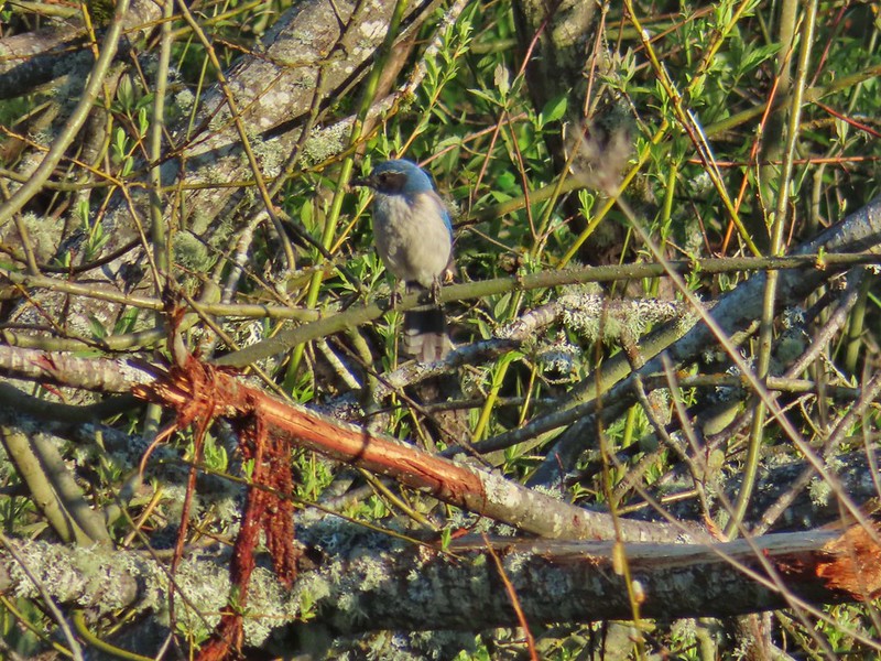 Scrub jay
 Pie billed grebe at Eagle Marsh
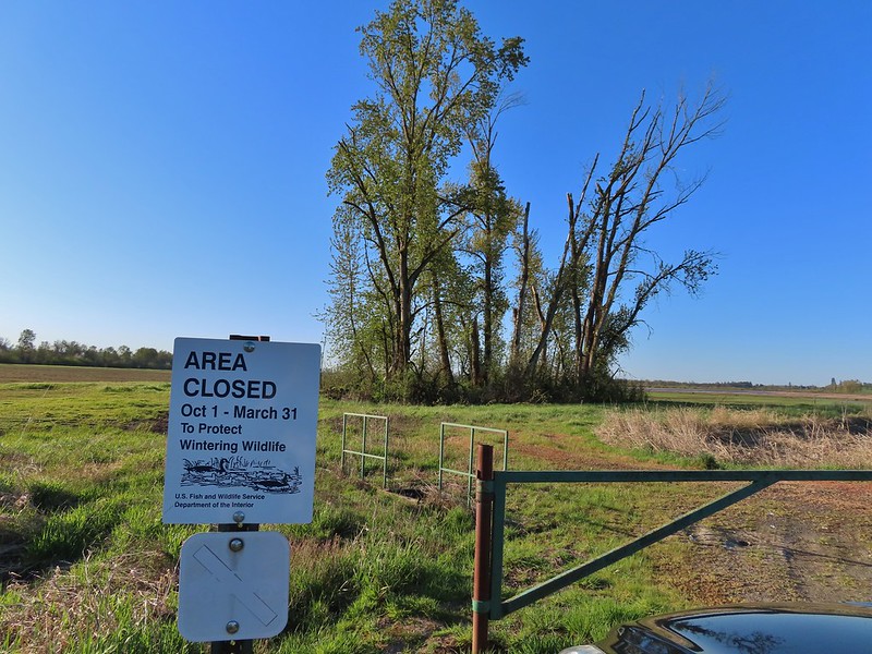


 I didn’t see it when I took the picture but it appears there is an eagle on the ground in the distance here.
 One of the egrets taking off.
 Brewer’s blackbird on a tree along the railroad tracks.
 Pintail Marsh ahead on the left.
 The dike between Mohoff Pond and Pintail Marsh.
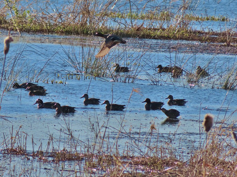 Ducks at Pintail Marsh
 Pintail Marsh
 Looking back at the gate and Wintel Road
 Yellow legs
 The boardwalk across Dunlin Pond from the dike.
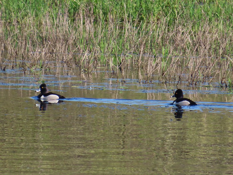 Ring-necked ducks
 Ring-necked ducks taking off.
 Sparrow
 Common yellowthroat
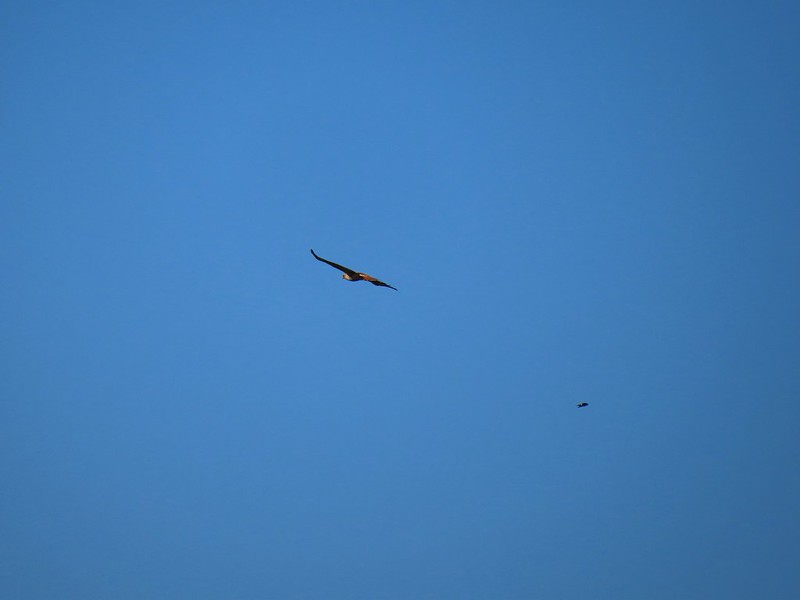 Hawk and a sparrow
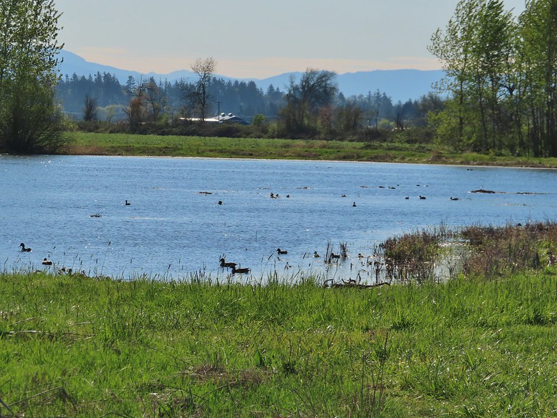 Killdeer Marsh
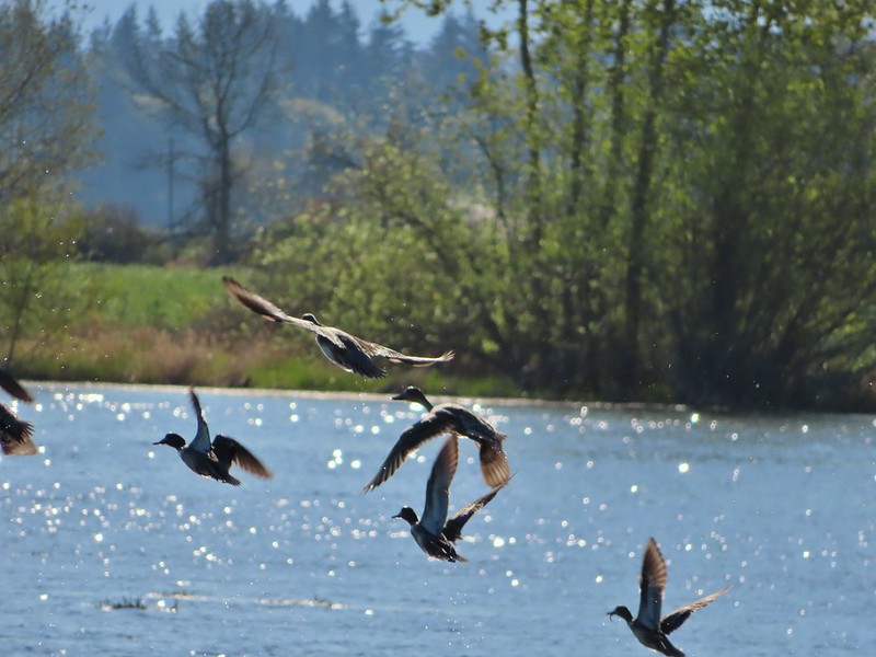
 Another yellow legs?
 A killdeer amid ducks at Killdeer Marsh
 South Pond
 Cinnamon Teal in South Pond
 Damaged trees from the ice storm earlier this year.
 Turkey vulture
 Candyflower

 American coots
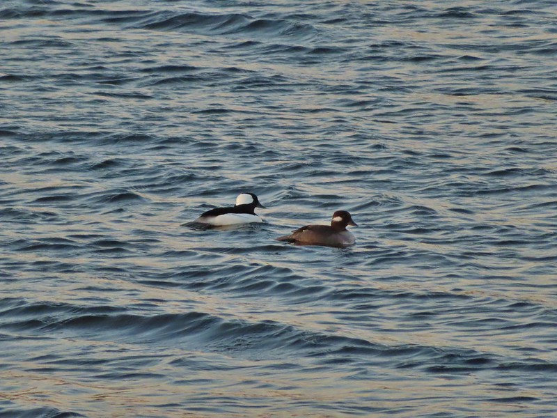
 I think this is a ring-necked duck and a lesser scaup.
 The dike from the blind.


 Killdeer on the dike.
 A whole lot of geese in the air ahead.
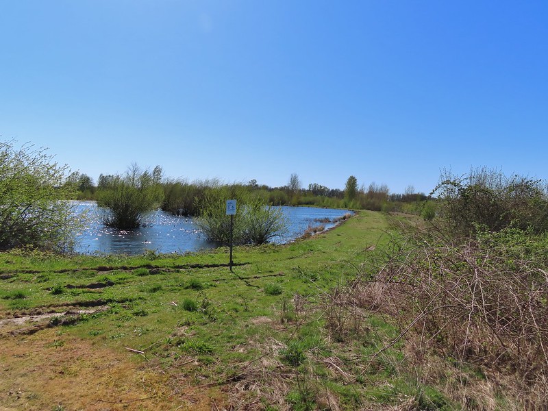

 Green-winged teals
 Northern shovelers
 Canada geese
 Another green-winged teal
 Various ducks
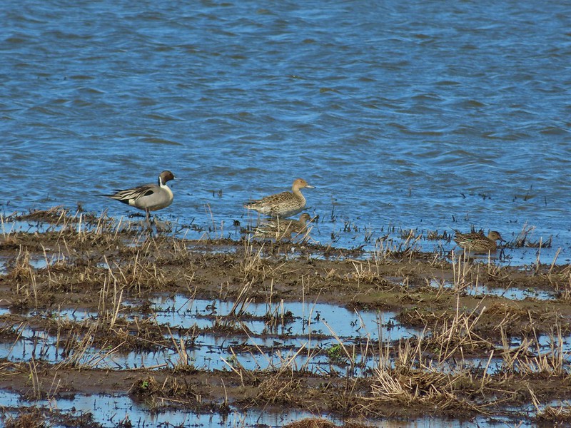 Northern pintails
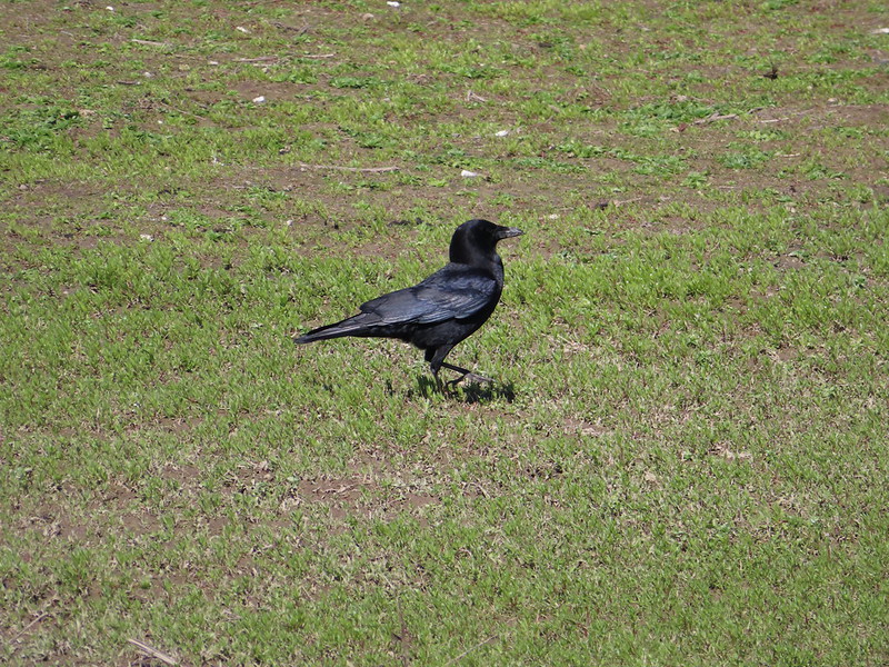 Crow
Crow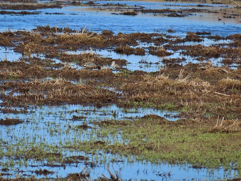 A green-winged teal and a yellow legs
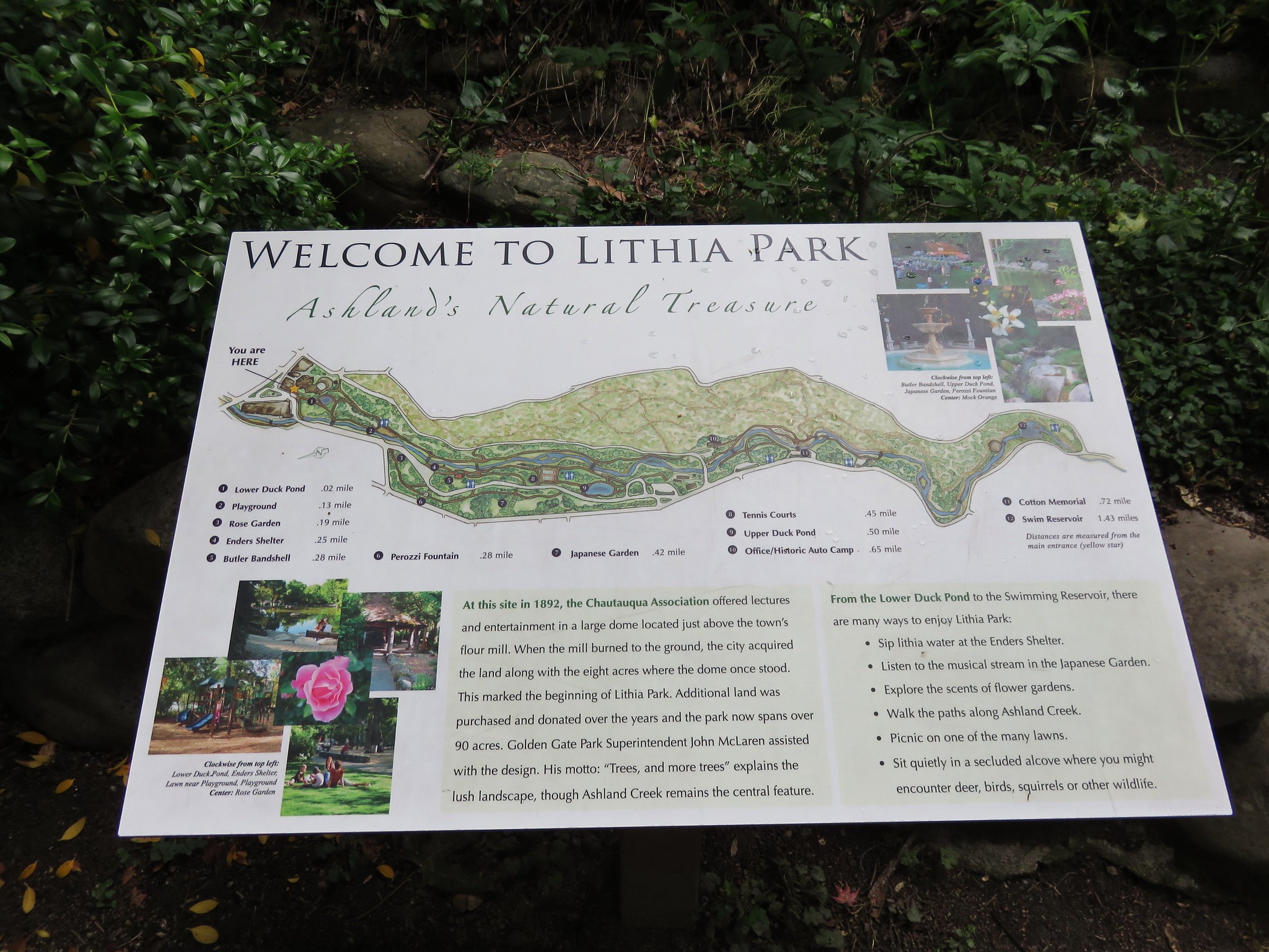


