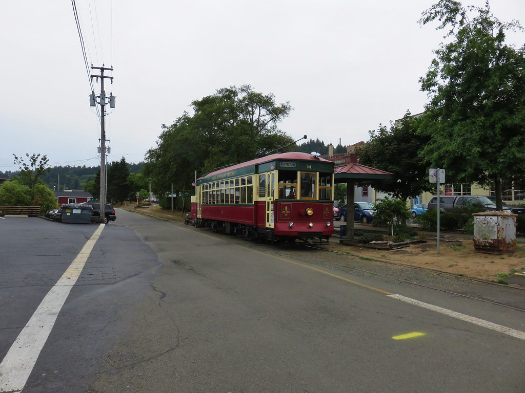
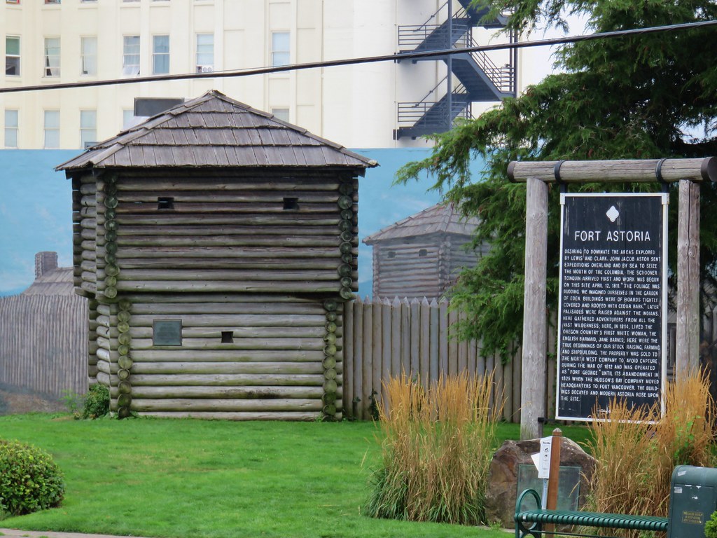
After spending the night in Astoria following a full day of hiking (post) we woke up on Mother’s Day ready to head home. We couldn’t resist the opportunity to get a little more hiking in on the way there though.
Our plan for the day was visit the Astoria Column by way of the Cathedral Tree, then take an alternate route from Astoria to visit a pair of waterfalls. We made the short drive from our motel to the Richard Fenscak Cathedral Tree Trailhead on Irving Street and set off past a gate.

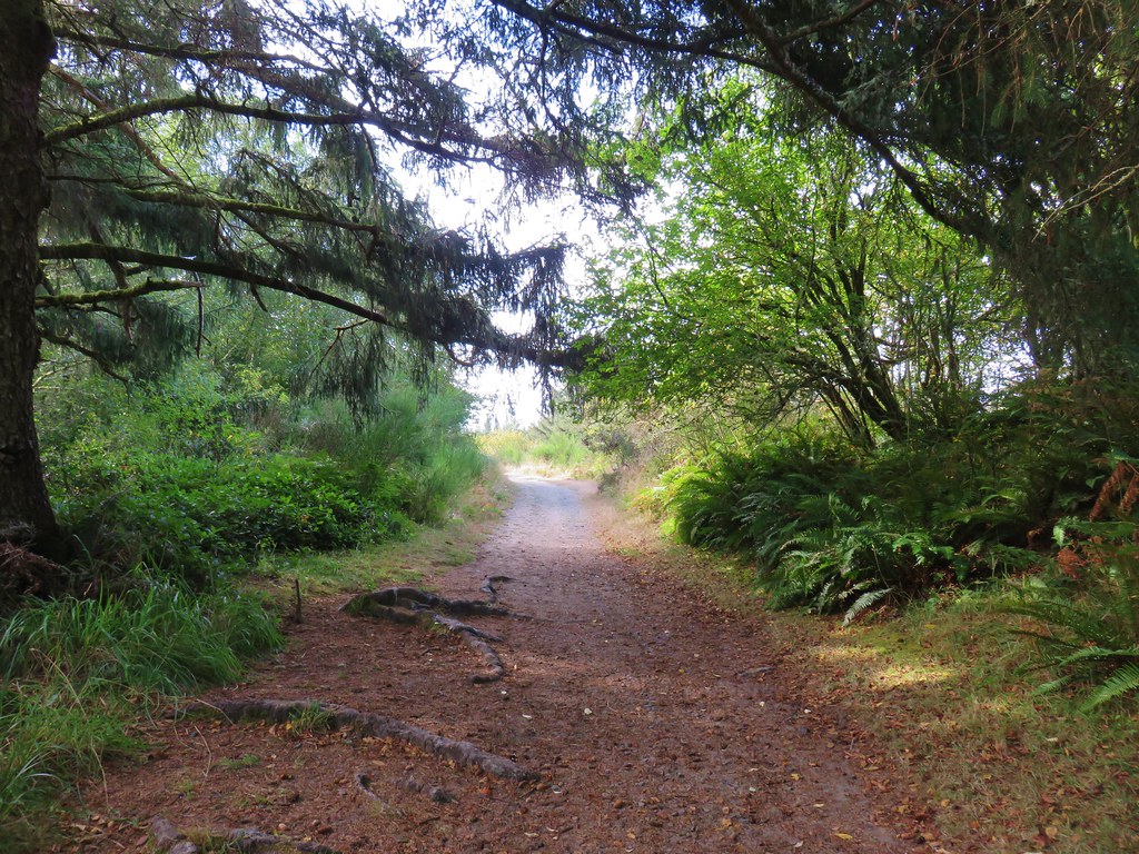
A map at the trailhead provides a high-level overview of the mile long route to the Astoria Column. The AllTrails map was particularly helpful as it showed most if not all of the spur trails. The trail begins as a wide gravel path that climbs, briskly at times, approximately 250′ in a third of a mile to a junction on a boardwalk.


 Thimbleberry
 Coming up on the start of the boardwalk.
 Scouler’s corydalis at the base of the boardwalk.
 The boardwalk junction.
We turned left at the junction and arrived at Cathedral Tree in just 150′.


 The base of Cathedral Tree.
 One of two benches near the 300+ year old stika spruce.
 Cathedral Tree

After visiting the tree, we returned to the junction and continued uphill towards the column.

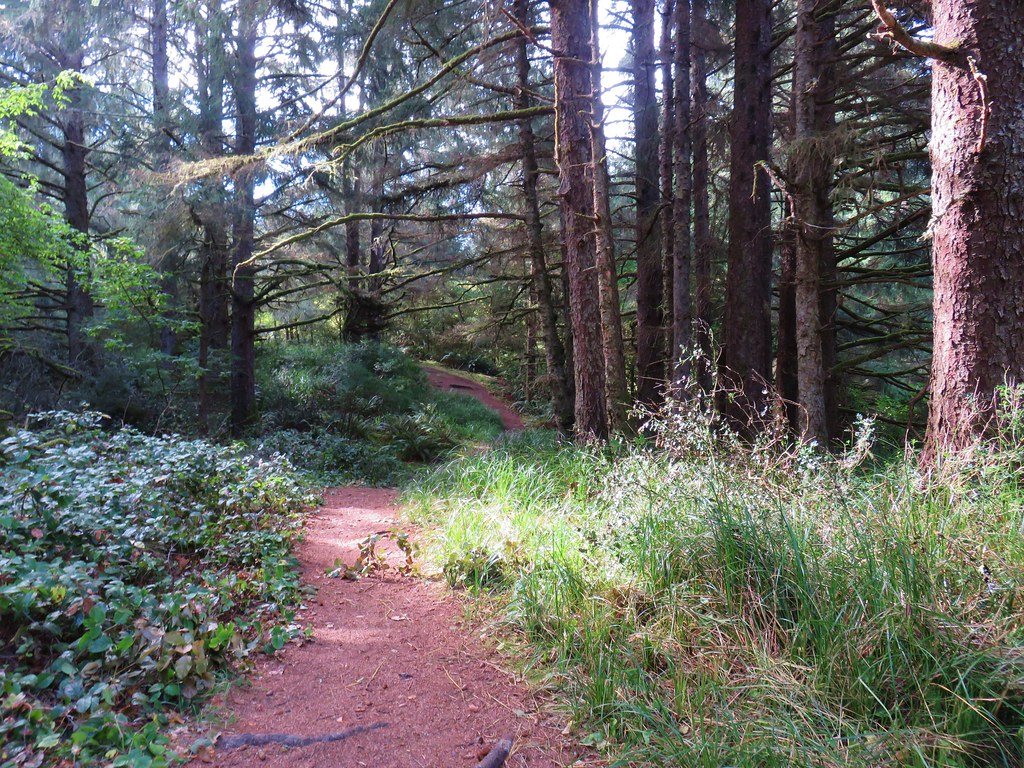
 Beyond the boardwalk the trail was a bit rougher.

 Trail markers were present at times to help identify the correct route.
 Pacific waterleaf
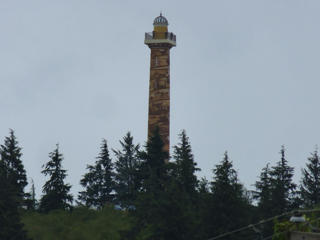
 The Astoria Columnn.
We wandered around the column taking in the views and the art on the column itself.

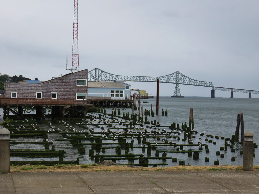
 Megler Bridge


 Young’s River on the left and the Lewis & Clark River on the right
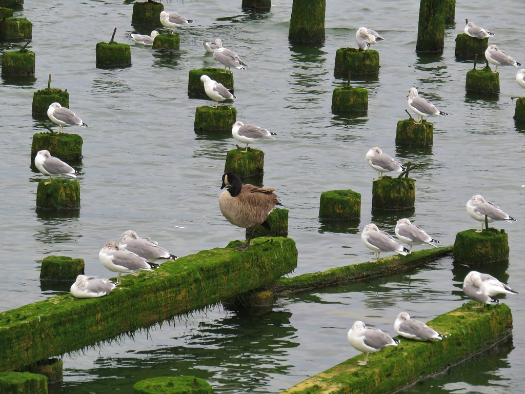
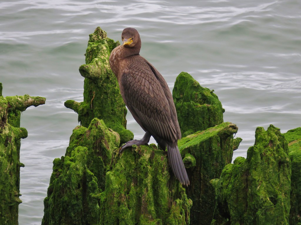
 The early bird.


We decided to go up the column since it had been years since I had visited, and Heather had never been.

 The spiral staircase.
It was stuffy inside and with a rail only on one side of the staircase Heather quickly realized that this was going to be outside her comfort level so she headed back down. I continued to the top, a little dizzy, but otherwise feeling good.

The view was great despite the clouds. They were high enough to allow for decent visibility and they were already breaking up.

 Young’s River
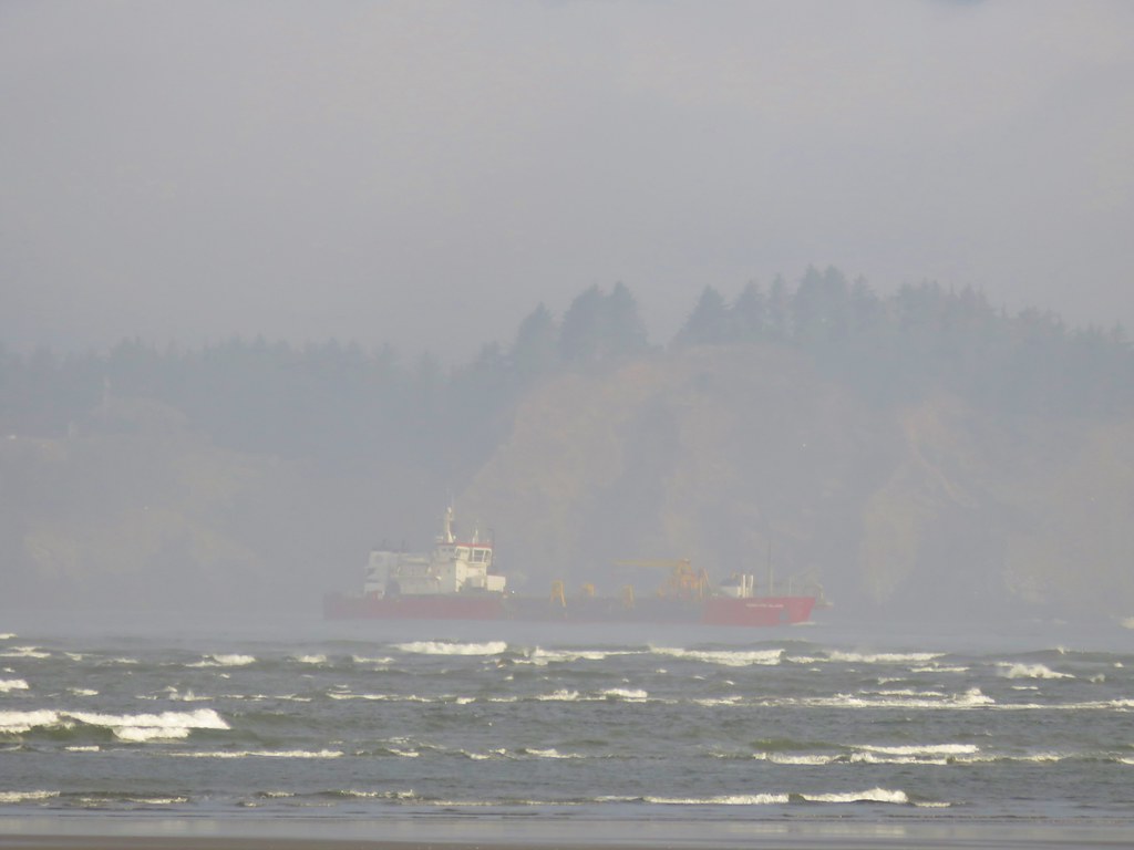
 Traffic on the Columbia River.
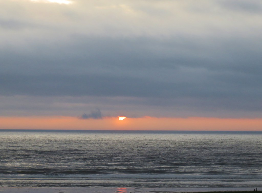
 Looking out toward the Pacific beyond Astoria.
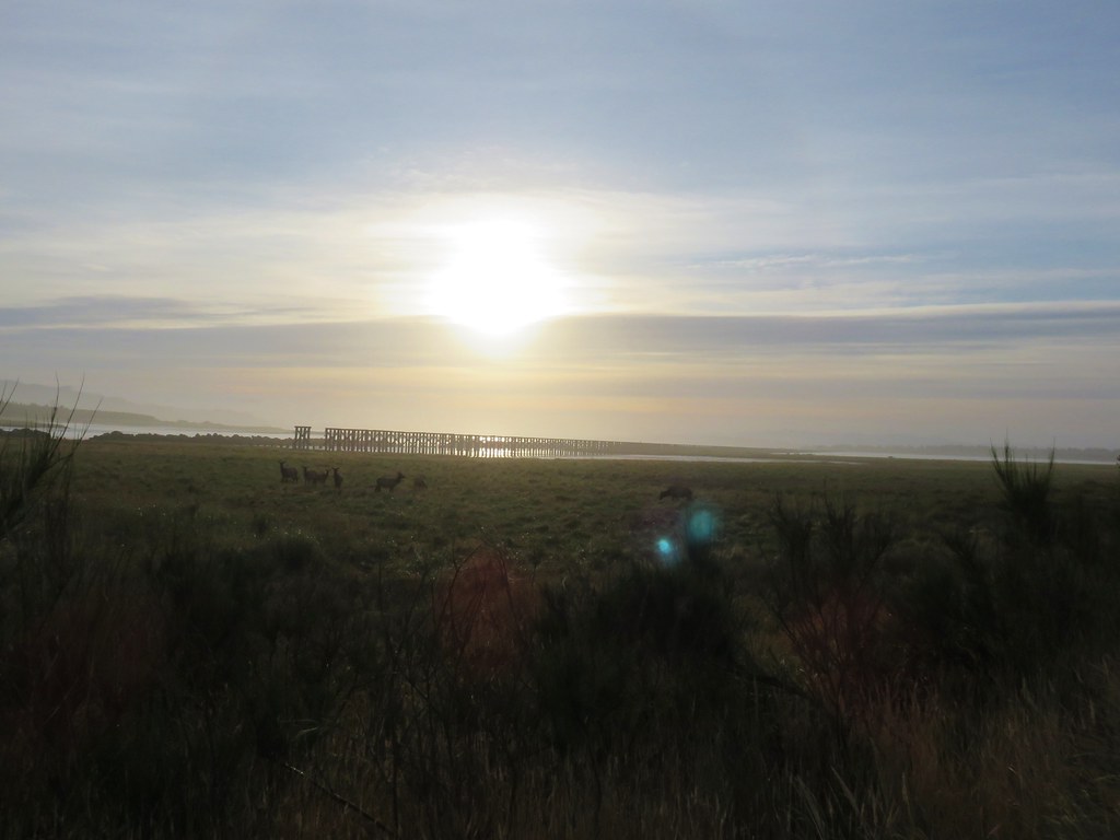
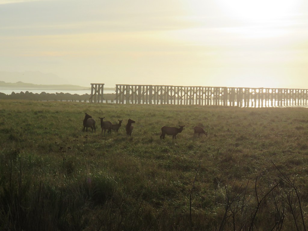
 Deer in the grass below the Astoria Column.
 Heather below the column.
After taking in the view, I wound my way back down the stairs (and got dizzy again).


We returned to the Cathedral Tree trail and hiked back down to Irving Street.

 This was a spur trail 0.2-miles from the column (0.6-mile from the trailhead) that also leads down to Irving Street and could be used for a loop if you don’t mind some street walking. We opted to pass and did the hike as an out-and-back.
 False lily-of-the valley

 The last trillium?
 Fringecup
From the Cathedral Tree Trailhead we followed Google map directions through Astoria to Young’s River Road and eventually to Young’s River Falls Park.
 The start of the short trail to the falls.
It was clear from the parking area that it is unfortunately popular with the party crowd who can’t be bothered to pack out their mess. Regardless the falls were impressive, and the 0.3-mile round trip was well worth the stop.
 Interpretive signs near the start of the trail.
 The falls were noted during Lewis and Clark’s stay at nearby Fort Clatsop (post).

 This was a tough one to photograph due to the amount of spray being blown straight at us by the force of the water.
After admiring the falls we returned to the car and made our way to Highway 202 following directions from Google. Once we’d made it to the highway we headed SE to Lee Wooden Fishhawk Falls County Park.
A quarter-mile trail here leads to Fishhawk Falls which we honestly weren’t expecting much from.
 We pulled over onto the shoulder of Hwy 202 to snap a picture of these bulls.


 Bleeding heart
 Fairybells

 Scouler’s corydalis
We spotted it too late to get a photo, but as we neared the falls a bald eagle took flight. The trail ends at Fishhawk Creek nearly a tenth of a mile from the 72′ falls.

The view is good from the end of the trail, but since this was our last stop of the day I decided to ford the creek and get a closer look. The water was knee deep, but not too cold.


 I was joined by a pair of ouzels at the falls.
 Looking back at Heather on the other side of Fishhawk Creek.
 Me through the trees below the falls.
Maybe it was the timing of our visit, but this was one of the nicest waterfalls we’ve seen in a while. We finally pulled ourselves away and returned to our car. We made one more stop on the way home at the Jewell Meadows Wildlife Area to use the public restrooms before driving home.

 Please note that you need a permit to park at the refuge.
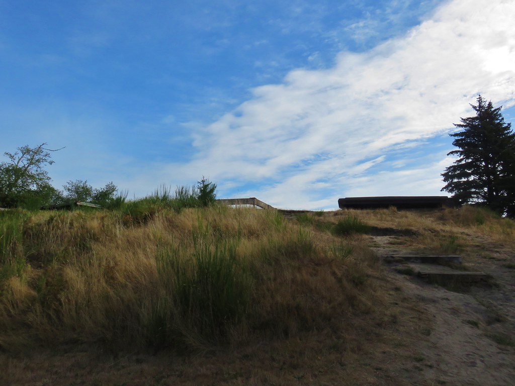
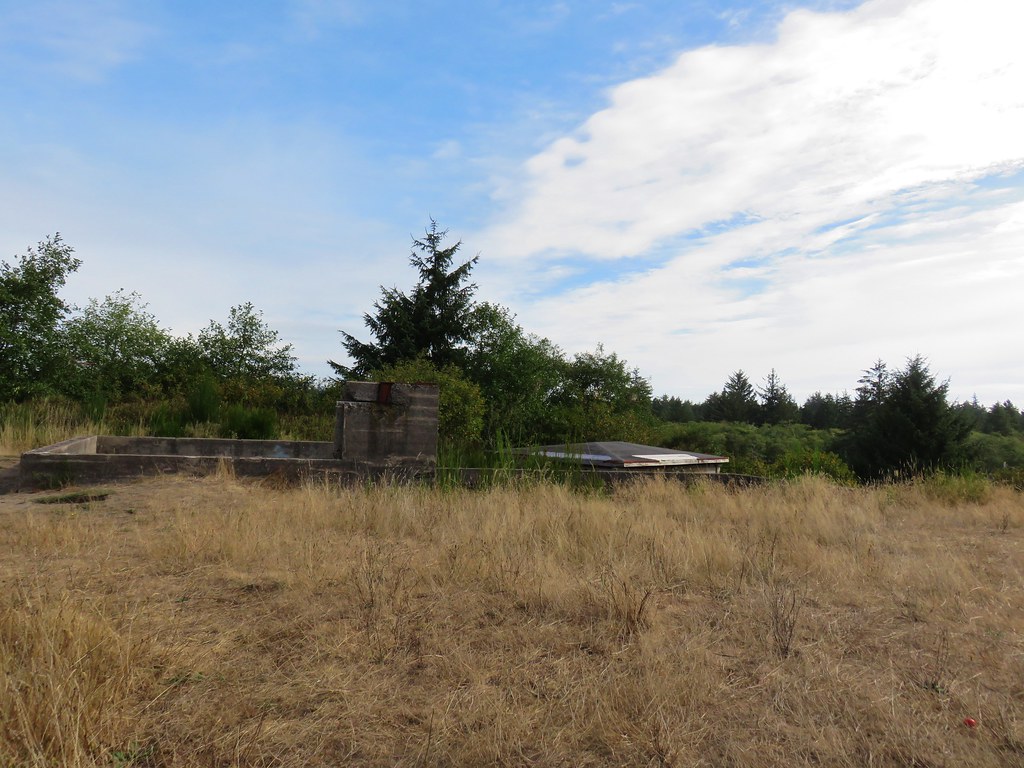
The three short hikes came to a total of 3 miles and 500′ of elevation gain, mostly from the Cathedral Tree hike. They were quite enjoyable, and we were able to get home before Noon giving us time to unpack, clean up, and then visit my Mom on Mother’s Day. Happy Trails!
Flickr: Cathedral Tree, Young’s River Falls, and Fishhawk Falls

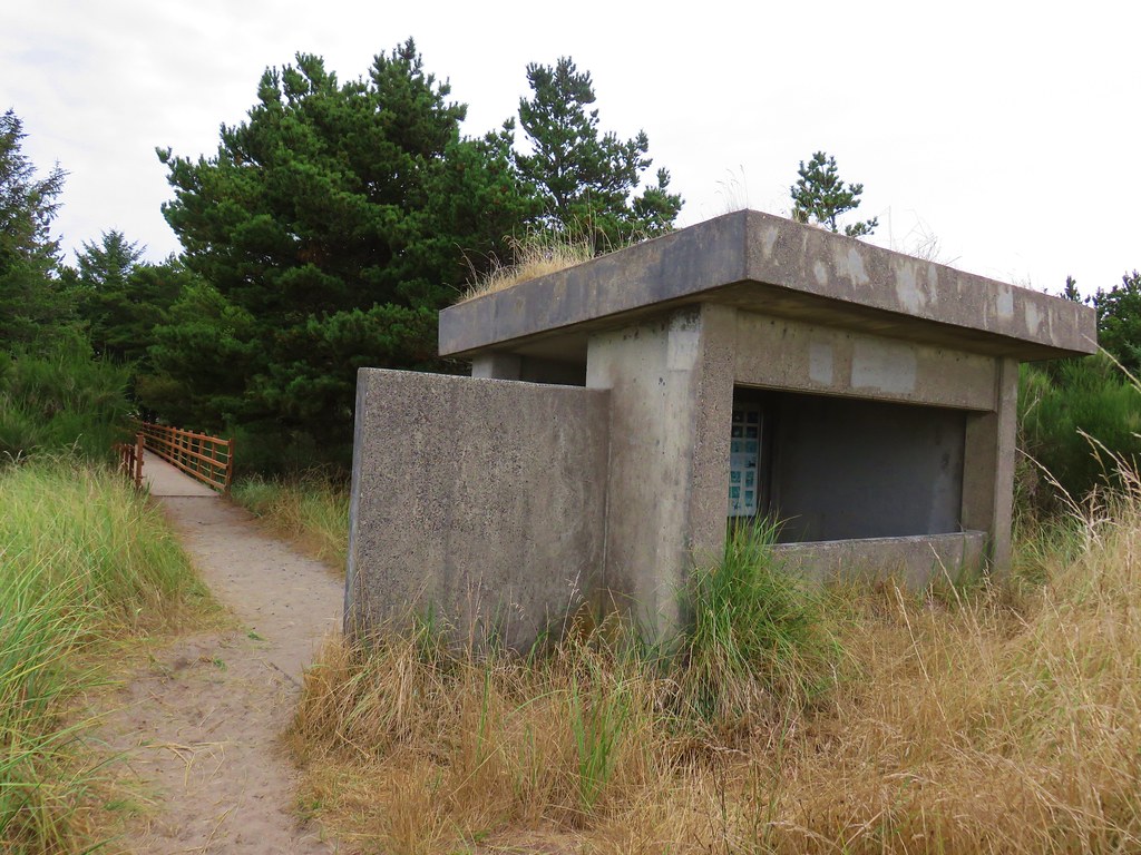
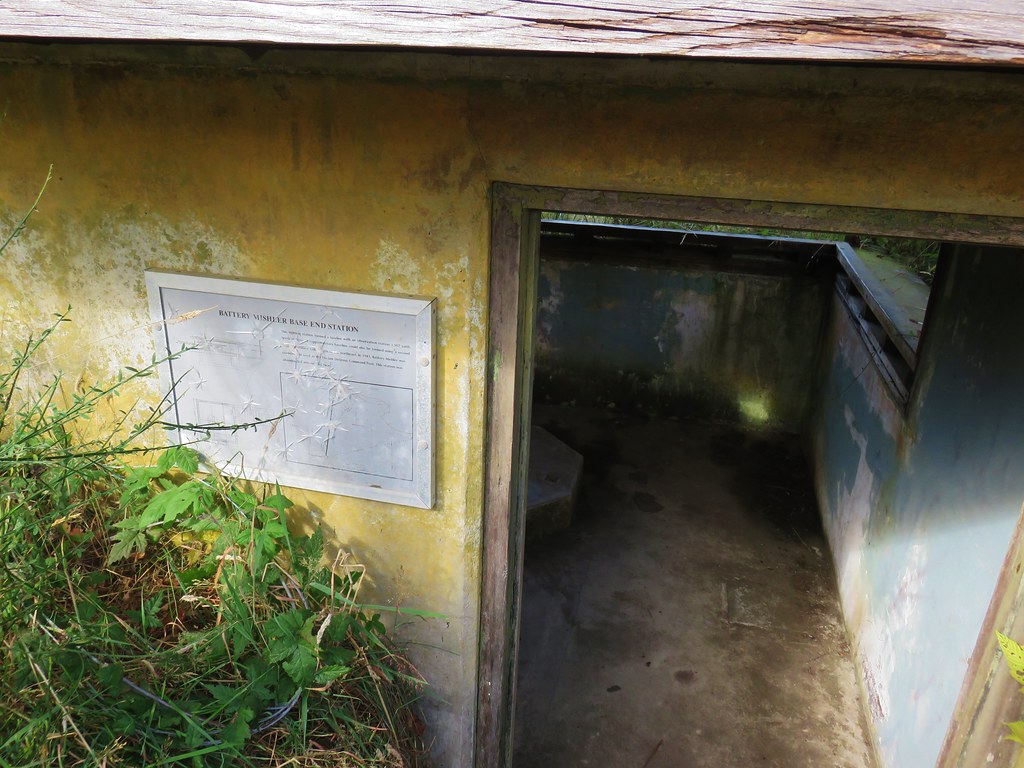
 view from the bunker.