Having finished the last of our long-term hiking goals in 2024 (post) we headed for Olympic National Park for our first goal free vacation since 2015. This would be our first visit to this park, and we chose a few hikes in the area of Forks, WA. Forks is a little over 5 hours from Salem which is similar to several areas we’ve traveled to in Eastern Oregon. For these types of long drives we try to find a hike along the way to stretch our legs. Beaver Falls and the Gnat Creek Trail had been on our radar since picking up Matt Reeder’s “Off the Beaten Trail” (2nd edition) and were located along a slightly longer but more scenic route to Olympic National Park. Detouring to these two stops would add about an hour to our drive by taking us through Astoria, OR (post) versus more time on Interstate 5.
We drove north on I-5 into Washington then turned off in Kelso to renter Oregon on the Lewis and Clark Bridge. We then headed west on Highway 30 to Beaver Falls Road then proceeded to the Beaver Falls Trailhead. When we neared the pullout that acts as a trailhead there was a camper van at the west end and a large white “Trail Closed” sign on a tree in the center of the pullout. The camper van appeared to have been there for an extended period, and we hadn’t anticipated the sign, so we drove past a short distance and pulled over to consider our options. We decided to drive back up past the trailhead pullout to a different pullout just a little further up the road to see if we could at least see the falls from above. Coming from the east we spotted another sign at the eastern end of the pullout where the actual trail is located that did not say this trail was closed, just that it is not maintained and you use at your own risk.

It appeared that the “Trail Closed” sign was above a second scramble path located near the center of the pullout and not referring to the unmaintained user trail to the falls. That was our interpretation of the situation anyway, so we headed down the short trail to visit the waterfall.
 There were a couple of downed trees and at least one spot where part of the tread had given way on the hillside. A bigger issue was the broken glass and other garbage left by mouth breathers that was littered about.
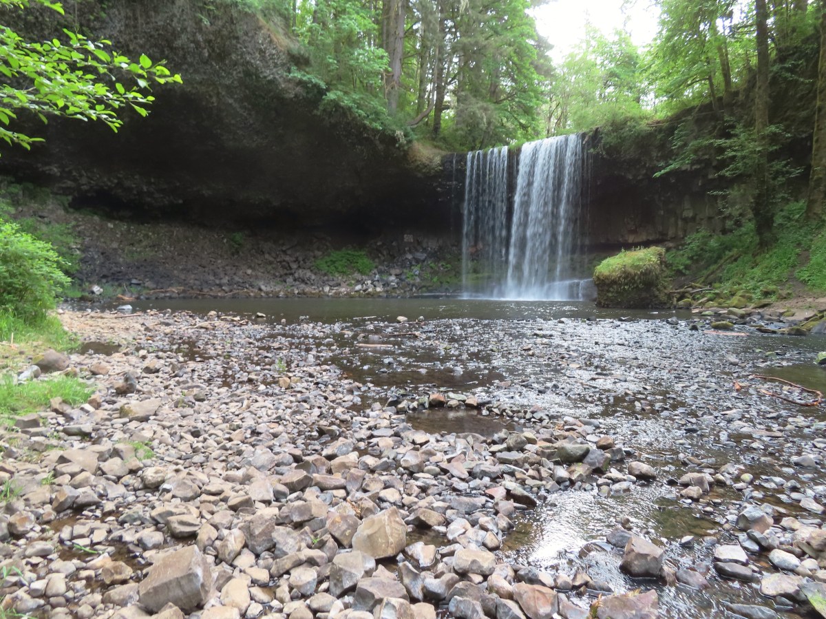
 It was just over a third of a mile to the falls.

 Beaver Creek below the falls.
 Trail snail
 Fringecup
 Starflower
This was a nice waterfall, and unfortunately also clearly a popular part spot. At 7am in May we had it all to ourselves, save for an ouzel that was flying back and forth across the splash pool.
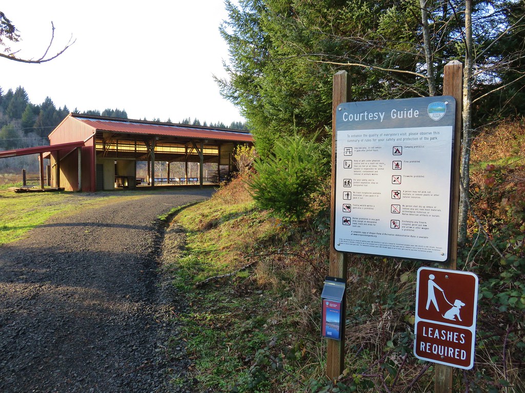
After climbing back up to the car we continued west, rejoining Highway 30, and then parking at the Gnat Creek Trailhead just a tenth of a mile off the highway.

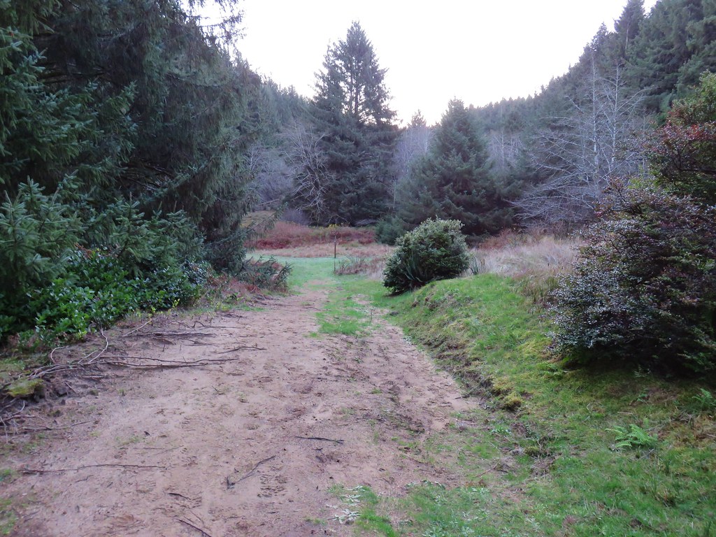
Located in the Clatsop State Forest the Gnat Creek Trail is broken up into two sections. The lower, where we were starting, begins near the Gnat Creek Campground and follows Gnat Creek to a crossing of Highway 30 then continues a short distance to the Gnat Creek Fish Hatchery, another possible trailhead. The trail continues from the fish hatchery for approximately 2-miles to a short loop with a couple of benches near Bigfoot Creek.

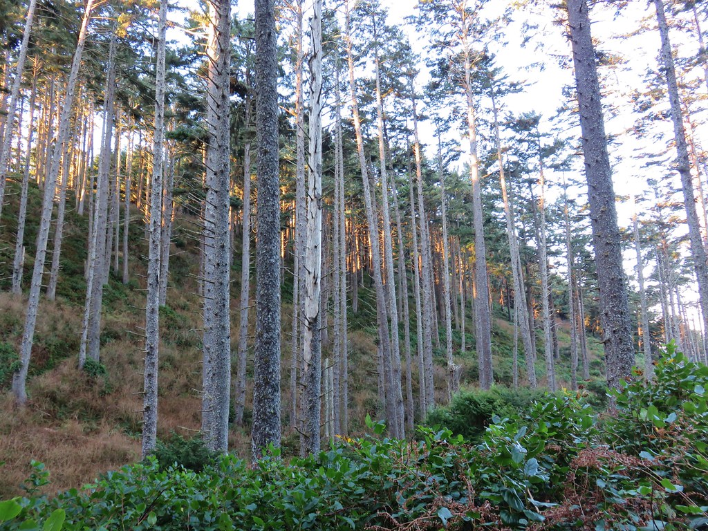
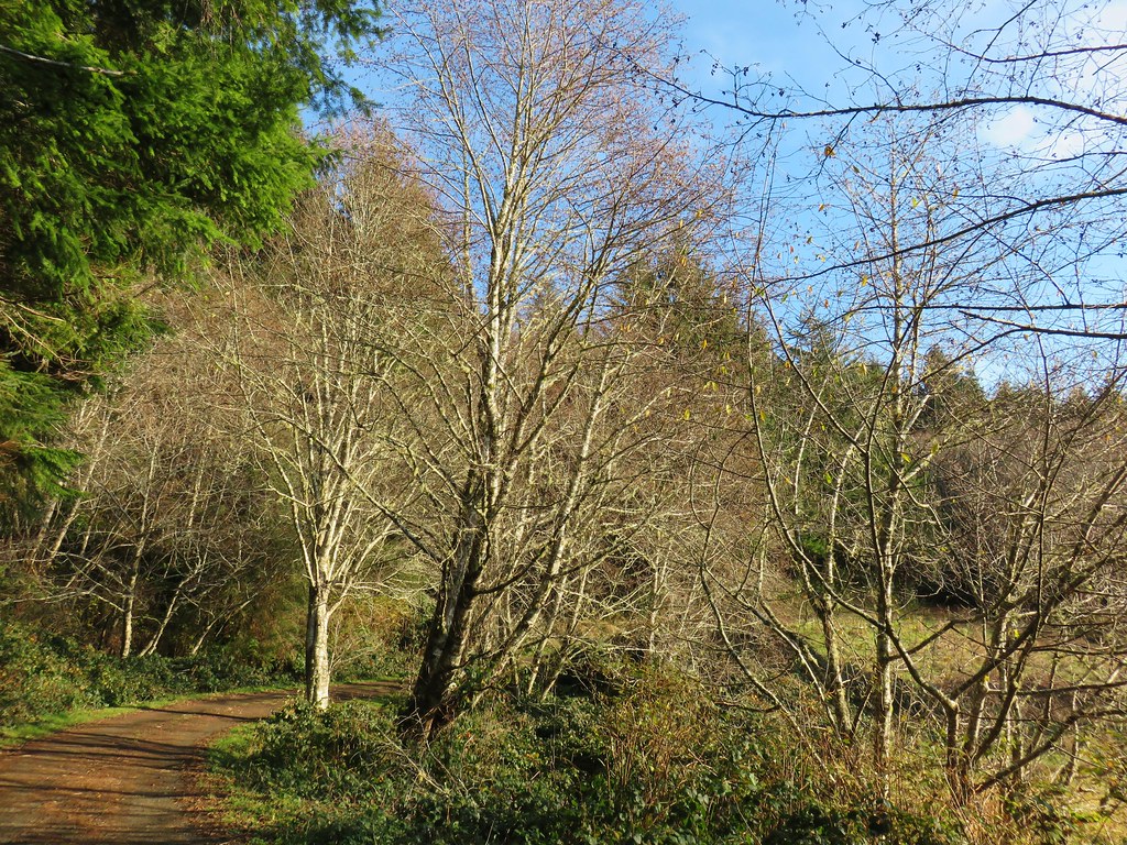
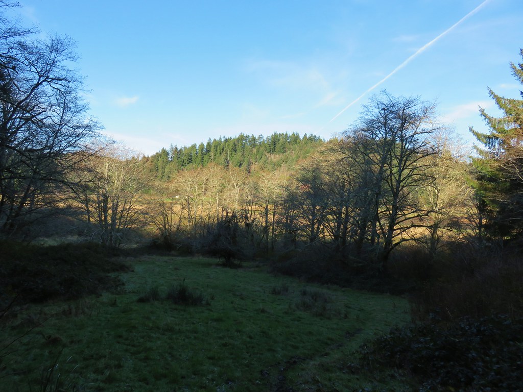
The lower section makes an initial climb then gradually rises on the way to the highway crossing. The forest was pretty but there was some noise from the nearby highway.


 Fairy lanterns

 Scouler’s corydalis
 Bleeding heart

 False lily of the valley
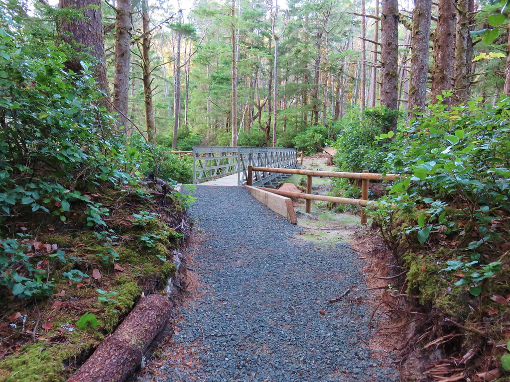
 Highway 30 crossing.
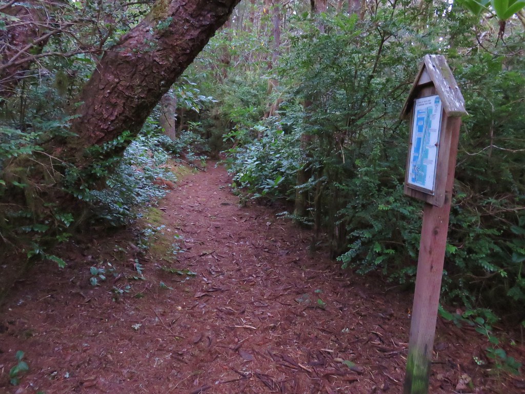
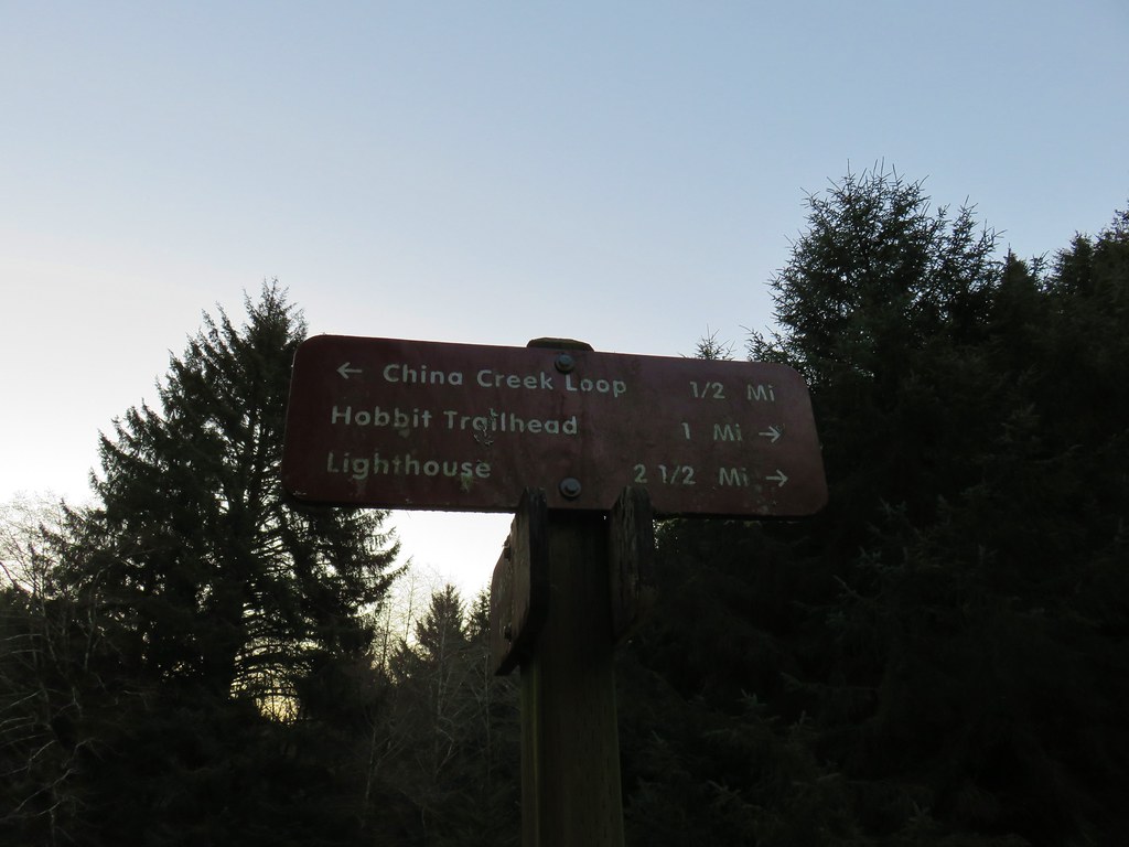
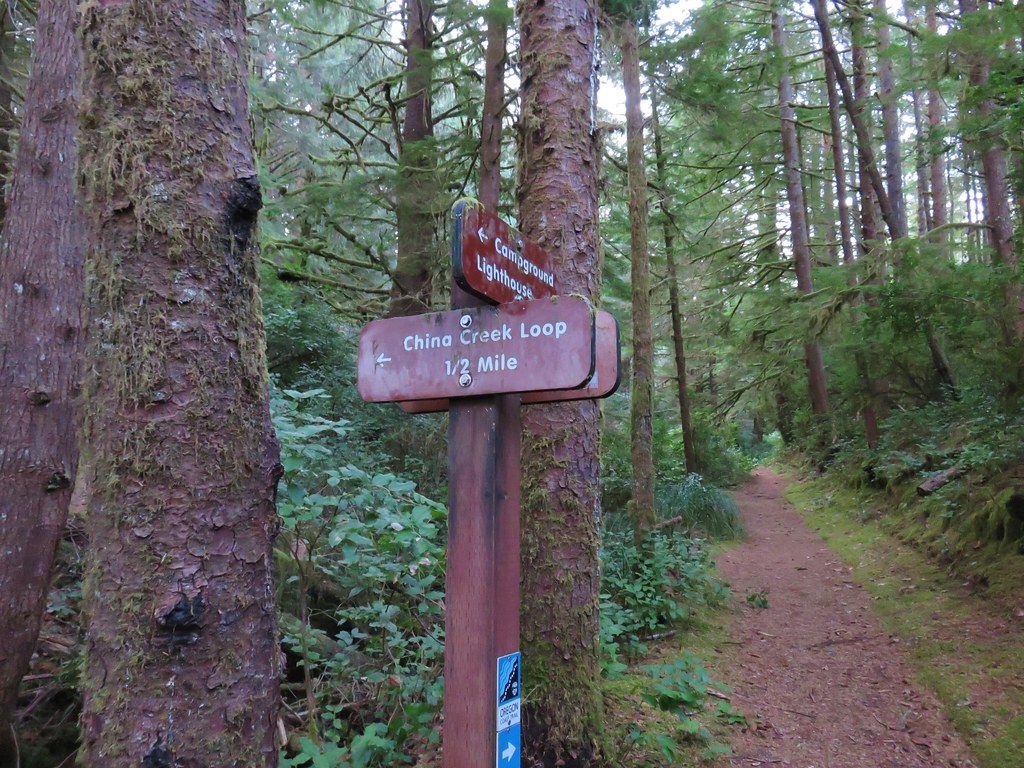
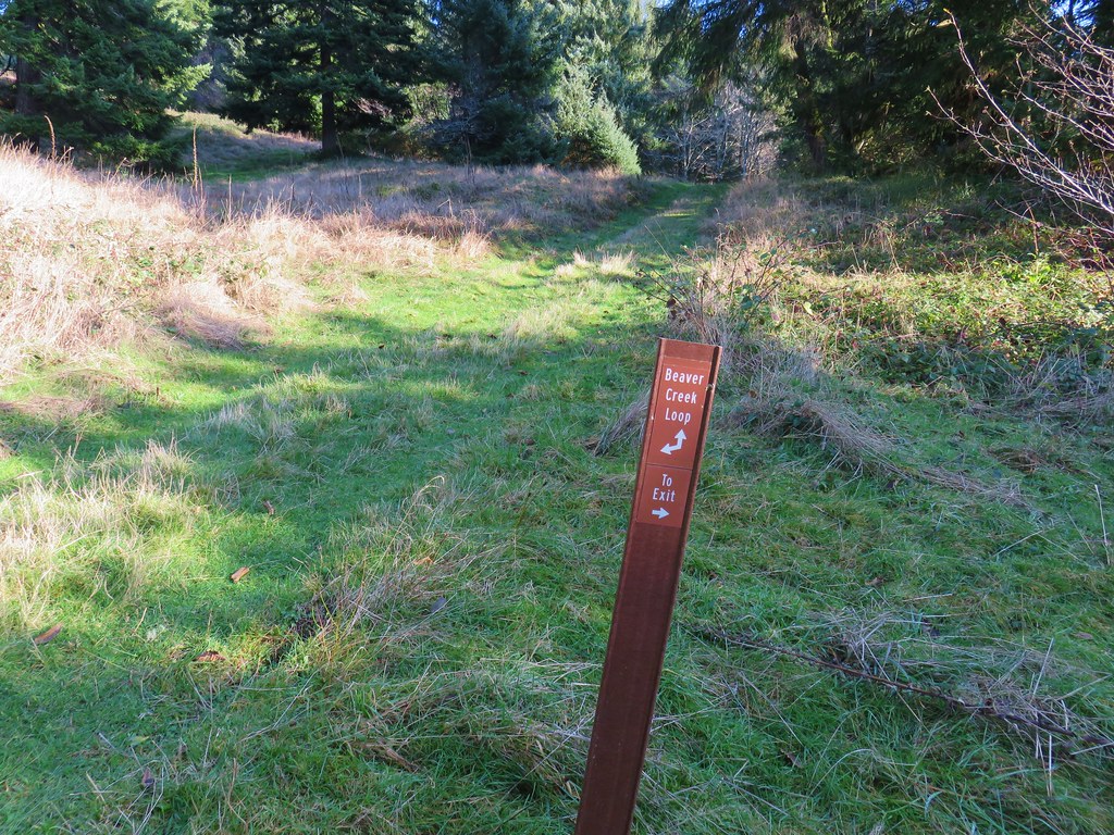
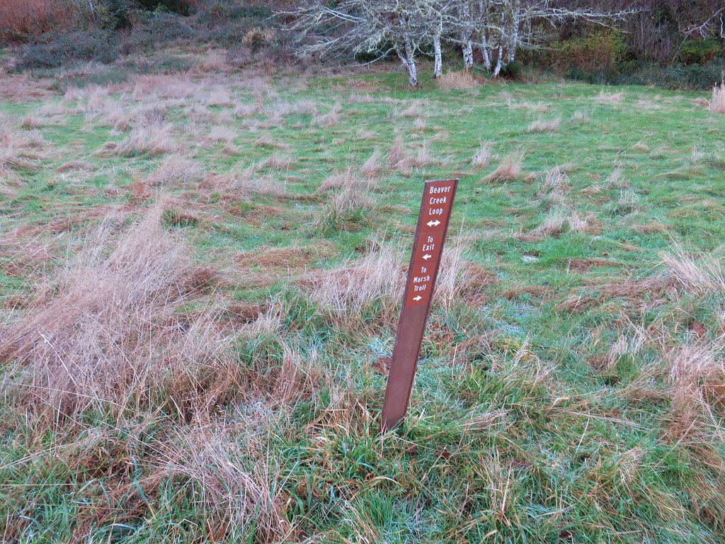
 Sign along the section of trail between the highway and the fish hatchery.

 Trail pointer on the shelter at the fish hatchery.
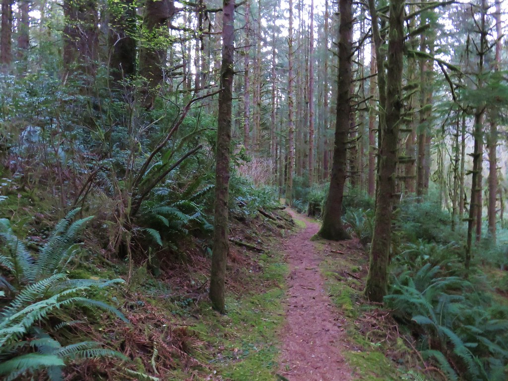
The upper section of trail climbed more significantly and there were several confusing intersections just beyond the hatchery that were part of interpretive trails separate from the Gnat Creek Trail.

 Youth-on-age
 Numbering on a tree for the interpretive trails.

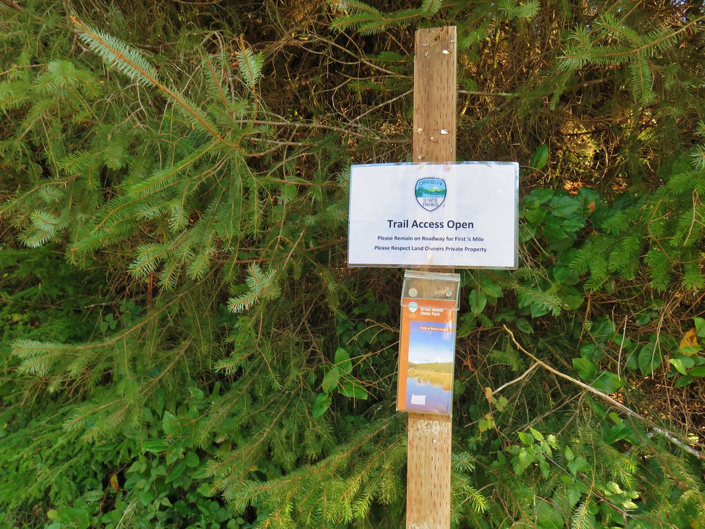
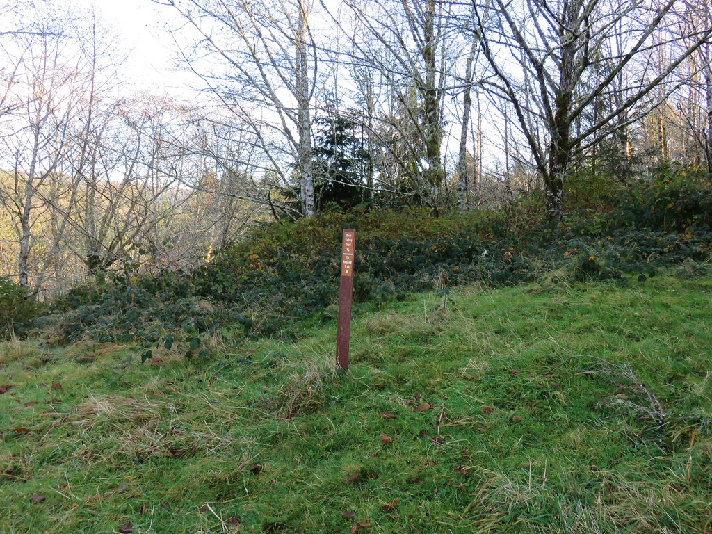
We were able to locate a sign for the Upper Gnat Creek Trail along the closed road coming up from the hatchery.

 Bigfoot off the Gnat Creek Trail.

 Trillium
 Huckleberry blossoms and a downed tree along the Gnat Creek Trail.
 Scouler’s corydalis along the trail.
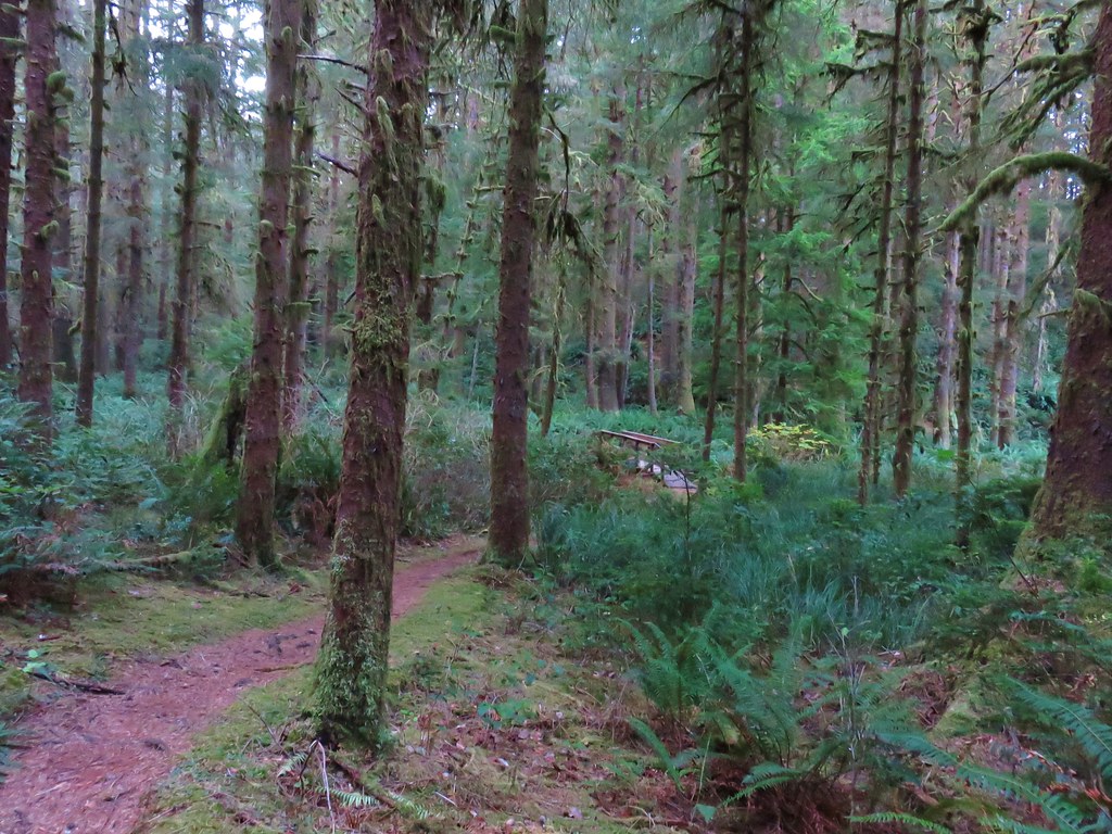
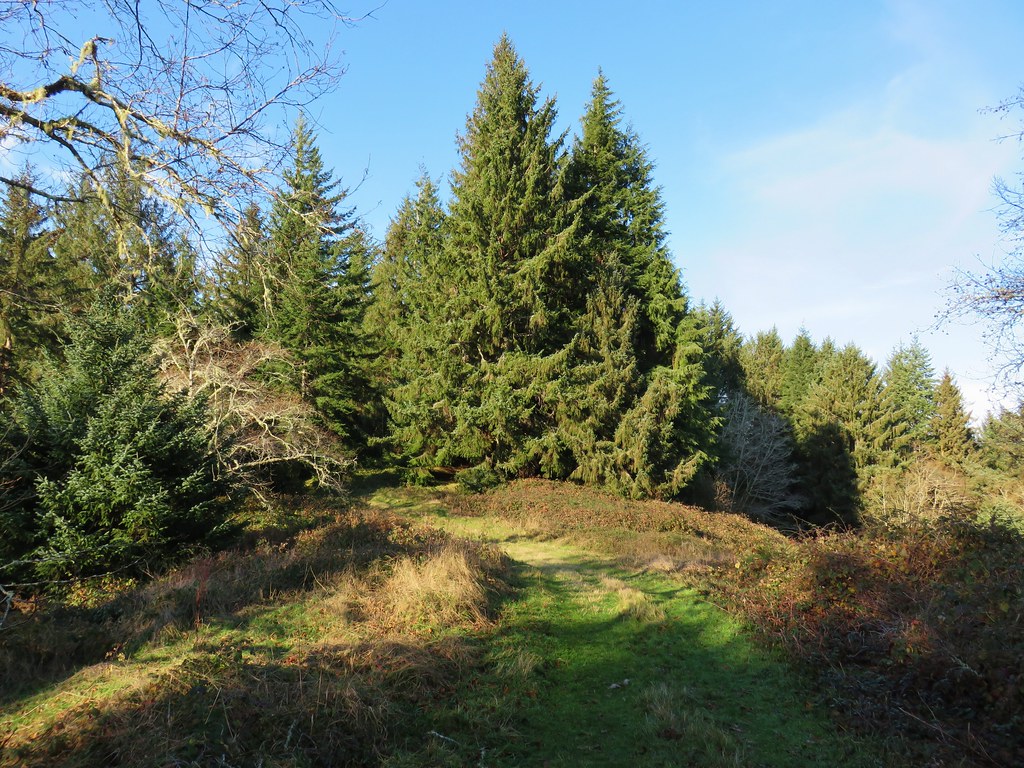
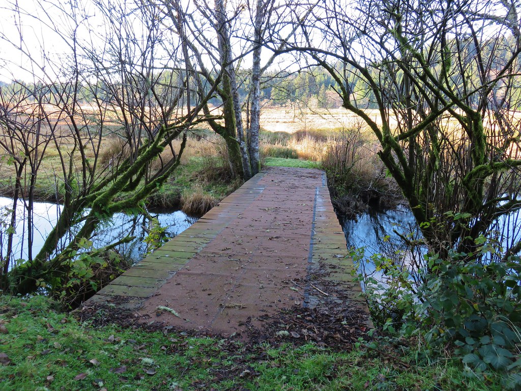
 The start of the short loop.
 One of two benches along the loop.
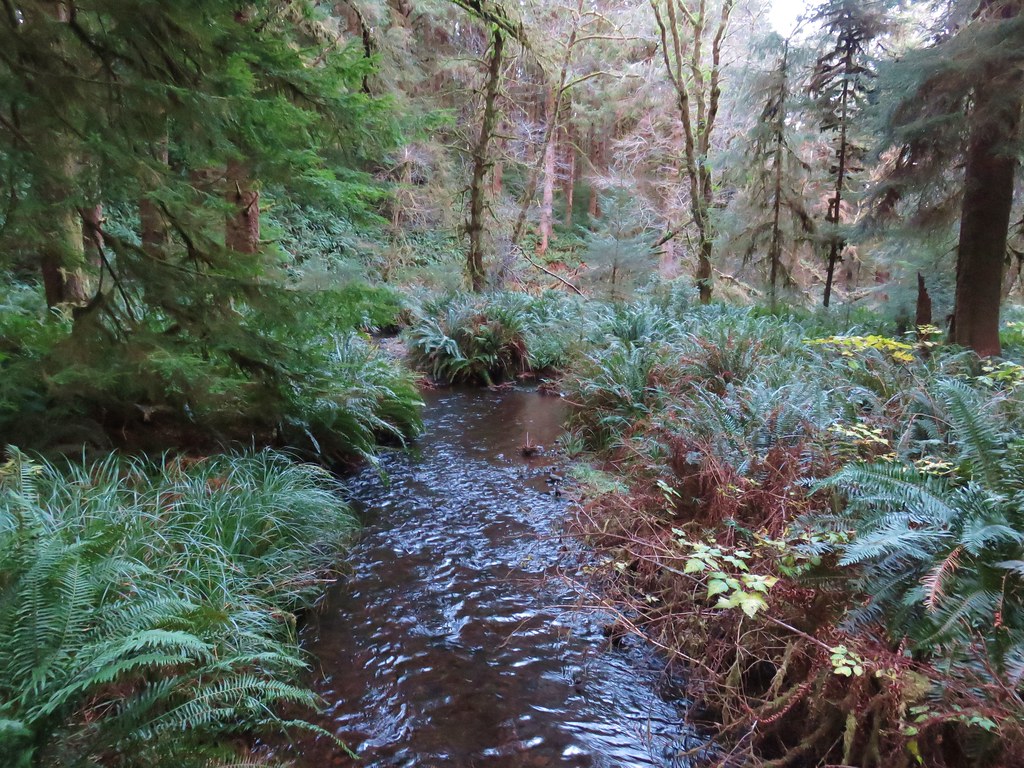
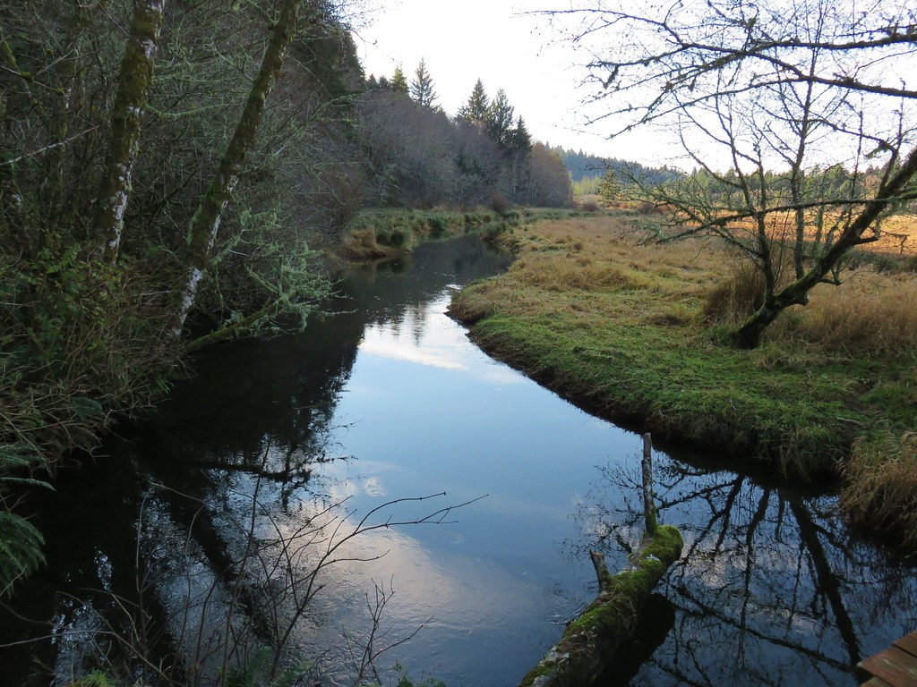
 Gnat Creek from the bench.
We took a short break on the first bench then finished the loop and headed back to the fish hatchery.
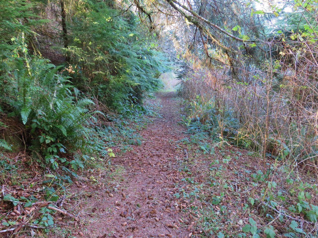
 The backside of the loop was a little overgrown.
 Star-flowered Solomonseal
When we arrived back at the paved road we crossed it and followed the interpretive trails along Gnat Creek to the trailhead at the hatchery.

 We mostly stayed right at junctions to keep along the creek.


 Barrier Falls


 Unnamed waterfall near the hatchery trailhead.
We passed through the hatchery to pick up the Gnat Creek Trail again and followed it back to our car.


Our hike here came in just under 8-miles while our stop at Beaver Falls was just 0.7-miles.

Our track for the Gnat Creek Trail.
These were a couple of enjoyable stops that were perfect for breaking up a long drive. They were also the perfect duration to keep us from arriving at our cabin near Forks before check-in at 4pm. We arrived just after 4pm got unpacked then went out for some food and got to experience some Forks rain (the average rainfall in Forks is 120 inches). Fortunately for us the forecast was for drier conditions over the next few days before turning wet again for our final day on Friday. Rain or shine we were looking forward to exploring another National Park. Happy Trails!
Flickr: Beaver Falls and Gnat Creek


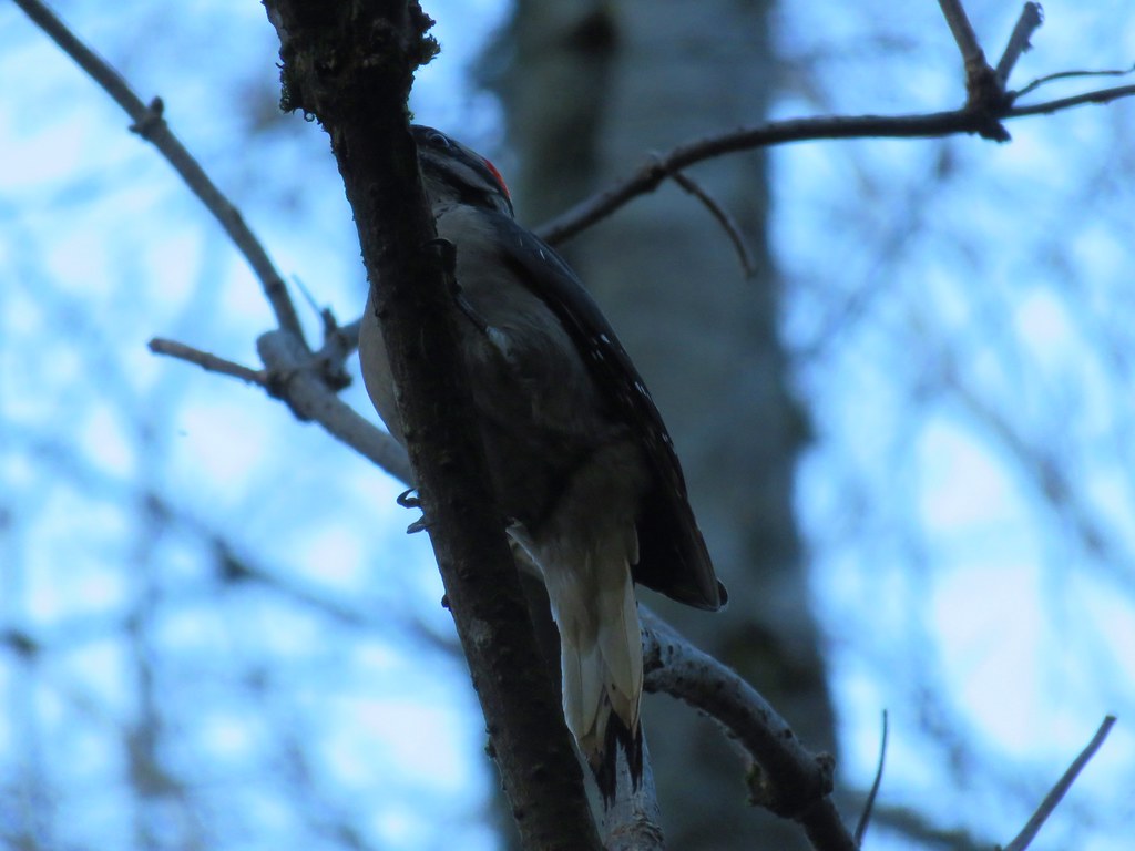
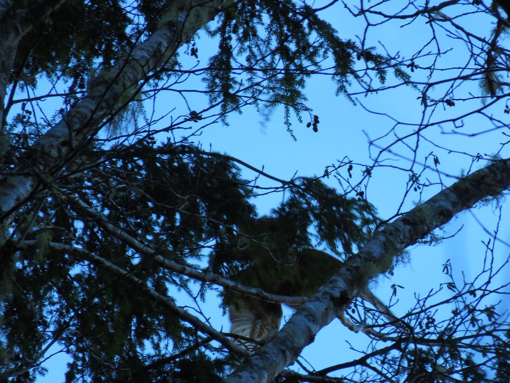 Hawk flying off