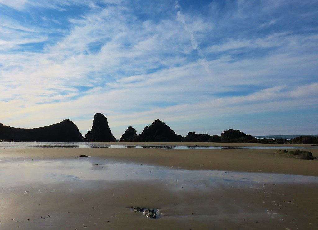
For Memorial Day weekend we headed for Bend to visit Heather’s parents and check out some new trails. We had two stops planned on the way from Salem to Bend. Originally those stops were to visit a suspension bridge over part of Detroit Lake and the Peterson Ridge Trail system in Sisters. As the weekend neared, I started questioning the wisdom of stopping at the popular trailhead in Sisters on a holiday weekend. As I was scanning Google Maps for inspiration for a new-to-us trail along Highway 20 I noticed a couple of trailheads for the Metolius Preserve. Somehow this had flown under our radar but with over 10 miles of trails and the multiple loop options it looked like a good option.
With the new plan set we got an early start Saturday morning and headed for Detroit Lake’s Blowout Arm. We were working out of Matt Reeder’s “101 Hikes in the Majestic Mount Jefferson Region” guidebook and followed his driving directions to the trailhead.

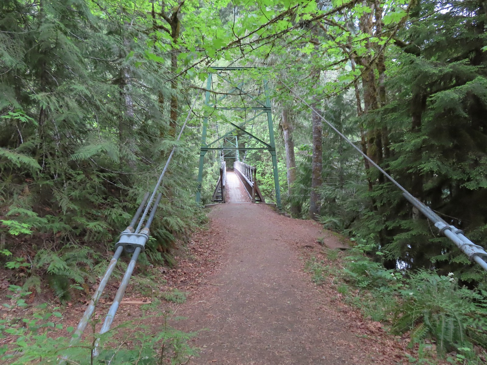
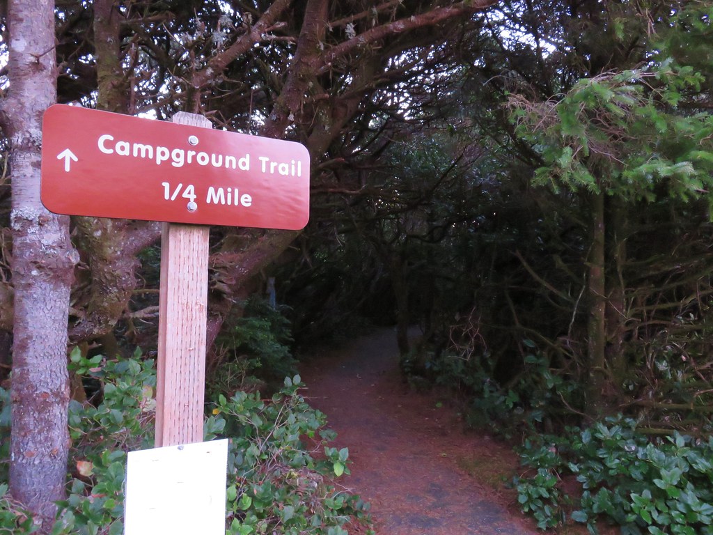
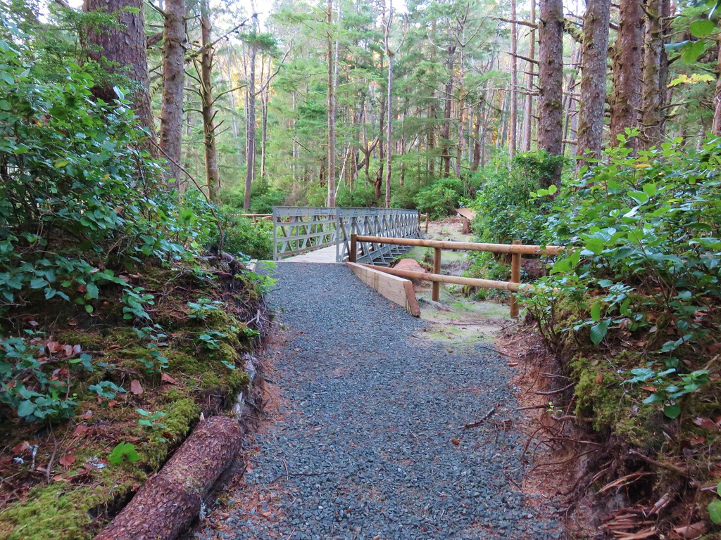
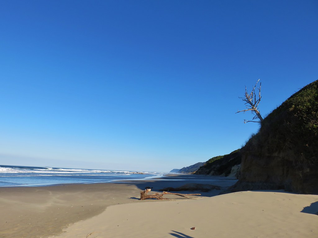
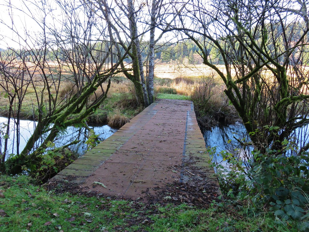
A reportedly popular spot for swimming we thought this was a good time of year (and time of day) to avoid the crowds and that proved to be correct. We followed the trail downhill for approximately 0.2-miles to the bridge.
 Our first rhododendron blossom of the year.
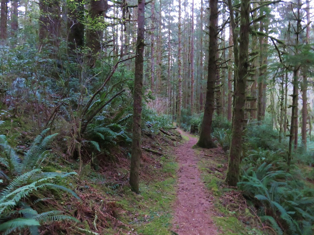
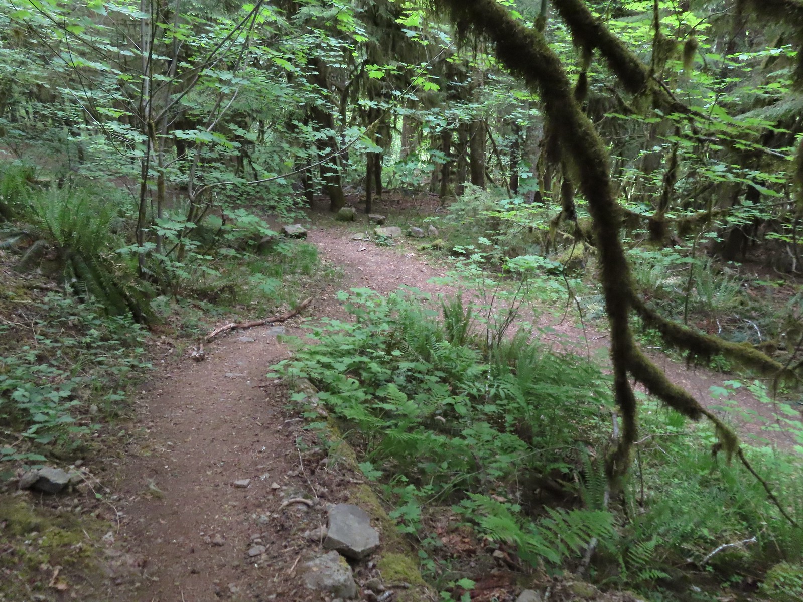 We turned right when the trail met an old logging road.


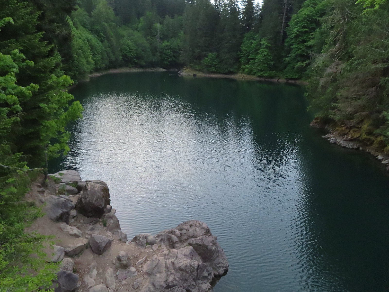
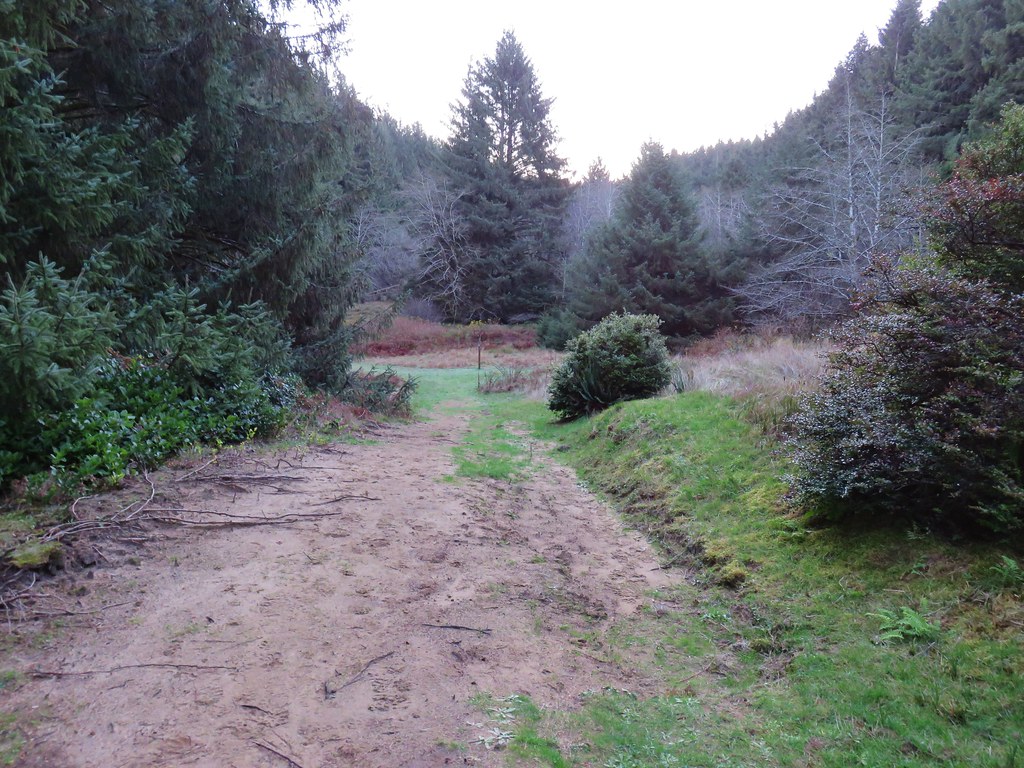
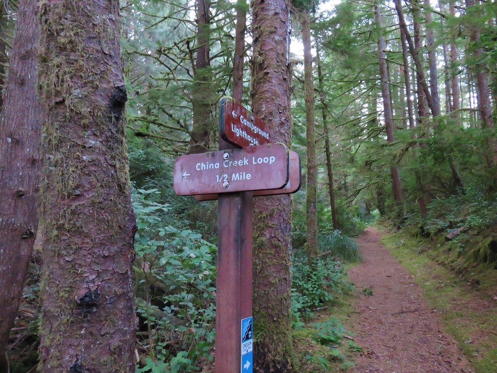
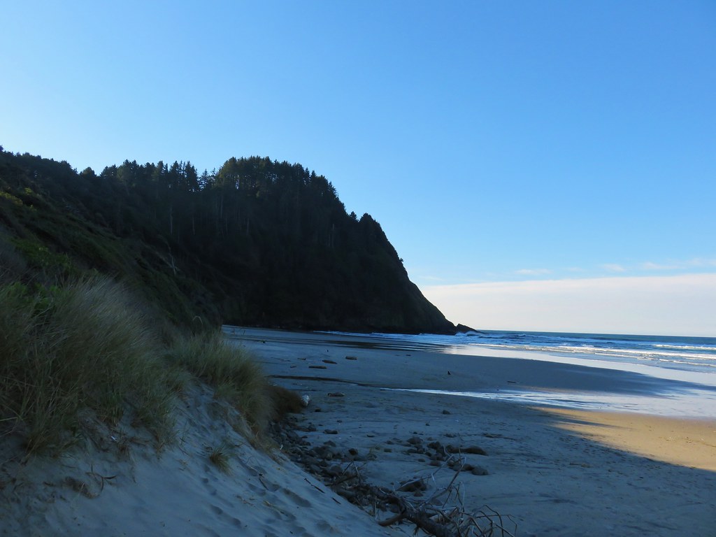
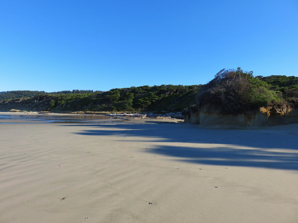
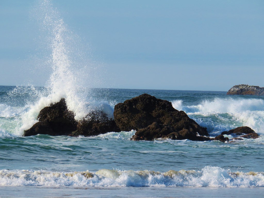
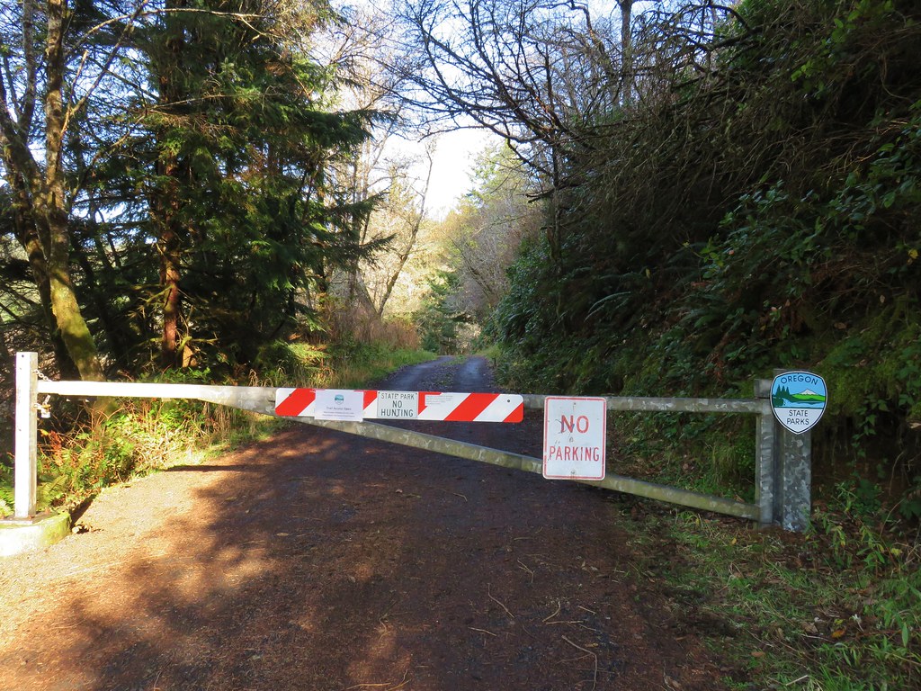
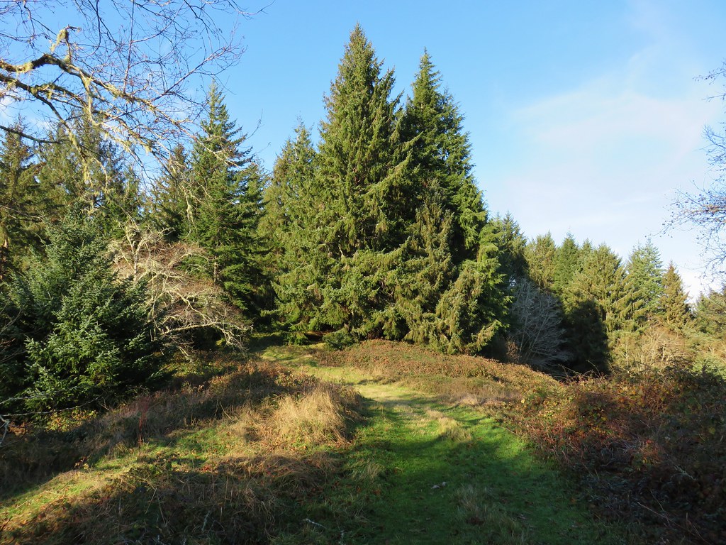
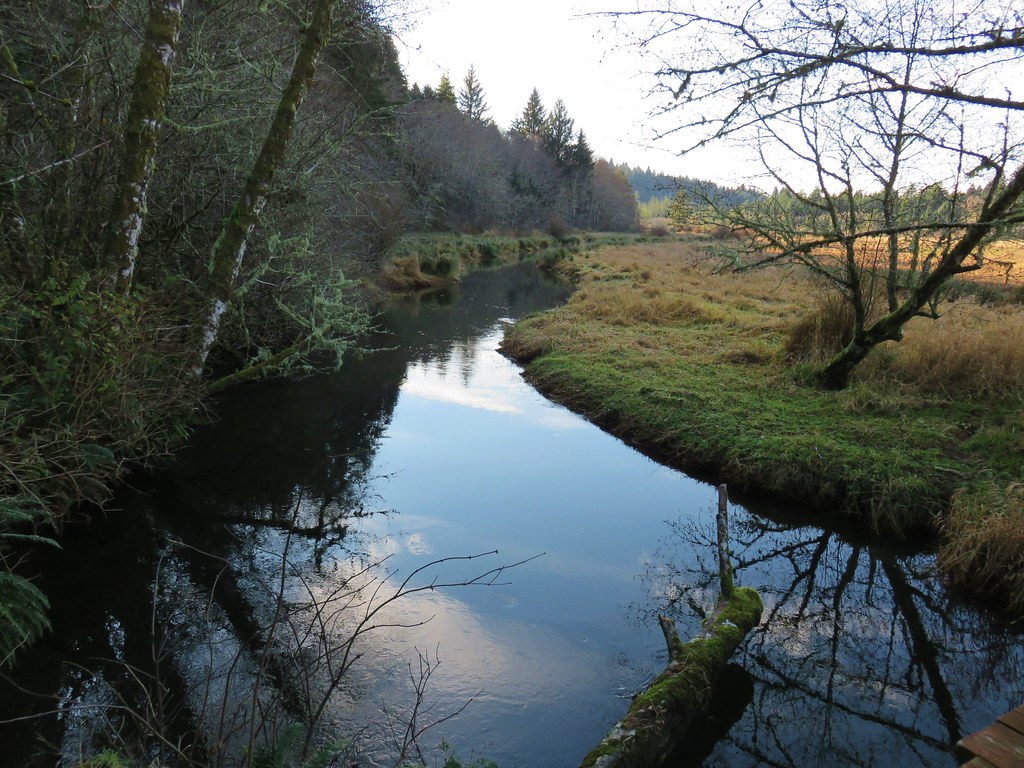
 Blowout Arm
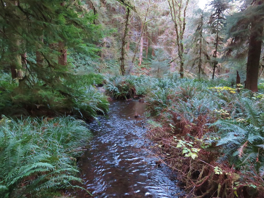
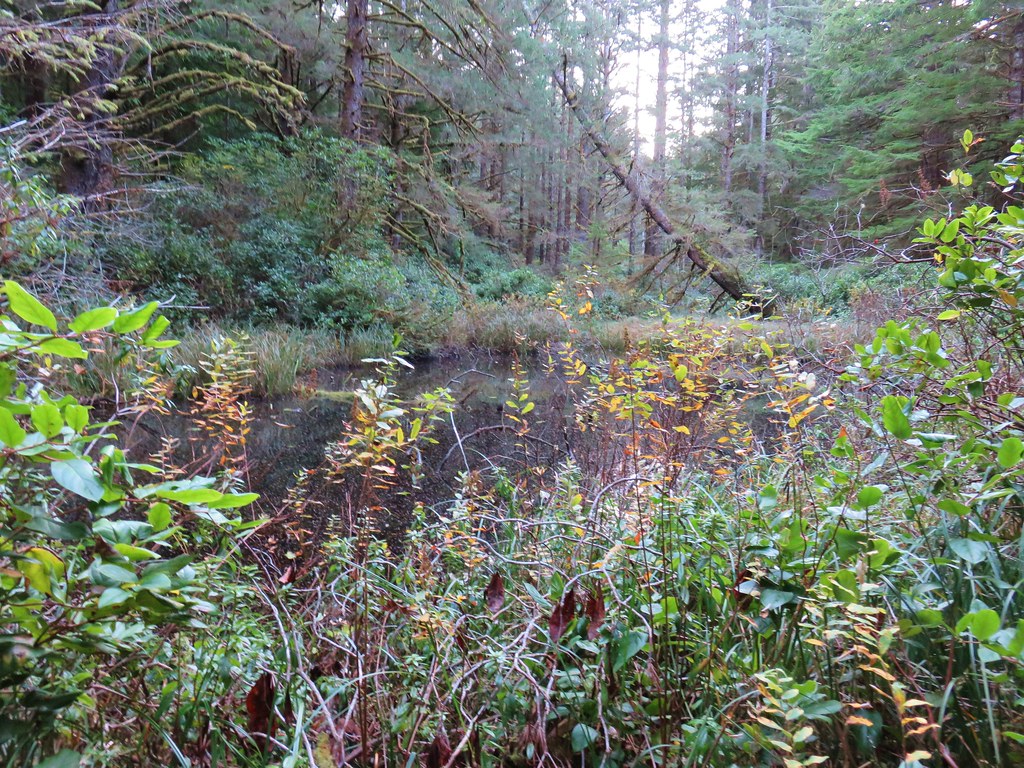
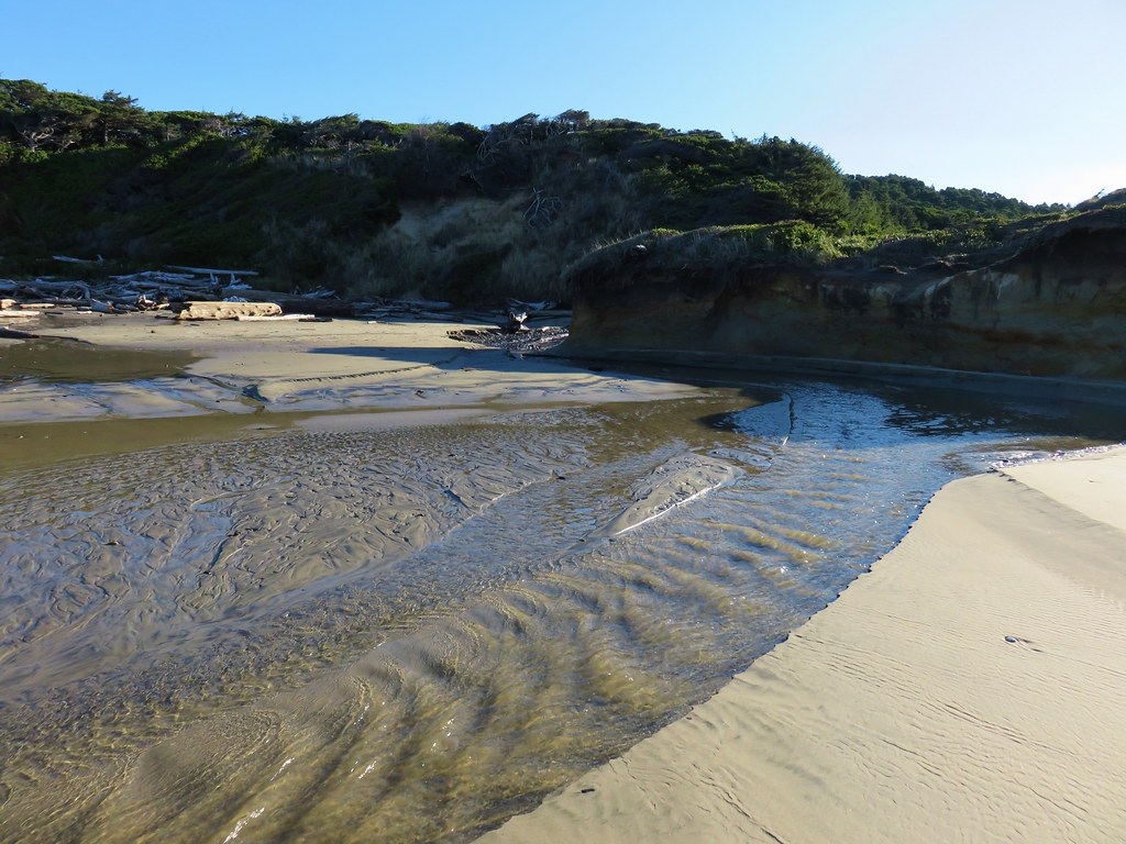
 Blowout Creek flowing into Blowout Arm.
A little post-hike research led me to a post on Oregonhikers.org by justpeachy which revealed that this had once been part of the “Volcano” Trail and connected to several other trails above Detroit Lake, but these days the trail ends not far beyond the bridge.
 We found our first beargrass on the other side of the bridge.

 Swimmers at Blowout Arm.
After not being able to cross the suspension bridge over the Illinois River earlier this month (post) it was nice to be able to do so here. After returning to the car we continued East on Highway 20 to Jack Lake Road (Forest Road 12) where we turned left and headed for the Metolius Preserve‘s North Trailhead.
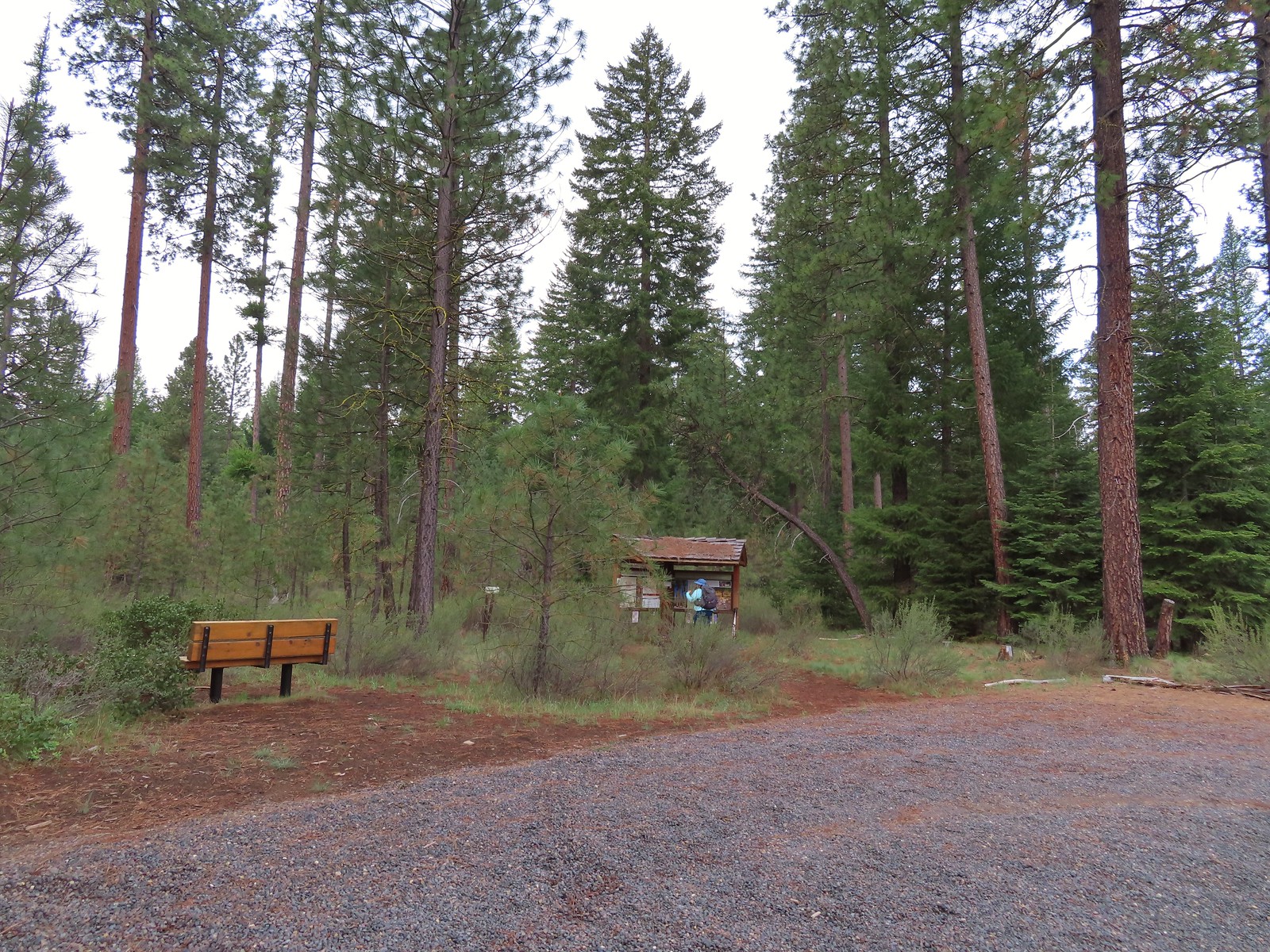
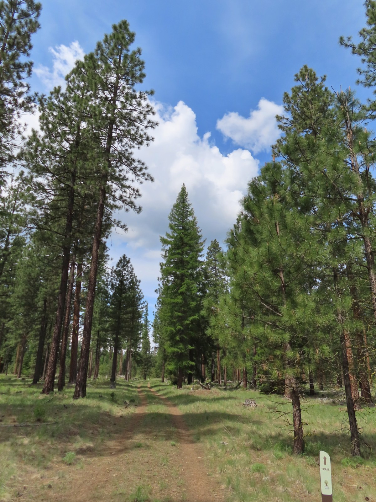
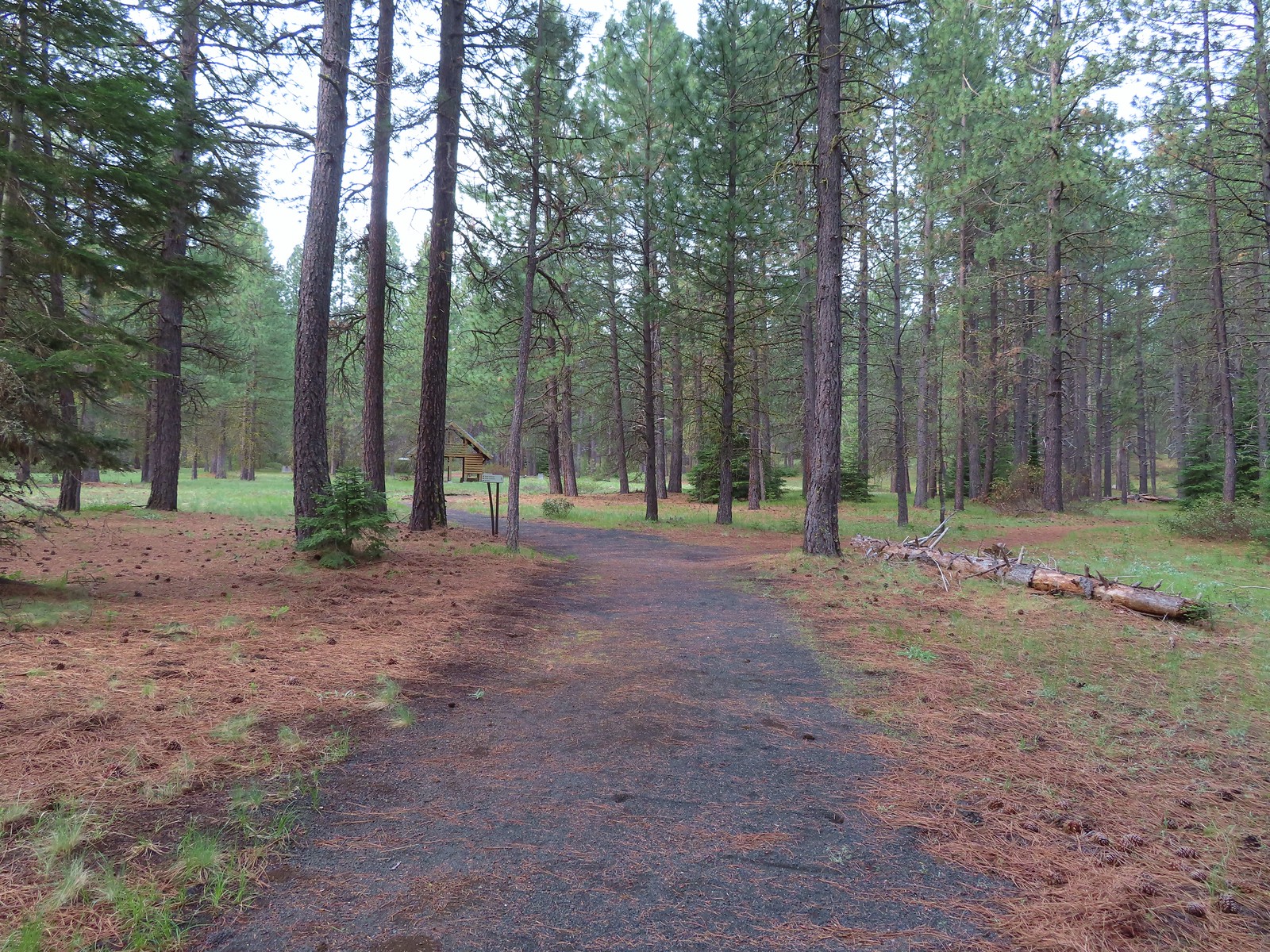
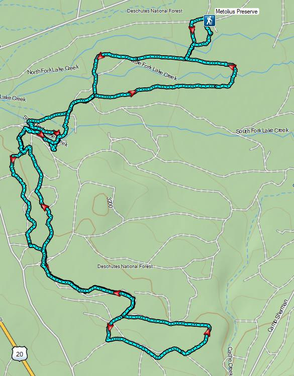
Acquired by the Deschutes Land Trust in 2003, the Preserve is 1,240 acres with over 10 miles of trails. Our plan here was to hike the Larch, Fir, and Pine trails, each of which includes at least one loop by staying right at all trail junctions.
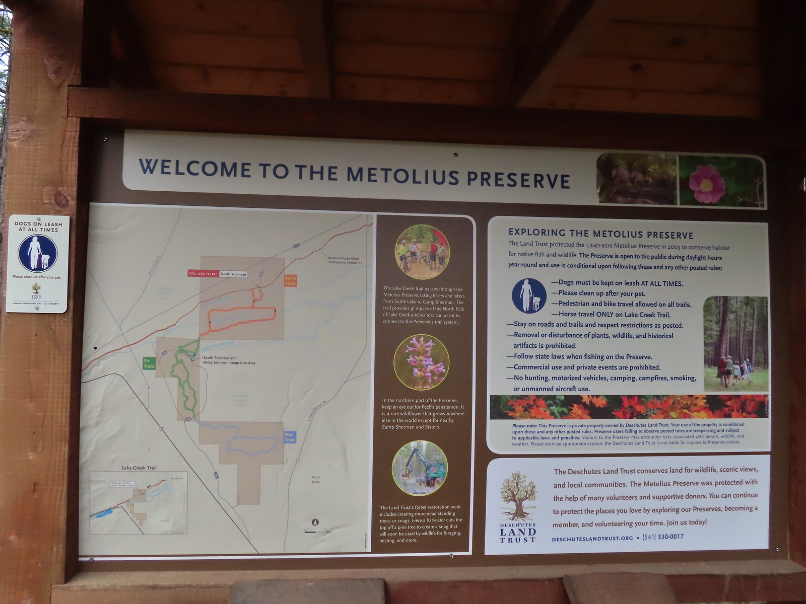
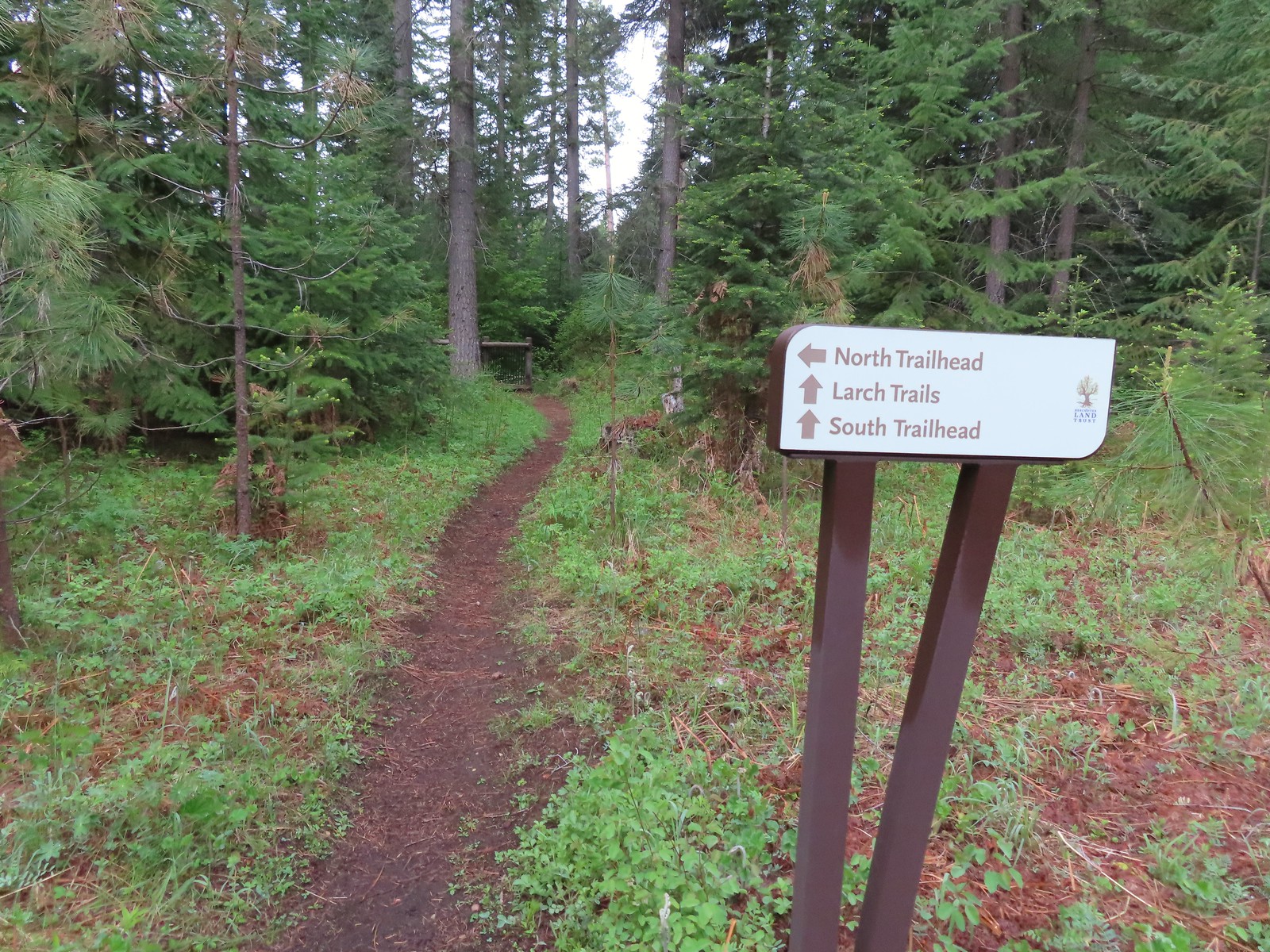
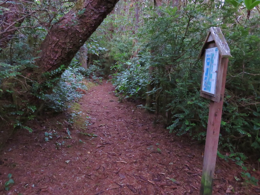
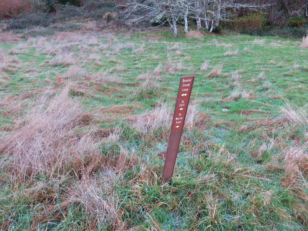
After looking over the trailhead signboard we walked back to the parking lot entrance which crossed the Lake Creek Trail, the only trail in the Preserve open to horses. Bike and dogs (on leash) are allowed on all trails. Following a point for the Larch Trails we started along the Lake Creek Trail and soon turned left at another pointer for the Larch Trails.
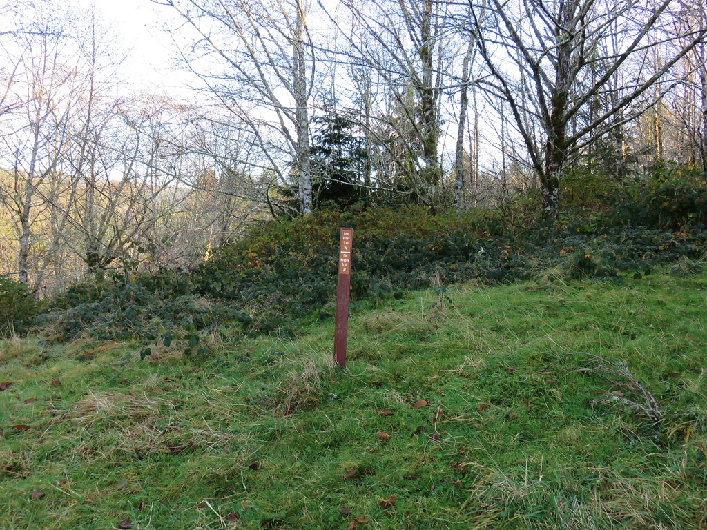
 Sign for the Lake Creek Trail.
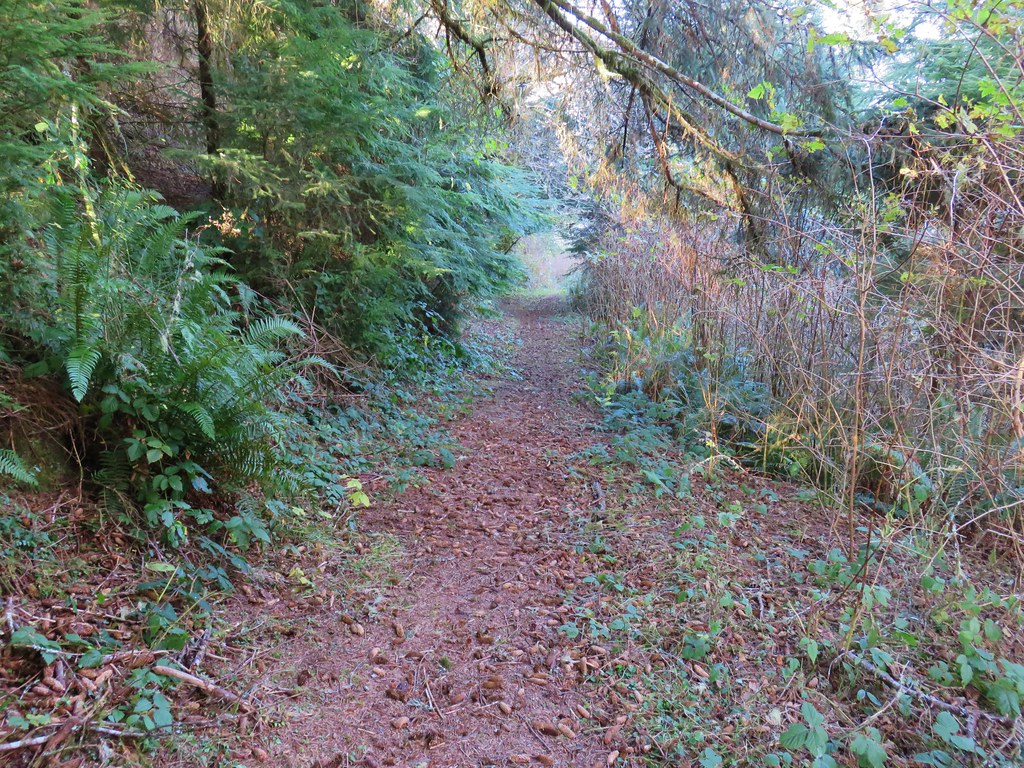
 Lake Creek Trail
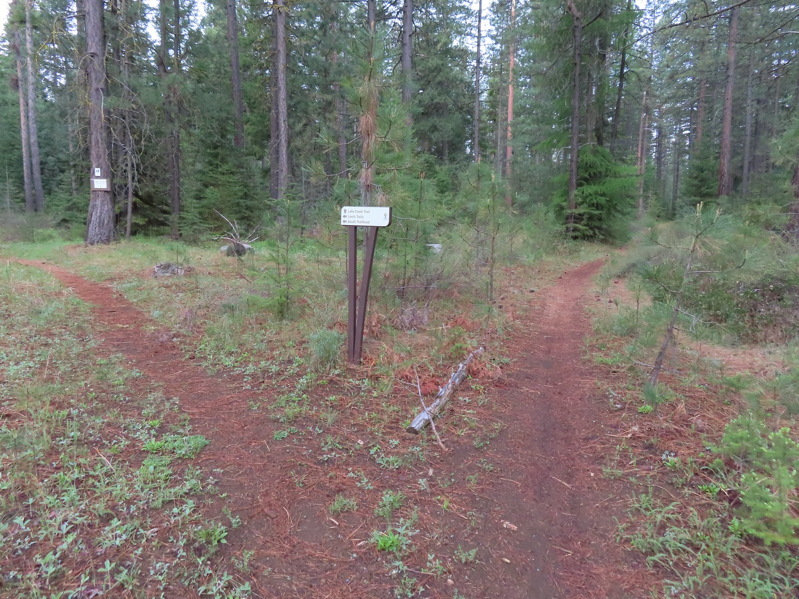 Pointer for the Larch Trails.
Just before reaching a footbridge across the North Fork Lake Creek we passed a junction with a return trail to the North Trailhead.
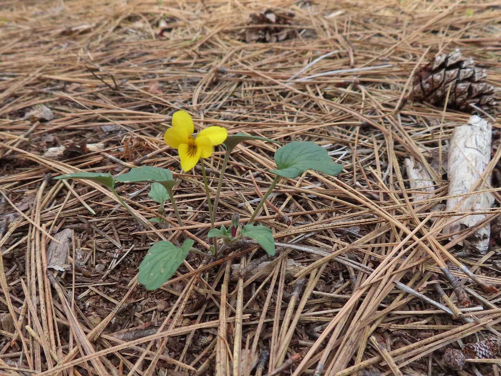
 Violets
 Star-flowered solomonseal
 Serviceberry

 North Fork Lake Creek
At another junction just beyond the bridge we turned right and followed the Larch Trail passing over the Middle Fork Lake Creek before reaching the next junction.


 Middle Fork Lake Creek
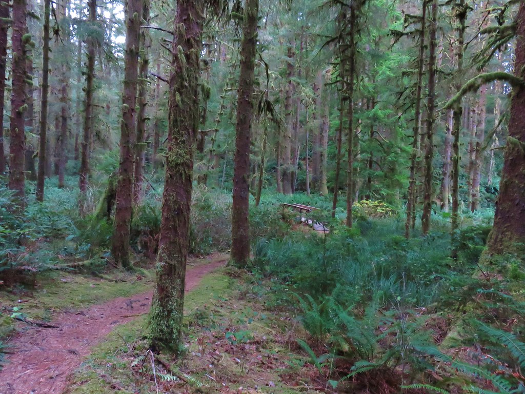
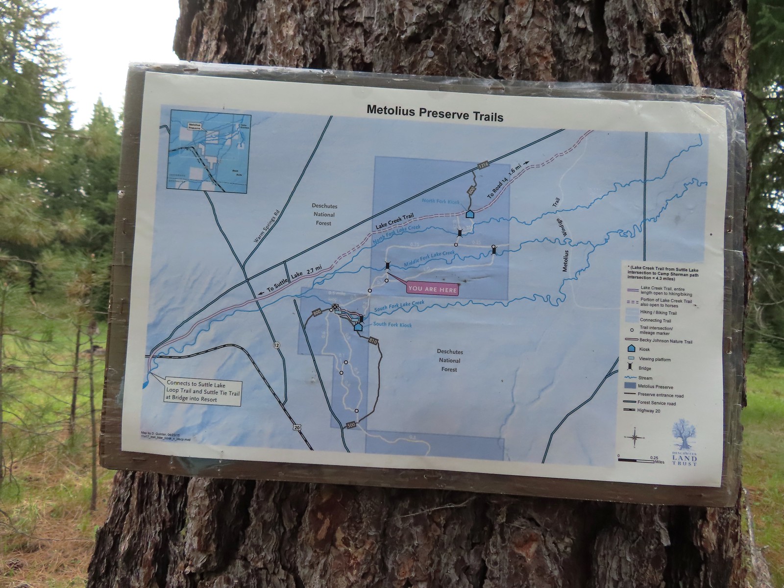 Between the pointers at junctions and a few well-placed maps it was relatively easy to stay on course, as long as we were paying attention.
 We stayed right again here at the start of the Fir Trails.
 A seasonal tributary of Middle Fork Lake Creek.

 Balsamroot
 Fir Trail reaching a bridge over the South Fork Lake Creek.
 Interpretive sign at the South Fork Lake Creek.
 A second footbridge over another branch of the Lake Creek.
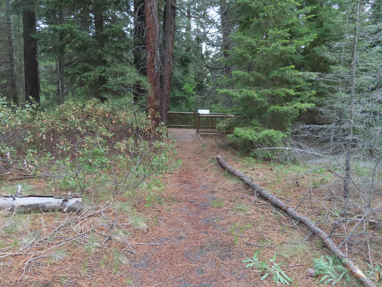
On the far side of the South Fork Lake Creek was the South Trailhead.
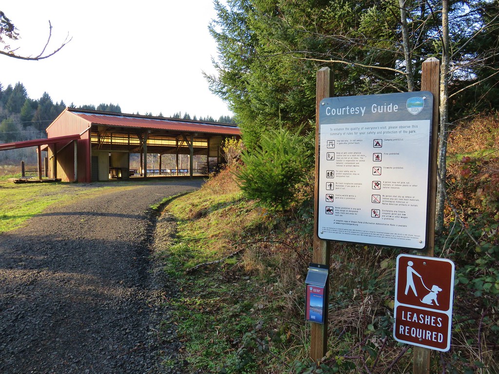
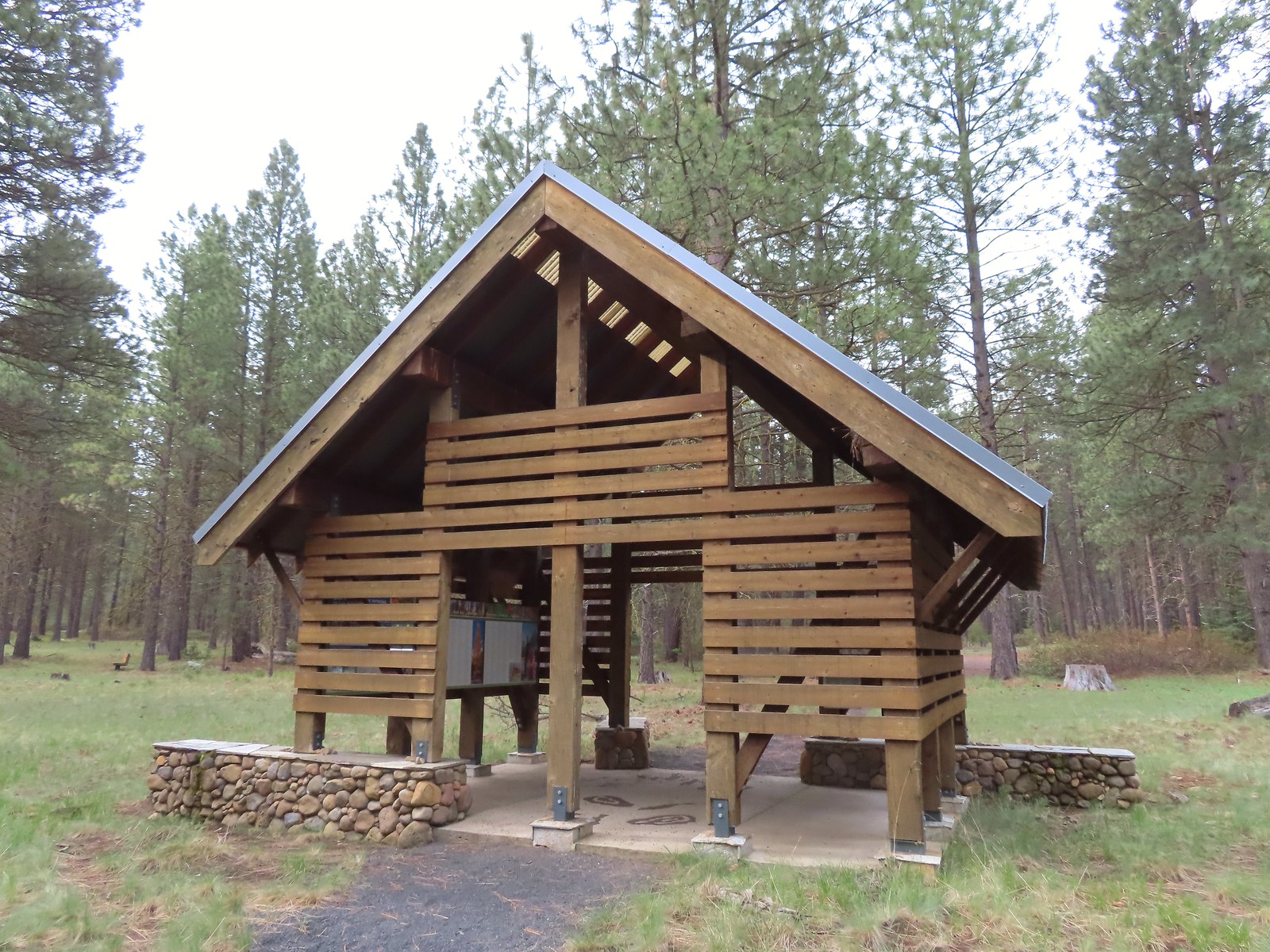 Shelter at the South Trailhead
After a short break at the South Trailhead we continued on the Fir Trails following pointers for the Creek Overlooks.

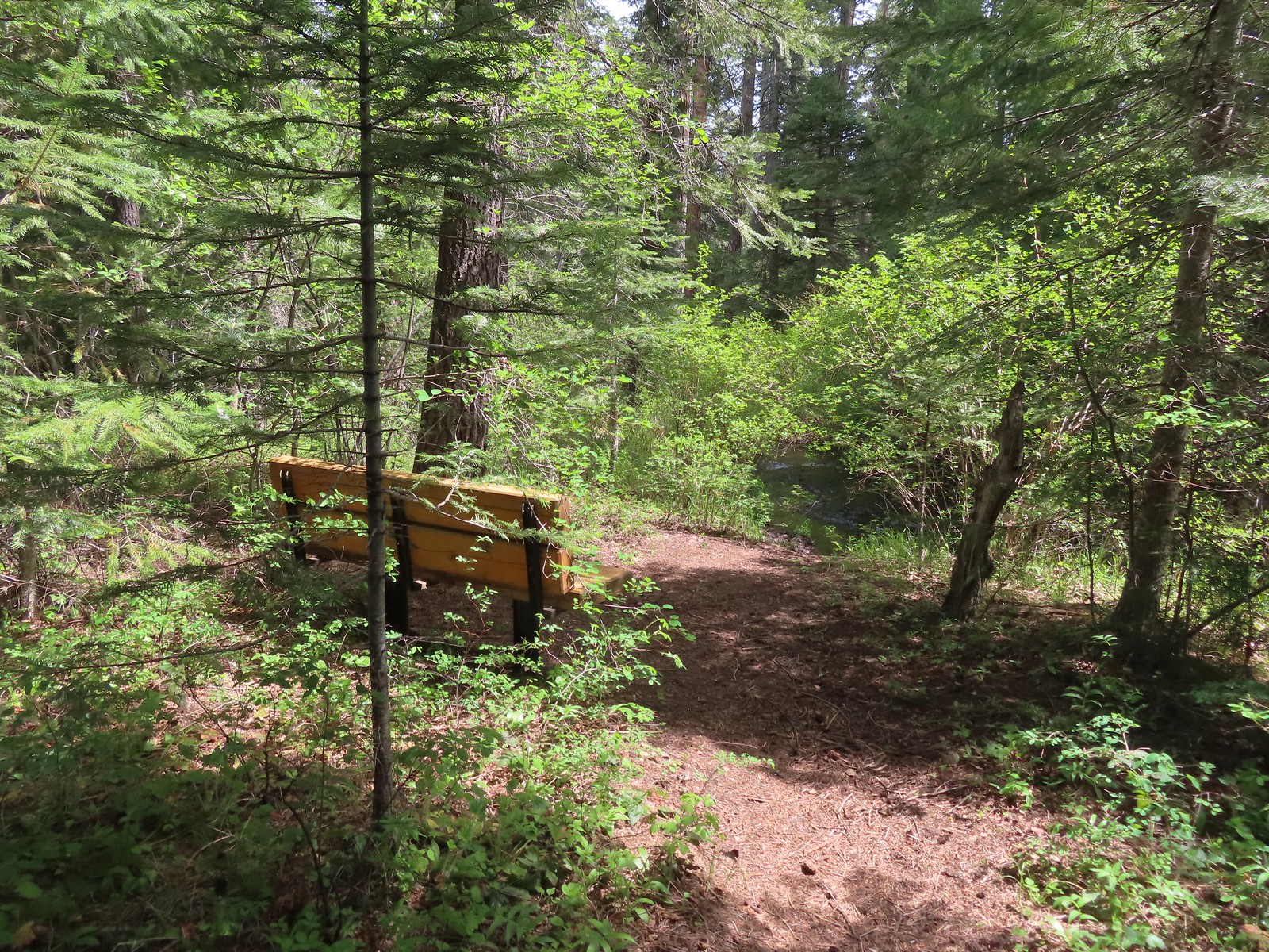
 The first overlook didn’t have much of a view of the creek but the second one did, along with a nice bench.
 The second overlook.
 Interpretive sign at the second overlook.
 South Fork Lake Creek
We continued from the overlooks staying right on the marked trails (there were some roadbeds that we did not turn right on).


 Hound’s tongue with a caterpillar.


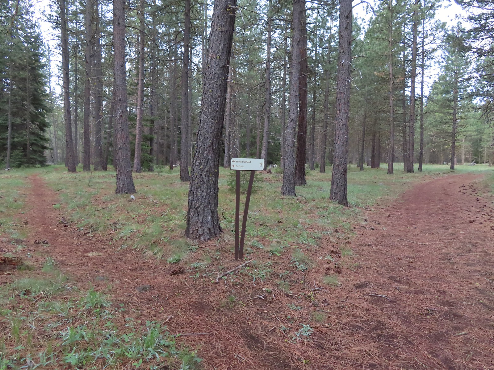
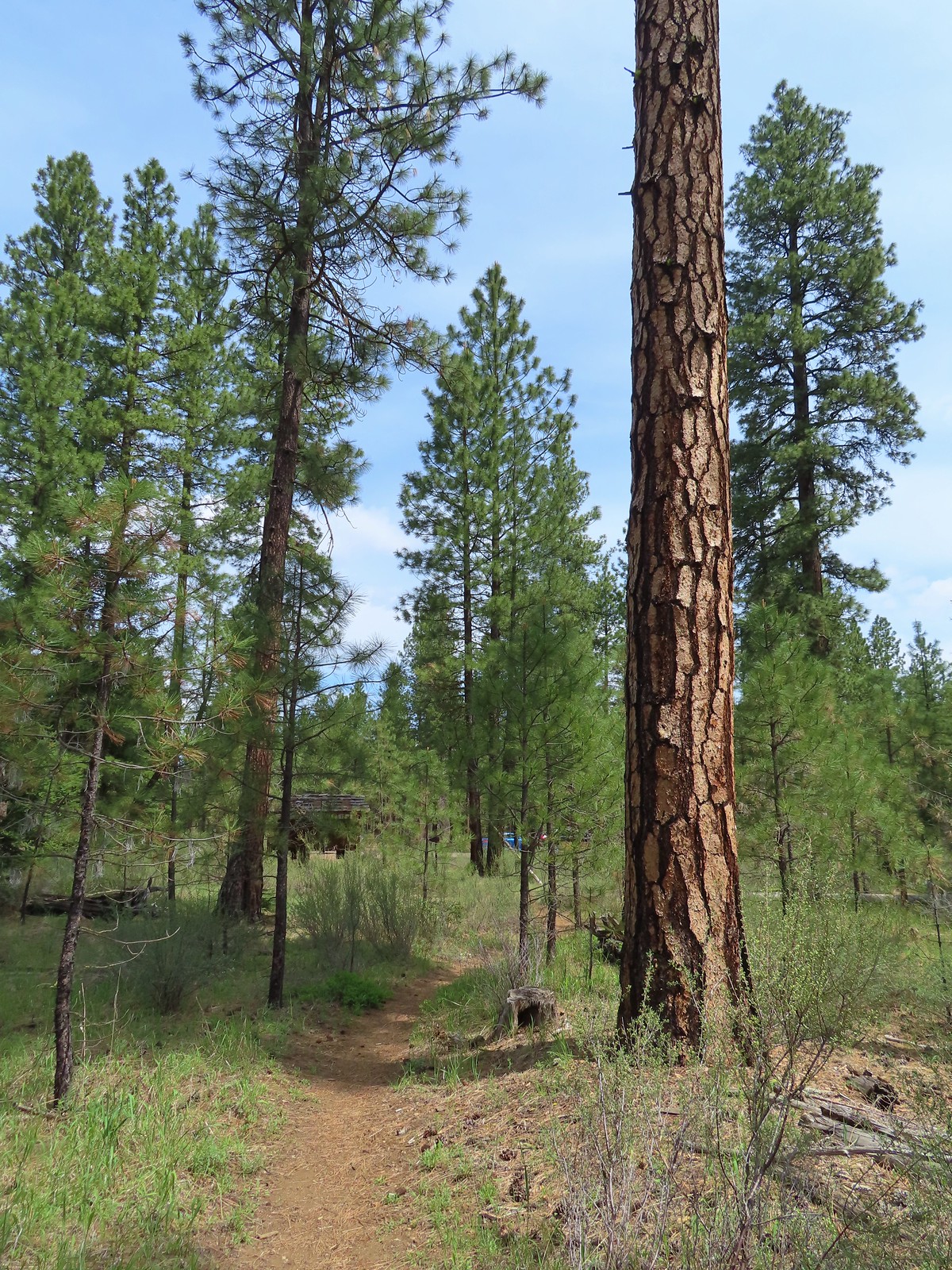
 The Fir Trails end at Road 500 (the entrance to the South Trailhead) and the Pine Trails start on the far side.
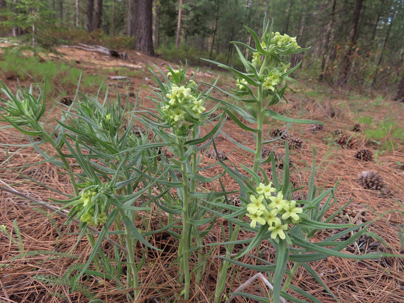 Western stoneseed
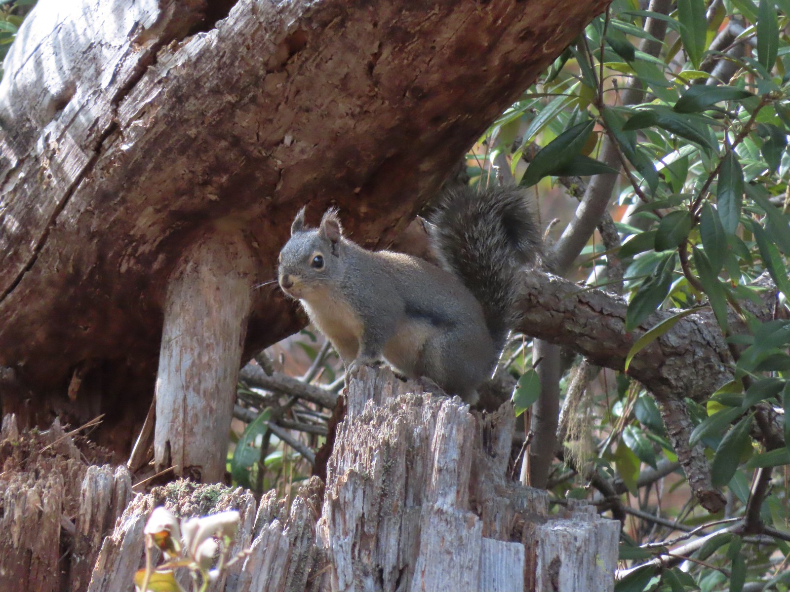 Squirrel
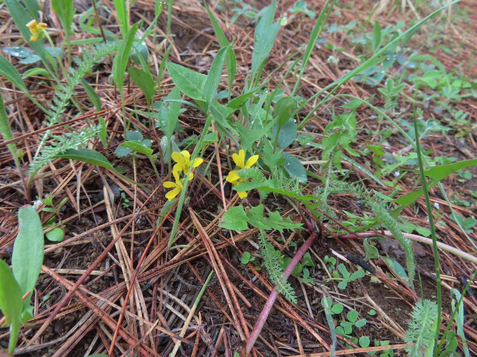
 Goosefoot violet
 One of the non-trail roadbeds to the right along the Pine Trails.
 Balsamroot along the Pine Trails.
 There had been some fairly recent thinning happening along the Pine Trails.
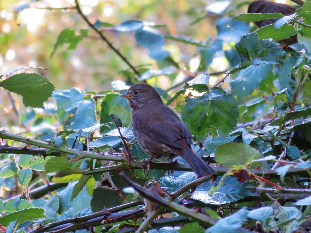
 Chirpping sparrows
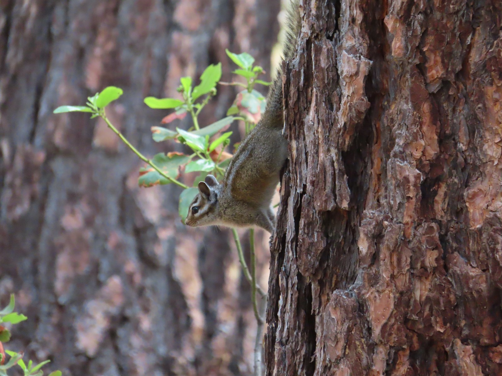 Chipmunks

 Deer along the Fir Trails.
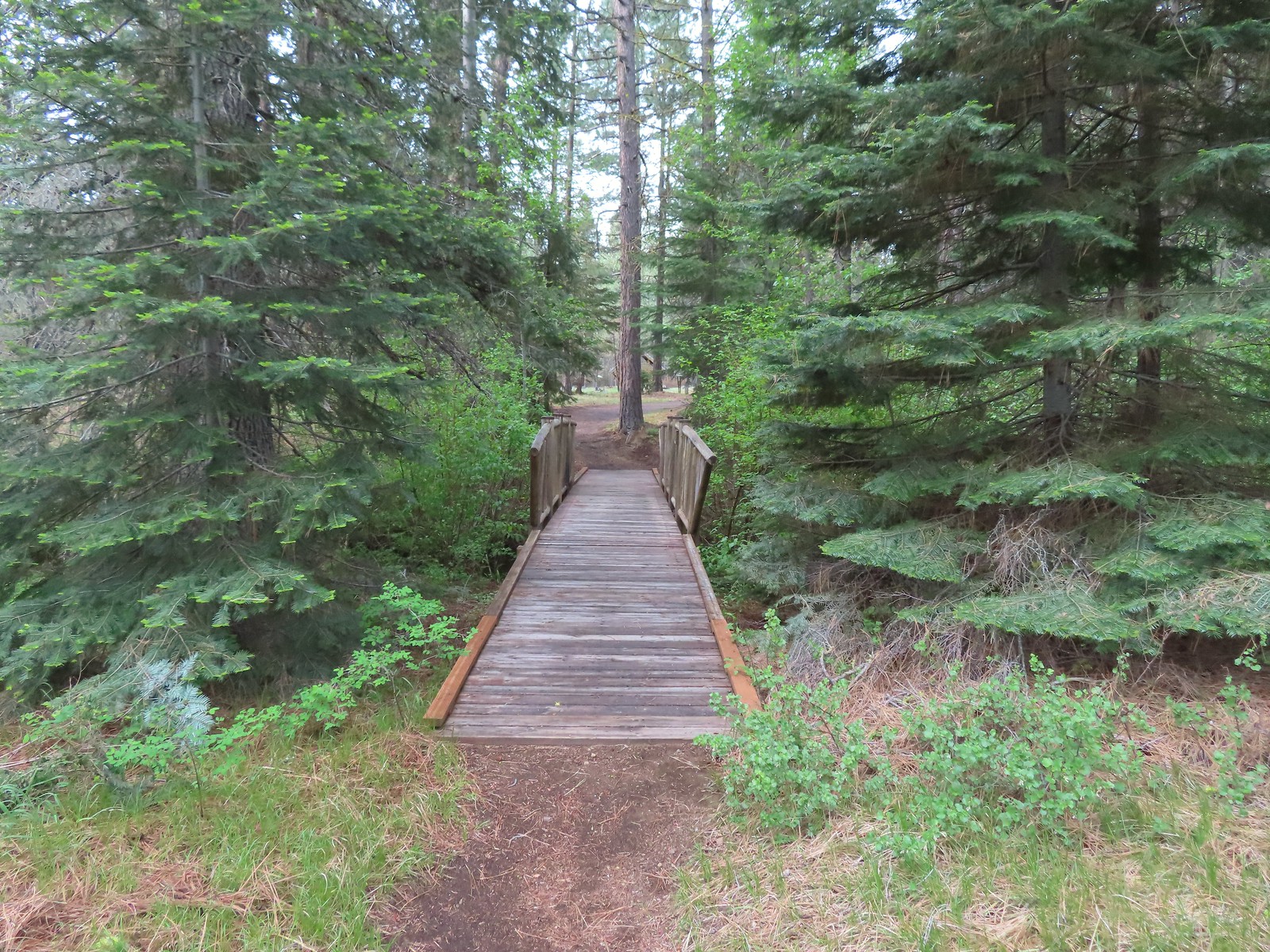
 The Fir Trails crossed the seasonal branch on a small footbridge.

 Slender phlox and narrowleaf miner’s-lettuce.
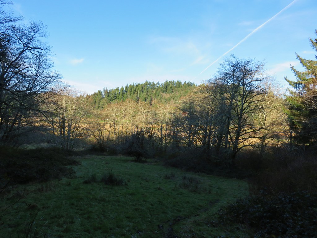
We got a few decent views of Black Butte (post) as we returned along the Larch Trails.


 I took this photo of a swallowtail and then later realized there was a second butterfly on the Oregon grape.
 Lunch
Lunch
 Bridge over the North Fork Lake Creek.

 Bench along Lake Creek near the North Trailhead.
 Arriving back at the trailhead.
Our hike here came to 9.5 miles with maybe 150′ of elevation gain. (Blowout Arm was just 0.6 miles with 100′ of elevation gain.)
This turned out to be a great choice to kick off Memorial Day weekend. While there weren’t any big views, we saw less than 10 people at the Preserve which was far fewer than we would have encountered at Peterson Ridge. Between the various creek crossings, a few wildflowers here and there, and some wildlife there was plenty to make the hike enjoyable. Happy Trails!
Flickr: Blowout Arm & Metolius Preserve


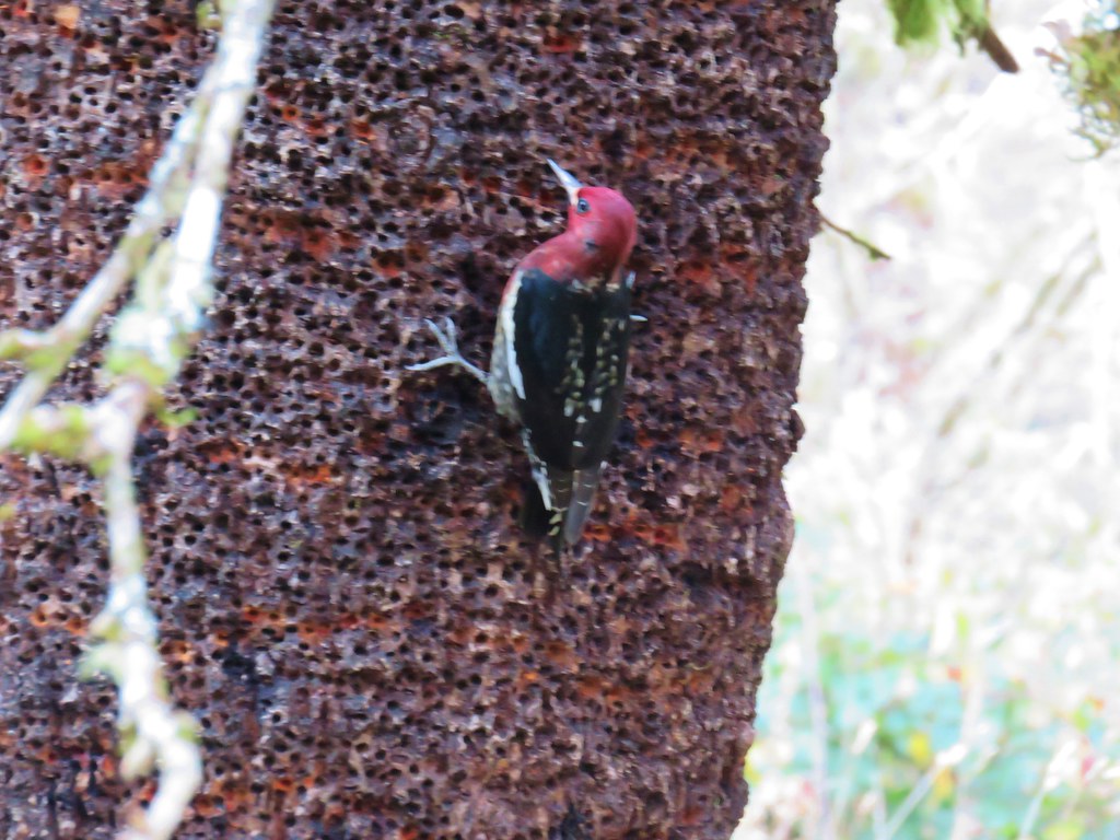
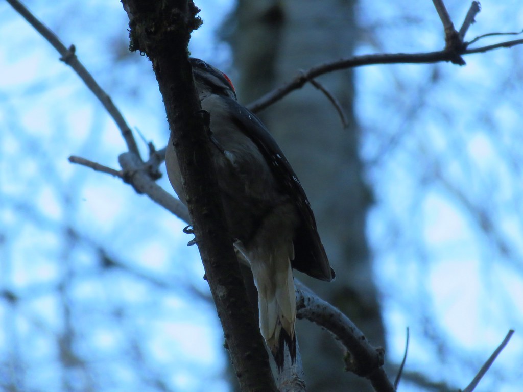
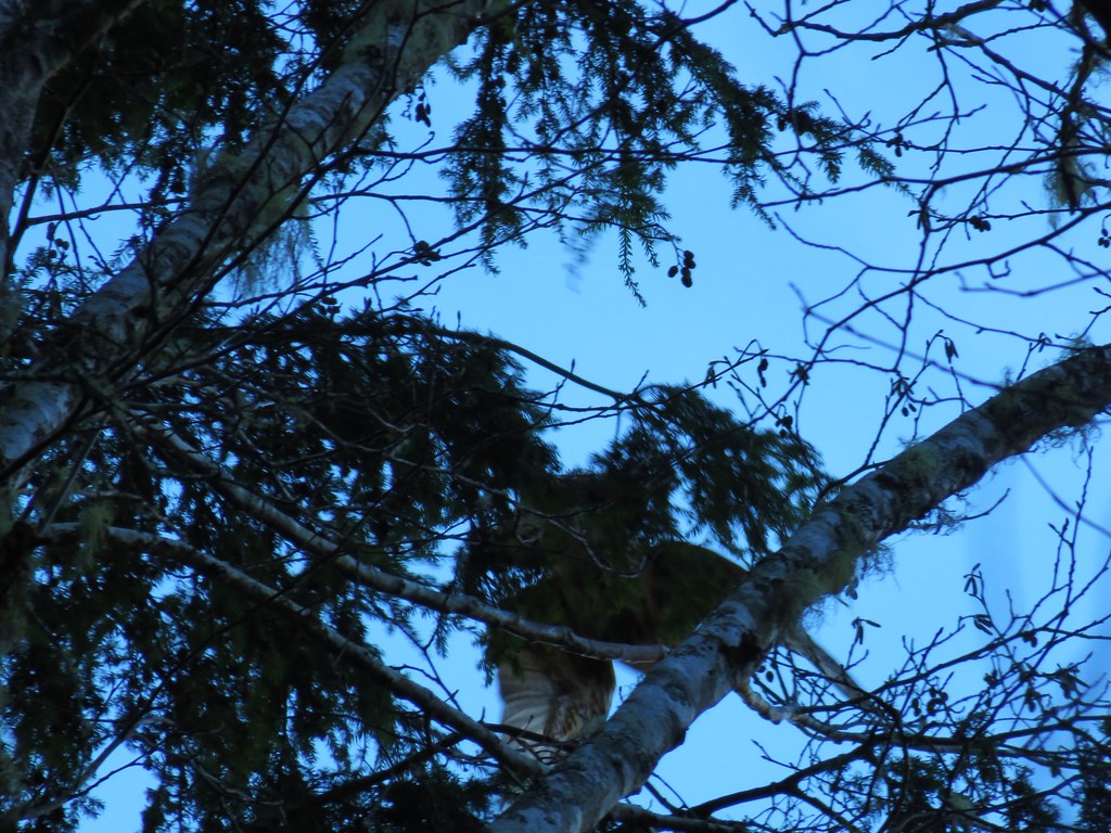 Hawk flying off