 February has been quite a bit wetter than our January was, so we hadn’t been out on any hikes in the first two weeks of the month. A brief window of dry weather was forecast for the Portland-Metro area the day after Valentines Day though and we took the opportunity to revisit Chehalem Ridge Nature Park.
Our first visit to the park was in May of 2022 (post). We had hiked the majority of trails in the park during that visit, but our route had missed the 0.3-mile Castor Trail and missed portions of three other trails. Our plan for this outing was to hike what we’d missed on that first visit.
The website lists the park open from Sunrise to Sunset and Google Maps showed it opening at 7am. (Sunrise was at 7:11am today.) We arrived a quarter after seven and were the first car in the large parking area.

We stopped at the signboard map to confirm our route then headed down Timber Road.


Just over two tenths of a mile along Timber Road we came to the junction with the Castor Trail where we turned left.


Map at the junction, thank you Metro Parks.
The Castor Trail angled us back a bit and climbed up to the Woodland Trail where we turned right.

We followed the Woodland Trail for two tenths of a mile then forked right onto a short spur trail that acts as a connector to Timber Road.


It was just 150′ back to Timber Road along this connector trail.
The spur brought us to Timber Road across from the Ammefu Trail. We had taken that trail in 2022 which loops back to Timber Road further to the NW thus missing a short 0.1-mile section of the road.

At the 4-way junction we turned left and hiked the 0.1-mile section of Timber Road. We stayed on the road a total of 0.4-miles where we turned right onto the Witches Butter Trail.

While the forecast had indicated that it would be mostly sunny here at some point it didn’t happen before our hike ended.
We stopped for a bit to try and get a photo or two of some birds that were flitting between trees. At least one of them was a golden-crowned kinglet which is a species that we hadn’t gotten a photo of yet. After a number of attempts we still don’t have a good photo, however I did manage to get an out of focus shot where it could at least be identified.


The Ammefu Trail rejoining on the right with another connector to the Woodland Trail on the left.


Squirrel!

Christensen Creek

Witches Butter Trail heading straight into the forest. The trail to the furthest right is the Ayeekwa Trail. We had taken the 0.7-mile Ayeekwa Trail in 2022 which rejoins the Witches Butter Trail just 0.2-miles from this fork.
This time we stuck to the Witches Butter Trail.

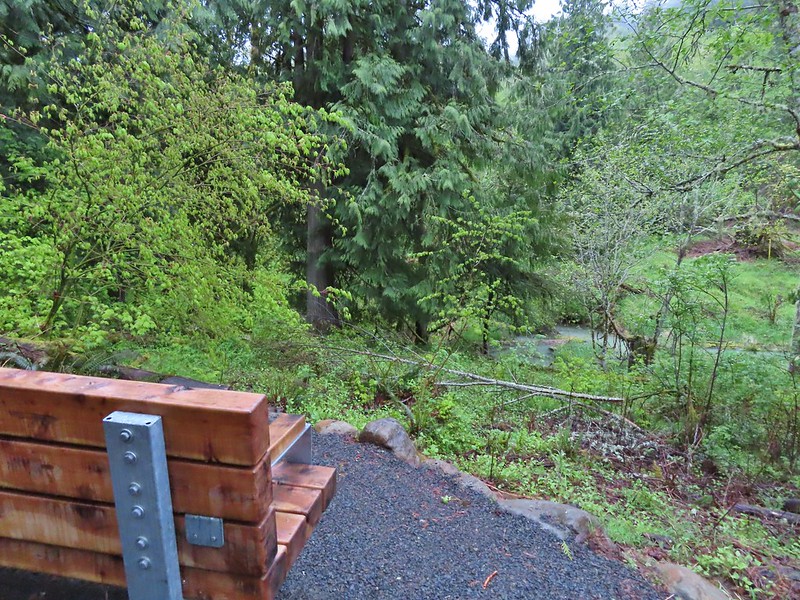
Three tenths of a mile along the Witches Butter Trail we came to one of the benches that are placed around the park.

This bench faced a clearing with some smaller trees. I started to make a comment about the view being nice, but wondered where the deer were, then I spotted them.


After watching each other for a while we continued around the clearing and spotted a third doe.

Beyond the clearing the trail climbed 0.4-miles to its end at the Chehalem Ridge Trail.


We turned right onto the Chehalem Ridge Trail and followed it for 1.3-miles to the start of the Chehalem Ridge Loop.


Camouflaged stump.


Viewpoint along the Chehalem Ridge Trail.

Wapato Lake National Wildlife Refuge (post) and Gaston, OR.

Robin

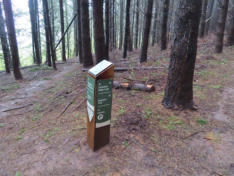
Post for the Chehalem Ridge Loop.
We paused at the start of the loop to decide if we would hike clockwise or counterclockwise. We decided on counterclockwise and just as we started to move, we spotted another deer.


We passed the 1.4-mile Madrona Trail part way around the loop. We had hiked that trail in 2022, but today we didn’t want to add the extra 2.8-miles and 400′ of elevation gain needed to climb back up to the loop.


After completing the loop, we followed the Chehalem Ridge Trail back to the Witches Butter Trail junction and continued on it for another tenth of a mile to its end at Timber Road.


Witches Butter coming up on the left marked by the railings and the Chehalem Ridge Trail continuing to the right.

Timber Road from the Chehalem Ridge Trail. The pointer on the post ahead is for the Mampaɬ Trail which heads off from Timber Road here to the right.
We turned right onto the Mampaɬ Trail and followed it for a mile to Iowa Hill where the trail loops around an open meadow.

A half mile up the Mampaɬ Trail the Zorzal Trail forks off to the right then loops back to the Mampaɬ Trail two tenths of a mile from this junction. Since we had taken the Zorzal Trail in 2022 we’d missed the 0.2-mile section of the Mampaɬ Trail.


The Zorzal Trail rejoining on the right before the trail crossed Timber Road.


The start of the loop on Iowa Hill.
We hiked the loop clockwise this time and stopped at the stone viewpoint for a break.


Sunlight hitting a field in the valley below.
After a nice break we finished the loop and then made our way back to Timber Road.

A little bit of blue sky over Iowa Hill.

We turned right on Timber Road and followed it downhill 0.6-miles to the Woodland Trail.


We turned right onto the Woodland Trail and followed it 1.4-miles back to Timber Road near the trailhead.


Switchback on the initial climb from Timber Road.


Passing the Castor Trail where we’d come up earlier in the morning.

It wasn’t until we could see the trailhead that the sun finally broke through the clouds enough for us to feel its warmth.

Oregon grape blossoms beginning to form.
Today’s hike came in at 8.6-miles and 750′ of elevation gain.

While we didn’t get the mostly sunny skies that had been forecast, we did stay dry and we got to see the four deer and a number of birds. Depending on weather this might be our only outing in February, and if so, at least it was a good one. Happy Trails!
Flickr: Chehalem Ridge Nature Park


 The Castor (Spanish for beaver) Trail on the left, this was the only trail in the park that we didn’t hike on during our visit. It was always a left turn.
 Fawn lilies
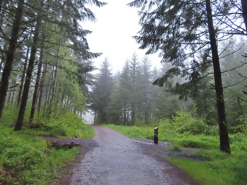 Our first right turn (left was a short connector to the Woodland Trail).
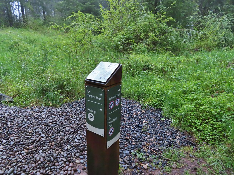 Again the posts and accompanying maps were some of the best trail identifiers we’ve run across.
 Bench at the viewpoint along the Ammefu Trail.
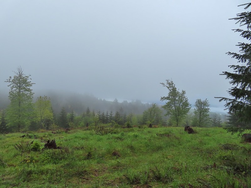 We had to imagine the view today.
 The second figure.
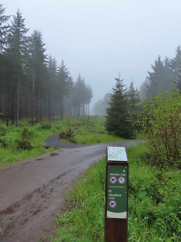 Back at the Timber Road and another short connector to the Woodland Trail.
 Fog on Timber Road
 Passing the Woodland Trail on the left which would be our right turn on the way back.
 Christensen Creek
 Right turn for the Ayeekwa and Witches Butter Trails.
 Witchs Butter on the left and Ayeekwa on the right.
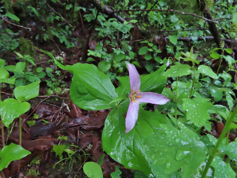 Trillium
 Another bench, this one overlooked Christensen Creek.
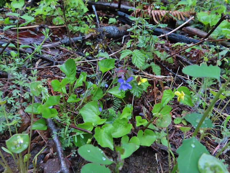 Common blue violet
 Pioneer violets and a strawberry blossom.
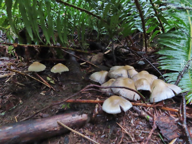 Mushrooms under a fern.
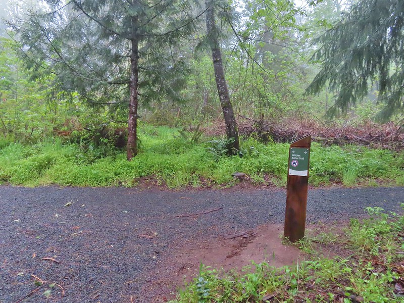 Popping out on the Witches Butter Trail.
 Witches Butter Trail
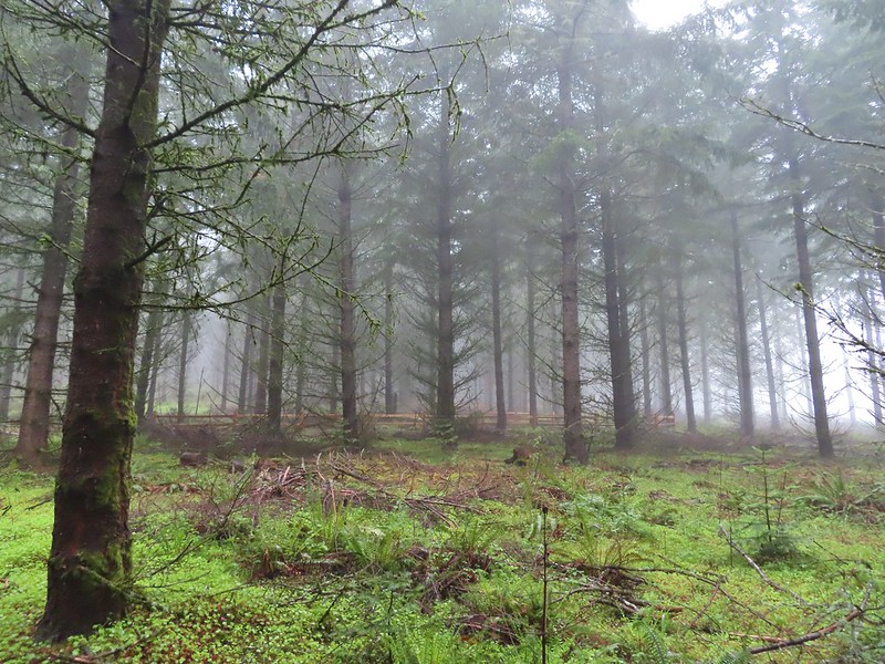 Witches Butter Trail winding through Douglas firs.
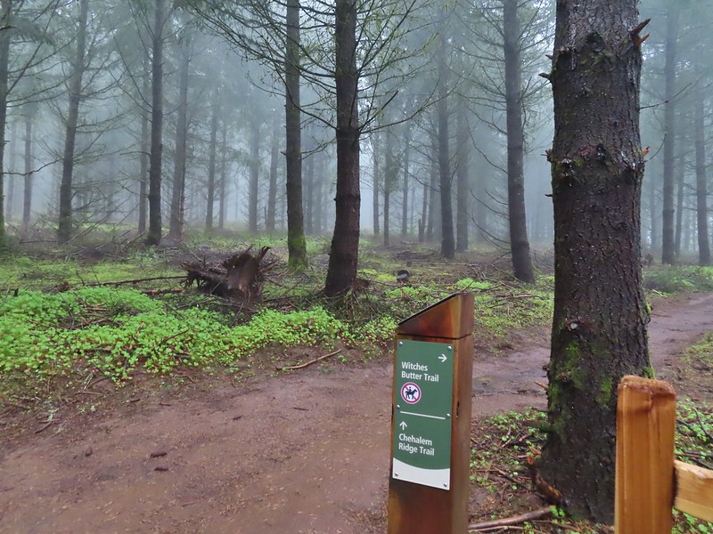 Turning right onto the Chehalem Ridge Trail.
 There was a little more mud on the Chehalem Ridge Trail.
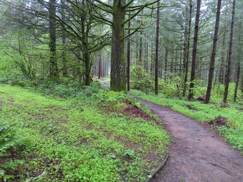 Spring green carpet.
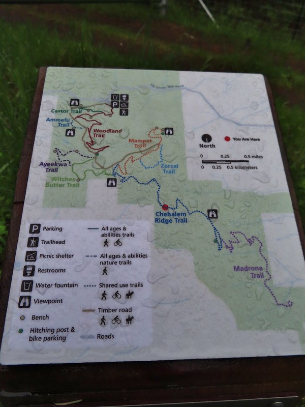 A good example of the differently oriented maps, on this one north is down.
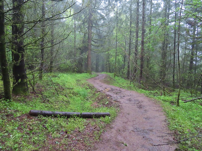
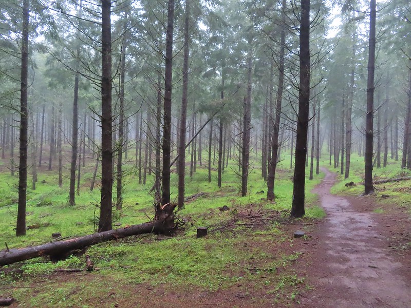 Another fir plantation. The land had been owned by a timber company prior to being purchased by Metro in 2010.
 Start of the Chehalem Ridge Loop. We went right which simply swung out along the hillside before dropping down to the Madrona Trail in 0.4 miles.

 The loop continued to the left but we turned right onto the Madrona Trail.
 Still cloudy and gray but we’d experience very little if any precipitation yet.
 Lots of tough-leaved iris along this trail.
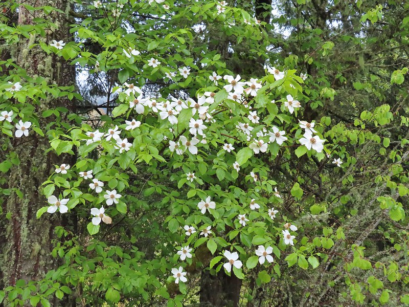 One of several blooming dogwood trees.
 View on the way down.
 Madrone trees began to be a common sight as we descended.
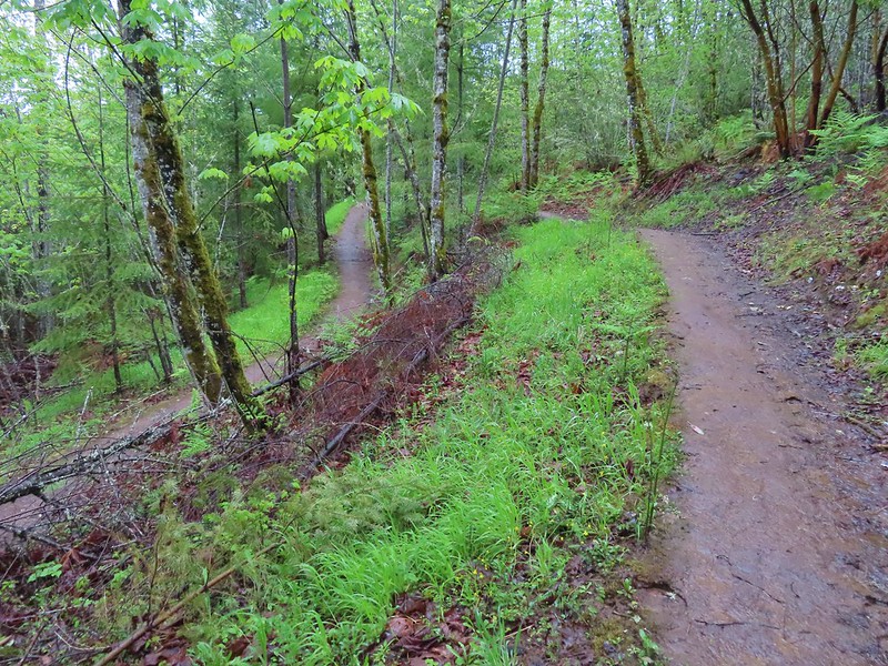 One of the 11 switchbacks.
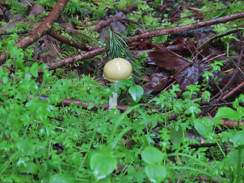 We hadn’t seen a lot of mushrooms recently but this hike had plenty.
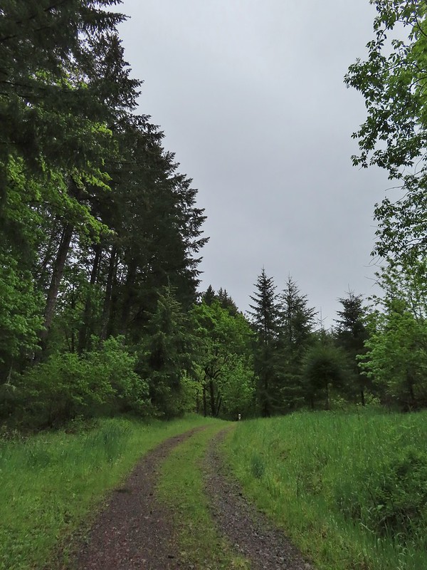 Following the roadbed.
 Aside from one other very small (3 in diameter) tree this was the only obstacle we encountered all day.
 The start of the loop along with several madrones.
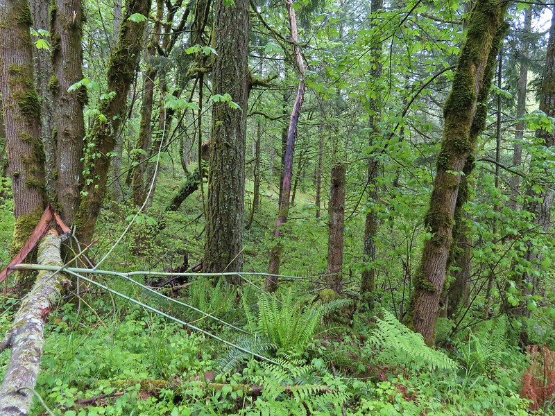


 The Tualatin Valley and Coast Range.
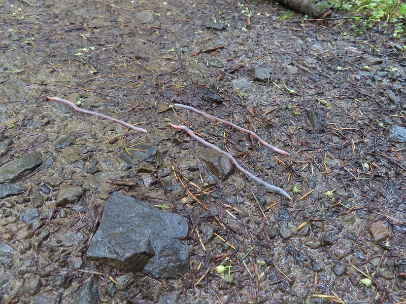 Either these worms were racing or it was a bird buffet. The rain had brought a lot of earthworms onto the trails.
 Another trail user a rough skinned newt.
 A closer look at the rough skinned newt.
 It had been so foggy when we had come up the Witches Butter Trail that we hadn’t realized that there was a giant green field nearby.
 The end of the Chehalem Ridge Trail with the Mampaꞎ Trail to the right and a very short connector to the Timber Road to the left.
 Sunlight hitting the Mampaꞎ Trail.
 Fairy slippers
 Squirrel
 The Zorzal Trail to the right.
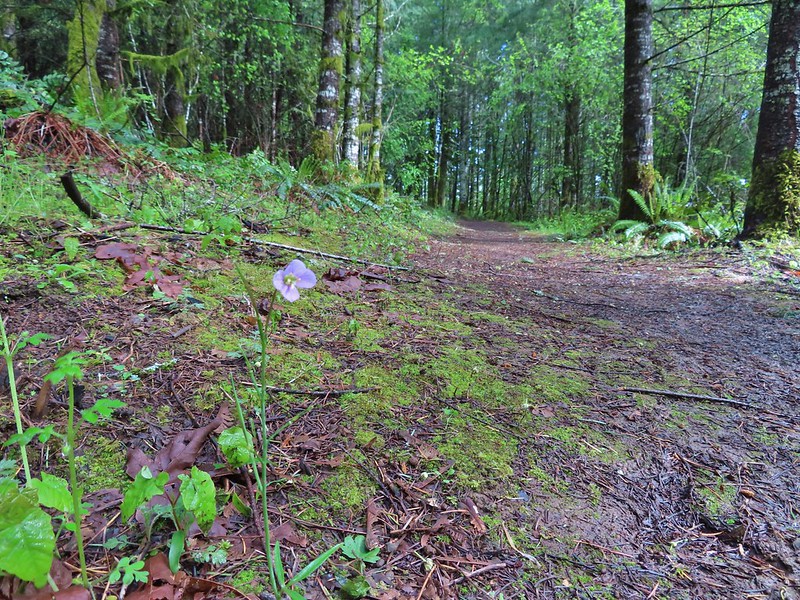 Toothwort along the Zorzal Trail.
 Stripped coralroot
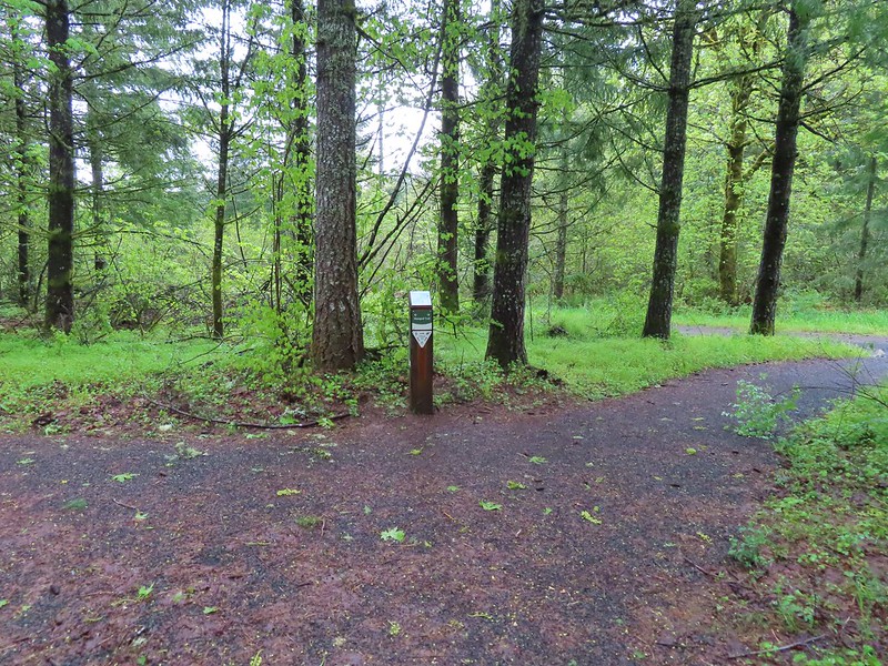


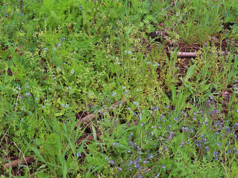 An assortment of smaller flowers.
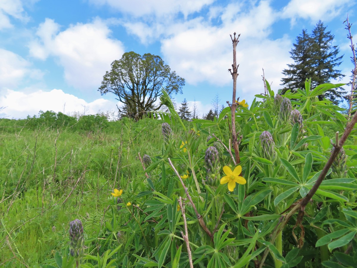
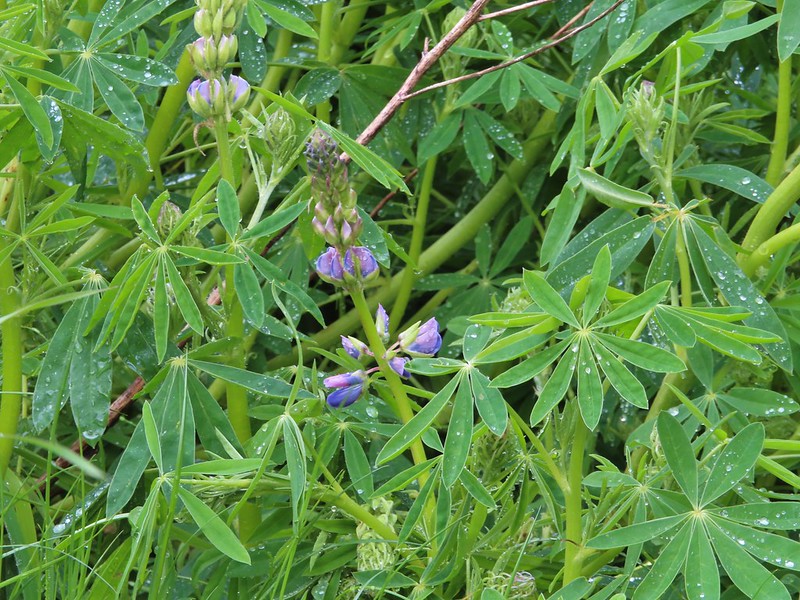 One of the few lupines with blossoms.
 Camas buds
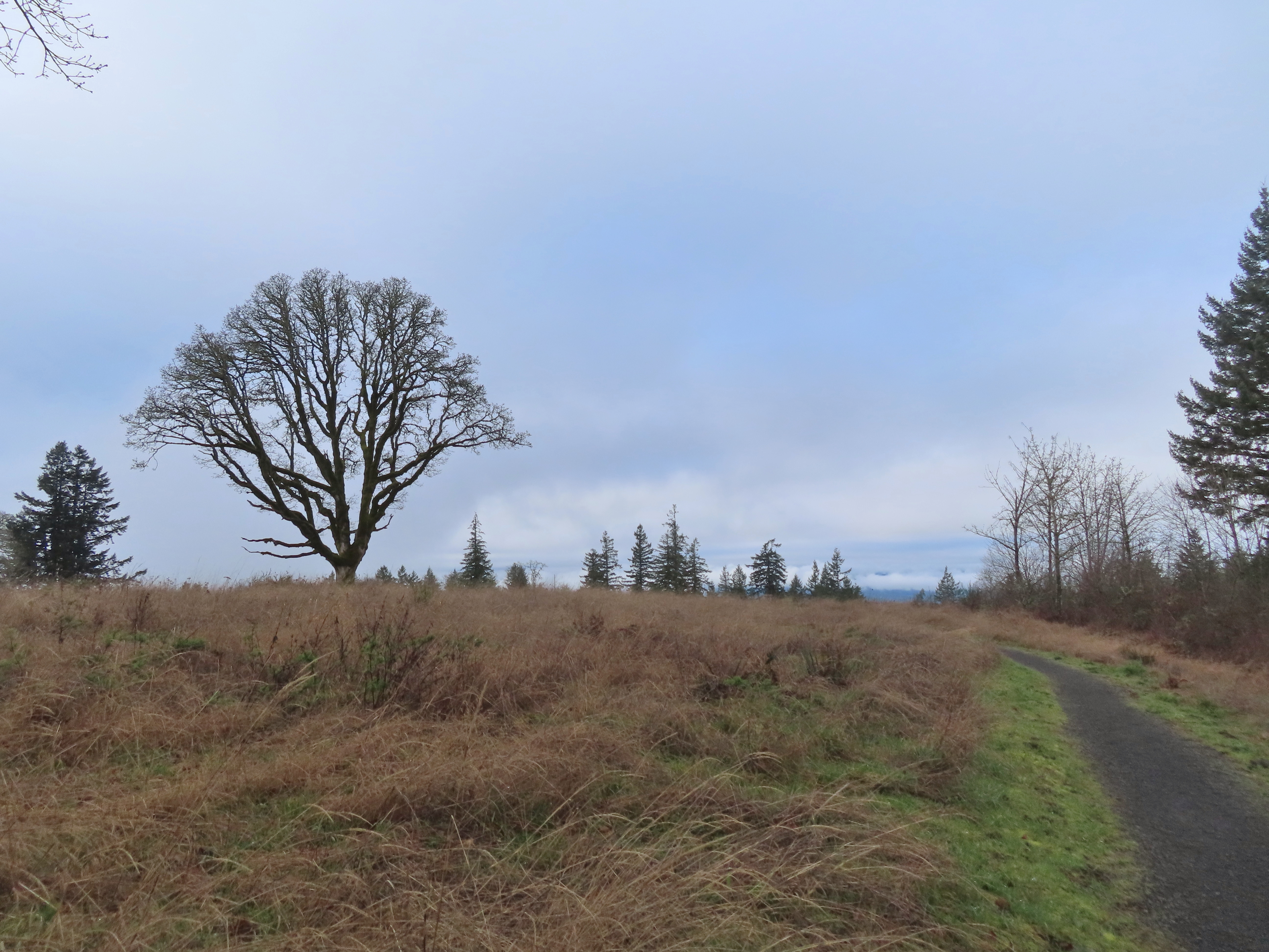
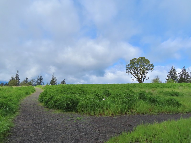
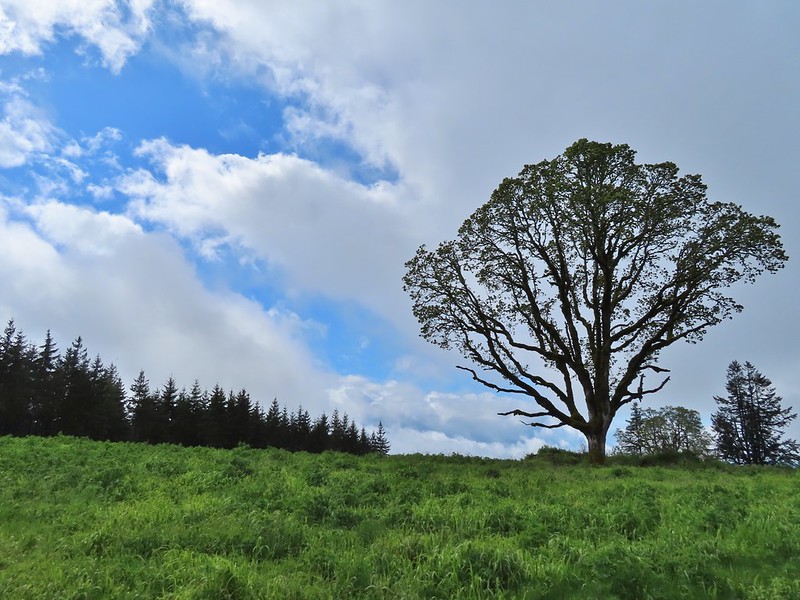 Oak tree on Iowa Hill. Most of the larger green clumps are lupine.
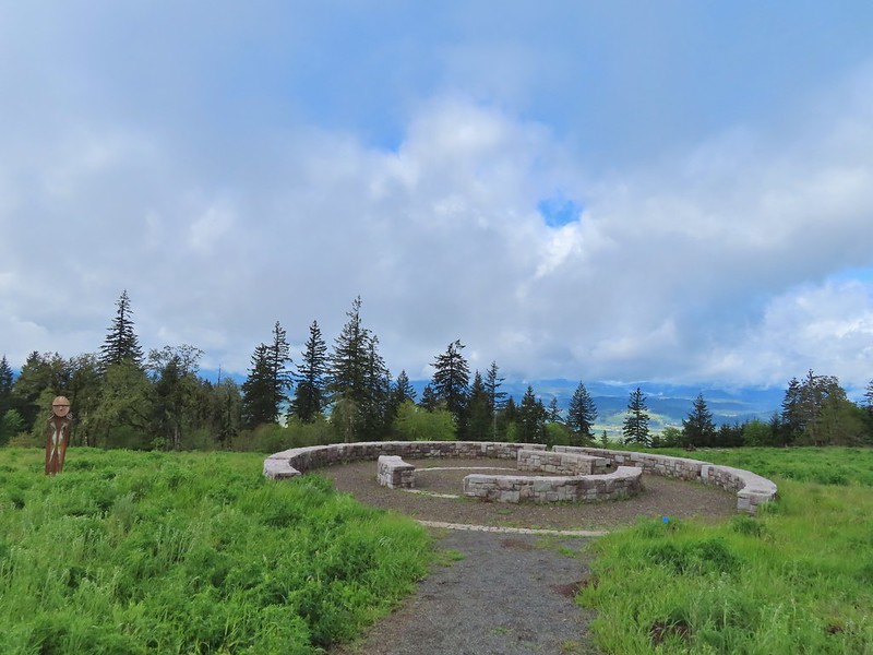 The third and final figure was also located near the stone circle.
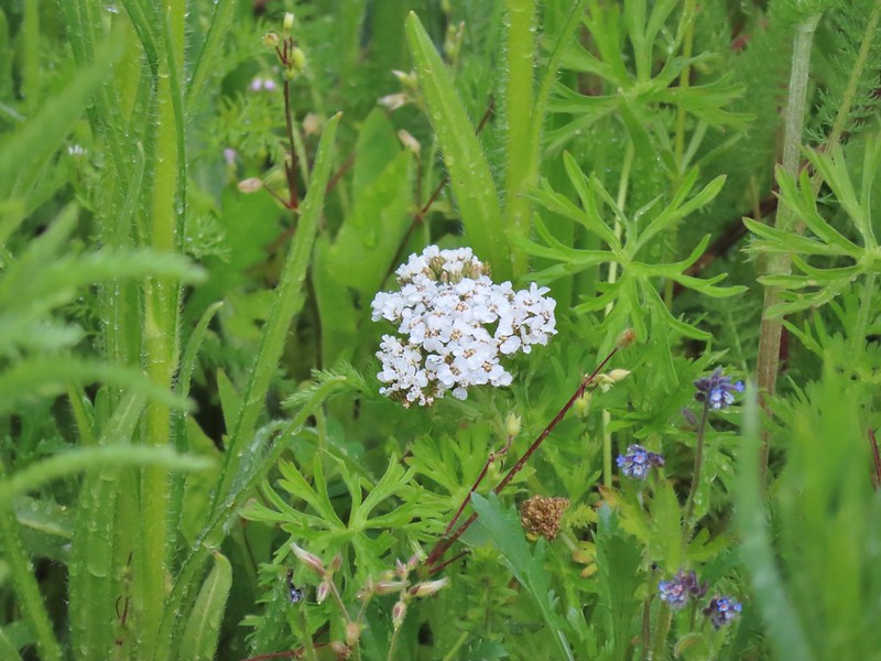 Yarrow
 More lupine starting to blossom.
 Tualatin Valley
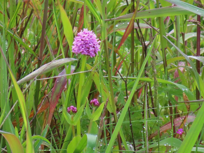 Plectritis
 Believe this is a checker mallow.
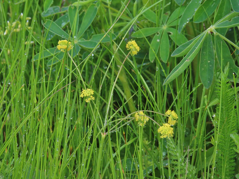 Parsley
 Camas
Camas Iris
Iris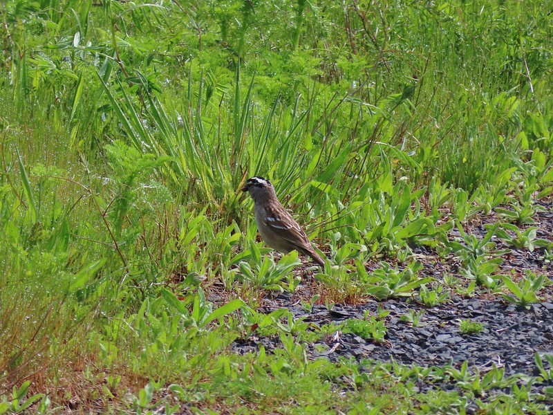 White crowned sparrow
 Turning down the Timber Road.
 I’m not good with these little yellowish birds. It could be an orange-crowned warbler.
 Black capped chickadee
 Approaching the Woodland Trail on the right.
 Woodland Trail
 Candyflower
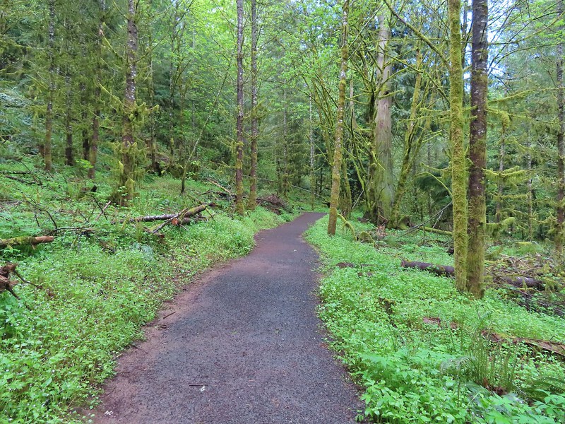 Coming to a switchback.
 We ignored a couple of shortcuts that would have led back to the Timber Road.
 We also skipped the Castor Trail which would have slightly lengthened the hike.
 Lupine along the Woodland Trail as we neared the trailhead.
 Much nicer conditions than we’d had that morning and way nicer than anything we had expected.
