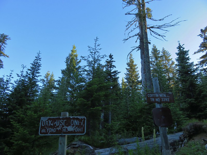
**Note the 2020 Beachie Creek Fire burned a portion of this hike.**
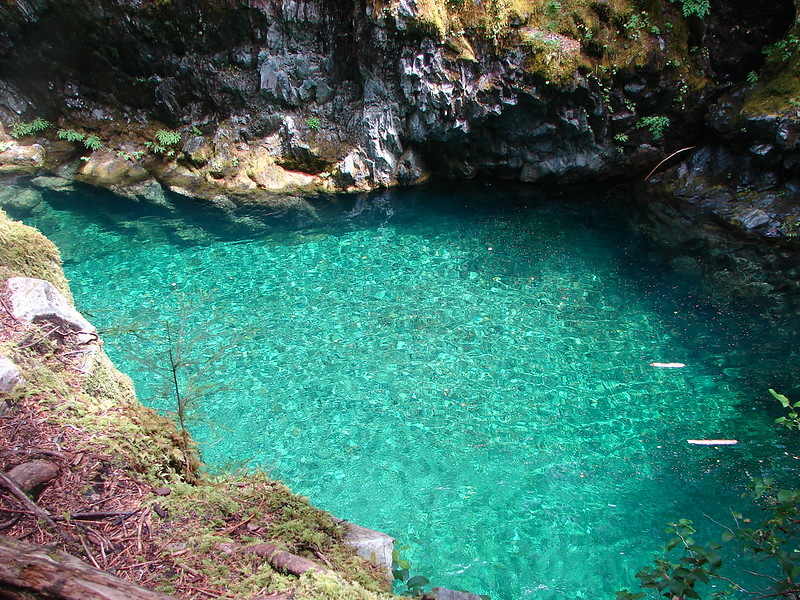
In July of 2010 we made our first attempt to hike to Phantom Bridge (we finally made it in 2011 on our third try). A washout had closed access to the most popular trailheads and the trailheads shown in our guidebook, the Phantom Bridge Trailhead and the French Creek Trailhead – West. This left us looking for an alternate route to the natural arch and while I was doing some research on the Willamette National Forest website I came across the French Creek Trailhead – East. I was able to find a photo at the time online of a sign at this trailhead along Forest Road 458.
It was going to make the hike quite a bit longer than necessary but we were obsessed with seeing the Phantom Bridge. From Detroit, OR we followed the directions from the Forest Service website to FR 480. The road was narrow and exposed with steep drop-offs which made it one of the more nerve wracking drives to date. The road conditions weren’t as bad as some we’ve driven but the scare factor was high. We watched the odometer but when we had gone the correct distance we saw no sign of the trailhead. After finding a place where we could turn around (the road was blocked by a small rockslide beyond) we slowly backtracked looking for any signs of a trail.
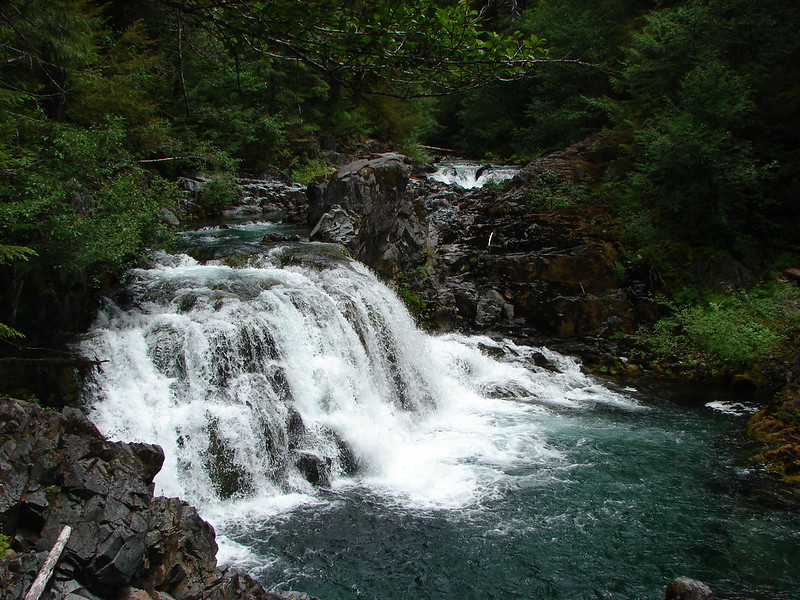
Instead of continuing to search for a trailhead that we now weren’t even sure existed anymore we decided to get down off the scary road and try something else. When we were back down to safer roads we consulted our guidebook and discovered that just 2.3 miles west of Detroit along Highway 22 was the Tumble Creek South Trailhead. A 10.3 mile hike from this trailhead would take us to the former lookout site atop Dome Rock and back.
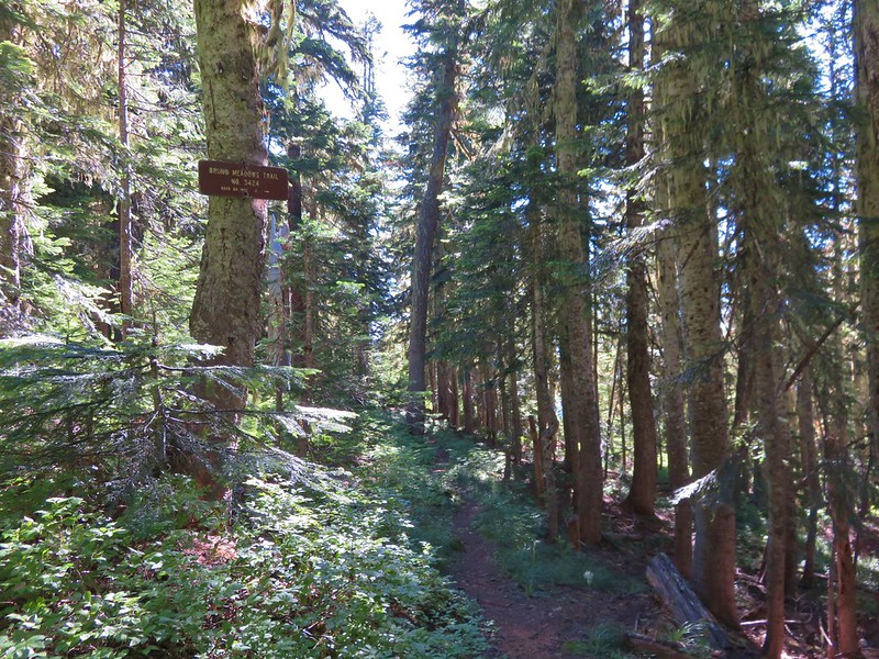
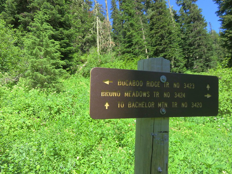
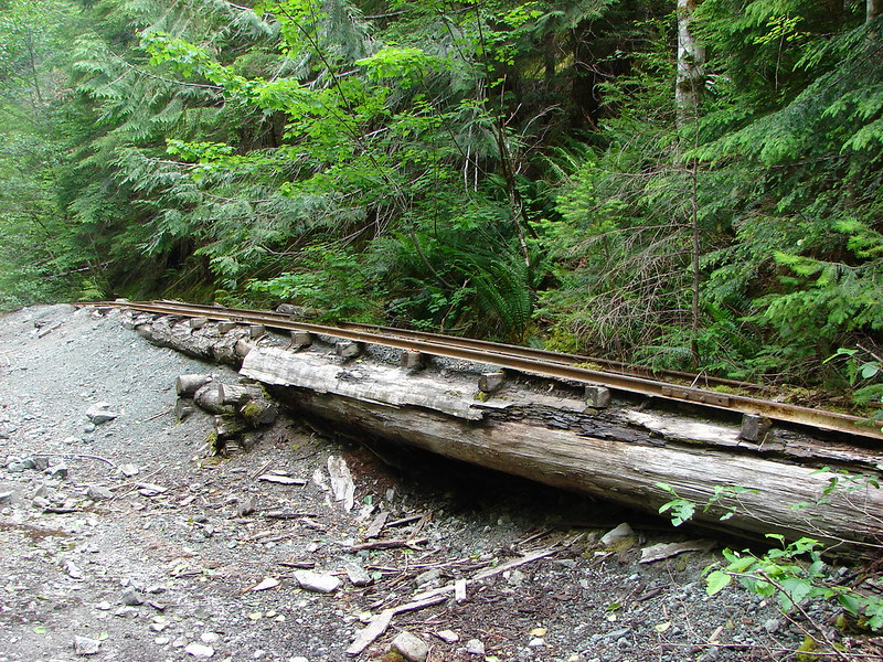
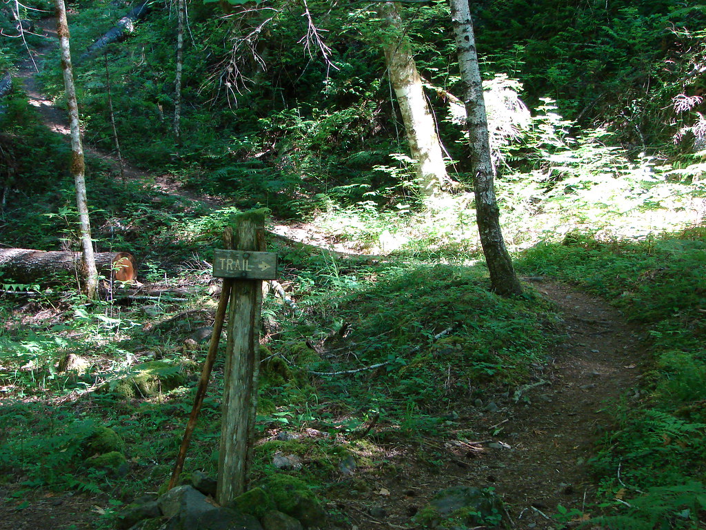
The thought of a trailhead that didn’t require any more driving on Forest Roads was too tempting to pass up so we drove west of Detroit on Highway 22 and parked on the north shoulder at a gated road bed nest to Tumble Creek. The actual trail started .4 miles up the closed road at a small trail sign.
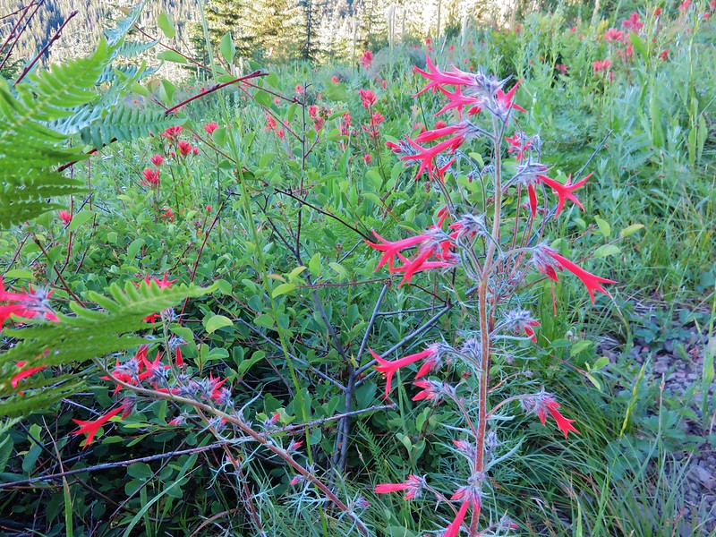
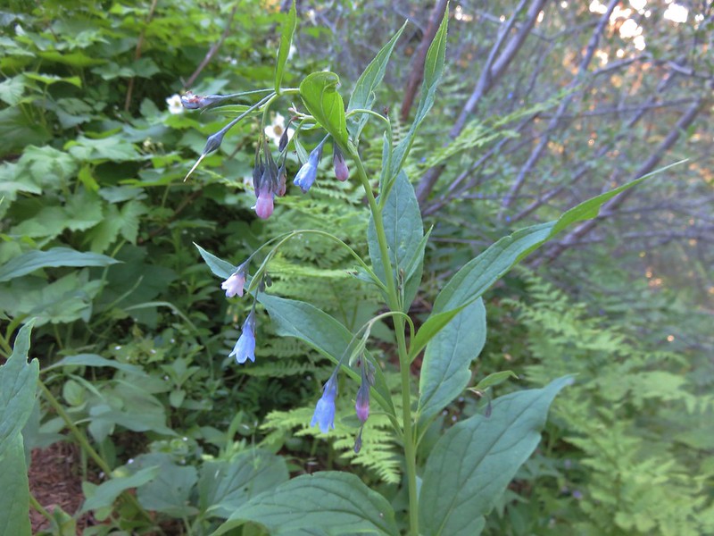
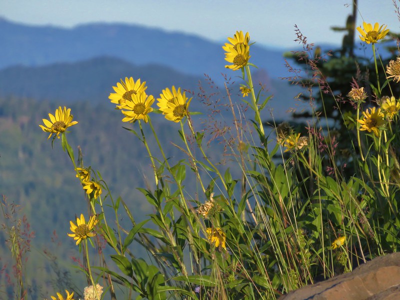
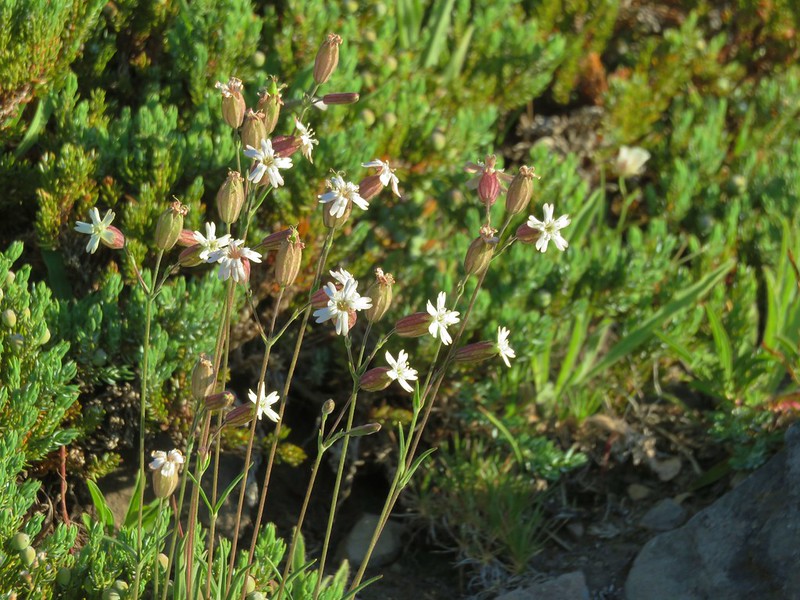
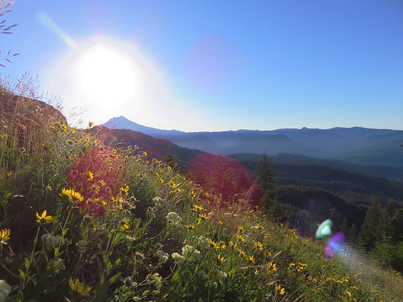
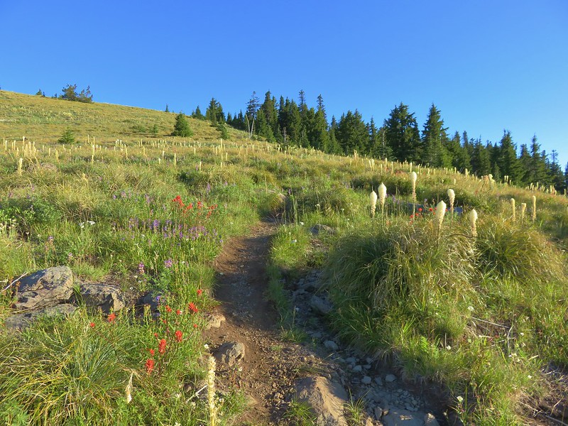
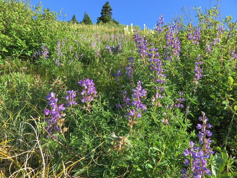
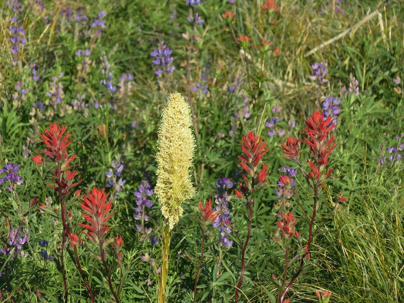
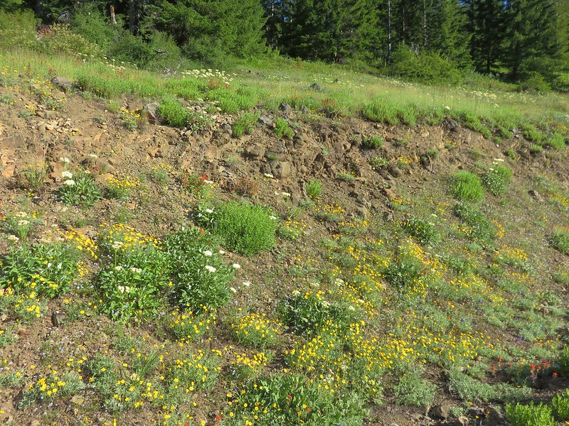
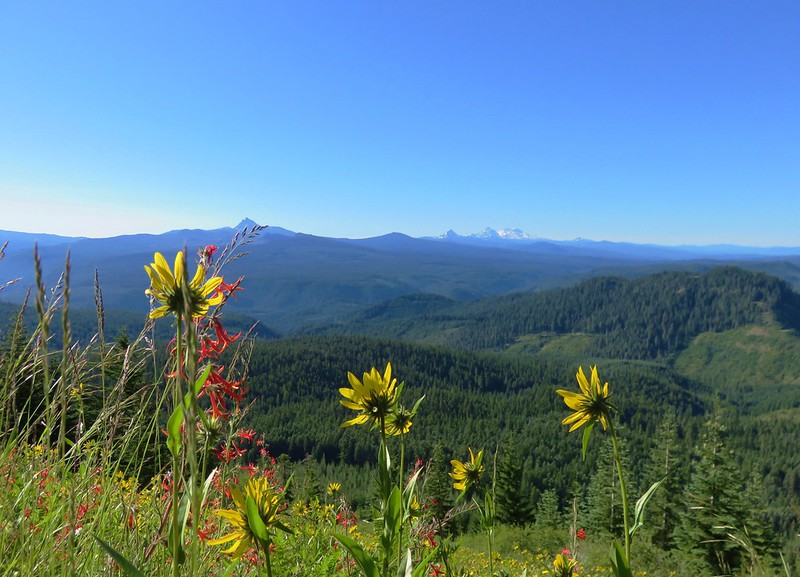
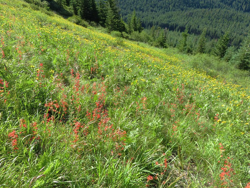
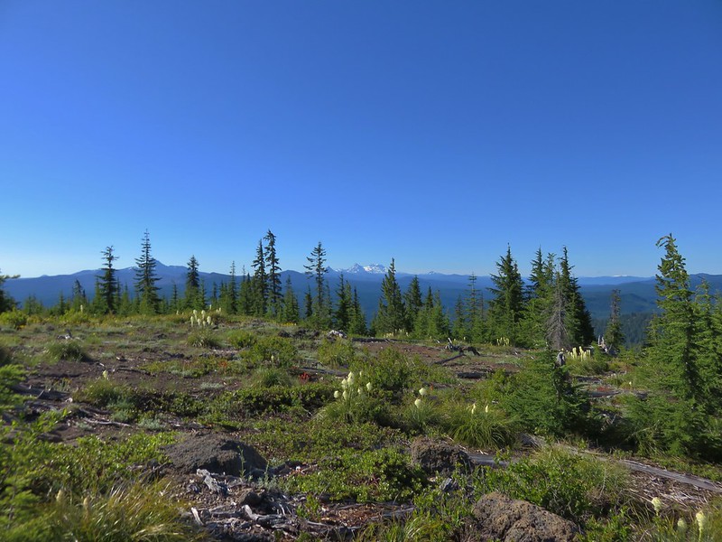
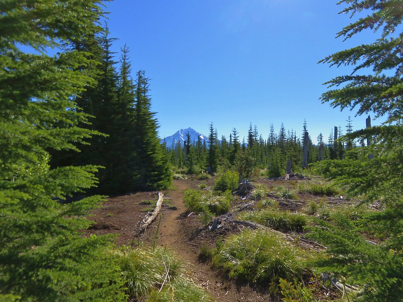
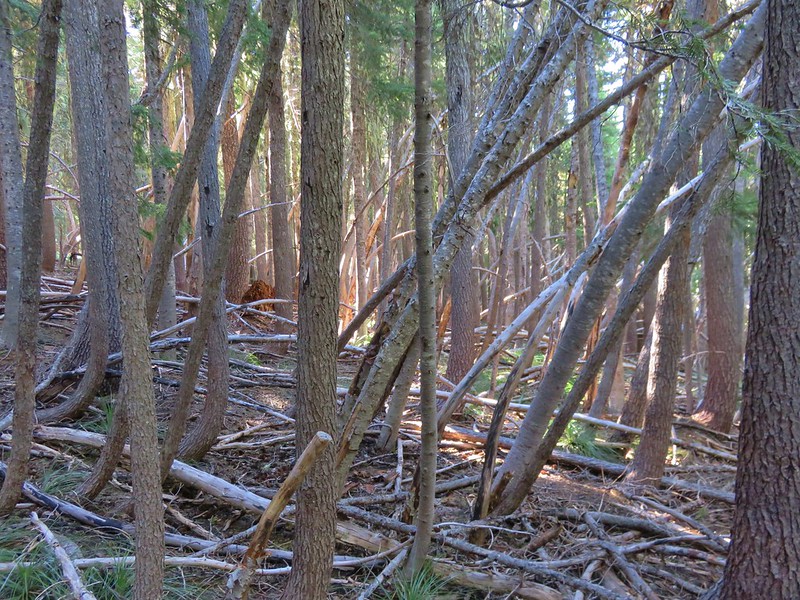
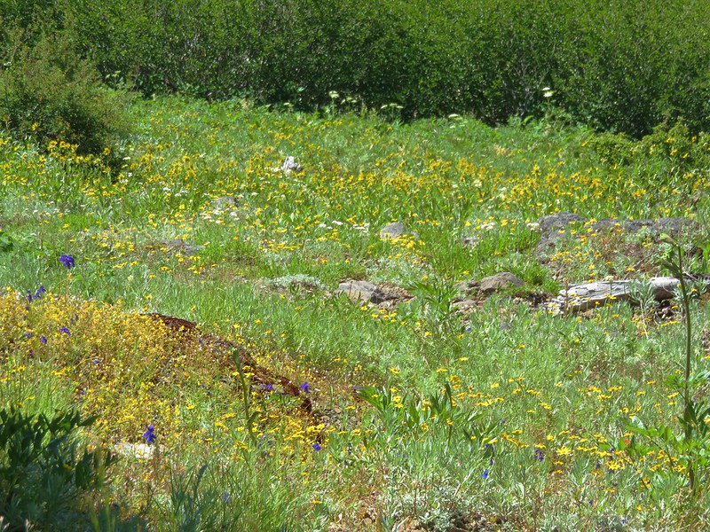
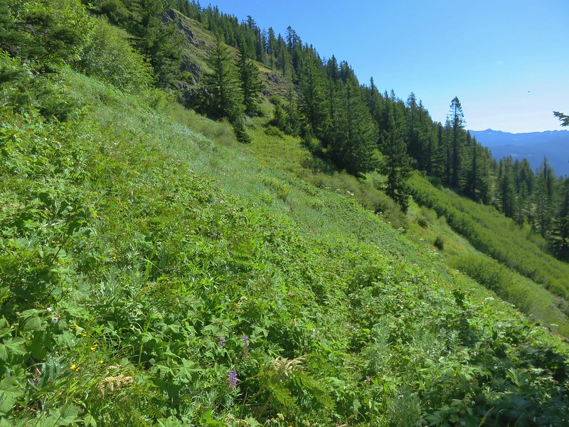
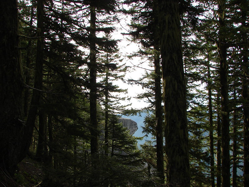
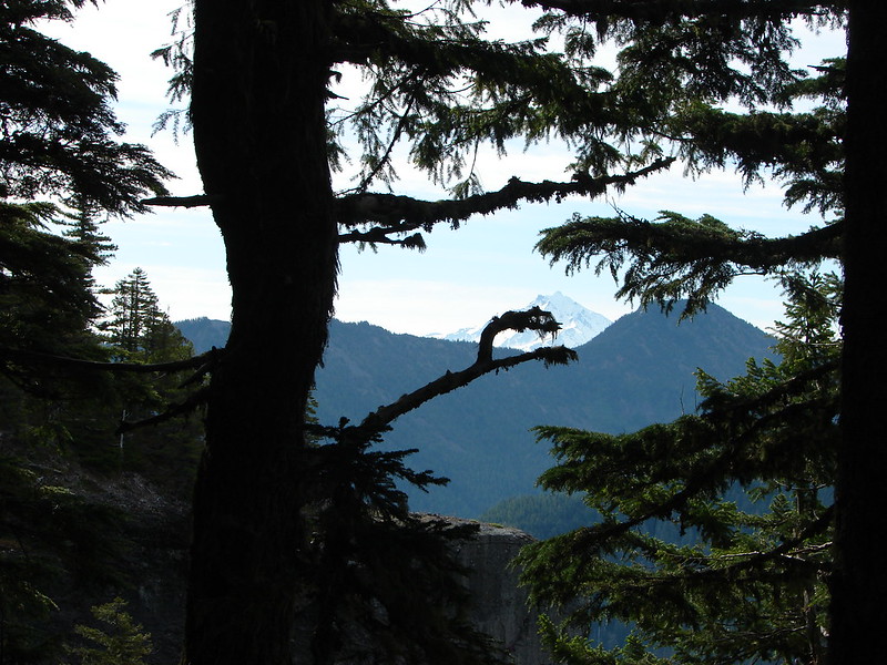
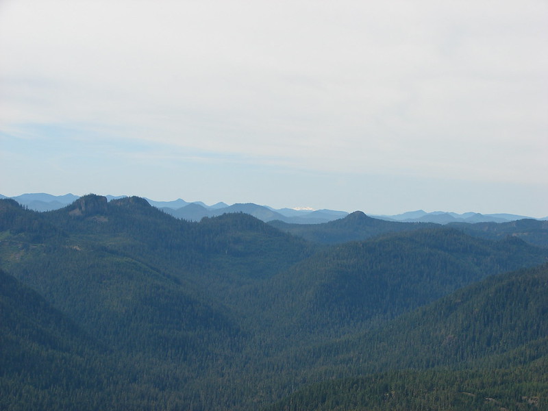
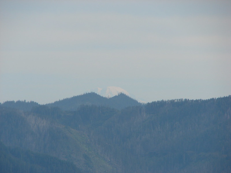
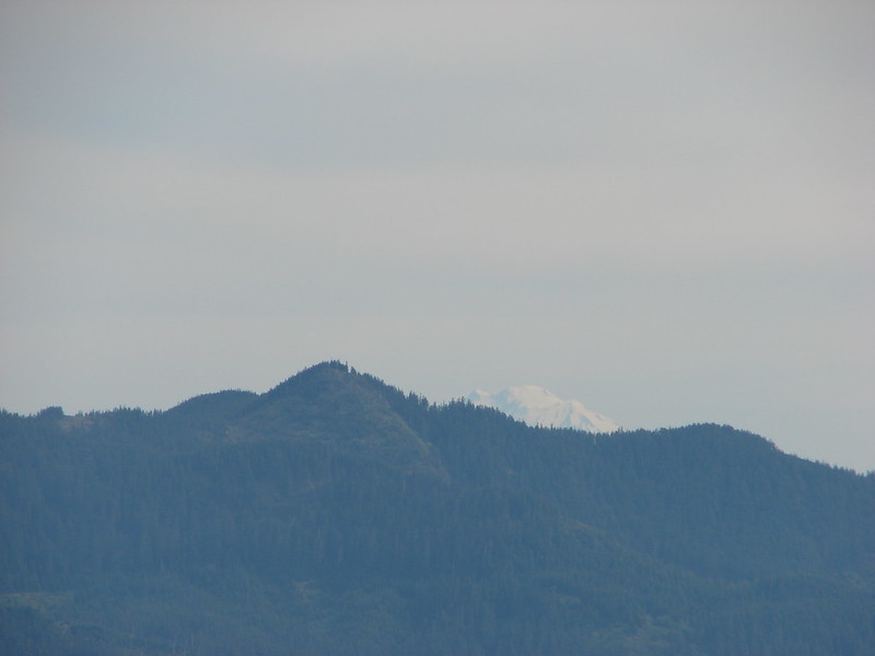
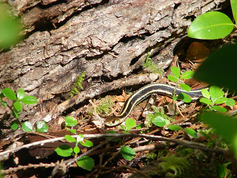
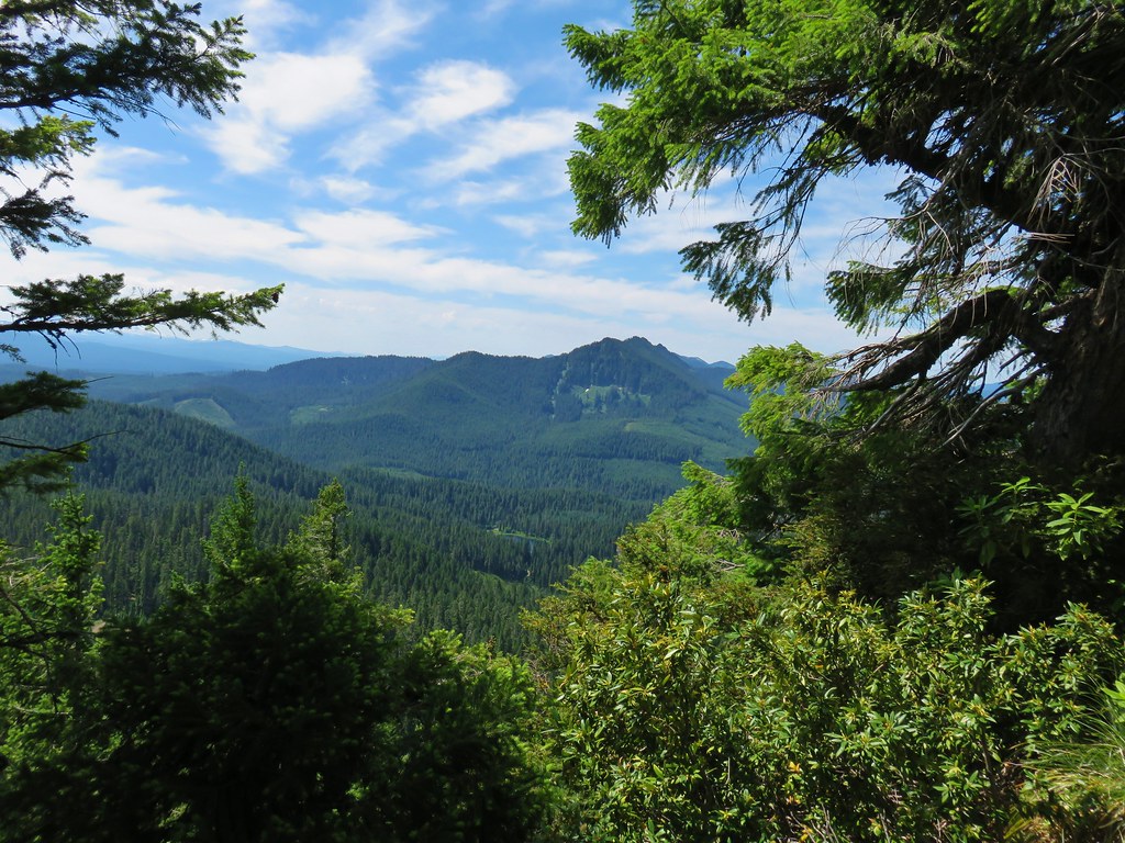
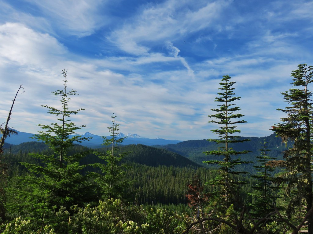
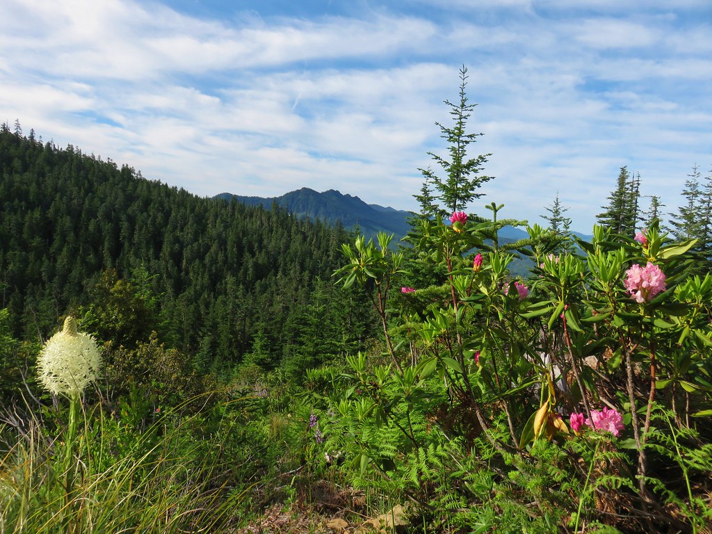
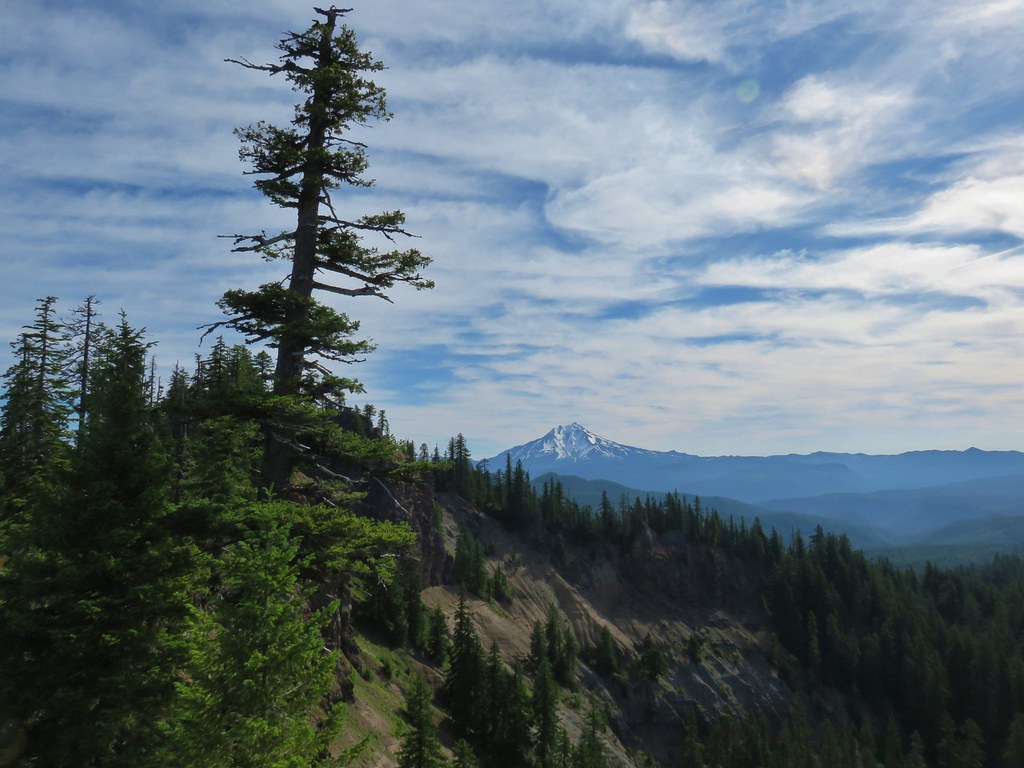
The trail climbed steeply uphill making several switchbacks. Occasional views could be of Detroit Lake and several Cascade peaks.
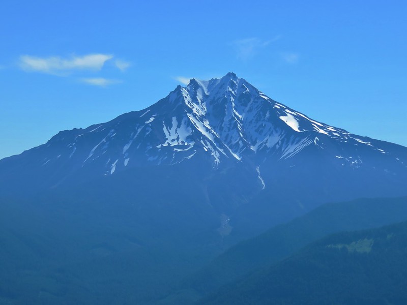
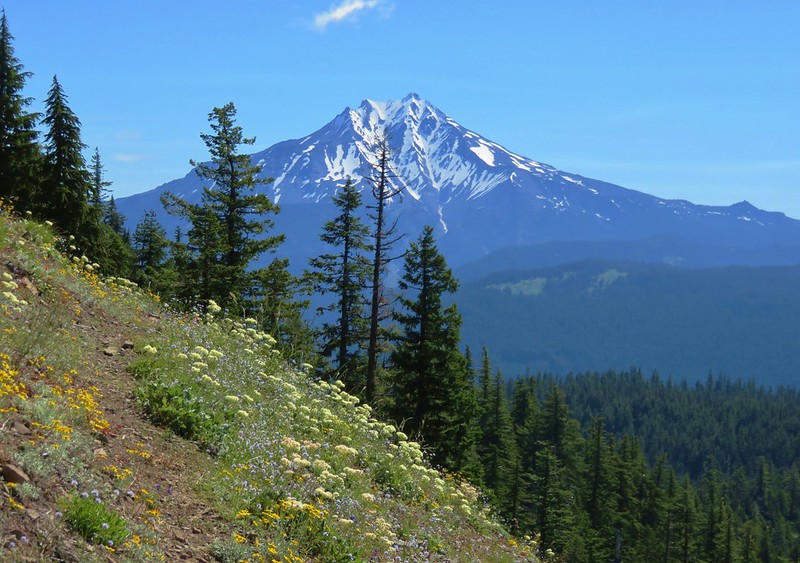
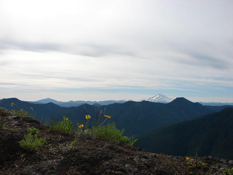
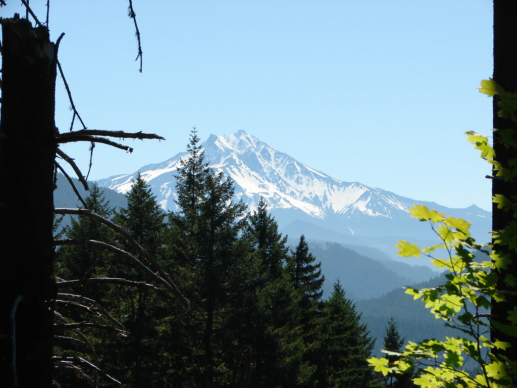 Mt. Jefferson
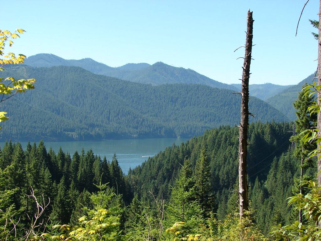 Detroit Lake
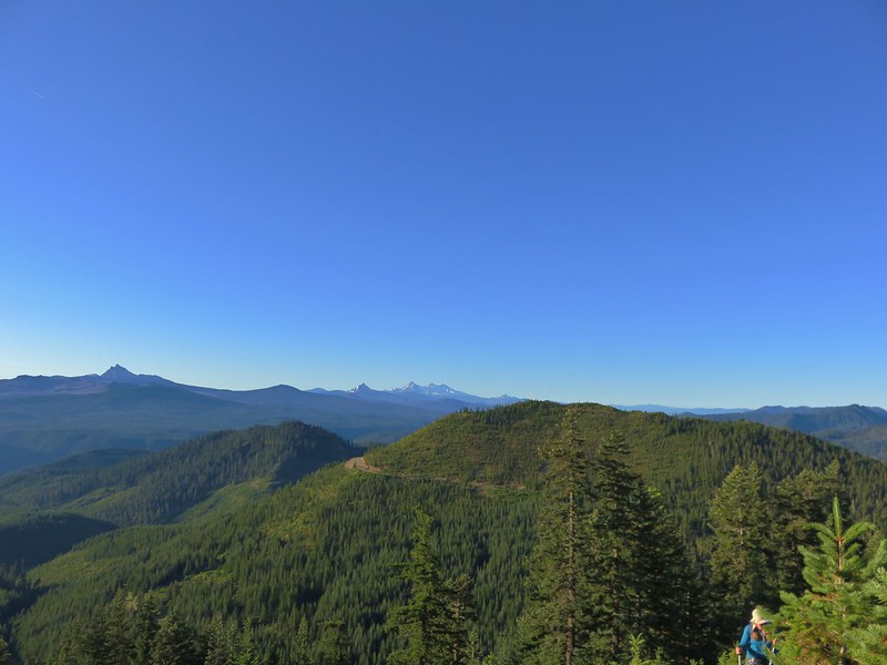
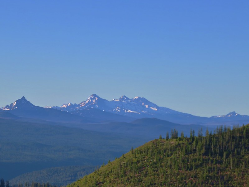
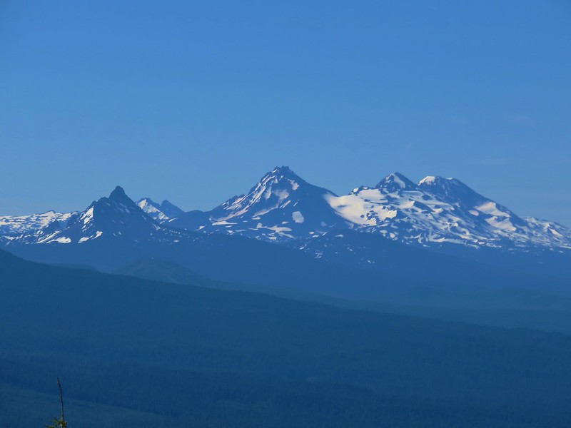
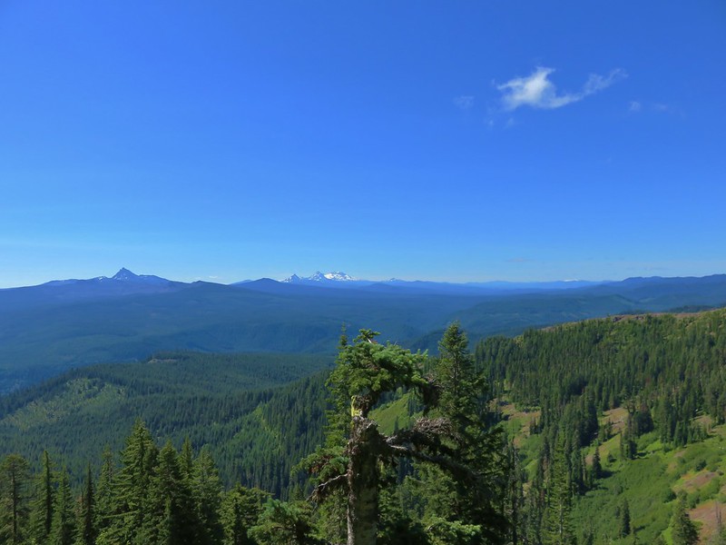
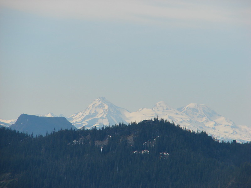
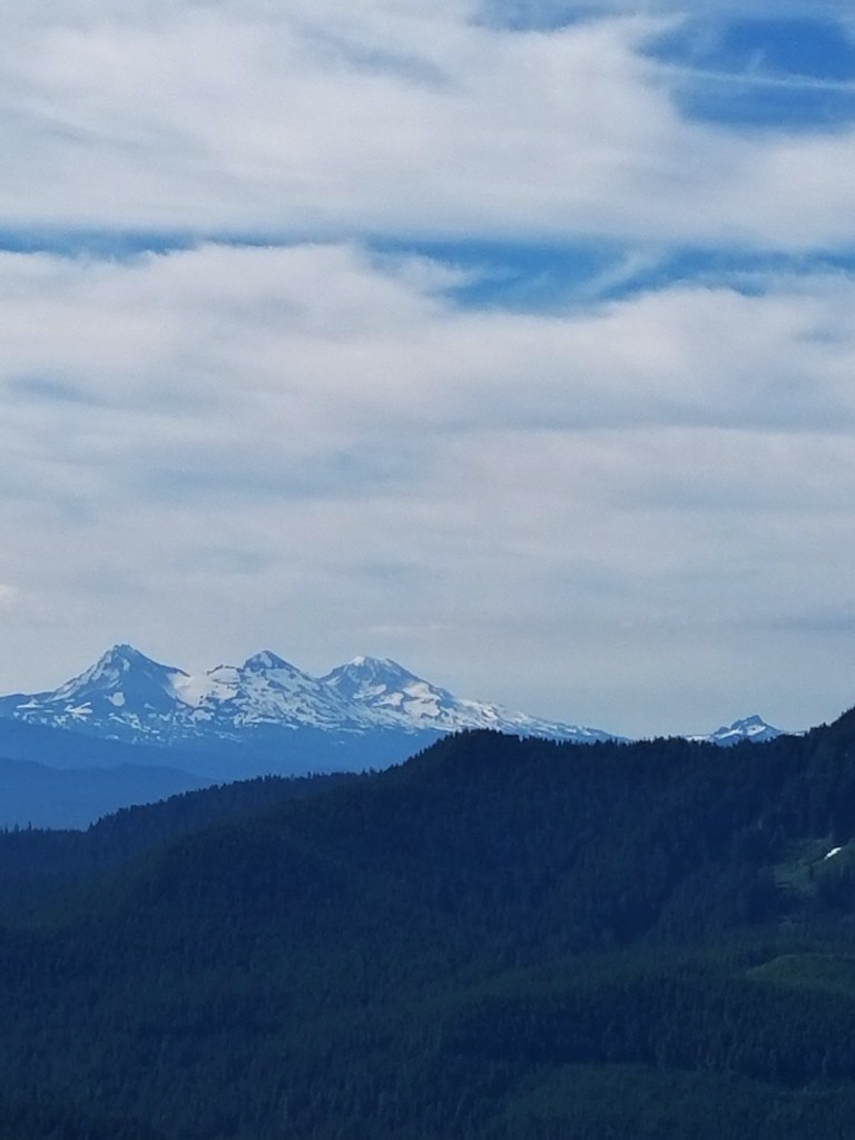
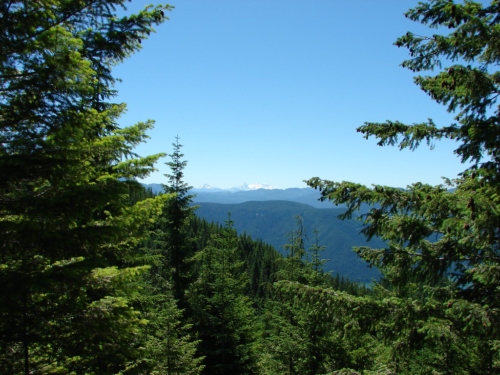 Mt. Washington and the Three Sisters
 Mt. Washington and the Three Sisters
 Mt. Jefferson
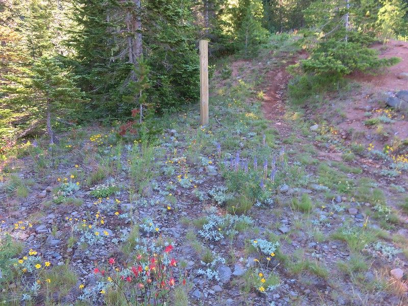
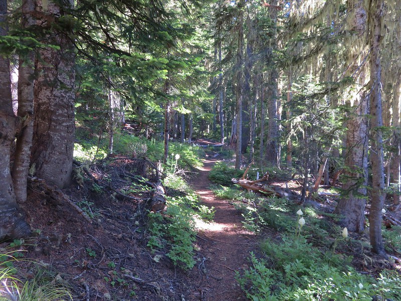
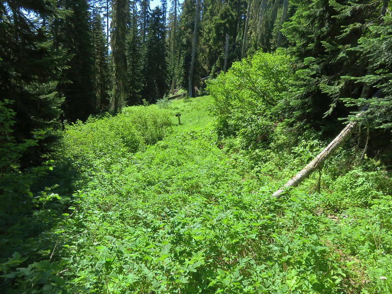
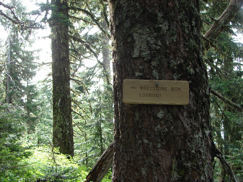
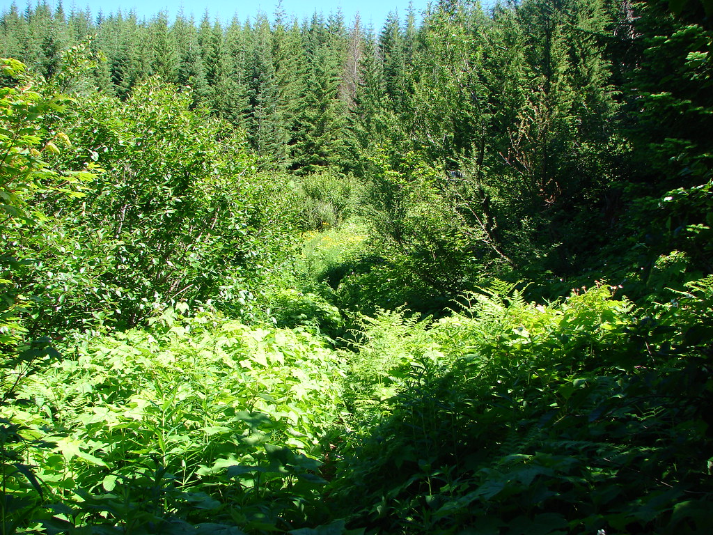
The trail passed through a brushy area at an old road bed near the Margie Dunham Spring approximately 3 1/4 miles from the old road bed along Tumble Creek.
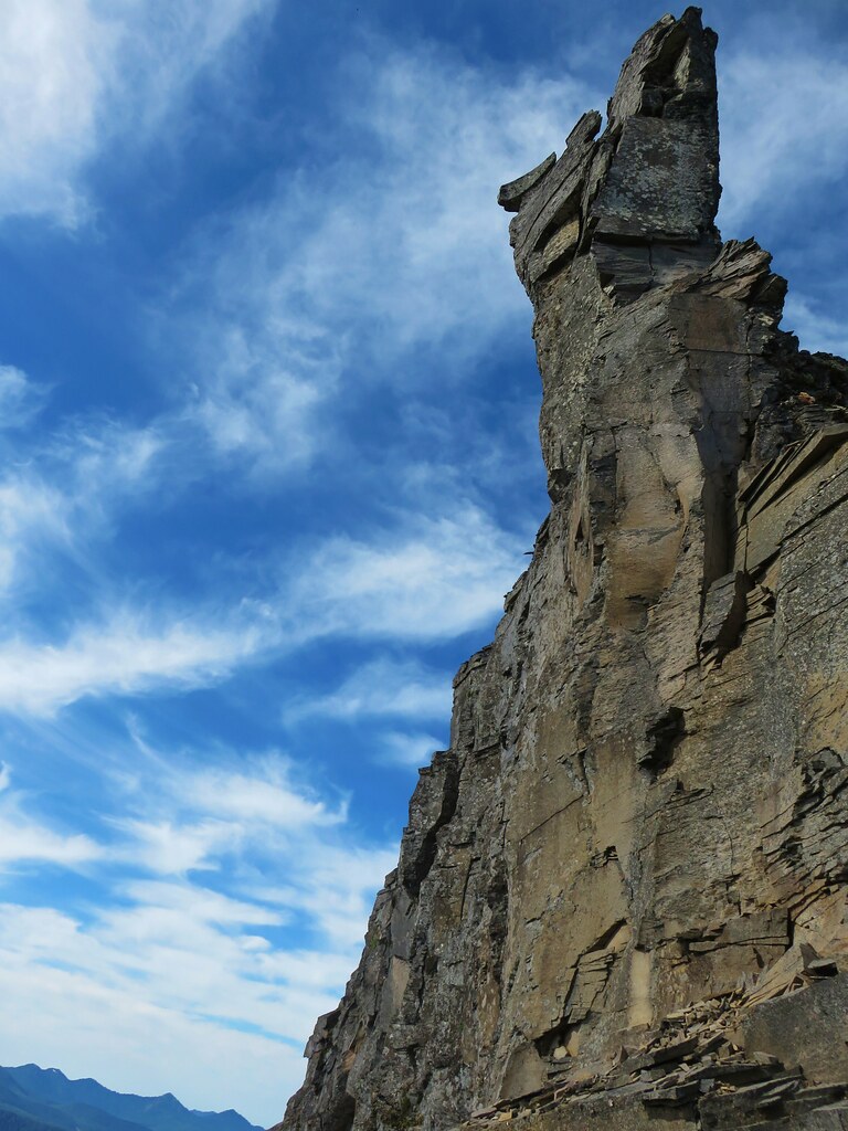
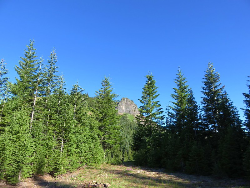
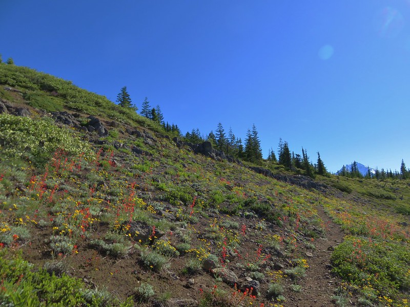
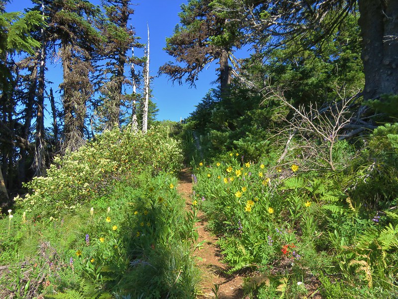
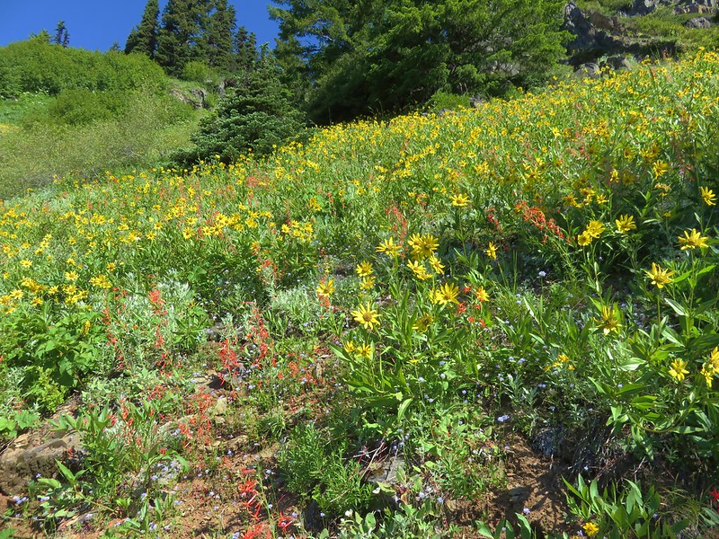
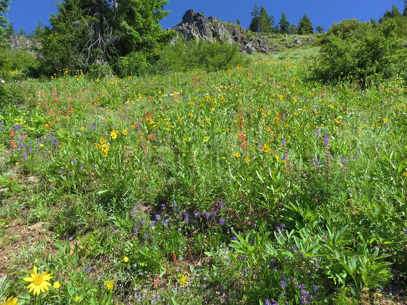
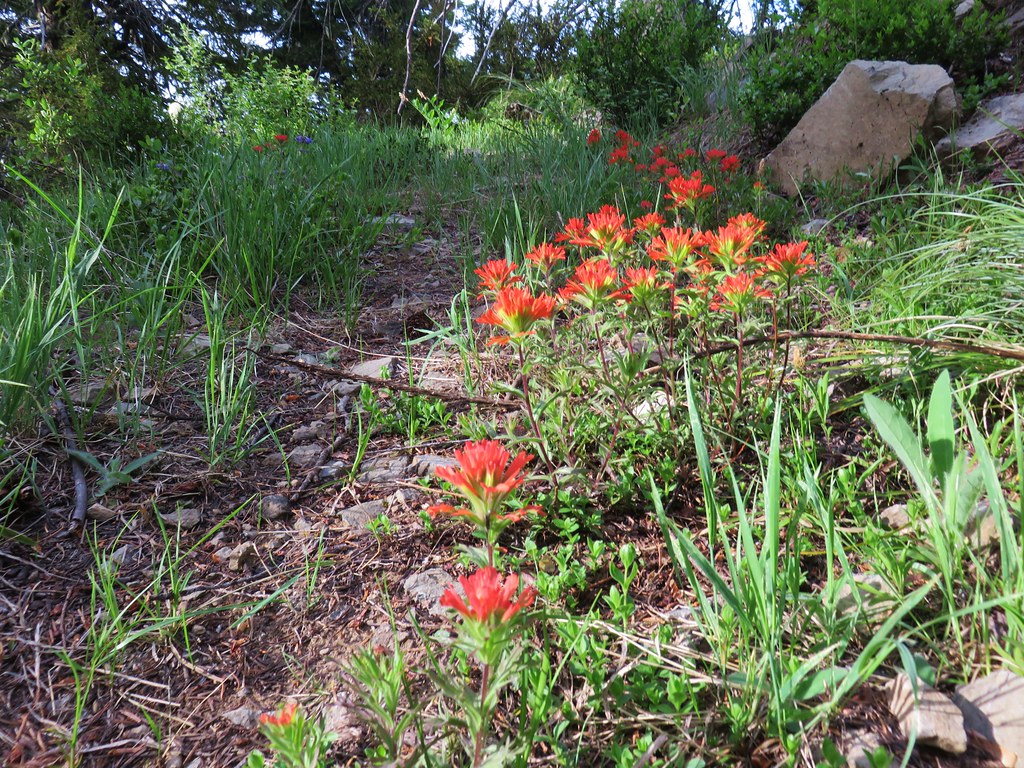
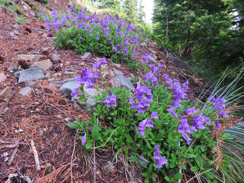
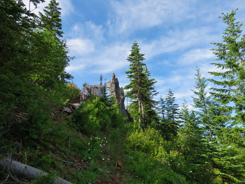
From there the climb became more gradual as it passed a couple of interesting rock formation including one dubbed “Toilet Rock”.

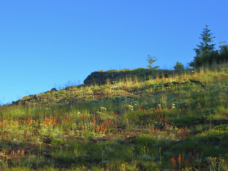
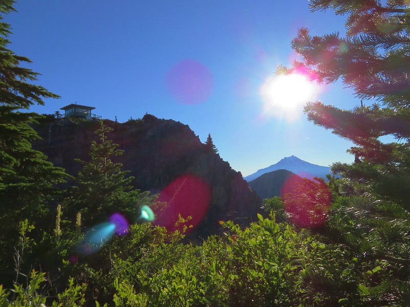
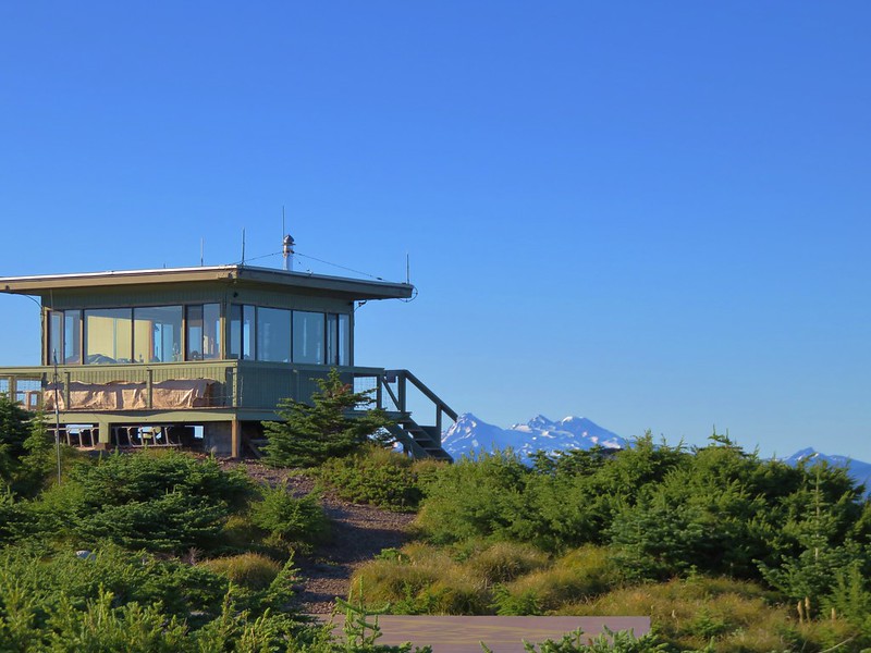
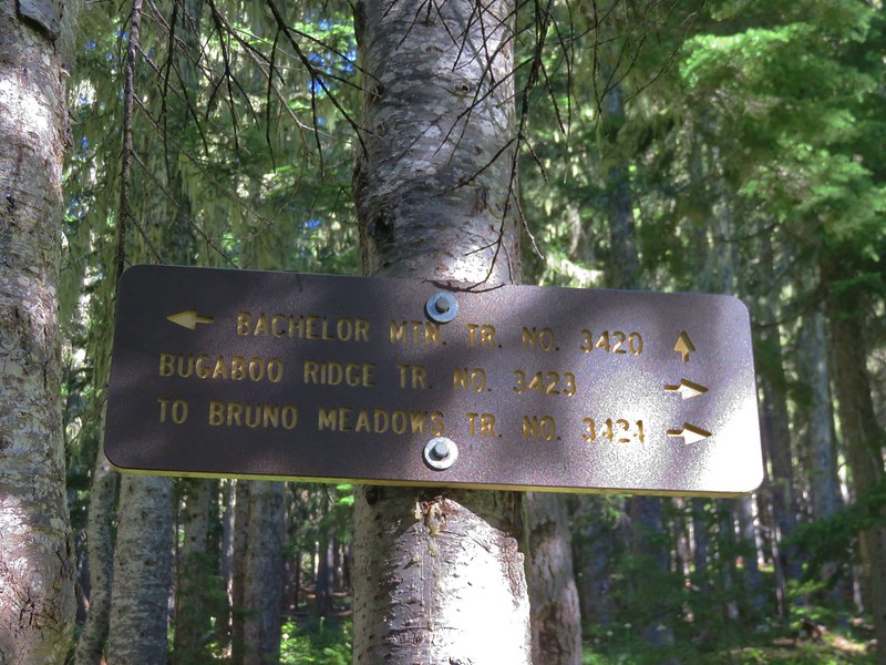
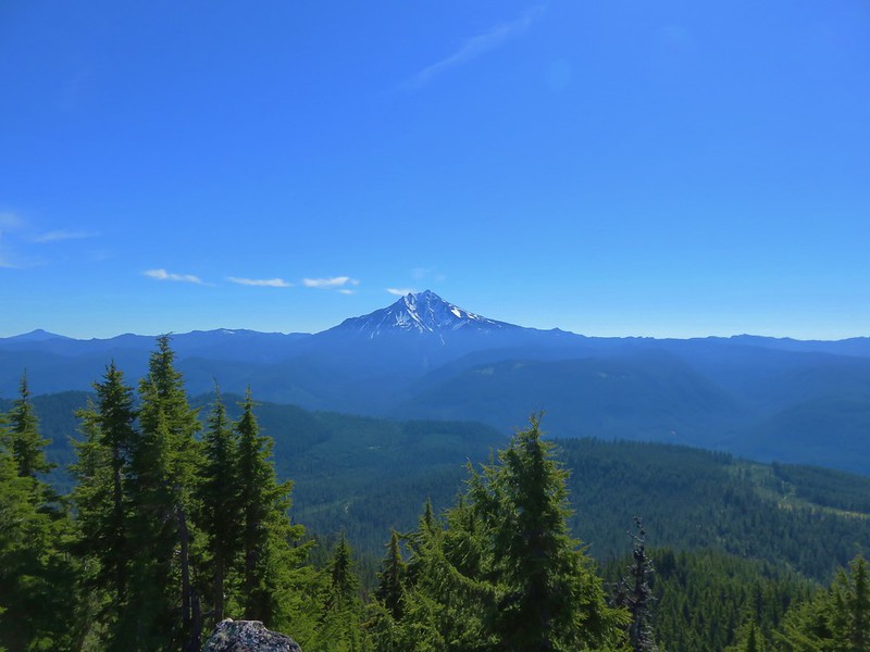
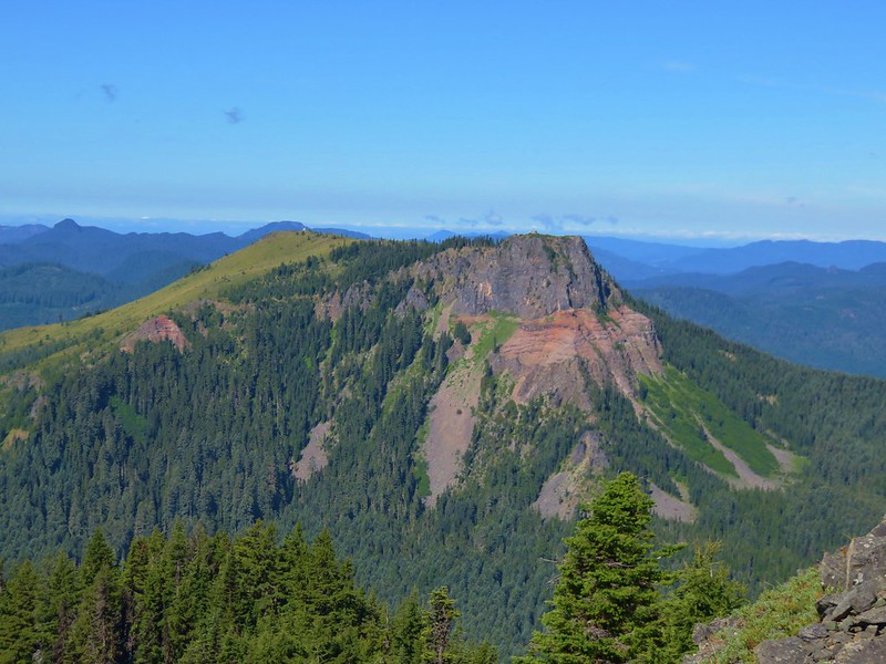
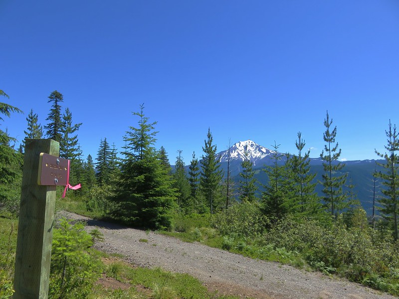
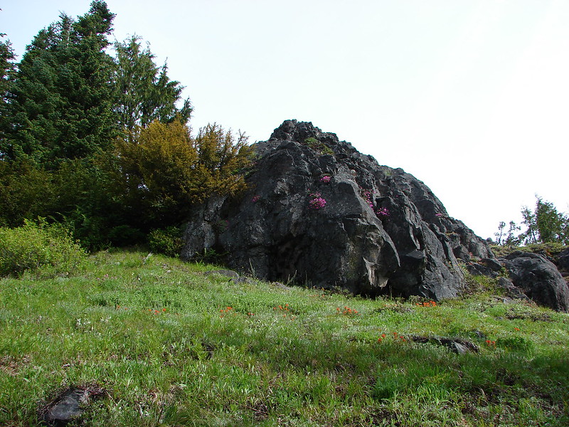
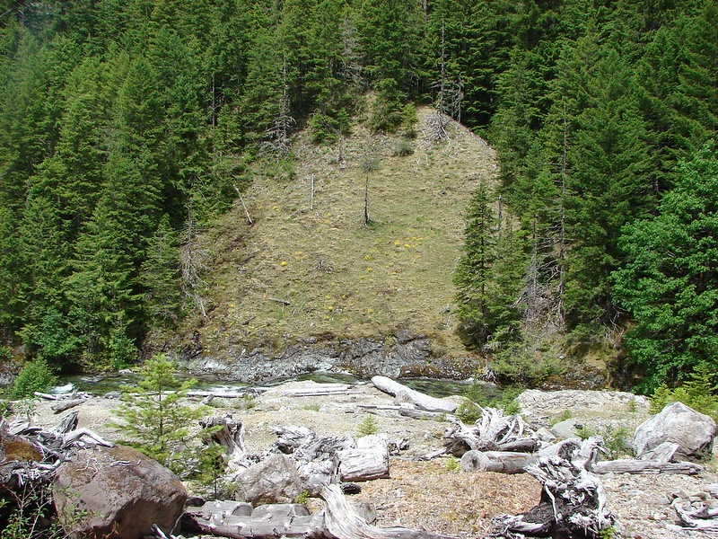
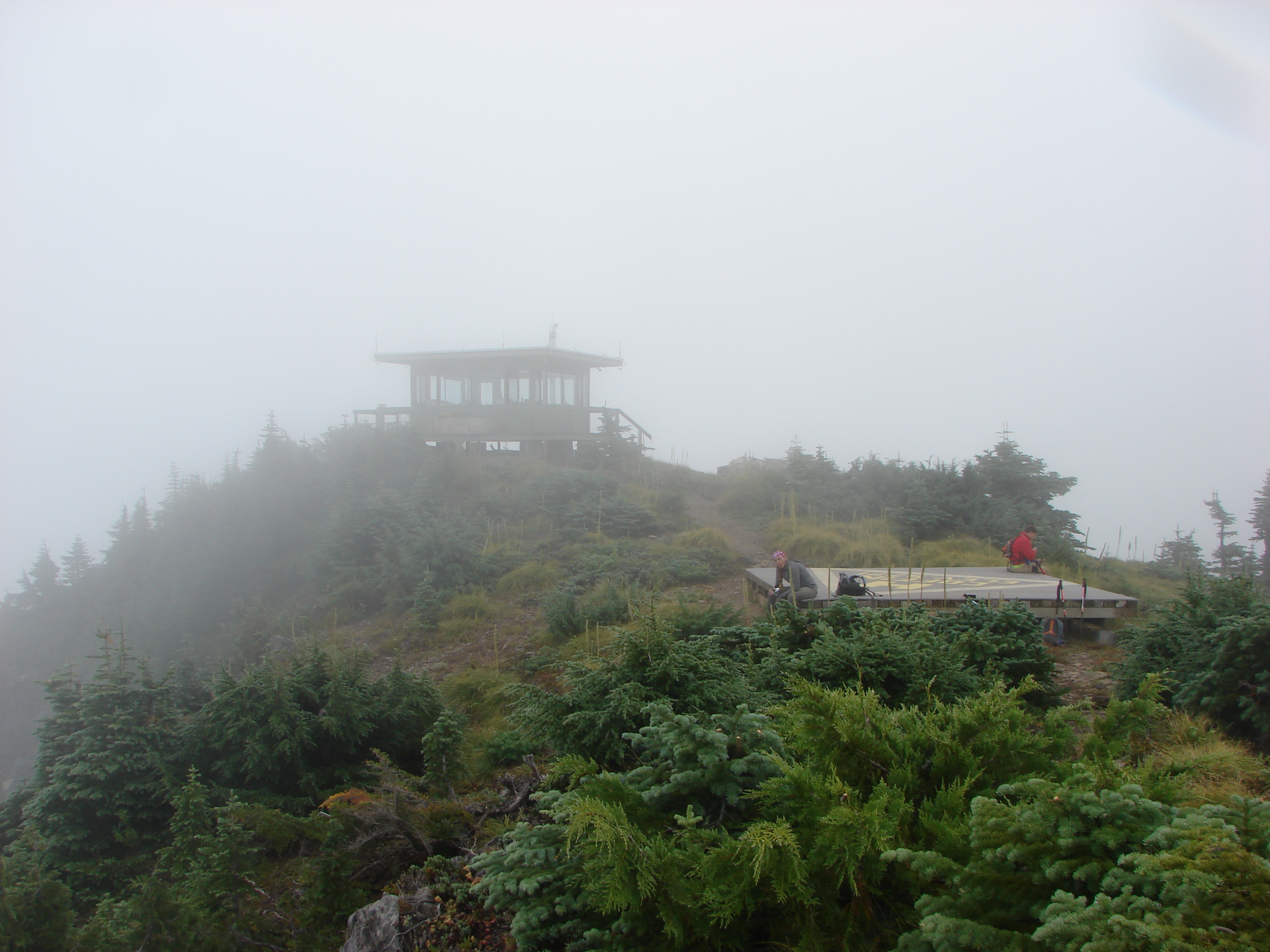
About a mile from the Margie Dunham Spring we came to the junction with the trail up to Dome Rock. Here we turned right climbing a final .5 miles to the old lookout site. The view was great from the summit and included the top of Mt. Hood to the north and Tumble Lake below to the NW. It was also our first good look at the distinctively flat topped Coffin Mountain (post).
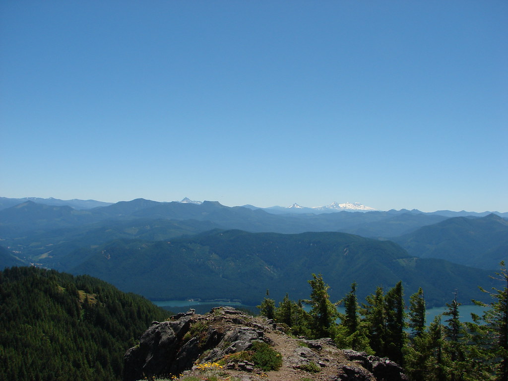 Coffin and Bachelor Mountains in front of Three Fingered Jack, Mt. Washington, and The Three Sisters
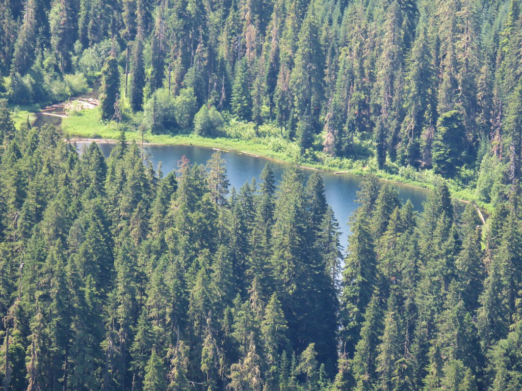
 Tumble Lake
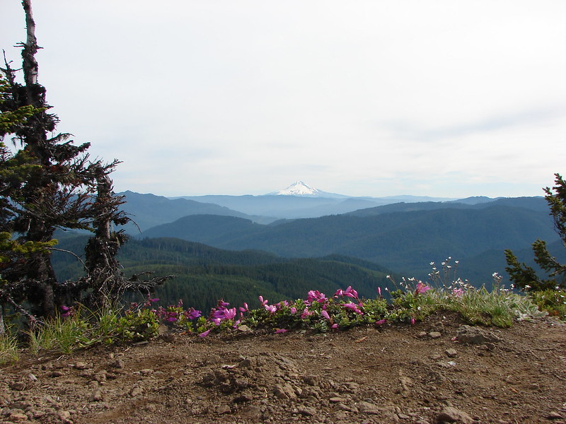
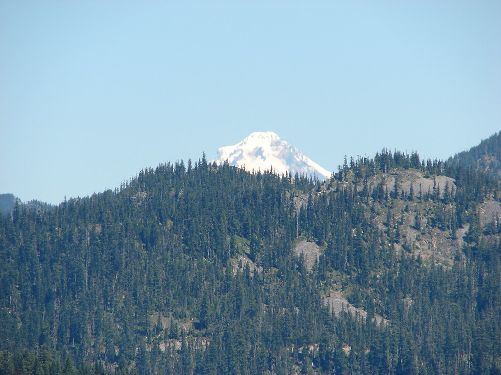 Mt. Hood
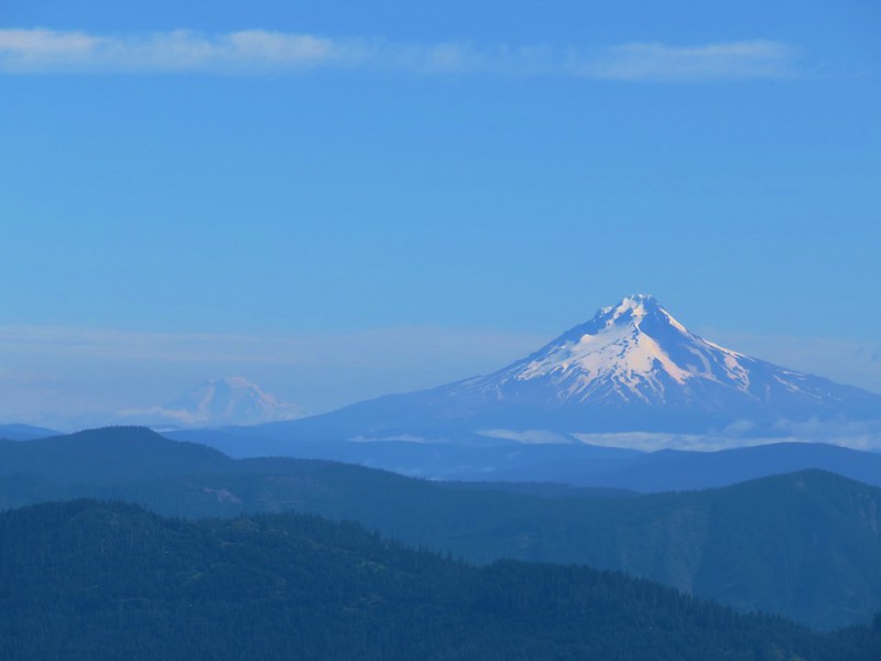
 Close up of Mt. Jefferson
After admiring the view we returned to the Tumble Lake Trail. We briefly considered continuing to Tumble Lake but it was another 1.7 miles just to get to the lake meaning 3.4 additional miles in all plus we would lose around 800′ of elevation going down to the lake and we had already climbed over 3250′. Maybe next time. Instead we retraced our steps down to Highway 22 and headed back to Salem. Happy Trails!
Flickr: Dome Rock


 Mt. Washington, the Three Sisters and the Husband
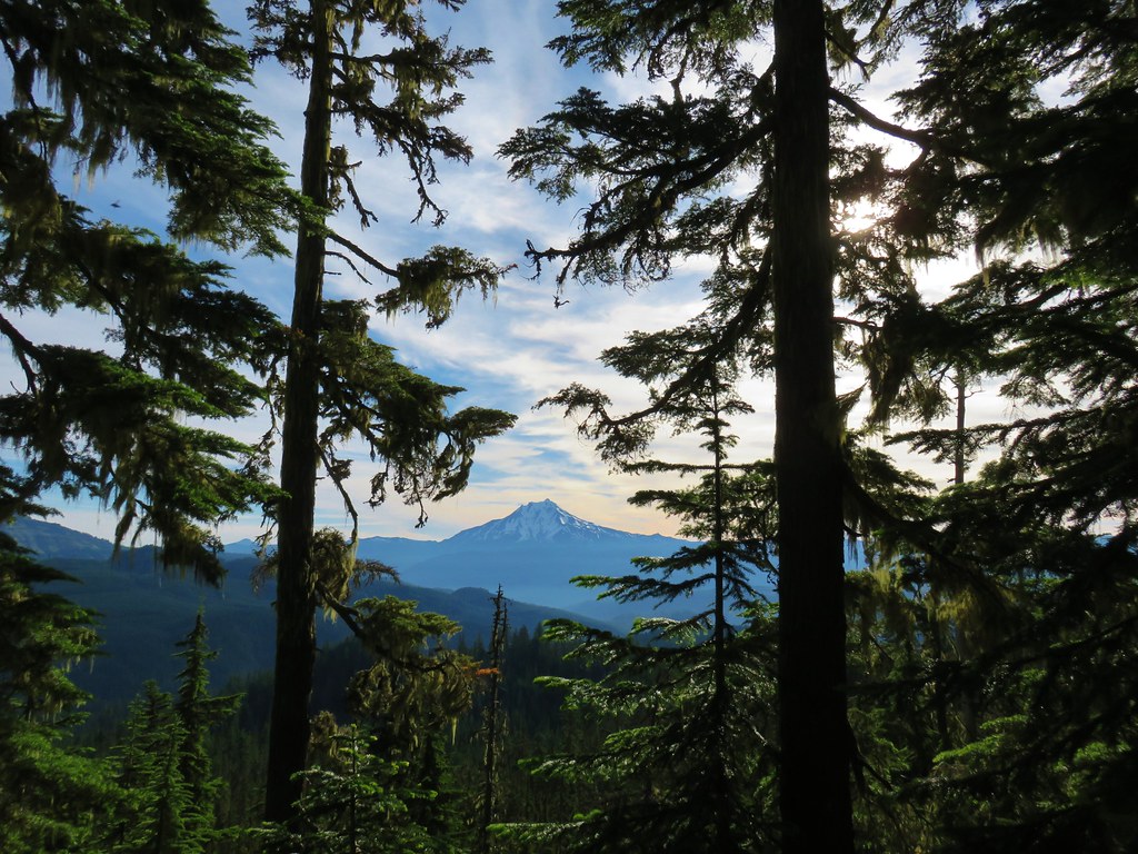 Mt. Jefferson
 Coffin and Bachelor Mountains


 Mt. Jefferson
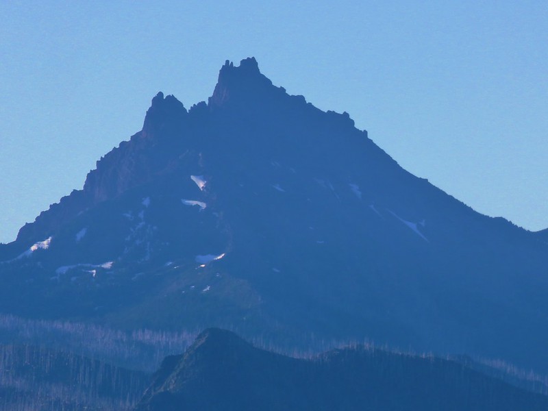
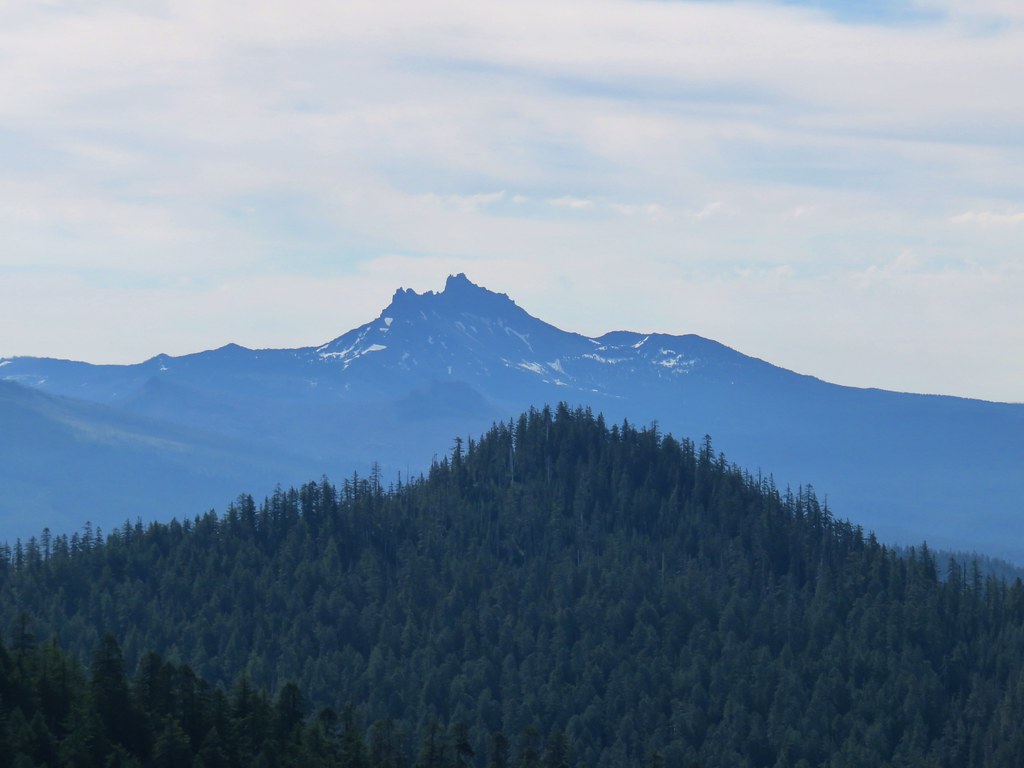 Three Fingered Jack
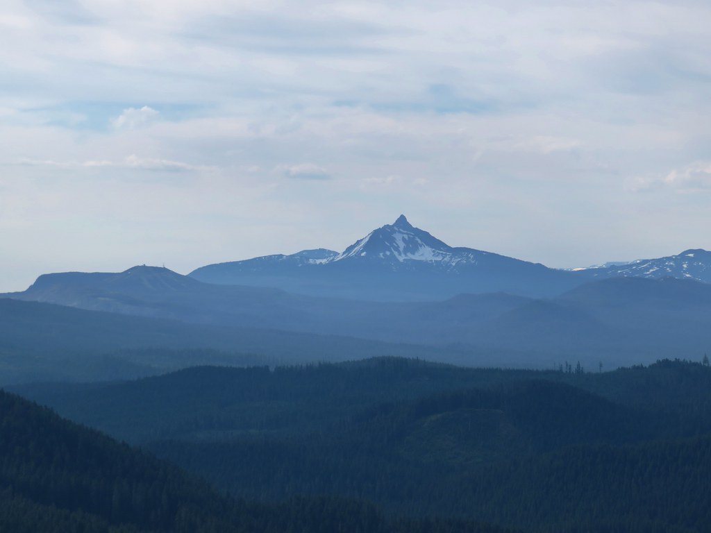
 The Three Sisters and the Husband
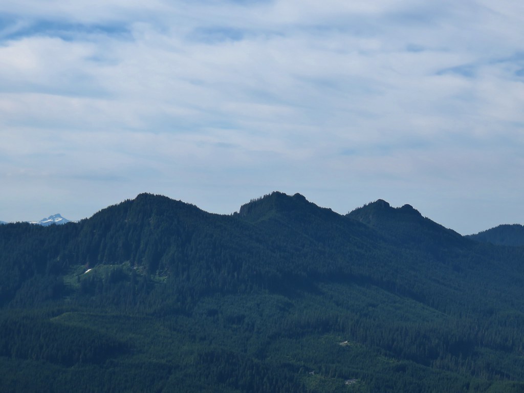 The Husband behind the Three Pyramids
 North Peak, Echo Mountain, South Peak, Cone Peak, and