**Note the 2020 Beachie Creek Fire burned the area covered by this hike.**
One of the hikes we wanted to do this year was a repeat of a hike we’d done back in 2010 when we were just getting into hiking. The goal of that hike was Whetstone Mountain. When we were done with that hike we had no idea how far we’d gone, we just knew that it kicked our derrieres. We wanted to revisit this hike to find out just how far it was and to also see how we would fare now being more prepared and experienced.
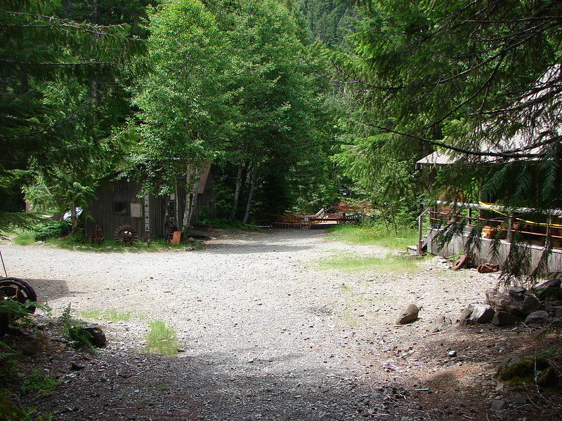
The previous hike had ended with Heather and I jogging down the closed portion of forest service road 2209. We weren’t jogging for fun, we were jogging because we couldn’t walk any longer and we desperately wanted to be back at our car. We were heading back now armed with 4 years of experience and a Garmin to find out just how difficult this hike really was. The starting point for this loop was the Opal Creek trail head which was already full of cars when we pulled up at 6am. The trail head is the main gateway into the Opal Creek Wilderness and Jawbone Flats a former mining camp turned ancient forest center. A gate at the trail head blocks any unauthorized vehicles from reaching the center.
We set off down road 2209 and followed it across Gold Creek.
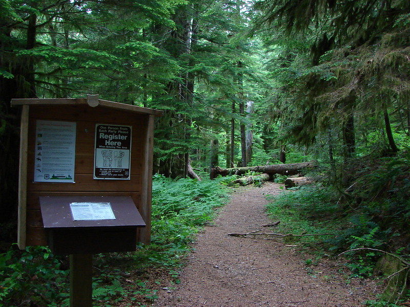
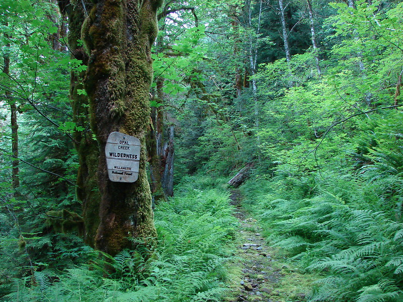
Shortly after the bridge a sign and wilderness registration box announced the Whetstone Mountain Trail heading up on our left. We turned up it and quickly entered the Opal Creek Wilderness.
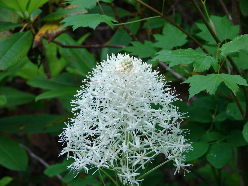
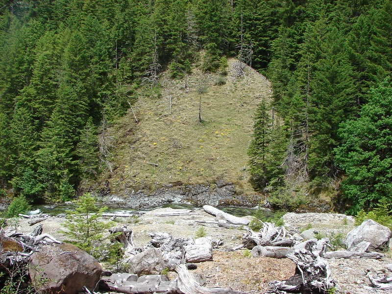
The trail climbed steadily through rhododendrons and beargrass. Neither Heather nor I remembered much about this portion of the hike from our first visit. It may be that we suppressed the memory of this difficult climb :). It wasn’t until we reached a small saddle with an open view of Mt. Hood to the north that anything looked familiar.


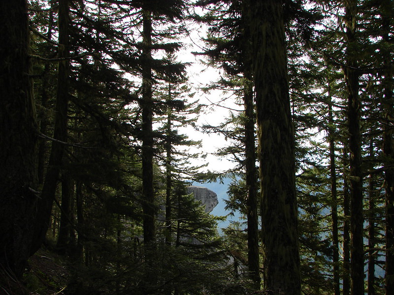
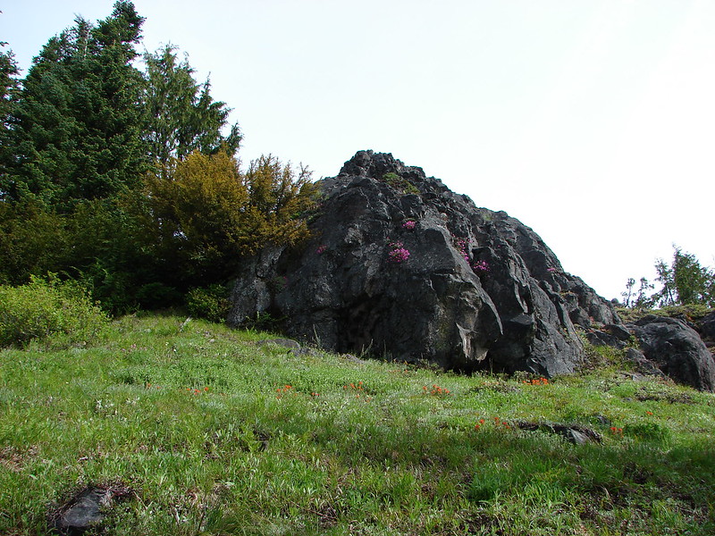
Another notable item that we remembered was an anvil shaped rock outcrop that could be seen through the trees as well as view of Mt. Jefferson.
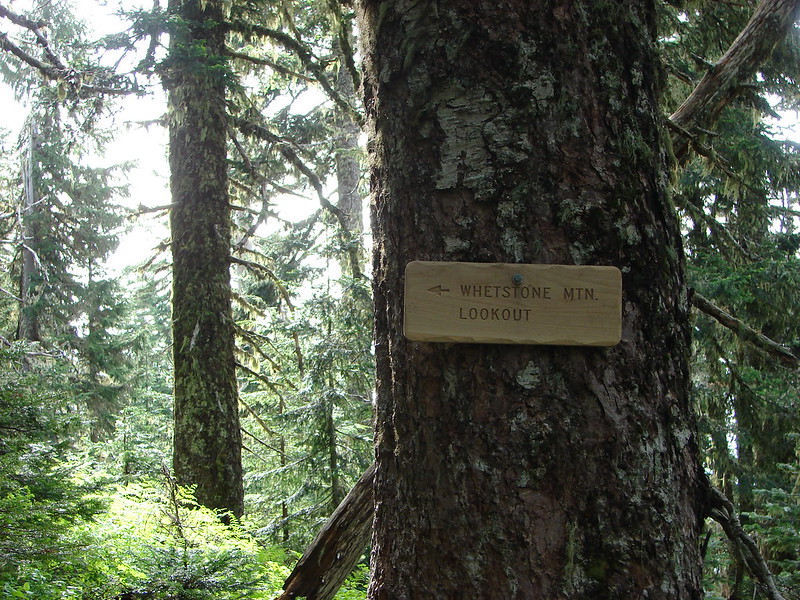
On our first visit we had been disappointed with the mountain views. We had been told to look for a trail that forked off to the left and led to a nice view, but we never found it that first trip. We had our eyes open again this time determined to find this trail to a view, but this time we didn’t need to look very hard. A nice new sign had been put up pointing directly at a well maintained trail. It’s hard to believe either was there on our previous visit. The sign was surely new and we couldn’t believe we would have missed such an obvious trail.
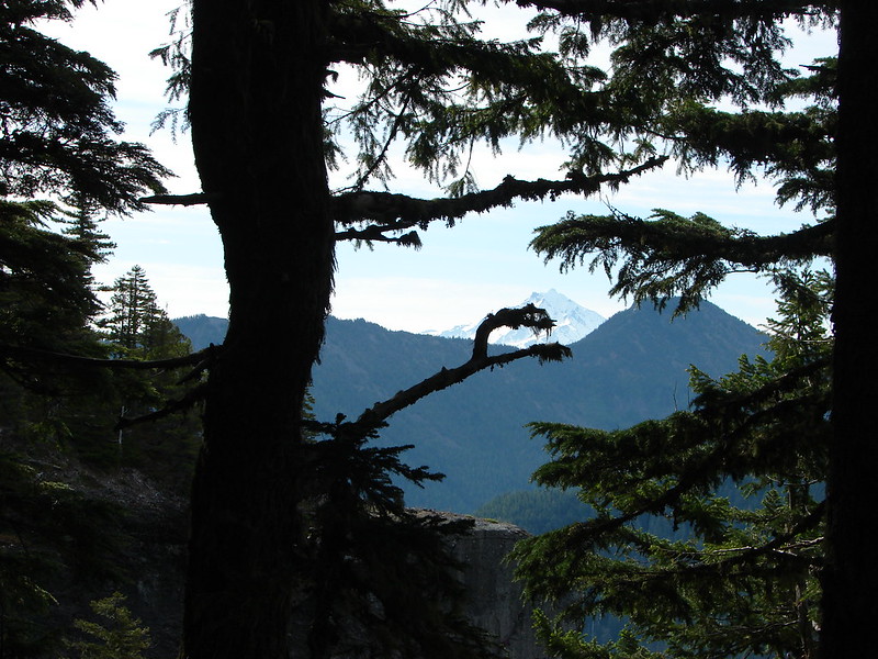
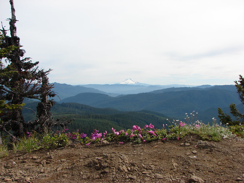
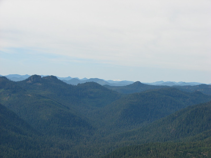
The views kept getting better as we climbed toward the former lookout site. The trail passed a nice meadow below the rocky summit before winding up on top where a 360 degree view awaited.
Olallie Butte, Mt. Jefferson and Battle Ax Mountain
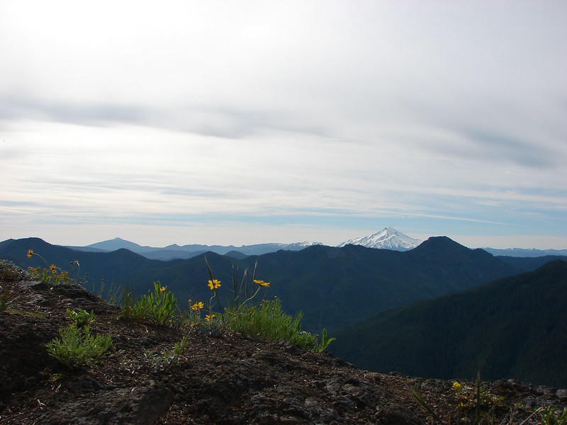
Mt. Hood
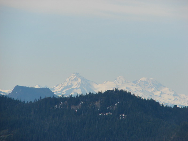
Broken Top, Coffin Mountain and the Three Sisters
Three Fingered Jack

Diamond Peak
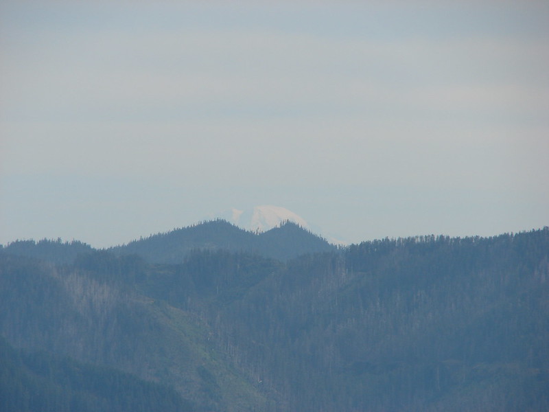
Mt. Rainier
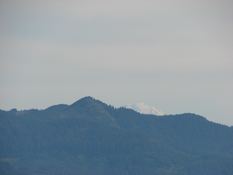
Mt. Adams
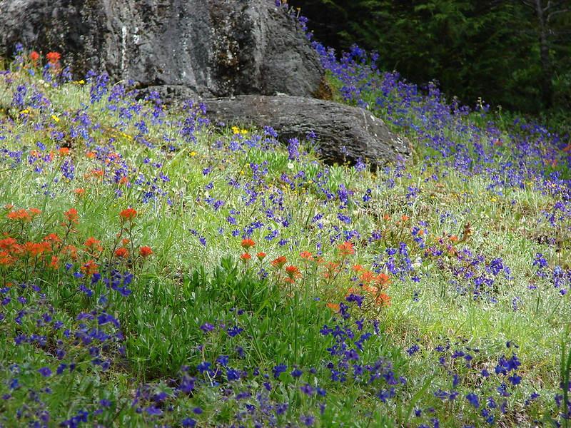
We would have liked to have stayed up on the summit for awhile but it was crowded up there. Mosquitoes were beginning to swarm us and there was no breeze to keep them at bay so we didn’t stick around very long and headed back down to the Whetstone Mountain trail to continue our loop. Not far from the summit we passed another lovely meadow filled with larkspur and paintbrush.

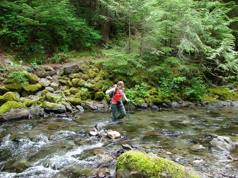
The trail down the east side of Whetstone Mountain had a gentler grade than the side we had come up. We didn’t remember this section either until we reached the bridge less crossing of Battle Ax Creek. On our last visit we removed our shoes and socks and made sure our pant legs would stay dry. Our attitudes about creek crossings have changed since then and this time we just plunged in.
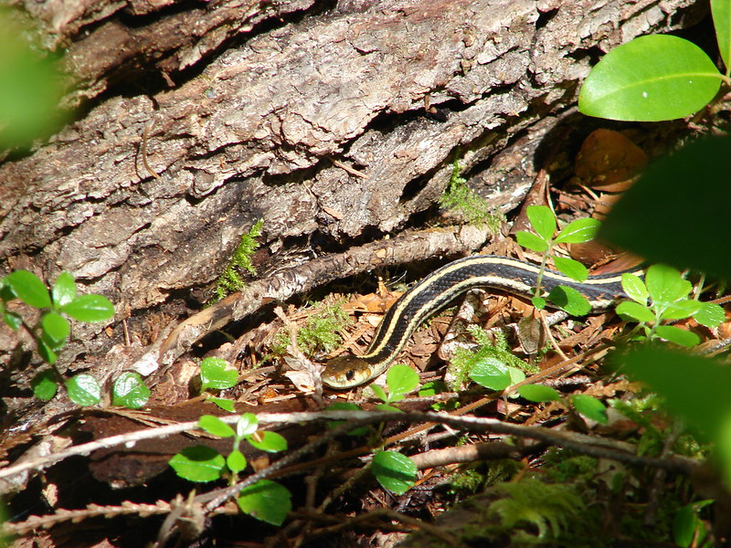
Shortly after crossing the creek we popped back up on the old road 2209 at a trail junction. We turned toward Jawbone Flats and headed down the abandoned mining road. As we were walking I spotted a snake trying to get out of the way. It didn’t seem too concerned with us and posed for several pictures. Nique and I moved on and soon realized we’d lost Heather. When she caught back up she told us that the snake had come over to check her out.
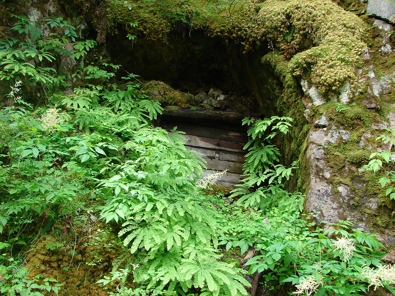
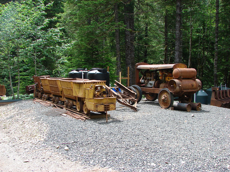
About a mile from Jawbone Flats are the remains of the Ruth Mine. We took a moment this time to check out the old equipment and shafts.

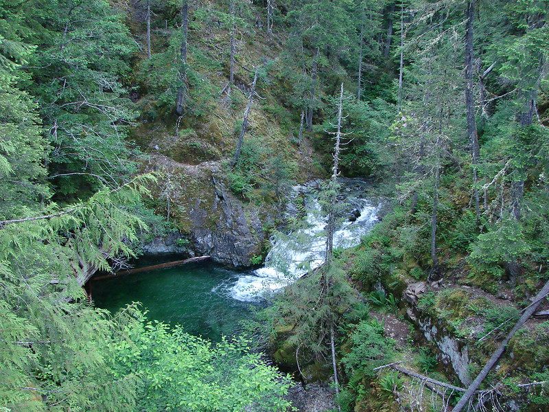
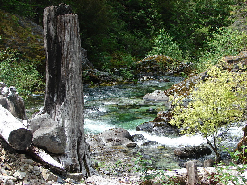
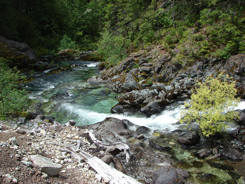
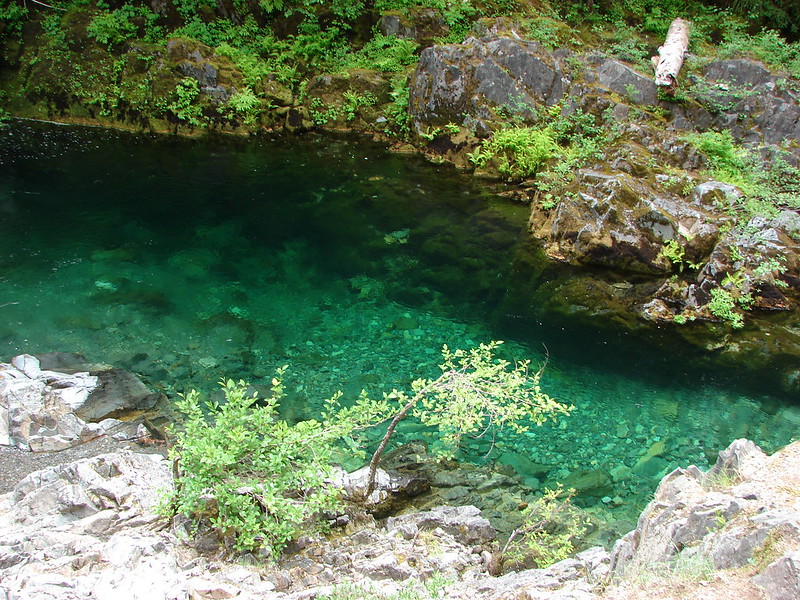
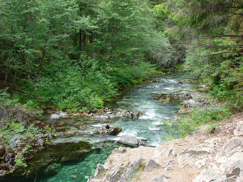
Just before Battle Ax Creek reaches Jawbone Flats there is a nice open rocky area where we could get an up close view of the clear water that the Opal Creek Wilderness is known for.

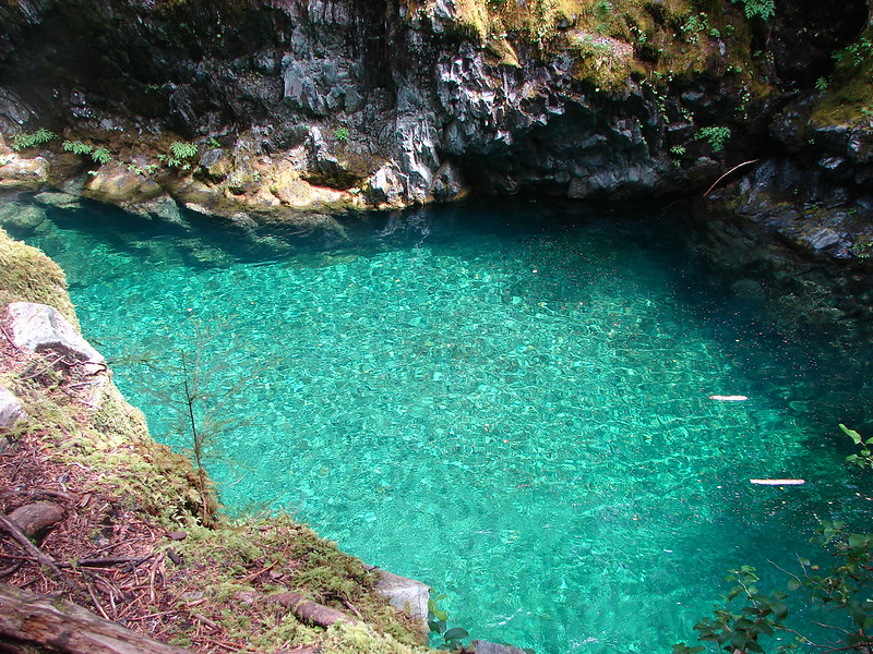
We had gone straight through Jawbone Flats crossing Battle Ax Creek on a footbridge on our previous visit but we had made other plans this time. The bridge had recently collapsed so there was no direct route through the old camp. Instead we would take the Kopetski Trail which would take us across the Little North Santiam River and by the Opal Pool.
Closed bridge:
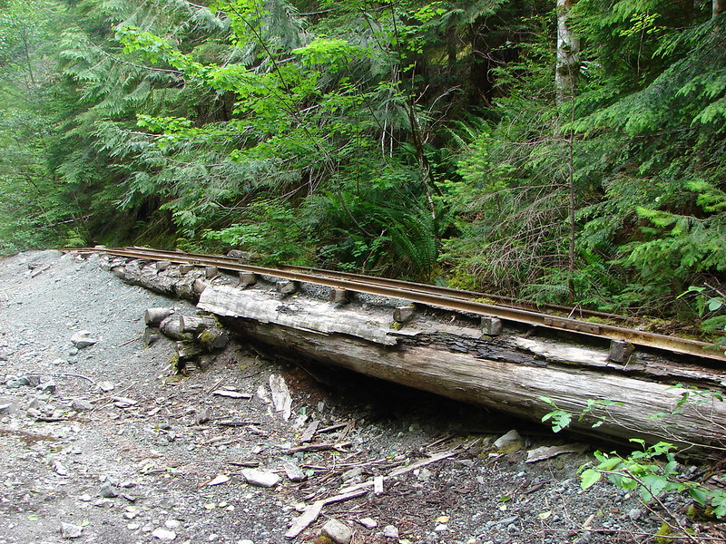
Old mining equipment:
Little North Santiam River:

Opal Pool:
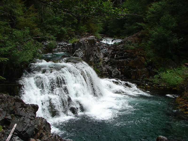
Despite the number of cars in the parking lot that morning we had only seen one group of people up until we reached the Opal Pool. From that point on we were passing another group every couple of minutes. Since we had hiked this trail in 2012 and we’d already been hiking for over 6 hours we didn’t bother with exploring all the possible access points to the river. After a mile and a half we recrossed the river on another bridge and were back on road 2209. We had one last stop to make. There was a waterfall that we had yet to find along the trail. We knew it was somewhere behind the old Merten Mill but we had yet to actually see it. Determined to finally see Sawmill Falls we turned off the road at the old mill and followed a path next to the building. This time we found the falls easily and it was worth the side trip.
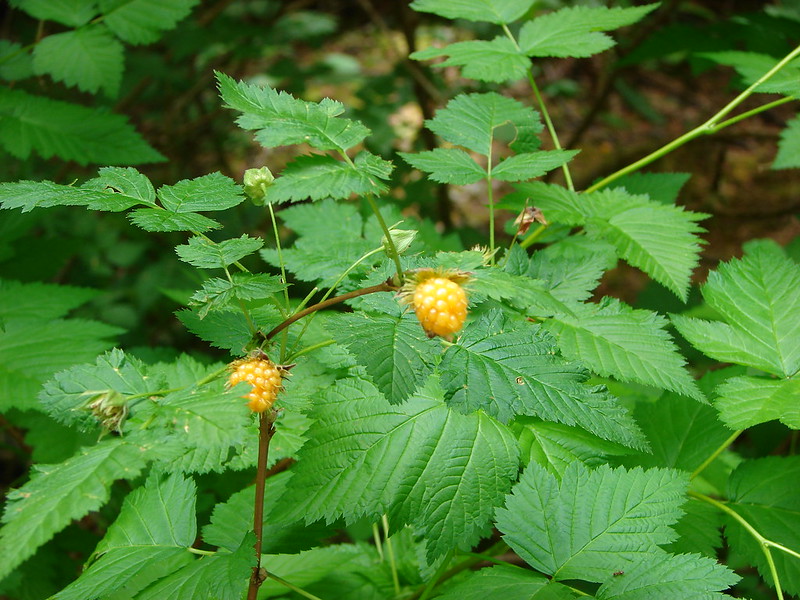
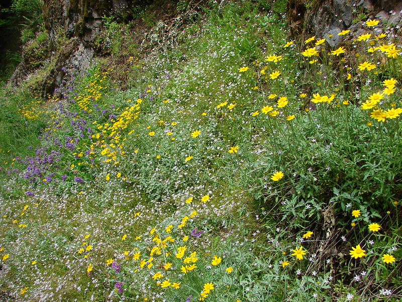
After a brief rest we returned to the road and began the home stretch. Nique and I began snacking on the Salmonberries that were ripening along the trail (Heather finds them too sour) and we passed a good patch of flowers growing in an exposed rocky section.
We ended up with the Garmin showing a 16.3 mile hike which would explain why it had seemed so hard 4 years ago, it was hard :). We’d probably gone closer to 15 that day since we hadn’t found the summit trail or taken time to explore the Ruth Mine, Opal Pool, or Sawmill Falls but up until then 7.1 had been our longest hike.
It is really a beautiful area with lots of options, but if you don’t like crowds avoid weekends, especially nice ones. When we got back to the parking area the number of cars had more than doubled. If we were to ever do this loop again I’d go the opposite direction to minimize crowds and to take advantage of a more gradual climb. Happy Trails!
flickr: https://www.flickr.com/photos/9319235@N02/sets/72157645240344216/
facebook: https://www.facebook.com/media/set/?set=a.10204293169716570.1073741888.1448521051&type=1

7 replies on “Whetstone Mountain”
[…] Whetstone Mountain (post) […]
[…] Creek – 2009, 10, 11, 12, 14, […]
[…] Opal Pool. We had been to Jawbone Flats three other times, twice on the Whetstone Mountain Loop (post) and in 2012 (prior to starting this blog) using the route we planned on taking this […]
[…] high point to the left is Whetstone Mountain (post), the flat topped mountain straight ahead is Battle Ax Mountian (post), and to the right the double […]
[…] – Opal Creek 7/4/2010, 7/4/2012, 6/21/2014 & 7/24/2019 Burned-2020 Beachie Fire Jawbone […]
[…] Mountain, Table Rock, Mt. Hood, in front and just to the right of Mt. Hood is Whetstone Mountain (post) and the two humps in the distance to the far right are North and South Dickey […]
[…] Jefferson with the flat-topped Battle Ax (post), and rounded Whetstone Mountain (post) to the […]