
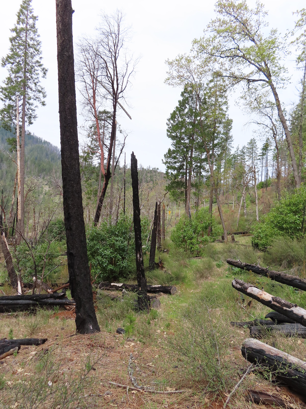
For our fourth day of hikes in the Grants Pass area we had chosen a series of short hikes along the Illinois River which would allow us to check off two more featured hikes (post). Going in we knew that our hikes wouldn’t exactly match Sullivan’s description in the featured hikes because of a closure of the Swinging Bridge which is part of the Fall Creek Trail. Repairs need to be made to fix a hole in the bridge so it is currently under a closure order until 10/31/23 (may be lifted sooner). Several of the hikes we had planned were also in the path of the 2018 Klondike Fire so we weren’t sure what condition the trails might be in.
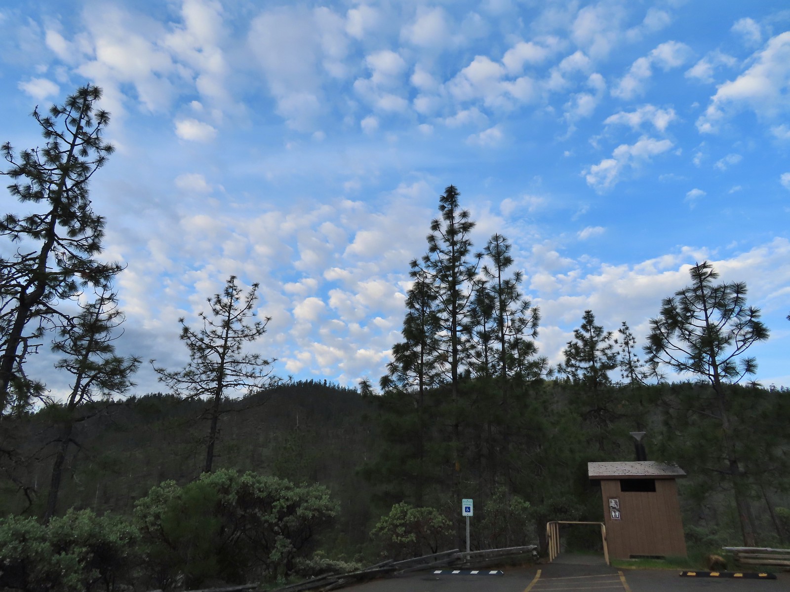
Our first stop at the Eight Dollar Mountain Botanical Area was not in the fire scar.

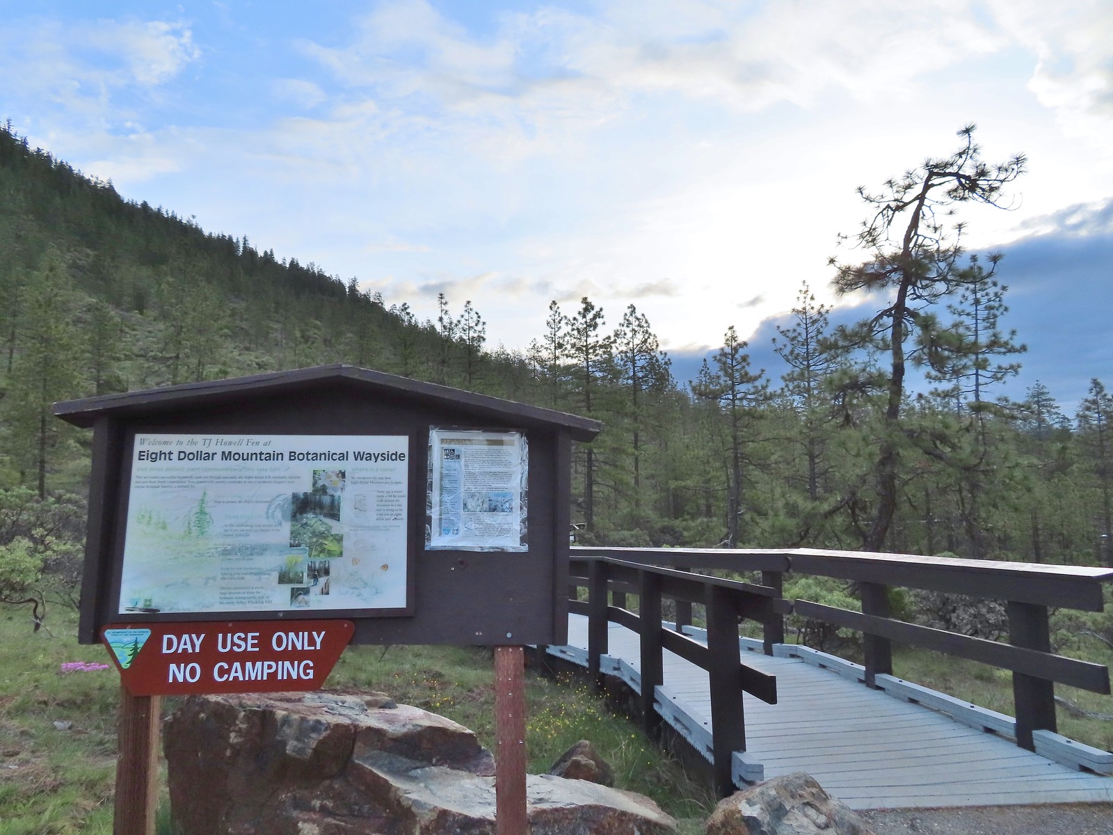
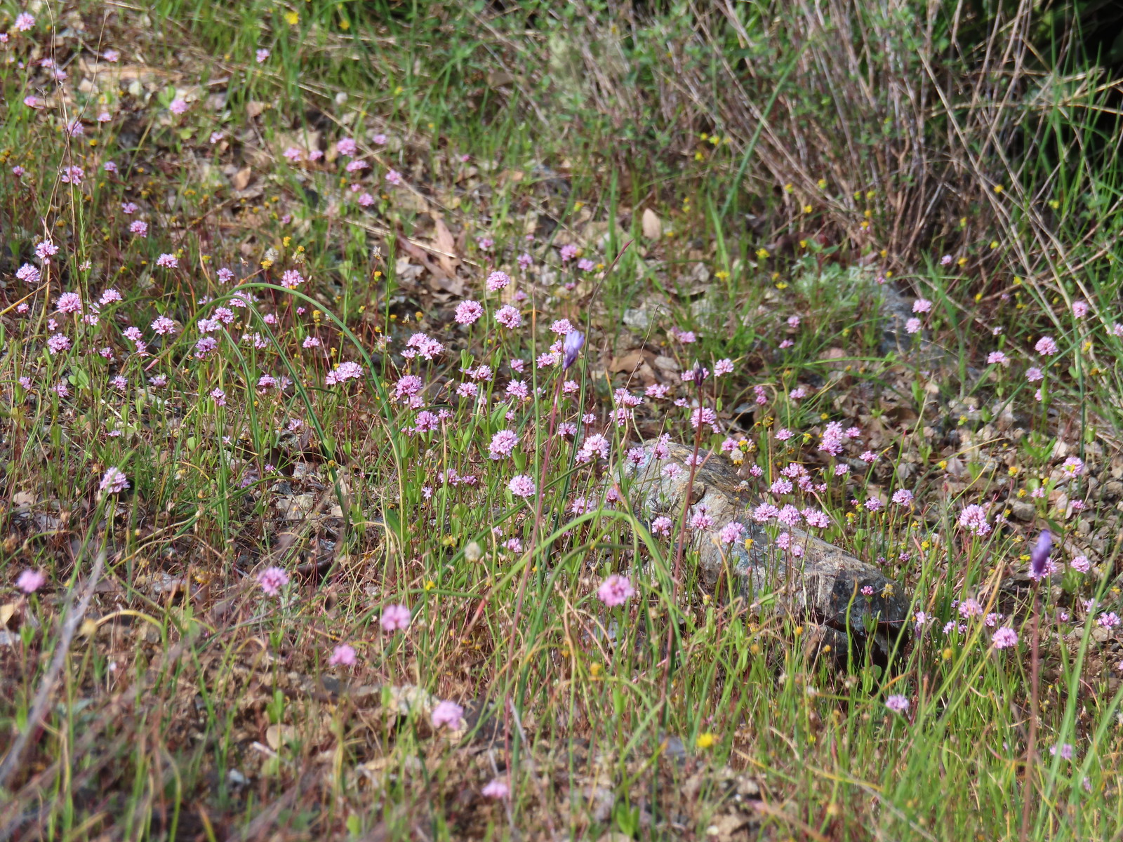
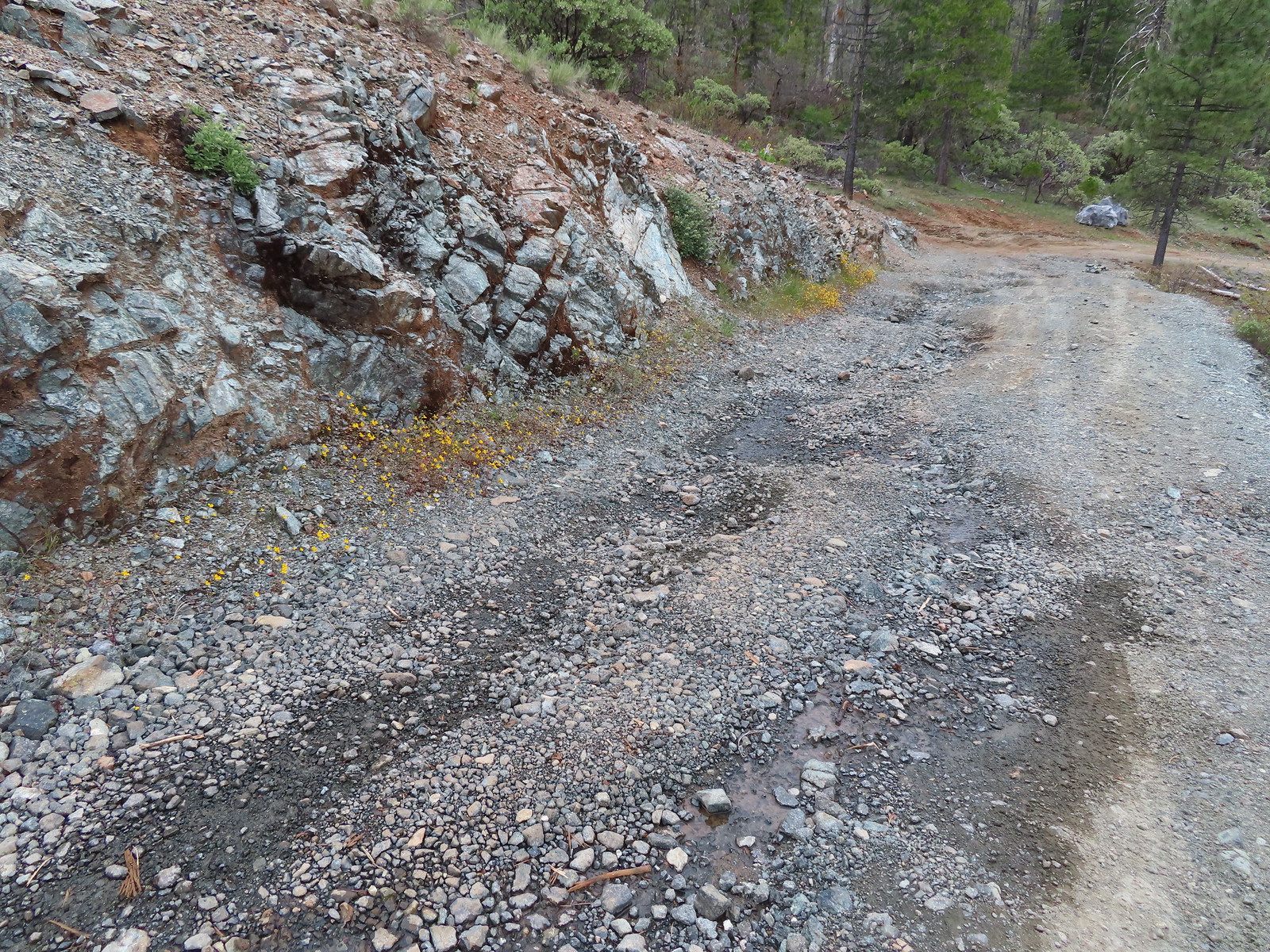
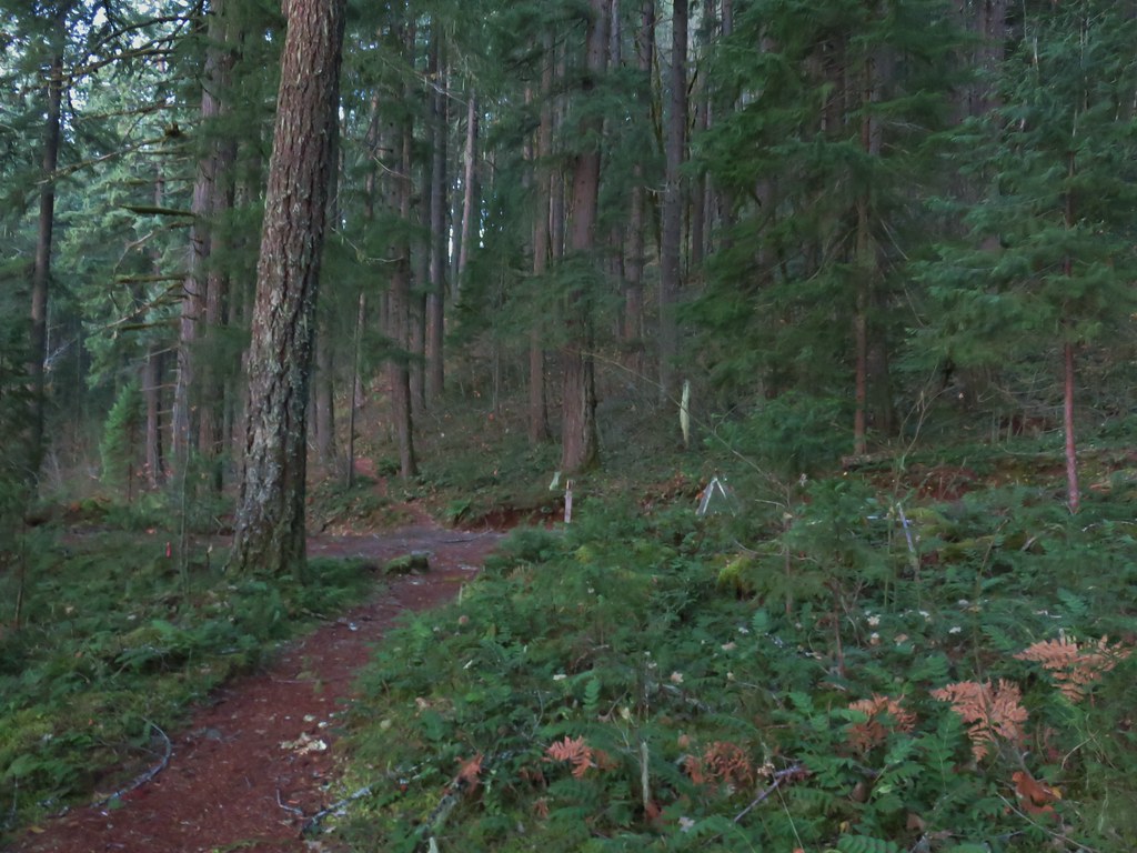
From the parking area we crossed 8 Dollar Road and hiked 0.1-miles to a small, two parking spot, ADA Trailhead where a 0.2-mile boardwalk led to a Fen with California darlingtonia.

 Wedgeleaf violets
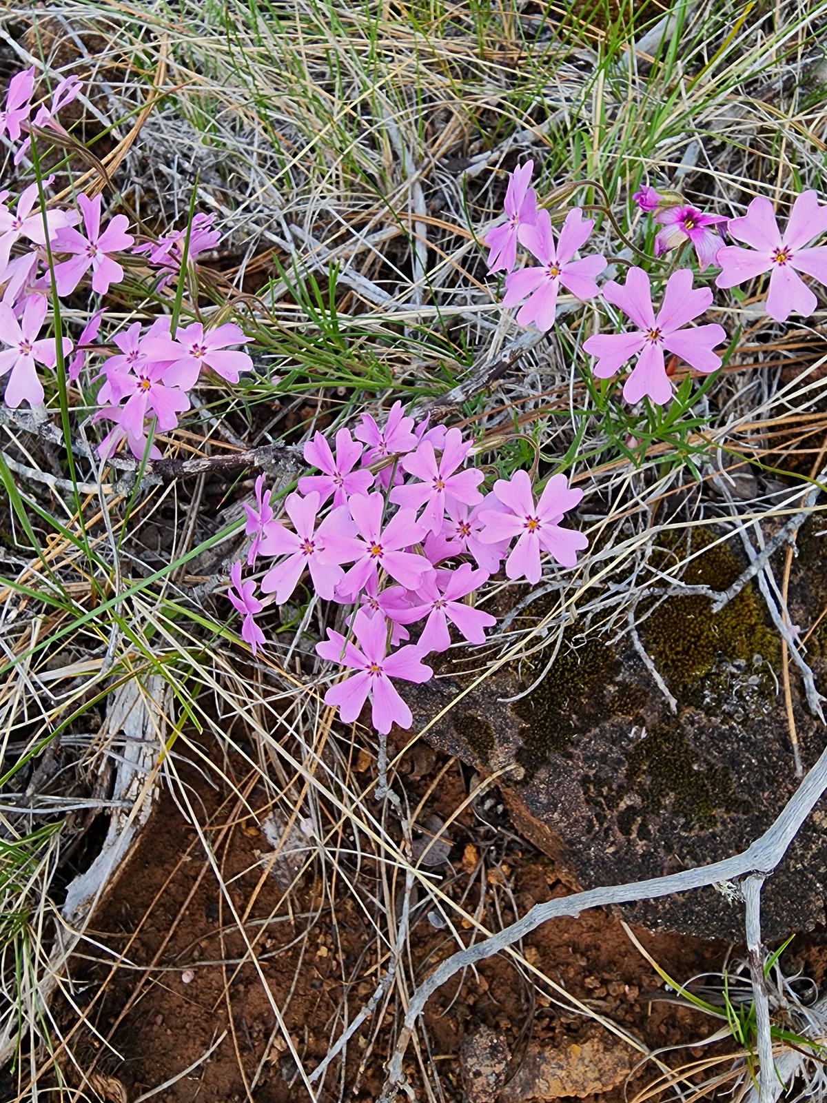 Showy phlox
 Oregon rockcress
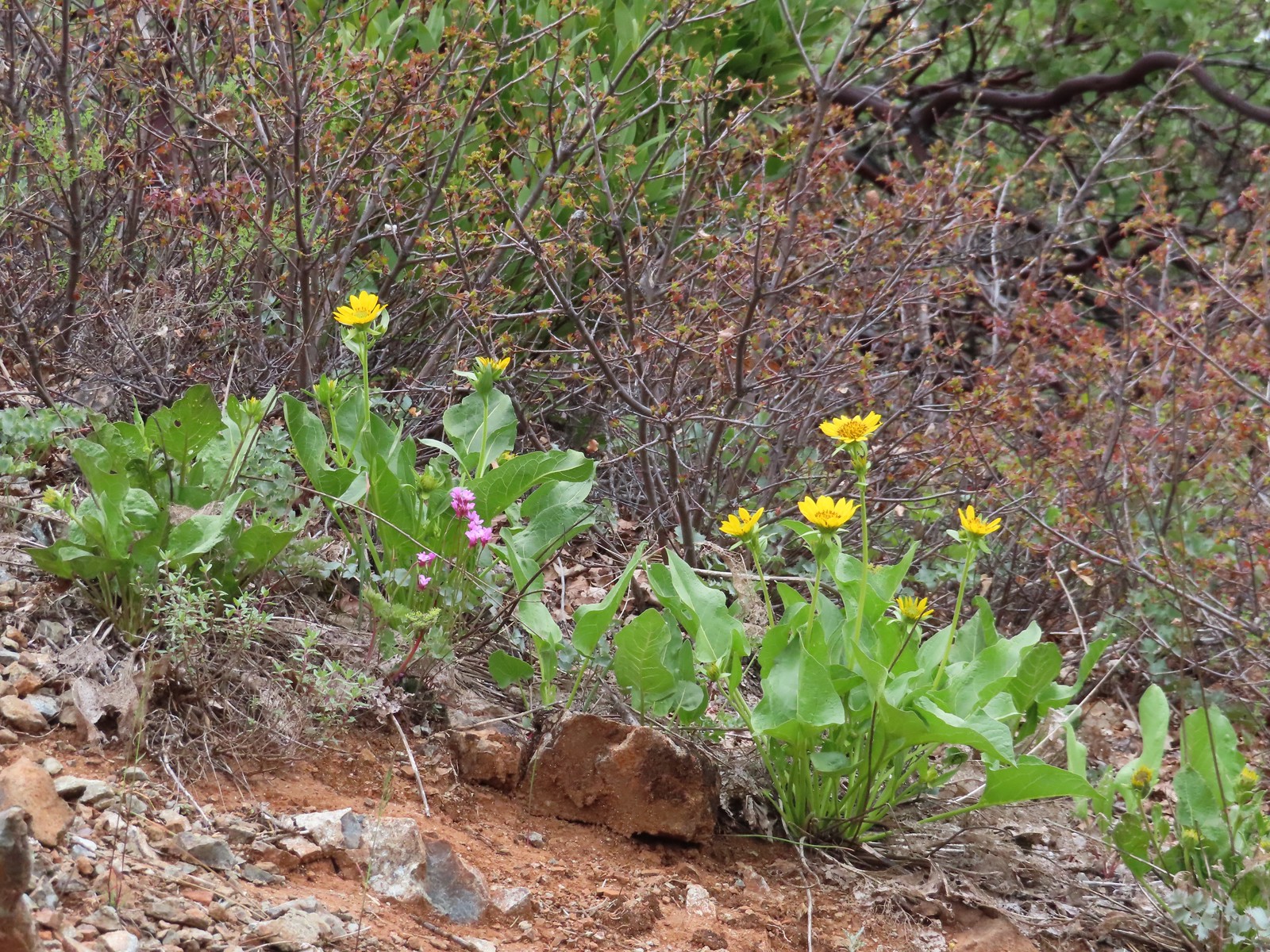
Many of the flowers were just getting started but there were a few darlingtonia blooming in the fen. This was our second stop this year that involved the Cobra lilies, having visited the Darlingtonia Wayside near Florence in April (post).
 Camas and buttercups
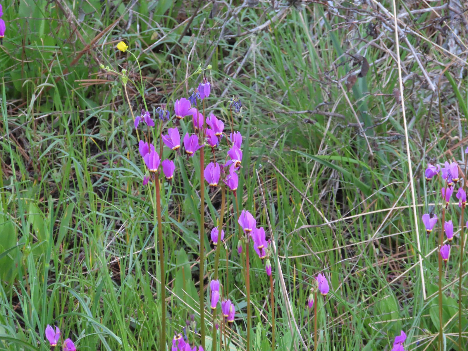 Shooting star
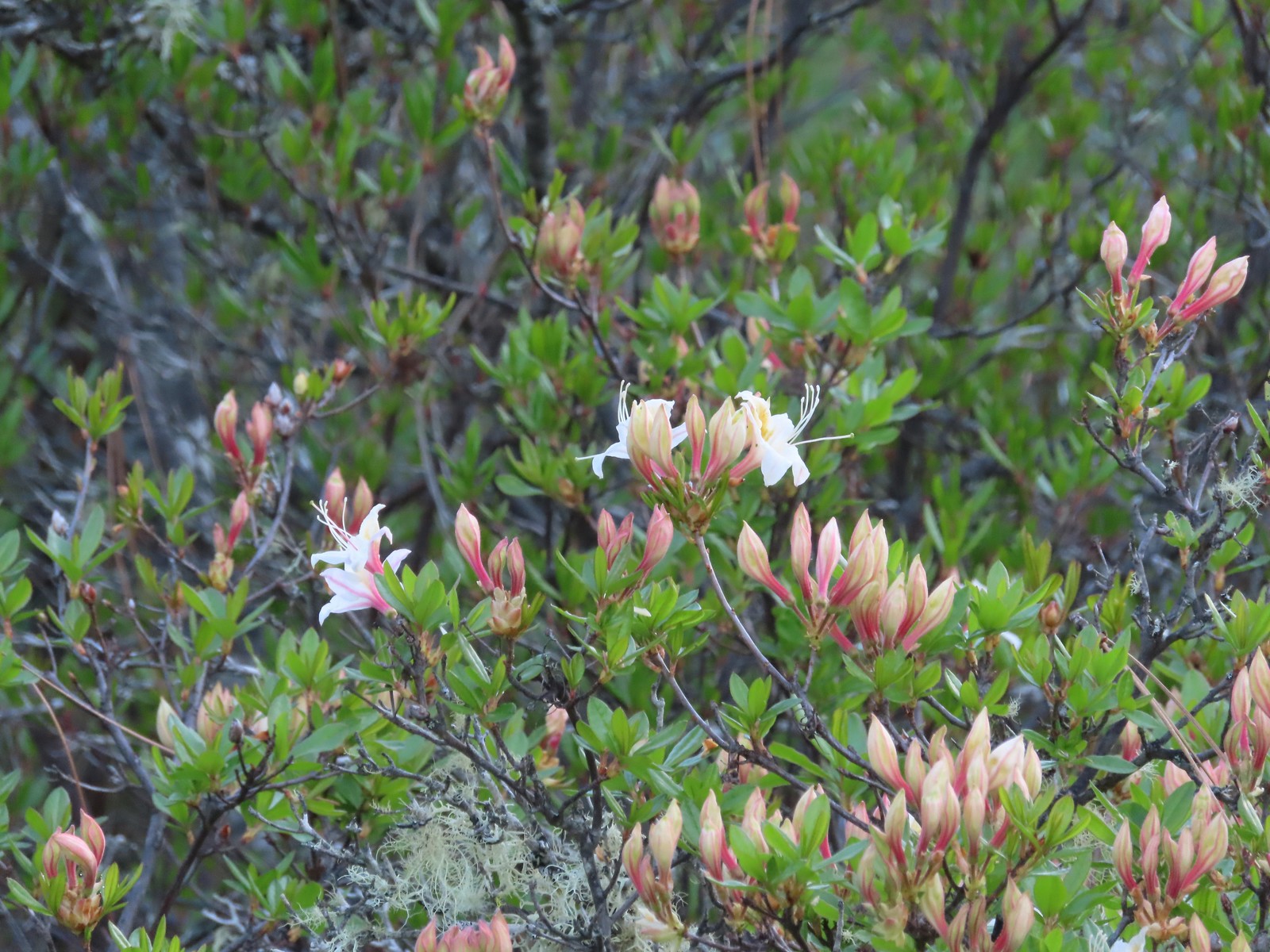 Western azalea
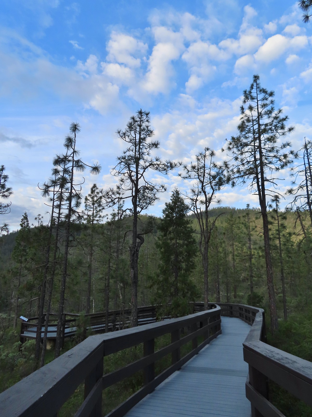
 The fen at the end of the boardwalk.
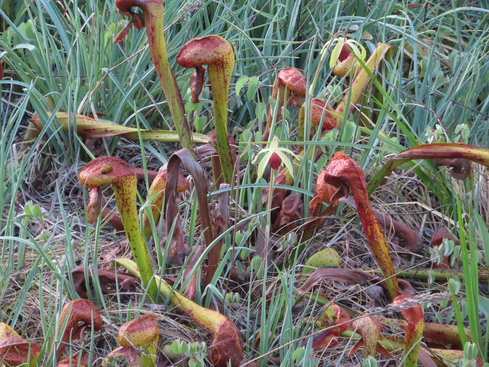 A darlingtonia blossom.
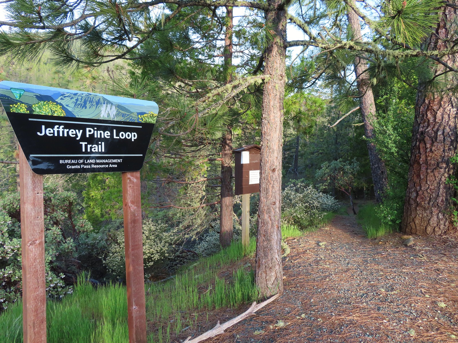
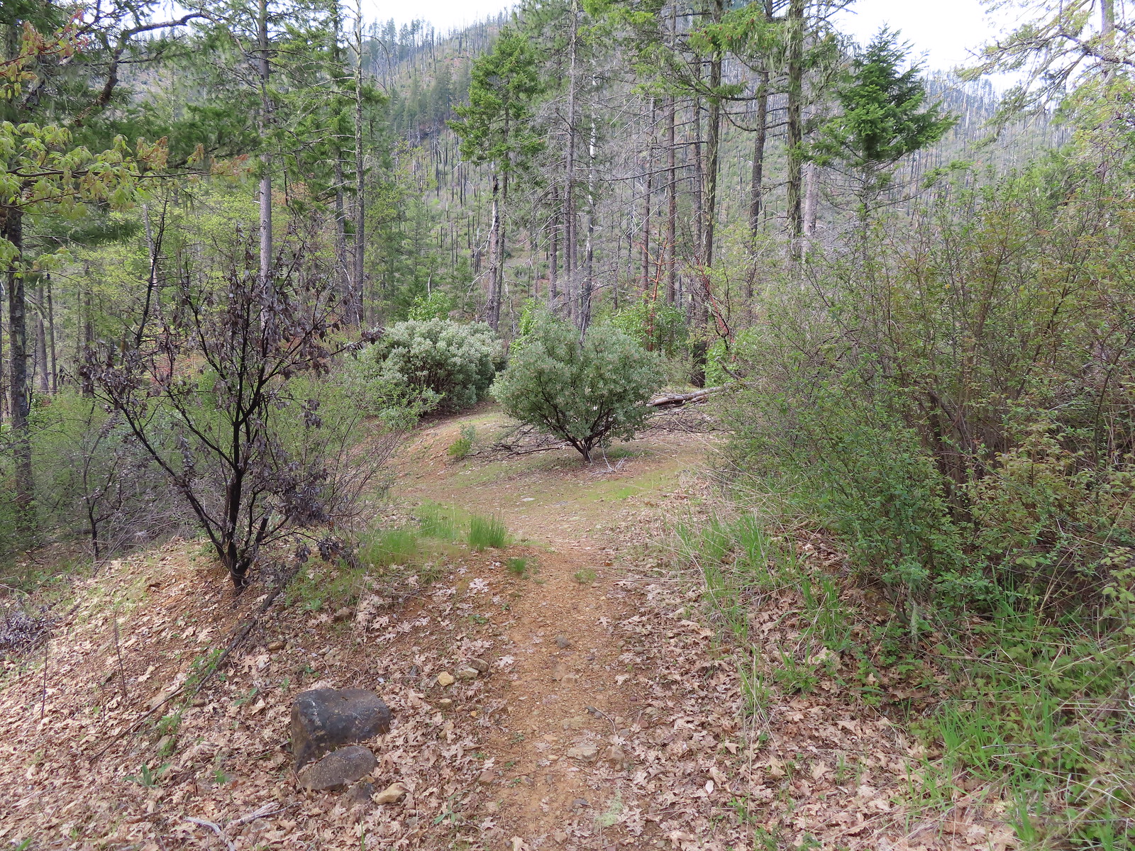
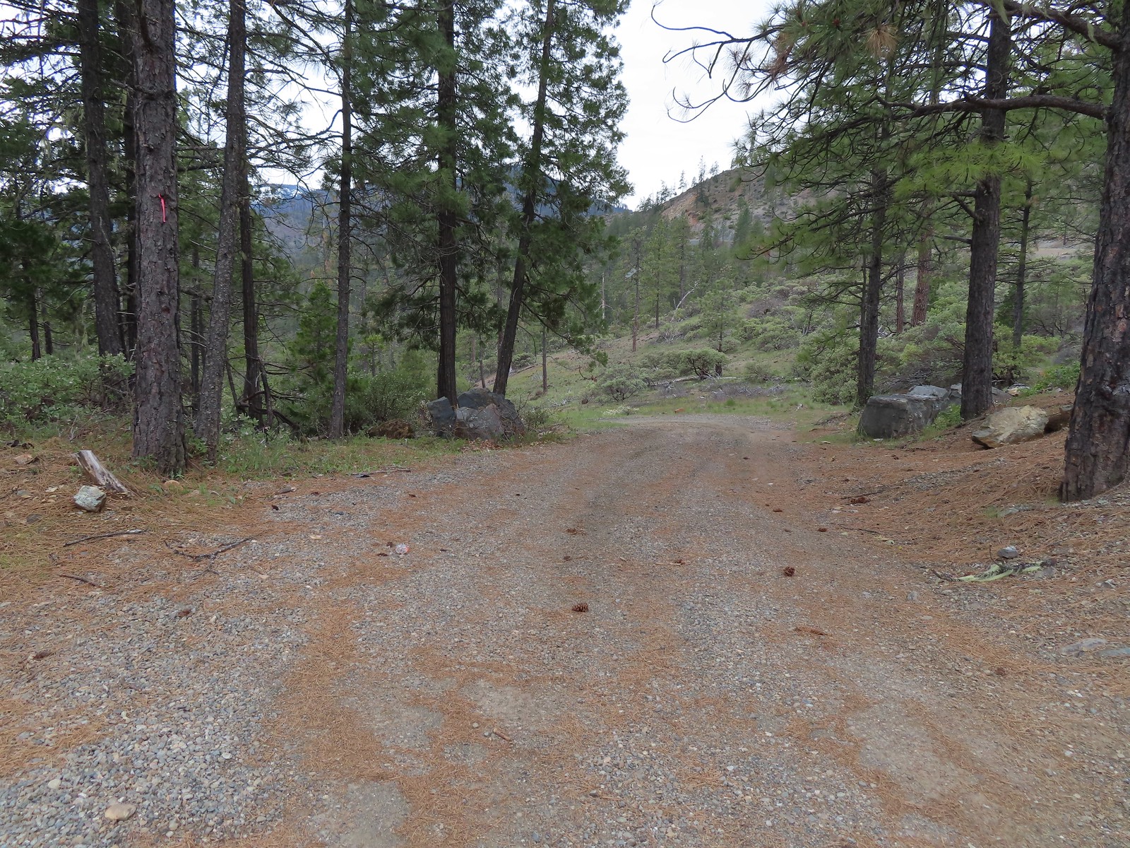
The trailhead where we parked also acts as the trailhead for the Jeffrey Pine Loop Trail, so after returning from the boardwalk we started down this trail.
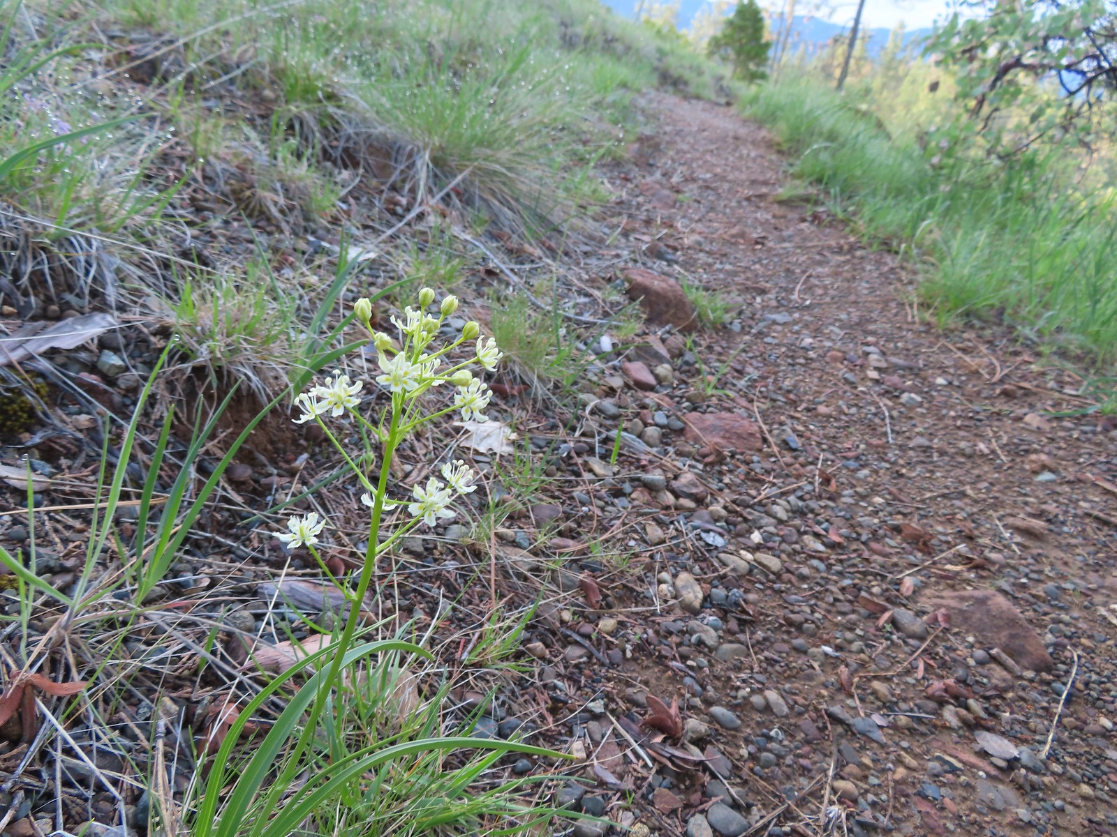
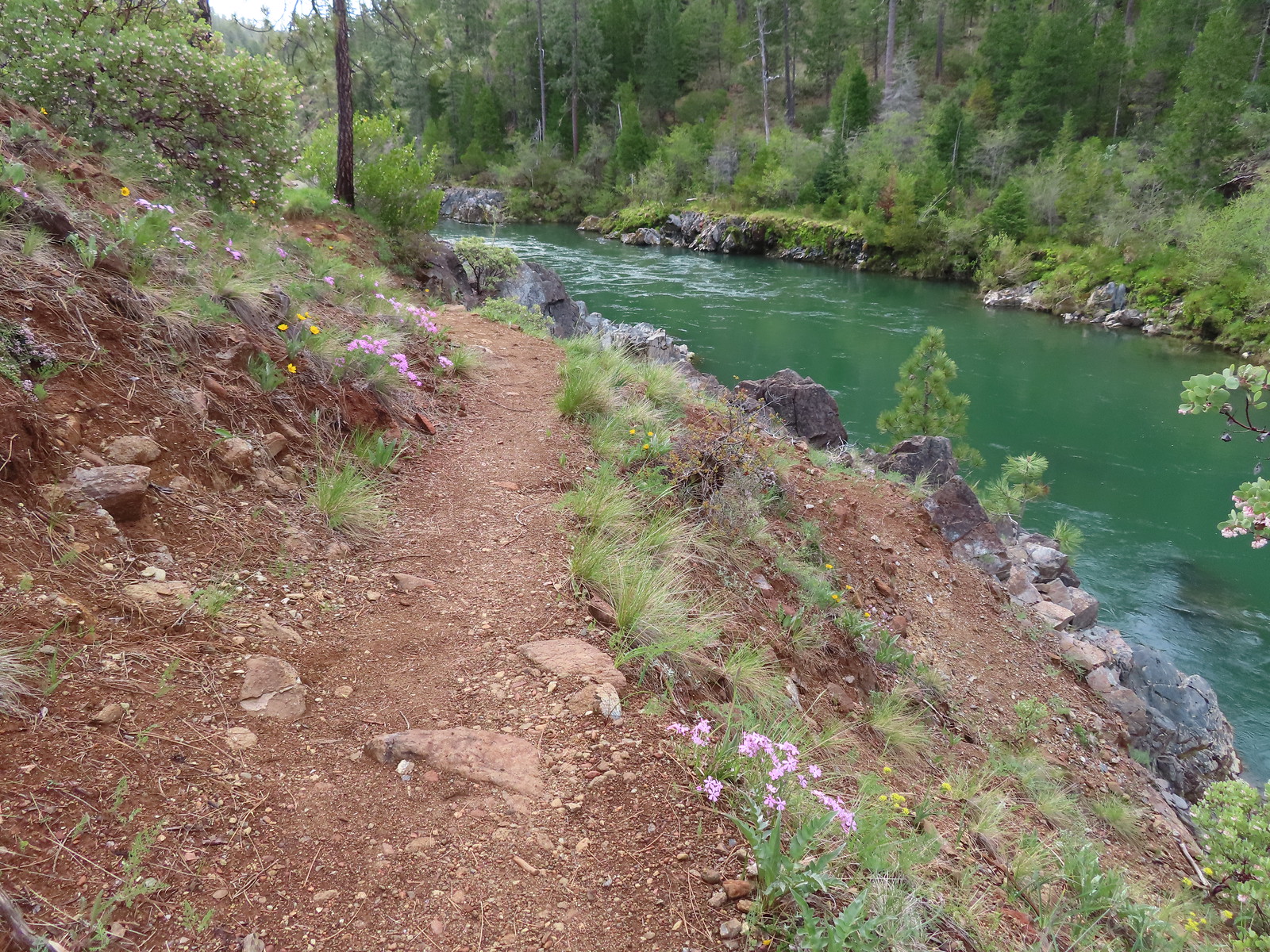
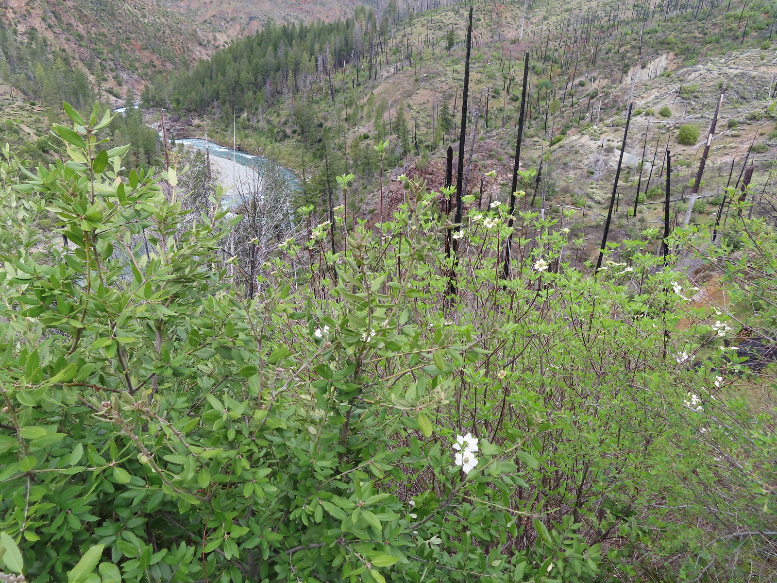
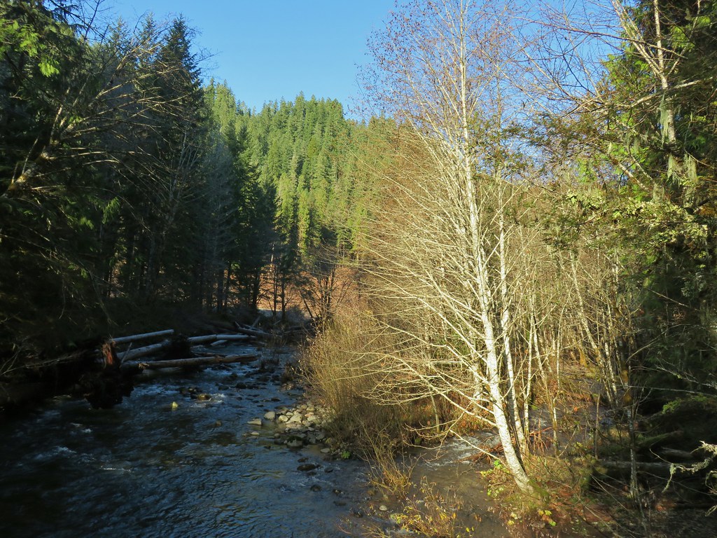
Our plan for this trail was to follow it NW for 1.2-miles to the Little Falls Trail Loop. The Jeffery Pine Trail drops to the Illinois River then follows the route of a former flume to the Little Falls Loop Trail. We were a little apprehensive knowing that we’d be hiking along the Illinois River once again. Our only previous hike along the river was a bit of a nightmare (post). We had stumbled into some sort of tick convention and spent nearly the entire hike brushing the little blood suckers off our clothing. Add in a good amount of poison oak crowding the trail and let’s just say this wasn’t one of our best experiences. That being said the Illinois River itself is beautiful, so we were willing to give it another chance. The scenery was nice and there were a number of wildflowers along the trail as we headed down toward the river.
 We stayed right at this junction just below the trailhead. There is a 0.5-mile loop option which we planned on skipping.
 Death camas
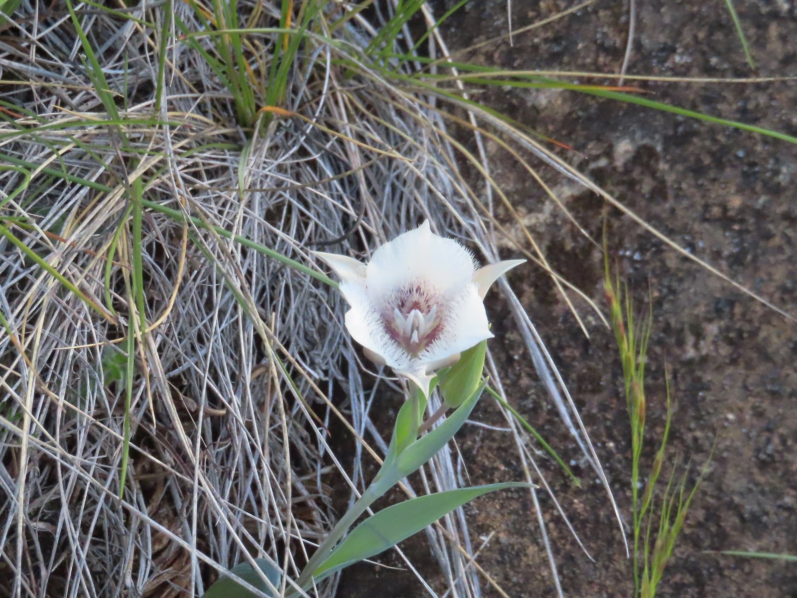 Mariposa lily
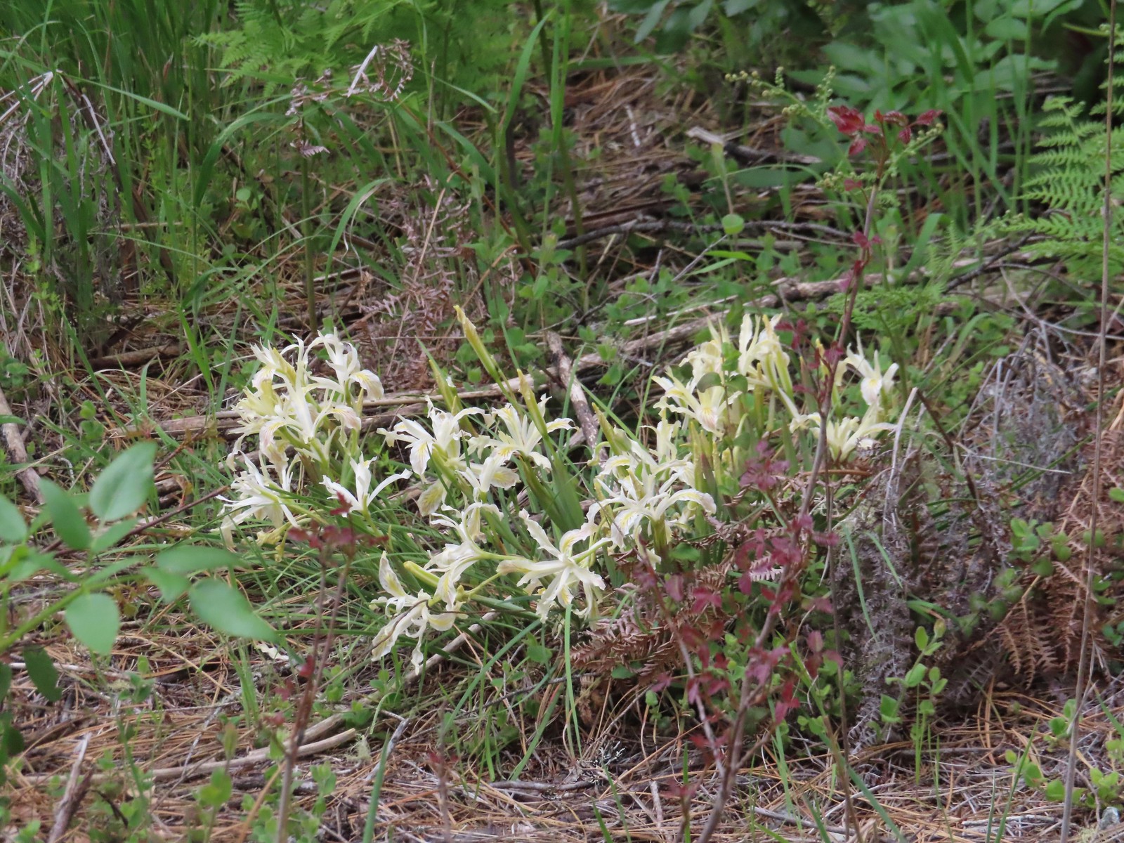
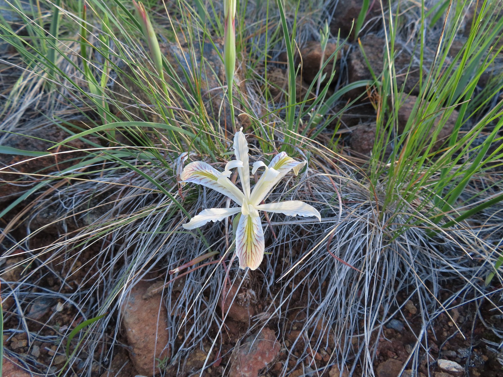 Yellow leaf iris
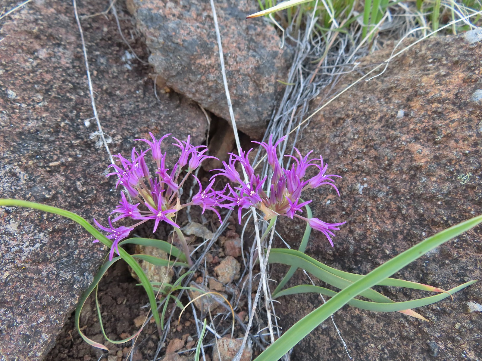 Coast flat stem onion
 Heather picked up a tick passing through the grass on the hillside.
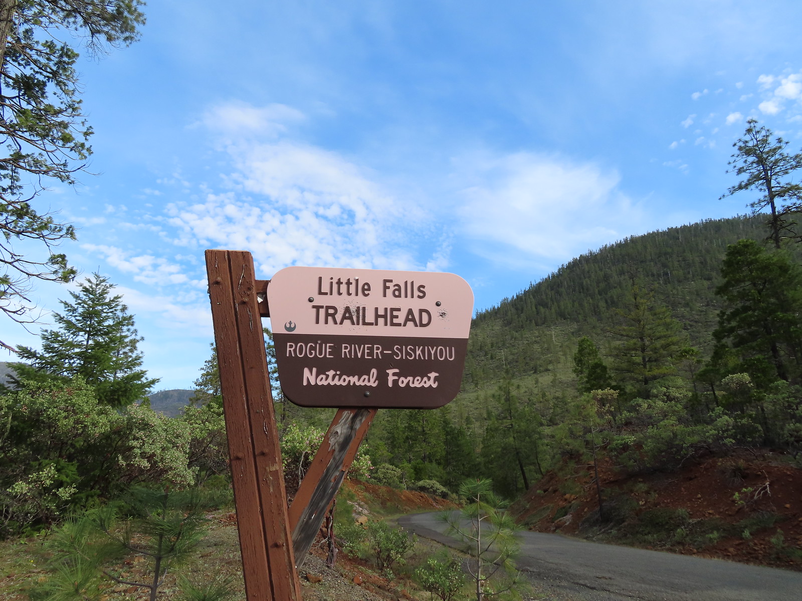
We turned right at a sign for the Little Falls Trail Loop.


 Silky balsamroot
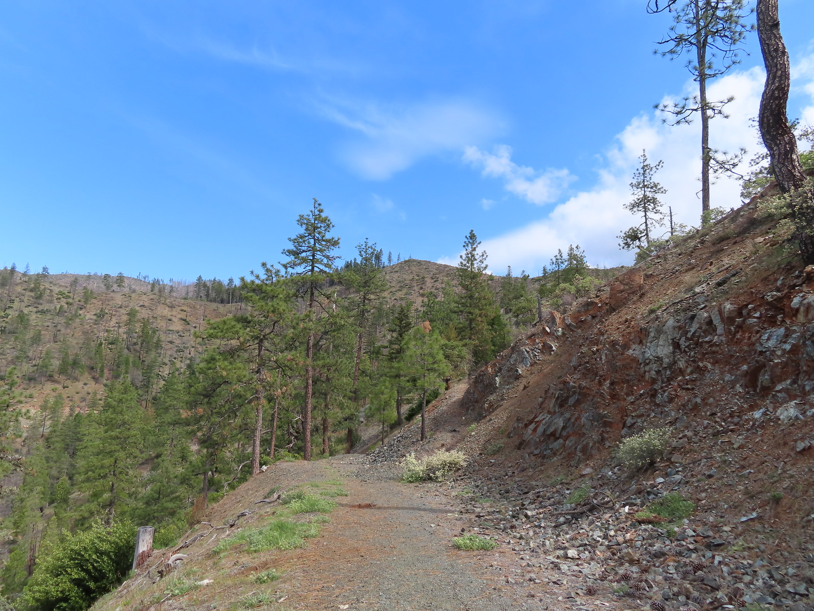
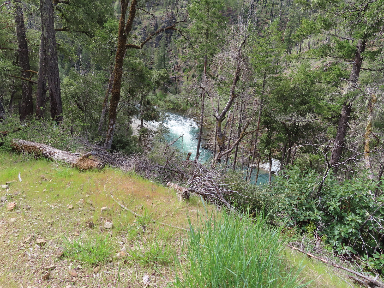
The trail crossed an old roadbed at the half mile mark which gave us a chance to get down to the river without having to dodge poison oak.
The trail jogged away from the river at the road, presumably to reach the old flume. We started up the hill but the trail condition got a little rougher here and poison oak began crowding the trail to the point where we became uncomfortable. We had already had it brushing against our pant legs, but it was now tall enough that our hands were at risk and in order to avoid it we would need to move off trail into the brush on the opposite side. Having already seen a tick we didn’t really want to go through any vegetation.
 The trail as we started up the hillside.
We quickly devised a Plan B which was to follow the old roadbed up to 8 Dollar Road (Forest Road 4201) and walk that road to the Little Falls Trailhead where we could attempt the 0.9-mile Little Falls Loop.
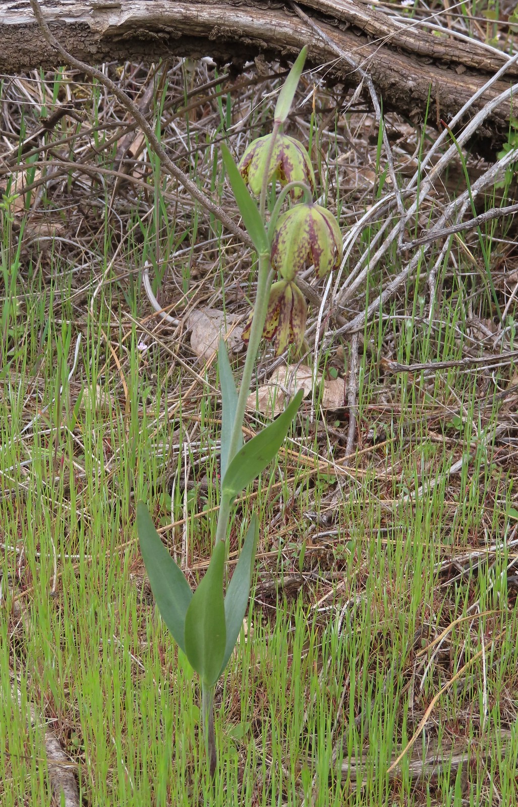
 Checker lily
 Silky balsamroot and buttercups
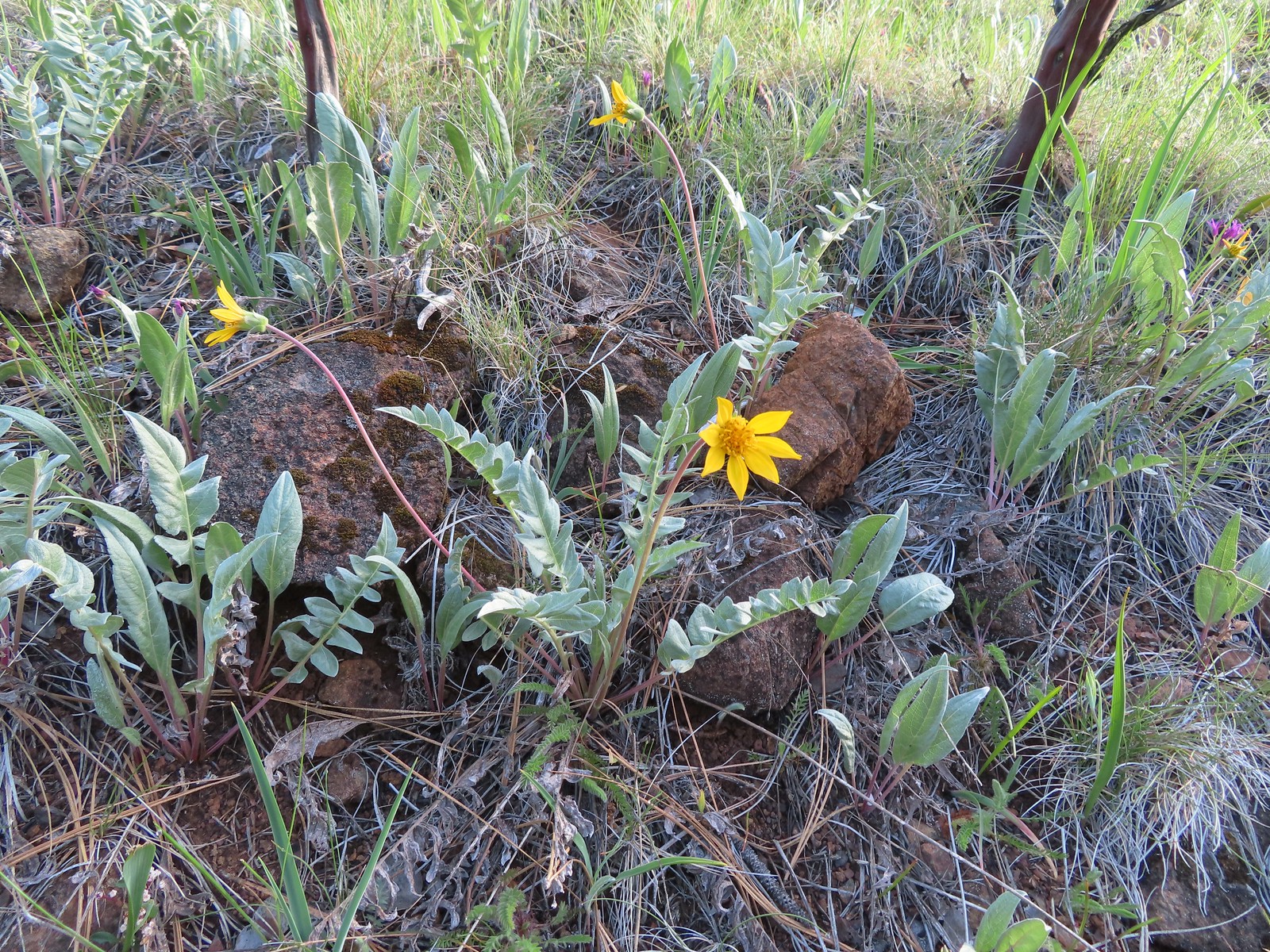
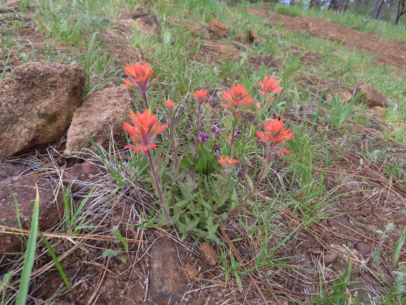
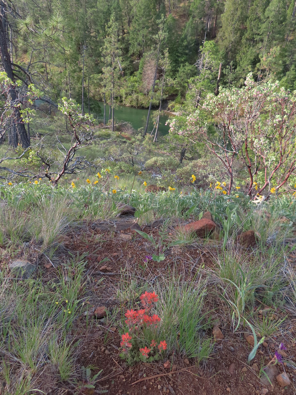 Paintbrush and silky balsamroot with the Illinois River below.
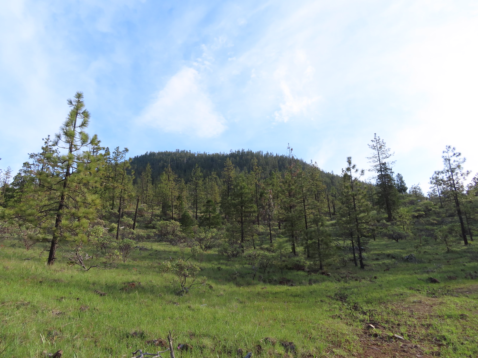 Eight Dollar Mountain from the roadbed.
 We saw a lot of these getting ready to bloom but none actually blooming. Really curious as to what they are.
The roadbed bent back toward the trailhead where we’d parked and we wound up just a tenth of a mile away from our car but instead of just walking back to it and driving to the Little Falls Trailhead we turned left and road walked the mile.

As road walks go this one was fine, and we passed another bunch of darlingtonia along the way.
 Western azalea

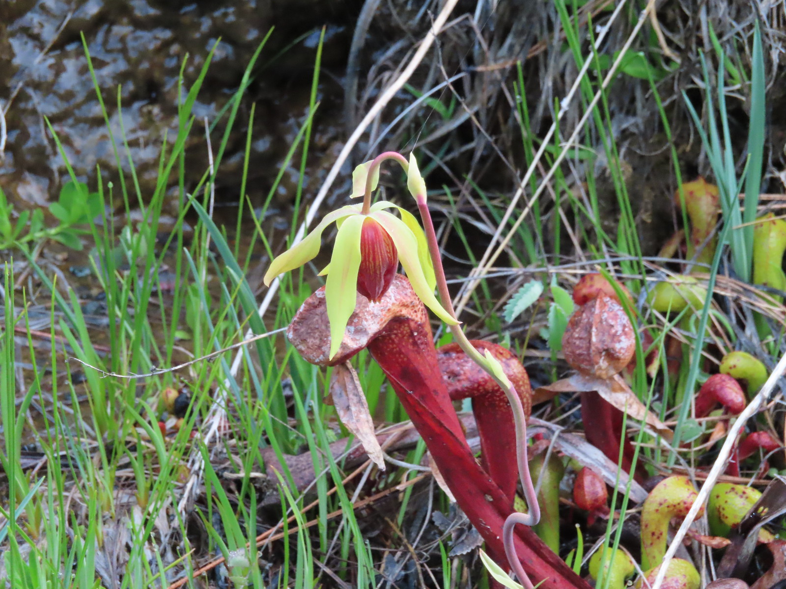 A closer look at a darlingtonia blossom.
At the trailhead we walked through the small campground to the signed Little Falls Trail Loop.

At a 4-way junction we turned right briefly following the flume before turning downhill toward the river.

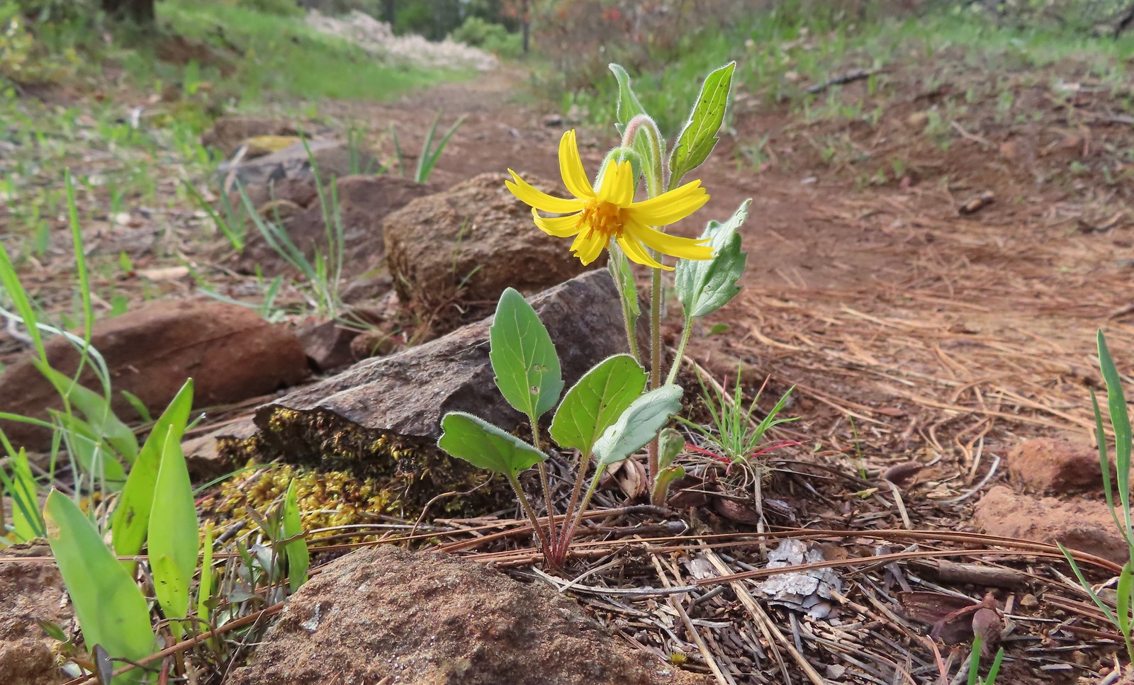 Serpentine arnica

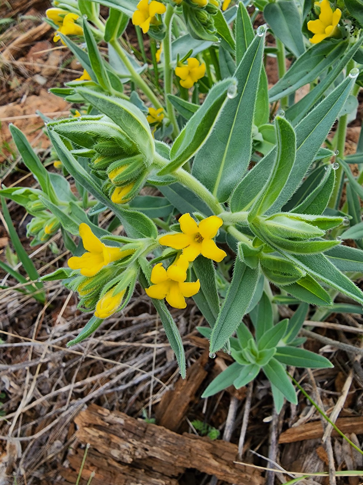 California gromwell
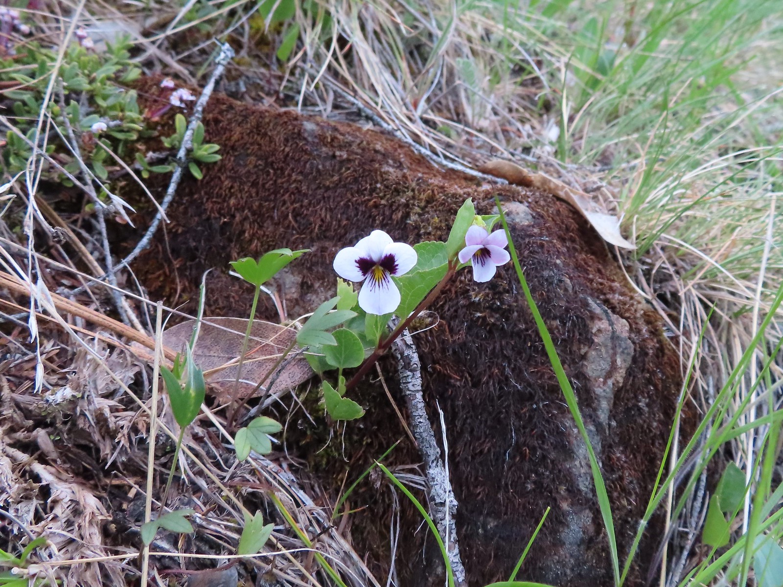 Wedgeleaf violet
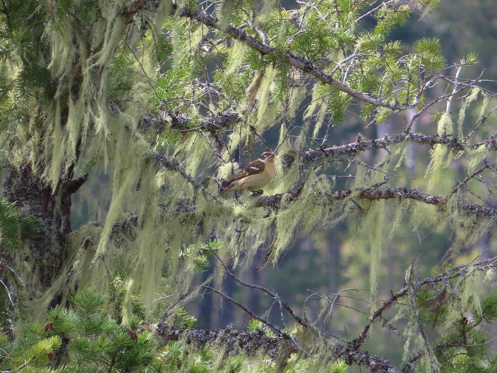
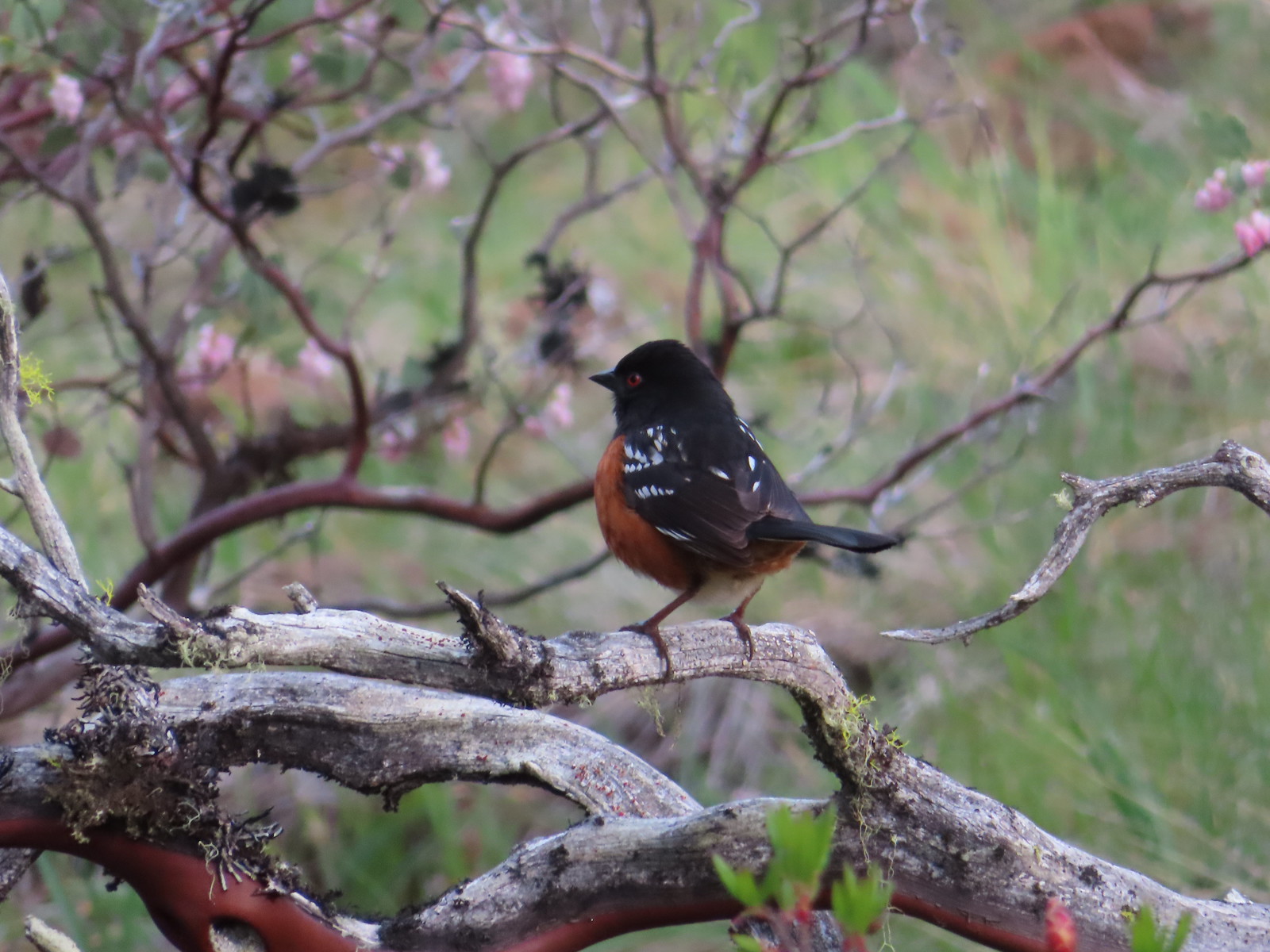 Spotted towhee
 Paintbrush and violets
 Narrowleaf blue-eyed Mary
 Deltoid balsamroot
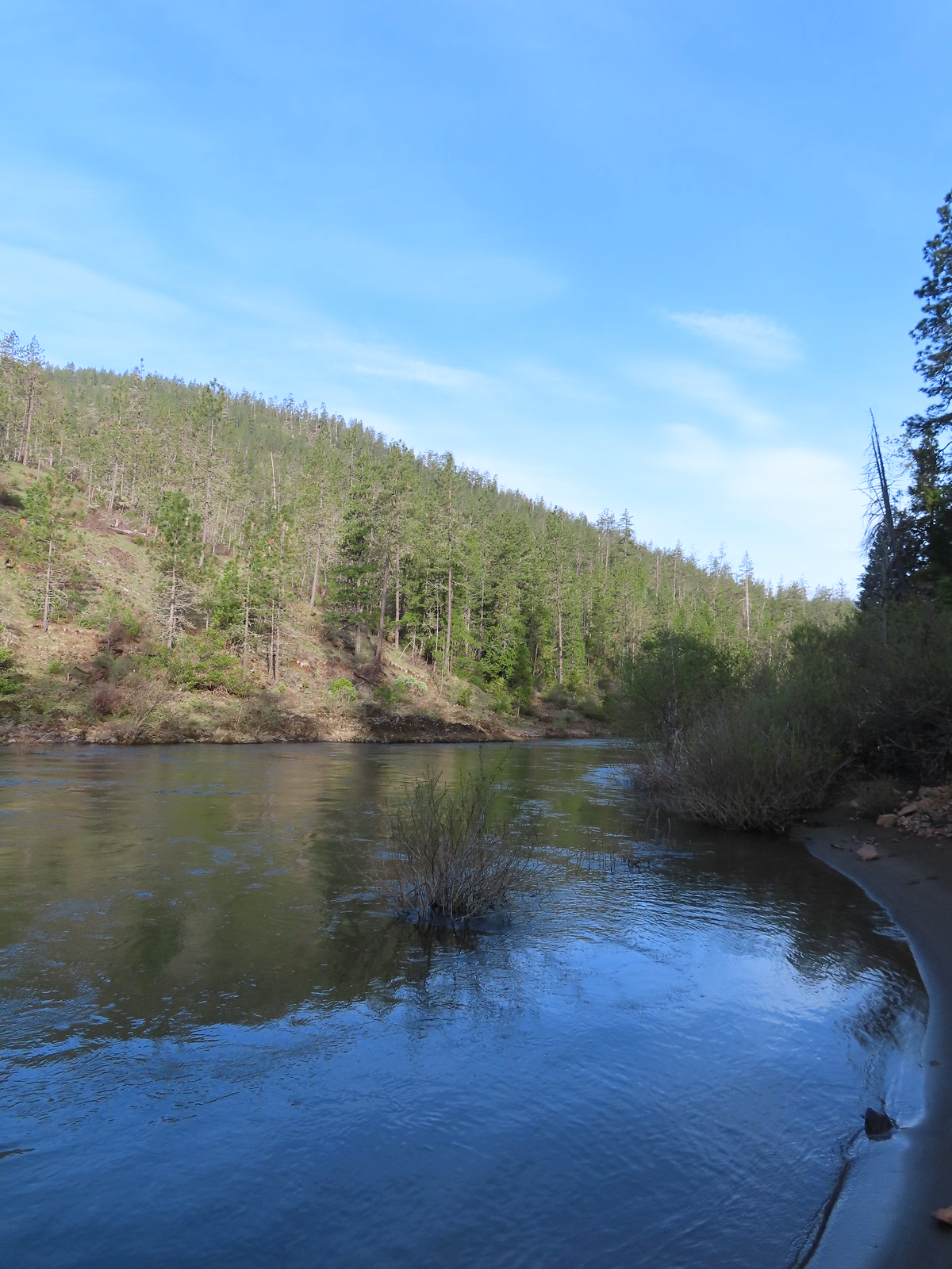
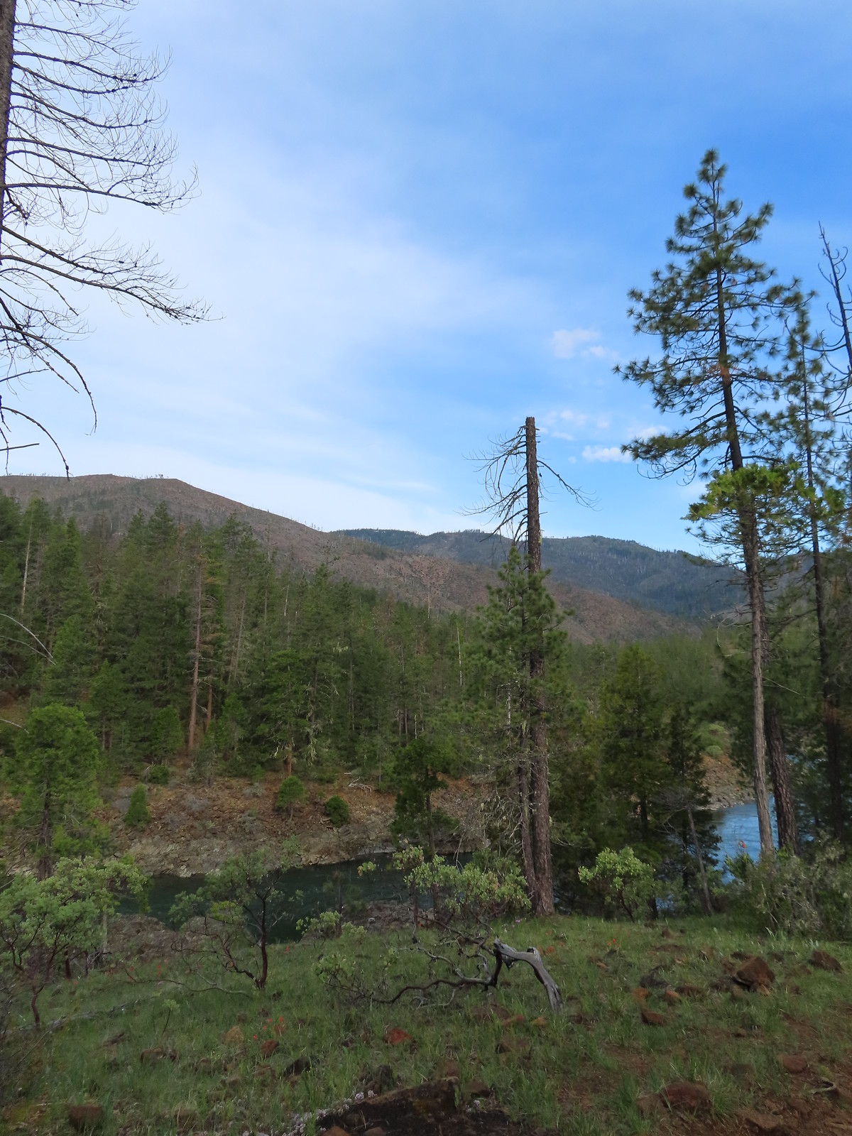
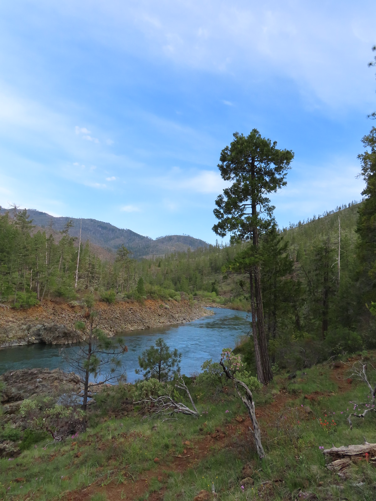
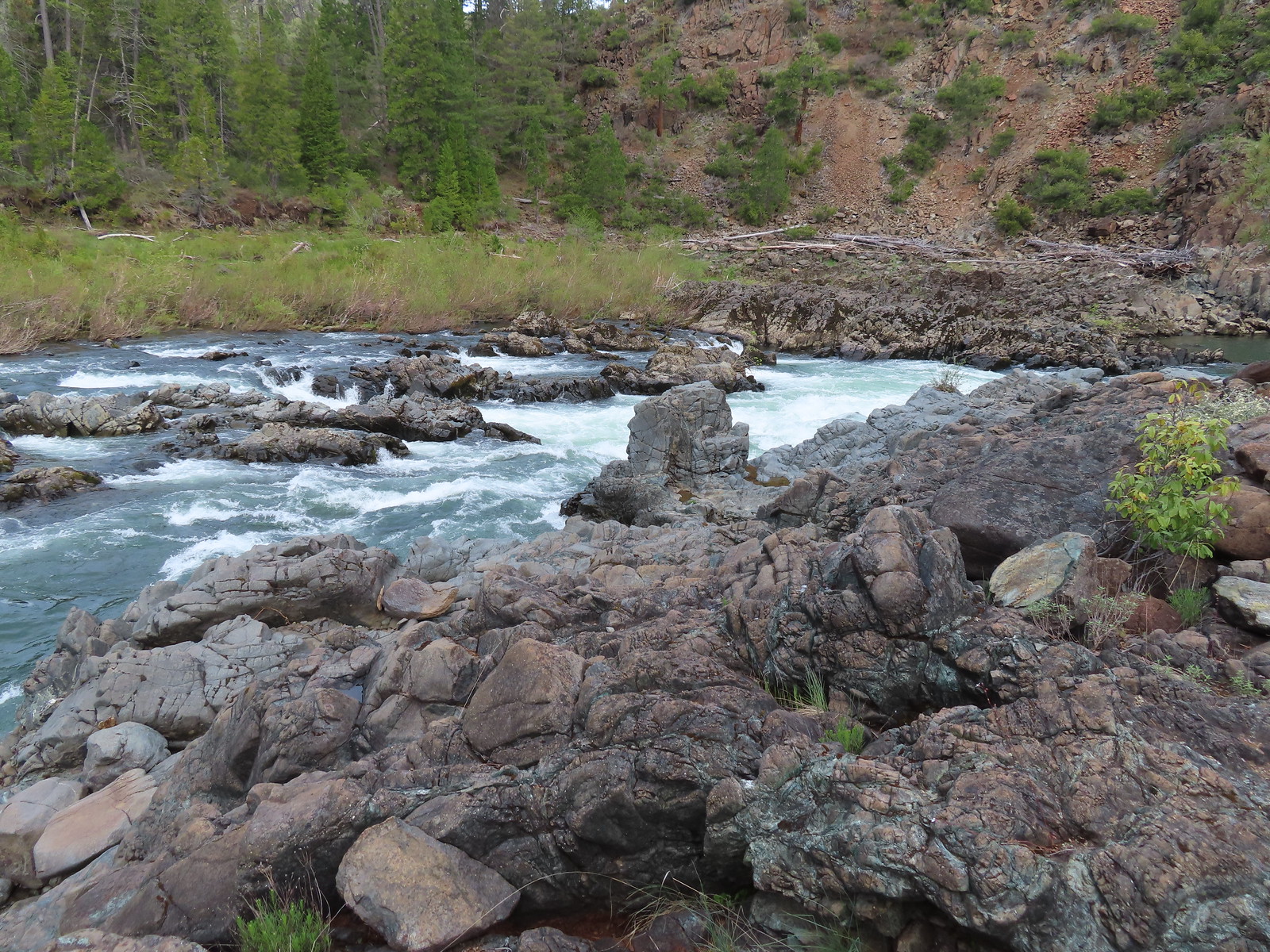
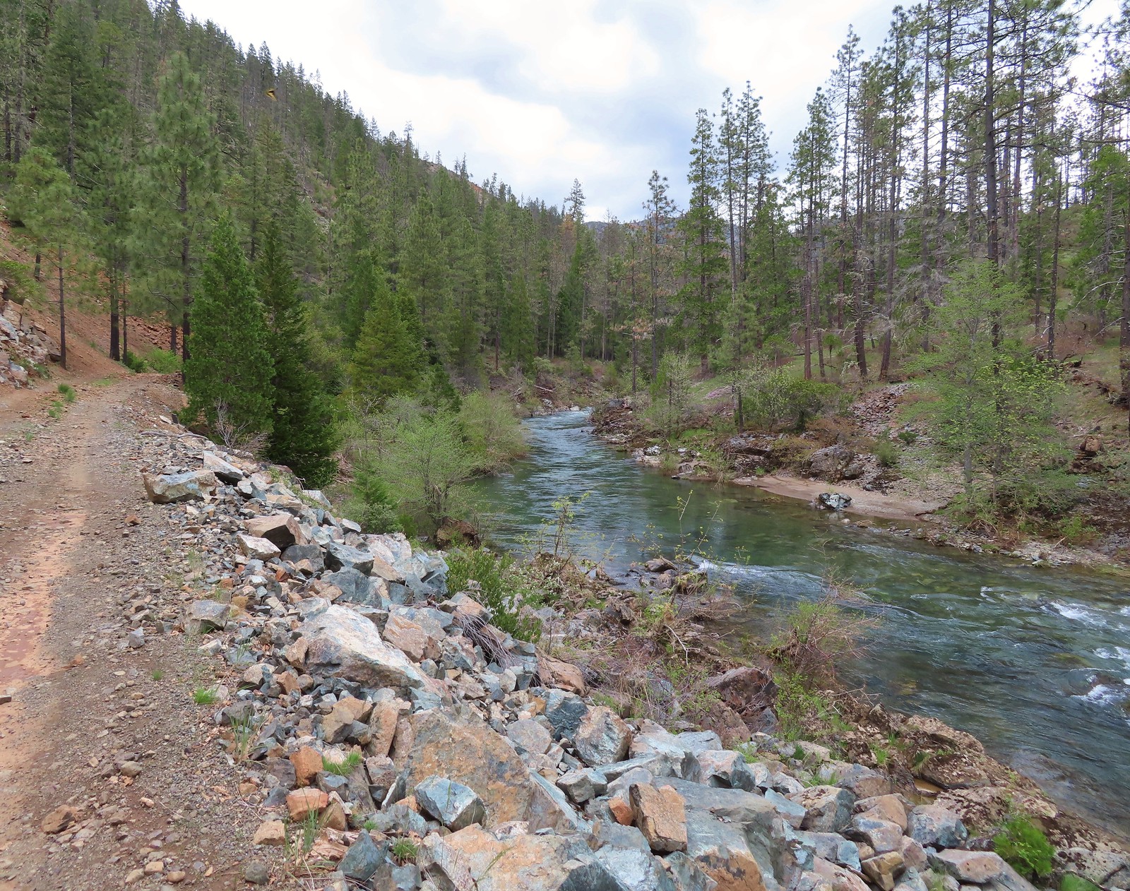
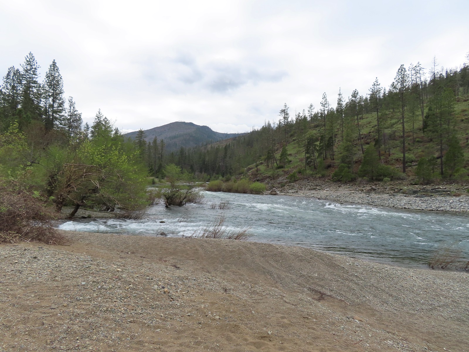
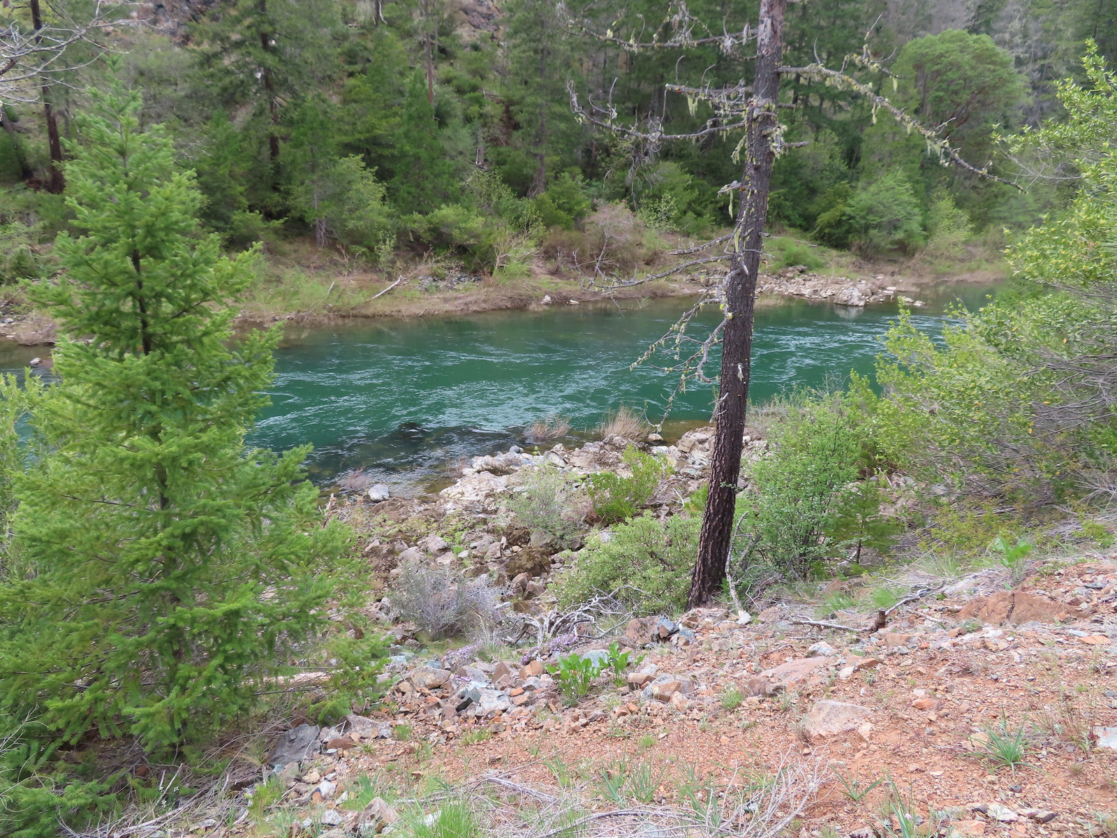
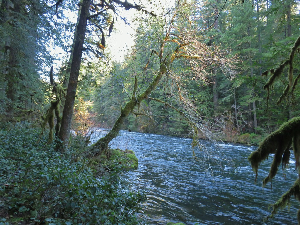
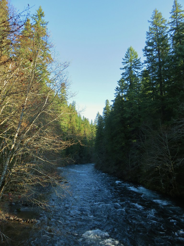
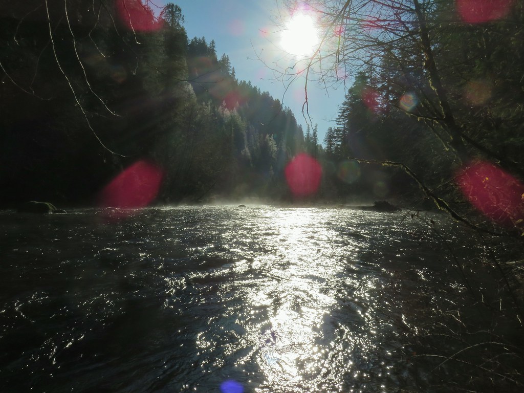
 Illinois River
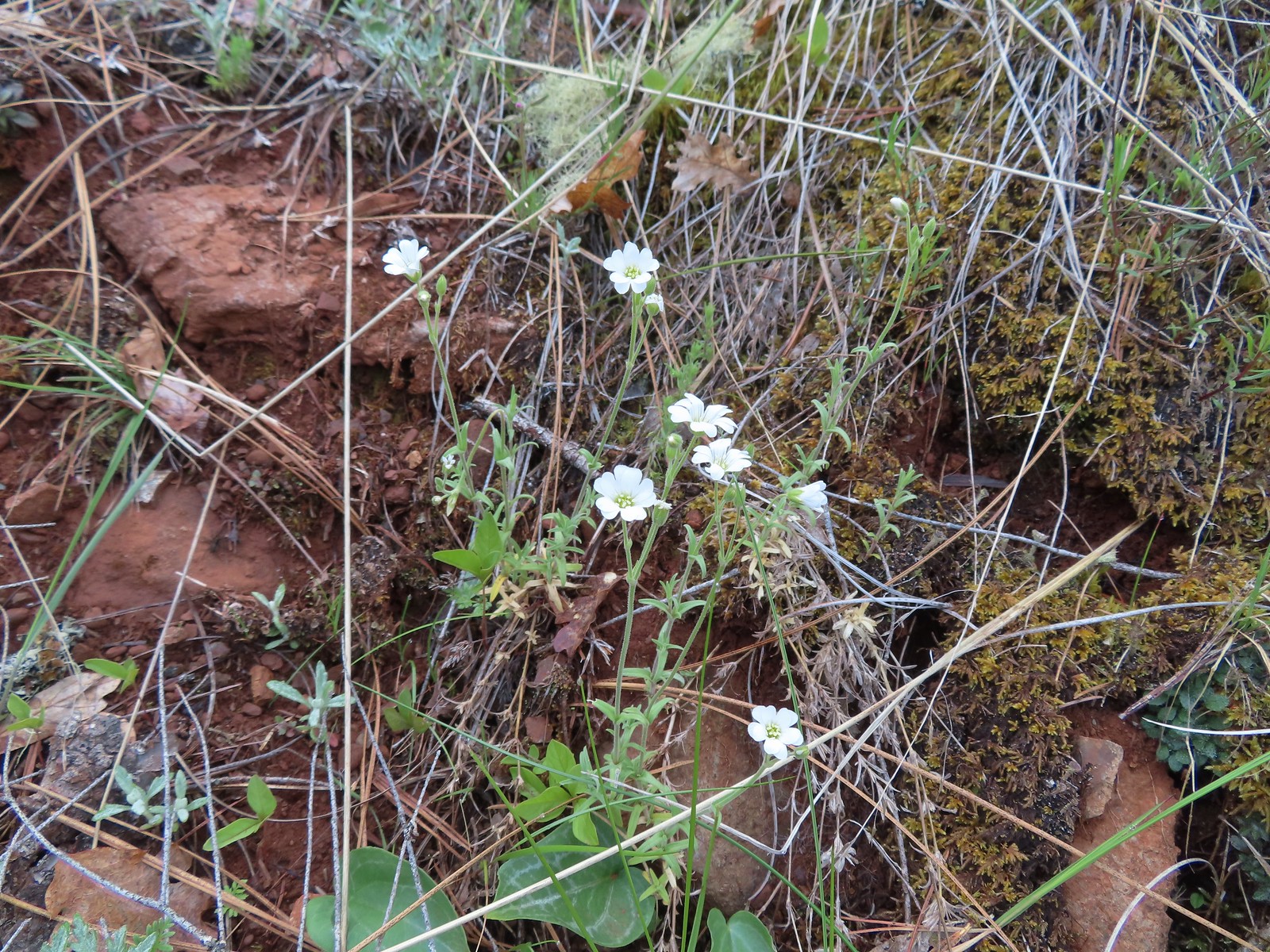 Field chickweed
 Spreading phlox
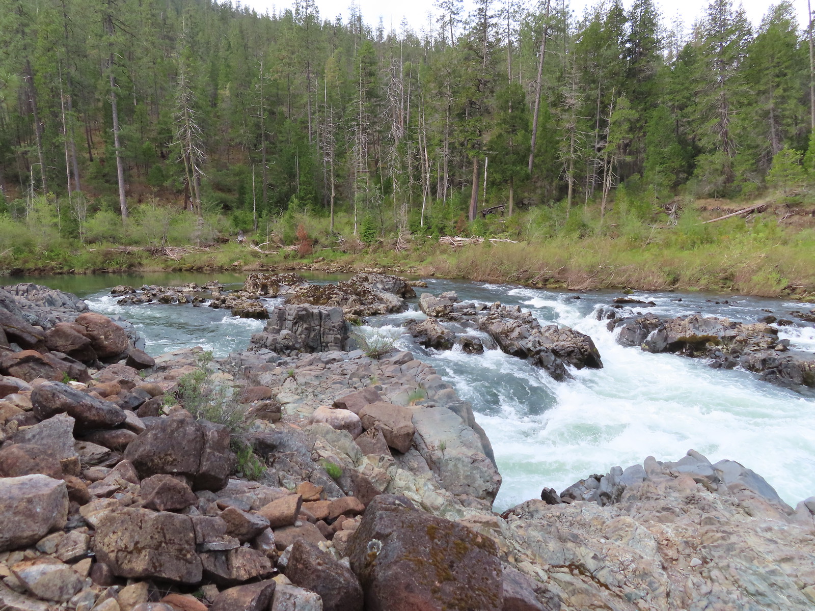
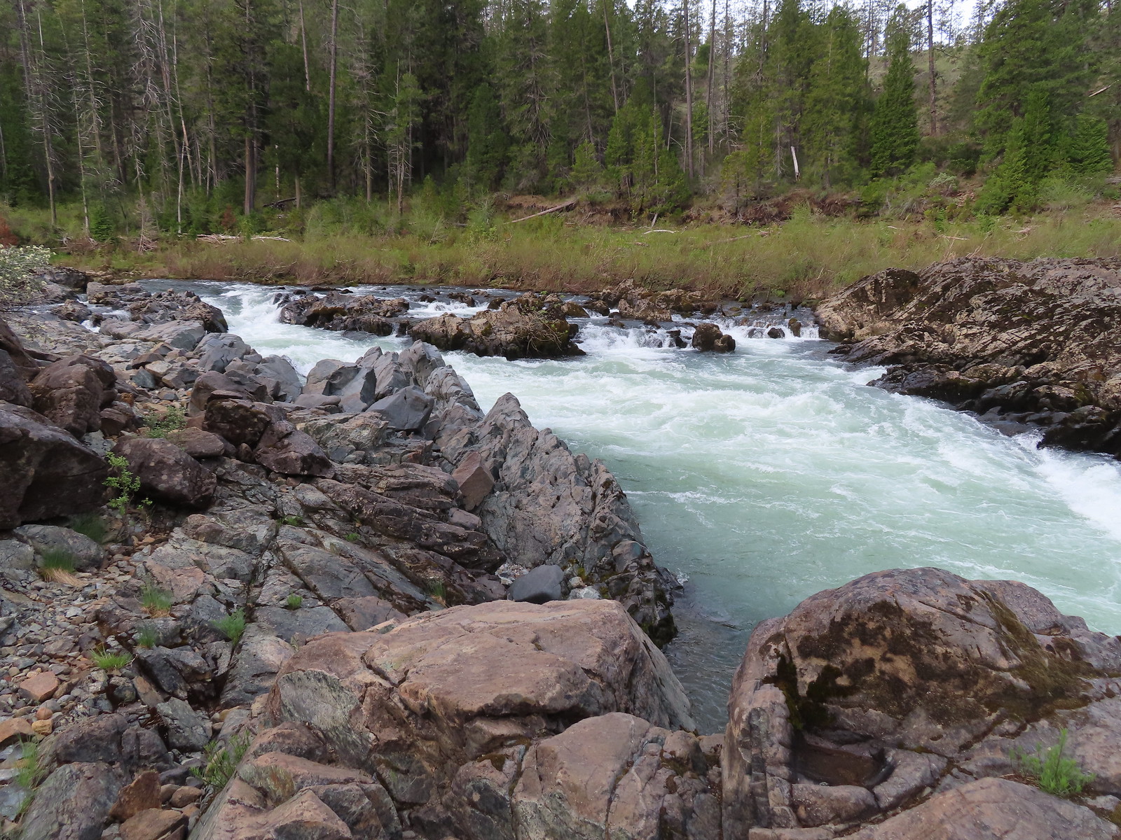
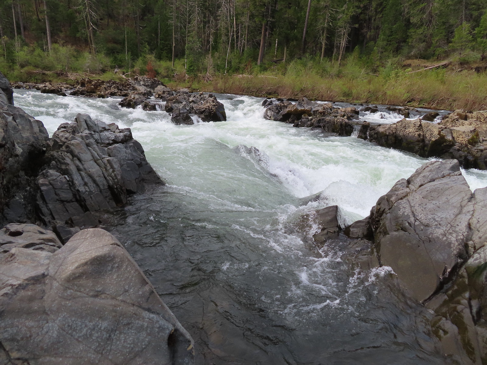
We took use paths down to the rocks near Little Falls to explore along the river a bit.
 Mallard drakes
After exploring the rocks we continued on the loop trail.
 Pool above the falls.
 Wildflowers above the trail.

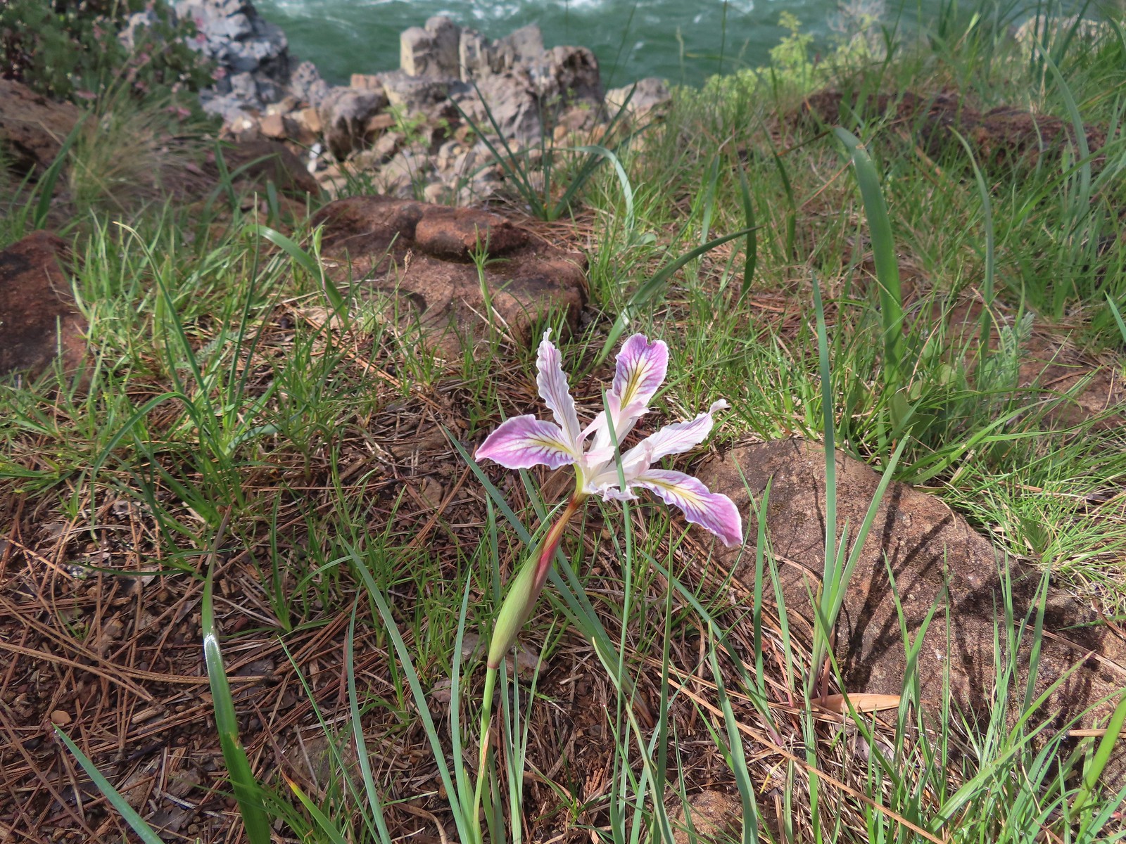 Interesting colors on this iris.
 Pine violets
The trail eventually veered uphill away from the river to complete the loop.

After completing the loop we returned to FR 4201 and walked back to our car at the Eight Dollar Mountain Trailhead and headed for our next stop, the Kerby Flat Trailhead.

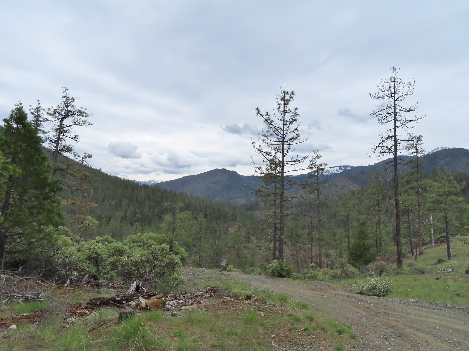
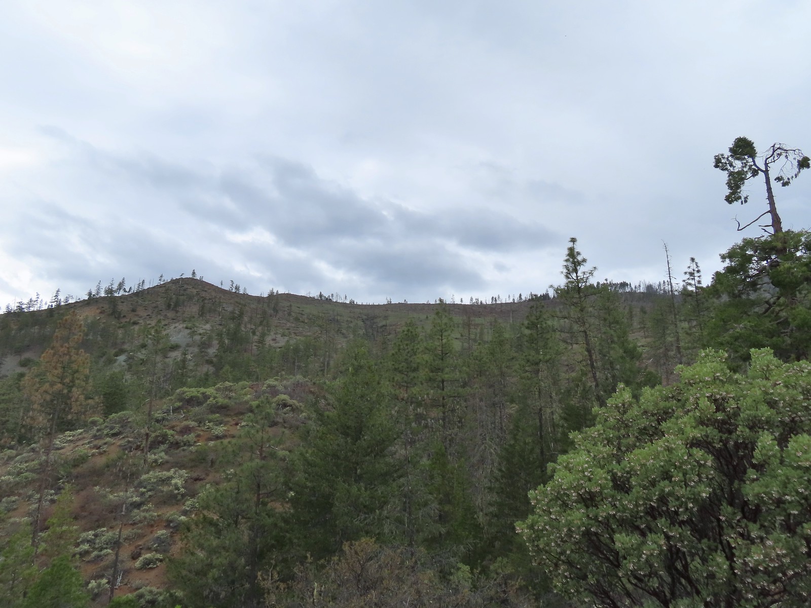
The view from the trailhead was great and wound up being the best part of our attempted hike here.
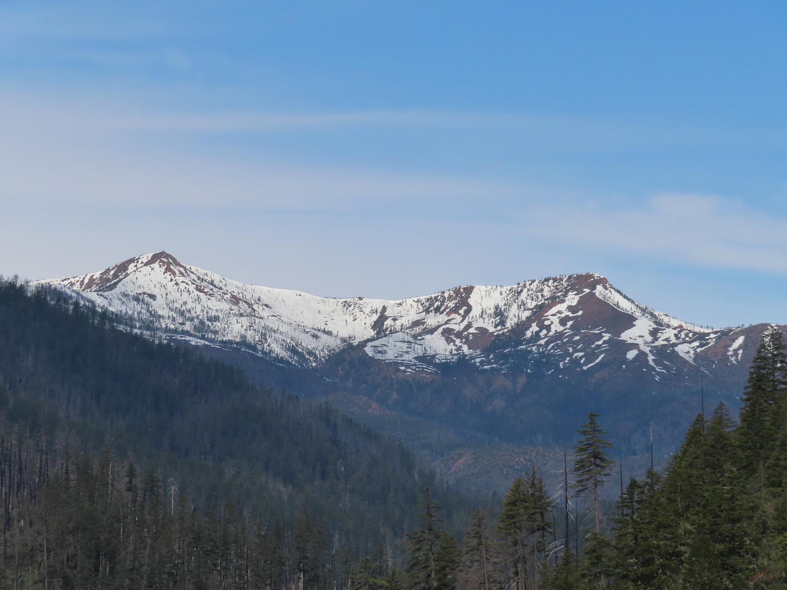 Pearsoll Peak and Gold Basin Butte in the Kalmiopsis Wilderness.
The trail begins at the railed viewpoint and heads downhill.
 The Illinois River below.
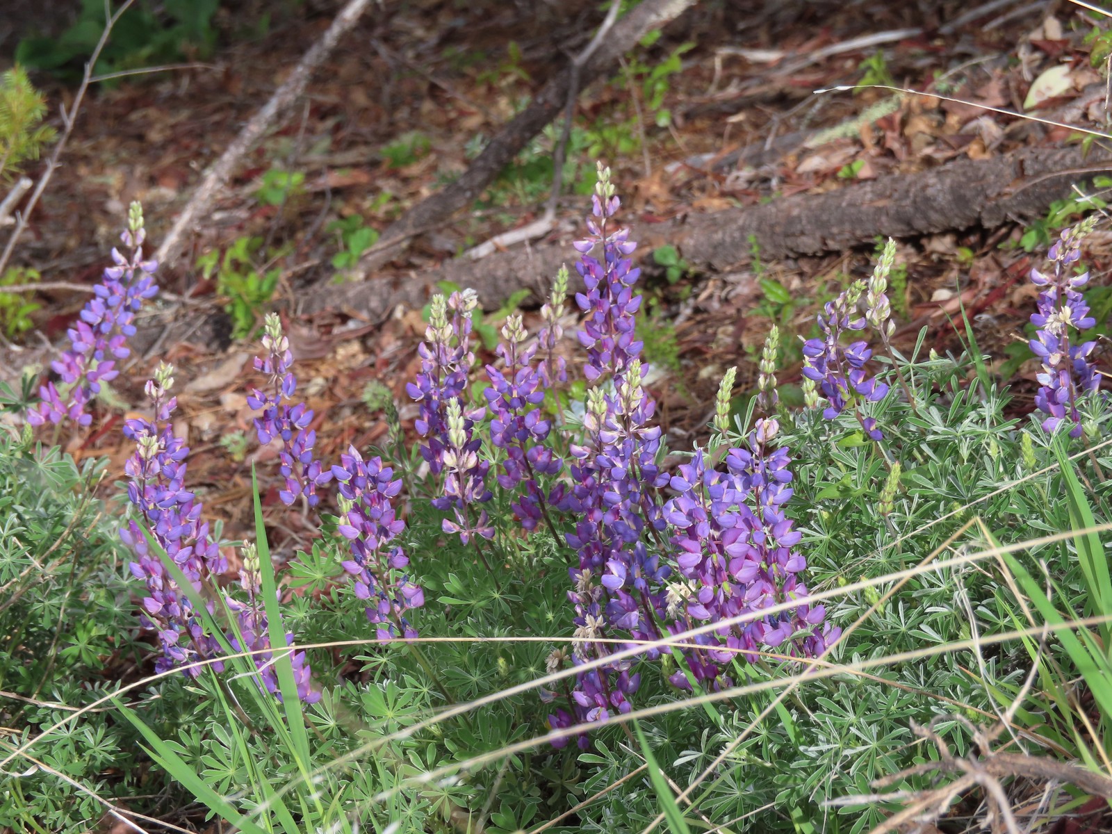 Lupine
 Plectritis
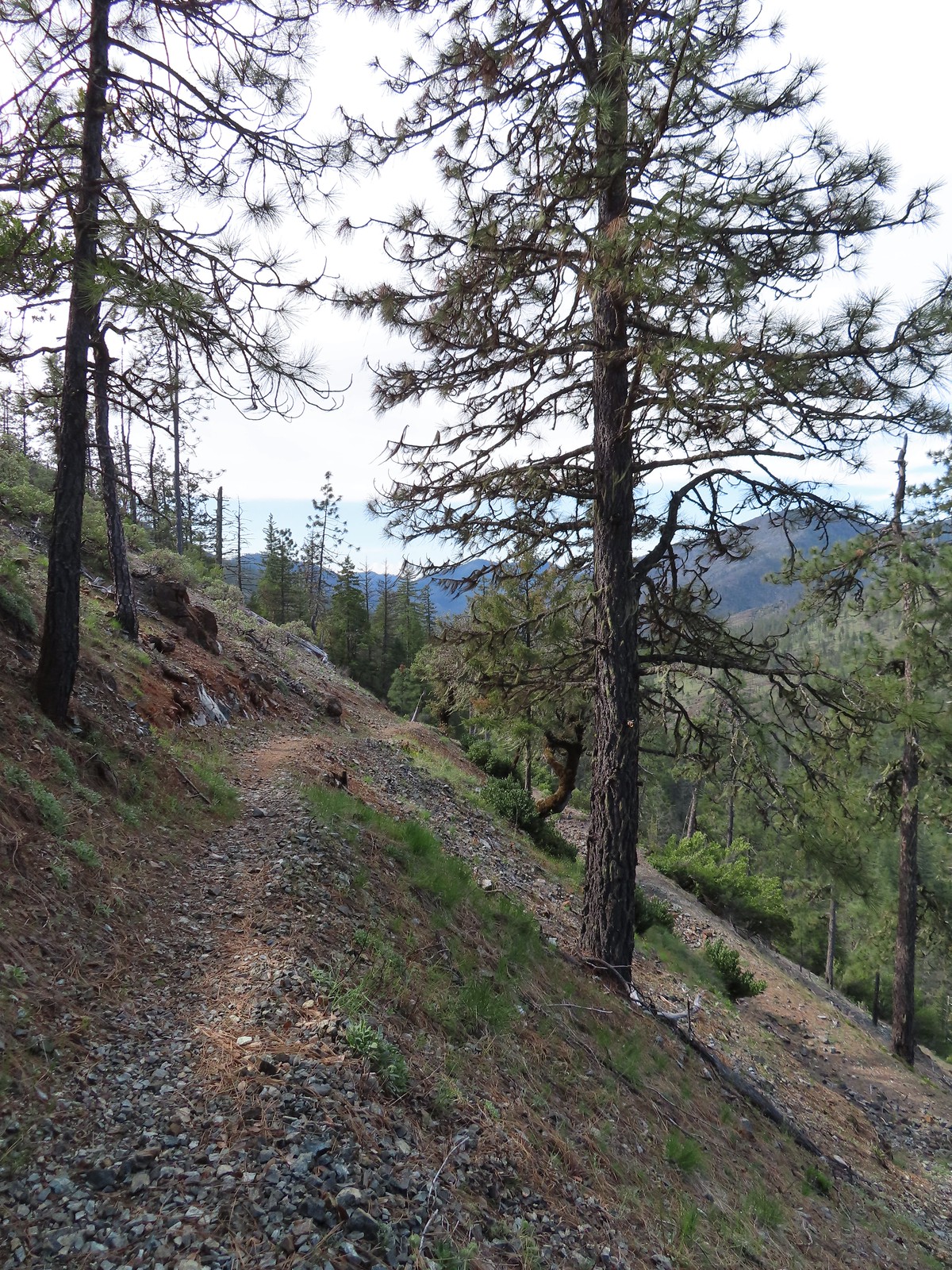
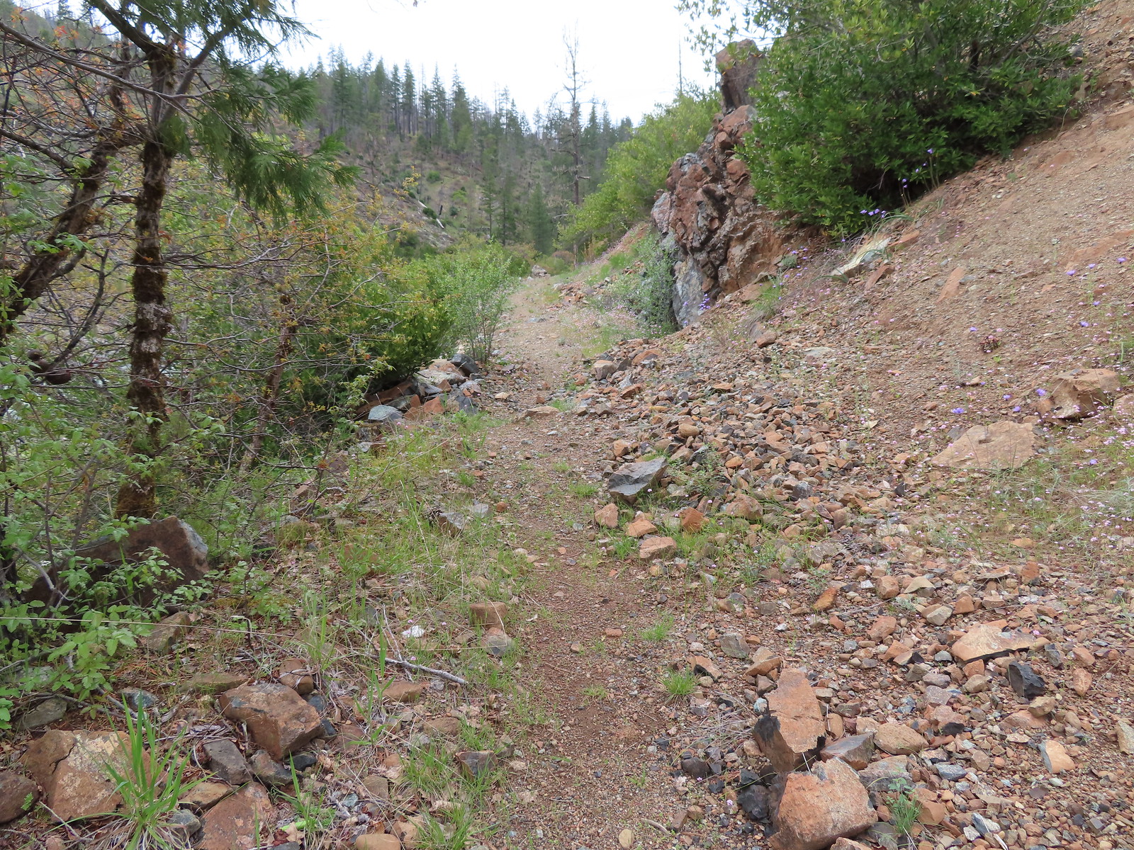
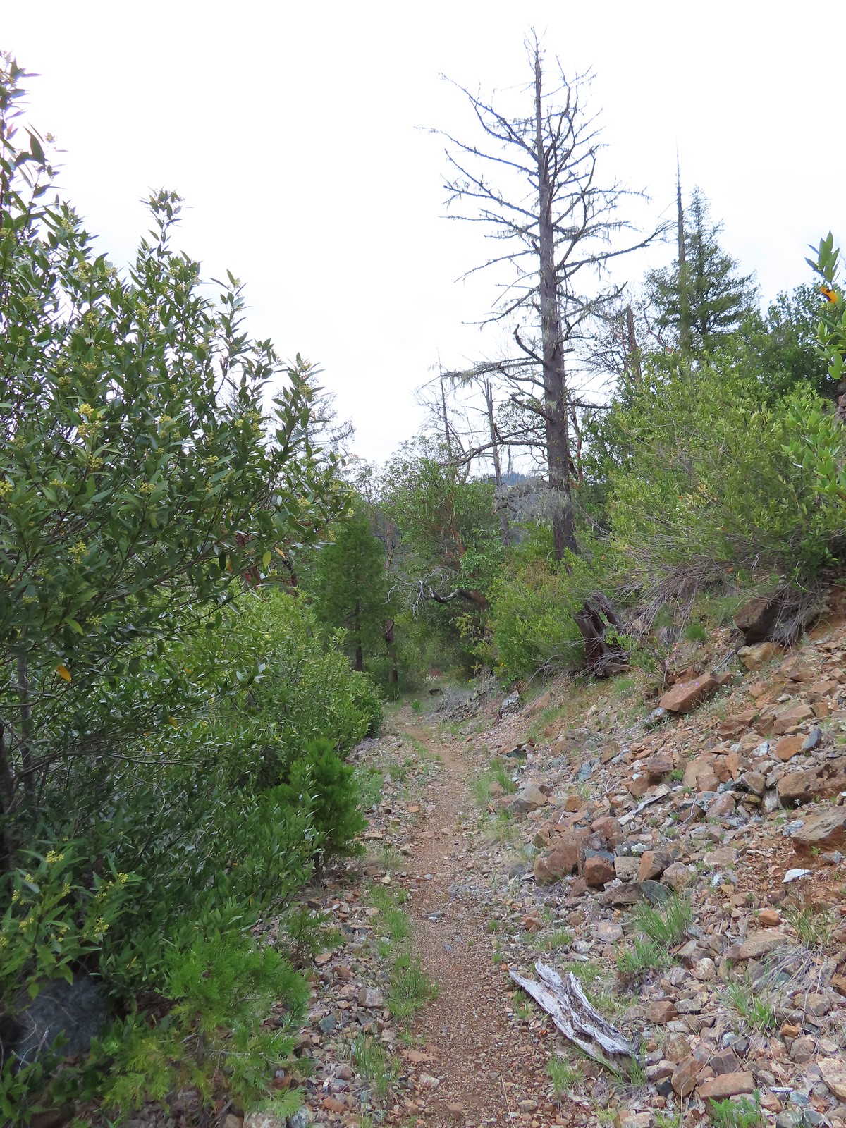
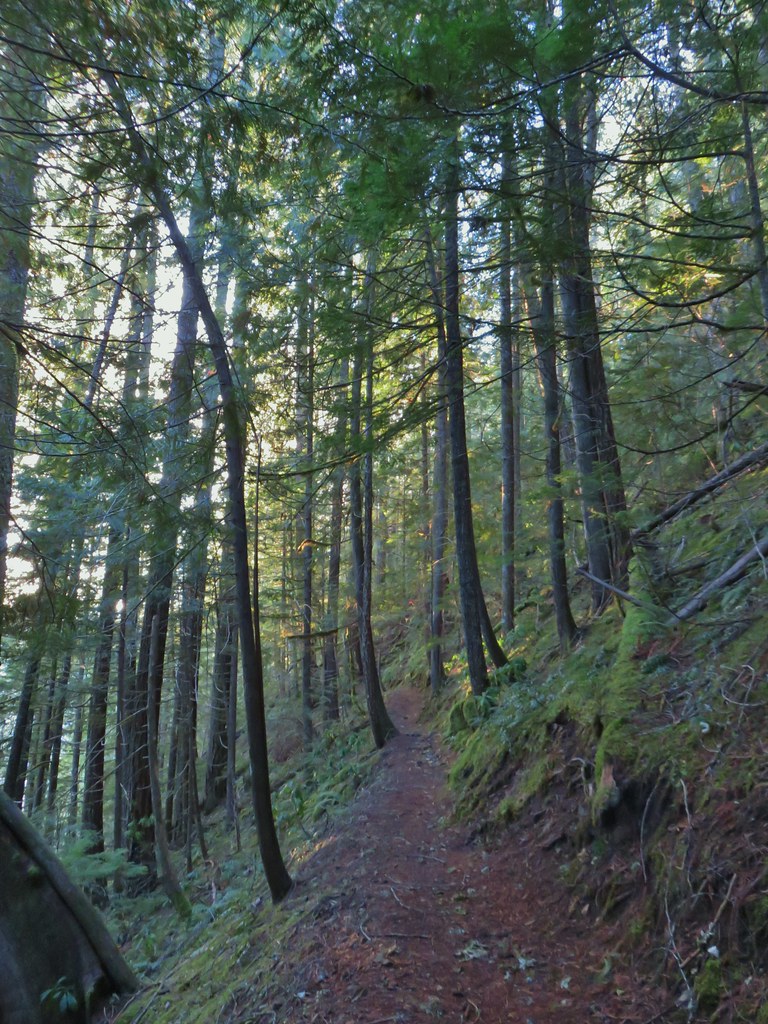
At first the trail followed what may have been a fire road and was nice and wide but as it began to follow a ridge downhill it quickly became crowded by poison oak.

We managed to find a way around the first bad section but then we were stymied. With no desire to come in contact with poison oak we turned back after just a third of a mile and headed back to the car.
 This section was great.
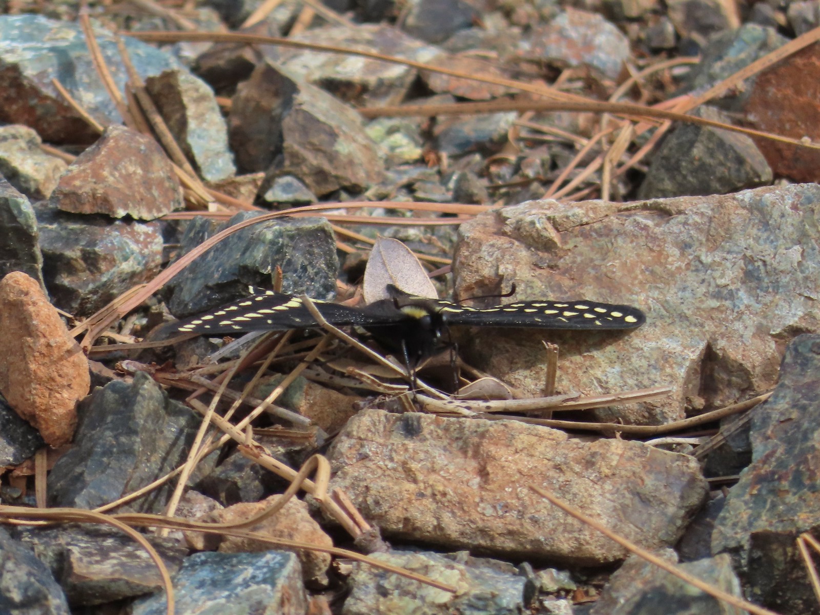 Swallowtail
This stop was supposed to have been a 4.3-mile lollipop loop visiting both Kerby and Star Flats, but it wound up being a 0.6-mile out-and-back. The good news was we had three other stops that were part of Sullivan’s featured Illinois River Beaches hike. The second stop was for Snailback Beach, just a 1.1-mile drive from the Kerby Flat Trailhead. We parked in a small pullout on the left side of the road at a small signboard.
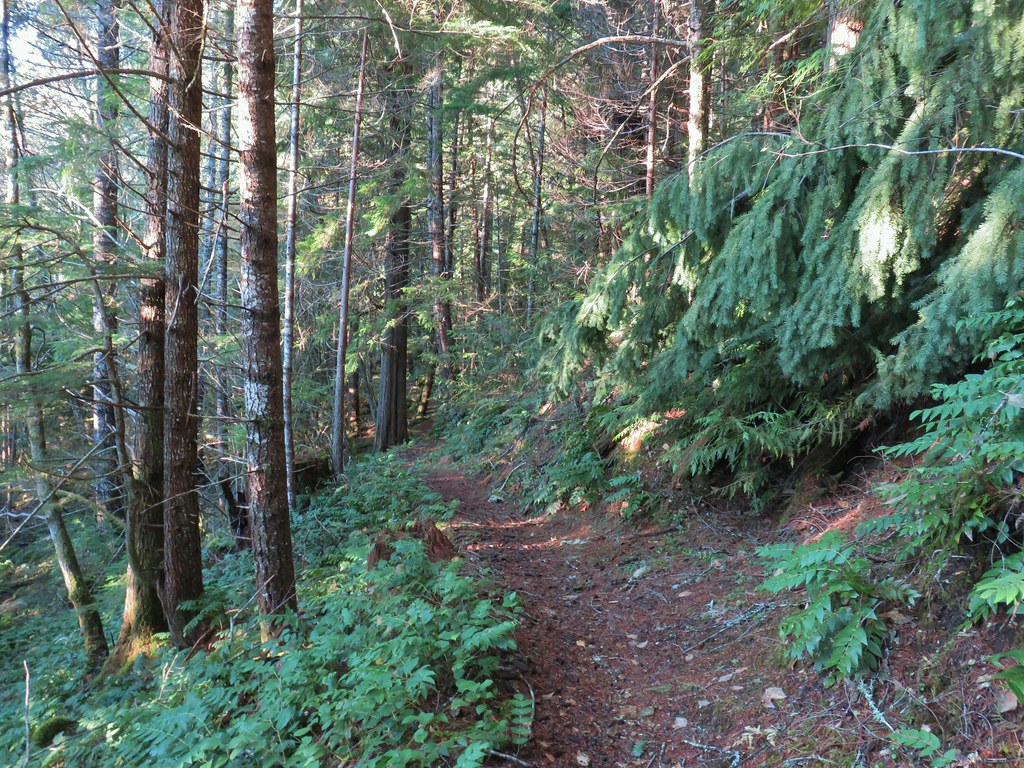
Here a half mile trail follows an old roadbed down to Snailback Beach. This hike started encouragingly as the wide roadbed helped keep the poison oak to the sides.
 Female black-headed grosbeak
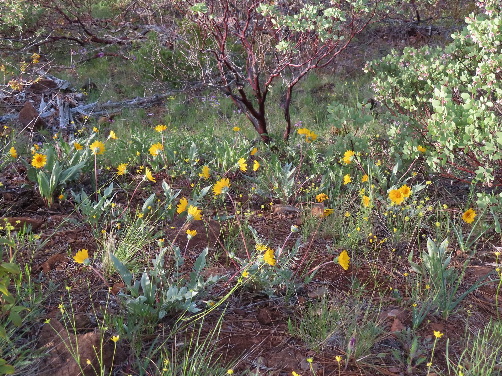
 Balsamroot
 Paintbrush next to some yet-to-bloom lupine.
 The Illinois River below.
Our optimism about reaching the beach here took a hit when we arrived at Snailback Creek. The creek was flowing pretty good and would have required fording in calf deep water to continue. Normally that wouldn’t stop us, but it also looked like the trail on the far side was in need of maintenance which made us question if we would be able to reach the beach even if we did ford the creek. At the time the chance of reaching the beach wasn’t worth the assuredly wet feet that would result from the ford, so we once again turned back after just a third of a mile.

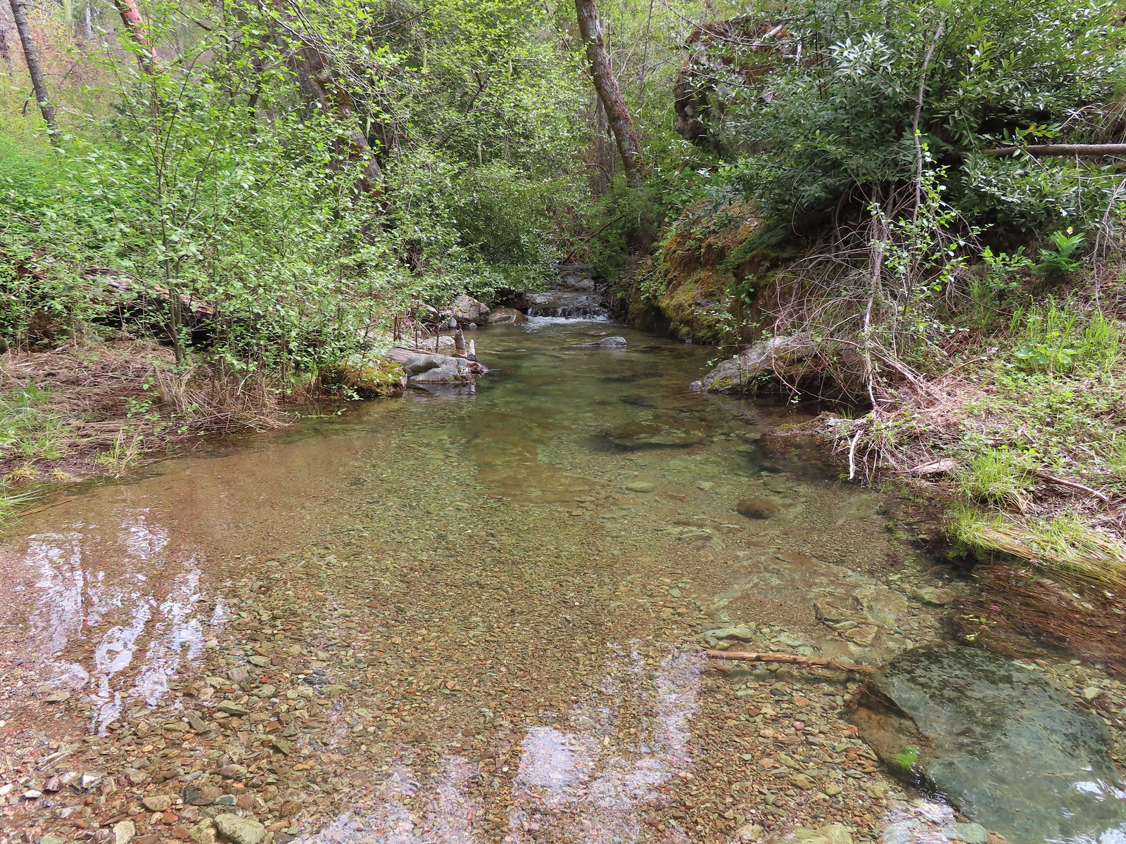 Snailback Creek
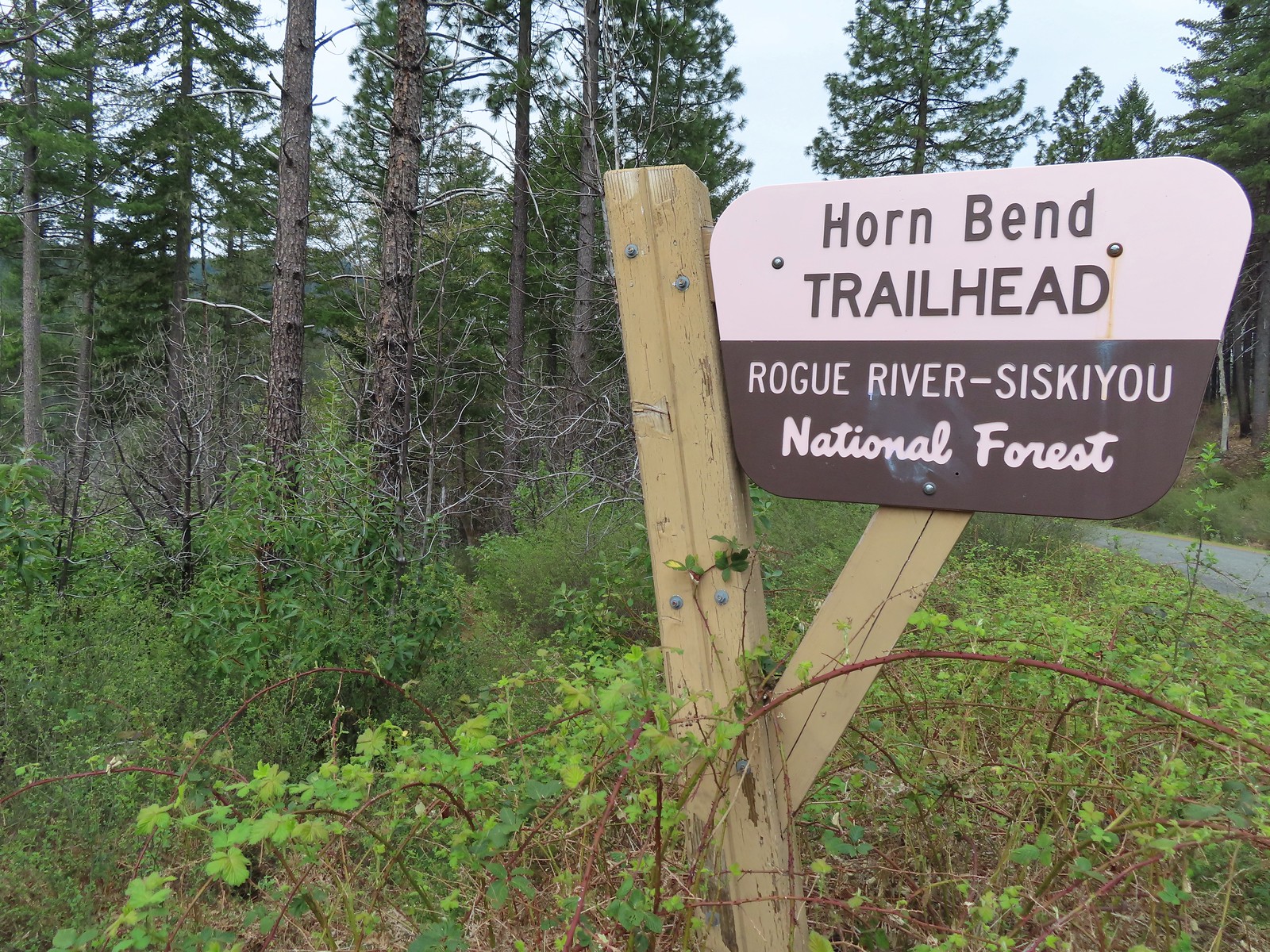
We hiked back up to the car and drove another 1.6-miles west on Illinois River Road to the signed Horn Bend Trailhead.
 The “trail” is immediately to the left of the sign here. You can make out some of it further back through the bushes.
This trail supposedly follows the road for 0.4-miles before turning downhill on a cat road that leads to the beach. The 2018 fire (this area also burned in 2002) damage was most evident on what was left of this trail. Heather decided not to even bother opting to wait at the car while I attempted to make the 0.7-mile hike down to the river.
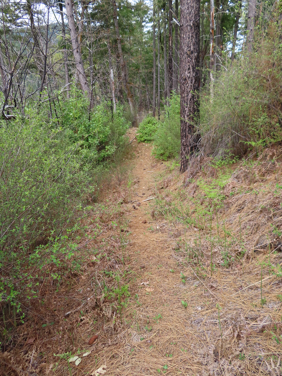 After crashing through the initial brush the trail cleared for a moment.
 The clear trail didn’t last long.
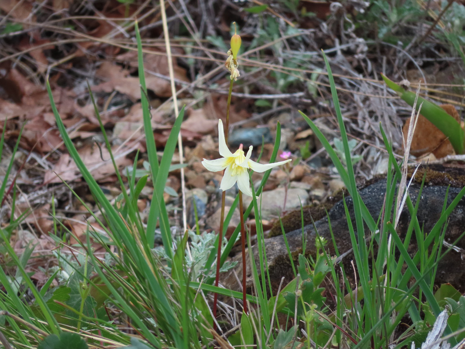
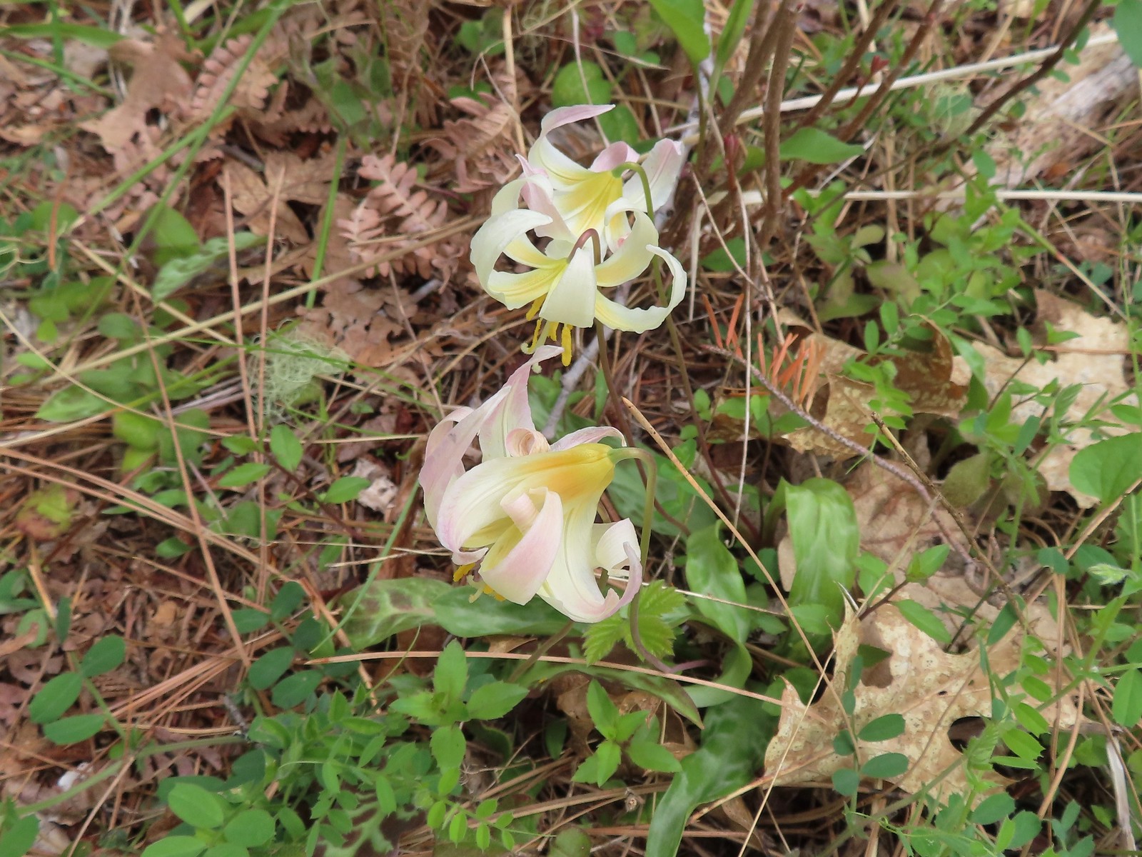 Fawn lilies
 The road sign in the distance was easier to see than the trail here.
Poison oak and downed trees forced me off the tread and after just 0.2-miles I’d lost any sign of it.

I’d also picked up one tick as I wandered through the brush so enough was enough and I found a break in the poison oak where I could hop onto the road and followed the shoulder back to Heather and the car.
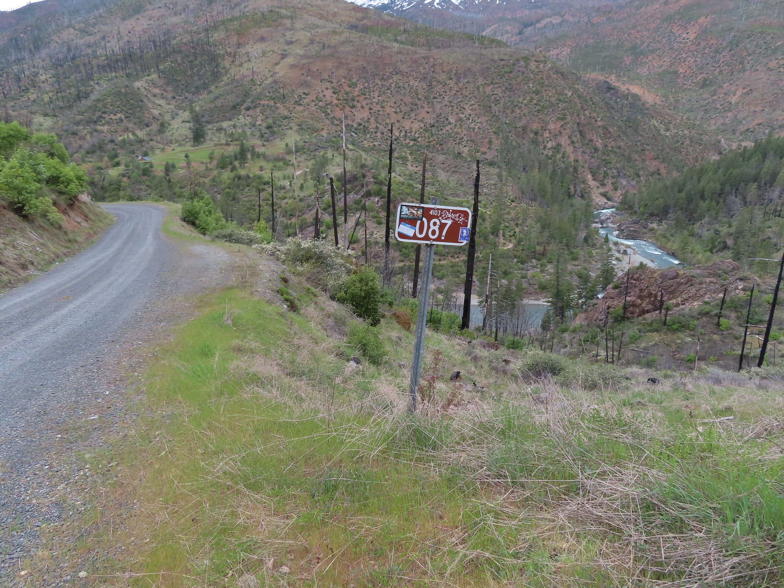
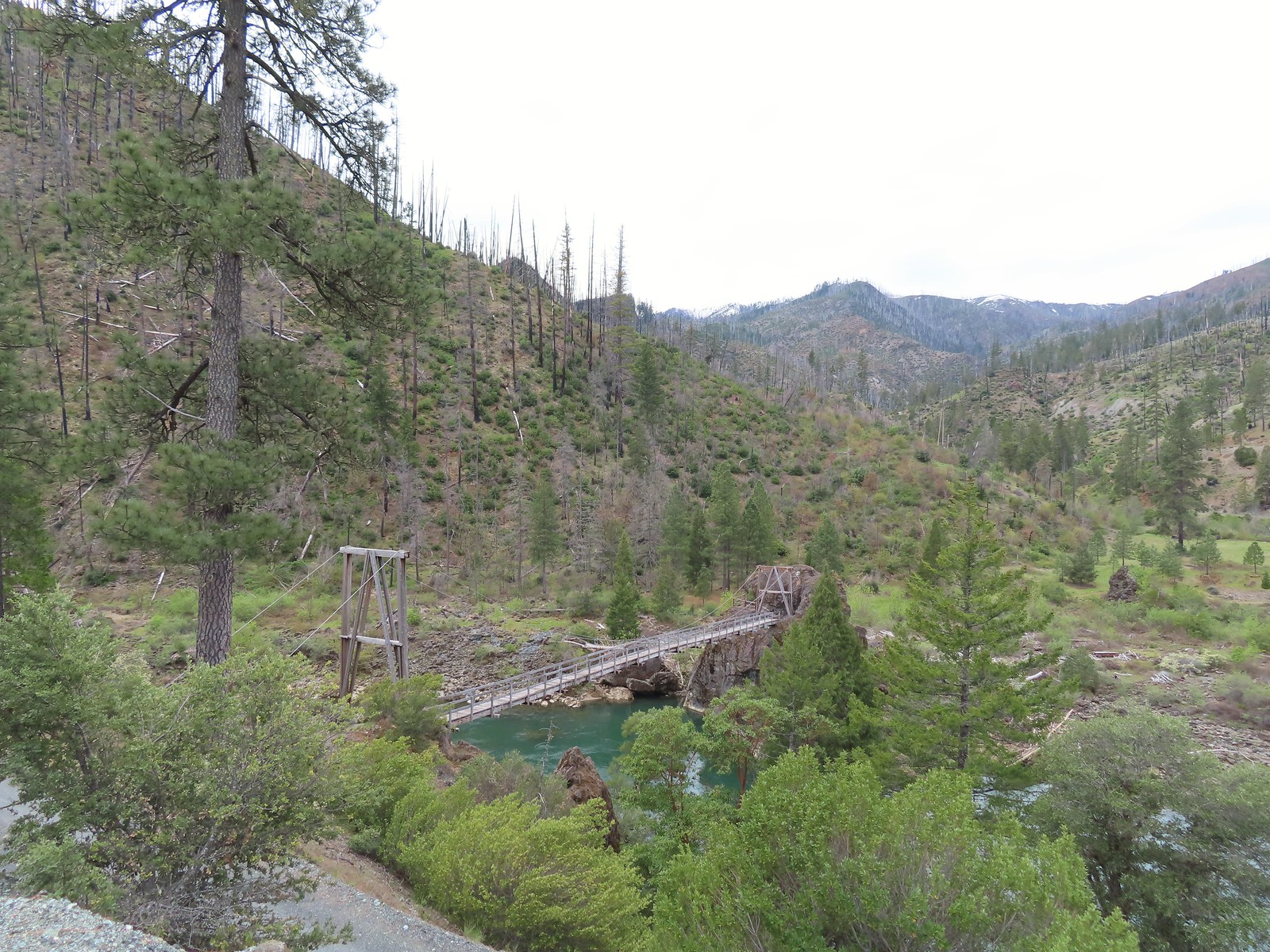
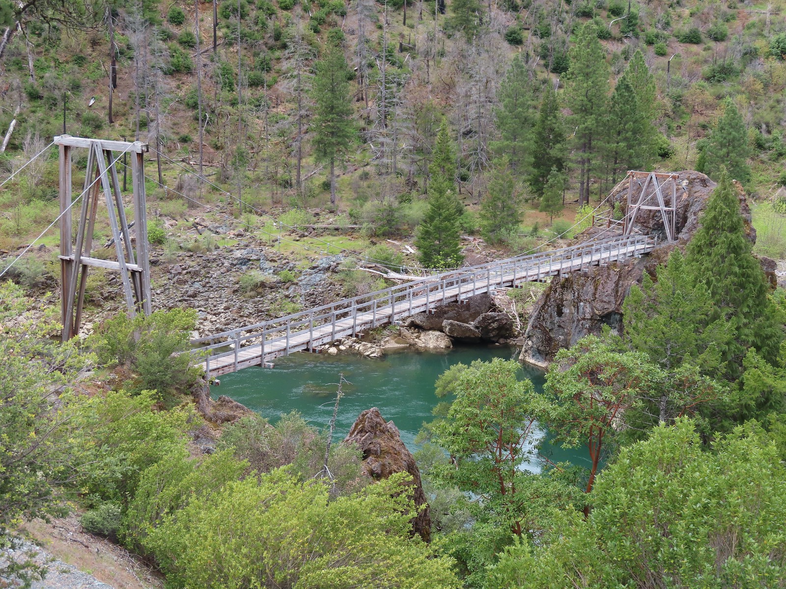
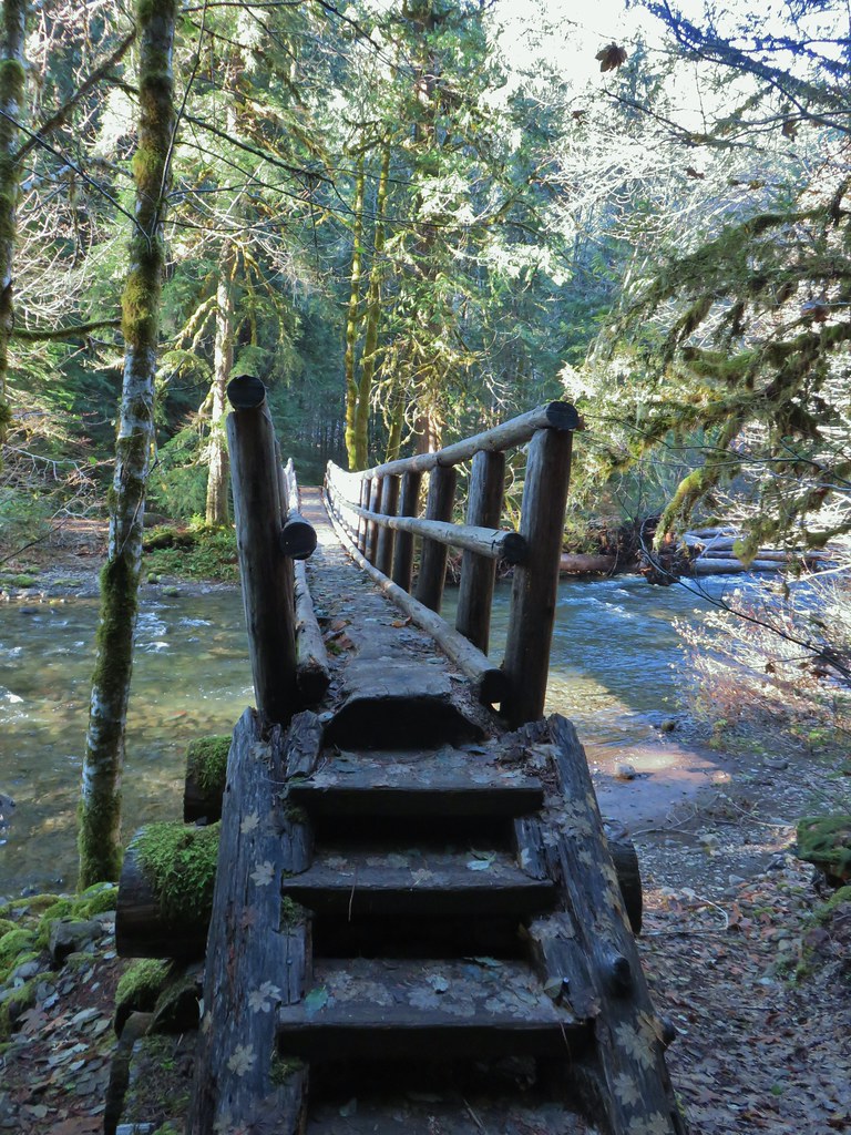
We had one stop left from the featured hike description, the Swinging Bridge which we knew was closed. While the bridge was closed Forest Road 087 was not and it led down to the river past the bridge so we had decided to road walk down and at least see the bridge. From the Horn Bend Trailhead we drove another 4.2-miles and parked at a pullout at Road 087.
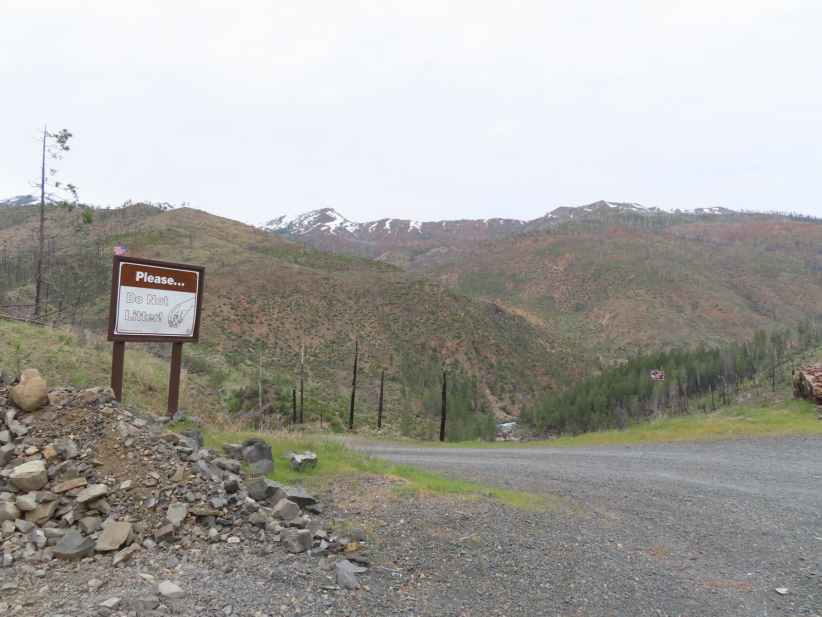
We hiked down the gravel road a half mile, passing the Fall Creek Trailhead along the way, to the bridge.
 Dogwood blossoms
 The Fall Creek Trailhead to the left.
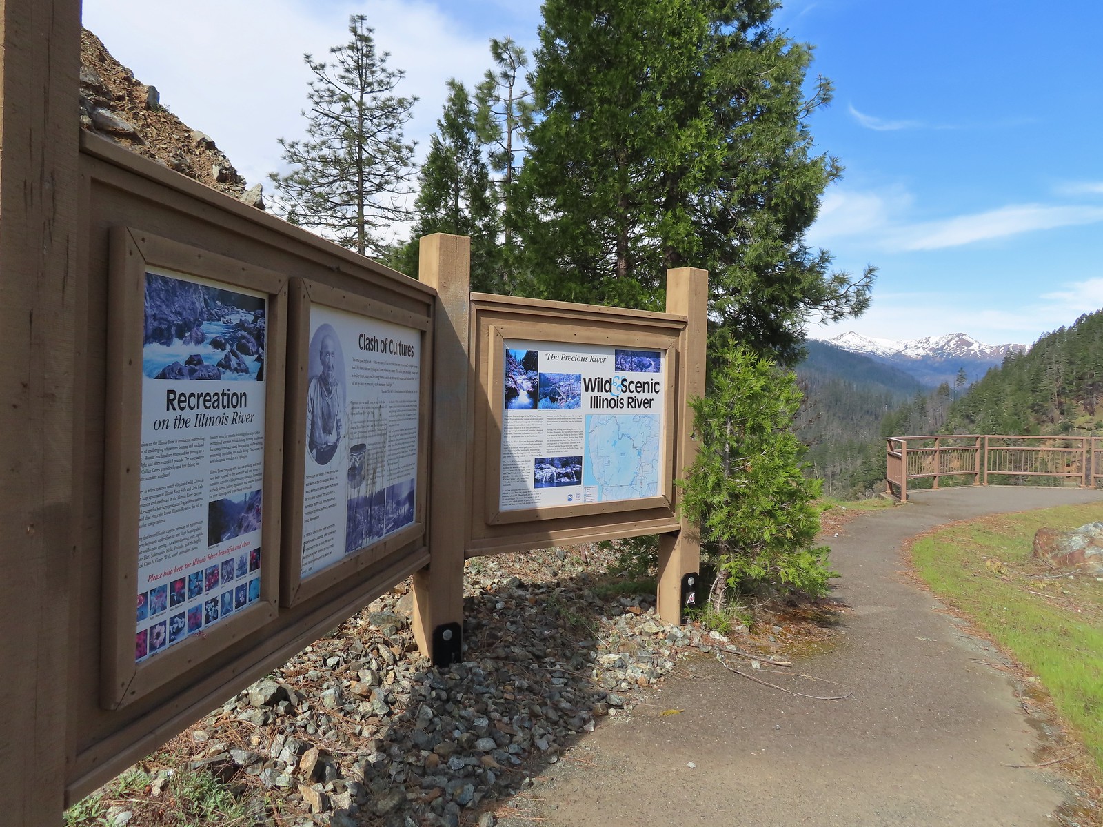
 The car bridge across the Illinois River to McCaleb Ranch. Technically we could have continued down to that bridge and crossed on it then turned left onto the Fall Creek Trail for a half mile to Illinois River Falls, but the closure order posted at the Fall Creek Trailhead was unclear. It stated that it was illegal to be “on a trail” not just on the suspension bridge itself. The Forest Service webpage seems to indicate that it is only the bridge that is closed until repaired. Either way we were just happy to see the bridge as that was the turnaround in Sullivan’s description.
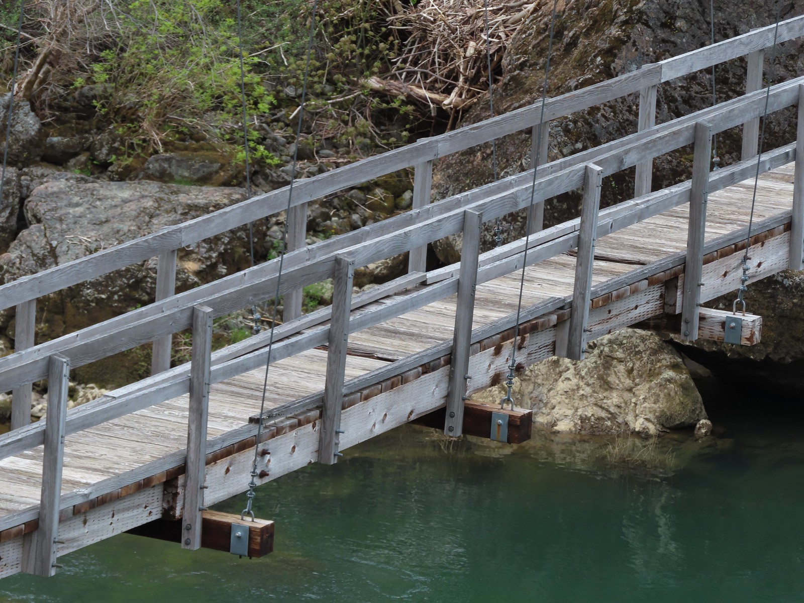 Assuming these are some of the needed repairs.

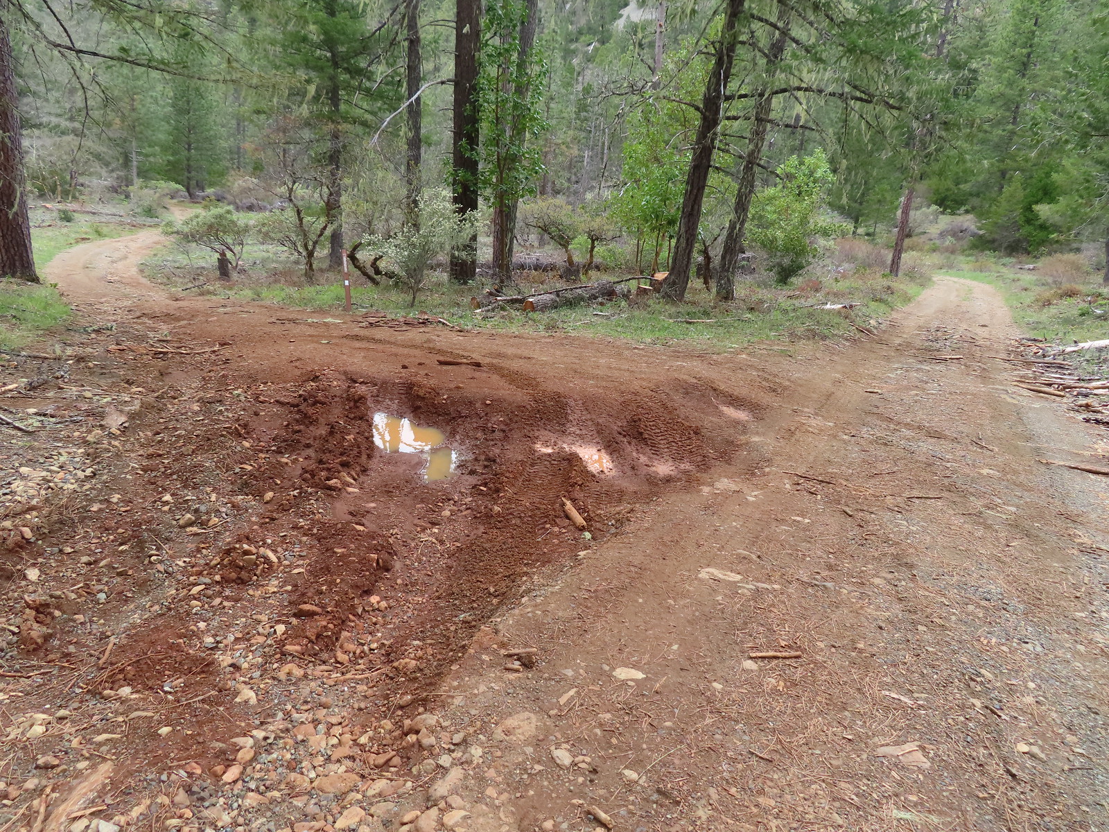
We climbed back up to our car and started back toward Highway 199. At some point earlier between trailheads I had come up with an idea to try an alternate way to reach Star and Kerby Flats. Sullivan’s map showed a roadbed off of Illinois River Road 0.7-miles east of the Kerby Flat Trailhead that led past Star Flat to a ford of Deer Creek. I remembered seeing the road on the way to the Kerby Flat Trailhead so we decided to try parking on the shoulder and seeing if the road was a better option. When we arrived there was another vehicle parked there which gave us some hope.
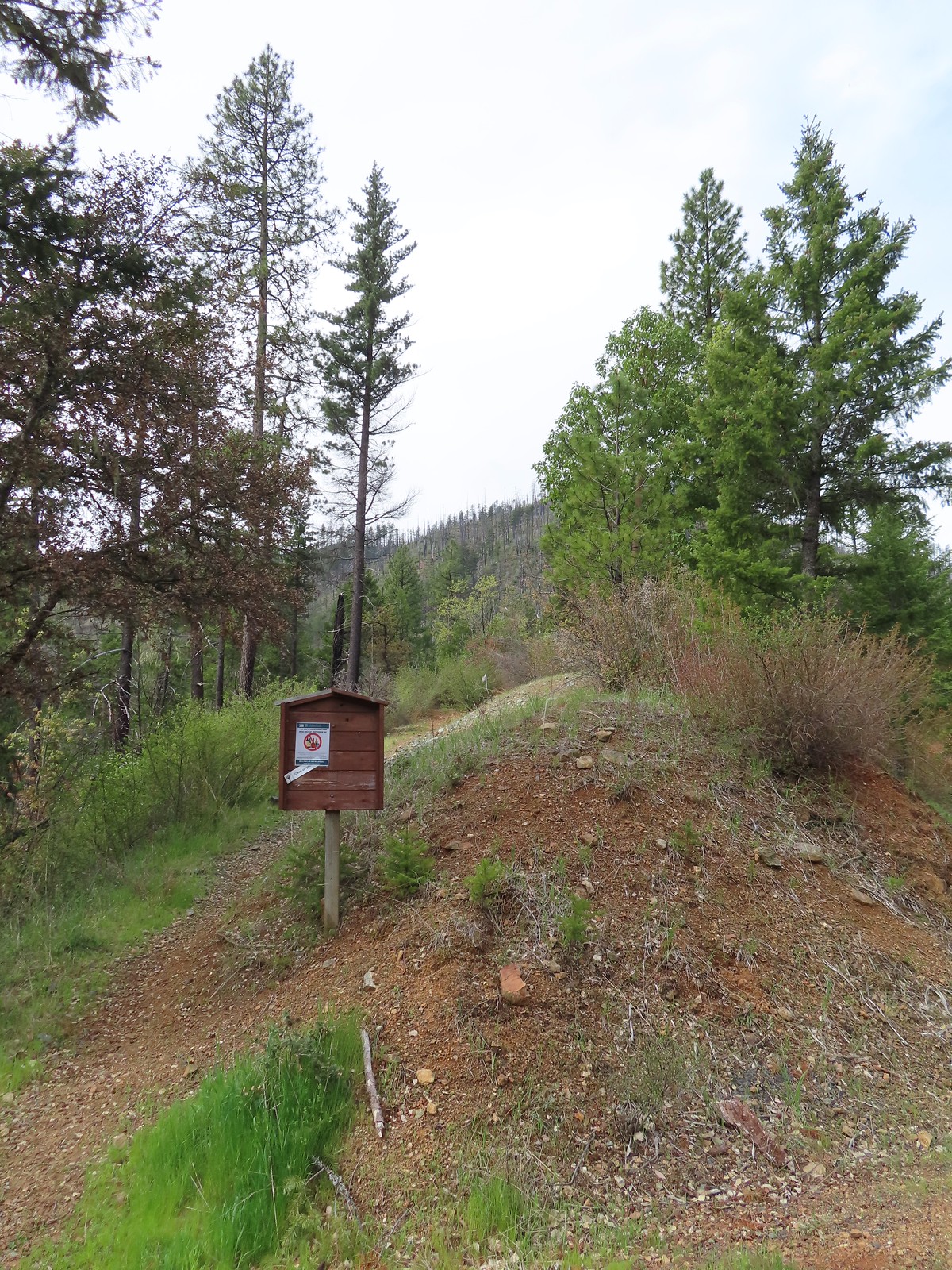
 The start of the road which the map lists as Forest Road 011.
As we started down this dirt road we passed the group from the other vehicle on their way back. They were locals who apparently hike this road regularly. They had been to the ford and said that the flowers were good and they also mentioned that there was a car in Deer Creek at the ford. They said it hadn’t been there the week before but that there had been a different car there in the past that had finally washed away. Now a new one had taken its place. We thanked them for the information and continued downhill.
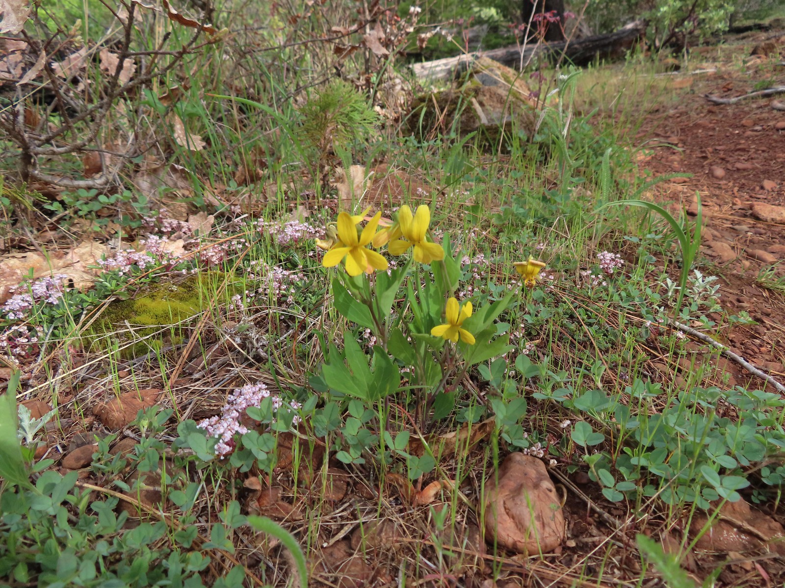
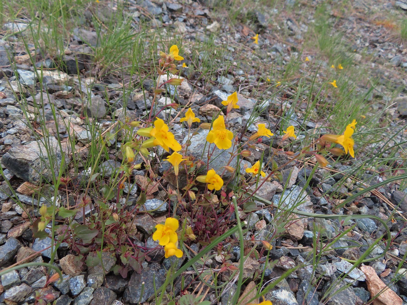 Monkeyflower
 Oregon rockcress and buttercups
 Balsamroot and Oregon rockcress
 Alpine? pennycress. There was a lot of this along the road, the first we’d seen of it this trip.
 Star Flat. It was obvious from the tire marks which extended into the vegetation in places that yahoos like to come here and tear things up (sigh).
 Duskywing
 There was a fence around the bog at Star Flat which hosts more California darlingtonia.
 Plectritis
 Iris
Iris
 Darlingtonia
 Deer Creek
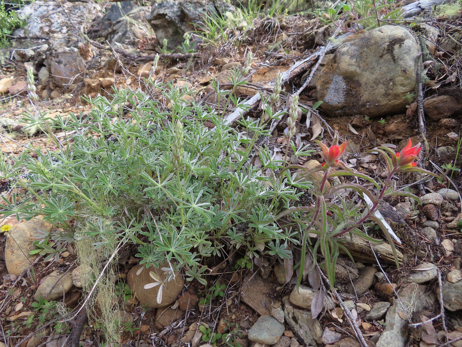
 Showy phlox and paintbrush
Just over a mile on the road we passed the rocky trail that we would have taken back up to the Kerby Flat Trailhead had we made it down from there.

 Checker lily
Just before the ford we passed an old car with kids toys on it. Not pictured is the tower of Coors Light cans that was just off to the left.

Just as advertised there was indeed a car abandoned in the ford.
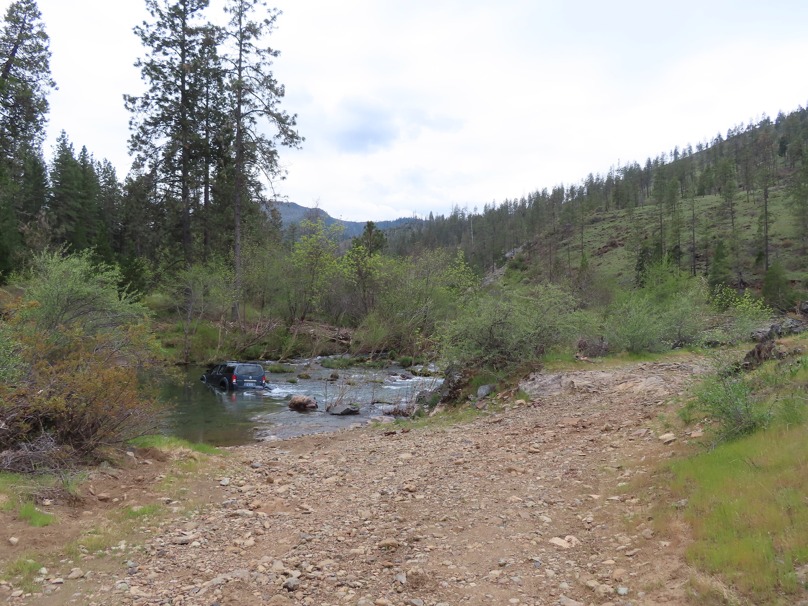
We assume it was a stolen vehicle (or someone was really drunk/high). From the amount of garbage and fire pits in the area it was clear that people drive down here to party and do stupid stuff. Truly unfortunate because the beach at the confluence of Deer Creek and the Illinois River could have been really nice but the general feeling all the trash gave off made it uncomfortable.

We continued past the beach following the trail toward Kerby Flat.
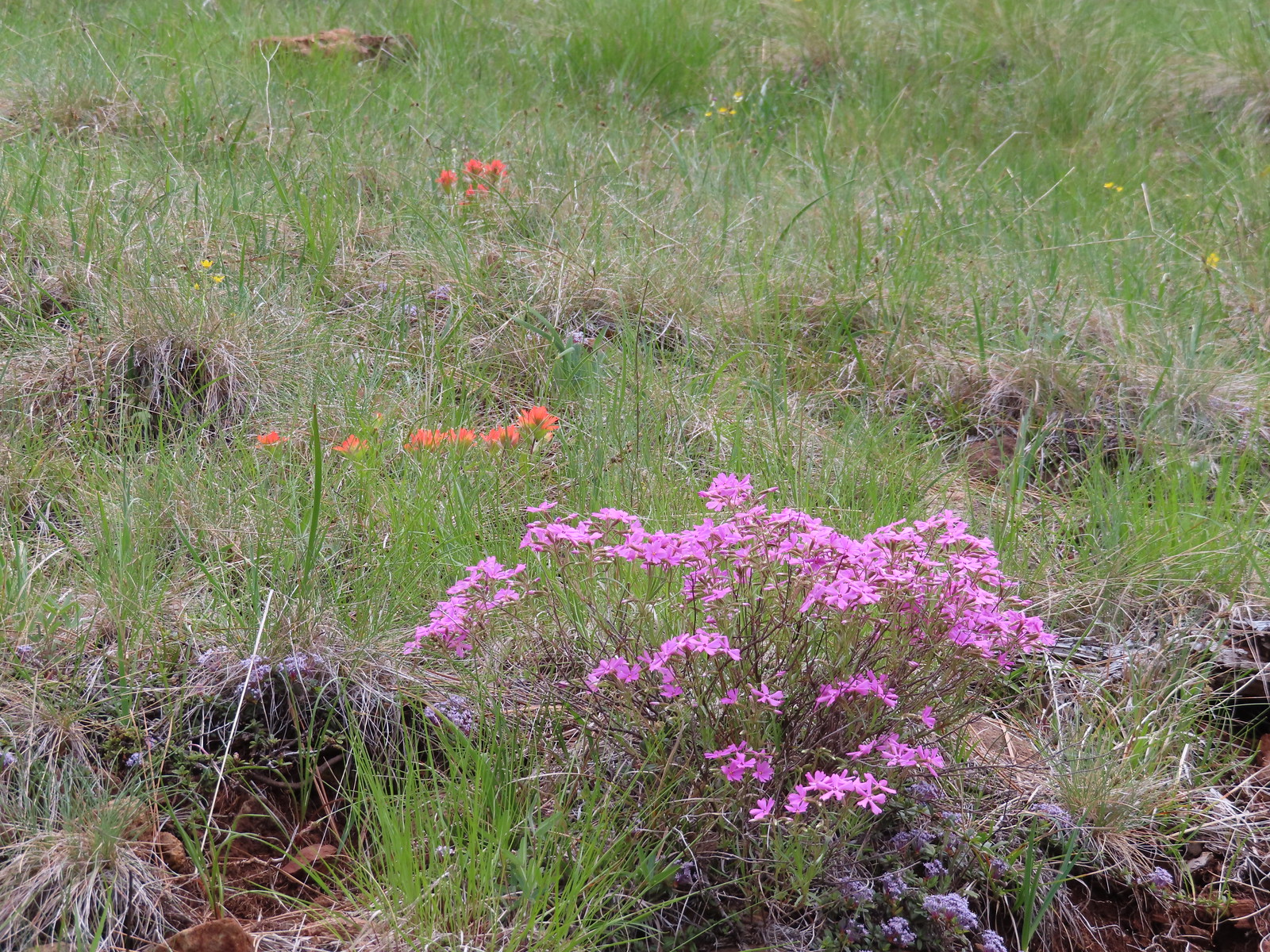
 Hairy pink

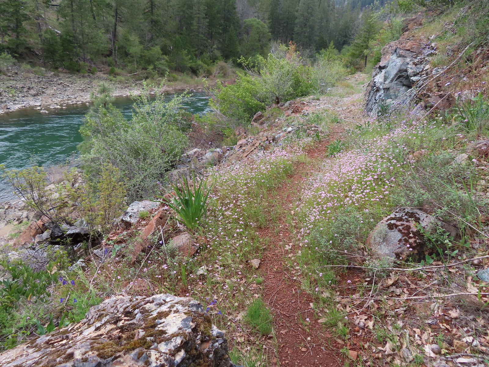 Plectritis along the trail.
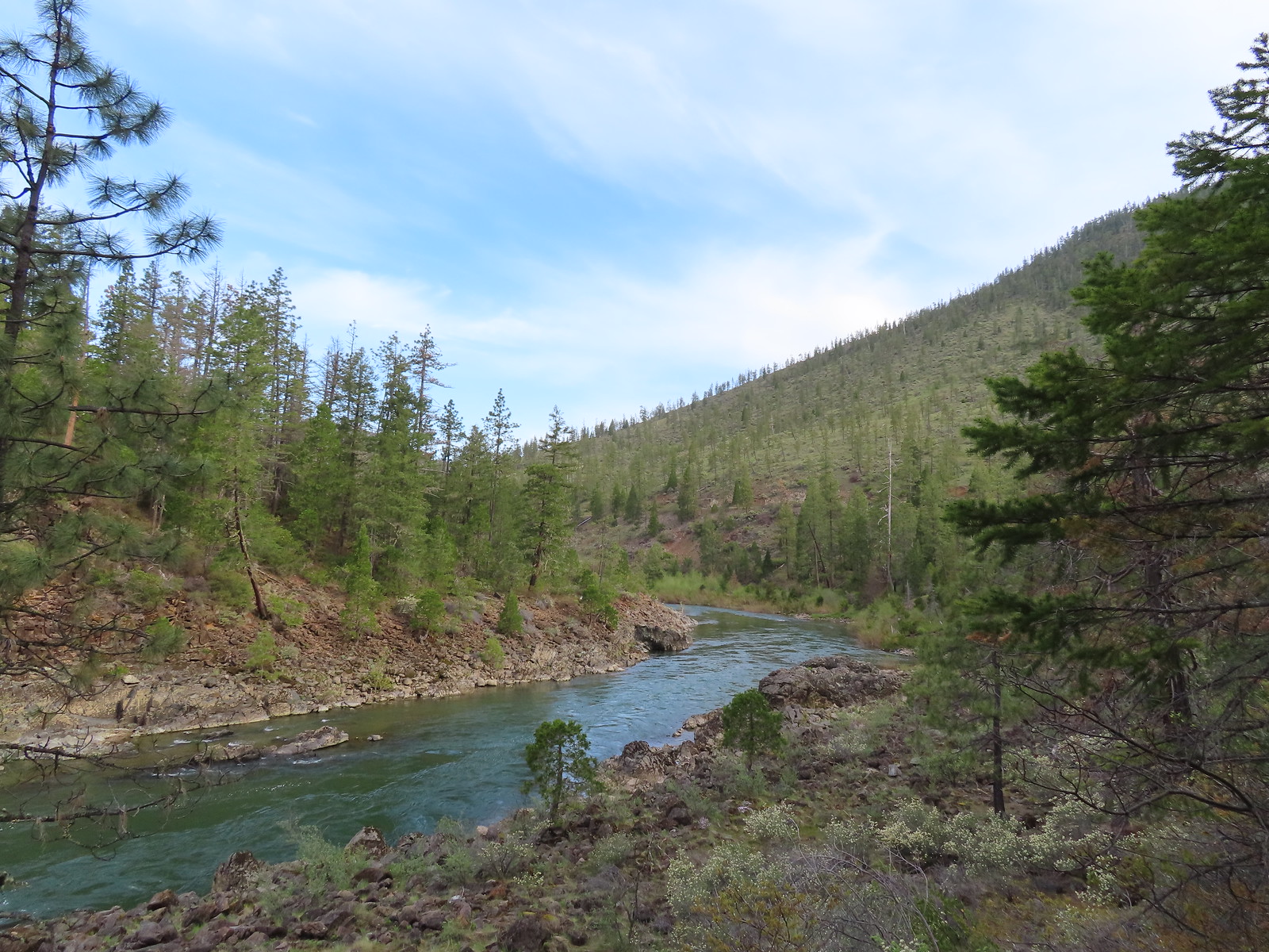
 Illinois River
After 0.2-miles the trail ahead appeared to begin to get overgrown and we’d had enough of that for the day so we declared victory and turned around.
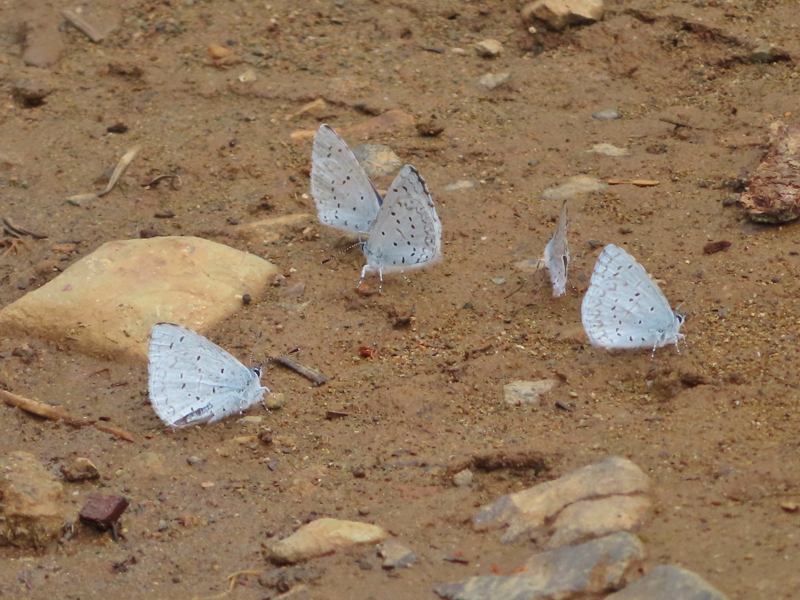
We returned the way we’d come half expecting to encounter some ne’er-do-wells heading down to party. Thankfully that didn’t happen although we did come across a suspicious group of butterflies.
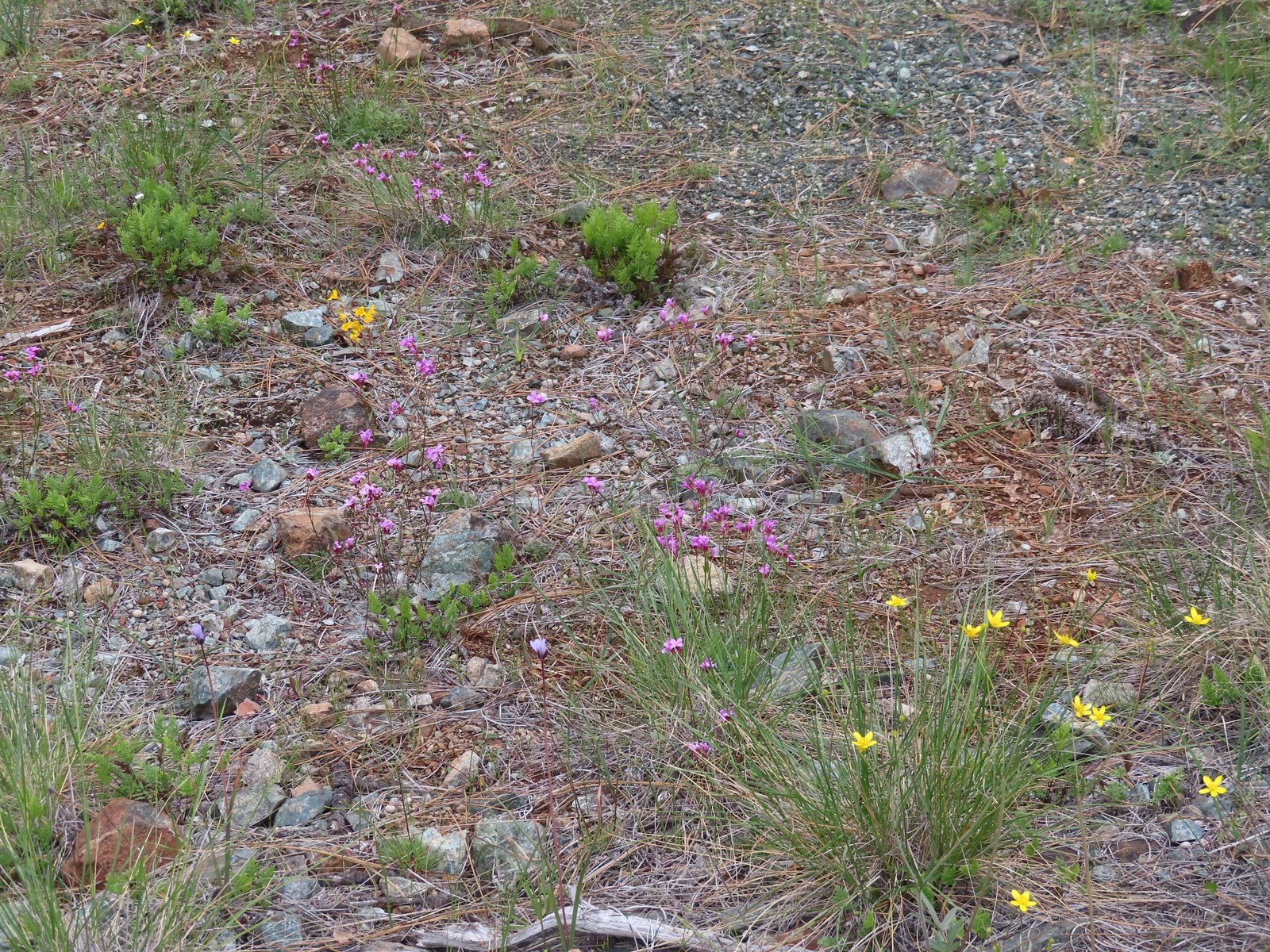
 Star flower
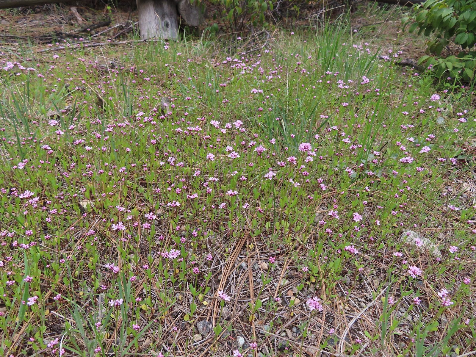
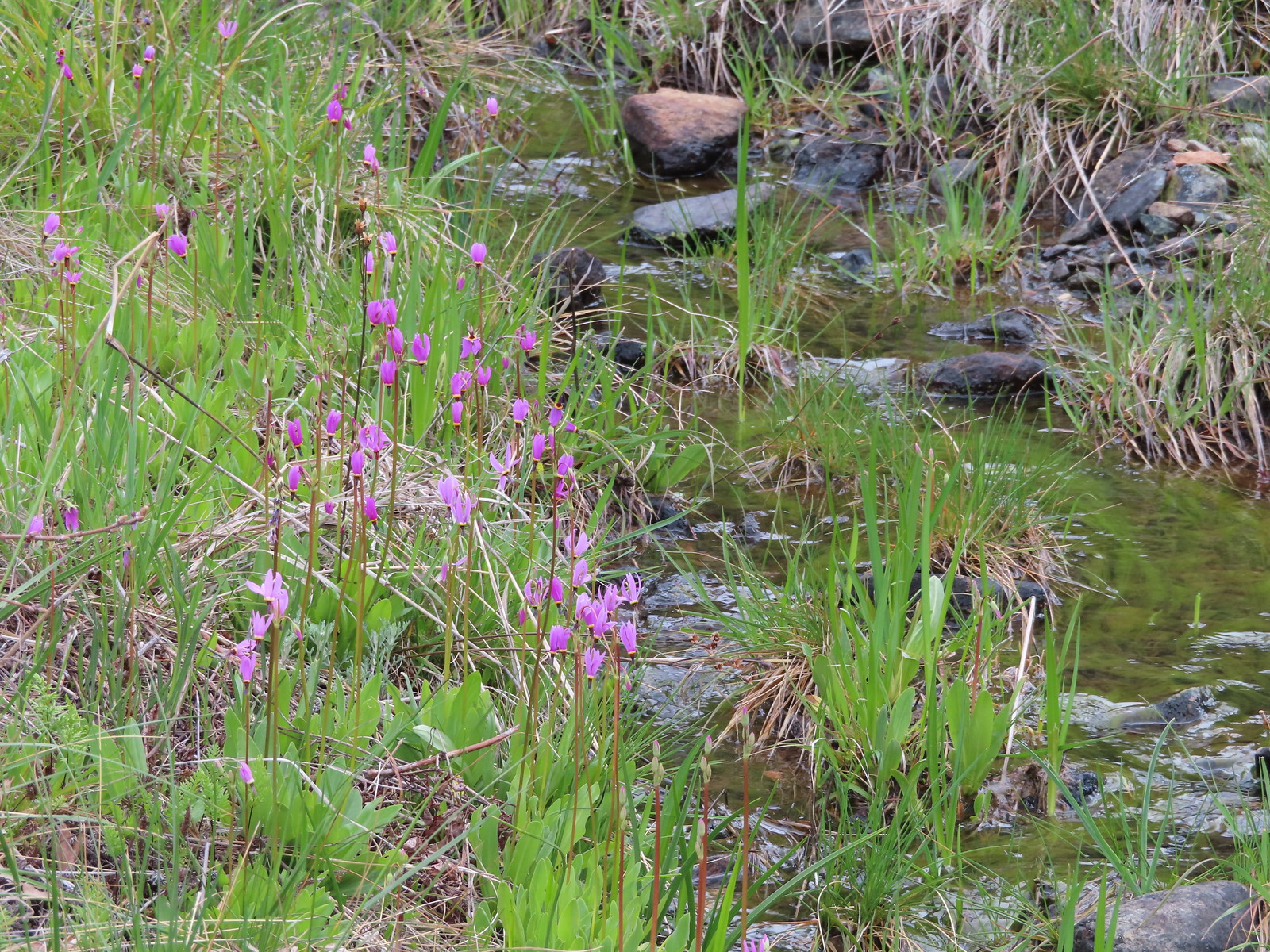 Shooting stars along the creek leading to the bog in Star Flat.
 Fawn lily
It started to sprinkle as we neared the car which was the opposite of how the weather had been all week. Monday through Wednesday it had been cloudy in the morning and cleared up in the afternoon but today the clouds moved in later.
We were back to the car a little before 2pm but it had felt like a much longer day. We’d managed to get 10.2-miles of hiking and road walking in over the course of our six stops. The cumulative elevation gain was just over 1300′ so it was a pretty solid day of hiking even though none of the stops went as originally planned. Sometimes you just have to get creative, and we seem to be getting more and more practice at that.


Back in Grants Pass we picked up dinner from the Tacos Don Goyo food truck on K Street (excellent food) and started packing up for our drive home the next day. We decided not to try and replace the Rogue River hike that we didn’t do on Wednesday (post) opting instead to get home to Merry and Pippin. This was the first time we’d been away from them since adopting the kittens in October and we missed the little guys. Happy Trails!


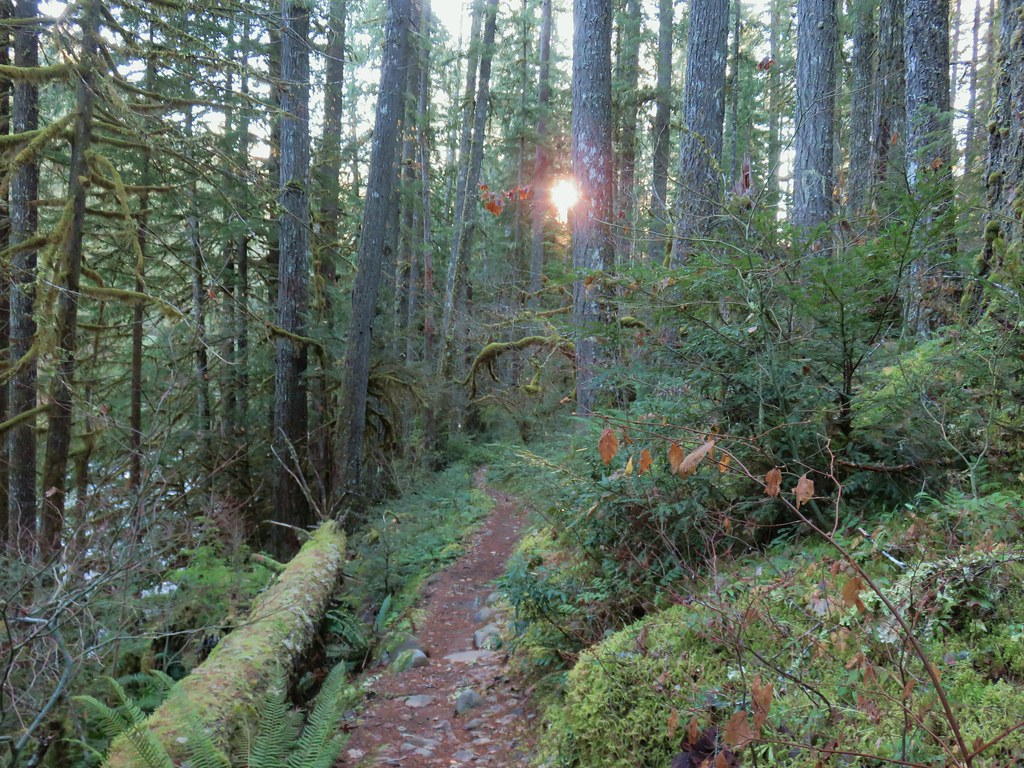
 Forest road crossing.
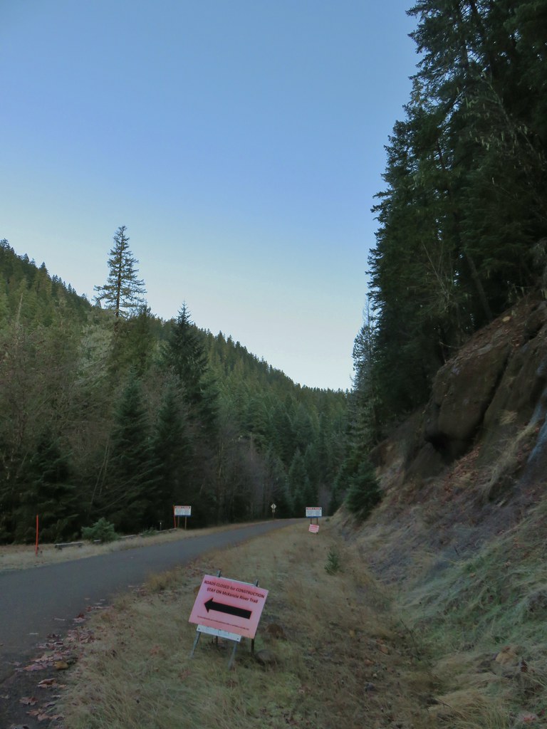


 The top of Three Fingered Jack is visible in the distance.
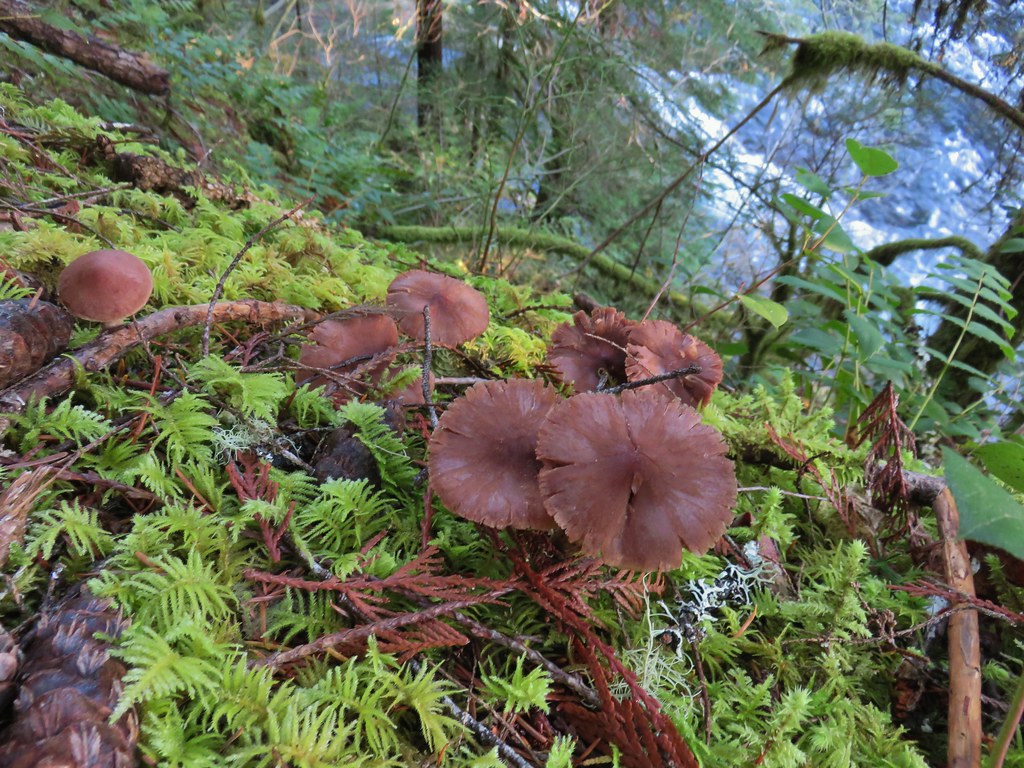
 Fall means mushrooms.


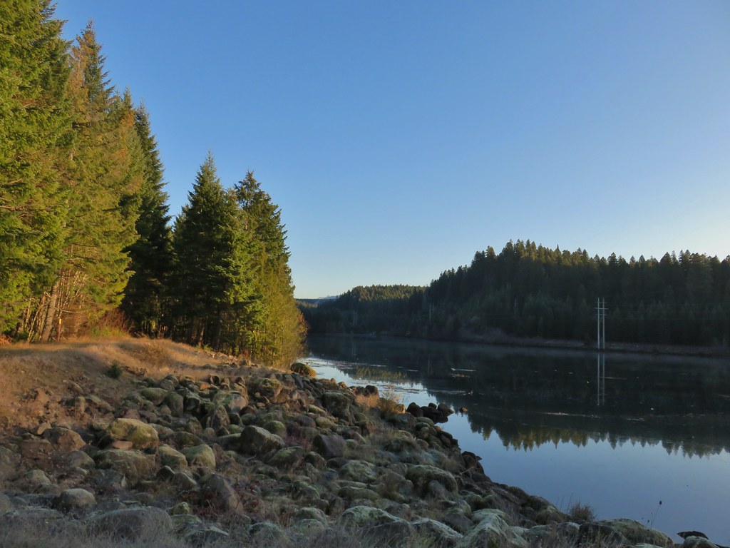
 Anderson Creek joining the McKenzie.
 Olallie Creek across from the trail.
 Turning up Deer Creek to reach the footbridge.
 Up river from Deer Creek Road.
 Deer Creek Hot Springs would be somewhere along the right hand side of the river.
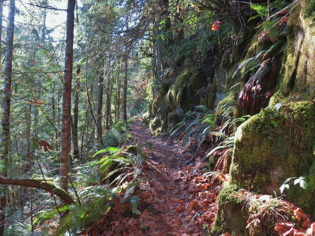
 We had to go around this bridge due to frost and it being at an angle.

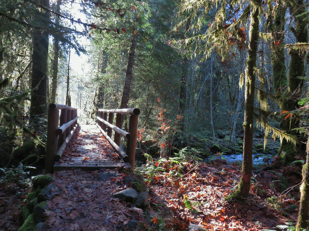 Footbridge over Frissel Creek.
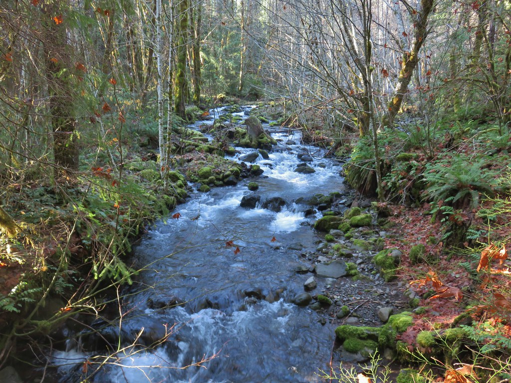
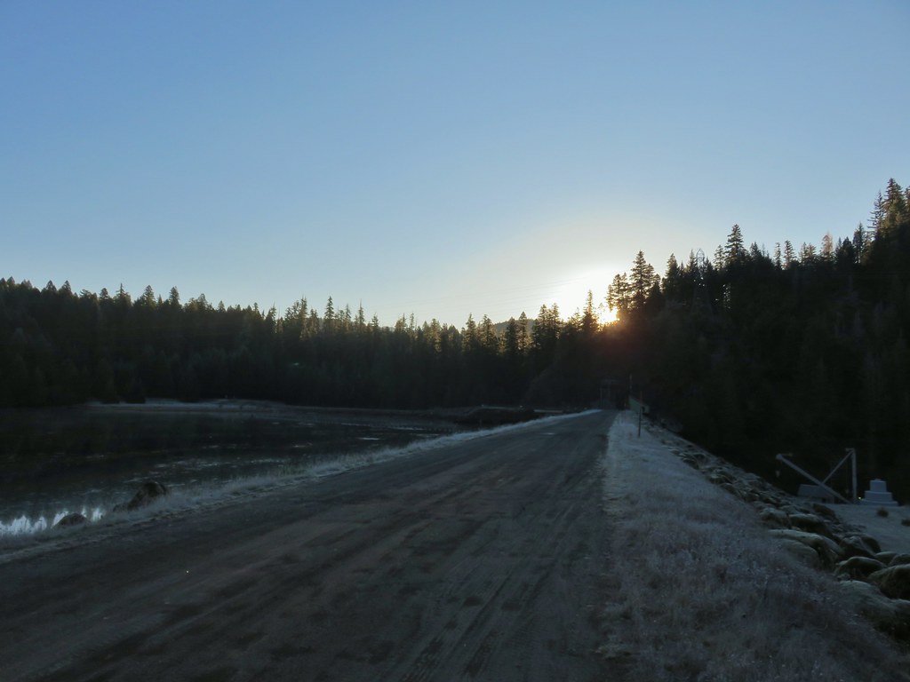
 Sun over the McKenzie River
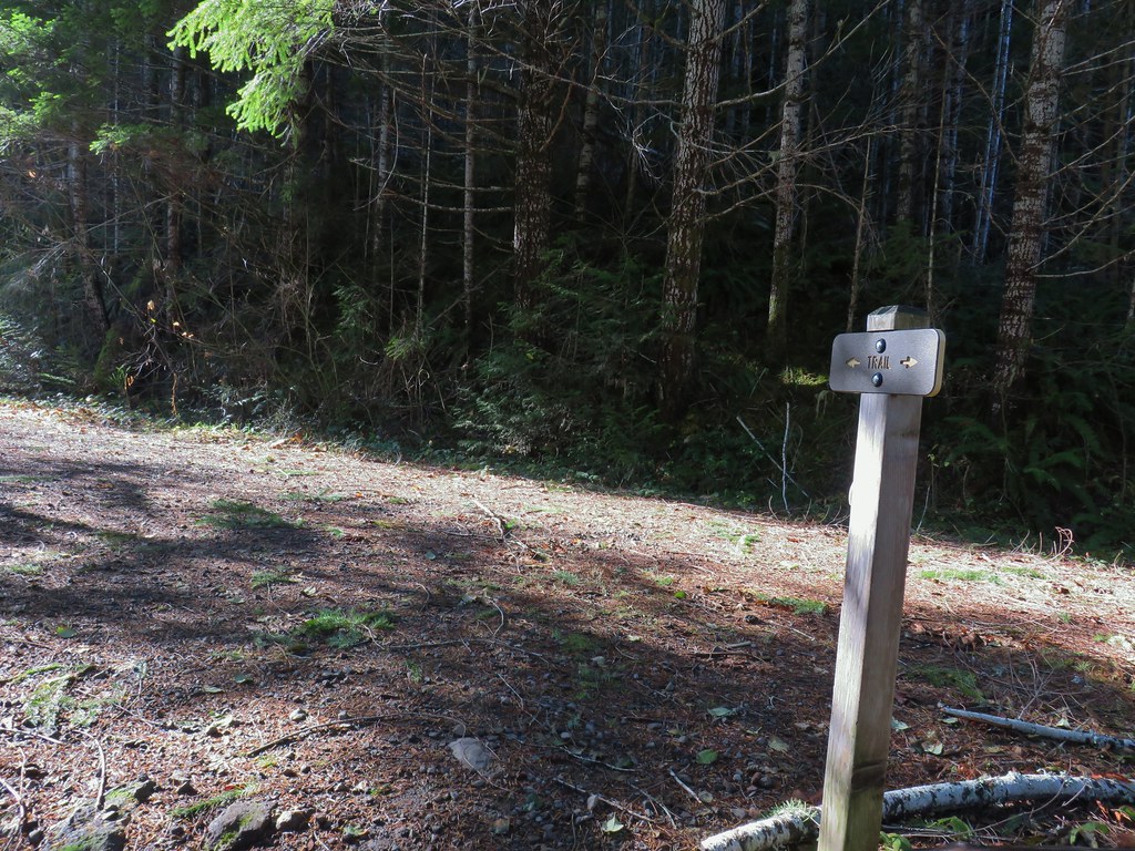 FR 610
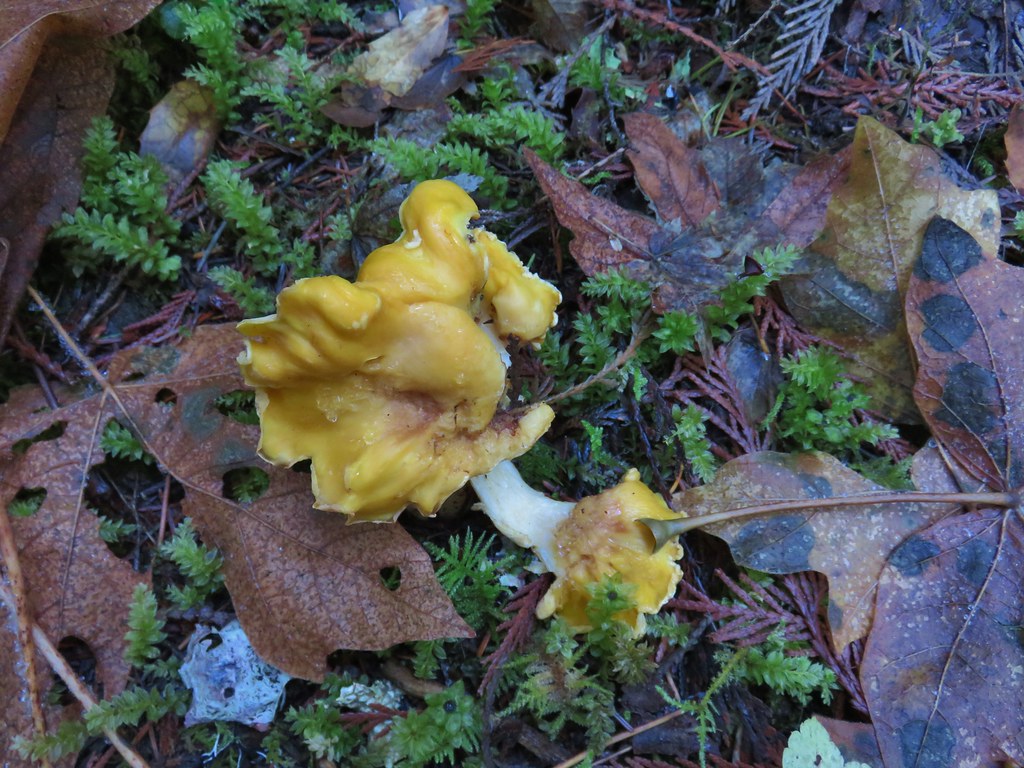

 We missed this sign for slough creek the first time by.
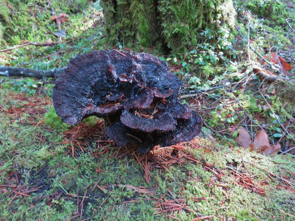

 Missed this survey marker too.
 We also completely missed this sign at Deer Creek.
 Still cold


 Without the use of the zoom on the camera they are hard to make out but the tops of the North and Middle Sister are visible over the hills.