**Note a portion of the trail north of Deer Creek burned in the 2021 Knoll Fire.**
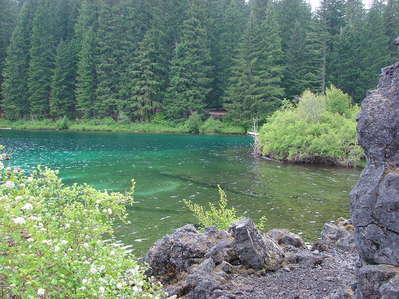
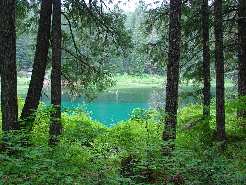
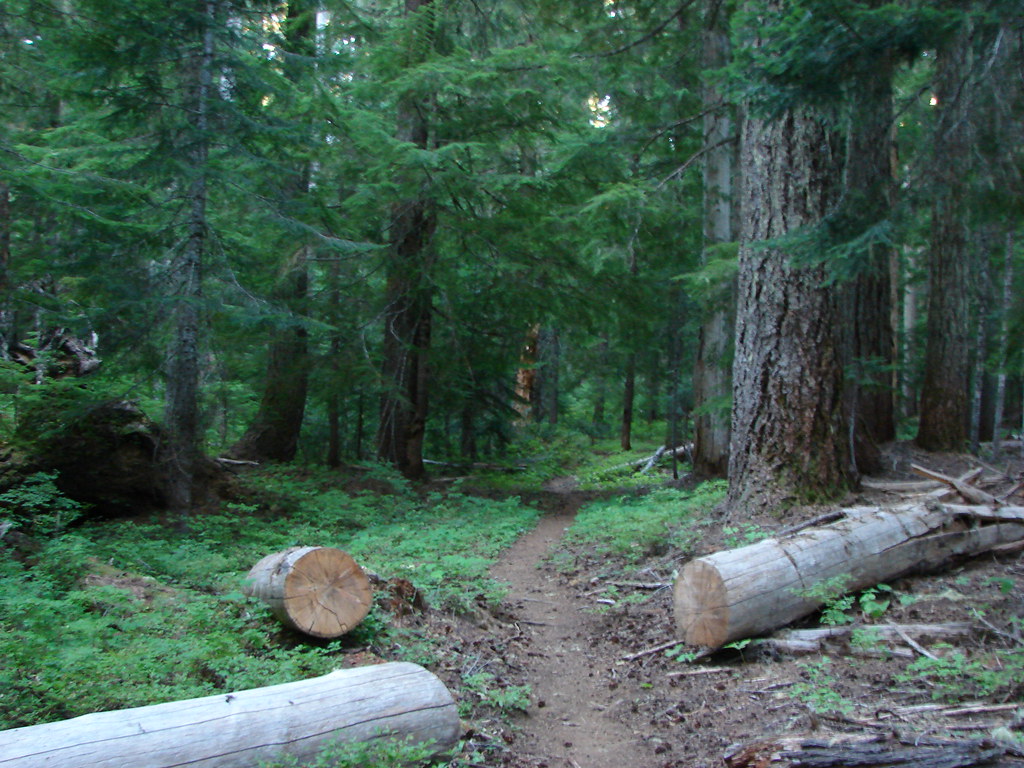
A combination of a day off, a favorable forecast and a need to drive to Bend to pick up some Christmas items provided the perfect excuse to check out a section of the McKenzie River National Recreation Trail. This would be our third hike on this 26.4 mile long trail, all on different sections (Tamolitch Pool and Clear Lake).
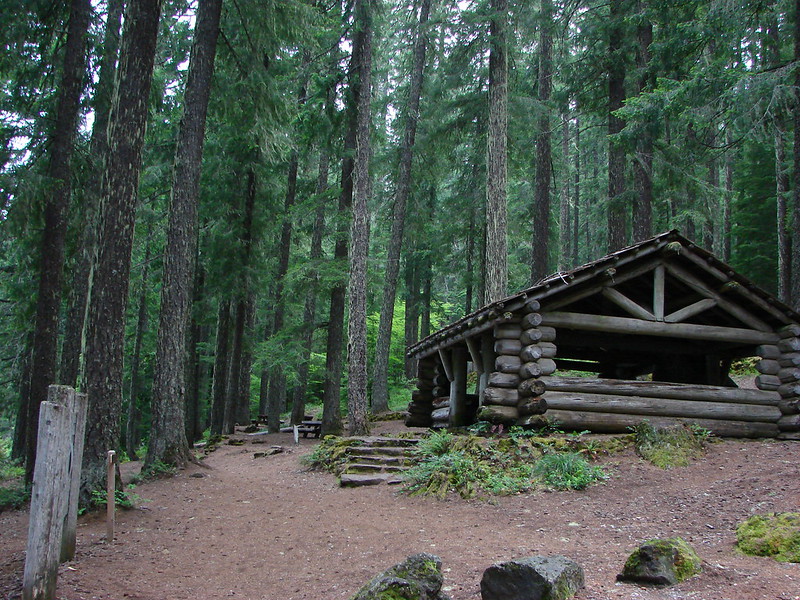
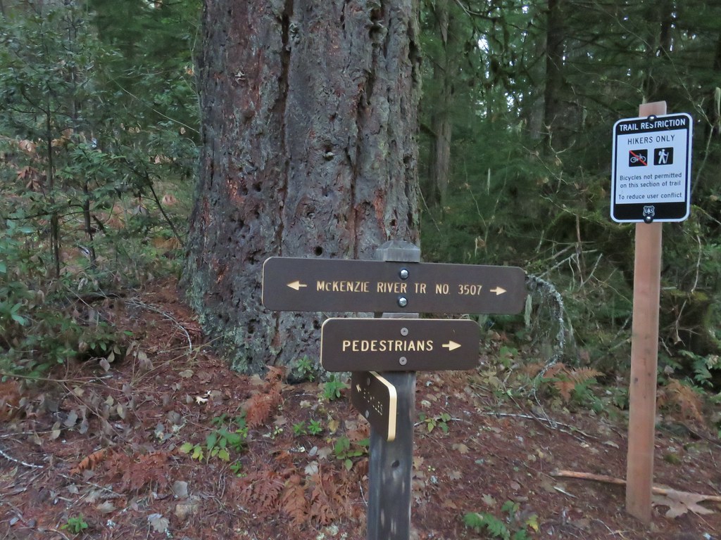
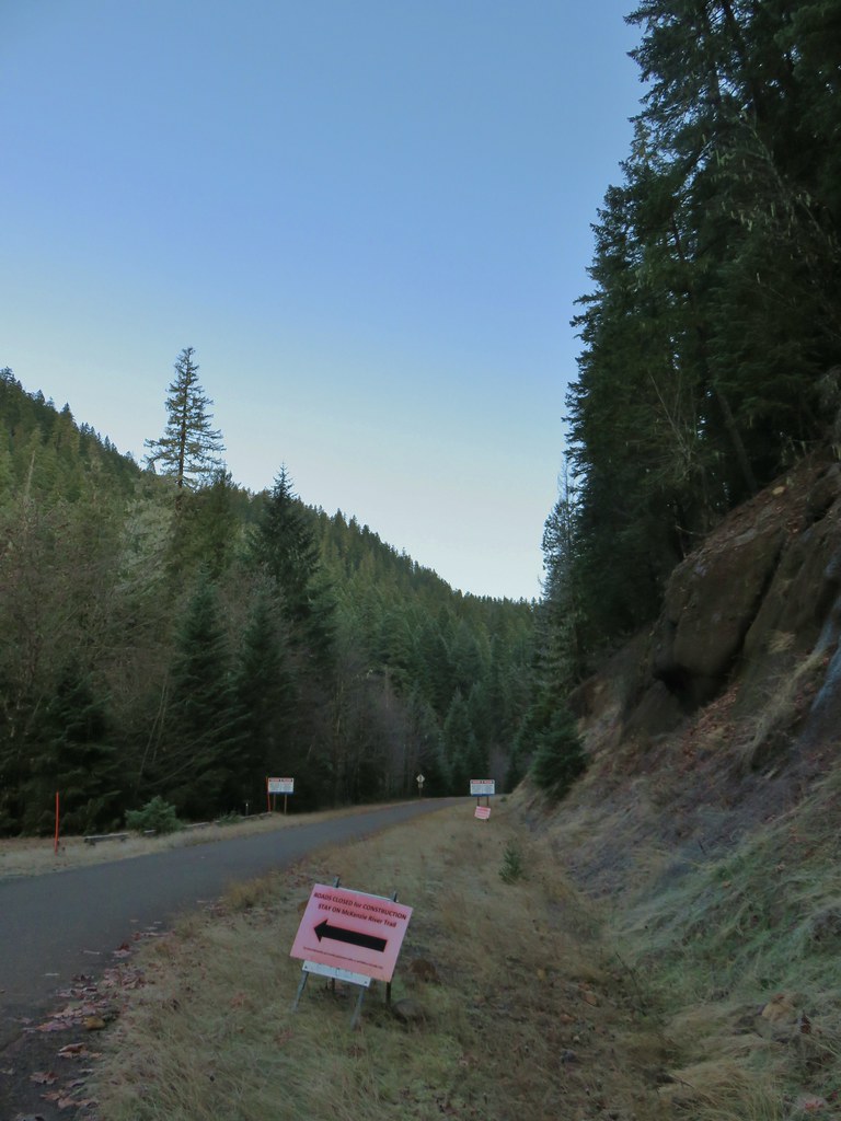
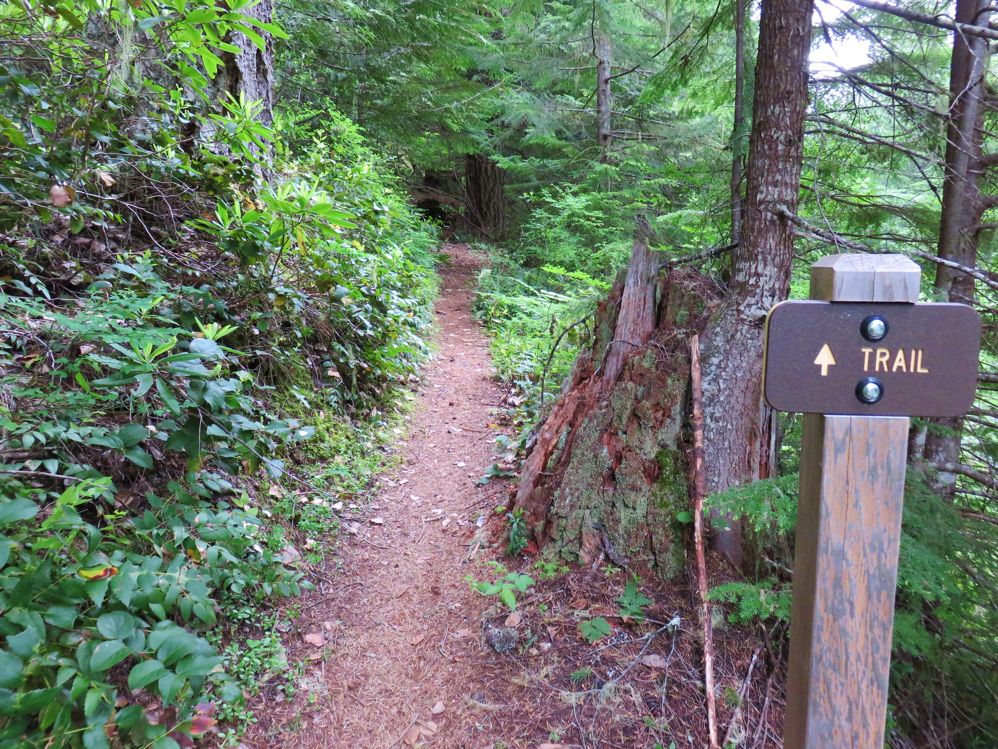
We started our hike at the popular Tamolitch Blue Pool Trailhead where we had also started our hike to the Blue Pool.
This time though we headed south (left) on the McKenzie River Trail away from the Blue Pool and the crowds that would surely be arriving later in the day (we were the 2nd car at the TH on this morning).
The Sun wasn’t quite up yet, and it was still under 30 degrees, as we set off on the trail.

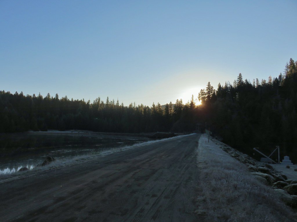
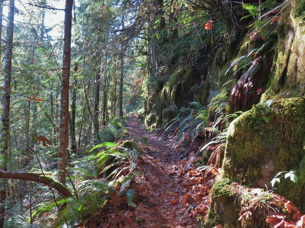
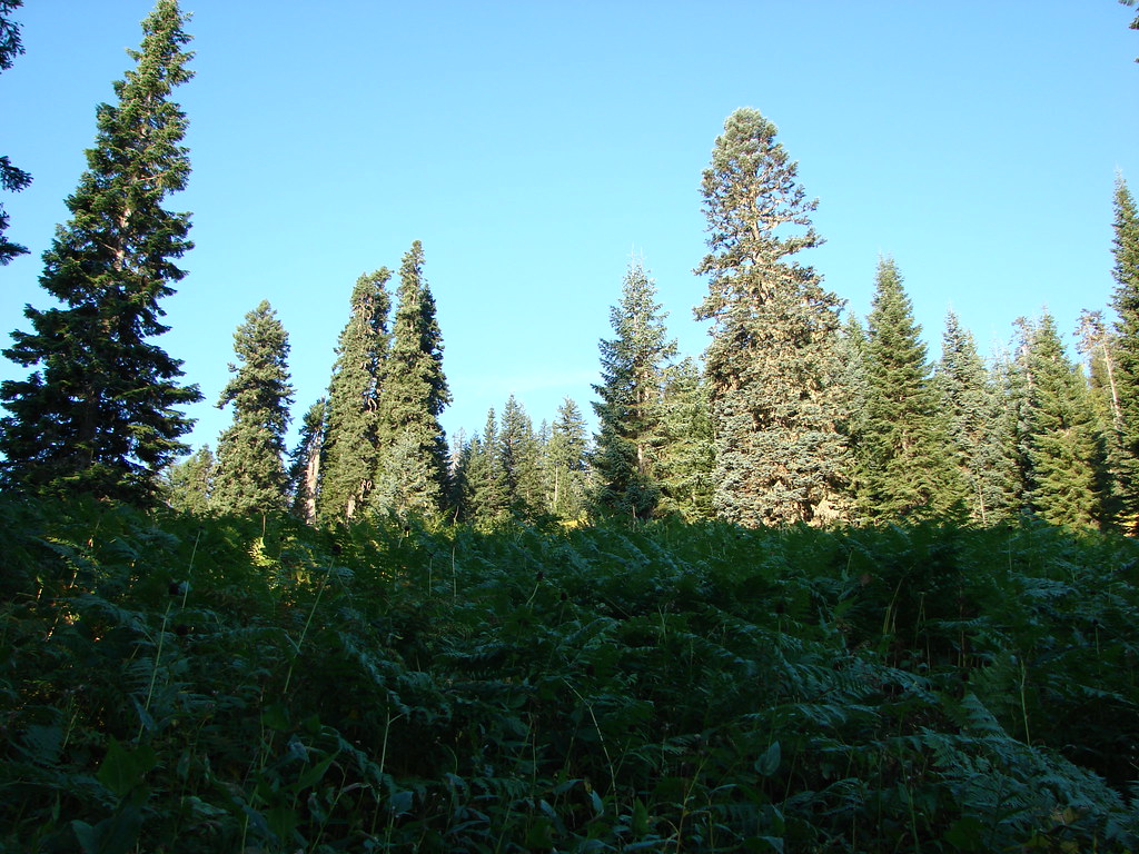
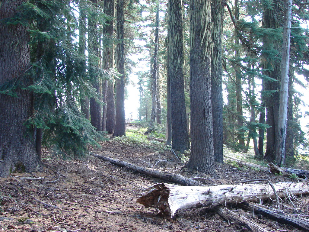
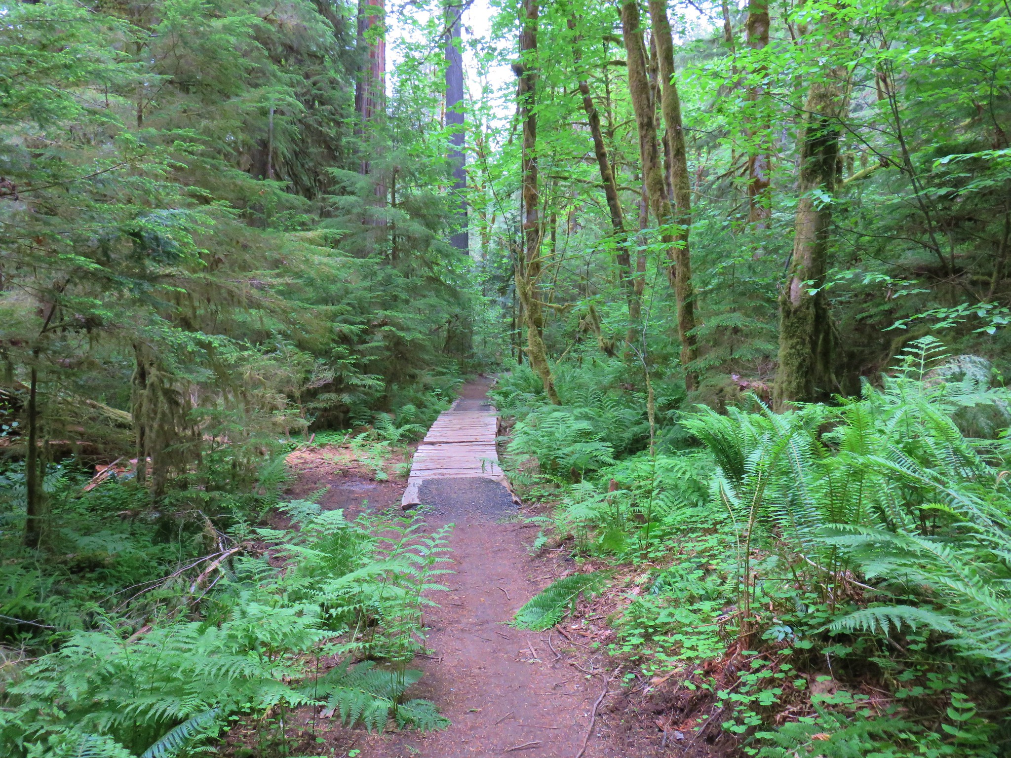
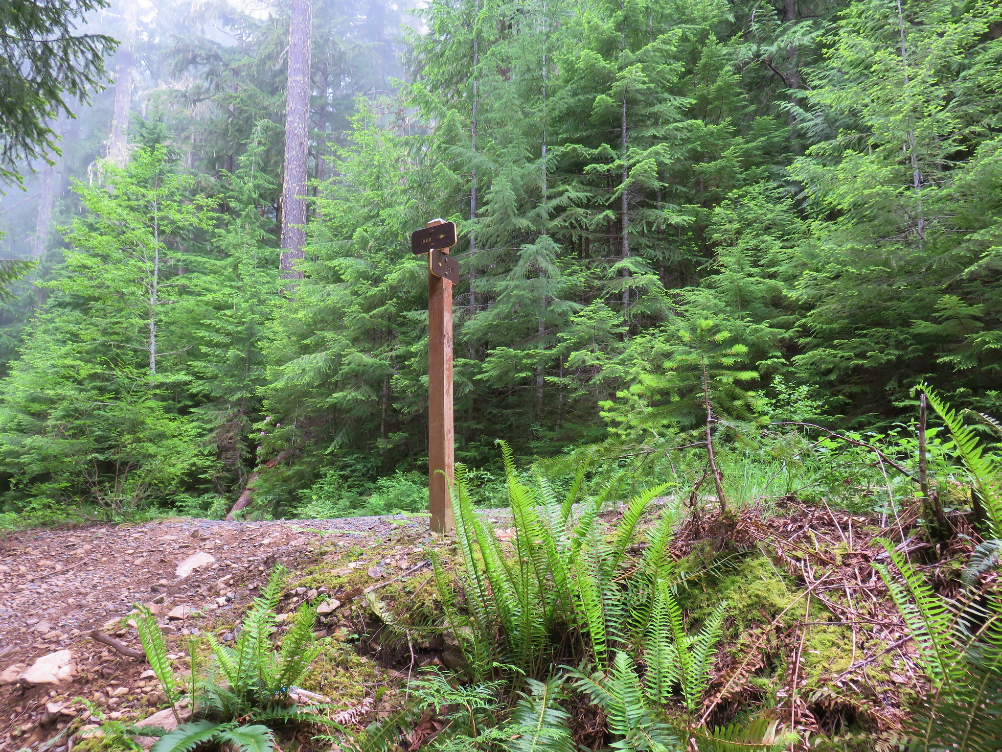
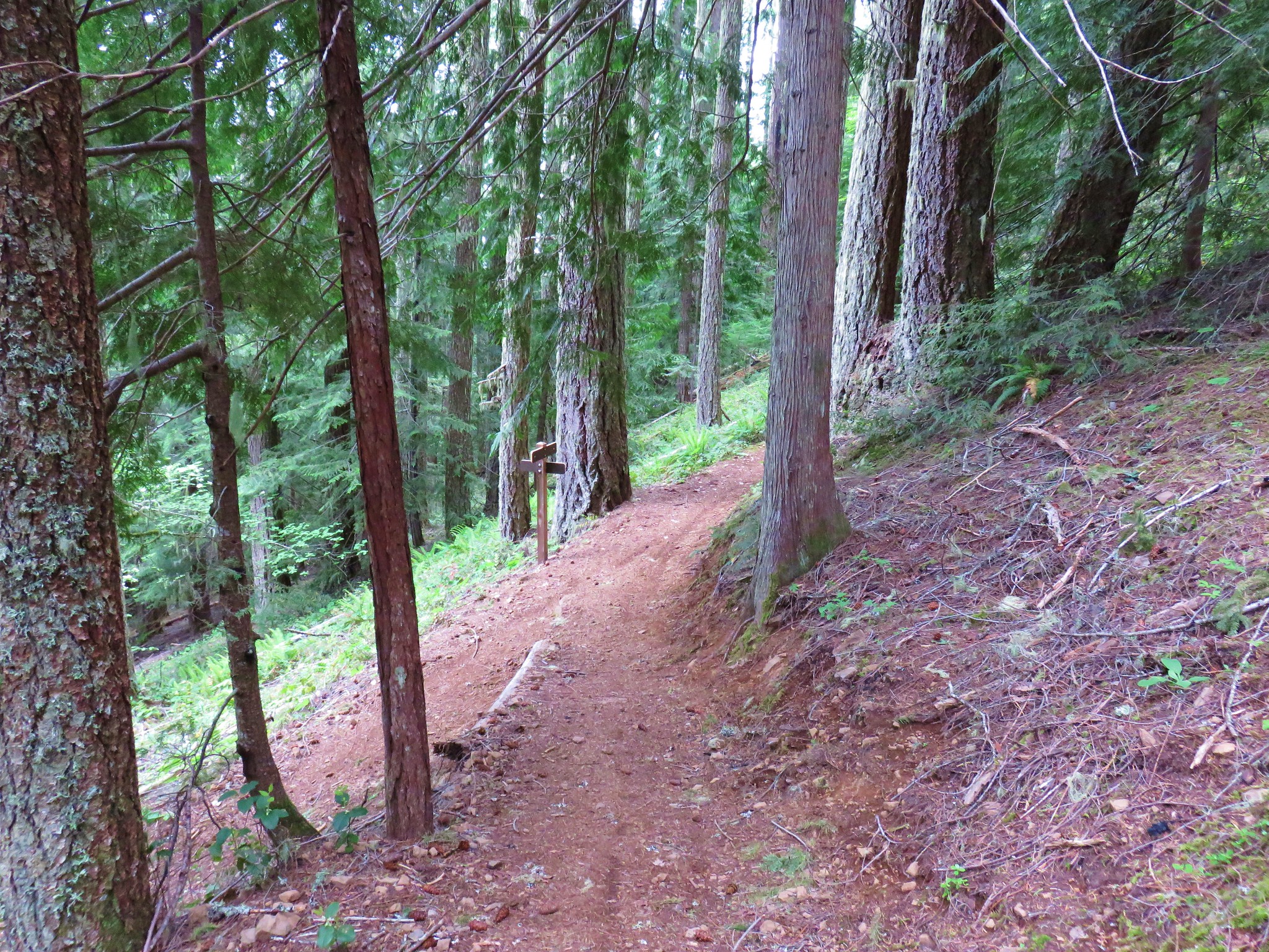
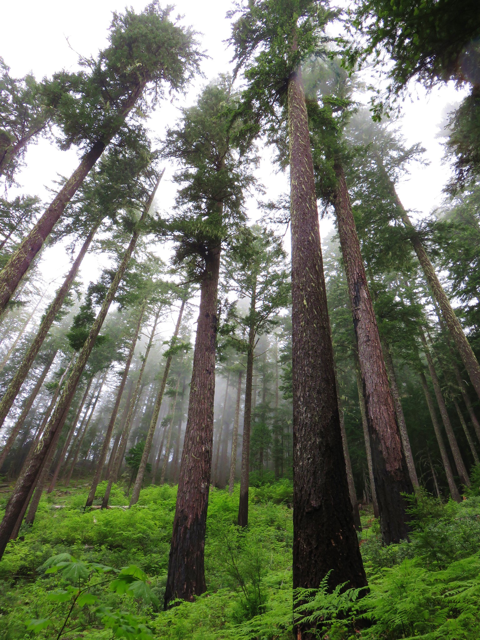
The trail climbed a forested hillside and crossed a forest road above Trail Bridge Reservoir (2 miles from the TH).

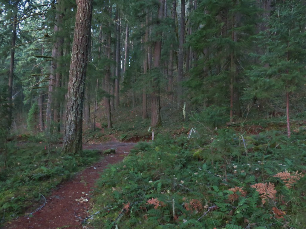 Forest road crossing.
The trail then descended to Forest Road 730 and a crossing of Smith River which feeds into the reservoir.


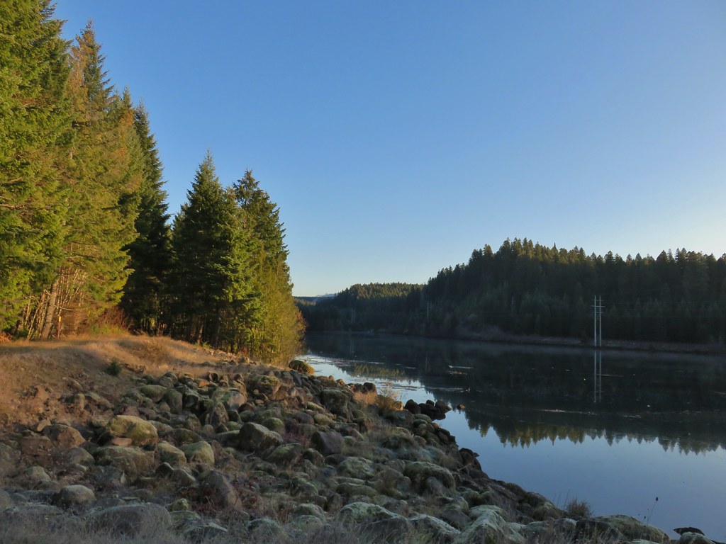
Another brief climb followed before dropping down to the Trail Bridge Dam.


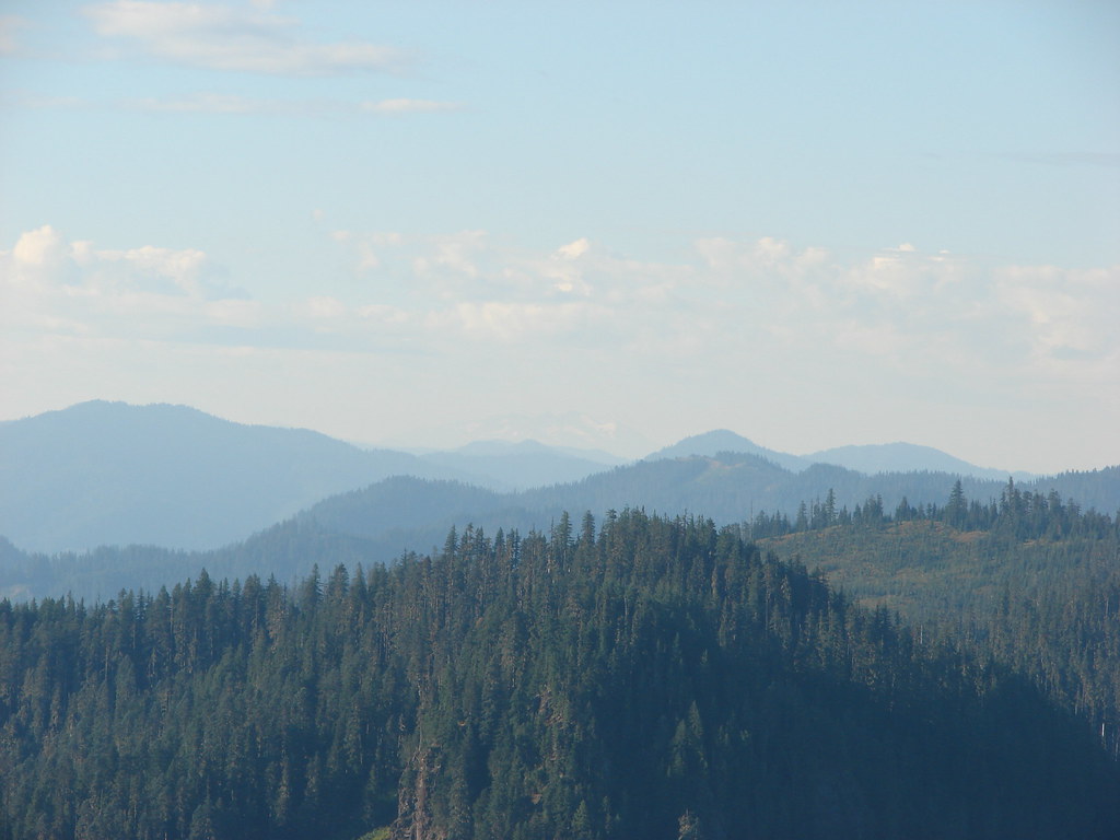
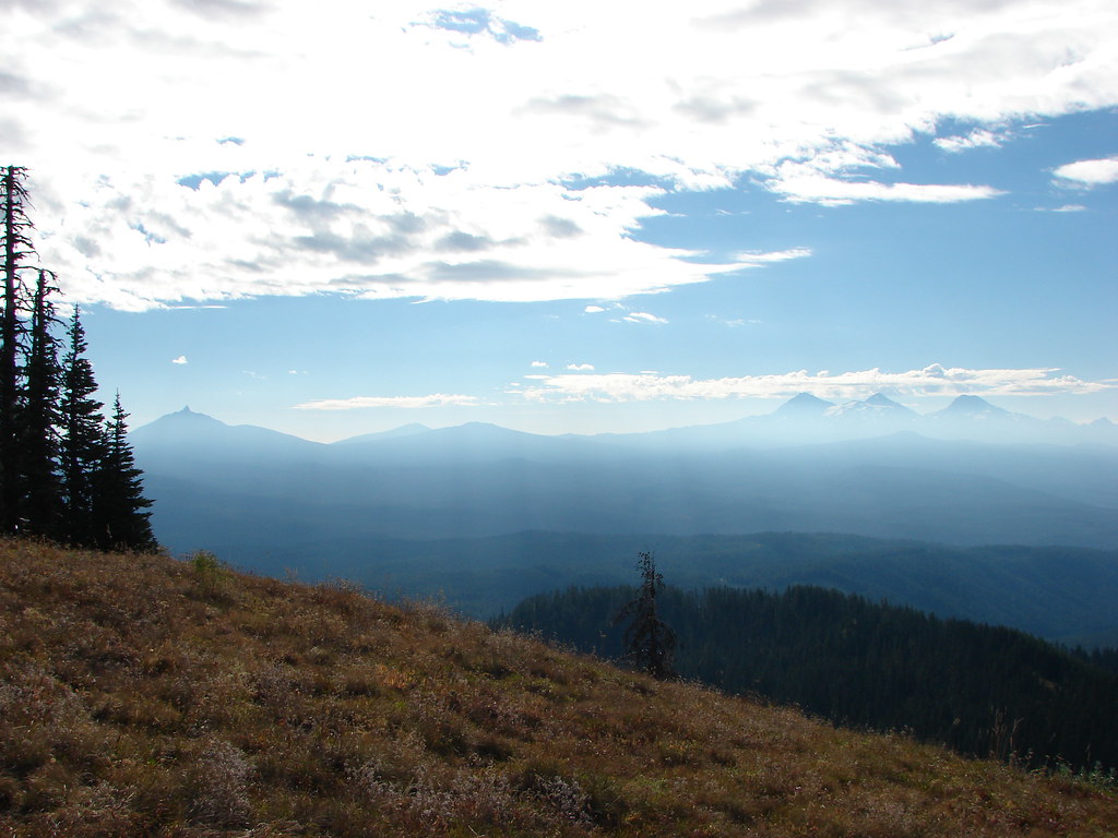
 The top of Three Fingered Jack is visible in the distance.
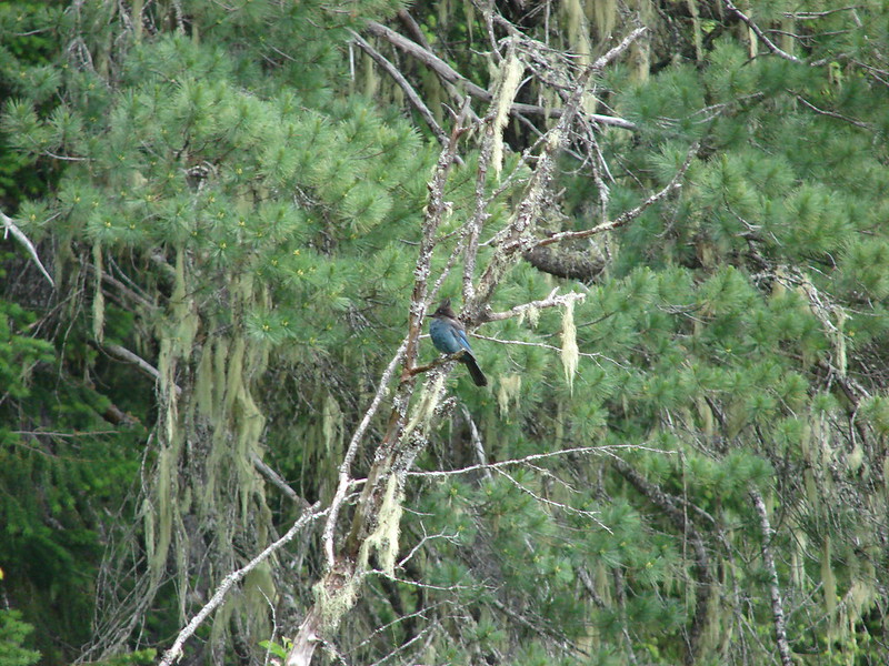
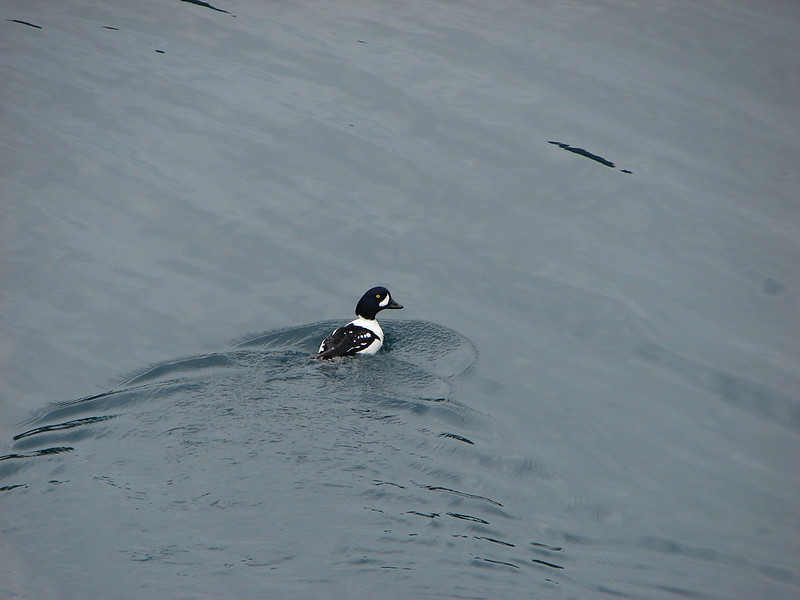
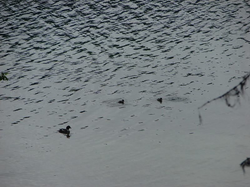
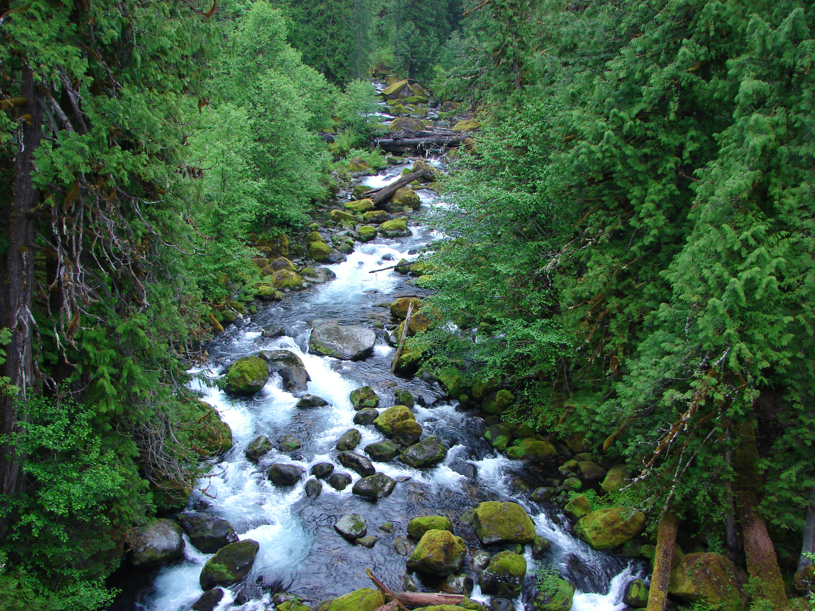
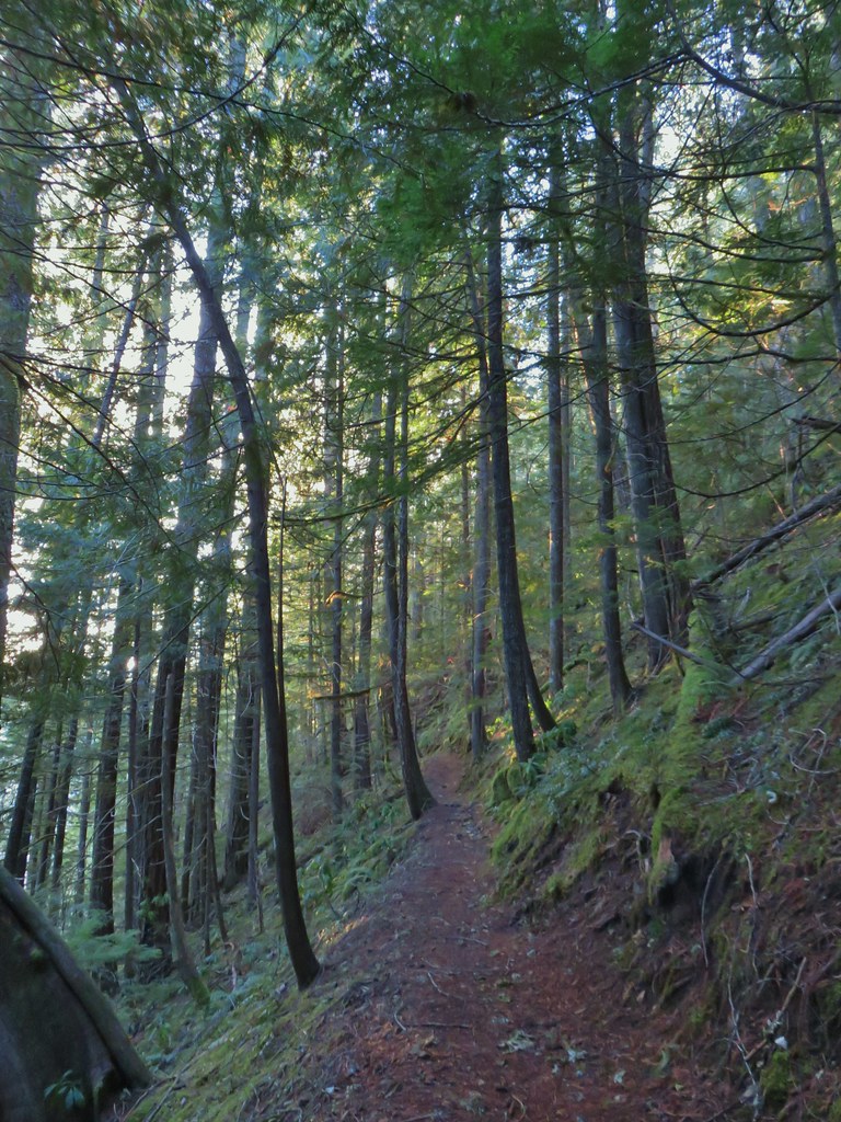
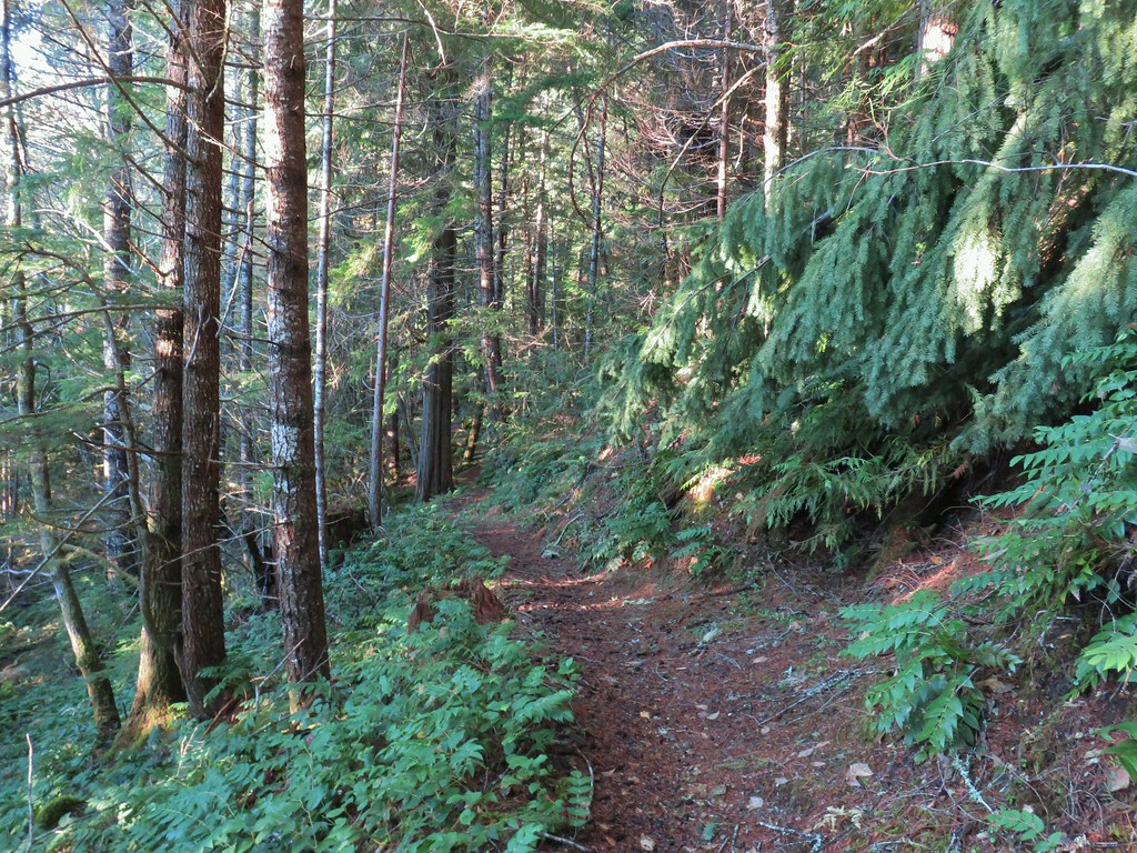
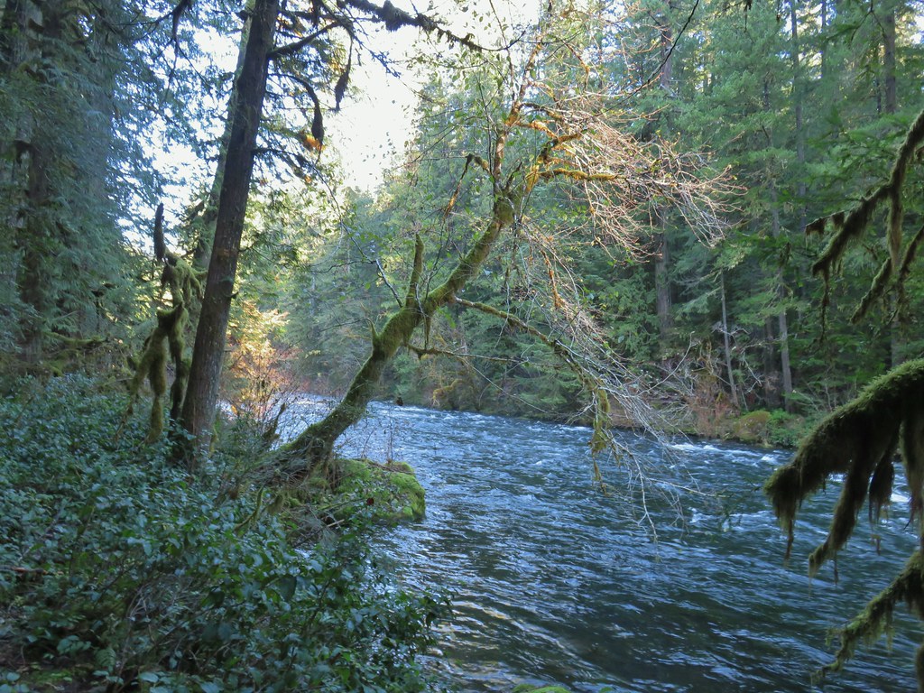
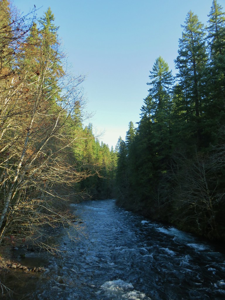
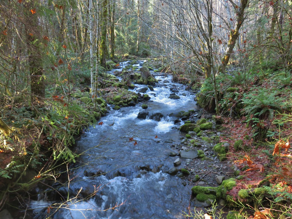
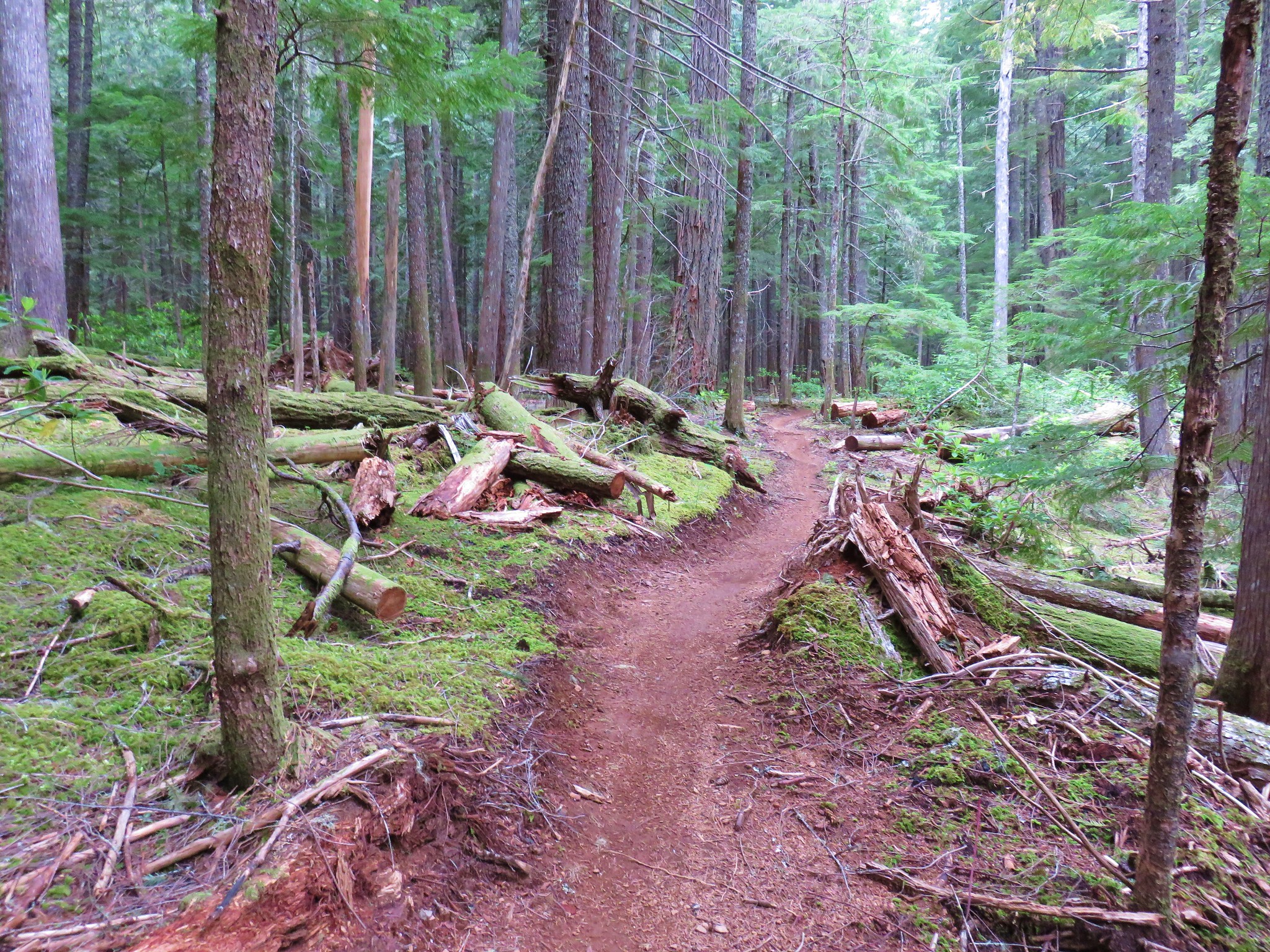
We continued on the trail which now began to follow the McKenzie River more closely.

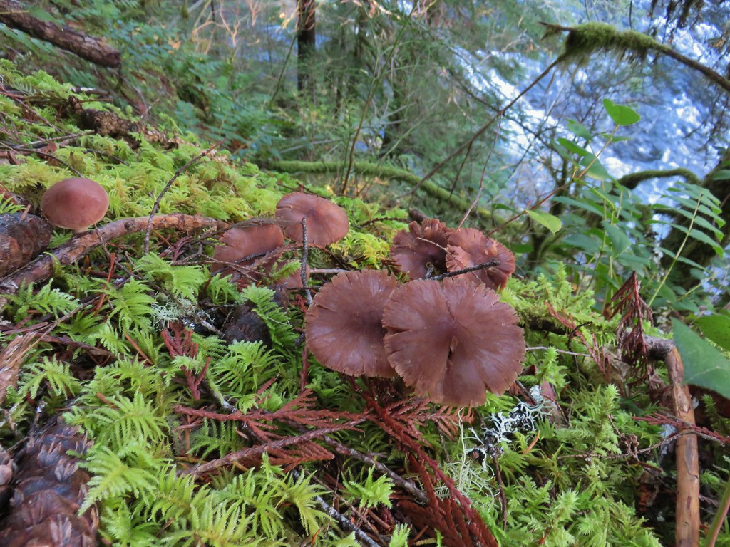
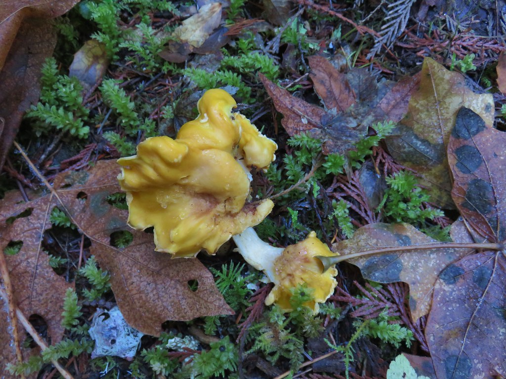
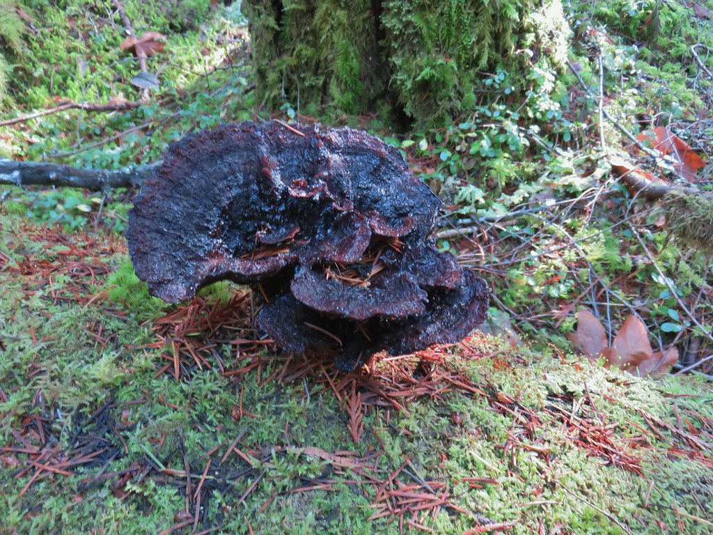
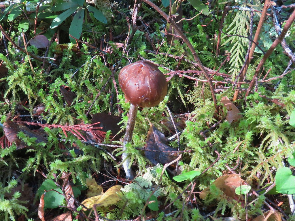
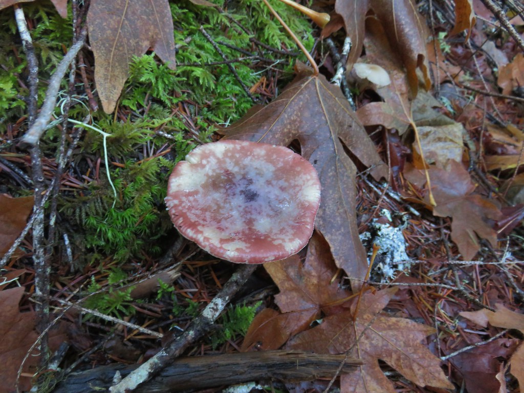
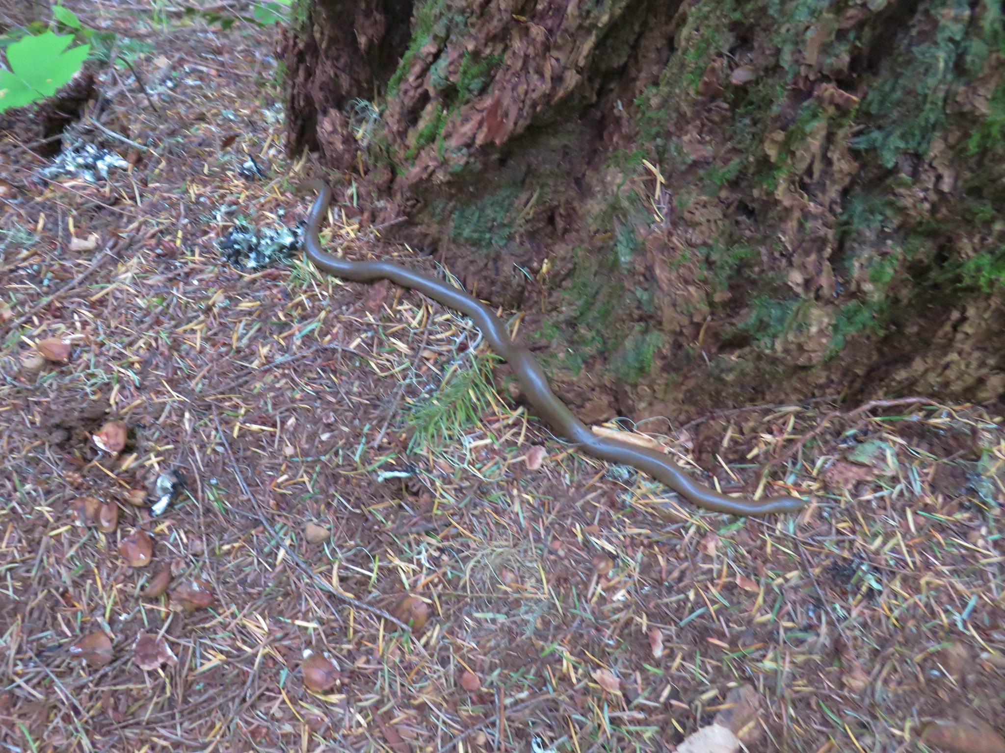
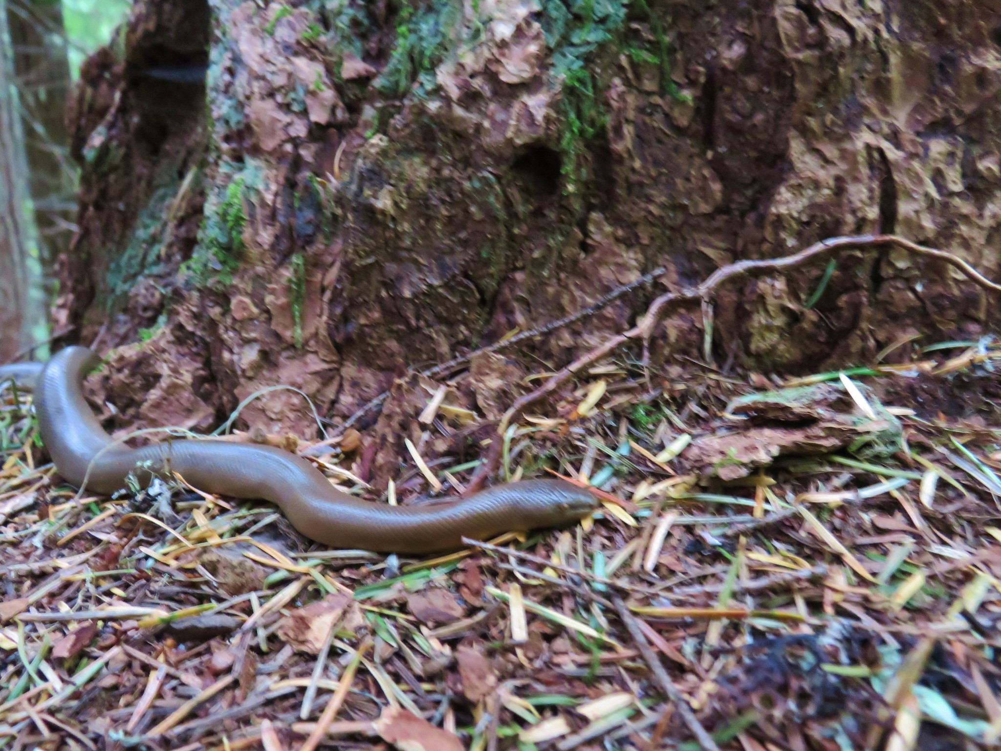
 Fall means mushrooms.


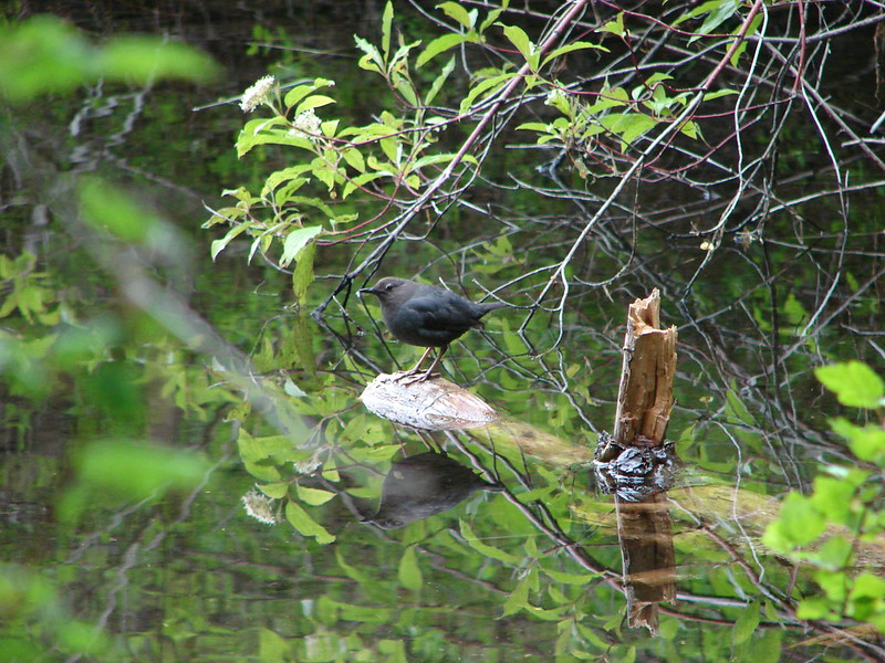
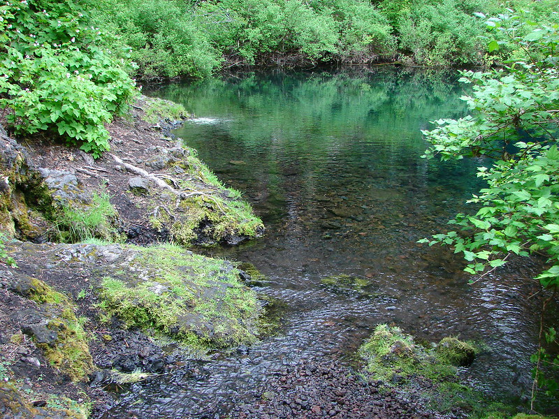
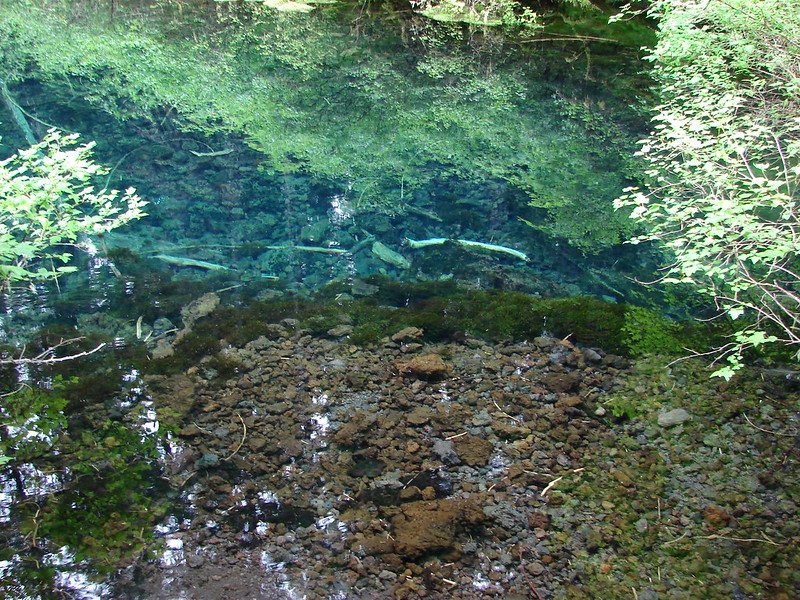
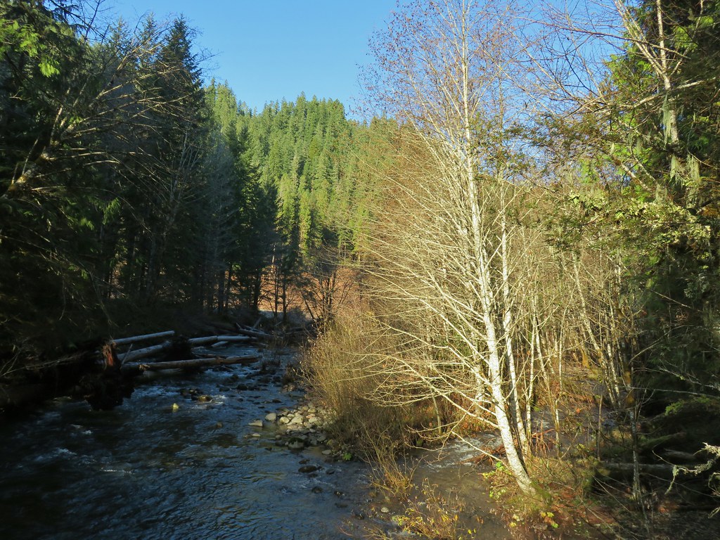
There were a couple of opportunities to get down to the river bank which we took advantage of and just over a mile and a half from the dam we stopped to admire Olallie Creek joining the river.

 Anderson Creek joining the McKenzie.

 Olallie Creek across from the trail.
A half mile beyond Olallie Creek the river split leaving a large forested island briefly in its center.

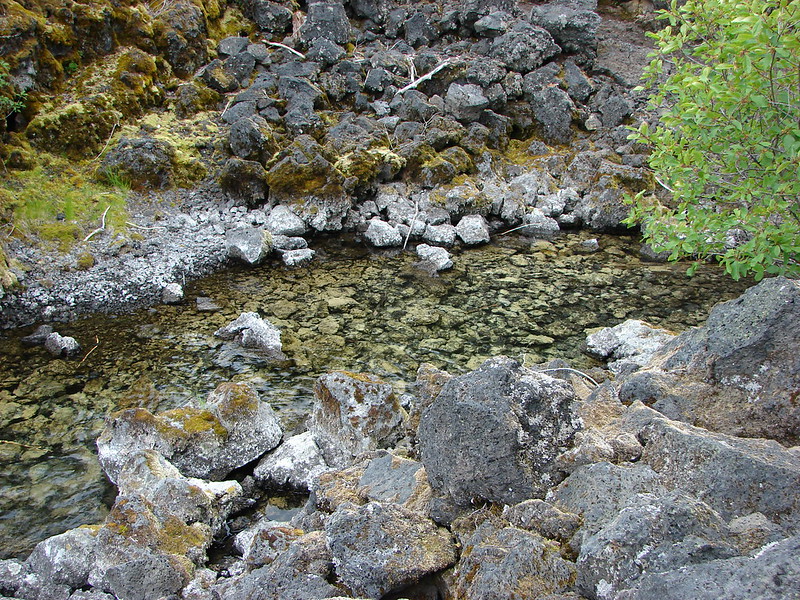
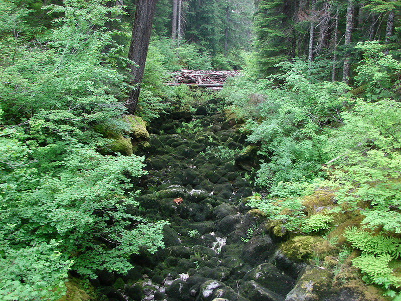
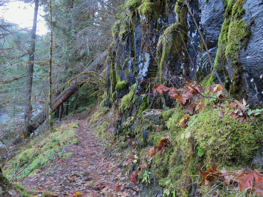
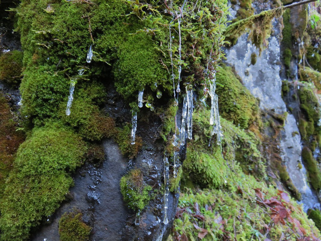
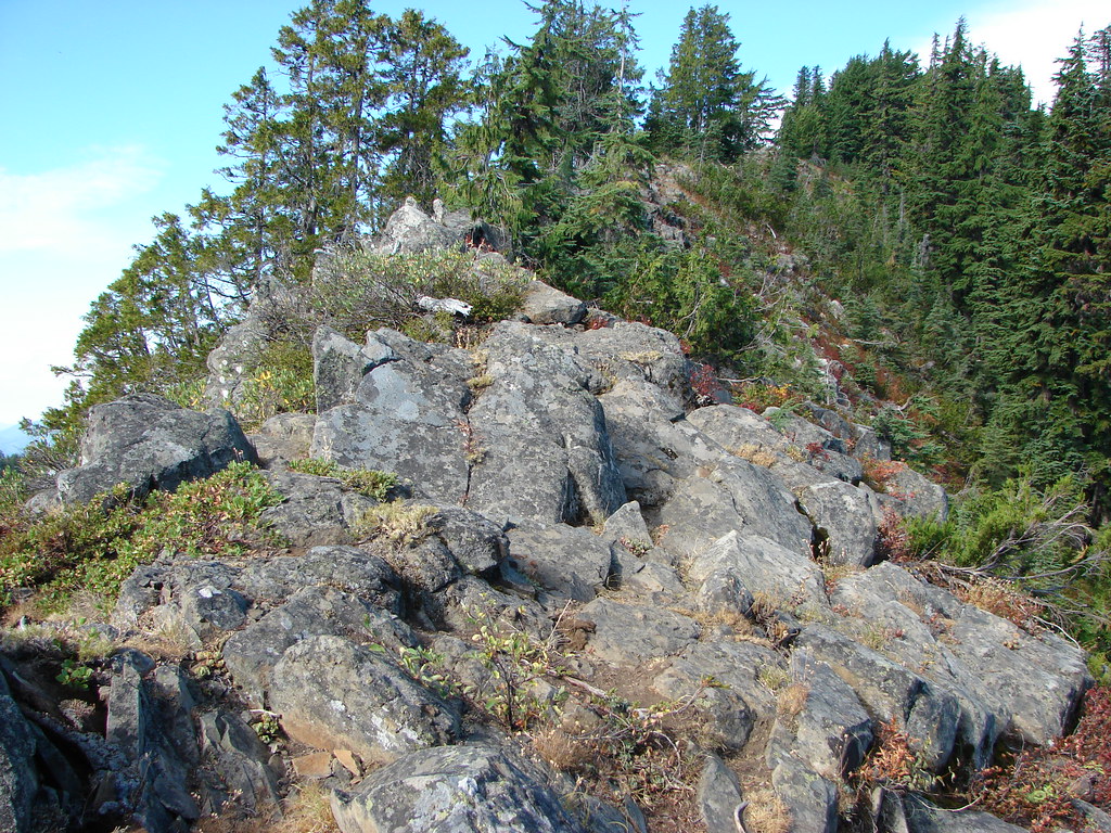
Beyond the island the trail passed some rocky cliffs where icicles dripped before dropping to a crossing of Deer Creek at the 5.5 mile mark of our hike.
 Turning up Deer Creek to reach the footbridge.

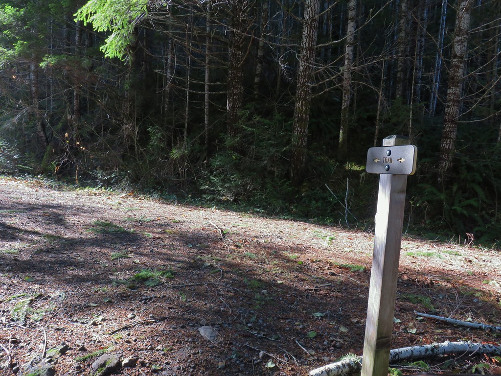
Shortly after crossing the creek the trail arrived at Deer Creek Road (NF 782) where there is parking for the trail and Deer Creek (aka Bigelow) Hot Springs. We knew the hot springs were somewhere along our route but we didn’t know for sure where until we got home after the hike. There was no sign for the small hot spring that sits along the river bank but we did see an obvious trail heading south down to the river here. Not knowing that the hot springs were down there we visited the bridge over the McKenzie and then continued on the McKenzie River Trail.
 Up river from Deer Creek Road.
 Deer Creek Hot Springs would be somewhere along the right hand side of the river.
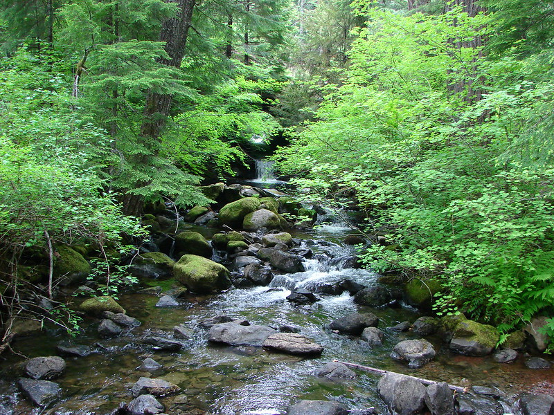
The trail briefly climbed above the river before switchbacking down and arriving at Frissel Creek just over a mile from Deer Creek Road.
 We had to go around this bridge due to frost and it being at an angle.


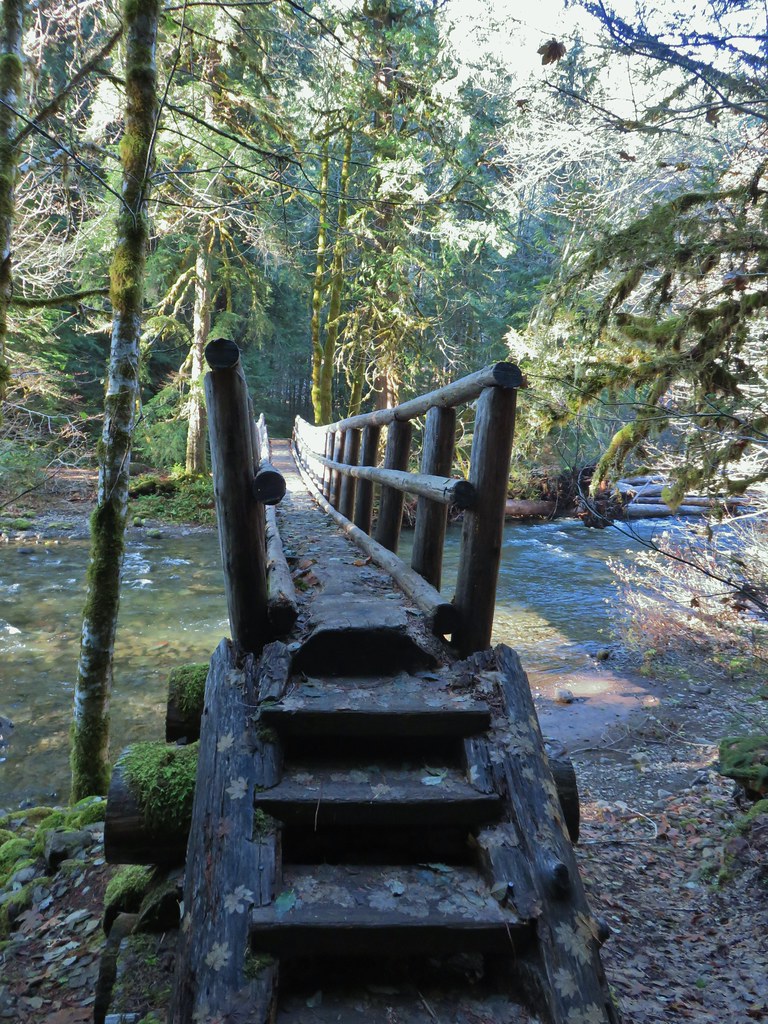
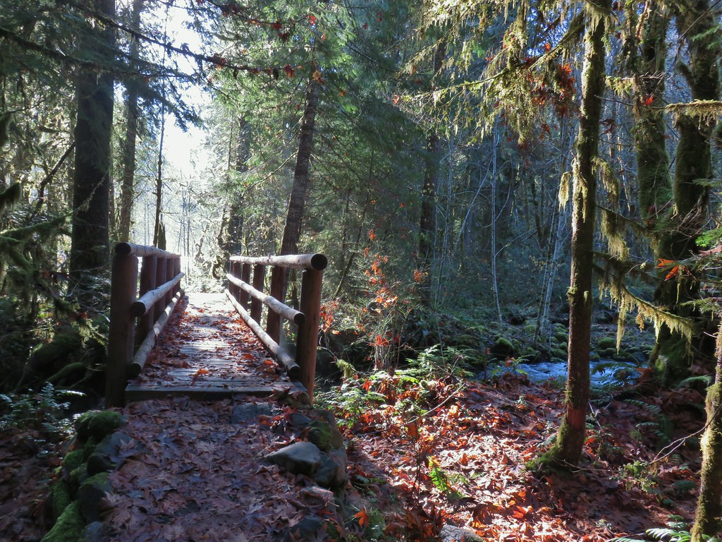 Footbridge over Frissel Creek.
We had planned to turn around between 10 and 10:30 at either the hot springs or Forest Road 610 which the trail briefly follows. Since we didn’t realize we’d passed the hot springs we wound up making FR 610 the turnaround which was approximately three quarters of a mile beyond Frissel Creek. We arrived at the road just after 10:30.
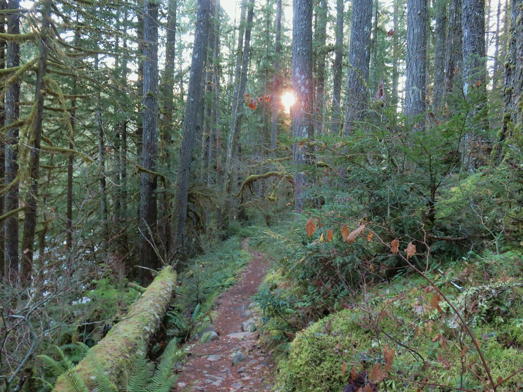
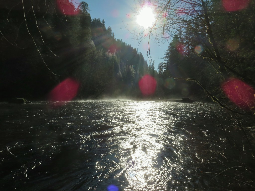 Sun over the McKenzie River
 FR 610
We turned around at the road and headed back keeping our eyes open for any sign of the hot springs and any other things we missed on the first pass. We still didn’t realize that the hot springs were where they were but we did spot a lot more mushrooms and the tops of the Middle and North Sister on the way back.

 We missed this sign for slough creek the first time by.

 Missed this survey marker too.
 We also completely missed this sign at Deer Creek.
 Still cold


 Without the use of the zoom on the camera they are hard to make out but the tops of the North and Middle Sister are visible over the hills.
The Garmin showed 14.6 miles for this out and back (Google maps had indicated it would be 13.4 miles) and there was between 800 and 1000′ of cumulative elevation gain. What climbs there were weren’t ever steep and didn’t last long. We encountered a half dozen other trail users but when we arrived back at the trailhead it was full and cars were stretched all they way down the road with people heading for the Blue Pool. It has become one of “those” hikes and is getting loved to death. After changing we drove to Bend for a quick visit with Heather’s parents and then headed back over the pass to Salem. Happy Trails!
Flickr: McKenzie River Trail

 Mt. Jefferson and Three Fingered Jack
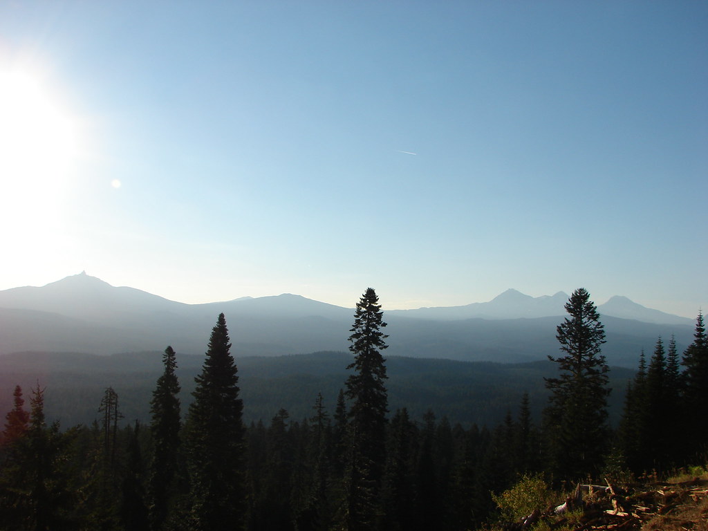 Mt. Washington and the Three Sisters


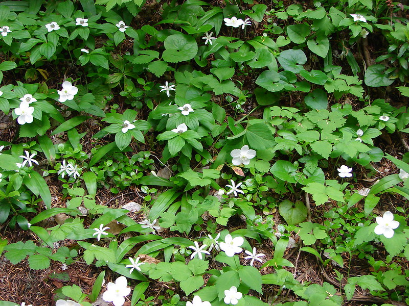
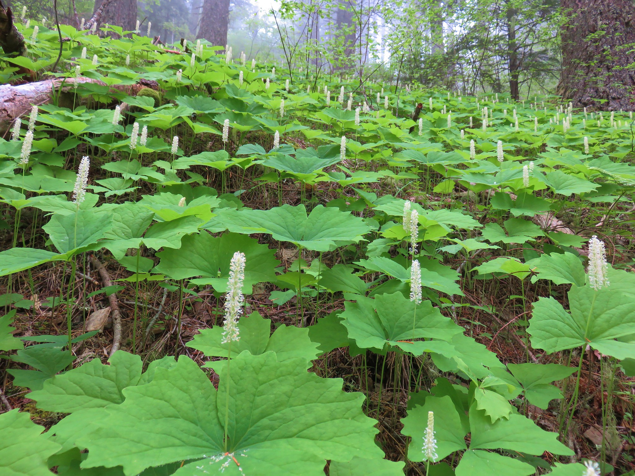
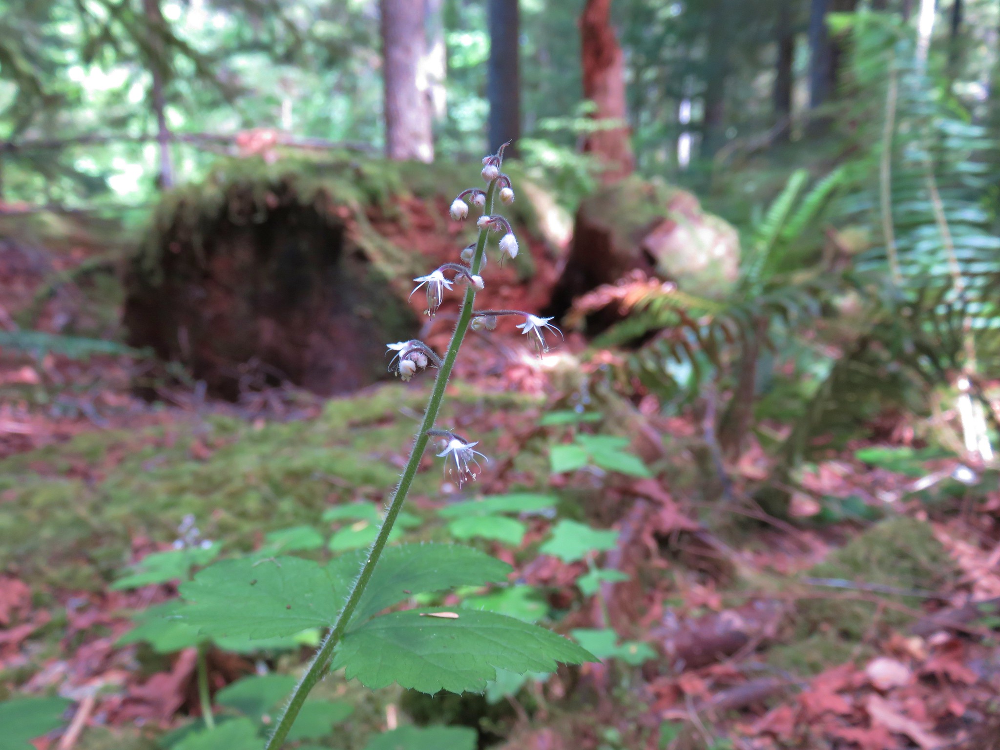 Foam Flower
 Inside-out Flower
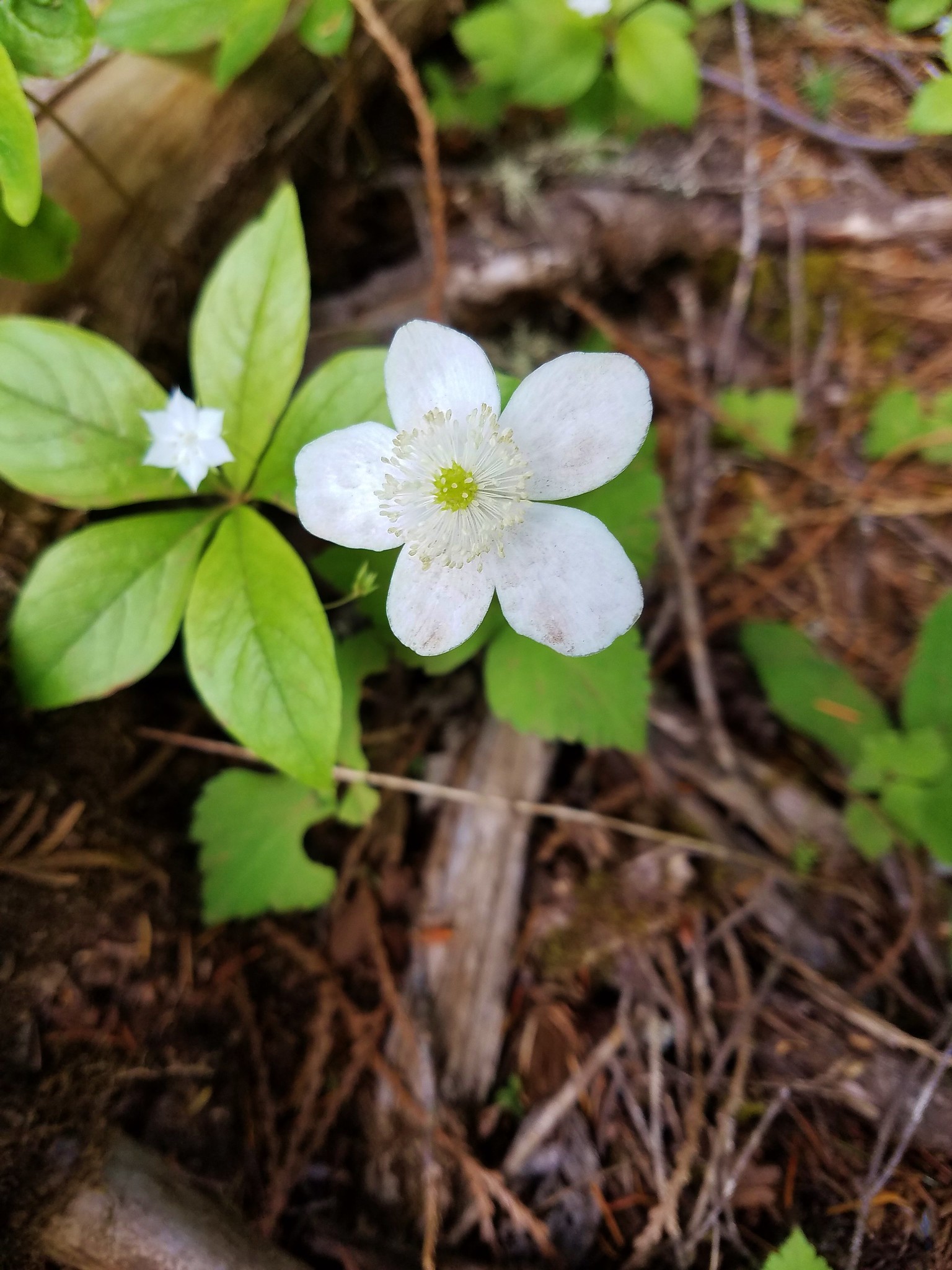
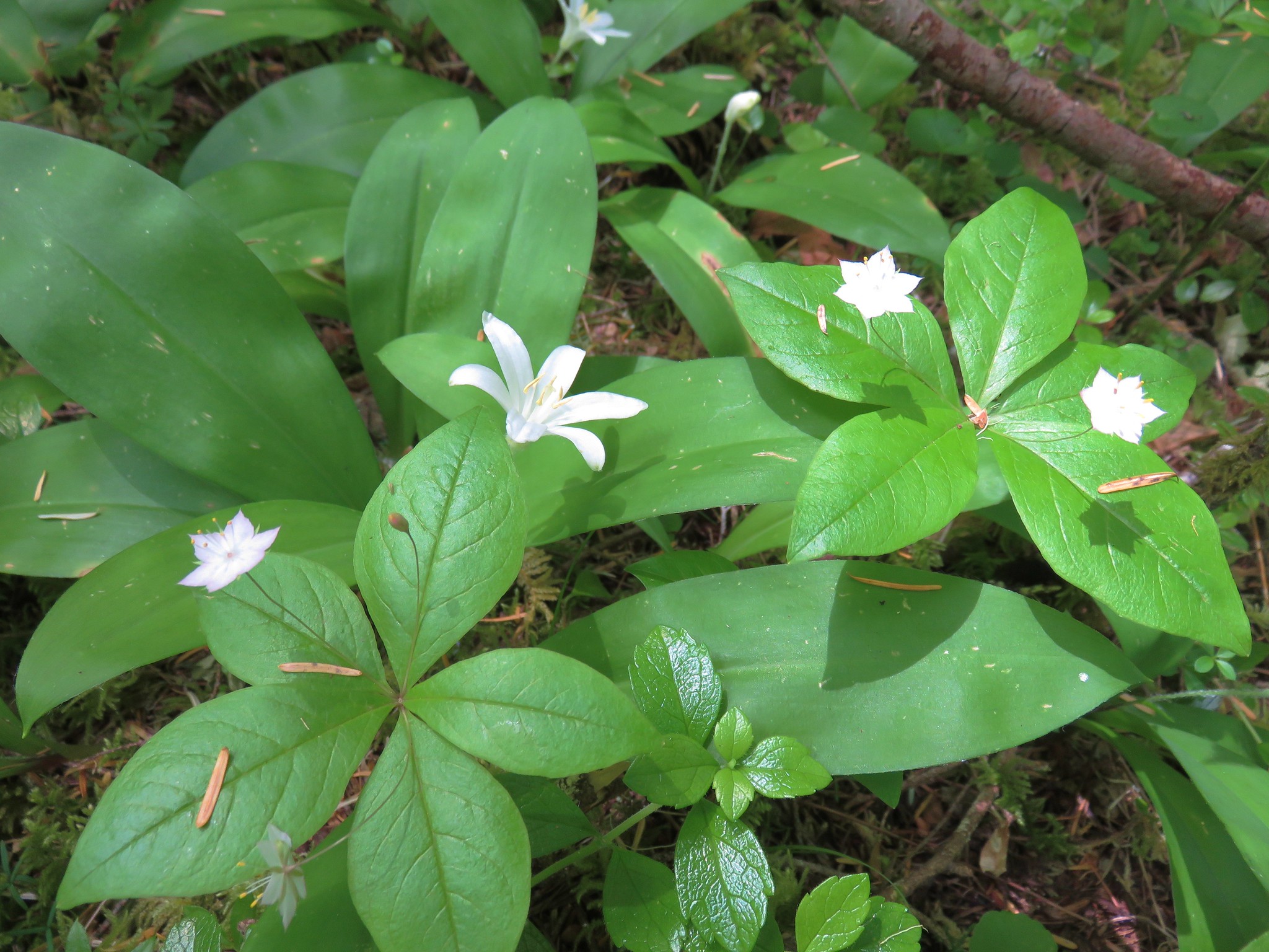
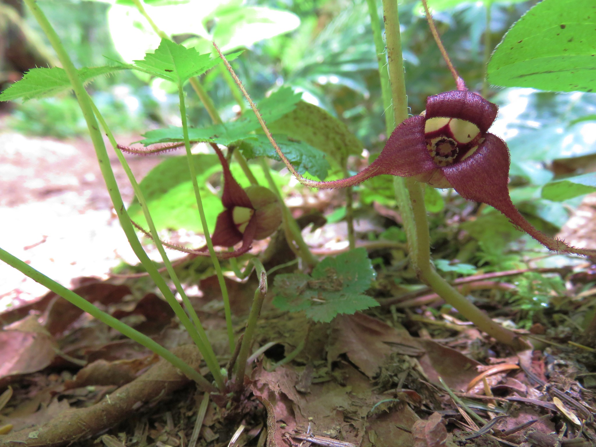 Wild Ginger
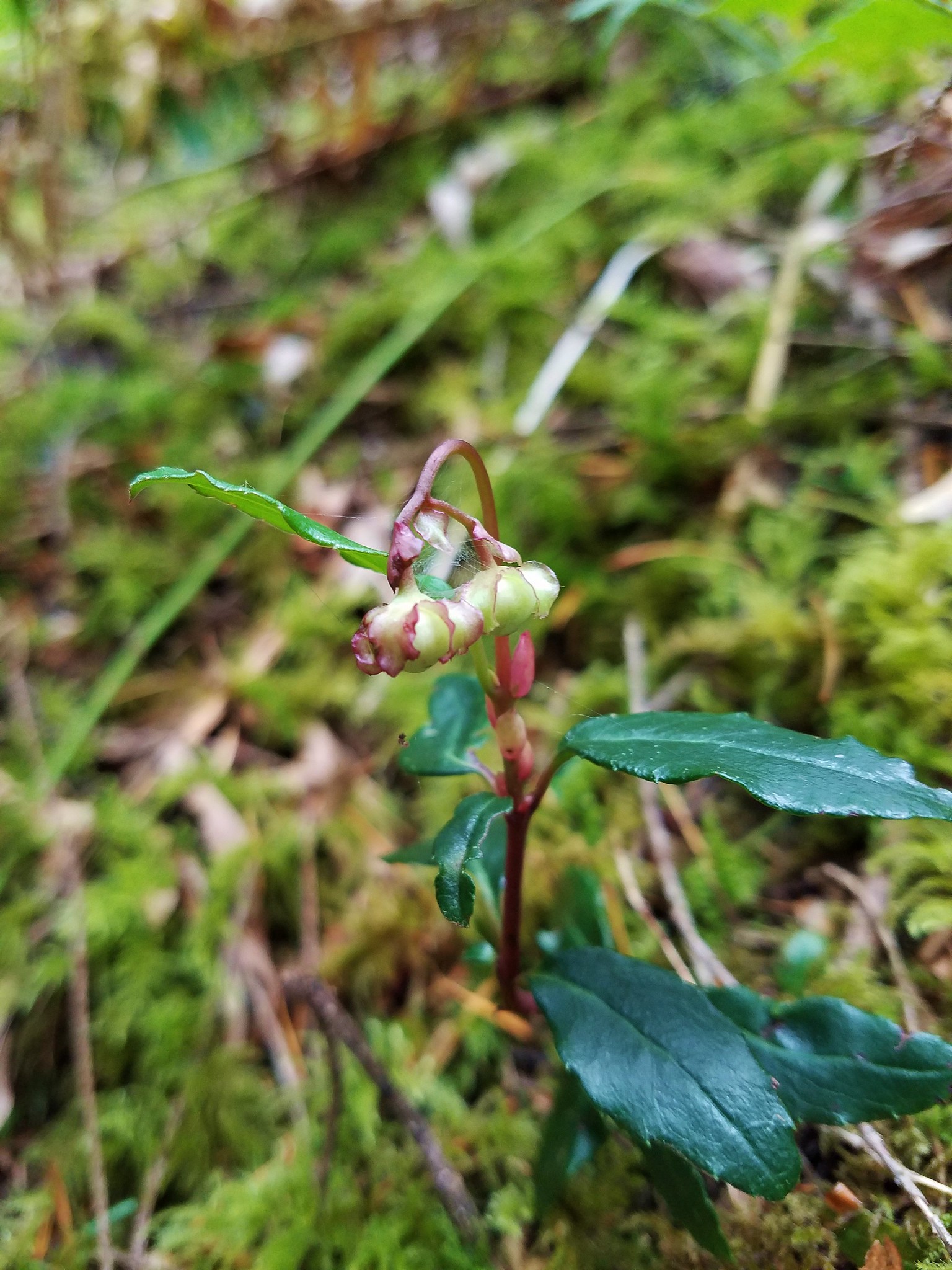 Wintergreen
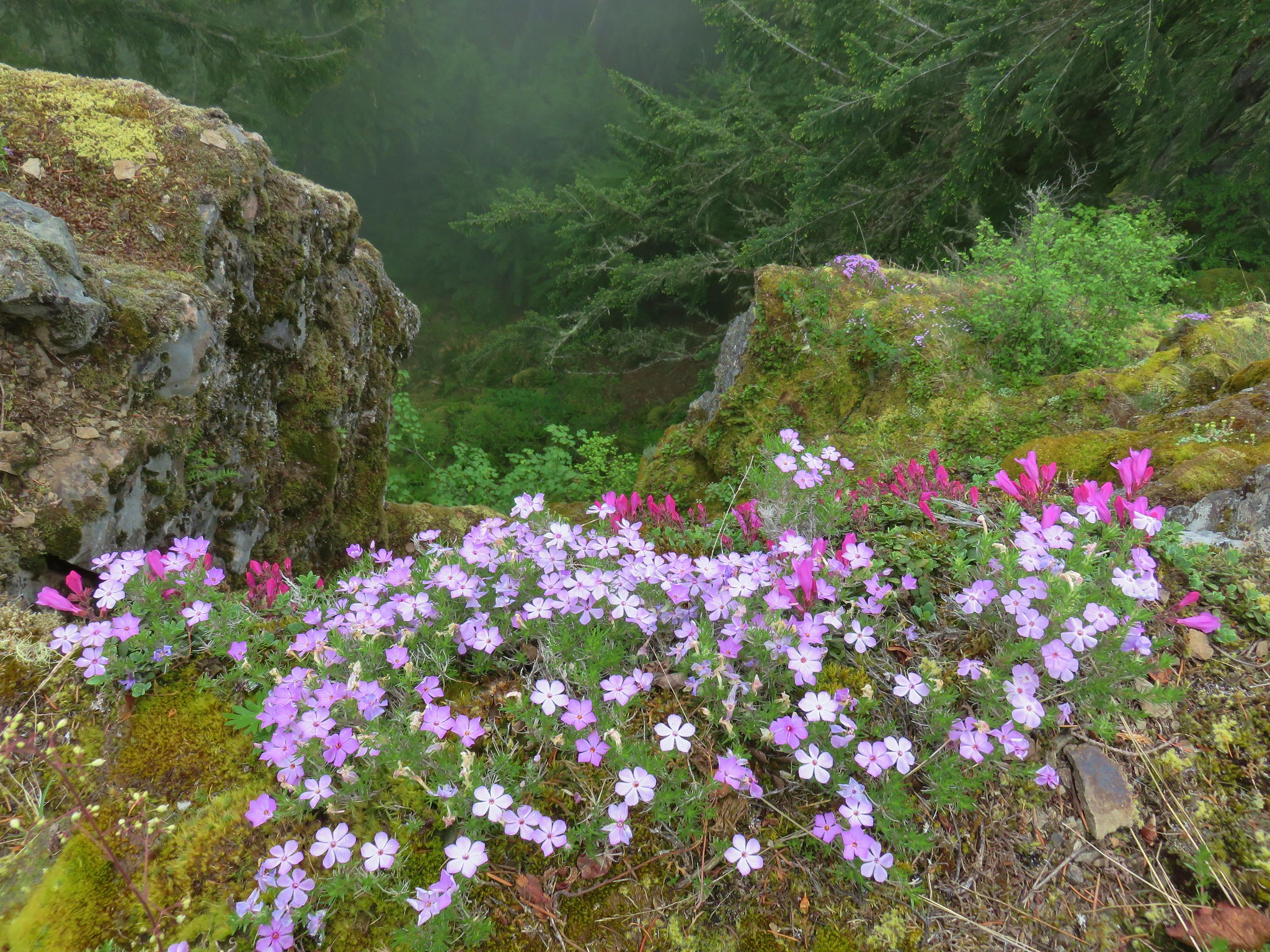
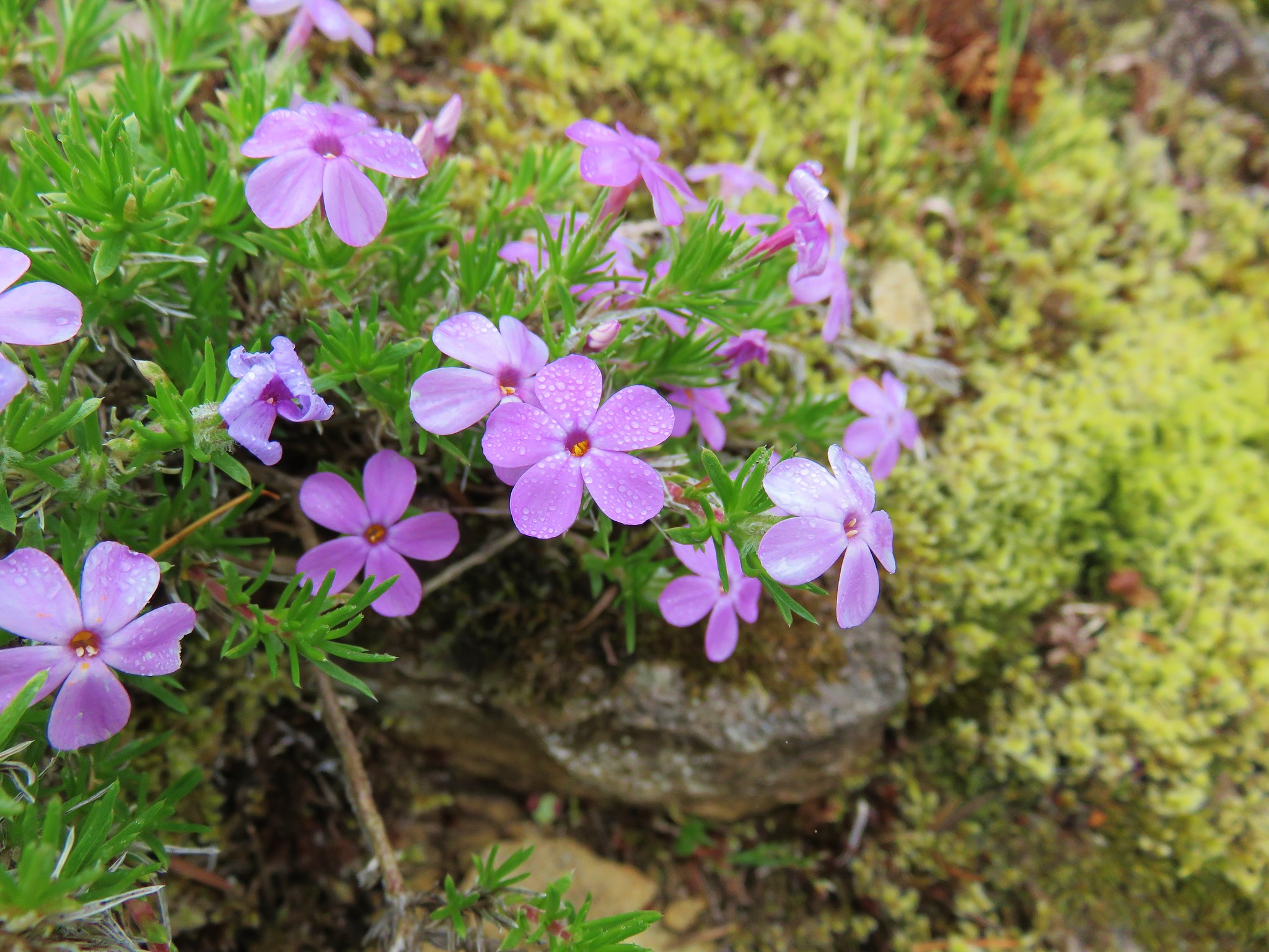
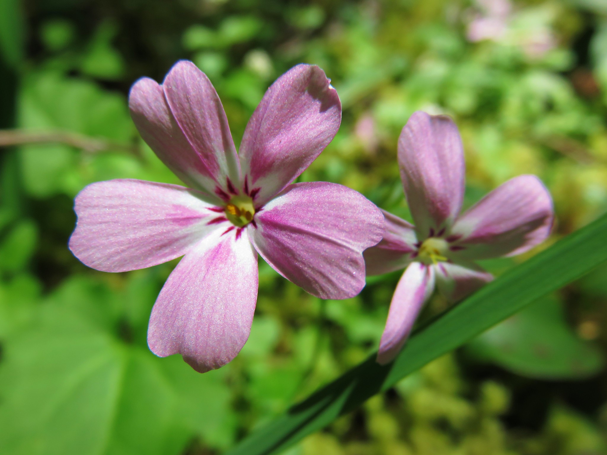 Northern Phlox
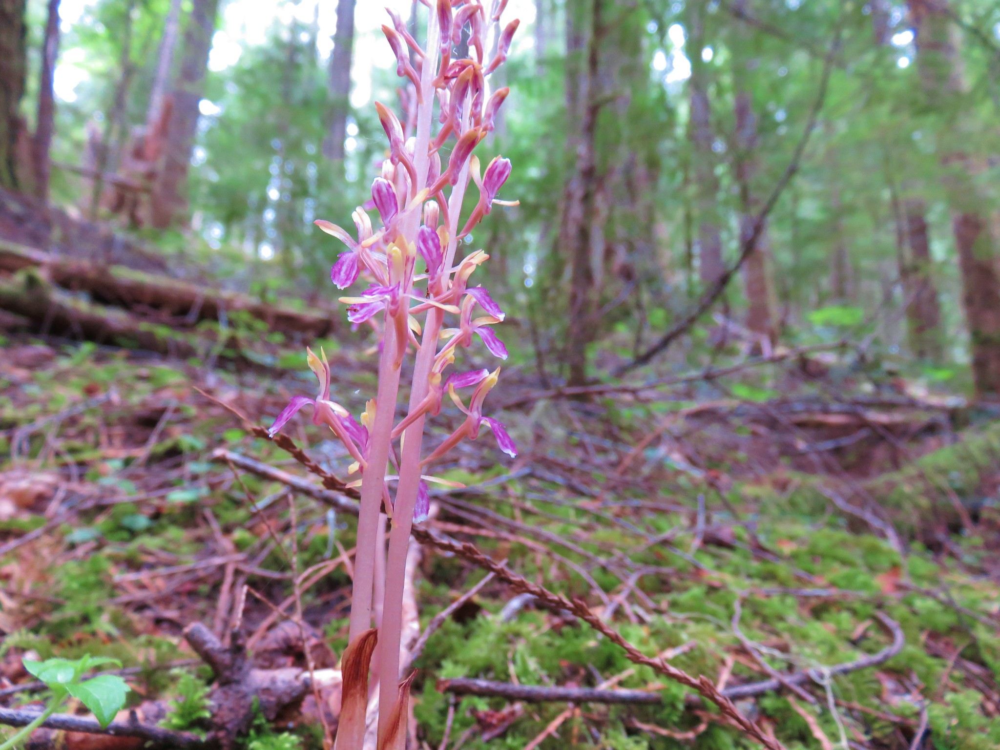


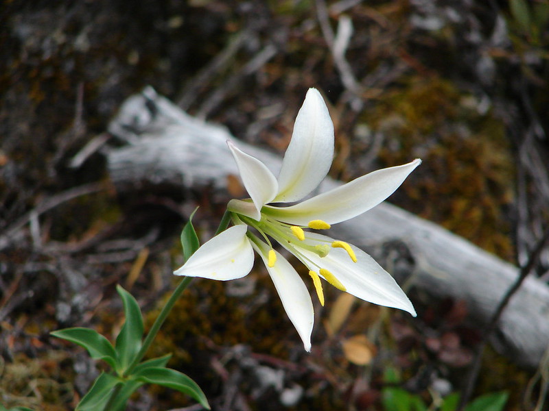
 Cat’s ear lilies
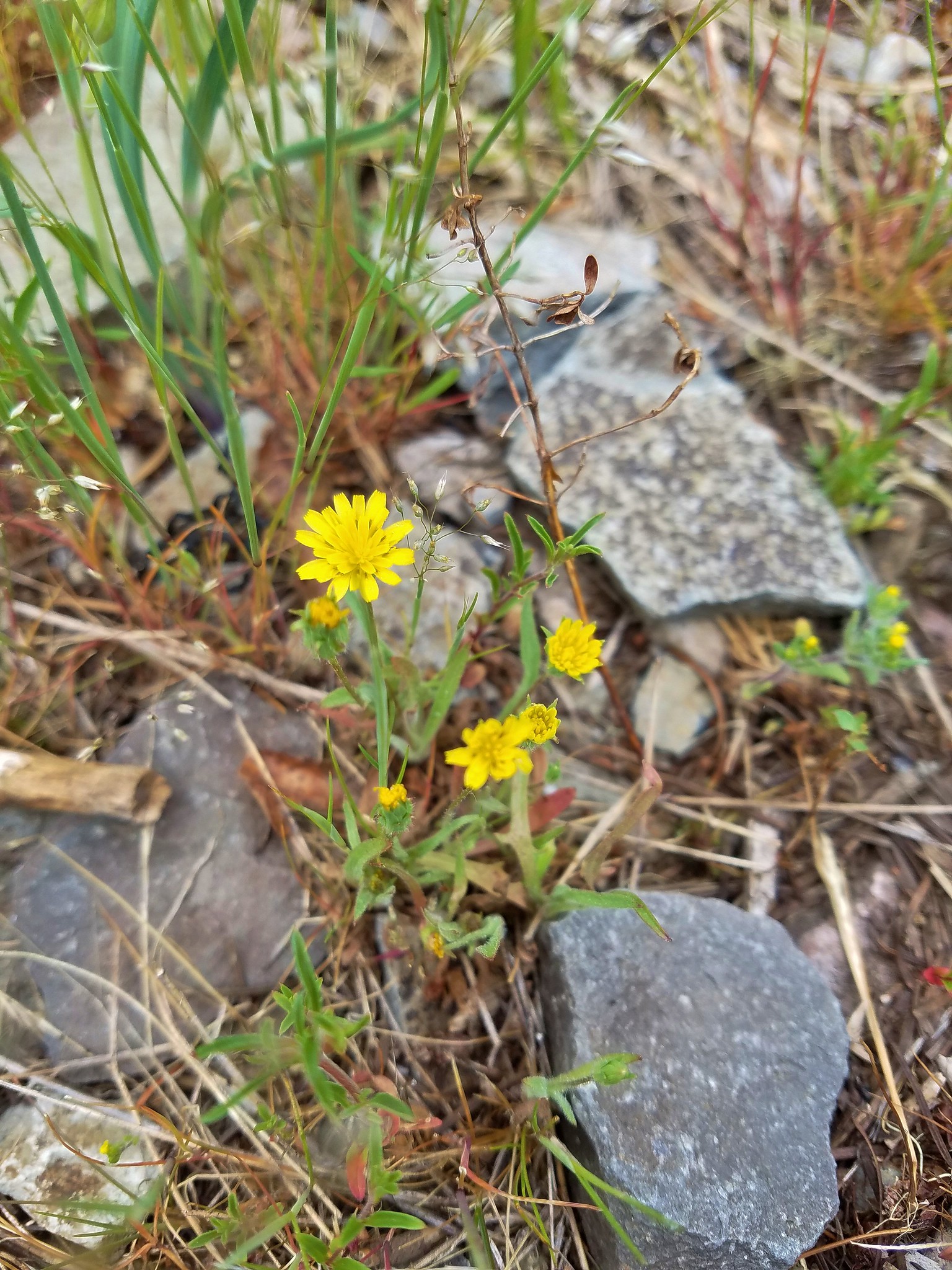 Annual agoseris
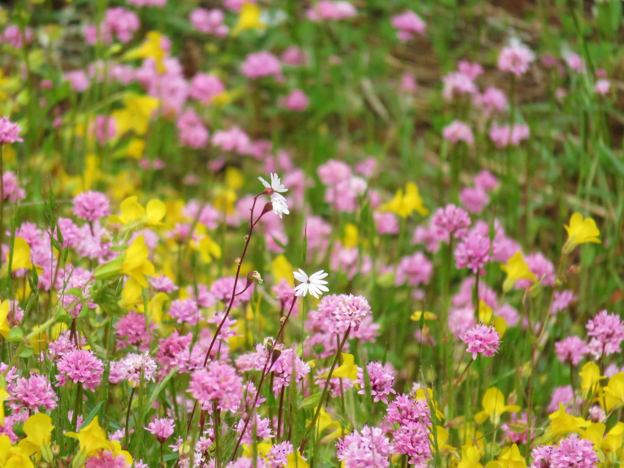 Prairie star and plectritis
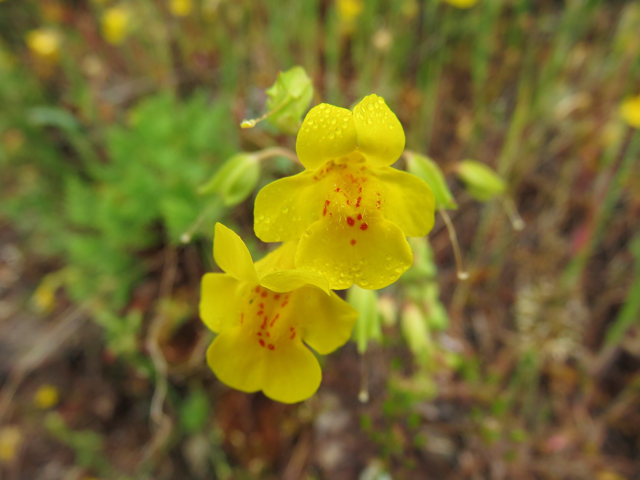 Monkeyflower
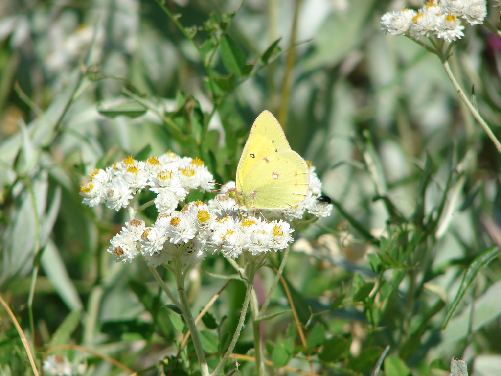
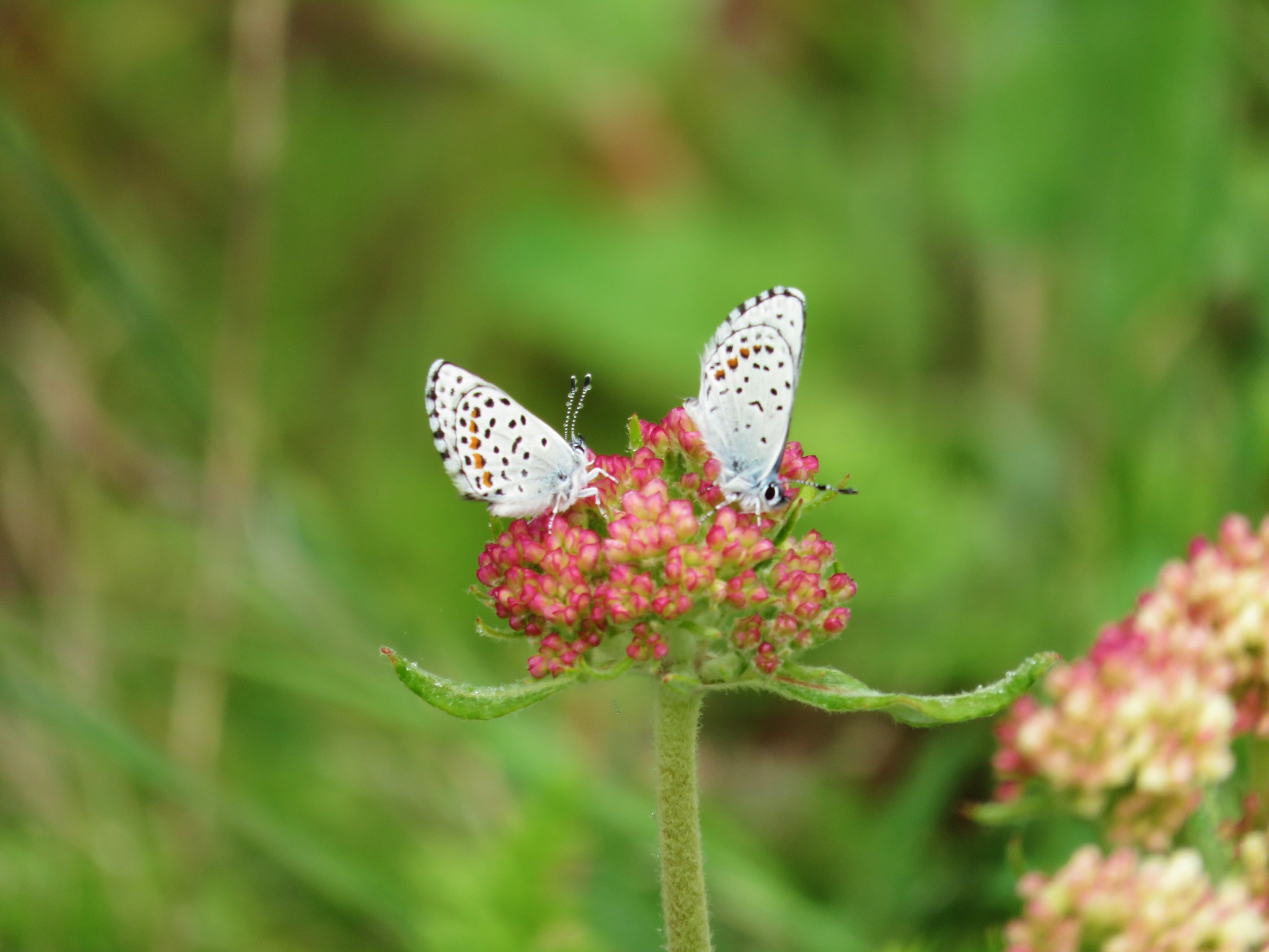 Butterflies on buckwheat
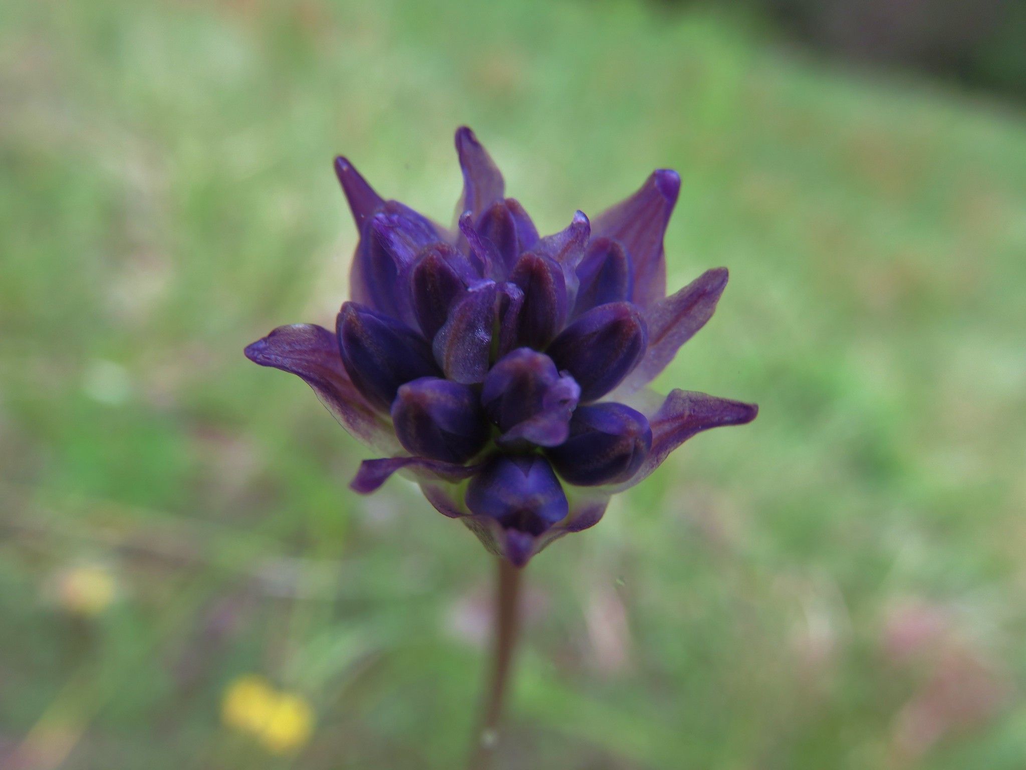 Ookow getting ready to bloom
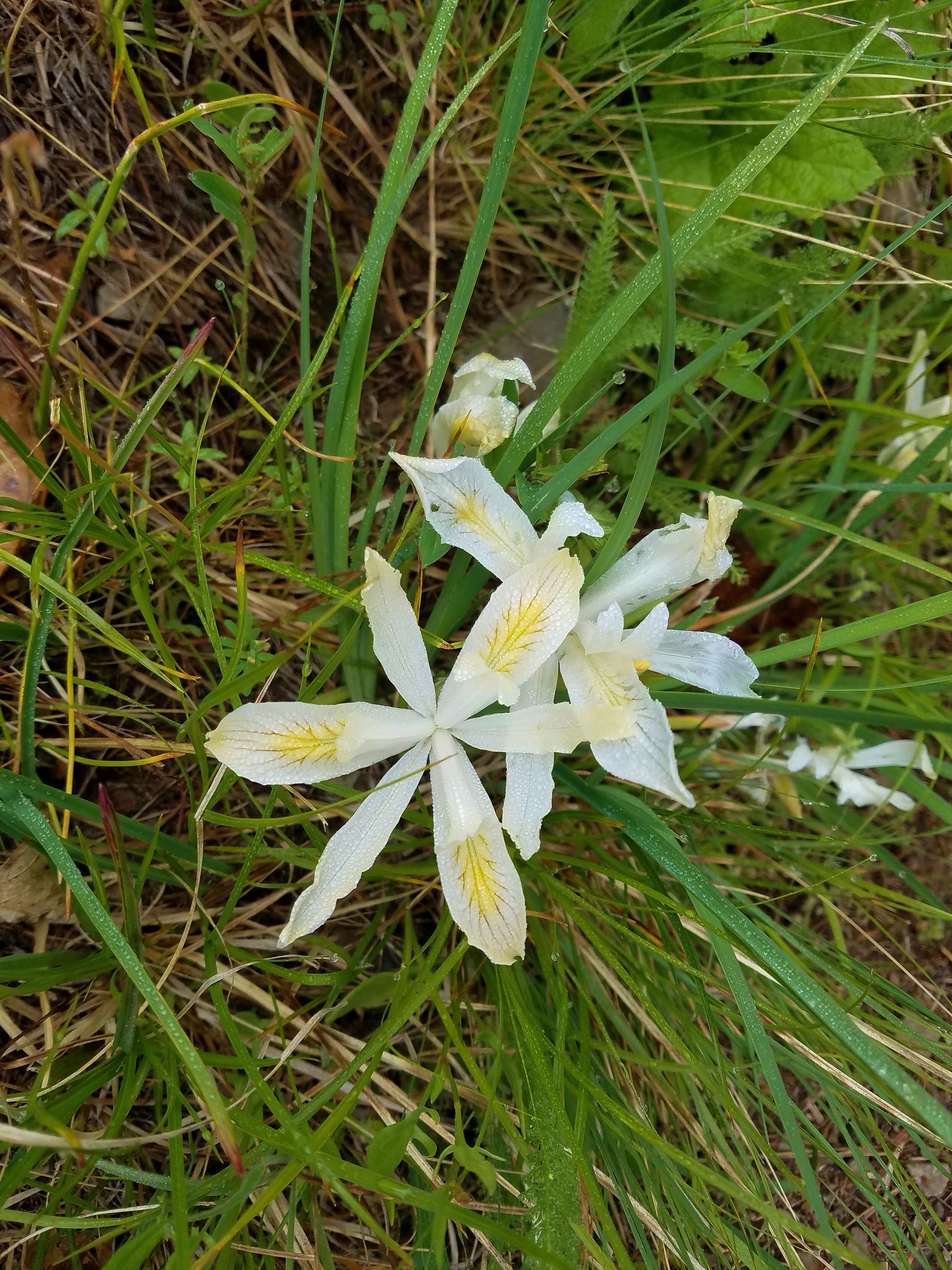 Yellowleaf iris
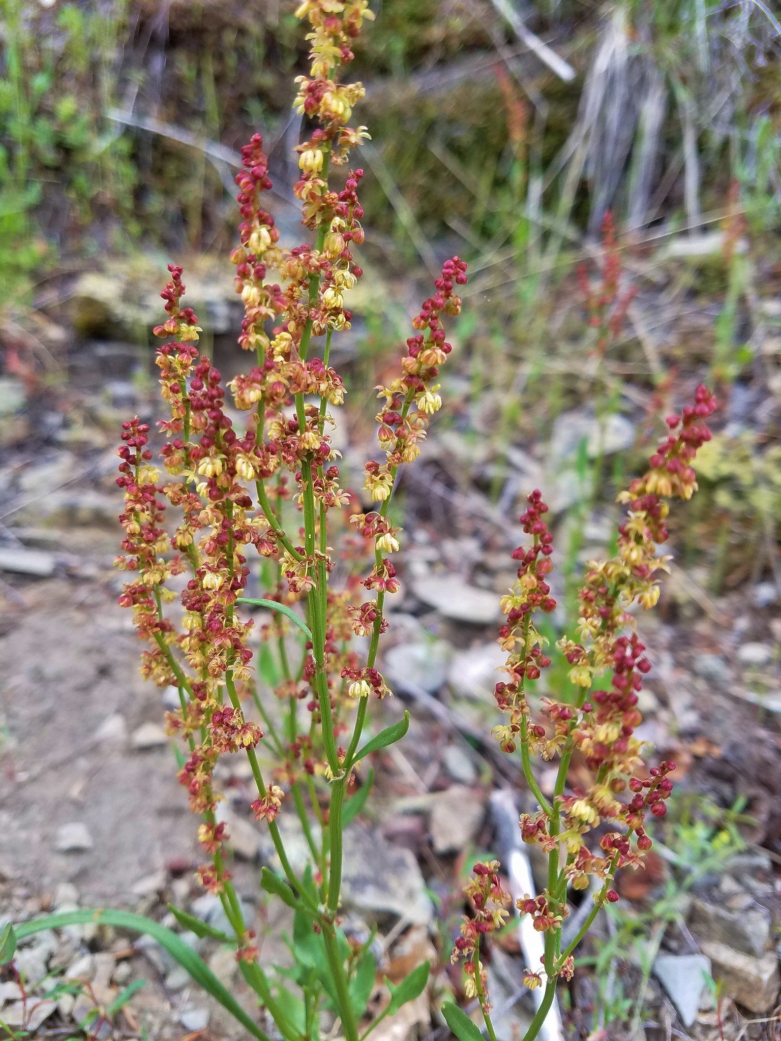 Sorrel
 Parsley
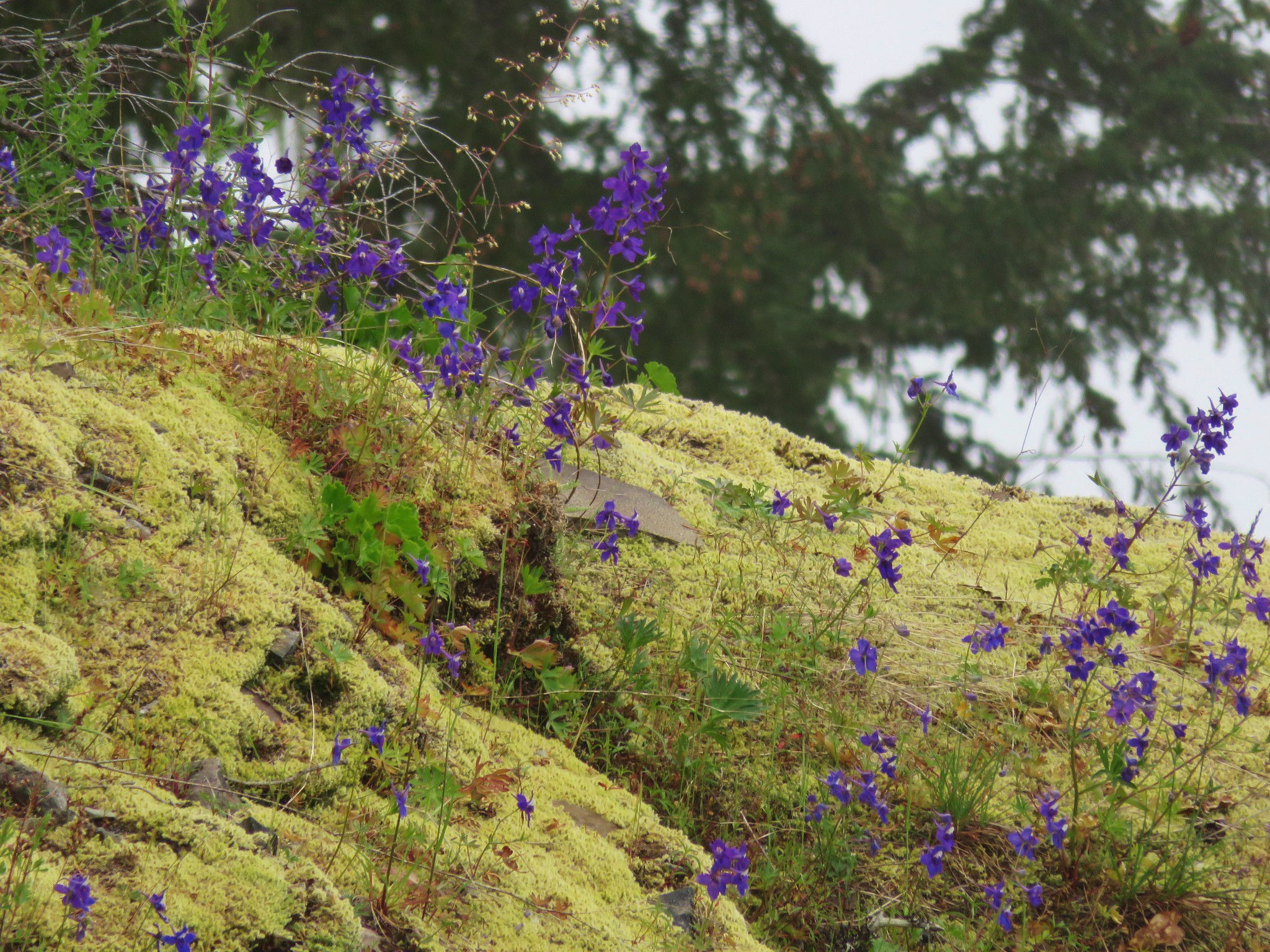
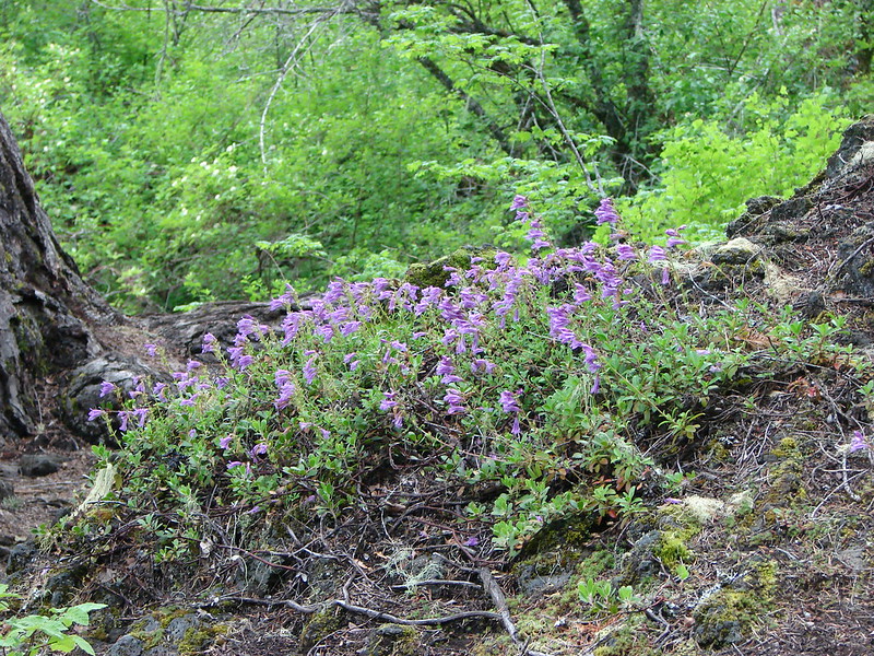
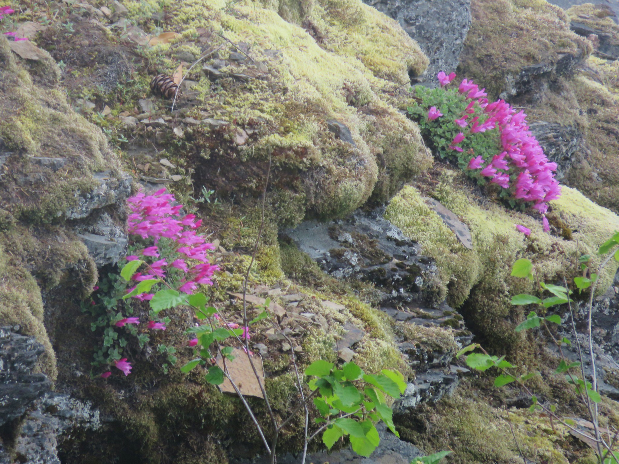 Penstemon
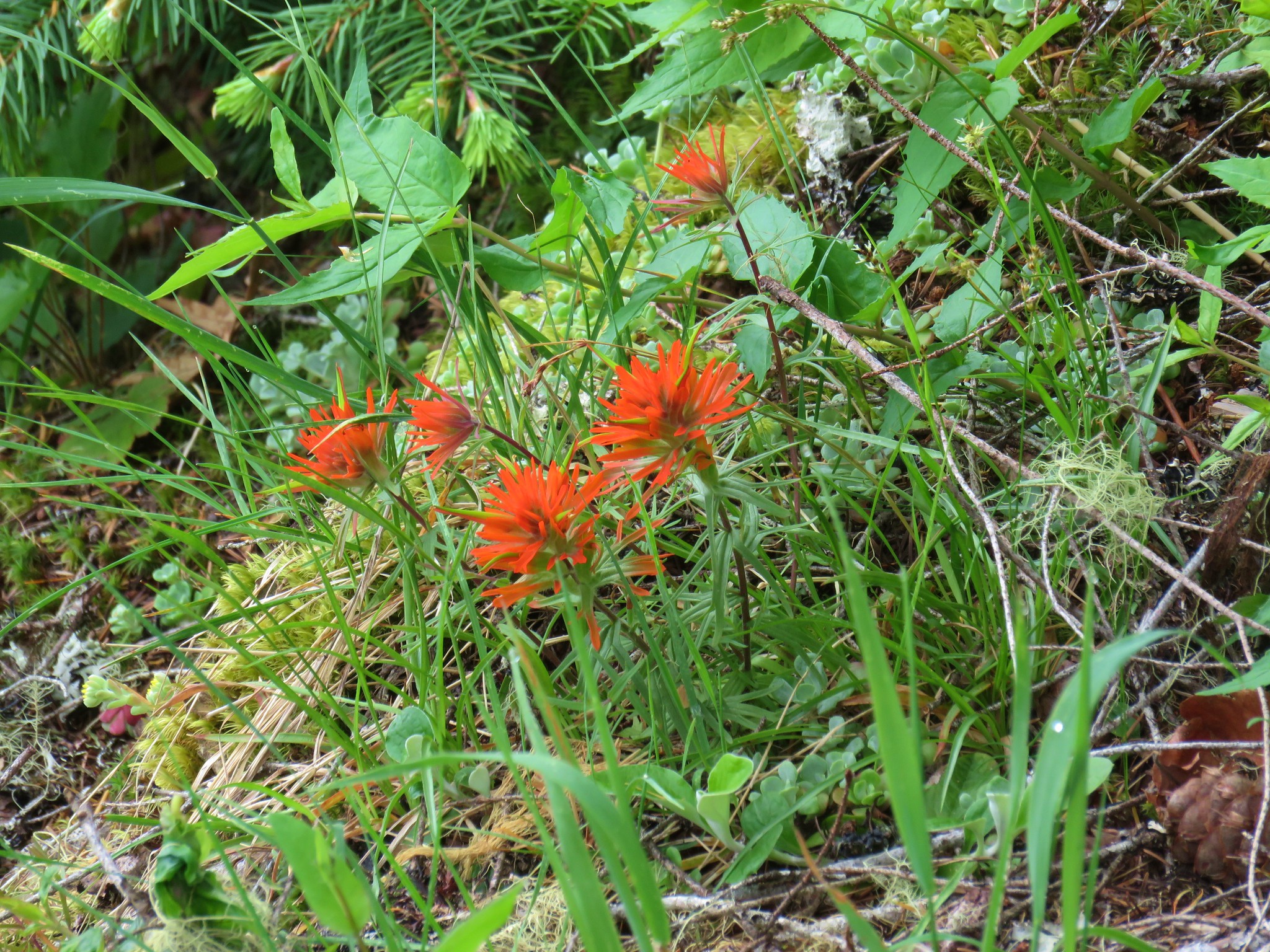 Paintbrush