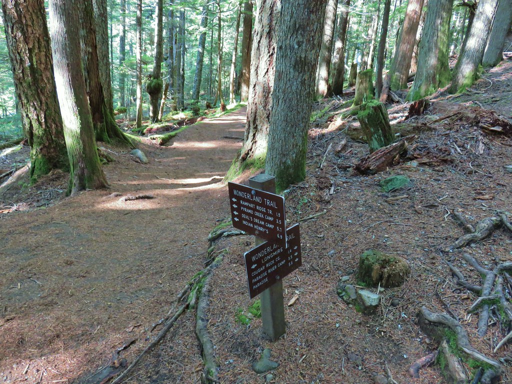
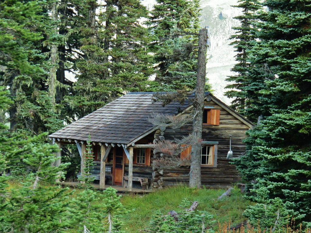
After our extended Memorial Day weekend of hiking in the Medford area we were looking forward to a poison oak free outing. While we didn’t come away from that trip with any physical repercussions from the plant it had gotten into our heads to the point where we were seeing it when we closed our eyes. As I said before I’m sure after a while people just get used to it but we weren’t anywhere near that point yet and while it is present in the Willamette Valley and parts of the Columbia Gorge it isn’t as abundant. On our schedule for this hike was a visit to Black Hole Falls along North Siouxon Creek. This was good timing as the forecast for the weekend was for rain showers which, barring heavy fog, wouldn’t negatively affect our experience here. Black Hole Falls is a hike featured in Matt Reeder’s “Off the Beaten Trail” 2nd edition guidebook which as the title suggests contains 55 (50 featured and 5 bonus) hikes that don’t usually see a lot of visitors. In most cases it isn’t because of poor road or trail conditions but there are more popular destinations nearby causing these hikes to be overlooked. In the case of Black Hole Falls the drive wasn’t the greatest but it also was nowhere near the worst we’d been on but it is also near the much more popular hike at Siouxon Creek (post). Note that the 2020 Big Hollow Fire affected the Siouxon Creek area (it didn’t reach North Siouxon Creek) which was reopened in August 2021.
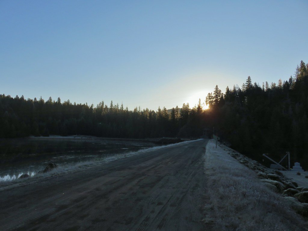
We followed the Oregon Hikers Field Guide directions to the North Siouxon Trailhead which were also the direction provided by Google Maps as Reeder’s directions were no longer appeared accurate. (We don’t independently trust Google Maps as it sometimes tries to send you on roads that in no way shape or form appear passable.)

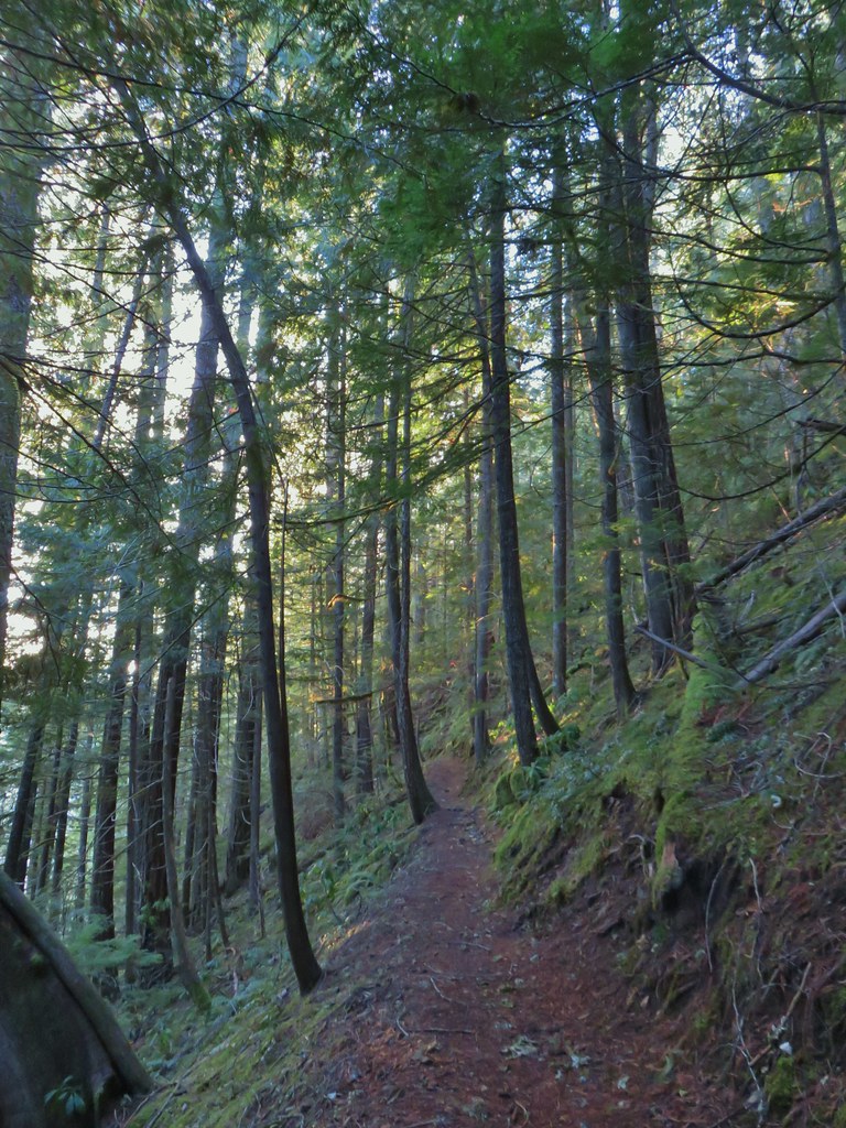
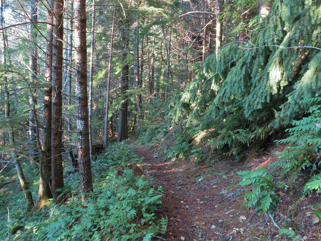
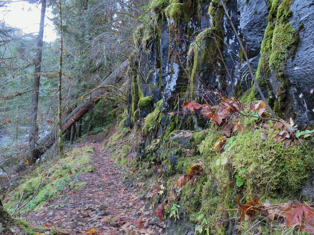
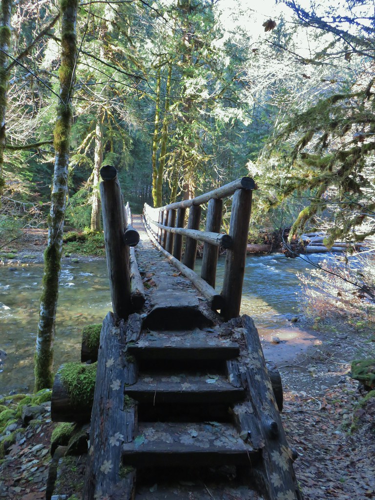
The trail departing from this trailhead is actually the Mitchell Peak Trail which leads to the summit of Mount Mitchell (post) but that destination is over 9 miles away with the upper portion of the trail being unmaintained. The trail drops steeply for approximately 200′ from the trailhead before leveling out. The remainder of the hike was a series of ups and downs, none of which were too long nor too steep. There were a number of creek crossings some of which had footbridges (sometimes makeshift) or logs to cross on. Given the wet conditions we chose to ford a couple of the creeks instead of risking slipping off of a slick log. A reroute of the trail at mile 3.5 dropped below a pair of cascades where the previous tread had been washed out. At the 4.5 mile mark the trail forks with the right hand fork leading a quarter mile downhill to Black Hole Falls.
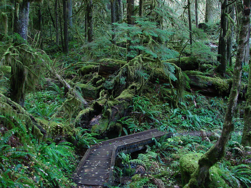
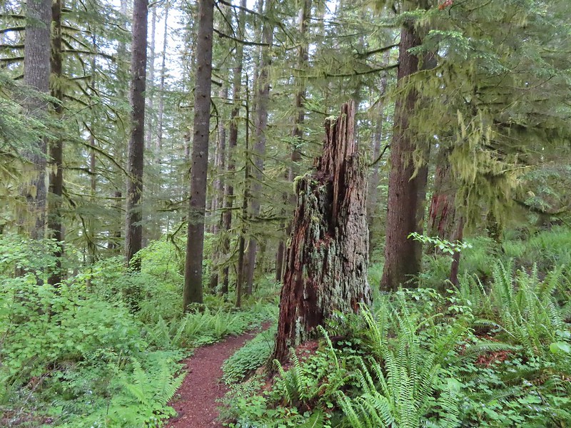
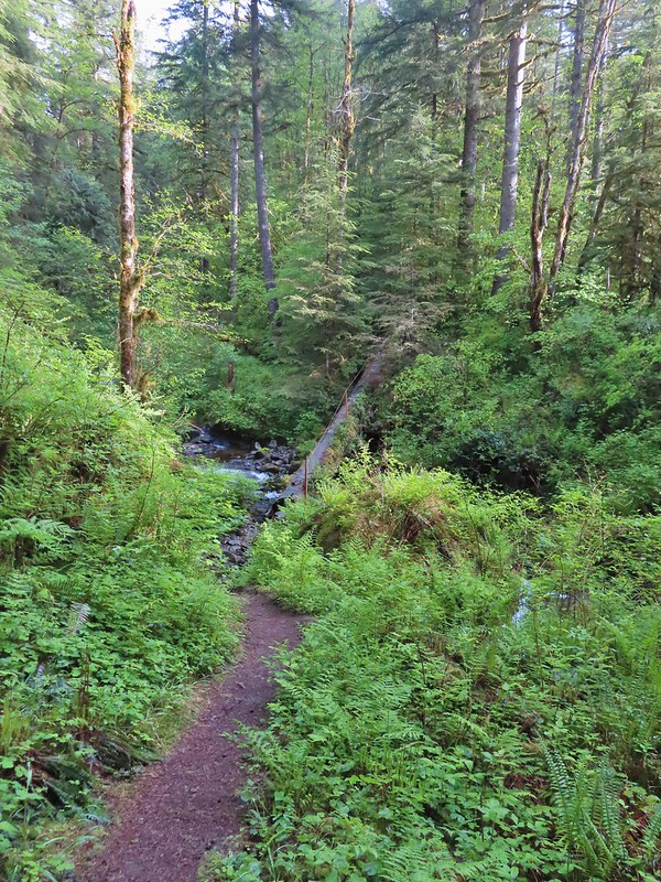
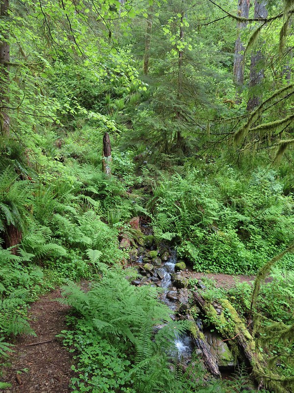
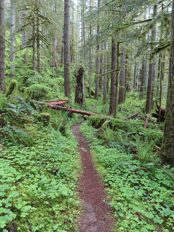
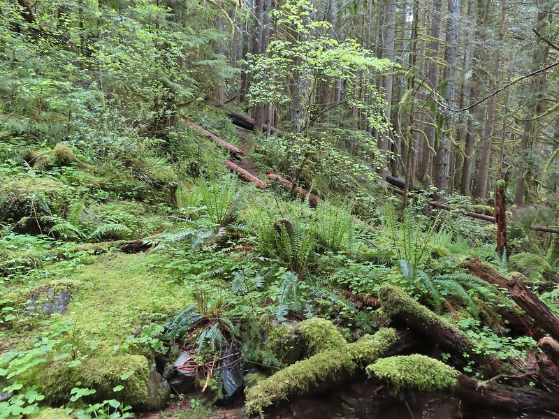
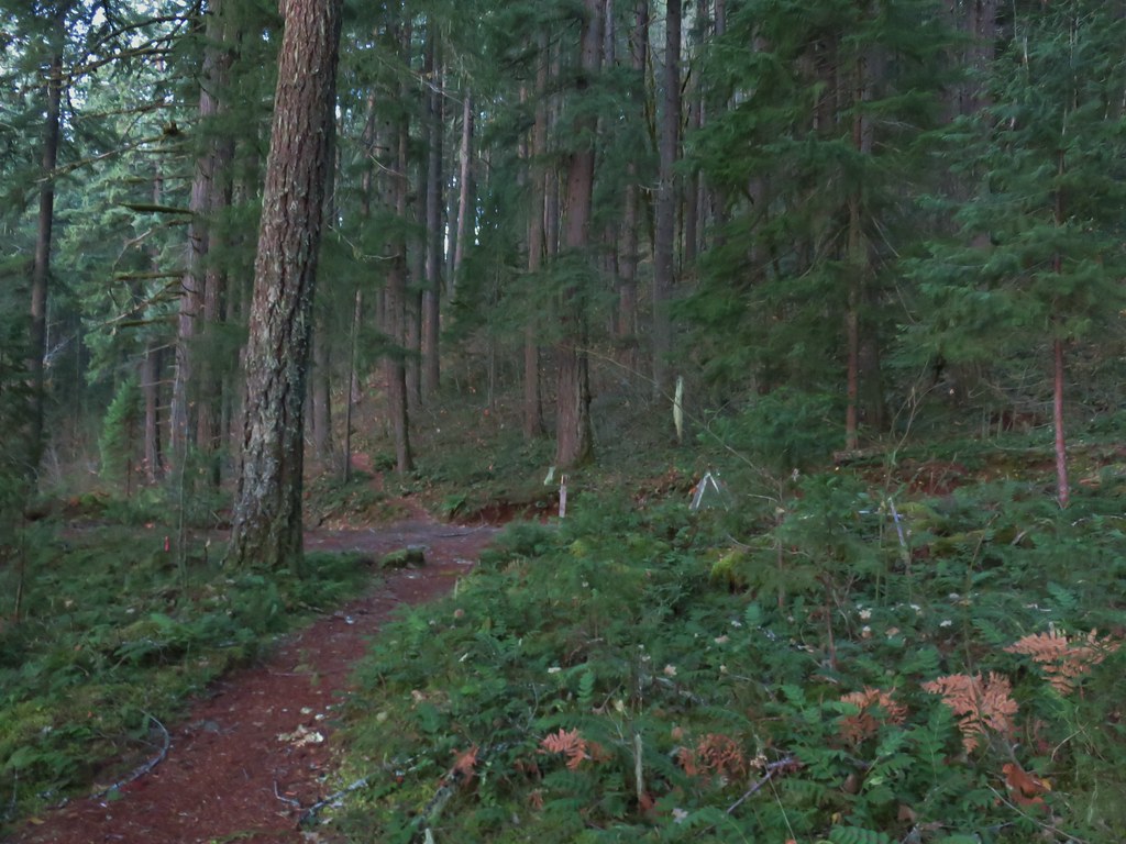
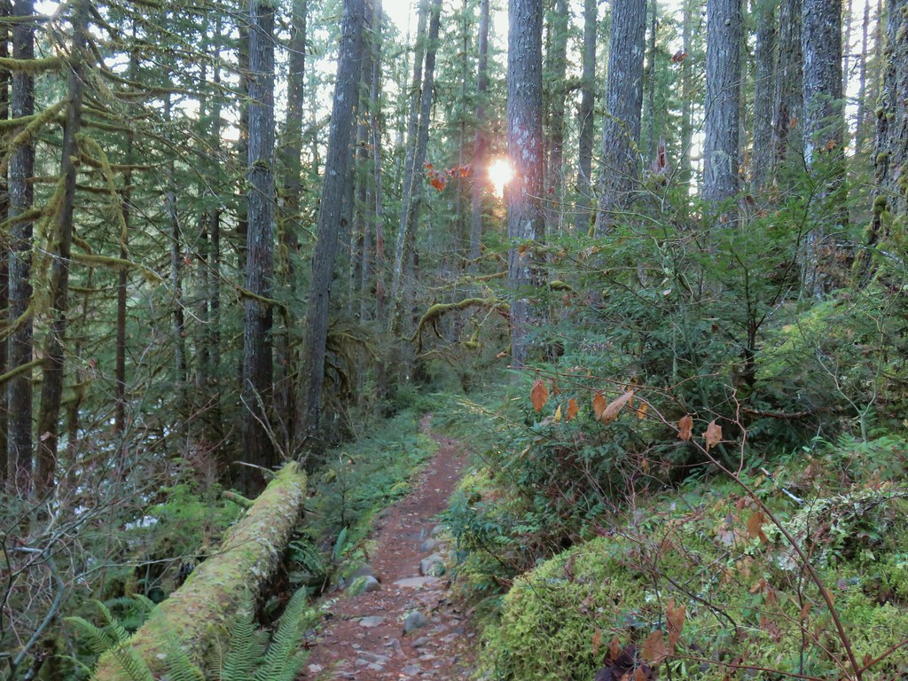
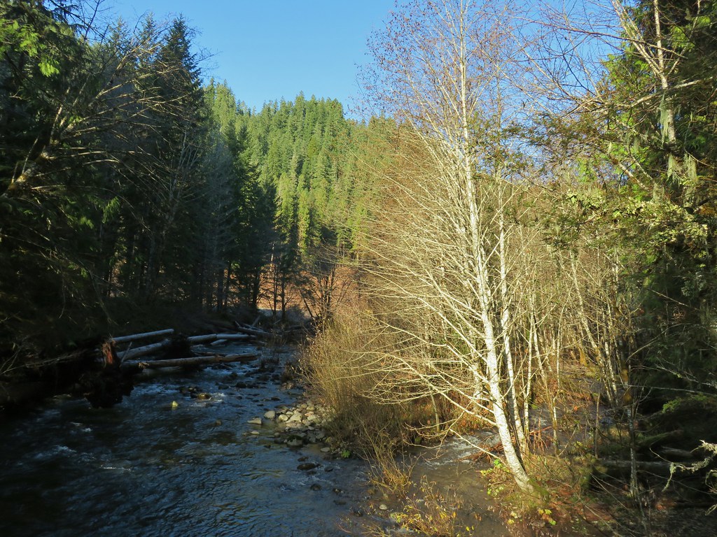
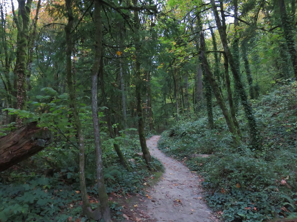
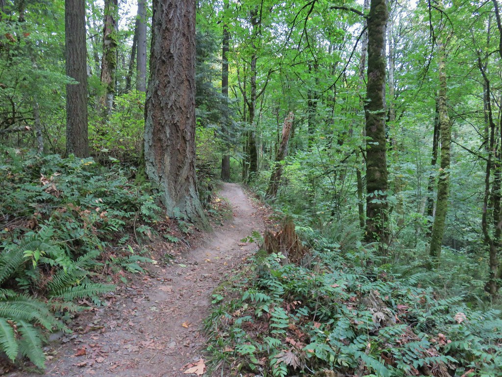
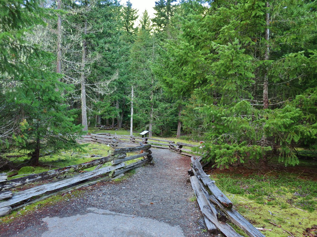
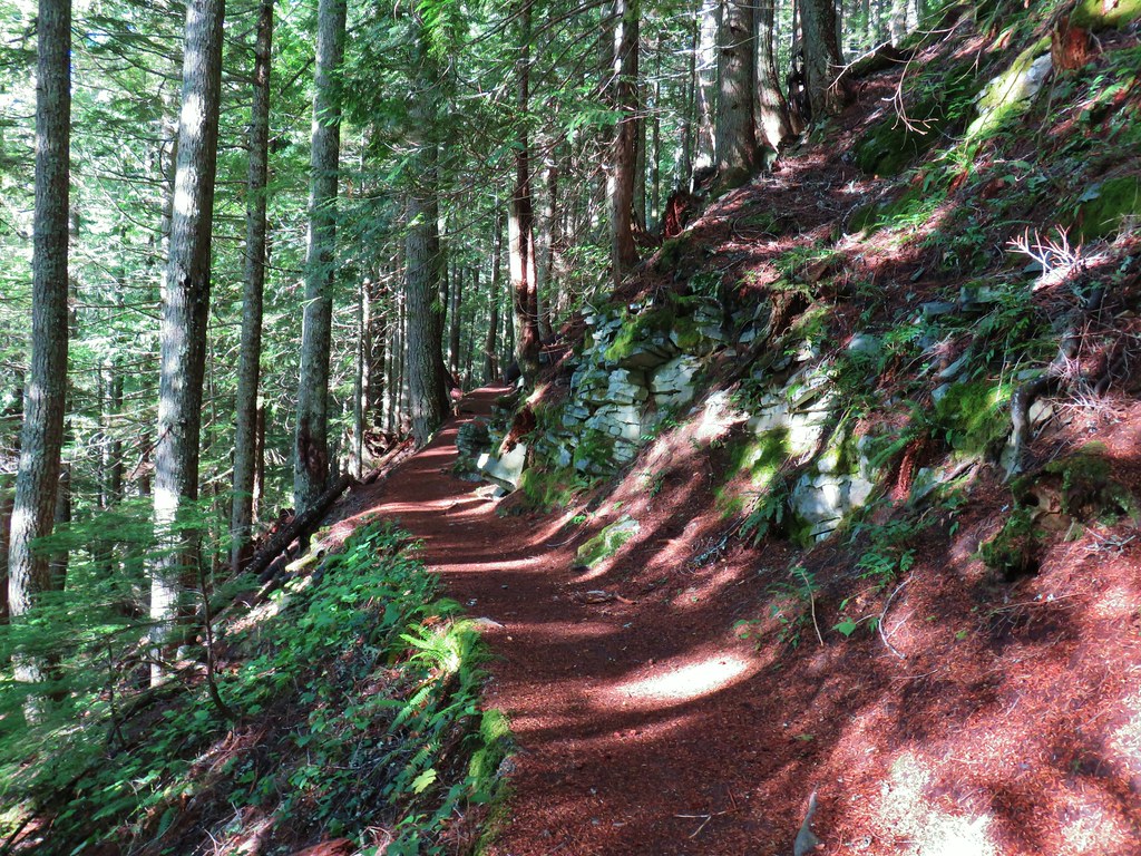
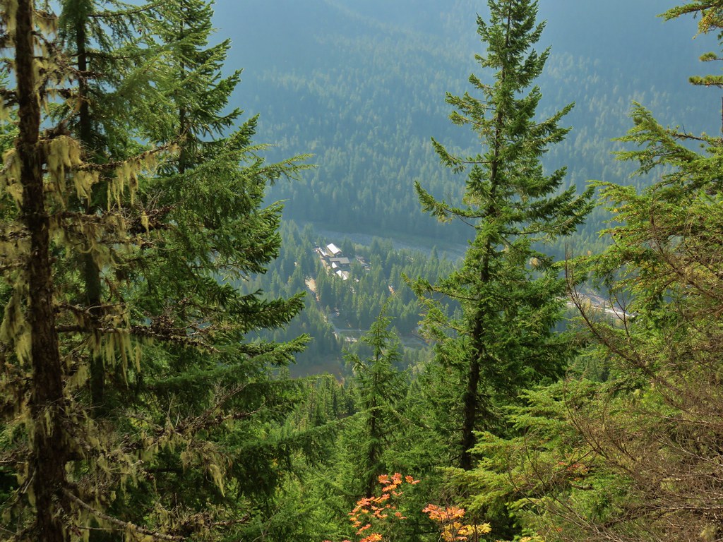
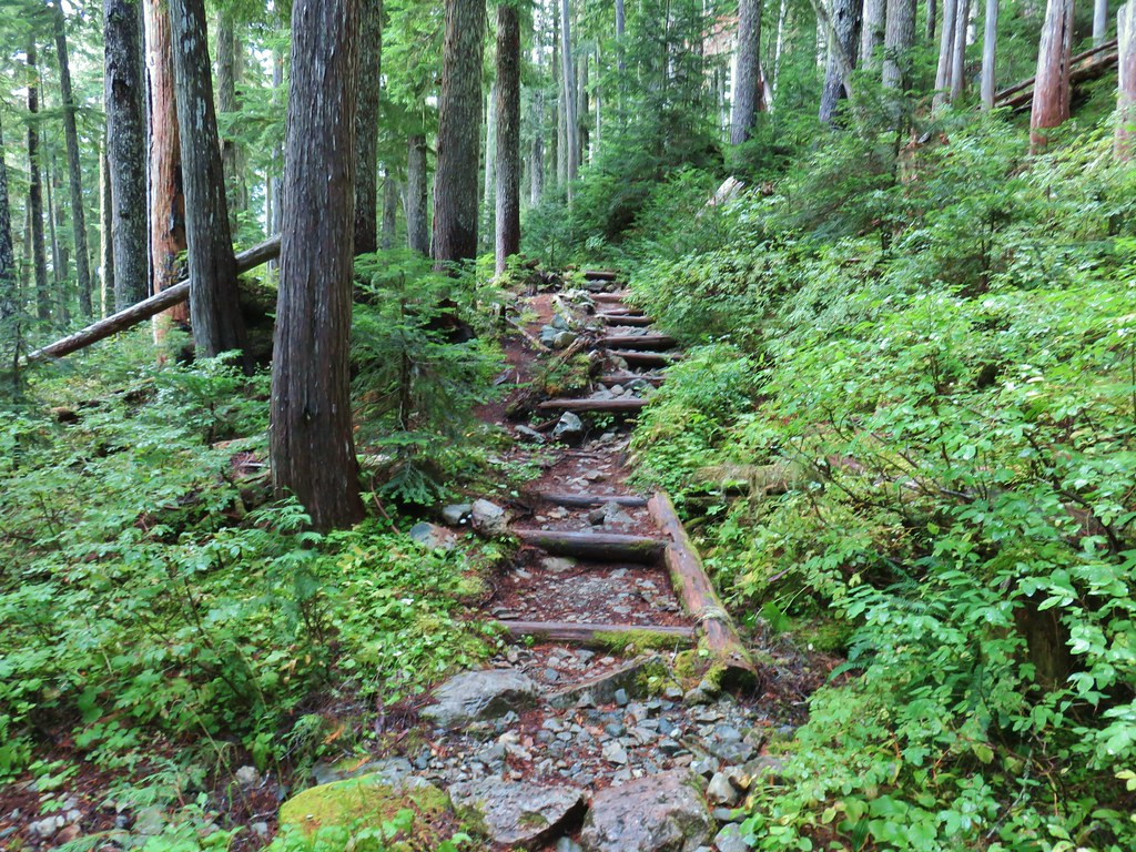
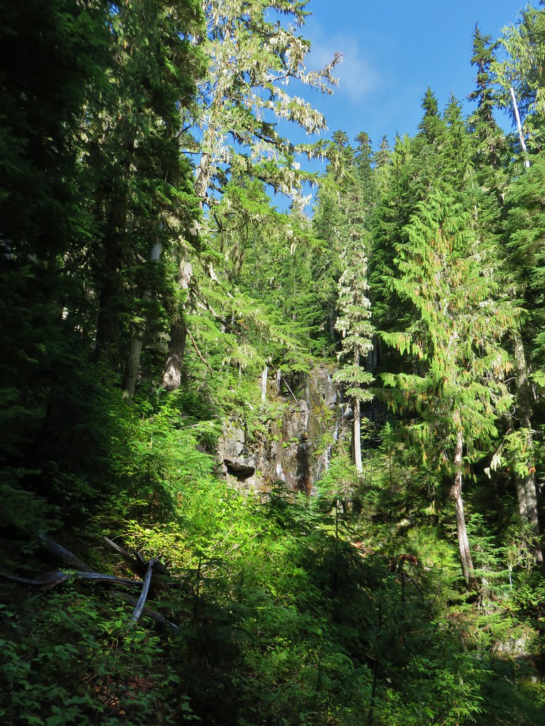
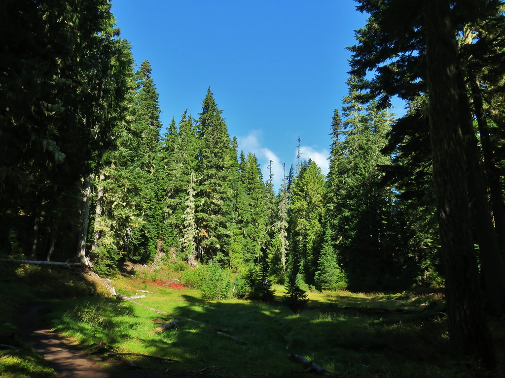
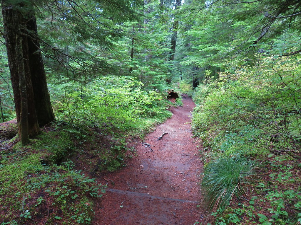
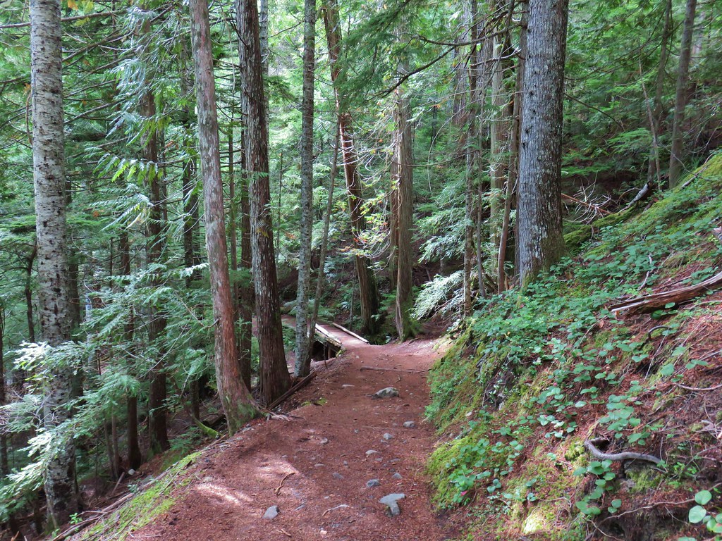
 Dropping into the forest.
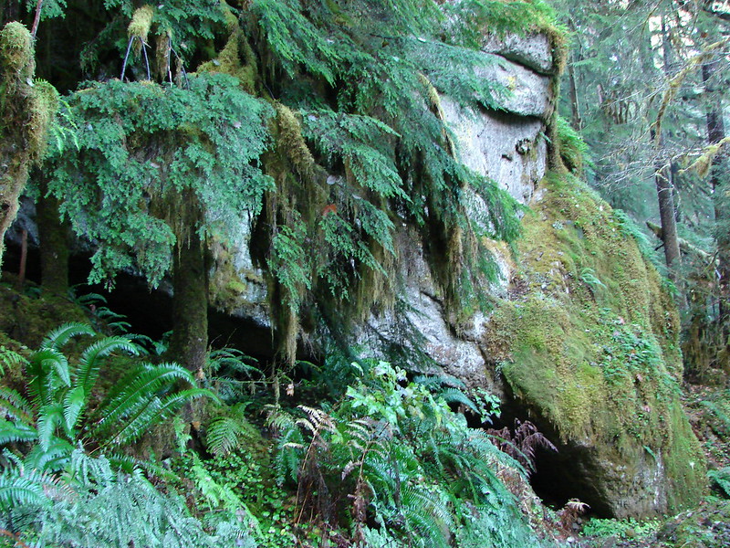
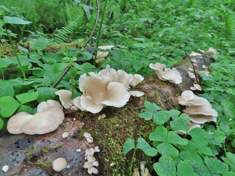
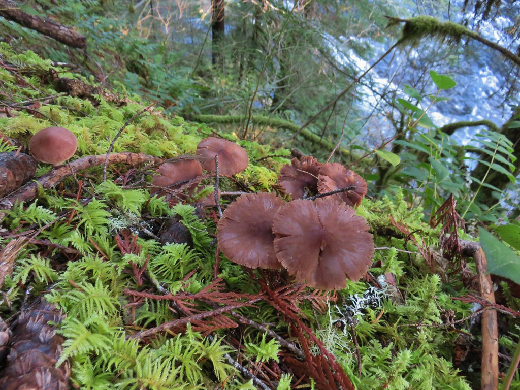
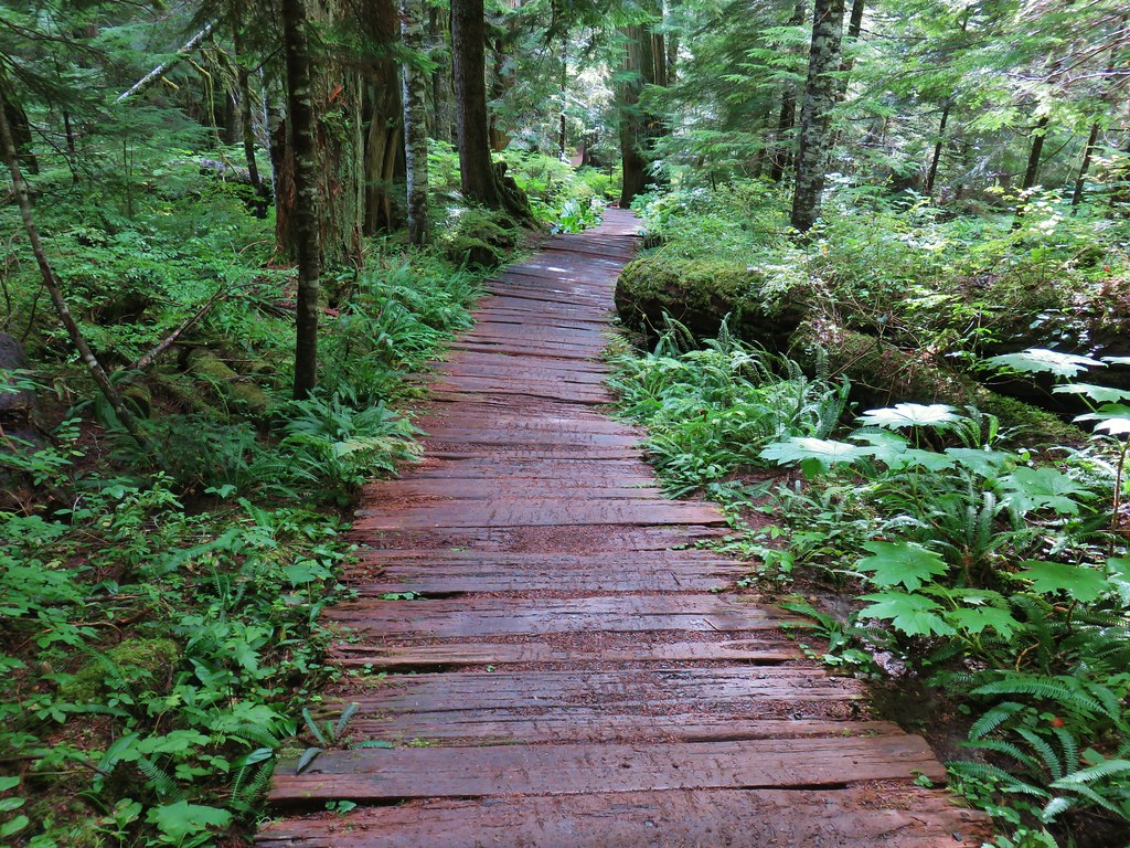
The forest along the trail was just what we’d needed with a lush green (poison oak free) under story where woodland wildflowers and mushrooms thrived. With no confusing junctions and very little blowdown along the trail we were able to fully relax and take in the surroundings.
 Anemone
 Vanilla leaf
 Baneberry


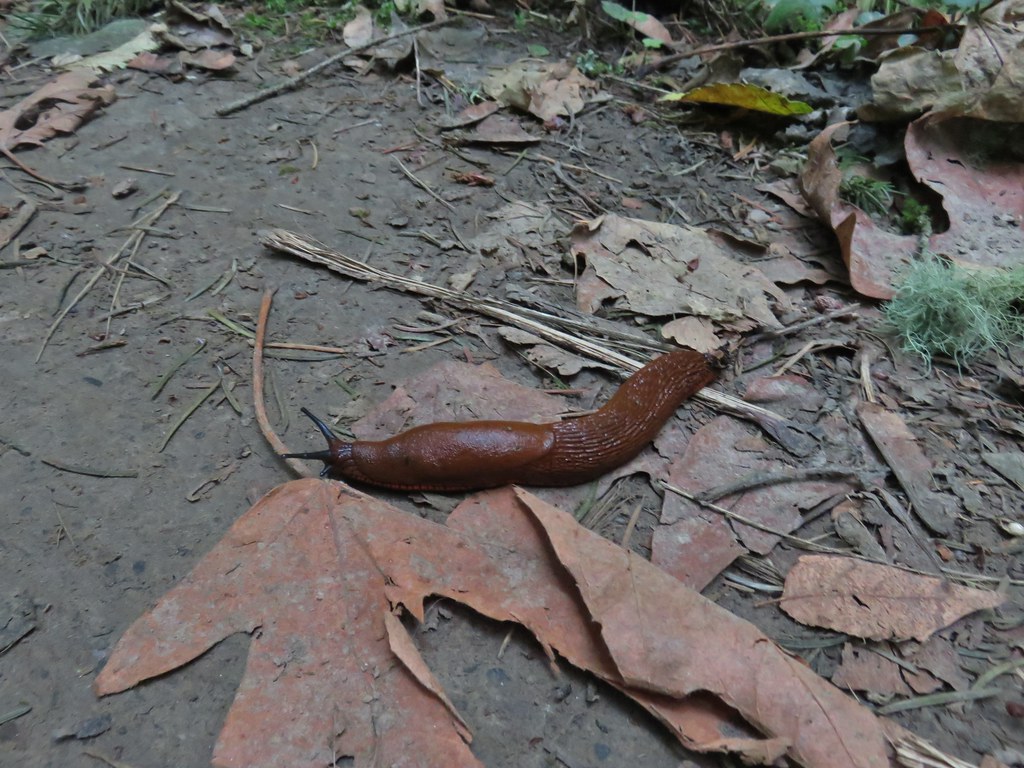
 Quite a few snails and slugs along the trail.
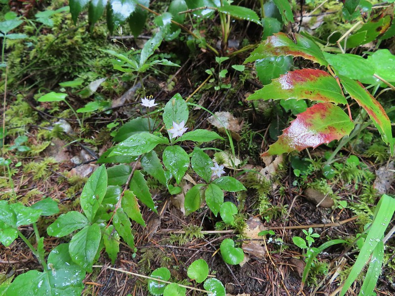 Starflower


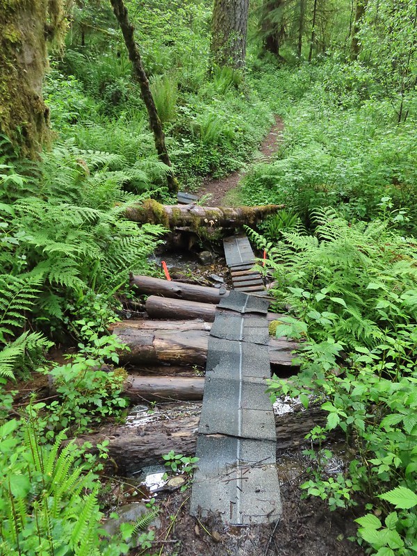
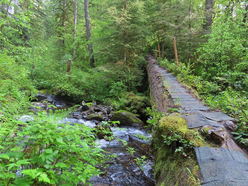
 Some of the logs had had tiles and ropes placed on them to help avoid slipping.
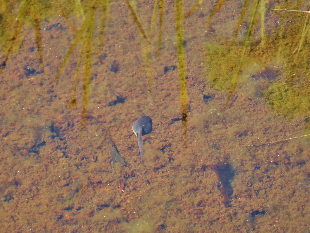
 Surprisingly this was the only rough-skinned newt we spotted all day.
 Foam flower
 Inside-out flower
 There were some huge nursery logs in the forest here.
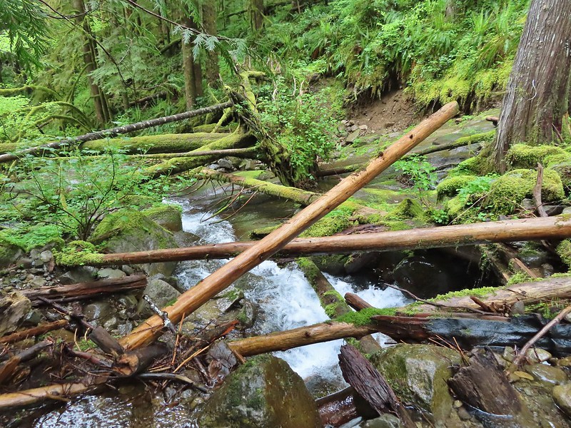
 A good example of a makeshift crossing.
 Most of the flowers were white or pale pink but this salmonberry blossom added a splash of bright color.

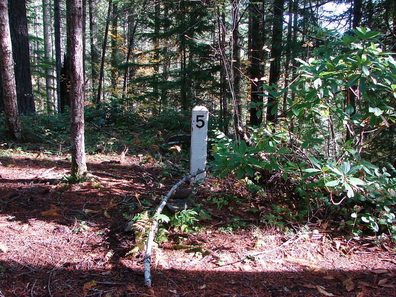
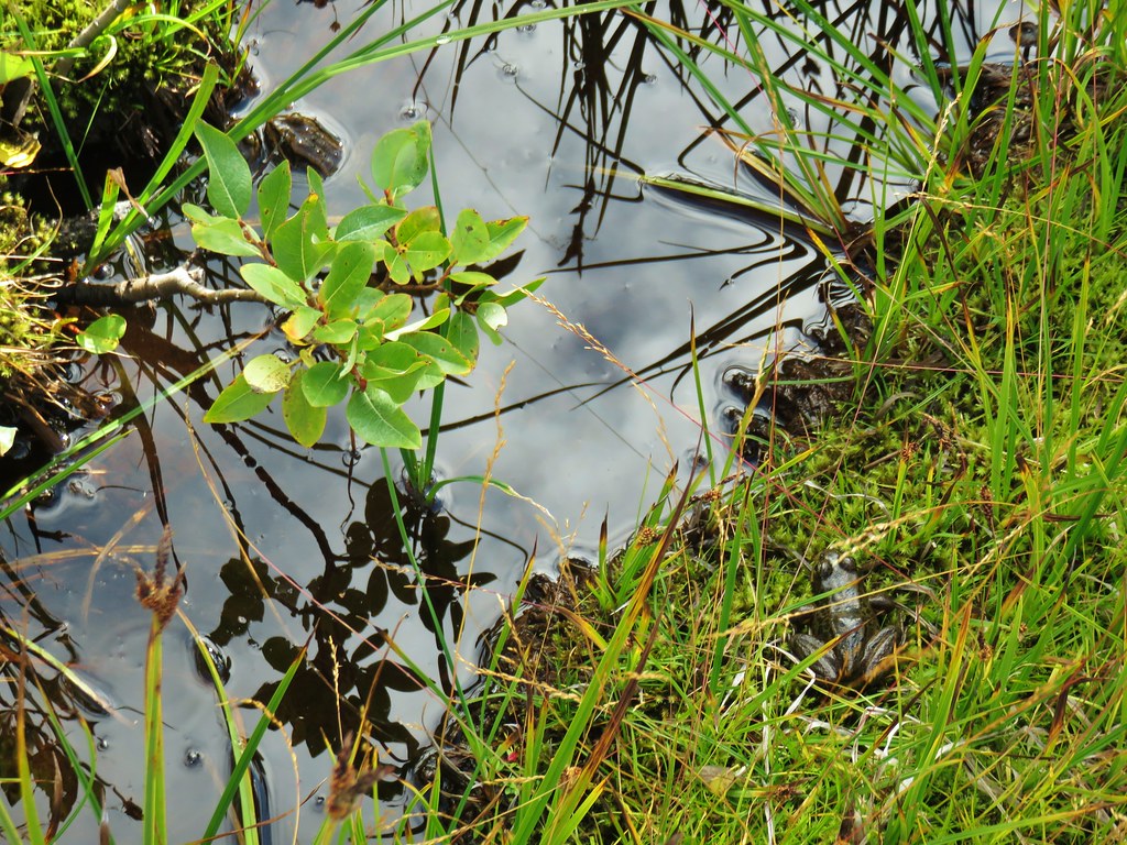
A side trail near the 1.75 mile mark led down to a campsite near North Siouxon Creek.


 Violets
 This was an interesting log/bridge.
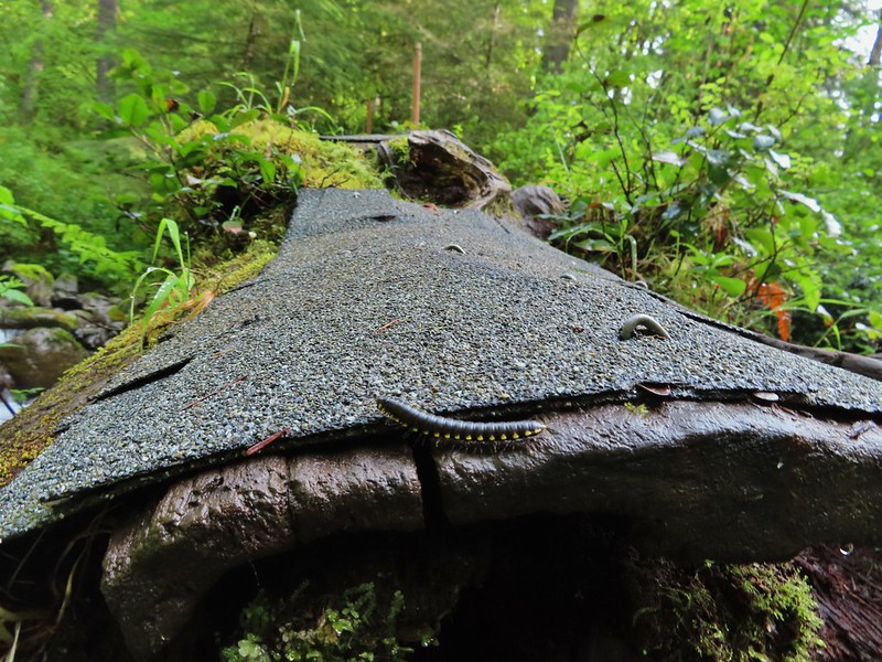
 Millipedes were everywhere but this one was a color we hadn’t seen before.
 These were the ones we were seeing all over.
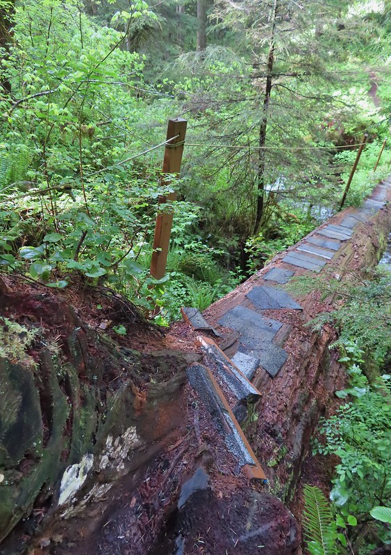 The dismount was a little awkward but doable.
 Star-flowered solmonseal catching a moment of sunlight.
 Fairybells
 Solomonseal
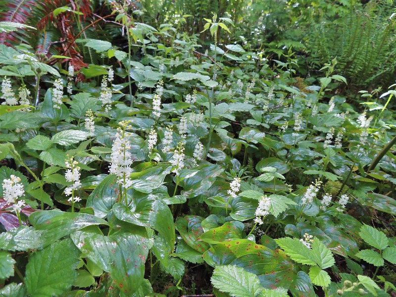 False lily of the valley
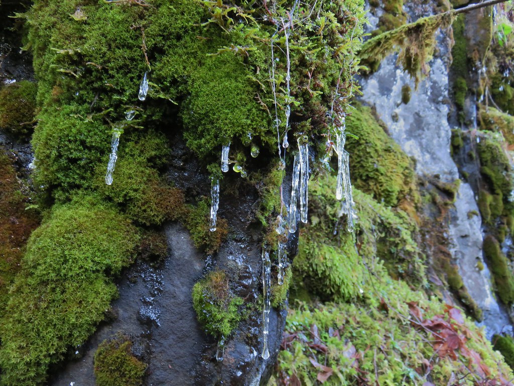
 Moss and lichens
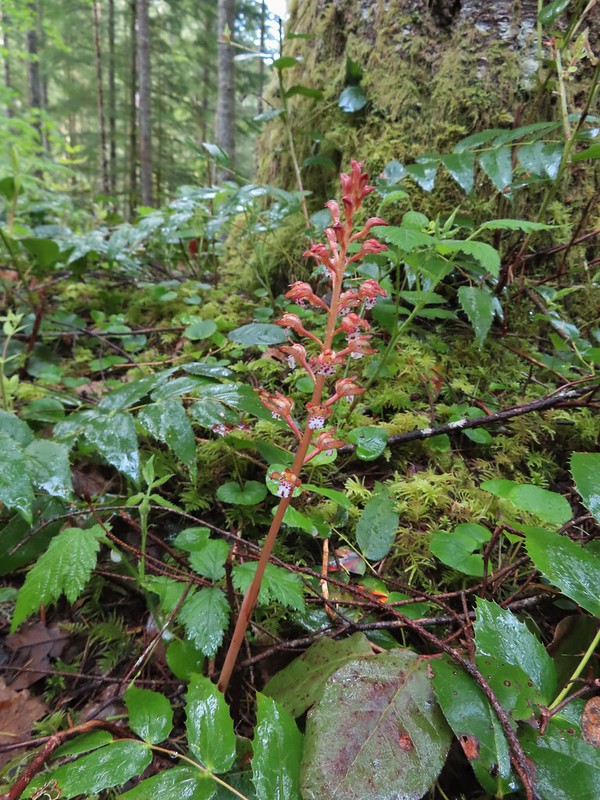 Spotted coralroot

 Bunchberry
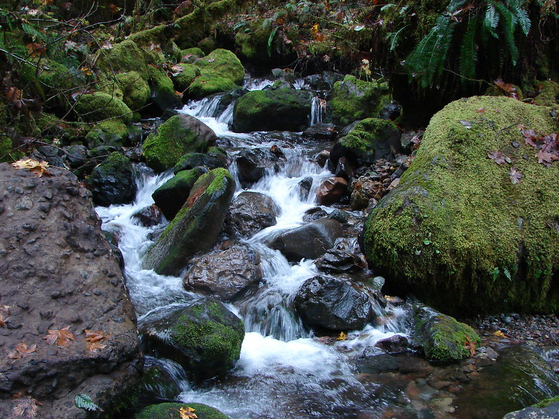
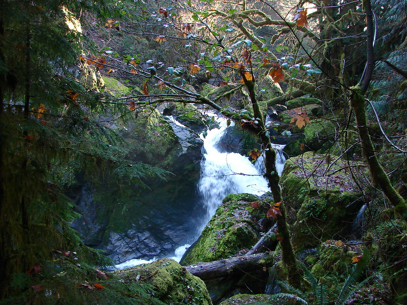
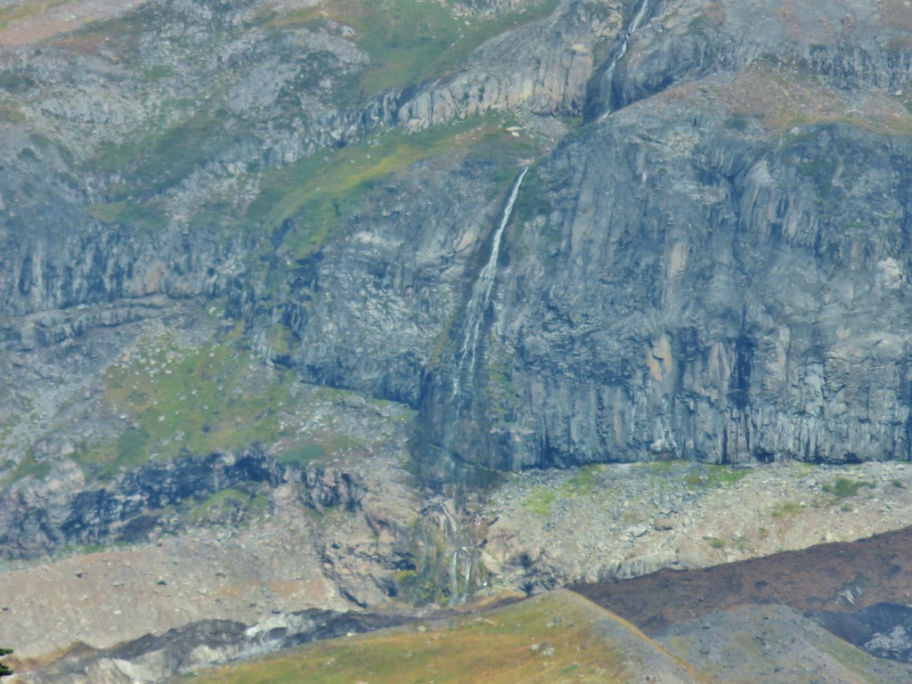
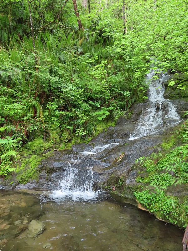 Small fall along the trail.
 Did I mention millipedes were everywhere?

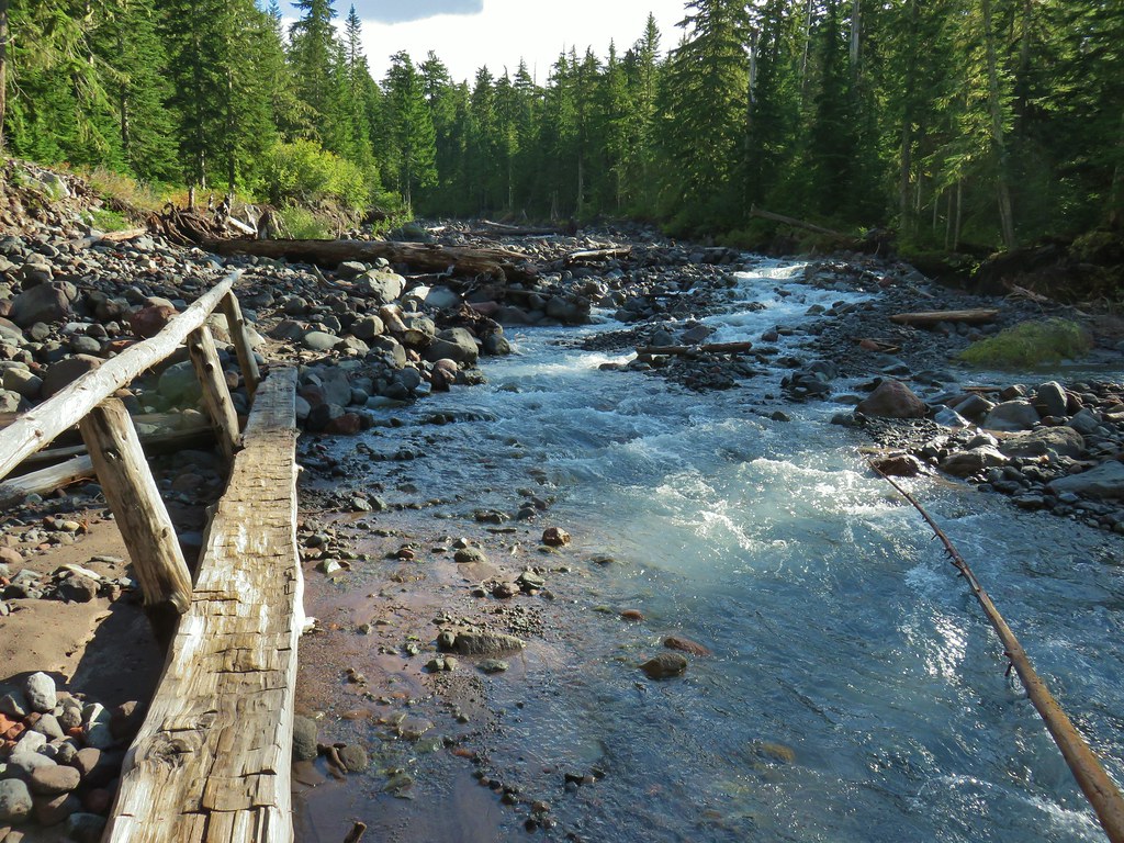
 Another creek crossing.
The trail reroute at the 3.5 mile mark.

 The reroute
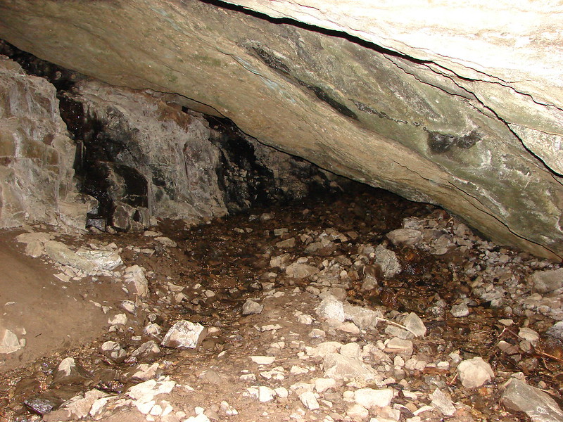
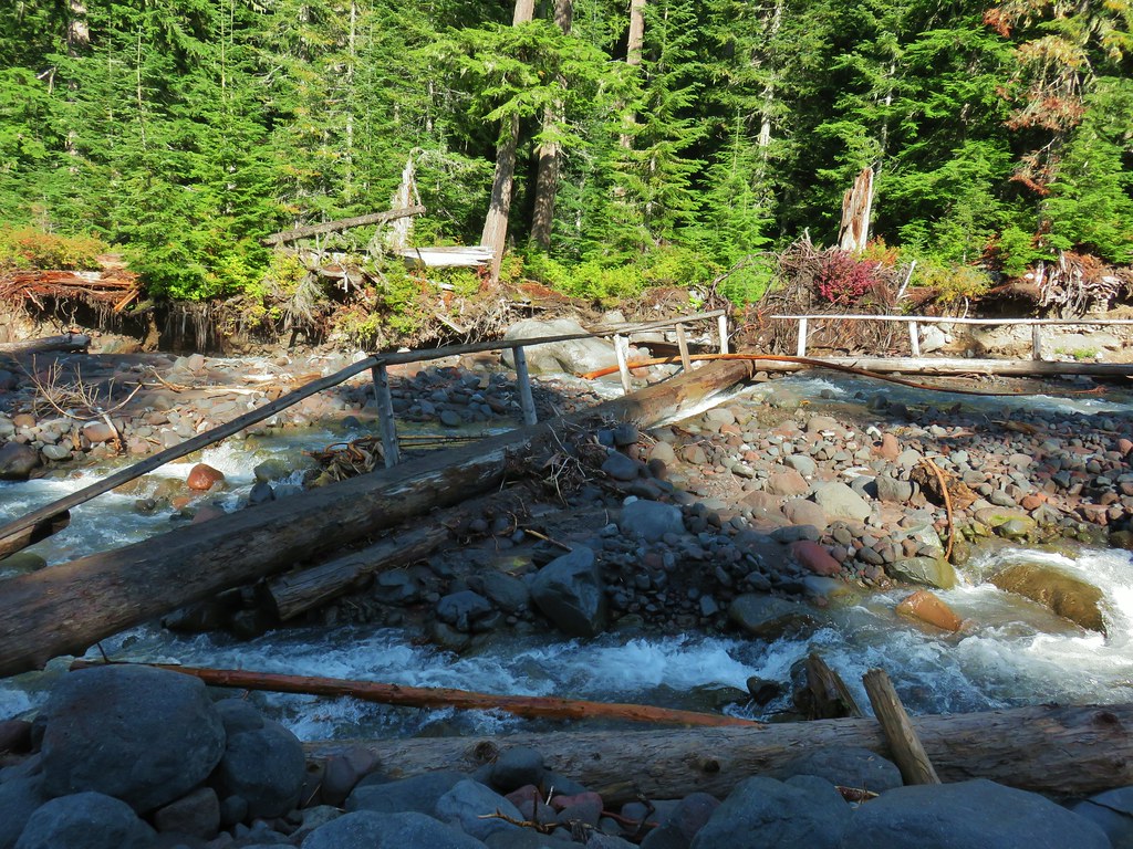
 This was one of the log crossings that looked too slick and high to warrant an attempt so we forded here. The water was ankle deep and we crossed easily.
 We forded just above the larger rocks in the middle of the creek.
 The lower of the two cascades.
After fording the trail climbed up hill alongside a large tree that had fallen directly in the middle of the reroute. The presence of this tree didn’t cause too much trouble although it was wide enough that you could clamber over it except for near it’s top. I had wound up on the wrong side so I took the opportunity to follow the original trail to the old crossing before climbing up and around the root ball of the tree to rejoin Heather on the trail.
 The upper cascade.
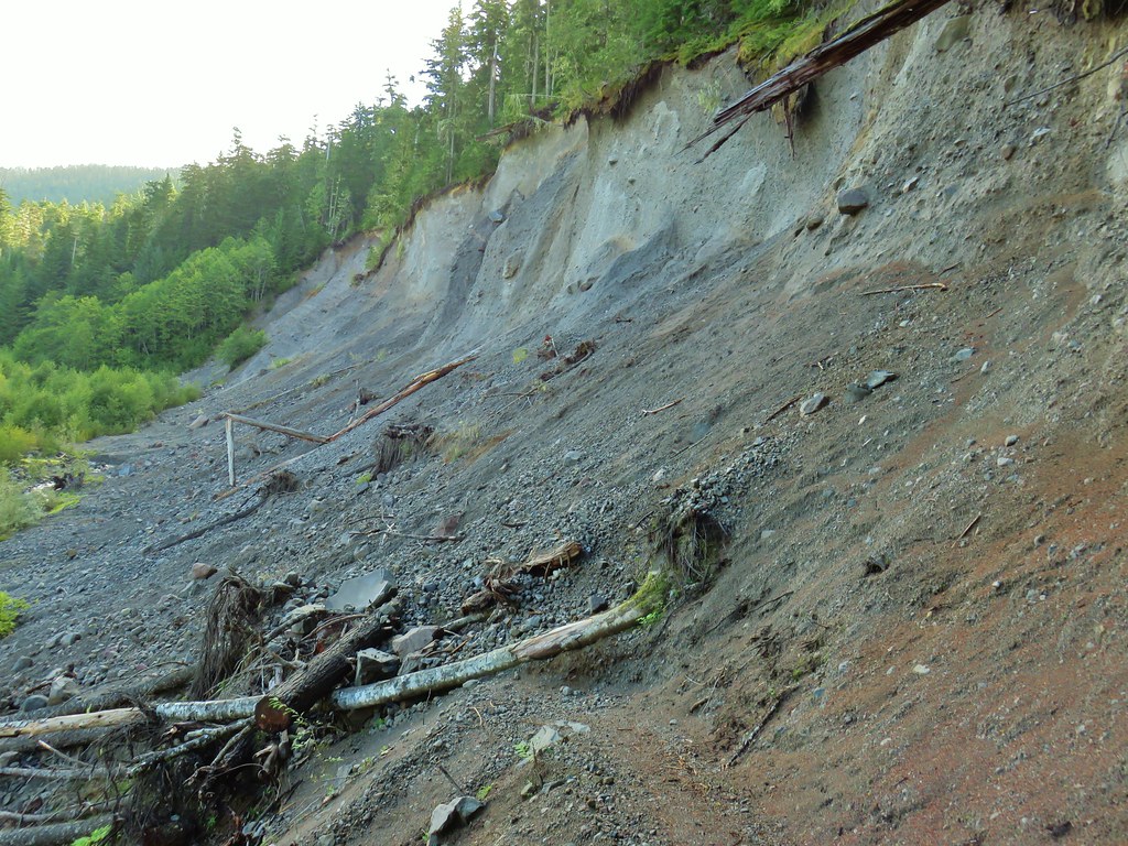
 Looking across the old crossing you can see where some of the hillside was washed out.
 Looking back at the trail from the creek. The large downed tree was the one that was too wide to climb over.
 Most of the downed trees were like this although there was one that required ducking pretty low.
 We could hear the songs of wrens throughout the hike but only caught flitting glimpses of the little singers.

 Two of the footbridges were in a state like this. It held but we had to watch our step to not only avoid the holes but also the millipedes.
 This was another ford/rock hop. There was a log serving as the bridge but it also looked slick. The rope in the picture was connected to the log and I almost didn’t see it (both times by).

 Deep pool near the crossing.

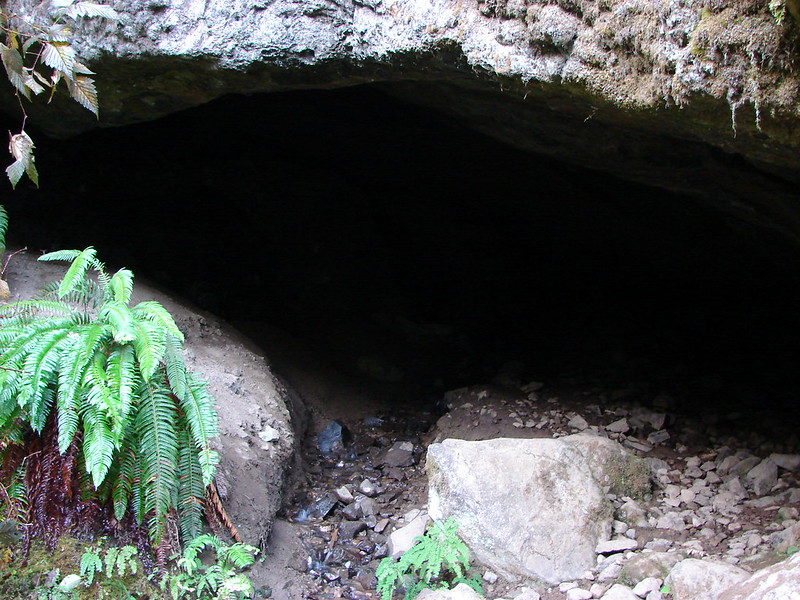
A post marked the side trail down to Black Hole Falls.

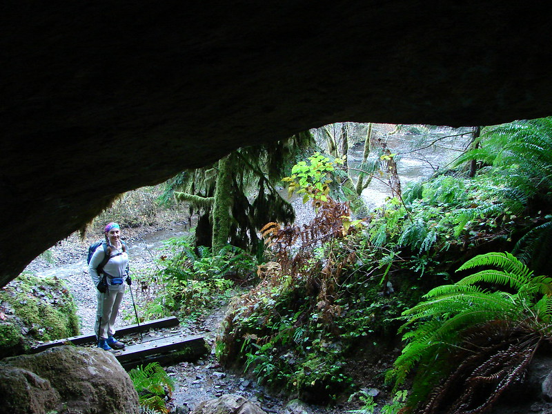
We turned right and descended to Black Hole Falls which did not disappoint.
 First view through the trees.

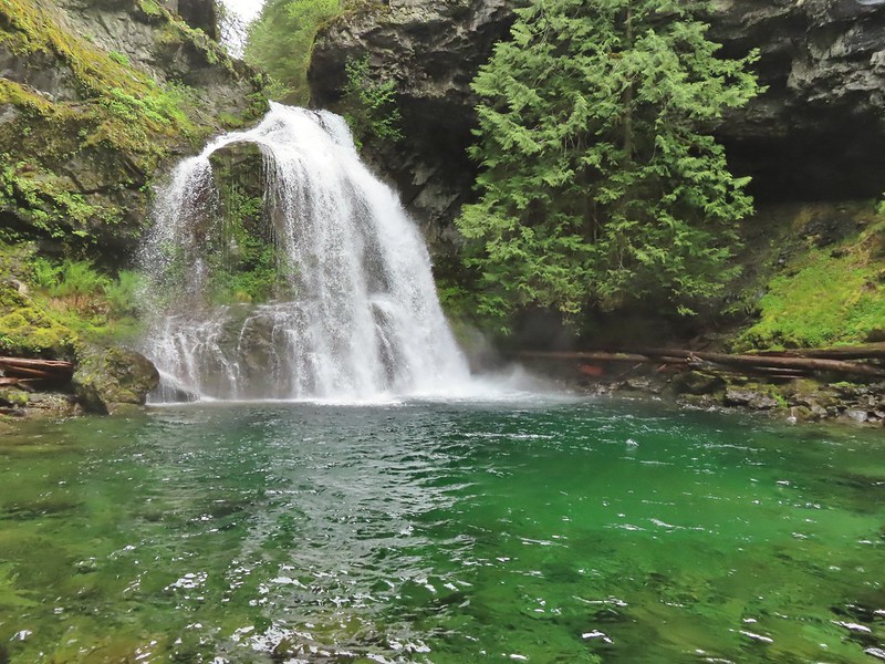 The pool was a beautiful green.
 More cascades and clear pools were located downstream.
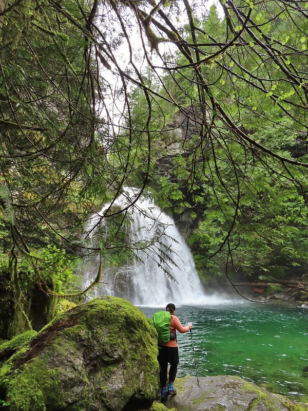 Heather taking in the view.
 Since I was already wet from the fords I waded out in the calf deep creek to get a different angle.
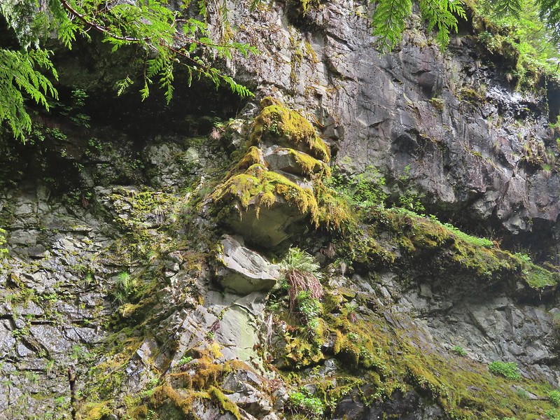
In addition to the beautiful waterfall and creek there was a unique feature in the basalt to the left of the falls that looked to us like a head with a wide open mouth.
We stayed at the falls for a while before heading back. The forest was just as pretty on the return trip as it was on the way to falls. A light rain finally began to fall in the final mile or two of the hike which felt nice by then.
 The right fork heading on toward Mount Mitchell.
 A really long nursery log spanning across this whole depression.
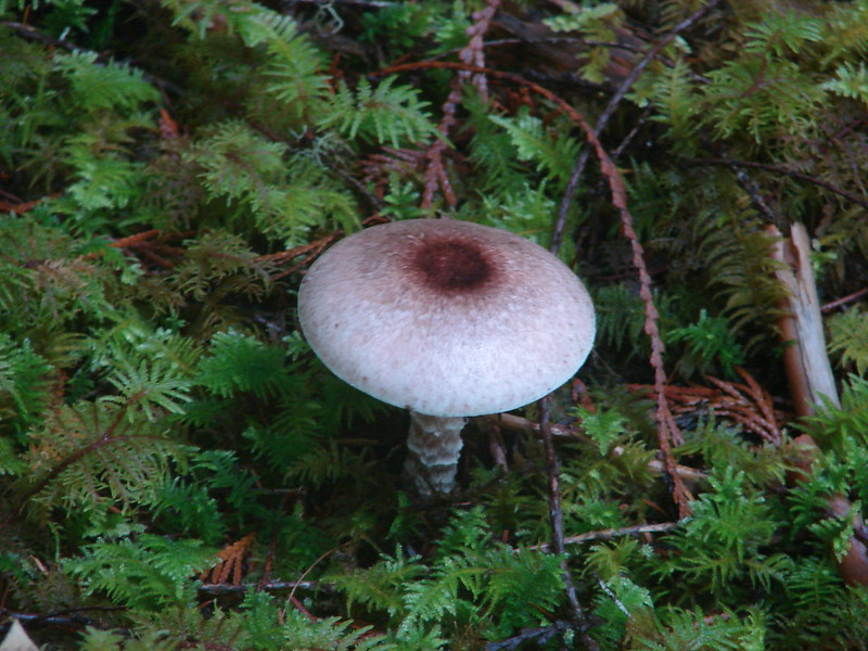
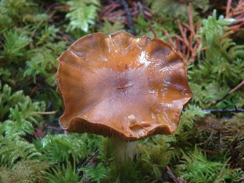
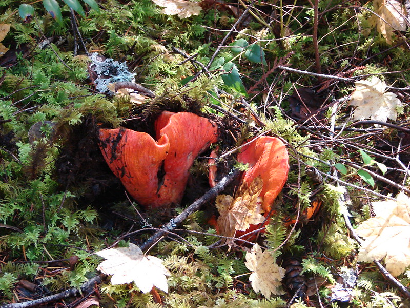
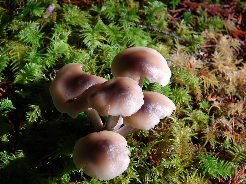
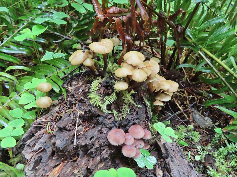
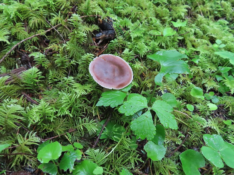
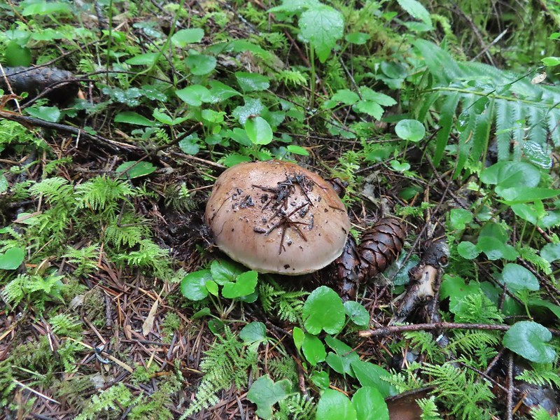
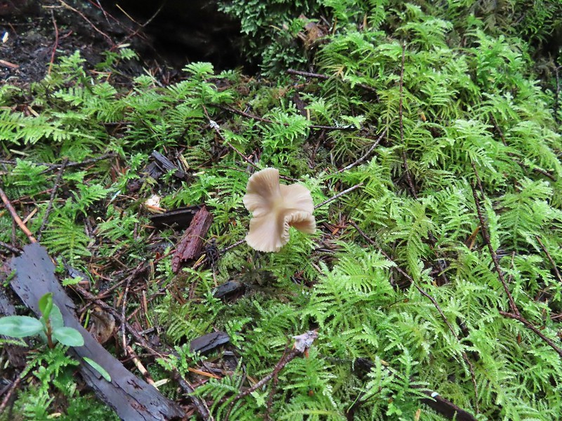
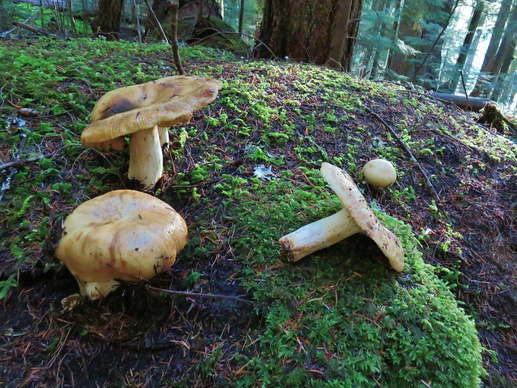
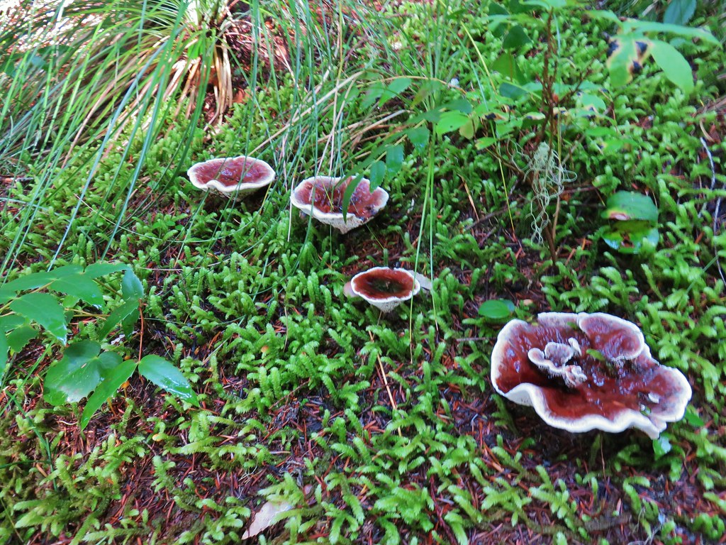
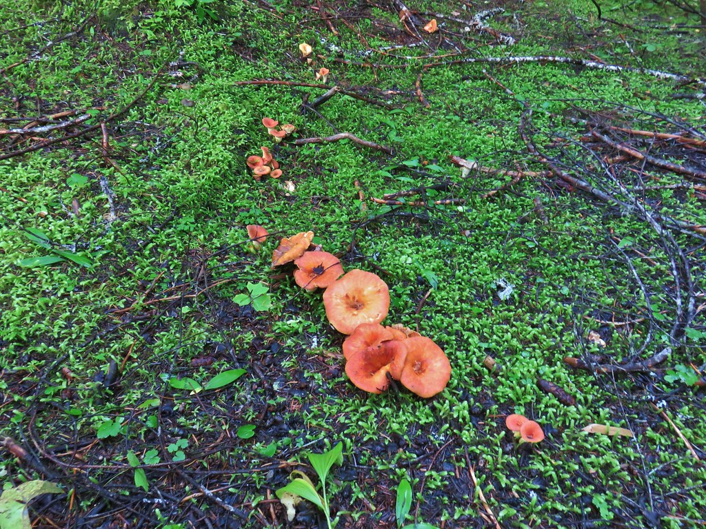
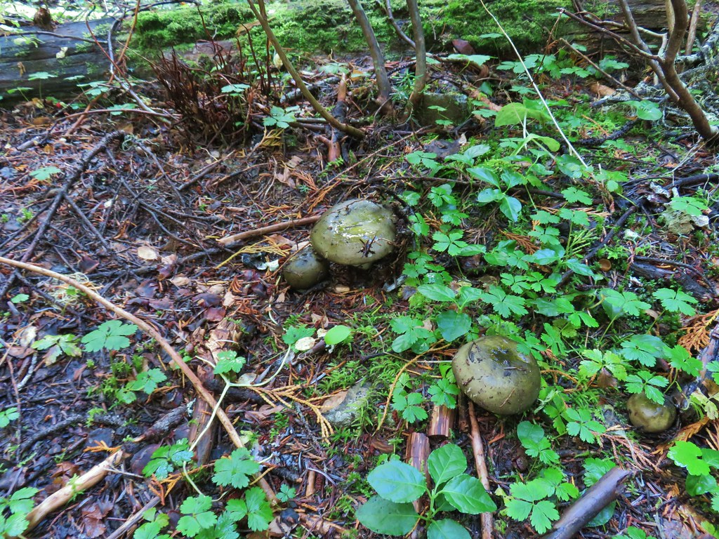
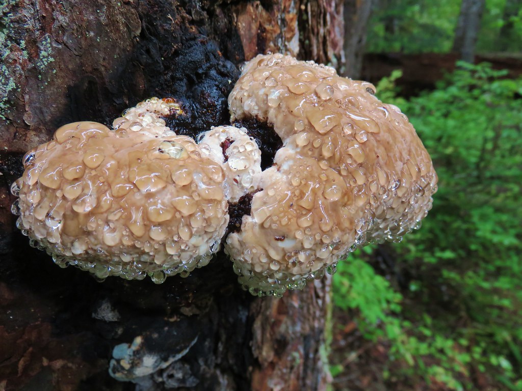
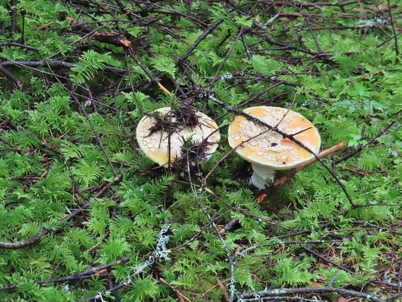 Camouflaged mushrooms.
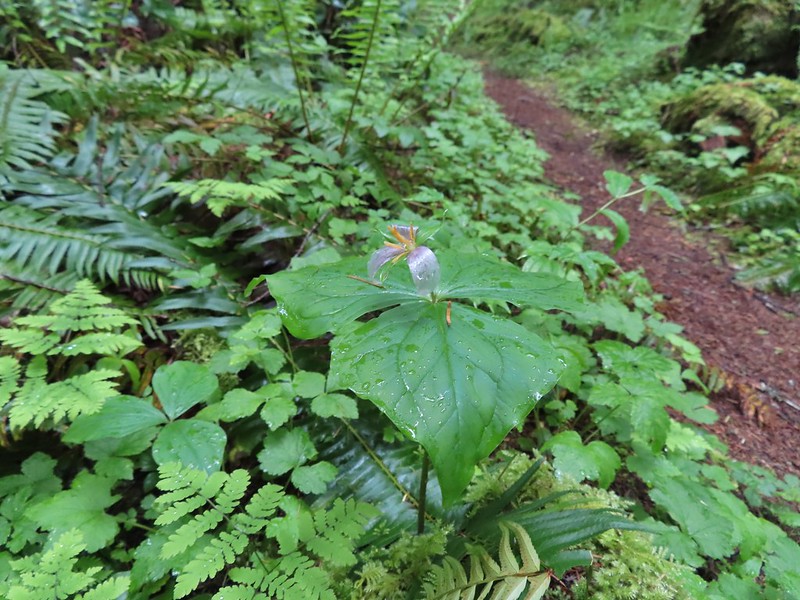 The only trillium that still had its petals.
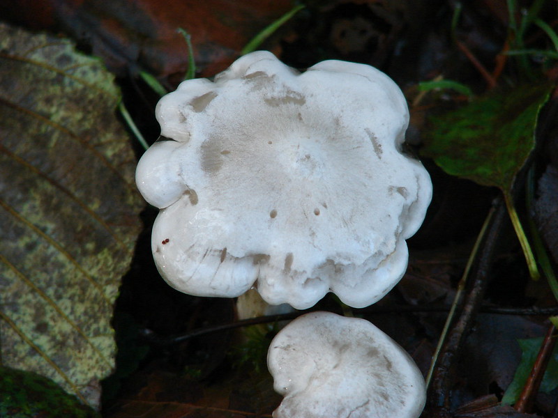
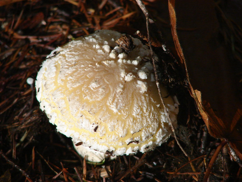
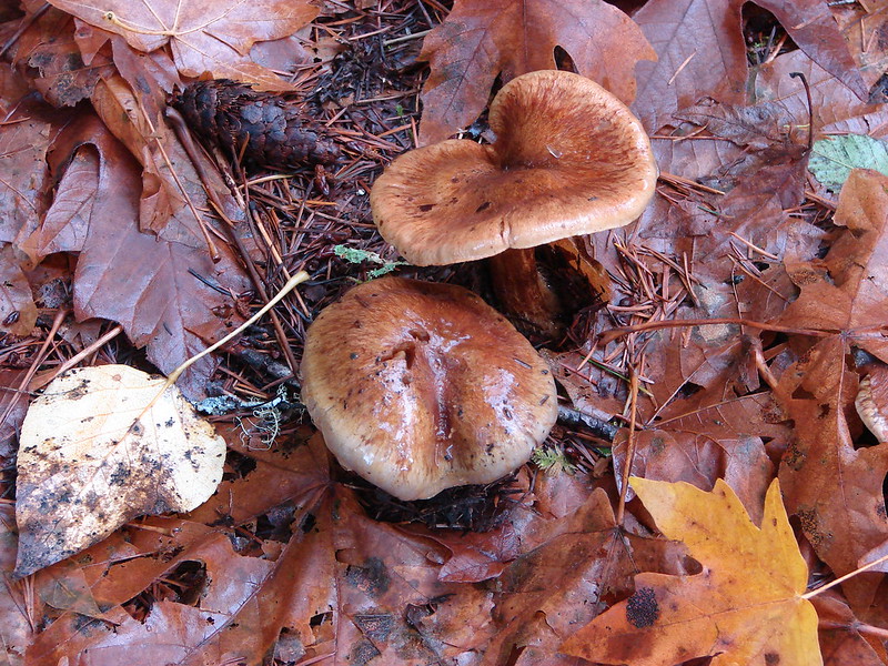
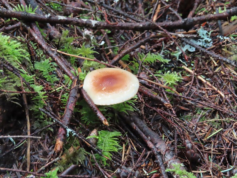
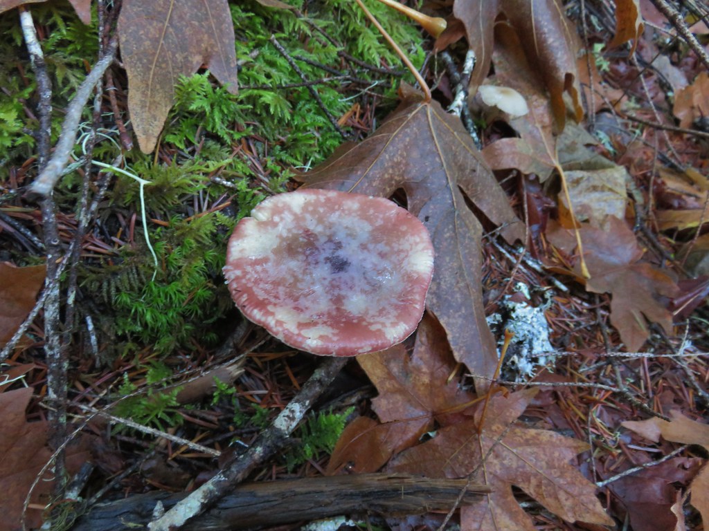
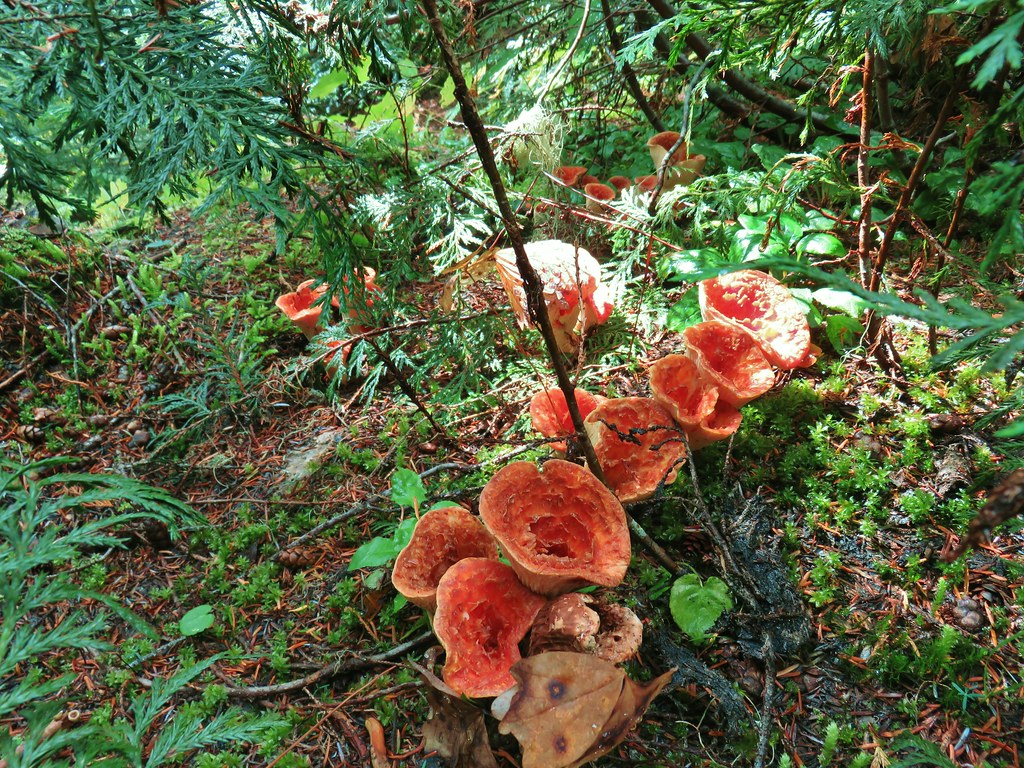
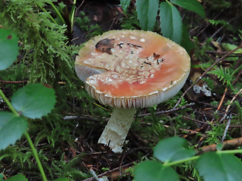 It looked like someone took a slice of this mushroom.
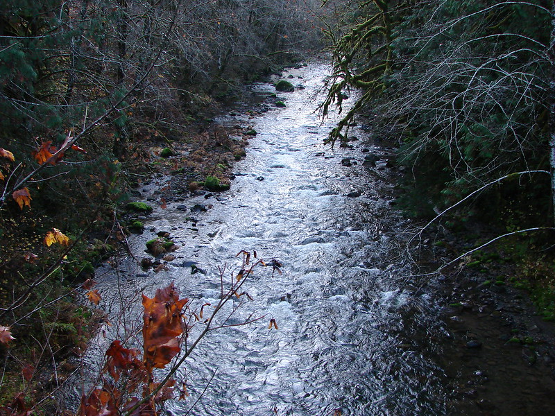
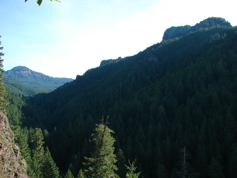
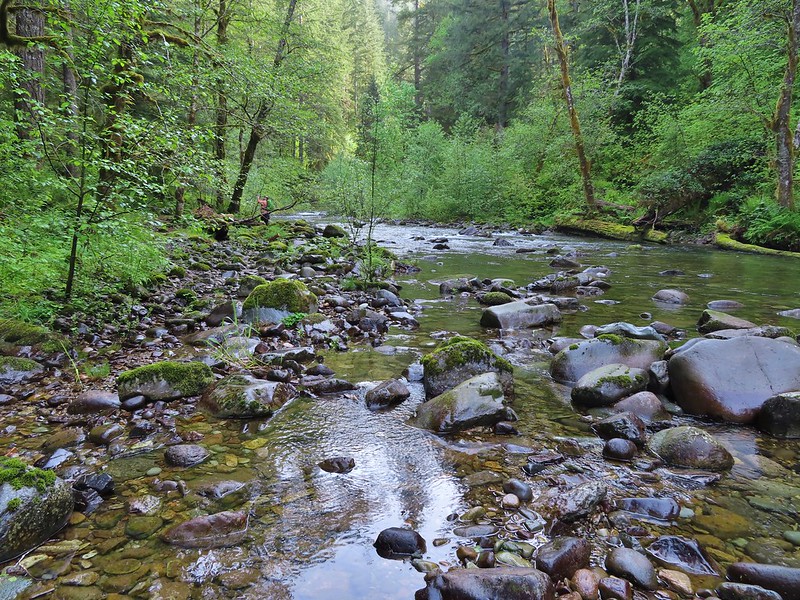
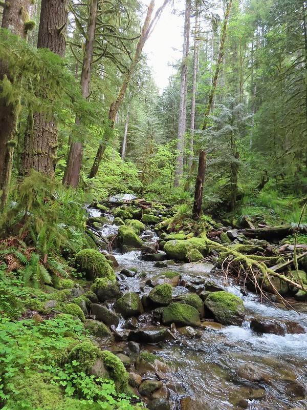
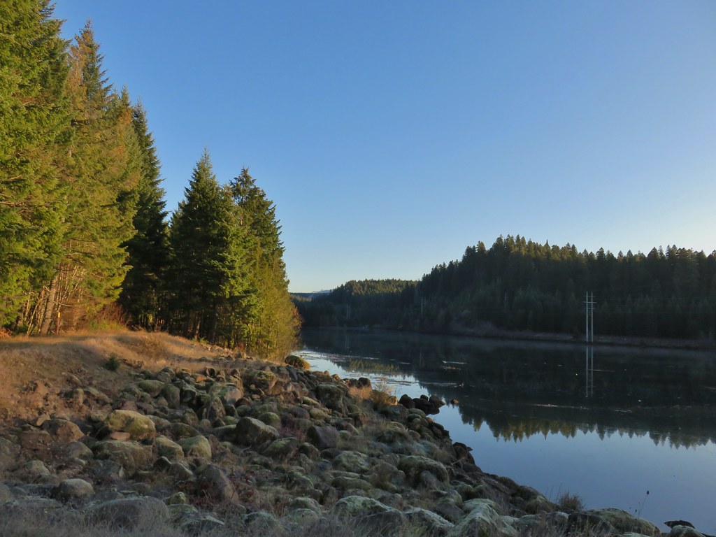
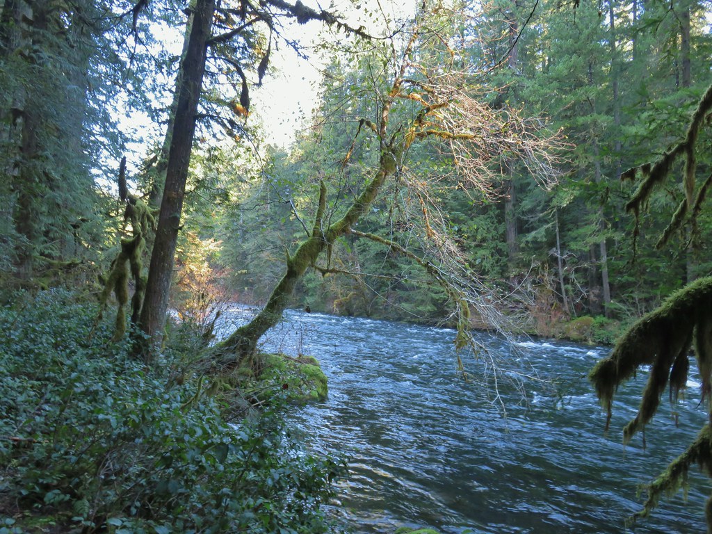
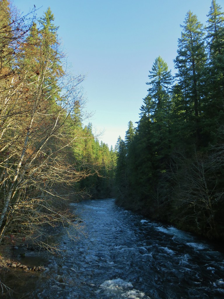
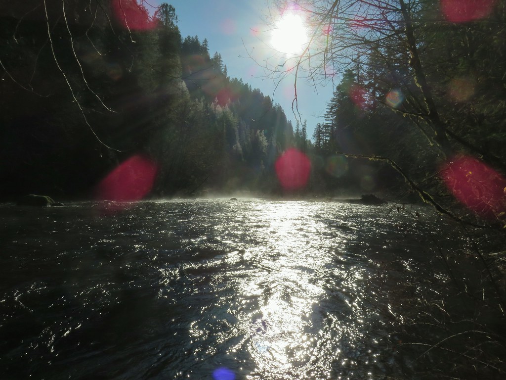
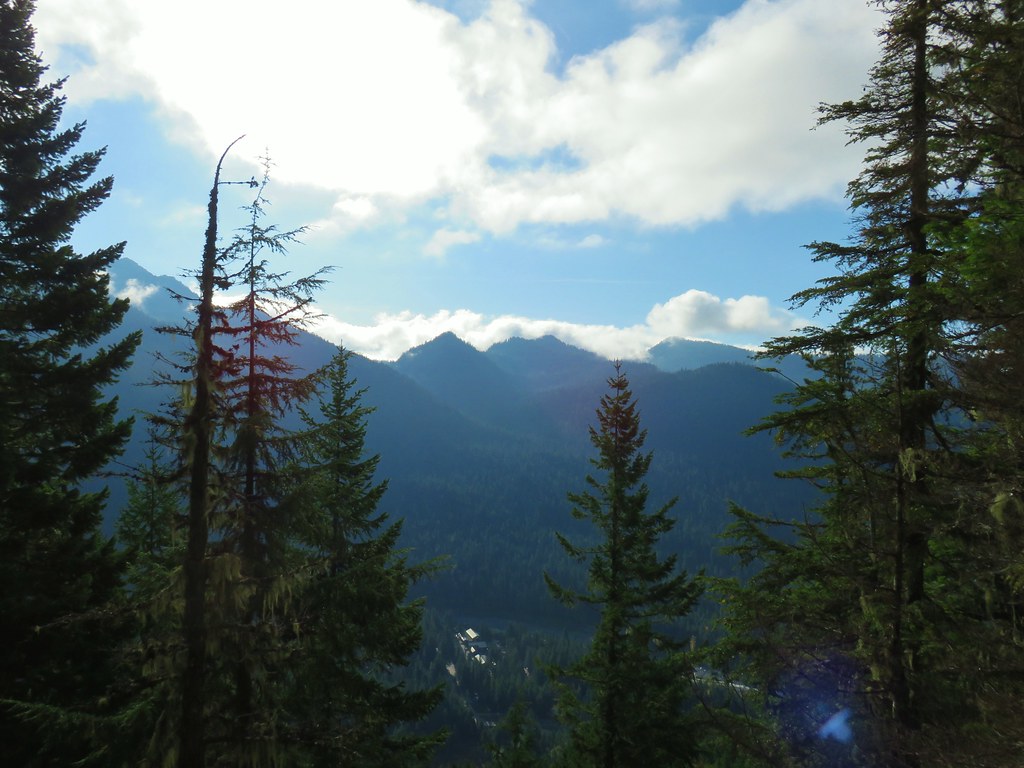
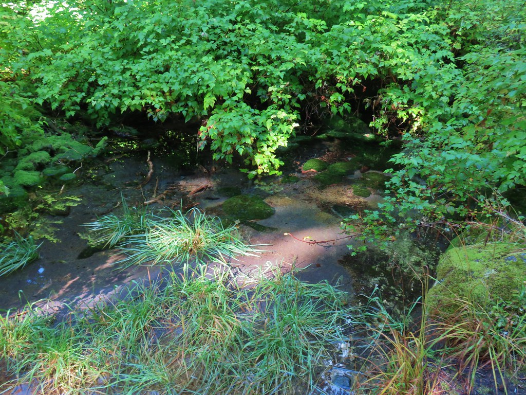
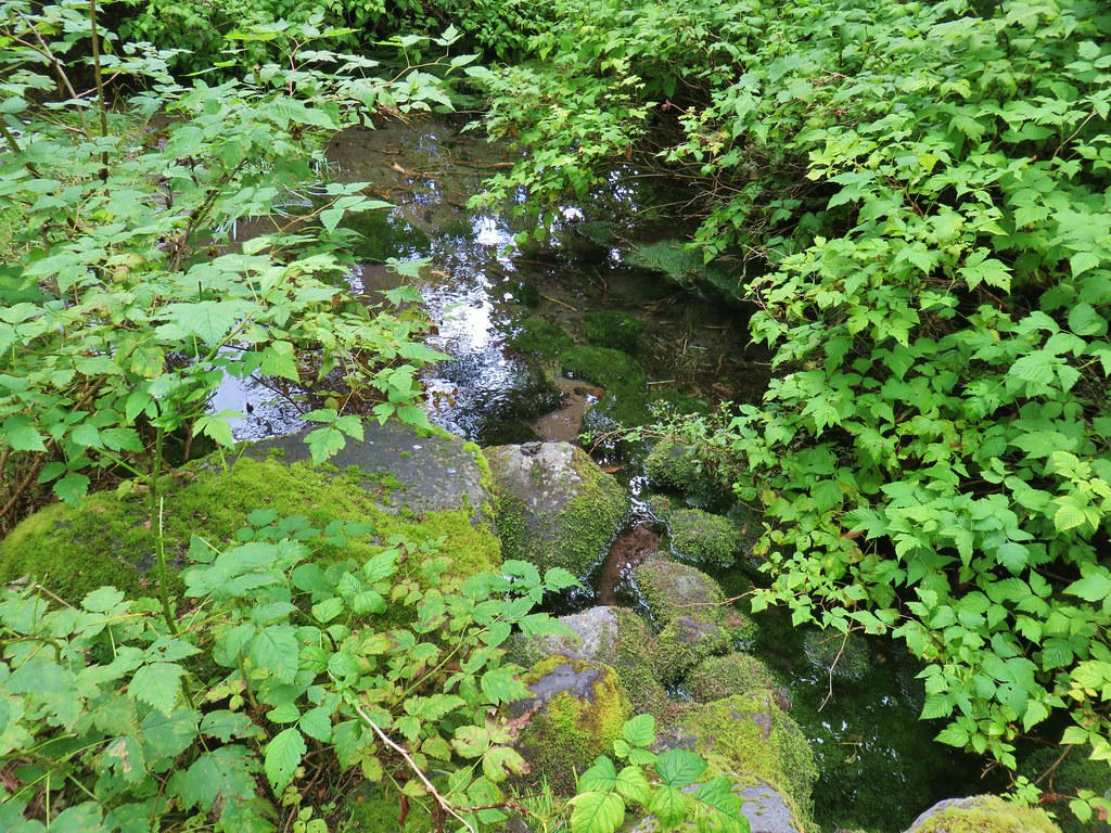
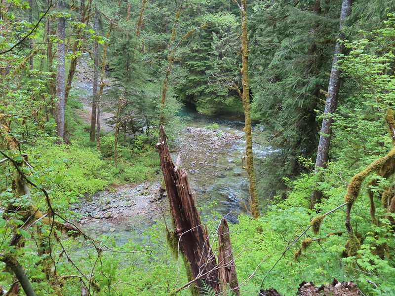 There weren’t too many views of North Siouxon Creek from the trail but this was a nice one.
 Sour grass
 Youth-on-age
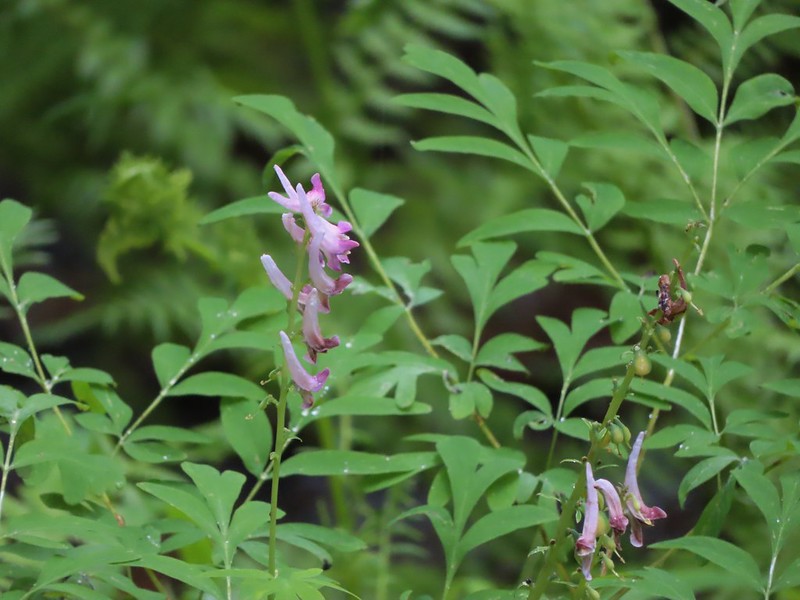 Scouler’s corydalis
 Candy flower
With some wandering down and along the creek and at the falls our day came in at 10.6 miles and approximately 2400′ of cumulative elevation gain.

The hike had lived up to being referred to as off the beaten trail as we didn’t encounter another hiker all day. We did have a pickup drive by while we were changing back at the car after our hike but it appeared to be someone from one of the logging companies checking the area. We had passed signs for active logging operations and saw equipment on the drive in. This turned out to be an excellent hike from start to finish and one that we will be keeping in mind to revisit in the future. Happy Trails!
Flickr: Black Hole Falls


 Forest road crossing.
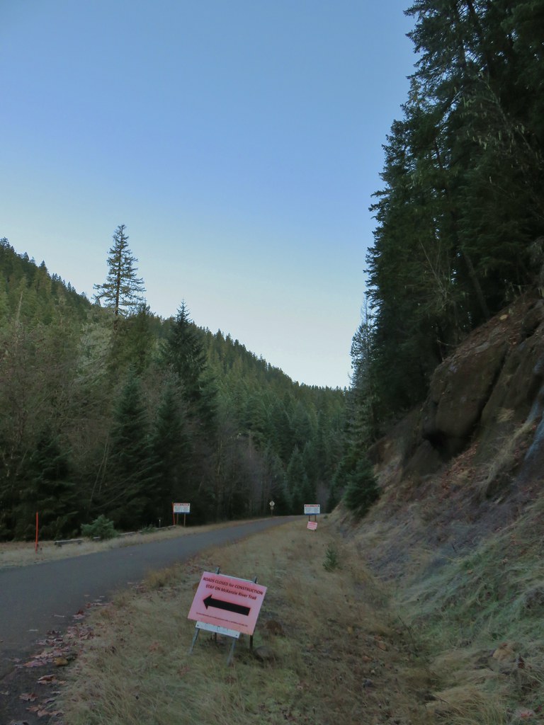


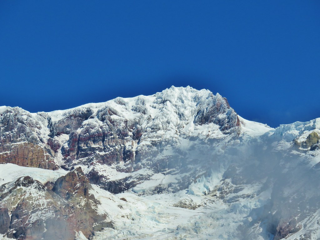
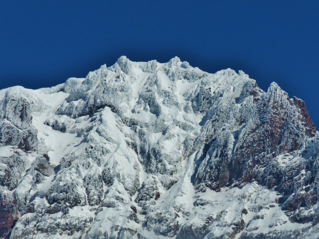
 The top of Three Fingered Jack is visible in the distance.
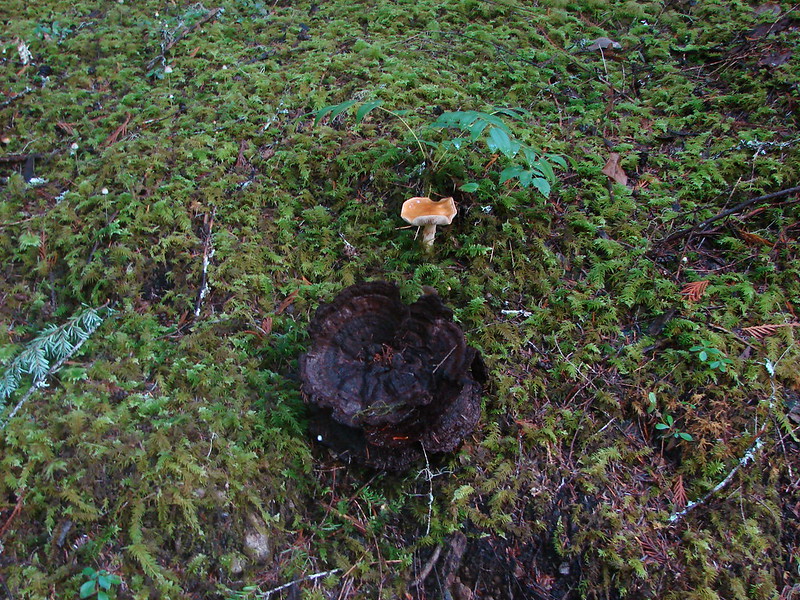
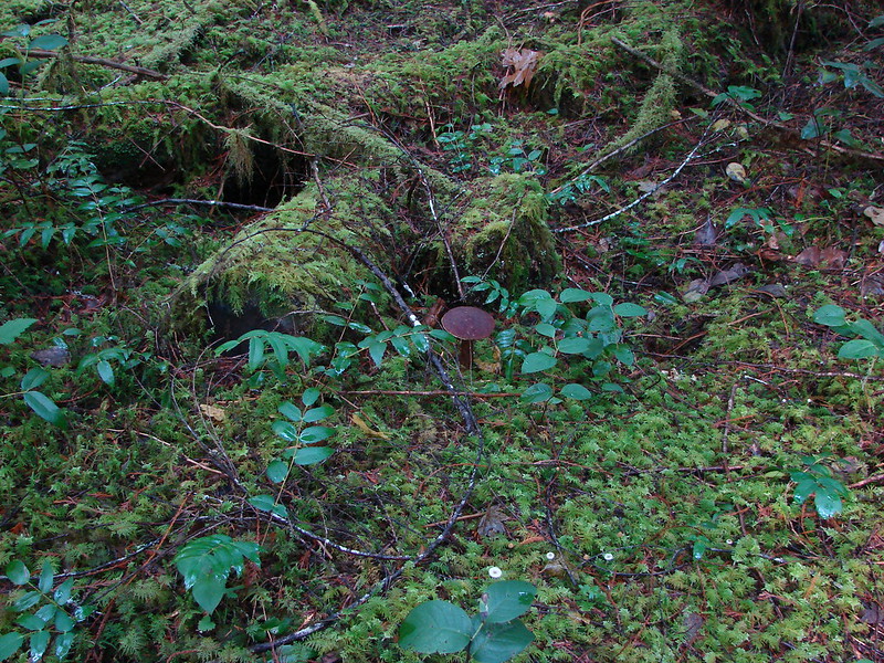
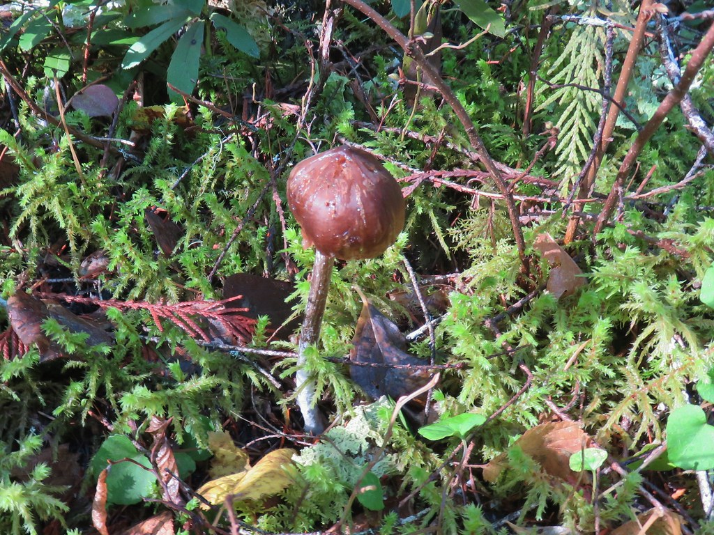
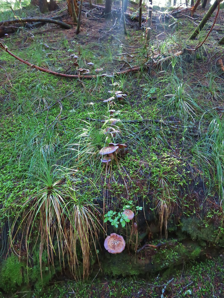
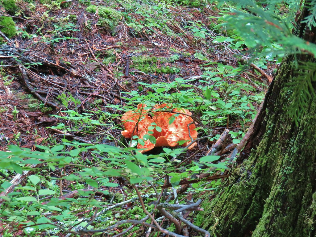
 Fall means mushrooms.


 Anderson Creek joining the McKenzie.
 Olallie Creek across from the trail.
 Turning up Deer Creek to reach the footbridge.
 Up river from Deer Creek Road.
 Deer Creek Hot Springs would be somewhere along the right hand side of the river.
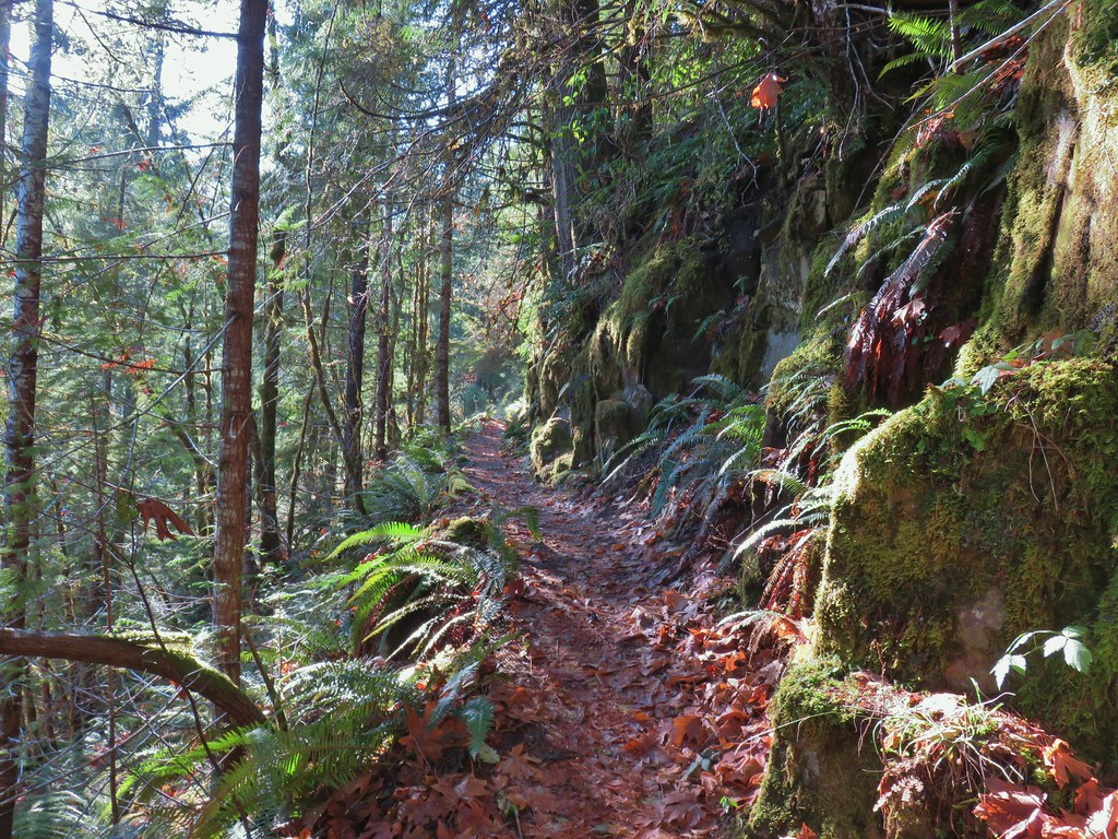
 We had to go around this bridge due to frost and it being at an angle.

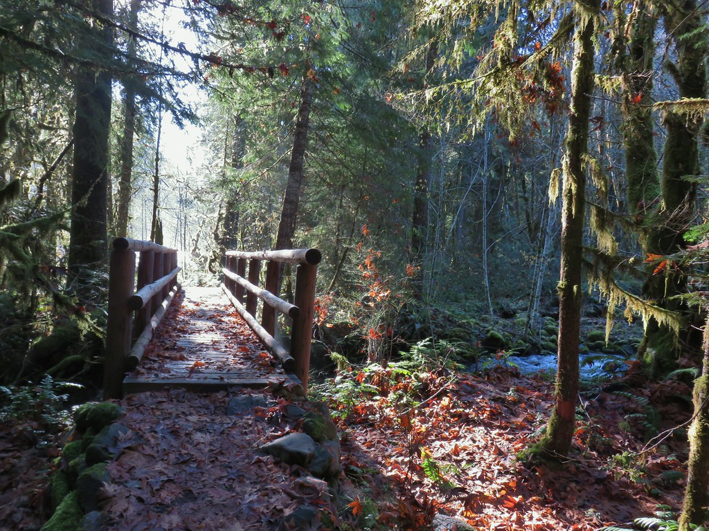 Footbridge over Frissel Creek.
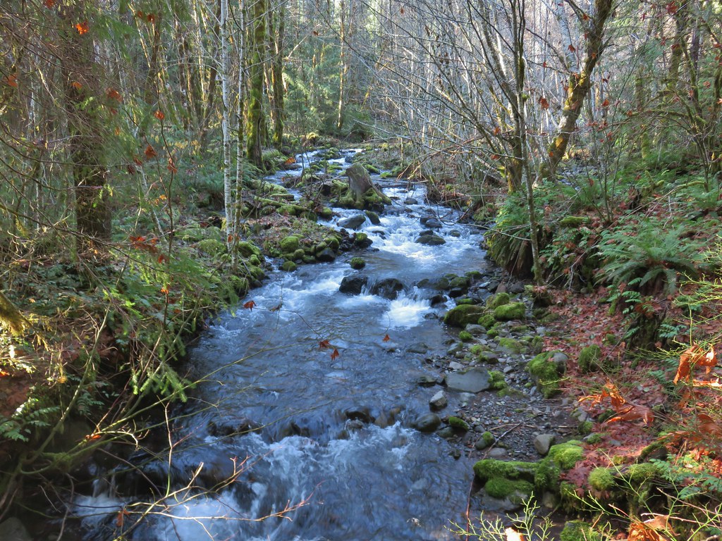
 Sun over the McKenzie River
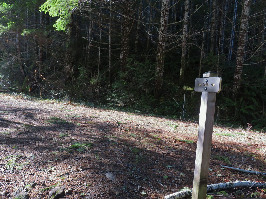 FR 610
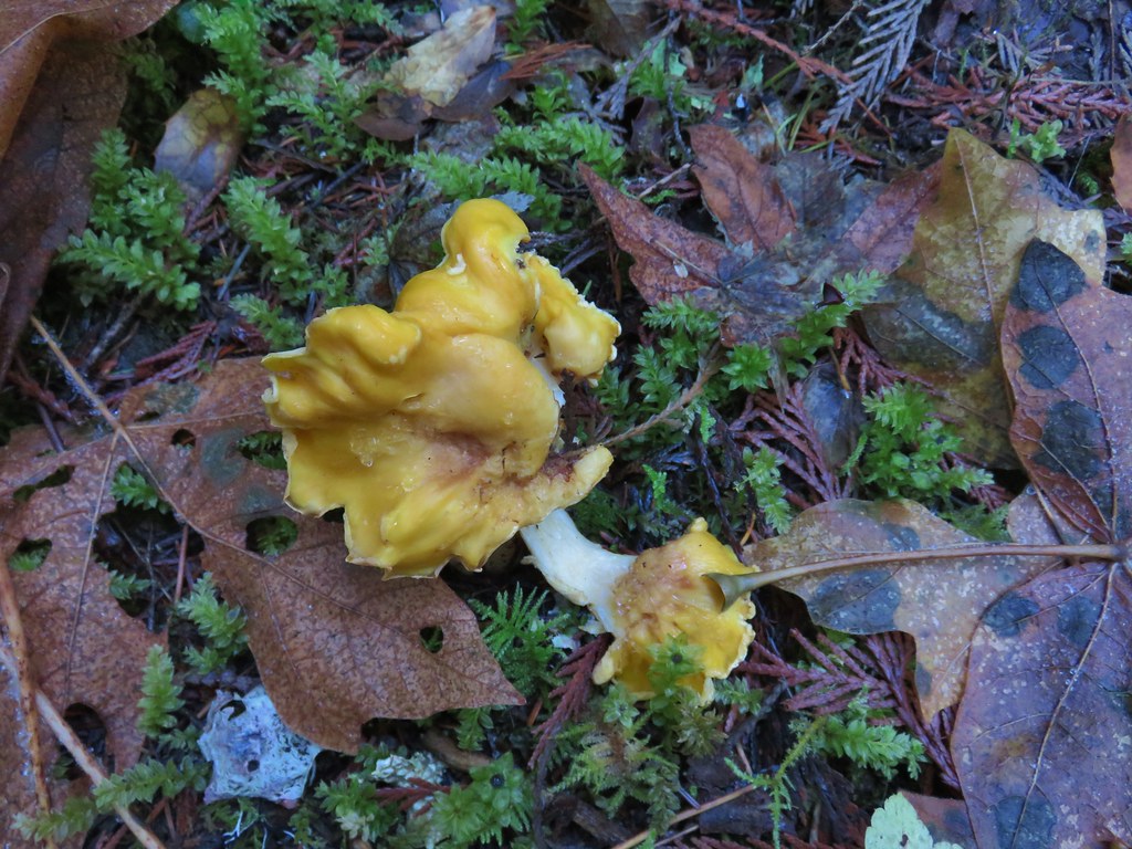

 We missed this sign for slough creek the first time by.
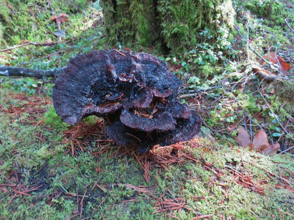

 Missed this survey marker too.
 We also completely missed this sign at Deer Creek.
 Still cold


 Without the use of the zoom on the camera they are hard to make out but the tops of the North and Middle Sister are visible over the hills.
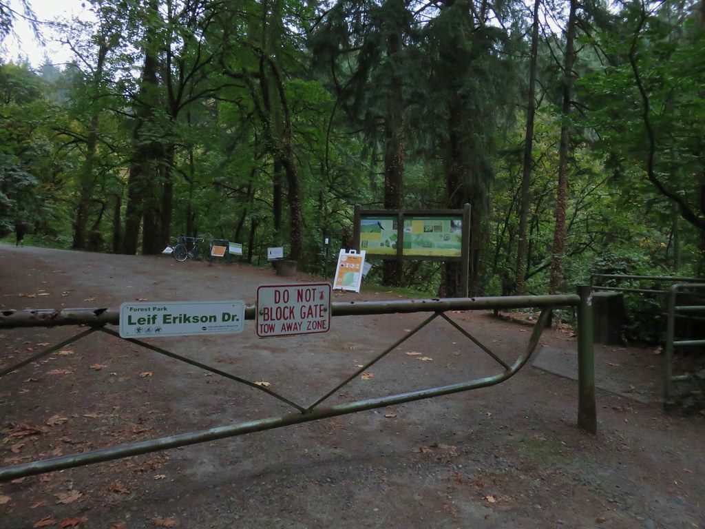
 .
.

 Switchback along the Wild Cherry Trail.


 This was the first slug we recall seeing of this color.
 Interpretive sign at the NW 53rd parking area.
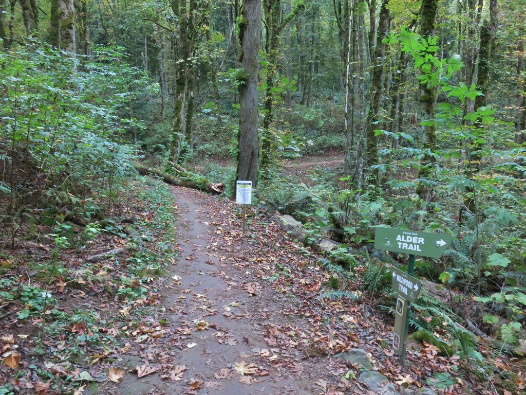


 The bridge damage was not an issue.
 Another bunch of musrhooms.

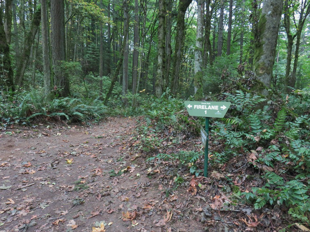 Firelane 1 junction.

 The fork, left was downhill right up.


 Firelane 1
 Somewhere along Leif Erikson there was supposed to be a view of Mt. St. Helens, Mt. Adams and Mt. Hood along the way but the clouds never burned off like the forecast had called for.
 The Alder Trail at Leif Erikson Dr.
 An orange one-way marker along Leif Erikson Drive between the Dogwood and Wild Cherry Trail junctions.


 Satuick Mountain
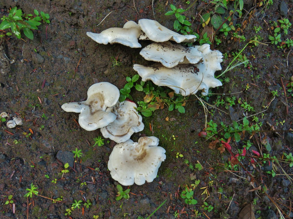

 First crossing
 Second crossing
 The third channel was the largest but still relatively small.
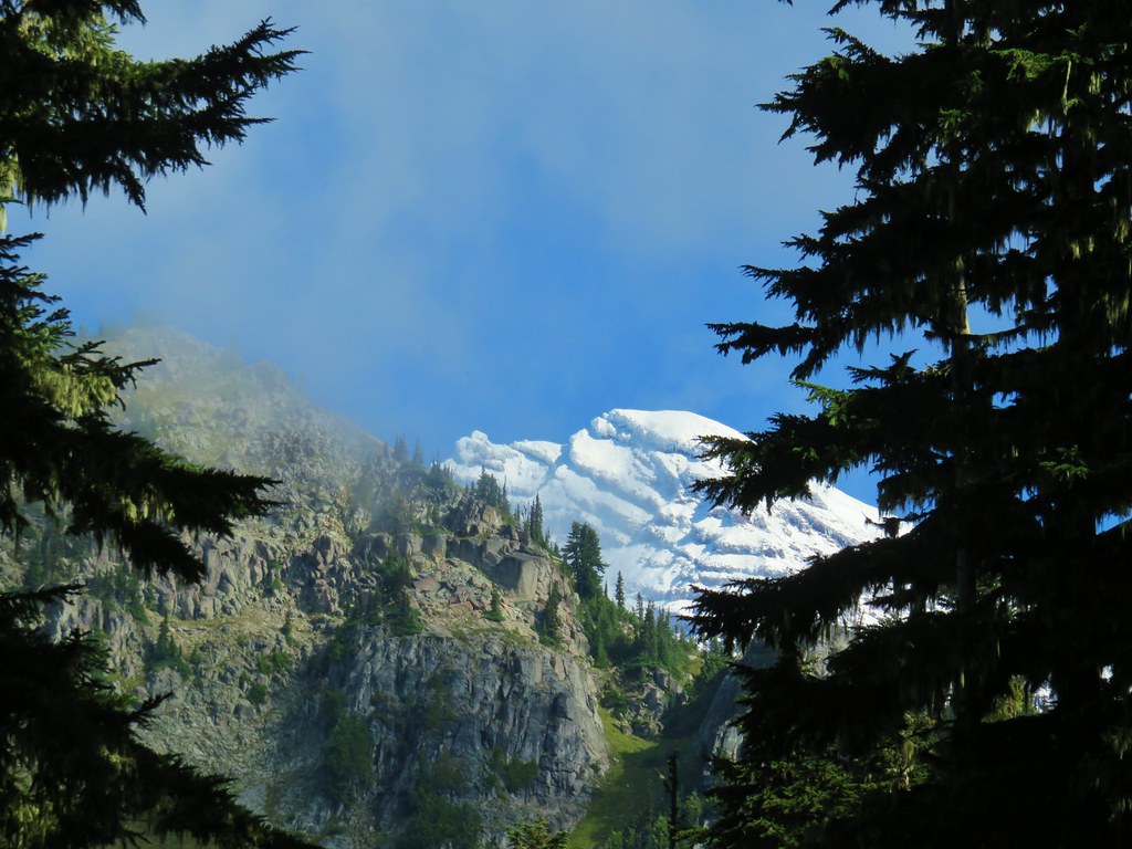
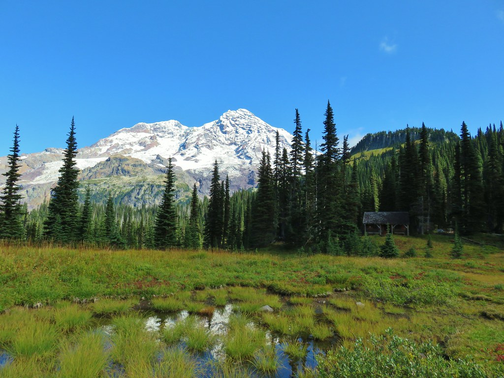
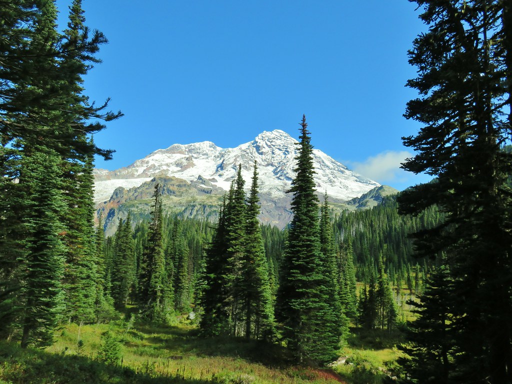
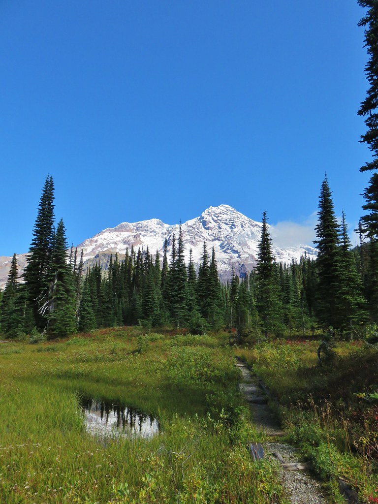
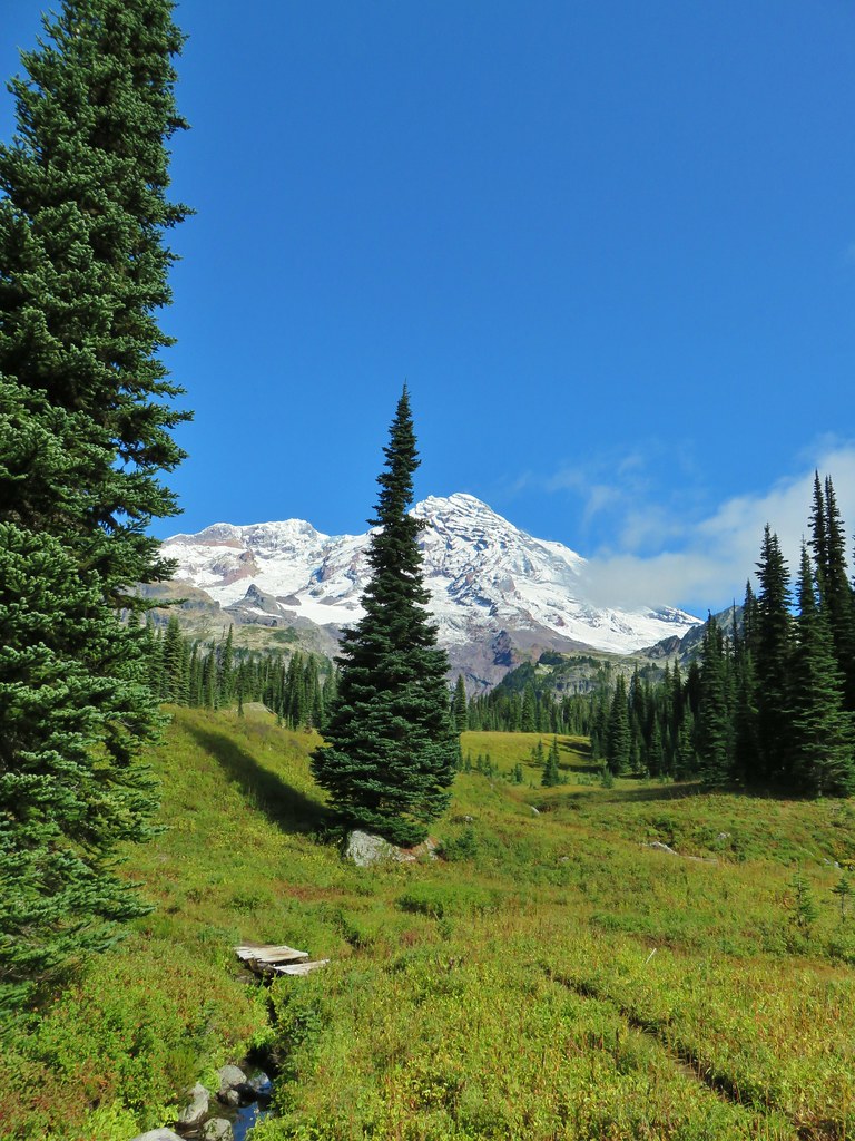
 Mt. Rainier from the far side of Kautz Creek.
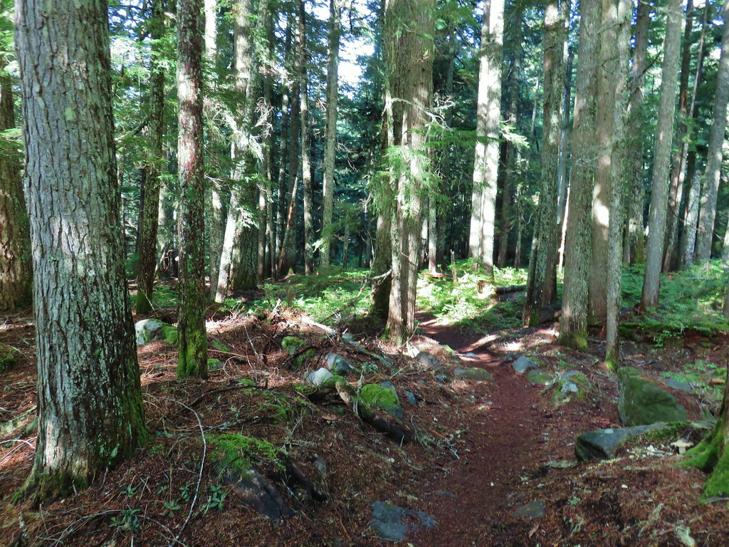

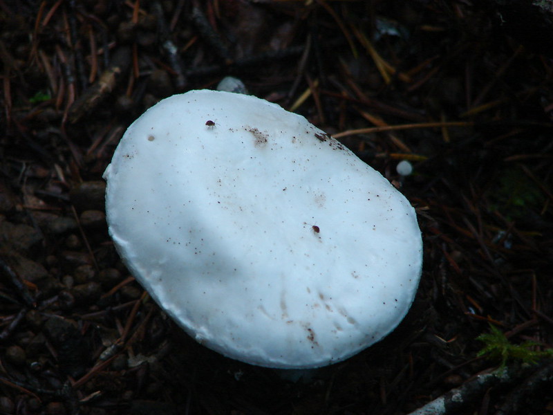
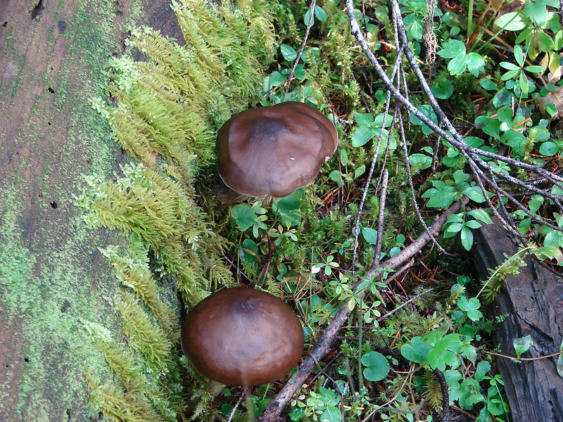
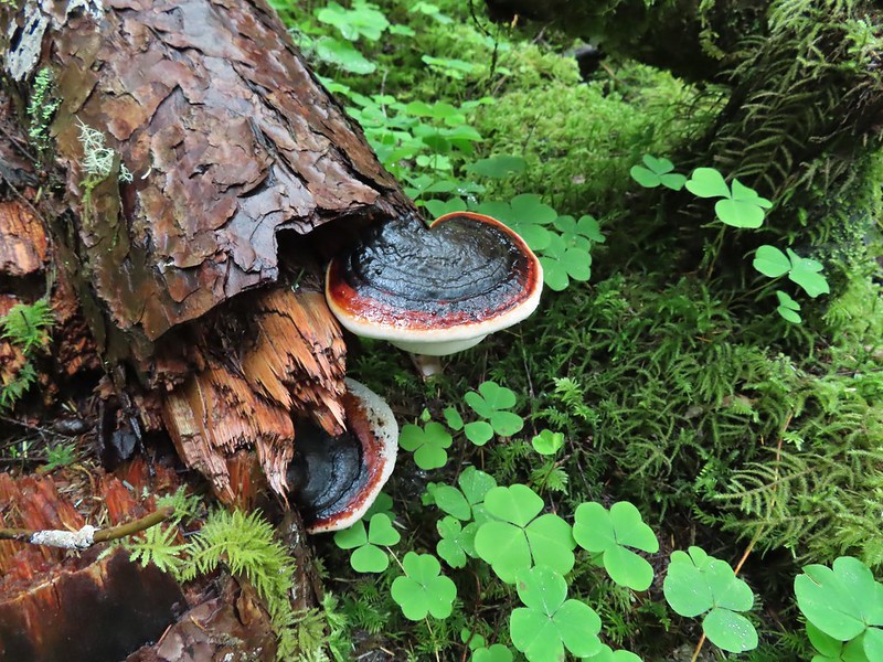
 Yet another big mushroom.


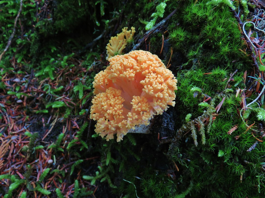 There were quite a few coral fungi present as well.
 Fishers Hornpipe Creek
 The mushrooms in the back had exploded.
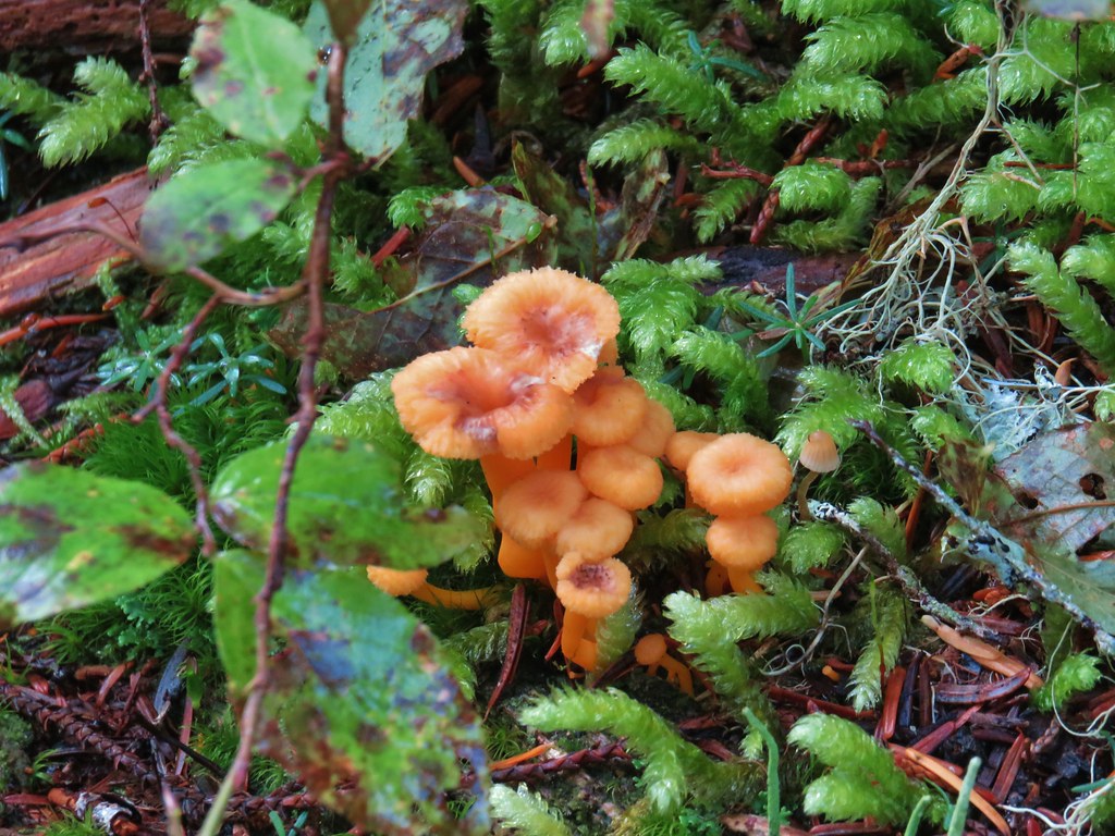
 A few red huckleberries left to eat.


 Bear pole


 Gentians
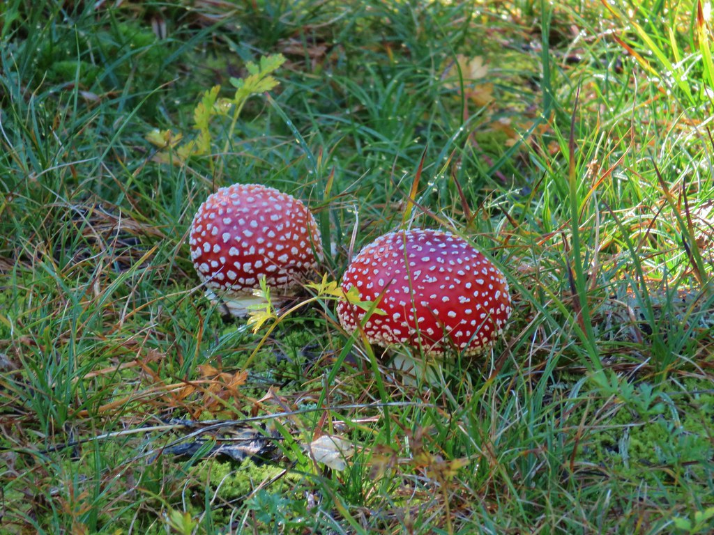 Mushrooms in the meadow.
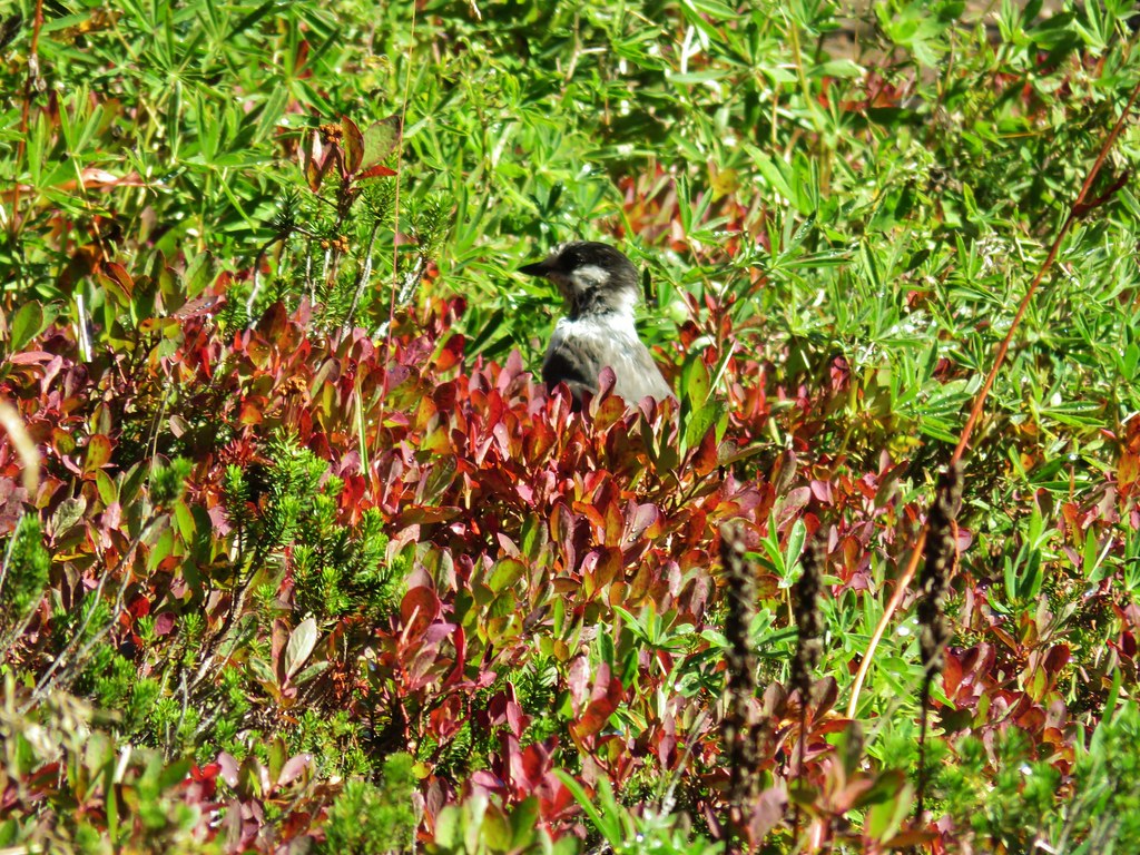 Gray jay in the huckleberries.
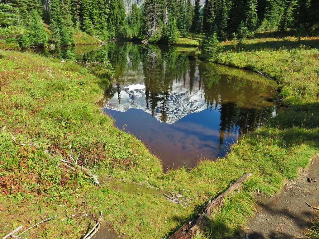
 Iron Mountain from the lake.


 Western pasque flower
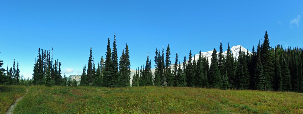


 Paintbrush
 Butterfly on the remains of an aster.
 Gentians
 Pyramid Peak to the right.


 This guy was tiny.

 Frog on a rock at the spring.


 Looking back across the road.