
March began with a couple of weeks of wet weather including several days with snow mixed in with the rain. Things finally changed this week and by the weekend temperatures in the Willamette Valley were entering the low 70’s which meant it was time for our March hike. Dorris Ranch had been on the schedule for March 2024 since 2022 following a February hike by my parents there. They’d been a little too early for any flowers, so March seemed like a good time for us to give the ranch a try.
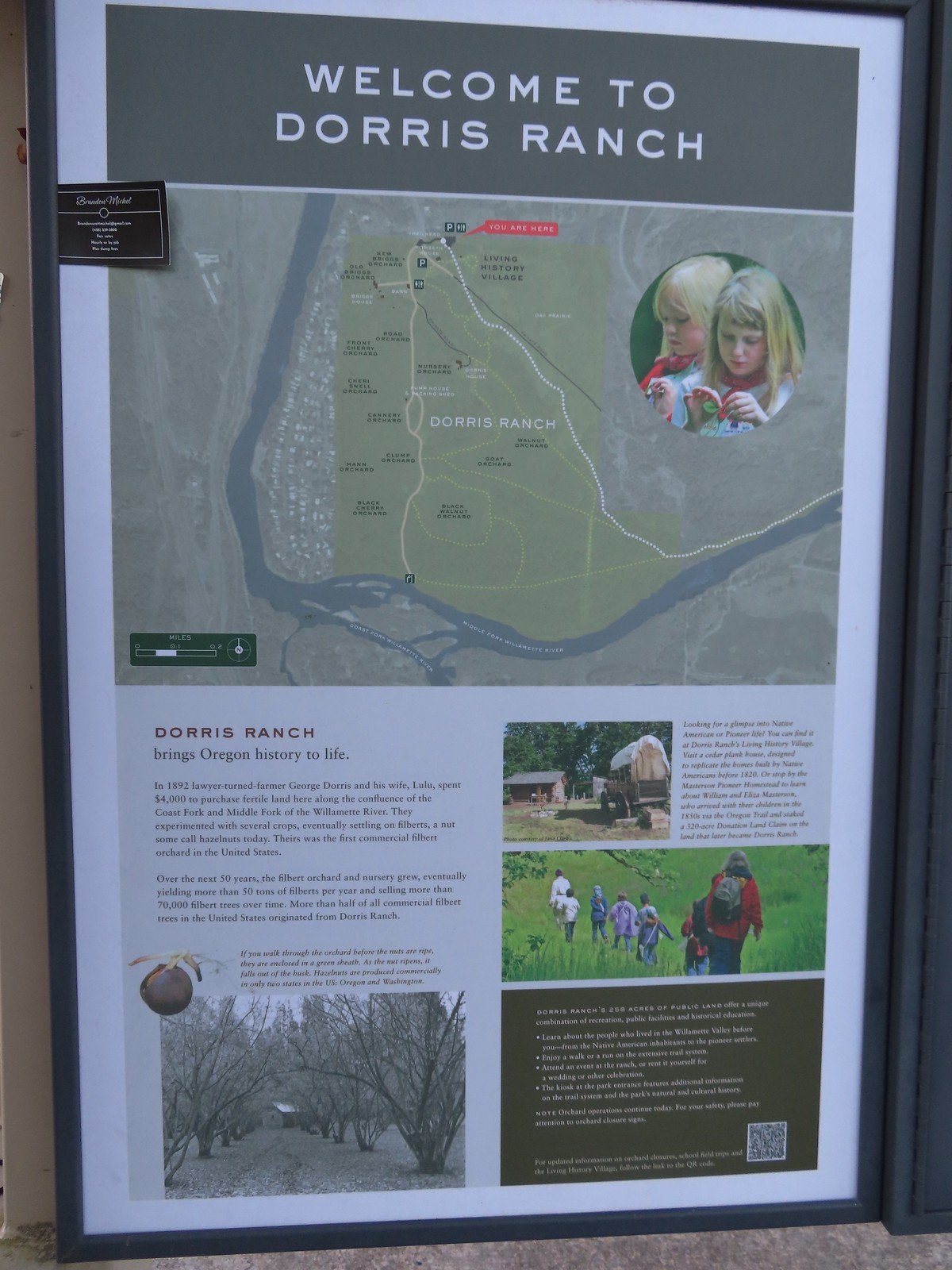
The 268-acre Dorris Ranch (est. 1892) is located in Springfield, OR and is recognized as the first commercial filbert (hazelnut) orchard in the United States. Listed on the National Register of Historic Places, it is reported that over 50% of the commercial filbert trees growing in the U.S. today originated from the Ranch’s nursery stock.
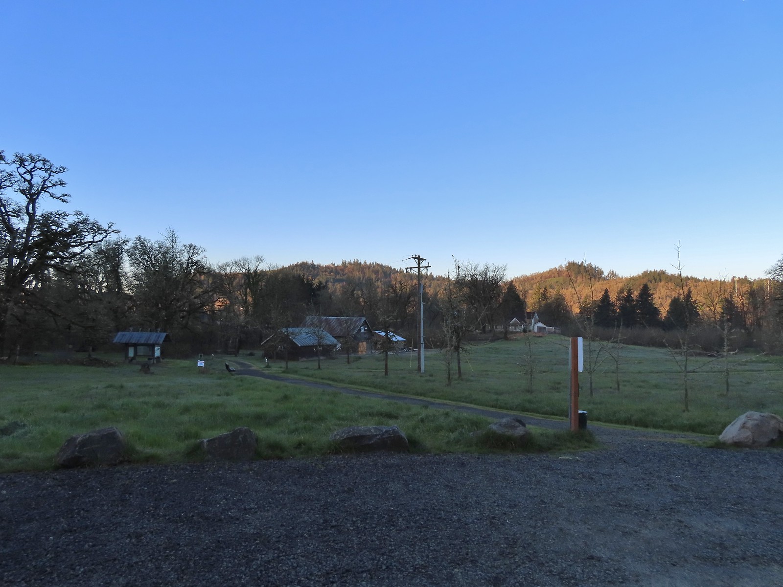
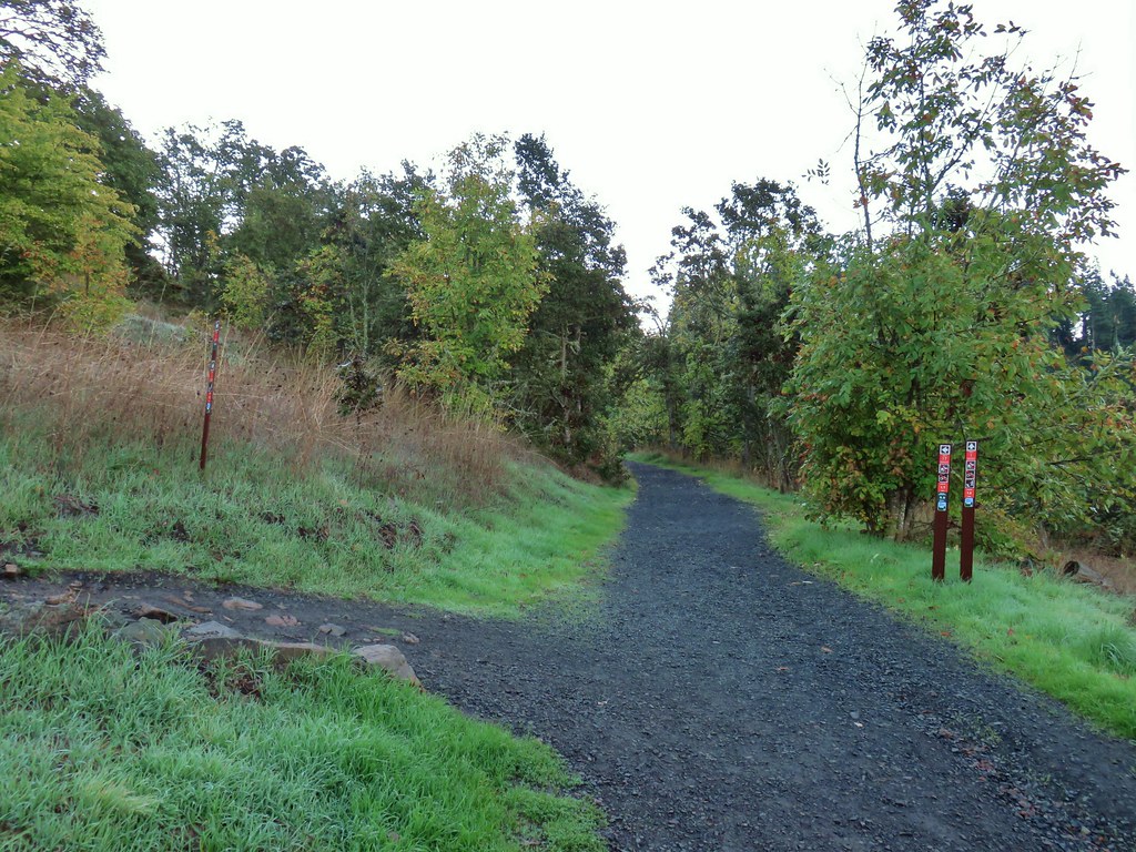
Trails crisscross the ranch ranging from the paved Middle Fork Path to gravel and natural surface paths. We parked at the Middle Fork Path Trailhead at Dorris Ranch. Our plan was to begin by hiking through the orchards to the confluence of the Coast Fork and Middle Fork Willamette Rivers then continue on to the Middle Fork Path and follow it to its end at Clearwater Park and then return to the trailhead via the Middle Fork Path.
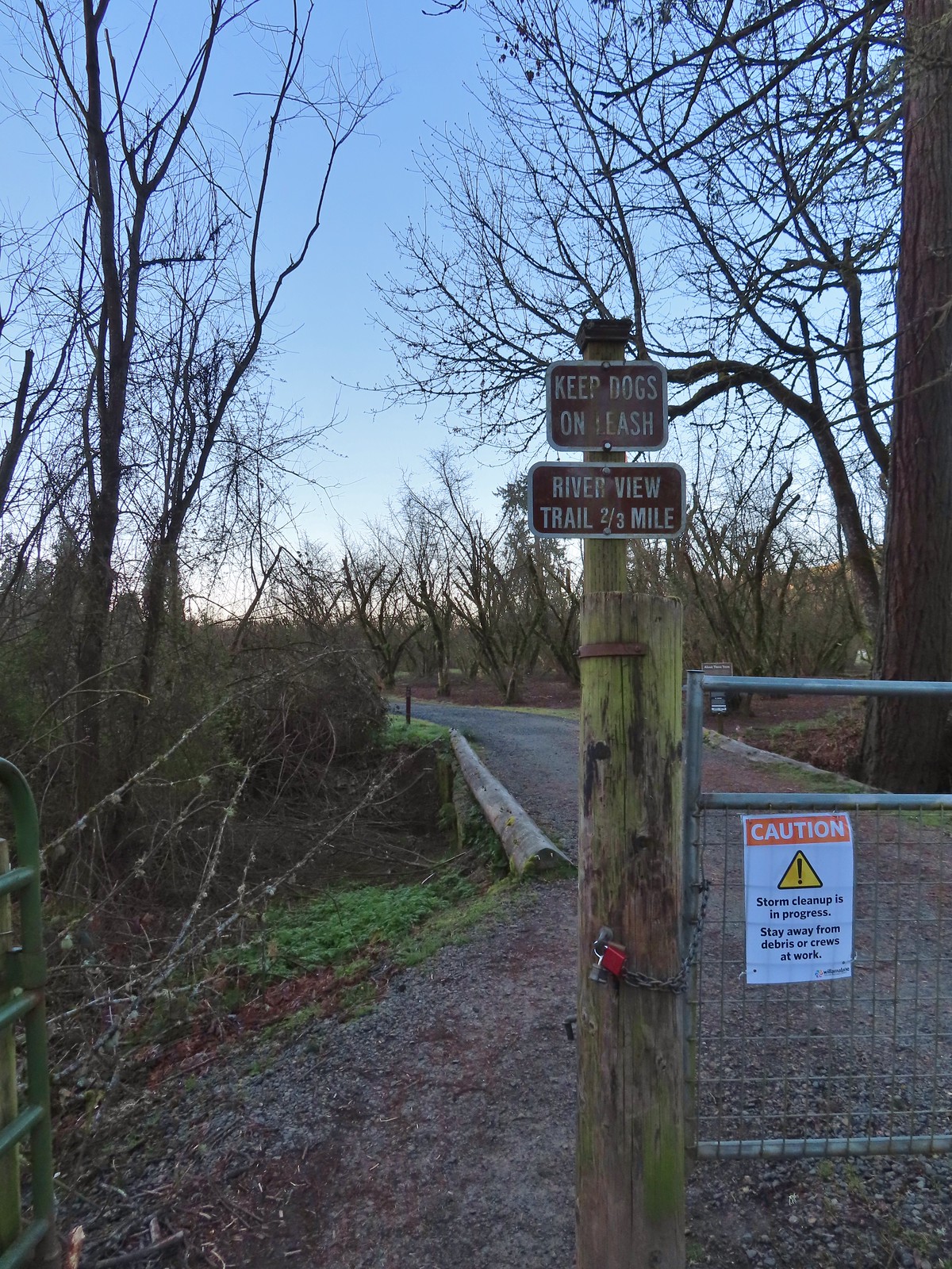
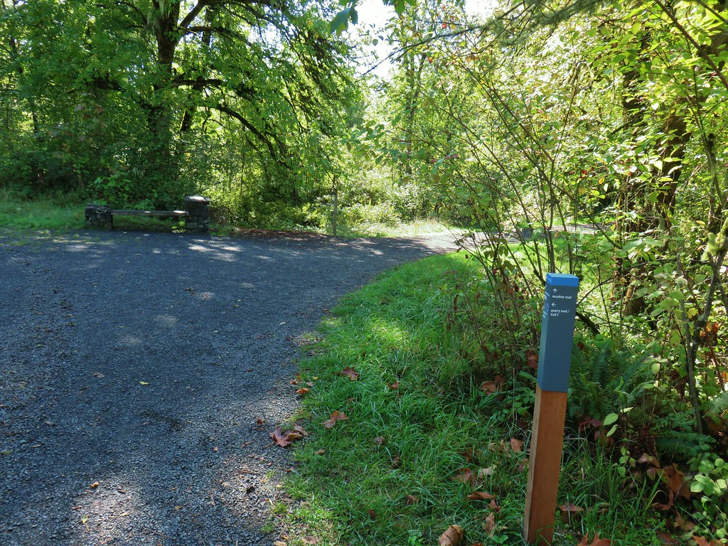
 Signboard at the trailhead.
 Map of the trails at Dorris Ranch.
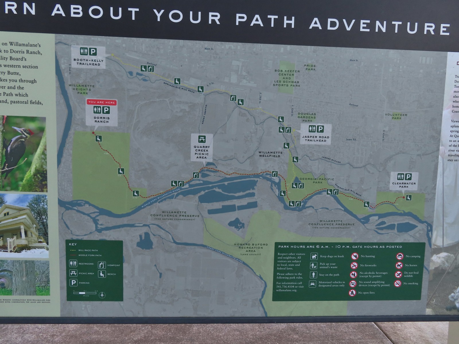 Map of the Middle Fork Path (red) and Mill Race Path (yellow).
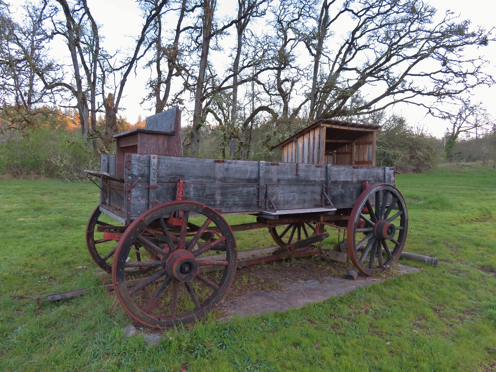
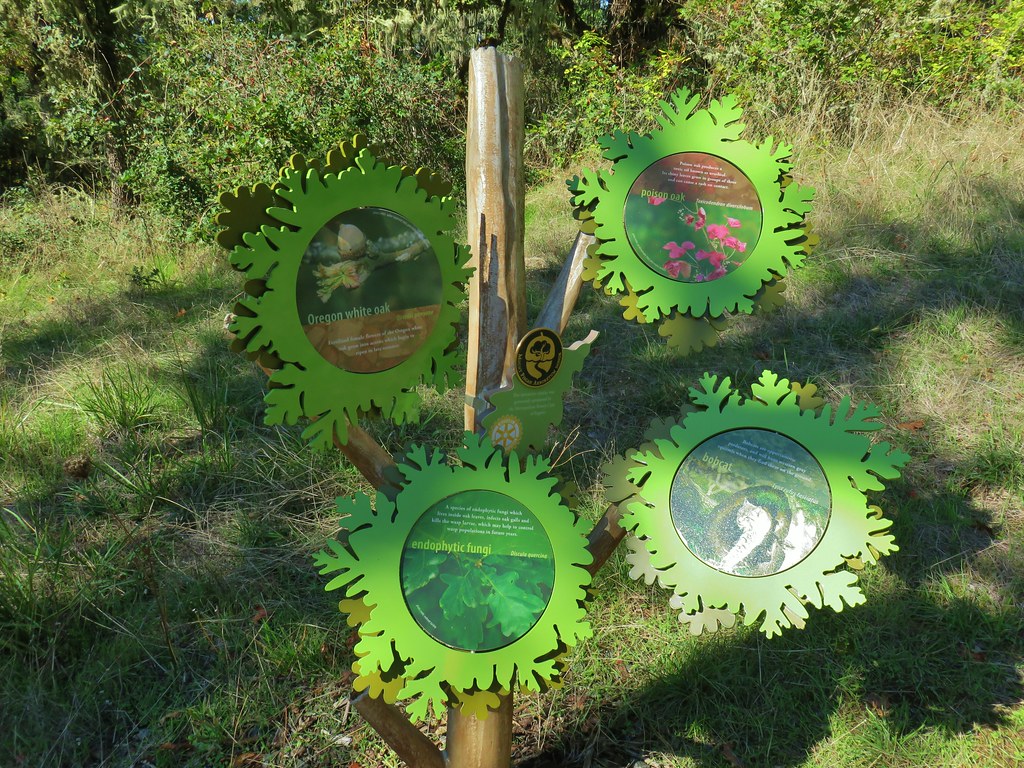
Before heading for the rivers we visited the Living History Village. Replicas of the 1850’s buildings built by the Masterson family built prior to selling the land to the Dorris family are located along a short loop and is used for school field trips.
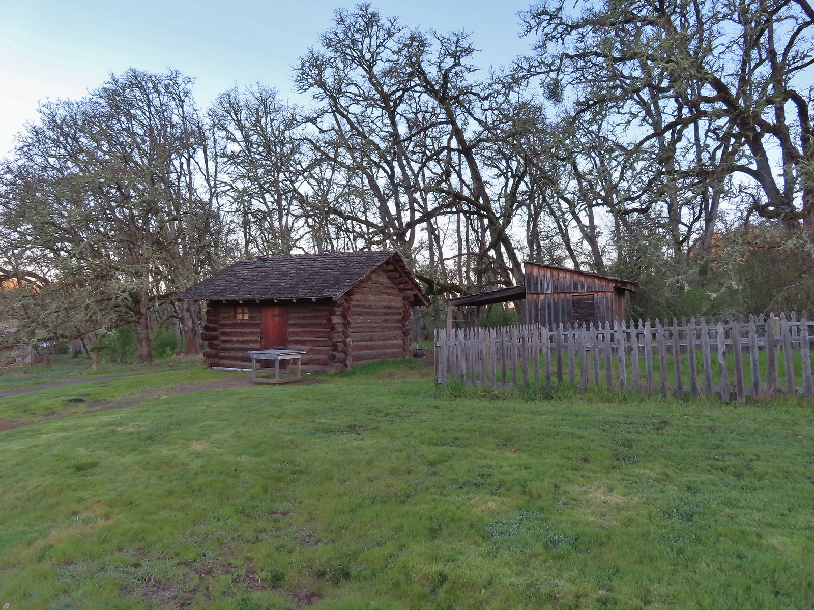 The Masterson cabin replica. They were a family of ten when they moved out.
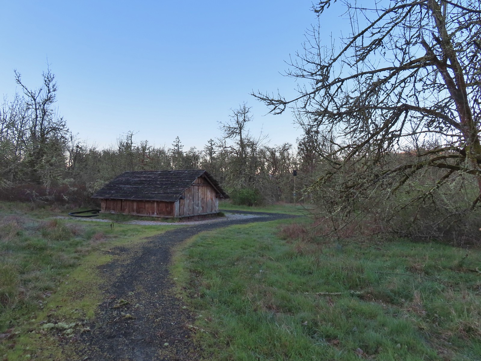
After checking out the Living History Village we headed downhill to the Dorris Ranch Barn.
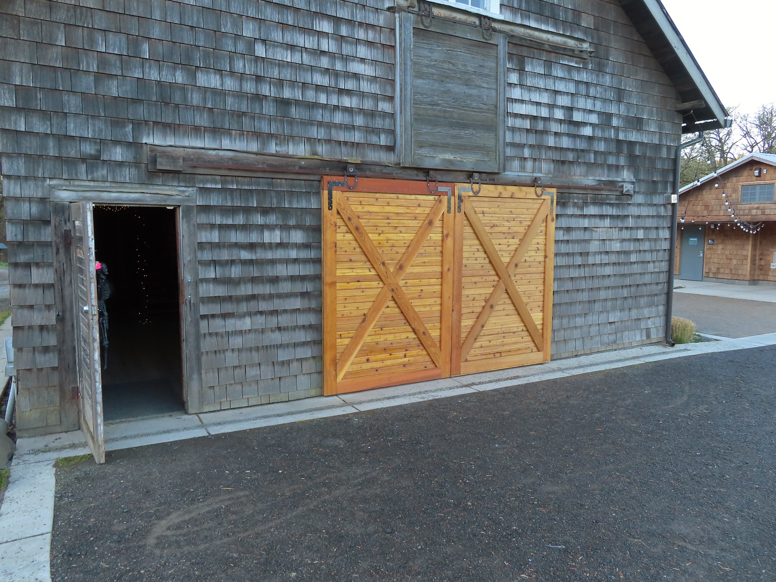 These cedar doors were installed earlier this month replacing a broken door.
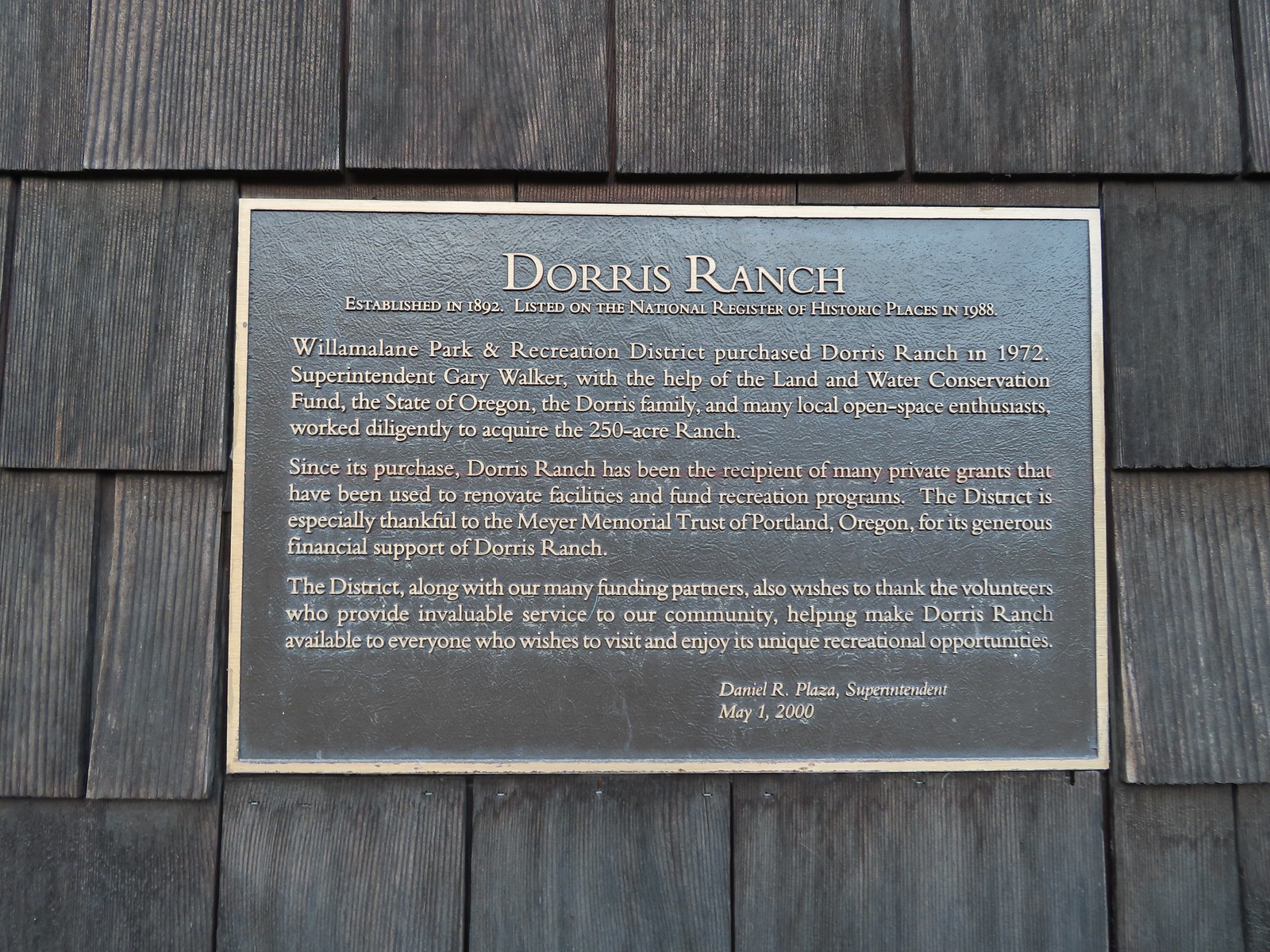 Plaque on the barn.
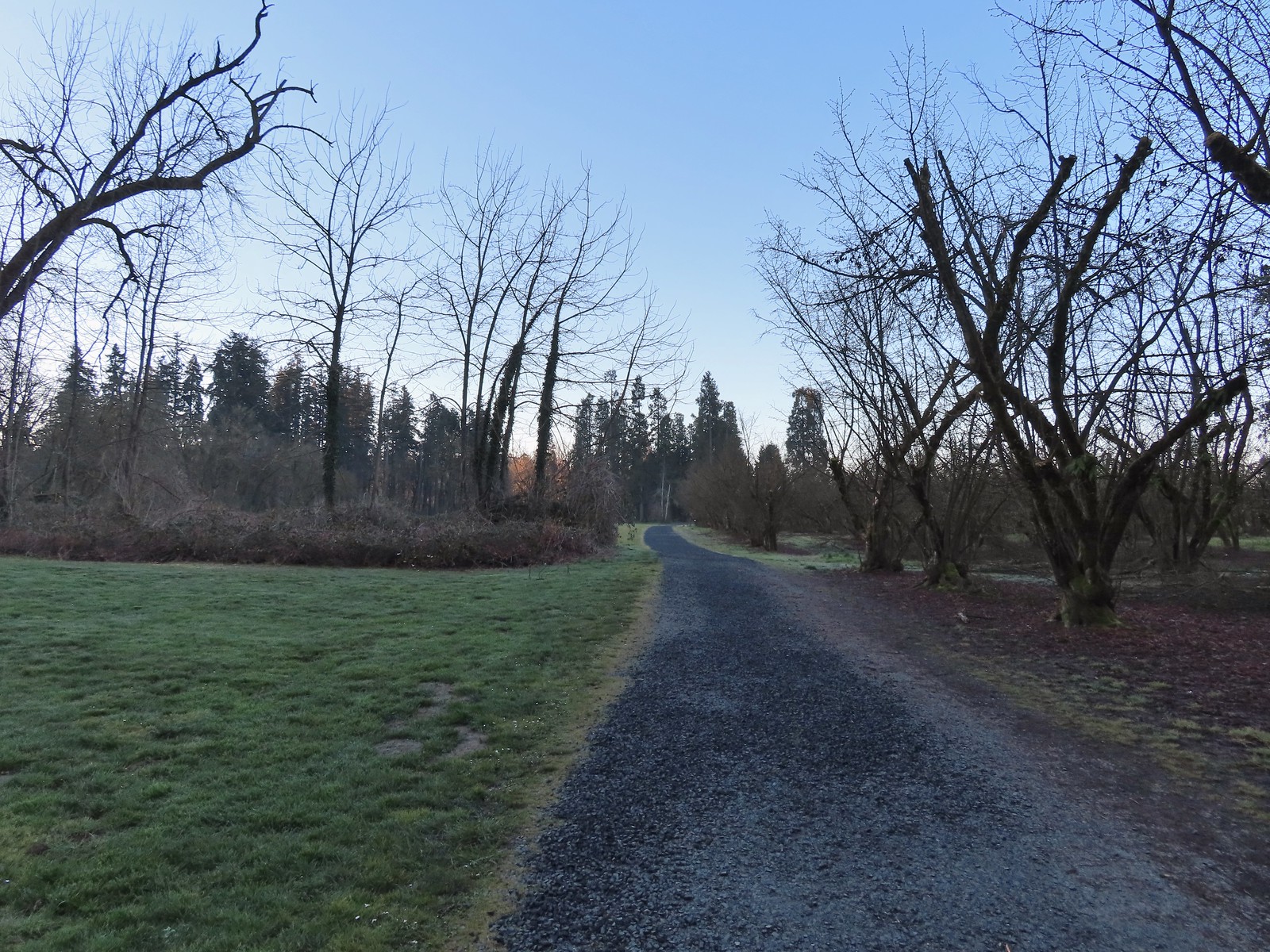
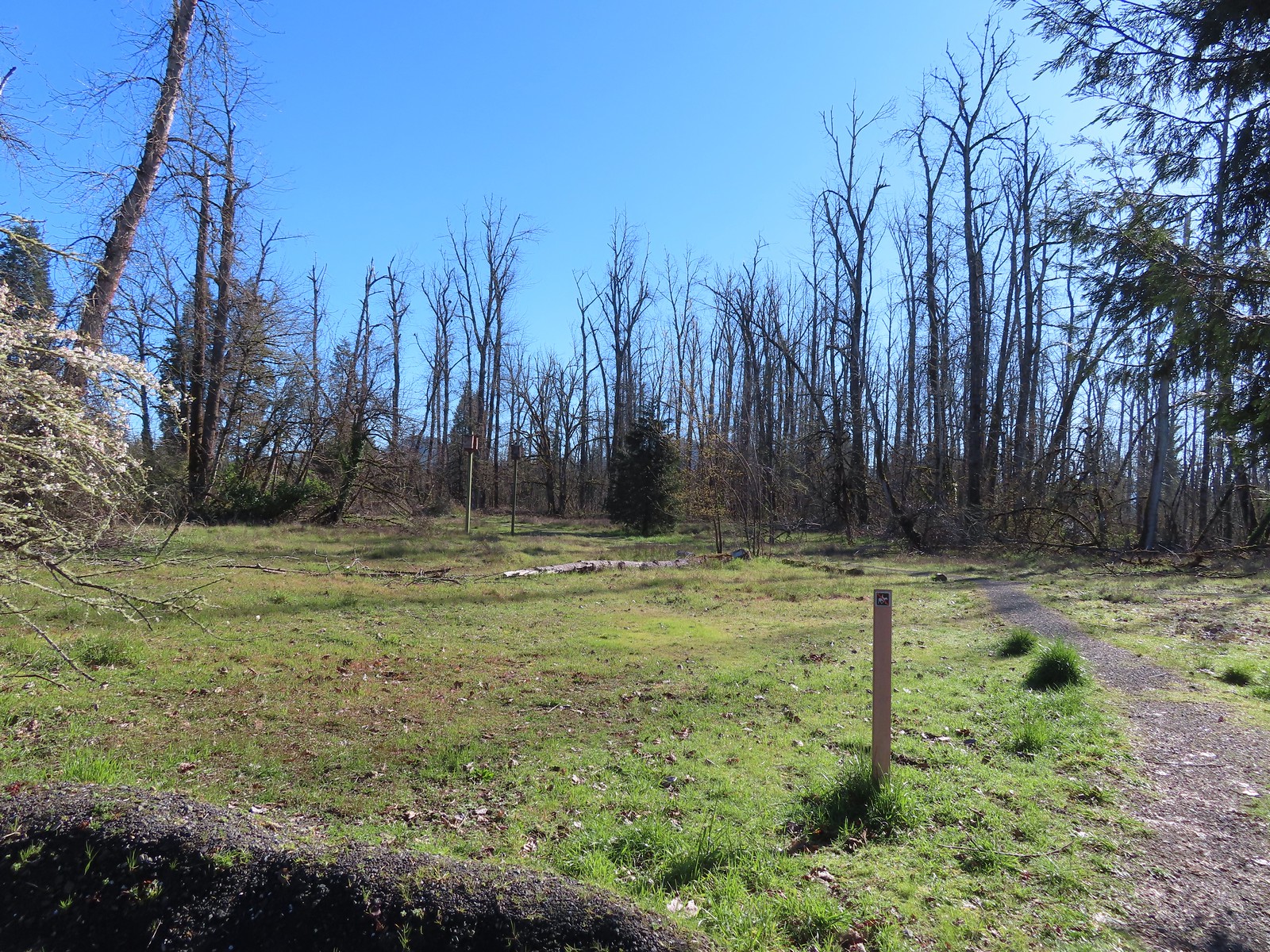
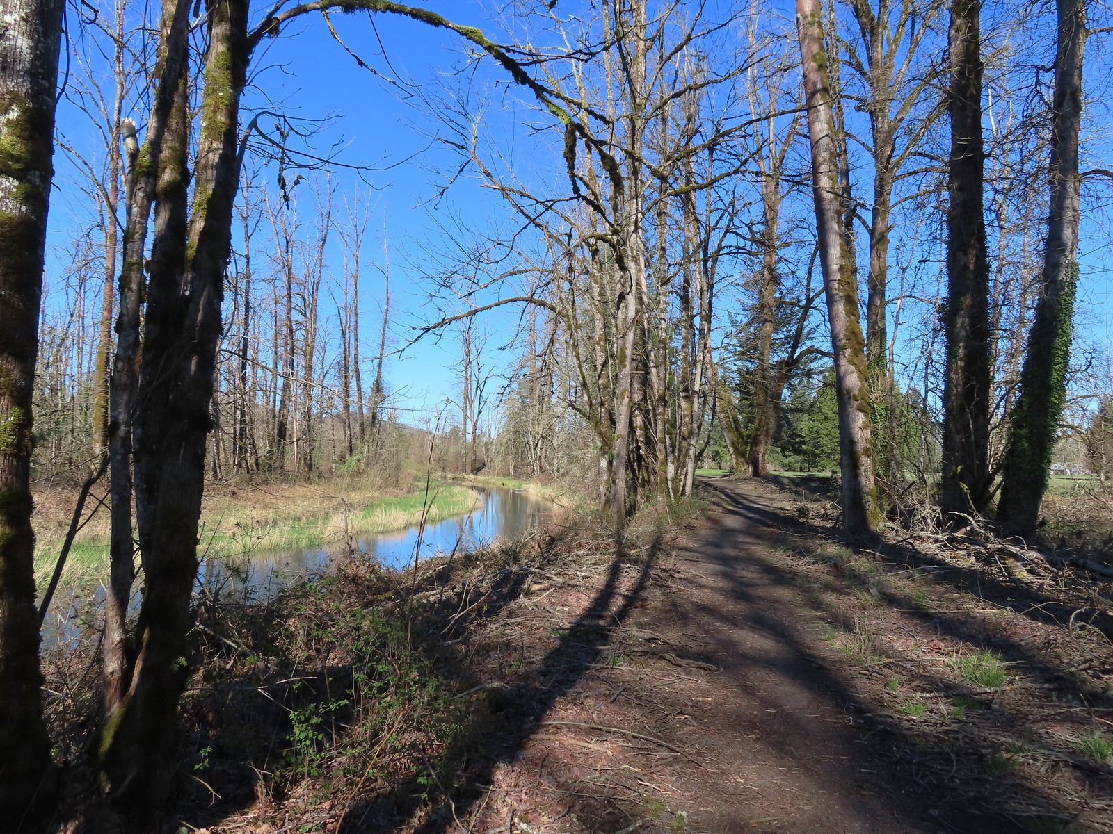
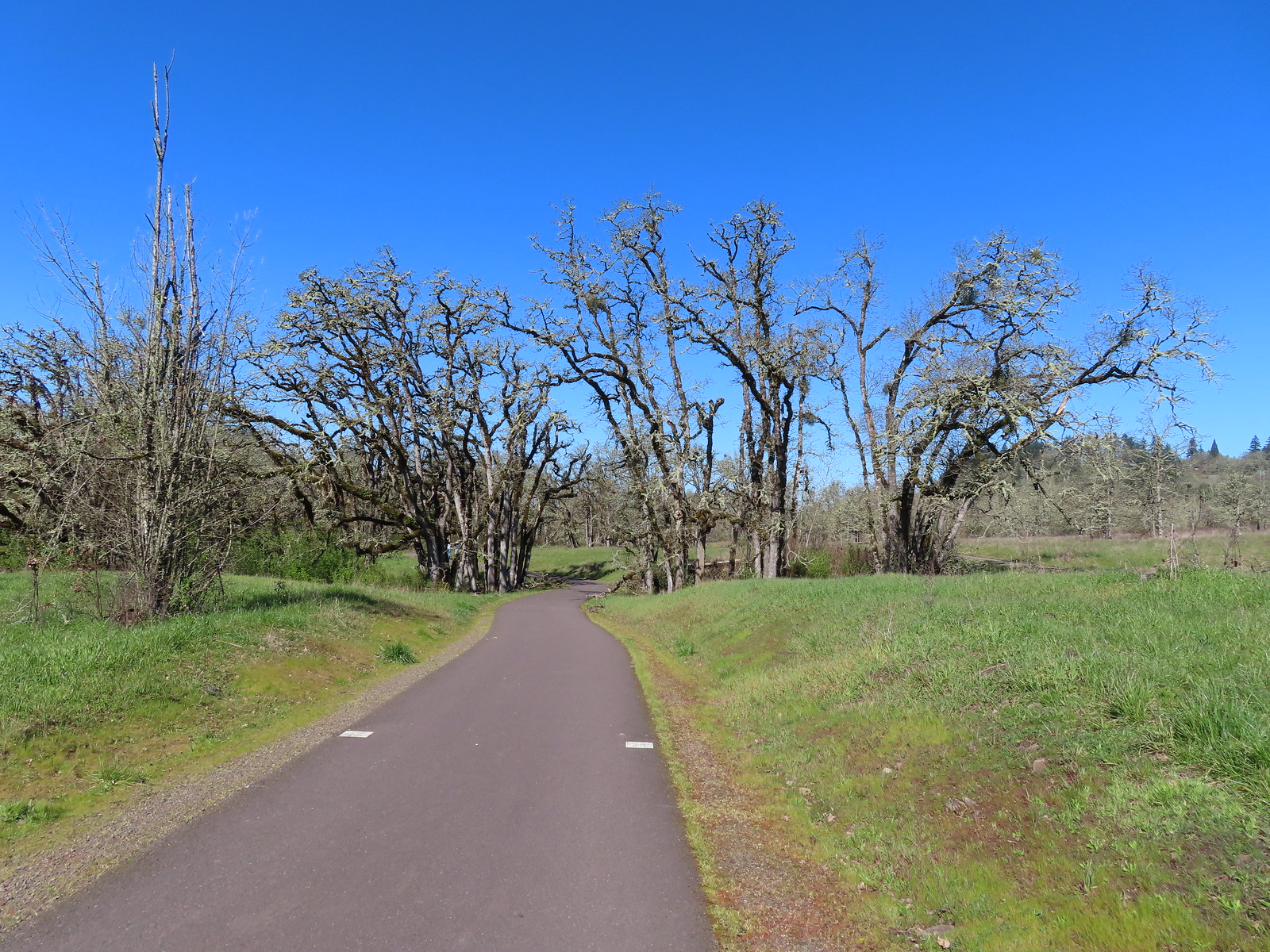
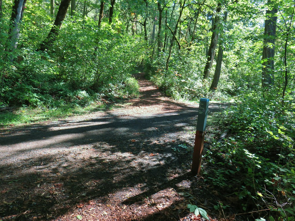
From the barn we took a wide gravel path past a gate to the orchards.

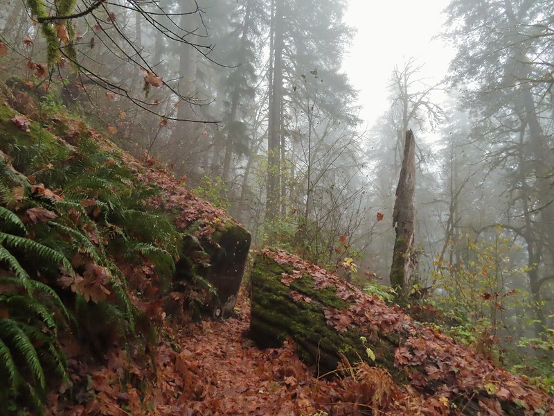
 A January 16th ice storm hit the area hard and damaged a number of trees at the ranch and along the Middle Fork Path.
 Some signs of the ice storm damage.
 Large trees around the pump house and packing shed.
 An American kestrel with an unlucky frog atop a tall tree.
 Oregon grape near the packing shed.
 Old oak tree along the path.
 Purple deadnettle beneath the old oak.
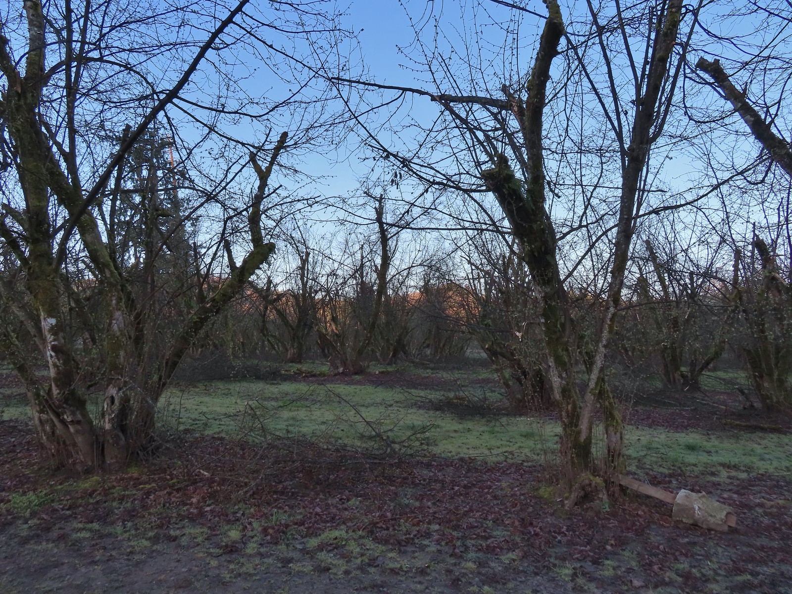
 Black walnut orchard just past the oak tree.
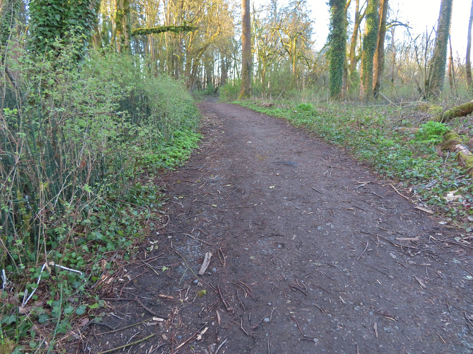
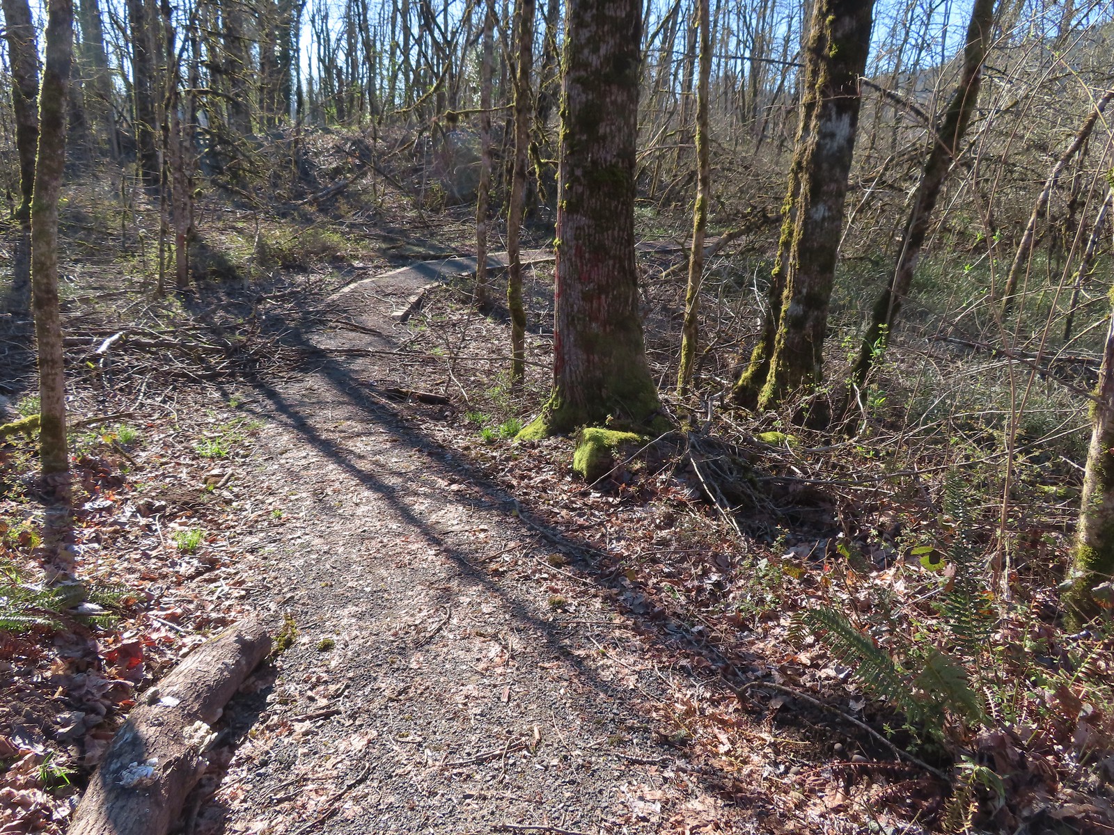
At the black walnut orchard the gravel gave way to a natural surface trail.
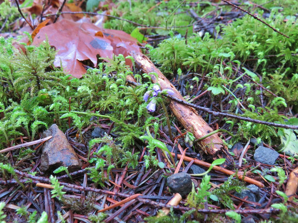
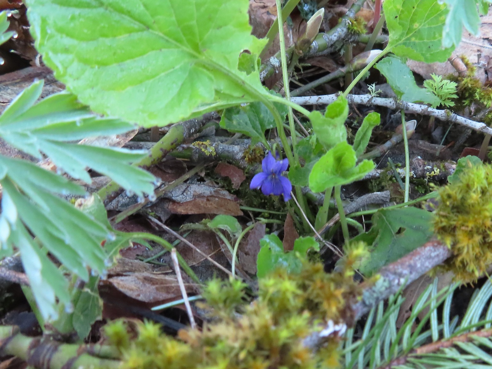 Violet
 Violet
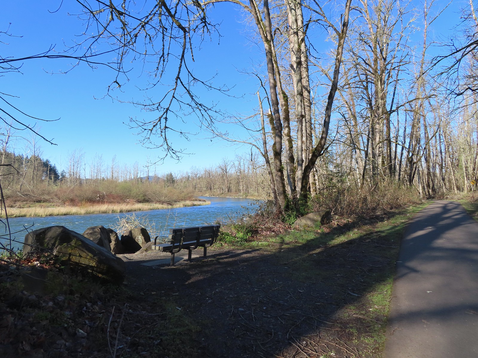
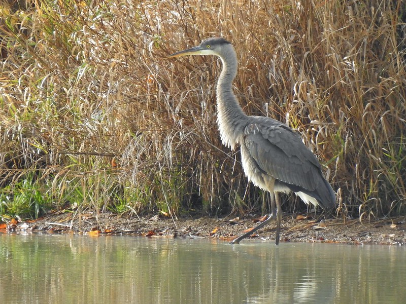
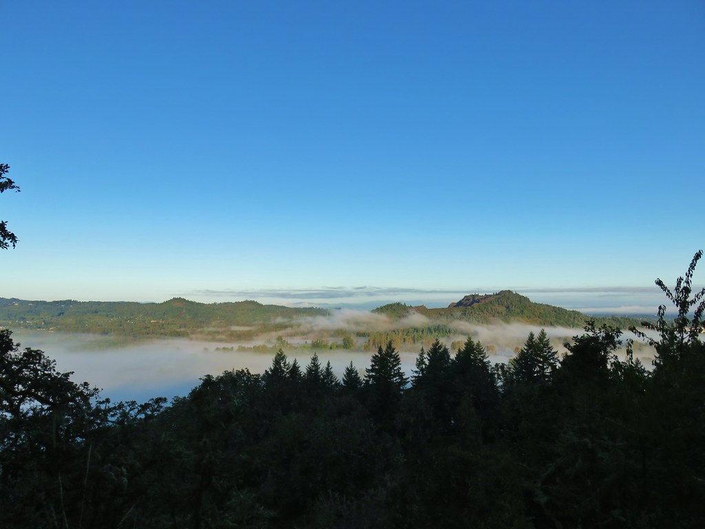
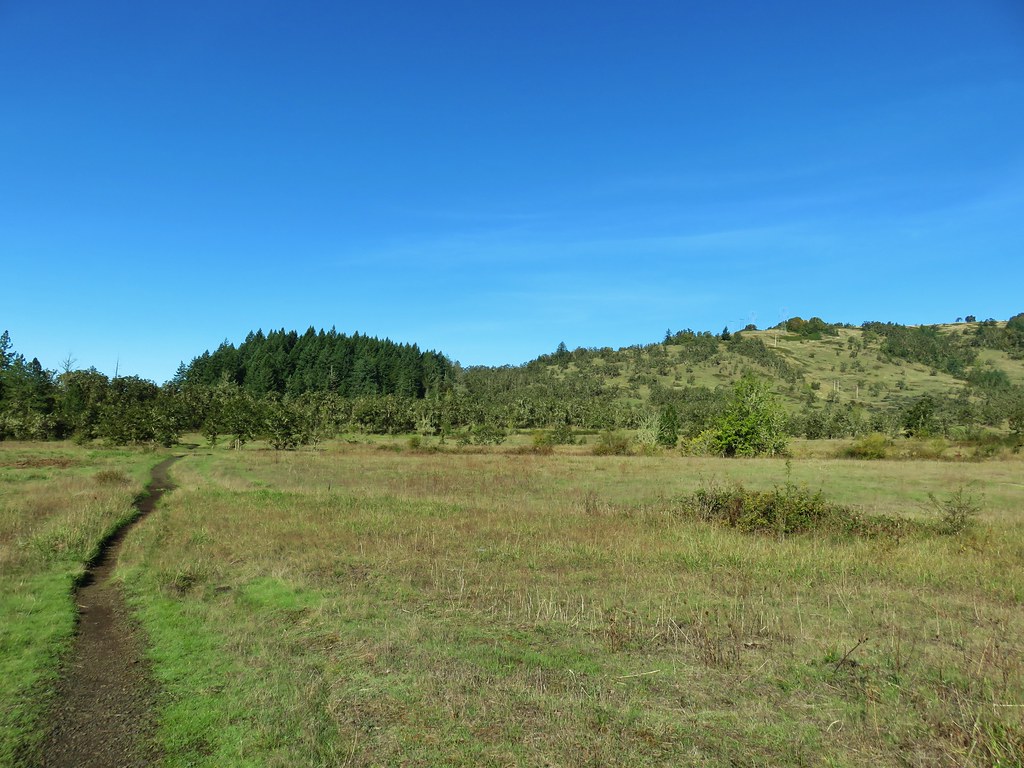
The trail arrived at a bench overlooking the confluence of the Coast Fork and Middle Fork Willamette Rivers.
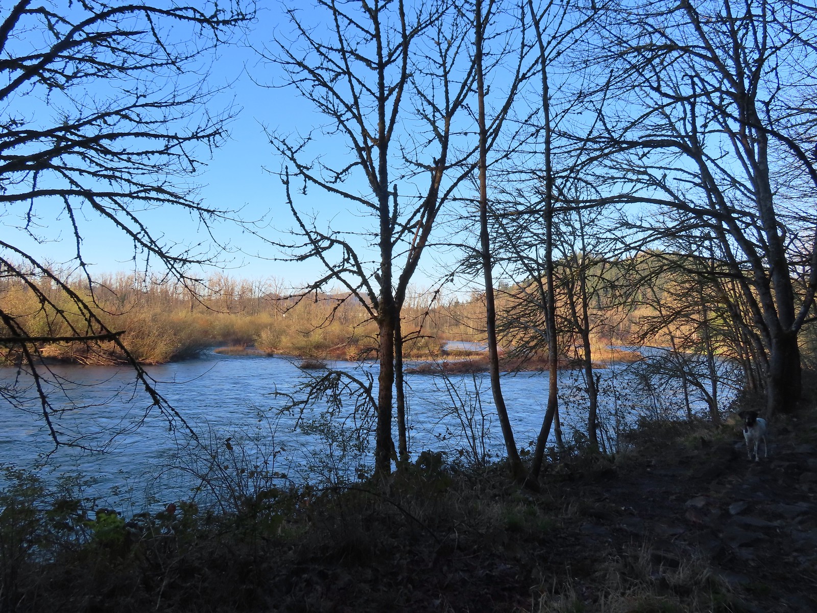 The confluence.
 Middle Fork Willamette River
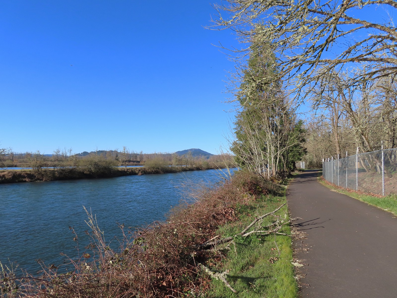
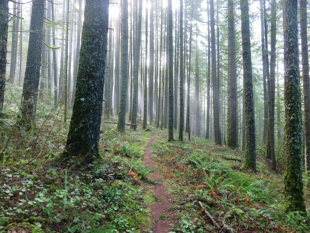
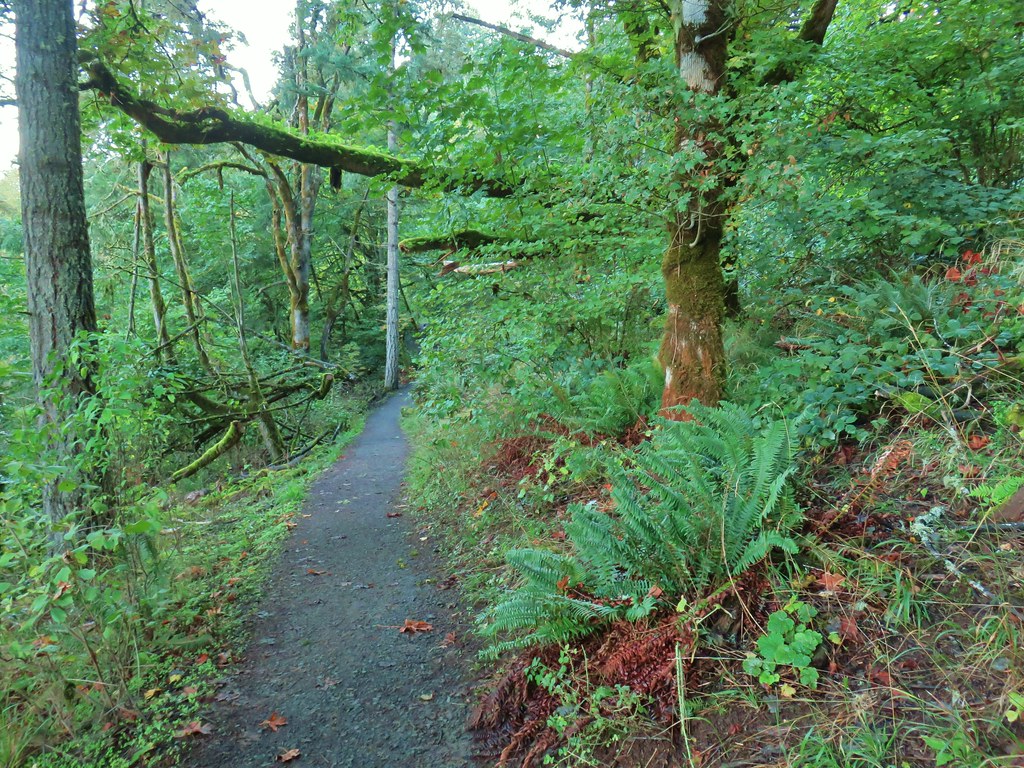
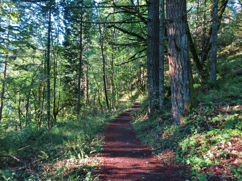
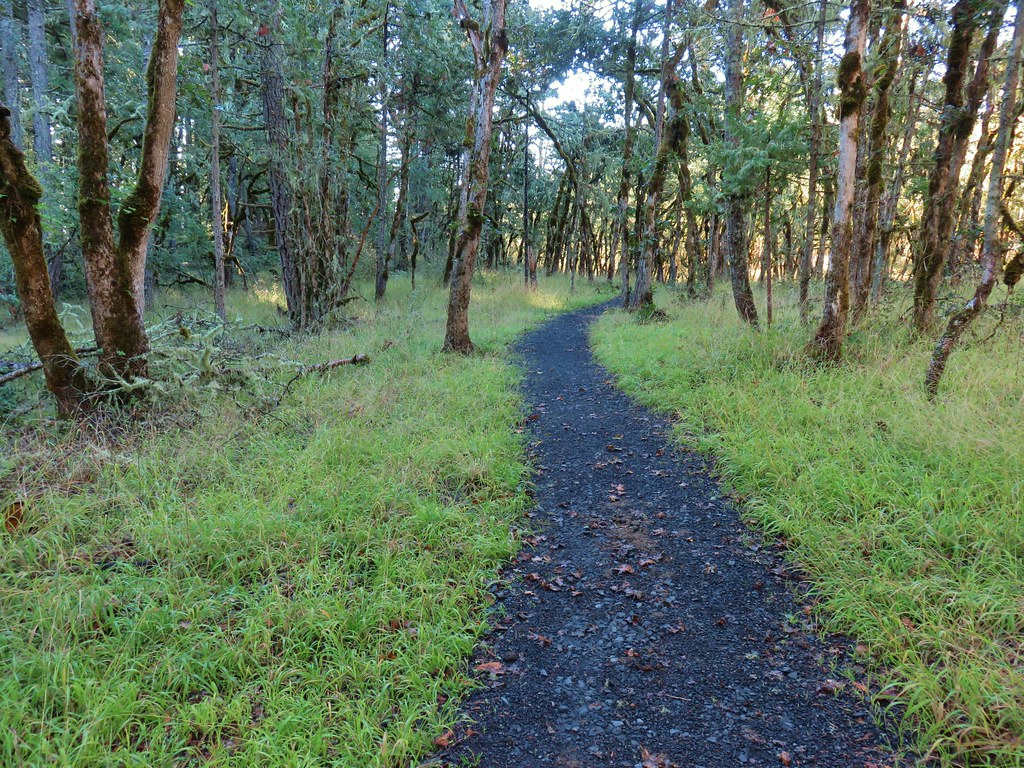
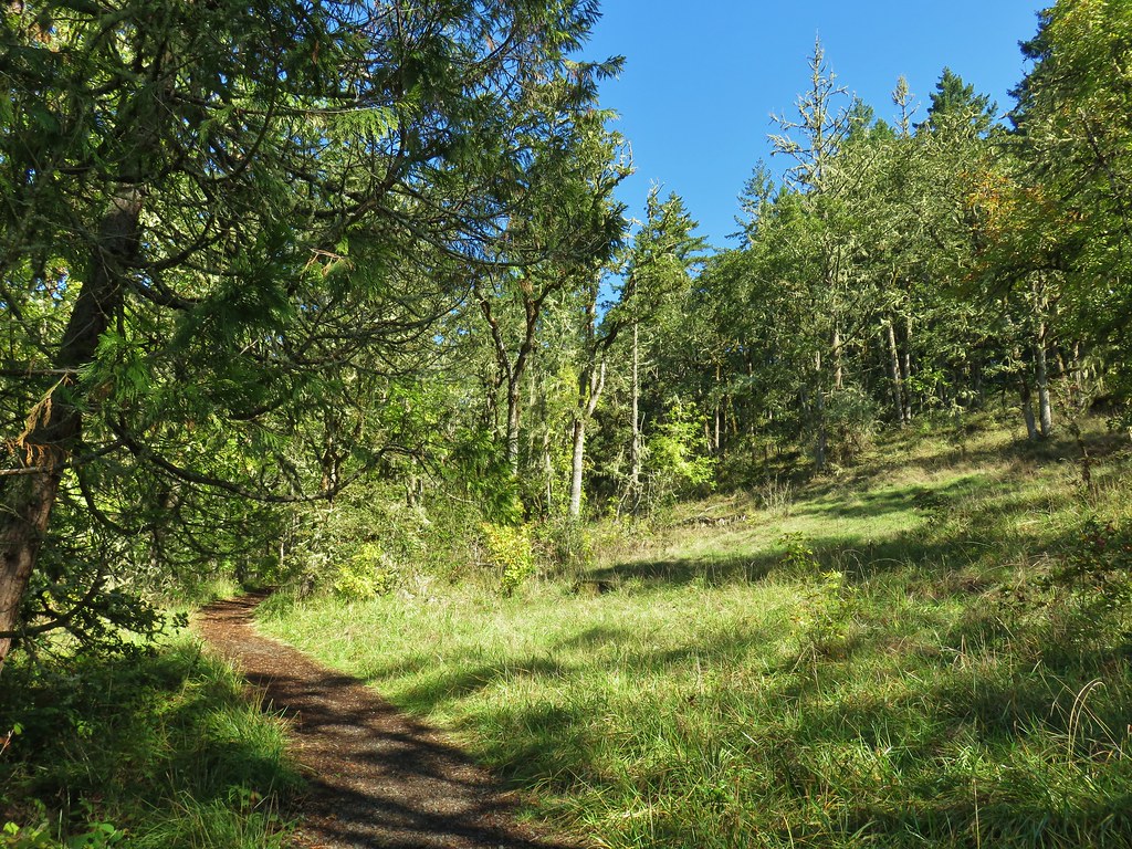
From the confluence the trail turned left passing through a forest before arriving at the Middle Fork Path after half a mile.

 Mallards
 Hooded mergansers
 Slender toothwort
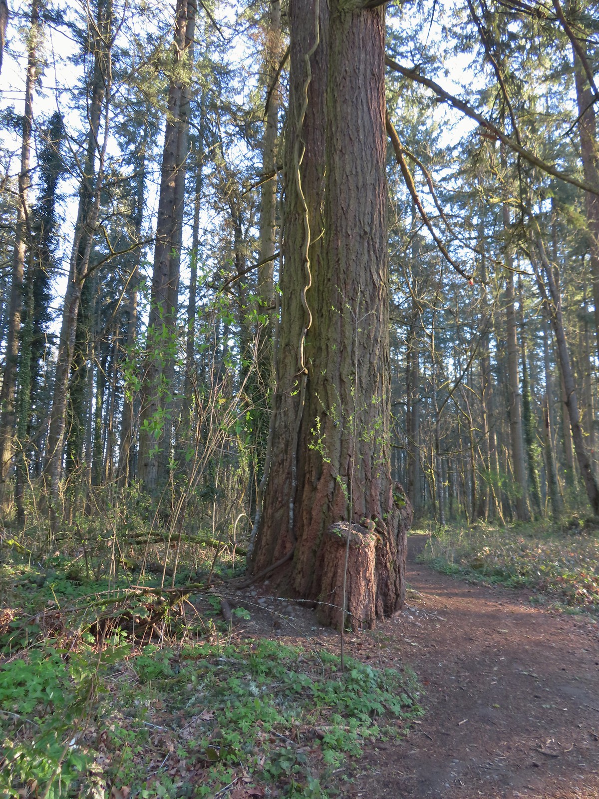 Someone had left some seeds and nuts on this tree. While it’s not LNT compliant it was attracting a variety of wildlife.
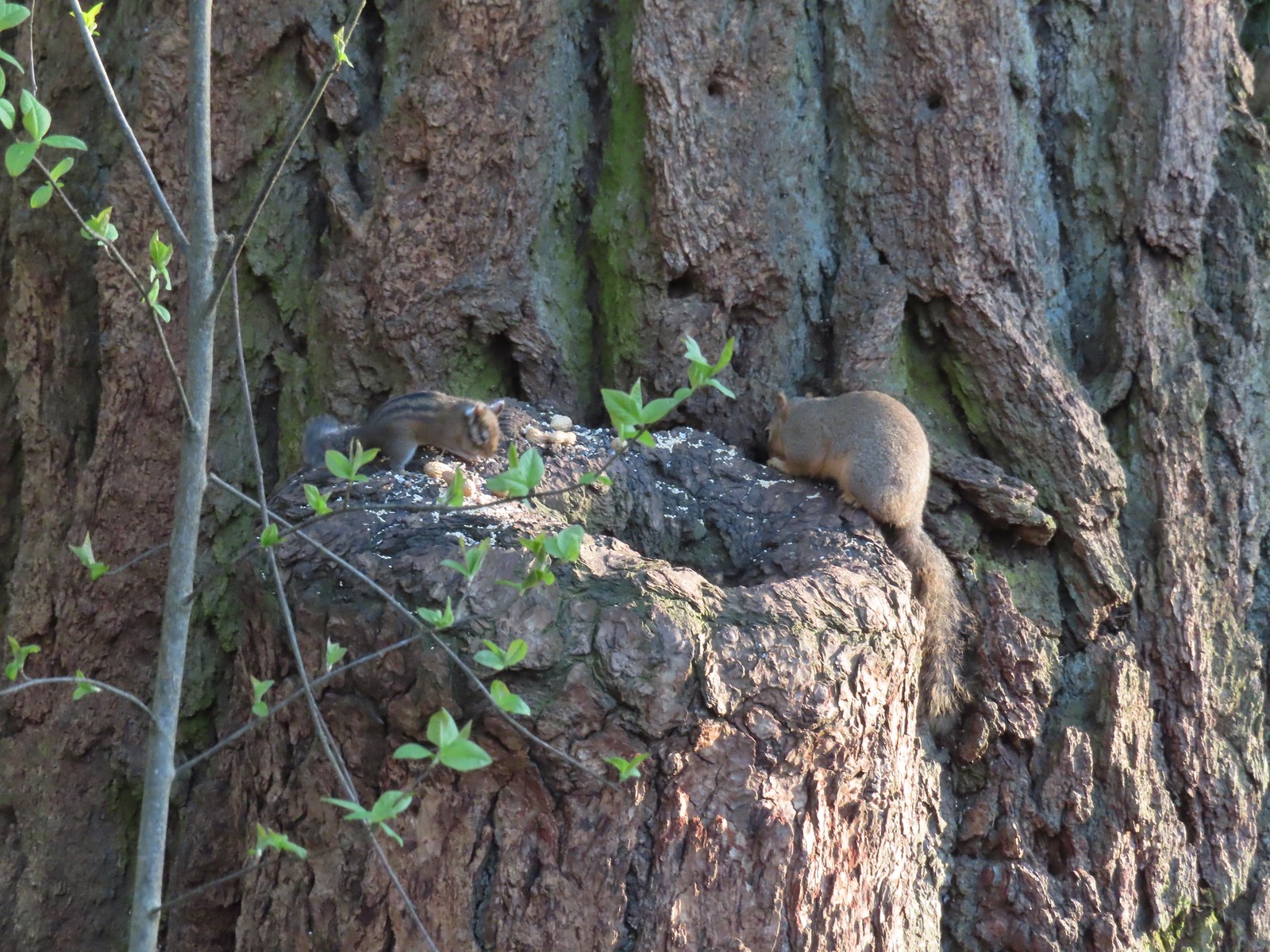 Chipmunk and squirrel
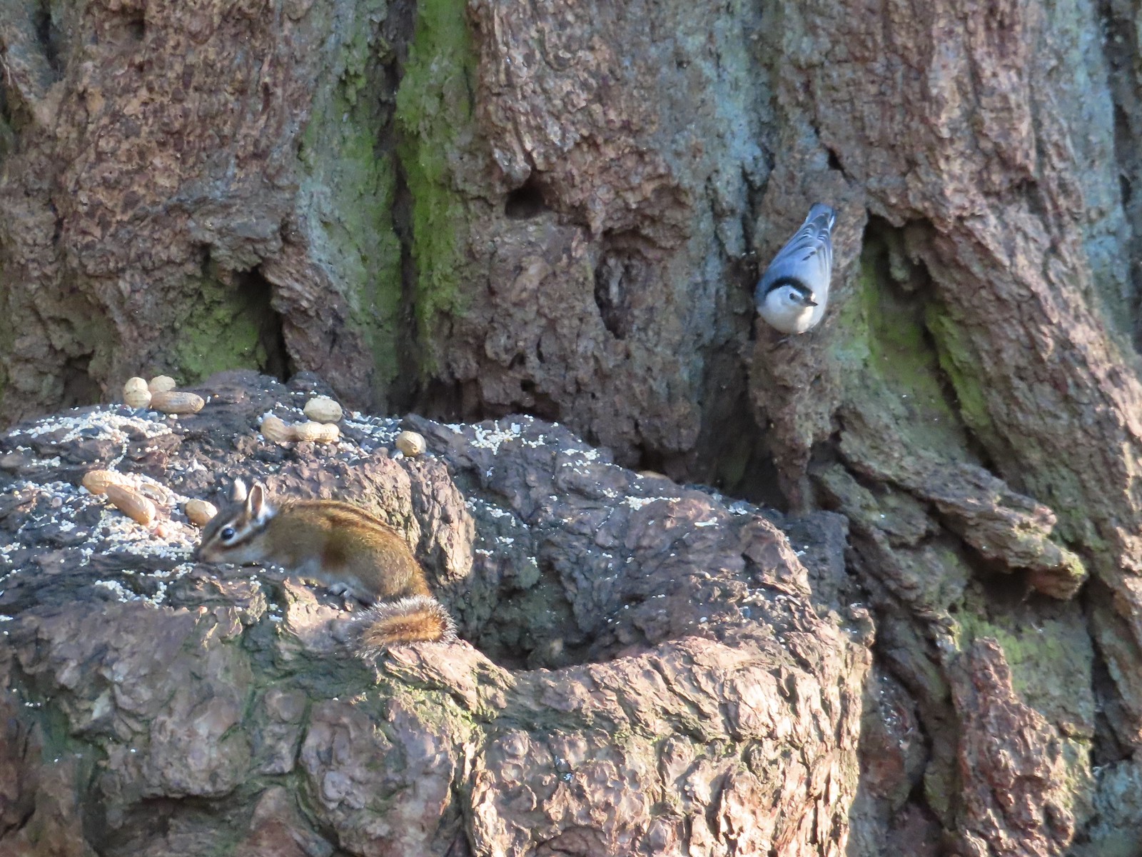 Chipmunk and white-breasted nuthatch
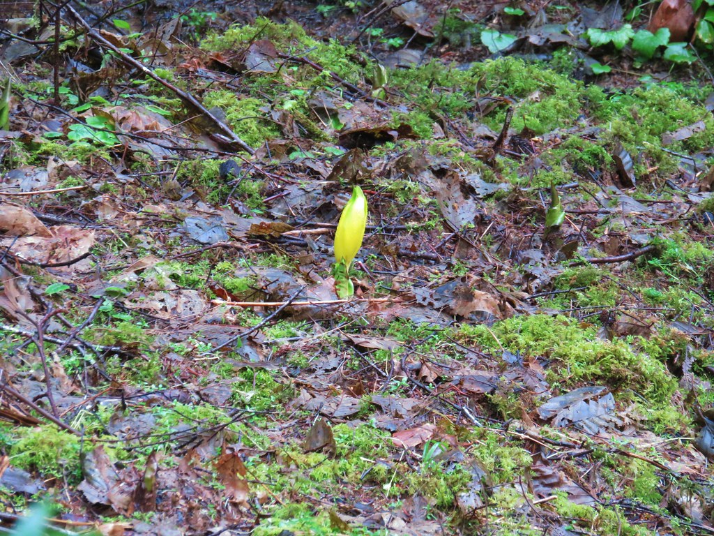
 Giant White Wakerobin, Trillium albidum
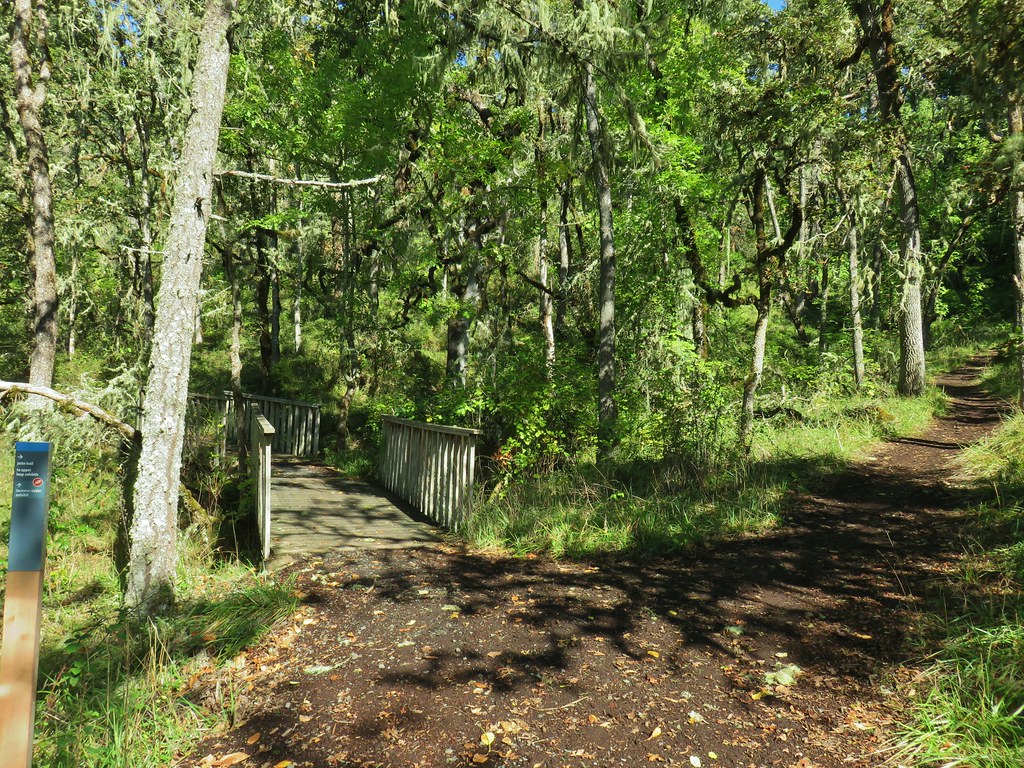
 The paved Middle Fork Path dead ahead.
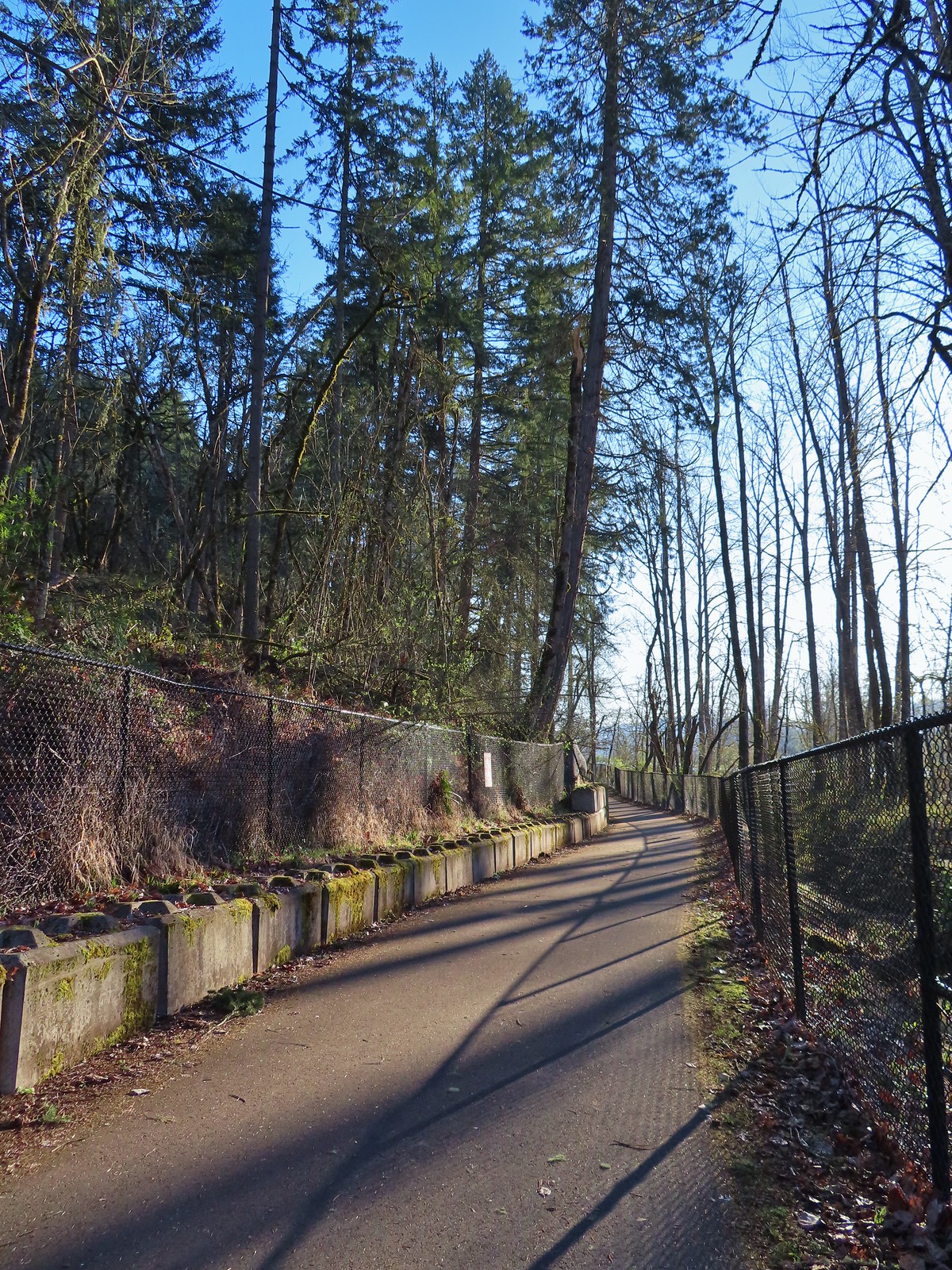
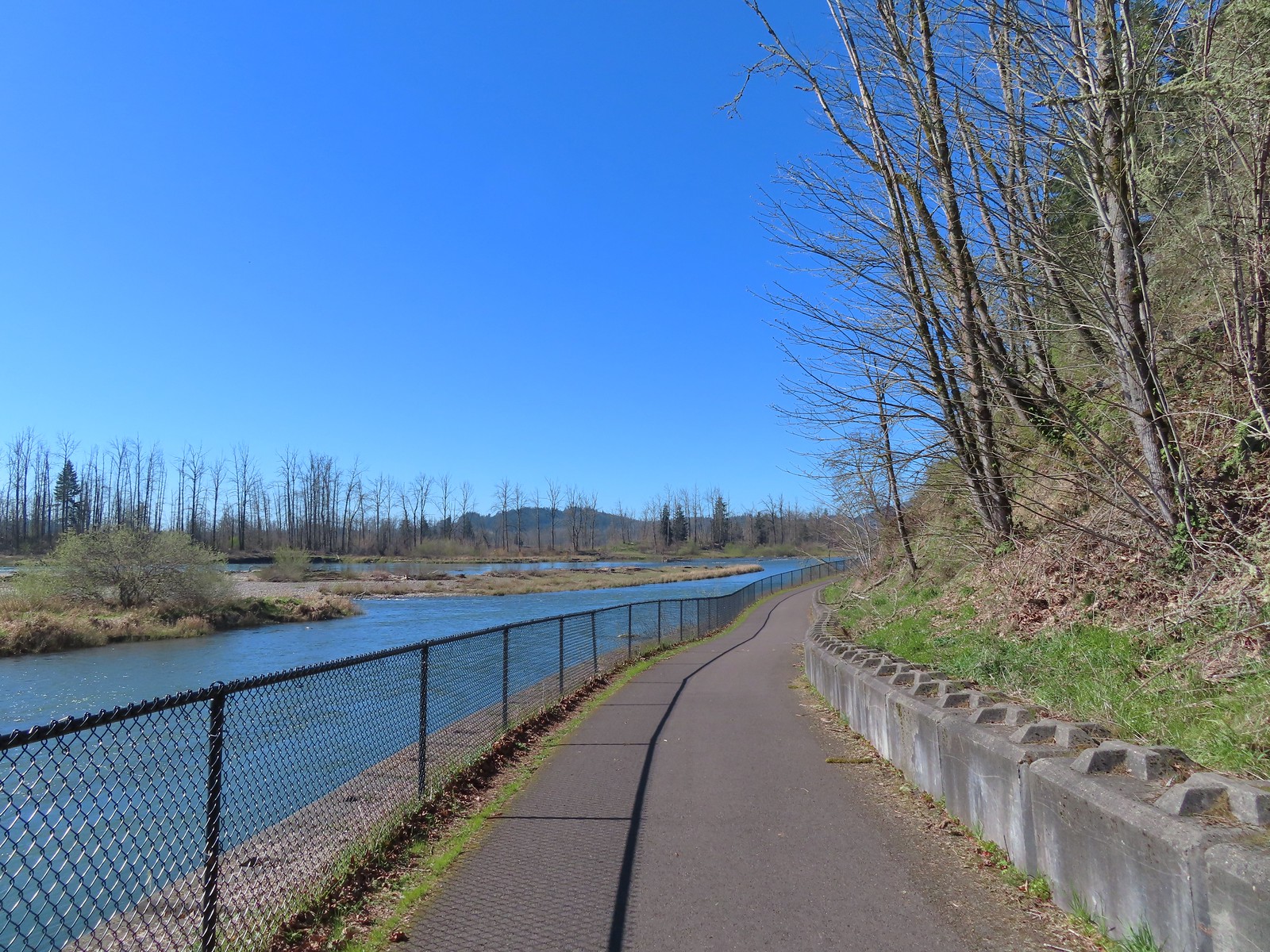
We turned right onto the Middle Fork Path and followed it for three and a quarter mile to the parking lot at Clearwater Park.
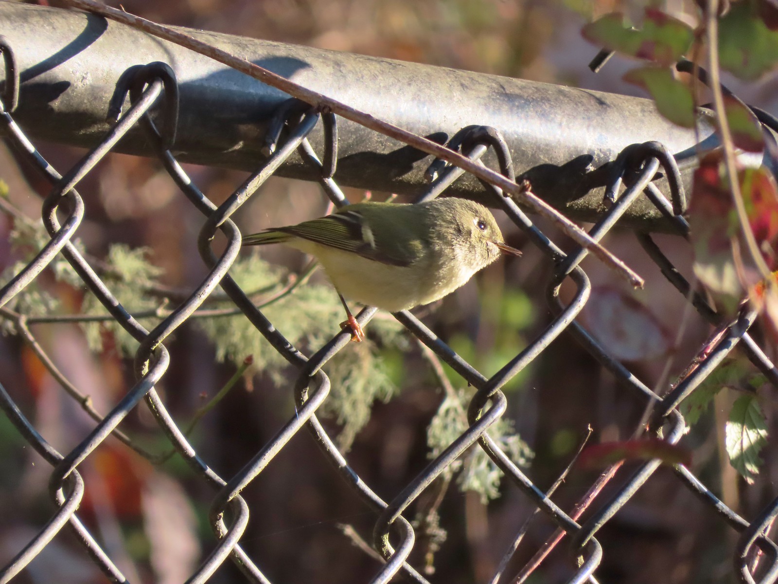 Ruby-crowned kinglet
 Wren
Wren
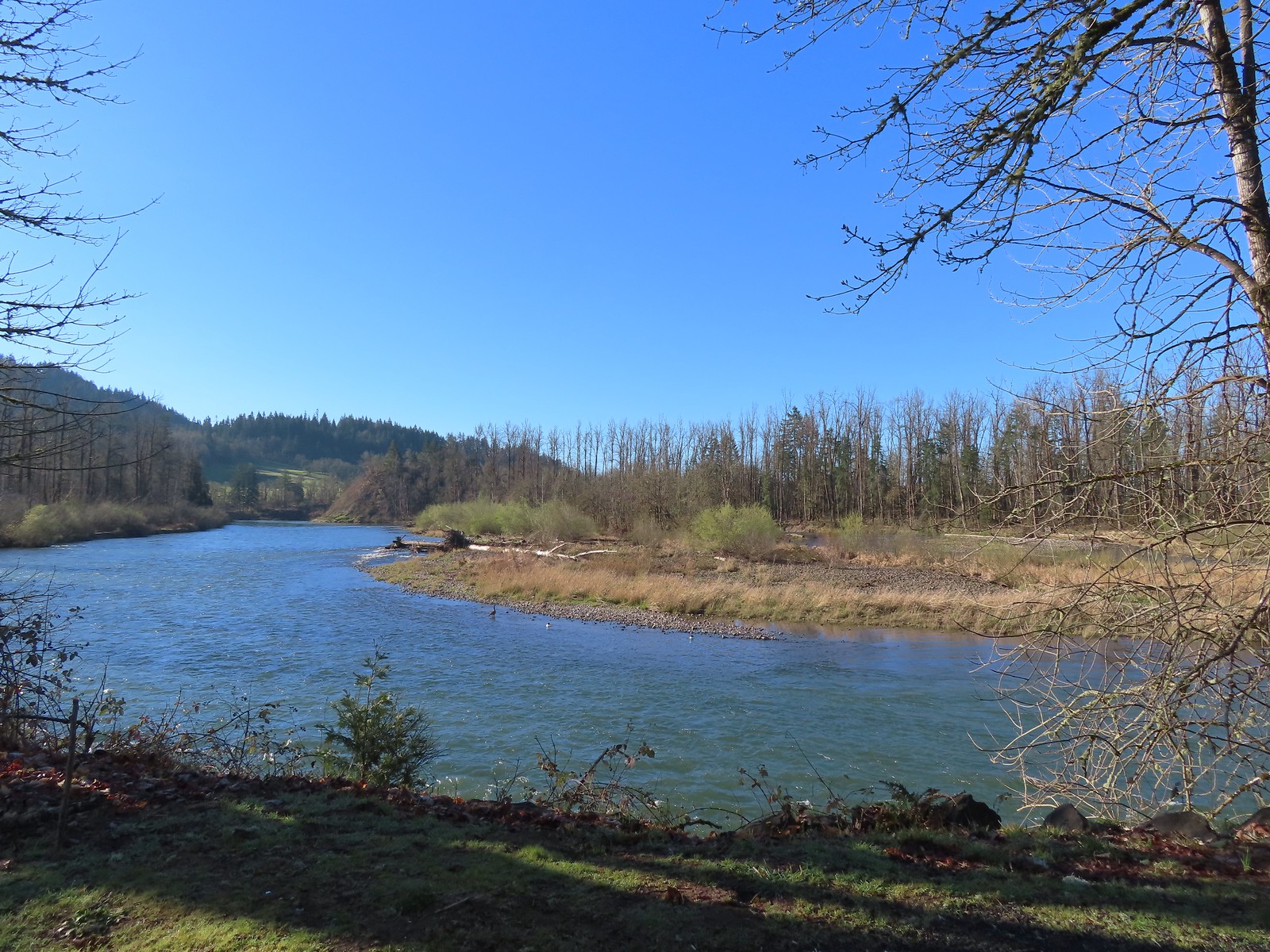
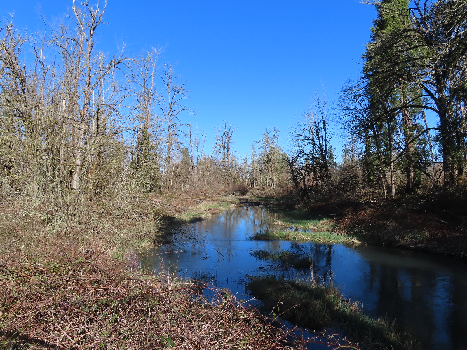
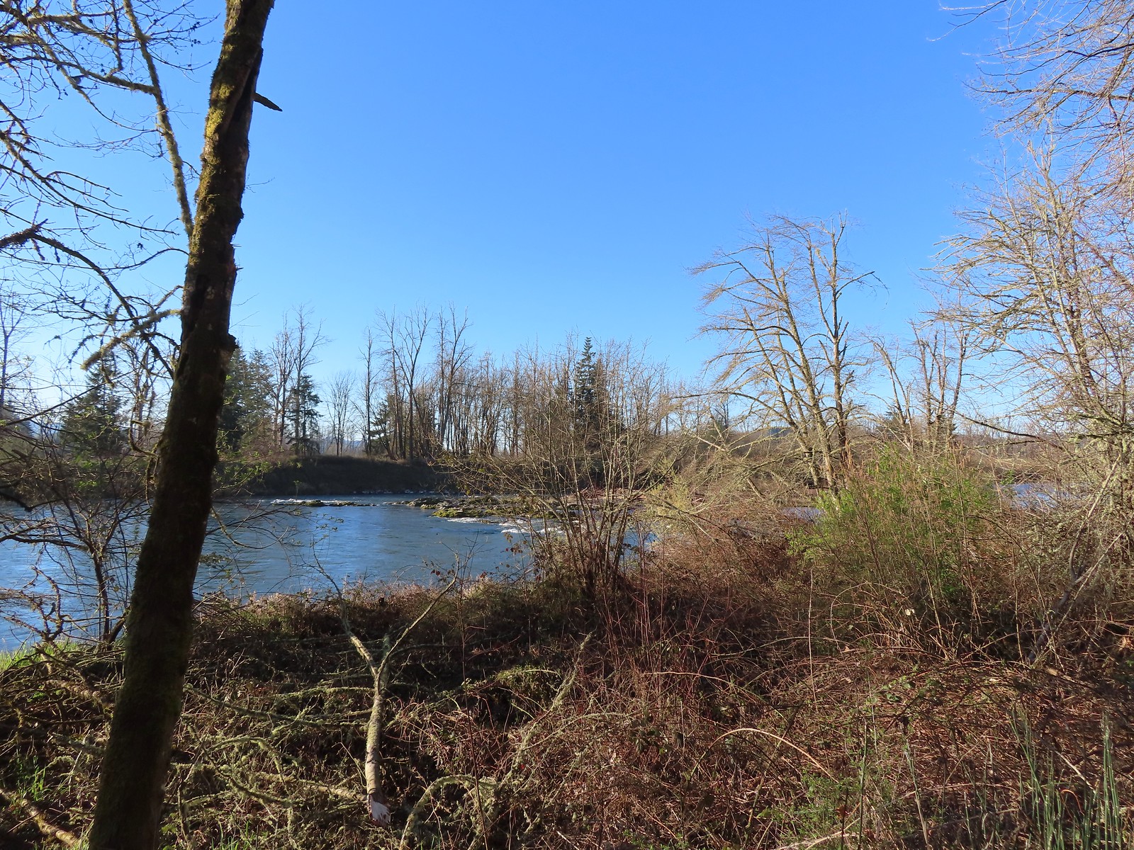 Middle Fork Willamette River

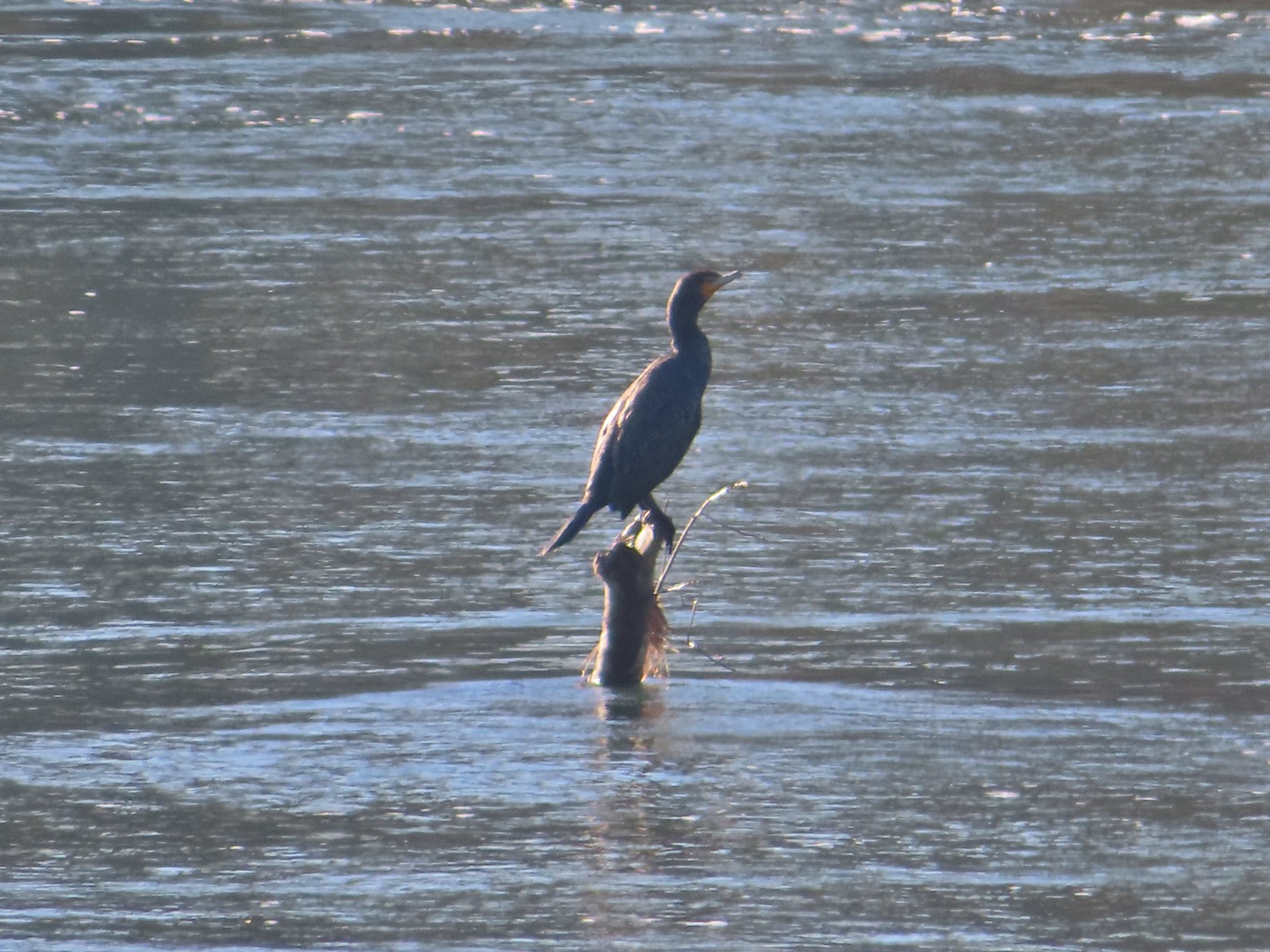 Double-breasted cormorant
 Pacific hound’s tongue
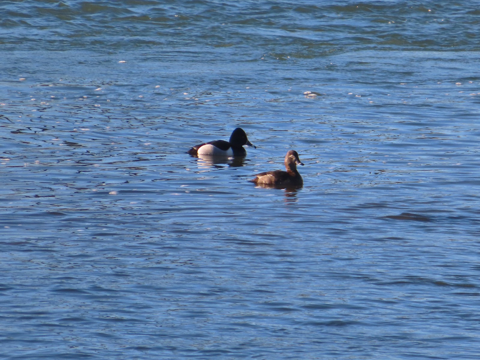 Ring-necked ducks
 Goose
Goose
 Arriving at the Quarry Creek picnic area.
 Looking back at Spencer Butte (post).
 A goose and a couple of common mergansers in the river.
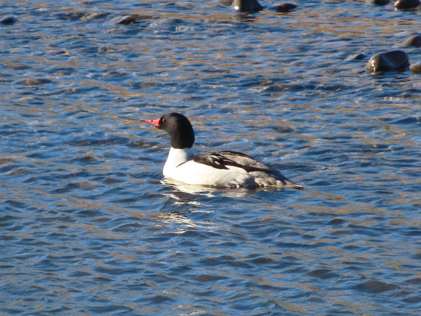 Common merganser drake

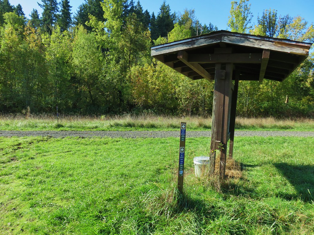
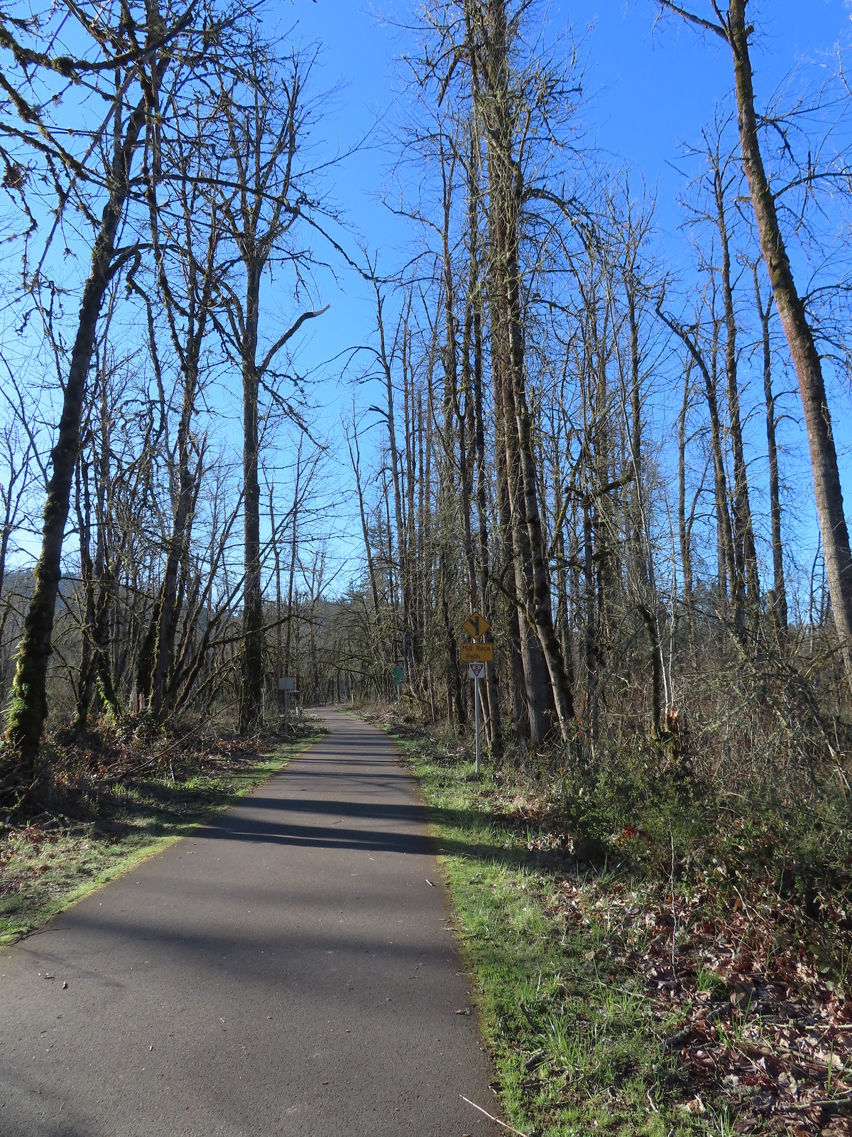 Approximately 2.75-miles from Dorris Ranch we came to the junction with the 3-mile-long Mill Race Path. An adventure for another day.
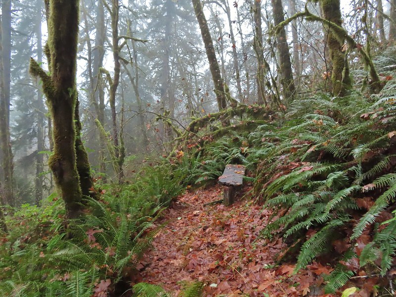
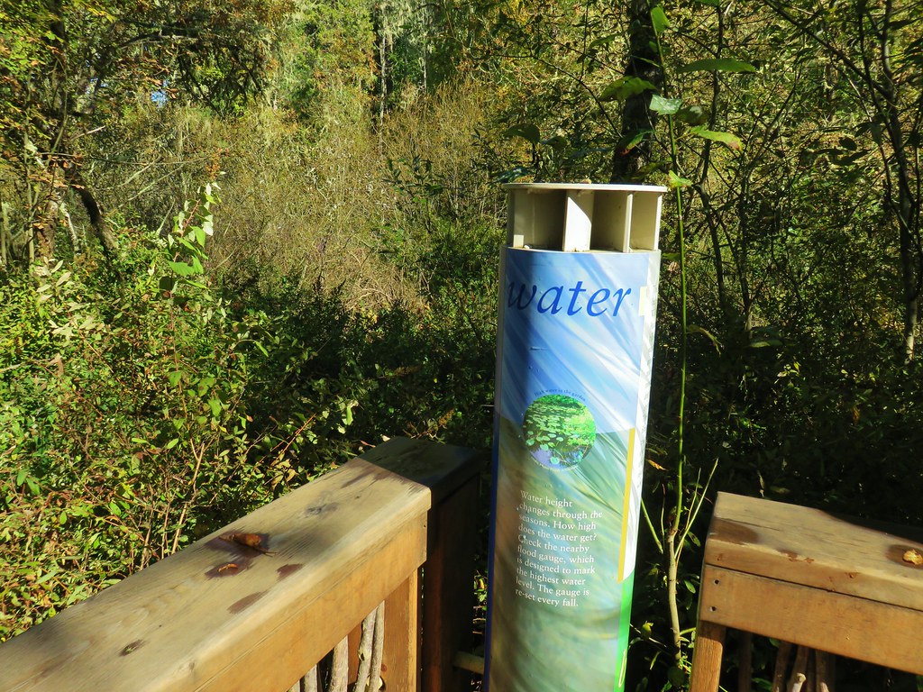
 There were plenty of benches along the path.
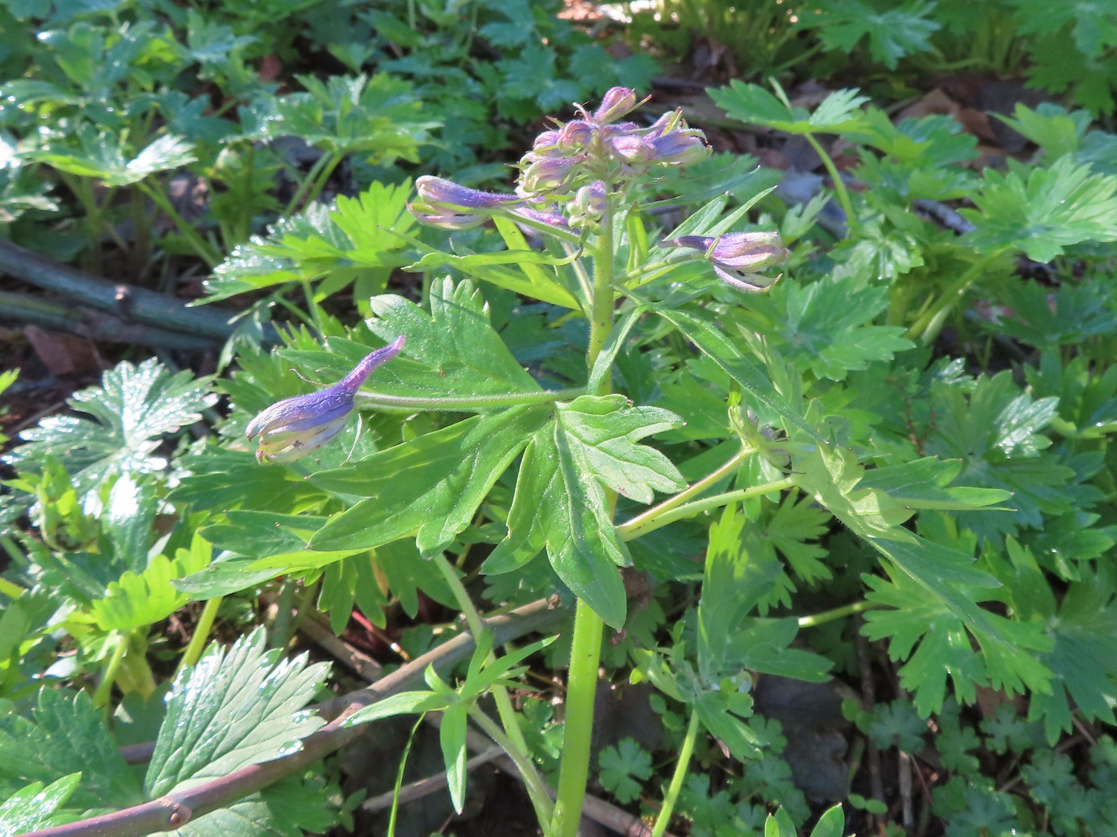 Larkspur starting to bloom.
 Springfield Mill Race
 Mt. Pisgah (post) through the trees across the Middle Fork Willamette.
 Disc golf course at Clearwater Park.
 Nearing the parking lot at Clearwater Park.
 Map of the trails at Clearwater Park.
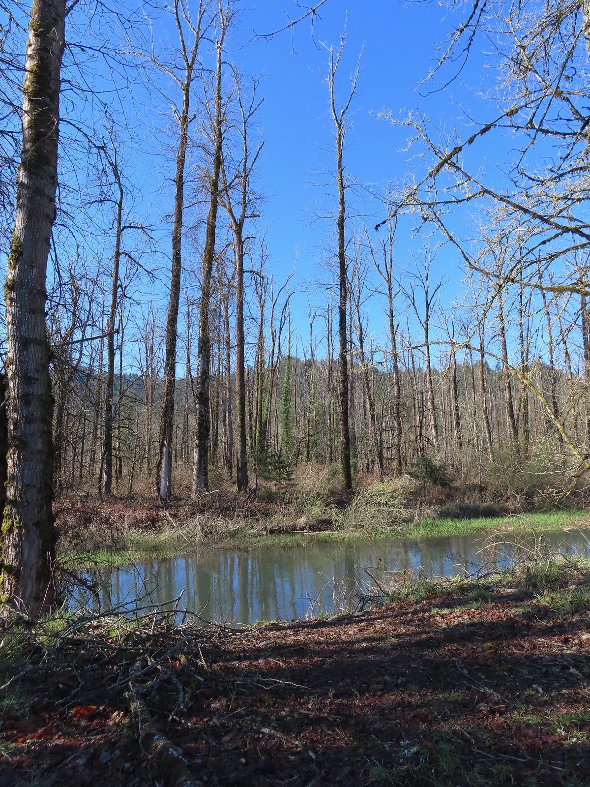
We weren’t aware of the informal trails shown on the map at Clearwater Park, but the prospect of seeing a couple of ponds piqued our interest so we crossed the park entrance road and followed a narrow gravel path into the woods.
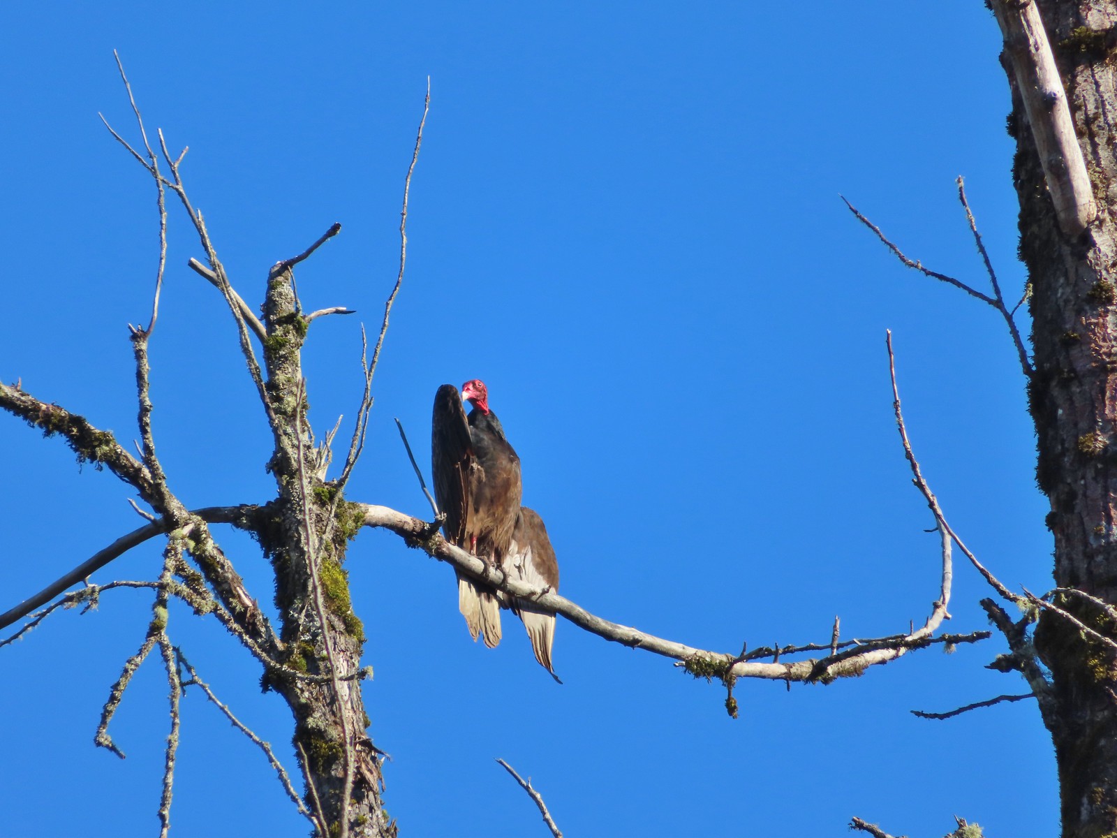
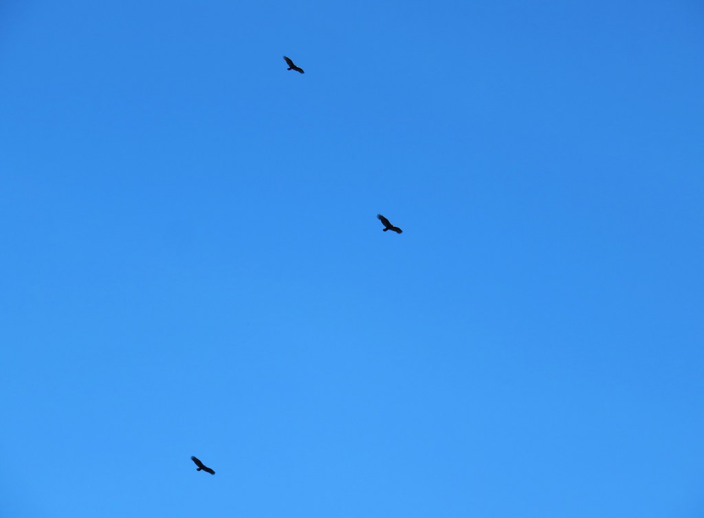
 Turkey vultures. We’d seen our first turkey vulture of the year a little earlier on the Middle Fork Path. I’d been on the lookout for one of these scavengers for the last couple of weeks knowing that their arrival in the Willamette Valley coincides with the onset of Spring.
We didn’t get far on the informal trails before ice storm damage turned us back.

We backtracked and took a different informal path to the parking area near the boat launch and then followed a dirt path back to the Middle Fork Path.
 Turkey vulture enjoying the sunshine.
 Arriving at the boat launch area.
 Heading back to the Middle Fork Path.
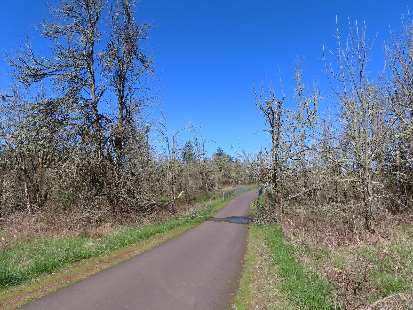
We followed the Middle Fork Path back to Dorris Ranch, sticking to the paved trail all the way back to the trailhead.
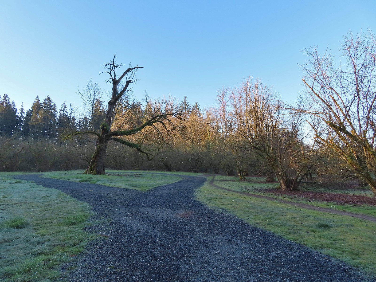
 Back at Dorris Ranch. The trail we’d taken earlier that morning is to the left just before the bench.
 Western bluebirds
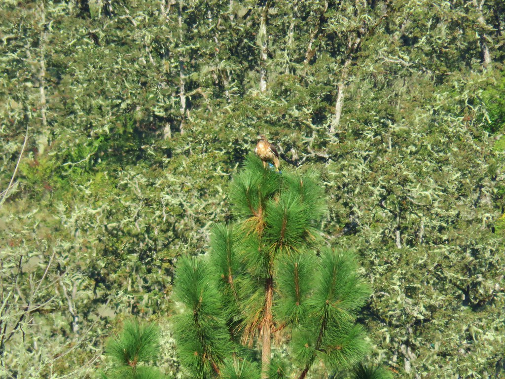
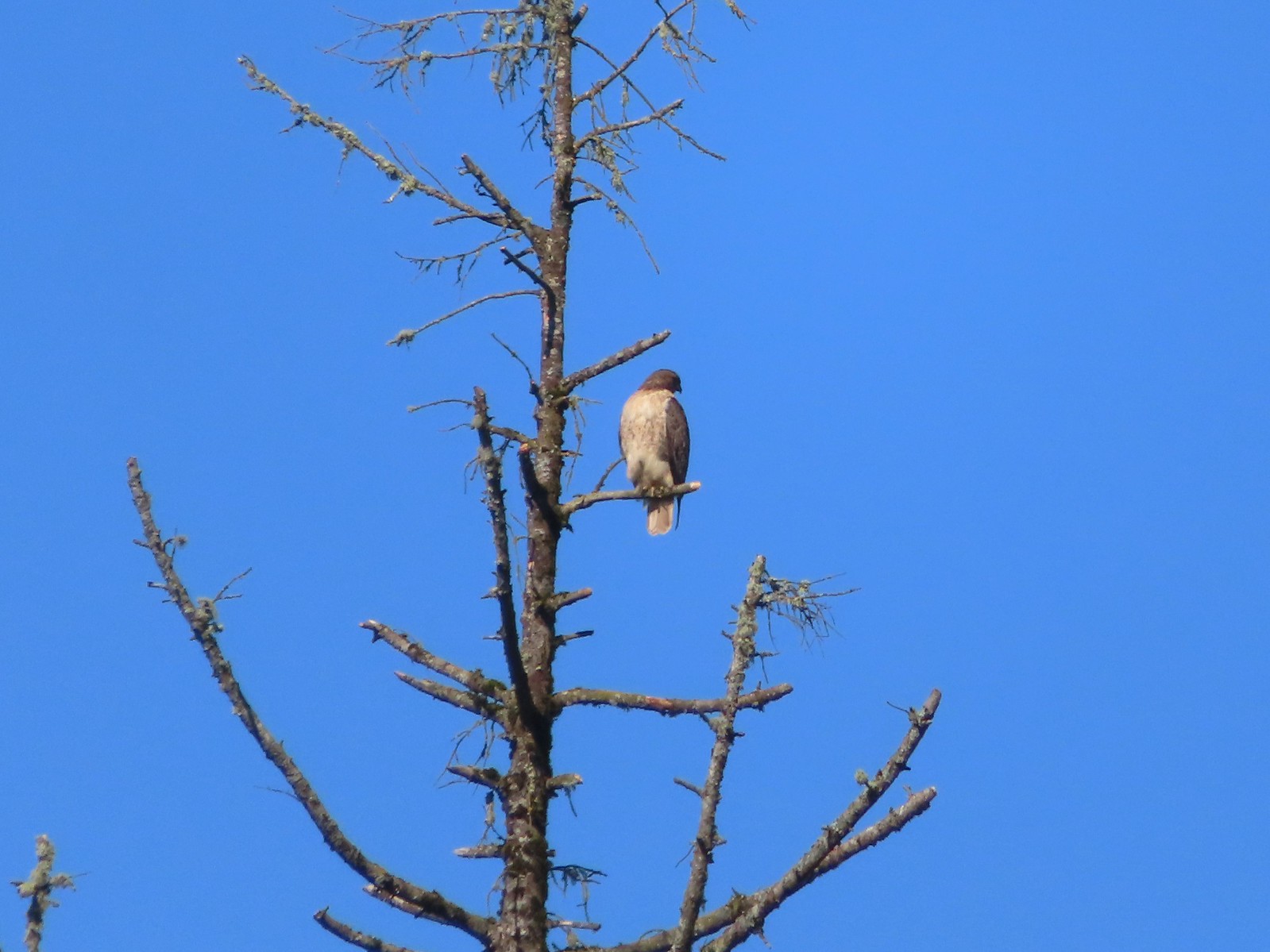 I believe this is a Cooper’s hawk.
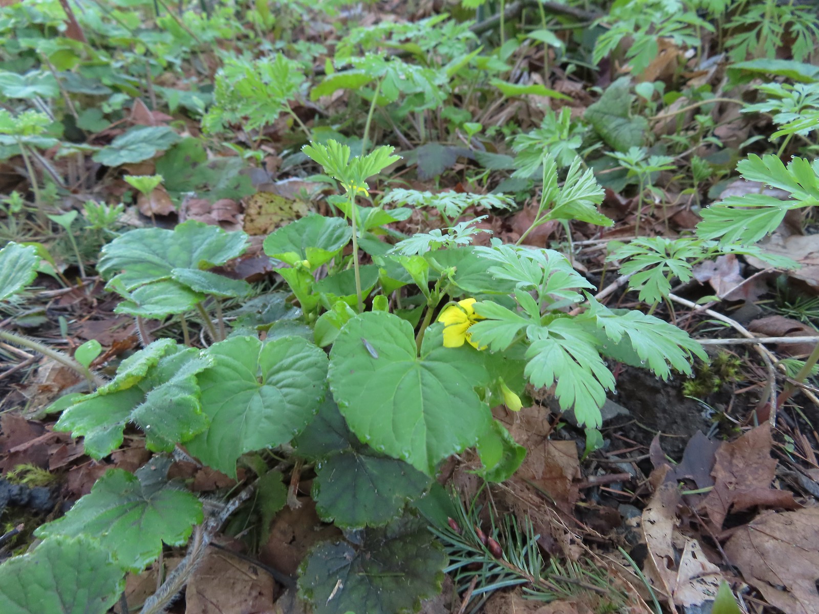
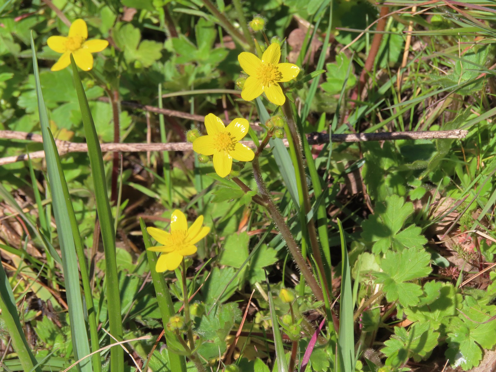 Western buttercups
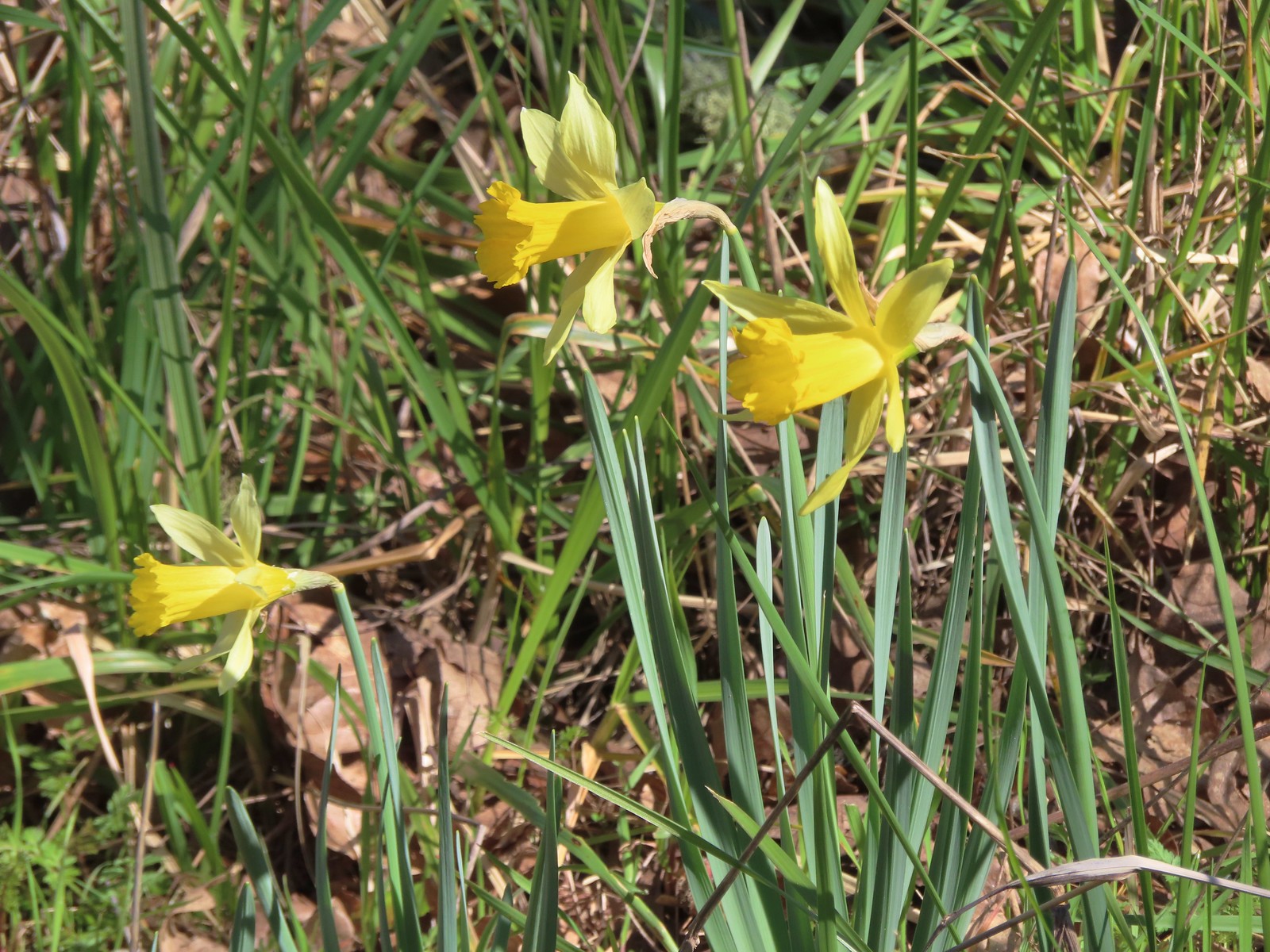 Daffodils
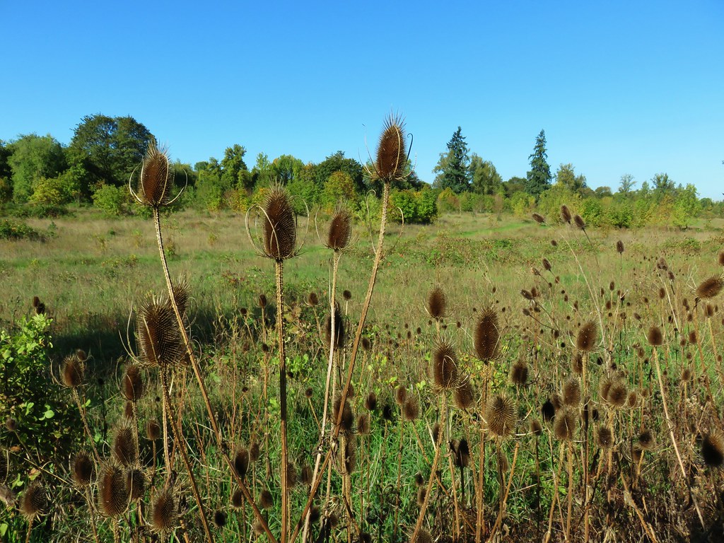
While we saw a few more flowers than my parents had in February we were still a week or two early, but at least we did see a few of the early bloomers. There was abundant wildlife though and the fairly level trails made for a relaxing hike. Our GPS units both showed this as a 9.2-mile hike which was just right for our feet this time of year given we were primarily on paved trails.

After the hike we met up with our Son for lunch at Ubon Thai Kitchen before heading back to Salem. As to close a perfect late Winter hike as you can get. Happy Trails!
Flickr: Middle Fork Path
 The trailhead sign for the Clay Creek Trail is ahead on the opposite side of the road.
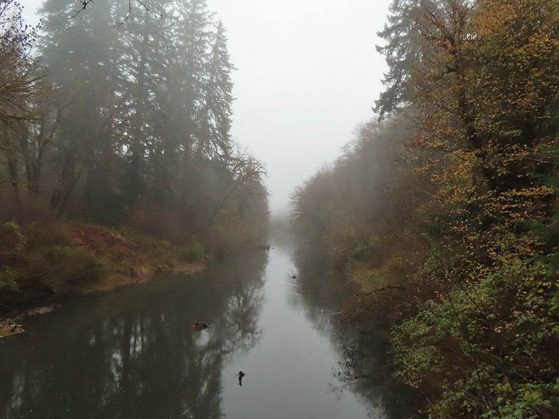 Siuslaw River
 Clay Creek on the left emptying into the Siuslaw.
 Stairs at the Clay Creek Recreation Area across the river.

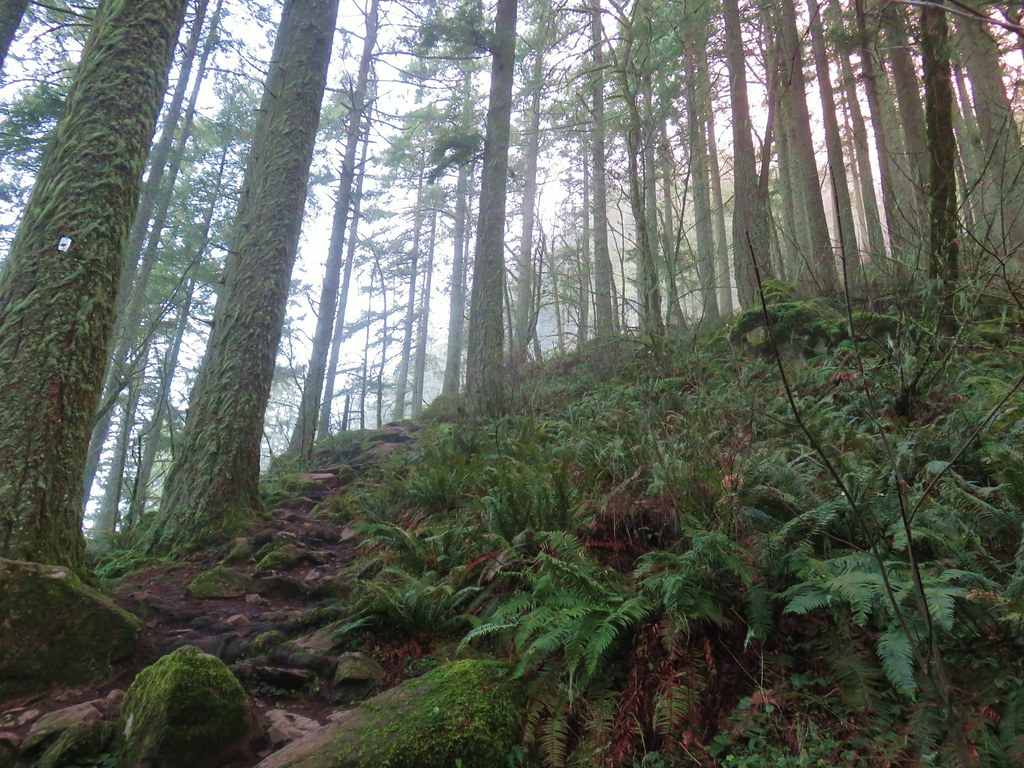
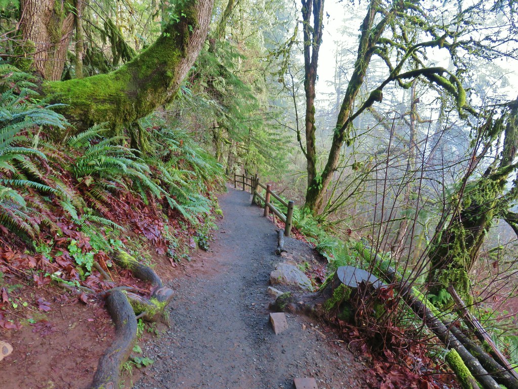
 The Clay Creek Trail climbing above Clay Creek.
 It’s hard to tell size here but the diameter of this tree was well over 5′.
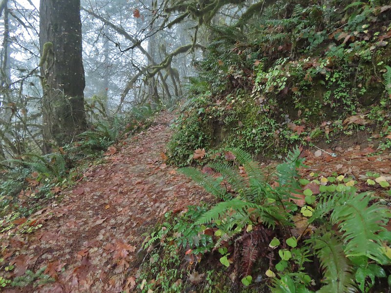 The junction for the loop.
 One of several reroutes we encountered.
 On the ridge top.
 Madrone trunk and bark, always fascinating.
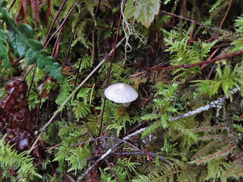
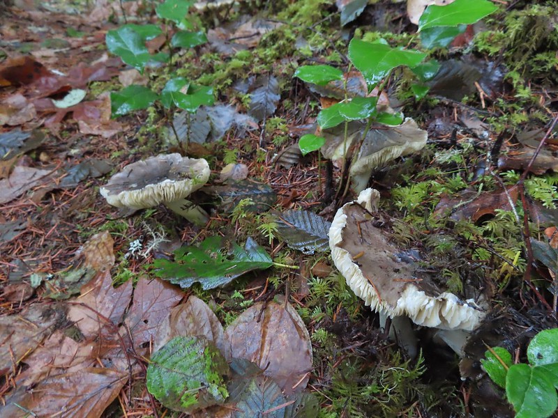 Lots of mushrooms pushing up through the forest floor.
 Good sized trees near the high point.
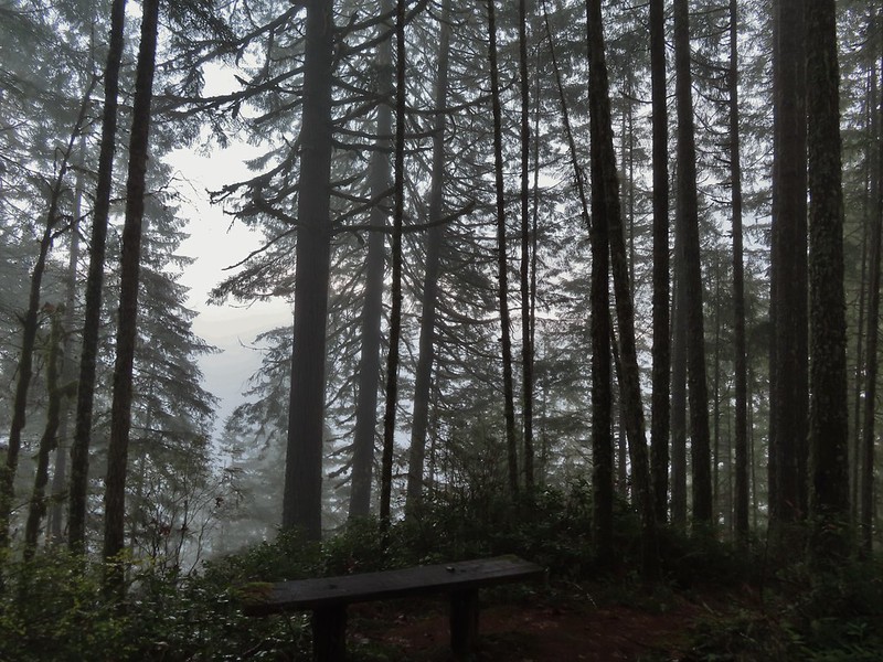
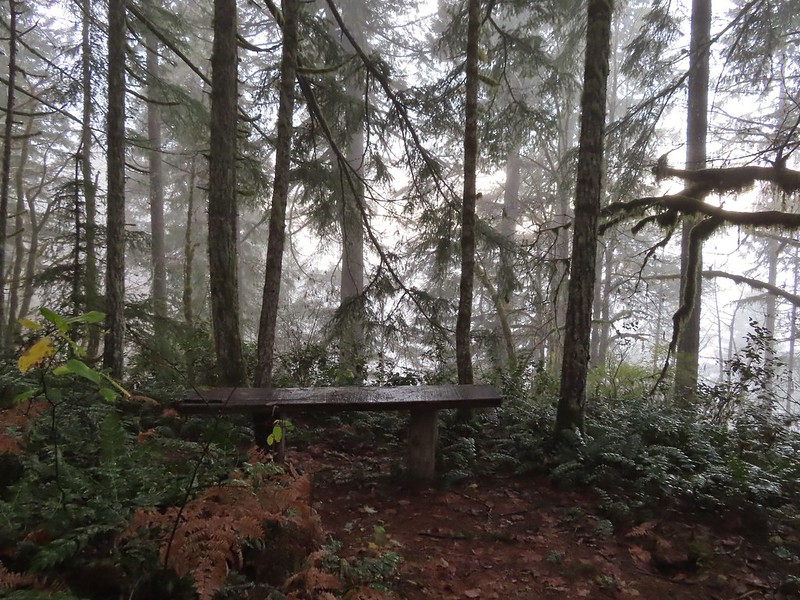 No idea what you might see on a clear day.

 The viewpoint.
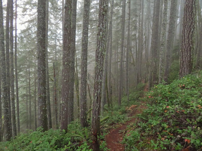

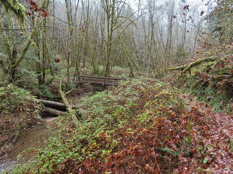 Nearing the footbridge.
 The fog had lifted off the river at least.
 Note that Royal Ave and the trail to the viewing platform are open year around with the other restrictions listed below.
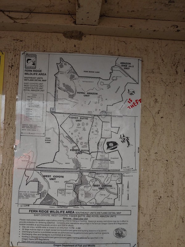 We took a picture of this map to assist us with our route.

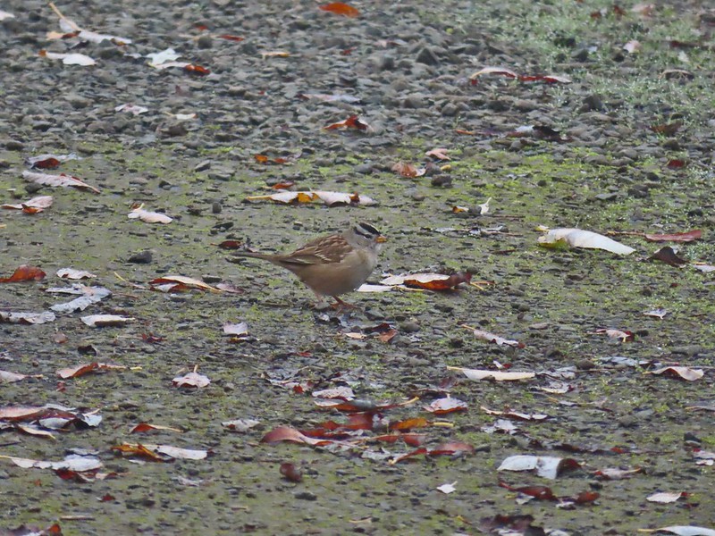 White crowned sparrow
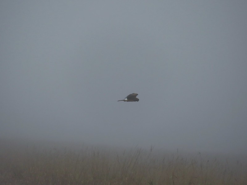 Northern harrier on the hunt.
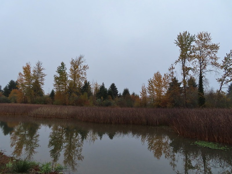
 Wetlands in the Royal Amazon unit.
 The bittern taking off.
 Not the greatest photo but enough to identify it.
 A hawk on a stump.
 American coots
 Gibson Island (with the eagles in the snag to the far left)
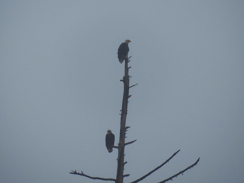


 A flock of geese above the coots.
 There were a number of these small birds pecking around in the mud which, with some help from Molly in the comments, are American pipits.
 Continuing west.
 We used the stones to the right to cross the water here.
 Great blue heron (with Highway 126 in the background).
 Sandpiper in the roadway.
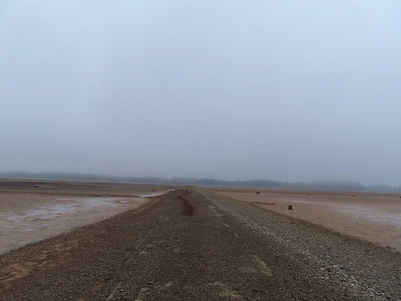
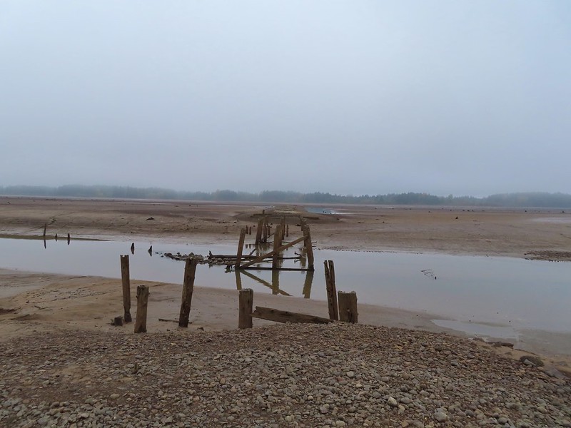 End of the line.

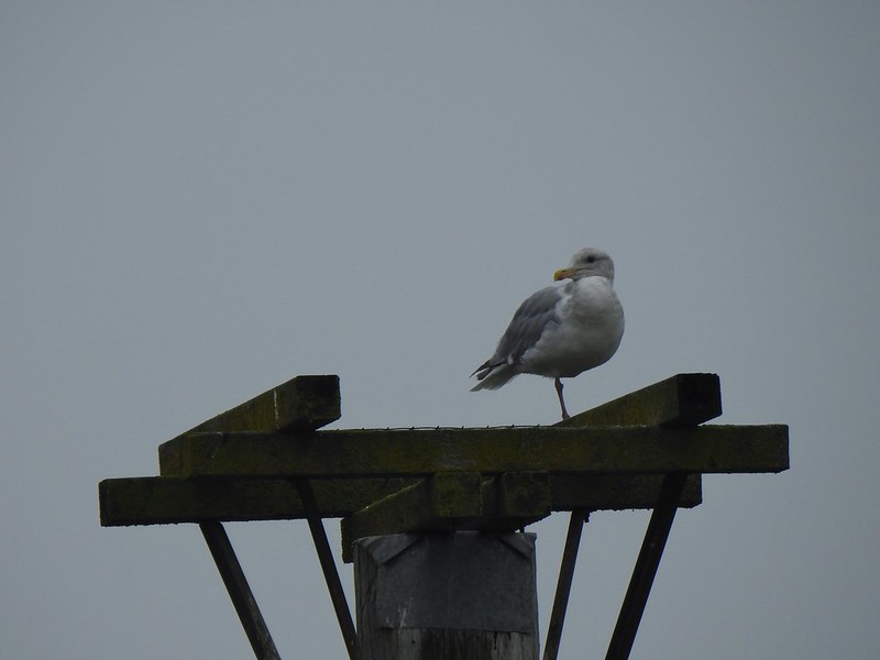 Seagull
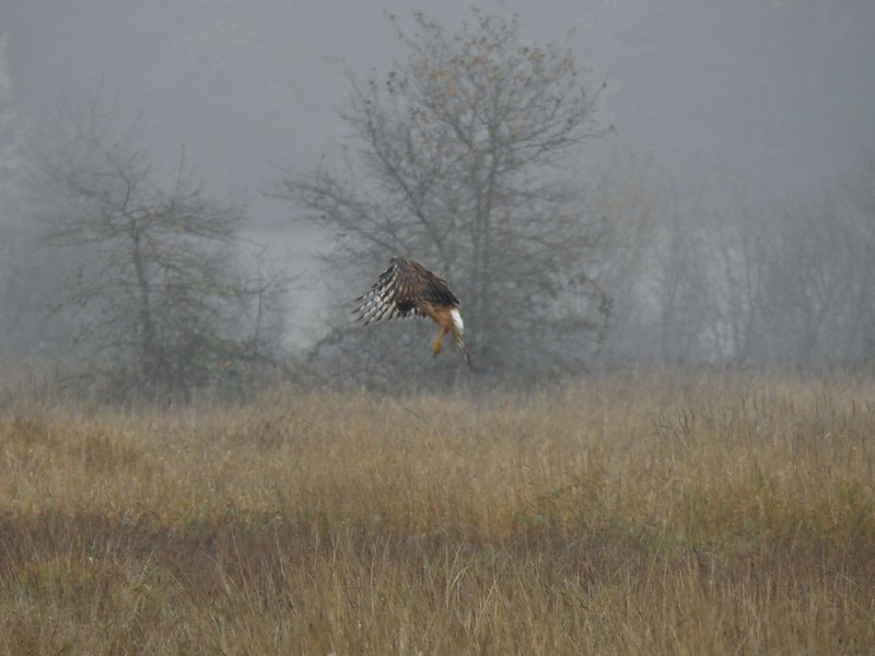 Perhaps the same northern harrier.
 The harrier taking a break.
 The path to the platform.
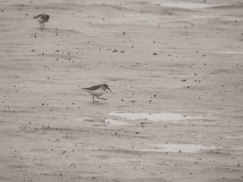
 Dunlins (thanks again to Molly)
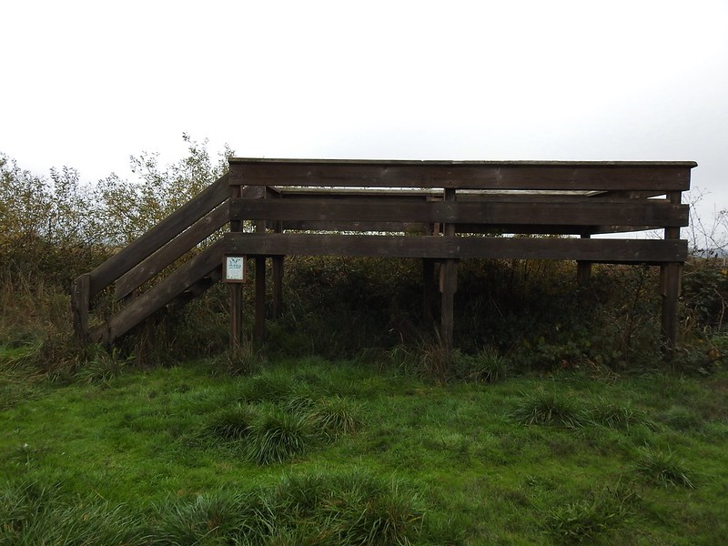 The platform.
 The first signs that the fog/clouds might be breaking up.
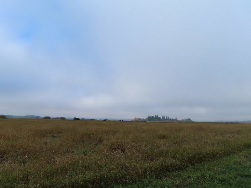 Looking back at a little blue sky and a visible Gibson Island


 Fisher Butte is the low hill ahead to the right.
 Gibson Island was now lit by direct sunlight.
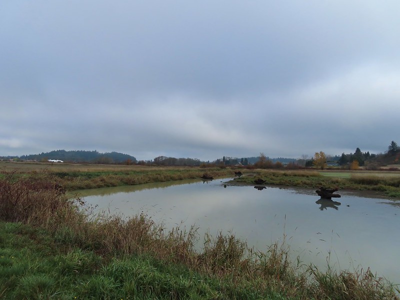 The dike running between Fields 3 & 4.
 Looking back over the ditch.
 California scrub jay
 Northern shovelers and a bufflehead.
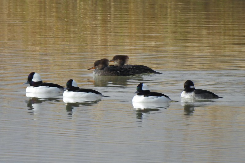 Buffleheads and two hooded merganser females.
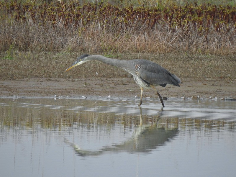
 Kingfisher
 American robin
 The gravel road and another small portion of the wildlife area on the other side.
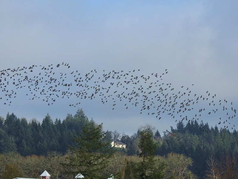 Noisy geese.
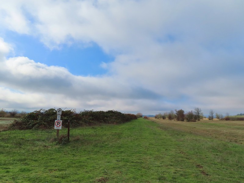 Back on the mowed track.
 A sparrow
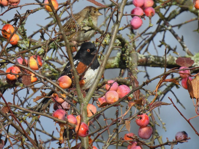 Spotted towhee and friend.
 Finch
Finch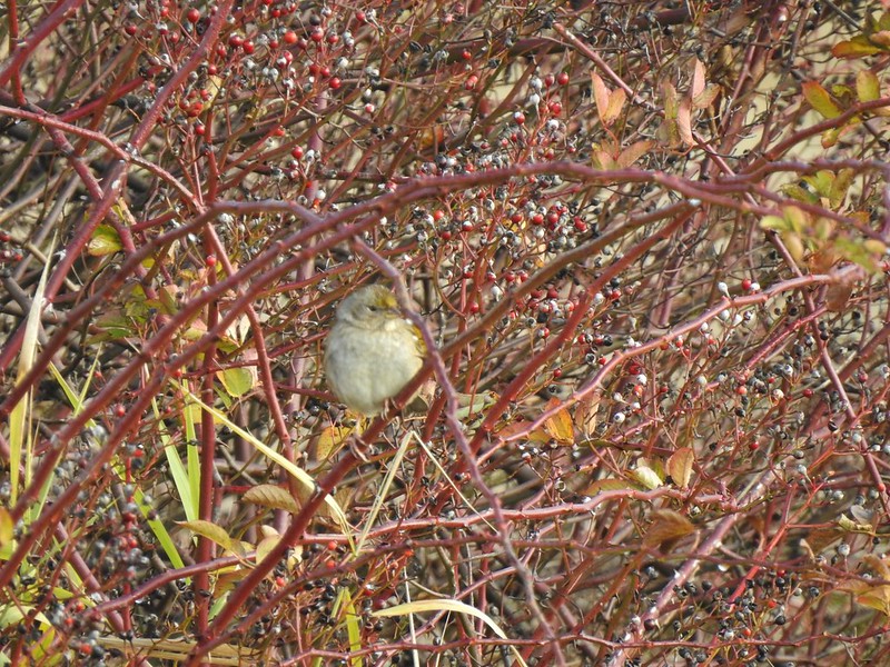 As of yet unidentified little bird.
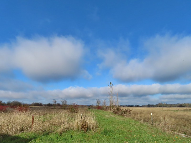 This path headed north from the trailhead, something to explore on our next visit.


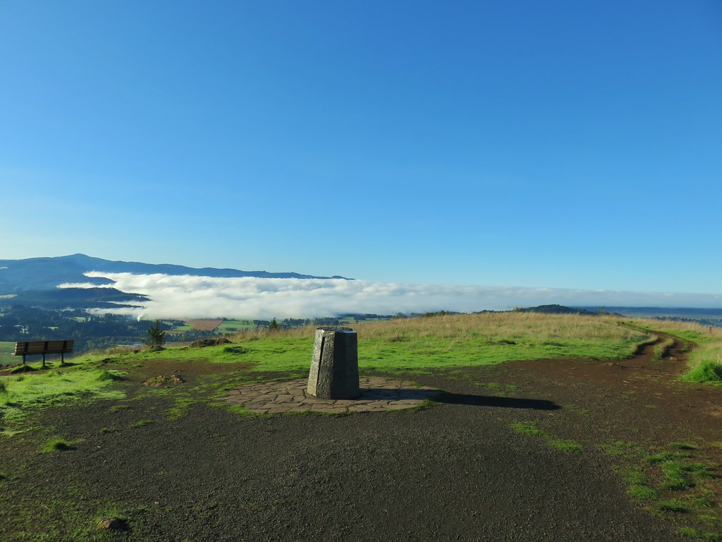
 Spencer Butte’s summit high point.
 View north from the high point towards Mary’s Peak (


 An older tree along the trail.
 Mushrooms on a trunk near the clear cut view.
 Violet


 Heather emerging from behind the outcrop.


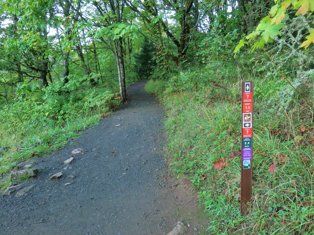
 Trail 17 to the left with Trail 1 straight ahead.
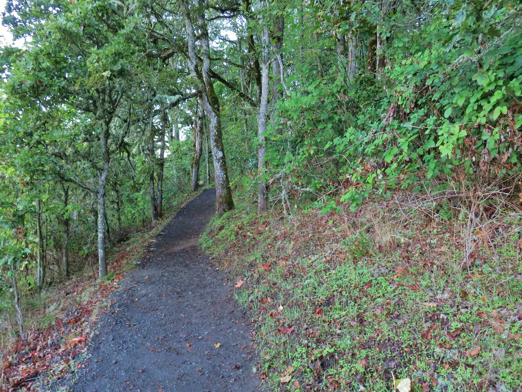


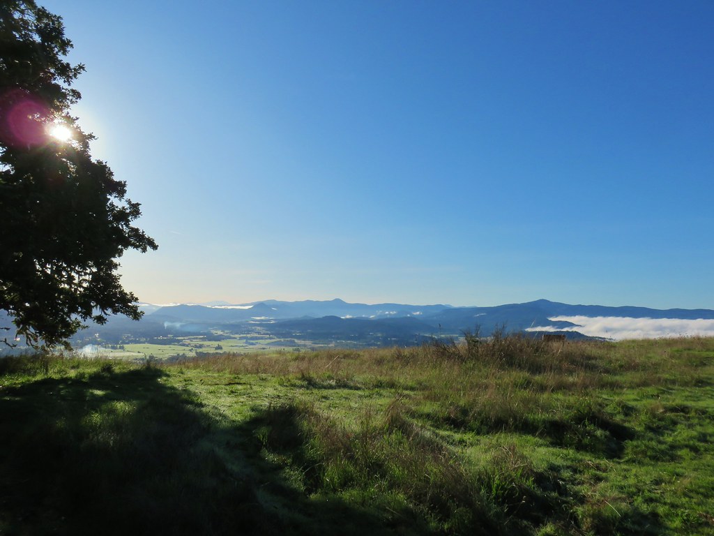
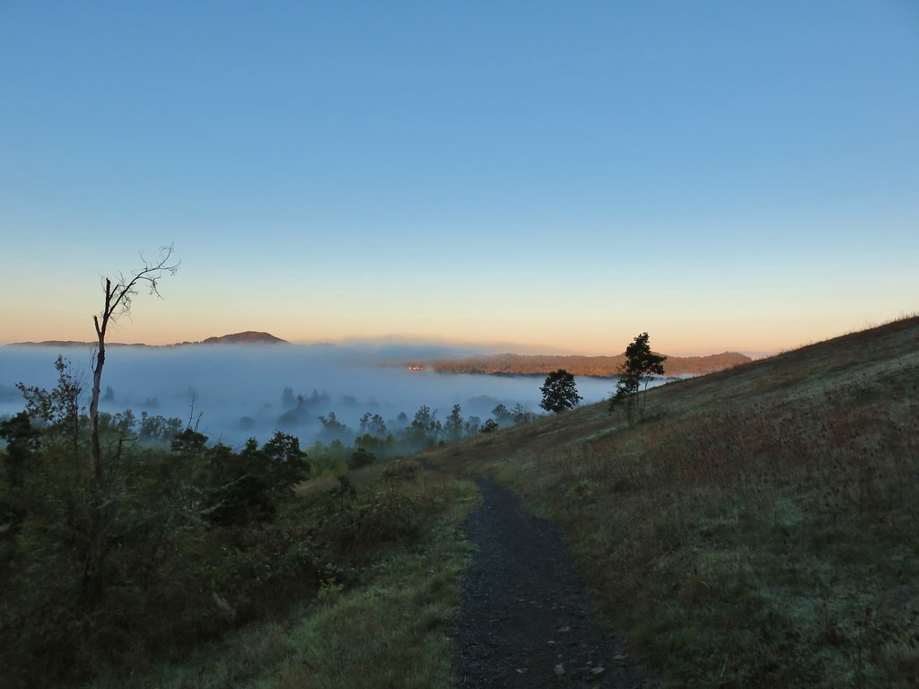 Some of the patchy fog in the valley over Eugene.
 Swing Hill
 Deer high up on the side of Swing Hill.
 Geese flying in front of the fog.
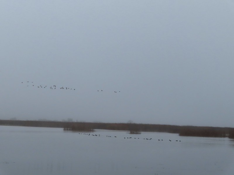
 There were a lot of wet spider webs shining in the brush.
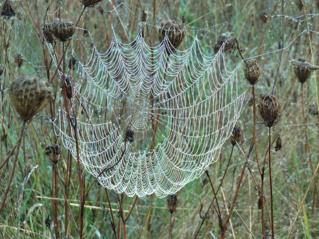


 The north side of Swing Hill was very forested.
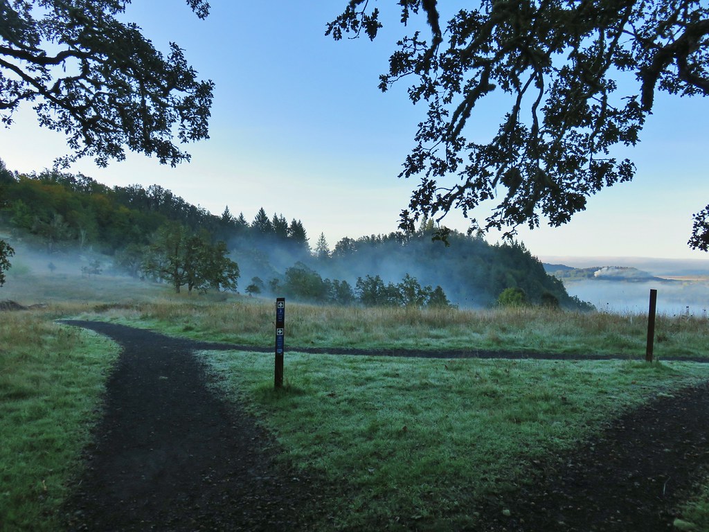 Saddle below Swing Hill
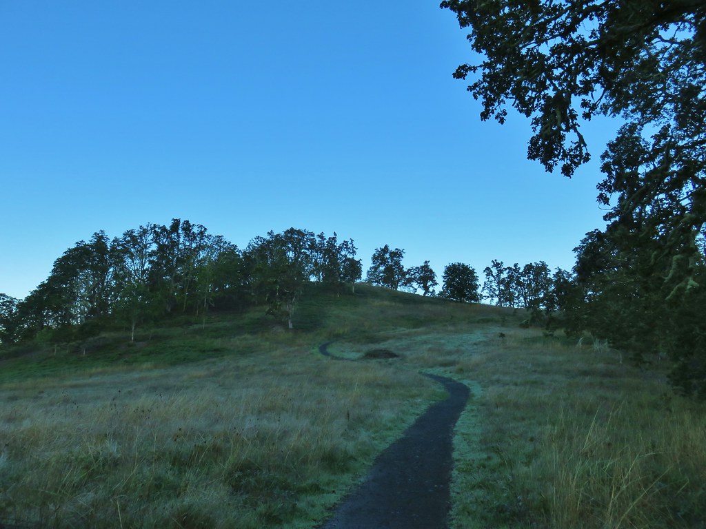

 View from Swing Hill


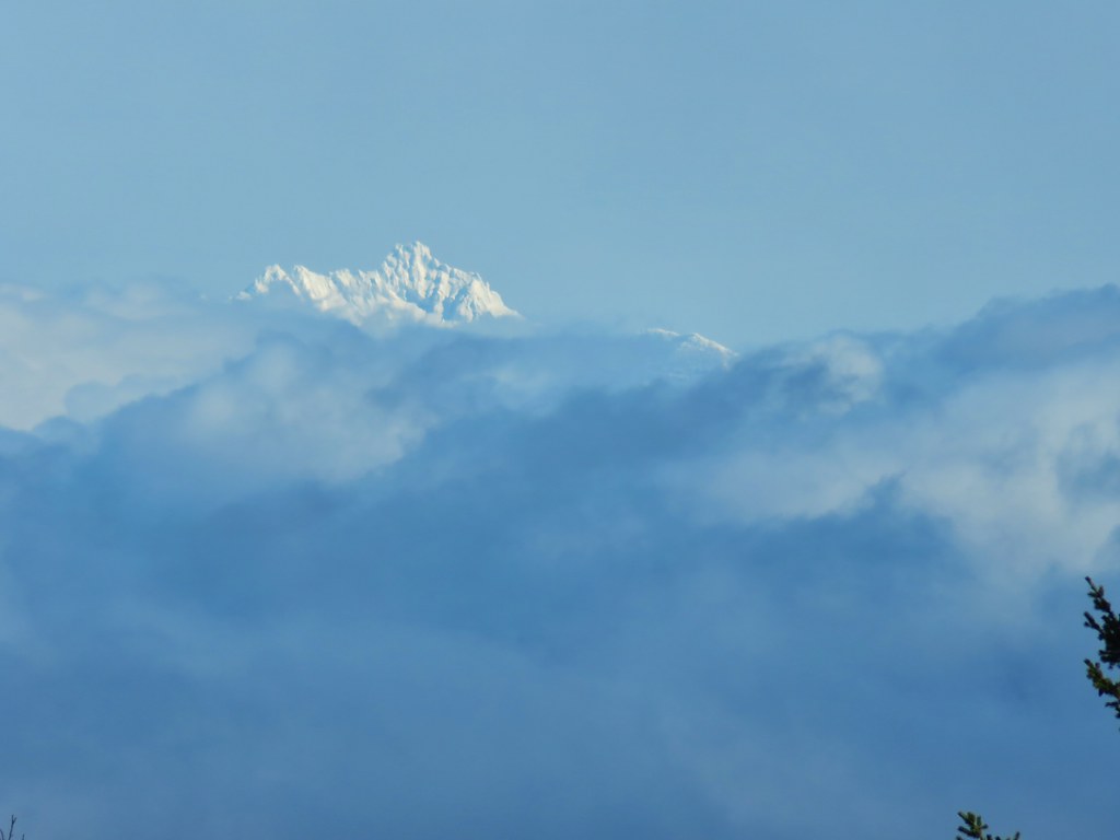
 Diamond Peak on the horizon.
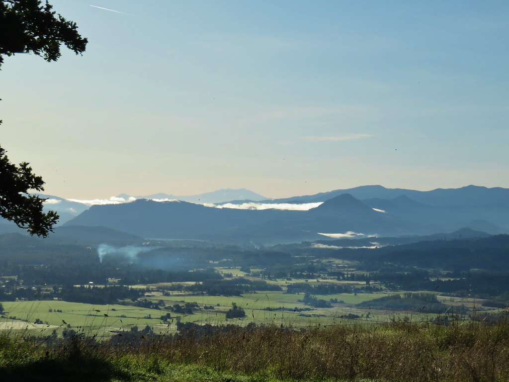 Diamond Peak
 Diamond Peak
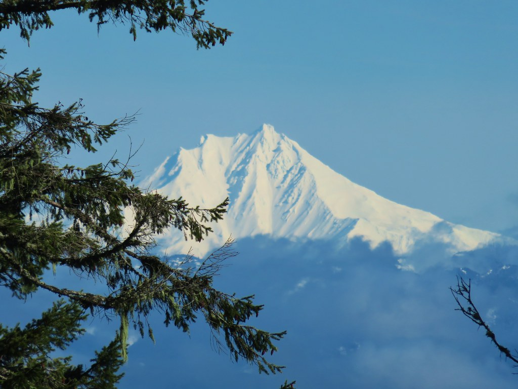
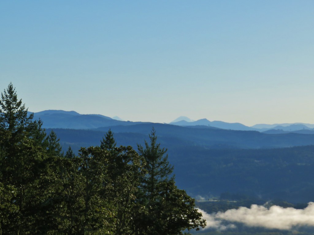 Middle and South Sister.
 Middle Sister
 South Sister photobomb by swallows
 South Sister without swallows.
 Spencer Butte to the west.
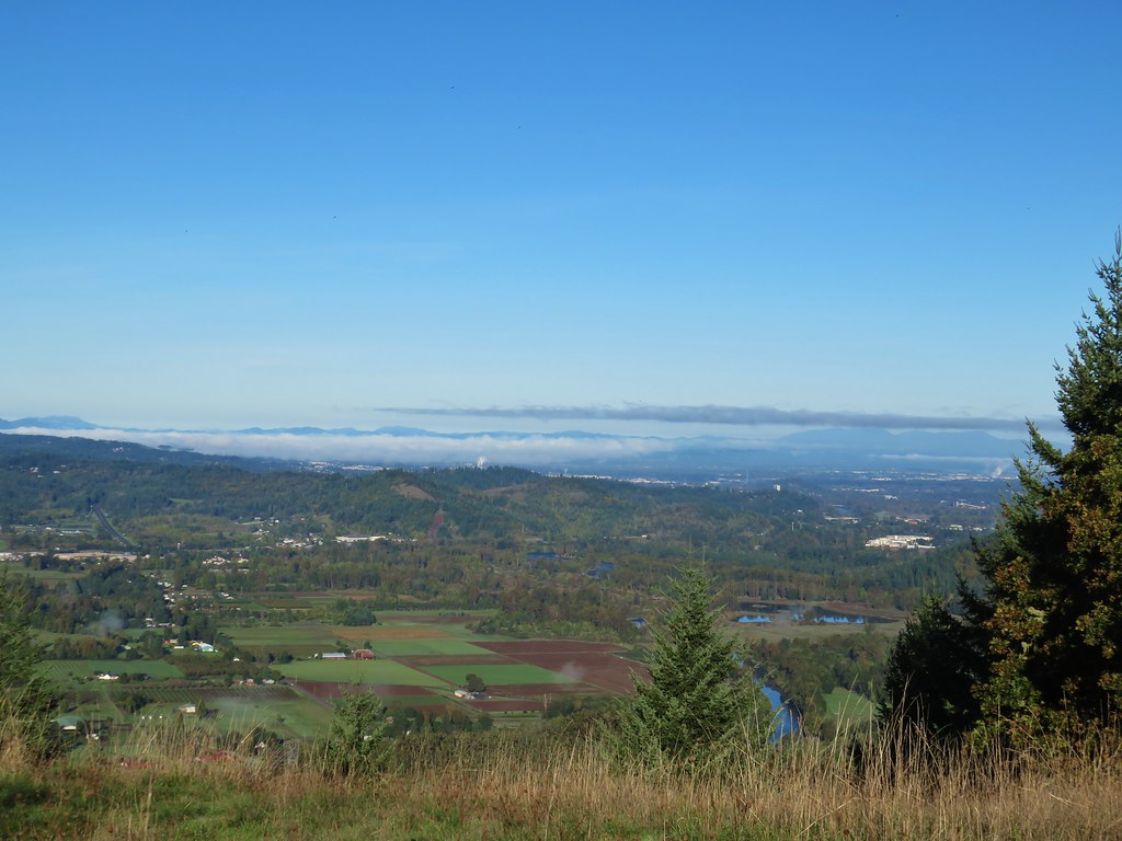 Eugene and the Coast and Middle Fork Willamette Rivers.
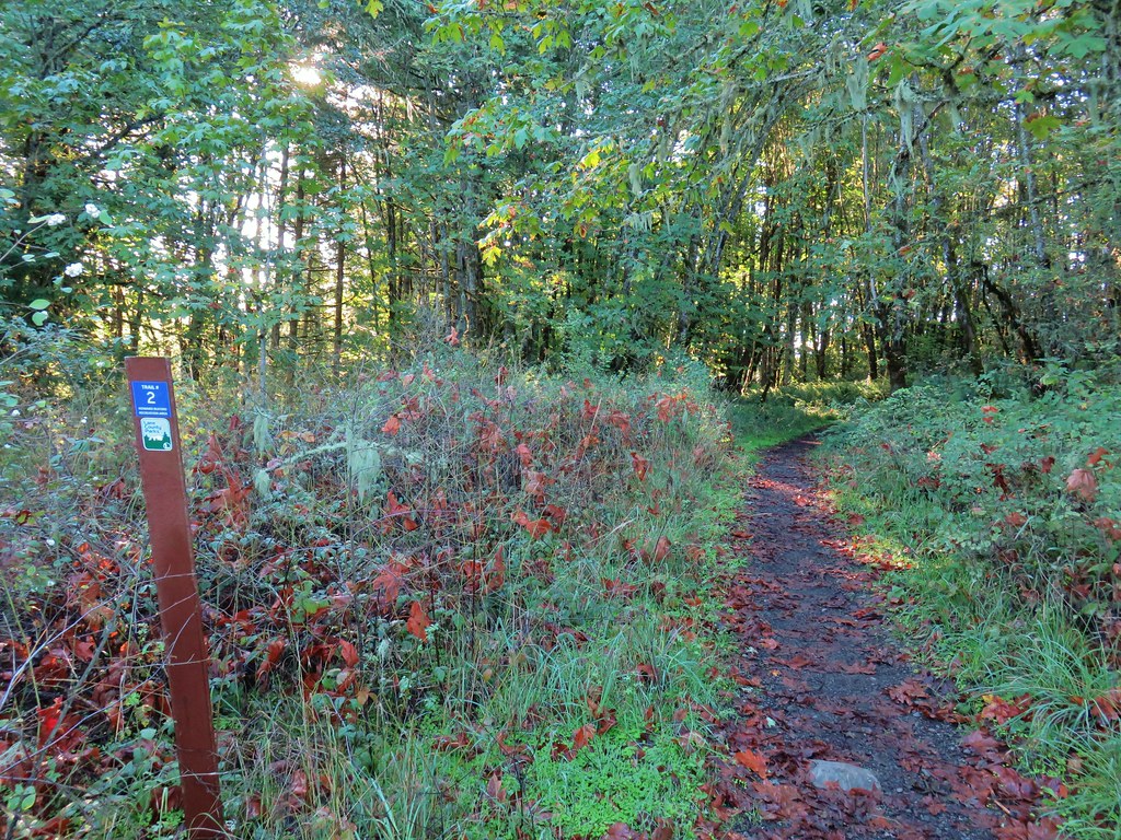
 Looking back uphill.
 Sun still causing problems with the view.
 Some red leaves of poison oak along Trail 24.
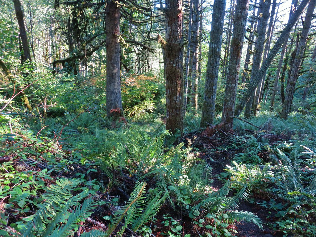


 More poison oak
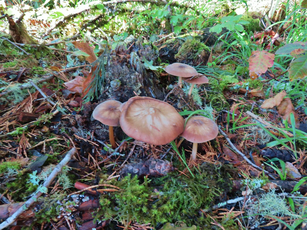 Mushrooms
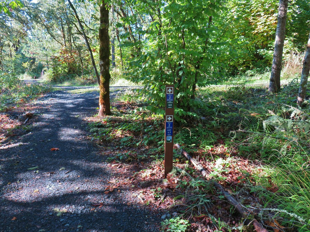

 Bright red tree at a nearby farm from Trail 2.


 Ladybug
 A few late bloomers.


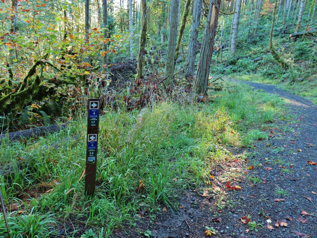
 Cedar Trail to the left.


 Mount Pisgah from the Lower Plateau Trail.


