After our short hikes along Hat Point Road on Sunday (post) we had shuffled our planned hikes for the rest of the week. It was going to be hot for the first half of the week with the possibility of thunderstorms Monday afternoon and evening. In addition, I was dealing with a couple of nagging left leg issues which had me wanting to avoid overly strenuous hikes.
For Monday we decided to try Hurricane Creek. Sullivan lists three options for this featured hike in his “100 Hikes Eastern Oregon” guidebook. The options are a 0.6-mile hike to Falls Creek Falls, a 6.2-mile hike to Slick Rock gorge, and a 15.4-mile hike to Echo Lake. The latter gains 3400′ of elevation, most of which comes in the final three miles to the lake. We had originally hoped to make it to the lake, but that was obviously off the table now. Our plan now was to try and make it to the gorge, but we were prepared to turn around if needed.
We arrived at the Hurricane Creek Trailhead just before 6am to try and beat both the heat and any potential thunderstorms.

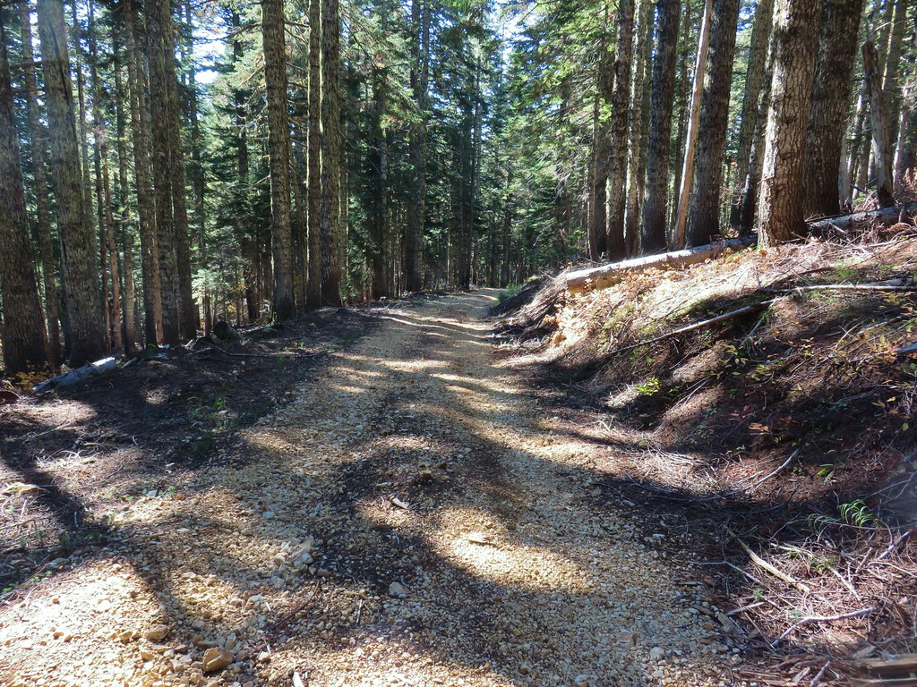
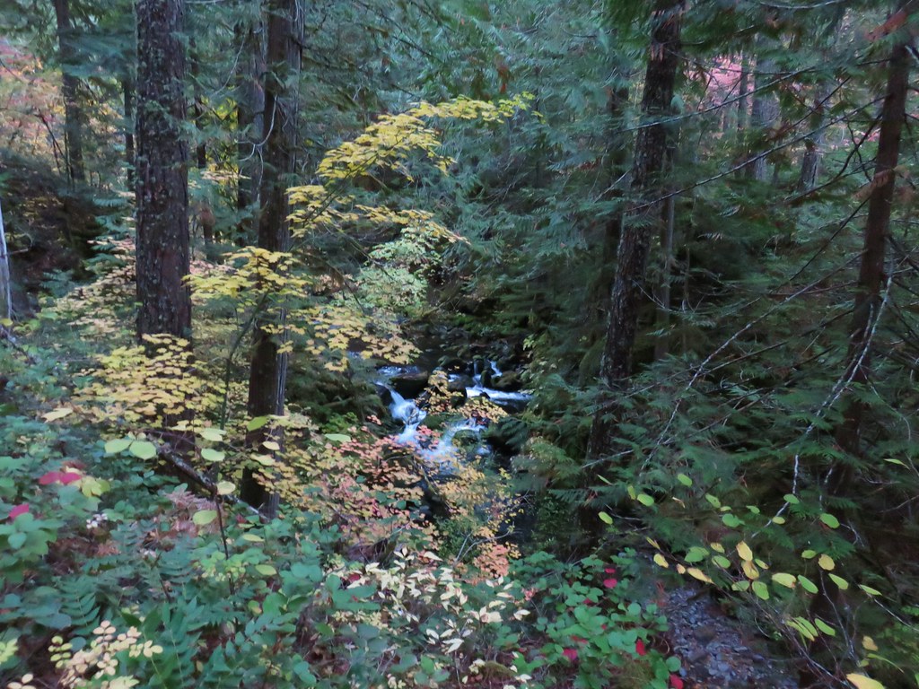
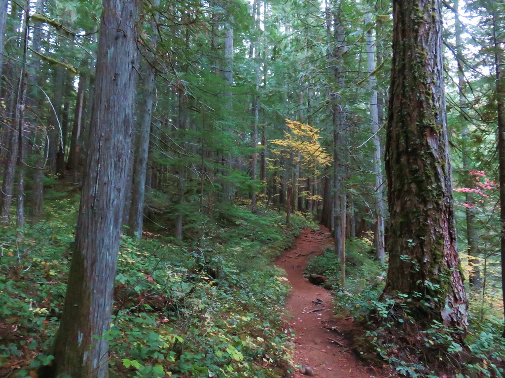
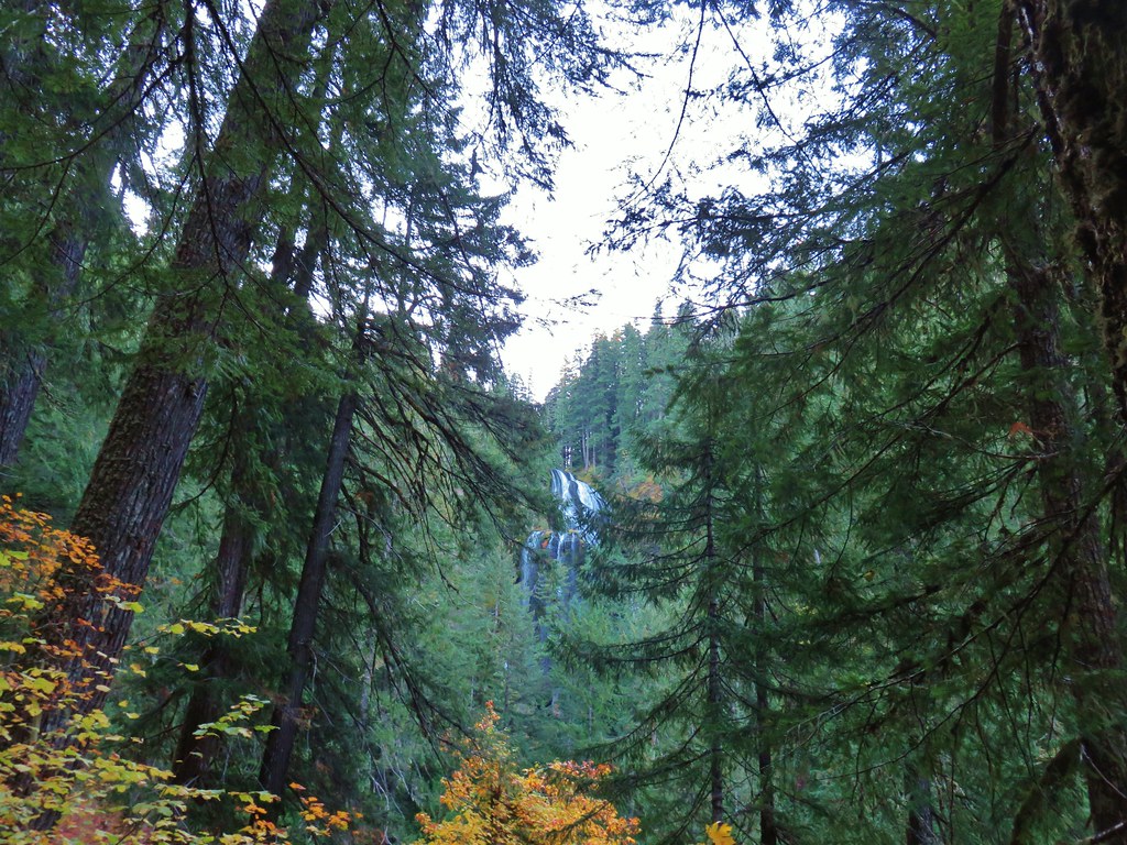
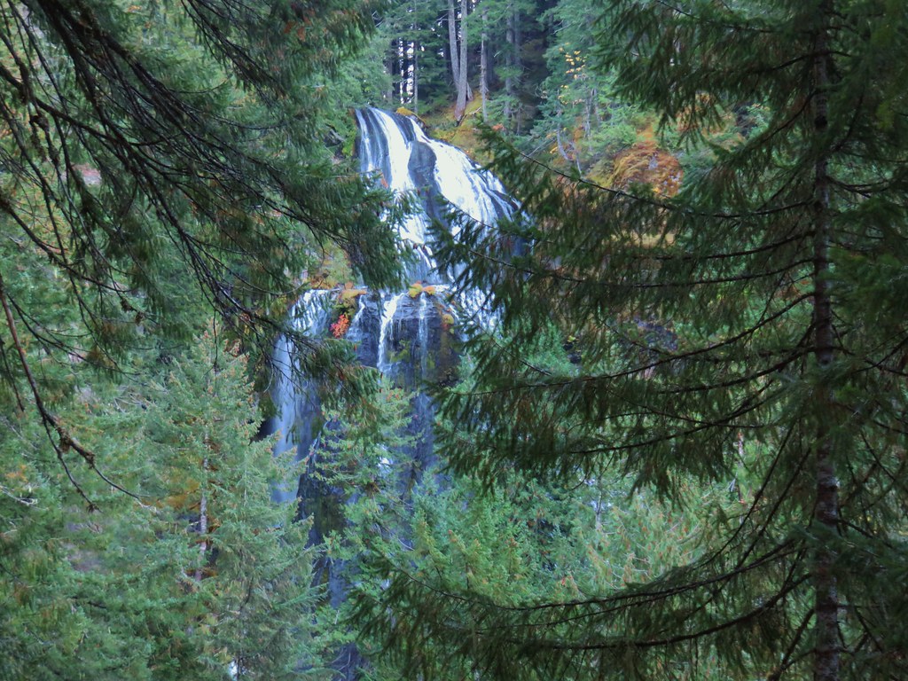
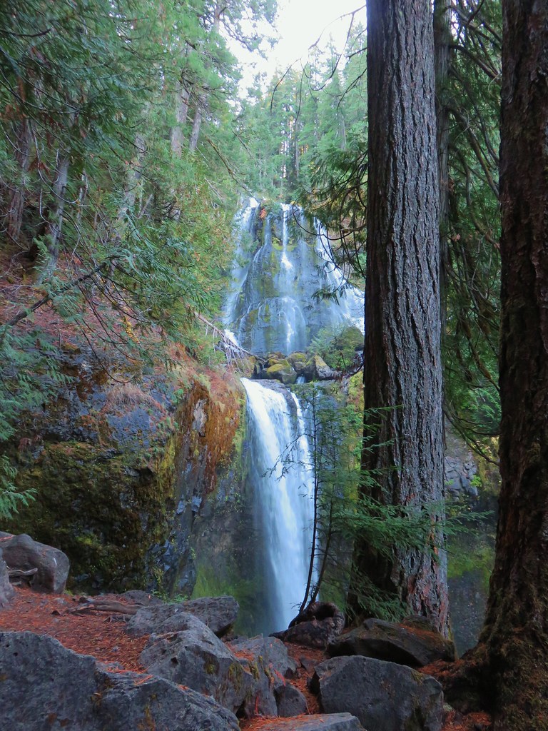
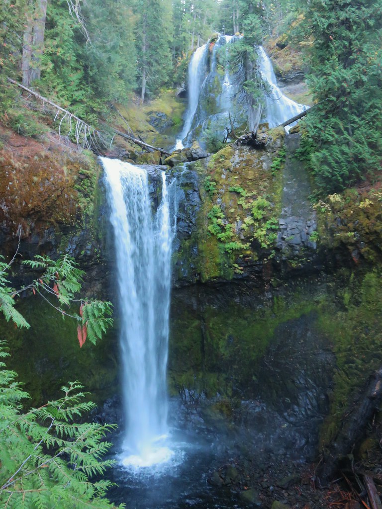
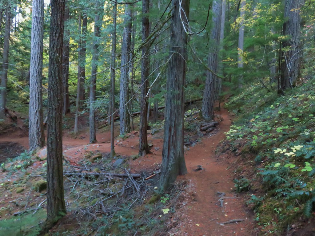
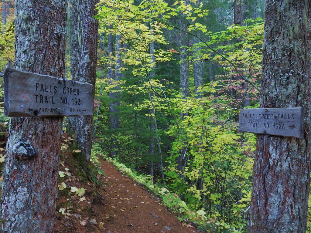
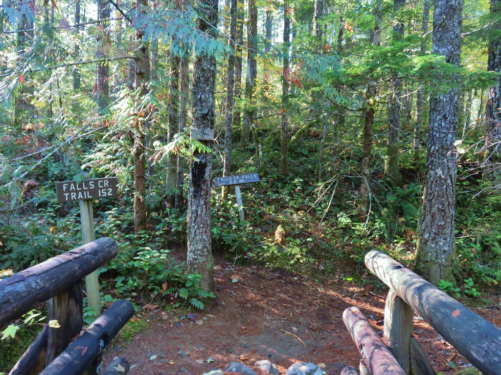
We set off on the Hurricane Creek Trail and after 0.1-miles detoured right on the Falls Creek Trail to see the falls.

 Canadian milk-vetch
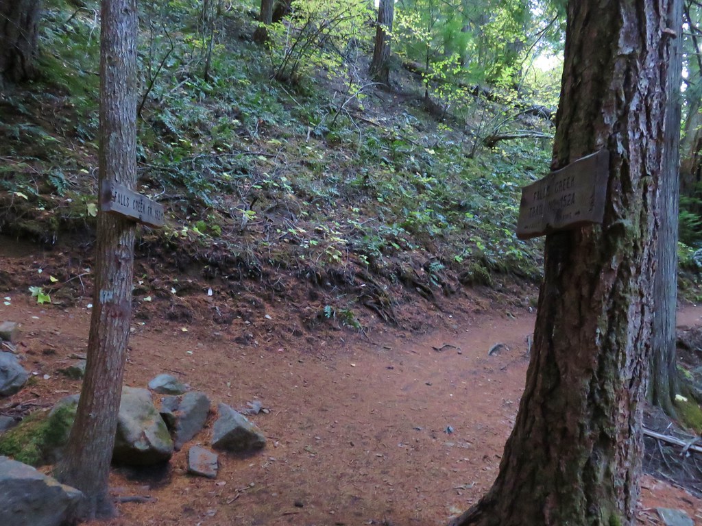
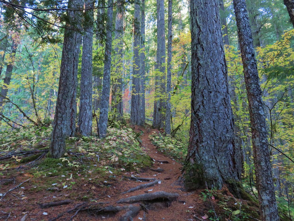
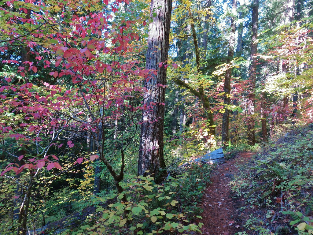
 The Falls Creek Trail on the right.
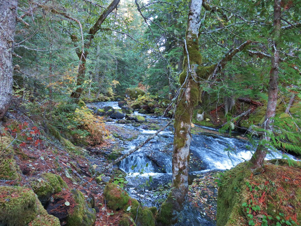
Less than a quarter mile up this trail we arrived at a view of the falls.


 Mock orange
After visiting the falls we returned to the Hurricane Creek Trail and continued on.

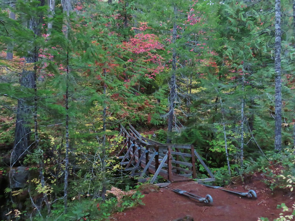
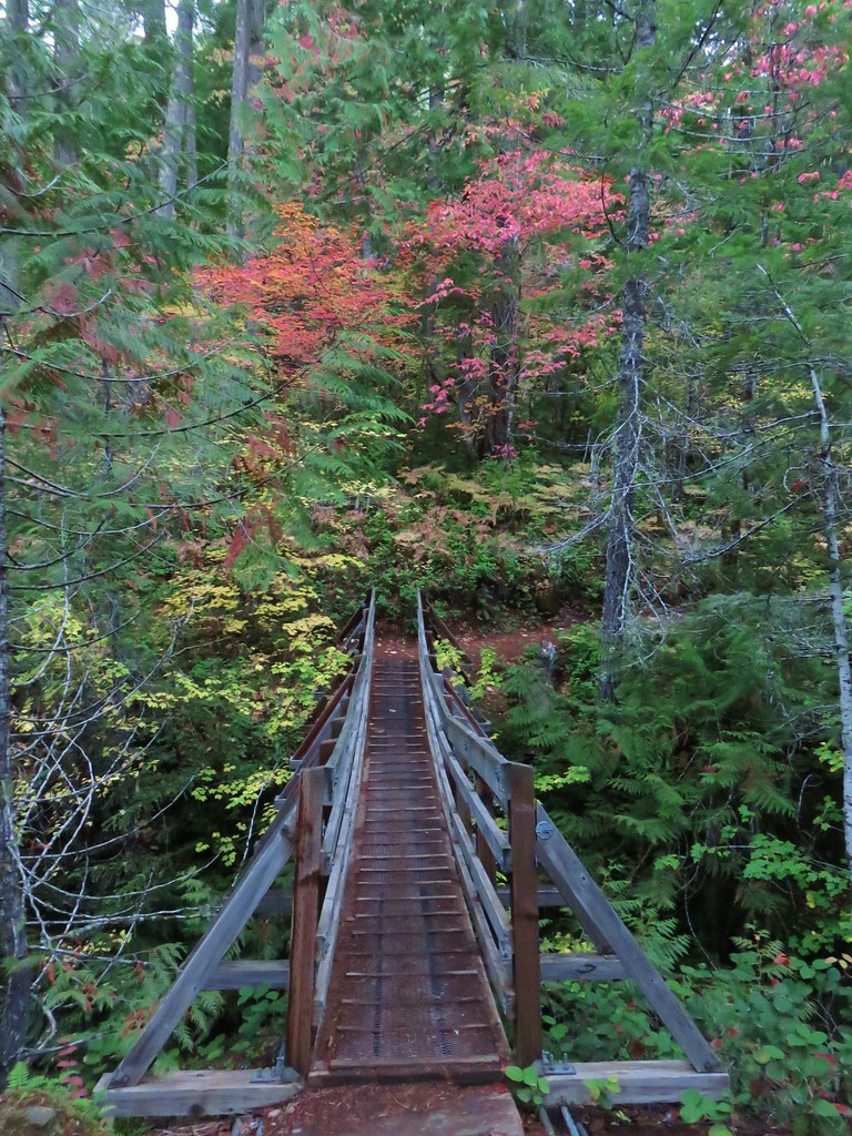
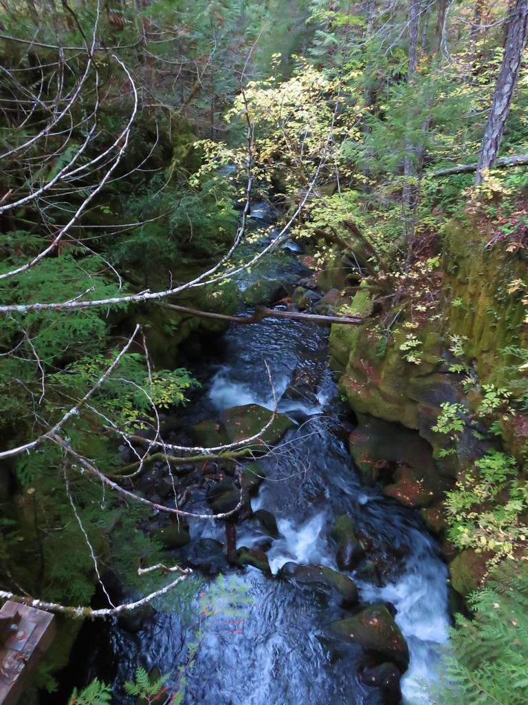
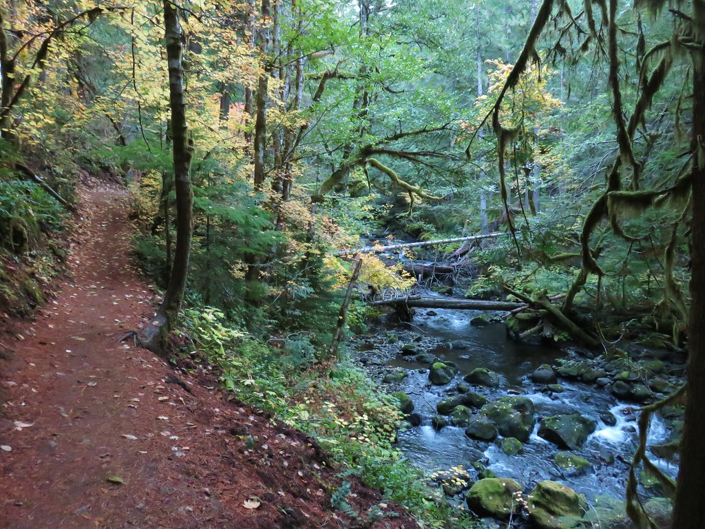
 The Falls Creek crossing.
 Twin Peaks from Falls Creek.
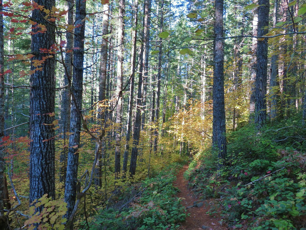
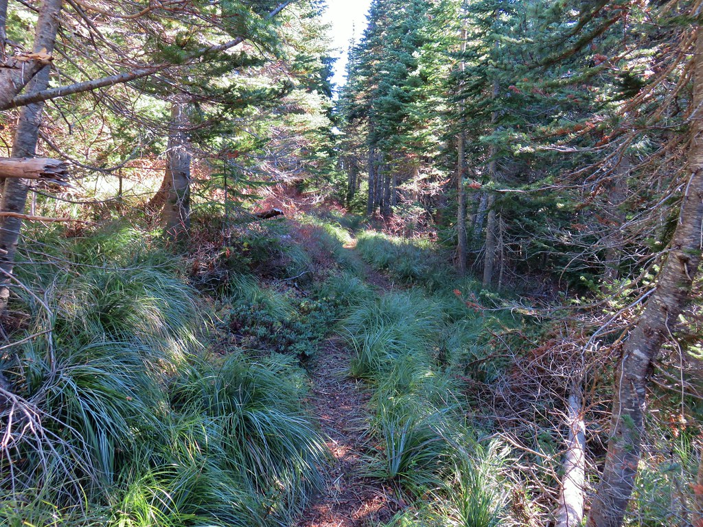
The trail followed Hurricane Creek fairly closely which provided plenty of views of it.

 Geranium
 Paintbrush


 A paintbrush hiding in fleabane.

 Robin
Robin
 The trail crossed a rocky area caused by an avalanche.
 Doe with one of her two fawns that were down at the creek at the avalanche area.

 Mountain death-camas
 The Hurwal Divide to the left of Sacajawea Peak.
 Rosy pussytoes
 Hurricane Divide (south)
At the 1.7-mile mark we came to Deadman Creek with a view of Deadman Falls.


 Deadman Creek
 Western tanager

 Hurricane Creek


 Slick Rock Creek flowing down from the right in the distance.
The trail made a couple of switchbacks to climb above Hurricane Rapids.


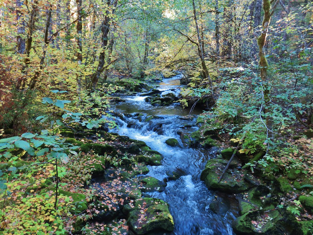
Just over the 3-mile mark we arrived at Slick Rock Creek.

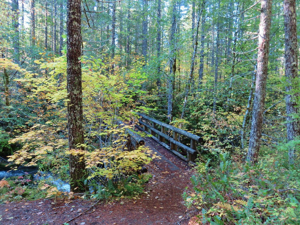
 The creek crossing.
We took a nice long break at this creek to enjoy the views and flowers.
 Harebells and stonecrop

 Paintbrush below the falls.
 Arnica
 Wallowa paintbrush, yellow columbine, milk-vetch, and northern sweetvetch.
 Faint rainbow in the falls.
 Butterfly on Rocky Mountain goldenrod.

 Yellow fleabane
 This may be common butterwort, but I’m not positive.
 Yellow columbine
 Spider hunting a moth. There was a brief scuffle, but the moth escaped unharmed.

 Penstemon

After our rest we headed back. We detoured at the base of the switchbacks to check out Hurricane Rapids.

 Sagebrush mariposa lily


It was a warm but pleasant hike back to the car.
 Despite all the wildfires the views were pretty good as long as the Sun was at our backs.


 Nuttal’s linathus
 Wood nymph
 There was haze to our backs though.
 Rose along the trail.
 A Sulphur butterfly.

 A pale crescent on fleabane.
Our hike including the two detours came to 7.3-miles with approximately 900′ of elevation gain.

My leg held up pretty well and we were finished just after 11am so we had stayed ahead of the worst of the heat. The afternoon and evening thunderstorms mostly avoided the areas where our remaining hikes for the week were located. The only bad news was that another red flag warning had been issued to Wednesday when temperatures were forecast to hit the 90’s again and more afternoon thunderstorms were possible. We adjusted our schedule again to have our next shortest outing be that morning and moved the slightly longer hike to McCully Basin up to Tuesday. It was shaping up to be an interesting week, and one that we were going to need to be very flexible with. After cleaning up in our room in Enterprise we headed to dinner at Range Rider. Happy Trails!
Flickr: Hurricane Creek


 This may named be Green Lake


 Lemei Rock and Mt. Adams

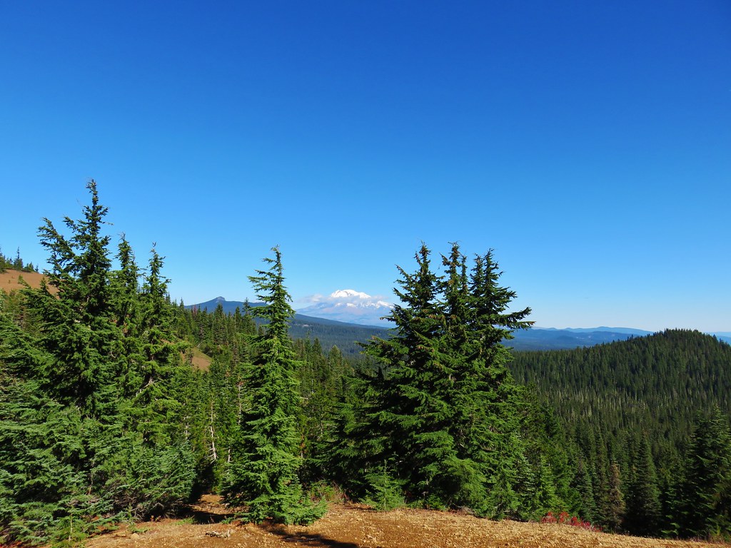
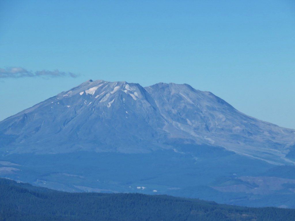 Mt. St. Helens
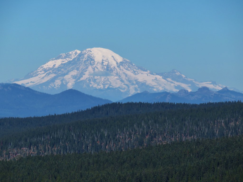 Mt. Rainier
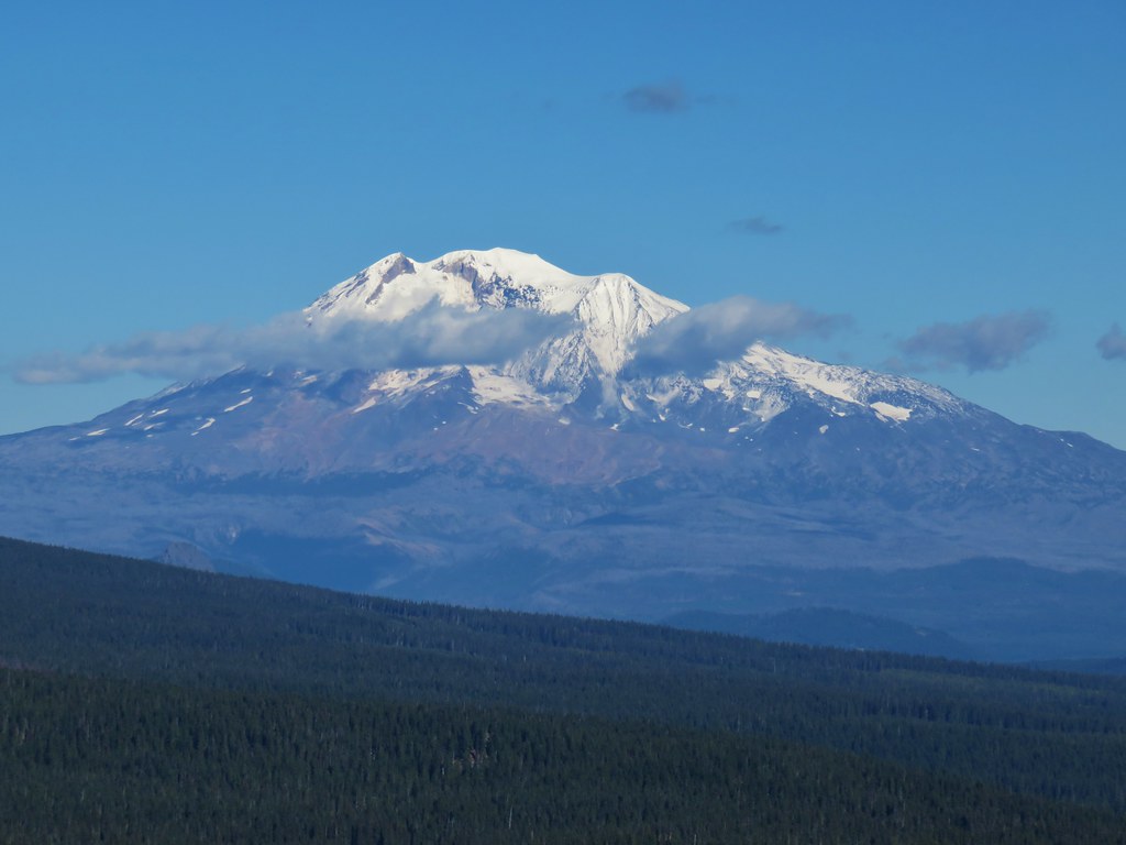 Mt. Adams