The Wilson River Trail currently runs 24.6 miles, with its western end beginning at Muesial Creek Road and its eastern end at Idiot Creek Road. We previously hiked two sections of the trail – the Kings Mountain TH to the Elk Creek TH segment twice (2010 & 2022) and the Footbridge TH to Jones Creek TH segment (2014). It was time to check out another section of the trail and we set our sights on the Elk Creek TH to Idiot Creek Road TH segment.
We parked at the Elk Creek Trailhead since it is the more convenient of the two trailheads to reach. There are a small number of parking spots across from a signboard where we had begun both of our Elk/Kings Mountain loops which is where we once again parked. The first signboard near the small parking area.
We hadn’t fully woken up yet, so we didn’t think to simply take the trail here uphill 100 feet to the Wilson River Trail. Instead walked along the shoulder of Elk Creek Road to a much larger parking area at roads end. Elk Creek Road from the small parking area.
The larger parking area.
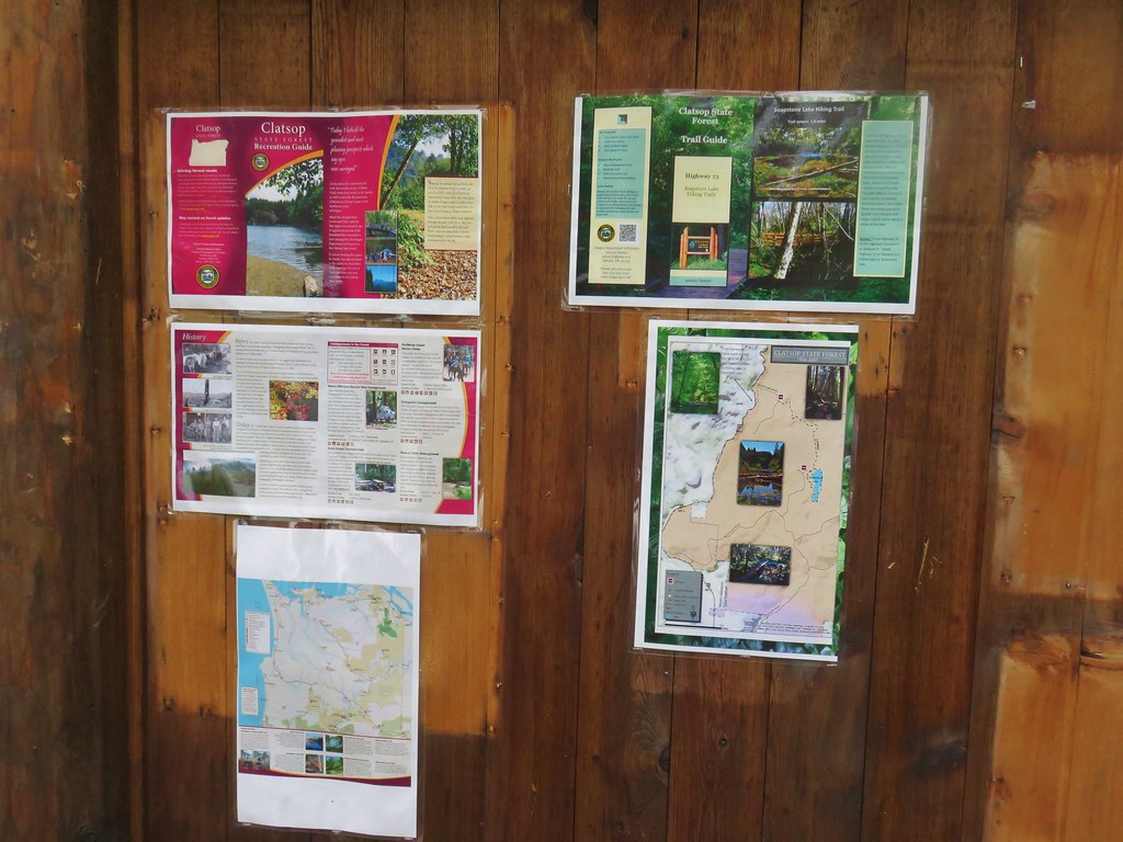
There was another signboard at this trailhead which we stopped at to study the map.
After confirming our route, we set off past a Wilson River Trail sign and came to a junction where we realized we could have avoided the 500′ road walk.
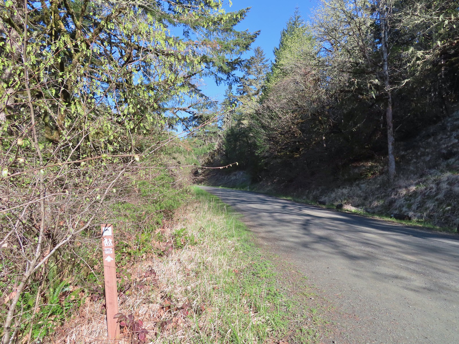
We turned right following a pointer for Idiot Creek Loop Road (note the road is currently not a loop due to a washed-out section). The trail quickly joined the old bed of Elk Creek Road.
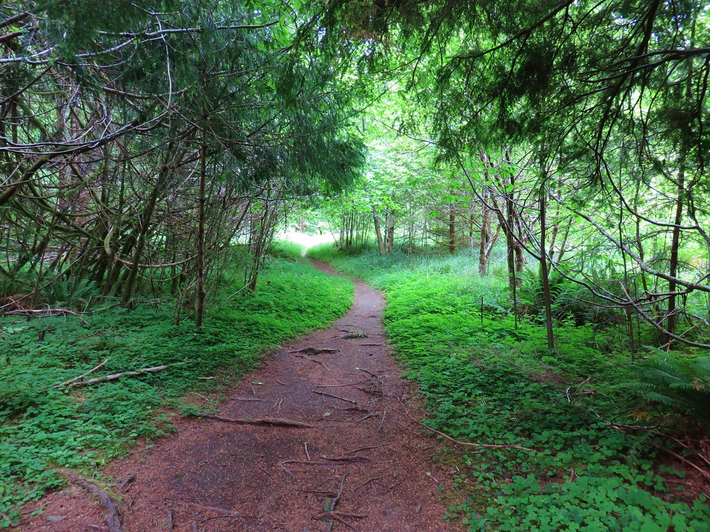
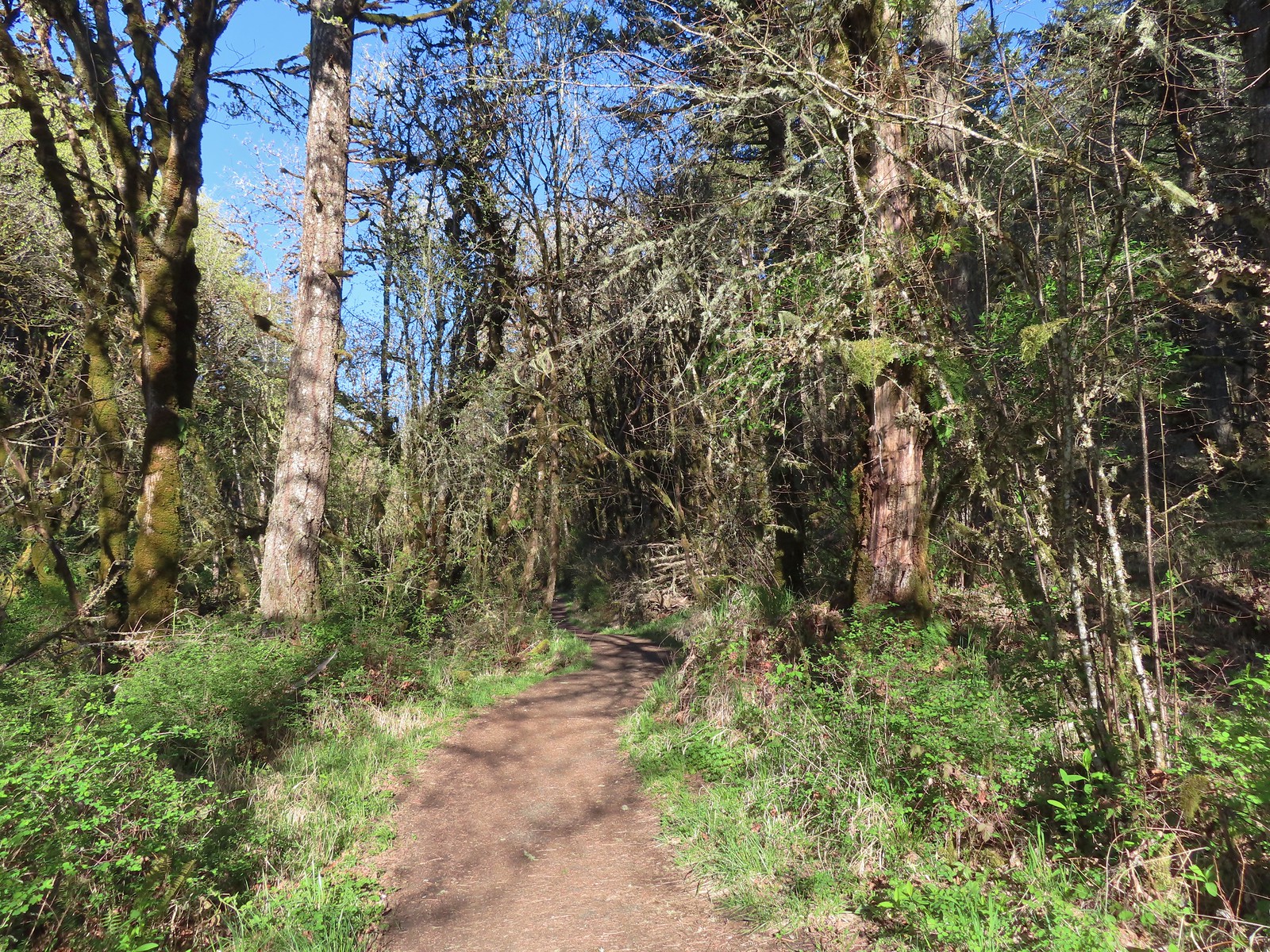
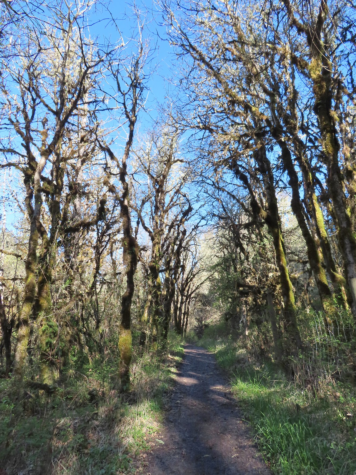
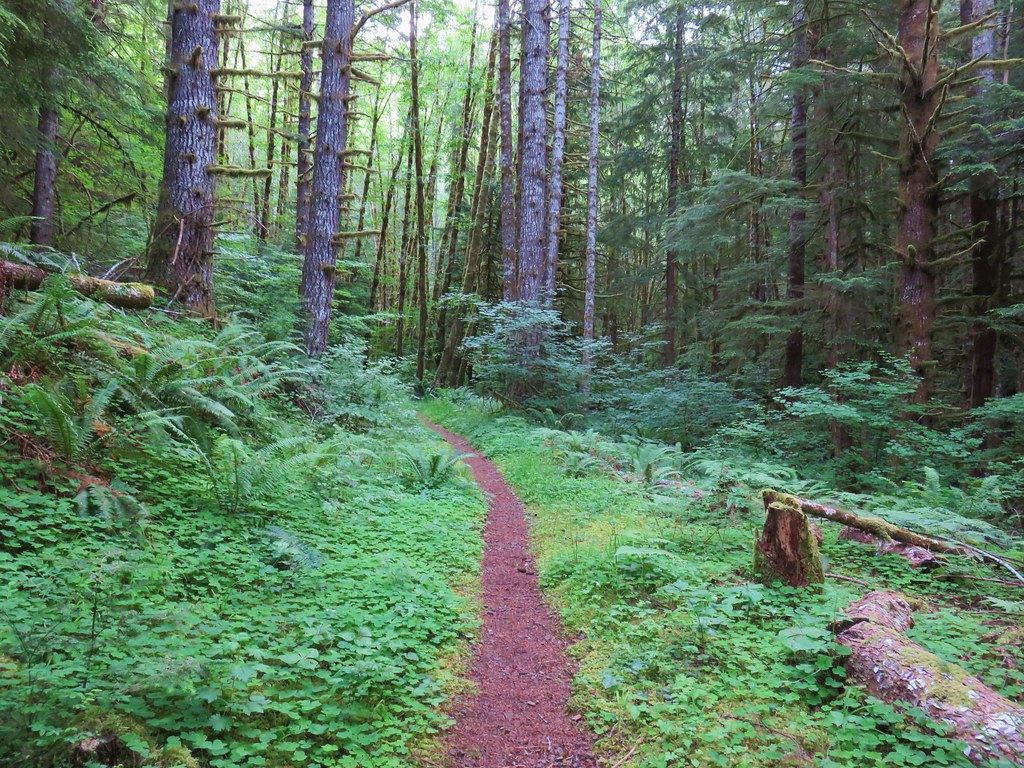
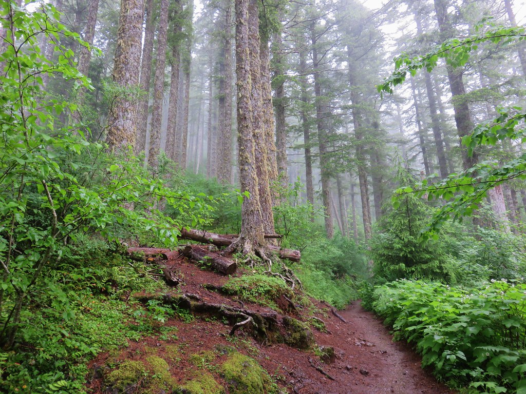
We followed the old roadbed along Elk Creek for approximately a half mile to a well signed junction.
Bleeding heart
Salmonberry
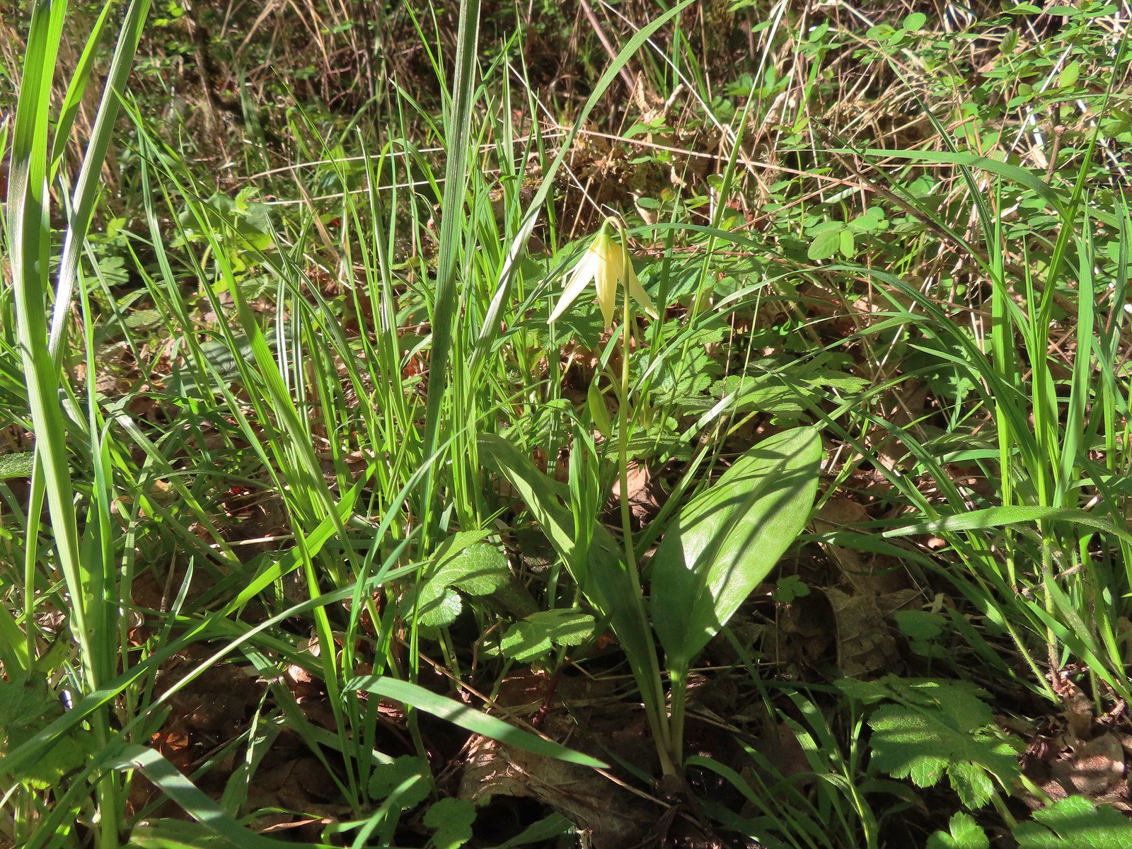
Fairy lanterns
Largeleaf avens
Scouler’s corydalis
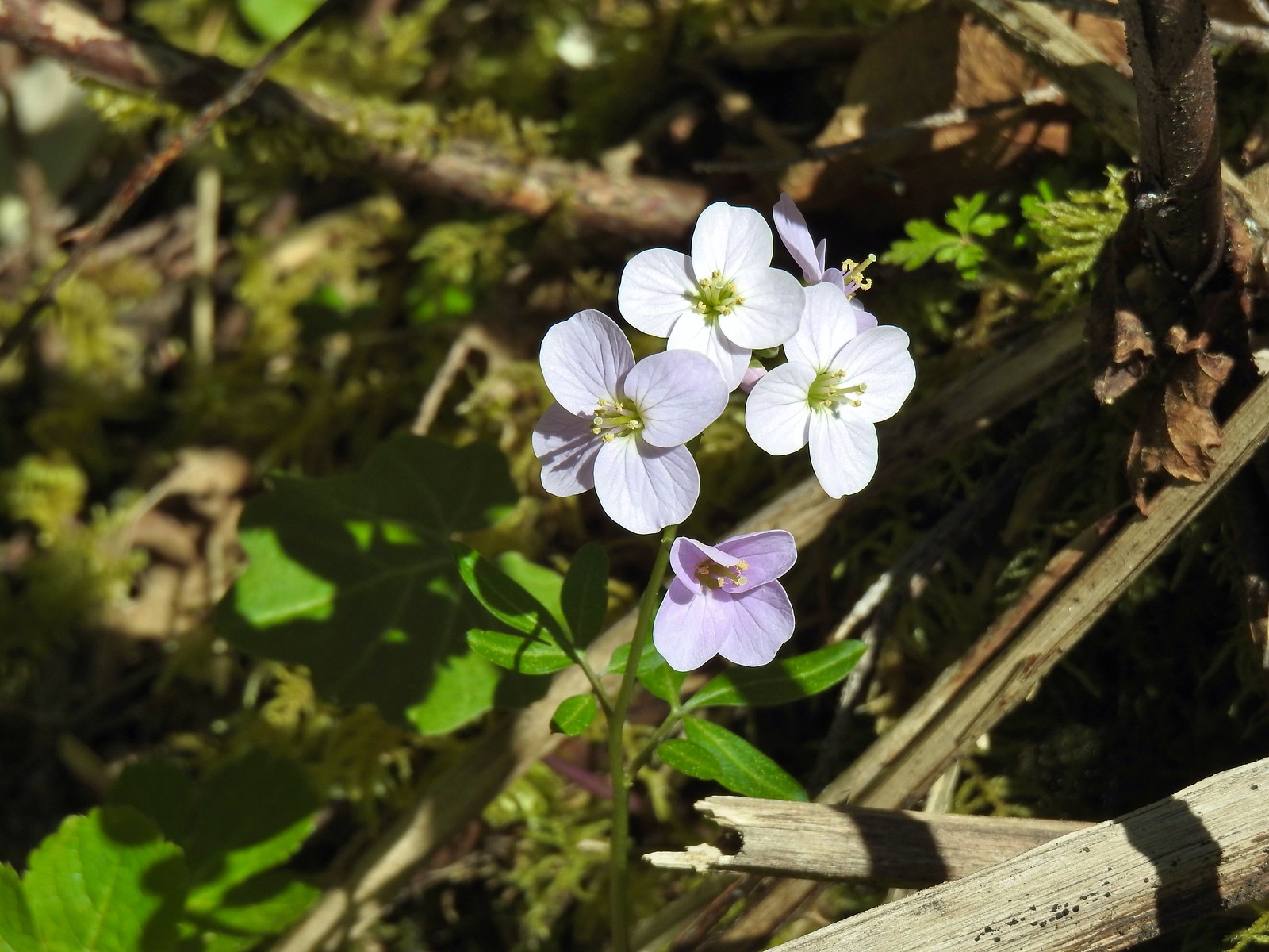
Coastal monkeyflower
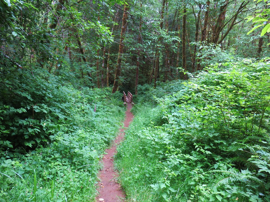
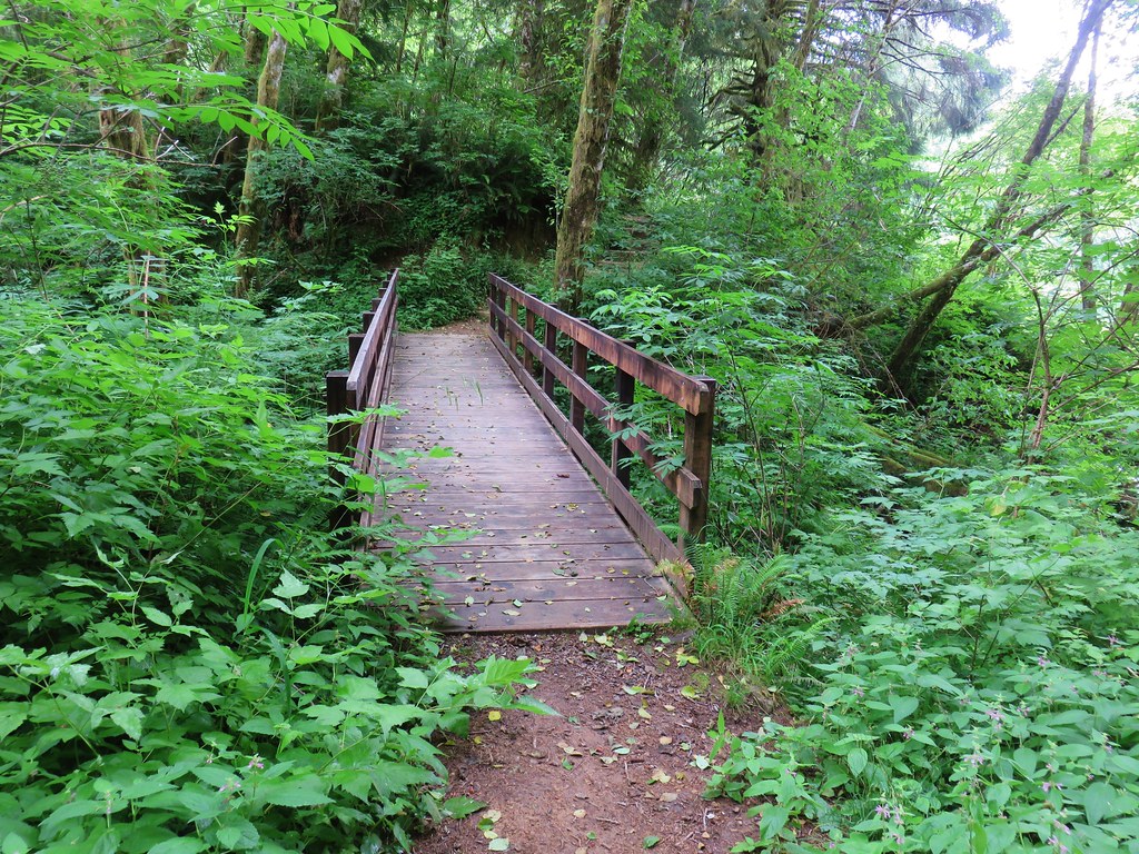
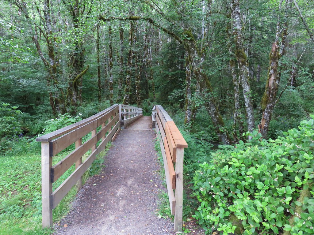
At the junction we turned right and crossed the seasonal footbridge over Elk Creek. (In place May thru September.)
The trail traversed a hillside above Elk Creek for three quarters of a mile before heading uphill.
Fringecup
Trillium
Star flower
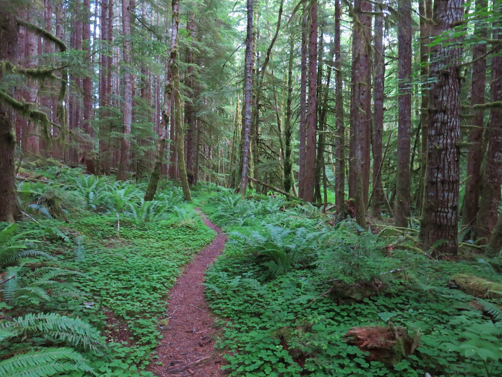
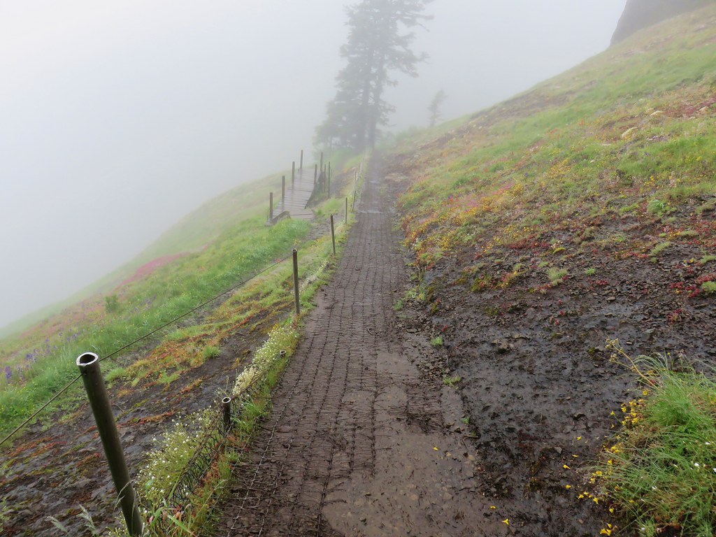
The well graded trail uses a combination of switchbacks and long traverses to climb over 1000′.
Looking down at the trail below.
Vanilla leaf
Spotted coralroot
Anemone
Western buttercup
Near the 2.7-mile mark we took a short spur trail to a rocky viewpoint.
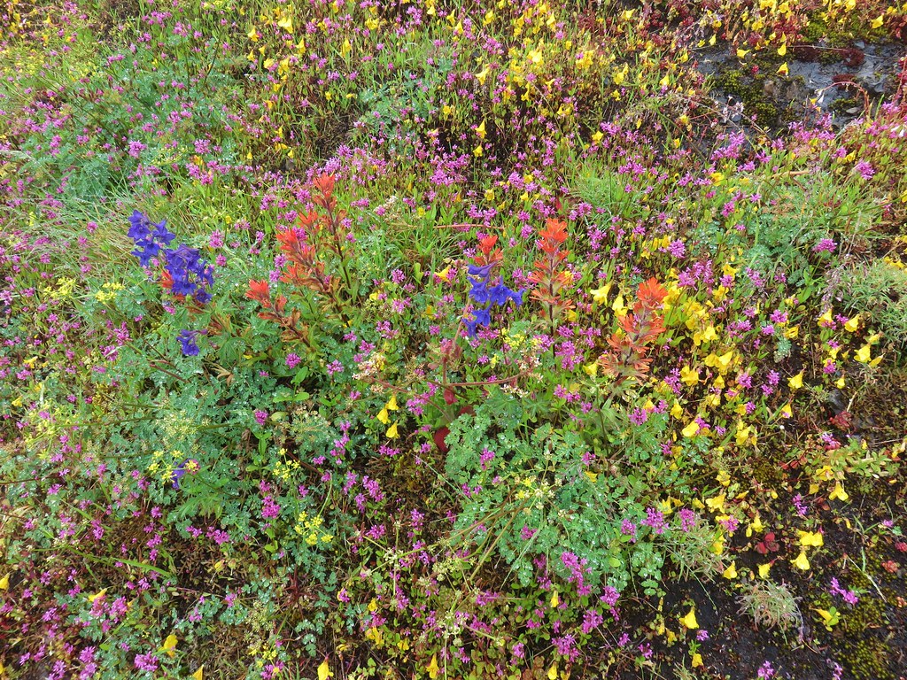
Paintbrush, parsley, and blue-eyed Mary
From the viewpoint it was another third of a mile up to Idiot Creek Loop Road.
Fairy lanterns and paintbrush
I did just a bit of exploring along the road in each direction before we headed back down.
Lupine was just beginning to bloom along the road.
On the way back down.
We had briefly considered following the Elk Creek Trail from the junction near the footbridge before heading back to the car but decided to save that for another time.
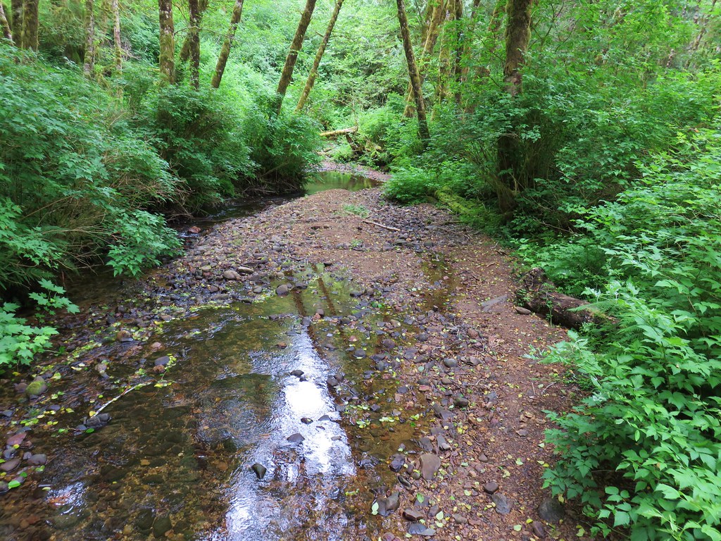
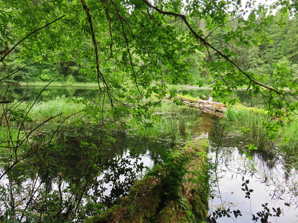
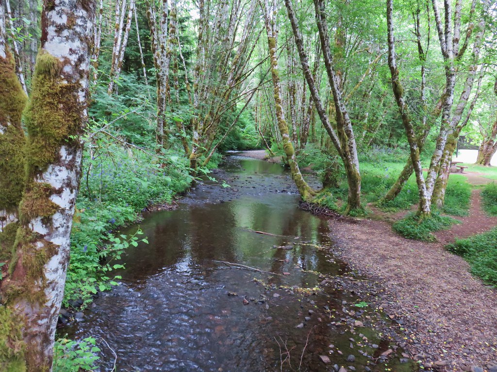
West Fork Elk Creek to the left and Elk Creek to the right from the bridge.
The junction with the Elk Creek Trail.
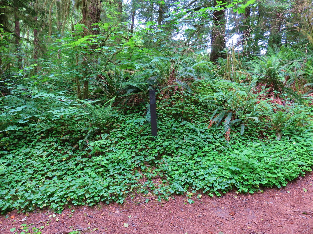
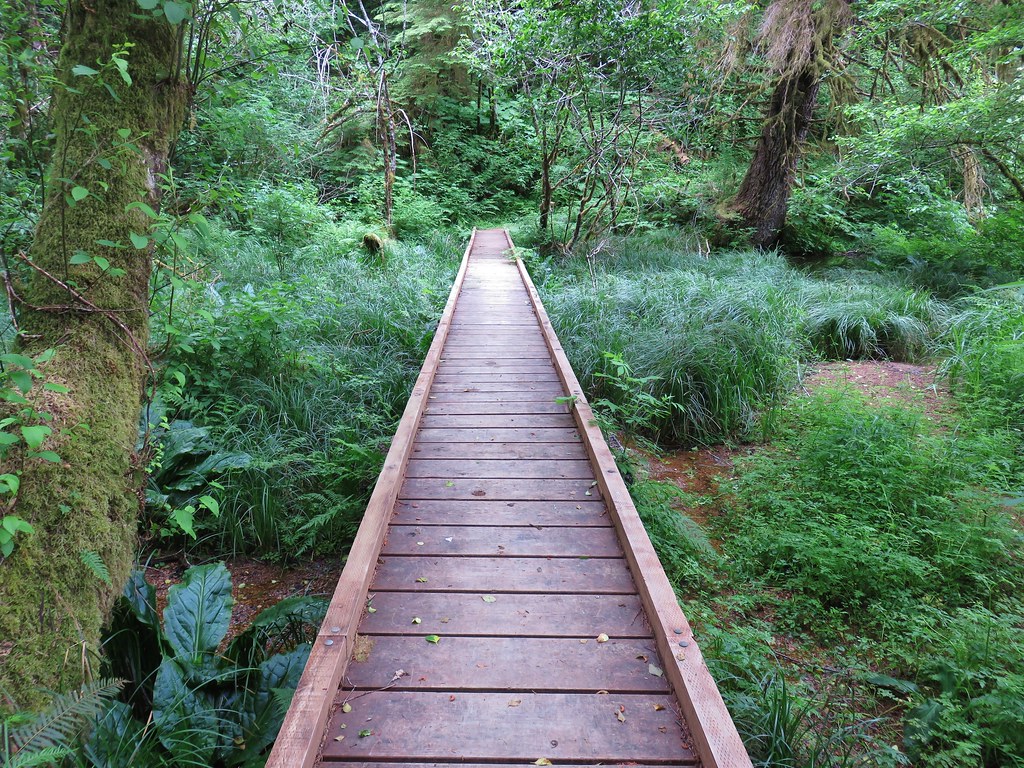
We returned to the car by sticking to the actual Wilson River Trail this time ending the morning at 7.7 miles with a little under 1500′ of elevation gain. We missed a section of leafy mitrewort on our earlier pass.
On the section of the trail we missed by taking Elk Creek Road.
The small parking area from the trail.
While there was a number of cars in the parking areas, we only passed 5 other hikers this morning. Mountain bikers would have gone out the Elk Creek Trail and most hikers were likely headed to Elk Mountain or tackling the full Elk/Kings Mountain Loop. The hike to Idiot Creek Loop Road was pleasant and the gently graded trail made for a nice climb through the green forest. The lack of any major “wow” sights along the trail keeps this a quieter option for the area, but the creek, flowers, and forest make it worthy of a visit. Happy Trails!
A sunny Easter weekend provided us an opportunity to visit three trails in the Corvallis area. The first two were new to us while the third, the Mulkey Ridge Trail, filled in a gap between two of our previous hikes in the area.
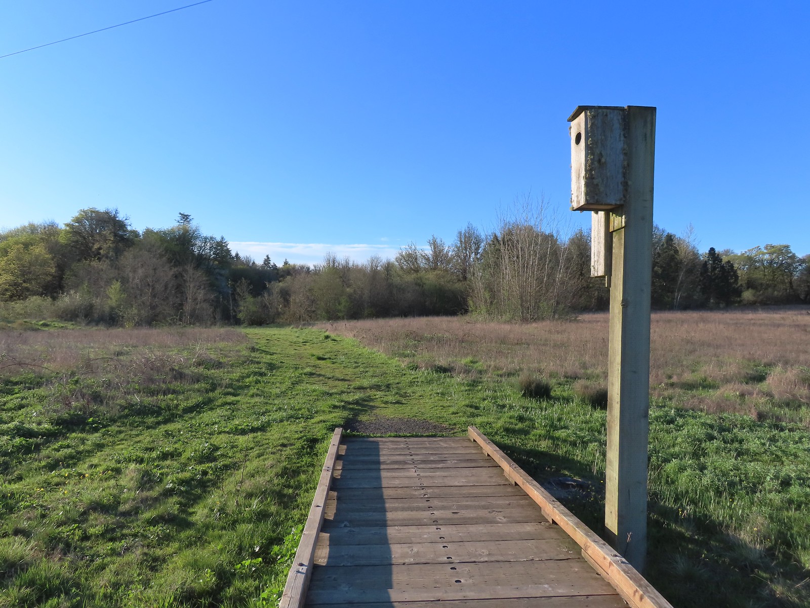
A short, paved path leads to a 3/4-mile boardwalk that loops through the wetland. A footbridge along the paved path crosses Frazier Creek.
Kiosk at the start of the Bob Frenkel Boardwalk.
A fairly rainy week had left the wetland wet, but not flooded. By the sounds, birds were everywhere although we only managed to spot a small fraction of them as we made our way around the boardwalk. The start of the loop. We went counterclockwise.
Northern flicker
We listened to this sparrow sing for a bit. It was putting on quite the performance.
One of a couple viewing platforms off the main boardwalk.
Blackbird
Robin in the morning sunlight.
Sparrow
Hummingbird
Easter rabbit?
While short (0.9 miles) this was a really nice walk, and there is something about hearing birds that is uplifting.
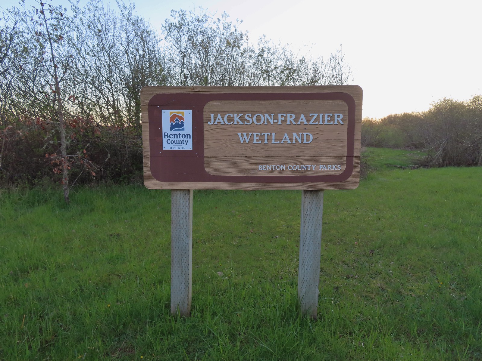
From this wetland we drove through Corvallis and parked at Mary’s River Natural Area (If you are using Google Maps you want Mary’s River Natural Park not “Area”. Kiosk at the trailhead.
Mary’s River Natural Area is another wetland with a short, paved path leading to a boardwalk although here there is no loop.
Interpretive sign along the path.
Buttercups and a bog saxifrage
The start of the boardwalk.
Three California scrub-jays
One of the scrub-jays up close.
We walked a short distance from the end of the boardwalk to visit Mary’s River.
Swollen Mary’s River. It did appear that it might be possible to make this a loop in the dry season by following a grassy track, but it was too wet and muddy to even attempt that today.
We returned the way we’d come stopping a couple of times to watch birds flitting between the trees. Mary’s Peak (post) from the boardwalk.
Black-capped chickadee
Anna’s hummingbird
This was another 0.9-mile hike, and while not as interesting as the Jackson-Frazier Wetland it was a pleasant walk with a fair number of bird sightings.
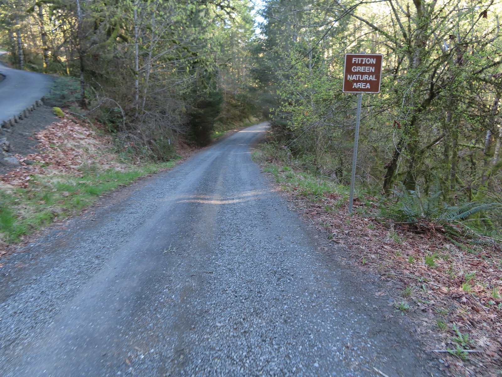
Since these new to us hikes totaled less than two miles, we wanted something longer as we continue to build our base back up for longer hikes later this year. This gave us the perfect excuse to revisit part of two previous hikes, Bald Hill (post) and Fitton Green (post). We’d visited the Fitton Green Natural Area just over a year ago and on that hike noted that the Mulkey Ridge Trail made it possible to connect that area with the Bald Hill Natuarl Area which we had visited in October of 2016.
Just as we’d done in 2016 we parked at the Oak Creek Trailhead which is West of town. Kiosk just on the other side of Oak Creek from the trailhead parking lot.
At the first kiosk we turned right along Oak Creek to a second kiosk at the boundary for the Bald Hill Farm Conservation Area.
This is the 3.7-mile long Mulkey Ridge Trail which we followed along Oak Creek to a fence where we turned left along a gravel road. The road jogged right heading uphill past a large barn. Bald Hill from the trail.
Mary’s Peak
The barn across the gravel road.
Our fist camas sighting of the year. The only one in bloom that we’d see all day.
A half mile from the trailhead we stayed straight at a junction to continue on the Mulkey Ridge Trail. We’d turned left here on our 2016 Bald Hill hike.
The trail continued for approximately another 0.4-miles before briefly joining it at a farm road with a sign pointing downhill to a farmhouse, barn, and shops.
Crossing the farmhouse road to join the gravel road.
We followed the gravel road past a private residence after which the road turned into a trail again.
As the trail entered woods where we began seeing a variety of Spring wildflowers.
The first of many fawn lilies we’d see.
Giant white wakerobin
Toothwort
More fawn lilies
Bleeding heart
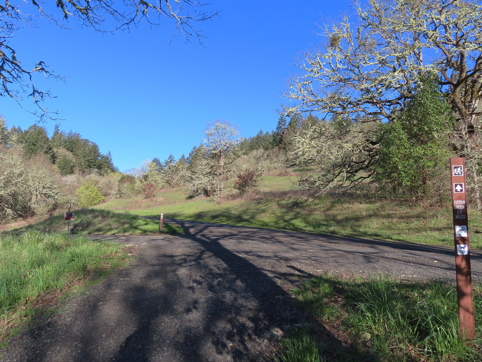
At the 1.2-mile mark we came to a map board at a “Y” junction. We had a couple of choices to make here. Sullivan added Fitton Green as a featured hike in his “100 Hikes Oregon Coast” 1st edition, describing an 8.2-mile out-and-back starting at the Oak Creek Trailhead while the Oregonhikers.com field guide describes a 6.9-mile lollipop loop beginning from the same TH. While the lollipop is shorter it involves nearly a mile and a half of road walking. Our first choice was easy, we prefer loops when possible, even if they involve some road walking. The second decision to make was did we want to do the road walk now or wait until we were heading back. While the Oregonhikers entry saves the road walk for the return we opted to do it now, primarily because road walking tends to be harder on the feet and we didn’t want to wait until they were even more tired to put them through that.
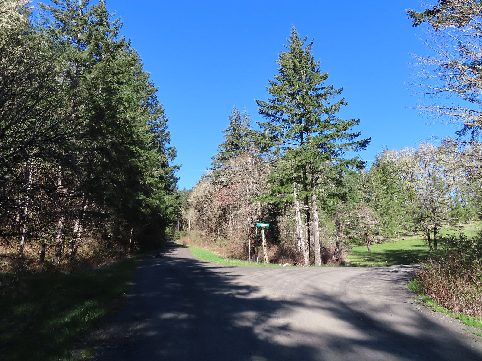
We veered uphill to the right at the junction and in 0.2-miles arrived at gravel Wynoochee Drive.
Trail pointer at Wynoochee Drive.
We turned left onto the road which climbed gradually for just over three quarters of a mile to paved Panorama Drive.
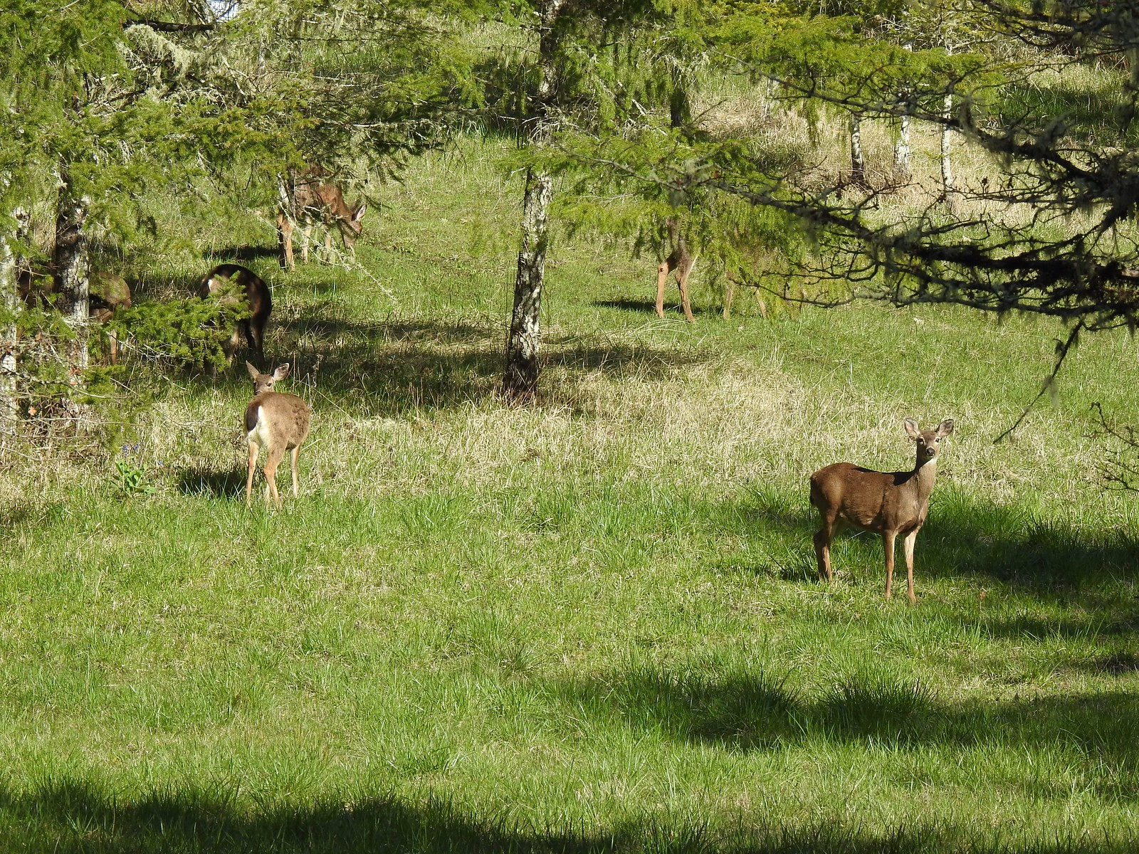
We spotted several deer in the grass at the intersection with Skipanon Drive.
I count six in this photo.
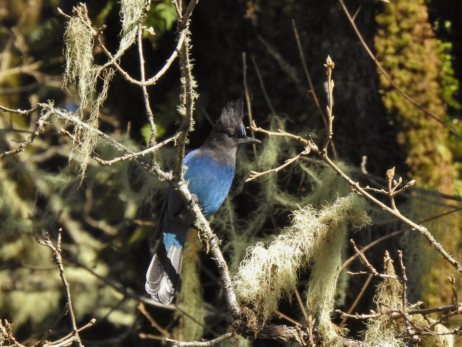
In addition to the deer we saw a large number of Stellar’s jays along Wynoochee Drive. While most of the jays wouldn’t sit still in the open long enough for a decent photo this one at least cooperated.
Sign for the Fitton Green Natural Area at the intersection with Panorama Drive.
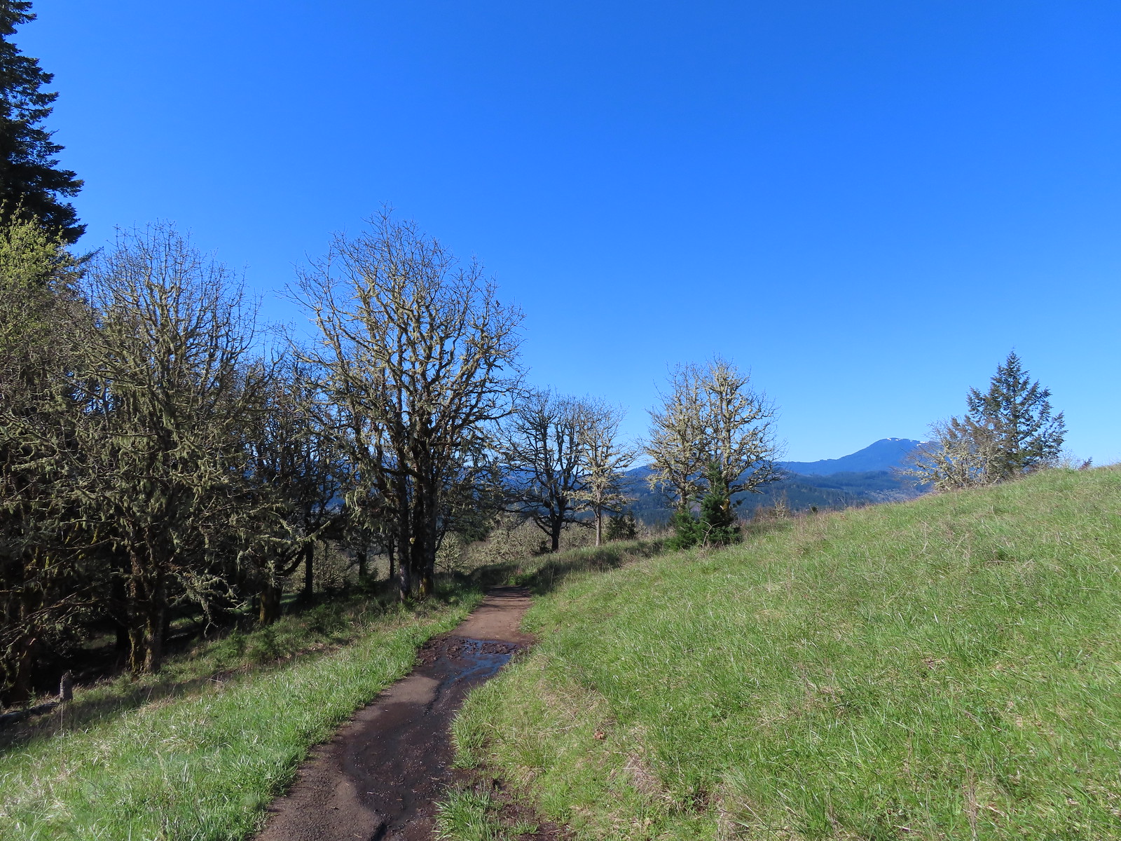
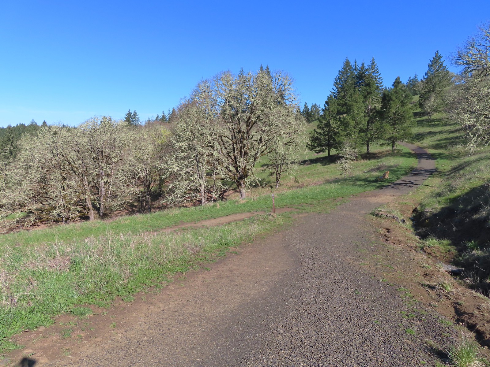
We followed the pointer for Fitton Green to the left and did some more climbing as Panorma Drive took us past several homes before descending to the Panorama Drive Trailhead three quarters of a mile from the intersection.
The road turned to gravel shortly before arriving at the trailhead.
Gate at the trailhead.
We hiked past the gate and in a tenth of a mile came to the Allen Throop Loop which had been part of our 2023 hike here.
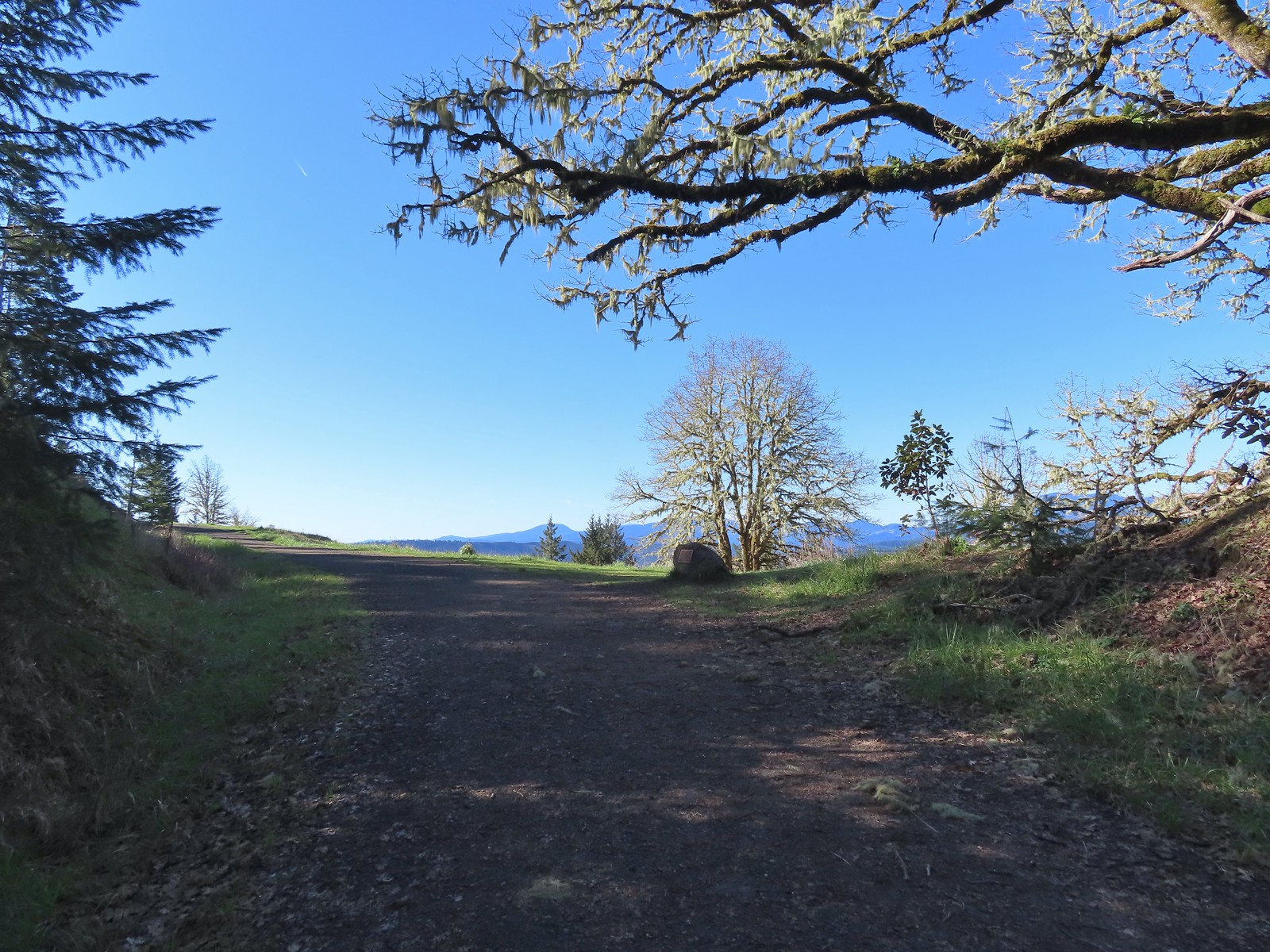
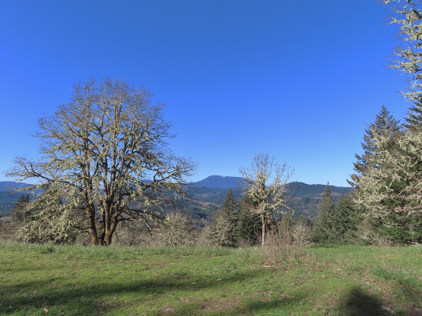
We turned left onto the loop and climbed to a viewpoint of Mary’s Peak.
Mary’s Peak still sporting a decent amount of snow.
We followed the Allen Throop Loop as it wound down the open hillside for 0.7-miles to a junction with the Mulkey Ridge Trail. Looking SE towards Corvallis
Looking West towards the Coast Range.
Common lomatium
We were hoping it was clear enough to see the Cascade Volcanoes, but the Three Sisters were hidden by clouds. We were however able to see the top of Mt. Jefferson.
The Mulkey Ridge Trail below to the left arriving at the Allen Throop Loop.
We turned left onto the Mulkey Ridge Trail and began to make our way back to the trailhead.
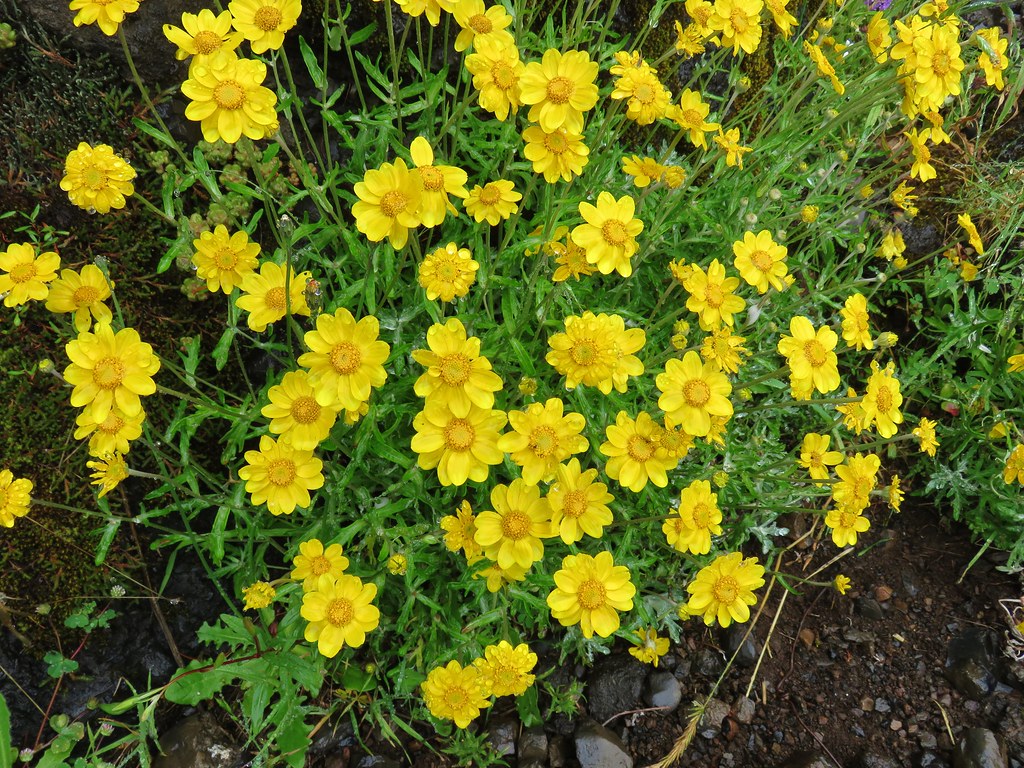
There were a fair number of flowers blooming along the trail. Strawberry
Redstem storksbill
Wild iris
More fawn lilies
Candy flower
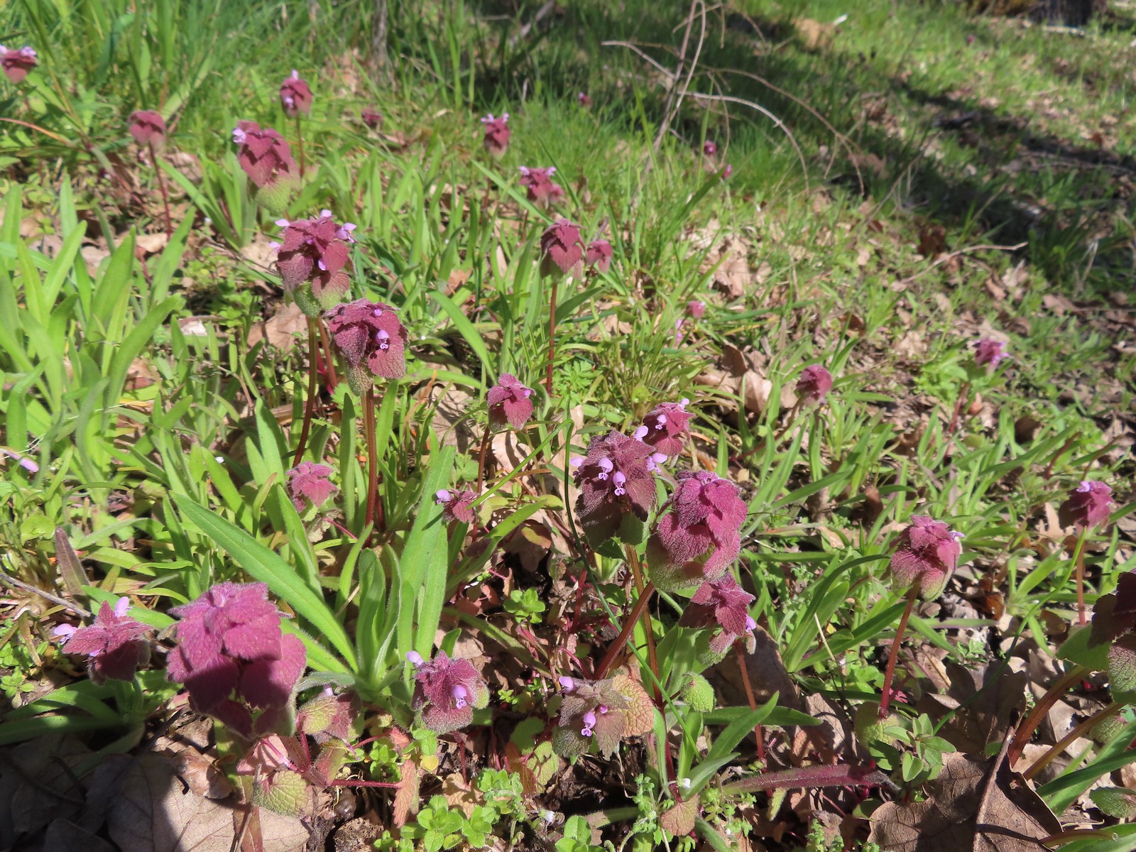
Purple deadnettle
Pacific hound’s tongue
Colorful turkey tails
The trail splits briefly along a ridge marking what used to be the end of trail from the Oak Creek Trailhead.
Dark-eyed junco
There were a pair of acorn woodpeckers in this area that we stopped to watch.
This tree was full of holes that the woodpeckers use to store their acorns in.
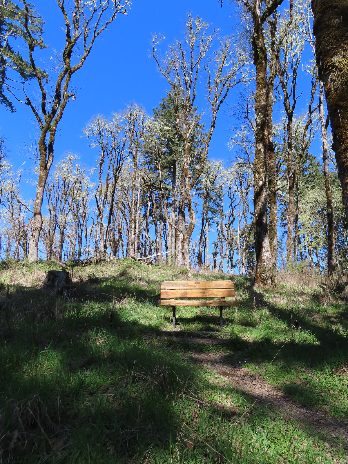
One of several benches along the trail.
Oregon grape
Trillium
The Mulkey Ridge Trail descending to Mulkey Creek. (Note the footbridge in the lower right-hand corner.)
Footbridge over Mulkey Creek.
Approximately 2.5-miles from the Allen Throop Loop we arrived back at the spur trail we’d followed up to Wynoochee Drive.
Toothwort
We retraced our steps back 1.2-miles to the Oak Creek Trailhead where we were happy to find our backup GPS unit was still sitting on top of our car where we’d accidently left it. Western buttercups along the trail on our way back.
The GPS we did remember to take with us indicated this was a 7.4-mile hike, a half mile longer than the Oregonhikers field guide. I can’t account for the difference but given the elapsed time 7.4-miles seems reasonable. The hike included a little over 1150′ of elevation gain as well. Overall this was a great hike with a good variety of scenery, nice views, and some wildlife. The network of trails also makes both shorter and much longer hikes possible. Happy Trails!
Our three hikes for the day.Today’s hike in cyan, 2016 Bald Hill green, and 2023 Fitton Green purple
For the most part the weather had been cooperating with us this year but that wasn’t the case on our most recent outing. Admittedly I had not rechecked the forecast the night before but just a couple of days earlier the predication was for mostly sunny skies and a high in the mid to upper 70s. It had been cloudy all week in Salem so when those clouds broke up in the afternoon the day before our hikes I took that as a sign that the earlier forecast was still correct. It was a little cloudier than expected as we left Salem the morning of our hikes and as we headed west on Highway 26 from Beaverton we started to notice a little moisture on the windshield.
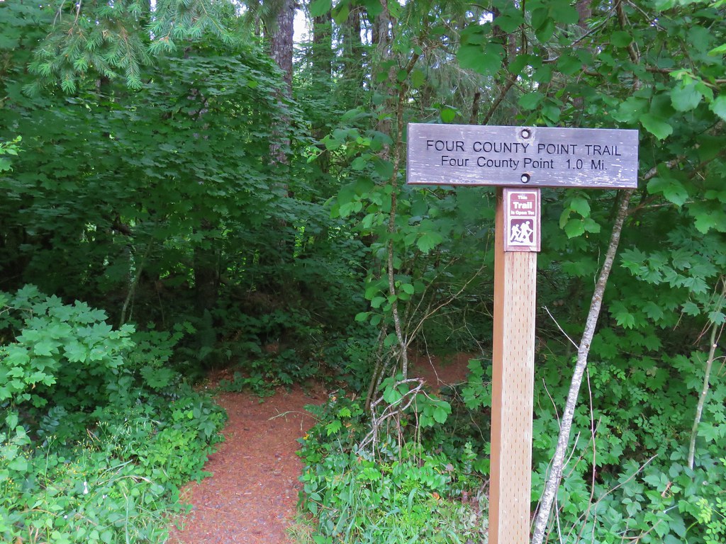
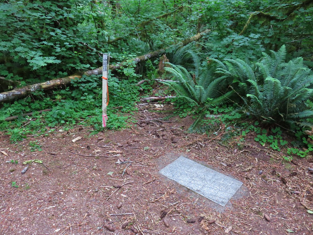
Our first stop for the day was at a small pullout on the north side of Highway 26 between mile posts 34 and 35. The Four County Point Trail begins here at a trail sign.
The trail quickly came to a fork and a post with no signage.
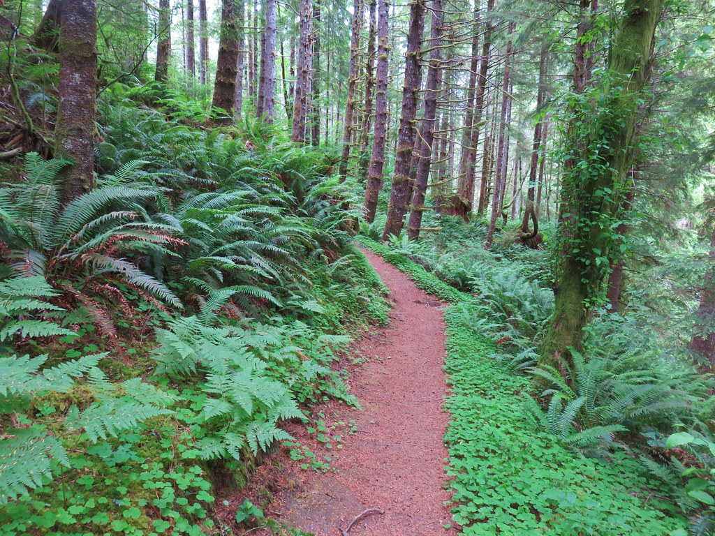
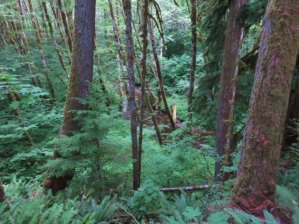
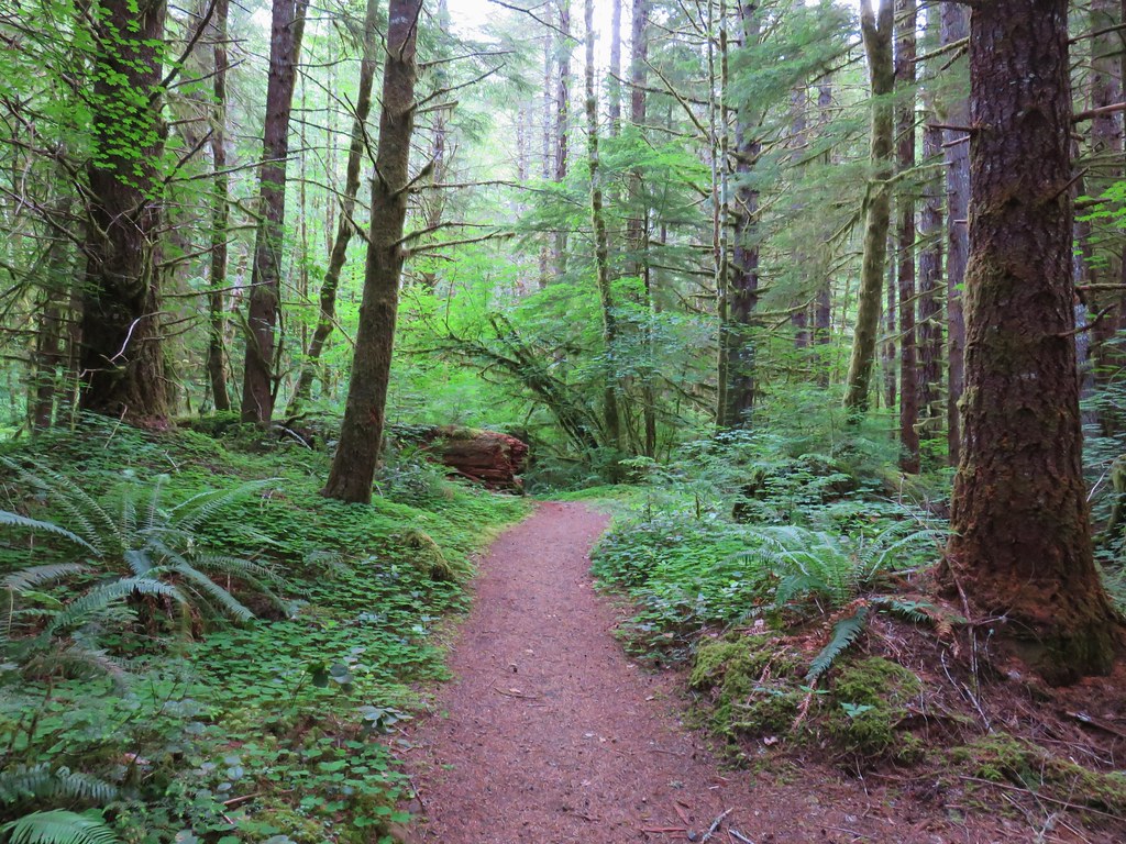
Left is the way to Four Corner Point so we took that fork and hike through a green forest (such a contrast after a week in Central and SE Oregon. The trail was between the highway on the left and North Fork Wolf Creek on the right.
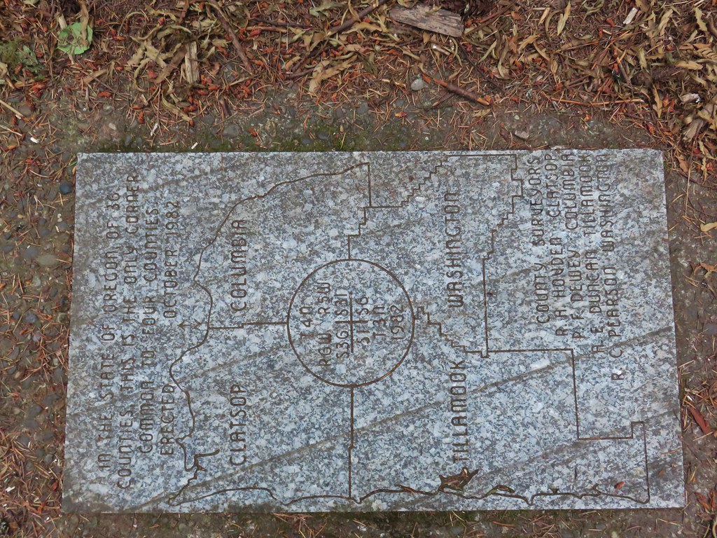
Between the highway being that close and a nearby public shooting range (which was busy even before 7am) this wasn’t exactly a tranquil hike but it ended at an interesting location, the meeting point of four counties: Clatsop, Columbia, Tillamook, and Washington.
Although the sign indicates that the trail length is a mile it’s closer to .8 miles to the plaque making it a nice warm up or leg stretcher. The noise and a visible clear cut did detract from the enjoyment.
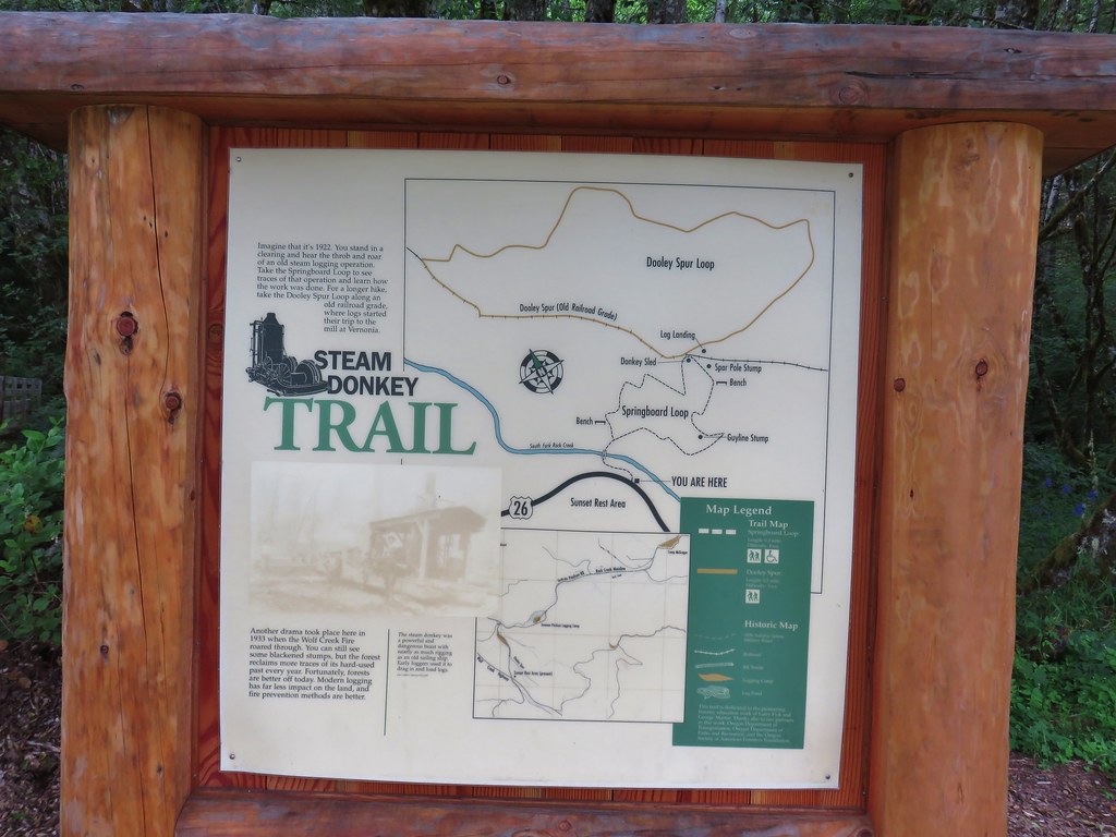
Our next stop was just an additional six miles west of the pullout at the Sunset Rest Area.
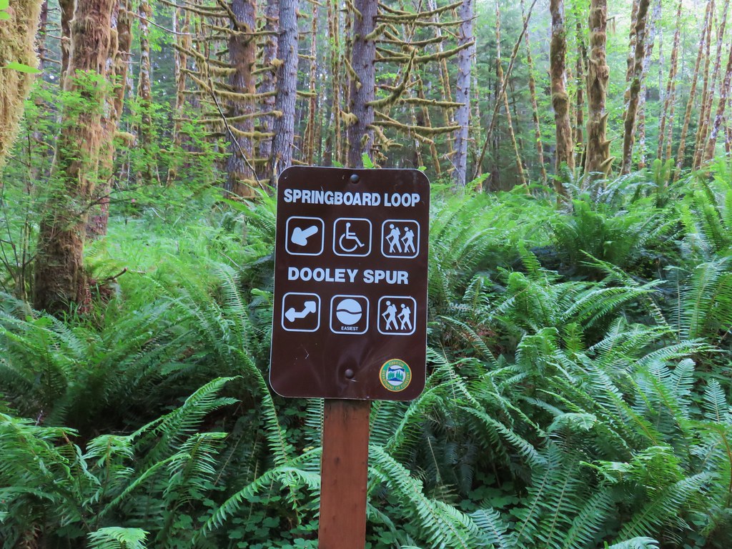
Here the Steam Donkey Trail offered two possible loop options.
Both options are short so we did both the Springboard Loop and the Dooley Spur Loop which basically form a figure eight. The trail crossed South Fork Rock Creek on a footbridge before reaching the start of the Springboard Loop.
We opted to do the loop counter clockwise so we headed right through another lush green forest.
With the Springboard Loop only being .3 miles long we quickly arrived at a four way junction with the Dooley Spur Loop.
We turned right again for this .5 mile loop.
This was another nice leg stretcher and was much quieter than the Four County Point Trail and with options for .3 or .8 mile loops would be a good hike for youngsters.
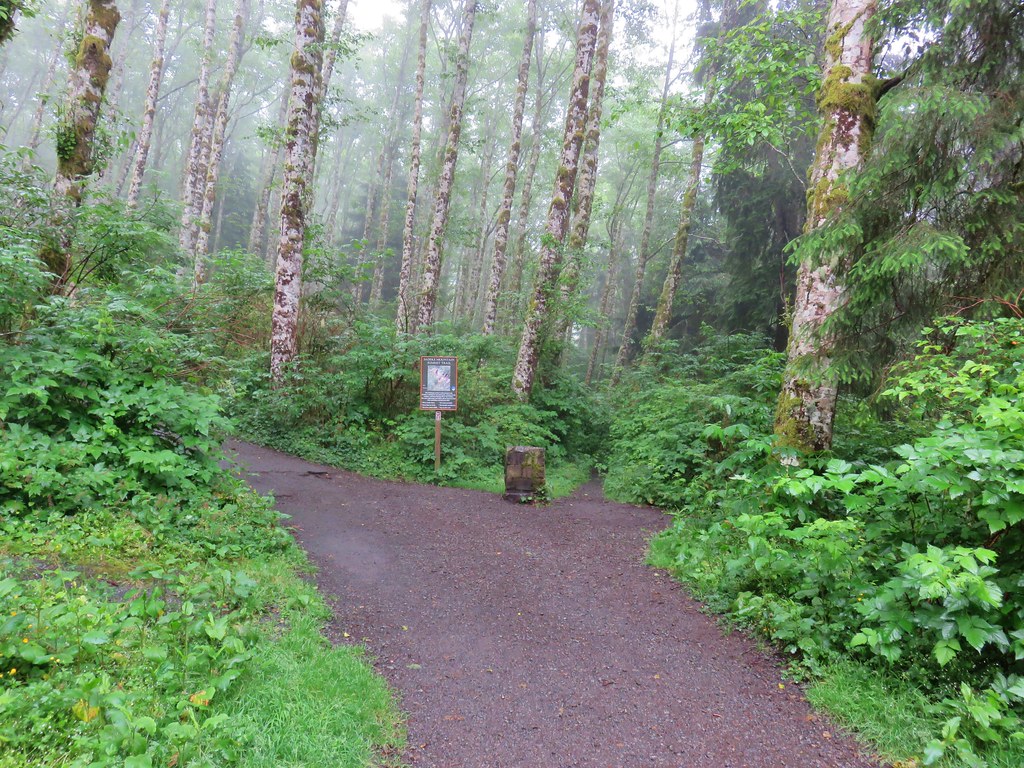
Our third stop of the day was for the only trail we had previously hiked, Saddle Mountain (post). Although it had been cloudy at our first two stops it hadn’t been raining and there had been one or two glimpses of blue sky so we were hopeful as we turned off Highway 26 near milepost 10 following the Saddle Mountain sign. The further along the 7 mile paved entrance road we went the wetter things got. When we arrived at the trailhead parking area there was a steady drizzle falling.
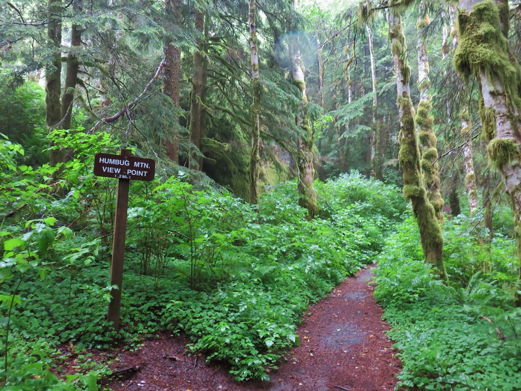
We set off uphill hoping that perhaps by the time we got to the summit the conditions would improve. At the .2 mile mark we turned right on the signed Humbug Mountain View Point spur trail.
We didn’t expect a view given the conditions, but we’d been out to the viewpoint on our first visit plus we figured a little extra time spent down below gave that much more time for the weather to improve. There were indeed no views at the end of the .2 mile spur trail but we did see a few nice flowers along the way.
Paintbrush
Tiger lily
Penstemon
Twin flower
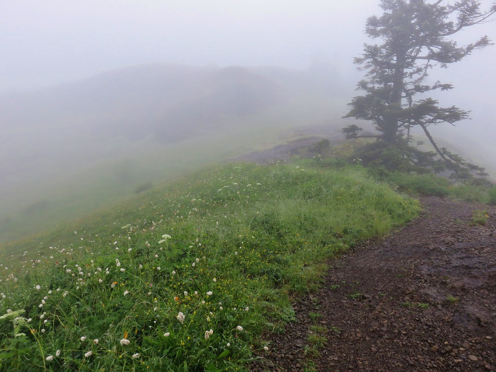
We returned to the Saddle Mountain Trail and continued up into the drizzle and fog.
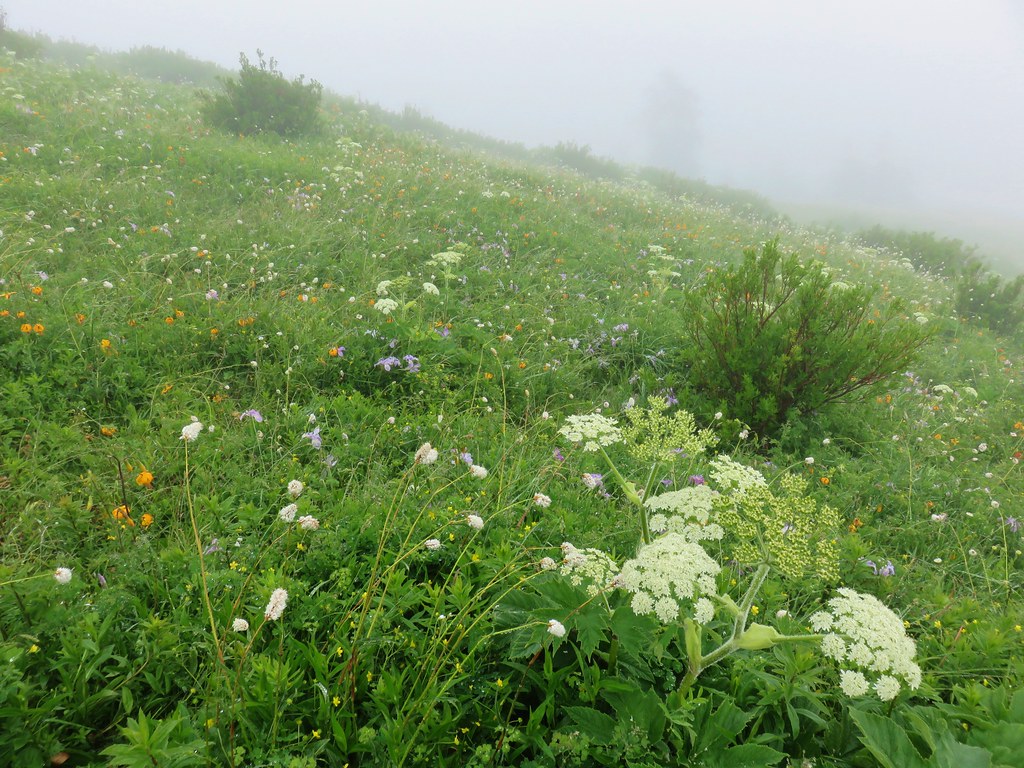
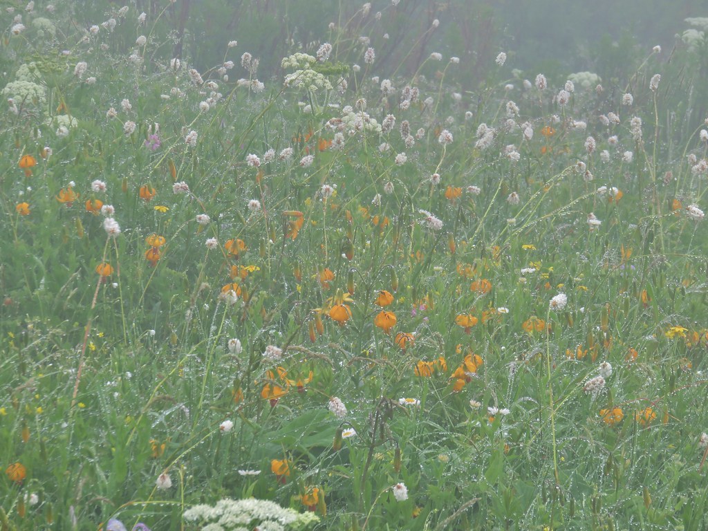
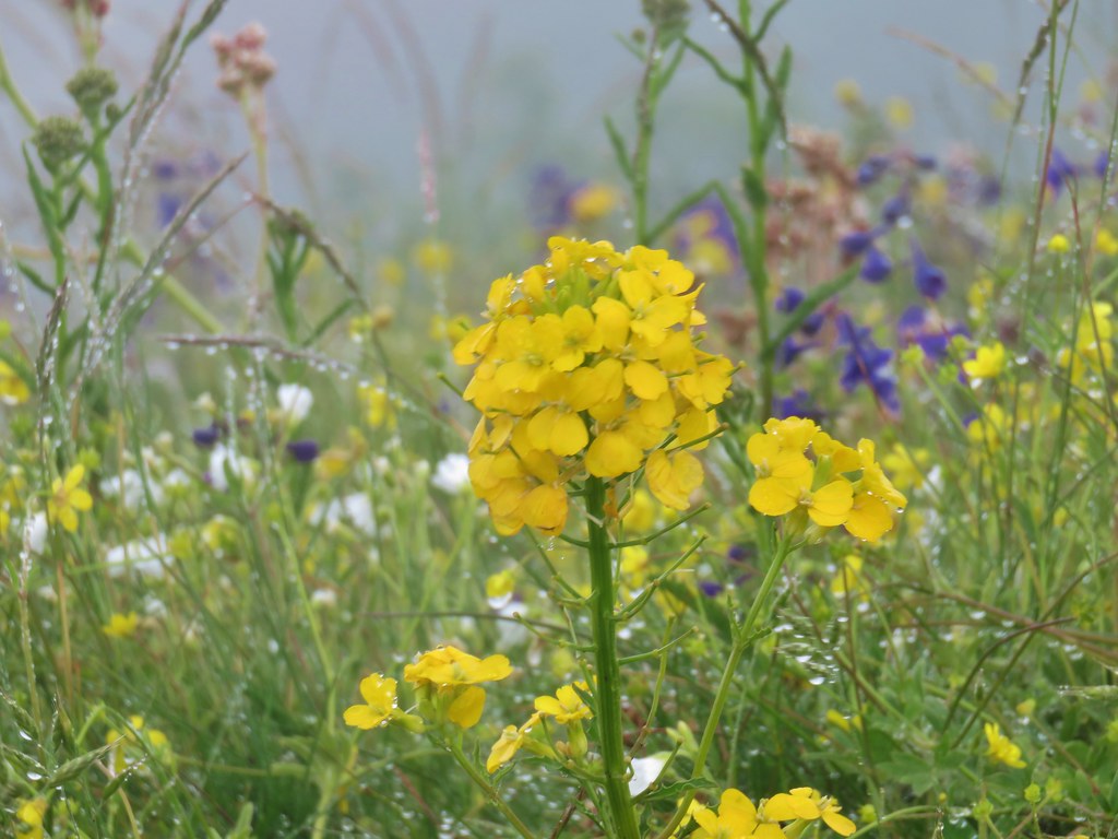
Our first visit had been on June 1st, 2013 which had been a few weeks too early for many of the flowers. It had also been a cloudy day so we were hoping that this time we would not only hit the flowers closer to peak but also have better views. The views were by far worse, but the flowers were so much better. Unfortunately the foggy, wet conditions limited sight and the ability to fully capture the beauty of the wildflower show along the 2.5 mile climb to the summit but here are a few of the highlights. Checkermallow
Wild iris
Larkspur
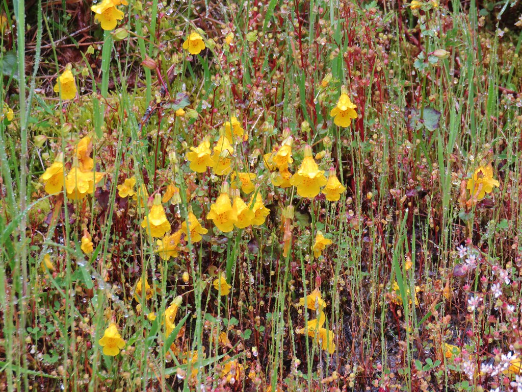
Monkeyflower
Plectritis
Old man’s whiskers
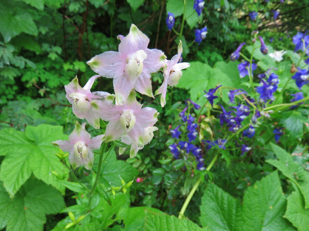
Columbine
Wallflower
Larkspur
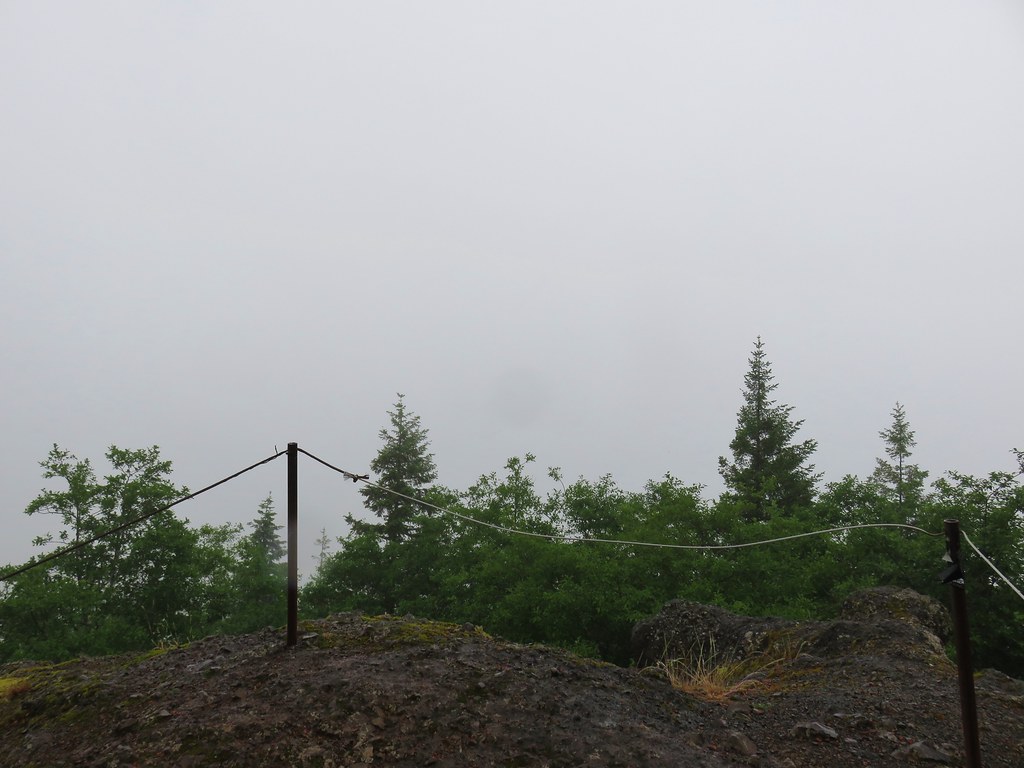
Having done the two other hikes we had gotten a little later start here than we normally would have so there were several people already at the summit when we arrived. A good breeze was bring moisture right up the hillside from the NW making it extra damp on top. Summit view
We didn’t stay long and were soon heading back down the steep, slick trail.
After our SE Oregon vacation, where we more often than not encountered no other hikers on the trails, the number of people trudging up Saddle Mountain on our way down was mind boggling. The place was a zoo despite the less than ideal weather. We had toyed with the idea of making this our last hike of the day instead of second to last and boy were we glad we hadn’t. We made our way back to the trailhead as quickly as possible given the slick conditions and seemingly stopping ever two minutes to let another uphill group go by.
We drove back to Highway 26 and turned west once more heading for our final stop of the day. Six tenths of a mile from the Saddle Mountain turnoff we took a left leaving Highway 26 in favor of Highway 53. We followed this highway 4.7 miles to a sign for the Soapstone Lake Trail where we turned left onto a gravel road for .4 miles to the trailhead. The weather here was markedly better here than it had been at Saddle Mountain.
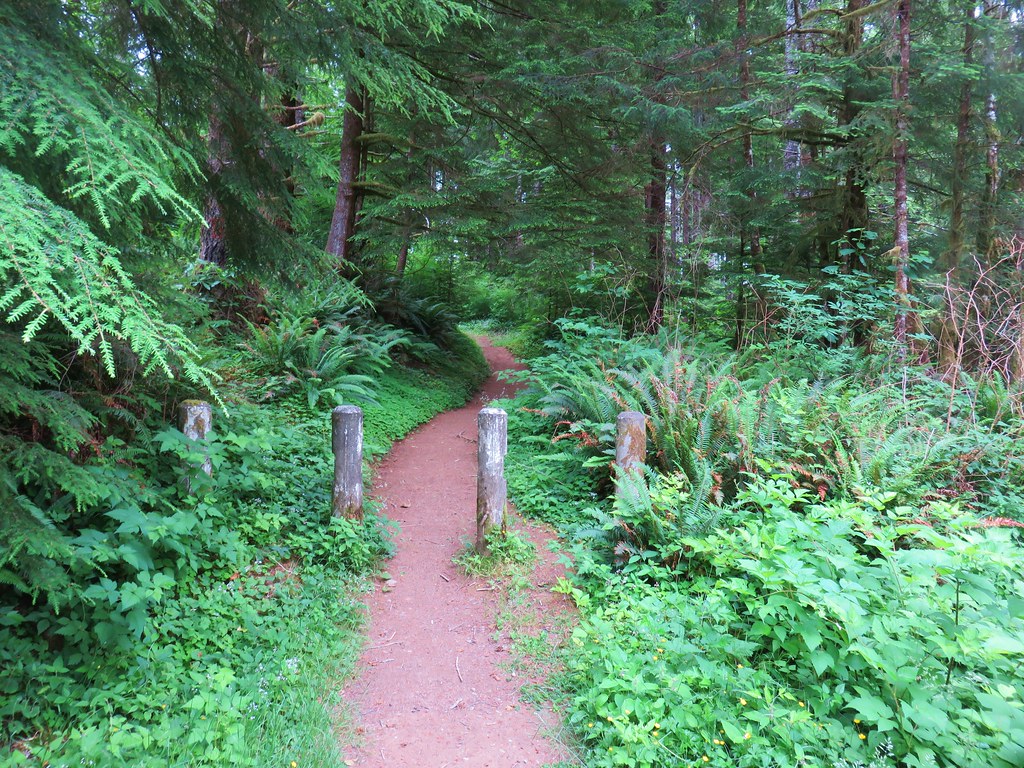
The Soapstone Lake Trail starts along the path of an old roadbed.
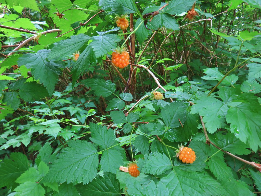
Ripe salmonberries (and a few huckleberries) lined the trail.
Near a meadow at the .6 mile mark the trail left the old road bed.
On the far side of the meadow the trail crossed Soapstone Creek on a footbridge.
The trail then climbed a ridge for .3 miles to the start of a loop around the lake.
The trail to the left went downhill while the right hand fork went uphill. We decided to go left in order to end the loop on a downhill instead of a climb. The trail quickly crossed Soapstone Creek again and made its way around the east side of the lake.
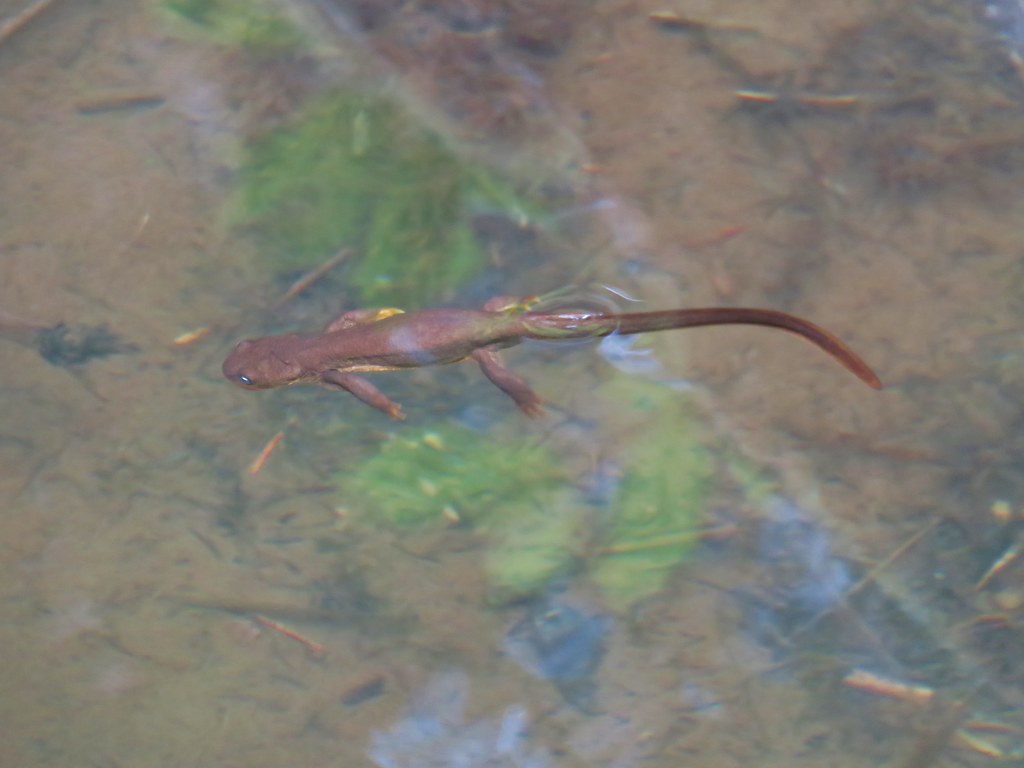
At then south end of the lake the trail crossed a swampy area on a boardwalk where we spotted several rough skinned newts in the water.
The loop continued around the west side of the lake, but here the trail climbed above and a little away from the water.
After passing a large camp site the trail descended to the start of the .8 mile loop and we returned the way we’d come. This had been another nice, short hike (2.8 miles total) that would be good for kids. The four hikes combined had only come to 10.4 miles with Saddle Mountain accounting for half of that total (and nearly all the elevation gain for the day). All in all it had turned out to be a pretty good day despite the disappointing weather on Saddle Mountain. C’est la vie as they say. Happy Trails!

 The first signboard near the small parking area.
 Elk Creek Road from the small parking area.


 Bleeding heart
 Salmonberry
 Fairy lanterns
 Largeleaf avens
 Scouler’s corydalis
 Coastal monkeyflower


 Trillium
 Star flower
 The well graded trail uses a combination of switchbacks and long traverses to climb over 1000′.
 Looking down at the trail below.


 Anemone
 Western buttercup


 Paintbrush, parsley, and blue-eyed Mary


 Fairy lanterns and paintbrush
 Lupine was just beginning to bloom along the road.
 On the way back down.
 West Fork Elk Creek to the left and Elk Creek to the right from the bridge.
 The junction with the Elk Creek Trail.
 We missed a section of leafy mitrewort on our earlier pass.
 The small parking area from the trail.

 A footbridge along the paved path crosses Frazier Creek.
 Kiosk at the start of the Bob Frenkel Boardwalk.
 The start of the loop. We went counterclockwise.
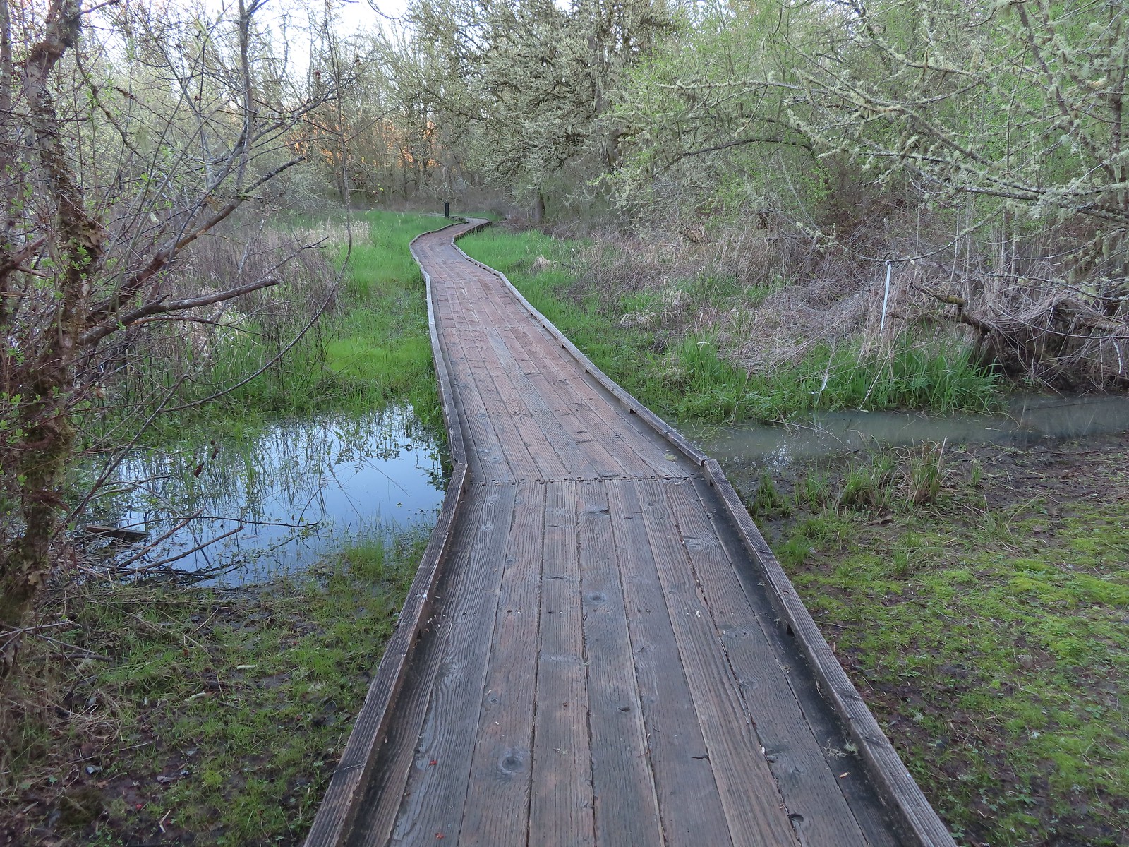
 Northern flicker
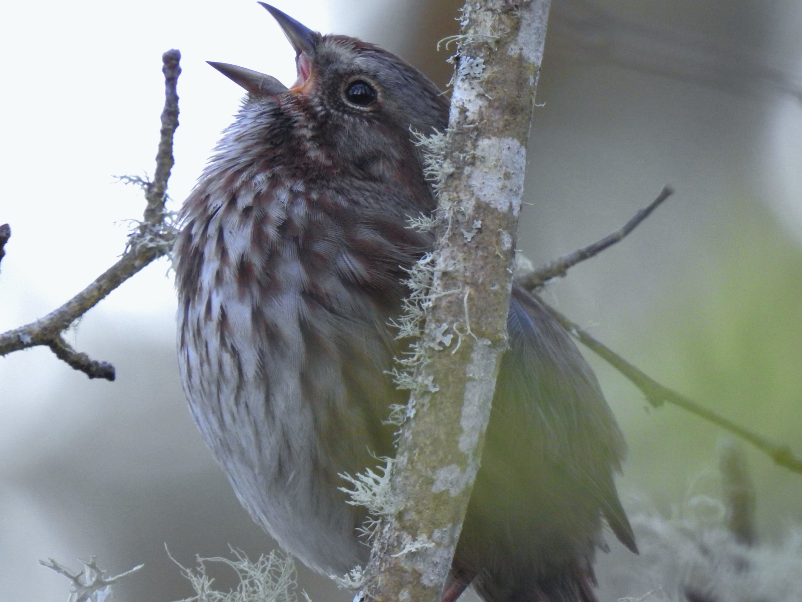 We listened to this sparrow sing for a bit. It was putting on quite the performance.
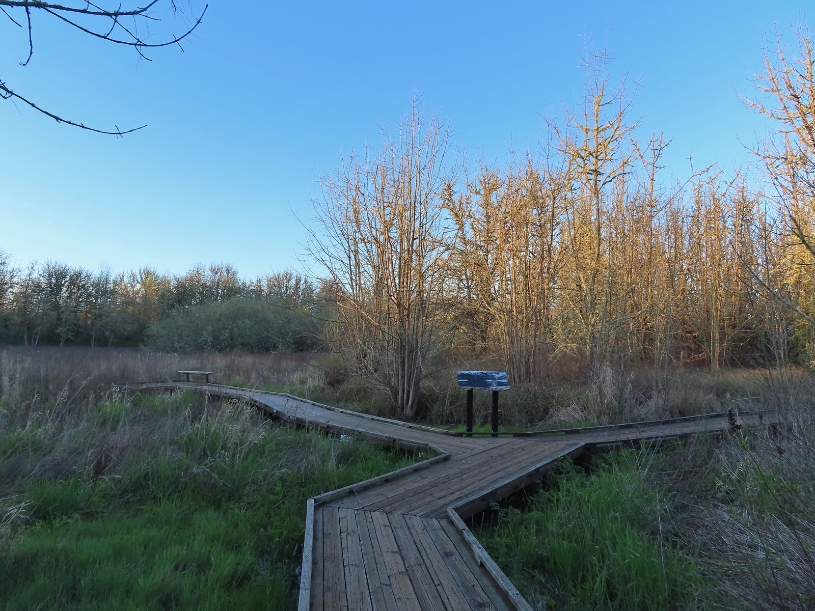 One of a couple viewing platforms off the main boardwalk.
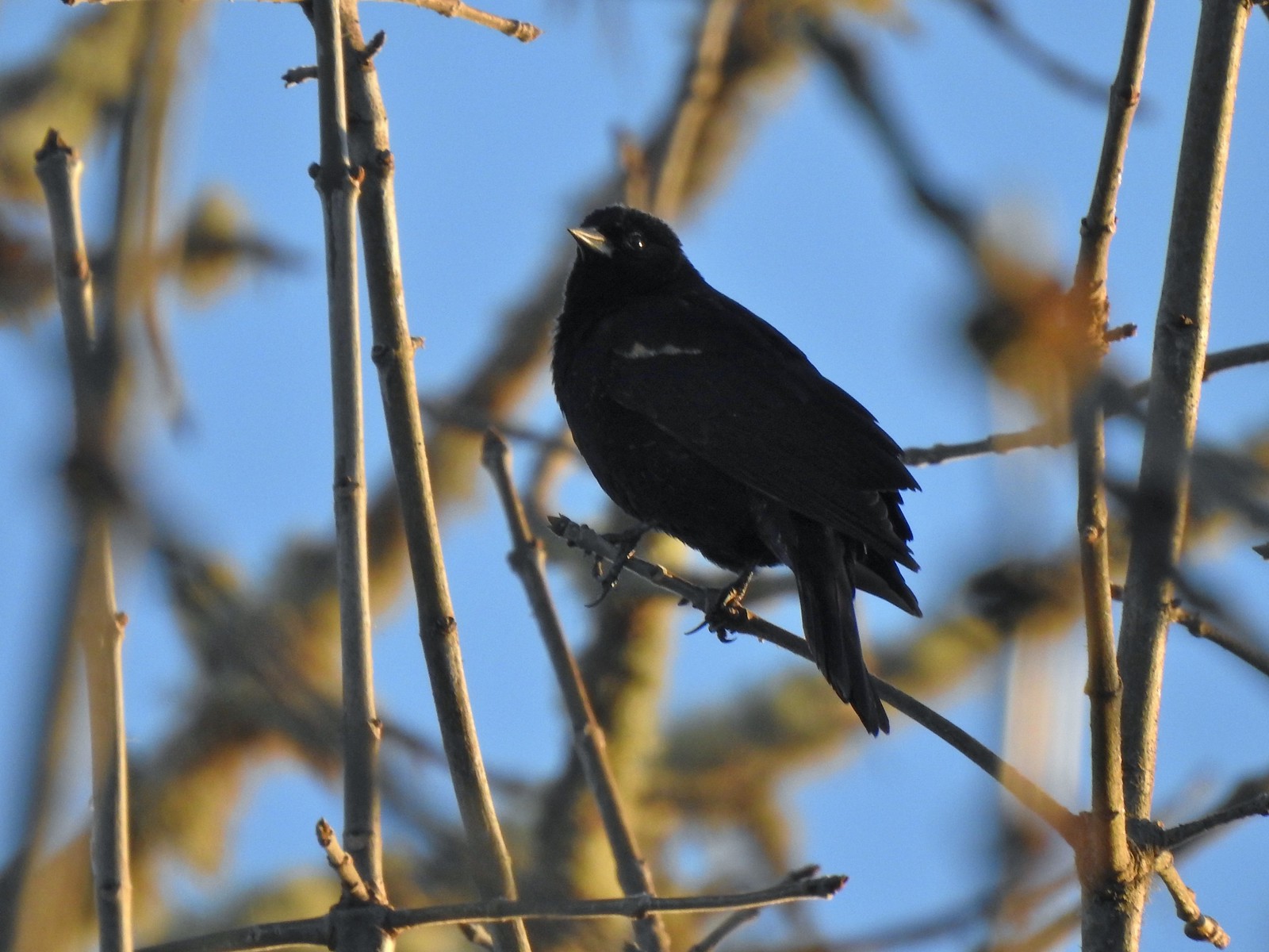 Blackbird
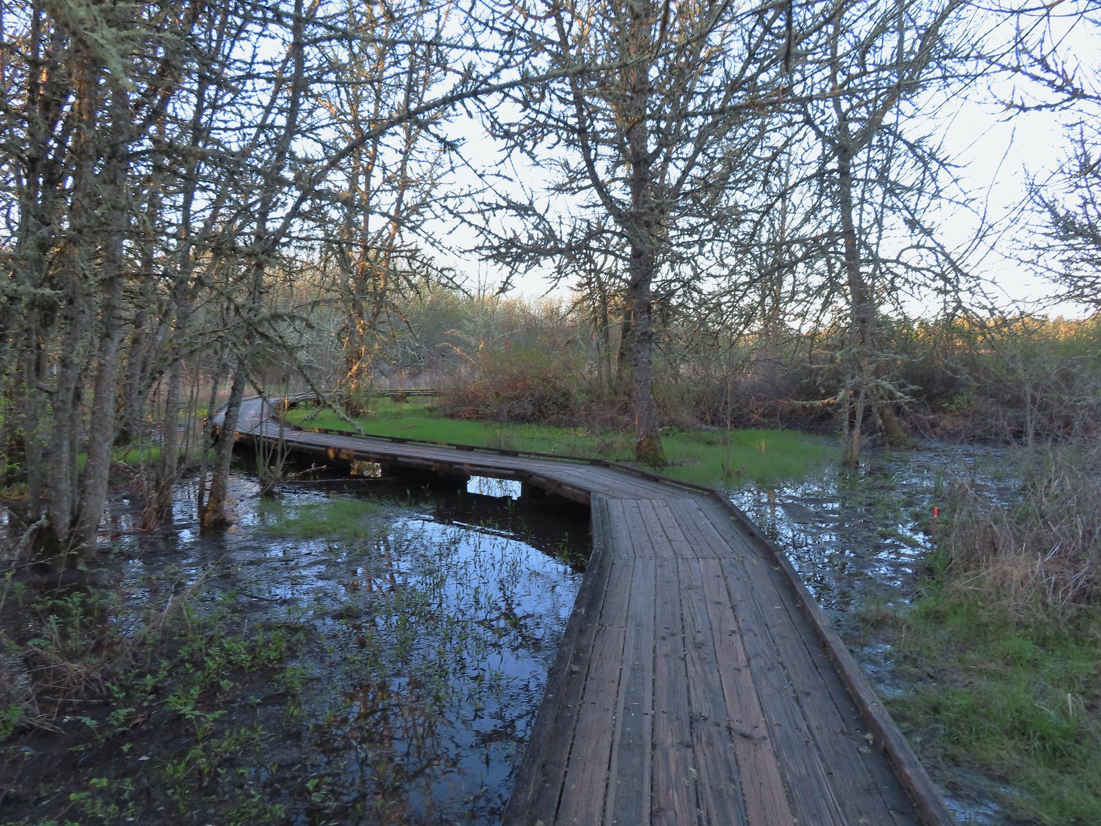
 Robin in the morning sunlight.
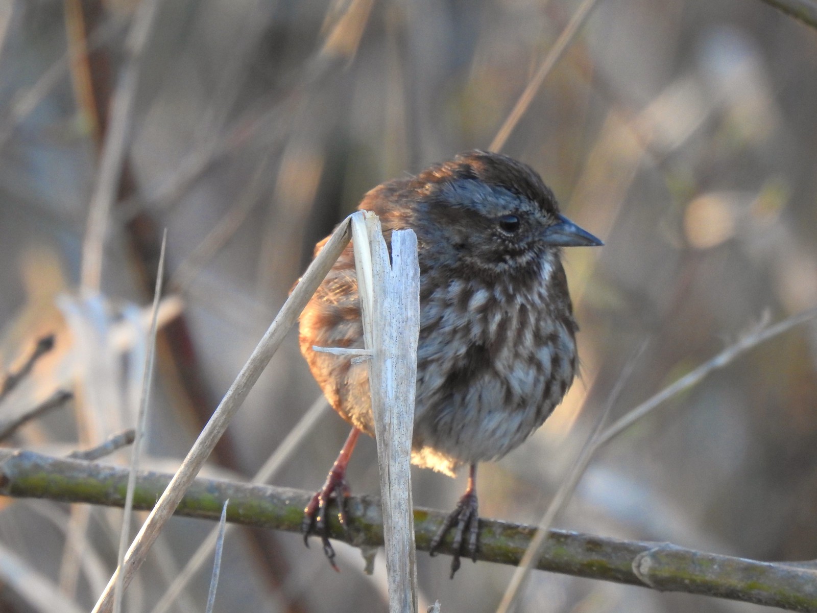 Sparrow
 Hummingbird
 Easter rabbit?
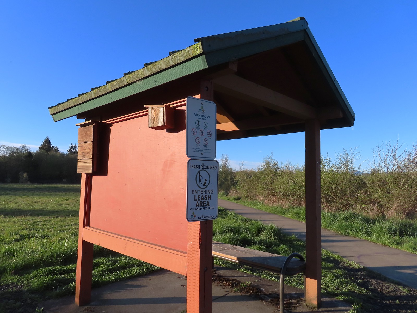 Kiosk at the trailhead.
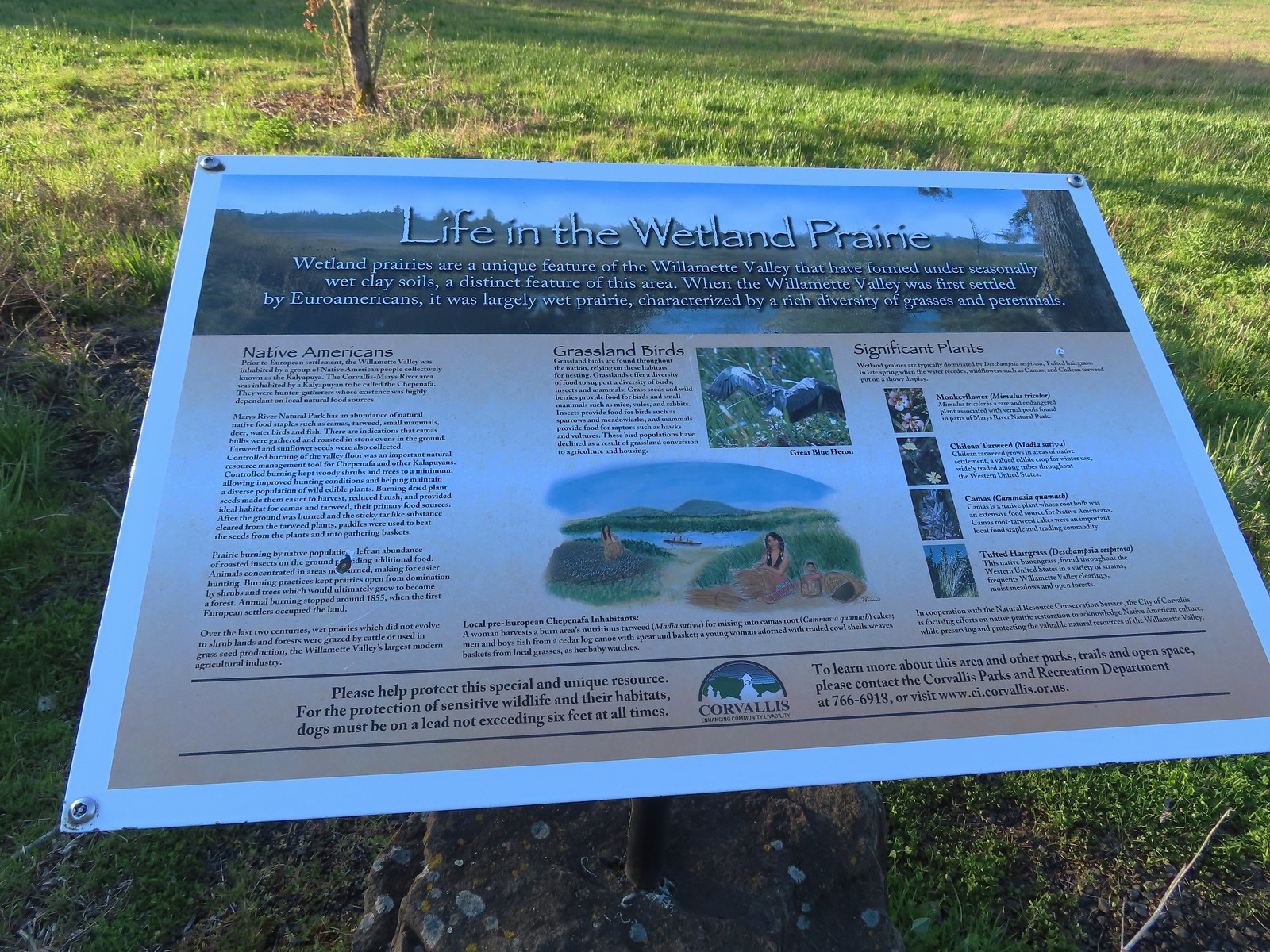 Interpretive sign along the path.
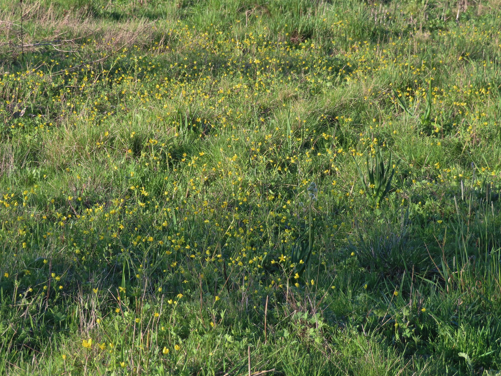 Buttercups and a bog saxifrage
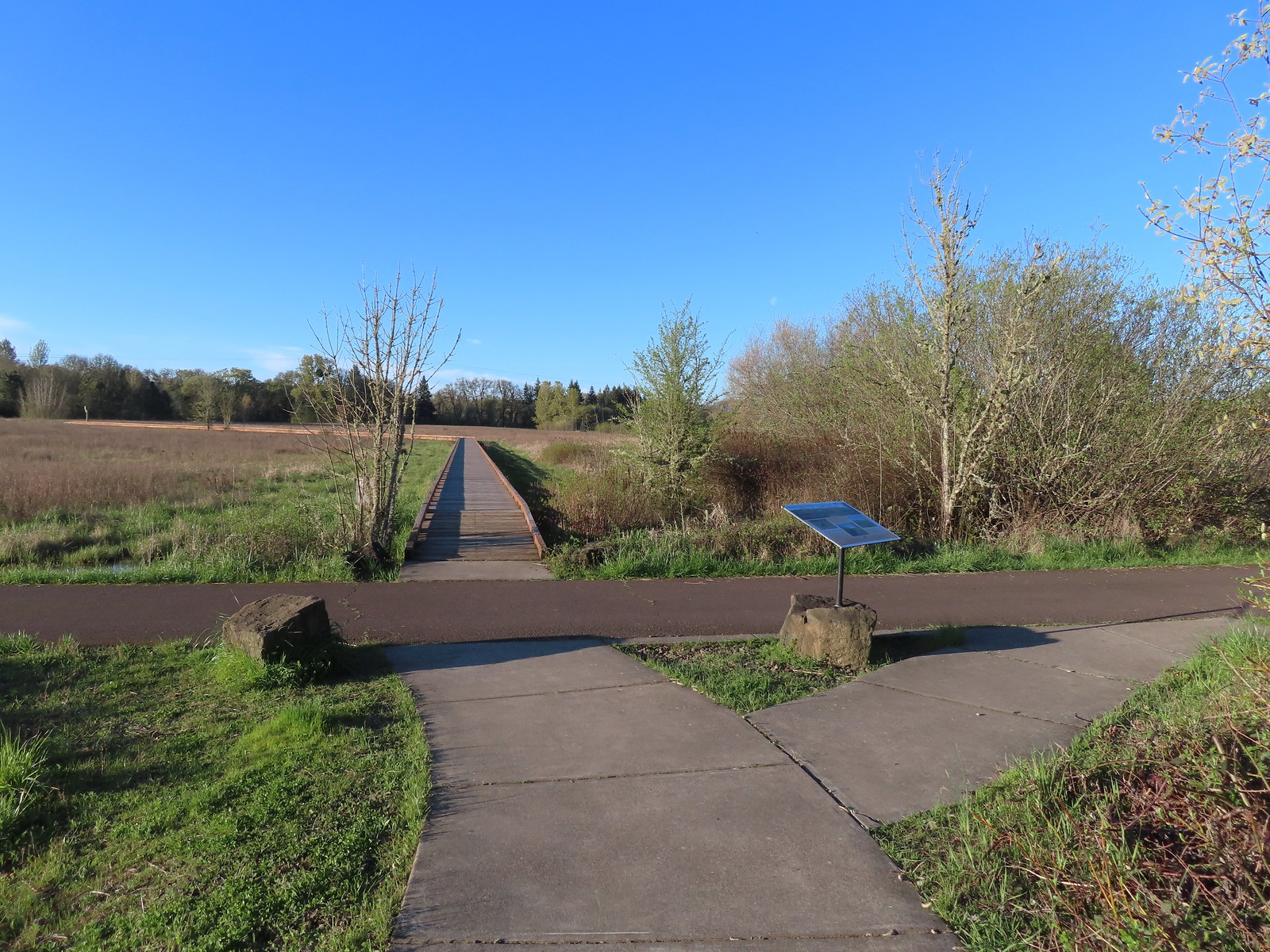 The start of the boardwalk.
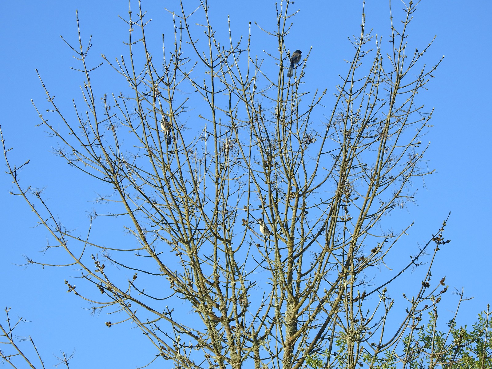 Three California scrub-jays
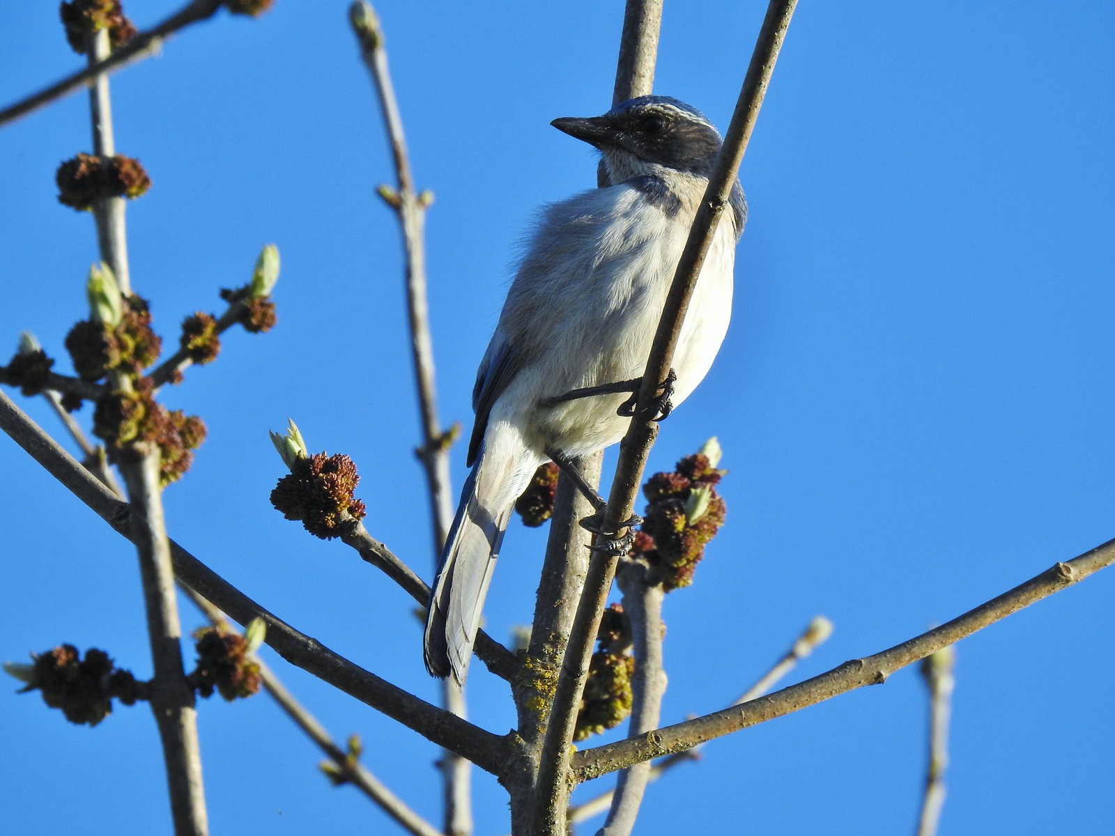 One of the scrub-jays up close.
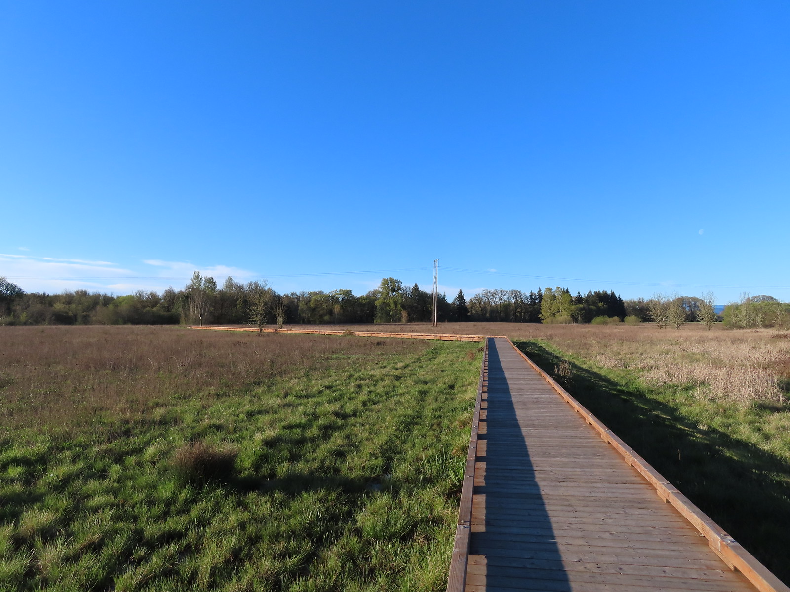
 We walked a short distance from the end of the boardwalk to visit Mary’s River.
 Swollen Mary’s River. It did appear that it might be possible to make this a loop in the dry season by following a grassy track, but it was too wet and muddy to even attempt that today.
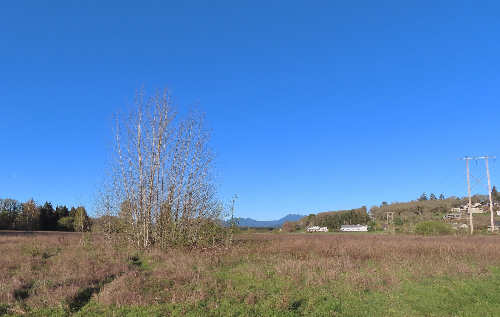 Mary’s Peak (
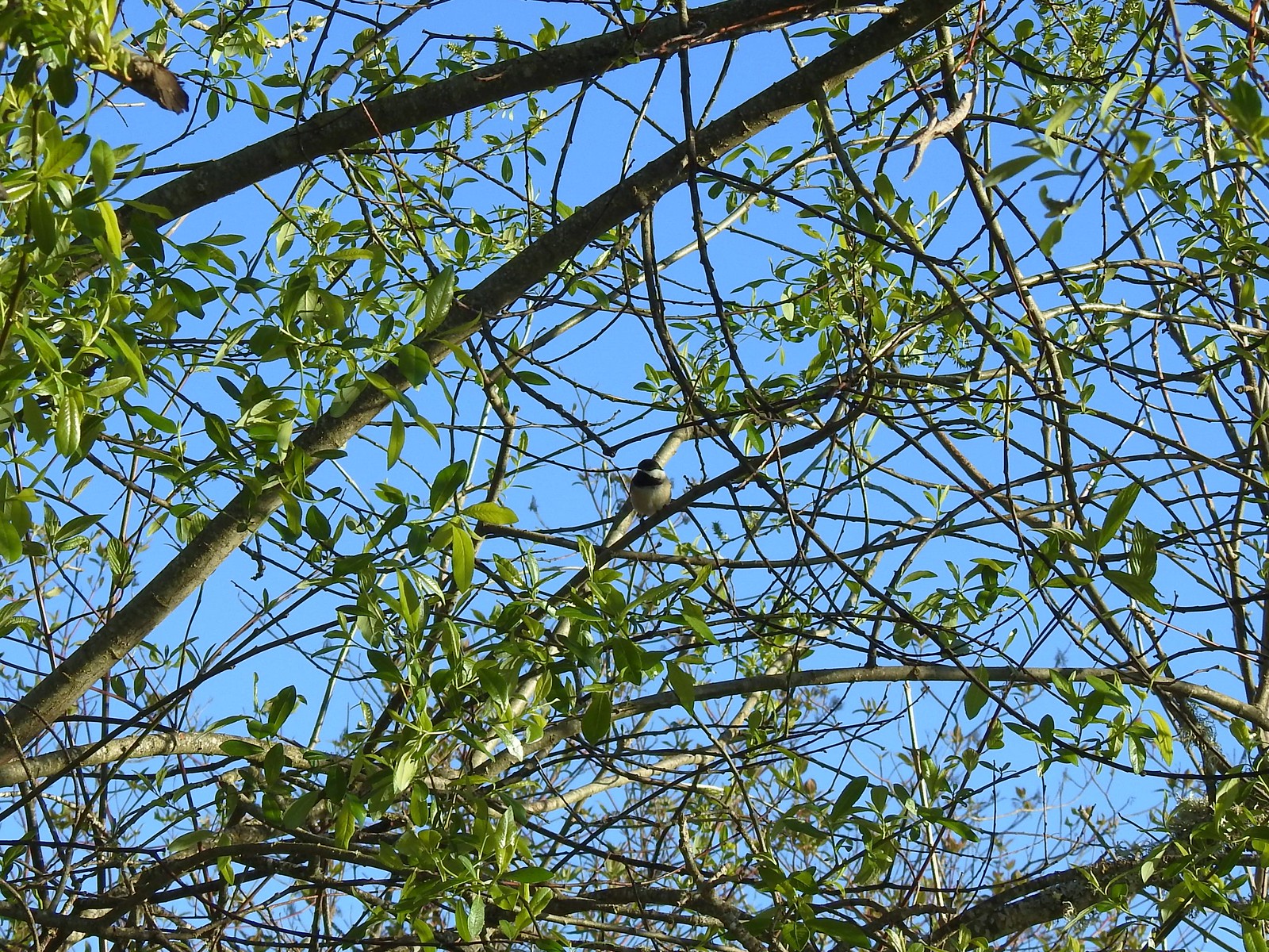 Black-capped chickadee
 Anna’s hummingbird
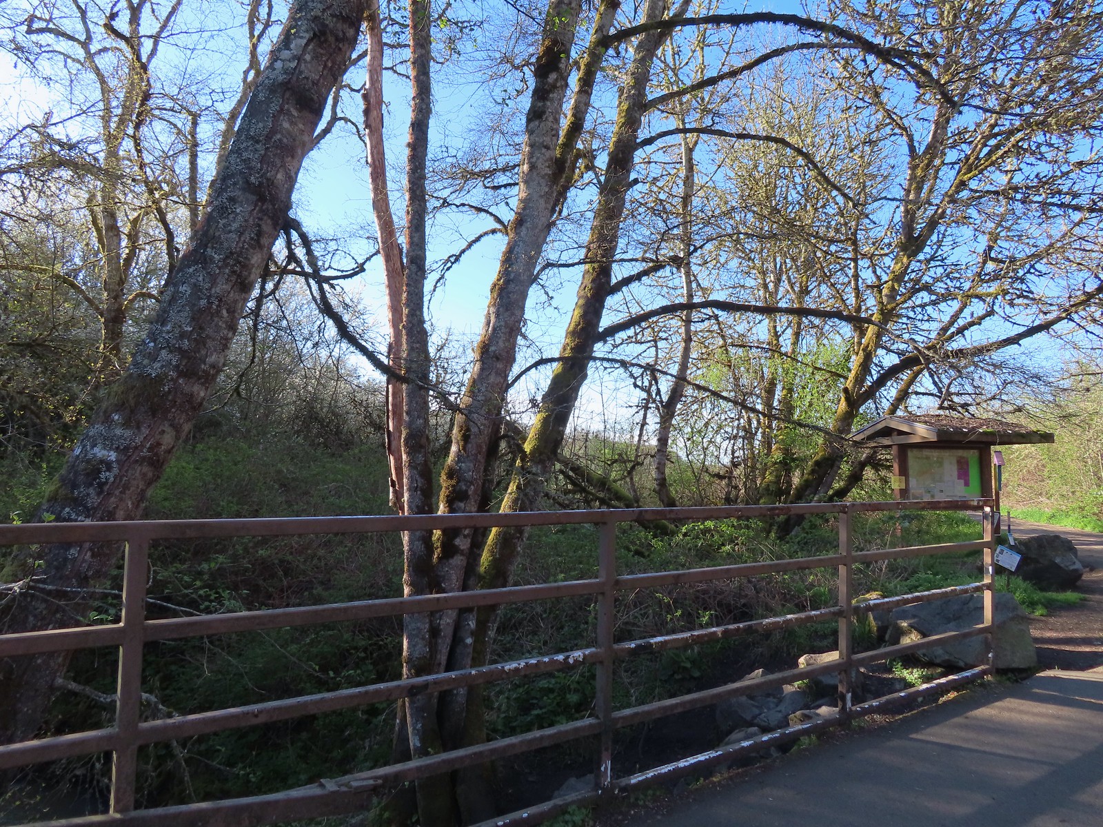 Kiosk just on the other side of Oak Creek from the trailhead parking lot.
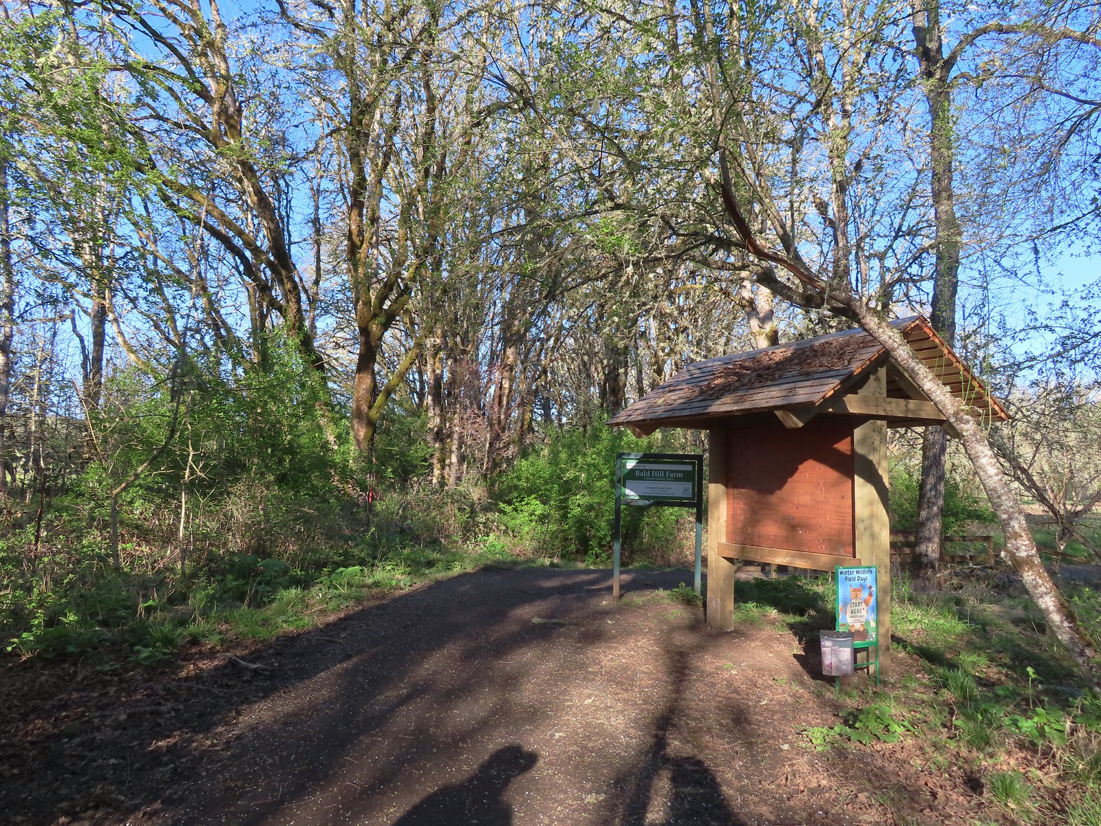
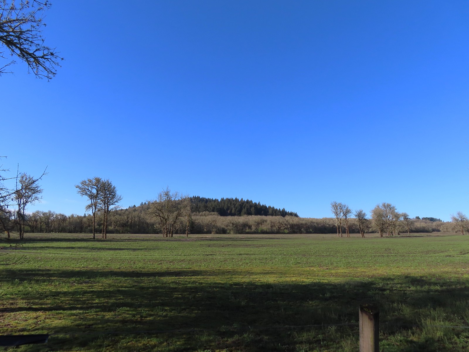 Bald Hill from the trail.
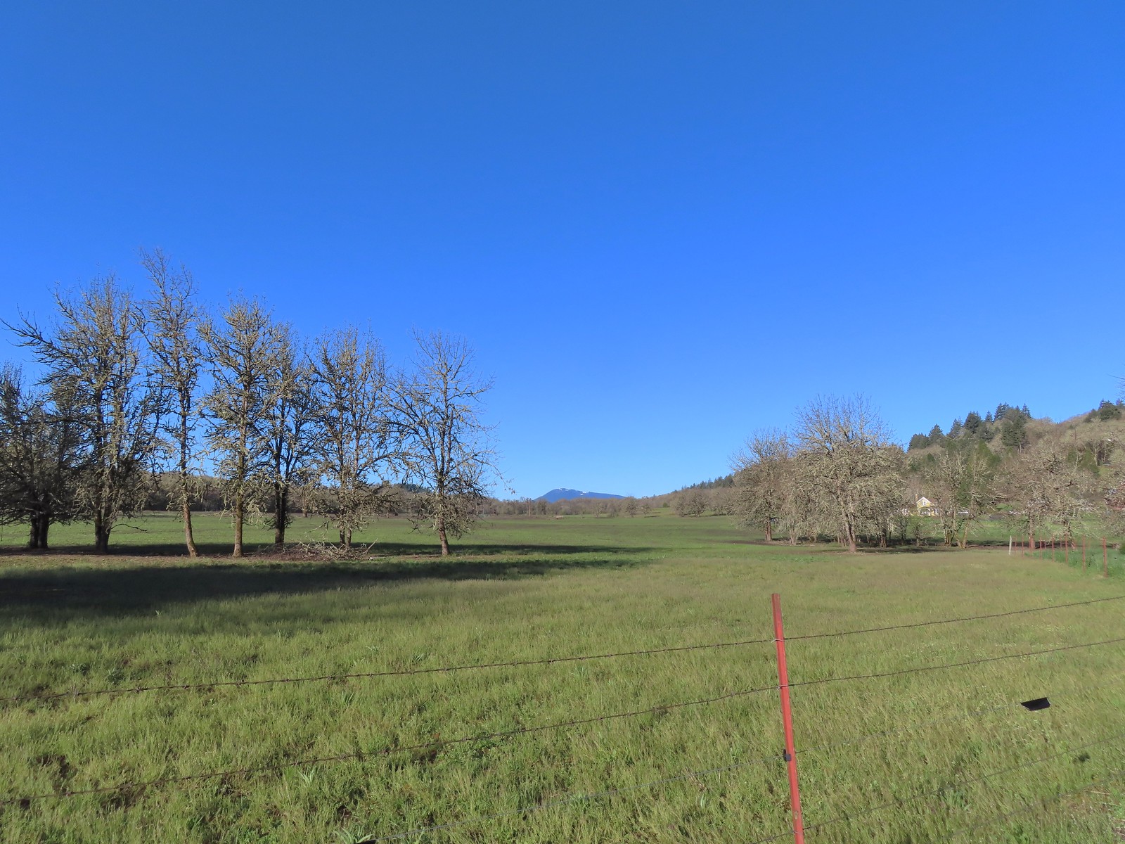 Mary’s Peak
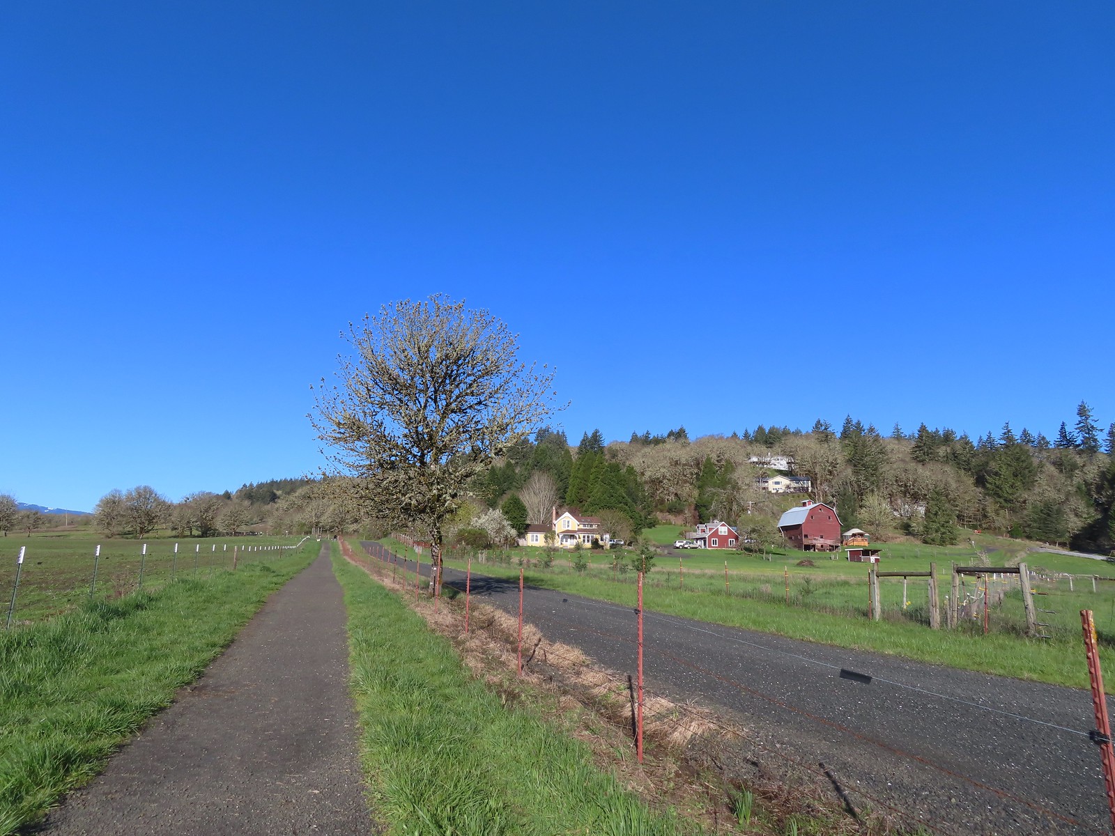 The barn across the gravel road.
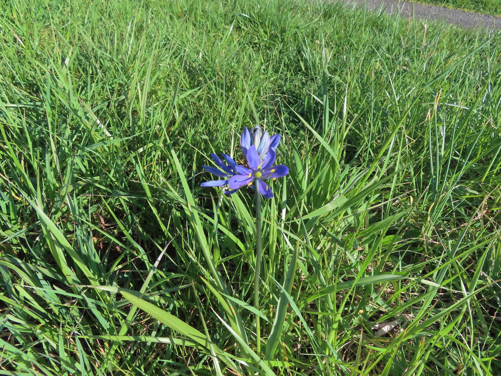 Our fist camas sighting of the year. The only one in bloom that we’d see all day.
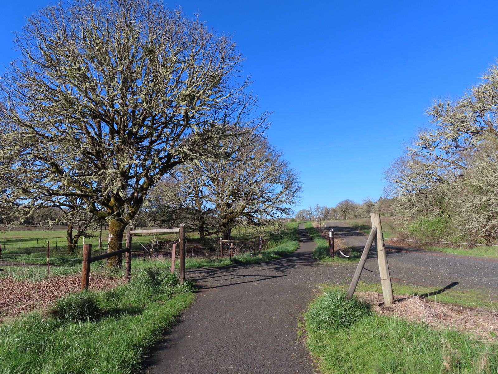 We’d turned left here on our 2016 Bald Hill hike.
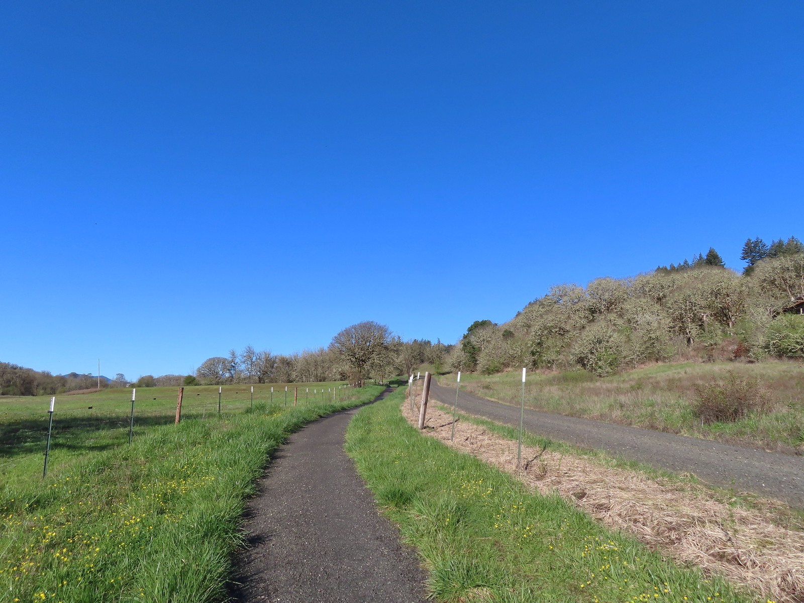
 Crossing the farmhouse road to join the gravel road.
 The first of many fawn lilies we’d see.
 Giant white wakerobin
 Toothwort
 More fawn lilies
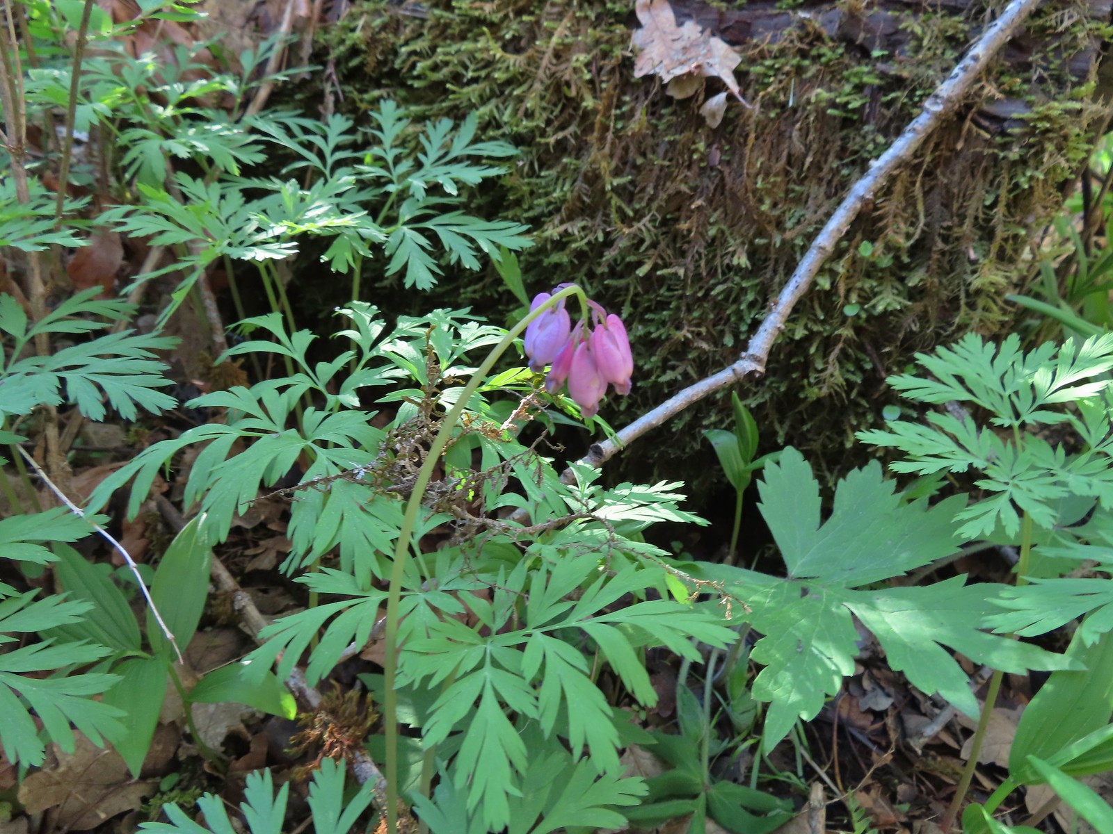 Bleeding heart
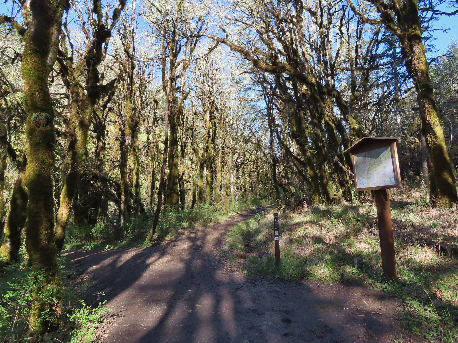
 Trail pointer at Wynoochee Drive.
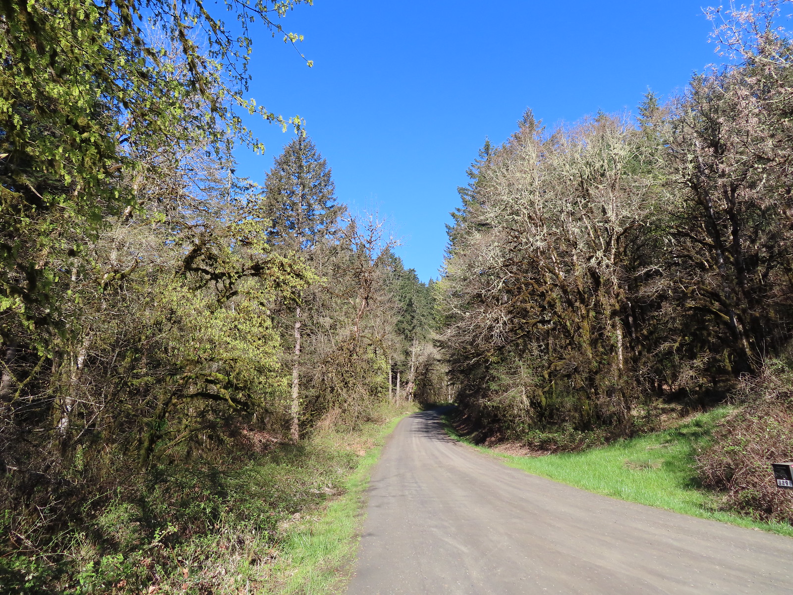
 I count six in this photo.
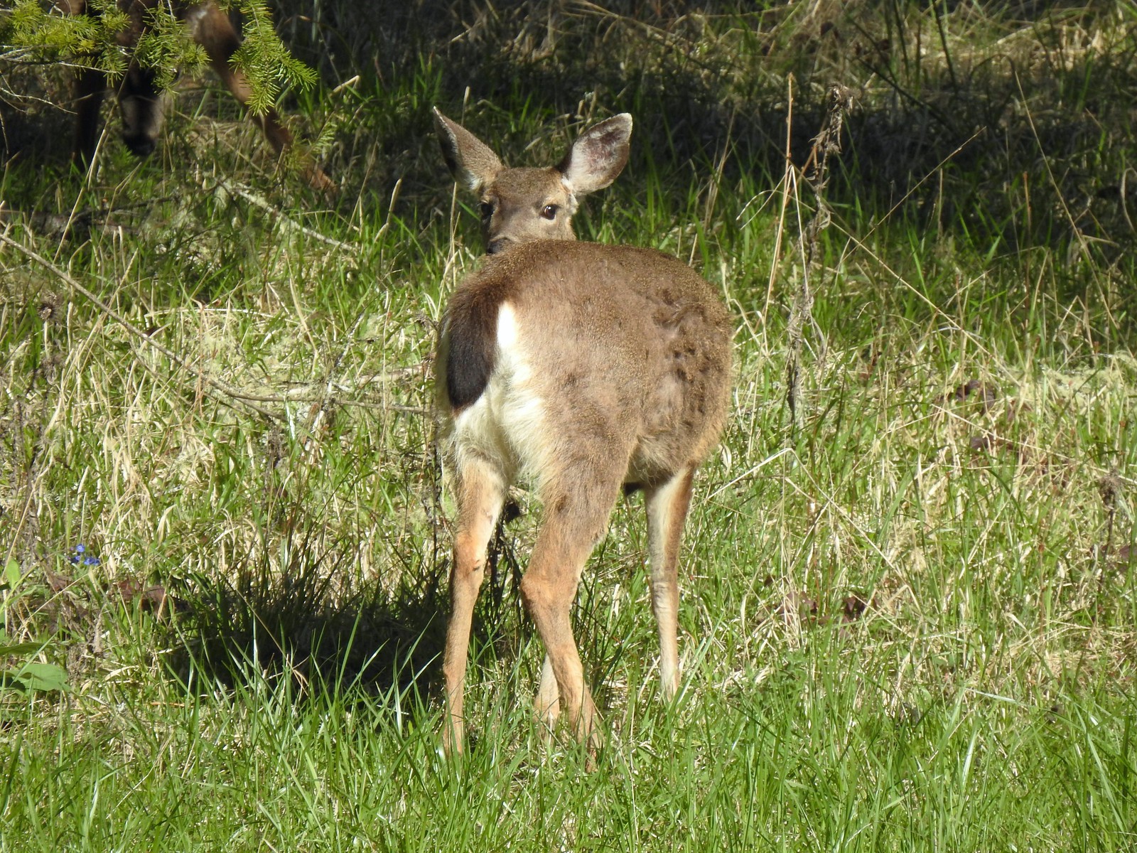

 While most of the jays wouldn’t sit still in the open long enough for a decent photo this one at least cooperated.
 Sign for the Fitton Green Natural Area at the intersection with Panorama Drive.
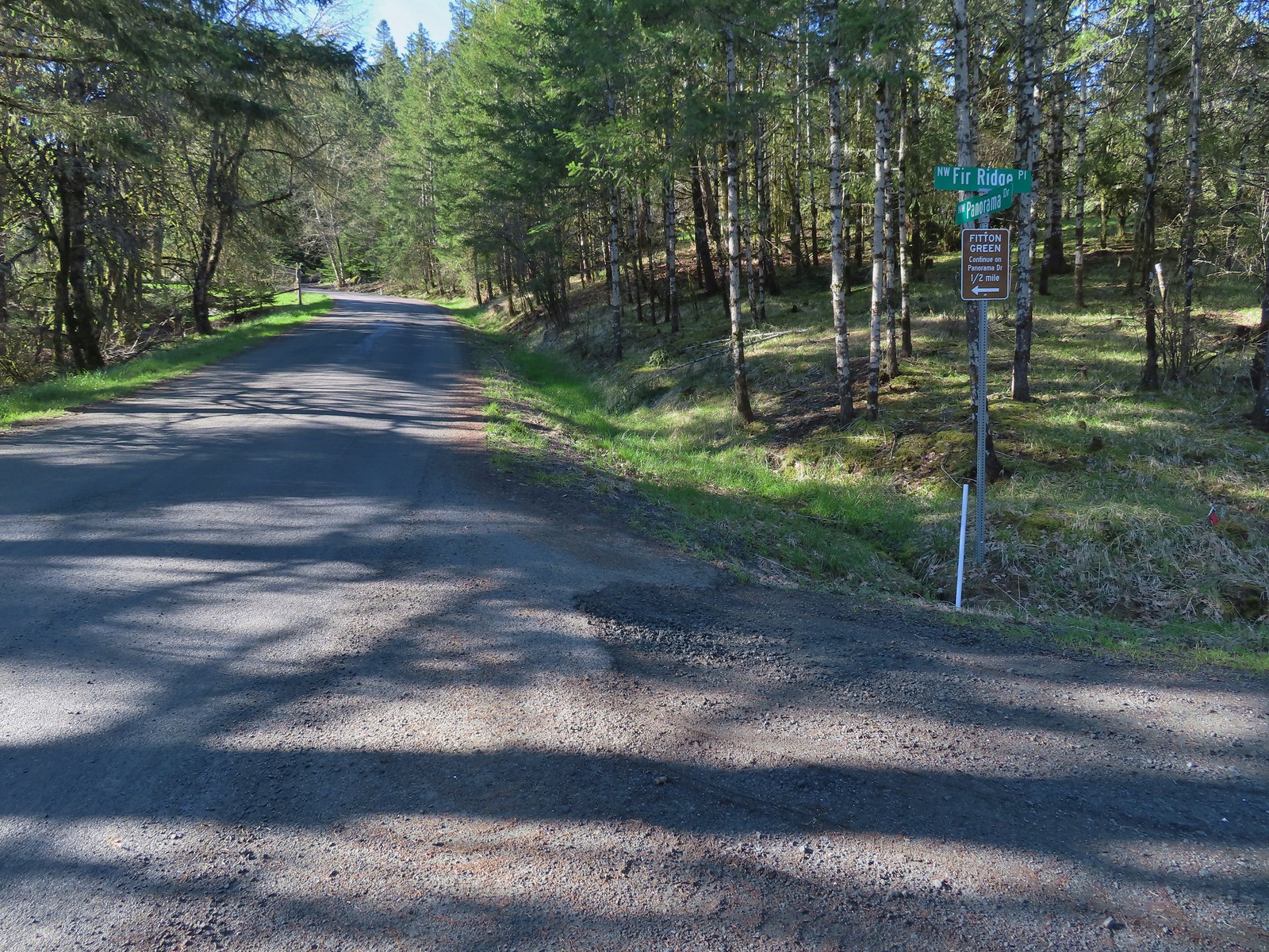
 The road turned to gravel shortly before arriving at the trailhead.
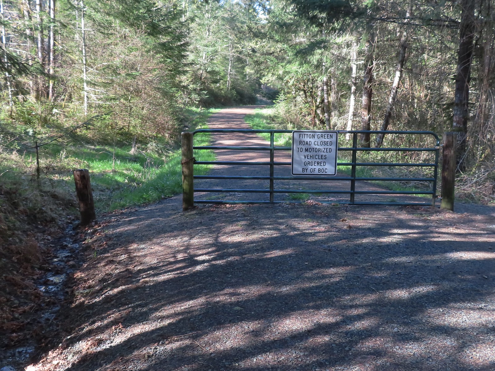 Gate at the trailhead.
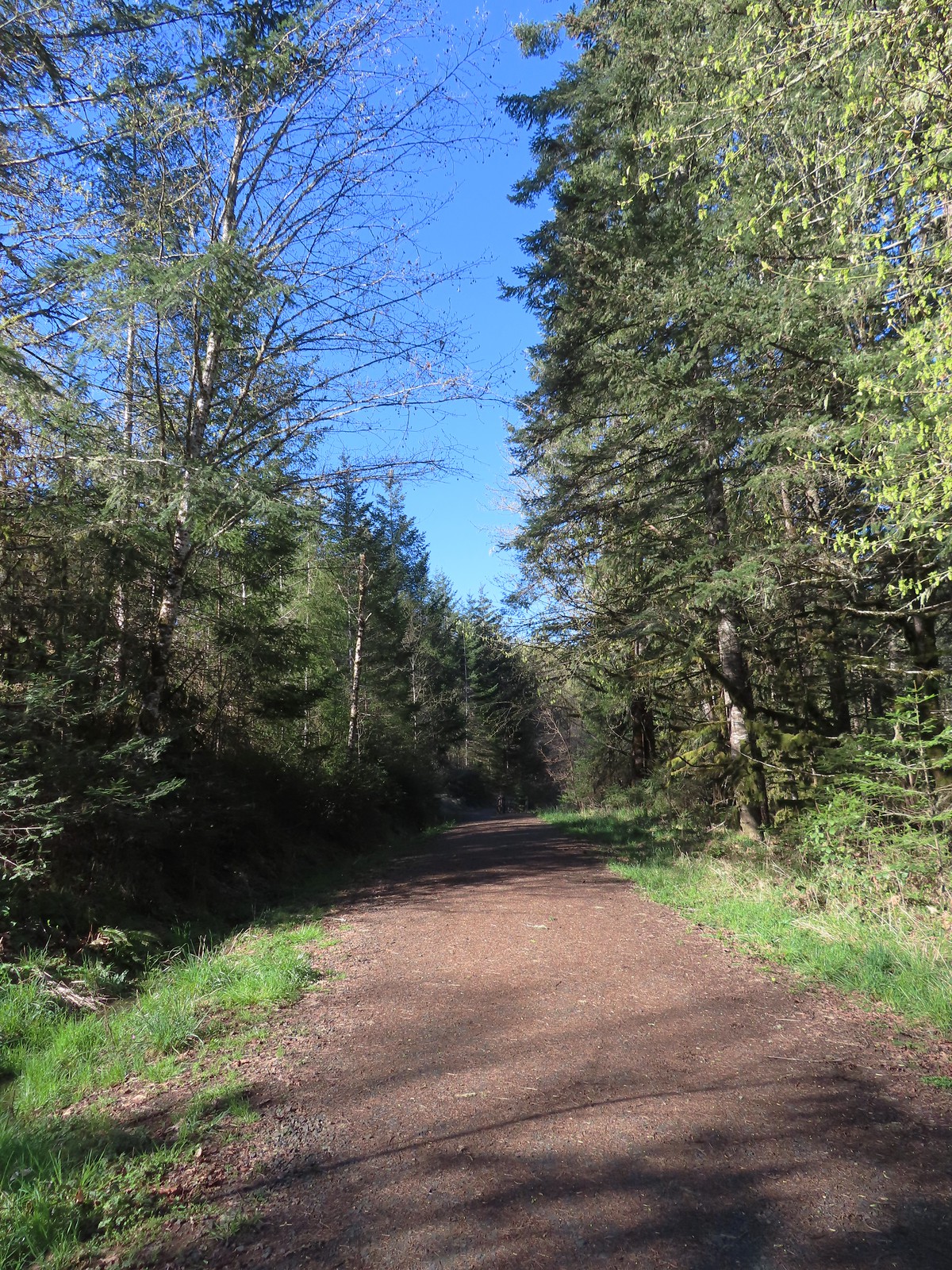
 Mary’s Peak still sporting a decent amount of snow.
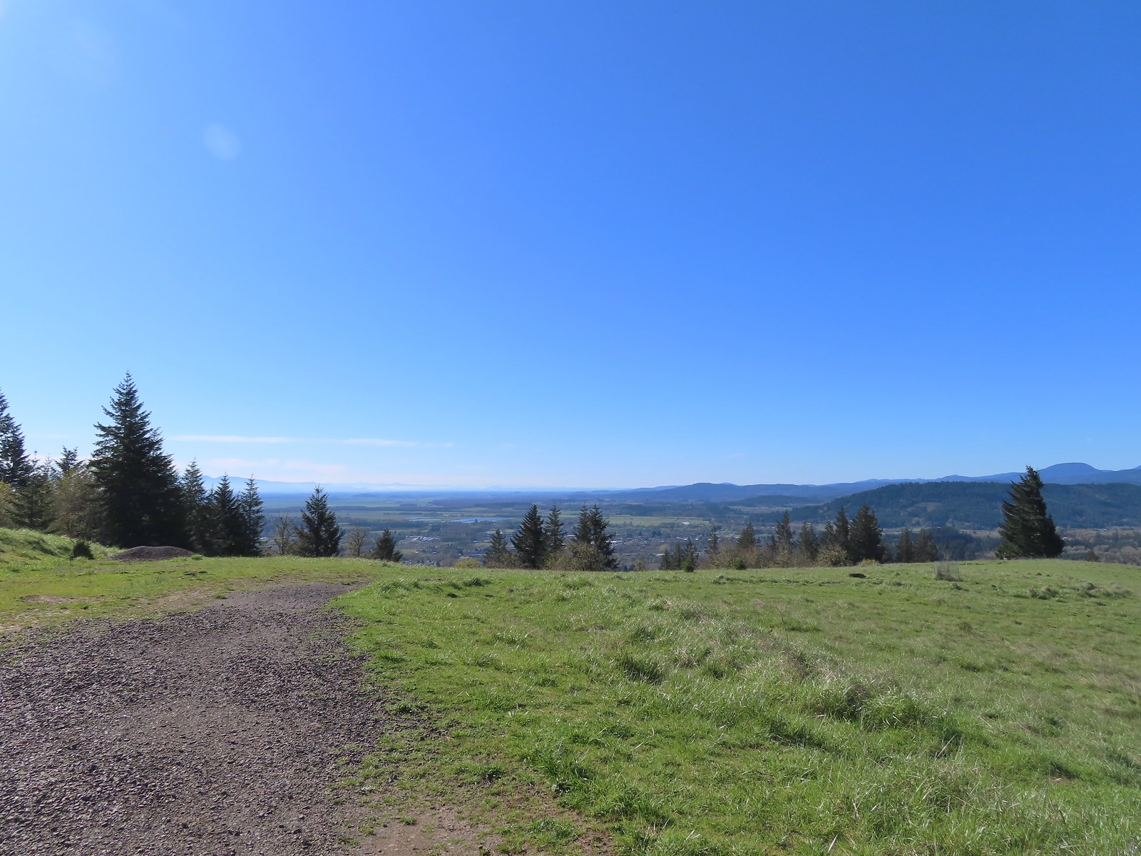 Looking SE towards Corvallis
 Looking West towards the Coast Range.
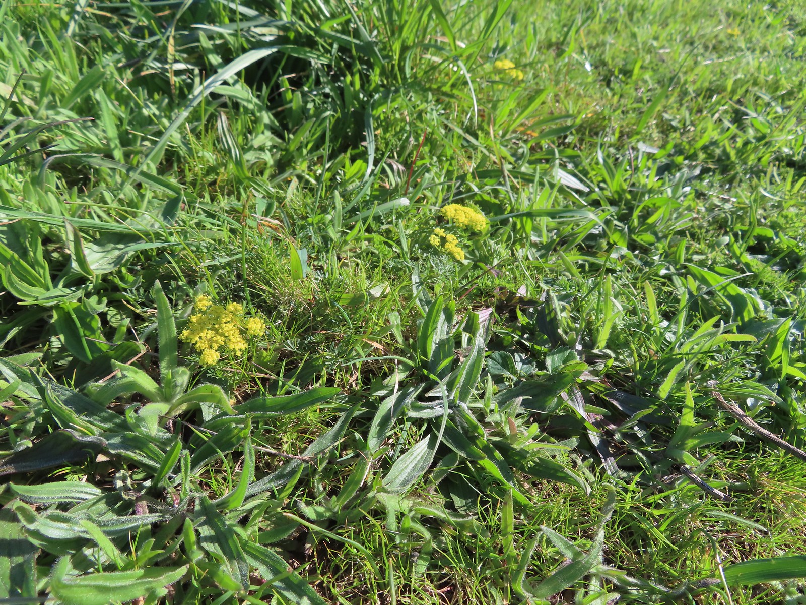 Common lomatium
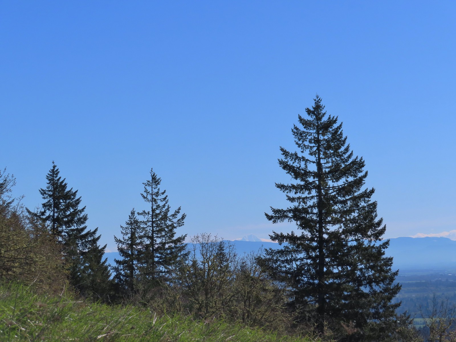
 The Mulkey Ridge Trail below to the left arriving at the Allen Throop Loop.
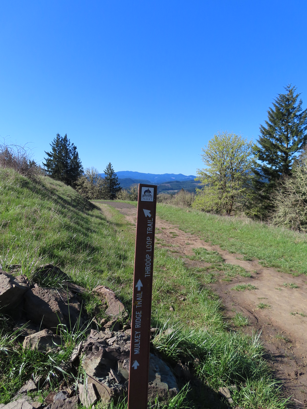
 Strawberry
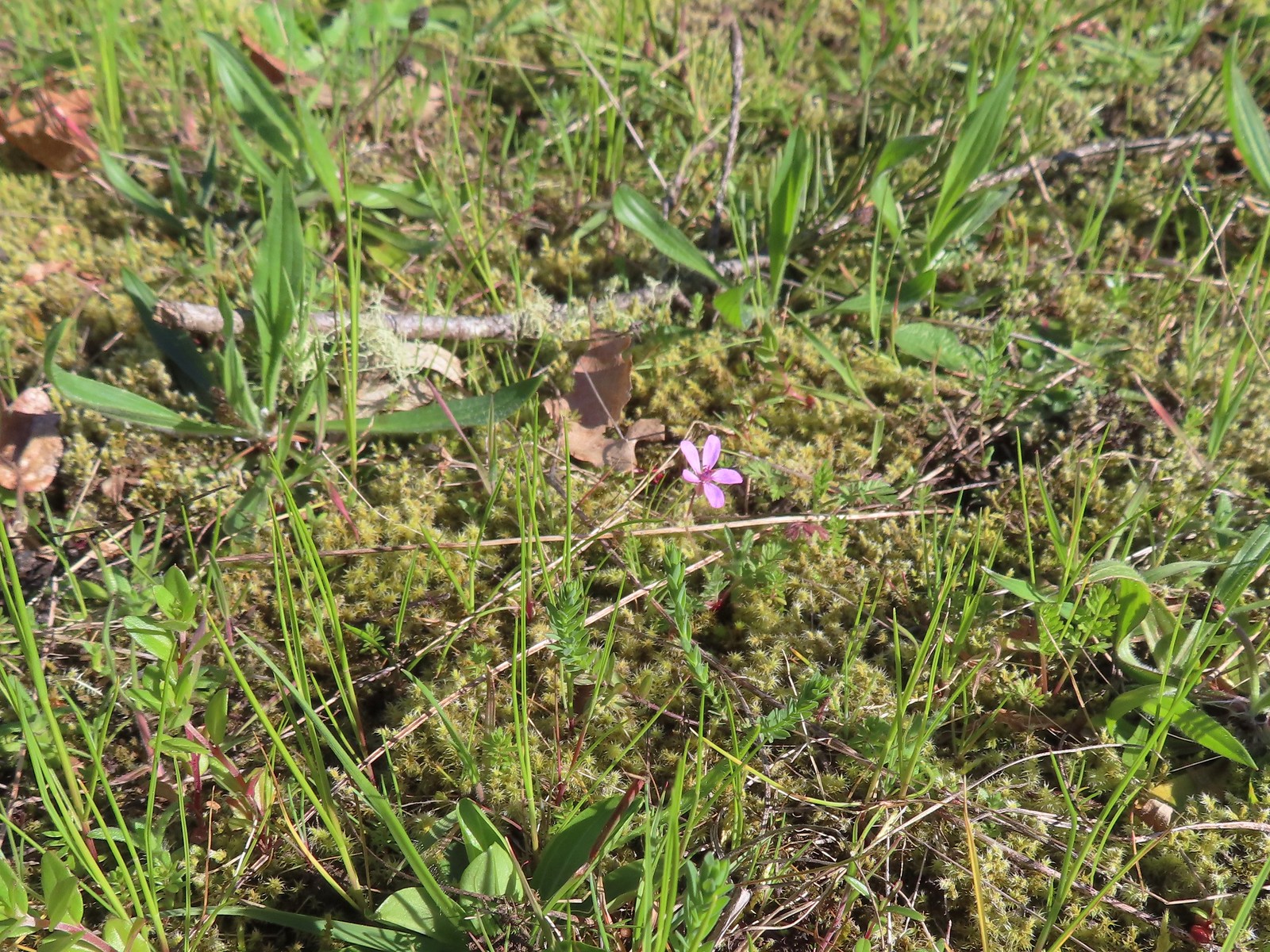 Redstem storksbill
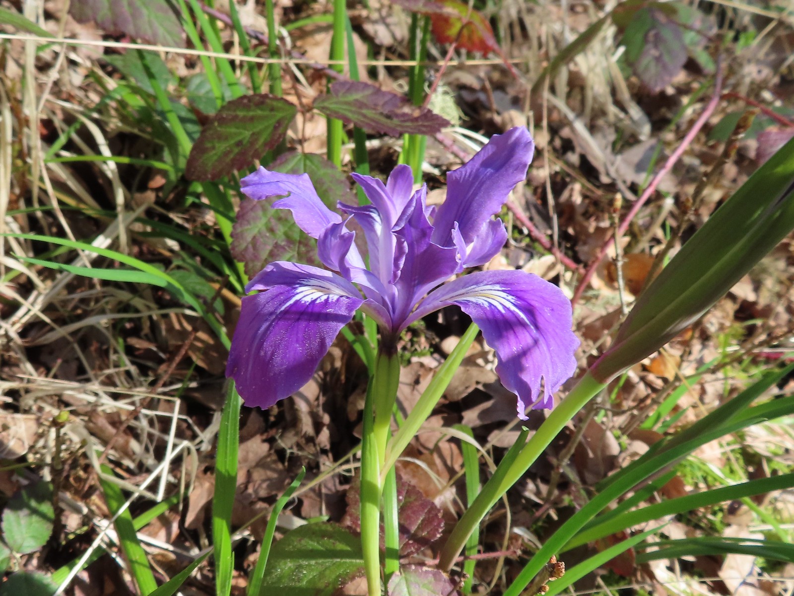 Wild iris
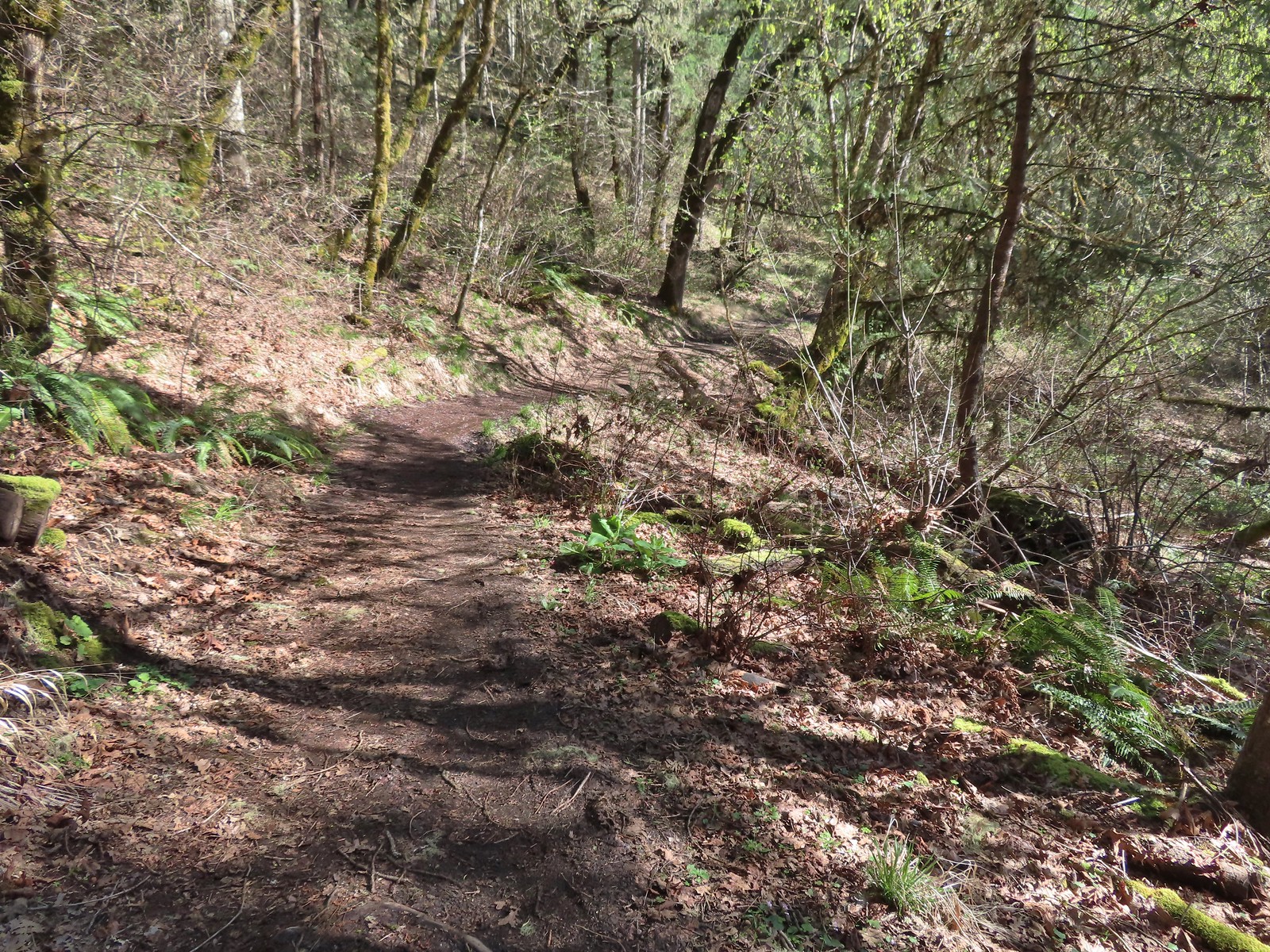
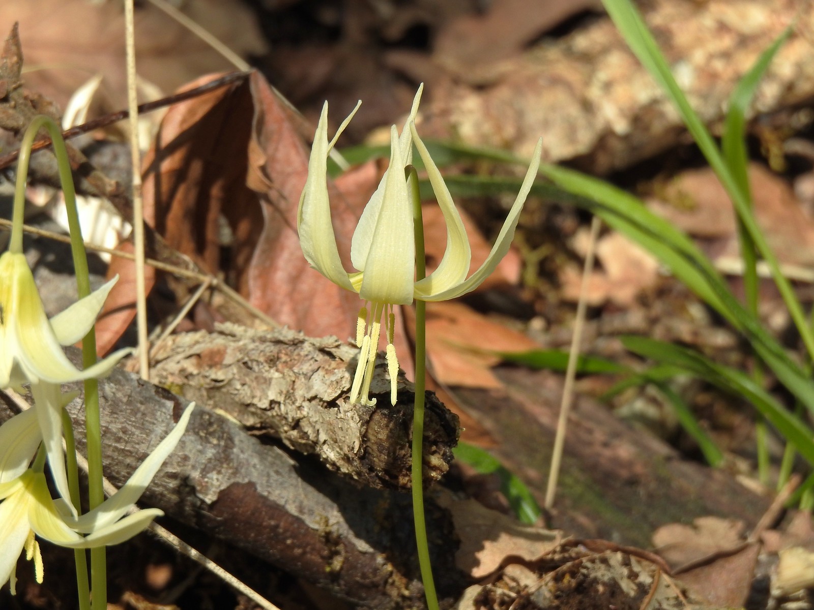 More fawn lilies
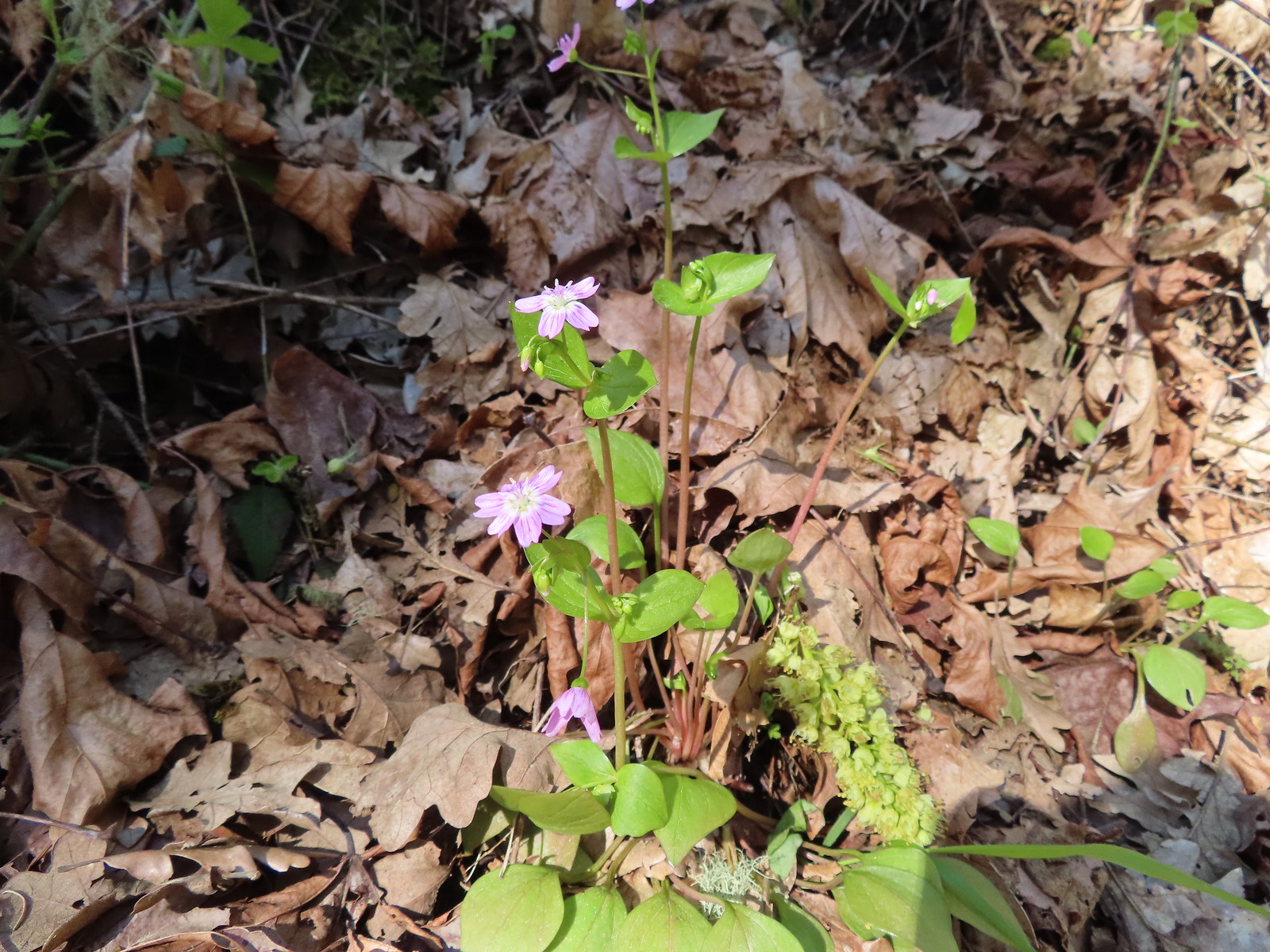 Candy flower
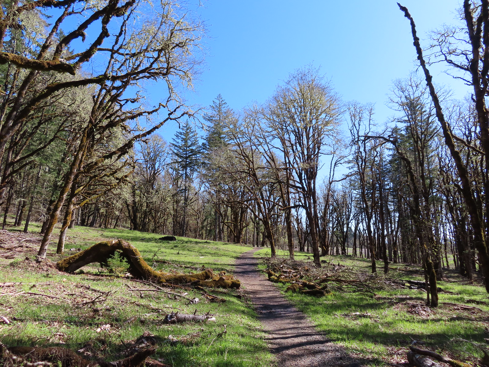
 Purple deadnettle
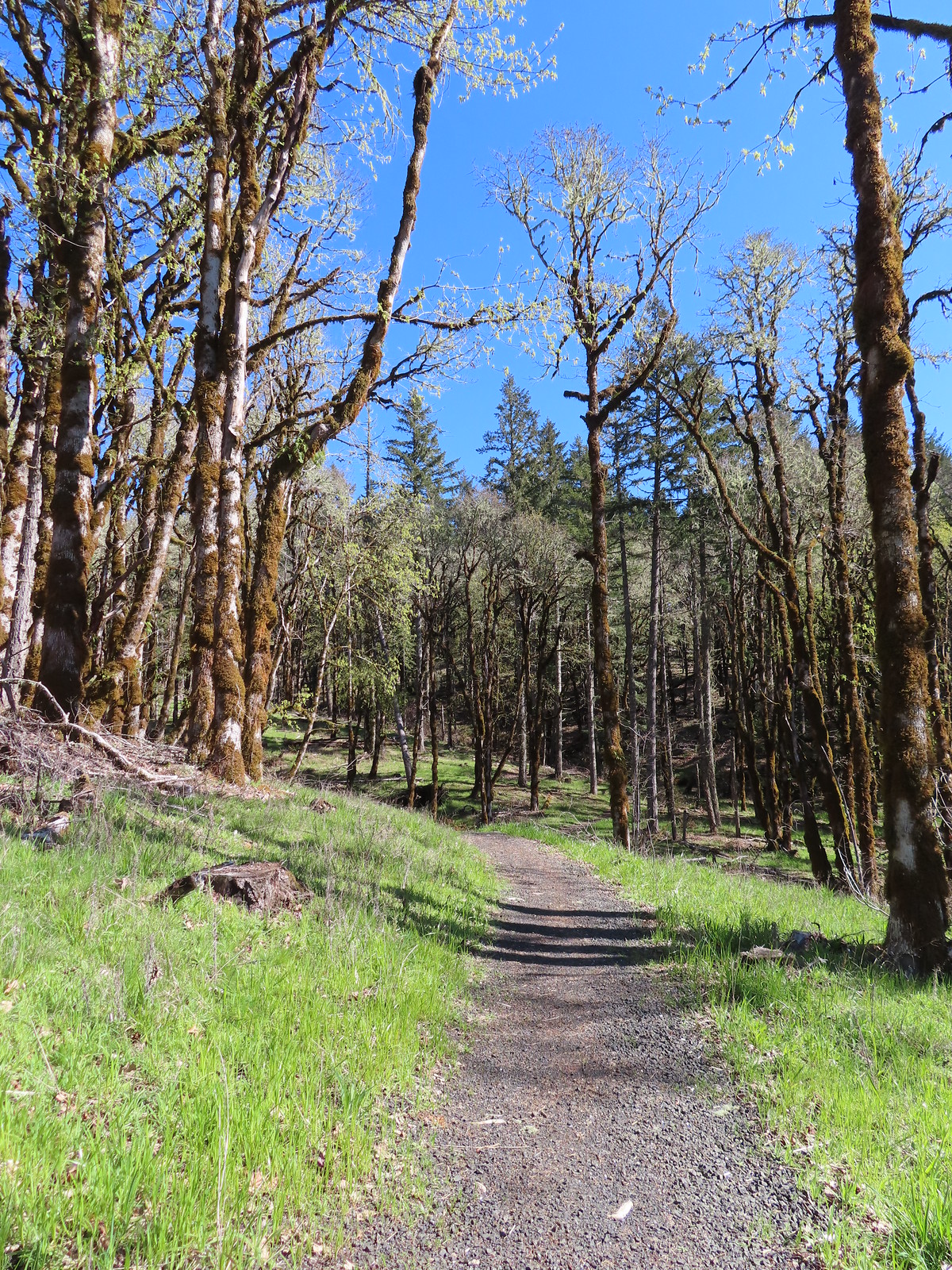
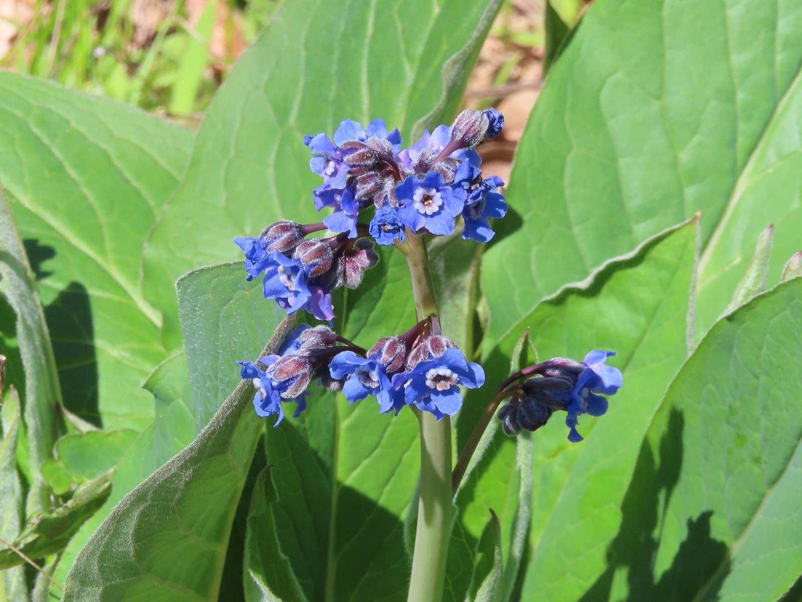 Pacific hound’s tongue
 Colorful turkey tails
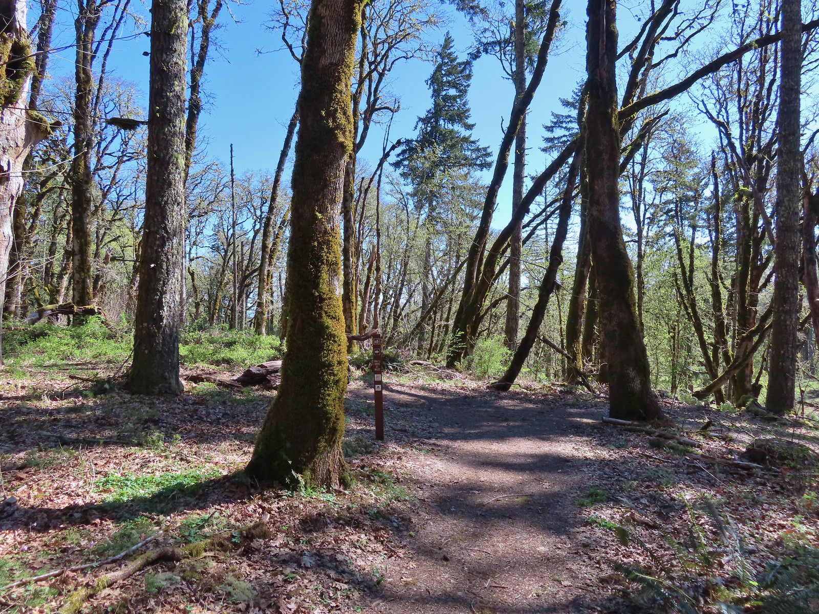 The trail splits briefly along a ridge marking what used to be the end of trail from the Oak Creek Trailhead.
 Dark-eyed junco
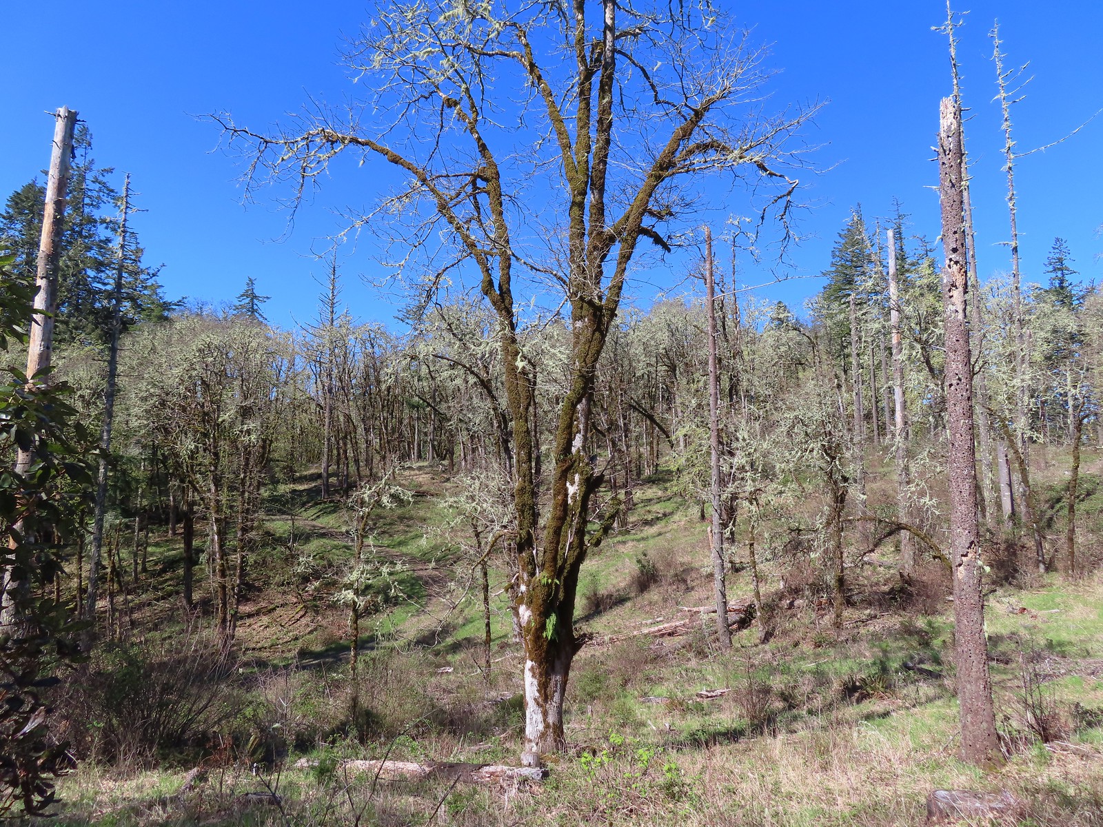 There were a pair of acorn woodpeckers in this area that we stopped to watch.
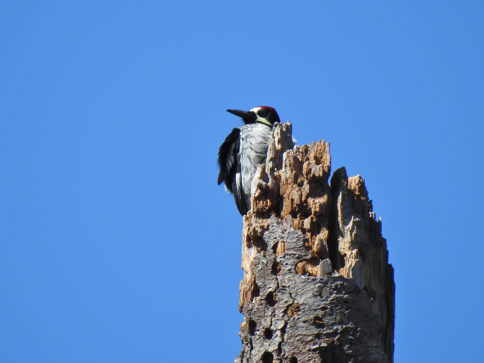 This tree was full of holes that the woodpeckers use to store their acorns in.
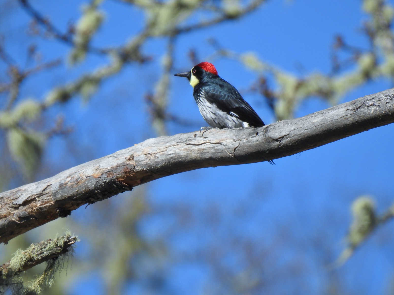
 One of several benches along the trail.
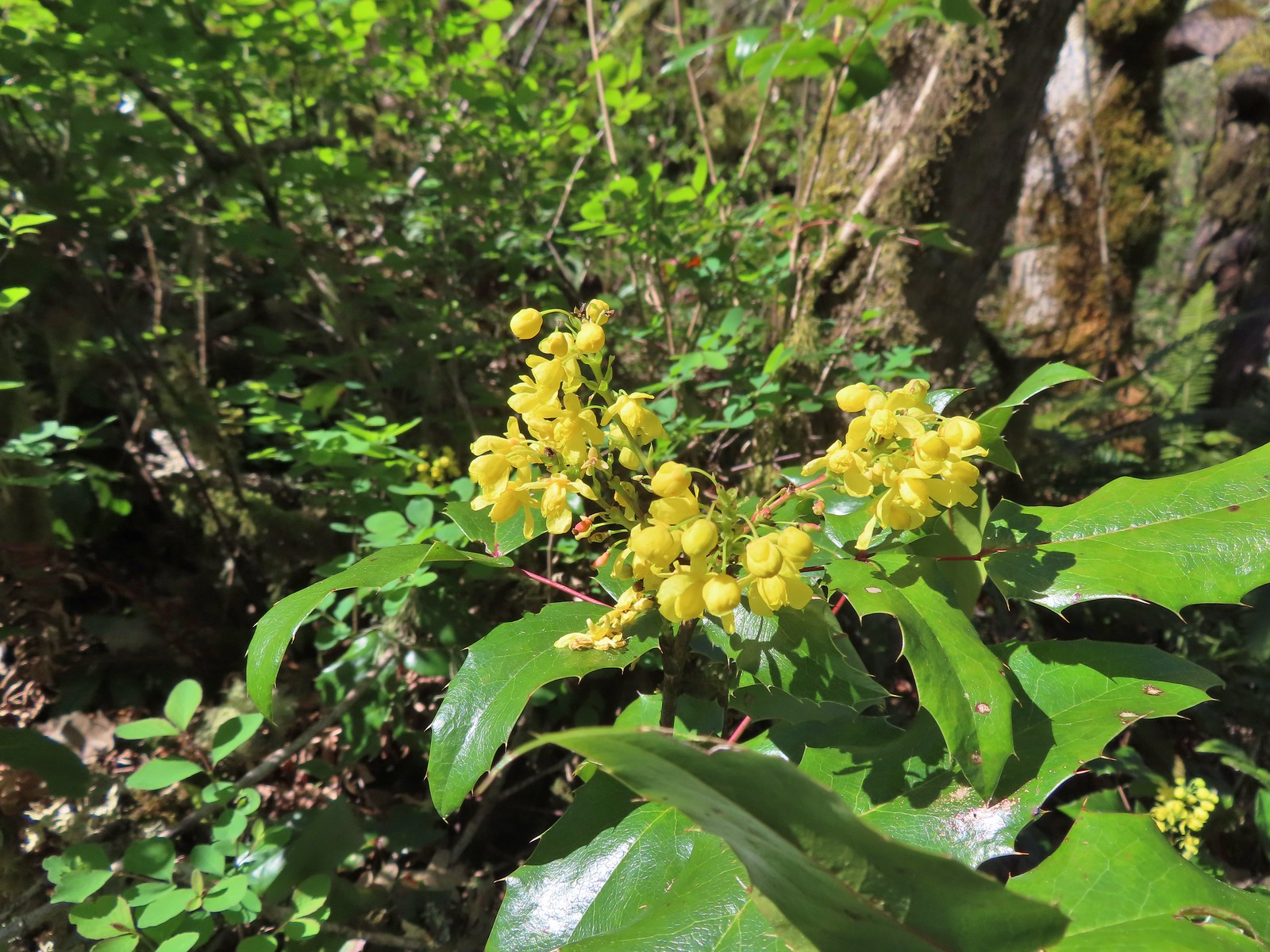 Oregon grape
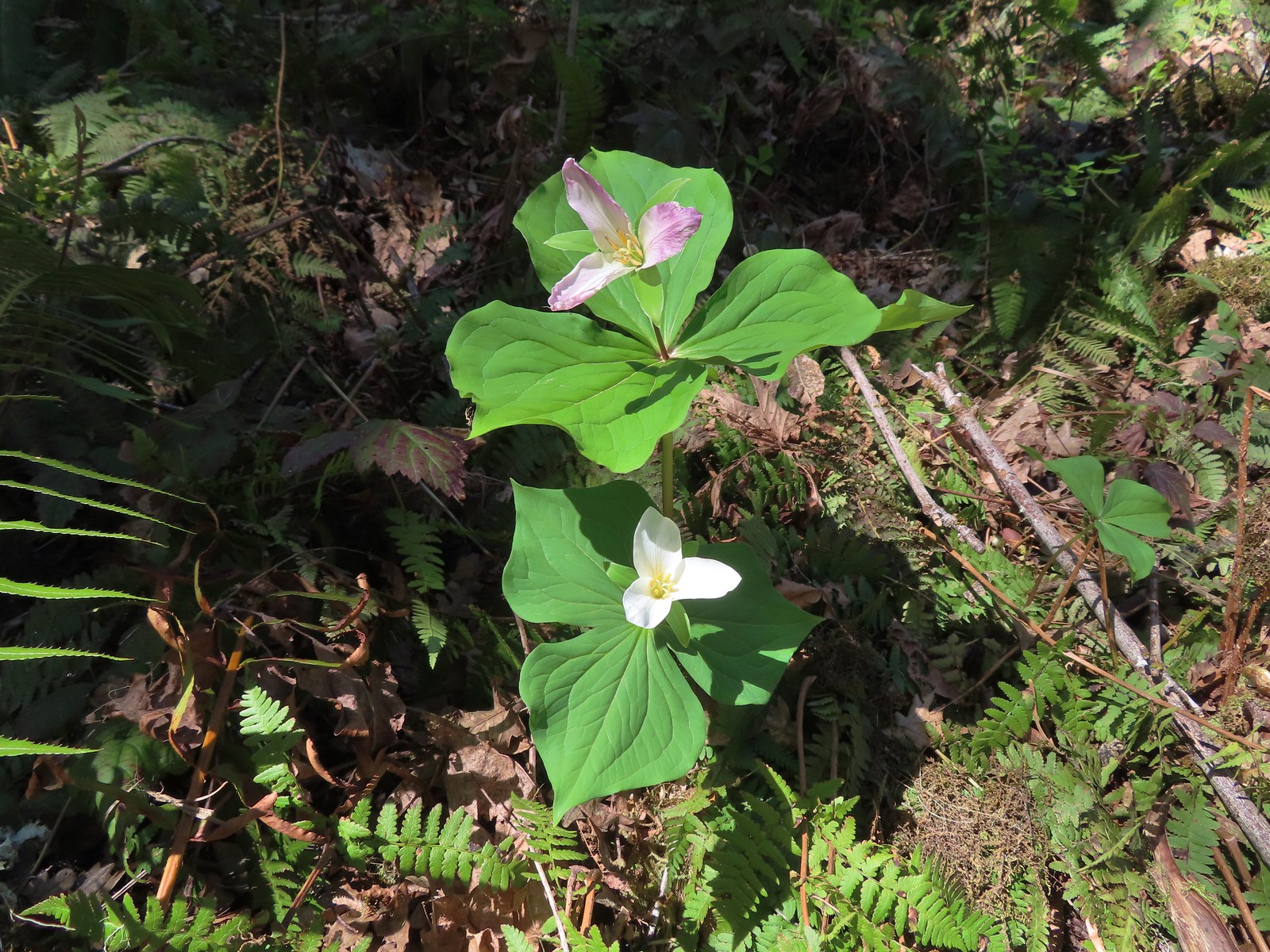 Trillium
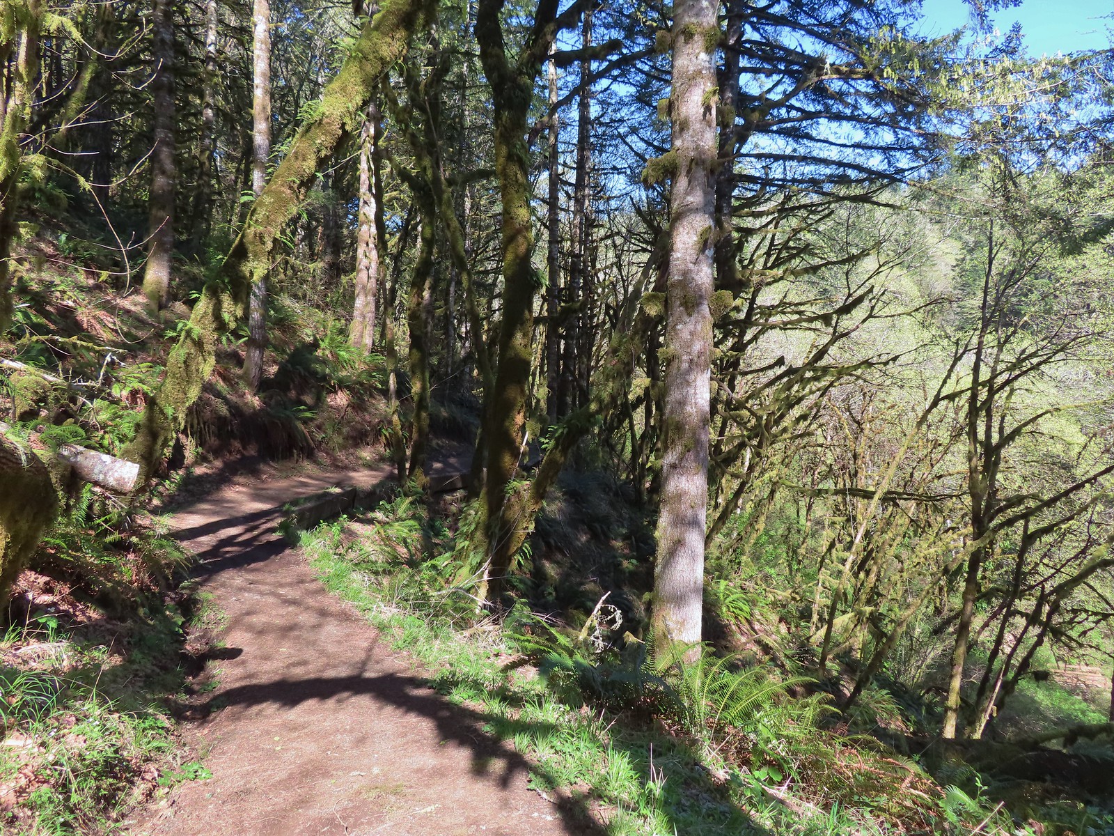 The Mulkey Ridge Trail descending to Mulkey Creek. (Note the footbridge in the lower right-hand corner.)
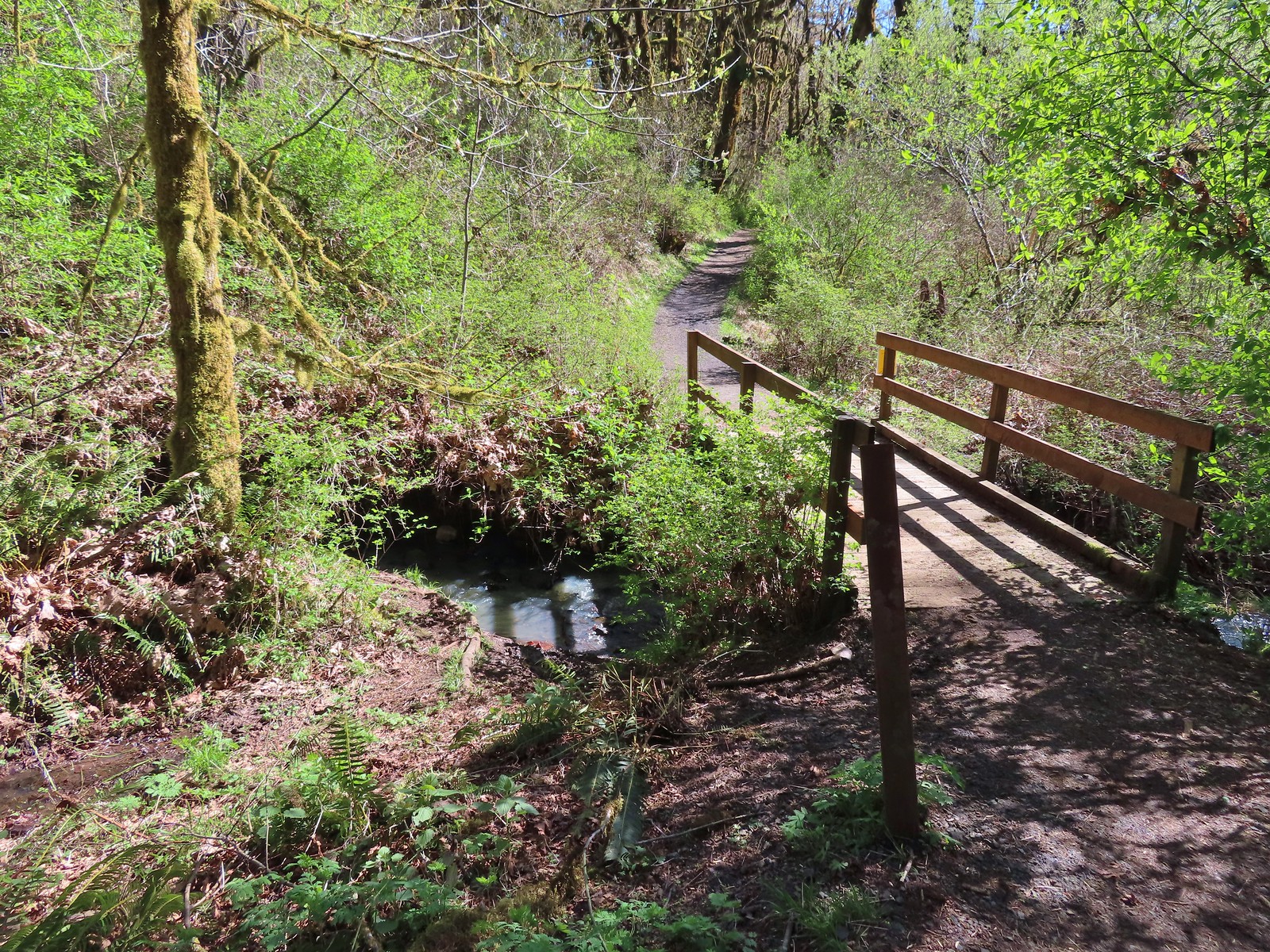 Footbridge over Mulkey Creek.
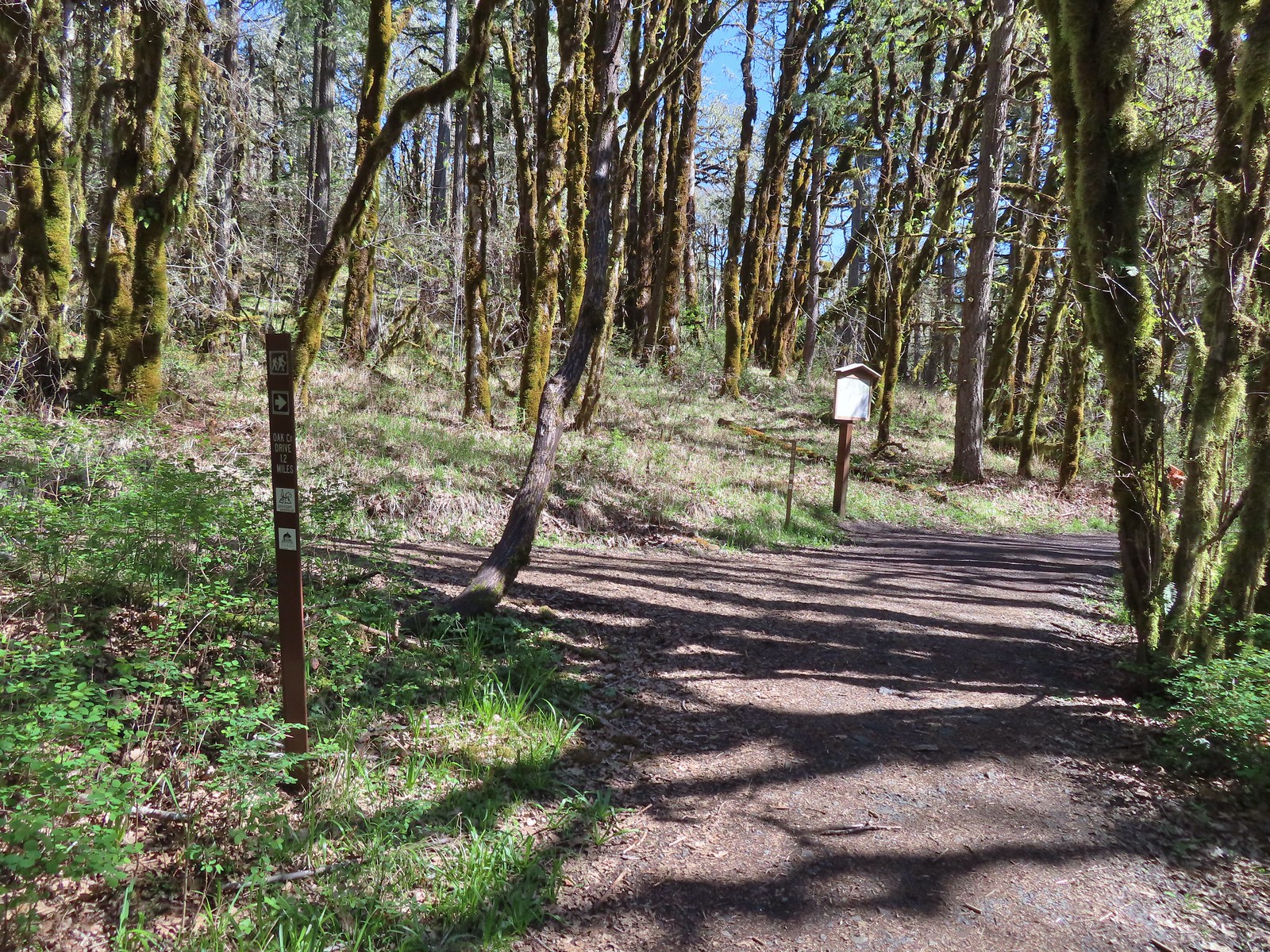
 Toothwort
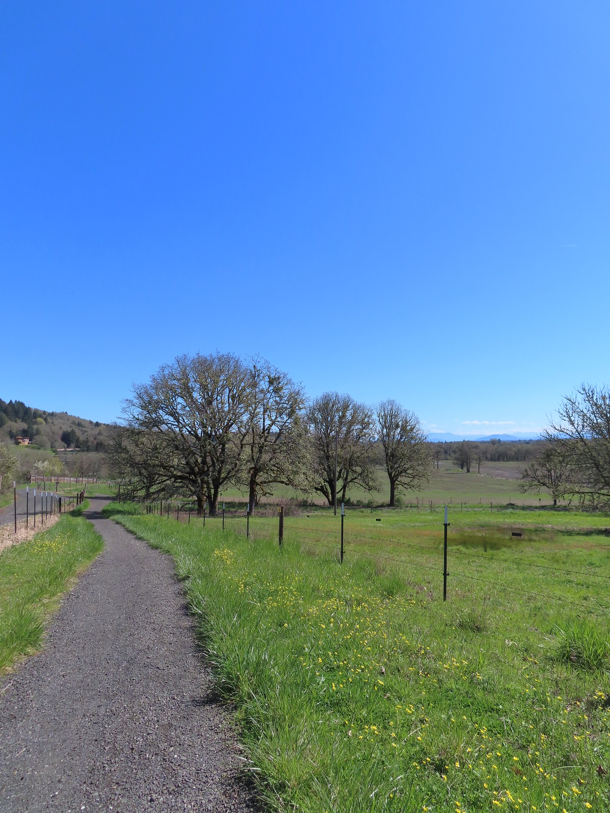 Western buttercups along the trail on our way back.


 Paintbrush
 Tiger lily
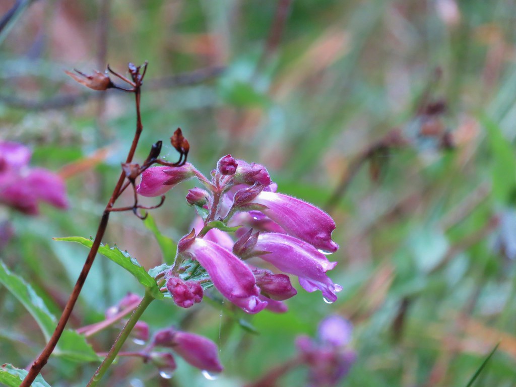 Penstemon
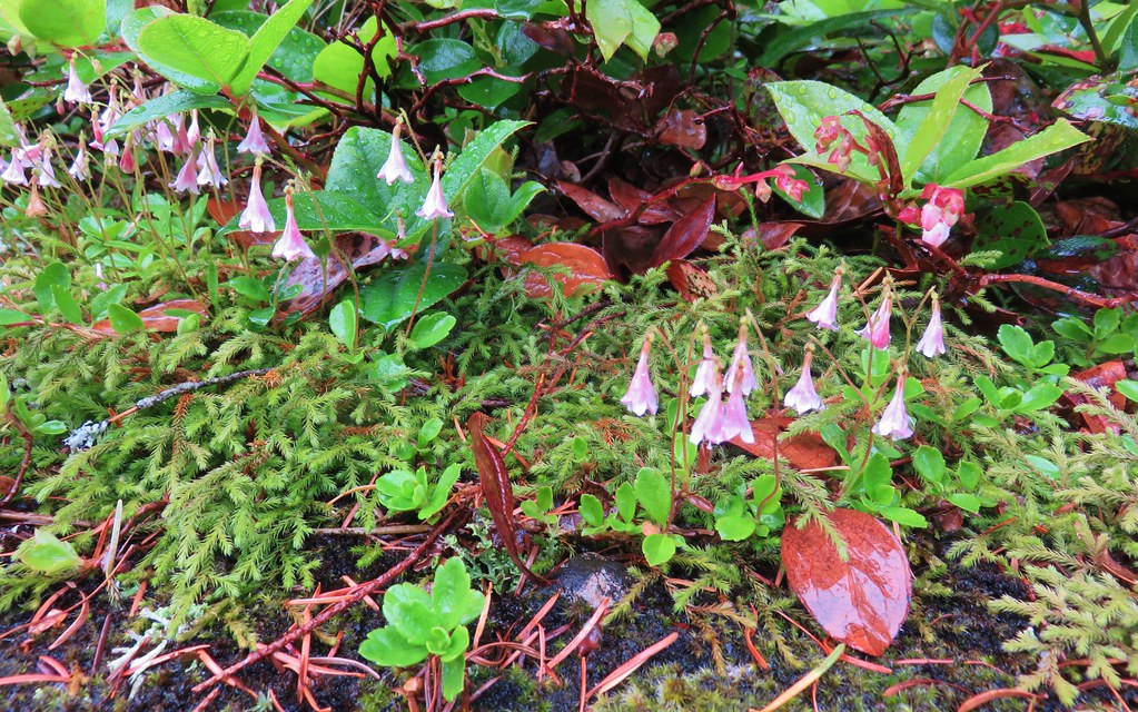 Twin flower
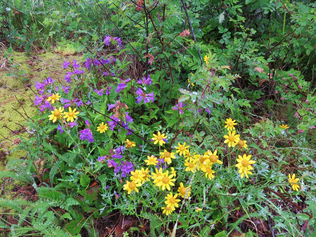
 Checkermallow
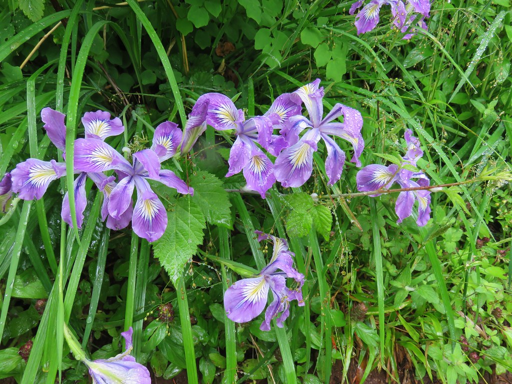 Wild iris
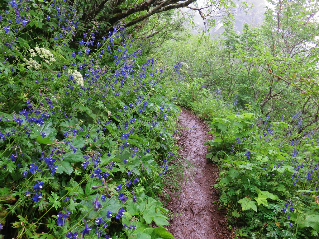
 Larkspur
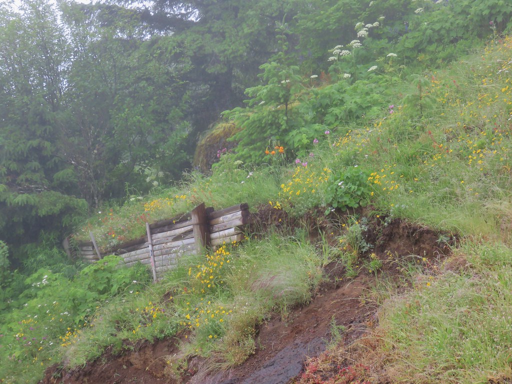
 Monkeyflower
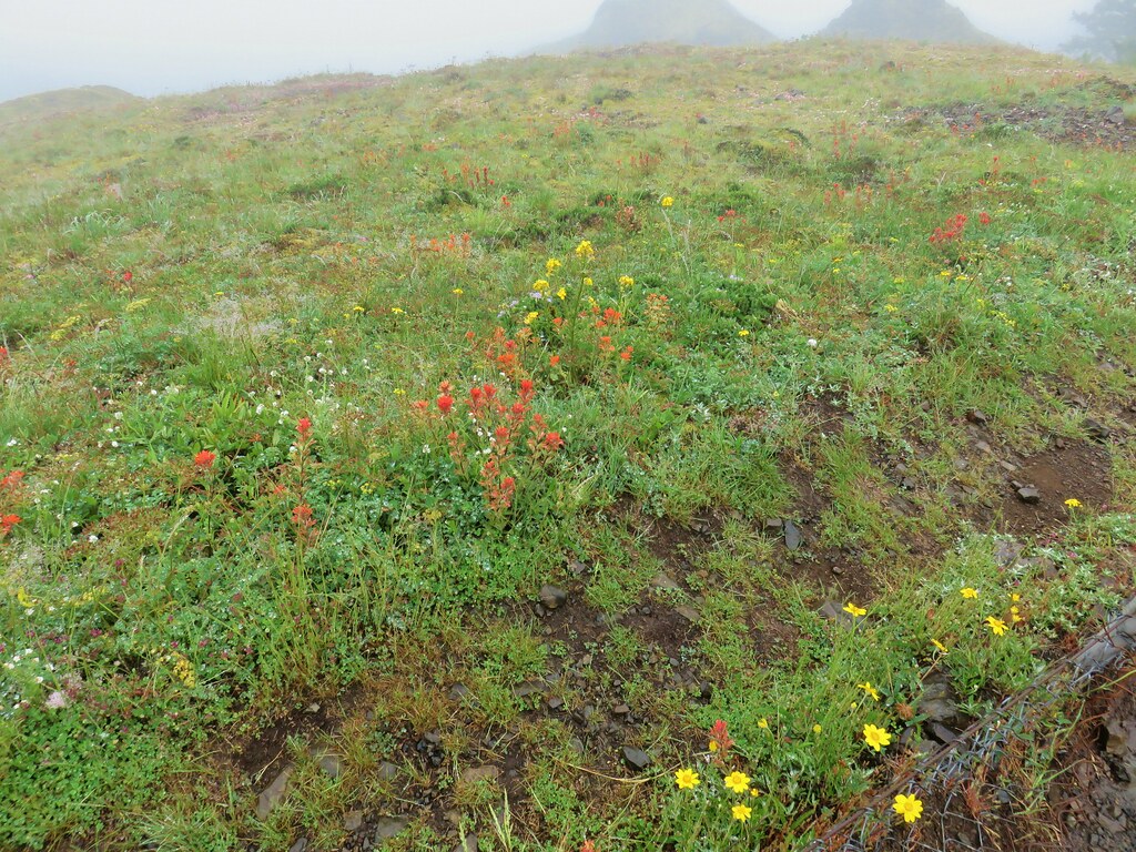
 Plectritis
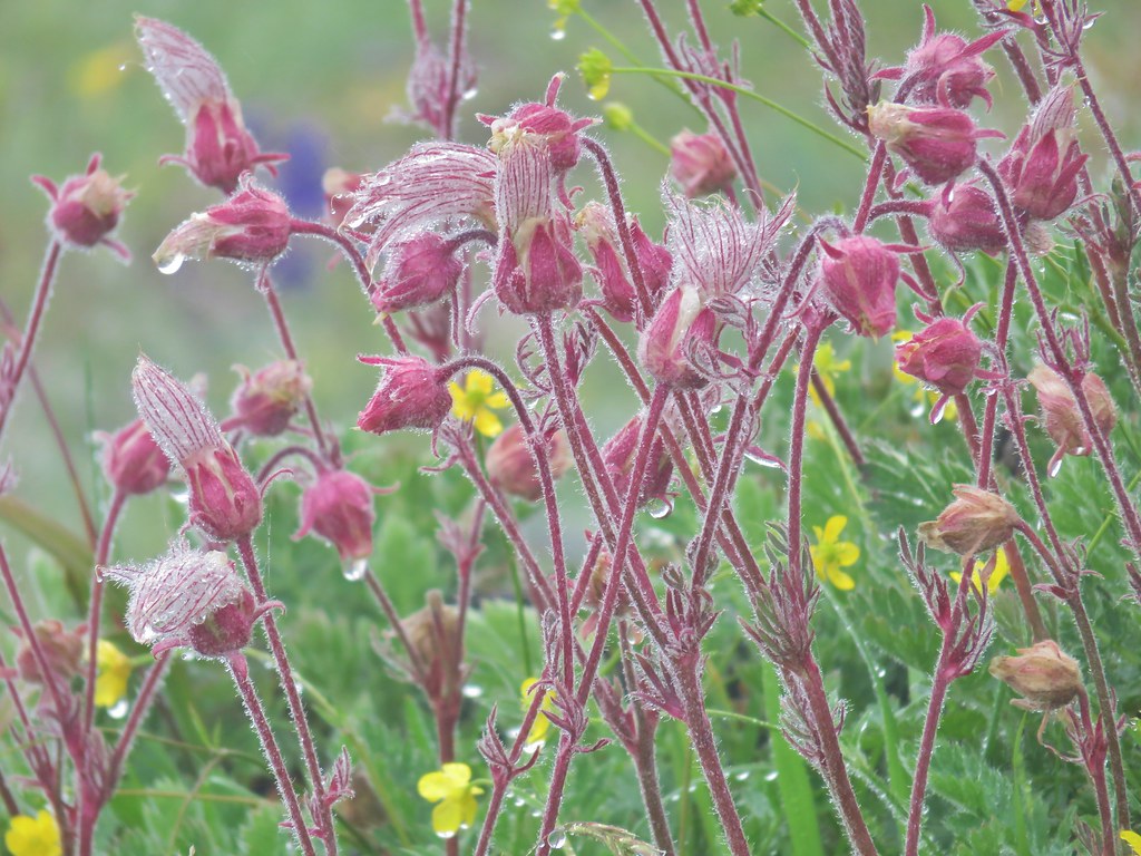 Old man’s whiskers
 Columbine
 Wallflower
 Larkspur
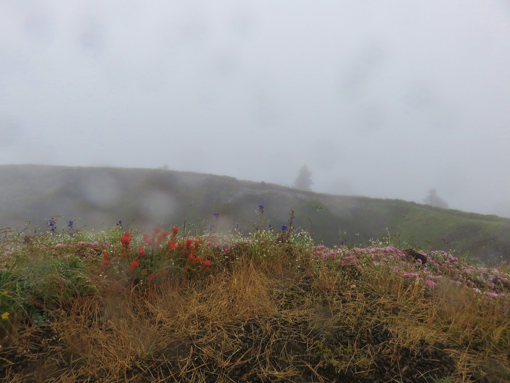 Summit view