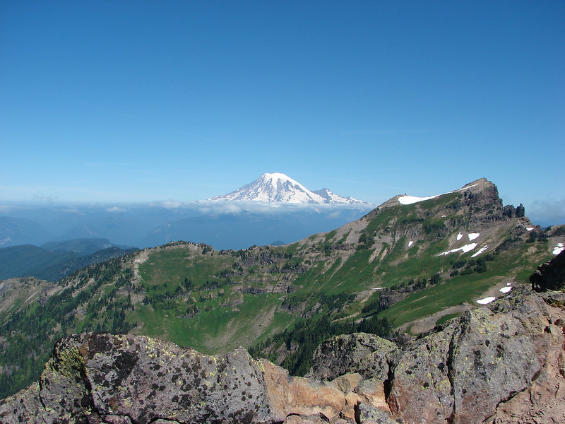
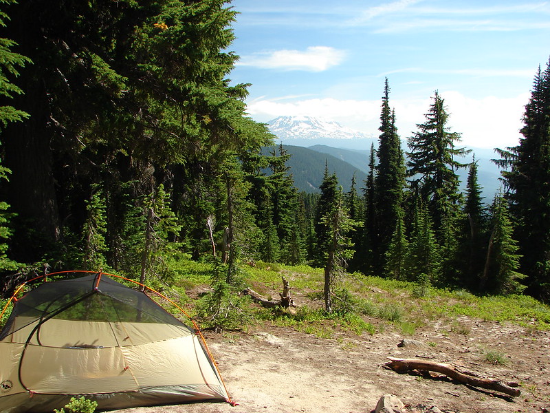
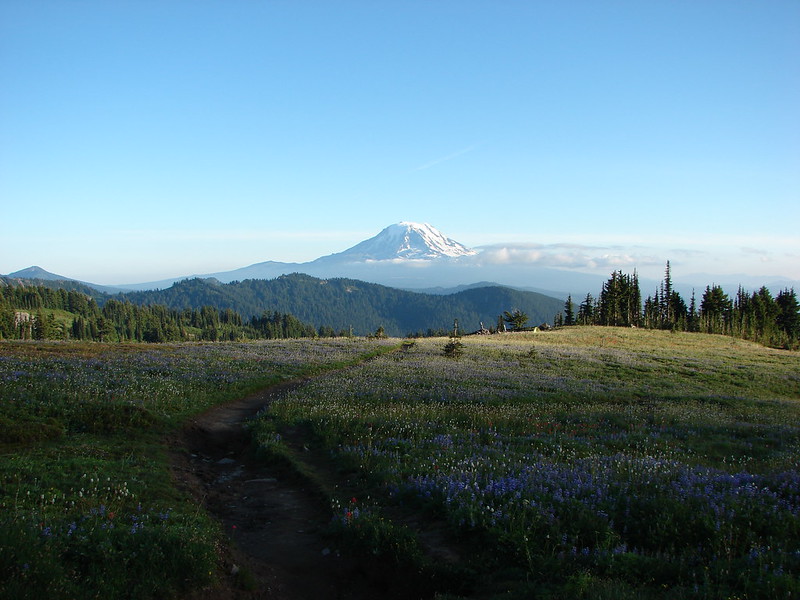
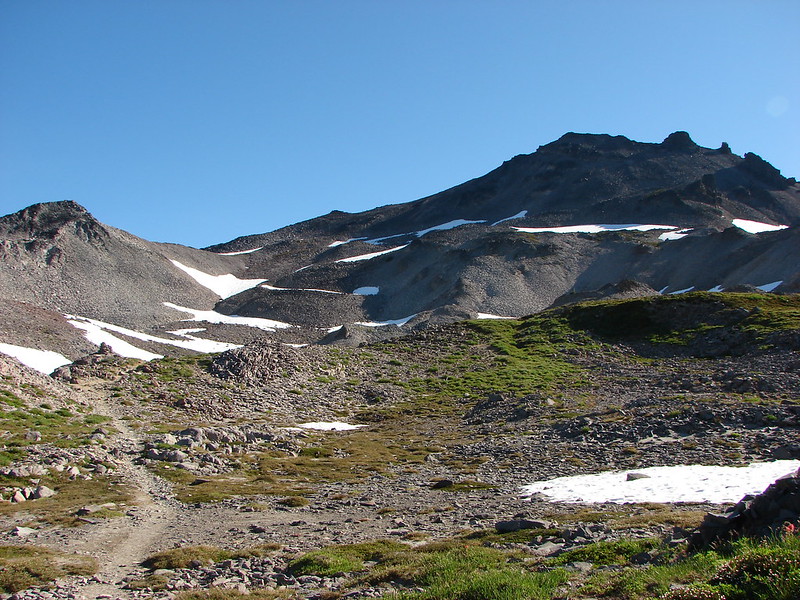
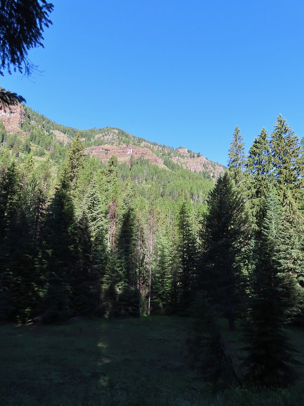
Our first night in the small town of Wallowa had been great. Our room at the Mingo Motel was extremely comfortable and we’d gotten ice cream sundaes from the Little Bear Drive-In. We were also conveniently located less than 10 miles from the Bear Creek Trailhead which was our destination for Thursday’s planned hike. This meant we could get an even earlier start in order to avoid as much heat as possible. A quick check of the forecast the night before had shown that it was again going to be in the 90’s in Wallowa and it also showed that there was another slight chance for thunderstorms Friday morning when we were hoping to do our final hike of the trip at the Wallowa Homeland. As we set off from the Bear Creek Trailhead a little after 5:30am we left open the option of doing that last hike when we got back to Wallowa if we felt up to it.
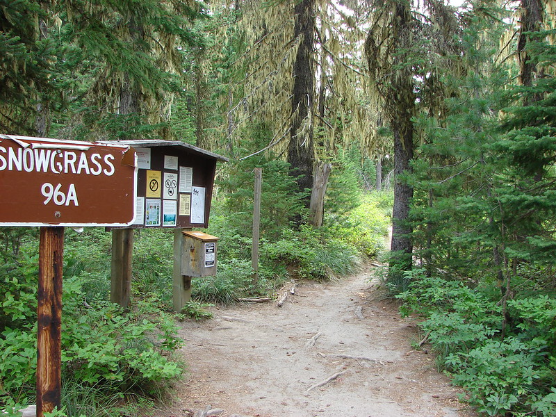
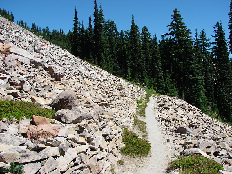
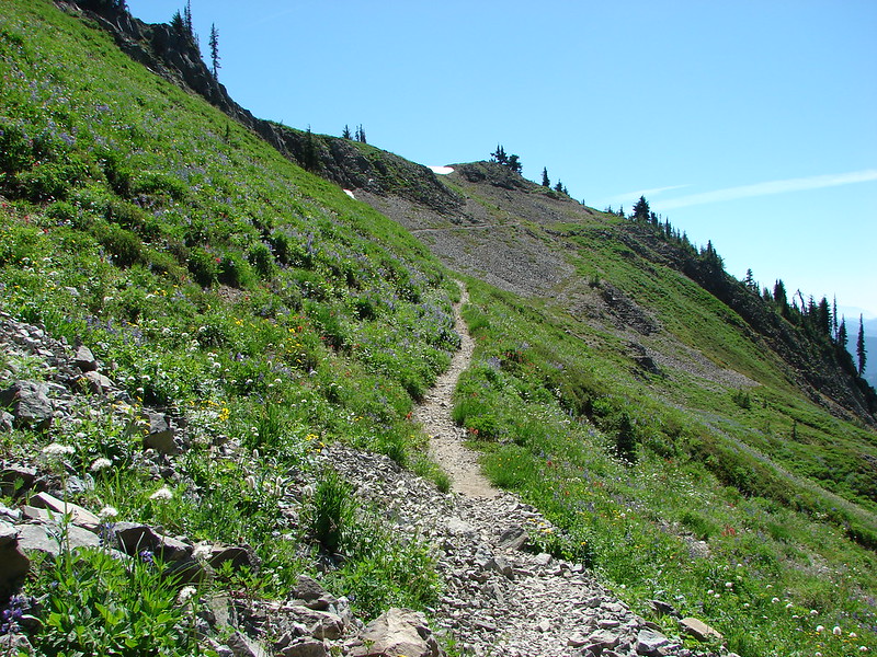
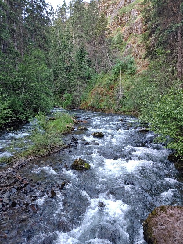
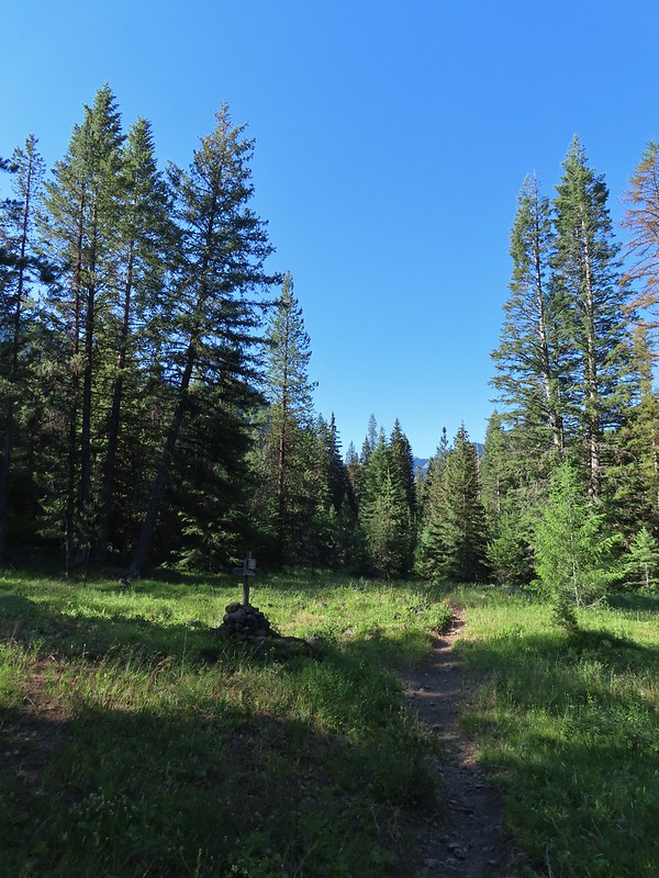
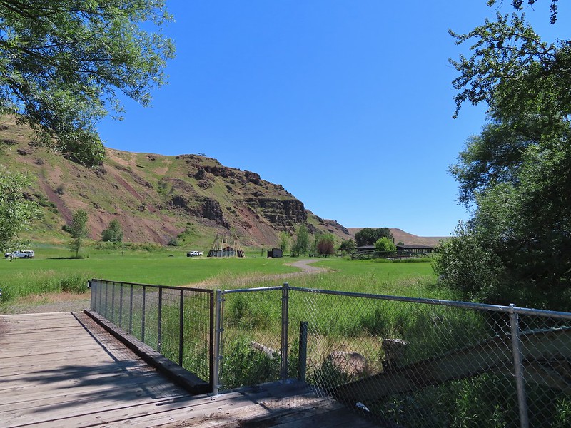
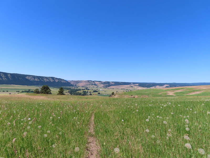
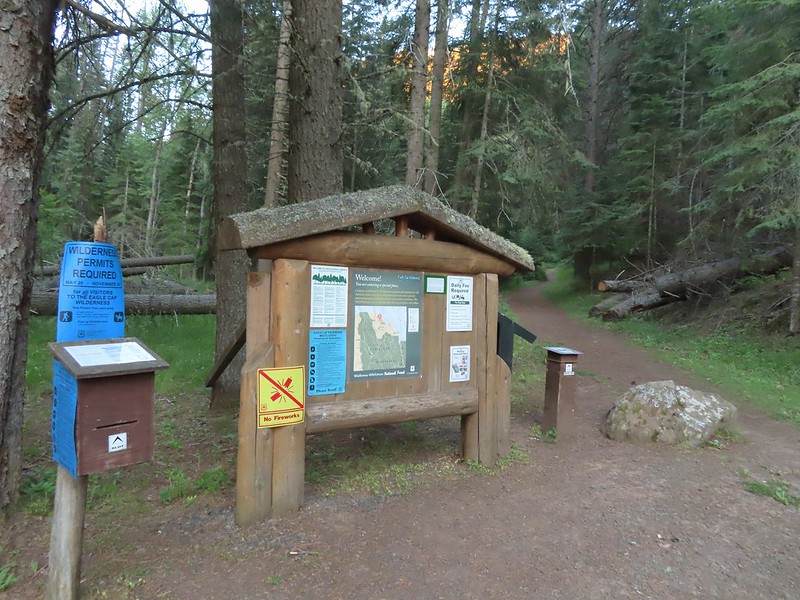 The Bear Creek Trail at the trailhead.
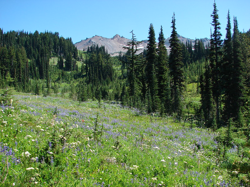
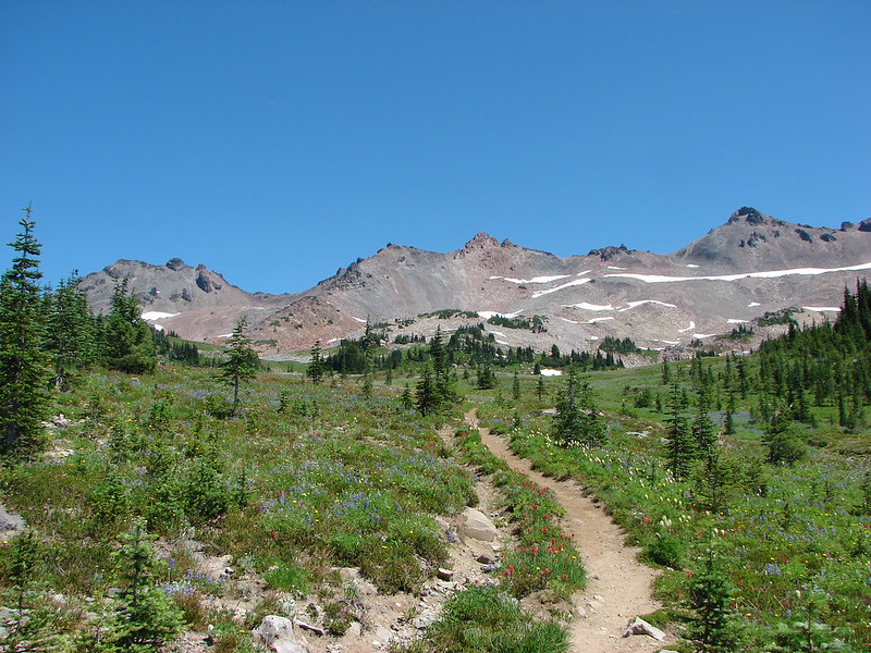
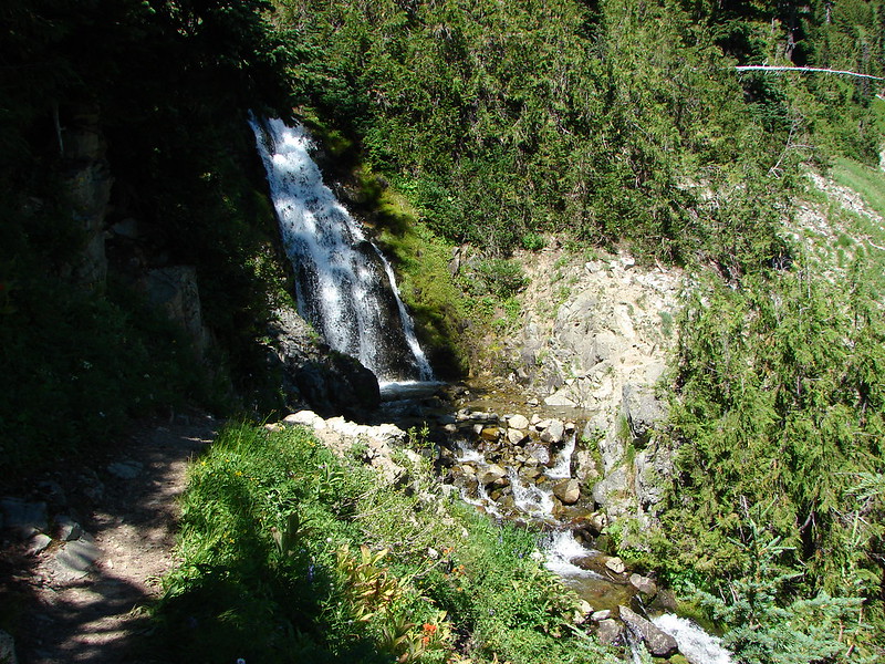
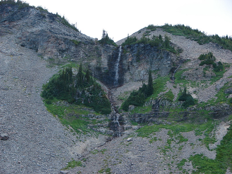
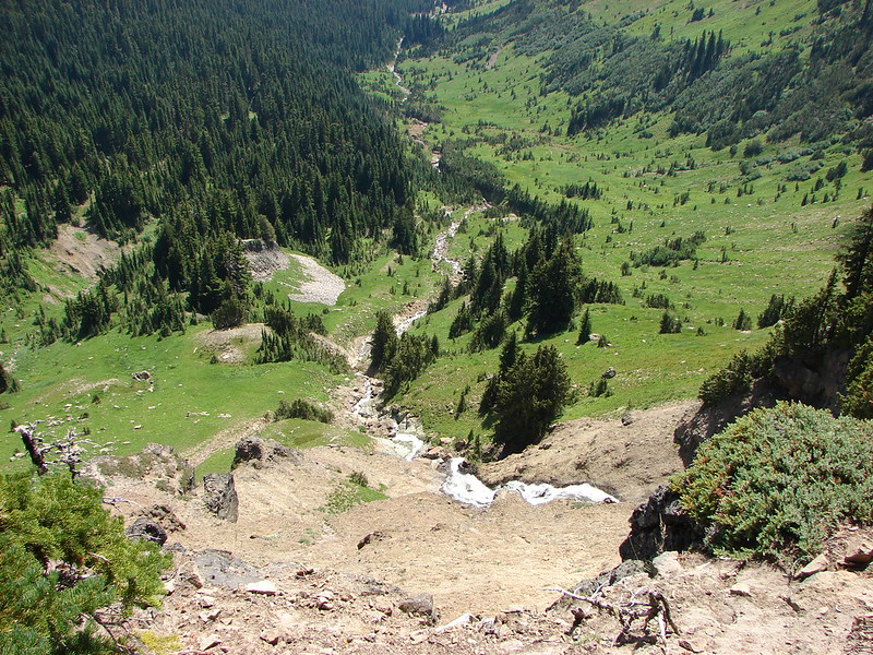
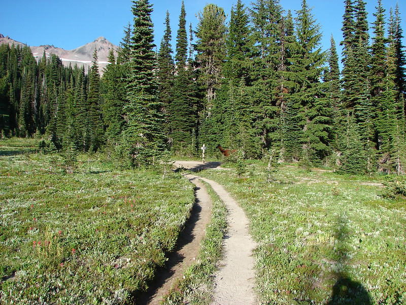
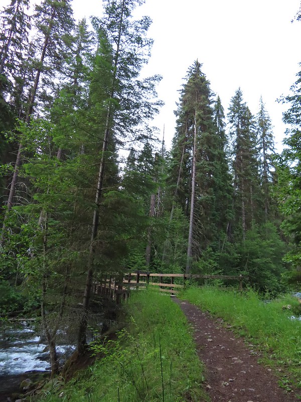
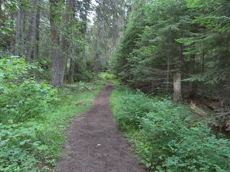
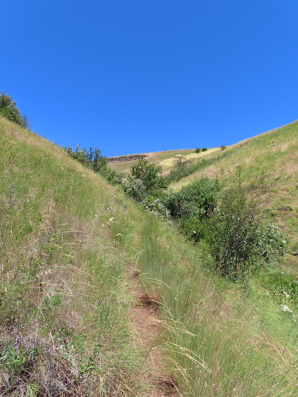
This was a fairly straight forward hike following the Bear Creek Trail 4.6 miles to a junction with the Goat Creek Trail then continuing another three quarters of a mile to the Bear Creek Guard Station. The relatively level trail crosses Bear Creek a quarter mile from the trailhead.
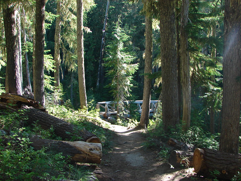
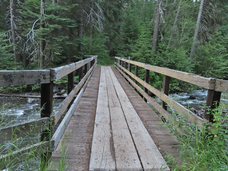 Footbridge over Bear Creek.

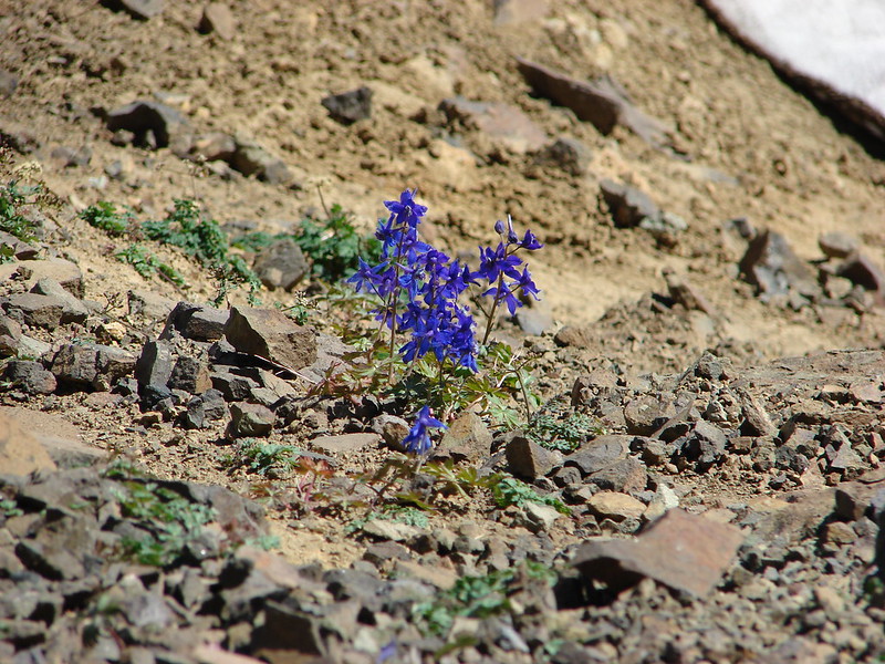
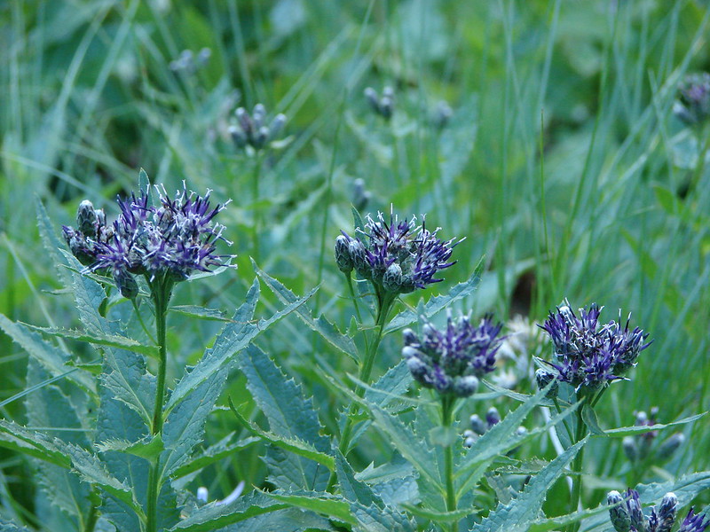
 Milk-vetch
 Mountain lady-slippers
 Bug on a thimbleberry leaf.
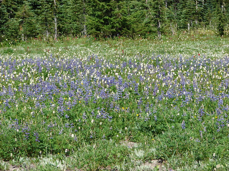
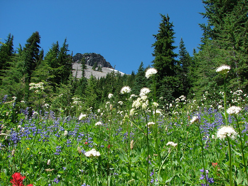
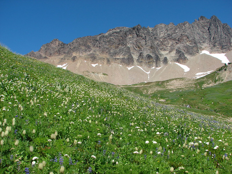
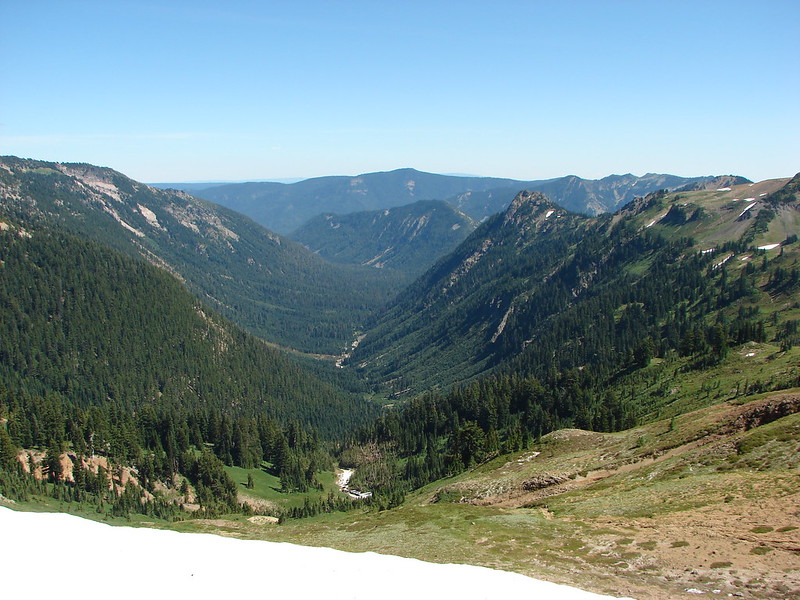
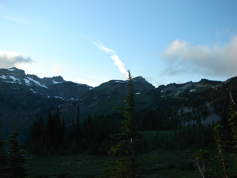
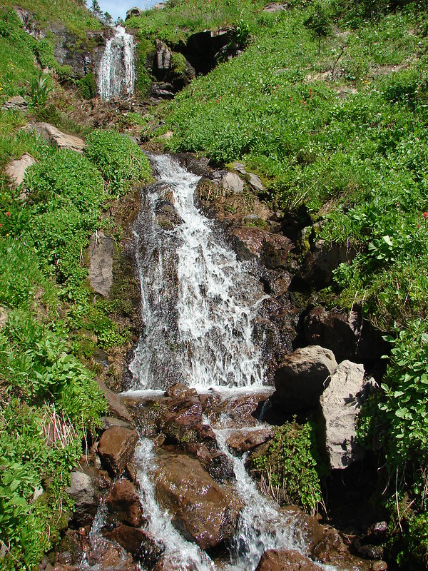
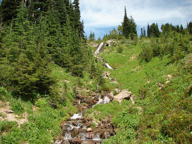
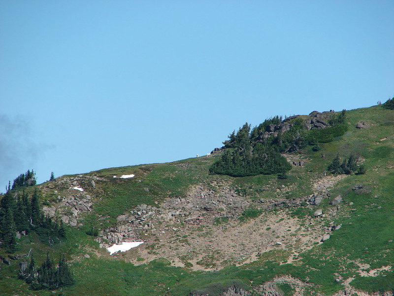
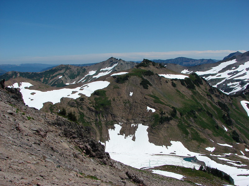
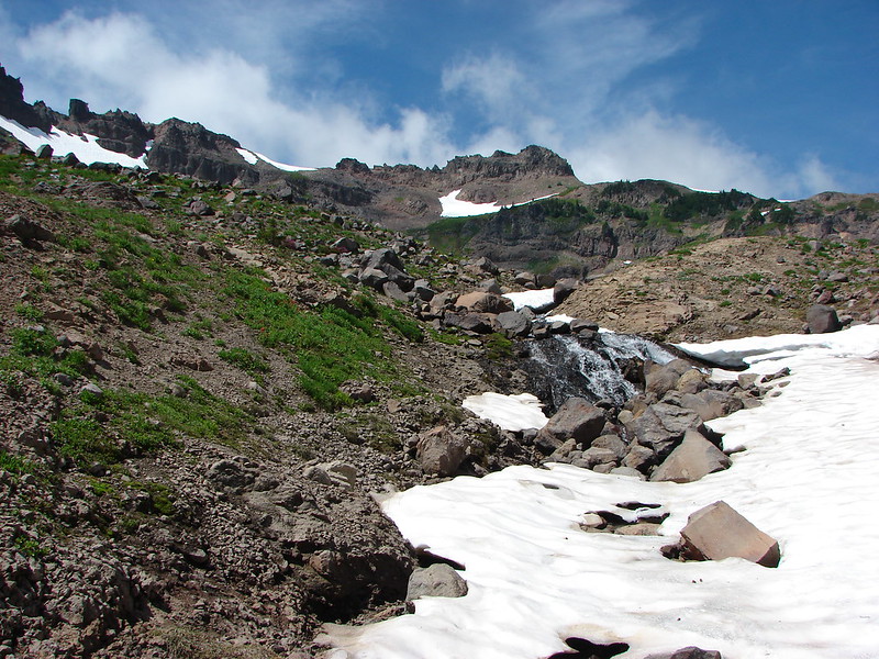
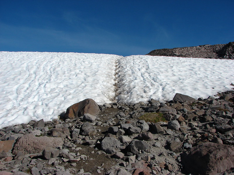
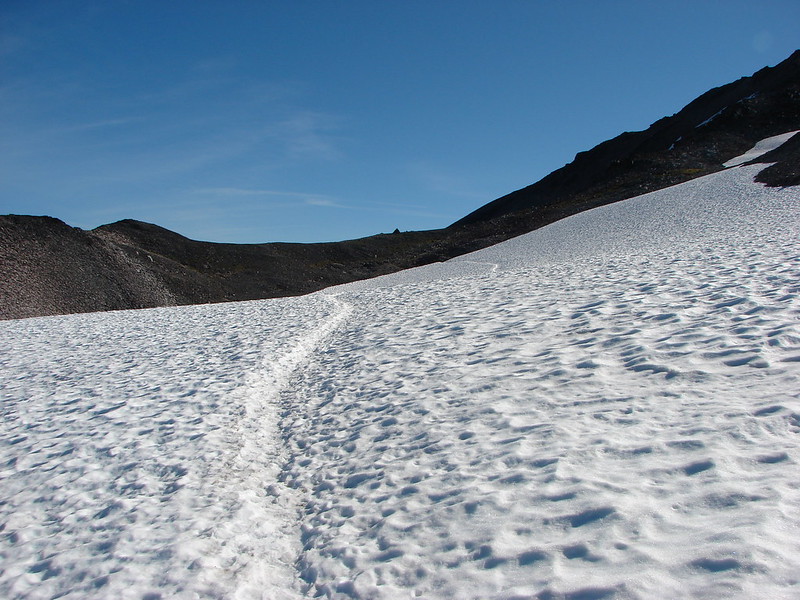
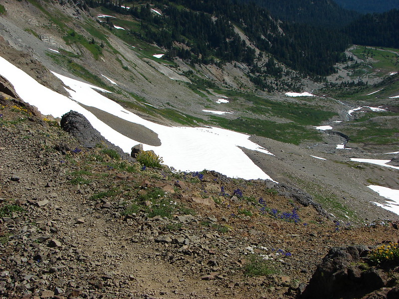
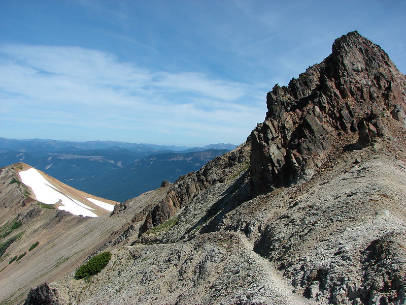
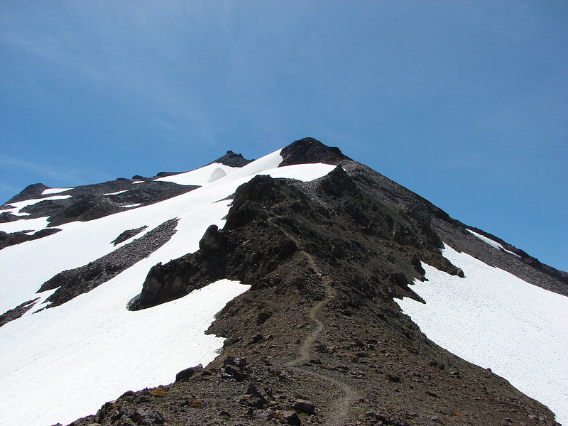
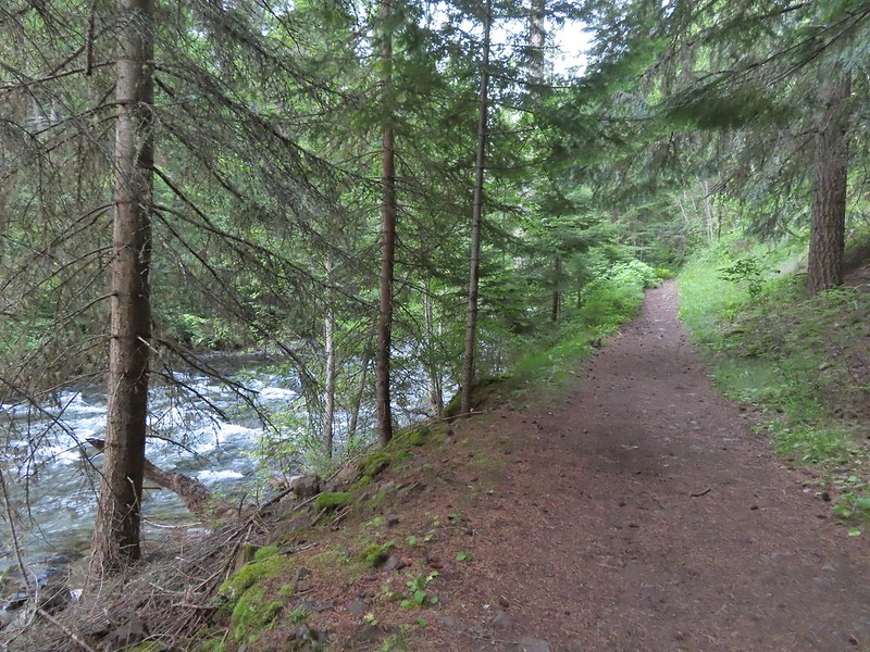
 There were a couple of ups and downs where the trail got above Bear Creek.
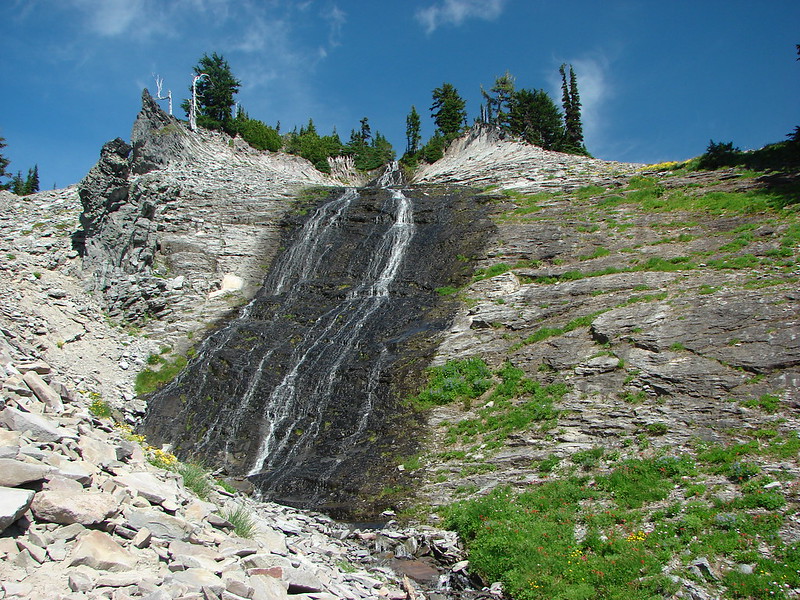
 Baker Gulch

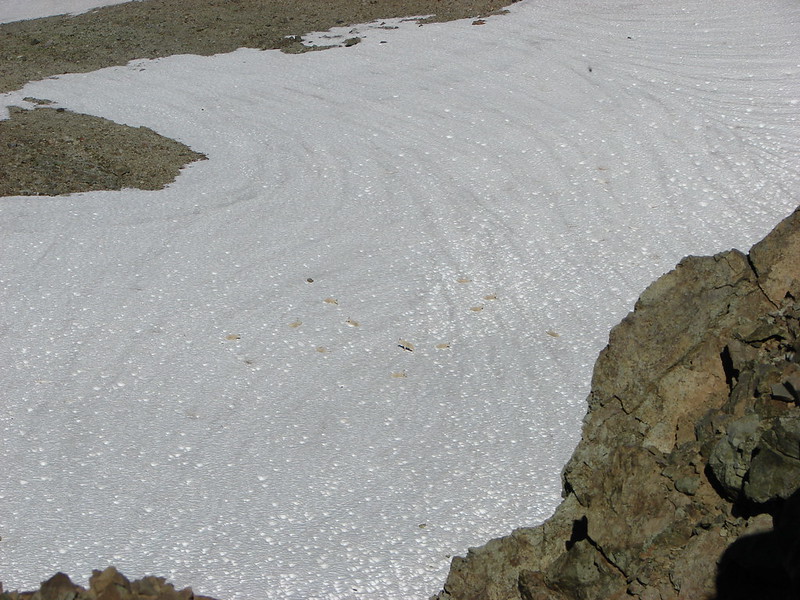
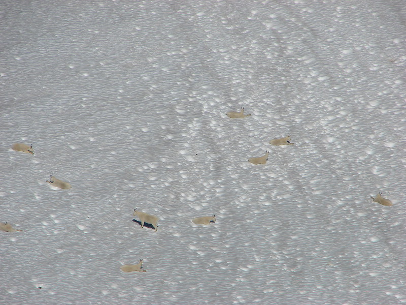
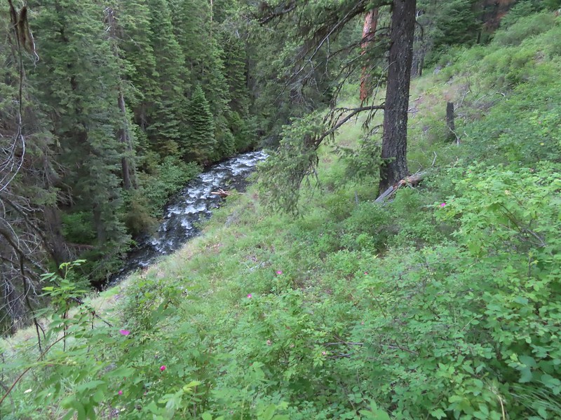
 Cliffs on the opposite side of Bear Creek.
 Trail sign marking the junction with the Goat Creek Trail. By this time we had crossed into the Eagle Cap Wilderness but there hadn’t been any signs
indicating that.

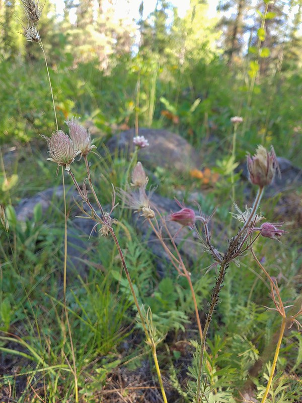 Prairie smoke a.k.a. old mans whiskers
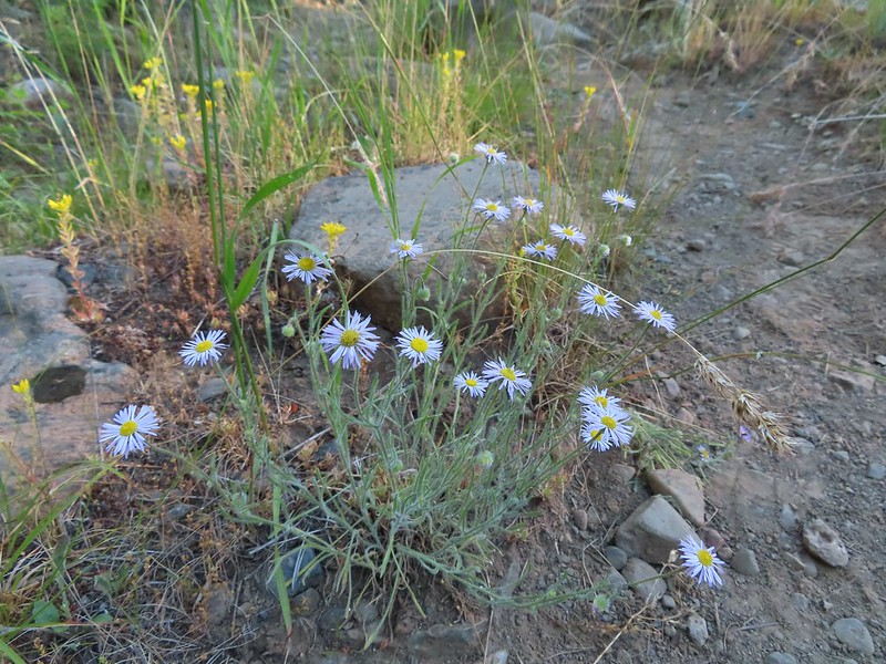 A fleabane
 The Bear Creek Trail crossing Goat Creek.
 Footbridge over Goat Creek.
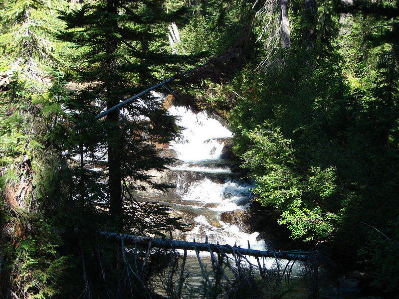
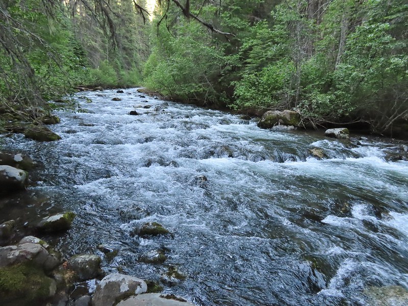
 Goat Creek
 The unmarked but obvious spur trail to the (locked) Bear Creek Guard Station on the right.


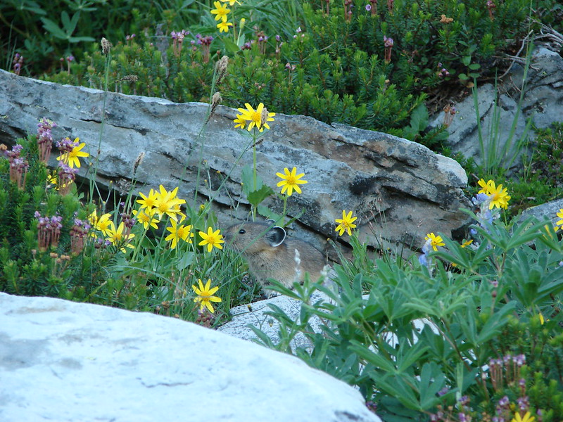
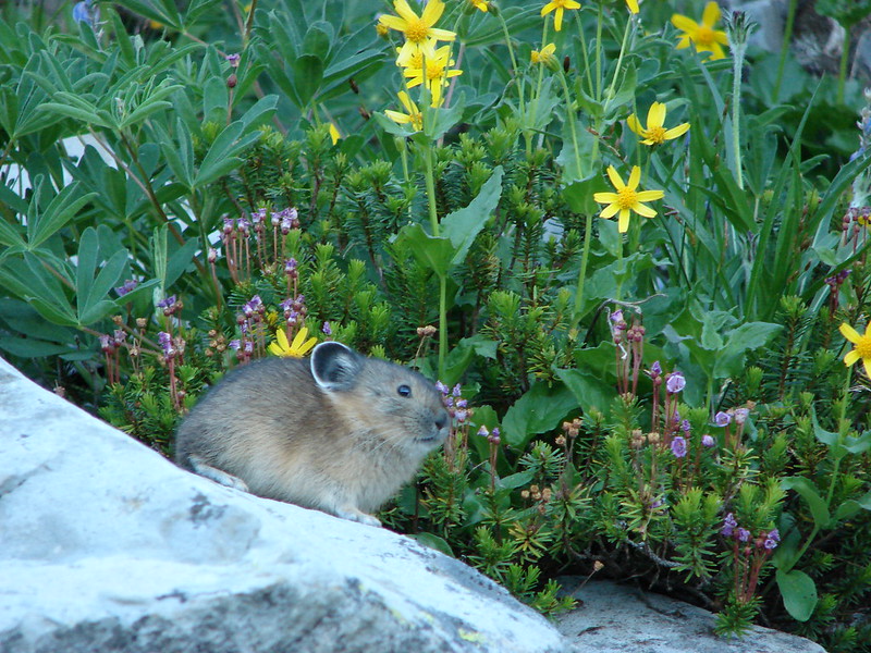
We took a brief break at the Guard Station and headed back. On the way back we spotted a new to us (at least we think) flower.
 Moneses uniflora – one-flowered moneses

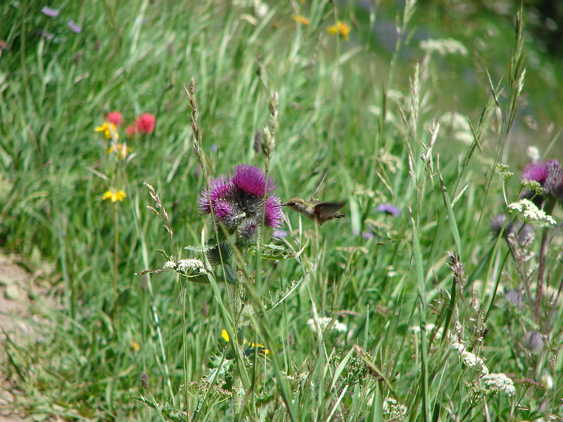
We also spotted several bugs and insects.
 Hairstreak
 Crab spider
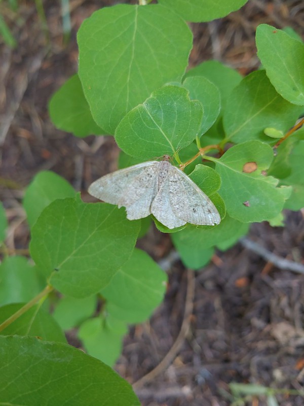 Moth
Moth
 Swallowtail on a bog orchid
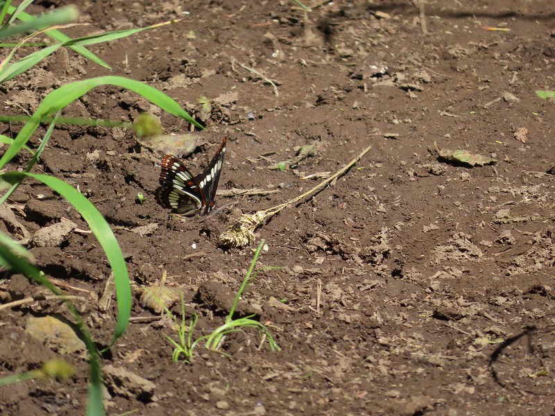 Lorquin’s admiral
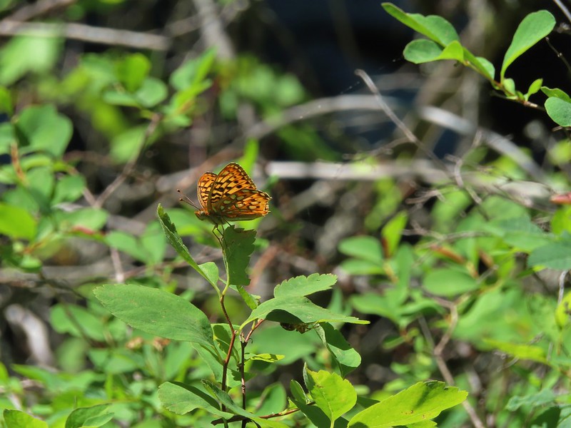 A fritillary butterfly with some sort of spider on the underside of a leaf below to the right.
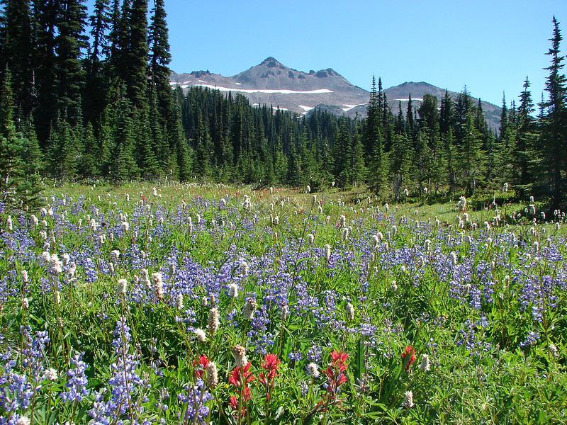
The 10.8 mile hike here only gained 900′ of elevation, by far the least amount of any of our hikes during the trip. The lack of elevation gain combined with the cool morning temperatures allowed us to move at a quicker pace completing the hike under 5 hours and 15 minutes.

On our way back we had decided that we would indeed do the Wallowa Homeland hike today too instead of risking having to skip it if thunderstorms did develop in the morning. As convenient as our motel had been for the Bear Creek hike it was even more so for the Wallowa Homeland which started just a couple of blocks from the Mingo Motel at the Nez Perce Visitor Center.
 First time we’ve started a hike from a motel room.
 Passing the Visitor Center on 2nd Street.
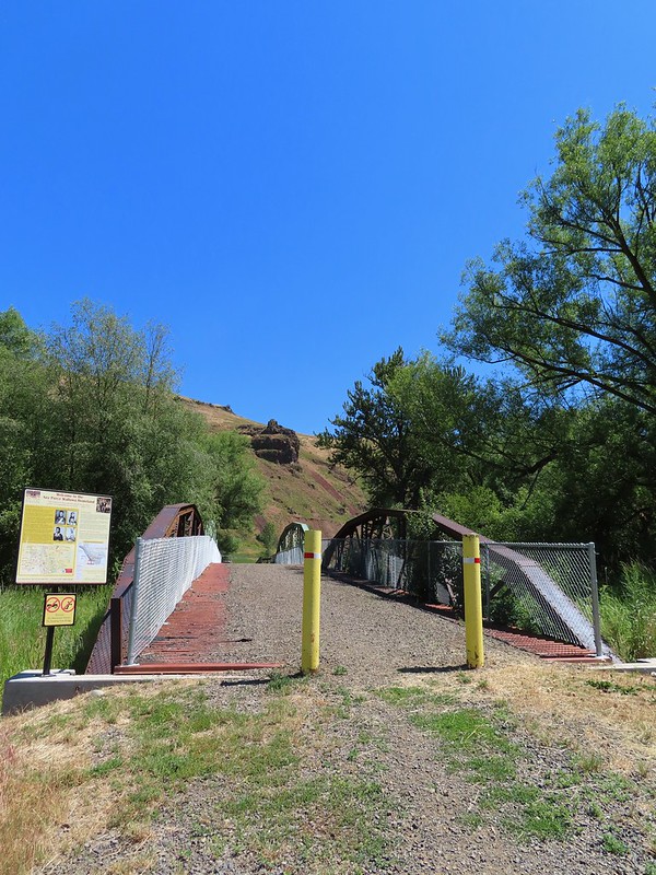
From the Visitor Center we turned north on Storie Street and followed it nearly 3 blocks to a dirt path that crossed rail road tracks then crossed the Wallowa River on a bridge with interpretive signs.


The trail here is on land purchased in 1997 & 2000 but that is also the former site of the Nez Perce’s Winter camp. In one of the more shameful events in U.S. History the Army ordered the Wallowa Band of Nez Perce to leave their home and relocate. This led to a 6 month saga that saw the Nez Perce attempt to flee to safety in Canada with the Army in pursuit for over 1100 miles. Ultimately they were capture or dispersed and their homeland lost. We were visiting a week before the 30th annual Tamkaliks Celebration.
 Dance arbor
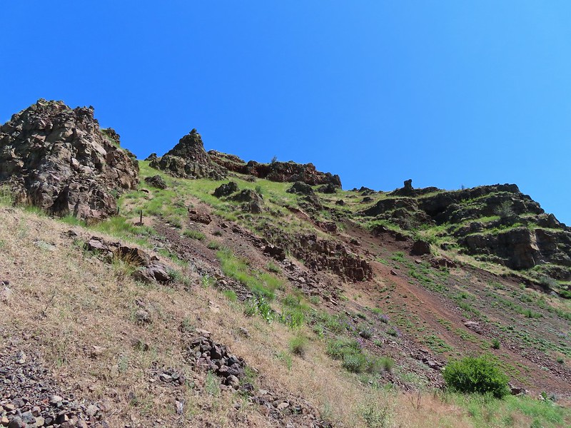
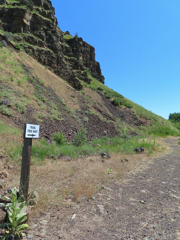
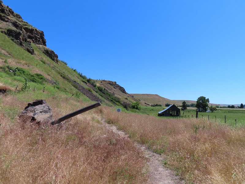
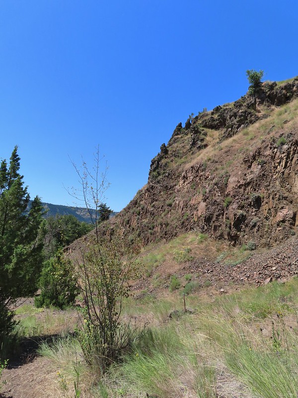
After crossing the bridge we turned left on a gravel road heading toward the basalt cliffs of Tick Hill (an unsettling name but we did not actually see any ticks during this hike).

We followed the road as it bent to the right below the cliffs for half a mile where a trail pointer sent us climbing uphill via a series of switchbacks.
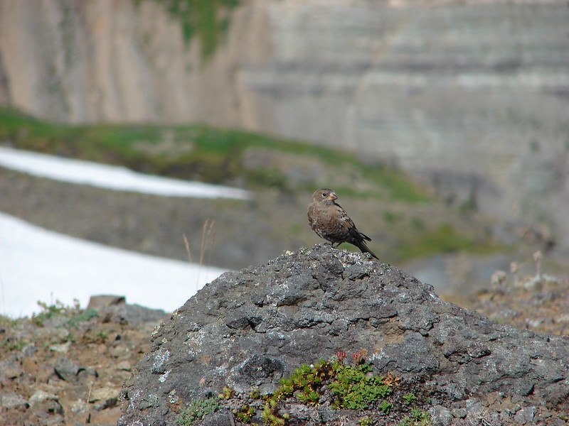
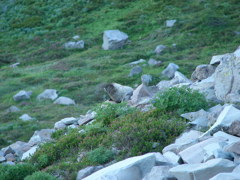
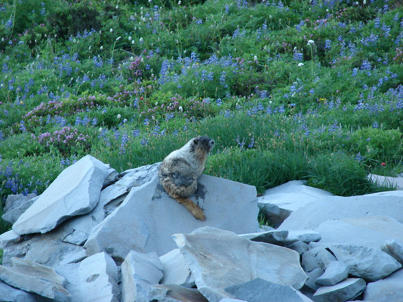
 Marmot
 Approaching the pointer uphill.

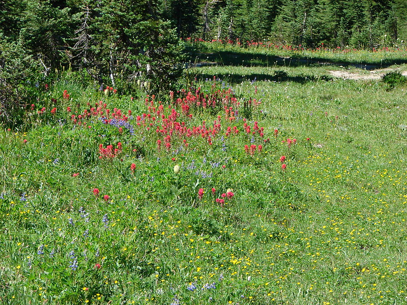
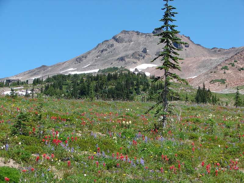
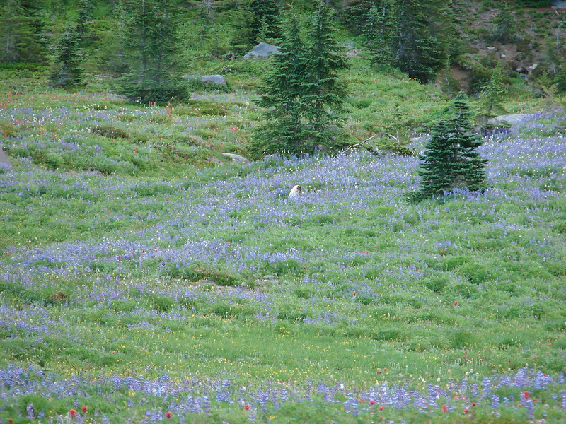
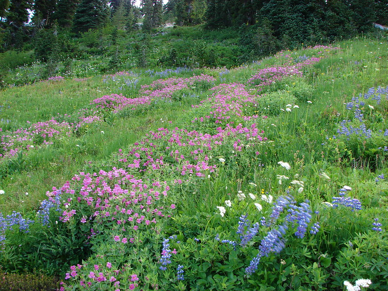
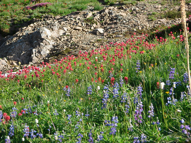
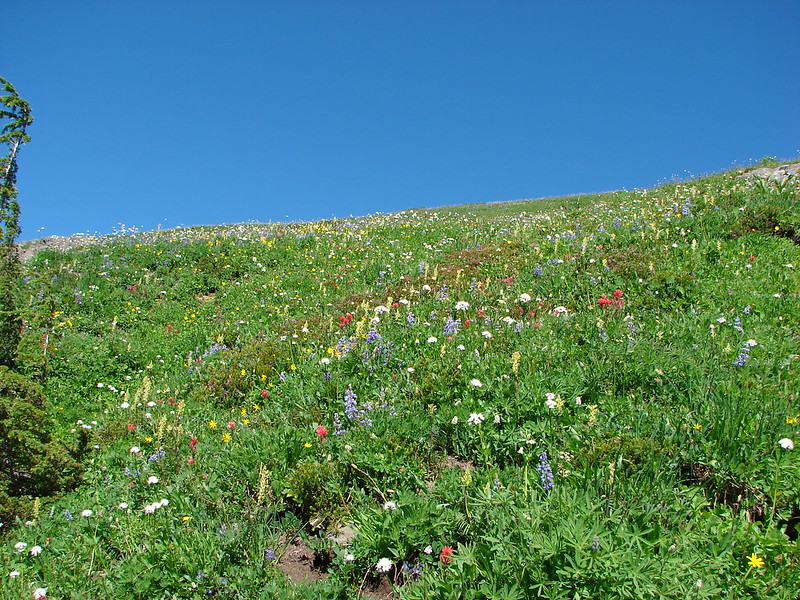
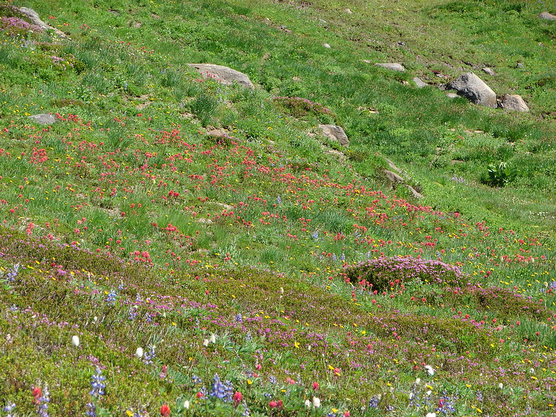
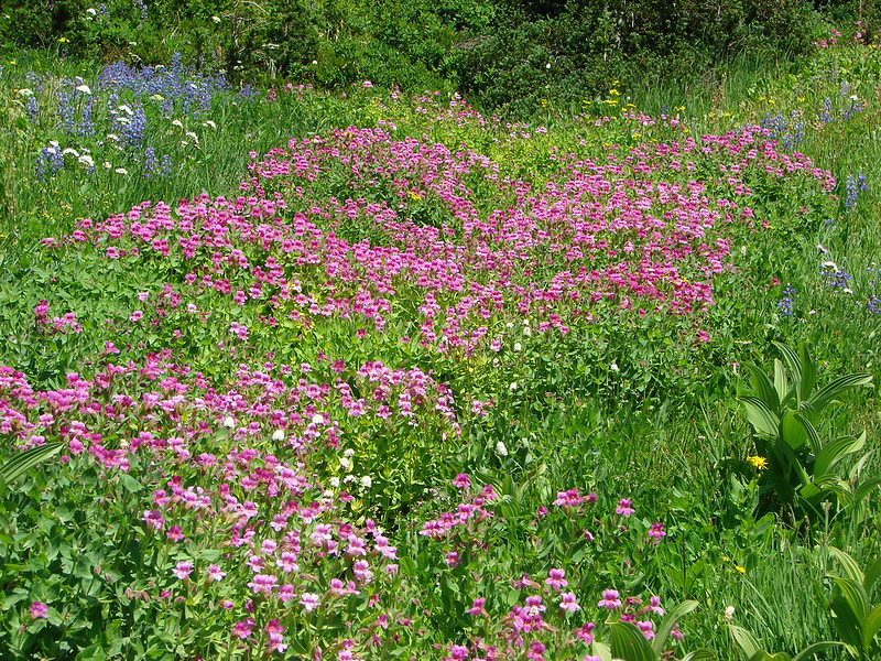
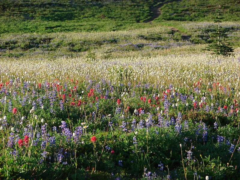
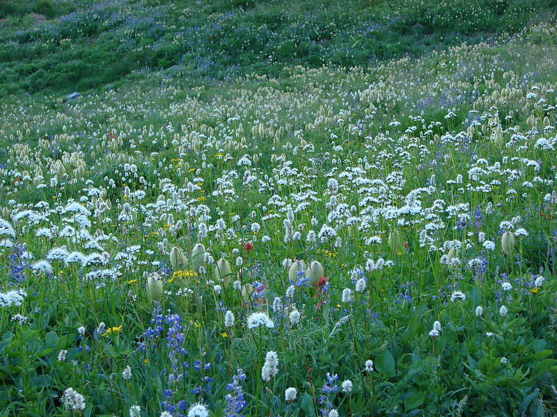
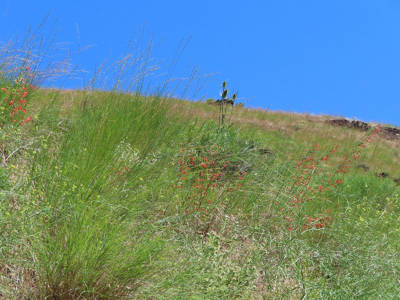
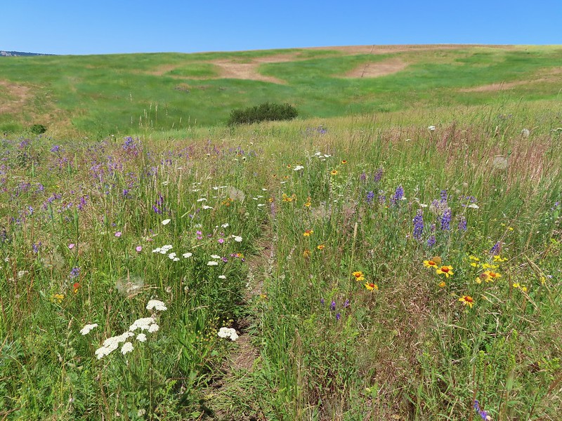
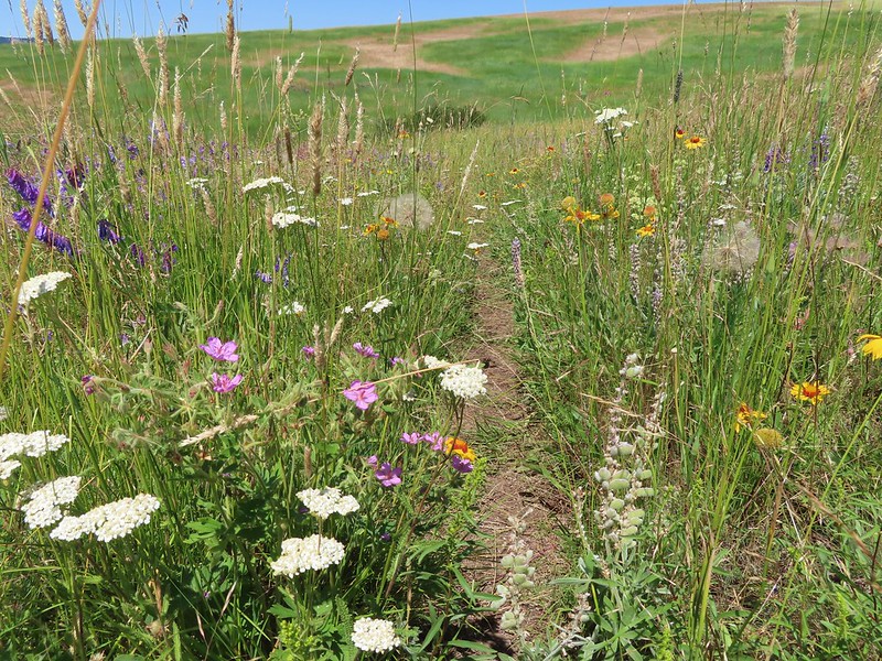
While it was still before noon it was heating up fast and the exposed hillside allowed the Sun to beat down on us. We distracted ourselves by looking at the different wildflowers that were still blooming amid the tall grasses.
 Scarlet gilia
 Dustymaidens
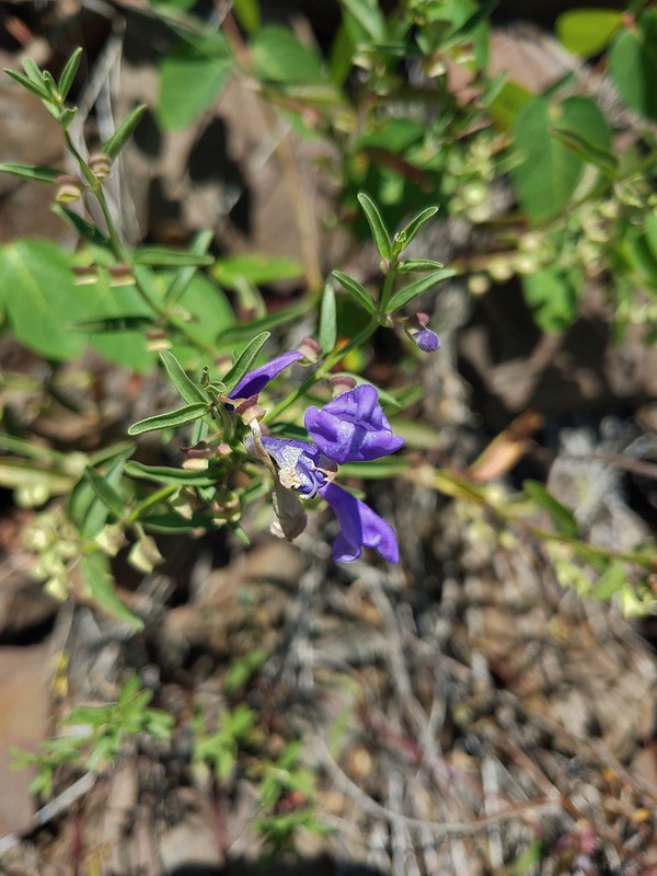 Skullcap
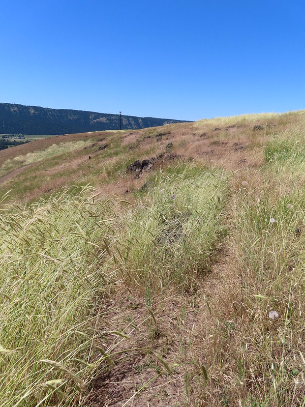
 Heading up Tick Hill
 Yarrow
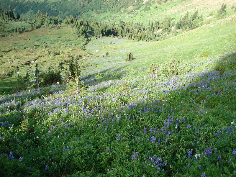
 Lupine
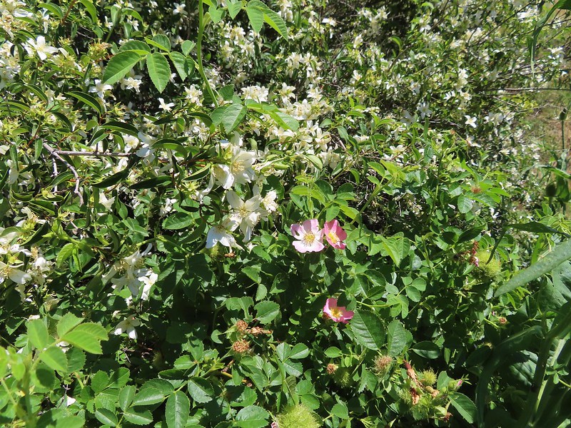 Mock orange and wild rose
 Dragon fly
 Moth mullien
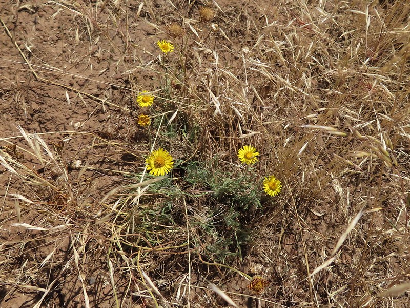
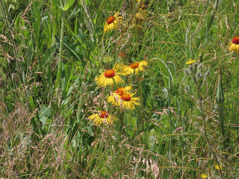 Blanket flower
 Checker-mallow and vetch
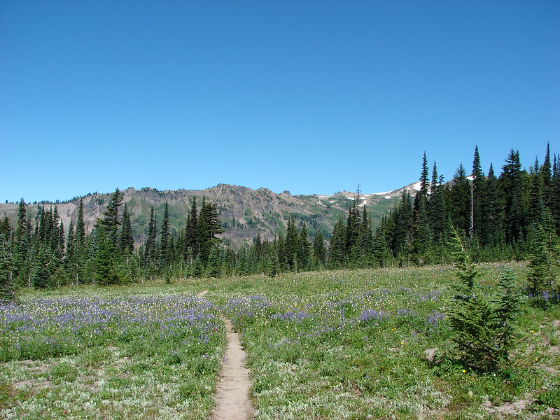
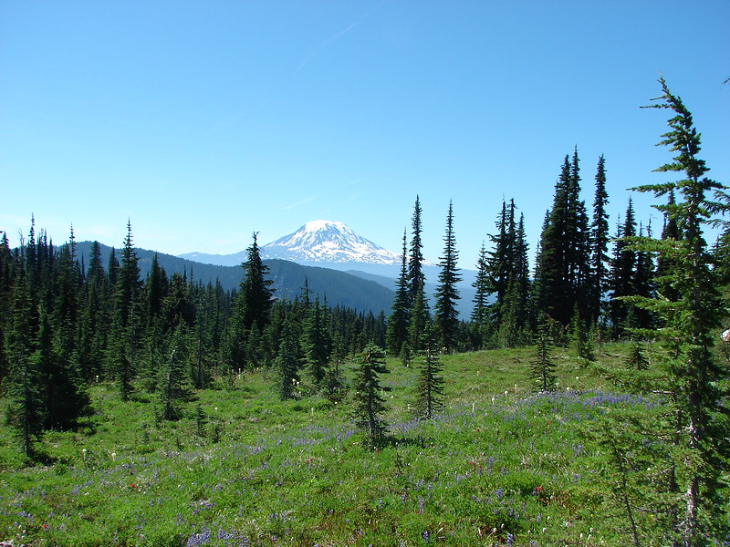
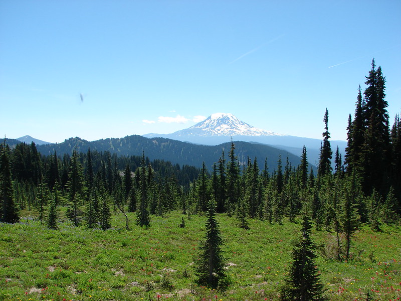
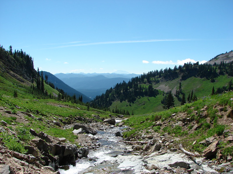
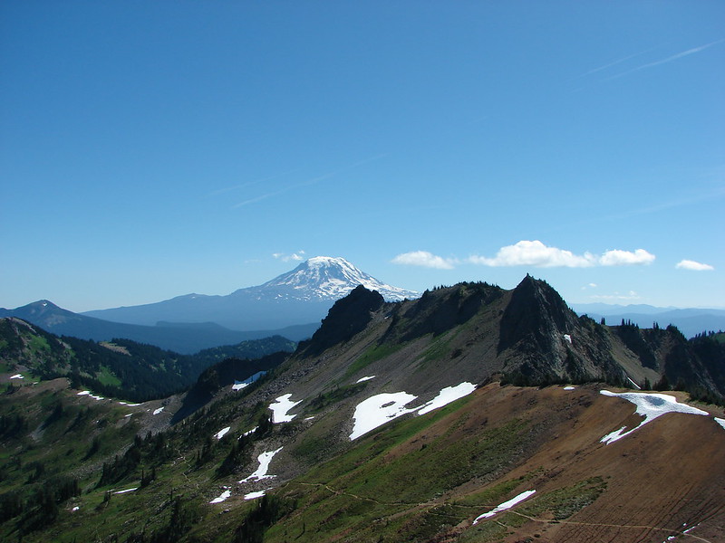
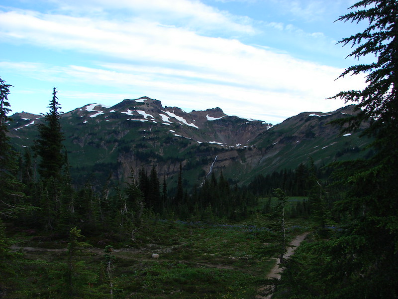
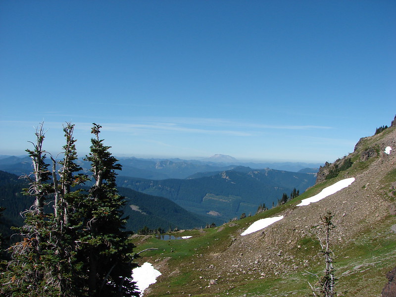
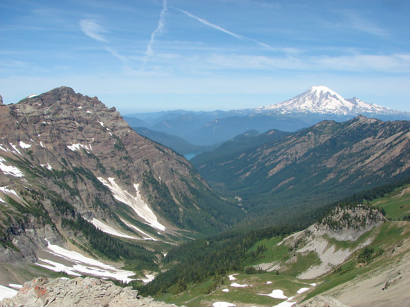
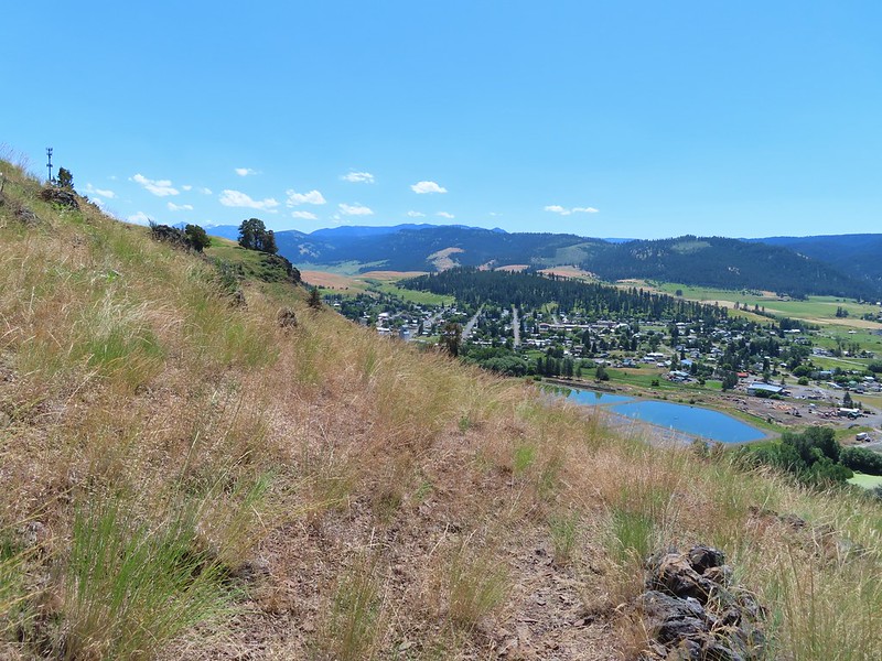
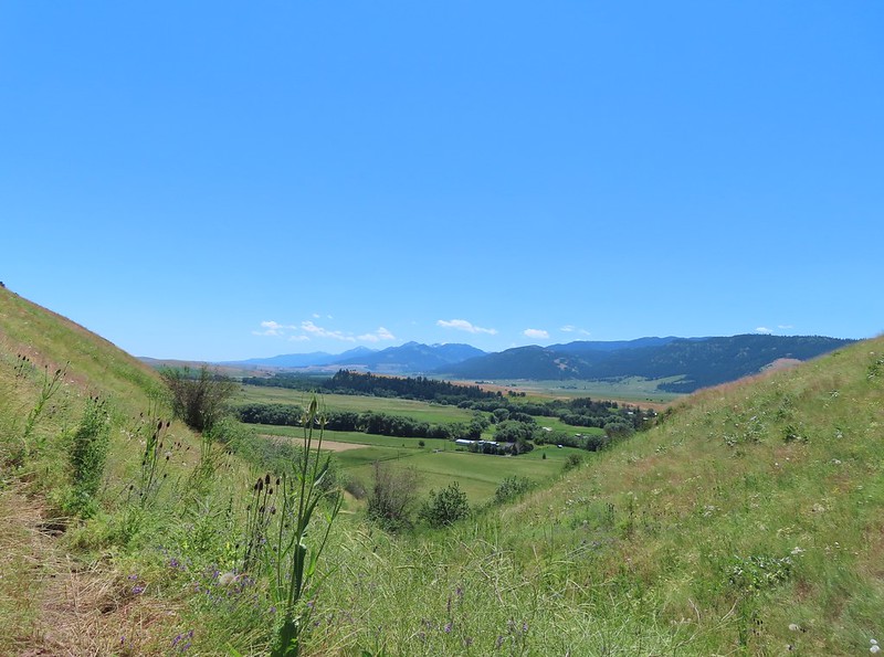 The Wallowas from the trail.
 Sagebrush mariposa lily
After a steep half mile climb the trail leveled out a bit. We turned left at a post and descended slightly to a viewpoint next to a scraggly juniper tree.

 A buckwheat
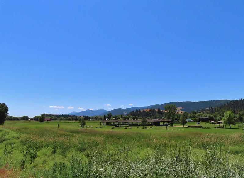
 The Wallowa River and dance arbor from the viewpoint.
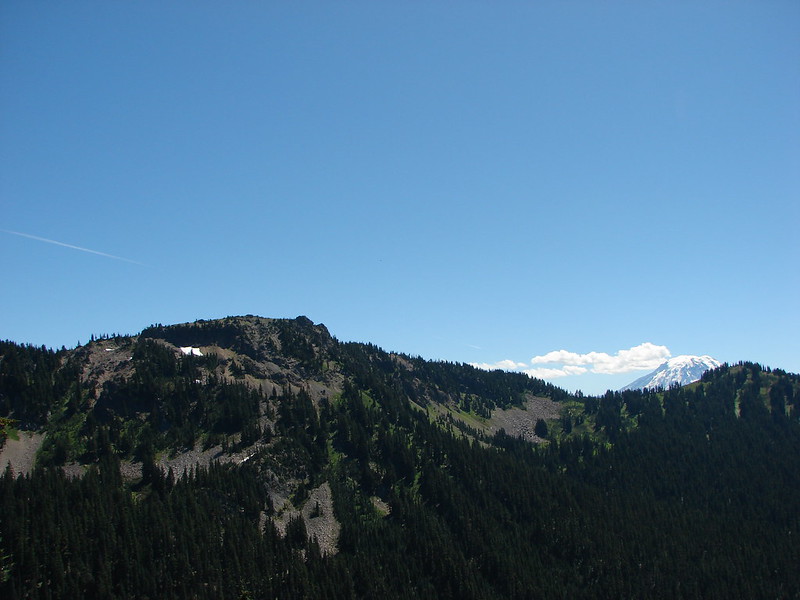
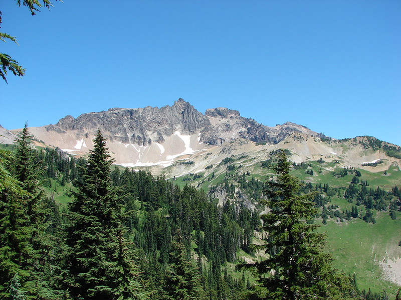
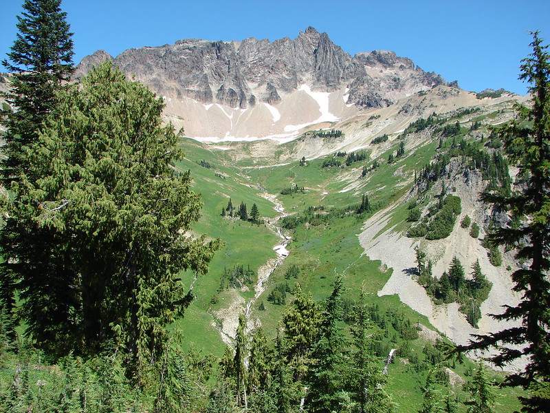
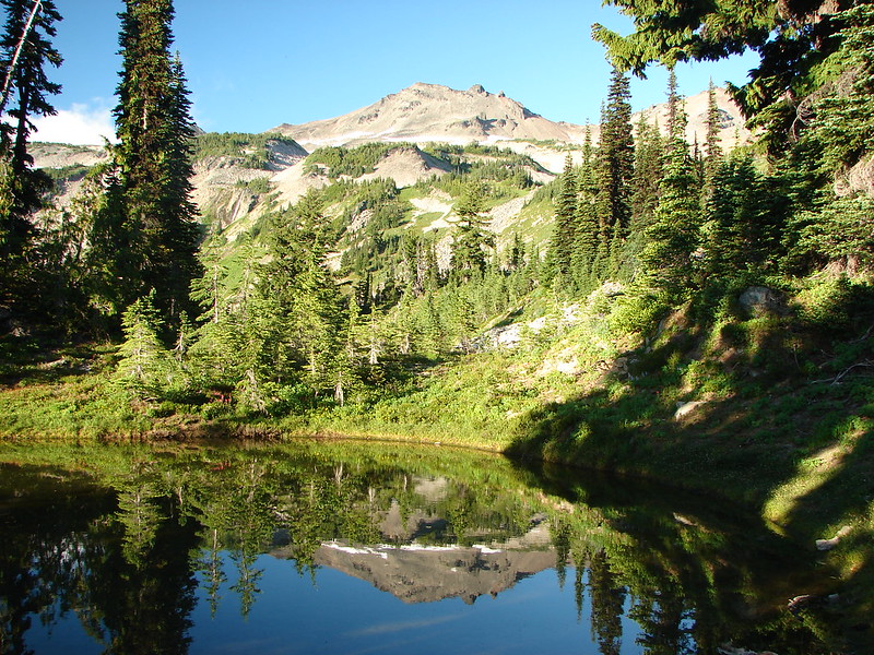
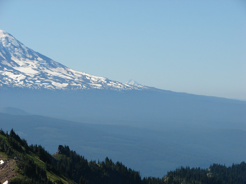
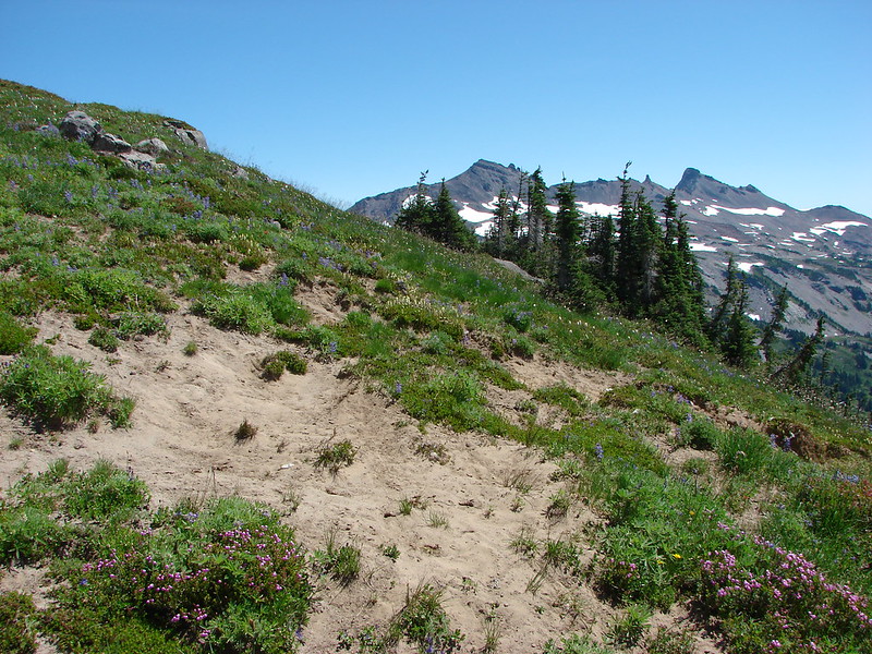
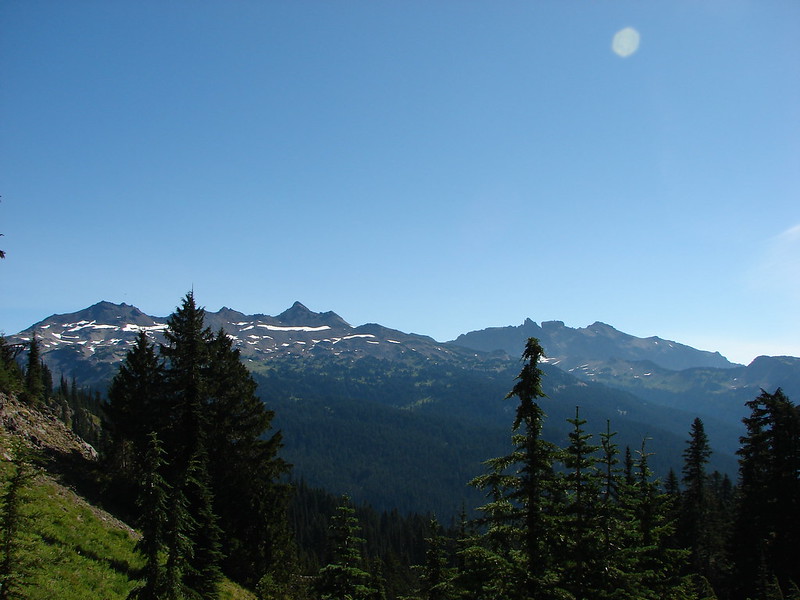
 The Wallowa Mountians
We returned to the trail which continued to be level for 400 more feet before heading uphill again for a third of a mile to a junction with a spur trail to a gazebo.
 Heading back to the post from the viewpoint.
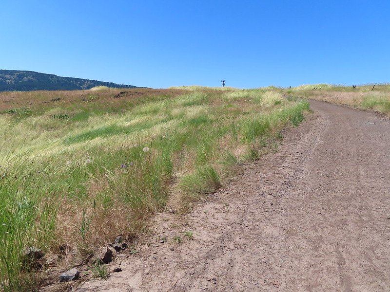
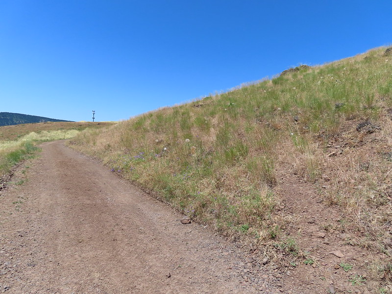 About a quarter mile from the post we crossed this road leading to some radio towers.
 Elkhorn clarkia
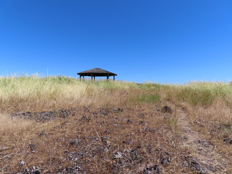 The gazebo ahead.
 Shade!
 Plaque near the gazebo.
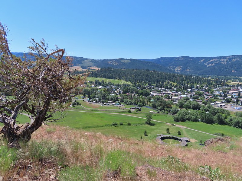
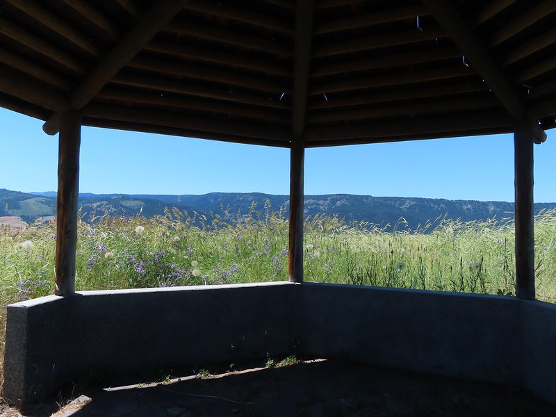
 View from the gazebo.
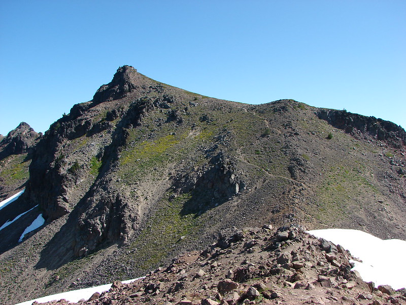
 From left to right: Point Joseph, Hurricane Point, Ruby Peak, and Sawtooth Peak.
We cooled off in the shade of the gazebo before continuing on.
From the gazebo the trail descended slowly recrossing the road after 0.2 miles and passing by the radio towers.
 At the junction with the spur trail to the gazebo. We came up from the left and continued on to the right.
 Recrossing the road.
 Western meadowlark
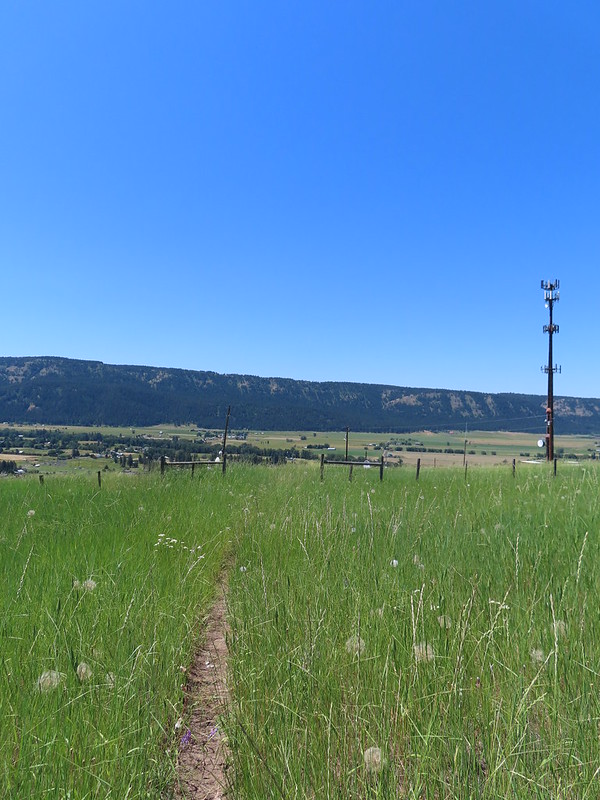 Heading toward the radio tower.
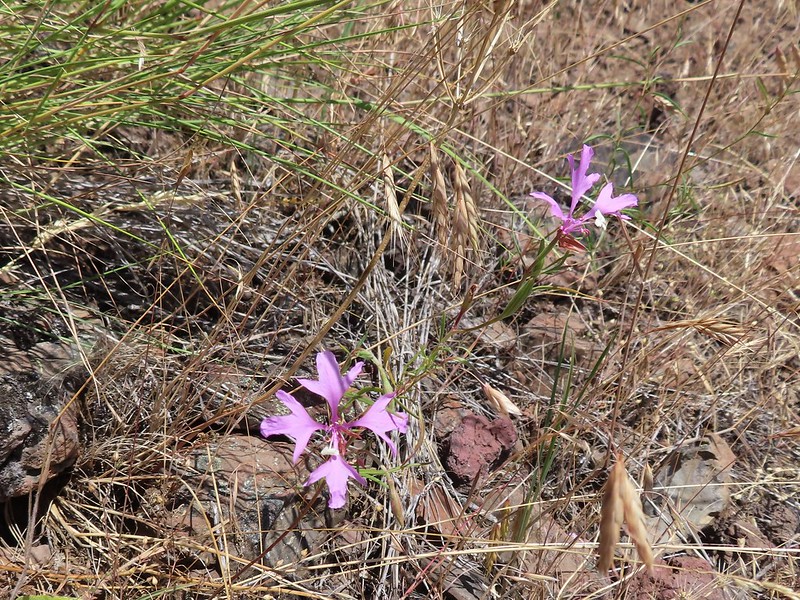
 A fleabane
 There were several plaques along this stretch.
 Various wildflowers
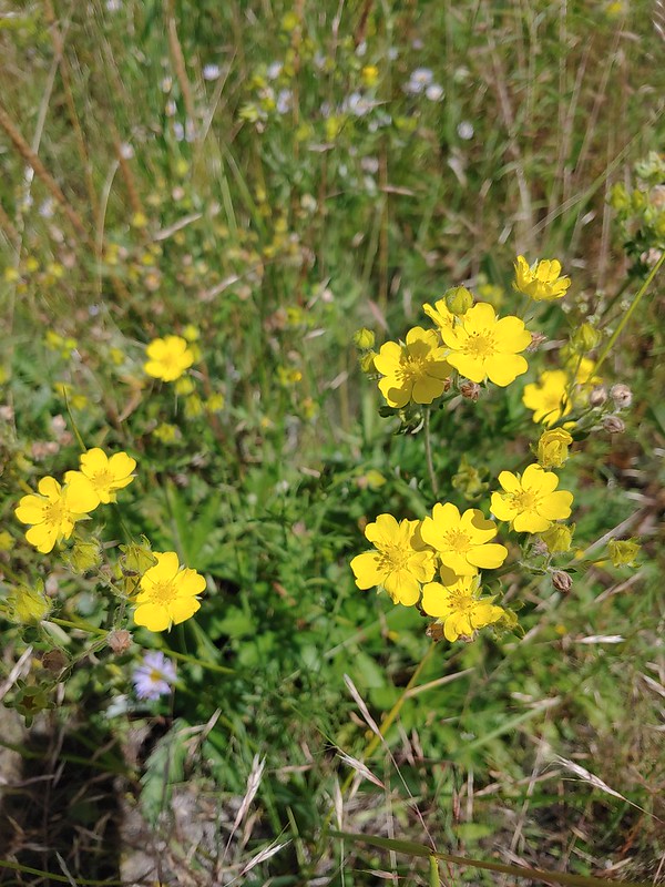 Cinquefoil
 Lots of blanket flower.
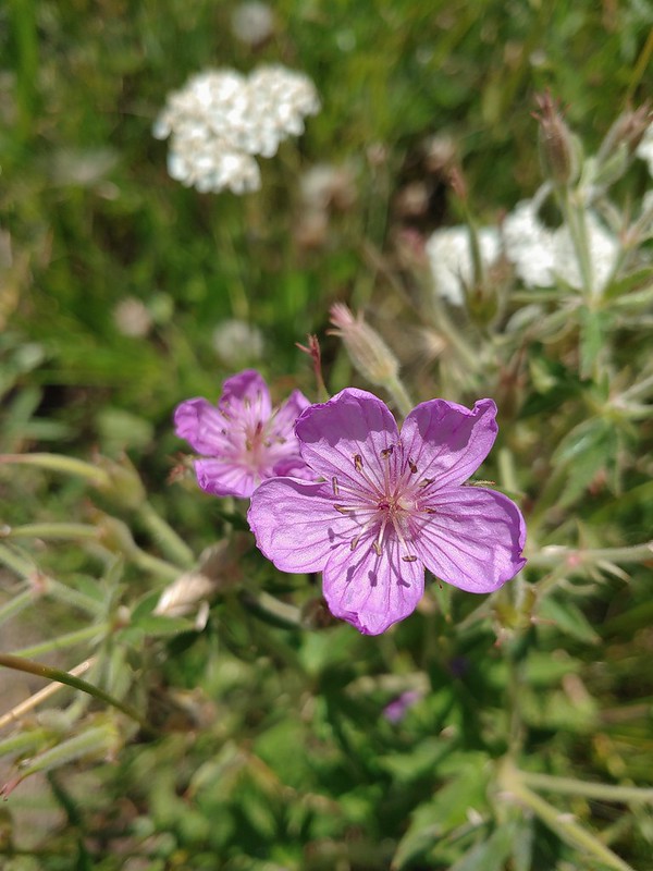 Sticky geranium
A little over three quarters of a mile from the gazebo the trail turned steeply downhill descending via another series of switchbacks.
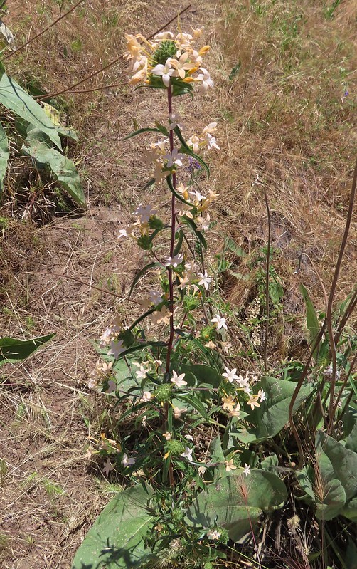 Grand collomia

 Scarlet gilia
 The last line is great advice.
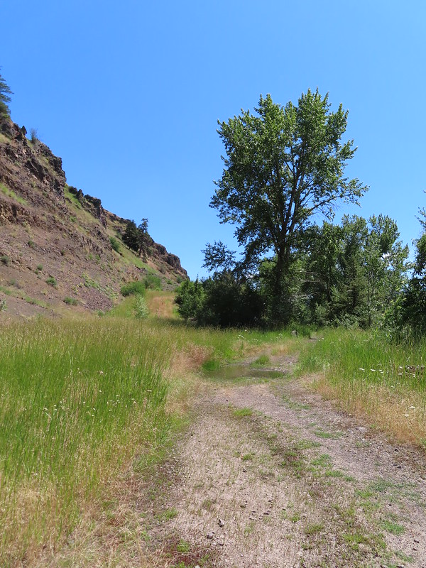
At the bottom of the switchbacks we turned left on a road bed following the Wallowa River.
 Swallowtail
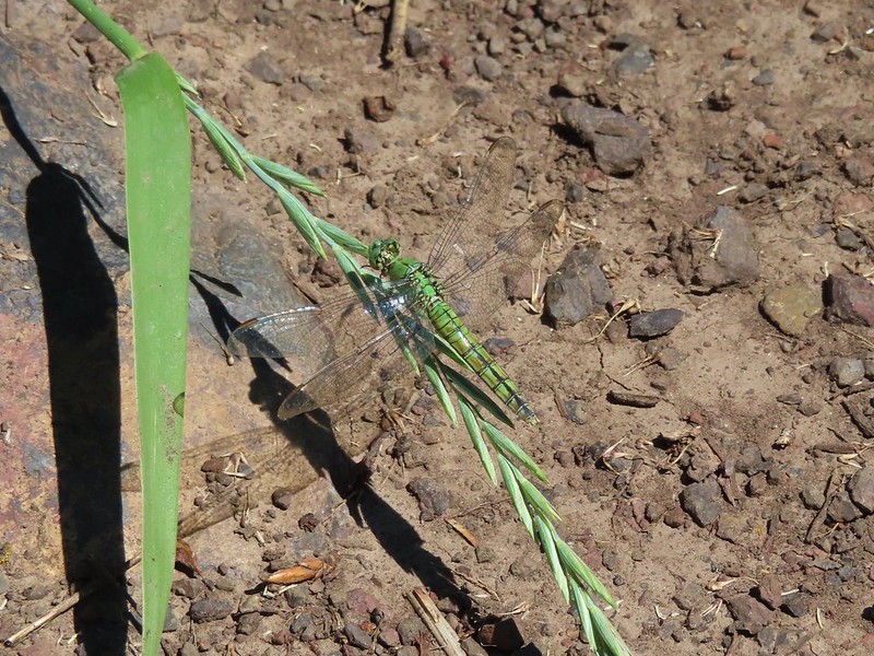 Dragon fly
 Bachelor buttons
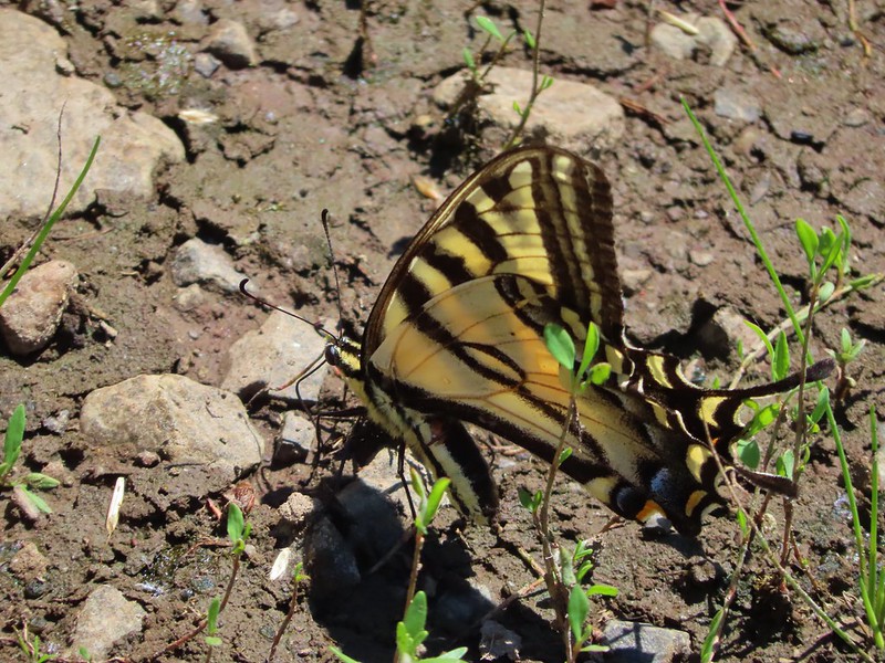
 Swallowtail on hyssop.
 Wallowa River
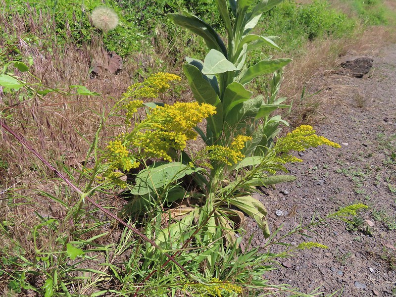 Goldenrod
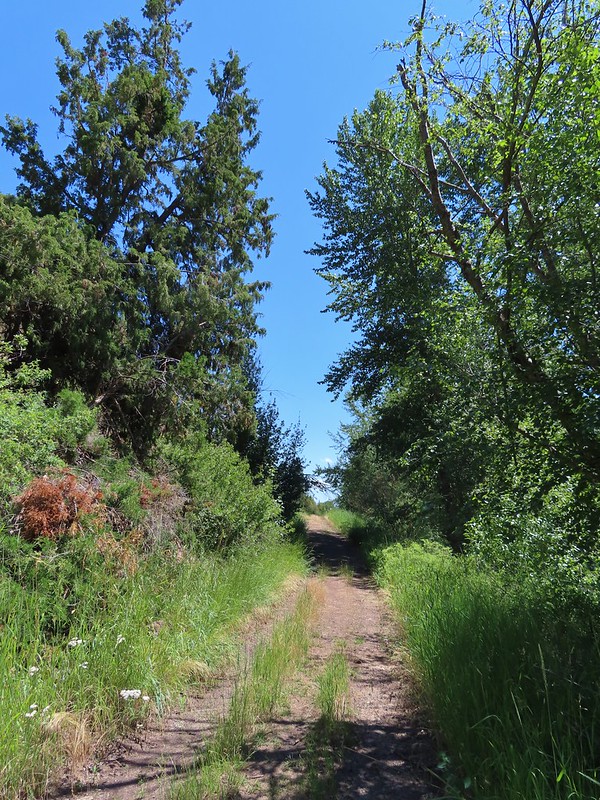
We followed this road half a mile to the gravel road we’d been on earlier.

We retraced our steps back to the Mingo Motel completing a 4.5 mile lollipop hike with 600′ of elevation gain.

It was now a little after 2pm so after cleaning up and cooling down we headed back to the Little Bear Drive In for burgers, tots, and milkshakes. It was a good ending to what was overall an excellent trip (abdominal pain aside). With all our planned hikes completed we got a really early start on our drive back to Salem on Friday and made it home before Noon giving us plenty of time to unpack and relax. Happy Trails!
Flickr: Bear Creek & Wallowa Homeland