Labor Day weekend finally brought some cooler temperatures to the Cascades. We had planned an overnight trip for Sat/Sun in the Maiden Peak area. Located to the NE of Willamette Pass Maiden Peak is the tallest point between Mt. Bachelor and Diamond Peak. The 7818′ shield volcano is also Oregon’s 29th most prominent peak(Prominence is how far you must drop before you start going up a higher peak).
Our plan for the visit was to park at the Pacific Crest Trailhead .3 miles east of the Willamette Pass Ski Area and take the PCT past the Rosary Lakes then take the Maiden Lake Trail to Maiden Lake where we would hopefully find a campsite. After setting up camp we’d hike up Maiden Peak before spending the night at the lake. The weather forecast called for a chance of isolated showers and an overnight low of 34 degrees so we had to remember to bring a few extra items that we hadn’t needed yet this year.
We arrived at the trailhead just after 7am.
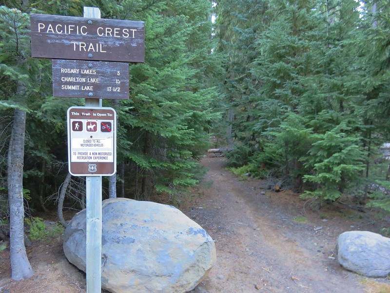
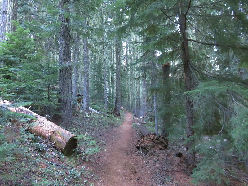
From the trailhead a short connector path brought us to the Pacific Crest Trail which slowly climbed for about 2 miles through a nice forest with no clear views of the surrounding area.
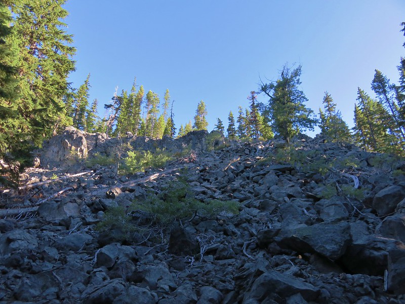
The trail passed a rockslide at the 2.25 mile mark where we had hoped to see a pika but had to settle for hearing their warning “meeps” instead.
About a half mile from the rockslide we arrived at Lower Rosary Lake. This is the largest of the three lakes and there were a couple of tents in the area. Despite the forecast we had beautiful bluebird skies overhead and no breeze whatsoever leading to some great reflections in the lake.
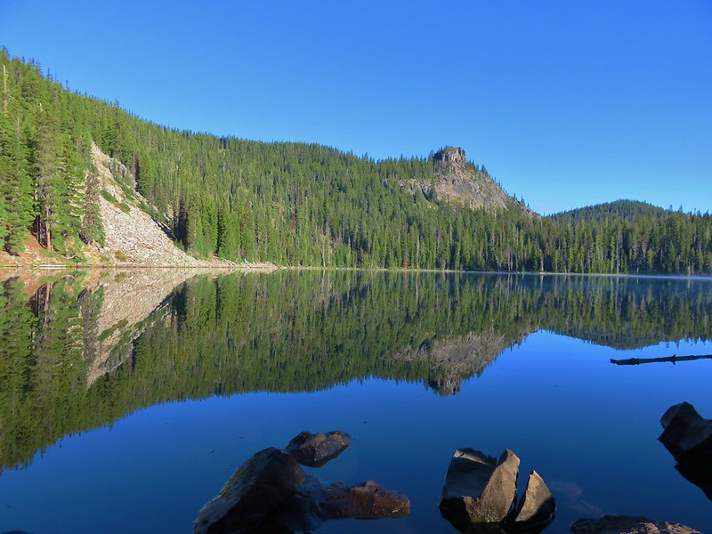
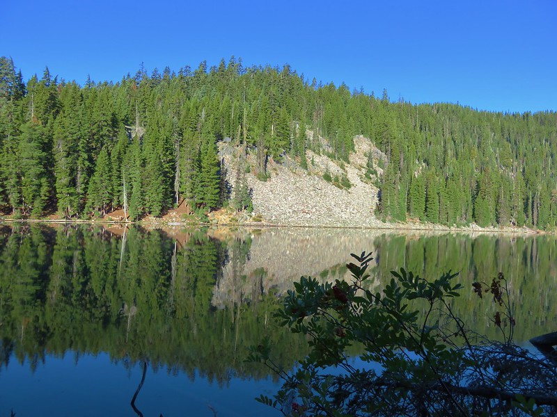
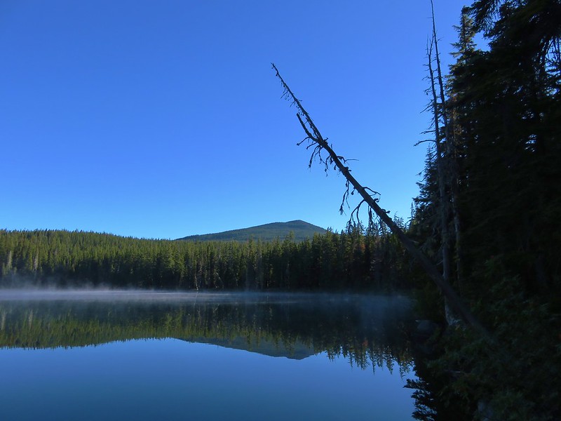
To the north Maiden Peak rose above the forest.
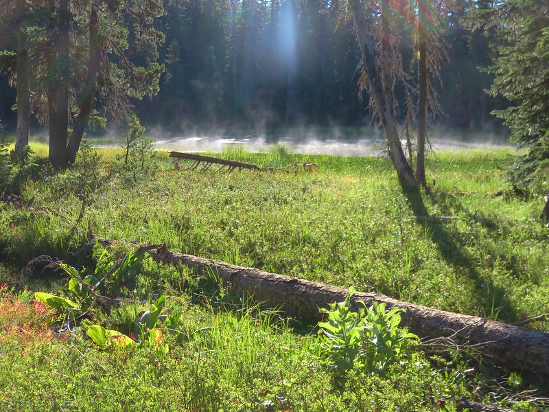
On the opposite side of the trail was a small steaming pond.
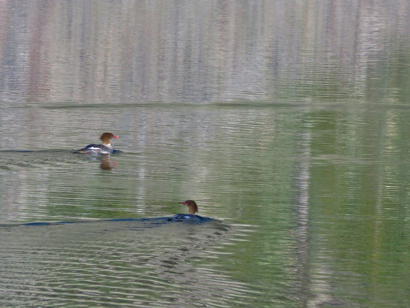
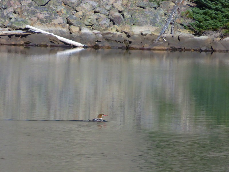
A short climb from Lower Rosary Lake brought us to Middle Rosary Lake where we spotted some mergansers paddling away.
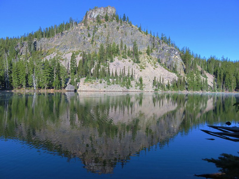
Pulpit Rock loomed above this lake making for a dramatic scene.
A narrow strip of land separated Middle Rosary Lake from North Rosary Lake.
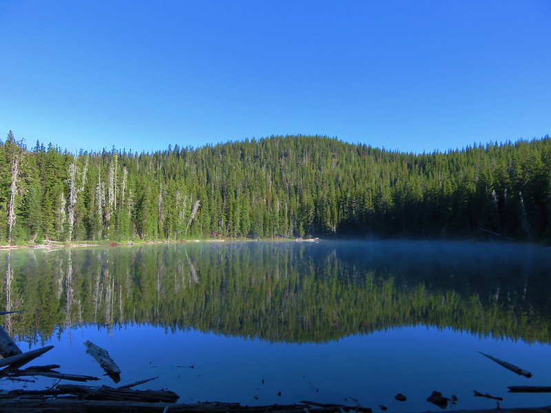
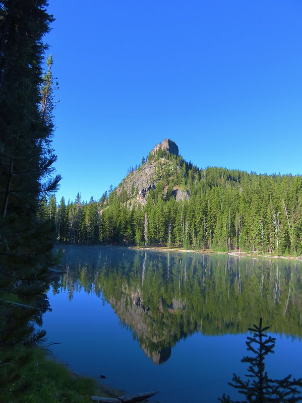
Beyond North Rosary Lake the PCT began to climb up toward Maiden Saddle. Just under 1.5 miles from the first view of Lower Rosary Lake, and .4 miles short of Maiden Saddle, we reached the junction with the Maiden Lake Trail.
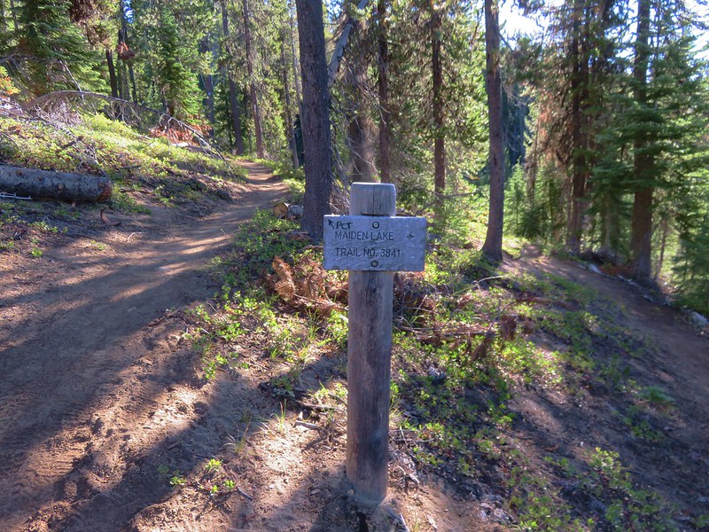
We left the PCT here and headed toward Maiden Lake. This trail traversed the side of Maiden Peak passing a couple of small ponds as it climbed to the lake.
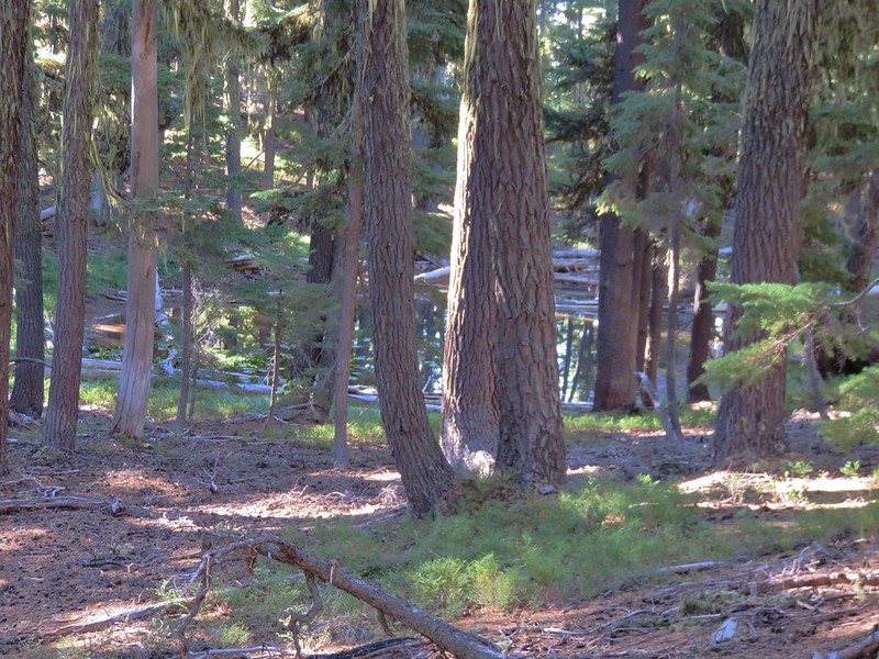
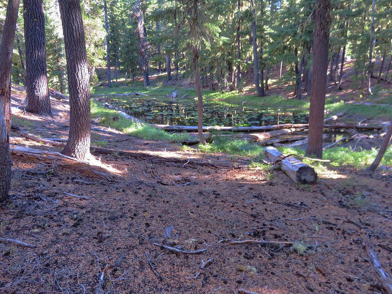
It was approximately 2.3 miles from the junction to Maiden Lake with an elevation gain of around 500′ which isn’t a lot, but the elevation gains came in short steep chunks. We were starting to get a little tired so we were relieved when we crested a hill and spotted a sign for Maiden Lake.
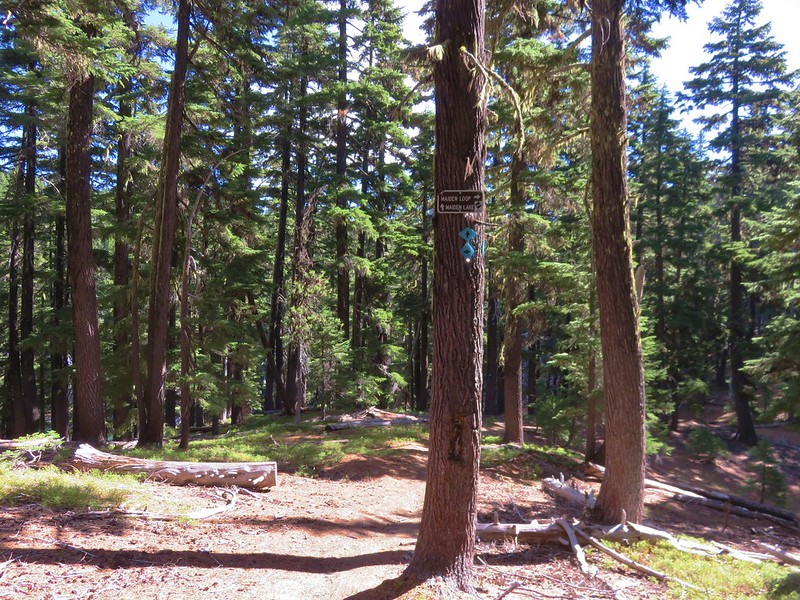
We spotted the beautiful green of Maiden Lake from above and quickly made our way down to the lake.
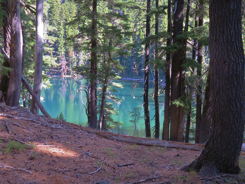
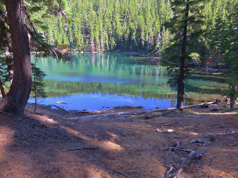
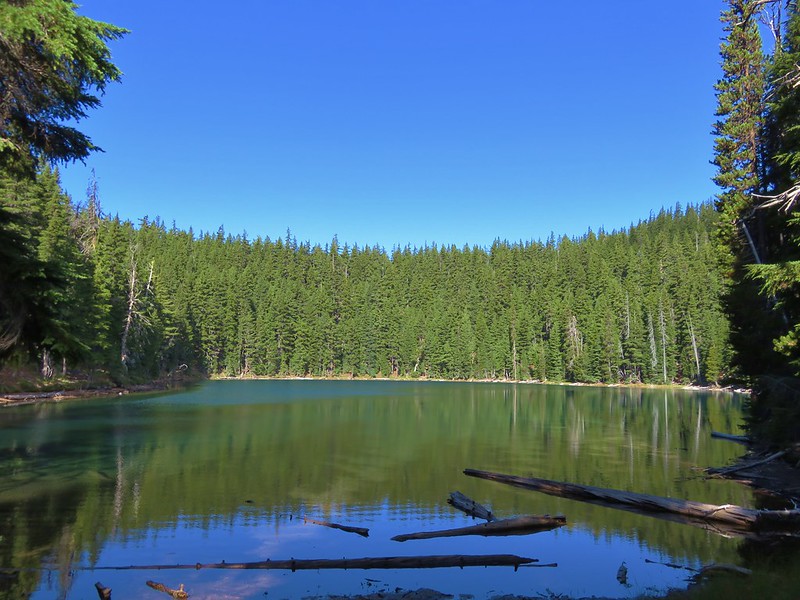
It was smaller than the Rosary Lakes and lacked the dramatic views that Pulpit Rock had provided those lakes, but it had it’s own peaceful charm. There weren’t any other tents at the lake so we had our pick of spots. Following Leave No Trace principles we chose a spot back in the trees away from the lake.
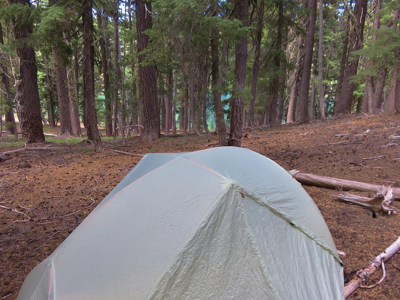
After getting our camp set up we switched to our daypacks and returned to the Maiden Lake Trail.
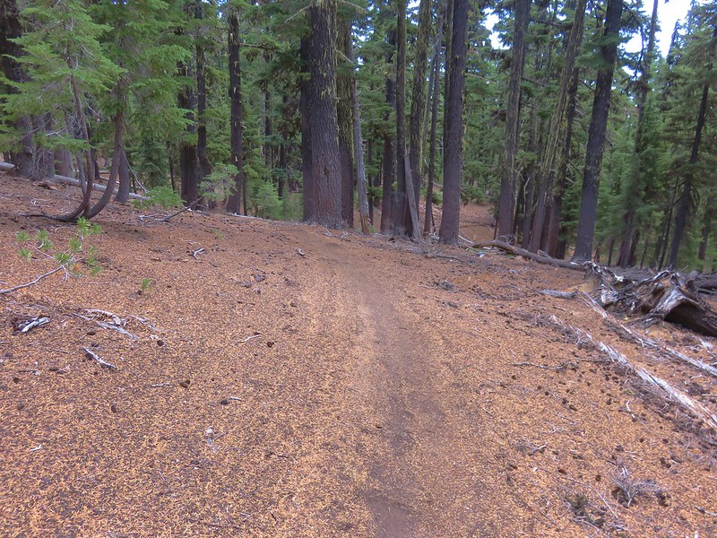
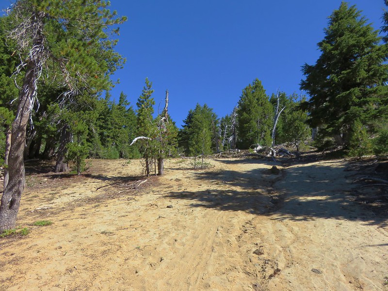
A fairly level .6 miles brought us to another trail junction. From here the Maiden Lake Trail continues 2.5 miles to Forest Road 4664-100, but we turned uphill following a pointer for Maiden Peak.
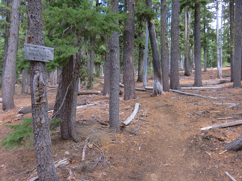
The trail toward Maiden Peak gained almost 1200′ in 1.7 miles with some very steep sections. Our original plan had been to return from the peak this way and then come back up and around on a loop using the PCT on our way back to the trailhead on the second day. We had already changed our minds and were planning on continuing on the loop after climbing up Maiden Peak and then just hiking straight back out on the second day. As we climbed these steep sections of trail that decision seemed justified.
As we approached a rock outcropping, views finally opened up to the south and we were able to get a good look at Diamond Peak.
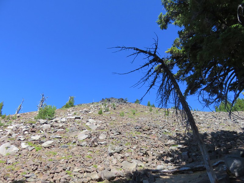
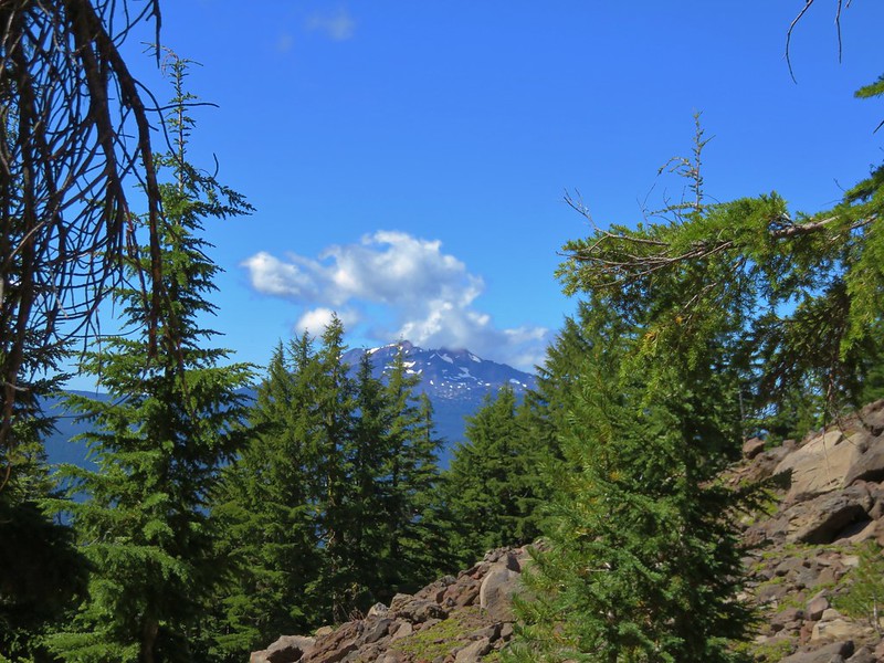
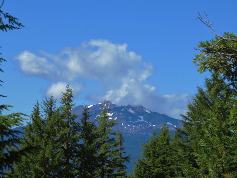
The trail was quite steep as it passed along the rock outcrop but the views continued to open up which sort of made up for the effort.
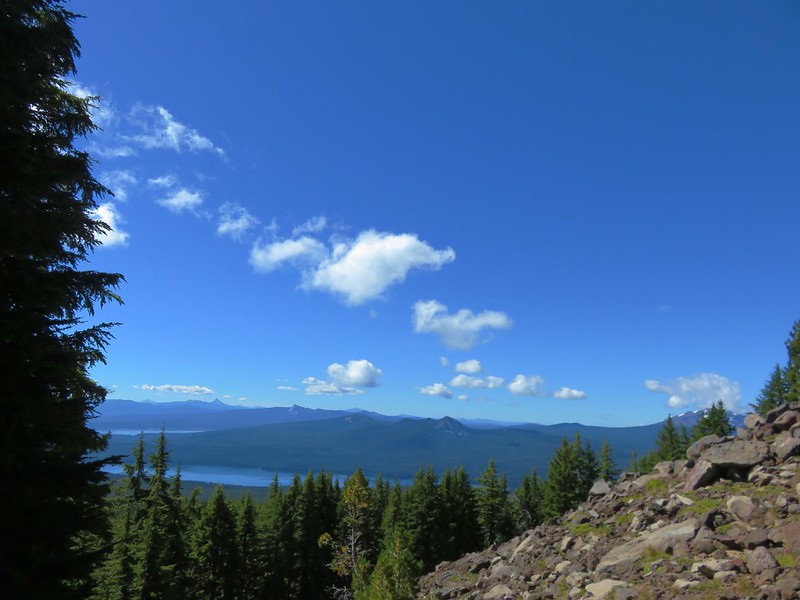
Mt. Thielsen beyond Crescent Lake
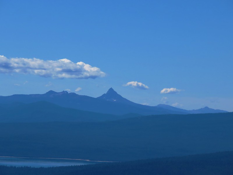
Mt. Bailey
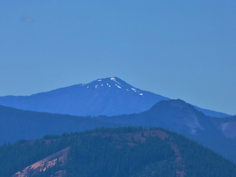
In addition to the steepness of the trail the tread along the upper portion was pretty loose making it even more challenging.
There was a trail junction a quarter mile from the summit of Maiden Peak marked by several rock cairns.
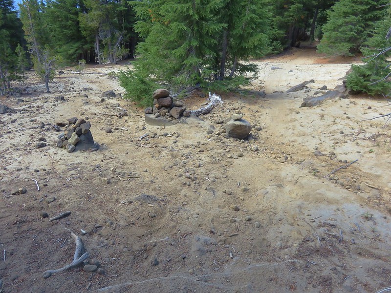
The loop we were planning on doing made a hairpin turn around a small stand of trees while the summit trail lay straight ahead. The summit trail passed a small crater as it wound its way up.
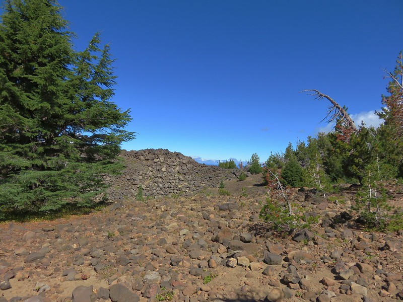
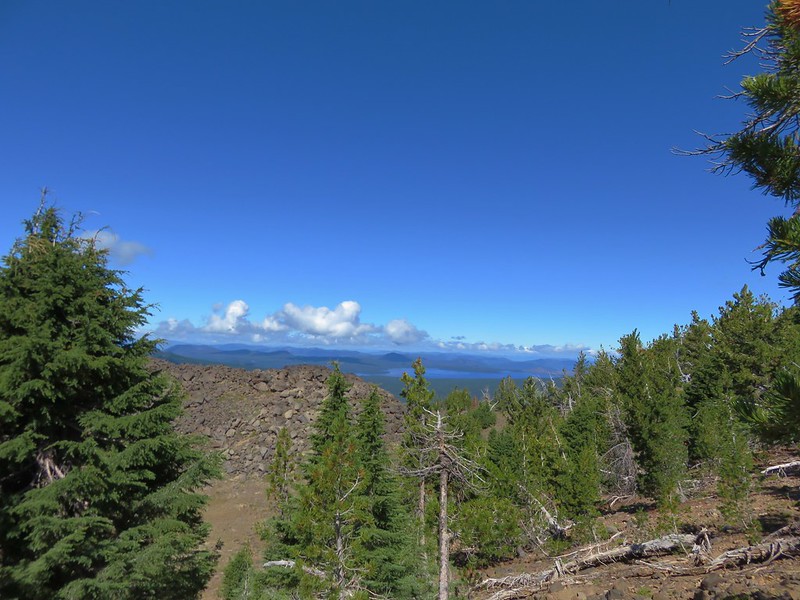
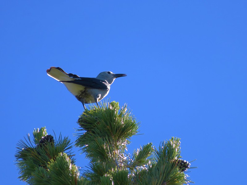
Numerous Clark’s nutcrackers were noisily flying among the whitebark pines gracing the peaks slopes.
The views from Maiden Peak were great. The weather was cooperating, with the exception of the Three Sisters and Mt. Jefferson, the clouds that were present were adding to views and not obstructing them. The view north included Broken Top and Mt. Bachelor beyond Crane Prairie Reservoir.
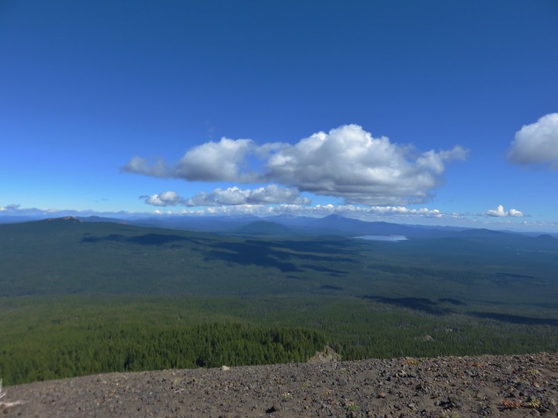
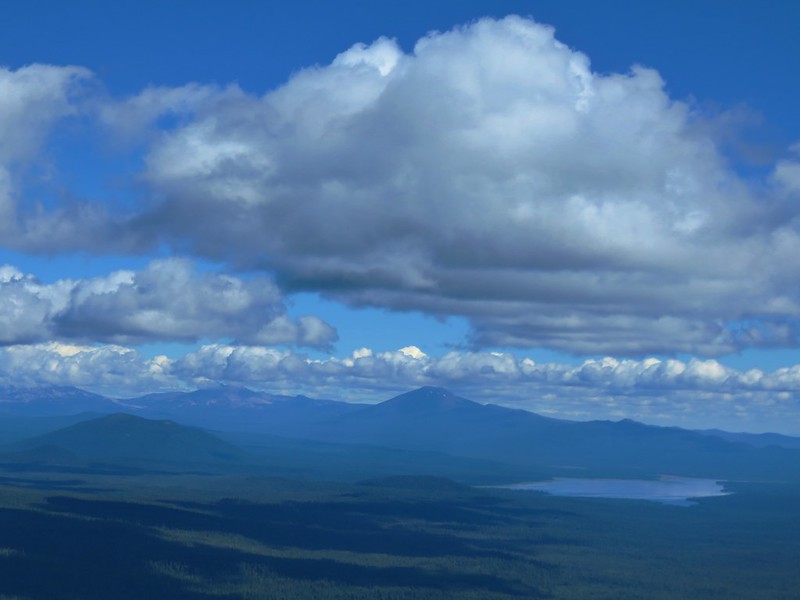
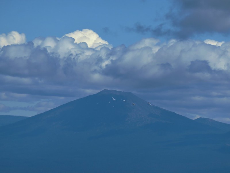
The NW view included little Bobby Lake below the Twins and Waldo Lake.
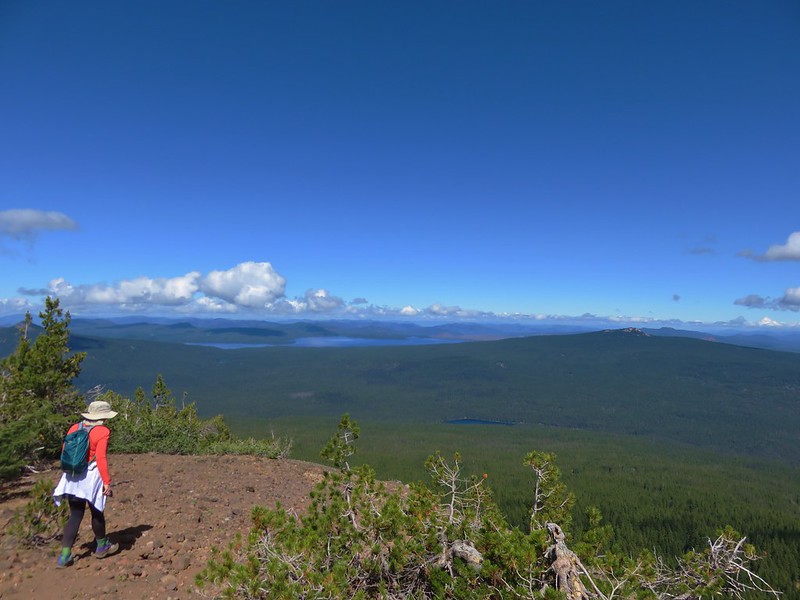
To the west was Fuji Mountain, Mt. Ray, and Waldo Lake.
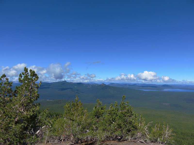
Fuji Mountain
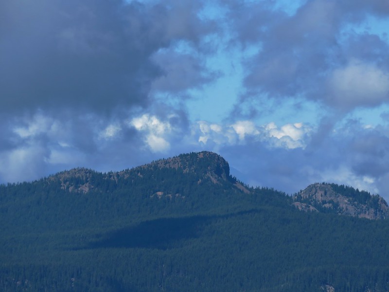
SW was the Willamette Pass Ski Area on Eagle Peak, pointy Mt. Yoran and Diamond Peak.
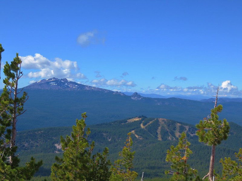
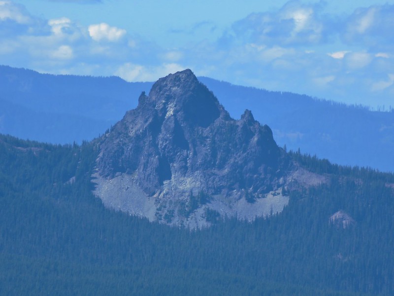
Mt. Yoran
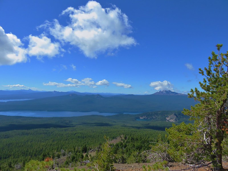
To the south Lower Rosary Lake and Pulpit Rock were visible along with Odell and Crescent Lakes and a number of Cascade Peaks.
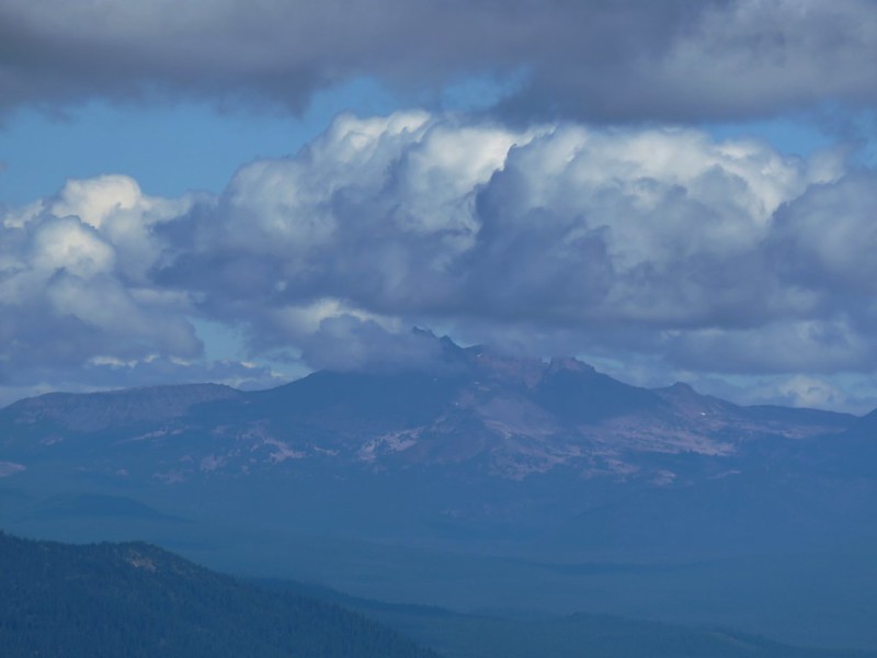
Mount Scott, Tipsoo Butte & Howlock Mountain, Llao Rock, and Hillman Peak
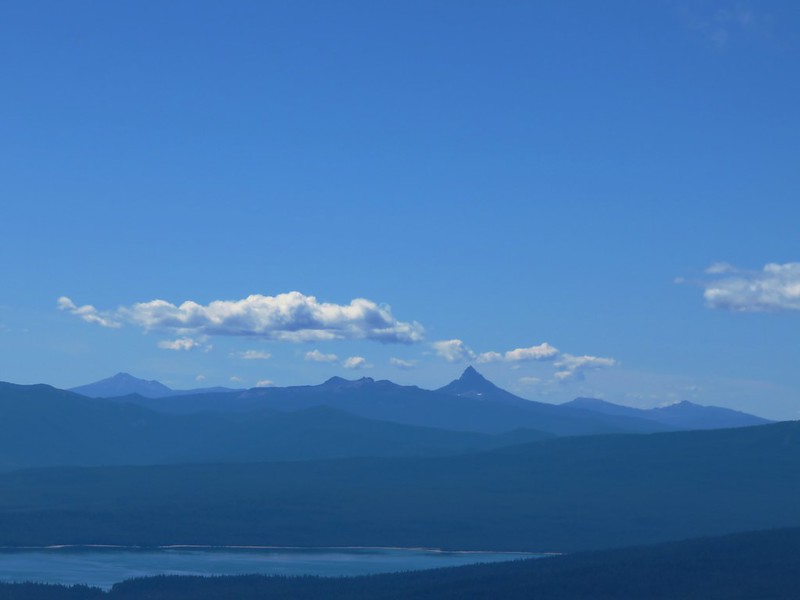
Mt. Scott
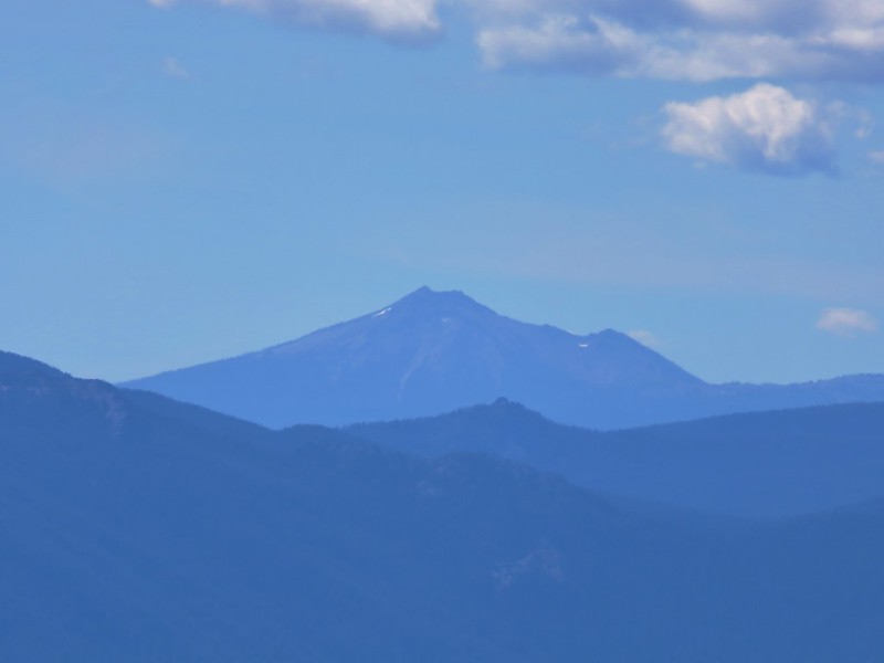
To the east Paulina Peak was the highest point on the horizon beyond Wickiup Reservoir, Davis Mountain, and Davis Lake.
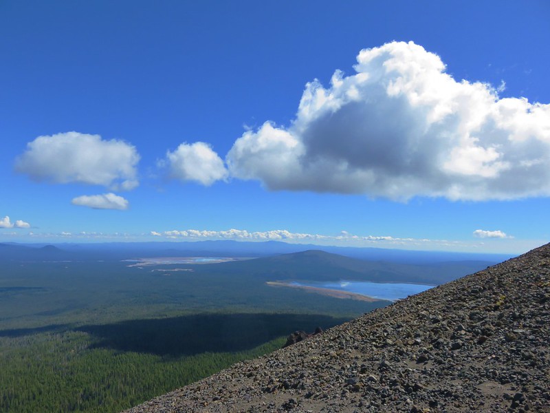
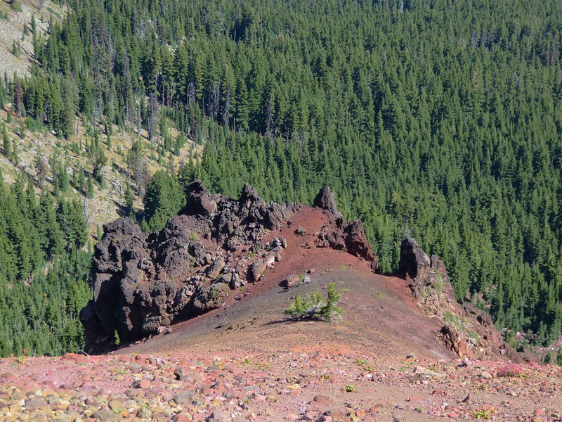
The NE side of Maiden Peak was home to several volcanic features.
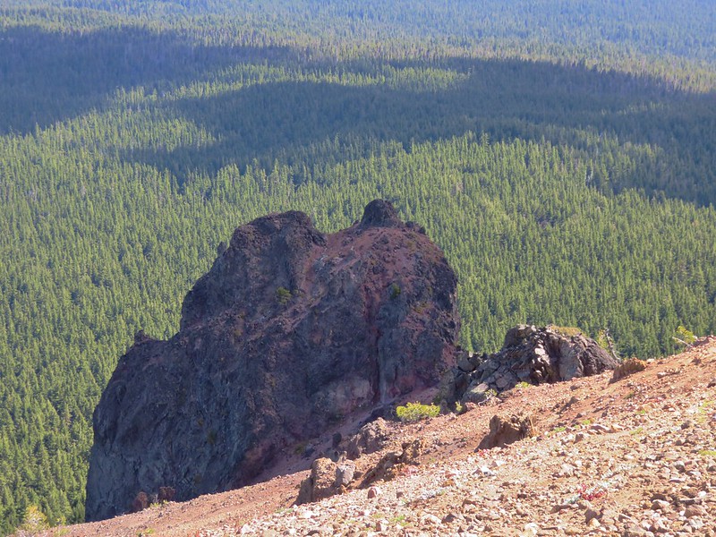
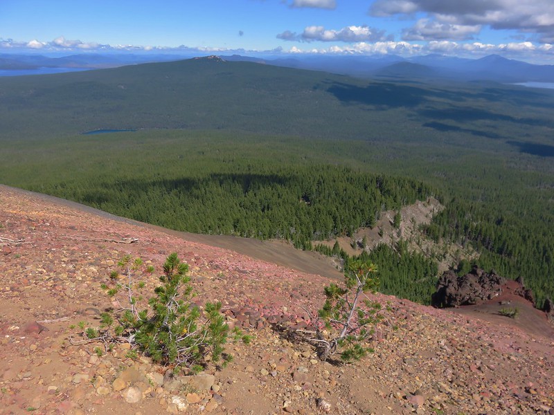
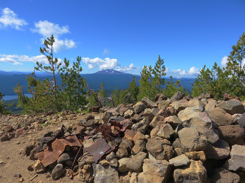
Remains of the former lookout tower could be seen at the summit.
We spent awhile exploring the broad summit and taking the opportunity to eat a little lunch before continuing on our planned loop. At the unsigned junction we turned right and headed downhill toward the Pacific Crest Trail which was 2.7 miles away. While the hike up had been steep this section of trail had it beat. We passed five mountain bikers headed uphill, the first two had been resigned to walking their bikes up, the second pair was struggling and looking for an inhaler, and the final rider was also struggling greatly.
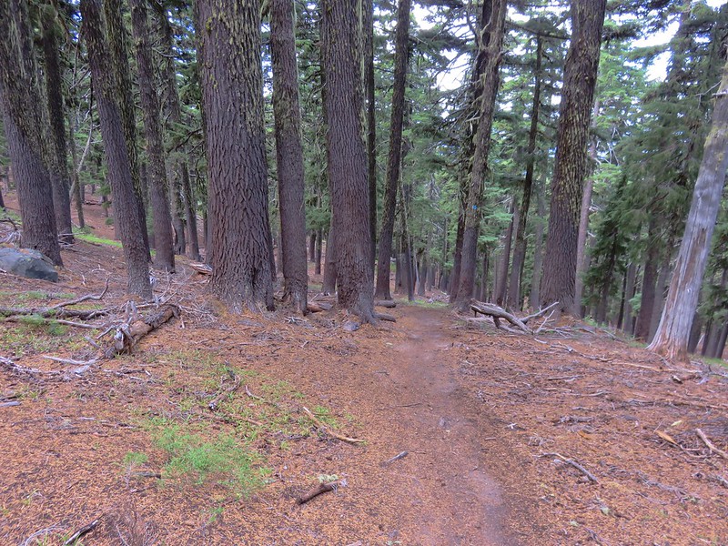
Another option I had considered when planning the trip was to come up this way to Maiden Peak with our backpacks before heading down the other side to Maiden Lake. Once again we were glad we had settled on our current plan.
The trail began to level out near the junction with the Pacific Crest Trail.
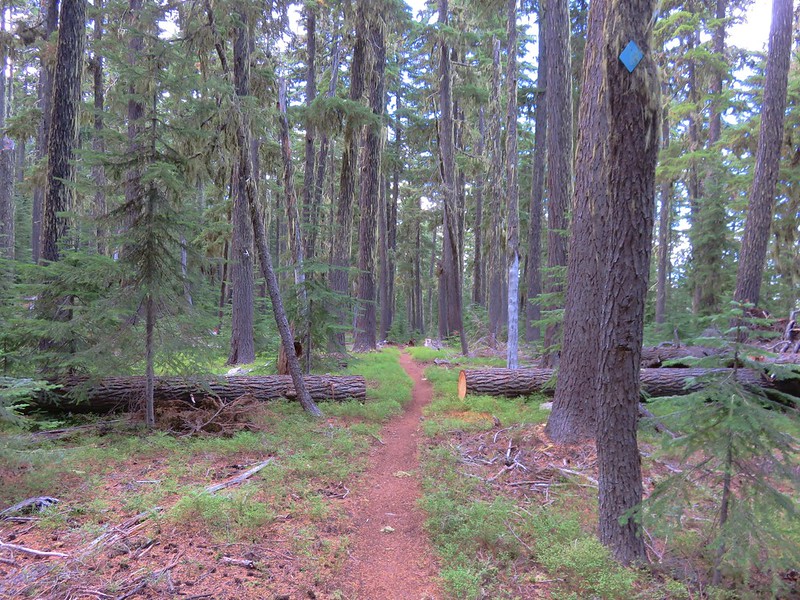
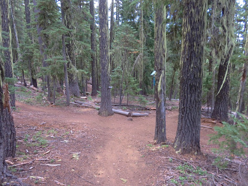
Mountain bikes are banned on the PCT so they come up using the Maiden Peak Trail. We however turned left on PCT and continued downhill toward Maiden Saddle.
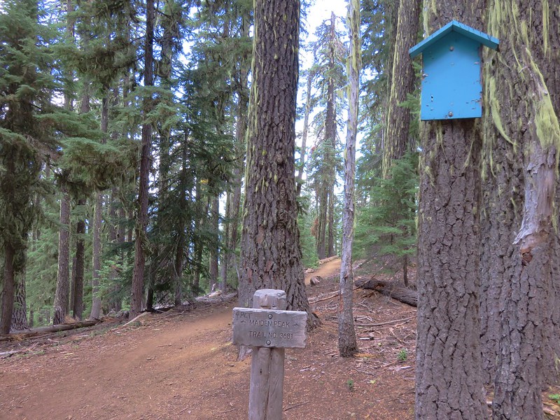
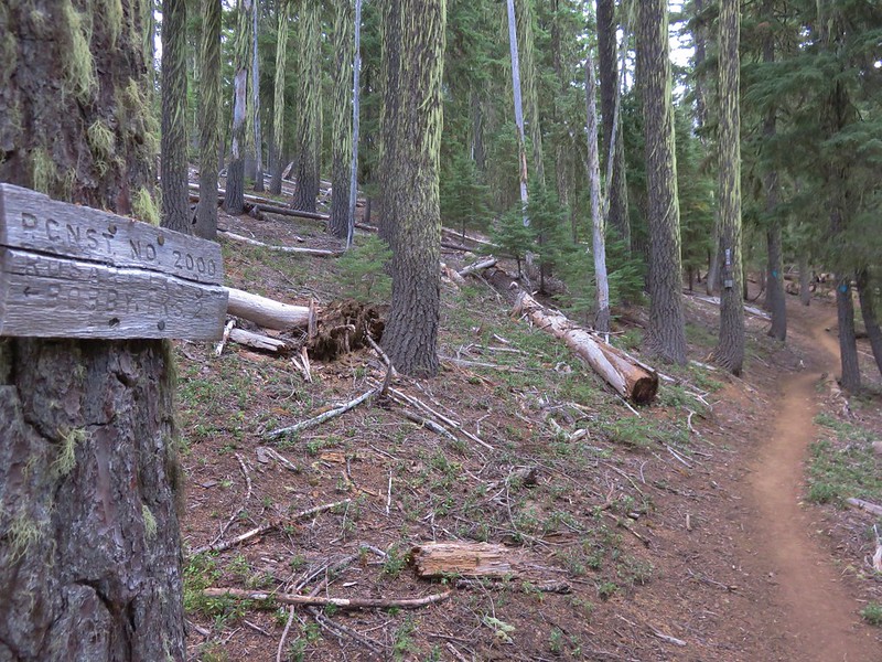
The PCT was a more gradual descent and it was a fairly easy walk for the next .7 miles where we took a side trail to the Maiden Peak Shelter.
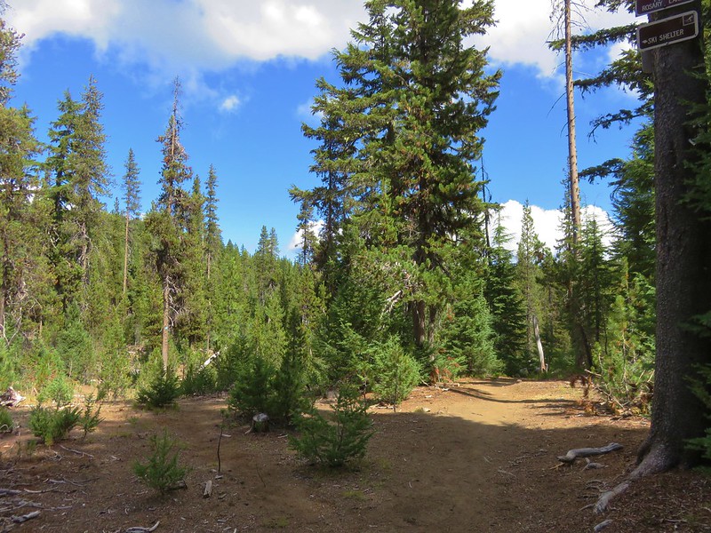
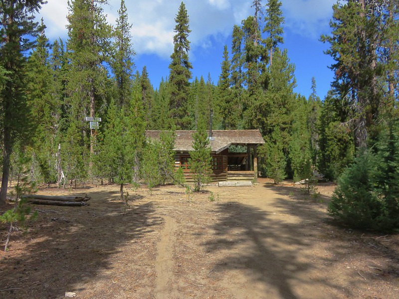
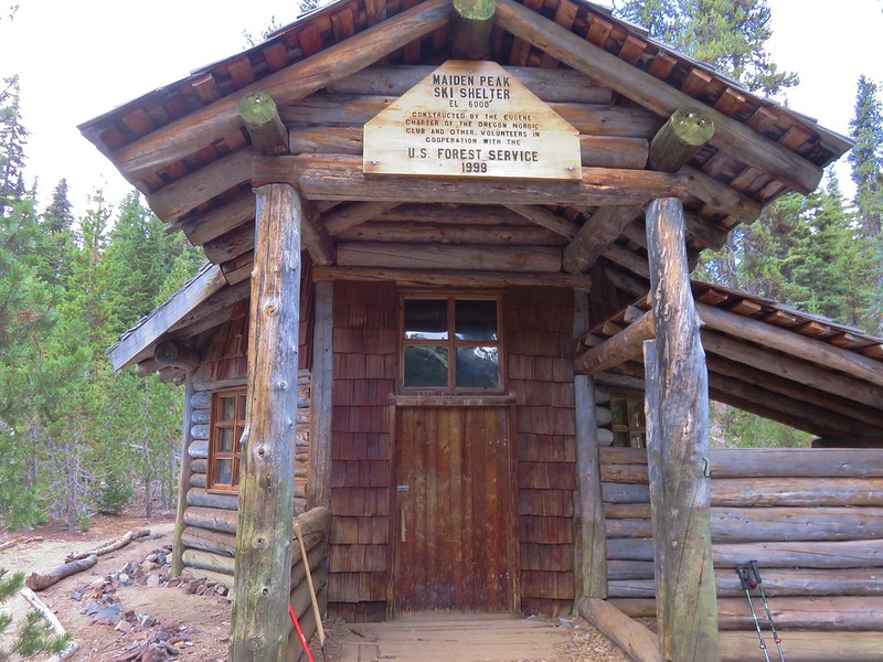
The shelter was only about a hundred yards off the PCT and it was by far the nicest shelter we’ve visited while on a trail. Solar powered, the shelter can sleep up to 15 and includes a wood stove, tables, and chairs.
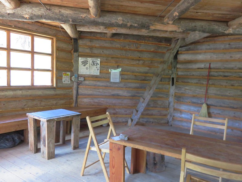
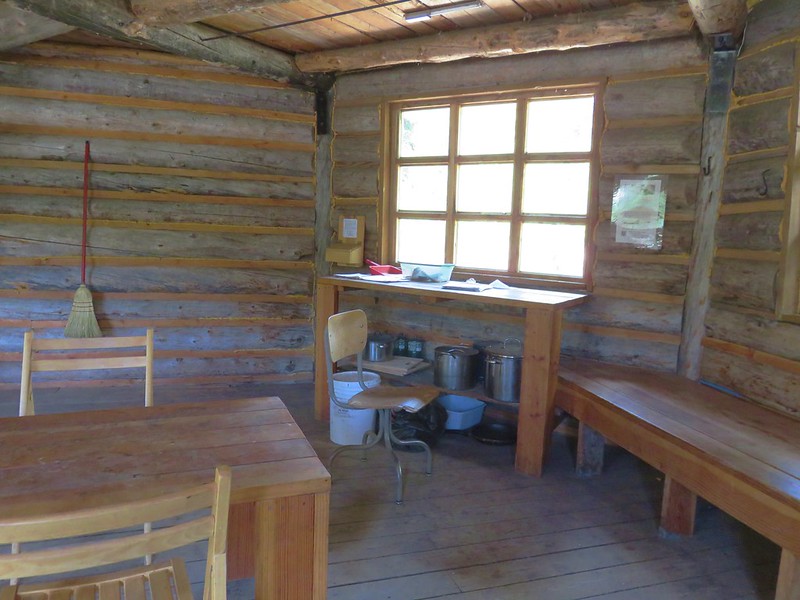
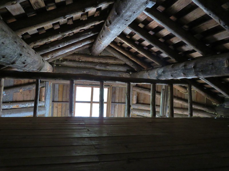
We were the only hikers at the shelter although entries in the guest book showed that other hikers had visited earlier in the morning. Several of the locals were out, possibly part of the neighborhood watch.
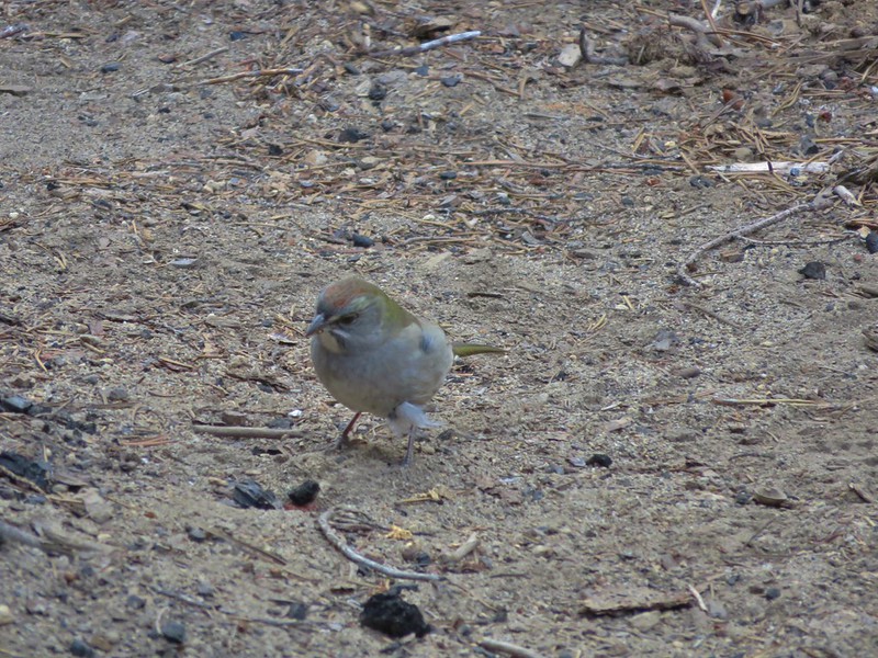
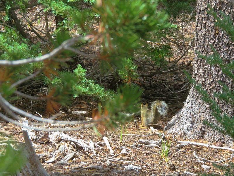
From the shelter it was just under two miles to Maiden Saddle and another .4 miles back to the Maiden Lake Trail. Heather had brought the bags of Doritos that she had left over from handing them out to thru-hikers on the PCT in the Sky Lakes Wilderness since we would be spending more time on trail during this trip. We ran into our first thru-hiker between the shelter and Maiden Saddle. His name was Horse Whistler (a.k.a. James) and this was his first time in Oregon. It was nice to hear he was really enjoying the state so far and he couldn’t believe how much trail magic he’d encountered since entering Oregon. He was really looking forward to getting to the Three Sisters area and spending a day in Bend. After a nice conversation he was off to check out the shelter and we were on the look out for a view of the Rosary Lakes that he had good things to say about.
The viewpoint was above but not far from Maiden Saddle and exactly as Forest Whistler had described. The Rosary Lakes were lined up with Odell and Crescent Lakes.
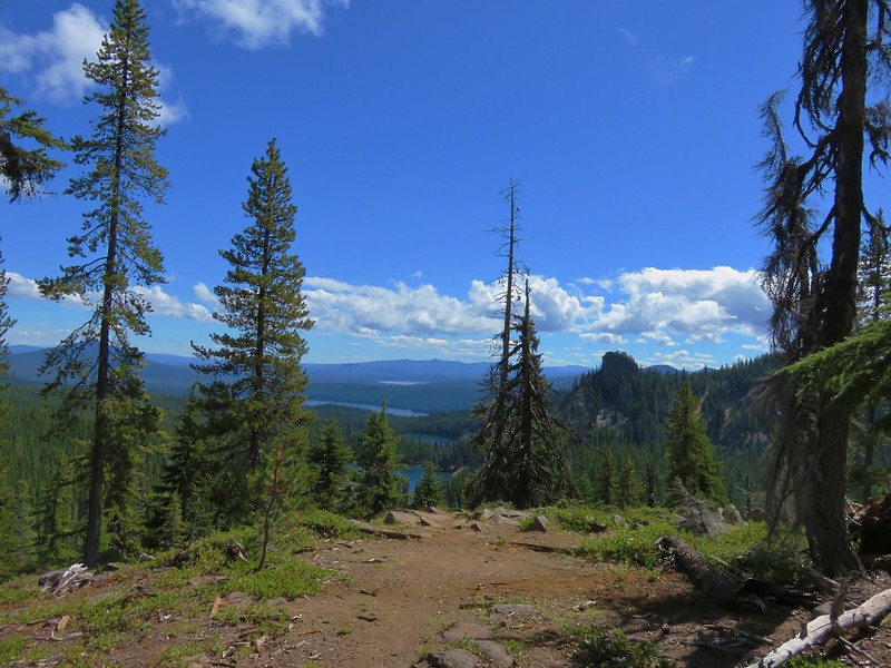
One of the locals was already there enjoying the view when we arrived.
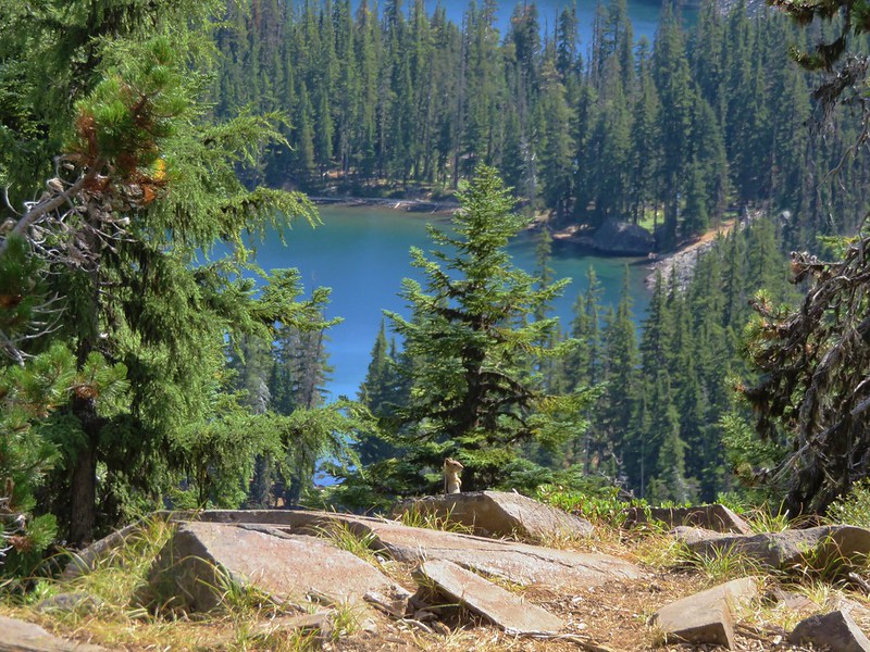
From the viewpoint the trail descended to Maiden Saddle via a couple of switchbacks.
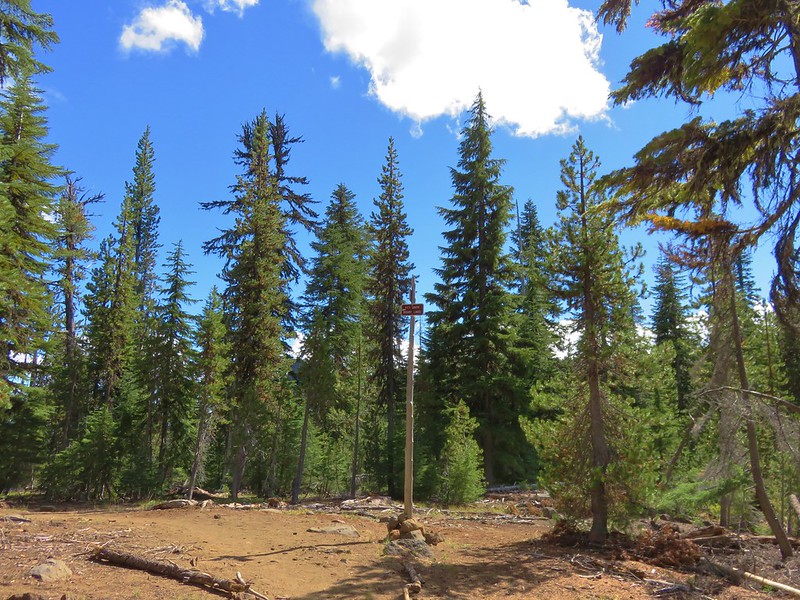
Another couple of switchbacks brought us down to the Maiden Lake Trail where we turned left and retraced our steps from earlier in the day.
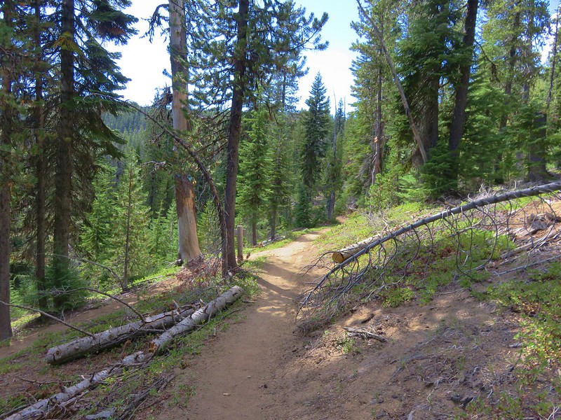
Heather handed out one final bag of chips to a gracious hiker who said they were going to go perfectly with his dinner before we’d turned onto the Maiden Lake Trail. The lake was just as pretty this time around.
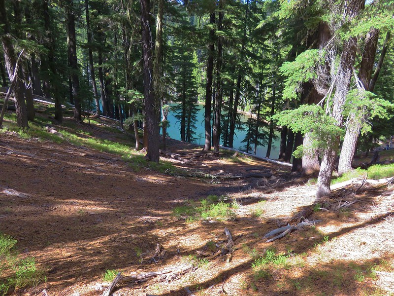
Instead of heading down to the lake on the trail we had taken earlier we stayed on the trail above the lake where there was a nice view of Maiden Peak with the lake below.
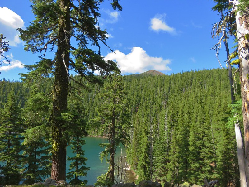
This time we just headed down to our campsite where we grabbed our dinner, stove, and camp chairs before making our way to the lake. Where we once again were the only ones at the lake and we set up our chairs on a little sandy beach.
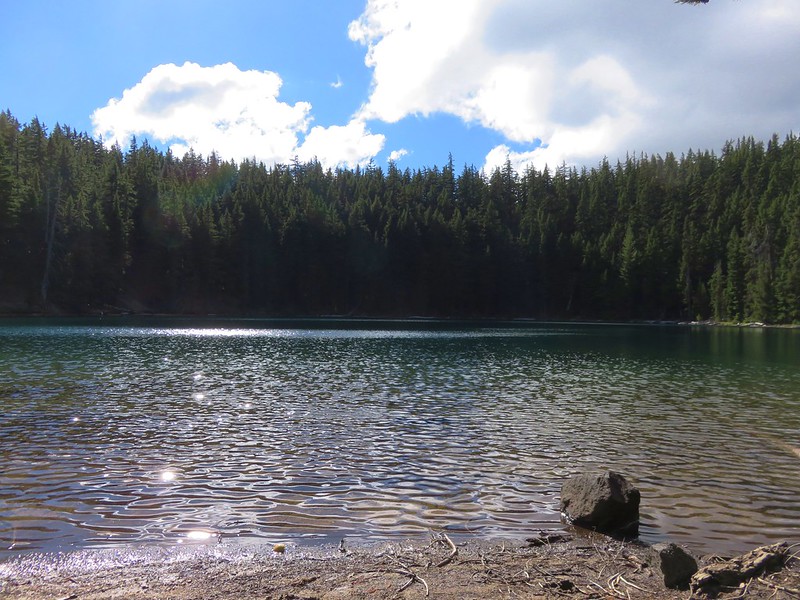
It was already getting a little chilly, especially whenever a passing cloud would block the Sun and/or the breeze kicked up.
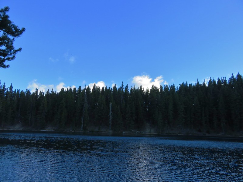
When the Sun was out and the wind calm it was just about as perfect as it gets though. After a nice break at the lake we had dinner then decided to see if we could hike around the lake while we looked for a good place to filter water. We headed around counter-clockwise following a faint path to another campsite that was closer to the lake than it probably should have been. The lake was deeper along the shore here and we refilled our water supply before continuing on. The hillside grew steeper along the north side of the lake and we were forced to sidehill over and around some blowdown before being able to drop down to the sandy lakeshore on the southern end of the lake. Along the way we had a nice view back across the lake to our dinner spot.
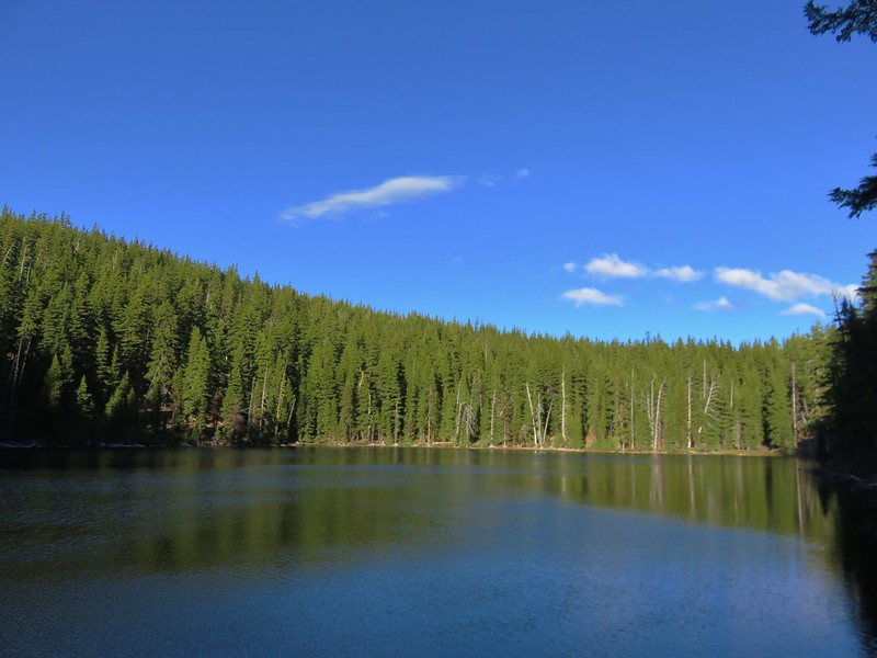
It was a little after 6:15 when we completed our loop and we tried sitting by the lake a little longer, but between the breeze and the vanishing sunlight it was a little too chilly without pulling out some of our warmer gear. Instead of retrieving some of our warmer clothing and going back down to the lake we decided to turn in for the evening. We had had a long day, waking up at 3:30am and then hiking a total of 19.4 (according to the GPS). I was asleep by eight and Heather thought she nodded off shortly after, about 8:30.
We were interested in seeing how well we would be able to stay warm overnight in near freezing temperatures. We both slept well and were able to sleep until almost 6am. It had definitely gotten a lot colder overnight than it had on any of our other overnight trips this year. We made good use of our down jackets as we packed up camp and ate breakfast down by the lake.
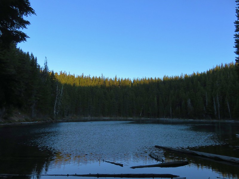
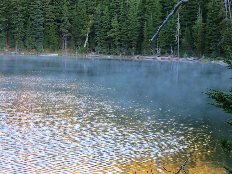
We were headed back to our car by 7:15 planning on returning the way we’d come past the Rosary Lakes. One of the things we try and do is familiarize ourselves with the distances of the different sections of trail we’re hiking to break up the distances. As we were headed back to the PCT we stopped to look at our map from William Sullivan’s book to do just that when the idea of returning via the Willamette Pass Ski Area came up. It appeared more direct and I failed to pay attention to the fact that the section from the top of Eagle Peak down to the ski area did not have a distance noted leading me to believe it would be almost 2 miles shorter. Heather caught that but it was too early in the morning for me to comprehend what she was attempting to point out. Either way she was game for taking a different route though so when we got back to the PCT we turned right and climbed back up to Maiden Saddle.
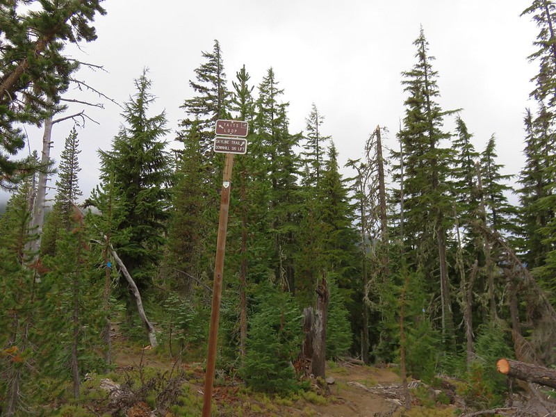
We followed the pointer for the Taits Loop sticking to the main trail until we could see what looked like a roadbed above and to our right.
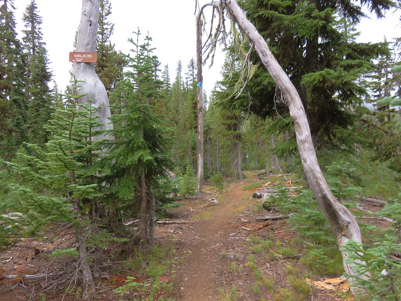
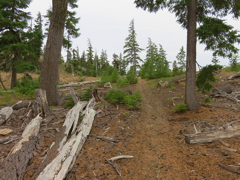
This was actually the Boundary Pass ski run which we began to follow uphill.
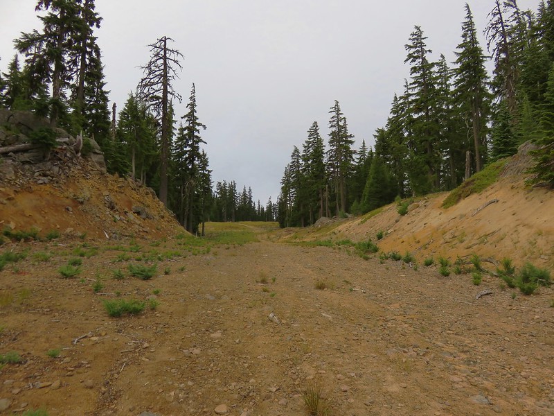
The sky had been blue at Maiden Lake but by the time we had reached the saddle low clouds were passing overhead and now Maiden Peak was completely socked in.
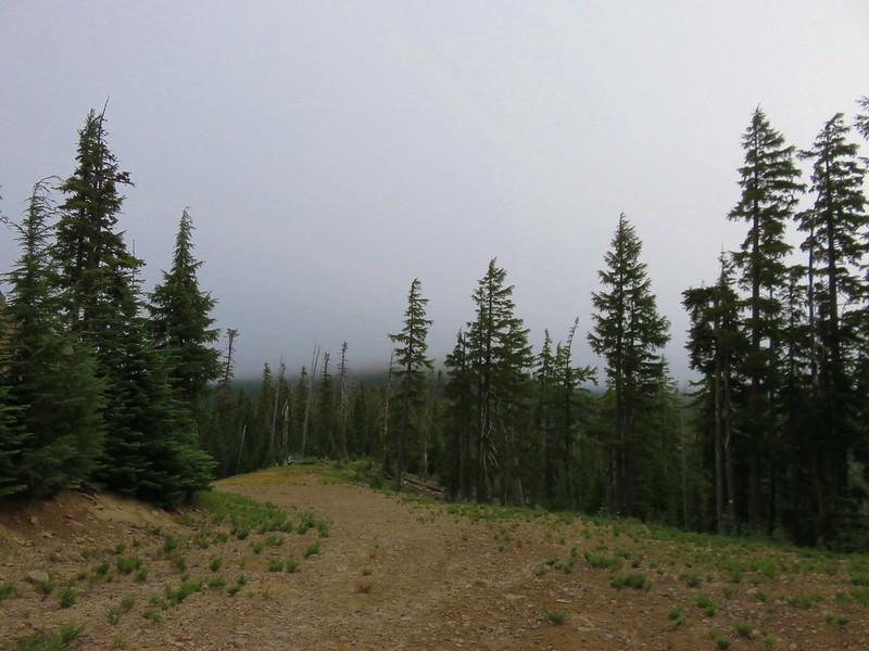
The Boundary Pass run headed steeply uphill toward Peak 2 which we did not need to climb so we stuck to the cat/road bed which turned into the Kris Kross run.
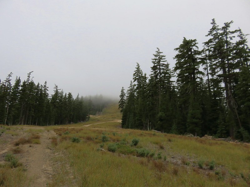
This run crossed the Southbound run coming from the Peak 2 Lift and continued on to the summit of Eagle Peak.
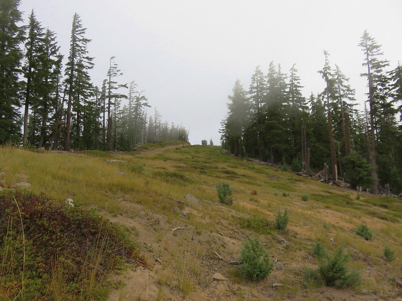
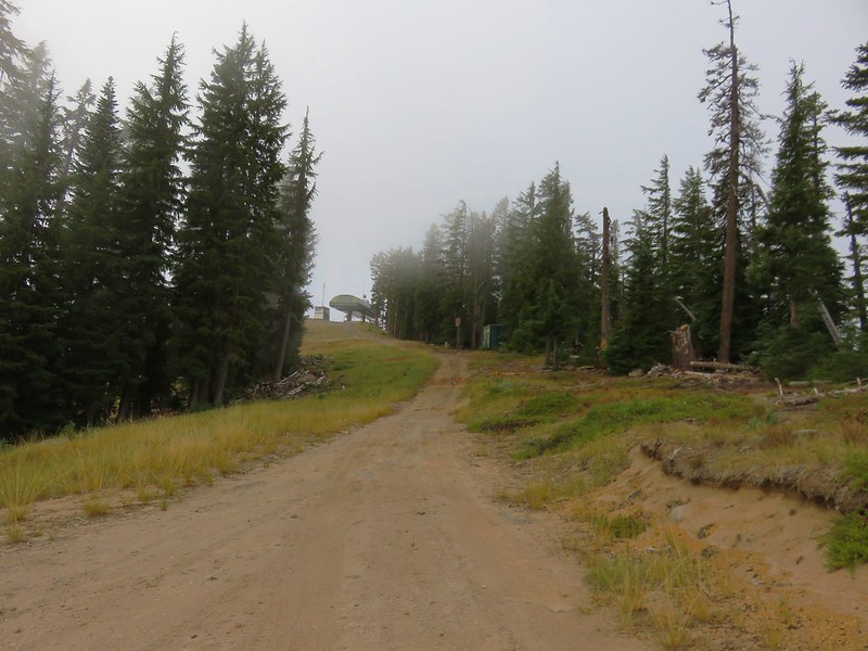
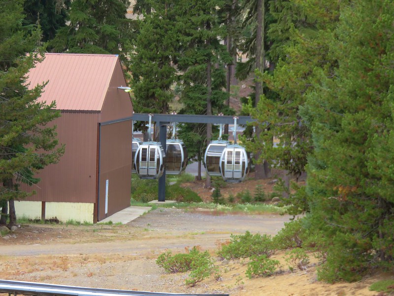
In previous years a gondola has operated from the Willamette Pass Ski Area during the Summer months allowing mountain bikers and hikers to catch a lift to the top of Eagle Peak for a fee, but it apparently never opened in 2016. The only views we had were down to part of Odell Lake across Highway 58 and straight down the Eagle Peak Accelerator Lift to the ski area.
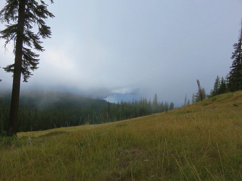
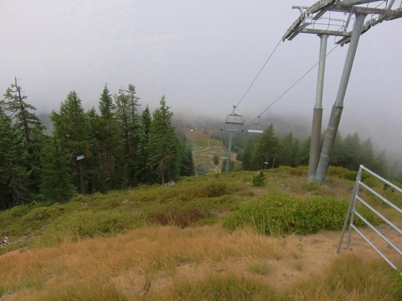
It looked too steep and brushy for us to attempt to go straight downhill from the lift so we turned down the Kaleidoscope run which headed SE at a more gentle grade.
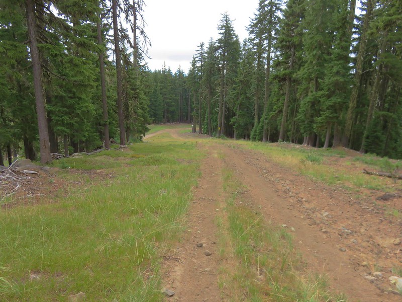
It was an easier walk but it was swinging us out wider than we really wanted and the first two ski runs we passed that would have headed us more in the direction we wanted, Good Time Charlie and Eagle’s Flight, both looked too steep. We finally spotted what looked like a good option marked by a sign that simply read “Sport”.
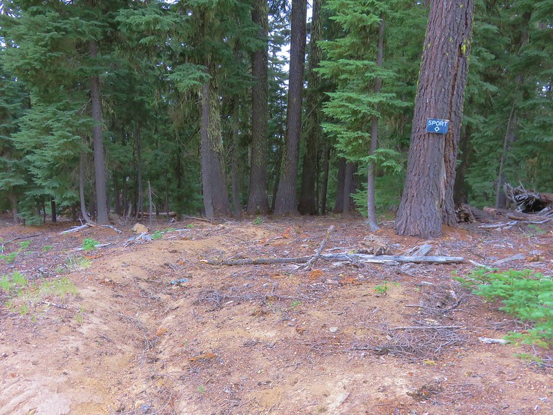
This path traversed back along the hillside through the trees recrossing Eagle’s Flight and Good Time Charlie below their steeper sections.
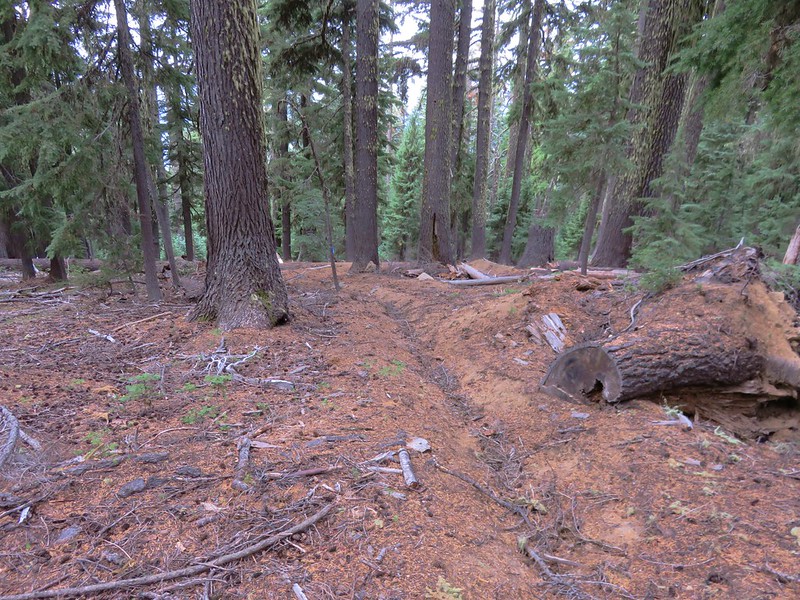
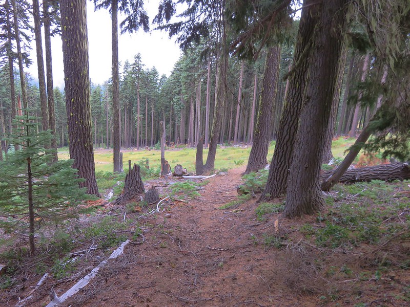
Looking up Eagle’s Flight
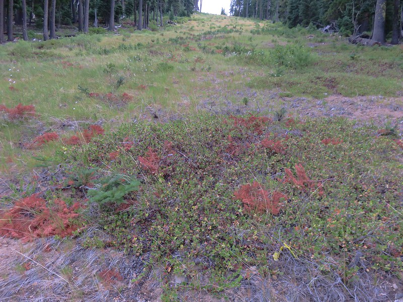
Even though we were headed back in the direction we wanted we weren’t losing much elevation so when we reached Good Time Charlie we turned downhill.
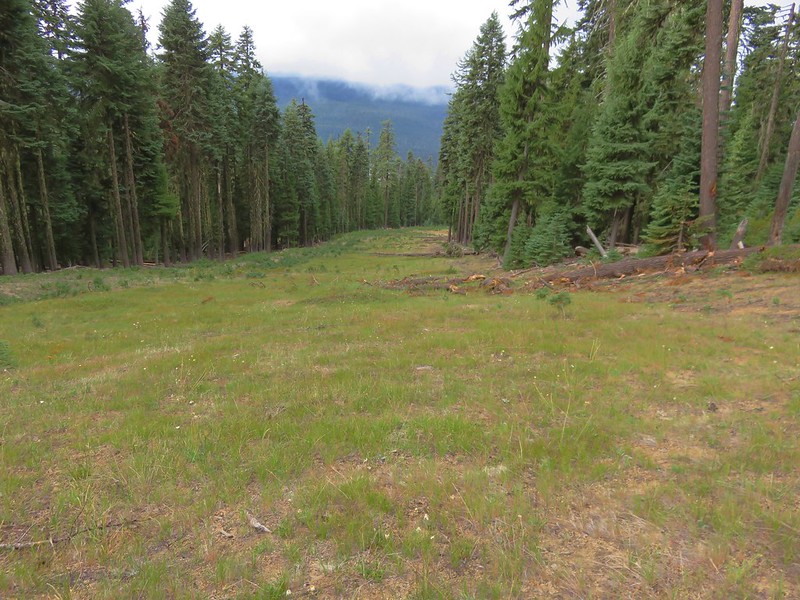
This run ended when it joined the Perseverance run which led straight to the ski area.
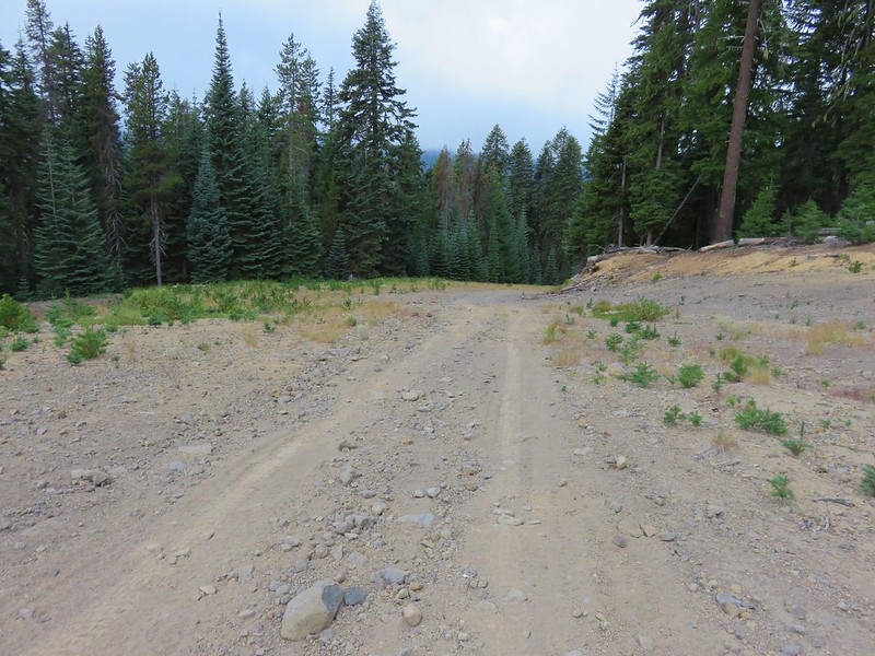
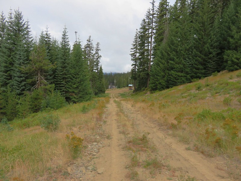
The trailhead was actually .3 miles east of the ski area so we didn’t need to get all the way there so when we spotted the Sleepy Hollow chair lift to our left we began looking for a path down to it.
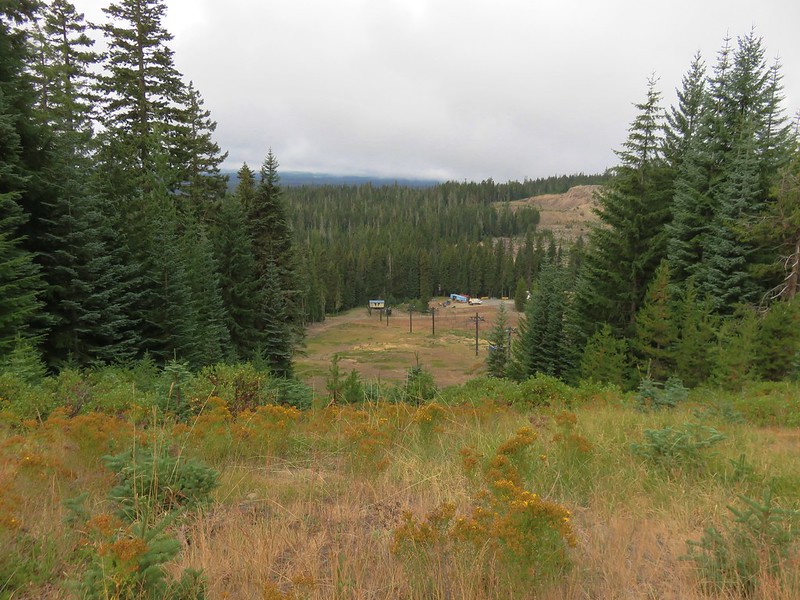
We found a path through the trees and headed for the lift. The ski lodge and the unused gondolas where off to our right.
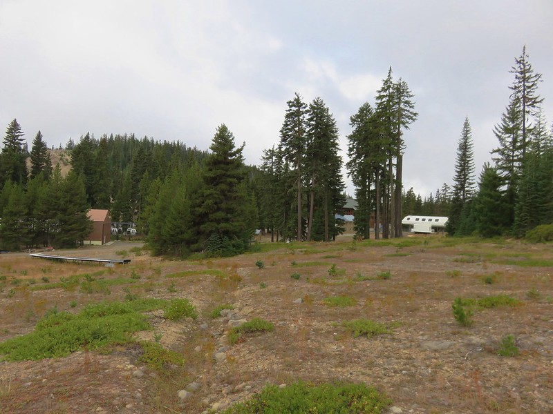
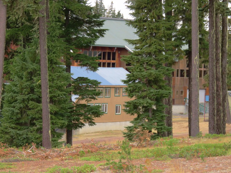
From the Sleepy Hollow lift a nordic trail followed an old road bed to the Pacifc Crest Trail near the highway maintenance shed.
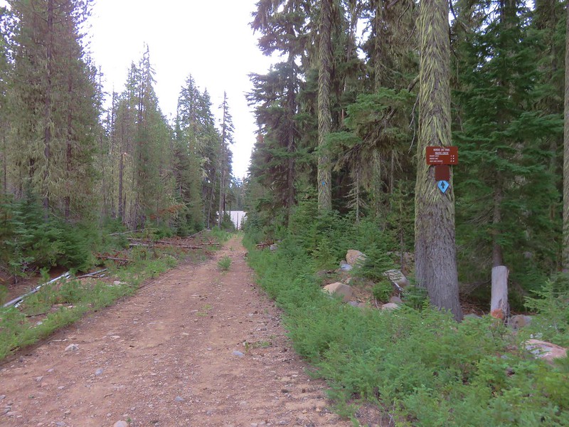
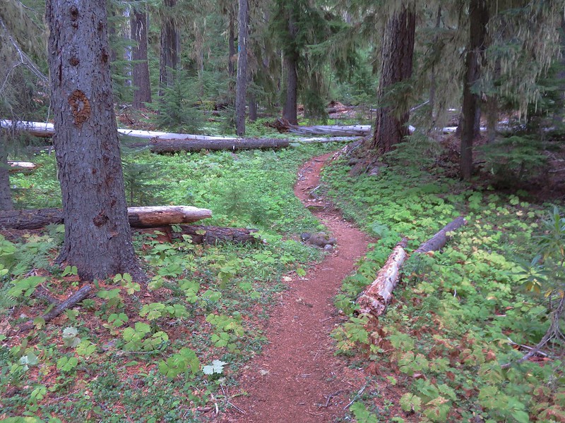
It was just a few hundred feet along the PCT to the junction with the trail from the Willamette Pass Trailhead and an even short distance to our waiting car.
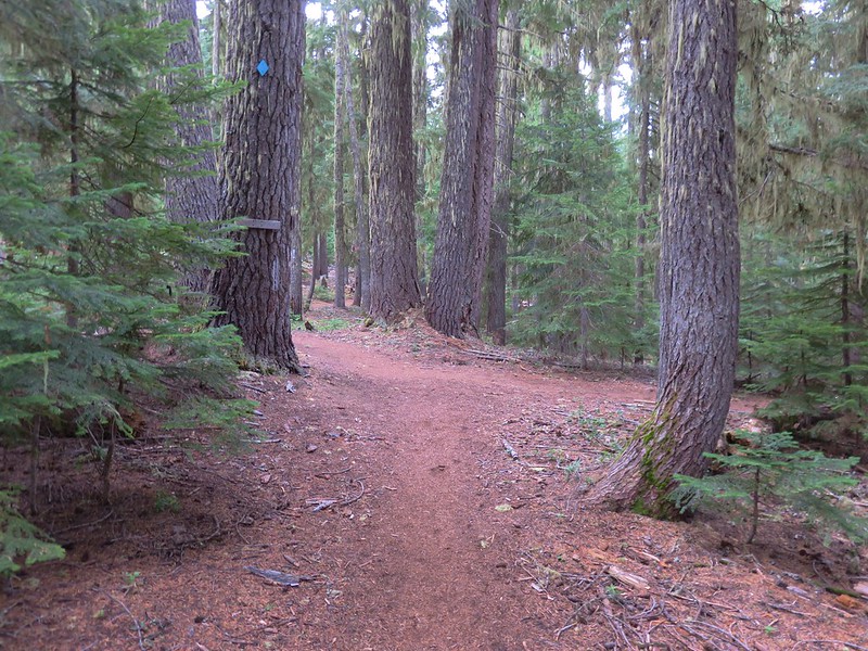
In the end our route back turned out to be about .3 miles shorter (6.1 vs 6.4) than it would have been if we’d gone back by the Rosary Lakes, but it gained over 500 more feet of elevation. It was worth it though just to check out the ski area and made for a nice variety on the way back to the car. Happy Trails!
Flickr: https://www.flickr.com/photos/9319235@N02/albums/72157672347862022