We had originally planned a different set of hikes for the Thursday of our vacation week but after getting a look at Mt. Ireland from Baldy Lake the previous day we had decided to save that hike for another time. The plan had been to hike Granite Creek in the morning and Mt. Ireland in the afternoon.
With Mt. Ireland out and freezing temperatures overnight we were a little concerned about trying to get to Granite Creek in the morning due to having to pass over the 5860′ Blue Springs Summit between Sumpter and Granite. We turned to our trusty guidebook, William L. Sullivan’s 3rd edition of “100 Hikes/Travel Guide Eastern Oregon” for a solution.
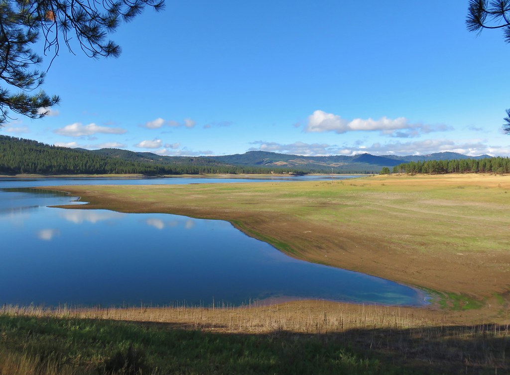
Hike number 142 – Phillips Reservoir was the answer we came up with. We’d passed the reservoir on Monday when we drove to Baker City for groceries. Located less than 10 miles east of Sumpter a hike there in the morning would give the roads time to warm up before attempting the drive to Granite Creek.
When we walked out to our car a little before 7am Thursday morning we felt even better about our decision. For the first time in a long time it was necessary to scrape the ice off our windshield.
We decided to start our hike from the Union Creek Campground.
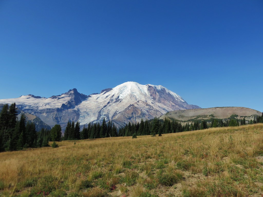
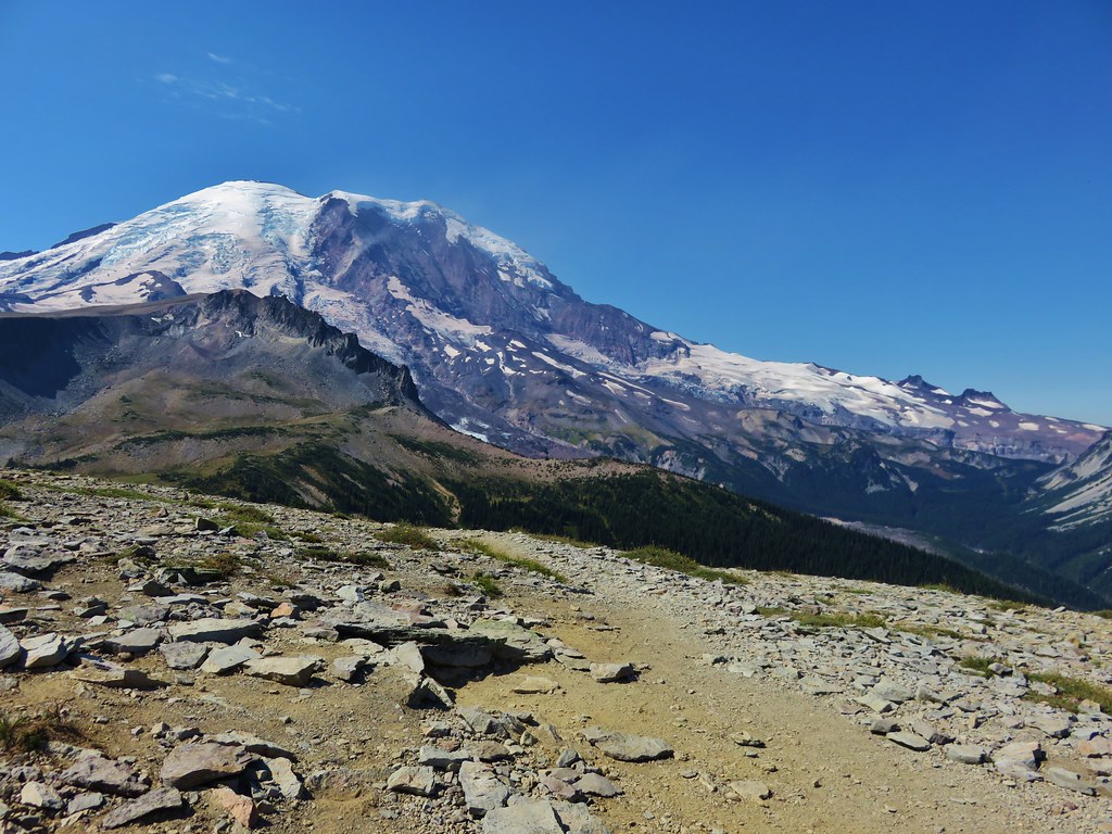
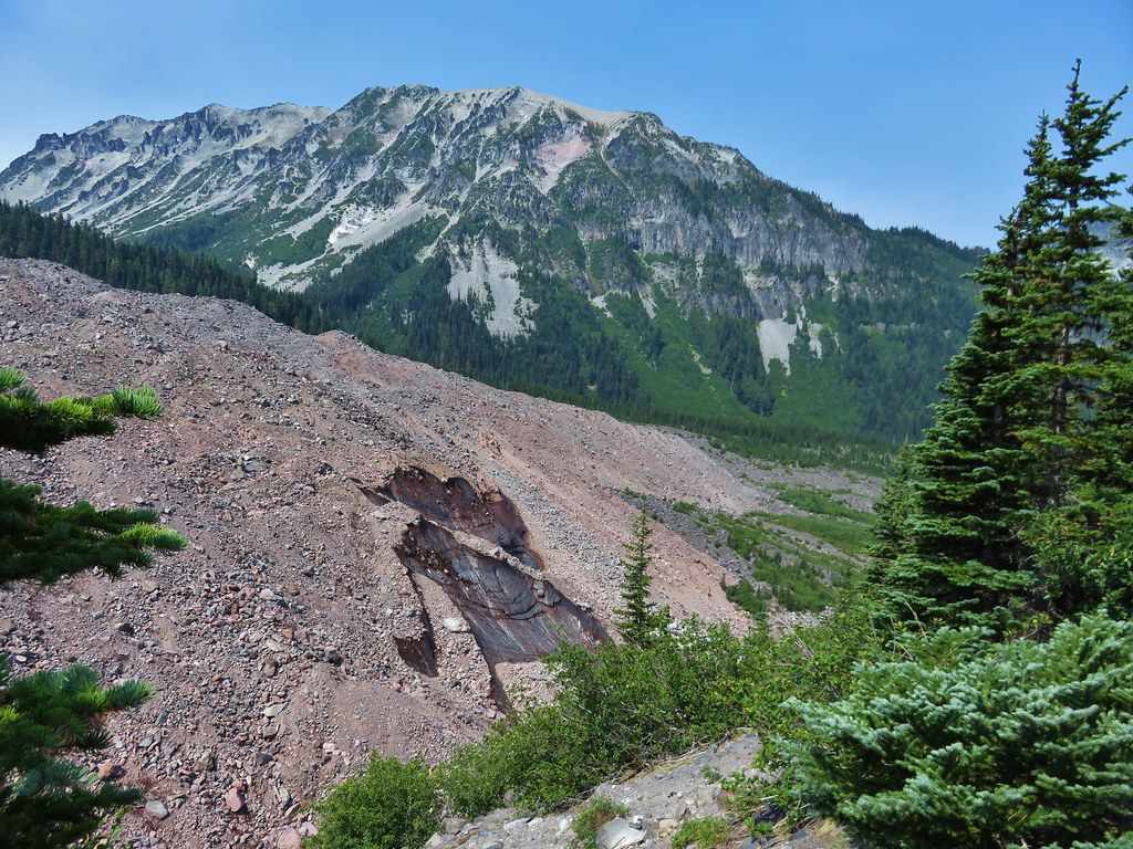
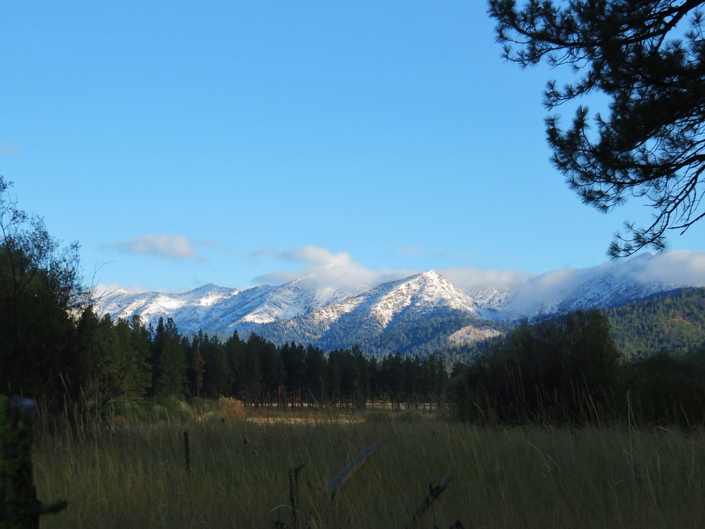
As we drove east along Highway 7 we had to pull over to get a picture of the snow covered Elkhorn Mountians.

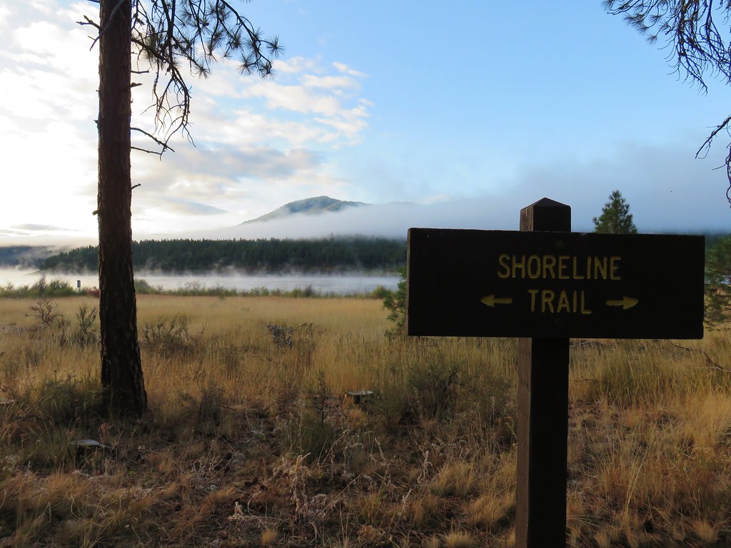
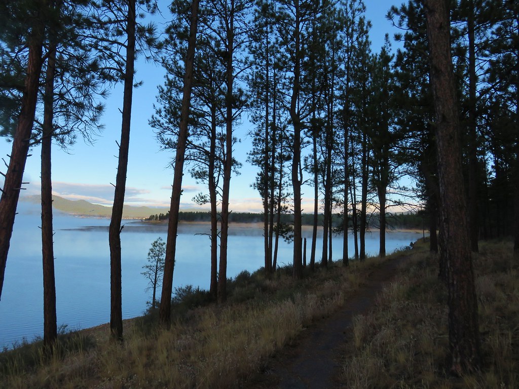
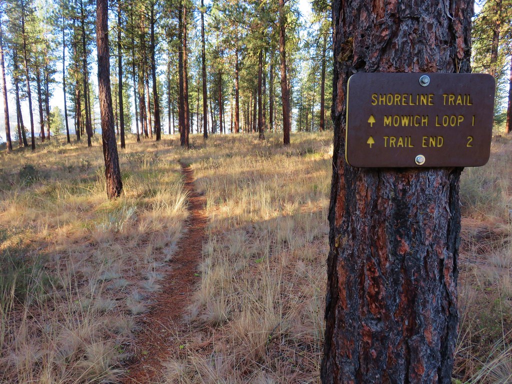
We turned off Highway 7 at a Union Creek Campground sign and after paying the $6 day use fee we parked at the picnic area and headed for the Shoreline Trail.
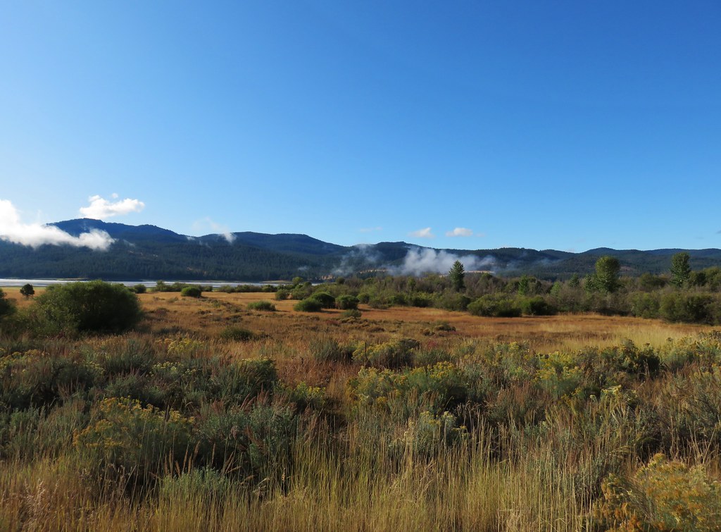
Sullivan’s abbreviated entry for this hike was one of the least enthusiastic descriptions that we’d seen in any of his guidebooks so we were pleasantly surprised by the scene at the reservoir.
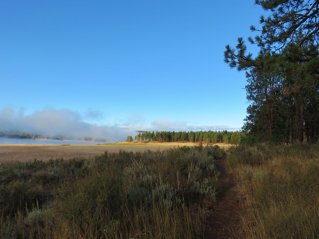
We headed west on the Shoreline Trail which extended 1.7 mile east from the picnic area and 4 miles to the west. The trail passed along the reservoir through open pine woods.
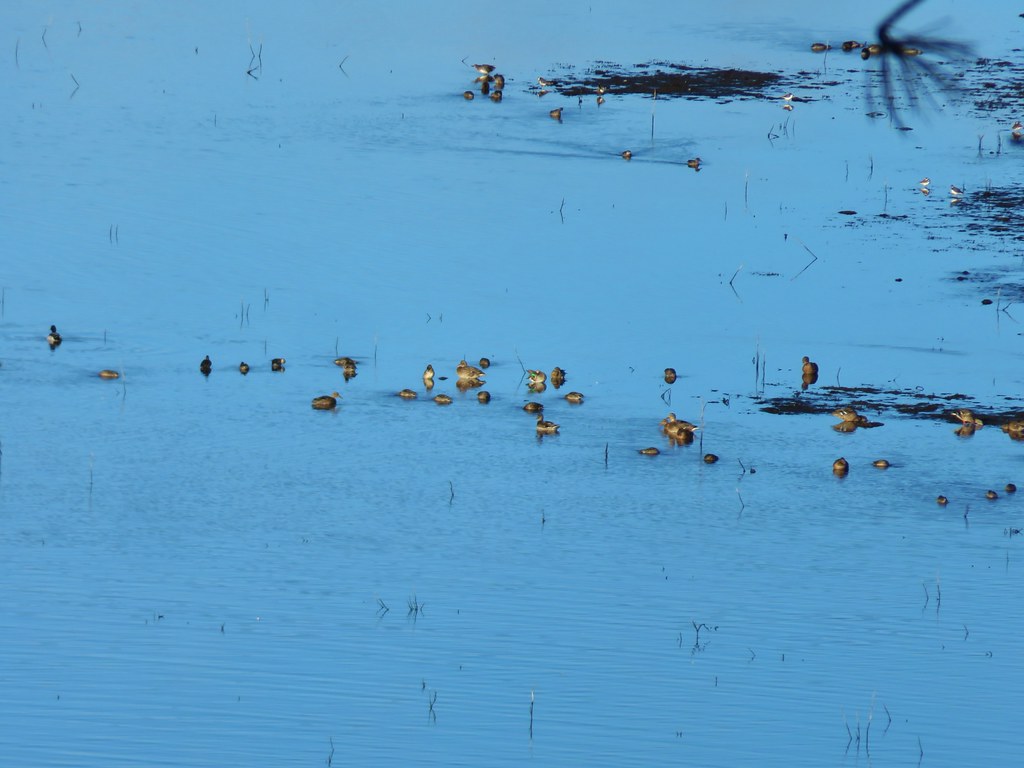
Within the first mile we’d already spotted a number of different birds.
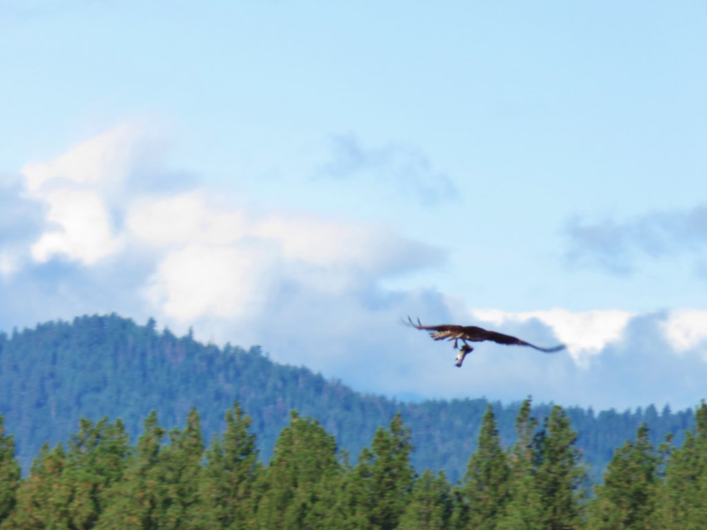
 Osprey and Great Blue Heron in flight
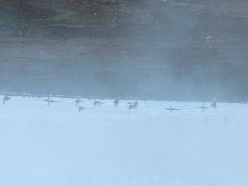 Ducks
Ducks
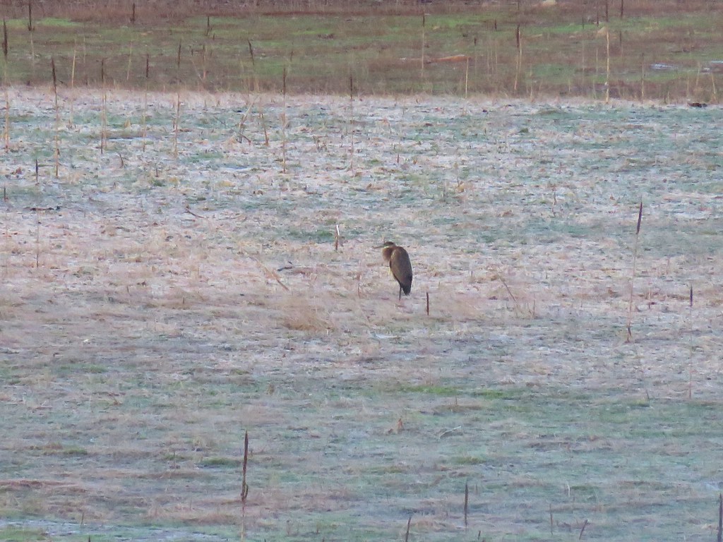 Heron
Heron
 Canada Geese
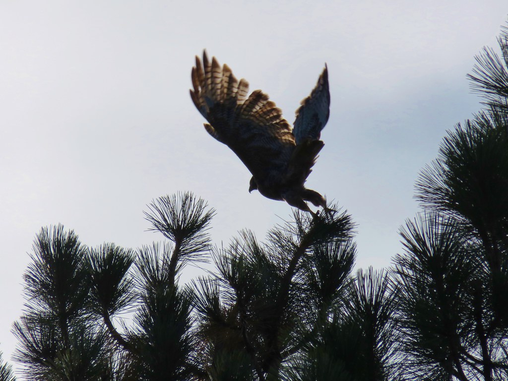
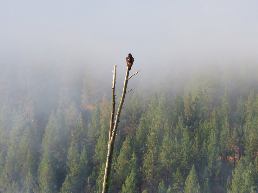 Hawk
Hawk
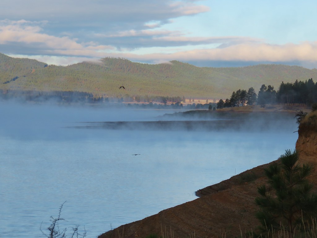
We continued along the shoreline arriving at a dry Bridge Creek after 1.4 miles.

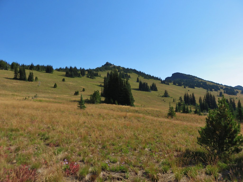
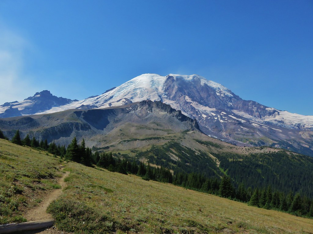
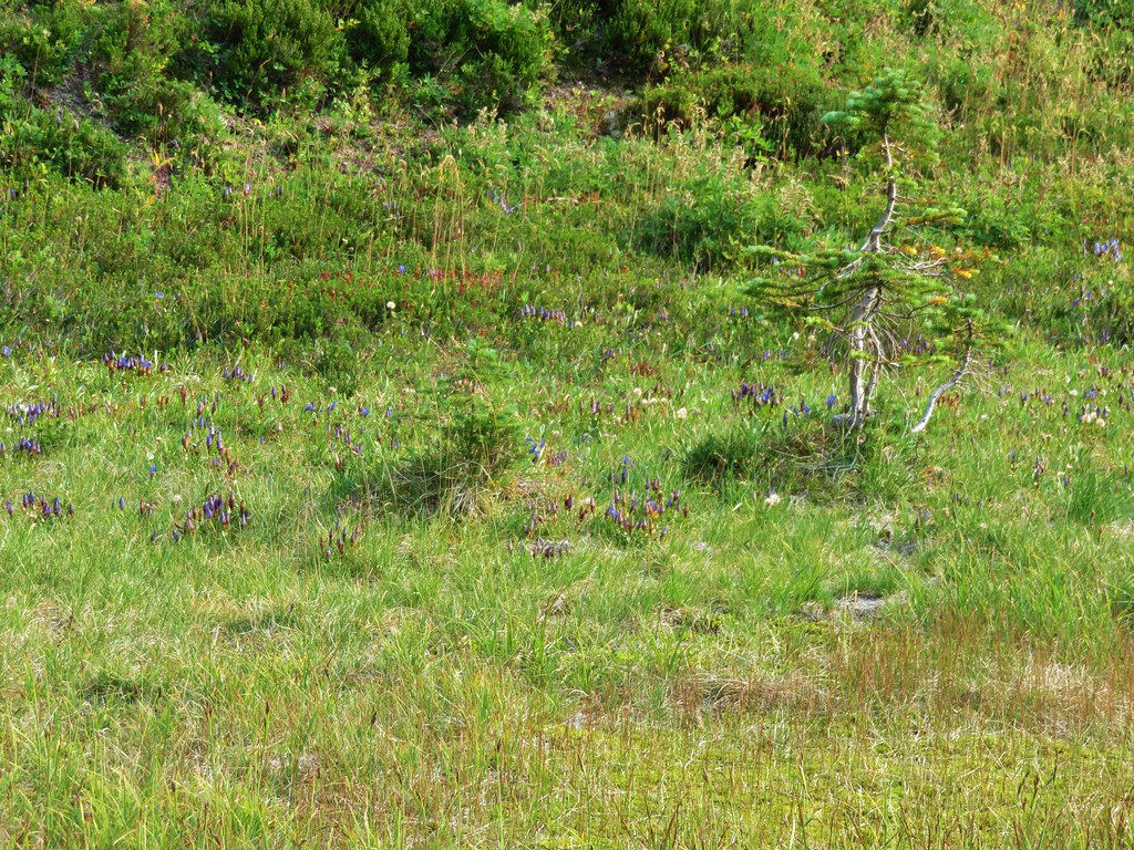
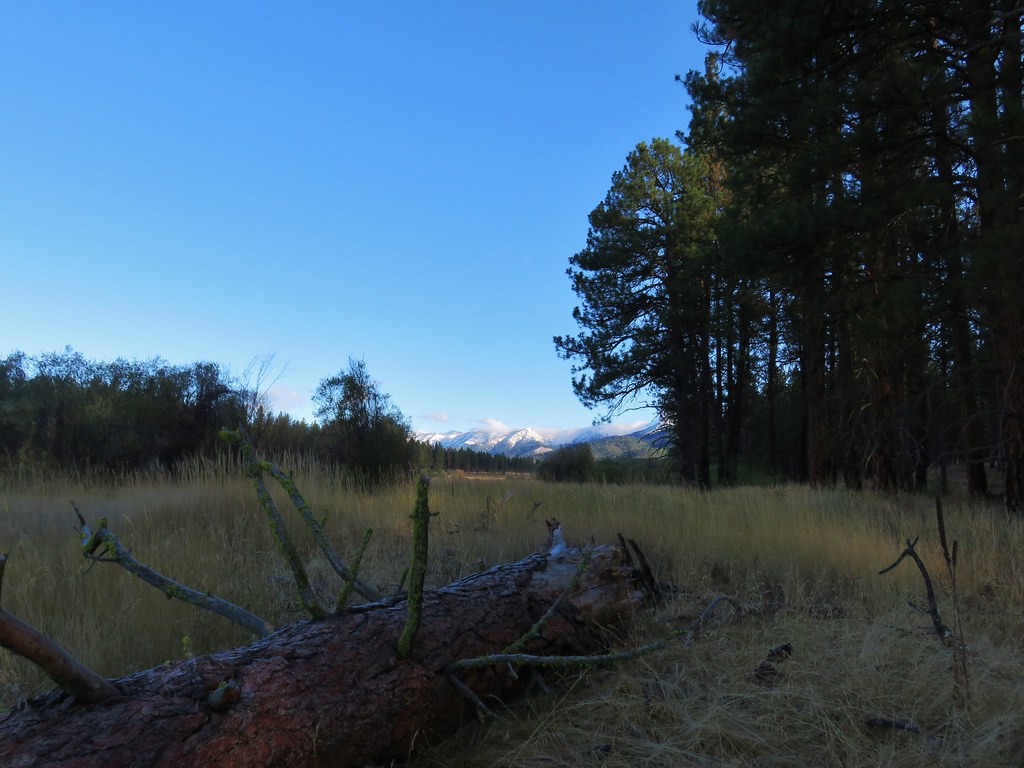
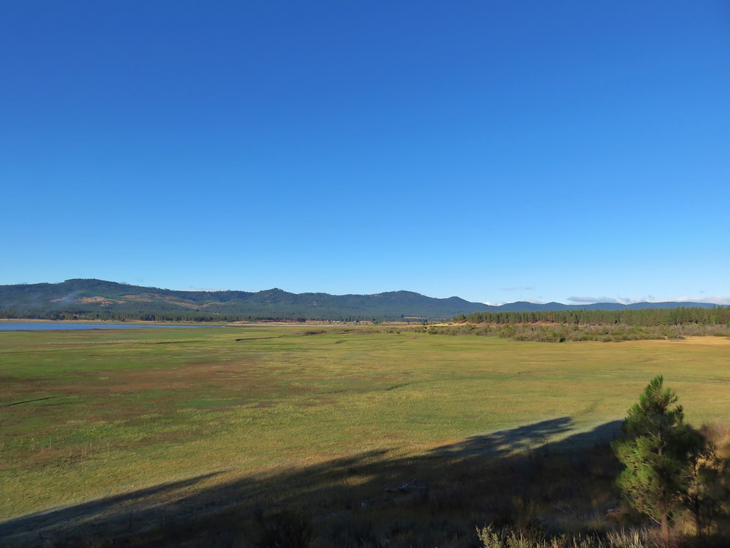
Here the trail passed through a meadow with views of the Elkhorns to the north.
We spotted even more wildlife over the next mile before reaching the Social Security Point Trailhead.
 Canada Geese
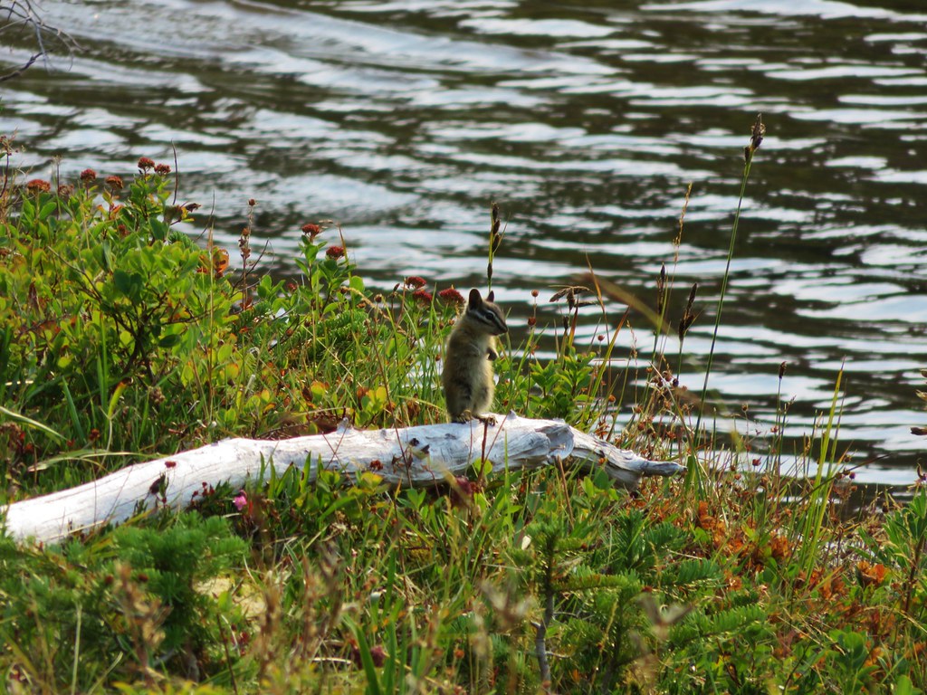
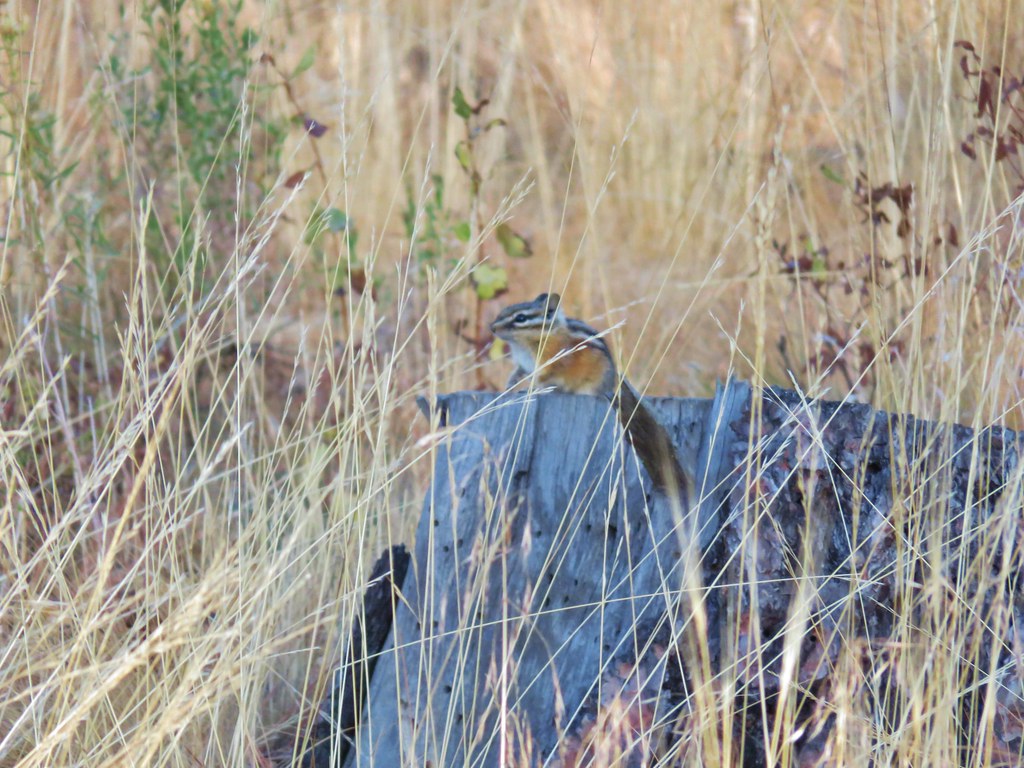 Chipmunk
 Mergansers
 Various ducks and birds
 Woodpecker
It was 8:30am when we arrived at the Social Security Point Trailhead so we decided to continue another mile to the Mowich Loop Picnic Area before turning around.
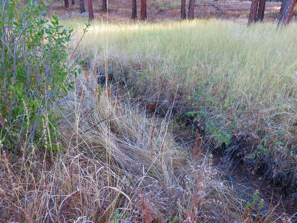
The trail passed through more open forest before reaching the wide open flat where Smith Creek empties into the reservoir.

Even more birds could be seen in the grassy flat and in the distance was a group of white birds that we later realized where pelicans.
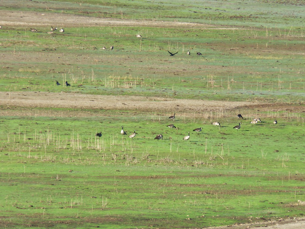 Canada Geese
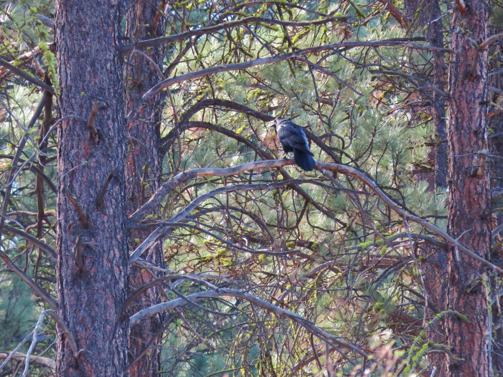
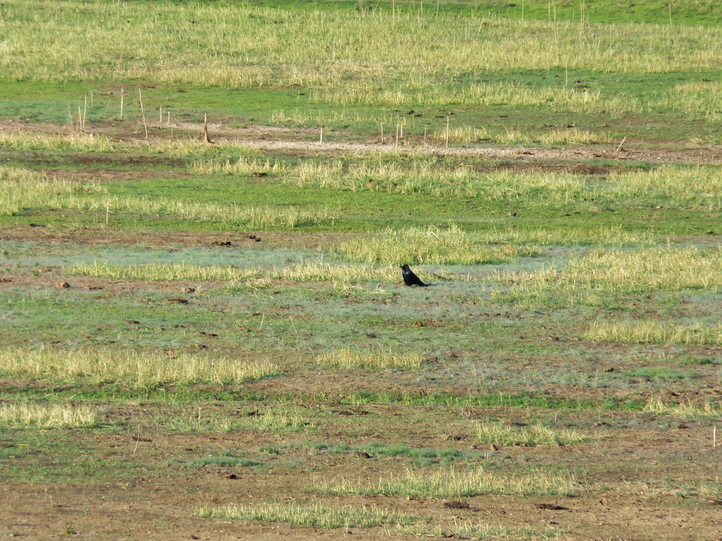 Raven
Raven
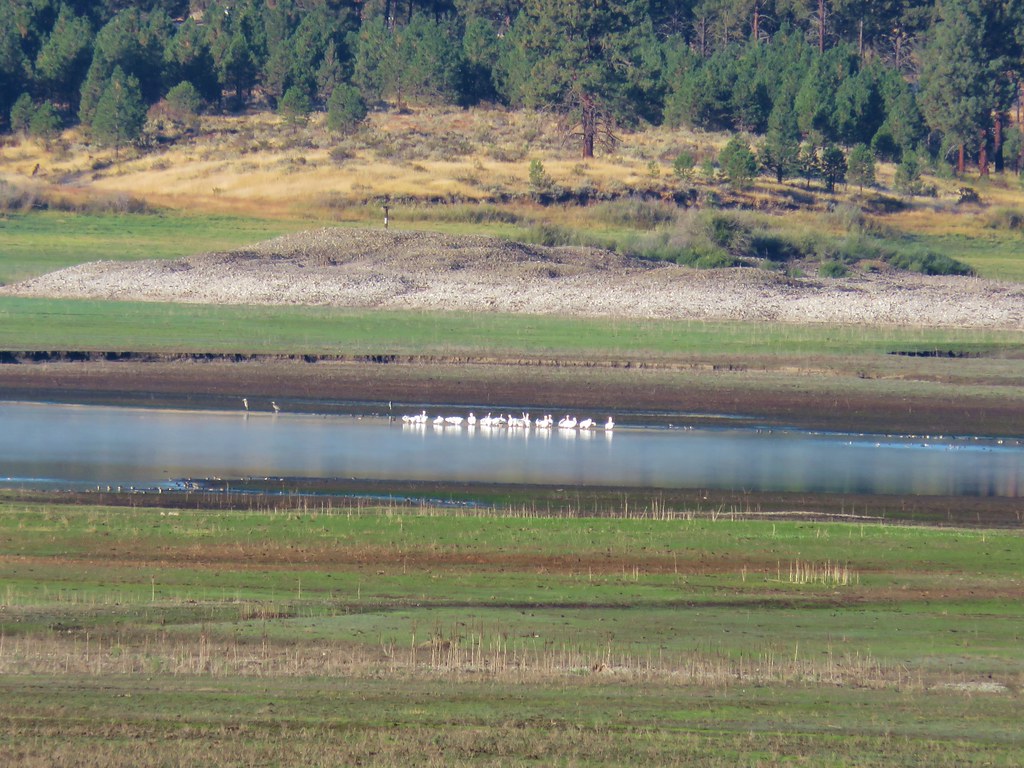 Pelicans, herons, and other assorted birds
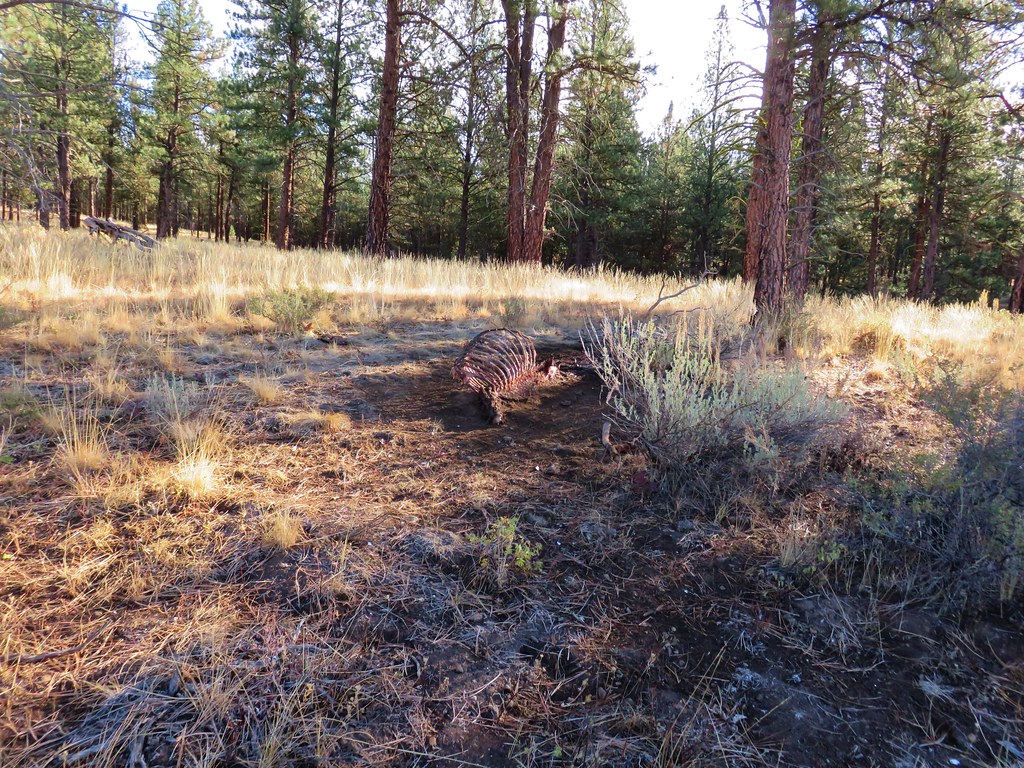
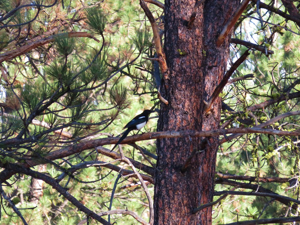
Before exiting the trees we passed a carcass that had drawn a large crowd of ravens and magpies who were none to happy with our presence.
After leaving the trees the trail wound up skirting a meadow and leading us up to Highway 7 a quarter mile from the Mowich Loop Picnic Area.
We decided to call it good there instead of walking along the highway and turned around. More wildlife sightings occurred on the return trip including an osprey with a freshly snagged fish.
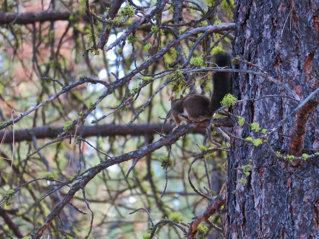 Squirrel
 Hawk
Hawk
 Osprey
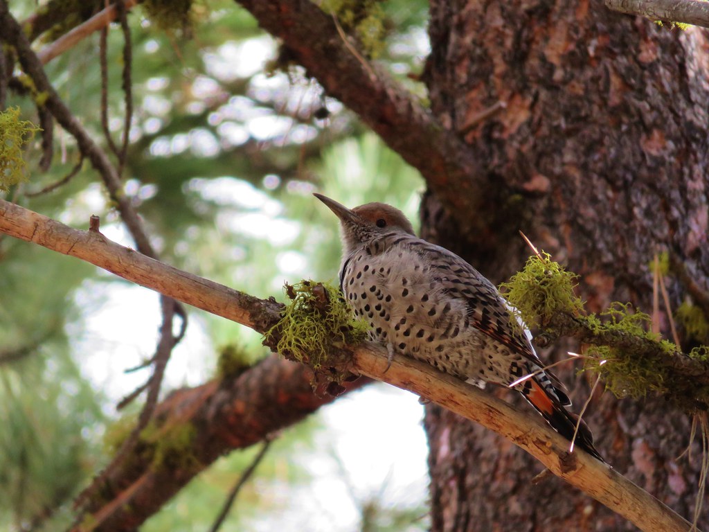 Northern flicker
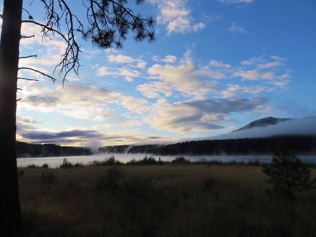
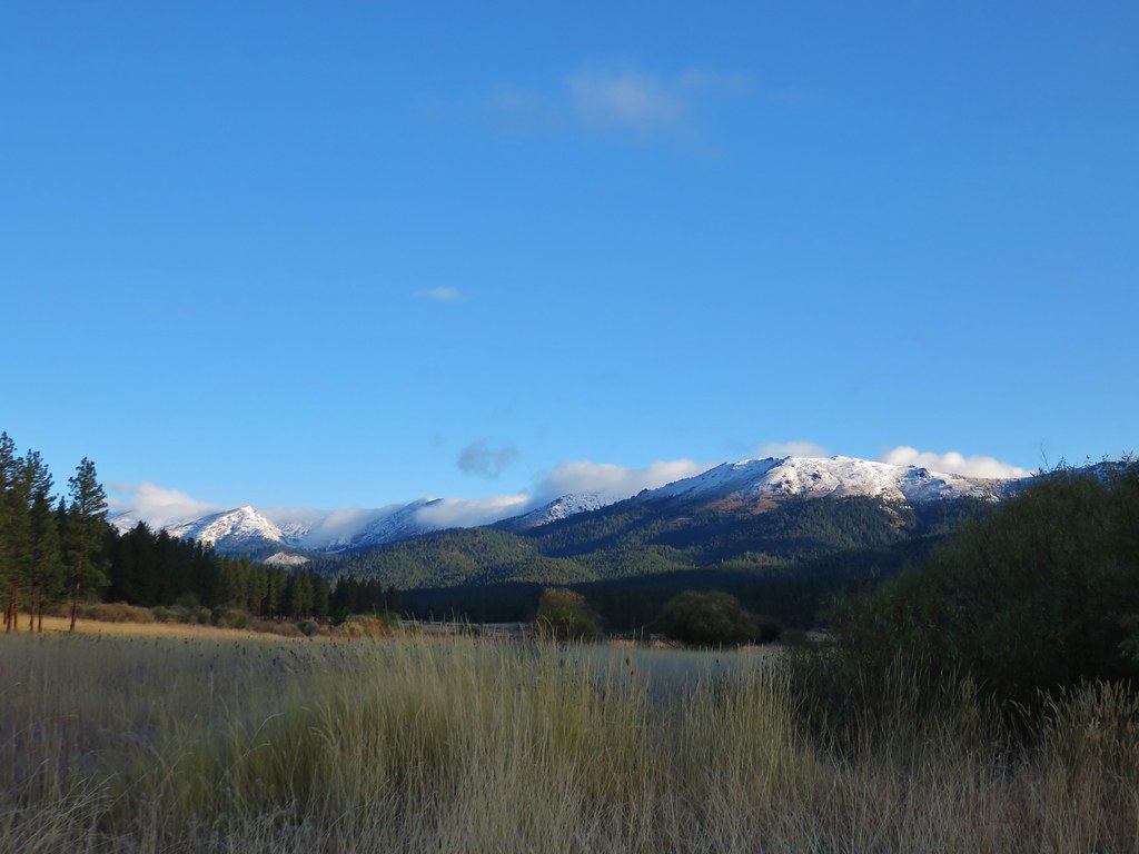
The fog had lifted off the reservoir by the time we’d gotten back to the car and the weather was beautiful.
It was 9:30am when we completed our 6.3 mile hike. We felt comfortable with it now being warm enough to make the drive over the pass to Granite Creek so we headed back to Sumpter then made the familiar drive to Granite.
To reach the Granite Creek Trailhead from Granite we turned left on Red Boy Road (Road 24) for 1.4 miles then forked right on Granite Creek Road for 4.3 miles to the signed trailhead.
From the trailhead a gated mining road headed downhill to the left (our return route) while the Granite Creek Trail headed slightly uphill to the right after passing through an open fence.
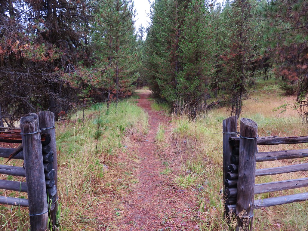
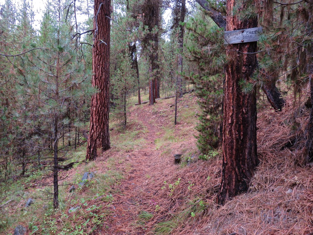
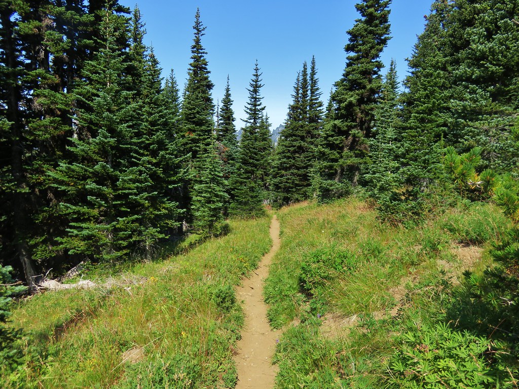
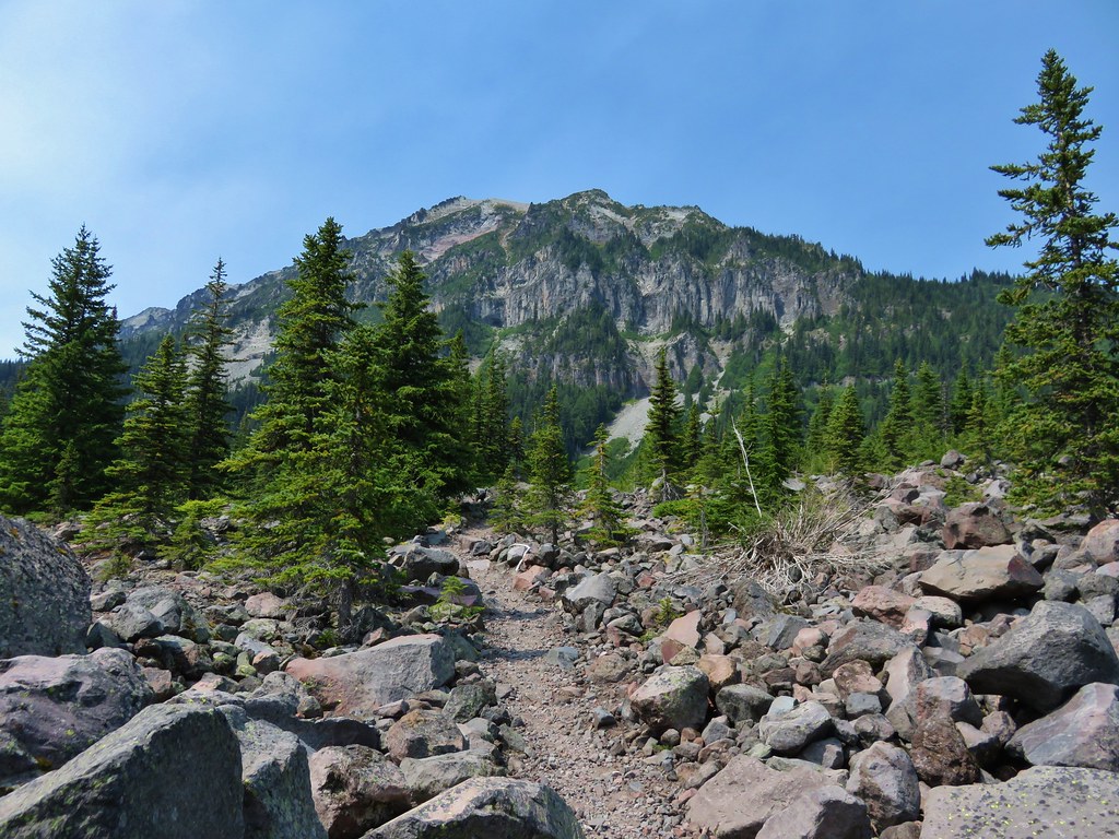
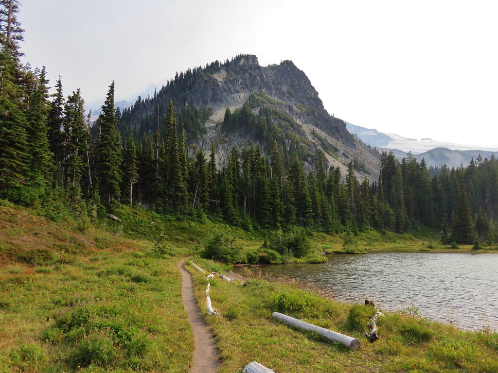
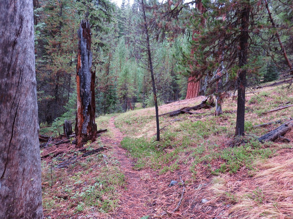
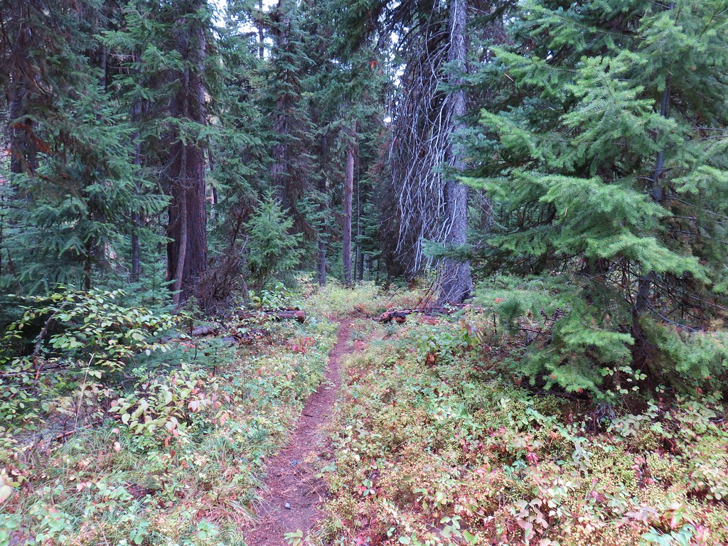
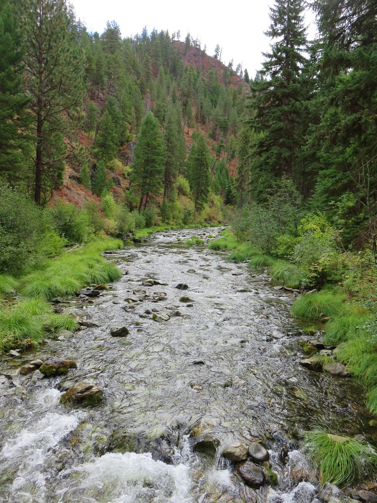
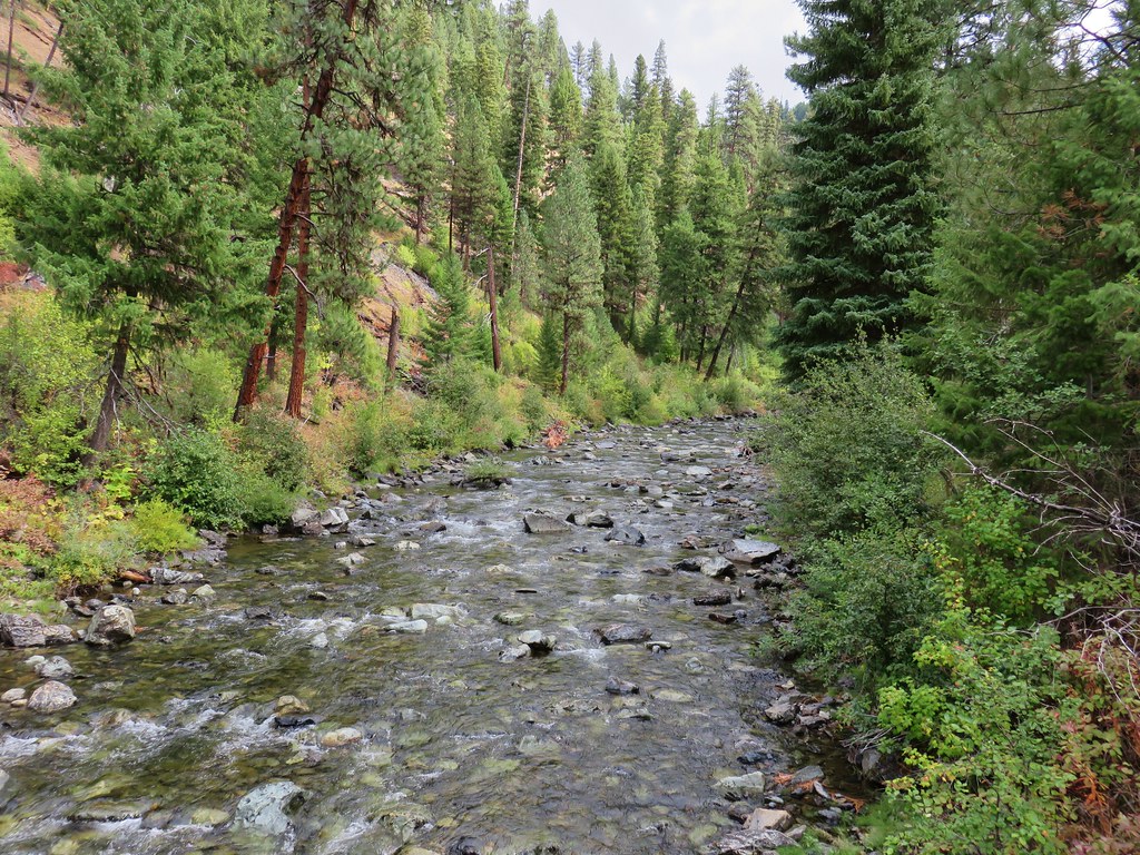
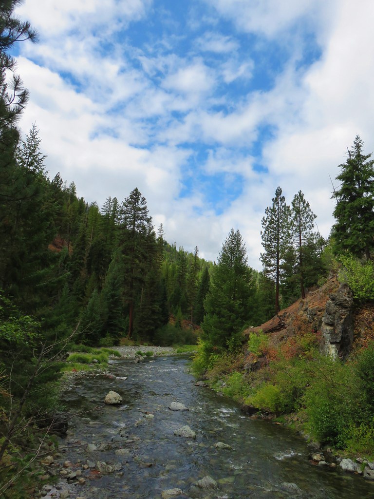
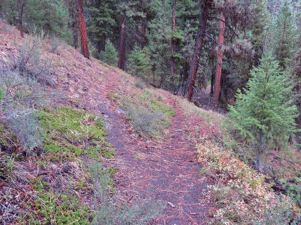
For a little over a mile the trail traversed the hillside above Granite Creek through open pine woods.
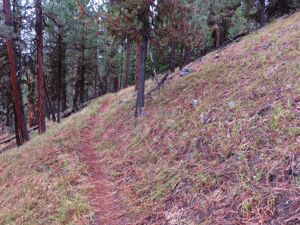

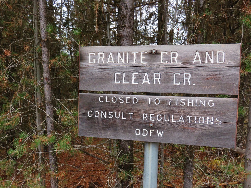
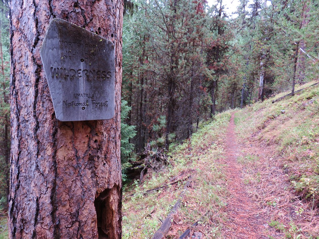
The trail then descended to a crossing of Indian Creek before entering the North Fork John Day Wilderness.
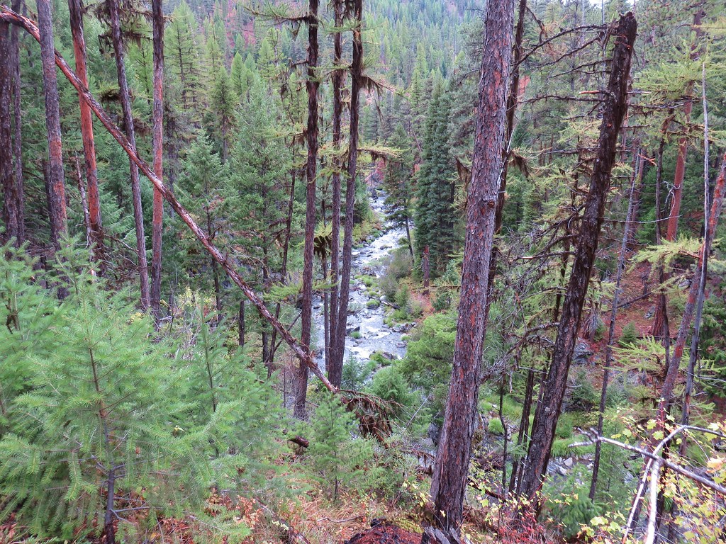
The trail was still above the creek but not quite as far above.
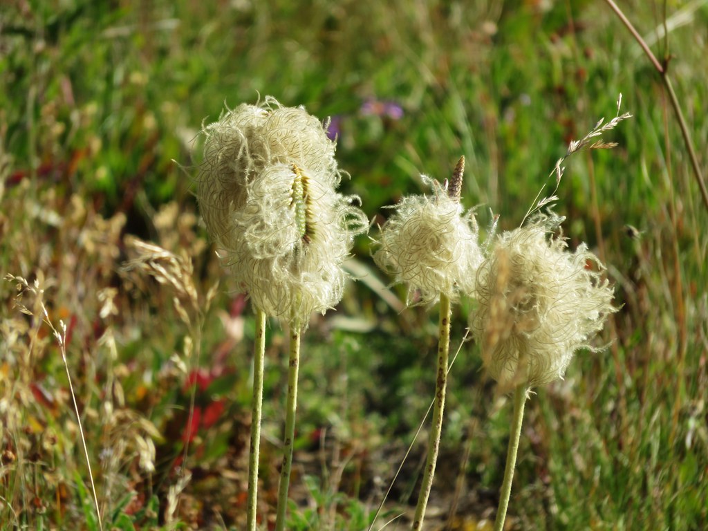
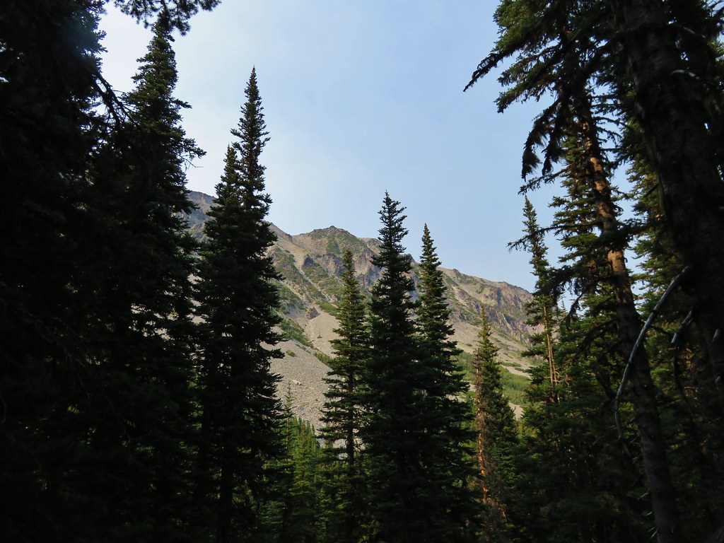
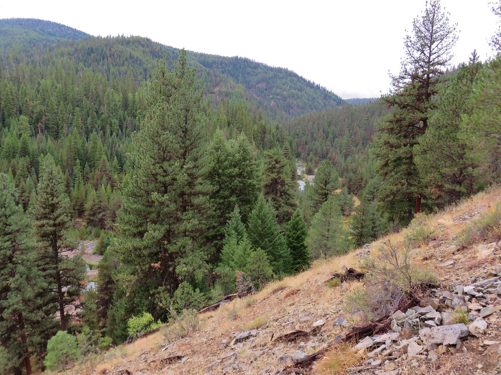
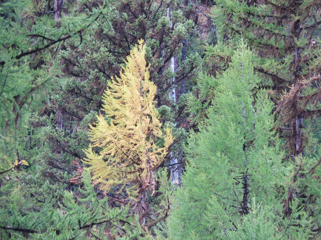
We had remarked on the variety of trees we were seeing in the forest here which included western larch trees. We spotted one that was already changing into its fall color.
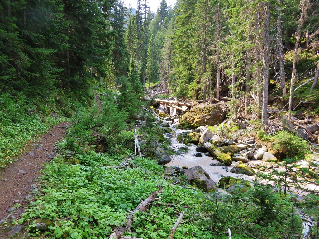
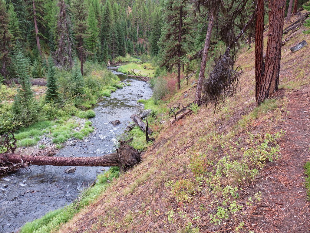
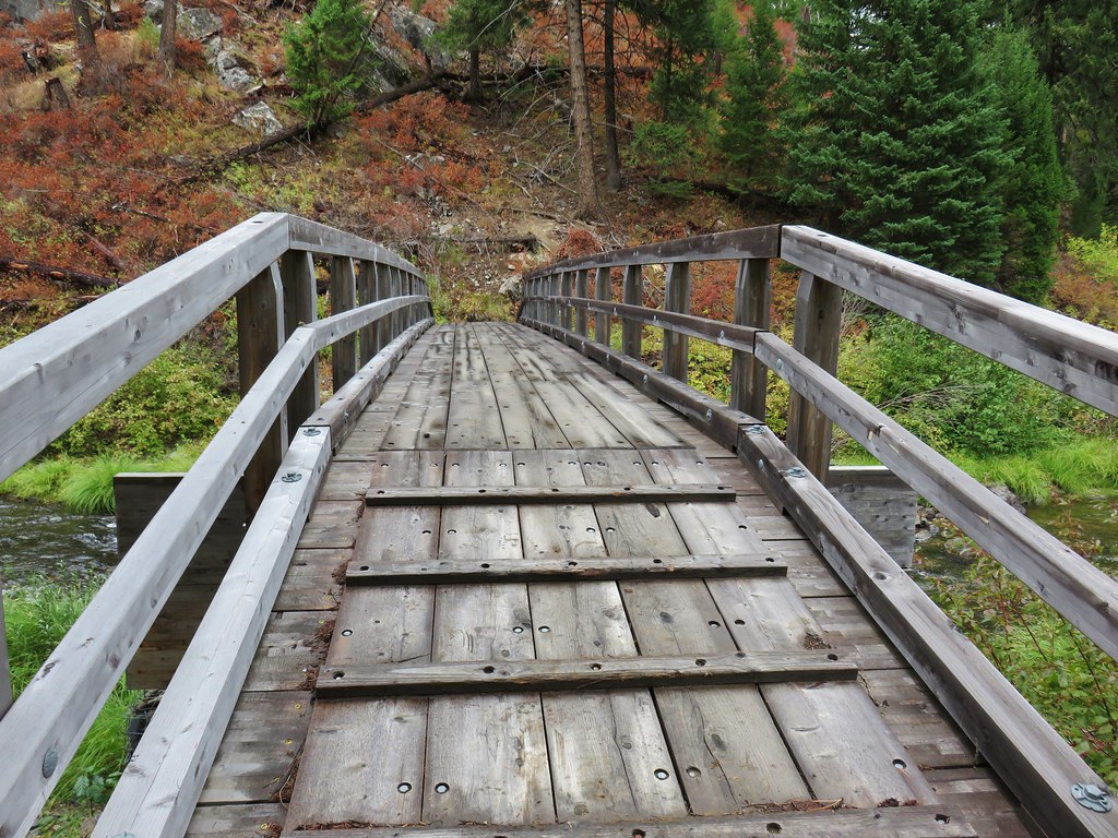
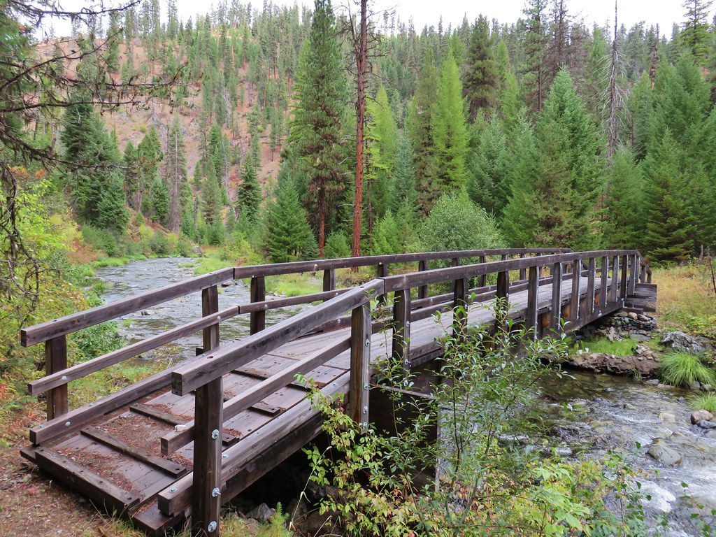
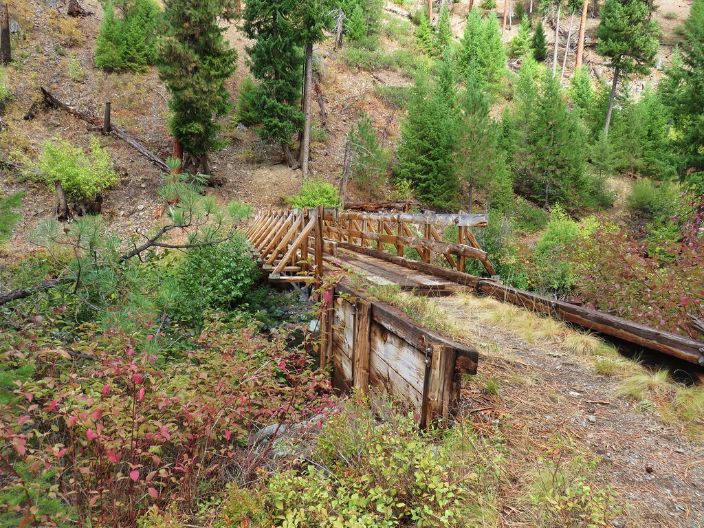
The forest around the trail shifted from open pine to a denser fir forest before crossing Granite Creek on a wide footbridge at the 2 mile mark.
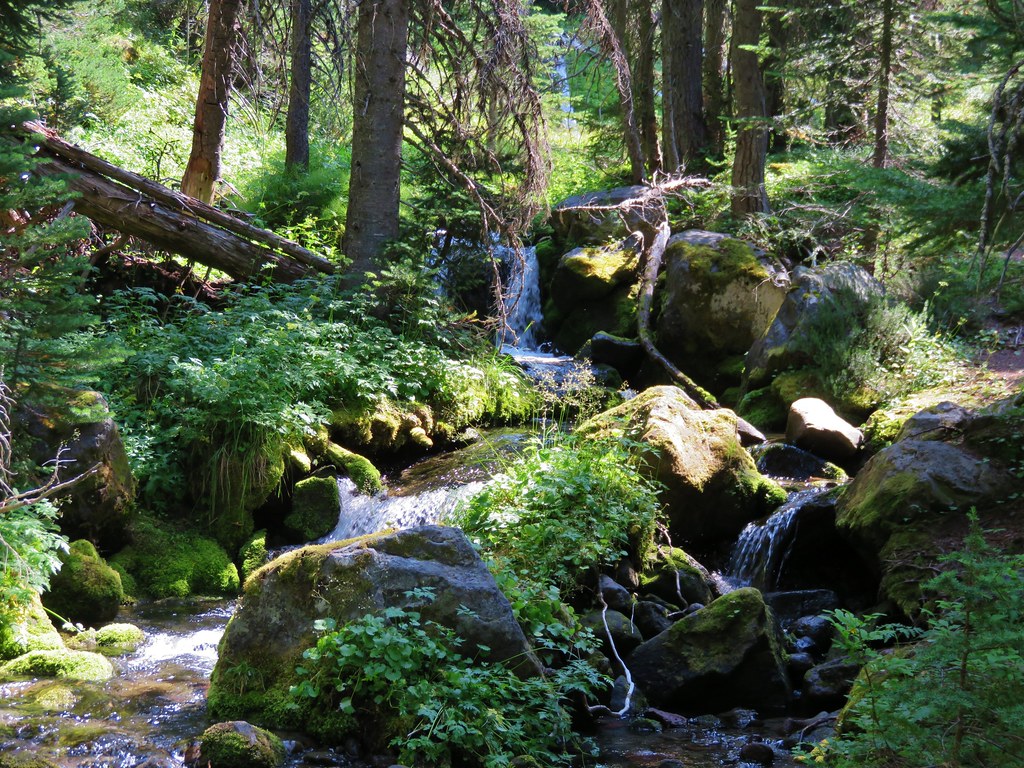
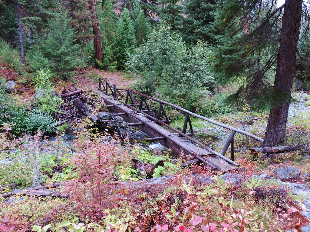
The trail once again climbed away from the creek before dropping back down to a log footbridge over Lake Creek.

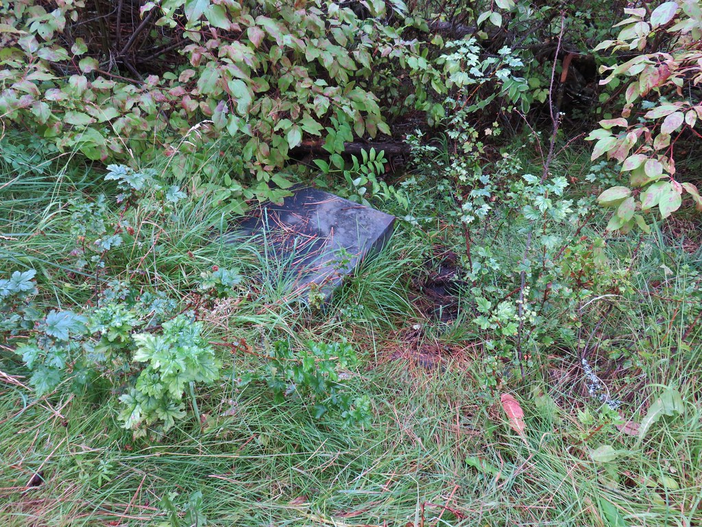
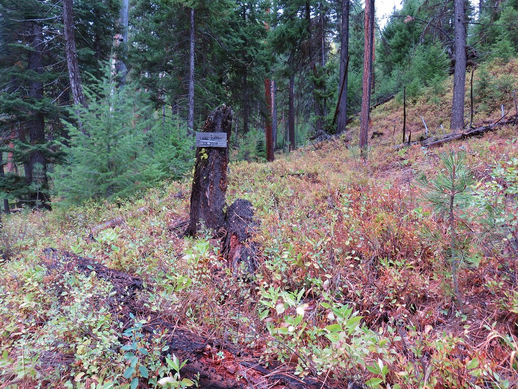
Near the 3 mile mark we passed a small wooden box housing Snowshoe Spring.
Two tenths of a mile later we passed the Lake Creek Trail coming downhill on the left.
A second crossing of Granite Creek followed .2 miles later.
Shortly after crossing the creek we arrived at the end of the Granite Creek Trail at the North Fork John Day River Trail.
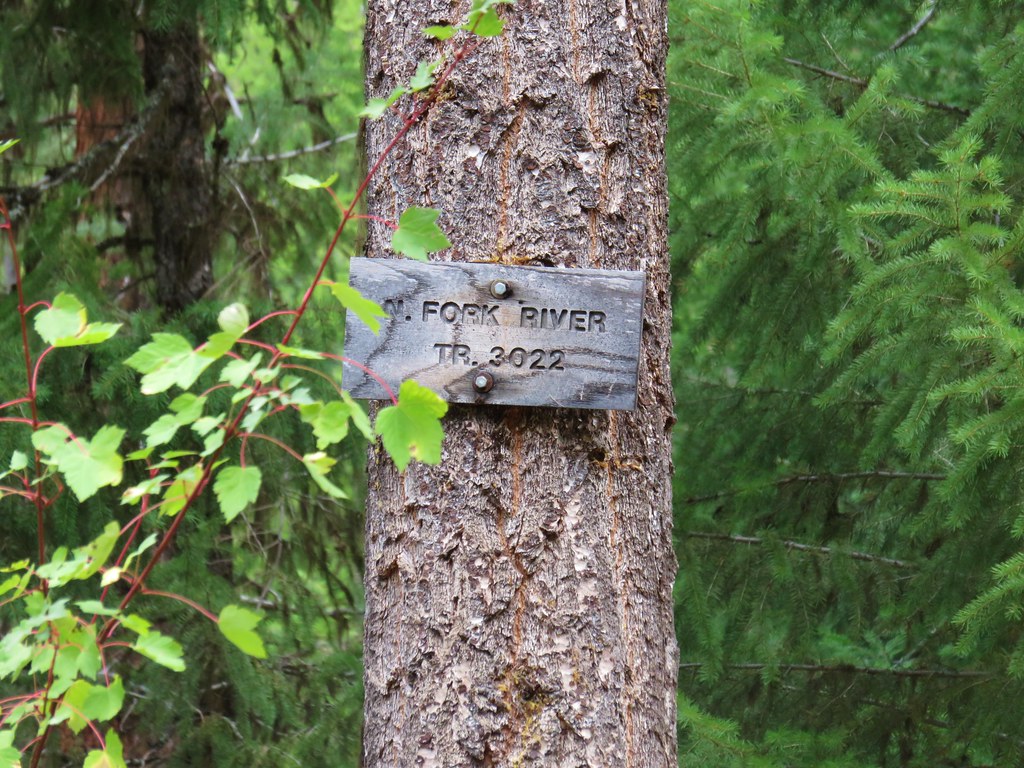
This was the same trail we’d started out on for our Tuesday hike.
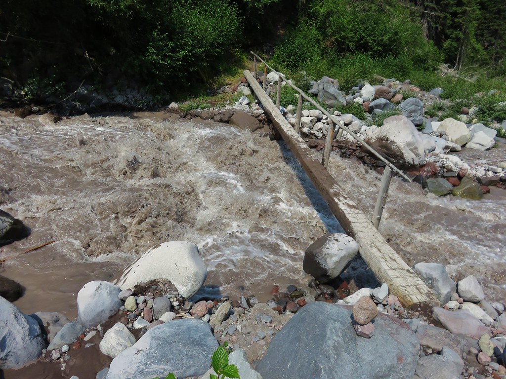
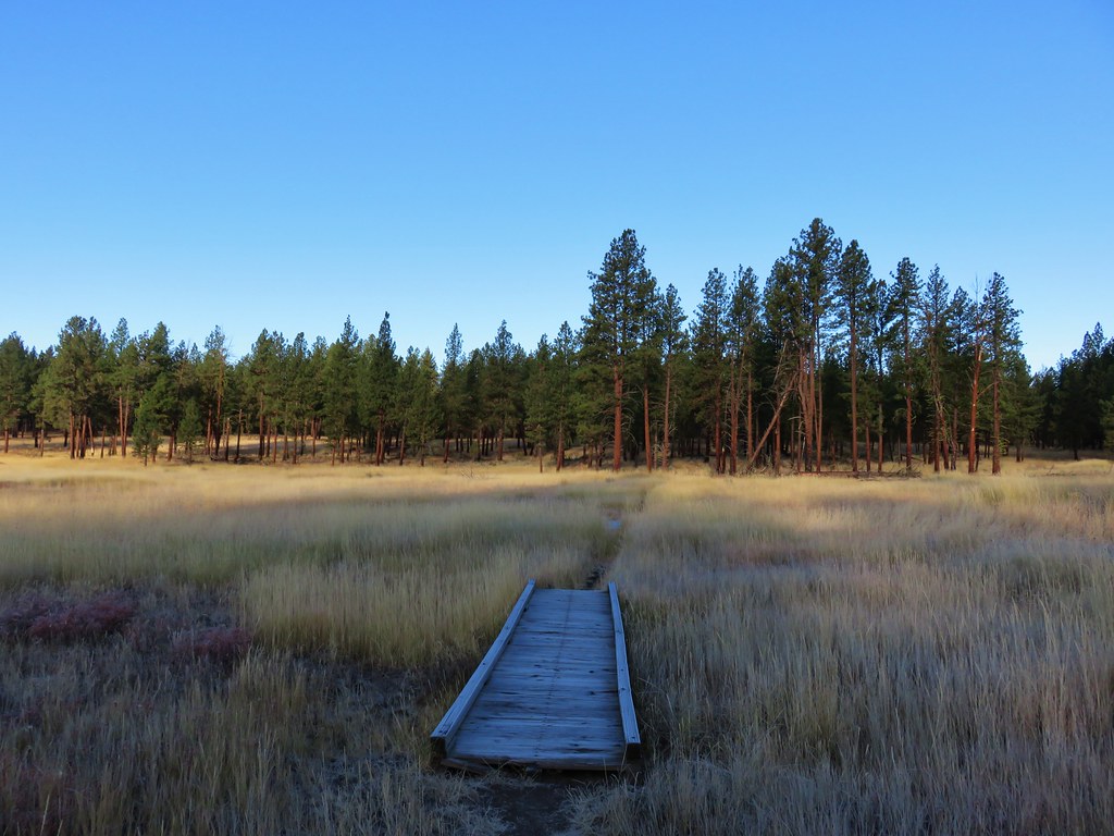
We continued on this trail just far enough to cross the river on a footbridge.
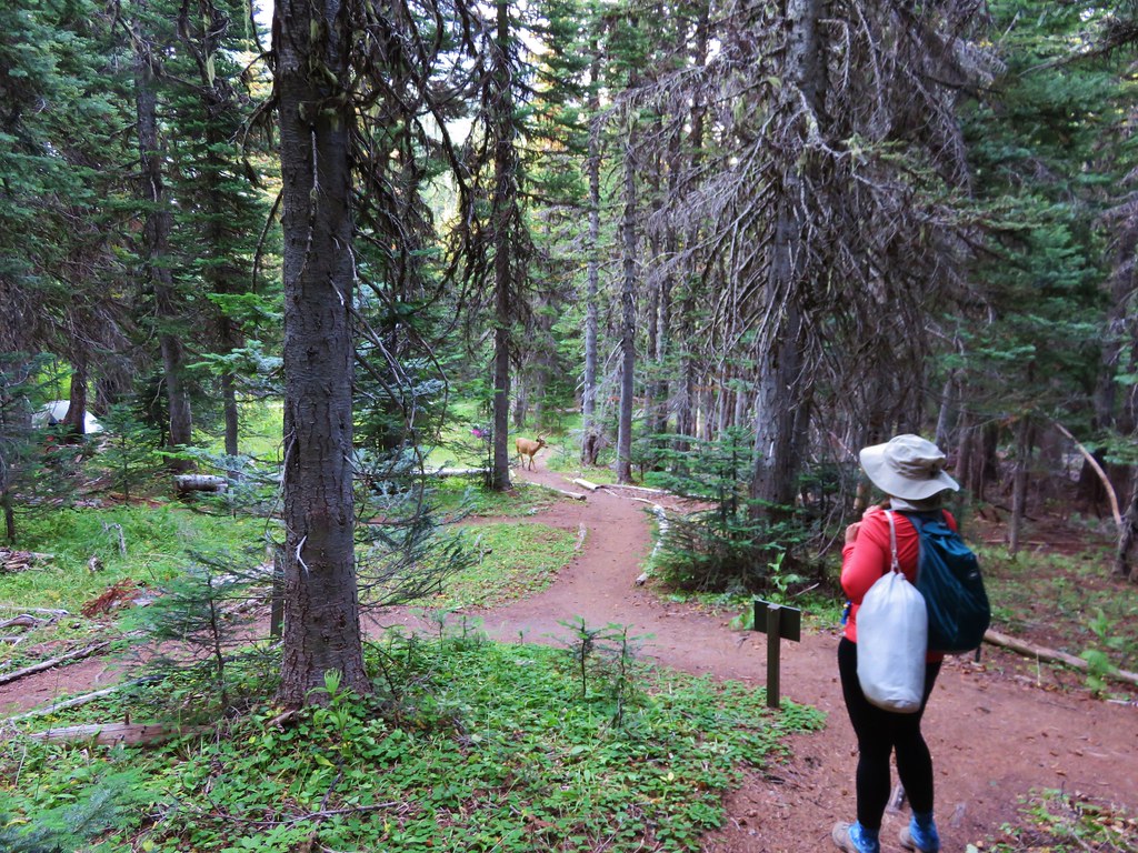
We returned the way we’d come but after 2 miles at a fork we headed downhill to the right where we joined the mining road.
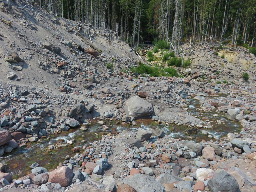
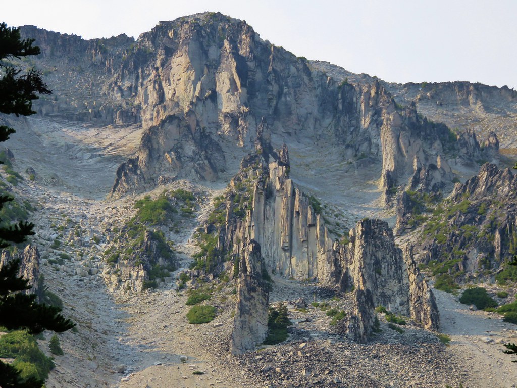
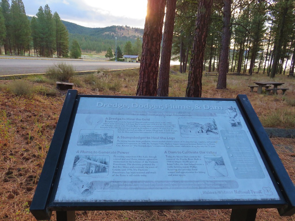
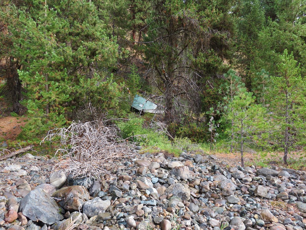
This road passed through mining tailings left over from dredges and hydraulic mining.
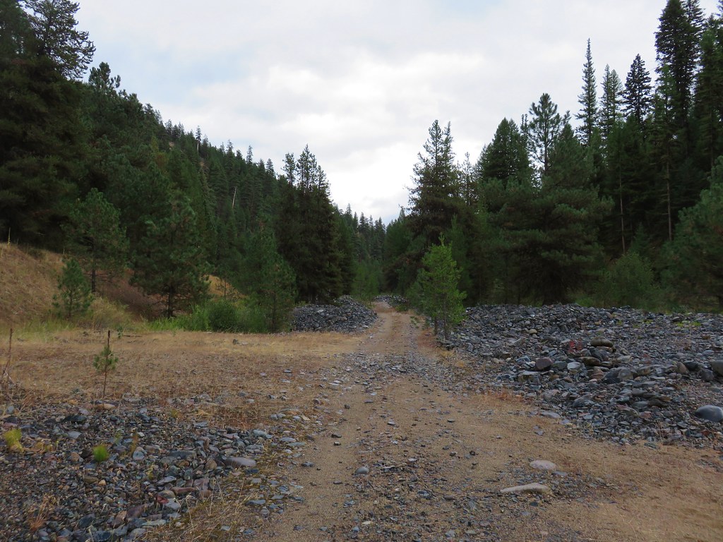
There are still active claims along the road so we stayed on it for the 1.3 miles back to the trailhead.
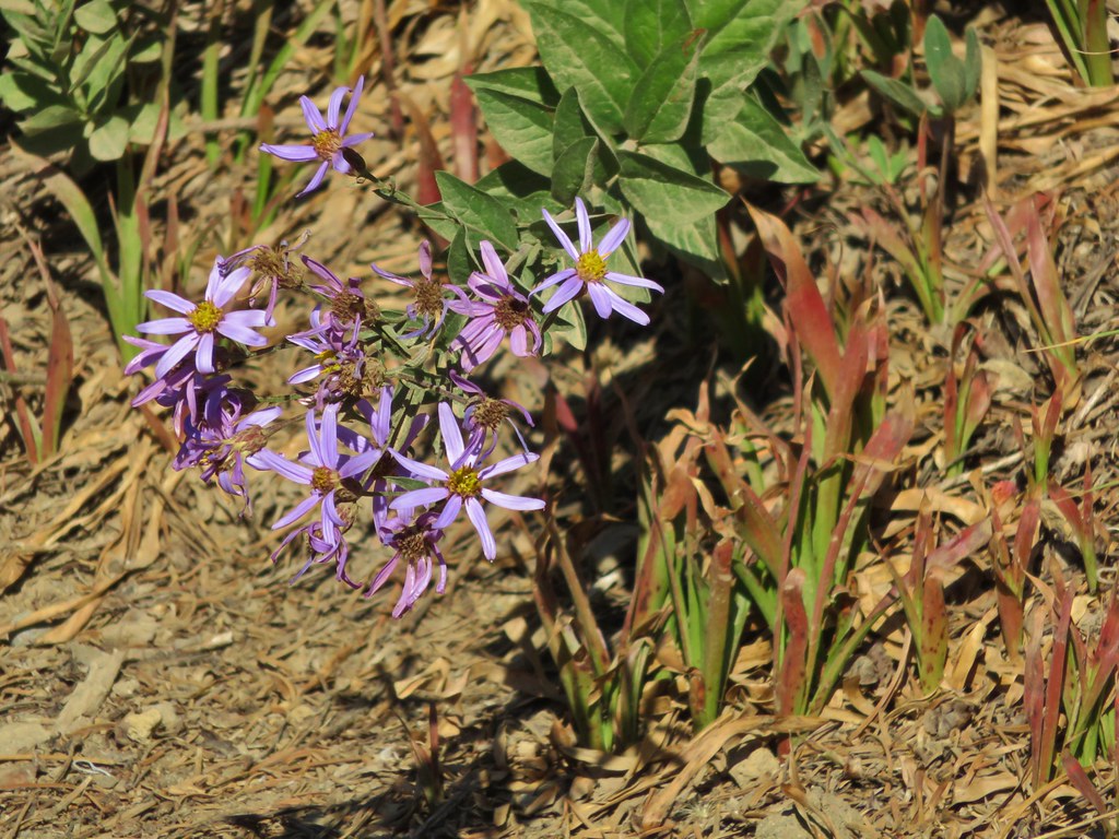
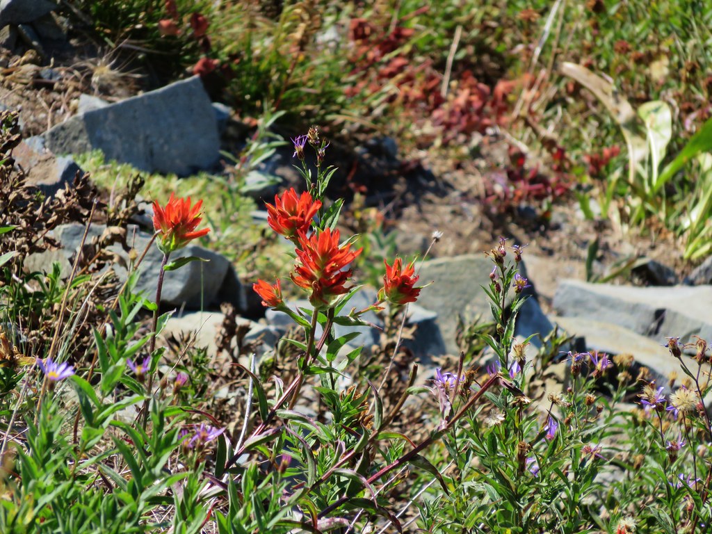
The total distance for this hike was 6.8 miles putting the two hikes combined at 13.1 miles. The weather had been about as good as we could have asked for and we’d stayed reasonably dry other than our shoes due to the wet vegetation. It was a relaxing end to our week hiking in the Blue Mountains.
On our way back to the Sumpter Stockade we noticed that the corn dog cart (Cajun Concessions) was open even though it was Thursday. After dropping off our hiking gear in our room we walked up the street and each got a hand dipped corn dog and cheese stick. It was now a perfect ending to our stay in Sumpter. Happy Trails!