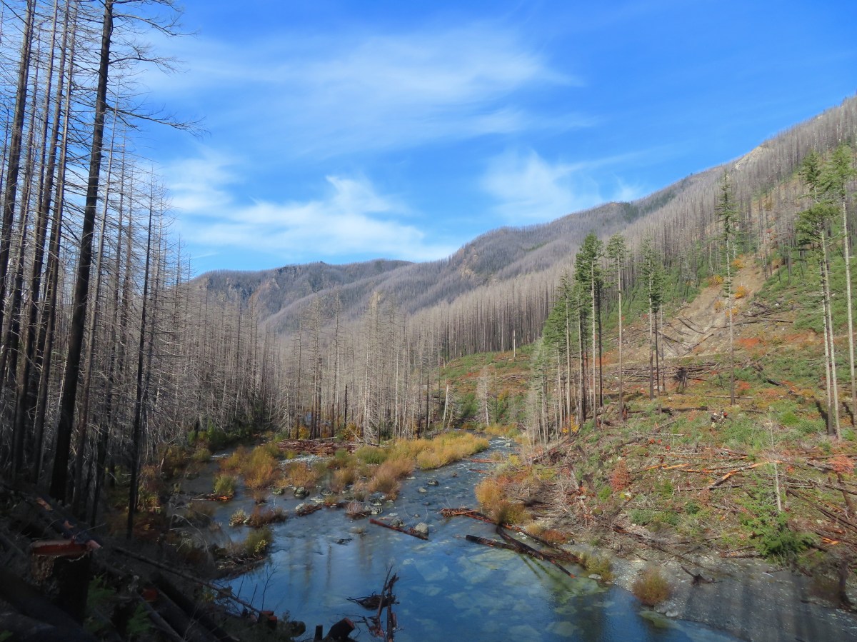
A number of trails and recreation areas in the Central Cascades have been closed since the Labor Day fires in 2020. A few of the remaining closures were lifted on 10/21/2026 when the Willamette National Forest updated their Beachie Creek and Lionshead Fires Closure Order. The Little North Santiam West Trailhead was one of the newly opened sites allowing access to the Little North Santiam Trail. (The Little Santiam East Trailhead remains closed.) We had hiked the Little North Santiam Trail way back in April 2012 (post) but had not been able to hike the entire 4.4-miles due to the bridge over Little Cedar Creek having been washed out. It had been on our list of hikes to revisit since then, but we hadn’t gotten back to it before its closure. After seeing the trail reopening reported by the Statesman Journal, I double checked the Forest Service closure map and updated order to verify, and everything checked out so we decided to make it our next hike.
We made our way to the trailhead using the current detour over Gates Hill Road due to North Fork Road being closed for construction through 5pm on 11/03/2026.

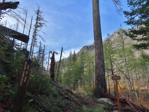
While the Forest Service had updated their website they hadn’t sent anyone out to update the trailhead information.

The barricade was turned and moved but still in the road.
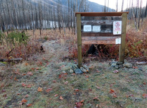
Closure signs still on the signboard. They reference 36CFR 261-53 which governs special closures and restrictions created by orders. With the 10/21/2026 now in place this no longer applies.
It was right around freezing when we set off through the fire scar and headed down toward the river which was covered in a layer of fog.


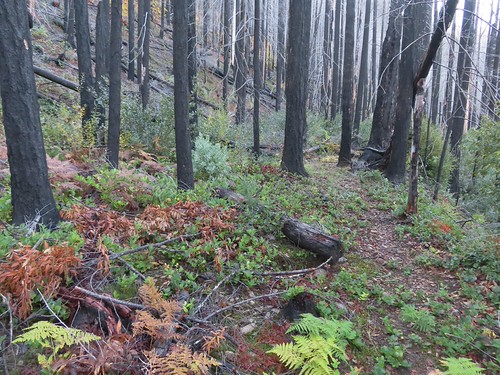
The trail was overgrown in many places with flagging present to help locate the tread.


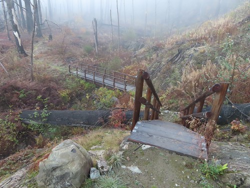
New bridges have been put in place.
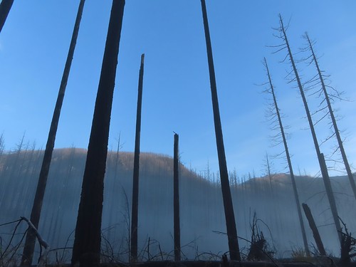
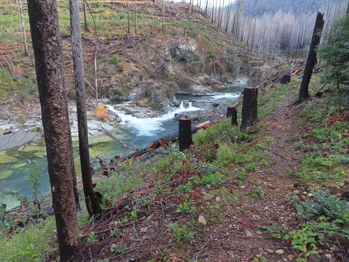
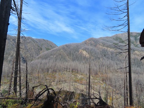
The fire burned nearly all of the trees along the route which opened up views.


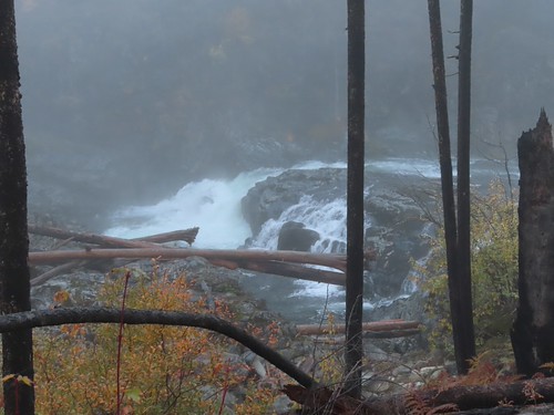
Little North Santiam Falls
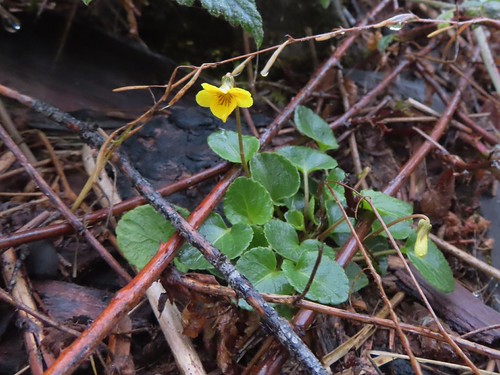
Evergreen violet

The trail was overrun by trailing blackberry in many places which was a huge annoyance as the vines were working hard to make us trip.

Salal


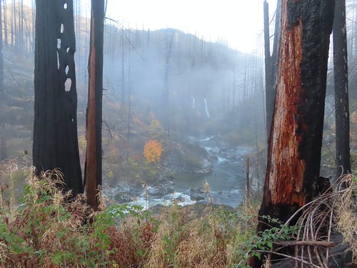
Triple Falls along Henline Creek in the distance. (It was more of a double falls today.)

At the 1.2-mile mark the trail arrives across from Triple Falls.


Beyond Triple Falls the trail became even rougher than it had been as it climbed away from the river. For the most part the fallen trees had been cut but there were a few smaller ones that appeared to have fallen more recently that needed to be navigated.


In several cases the downed trees were tall enough to leave.


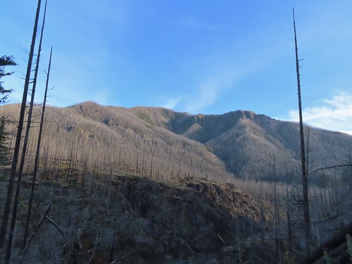
Henline Mountain which we hiked just three months before the 2020 fire remains closed (post).
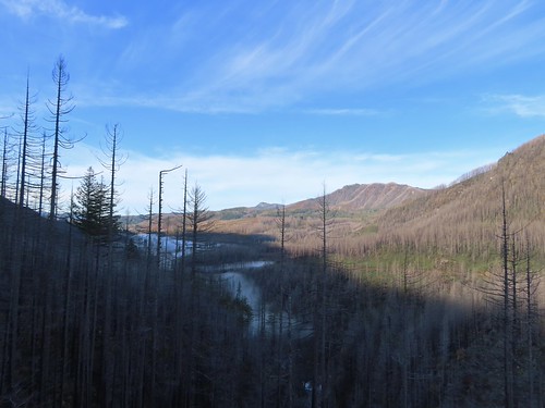
Looking back along the river.
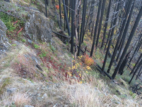
Looking back down the trail at Heather making her way up.

View further up the canyon. The peak in the distance to the left is Whetstone Mountain (post).
At the crest of the trail conditions got even rougher and the flagging became increasingly important. At times it felt like we were playing a game of find the flag.
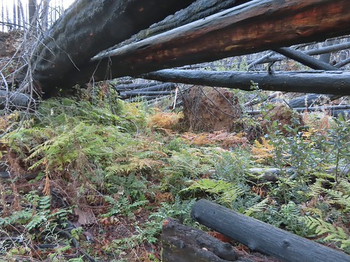


Just over 2-miles from the trailhead, on the descent back down to the river, we came to a downed tree that caused us to pause.

I cleared a couple of branches creating enough space to squeeze underneath next to the hillside. Heather decided she’d had enough adventure for the day though, so she decided to head back while I attempted to continue on. The conditions improved when the trail leveled out although the blackberry vines were back in force for about a quarter of a mile.

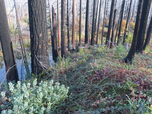
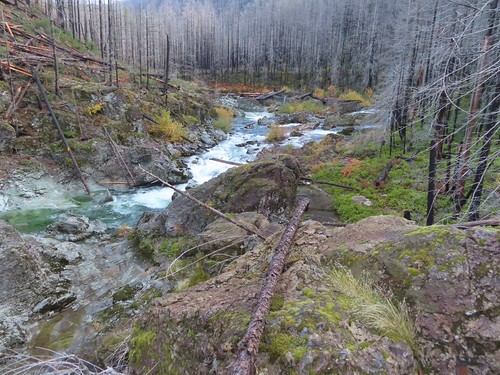
For the next two miles the trail stuck close to the river. The clear water provided numerous beautiful views.


Pacific wren


Vine maple


One of a couple small stream crossings.

The (still closed) Three Pools Recreation Site on the far side of the river.


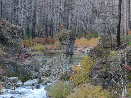
Rock pillar at Three Pools.
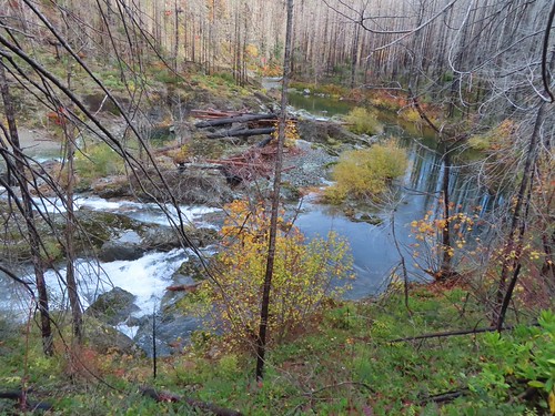

Looking back toward Three pools.


The footbridge over Little Cedar Creek. This is where we were turned back in 2012.
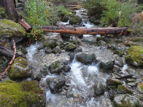
Little Cedar Creek
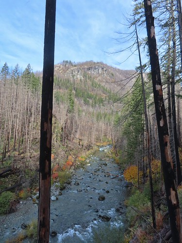
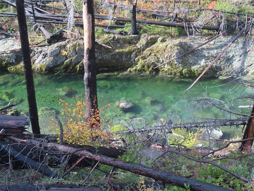
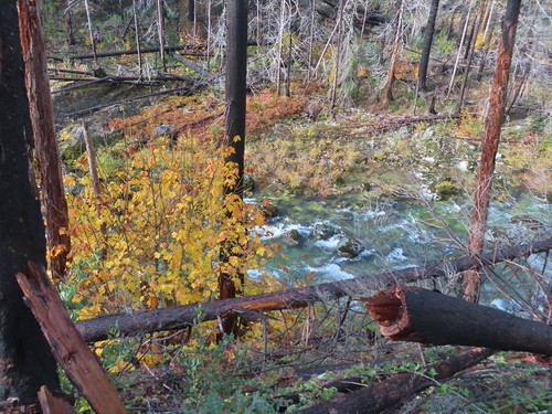

Some trees near FR 2207 survived the fire.

The FR 2207 bridge over the river.

FR 2207 with the Little North Santiam East Trailhead on the far side.
I turned around at the road and headed back.

It was a fairly quiet hike back other than my occasional frustration with the berry vines.



I was surprised to see this rhododendron blooming.

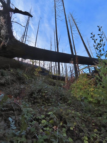
Some of the climbs like this one felt very steep.
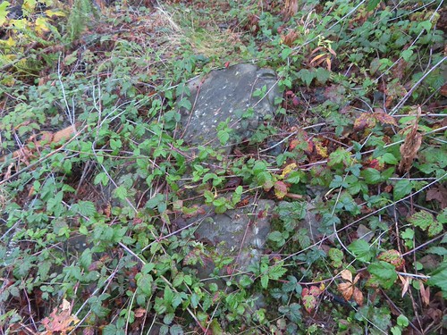
This combo of blackberry vines and slick rock almost got me.


Heading down to one of the footbridges.

Bleeding heart
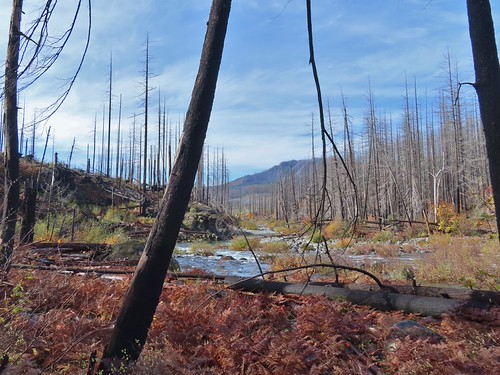

Due to the overgrown trail conditions this was a fairly hard 8.8-mile, 900′ elevation gain hike.
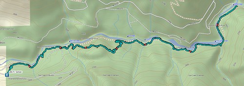
We only saw two other hikers, likely due to lack of awareness that the trail is finally back open. Hopefully some trail work will be done to brush things out and shore up some of the tread. Given the fire damage there will likely need to be ongoing maintenance for a while to keep the trail clear. Regardless it was great to get the chance to hike this trail again. Happy Trails!
Flickr: Little North Santiam

