Categories
Bull of the Woods/Opal Creek Hiking Old Cascades Oregon Trip report

Little North Santiam River – 10/31/2026

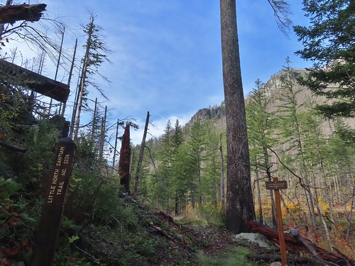
A number of trails and recreation areas in the Central Cascades have been closed since the Labor Day fires in 2020. A few of the remaining closures were lifted on 10/21/2026 when the Willamette National Forest updated their Beachie Creek and Lionshead Fires Closure Order. The Little North Santiam West Trailhead was one of the newly opened sites allowing access to the Little North Santiam Trail. (The Little Santiam East Trailhead remains closed.) We had hiked the Little North Santiam Trail way back in April 2012 (post) but had not been able to hike the entire 4.4-miles due to the bridge over Little Cedar Creek having been washed out. It had been on our list of hikes to revisit since then, but we hadn’t gotten back to it before its closure. After seeing the trail reopening reported by the Statesman Journal, I double checked the Forest Service closure map and updated order to verify, and everything checked out so we decided to make it our next hike.

We made our way to the trailhead using the current detour over Gates Hill Road due to North Fork Road being closed for construction through 5pm on 11/03/2026.
IMG_2860

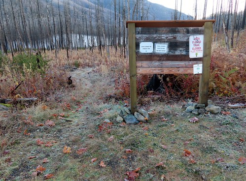
While the Forest Service had updated their website they hadn’t sent anyone out to update the trailhead information.
IMG_2863
The barricade was turned and moved but still in the road.

IMG_2862
Closure signs still on the signboard. They reference 36CFR 261-53 which governs special closures and restrictions created by orders. With the 10/21/2026 now in place this no longer applies.

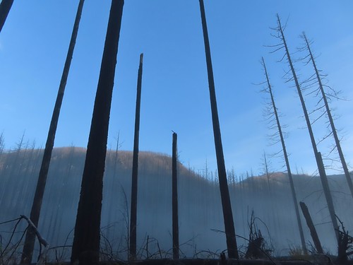
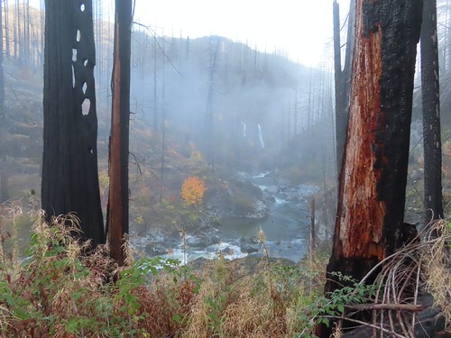
It was right around freezing when we set off through the fire scar and headed down toward the river which was covered in a layer of fog.
IMG_2864

IMG_2866

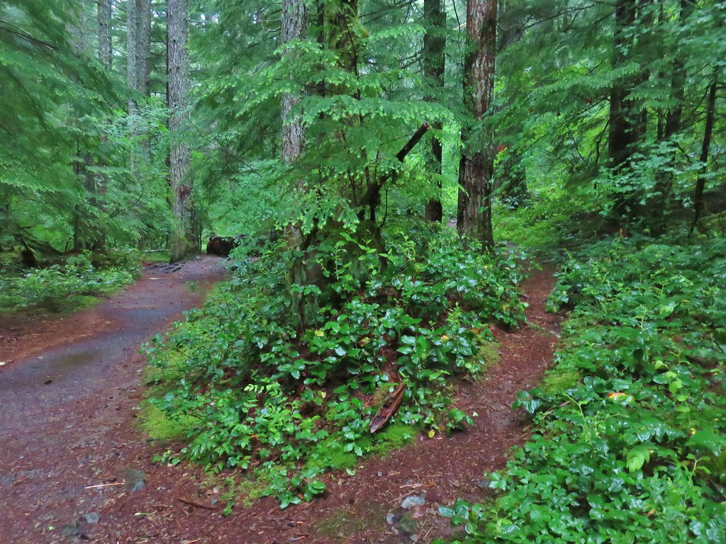
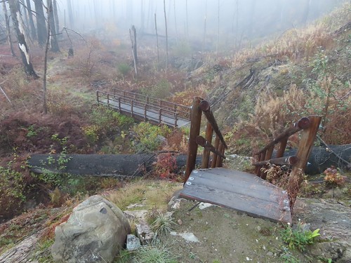
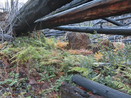
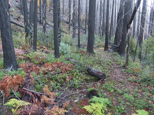
The trail was overgrown in many places with flagging present to help locate the tread.
IMG_2868

IMG_2869
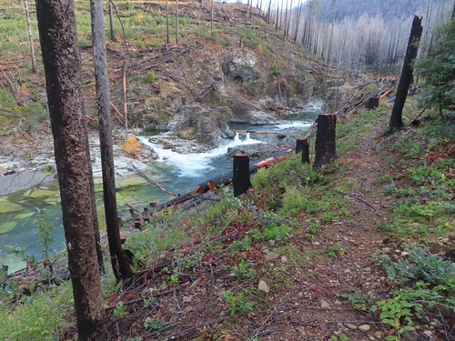
New bridges have been put in place.

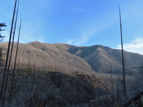
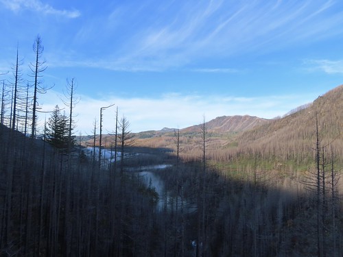
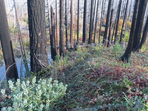
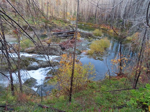
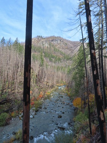
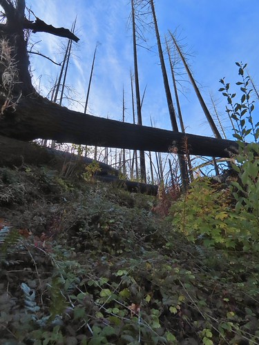
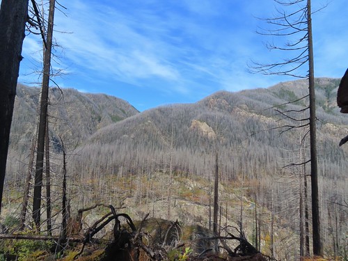
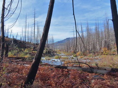
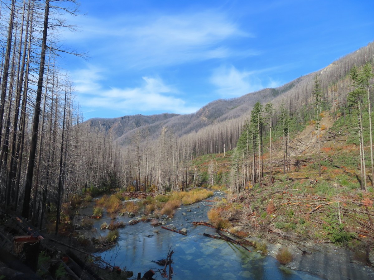
The fire burned nearly all of the trees along the route which opened up views.
IMG_2870

IMG_2872

IMG_2877

IMG_2878

IMG_2879

IMG_2885
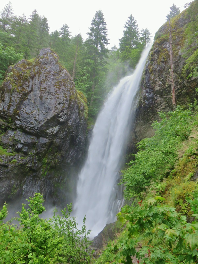
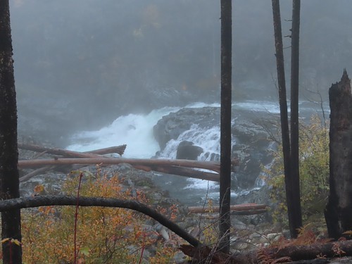
Little North Santiam Falls

IMG_2889
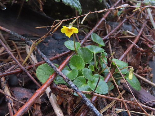
Evergreen violet

IMG_2890
The trail was overrun by trailing blackberry in many places which was a huge annoyance as the vines were working hard to make us trip.

IMG_2893
Salal

IMG_2895

IMG_2900

IMG_2901
Triple Falls along Henline Creek in the distance. (It was more of a double falls today.)

IMG_2907

At the 1.2-mile mark the trail arrives across from Triple Falls.
IMG_2916

IMG_2918

Beyond Triple Falls the trail became even rougher than it had been as it climbed away from the river. For the most part the fallen trees had been cut but there were a few smaller ones that appeared to have fallen more recently that needed to be navigated.
IMG_2919

IMG_2920
In several cases the downed trees were tall enough to leave.

IMG_2922

IMG_2927

IMG_2929
Henline Mountain which we hiked just three months before the 2020 fire remains closed (post).

IMG_2935
Looking back along the river.

IMG_2934
Looking back down the trail at Heather making her way up.

IMG_2940
View further up the canyon. The peak in the distance to the left is Whetstone Mountain (post).

At the crest of the trail conditions got even rougher and the flagging became increasingly important. At times it felt like we were playing a game of find the flag.
IMG_2941

IMG_2943

IMG_2944

IMG_2945

IMG_2947

IMG_2950

Just over 2-miles from the trailhead, on the descent back down to the river, we came to a downed tree that caused us to pause.
IMG_3083

I cleared a couple of branches creating enough space to squeeze underneath next to the hillside. Heather decided she’d had enough adventure for the day though, so she decided to head back while I attempted to continue on. The conditions improved when the trail leveled out although the blackberry vines were back in force for about a quarter of a mile.
IMG_2952

IMG_2955

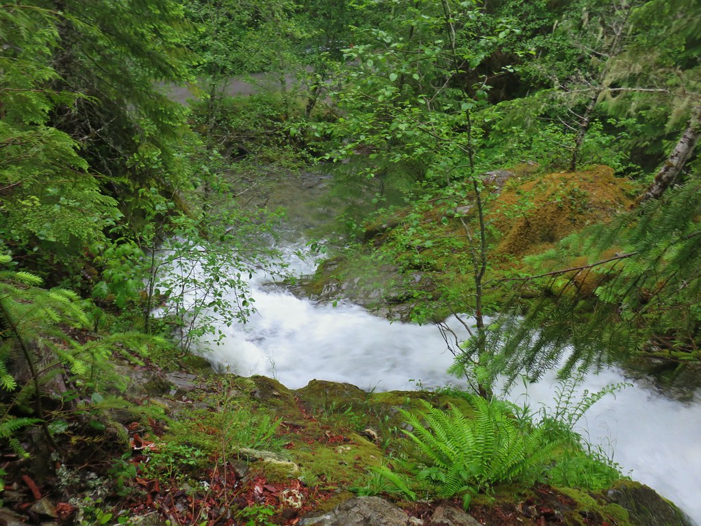
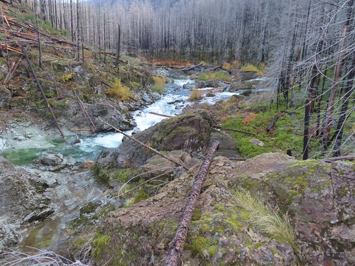
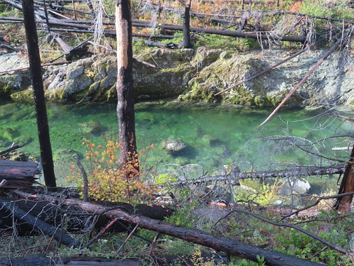
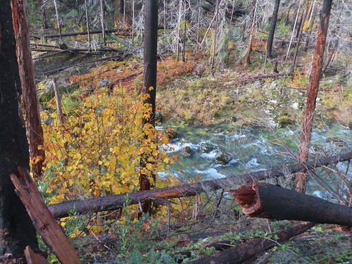
For the next two miles the trail stuck close to the river. The clear water provided numerous beautiful views.
IMG_2956

IMG_2957
Pacific wren

IMG_2959

IMG_2964
Vine maple

IMG_2968

IMG_2973

IMG_2977
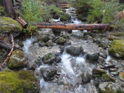
One of a couple small stream crossings.

IMG_2981
The (still closed) Three Pools Recreation Site on the far side of the river.

IMG_2982

IMG_2985

IMG_2986

IMG_2987
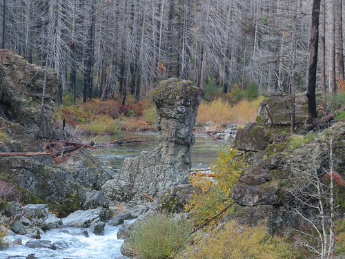
Rock pillar at Three Pools.

IMG_2989

IMG_2995

IMG_2997

IMG_3001
Looking back toward Three pools.

IMG_3009

IMG_3010

IMG_3013
The footbridge over Little Cedar Creek. This is where we were turned back in 2012.

IMG_3015
Little Cedar Creek

IMG_3021

IMG_3024

IMG_3027

IMG_3032
Some trees near FR 2207 survived the fire.

IMG_3038
The FR 2207 bridge over the river.

IMG_3040
FR 2207 with the Little North Santiam East Trailhead on the far side.

I turned around at the road and headed back.
IMG_3044

IMG_3045

It was a fairly quiet hike back other than my occasional frustration with the berry vines.
IMG_3050

IMG_3058

IMG_3060

IMG_3063
I was surprised to see this rhododendron blooming.

IMG_3067

IMG_3084
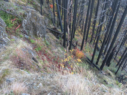
Some of the climbs like this one felt very steep.

IMG_3088

IMG_3094
This combo of blackberry vines and slick rock almost got me.

IMG_3098

IMG_3100
Heading down to one of the footbridges.

IMG_3101
Bleeding heart

IMG_3117

IMG_3122

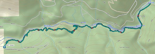
Due to the overgrown trail conditions this was a fairly hard 8.8-mile, 900′ elevation gain hike.
Screenshot 2026-11-01 085501

We only saw two other hikers, likely due to lack of awareness that the trail is finally back open. Hopefully some trail work will be done to brush things out and shore up some of the tread. Given the fire damage there will likely need to be ongoing maintenance for a while to keep the trail clear. Regardless it was great to get the chance to hike this trail again. Happy Trails!

Flickr: Little North Santiam

Categories
Bull of the Woods/Opal Creek Hiking Old Cascades Oregon Trip report

Henline Falls and Henline Mountain – 06/14/2020

**Note the 2020 Beachie Creek Fire burned the area covered by this hike.**

While 2010 is the year we consider the year we started hiking there were a few outings prior to 2009 that prompted our desire to become hikers. It took us a while to find our groove and 2009 was a good example of this. We were interested in hiking but didn’t really know what we were doing. We had a single guidebook (printed in 2004) that contained 280 hikes throughout the state but was light on the details of each hike. The book did have a very helpful 10 page section on hiking tips though that we took to heart. We had hoped to hike more regularly in 2009 but had a hard time deciding on where to go, often leaving it up to the day before of even the day we were thinking of hiking to decide where to go. That often resulted in a deferral to “next weekend” leaving us with only a couple of outings.

The only 2009 outing that we have photos from was our hike to Henline Falls in the Opal Creek Wilderness. Ironically this hike wasn’t in our guidebook but was suggested by a co-worker. At 2 miles round trip this was a hike we knew we could do, but being new to hiking it didn’t occur to us at the time that a July 27th outing was a little late in the year to see Henline Falls with anywhere near peak water volume.
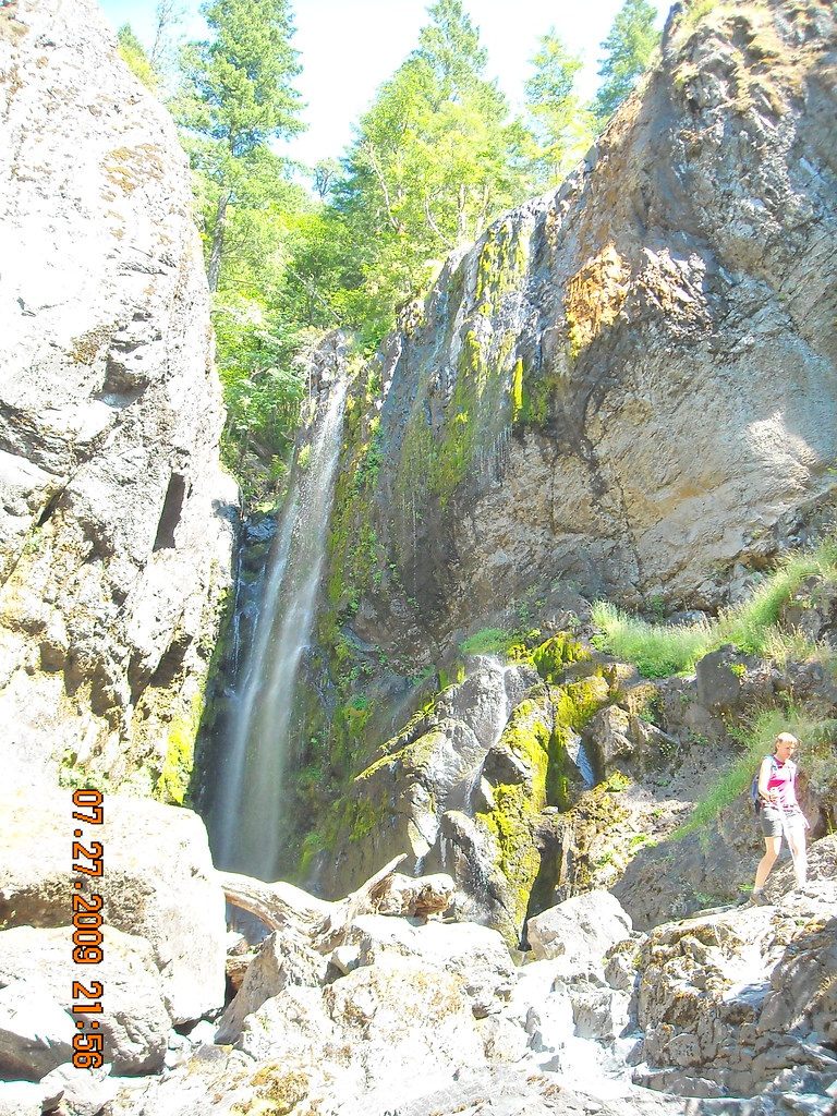
Henline Falls

We were less than impressed with the waterfall that day and decided to also try the nearby Henline Mountain Trail which was also mentioned by my co-worker. We didn’t get far up that trail at all before the climb took it’s toll on certain members of our group (I won’t name names but you know who you are. :)) balked at the difficulty and we turned around.

Ten years and 10 1/2 months later it was finally time go back and finish the Henline Mountain Trail and revisit Henline Falls when there would be more water. The forecast called for a 30% chance of showers early, but later in the day for mostly sunny skies. Since starting early is what we do we were ready for some potentially wet conditions but it didn’t seem too bad as we drove through Elkhorn and to the junction of FR 2209 & 2207. The trailheads for Henline Falls and Henline Mountain are on FR 2209 but we had planned on making a quick stop at Sullivan Creek Falls along FR 2207 before starting our hikes.

We turned onto FR 2207 and followed it for 3.8 rough and wet miles to a pullout opposite Sullivan Creek Falls.
IMG_5459

There were scramble trails on either side of the cascade with the one on the right hand side leading to a view part way up the falls.
IMG_5464

IMG_5466

IMG_5468The scramble trail.

It may have been possible to continue higher but it was really wet and slick so back down to the car I went. Heather was putting on her rain gear which I also did before driving back to FR 2209 and continuing to the Henline Falls Trailhead.
IMG_5474

We set off on the Henline Falls Trails which quickly entered the Opal Creek Wilderness.
IMG_5480

We were watching for the Ogle Mountain Trail which was approximately a half mile along the Henline Falls Trail. We were thinking of exploring this trail a bit after visiting the falls so we wanted to make sure we knew where it was. After passing a small trail that led into the brush we spotted the obvious Ogle Mountain Trail marked by an orange-red sign with an “X” on it.
IMG_5487Not the Ogle Mountain Trail.

IMG_5488The Ogle Mountain Trail on the right.

For now we kept left and continued another relatively level half mile to Henline Falls.
IMG_5507

IMG_5516

IMG_5513

This time we could see why the falls were popular. The water was blasting down into the splash pool generating a lot of wind and mist. We skipped visiting the old mine shaft that is near the fall this time due to the slick rocks.
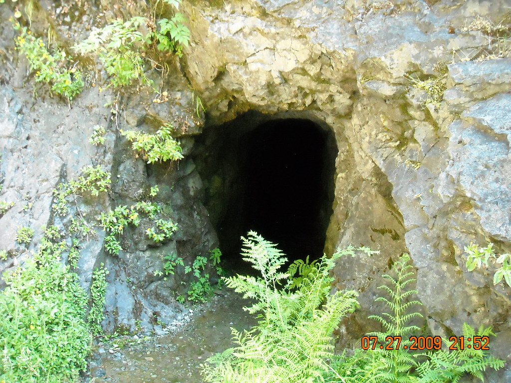
Abandoned mine shaft

After enjoying the falls we started back, briefly turning uphill on a steep trail that we thought might connect the Henline Falls and Ogle Mountain Trails, but we quickly turned around after consulting our GPS and seeing how much higher up the Ogle Mountain Trail was from where we were. We went back down to the Henline Falls Trail and followed it back to the junction with the Ogle Mountain Trail which we then turned up.
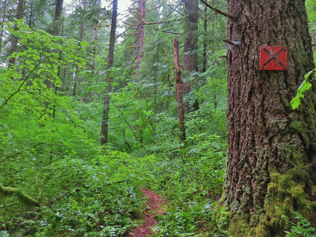
IMG_5536

The Ogle Mountain Trail used to extend all the way to the Ogle Mountain, but the mine is on private property and the trail now effectively ends at the forest boundary. We were wanting to scout it out for a possible hike some other time to attempt to visit some of the “Family of Falls” located above Henline Falls on Henline Creek. The trail climbed much more steeply than we had anticipated but we seemed to be starting to level out a bit after .2 miles which is when I spotted a fair amount of poison oak encroaching on the trail. That combined with the climb convinced us to let the Ogle Mountain Trail remain a mystery, at least for now. We retreated to the Henline Falls Trail and returned to our car which we then drove to the Henline Mountain Trailhead.
IMG_5548

It was still foggy but the rain had pretty much stopped as we started our climb up the Henline Mountain Trail. While there was some poison oak along the lower half of this trail it wasn’t crowding the trail like it had been on the Ogle Mountain Trial.
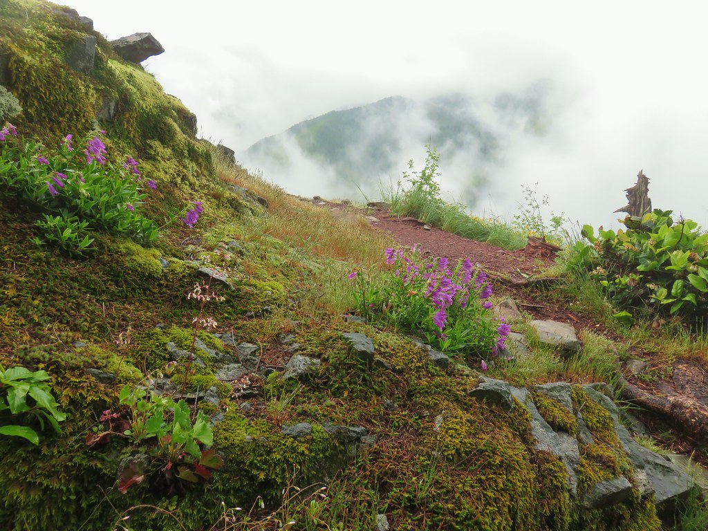
IMG_5559Penstemon with poison oak in the background along the trail near the trailhead.

This trail also quickly entered the Opal Creek Wilderness as it climbed relentlessly for 3 miles to the site of a former lookout.
IMG_5561

At the lower elevations we spotted a couple of flowers that we had yet to see this year.
IMG_5563Little prince’s pine

IMG_5567Twinflower

After a little over three quarters of a mile we came to short spur trail that led to a viewpoint above a talus slope which we had crossed earlier.
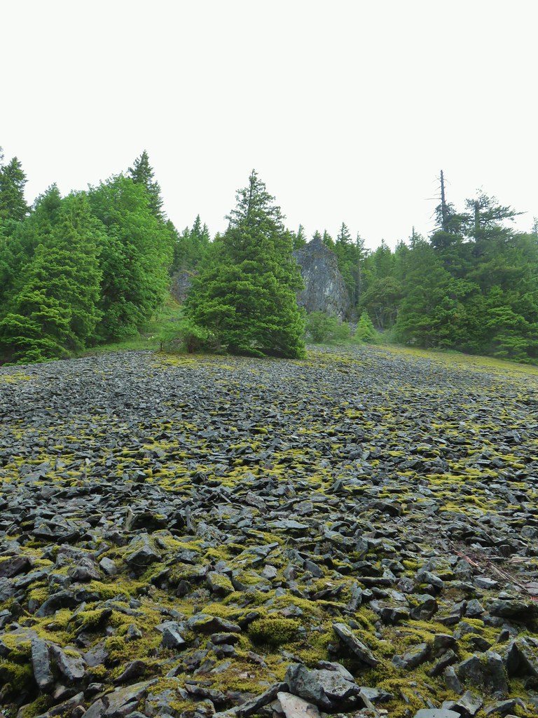
IMG_5584Looking up at the viewpoint from the talus slope.

IMG_5606Spur trail to the viewpoint.

We still weren’t anywhere near the mostly sunny segment of the day so there was a very limited view from the rocky outcrop.
IMG_5607

IMG_5611The trail passing through the talus slope below.

A quarter mile later we came to a second, larger viewpoint.
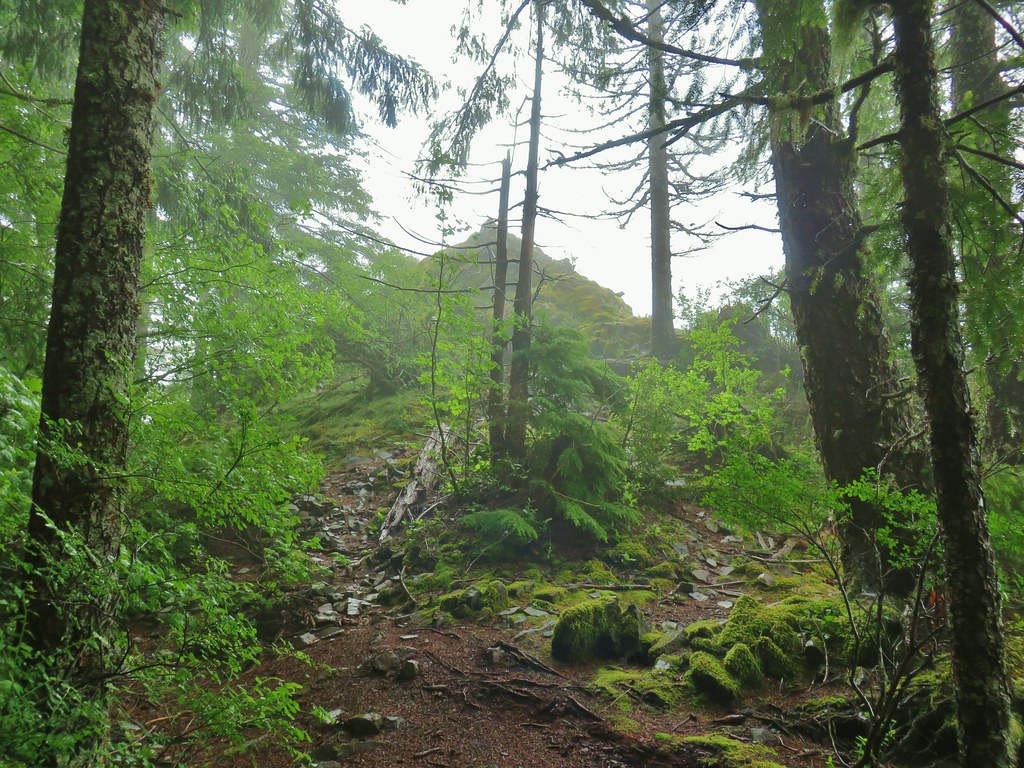
IMG_5622

IMG_5624Penstemon at the viewpoint.

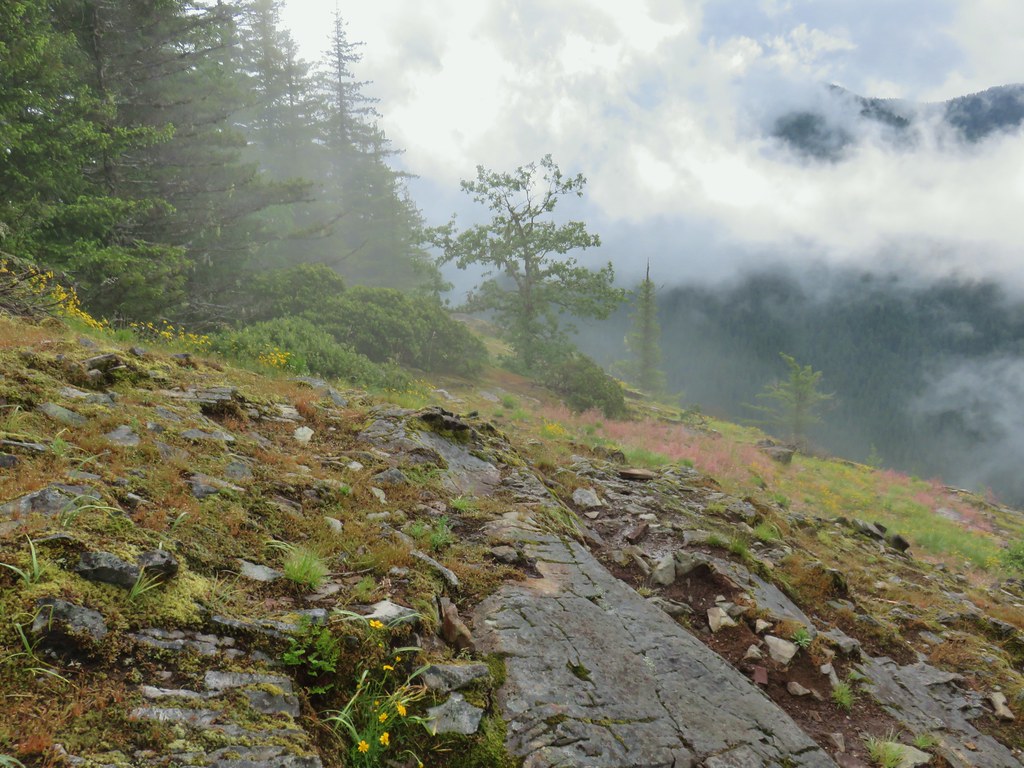
IMG_5628Oregon sunshine

IMG_5630

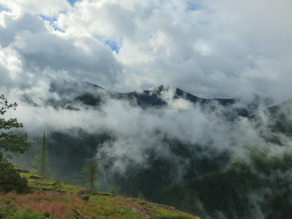
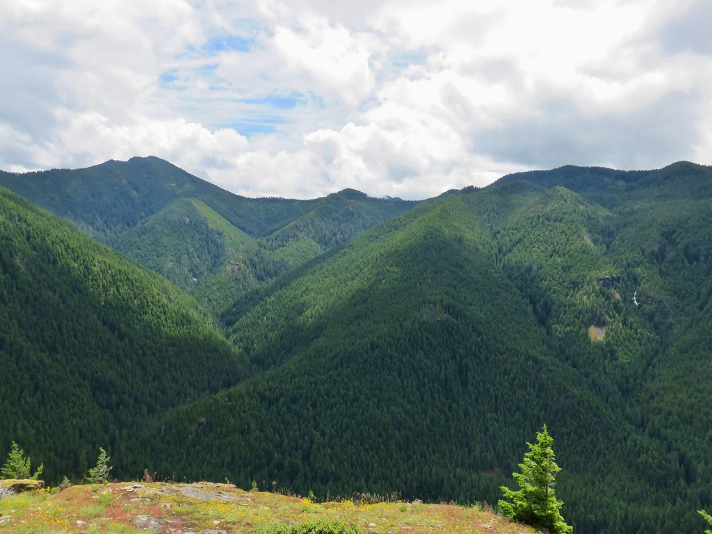
IMG_5634I believe that is Rocky Top behind the clouds.
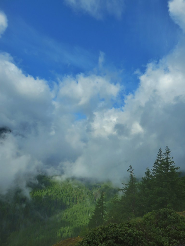
IMG_5639Blue sky to the west.

We continued climbing from this second viewpoint trading the occasional poison oak in for the more enjoyable beargrass and rhododendron blooms.
IMG_5640

IMG_5643

Despite the Sun making an occasional appearance we remained mostly in fog as we climbed. We kept our eyes out for different flowers along the way.
Neottia banksiana - Northwestern twaybladeNorthwestern twayblade

IMG_5672

IMG_5667Penstemon

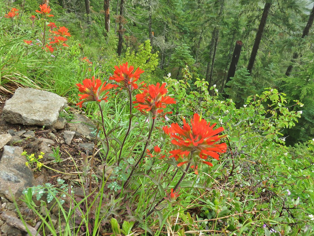
IMG_5679Paintbrush

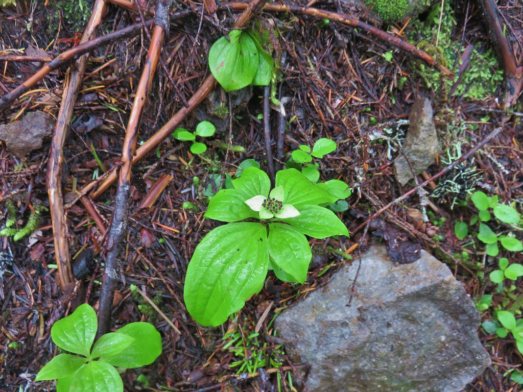
IMG_5682Bunchberry

IMG_5680

IMG_5692Trillium

IMG_5694

IMG_5705Penstemon (cliff beardtongue)

IMG_5708Oregon sunshine

At a switchback at the three mile mark we took a spur trail to the right to the former lookout site.
IMG_5728

Instead of sitting at the summit of Henline Mountain the lookout was near a ridge end a mile from the summit and over 400′ lower.
IMG_5730The ridge end beyond where the lookout was.

IMG_5731Looking back toward the summit of Henline Mountain (it is beyond and above the visible trees).

There had been increasing breaks in the clouds, enough to give us some good looks at the seasonal Elkhorn Mountain Falls across the valley.
IMG_5734The falls are obsucred here by the clouds to the lower left.

Elkhorn Mountain FallsElkhorn Mountain Falls

IMG_5738Sub-alpine mariposa lily

IMG_5740Mountain Ash

With no immediate end to the clouds in sight we returned to the Henline Mountain Trail. The official trail ends at the lookout but a volunteer maintained trail continues 1.1 mile to the actual summit so we turned right onto this trail and continued on. This section of trail finally had some downhill sections, which only meant uphill on the way back but we welcomed the change.
IMG_5743

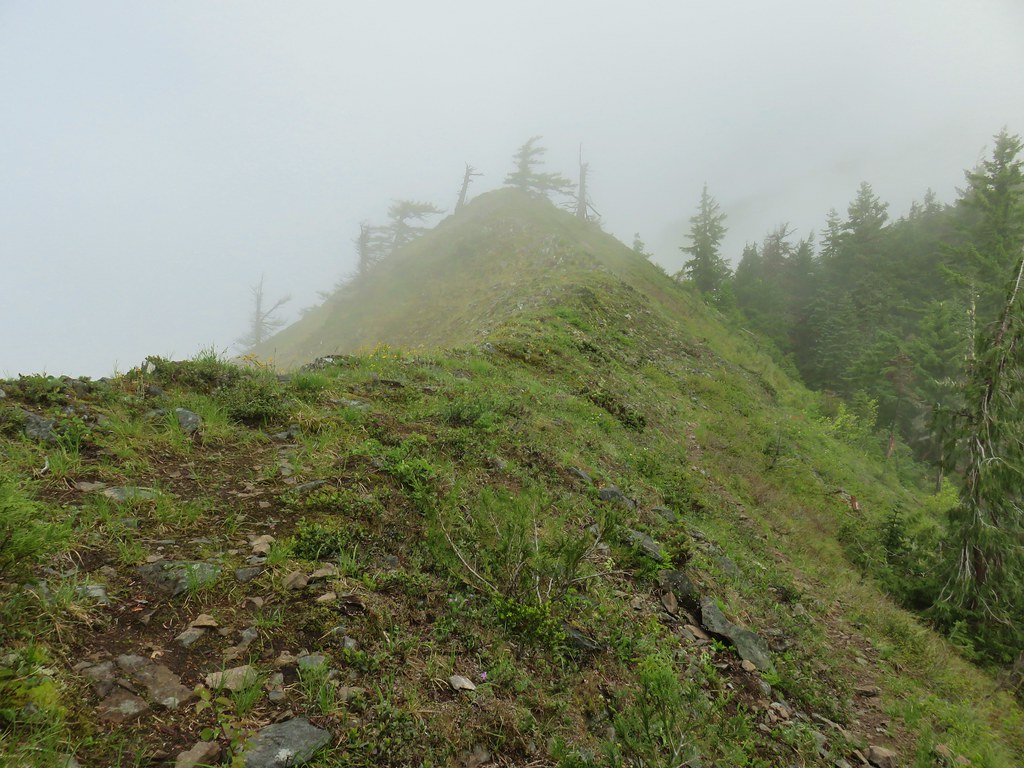
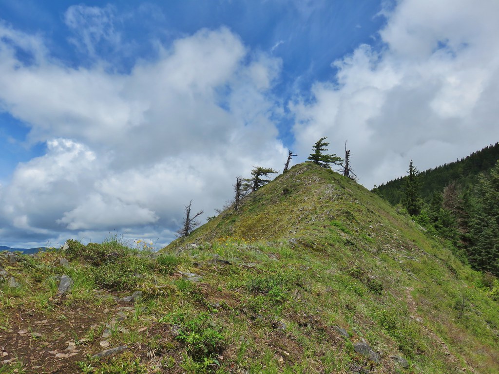
The reason for the ups and downs was that the trail followed a narrow ridge for a half mile. A section of the ridge was open offering views although we were still dealing with the clouds.
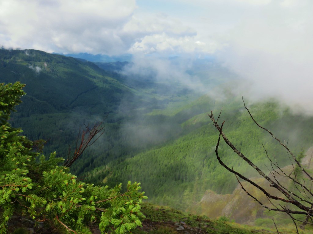
IMG_5747

IMG_5749Oregon sunshine and cat’s ear lilies

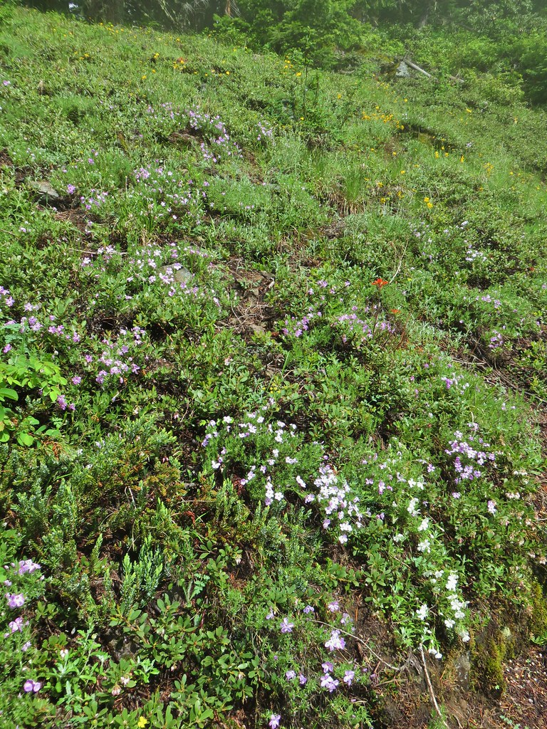
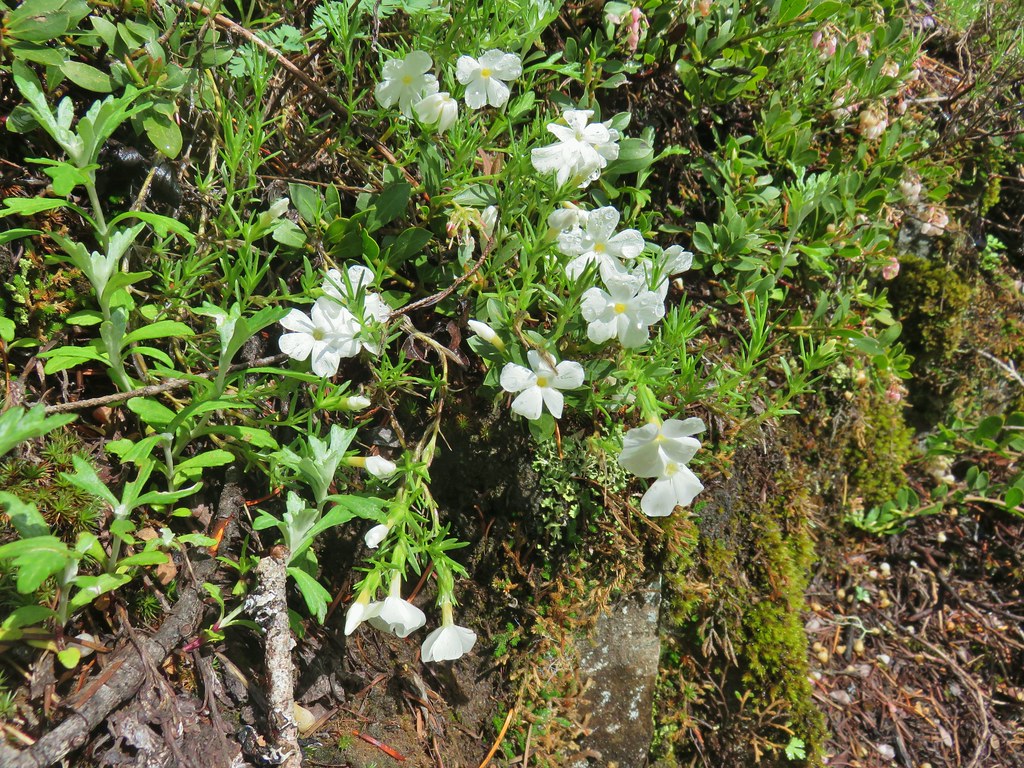
IMG_5753Phlox

IMG_5758

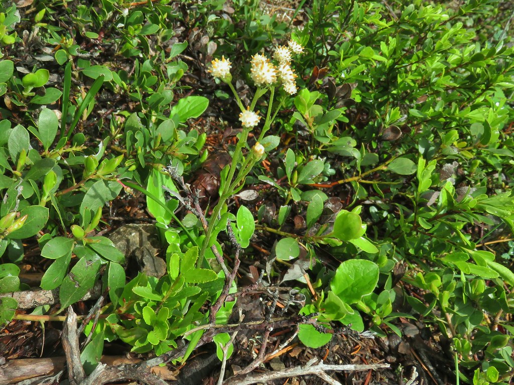
raceme pussytoesRaceme pussytoes

IMG_5762

IMG_5768Paintbrush

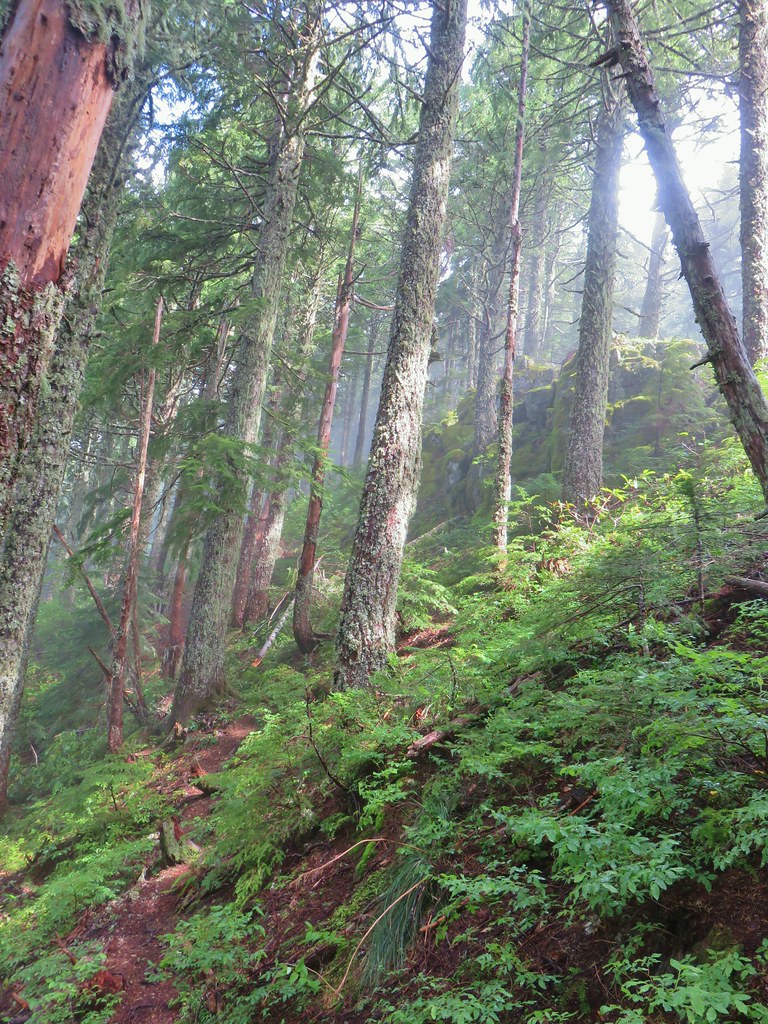
The trail crossed from the east side of the ridge to the forested west side before crossing again to the east into a little meadow with a fair amount of phlox.
IMG_5780

IMG_5787

IMG_5791

IMG_5788

IMG_5796

The trail steepened again for a bit before dropping one final time to a saddle before making its final ascent to the summit.
IMG_5802Heading uphill after the little meadow.

IMG_5806Snow in a basin below the trail.

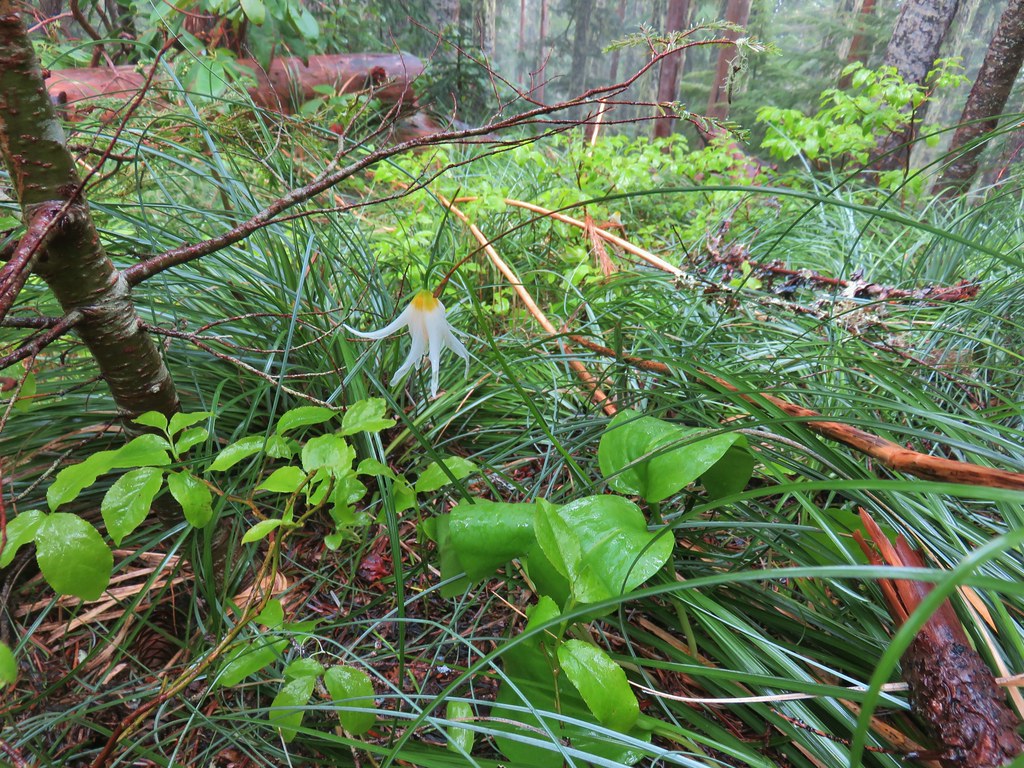
IMG_5810Fawn lily

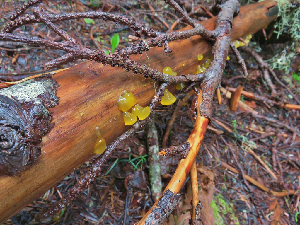
IMG_5814Jelly fungus

IMG_5816Heading down to the saddle below the summit.

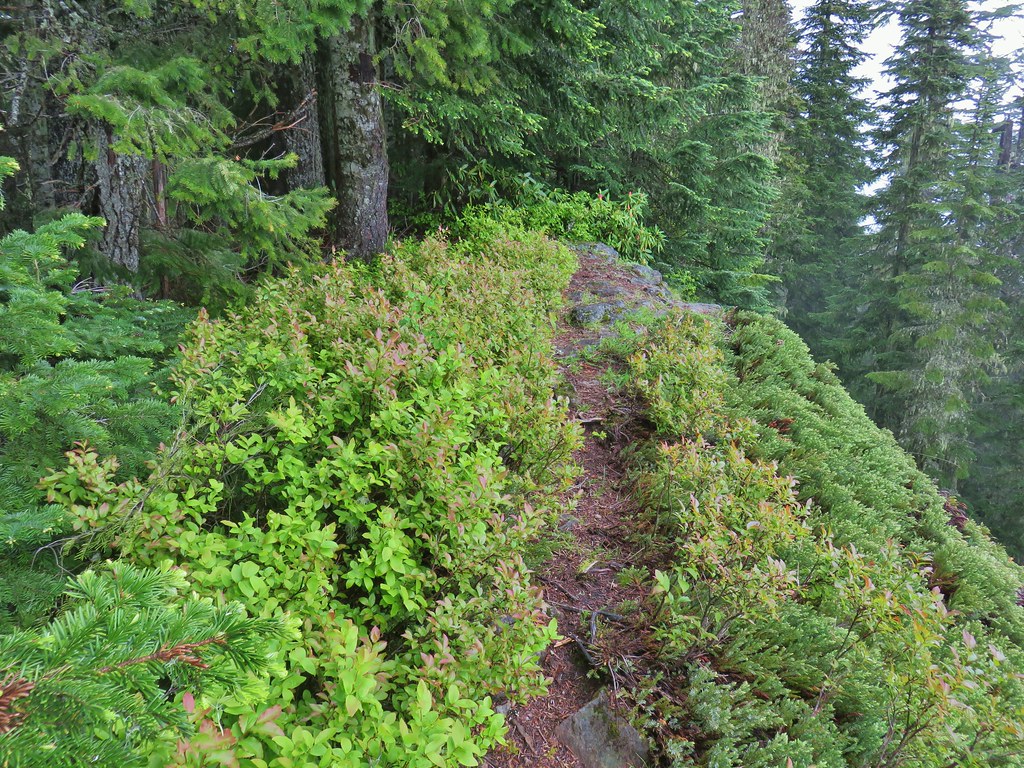
The actual summit of Henline Mountain was a little rocky opening with lots of huckleberry bushes.
IMG_5817

The trail continued an additional two hundred feet before petering out.
IMG_5824The end of the trail.

IMG_5822Bleeding heart near the end of the trail.

We took a decent break at the summit and had a snack. As we were just starting to leave a bit of a view broke out. It wasn’t much but it was something.
IMG_5829

The cloud situation began to improve quite a bit as we headed back to the lookout site. By the time we arrived at the open section of ridge there was a good deal of blue sky overhead.
IMG_5840

IMG_5846

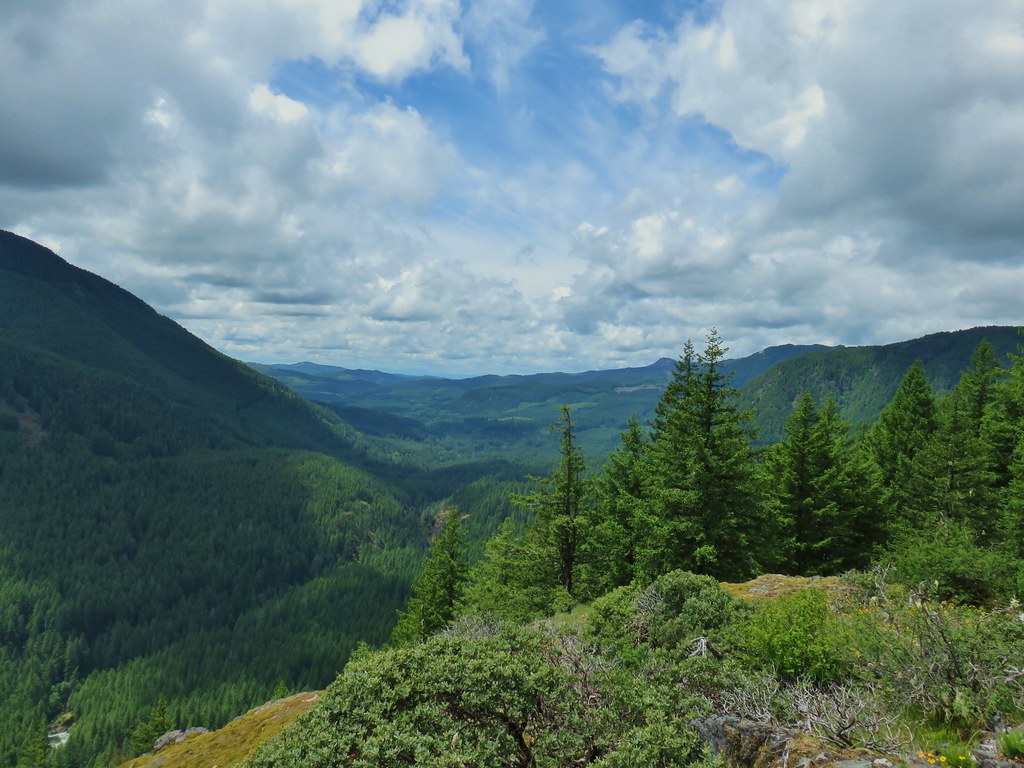
IMG_5847Looking west down the Little North Santiam River.

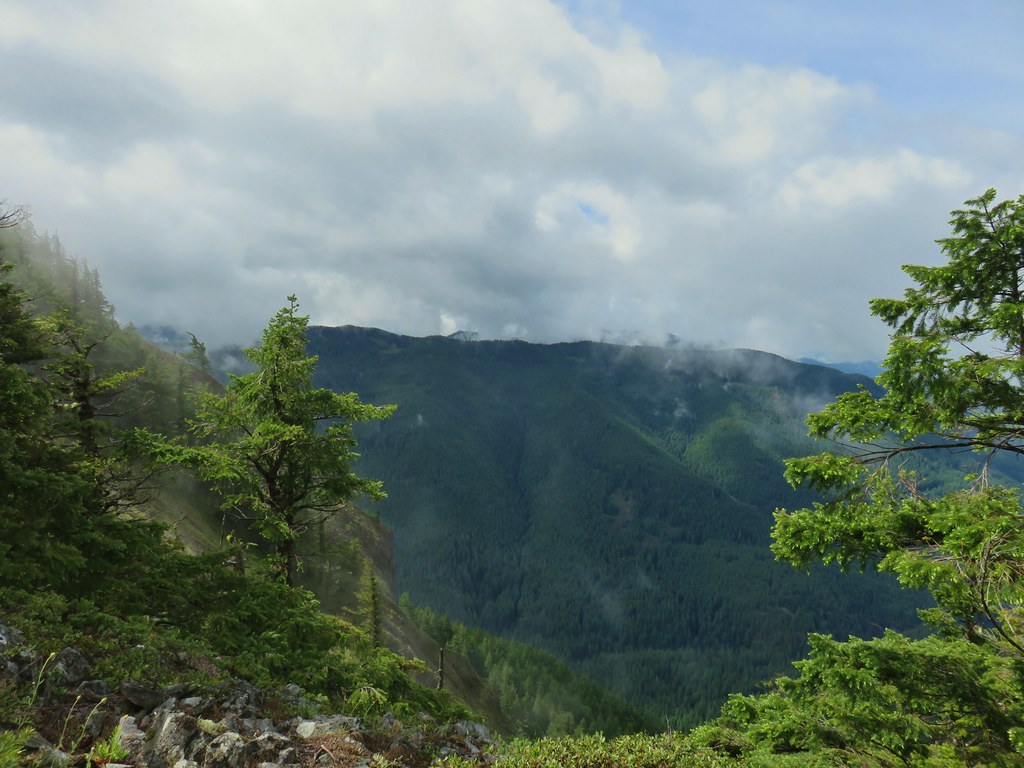
IMG_5852The high point to the left is Whetstone Mountain (post), the flat topped mountain straight ahead is Battle Ax Mountian (post), and to the right the double humps are the Marten Buttes (post)

IMG_5854Closer look at Battle Ax Mountain.

We stopped at the lookout site again and took another short break now that we could see a little more of the surroundings.
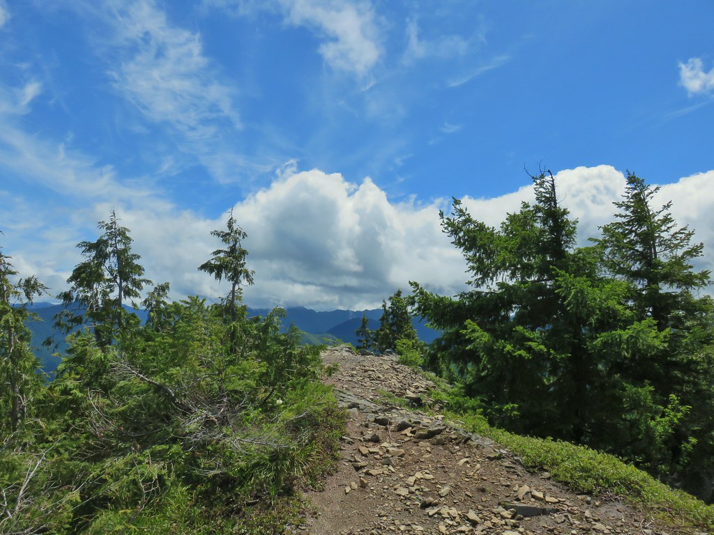
IMG_5860

IMG_5861Rocky Top still with a little cloud and Elkhorn Mountain in the foreground.

IMG_5865Looking back at Henline Mountain’s summit.

IMG_5868Whetstone Mountain (center high point) with Bull-of-the Woods (post), Schreiner Peak, and North and South Dickey Peaks over its shoulder to the left.
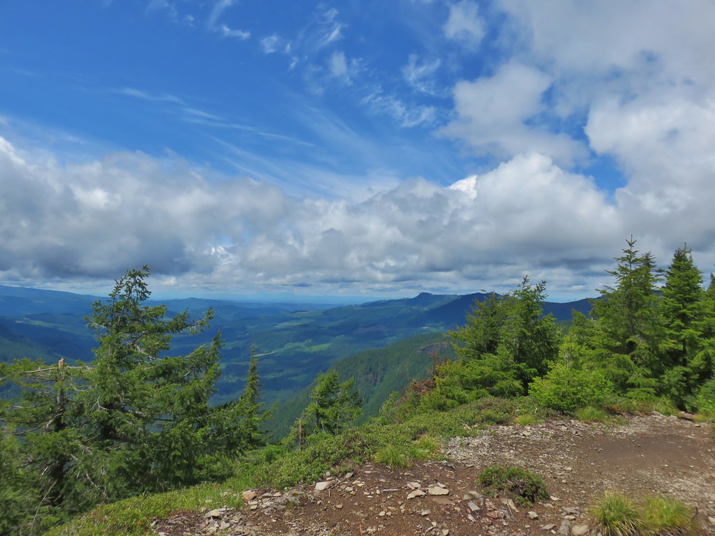
IMG_5871Looking west

IMG_5875Yellow rumped warbler at the lookout site.

We continued down under increasingly blue skies.
IMG_5883Looking up at the ridge end of the former lookout site from below.
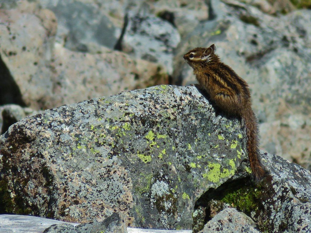
IMG_5889Chipmunk drying out on the rocks.

We also stopped again briefly at the larger viewpoint to see the difference there now.
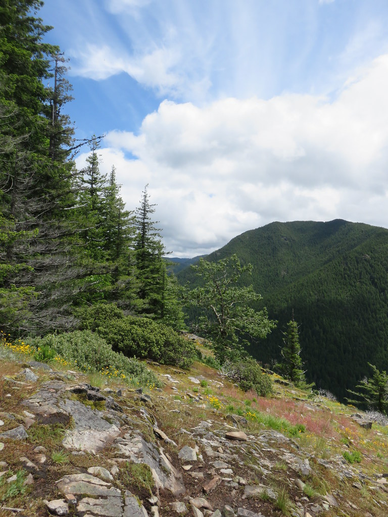
IMG_5896Looking east

IMG_5902Looking south

IMG_5899Looking west

Rusty saxifrageRusty saxifrage at the viewpoint.

We had encountered three people between the Henline Falls Hike and the summit of Henline Mountain. It was a different story on our way down as we passed a number of hikers coming up. When we got back to the trailhead we noticed several cars illegally parked outside of the designated area along FR 2209 and it was the same at Henline Falls despite the presence of posted signs. It’s disappointing to see how many people are willing to ignore the rules. Please don’t be one of those people, either arrive at your hikes early or have backup plans if things don’t work out at your first choice. Disregarding the rules (even if you think they’re dumb) sets a bad example. Let’s do better. Happy Trails!

Flickr: Henline Falls and Henline Mountain
Categories
Bend/Redmond Bull of the Woods/Opal Creek Central Oregon Hiking Mt. St. Helens Newberry Crater Old Cascades Oregon Throwback Thursday Trip report Washington Washington Cascades

Throwback Thursday – Odds and Ends

With this Throwback Thursday post we will have covered all the trails that we hiked prior to starting this blog and have not been part of a subsequent hike that was featured here. We are combining several hikes in one for a couple of reasons. The remaining hikes were all relatively short, some we have few if any pictures, and one was done on the same day that we did another hike that we did again after we started the blog.

Many of our earliest hikes were centered around Bend, OR and were part of vacations prior to 2010 when we first started to be serious about hiking. These were hikes of opportunity more than conscious efforts to go on a hike.

One such was the 3 mile loop around Suttle Lake. We were staying at one of the cabins at the Suttle Lake Resort and decided to take the trail around the lake. The level hike offered views of the lake and of bald eagles and osprey as they soared over the lake watching for fish. On that hike we didn’t even carry a camera.

Another camera-less but worthwhile hike was the Lava River Cave. This mile long lava tube south of Bend is a great stop for kids and adults and can easily be combined with a visit to nearby Lava Lands or the High Desert Museum.

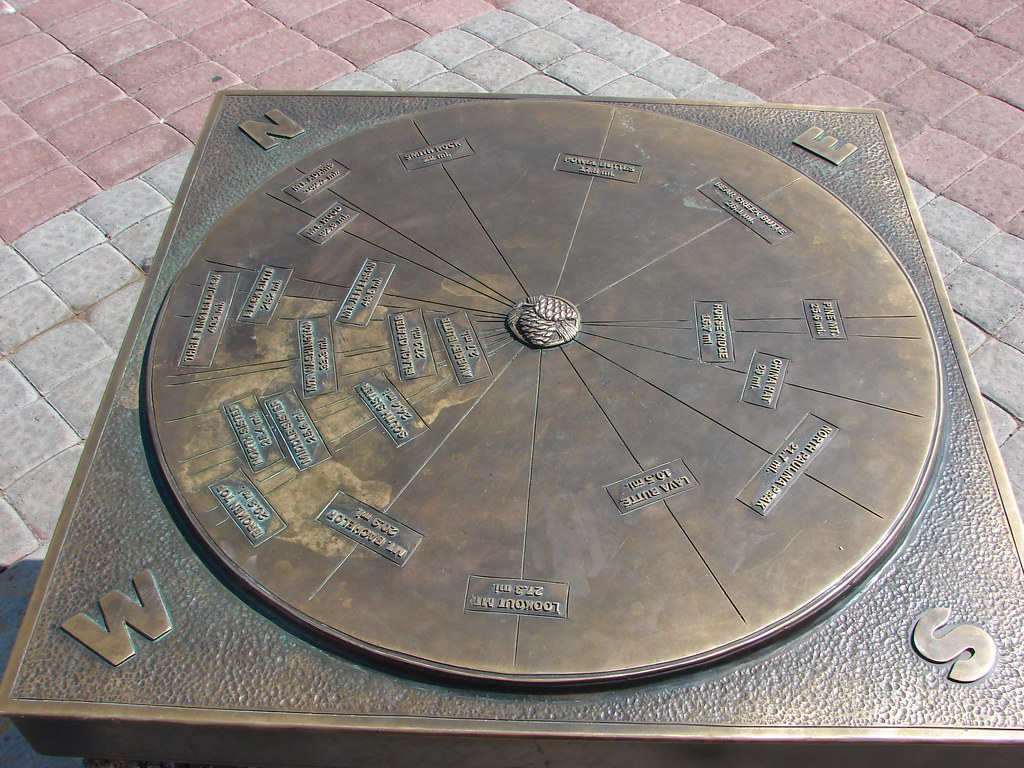
In 2007, while in Bend on vacation in July, we hiked up Pilot Butte. A mile long trail in the middle of town leads up to the top of the 4148′ summit which offers view on a clear day north to Mt. Adams in Washington.
Mountain locator on Pilot Butte

It was a bit hazy during this visit but the snowy peaks of the Cascades from Mt. Bachelor to the Three Sisters were still visible.
Mt. Bachelor, Tumalo Mt., Ball Butte, Broken Top, and the Three Sisters

On that same trip we took a stroll along the Deschutes River Trail from the Mt. Bachelor Village upriver to a footbridge and returned on a loop via Reed Market Road.
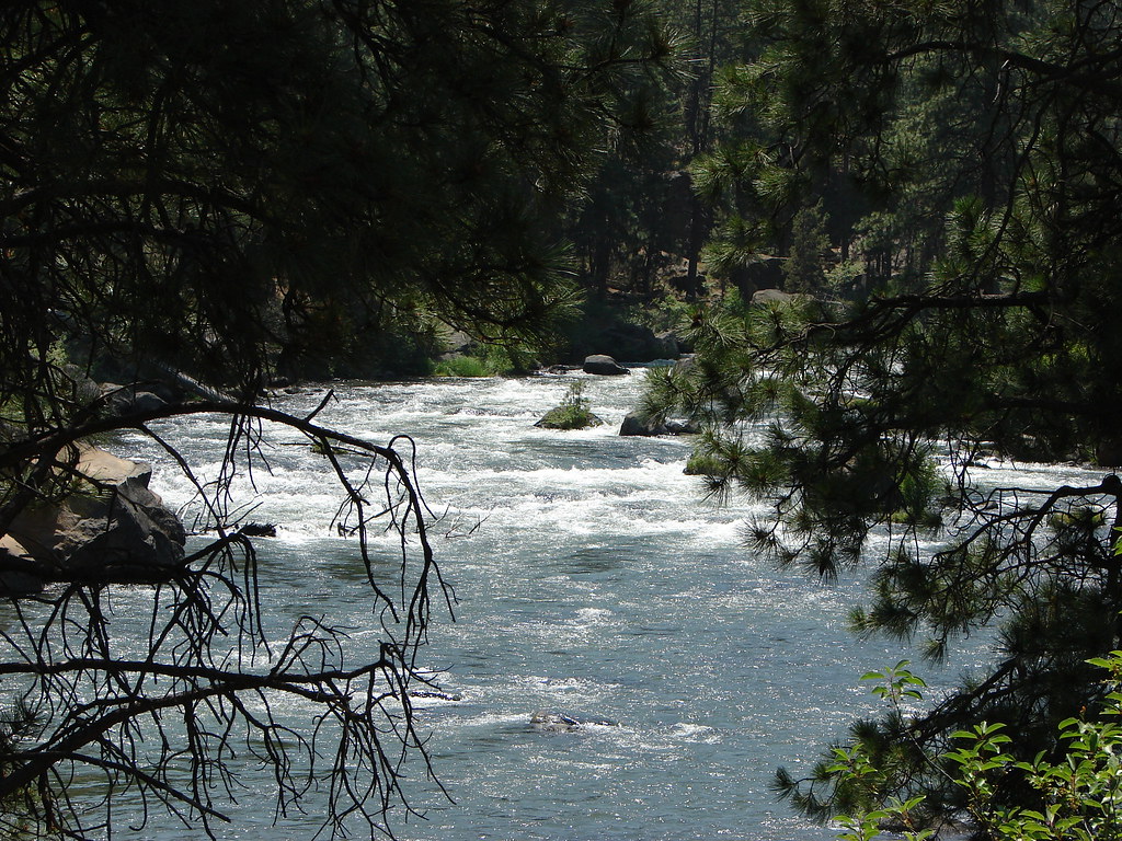
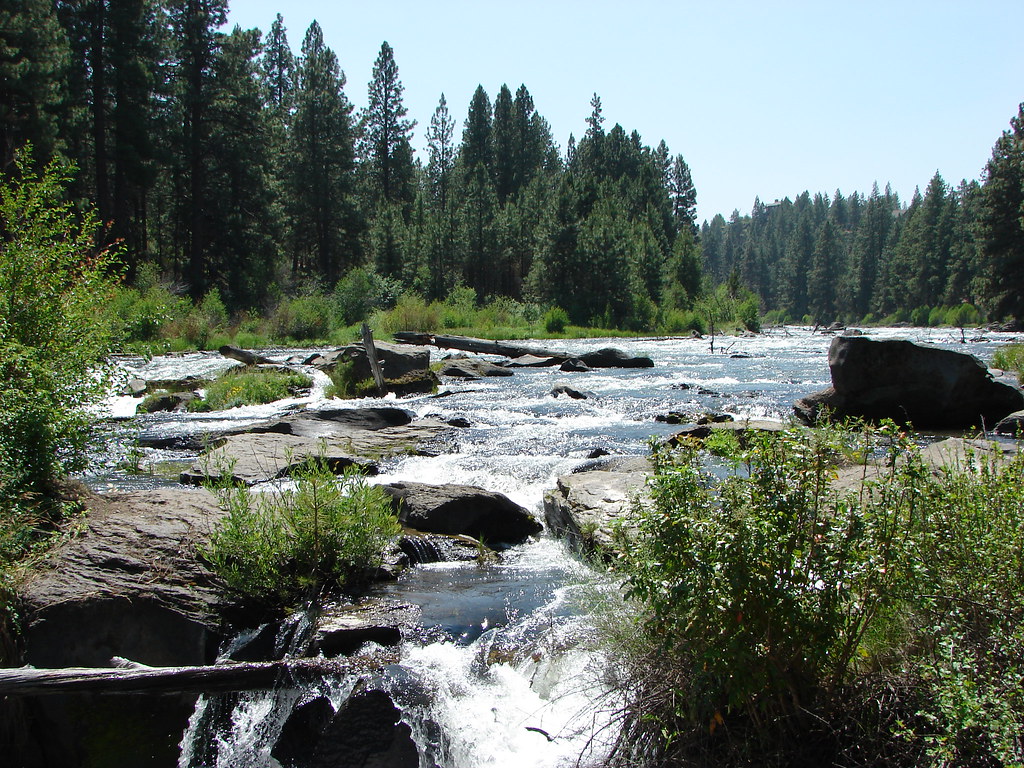
Deschutes River

Geese on the Deschutes River

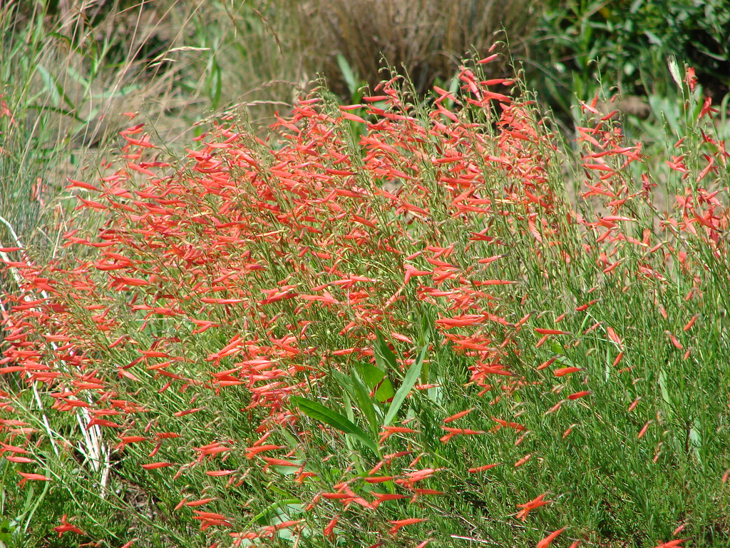
Scarlet gilia

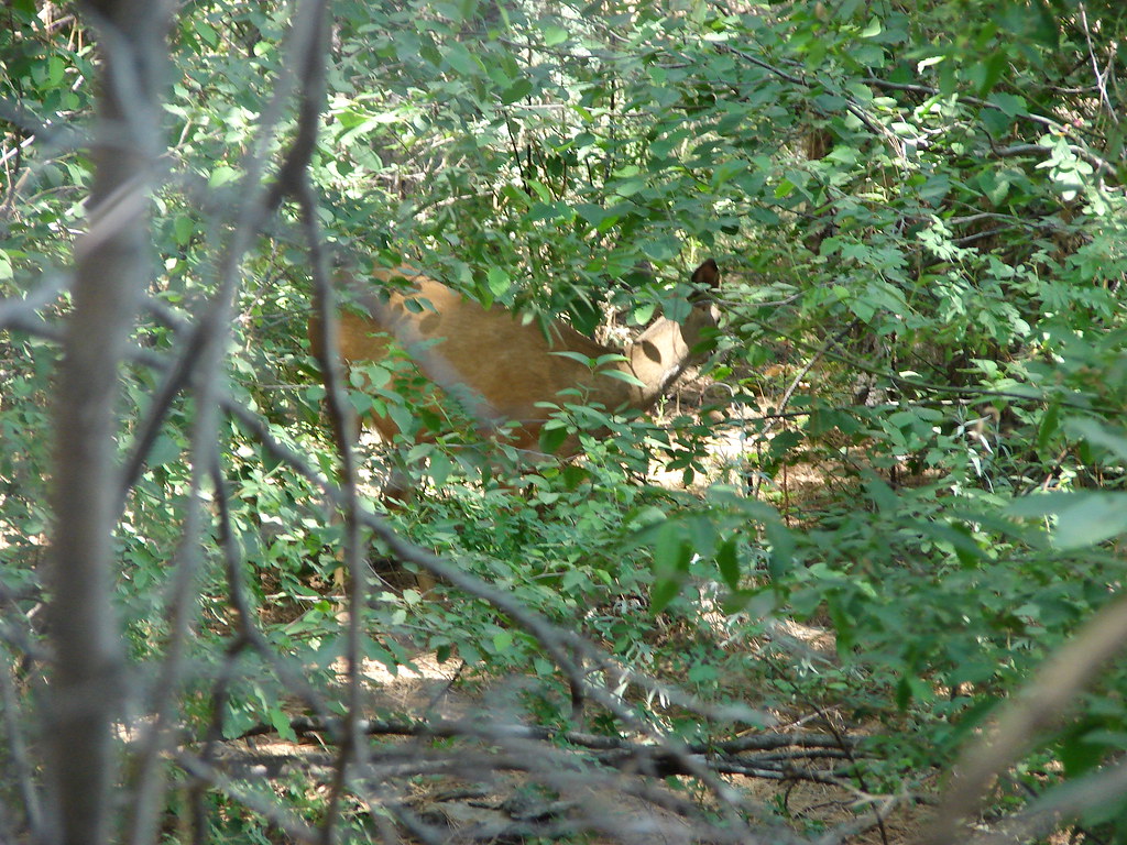
Deer along the Deschutes River Trail in Bend, OR

Deschutes River

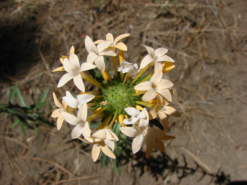
Grand Collomia

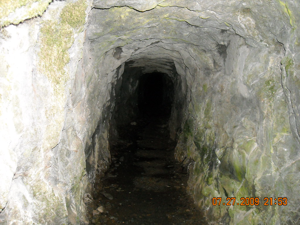
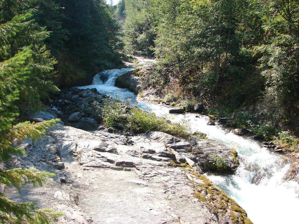
The hikes weren’t all in Central Oregon. On 7/27/2009 we completed the 1.8 mile round trip to Henline Falls from the Henline Falls Trailhead. The trail is approximately 45 minutes east of Salem and features an old mine shaft near the waterfall.
Henline Falls

Abandoned mine shaft

Abandonded mine shaft

We also started up the nearby Henline Mountain Trail (trailhead) that day but were not in decent enough shape to make it very far.

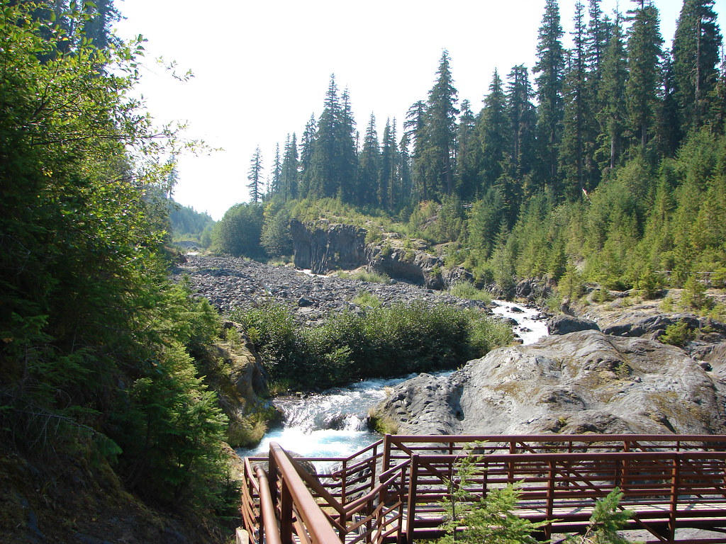
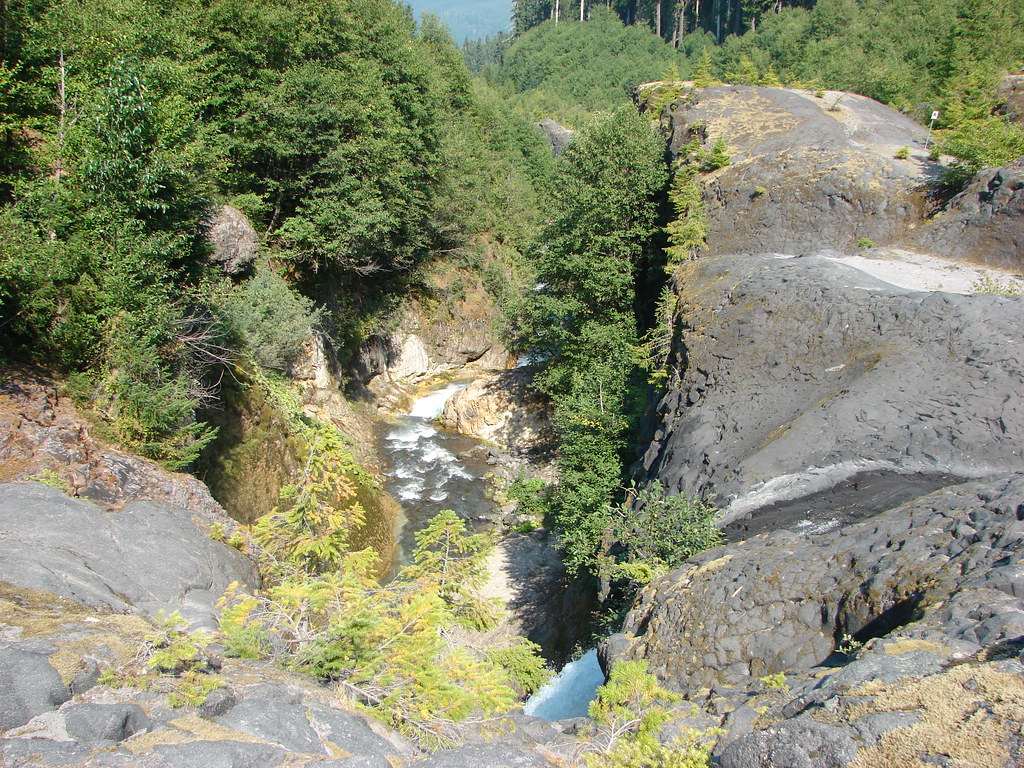
The final short hike along Lava Canyon near Mt. St. Helens was done after our first hike to Ape Canyon on 9/17/2012. We went back to Ape Canyon in 2015 (post) but that time we did Ape Cave for the other hike.

After finishing our Ape Canyon hike in 2012 we walked from the Ape Canyon Trailhead .25 miles to the Lava Canyon Trailhead.
Trail map near Lava Canyon

A .4 mile trail leads down to the start of a short half mile loop.
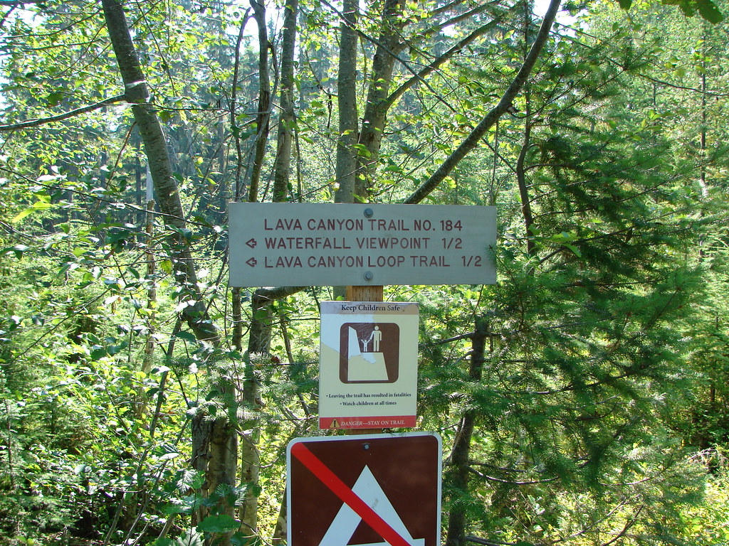
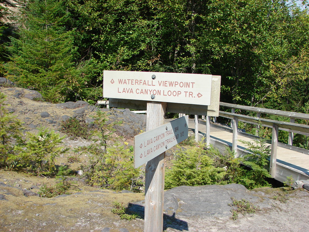
Lava Canyon Trail sign

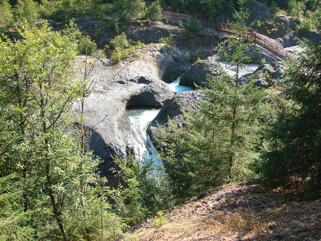
We stayed left at the start of the loop staying on the west side of the Muddy River. A footbridge led across the river above Lava Canyon Falls which was below the trail but mostly obscured.
Lava Canyon Trail sign at the start of the loop

Lava Canyon Falls

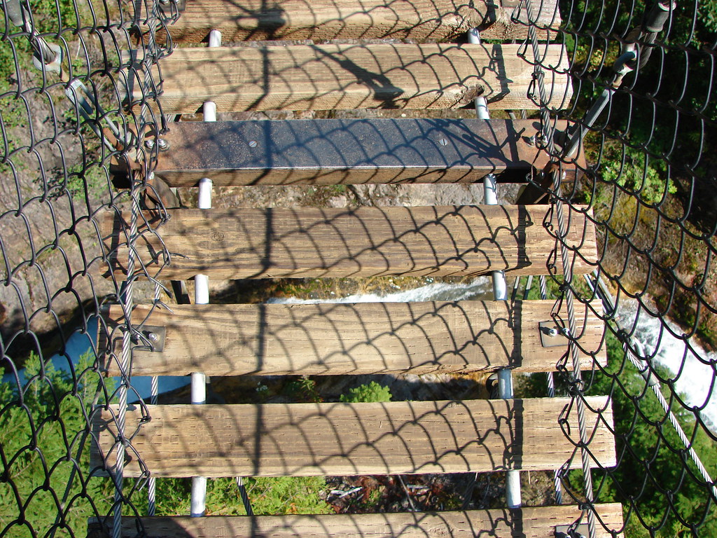
Just .2 miles from the first bridge the loop crosses the river on a suspension bridge.
Suspension Bridge over Lava Canyon

Suspension Bridge over Lava Canyon

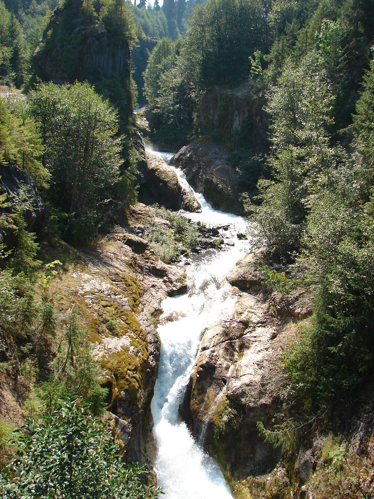
Upstream from the suspension bridge the Muddy River careens down Triple Falls.
Triple Falls

A .3 mile trail returns to the footbridge along the river along the eastern bank.
Muddy River

Muddy River

Upper Lava Canyon Falls

Henline Falls, Henline Mountain, and Lava Canyon are all in our future plans and reliving these and all our other Throwback Thursday hikes has been a lot of fun. Even though the information is dated hopefully they have provided some additional ideas for places to visit here in the Pacific Northwest. As always check with the managing agencies for current trail conditions before heading out. Happy Trails!