Categories
Bull of the Woods/Opal Creek Hiking Old Cascades Oregon Trip report

Little North Santiam River – 10/31/2026

A number of trails and recreation areas in the Central Cascades have been closed since the Labor Day fires in 2020. A few of the remaining closures were lifted on 10/21/2026 when the Willamette National Forest updated their Beachie Creek and Lionshead Fires Closure Order. The Little North Santiam West Trailhead was one of the newly opened sites allowing access to the Little North Santiam Trail. (The Little Santiam East Trailhead remains closed.) We had hiked the Little North Santiam Trail way back in April 2012 (post) but had not been able to hike the entire 4.4-miles due to the bridge over Little Cedar Creek having been washed out. It had been on our list of hikes to revisit since then, but we hadn’t gotten back to it before its closure. After seeing the trail reopening reported by the Statesman Journal, I double checked the Forest Service closure map and updated order to verify, and everything checked out so we decided to make it our next hike.

We made our way to the trailhead using the current detour over Gates Hill Road due to North Fork Road being closed for construction through 5pm on 11/03/2026.
IMG_2860

While the Forest Service had updated their website they hadn’t sent anyone out to update the trailhead information.
IMG_2863
The barricade was turned and moved but still in the road.
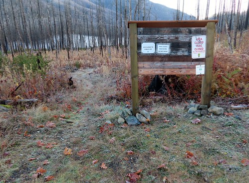
IMG_2862
Closure signs still on the signboard. They reference 36CFR 261-53 which governs special closures and restrictions created by orders. With the 10/21/2026 now in place this no longer applies.

It was right around freezing when we set off through the fire scar and headed down toward the river which was covered in a layer of fog.
IMG_2864

IMG_2866

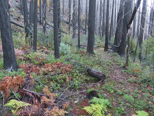
The trail was overgrown in many places with flagging present to help locate the tread.
IMG_2868

IMG_2869
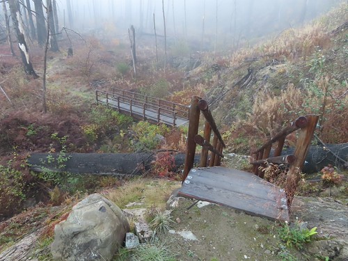
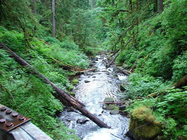
New bridges have been put in place.

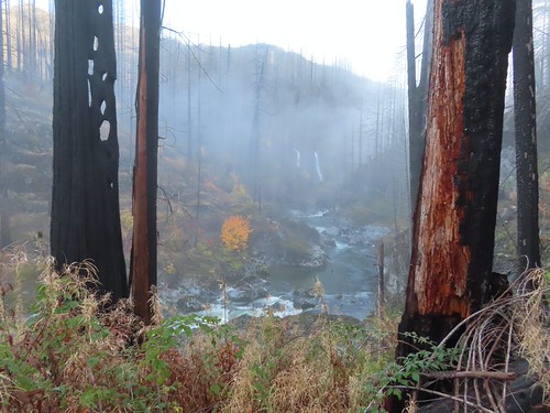
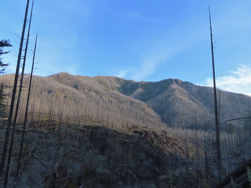
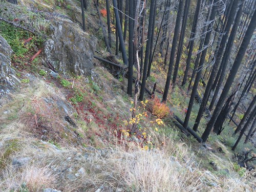
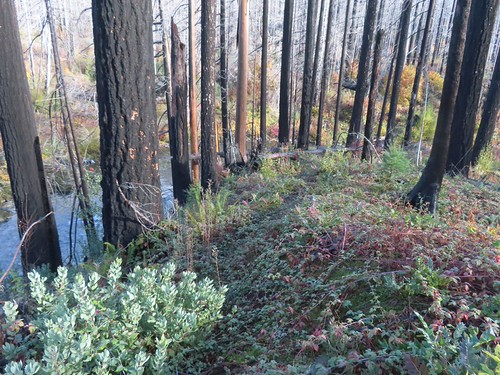
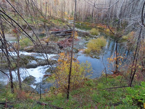
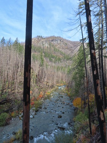
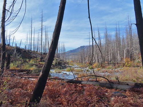
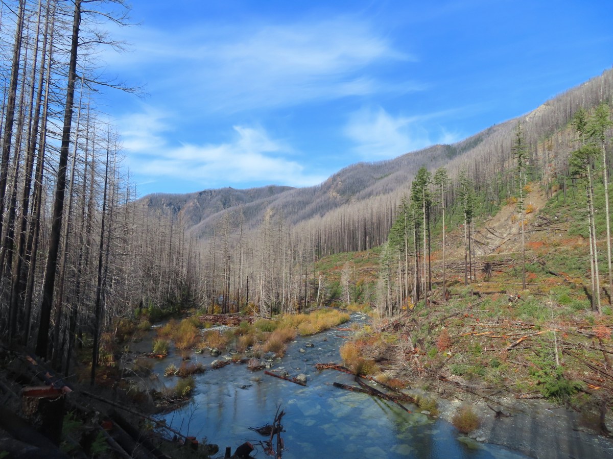
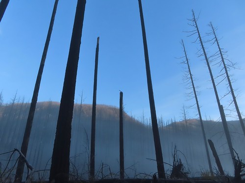
The fire burned nearly all of the trees along the route which opened up views.
IMG_2870

IMG_2872

IMG_2877

IMG_2878

IMG_2879

IMG_2885
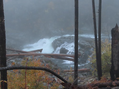
Little North Santiam Falls

IMG_2889
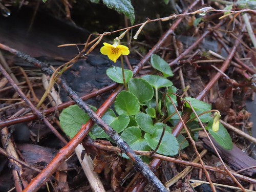
Evergreen violet

IMG_2890
The trail was overrun by trailing blackberry in many places which was a huge annoyance as the vines were working hard to make us trip.

IMG_2893
Salal

IMG_2895

IMG_2900

IMG_2901
Triple Falls along Henline Creek in the distance. (It was more of a double falls today.)

IMG_2907

At the 1.2-mile mark the trail arrives across from Triple Falls.
IMG_2916

IMG_2918

Beyond Triple Falls the trail became even rougher than it had been as it climbed away from the river. For the most part the fallen trees had been cut but there were a few smaller ones that appeared to have fallen more recently that needed to be navigated.
IMG_2919

IMG_2920
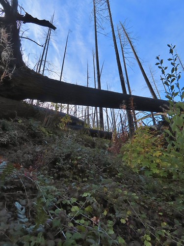
In several cases the downed trees were tall enough to leave.

IMG_2922

IMG_2927

IMG_2929
Henline Mountain which we hiked just three months before the 2020 fire remains closed (post).
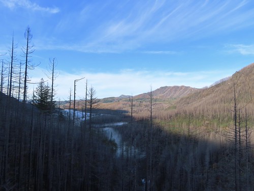
IMG_2935
Looking back along the river.

IMG_2934
Looking back down the trail at Heather making her way up.

IMG_2940
View further up the canyon. The peak in the distance to the left is Whetstone Mountain (post).

At the crest of the trail conditions got even rougher and the flagging became increasingly important. At times it felt like we were playing a game of find the flag.
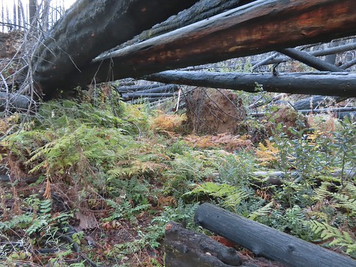
IMG_2941

IMG_2943

IMG_2944

IMG_2945

IMG_2947

IMG_2950

Just over 2-miles from the trailhead, on the descent back down to the river, we came to a downed tree that caused us to pause.
IMG_3083

I cleared a couple of branches creating enough space to squeeze underneath next to the hillside. Heather decided she’d had enough adventure for the day though, so she decided to head back while I attempted to continue on. The conditions improved when the trail leveled out although the blackberry vines were back in force for about a quarter of a mile.
IMG_2952

IMG_2955

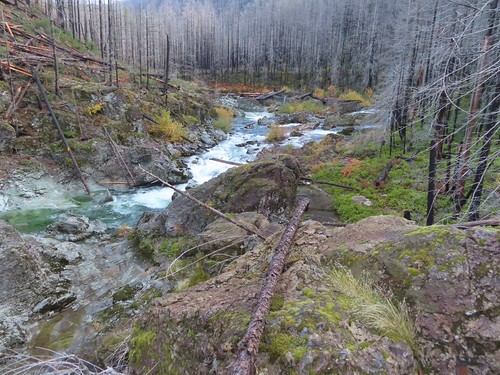
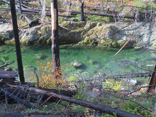
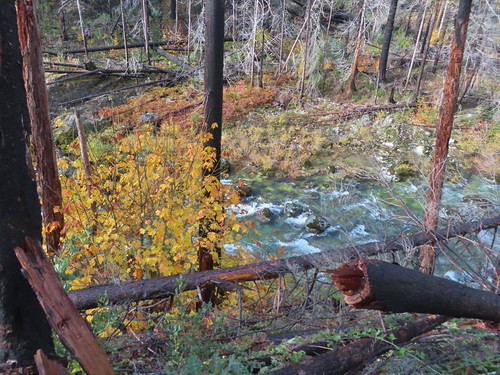
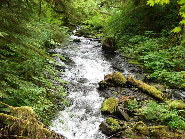
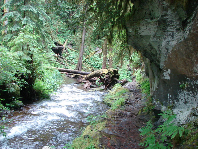
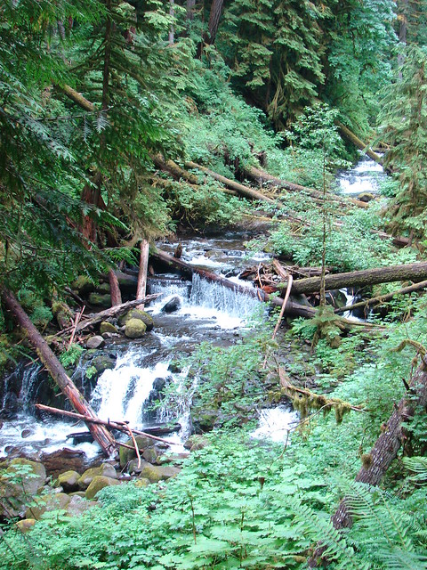
For the next two miles the trail stuck close to the river. The clear water provided numerous beautiful views.
IMG_2956

IMG_2957
Pacific wren

IMG_2959

IMG_2964
Vine maple

IMG_2968

IMG_2973

IMG_2977
One of a couple small stream crossings.

IMG_2981
The (still closed) Three Pools Recreation Site on the far side of the river.
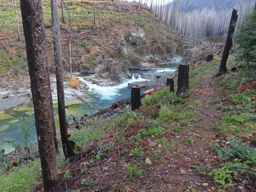
IMG_2982

IMG_2985

IMG_2986

IMG_2987
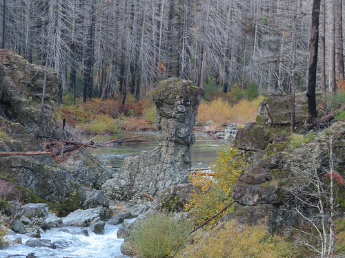
Rock pillar at Three Pools.

IMG_2989

IMG_2995

IMG_2997

IMG_3001
Looking back toward Three pools.

IMG_3009

IMG_3010

IMG_3013
The footbridge over Little Cedar Creek. This is where we were turned back in 2012.
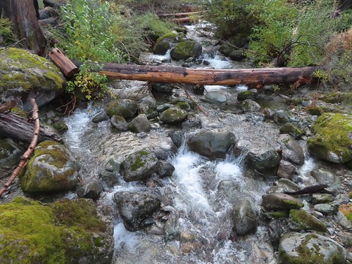
IMG_3015
Little Cedar Creek

IMG_3021

IMG_3024

IMG_3027

IMG_3032
Some trees near FR 2207 survived the fire.

IMG_3038
The FR 2207 bridge over the river.

IMG_3040
FR 2207 with the Little North Santiam East Trailhead on the far side.

I turned around at the road and headed back.
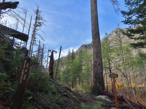
IMG_3044

IMG_3045

It was a fairly quiet hike back other than my occasional frustration with the berry vines.
IMG_3050

IMG_3058

IMG_3060

IMG_3063
I was surprised to see this rhododendron blooming.

IMG_3067

IMG_3084
Some of the climbs like this one felt very steep.
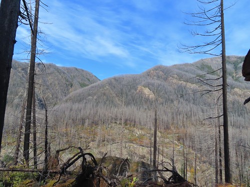
IMG_3088

IMG_3094
This combo of blackberry vines and slick rock almost got me.

IMG_3098

IMG_3100
Heading down to one of the footbridges.

IMG_3101
Bleeding heart

IMG_3117

IMG_3122

Due to the overgrown trail conditions this was a fairly hard 8.8-mile, 900′ elevation gain hike.
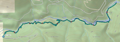
Screenshot 2026-11-01 085501

We only saw two other hikers, likely due to lack of awareness that the trail is finally back open. Hopefully some trail work will be done to brush things out and shore up some of the tread. Given the fire damage there will likely need to be ongoing maintenance for a while to keep the trail clear. Regardless it was great to get the chance to hike this trail again. Happy Trails!

Flickr: Little North Santiam
Categories
Columbia River Gorge South Hiking Oregon Throwback Thursday Trip report

Throwback Thursday – Oneonta Falls

**Note the 2017 Eagle Creek Fire burned over much of this hike.**

This weeks Throwback Thursday hike took place on 7/2/2012 and holds the distinction of being our first in the Columbia Gorge as well as the first for which we used our “100 Hikes in Northwest Oregon & Southwest Washington” guidebook by William L. Sullivan.

One of the many reasons that we appreciate his guidebooks so much is the number of options he provides. In addition to the 100 featured hikes each book lists several barrier free options and contain up to 108 additional hikes with much briefer descriptions in the back of the book. To top it off he often provides information on multiple options within a featured hike which is what we followed on this trip.

The hike to Oneonta and Horsetail Falls is listed as a 2.7 mile loop in our 2011 3rd edition of the NW guidebook which would have been too short a loop to warrant our drive to the trailhead but another option was listed at the end of the hike description, a 12.2 mile loop passing more waterfalls including Multnomah Falls, Oregon’s tallest waterfall.

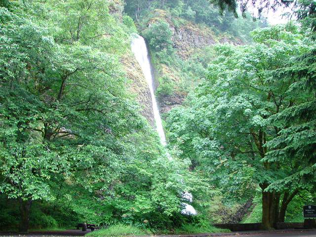
Our hike started at the Horestail Falls Trailhead along the Historic Columbia River Highway. Horestail Falls is literally right there and the trail starts beside it.

Horsetail Falls

Horsetail Falls

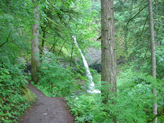
The trail climbed for .2 miles to a junction with the Gorge Trail where we turned right promptly arriving at Ponytail Falls.

Horsetail Falls Trail

Ponytail Falls

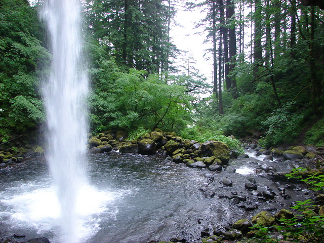
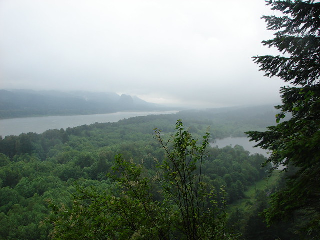
We followed the Gorge Trail behind the falls, which is always a fun thing to do, and continued to a viewpoint overlooking the cloud covered Columbia River.

Ponytail Falls

Ponytail Falls

Columbia River and Beacon Rock

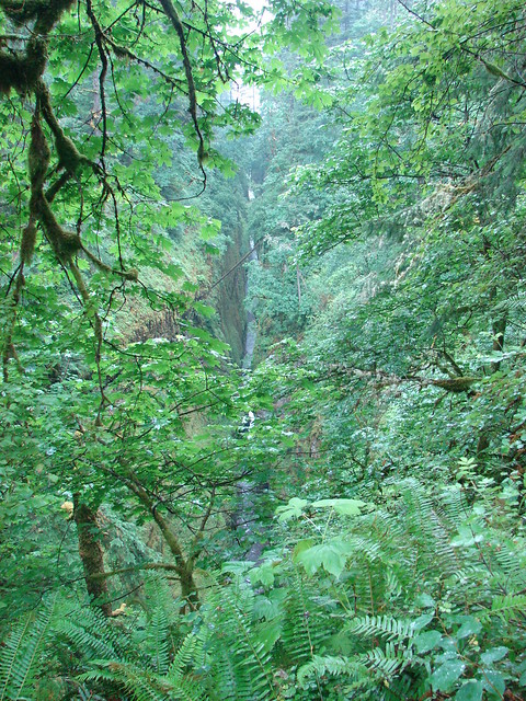
The trail then followed the Oneonta Gorge to a footbridge over the creek near Oneonta Falls.

Oneonta Gorge

Footbridge over Oneonta Creek

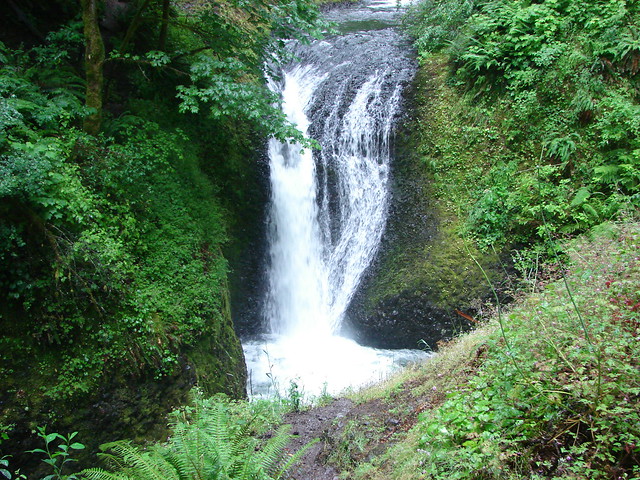
Oneonta Falls

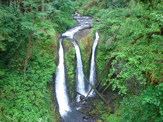
On the far side of the bridge the trail climbed to a junction with the Oneonta Trail. The short 2.7 mile loop described in the guide book turned right here and descended .9 miles to the old highway for a half mile road walk back to the trailhead. The other option had us turn left on the Oneonta Trail and climb up along Oneonta Creek where in just under a mile we came to the aptly named Triple Falls.

Triple Falls

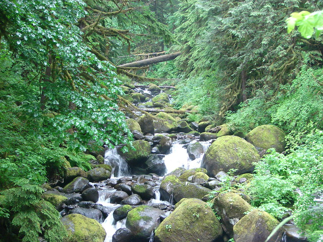
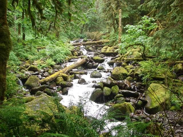
We followed the Oneonta Trail along the creek for nearly 3 more miles passing a junction with the Horestail Creek Trail just over a mile from Triple Falls. The forest was wonderfully green surrounding the creek with smaller side creeks all around.

Oneonta Creek

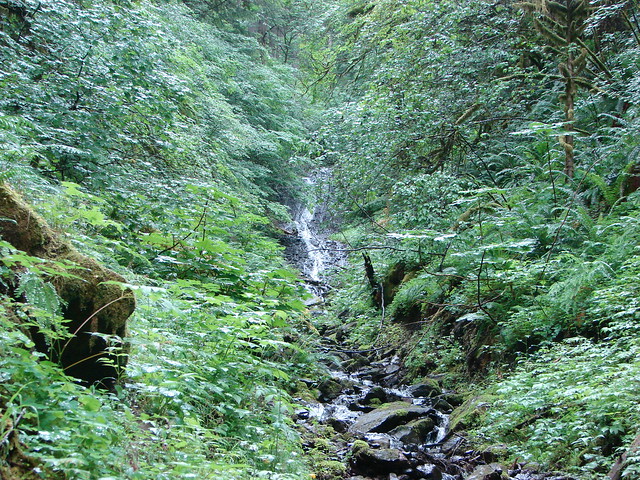
Small fall along the Oneonta Trail

Oneonta Creek

Creek along the Oneonta Trail

Junction with the Horsetail Creek Trail

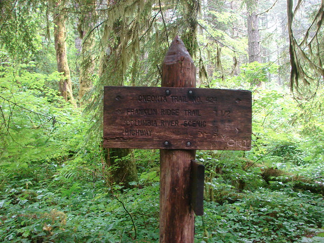
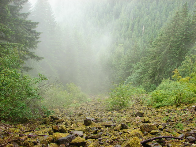
Beyond the junction with the Horestail Creek Trail the Oneonta Trail veered away from the creek and began to climb up to Franklin Ridge. We were headed into the clouds as we climbed past some talus slopes to the next trail junction.

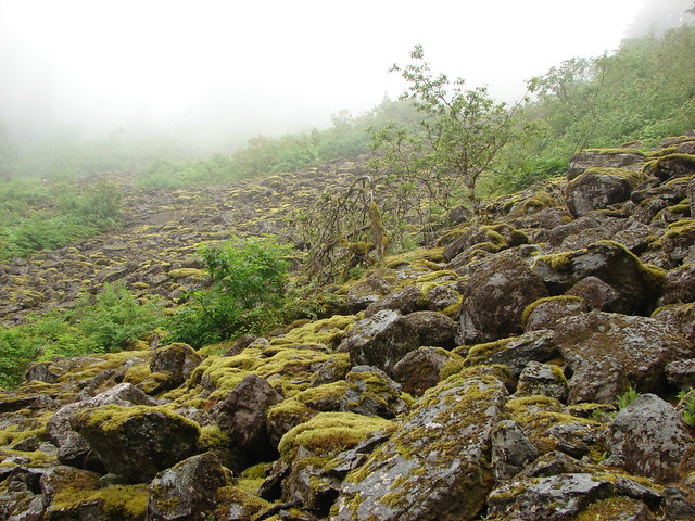
Talus

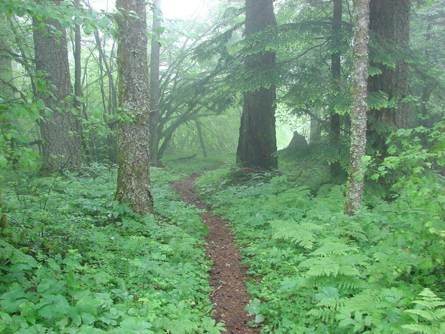
Forest along the Oneonta Trail

At the junction with the Franklin Ridge Trail we found ourselves in a forest wholly different than the lush green one we’d climbed from.

Forest along the Oneonta Trail

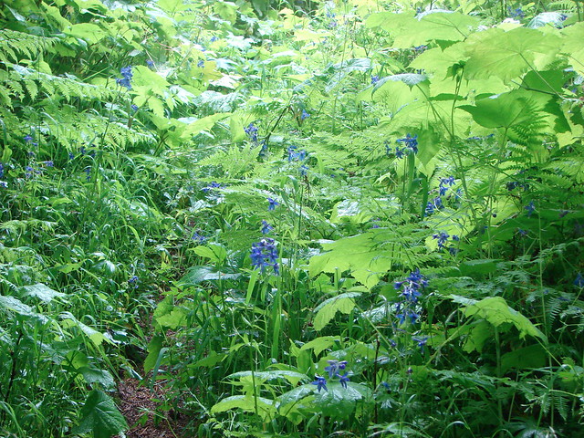
We turned right onto the Franklin Ridge Trail and began passing through the cold gray forest. It didn’t stay gray forever though and we soon found ourselves on an overgrown trail in a meadow full of purple larkspur.

Franklin Ridge Trail

Larkspur along the Franklin Ridge Trail

Near the end of Franklin Ridge the trail descended to a junction with the Larch Mountain Trail, just over two miles from where we had picked up the trail and 3 miles from the Multnomah Lodge.

Larch Mountain Trail sign

The hike down the Larch Mountain Trail along Multnomah Creek was gorgeous. Green forests and a series of waterfalls awaited as we made our way down to the top of Multnomah Falls.

Multnomah Creek

Multnomah Creek

Multnomah Creek

Multnomah Creek

Ecola Falls

Ecola Falls

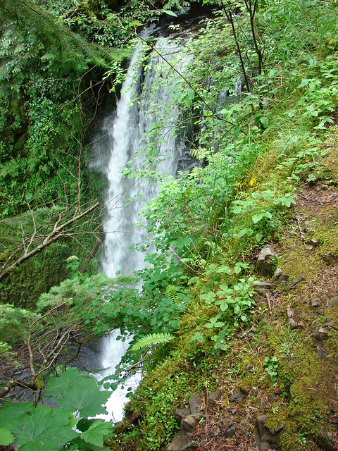
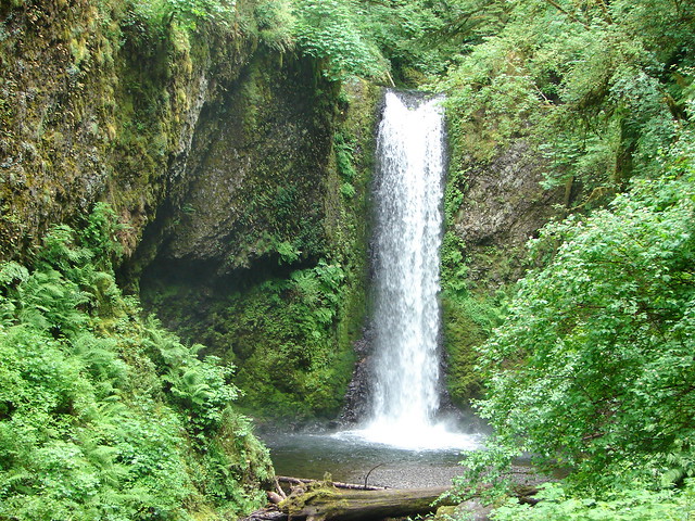
Weisendanger Falls

Weisendanger Falls

Middle and Lower Dutchman Falls

Dutchman Falls

As we got closer to the upper viewpoint the number of other hikers grew exponentially. The upper viewpoint was closed off but as we made our way further down toward the lodge the falls came into view.

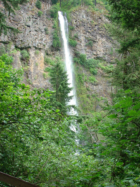
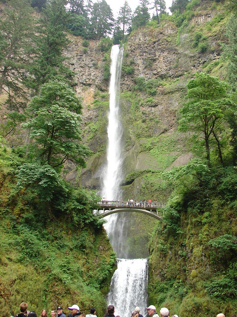
Multnomah Falls

To finish our loop we would need to take the Gorge Trail which split off from the Larch Mountain Trail .6 miles from the upper viewpoint. That split was before the Larch Mountain Trail reached the Benson Bridge below Multnomah Falls and since we were that close to the bridge and the lodge we decided to check them out before completing the loop.

Crossing the Benson Bridge was a nightmare. A mass of humanity was stopped on the bridge trying to get pictures while others were trying to get across it to go up the trail, we were salmon swimming against the current and by the time we’d made it down to the lodge I was done with people. I took a couple of photos, used the facilities inside the lodge, then we headed back up through the quagmire of bodies to the Gorge Trail.

Multnomah Falls

What the Gorge Trail lacked in scenic creeks and waterfalls it made up for in solitude. We followed it to a junction with the return route of the 2.7 mile loop option where we forked left and followed it down to the old highway. As we followed the highway the number of people began to increase, especially as we neared the Oneonta Gorge. Unfortunately this beautiful canyon was already becoming and now is too popular for it’s own good. It’s possible to wade upstream and so many people do so now that lines form as people wait to clamber over a resident log jam. We skipped the side trip that day and have yet to venture in.

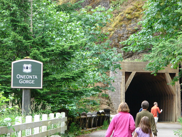
After passing the mouth of the gorge the path passed through a tunnel left over from the early days of the old highway. A bridge later replaced the tunnel but it was reopened for foot traffic.

Oneonta Gorge tunnel

Our first hike in the Columbia River Gorge had given us a taste of a little of everything the area has to offer. Amazing waterfalls, lush green forests, talus slopes, wildflower meadows, massive crowds at popular spots, and wonderful solitude further up trail. It’s an amazing area in an amazing state. Happy Trails!

Flickr: https://www.flickr.com/photos/9319235@N02/albums/72157632954287431