The day after the 4th we had the opportunity to join a friend for her birthday hike at McDonald Dunn Forest near Corvallis, OR. This was a great opportunity to catch up with some friends and meet some new people with a bonus hike thrown in.
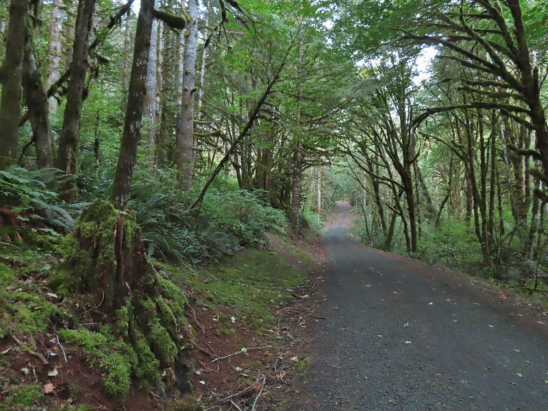
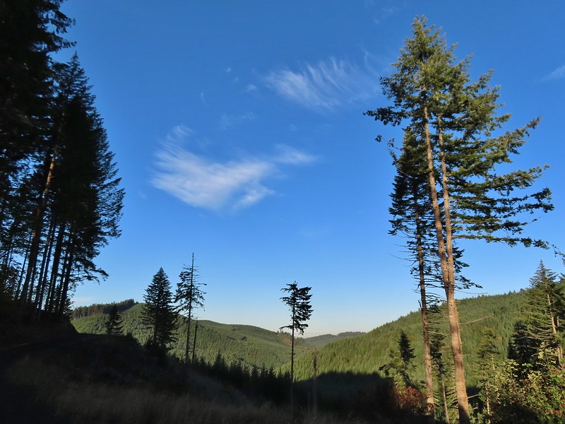
The group of friends and family set off on Patterson Road 600 across Sulphur Springs Road from the trailhead and followed it to Road 650 which leads to Dimple Hill.
Fireweed
Daisies and trefoil
Near this area a bird flew across the road and landed in a tree on the other side. Someone had noticed that it appeared to have a small rodent which seemed odd for such a small bird.
The lighting made it difficult to make much out, but the shape made me think it could be a northern pygmy owl.
After using the camera and phones to try and get a better look we agreed that it was indeed a pygmy owl.
That is the back of its head with the rodent hanging down.
After the little owl flew off we continued on and a little while later I spotted a buck grazing on the hillside below.
Rubbing on the tree trunk.
St. John’s wort on the hillside.
Hedgenettle
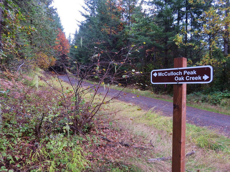
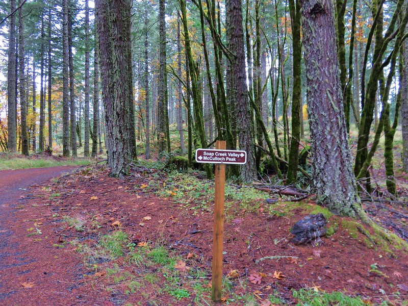
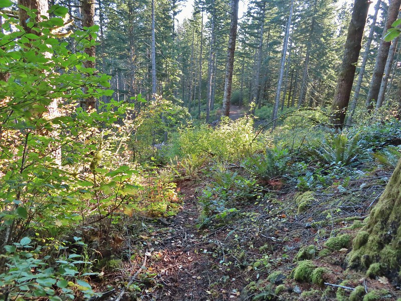
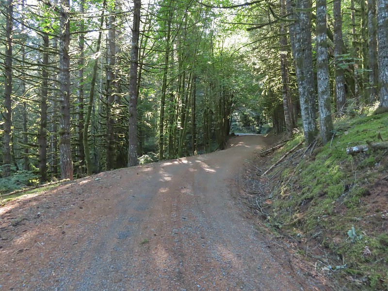
Road 650 to the left.
The group turned left onto Road 650 then left the road after a tenth of mile to follow Upper Dan’s Trail to Dimple Hill.
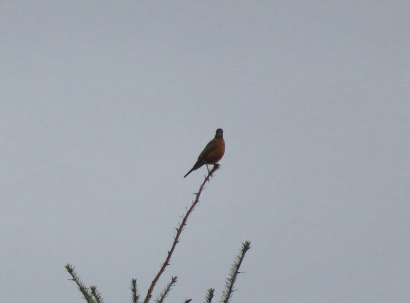
Spotted towhee
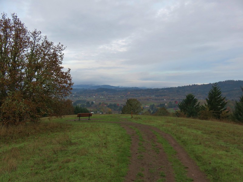
A new addition since my last visit to Dimple Hill was the upper viewpoint bench which had been replaced.
The group gathering at the viewpoint bench.
After a short break at the viewpoint we all headed back the way we came to Lewisburg Saddle.
Chipmunk
Snake
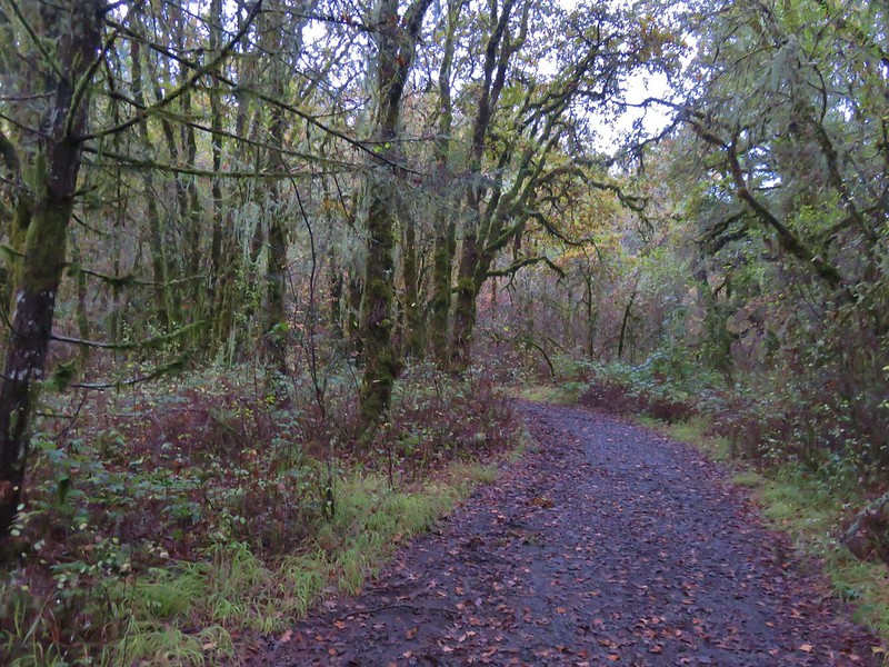
After returning to the trailhead a small group headed to Good Grounds Coffee Shop to do a little more catching up before heading our separate ways. This was a great hike for catching up and meeting new people as the wide gravel road meant we didn’t need to be single file. The weather couldn’t have been much better either.
This out and back was about 5-miles round trip with 600′ of elevation gain.
Orange is the out-and-back from today.
While we don’t often get the chance to hike with others (most are not insane enough to wake up before 3:30am on a day off) it was a lot of fun to get to do so on this day and to help celebrate a friend’s birthday. Happy Trails!
Sometimes the main purpose of a hike isn’t to see a sight but rather to step away from things and find a peaceful place in nature to reflect. My Grandmother turned 97 on 9/30/21, her last birthday after suffering a massive stroke just days earlier. We were able to drive up to her home in Portland on her birthday to visit and while she couldn’t speak she was able to respond and interact with her family that had gathered. We would be returning on Saturday afternoon to visit again when my Brother and his family arrived from Missouri but that morning we felt like getting outside and taking a nice long walk would be good. Since we were heading to Portland later we wanted a hike that was close to home to cut down on driving time so we decided to revisit the McDonald-Dunn Research Forest near Corvallis, OR.
This would be our fourth hike in McDonald Forest having previously hiked to McCulloch Peak (post), Dimple Hill (post) and Peavy Arboretum (post). Each of those three hike had been entirely unique with no steps retracing an earlier path. They had also mostly avoided the center and northwestern portions of the forest. For this hike we planned on visiting those two areas and had originally hoped to connect all three of our previous hikes. We were only able to connect two of the three though due to an active logging operation which closed a portion of the loop we’d planned.
We started our hike at a pullout by the Sulphur Springs Trail along Sulphur Springs Road.
We visited the springs first by following the Sulphur Springs Trail for a tenth of a mile.
Sulphur Springs
Soap Creek near Sulphur Springs.
We then returned to Sulphur Springs Road and turned left (west) following it for 0.4 miles through some residences to the Sulphur Springs Road Trailhead. Sulphur Springs Road from the pullout.
We continued on Sulphur Springs Road (Road 700) past an orange gate to the left of the signboard.
Approximately 1.5 miles beyond the gate we came to an intersection below a clearcut where pointers in both directions were labeled McCulloch Peak.
We followed the Oregonhikers guide and went right on Road 760. We followed this road for 0.4 miles to an the unmarked, unofficial Rocky Road Trail. We stayed right at this junction with Road 761.
The Rocky Road Trail.
The sheer number of roads and trails (both official and unofficial) makes it really easy to get turned around in the forest so having plenty of maps and a plan handy helps. Roads and trails come and go as the forest is used for research purposes by Oregon State University. The Rocky Road Trail is an unofficial trail that follows an old road bed half a mile uphill before rejoining Road 760. A good sized cedar along the trail.
Road 760 ahead.
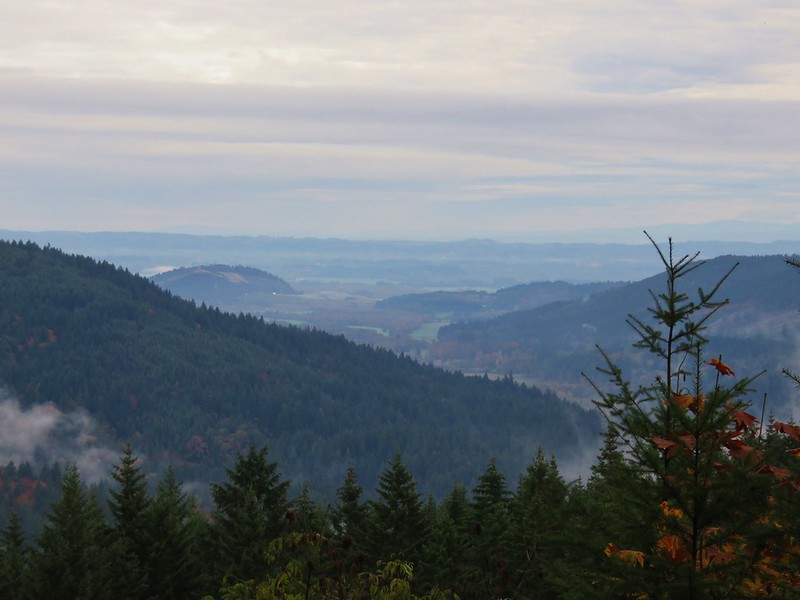
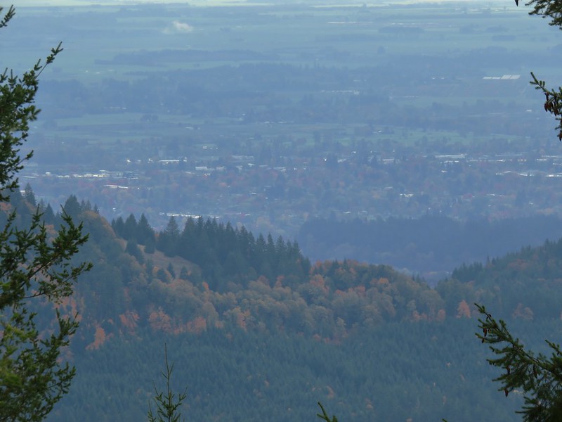
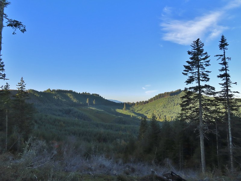
We turned left on Road 760 and followed it for another quarter mile to a junction with Road 700 where we again turned left. Road 700 followed a ridge briefly providing views of the surrounding area then wrapped around a hillside and arriving at a junction with Road 7040 which was the first familiar sight to us.
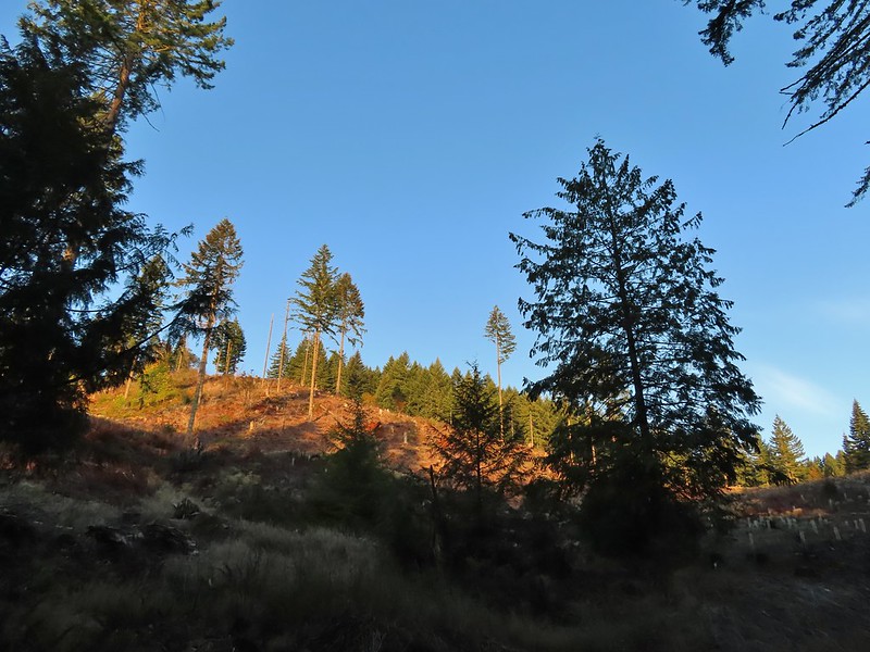
Interesting patchwork of trees. We would have liked to have been able to see when each section had been harvested and replanted.
We couldn’t see much to the east due to the Sun’s position.
We had returned down Road 7040 as part of our previous hike to McCulloch Peak but now we stuck to Road 700 for another quarter mile to a 4-way junction where we turned right on Raod 790. Pointer for McCulloch Peak at the junction. We had come up from Road 700 on the right.
The rest of the 4-way junction. After visiting the peak we would head downhill following the pointer for Oak Creek.
We followed Road 790 a half mile to its end at the peak.
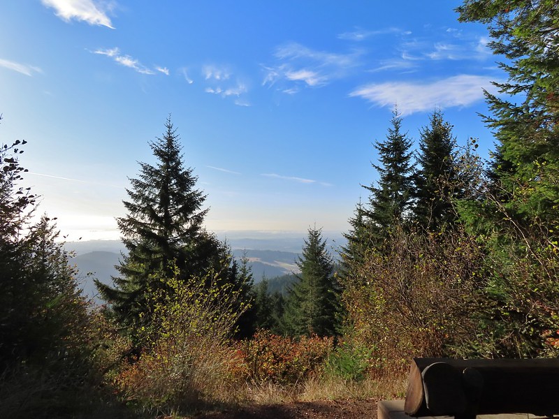
It was just a little hazy to get much of a view from the peak so we headed back by following an unofficial trail down from the summit to a spur road not shown on the maps which connected to Road 790 a tenth of a mile from the summit. Trail to the spur road.
At the 4-way junction we followed Road 700 downhill for a little over three quarters of a mile to a junction with Road 680.
Fading pearly everlasting.
We stayed left here which was the shorter route.
Madrone
Tree island at the junction with Road 680.
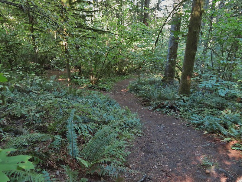
We had originally planned on taking Road 680 from the junction but a short distance up that road there was an unofficial trail showing on the Oregonhikers Field Guide Map which looked like it would cut some distance off our hike. The trail was obvious and had even been recently brushed.
This trail began with a short climb then headed downhill reaching a junction with the Uproute and Extendo Trail near Road 680.
Nearing the trail junction.
Poison oak climbing trees.
Signs for the Uproute and Extendo Trails.
Road 680
We turned right onto Road 680 and followed it a half mile to a signboard at Road 600.
At this signboard was a notice that a portion of Road 600 was closed so we spent some time reviewing the map to come up with an alternate route.
We had planned on following Road 600 all the way to the Ridge Trail at Lewisberg Saddle which we had visited on our Peavy Arboretum hike but the closure was going to force us onto the Bombs Away Trail which would hook up with the Ridge Trail half a mile from Lewisberg Saddle. We didn’t feel like adding another mile to our hike so we would only be connecting two of our three previous hikes this time. We followed Road 600 uphill for a mile and a half to yet another 4-way junction.
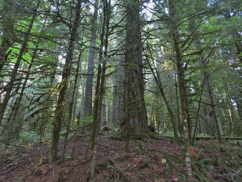
A few larger trees in the forest.
A sea of green grass.
Horsetails
The 4-way junction.
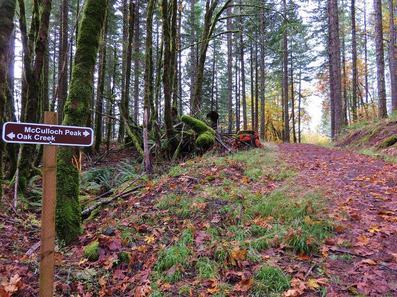
We had been to this junction during our hike to Dimple Hill and hadn’t originally planned on making the 0.4 mile side trip to that viewpoint but with the upcoming detour and a couple of shortcuts we’d already taken we decided to revisit the hill. We turned right on Road 650.
After two tenths of a mile we left the road and followed a pointer for Upper Dan’s Trail.
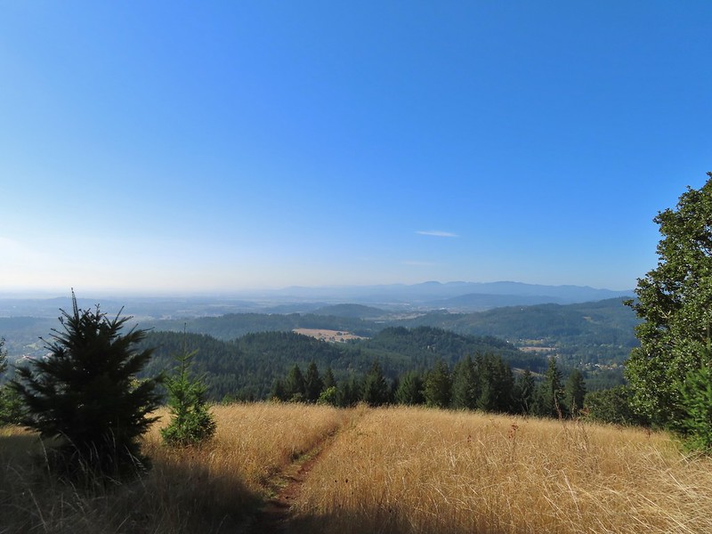
Summit of Dimple Hill.
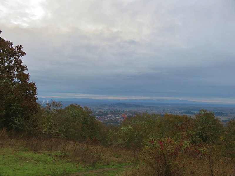
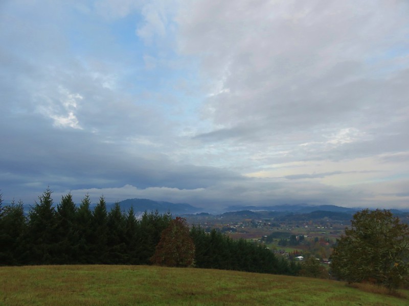
The view here was a bit better than it had been at McCulloch Peak. We could at least see Mary’s Peak by walking just a bit downhill.
Mary’s Peak
After a short break we followed Road 650 back to the 4-way junction and turned right back onto Road 600. Three quarters of a mile later we arrived at the closure. Along the way the road passed through a clearcut where we could just make out the tops of Mt. Hood, Mt. Jefferson and the Three Sisters. Approaching the junction on Road 650.
Junco
Mt. Hood
Mt. Jefferson
The Three Sisters
We made a hairpin turn at the closure onto the unsigned High Horse Trail.
Things got a little confusing at this point. The maps on the signboards (we had taken photos with our phones) showed the Bombs Away Trail as a planned trail for 2020. From the placement on the map it appeared that it split off of the High Horse Trail very close to Road 600 but we wound up climbing a series of switchbacks for half a mile before arriving at an unsigned 4-way junction.
The High Horse Trail and another trail heading uphill at the 4-way junction.
What we assume is the Bombs Away Trail on the left and the High Horse Trail on the right at the 4-way junction.
We took the first trail on the right since it was headed in the correct direction hoping it was indeed the Bombs Away Trail. What we found was a braided mess of trails coming and going on each side. We relied on our GPS to make sure we stayed headed in the right direction and after a confusing 0.6 miles we arrived at Road 640.
Left or right? More often than not both ended up in the same spot.
Road 640
The trail continued on the far side of the road. This stretch was more straight forward ending at Road 620 after 0.4 miles.
On the far side of Road 620 we found the Ridge Trail which we followed for a tenth of a mile to a junction with the Alpha Trail.
Junction with the Alpha Trail.
We turned left here onto the Alpha Trail.
After 0.4 mile the Alpha Trail dropped us out onto Road 810 which we followed downhill 0.6 miles to Road 800.
Looking back at the Alpha Trail from Road 810.
Road 800 below Road 810.
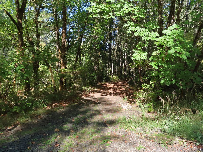
We turned left on Road 800 for three tenths of mile then turned right onto the Baker Creek Trail.
Baker Creek Trail ahead on the right.
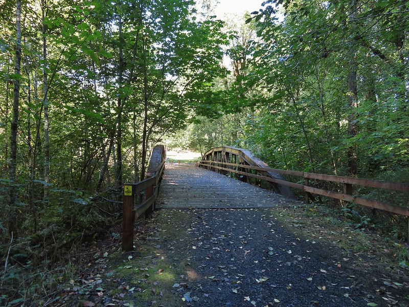
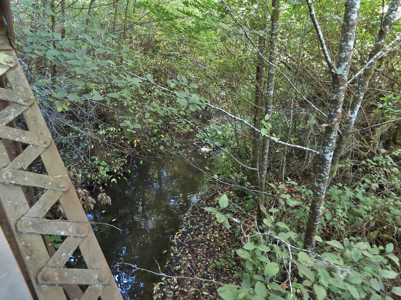
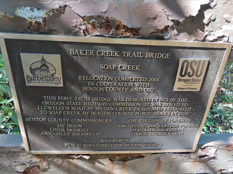
The Baker Creek Trail followed Baker Creek (heard but not seen) for two tenths of mile before crossing Soap Creek on a 1923 Pony Truss Bridge.
The Baker Creek Trailhead was just on the other side of the bridge as was Sulphur Springs Road. We turned left and walked 100 yards up the road back to our car.
Our 13.1 mile hike with approx 2800′ of elevation gain.
After a brief stop at home to clean up we headed to Portland to say our last goodbyes to Grandma. She always enjoyed hearing about our hikes and looking at the pictures, and she eagerly anticipated the calendar we made each year with them. She passed the following Monday night and is with the Lord now. We’ll think of her often when we’re out exploring. Happy Trails Grandma!
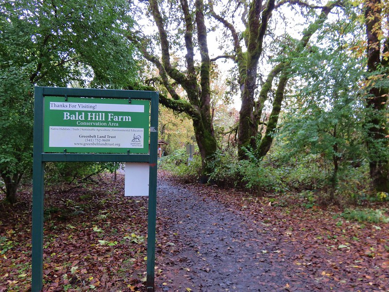
Our latest outing took us to the Bald Hill Natural area and the McDonald Dunn Forest. (Hike #48 in William L. Sullivan’s “100 Hikes/Travel Guide Oregon Coast & Coast Range” 4th edition.) This pair of hikes near Corvallis, OR was a recent substitution in our hiking schedule. We were looking for a hike closer to home for the day after attending the homecoming game at my alma mater – Western Oregon University (It was Western Oregon State College back in my day) with my college roommate and his family. My roommate Tim and his wife Erin had already been dating when Heather and I began seeing each other so the four of us had spent quite a bit of time together in those days. We spent all day Saturday reminiscing starting with an alumni breakfast and ending with dinner at Mendi’s Pizza.
We were able to sleep in a little on the day of the hike since the drive was just under an hour and it hadn’t been getting light out until almost 7:30am. We took Highway 99W to Corvallis then turned right (west) onto NW Walnut Blvd for 4.3 miles to NW Oak Creek Drive where we once again turned right. Both of the days trailheads were located along this road and we hadn’t yet decided which we were going to start with. We had been waiting to see what the weather was like. It had been extremely foggy the prior morning and we didn’t want to head up Bald Hill (the shorter of the two hikes) if there was no visibility because the guidebook indicated that it had the better views. The forecast for the day called for patchy morning fog and a 20% chance of showers before 11am, but as we neared the Bald Hill Natural Area .8 miles along NW Oak Creek Dr. there was no fog just some higher clouds so we pulled into the already busy parking lot.
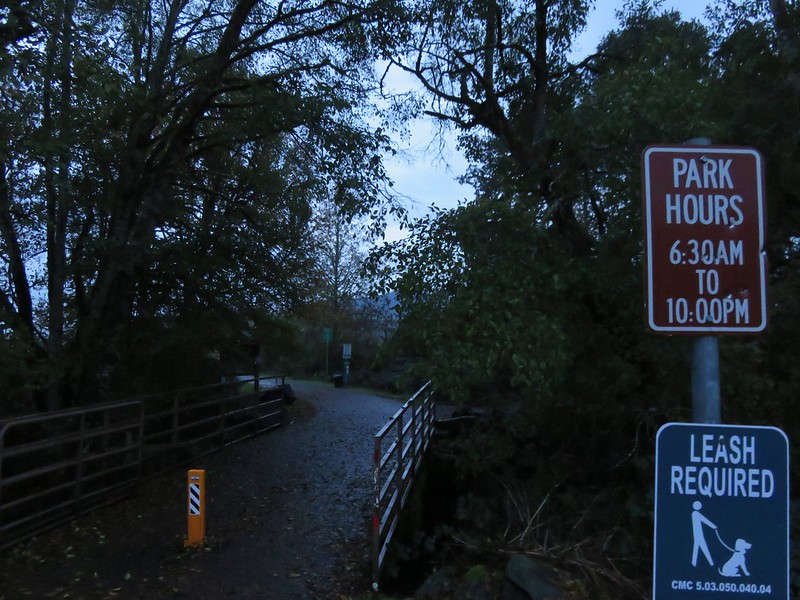
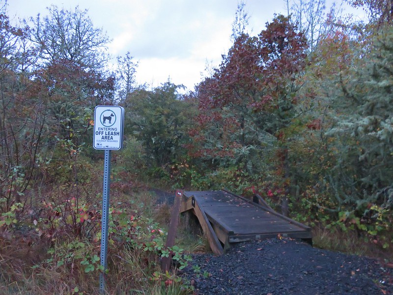
The majority of cars seemed to belong to runners and the rest dog owners. The area offers numerous trails, some paved and some not, as well as an off leash dog area. It reminded us a bit of Minto-Brown Island Park in Salem except there were hills instead of a river.
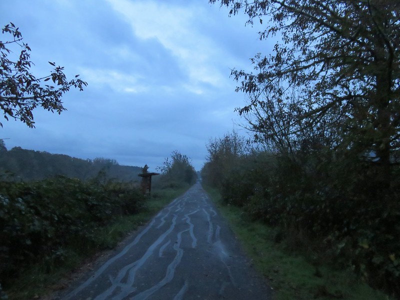
We set off from the parking area crossing Oak Creek on a footbridge and heading straight out a wide paved path.
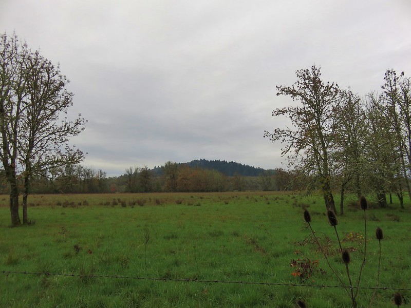
As the path began to curve through the wetlands Bald Hill came into view.
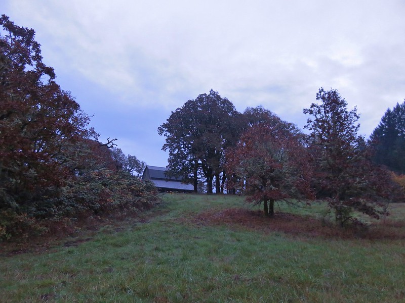
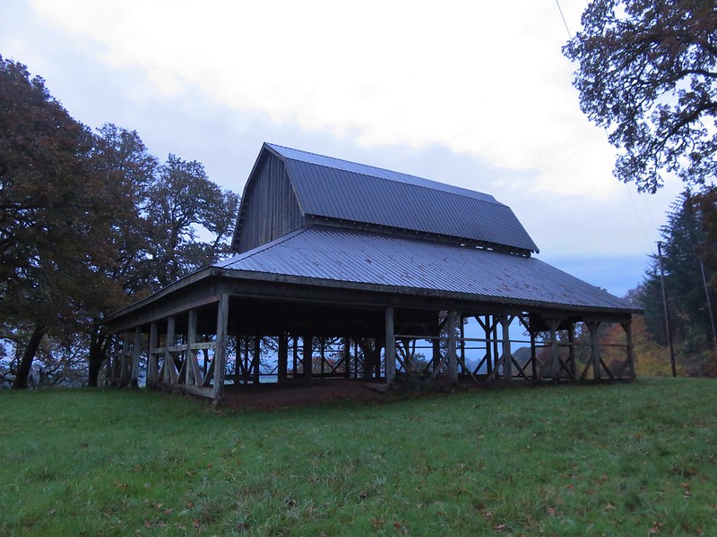
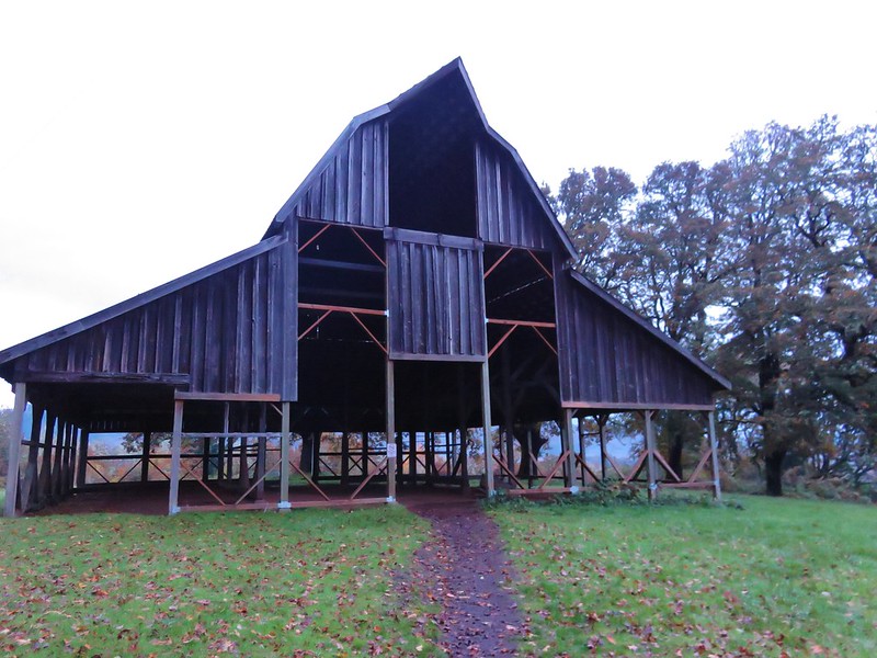
The route suggested by Sullivan turns right off the paved path after a half mile passing an old barn on the right. We wound up turning right one path too soon though and found ourselves passing through a field with the barn up on a hill to our left.
We followed a faint path up through the field to the barn where we picked up the correct trail.
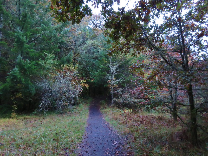
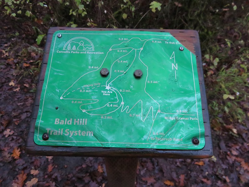
With the aid of trail maps at junctions we were able to stay on Sullivan’s route climbing .8 miles to the summit of Bald Hill.
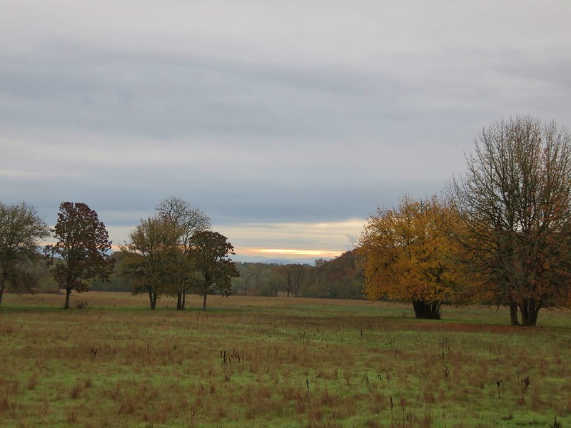
For a cloudy day the view was very nice. The first of two benches on the hill overlooked the southern end of Corvallis where trees blazed with fall colors amid the houses.
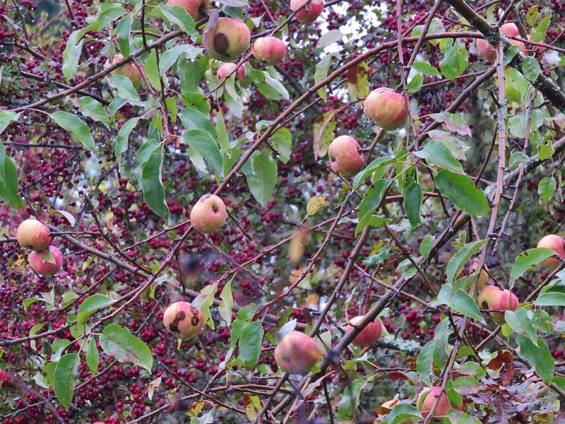
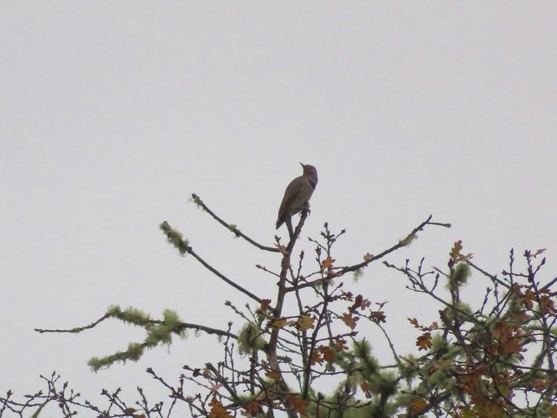
Various fruit trees lined the trail at the summit drawing birds to the area.
The second bench looked to the SW towards Mary’s Peak which was mostly hidden by clouds.
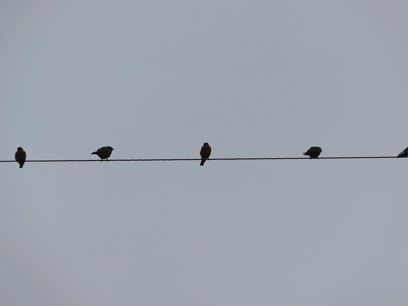
After passing the second bench we continued on our loop 1.9 miles passing farmland and more birds on the way back to the parking lot.
Northern Flicker
The loop was 3.3 miles which was a nice warm up for our next stop which was to be a 9.5 mile loop in the McDonald Dunn Forest with a stop atop 2154′ McCulloch Peak. From the Bald Hill parking lot we continued west on NW Oak Creek Drive following it to the right at a fork after 1.1 miles and continuing to a parking area at the roads
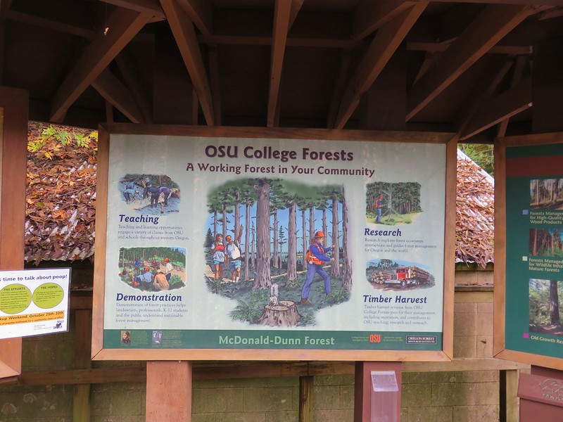
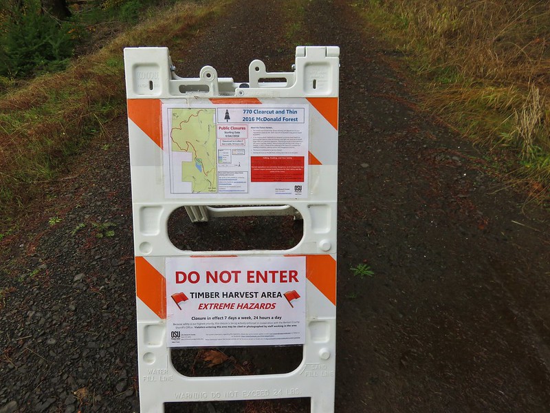
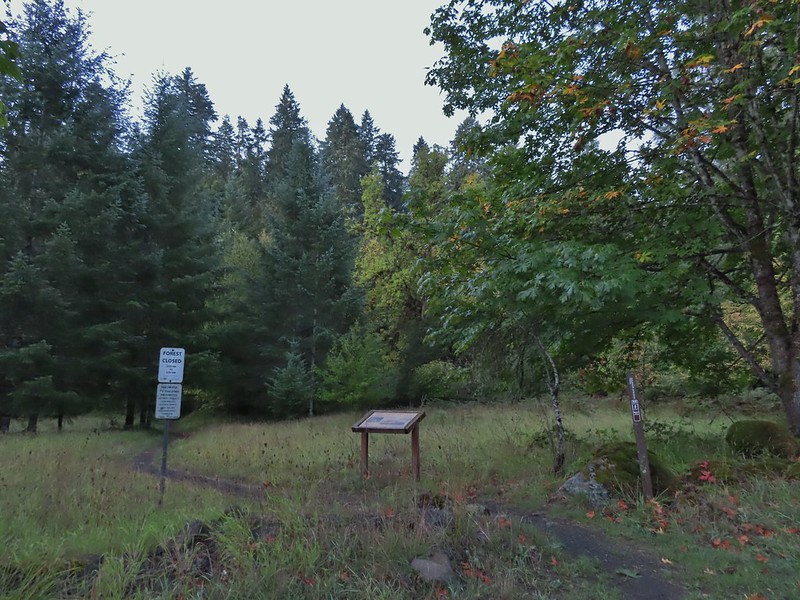
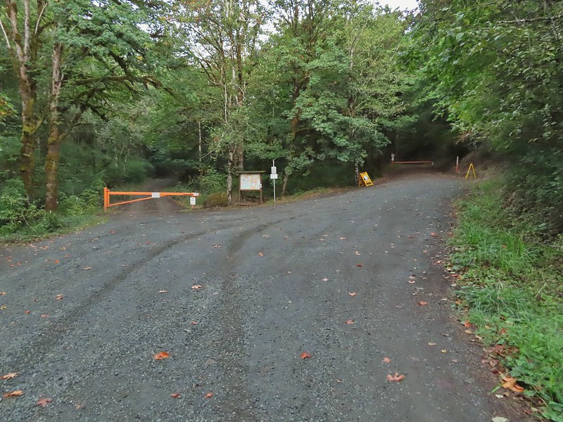
gated end. The McDonald-Dunn Research Forest consists of approximately 11,250 acres largely used by Oregon State University for instruction and research. Various trails and roads are open to hikers, bikers, and equestrians although occasional closures do occur due to forestry activities. Despite having checked the forest website the night before we noticed a sign at the trailhead stating that our planned return route (Road 770) was currently closed due to a timber harvest. The route up to McCulloch Peak was open though and there appeared to be a couple of other ways to return using different roads and/or trails so we sallied forth.
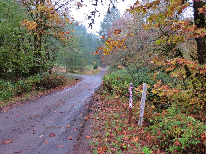
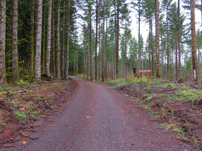
We followed Patterson Road from the gate just over half a mile to a junction with road 6020.
Near the junction was the beginning of the Extendo Trail.
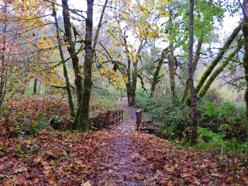
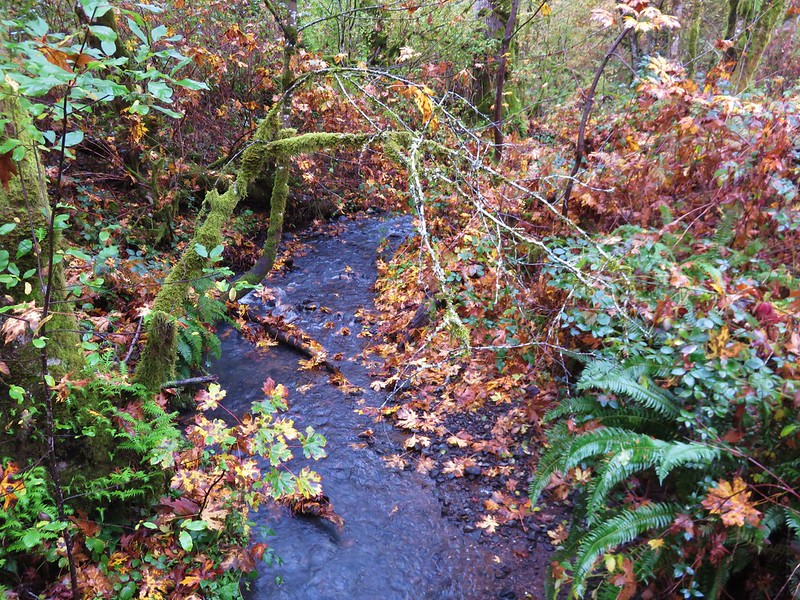
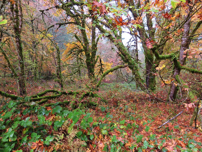
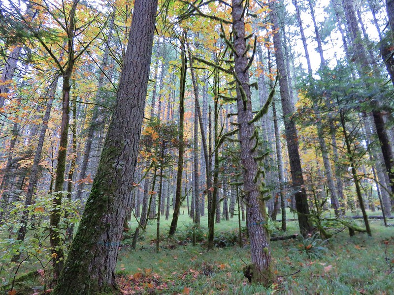
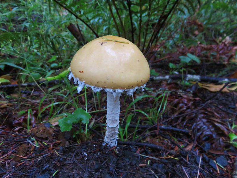
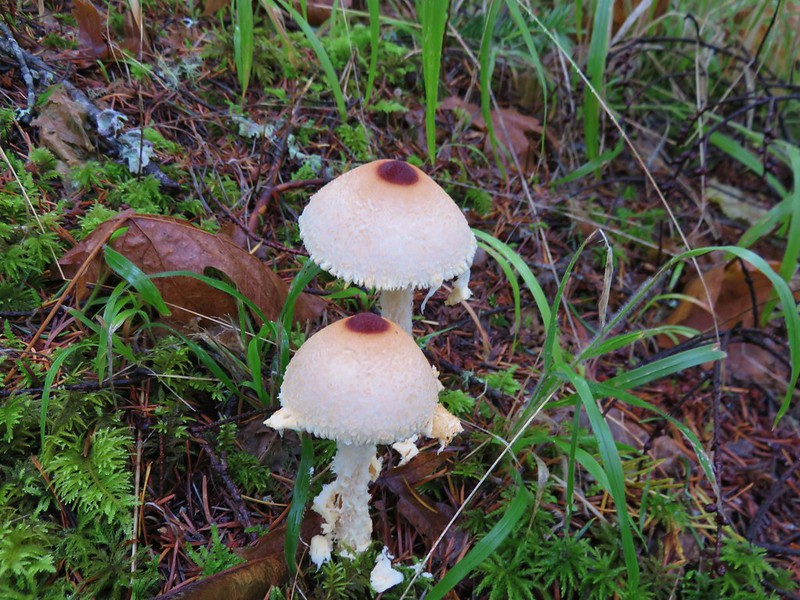
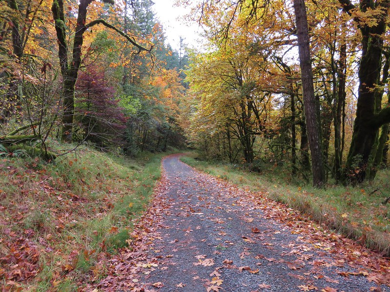
The Extendo Trail is open to Bikes, horses, and hikers from April through October and then to hikers only from November through March. We followed this trail across Oak Creek and then uphill for almost 1.5 miles. Fall was on full display in the forest along the trial with colorful leaves and plenty of mushrooms to be seen.
Some of that fall color was attributable to poison oak which we were keeping a close eye out for.
The Extendo Trail ended at a 4-way junction. To the left was the Uproute Trail which headed back downhill to Road 6020. An unofficial (illegal) path continued straight uphill and to the right was gravel Road 680 and a pointer for McCulloch Peak.
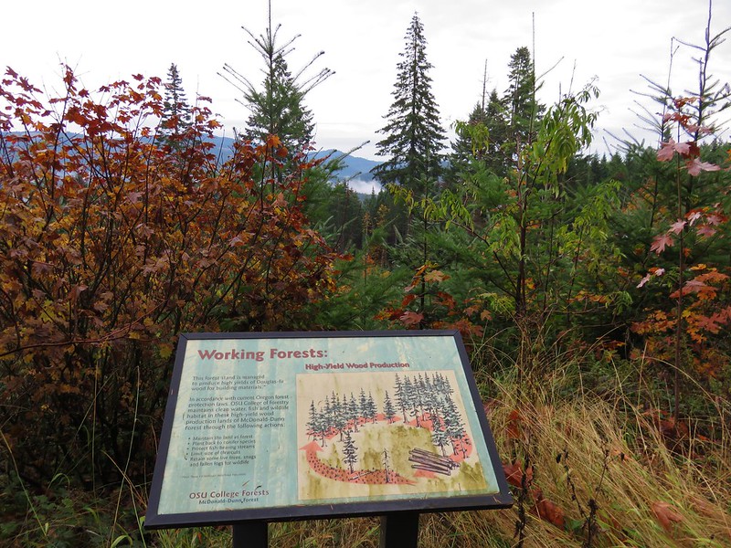
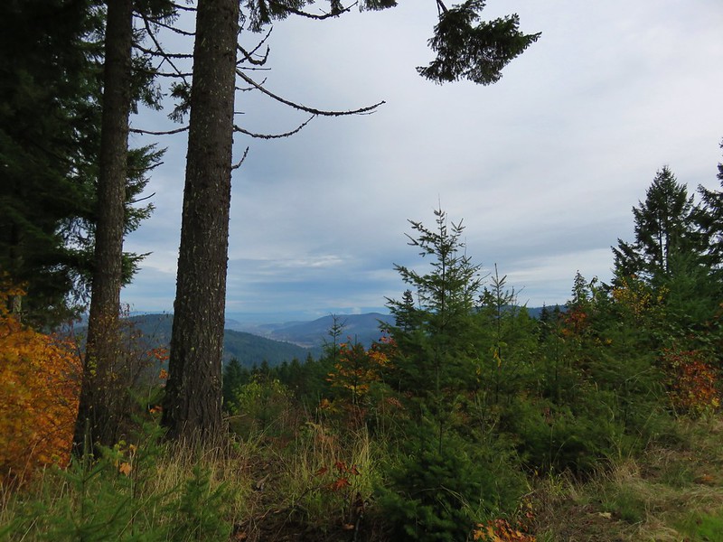
We followed road 680 uphill to a clearcut saddle with an interpretive sign and a bit of a view to the NW.
Beyond the saddle Road 680 came to an end at Road 700 where we followed another pointer for McCulloch Peak.
Just before reaching the junction with Road 770 we got a clear look at our destination, McCulloch Peak.
We passed closed road 770 1.1 miles from the Extendo Trail.
We passed several roads sticking to Road 700 until we reached Road 790 which was also signed Marvin L. Rowley Road (named after the former Forest Manager).
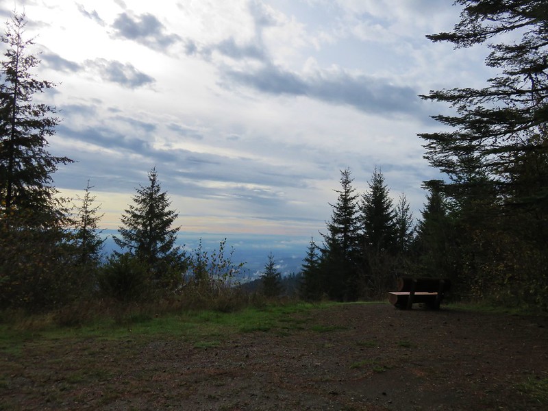
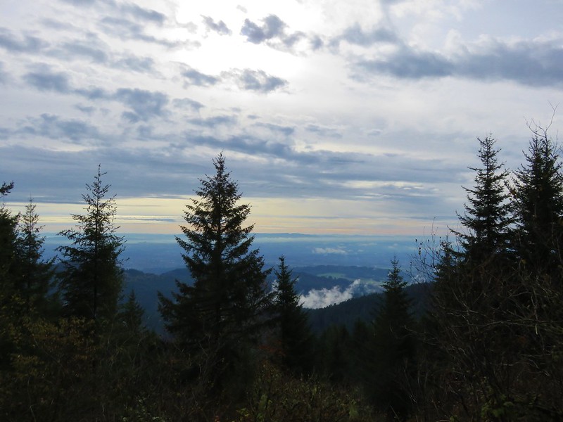
We reached the summit a little over a mile from Road 770 where a small bench awaited.
Although it wasn’t wide, the view was nice enough.
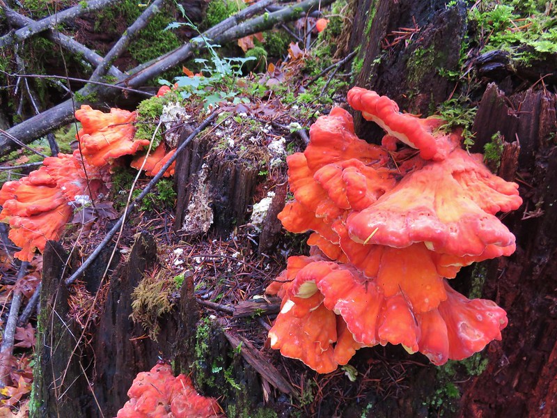
After a brief break we headed back downhill. Since our planned return route was closed we decided to look at the map and see what other options we had. First we turned left when we got back to Road 700 following it for a quarter mile to Road 740 which looped around a small knoll before rejoining Road 700 after another quarter mile. Near the end of Road 740 we passed a stump covered with Chicken of the Woods mushrooms.
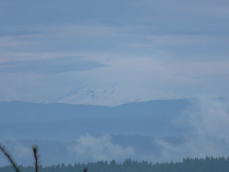
We then retraced our path down Road 700 to Road 680. At the clearcut viewpoint on Road 680 we spotted a faint Mt. Jefferson against the clouds.
We had a choice when we reached the junction with the Extendo and Uproute Trails. We could return on either of those trails or stay on Road 680 and follow it down to Patterson Road. We decided on following the road which swung out to the west for .6 miles to Patterson Road just over a mile from where we had turned off it earlier to take to Extendo Trail uphill. It was a pleasant walk through the woods back to the trailhead.
The hike wound up being a little over 9 miles giving us a total of 12.4 miles for the day. The trails (and roads) in both of the areas were in excellent shape and the number of options and year round accessibility makes them nice options anytime of the year. They will be on our list of nearby alternatives when we want to get outside but don’t want (or can’t get) too far from home.


 Sulphur Springs
 Soap Creek near Sulphur Springs.
 Sulphur Springs Road from the pullout.
 Sulphur Springs Road Trailhead.

 We stayed right at this junction with Road 761.
 The Rocky Road Trail.
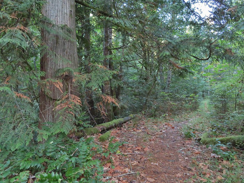 A good sized cedar along the trail.
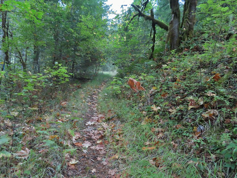
 Road 760 ahead.
 Interesting patchwork of trees. We would have liked to have been able to see when each section had been harvested and replanted.
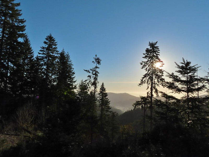 We couldn’t see much to the east due to the Sun’s position.
 Mary’s Peak (
 Road 7040 on the left.
 Pointer for McCulloch Peak at the junction. We had come up from Road 700 on the right.
 The rest of the 4-way junction. After visiting the peak we would head downhill following the pointer for Oak Creek.
 Trail to the spur road.

 Fading pearly everlasting.
 We stayed left here which was the shorter route.
 Madrone
 Tree island at the junction with Road 680.
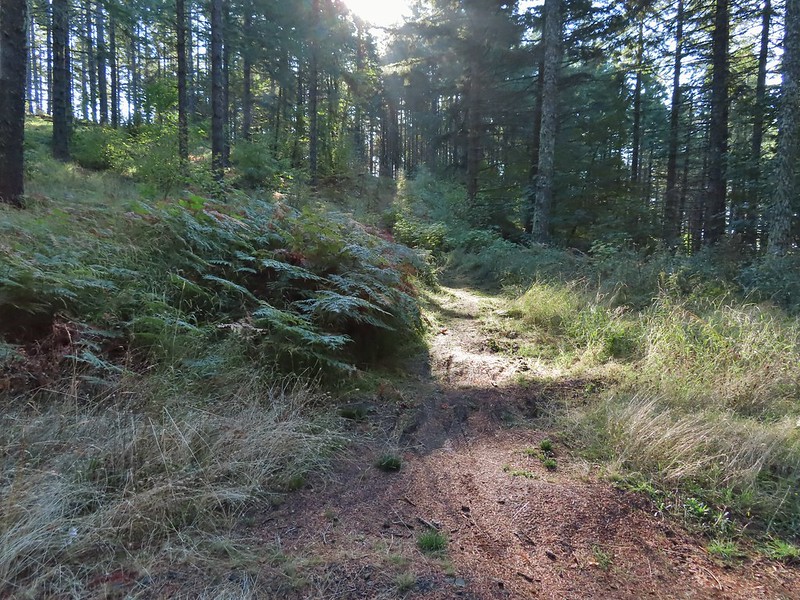


 Nearing the trail junction.
 Poison oak climbing trees.
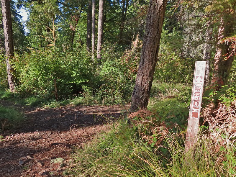 Signs for the Uproute and Extendo Trails.
 Road 680


 A few larger trees in the forest.
 A sea of green grass.
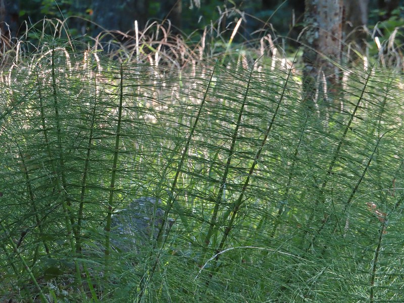 Horsetails
 The 4-way junction.


 Summit of Dimple Hill.
 Mary’s Peak
 Approaching the junction on Road 650.
 Junco
Junco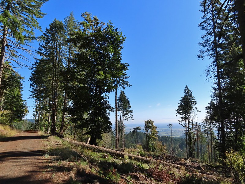
 Mt. Hood
 Mt. Jefferson
 The Three Sisters


 The High Horse Trail and another trail heading uphill at the 4-way junction.
 What we assume is the Bombs Away Trail on the left and the High Horse Trail on the right at the 4-way junction.
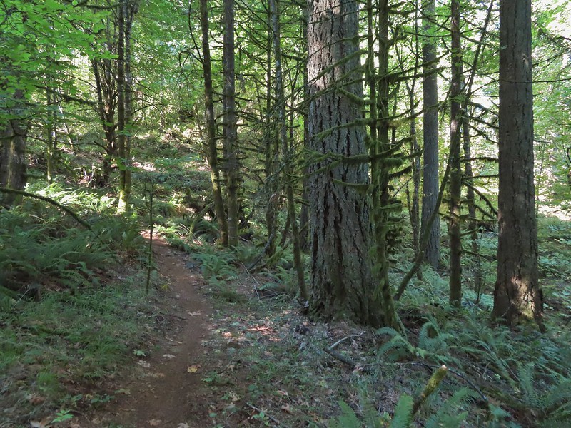

 Left or right? More often than not both ended up in the same spot.
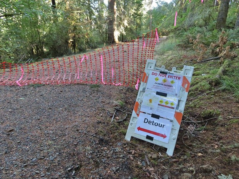 Road 640
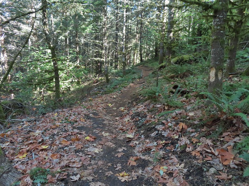


 Junction with the Alpha Trail.


 Looking back at the Alpha Trail from Road 810.

 Road 800 below Road 810.
 Baker Creek Trail ahead on the right.