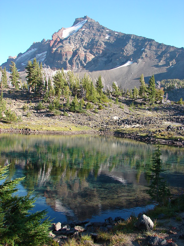
Sometimes the main purpose of a hike isn’t to see a sight but rather to step away from things and find a peaceful place in nature to reflect. My Grandmother turned 97 on 9/30/21, her last birthday after suffering a massive stroke just days earlier. We were able to drive up to her home in Portland on her birthday to visit and while she couldn’t speak she was able to respond and interact with her family that had gathered. We would be returning on Saturday afternoon to visit again when my Brother and his family arrived from Missouri but that morning we felt like getting outside and taking a nice long walk would be good. Since we were heading to Portland later we wanted a hike that was close to home to cut down on driving time so we decided to revisit the McDonald-Dunn Research Forest near Corvallis, OR.
This would be our fourth hike in McDonald Forest having previously hiked to McCulloch Peak (post), Dimple Hill (post) and Peavy Arboretum (post). Each of those three hike had been entirely unique with no steps retracing an earlier path. They had also mostly avoided the center and northwestern portions of the forest. For this hike we planned on visiting those two areas and had originally hoped to connect all three of our previous hikes. We were only able to connect two of the three though due to an active logging operation which closed a portion of the loop we’d planned.
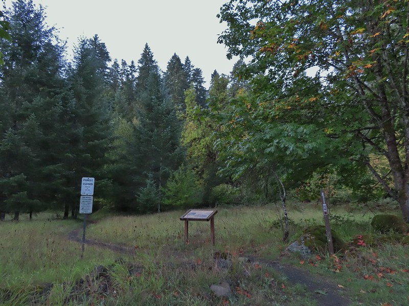
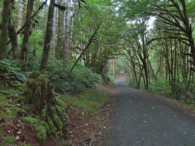
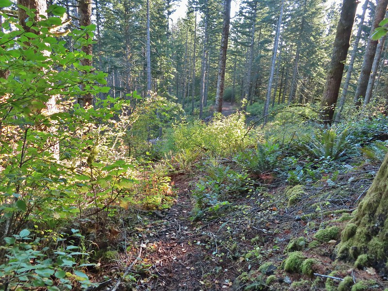
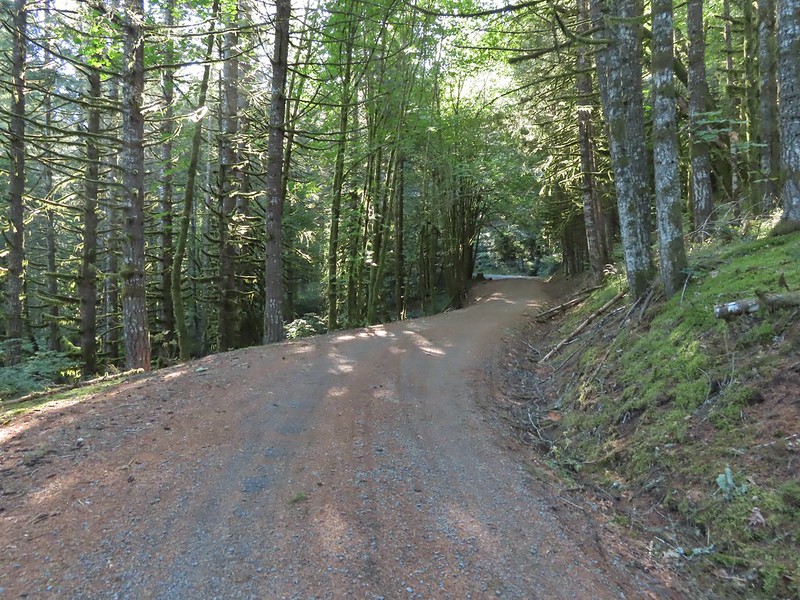
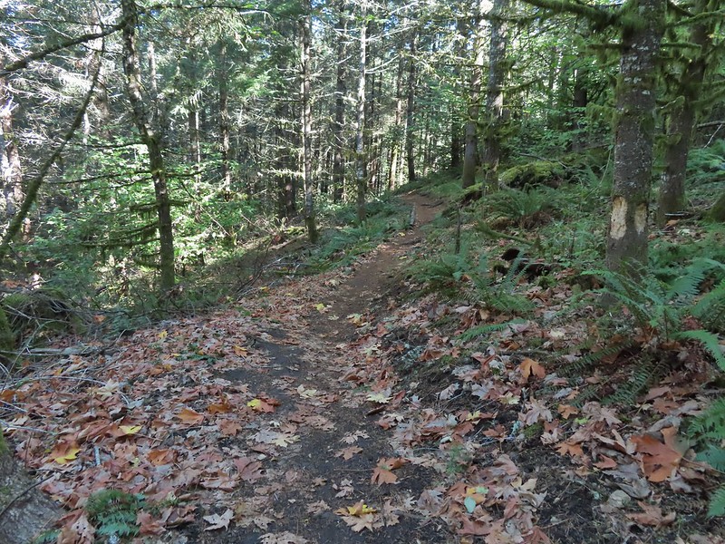
We started our hike at a pullout by the Sulphur Springs Trail along Sulphur Springs Road.
We visited the springs first by following the Sulphur Springs Trail for a tenth of a mile.


 Sulphur Springs
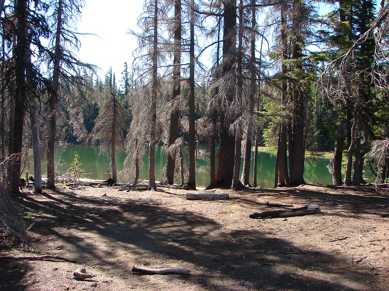
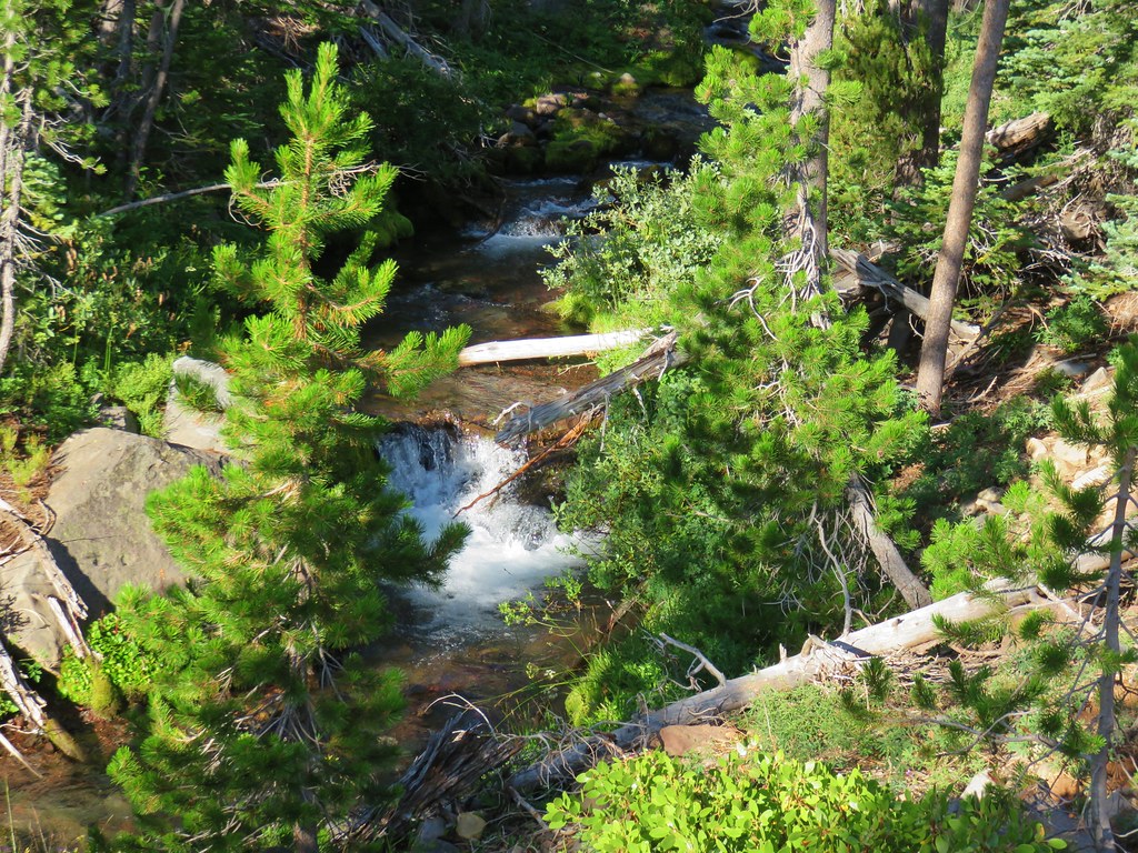
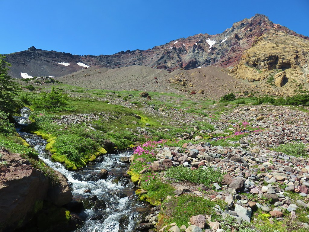
 Soap Creek near Sulphur Springs.
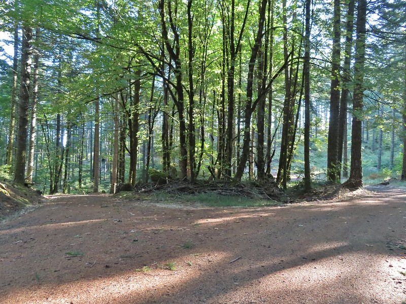
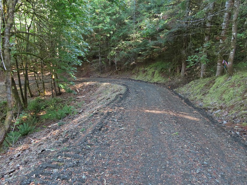
We then returned to Sulphur Springs Road and turned left (west) following it for 0.4 miles through some residences to the Sulphur Springs Road Trailhead.
 Sulphur Springs Road from the pullout.

 Sulphur Springs Road Trailhead.
Our plan had been to combine a pair of hikes described in the Oregonhikers.org field guide, the McCulloch Peak Loop Hike and the Sulphur Springs via Alpha Trail Hike by connecting them using the gravel roads in the forest.

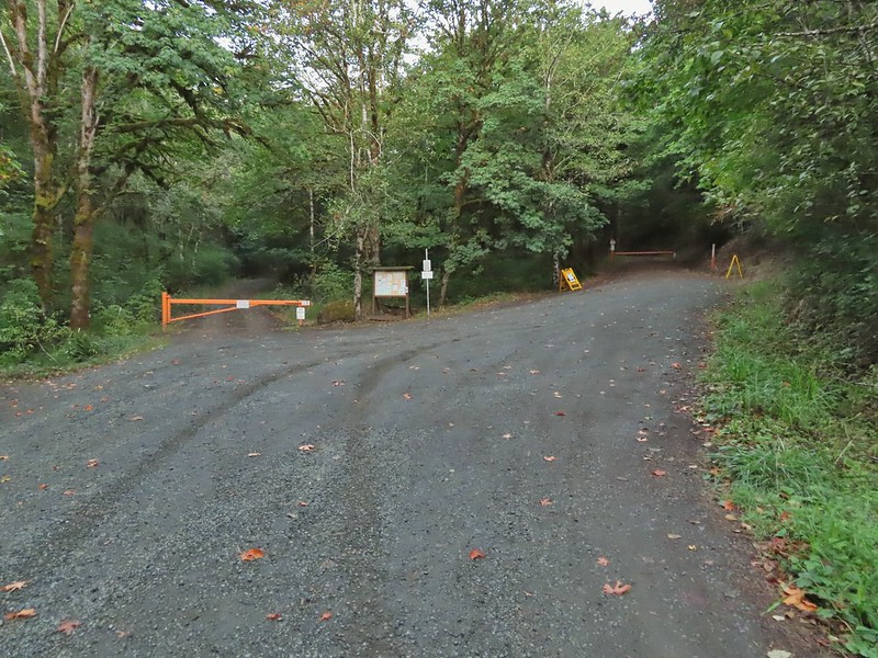
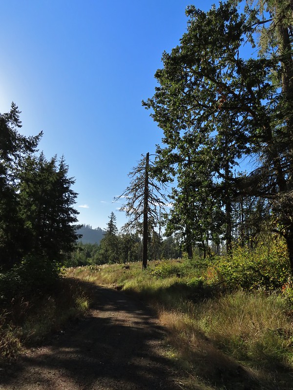
We continued on Sulphur Springs Road (Road 700) past an orange gate to the left of the signboard.
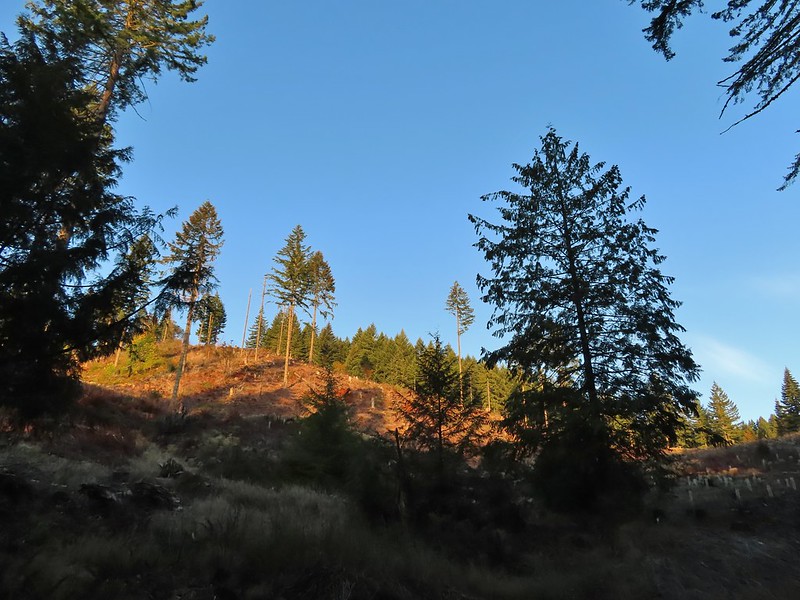
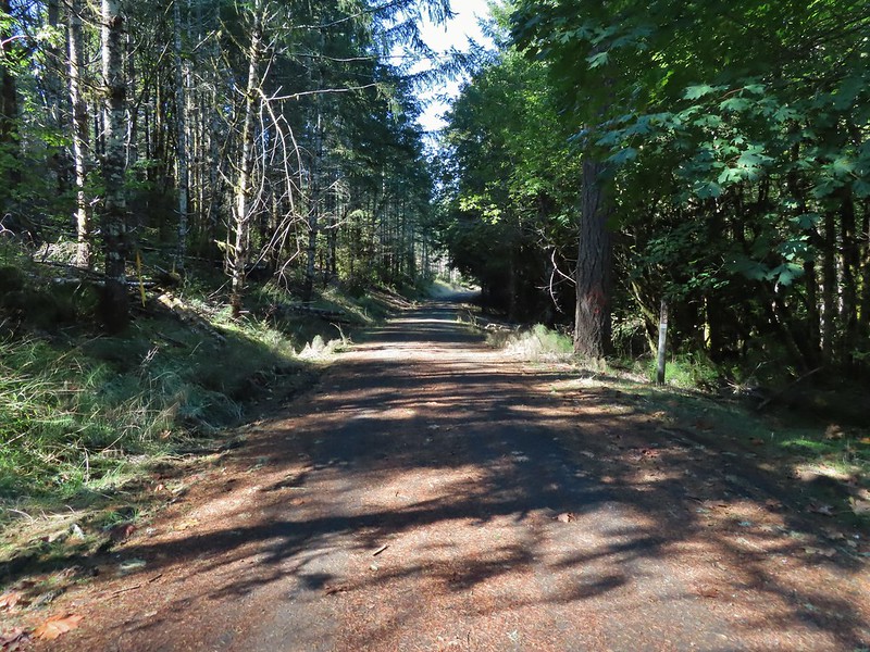
Approximately 1.5 miles beyond the gate we came to an intersection below a clearcut where pointers in both directions were labeled McCulloch Peak.

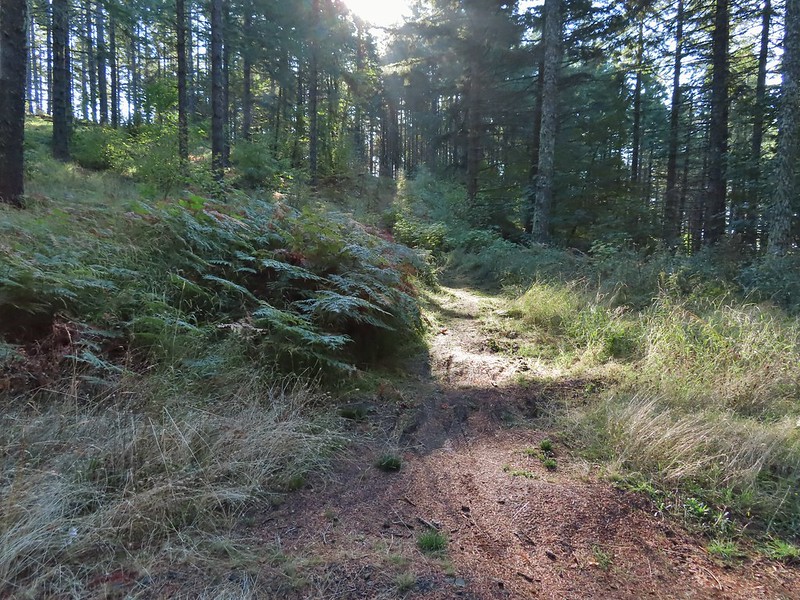
We followed the Oregonhikers guide and went right on Road 760. We followed this road for 0.4 miles to an the unmarked, unofficial Rocky Road Trail.
 We stayed right at this junction with Road 761.
 The Rocky Road Trail.
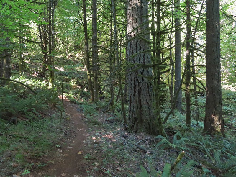
The sheer number of roads and trails (both official and unofficial) makes it really easy to get turned around in the forest so having plenty of maps and a plan handy helps. Roads and trails come and go as the forest is used for research purposes by Oregon State University. The Rocky Road Trail is an unofficial trail that follows an old road bed half a mile uphill before rejoining Road 760.
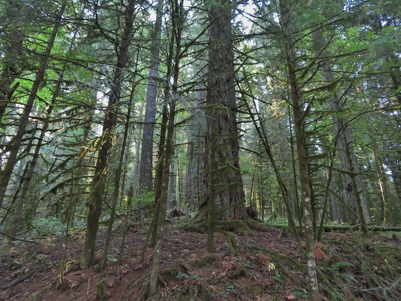
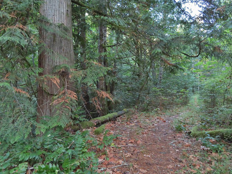 A good sized cedar along the trail.
 Road 760 ahead.
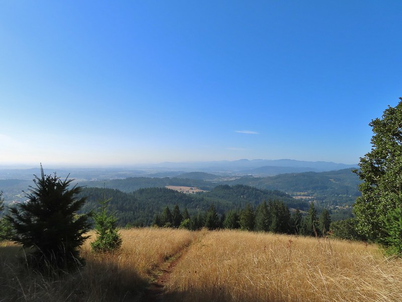
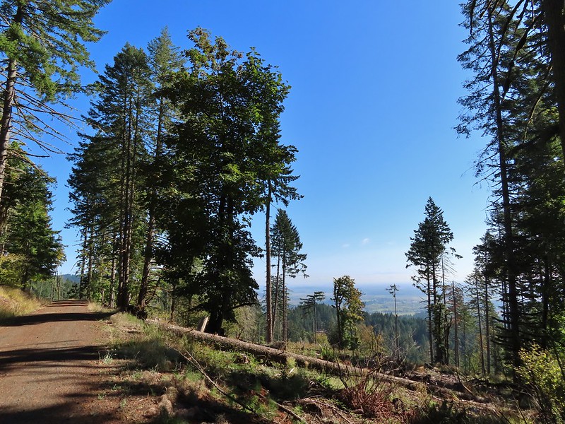
We turned left on Road 760 and followed it for another quarter mile to a junction with Road 700 where we again turned left. Road 700 followed a ridge briefly providing views of the surrounding area then wrapped around a hillside and arriving at a junction with Road 7040 which was the first familiar sight to us.

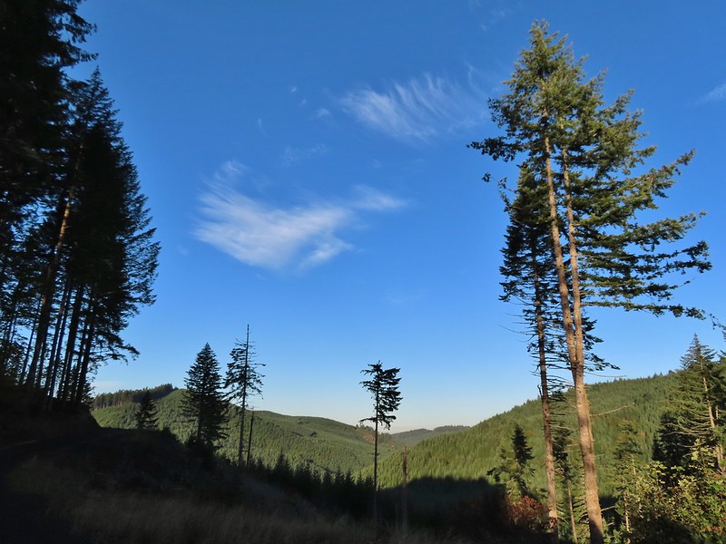
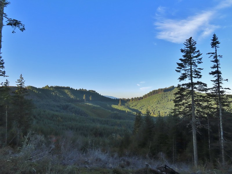 Interesting patchwork of trees. We would have liked to have been able to see when each section had been harvested and replanted.
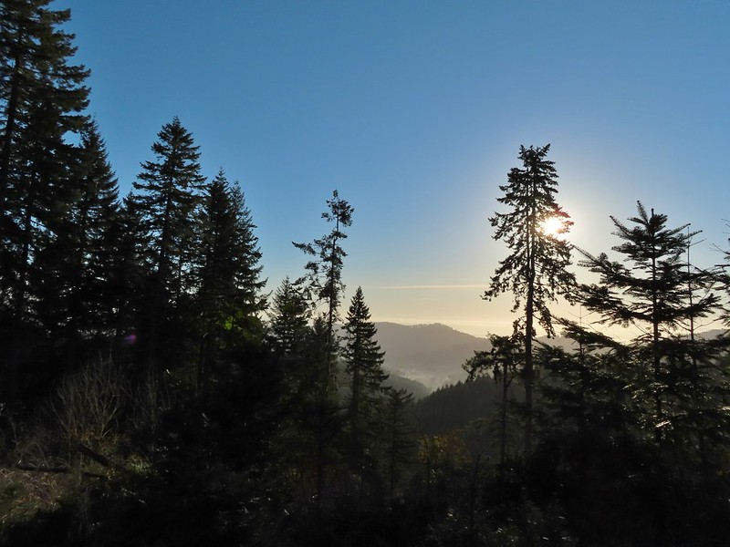 We couldn’t see much to the east due to the Sun’s position.
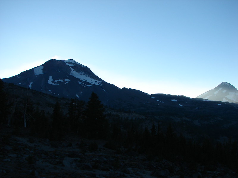
 Mary’s Peak (post)
 Road 7040 on the left.
We had returned down Road 7040 as part of our previous hike to McCulloch Peak but now we stuck to Road 700 for another quarter mile to a 4-way junction where we turned right on Raod 790.
 Pointer for McCulloch Peak at the junction. We had come up from Road 700 on the right.
 The rest of the 4-way junction. After visiting the peak we would head downhill following the pointer for Oak Creek.
We followed Road 790 a half mile to its end at the peak.

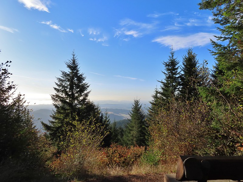
It was just a little hazy to get much of a view from the peak so we headed back by following an unofficial trail down from the summit to a spur road not shown on the maps which connected to Road 790 a tenth of a mile from the summit.
 Trail to the spur road.
At the 4-way junction we followed Road 700 downhill for a little over three quarters of a mile to a junction with Road 680.


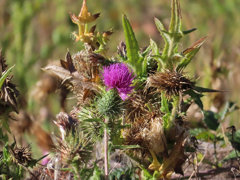
 Fading pearly everlasting.
 We stayed left here which was the shorter route.
 Madrone
 Tree island at the junction with Road 680.
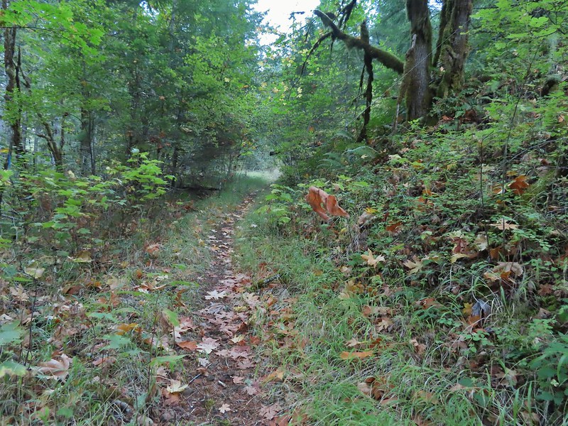
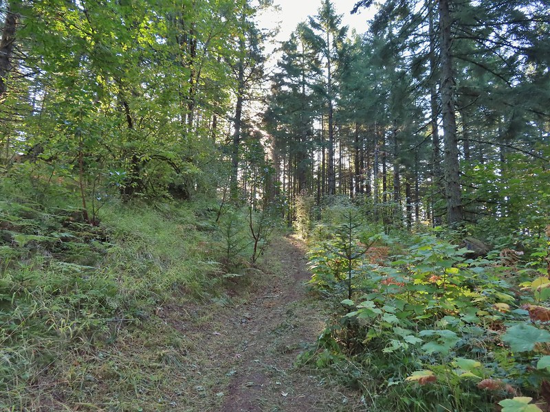
We had originally planned on taking Road 680 from the junction but a short distance up that road there was an unofficial trail showing on the Oregonhikers Field Guide Map which looked like it would cut some distance off our hike. The trail was obvious and had even been recently brushed.
This trail began with a short climb then headed downhill reaching a junction with the Uproute and Extendo Trail near Road 680.


 Nearing the trail junction.
 Poison oak climbing trees.
 Signs for the Uproute and Extendo Trails.
 Road 680
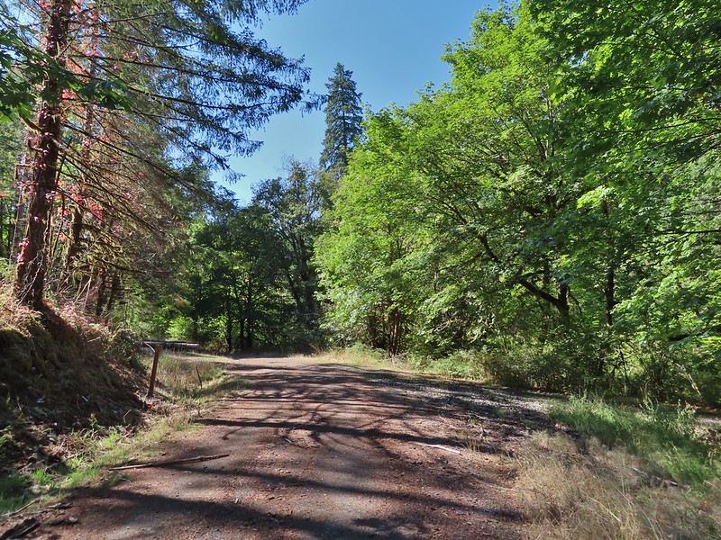
We turned right onto Road 680 and followed it a half mile to a signboard at Road 600.


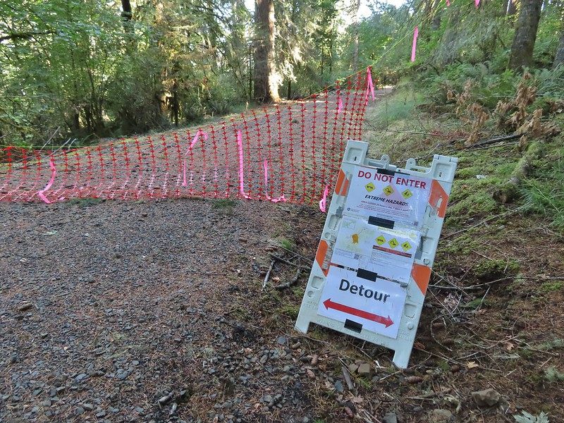
At this signboard was a notice that a portion of Road 600 was closed so we spent some time reviewing the map to come up with an alternate route.

We had planned on following Road 600 all the way to the Ridge Trail at Lewisberg Saddle which we had visited on our Peavy Arboretum hike but the closure was going to force us onto the Bombs Away Trail which would hook up with the Ridge Trail half a mile from Lewisberg Saddle. We didn’t feel like adding another mile to our hike so we would only be connecting two of our three previous hikes this time. We followed Road 600 uphill for a mile and a half to yet another 4-way junction.
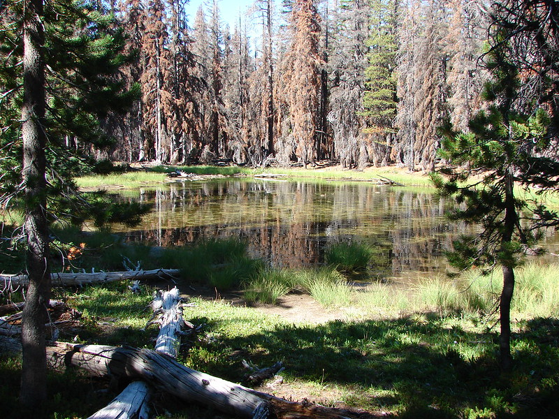
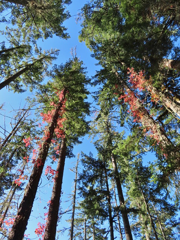
 A few larger trees in the forest.
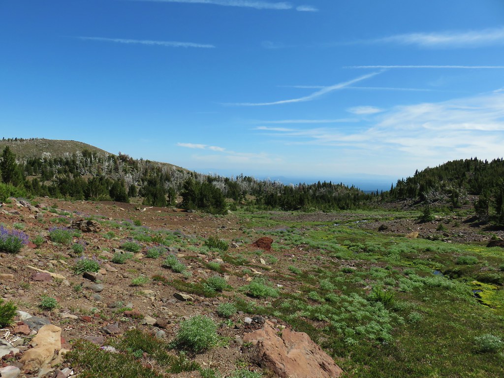
 A sea of green grass.
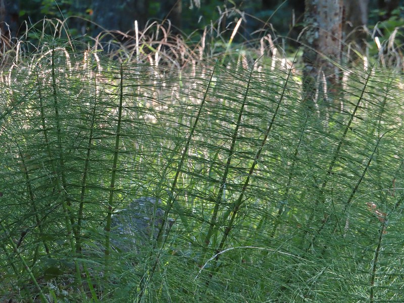 Horsetails
 The 4-way junction.
We had been to this junction during our hike to Dimple Hill and hadn’t originally planned on making the 0.4 mile side trip to that viewpoint but with the upcoming detour and a couple of shortcuts we’d already taken we decided to revisit the hill. We turned right on Road 650.


After two tenths of a mile we left the road and followed a pointer for Upper Dan’s Trail.

 Summit of Dimple Hill.

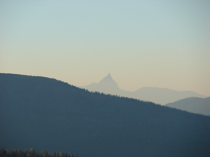
The view here was a bit better than it had been at McCulloch Peak. We could at least see Mary’s Peak by walking just a bit downhill.
 Mary’s Peak
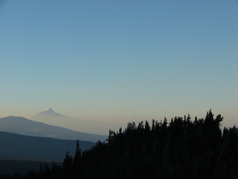
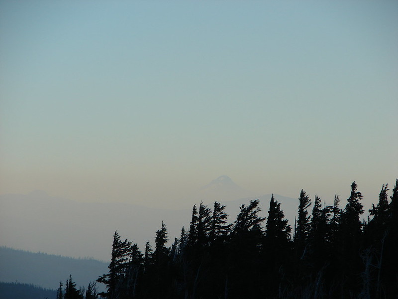
After a short break we followed Road 650 back to the 4-way junction and turned right back onto Road 600. Three quarters of a mile later we arrived at the closure. Along the way the road passed through a clearcut where we could just make out the tops of Mt. Hood, Mt. Jefferson and the Three Sisters.
 Approaching the junction on Road 650.
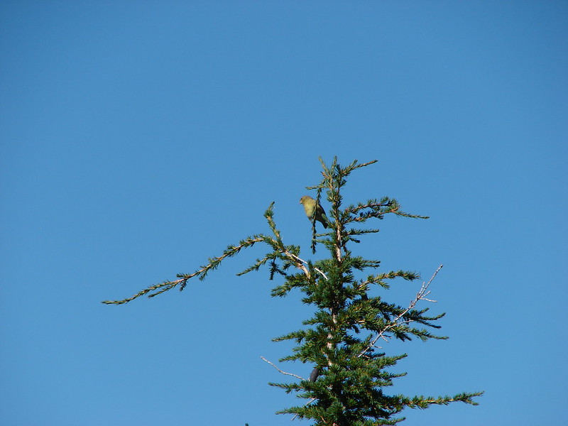
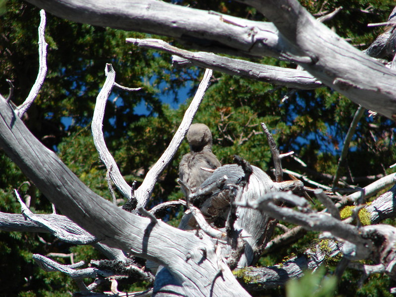
 Junco
Junco
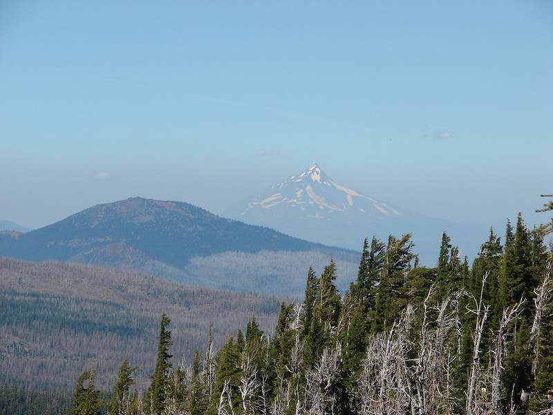
 Mt. Hood
 Mt. Jefferson
 The Three Sisters

We made a hairpin turn at the closure onto the unsigned High Horse Trail.

Things got a little confusing at this point. The maps on the signboards (we had taken photos with our phones) showed the Bombs Away Trail as a planned trail for 2020. From the placement on the map it appeared that it split off of the High Horse Trail very close to Road 600 but we wound up climbing a series of switchbacks for half a mile before arriving at an unsigned 4-way junction.

 The High Horse Trail and another trail heading uphill at the 4-way junction.
 What we assume is the Bombs Away Trail on the left and the High Horse Trail on the right at the 4-way junction.
We took the first trail on the right since it was headed in the correct direction hoping it was indeed the Bombs Away Trail. What we found was a braided mess of trails coming and going on each side. We relied on our GPS to make sure we stayed headed in the right direction and after a confusing 0.6 miles we arrived at Road 640.

 Left or right? More often than not both ended up in the same spot.
 Road 640
The trail continued on the far side of the road. This stretch was more straight forward ending at Road 620 after 0.4 miles.


On the far side of Road 620 we found the Ridge Trail which we followed for a tenth of a mile to a junction with the Alpha Trail.

 Junction with the Alpha Trail.
We turned left here onto the Alpha Trail.

After 0.4 mile the Alpha Trail dropped us out onto Road 810 which we followed downhill 0.6 miles to Road 800.


 Looking back at the Alpha Trail from Road 810.

 Road 800 below Road 810.
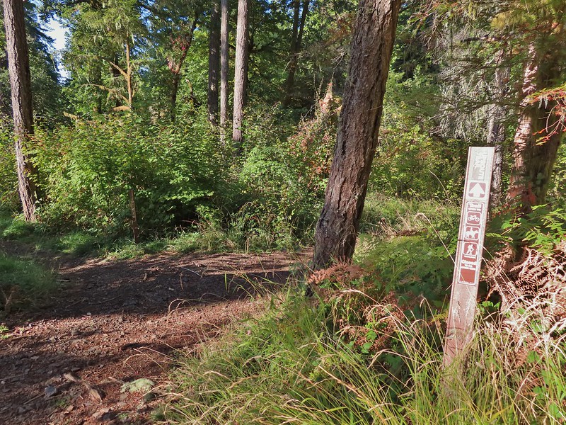
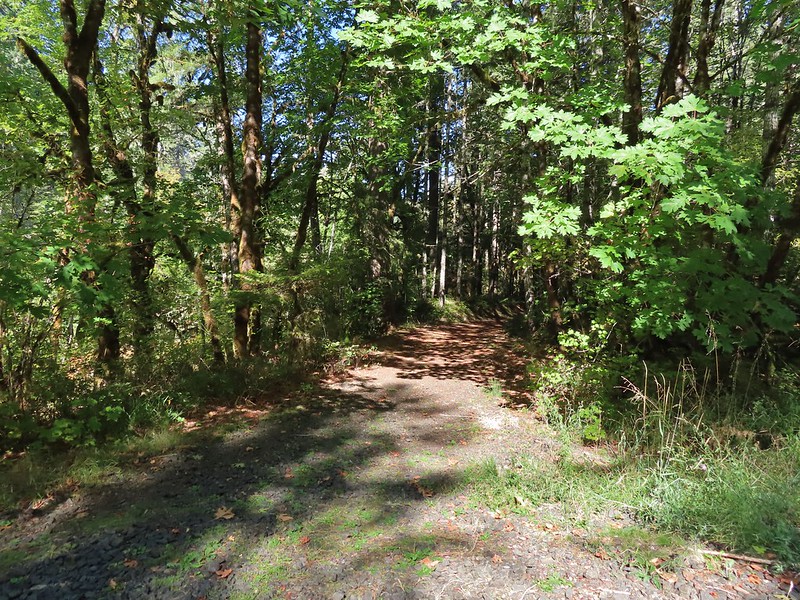
We turned left on Road 800 for three tenths of mile then turned right onto the Baker Creek Trail.
 Baker Creek Trail ahead on the right.
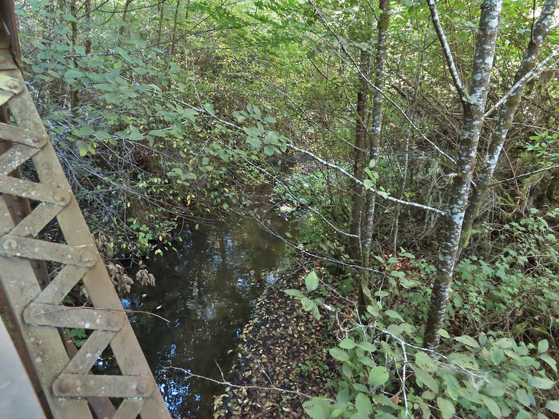
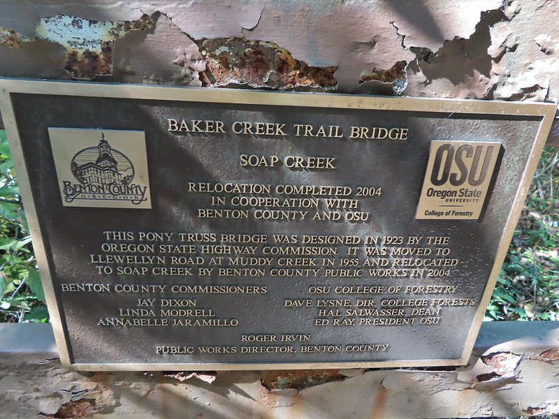
The Baker Creek Trail followed Baker Creek (heard but not seen) for two tenths of mile before crossing Soap Creek on a 1923 Pony Truss Bridge.
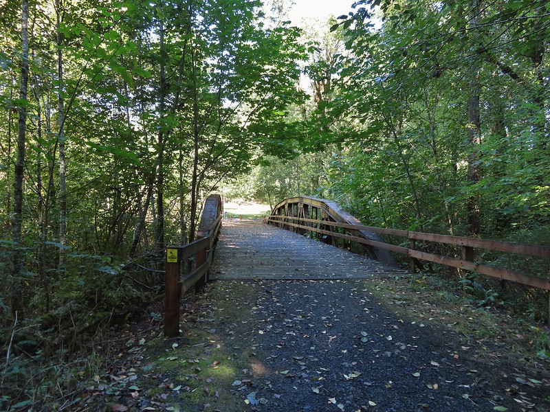
The Baker Creek Trailhead was just on the other side of the bridge as was Sulphur Springs Road. We turned left and walked 100 yards up the road back to our car.

After a brief stop at home to clean up we headed to Portland to say our last goodbyes to Grandma. She always enjoyed hearing about our hikes and looking at the pictures, and she eagerly anticipated the calendar we made each year with them. She passed the following Monday night and is with the Lord now. We’ll think of her often when we’re out exploring. Happy Trails Grandma!

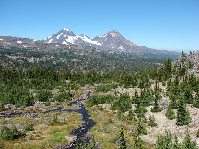
 Middle and North Sister
 Dry bed of Pole Creek.
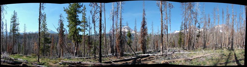
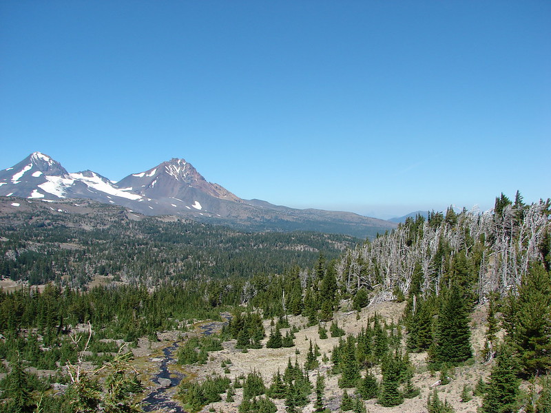
 Black Crater, Mt. Jefferson, and Black Butte to the north.
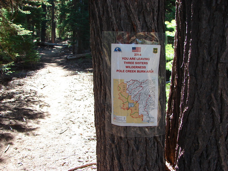
 Entering the Three Sisters Wilderness.
 A few survivors amid the snags.
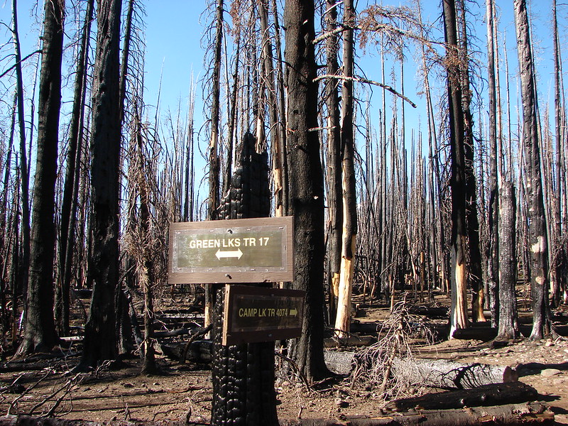
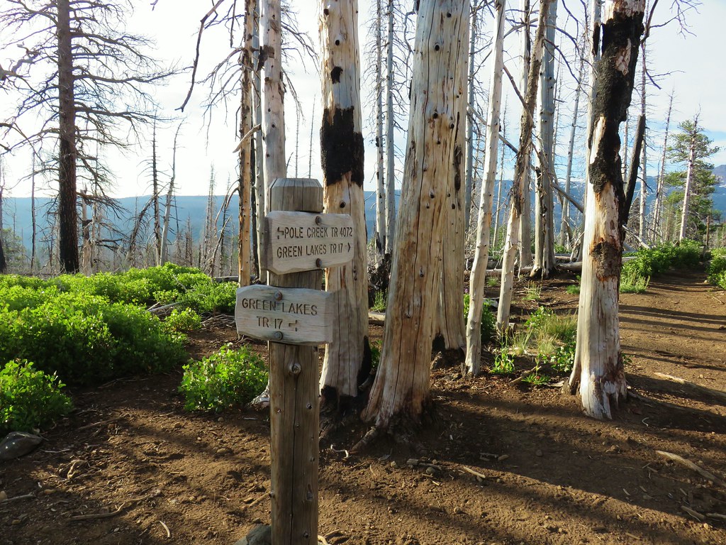 Green Lakes Trail junction.
 Broken Top and the South Sister
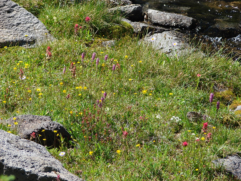
 Monkeyflower along Soap Creek
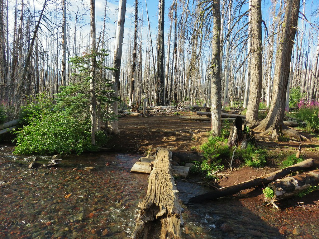
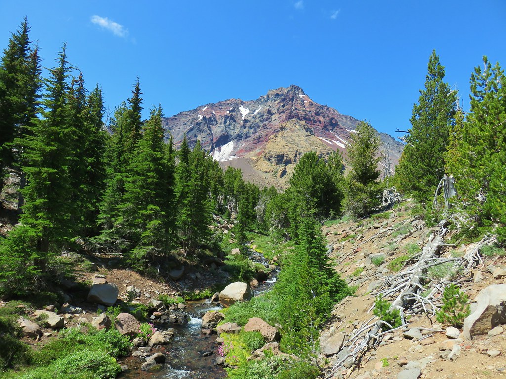
 Soap Creek
 View of the North Sister that would not have been there pre-fire.
 Soap Creek and the Middle and North Sister
 Monkshood
 Might be a trail in there, might not.
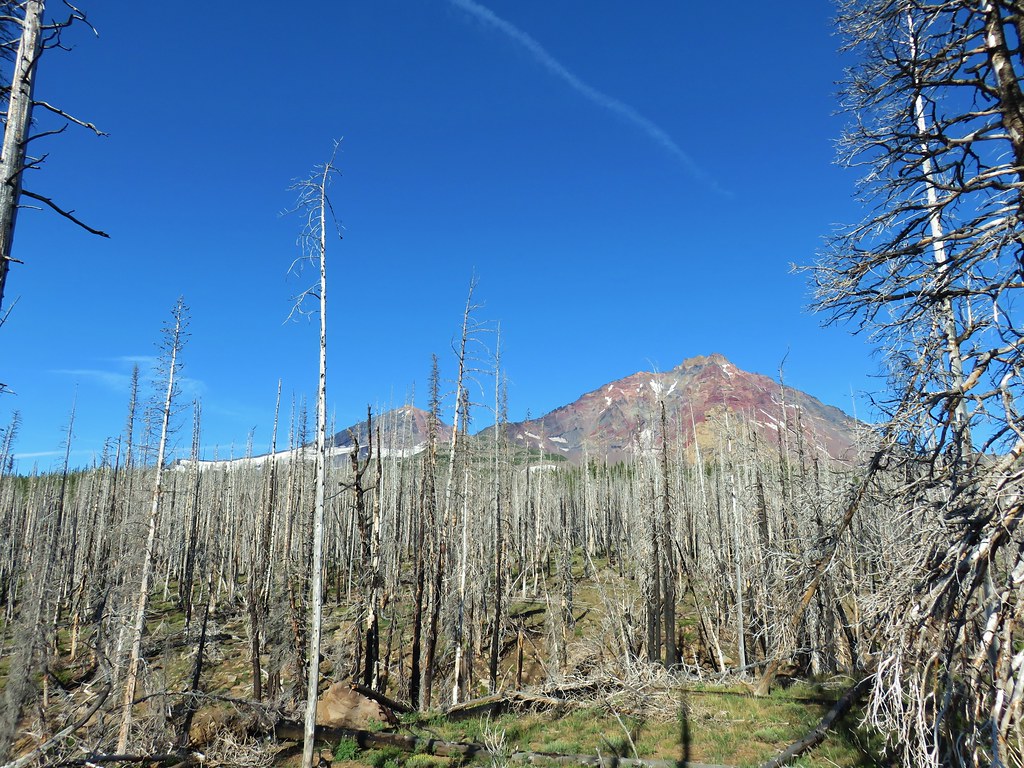 Decent look at the yellow bulge on North Sister.
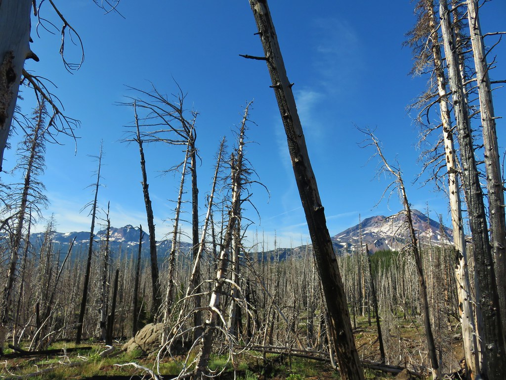 Broken Top and South Sister
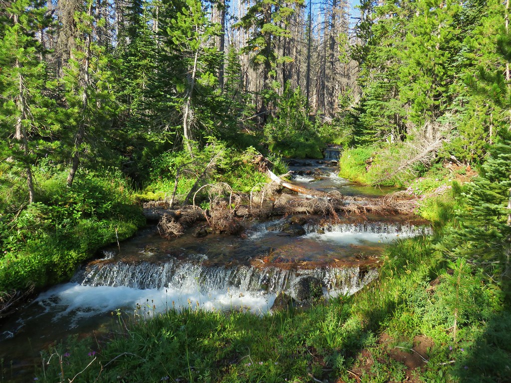 Soap Creek
 Meadow where there was no discernible trail apparent.
 Typical cross country obstacles.
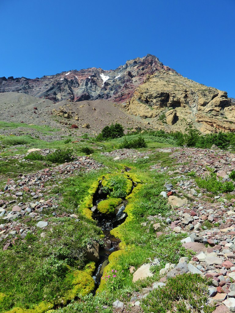
 Dry creekbed.
 Elephants head
 The moraine to the left of the bulge.
 A clump of Monkeyflower

 Penstemon
 Our shady spot.
 Paintbrush growing on the moraine.
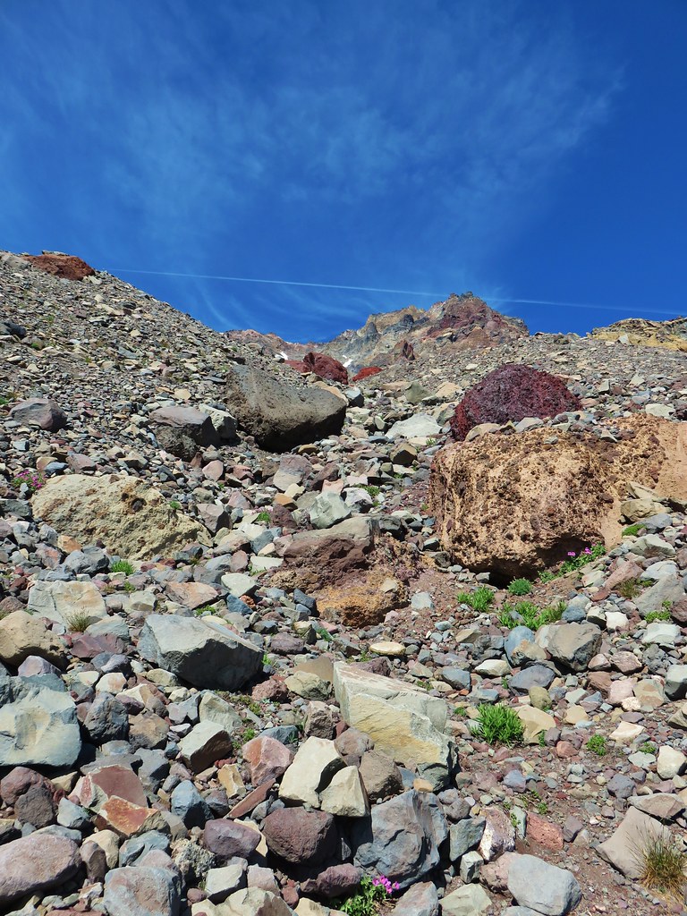
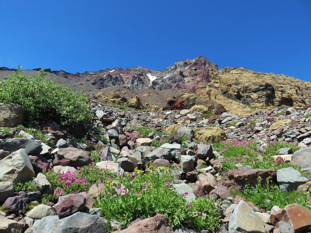
 More flowers amid the rocks.


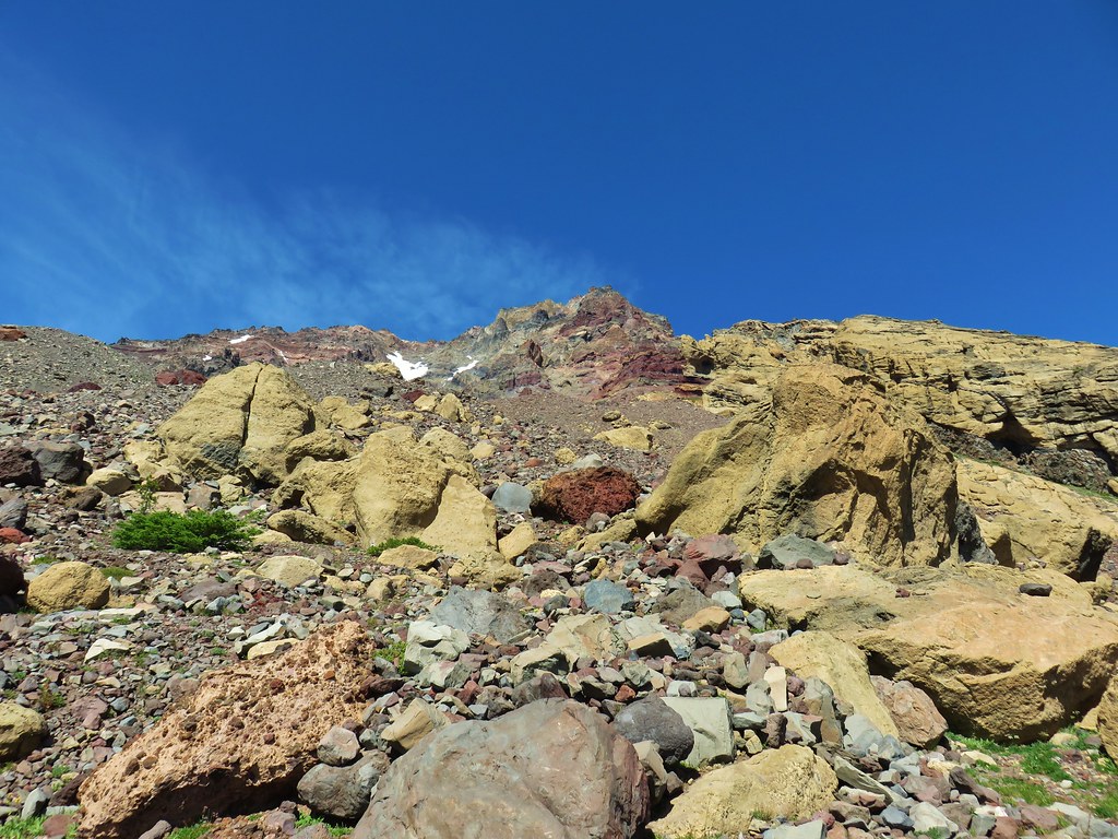
 The yellow bulge, Mt. Hood, Black Crater and Black Butte to the north.
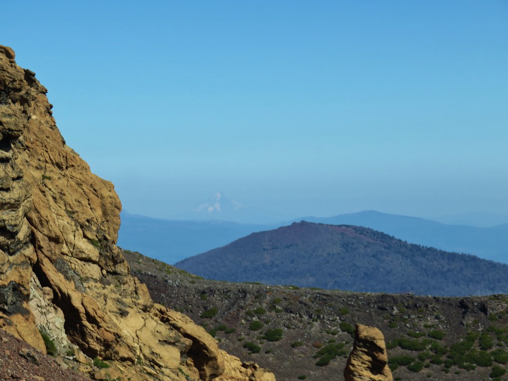 Mt. Hood
 Broken Top to the north.
 The rim above Thayer Lake.
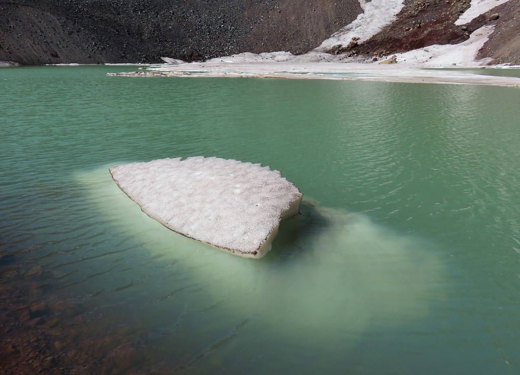
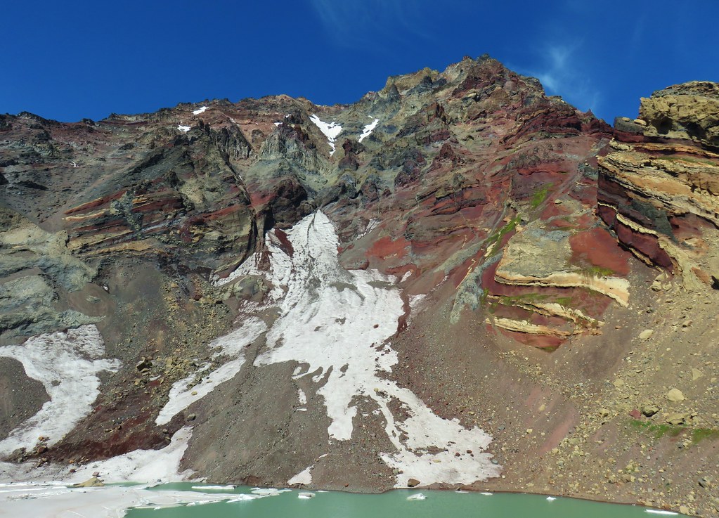 North Sister and the Thayer Glacier
 Heather near some large boulders in the lake.
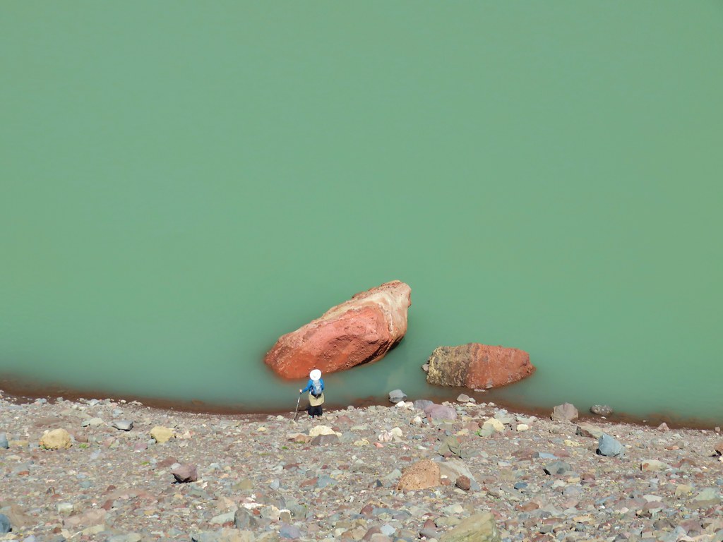


 Starting to get too narrow and the topographic map showed it getting more so further downstream.
 Climbing out of the gully.
 Broken Top and South Sister from the ridge.