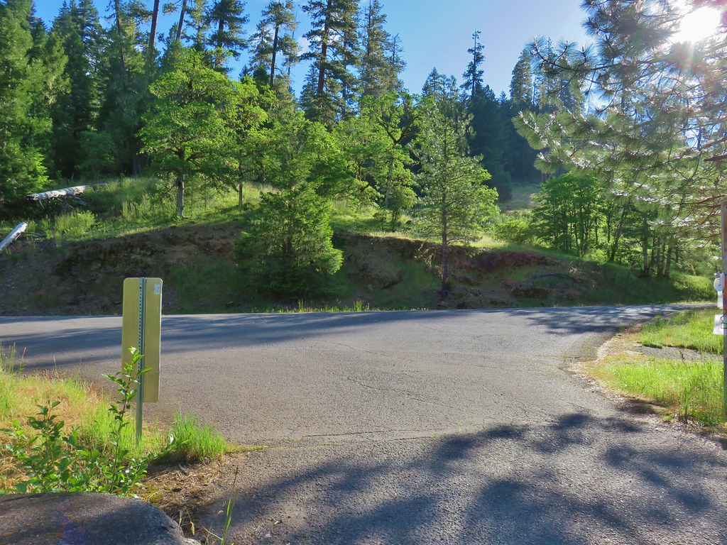
As we continue to look for hikes/trails that we have yet to visit we turned to the Eugene-Springfield area. There are numerous parks and natural areas offering hikes of varying lengths in or near these cities. We’ve visited a number of them in past and this outing would add three more to our list of places visited.
We began our day at Thurston Hills Natural Area. The trailhead, located within the city limits of Springfield, opens at 6am (restrooms at 7am).

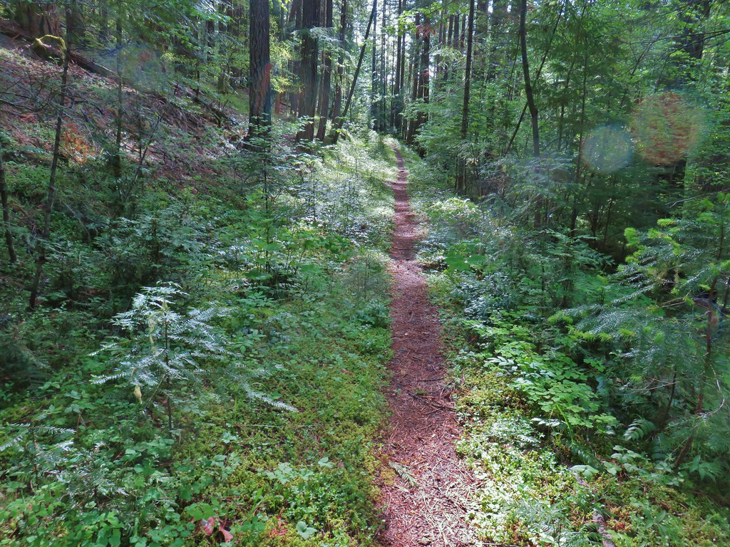
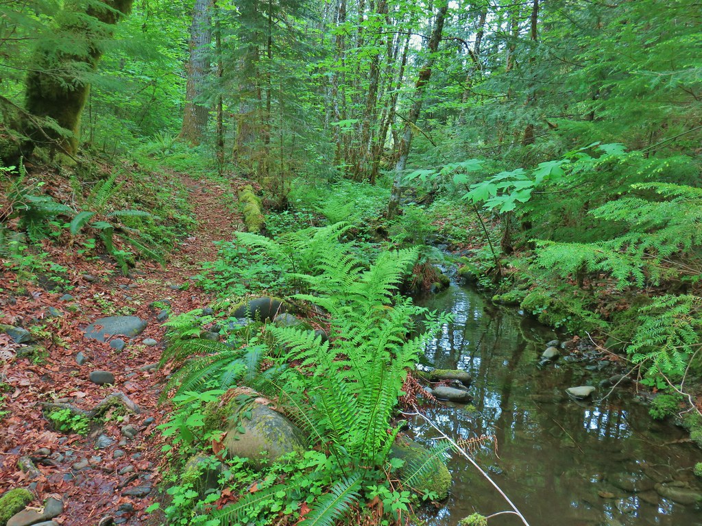
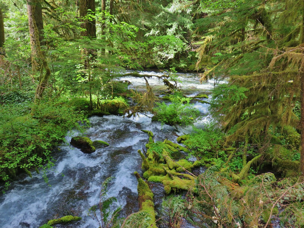
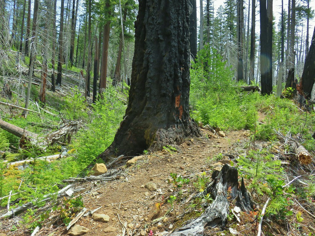
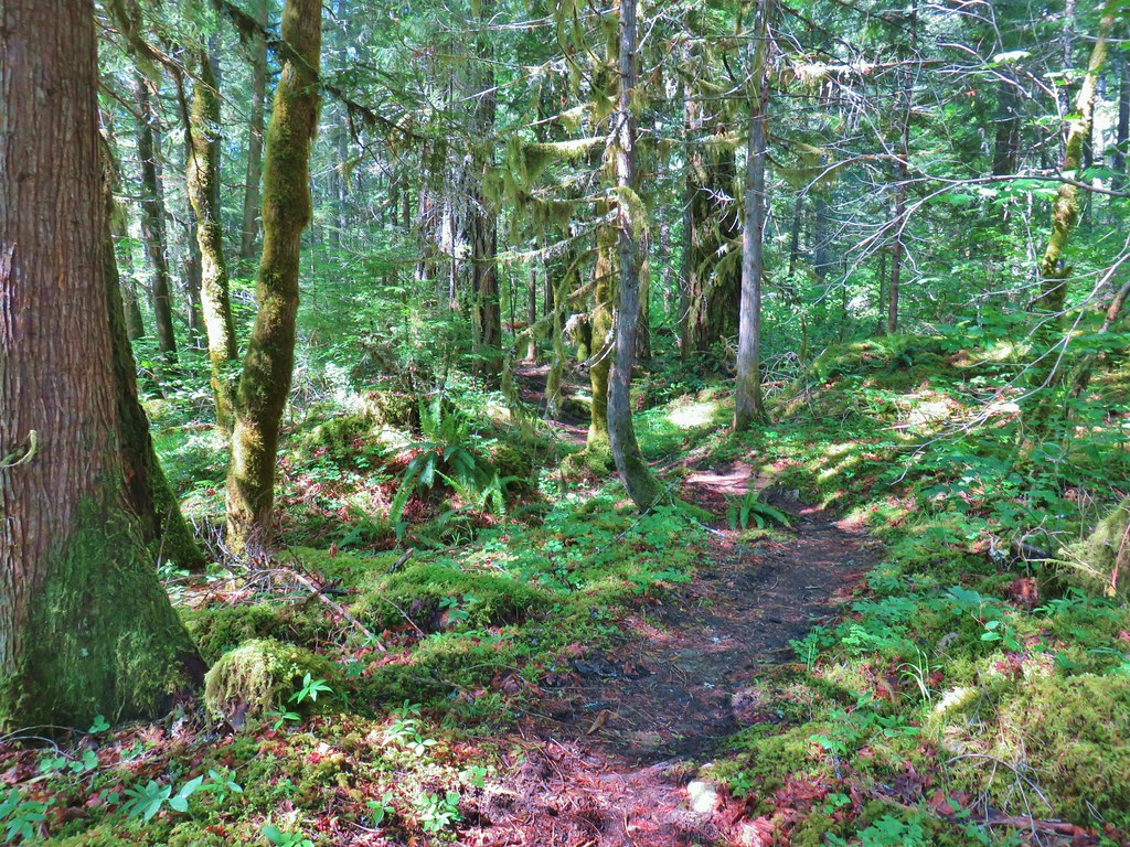
Opened in 2017 the area offers trails for hikers and mountain bikers. The bike only trails are closed during the wet season which making it a quieter time for hiking. We set off on the gravel Mossy Maple Trail and began a gradual climb.

 The trails were well marked with plenty of reminders which users were allowed on them.
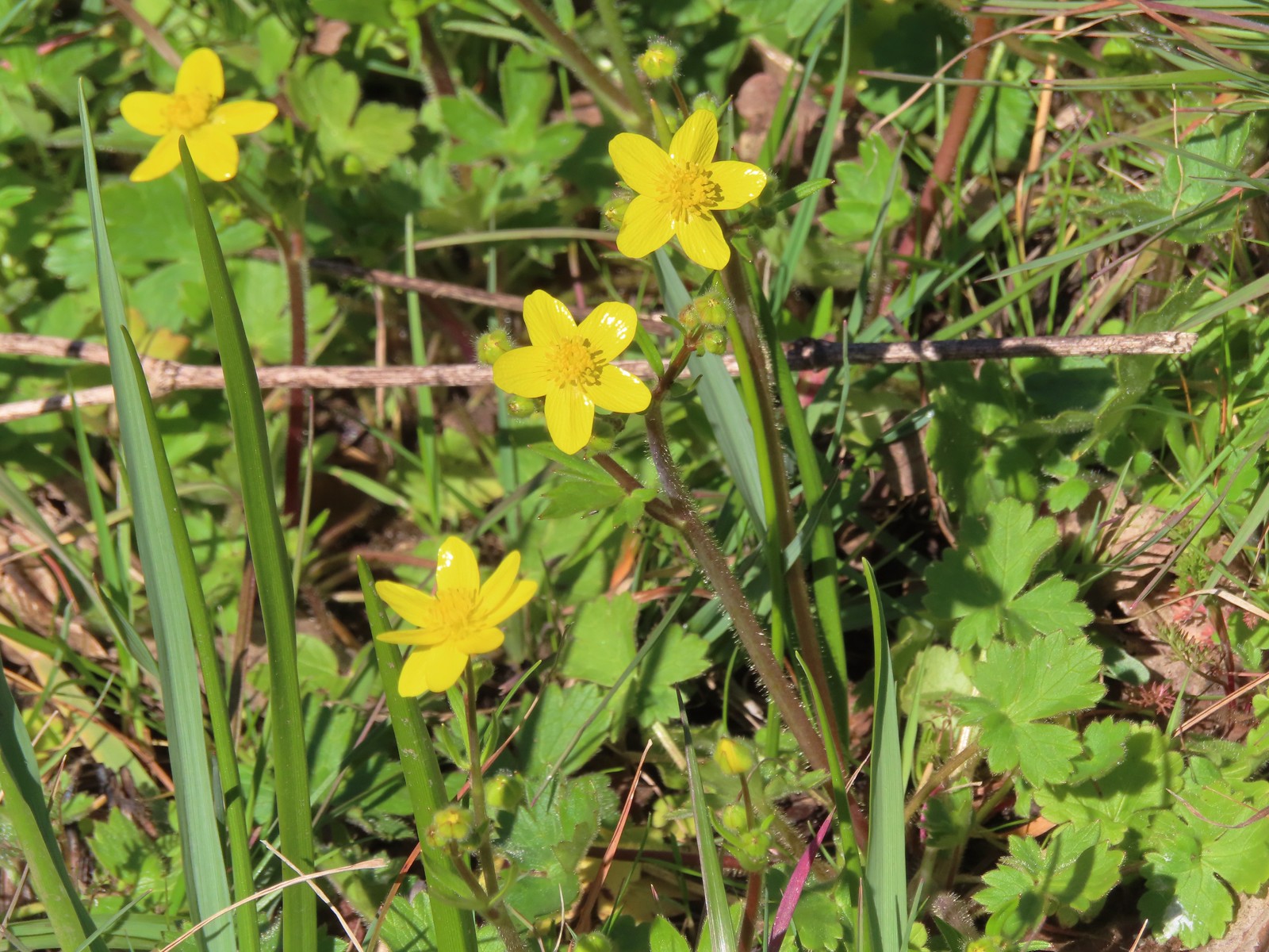
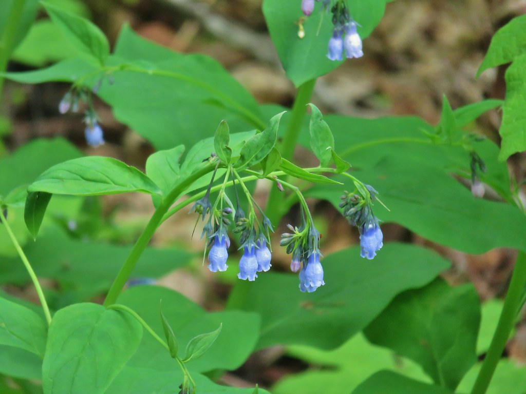
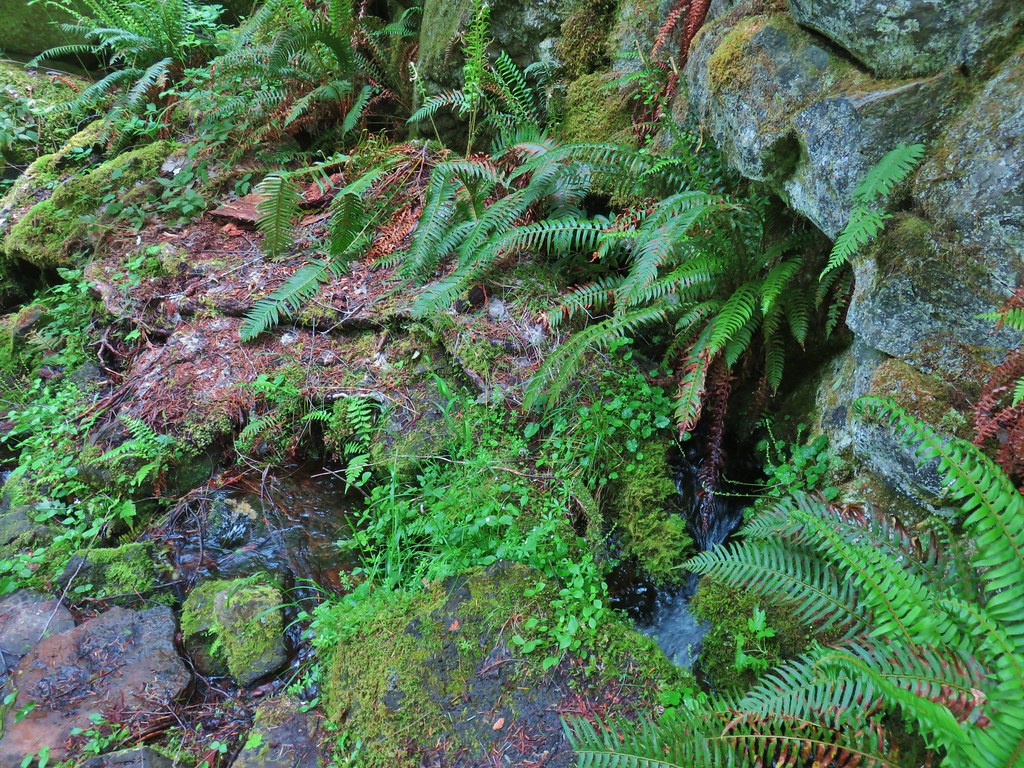
There was a variety of Spring wildflowers blooming in the forest as we made our way up the trail.
 Giant white wakerobin (Trillium albidum)
 The only columbine we spotted.
 Fairy lanterns
 In addition to identifying the trails by name, several had mile markers.
 Trillium


 Solomon’s seal
 Toothwort
 Largeleaf sandwort
 Bleeding heart
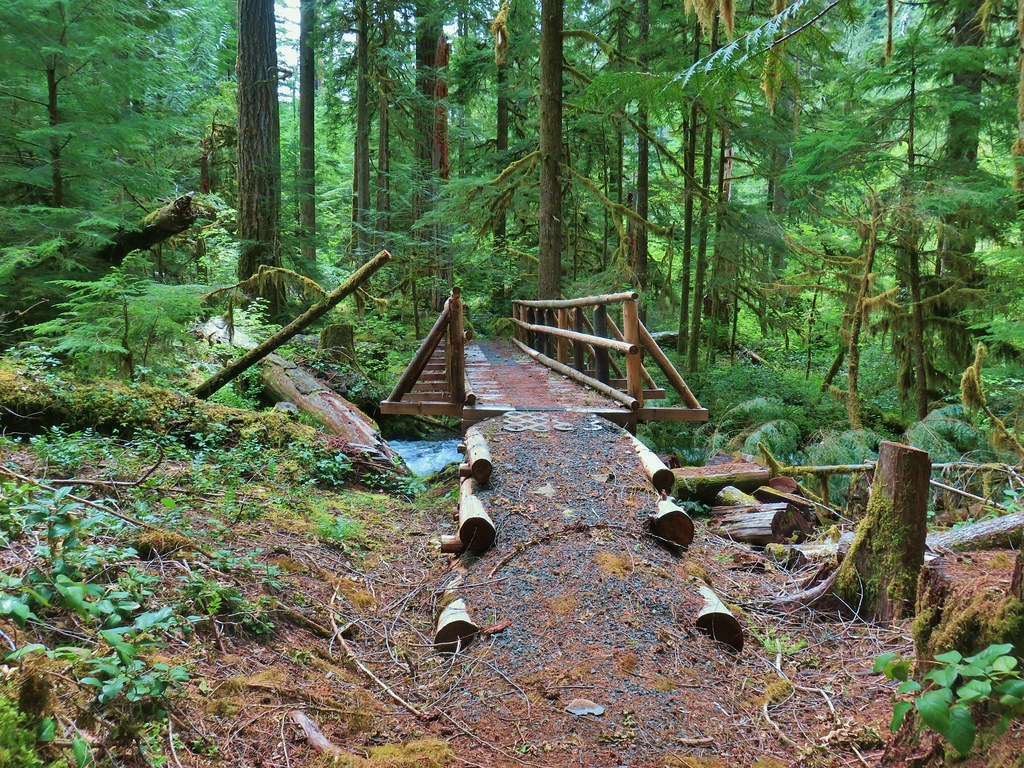
At 1.9-miles the trail crossed a gravel road (Mossy Maple Connector) and leveled out as it traversed a forested hillside.


 Old fungus
 Oregon grape
 The 2.5-mile marker on the Mossy Maple Trail.
 Seasonal closure sign and map at the upper junction with the bike only Yee-Haw Trail.
 Pacific hound’s tongue
 Fairy slippers
 Star flowered solomon’s seal
 Iris
Iris
 Vetch
Vetch

 Fringecup
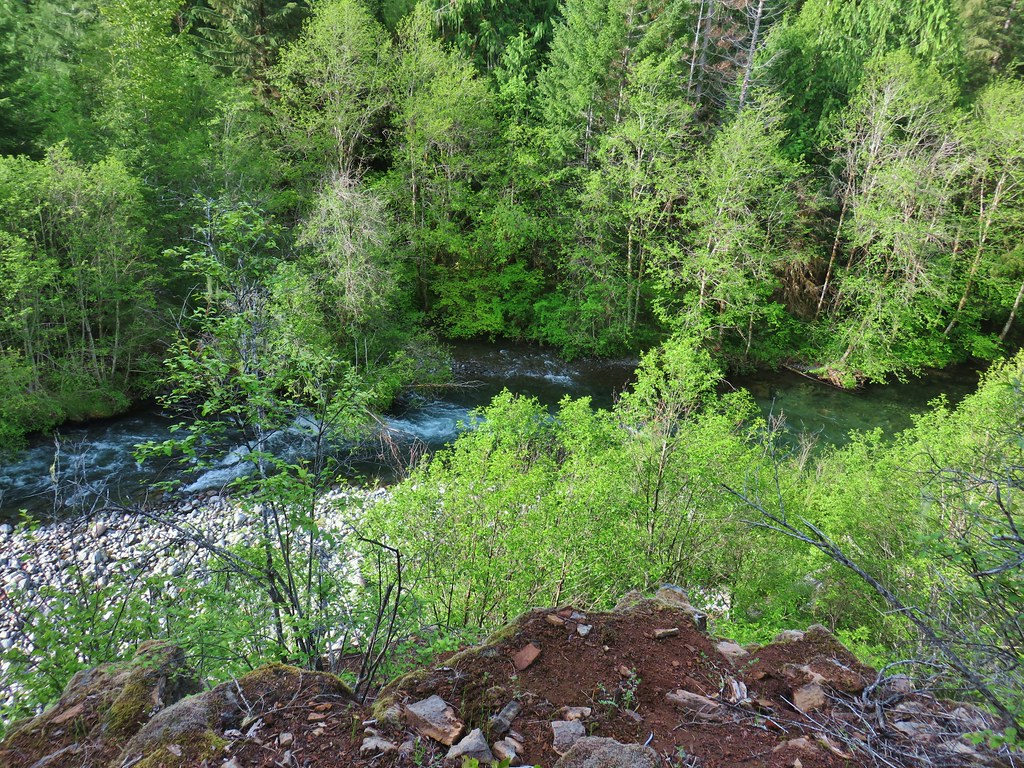
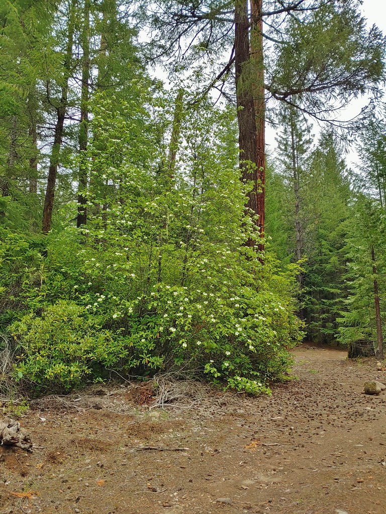
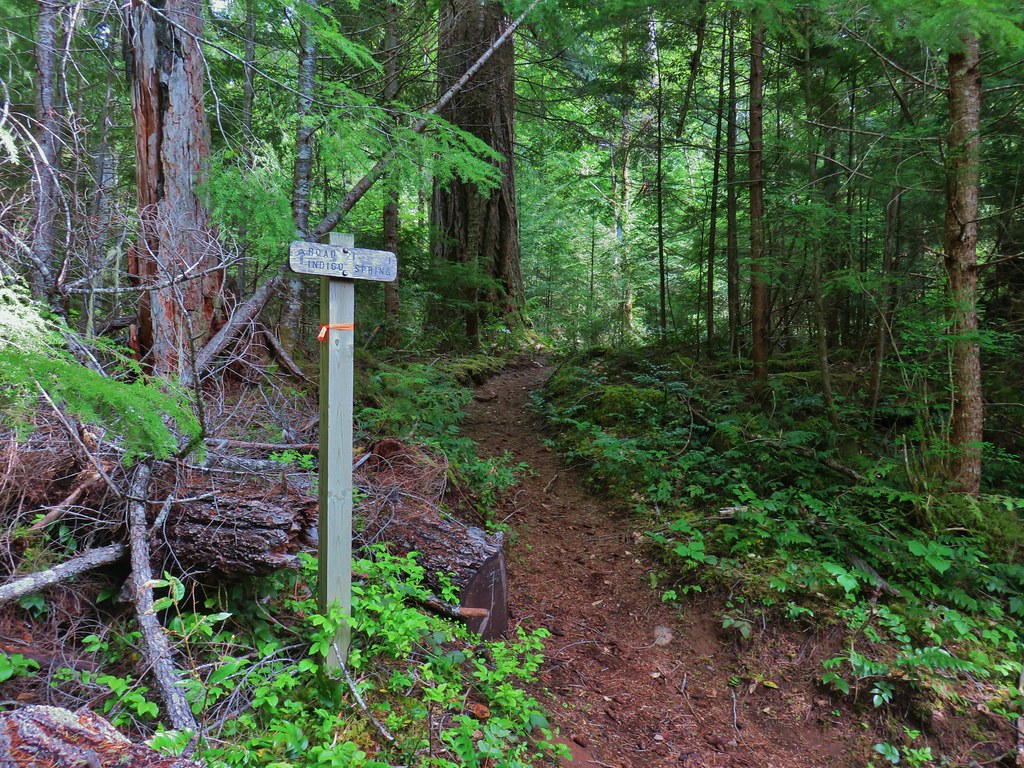
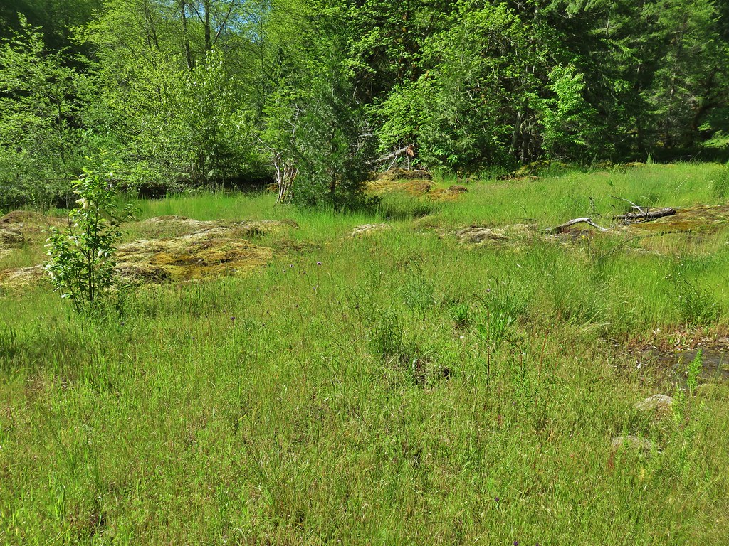
After approximately three miles on the Mossy Maple Trail we arrived at a junction with the Basalt Rim Trail. The Basalt Rim Trail would be our return route so for now we turned left and climbed a small hill to a meadow in a wide saddle.

 Strawberry
 Shooting star
 Spotted towhee
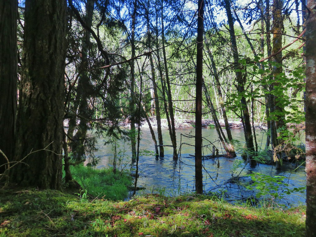
We crossed the saddle (and an access road) to pick up the Camas Crest Trail.


 Small-flowered woodland-stars
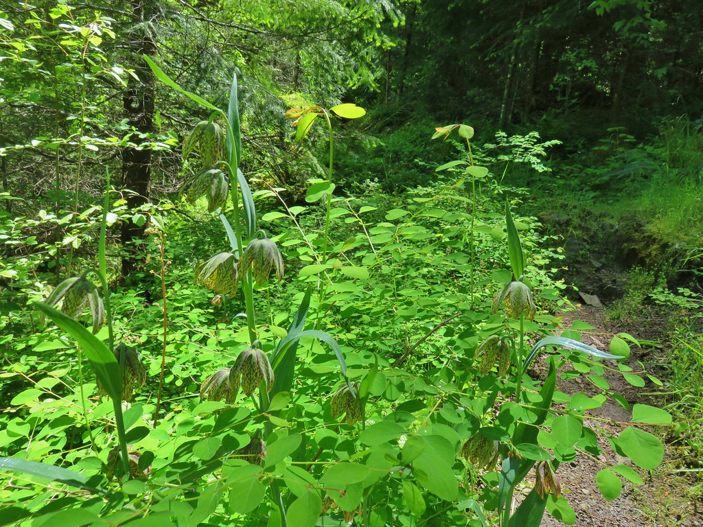
 Checker lily and baby blue eyes (Nemophila menziesii)
 Manroot
 Red-flowering currant
The Camas Crest Trail joined the humorously named Cervus Road briefly where we went left for 100 yards to find the Basalt Rim Trail.

 Dogwood
 On the Cervus Road passing an old quarry on the right.
 The Basalt Rim Trail.
 The lupine is still a week or so away from blooming.
 Basalt columns
We climbed up the Basalt Rim Trail to a junction with the Cascadian Thumb Trail on the right.


Warning signs along this hiker only trail cautioned trail users of dangerous cliffs and the risk of falling.

 Fawn lily
 Springfield from the trail.
 There is a short one-way loop at the top.
The loop passes several rocky viewpoints, and a lot of poison oak.
 Looking down from one of the viewpoints.
 The highest peak to the left in the distance is Mount June (post) and the peak in the center is Bear Mountain.
 Mt. Pisgah (post) just across the Middle Fork Willamette River with Spencer Butte (post) behind to the right.
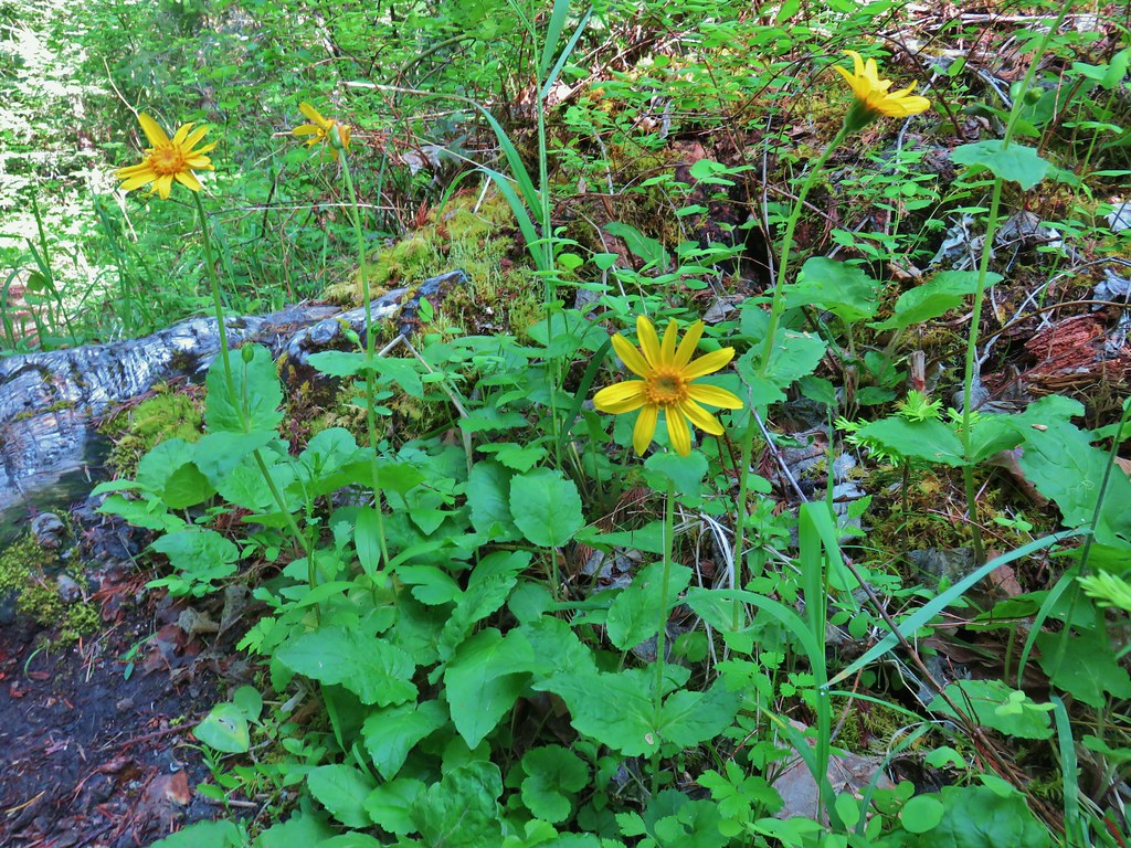
 Biscuitroot
 Another viewpoint along the loop.
 The peak with two humps is Mount Nebo. With the naked eye we could just make out Tidbits Mountain (post) in the distance to the right.
 Camas (and poison oak) near the viewpoint.
 Finishing the loop.
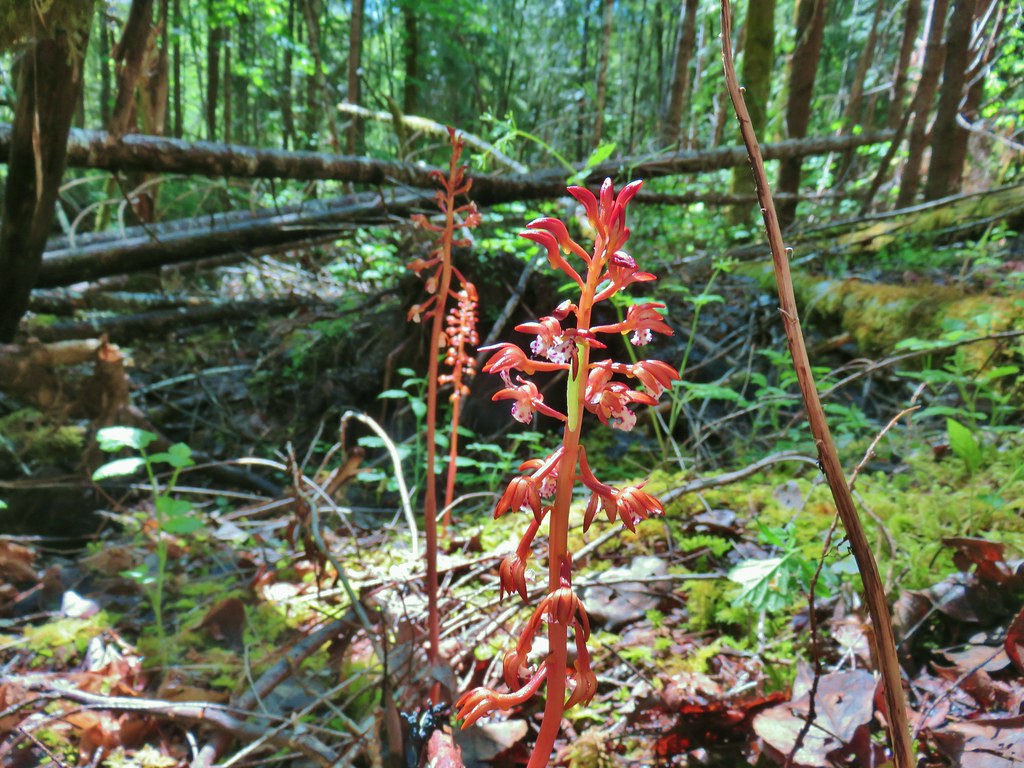
 Stripped coralroot.
After completing the loop we returned to the Basalt Rim Trail and turned right and made our way back to the Mossy Maple Trail.
 Switchbacks leading down to the Basalt Rim Trail.

 Wren
Wren
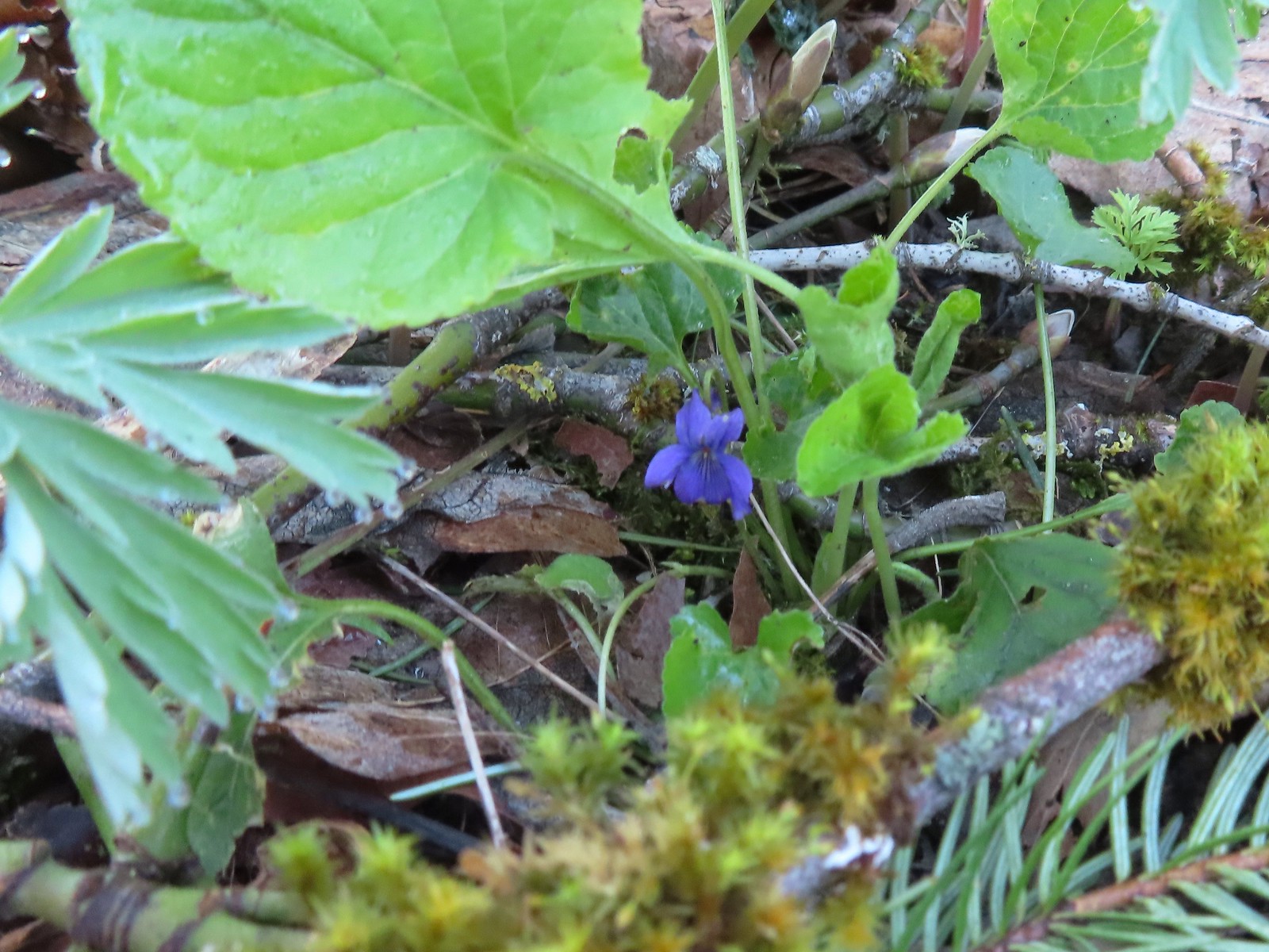
 Violets
 Basalt outcrops

 Ginger
 Arriving back at the Mossy Maple Trail.
On the way back down we took the Mossy Maple Connector Trail which was simply a fairly steep gravel road but otherwise retraced our steps to the trailhead.

 Starflower
 Dunn’s salamander
 Mossy Maple Connector Trail (left).
 The Yee-Haw Trail coming down from the left to the Mossy Maple Connector Trail.
 Buttercups
 Fairy bells
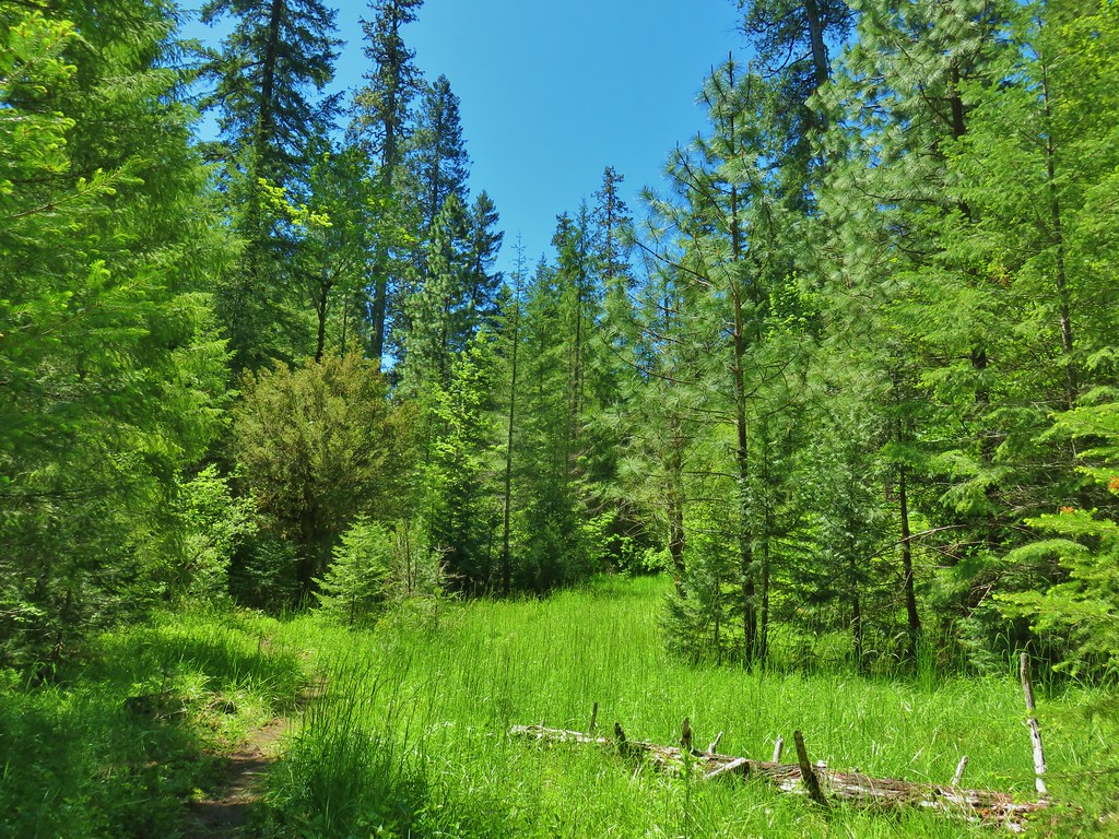
 Meadow near the trailhead.
The hike here came in just under 8 miles with 1215′ of elevation gain, by far the most strenuous stop of our day.

From Thurston Hills it was just a 15-minute drive to our next stop at Jasper State Recreation Site. This is one of the 25 State Park fee sites requiring a $10.00 day use fee. This year we purchased a $30.00 annual pass, so this stop was in part to make use of the pass and get our money’s worth. The hike description (or lack thereof) was from AllTrails so it was no surprise when we were immediately confused as to where to go from the parking area.

There was no obvious path down to the picnic shelters so we simply headed down to a gravel road where we turned right. After passing an impressive display of Menzies’ larkspur we found an actual trail and wound up making a short (0.6-mile) loop through the woods.

 Menzies’ larkspur
 Western meadowrue

 Bleeding heart and purple deadnettle
 Completing the loop.
AllTrails showed a 1.6-mile loop that not only went through the woods but also the picnic areas of the park. Aside from a few service roads there weren’t many obvious paths/trails that we could see so we made up our route which stuck mostly to a faint grassy track along the Middle Fork Willamette River.

 Faint grassy path.
 Golden crowned sparrow
 A section of obvious trail.
 The faint path disappeared near the fenced off-leash dog area. The AllTrails loop appeared to turn around here, but since we couldn’t see even a faint path leading back around closer to the parking areas we turned around and followed the river back.
 We did find this short section of what appears to have been a paved path in the grass.
This was an odd little hike but the park itself was nice. There was some playground equipment, nice picnic shelters, the off-leash dog area, and some disc golf holes. We managed to get 1.5-miles of walking in and saw some really nice larkspur along the way.

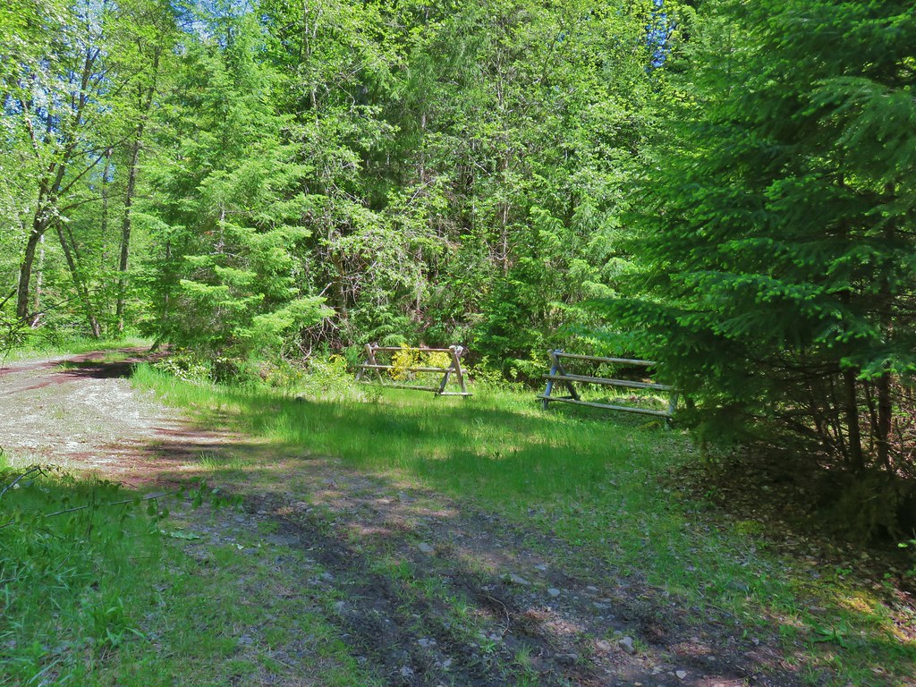
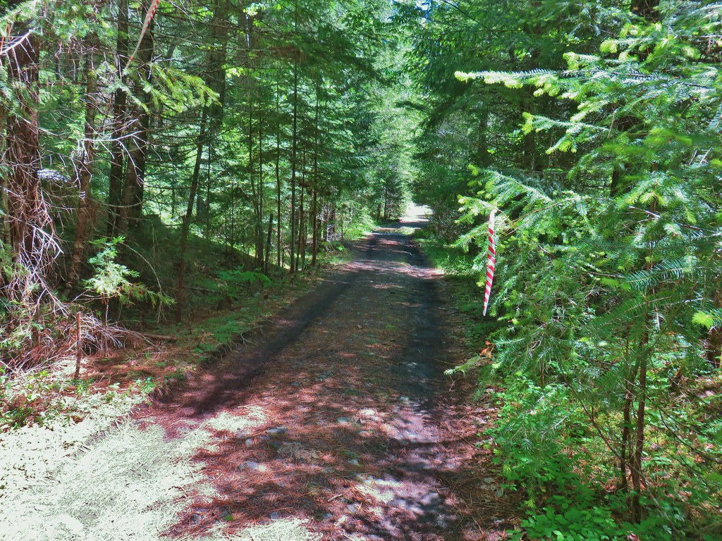
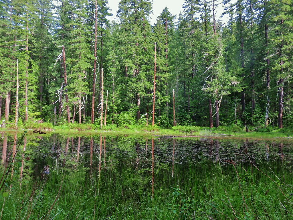
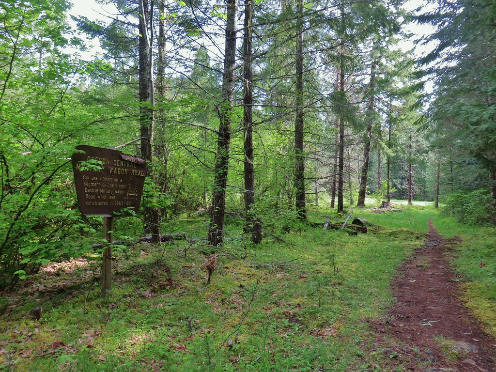
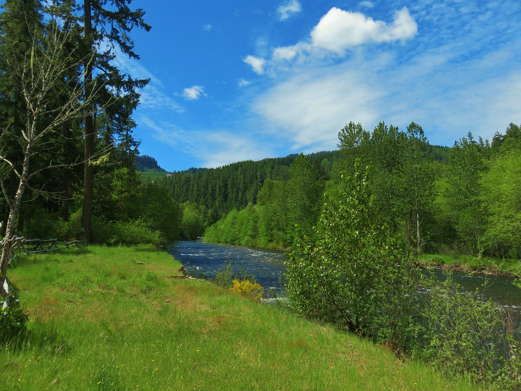
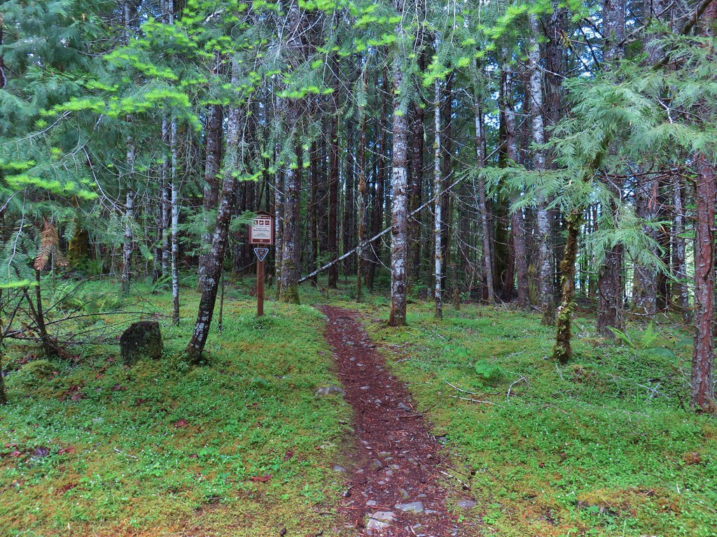
A 10-minute drive took us from the Jasper State Recreation Site to Elijah Bristow State Park. Currently this is not a fee park, which was a bit surprising to us given it has wide range of activities to offer. There are over 10-miles of trails open to hikers, equestrians, and mountain bikers along with access to the Middle Fork Willamette River for anglers and kayakers. There are several trailheads to choose from, but we parked at the Lost Creek Trailhead.

The trails here were well maintained and all official junctions were marked with posts consisting of pointers and symbols representing the trail names. That being said having a copy of the map handy was very helpful because the trail names, such as the Elk Trail, can apply to multiple spurs in the same area.

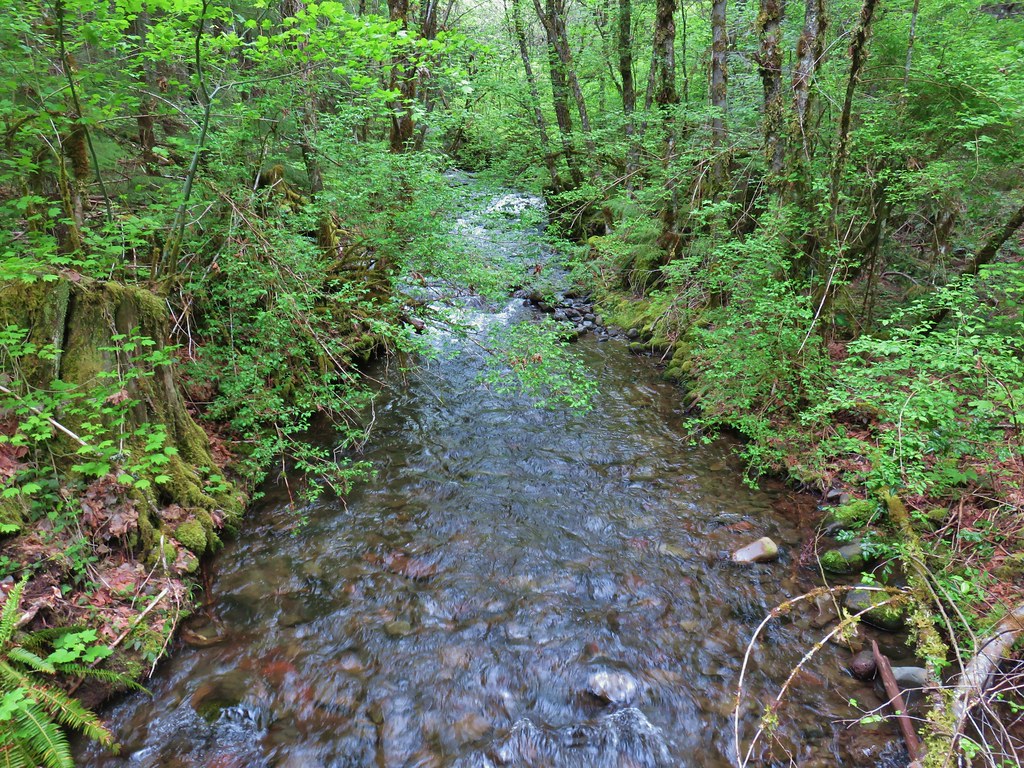
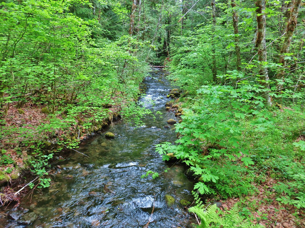
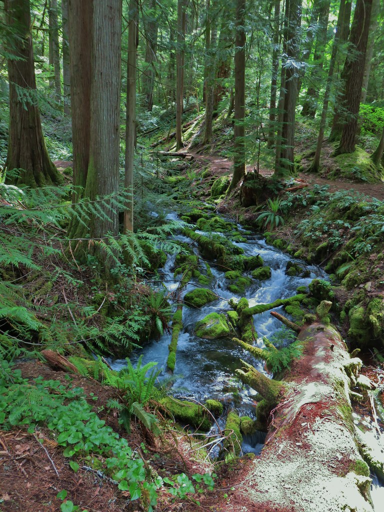
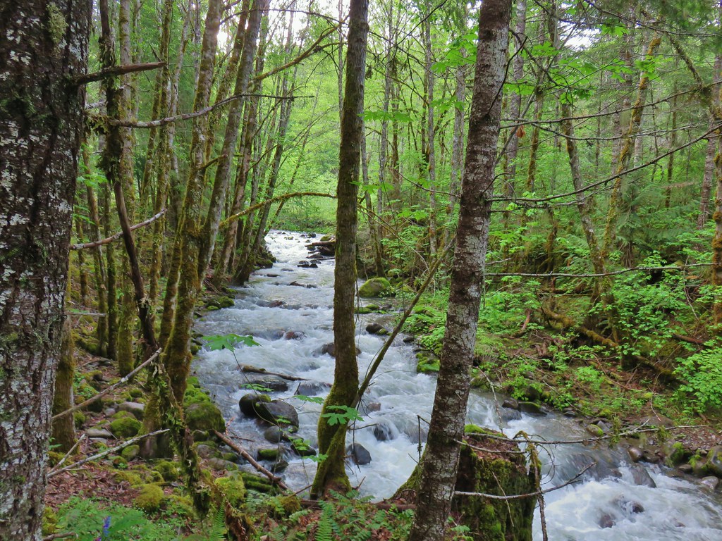
We set off past the signboard on the Elk Trail and soon found ourselves hiking along Lost Creek.


 An example of the posts. Every directional arrow, including the far side that you can’t see, was for the “Elk Trail”.
 Cedar along the Elk Trail.
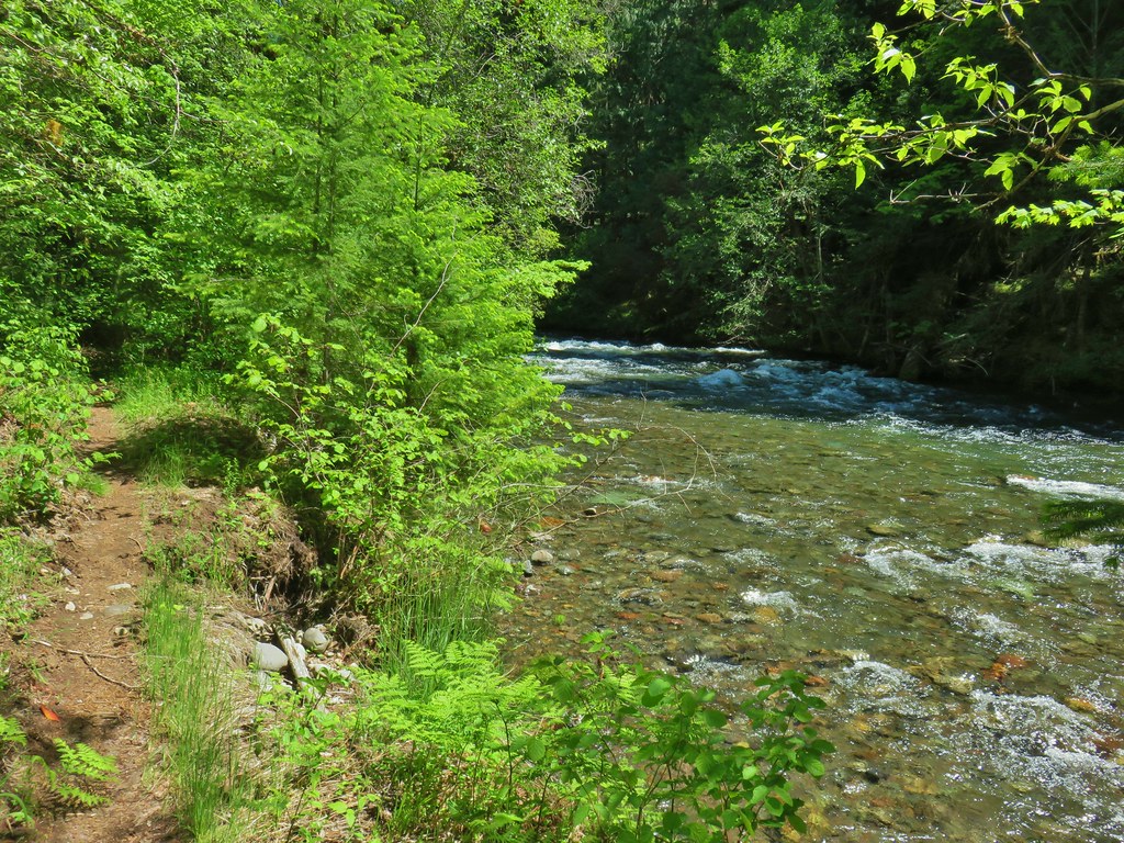
We simply stayed left at posted junctions which brought us to the River Trail and the Middle Fork Willamette.

 Candy flower and woodland buttercups

 Picnic tables near Lost Creek.
 Lost Creek
 Not a signed junction so this is the one time we veered right.
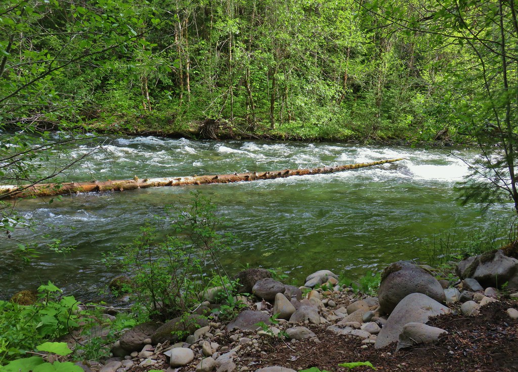
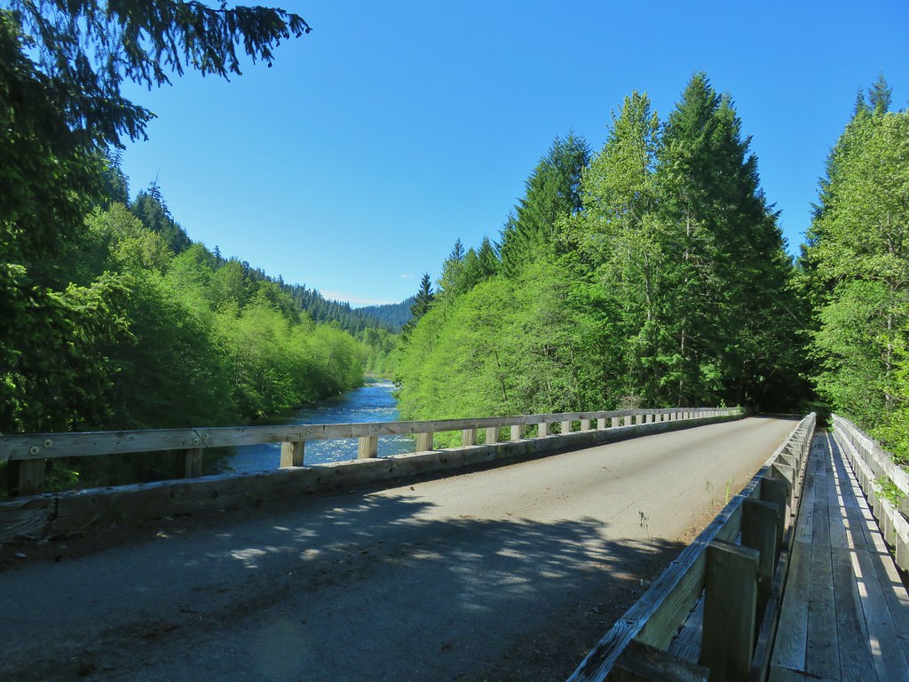
 Middle Fork Willamette River.
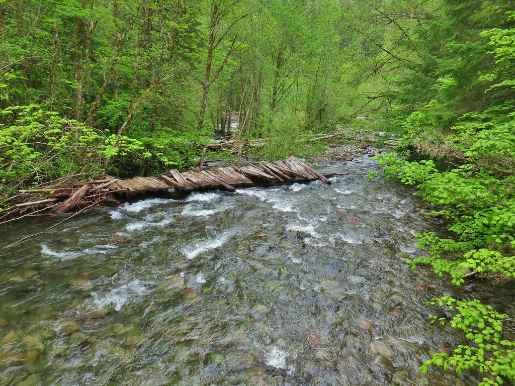
The River Trail turned eastward and ran parallel to the Middle Fork for a mile. For much of the mile the river was not visible however there were a few opportunities to reach the river bank.

 I was hoping that there might be a turtle hiding in this photo but alas it does not appear that is the case.
 We veered left here leaving the River Trail briefly to actually get a view of the river.

 We hadn’t noticed the goslings in the grass until seeing the picture of the parents.

 Another look at the river shortly before the River Trail turned away.
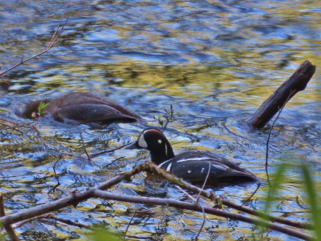
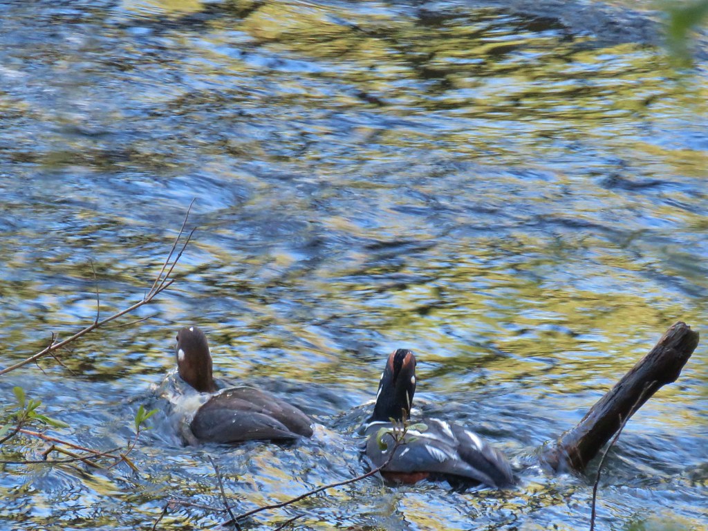
 Barrow’s goldeneye
When we reached a post for the Angler’s Trail we turned right.

We stayed left again at the next junction then right at the following two. For the remainder of the hike we stayed left back to the park entrance road across from the Lost Creek Trailhead.
 Left here as right led to a picnic area at the end of the entrance road.
 Signpost at the second junction where we kept right.
 The clouds had been stubborn all morning but by early afternoon they had mostly burned off.
 We stayed left on the trail near the entrance road (across from the Channel Lake Trailhead).


 ADA accessible path to a brushy wildlife viewing spot along a backwater channel.

 Bufflehead and at least three turtles on the logs behind.

 The Lost Creek Trailhead on the far side of the entrance road.
Our loop here came to 3.2-miles with less than 50′ of elevation gain.

A look at the relative proximity of our three stops.

On the day we wound up hiking 12.6-miles with approximately 1250′ of elevation gain, nearly all of which came at Thurston Hills. Thurston Hills was a great hike with a lot more varied scenery and wildflowers than we had expected. We are already planning on returning to Elijah Bristow to check out more of the trails there at some point. Jasper State Recreation Area was a pleasant addition to the stops, but it wouldn’t be a place that we would visit again if we were simply looking for a hike. It did however seem to be a great place to have a picnic with the family and spend a day along the river. Happy Trails!

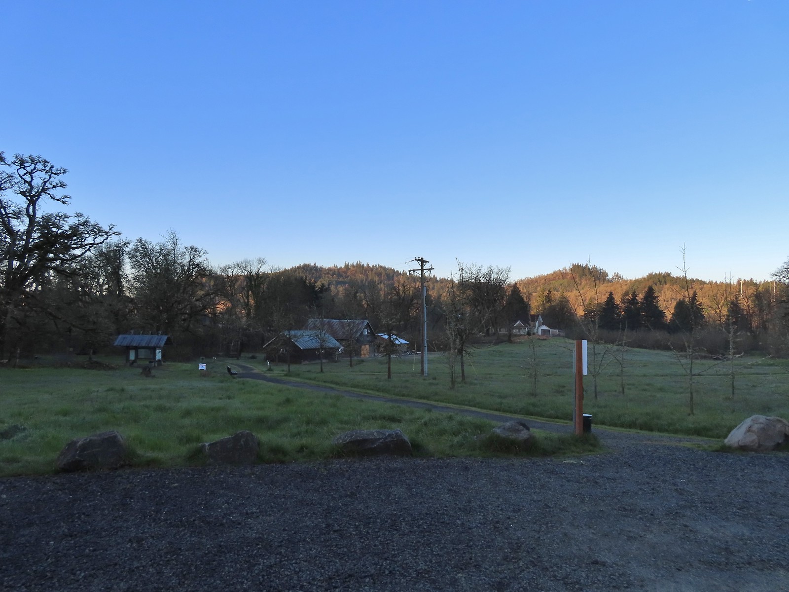
 Signboard at the trailhead.
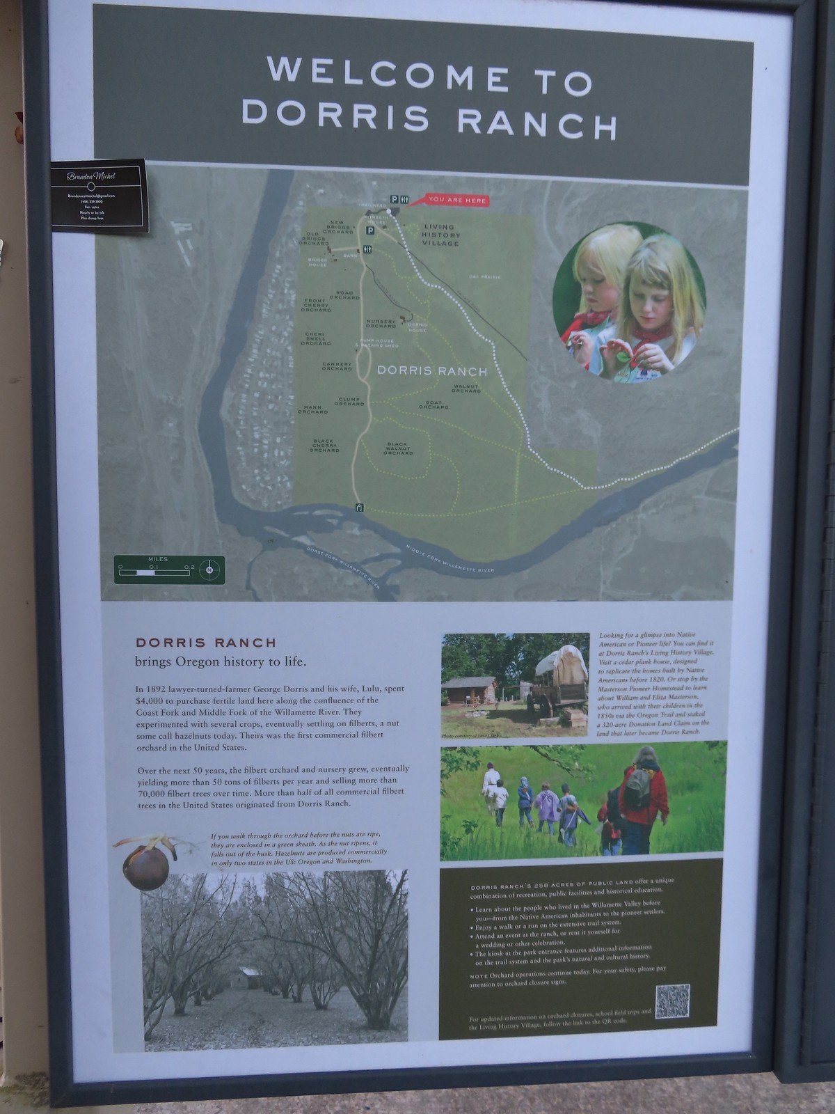 Map of the trails at Dorris Ranch.
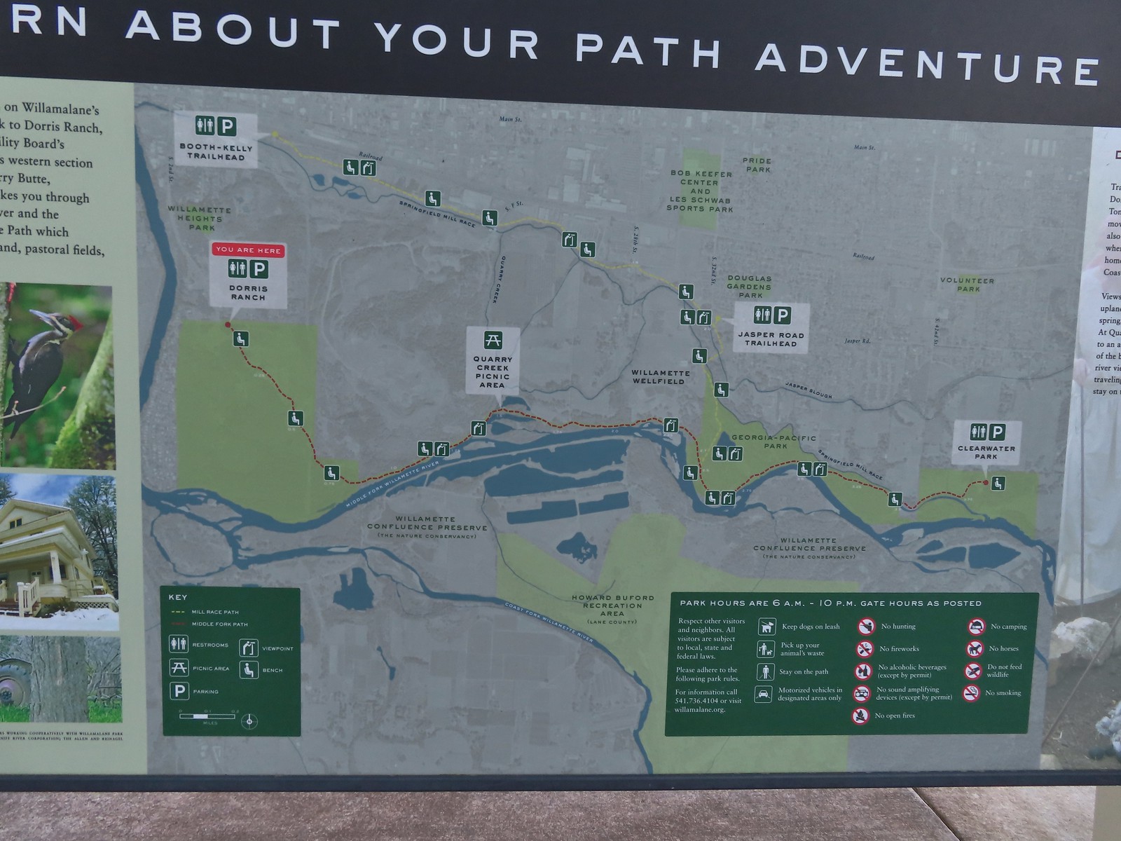 Map of the Middle Fork Path (red) and
 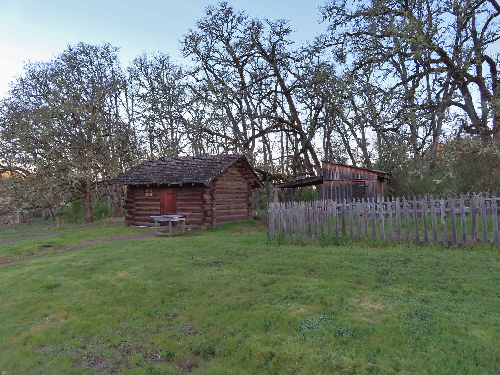 The Masterson cabin replica. They were a family of ten when they moved out.
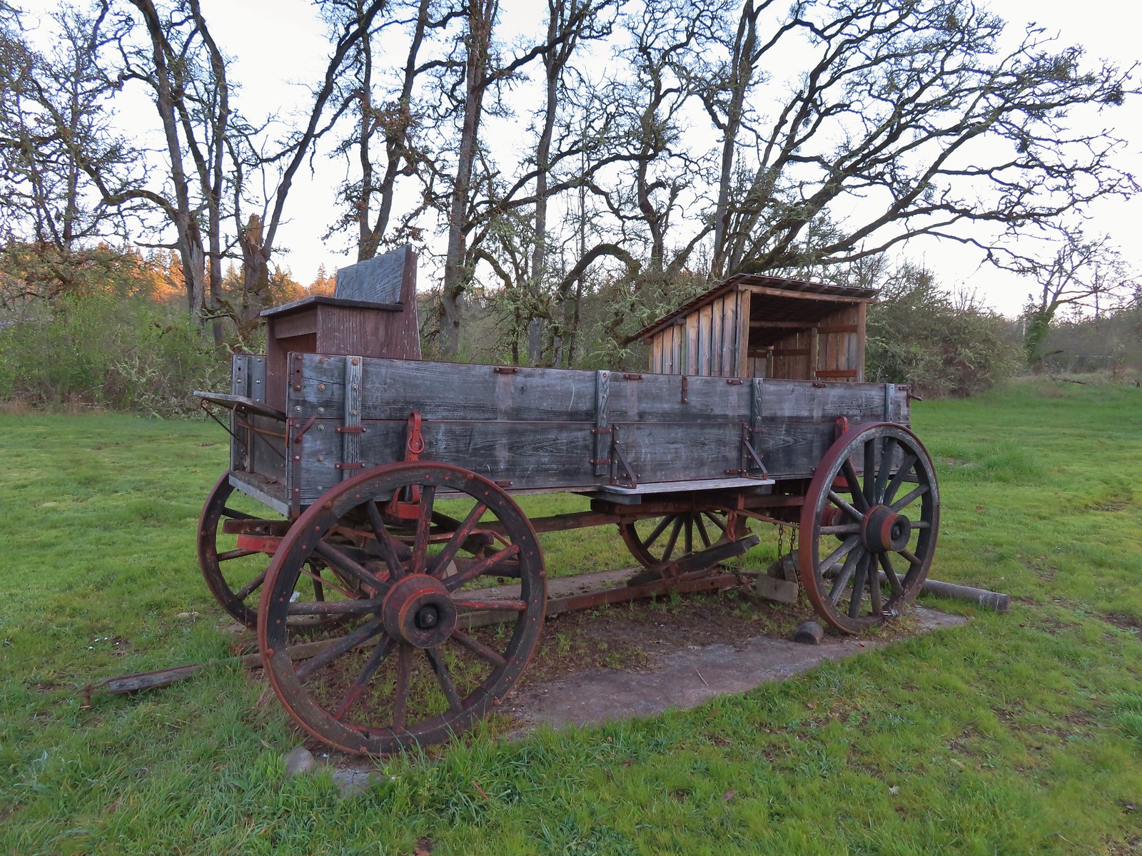
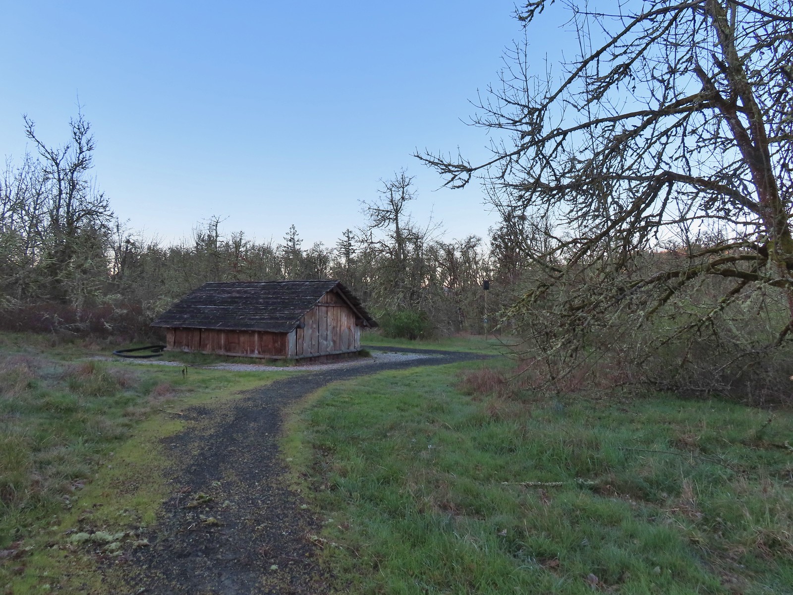
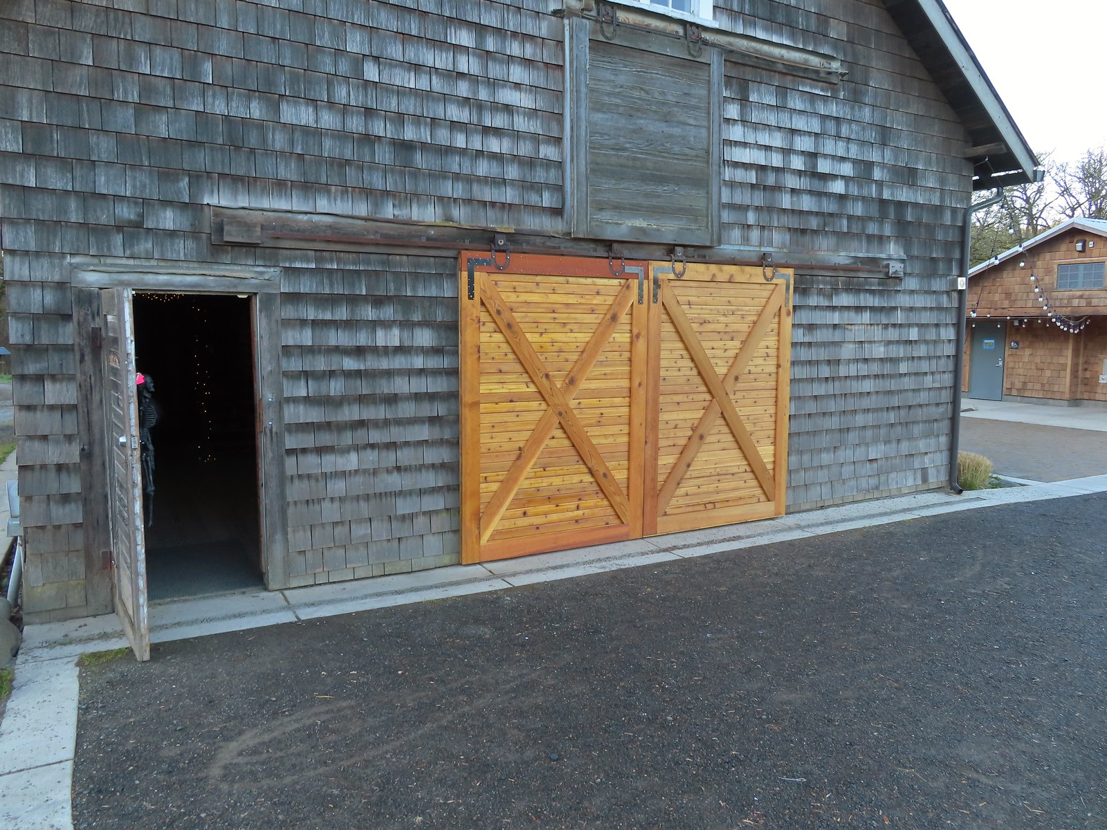 These cedar doors were installed earlier this month replacing a broken door.
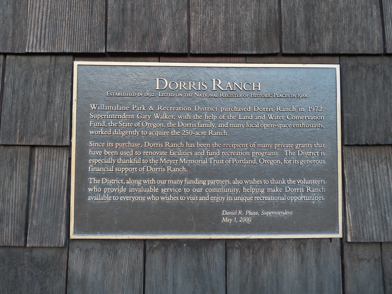 Plaque on the barn.
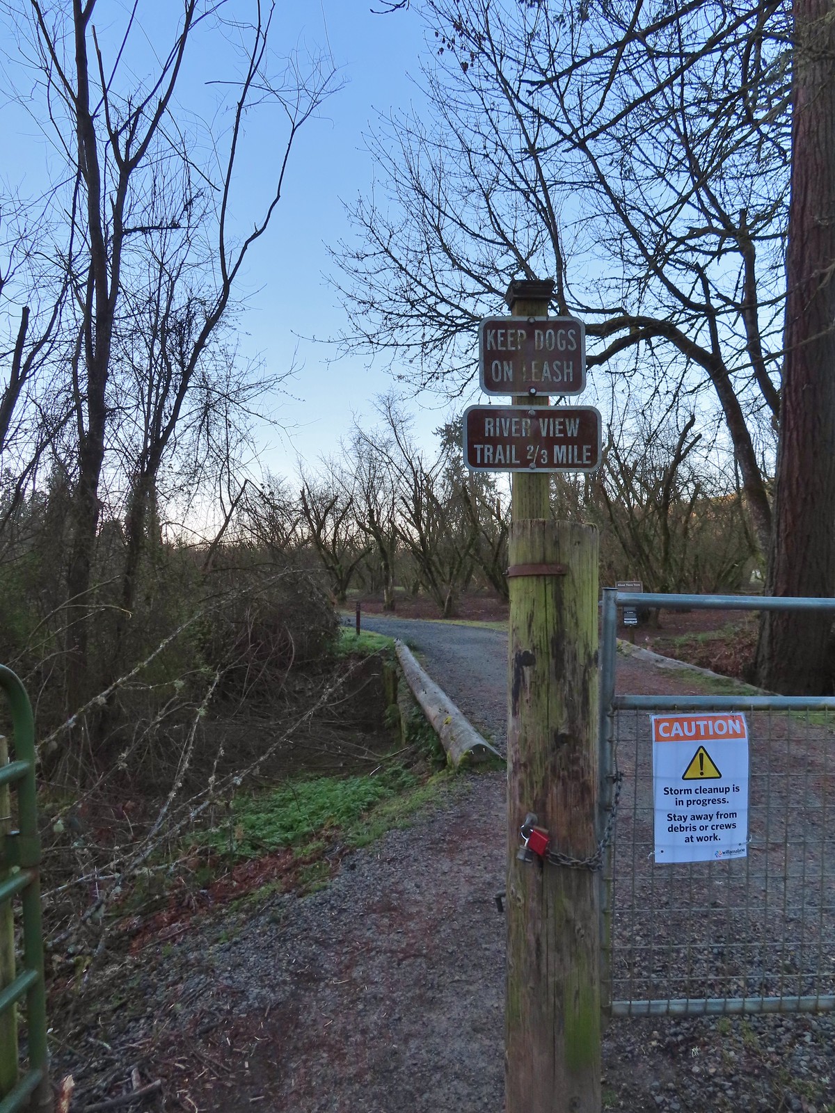 A January 16th ice storm hit the area hard and damaged a number of trees at the ranch and along the Middle Fork Path.
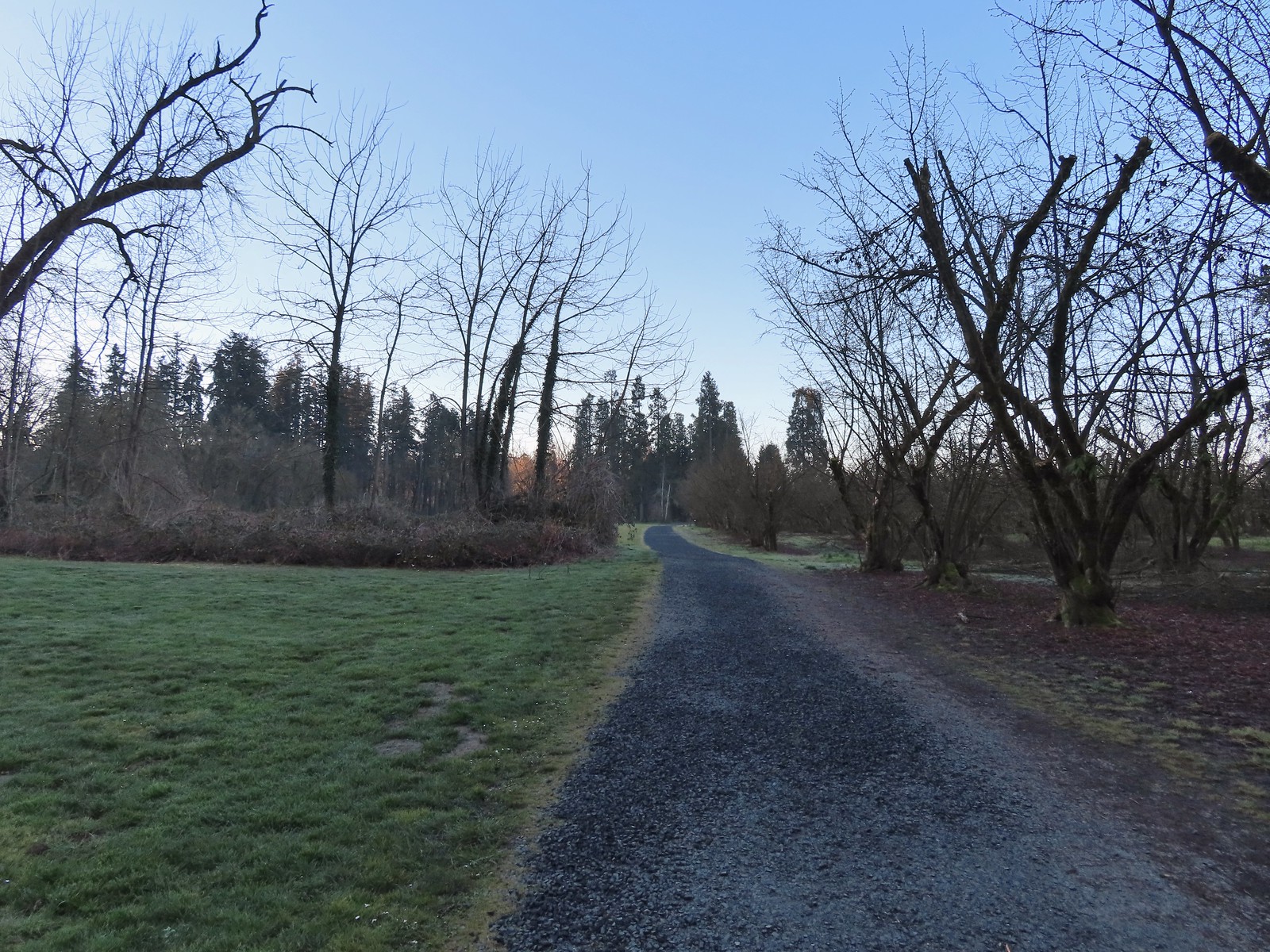
 Some signs of the ice storm damage.
 Large trees around the pump house and packing shed.
 An American kestrel with an unlucky frog atop a tall tree.
 Oregon grape near the packing shed.
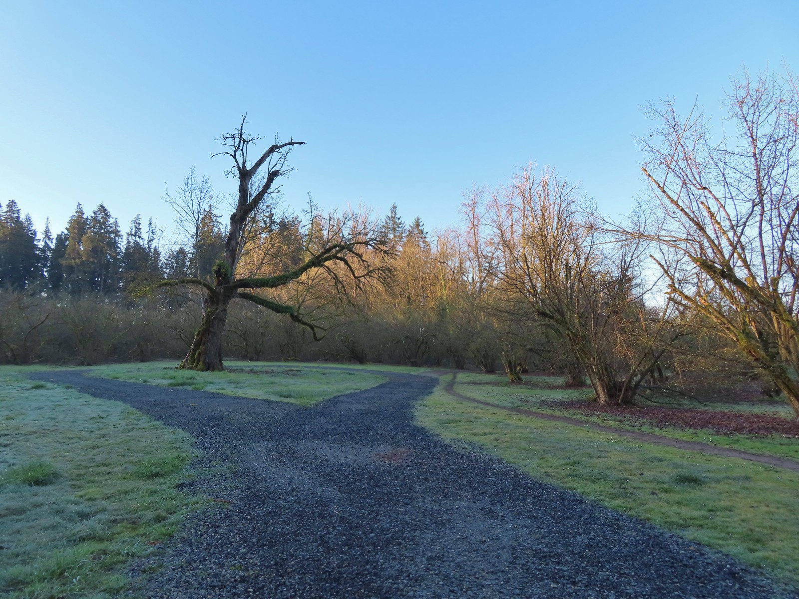 Old oak tree along the path.
 Purple deadnettle beneath the old oak.
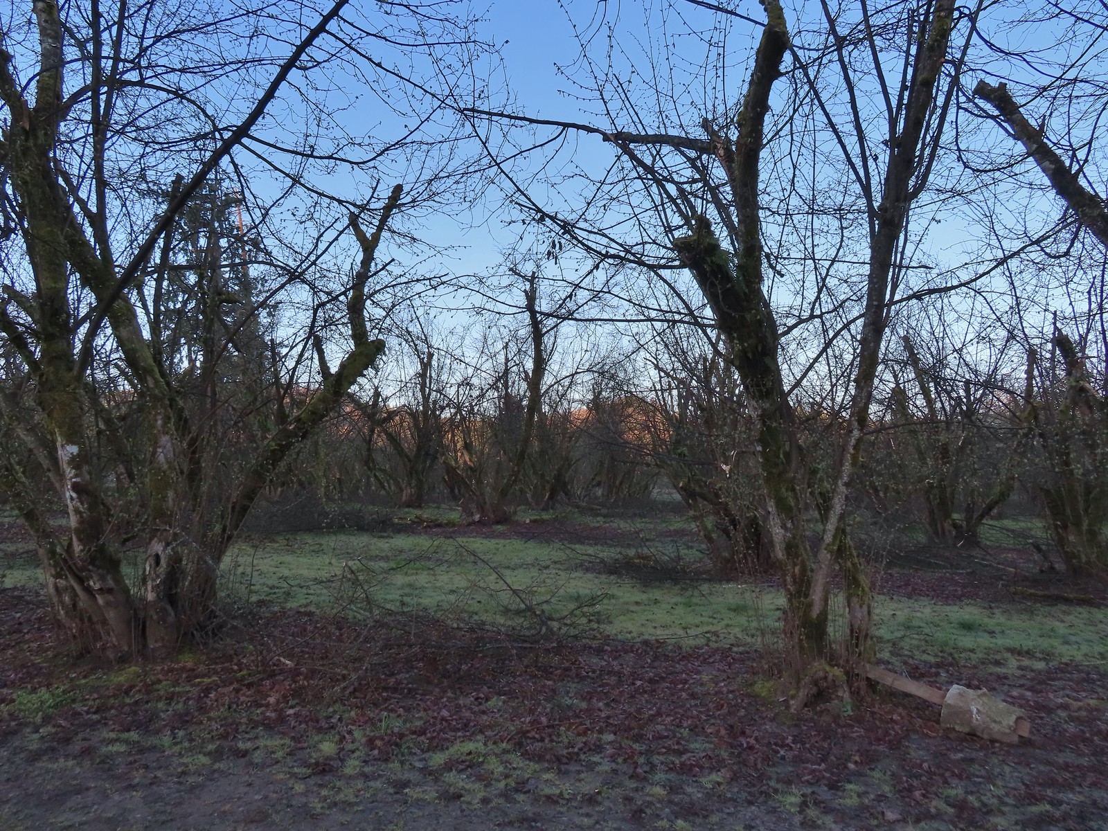
 Black walnut orchard just past the oak tree.
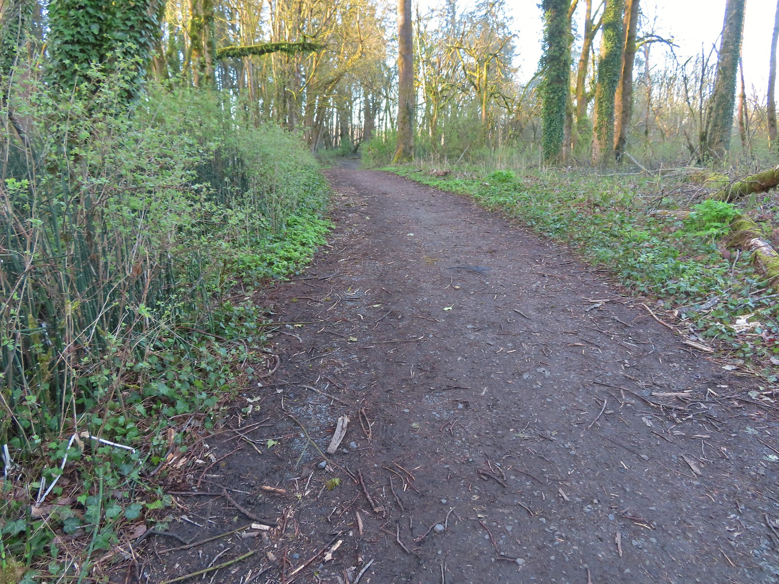
 Violet
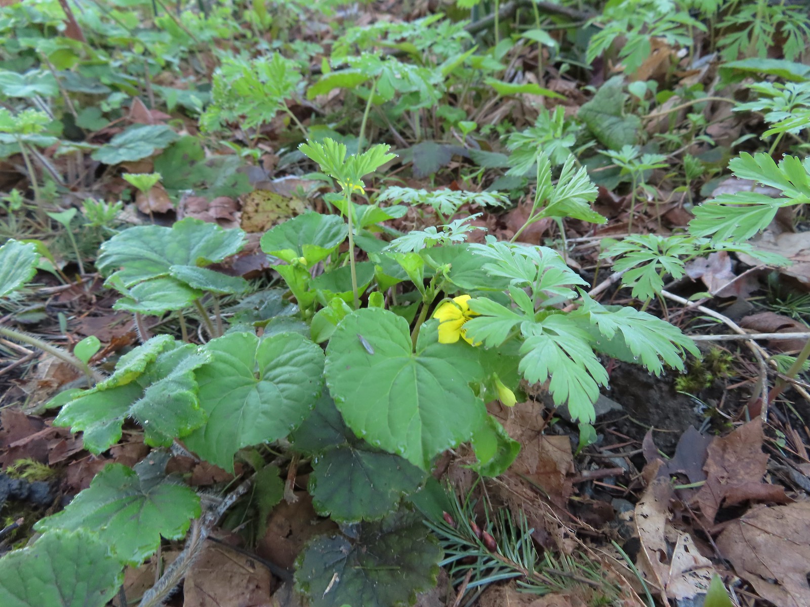 Violet
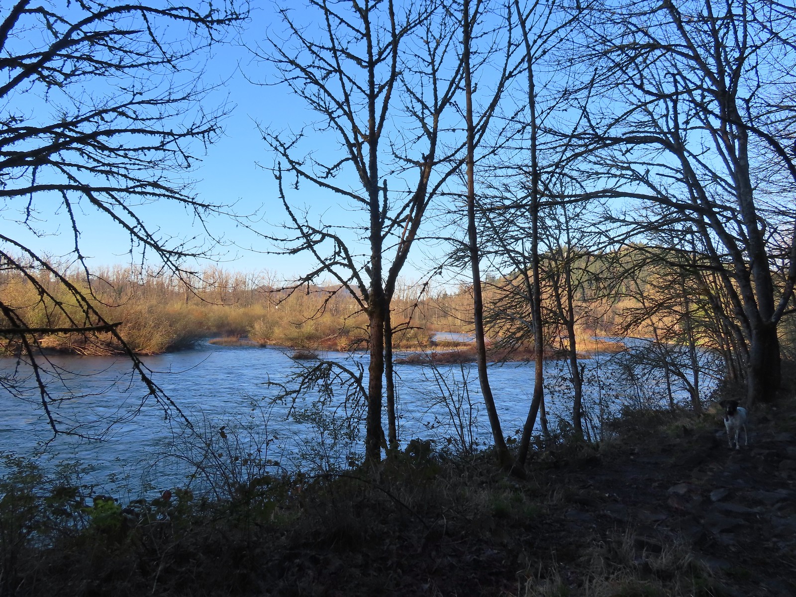 The confluence.
 Middle Fork Willamette River
 Mallards
 Hooded mergansers
 Slender toothwort
 Someone had left some seeds and nuts on this tree. While it’s not LNT compliant it was attracting a variety of wildlife.
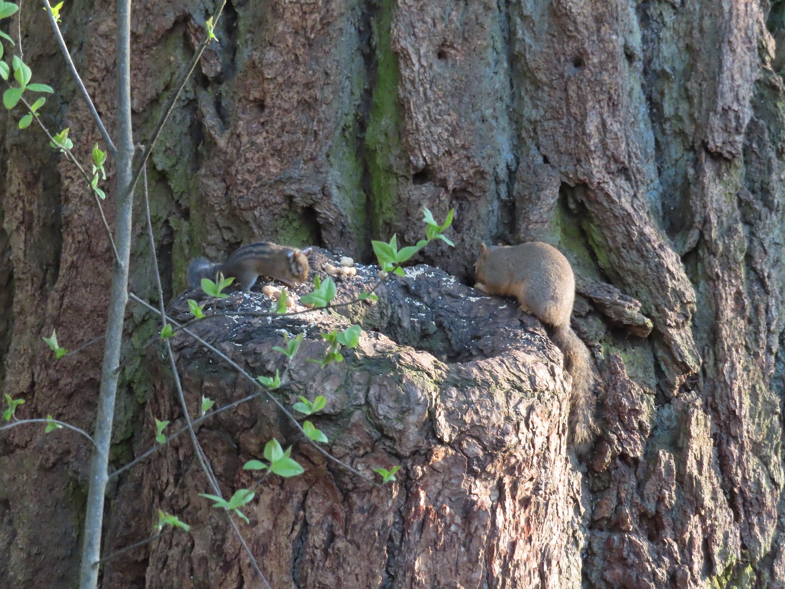 Chipmunk and squirrel
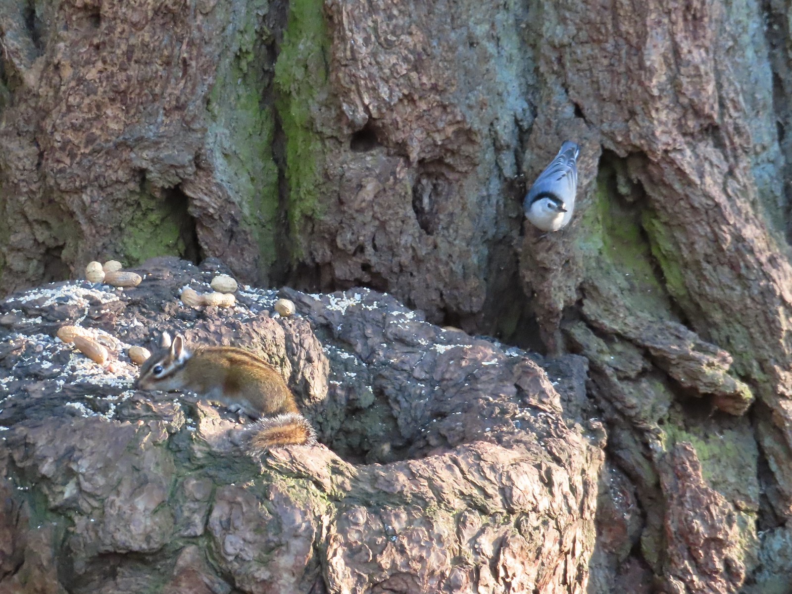 Chipmunk and white-breasted nuthatch
 Giant White Wakerobin, Trillium albidum
 The paved Middle Fork Path dead ahead.
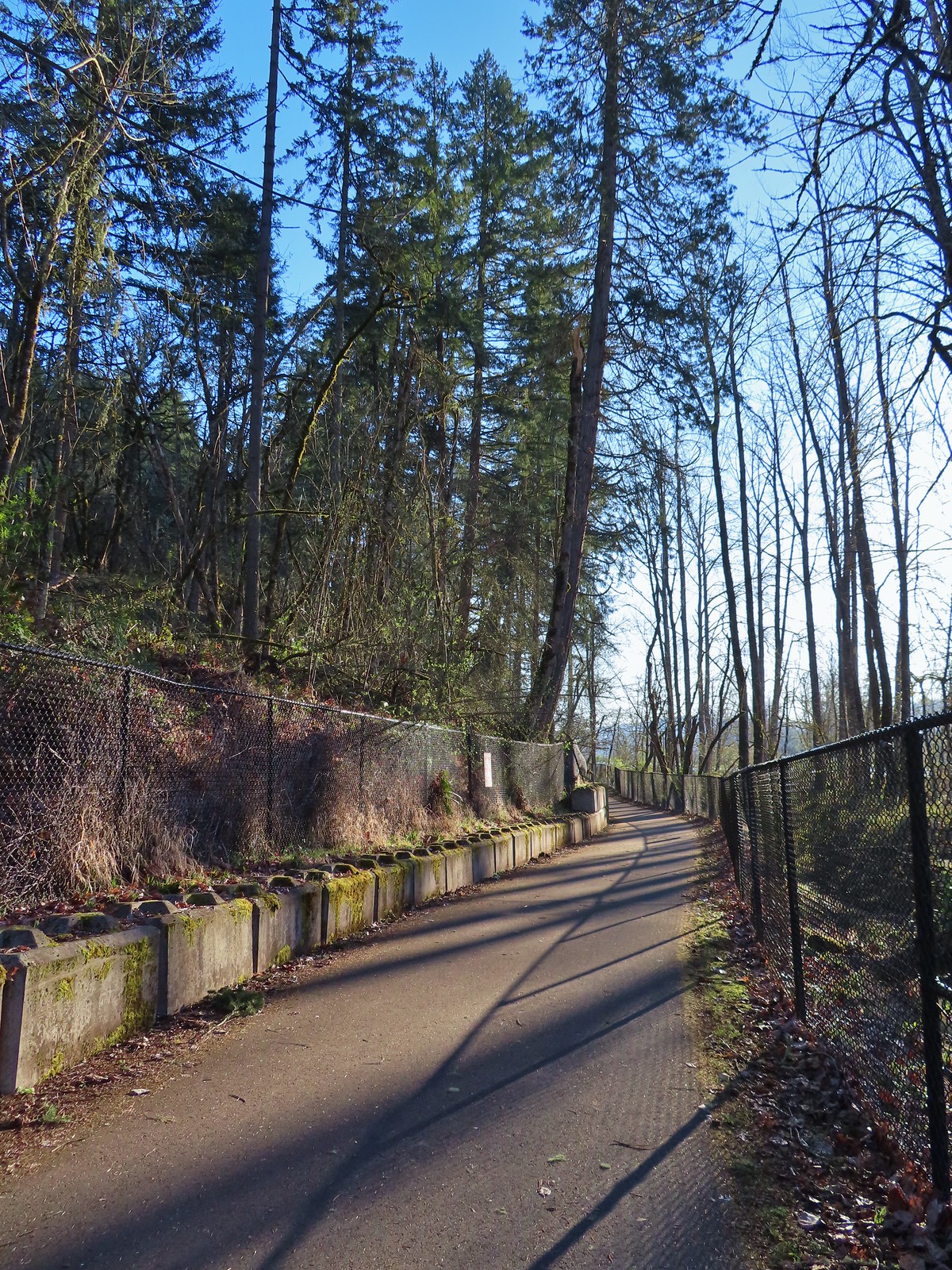
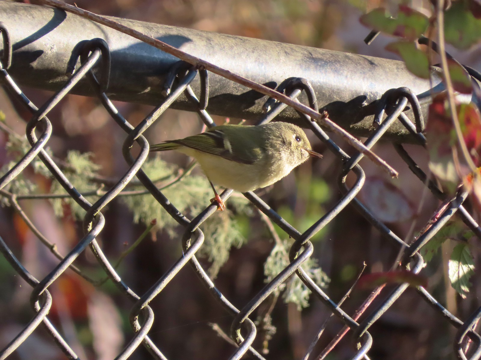 Ruby-crowned kinglet
 Wren
Wren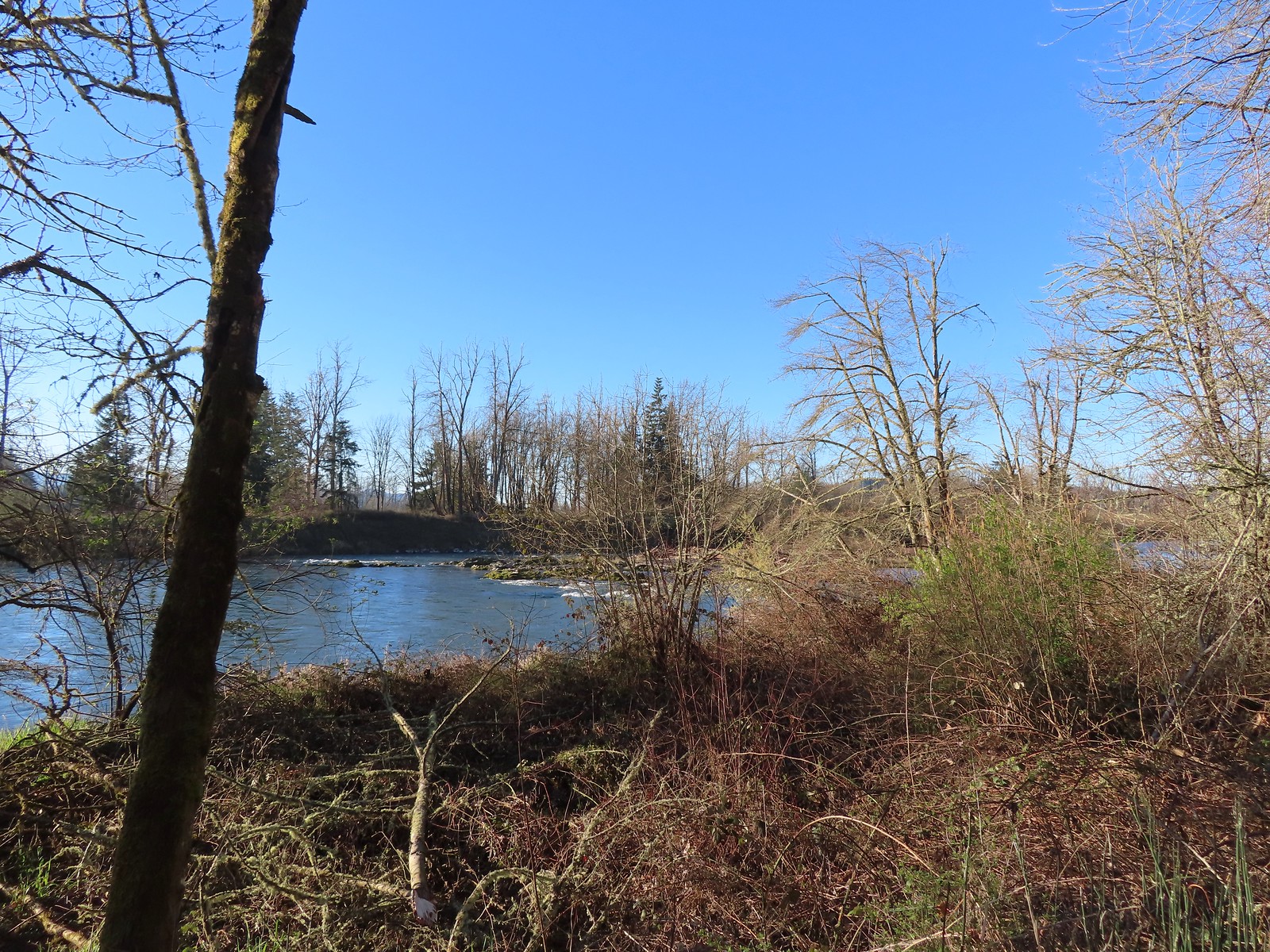 Middle Fork Willamette River
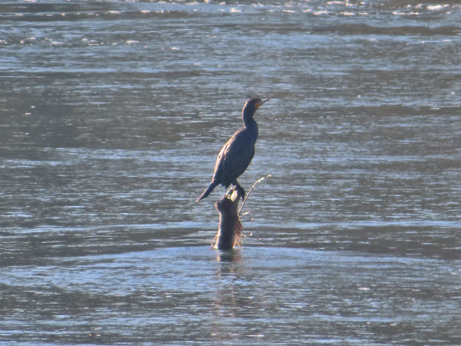 Double-breasted cormorant
 Pacific hound’s tongue
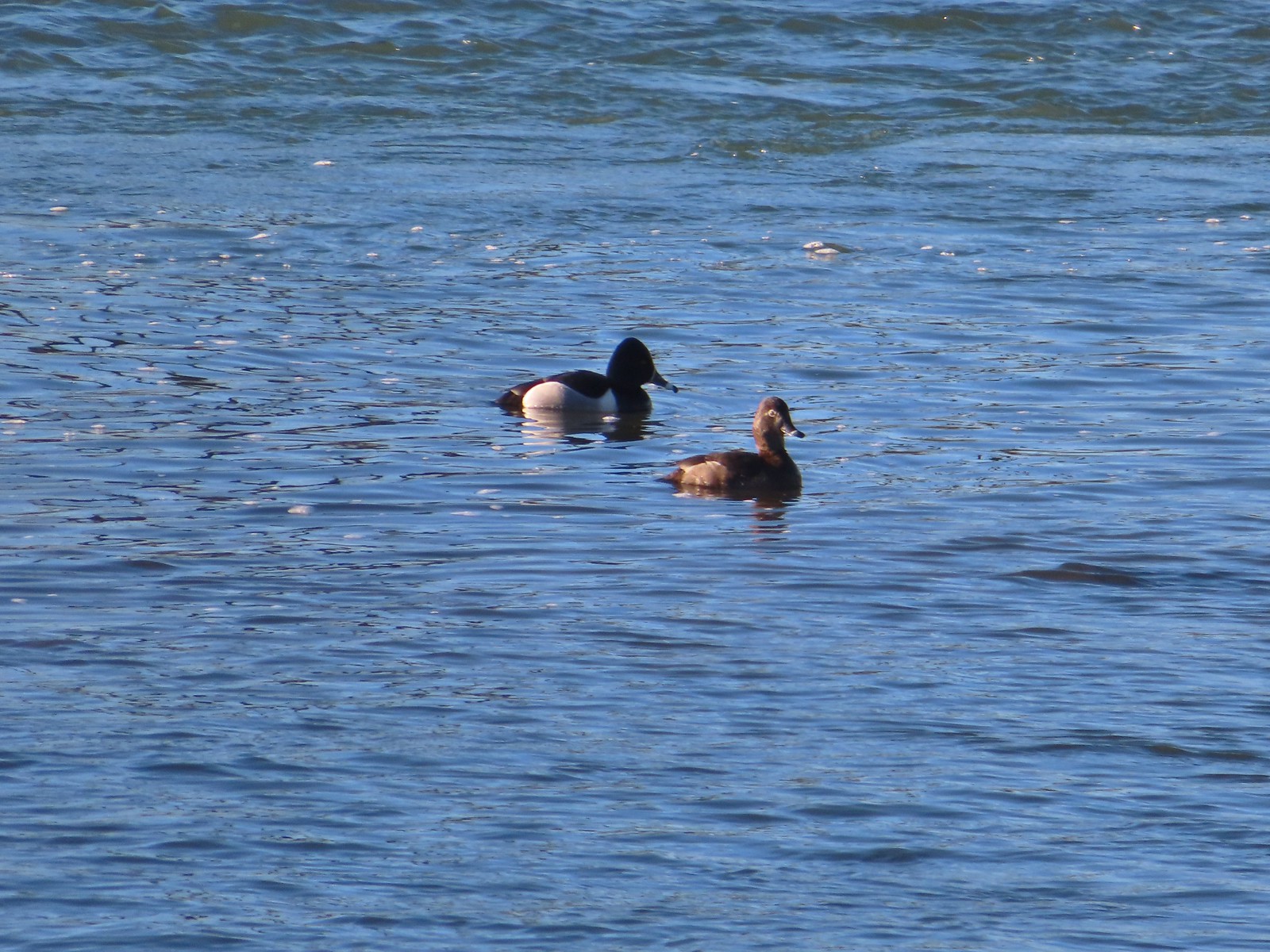 Ring-necked ducks
 Goose
Goose Arriving at the Quarry Creek picnic area.
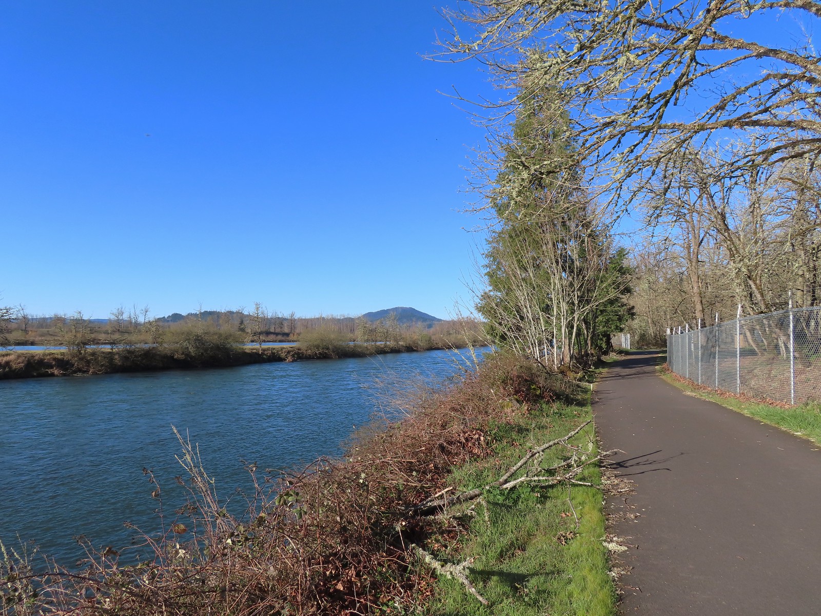 Looking back at Spencer Butte (
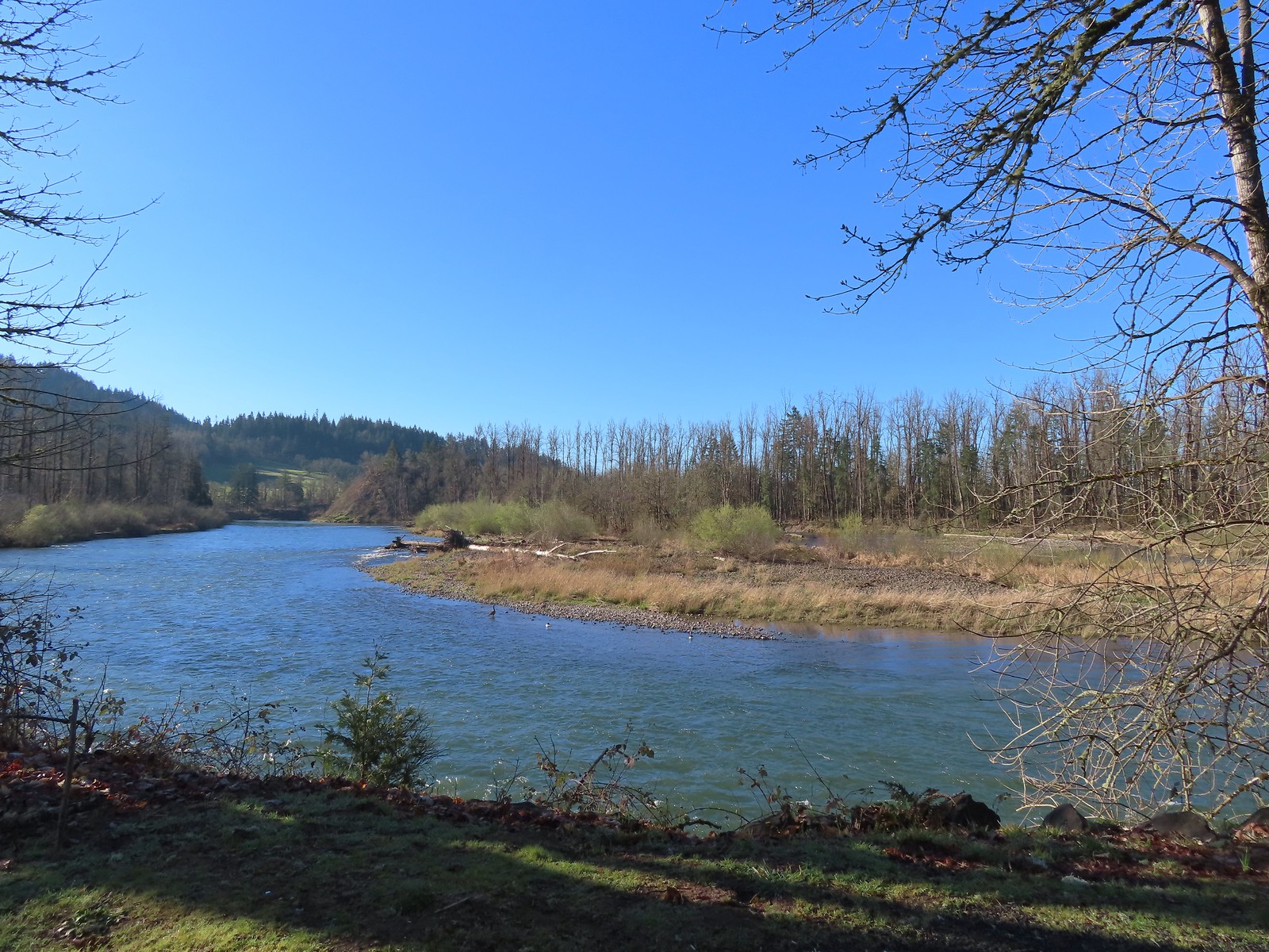 A goose and a couple of common mergansers in the river.
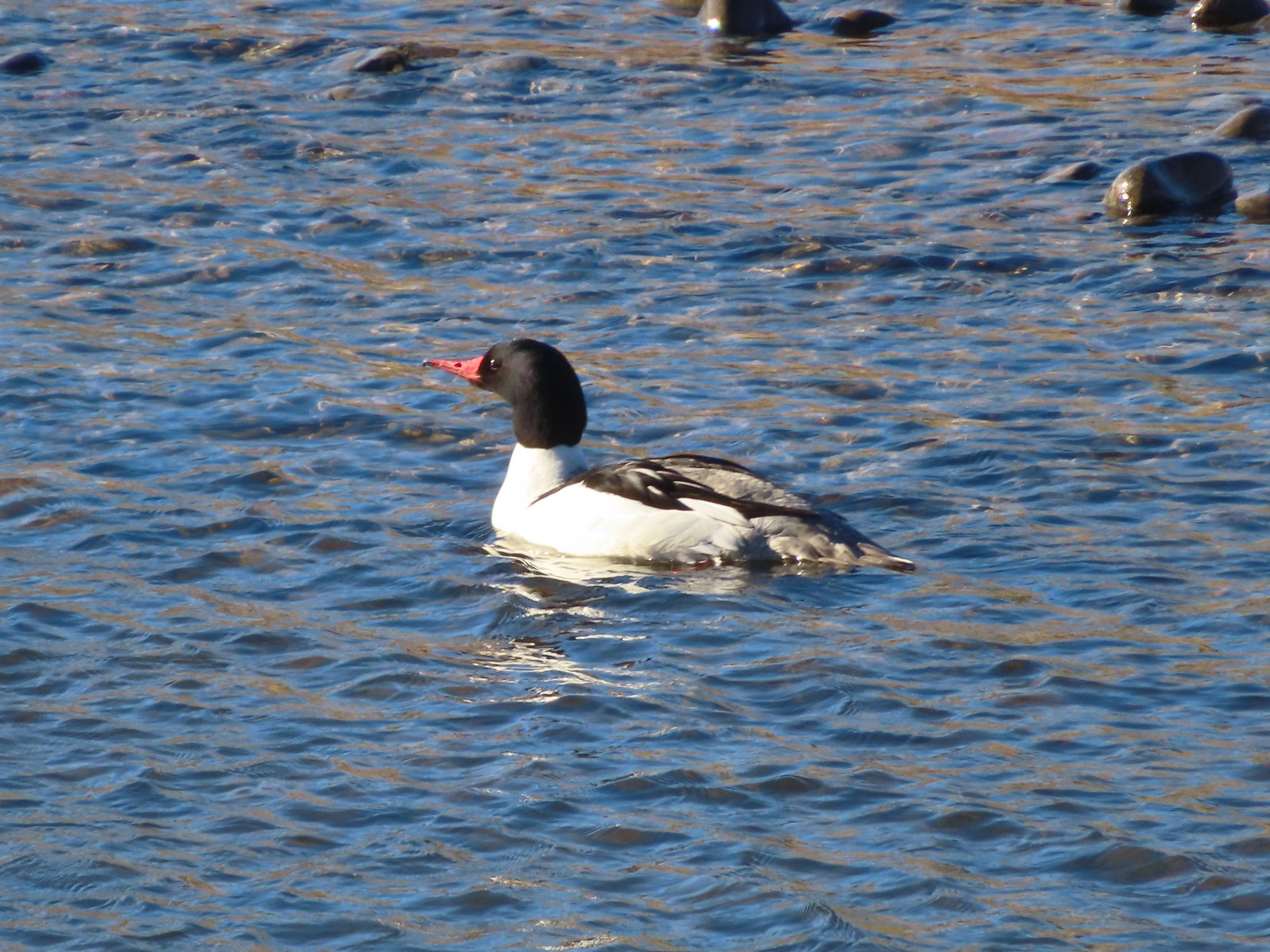 Common merganser drake
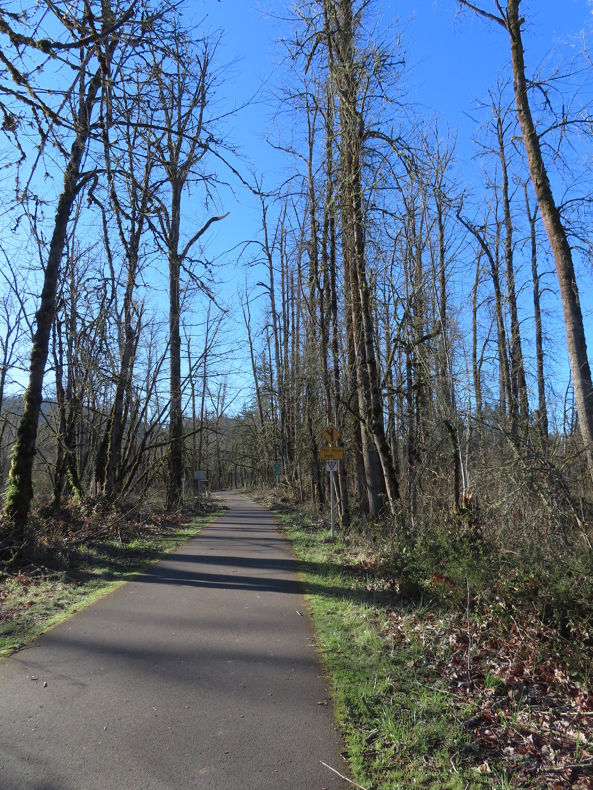 Approximately 2.75-miles from Dorris Ranch we came to the junction with the 3-mile-long Mill Race Path. An adventure for another day.
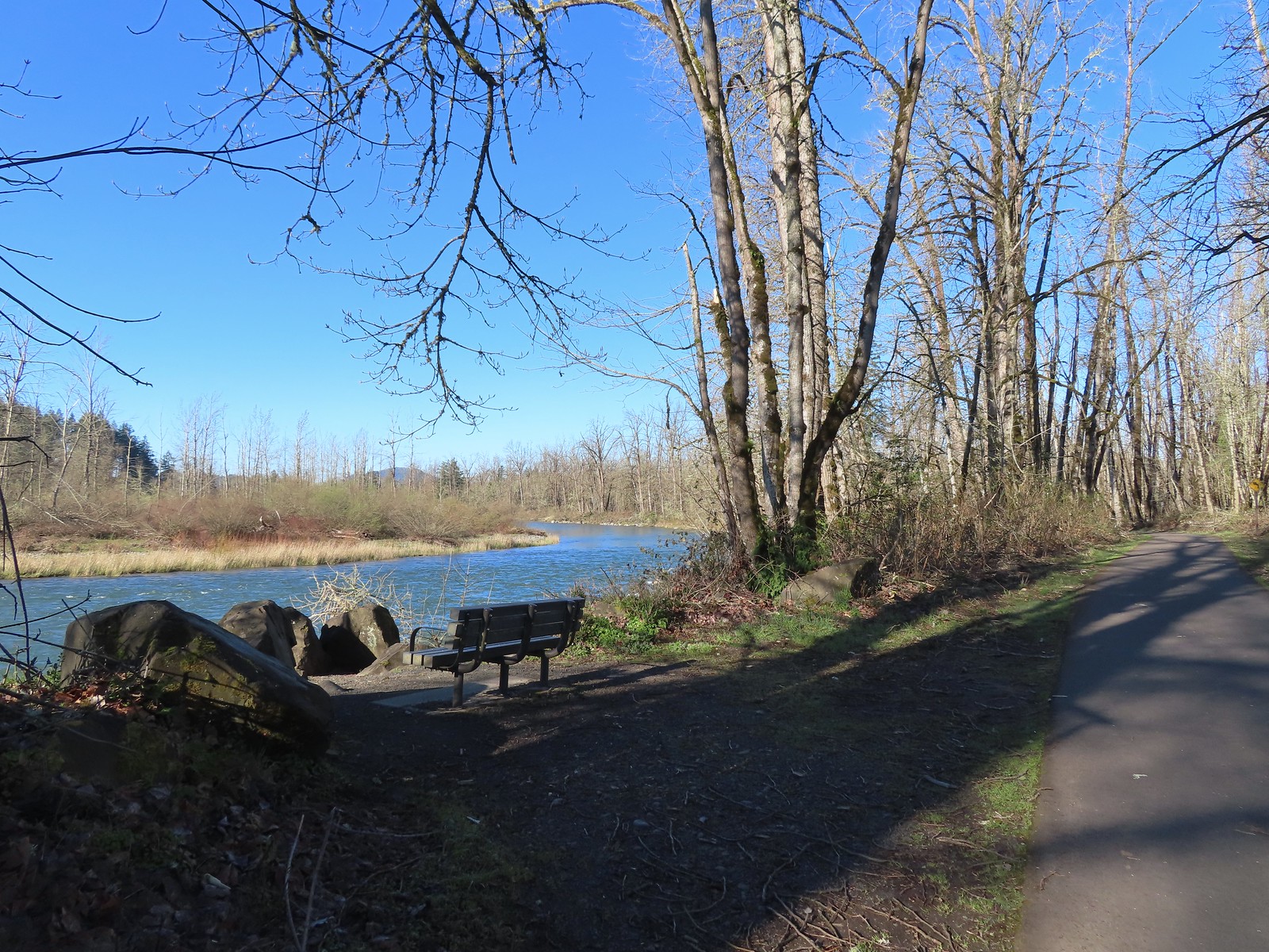 There were plenty of benches along the path.
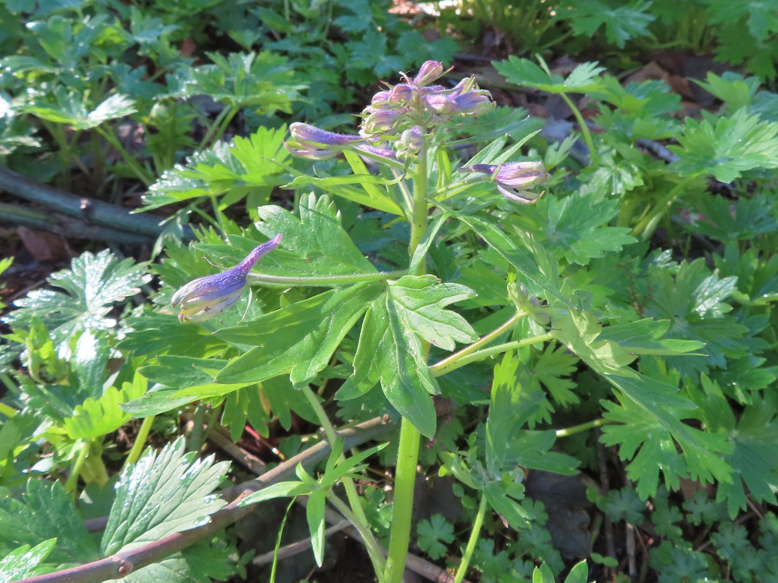 Larkspur starting to bloom.
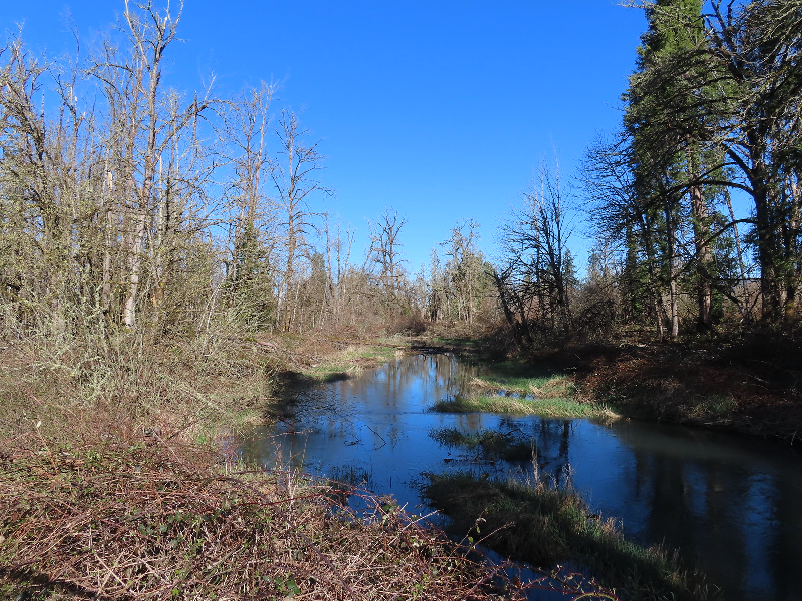 Springfield Mill Race
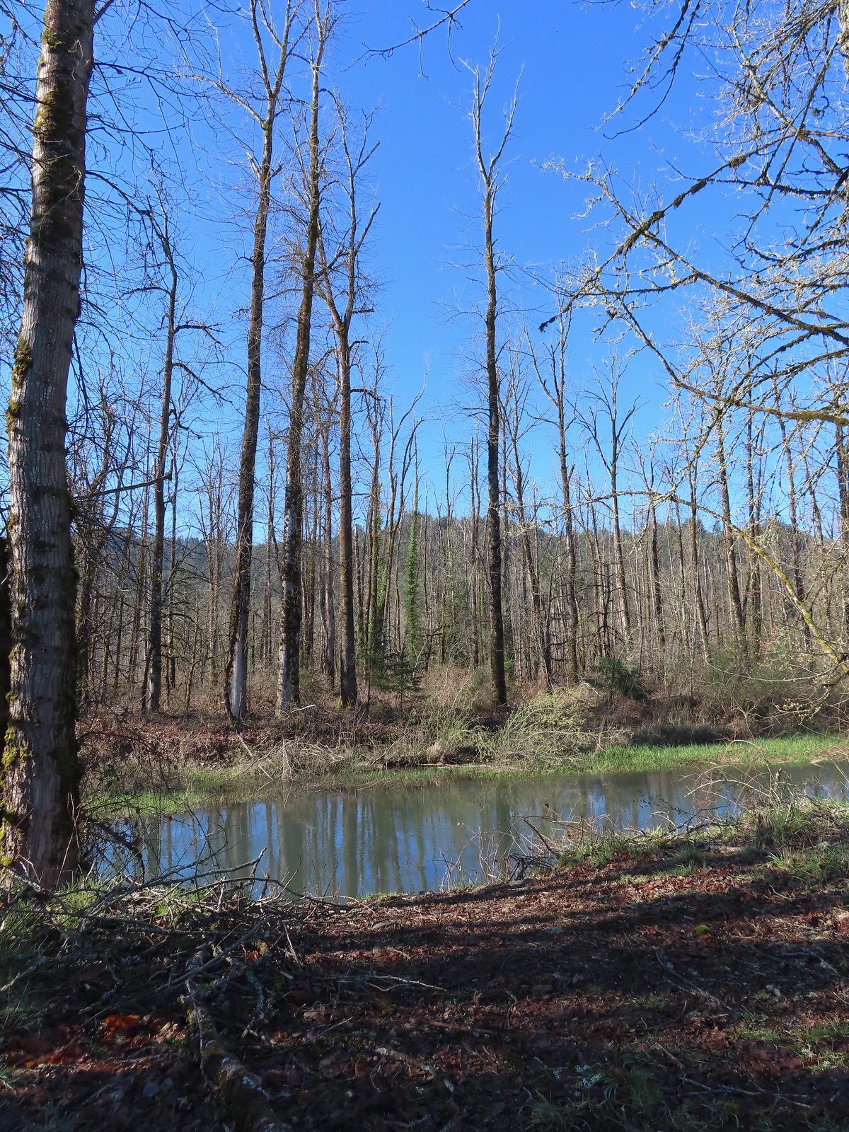 Mt. Pisgah (
 Disc golf course at Clearwater Park.
 Nearing the parking lot at Clearwater Park.
 Map of the trails at Clearwater Park.
 Turkey vultures. We’d seen our first turkey vulture of the year a little earlier on the Middle Fork Path. I’d been on the lookout for one of these scavengers for the last couple of weeks knowing that their arrival in the Willamette Valley coincides with the onset of Spring.
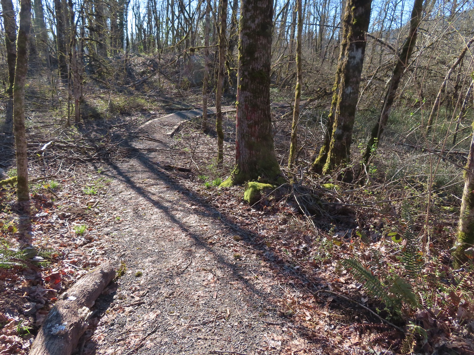

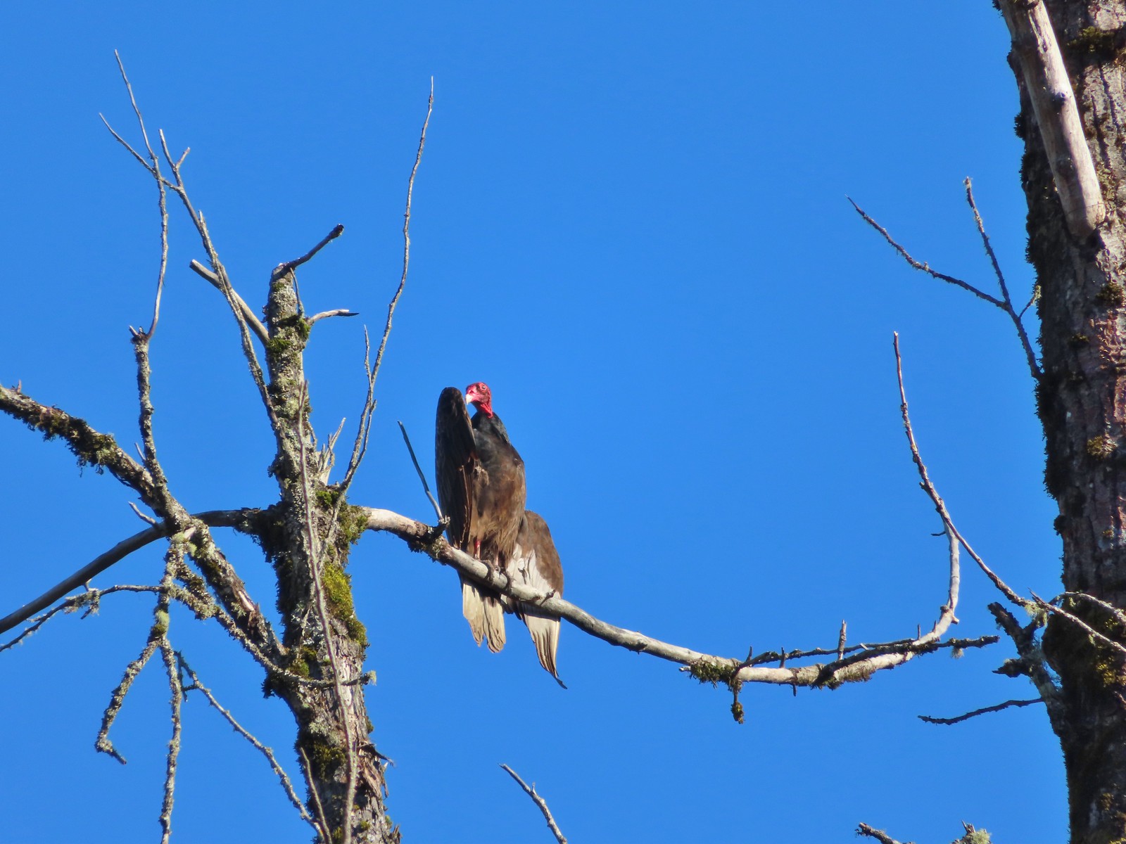 Turkey vulture enjoying the sunshine.
 Arriving at the boat launch area.
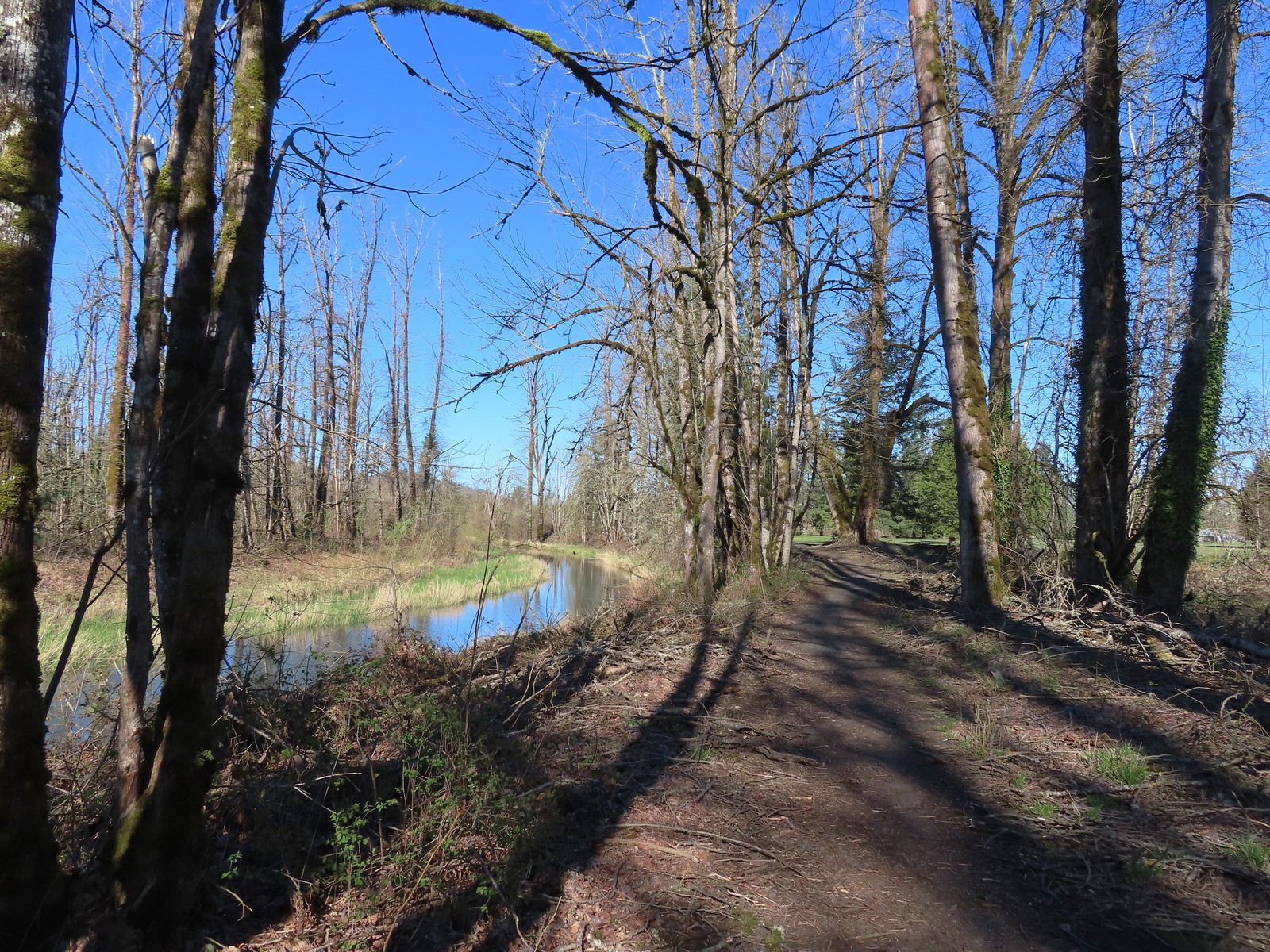 Heading back to the Middle Fork Path.
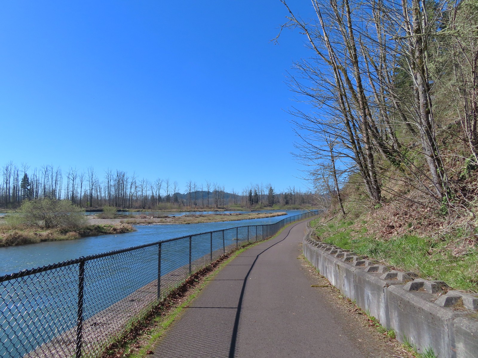
 Back at Dorris Ranch. The trail we’d taken earlier that morning is to the left just before the bench.
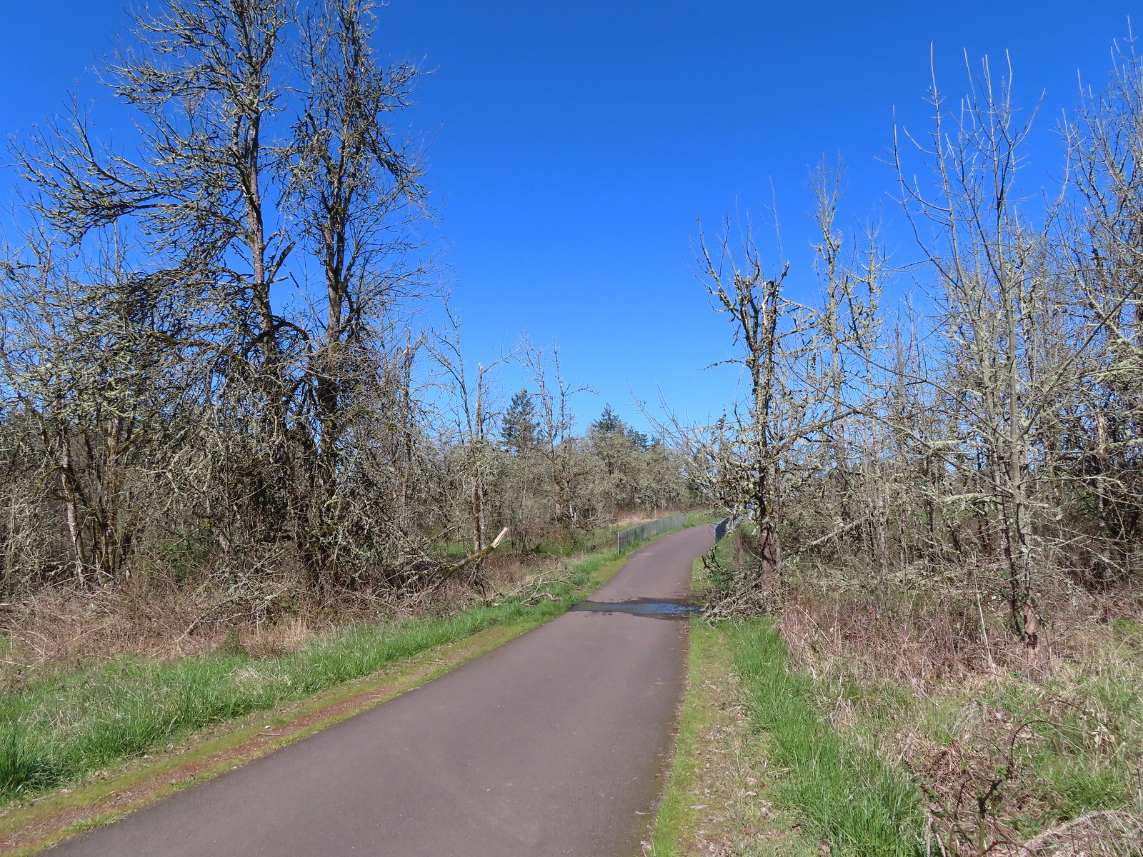
 Western bluebirds
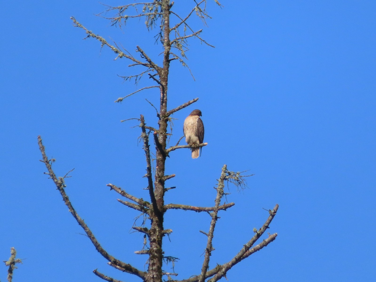 I believe this is a Cooper’s hawk.
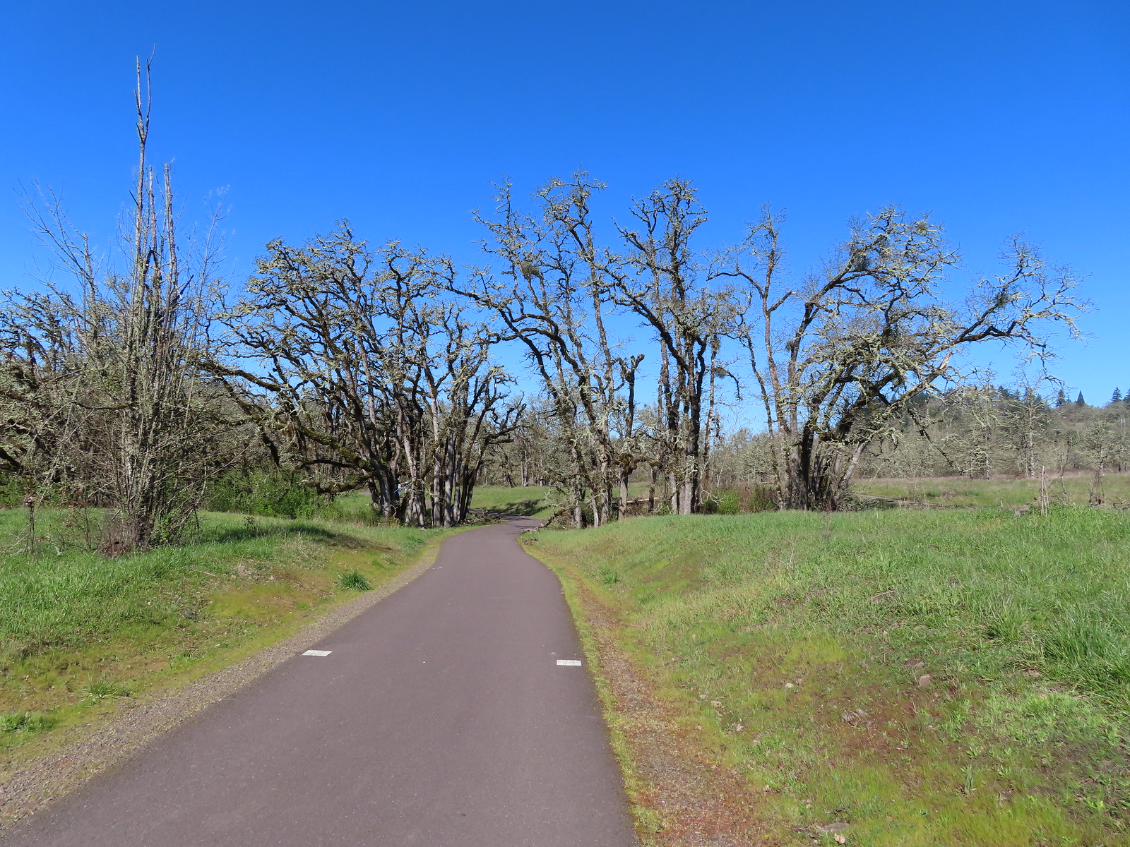
 Western buttercups
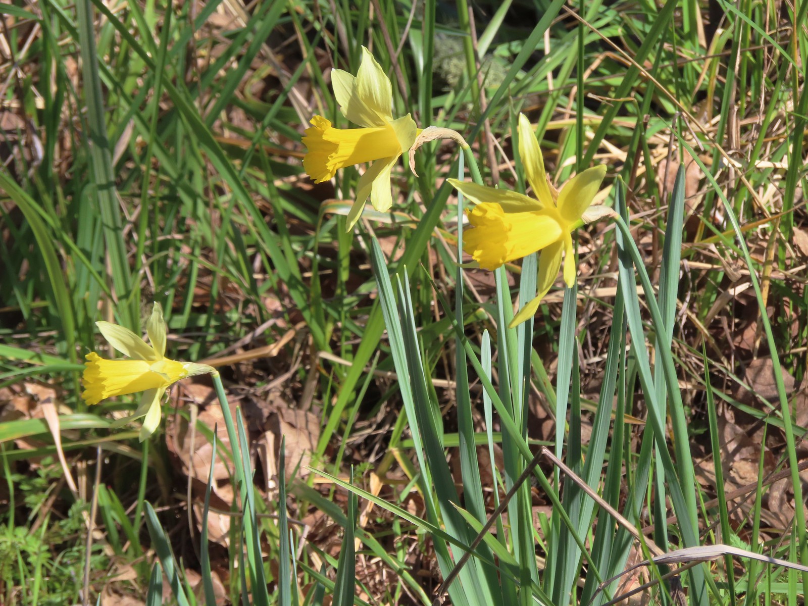 Daffodils


 Camas and buttercups at Rigdon Meadows.


 Middle Fork Trail along FR 21.
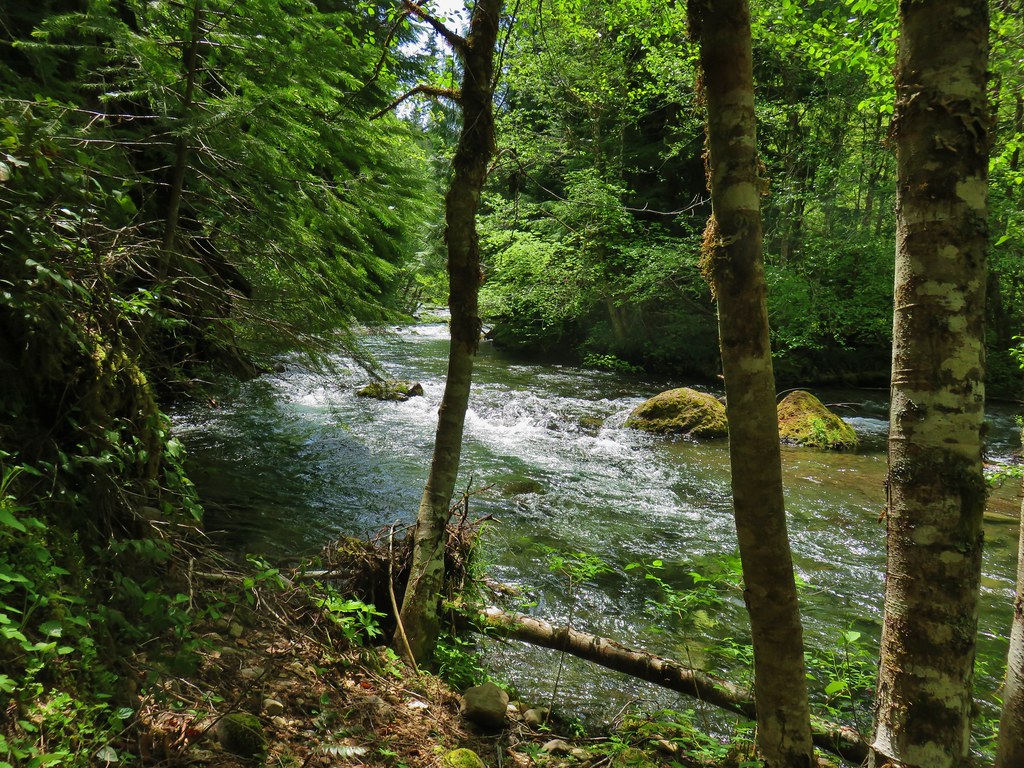
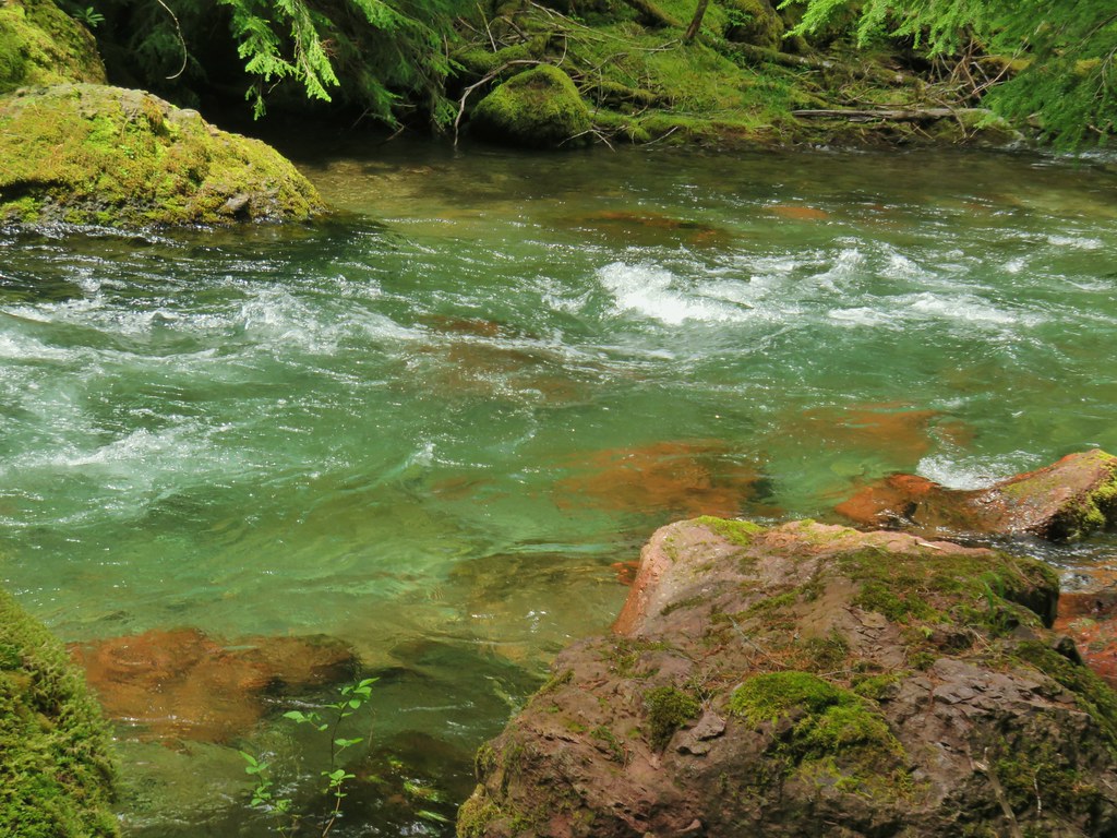
 One of only a couple of spots where we were able to get to the river.
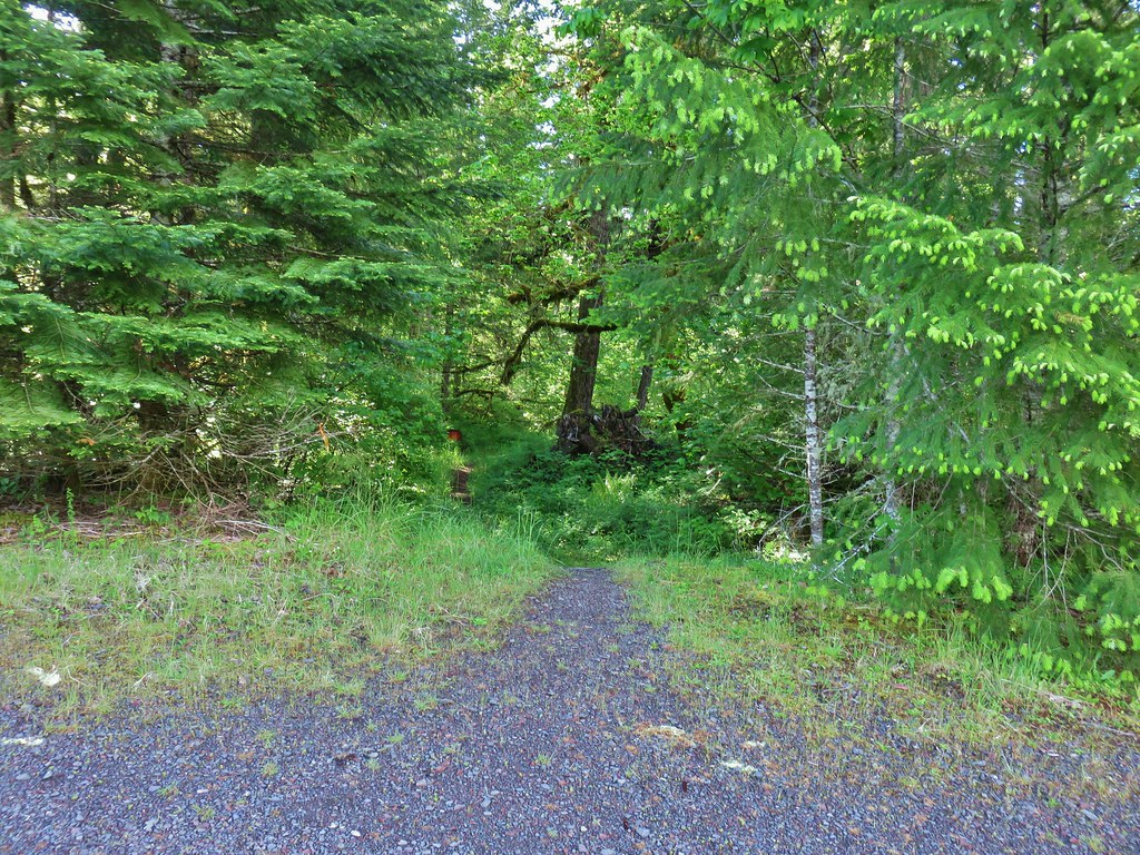 Orange flagging on the left after crossing a gravel road.
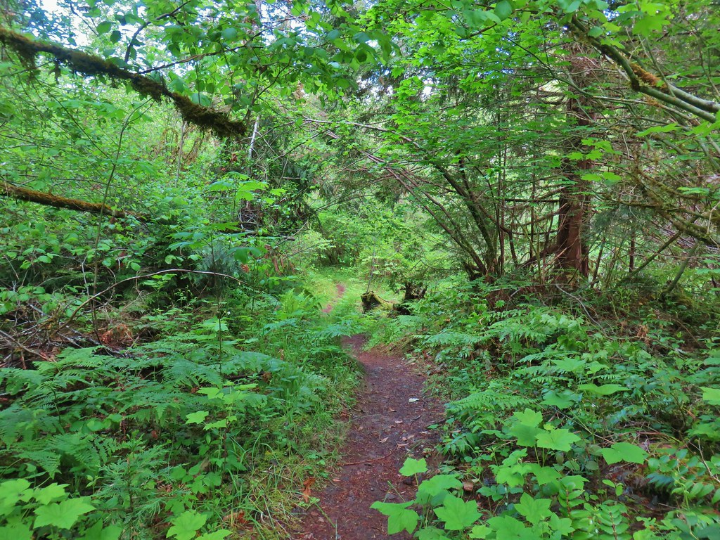
 Thimbleberry
 Cone Creek
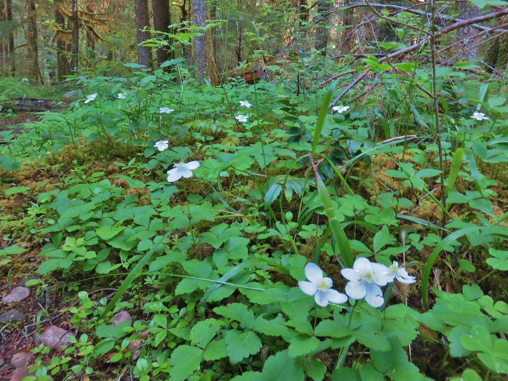 Anemones
 Footbridge over Bills Creek
 Queen’s cup

 Columbine
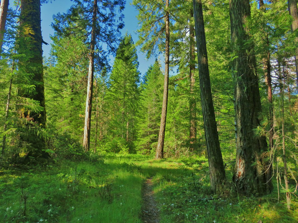 Yellowleaf iris along the Middle Fork Trail.
 Pine Creek – At first it looked like they put the bridge in the wrong spot, but there was another branch to the creek.
 Small meadow along the trail.


 Common merganser on the river below the bridge.
 Sign at the
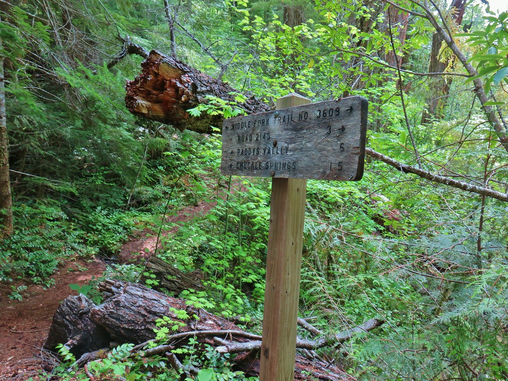
 Mossy stump along the trail.
 Lots of grass along portions of the trail, one of these areas was probably where the tick hopped on.
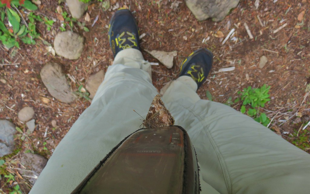

 The ookow wasn’t quite blooming yet.
 Tolmie’s mariposa lily
 Monkeyflower and tomcat clover
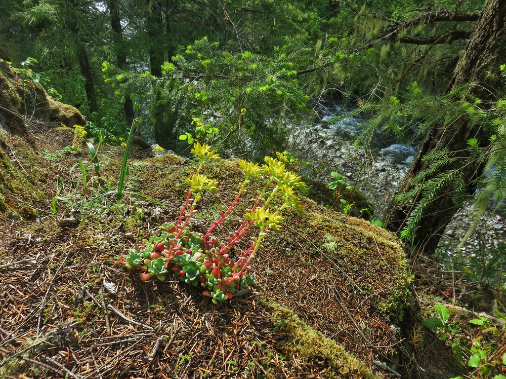
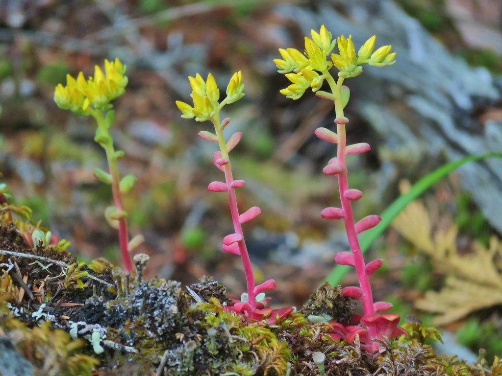
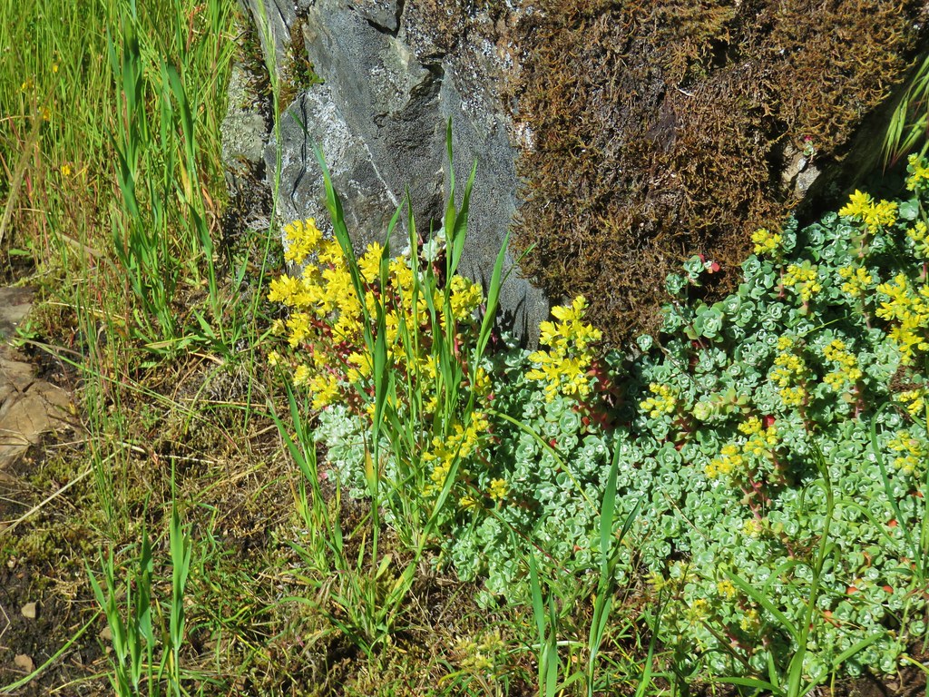 Stonecrop
 Plectritis and giant blue-eyed Mary
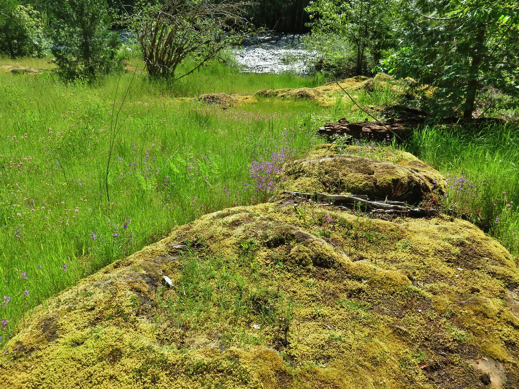
 Giant blue-eyed Mary
 Buttercups
 Spotted coralroot (with a caterpillar)
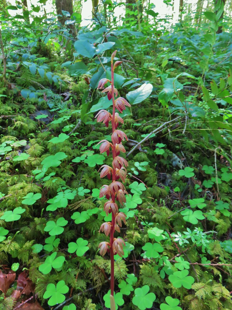 Striped coralroot


 Chocolate lilies
 Completed section of the reroute.
 More signs at FR 201
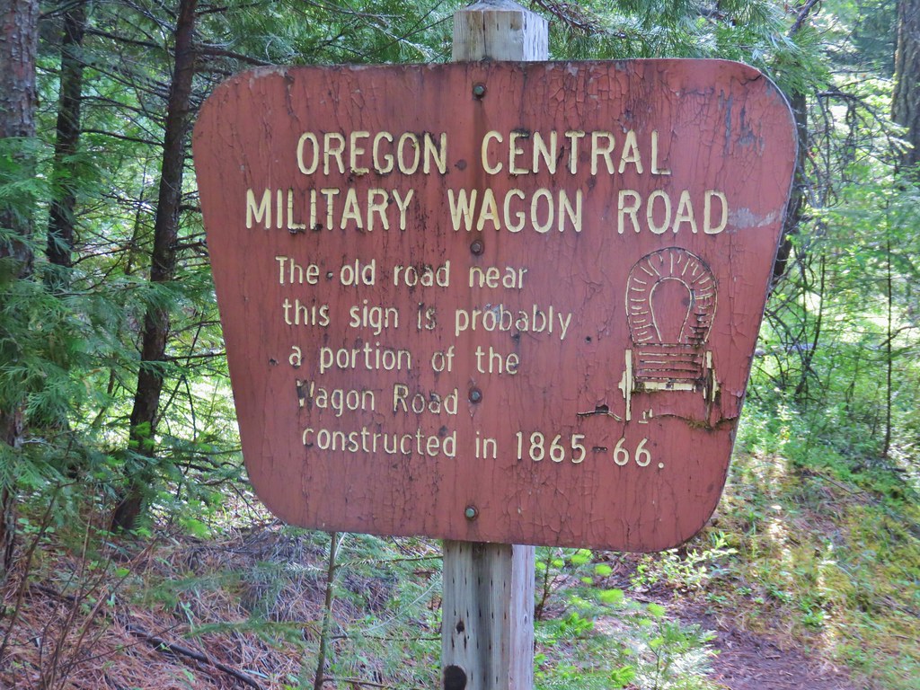
 FR 201 crossing Coal Creek.
 Coal Creek
 Road walking on FR 2133


 Simpson Creek
 Northern phlox
 Don’t know what type of fungus this is but it looked neat.