
We’re continually looking for hikes that are new to us which led us to a pair of such hikes in the Tillamook State Forest. William L. Sullivan includes the 1.6-mile round trip to a former lookout site in Cedar Butte as an additional, non-featured hike in his “100 Hikes Oregon Coast” guidebook. A hike that short didn’t warrant the 2hr drive from Salem, so I took a look at the Oregonhikers.org field guide for other nearby hikes. That research revealed the Triangulation Point Loop. The field guide entry mentioned that the loop could be started from a saddle on the north side of Cedar Butte which was just over a mile from the Cedar Butte Trailhead.
We decided to start with the long loop first. We drove up the steep, narrow Cedar Butte Road past the Cedar Butte Trailhead and parked at the saddle overlooking a clearcut.
 From the saddle South Triangulation Point, the highpoint of the loop, is to the right.
We would be doing the loop clockwise to avoid ending the loop with a climb back up to up to the saddle. We headed down Kilchis Forest Road which wound down through the clearcut before entering the forest.

The roadside was lined with wildflowers which we focused on over the missing trees.
 Bleeding heart
 Fairy lanterns
 Solomonseal
 Inside-out flower
 Paintbrush
 Lupine
 Starflower
 Salmonberry
 Cardwell’s penstemon
 Beargrass
 Wallflower
 Little-leaf montia
 Fringecup
 Salal
Salal
 Rosy bird’s-foot trefoil
 Band-tailed pigeons
 Looking back at the saddle before heading into the trees.
 Vetch
Vetch
 Leaving the clearcut.
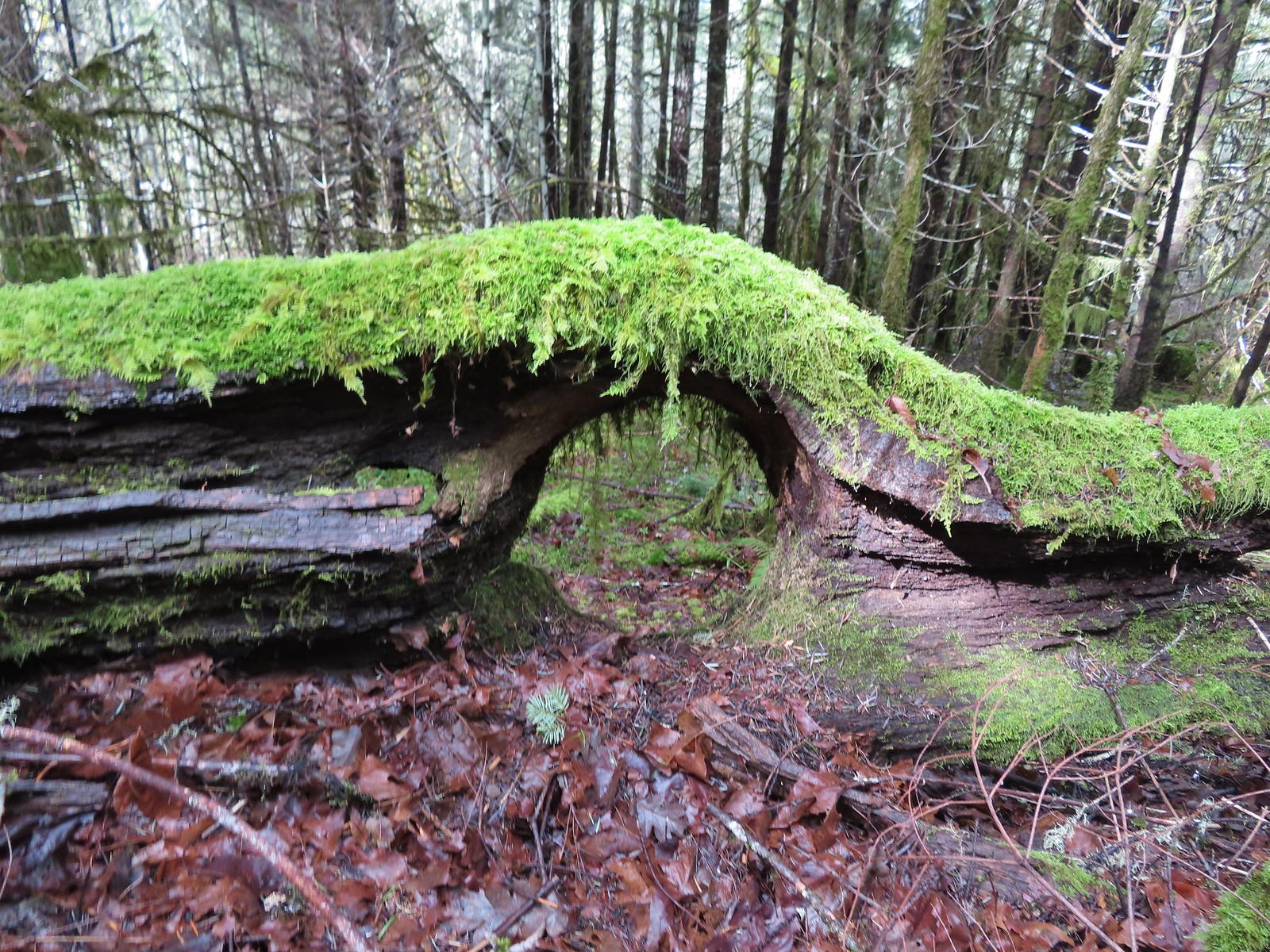
The road leveled out in the forest making for a pleasant walk. Two miles from the saddle we arrived at 100′ Kilchis Falls.

 Rock cliffs marking the location of Kilchis Falls.
 Located on a tributary of the North Fork Kilchis River the falls reportedly seldom have much flow, but there was enough water today to make for a pretty sight.
 The small pool below the falls.
 Avens
Avens
 Spider hiding on a columbine.
 Scouler’s corydalis
 Youth-on-age
 Valerian
After a relaxing break at the falls, we continued along Kilchis Forest Road which approached the North Fork Kichis River and then followed it NW.


 Hedgenettle
 Waterfall on an unnamed creek. It was quite a way back in thick vegetation.
 The above waterfall sans zoom.
 Buttercup
 Fick Creek joining the river.

 Potholes on the North Fork Kilchis River.
 Triangulation Creek flowing into the river.
Approximately two miles from Kilchis Falls we crossed the river on a bridge.


We continued to follow the river for another 0.6-miles where Middle Road joined steeply from the right.

 Snail shadow on a iris.

 Middle Road coming downhill on the right. This is the Middle Road Trailhead mentioned in the Oregonhikers.org field guide.
We made a sharp right turn here and began the difficult climb to South Triangulation Point.

Middle Road isn’t really a road anymore and is only suitable for high clearance 4wd vehicles or OHVs. We huffed and puffed up this track passing a road on the left after 1.3 miles and arriving at a saddle in another 0.3 miles.

 A very blurry picture of a doe that was way down the hillside in the forest.
 Large rock and log in the middle of Middle Road.
 Monkeyflower surrounded by candyflower

 Paintbrush on some cliffs above Middle Road.

 Thistle
 The road at the 1.3-mile mark along Middle Road.
 The saddle at the 1.6-mile mark.
 Memorial at the saddle.
We took a break at the saddle before continuing the climb. We passed another road on the left approximately half a mile from the saddle then came to 4-way junction 0.6 miles later.
 Middle Road continuing on from the saddle.
 Beargrass
 The road on the left at the 2.1-mile mark.
 Iris
Iris
 Stream flowing down the road.
 Coming up to the 4-way junction.
From the junction we took the righthand fork signed “FB3”.
 Middle Road from the 4-way junction.
 The two lefthand forks at the 4-way junction.
 FB3
FB3

The elevation at the 4-way junction is about 2600′ and the Middle Road Trailhead is just over 800′ so we’d gained over 1800′ on Middle Road. South Triangulation Point tops out at 3255′ meaning we were still over 650′ below its summit so neither of us were pleased when FB3 proceeded to lose approximately 100′ of elevation in the first 0.6 miles.


 Monkeyflower
 Beargrass, paintbrush and penstemon
 More flowers on a rocky outcrop along FB3.
 A bunch of monkeyflowers.
When the road finally started climbing again it was more gradual than Middle Road had been. In 3/4 of a mile, we gained 350′ before coming to a fork.
 Springs along the road.
 Snake cooling off in the mud.
 The snake didn’t budge as we passed around it.

 This fork is approximately 4.2 miles from the Middle Road Trailhead.
At the fork we veered uphill to the left. This road gained nearly another 300′ in half a mile where it arrived at a saddle between Triangulation Point and South Triangulation Point.
 Snake number two on the day.
 This one didn’t budge either.
 Switchback below the saddle.
 Approaching the saddle.
 Gated road up Triangulation Point.
 South Triangulation Point
The wildflower display at the saddle was impressive and we spent some time admiring the blooms.
 Serviceberry, paintbrush, yarrow, and iris.
 Paintbrush and Cardwell’s penstemon
 Iris
Iris
 Broadleaf arnica, paintbrush and penstemon

 Columbine among others.
 Broadleaf arnica
Aside from a vehicle that was just leaving the saddle below Cedar Butte when we’d arrived that morning we hadn’t seen anyone all day. That changed at South Triangulation Point as a group of dirt bikes had arrived while we were taking a break at the switchback below the saddle. We took a left fork in the road and made our way to the summit where we briefly spoke with them.
 Final pitch to the summit.
 We could see our car parked at the saddle below Cedar Butte from South Triangulation Point.
 Motorcycle track heading down from the summit with Triangulation Point on the other side of the saddle.
 Looking to the NW you can see out to the Pacific Ocean. The line of peaks furtherst back staring from left to right consists of Neahkahnie Mountain (post), Angora Peak (post), West Onion & Onion Peaks, Sugarloaf Mountain, and Kidders Butte.
 Closer look at Surgarloaf Mountain and Kidder Butte.
 Wildflowers on South Triangulation Point.
After a break we headed down the road to the fork where we turned left and quickly began a steep half mile descent to a 5-way junction.


 Another nice clump of wild iris.
 Lupine
 Flowers lining the road.
 More motorcycles at the 5-way junction.
We stayed straight at this junction and continued downhill sticking to the main road at all junctions.


 Variable-leaf collomia
 The road briefly followed a narrow ridge.
 Anemones
 Moth
Moth

 Heather spotted this little one. Not sure if it’s a vole, pocket gopher, or something else.
A little over a mile from our car we passed a series of wet cliffs that were putting on a spectacular flower display.

 Silverleaf phacelia and chickweed
 A lomatium


 Larkspur and monkeyflower
 This pink larkspur really stood out on the cliffs.
 Littleleaf miner’s-lettuce
 Several types of yellow wildflowers.
The cliffs helped explain why the road had dipped so far below Kilchis Saddle where our car was. Shortly after passing them the road began a final climb to the saddle gaining close to 200′ in the final three quarters of a mile.
 Still dropping a little after the cliffs.
 Bleeding heart and candyflower
 Climbing the road at the edge of the clearcut.
 The saddle where our car was parked across the clearcut.
 South Triangulation Point from Cedar Butte Road.
 South Triangulation Point
 Looking down the North Fork Kilchis River valley from the saddle.
For us this loop came in at 12.7 miles a little over 2700′ of elevation gain. Despite being on roads some of the elevation change was quite steep adding to the difficulty. That being said this was a good hike with a nice waterfall and lots of wildflowers. We encountered about a dozen motorbikes, all between South Triangulation Point and end of the hike and we didn’t hear them all that often either.
It had been a long hard loop, so Heather chose not to add another 780′ climb when we arrived at the Cedar Butte Trailhead.

I on the other hand am a glutton for punishment so I threw my pack back on and walked 250′ up a gravel road to a signboard marking the start of the Cedar Butte Trail.
 The trail information lists the hike as “difficult” due to the amount of elevation gained over just three quarters of a mile to the summit.
 The start of the Cedar Butte Trail.
The trail began fairly level passing through some heavy brush before breaking into a second growth forest.

 Star-flowered false solomonseal
 Black-headed grosbeak
 False lily of the valley

The trail didn’t really begin to climb until the 0.3-mile mark where it made a series of short switchbacks then alternated between steep straightaways and more switchbacks.
 The trail was in good shape with just one small tree down over it.
 Blue-eyed Mary
 Small saddle below the summit.
 Beargrass
 Phlox
Phlox
 Final pitch to the summit.
 Wild onion
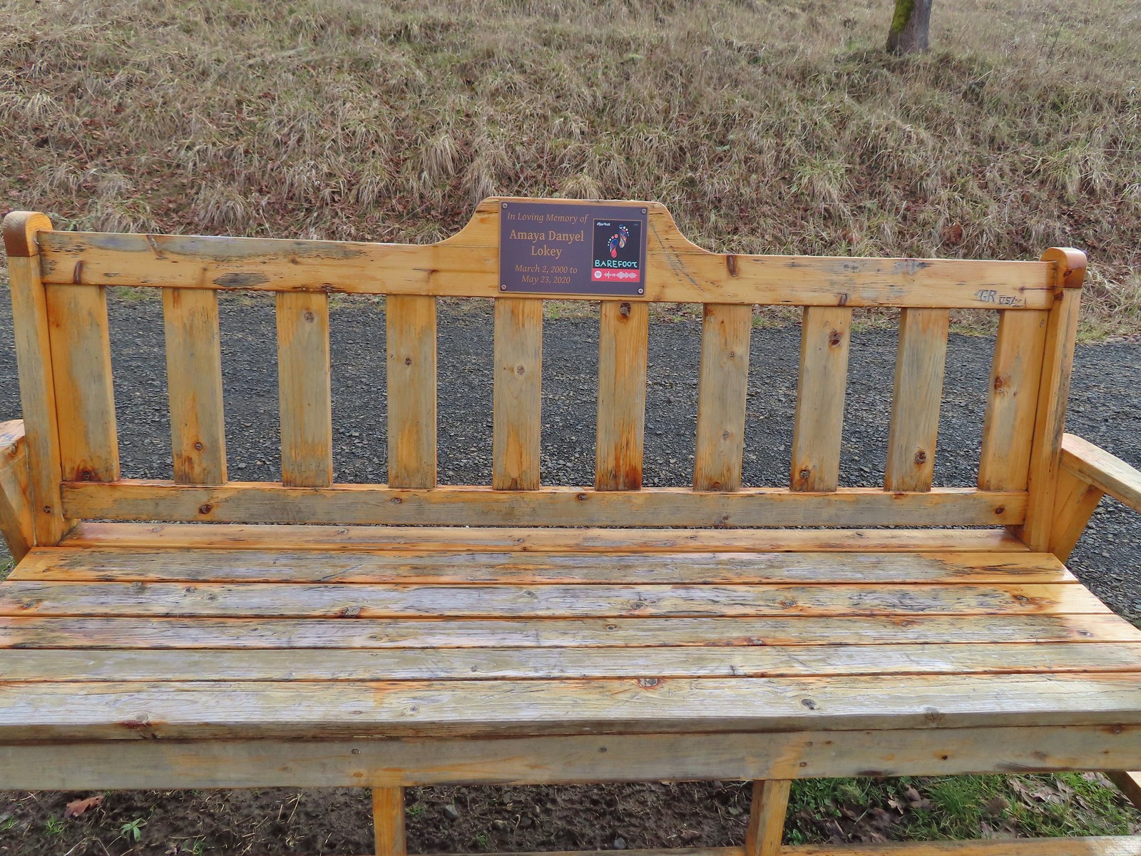
 Benches at the former lookout site.
 View from the summit.
 Wildflowers at the summit.
On the way back down I took a short, steep spur trail to a viewpoint where I could see Kings Mountain (post) to the NE.
 Kings Mountain is the high point to the right along the ridge.
After checking out the viewpoint I continued my descent and rejoined Heather at the trailhead.

 Fairy bells and vanilla leaf
 Almost back
This hike had been 1.6 miles and one heck of a climb. My legs were feeling all 3500′ on the day. Late Spring seems like a good time to visit this area as the wildflowers were the highlight. Kilchis Falls was nice but at different times of the year the flow would likely diminish the appeal quite a bit. Happy Trails!

Flickr: Kilchis Falls, South Triangulation Point, and Cedar Butte


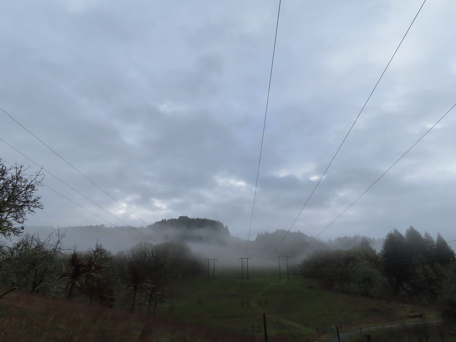 The forecast was for patchy morning fog with a chance of light showers between Noon and 3pm and partly sunny skies. They got the patchy morning fog part right.
 The first of three abandoned cars we’d pass on the day. This one was in a field on a hillside before entering the Crestmont Land Trust.
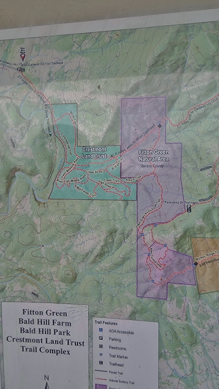
 Interpretive signs greeted us as we entered the Crestmont Land Trust.
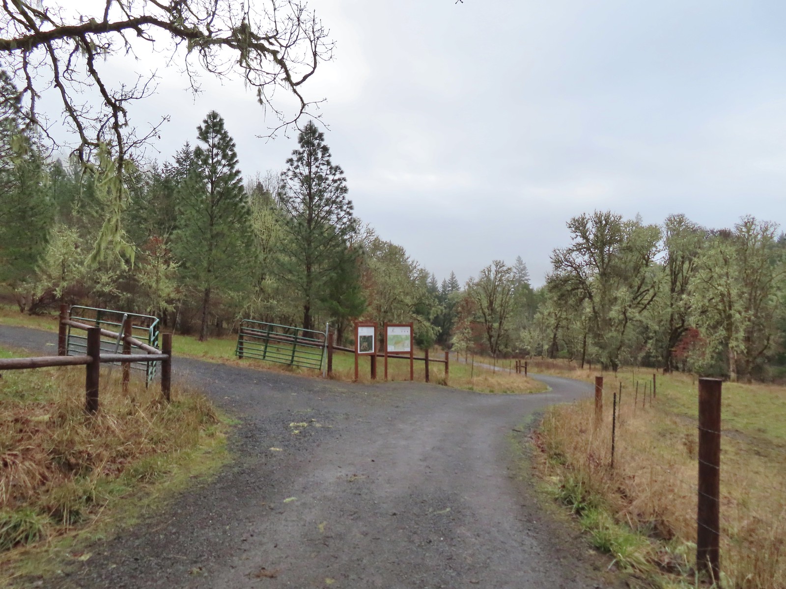
 The gazebo housed a small table with benches. A particularly nice touch was the lack of back on the bench that wasn’t facing the view which allows you to sit facing the view.
 The view from the gazebo.
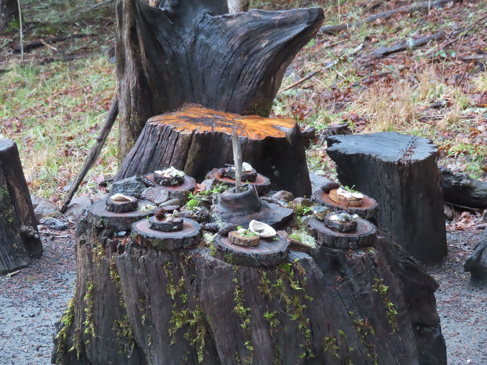 Not sure what the most recent gathering was but there was an interesting variety of items around the table.
 Another bench along the trail.
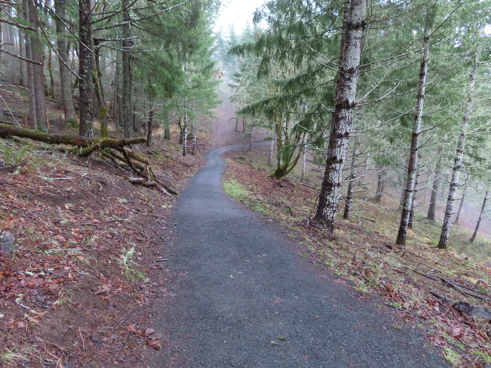
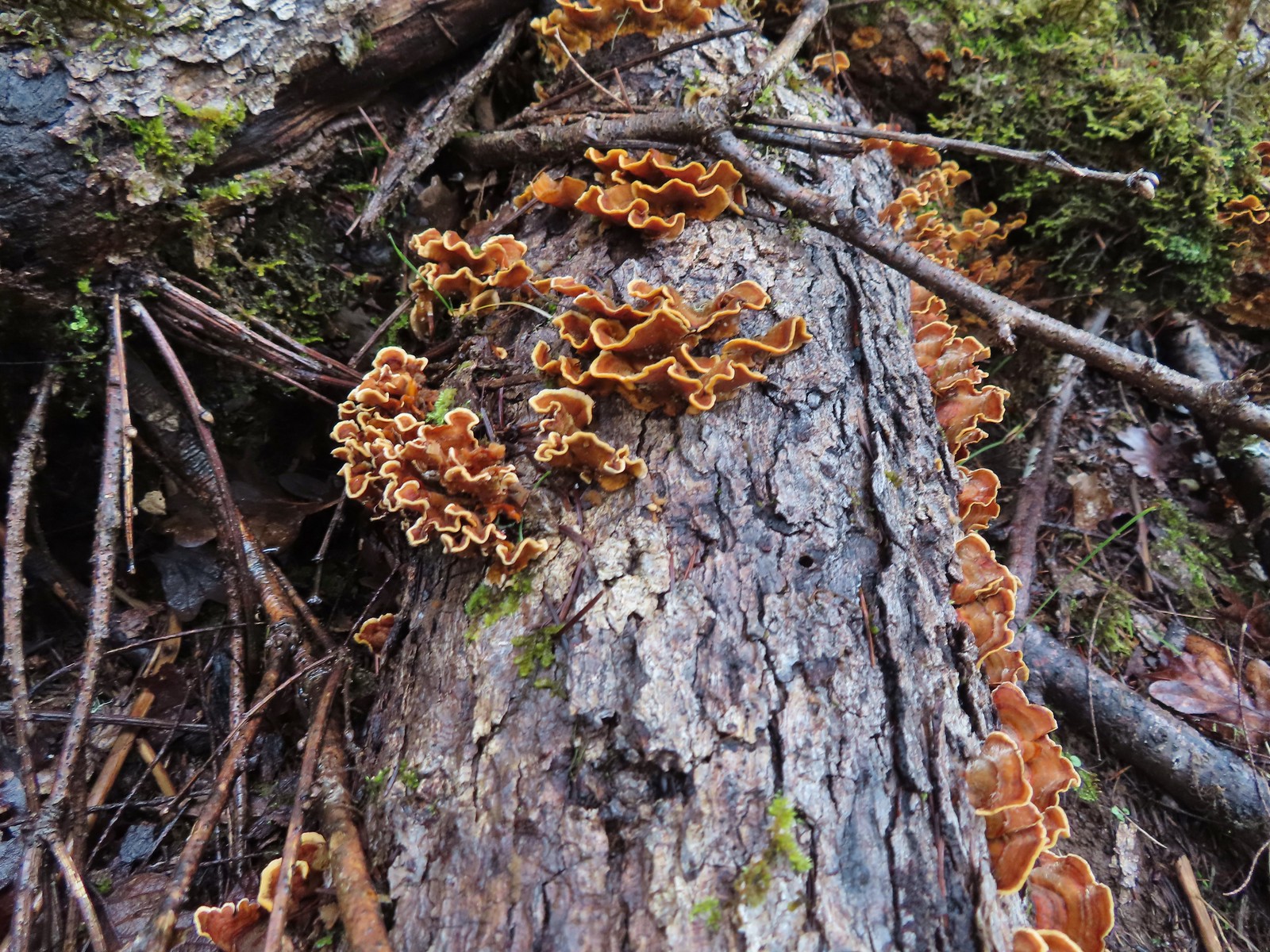 Turkey tails
 The Cardwell Hill Trail in the valley below the North Trail.
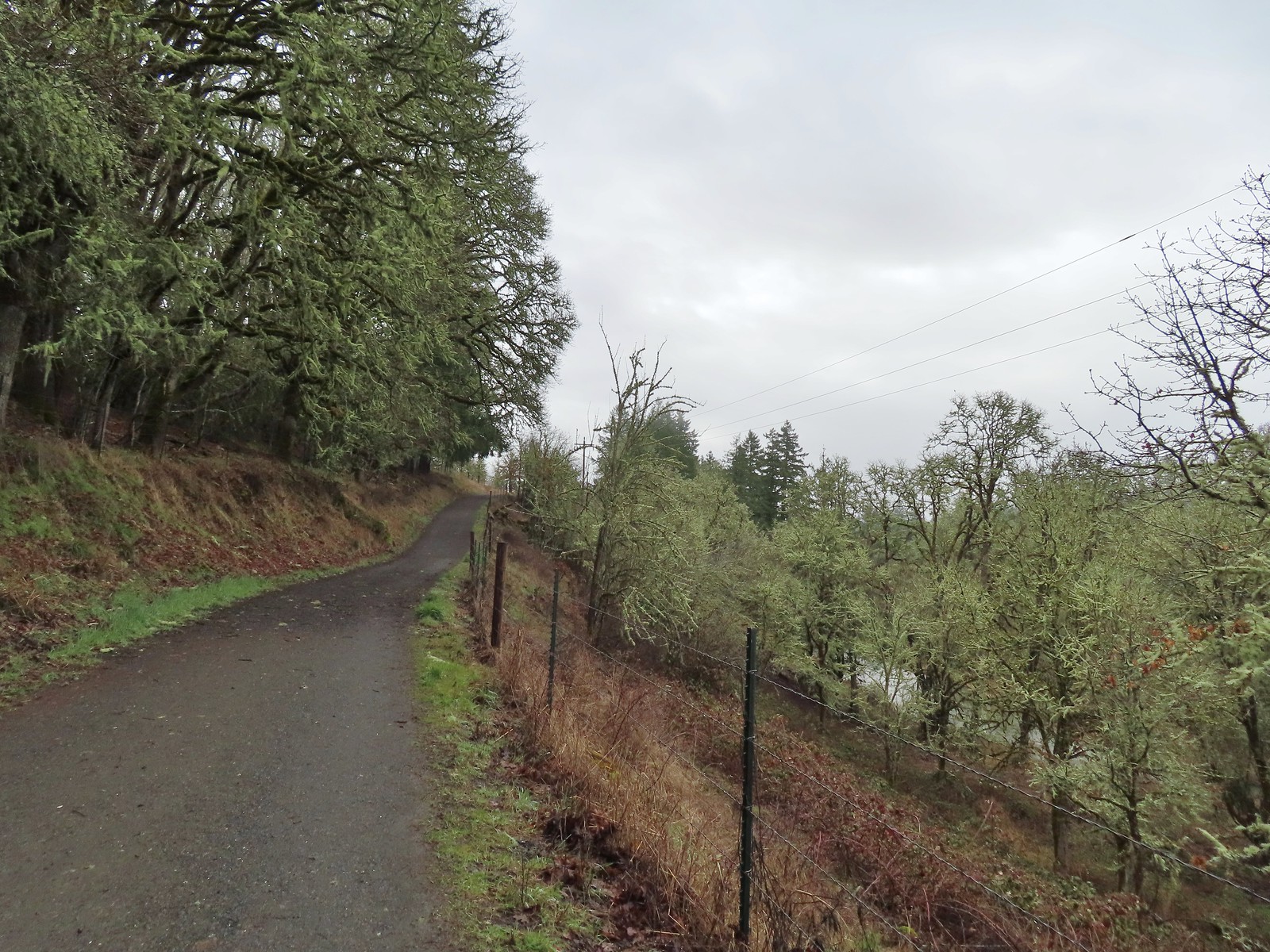
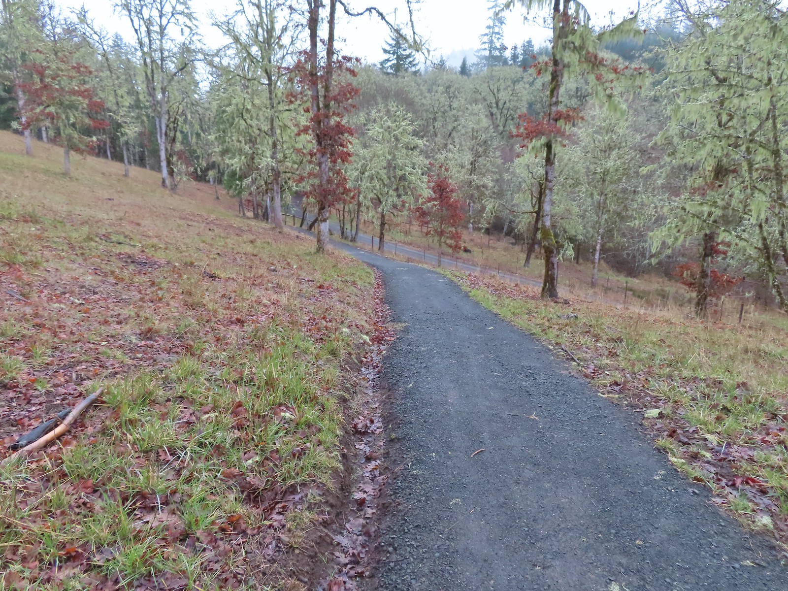 Dropping down to the Cardwell Hill Trail.
 The first spur didn’t have any signage
 The second spur had a marker naming it the Fitton Green North-South Trail.
 Trail marker
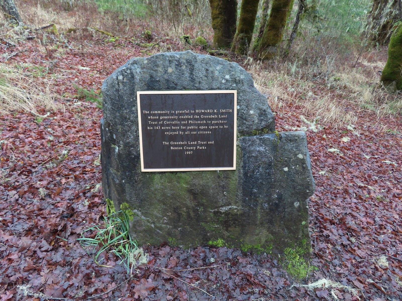

 Dimple Hill in the McDonald Forest (
 The other two abandoned cars, these were outside of the natural area.
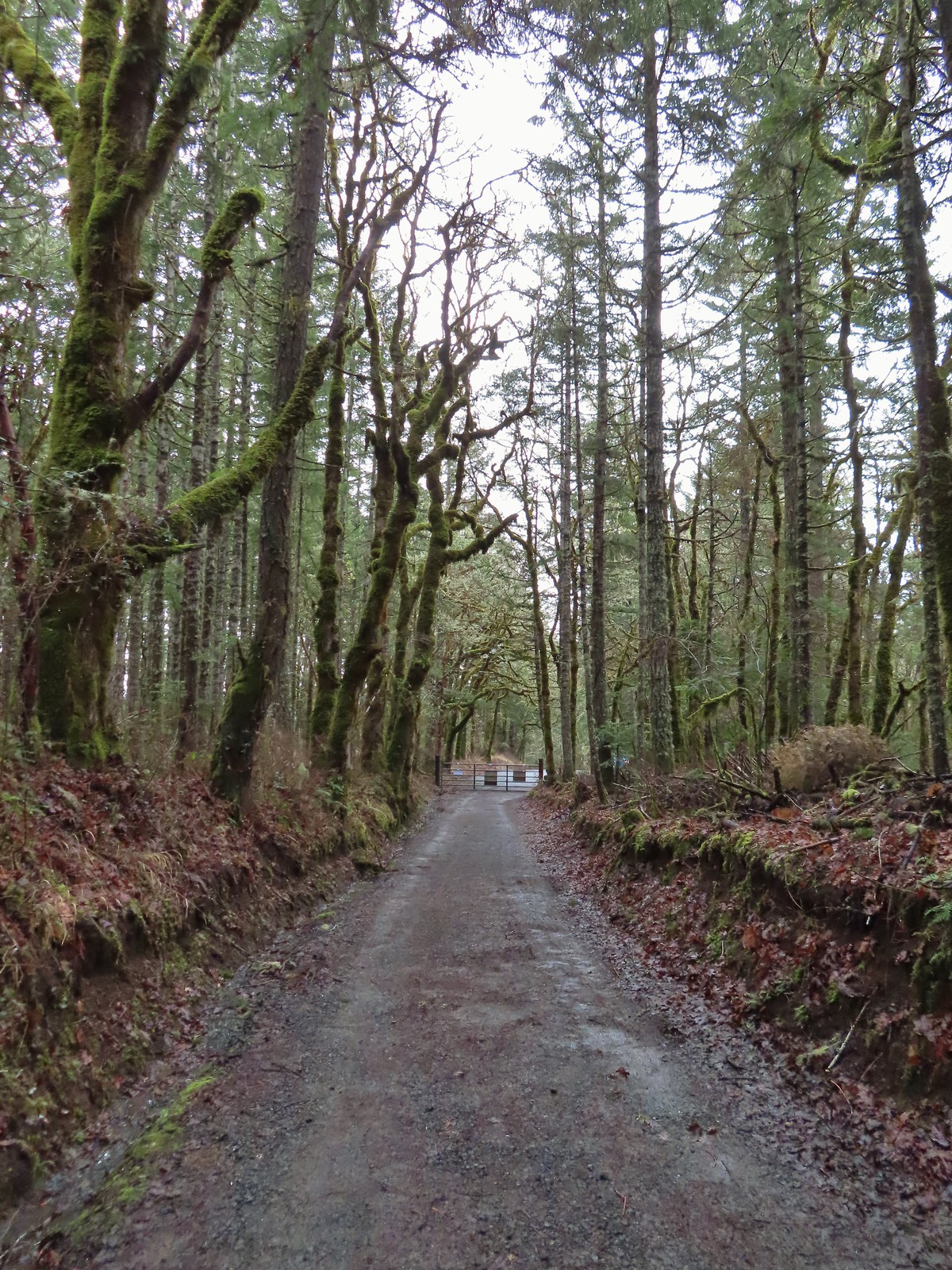 Arriving at the east trailhead.
 One of the more impressive trees along this section of the Cardwell Hill Trail
 The Fitton Green North-South Trail.
 Watch your step.
 Amy’s Trail
 The clouds were beginning to break up as we climbed up this trail.
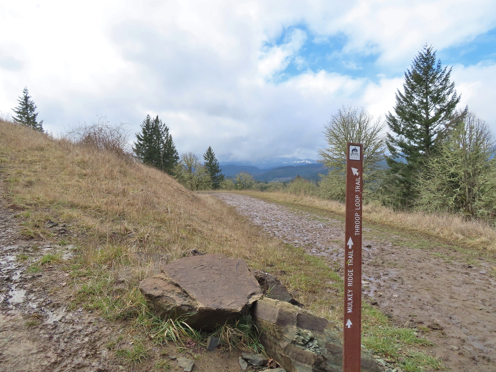
 The western end of the Throop Loop.
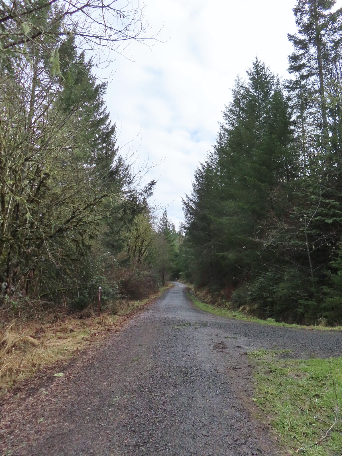 The eastern end of the Allen Throop Loop. Continuing on the Fitton Green North-South Trail would have brought us to the
  There seems to have been a spelling error (Alan vs Allen) on the trail marker.
 Plaque at a viewpoint along the Allen Throop Loop. Note that it is Allen not Alan on the plaque.
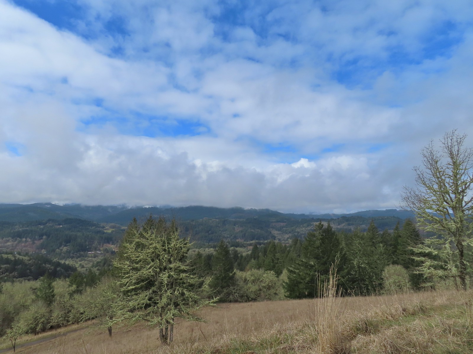 Despite the clouds breaking up we didn’t have a view of Marys Peak, the highest peak in the Oregon Coast Range (
 The trail overlooks the cities of Corvallis (to the left/east) and Philomath (straight/south).
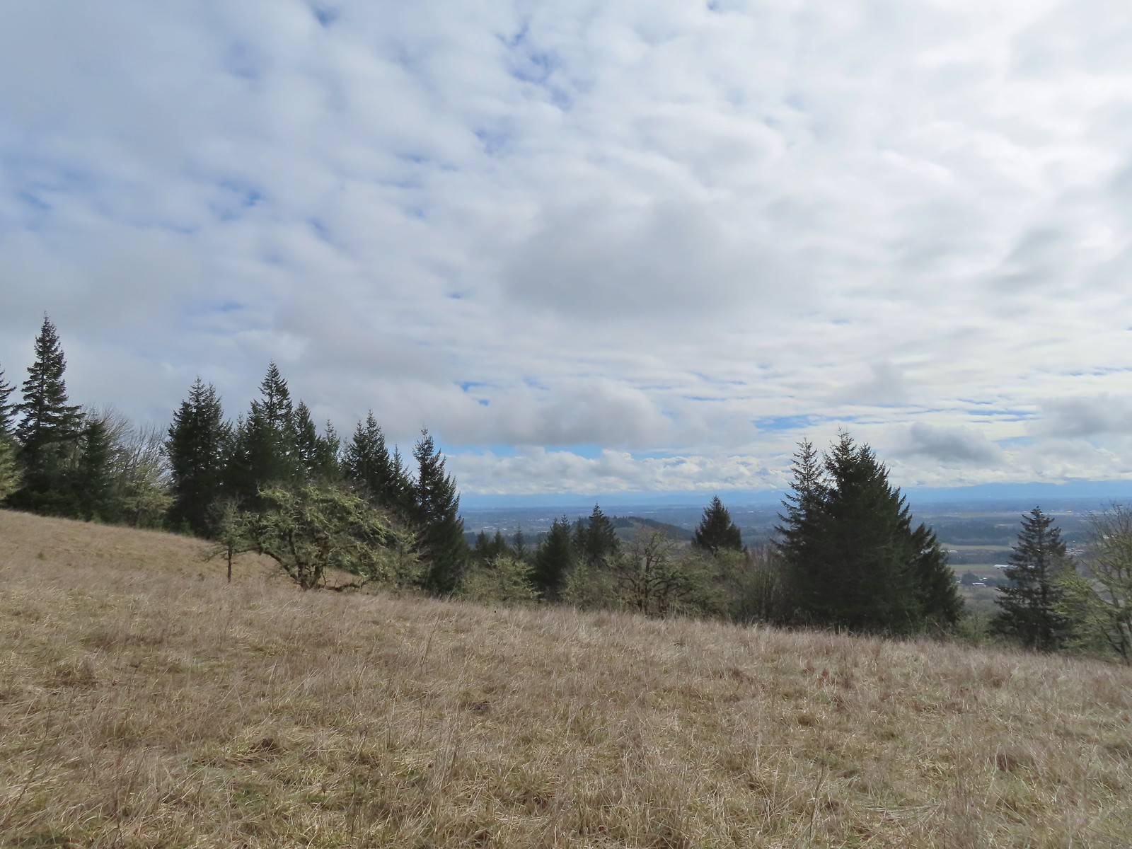 Bald Hill with Corvallis beyond from the Throop Loop.
 East toward the Coast Range.
 This is the trail that connects Bald Hill with Fitton Green.
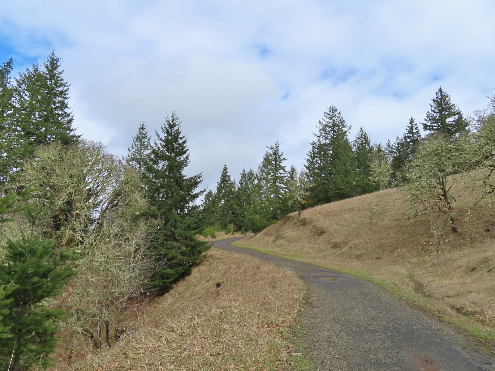 The junction from the Throop Loop Trail.
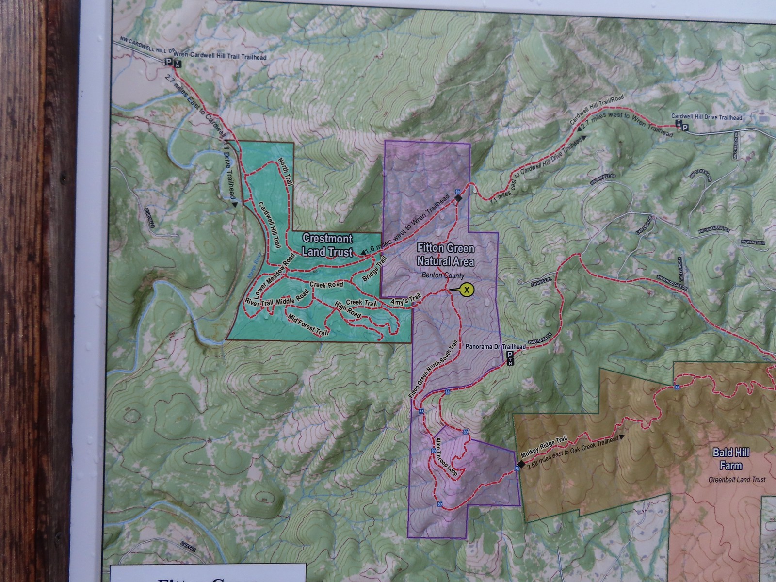 Map at the start of Amy’s Trail.
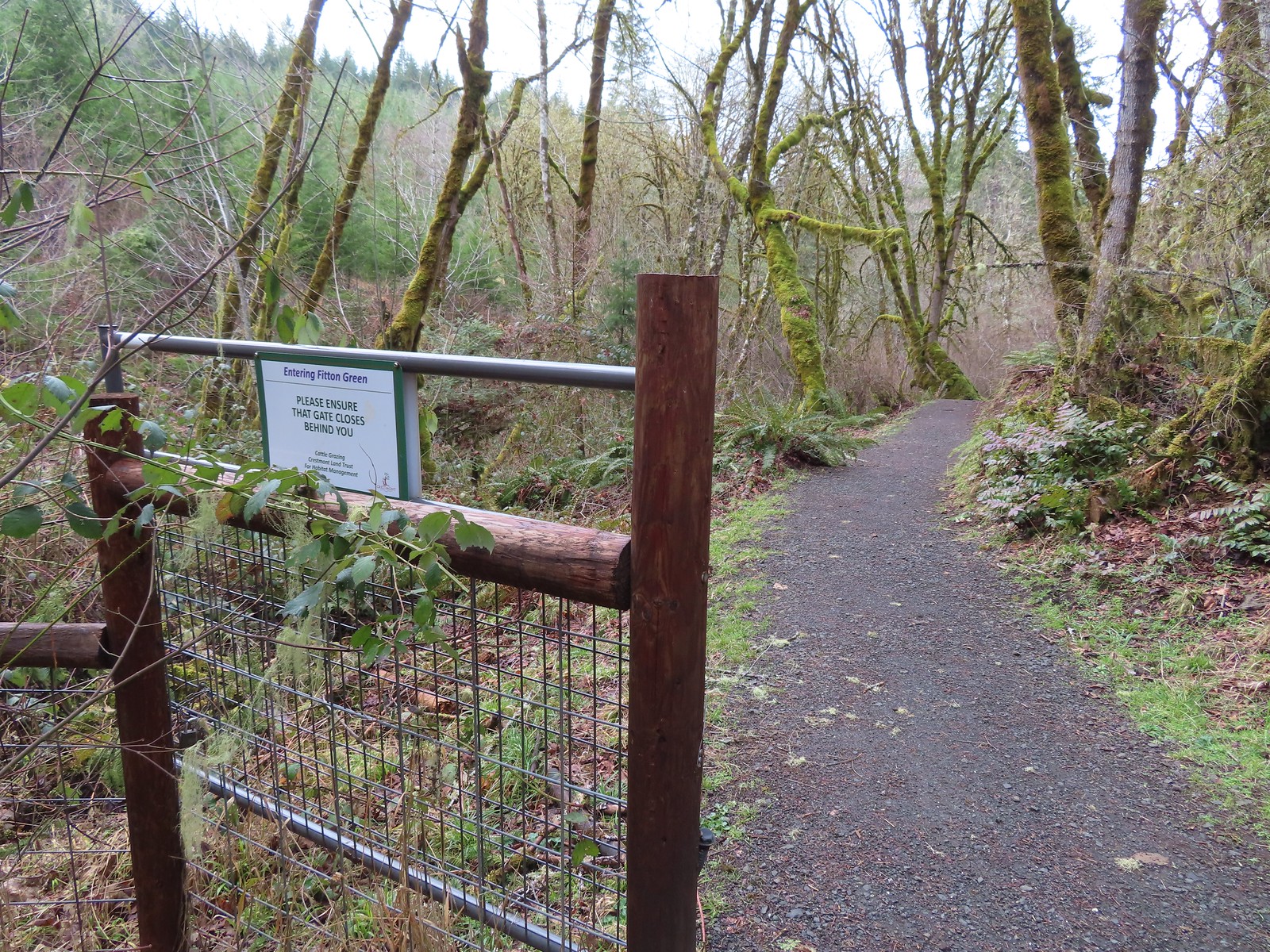 Gate at the Fitton Green-Crestmont Land Trust border.
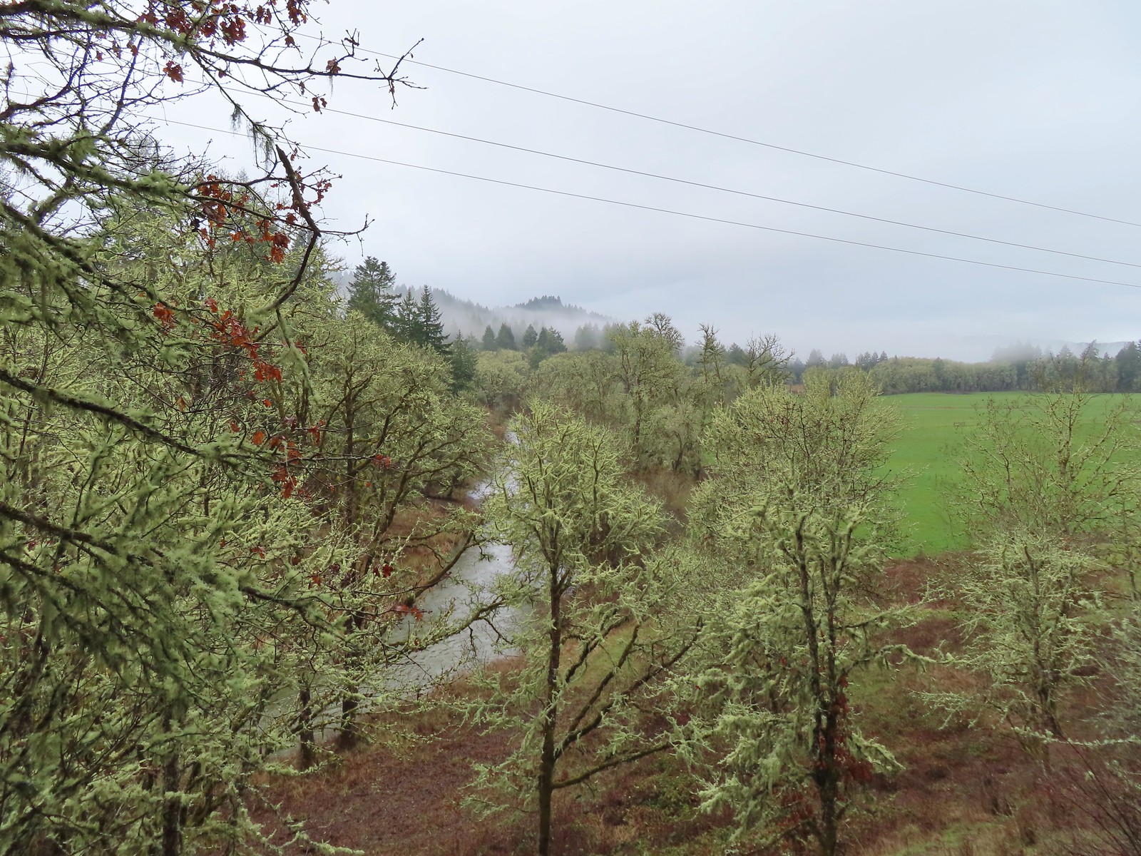
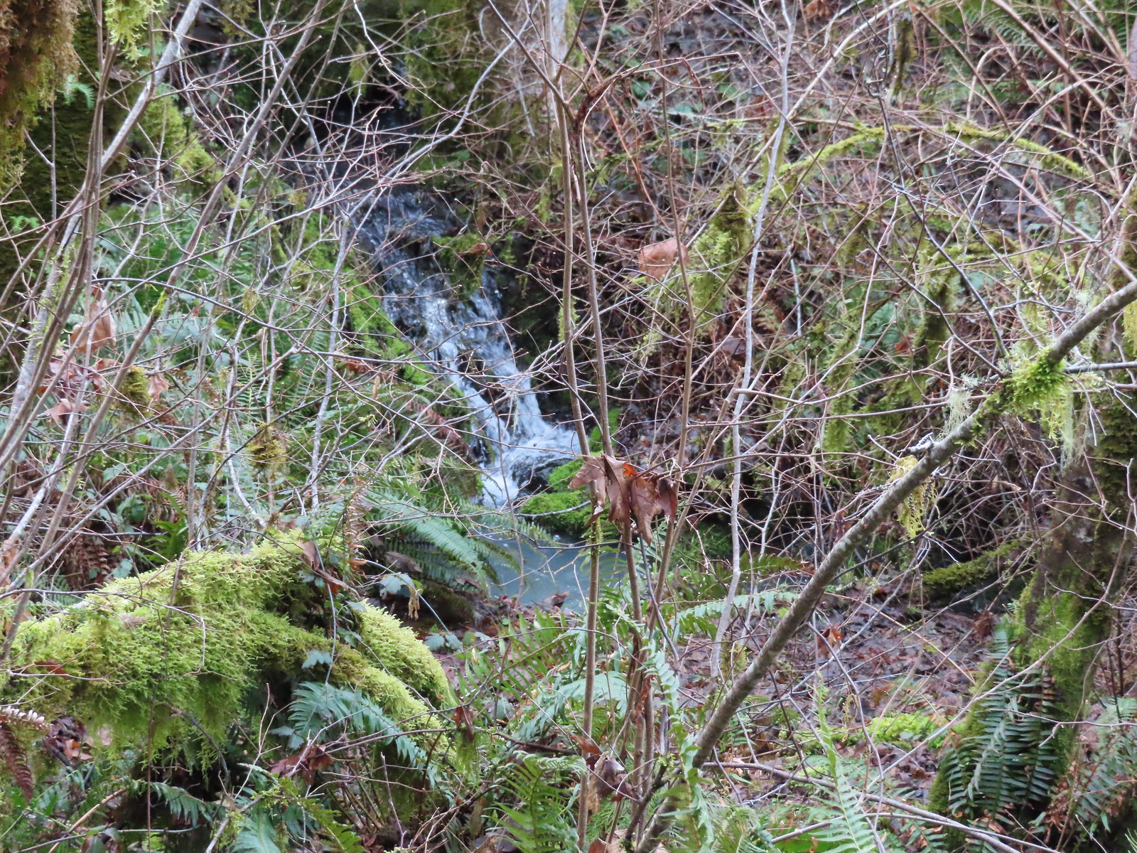 Creek along Amy’s Trail. With all the wet weather there was a fair amount of water in all the streams/creeks in the area.
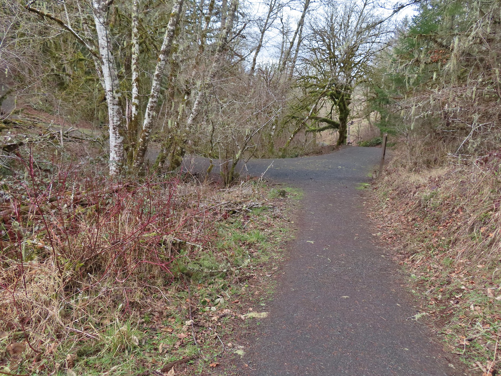

 On the hillside above the picnic table is the Creek Trail.
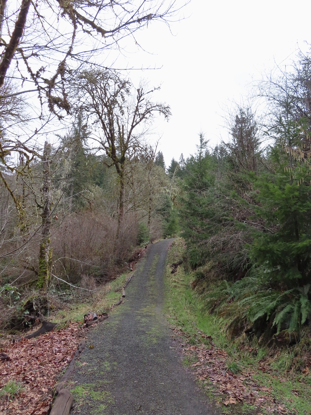
 Switchbacks along the Upper Forest Trail.
 Arriving at High Road.
 The Mid Forest Trail is hidden behind the tree on the left. To the right is the Creek Trail while High Road continues straight ahead.
 Lots of green moss along this trail.
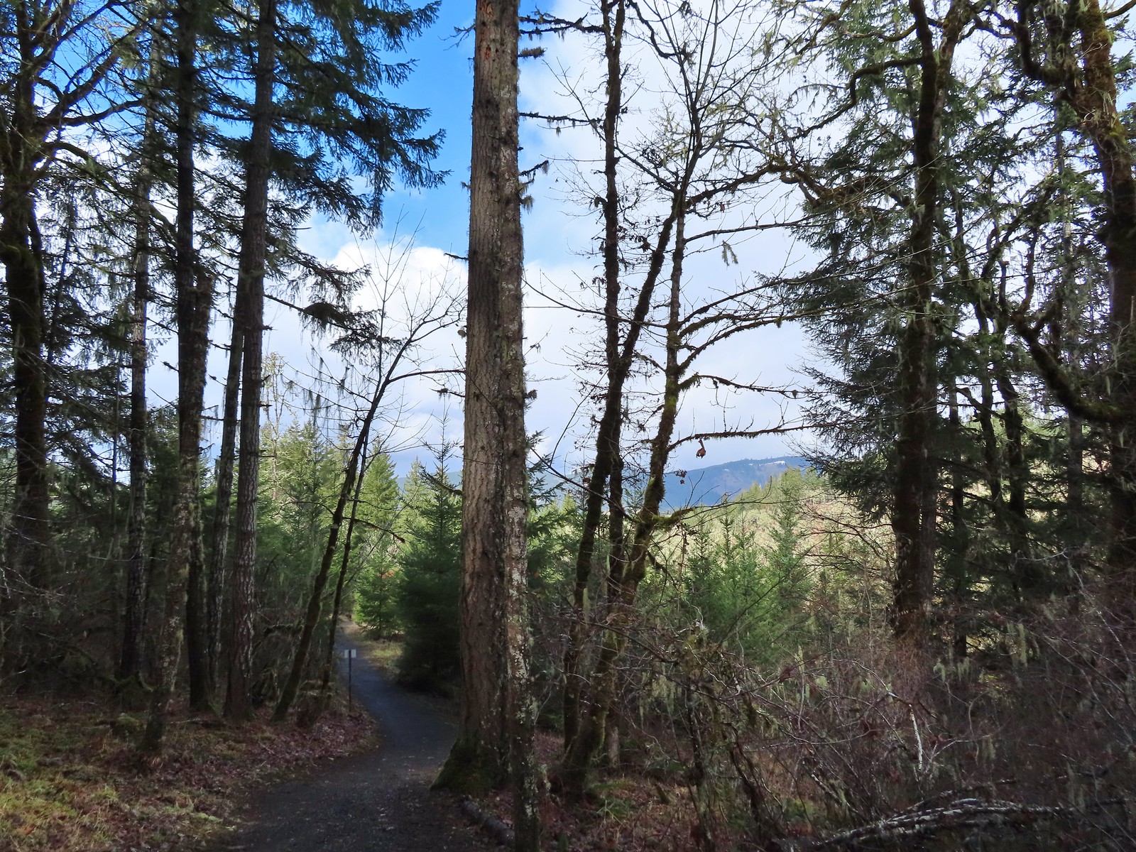 A little snow on the ridge in the distance.
 Rabbit that Heather spotted.
 The junction was at the far end of this open space.
 This was by far the most confusing junction we’d encountered all day. It was one of only a couple that was unsigned and none of the maps that we’d seen or had brought with us showed the road continuing to the left. Since we’d planned on staying left at all junctions except for at High Road we initially turned left here thinking it was the River Trail, but it just didn’t feel right so we turned to the Garmin which did show the road continuation. It didn’t look anything like the River Trail route so we promptly turned around and returned to the 4-way junction and took a left downhill through the meadow.
 Lower Meadow
 Gate along the River Trail just before Marys River.
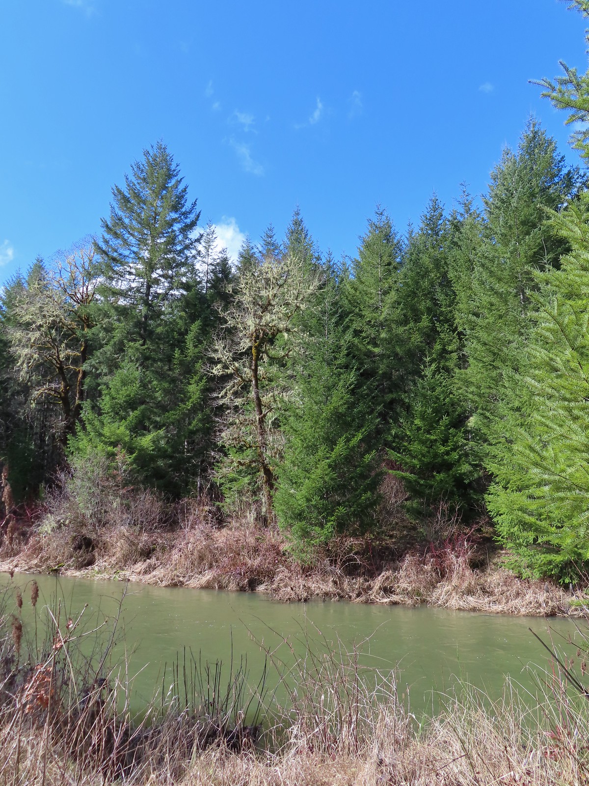 Marys River
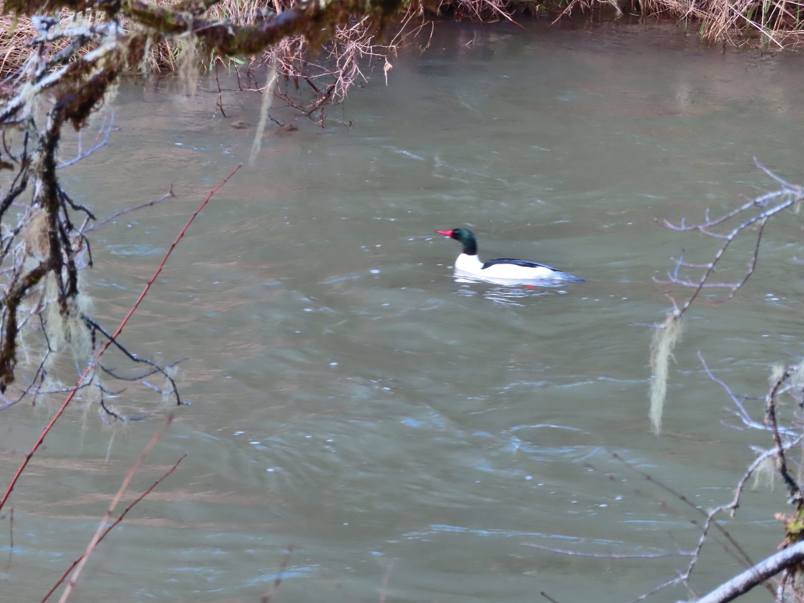 Male common merganser floating Marys River. I only had a brief second to try and get a picture as he floated by thus the poor focus.
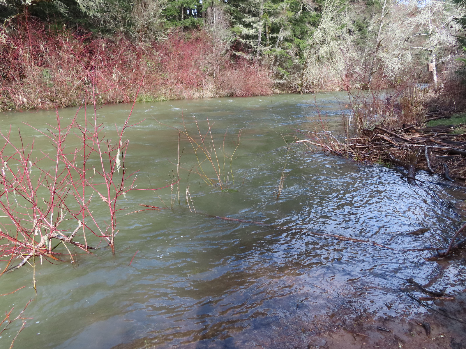 A short spur trail led down to the river bank.


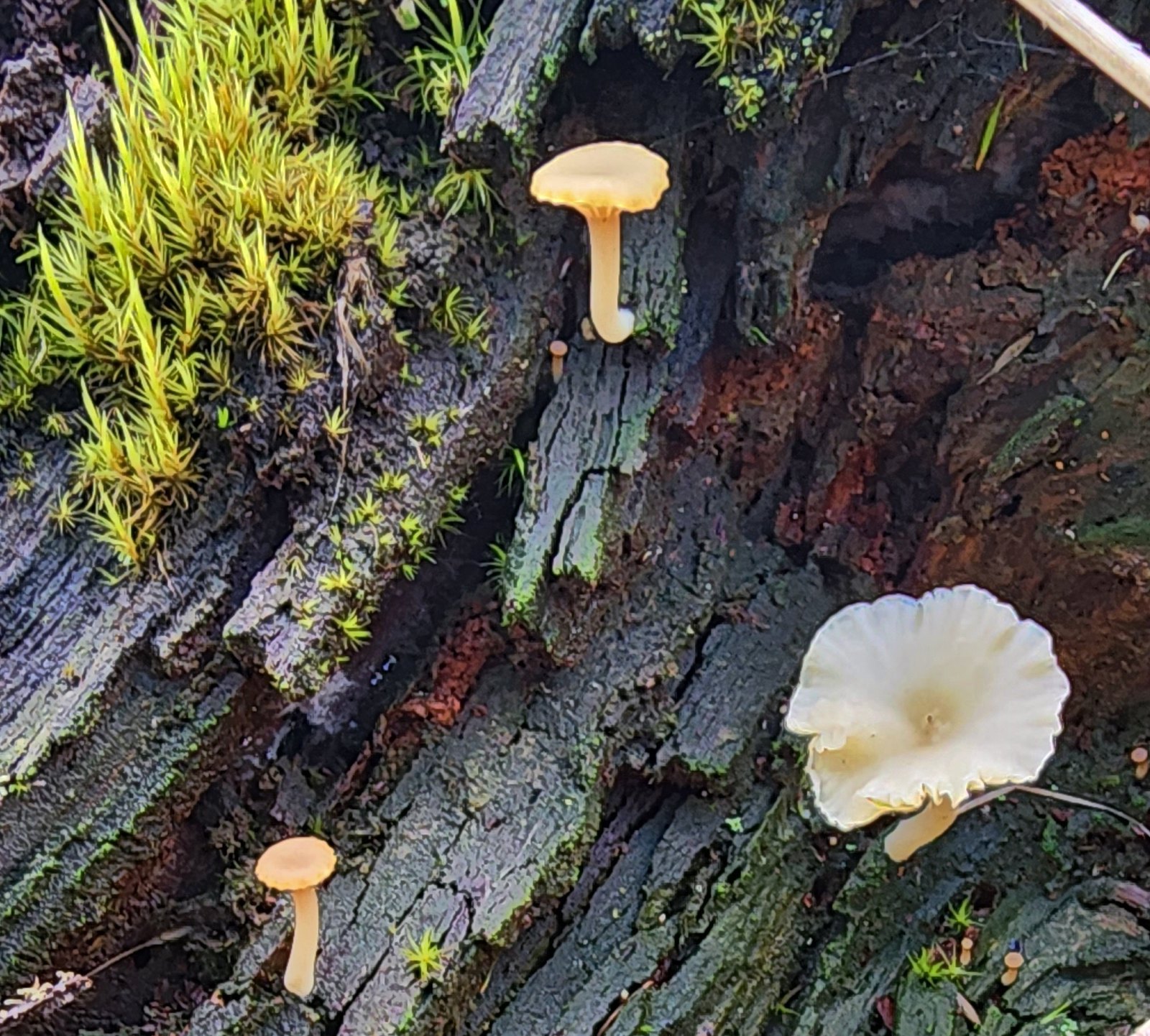 Not flowers but mushrooms are always fun to spot.
 Lower Meadow Road crossing the creek and ending at the Cardwell Hill Trail.
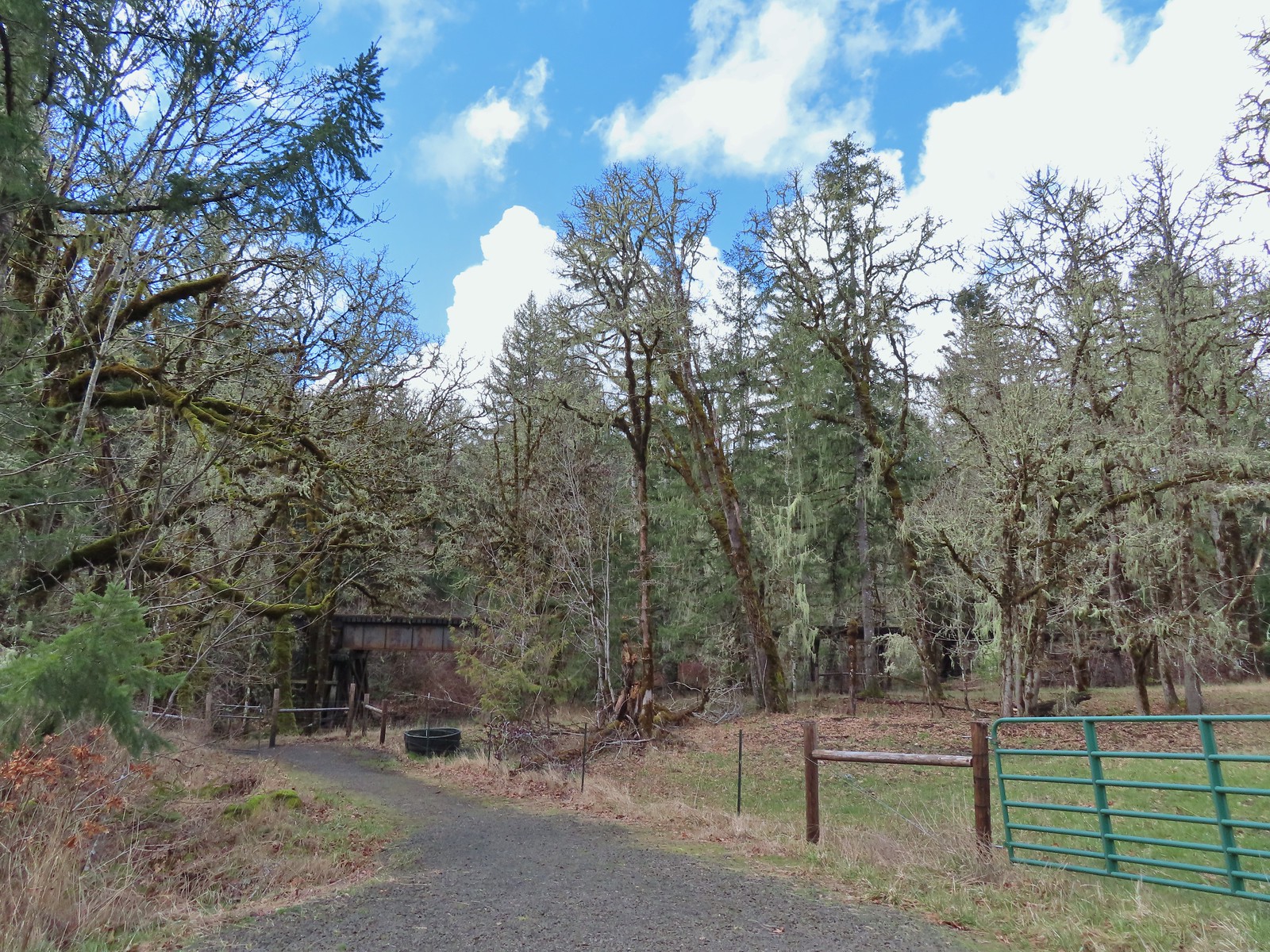 The short Trestle Extension led to a view of a railroad trestle over Marys River.
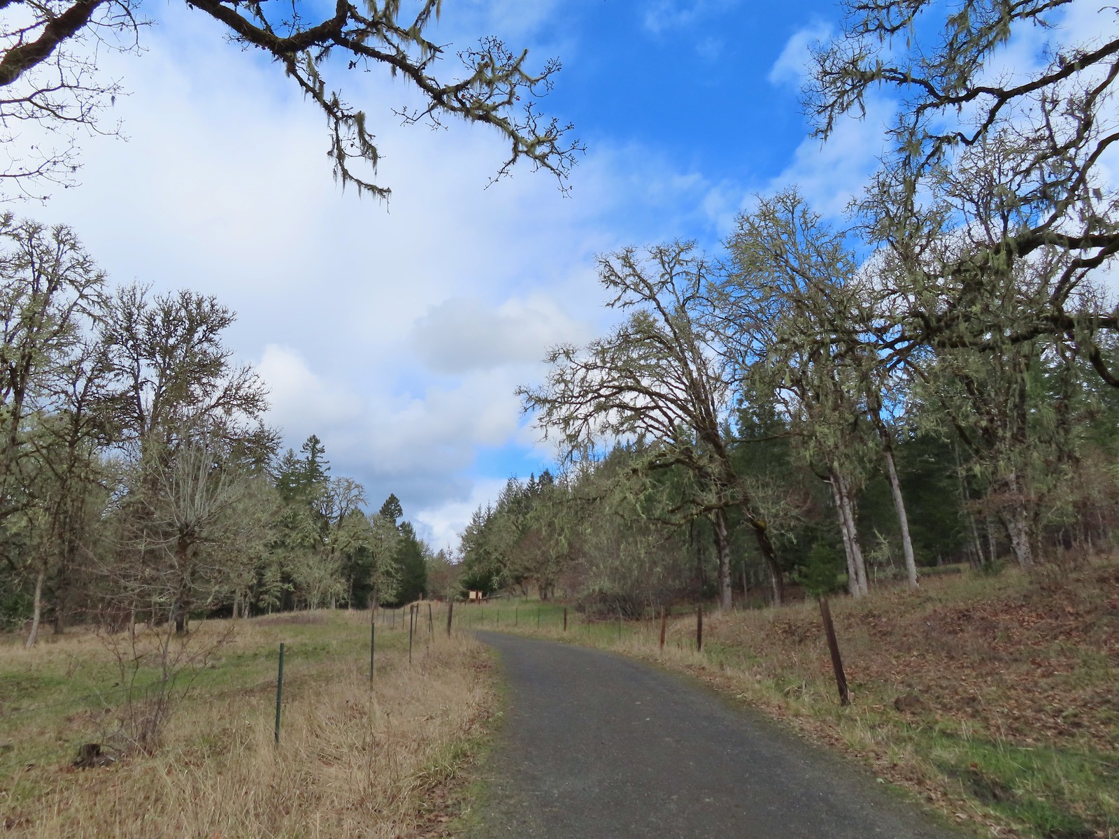 The signboards at the North Trail junction from the Cardwell Hill Trail.
 Robin near the North Trail junction.
 No more fog.
