
With October and our official hiking season coming to an end I was hoping to go out with a bang by doing a long loop around Silver Falls State Park. I had gotten the idea during our 2021 hike in the backcountry of the park (post). While looking at the map for that hike I had started doing the math for the loop and it appeared to be a little over 20 miles which would be a long day but doable. Heather was not as enthused as I was about the possibility, so I had originally planned on attempting the loop on a day off while she was working. With her knee ending her season early it seemed like a good way to put an exclamation on the end of mine.
As the day neared I started second guessing myself. Some much need wet weather had moved in, and Friday was the wettest day we’ve had in months. The forecast for Saturday was for more rain in the morning, a 70% chance, followed by several hours of patchy fog then mostly cloudy skies. Twenty plus miles with wet feet wasn’t my ideal way to spend a hike but I decided to give it a try figuring I could cut the loop short by using one of the many trails running through the park. I packed some extra pairs of socks in a dry sack and had my rain gear ready as I made the 40-minute drive to the South Falls Trailhead.
It was a dark and raining when I left home but shortly after turning onto Highway 214 I popped out of the low clouds and left the rain behind. Things were trending positive. When I got to the South Falls Day Use Area entrance I was reminded that by the gate that the Park opens at 8am and not 7am from October through March and it was only 7:30am. I needed to purchase a pass so I drove to the North Falls Trailhead where I knew there was a pay kiosk, only I had forgotten that the station there only accepts cash which I didn’t have. After using the restroom there I drove back through the park to the campground entrance remembering that there was a station along the entrance road that did take cards. I decided that I would get a pass there and then park at the 214 Trailhead like we had in 2021 since there was no gate blocking that one. At the kiosk I immediately inserted my card into the cash slot. Things were trending down. I managed to retrieve the card using a pair of travel nail clippers and finally got my pass. It was nearly 8am as I came to the turn into the trailhead at Lookout Mountain Road. Given the time I changed my mind here and decided to revert back to my original plan and drove back to the now ungated South Falls Day Use Area.
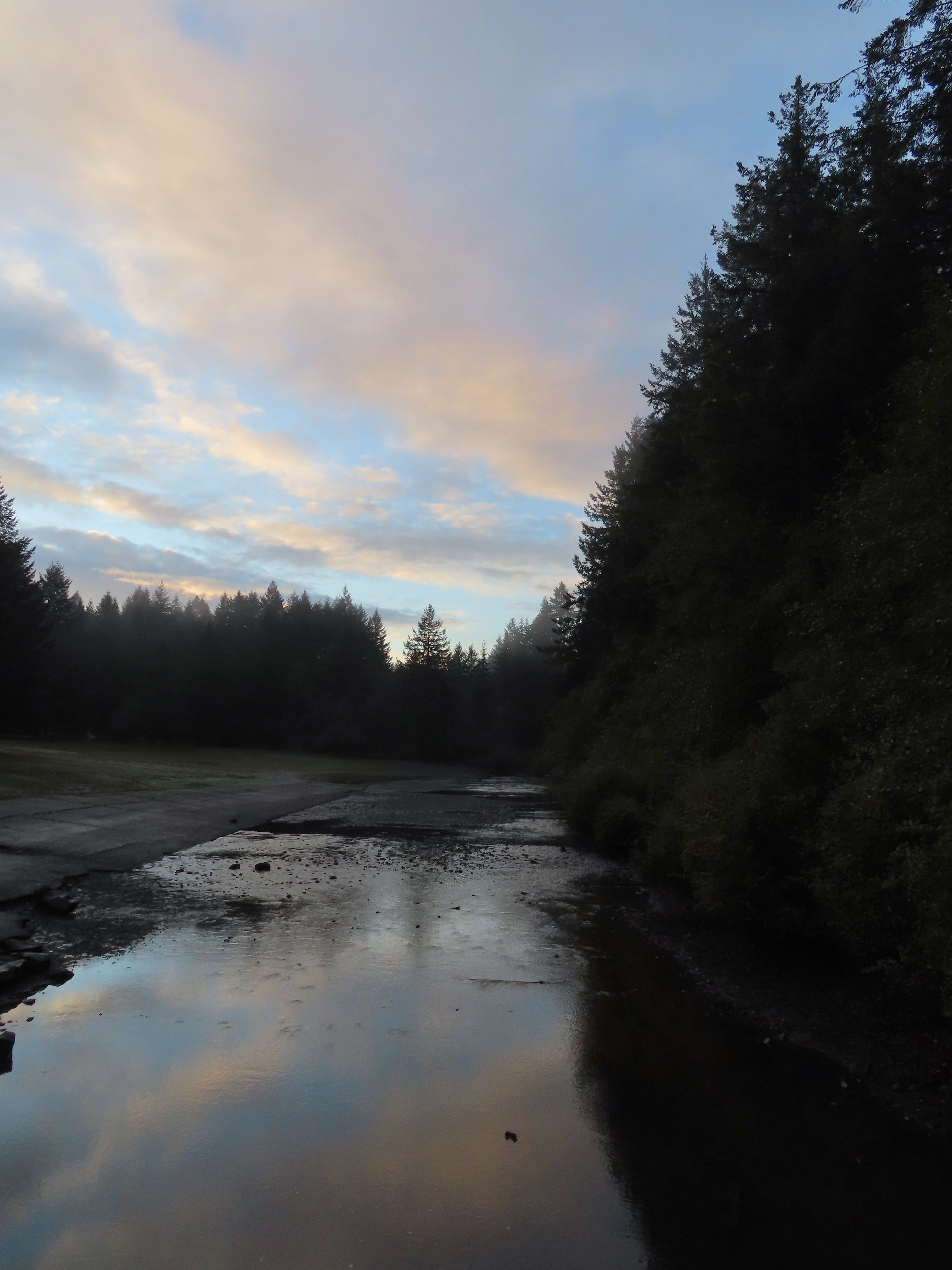
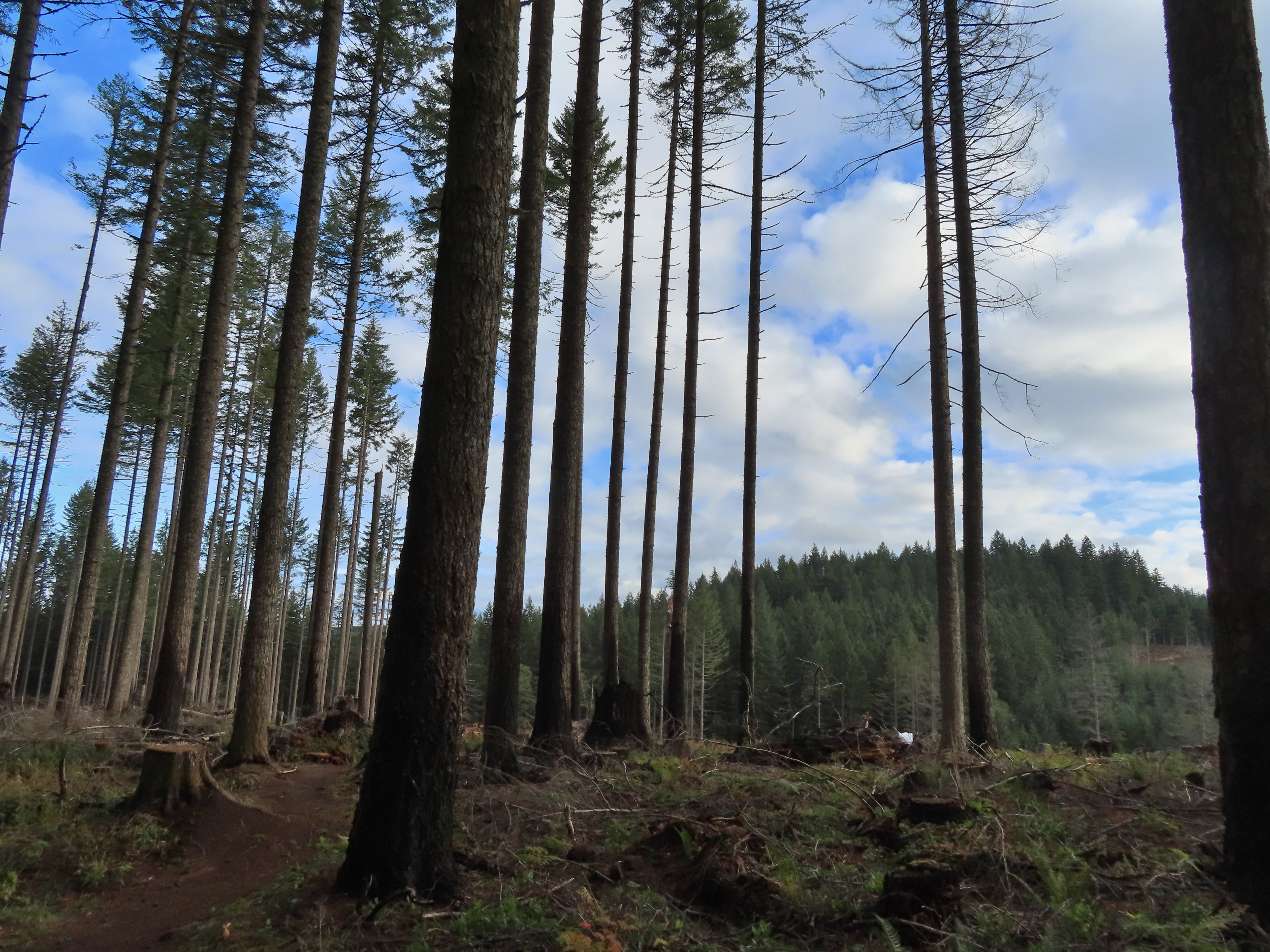
 A lot more blue in the sky than I had expected to see.
The route I had penciled out was to take the paved bike path from the parking lot to the campground where I would pick up the Nature Trail. I could take that trail to the 214 Trail followed by a portion of the Newt Loop to the Catamount Trail. I hoped to take that trail up to Buck Mountain then take the Perimeter Trail down to the Trail of Ten Falls near the North Falls Trailhead. I planned on visiting all ten falls and returning to the parking area via the Canyon Trail portion of the Trail of Ten Falls. I crossed South Fork Silver Creek on a footbridge to pick up the Bike Path on the far side where I turned left.


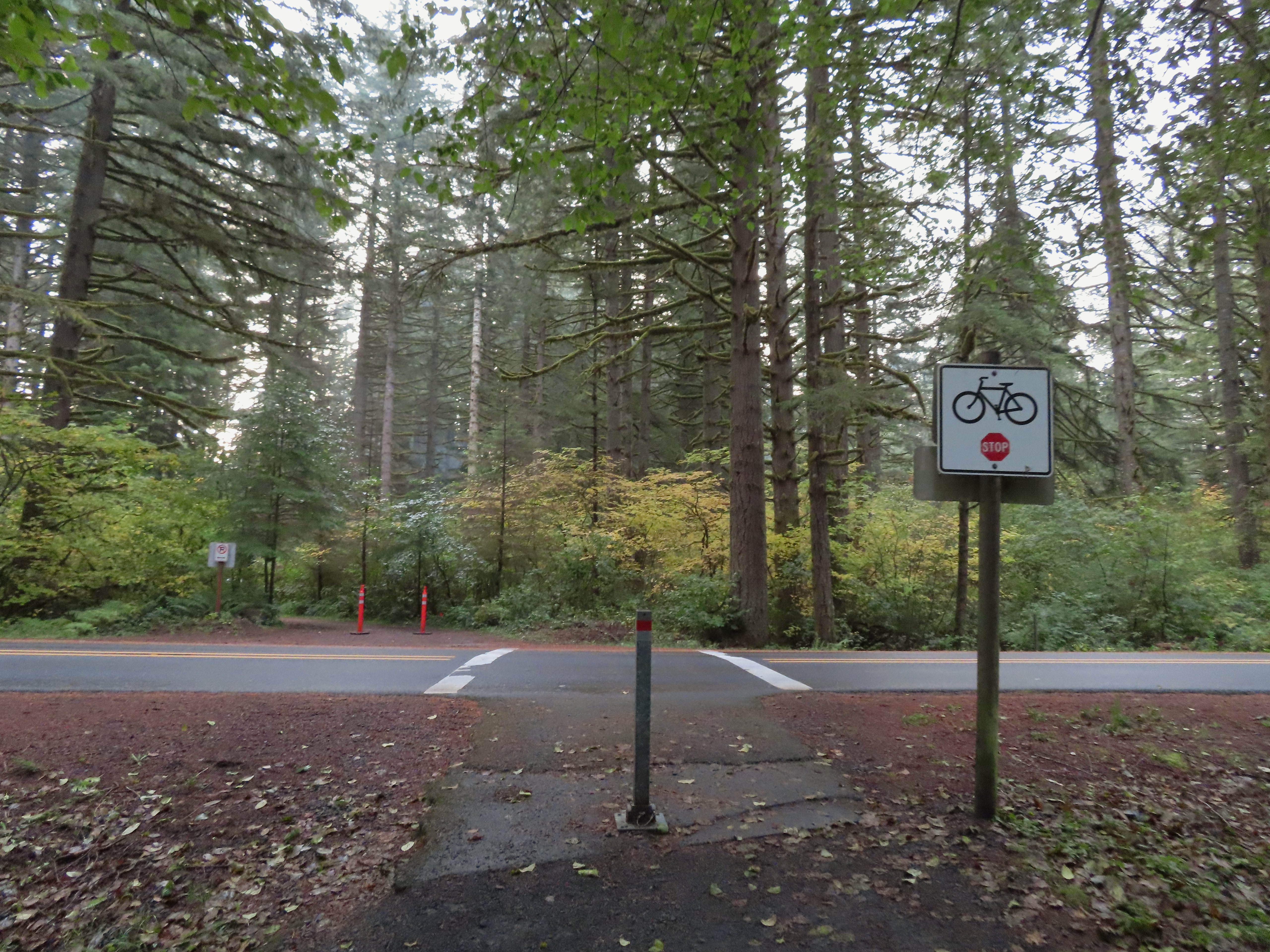 Crossing Highway 214 to the campground.
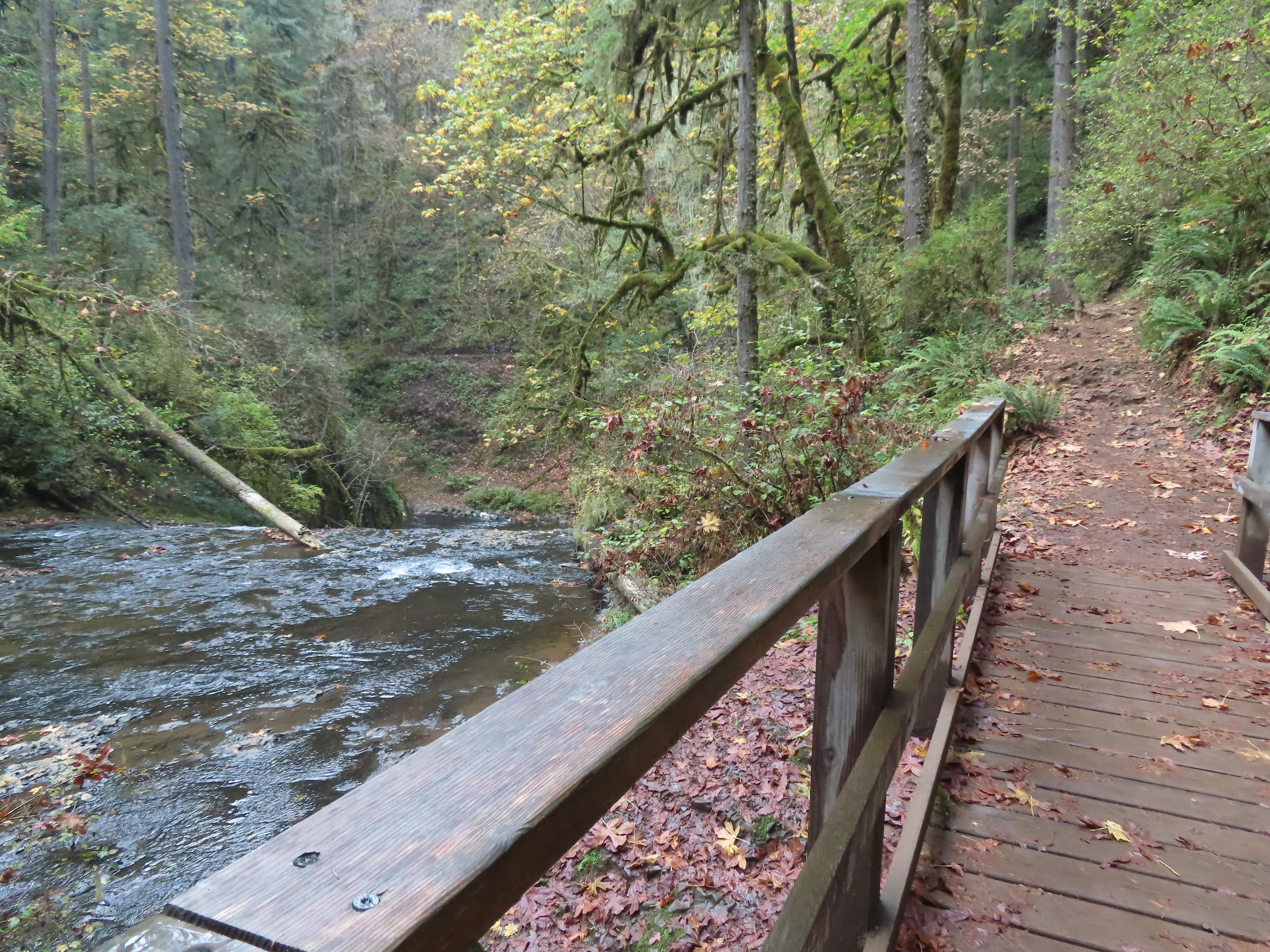
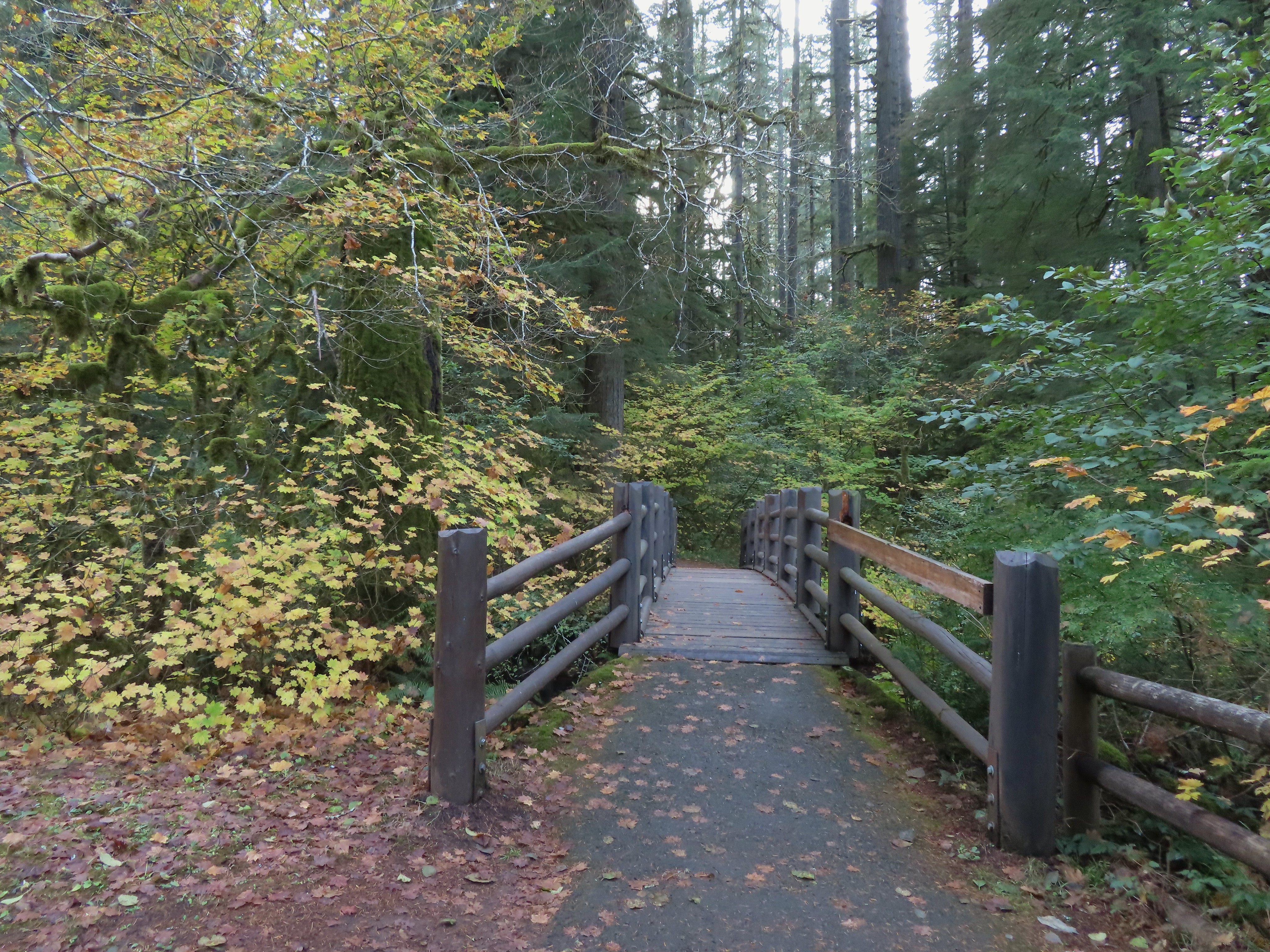
 I detoured left to check out this bridge over Howard Creek.
 Howard Creek
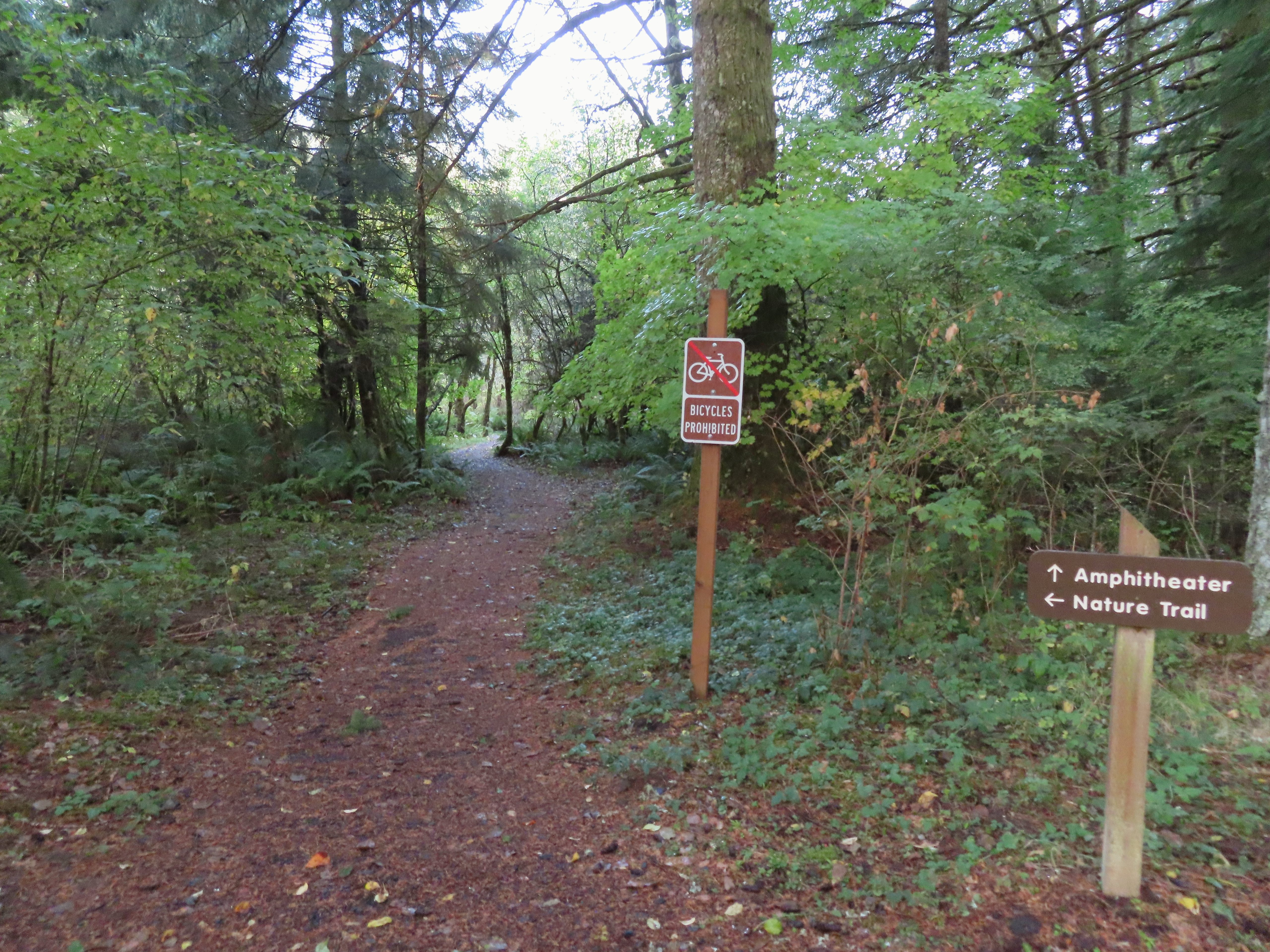
With the Nature Trail being a loop I could have gone either direction from the campground to reach the 214 Trail. Going left was a tenth of a mile shorter but I really wanted to make the loop as wide as possible so I went right at a pointer for the trail and Ampitheater.
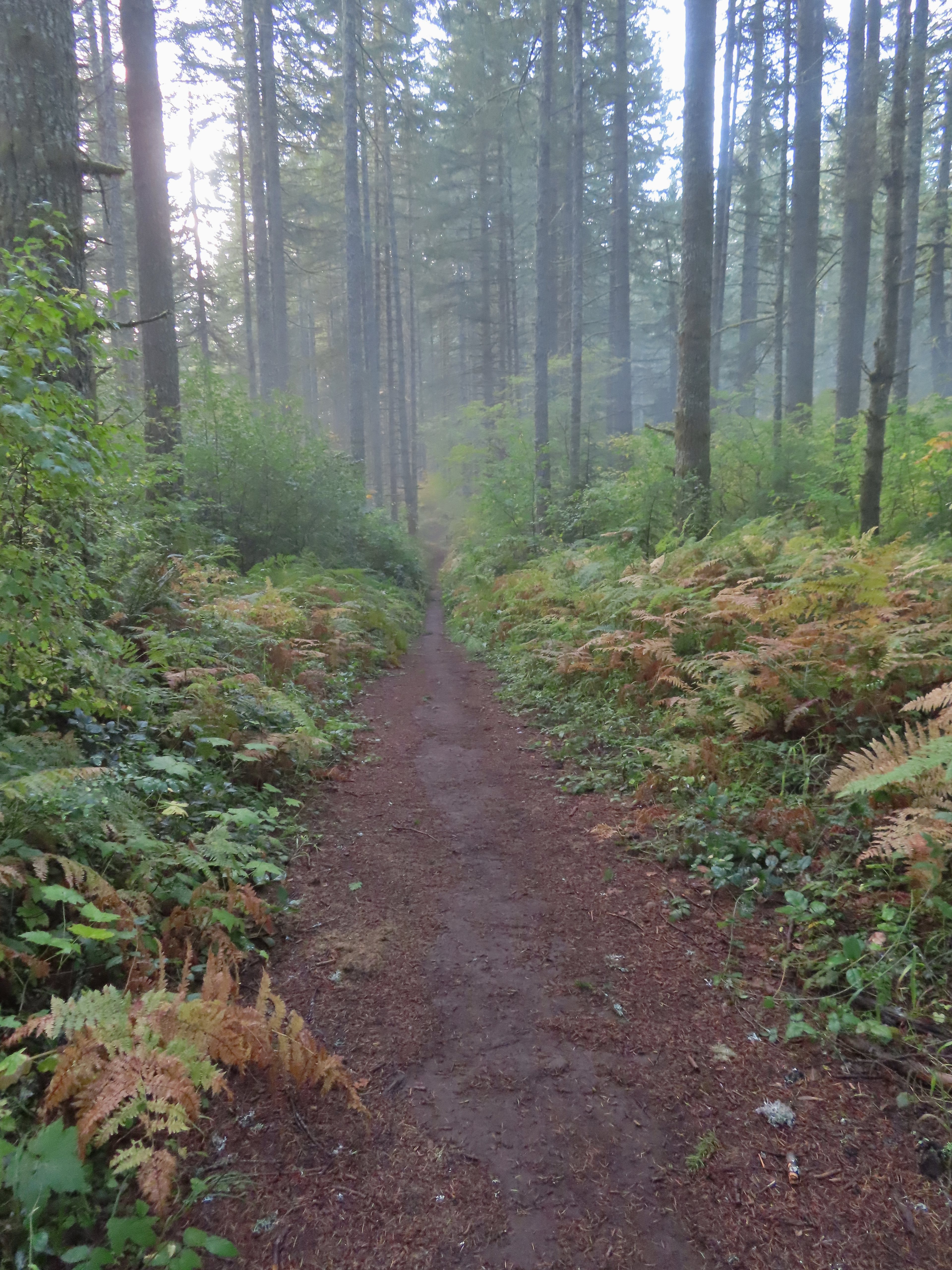
We had been on the Nature Trail in 2021 so it was familiar surroundings as I made my way to the 214 Trail where I turned right.

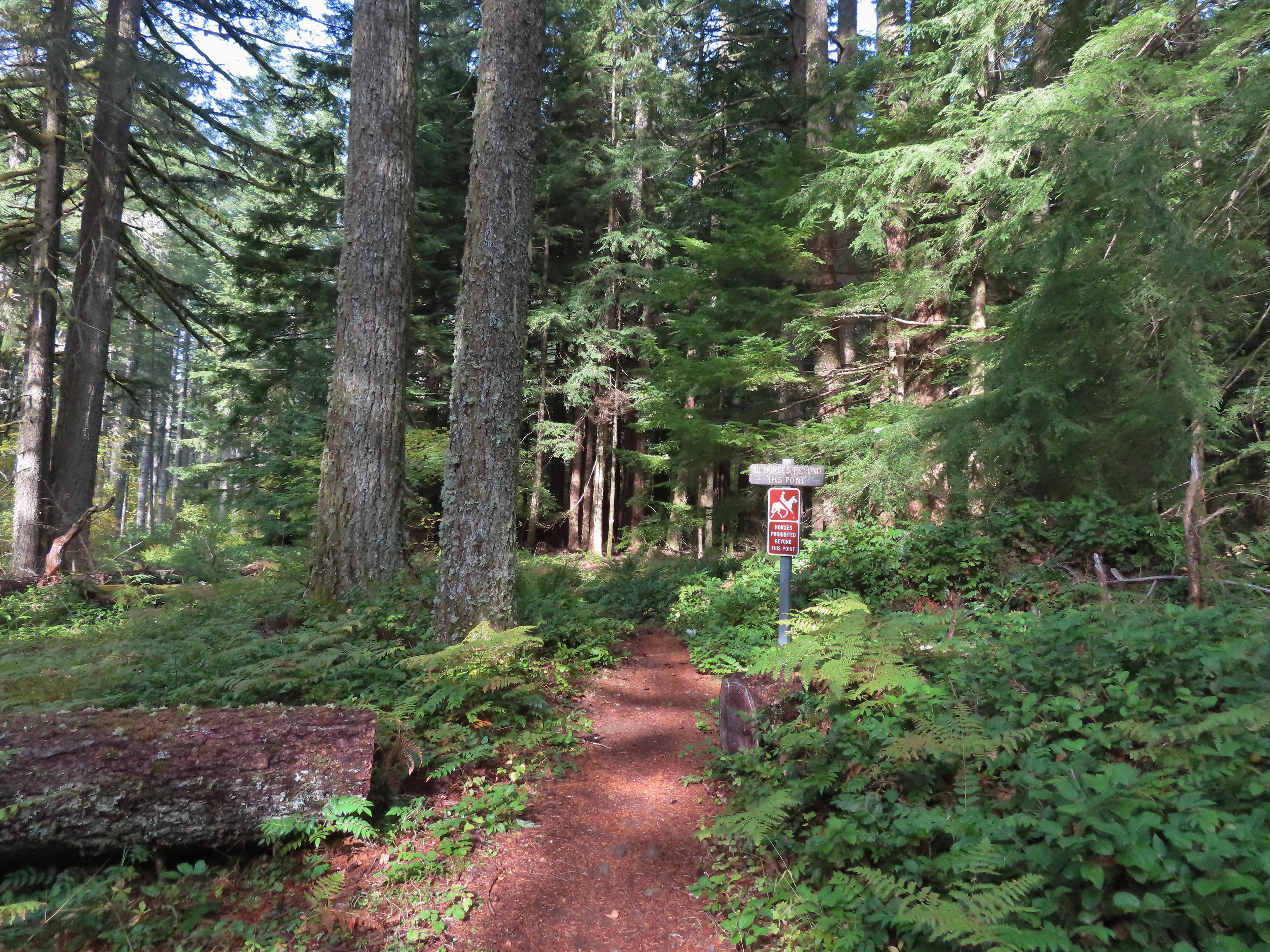
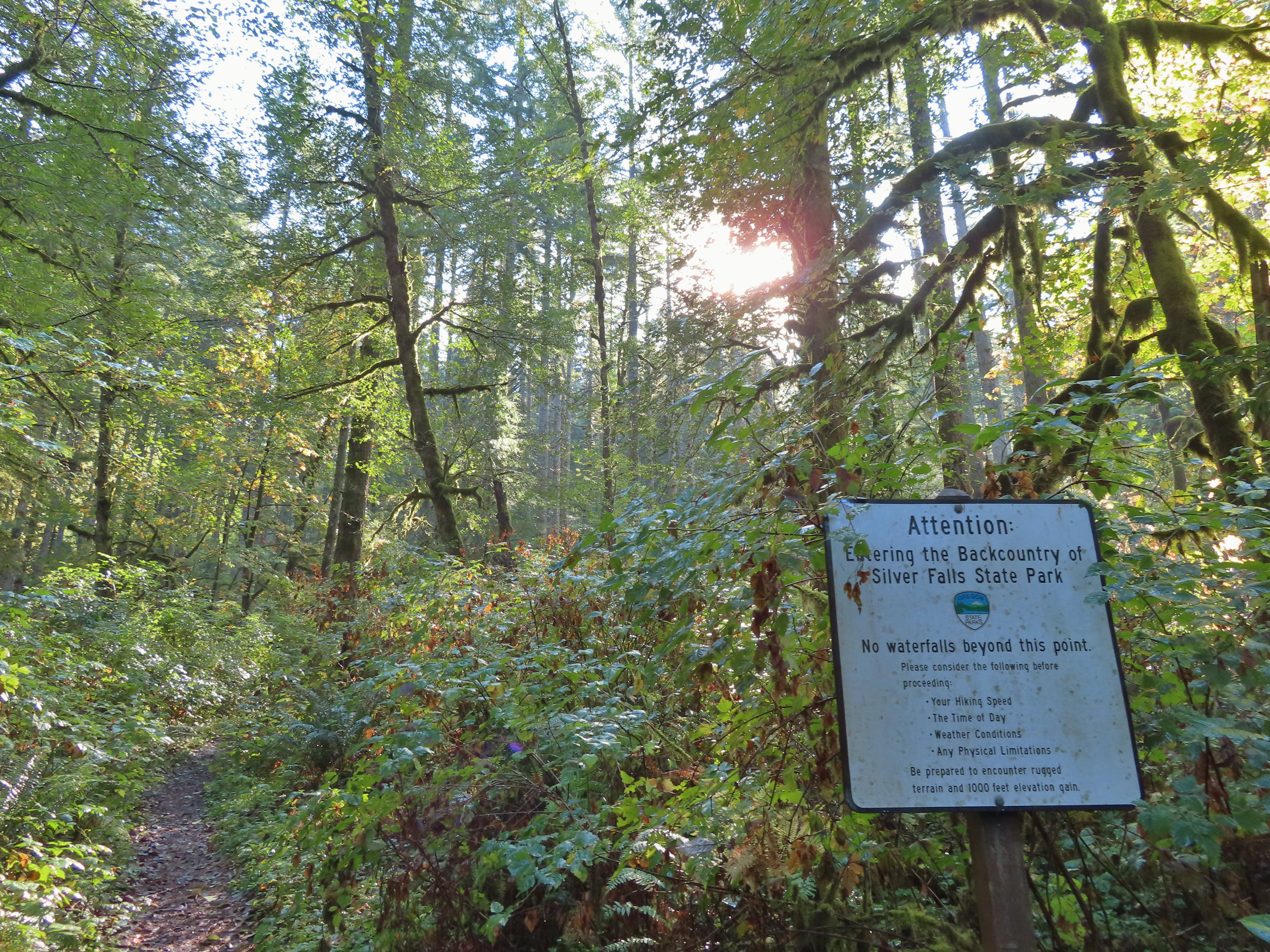
 Sign at the 214 Trail junction to let people know that there are no waterfalls in the backcountry.
I followed the 214 Trail for 1.3 miles to the Newt Loop.
 Just a little fog but no rain.
 Passing the Smith Creek Trail (left) after 0.6 miles on the 214 Trail.

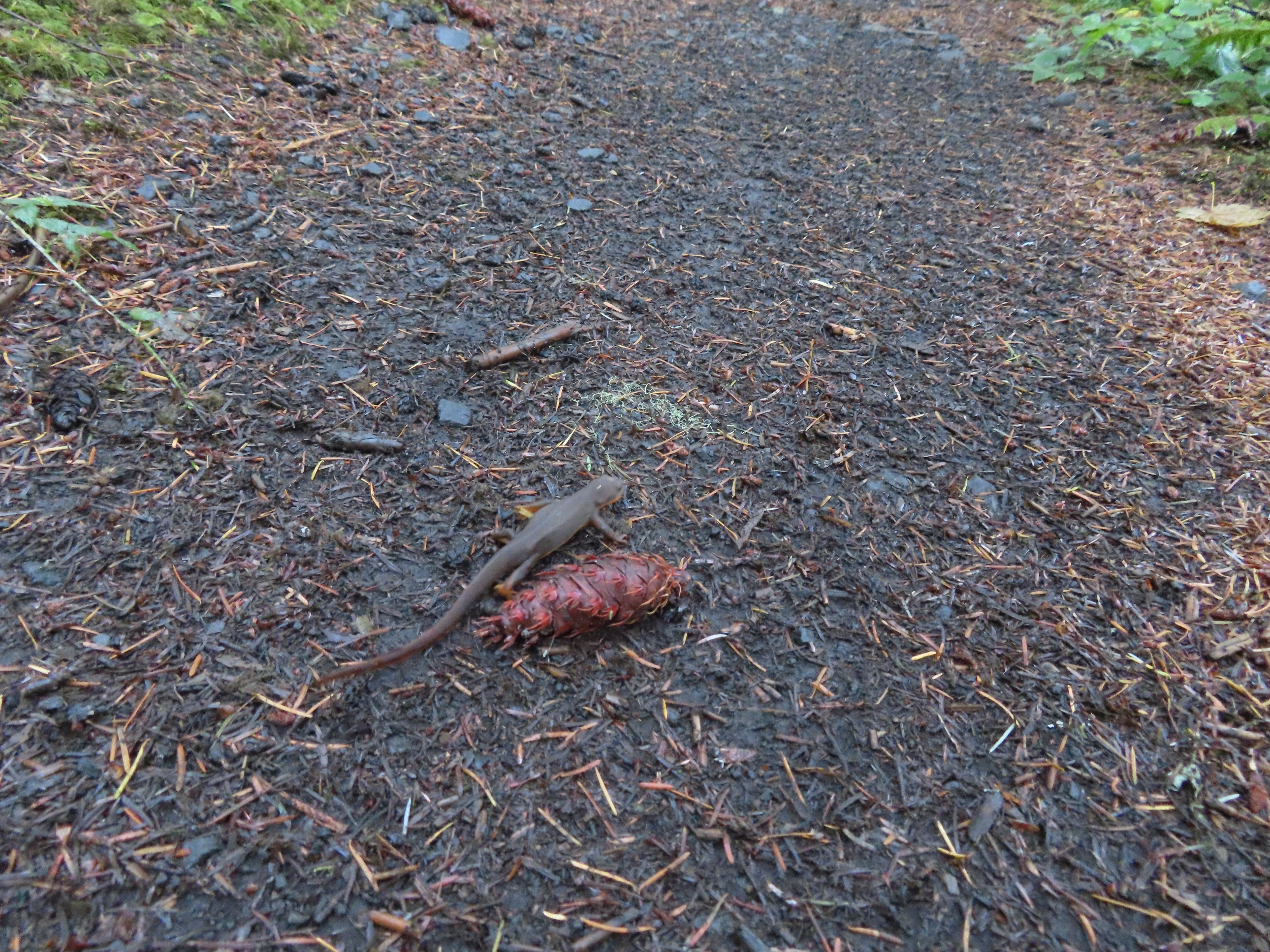 Rough skinned newt on the 214 Trail. (Probably headed for the Newt Loop too.)
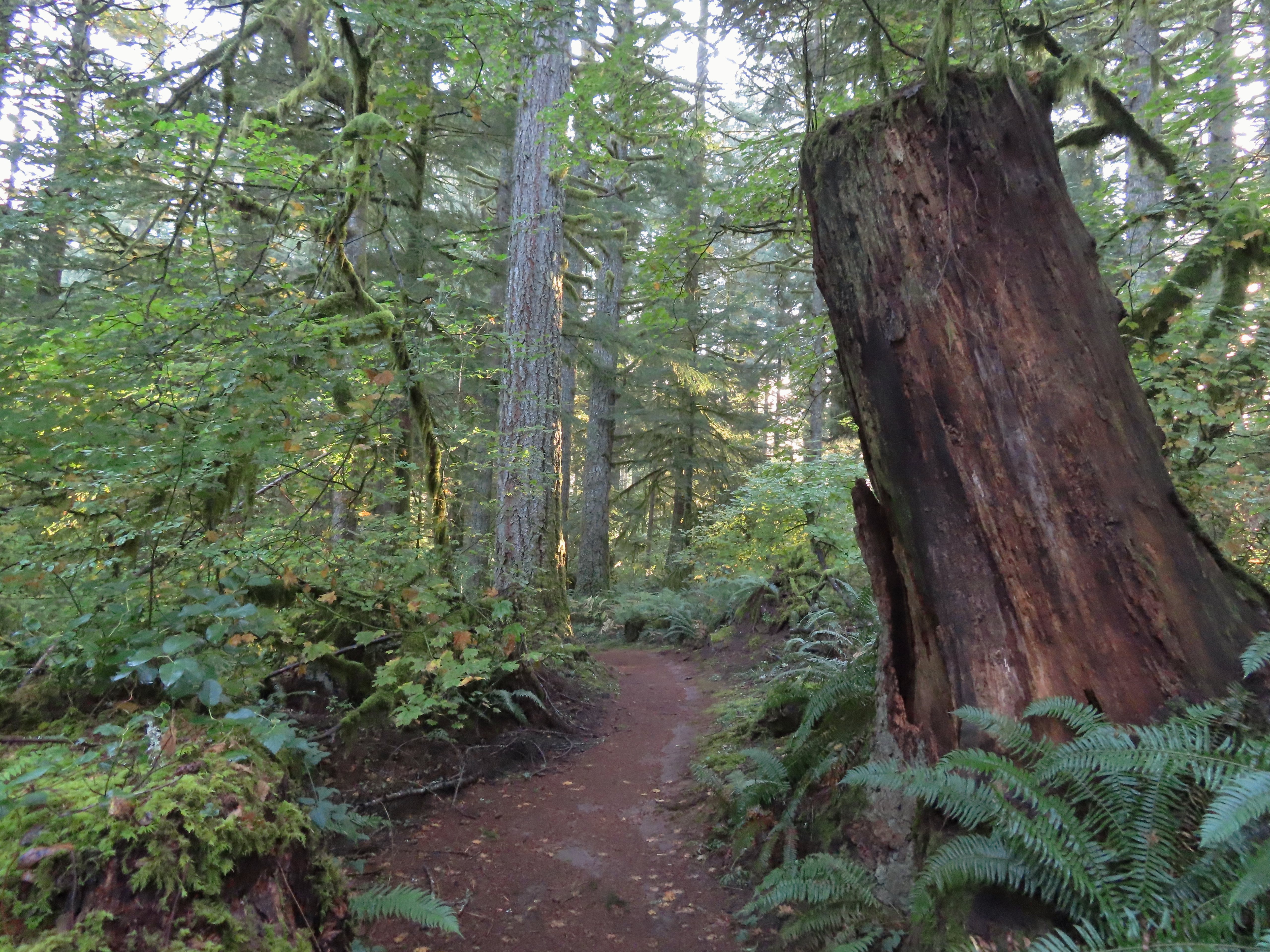
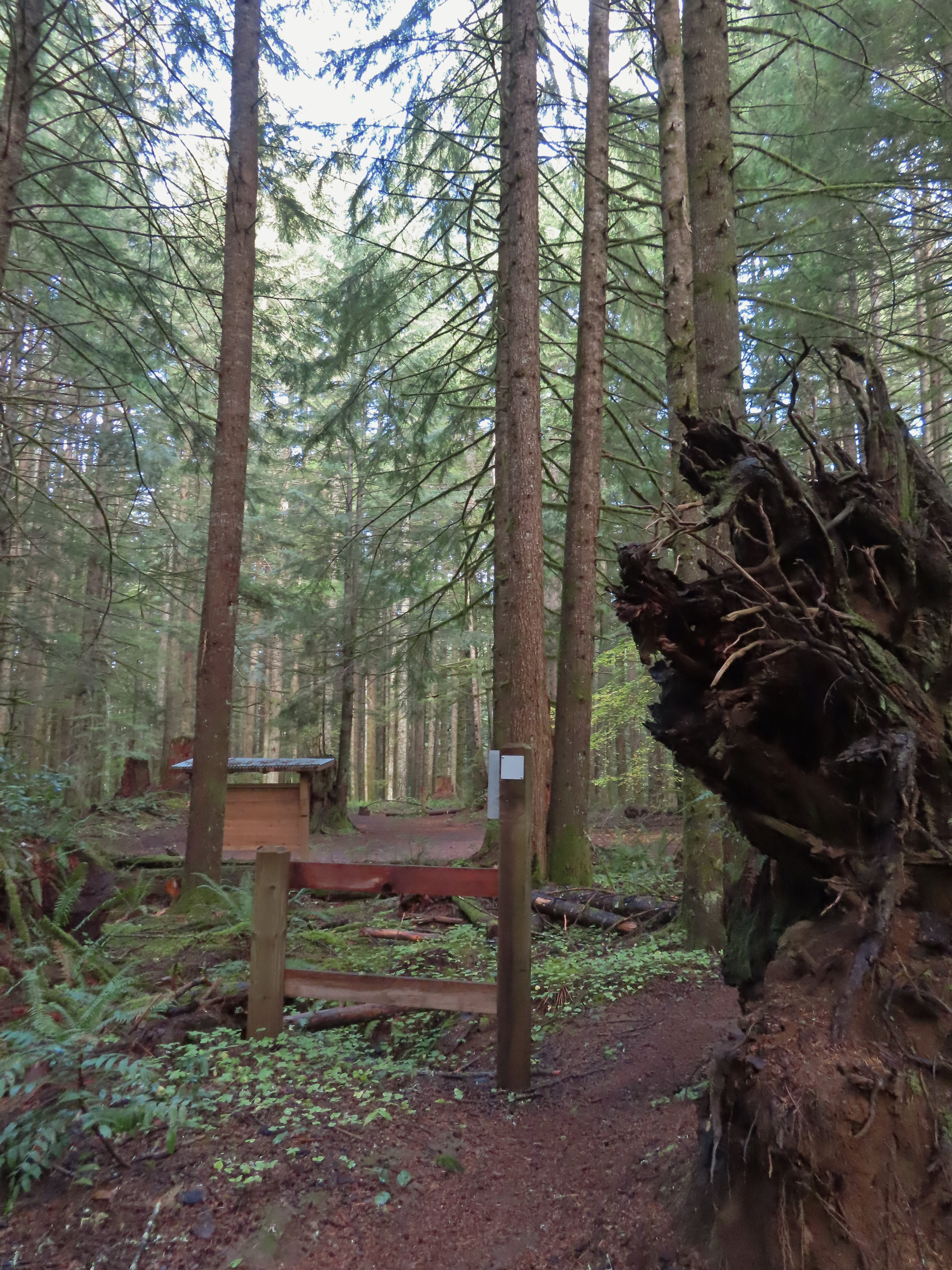
 Big nursery tree along the 214 Trail.
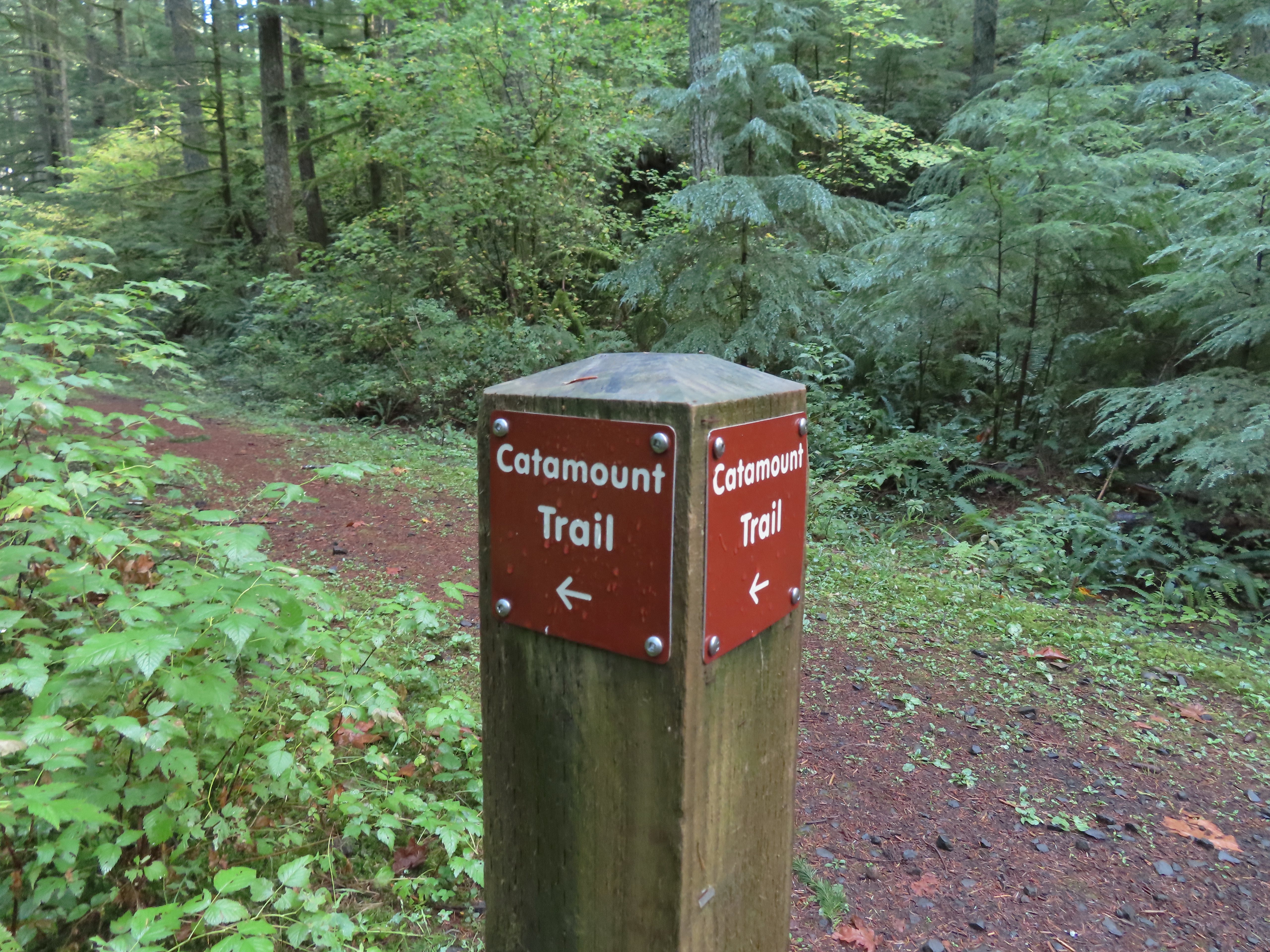
 The trail post at the junction shows the Catamount Trail instead of the Newt Loop but the map at the junction labels it the Newt Loop.
 Map check.
I turned right onto the Newt Loop and arrived at a junction with the Catamount Trail after 0.4 level miles.
 This second post included the Newt Loop along with a pointer for the Catamount Trail.
 Crossing a CAT road along the Newt Loop.
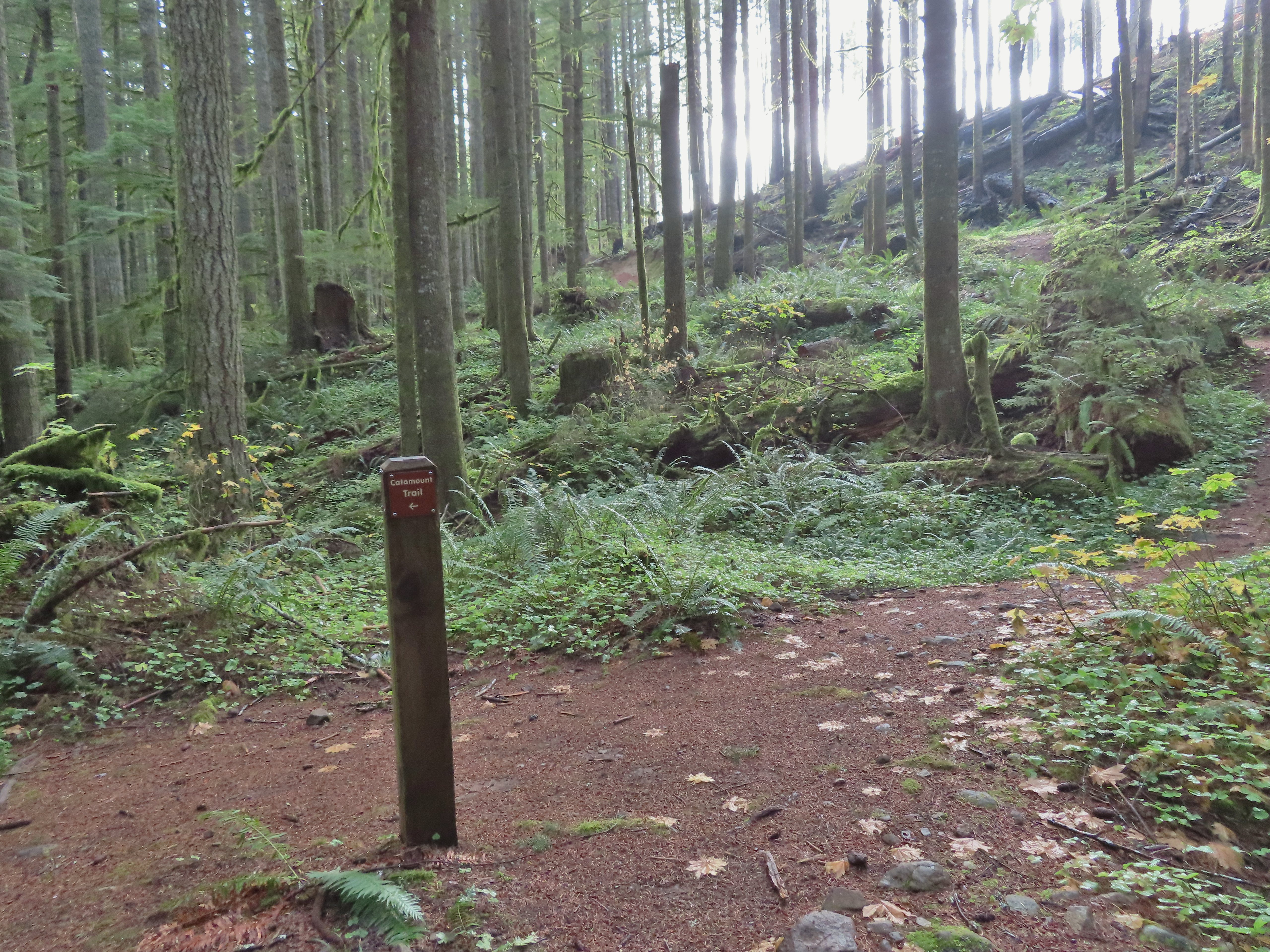
 Turning onto the Catamount Trail.
The Catamount Trail was new trail for me having not used it on our loop in 2021. The park map showed this trail extending 4.6 miles to a junction with the Lost Creek Trail then continuing another 0.9 miles to Buck Mountain. As a mountain bike trail the Catamount wound steadily uphill through the forest.
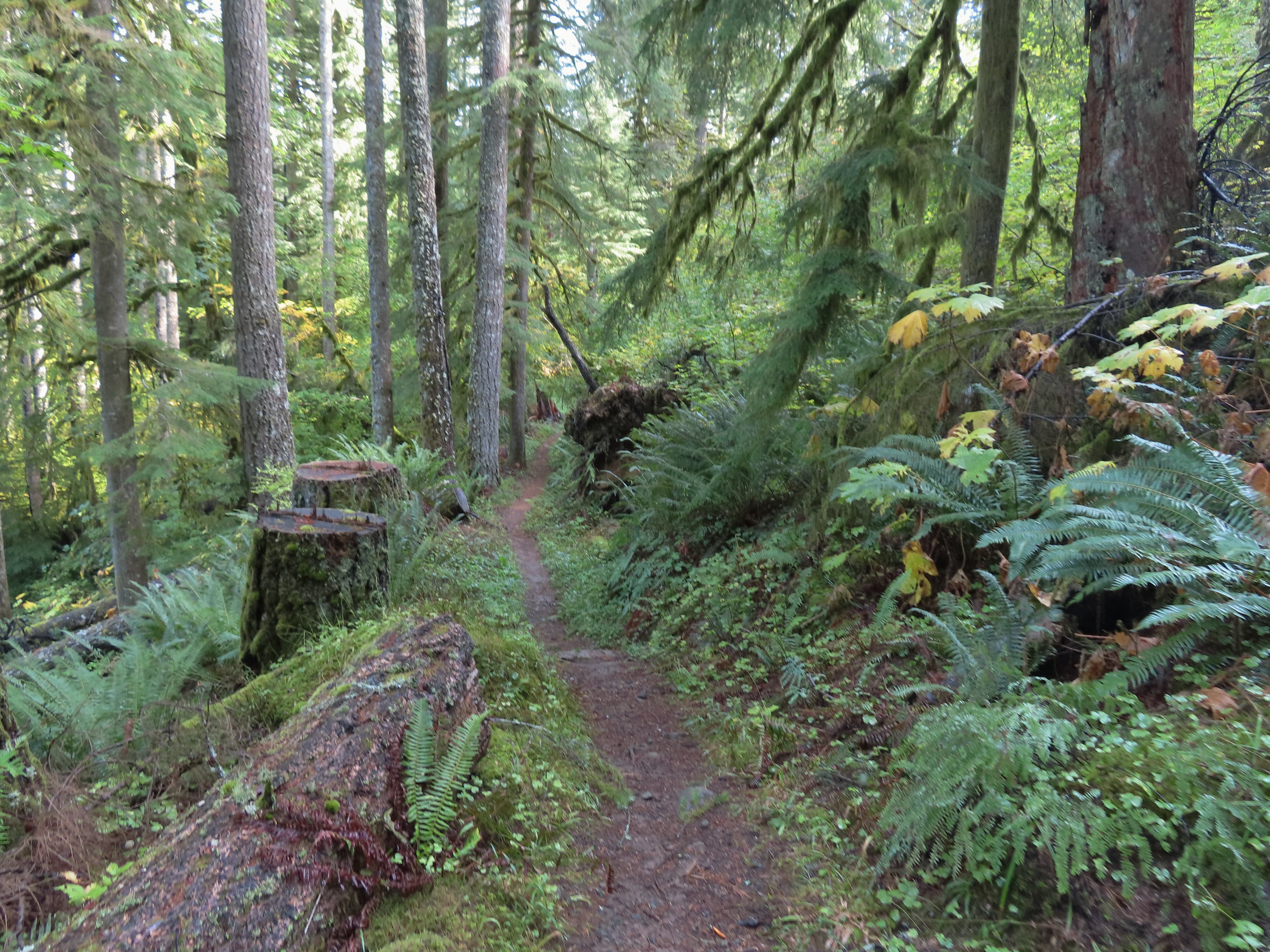
 Lots of nursery stumps along the trail.
 Another nursery stump.
 Side trails were well marked.
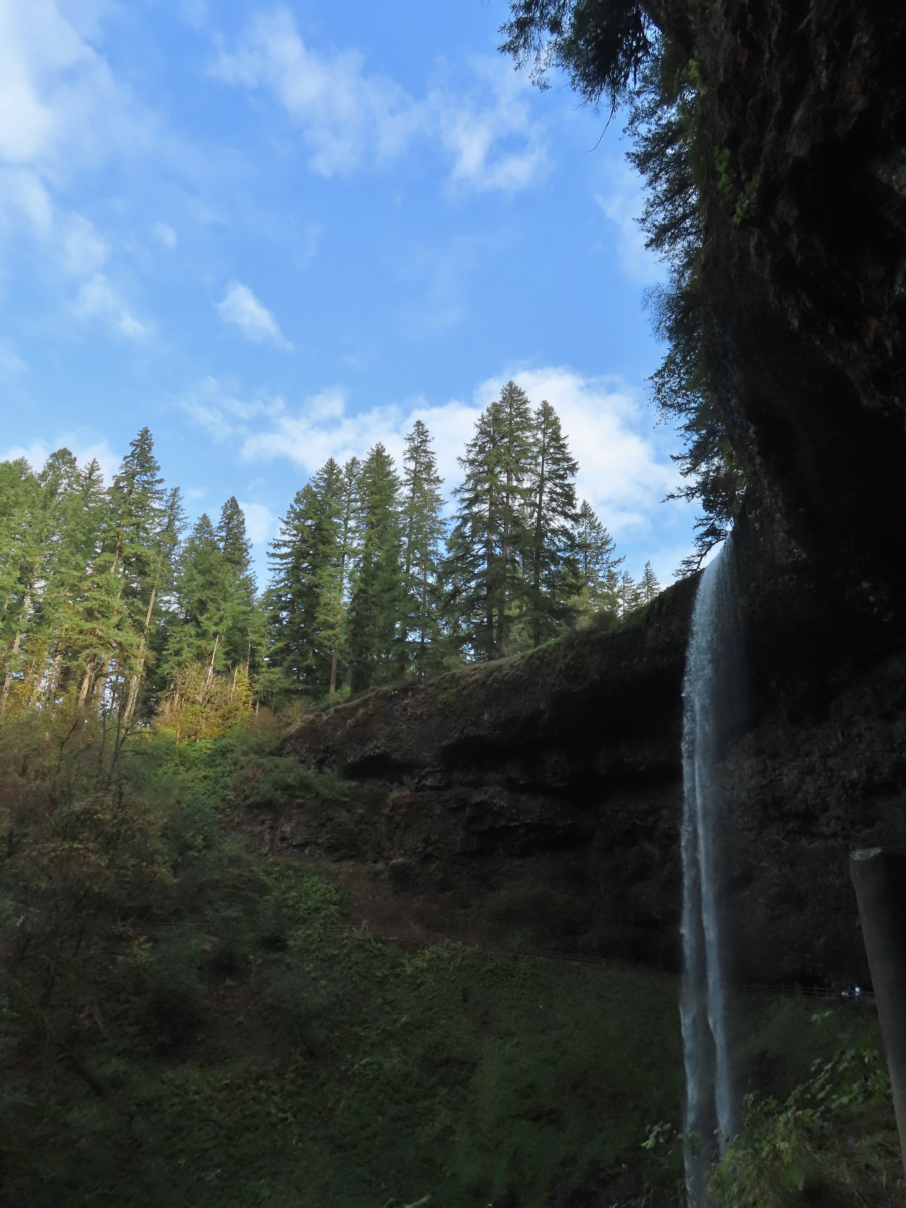
 Did not expect to see that overhead today.


 I believe this short section of fire scar was from the 2020 Beachie Fire.
After 3.8 miles on the Catamount Trail I came to a 4-way junction with a maintenance road.

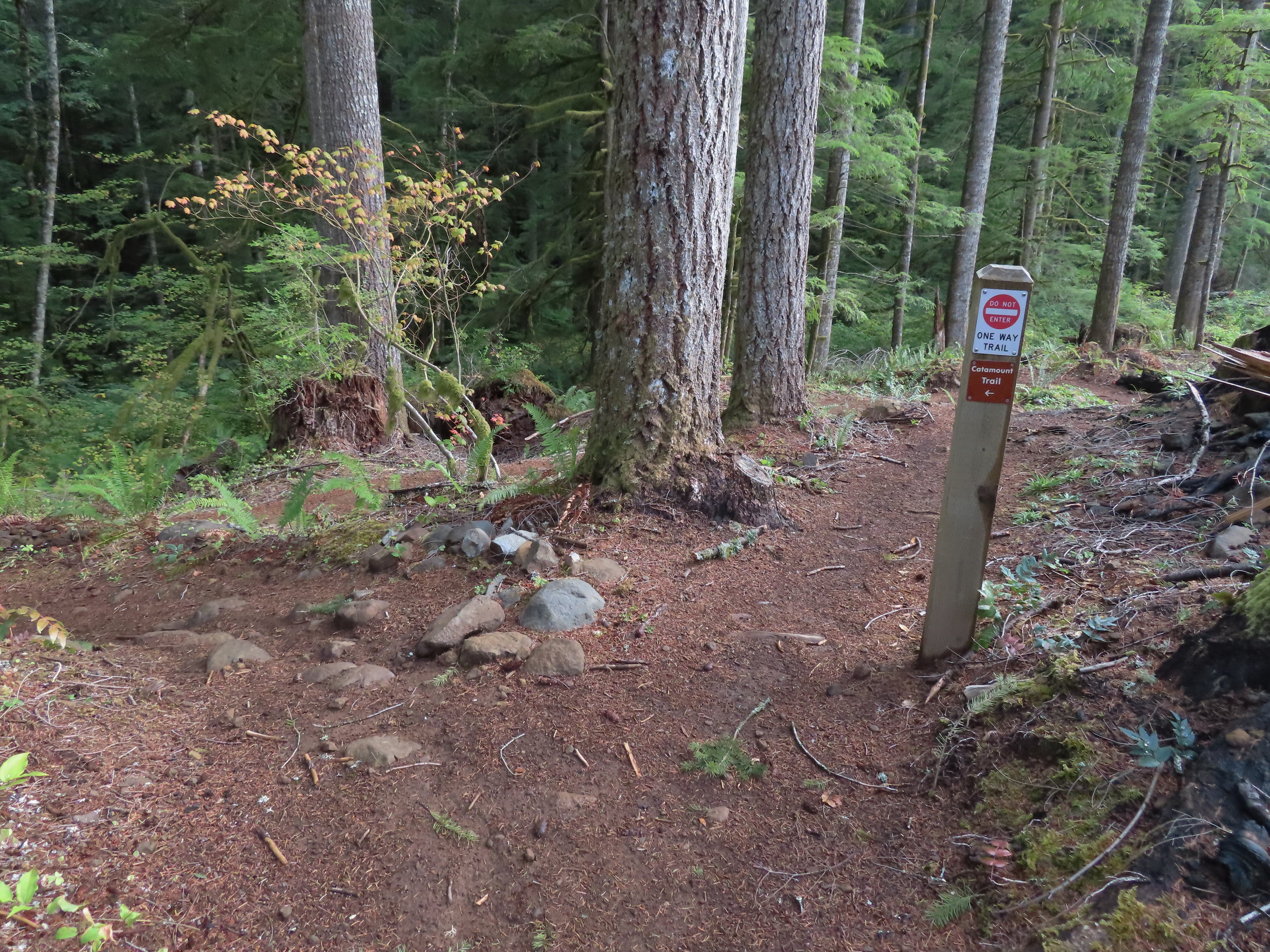
The Catamount Trail continued on the far side the road only there was a “Do Not Enter One-Way” sign on the post.

This was the first I’d heard of the trail here being one-way and I haven’t had a lot of luck since my hike in finding that information online or maps, but I honored the sign and turned left on the maintenance road following a Catamount Trail pointer.
 Turning onto the road.
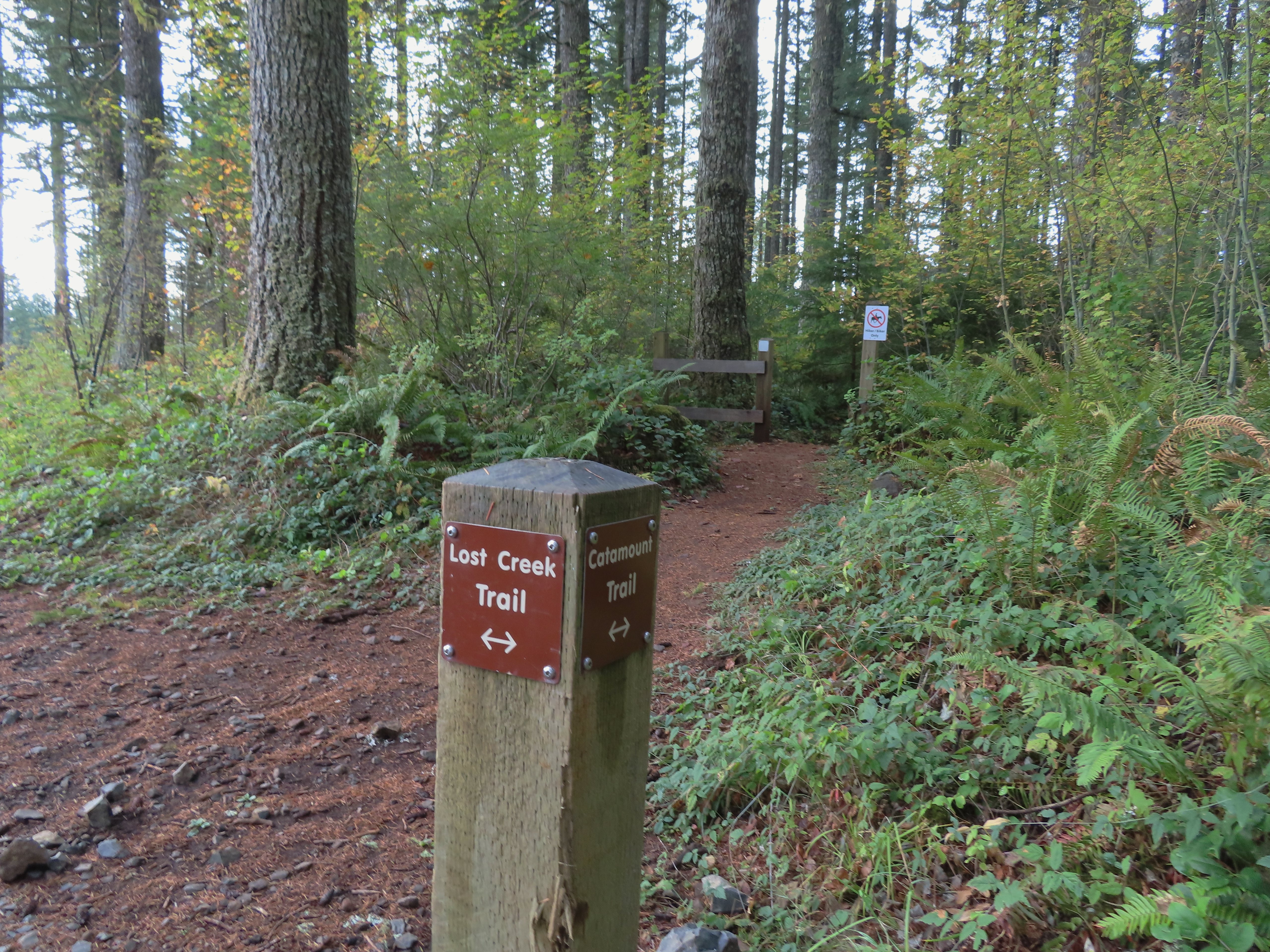
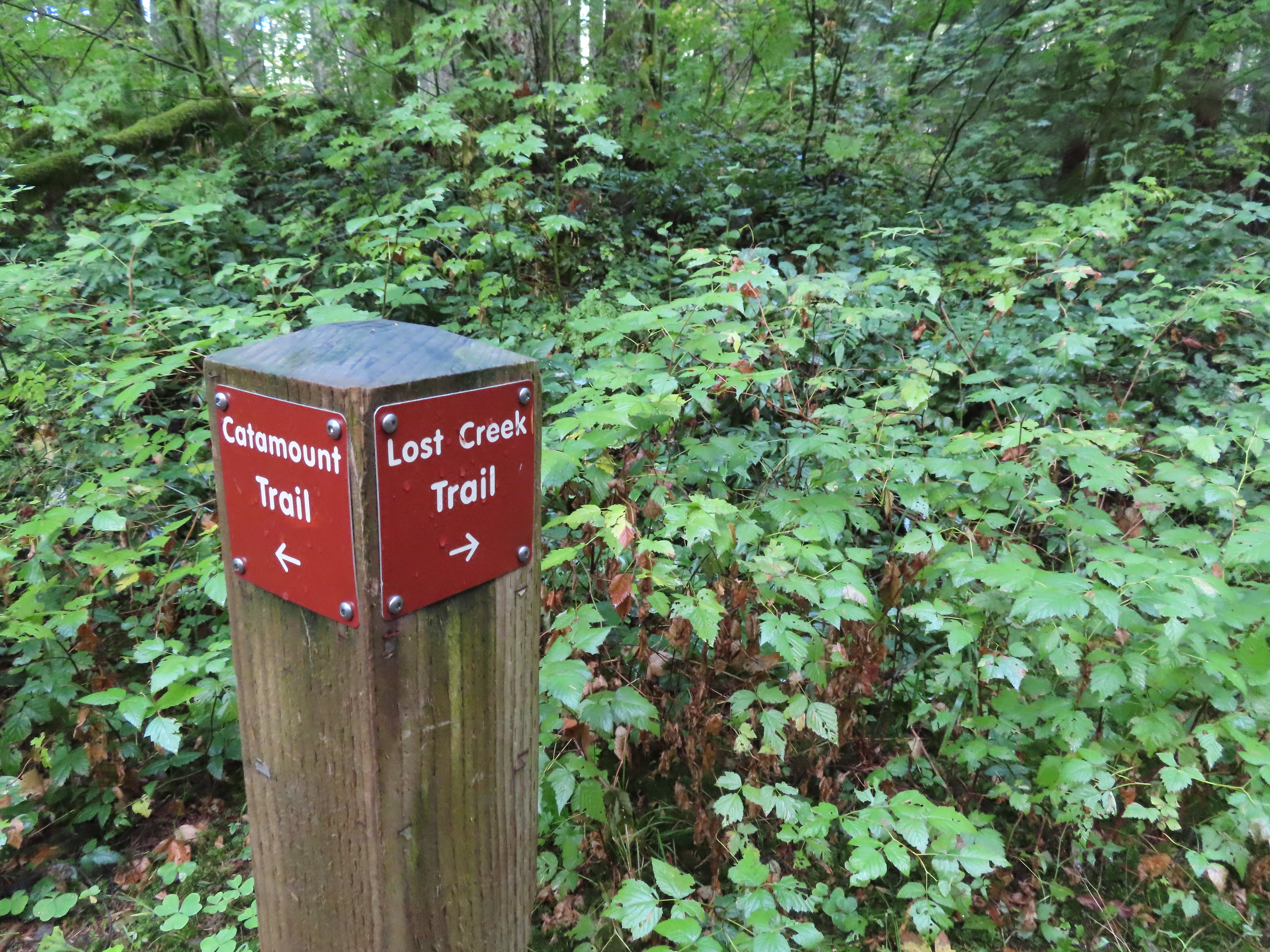 The opposite side of the post had a pointer for the Lost Creek Trail.
I followed the road for half a mile to the Lost Creek/Buck Mountain Trail junction.

 I veered uphill to the right here.
 The Lost Creek/Buck Mountain junction.
On our previous visit we had arrived at this same junction having come down the Buck Mountain Trail. To make this hike as different as possible (and to remain as far to the outside of the park as possible) I turned right on the Lost Creek Trail.
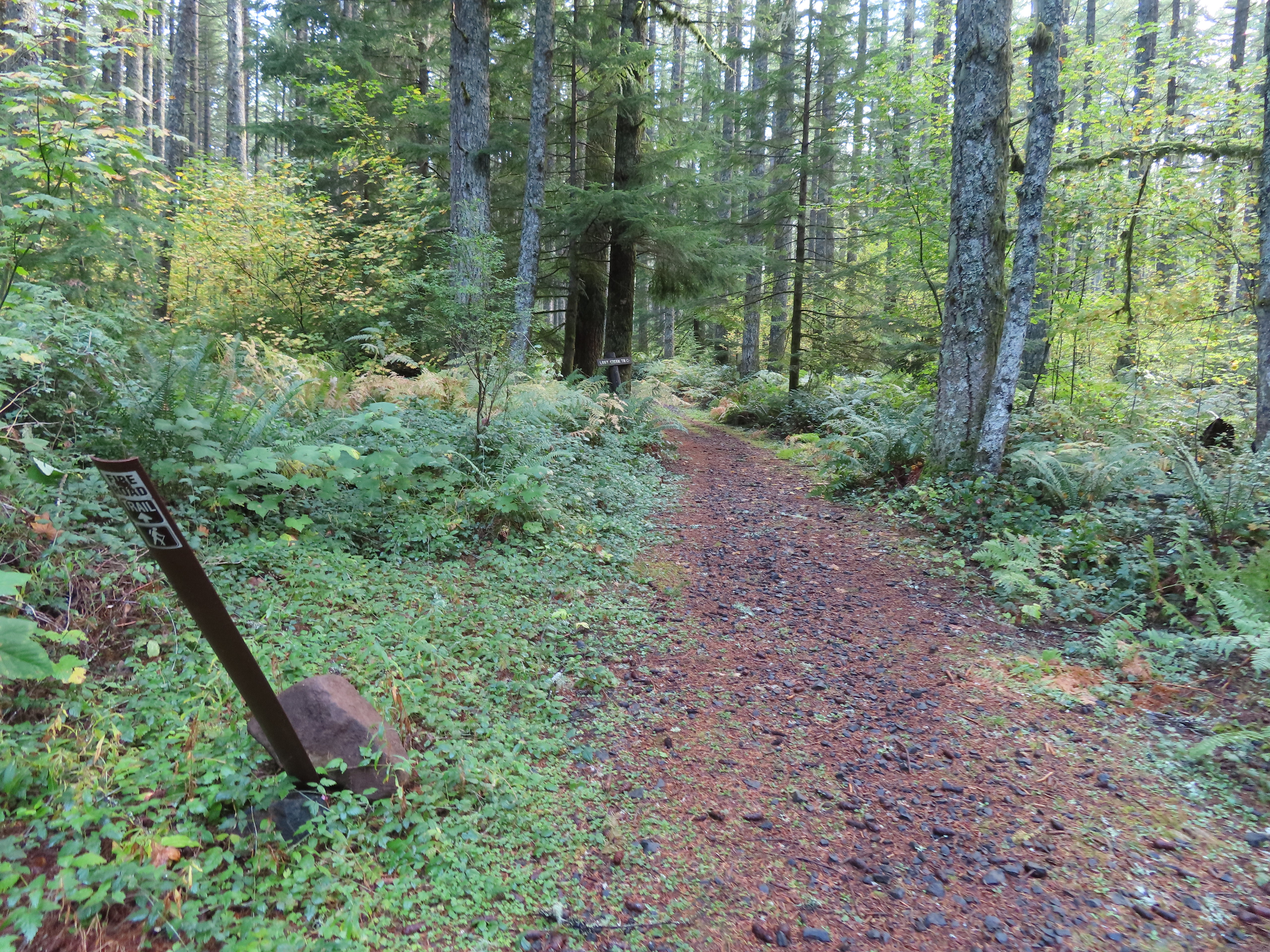 The Lost Creek Trail doubles as a fire road.

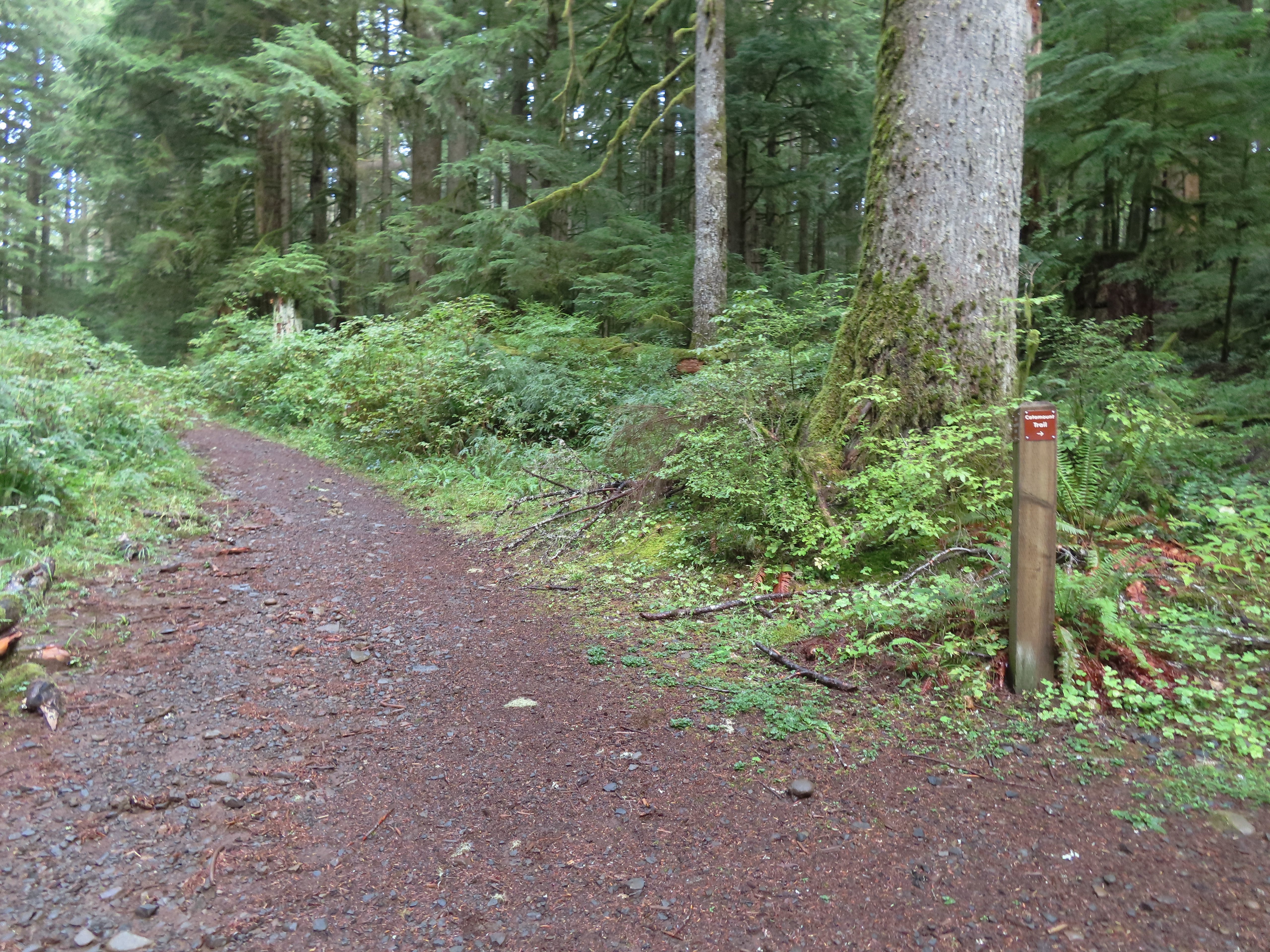
I followed this trail for 0.8 miles to a junction with the Catamount Trail at the edge of a clear cut.
 Here is where I would have come up had the Catamount Trail did not have the on-way section. (Note that on some mountain biking maps the one-way section is labeled “Upper Catamount Trail.)
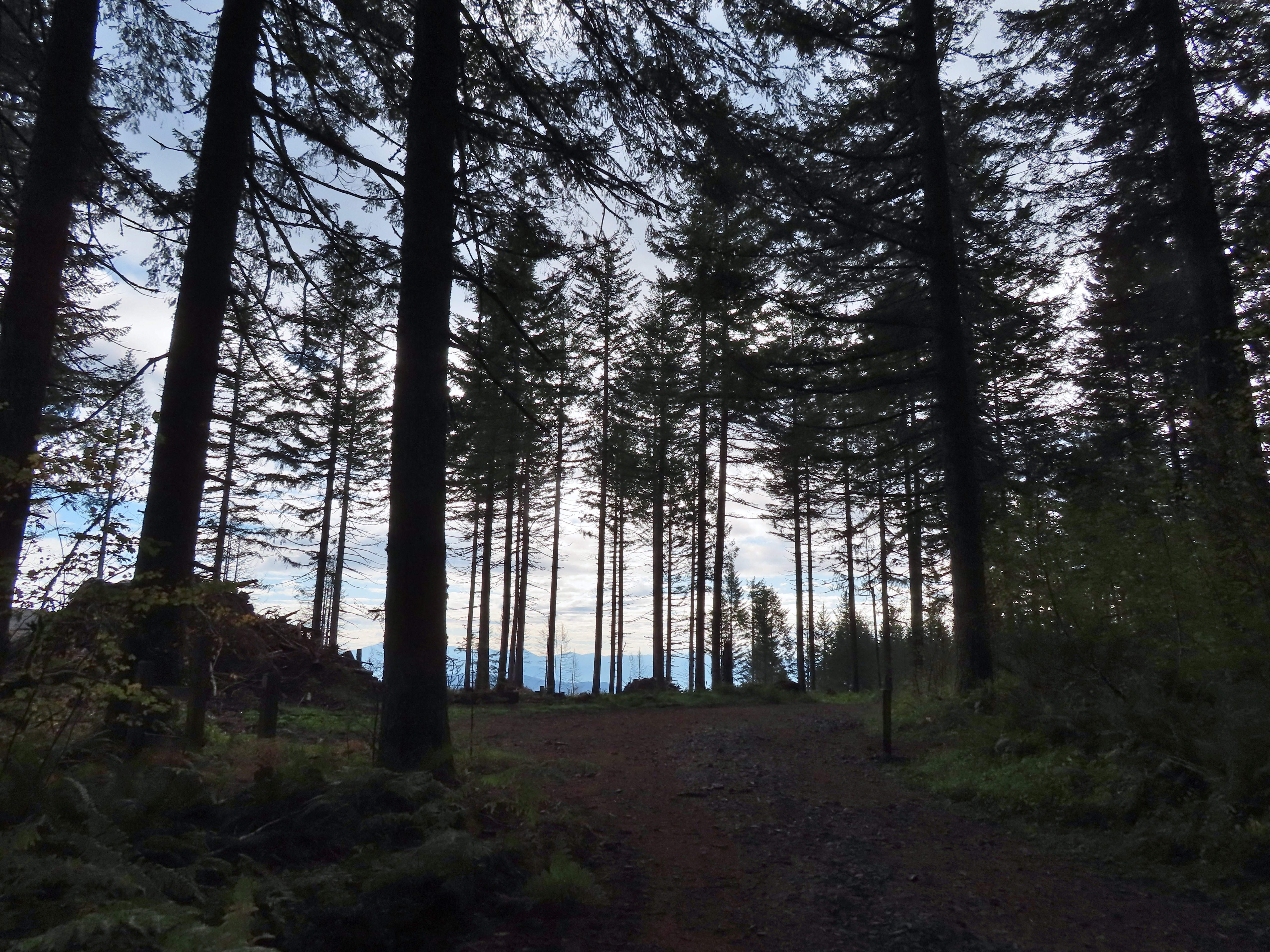
I turned left onto the Catatmount Trail at the junction and quickly found myself walking through the clear cut.
 The treeless section wasn’t long. It appeared to have been an area impacted by the 2020 Beachie Fire.
 Still some bleeding heart blooming.
 There wasn’t a lot of bright Fall colors in the backcountry, but this maple stood out.
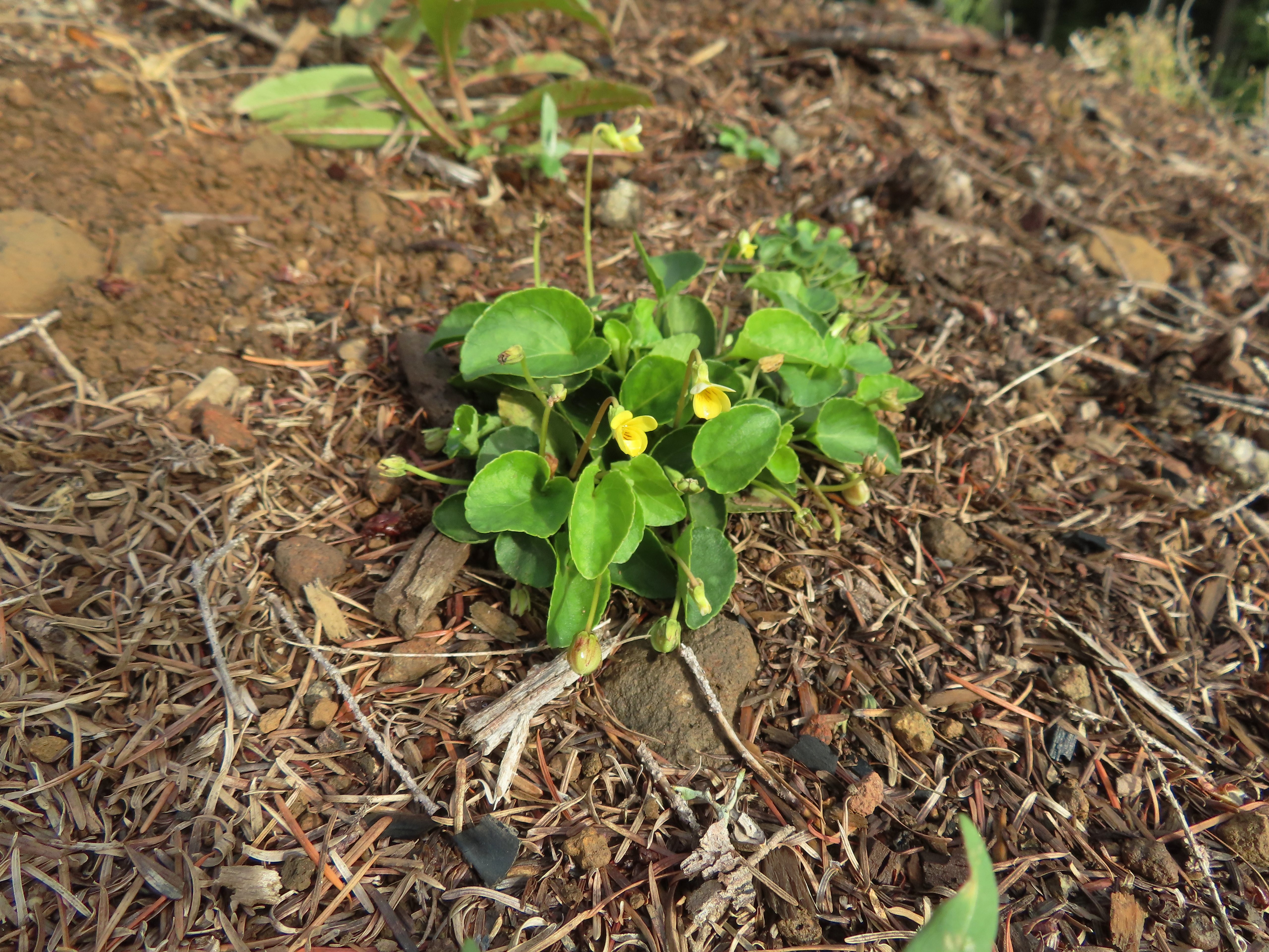 Was a bit surprised to see a few violets along this section.
 Nearing the end of the logged area.
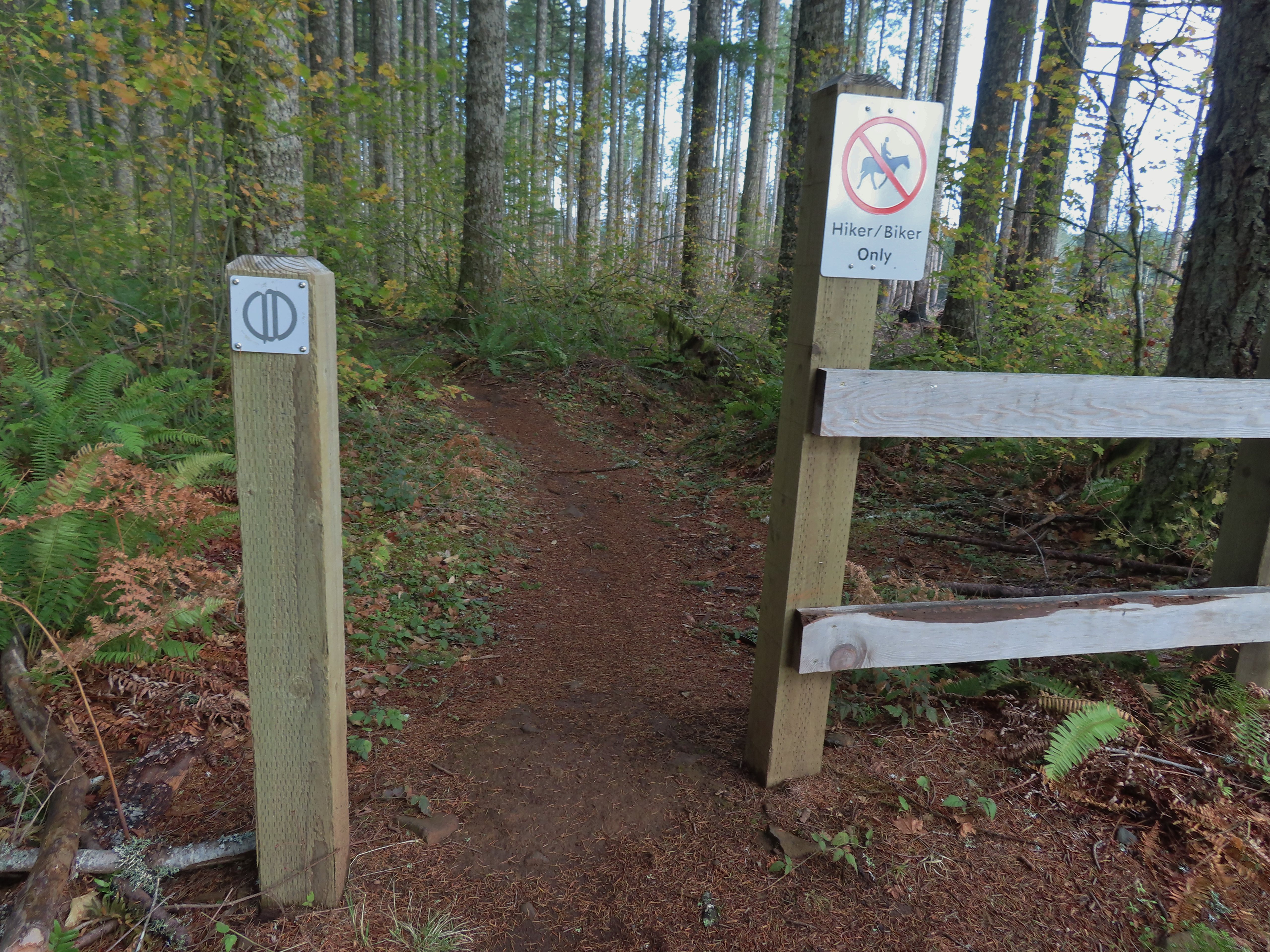
At the tree line the trail split unexpectedly (another feature not shown on the park map) into two one-way trails. The right hand fork (in this direction) was one-way uphill while the left down. I was going down at this point so I stayed to the left.
It wasn’t long before the two trails rejoined. The trail continued downhill to the Buck Mountain Loop near its crossing of Howard Creek.
 The rejoining of the trails.
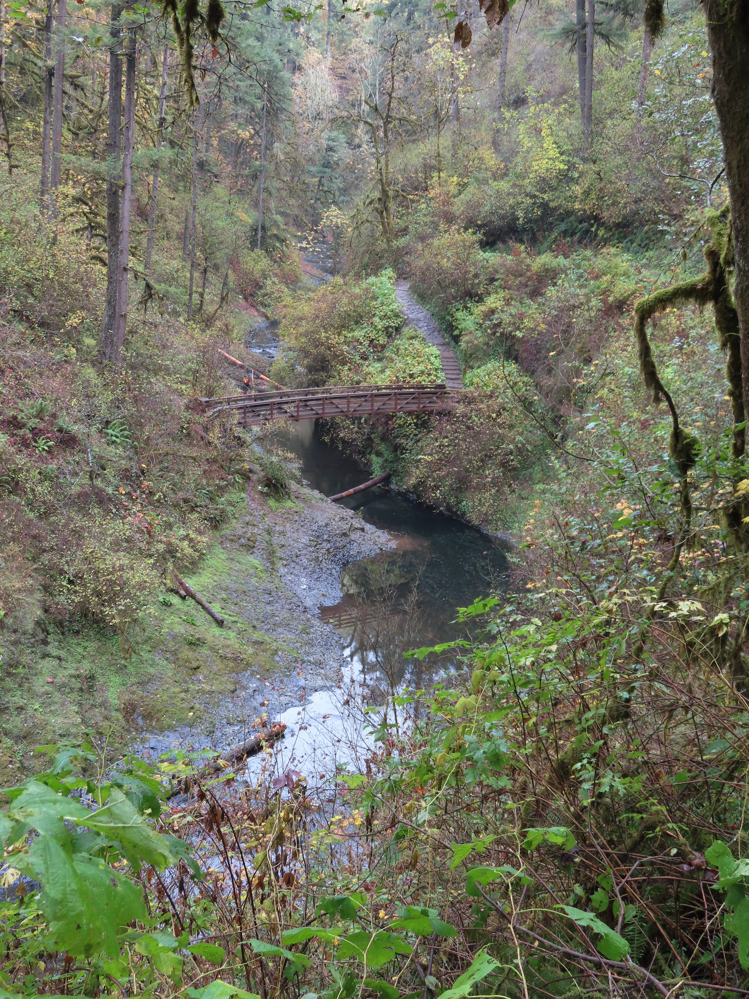
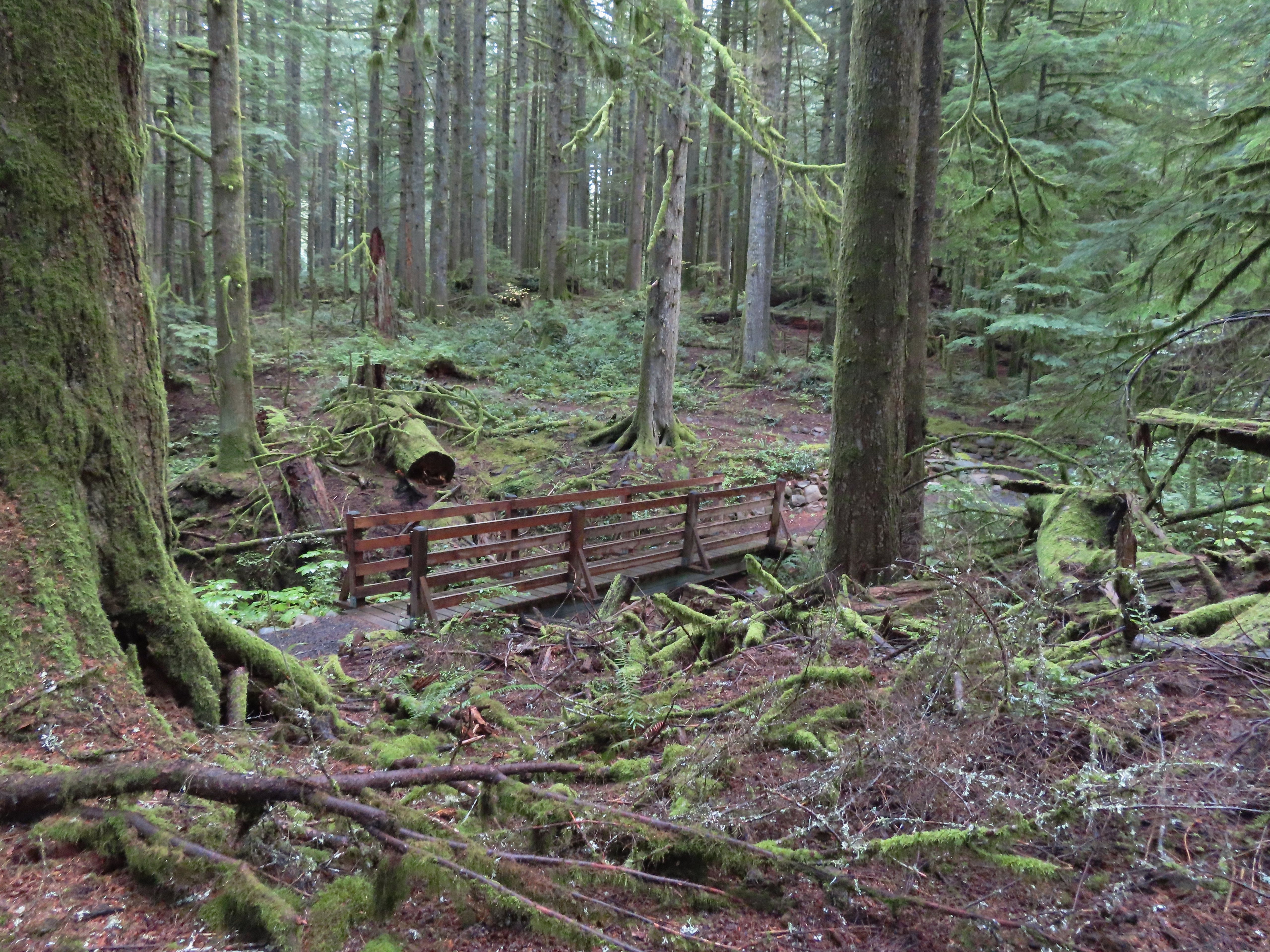 There were several bridges along this section of the trail. I also ran into the only mountain bikers that I would encounter all day in this area, a group of five.
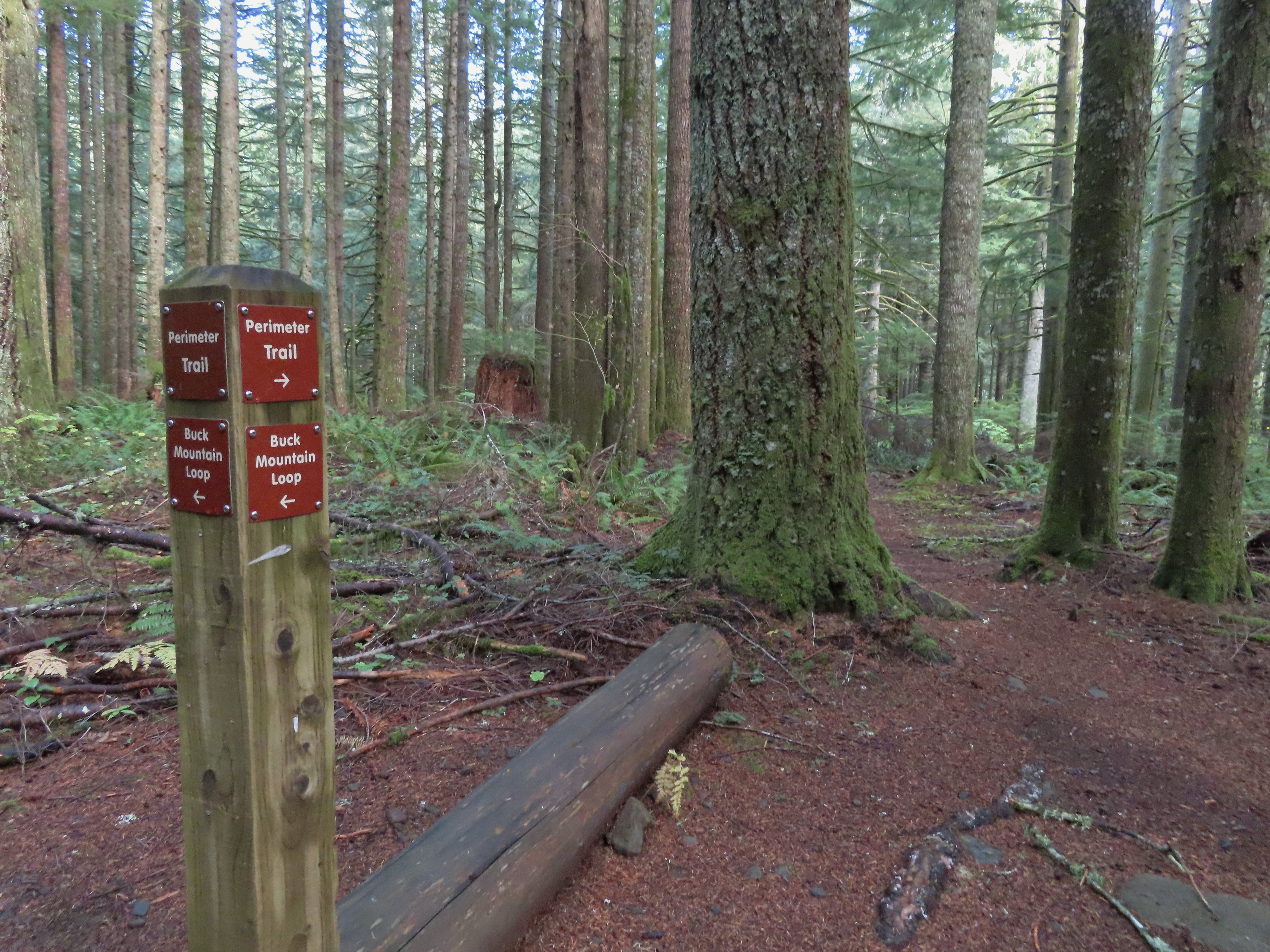
 The Buck Mountain Loop junction.
I turned right at the junction and crossed Howard Creek then turned right again back onto the Catamount Trail.
 Bridge over Howard Creek.
 The continuation of the Catamount Trail on the right.
The trail now climbed uphill for 0.2 miles to the large trail junction on Buck Mountain, a total of 1.1 miles from the Lost Creek Trail junction.
 The map showed the section I had just done as 0.9 miles, but my track was a bit more twisty than the map.
From the junction I took the Perimeter Trail.
The park map lists this trail as 5.9 miles in length and has a “Steep” warning not far from the Buck Mountain junction. The trail was in good shape and although it lost over 350′ of elevation in just under a mile to a crossing of South Fork Silver Creek the grade was reasonable. Compared to some of the other trails we’d been on this year it didn’t seem all that steep.
 A small opening on the way down.

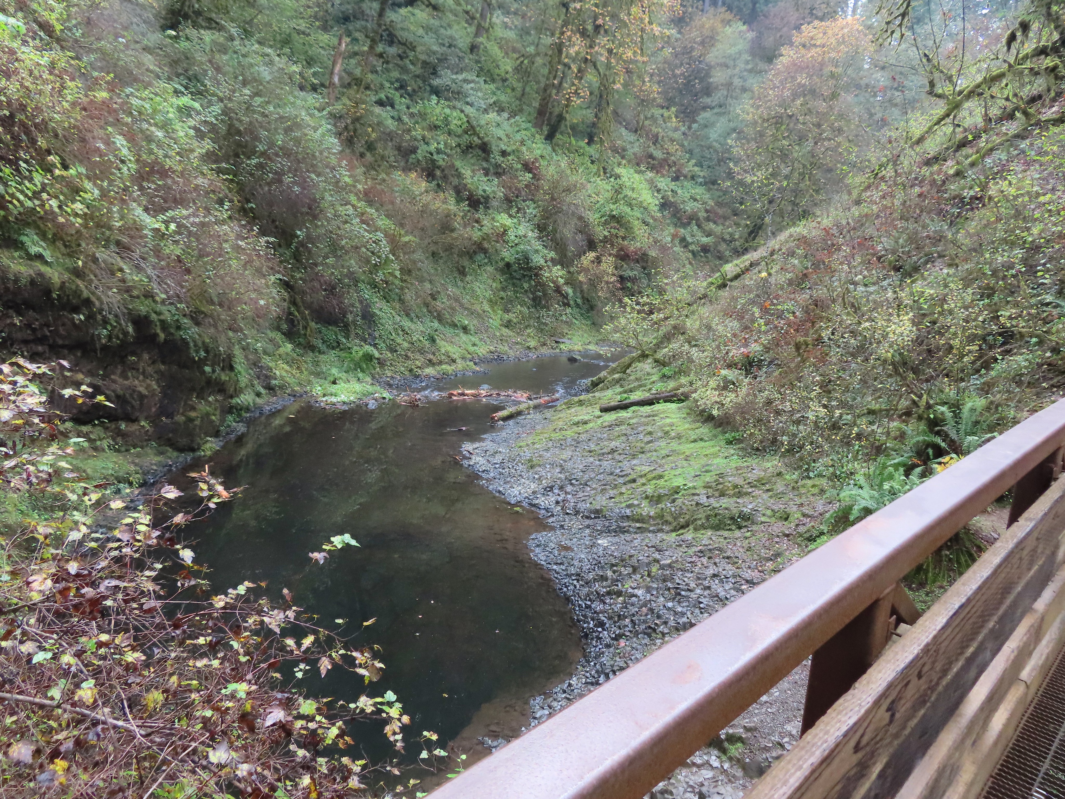
 Footbridge over South Fork Silver Creek.
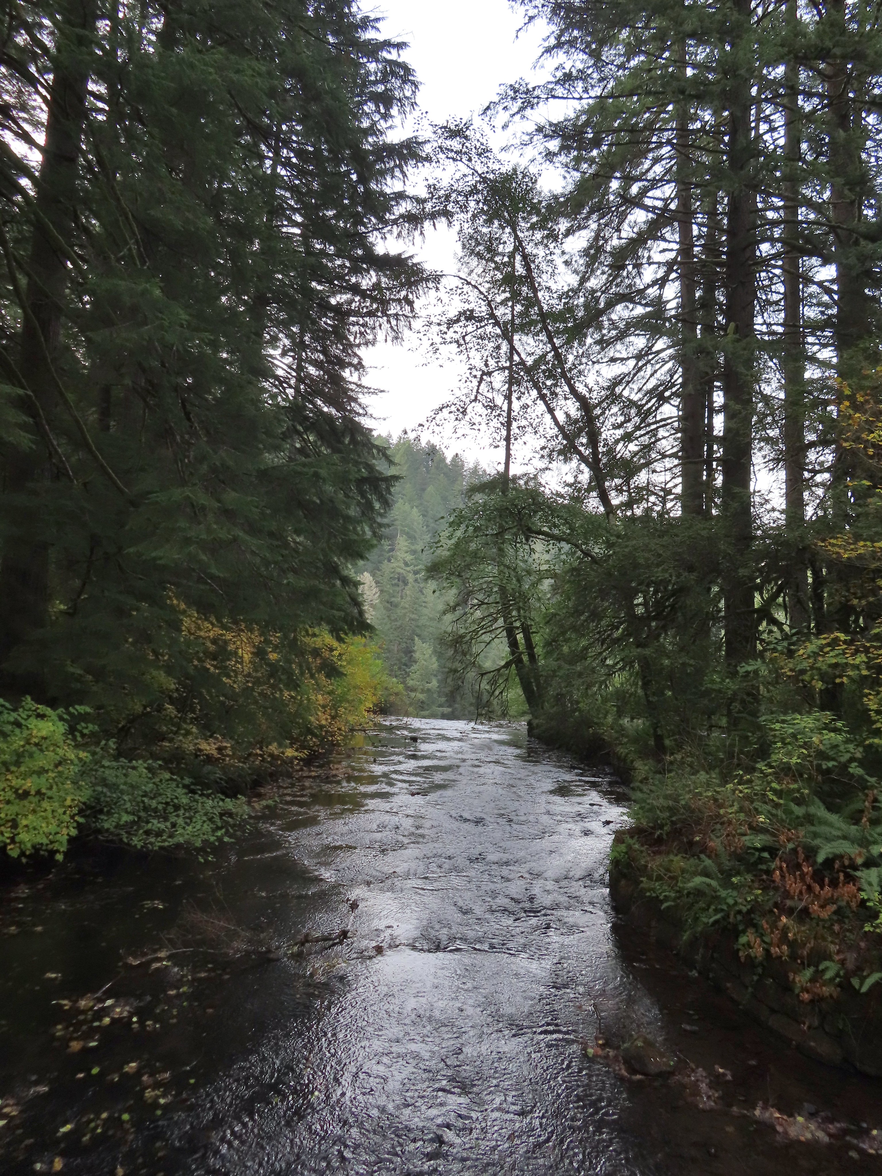
 South Fork Silver Creek
If I had paid better attention to the elevation numbers shown on the park map I might not have been so surprised when the trail began to climb on the other side of the creek. Over the next 2.1 miles the trail gained over 650′ before arriving at junction with the Rackett Ridge Trail. Up until the Rackett Ridge junction I had only encountered 8 people, the group of 5 mountain bikers and three trail runners (one solo and two together). The number of people seen doubled at this junction.


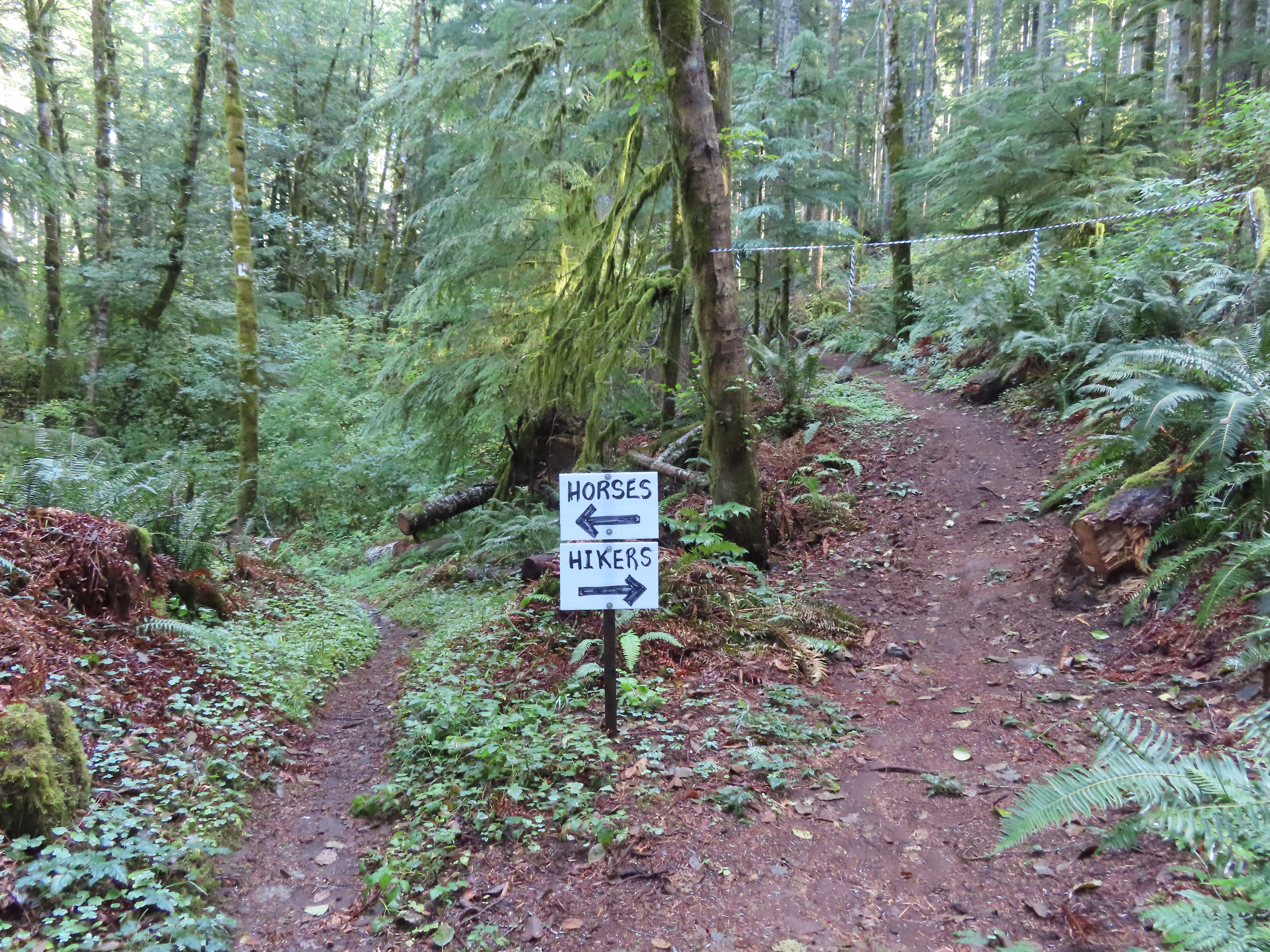 I’m a hiker so I went right here.
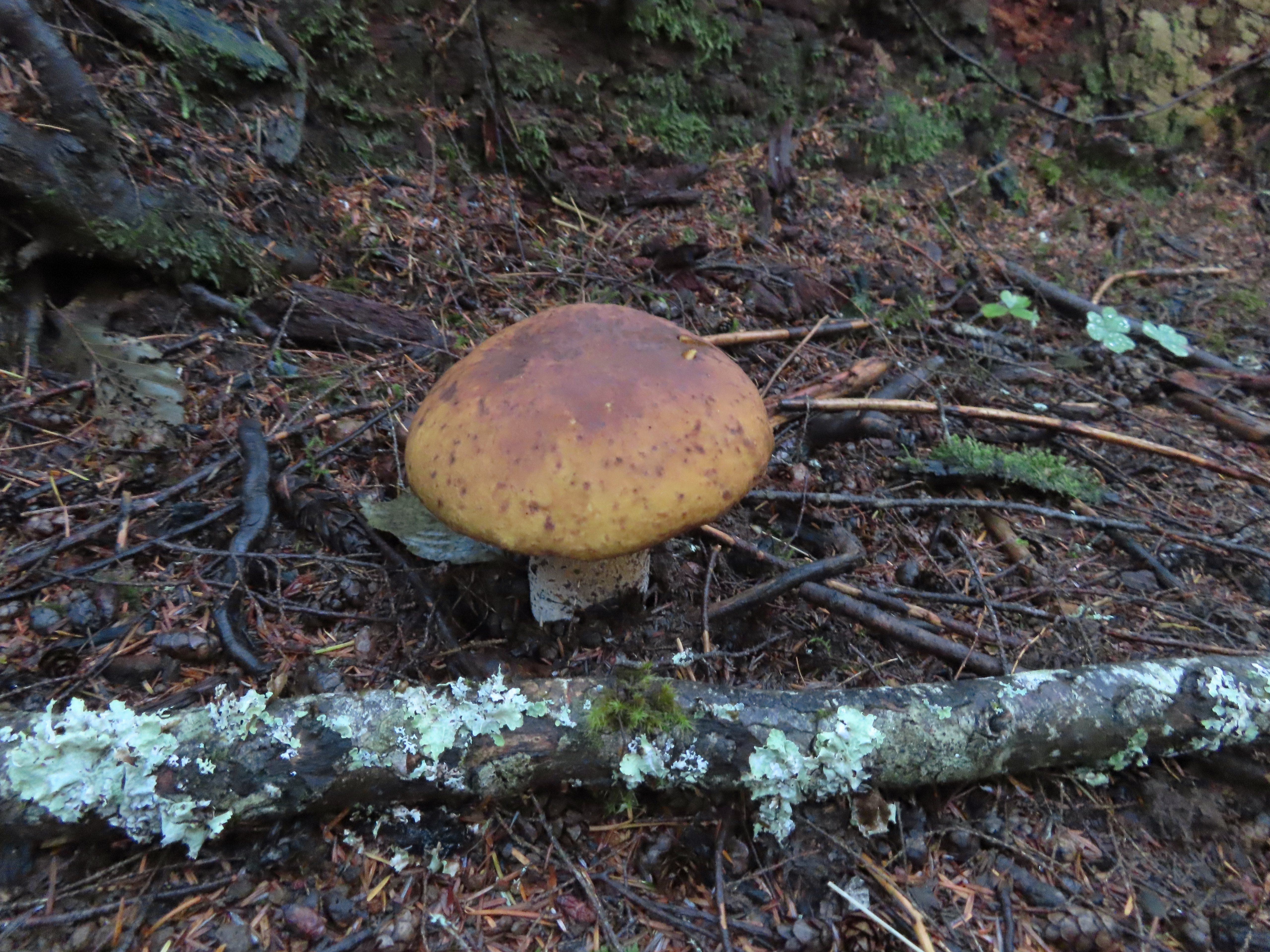
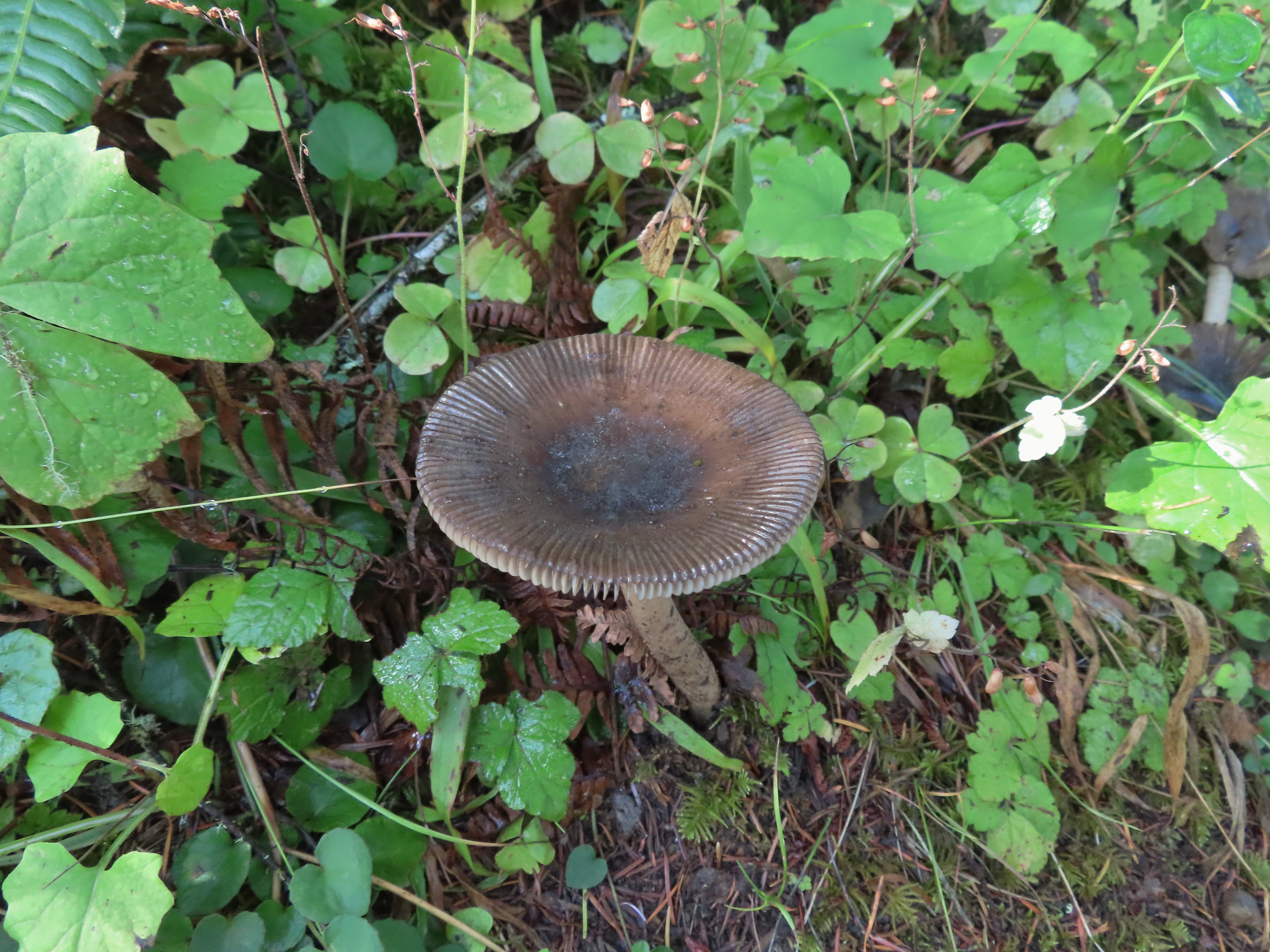
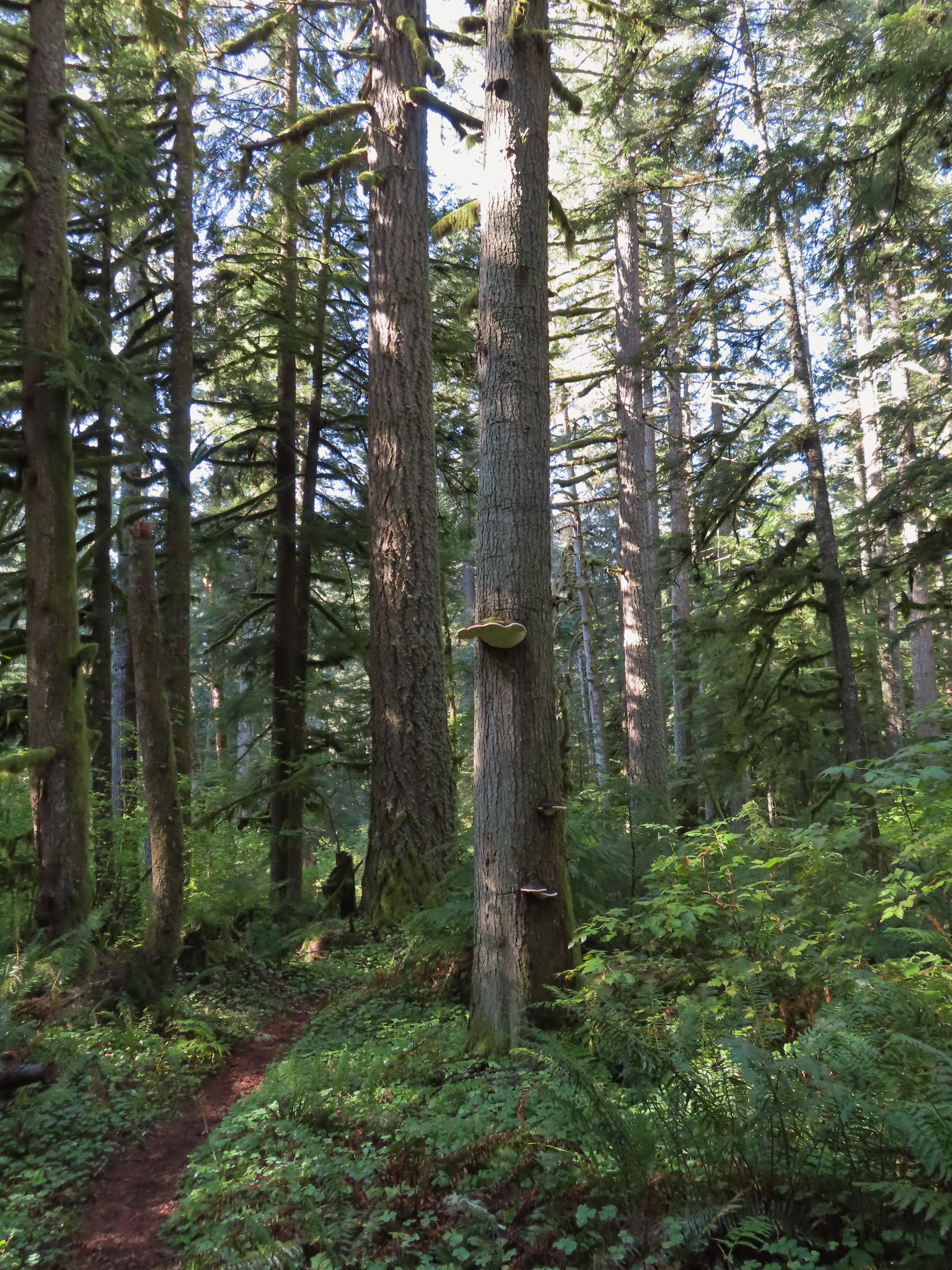 Big fungus on the tree ahead.

 Map at the Rackett Ridge junction.
I continued on the Perimeter Trail which now began a nearly 3-mile descent that was at least as steep as the section before with the warning. The use of switchbacks allowed the grade to stay reasonable though.
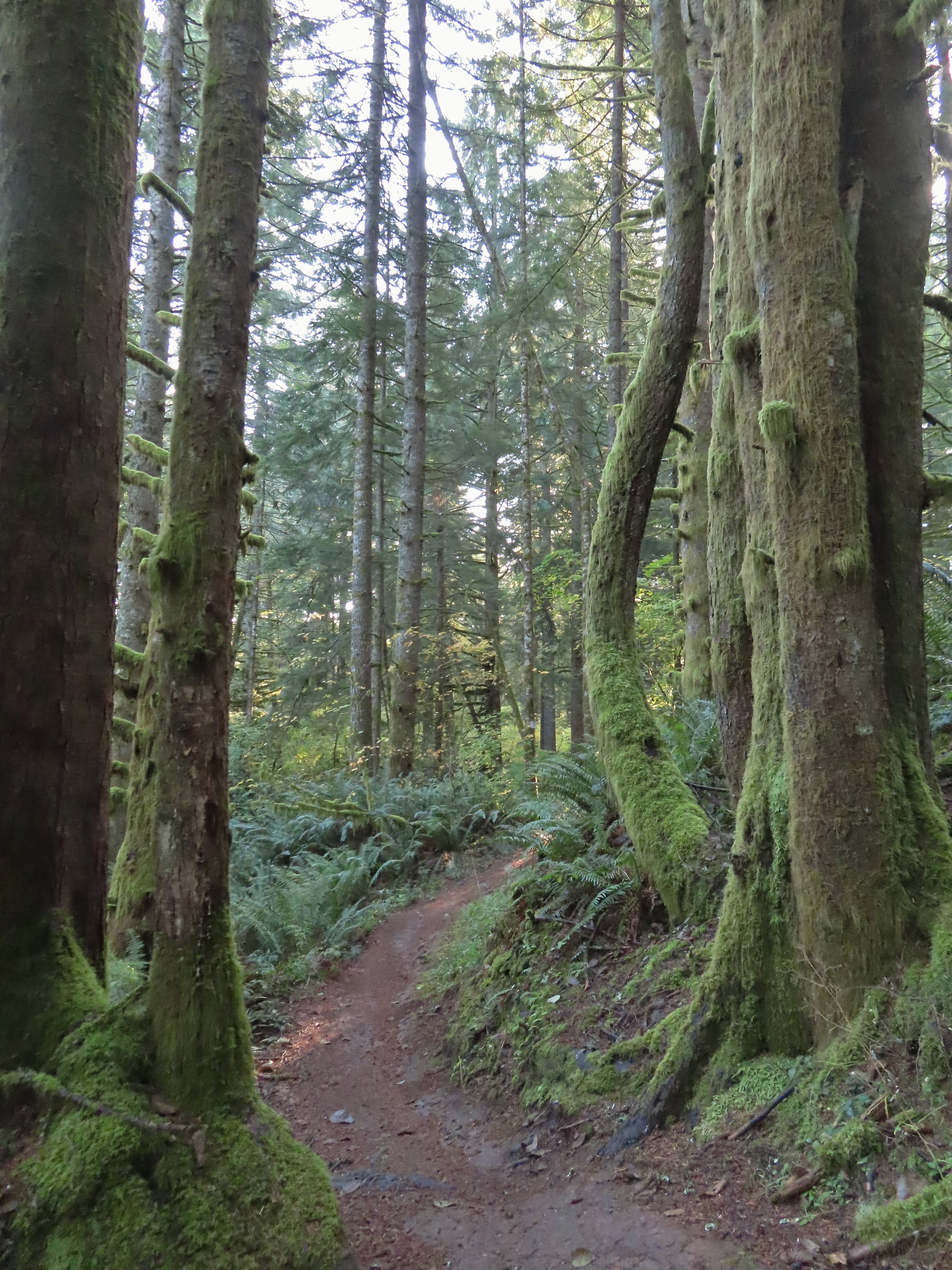
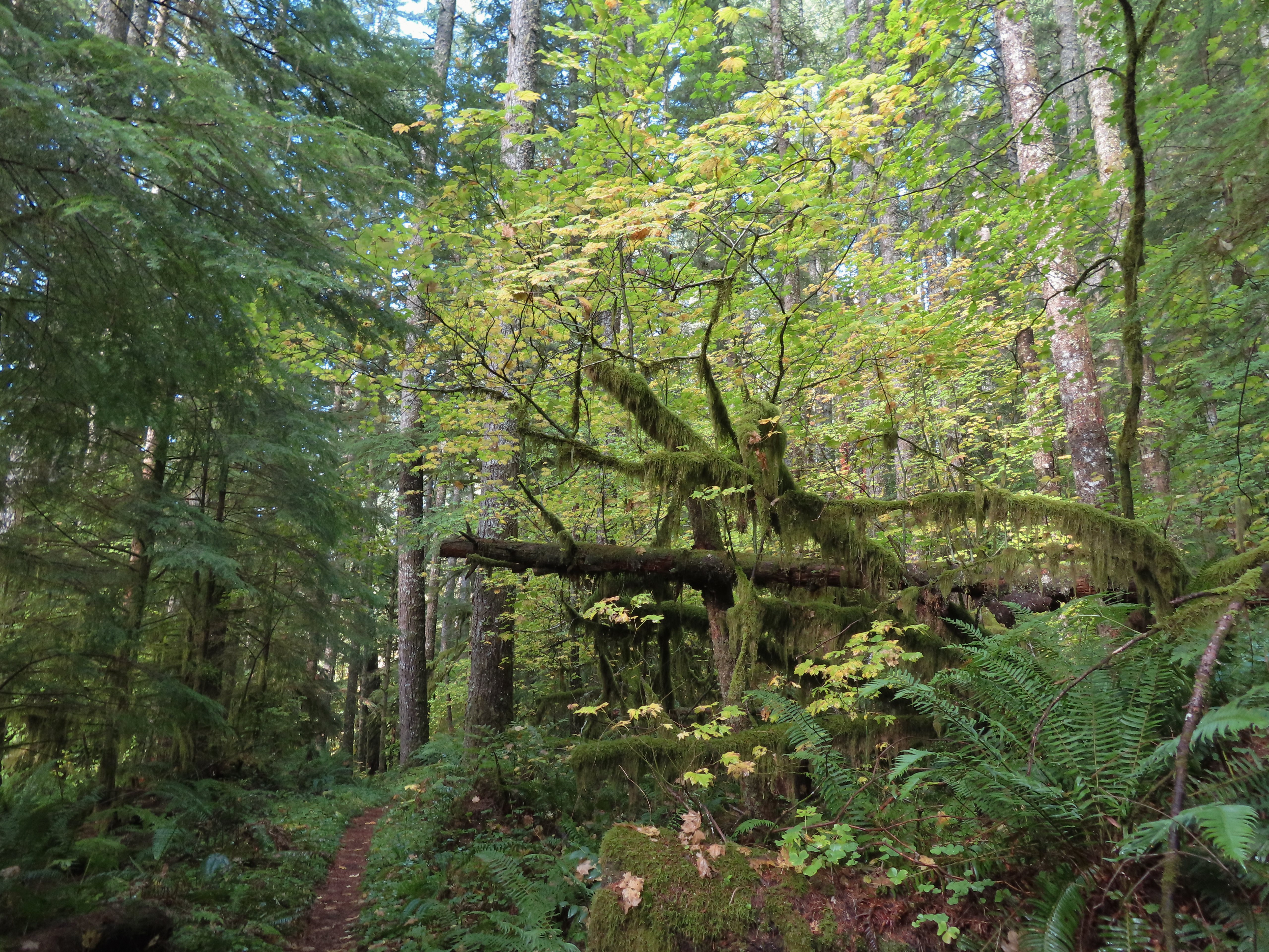
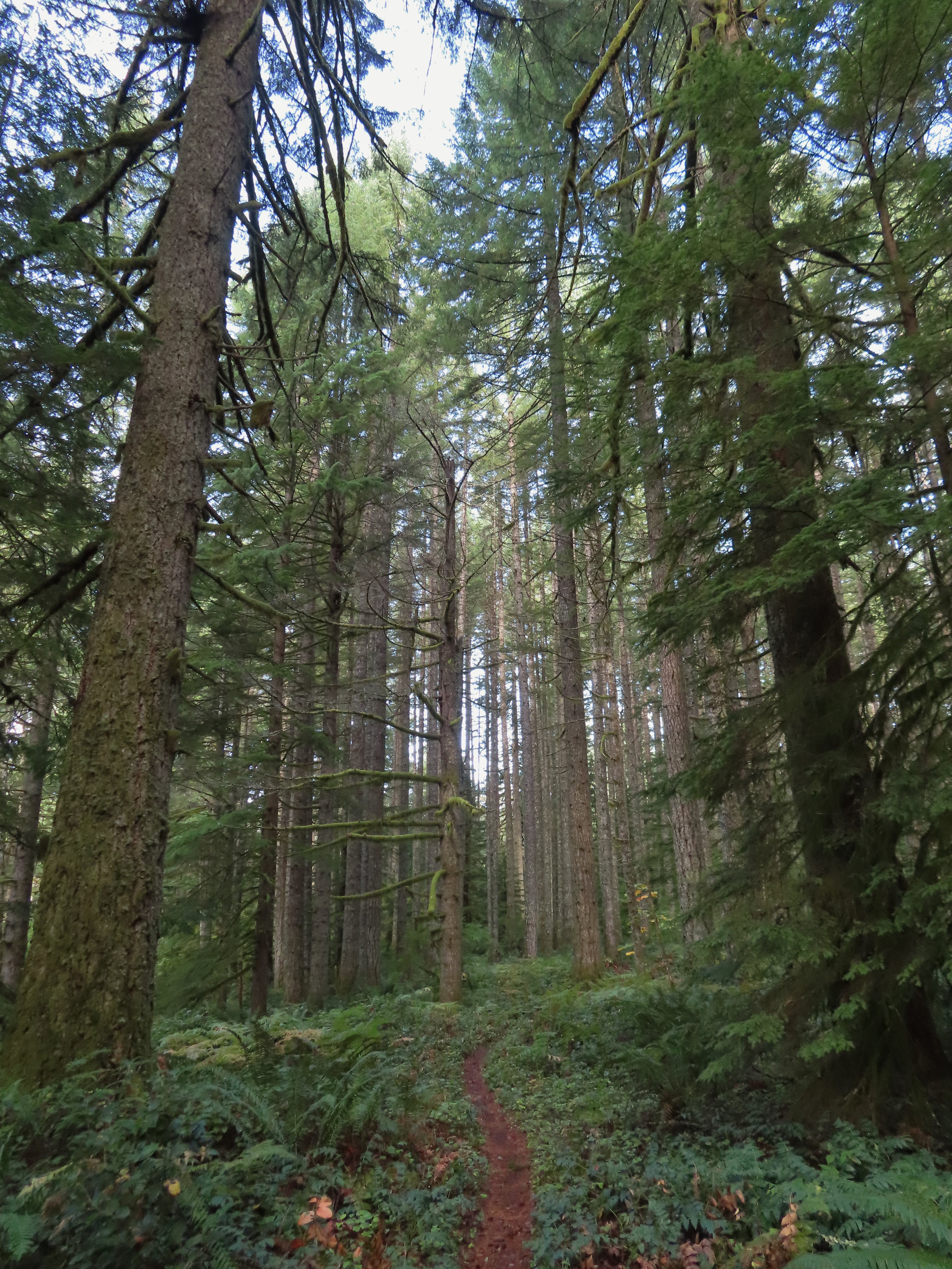
 Another impressive nursery log.
 I stopped in this area to change out of my sweaty socks and into one of the extra pairs I’d brought expecting rain.

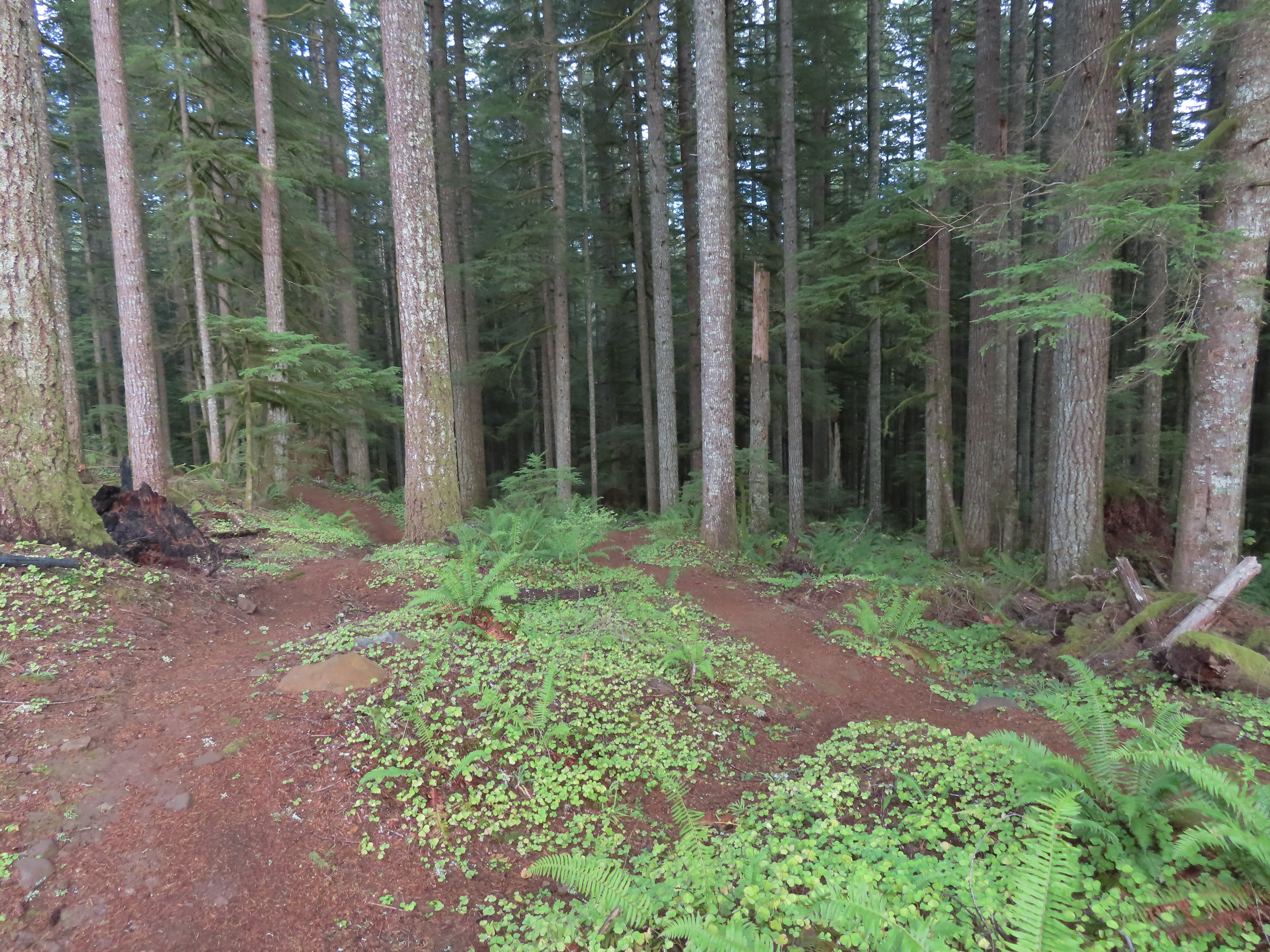
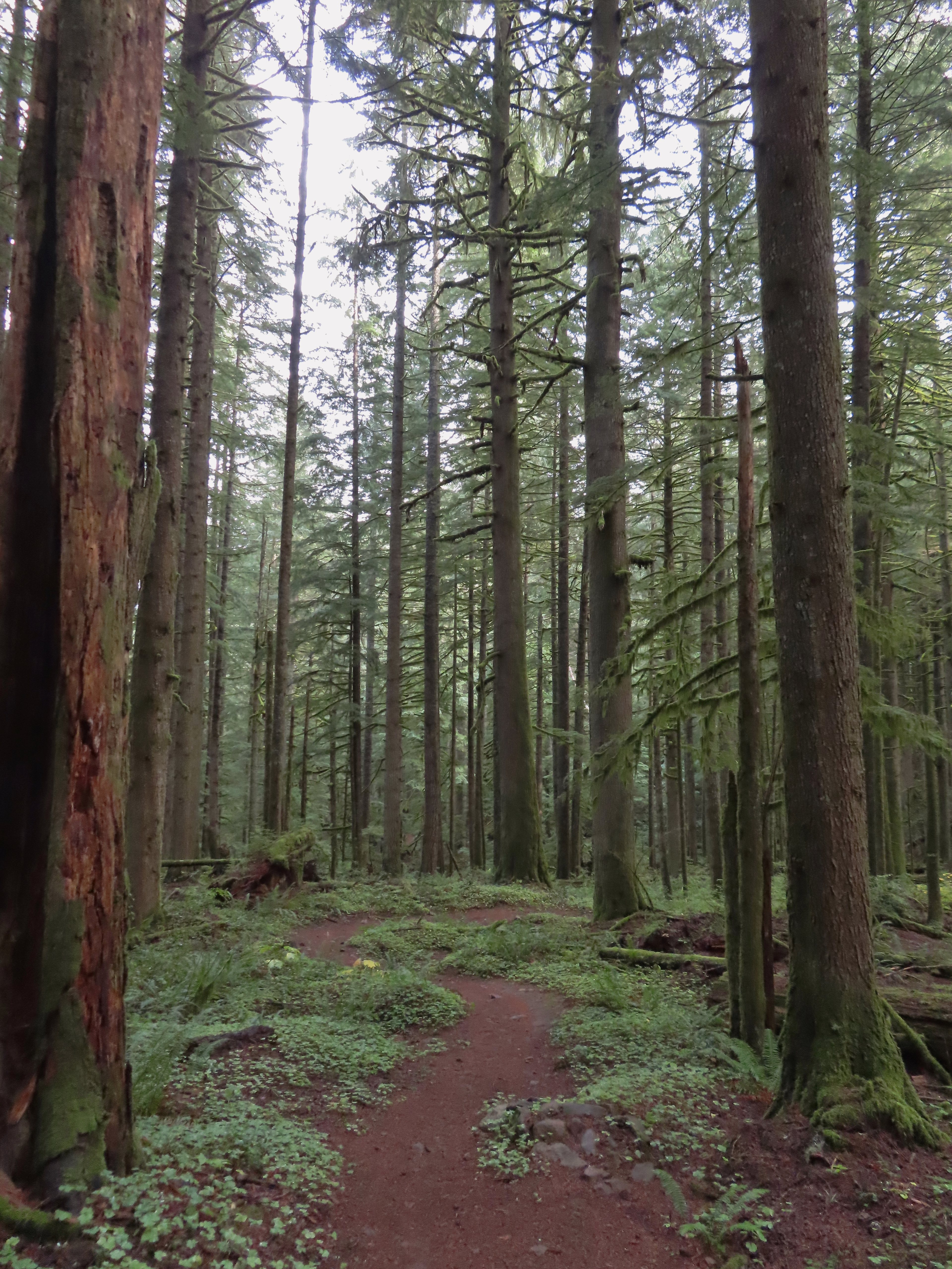
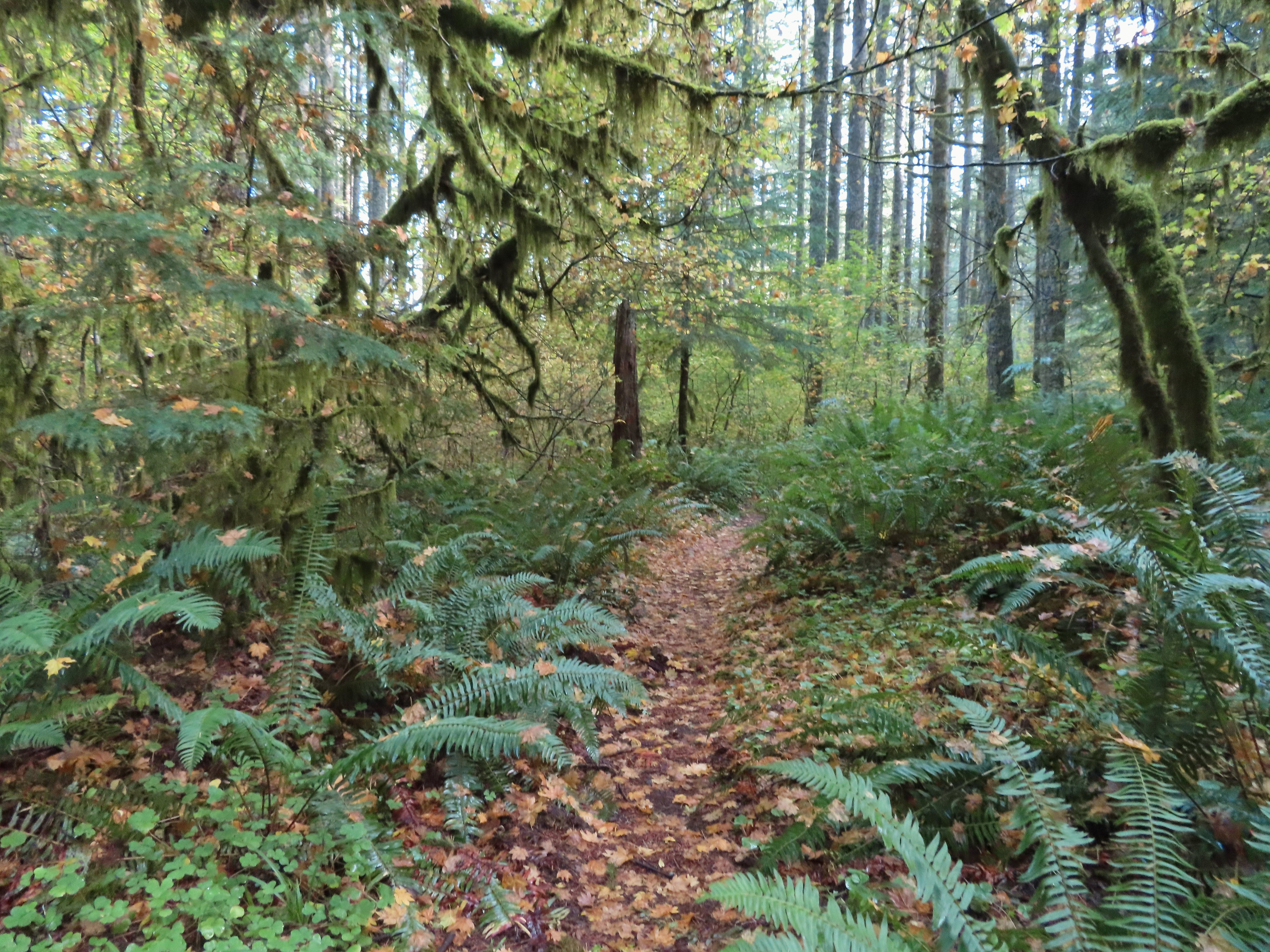
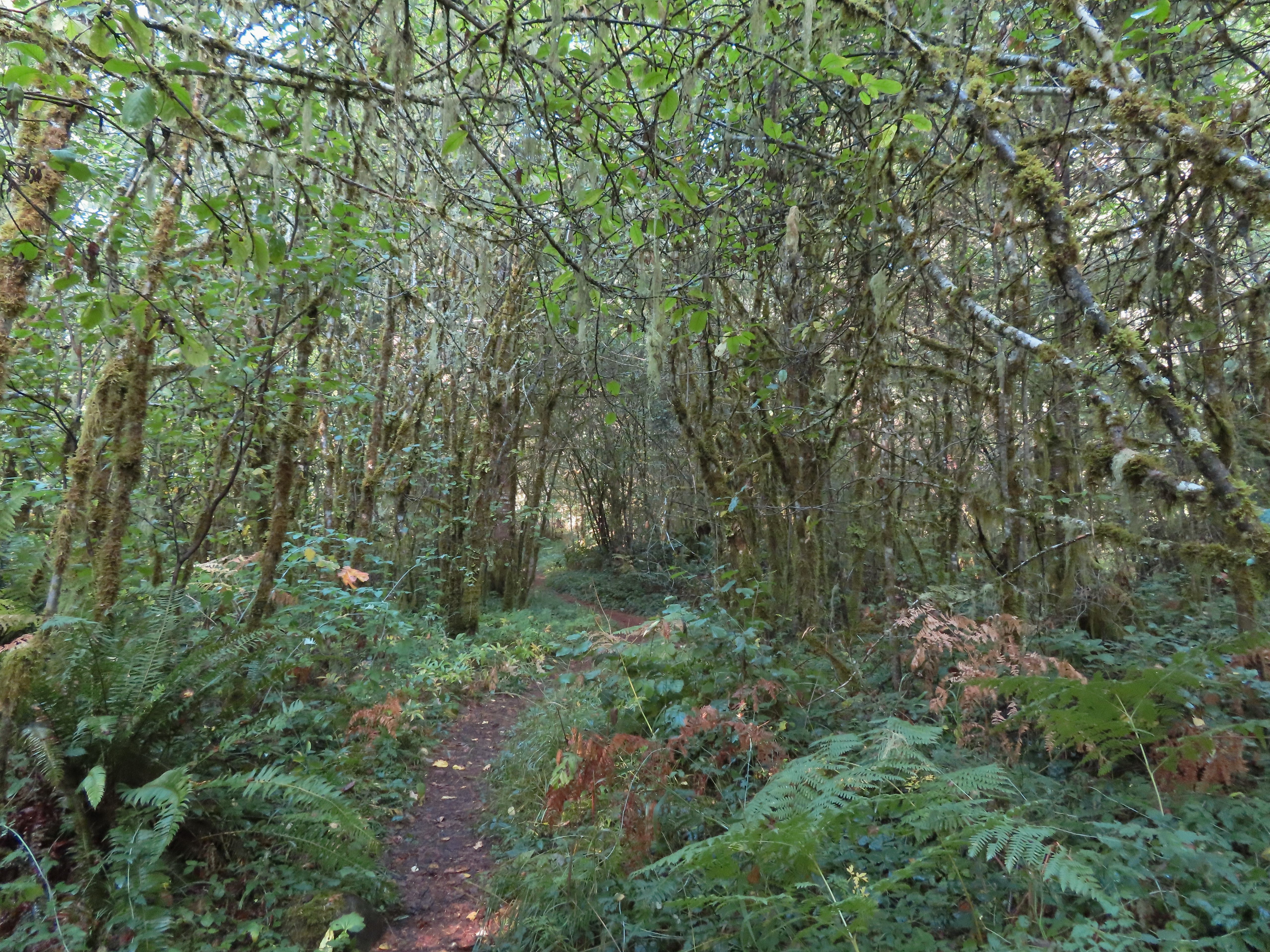
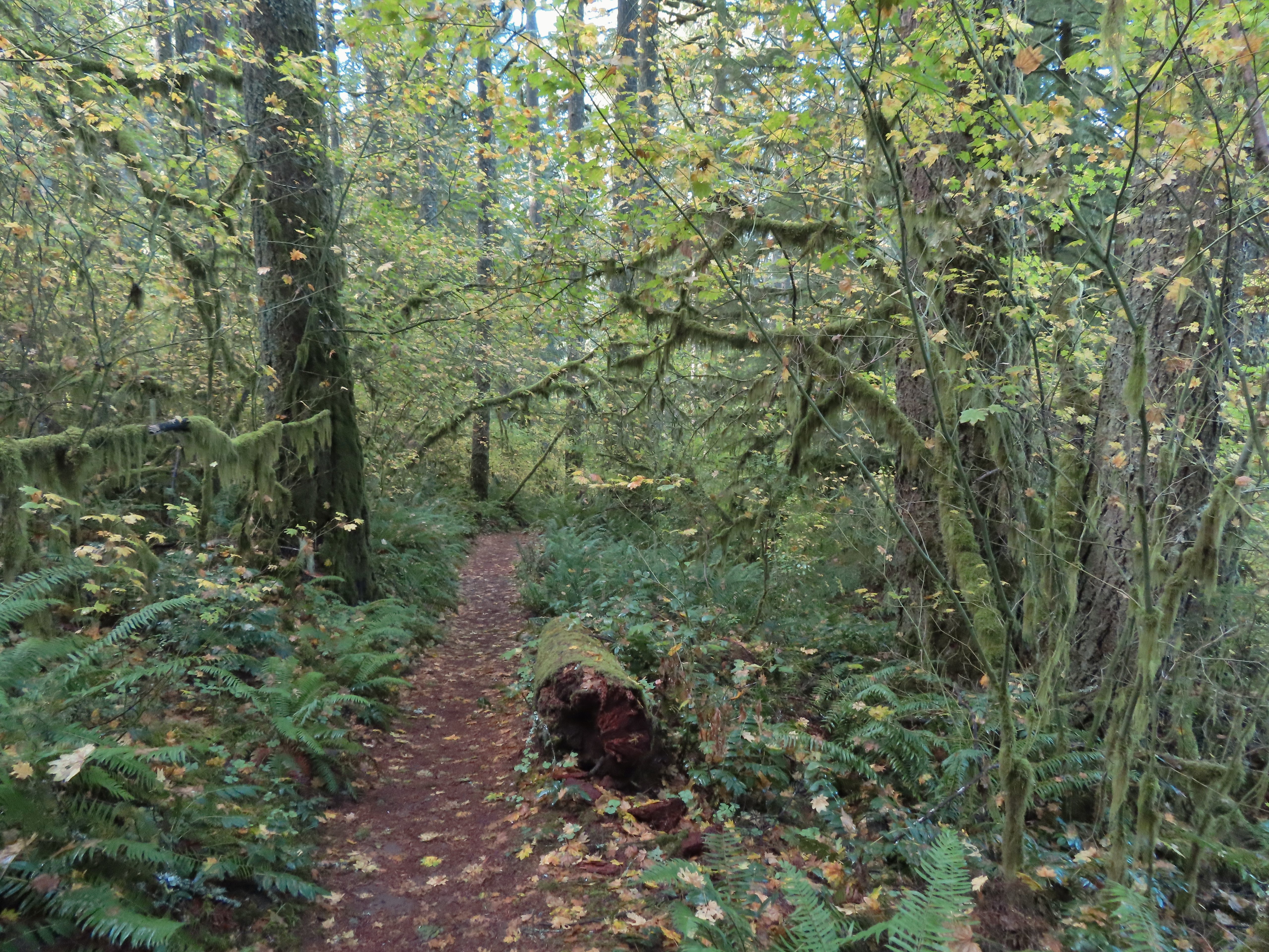
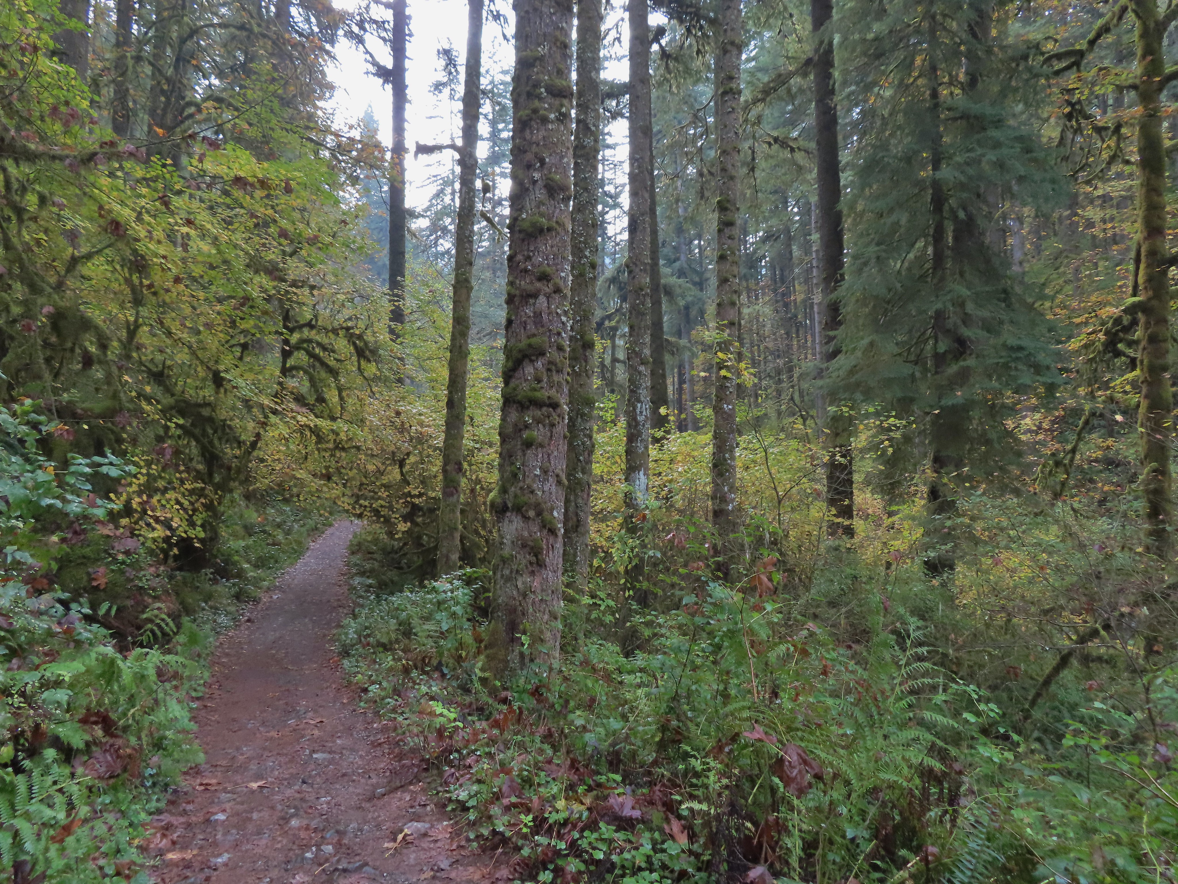
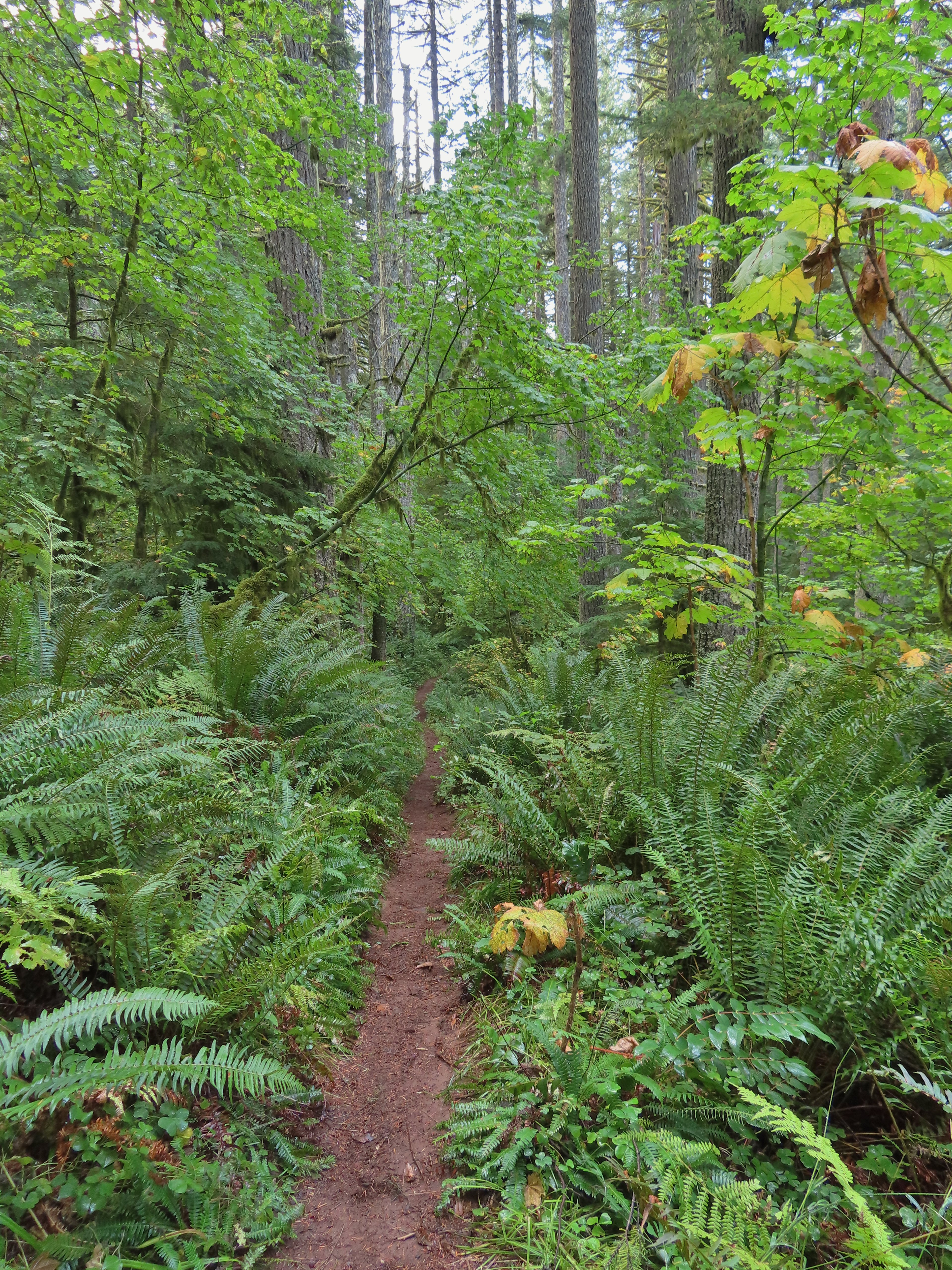 The vegetation went through several changes as the trail lost elevation.

 This was a big tree in the midst of much smaller ones.
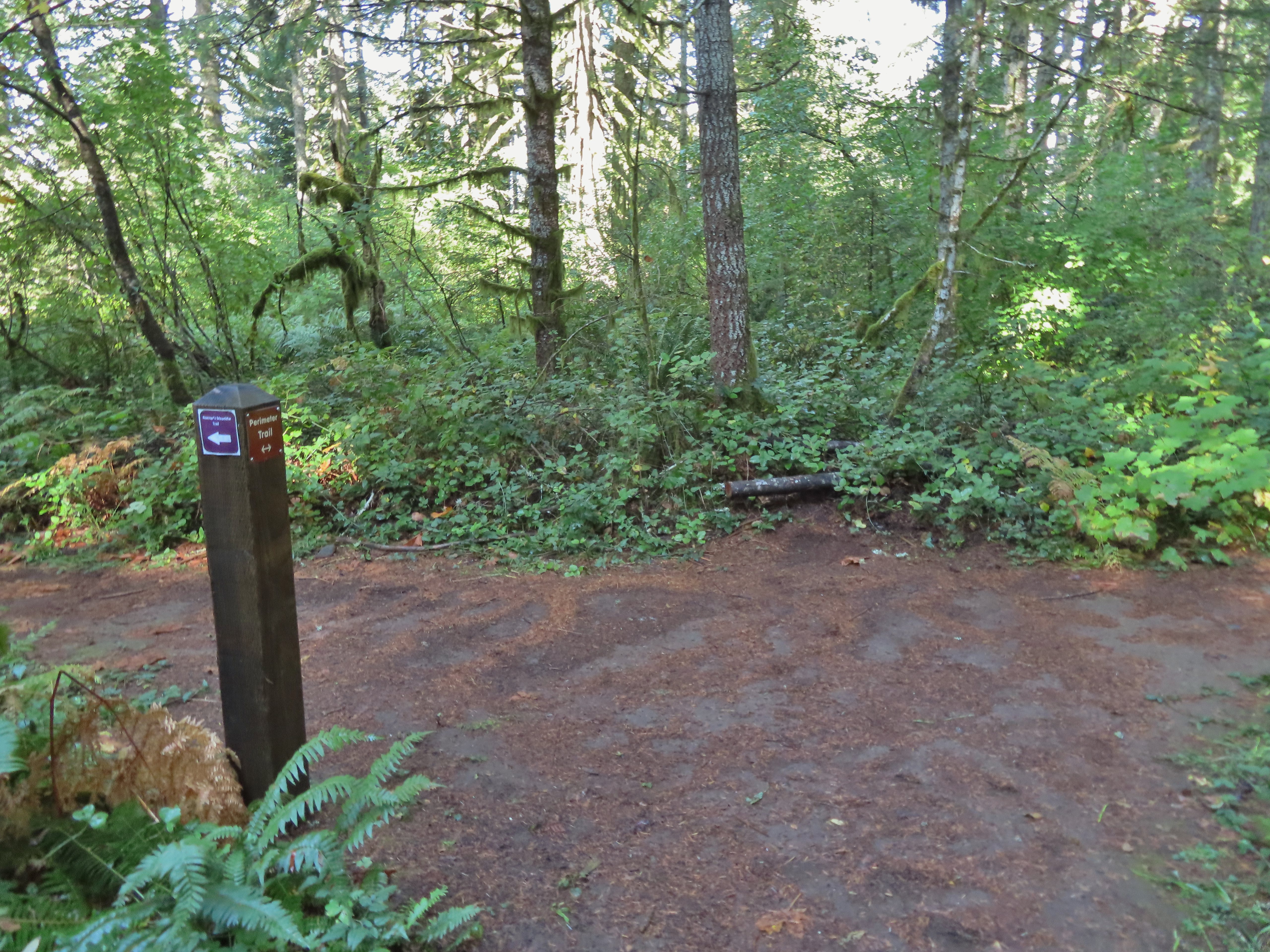 Roemer’s Meadow Trail (left) isn’t shown on the park maps yet, but it was completed in 2021 with help from the Salem Area Trails Alliance. (They do a lot of good work in the park and the area.) The trail is approximately 1.7 miles from the Rackett Ridge junction.
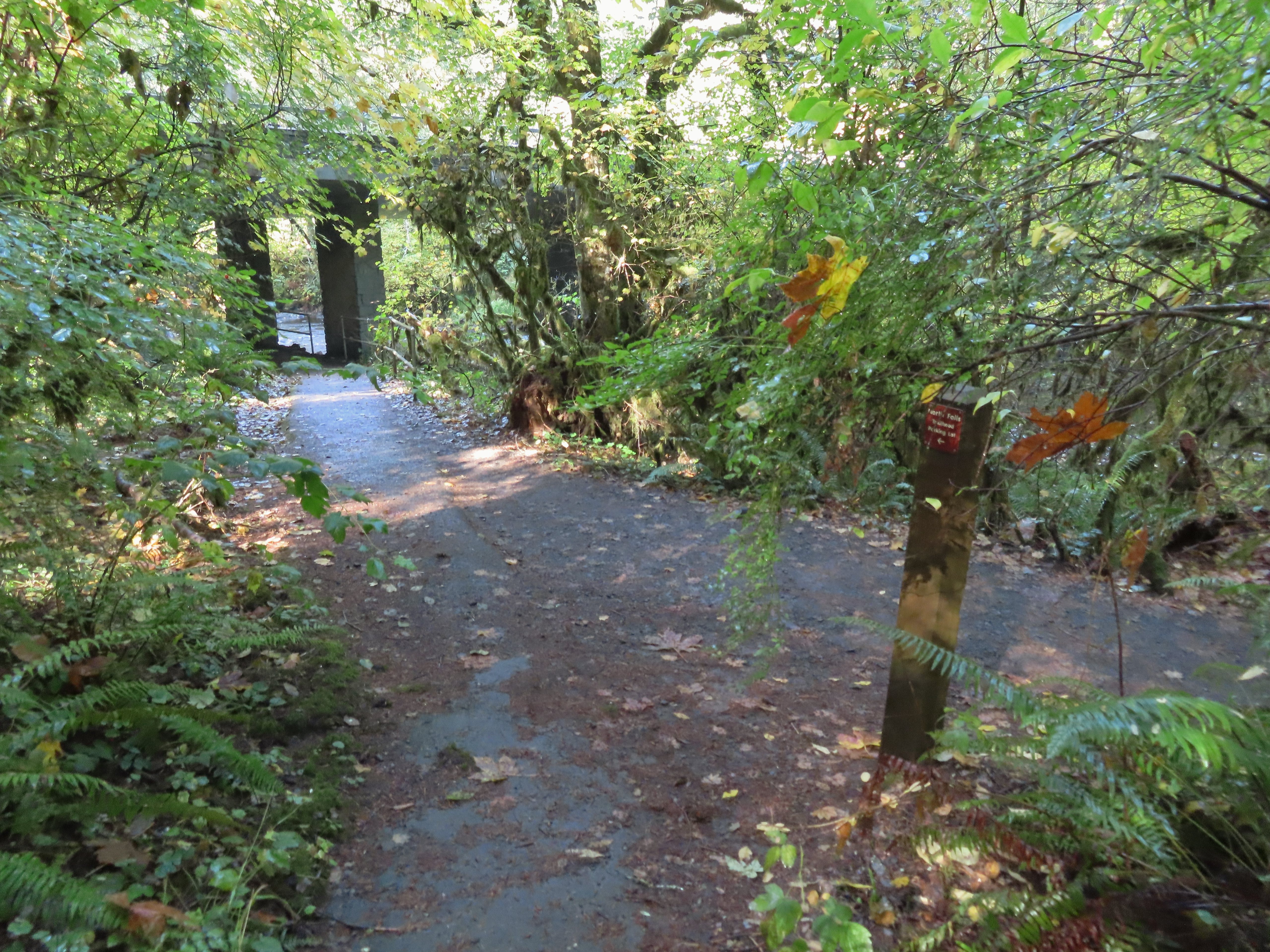 The Trail of Ten Falls junction near Highway 214.
 Looking back up the Perimeter Trail.
For the hike to be a true loop I would have turned left onto the Trail of Ten Falls, but in order to see Upper North Falls I needed go right for 0.3 miles so that’s what I did.
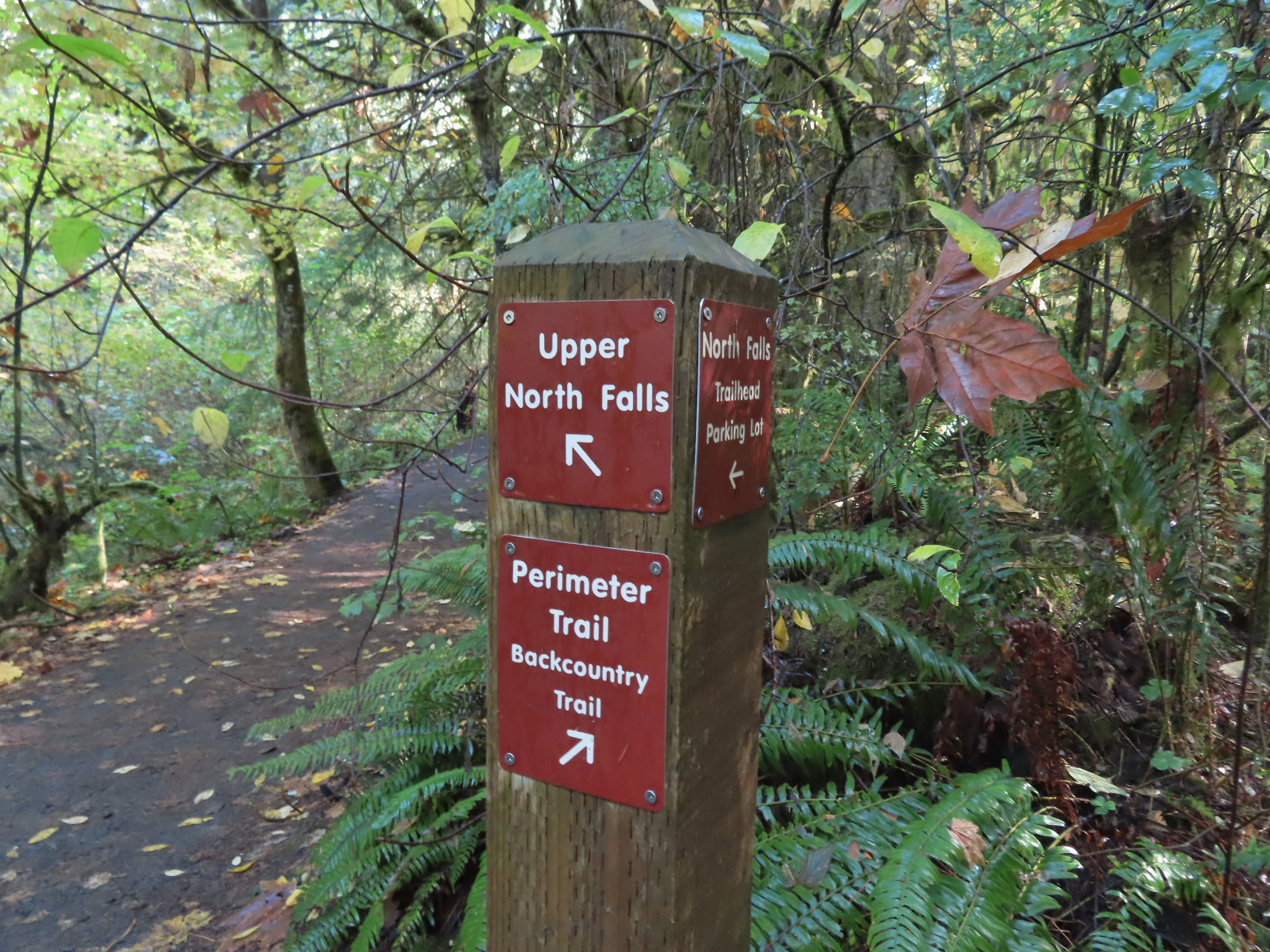
 Upper North Falls
After visiting the falls I headed back and passed under the highway to a large map at a “T” junction.

 A left would have taken me to the North Falls Trailhead.
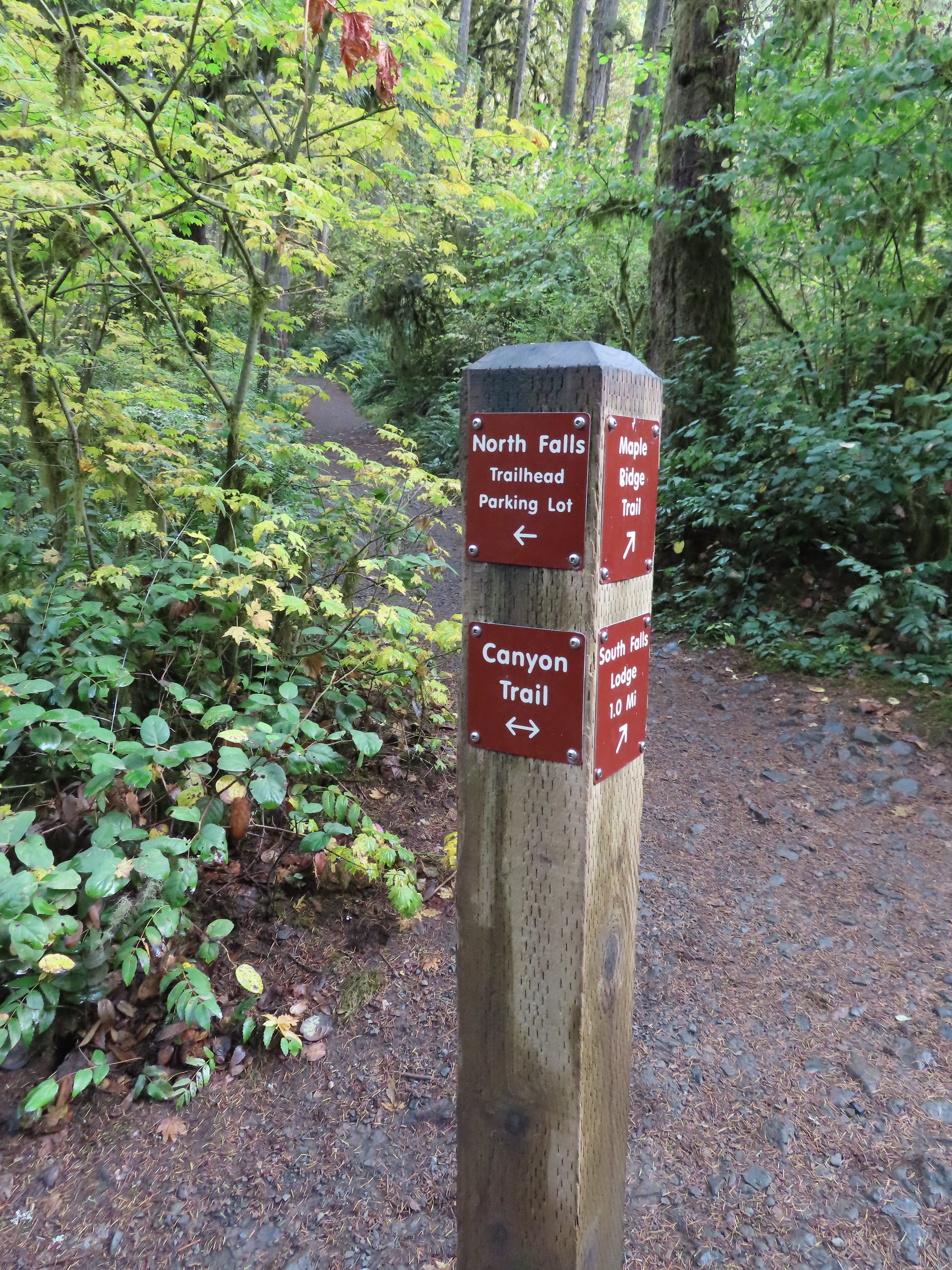
I turned right at the signboard then veered right onto the Canyon Trail at a congested fork in the trail.
 The Rim Trail to the left and Canyon Trail to the right, both part of the Trail of Ten Falls.

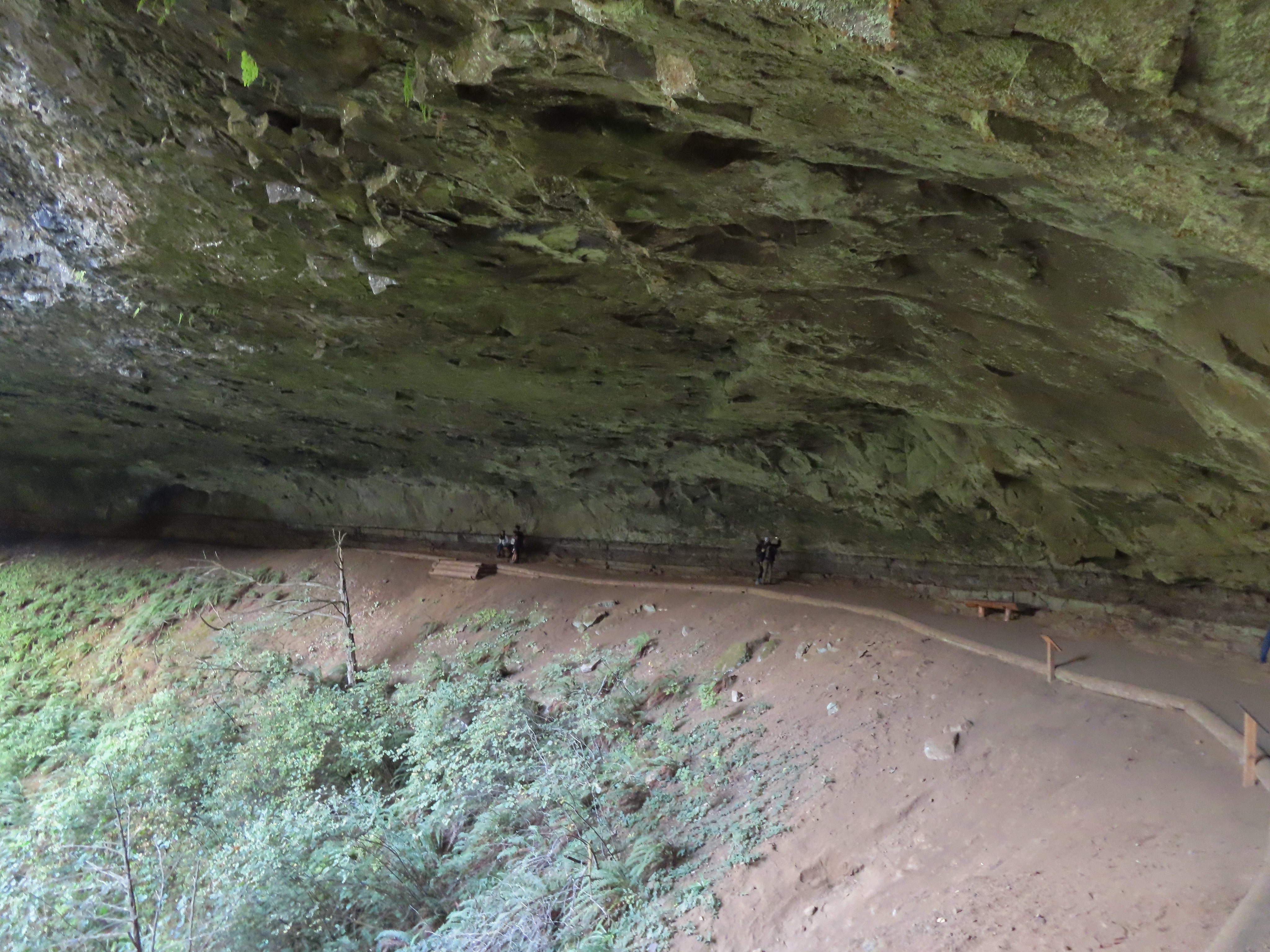
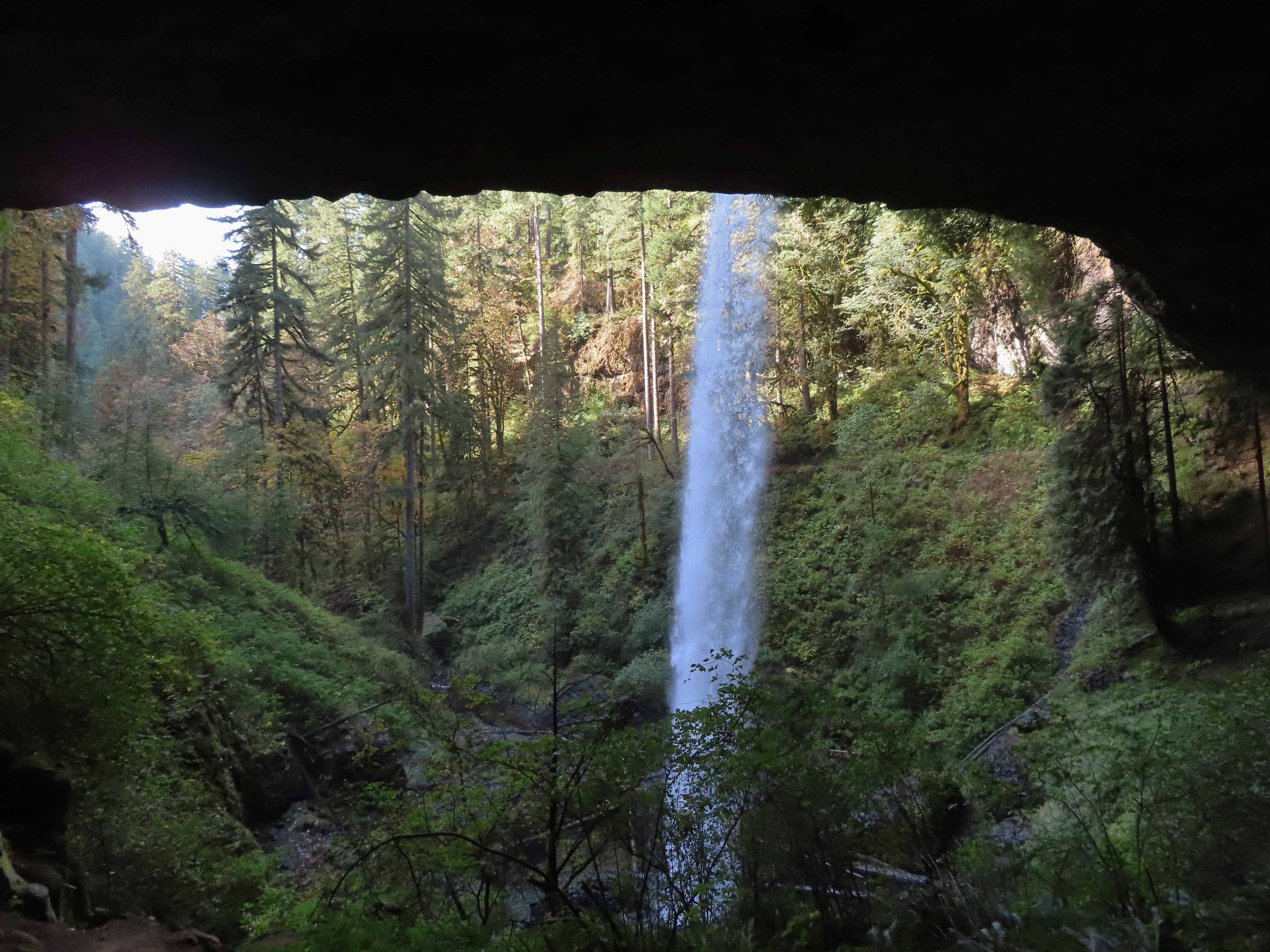
The Canyon Trail descended some stairs then wound its way behind North Falls in approximately a tenth of a mile.

The trail followed the creek arriving at Twin Falls a little over three-quarters of a mile from North Falls.

 I’m always impressed by the size of this rock in the creek.
 Not Twin Falls, but a nice little cascade nonetheless.
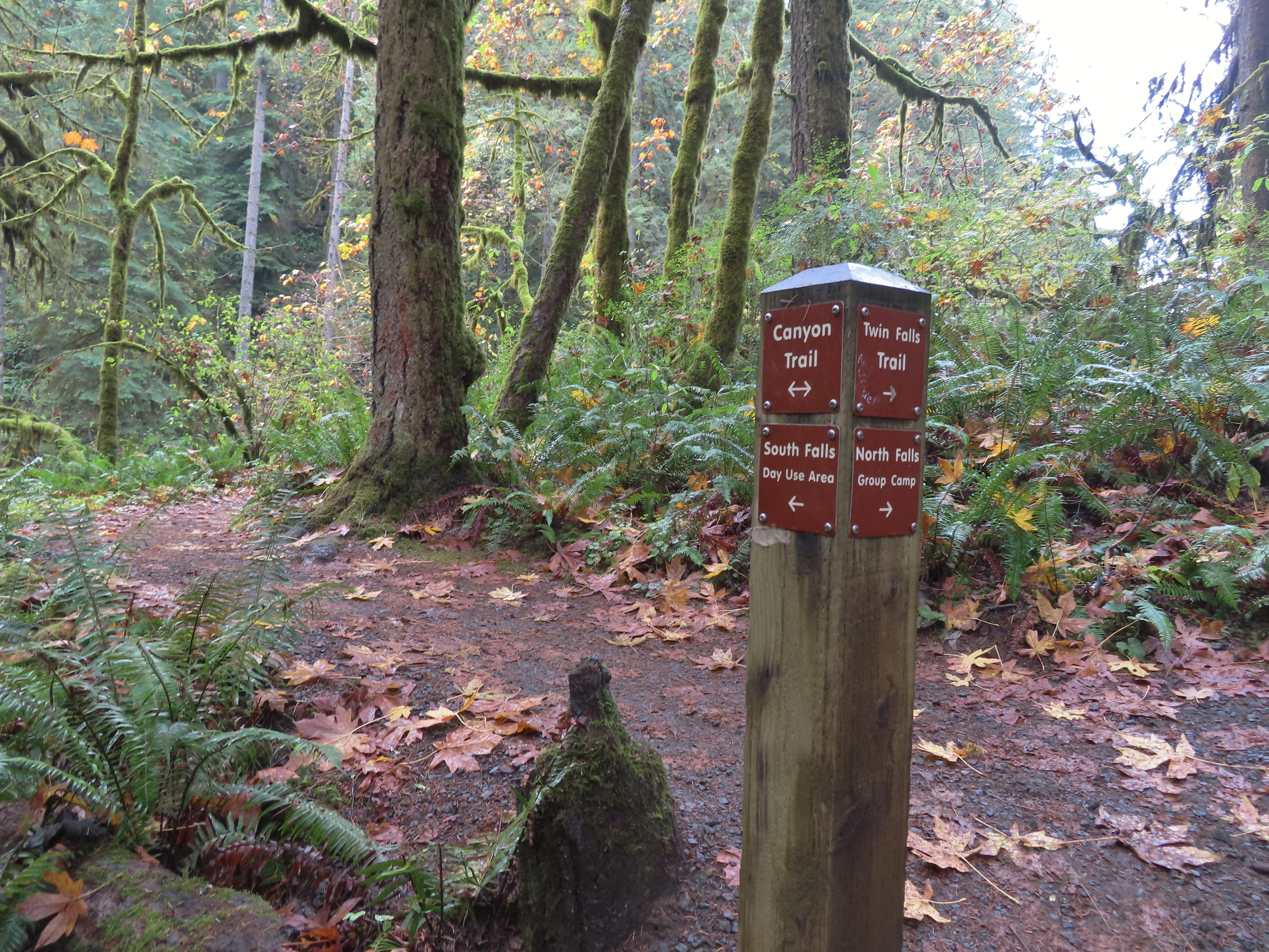 This post could be a little confusing without a map. The Twin Falls Trail climbs uphill to a group camp and does not lead to Twin Falls. The falls are the opposite side along a very short spur trail that connects at either end to the Canyon Trail.
 Twin Falls isn’t very easy to see from the spur trail either even though you’re right next to it.
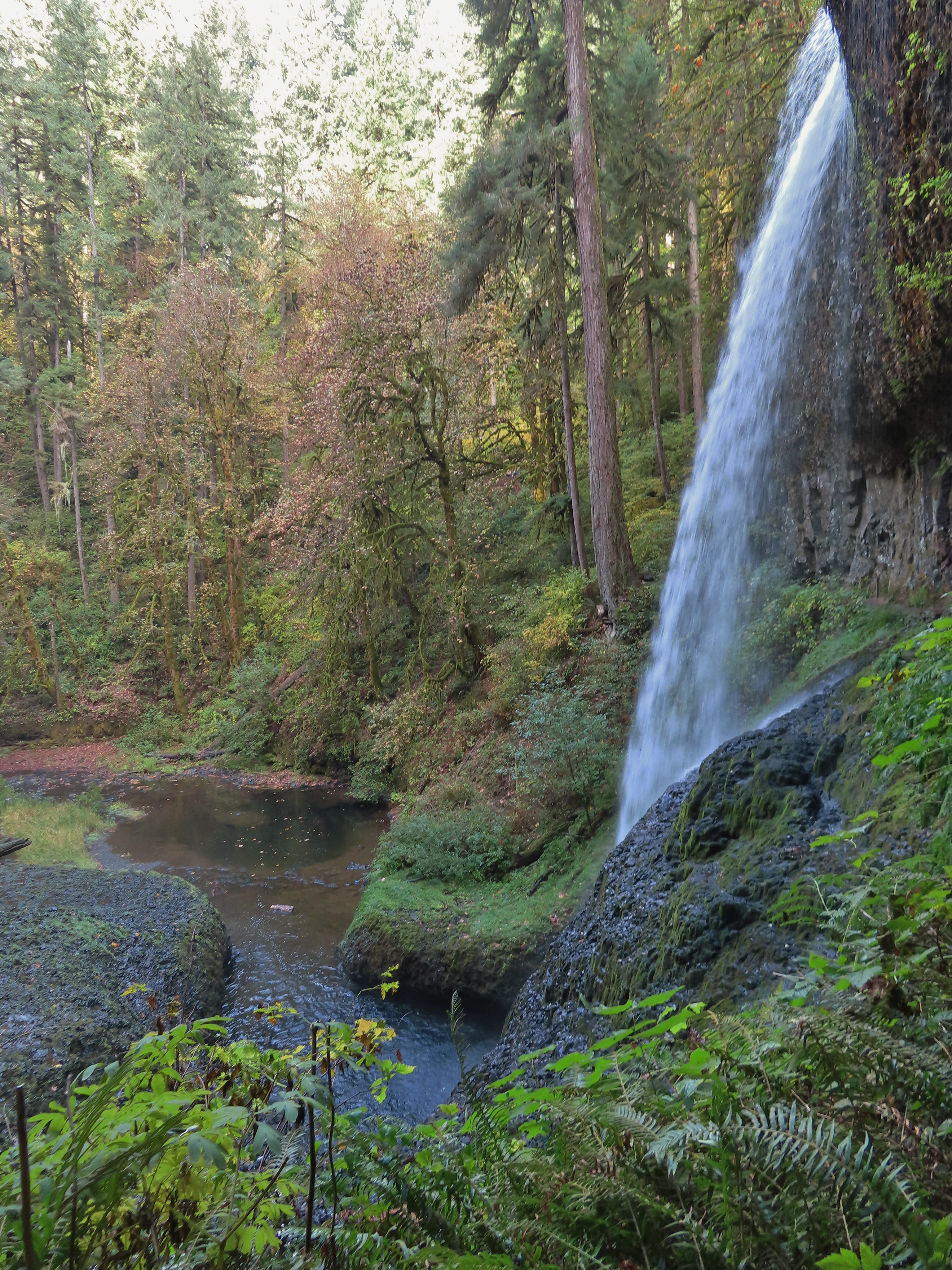
I was able to find a better viewpoint of Twin Falls further along the Canyon Trail.

 Twin Falls
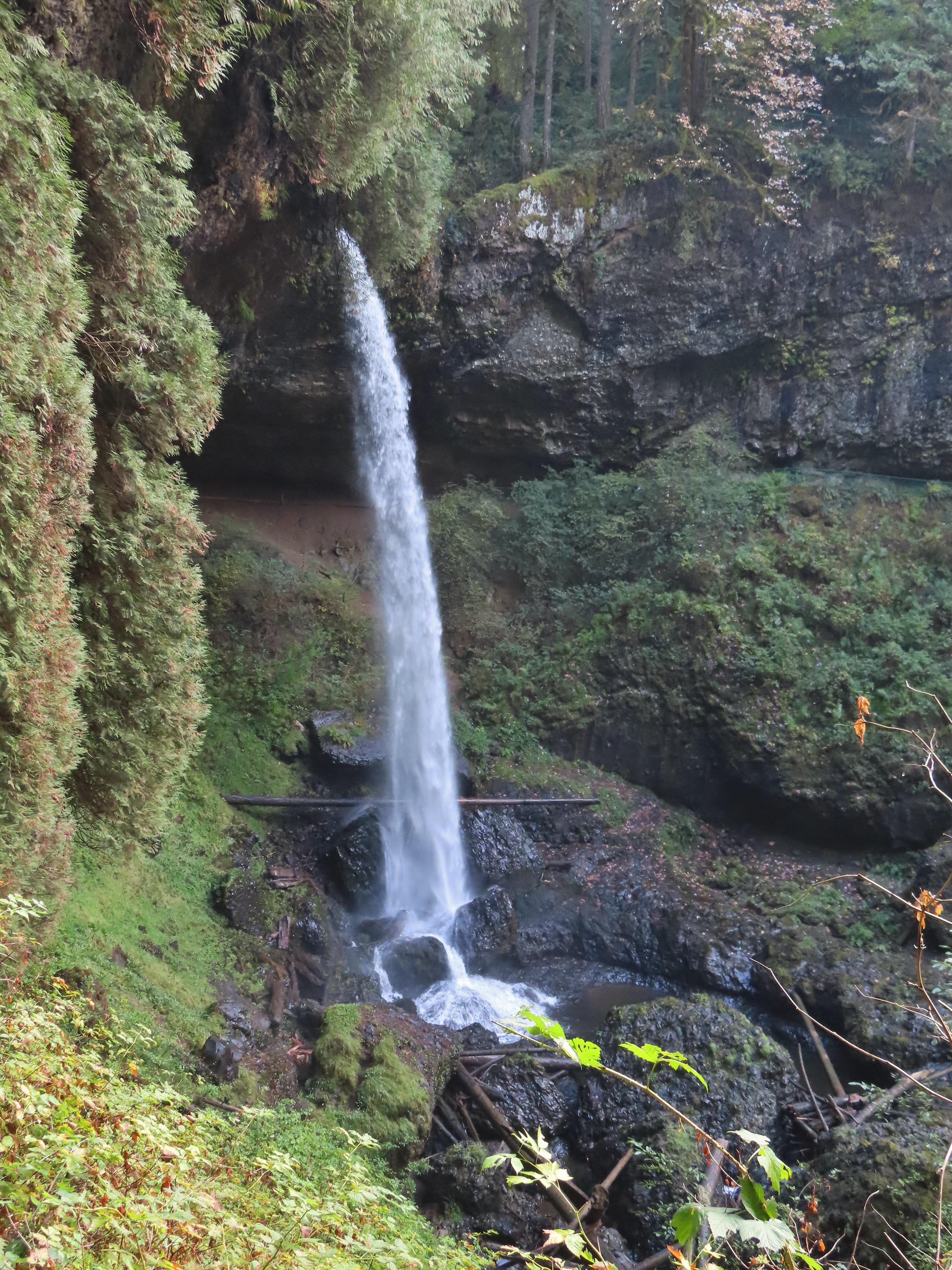
My next detour came 0.3 miles beyond Twin Falls when I turned left onto the Winter Falls Trail.

The Winter Falls Trail crosses the creek on a footbridge then climbs gradually to the base of Winter Falls before steepening to climb up to the Rim Trail. I turned around before the steep part.

 North Fork Silver Creek
 Winter Falls, as the name suggests it’s not much of a waterfall outside of Winter when rain and snowmelt provide more water.
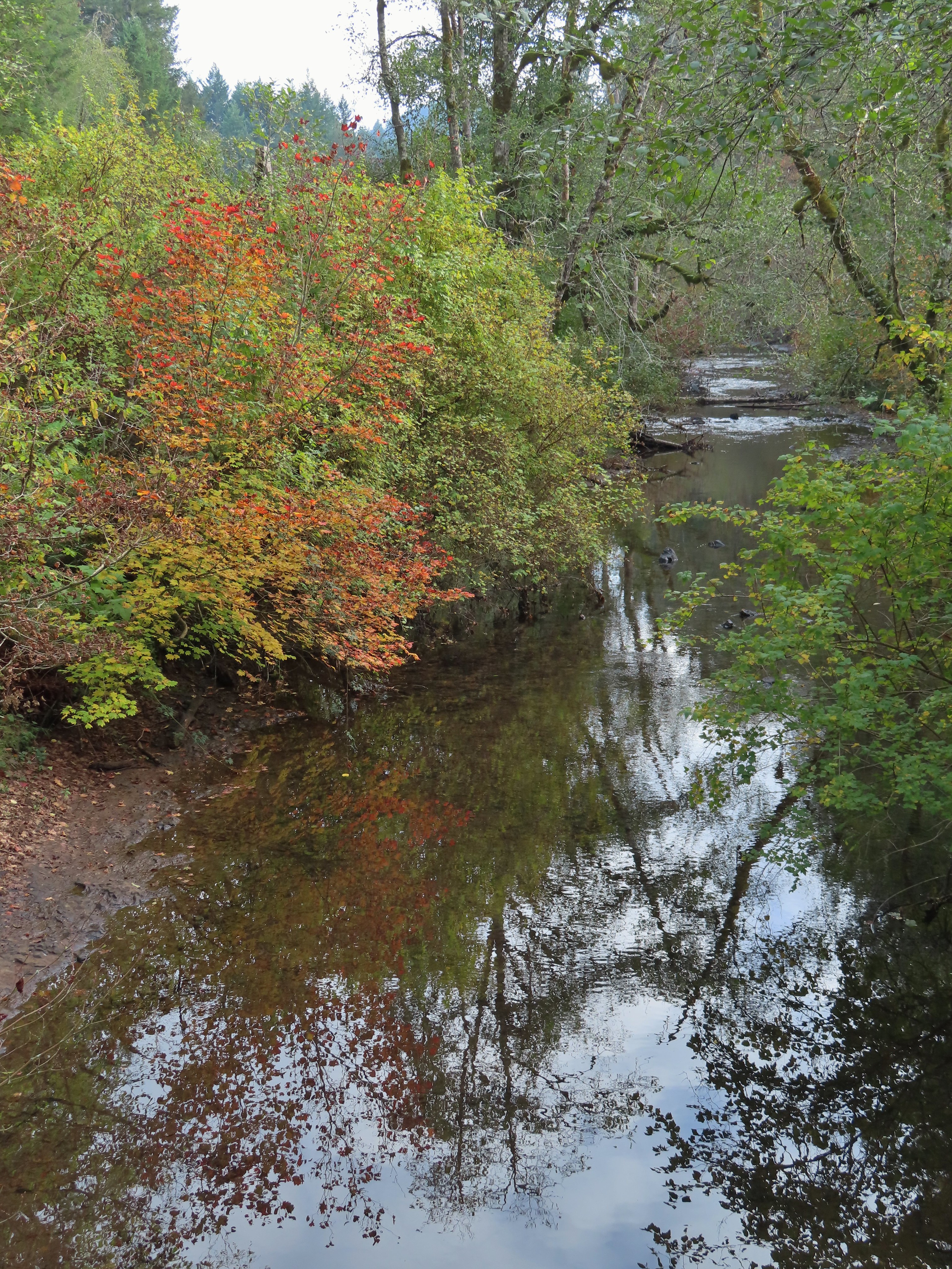
 With the dry Summer it isn’t a great Fall color year but there was a decent display along this trail.
After saying hi to Winter Falls I returned to the Canyon Trail and continued toward the South Falls Day Use Area. Next up was Middle North Falls and another detour to go behind this one as well.
 I turned left here on the spur trail behind Middle North Falls.


I again returned to the Canyon Trail and quickly arrived at the Drake Falls viewing platform.
 Middle North Falls from the Canyon Trail.

 The 27′ Drake Falls.
Approximately a quarter mile beyond Drake Falls I turned right onto the Double Falls Trail.

Much like Winter Falls, Double Falls is on a side creek which has a low flow much of the year.
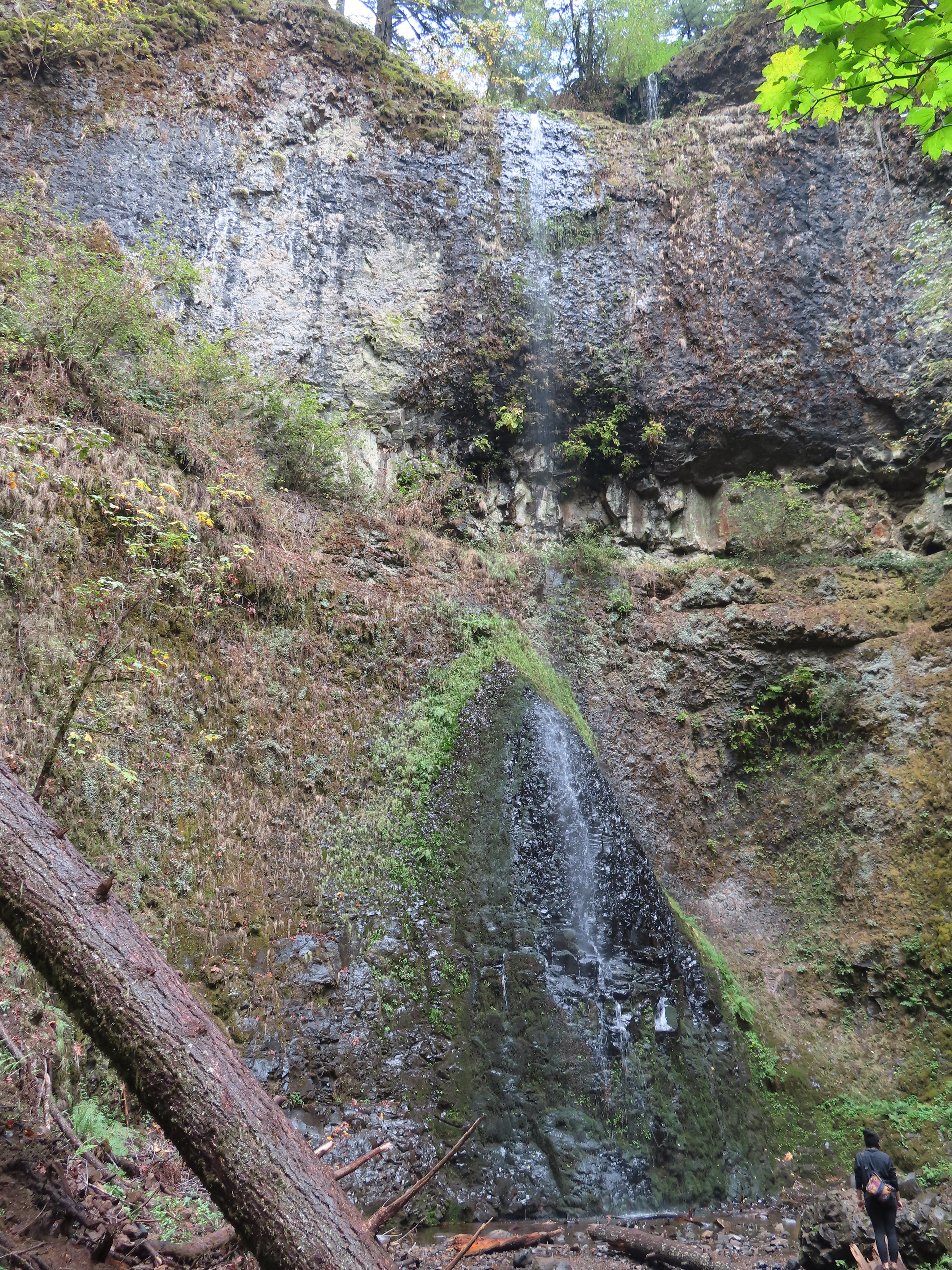 The hiker at the base gives a good idea of the fall’s height, you just have to use your imagination to add water.
On my way back to the Canyon Trail I ran into one of Heather’s friends which allowed me to pause for a moment to talk and update her on our new kittens. Just beyond the Double Falls Trail I passed the eighth waterfall of my hike, Lower North Falls.


It was about here that my feet started to let me know that this was a long hike. It was almost a mile from Lower North Falls to my next marker, a junction with the Maple Ridge Trail.
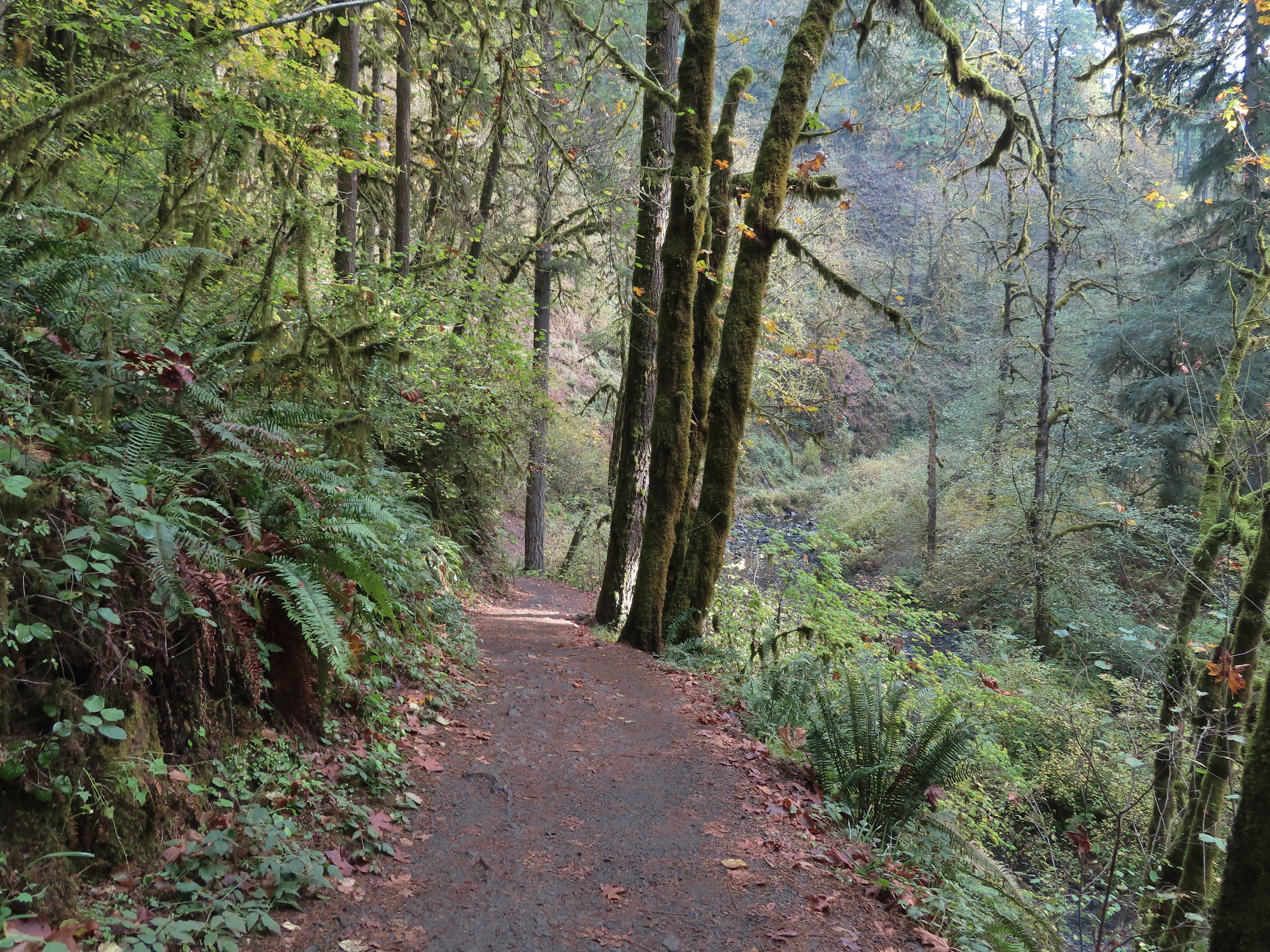
 The Canyon Trail crosses the creek just downstream from Lower North Falls then makes a short climb to get above the canyon cliffs.
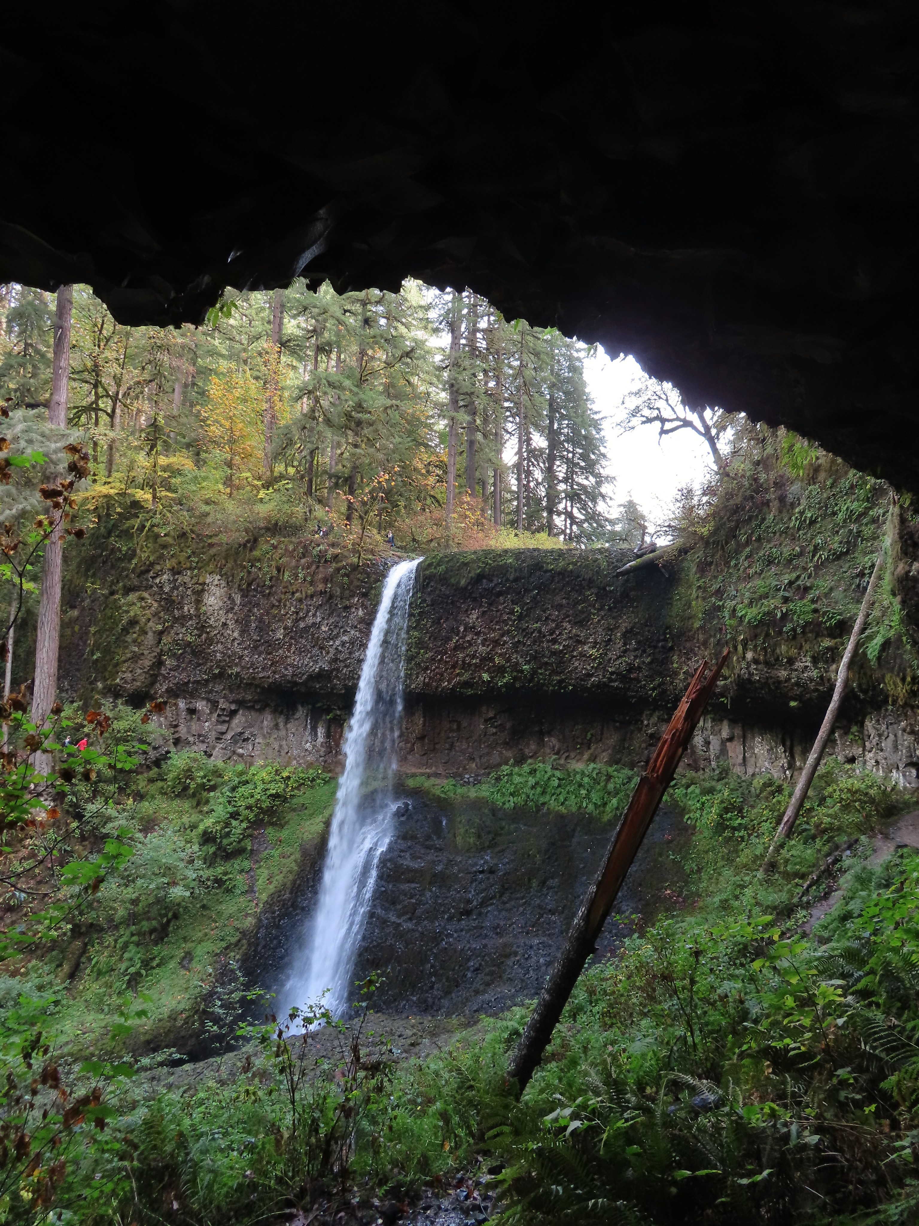
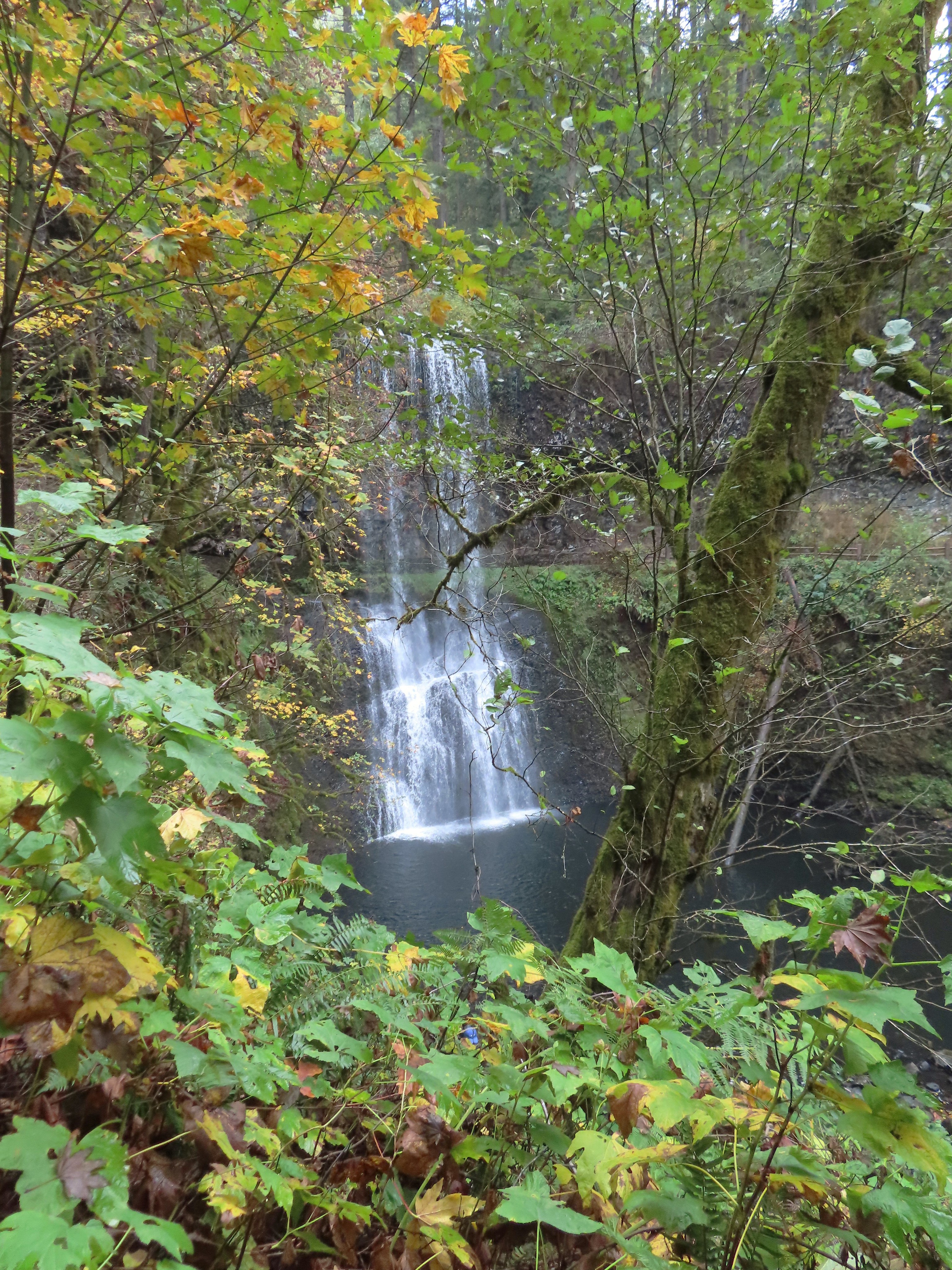
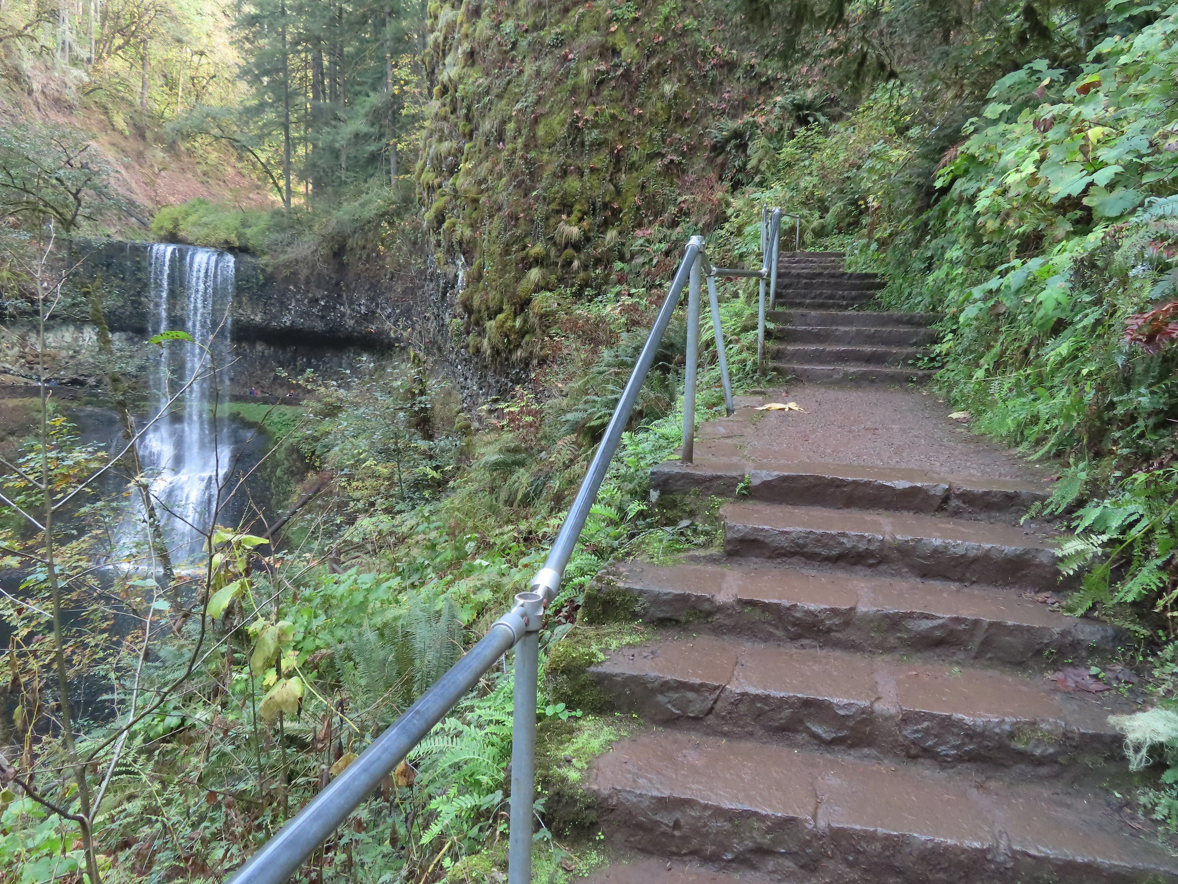
A quarter mile from the Maple Ridge junction was Lower South Falls, another that the trail passes behind.
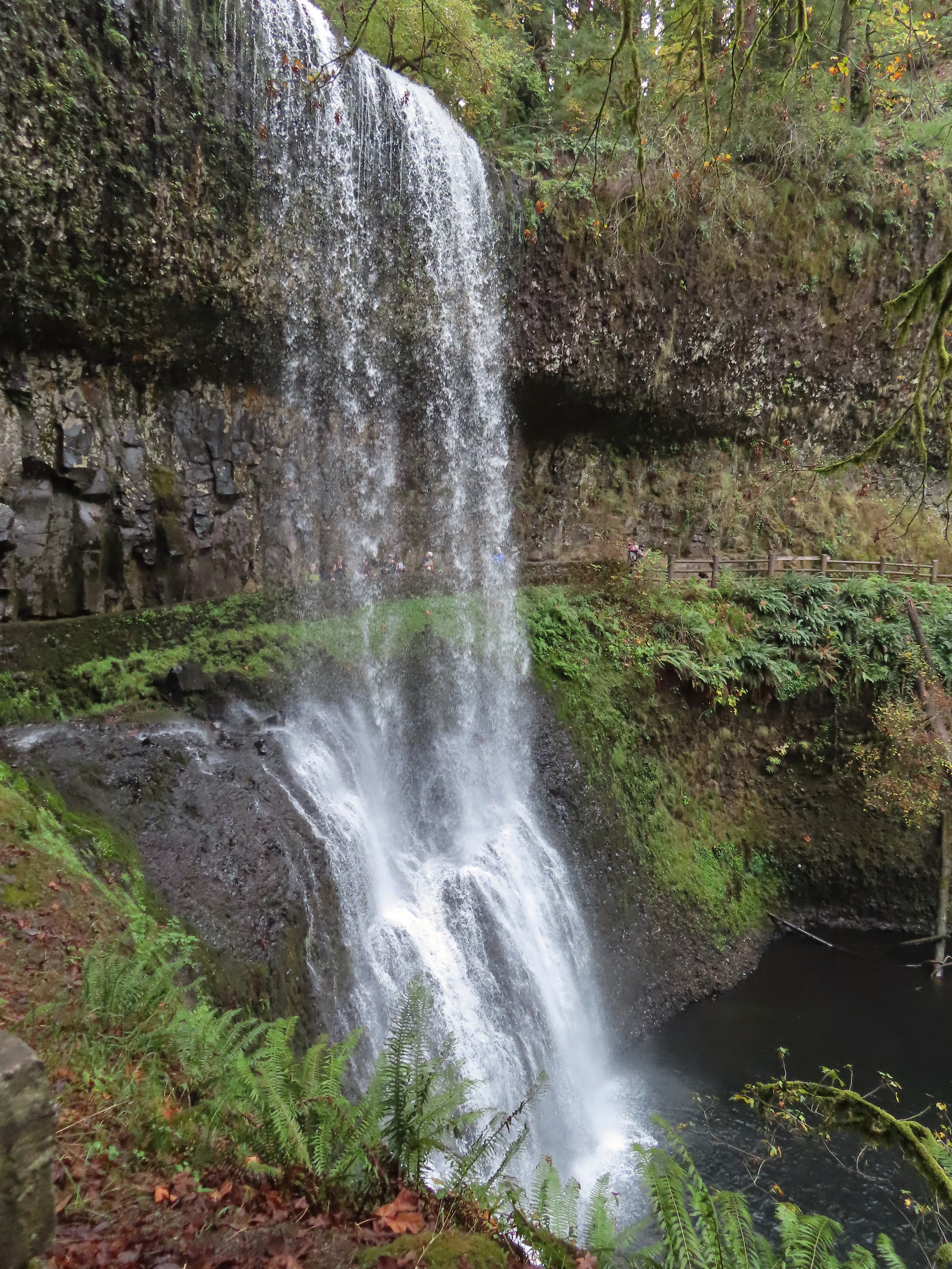


After passing behind the falls the trail climbs a number of stairs which at this point of the hike was a mean trick.
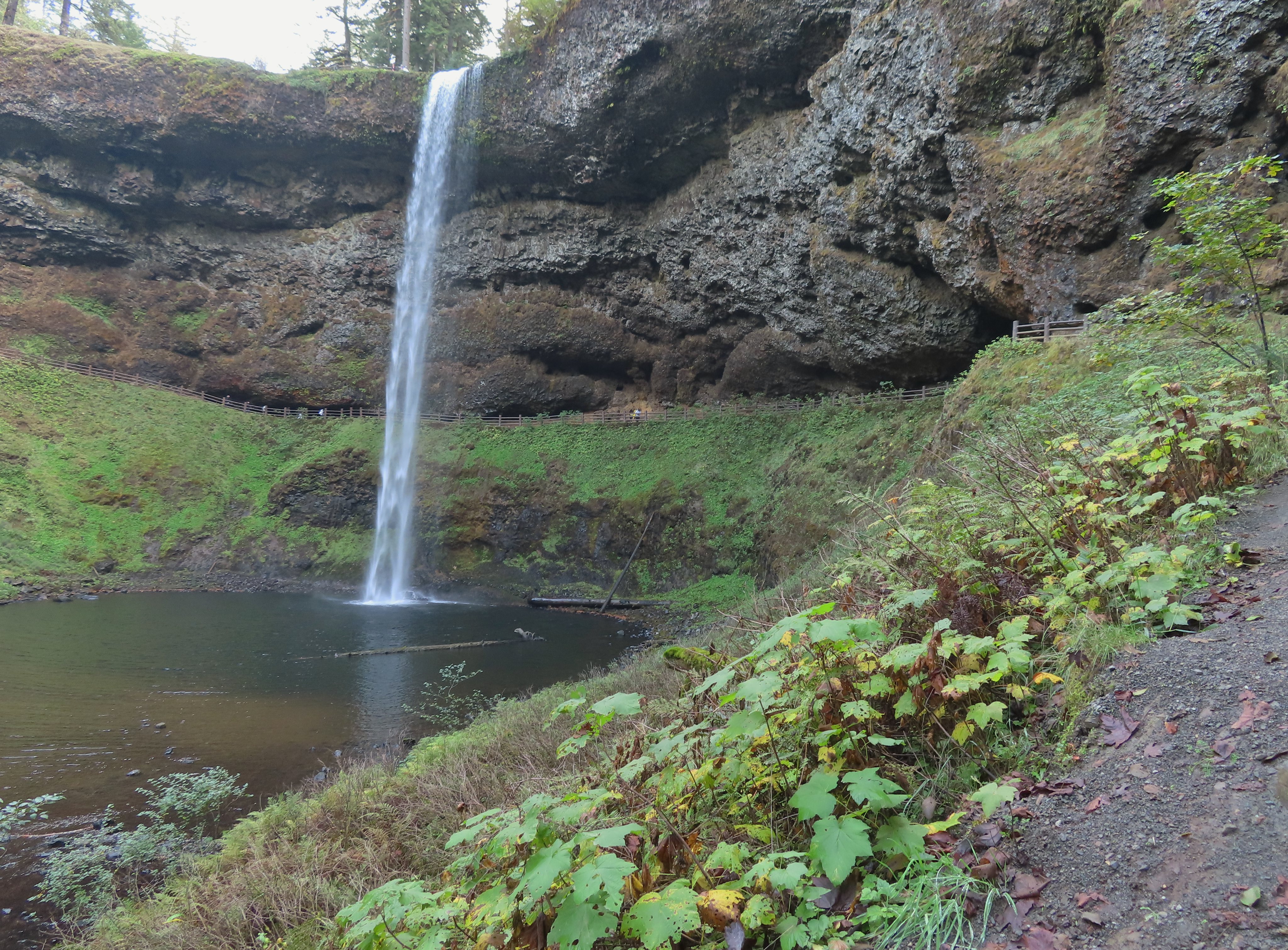
After conquering the stairs it was another 0.6 miles level miles to a footbridge at a fork in the trial within sight of the tenth and final waterfall, South Falls.


 I walked out onto the bridge for the view then returned to the junction to take the right hand fork and go behind this fall as well.


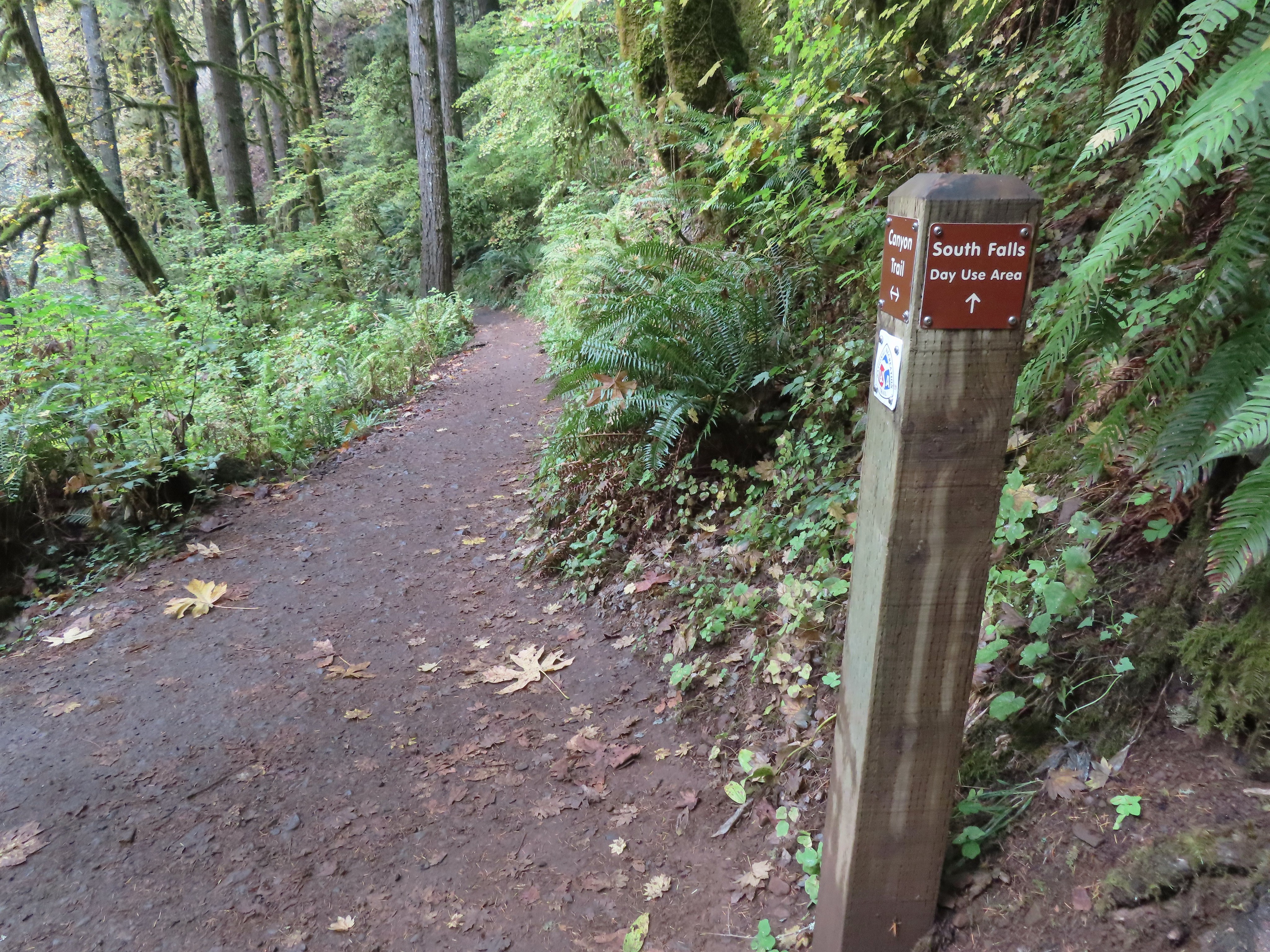
I stayed right at junctions as I climbed to the top of South Falls then followed a paved path to a footbridge where I crossed the creek.


 View toward South Falls from the footbridge.
I followed the paved path to the Bike Path where I recrossed the creek then made my way along the parking lot to the car.

 Not sure what this old building was, possibly restrooms by the doors.
 One of several picnic shelters in the park.
 Approaching the Bike Path where I recrossed the creek.
 I can see the car!
The hike turned out to be close to 22 miles with somewhere around 2900′ of cumulative elevation gain. The GPS originally said 22.4 miles but that was partly due to it jumping around when I was behind the different falls and it didn’t have a good connection to the satellites. Removing some of the points put the total down to 21.5 miles but doing that lost the out-and back behind Middle North Falls and some of the switchbacks up from South Falls. Whatever the actual distance it was a lot for me but overall everything held up pretty well. A couple of small blisters on one heel were the worst consequence. The fact that it hadn’t rained surely helped with the feet.

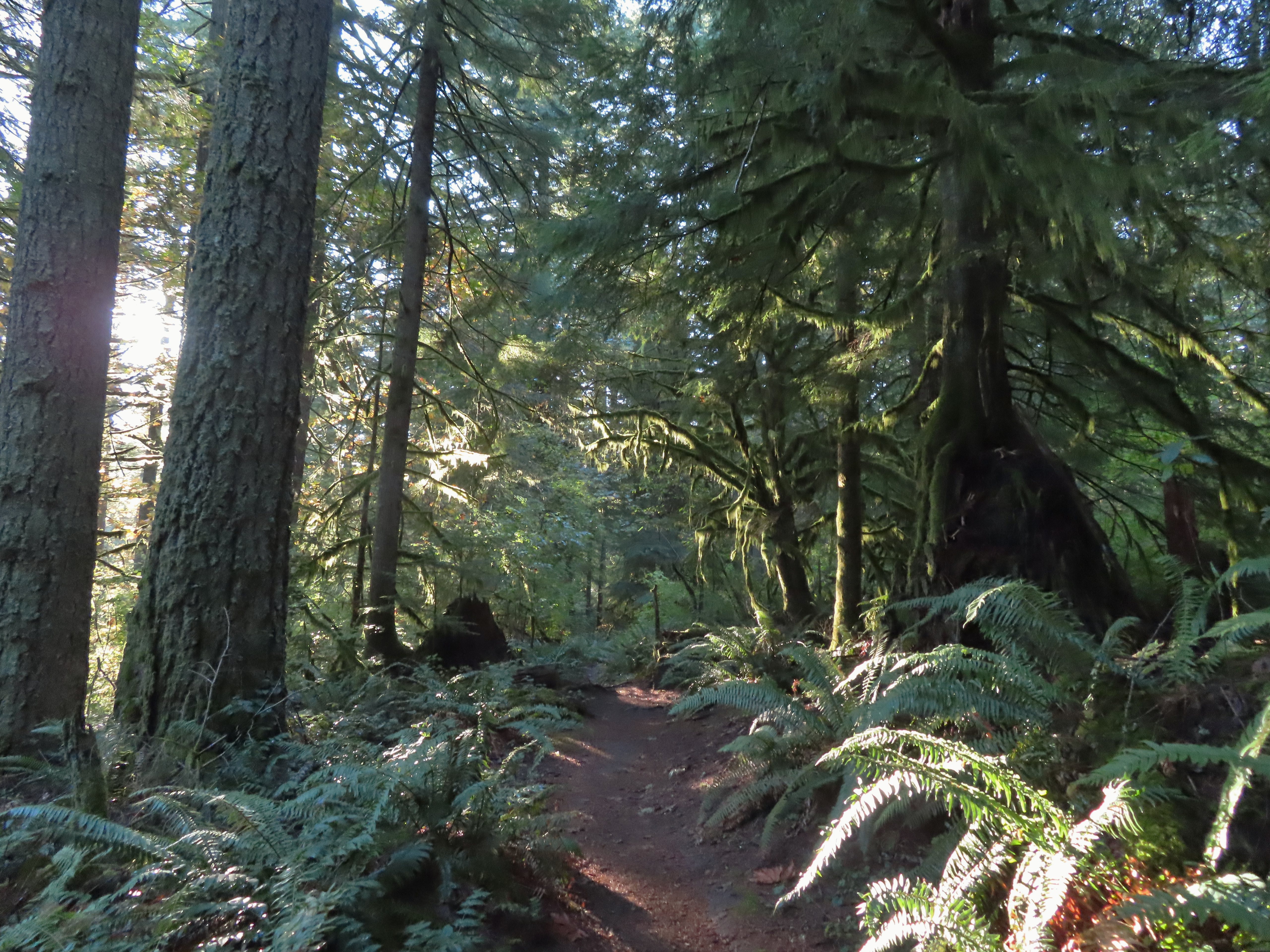
The lack of people in the backcountry is almost a shame as the forest is lovely and the trails well maintained. I say almost a shame because for those of us who do take the time to explore it, the solitude only adds to the beauty. The Trail of Ten Falls was busy comparatively, but it wasn’t the zoo that it would have been on a Summer weekend which was nice. Doing the loop in reverse would have resulted in less folks at the falls but we’d been to the falls in the morning on all our other visits so this gave me a chance to see them with the Sun at a different angle. The only minor bummer was not being able to hike the full Catamount Trail due to the one-way section. If I were to do it over I would probably start at the North Falls Trailhead and go clockwise so that I would have been going the right way for that section and still would have ended with most of the Trail of Ten Falls. Happy Trails!
Flickr: Silver Falls Perimeter Loop
