While Spring has largely been a no-show so far this year, Summer decided to make an early appearance with a weekend forecast for temperatures topping 90 degrees. We’ve been lucky to hit 60 so we’ve had no time to adjust to that kind of heat. In the past when temperatures have soared, we’ve opted to adjust our planned hike to minimize the impact. That wasn’t necessary this time though as our planned outing was to take three short hikes, each less than an hour North of Salem.
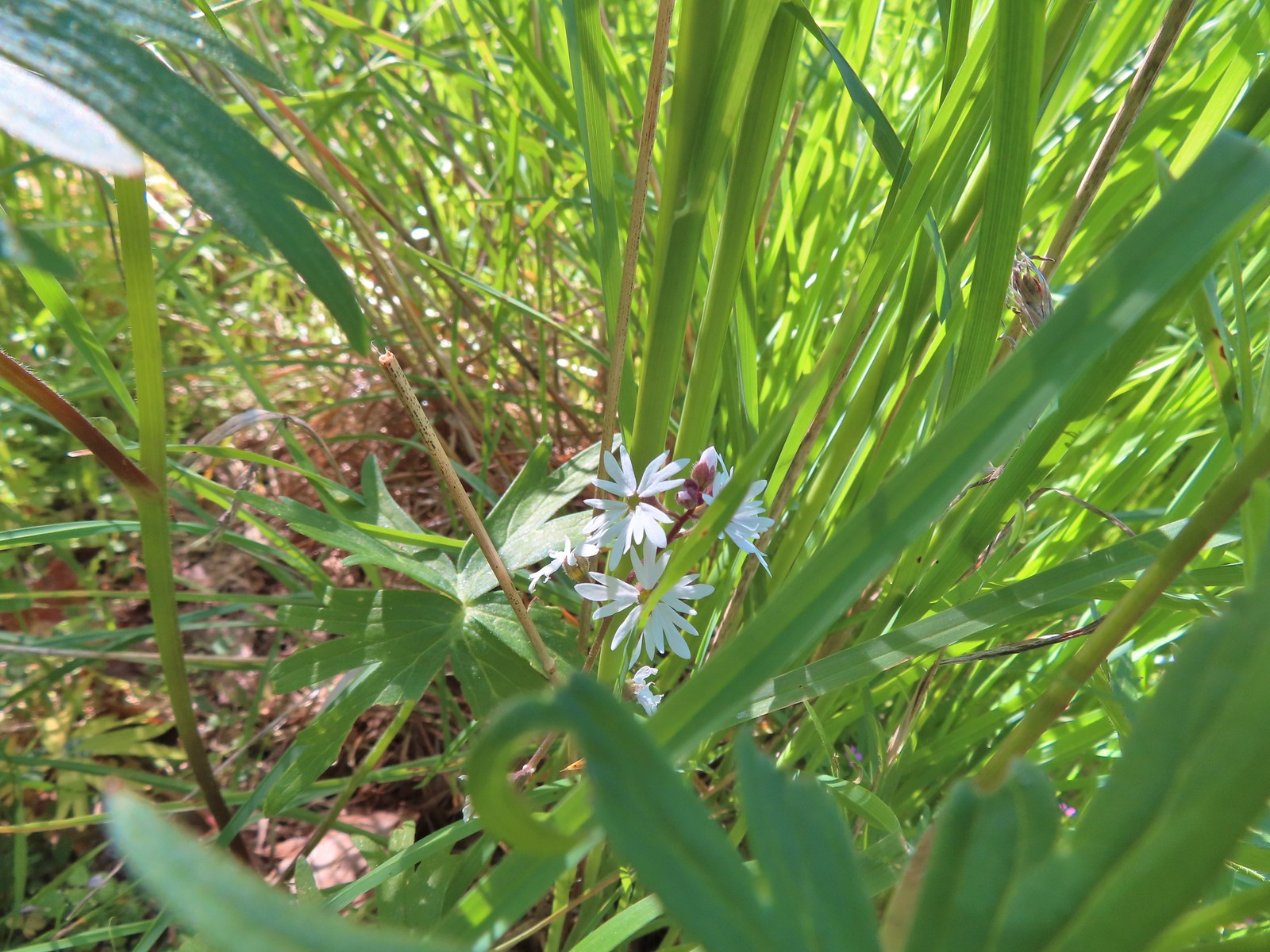
We started our morning by re-visiting the Tualatin River National Wildlife Refuge. We’d stopped here in March of 2019 (post) but could only hike the River Trail at that time of the year. The longer Wetland Trail loop is closed from October 1st through April 30th so we’d scheduled this May visit to check out the loop. We started from the Roy Rogers Trailhead where we found a nice patch of wildflowers to greet us.
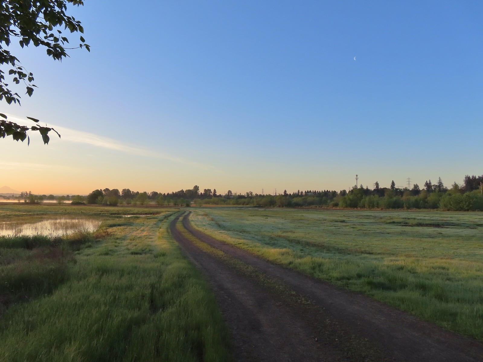
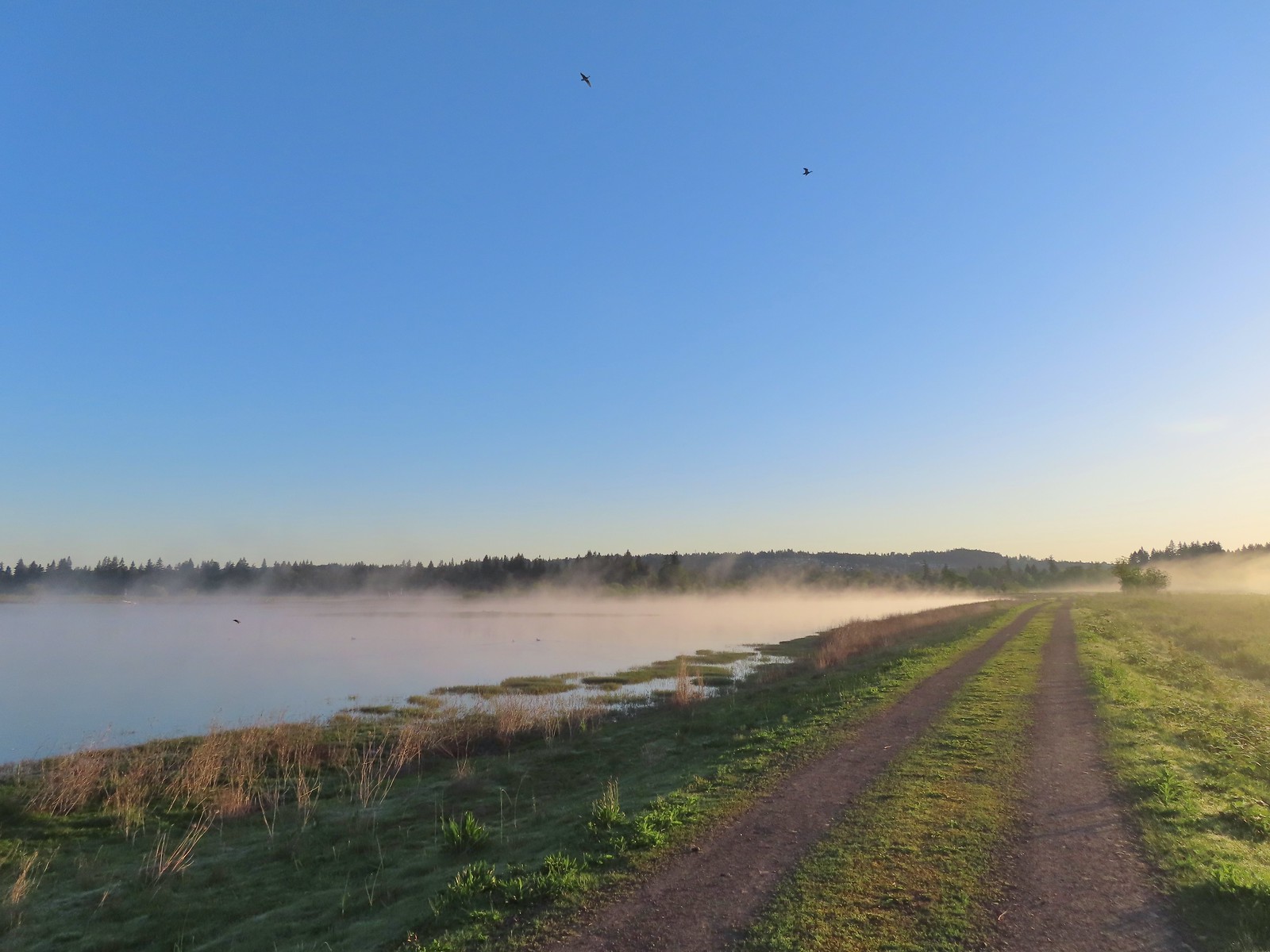
 The refuge is open from dawn to dusk. We arrived at a quarter to six to get an early start and avoid being out during the hottest parts of the day.

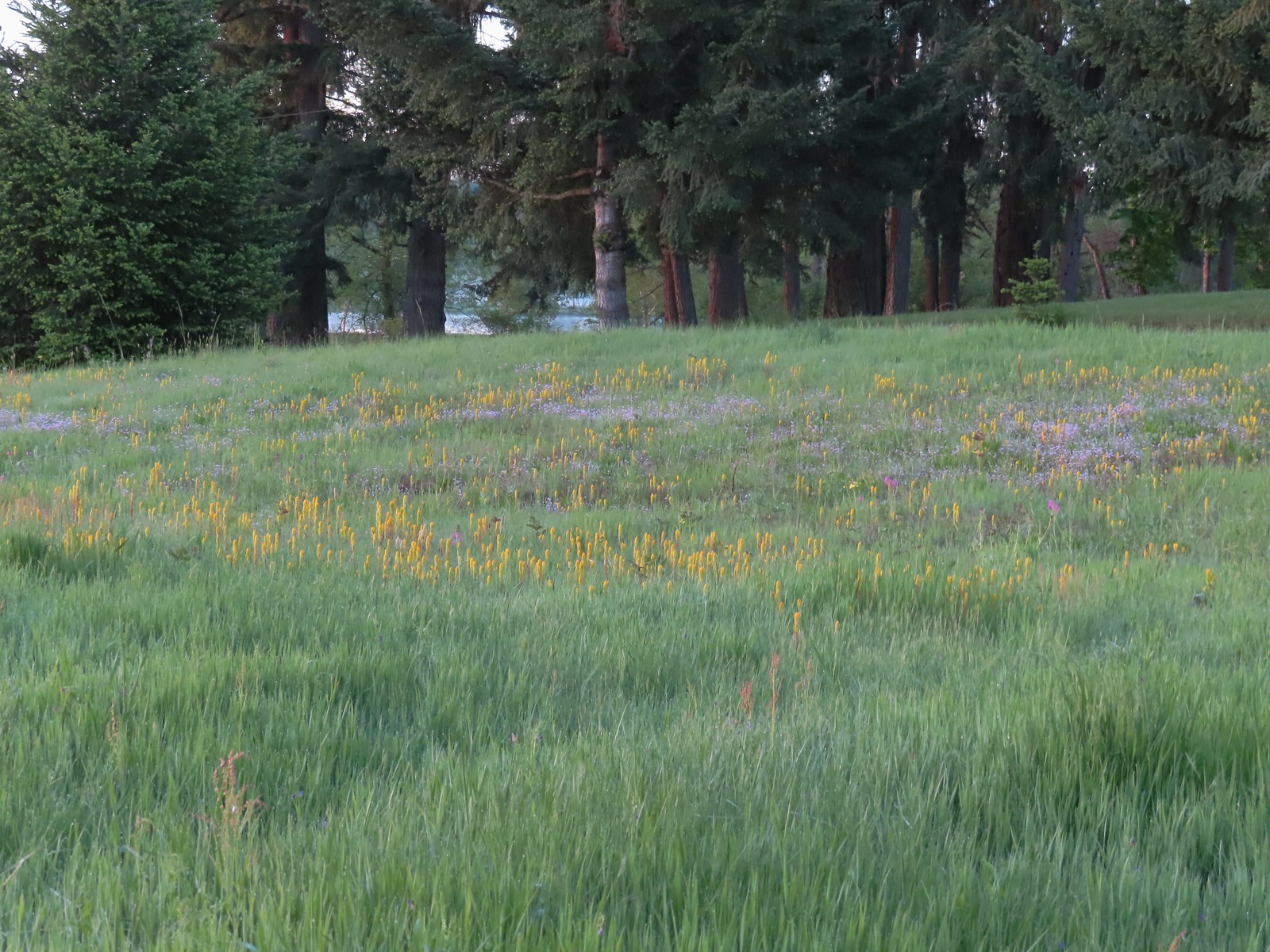 The patch of wildflowers.
 A checker-mallow surrounded by golden paintbrush.
 Plectritis amid the golden paintbrush.
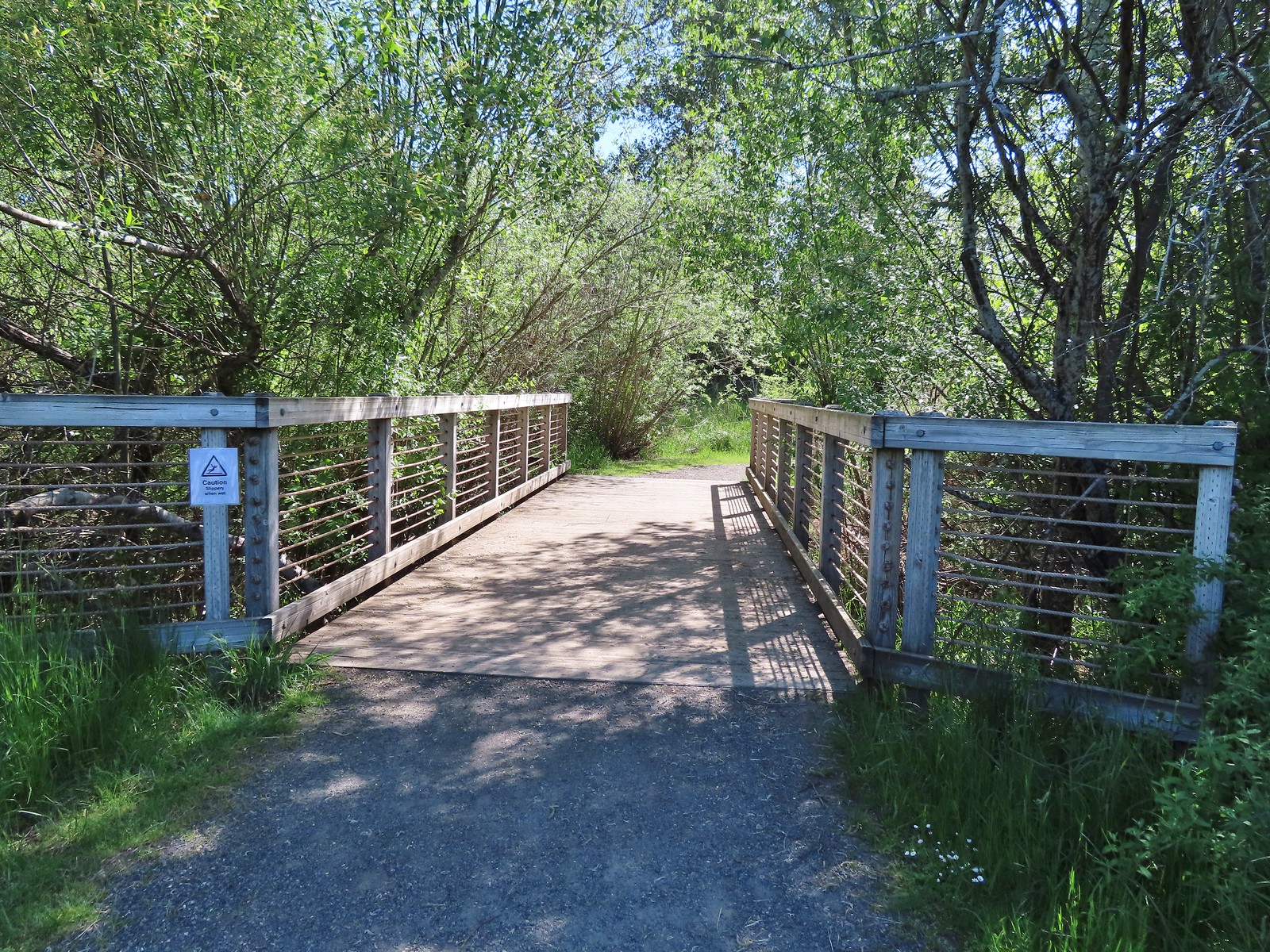
We decided to go counterclockwise and forked right across Chicken Creek on a bridge.
 We had a pretty good view of Mt. Hood.
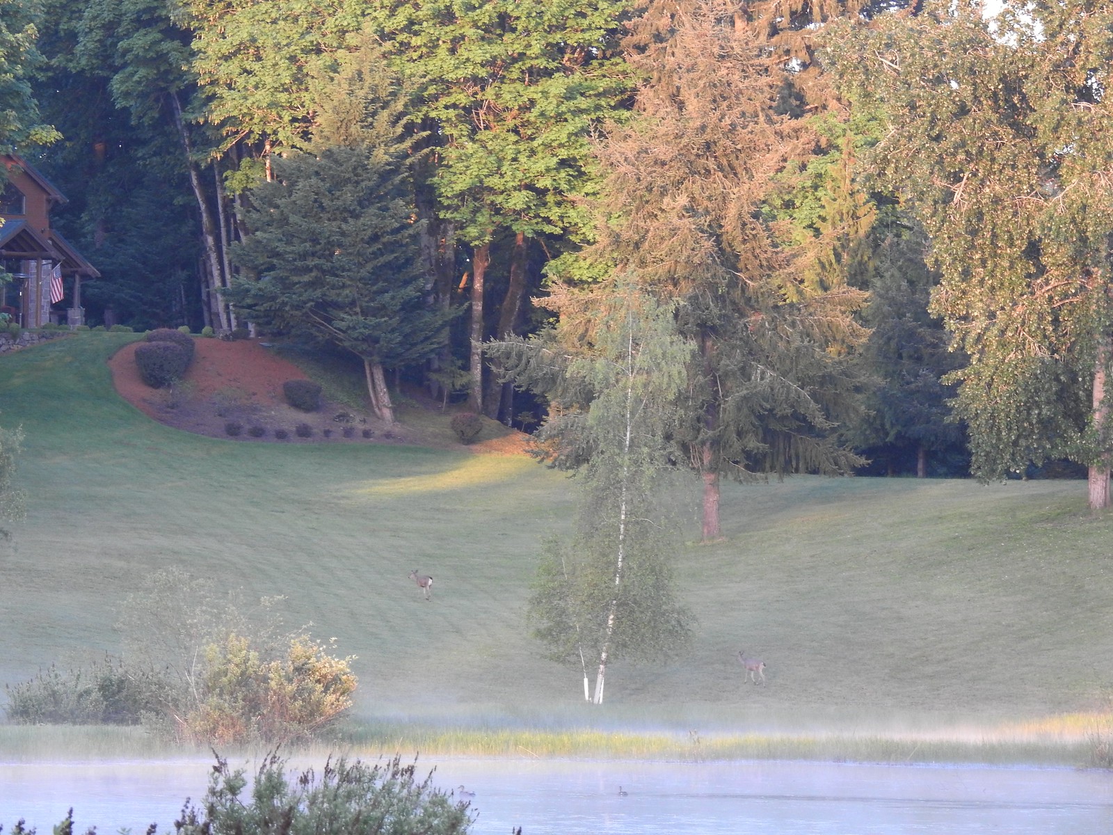
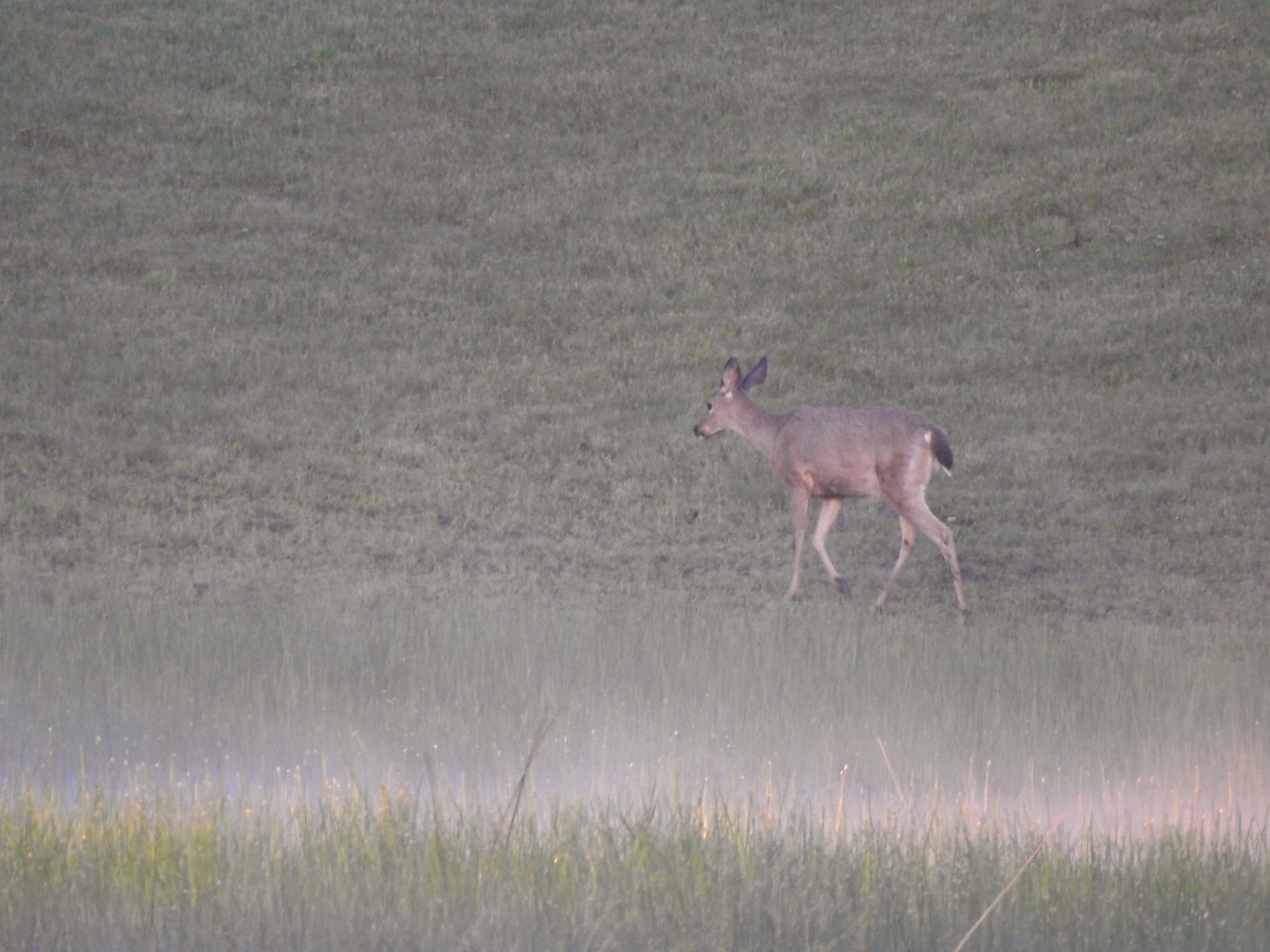
The Wetland Trail follows a service road around the refuge. We began seeing wildlife almost immediately with a family of geese and a pair of deer hanging out on some private property adjacent to the refuge.

It was approximately 1.5-miles from the Roy Rogers Trailhead to the Refuge Headquarters and Wildlife Center. It was slow going as we kept stopping to watch the wildlife.
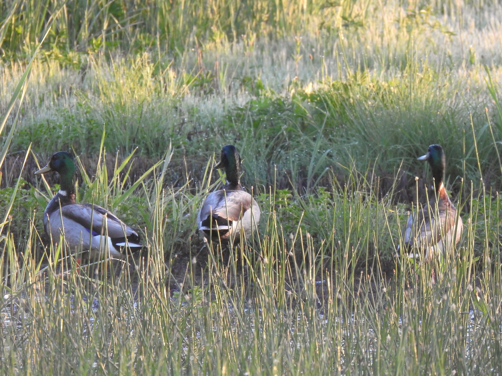 Mallards
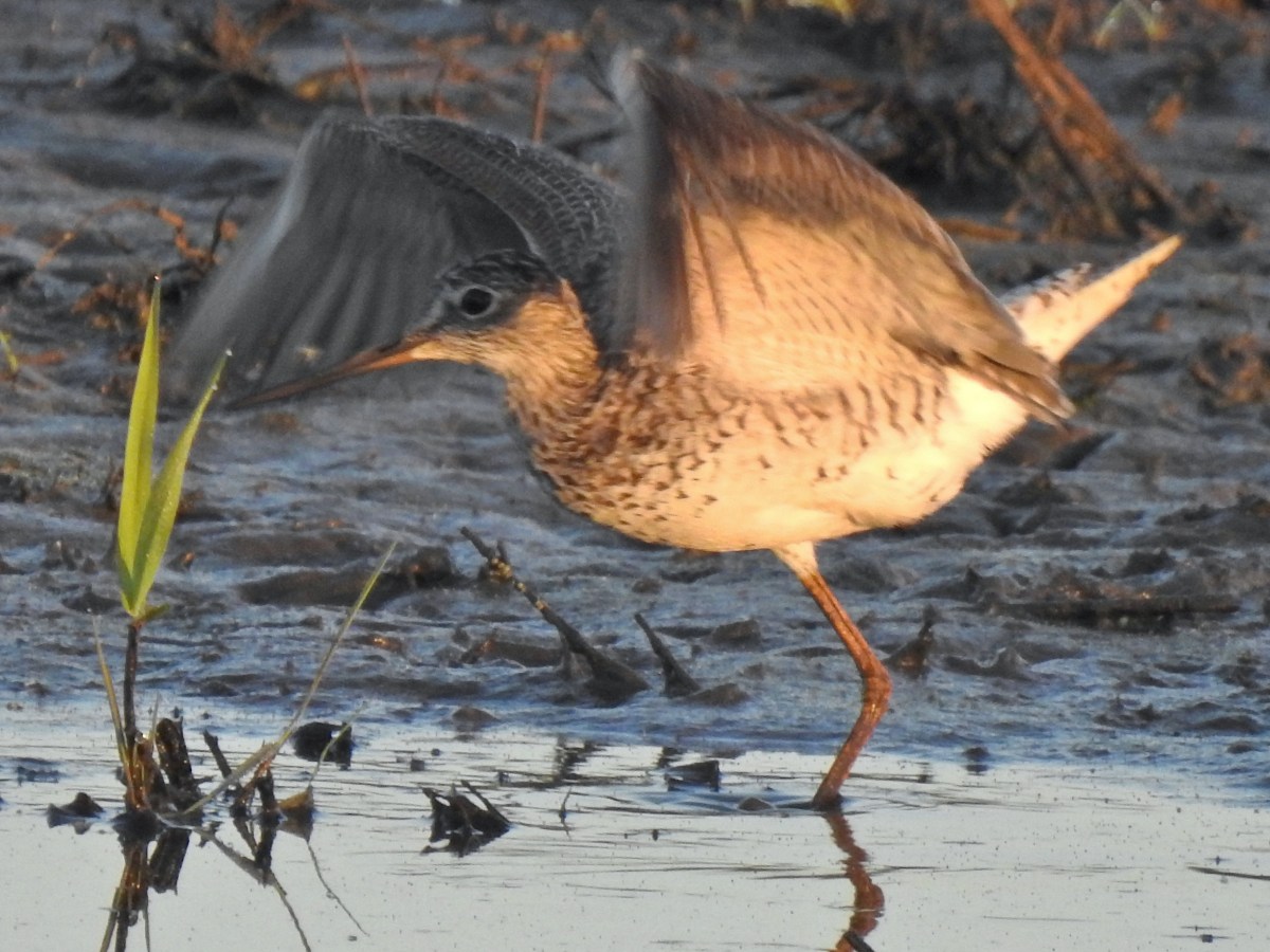
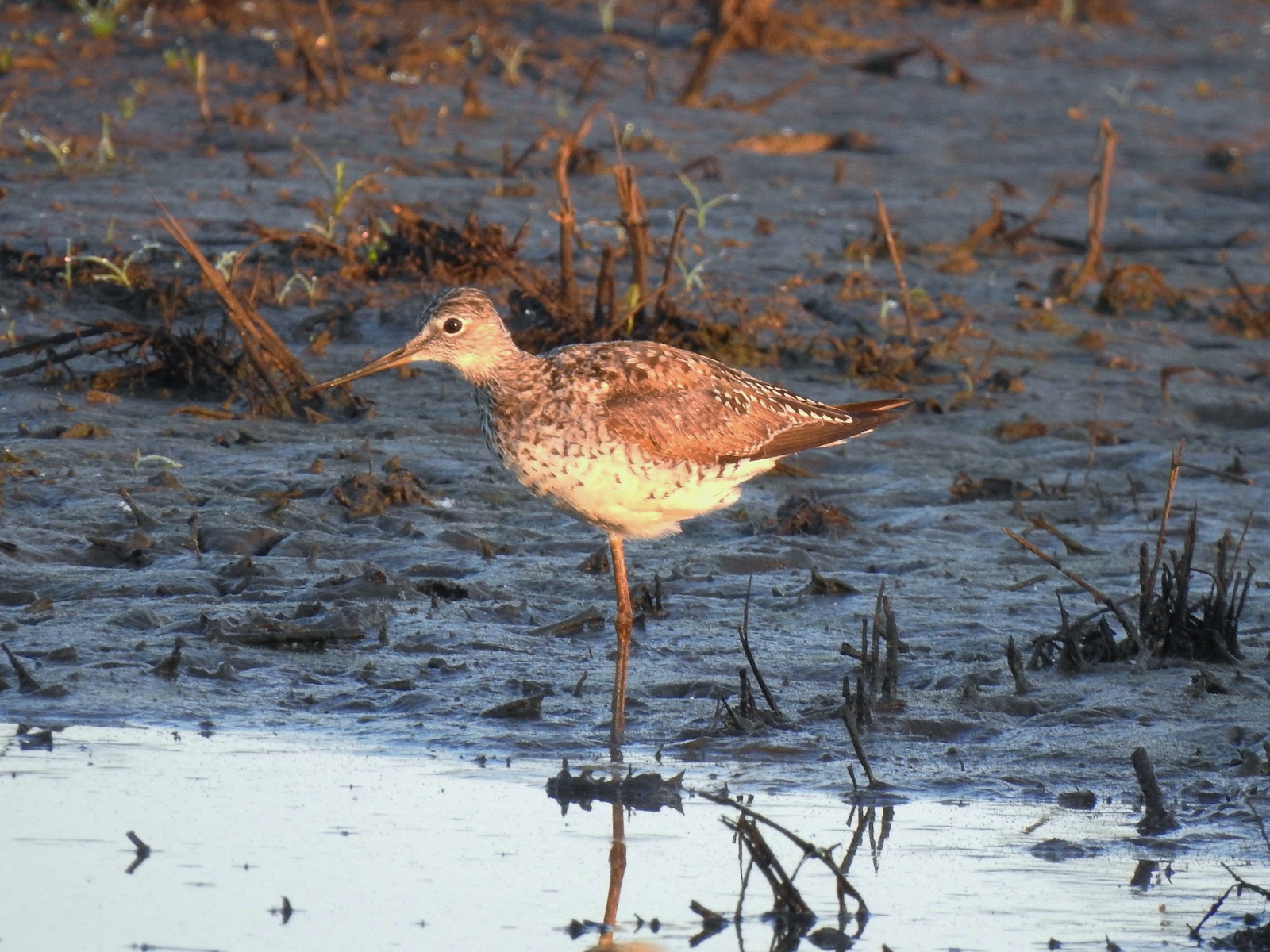 Greater yellowlegs
 Mourning dove
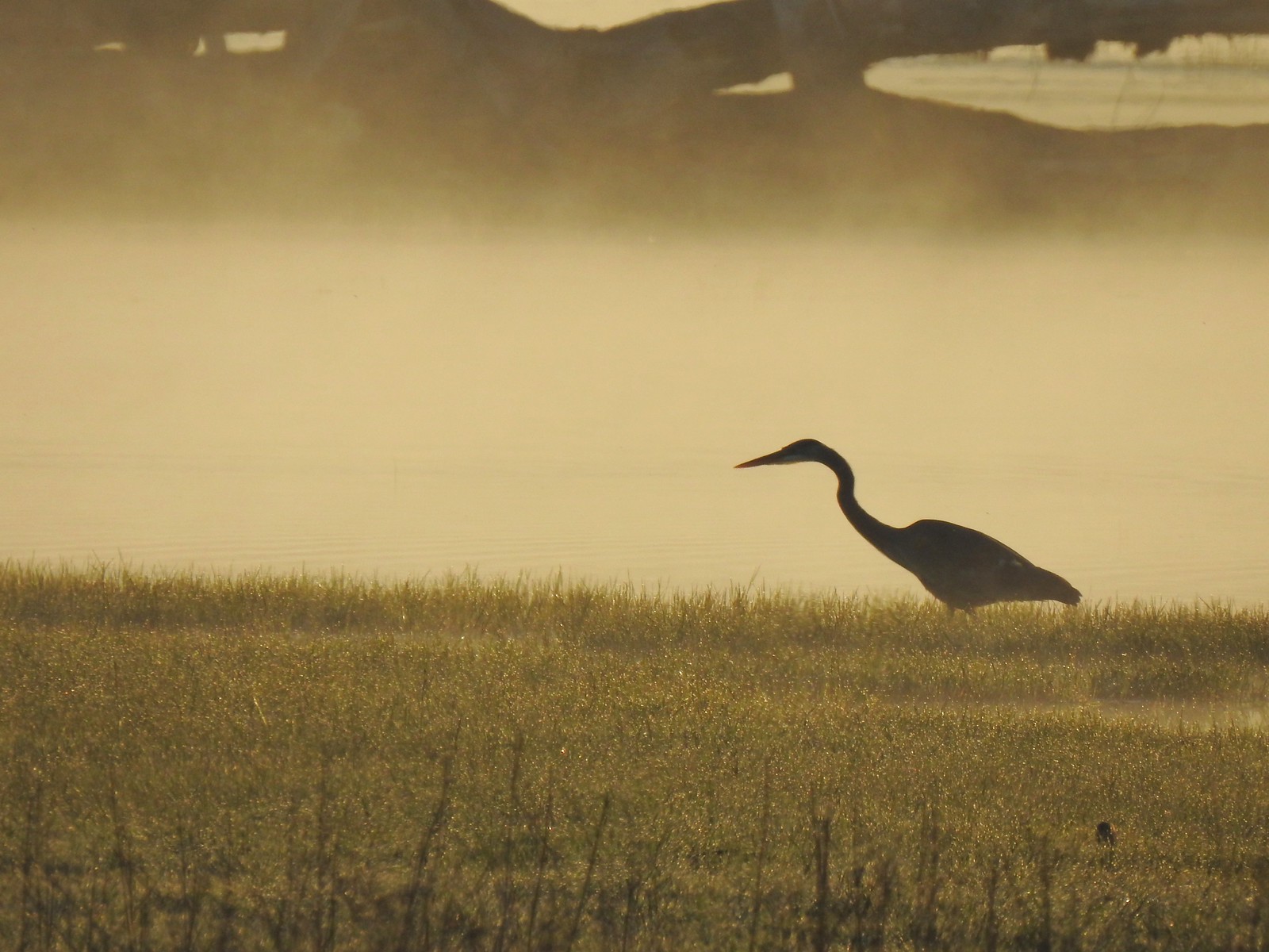 Great blue heron
 An egret and some ducks
 More families of geese
 Swallows flying above the Wetland Trail.
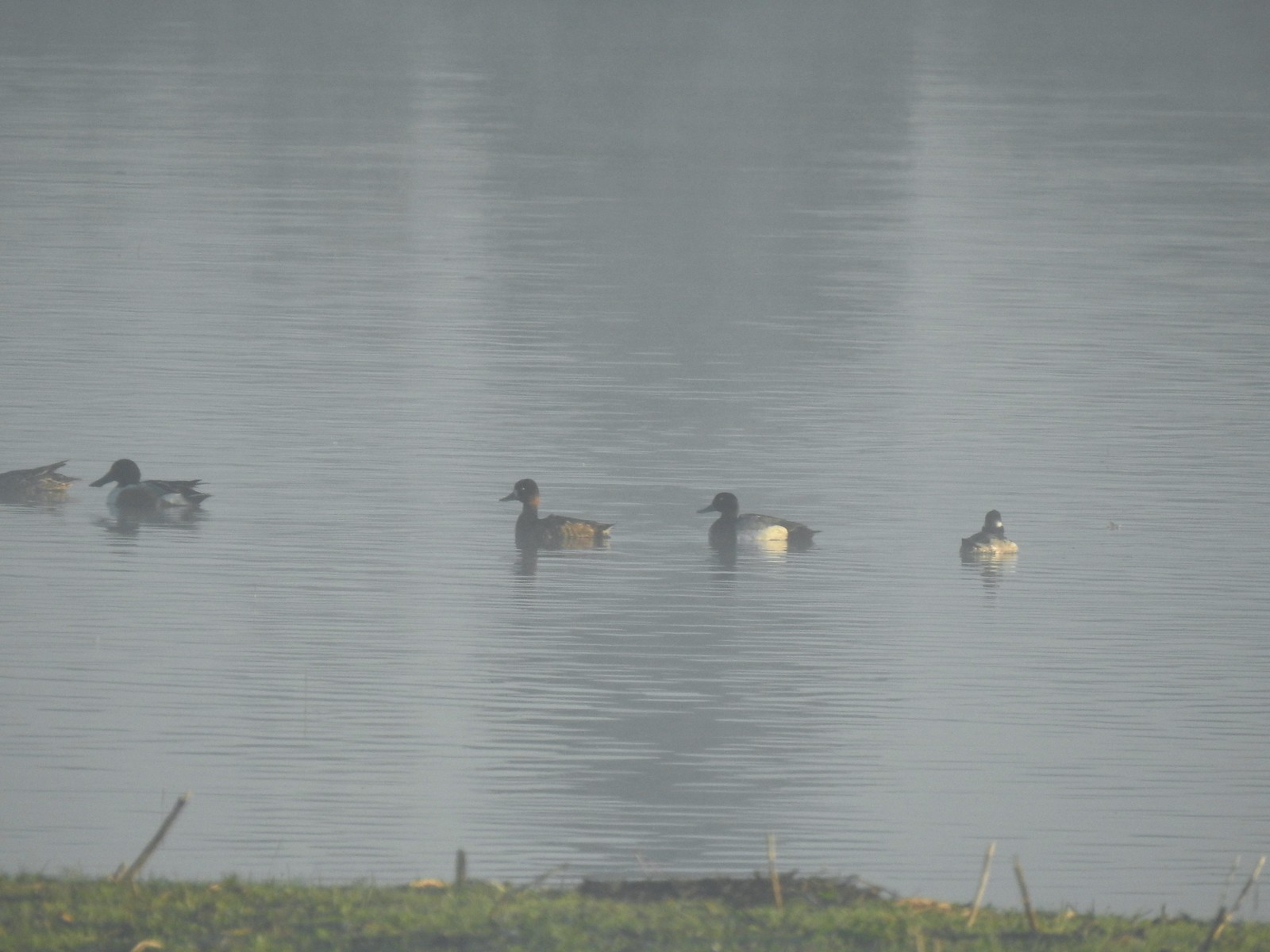 Northern shoveler, scaups (leaning toward greater), and a bufflehead.
 Mallards
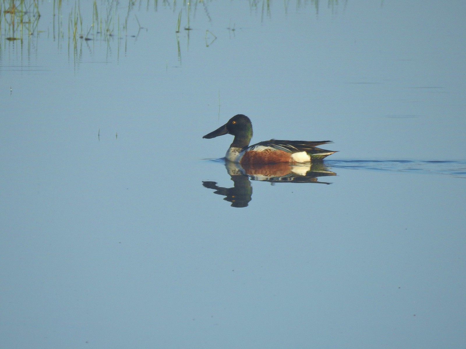 Northern shoveler
 Ruddy duck
 Gadwalls
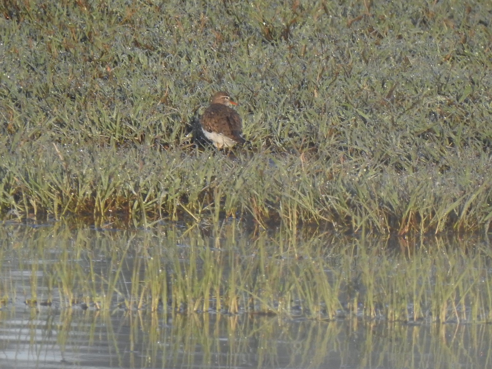 Spotted sandpiper
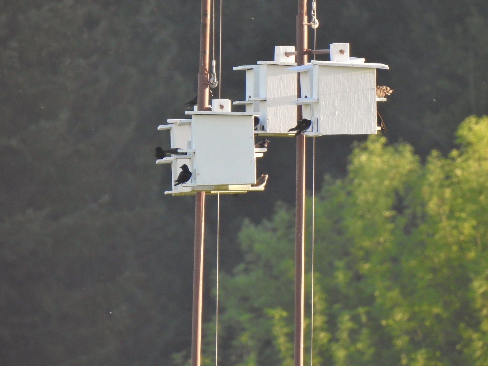 Purple martins
 Killerdeer
 Cinnamon teals
 Nutria, one of several of these non-native rodents that we saw.
 Nap time (or just a late sleeper).
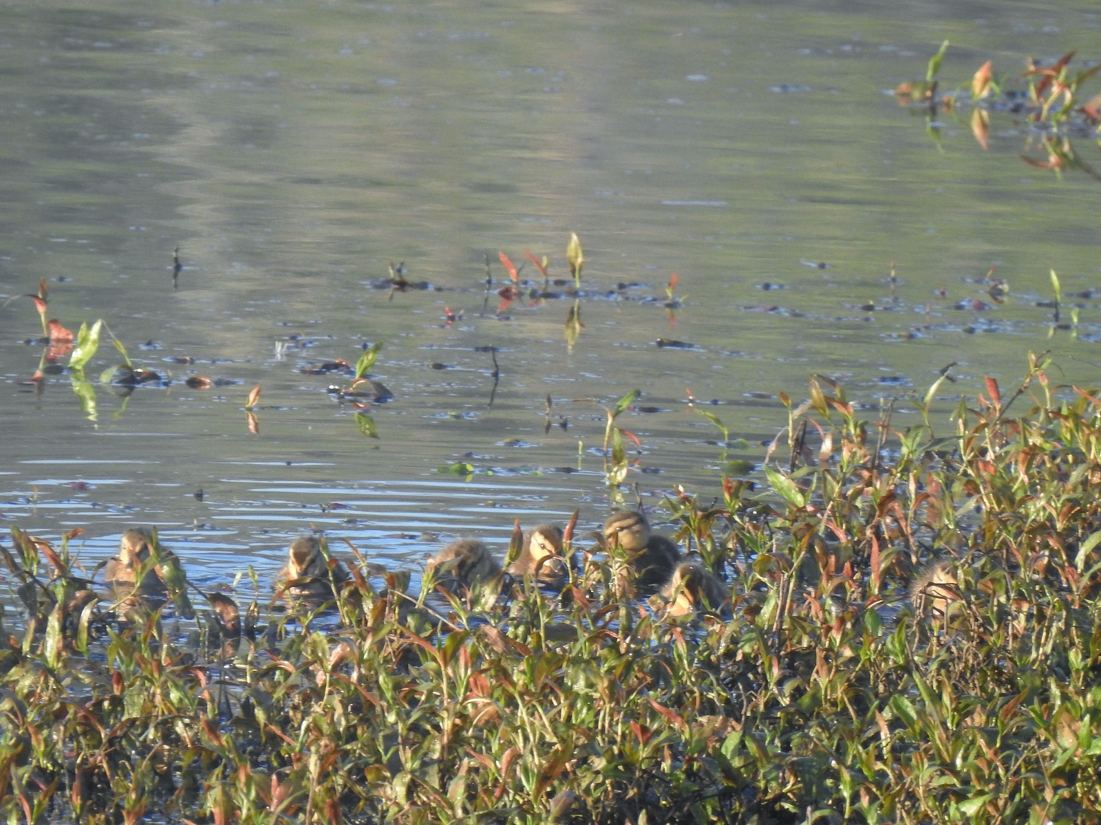 Ducklings
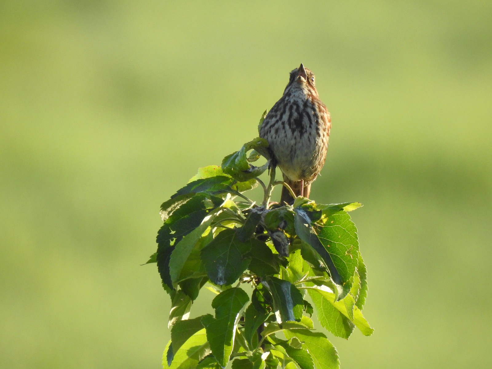 Song sparrow
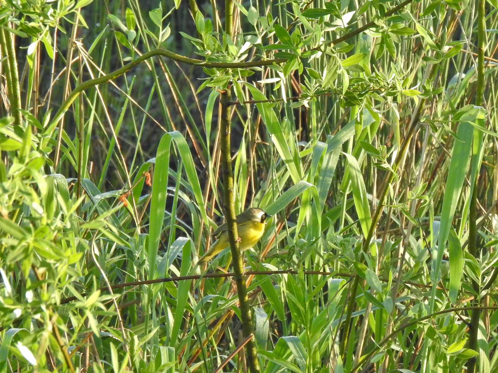 Common yellowthroat
 Wildlife Center
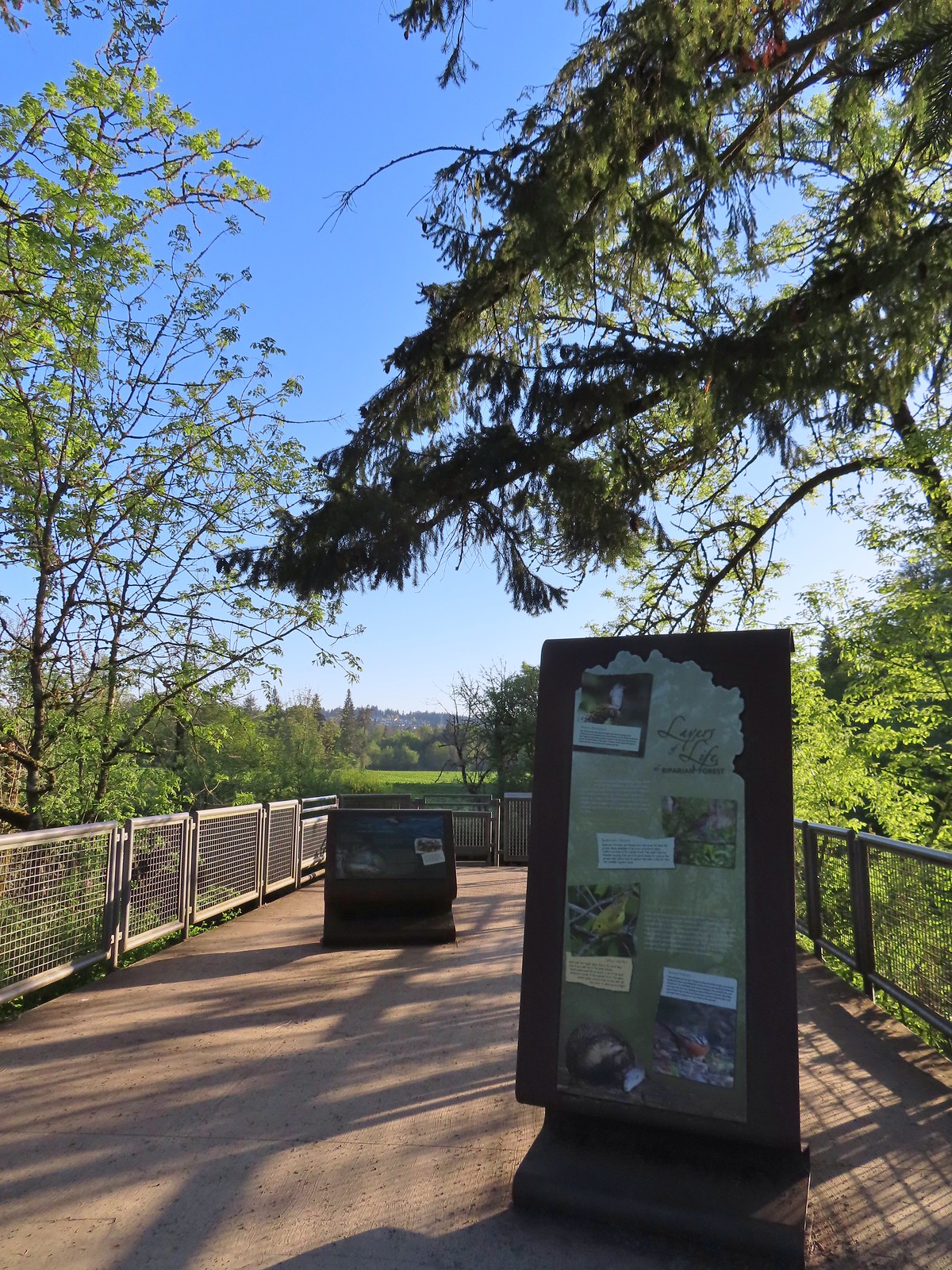
We took in the view from the overlook next to the Wildlife Center before continuing on with the loop.

 Great blue heron watching from a little island.

We followed the Wetland Trail until we came to the River Overlook where we cut over to the River Trail (the trails are less than a yard apart in this area) to check in on the Tualatin River.

 Anna’s hummingbird
 The same Anna’s hummingbird. When catching light their head/throat is bright pink but appear black when not.
 River Overlook
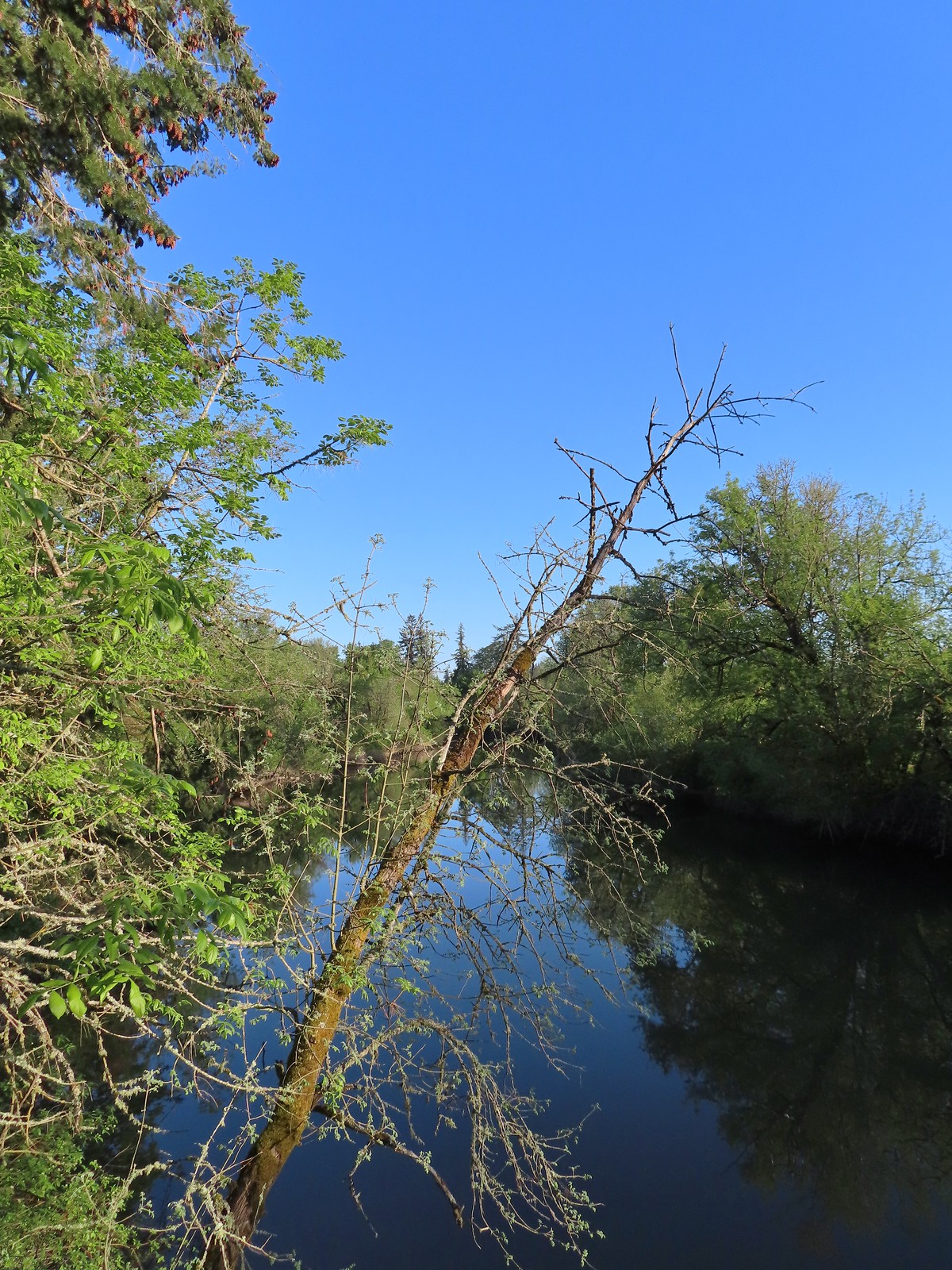 Tualatin River
 Robin
Robin
From the overlook we stuck to the River Trail following it through a short section of forest before rejoining the Wetland Trail.
 The Wetland and River Trails running parallel.
 Spotted towhee
 Rabbit
 Pacific waterleaf
 Violets and fringecup along the River Trail.
 Bleeding heart
 We skipped the spur trail to the Ridgetop Overlook since we’d done that on our previous visit.
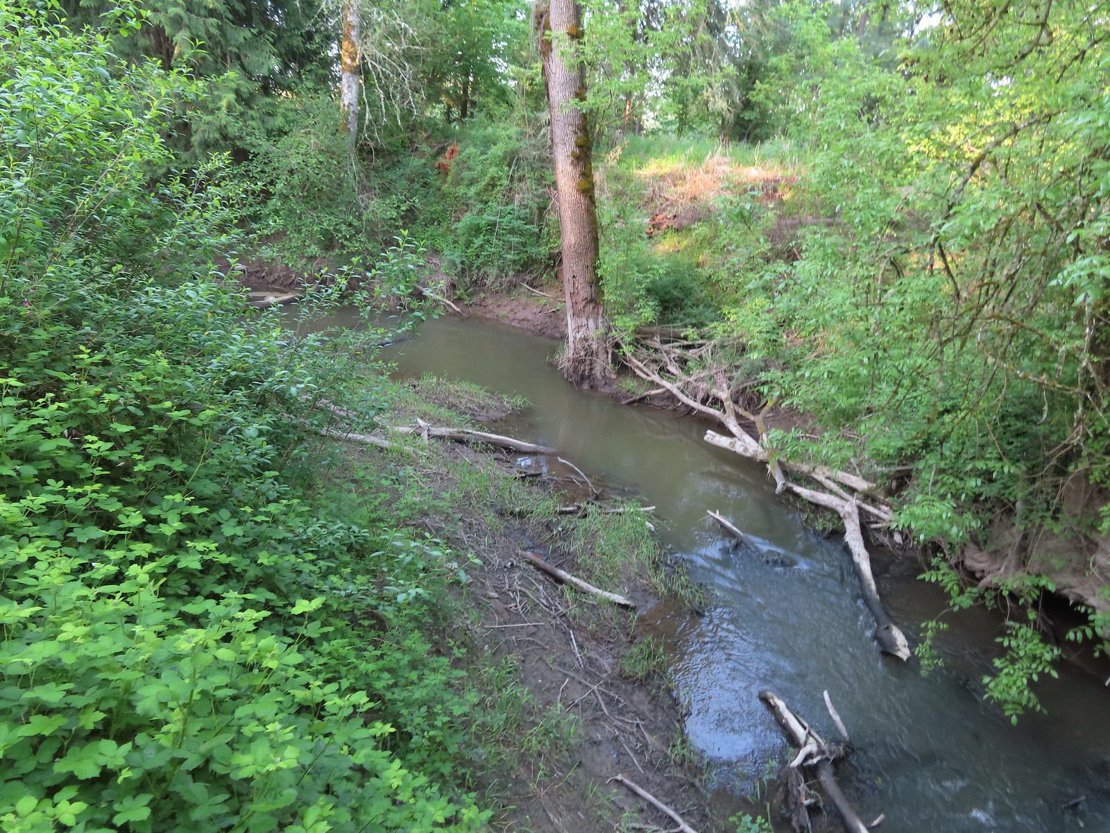 Chicken Creek
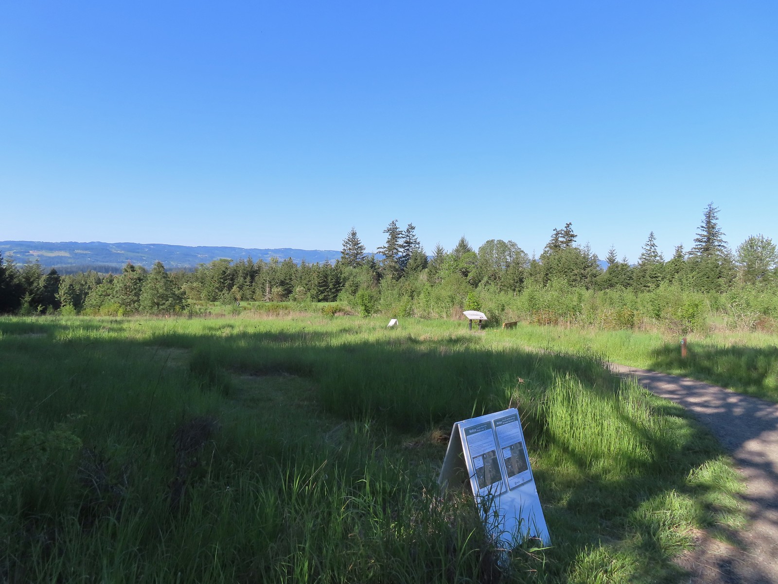
 The River Trail meets the Wetland Trail across from the Weland Observation Platform.
We didn’t observe much from the platform on this visit. We continued on with our loop back on the Wetland Trail.

 Great white egrets
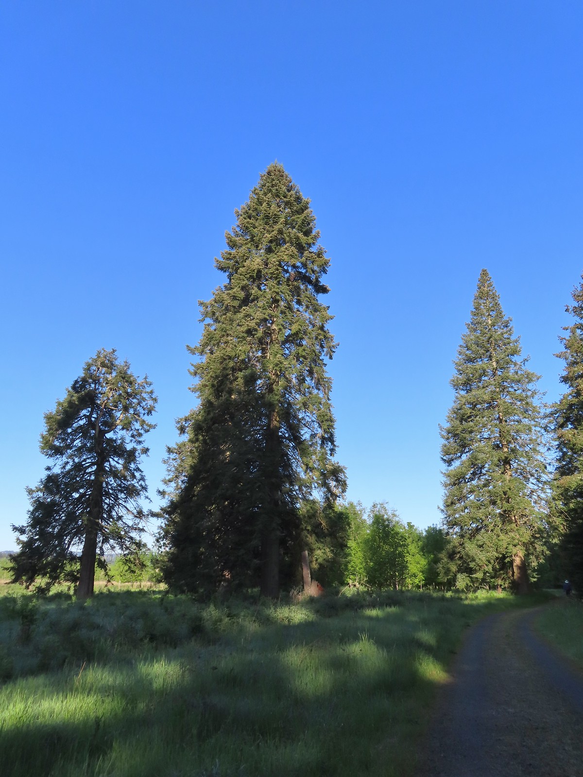 There were some impressively tall trees along this portion of the loop.
The trail made a 90-degree turn just before another branch of Chicken Creek and headed in a near straight line back toward the Roy Rogers Trailhead.
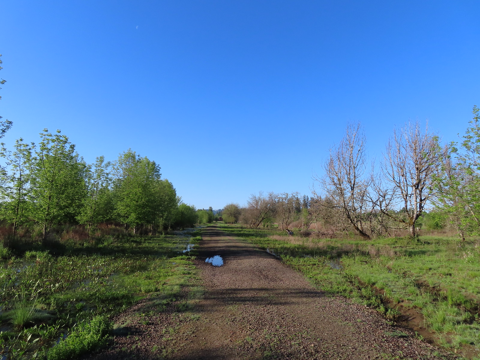
 Another egret
 More egrets across Chicken Creek.
 Red-winged blackbird
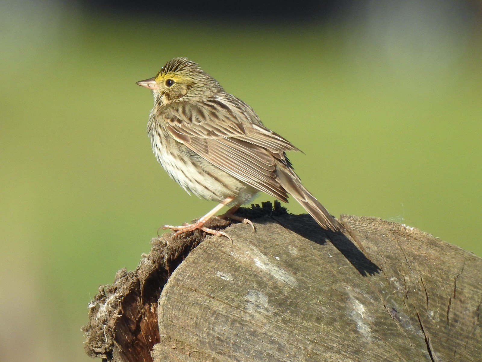 Savannah sparrow
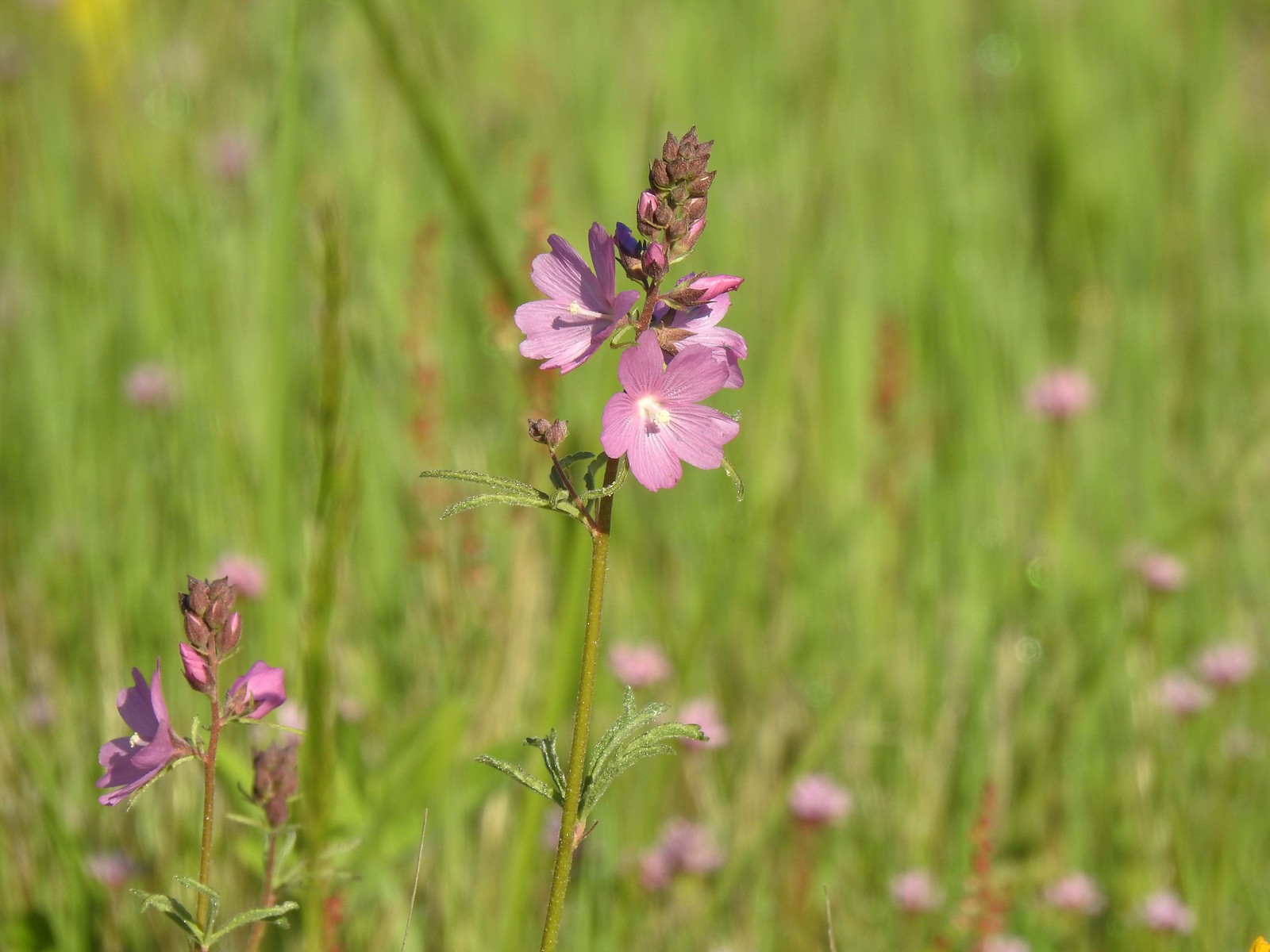 Checker-mallow
 A parsley
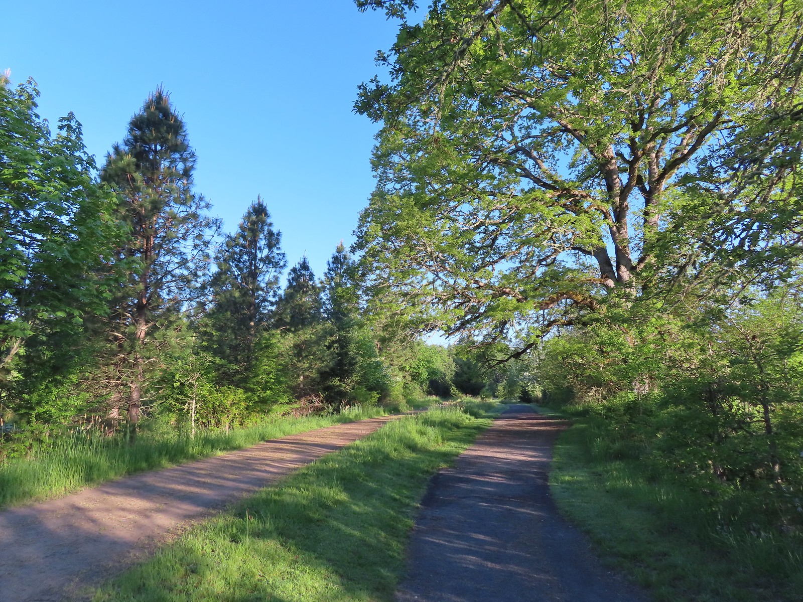
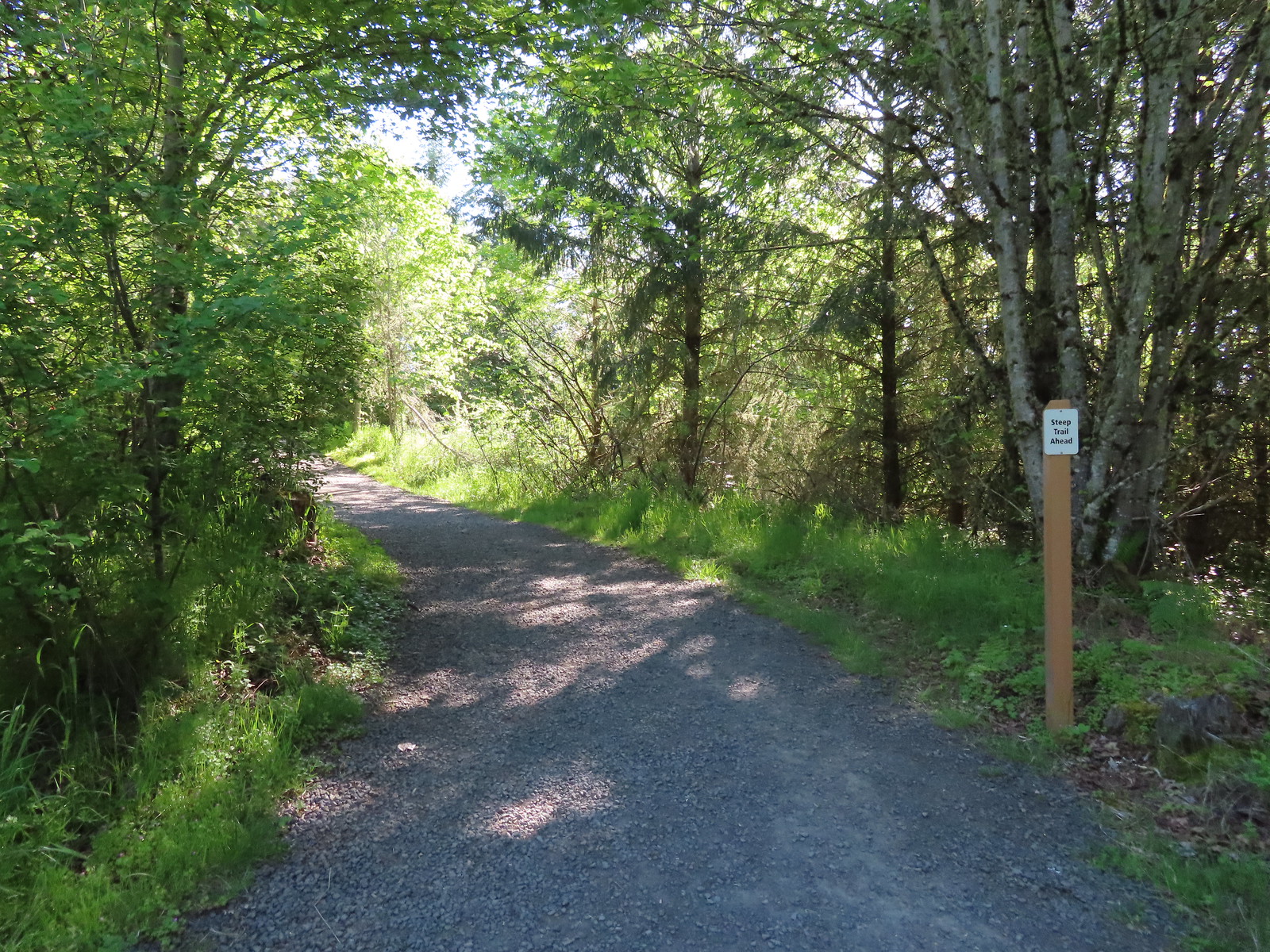
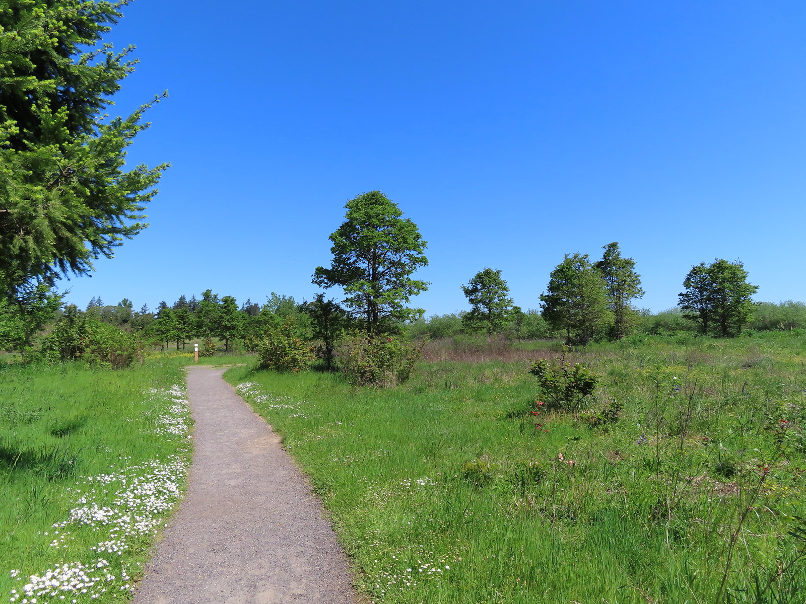
While our loop was only 3.6-miles it was packed full of sights, a great start to our morning. From the refuge we made the roughly 10-minute drive to our next stop at the Cooper Mountain Nature Park, yet another park managed by Oregon Metro. The park hosts a little over three miles of trails which start at a nice little playground.

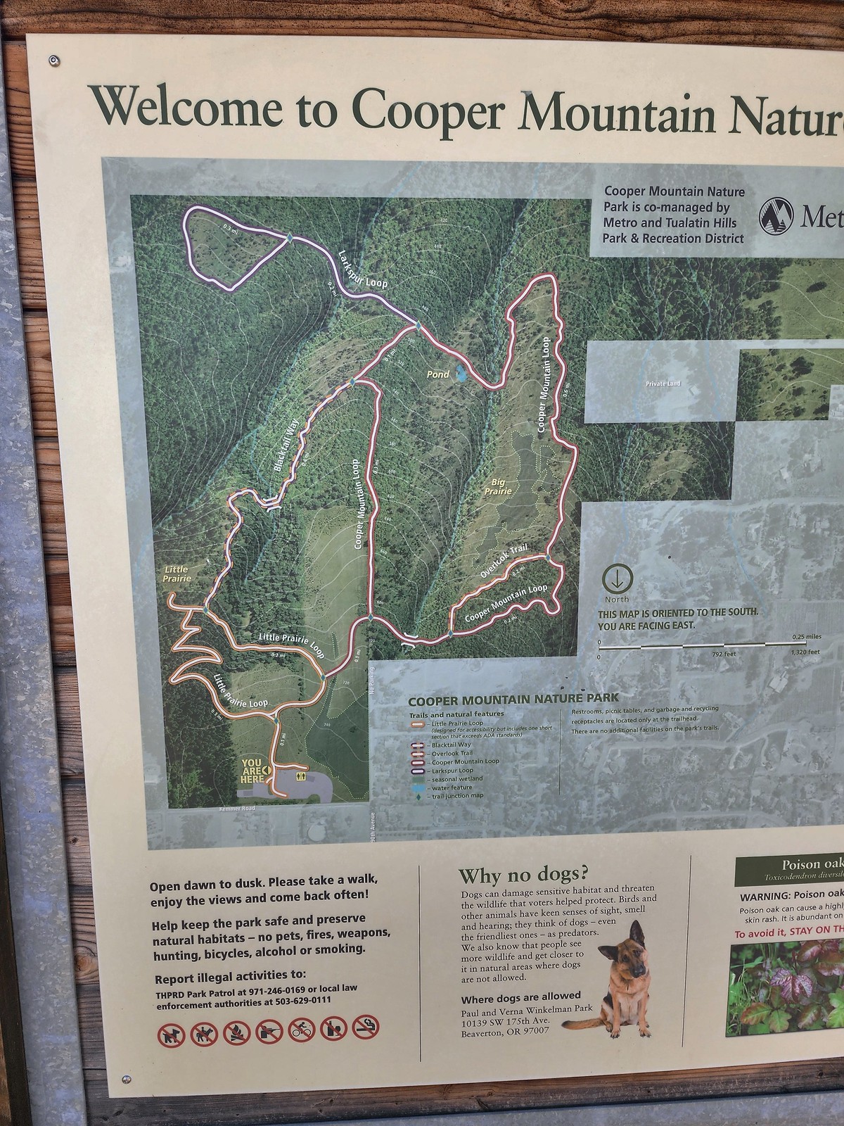 Our planned route was to go right on the Little Prairie Loop to the Cooper Mountain Loop and then stay right on that loop (with a detour to hike the Larkspur Loop) to Blacktail Way. We’d then take Blacktail Way back to the Little Prairie Loop and turn right again to finish that loop and return to the trailhead.
 The view from Cooper Mountain Nature Park.
The trail system heads downhill from the trailhead so keep in mind that all hikes here end with on an uphill.

 Metro is currently running an odd little trial with very short “photo loops”. Mowed paths just off the main trails for photography. We took the first loop just to check it out and they were not kidding when they said the surface may be uneven.
 One of two trial photo loops.
The idea is to limit the negative effects of off trail hiking. It’s an interesting idea but it would be easier if people could follow simple rules. We quickly found ourselves back on the Little Prairie Loop and forking right.

 The second trial loop. You can see how short this one is by the signboard just downhill marking its other end.
 There were several interpretive signs and benches along the trails.
 White-crowned sparrow
 Anna’s hummingbird
 Star flower
 As usual Metro had the trail junctions well marked with little maps on top of the posts. This is the Cooper Mountain Loop junction with the lower end of the Outback Trail.
 Camas
Camas

 Tough-leaved iris
 Serviceberry
 Honeysuckle
 Looking back uphill to some wildflowers.
 Monkeyflower
 Tomcat clover
 Spotted towhee
 Bench along a pond filling an old quarry.
 The pond. Red-legged frogs apparently breed here. We didn’t see any frogs but there was a mallard hanging out in the brush.
 Iris on the hillside above the quarry.
 The Larkspur Loop continuing straight from the Cooper Mountain Loop which turns uphill at the junction.
An endangered species of larkspur, pale larkspur (Delphinium leucophaeum), typically blooms in the park in late Spring into June. With everything running late this year we didn’t spot any yet this year as we completed the 0.7-mile lollipop loop.
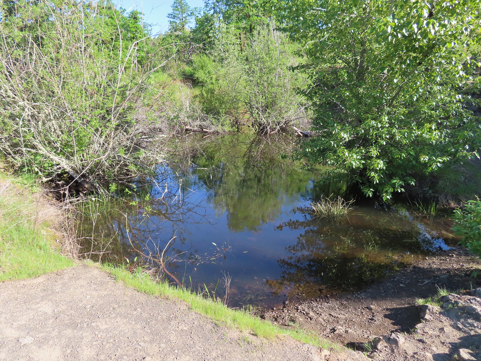
 Prior to the loop the Larkspur Loop dips to cross a creek in the trees.
 The little creek.
 View from the Larkspur Loop.
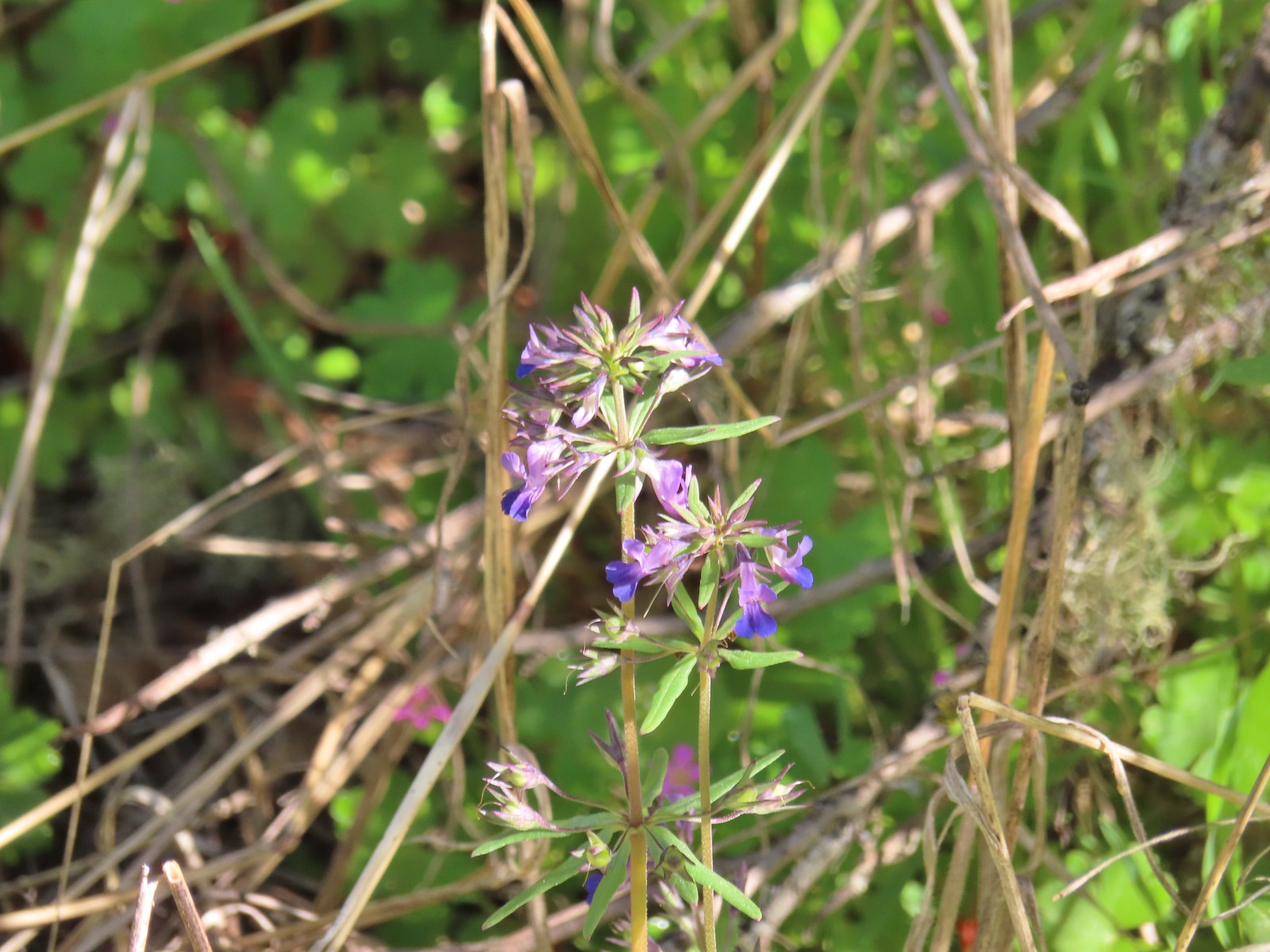 While watching for the larkspur I noticed these giant blue-eyed Mary.
We returned to the Cooper Mountain Loop which made a steep climb to its junction with Blacktail Way.
 Blacktail Way to the right.
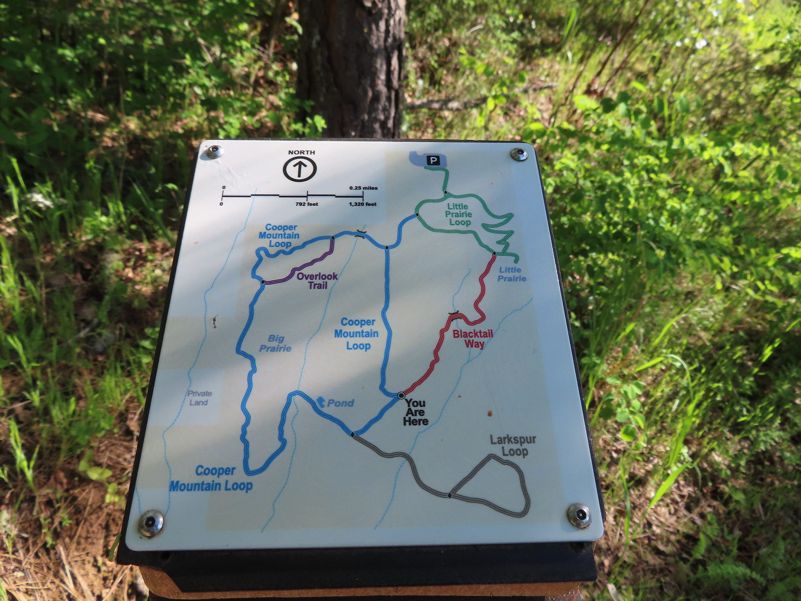 Map at the junction.
Blacktail Way climbed more gradually on its way to the Little Prairie Loop.
 The “earphone” next to the bench here was neat. There was also one at the trailhead and they really allowed you to isolate the sounds of the woods.
 The Little Prairie Loop.
We turned right onto the loop and then quickly detoured to the Little Prairie Overlook.

 The pale larkspur also grows in this area but again we were too early.
 These were the only woodland-stars we spotted.
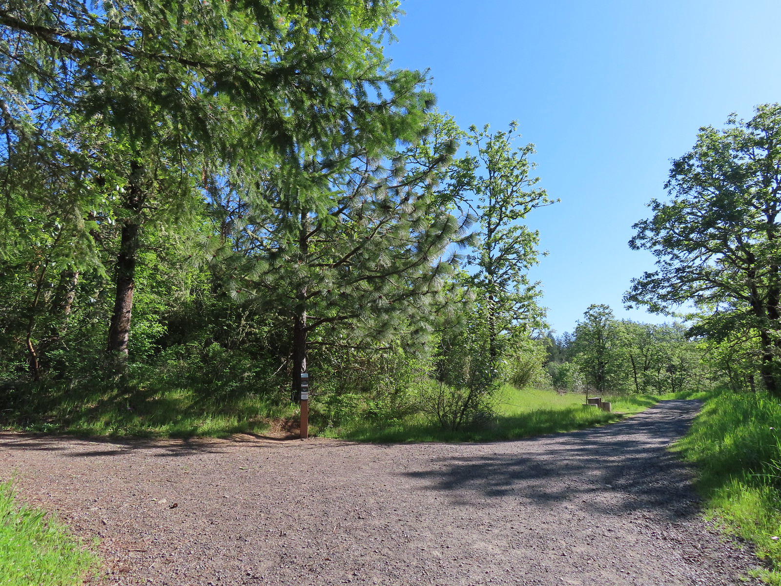
After checking out Little Prairie we finished the loop and returned to our car. This stop came to 3.1 miles with 300′ of elevation gain.
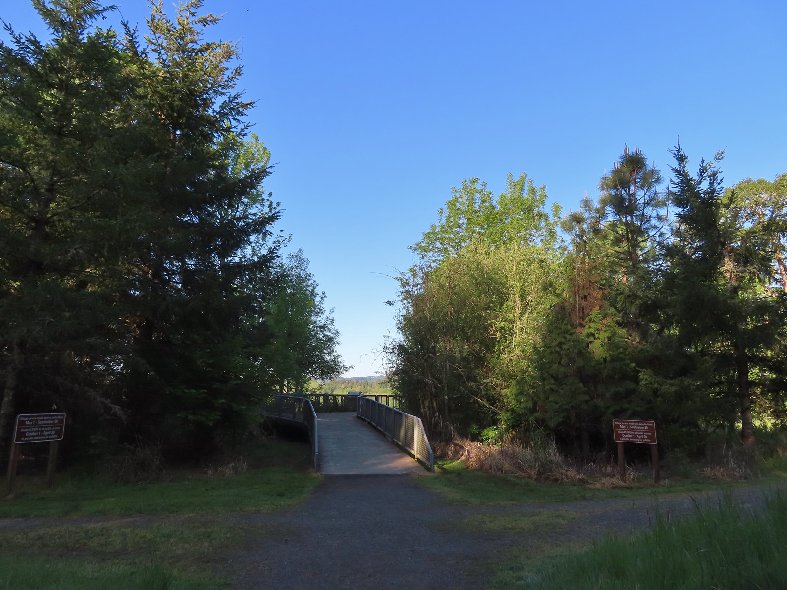
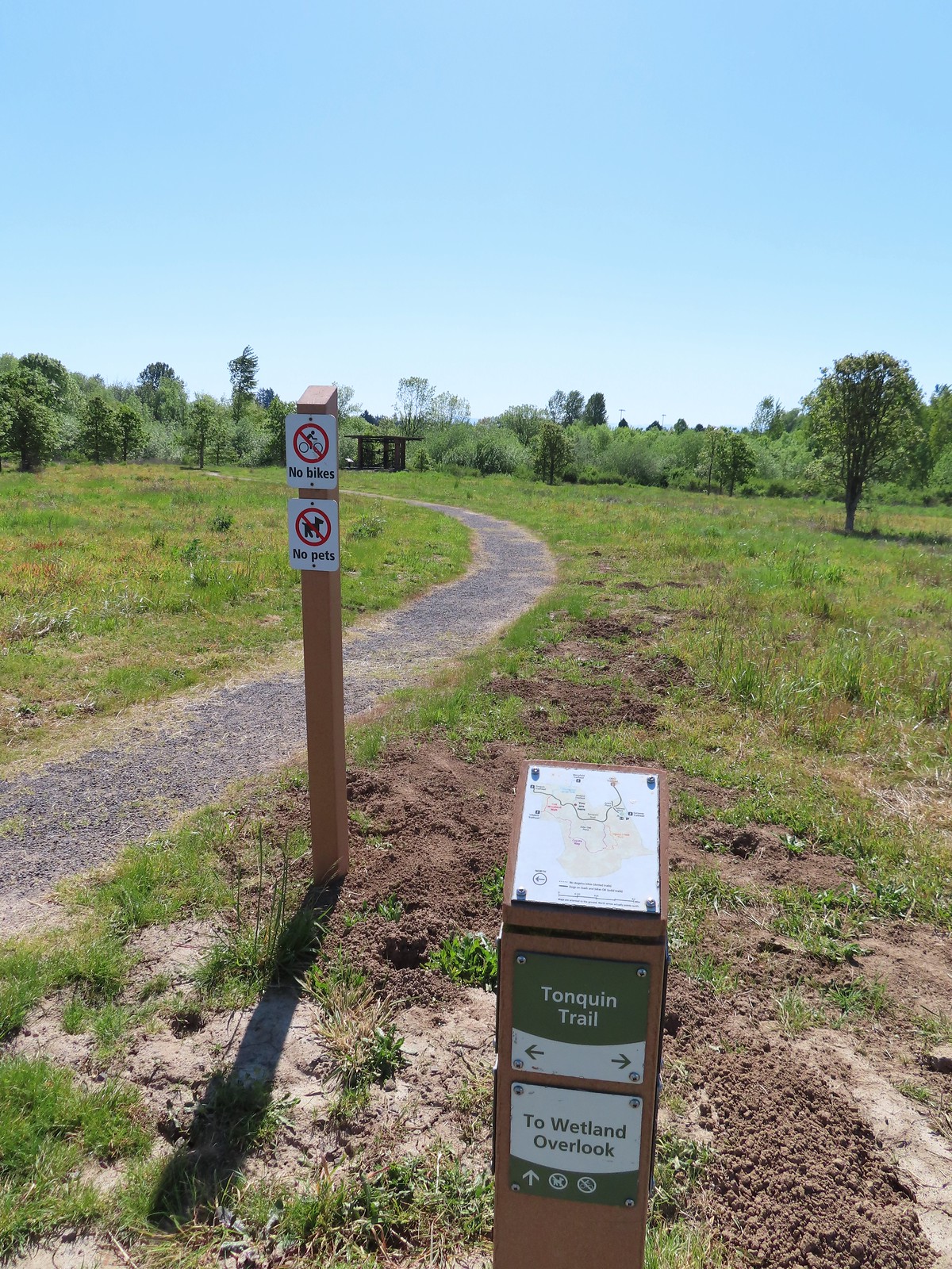
From Cooper Mountain we drove 18 miles south to our final stop of the day at Graham Oaks Nature Park. Another one of Metro’s parks Graham Oaks also hosts approximately three miles of trails. Unlike many of the other Metro parks we’ve visited recently this one allows bikes and dogs (on leash) albeit limited to the Tonquin Trail.


Our planned route here was another counterclockwise loop starting on the Tonquin Trail. We would follow that trail to the hiker only Oak Woodland Walk and then turn onto Coyote Way then take the Legacy Creek Trail returning to Coyote Way just before its end at the Tonquin Trail. Then we would simply follow the Tonquin Trail back to the trailhead.
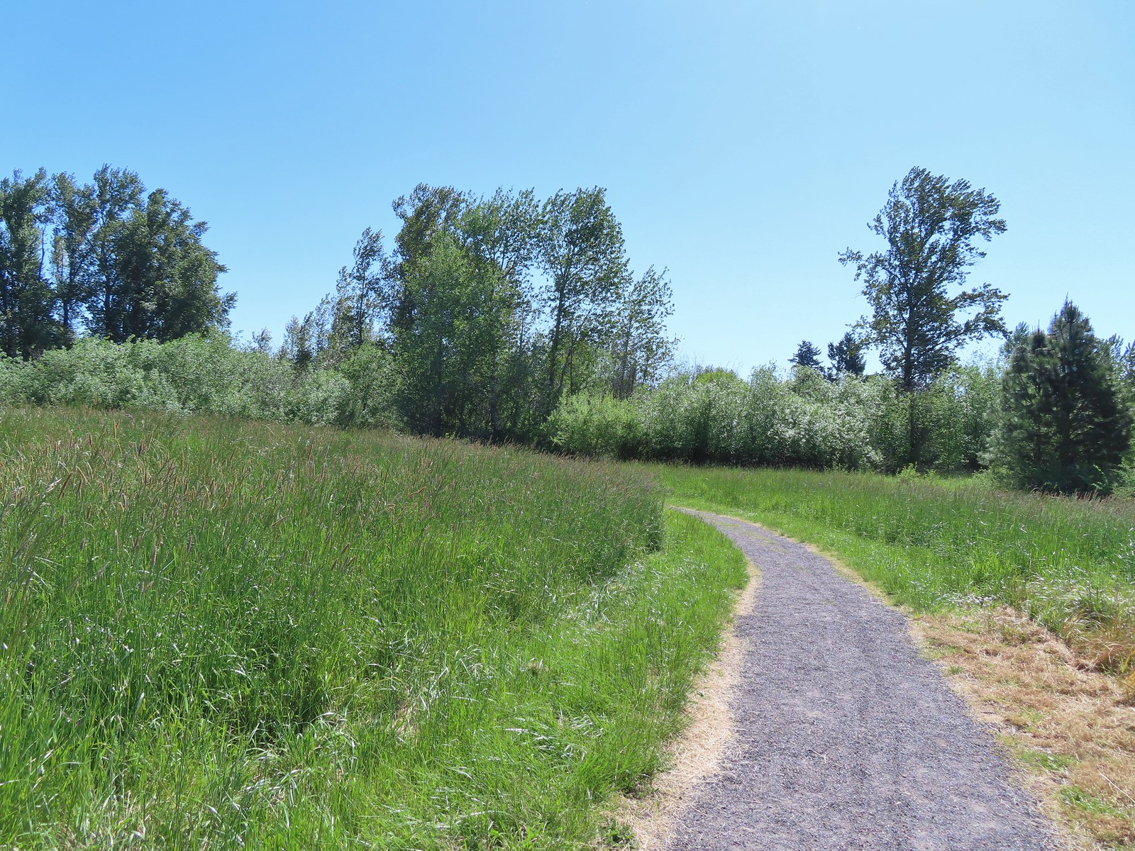
Despite this being our third stop, the early start had gotten us here shortly after 10am, it was already over 70 degrees when we set off on the Tonquin Trail. Luckily for us there was an occasional breeze that helped cool things off a bit.
 Heading toward Acron Plaza on the Tonquin Trail.
 Interpretive sign at Acorn Plaza.
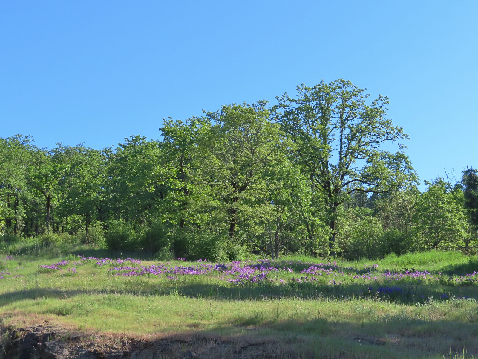
There were large amounts of large camas blooming along the trail along with yellow buttercups and some patches of lupine.
 Lupine and buttercups
 Lupine
 Meadow checker-mallow
We detoured to Elder Plaza at a trail marker.

 The “elder” oak is between 150-200 years old.


 We watched this American Kestral hover on a near vertical line for what felt like quite a while. It eventually dove and attempted to catch something in the grass. We couldn’t tell if it had been successful.
We continued down the Tonquin Trail and made a second detour to visit the Wetland Overlook.


 Mylitta crescent
We made a third detour when we reached a 4-way junction with the Oak Woodland Walk and Arrowhead Creek Trails. We turned right onto the Arrowhead Creek Trail to see what the creek might look like since we could see a little footbridge from the junction.
 Footbridge over Arrowhead Creek.
There wasn’t really any water flowing in the creek bed and we turned around after crossing and returned to the 4-way junction where we crossed the Tonquin Trail onto the Oak Woodland Walk.


 The Lycaenidae family of butterflies remains a mystery to me. This appears to be an Eastern Tailed Blue based on the ventral spots.
 Snow in the Cascade foothills. If you look really closely behind the bigger snow patch to the far-right, you can just barely make out Mt. Jefferson.
We turned onto Coyote Way and quickly spotted several species of birds.
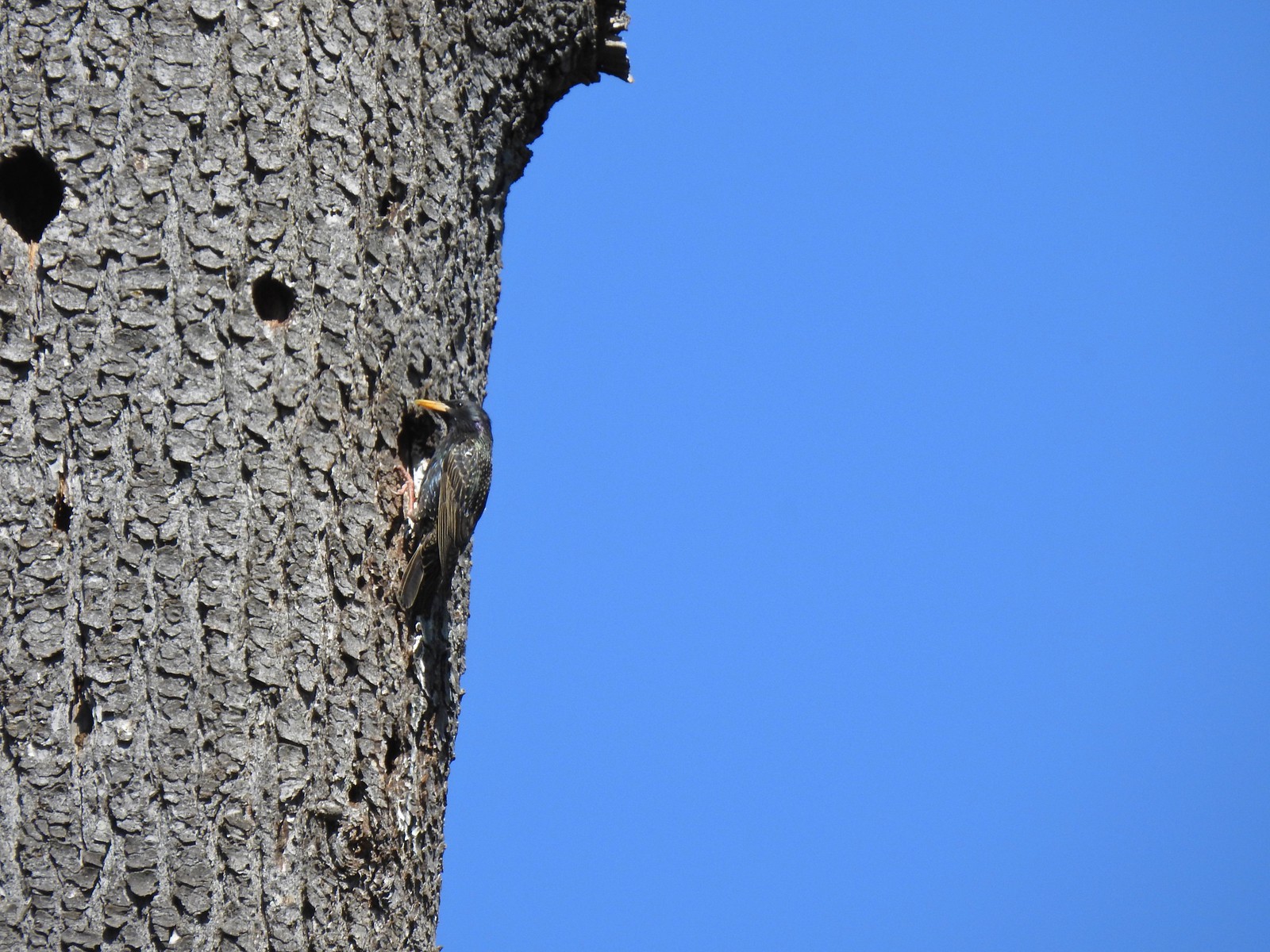 Starling
 Northern flicker
 This scrub jay would not come out from behind the oak leaves.
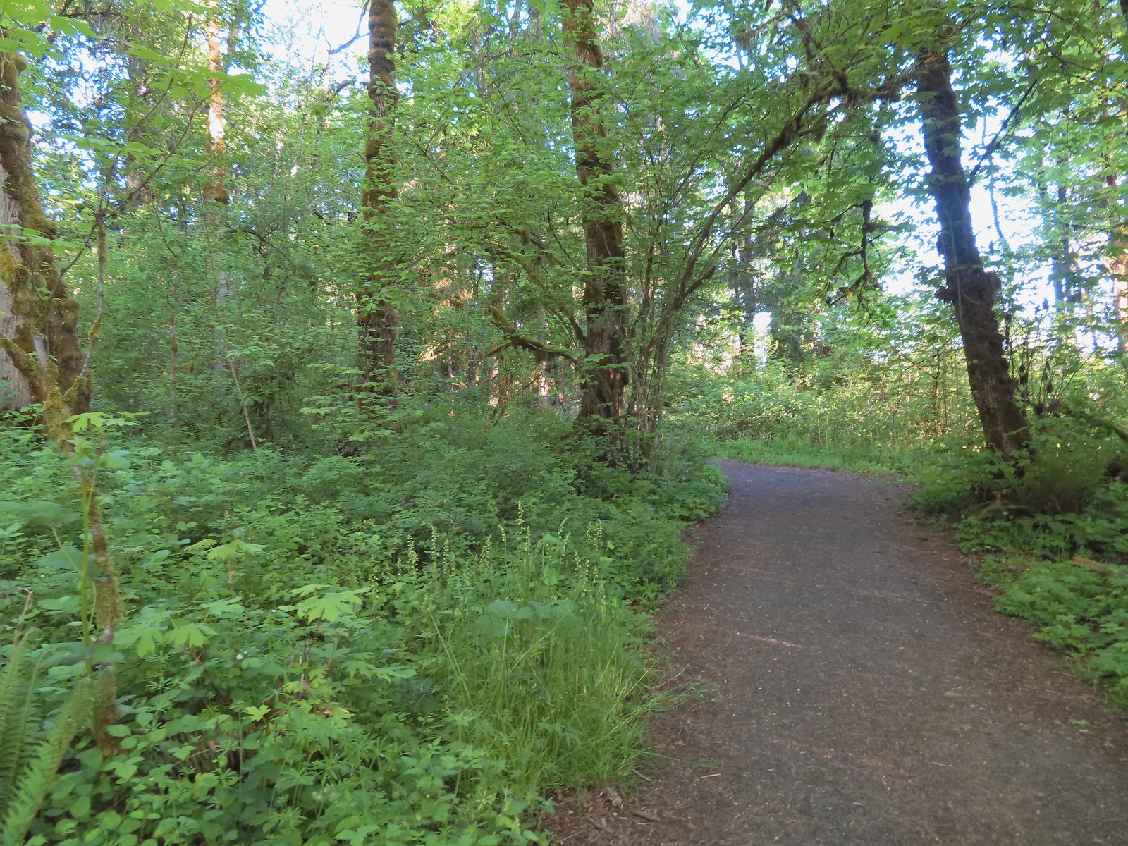
Coyote Way eventually entered some trees and crossed a boardwalk.

 There was a lot of candy flower beneath the trees.

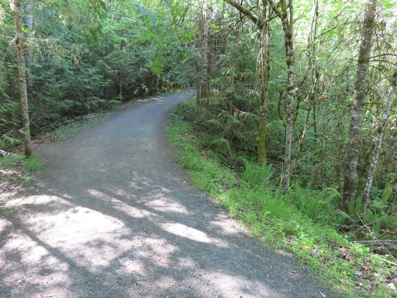
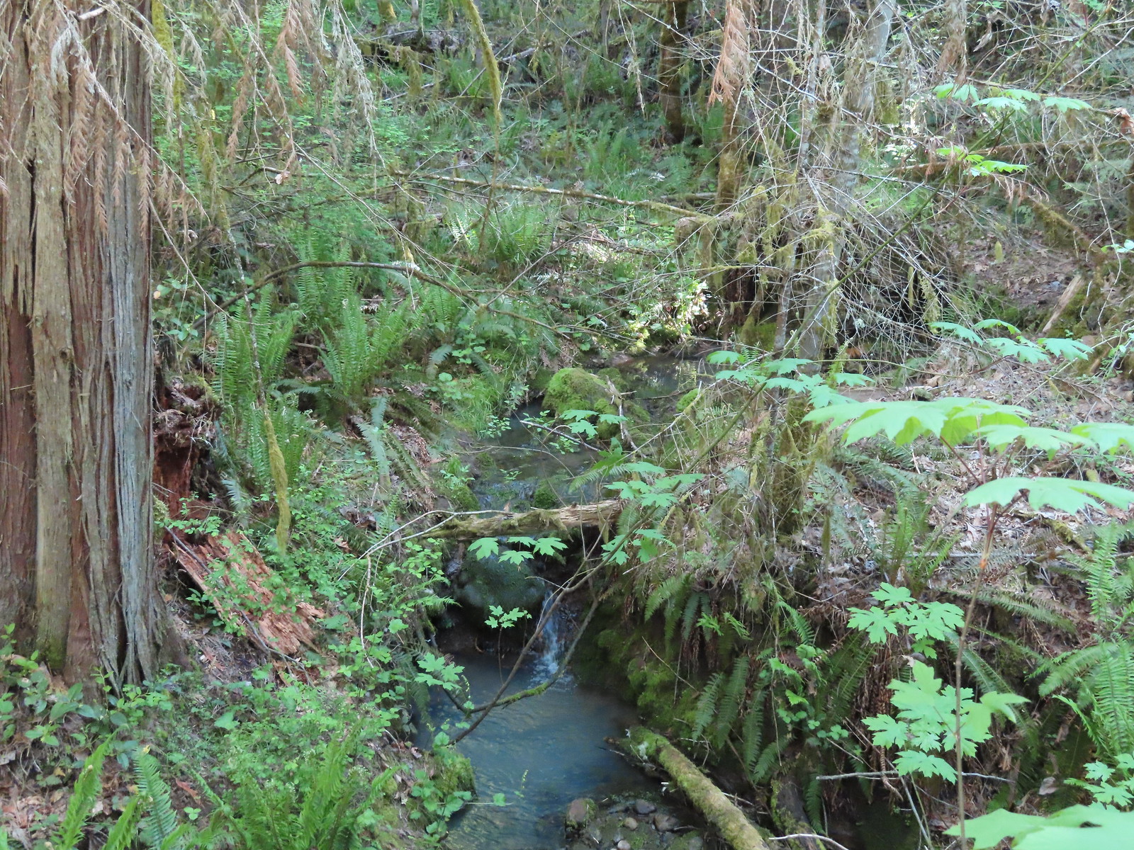
We turned onto the Legacy Creek Trail and found ourselves under a much denser canopy of trees. This extra shade made this feel like the coolest section of trail we’d been on all day which was welcome because it was now over 80 degrees in the Sun.


 Mushrooms along the Legacy Creek Trail.
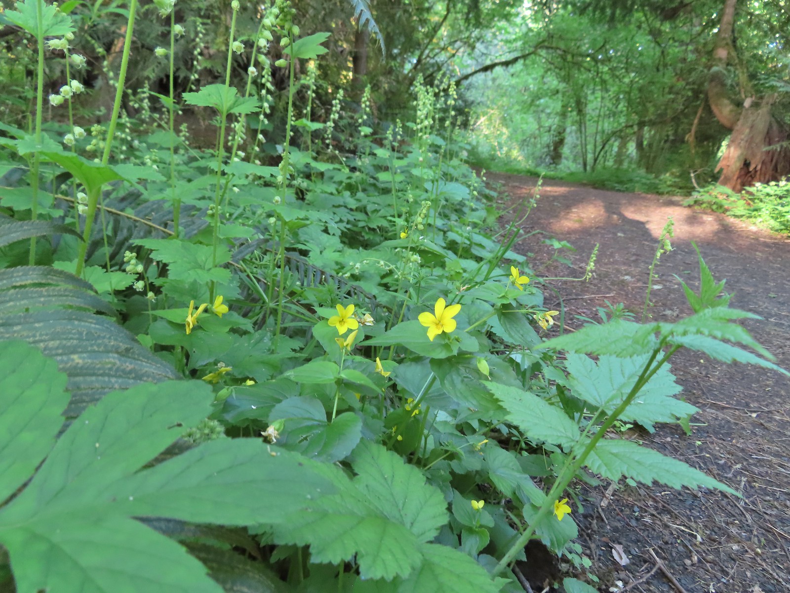
 Violets, candy flower and the invasive herb robert (pink).
We left the trees and quickly arrived back at Coyote Way where we took a right followed by another right on the Tonquin Trail after 200′.
 Coming up to Coyote Way.
 Back on the Tonquin Trail and heading for the trailhead.
This was our shortest stop of the day coming in at just 2.7 miles. For the day we logged 9.4 miles with approximately 400′ of cumulative elevation gain, primarily from our stop at Cooper Mountain. These were all enjoyable stops and each provided a different experience. Happy Trails!


