Seemingly all of the upcoming hikes I have slated for June (this year and in the future) involve viewpoints, but after a week of mostly blue skies and warm weather rain showers arrived just in time for our day off. Our original plan had been a two-stop day near McKeznie Bridge, first to revisit Castle Rock where we’d missed the view in 2017 (post) due to clouds, then hike to MacDuff Mountain for the first time. When I checked Friday morning the forecast for this area called for a 60% chance of showers mainly before 11am, less than a tenth of an inch of precipitation, and partly sunny skies. I checked some other areas and unless we were willing to drive to Central Oregon none looked better than this.
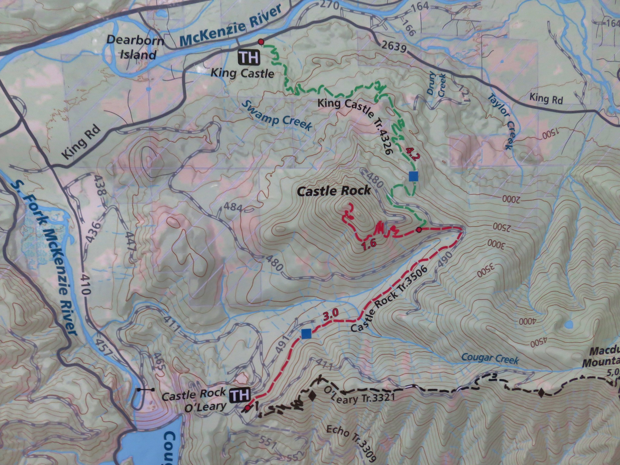
We decided to save Castle Rock for another (sunnier) day and drove straight to the O’Leary/Castle Rock Trailhead.

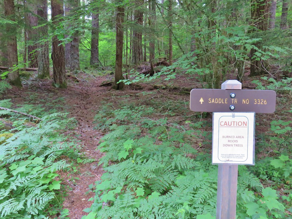
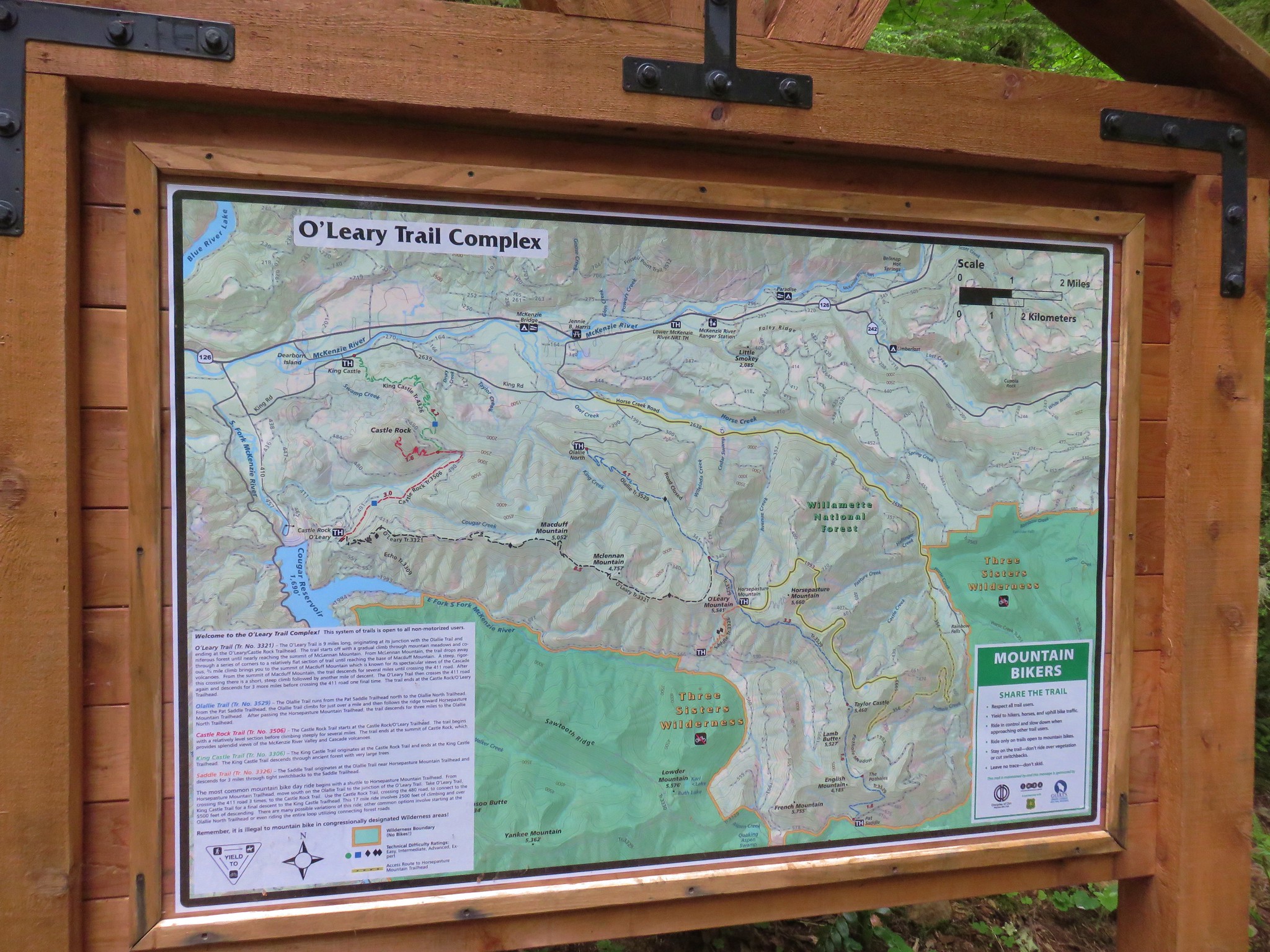
The hike to MacDuff Mountain was brought to our attention by Hike Oregon who is a great resource for hiking and backpacking information and tips. The O’Leary Mountain Trail passes just below the rocky summit of MacDuff Mountain on its way to joining the 22.8-mile long Olallie Trail. This trail and a portion of the Olallie Trail are open to mountain bikes as well as hiking. The out-and-back to MacDuff Mountain is approximately 10.5 miles with over 2700′ of elevation gain. The well graded trail makes the climb feel like less than that number though.
From the trailhead we crossed FR 411 to a pointer for the Castle Rock and O’Leary Trails.

We quickly arrived at a junction where the Castle Rock Trail headed left.

From this junction it is approximately 5 miles to the summit of Castle Rock. We wouldn’t have gone that route even if we had stuck to the original plan to visit it first. We would have parked at the Castle Rock Trailhead which is only 1.2-miles from that peak’s summit.
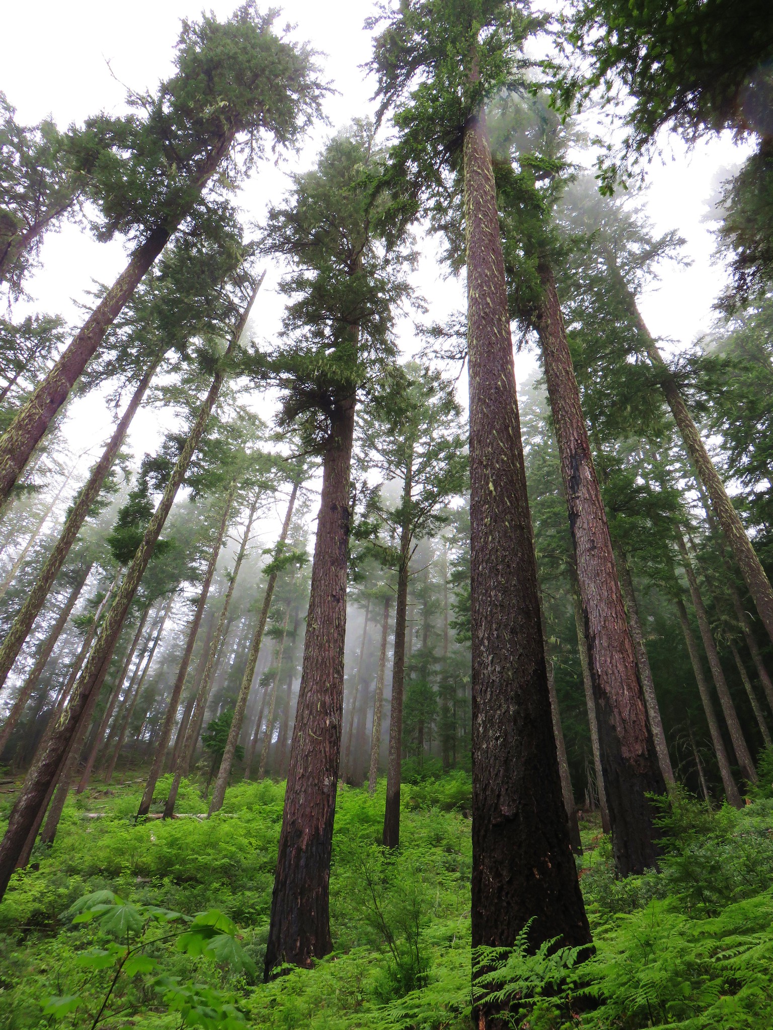
We stayed straight on the O’Leary Trail and quickly became soaked by the damp vegetation along the trail.

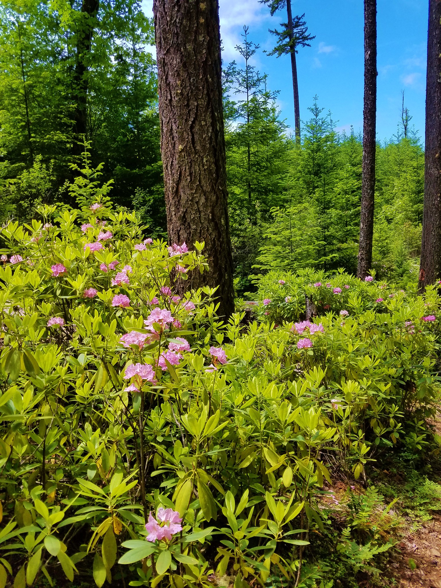
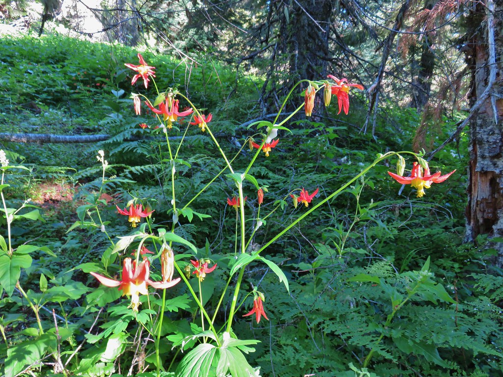
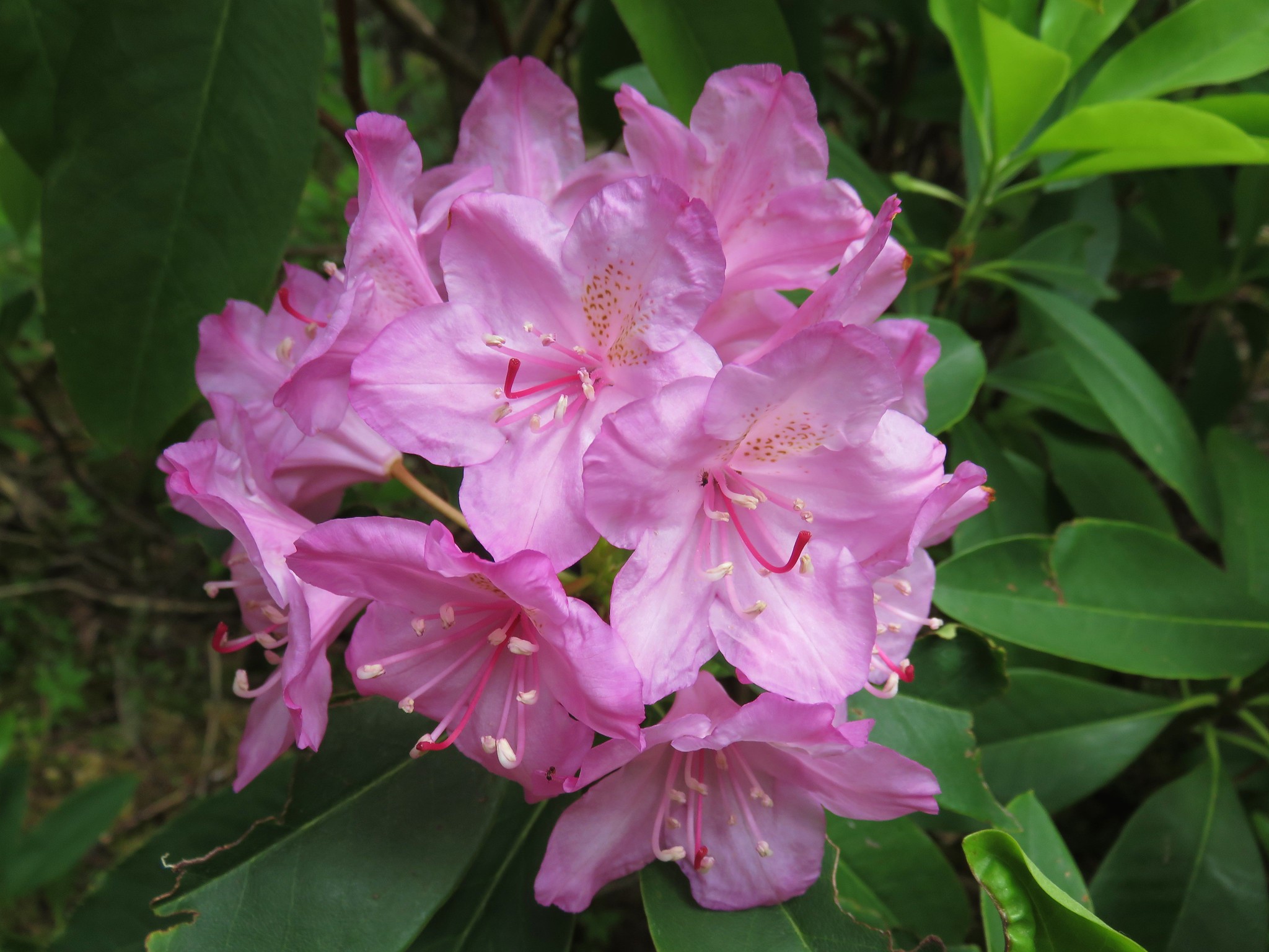
 There were some nice rhododendron blooms along the trail.
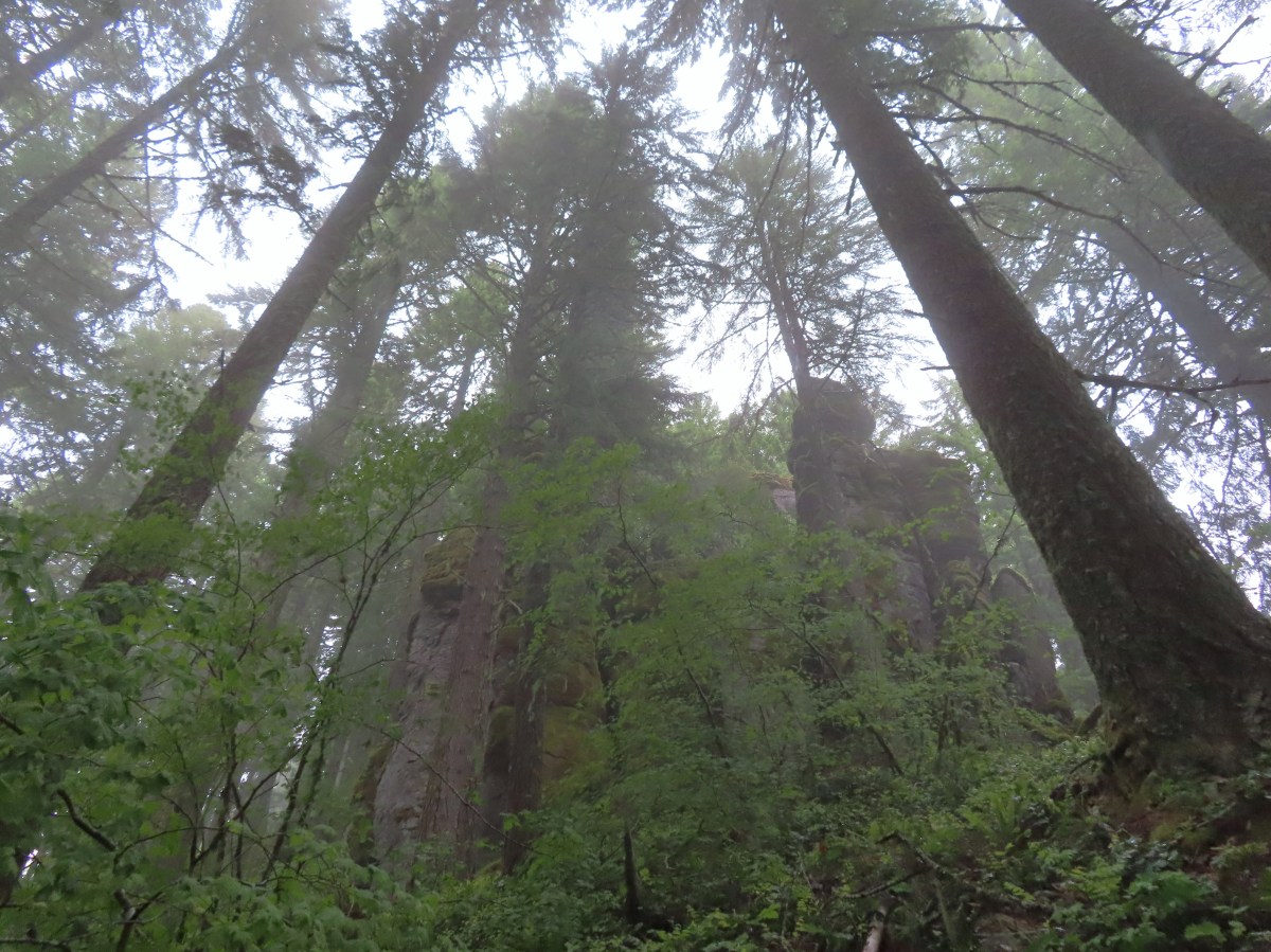
It was hard to tell if it was actually raining or if the low clouds/fog was just leaving the trees and plants damp but either way drops were falling from overhead as we climbed a series of switchbacks. These led us past some nice rock formations in the first mile and a half.

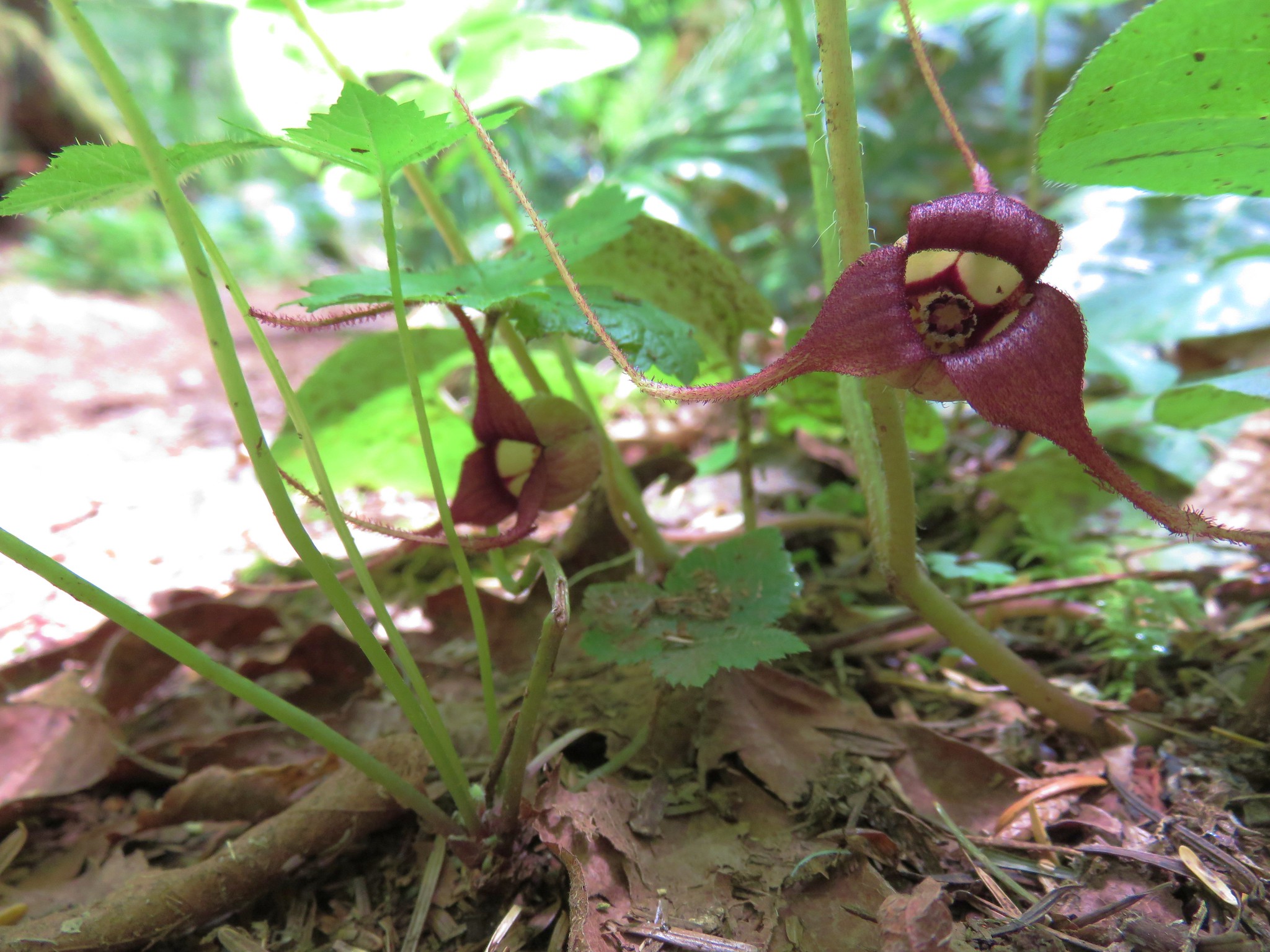
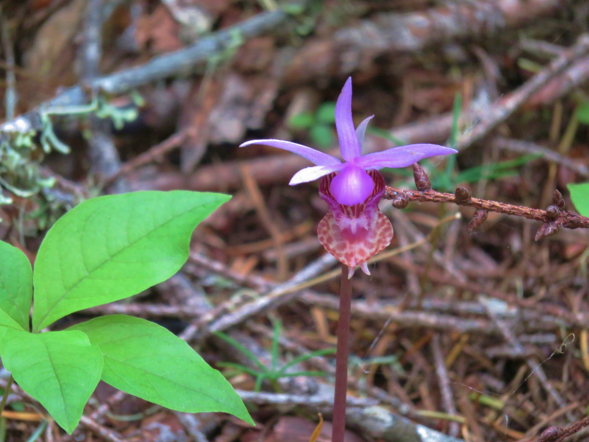
 Spotted coralroot
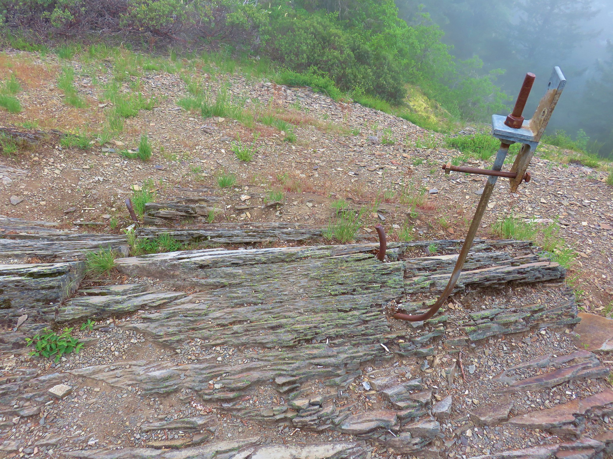
 The first of three crossings of FR 411, this is at the 0.4-mile mark.
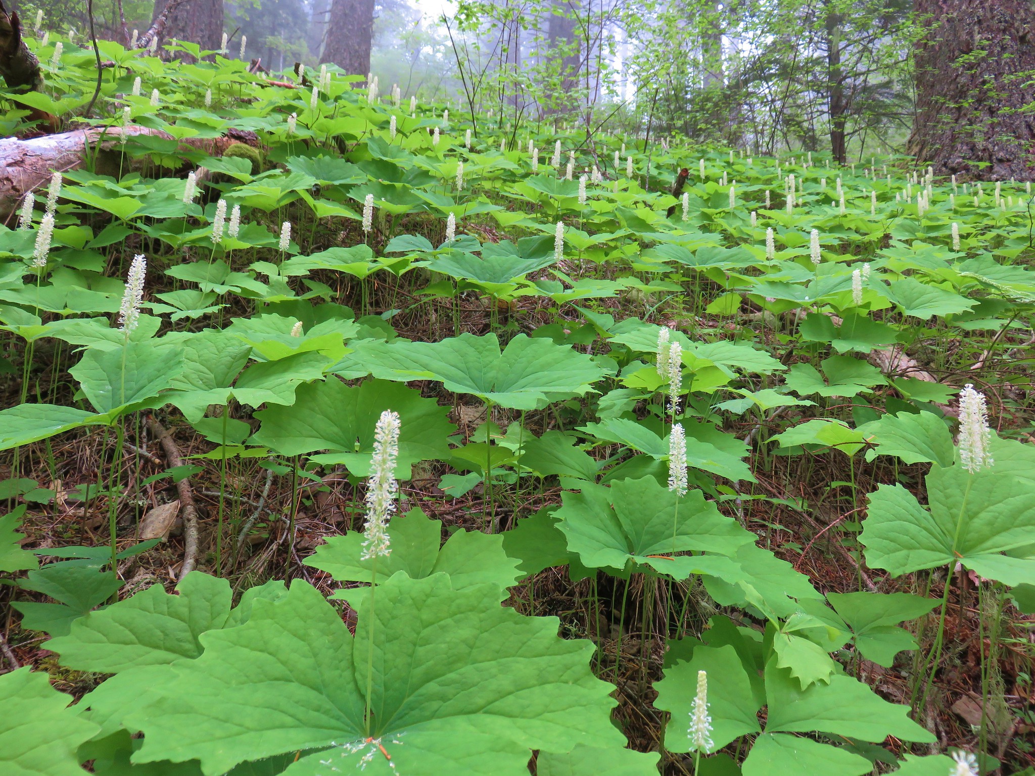
 Inside-out flower
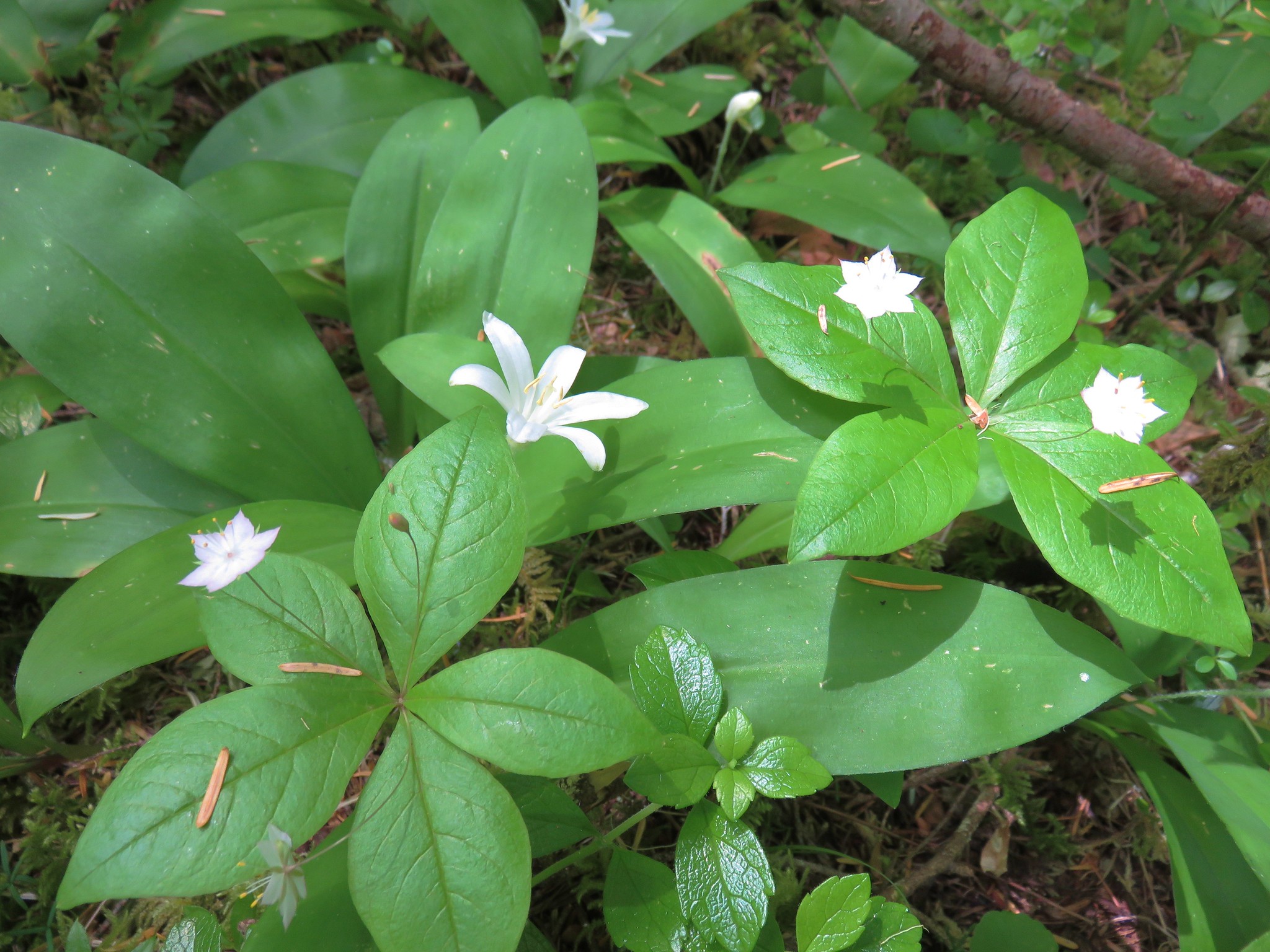
 Starflower
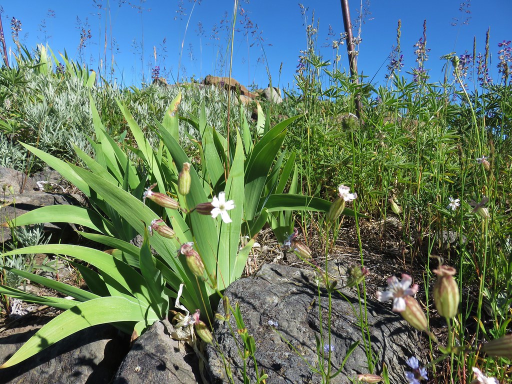
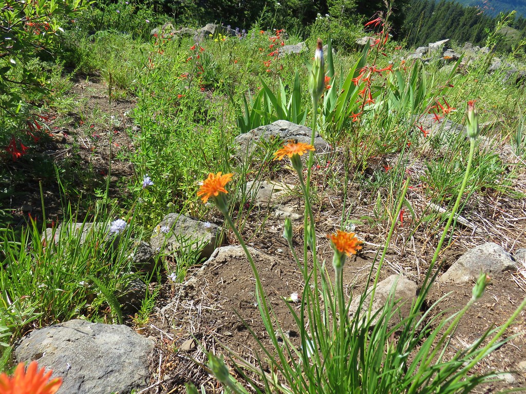
 Yellowleaf iris
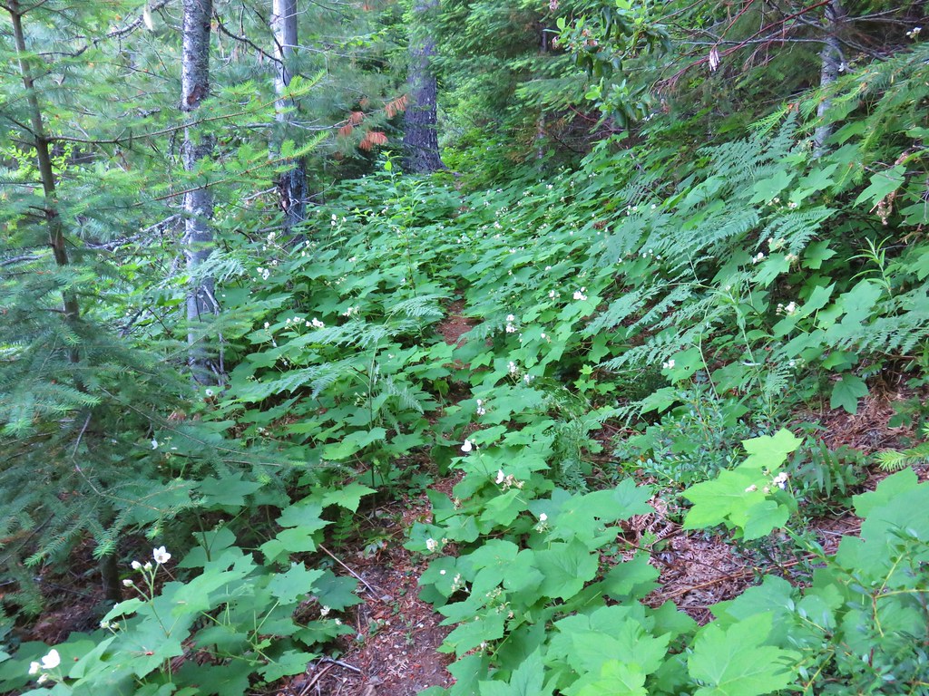
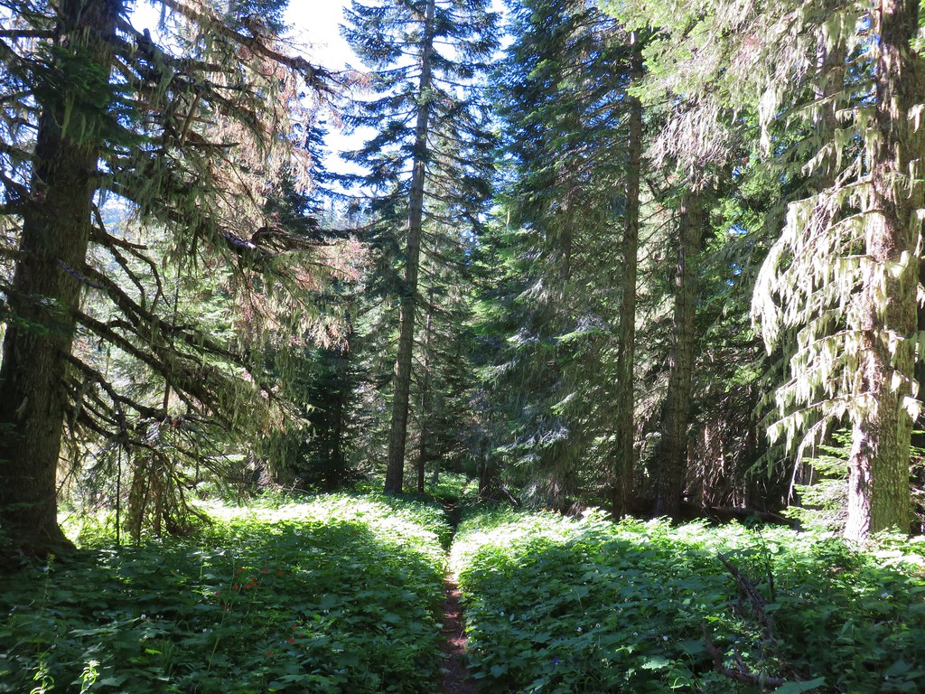
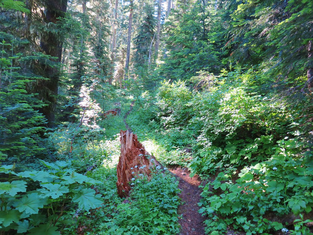
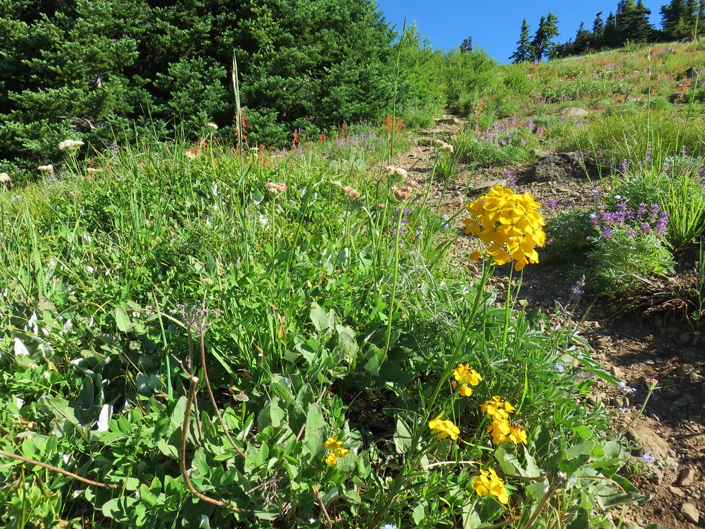
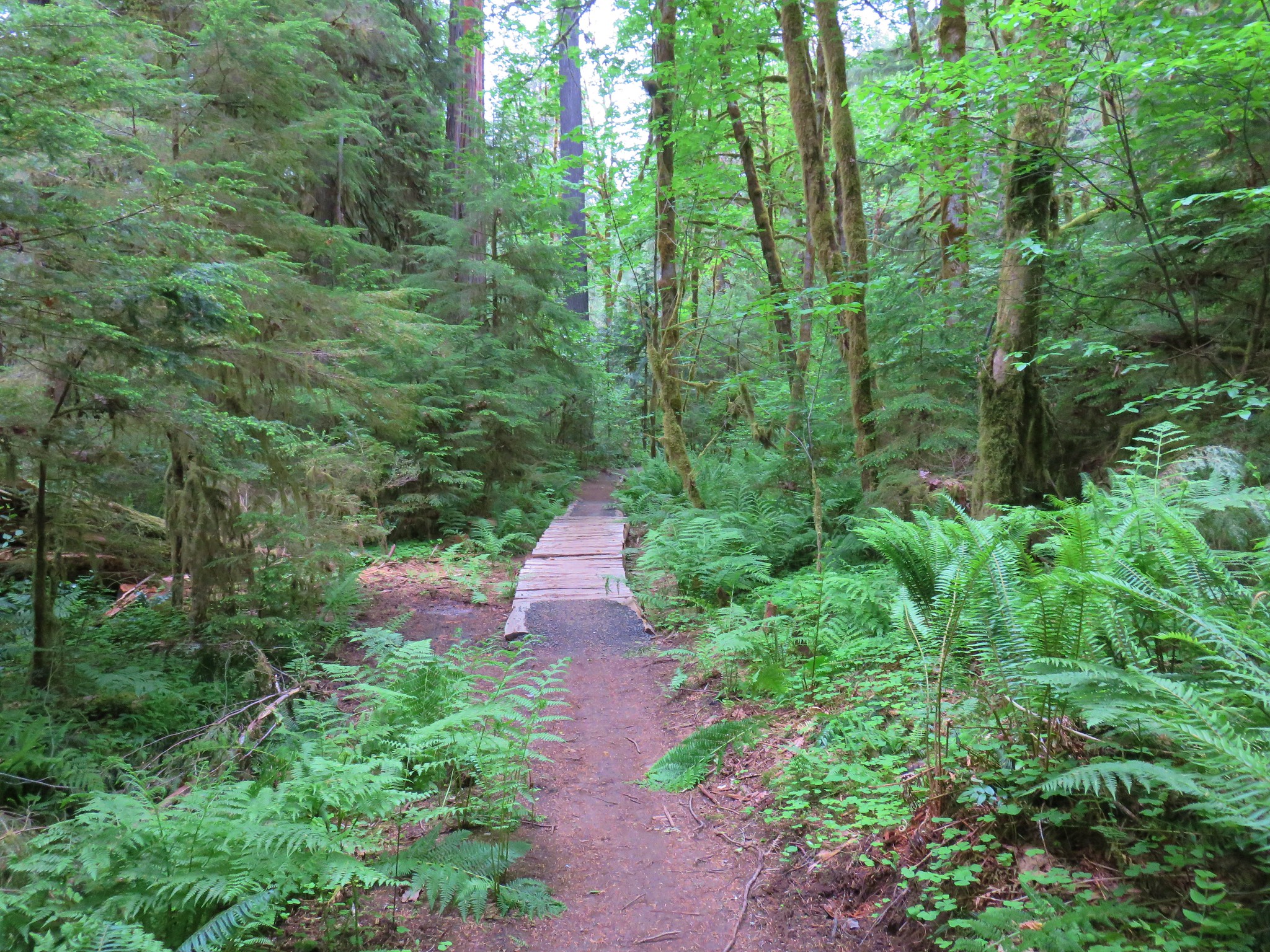
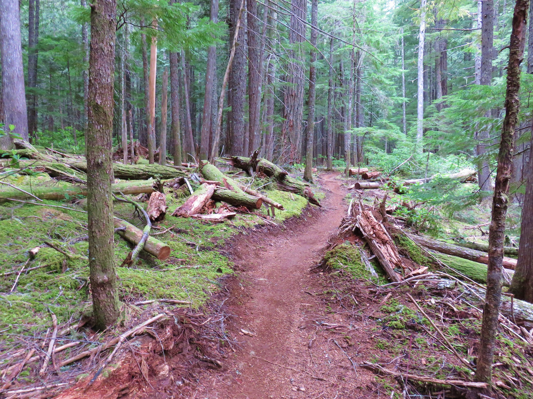
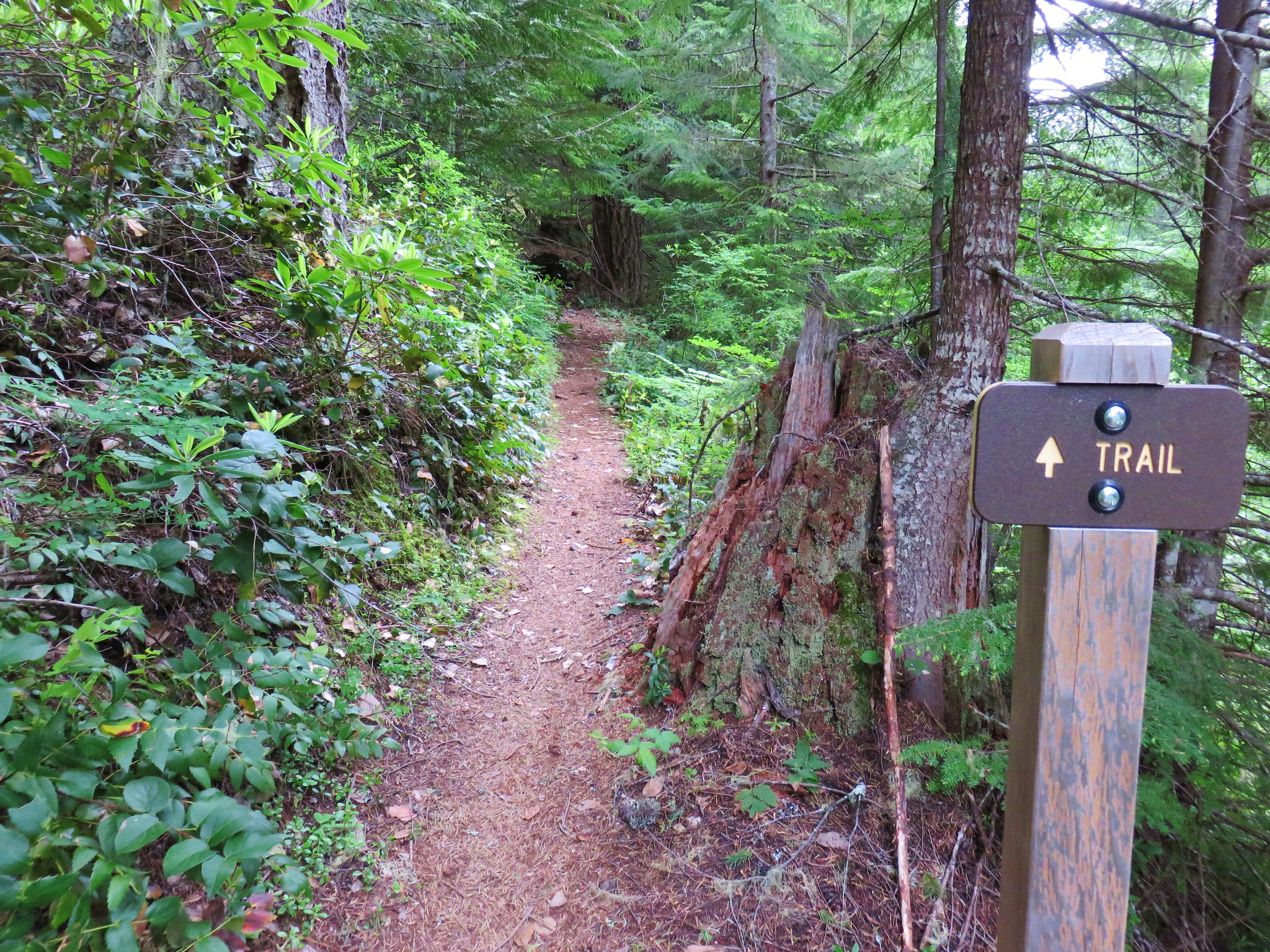
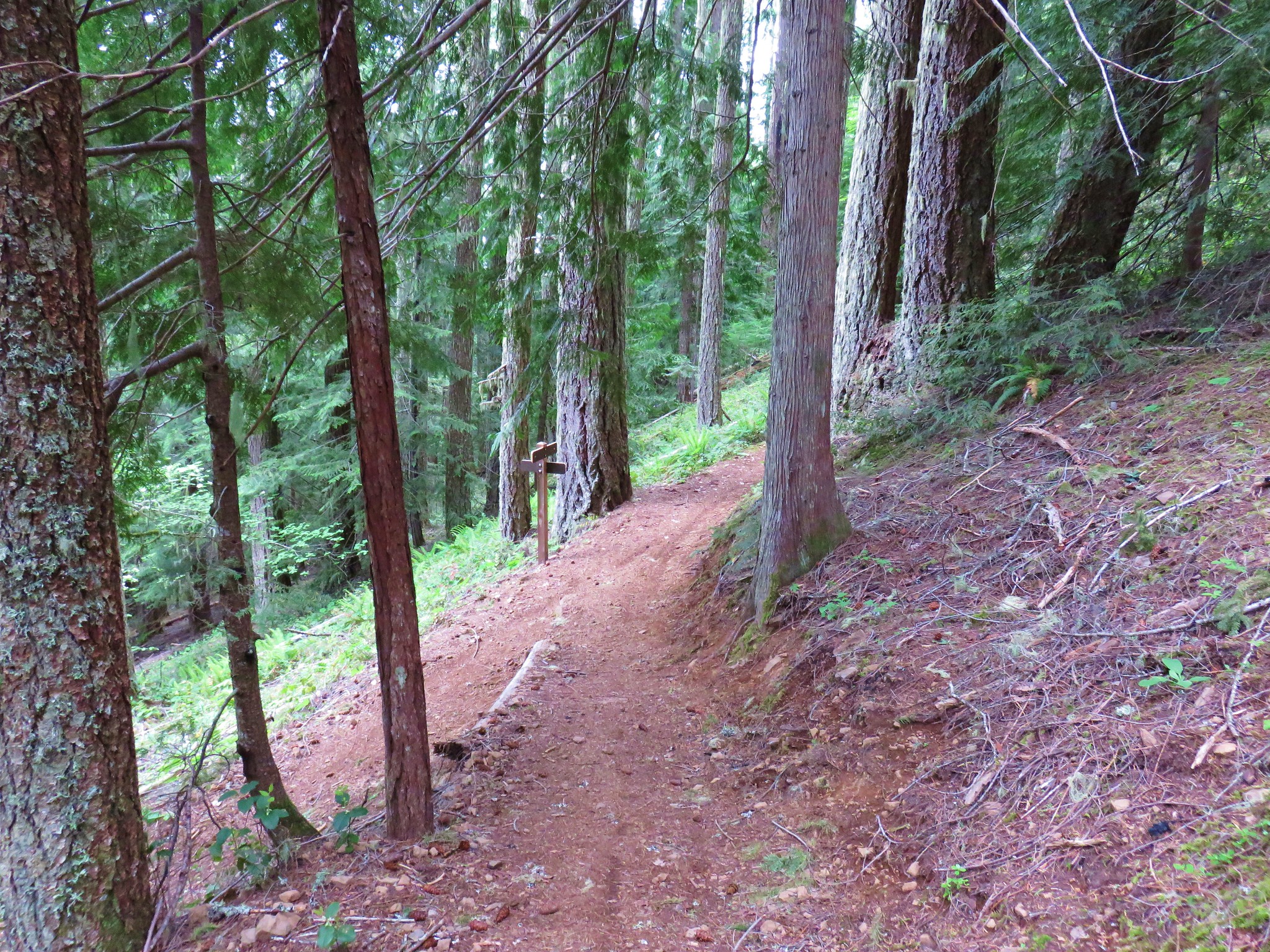
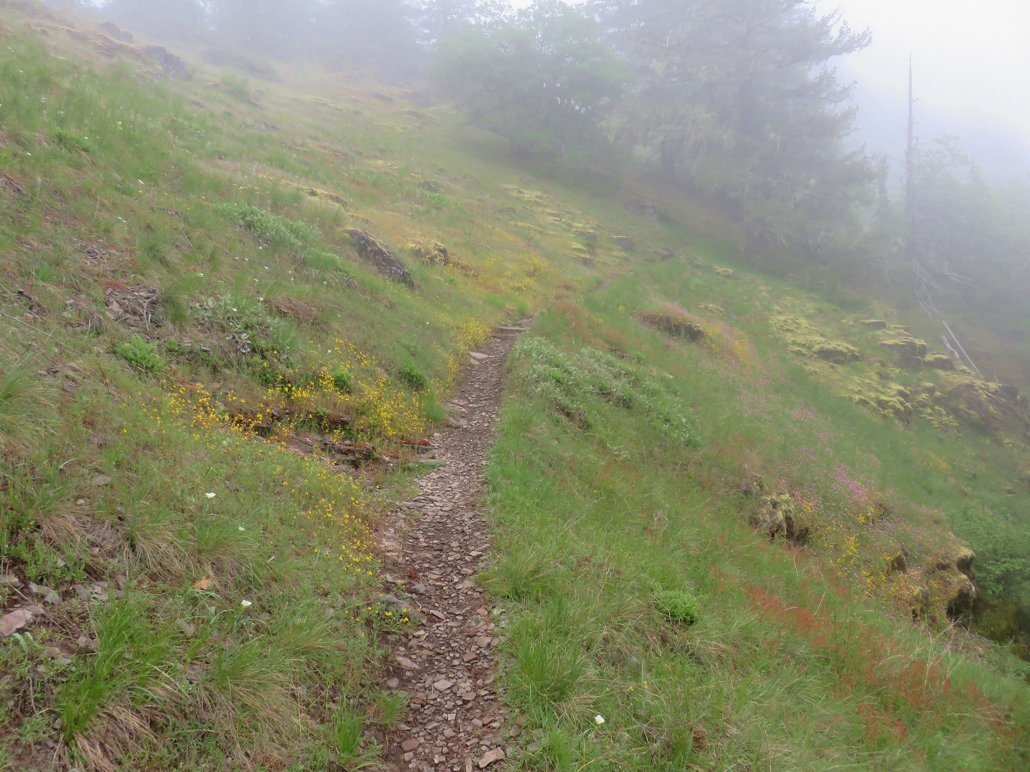
 The trail is narrow at times but well maintiained.
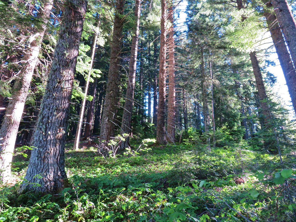
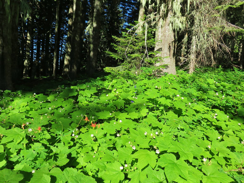
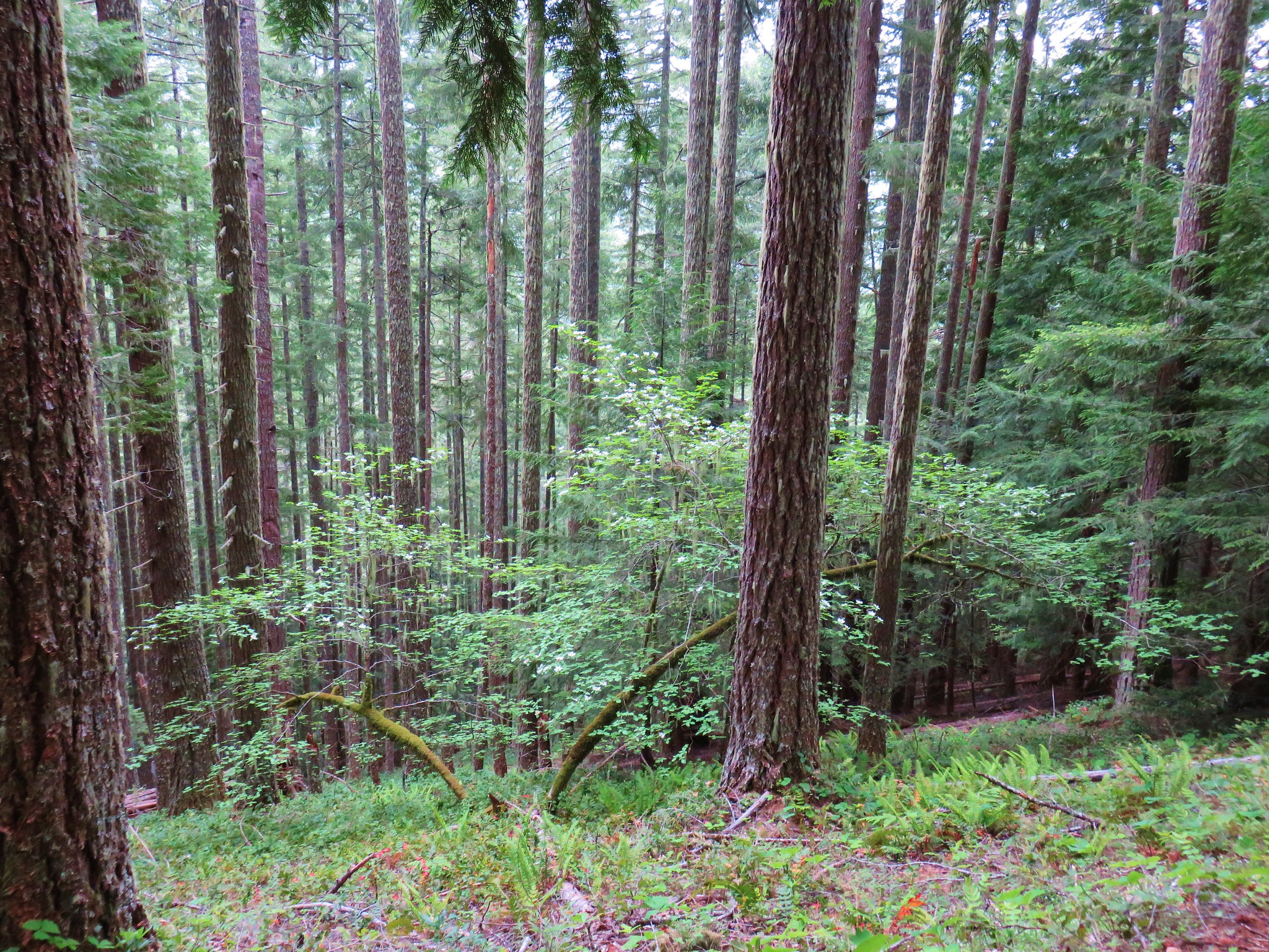
 Forest filled with rhododendron.
 A closer look at the rhodies.
 There were several madrones in the forest.
 Little prince’s pine
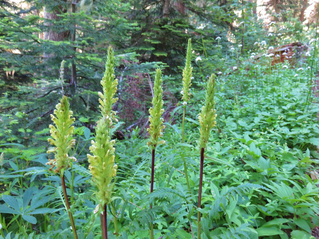
 Sugar sticks
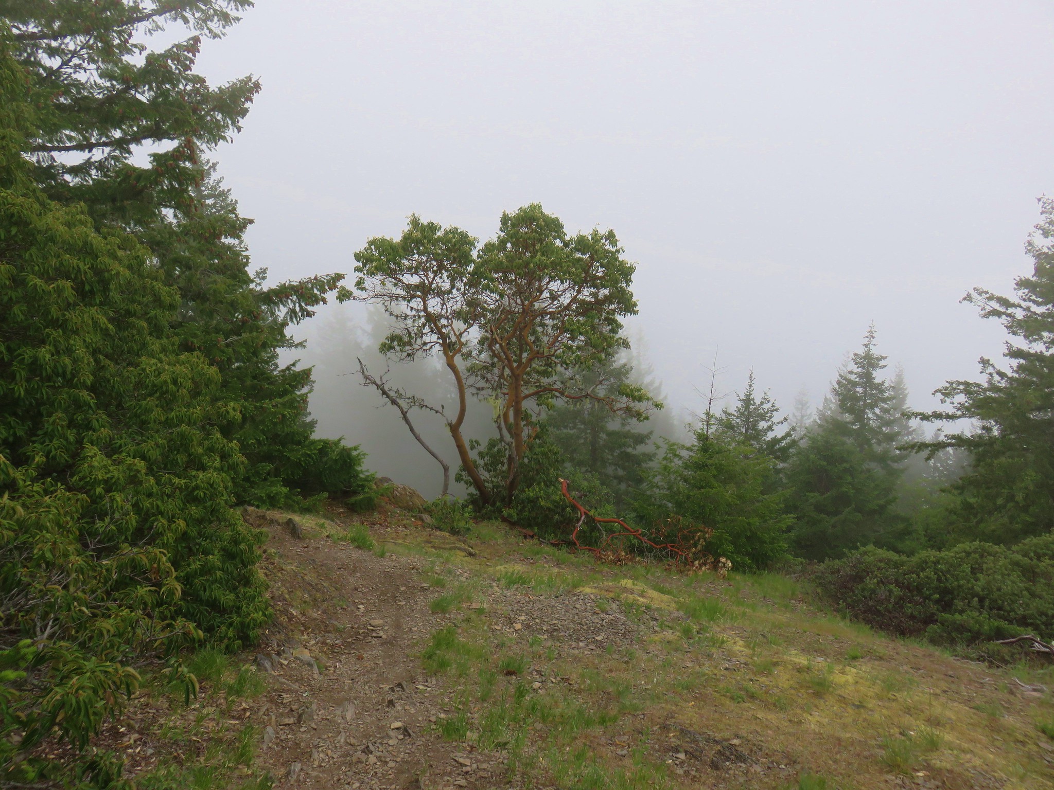
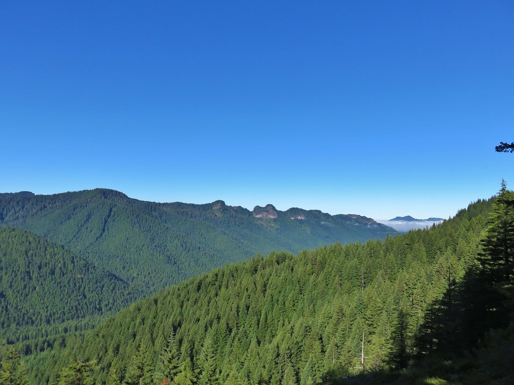
 There were a few places where we might have had a view if not for the clouds.

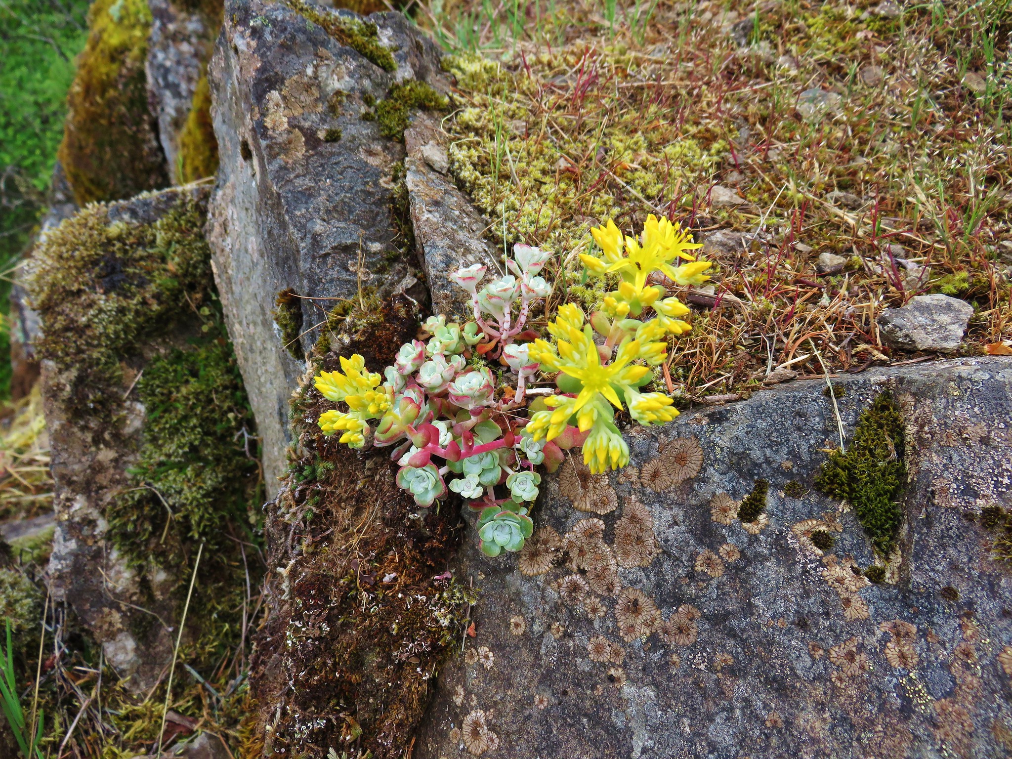
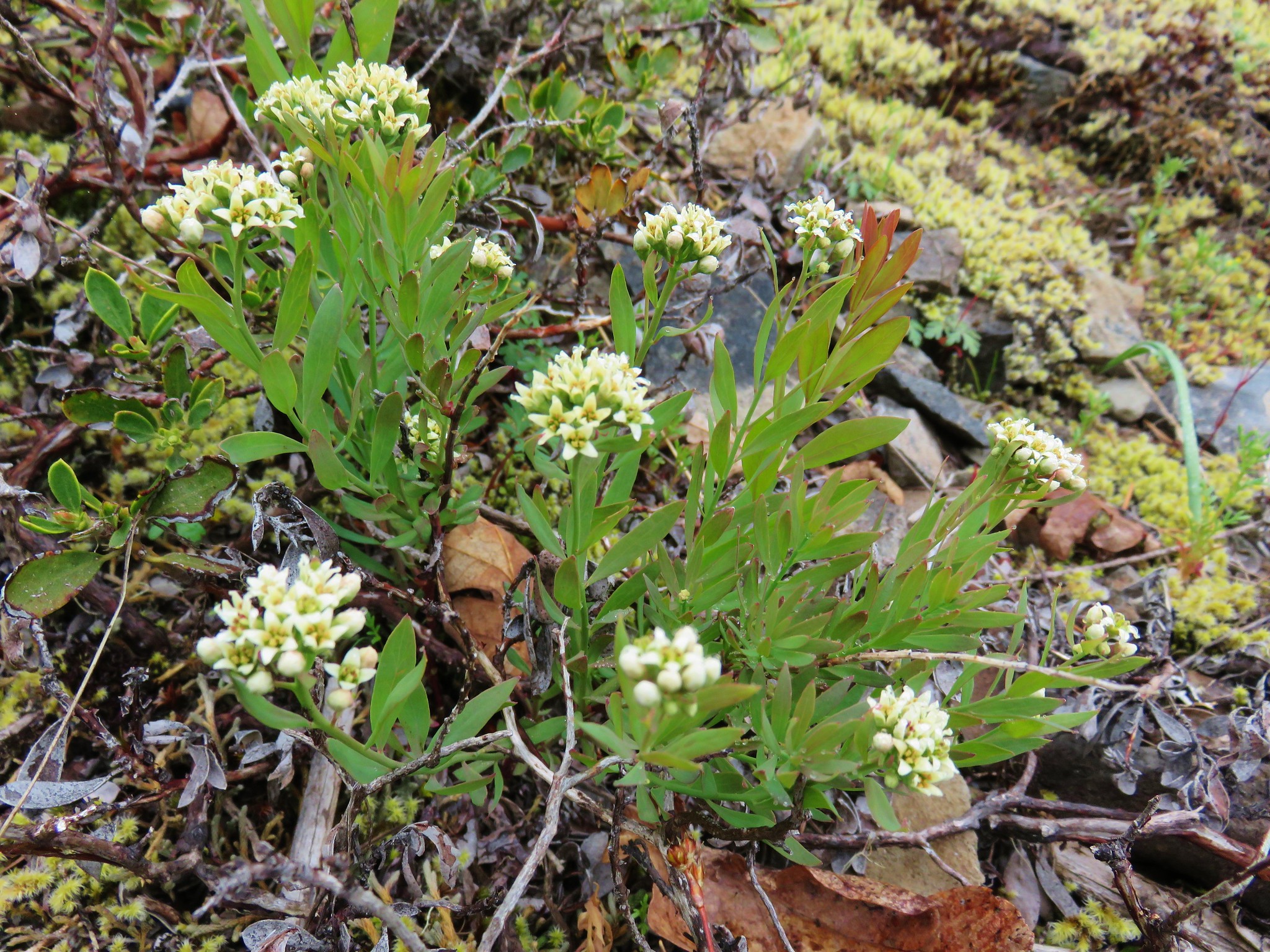
 Stonecrop
 Passing below some of the rock formations.


 Anemones
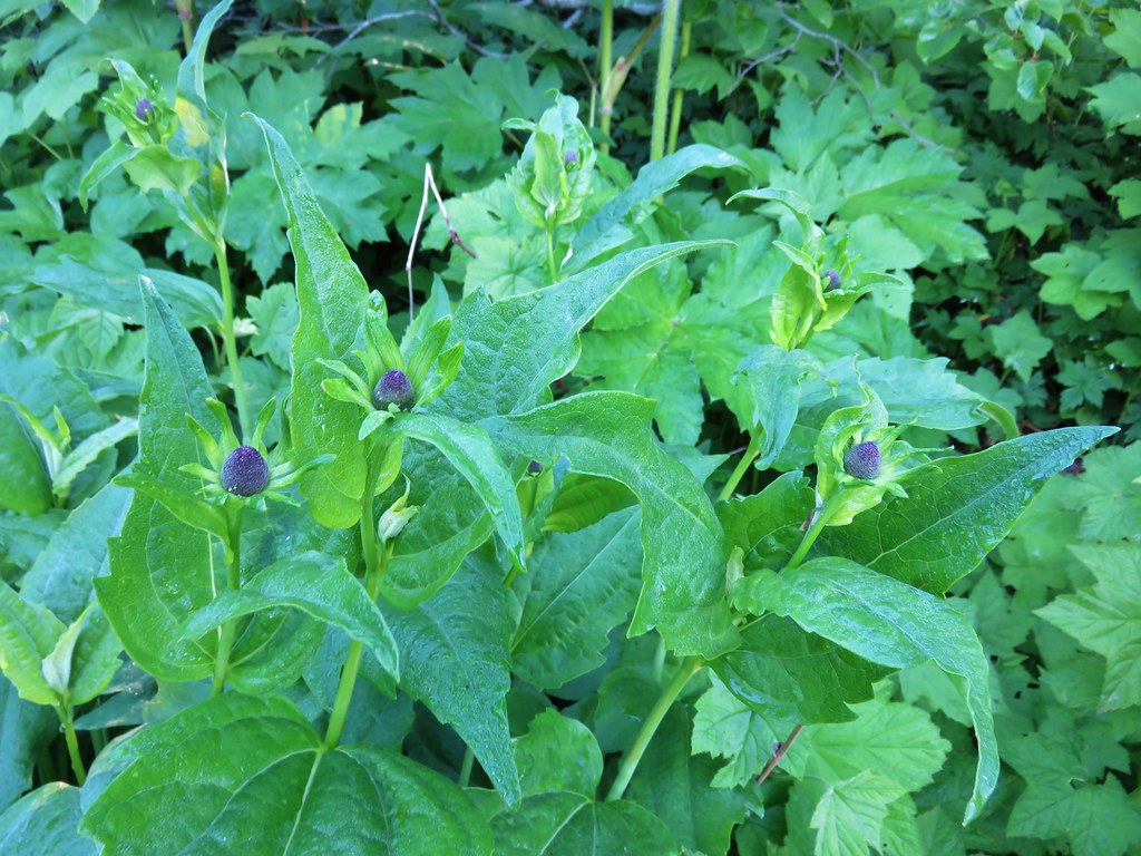
 Bleeding heart
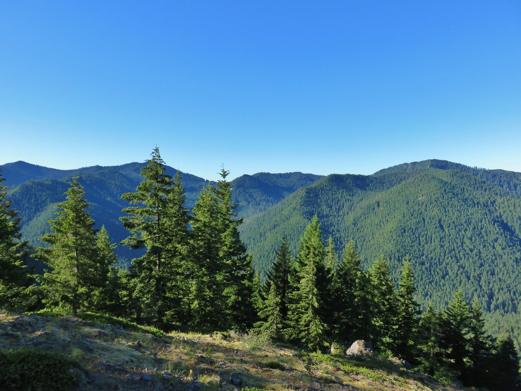
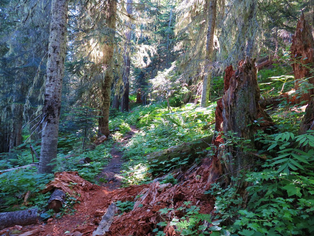
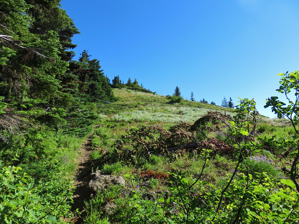
The switchbacks became much rarer beyond the rock formations as the trail traversed the hillside below a ridgeline, and occasionally on the ridge.


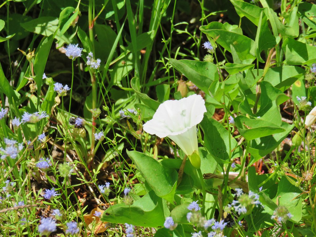
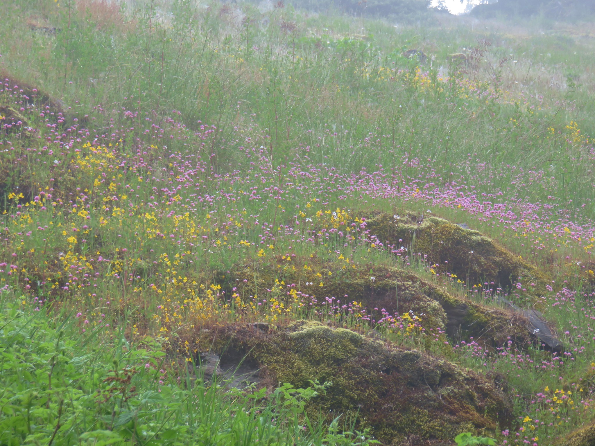
 The first small meadow that the trail passed through was full of blue-eyed Mary.


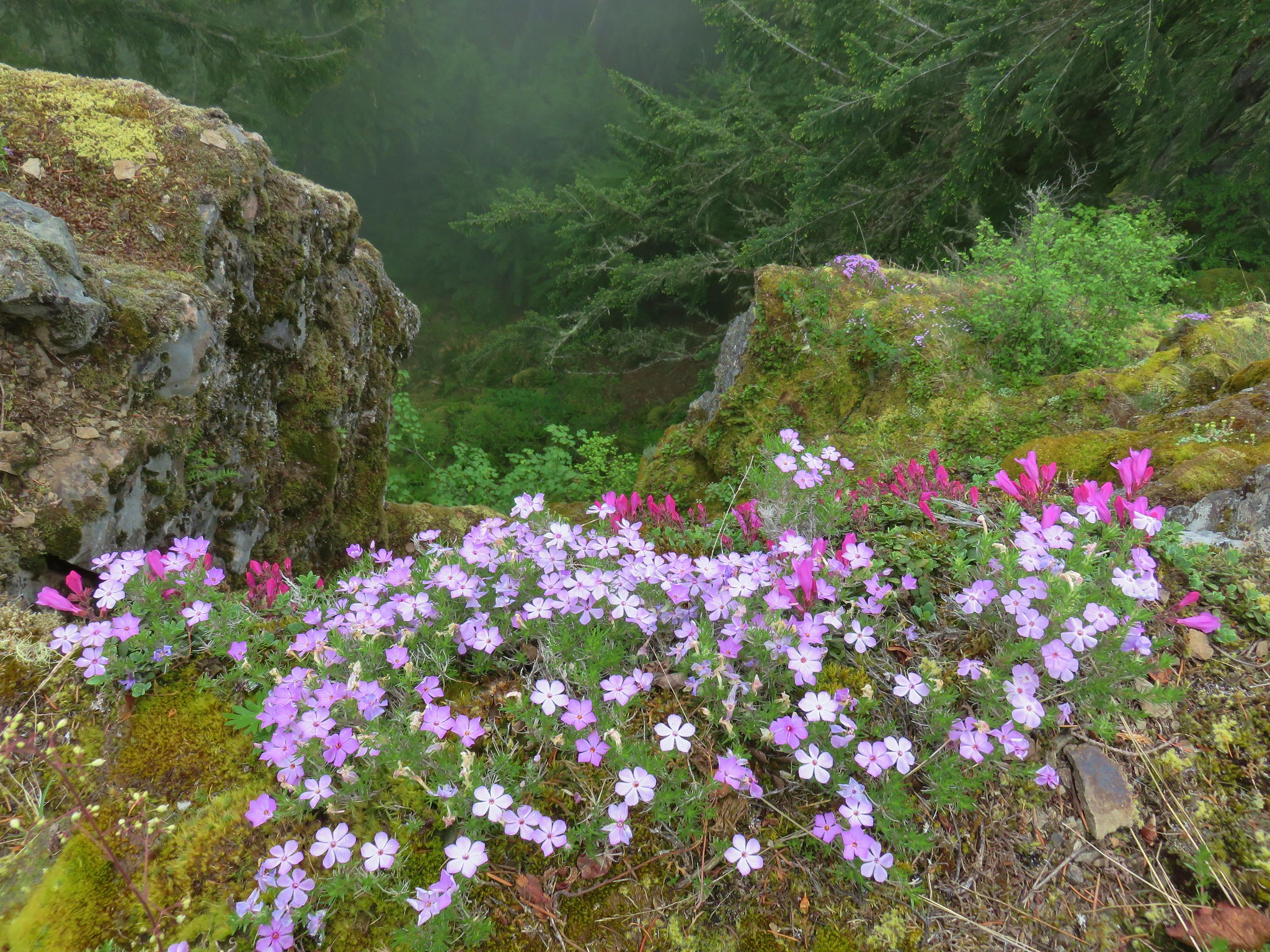
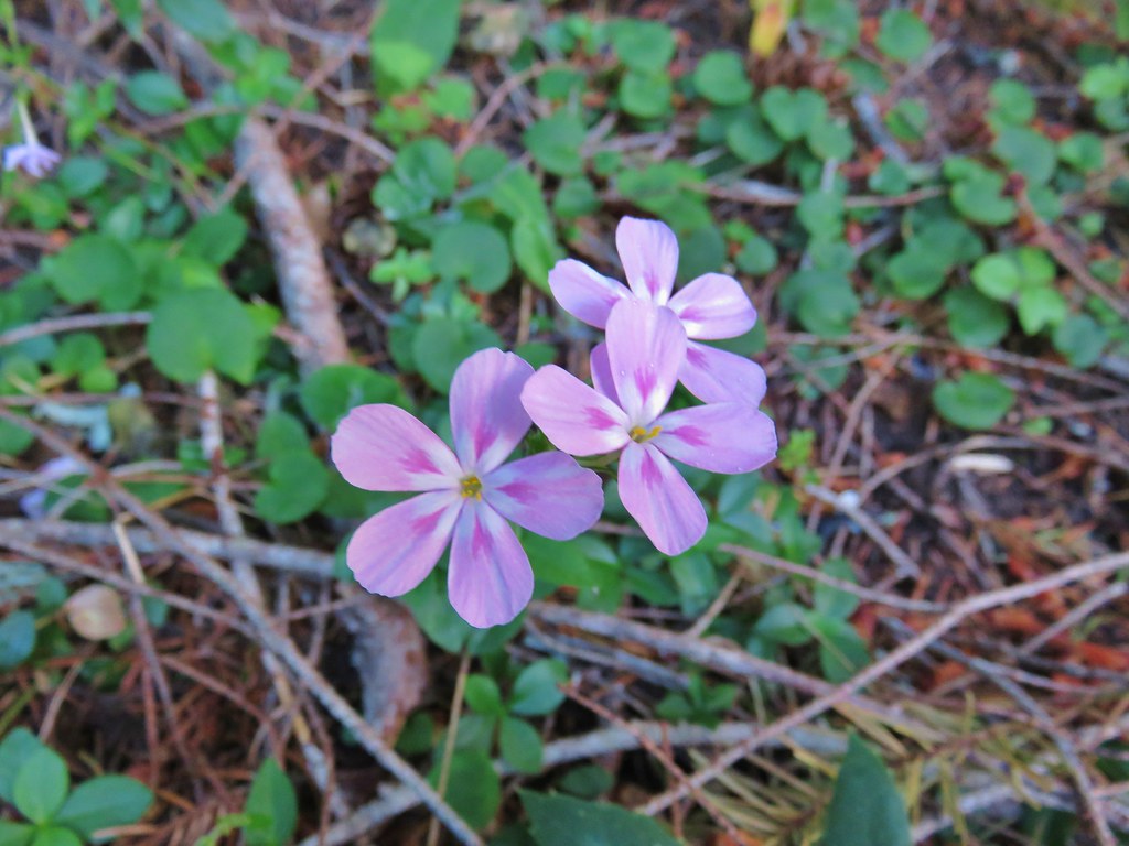
 Northern phlox
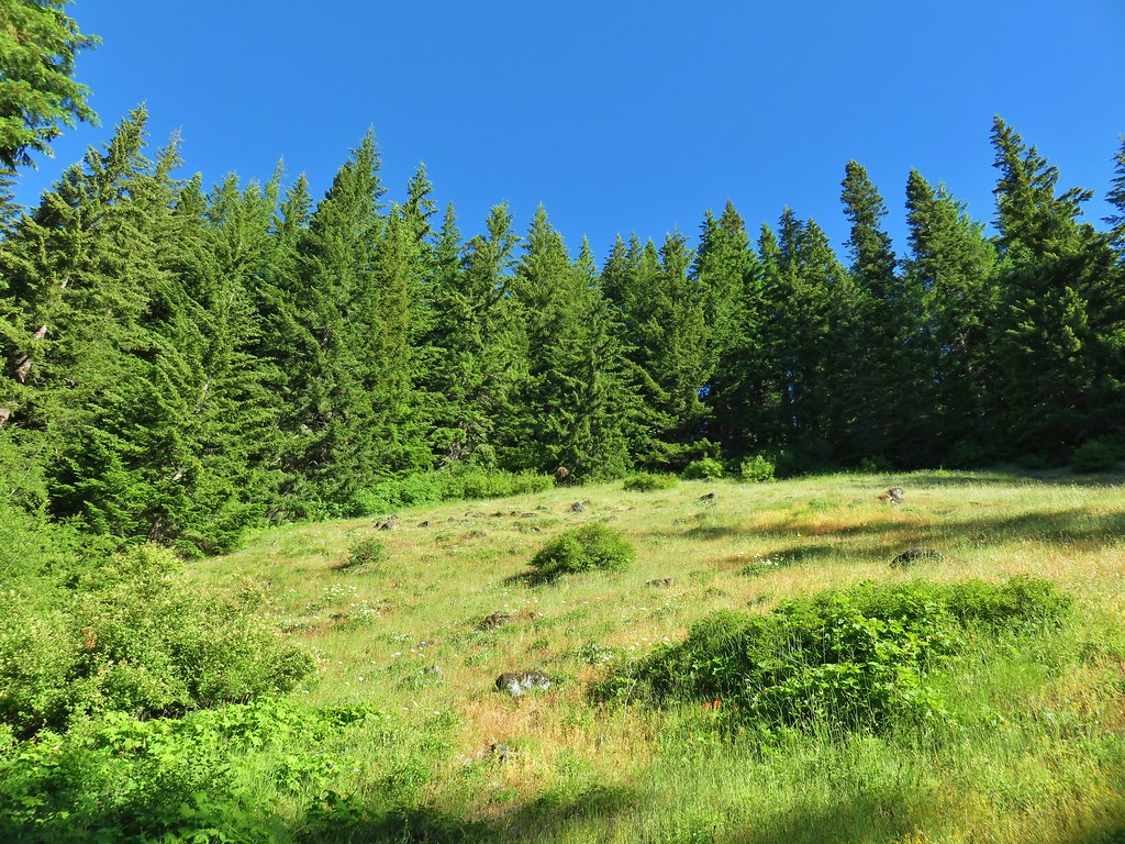
 Coming up on another small meadow.
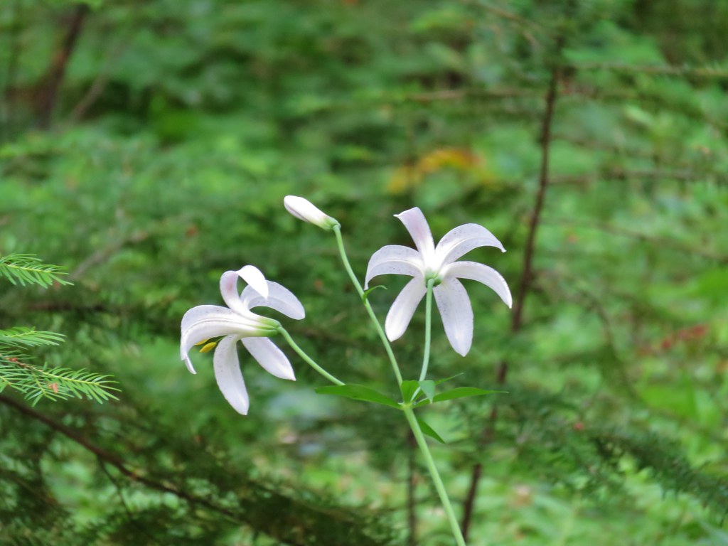
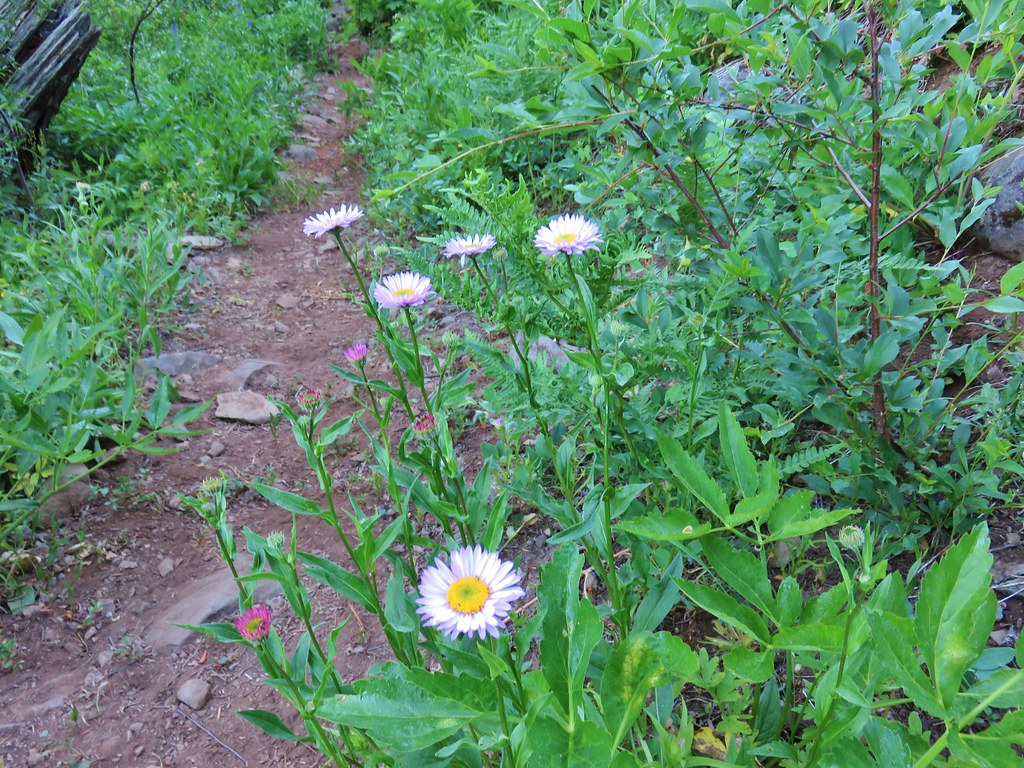
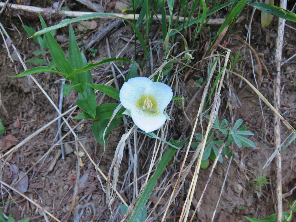
 Subalpine mariposa lily

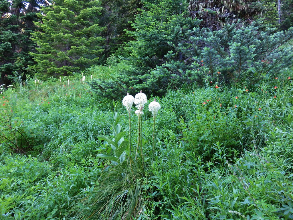
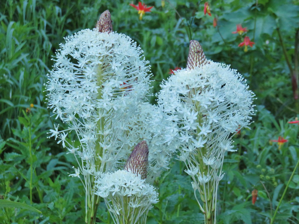
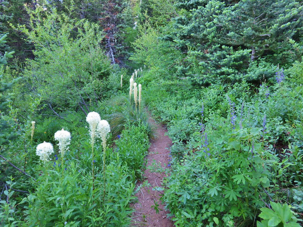
 Beargrass
A little under three miles from the trailhead the trail arrived at FR 411 for the second time.

We were briefly confused here because the Forest Service map showed the trail continuing straight across the road here, and the description from Hike Oregon was that you would cross the road here. There was no sign of the trail to be seen though. We wandered back and forth a bit then based on the topography decided that any continuation of the trail would be further up the road (to the right when arriving at the road). We walked approximately 100 yards to spot the continuation of the trail through the fog.
 The fog didn’t help with our trying to find the trail. There was enough room along this section of road that parking and starting the hike from here would be possible.
 Back on trail.
The trail made one of its steepest climbs from the road here then after briefly leveling out dropped back down to the road again.
 Honeysuckle

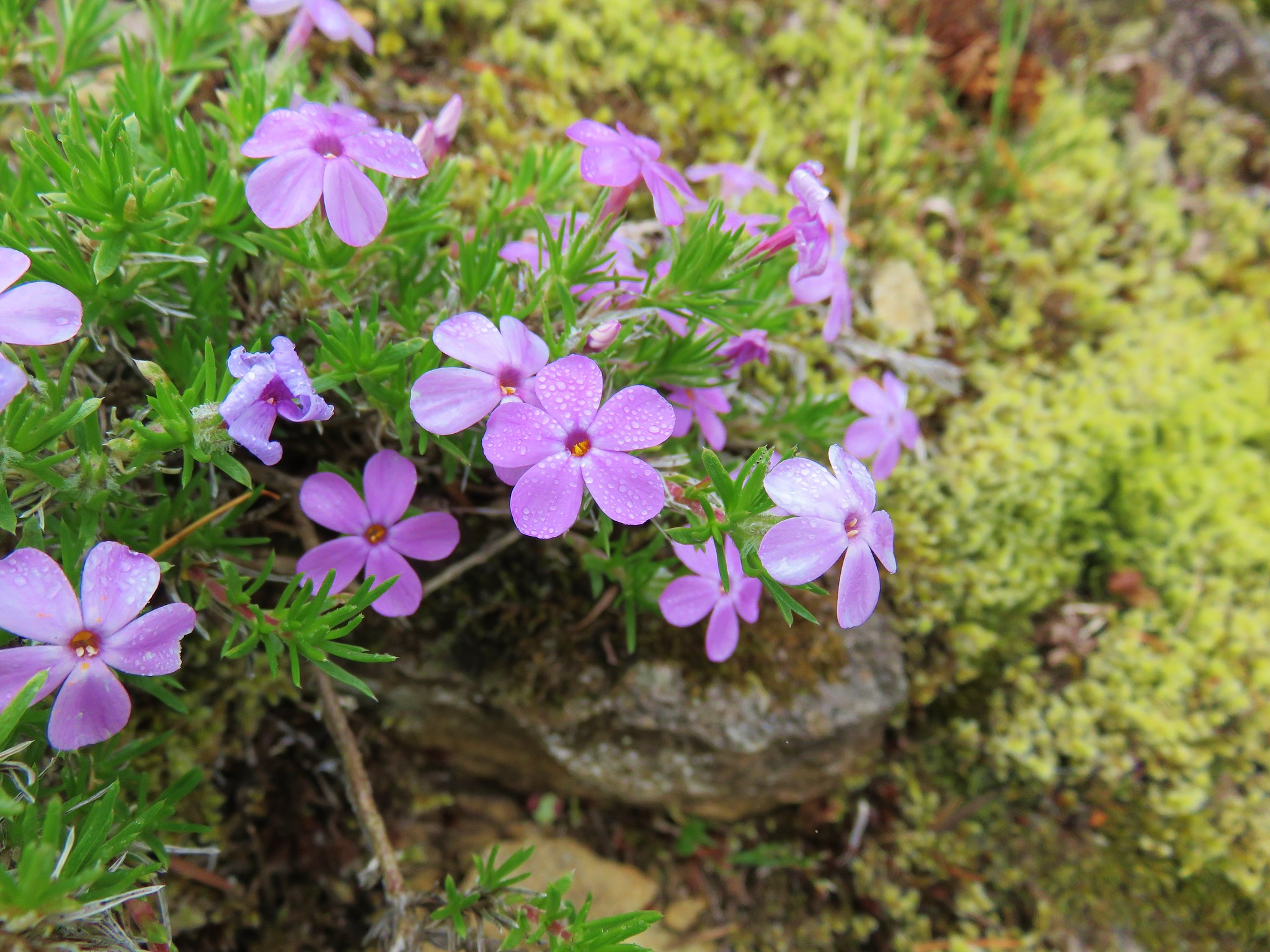
 More northern phlox

 This meadow was full of bluehead gilia.


 The trail dropped steeply as it rejoined FR 411.
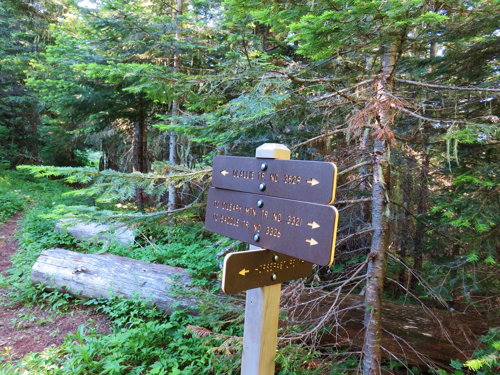
Another brief road walk followed before the trail split off to the right at a pointer.
 There was no parking room that we could see near this area.

It was only about a quarter of a mile between the two road crossings and the steep up and down had us questioning if it wouldn’t have been better just to stay on the road, but then we’d have missed the meadow of bluehead gilia.
The trail continued its gradual but steady climb for two more miles before arriving below the rocky summit of MacDuff Mountain.
 Vanilla leaf along the trail.


 Bunchberry

 Trillium

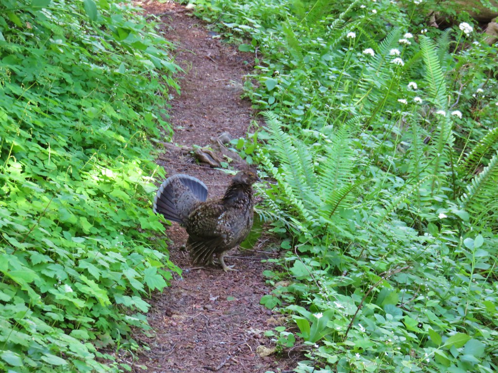
 We stopped when we spotted something in the trail ahead that looked like it might be an animal. Using the camera to zoom we realized it was a grouse hen with her little chicks.
 The hen got up and then the chicks headed into the underbrush. We felt bad having disturbed them, but once they’d moved, we calmly passed by while momma came back to gather her little ones.
 This was all beargrass, but none of the plants in this area appeared to be planning on blooming this year.
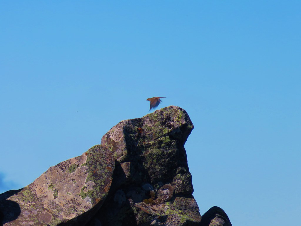
 Hermit thrush
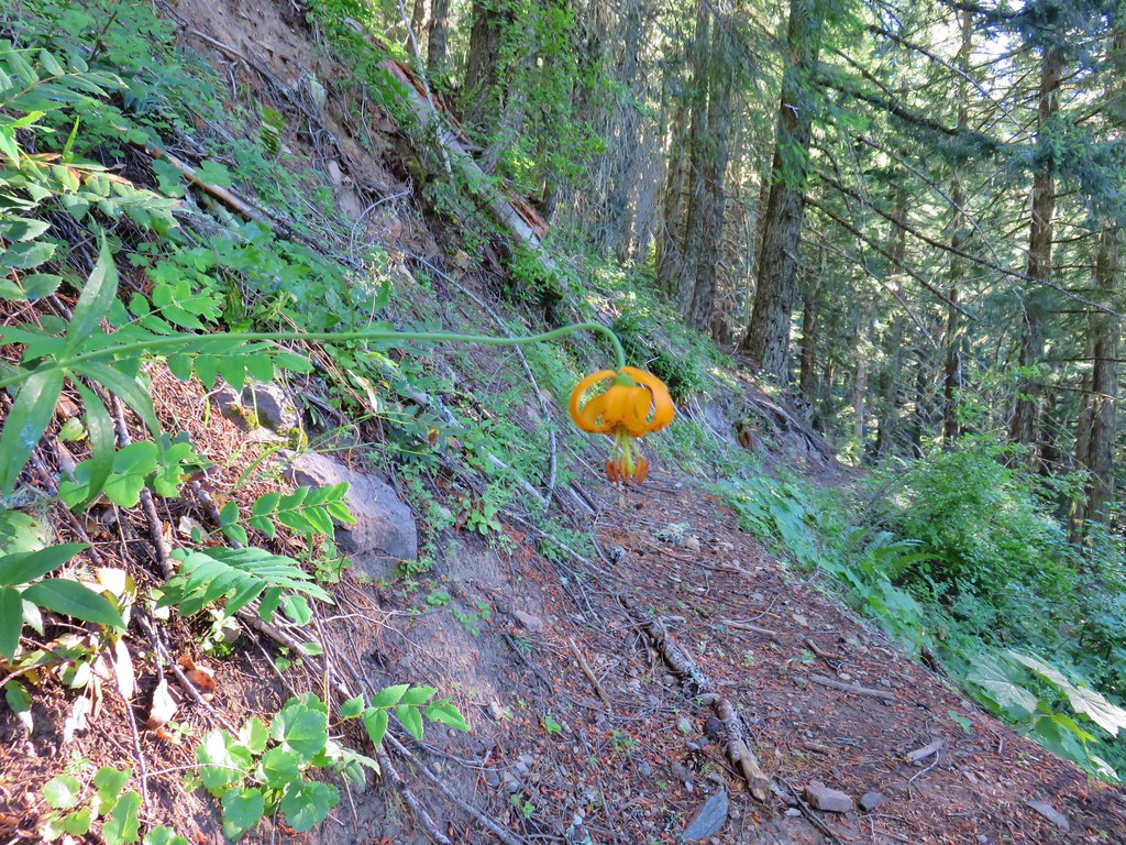
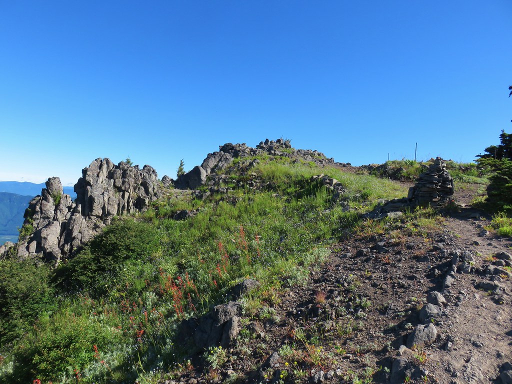
 The rocky summit of MacDuff Mountain.
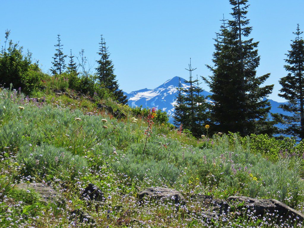
Our hopes that the clouds might break up or lift before our arrival at MacDuff Mountain were in vain. It was a little past 11am but partly sunny skies were a distant dream. While there wouldn’t be any mountain views today the wildflowers blooming on the rocks made for a worthy destination on their own.
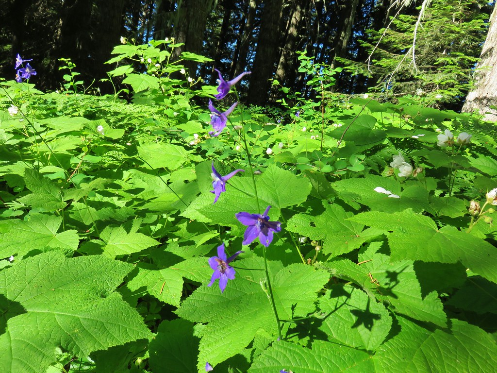
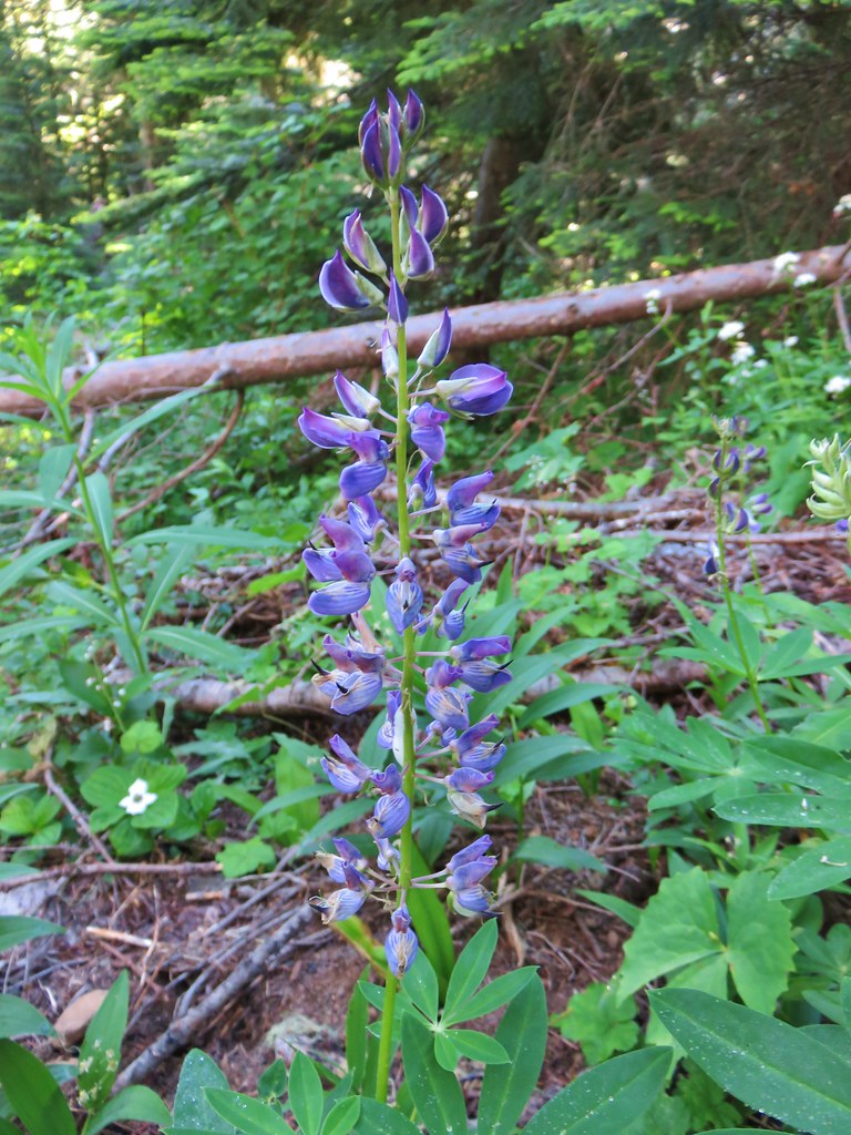
 A lot of larkspur.

 Subalpine mariposa lilies
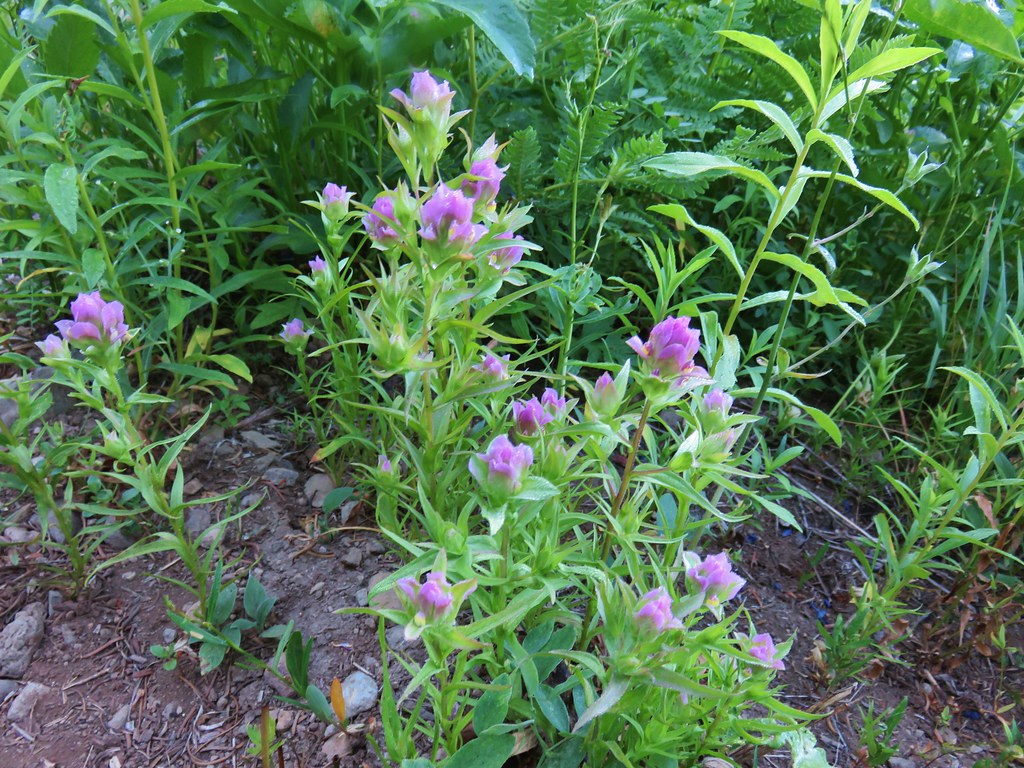
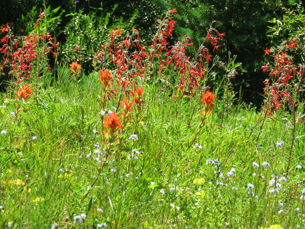
 Paintbrush and buckwheat
 Cinquefoil
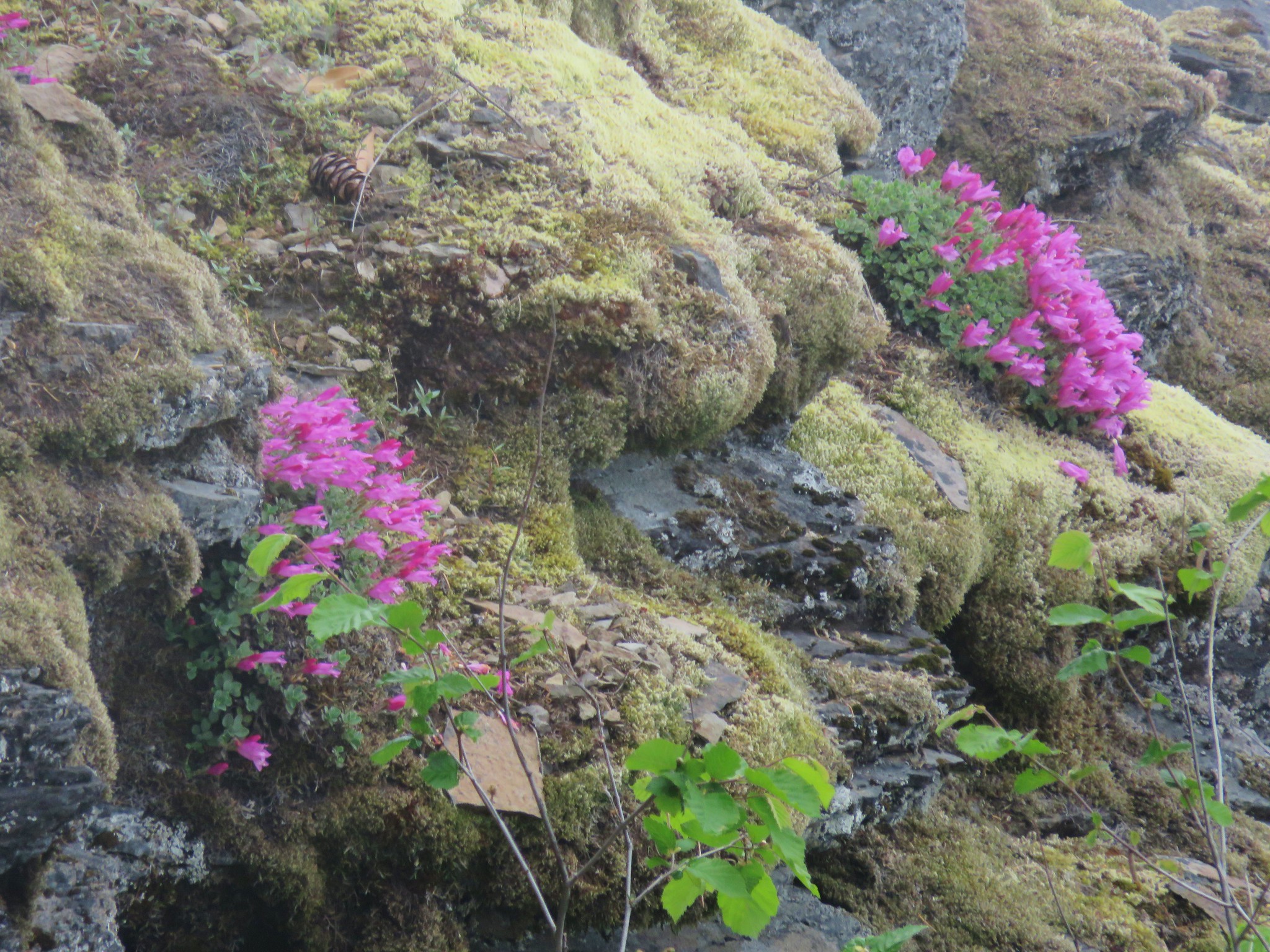
 A penstemon
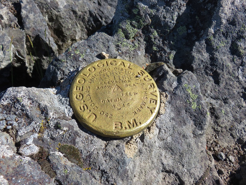
Before going up to the actual summit I passed beneath and back into the forest following the trail until it began to descend.


There is no trail to the summit, so I went up cross country along the forest border then across to a 1931 memorial plaque at the top.


 The view from the top.
 No blue sky that way.
 No sign of clearing this way either.
 Cliff beardtongue
 Woodland-stars
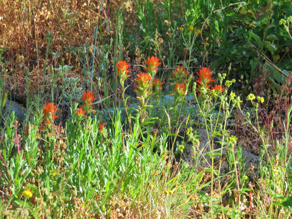
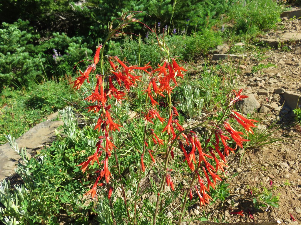
 Paintbrush
We didn’t stay at the summit long. There was a slight breeze and that combined with the damp conditions made things chilly. We were not as prepared for the chilly conditions as we probably should have been, but even after 14 years of hiking we occasionally do dumb stuff. We headed back down and along the way encountered the only other person we’d see all day, another hiker making good time going uphill. We got even wetter when an actual rain shower passed over (it was chunky rain and we both thought there might have been a little snow mixed in) before finally got to see at least a little blue sky.

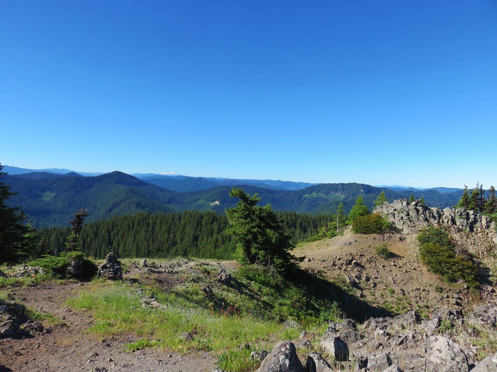
 Hey look, there is another ridge over there.
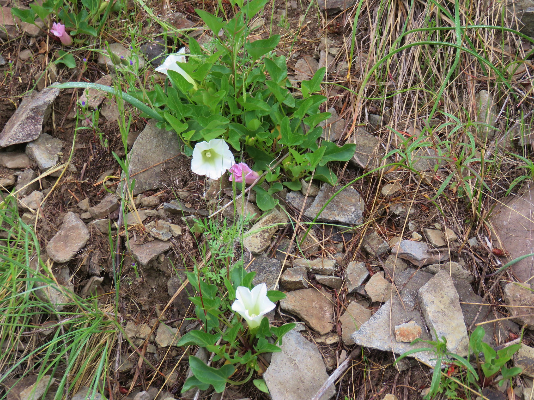
 Ookow just starting to open up.
 Steep climb or road walk? We chose the trail again on the way back.
 A wetter road now thanks to the rain shower.
 Blue sky, it does exist.
 The clouds got a late start but eventually started lifting.
 From this angle it looks like a statue.
 Looking down from some of the switchbacks.
 Cougar Reservoir

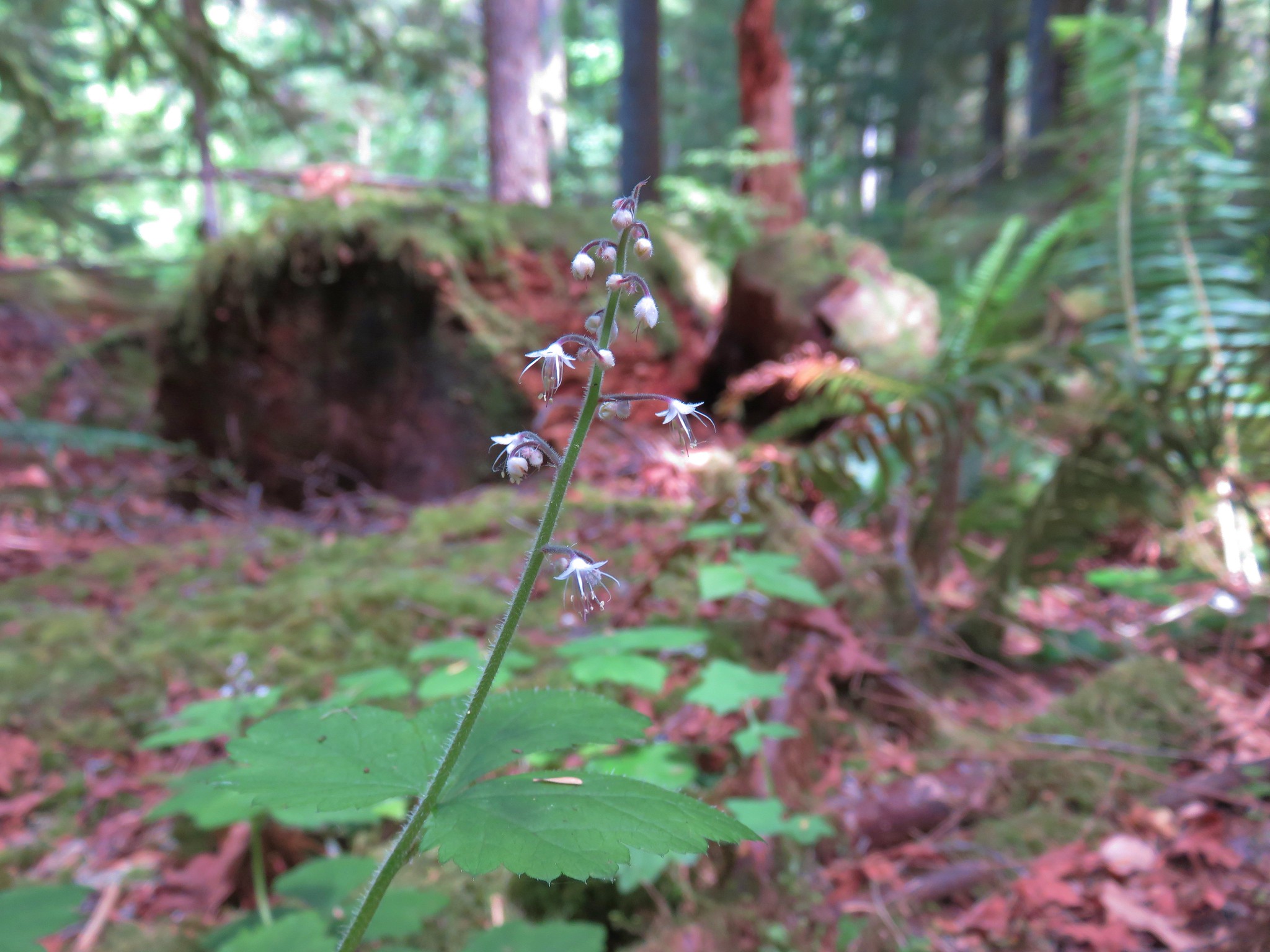
 Pyrola

 Sunlight!
Both of our GPS units experienced technical difficulties. Mine randomly decided I was going a different direction that wound up putting us almost 7 miles north of our actual position, and Heather’s track couldn’t be imported to Basecamp. From what I could piece together the hike was approximately 11.2 miles but would have been closer to 10.5 had I not gone past the summit.
 I’ve never seen a track this far off.
 The track after manually editing it.
Despite the lack of views and not being prepared for it to be quite that chilly this was a good hike. The trail was in great condition with nice forest and wildflowers throughout. It may be a busier trail on nicer weekend days, but it didn’t appear that it sees a lot of usage regardless. Happy Trails!
Flickr: MacDuff Mountain


 Middle Sister
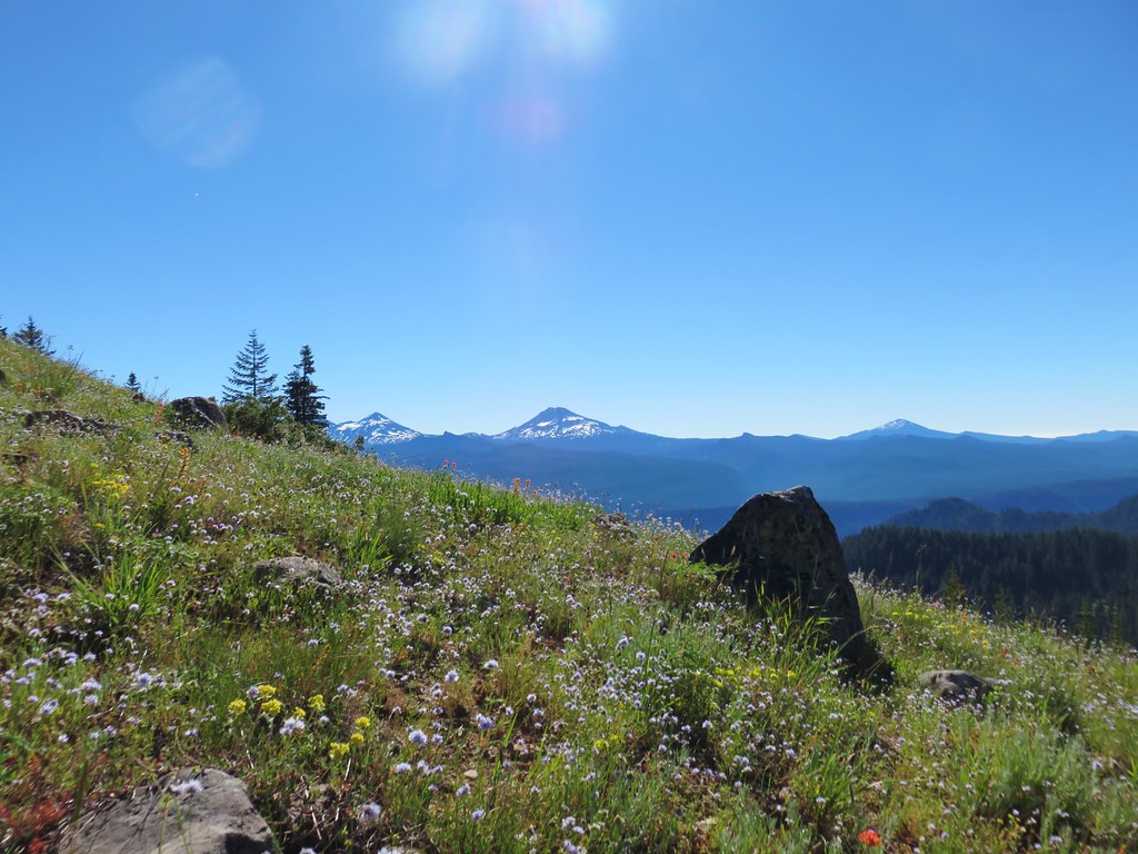 Three Sisters and Mt. Bachelor
 Diamond Peak
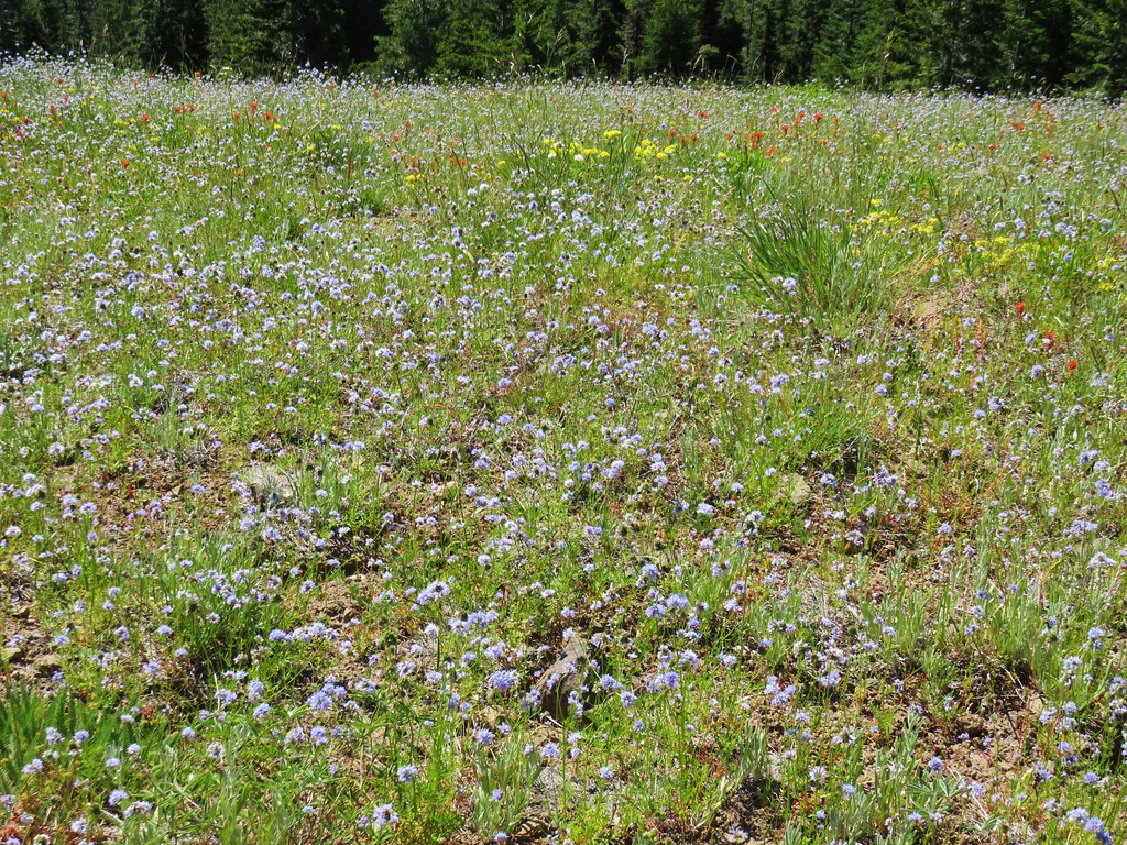
 Mt. Hood, Mt. Jefferson, Three Fingered Jack, and Mt. Washington.
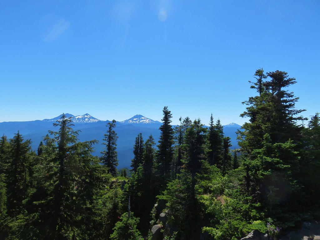
 Diamond Peak(Mt. Thielsen is out there too)
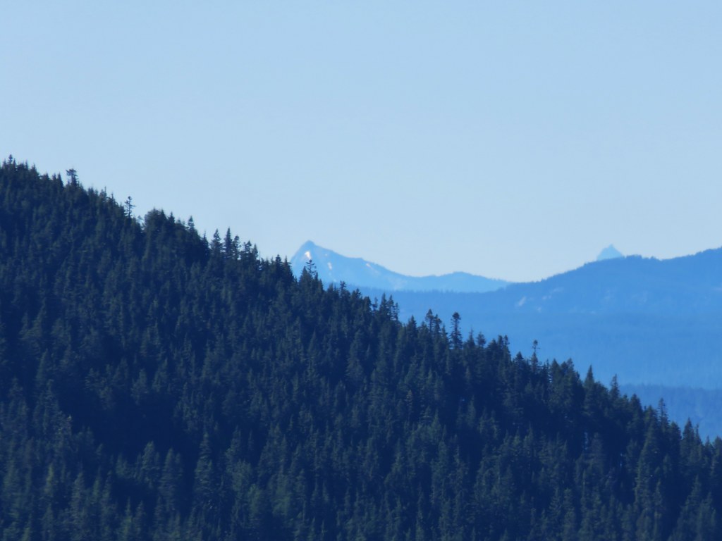 Cowhorn Mountain on the left and the tip of Mt. Thielsen to the right.
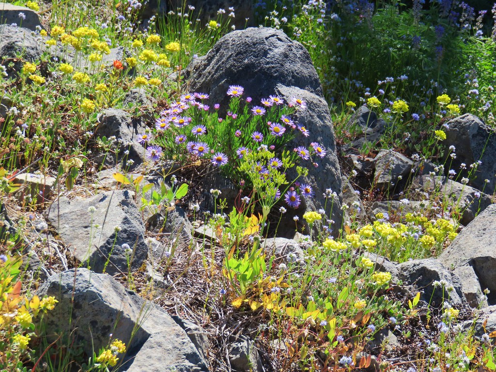


 Foam Flower
 Inside-out Flower
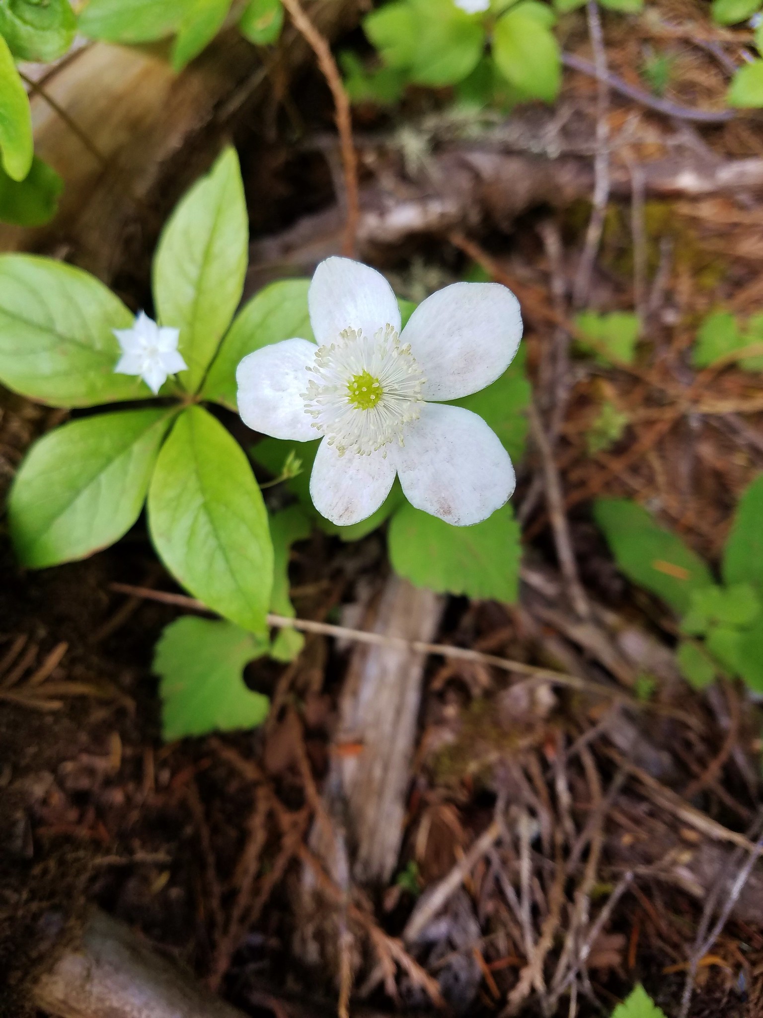
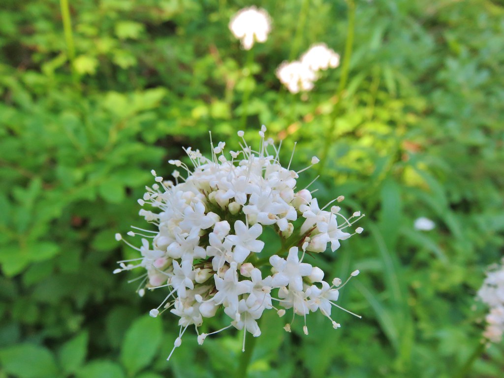
 Wild Ginger
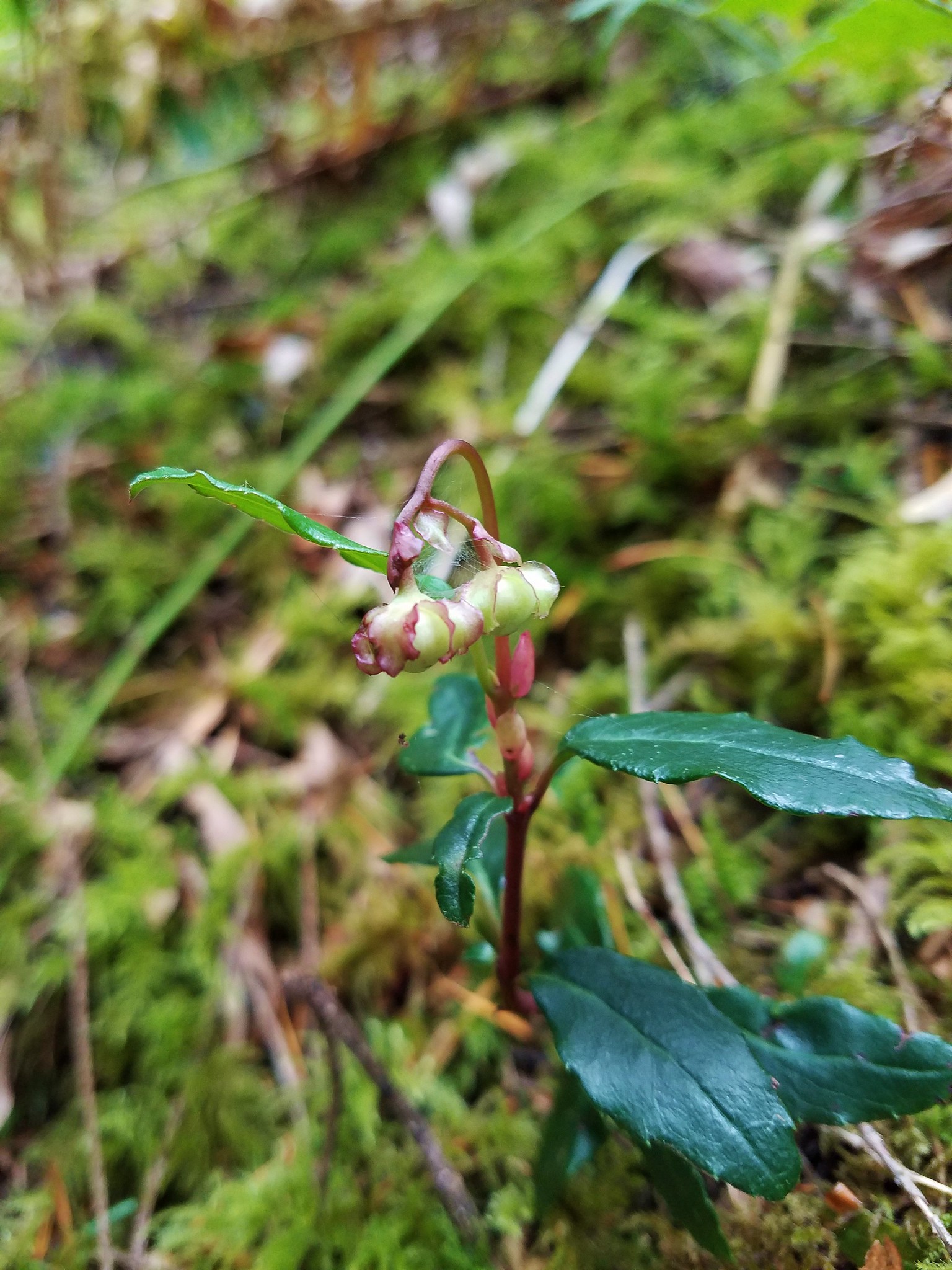 Wintergreen
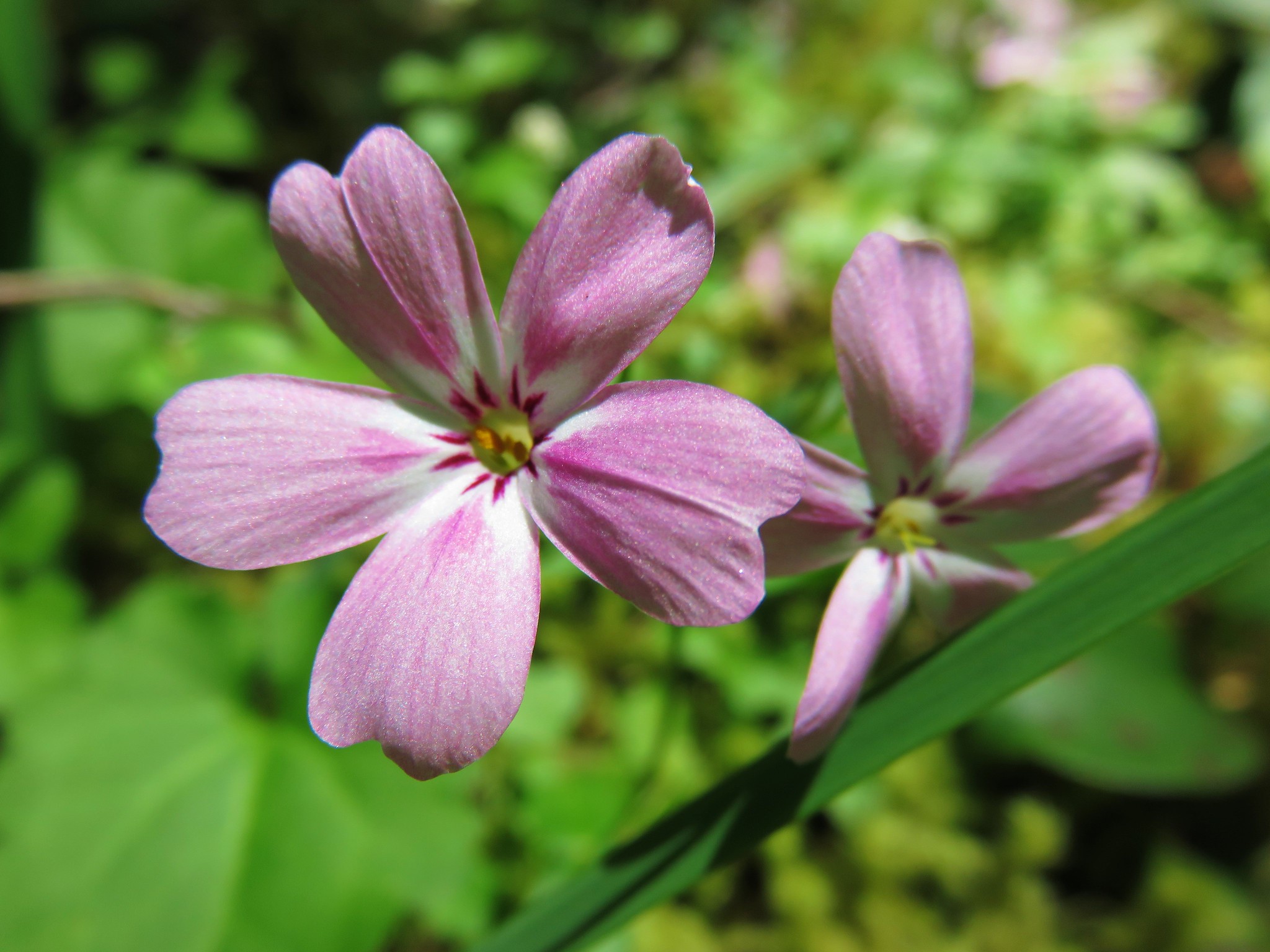 Northern Phlox
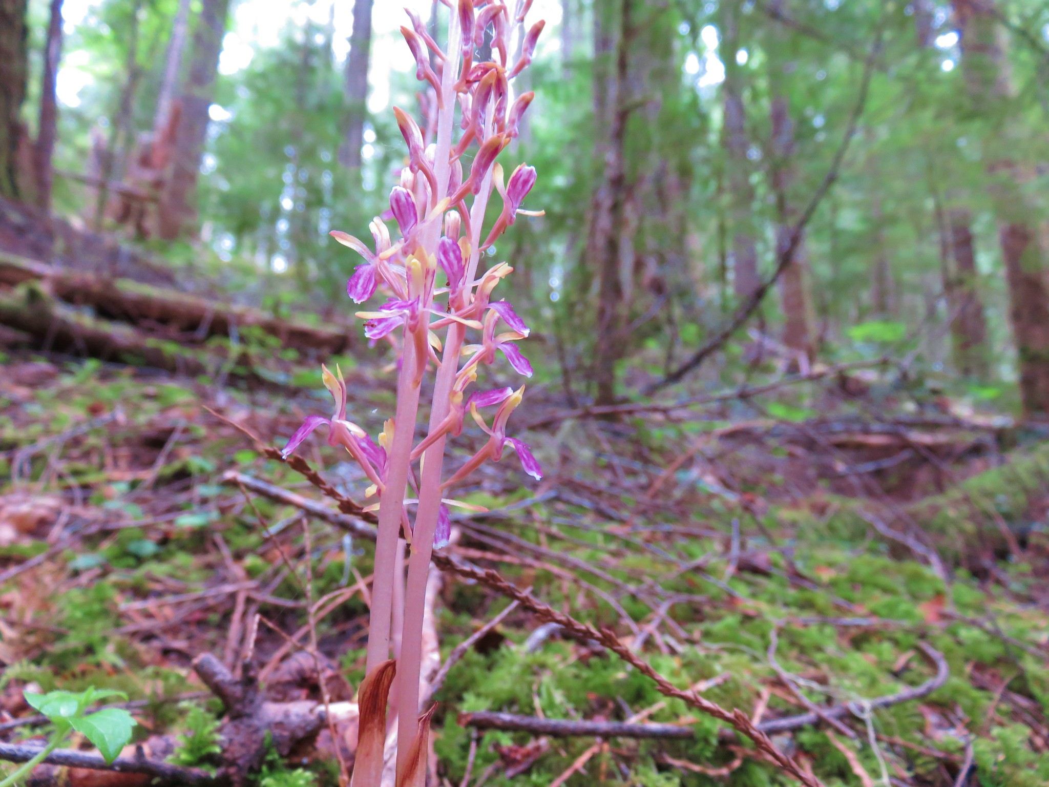


 Cat’s ear lilies
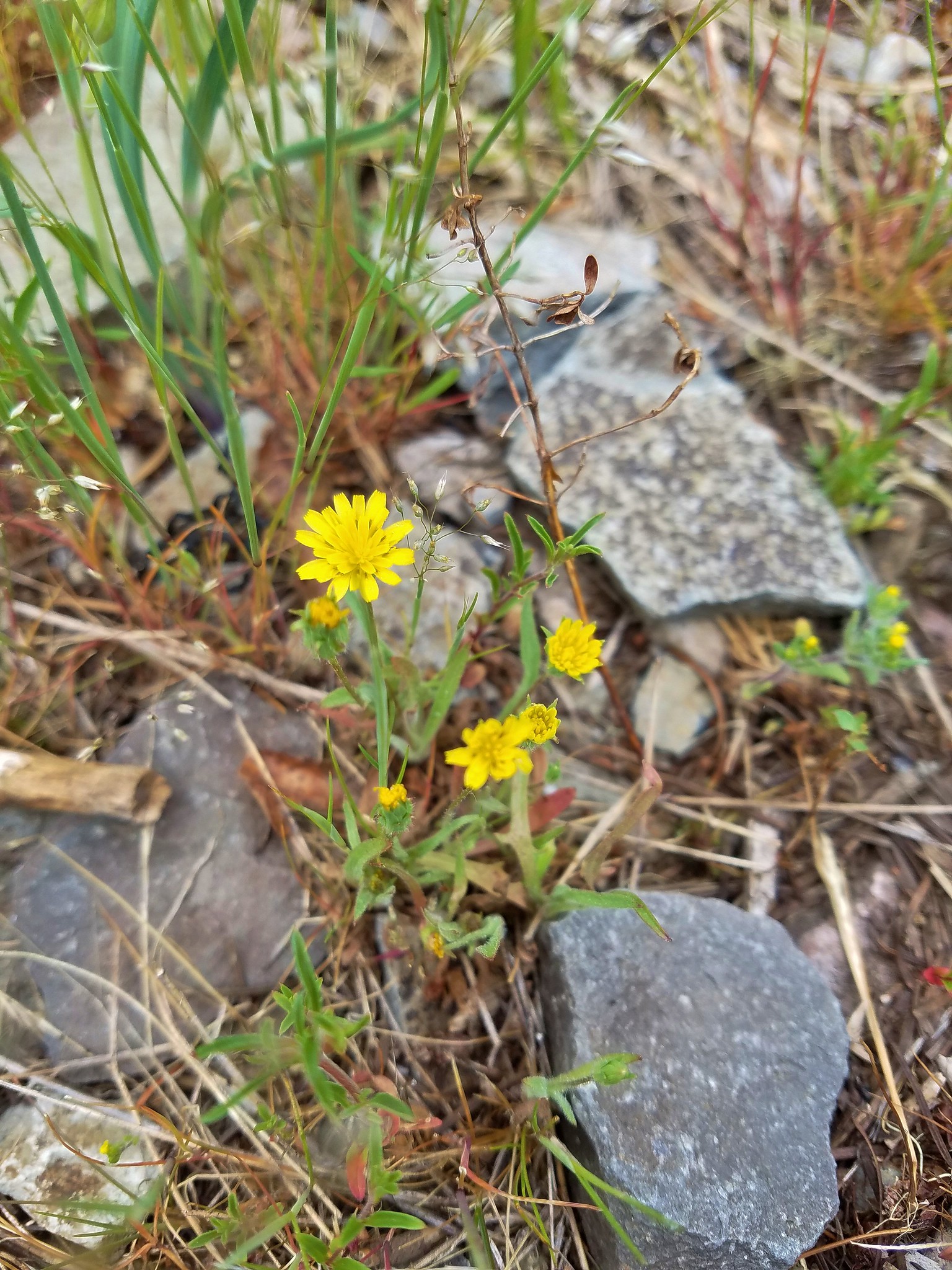 Annual agoseris
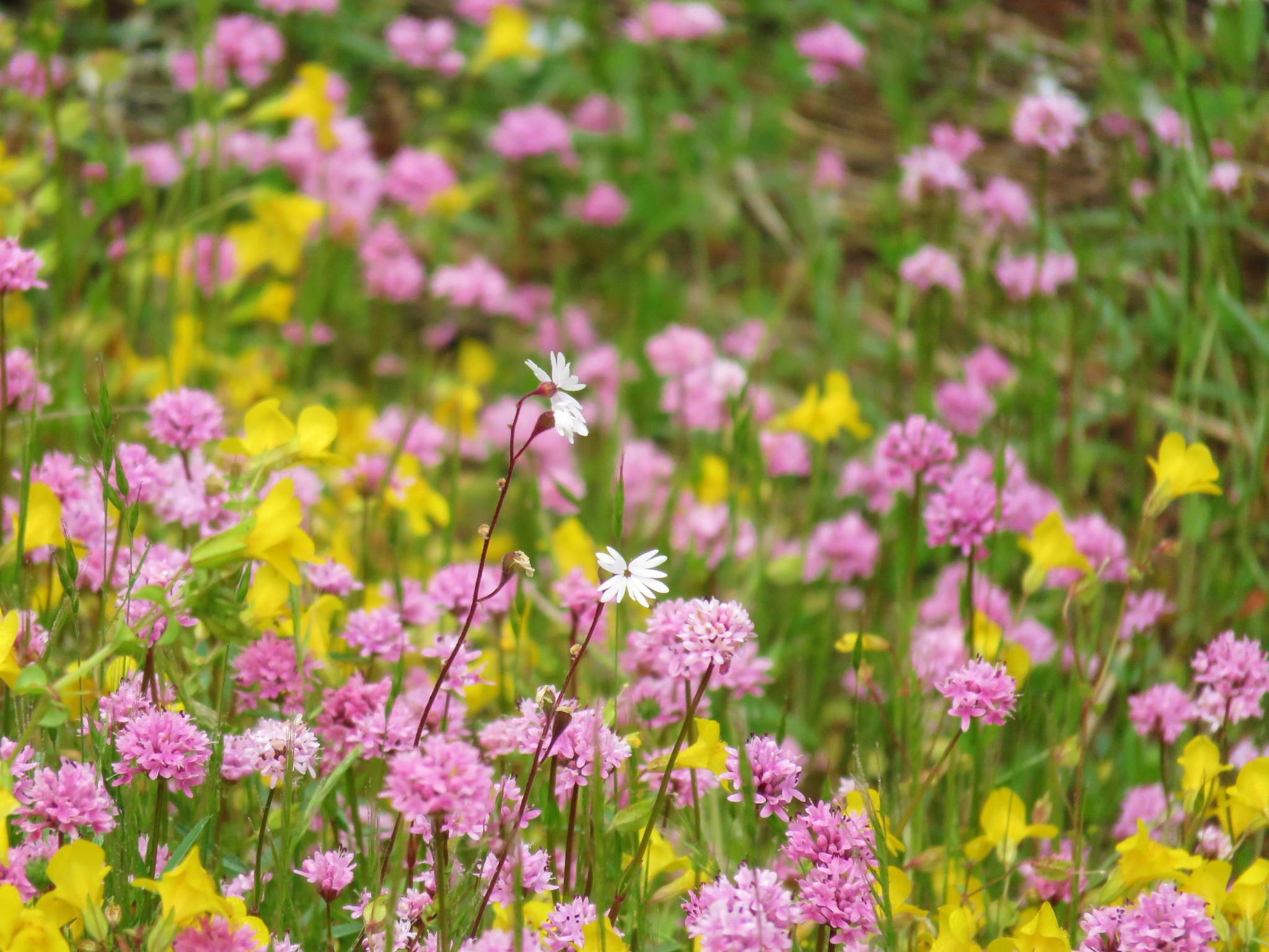 Prairie star and plectritis
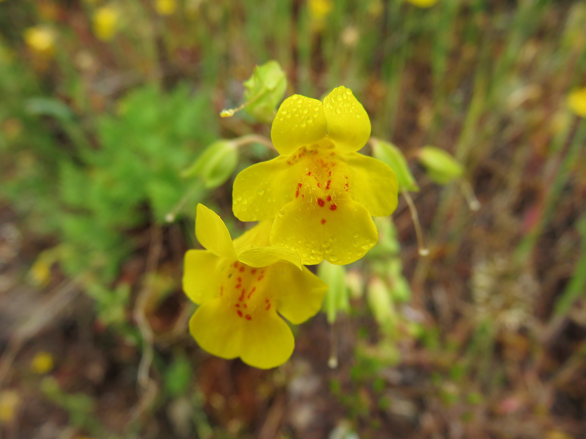 Monkeyflower
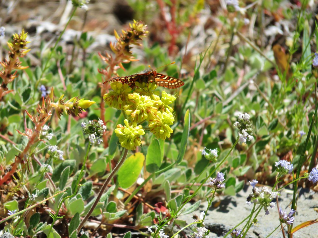
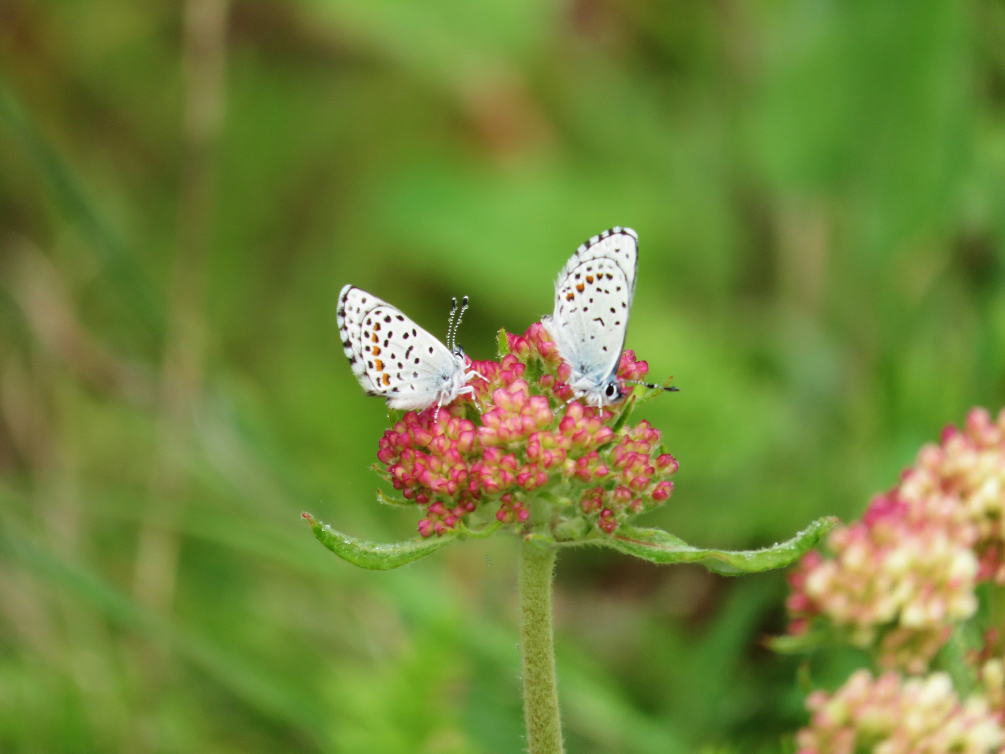 Butterflies on buckwheat
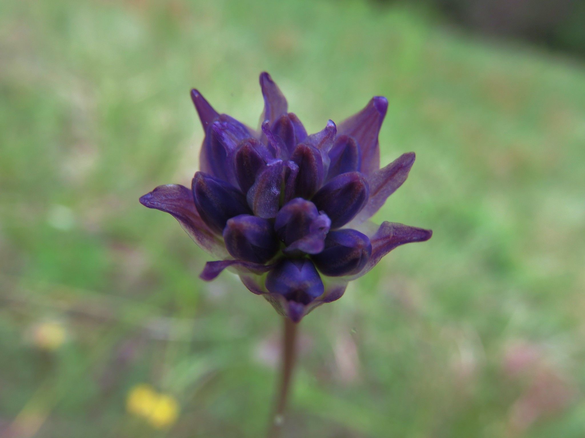 Ookow getting ready to bloom
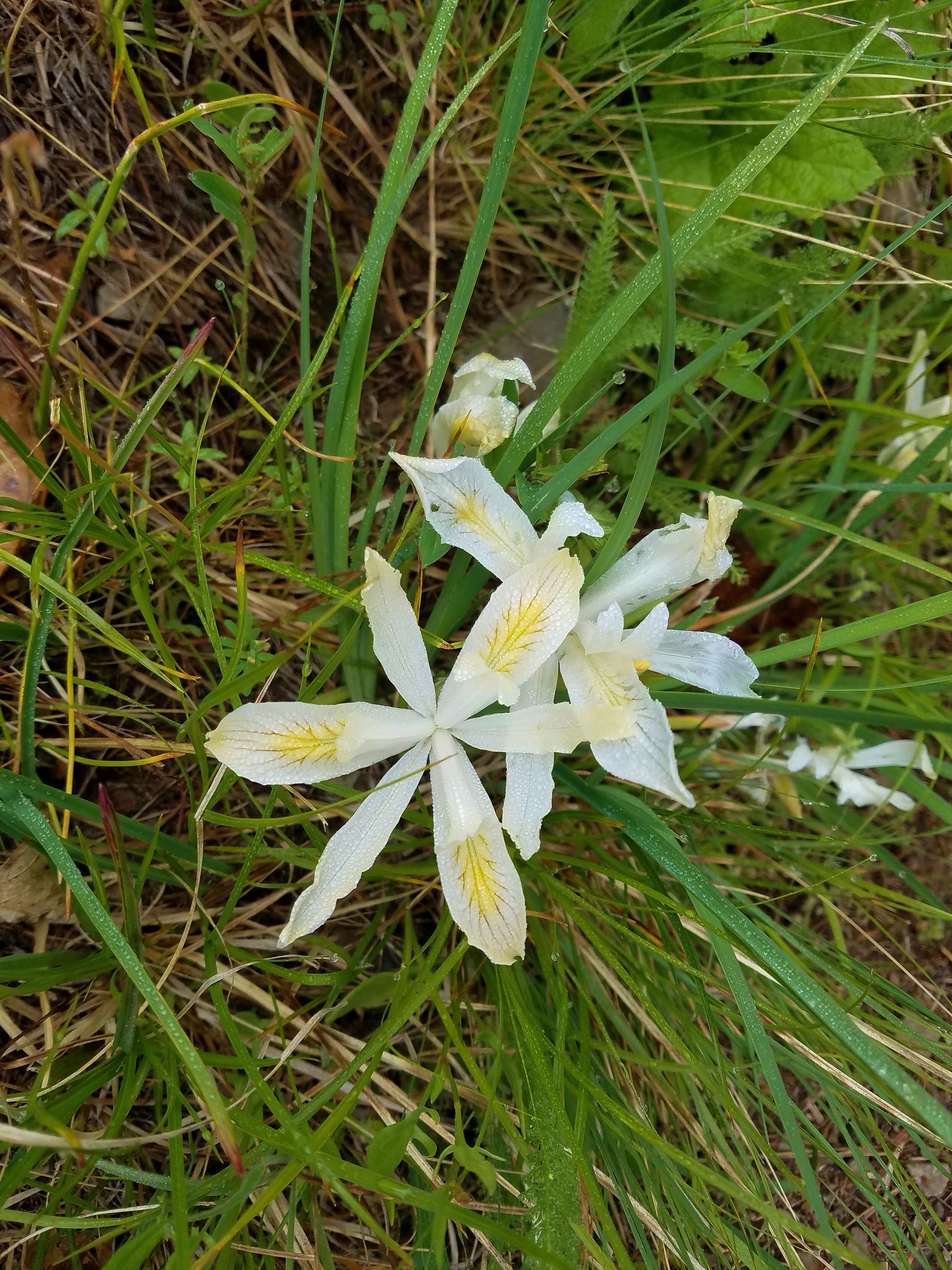 Yellowleaf iris
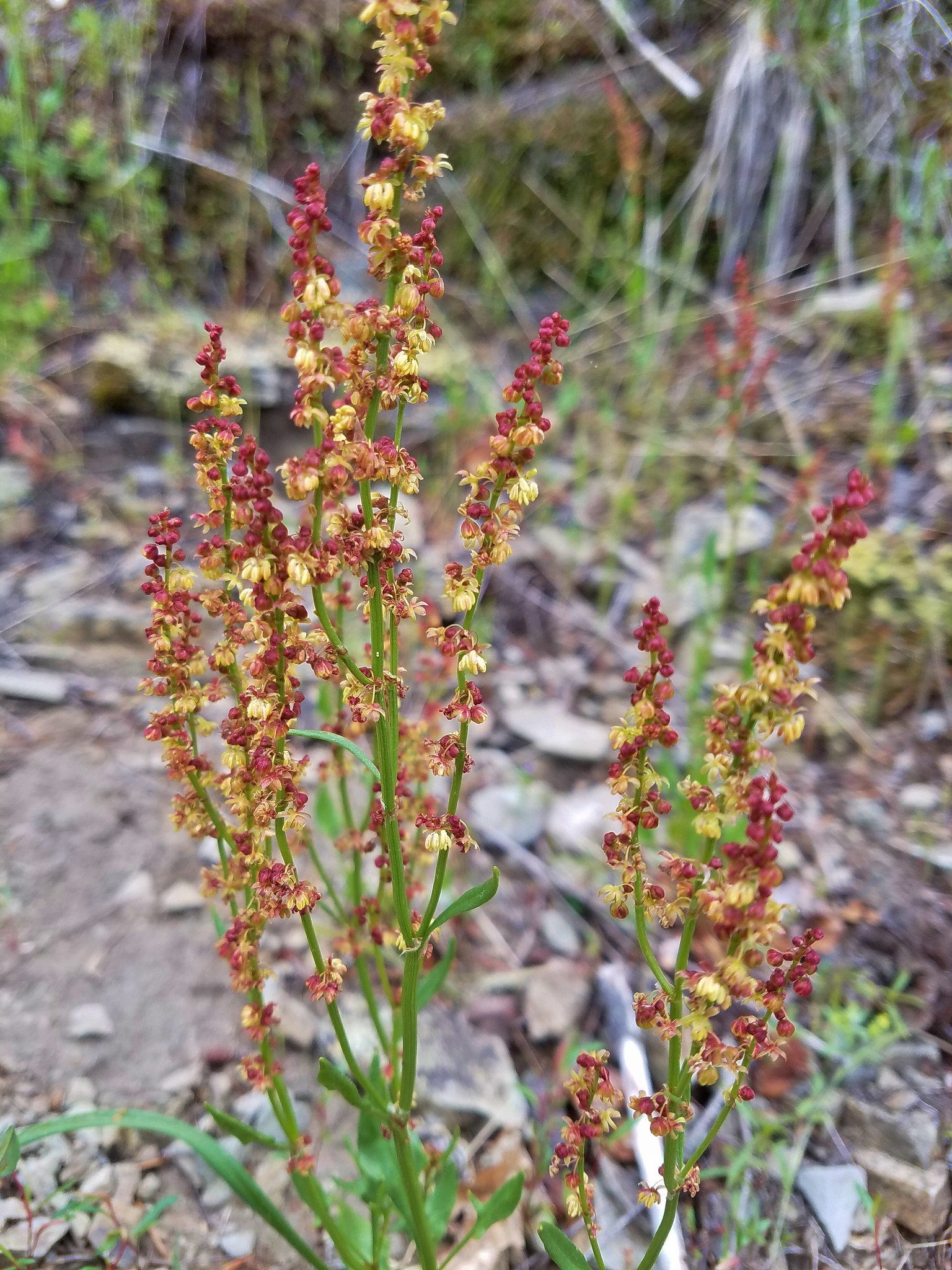 Sorrel
 Parsley
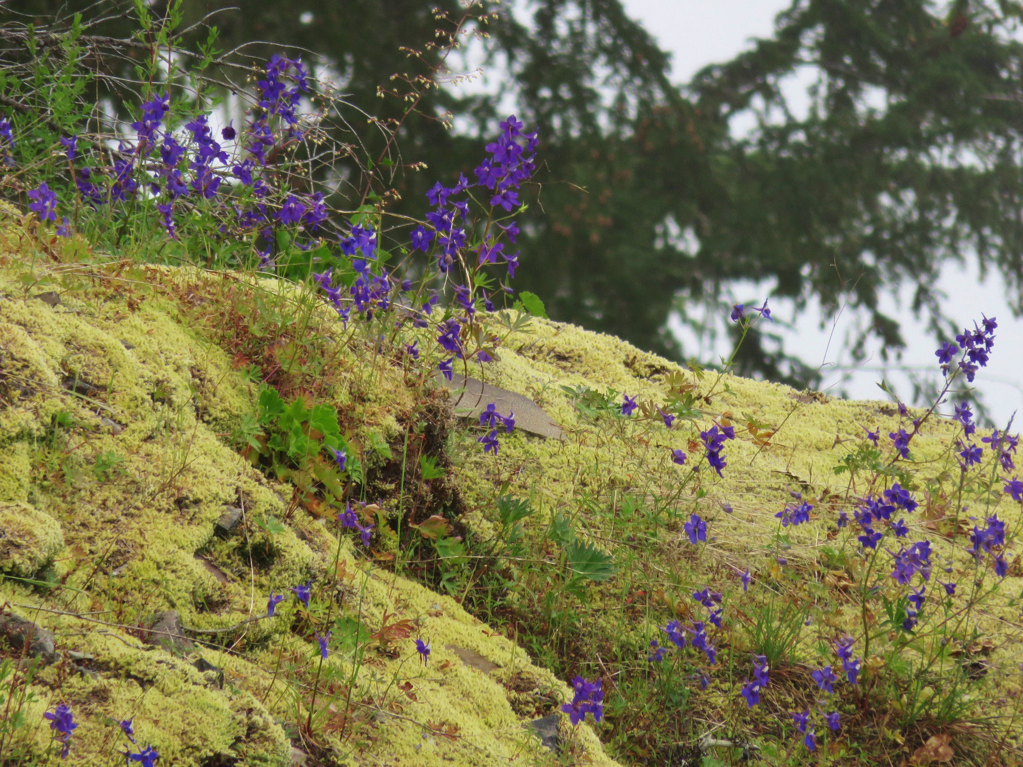
 Penstemon
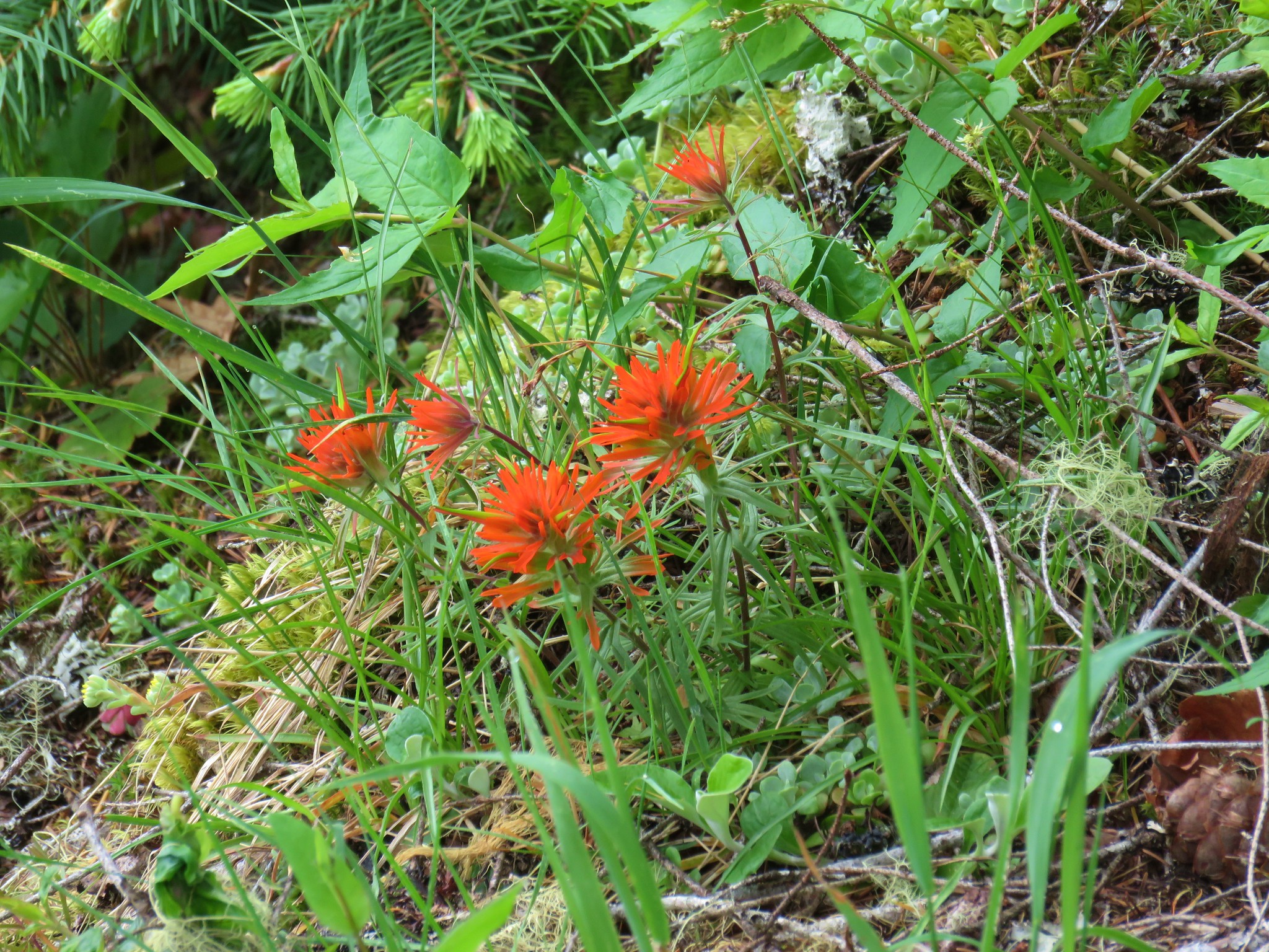 Paintbrush