We wrapped up our “official” 2020 hiking season on Halloween with a pair of hikes in the Columbia River Gorge. Latourell Falls and Larch Mountain were two of the remaining eight featured hikes we had yet to do from Sullivan’s “100 Hikes/Travel Guide Northwest Oregon & Southwest Washington”. We started our morning at Guy Talbot State Park for the short loop hike to Lower and Upper Latourell Falls. We arrived before 7:30am in an attempt to avoid the crowds that would likely be arriving later in the day which worked out as the only other car that was there when we arrived soon left. The downside was that the Sun was still working it’s way up leaving the conditions less than perfect for photos.

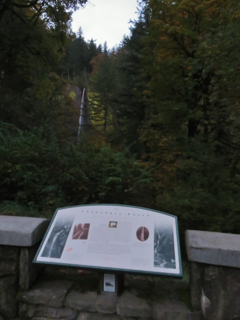
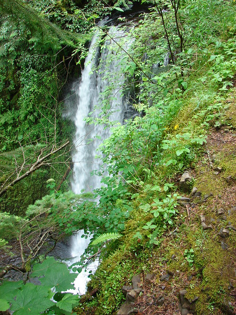
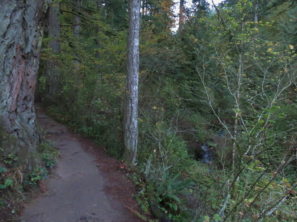
The loop starts at the trailhead with a paved path to the right leading down to the splash pool below Lower Latourell Falls and the left hand fork leading uphill .8 miles to Upper Latourell Falls. With the lack of light we chose to head for the upper falls first to let the Sun get a little higher before visiting the lower falls. Just over a quarter mile up the trail we arrived at a viewpoint overlooking Lower Latourell Falls.
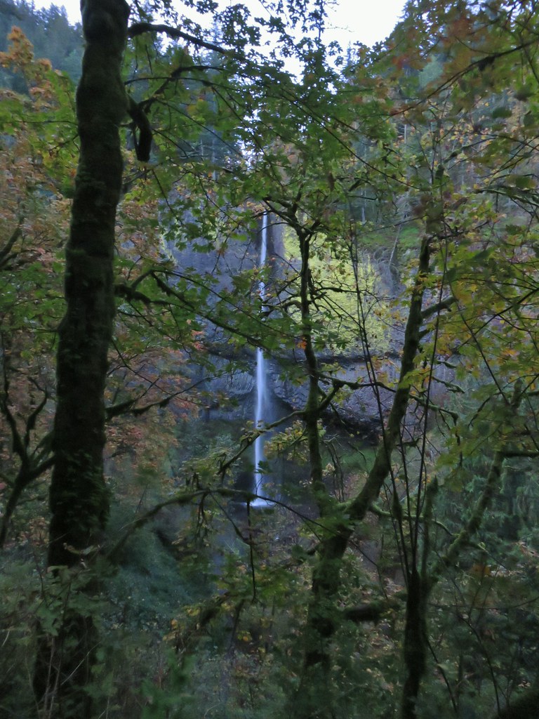
There were a few more views of the falls as the trail continued to climb beyond the viewpoint.


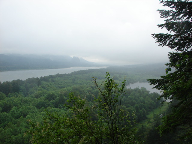
There was also a view across the Columbia River of Silver Star Mountain (post).

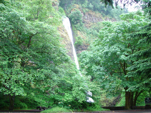
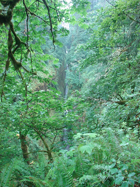
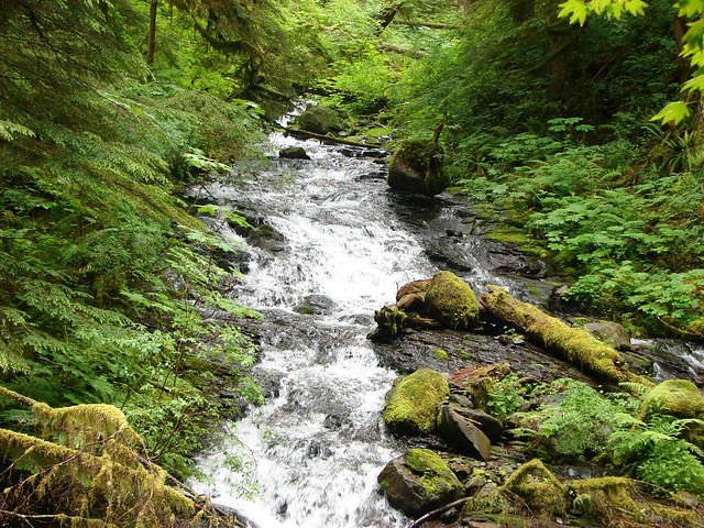
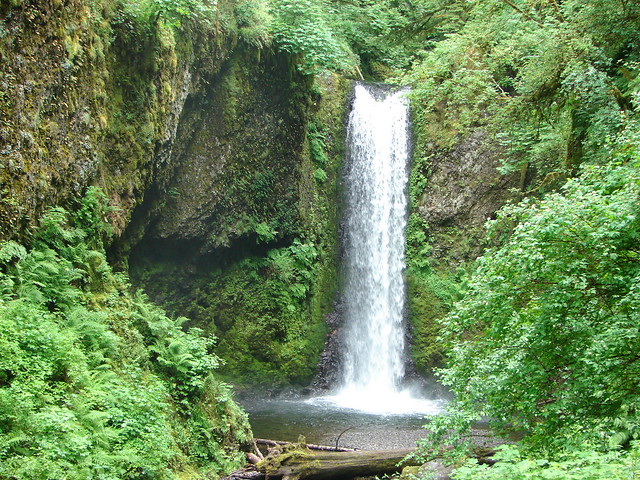
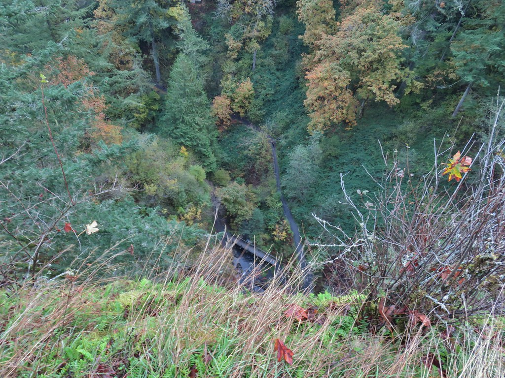
Above the lower falls the trail followed Henderson Creek up a narrow canyon to the upper falls.
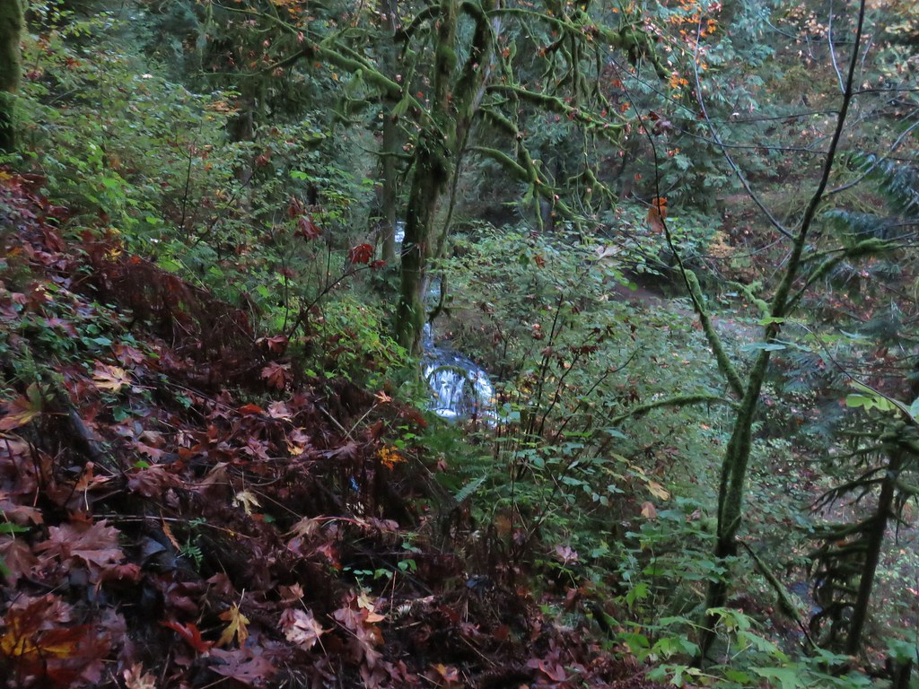
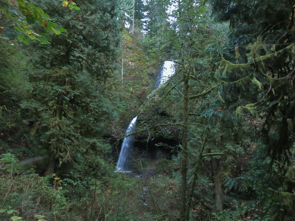
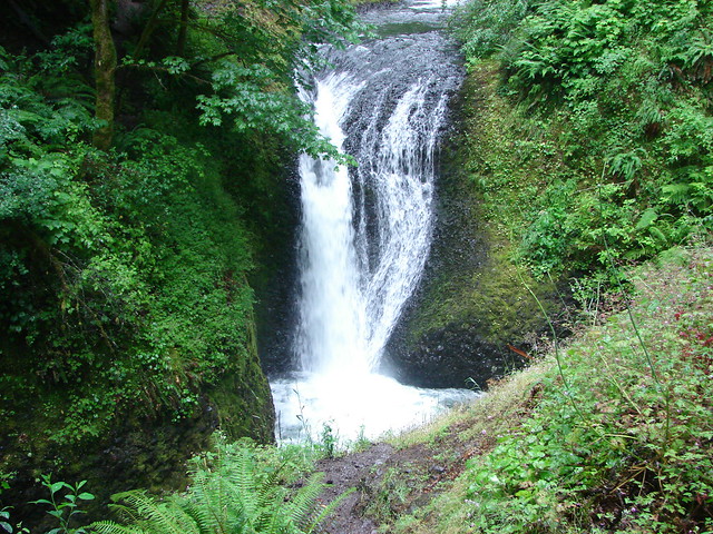
This 120′ waterfall consists of an upper slide before the water turns sharply right through a chute before a final plunge into the splash pool.

We crossed the creek on a footbridge below the splash pool then explored behind the falls under the basalt.


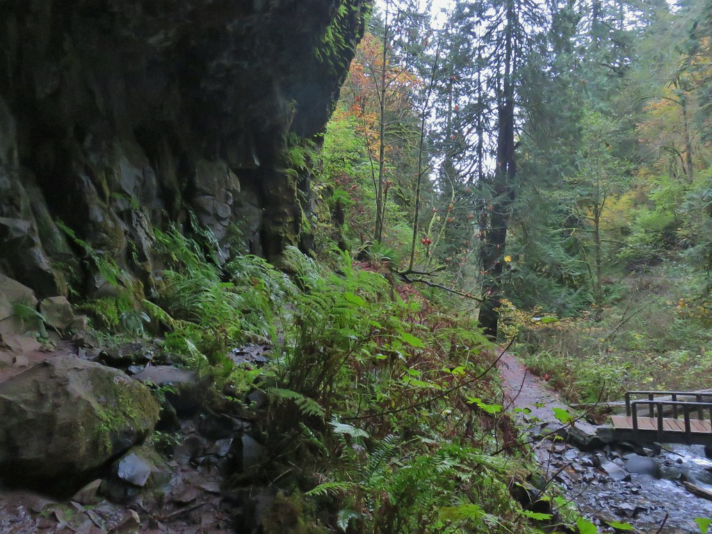
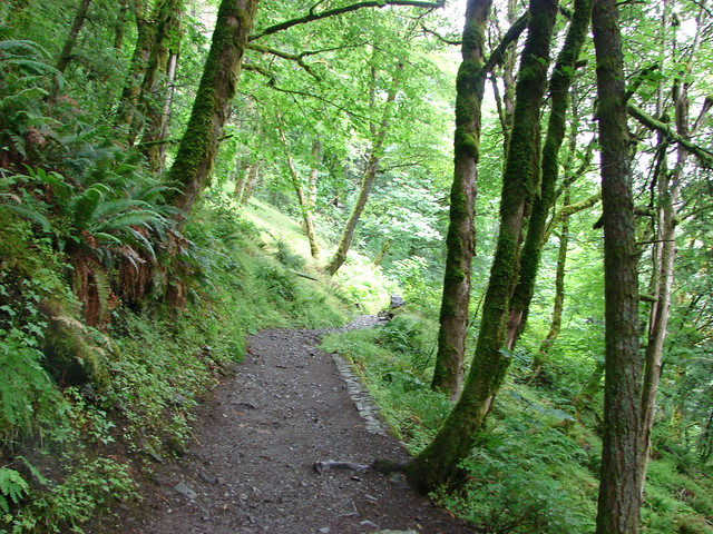
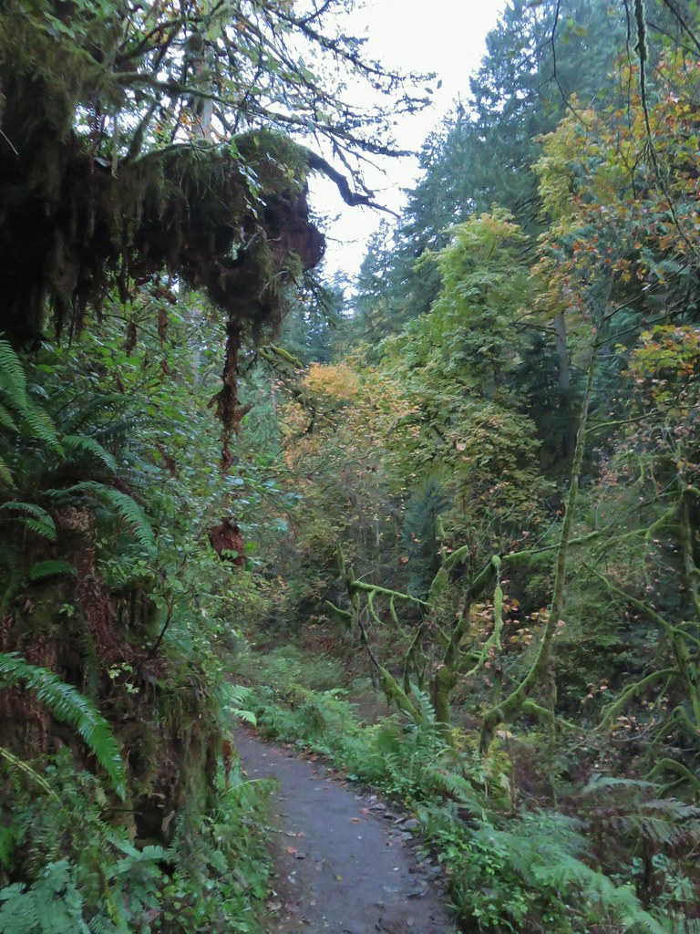
Beyond the falls the trail headed downhill on the opposite side of the creek.


After a half mile a short spur trail led downhill to a viewpoint above Lower Latourell Falls (the falls were not visible from here).
 Silver Star Mountain in the background with the cliffs of Cape Horn (post) along the Columbia River.
After checking out the viewpoint we continued on the loop passing another viewpoint across the Columbia a short distance later.
 Looking east down the Columbia River.
 Looking NW across the Columbia.
 Silver Star Mountain again.
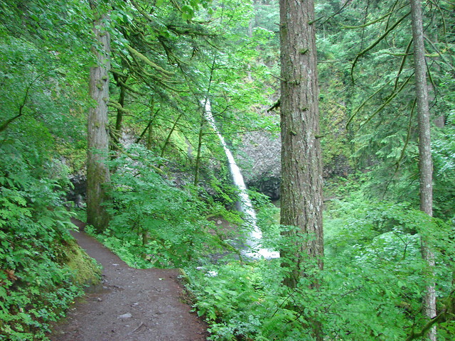
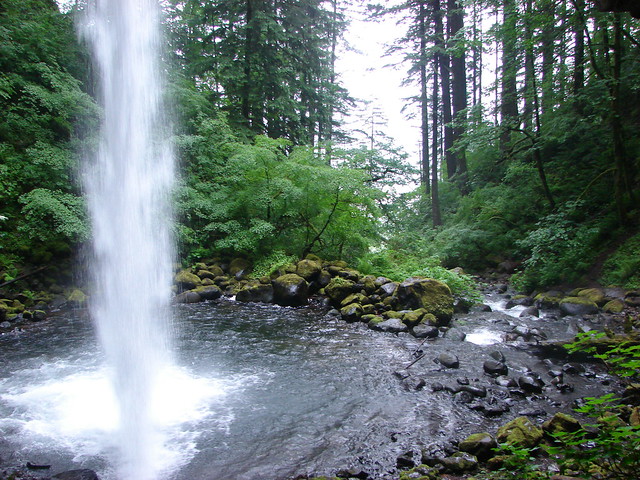
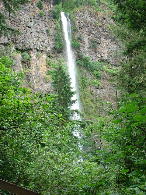
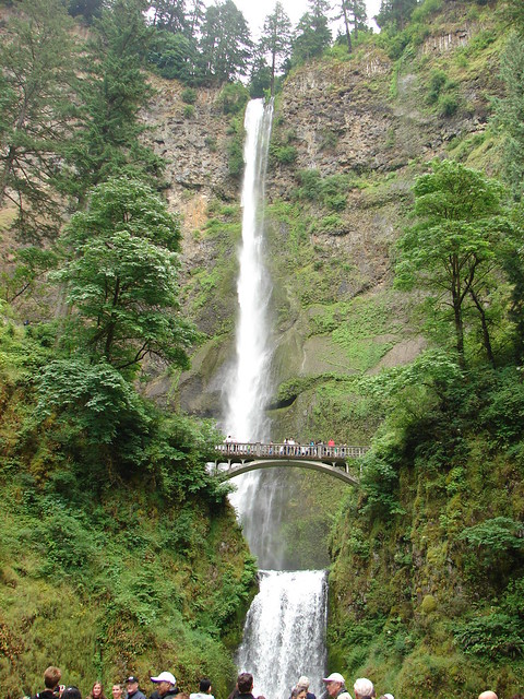
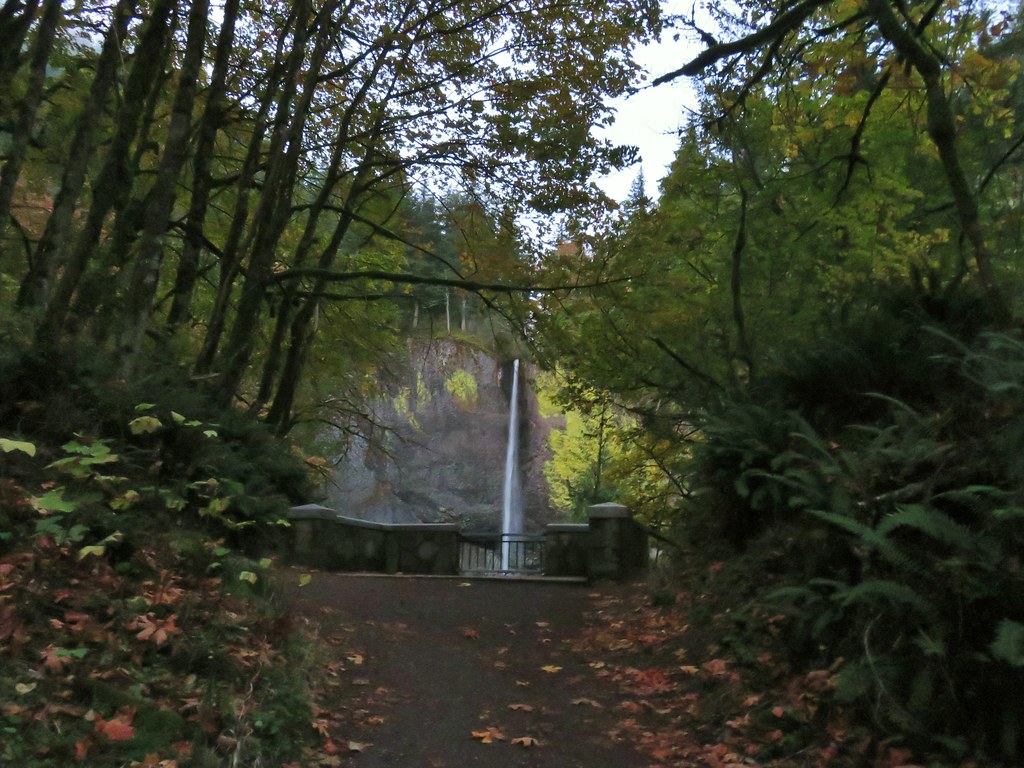
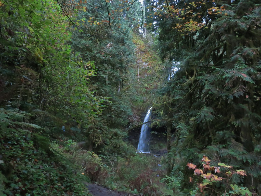
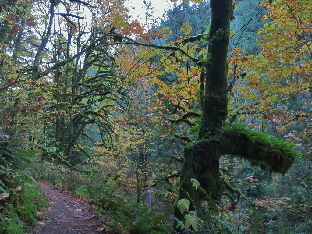
The trail crossed Historic Highway 30 before dropping into the picnic area of the park then led under a bridge to the base of Lower Latourell Falls.


At 249′ Lower Latourell Falls is the 3rd tallest fall in the Columbia River Gorge. It was at the base of the falls that we finally crossed paths with other people. There was a pair of hikers and then a wedding party arrived for pictures.


We left the falls to the photographers and climbed back up to the trailhead. This loop is approximately 2.5 miles (a little more if you do any exploring) with 600′ of elevation gain.
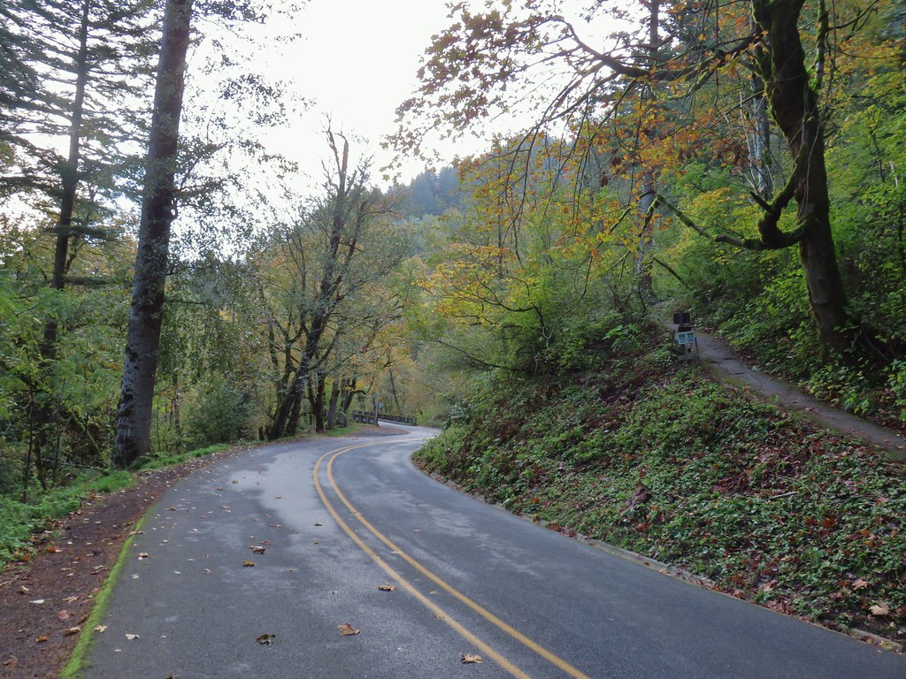
We then drove west on Highway 30 toward Corbett, OR turning onto Larch Mountain Road which we followed for 11.6 miles to a sharp right hand corner. At the corner is a small pullout at a gated road which is where we were planning on starting our hike. There were already a couple of cars parked here so we continued 100 yards up the road to a small pullout on the right.
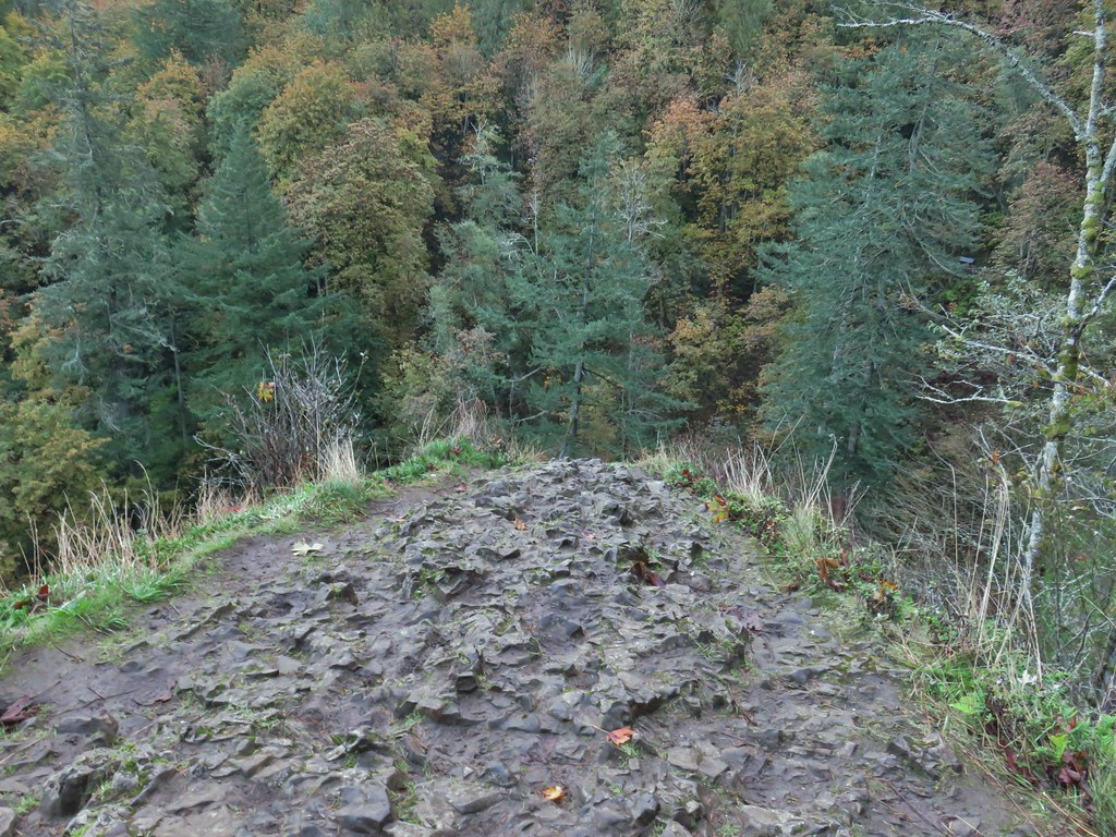
 Looking down toward the corner from the small pullout on the right.
The official trailhead is located at the end of Larch Mountain Road and requires a NW Forest Pass. The upper trailhead also provides for a much shorter hike to the viewpoint atop Sherrard Point.
We walked along the shoulder of Larch Mountain road to the gate, checking the posted Forest Service notice regarding closures to make sure our planned route was indeed open.
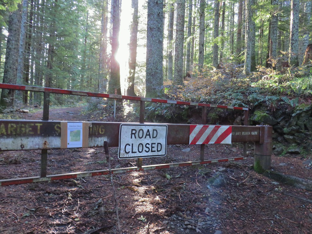
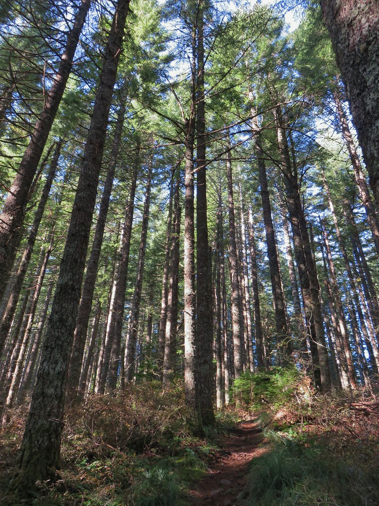
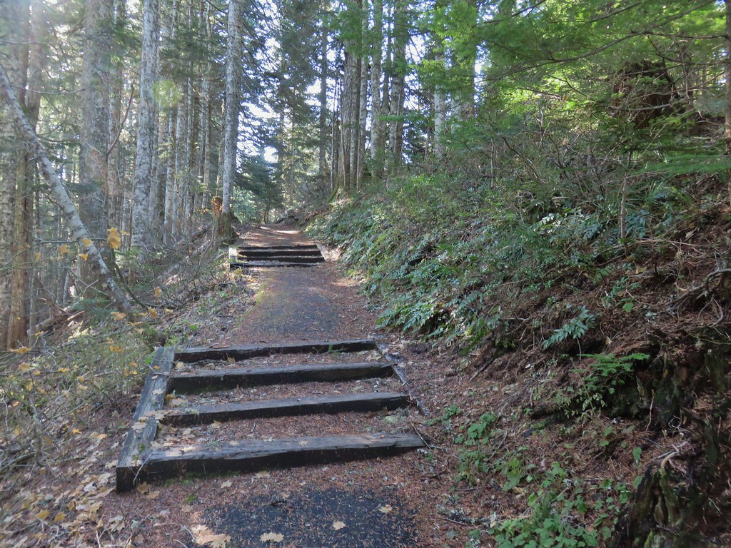
All the trails along our route were indeed open so we started up the old roadbed following it for a little over a quarter mile to the Larch Mountain Trail.


The 6.8 mile Larch Mountain Trail runs between Multnomah Falls (post) and Larch Mountain. The trails around Multnomah Falls are currently closed or limited by reservation only due to COVID-19. A right turn uphill on the Larch Mountain Trail would have brought us to the upper trailhead in 1.5 miles while turning downhill to the left would also get us to Larch Mountain in approximately 5 miles. We turned left for two reasons, first Sullivan’s description has you go that way and second we wanted to give the Sun more time to get overhead in hopes of having a better view of Mt. Hood.
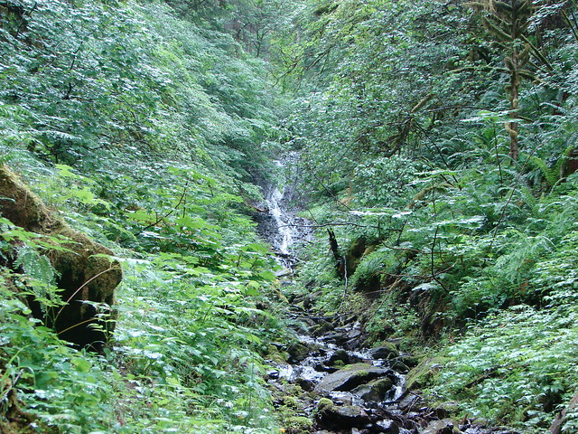
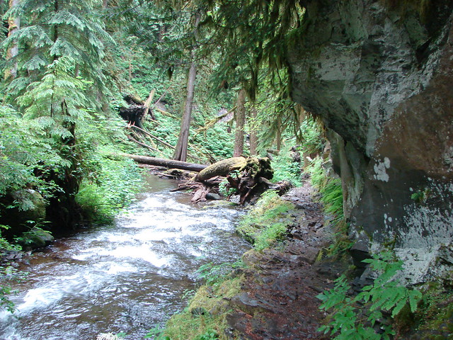
The Larch Mountain Trail dropped over 300′ in the next .4 miles before arriving at a junction with the Multnomah Creek Way Trail.


 Multnomah Creek Way Trail.
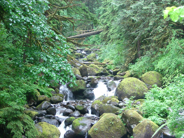
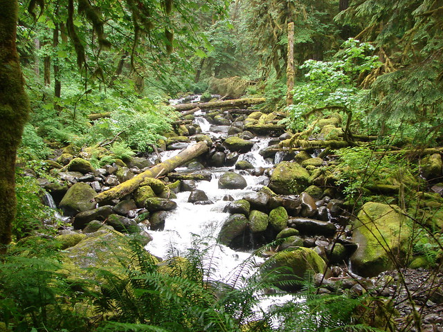
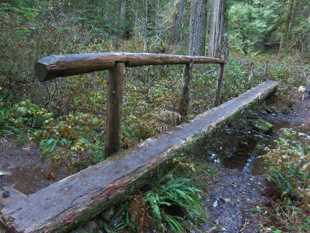
We followed this trail downhill for .2 miles to a footbridge over Multnomah Creek.
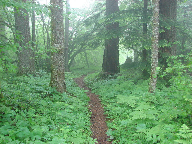
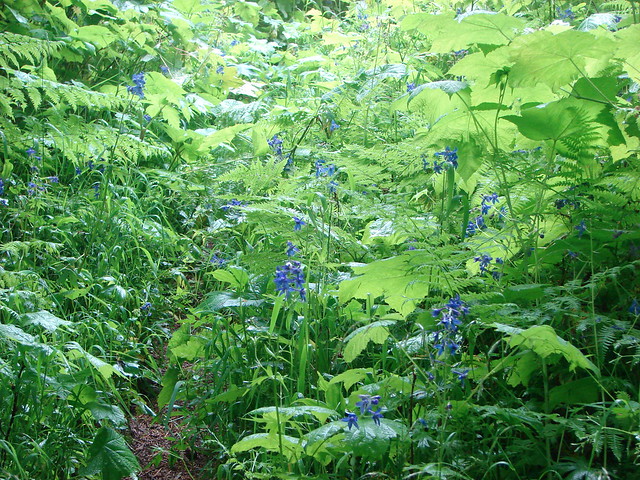
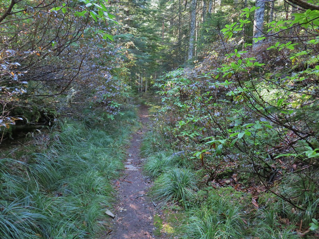
After crossing the creek the trail turned uphill following the creek up into the Multnomah Basin.


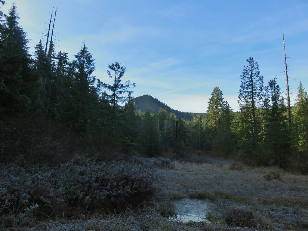 Larch Mountain from Multnomah Basin

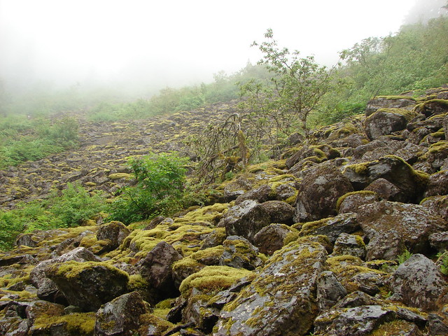
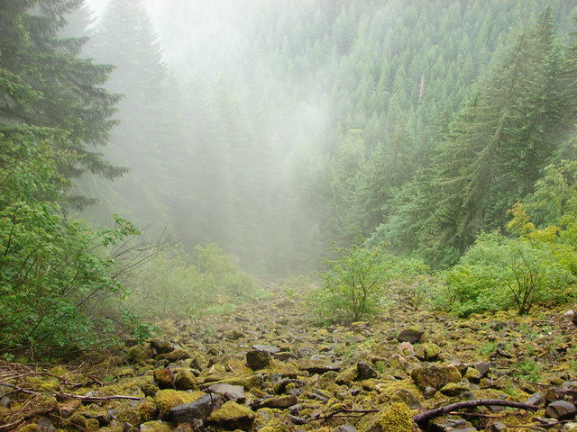
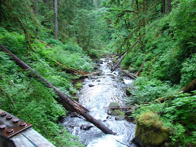
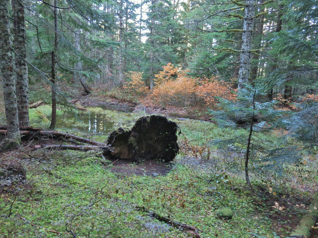
The trail climbed out of the basin and eventually joined an old roadbed as it wrapped around a ridge end.

 Mt. St. Helens (behind some tress) and Mt. Rainier.
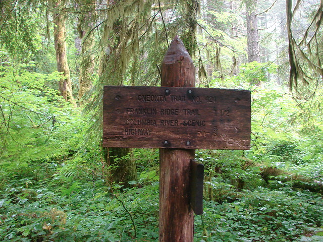
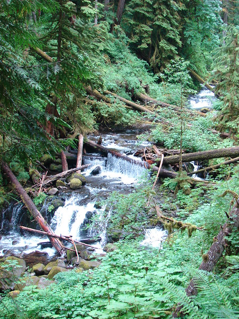
A little over 2.75 miles from the footbridge we arrived at a junction with the Oneonta Trail where we turned uphill to the right.

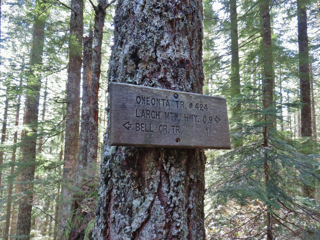
The Oneonta Trail followed the ridge uphill to Larch Mountain Road in .9 miles. Aside from a couple and their dog at the footbridge we hadn’t seen any other hikers until this stretch when we started to occasionally pass other hikers.
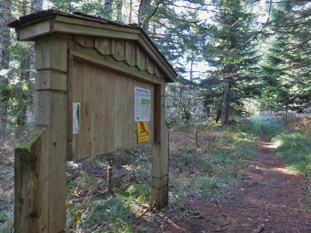 Signboard near Larch Mountain Road.
 Larch Mountain Road from the end of the Oneonta Trail
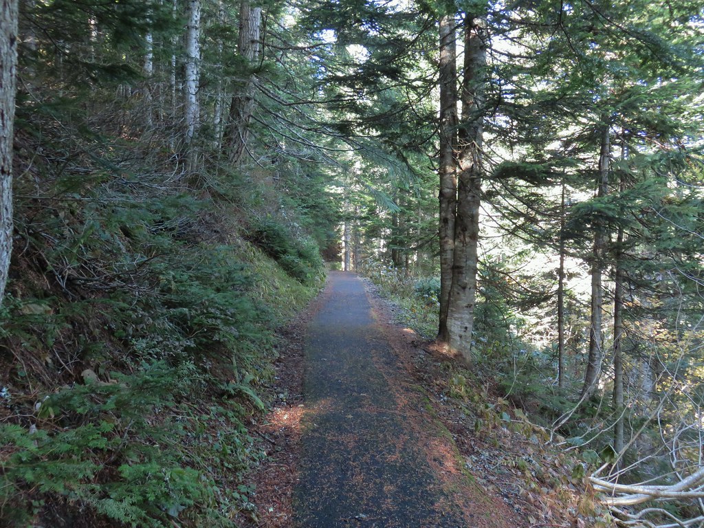
We turned right and followed the road uphill a half mile to the upper trailhead.


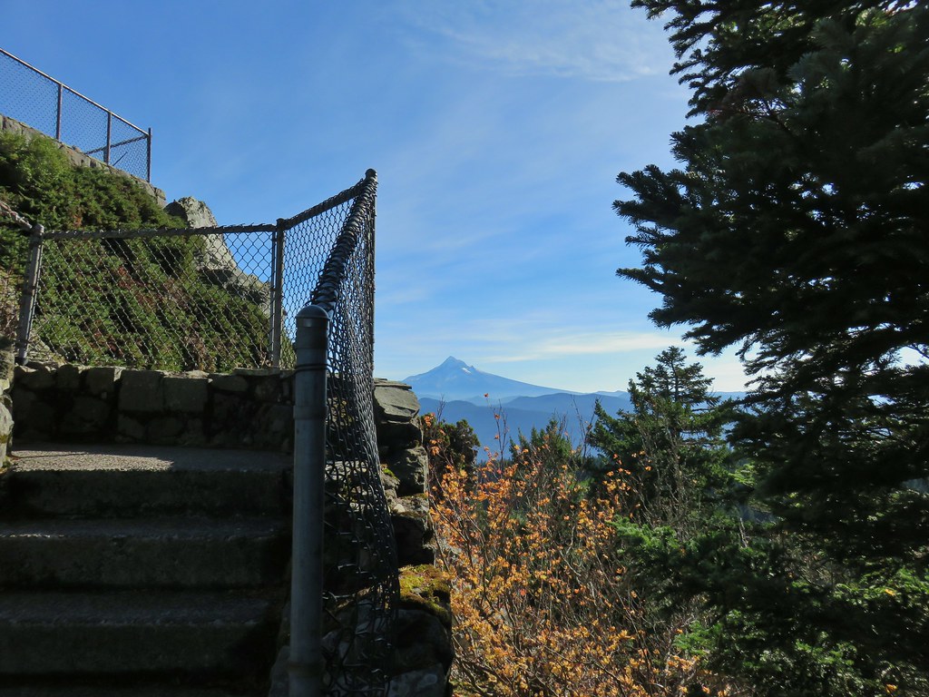
From the parking lot we followed a paved path .2 miles to Sherrard Point.
 Just a few of the steps up to Sherrard Point.

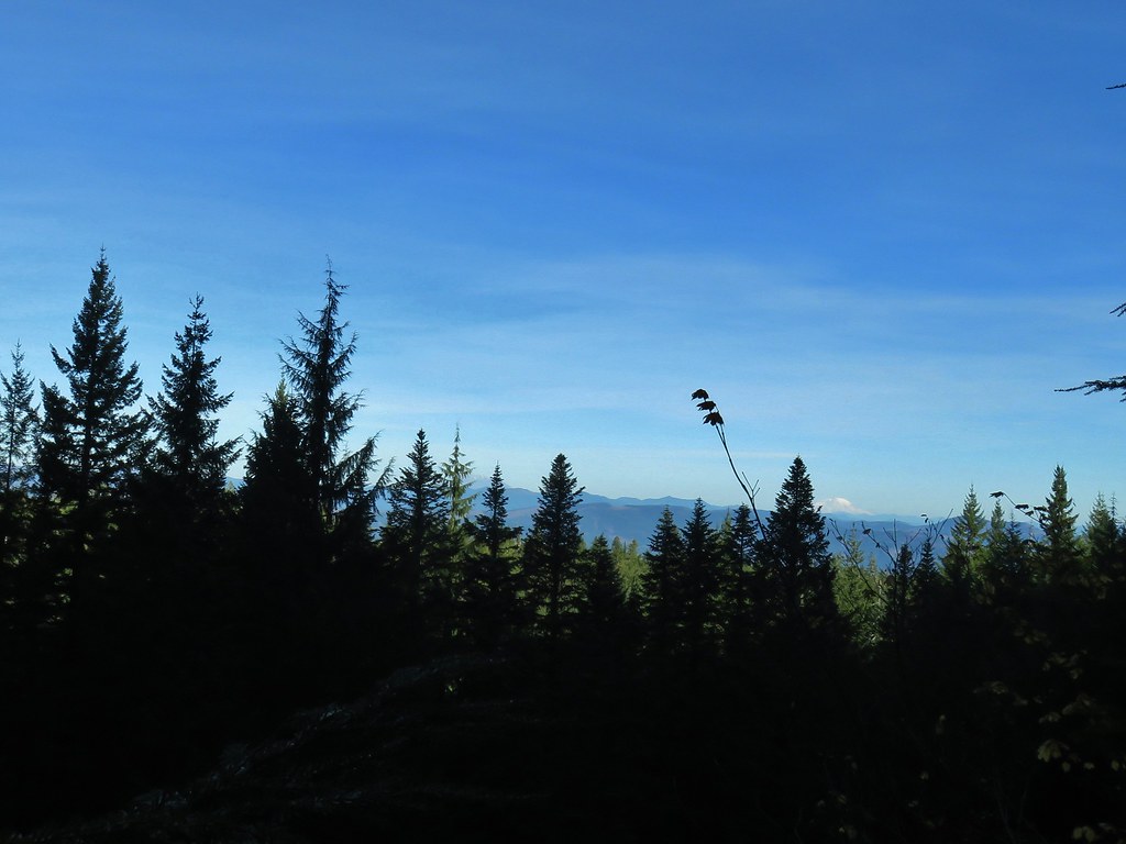
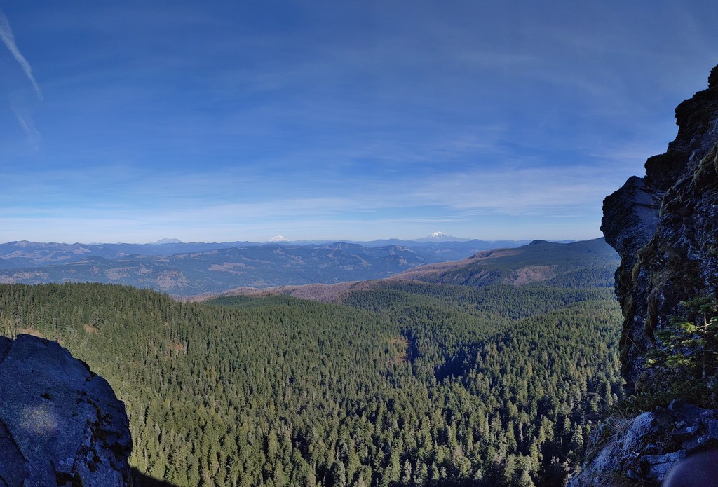
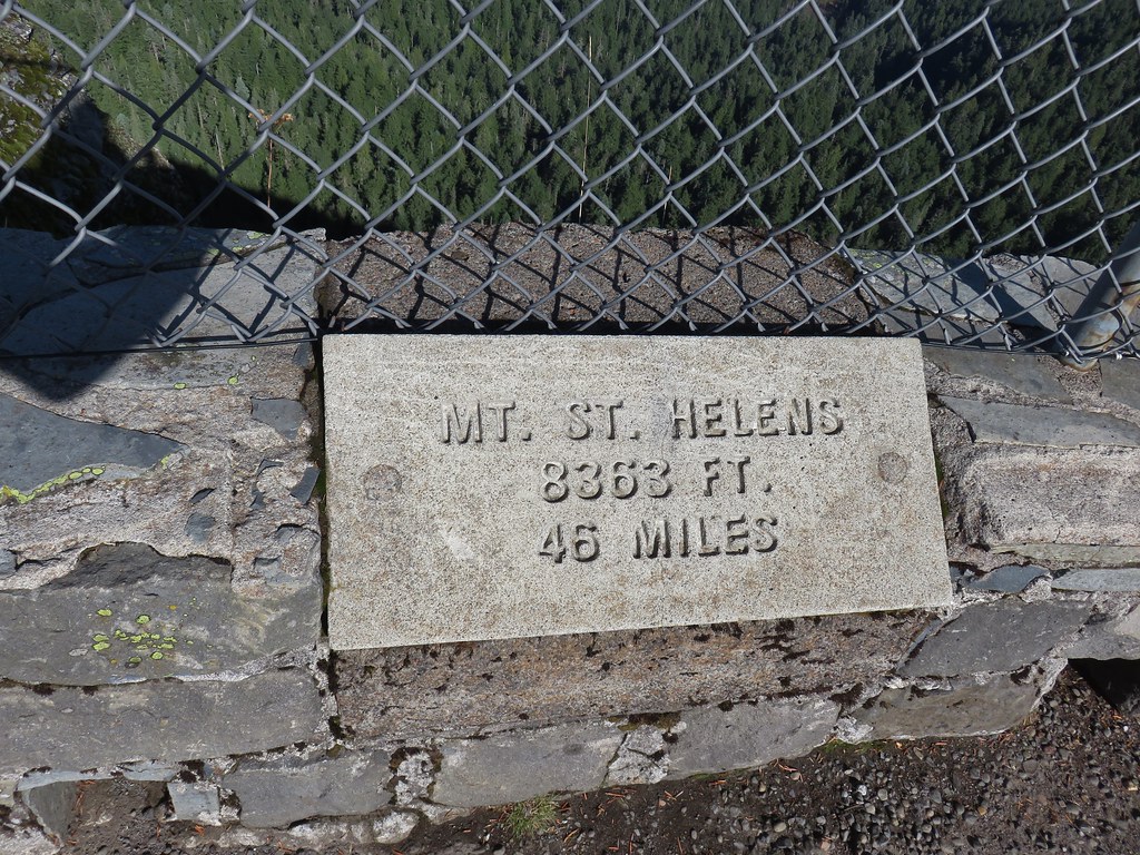
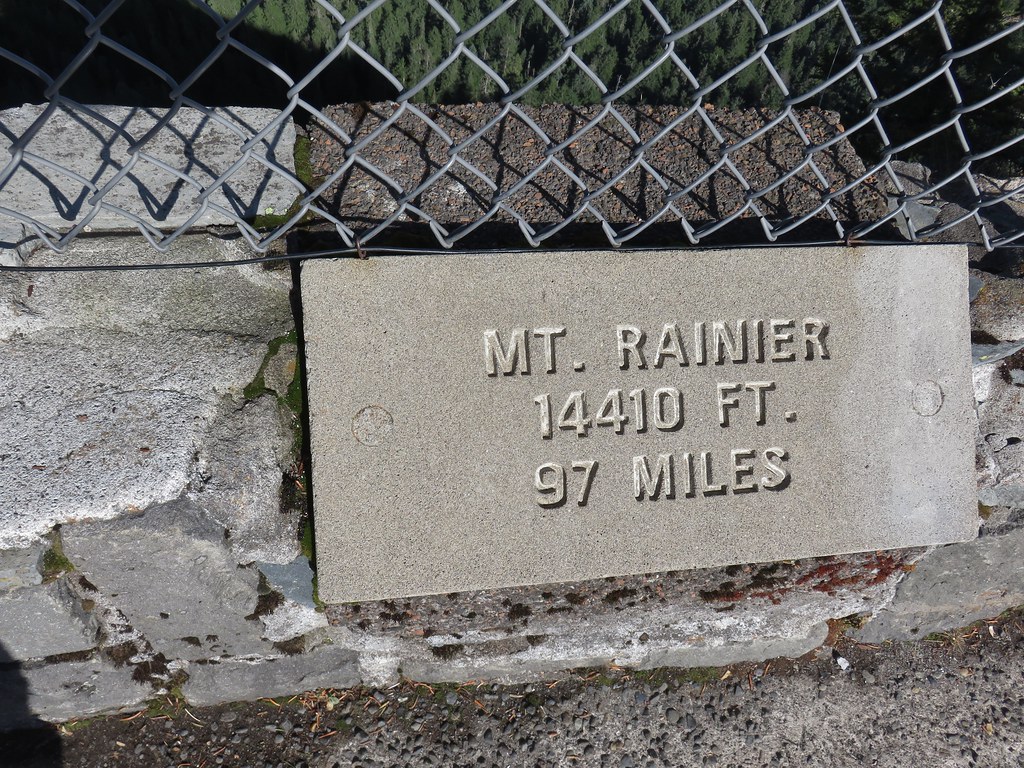
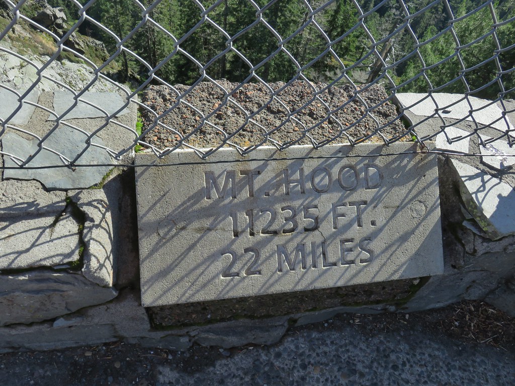
It had turned out to be a beautiful day and we had clear views of 5 Cascade volcanoes; Mt. St. Helens, Mt. Rainier, Mt. Adams, Mt. Hood and Mt. Jefferson.
 Mt. St. Helens, Mt. Rainier, and Mt. Adams.
 Mt. Hood
The Sun was just a bit of an issue when looking at Mt. Jefferson.
 Mt. Hood with Mt. Jefferson to the right.
 Mt. Jefferson
One neat feature at Sherrard Point are the plaques identifying the mountains, their elevations, and their distance from the viewpoint.


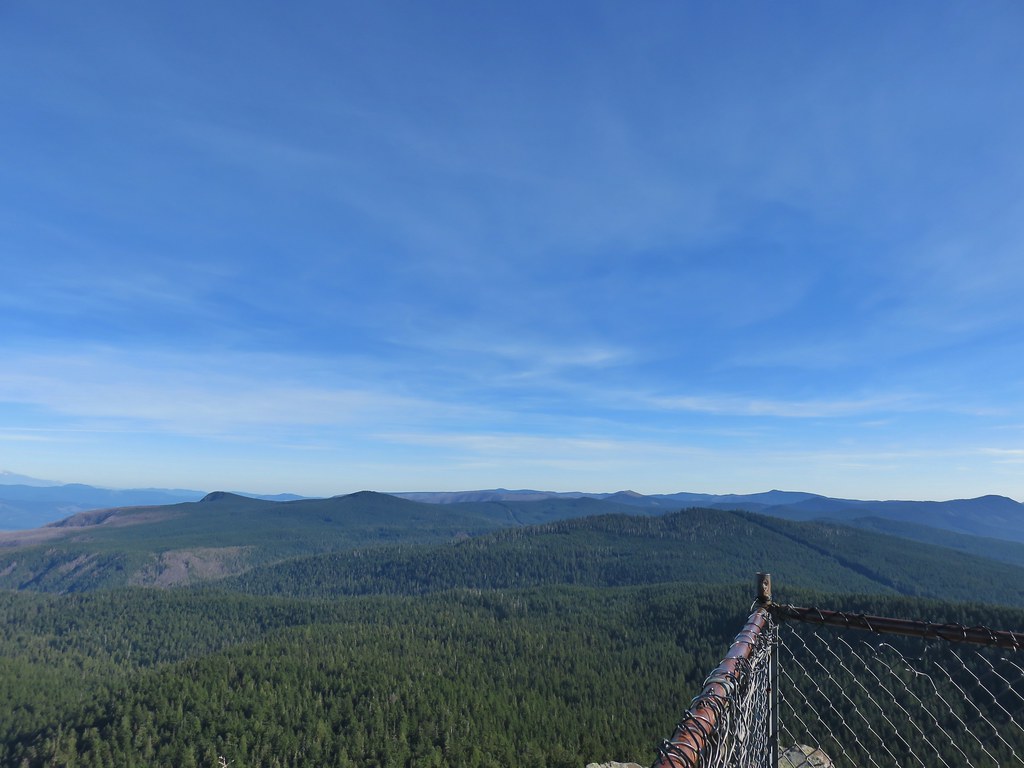 View east from Sherrard Point.
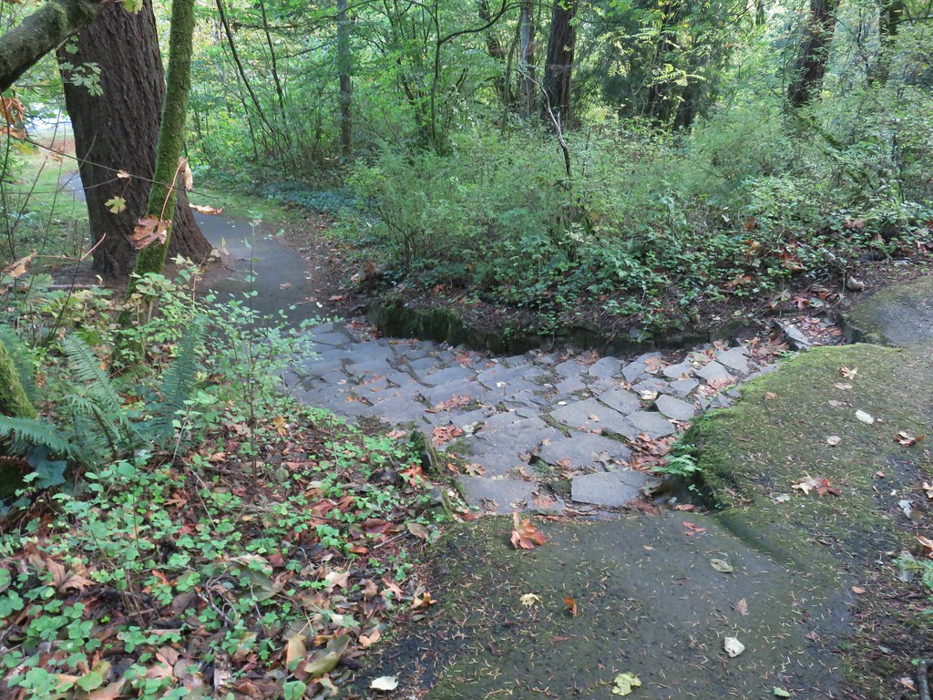
After enjoying the view we headed down and took an unsigned right hand fork uphill to the picnic area.

From there we stayed right at forks heading downhill until we reached the Larch Mountain Trail at another unsigned junction near some old picnic tables.


We followed the Larch Mountain Trail downhill back to the junction with road bed where we had started our loop then followed the road bed back to Larch Mountain Road and our car.


We were expecting this hike to be about 6.5 miles with 1300′ of elevation gain but both of our GPS units had us a little over 7.5 miles. Regardless it was an excellent hike with a nice variety of scenery and some great views. We were pleasantly surprised that it hadn’t been too crowded at Sherrard Point allowing for plenty of space between people. It was a great way to end what has been the strangest hiking season that we’ve had yet. Happy Trails!