***Please note that the access road was washed out in December 2023, and as of May 2024 there is no ETA to restoring access.***
As we continue to navigate this COVID-19 reality we decided to finally make an attempt at visiting the Valley of the Giants, a stand of old growth forest in the Coastal Range. Even though the Valley of the Giants is a featured hike in Williams L. Sullivan’s “100 Hikes/Travel Guide Oregon Coast & Coast Range” and we would need to complete this hike someday if we were ever going to complete our goal of hiking all 500 of the featured hikes (post) we had thus far avoided this hike for a two reasons. The first reason was that at only 1.5 miles long this hike violated our made up rule of not spending more time driving than hiking on a day trip. Despite only being 31 miles, as the crow flies, from our house the drive to the trailhead would be around an hour and forty-five minutes.
The second reason was that we’d heard it was sometimes difficult to reach the trailhead if you could even find it at all. The area (and much of the Coast Range) is a checkerboard of public and private land with most of the private land being owned by timber companies and heavily logged. From time to time the timber companies close the roads used to reach the trailhead due to logging activity. The logging activity also means that there are often new roads or changes to existing roads that are not on maps making them unreliable.
With social distancing in mind we thought now was as good as a time as ever to finally give this hike a go. First we needed to make sure that the hike was indeed open so during the week I contacted the Northwest Oregon District Office of the BLM via email to confirm. They responded that same day saying that it was open and also attached two pdfs. One was a brochure for the trail as well as detailed driving directions and the second contained phone numbers for the timber companies to check on any potential closures they might have in place. We didn’t wind up calling the timber companies opting to just take the chance that the roads would be open.
With the hike being only 1.5 miles we also looked for some other options along the way and in the back of Sullivan’s book was an additional hike just outside of Falls City, which we would be driving through, along the Little Luckiamute River. He described the hike as an “easy mile and an additional 1.5 faint miles to a brushy clearcut”. The guidebook had us park at a locked gate at a bridge over the Little Luckiamute River along Blackrock Road.

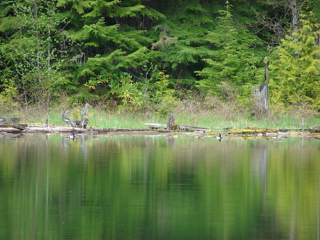
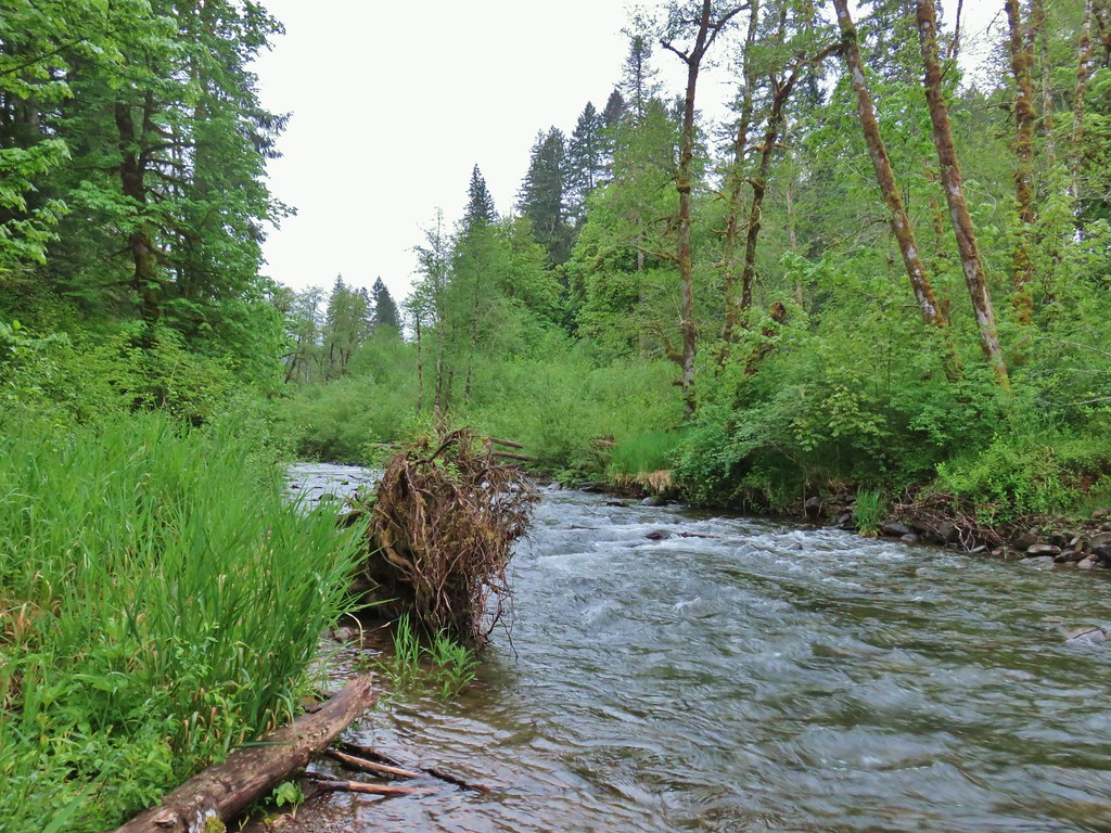
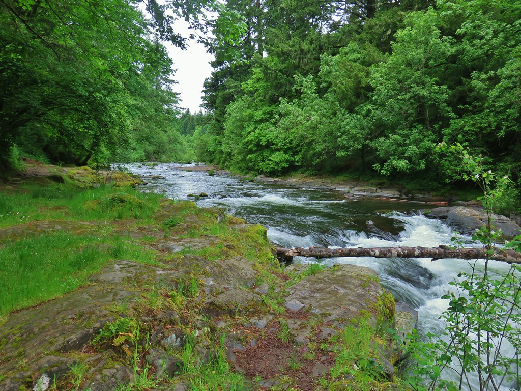
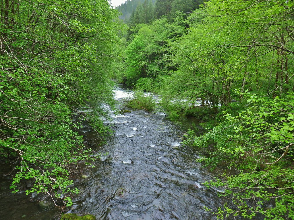
 Little Luckiamute River from the bridge.
The book then mentions crossing the bridge on foot and continuing up the road 200 yards to the trail on the left and shows the BLM as the land manager. When we walked up to the gate though we were met with posted signs from Weyerhaeuser stating that permits were required for all recreation beyond that point. We did walk up the road a bit to see if we could find the start of the trail to see if maybe the it was in fact on BLM land and it was only the road and possibly the land on the right hand side that was Weyehaeuser owned. Our Garmin appeared to show the location of the trail but we walked a little past where it was showing and never saw any signs of one so we quickly returned to our car. Heather had noticed another gated road just before the spot where we parked heading in the same direction that the trail on the opposite side of the river would have taken us so we walked over to it to check it out. There were signs here too but it wasn’t Weyerhaeuser land it was owned by Hancock Forest Management and they didn’t require permits for recreational use.

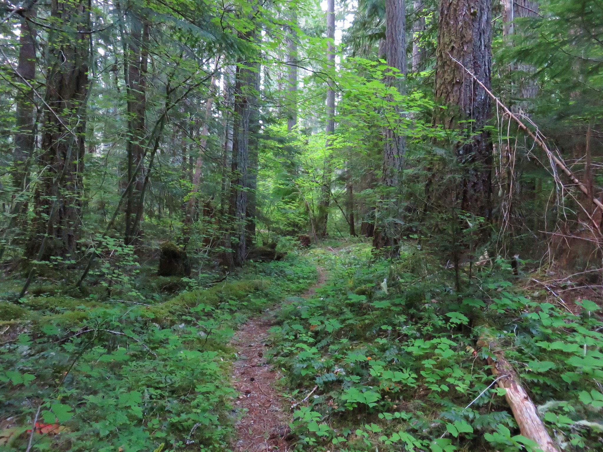
We decided to hike up this road instead. We wanted to kill some time before heading to the Valley of the Giants because the Oregon Hikers Field Guide entry for the hike mentioned visiting between 8am and 5pm to avoid gates that might be opened and closed daily. It was a little before 6am when we’d discovered that our plan A was a no go so to kill enough time we set a 45 minute goal for hiking out along this road before turning around.

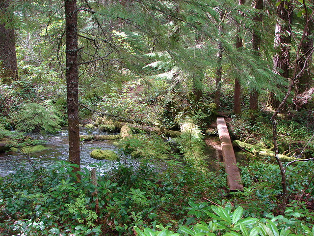
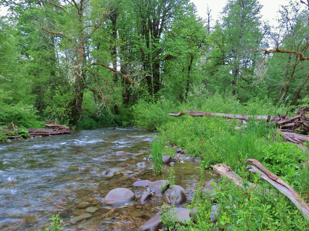
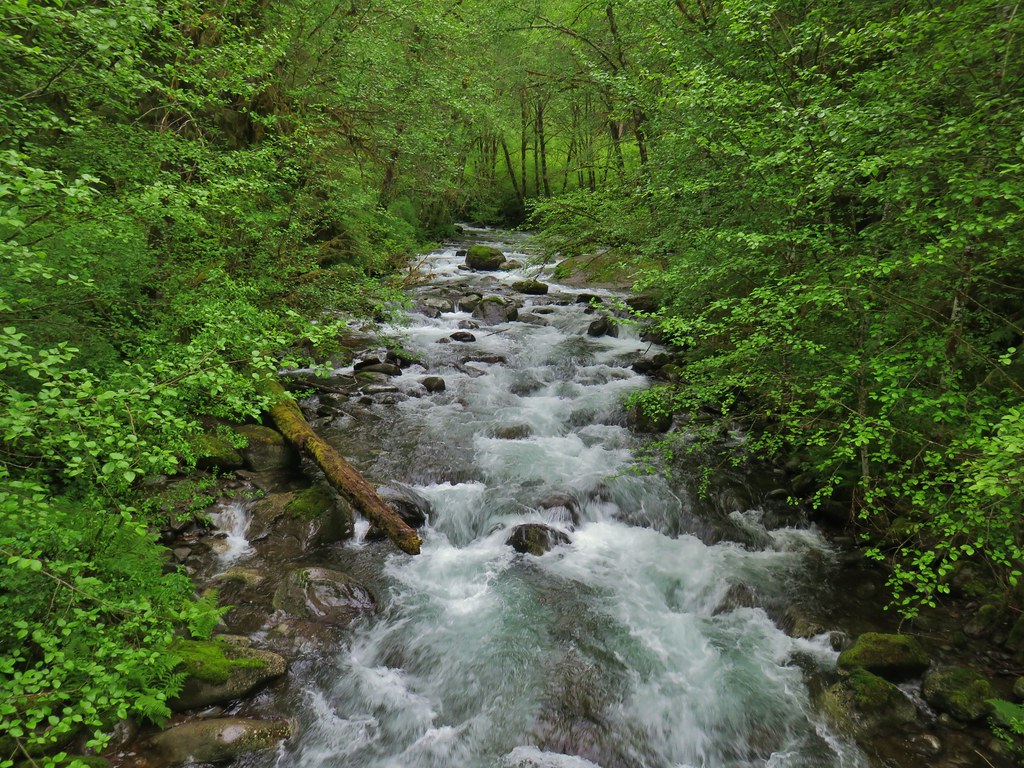
A quarter mile up the road we followed a well developed use trail down to the river.
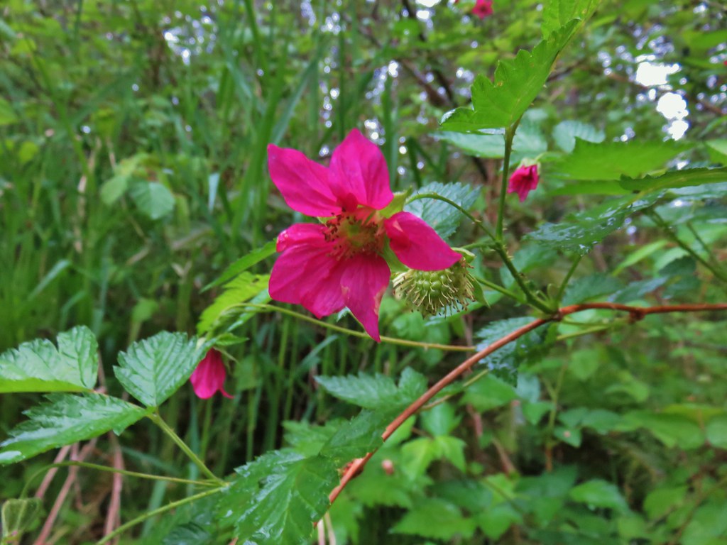 Salmonberry blossoms along the river.
After checking out the river we continued up the road until we arrived at a 1.5 mile marker spray painted in orange on a stump. We were at almost 43 minutes and in the middle of an uphill climb so we decided that the marker was a good definitive turnaround spot.
 Our turnaround spot.
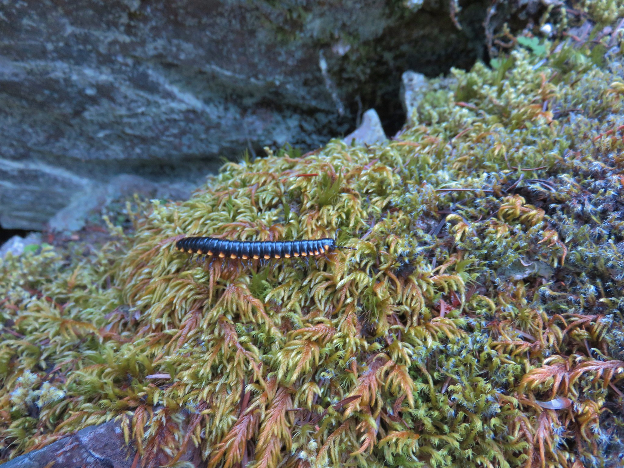
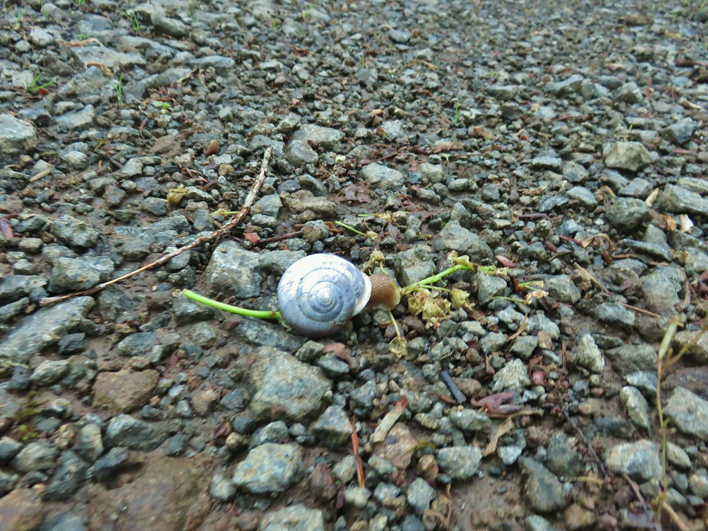
We returned the way we’d come arriving back at the car close to 7:20. Even though it wasn’t the trail that we’d planned on hiking this was a pleasant little hike and probably very similar to what we would have seen on the trail itself. There were a number of different flowers, slugs, a snail, a millipede, and a rough skinned newt along the way not to mention the sounds of the river and lots of signing birds.

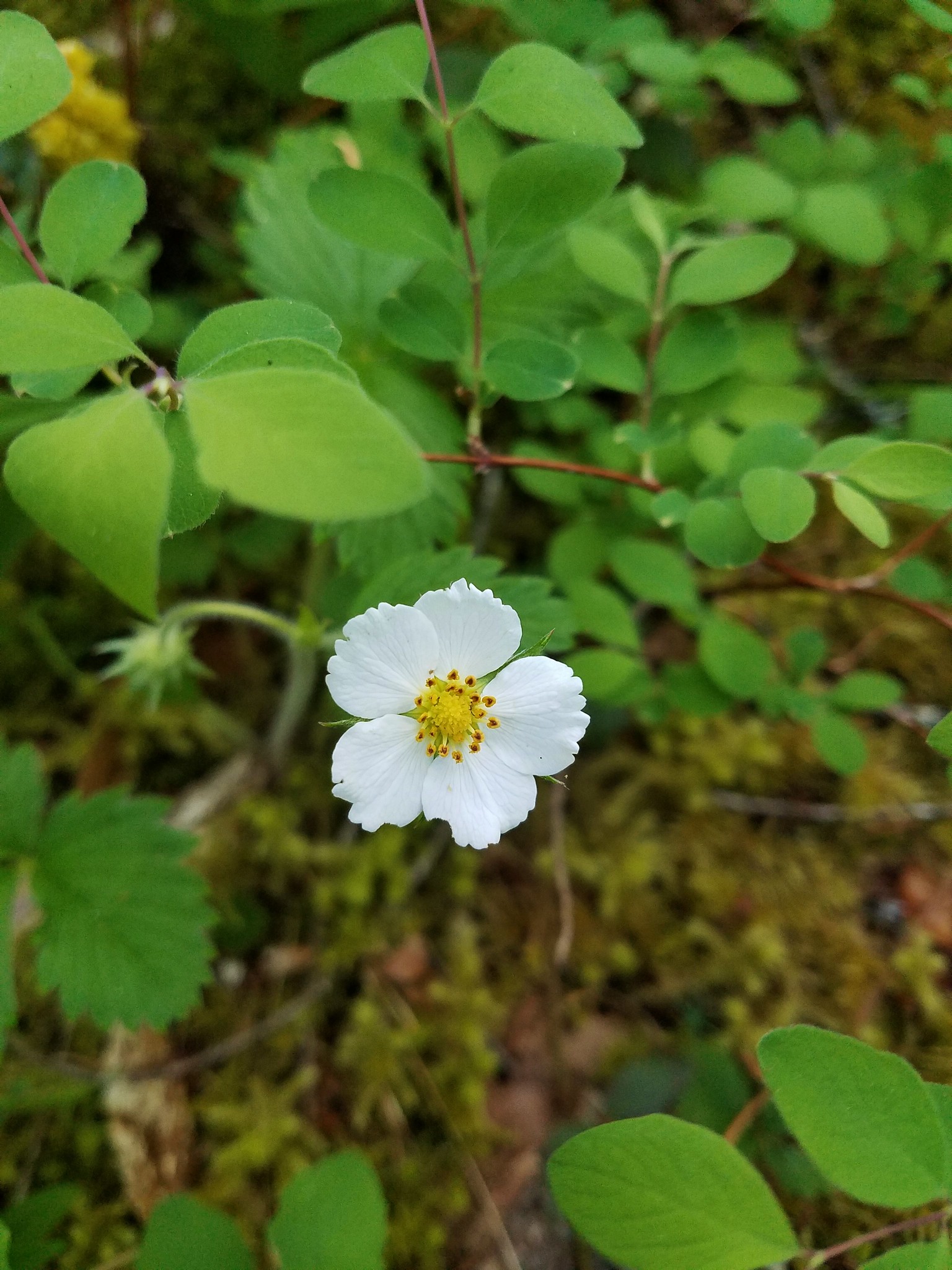
 Cinquefoil and youth-on-age
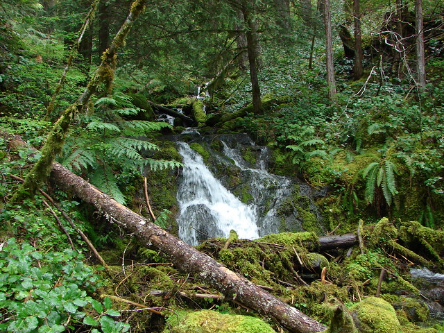
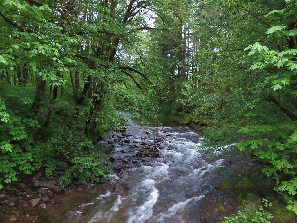
 One of several little creeks along the road.
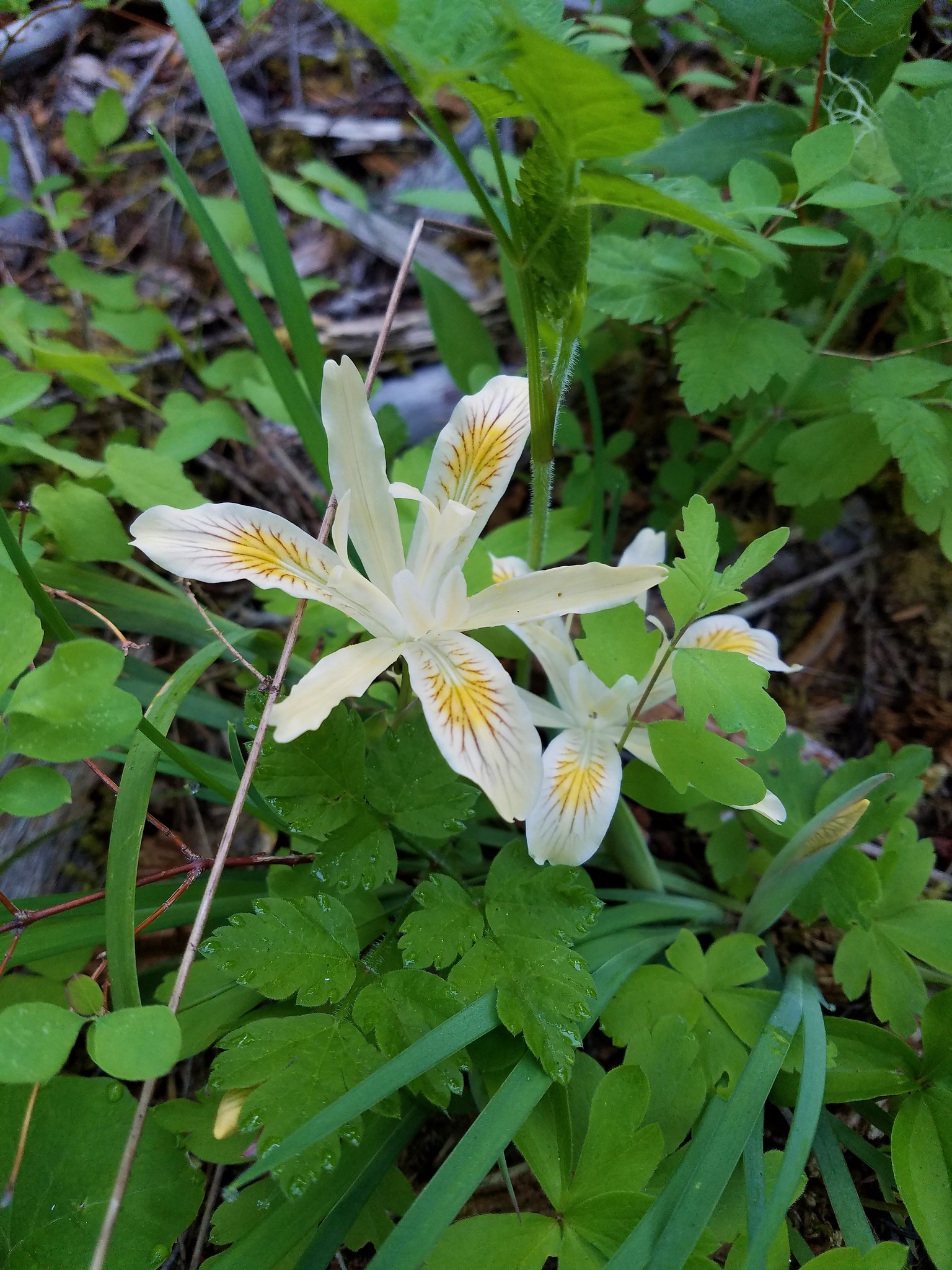
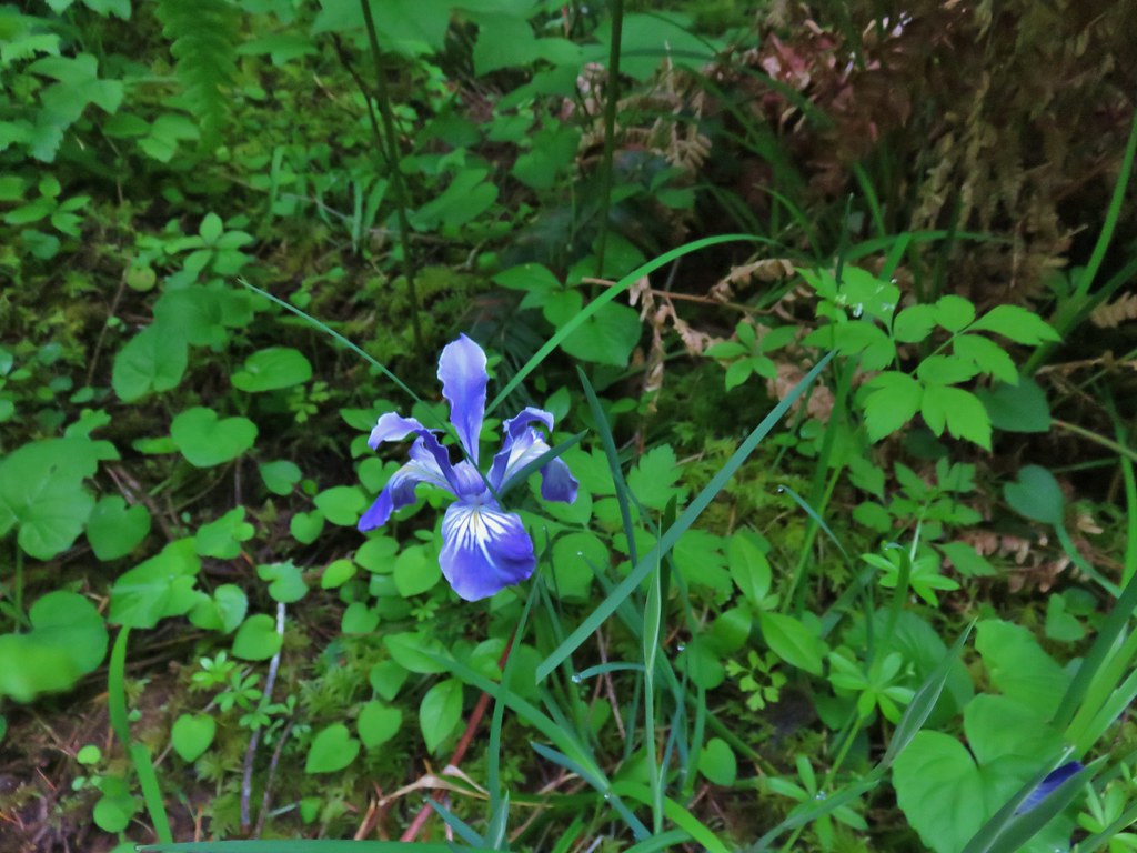 Iris
Iris
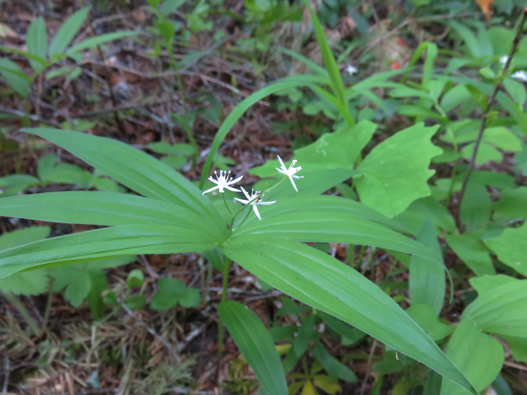
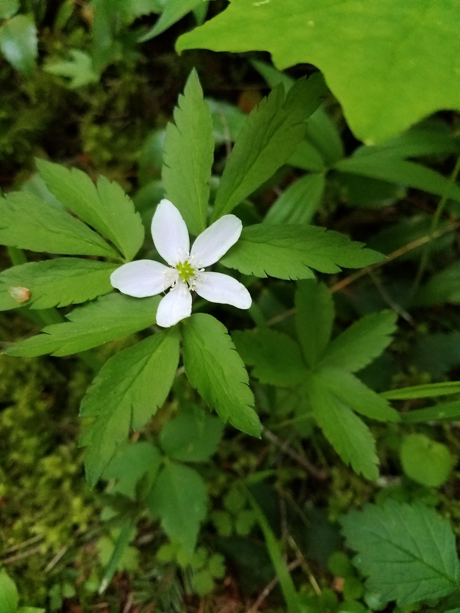
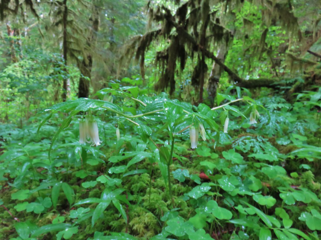
 Fairybells
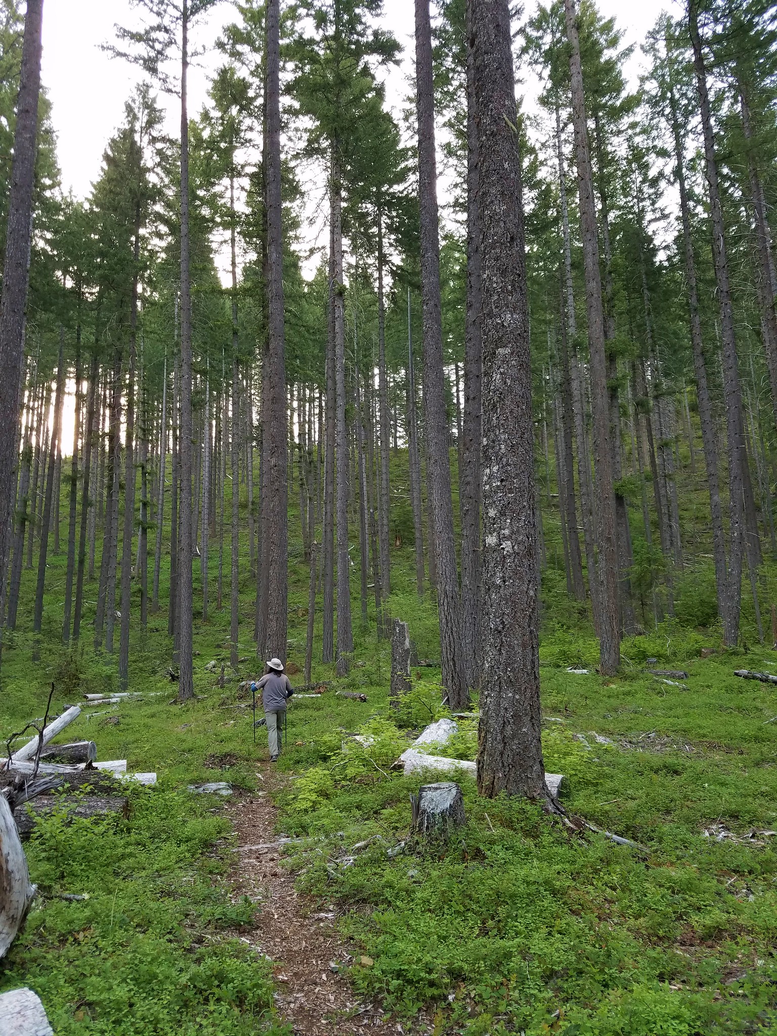
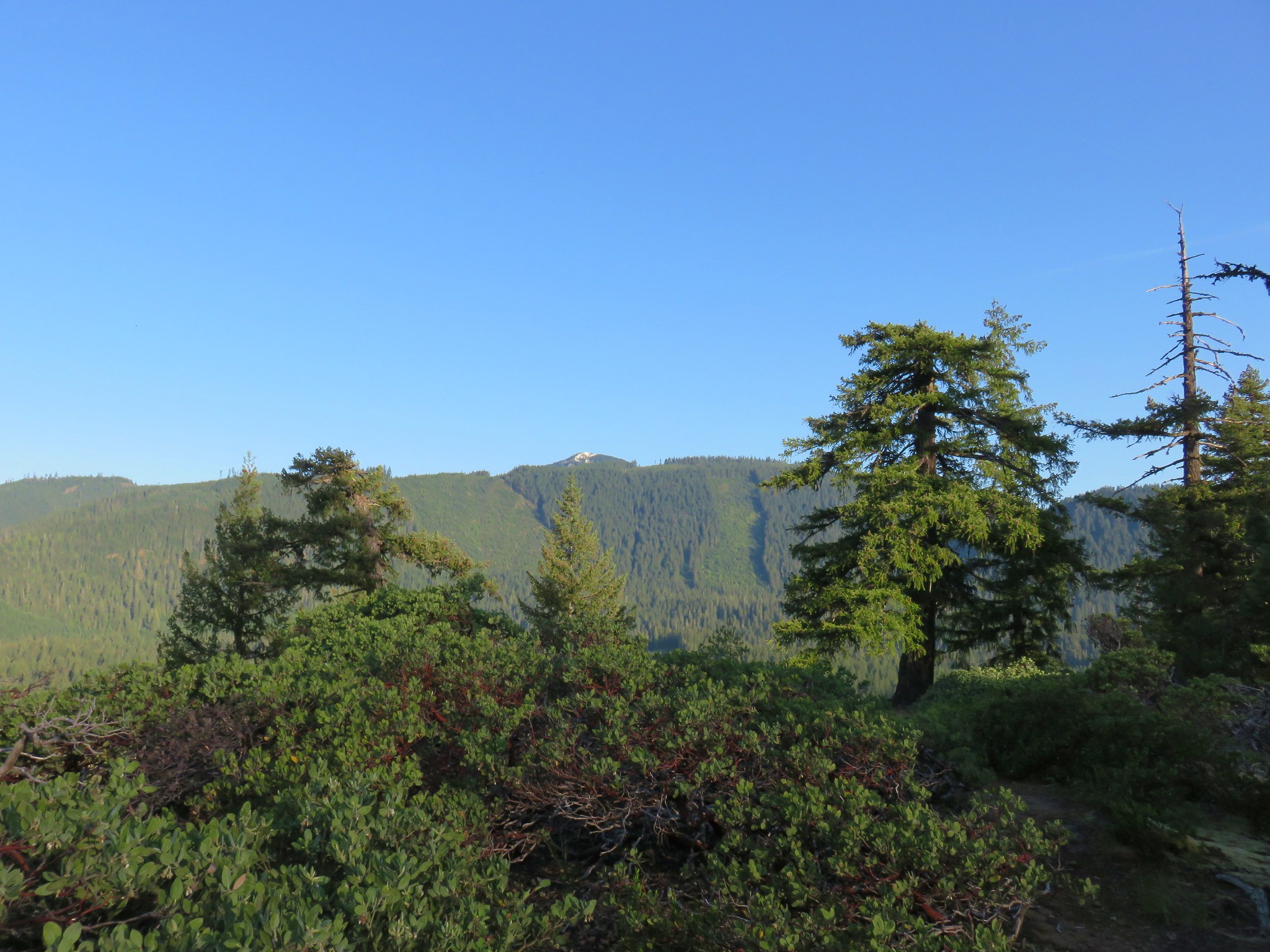
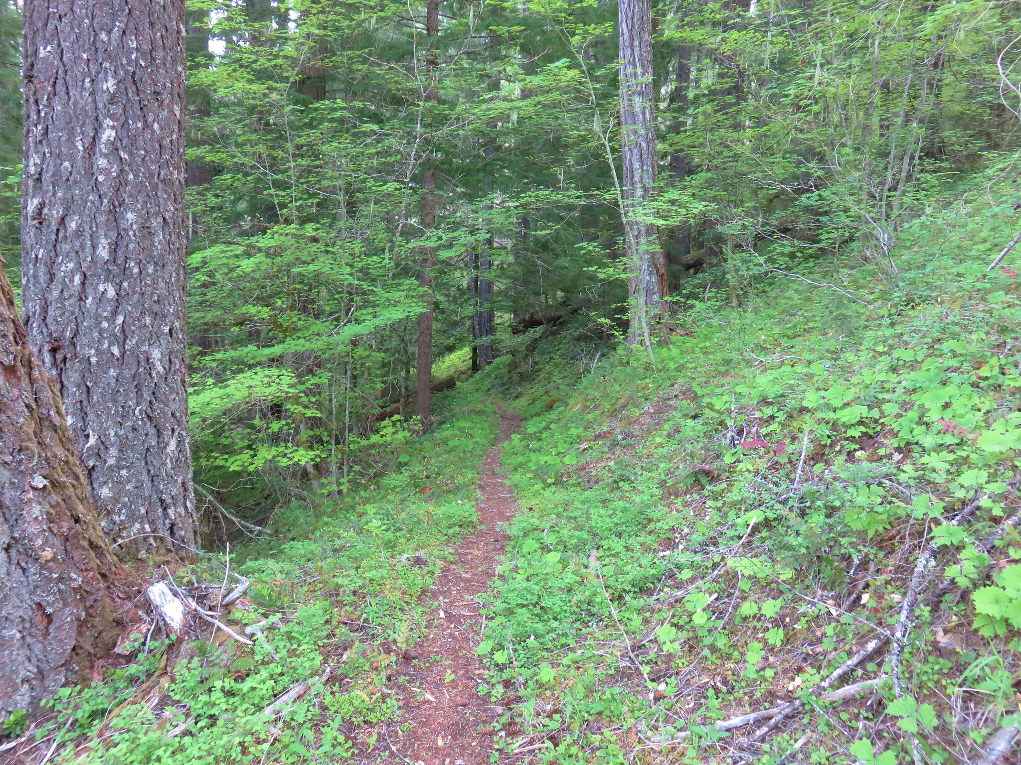
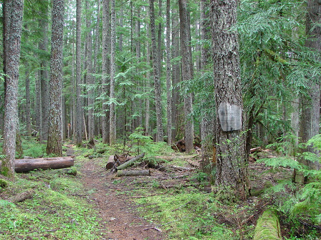
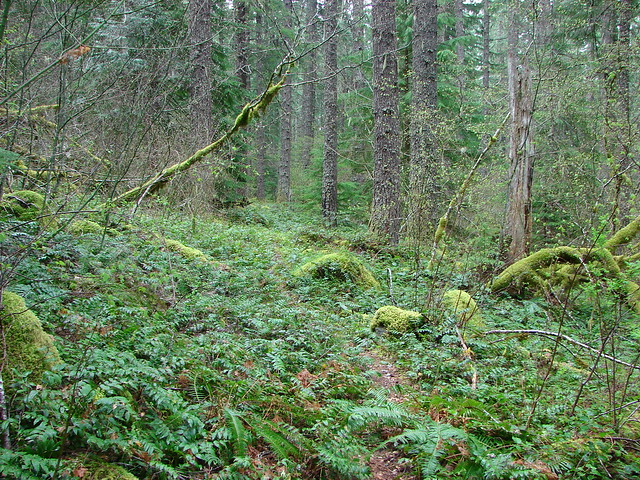
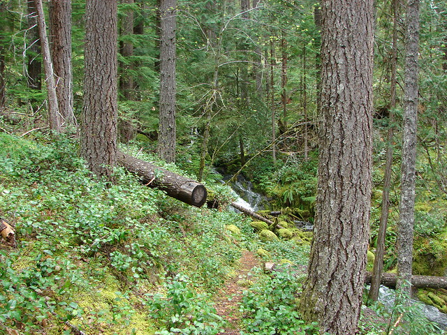
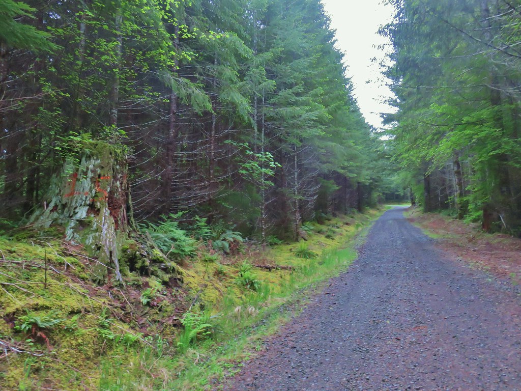
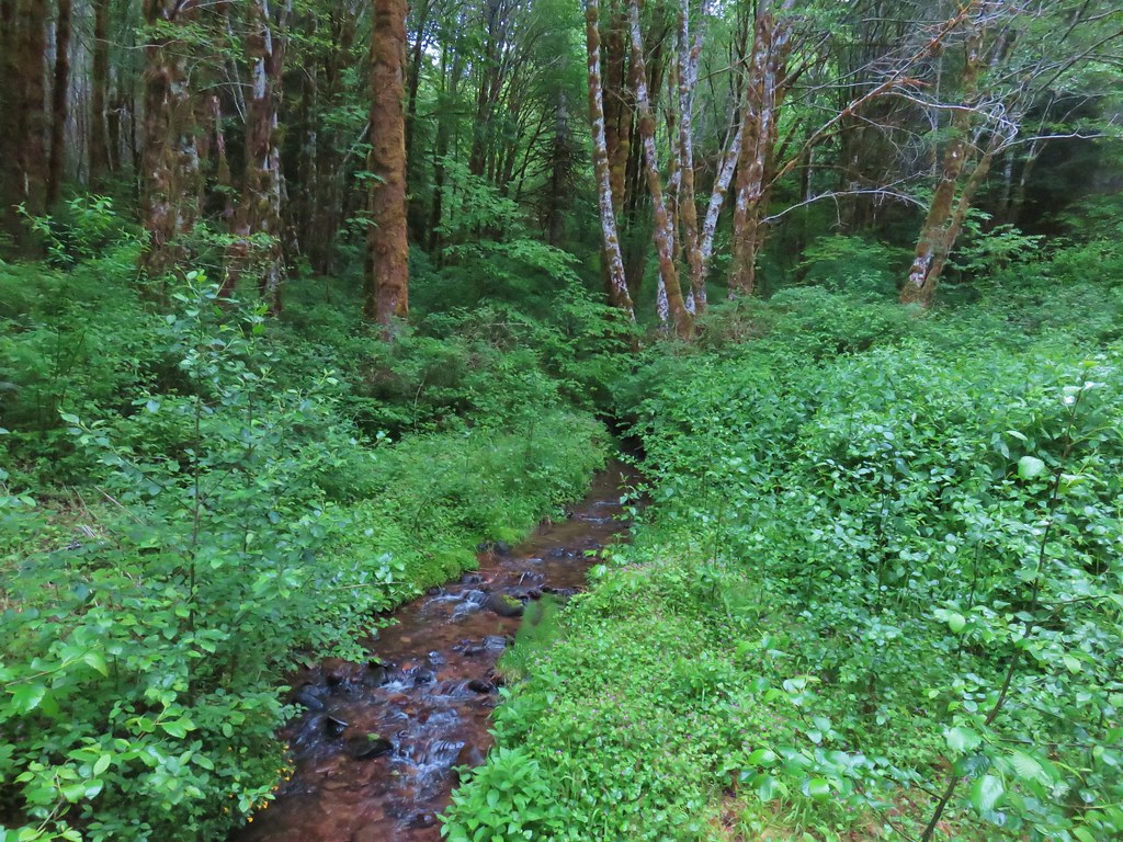
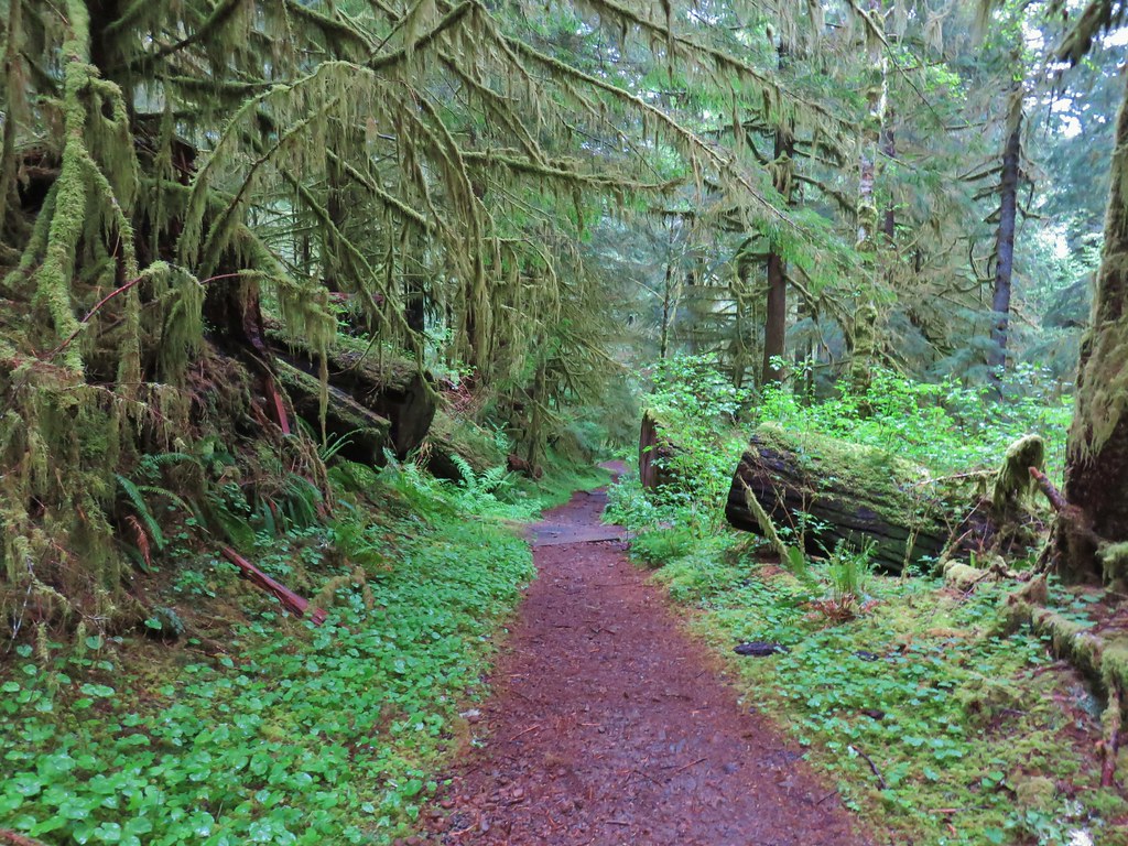
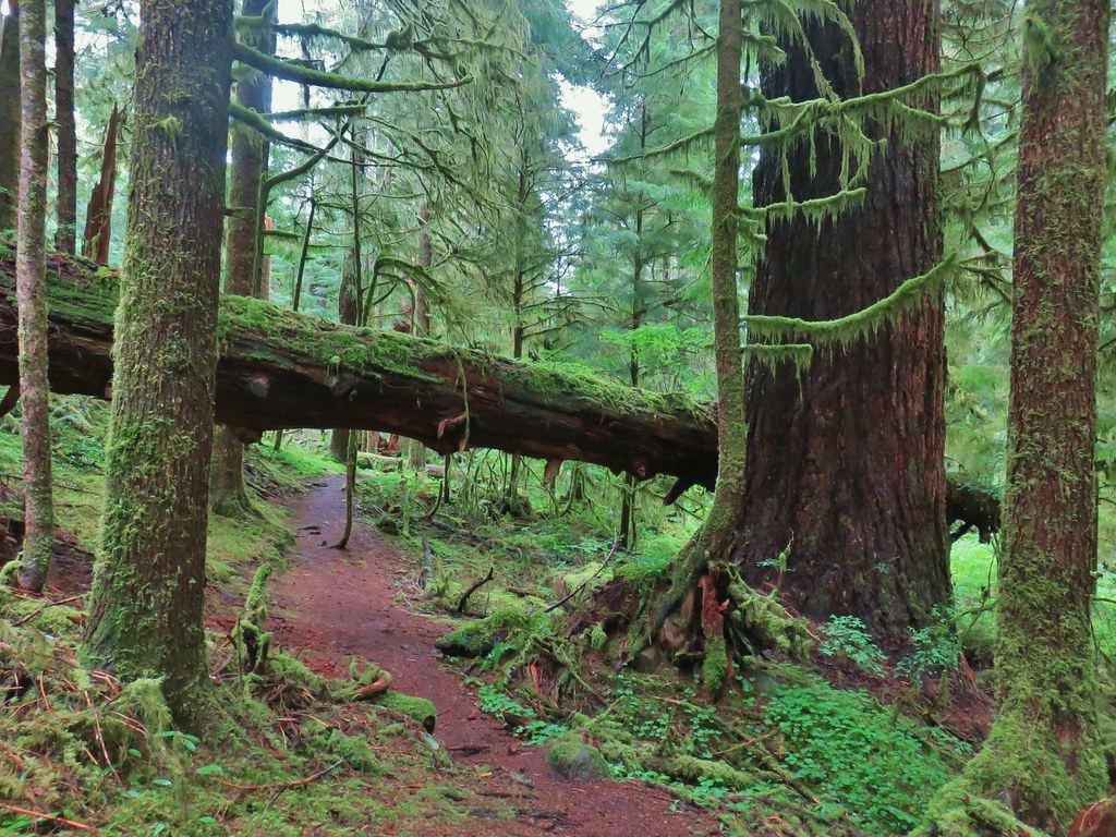
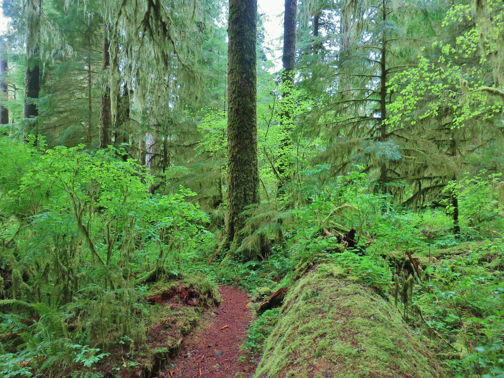
 Forest along the road.
 Bleeding heart
 Rough skinned newt escaping into the grass.
 Lupine
 Columbine
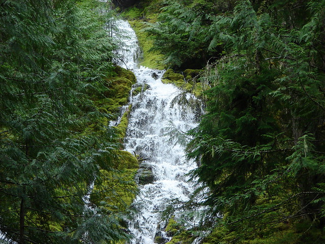
We drove back into Falls City and stopped at a viewpoint along Parry St. to check out the Falls City Falls.
Unfortunately you can’t get a good look at the waterfall from this side of the river and it wasn’t any apparent access on the opposite side where a clearer view could have been had.
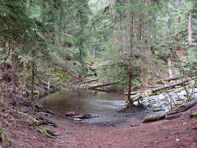
 Little Luckiamute above the falls.
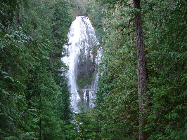
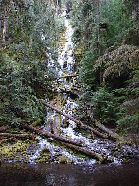
 Falls City Falls
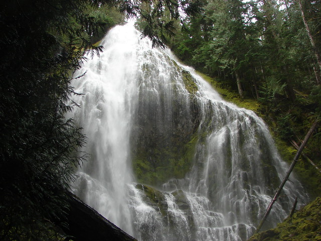
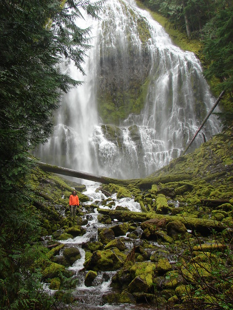
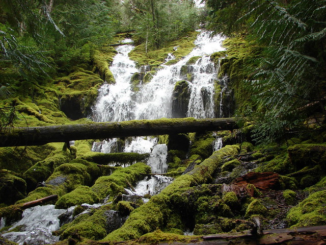
 Lower end of Falls City Falls.
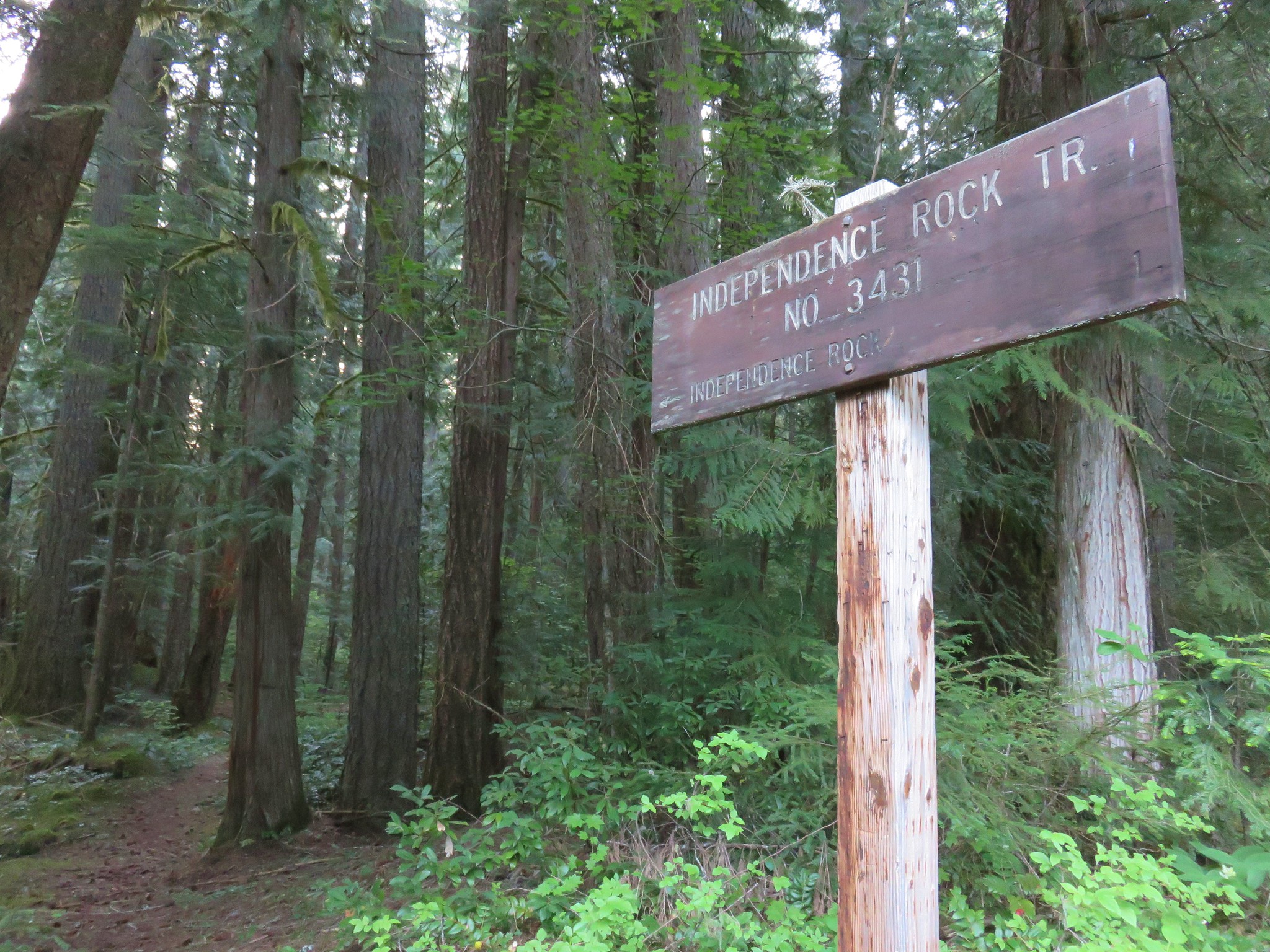
That quick stop killed a little more time before we began our quest for the Valley of the Giants. The entry in the Oregon Hikers Field Guide for the trailhed begins with “Here follows one of the most convoluted approaches to a trailhead you will ever endure:”. We were primarily using the BLM directions with Sullivan’s being secondary. (All three provided similar directions although they were worded differently.) The trailhead was 31.5 miles from the Falls City Post Office with all but the first .6 on gravel roads. As crazy as the directions appeared the drive turned out to be fairly straight forward. The directions were spot on and we found that at many of the intersections the BLM had pointers for VOG.

We weren’t expecting to see these pointers and aren’t sure how new they might be (or how long they will last given some peoples penchant for causing mischief) but they proved to be very helpful.
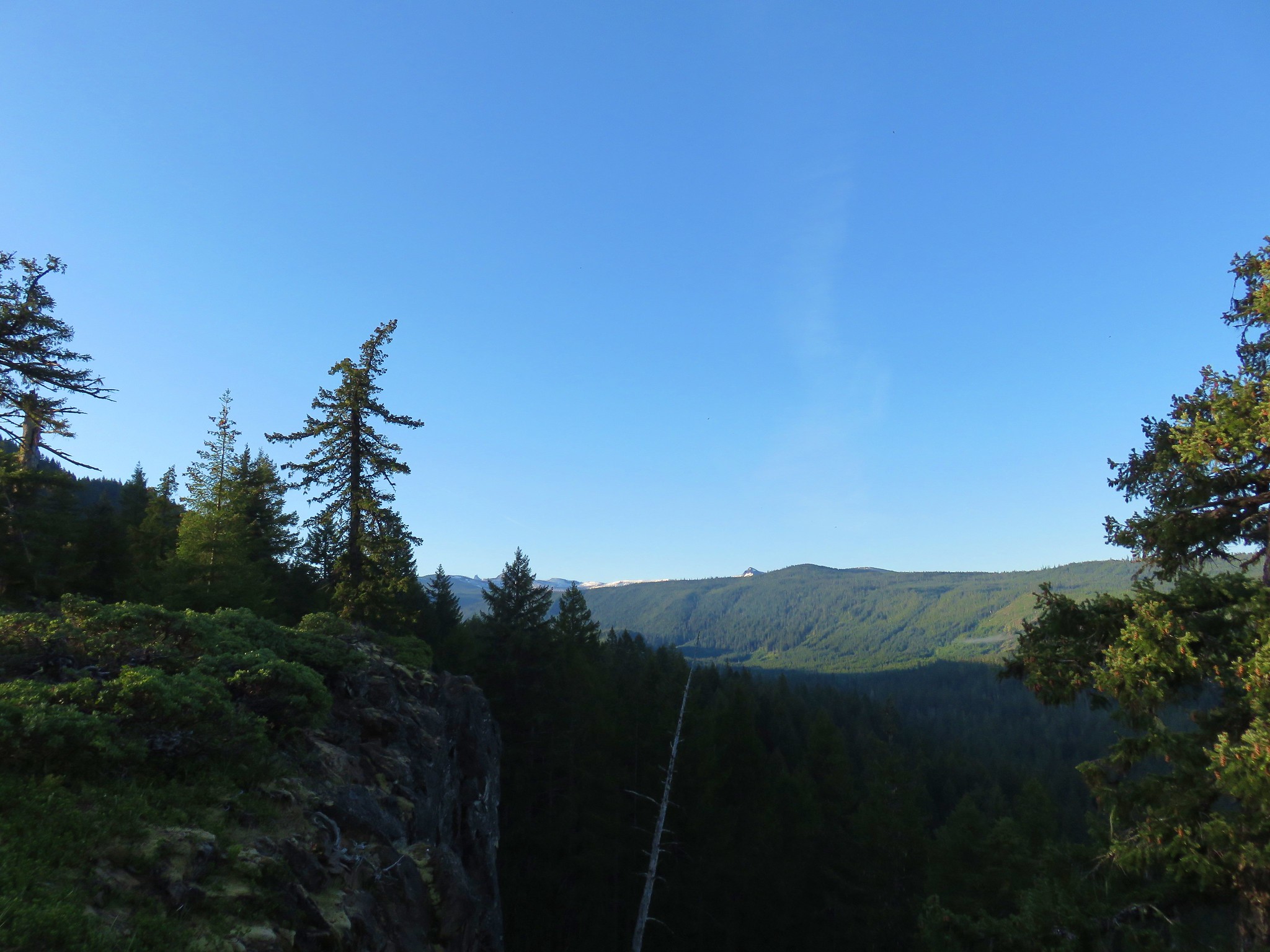
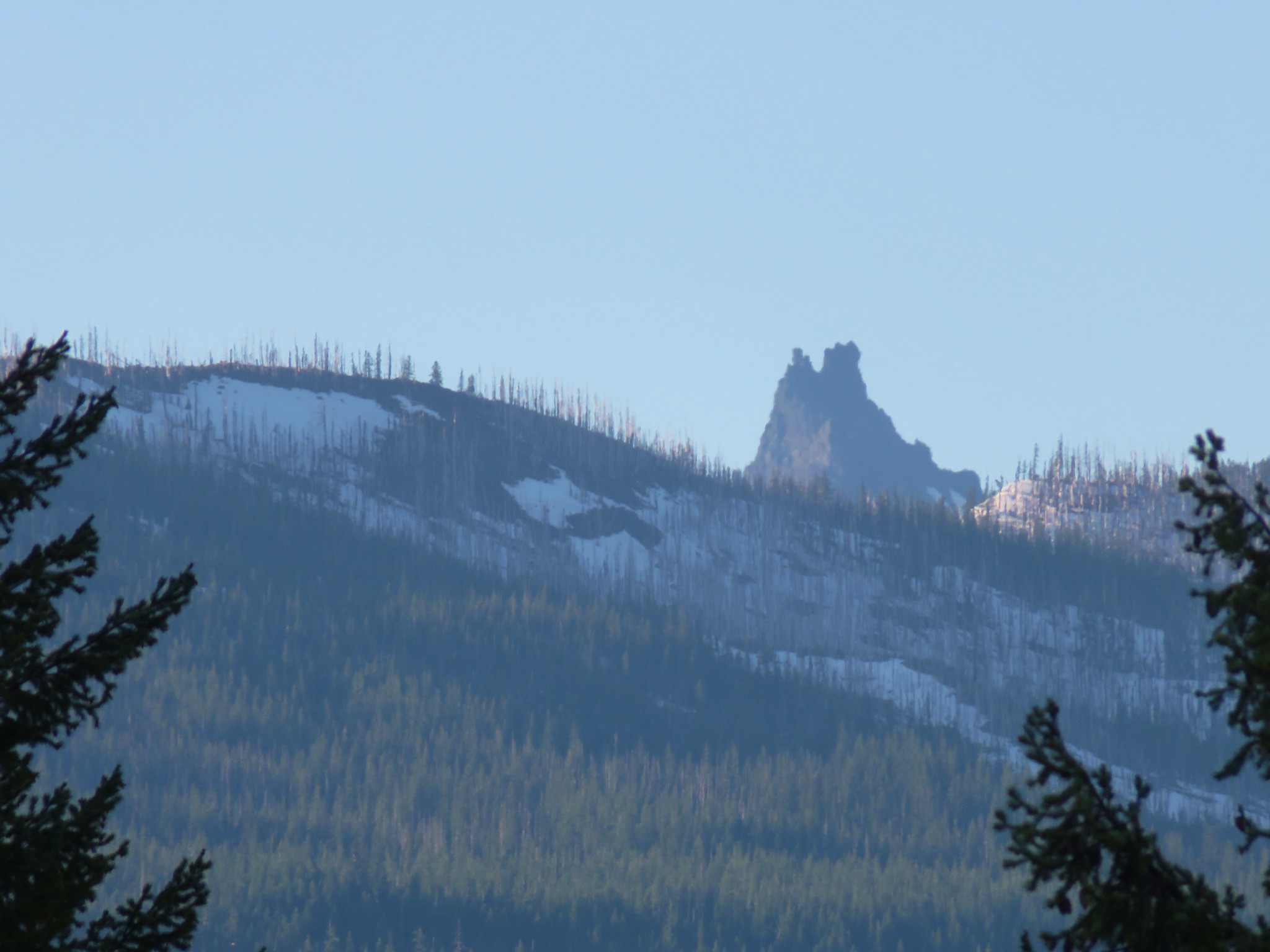
The roads had a few potholes but were in relatively good shape and passable for lower clearance vehicles. The scenery alternated between the bleak landscapes of clearcuts and beautifully green forests surrounding the South and later North Forks of the Siletz River.
 South Fork Siletz River along Valsetz Road.
 Confluence of the North and South Forks of the Siletz River.
 North Fork Siletz River.
The route also took us past the historical site of Valsetz, an unincorporated community and timber company town. In 1983 the timber company announced the halting of operations there and in 1984 all structures were removed leaving just some foundations. We drove by the foundations but didn’t stop due to some sort of gathering occurring (which we were pretty sure wasn’t within the current COVID-19 guidelines).
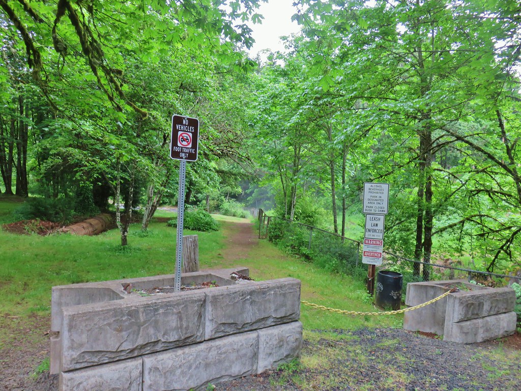
An hour and fifteen minutes after passing the Post Office in Falls City we arrived at the Valley of the Giants Trailhead.
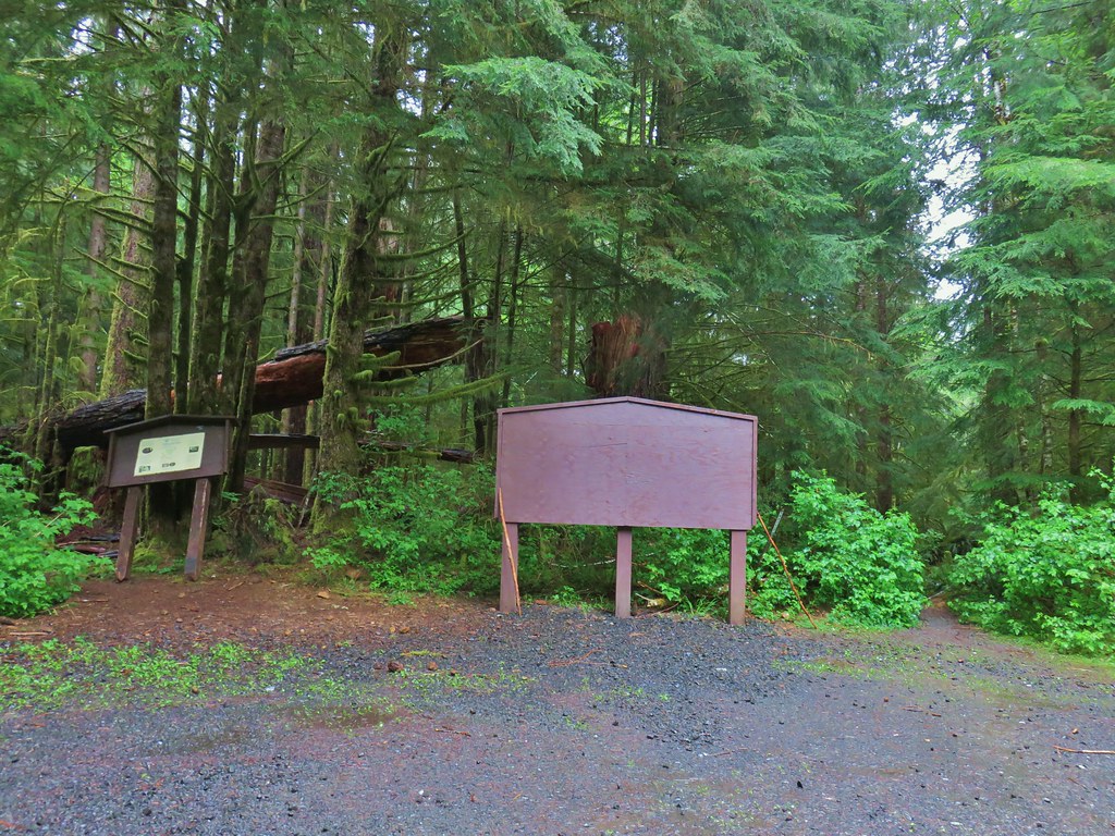
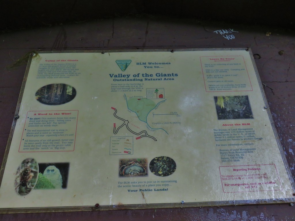
A signboard at the trailhead provided a brief history and a map of the 51 acre area.
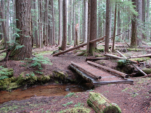
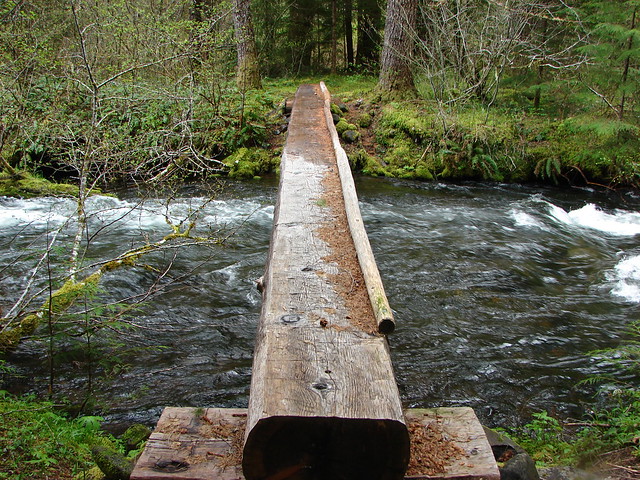
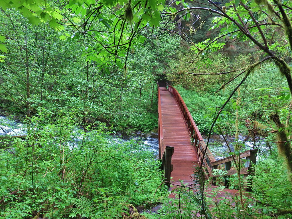
We followed the trail downhill to a footbridge over the North Fork Siletz River.
 Bleeding heart
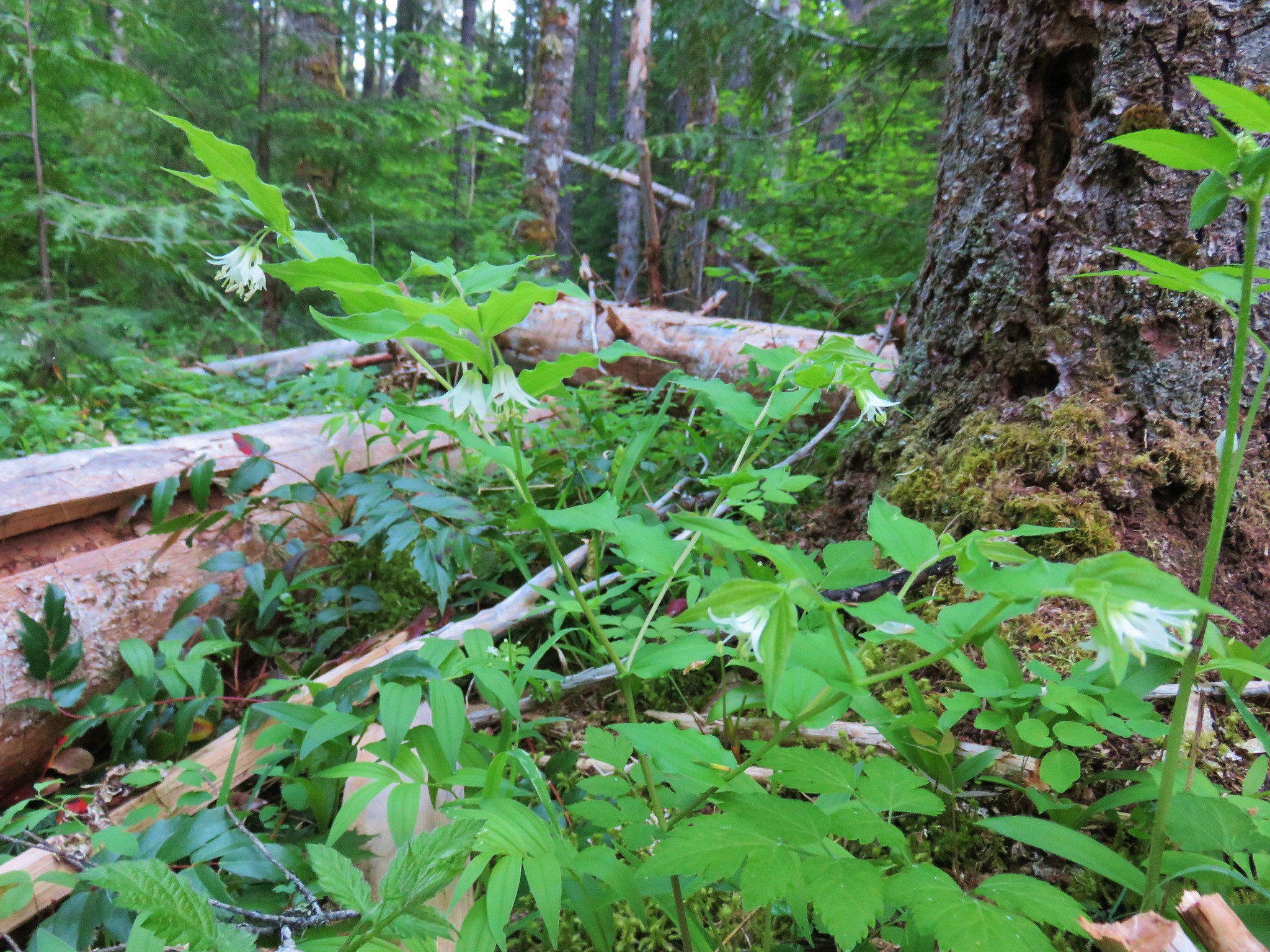
 Fairybells
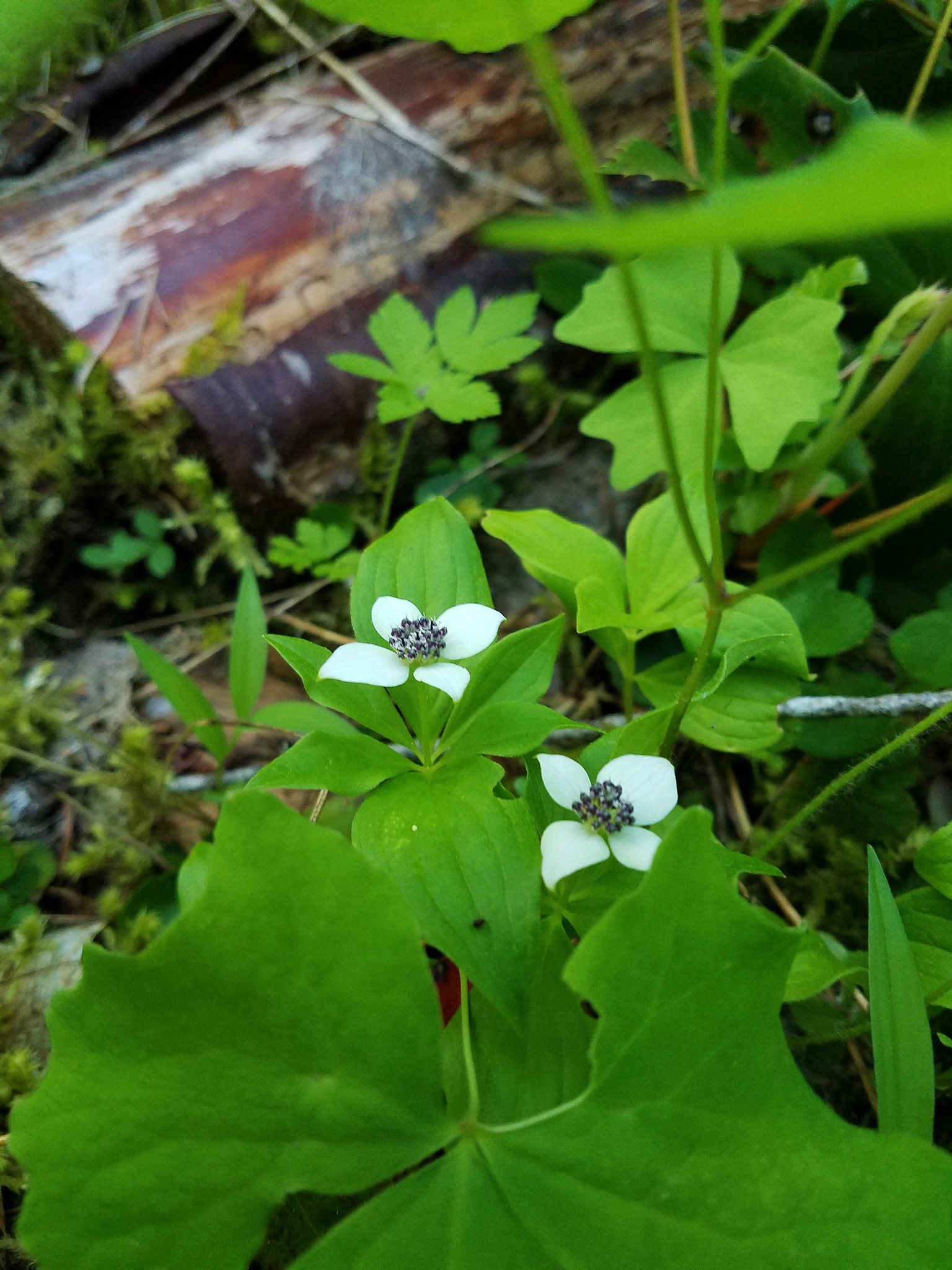
 Star flowered solomonseal and false lily of the valley getting ready to bloom.

At the far end of the footbridge was a lone picnic table.

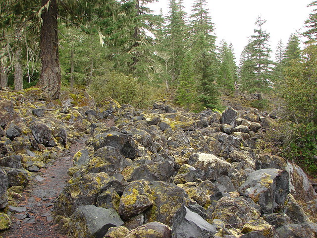
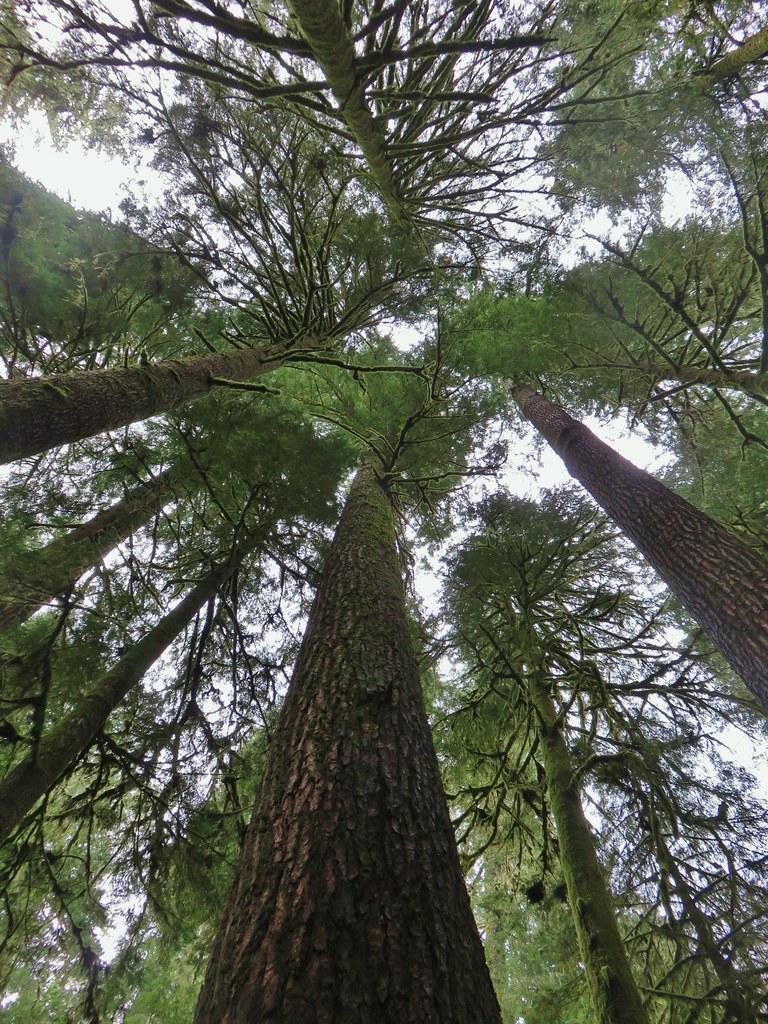
The trail climbed a bit to the start of a .7 mile loop which itself climbed approximately 160′ to the “Big Guy”, a huge Douglas Fir that fell in a 1981 storm. At that time the tree is believed to have been 230′ tall and approximatley 600 years old.

 Old growth giants.
 Another huge Douglas fir.
 Standing among the giants.
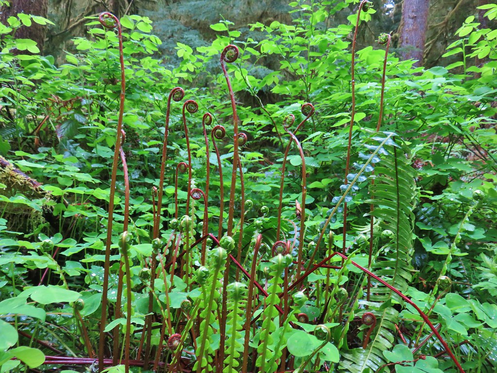 Unfurling ferns.
 “Big Guy”
 Standing in between a cut in “Big Guy”. For reference I am a little under 5’9″.
 Bench at “Big Guy”
Beyond “Big Guy” the trail descended back down to the start of the loop.
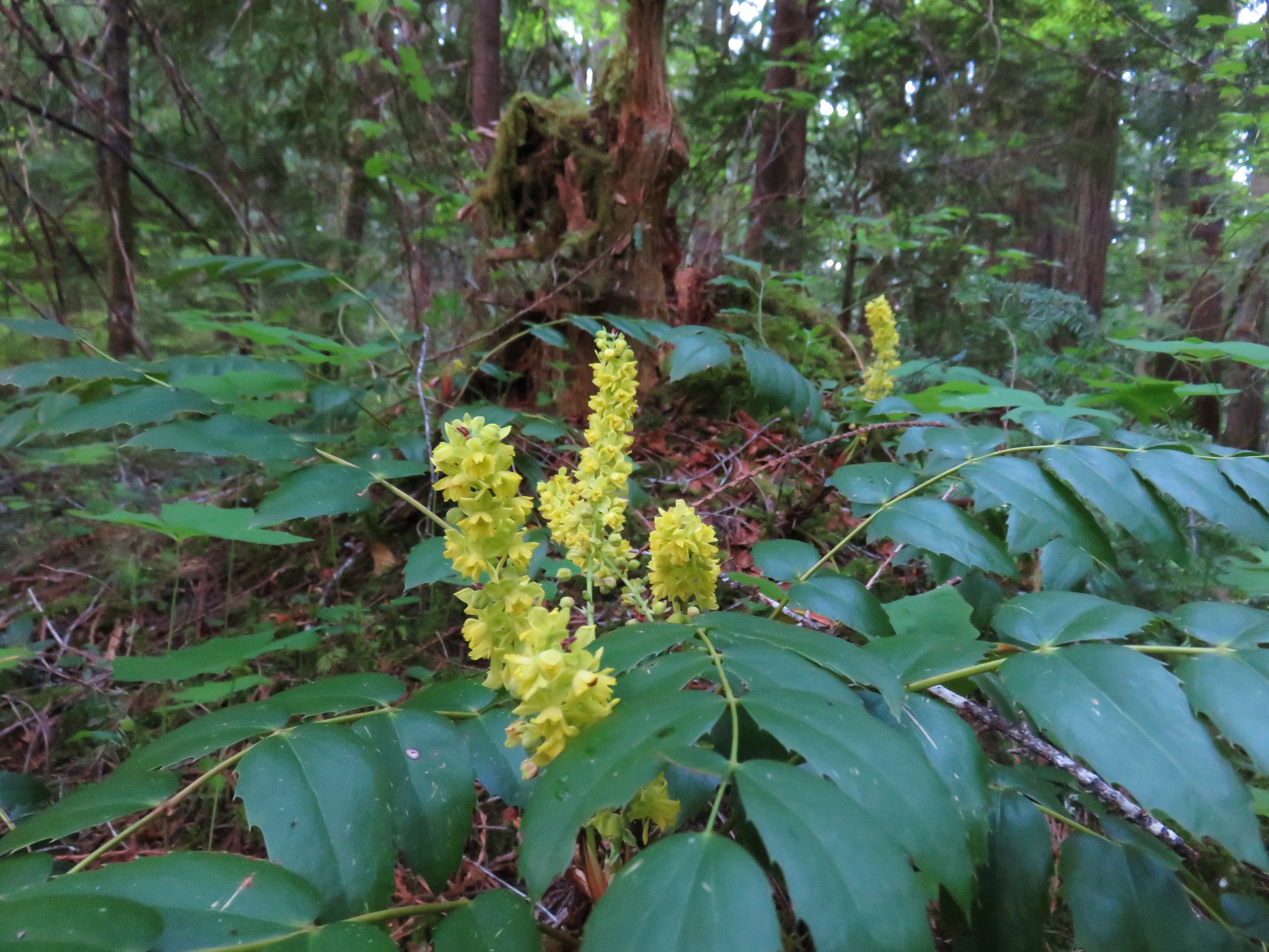
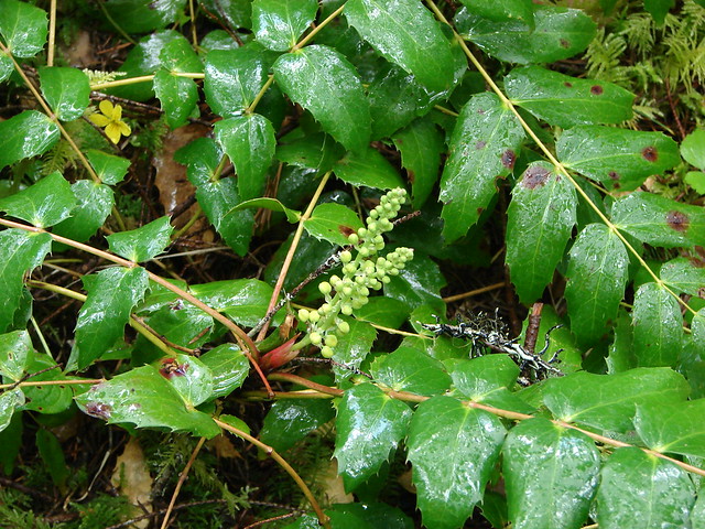
 Oregon grape
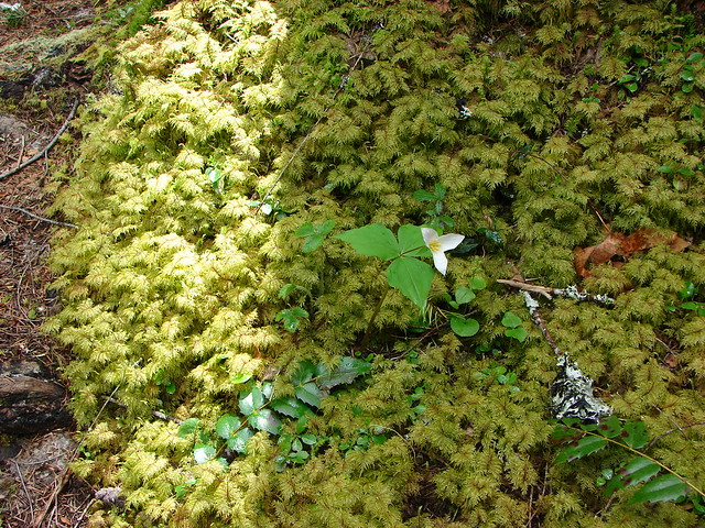
 The only trillium we saw all day that still had any petals.

We returned to the trailhead to find a second car there now and the only other hikers we’d seen that day. We chatted with them for a bit (from over 6 feet away). His grandfather had been working at Valsetz when it was shut down so he had spent time there as a child and all around the area.
Driving back past the clear-cuts after having just visited the pocket of old growth just reinforced how important it is to us to protect any wild areas lucky enough to have yet been spared from development or resource extraction. There are not that many of them left and those that aren’t yet protected deserve to be. Happy Trails!