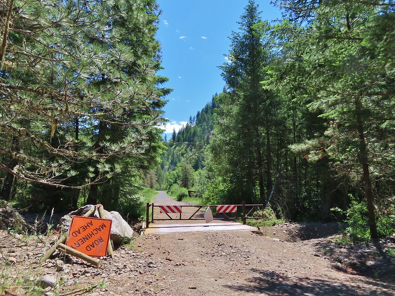
For the second year in a row our September vacation plans were disrupted by wildfires. The reality we are facing is that this may well be the norm now and maybe September isn’t the best time to try and take a hiking trip. We’d been avoiding October due to the erratic weather that time of year but it might be time to rethink that. Unlike last September when we scrapped our plans and just stayed home staying inside to avoid the smoke this year we had a viable back up plan. Our original plan was for a long weekend in Union Creek near Crater Lake National Park but that area seemed to be ground zero for unhealthy air quality so we canceled our reservations there and watched the weather and smoke forecast waiting until Friday to make our final decision. A favorable forecast put Pendleton as our first choice but according to the Forest Service website two of the three trails we planned on hiking were showing as closed. The entire Umatilla National Forest had been closed earlier this year due to wildfires but those were either out or mostly contained and the closure area had been greatly reduced. I reached out to the Forest Service and they confirmed that despite what the website said the trails we were planning on hiking were open.
It was a 5 to 5 1/2 hour drive from Salem to the Timothy Springs Trailhead for our first hike of the weekend on the Wenaha River Trail. We had hiked on this trail in 2019 but from the other end near Troy, OR (post). The trail is just under 31.5 miles long but for this hike we planned on following the trail downhill for 4.5 miles to Milk Creek which is Sullivan’s longer option for his featured hike #43 in the 3rd edition “100 Hikes/Travel Guide Eastern Oregon”. We arrived to find the campground at the trailhead full of bow hunters which we had expected this time of year. We parked in a dirt area not far from the historic Timothy Springs Guard Station because the only spot open at the actual trailhead would have meant parking over grass which we didn’t want to do given the fire danger. The guard station.
The only “parking spot” open near the actual trailhead.
The trail descended gradually through a the forest crossing a couple of small streams before reaching the South Fork Wenaha River at the 2.3 mile mark. There was a lot of cone flower along the trail.
It had rained the night before but most of the moisture had already dried up or evaporated.
There were just a few flowers hanging on.
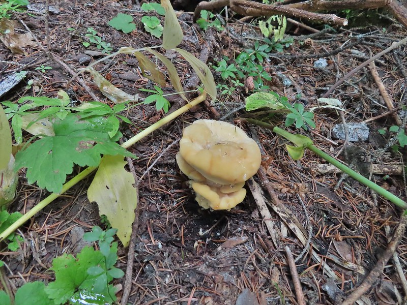
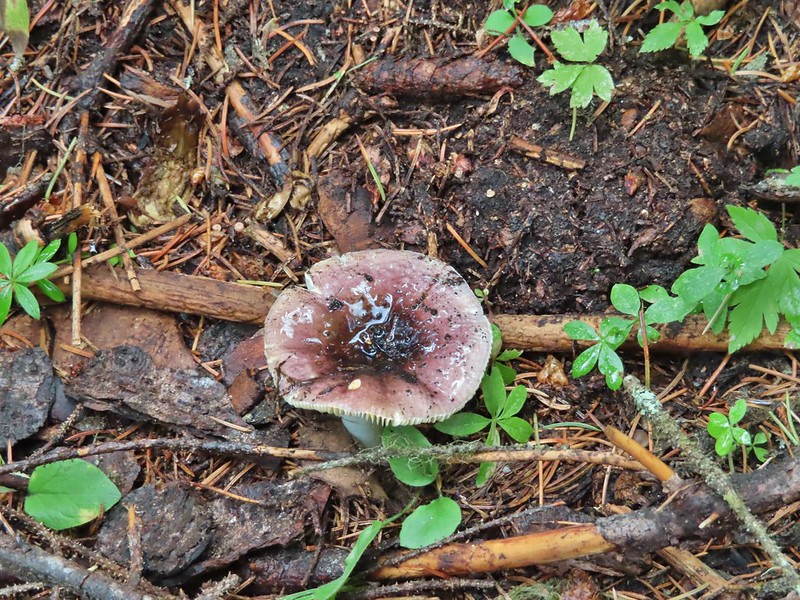
There was also a nice variety of mushrooms.
Paintbrush
One of the small streams.
Self-heal
There weren’t many views along the trail but this one was nice.
Pearly everlasting
Ghost pipe
This was one of the smallest frogs we’ve seen. When I first saw it jump I mistook it for a grasshopper.
A short distance before reaching the river we passed what Sullivan described as 6′ waterfall. There wasn’t much water flowing this time of year so we had to picture it mostly.
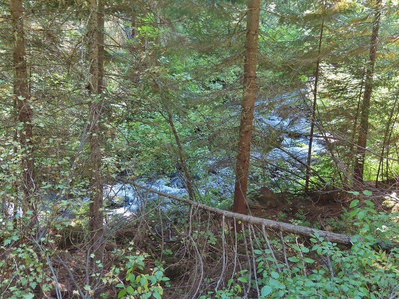
South Fork Wenaha River
The river was just wide enough and the logs wet enough that crossing dry wasn’t an option so we forded the river, it was maybe mid-calf at its deepest. A brief climb on the far side quickly put us above the river as the trail traversed a rock hillside.
The views were better along this section as it gradually descended to Milk Creek 2.2 miles beyond the South Fork Wenaha ford.
One of two snakes we came across, both the harmless types.
South Fork Wenaha River
Fall colors along the trail.
Milk Creek with the Wenaha River Trail continuing on the far side.
Milk Creek joining the South Fork Wenaha River.
Elderberry near Milk Creek
Snowberry
After a nice break at Milk Creek we began the 1300′ climb back to the trailhead. It was a fairly uneventful return trip but we managed to spot a few flowers and mushrooms along the way that we’d missed on our first pass.
Might be an aven?
Coral fungus
Aster
A lone arnica still blooming.
This was a pleasant 9.1 mile hike and despite it being bow hunting season most of the hunters were already back in camp when we arrived so we only saw one group of three people the entire hike.
It was interesting to see the difference in the forest and terrain between the upper and lower ends of the Wenaha River Trail too. We then drove to Pendleton and after a little hiccup in our plans checked into a motel and then went to OMG! Burgers & Brew for dinner. Happy Trails!
As we continue to explore the trails in the Pacific Northwest we are working on completing a number of “goals”, one of which is having hiked in each of Oregon’s 36 counties. We began the year missing just two, Gilliam and Umatilla. We checked Gilliam off our list over Memorial Day weekend with a hike at Cottonwood Canyon State Park (post) leaving just Umatilla County. One of our other goals is to hike in the 46 Oregon wilderness areas open to visitors (post). (Oregon Islands and Three Arch Rocks off the Oregon Coast are off limits.) We began the year with just four wilderness areas left to visit; Black Canyon, Devil’s Staircase, Monument Rock, and North Fork Umatilla. We used a week of vacation to finish the county hikes, visit the North Fork Umatilla Wilderness, and check off three more featured hikes in one of William L. Sullivan’s guidebooks, this time his “100 Hikes/Travel Guide Eastern Oregon” (3rd edition). Our long term goal is to complete the 100 featured hikes from at least one edition of each of Sullivan’s five guidebooks; Oregon Coast, NW Oregon & SW Washington, Southern Oregon & Northern California, Central Oregon Cascades, and Eastern Oregon (post).
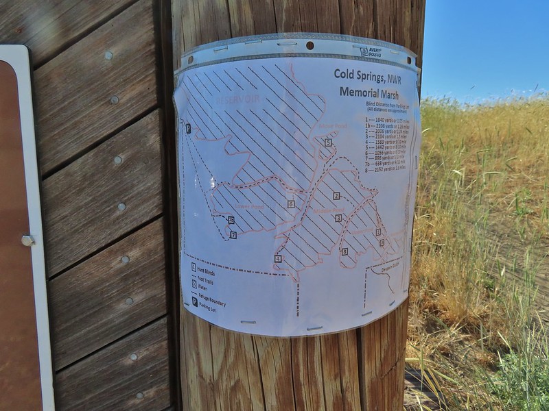
We started our week off by driving to Pendleton stopping along the way at the Cold Springs Wildlife Refuge near Hermiston, OR. This stop came about while I was looking for hikes in areas around Oregon where we hadn’t hiked yet. At four hours from Salem the short Memorial Marsh Trail system looked like a good leg stretcher on our way to Pendleton and it would be our first hike in Umatilla County. We parked at the trailhead for the Memorial Marsh Unit at the east end of an access road.
Map from the refuge brochure. We parked at the arrow.
The brochure, which is available online and at the trailhead, is dated 2014. We didn’t realize that when we grabbed one to use as our map. What we should have done is paid more attention to the laminated map posted on the trailhead signboard.
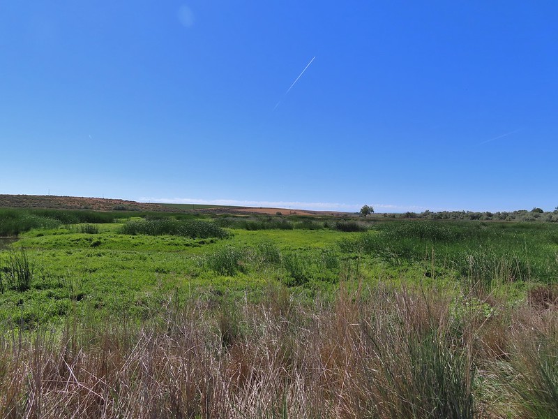
The brochure map shows a total of three loops (see above). There is a triangular loop from the parking area, and two loops around marshes. The laminated map however only shows the triangular loop. While the brochure indicates that there are loops around both the Lower Pond and the Upper Pond the other map did not. Having missed that detail we set off with a plan of staying left at junctions to complete the non-existent loops. The trail led us through a sagebrush landscape similar to what we had seen at the nearby Umatilla Wildlife Refuge (not in Umatilla County) in 2019 (post).
Yarrow
Caterpillar
After .3 miles the dirt trail met a gravel roadbed at the Lower Pond.
Looking right down the roadbed which would lead back to the parking area.
We weren’t off to a great start as we were already confused at the roadbed. We weren’t sure exactly where we were on the brochure map and spent some time debating on which direction we should go. Before we figured that out though Heather realized that we’d left her GPS unit sitting on top of the car so she headed back to retrieve that and I wandered to the right up the road a ways where it became clear that it was going to lead back to the trailhead which let me know that it was part of the triangular loop. Ducks in the Lower Pond
Showy milkweed
A lone phlox blossom
Having retrieved the Garmin and figured out where we were we headed left from the dirt trail along the gravel road which curved around the Lower Pond.
Female red-winged blackbirds
Blue-winged teal and a black-necked stilt.
Black-necked stilt
Red-winged blackbird
White pelican
Cinnamon teal
When we came to a “Y” junction in the road we went left.
This road led between the hidden Cold Springs Reservoir on the left and the Middle Pond on the right. We spooked a couple of deer along this stretch but they both vanished in the sagebrush before I had time to retrieve the camera.
Middle Pond
We ignored a side road on the left for hunting blind 5 and then again forked left when the road split at the Upper Pond. Spur road to hunting blind 5. The blinds were well signed but not marked on the brochure map. The laminated map at the trailhead though did show the blinds which would have also been very helpful.
Upper Pond
Upper Pond
Yellow headed blackbirds
We wrapped around the pond to the edge of the refuge where we were carefully watched by a herd of cows on the other side of a barbed wire fence. The gravel road eventually gave way to a cut grassy track near blind 1b and then vanished altogether. Not going to be making a loop around the Upper Pond.
A little confused we turned around and passed the equally confused looking cows. We backtracked to the fork between the Middle and Upper Ponds and went left thinking that maybe we had misread the map and this was the loop.
Killdeer
This roadbed began to loop around the Upper Pond before petering out near blind 8 (again all of this would have been clear had we used the laminated map). The saving grace here was we got to see an owl fly out of the trees along the pond (no time for a photo though) and we saw another deer which I did manage to get a picture of.
Once again we found ourselves back tracking. Having not yet learned our lesson when we made it back to the split between the Middle and Lower Ponds we once again attempted a loop and headed between them. Great blue heron
Lazuli bunting
The road had turned into a grassy track before ending in some sagebrush where a faint trail? could be seen.
We did pass at least one sign facing the other direction which indicated that at least at one time this had been a loop but it was now very overgrown.
We passed blinds 7 and 7b which were also quite overgrown and in the process I manged to pick up at least a half dozen unwelcome guests in the form of ticks.
When we finally made it back to the gravel road we stopped for a tick check to try and make sure there were no stowaways left and then followed the roadbed .3 miles back to the trailhead. I wound up doing 4.4 miles here (Heather wound up with ) which was quite a bit more than we had planned due to the backtracking for the GPS unit and the non-existent loop around the Upper Pond.
We almost managed a loop around the Upper Pond
Before we started our drive to Pendleton we did attempted another full tick check. Despite stripping and attempting to look under any flap on our clothing we somehow missed two of the little blood suckers. One we spotted crawling up my pant leg before we started driving which we quickly dispatched of but the second appeared on my knee while we were on Interstate 84. Heather attempted to get it into a container since there was nowhere for me to pull over at that moment but instead of going into the container it wound up on the floor and vanished (at least for the time being). For the rest of the drive we were on high alert watching for it to reappear.
We still had a second hike to do so after filling our gas tank (and searching in vain for the missing tick) we drove past Pendleton to a temporary trailhead along Bingham Springs Road (National Forest Road 32).
Severe flooding in February of 2020 washed out roads and trails in the area and work is still being done to repair the damage. We had actually planned on doing this trip in 2020 before the flooding (and COVID) and at that time were planning on camping at the Umatilla Forks Campground since our next three hikes all began within a half mile of the campground. Since that option was off the table staying in Pendleton (just 31 miles from the temporary trailhead) made the most sense.
After searching again for our missing tick we set off on the closed road which we followed for 1.2 miles to a fork at the far end of the campground where we turned up FR 045 for another 0.2 miles to a trailhead sign. The road walk wasn’t all that bad as it followed the Umatilla River the whole way.
This was a popular spot with the butterflies, particularly swallowtails.
Swallowtails
Swallowtails
Lorquin’s admiral
A tortoiseshell
Dragon fly watching the butterflies
Approximately 3/4 of a mile from the gate we passed a sign for the North Fork Umatilla Trail which was our destination for the next day.
Just beyond the sign we crossed the North Fork Umatilla River.
Ouzel
FR 045 on the left.
Another gathering of butterflies
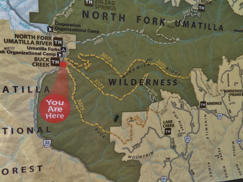
Three trails start at this trailhead, the Ninemile Ridge, Buck Creek, and Buck Mountain Trails.
Today’s plan was the Ninemile Ridge Trail. In the original plan this was the shortest of the three hikes with Sullivan listing it as a 7.2 mile out and back. Adding the road walk was going to add close to 3 miles round trip but the road walk was necessary for the other two hikes as well. We weren’t sure though how much of the trail we were going to be able to hike. While the Umatilla Forest Service listed all the trails in the area as open the most recent updates from late May 2021 indicated that only parts of the trails had been maintained since the flood damage. In the case of the Ninemile Ridge Trail the webpage stated that as of 5/20/21 the trail had not been logged out.
We headed uphill from the signboard a tenth of a mile to a 4-way junction.
Here the Ninemile Ridge Trail headed uphill to the left while the Buck Creek Trail was straight ahead and the Buck Mountain Trail was to the right. We turned uphill onto the Ninemile Ridge Trail and soon entered the North Fork Umatilla Wilderness for the first time.
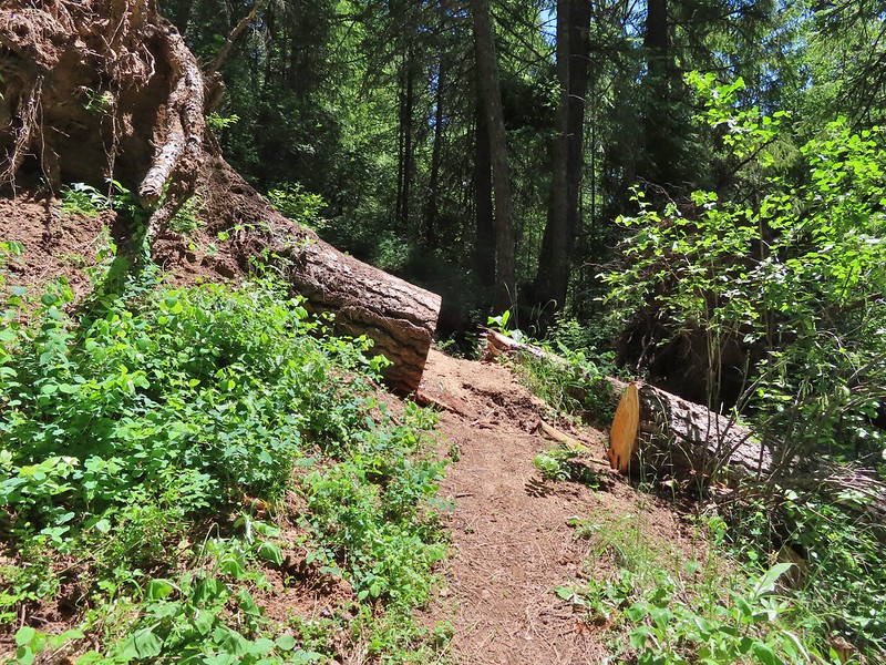
It was evident fairly early on that some maintenance had been done since the last update on the webpage.
The trail climbed steeply through the forest at first but soon the trees gave way to open hillsides.
Grouse
Buckwheat
Ragged robin (Clarkia pulchella)
Lingering snow in the distance.
While manny of the flowers were well past there were quite a few ragged robins blooming and few other flowers at the lower elevations. Ragged robins
Paintbrush
Yarrow
Bettles and a crab spider on rose
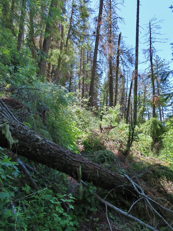
As the trail traversed up the hillside it passed through some forested gullies where some maintenance had been done to remove the worst obstacles while those that were more easily navigable were left for later.
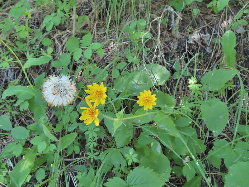
Arnica
As we climbed the views kept getting better.
You might be able to make out the trail continuing up the far hillside. Now on the far hillside heading for that small tree on the ridge end.
Looking back along the trail and at Ninemile Ridge.
Near the 2.25 mile mark from the trailhead signboard (3.6 from the temporary trailhead) we reached the ridge end and turned up Ninemile Ridge. South Fork Umatilla River from near the ridge end.
Heading up to the ridge top.
Gaining the ridge and a view ahead of what’s to come.
From the turn at the ridge end it was another 1.8 miles to a cairn at the high point of Ninemile Ridge. The trail gained over 950′ in this stretch, often times in very steep sections. The steepness combined with the heat (it was a warm day) made for a challenging climb.
Balsamroot
Large-flower triteleia
A penstemon
Paintbrush and prairie smoke
Death camas
Turkey vulture checking to see if we were dead yet.
Ravens also interested in our carcasses.
An allium
There was a 20% chance of showers according to NOAA so these clouds forming weren’t a surprise.
A flat stretch along the ridge before another steep climb.
Buckwheat and Large-flower triteleia
Bush penstemon
The trail was actually down to the left but the ridge seemed like it would take less climbing.
Ball head sandwort?
Lupine
Paintbrush along the final climb.
A parsley and naked broomrape
Larkspur
Rosy pussytoes
The trail became suddenly overgrown near the high point and I left the trail and headed uphill cross-country to a cairn near the top. Cairn on the right.
Heather had stopped a couple of climbs back under a tree unsure if she was going to attempt reaching the top or not. I wasn’t alone at the cairn though as I made friends with a local lizard.
Clouds starting to pass over.
High Ridge Lookout to the left
High Ridge Lookout
Looking back down Ninemile Ridge
I spotted Heather making her way up the trail again so I waited at the cairn for a while. Heather making her way up.
I had just started down thinking that she may have balked at the final steep climb when I met her just below the start of the off trail climb to the cairn so back up we went. I was looking for more flowers to document. Blue-eyed Mary and elegant mariposa lily
Slender phlox
A phacelia
Hoary balsamroot (most of it was way past)
Phlox
After a nice rest at the cairn we headed down under increasingly cloudy skies.
Spotted coralroot
Honeysuckle
A welcome. albeit brief, shower passed overhead as we were in one of the small forested sections of the trail.
Arnica and small flower miterwort
Twinflower
We were nearly out of water by the time we reached the road walk and wound up getting more from the Umatilla River before continuing on to our car. We had originally planned on a 9 to 10 mile day which we then had bumped up to 11 to 12 due to the road walk but the hike at Ninemile Ridge came in at 10.9 miles for me (I added a 1/4 mile coming down from the cairn to find Heather and go back up).
My track at Ninemile Ridge
Add the 4.4 miles from the Cold Springs Wildlife Refuge and it came to a 15.3 mile day with 2200′ of elevation gain. It was also a lot later than we’d expected. We didn’t get back to the car until after 6:30pm (having left Salem at 5:00am) and it was close to 7:30pm when we finally checked into the Rugged Country Lodge in Pendleton. We did however finally find that missing tick. At some point, despite all our searching, it managed to get onto Heather’s back. I used our tick key to remove it and we kept it in a plastic container just in case but it couldn’t have been on there too long given the number of times we checked for it.
Despite that and a couple of other misadventures it was a good but tiring start to six straight days of hiking. Happy Trails!
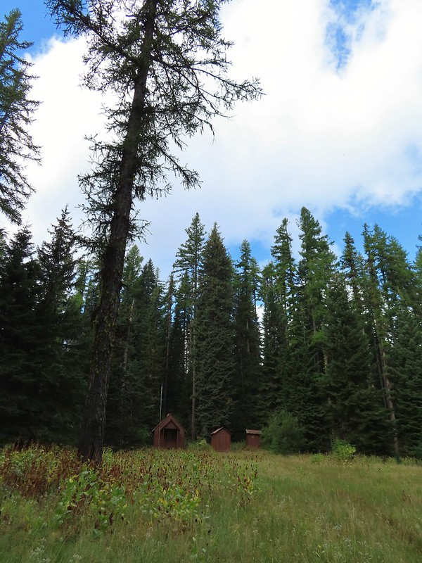 The guard station.
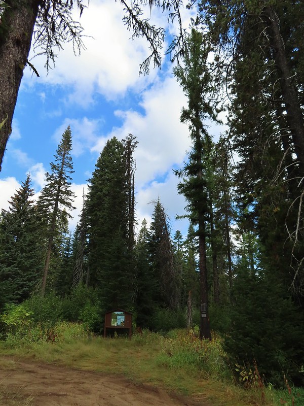 The only “parking spot” open near the actual trailhead.

 There was a lot of cone flower along the trail.
 It had rained the night before but most of the moisture had already dried up or evaporated.
 There were just a few flowers hanging on.
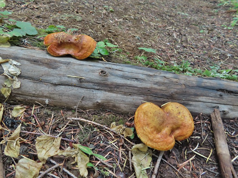 There was also a nice variety of mushrooms.
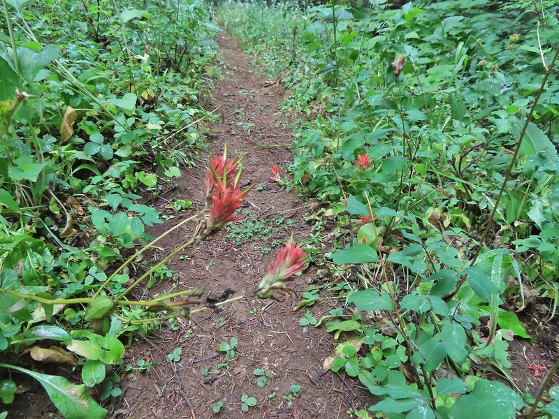 Paintbrush

 One of the small streams.
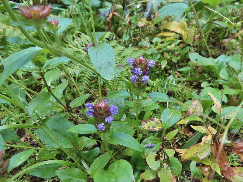 Self-heal
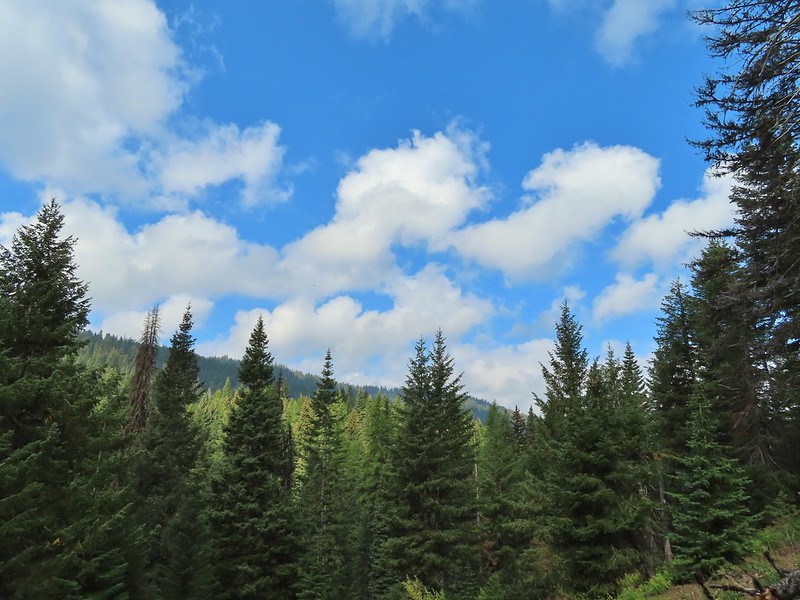 There weren’t many views along the trail but this one was nice.
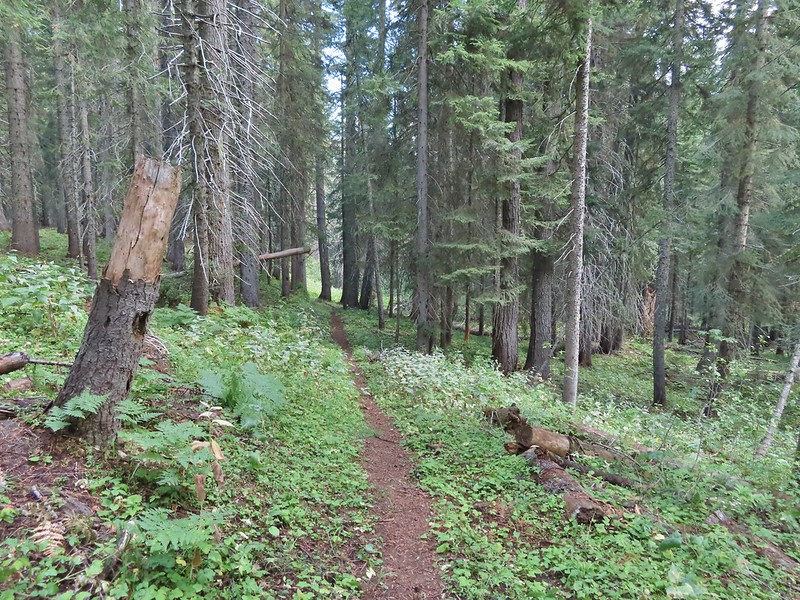
 Pearly everlasting
 Ghost pipe
 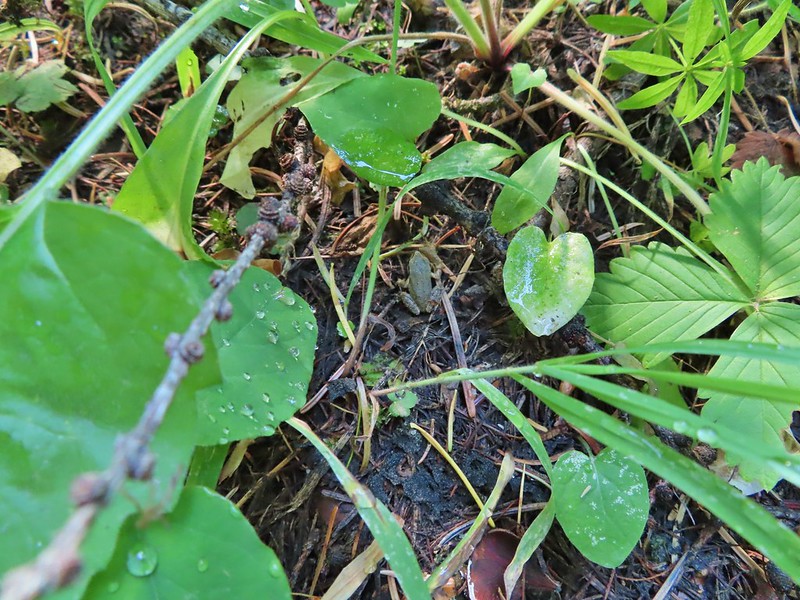 This was one of the smallest frogs we’ve seen. When I first saw it jump I mistook it for a grasshopper.

 South Fork Wenaha River


 One of two snakes we came across, both the harmless types.
 South Fork Wenaha River
 Fall colors along the trail.
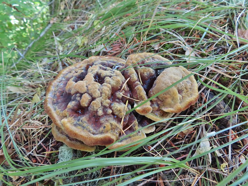

 Milk Creek with the Wenaha River Trail continuing on the far side.
 Milk Creek joining the South Fork Wenaha River.
 Elderberry near Milk Creek
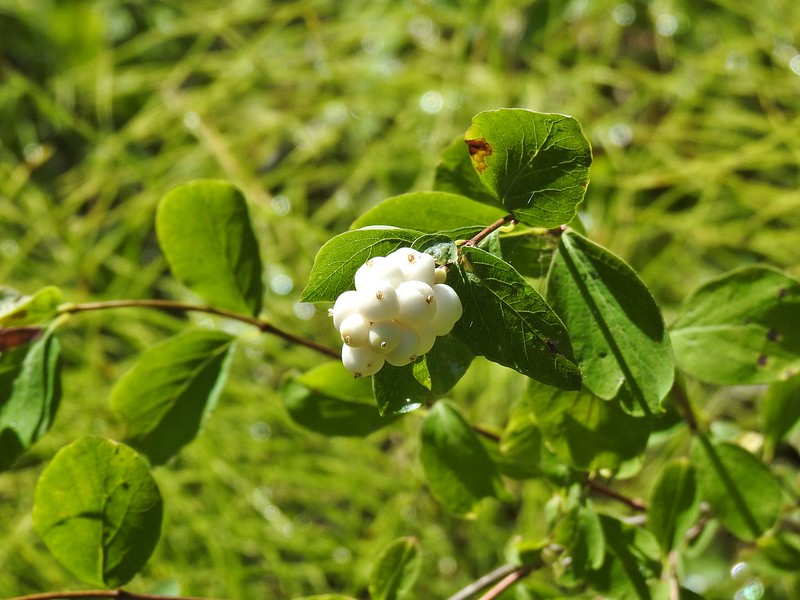 Snowberry
 Might be an aven?
 Coral fungus
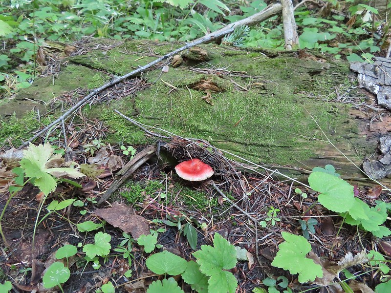

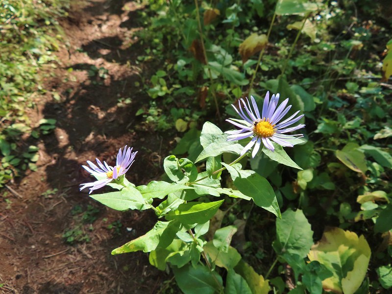 Aster
Aster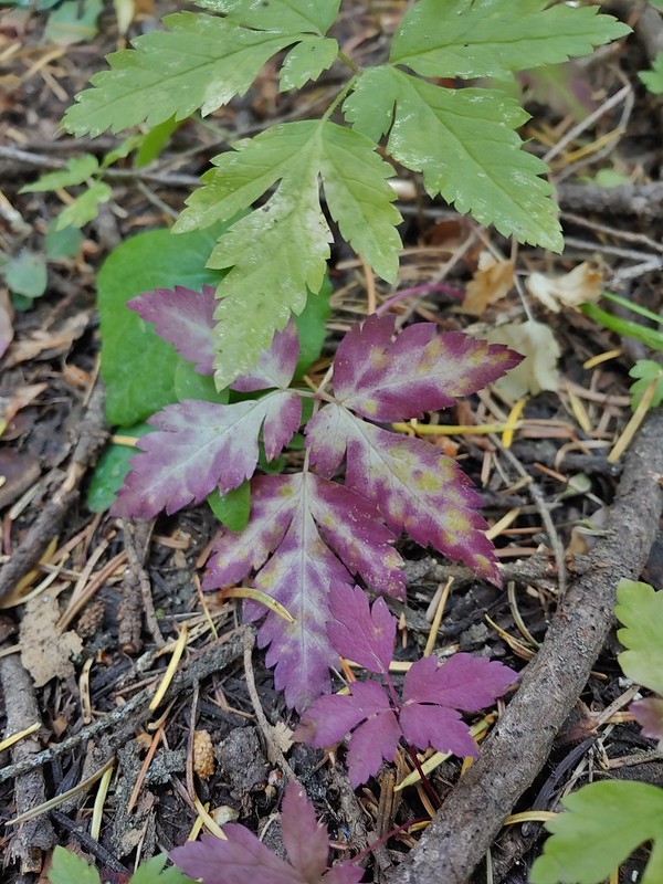
 A lone arnica still blooming.


 Yarrow
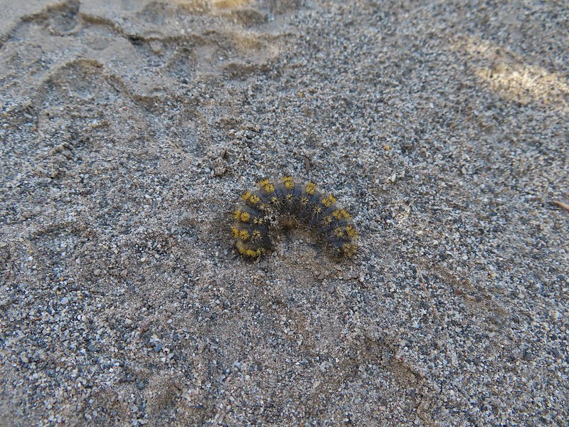 Caterpillar
 Looking right down the roadbed which would lead back to the parking area.
 Ducks in the Lower Pond
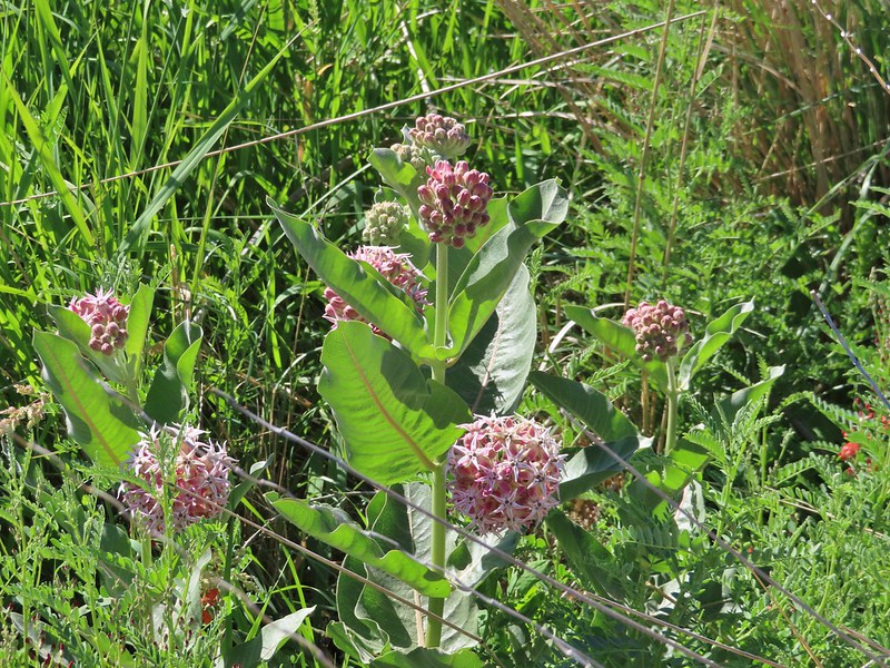 Showy milkweed
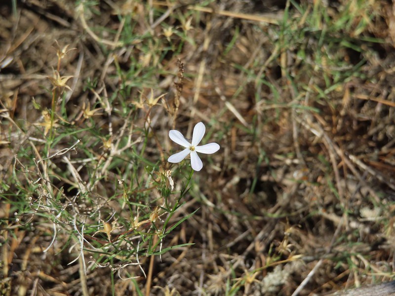 A lone phlox blossom
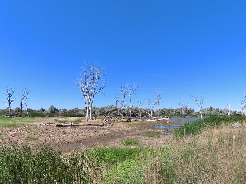
 Female red-winged blackbirds
 Blue-winged teal and a black-necked stilt.
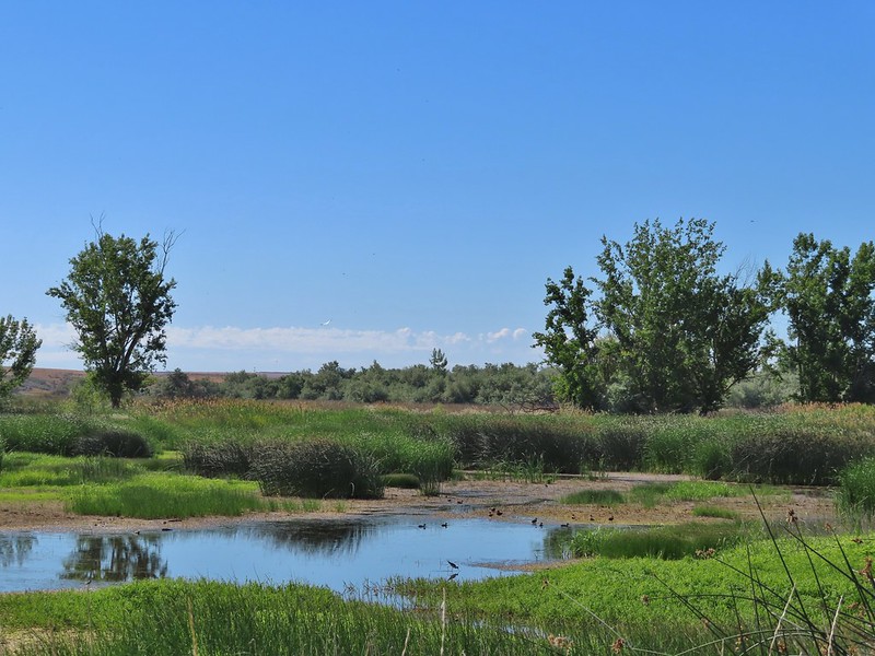
 Black-necked stilt
 Red-winged blackbird
 White pelican
 Cinnamon teal
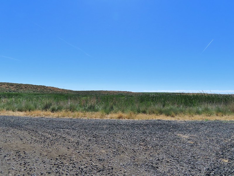

 Middle Pond
 Spur road to hunting blind 5. The blinds were well signed but not marked on the brochure map. The laminated map at the trailhead though did show the blinds which would have also been very helpful.
 Upper Pond
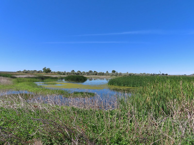 Upper Pond
 Yellow headed blackbirds
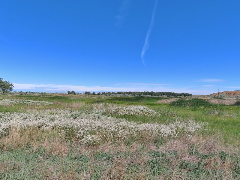 Not going to be making a loop around the Upper Pond.
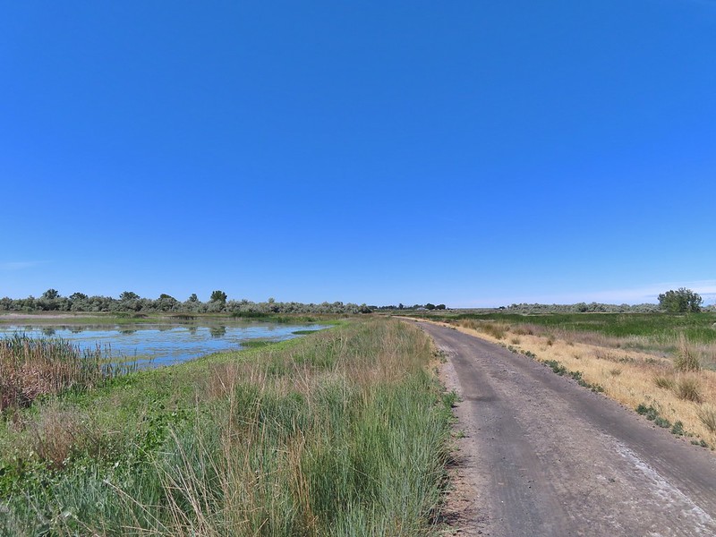
 Killdeer
 Great blue heron
 Lazuli bunting


 The road walk wasn’t all that bad as it followed the Umatilla River the whole way.
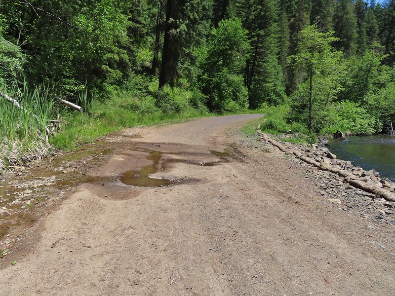 This was a popular spot with the butterflies, particularly swallowtails.
 Swallowtails
 Swallowtails
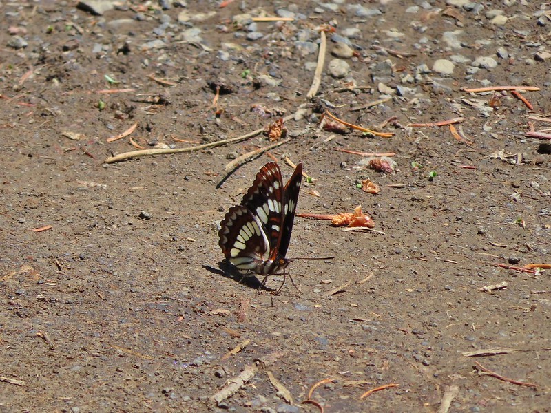 Lorquin’s admiral
 A tortoiseshell
 Dragon fly watching the butterflies
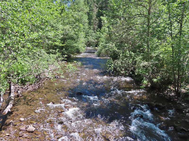 Just beyond the sign we crossed the North Fork Umatilla River.
 Ouzel
Ouzel FR 045 on the left.
 Another gathering of butterflies


 Grouse
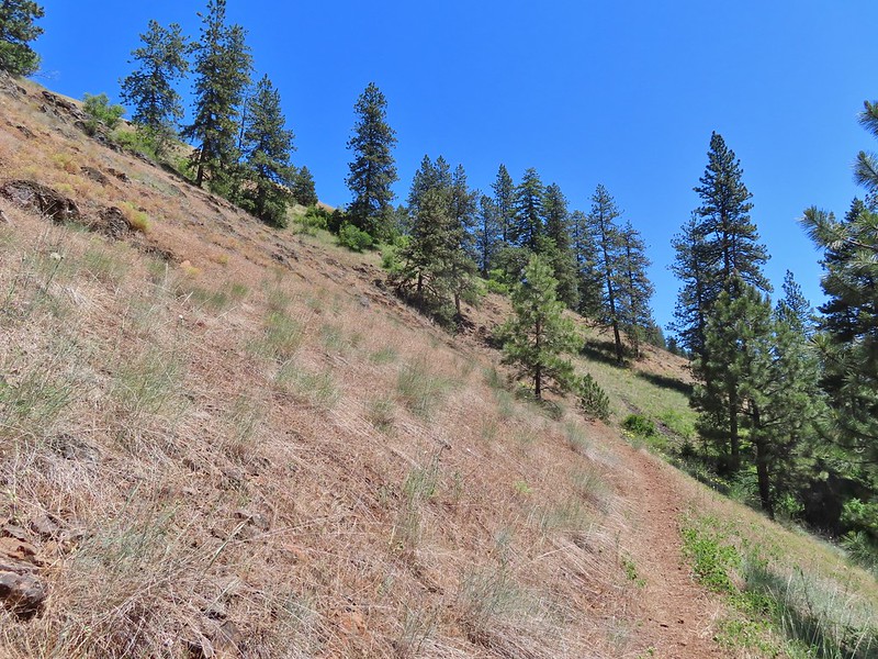
 Buckwheat
 Ragged robin (Clarkia pulchella)
 Lingering snow in the distance.
 Ragged robins
 Paintbrush
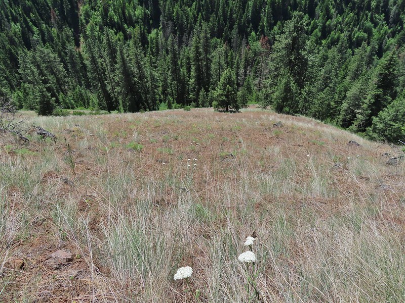 Yarrow
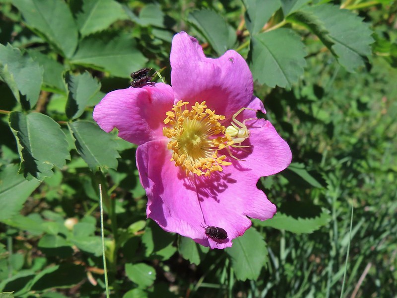 Bettles and a crab spider on rose
 Arnica
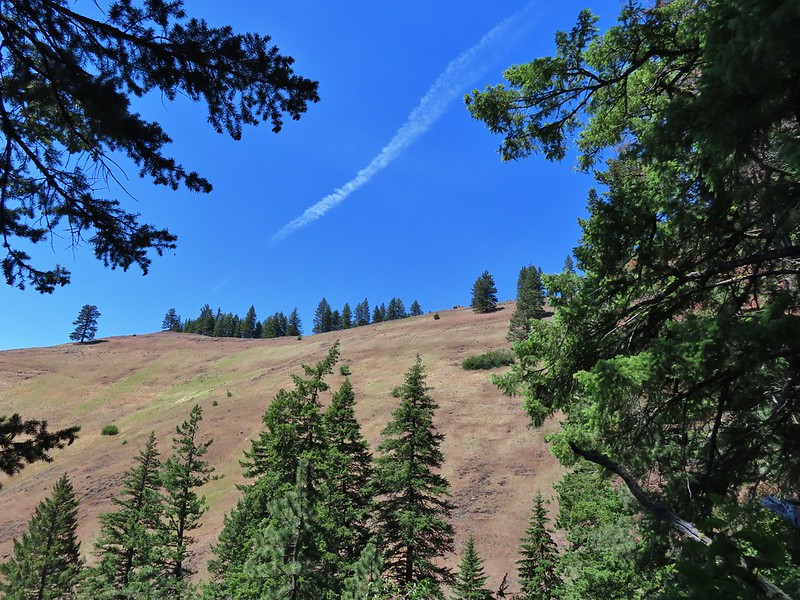 You might be able to make out the trail continuing up the far hillside.
 Now on the far hillside heading for that small tree on the ridge end.
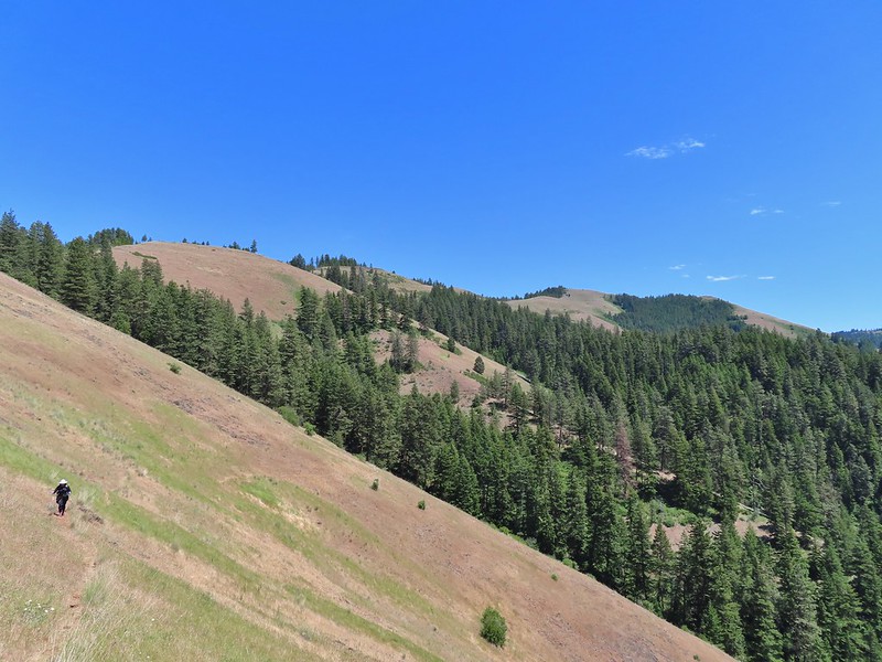 Looking back along the trail and at Ninemile Ridge.
 South Fork Umatilla River from near the ridge end.
 Heading up to the ridge top.
 Gaining the ridge and a view ahead of what’s to come.
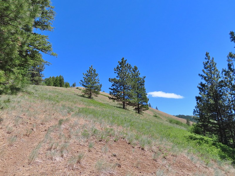
 Balsamroot
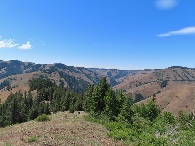
 Large-flower triteleia
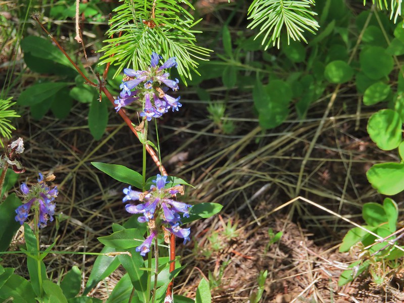 A penstemon
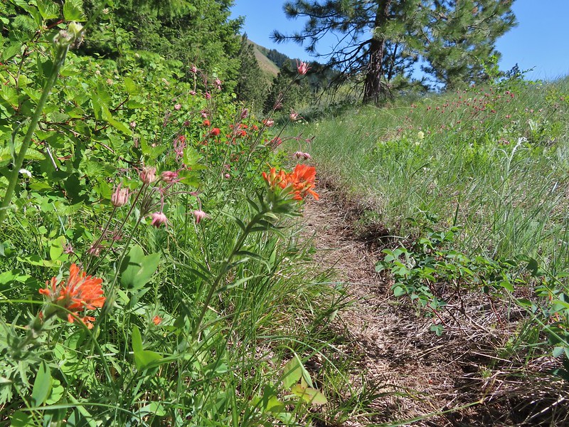 Paintbrush and prairie smoke
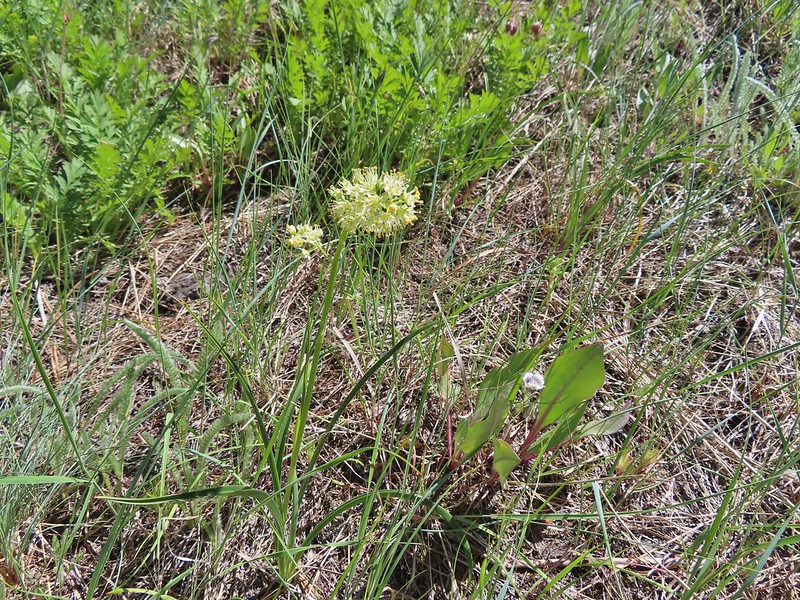 Death camas
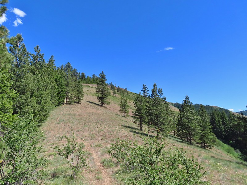
 Turkey vulture checking to see if we were dead yet.
 Ravens also interested in our carcasses.
 An allium
 There was a 20% chance of showers according to NOAA so these clouds forming weren’t a surprise.
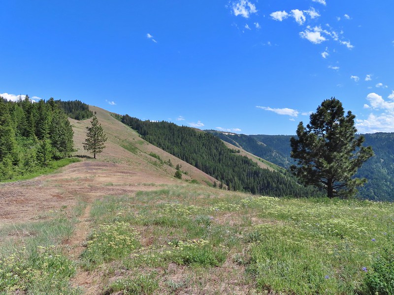 A flat stretch along the ridge before another steep climb.
 Buckwheat and Large-flower triteleia
 Bush penstemon
 The trail was actually down to the left but the ridge seemed like it would take less climbing.
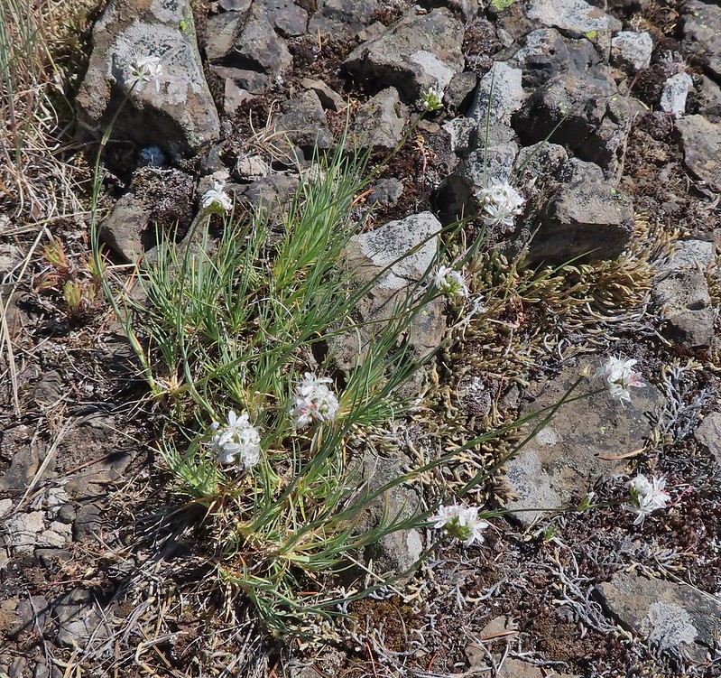 Ball head sandwort?
 Lupine
 Paintbrush along the final climb.
 A parsley and naked broomrape
 Larkspur
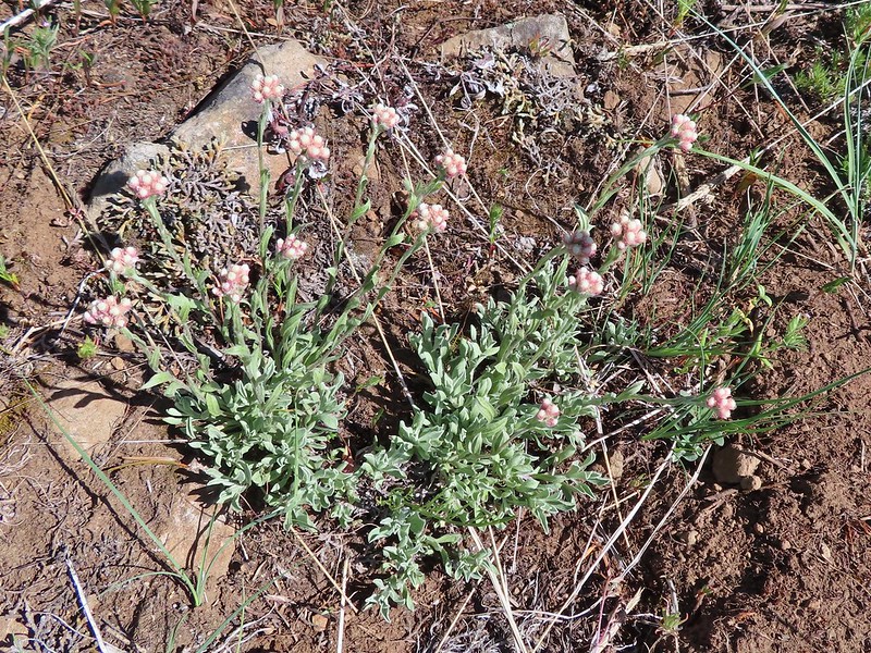 Rosy pussytoes
 Cairn on the right.
 Clouds starting to pass over.
 High Ridge Lookout to the left
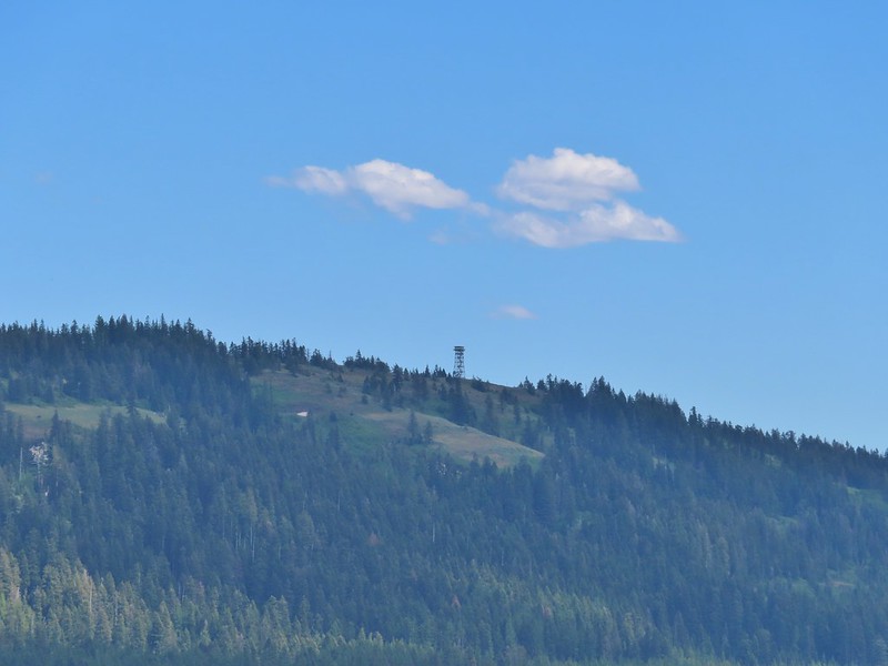 High Ridge Lookout
 Looking back down Ninemile Ridge
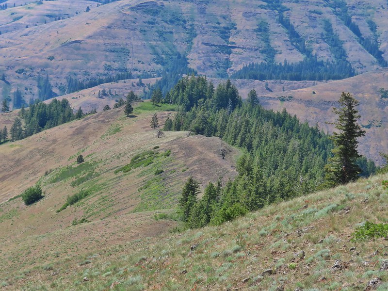 Heather making her way up.
 Blue-eyed Mary and elegant mariposa lily
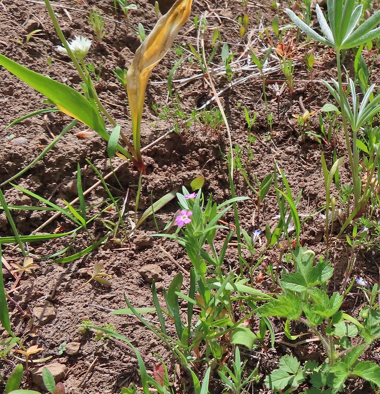 Slender phlox
 A phacelia
 Hoary balsamroot (most of it was way past)
 Phlox
Phlox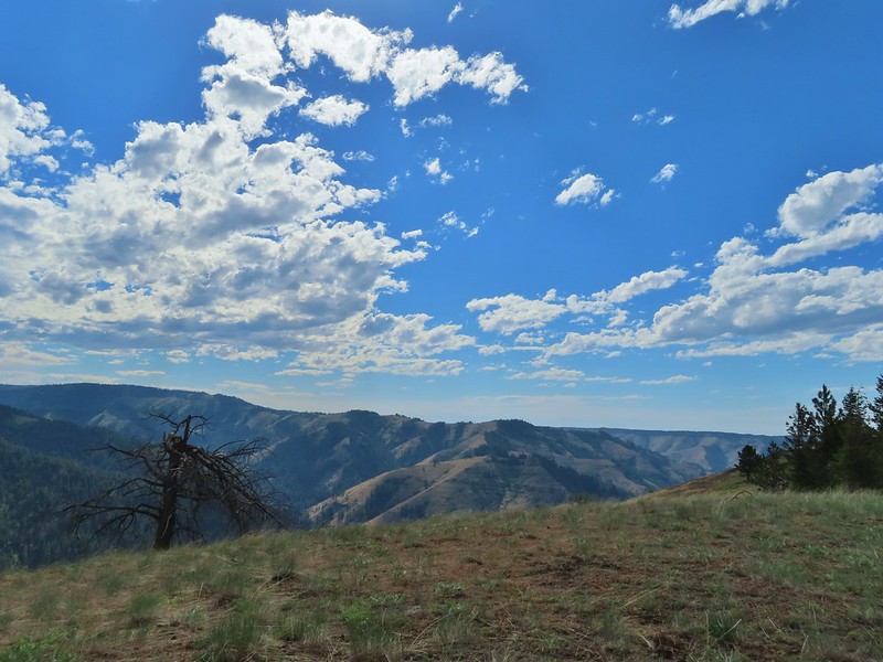

 Spotted coralroot
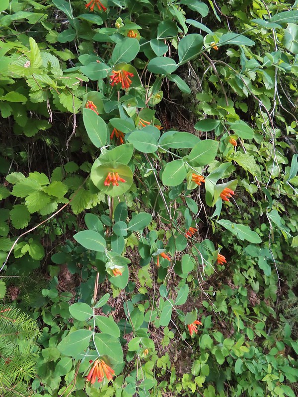 Honeysuckle
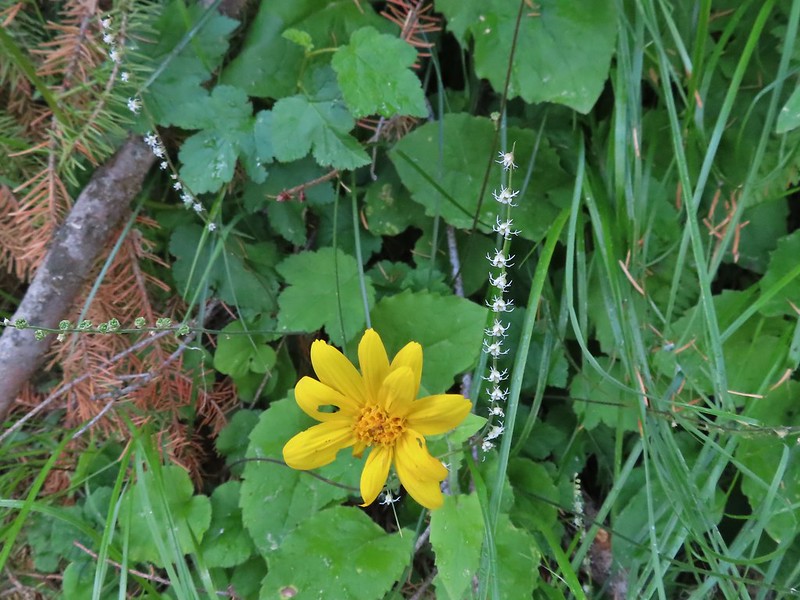 Arnica and small flower miterwort
 Twinflower
