The morning after our last hike, at Silver Falls State Park (post), I woke with a bad case of vertigo and wound up in urgent care thinking I might have an ear infection. That wasn’t the case, but it took the better part of a week for things to settle down putting our hiking plans on pause. By Labor Day Weekend the vertigo had passed, and I was just dealing with a little excess pressure in my left ear. That was good enough for us to head back out for the trails.
For our first hike of the holiday weekend we picked Lava Canyon in the Mount St. Helens National Volcanic Monument. This hike had been on our list of trails to revisit for a while now and given the forecast for smokey conditions in the Oregon Cascades it looked like a good time to do it.
Our first visit to Lava Canyon was in September 2012 (post) before we’d decided to try and hike all of William L. Sullivan’s featured hikes. During that visit we did Sullivan’s shorter option, a 1.3-mile lollipop loop following a much longer hike at Ape Canyon. For this visit we wanted to do his longer option and add on a little bit of time on Smith Creek Trail. Doing some pre-hike research led me to the Oregon Hikers Field Guide which described a loop utilizing The Old 83 Trail to return to the Lava Canyon Trailhead.
Our typical early start meant we were the first ones on the trail Saturday morning.


We headed down the paved path past a viewpoint and then a warning sign.


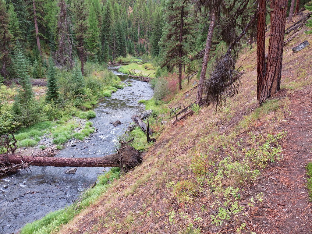
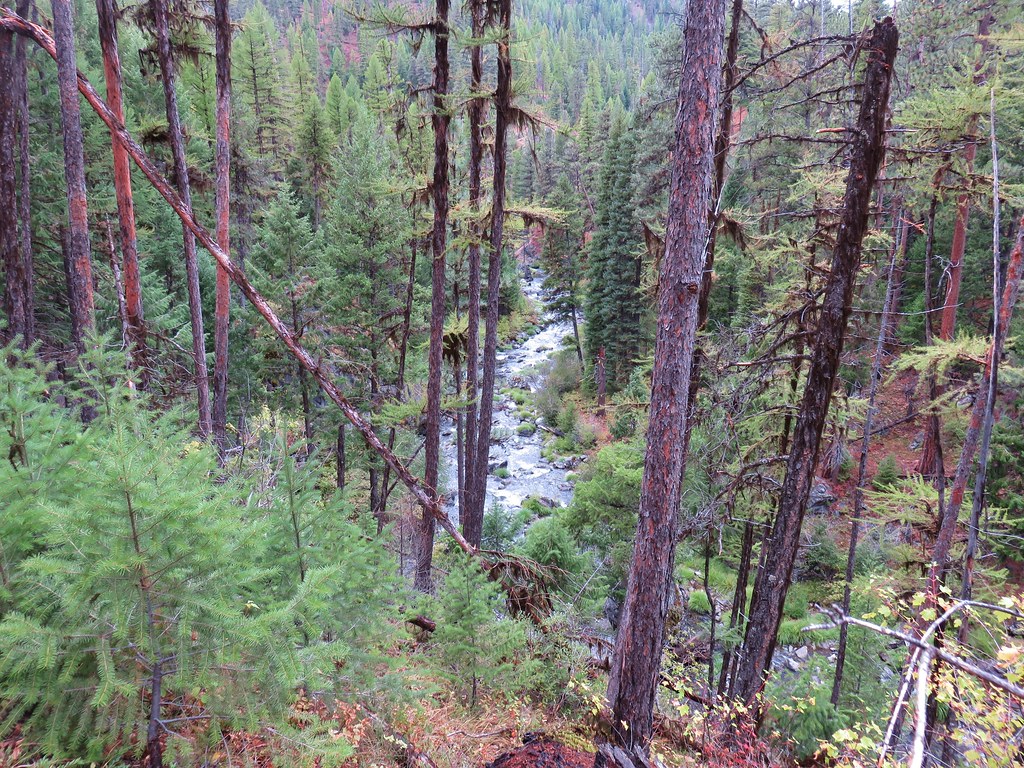
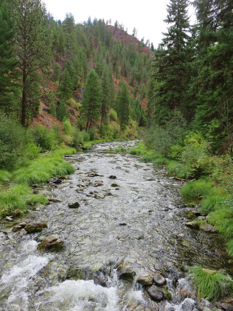
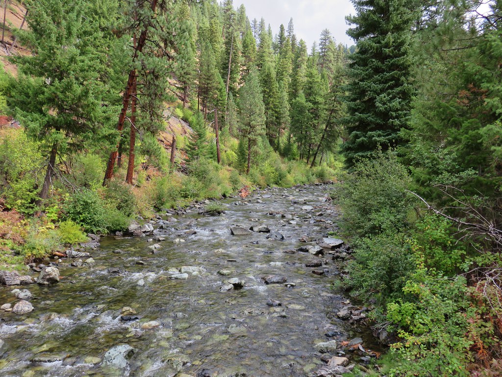
Muddy River

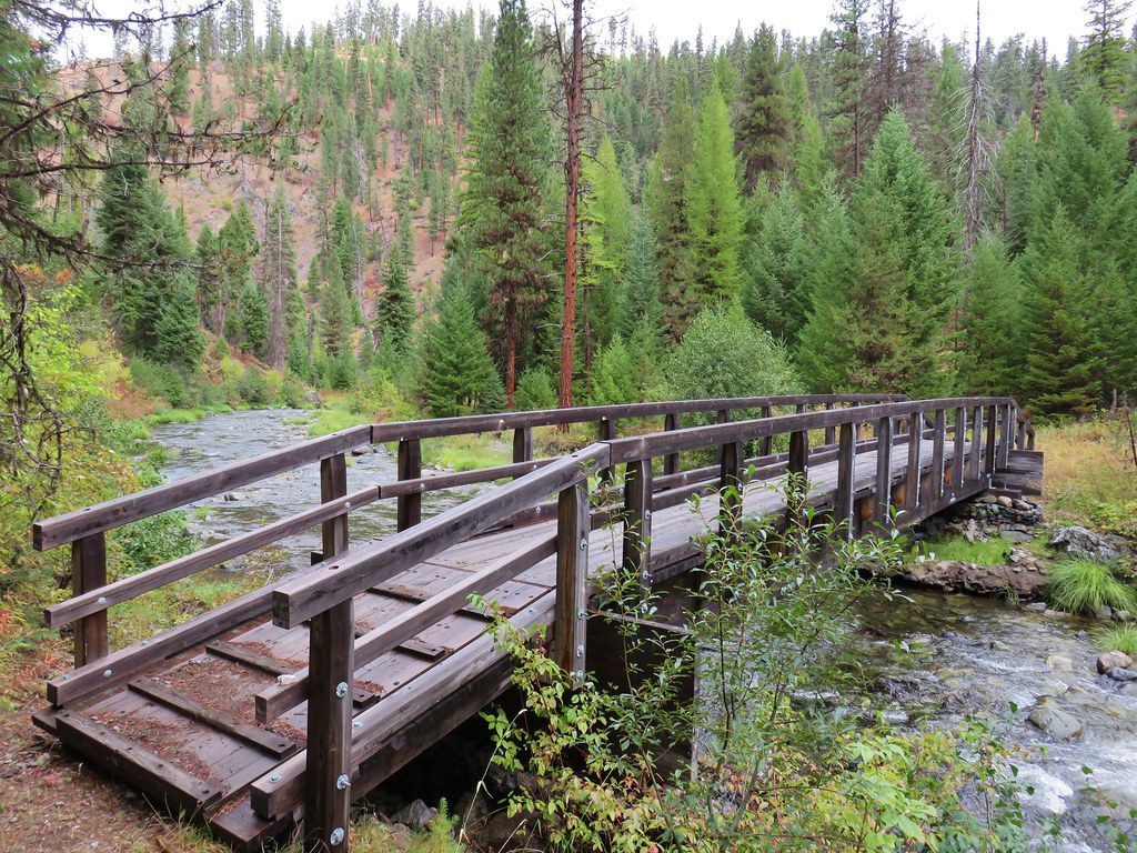
At the 0.4-mile mark we came to a junction with the short loop we’d done on our first visit.

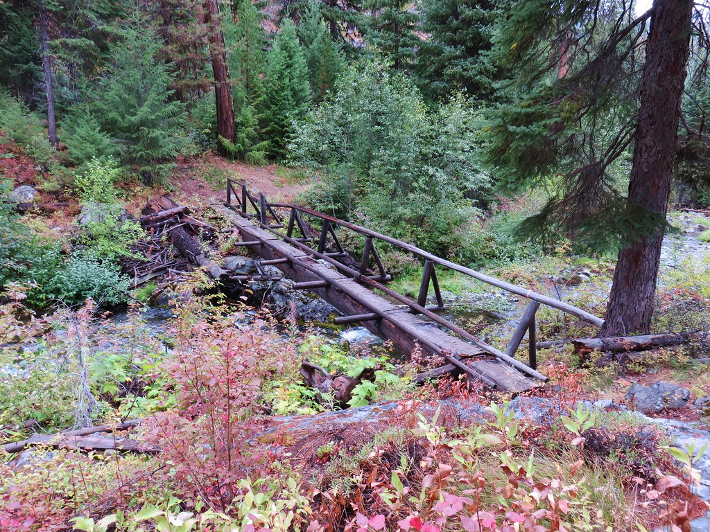
On our previous visit we returned using the bridge shown above. That loop currently isn’t an option due to damage to the suspension bridge a quarter mile further along the trail.

Viewpoint above Upper Lava Canyon Falls.

The view of the falls leaves a little to be desired but there is a better view a little further down the trail.


Upper Lava Canyon Falls

Beyond the viewpoint the trail becomes rougher.

The closed suspension bridge.

The Lava Canyon Trail continuing past the suspension bridge.

Warning regarding the conditions along the Lower Lava Canyon Trail.
We continued down the increasingly rough trail and came to a view of Lava Canyon Falls.


The top of Lava Canyon Falls.

Lava Canyon Falls

Fireweed

The trail was very narrow in places and high, not a good one for people who have issues with heights, children or pets.

This missing section of tread was the sketchiest part of the trail. There was a significant drop which would have been fatal.

The next waterfall we passed was Middle Lava Canyon Falls.


Unnamed stream crossing.
A short distance beyond Middle Lava Canyon Falls we came to the 30′ to 40′ ladder.


After securing our hiking poles we climbed down the ladder and continued along the trail.


Basalt above the trail.
At an unmarked junction we made a hard right turn to take a 0.2-mile spur trail to the top of The Ship where there was a view of Lower and Lava Canyon Falls.

This is the view of the spur trail (on the left) looking back after having passed the junction and turning around.

There was a shorter ladder on The Ship.


Chicken tails

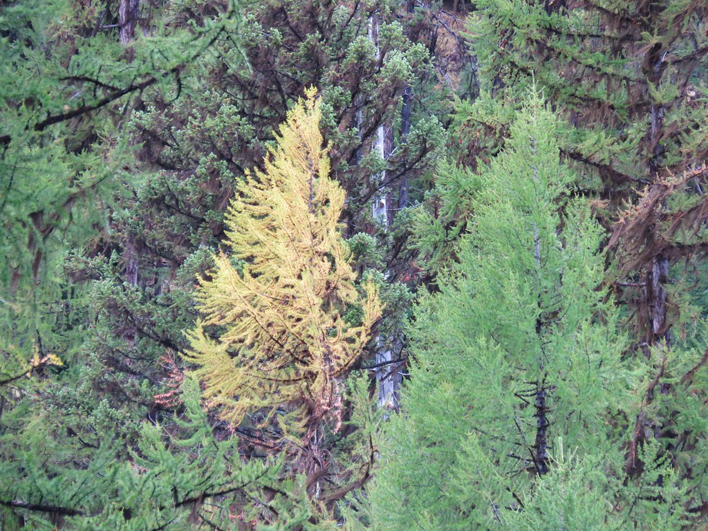
Huckleberry leaves turning colors at the end of summer.


Lower Lava Canyon Falls
After a short break to enjoy the view we carefully headed back down to the Lava Canyon Trail.

The spur trail above the ladder.
We continued another third of a mile to another unsigned junction where we turned right.


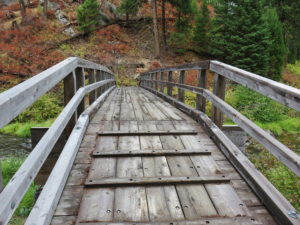
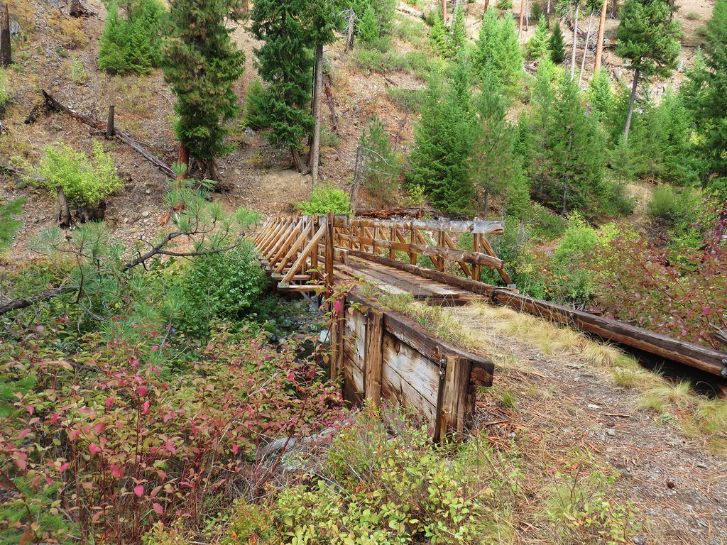
We took the spur to avoid the challenging conditions that the sign near the suspension bridge had mentioned. The spur trail crossed the Muddy River on a good footbridge then followed the river 1.1-miles to the Lower Smith Creek Trailhead.


This trail was also a little rough but there were no major challenges.


Mt. Margaret (post) and Mt. Teragram (rocky knoll).

Mt. St. Helens

Mt. St. Helens

About 100 yards before reaching the trailhead we passed a yellow rope hanging down the steep embankment. None of the maps or hike descriptions we’d looked at said anything about using a rope to get down to the river, so we ignored it and continued on.

Zoomed in look at the rope from the Muddy River.

The rope is located at the center of this photo.
As it turned out we should have used the rope to get down because the maps and descriptions indicated that from the trailhead you would walk north along the former Forest Road 8322, but that old roadbed ended at a vertical drop where the was no way to safely scramble down to the river.

Vehicle parked near the trailhead sign in the distance.

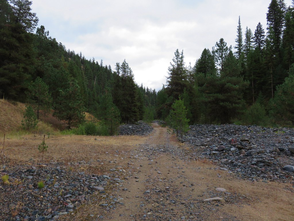
FR 8322 roadbed heading toward the former bridge site.
Unable to descend from the end of FR 8322 we decided to continue down that road past the trailhead looking for an alternate route instead of returning to the rope. About a quarter mile from the trailhead we came to some campsites where we found a rough scramble trail that we used to get down to the riverbank.

We made a u turn along the river and headed back toward the old bridge site where we would ford the Muddy River.

While the trail had been a little sketchy at times the scariest part of the hike came as we were heading back up to the ford of the Muddy River. There was a family camped near the trailhead, and they decided it would be a good idea to let the kids shoot their 22’s across the river valley. It wasn’t surprising that they would be that careless given they had a big campfire going despite a full ban on campfires in the forest. (Forest Order 06-03-00-25-01) I tried yelling and waiving my arms and I don’t know if that got their attention or if one of the adults spotted us, but they did stop shooting and we made it past.


We changed into our water shoes and forded just below the log here. The water was knee deep and cold.

View back to where FR 8322 used to be. There was no way we were getting down that.
We picked up the obvious trail which climbed easily up the far embankment.

The trail headed back along the river before veering away and arriving at a junction with the Lava Canyon Trail.


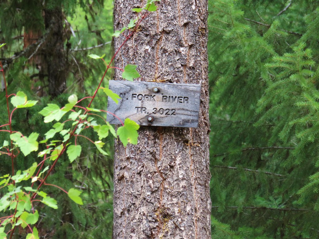
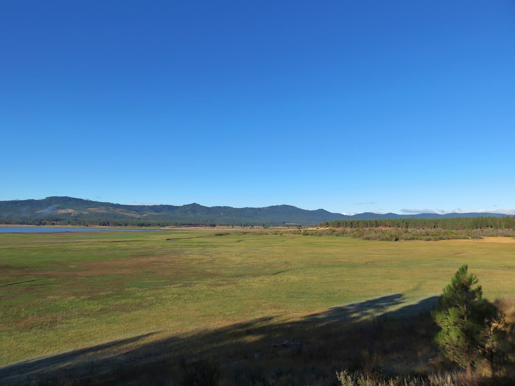
The Smith Creek Trail ends at Forest Road 99 just north of the Smith Creek Viewpoint (post)
We stuck to the Smith Creek Trail which followed the old roadbed. After a third of a mile we came to a junction with lots of flagging and some cairns.


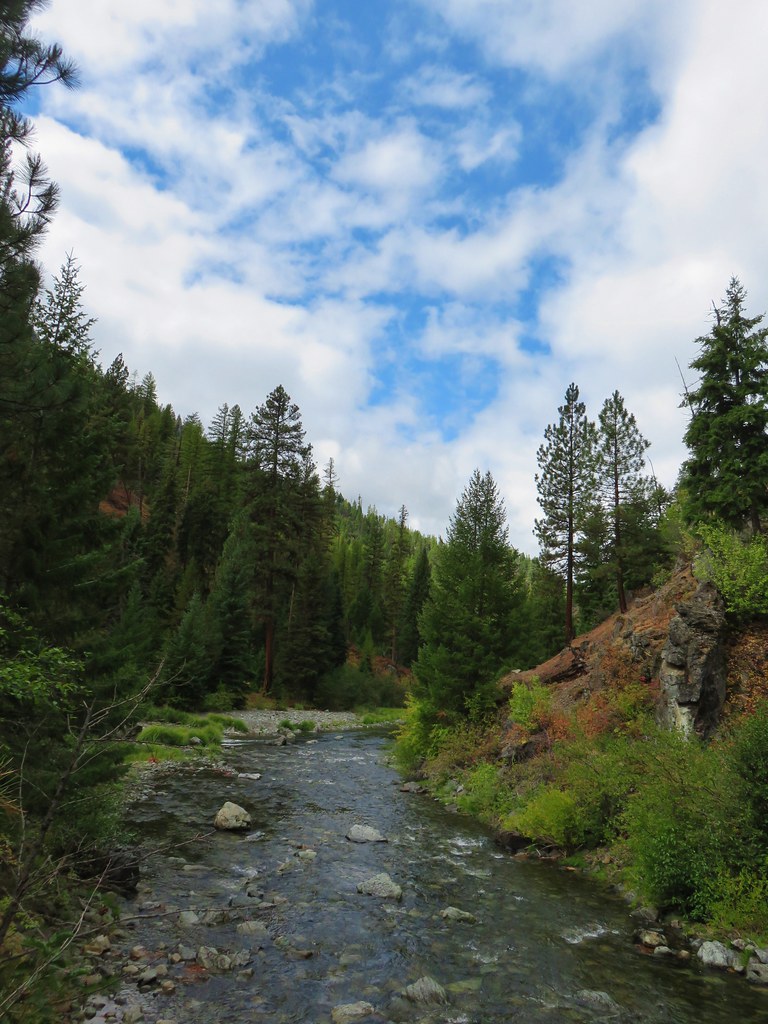
Smith Creek from the trail.

Another view of Smith Creek.

Lupine

The unsigned but well-marked junction with The Old 83 Trail. The Old 83 Trail would loop us back to the Lava Canyon Trailhead, but first I wanted to explore a little more of the Smith Creek Trail. Heather opted to skip this detour, so we split up here.
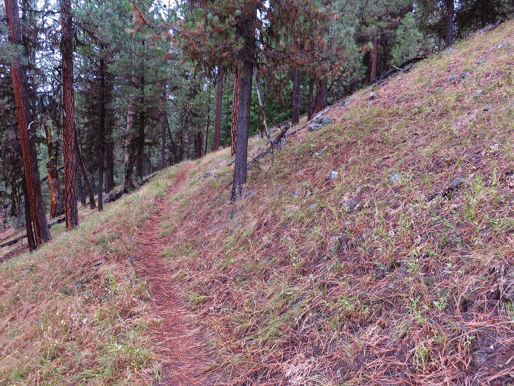
The Smith Creek Trail was relatively level and, for the most part, continued to follow the old roadbed. There was a mix of forest and occasional views of Smith Creek.


Aster


Unnamed creek.


I had planned on hiking for half an hour then turning around, but as the 30-minute mark approached the GPS showed I was close to a junction, so I made that my turn around.

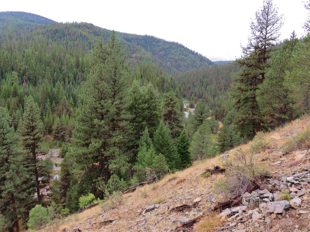
View up Smith Creek toward Windy Ridge near the junction.

The junction wound up being where FR 94 used to split off to cross Smith Creek.
After the hike I realized I had turned around less than half a mile from Ape Canyon (post) which would have been a logical spot to turn around, but I was already 5 minutes over my allotted time. I made my way back to The Old 83 Trail and turned up it following Heather.

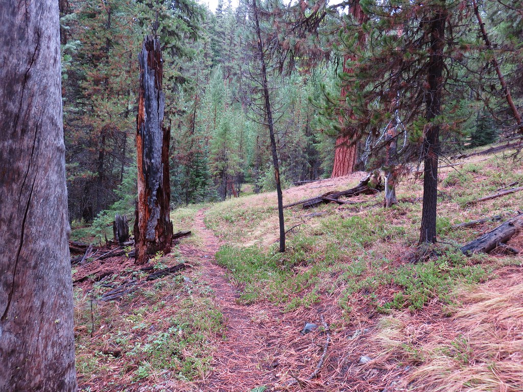
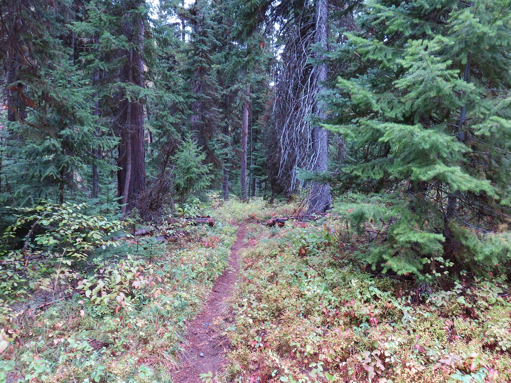
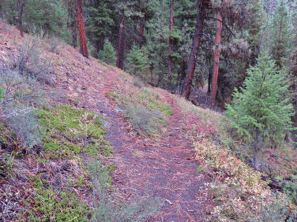
The Old 83 Trail followed the former route of FR 83 3.3-miles uphill to FR 83 near the trailhead. The wide road was easy to follow with no major blowdown present. It was a quite walk back for me and despite being sure I would see some wildlife I never spotted anything other than an occasional small bird. Heather however saw at least one and possibly up to three owls.

Barred owl


Crane Lake is back in the trees to the left. There was no view from the roadbed and neither of us found the use trail that supposedly led to it.


Mushroom and foam flower

Groundsel

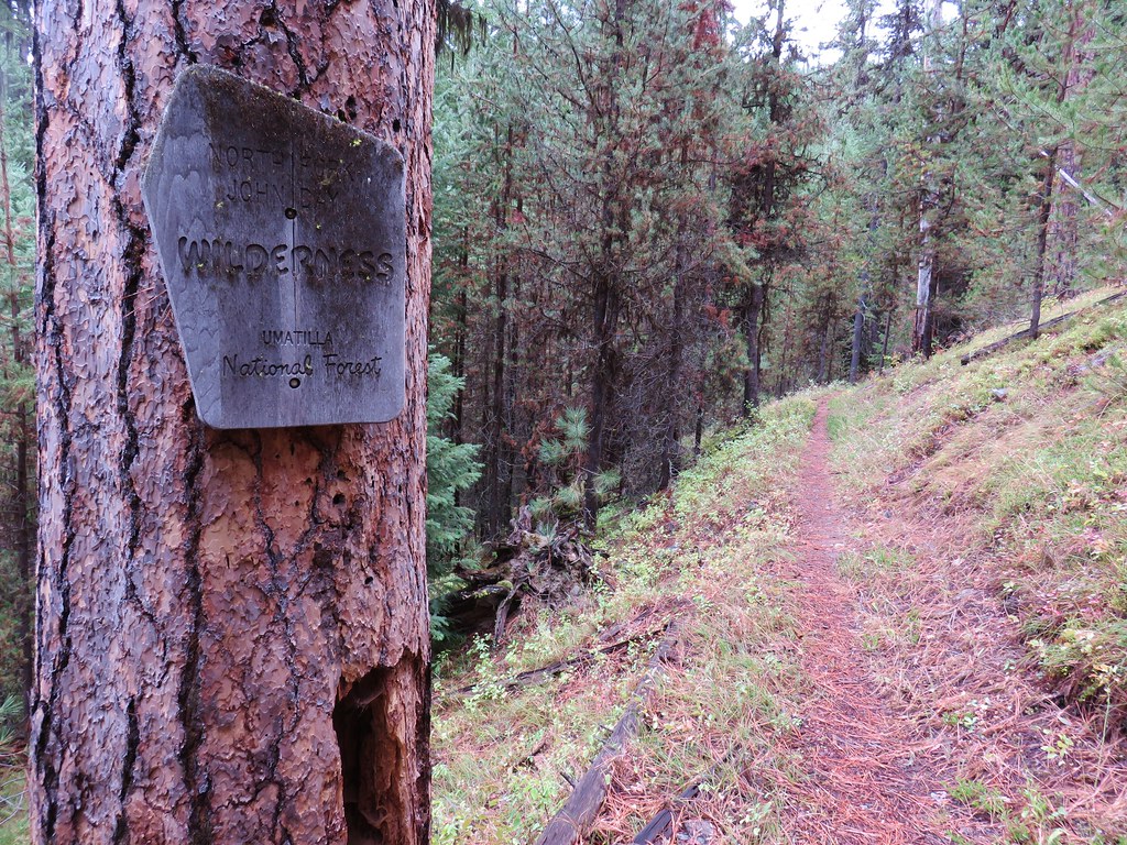
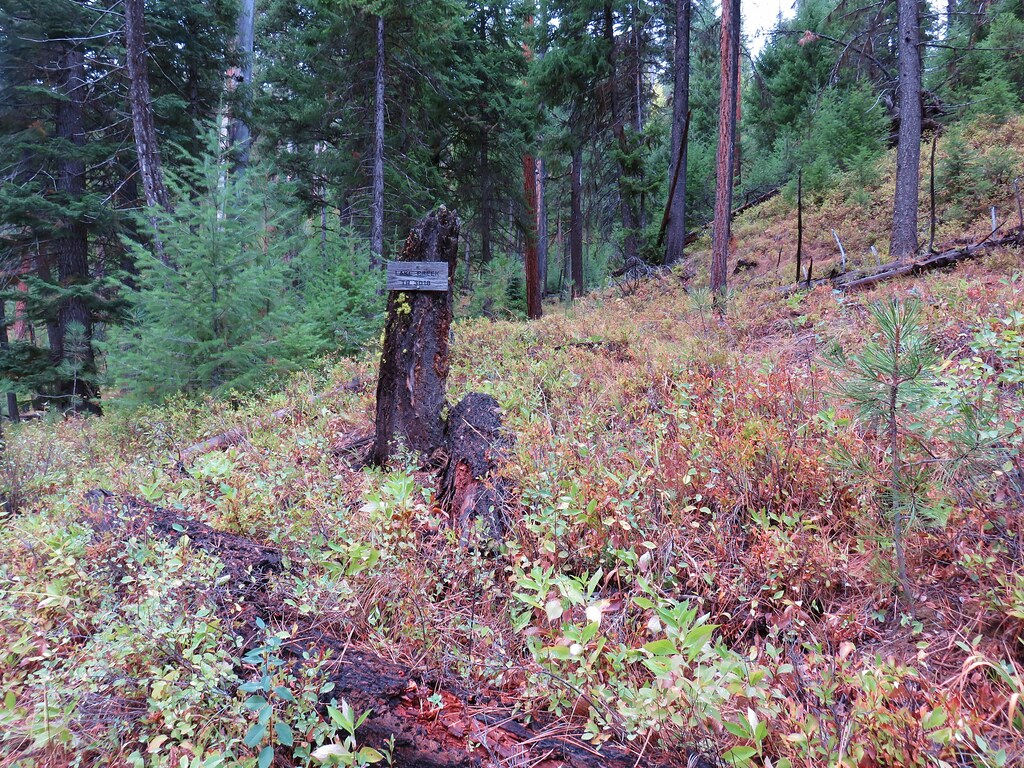
Trail sign for The Old 83 Trail.

The Lava Canyon Trailhead from FR 83.
My hike was 11.4-miles with roughly 1500′ of elevation gain.

The trailhead was very busy by the afternoon but on the trail I only saw two backpackers. The Old 83 Trail and the Smith Creek Trail were both in good shape, but the Lava Canyon Trail had some rough spots making it quite an adventure. Happy Trails!
Flickr: Lava Canyon

 Osprey and Great Blue Heron in flight
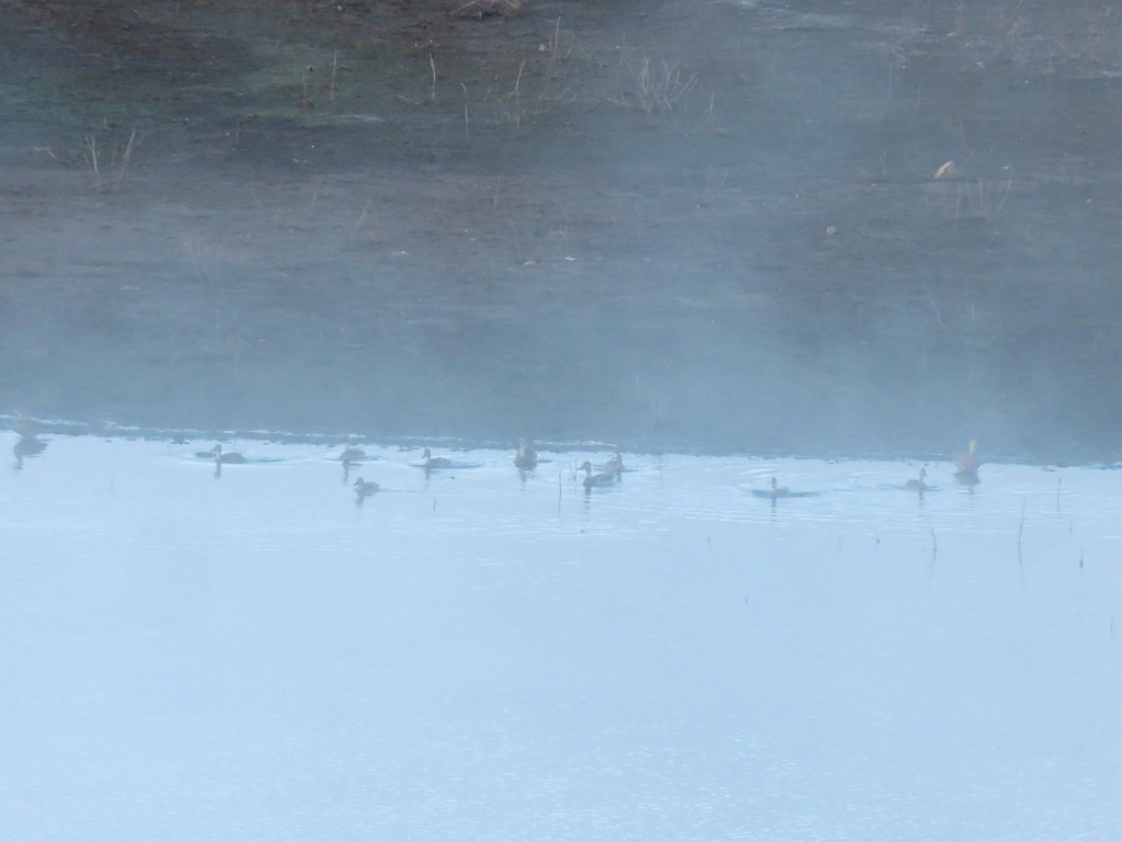 Ducks
Ducks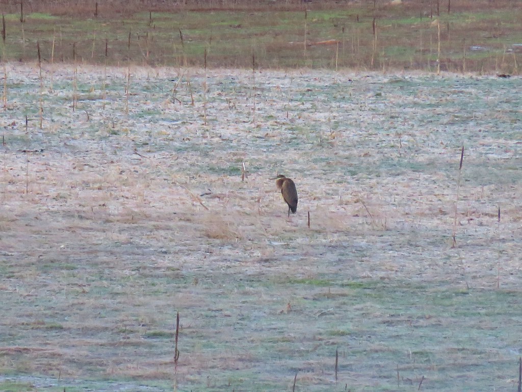 Heron
Heron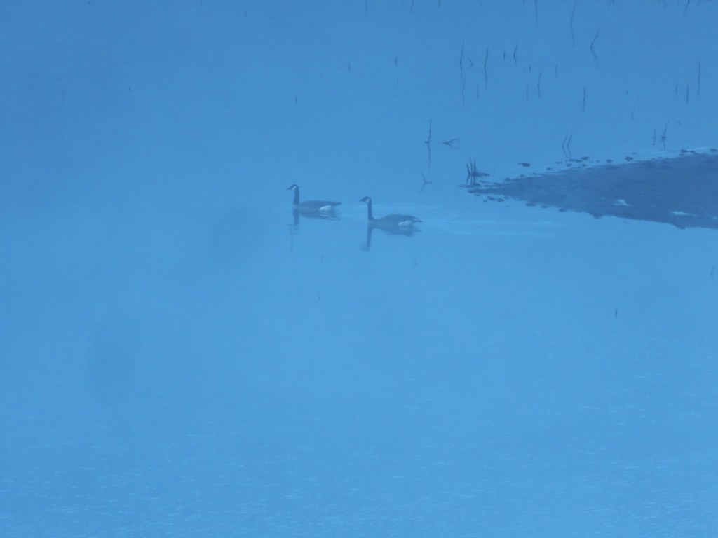 Canada Geese
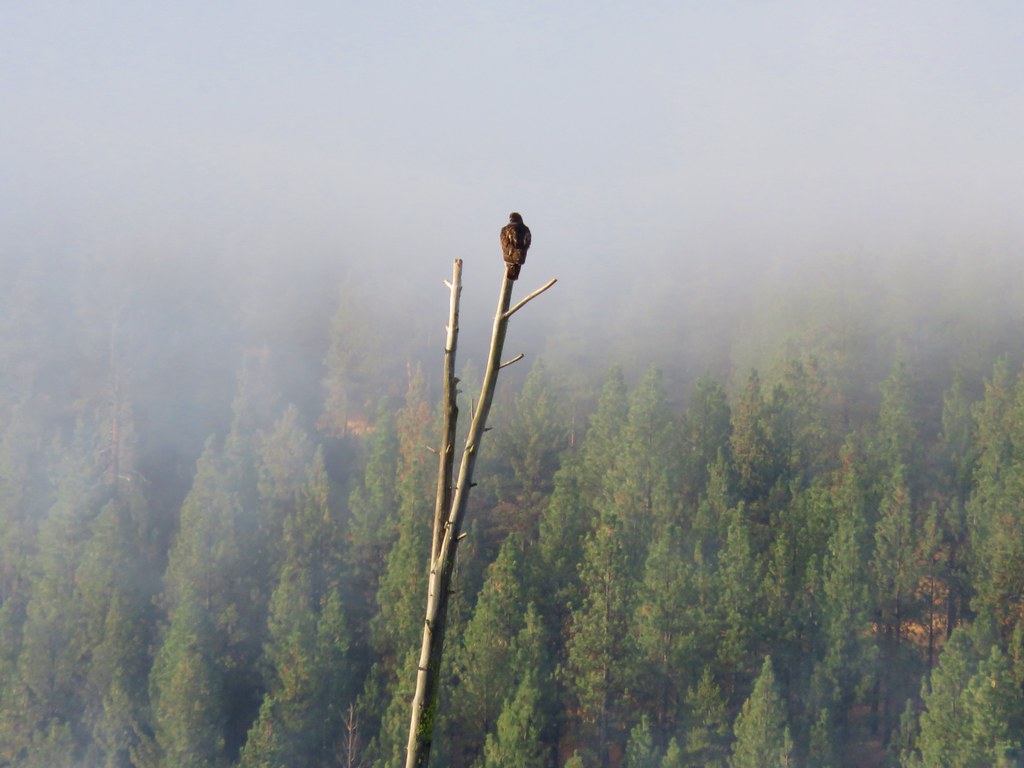 Hawk
Hawk

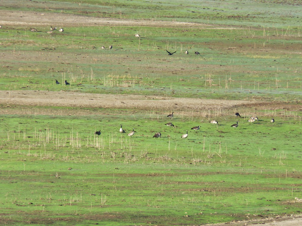
 Canada Geese
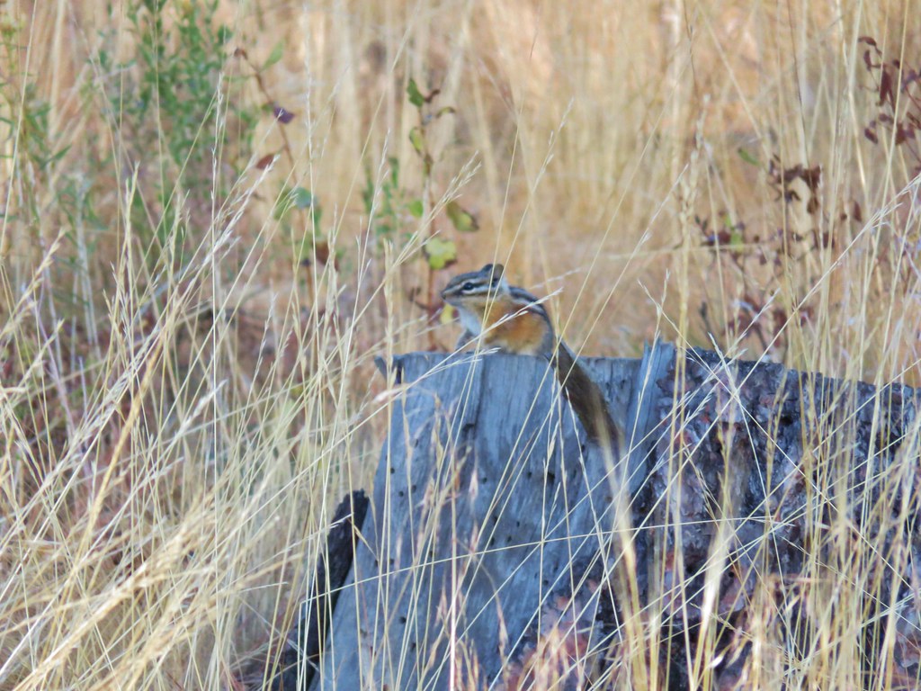 Chipmunk
 Mergansers
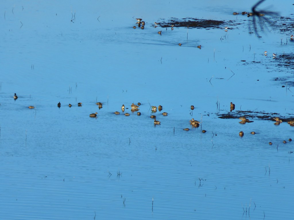 Various ducks and birds
 Woodpecker
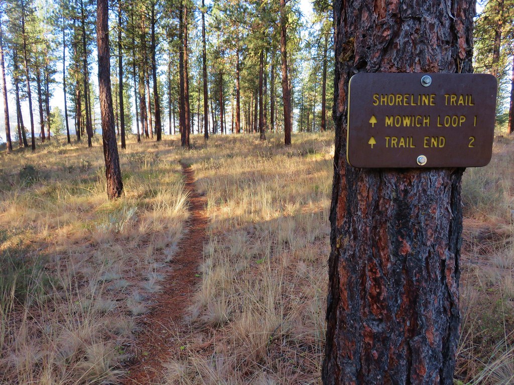

 Canada Geese
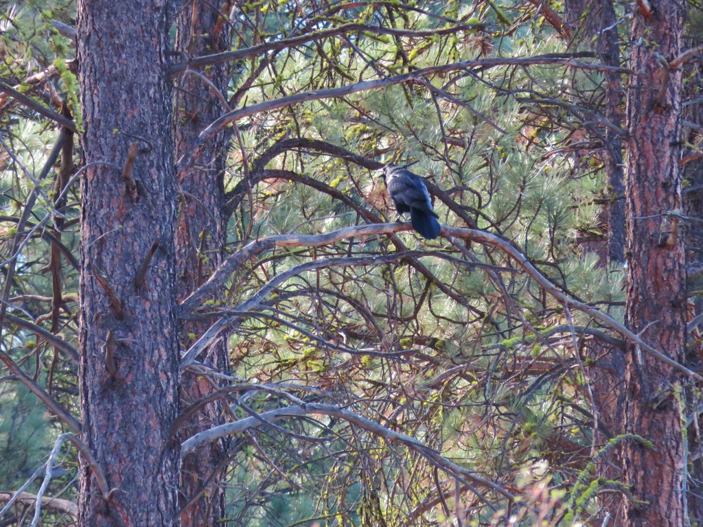
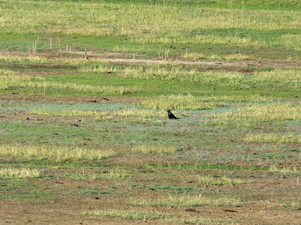 Raven
Raven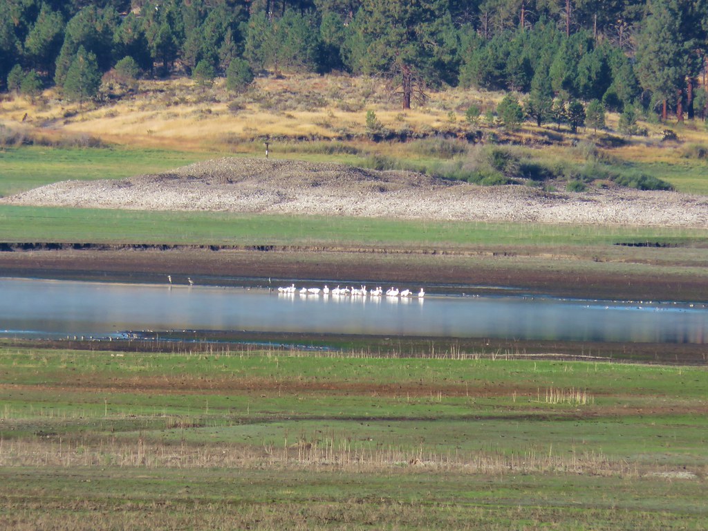 Pelicans, herons, and other assorted birds
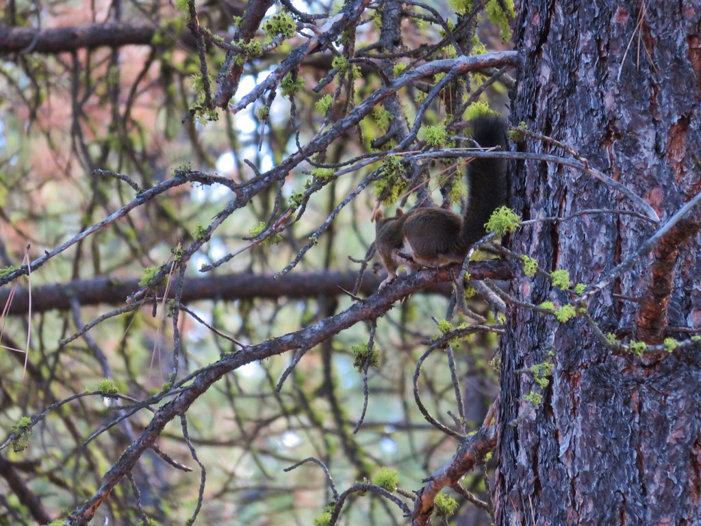 Squirrel
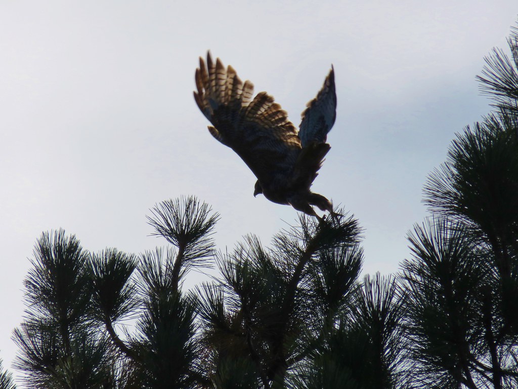 Hawk
Hawk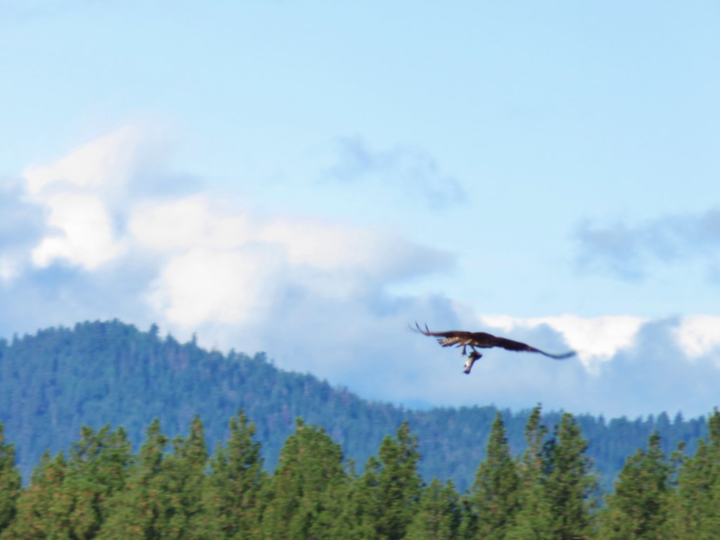 Osprey
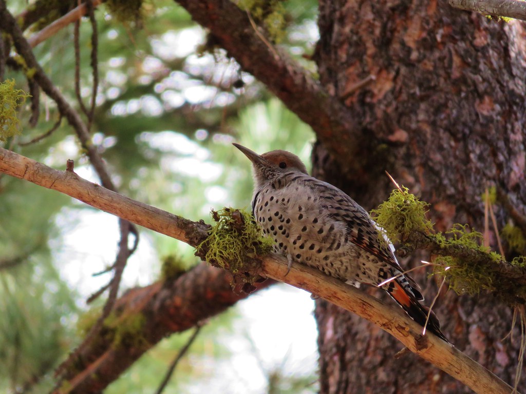 Northern flicker