Saturday we were heading home, but before we headed north we had one more hike to do. We had hiked much of the southern portion of the Samuel H. Boardman State Scenic Corridor on Thursday and now we were going to spend some time in the northern portion.
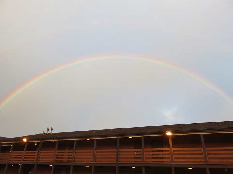
There had been chances of rain for the previous couple of days and this morning we were greeted by a rainbow as we left the hotel.
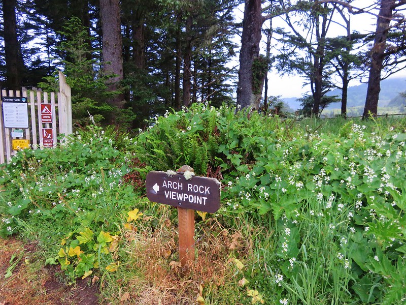
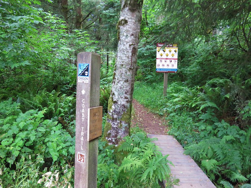
We hadn’t been rained on yet but driving down to the trailhead we were getting rained on pretty good so when we arrived at the Arch Rock Picnic Area we donned our rain gear.
The rain pants helped keep the moisture that was on the plants at bay, but the jacket wound up being overkill since it never actually rained on us while we were hiking.
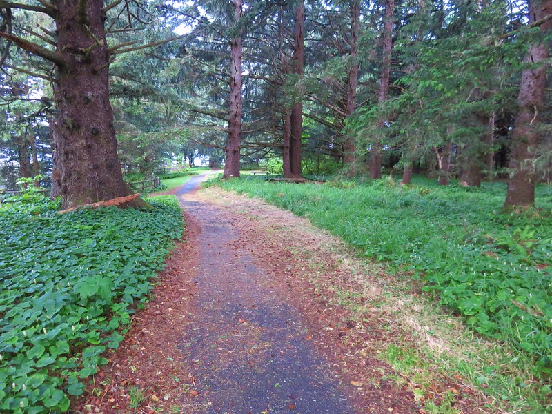
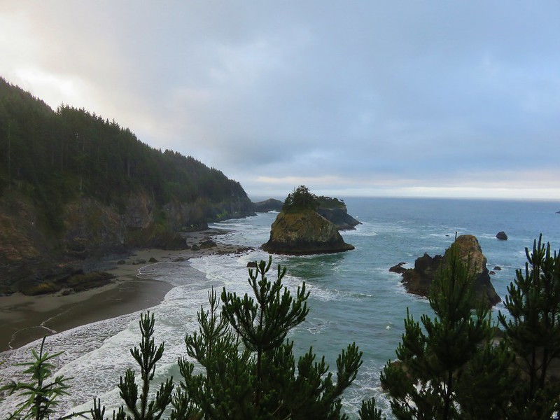
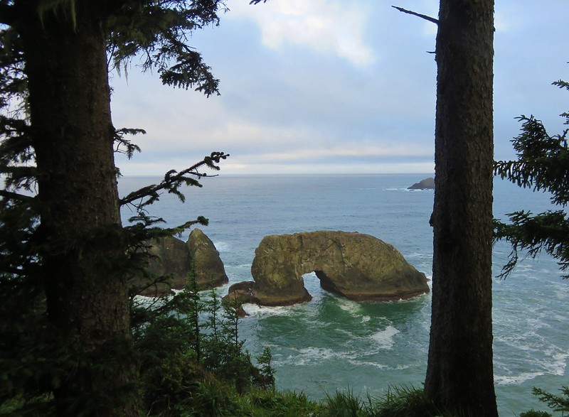
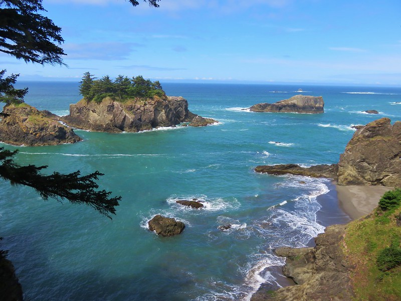
A short loop trail from the parking area led past picnic tables to a viewpoint of Arch Rock.
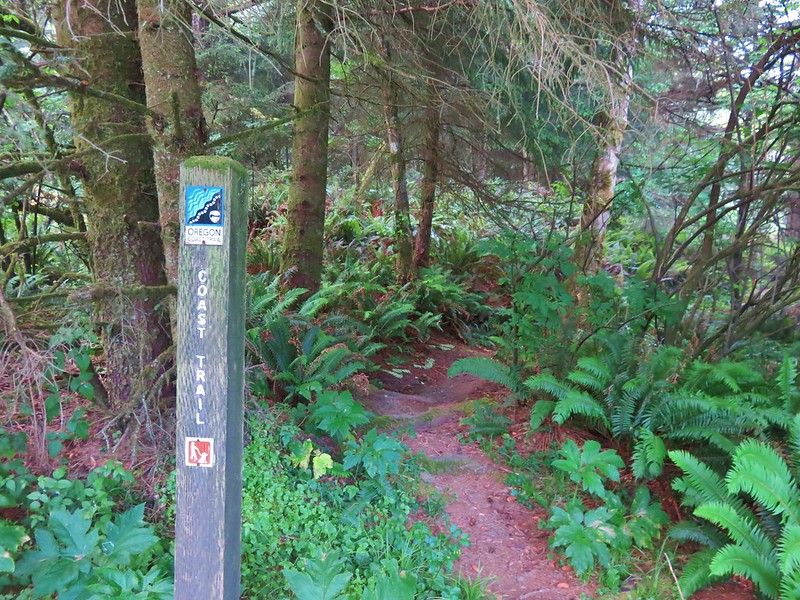
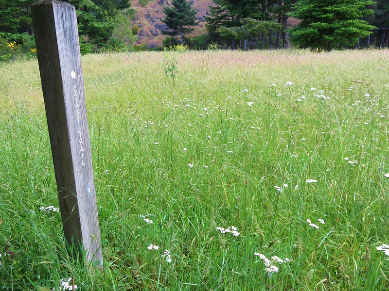
After completing the loop we headed south on the Oregon Coast Trail.
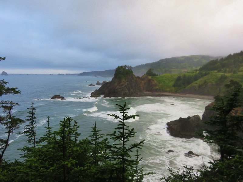
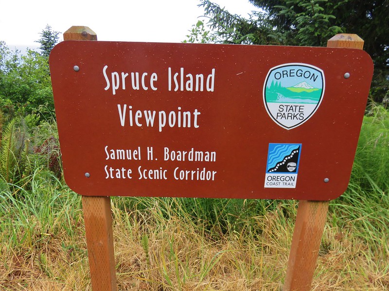
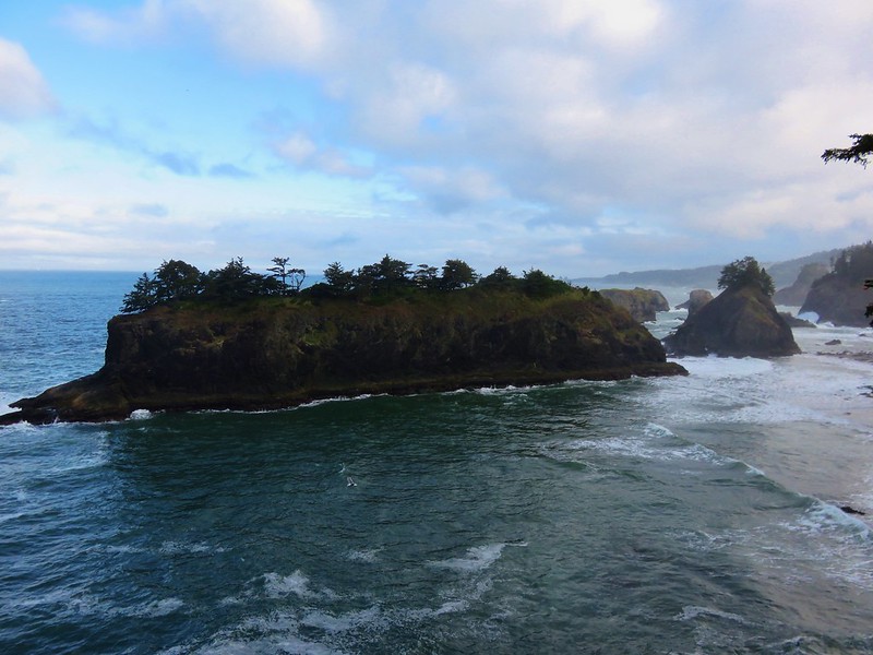
A short distance from the Arch Rock Picnic Area we came to the Spruce Island Viewpoint parking area.
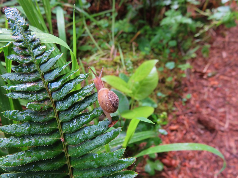
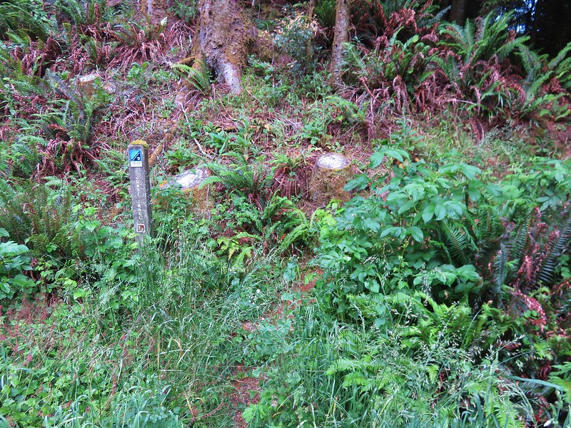
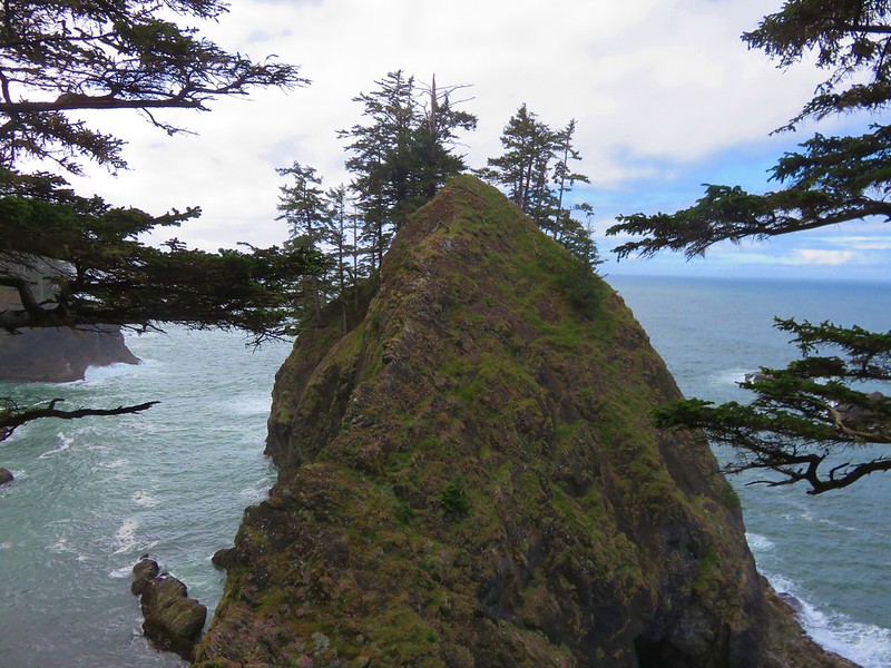
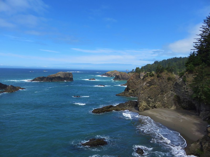
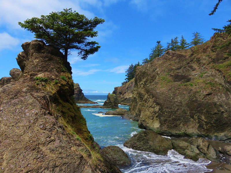
The next marker was supposed to be a pair of viewpoints before reaching Thunder Rock Cove. We arrived at a first viewpoint along with a small snail.
We got ourselves confused here when we came to a junction with a wide path coming downhill from our left. A gentleman was doing trail maintenance on that section. We had spoken to him on Thursday during our other visit to the park and just assumed that he was working on the trail we wanted to take. We ignored the trail that appeared to be leading down to the little beach we had seen from the viewpoint thinking it was just a way down to the ocean. We followed the wide path up to an unsigned parking area.
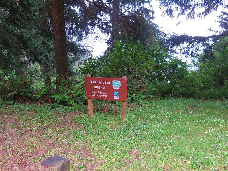
The problem was no visible trail continued south from there. We thought that the trail might follow the road for a bit as it would do a little further along so we began walking along Highway 101 looking for some sign of the Oregon Coast Trail. It wasn’t until we reached the Thunder Rock Cove Viewpoint Parking area that we picked up the trail again.
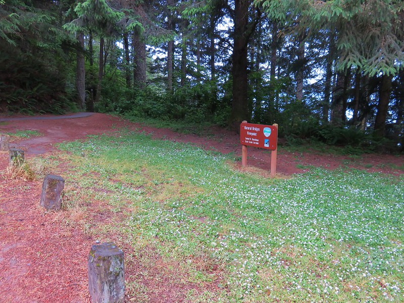
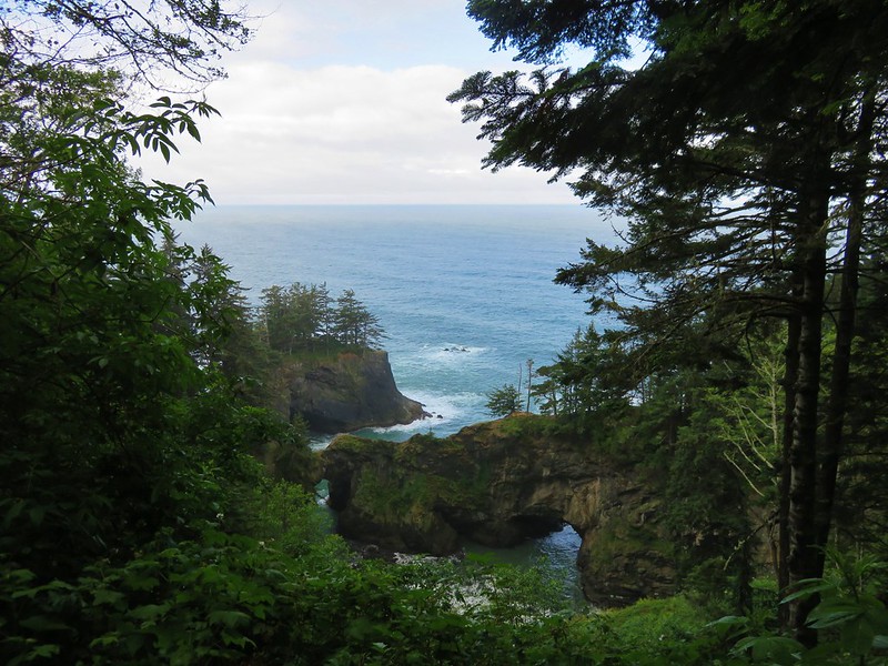
We should have gone right down to the beach instead of uphill at the previous junction but we were back on the trail now and after a short climb around a hill we arrived at another parking area. This one was for the Natural Bridges Viewpoint.
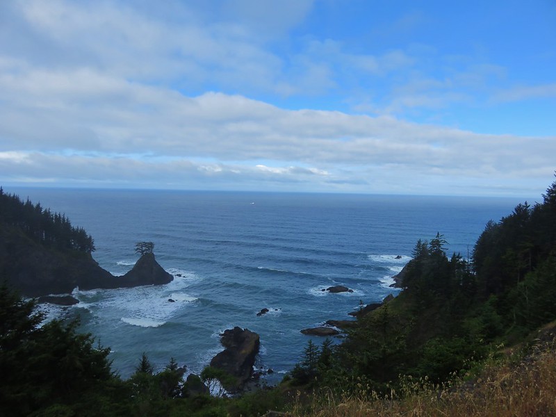
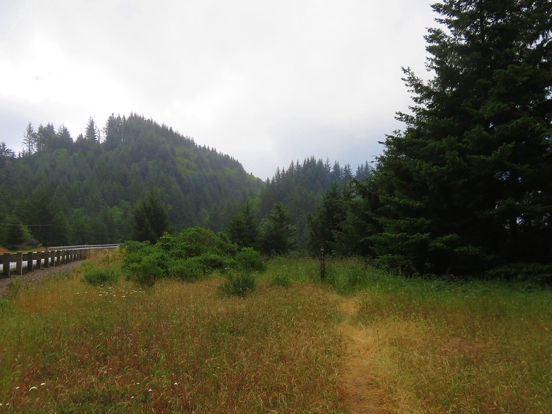
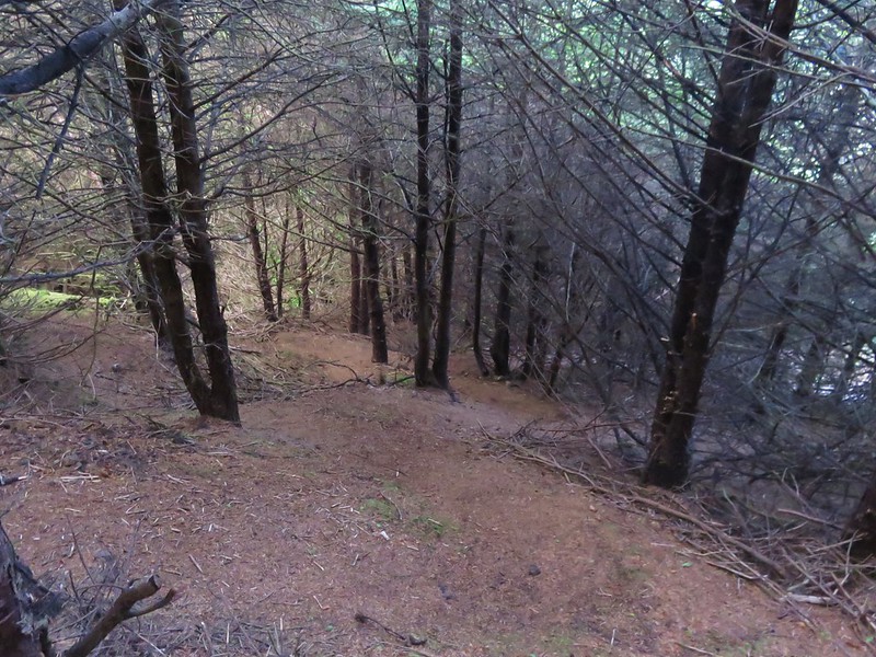
The next 1.1 mile section of trail alternated between grassy meadows along the highway and forest with an occasional viewpoint.
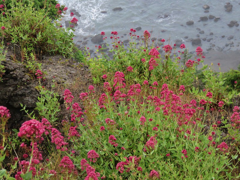
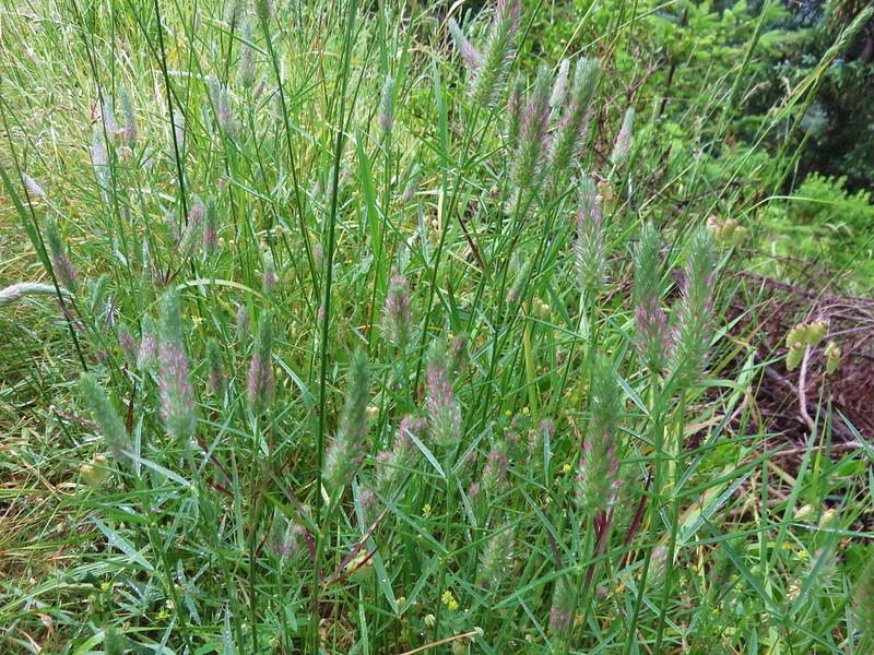
Red valerian
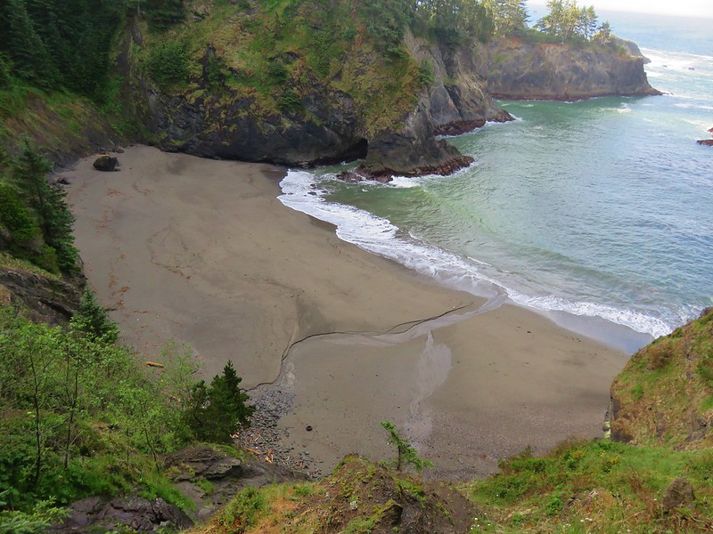
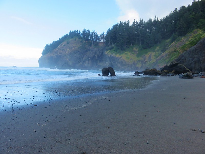
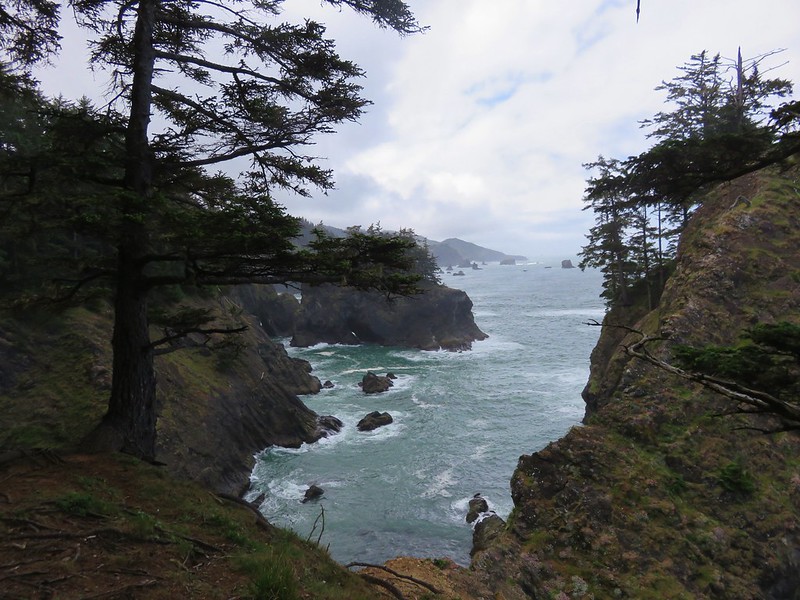
After a short walk along the Highway the trail reappeared heading downhill toward China Beach.
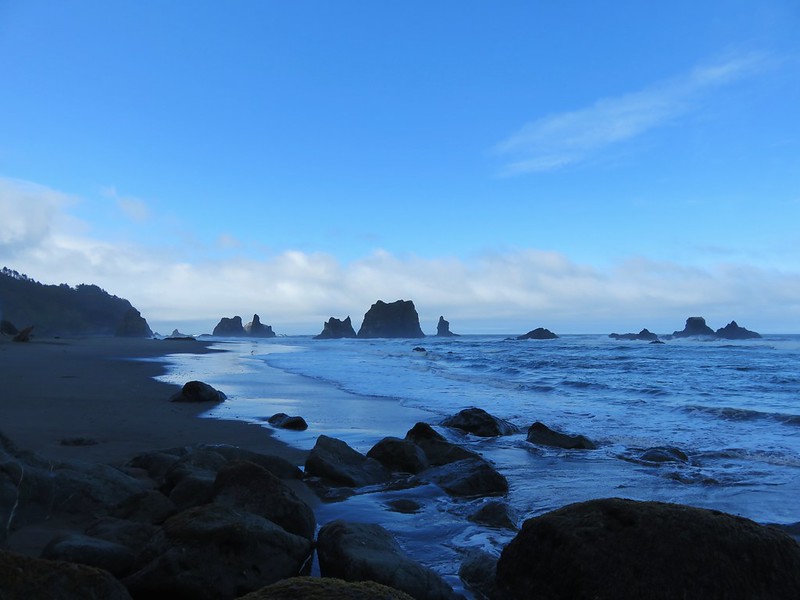
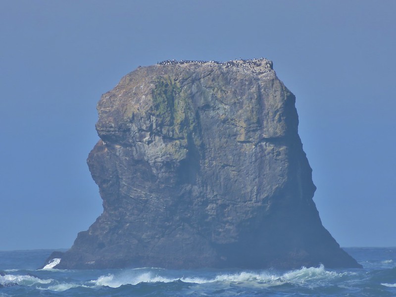
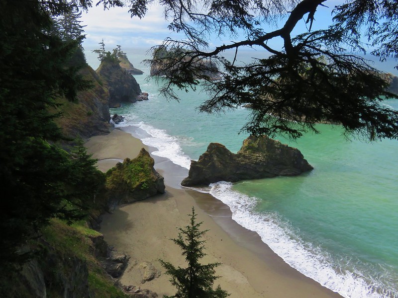
We spent a little time down on this beach. There were plenty of rocks in the water including one tall pillar covered in birds. It was just far enough out that we couldn’t tell what kind of birds they were, just that there was a lot of them.
To continue on the trail we would have needed to follow the beach south around a small headland that was already pressed by the ocean. We didn’t want to get stuck on the far side where we would be forced to walk along the highway to get back, so we stopped here and got ready to head back. On our way back we stopped at a couple of viewpoints we had passed by initially.
We also managed to stick to the section of Oregon Coast Trail we’d missed when we took the wrong turn earlier near Thunder Rock Cove.
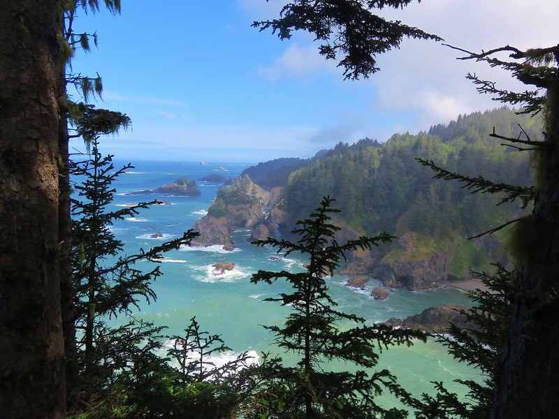
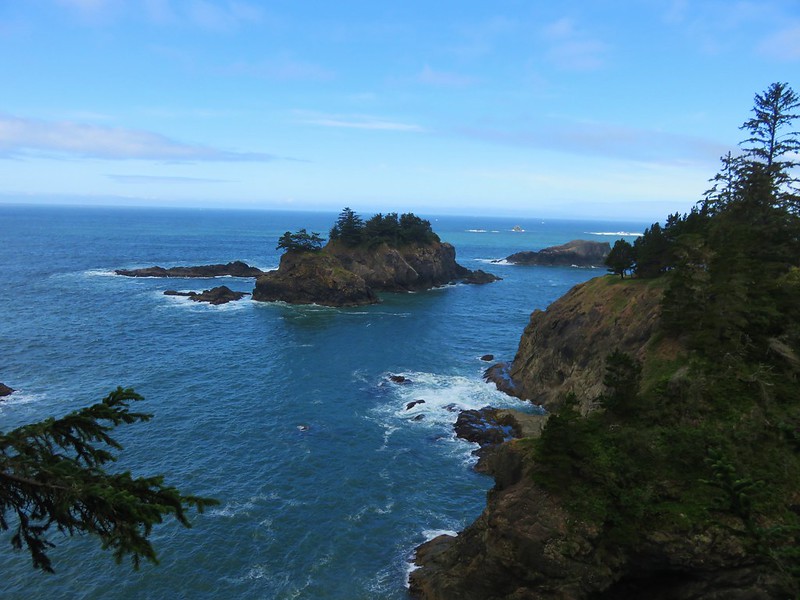
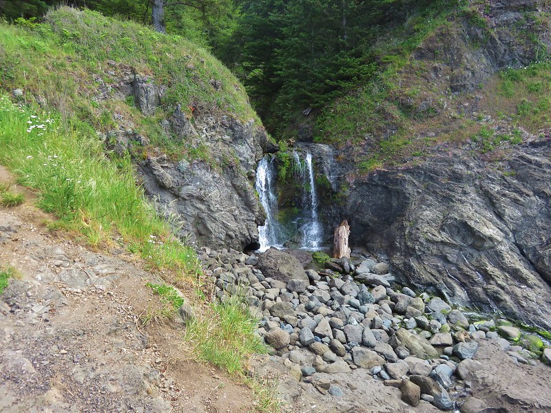
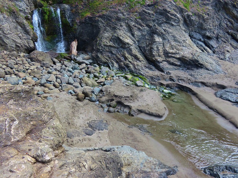
Along this section we discovered an option for a loop trail to the beach and waterfall.
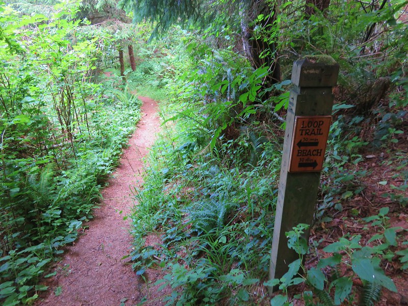
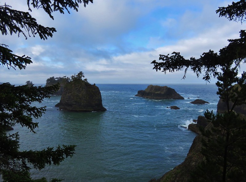
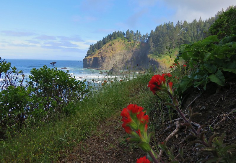
The loop trail passed more nice viewpoints before dropping down to a view of the waterfall.
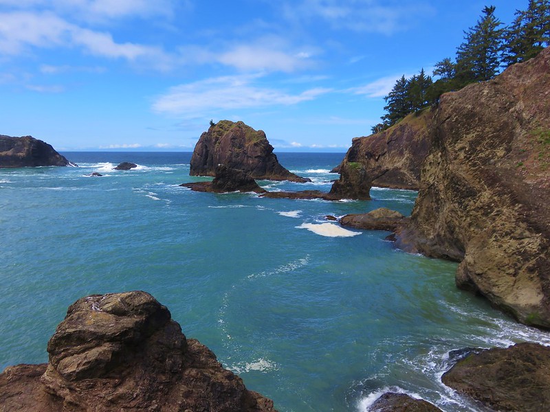
The trail then climbed up past another stunning viewpoint before returning to the Oregon Coast Trail.
We followed the trail back to the Arch Rock Picnic Area ending our vacation hikes. This hike ended up being 9.2 miles according to the GPS bringing our total for the 7 days to 95.2 miles. It had been a great vacation despite being our “Plan B” option. The weather wound up great and the views and wildflowers were spectacular. It was another good reminder of just how much our State has to offer in the way of great hiking. Happy Trails!
Flickr: https://www.flickr.com/photos/9319235@N02/albums/72157668656866396
