A cold snap arrived in conjunction with the final hike of our official 2023 season leaving us with a decision to make about where to go. One of the great things about living in Western Oregon are the hiking options. We were debating between heading to Government Camp near Mt. Hood to see some of the new snow that the system had brought with it, or to the beach where things would be a little bit warmer. In the end we decided that we weren’t quite ready for a Winter wonderland yet, and highs in the low to mid 50s sounded a little more appealing than highs in the low to mid 30s. The beach it was where we had some unfinished business at Oceanside.
We had attempted to hike the beach at Oceanside earlier in the year on a different multi-stop day (post), but had saved it for the final stop only to find the area so crowded that there was no place to park. We wouldn’t be making that mistake again so this time it was stop number one on the itinerary. We had no issue finding a parking spot this time arriving just as the Moon was disappearing behind Three Arch Rocks.
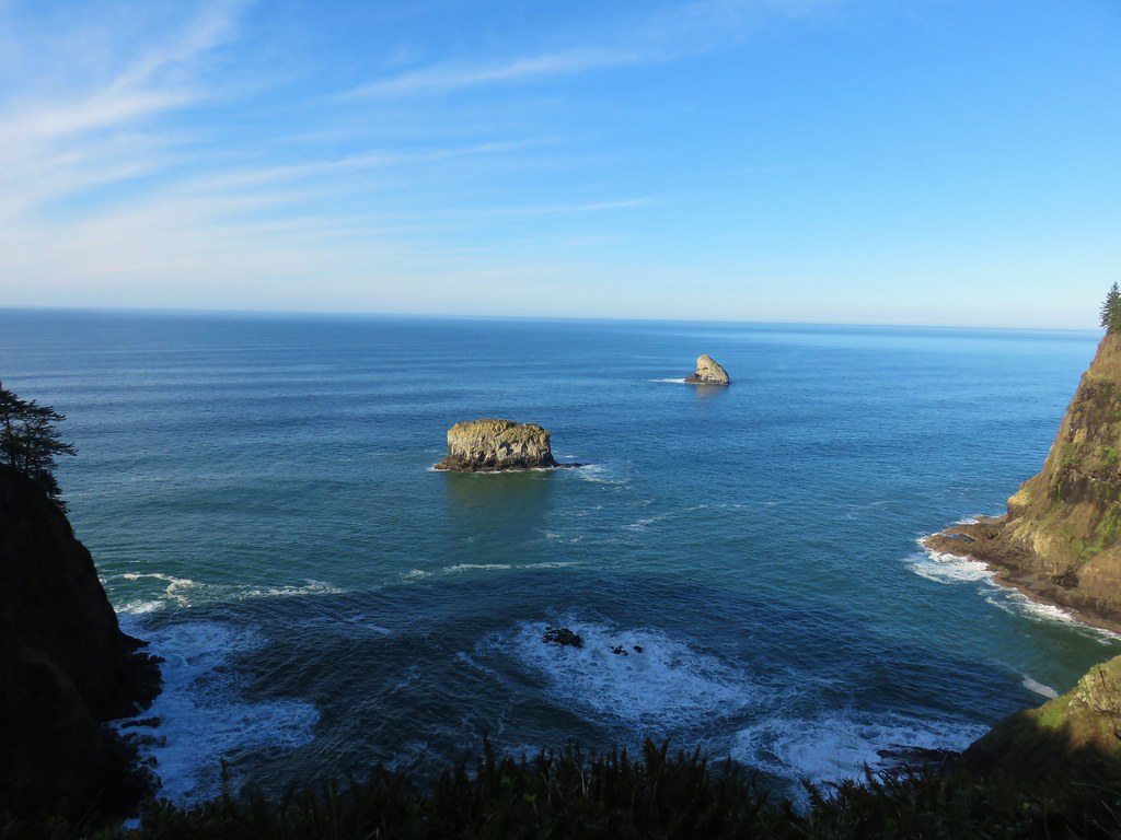
 From left to right: Storm, Finely, and Shag Rocks.
Three Arch Rocks is one of two designated wilderness areas along the Oregon Coast Managed by the Department of Fish and Wildlife as a wildlife refuge the 15-acre wilderness area was the first designated refuge West of the Mississippi and is one of only a few wilderness areas entirely closed to entry by the general public.
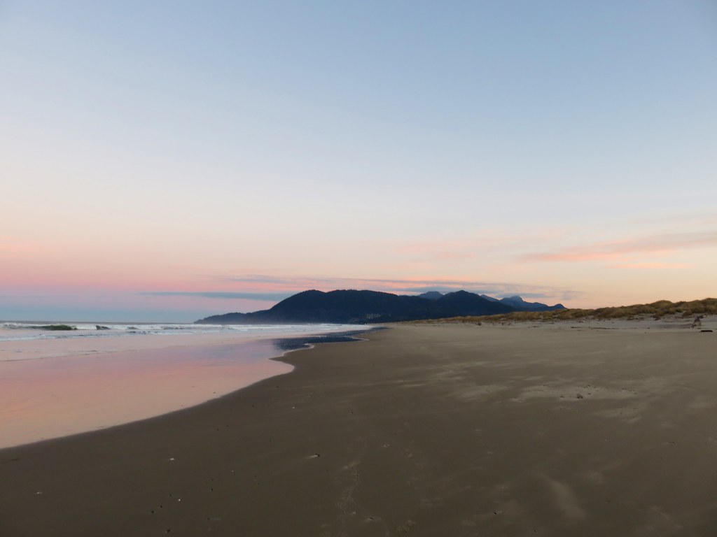
From the parking lot we took the stairs down to the beach and headed north toward the Tunnel which leads through Maxwell Point to Tunnel Beach.
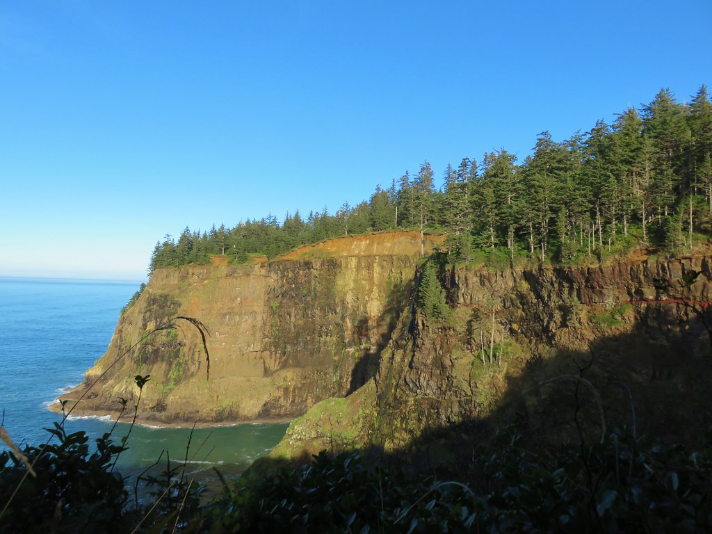
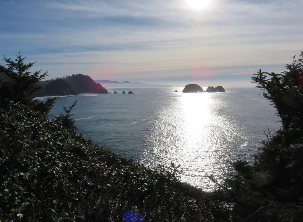
 Cape Lookout (post) to the south.
 Maxwell Point
 View from beside Maxwell Point.
 The Tunnel was built in 1926.


 The Tunnel from Tunnel Beach.
 Three Arch Rocks from Tunnel Beach.
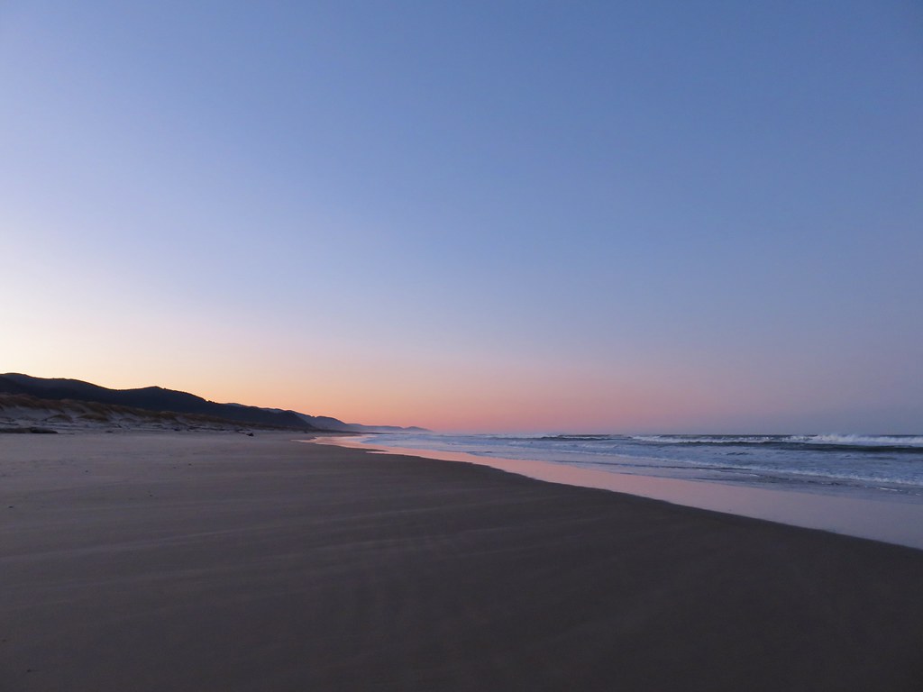
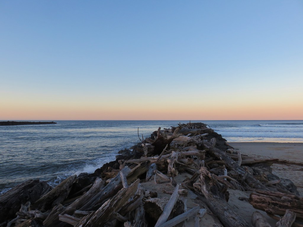
We hiked North along the beach passing a rocky point to Agate Beach before turning around where that beach ended at a cliff a little more than a third of a mile from the Tunnel.
 The end of Tunnel Beach. At higher tide it’s not possible to get around the point here.
 Getting closer to the end of Tunnel Beach. This set of ocean rocks are part of the Oregon Islands Wilderness, A string of of over 5,600 rocks, reefs, islets, and islands lying within three miles offshore mirroring almost the entire length of the Oregon coast from Tillamook Head to the California border. Like Three Arch Rocks this wilderness is also closed to the public.
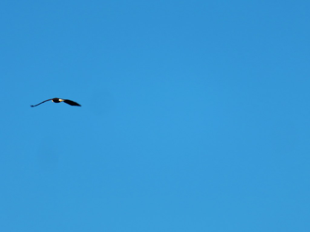
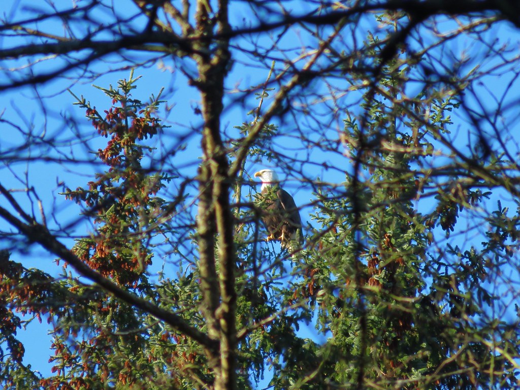
 Bald eagle on top of one of the rocks.
 Seal
Seal
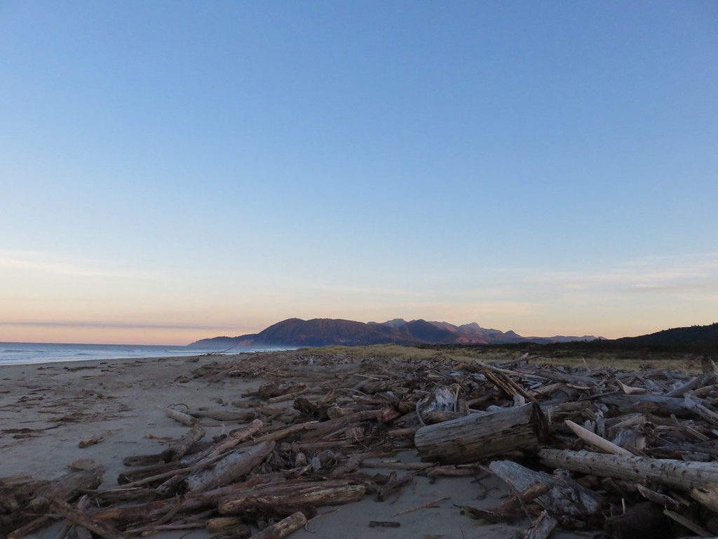
 Agate Beach

 Cape Lookout from Agate Beach.
After reaching the cliff we headed back to the Tunnel and then continued South along the beach 2.3-miles to Hodgdon Creek across from Netarts Spit (post).
 An assortment of sea birds.

 Maxwell Point and Cape Lookout

 Sun starting to hit the Three Arch Rocks.

 Sand dollar

 Cormorants. There was a steady stream of flocks of birds heading south along the coastline.
 Footbridge over Fall Creek.
 Fall Creek
 Frosty leaves near Fall Creek.
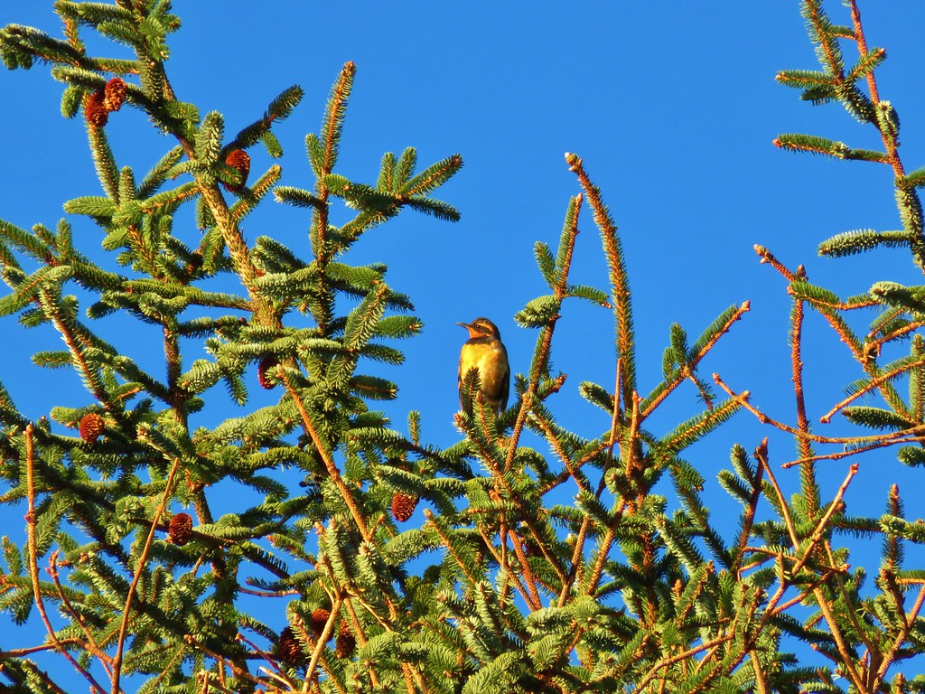
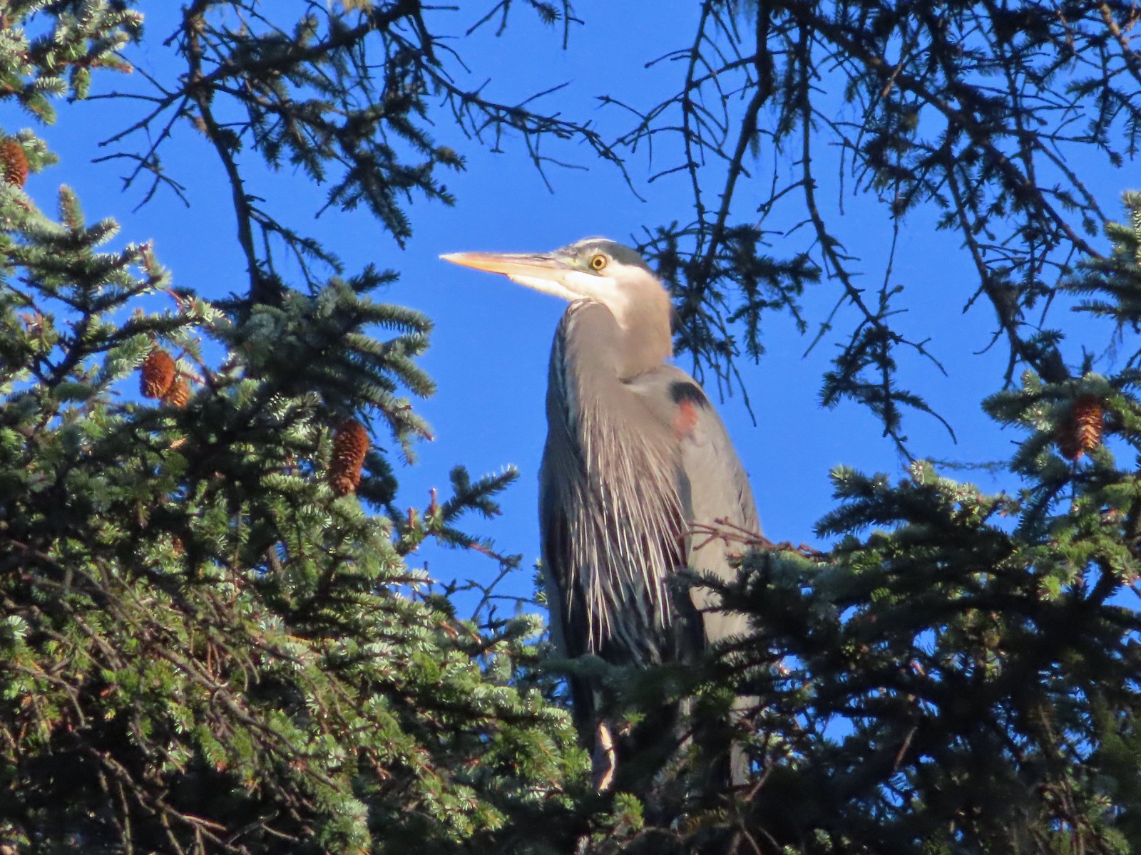 Great blue heron in a tree above Fall Creek.
 Happy Camp
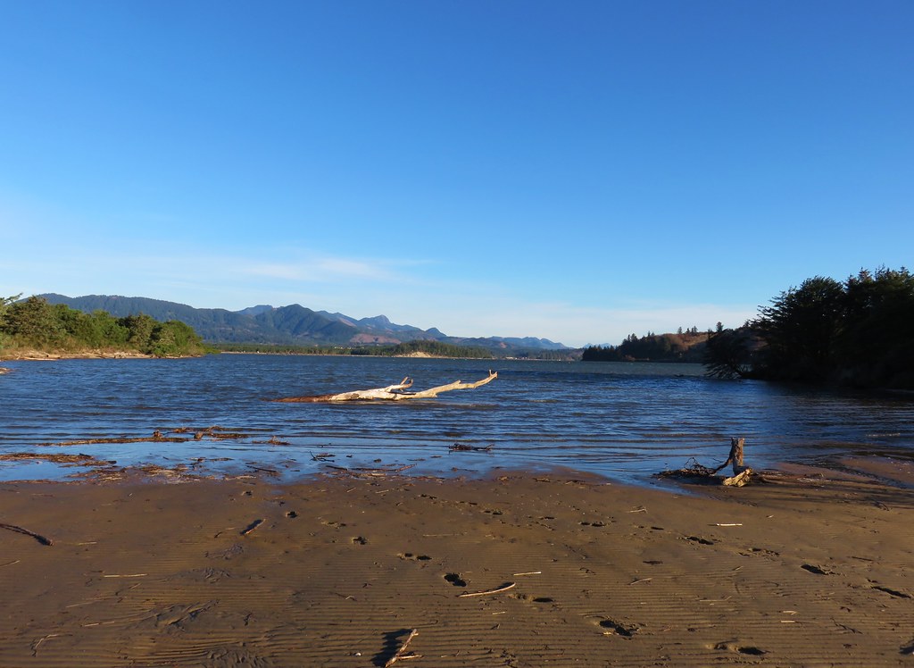
 Hodgdon Creek
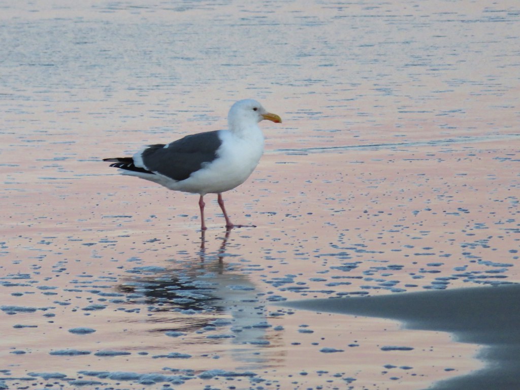
 Seagulls and common mergansers near Hodgdon Creek.
 Buffleheads
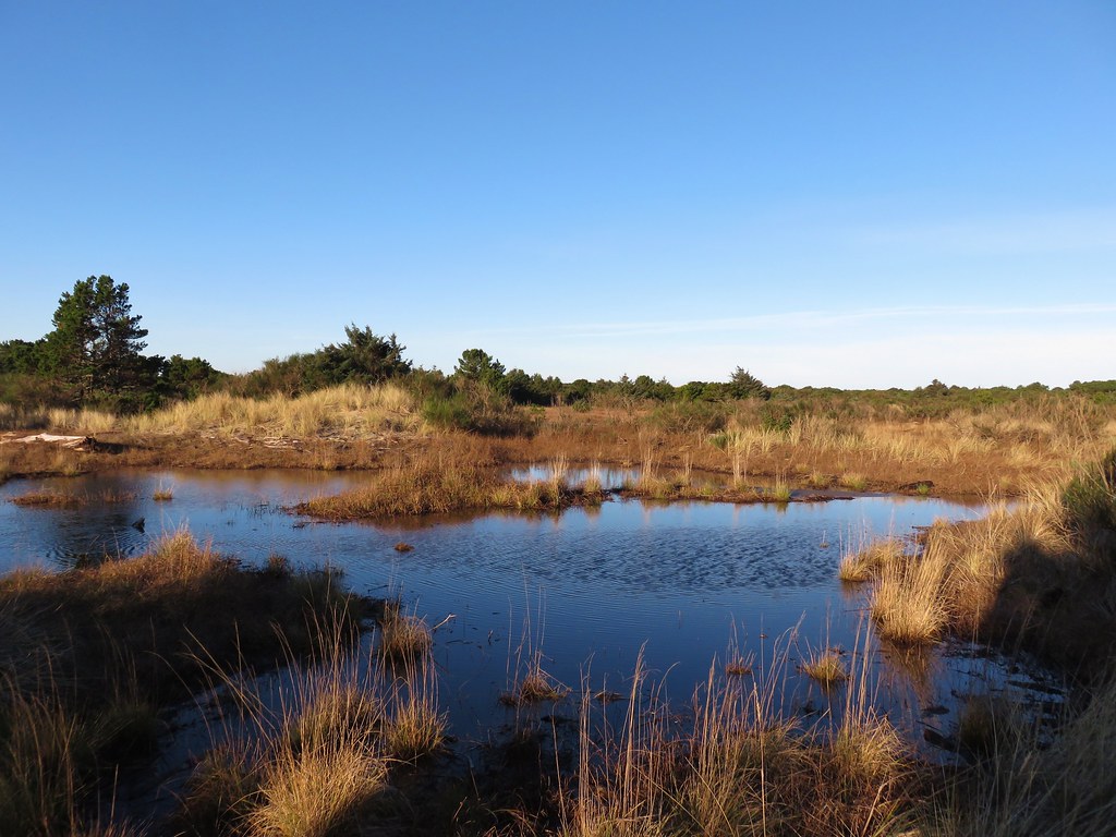
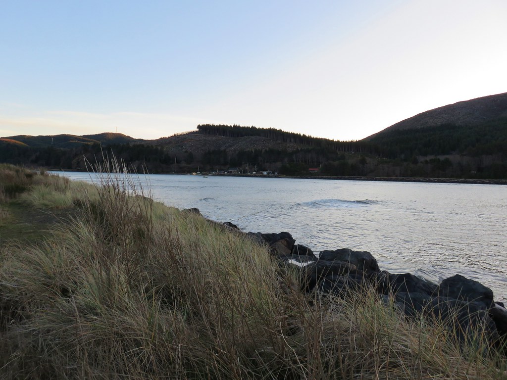
 Netarts Spit
 Happy Camp from our turn around point.
We returned the way we’d come and then drove North on Cape Meares Loop Road just under a mile and a half to a pullout across from a sign for Short Beach.
 Three Arch Rocks and Maxwell Point now in full Sun.

A local built the staircase leading down to Short Beach and it is about as “Oregon Coast” as a staircase could be.


 The beach only extends a short distance to the South.
 The sea stack and Short Creek Spillway to the North.
We headed North along the cobblestone beach which isn’t the easiest surface to hike on, especially when they are wet and slightly frosty. On the positive side the cobblestones added some great sounds to the ocean as the waves tossed them about then rolled them over one another as the waves receded.

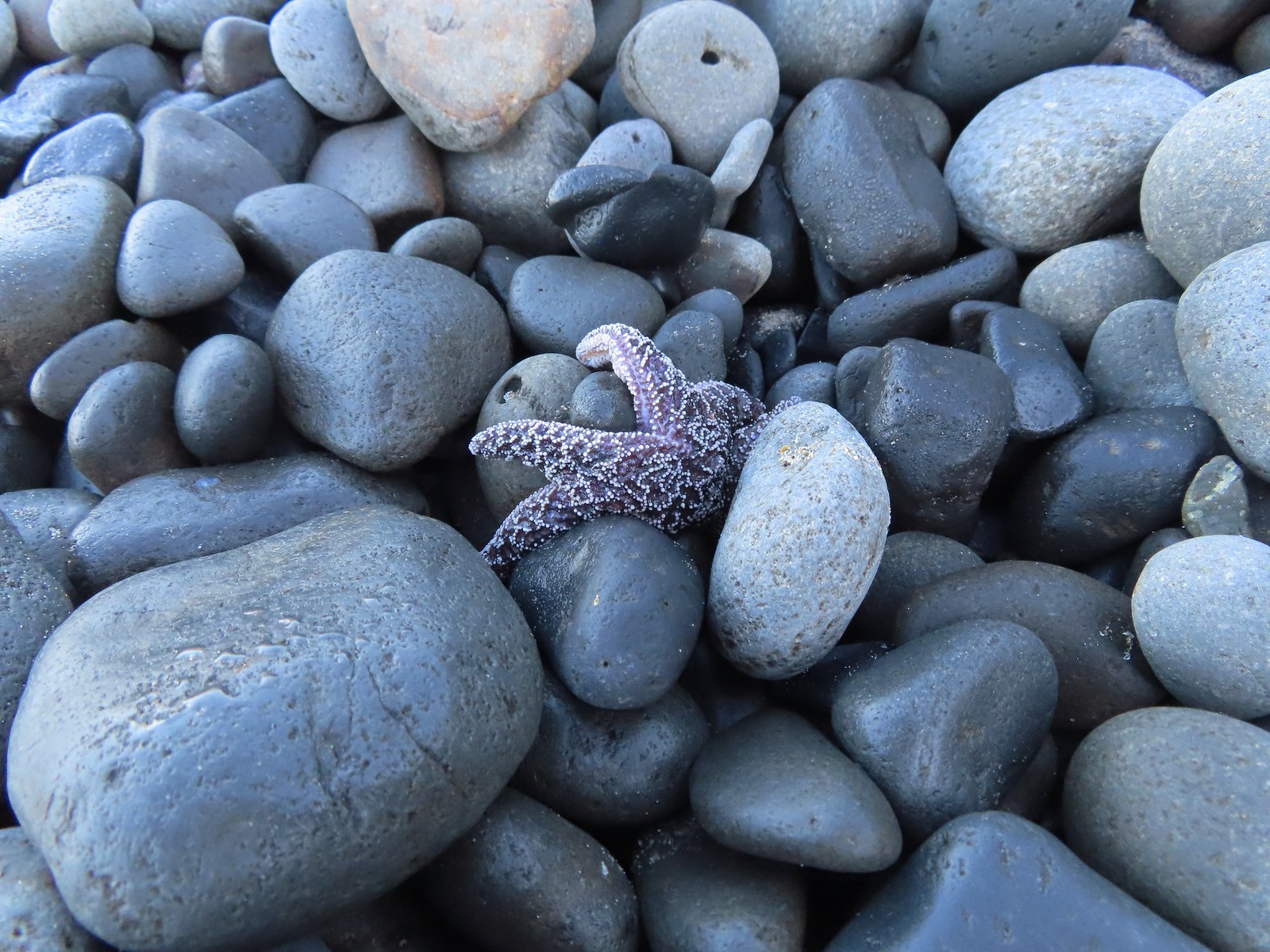 Starfish
 The sea stack
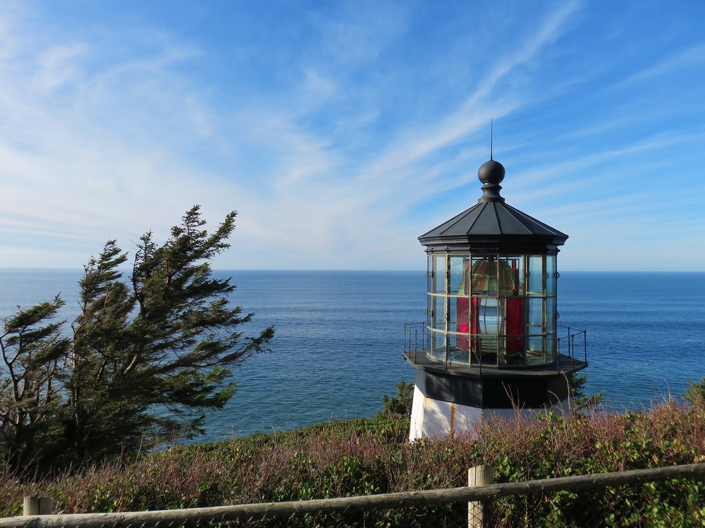
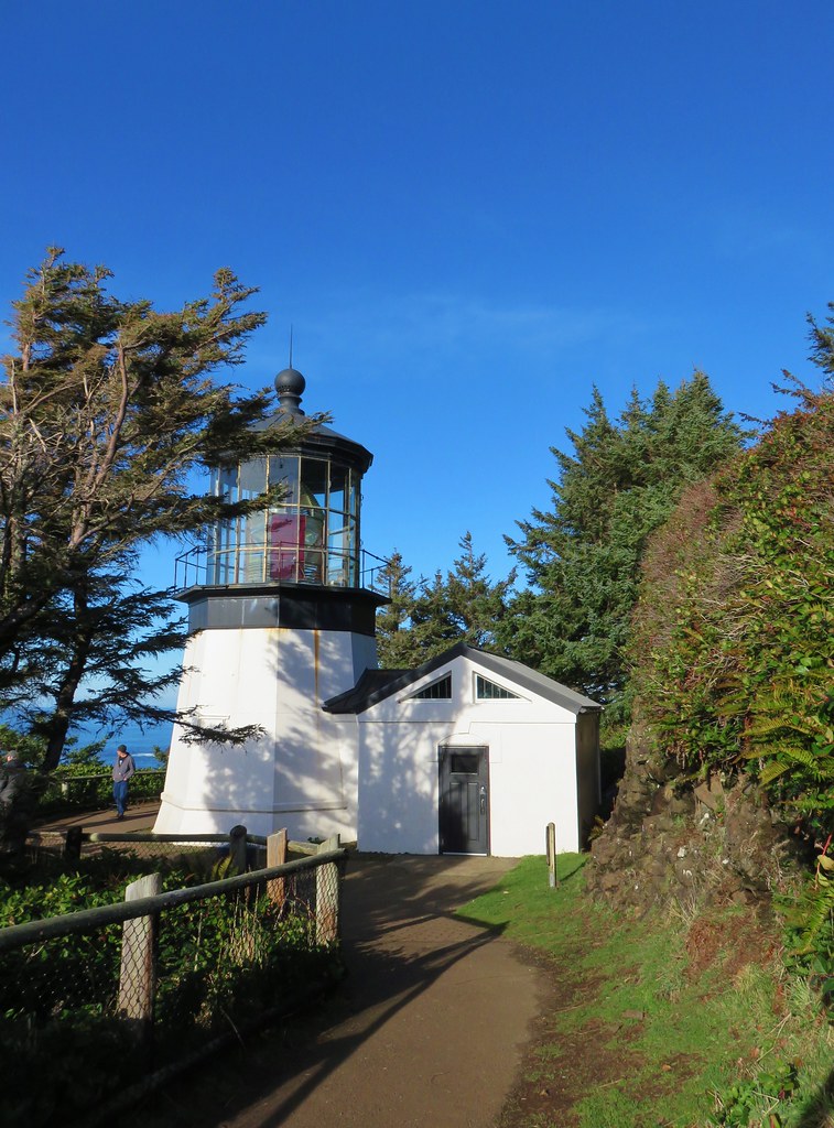
 Cape Meares (post)
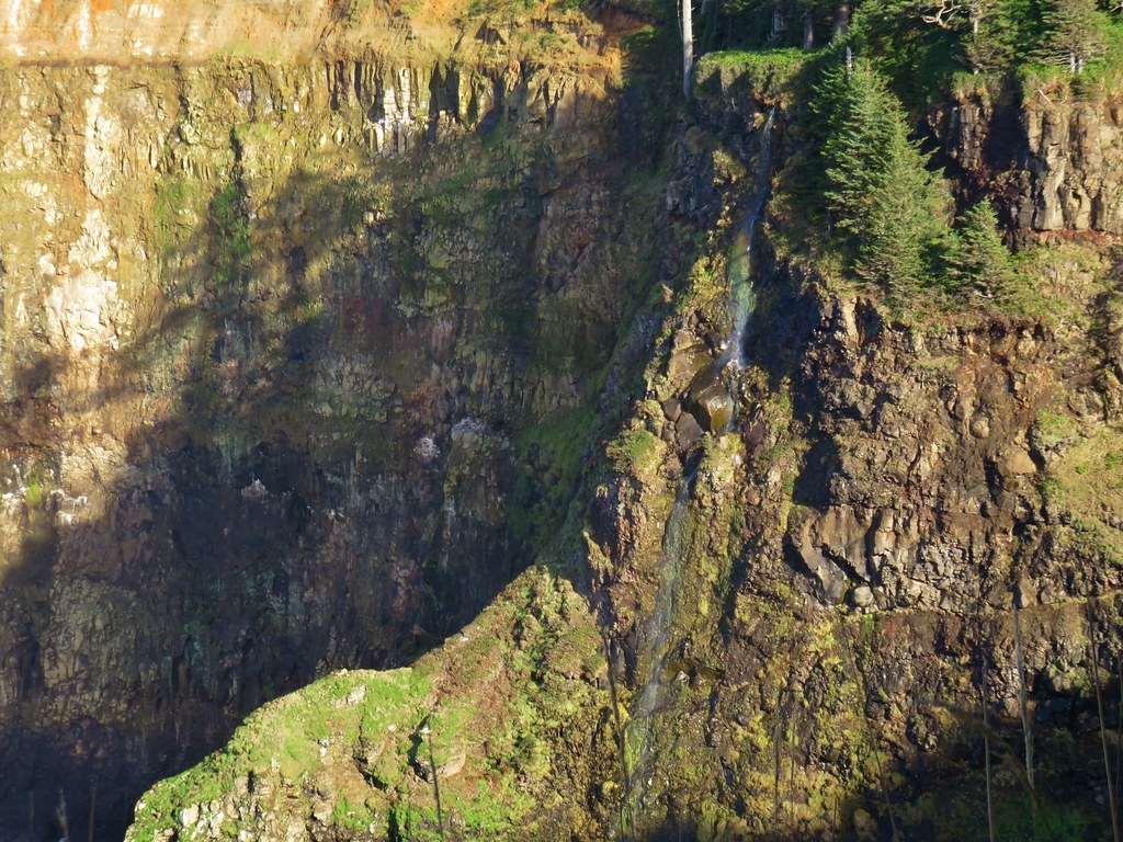
 I didn’t notice the little waterfall along the cliffs below Cape Mears until I looked at the pictures.
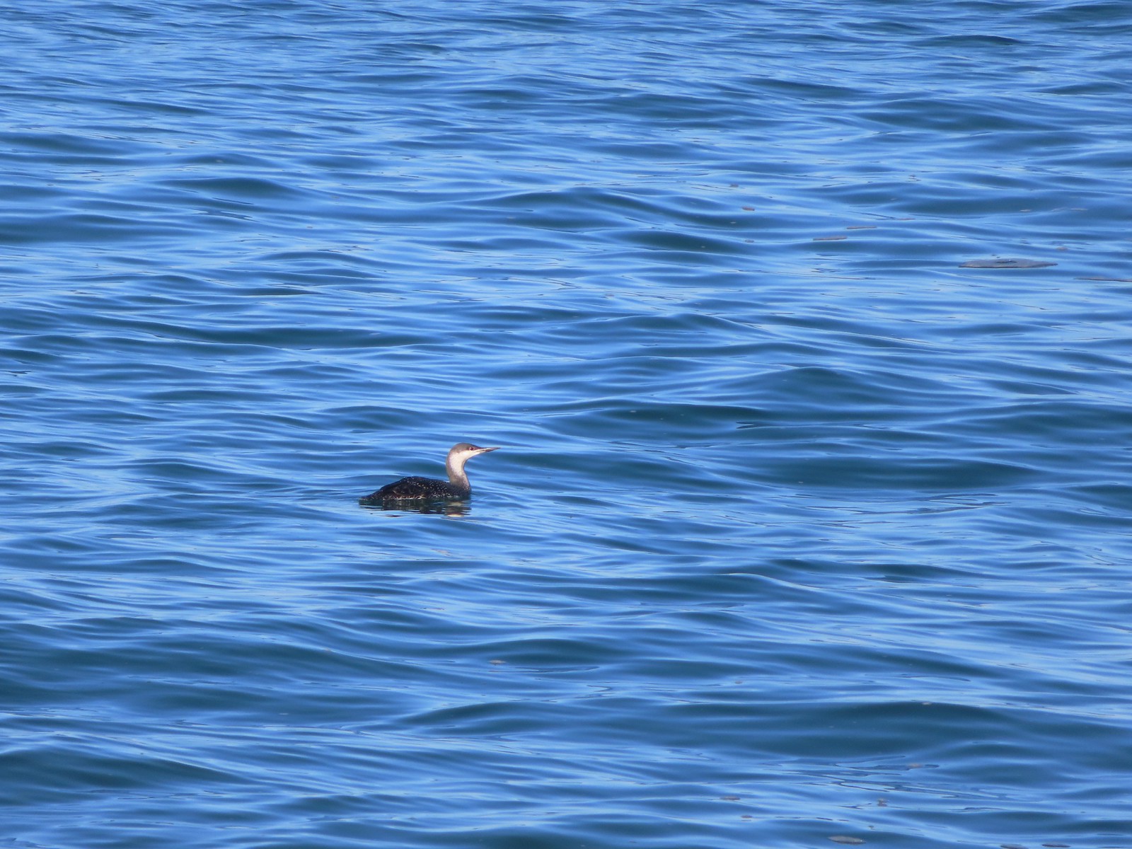 Red-throated loon
A third of a mile from the stairs we reached Larsen Creek Falls.


Apparently at low tide it’s possible to reach the cliffs below Cape Meares, but the tide was coming in and it also appeared that some sliding had occurred at some point, so we turned around a tenth of a mile beyond Larsen Creek Falls.
 The area ahead in the shade is where things started looking a little sketchy.


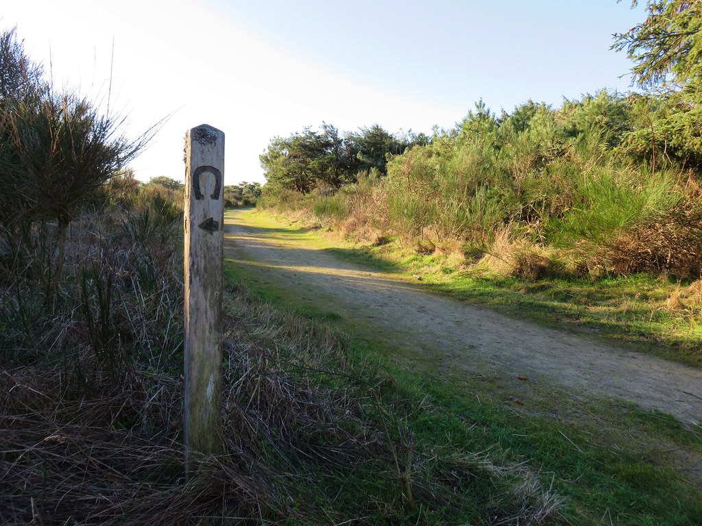
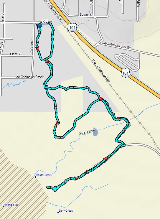
These two beach hikes came to a total of 6.6-miles, 5.5 at Oceanside and 1.1 at Short Beach. From Short Beach we drove to Tillamook to try the Tillamook Bay Wetlands hike which I’d found as I was looking through the Oregon Hikers Field Guide. We parked at the Goodspeed Road Trailhead. The field guide entry showed this as a 3.6-mile loop following dikes through wetlands between the Wilson, Trask, and Tillamook Rivers. We were immediately confused due to the field guide mentioning a map and metal gate at the Goodspeed Trailhead but there was neither at the signed parking area.
 Apparently there used to be a metal gate here instead of a the rope/chain.
We were pretty sure we’d followed the driving directions though so we stepped over the chain onto the grassy dike and began following it through the wetlands.


 Bald eagles in the tree tops.
 Bald eagles
The map in the field guide showed an elongated loop following what Google Maps and the GPS showed as the continuation of Goodspeed Road to the Wilson River then along that river to the Tillamook River where the route looped back along it then the Trask to Sissek Road. The dike we were on though reached a slough where it turned sharply South.
 This is where the dike/path turned South. Our best guess is that there has been additional wetland restoration since the entry in the field guide and some of the dikes that the guide route followed have been removed.
We didn’t come up with our theory about what was going on until after we got home. While we were hiking we kept checking the GPS map/track and comparing it to the map in the field guide. We still weren’t sure if we really had started in the right spot given the lack of a metal gate and map at the trailhead or if we’d missed a turn somewhere. We continued to follow the dike system which looped around and after just over a half mile the GPS showed that we were on Sissek Road (now a grassy dike).
 We weren’t getting across that.
 Somewhere out that way, beyond the slough, was the Wilson River.
 Now heading East toward Sissek Road.
 At this point we had left Sissek Road which used to extend straight from Goodspeed Road where the signs and rope/chain is in this photo (ahead to the right at the 90-degree turn).
The dike system brought us to another signed parking area we’d pass on the way to the Goodspeed Road Trailhead. This one is just past a one-lane bridge over Hall Slough.

At this point we were sure we’d started at the correct trailhead and were now convinced we’d missed a turn somewhere near the start of the hike. First we tried walking a grassy track South from this parking area which brought us to another muddy slough, but not before spotting an egret and a great blue heron.


We backtracked to the parking area and then hiked Goodspeed Road back to the trailhead where I began searching for a different route.
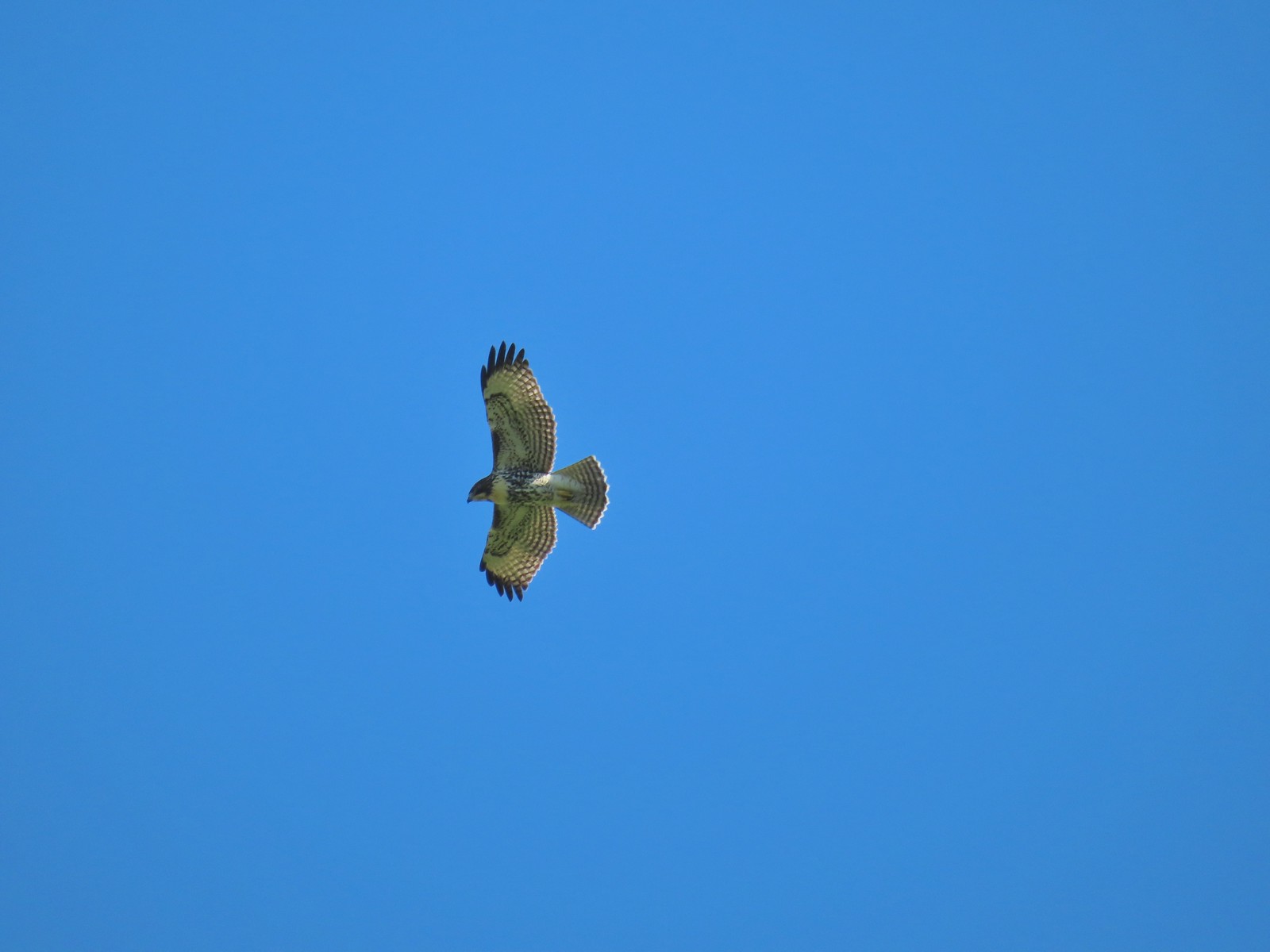 Hawk above Goodspeed Road.
 One path led down to Hall Slough ending in mud at it’s bank.
 A second path led north on what the GPS showed as a former road but it was too overgrown and flooded to make it far.
We wound up doing just 1.9-miles here including the out-and-back explorations.

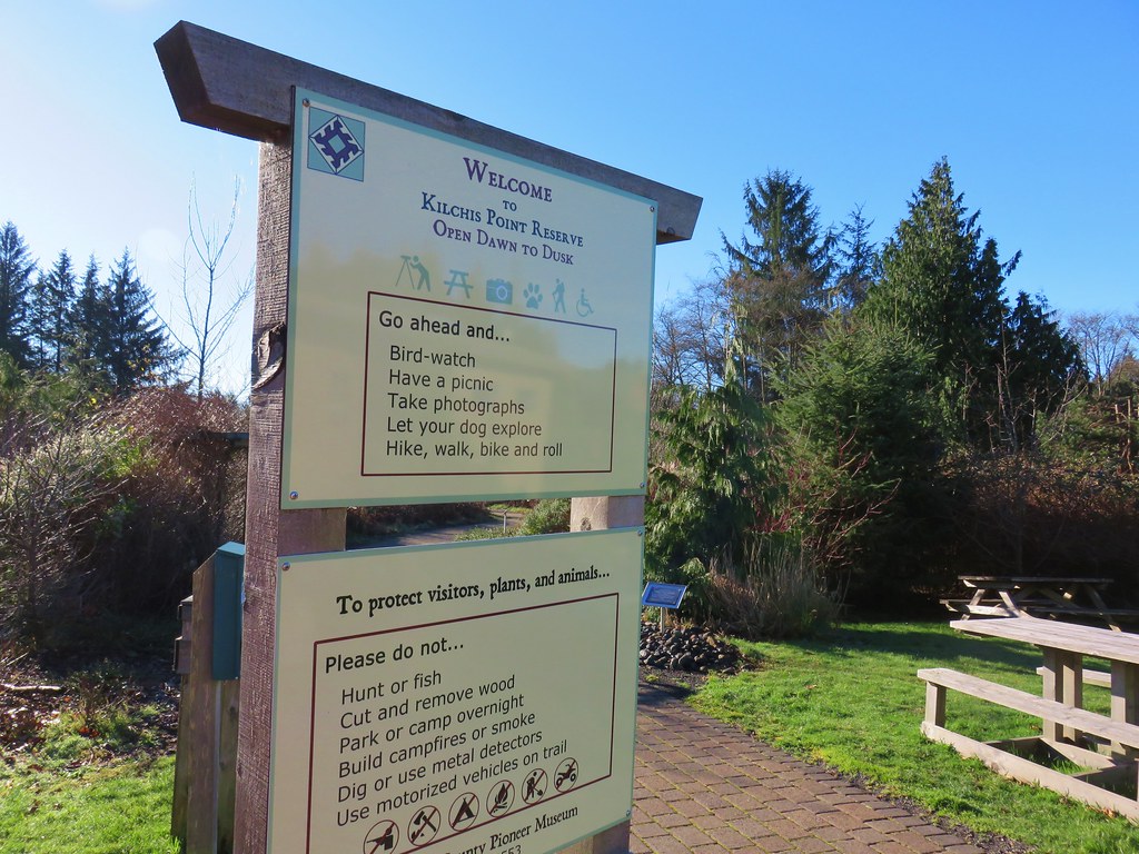
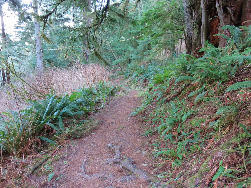
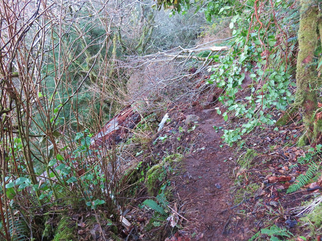
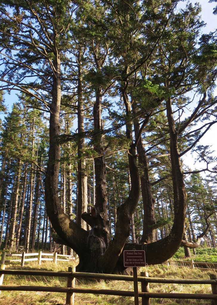
It was a fine little hike and we saw a nice little variety of birds, but it was a little disappointing not to be able to see any of the rivers. We had one last stop planned, another short hike I found in the Oregon Hikers Field Guide, the Anderson Hill Loop . The trail begins at Anderson Hill County Park to the right of a metal picnic table.


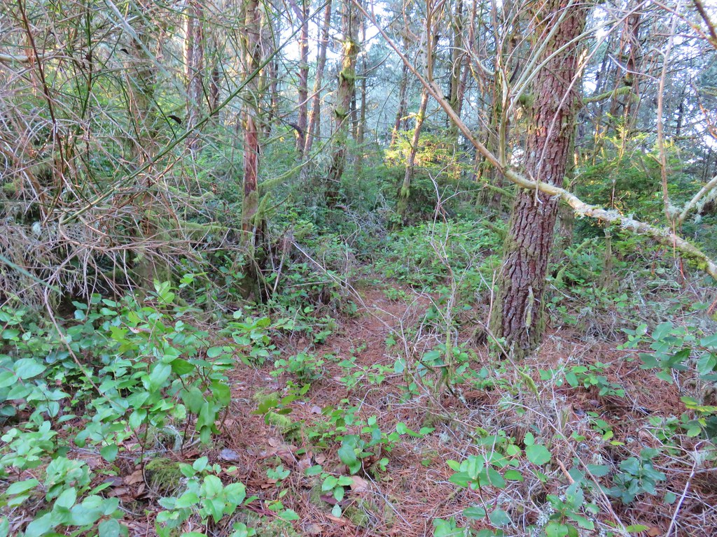
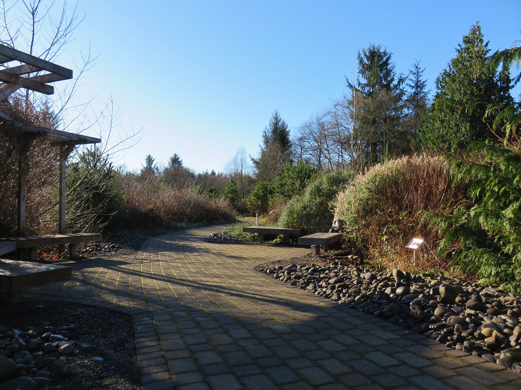
The 1.2-mile reverse lollipop loop gains just 130′ as it climbs to a power line corridor on Anderson Hill. The view from the power lines is of course limited due to the power lines, but the trail was in good shape and the forest was nice making for a decent little outing.

 Junction with the spur trail to the power line corridor.


 Footbridge and stairs leading back up to the picnic table.
The four hikes came to just 9.7-miles and 270′ of cumulative elevation gain and included ocean views, waterfalls, forests, wetlands, and ample wildlife.

It was a beautiful day weather wise and great way to end our season. We’ll scale back our hiking for the next 5-6 months, but we plan on getting out at least once a month until our 2024 season kicks off. Happy Trails!
Flickr: Tillamook Area Hikes


 Nehalem Beach ahead