**Note the 2024 Monkey Creek Fire burned over the access road to this hike but spared the trails.**
We were spending Memorial Day Weekend in Prineville primarily due to our plan to hike the Madison Butte Trail. This trail was a new featured hike in William L. Sullivan’s “100 Hikes Eastern Oregon” first edition. We had switched to this edition last year after deciding we were not willing to try and drive to Dug Bar in Hells Canyon (post). We were excited for this trail primarily due to the fact that it was located in an area of Oregon that we hadn’t previously hiked in. The trailhead is located in the Umatilla National Forest east of Highway 207 between Heppner and Spray.
 Sign for the trailhead along FS21.
We wound up parking along the shoulder instead of driving down the short dirt road to the official trailhead.

 This mud and torn up area was why we chose the shoulder instead.
The trail began at a gate and followed an old roadbed steeply uphill.

 Arnica near the trailhead.

The forest was a mix of ponderosa pine and juniper with numerous wildflowers.

 Broomrape
 Larkspur
 Death camas
 Lomatium and few-flowered pea-vine
 Lupine
 Woodland star
 Oregon sunshine

 Violet
 McClellan Mountain, Moon Mountain and Fields Peak (post) in the Aldrich Mountains.
 Balsamroot
At the 0.8-mile mark we passed a downed trail sign marking the junction with a spur trail to Tupper Butte.

 The clearer track to the left leads to Tupper Butte in approximately 0.3-miles. We continued straight on the Madison Butte Trail.

 The Strawberry Mountains with Strawberry Mountain (post) on the left and Canyon Mountain (post) on the right.
Shortly after passing the junction the trail entered a mixed forest and passed through a barbed wire fence.

 Glacier lily
 The fence in the distance.
After passing the fence the trail began a series of ups and downs as it followed a wide ridge. The first descent was long and steep as the trail dropped to the first of three saddles.

 Huckleberry

 Mt. Hood

 Old man’s whiskers
 Ball-head waterleaf
 Small bluebells
 Paintbrush
 Trail marker on the tree.
 One of two fresh piles of scat along the trail.
 The markers were helpful because the trail was quite faint at times.
 Slender phlox
 Shooting stars
 Rock outcrop along the trail at the 2.1-mile mark.
 View from the rock outcrop.
 Larches


 Chocolate lily
 Lance-leaf spring beauty
 Violets
 Madison Butte from the trail.
Just over 2.5-miles from the trailhead we arrived at Bottle Spring.

 Bottle Spring
 Pond below the spring.
 Glacier lilies
A short climb from the spring brought us to Madison Butte Road.

 Trail sign at Madison Butte Road.
We turned right on the road and followed it uphill for a mile to the Madison Butte Lookout.

 Blue-eyed Mary
 The Copple Butte Trail joining from the right.
 Mt. Jefferson poking up in the distance.


 Wild onions

There were a bunch of grass widows blooming below the lookout.


Access to the lookout platform was locked but I was able to climb most of the way up to enjoy the views.
 The Strawberry and Aldrich Mountains to the south.
 The Elkhorns (post) beneath the clouds.
 The Elkhorns with Mt. Ireland (post) the high point on the right.
 Looking SW we could see Mt. Jefferson and also make out the Three Sisters further to the south. Mt. Hood and Mt. Adams were also visible although partially obscured by clouds.
We took a nice long break at the summit and explored a bit before heading back.

 A rockcress
On the way down the road the butterflies were out, and we spotted a yellow-bell lily that we’d missed on the way up.
 Swallowtail
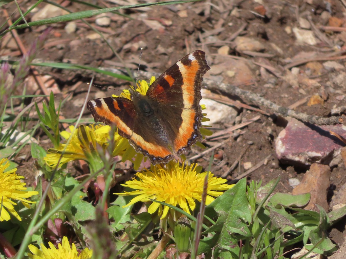
 Milbert’s tortoiseshell

 Skipper
As we neared the Madison Butte Trail we spotted a pair of hikers at Bottle Spring. I remarked to Heather that it would be funny if it were Cheryl and Greg, a pair of fellow adventurers. Cheryl is currently working on a book on Oregon’s lookouts, and we’d run into her last year on our hike to the Sand Mountain Lookout (post). That wasn’t the first time we’d crossed paths though. We had also run into her near Table Lake (post) in the Mt. Jefferson Wilderness in 2018 and in Jefferson Park a couple of years before that. As we neared the other hikers we realized it was in fact them. It turned out that they had discussed how funny it would be if they knew the people that owned the other car at the trailhead. We had a nice talk and learned that she was down to just 35 publicly accessible lookouts (out of over 150) to visit before heading our separate ways.
It was a quite hike down to the trailhead with Cheryl and Greg being the only other people we’d see here all day.
 Mushroom
 Fairy slipper
 A particularly large paintbrush.
 Orange tip
 Larkspur

This came in at 8.5-miles with 2540′ of elevation gain.

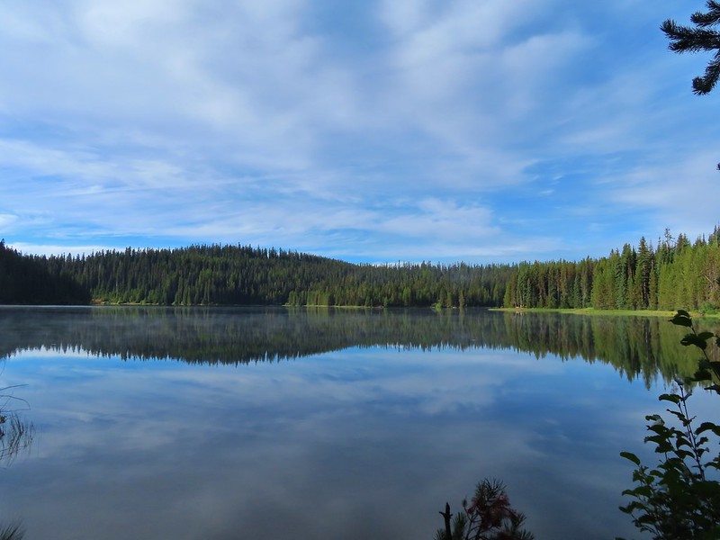
We had a second stop planned for the day at Bull Prairie Lake which was just three paved miles off of Highway 207. A 1.2-mile trail loops around the man-made lake which sports a large campground and day use picnic area.

We’d brought a sandwich and chips to have for lunch at the picnic area before taking the leisurely stroll around the lake.


 Violets

 Ring-necked ducks and an American coot
 Arnica
 Ducklings
 Ring-necked duck
 Fleabane?
 Camas
Camas
 A coot and a sandpiper
 Red-winged blackbird
 Our first eared grebe.
After completing the loop we drove back to Prineville and after the long day were looking for something on the quicker side for dinner so we tried The Dawg House. This turned out to be a good choice as the sausages and onion rings were a perfect post hike meal. Happy Trails!


 This squirrel was making an impressive amount of noise with its mouth full.
 Passing around one of the lake’s arms.
 One of several bridges over creeks.
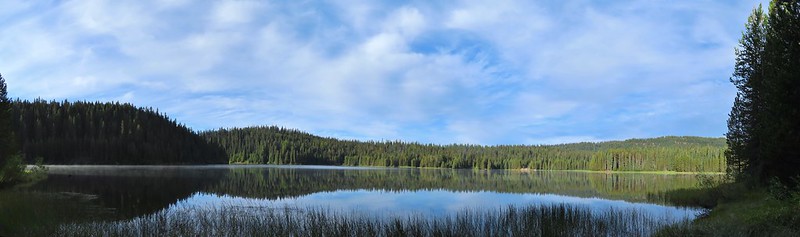
 Mergansers
 The view next to the bench.
 The view from the bench.
 Going around another arm.
 A checker-mallow
 Aster
Aster Forest as we neared the campground again.
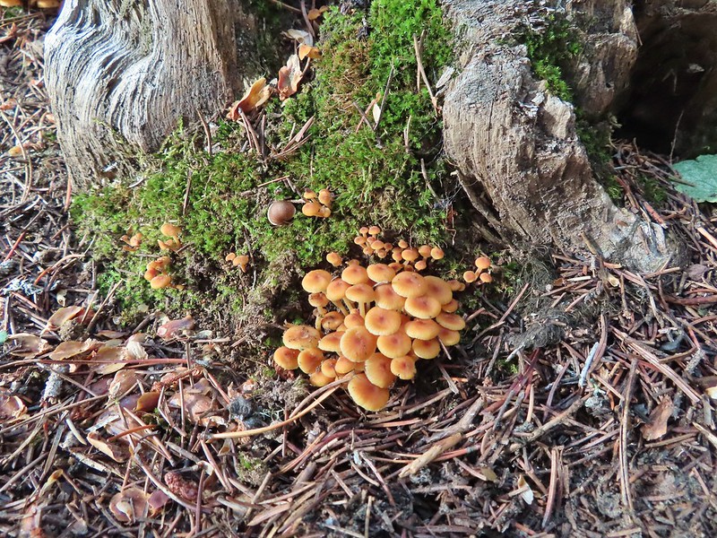
 Arriving back at the ramp.
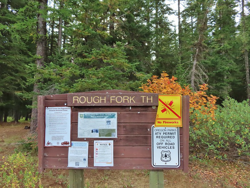

 The first part of the trail passed through a stand of trees.
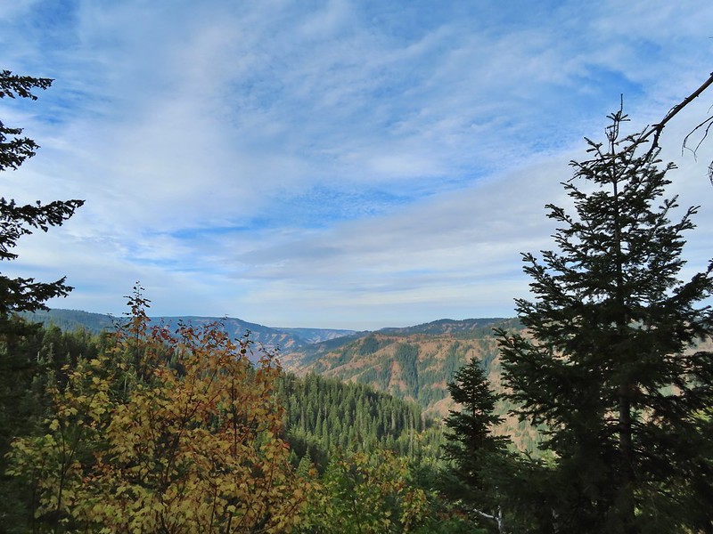 View to the west along the South Fork Walla Walla River canyon.
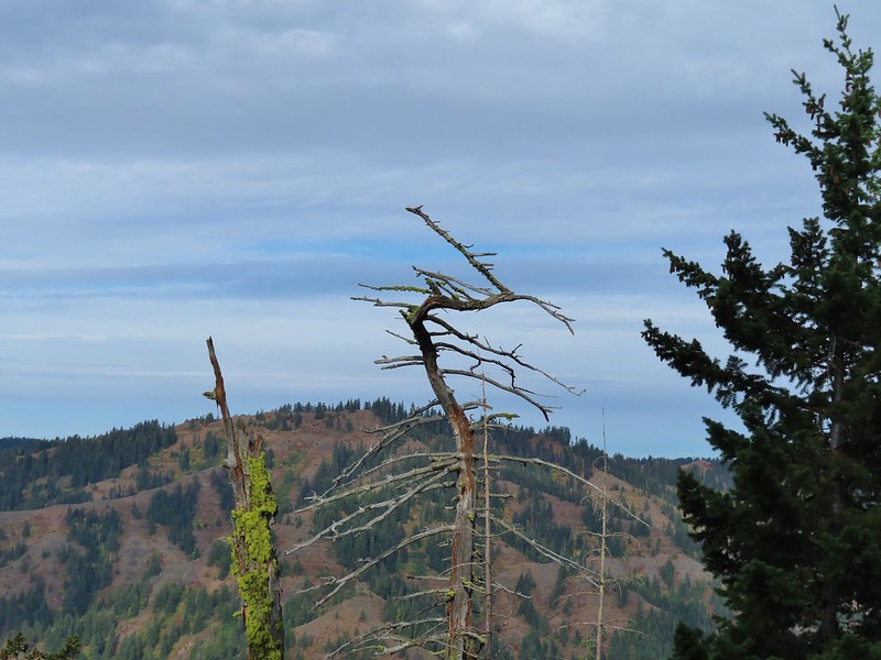 Loved the top of this tree.
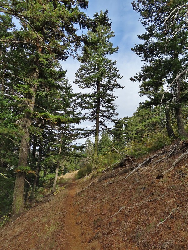
 Another view, there was just a hint of smoke in the air giving the hillsides a blue tint which is where the name “Blue Mountains” comes from. Apparently smoke has been a common occurrence here for a long time.
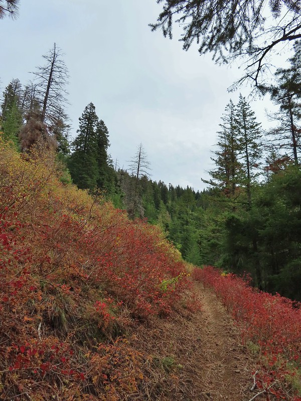
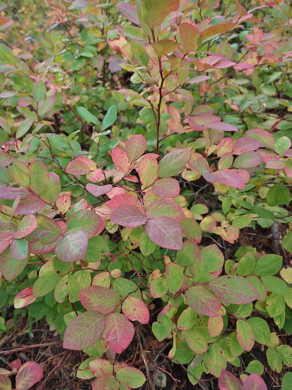 There was a lot more Fall color along this trail.
 Paintbrush
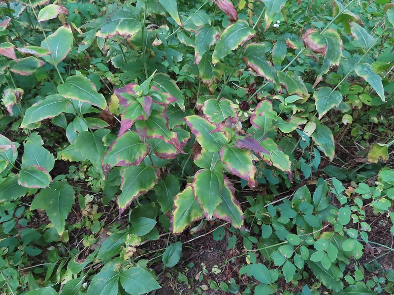 Cone flower
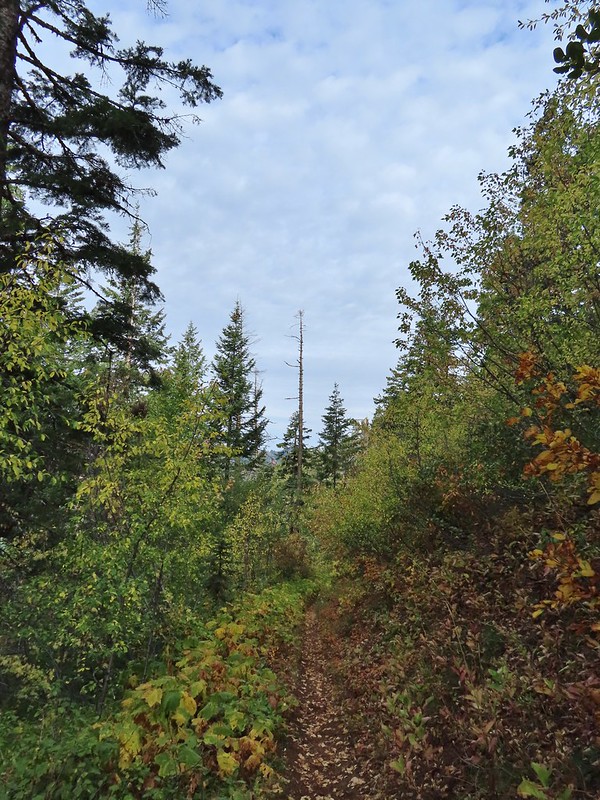
 Aster amid some thimbleberry leaves.
 Vine maple


 Looking down toward the Sheep Creek.
 Finally found the river.
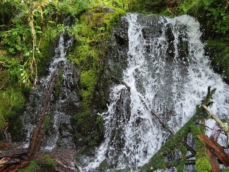
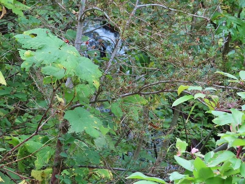 There was a 6 to 8′ waterfall along Sheep Creek but no way to get a clear view of it through the thick vegetation on a steep hillside.

 Two types of clover.
 Footbridge over the South Fork Walla Walla River.


 Reser Creek on the left joining the South Fork Walla Walla River just upstream from the bridge.
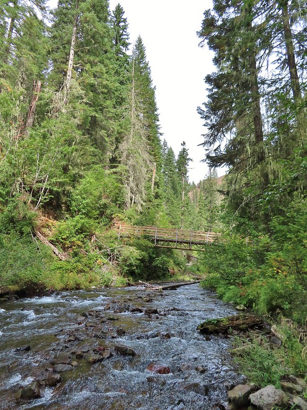 There were just enough exposed rocks for me to work my way downstream from the bridge to Sheep Creek.
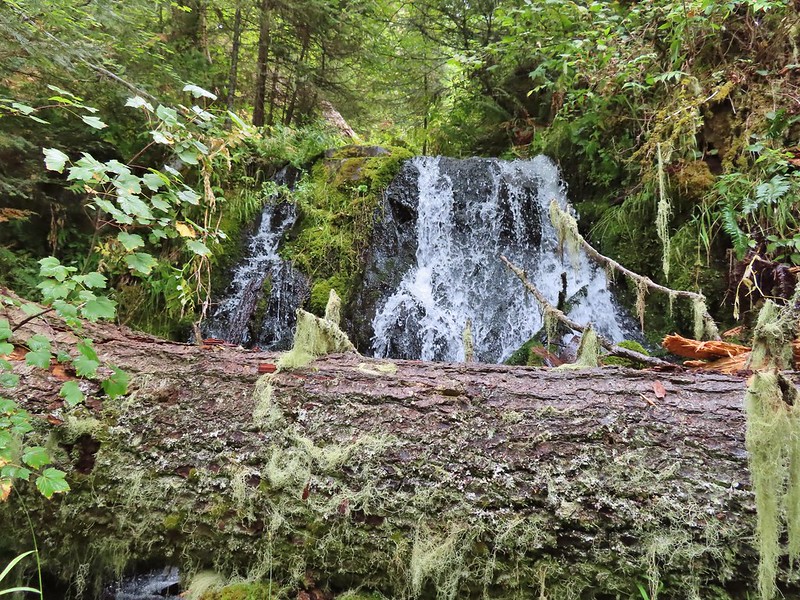

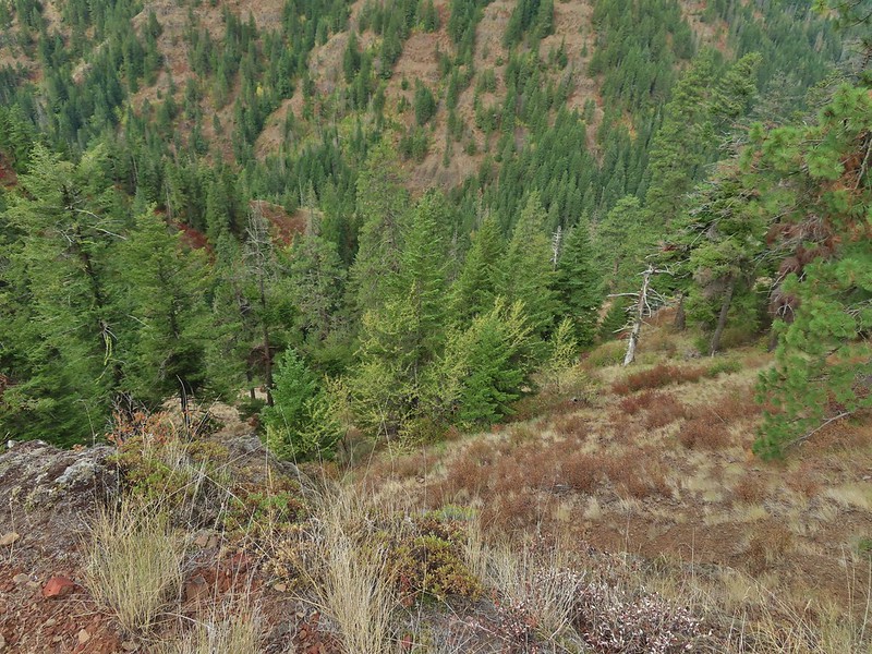
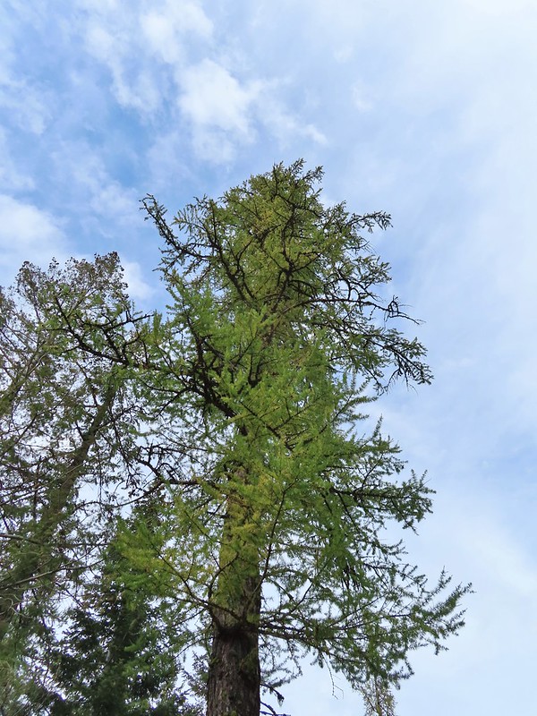 A couple of the larch trees were just starting to turn color for the fall.
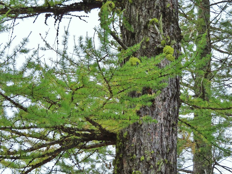

 A scarlet gilia blossom waiting to fall off.
 A final view back over the canyon with the crooked tree.