We kicked off our 2025 hikes with a multi stop day on the Oregon Coast. During our offseason, Nov-Apr, I spend a fair amount of time looking for hikes to add to our list of to-do hikes. The Oregon Hikers Field Guide provided me with three short hikes in and around Waldport Oregon that we had yet to check out.
We started our morning in Yachats at the Smelt Sands State Recreation Site.

We’d used this trailhead in 2020 for a hike on the 804 Trail. We set off on the 804 Trail again this time but after two tenths of a mile we turned right off the 804 Trail.
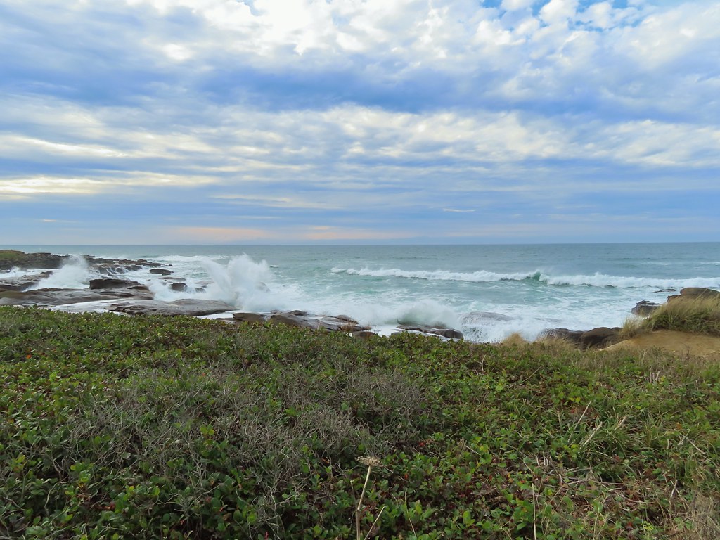
 We started with this hike in part due to it being the first day of the final king tides, abnormally high tides, for the season. High tide for Smelt Sands was going to be 9:45am so we were hoping to see some of the wave action.
 It was just before 8am as we hiked the 804 Trail.
 We made a mistake and turned right on the paved path here, but we should have continued beyond the large signboard to a second path marked by a wooden post. You can see the small white and black to the left of the green signboard. We may have been distracted by “Free Coffee” being printed on the bottom of the green sign.
We wound up walking through the Fireside Motel’s parking lot and out to Highway 101 via its driveway instead of the Overleaf Lodge & Spa. Either way we faced a choice at the highway. We could go directly across to Diversity Drive and walk up it 125 yards to the start of the Ya’Xaik Trail. (There are a small number of parking spots available at the end of Diversity Drive but be careful not to take any of the spots reserved for the townhomes here.) Our other option was to turn north (left) along the highway for a tenth of a mile and then cross (at the Earthworks Art Gallery) where we could pick up the public footpath at the Gerdemann Botanic Preserve. Please note that dogs are not allowed on the paths at the Gerdemann Botanic Preserve. Dog owners who would like to do a loop can find a dog friendly trail to the north of the fire station between the art gallery and Diversity Drive.
We chose to walk the highway shoulder to try and minimize the amount of traffic that would be passing by.

 This post is similar to the one along the 804 Trail where we should have turned right.

Information about the preserve.

The public entrance.
The path through the preserve is only about a quarter mile. The trail climbs gradually along Mitchell Creek with numerous interpretive signs. It also passes “Grandmother Spruce” a 300+ year old Sitka spruce that spans the small creek.

One of the interpretive signs on the left.
 Boardwalk over Mitchell Creek.

The plaque at the base of Grandmother Spruce.
 Grandmother Spruce
 The upper end of the preserve trail.

Pointer for the Ya’Xiak Trail on the far side of the upper gate.
Going right on the Ya’Xiak Trail would complete the loop to Diversity Drive, but before we did that we turned left on the unmarked Starr Creek Trail. This well maintained trail led a third of a mile to Starr Creek and Starr Creek Road. (Note there is no parking available at Starr Creek Road.)

The Starr Creek Trail.
 Mushrooms
 Approaching Starr Creek.
 Starr Creek

Starr Creek Road
After tagging the road we headed back to the Ya’Xaik Trail junction and followed it south for a third of a mile before it turned west and headed downhill to Diversity Drive.
 The upper gate at the junction.
 Ya’Xaik Trail
 The right hand fork here is the trail leading down to the fire station that dog owners can use to make a loop. A local had warned us that this trail can be pretty slick. We went left to remain on the Ya’Xaik Trail.
 There was a little climbing involved before the trail headed down to Diversity Drive.


 The Ya’Xaik Trail at Diversity Drive.

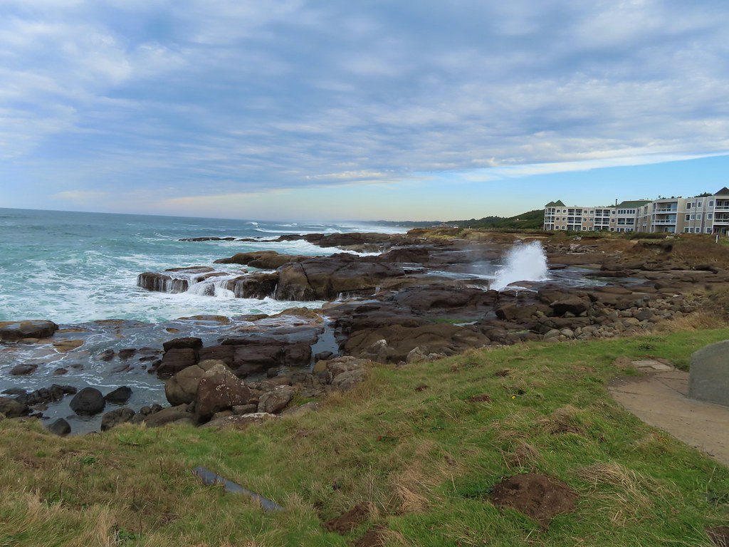
We walked down Diversity Drive, recrossed Highway 101, and returned to the 804 Trail which we followed back to our car. It was a little after 9am so it was still about 45 minutes from high tide, but there were already a lot of people watching the waves come crashing in.


Our hike here clocked in just under two and a quarter mile with a little over 225′ of elevation gain.

We could have extended this hike up to 14 miles by continuing north on the 804 Trail and then walking the beach to the Alsea River as we’d done in 2020, but since we’d already hiked that section of the Oregon Coast, we opted not to extend this hike but instead check out a different section of beach later in morning. From Smelt Sands we drove north on Highway 101 to Waldport and the John Maré Woodland Trailhead.

Simply put the three-quarter mile Woodland Trail runs between this lower trailhead and the Red River Disc Golf Course at Woodland Park off South Crestline Drive. The hike however is not simple, even with the fairly detailed descriptions in the OregonHikers Field Guide and a input from a local who provided some useful information. Abandoned roadbeds, trails connecting to neighborhoods, and paths used by the disc golf course create a web of interconnected trails/paths with the only signage being for the disc golf holes. With many pauses to check our map and the descriptions I believe we only took one wrong turn which resulted in us doing a figure eight near Woodland Park instead of a loop as we’d intended.
The trail set off from the interpretive signs at the trailhead and quickly crossed the Red River (actually just a creek).


 The Woodland Trail continues to the left while the right connects up to a road.


At the quarter-mile mark the trail crosses an abandoned roadbed.

It was at the end of this stretch where we ran into a local who gave us some tips on our route.
The trail climbed fairly steeply via switchbacks to another roadbed and after passing a cement barricade we veered left onto an unmarked path.

Just up this path we encountered the first signs of the disc golf course.


 A footbridge over the Red River below with a disc golf hole on the opposite ridge. We were able to use the OregonHikers Field Guide map to identify this connector trail as one we did not want to take. That map had many of the connector trails identified in red which helped keep our position located as well as keep us on the correct route.
We managed to arrive at the skate park having stayed on course.

The Woodland Trail between the skate park and playground.

Our (my) mistake came at a junction near the playground. I misinterpreted the map and had us turn right on a wide path at a junction then take a quick left when we should have stayed more of less straight.

I had taken one of the red trails then regained the OregonHikers route when we turned left only we were now hiking in the opposite direction of their route.

Heather was able to get me to understand my error and we simply looped back around to the playground then once again took the connector trail to where we’d turned left and this time turned right.

The right hand fork led us to a large opening which the local we’d spoken with earlier aptly described as a landing strip.


At the northern end of the opening the trail reentered the forest.

We continued to refer to the OregonHikers track to stay on the correct path which followed a ridge to its end above the Red River.


We dropped down to the footbridge over the creek and then continued straight on an abandoned roadbed.


The gentleman we’d spoken to earlier had mentioned these three sets of stairs.

We followed this roadbed back to the switchbacks where we’d encountered the local and at the bottom of the switchbacks turned right on another roadbed that led us back to the trailhead.

 The old roadbed at the bottom of the switchbacks.

Rainbow over the baseball fields at the trailhead.
This hike was just 1.6-miles with approximately 175′ of elevation gain.
 Woodland Trail on the left and our next stop, the Lint Slough Trail, on the right.
Our next trailhead was just under a mile drive away (0.4 as the crow flies) at the Lint Slough Trail.

This short out-and-back begins on a wide grassy track along the Lint Slough before becoming single track. There are several benches along the trail which according to the city is approximately 0.8-miles long, but we only managed to get half a mile out before we lost the tread in the vegetation.


 Memorial plaque
 There was a bypass uphill for this short flooded section.
 There were a number of bufflehead ducks, a pair of geese, and one noisy great blue heron at the slough. All of the wildlife seemed to be positioned as far away from the trail as possible.
 The great blue heron in a tree across the slough.

 This little group of buffleheads was the exception.

 I turned around at this bench due to not seeing an obvious continuation of the trail here. I had also lost Heather who had stayed up to avoid the flooded section and instead of returning to the trail I was on, on the other side of the flooded bench, stayed up on the higher path. That path began leading up uphill away from the actual trail without another way to get back to the correct path. She wound up backtracking and we met shortly after I had started back.
 The slough from my turn around point.

A little blue sky reflecting in the water on our hike back.
 Yarrow
 Bull thistle (non-native)
 Rose (probably non-native)
From Lint Slough we drove back to Highway 101 and headed north toward Newport and stopped at the Driftwood Beach State Recreation Site.


The king tide was now heading out which provided us with the ability to walk the beach and enjoy the breaks in the clouds giving us some much-needed glimpses of blue sky.

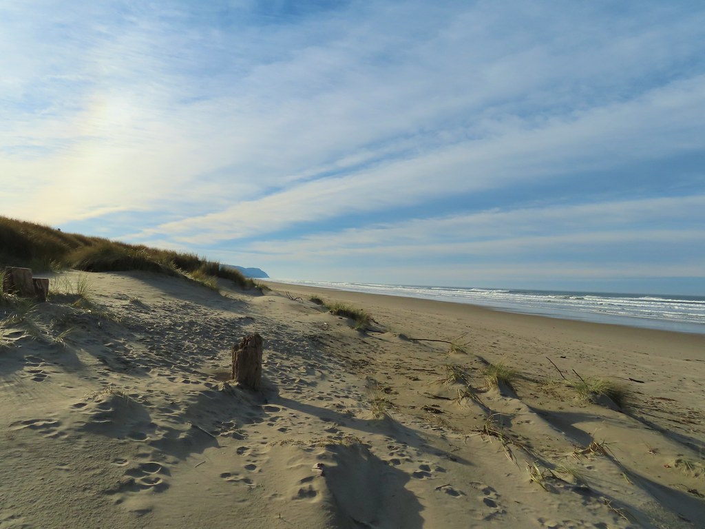
 Looking north along the beach.
 The view south.
We headed north first in the direction of Seal Rock (post). We turned back after 0.4-miles at a creek on Holly Beach.
 The wet sand and debris from the high tide was up to the vegetation along much of the beach.

 We decided to turn back at the creek partly to avoid crossing it, but also because we had been walking into the wind. It wasn’t a particularly cold day, but the wind chill was almost making it uncomfortable.
 Seagull with a crab.
We decided to continue south past the recreation site though to add a little time and distance to our day. (Our rule of spending as much time hiking as driving was in jeopardy of being broken.) We hiked 0.6-miles to the south turning around once we were confident our self-imposed rule wouldn’t be broken.
 Cape Perpetua (post) to the south.

 Buckley Creek
 We had to ford Buckley Creek which was only a couple of inches deep at most.

 Semipalmated plovers
 Western gull
 Heading back north.
 The path back up to the parking area at Driftwood Beach.
This was a quiet 2.1-mile walk on the beach. We only saw a couple other people and at Noon the parking lot was nearly empty.


The weather held up great for us. I think we drove through at least one rain shower every time we were in the car except between the Woodland and Lint trails, but we never got rained on. The four hikes came to just 6.9-miles with 425′ of cumulative elevation gain making it a good early season outing. With the exception of the 804 and Ya’Xaik trails these probably aren’t destination hikes, but they were enjoyable hikes and would be worth a visit if you were staying nearby or in the area and looking for a quick outing. Happy Trails!
Flickr: Waldport Area Trails


 Looking back south as the sunrise paints the clouds.
 A house on the cliffs.

 Seagulls outnumbered people in the early part of the day.


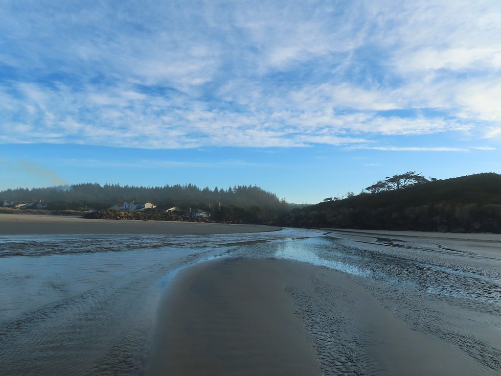
 Vinge Creek, about a mile down the beach, was crossable on small rocks.
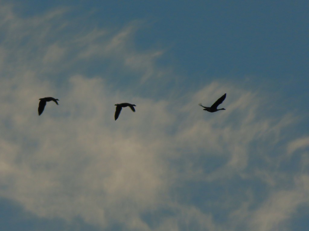 Geese flying overhead, we couldn’t make out what kind.
 At first we thought there were two weather vanes on the houses, a whale on the right and a heron on the left.
 It turned out to be a real great blue heron (but the whale was a vane).
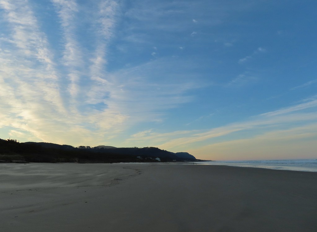 Looking south toward Cape Perpetua (
 View north.
 Sunlight on the wave tops.
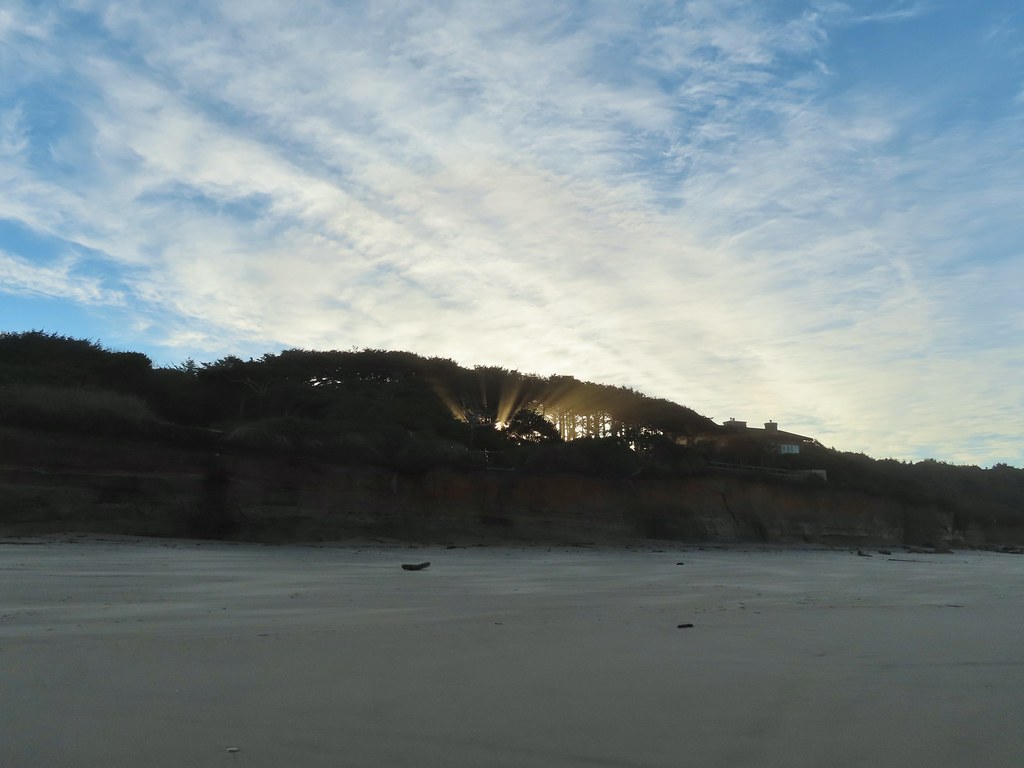 Sunlight bursting through the trees.
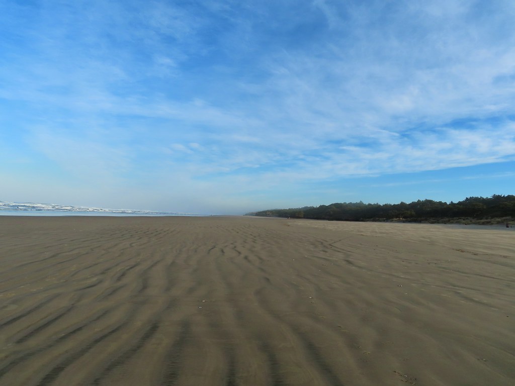 Wavy sand.

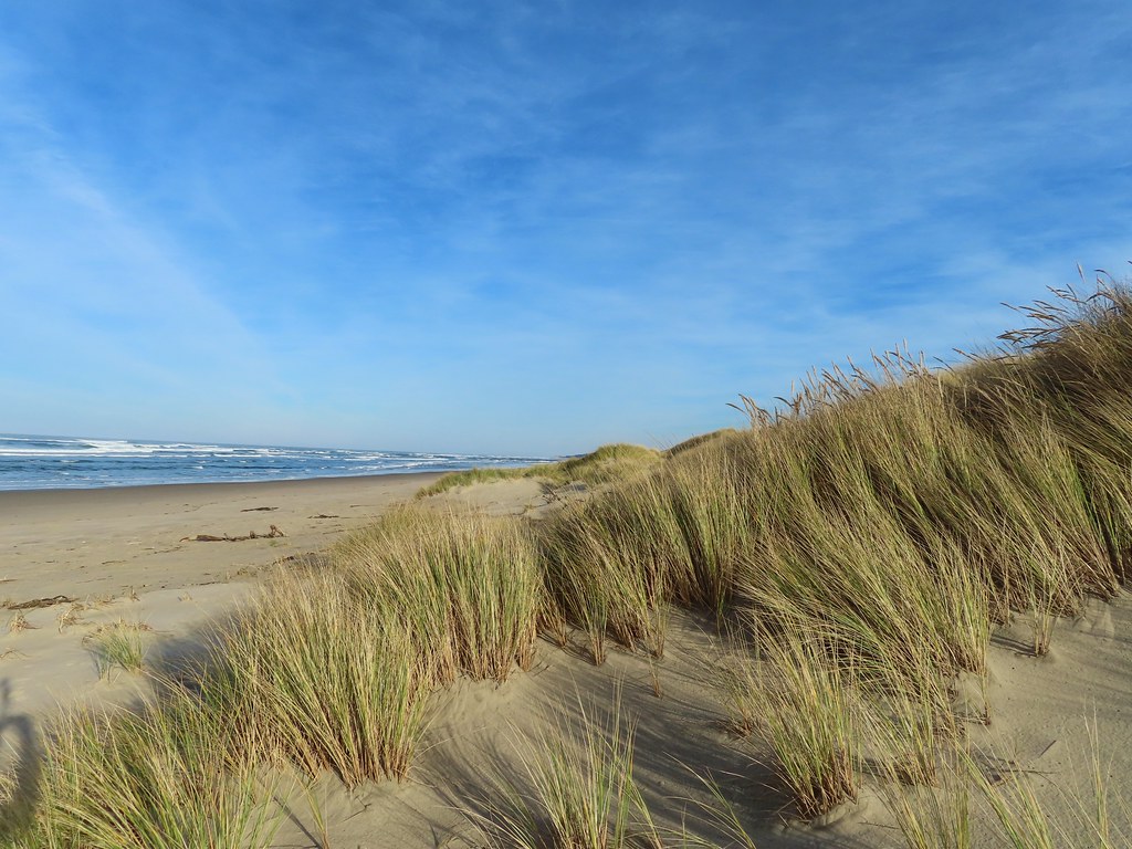
 Cape Perpetua from the dunes.
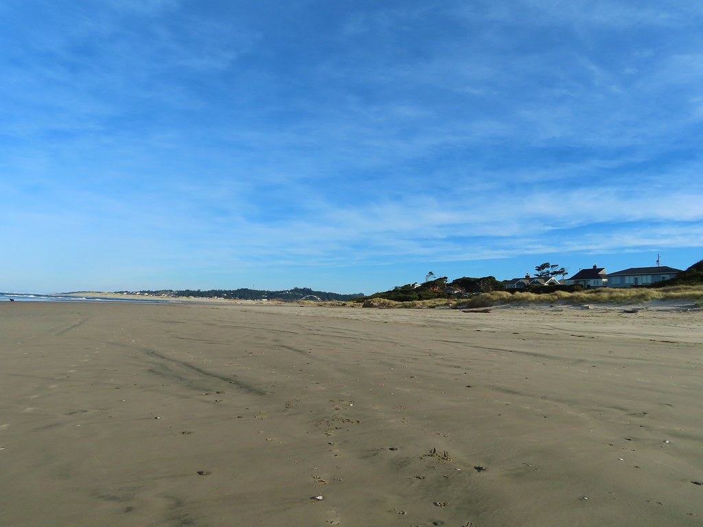
 Testing the 40 zoom feature on the Canon SX740HS.
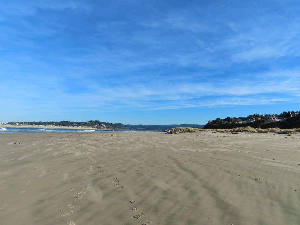 Heading for the log.
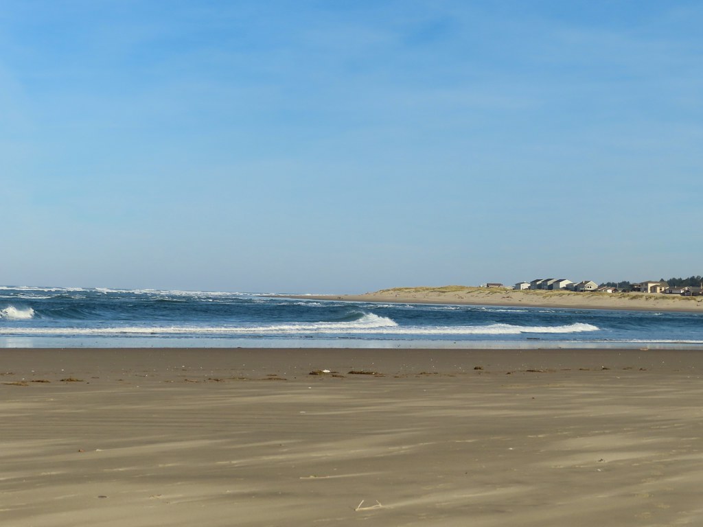
 View from the log.
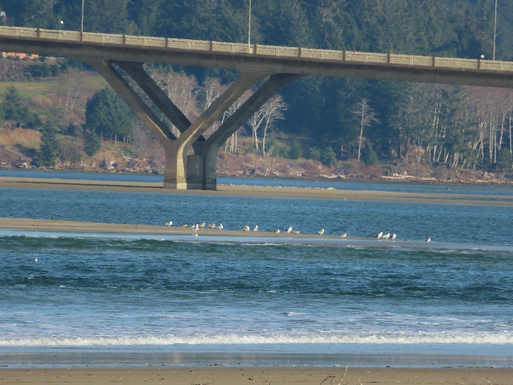 More testing of the zoom function. Seagulls on the near sandbar and seals on the one on the other side of the bridge.
 Looking at the dark cloud bank over the Pacific.
 Seal
Seal A little more cloud cover to the south over Cape Perpetua.
 More cloud action.
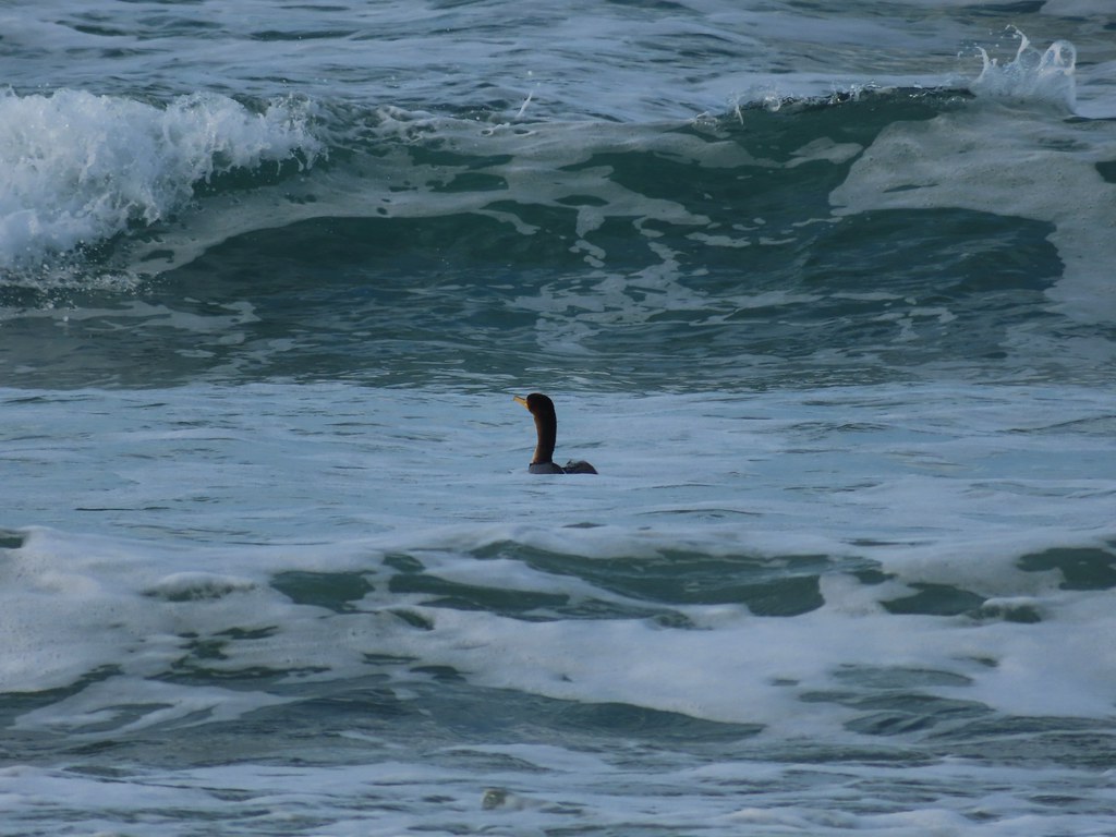 Cormorant
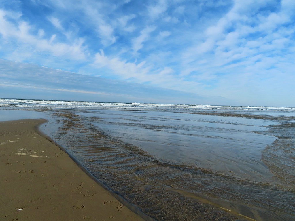 Reynolds Creek after fording.
 Finally starting to feel like it could start raining soon.
 The advancing line of clouds.
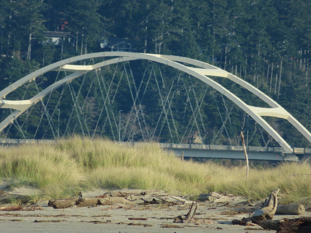
 Another look at the arch.
 A kingfisher near the stairs up from the beach.
 December blossoms on salal along the 804 Trail.