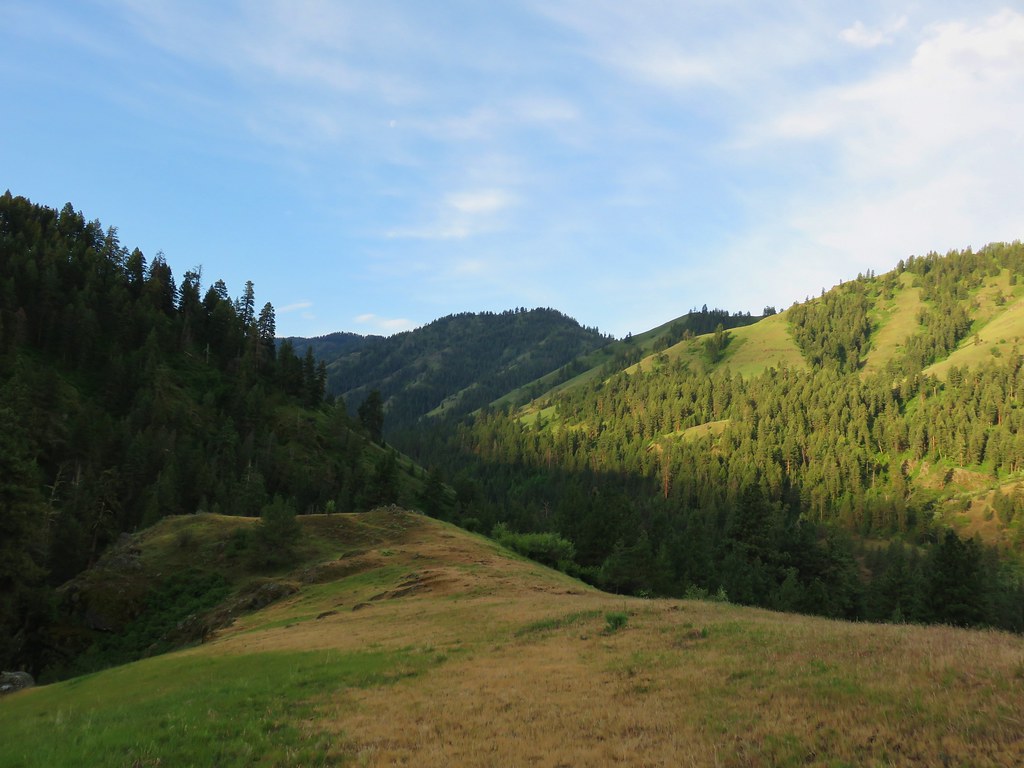
With dozens of fires already burning across Oregon another round of thunderstorms were forecasted for Wednesday afternoon/evening. We’d decided on the hike to Bonny Lakes which Sullivan had a 7.8-mile option, an 11.8-mile option, and a 16.3-mile loop. Once again we opted for the shortest option to avoid the heat and storms and to try and to keep the strain on my left leg as low as possible while still finishing one of the featured hike’s options.
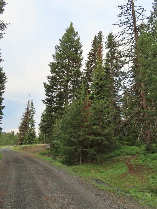
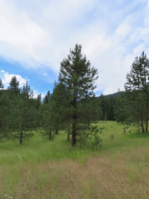
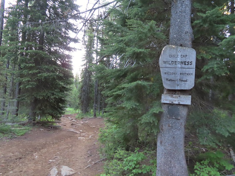
After driving the very rocky Forest Road 100 we parked at the Tenderfoot Trailhead and set off on the Tenderfoot Wagon Road which quickly entered the Eagle Cap Wilderness.
 We managed to get started about ten minutes before 6am.


The trail brought us to a ford of Big Sheep Creek. We could have forded across, but then we noticed an old log bridge downstream. We backtracked up the trail and found a spur trail leading to the birdge.

 Bugbane and paintbrush
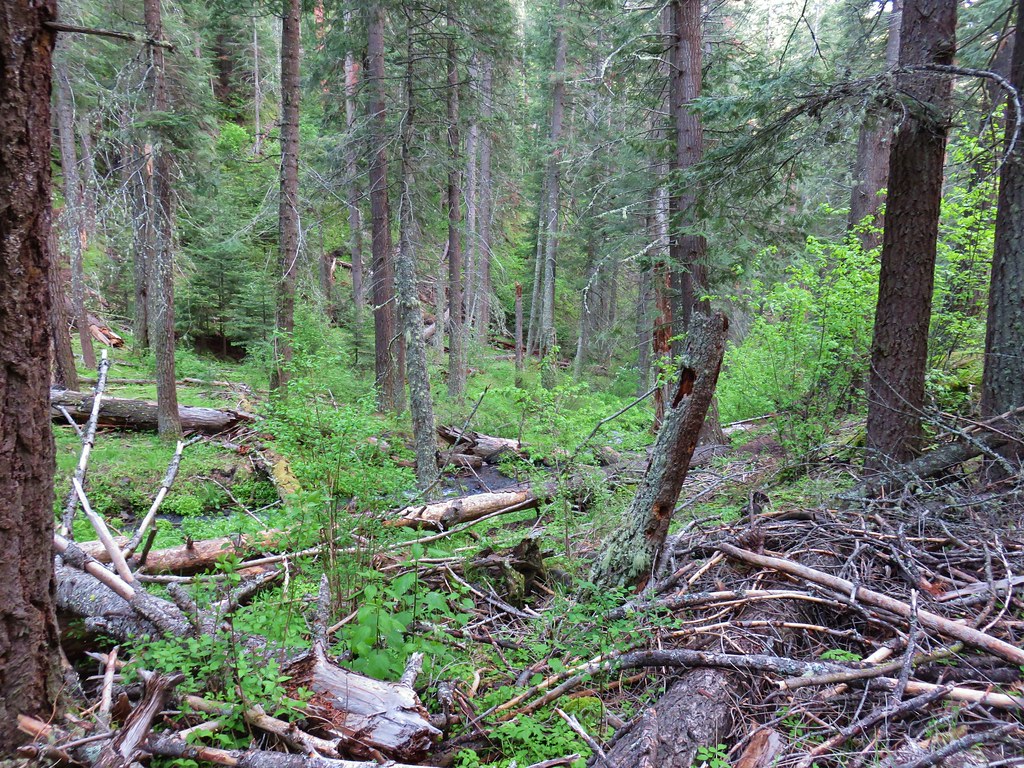
 A 2022 wildfire burned the first 3-miles of the trail and left the old footbridge damaged. A steep scramble trail led down to it.
 Big Sheep Creek
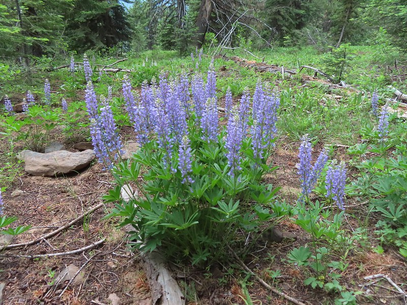
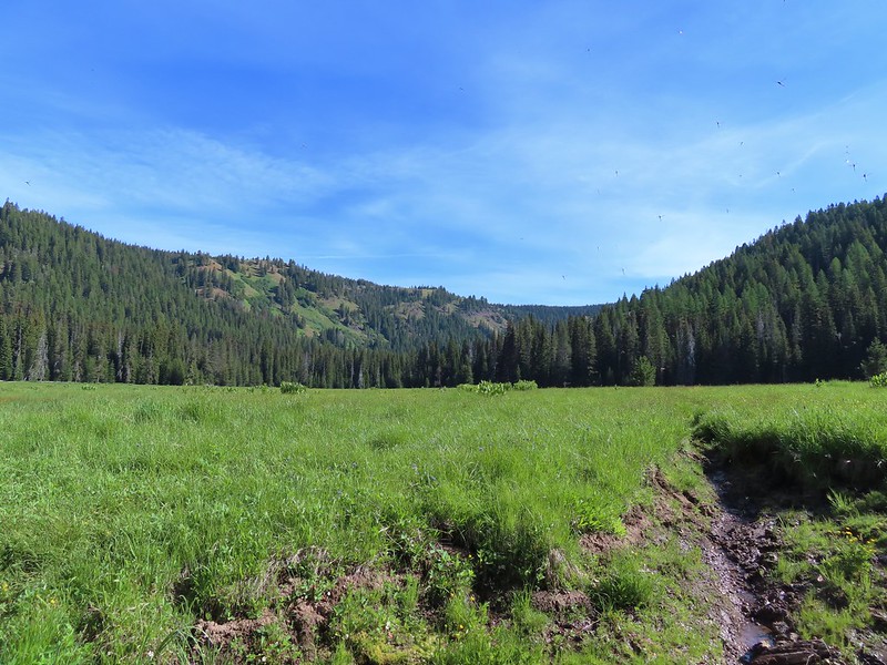
After crossing on the damaged bridge we rejoined the Wagon Road and began climbing through fields of wildflowers.


 Paintbrush and lupine
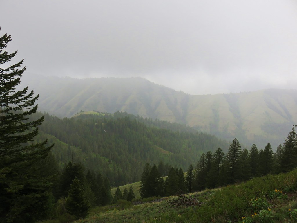
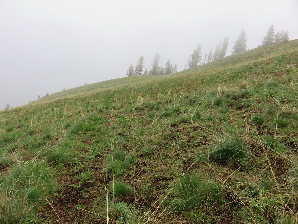
 Wildfire smoke filling the valley behind us.
The trail leveled out and continued to climb gradually arriving at a junction just before the North Fork Big Sheep Creek at the 1.1-mile mark.


 Phacelia
 Butterfly on buckwheat.
 Some of the trees survived the fire.
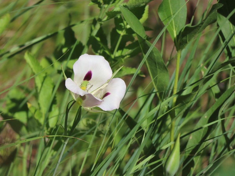
 White mariposa lilies in a meadow along the trail.
 Junction with the Wing Ridge Trail.
 North Fork Big Sheep Creek
 Lewis Monkeyflower along the creek.
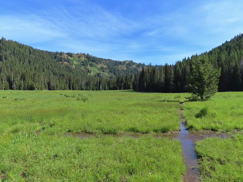
The trail crossed the creek and continued the gradual climb past more wildflowers and several more streams for 1.2-miles to another junction. Portions of this section of trail burned fairly intensely damaging the soil and leaving little vegetation, but other areas were covered in colorful flowers.


 Canada milk-vetch
 Grass-of-parnassus
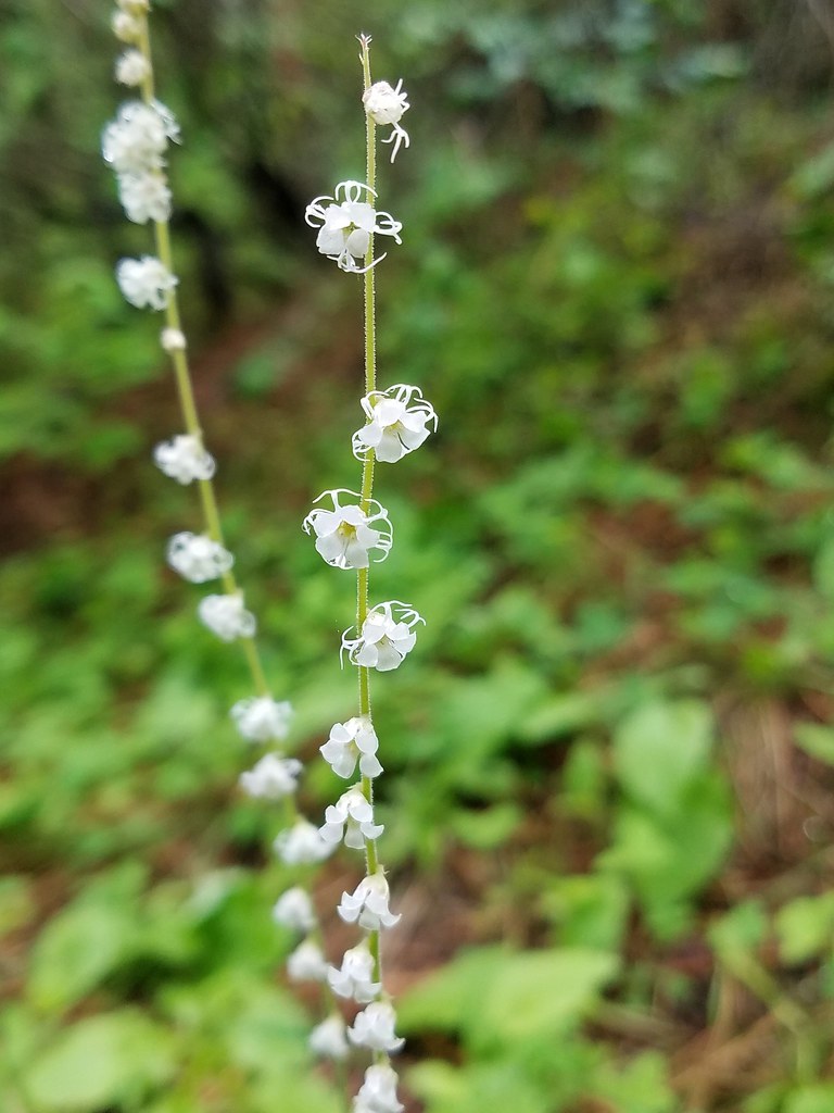
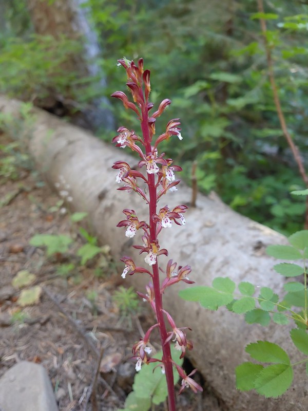
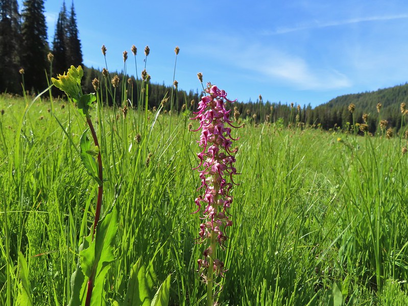
 Bog orchid
 Checker-mallow
 Bee heading for some monkshood.
< Me in some fireweed.


 Getting eyed by a western tanager.


 When fires burn too hot they damage the soil which makes it difficult for all plants to obtain the necessary nutrients to grow.
 A few plants had been able to take hold.

 A healthy patch of paintbrush.

 Middle Fork Big Sheep Creek
 Monkeyflower
 Brook saxifrage

 Another severely burned section.
 The Bonny Lakes Trail forking to the right off of the Tenderfoot Wagon Road Trail.
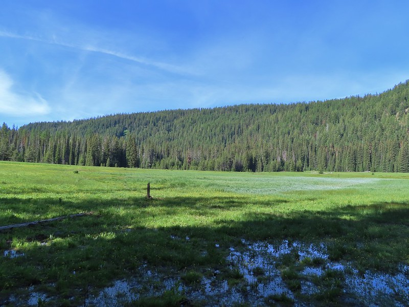
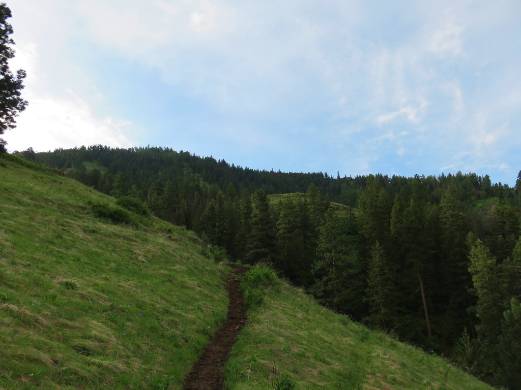
We turned onto the Bonny Lakes Trail which continued through the fire scar for approximately another half mile before reaching unburned forest.

 Wildflowers along the Bonny Lakes Trail.

 The wildflowers were profuse along this stretch of trail.
 American sawwort
 Police car moths
 Larkspur and fleabane

 The trail recrossed the Middle Fork Big Sheep Creek.
 Orange agoseris

After recrossing the Middle Fork Big Sheep Creek the trail followed along it as it climbed toward the Bonny Lakes.


 Taper tip onions
 White mariposa lilies


The trail came to a rock outcrop a half mile before reaching the lakes where it suddenly steepened. As I approached the rocks I heard an animal sound an alarm. A moment later I spotted a pika.

 False hellebore
 Checker-mallow
 Penstemon on the outcrop.
 Mountain larkspur
 Pika!
Pika!
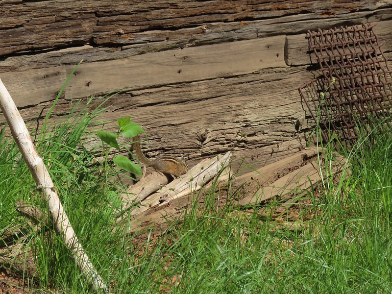
 Gathering plants for the Winter store.


 On the steep climb.
 Mountain heather
After the steep section the trail relented a bit and soon rejoined the creek on the final climb to Lower Bonny Lake.
 Ground squirrel

 The creek was below between the ridges here.


 Stonecrop

As we were passing above a marshy area along the creek filled with swamp onions Heather spotted a monarch butterfly.
 Swamp onions


 Wallowa paintbrush
 Aneroid Mountain and Lower Bonny Lake.
 Aneroid Mountain to the right and an unnamed peak on the left.
The lake was beautiful. We followed the trail around the east side of the lake crossing a connecting creek between the two lakes.


 Shrubby cinquefoil
 Cutleaf anemone seed heads.
 Possibly a sandwort.
We followed the trail up a knoll to get a view of Upper Bonny Lake, then left the trail to climb to the top of the rocks to get a view down to the meadows behind the lower lake.


 Upper Bonny Lake
 Lower Bonny Lake

 Aneroid Mountain from the knoll.

After exploring the knoll we headed back down to the lower lake to admire the view once more before starting back.

 Spotted sandpiper

 Elephants head


 White mariposa lily and buckwheat
 Jacob’s ladder

 Checker-mallow and white mariposa lilies along the trail.
 Scouler’s woolly-weed


 Gentians


 Goldenrod and yarrow
 Nuttal’s linanthus


 North Fork Big Sheep Creek
The McCully Creek Trail is shown on maps as joining the Tenderfoot Wagon Road Trail just to the west of the North Fork Big Sheep Creek crossing but neither of us noticed any sign of its existence. That trail theoretically climbs to Big Sheep Basin then over a pass to McCully Creek where we’d hiked the previous day (post). After taking a short break at the creek crossing we hiked the 1.1-miles down to the damaged bridge and then back to the trailhead.

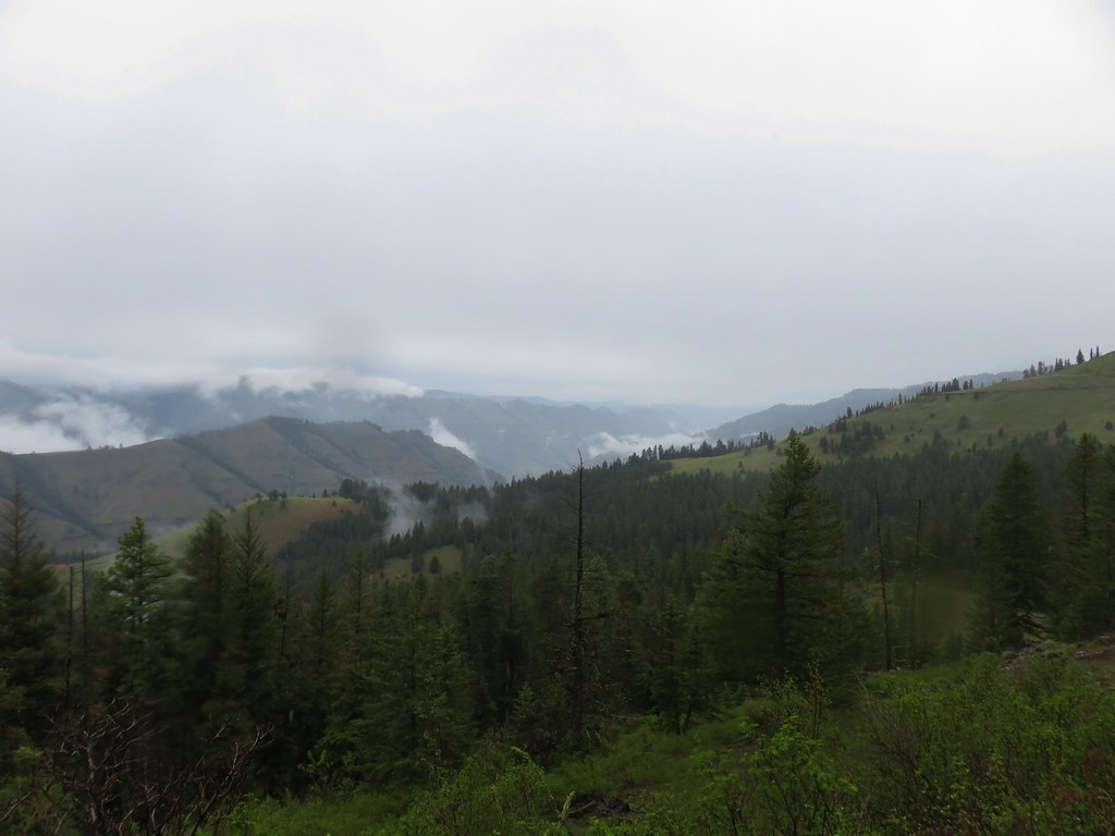
 The haze from the morning had improved now that the Sun had moved on from the east.
 Looking down at the un-damaged bridge over a side stream.

 Yellow columbine
 Big Sheep Creek.
This hike came to 9-miles with a little under 1500′ of elevation gain due to us wandering around a bit at the lake and a couple of other times along the trail.

We drove back to our room in Enterprise and ordered pick-up from Thai Enterprise which Heather picked up shortly before a strong thunderstorm passed through. A little before 5pm we heard the first boom then the wind really picked up. Emergency vehicles were racing through town and debris was flying all over for about 15-20 minutes. The winds calmed down, but the thunder continued off and on for several more hours. We were watching fire reports closely and a new start, the Camelback Fire, was reported at 4:43pm near Highway 82 which was our route home on Friday. Interstate 84 was already closed along with several other highways due to various fires so we were starting to wonder if we would be able to get home. Fortunately the Oregon Department of Forestry was able to jump on this start quickly had managed to have it contained shortly before 10pm. We were also uncertain as to if we would be able to do our planned hike to Minam Lake the next day or if new fires would be ending our vacation early. If that were the case at least we’d gotten to see the wonderful wildflowers and Bonny Lakes which was our favorite hike of the trip thus far. Happy Trails!
Flickr: Bonny Lakes


 East Peak
 Spreading dogbane
 The start of the McCully Creek Trail (to the left).


 Paintbrush and pussytoes along with the lupine.
 Pink pyrola
 Monkshood
 Tall bulebells
 Penstemon
 Entering the Eagle Cap Wilderness.
 Yellow columbine
 Arnica and fleabane
 Coiled lousewort
 The McCully Creek crossing.
 Elephants head at the crossing.
 Paintbrush in the meadow.
 Fleabane (or aster) in the meadow.
 Wallowa paintbrush
 Cusick’s speedwell

 The first blowdown we encountered.

 Heading cross-country to McCully Creek.
 Where I recrossed the creek.
  Heading down to a flat opening which could serve as a campsite.
 Arriving at the first meadow.
 Aneroid Mountain

 A few flowers in the meadow.
 Bistort
 Shooting stars

 Looking down toward where I left the trail to bushwack to the meadow.
 Jacob’s ladder
 Orange agoseris
 Fritillary
 Crescent
 Bog orchid
 Tortoiseshell
 Red-breasted nuthatch


 The gate on the service road had been opened at some point.
 Swallowtail


 Canadian milk-vetch
 The Falls Creek Trail on the right.


 Mock orange
 The Falls Creek crossing.
 Twin Peaks from Falls Creek.
 Geranium
 Paintbrush

 A paintbrush hiding in fleabane.
 Robin
Robin The trail crossed a rocky area caused by an avalanche.
 Doe with one of her two fawns that were down at the creek at the avalanche area.
 Mountain death-camas
 The Hurwal Divide to the left of Sacajawea Peak.
 Rosy pussytoes
 Hurricane Divide (south)

 Deadman Creek
 Western tanager
 Hurricane Creek


 Slick Rock Creek flowing down from the right in the distance.


 The creek crossing.
 Harebells and stonecrop
 Paintbrush below the falls.
 Arnica
 Wallowa paintbrush, yellow columbine, milk-vetch, and northern sweetvetch.
 Faint rainbow in the falls.
 Butterfly on Rocky Mountain goldenrod.
 Yellow fleabane
 This may be common butterwort, but I’m not positive.
 Yellow columbine
 Spider hunting a moth. There was a brief scuffle, but the moth escaped unharmed.
 Penstemon

 Sagebrush mariposa lily

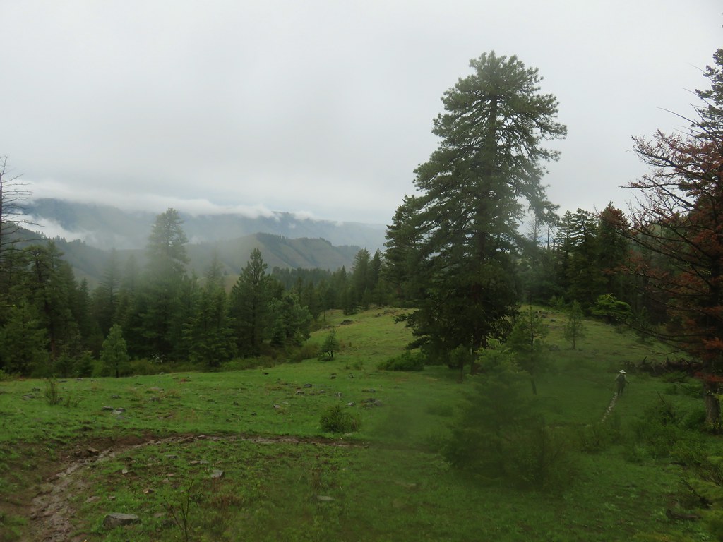
 Despite all the wildfires the views were pretty good as long as the Sun was at our backs.


 Nuttal’s linathus
 Wood nymph
 There was haze to our backs though.
 Rose along the trail.
 A Sulphur butterfly.
 A pale crescent on fleabane.


 It was a little before 6am when I started up to the lakes.
 There was an interesting amount of sagebrush along the lower portion of this hike.
 There was still some smoke in the air, but it was quite a bit less than it had been the day before.
 The trail initially seemed like it is heading up this valley before it crosses over a ridge and heads for the Echo Lake basin.
 From this trail the route of the Tombstone Lake Trail was visible.
 Waterfall along Olive Lake’s outlet creek. One of the switchbacks along the Tombstone Lake Trail is just to the right.
 Tasselflower brickellbush
 There was a lot of paintbrush along the trail.
 Paintbrush and I believe fading false sunflowers.
 Penstemon and paintbrush
 Western snakeroot
 Pika!
Pika!
 View across the valley.
 The trail approaching the outlet of Echo Lake.
 Above Echo Lake Falls which wasn’t visible from this trail.
 Groundsel, lupine, and fireweed along the creek.
 Sunrise in the basin.


 The pond.
 Gray sagewort
 Looking back toward the valley and pond.


 The spur trail.
 Spotted sandpiper


 Spirea
 A no fires beyond this point sign. Several of the lakes in the Eagle Cap Wilderness are in no campfire zones.
 Fleabane or aster lining the trail.
 Two types of lousewort.
 Echo Lake hidden by the trees.
 Pearly everlasting along the trail.
 Looking down at that trail from above the blowdown.
 Bluebells
 Echo Lake from the ridge end.
 The Elkhorn Mountains (
 Arriving at Traverse Lake.

 Golden-mantled ground squirrel
 Yellow Wallowa Indian paintbrush
 Columbian ground squirrel
 Cusick’s speedwell
 Remember that no fires sign? (Sigh)


 Monkeyflower
 Globe penstemon
 Gentians along the lake.
 A lone paintbrush.
 The blowdown at the far end of the boulder field.
 White mariposa lily
 Arnica
 Swamp onions
 Echo Lake
 The pond below on the left.
 Passing through the meadow.
 Paintbrush and fireweed
 Above Echo Lake Falls.
 West Eagle Meadows in the valley in the distance.
 Zoom in on West Eagle Meadows.
 Looking down at the switchbacks.
 Heather had also warned me about this blowdown over one of the switchbacks. There was a steep reroute that bypassed the trees.
 There were some interesting cloud formations on the way back.
 There was also an increase in the smoke.
 Can you spot the pika?
 Pika (possible the same one from earlier given the location).
 Paintbrush and buckwheat
 Yellow columbine

 Another pika at the end of this switchback.
 The Tombstone Lake Trail junction ahead.

 Swallowtail photo bomb.
 West Eagle Creek Crossing.
 Sphinx moth
 Leaving the Eagle Cap Wilderness.
 Squirrel
 West Eagle Meadows
 It’s hard to see here but there is a trail post at this fork with a point to the left. This is for the horse camp and not the way back to the
  The trailhead in sight.
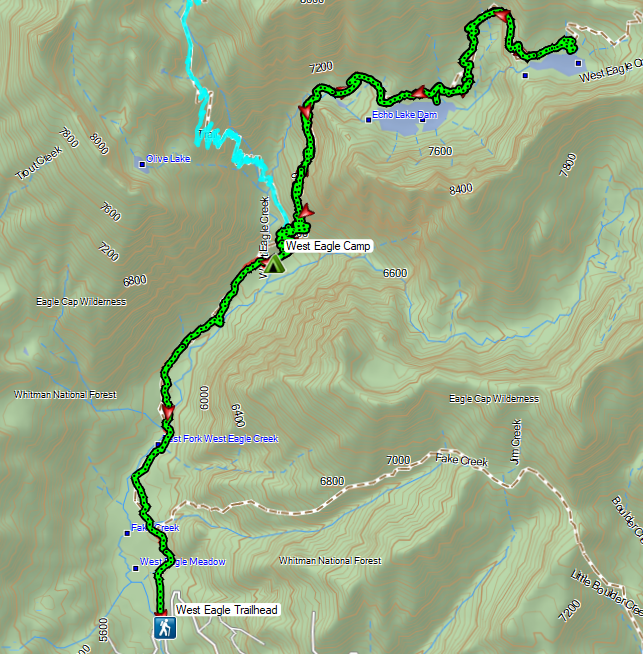
 Flax
Flax Jacob’s ladder
 The path from camp meeting the West Eagle Trail.
 It was a little before 6:30am when I started.
 Switchbacks would be a theme for these last two days.
 The trail junction on the ridge ahead.


 The West Eagle Creek crossing.
 There was a large waterfall on West Eagle Creek flowing from Echo Lake’s basin on the right.
 Echo Lake Falls
 There was a waterfall ahead at the end of the switchback here, but it was mostly obscured by vegitation.
 It was fairly smokey looking ESE in the morning.
 Wildflowers along the trail.
 Several switchbacks were along this tributary of West Eagle Creek. This particular spot would provide me with much needed water on my descent.
 It looked like there might be a bit of a waterfall along this stream as well.
 Looking up the stream at another cascade.
 The upper portion entered an old fire scar and sunlight which heated things up quickly.
 Northern flicker
 Every time I thought I was at the basin the trail would switchback to find more hillside.
 Mountain bluebird
 Surely that is the crest.
 It was not, up I go.
 Smoke to the South.
 Echo Lake across the valley.
 Finally done with the switchbacks I could see the next climb in the distance ahead, but for now I had a bit of a reprieve.
 Lousewort
 Columbian ground squirrel
 Gentians, one of my favorite wildflowers.
 The larger meadow ahead.
 Their camp was uphill to the left. The stream here was lined with wildflowers.
 Lewis monkeyflower, aster (or fleabane), and fringed grass of parnassus.
 The trail all but disappeared on the far side of the stream, but small cairns helped mark the way.
 Cairns along the trail through the meadow.
 Yellow Wallowa Indian paintbrush
 Heading up again.

 Larkspur
 White mariposa lily
 Looking back down into the basin.
 False hellebore
 Coiled lousewort
 View of the basin headwall.
 View back down the valley.
 Phlox
Phlox Chipmunk
 Golden-mantled ground squirrel
 Arriving at the pass.
 Smokey view from the pass.
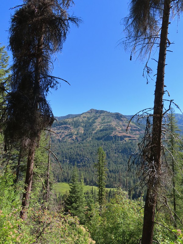
 Tombstone Butte, Swabb Mountain, with Granite Butte behind in between, and China Cap to the right.
 The pass at nearly 8200′.
 Tombstone Lake below.
 Sturgill Peak

 Tombstone Lake is a series of connected bodies of water.
 A phacelia.
 Rosy paintbrush
 Finally at the lake.

 Gentian along the lakeshore.
 Swamp onion along the shore of one of the smaller bodies of water.
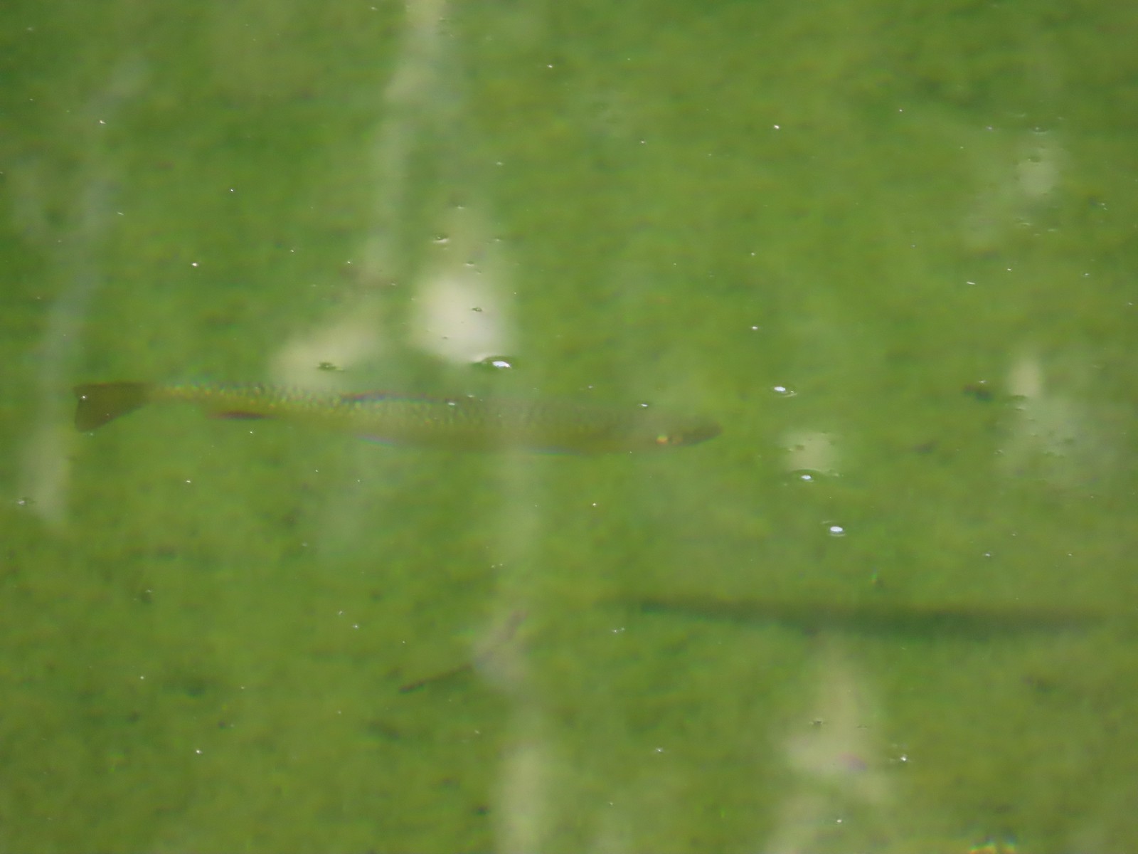 Trout
Trout

 Pika!
Pika! The Tombstone Lake Trail from the gap.
 Eagle Cap in the middle and Needle Point in the distance to the right.
 Eagle Cap (
 The East Fork Elk Creek valley below.

 Starting the switchbacks down.


 Hawk
Hawk Sphinx moth visiting some Lewis monkeyflower
 Some nice paintbrush
 Clumps of gentians
 Gentians
 Swamp onion
 Leaving the basins to start the giant set of switchbacks down.


 This little cascade was perfect for filling the bladder.

 Echo Lake Falls straight ahead.
 Recrossing West Eagle Creek.
 One last look up at where I’d come from.

 Small unnamed waterfall on an unnamed creek.
 Sphinx moth at camp.
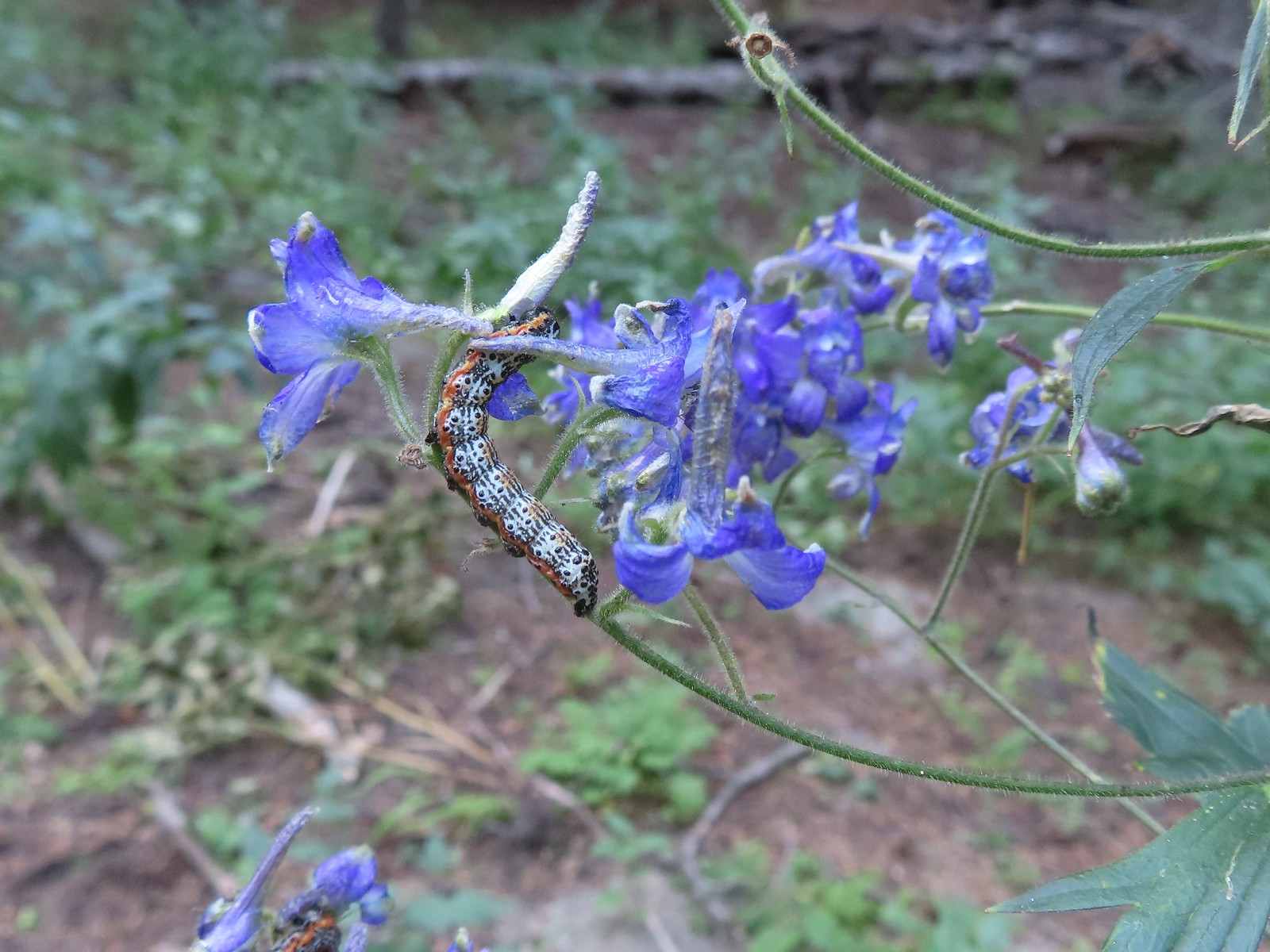 Not sure what type of caterpillar this is but it was pretty. It was on the same larkspur the sphinx moth was visiting.
 While we don’t intentionally feed the wildlife this green comma seemed to like the sweaty socks.


 Lupine along the trail.

 Interpretive sign along the trail.
 Second from the left is Dug Peak, the pointy peak is Sawtooth Peak, and the round peak to the right is Hurricane Point.
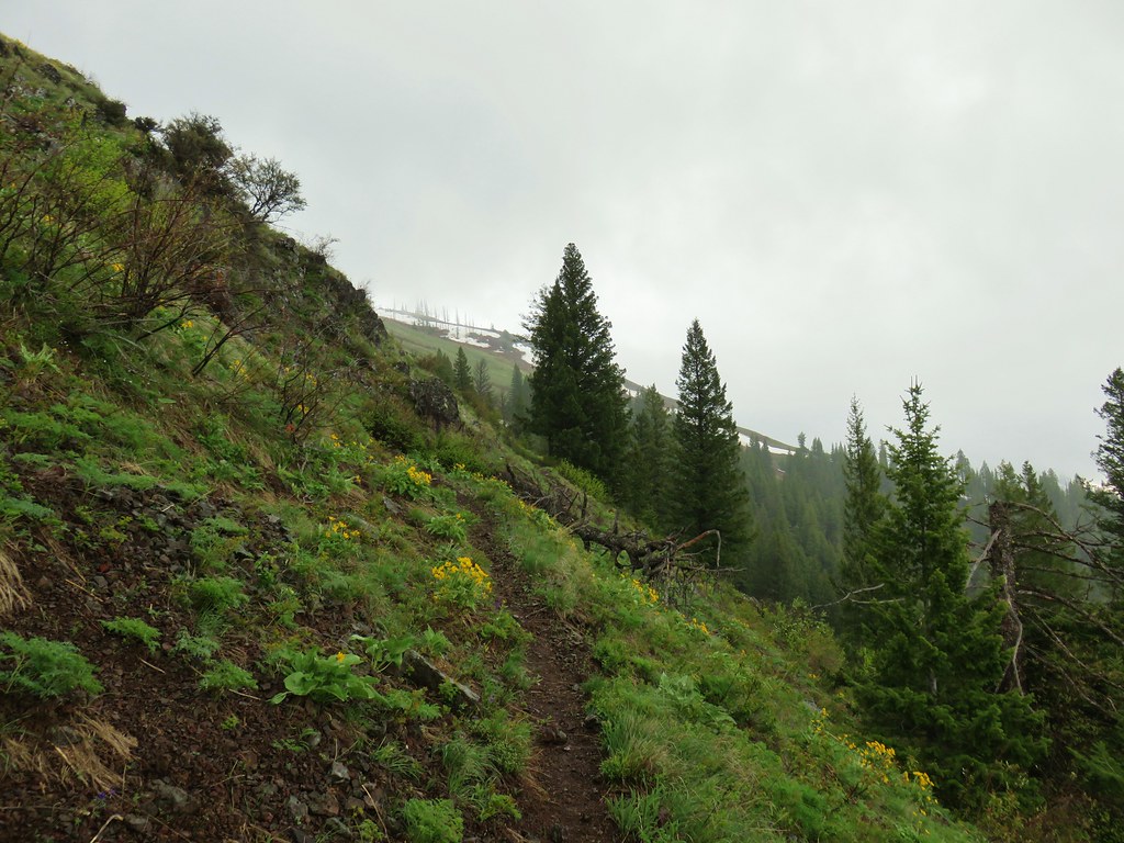
 The trail descended from the hill and leveled out along some trees.
 Yellow warbler
 Brown-headed cowbirds


 Hounds tongue
 Death camas
 Oregon sunshine
 Bench with a view of Point Joseph behind.
 Sunflowers yet to bloom.
 Fiddleneck
 Descending to the highway.

 Old Chief Joseph’s gravesite. His original grave near Wallowa, OR had been looted twice before he was moved here in 1926.
 Wallowa Lake beyond the gravesite of Martha and Frank David McCully.
 A sightseeing robin.
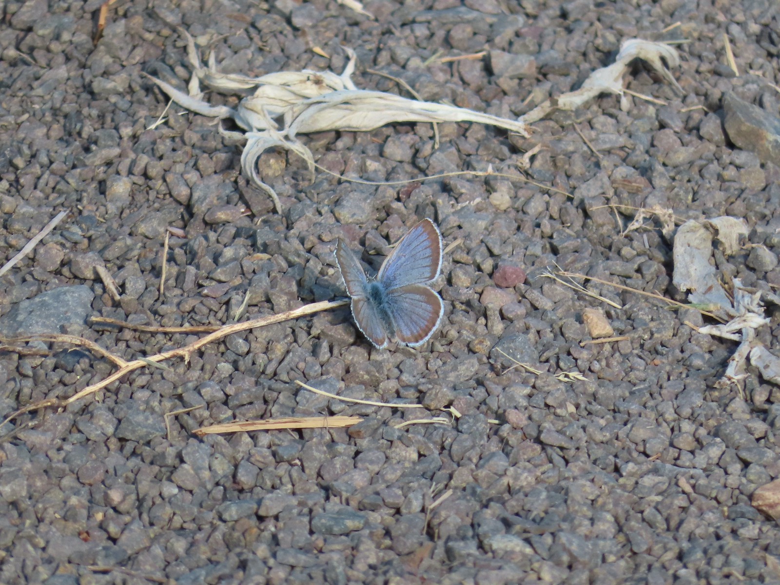 Butterfly on the trail.
 Western stoneseed

 Farmer’s Ditch
 View from the South Main Street Entrance.
 Passing back by Knight’s Pond.
 Some uplift action on the clouds from the trailhead.
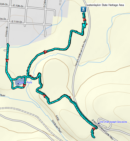

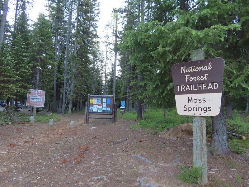
 We parked about 200′ north of the actual trailhead per a suggestion by Sullivan in his guidebook.
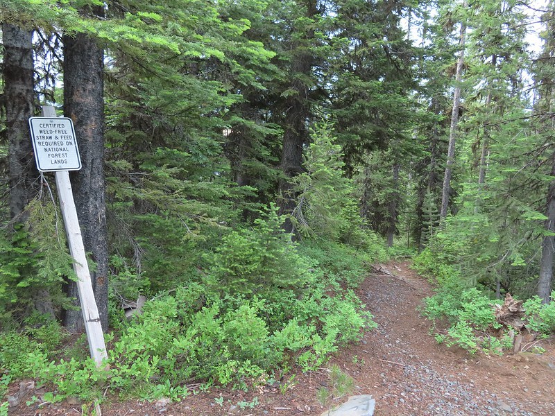 The Rock Springs Trail at FR 62.
 The trail passed a large rock field just below FR 62 and then entered the
 Lupine
 Coralroot

 The edge of the storm clouds.
 Scarlet gilia along the trail.
 Oregon sunshine and tapertip onion
 Nettle-leaf giant hyssop
 View from the trail before the first “viewpoint”.
 Oregon checker-mallow
 Assorted wildflowers
 Blue sky following the storm clouds.
 Scabland penstemon
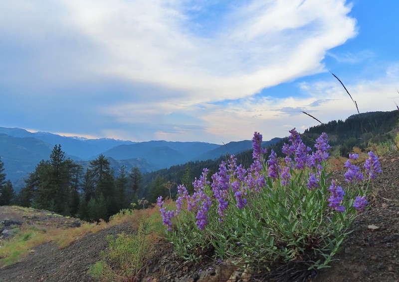 Penstemon near the first “viewpoint”.
 Yarrow
 Douglas dustymaiden
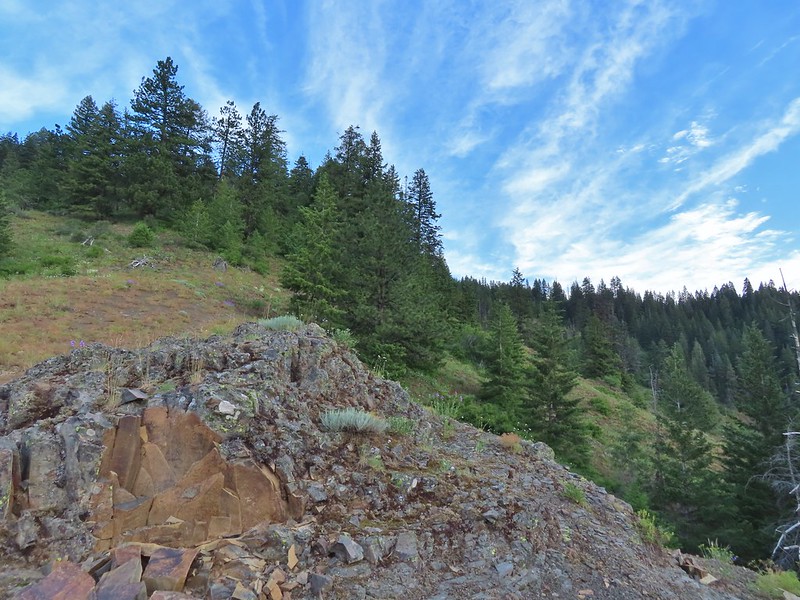 Looking back from the viewpoint.
 Buckwheat
 The Point Prominence Lookout atop the high point to the left.
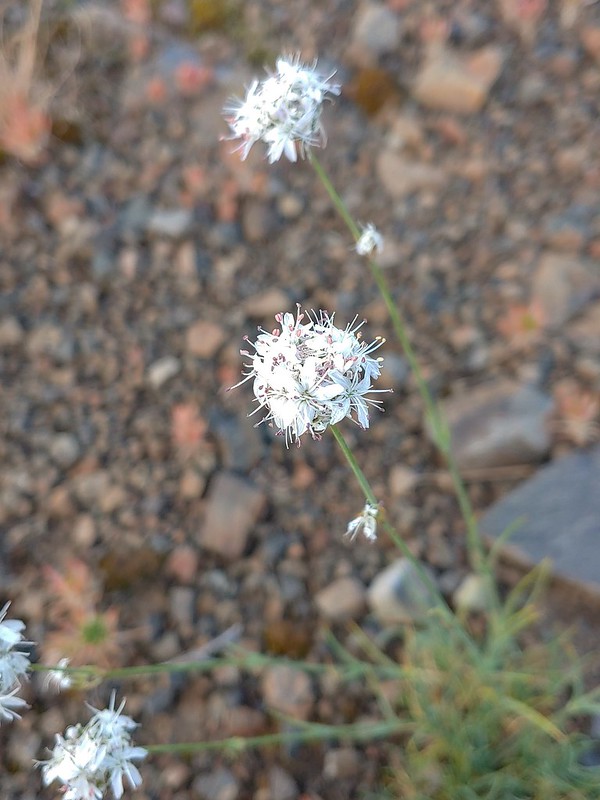 Ballhead sandwort
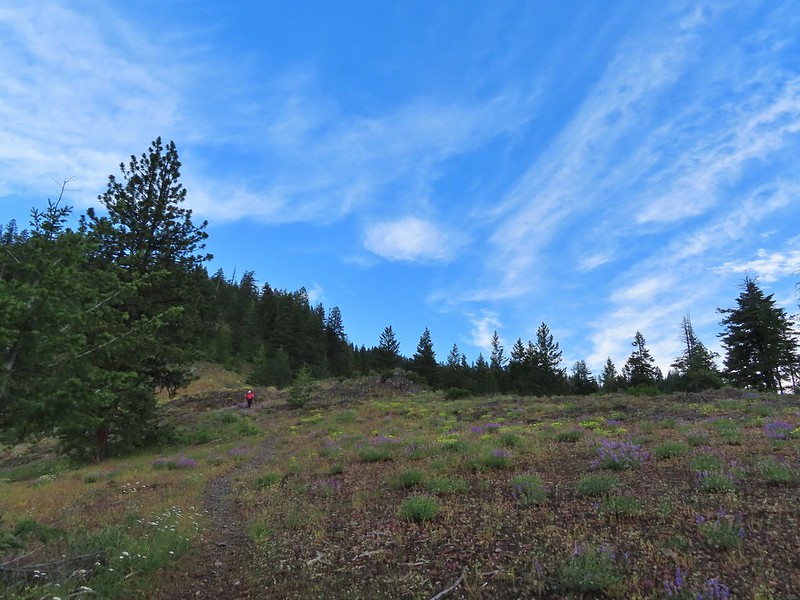 Heather coming down from the viewpoint.
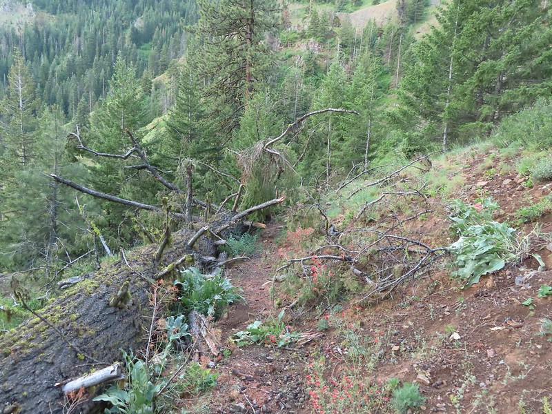 Blowdown over the trail.
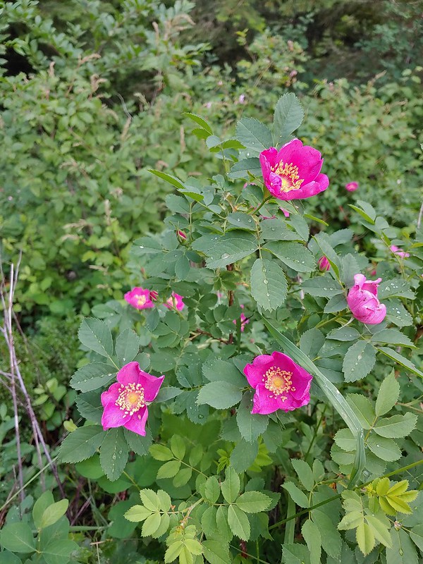 Nookta rose
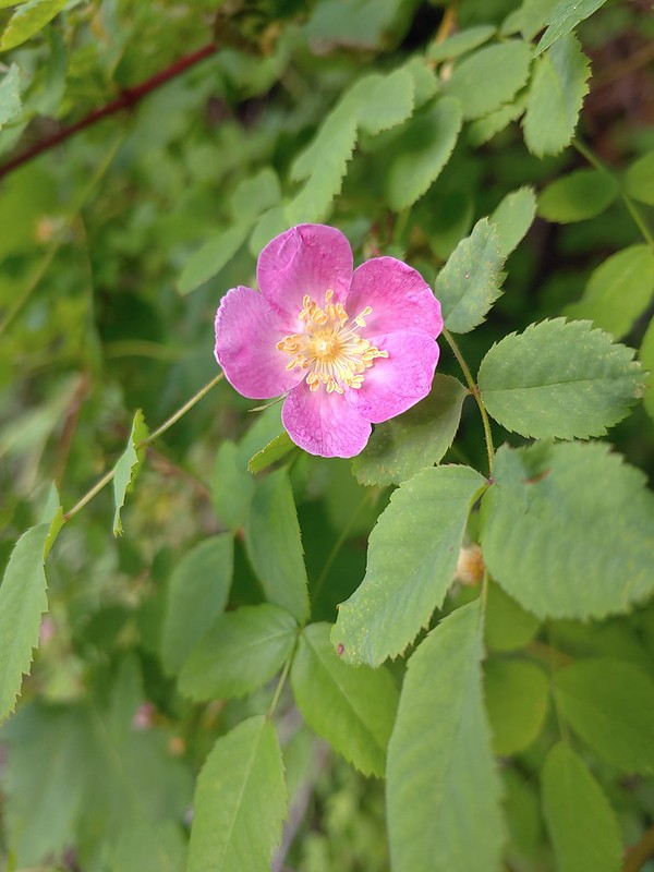 Wood rose
 View to the SE deeper into the Wallowas.
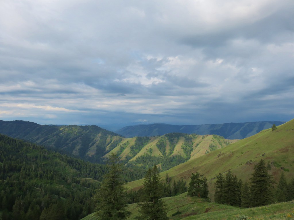
 Mountain parnassian?
 Back in the trees.
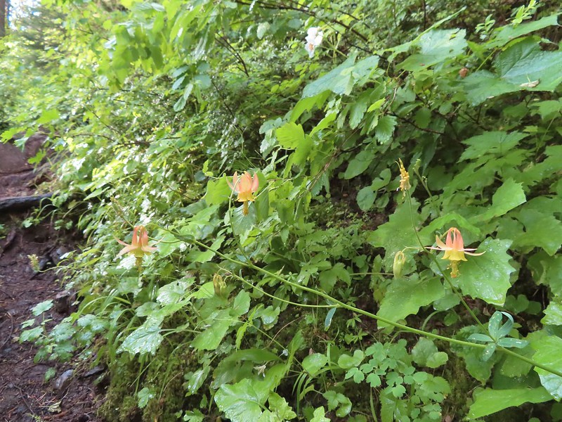 Some pale columbine. At first we thought it might be yellow columbine but it definitely had a red tint.
 Thimbleberry crowding the trail. The storm had left a lot of water on the vegetation which in turn wound up on our legs and shoes.
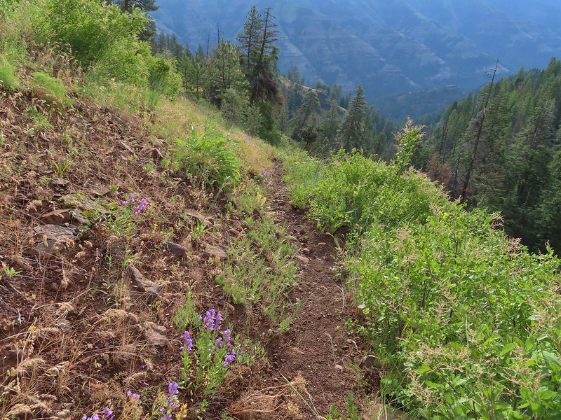 Heading down into the valley.
 Elkhorn clarkia
 Approaching the second viewpoint.
 Backbone Ridge which separates the Minam and Little Minam Rivers. We had crossed over that ridge further south on Tuesday when we took the Horse Ranch Trail from Moss Springs to the Minam River (post).
 Grand collomia
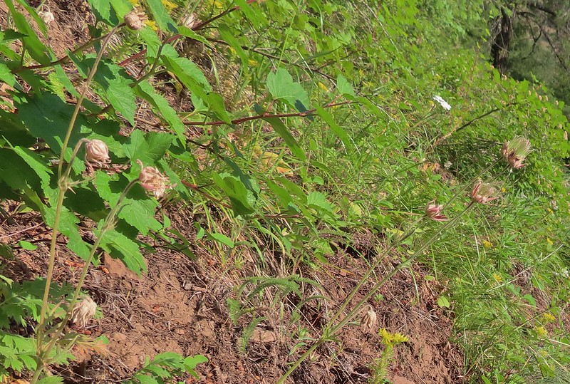 Prairie smoke
 Mock orange along the trail.
 Twin flower and foam flower
 Sign marking the junction of the Rock Springs and Little Minam Trails.
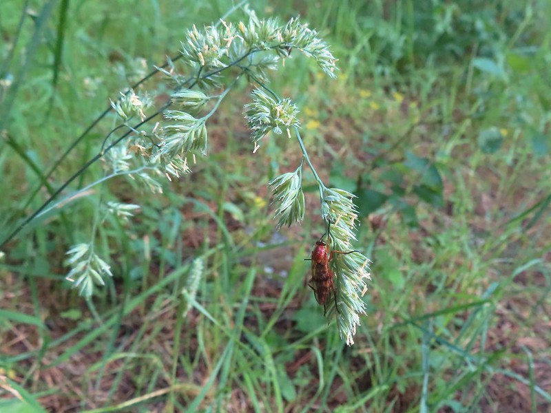 Possibly a wasp of some sort near the junction.
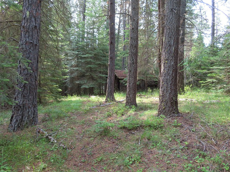 The first cabin ruin.
 Almost looks okay from this angle.
 Not so good from this angle.
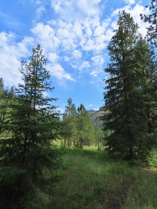 The lodge was at the edge of this meadow.
 The lodge
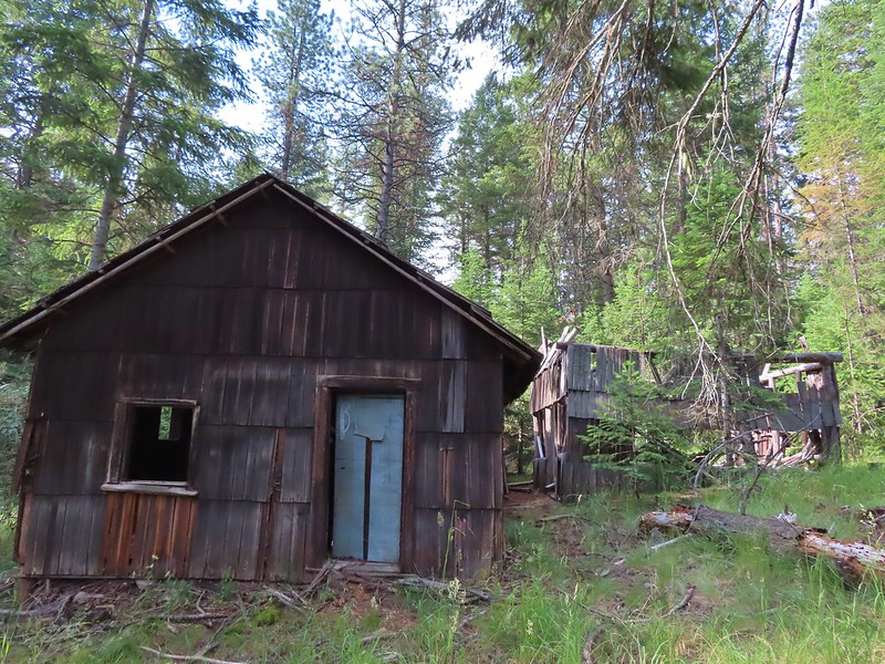
 The fireplace seems to have held up well.
 This cabin didn’t hold up.

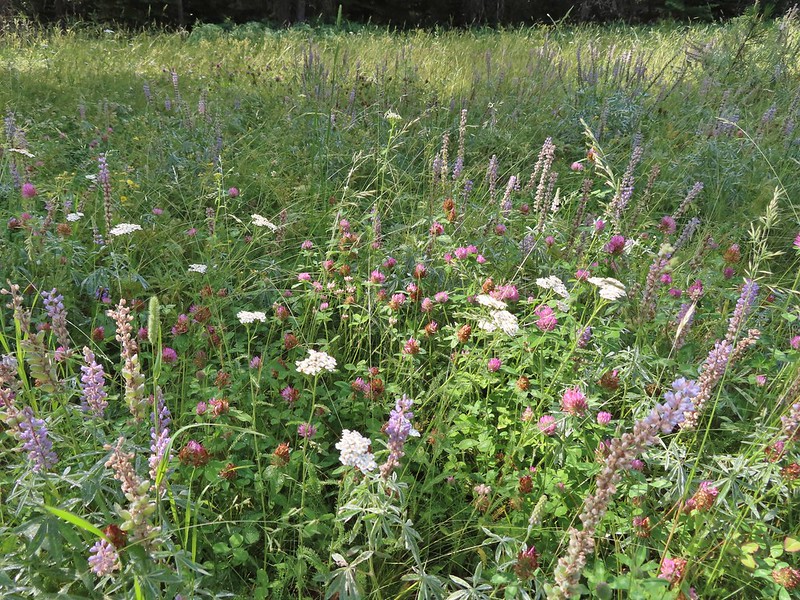 Wildflowers near the watering hole.
 The Little Minam River. We couldn’t quite see the confluence of the two rivers from here despite being very close.


 The dangerous ford.
 Here we tried looking for horse hoof prints to stick to the trail.
 Butterfly on yarrow.
 We think this was the trail.
 The campsites where we picked up the Rock Springs Trail again.
 Lorquin’s admiral
 Looking across the gully we could see the trail cut climbing up the far hillside.
 Pincushion plant
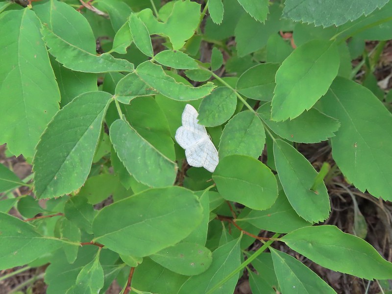 Resting moth
 A plane taking off from Minam Lodge.
 A popular thistle.
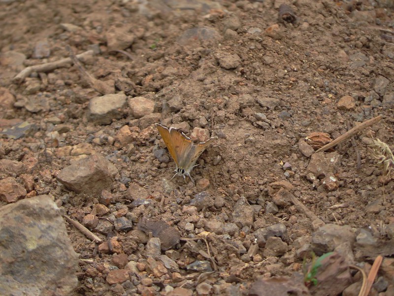 A skipper of some sort.
 We both missed this yellow columbine on the way down.
 View from the upper viewpoint on the way back up.
 A final view from the Rock Springs Trail.
 The cloud cover that moved in turned out to be a blessing as it kept the temperature reasonable as we made the long climb back up.

 Entering the

 Scarlet gilia along the trail.
 Tapertip onion
 Scarlet gilia
 Lewis flax, we were hoping to see it opened up on the way back up to the car but somehow we both completely missed it.
 Arrowleaf groundsel
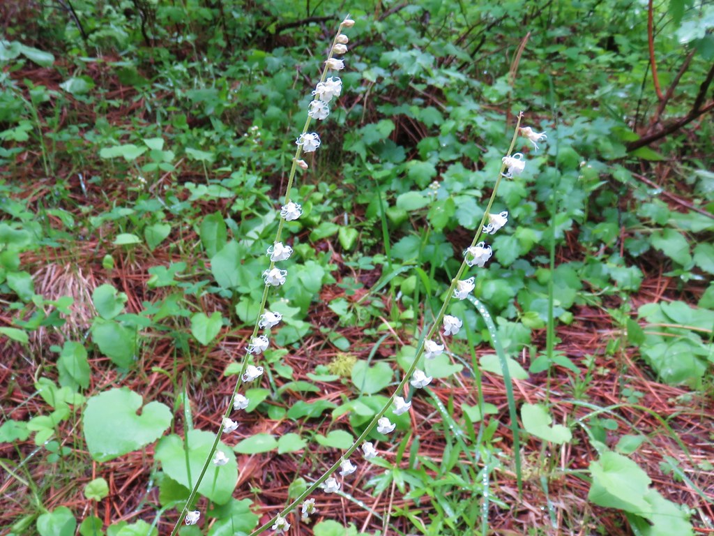
 Bog orchid
 False sunflowers
 Paintbrush
 Sticky geranium
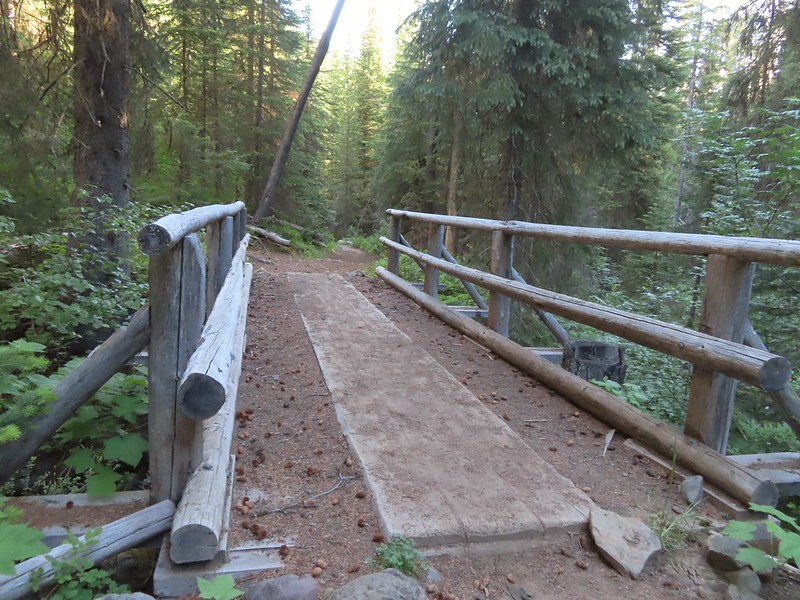 Footbridge over Horseshoe Creek.
 Horseshoe Creek

 Spotted coralroot
 Mountain lady slipper
 Little Minam River
 Coral fungus
 Huckleberry Creek
 Bridge across the Little Minam River.
 Little Minam River

 The only area that we encountered showing signs of having burned in the not too distant past.
 Elkhorn clarkia
 Junction with the Little Minam Trail (left) just below the pass.
 The meadow from the trail.
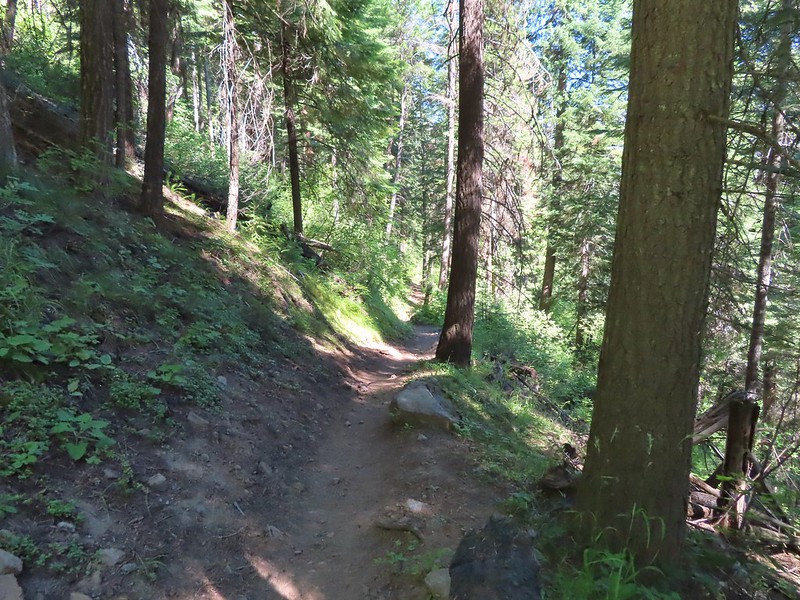
 Arriving at the meadow.

 Horses at Red’s Horse Ranch.
 Minam River
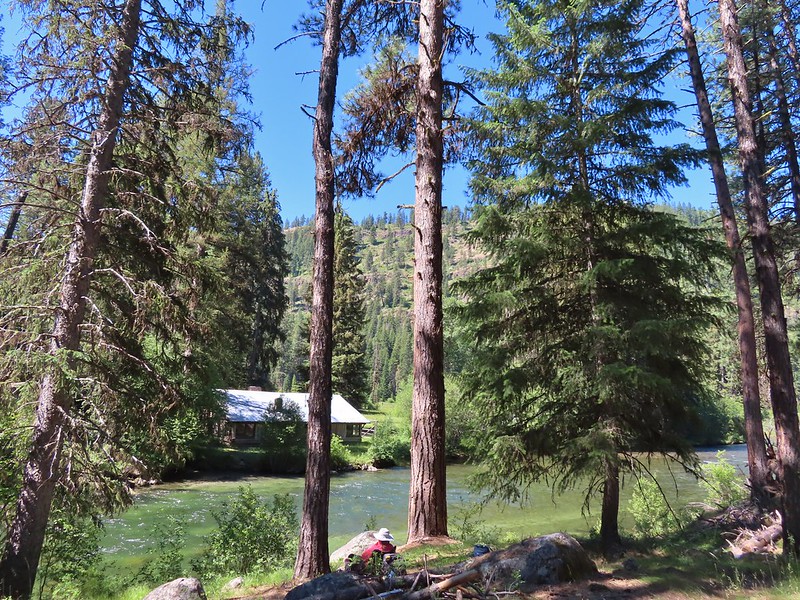
 Landing strip near Red’s Horse Ranch.
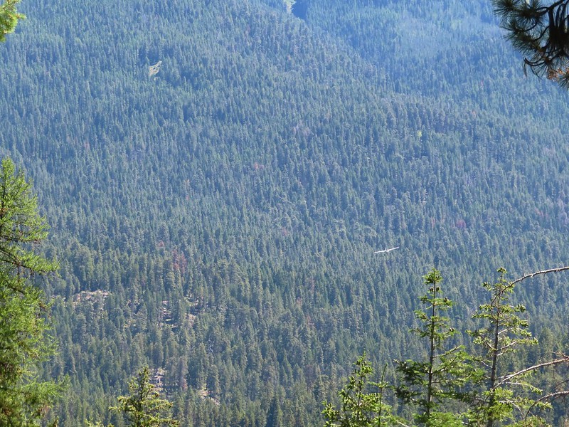 A plane coming in for a landing at the nearby
  Lousewort
 Diamond clarkia
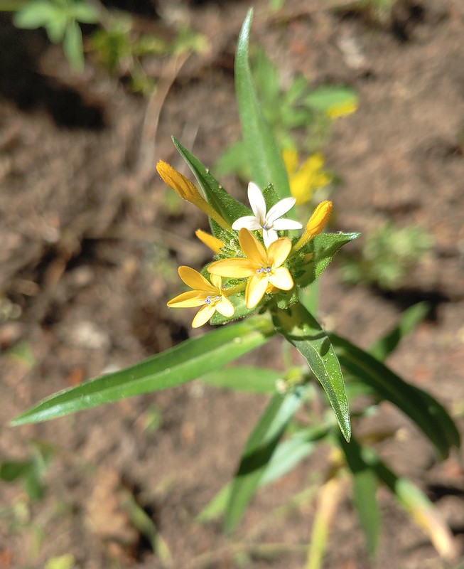 Grand collomia
 Millipede
 Pink pyrola
 Little Minam River
 Coral fungus
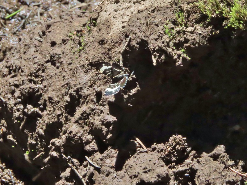 We saw a bunch of these black moths? but they seldom sat still long enough to get a photo.
 An Orobanche
 Penstemon
 Butterfly
 White mariposa lily
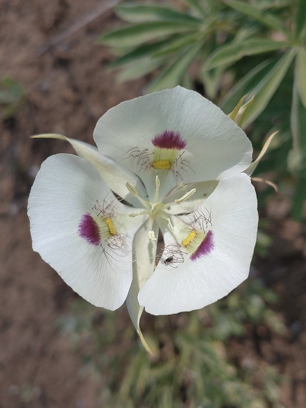
 Large-flower triteleia
 Arriving back at the trailhead.

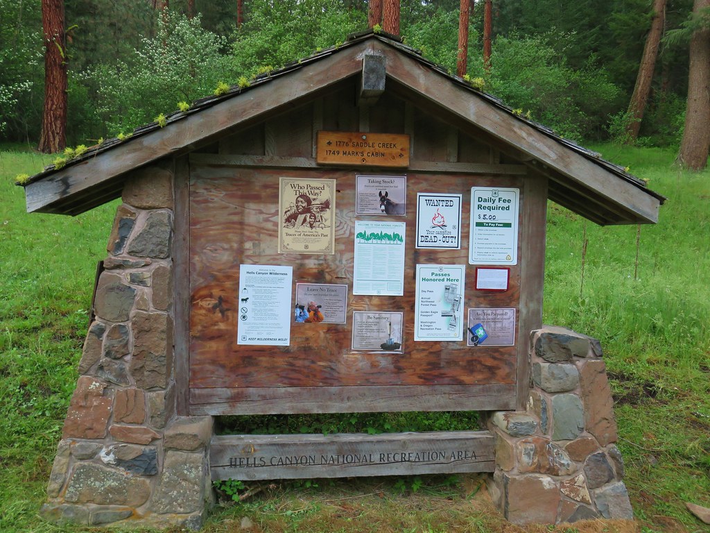
 A $5 fee is required here and at several other trailheads we visited during the week. (An annual
 Lots of purple venus penstemon.
 There were also some white scabland penstemon on the hillside.
 Buckwheat
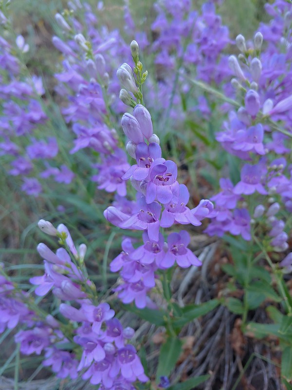 Venus penstemon
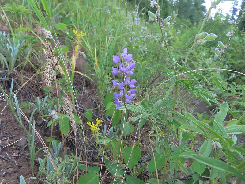 Lupine and stonecrop
 Paintbrush
 North Fork Catherine Creek
 Douglas dustymaiden
 Spreading dogbane
 The trail crossed several side creeks, all of which were we were able to cross dry footed.
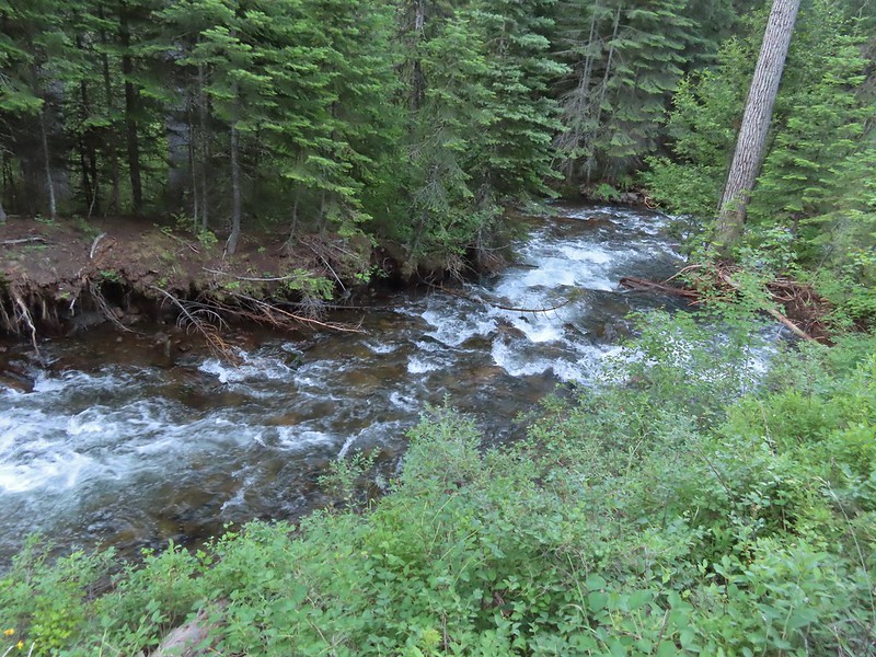 A brief stretch along North Fork Catherine Creek.
 Queen’s cup
 Another side creek.
 Bog orchid
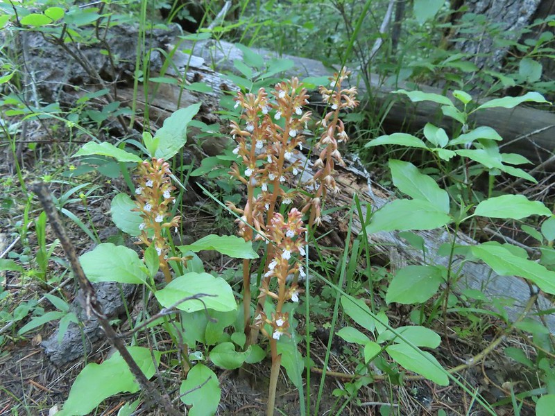 Spotted coralroot
 A fleabane
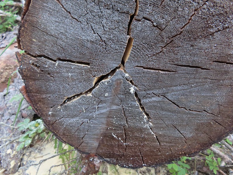 They’re a little blurry but you can see the ants in the cracks where they would drop their sawdust. It was fascinating to watch and we paused for quite a while.
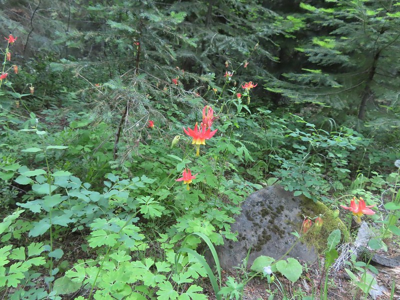 Columbine
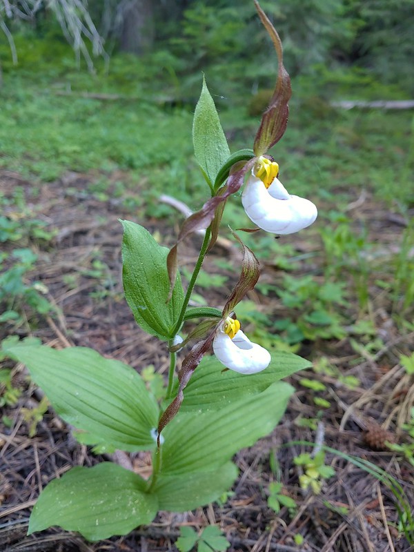 Mountain lady slippers
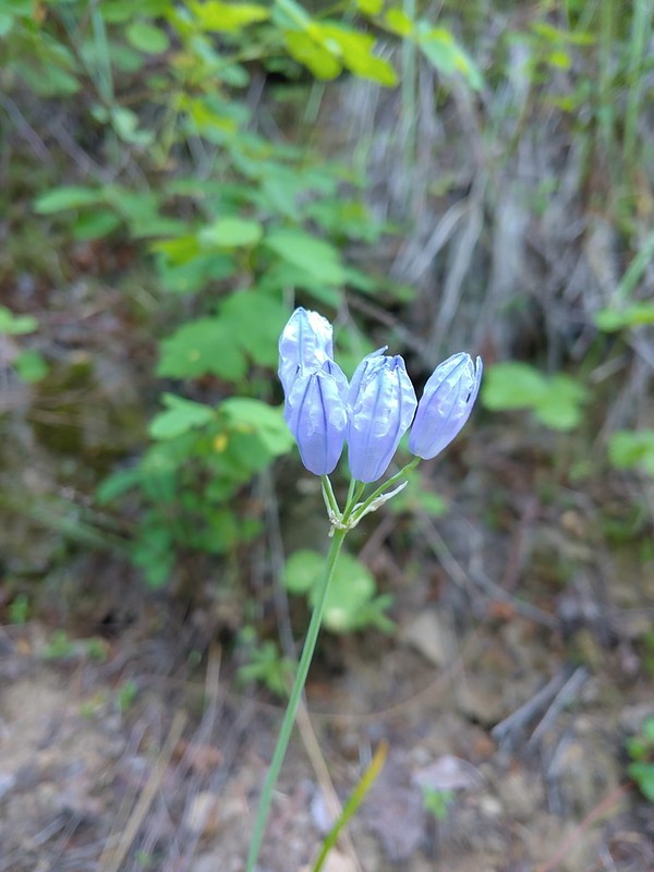 Large-flower triteleia
 Back above the creek.
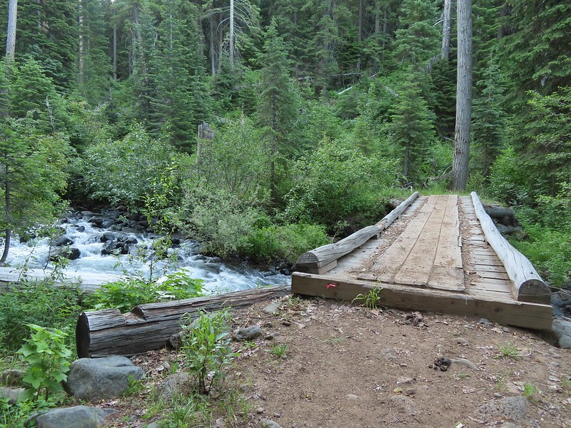 The bridge over Catherine Creek.
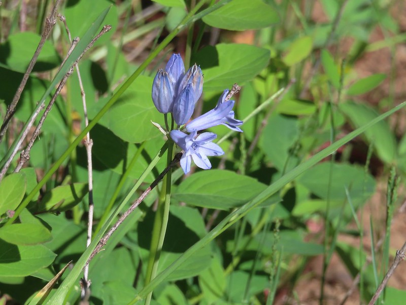
 Bluebells next to the bridge.

 Crab spider
 Another type of penstemon
 Rosy pussytoes
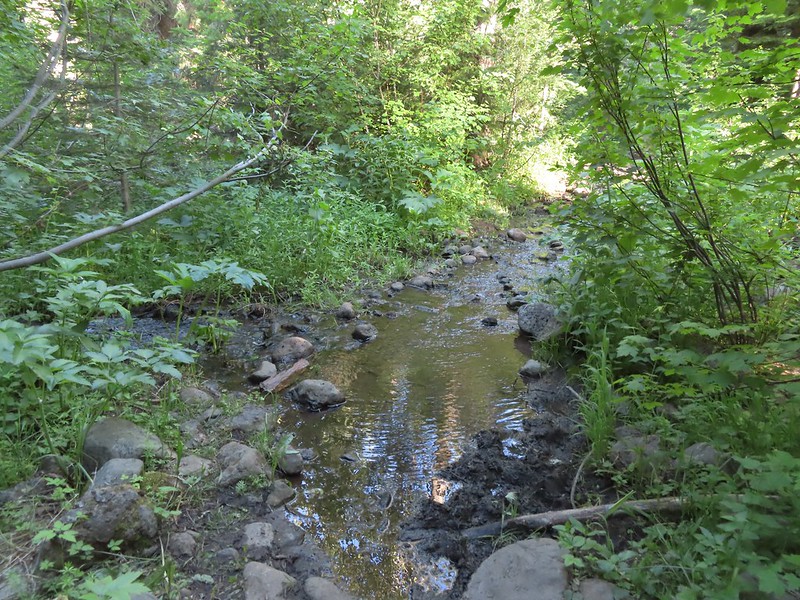 A side creek running down the trail.
 Yellow columbine
 Entering the
  Jim Creek, this was one of the trickier crossings.
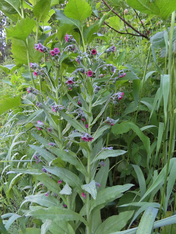 Hound’s tongue
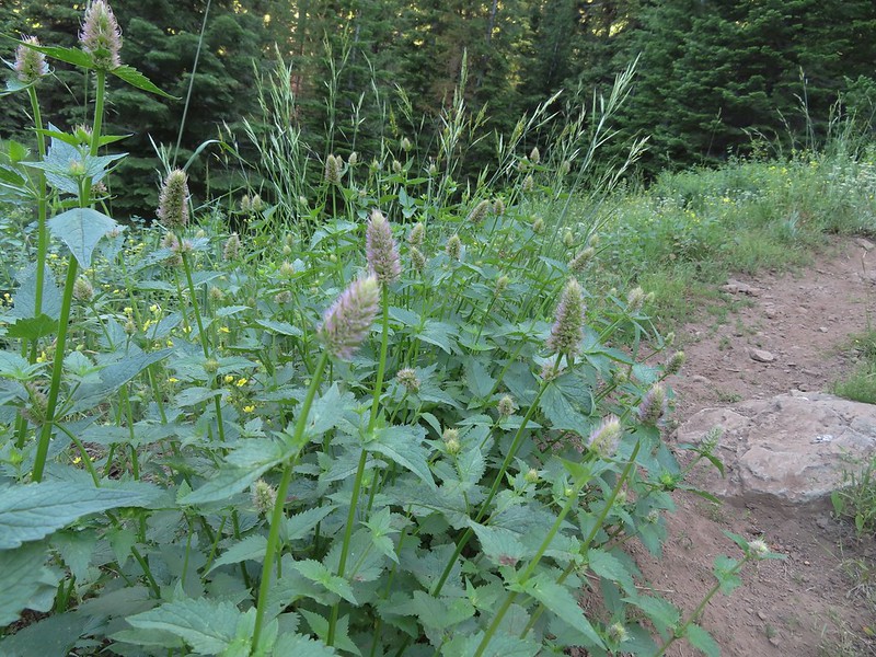 Nettle-leaf giant hyssop
 One of several smaller meadows along the trail.
 Jacob’s ladder
 California corn lily and bluebells.
 Boot Hill Creek was also tricky as it had taken over the trail.
 A large patch of coralroot.
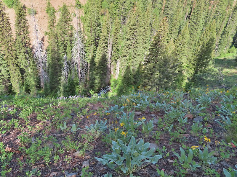 A few remaining balsamroot blooming above North Fork Catherine Creek.
 Arriving at Catherine Creek Meadows.
 All the black dots in the blue sky were gnats flying over the stream at the trail crossing.
 Heart-leaved bittercress
 Looking back at the sign post in the meadow marking the trail junction.
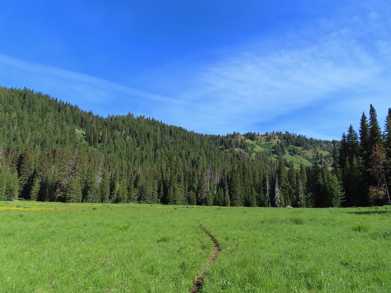 Another dry section of trail.
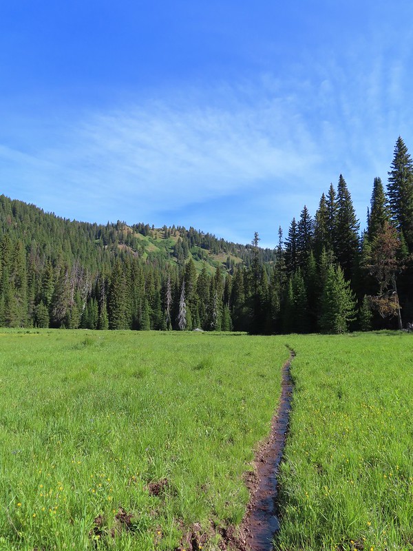 It wasn’t dry for long.
 Yellow buttercups and pink elephant’s head.
 Elephant’s head, one of our favorites.
 Ladybug
 Nearing the cabin.
 Ground squirrel
 Squatter running from the cabin.

 Beetle
 Another beetle and Nevada bitterroot.
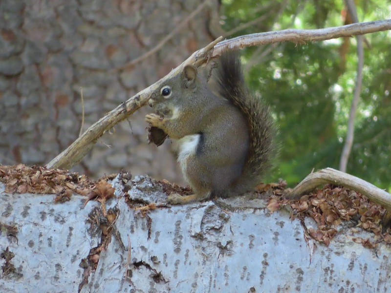 Brunch
 A comma of some sort.
 Big mushroom
 Something from the Lycaenidae family.
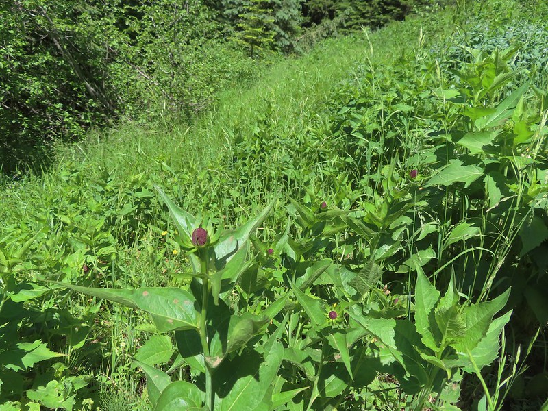 Coneflower
 Swallow-tail on red clover.
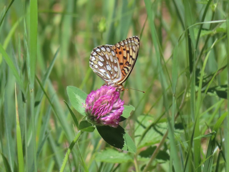 Fritilary on clover
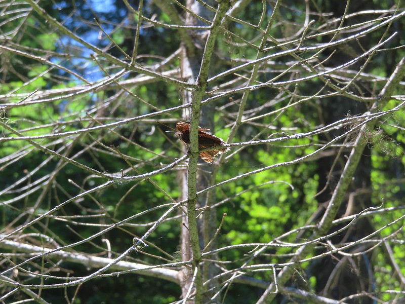 Mourning cloak perched overhead.
 Lorquin’s admiral
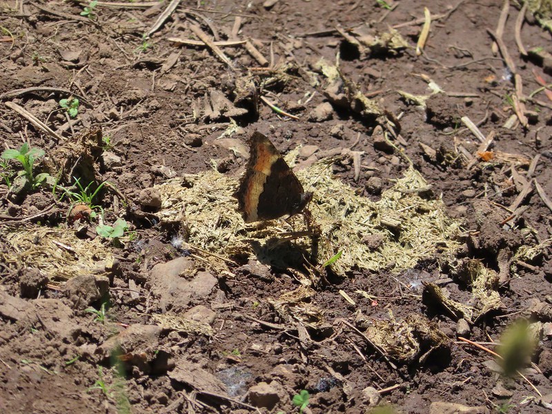 A tortoiseshell
 Skullcap, one of the hardest flowers to get a decent picture of for some reason.
 Tapertip onion
 Yarrow and other wildflowers up the hillside.


 (The black dot in the center of the hill is one such cow.)
 Western stoneseed
 Prairie stars
 Lupine
 Heather emerging from the brushy section.


 Blue Dicks
 Balsamroot
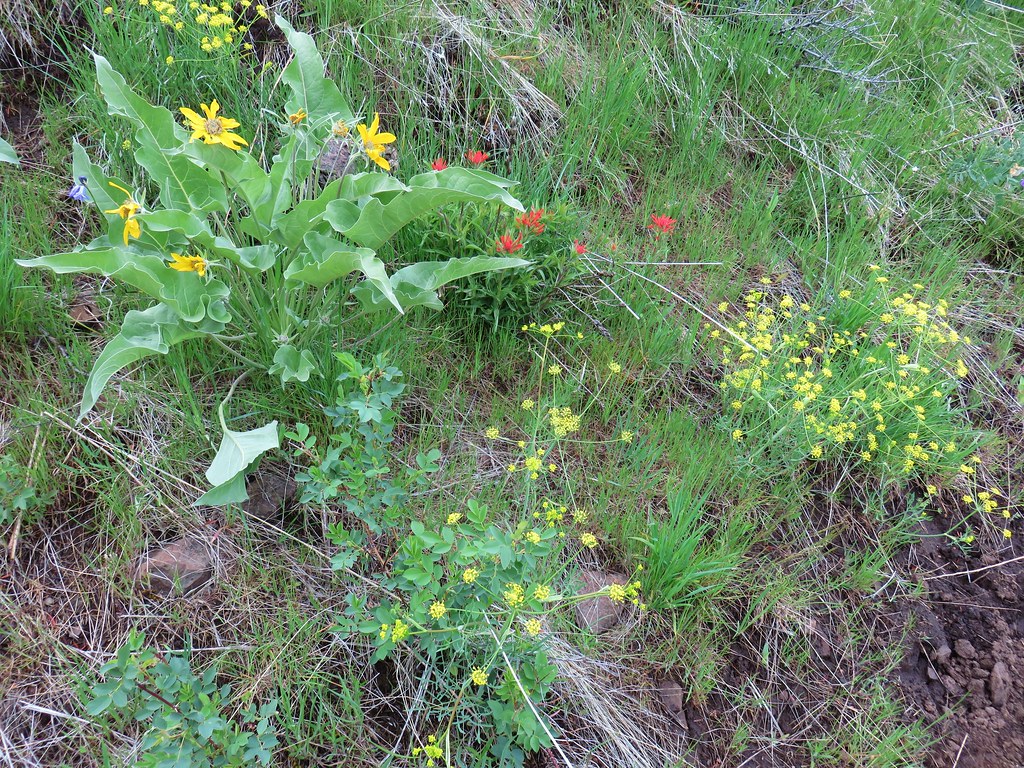 Balsamroot, paintbrush and biscuitroot
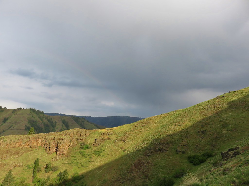


 Larkspur and monkeyflower
 Paintbrush
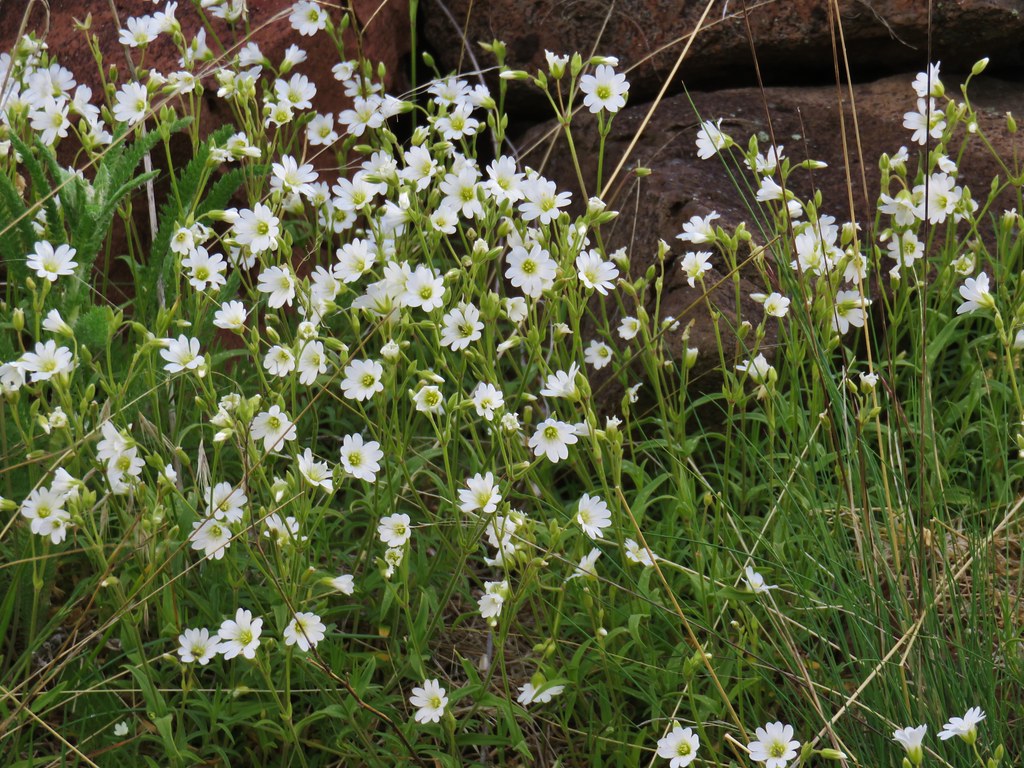 Chickweed
 Possibly going to be a penstemon
 Unkown
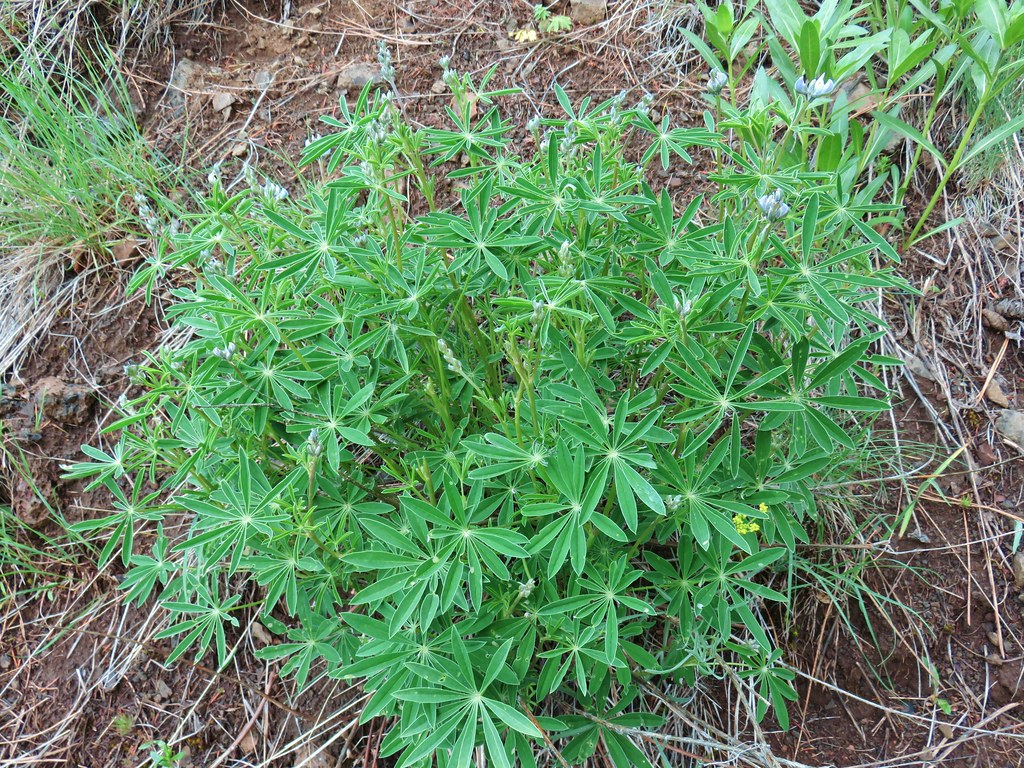 Lupine

 West to the quickly vanishing Wallowa Mountains.
 North
North South
South East into Hells Canyon
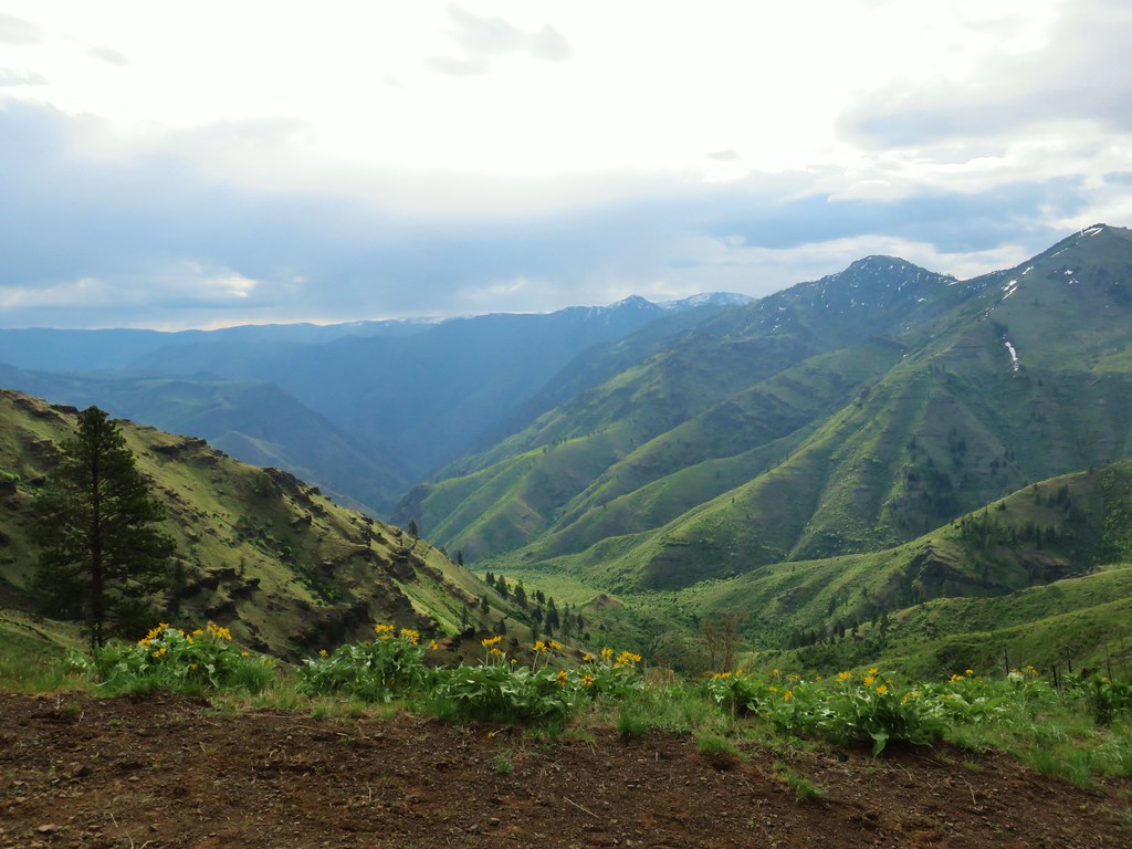
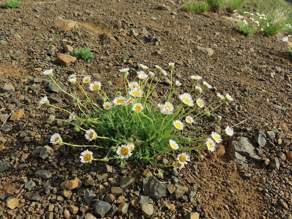 Cutleaf daisy
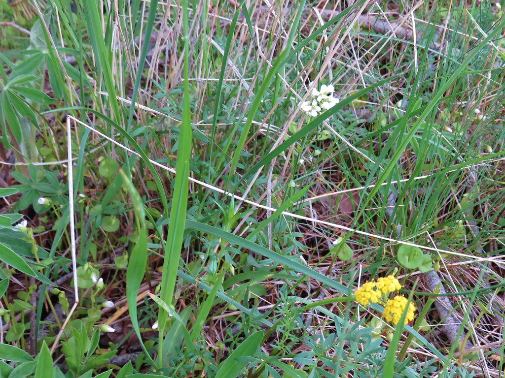
 Largehead clover


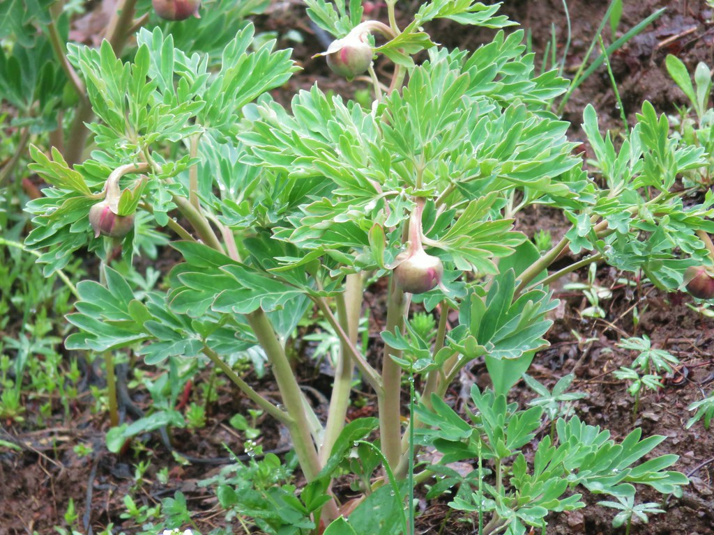 Brown’s peony getting ready to bloom.
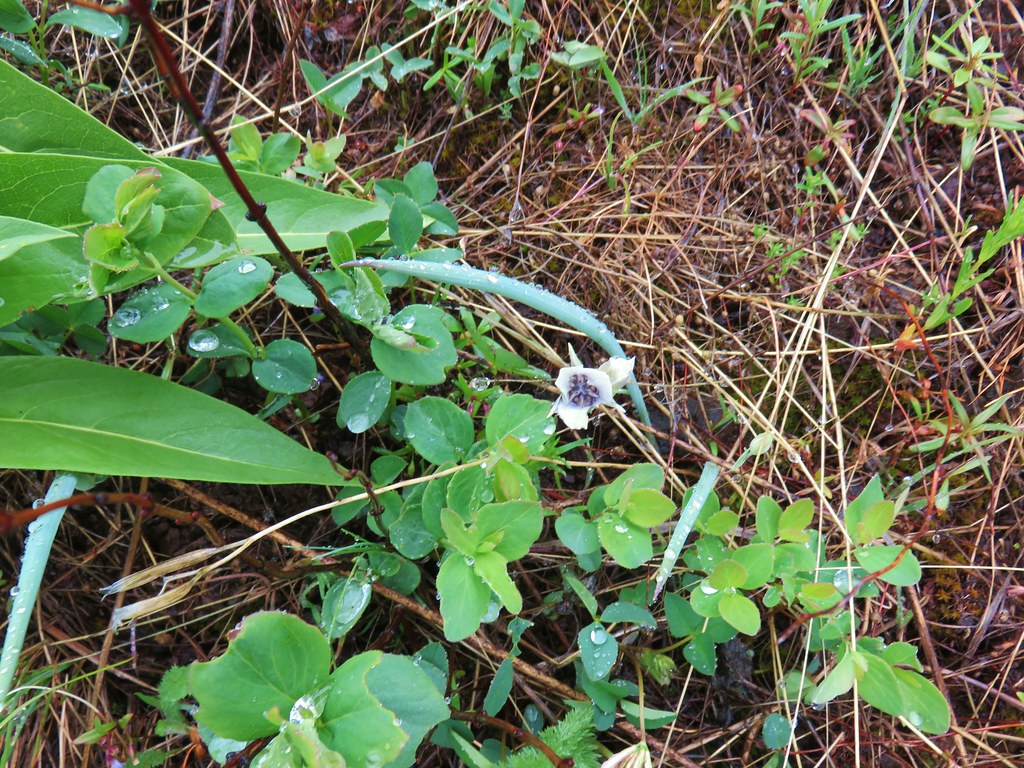 Mariposa lily starting to open.
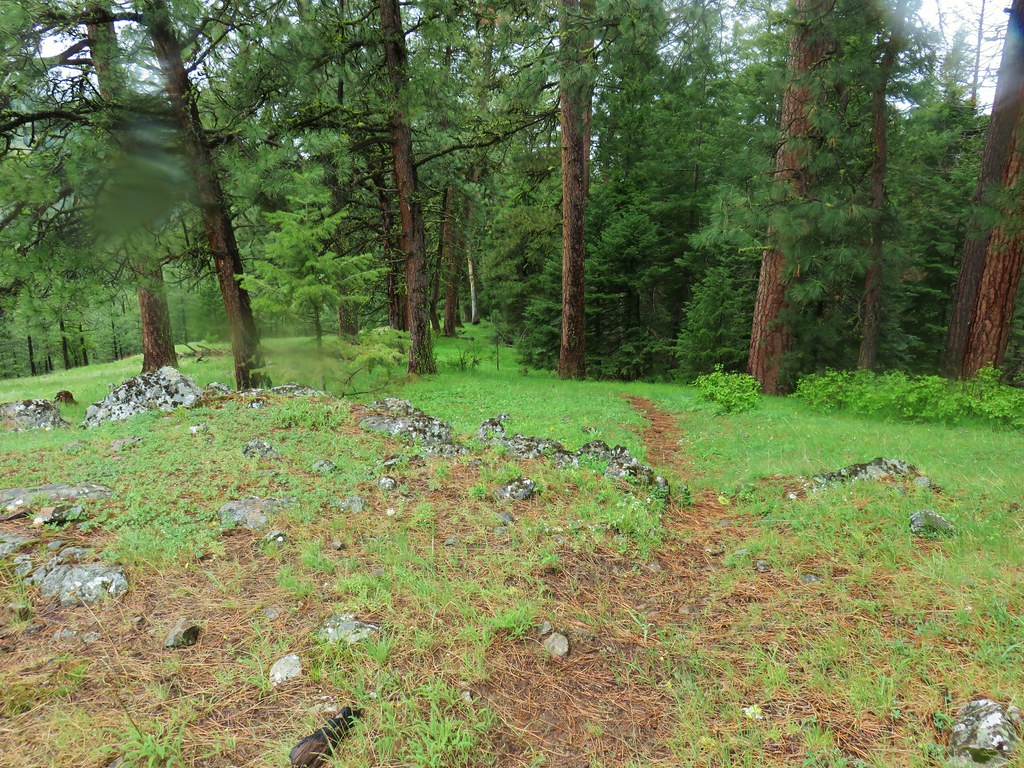


 Small flower miterwort