**Note – In 2025 the Rowena Fire burned over Sevenmile Hill.**
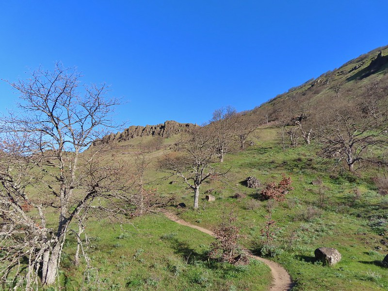
We normally only do one hike a month from November through April but a forecast of sunny skies and highs in the low to mid 60’s combined with a chance to see some early wildflowers was enough to break that rule and head to the eastern end of the Columbia River Gorge. The first wildflowers (usually grass widows and/or parsleys) can show up as early as January in areas such as Catherine Creek (post) with things really picking up by late March and running through early June in the upper meadow of Dog Mountain (post). We had previously been to Catherine Creek (along with Coyote Wall), the Tom McCall Preserve (post), Columbia Hills State Park (post), Memaloose Hills (post) and Swale Canyon (post) so for this outing we decided to check out the Lyle Cherry Orchard and Sevenmile Hill.
Before we got to those wildflower hikes we planned a quick stop at the Mitchell Point Trailhead to make the 1.1 mile climb up to the top of the point. We had actually stopped here in 2018 (after our Memaloose Hills hike) to take the Wygant Trail up to a viewpoint. Originally my plan had been to do these three hikes in a different order starting at the Lyle Cherry Orchard and ending with Mitchell Point but after looking at the plan a little more I realized that it had two flaws. First the exit to the Mitchell Point Trail is only accessible from the eastbound lanes of I-84 and there is no westbound access to I-84 from the trailhead either. (I had made this mistake with the outing in 2018 leading to some extra driving.) The second issue had to do with crowds and our never ending attempt to avoid them. Leaving Mitchell Point as the last hike might have meant dealing with some crowds whereas we didn’t expect Sevenmile Hill to be busy. Our plan seemed to be working pretty well as we were the first car at the Mitchell Point Trailhead.
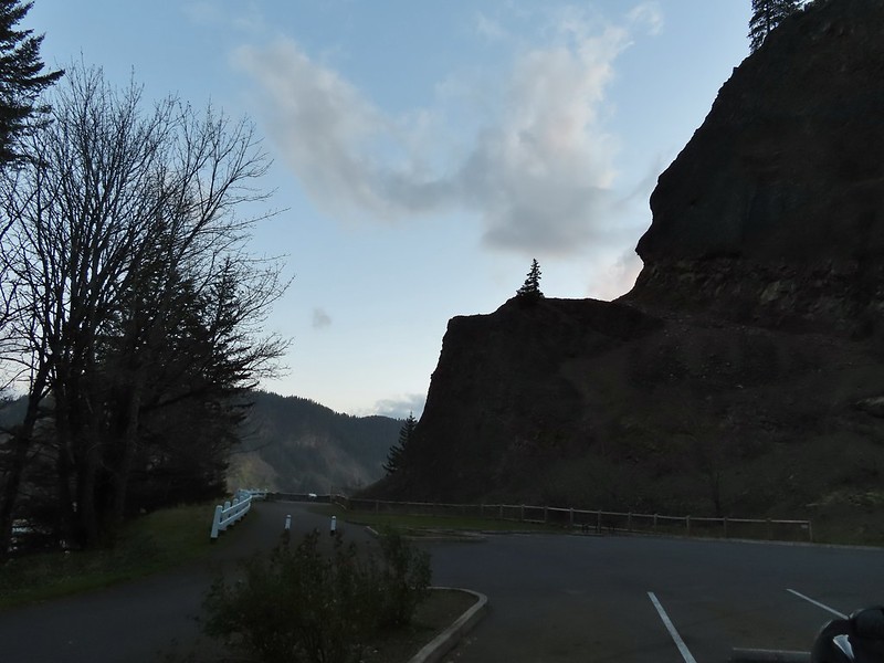
We headed to the left of the signboard to the Mitchell Point Trail which began climbing almost immediately.

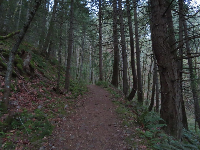
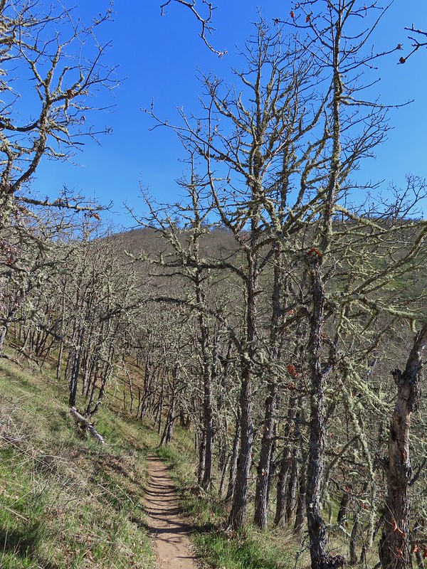
The trail switchbacked up a forested hillside with a few blooming toothworts.
 Bench at a switchback.

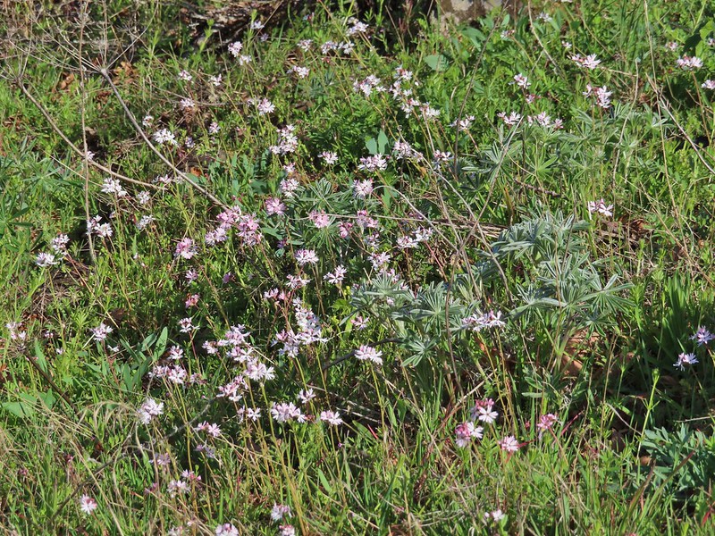
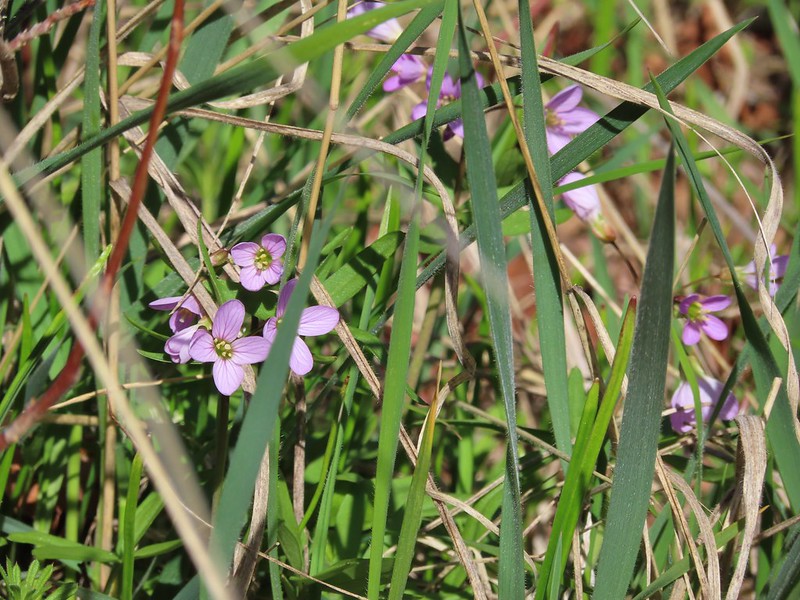
We then crossed a talus slope beneath Mitchell Point where lots of tiny blue-eyed Mary grew amid the rocks.

 Reroute below Mitchell Point

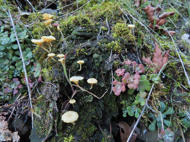 Mushrooms’ and some sedums.
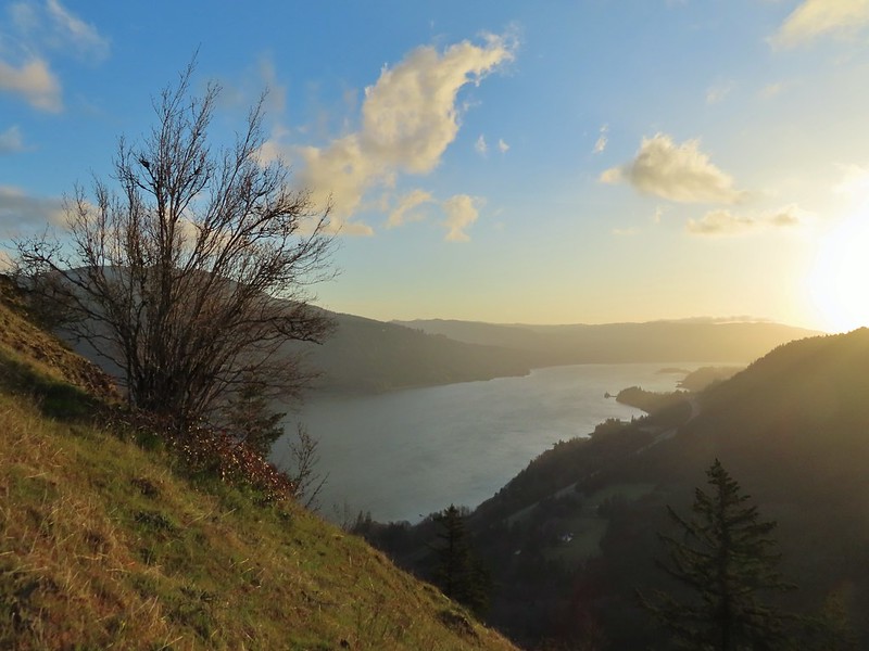
Views to the west along the Columbia River opened up as we climbed.

The trail briefly reentered the forest and climbed to a set of power lines and an accompanying road.

The trail never quite reached the road instead turning east then north as it headed out toward Mitchell Point.
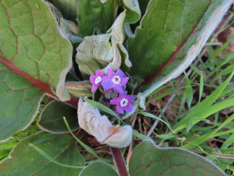 Houndstongue
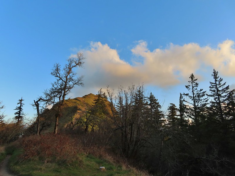
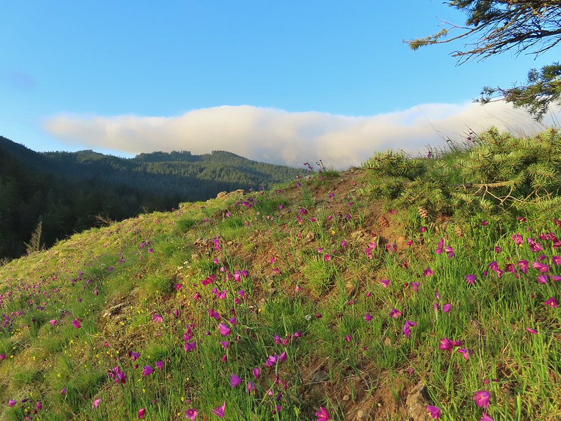
We followed the trail out onto Mitchell Points Ridge which was dotted with wildflowers including a lot of bright grass widows.

 Grass Widows
 Woodland stars
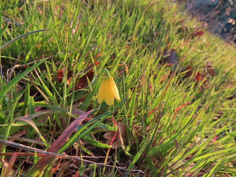 Yellow bell lily
 Desert parsley and woodland stars
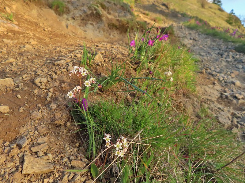 A saxifrage
 Gold stars and woodland stars

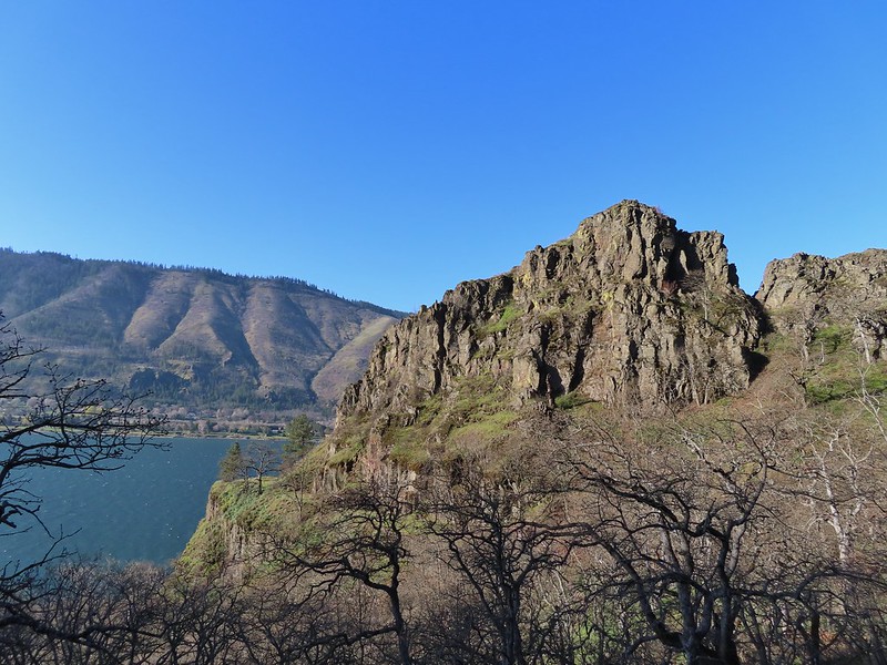
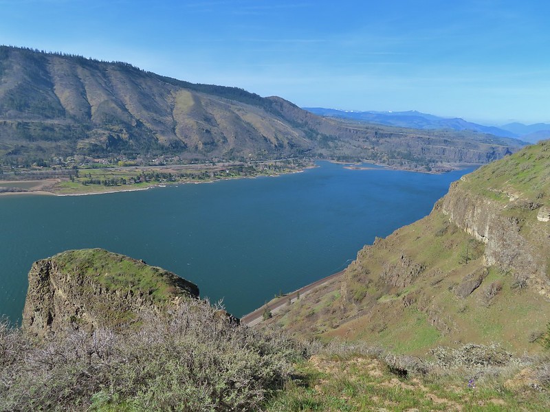
In addition to the wildflowers the view from Mitchell Point was impressive.
 Looking west
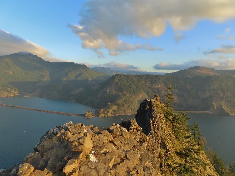 North across the Columbia River into Washington
 East
East
In typical Gorge fashion it was a bit windy (a theme that would continue throughout the day) which didn’t seem to bother the birds.
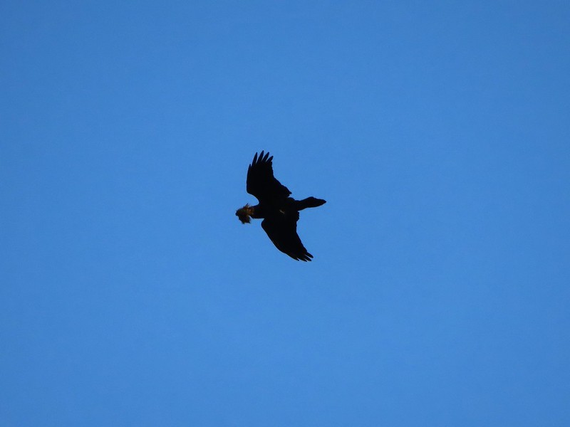 Looks like moss for a nest maybe?
We returned the way we’d come arriving back at the trailhead to find we were still the only people there, but we weren’t alone.

 Turkeys on the Wygant Trail
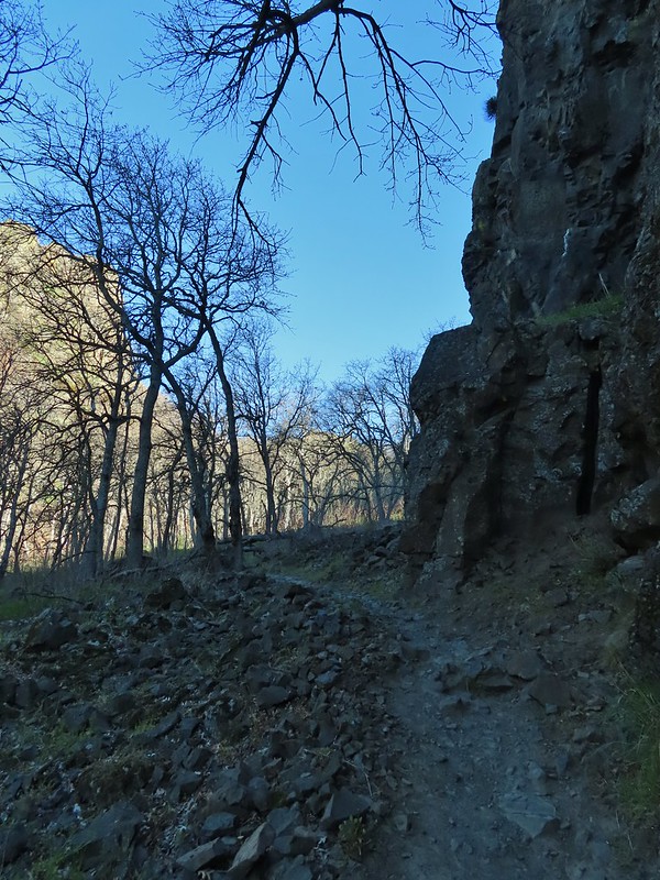
At just over 2 miles round trip the hike to Mitchell Point made for a nice short hike but it comes at a price gaining over a thousand feet on the way up. From this trailhead we continued east to Hood River where we paid the $2 toll to cross the bridge into Washington. We continued east on SR 14 through the town of Lyle then parked at a gravel pullout on the left hand side of the road just beyond a tunnel. This was the unsigned trailhead for the Lyle Cherry Orchard Hike. There were maybe a half dozen or so cars here already which we were pleased with given the large number of cars we already passed by at the Coyote Wall and Catherine Creek Trailheads (and it wasn’t even 8:45 yet). The unsigned trail starts near the eastern end of the parking area and passing along a rock wall through oak trees with lots of poison oak.

 Red leaves of poison oak behind a death camas
 More poison oak behind a waterleaf
 Poison oak around some balsamroot
A short distance up the trail there is a nice map and trails signboard announcing the start of land owned by the Friends of the Columbia Gorge.


From the signboard the trail continues to climb through the rock and oaks to a plateau where the poison oak is briefly left behind.

 Fiddleneck
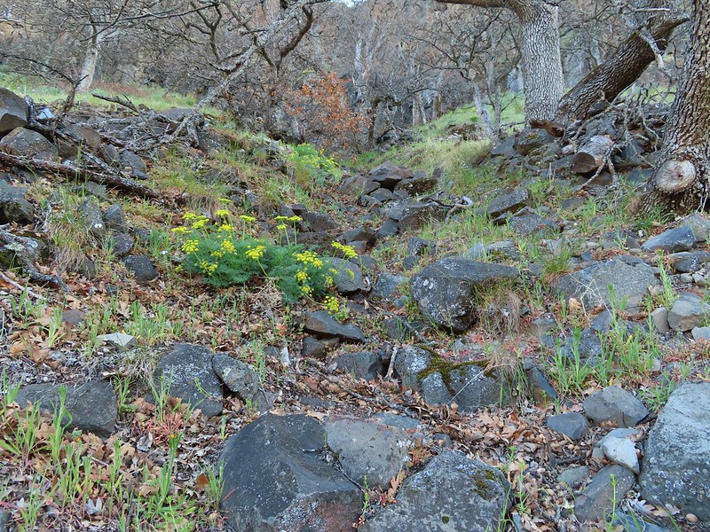 Desert parsley
 Manroot
 Lots of death camas blooming on the plateau.
We followed the trail as it headed gradually uphill toward a second plateau.

 Looking up at the cliffs above.
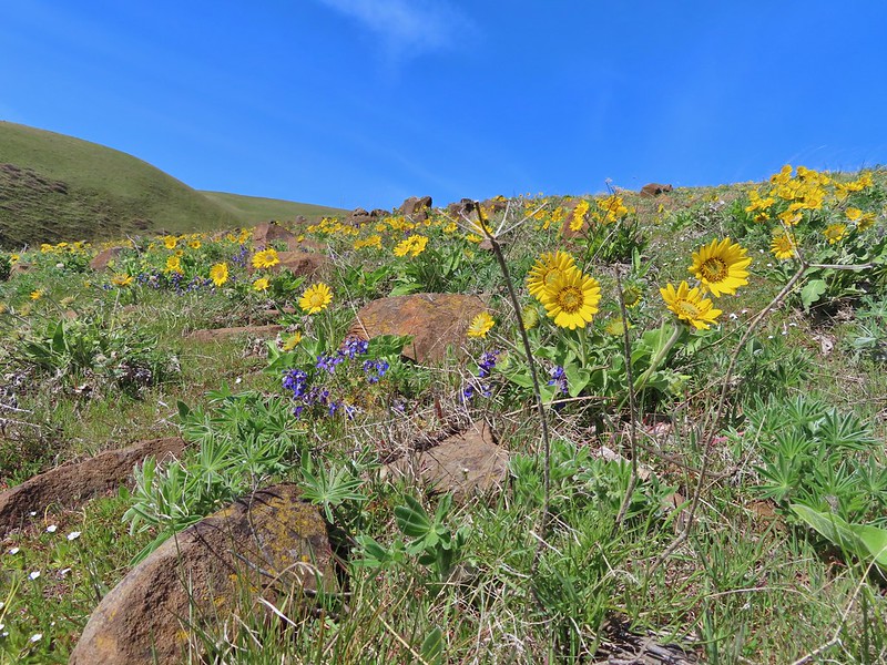
 Balsamroot blooming below the rim.
At a fork in the trail we detoured left for a view of the Columbia River.


We returned to the main trail which began to climb the hillside below the rim. While it was still a couple of weeks from prime wildflower season here there was a good balsamroot display along with a few other flowers in bloom.
 Balsamroot
 Woodland stars with some lupine leaves
 Columbia desert parsley
 A biscuitroot
 Balsamroot
 Balsamroot
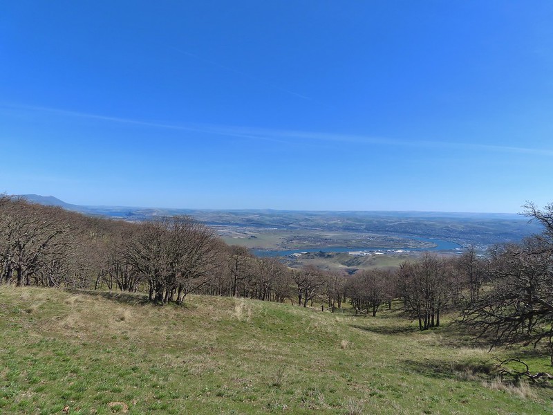
The trail leveled out again after reaching the rim of the upper plateau where it also reentered an oak woodland.
 View west (With a snow capped Mt. Defiance (post) in the distance.)

Amid the oaks were some additional types of flowers.
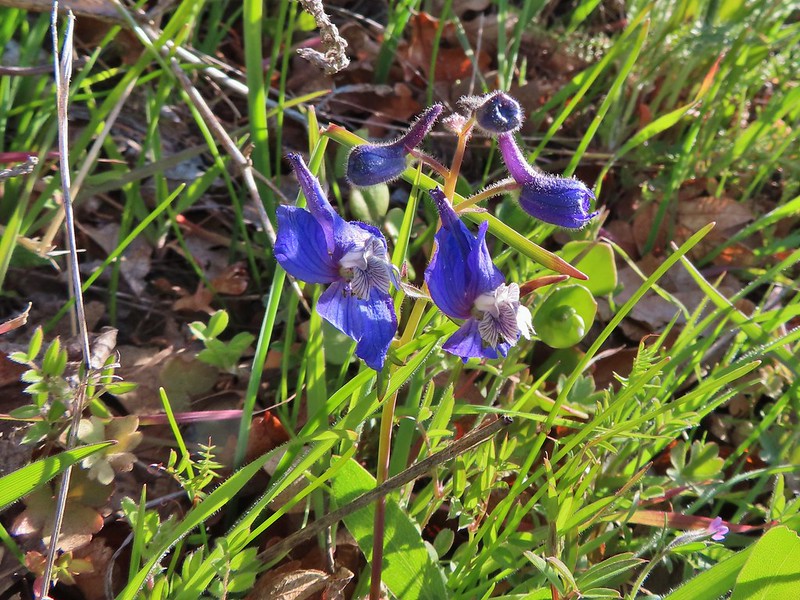 Larkspur
 Buttercups
 Glacier lilies
 Yellow bell lily, woodland stars, grass widows and shooting stars.
 Yellow bell lilies

 Toothwort
 Sagebrush false dandelions
 Tortoiseshell butterfly
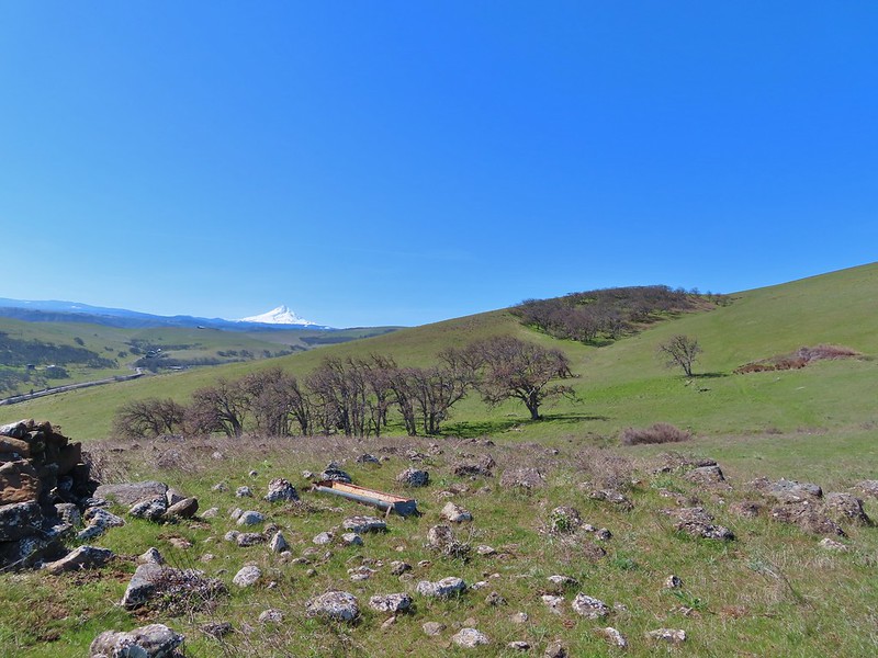
Just under 2.5 miles from the trailhead we came to a junction which is the start of a short loop. We stayed left arriving at an old road bed a short distance later where we turned right and soon entered the site of the old orchard. Nearly all the cherry trees are gone and the few that remain only have a few branches that continue to bloom and we were too early for those.
The trail looped through the now open meadow with views east of the Columbia River.


A short spur trail on the SW part of the loop led to a viewpoint to the west.

 Tom McCall Point and the Rowena Plateau with Mt. Defiance in the distance.
After checking out the view we completed the loop and headed back the way we’d come. We had only encountered a couple of other hikers up to this point (we’d seen more from afar) but the return trip was a different story. There was a lot of mask donning and stepping aside on the way back to the trailhead.
 Hikers on the trailhead and below.
One bit of excitement on the return trip was spotting a couple of orange-tip butterflies. We rarely see these pretty butterflies and it’s even rarer that I manage to get any kind of picture.
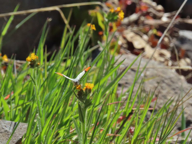 Just my third photo of an orange-tip.
The hike here for us came to 5.5 miles with another 1200′ of elevation gain giving us over 2200′ for the day so far. The parking area was now a full two rows of cars with more arriving (it was between 11:30 & 12:00). We quickly packed up and opened a spot for someone else and once again headed east on SR 14. We re-crossed the Columbia River on Highway 197 into The Dalles and took I-84 west for 5 miles following the Oregon Hikers directions to the Sevenmile Hill Trailhead
We weren’t sure how popular this hike is given that there are no official trails. That question, at least for this time of the year, was answered when we pulled into the empty gravel pullout.
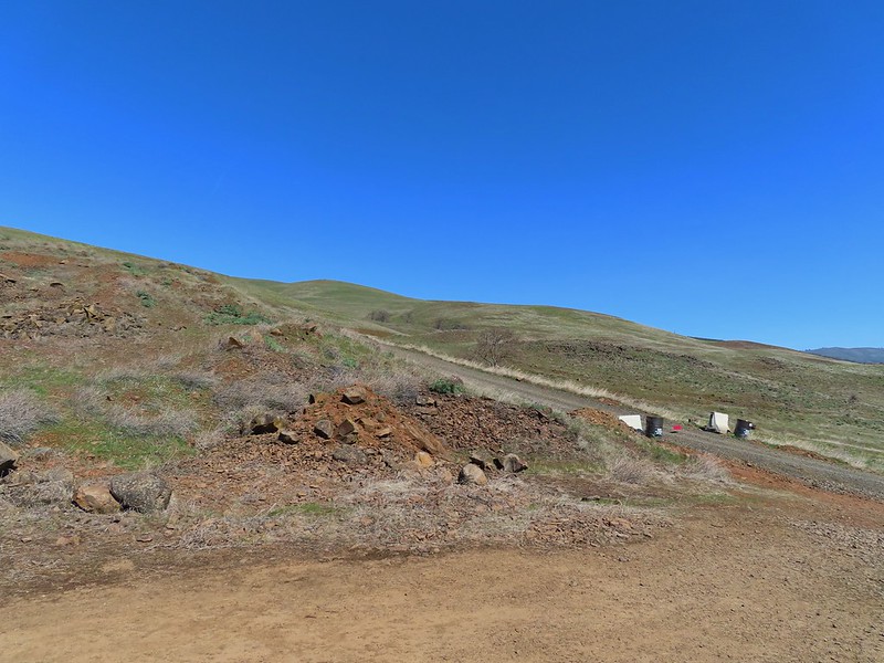
Our plan was to follow the entry in the Oregon Hikers Field Guide (description). The area consists of Forest Service land surrounded by private holdings (note the no trespassing sign across the road in the photo above).
We headed uphill and left, away from the blocked road passing a gravel pit on our left.
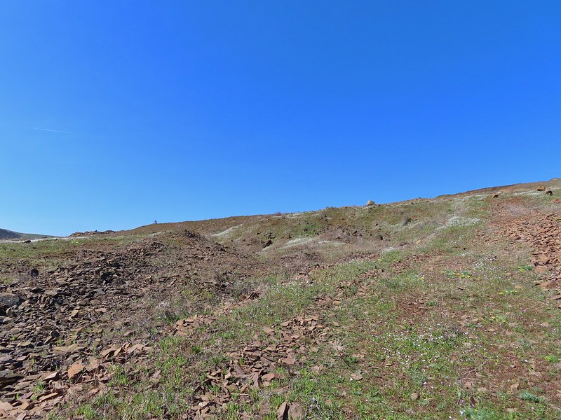
We were supposed to reach a knoll with a small windbreak made out of erratics (rocks from the Rocky Mountains deposited by the Missoula Floods). The first knoll we climbed had some erratics but no windbreak.
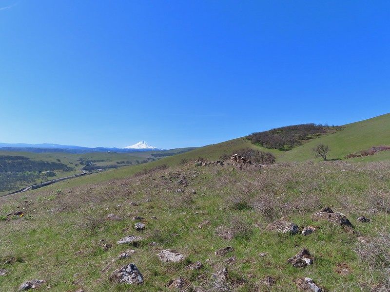
 Mt. Hood and Columbia desert parsley from the first knoll we tried.
 Top of knoll #1.
 A lone balsamroot blossom.
We weren’t sure if this was the right knoll or not but we did know from the map in the field guide that we should continue uphill and to the left. We kept climbing up the grassy hillside and reached the top of another knoll where we did indeed find a small windbreak.
From the knoll we followed a faint grassy track past a spring to a stand of oak trees.
 The path leading past the spring to the oaks.
 The spring
There was a fence on the hillside at the oak trees. We got a bit confused here reading the hike description. It reads “Head up gradually to your left, reaching a draw. Walk across the broken fence line here and cross a small bench. Continue hiking up to your left. At some point, you should see the southwest boundary corner of the property and a fence line ahead.” We had not noticed another fence line and this fence was broken here with no signs so we continued on the faint path. That was a mistake and the fence we passed through was the boundary. When we reached a small crest where we could see everything ahead of us there was no other fence in sight.

We quickly turned and began heading uphill to the NE to relocate the fence line and get ourselves on the correct side (Our apologies to whomever that land belongs too).
 Back on the right side
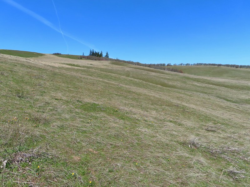
Now we were back on course and followed the fence line uphill. While the wildflowers here would have been better from mid to late April there were a few splashes of color here and there.

 Balsamroot surrounded by some little white flowers.
 Lupine thinking about blooming.
 Larkspur
 Yellow bell lilies
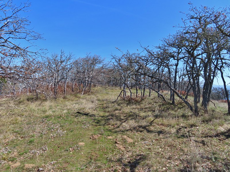
We deviated from the description as we neared the top of the hill electing not to follow the fence through a stand of oak trees, where the guide indicates there is a profusion of poison oak, opting instead to pass through the oaks lower on the hillside.
 We didn’t notice any poison oak here.
On the far side of the oaks we turned almost directly uphill reaching a viewpoint where Mt. Adams rose to the north beyond the Columbia River.

 A grass widow at the viewpoint.
 Mt. Adams
 Mt. Hood over the oak stand.

We turned right along the rim following deer and elk trails through the oaks and past more viewpoints.

From a grassy rise along the ridge we could see a faint path leading into another stand of trees where we could also make out the fence line marking the eastern boundary of the Forest Service Land.

We headed downhill and followed the path to the fence line and then followed it down.
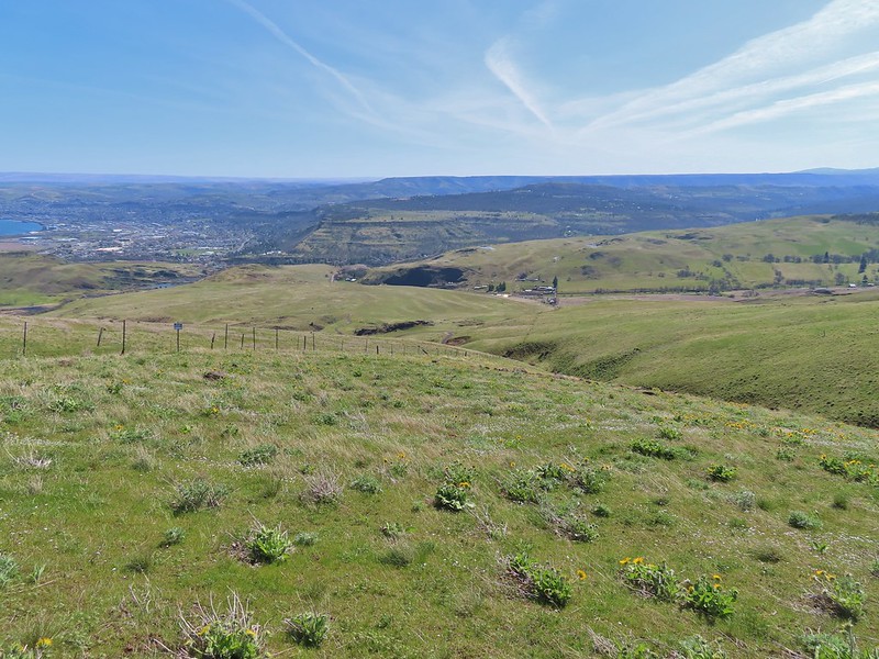
 The Dalles beyond the fence line.
 Heading down the fence line.
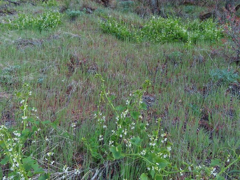
As we lost elevation we began to see quite a few more flowers. It seemed that the flowers at this eastern end were ahead of those to the west.
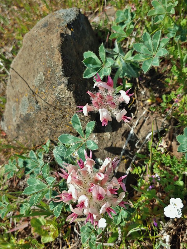 Large head clover

 A lupine with blossoms.
 Hillside covered in Columbia desert parsley
 Our car had been joined by one other. (middle left of photo)
 Gooseberry Creek
We turned away from the fence on an old farm road following it back to the road near the trailhead by the “No Trespassing” signs.
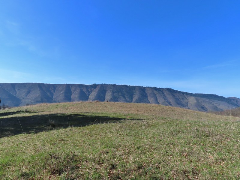
This loop came in at 4.3 miles according to my GPS and was at least 1250′ of elevation gain which was made more difficult by the cross country terrain. There was little to no level footing for the vast majority of this hike and coming after we had already hiked 7.6 miles and gained 2200′ it really tired us out. That being said it was a great day to be out. One thing to note is that all three hikes are in located in tick country (we were lucky enough not to pick up any) and both Sevenmile Hill and Lyle Cherry Orchard are in rattlesnake country (again didn’t see any). Happy Trails and stay safe out there!
Flickr: Mitchell Point, Lyle Cherry Orchard & Sevenmile Hill

One reply on “Mitchell Point, Lyle Cherry Orchard & Sevenmile Hill – 3/27/21”
[…] #53 Mitchell Point – Hiked 3/27/2021 […]