It is our goal to eventually visit each of the featured hikes in William L. Sullivan’s “100 Hikes” series of guide books. One of the things that I have been working on during our current off-hiking season is figuring out how to accomplish this. One of the difficulties is that some of the hike distances are such that the amount of time we would spend on the trail is quite a bit less than the amount of time we’d spend driving to and from the trailhead. At first glance the hike to Tamanawas Falls fell into this category for us. At a little over two hours away the 3.8 mile round trip was too short and an alternate return route suggested by Sullivan would only extend the hike to 5.9 miles which was still likely too short to balance out the driving time. While rereading the description in the book and reviewing the accompanying map I found the solution which was to extend the hike along the East Fork Trail southward.
This trail incurred heavy damage during a flood event and no longer ties into the Robin Hood Campground to the south. It continues as far south as the Nottingham Campground but there is no bridge at that point making it the unceremonious end of the trail. We just needed some extra distance on a trail though so this would give us the ability to hike south at least a mile or two and increase our hiking time enough to top our driving time.
Now that the we had a plan that fit this hike into our hike-to-drive ratio requirement we needed to figure out when to visit. The hike to Tamanawas Falls is very popular given its shorter length and its location along Highway 35 on the east side of Mt. Hood. We decided that early Spring might be our best bet when the wildflowers had begun blooming in the Columbia Gorge and there would still be some snow along the Tamanawas Falls Trail.
We arrived at the Tamanawas Falls Trailhead just before 7am (our other trick for avoiding crowds) on what promised to be a beautiful mostly sunny day.

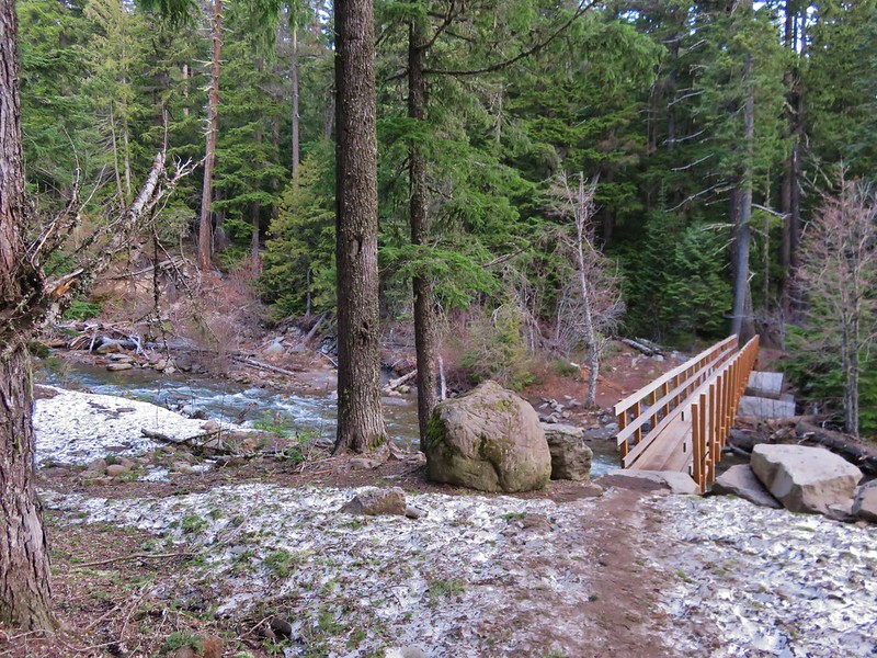
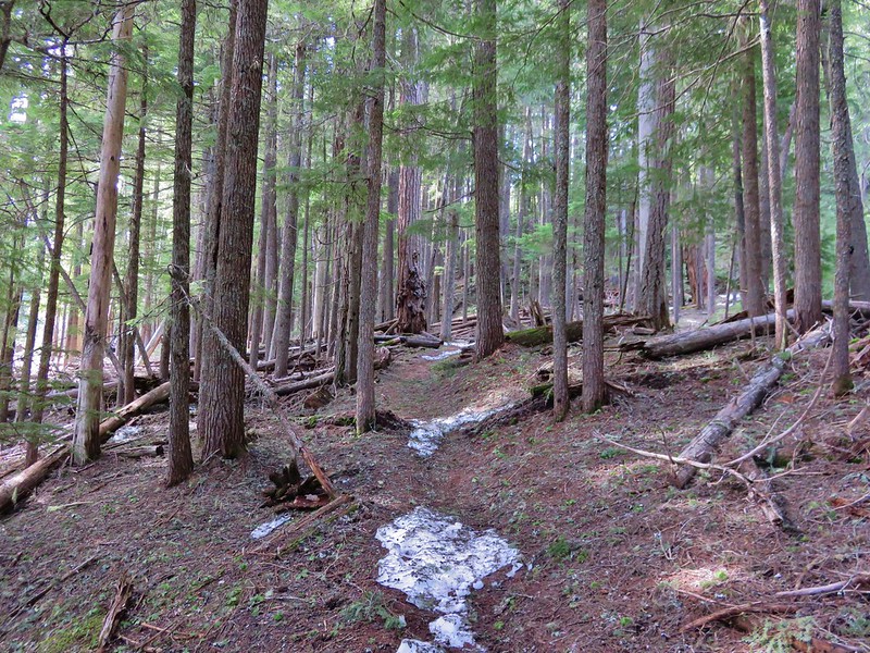
It was a crisp 37 when we arrived and the remaining snow was packed and a little slick on the way down to a footbridge across the East Fork Hood River.

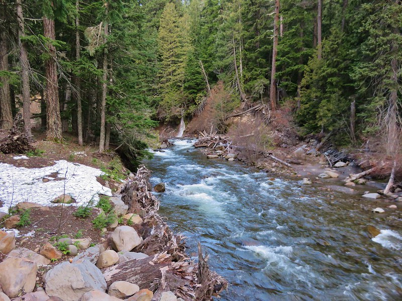
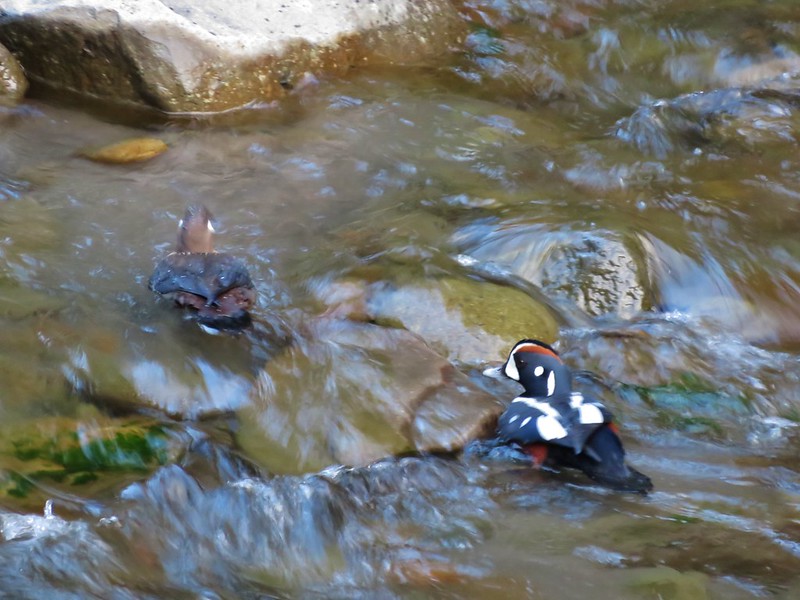
From the bridge a small waterfall cascaded down into the river and a pair of Harlequin Ducks paddled about along the far bank.
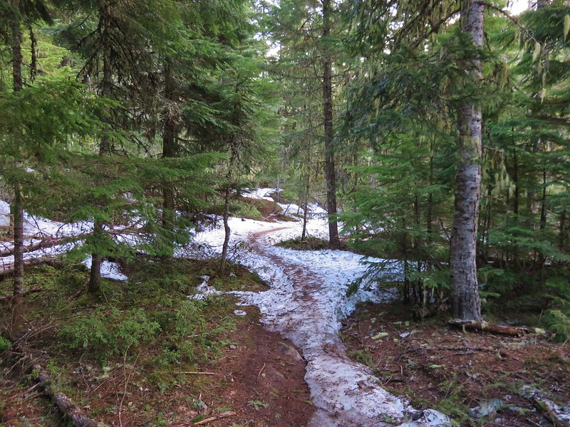
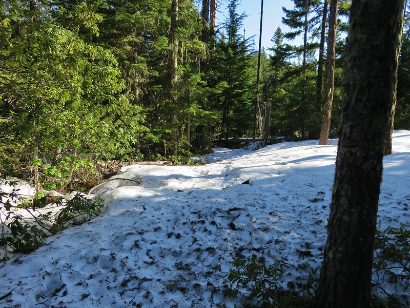
We were headed north on the East Fork Trail toward a junction with the Tamanawas Falls Trail. The trail climbed a bit and was still covered in snow in sections.
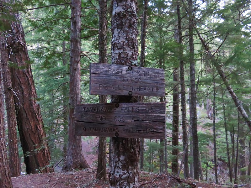
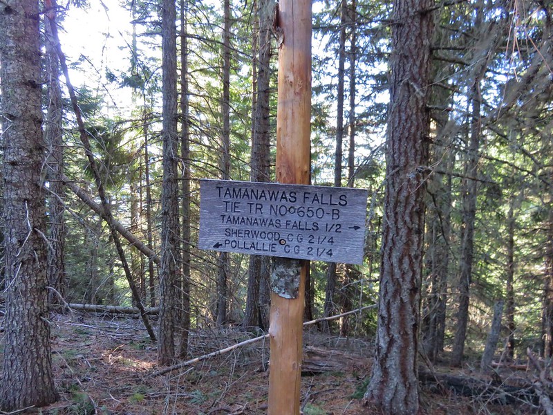
After .6 miles we reached the signed trail junction and turned left on the Tamanawas Falls Trail.
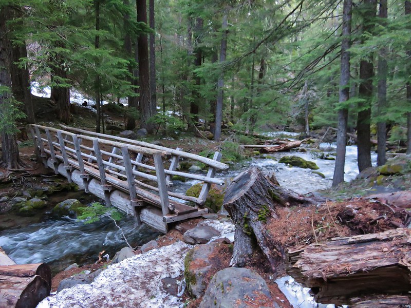
We were now heading downhill toward Cold Spring Creek and another footbridge.
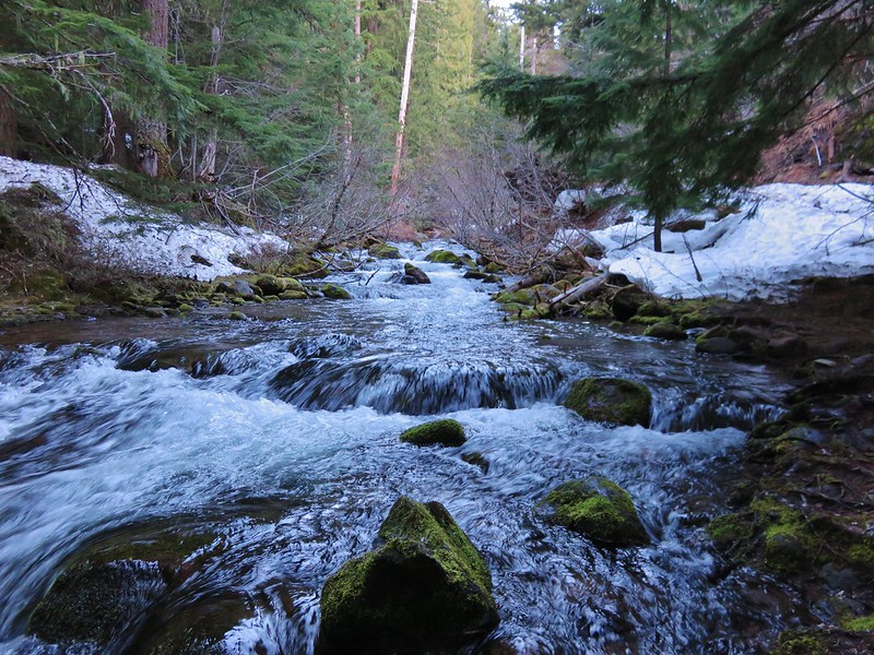
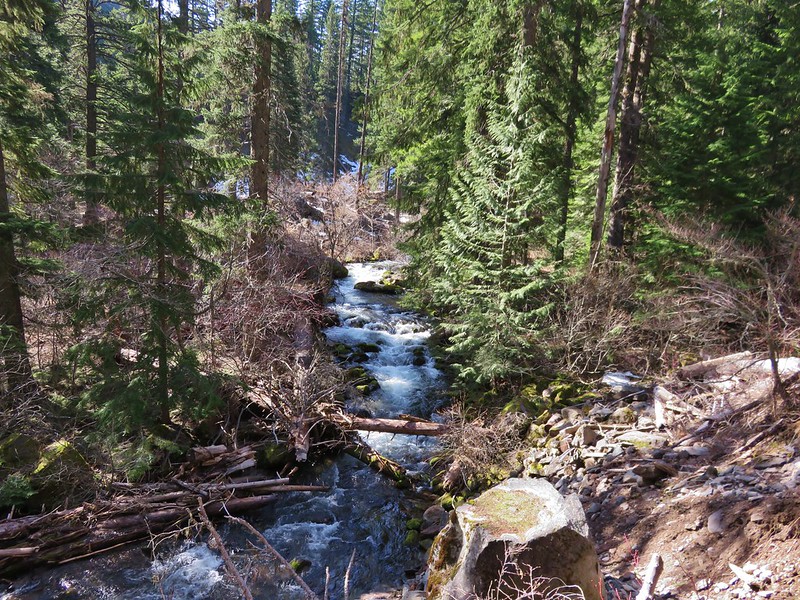
We then followed the trail up along picturesque Cold Spring Creek for almost a mile to a trail fork.
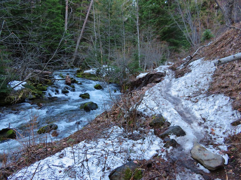

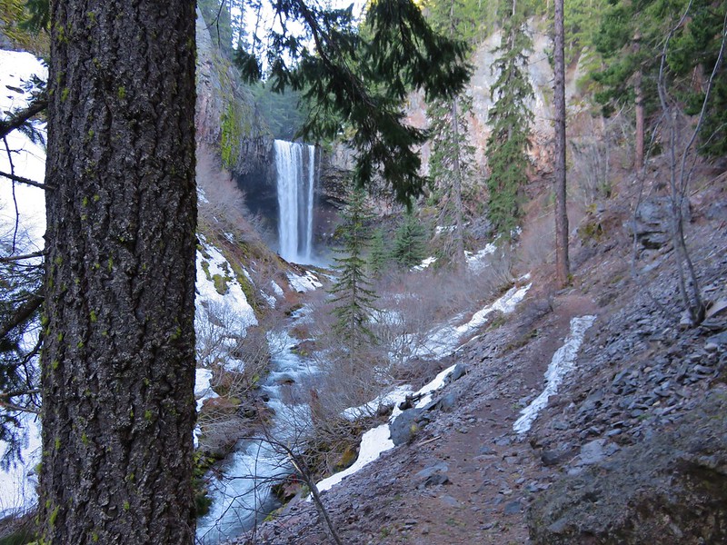
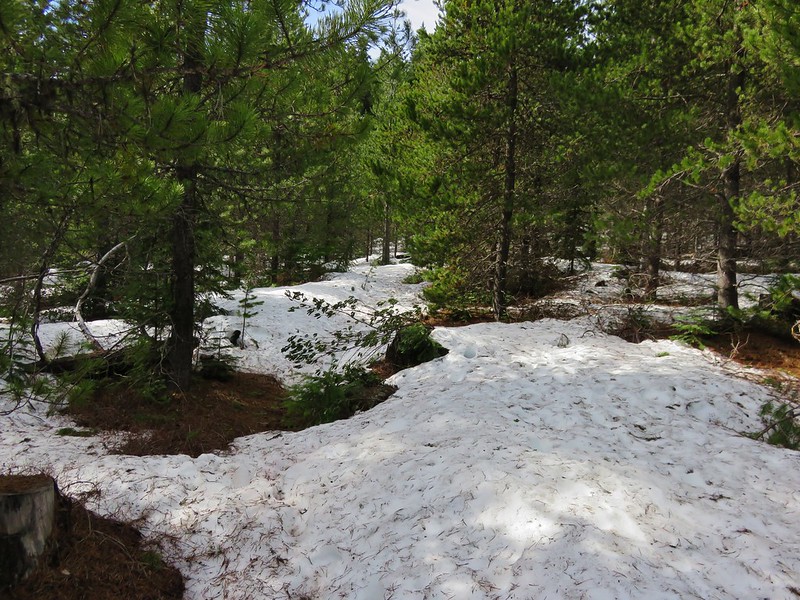
The Tamanawas Falls Trail continued straight ahead at the fork, passing through a rock field while the Tamanawas Tie Trail headed uphill to the right. We would be taking the tie trail on our return trip but first we headed into the rock field and onto the slickest portions of trail we’d encountered.

The snow had been packed down to ice in sections and we were glad to have had our trekking poles with us. We also had brought along some traction devices for our shoes which Heather used in this section on the way back.

We felt the falls before we could see them. As we made our way up the trail a faint breeze met us. The air had the unmistakable feel of waterfall, cool and containing a hint of moisture. I admit to not expecting much from the falls themselves. For some reason the pictures I’d seen had left me with the impression that the falls were smaller than what they turned out to be. I was pleasantly surprised when they first came into view.
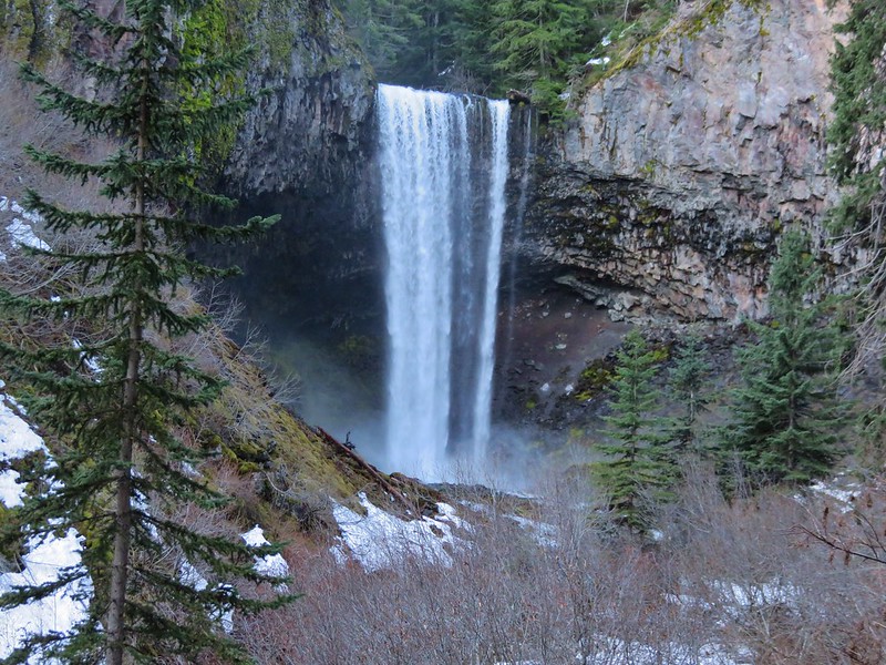
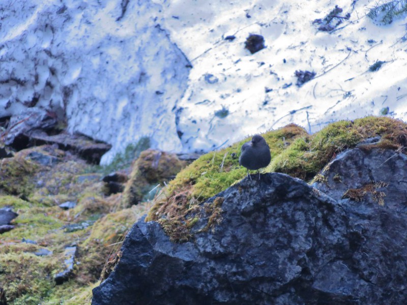
We hung around for awhile exploring and having a snack. We were the only people at the falls but we were joined by an Ouzel.

After admiring the falls we made our way back to the junction with the Tamanawas Tie Trail. We turned uphill on this trail and began the short climb up to the Elk Meadows Trail.

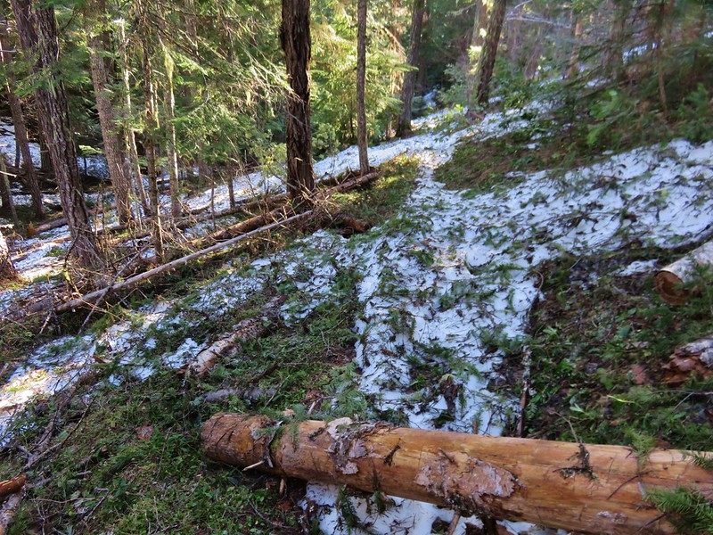
We followed the signs for the Polallie Campground and began descending a forested ridge. The Elk Meadows Trail had obviously seen less traffic and some sections still had a decent amount of snow. There was also some light blowdown to step over or around and lots of small pine tree limbs on the trail.
Although the ridge was forested we did get our only glimpses of Cascade peaks along this trail.
Mt. Adams
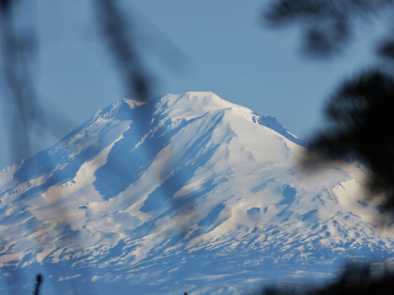
Mt. Hood

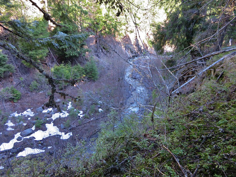
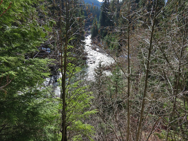
The trail had gradually made its way toward the Polallie Creek Canyon and we headed off trail just before the trail took a sharp right-hand turn around the ridge end to check out it out. A reported 80 foot deep flash flood scoured the canyon and washed out miles of Highway 35 in 1980 but there was no sign of that kind of power in the creek now.
After a brief descent we arrived at yet another trail junction. This was the East Fork Trail that we had been on before turning up the Tamanawas Falls Trail earlier in the morning.

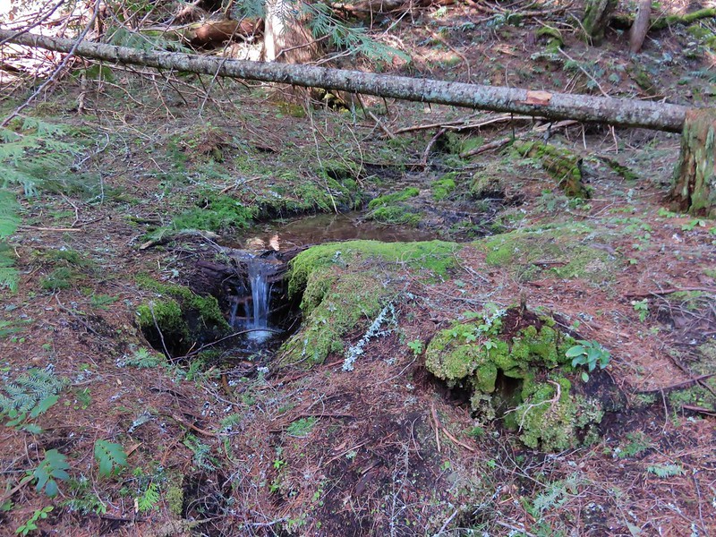
We turned right to complete our loop. Along this 1.1 mile stretch we could often see the highway below, but it wasn’t without its sights including a neat little spring that flowed out of the ground into a small pool then quickly disappeared once again.
The trail had a few ups and downs before finally dropping down to Cold Spring Creek.
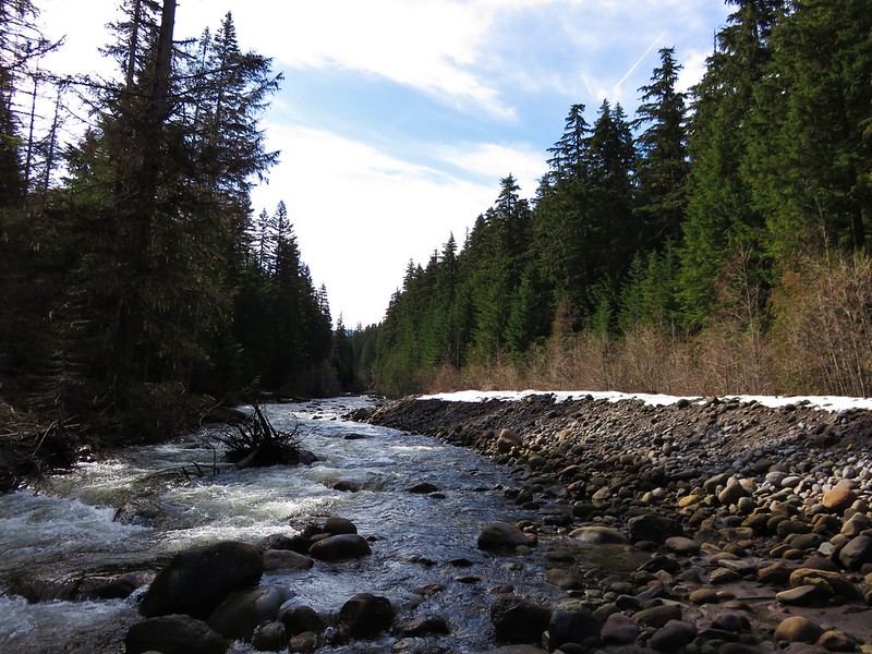
We crossed the creek on a footbridge and climbed back up to the junction with the Tamanawas Falls Trail that we had passed earlier. We had not seen anyone else on the trail yet that day but now that we were back on the main route we began to see a handful of others. When we arrived back at the East Fork Hood River crossing we stayed on the West side of the river and continued on the East Fork Trail to get our needed time in.
This section of the East Fork Trail alternated between being along the river and above it in the forest.
After about a mile the trail headed further uphill away from the river and entered an old snowy clear cut where the trees were much younger.
When the trail reentered older forest it switchbacked up just below an abandoned road. We had decided that we would continue on from here until the trail began to drop back down toward the river because we didn’t want to have to climb back up. We left the stand of older trees and entered another old clear cut where the trail did begin to head downhill. From this area we had a nice view of the Lookout Mountain area across Highway 35 to the East.

A quick glance at the time told us that by the time we were back at the car we’d have hiked long enough to surpass our driving time so we declared victory and headed back. The parking area at the trailhead was packed but we’d encountered less than a dozen others on the trails.
All in all it was a great final off-season hike and the next time we head out our 2016 hiking season will be officially under way. Happy Trails!
Flickr: https://www.flickr.com/photos/9319235@N02/albums/72157666743878315

2 replies on “Tamanawas Falls”
[…] Hood – 2012, 13, 14, 15, 16, […]
[…] #81 Tamanawas Falls – Hiked 4/3/2016 […]