One week after returning from our Northern California trip we found ourselves headed to Bend to drop off some furniture to our Son who had recently moved. It wasn’t going to be a long visit due to his having to work so after a quick tour of his new apartment we were back on our way home.
Our plan was to stop for a hike on the way home along the Pacific Crest Trail near Santiam Pass south to Mount Washington Meadows. We had left Salem at 5am so it would still be fairly early when we hiked. Just after 8:30 we pulled into the PCT trailhead near Big Lake.
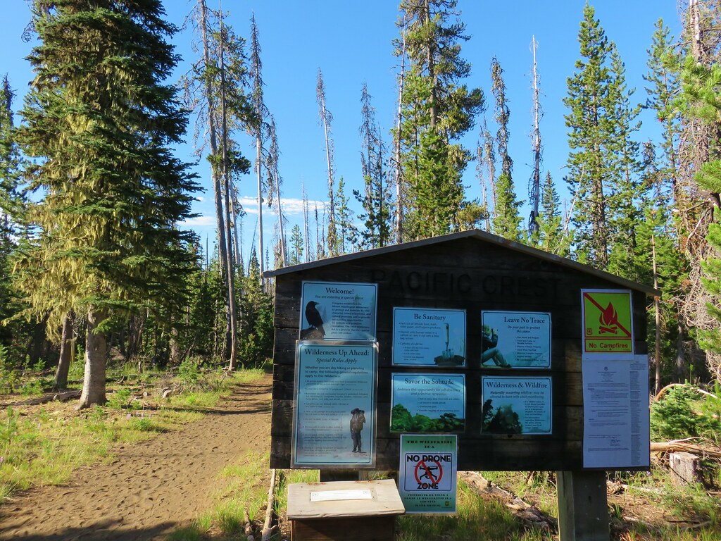
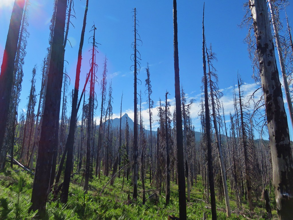
We headed south on the PCT which quickly entered the Mt. Washington Wilderness amid trees burned in the 2011 Shadow Lake Fire.
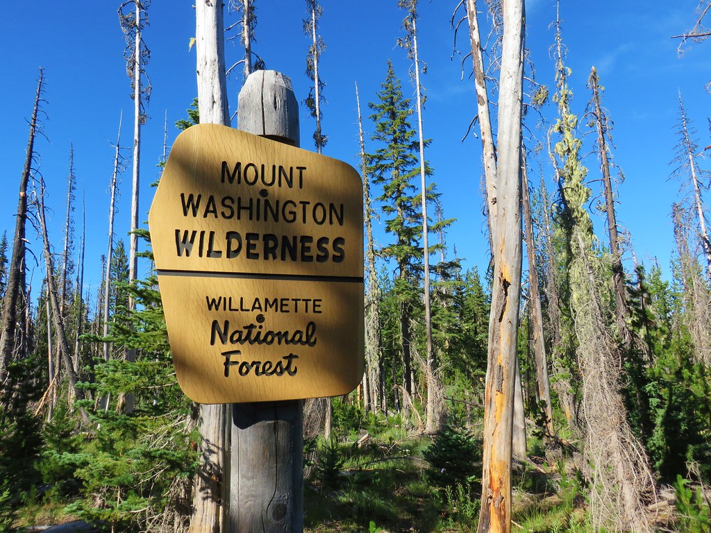
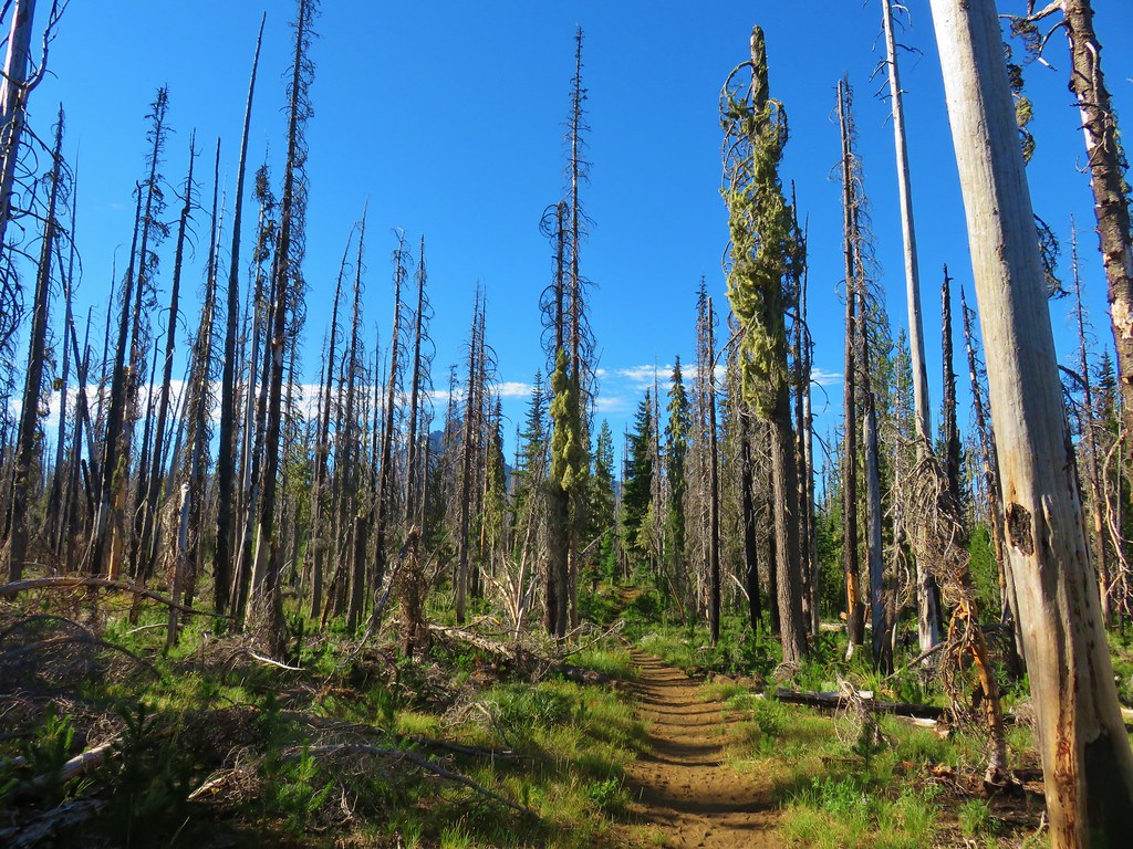
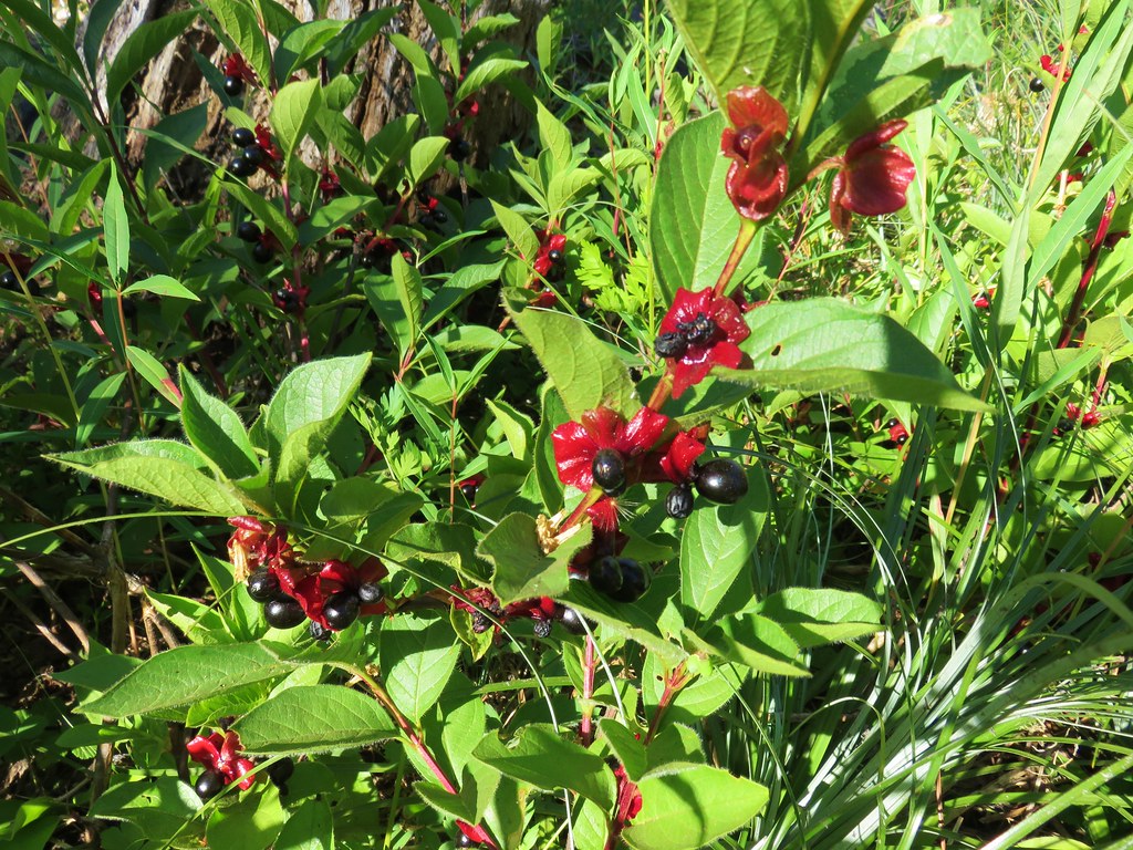
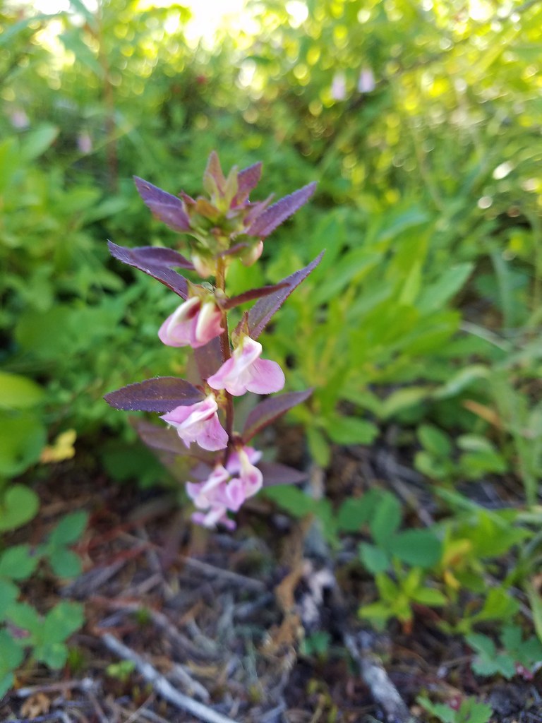
The first two or so miles passed through the burn where despite most of the trees being dead, there was plenty of green and other colors present.

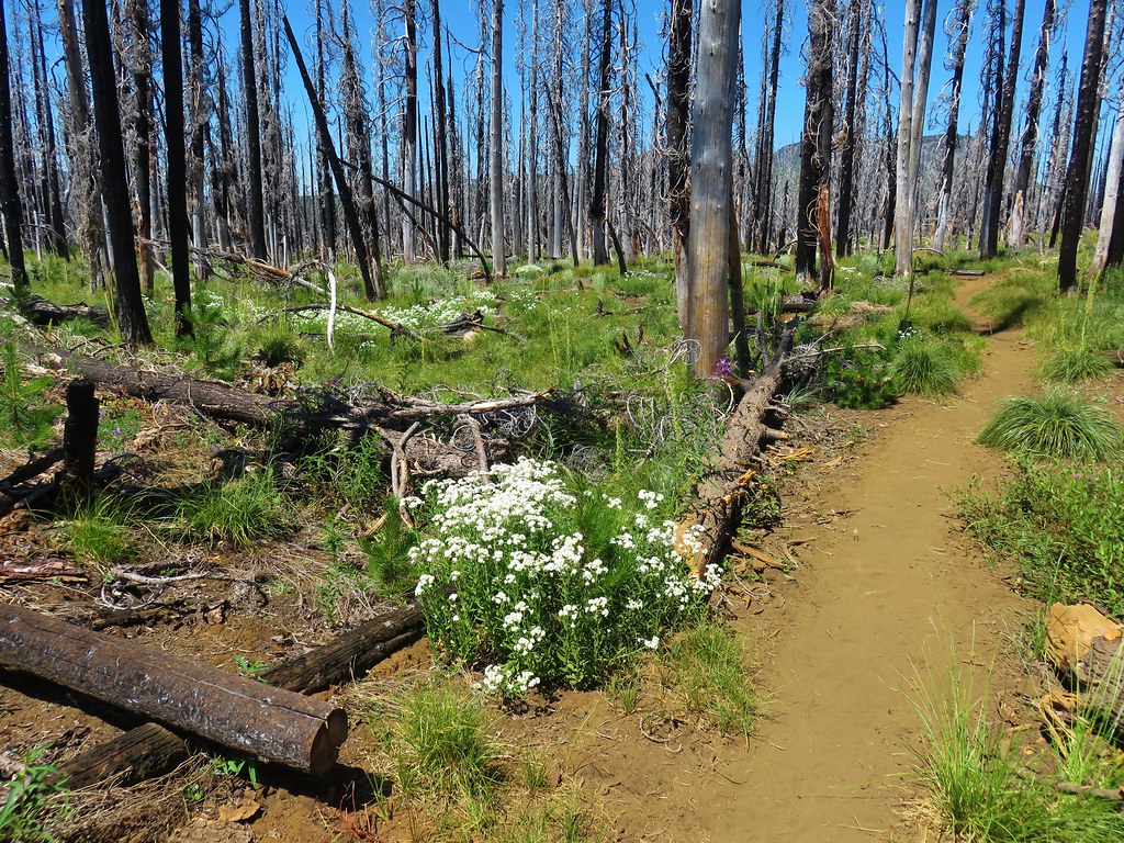
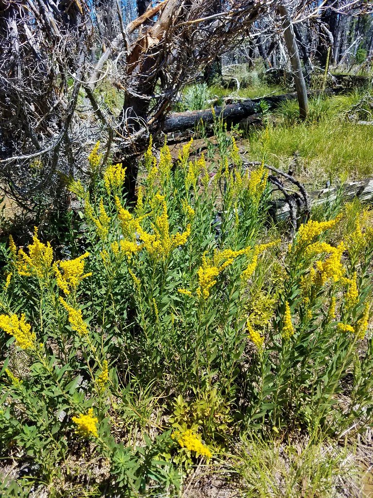
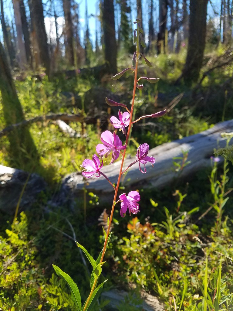
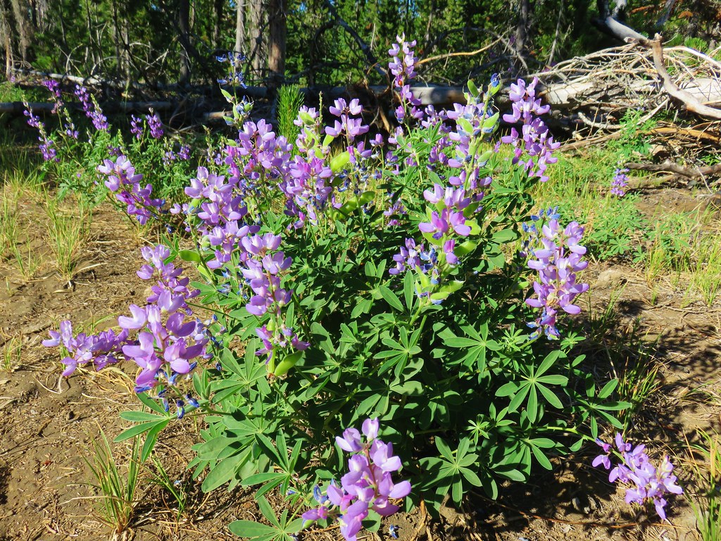

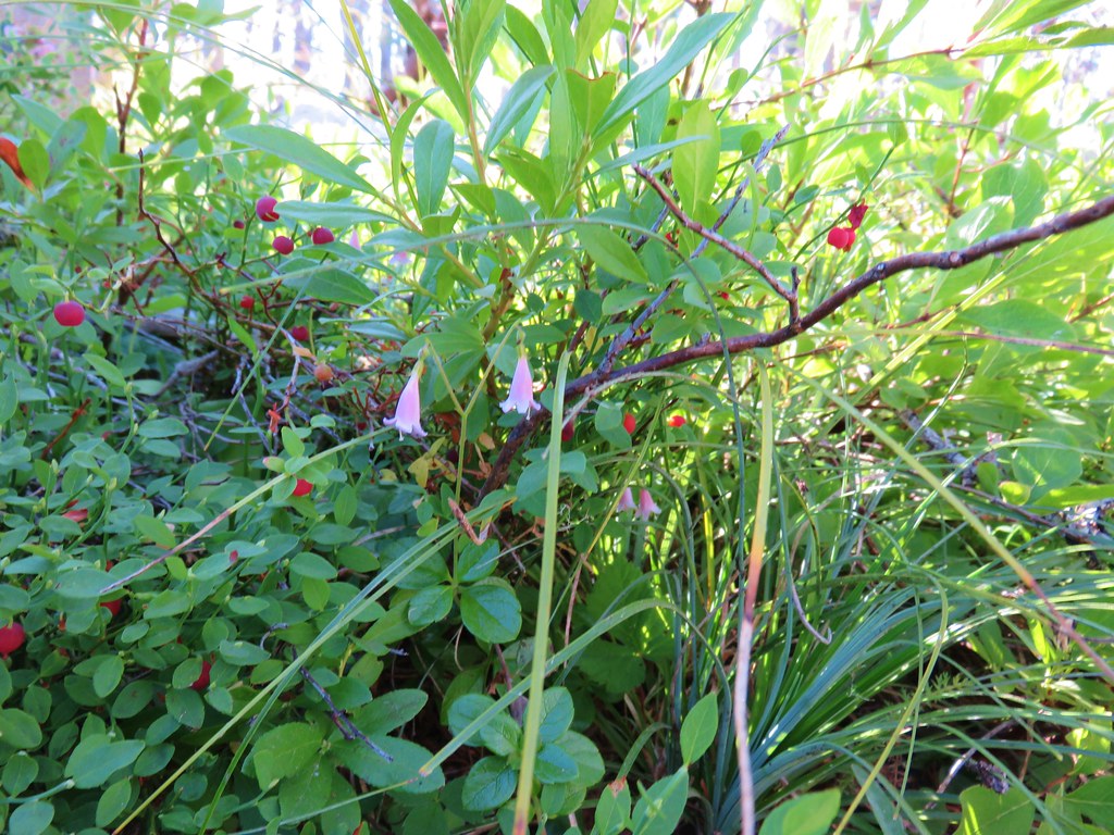
The lack of living trees did allow for some views of both Mt. Washington ahead and Three Fingered Jack to the north beyond Big Lake, the Hoodoo Ski Area and the flat topped Hayrick Butte.
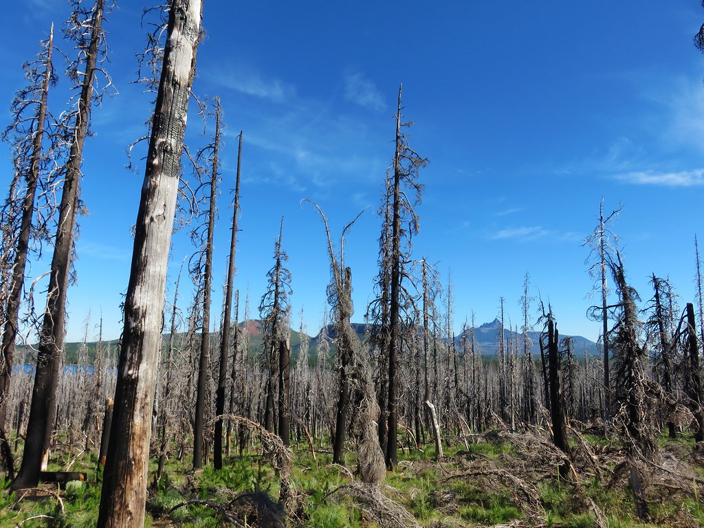
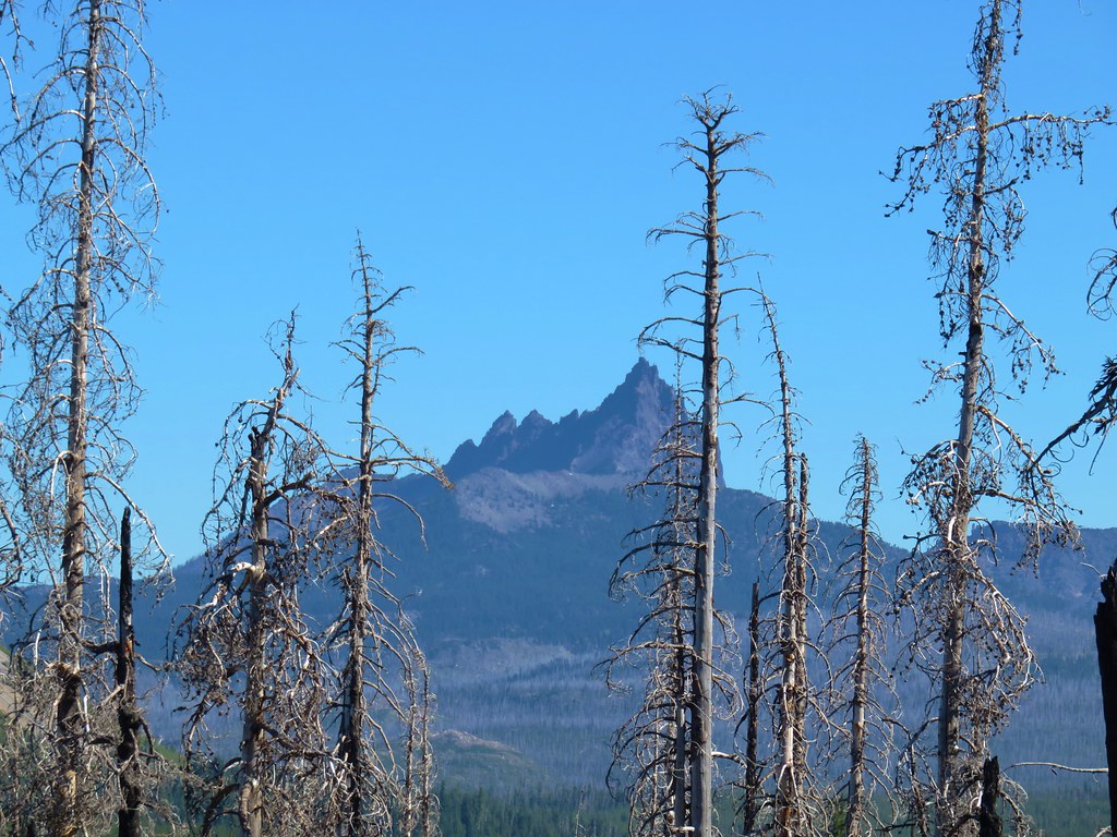
We could also see two small buttes just to the SW of Big Lake which we had hiked around in 2012 when we visited the Patjens Lakes.
That hike was also done during the first week of August, but less than a year removed from the Shadow Lake Fire. It was interesting to see how the forest was recovering with the passing of several more years.
 Patjens Lake Trail – August 2012
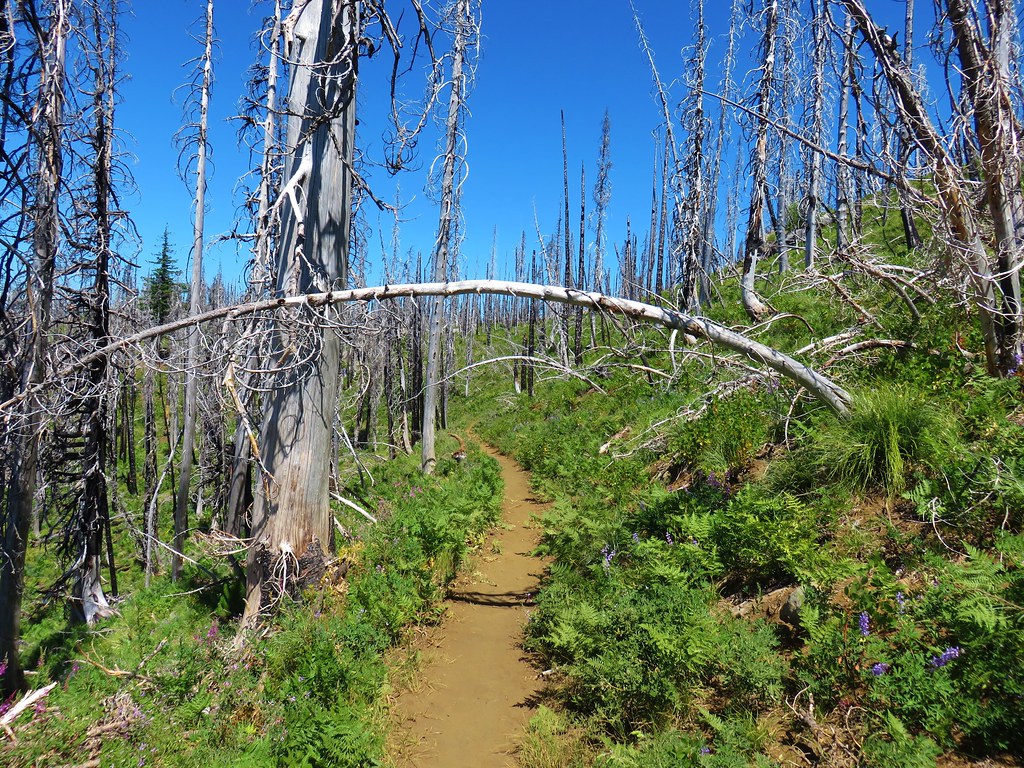 Pacific Crest Trail – August 2017
A wider variety of plants including various berries were present now.
We left the burn area where we were able to see what the forest will look like again eventually.
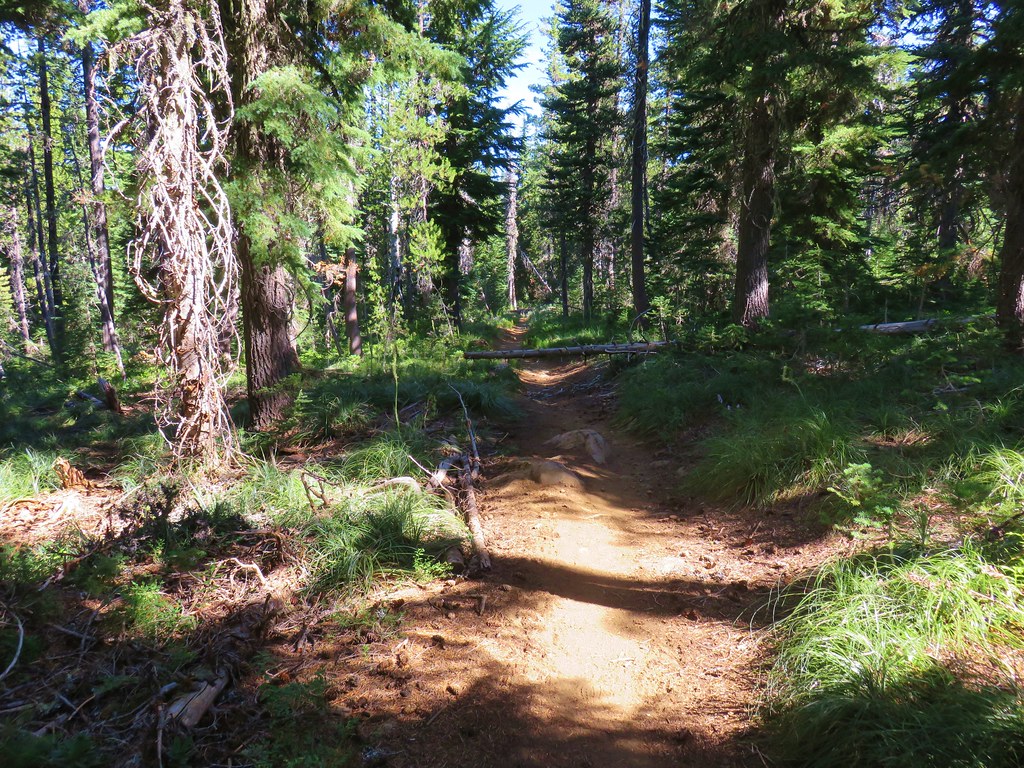
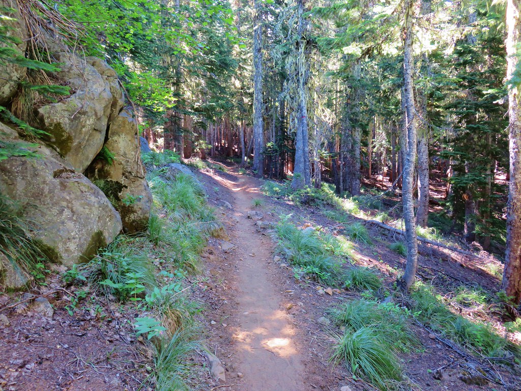
We passed several small meadows and lots of wildflowers as we went.

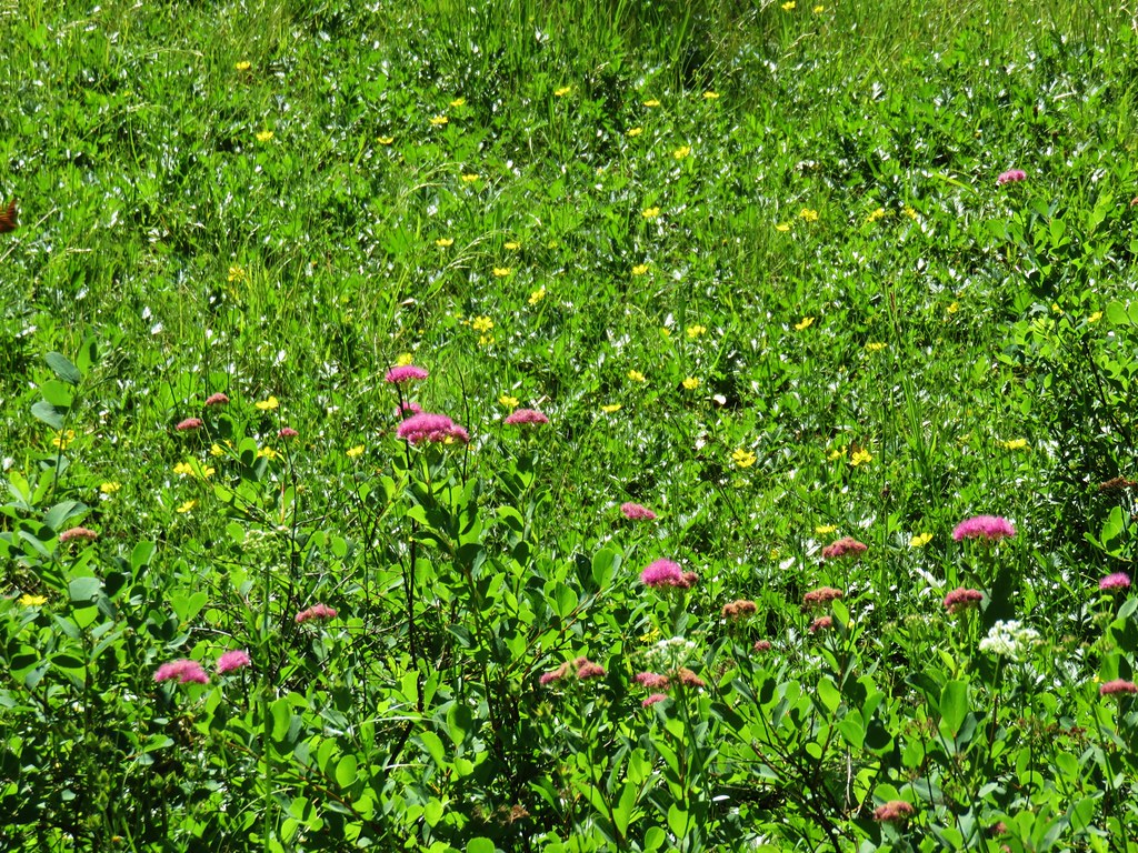

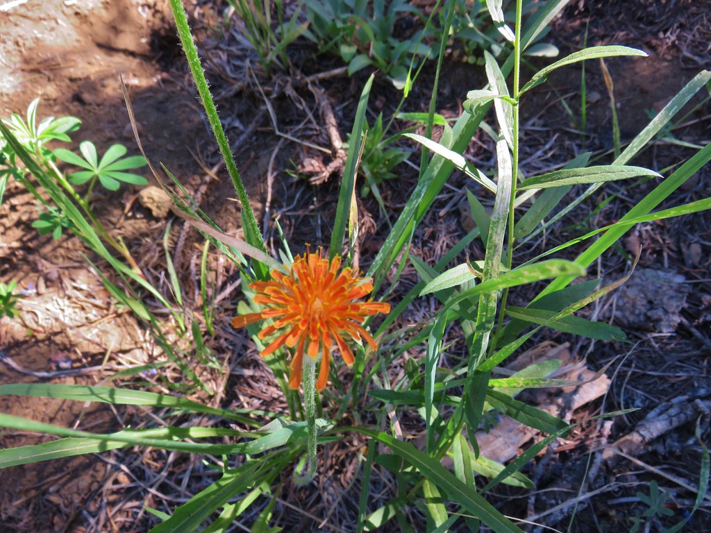
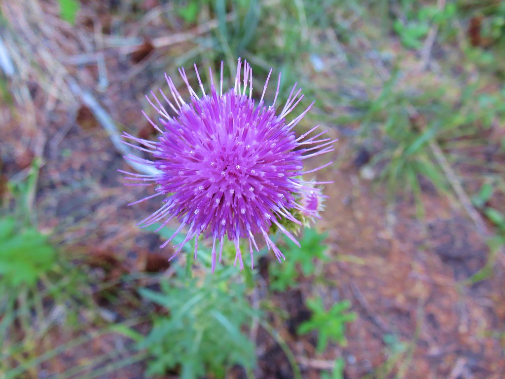
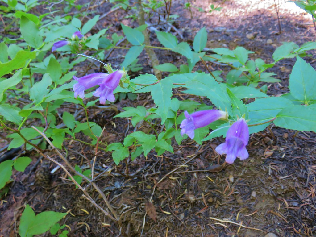
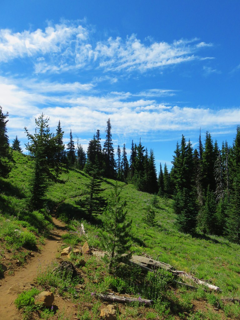
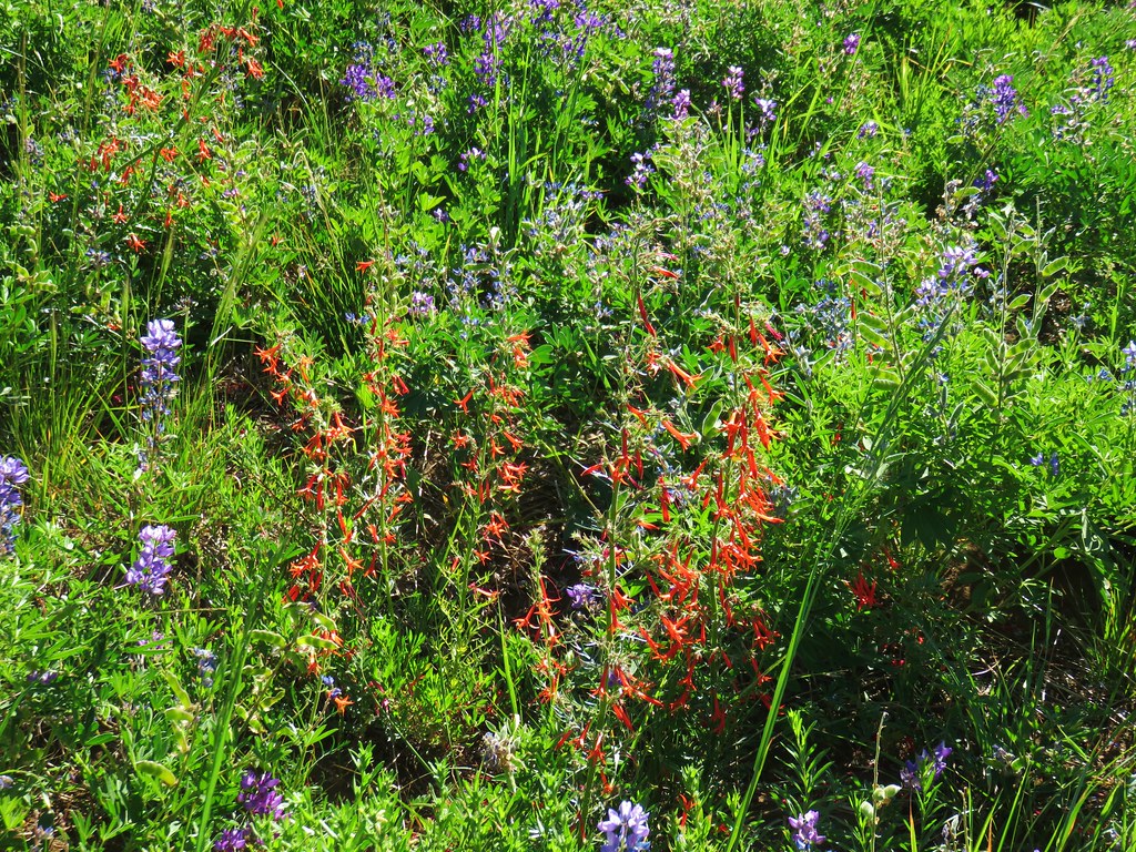
We had been gradually climbing and when a break in the trees allowed us a view to the north where we spotted Mt. Jefferson over the shoulder of Three Fingered Jack.
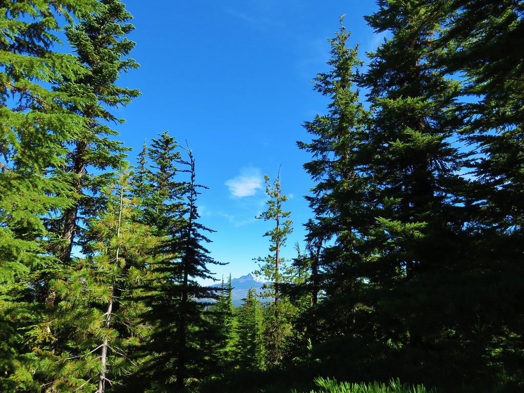
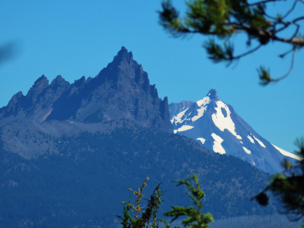
It was a bittersweet view as it reminded us that the Whitewater Fire was burning on the west side of Mt. Jefferson and had already burned over portions of several trails leading to Jefferson Park.
There was no real visible smoke but we knew that it was there and those trails would look a lot like what we’d passed through earlier in the Shadow Fire area.
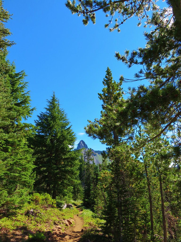
When the PCT began to curve around a ridge to the left the Spire of Mt. Washington came into view.
An open hillside then opened up views to the south were several other familiar peaks were visible.
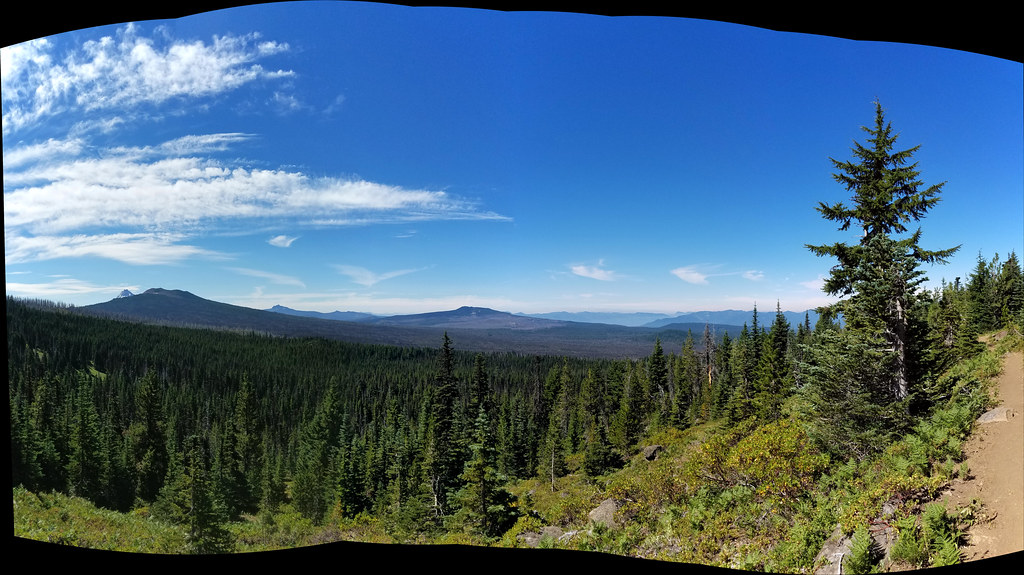
These included the North and Middle Sister, Belknap Crater, the Husband, Diamond Peak, and Scott Mountain.
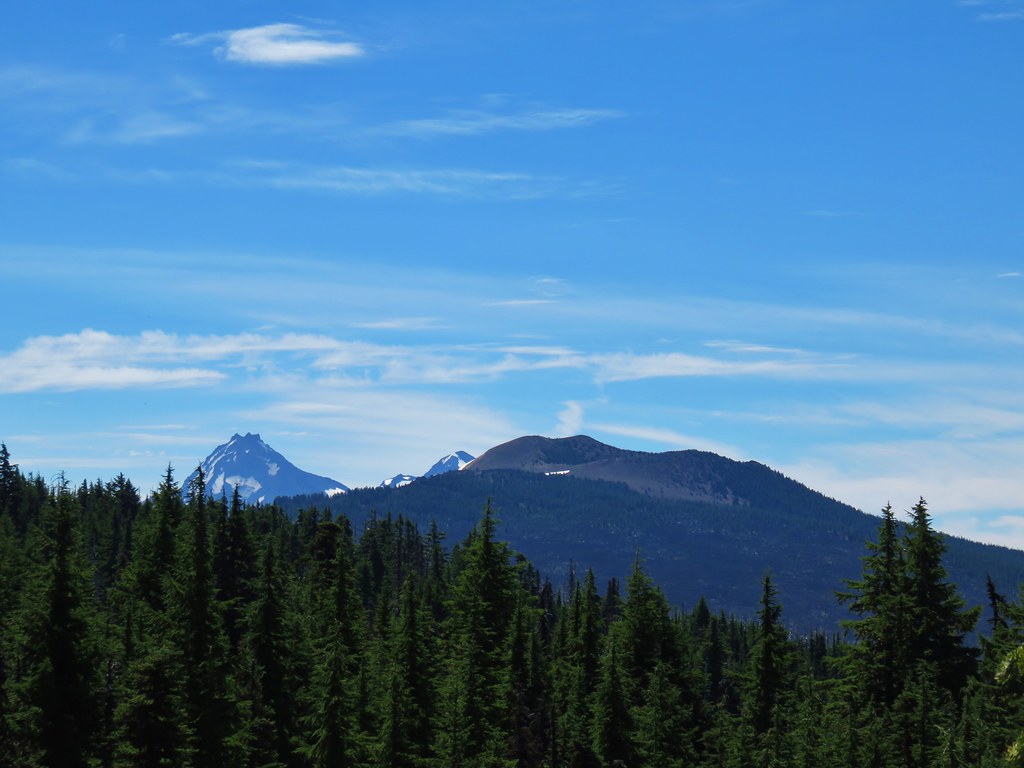 North & Middle Sister with Belknap Crater
 Scott Mountain
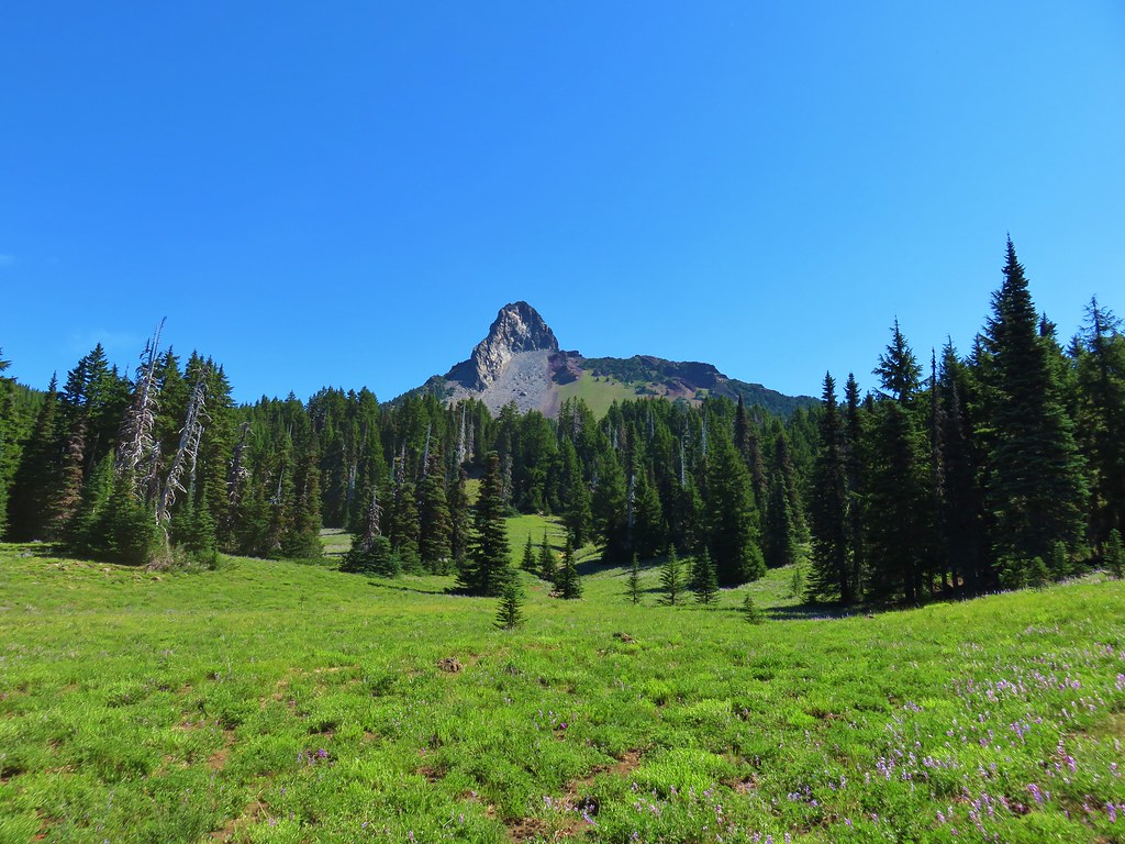
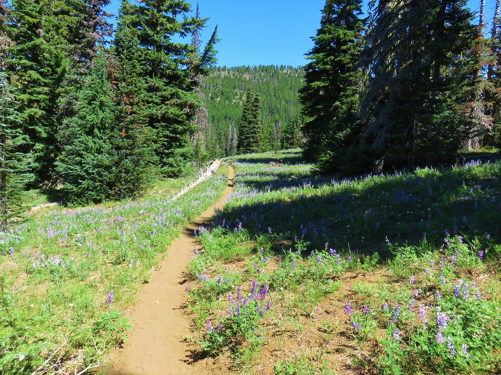
As we continued we passed through some increasingly impressive meadows until reaching a large lupine filled meadow below Mt. Washington.
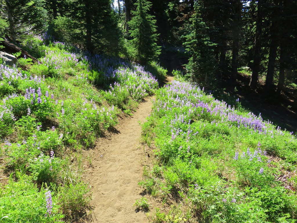
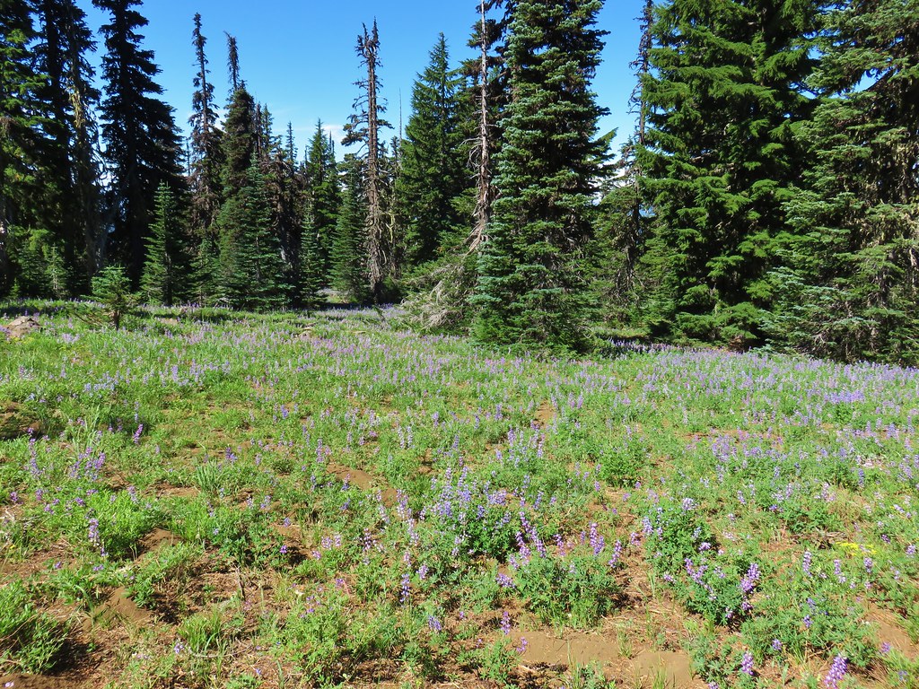
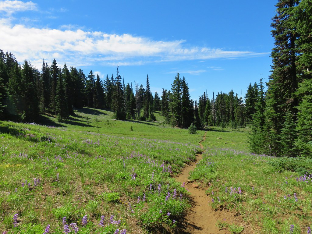
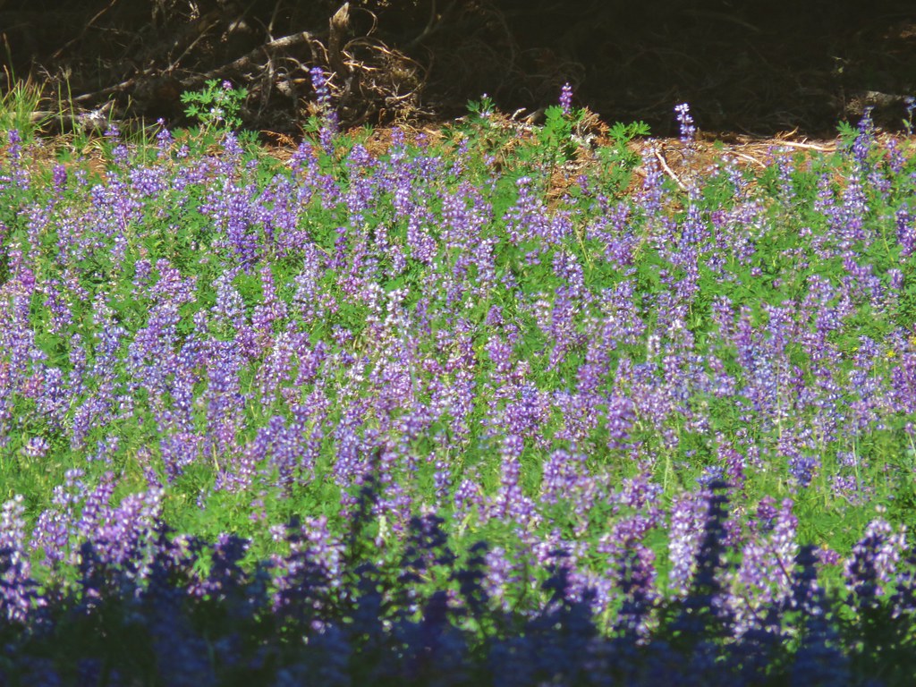
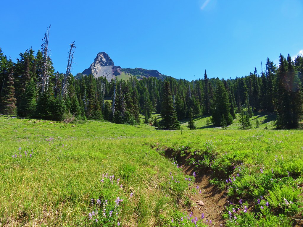
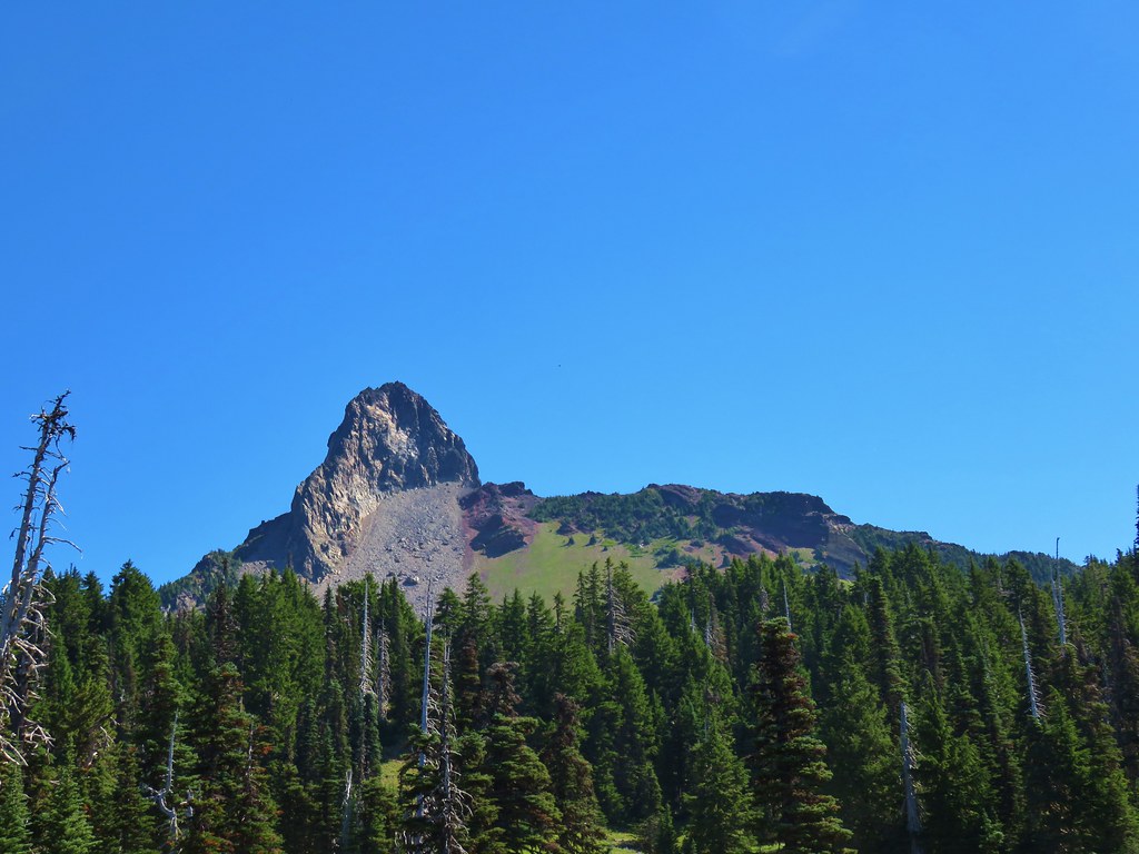
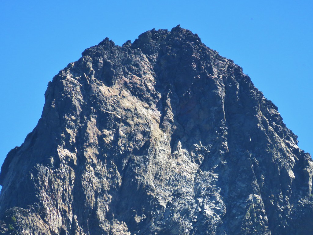
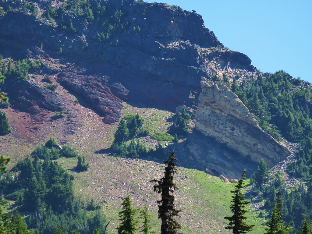
Mt. Washington rose above the meadow where we were able to get a great look at the eroded volcano.
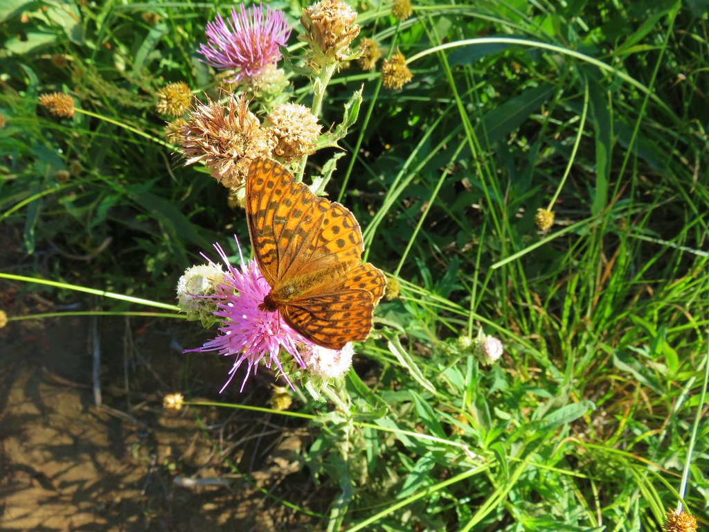
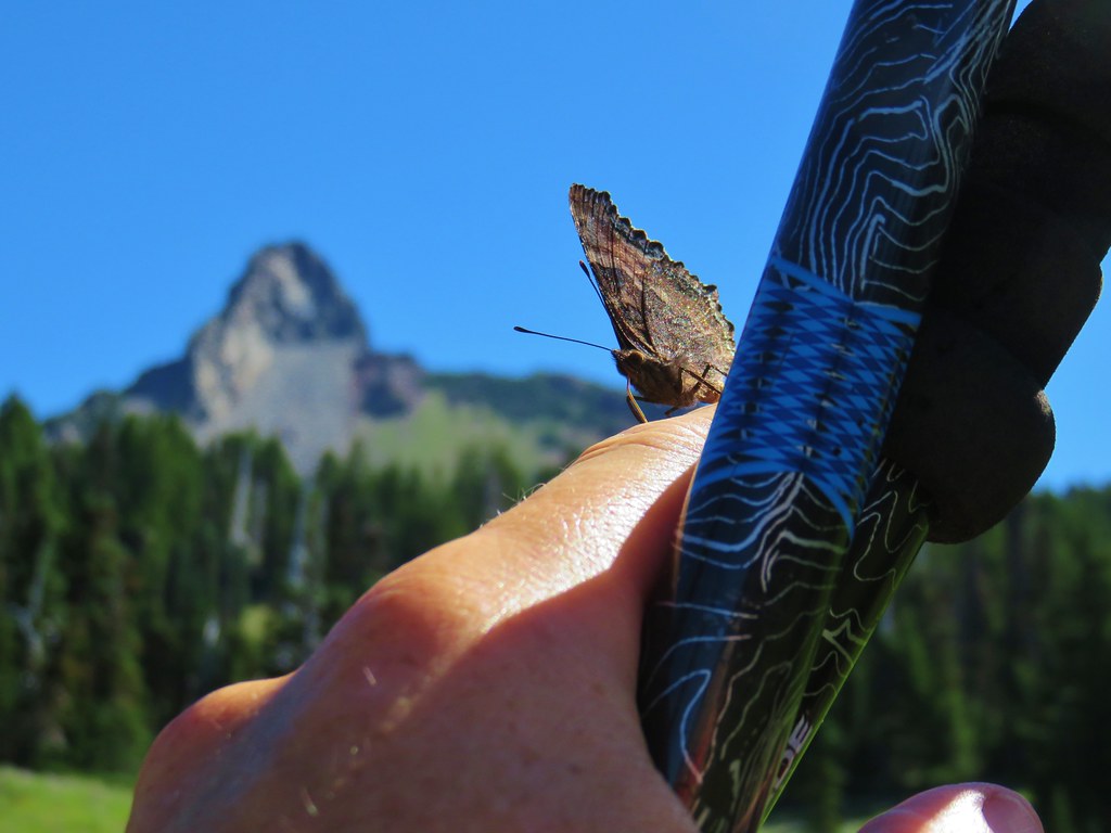
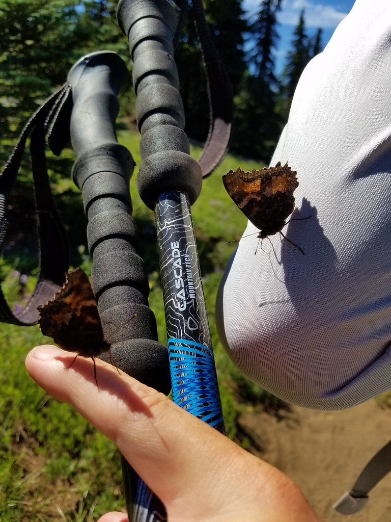
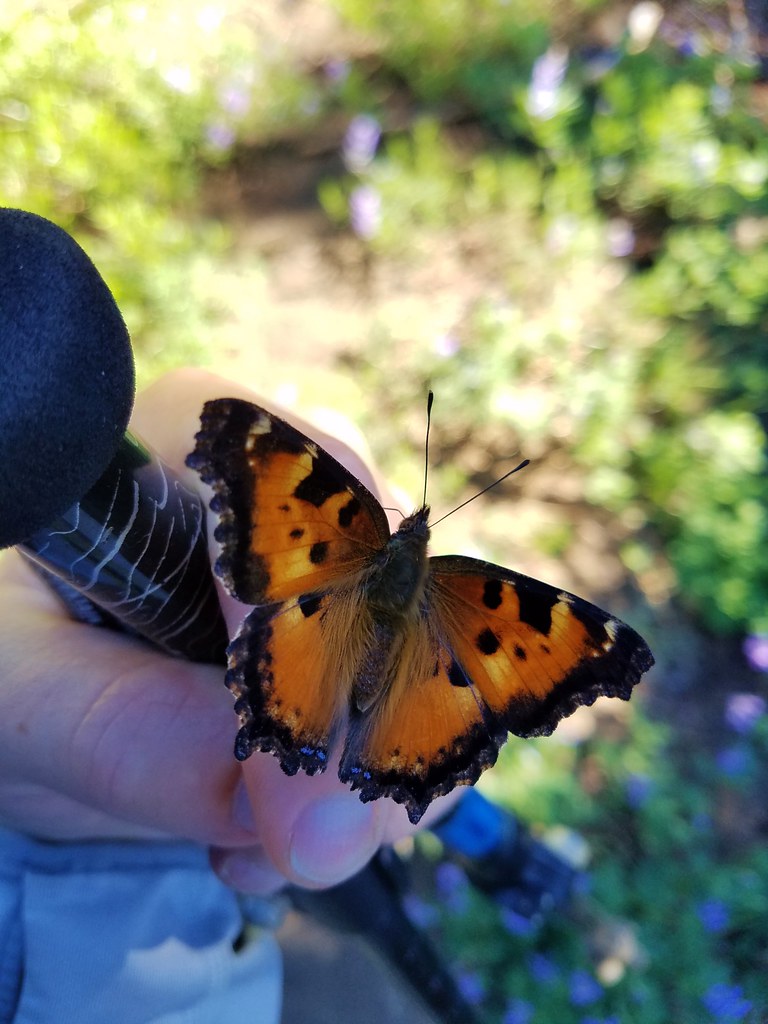
Lupine wasn’t the only thing in abundance in the meadow. There was also a large number of tortoiseshell butterflies who seemed to be overly attracted to me.
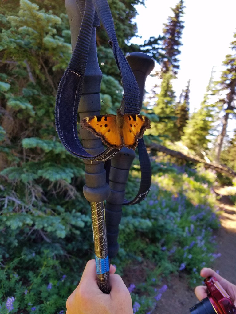
We continued through the meadow where we found a nice display of cat’s ear lilies still in bloom amid the lupine.
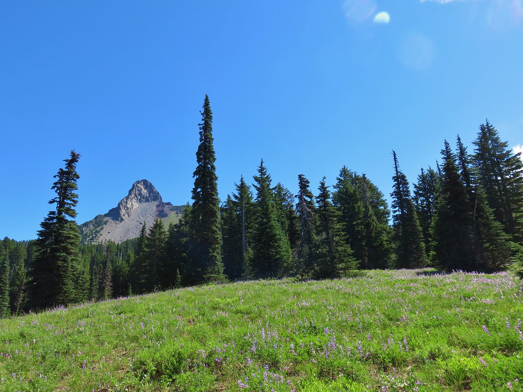
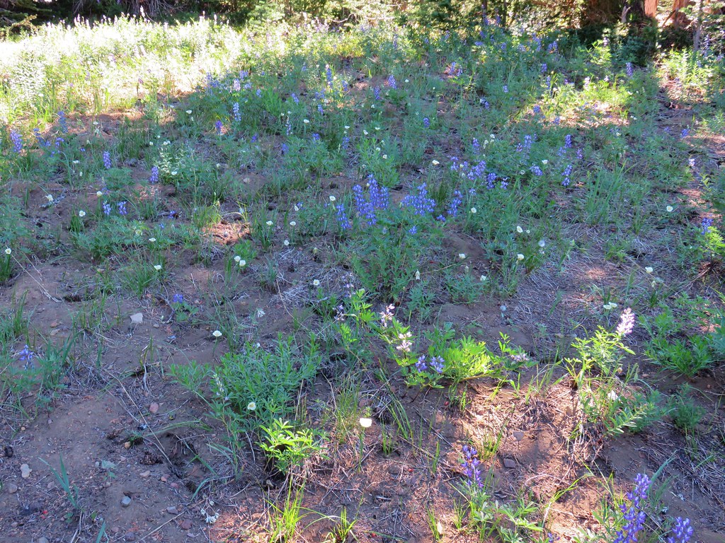
At this point we’d gone a little over 5.5 miles, but the level grade of the PCT and the great scenery so far enticed us to continue a little further to see what else the area had to offer. We decided to follow the PCT until it began to lose elevation as it crossed a valley between Mt. Washington and Belknap Crater. We soon found ourselves in another area affected by fire.
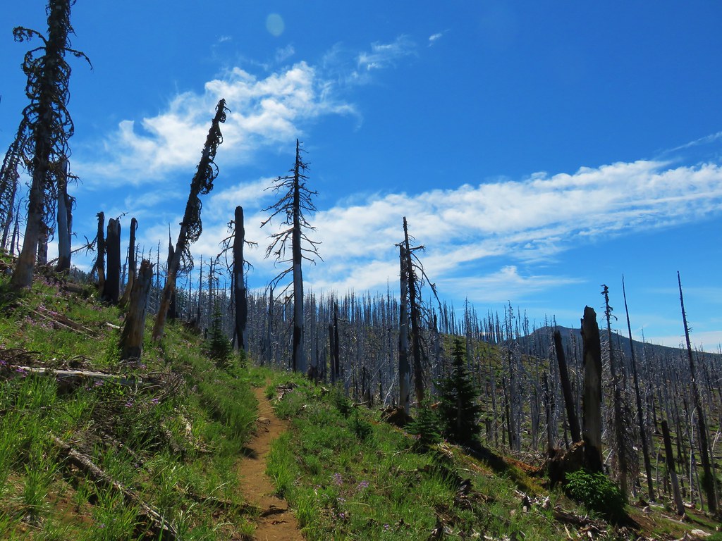

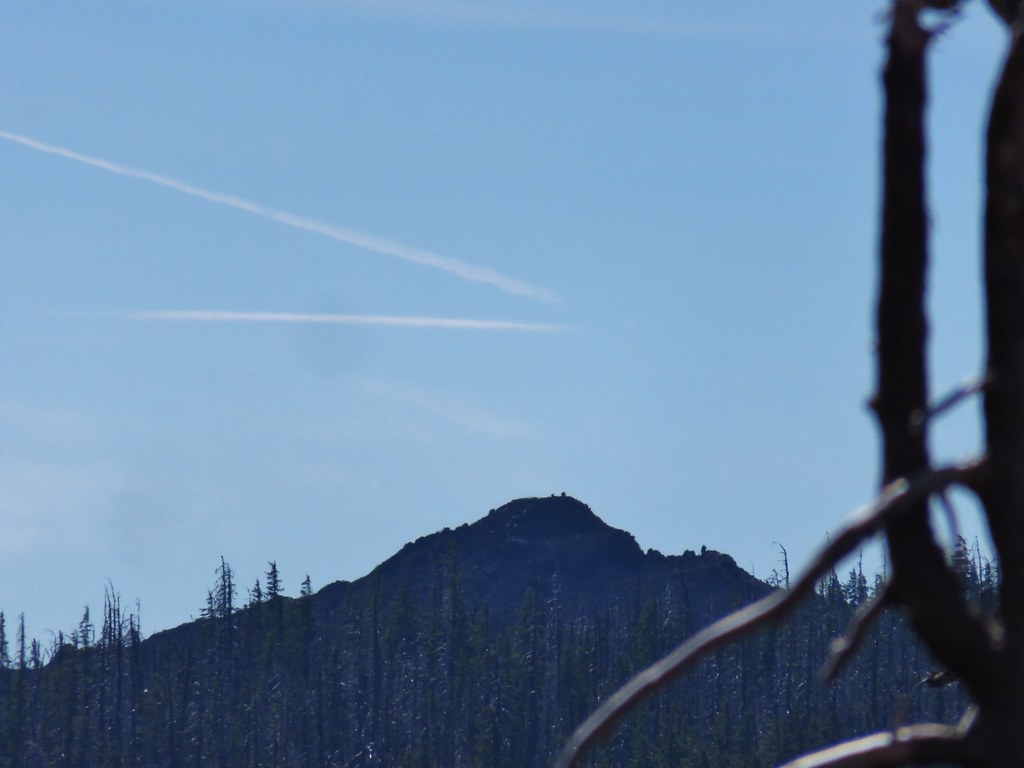
We ended our hike as the PCT bent around a ridge end where it would begin the 400′ elevation loss before climbing up to the shoulder of Belknap Crater which was visible across the valley.
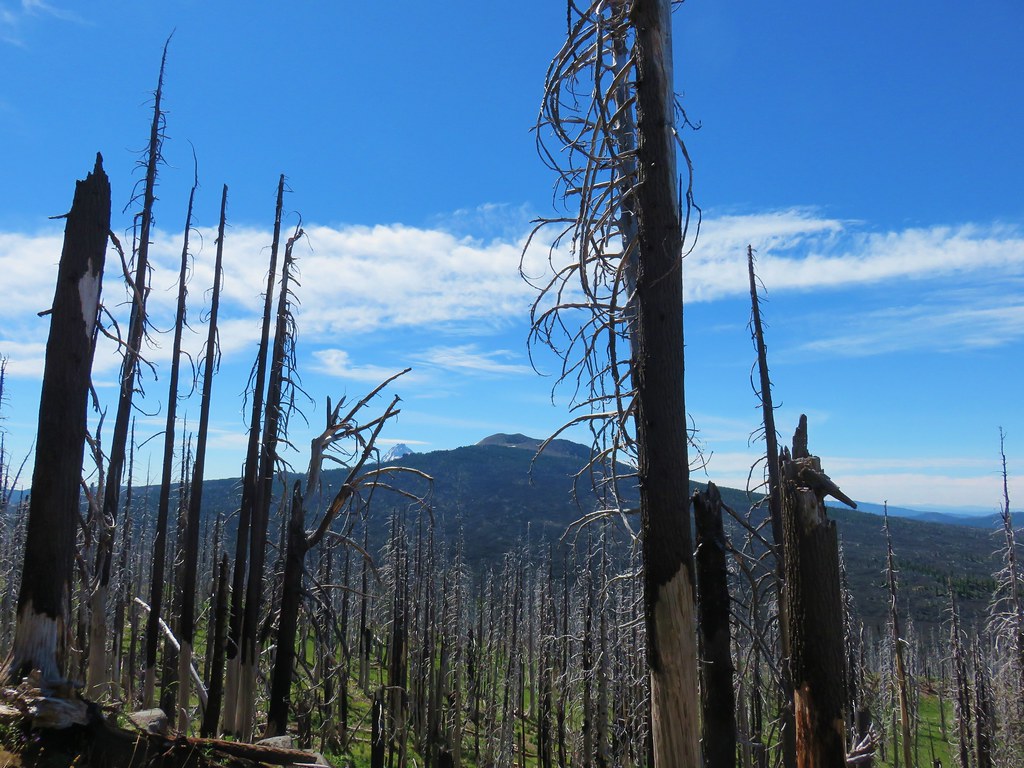
From this vantage point we could also make out Little Belknap Crater.
After a short break we headed back through the meadows and returned to our car.
The 12.4 mile round trip had proved to be a lot more entertaining than we’d expected. We hadn’t really known what to expect having selected the hike from the back of our guidebook in the additional hikes section, but it had been a thoroughly enjoyable outing. Happy Trails!
Flickr: Mount Washington Meadows
2 replies on “Mount Washington Meadows”
[…] Mt. Washington – 2011, 12, 14, 15, 16, 17 […]
[…] course we’d taken and then later passing it on our hike to Mount Washington Meadows in 2017 (post). A quick of check of the forecast there showed clear (but breezy) skies and a high below 60 at the […]