Categories
High Cascades Hiking Mt. Washington Area Oregon Trip report

Mount Washington Meadows

One week after returning from our Northern California trip we found ourselves headed to Bend to drop off some furniture to our Son who had recently moved.  It wasn’t going to be a long visit due to his having to work so after a quick tour of his new apartment we were back on our way home.

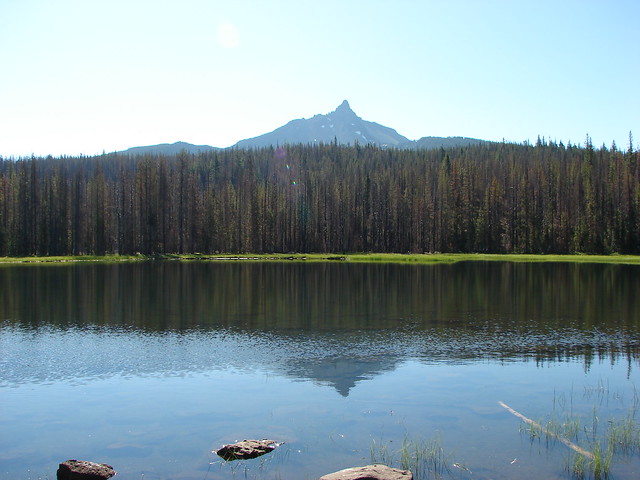
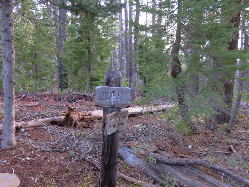
Our plan was to stop for a hike on the way home along the Pacific Crest Trail near Santiam Pass south to Mount Washington Meadows. We had left Salem at 5am so it would still be fairly early when we hiked. Just after 8:30 we pulled into the PCT trailhead near Big Lake.

IMG_6597

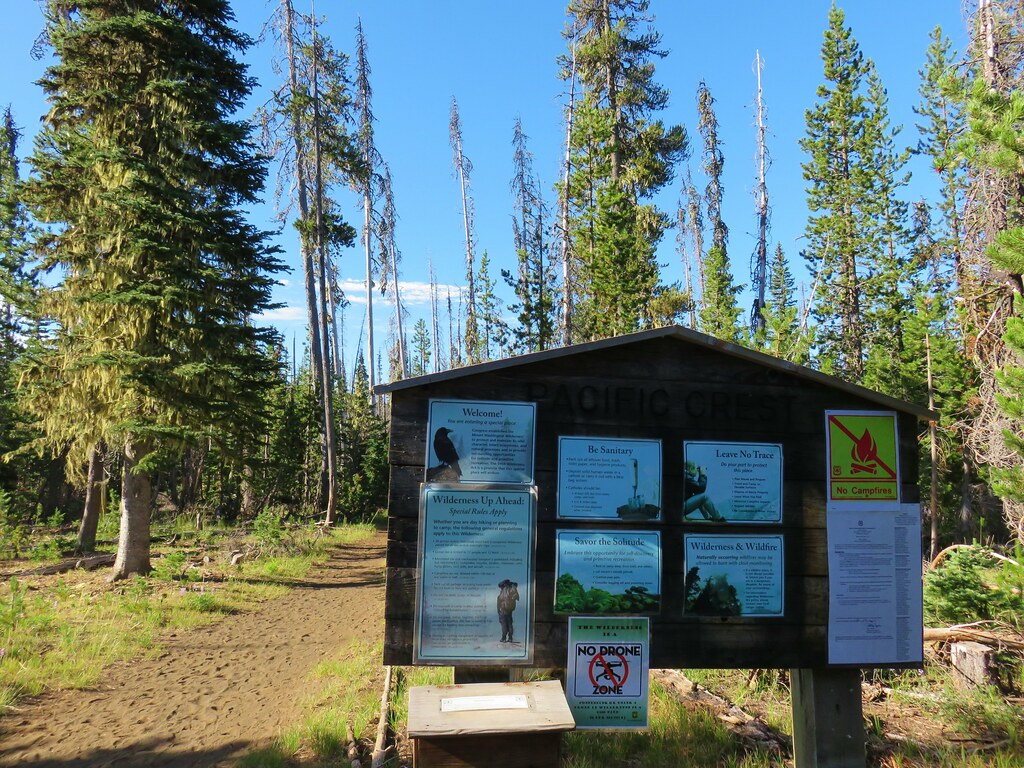
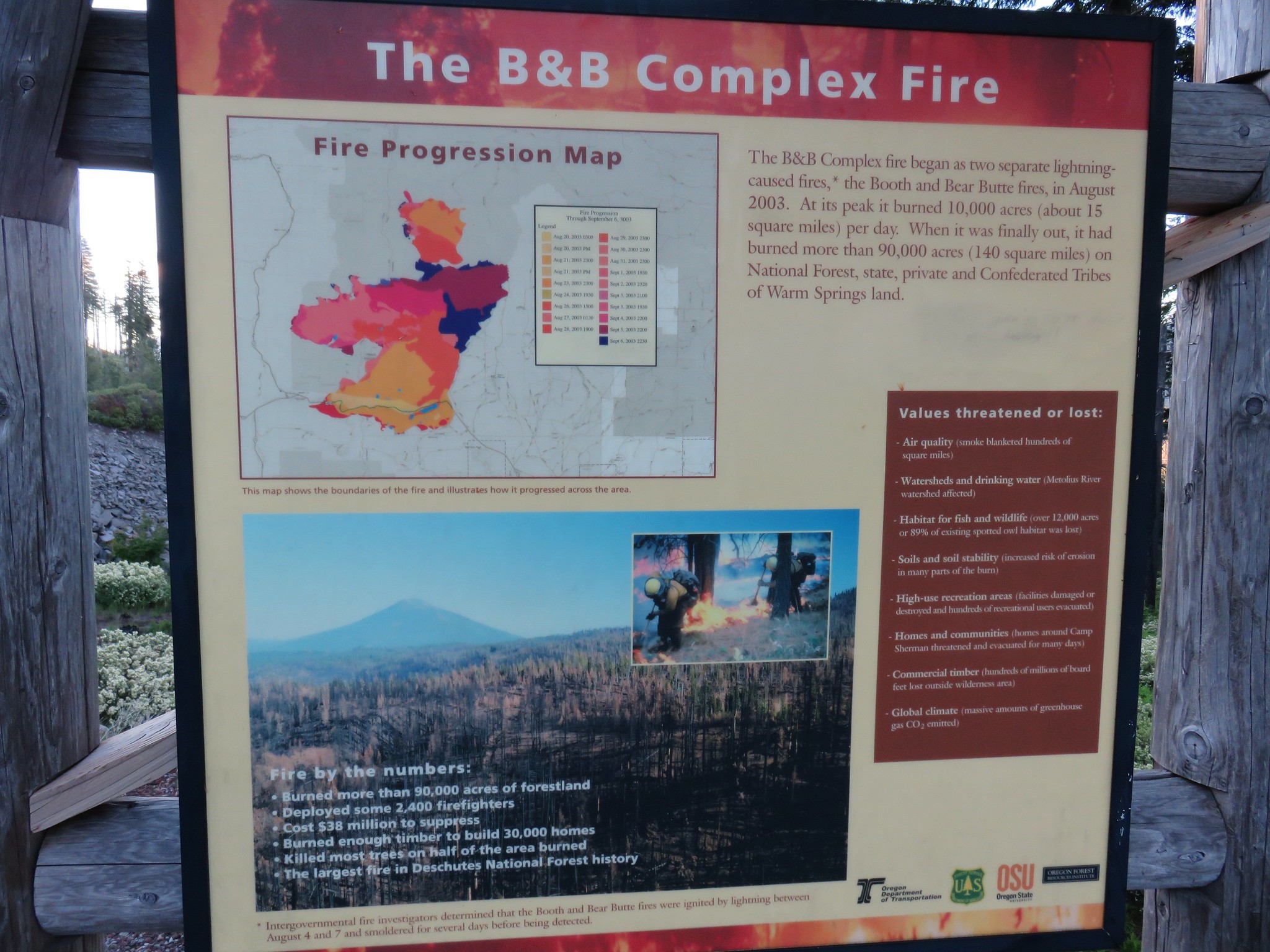
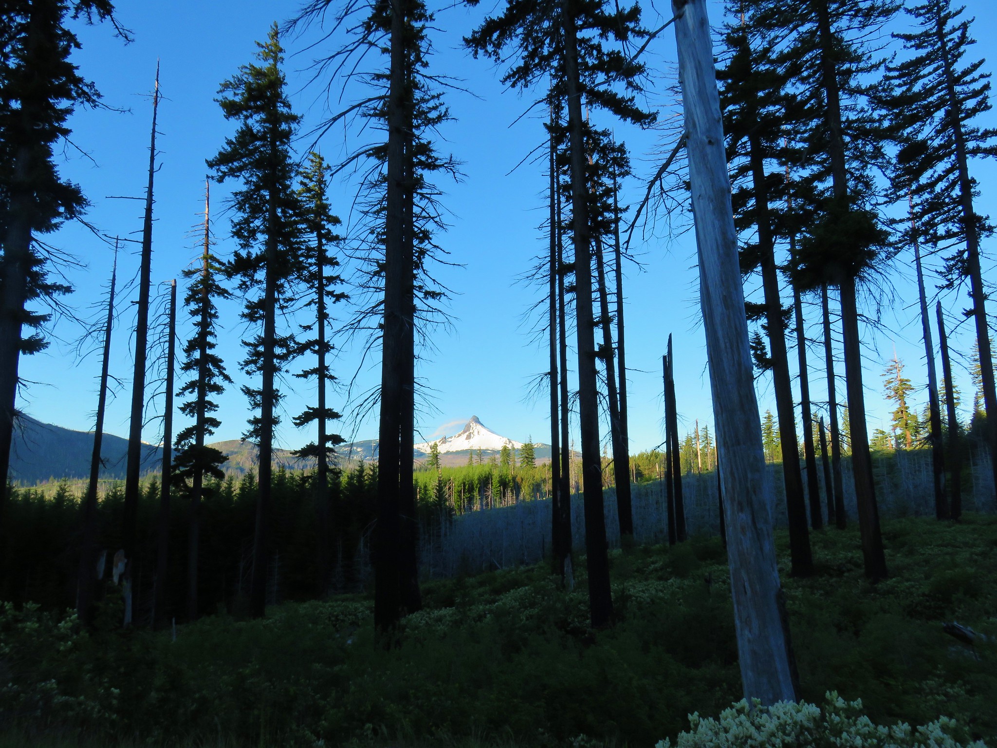
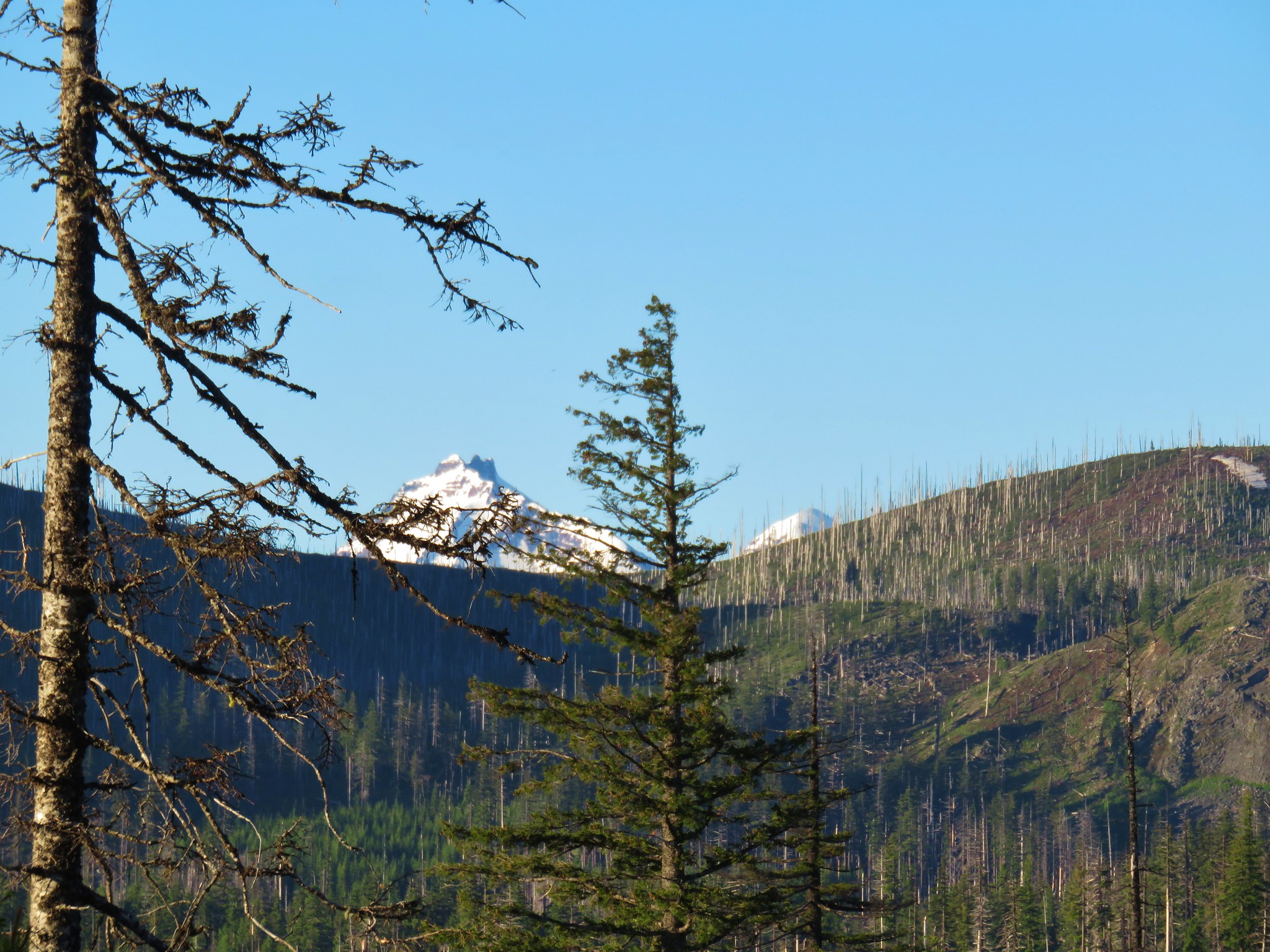
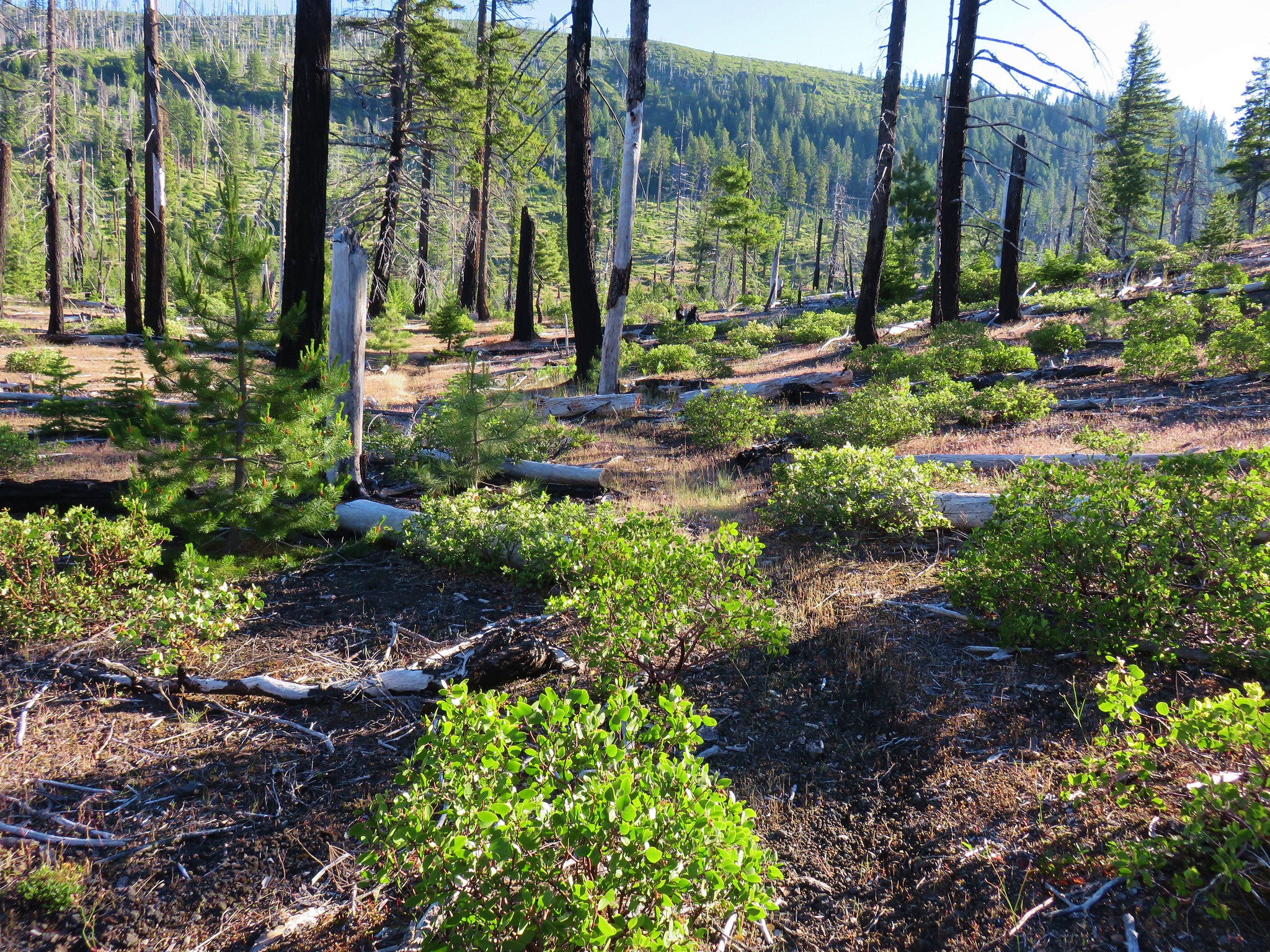
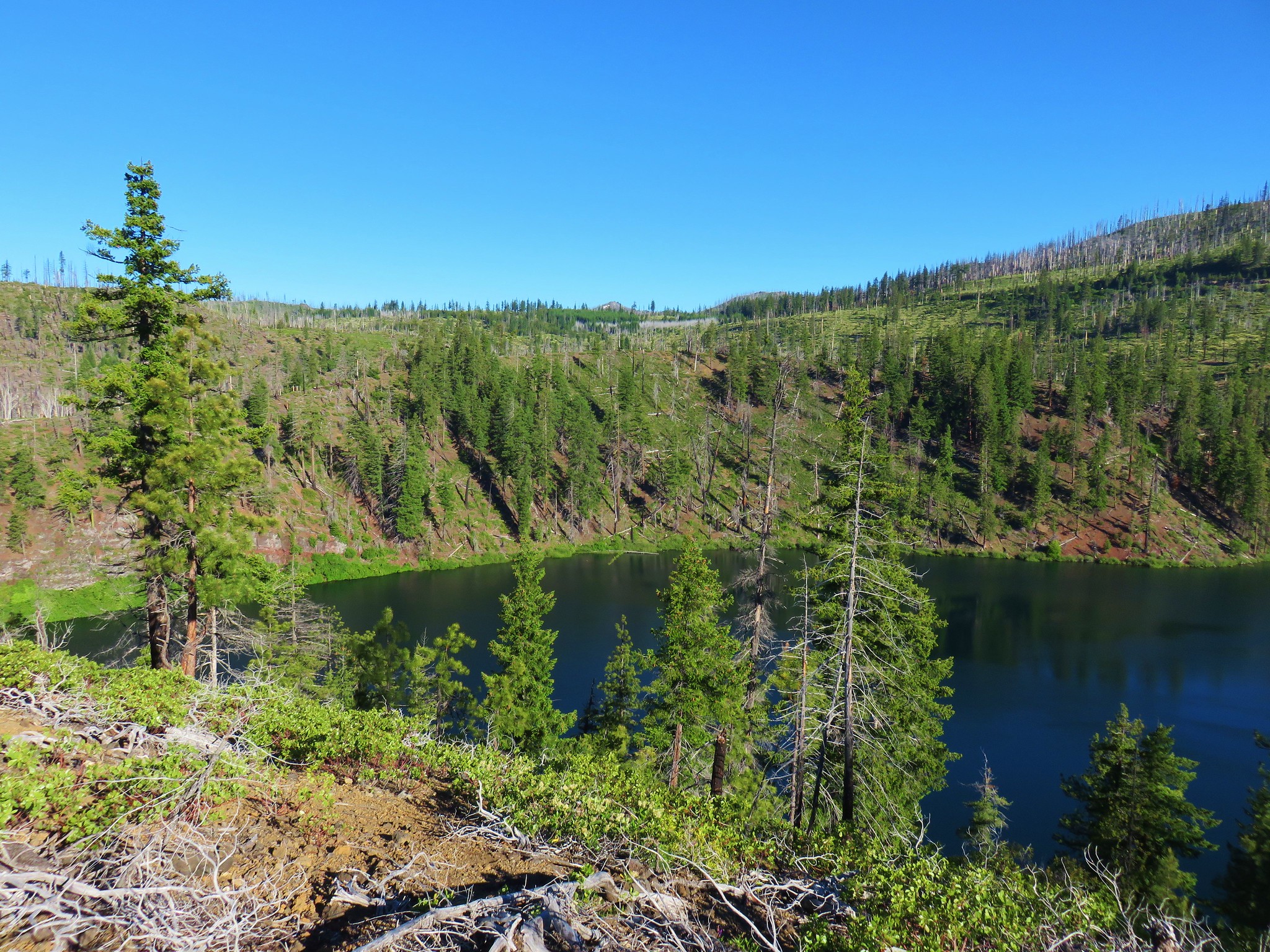
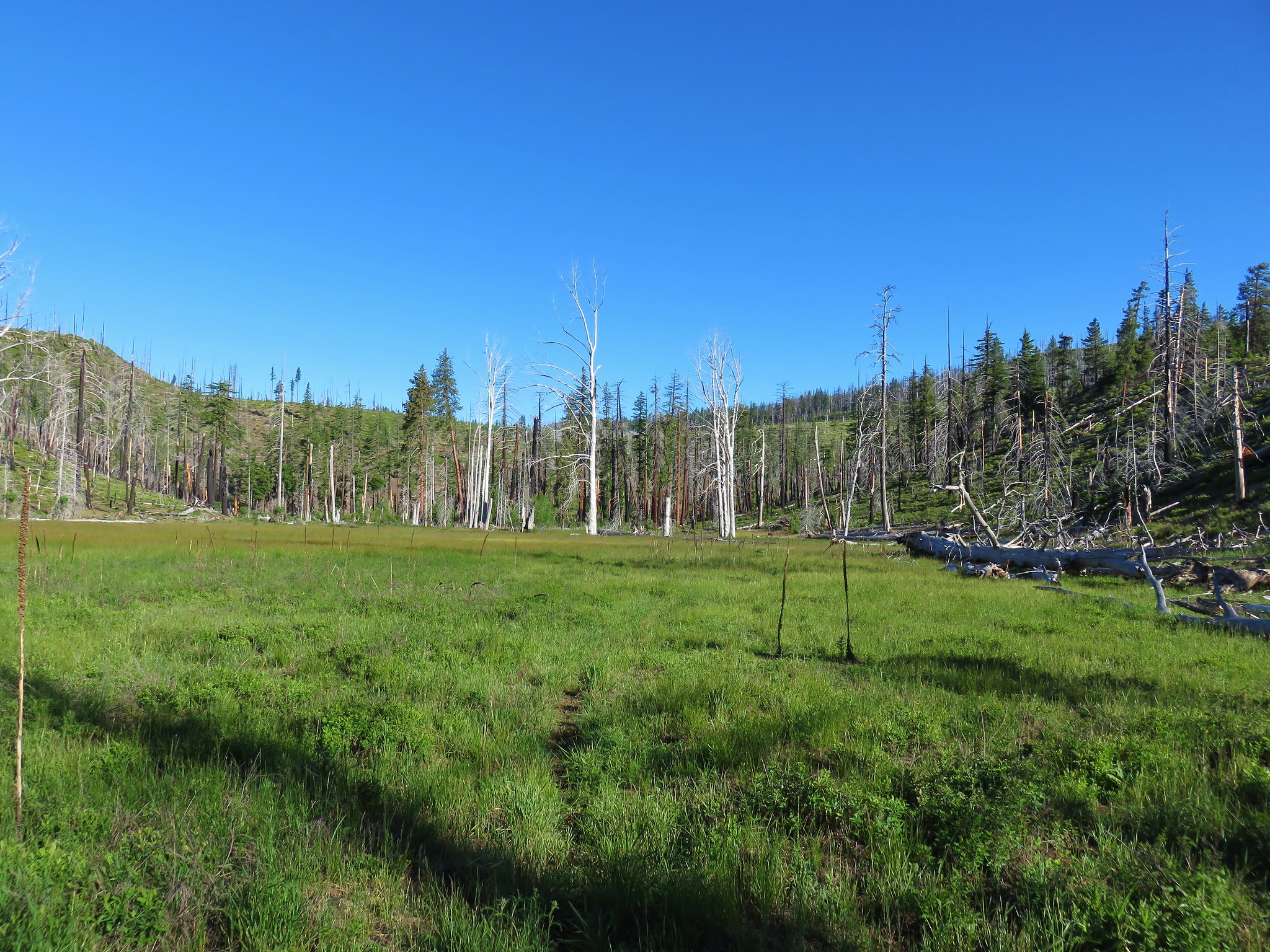
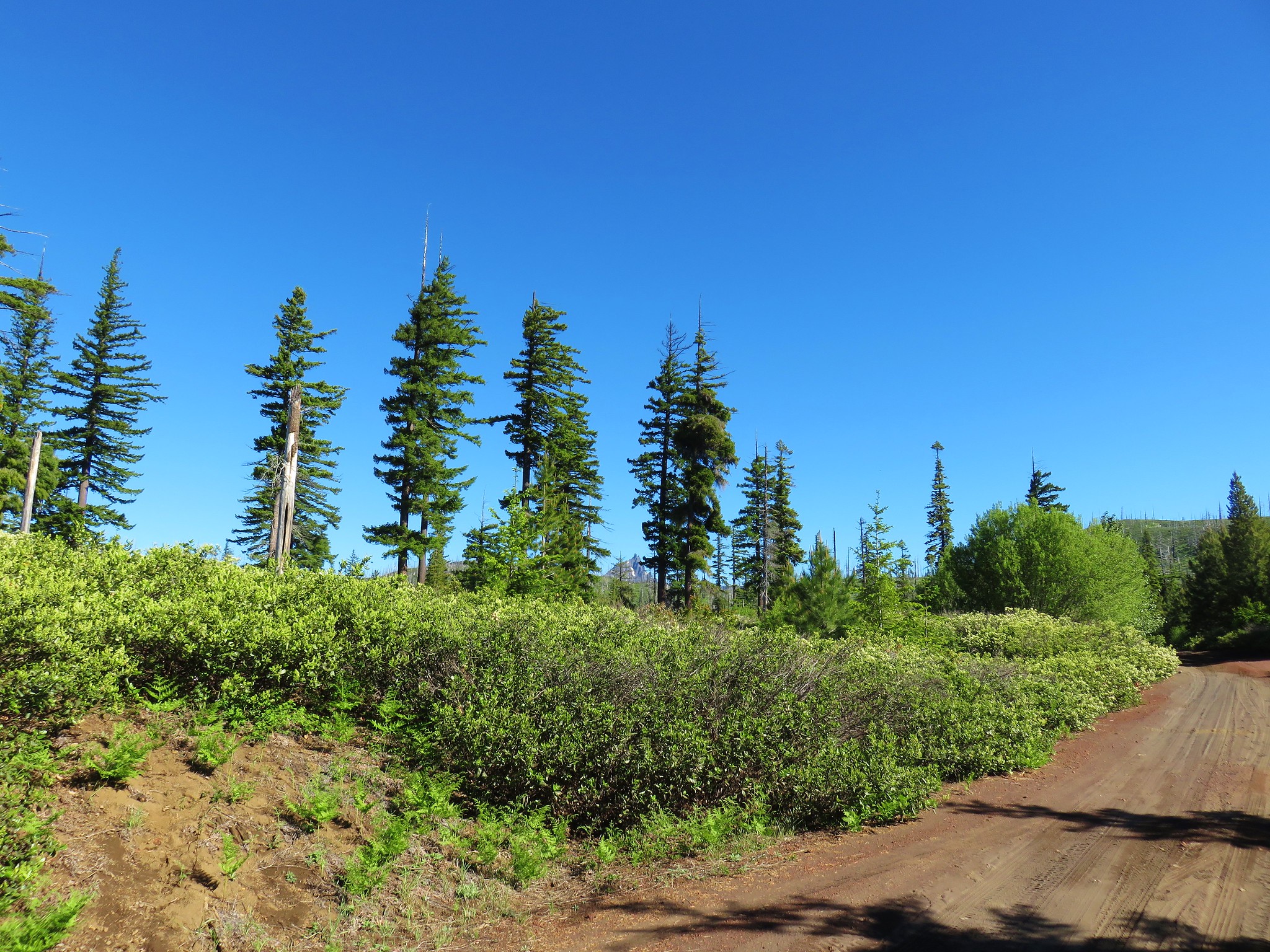
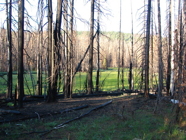
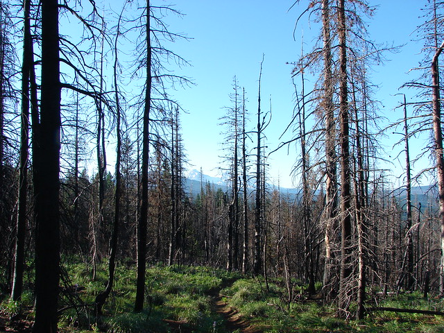
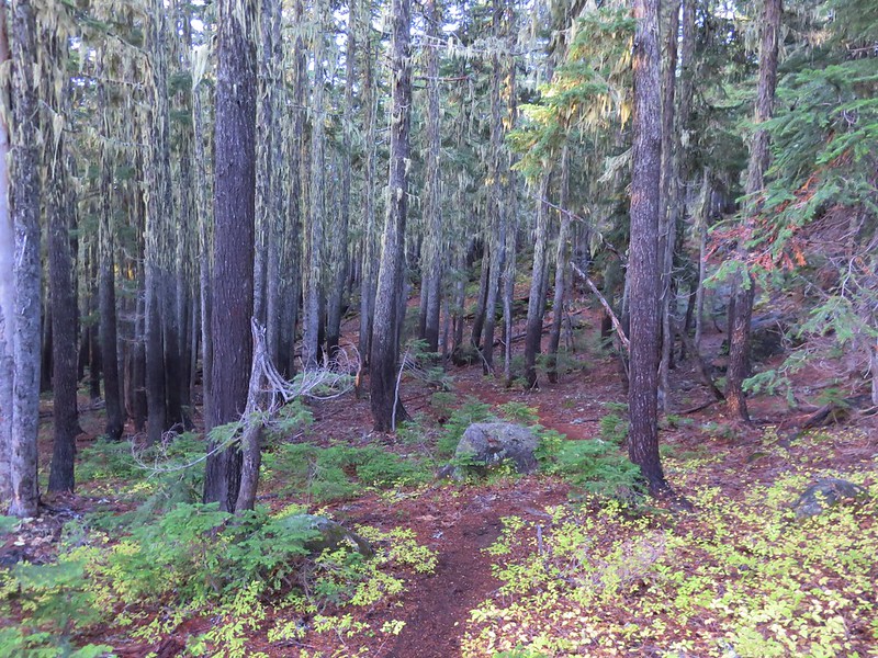
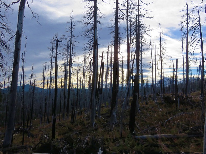
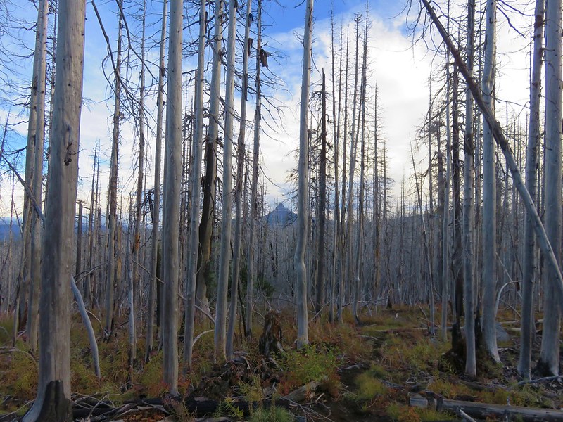
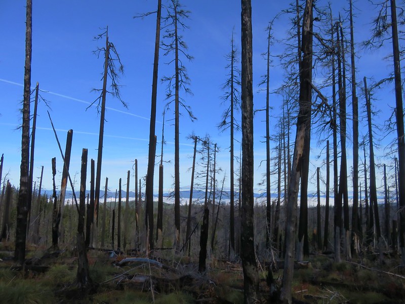
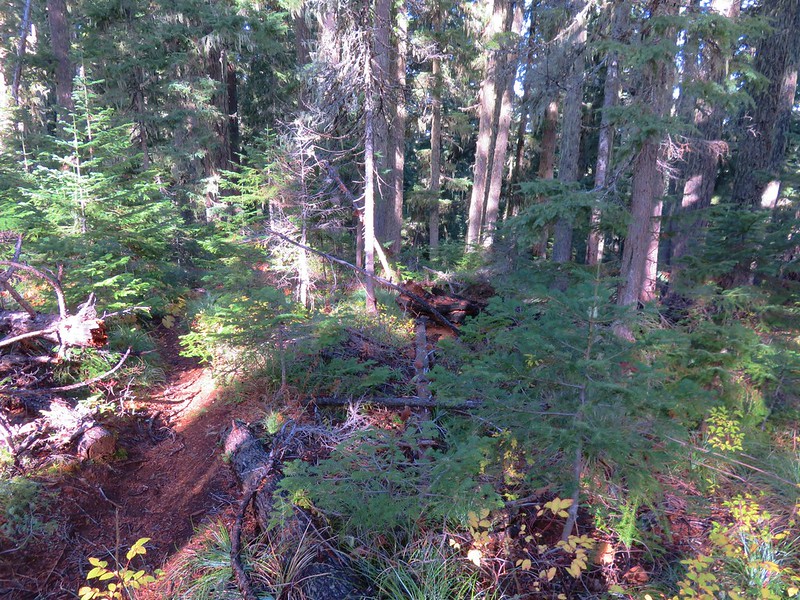
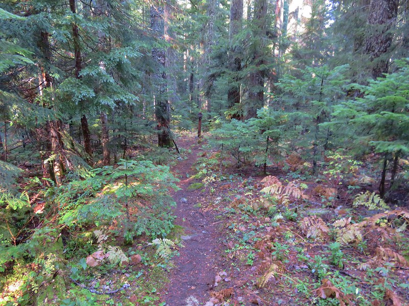
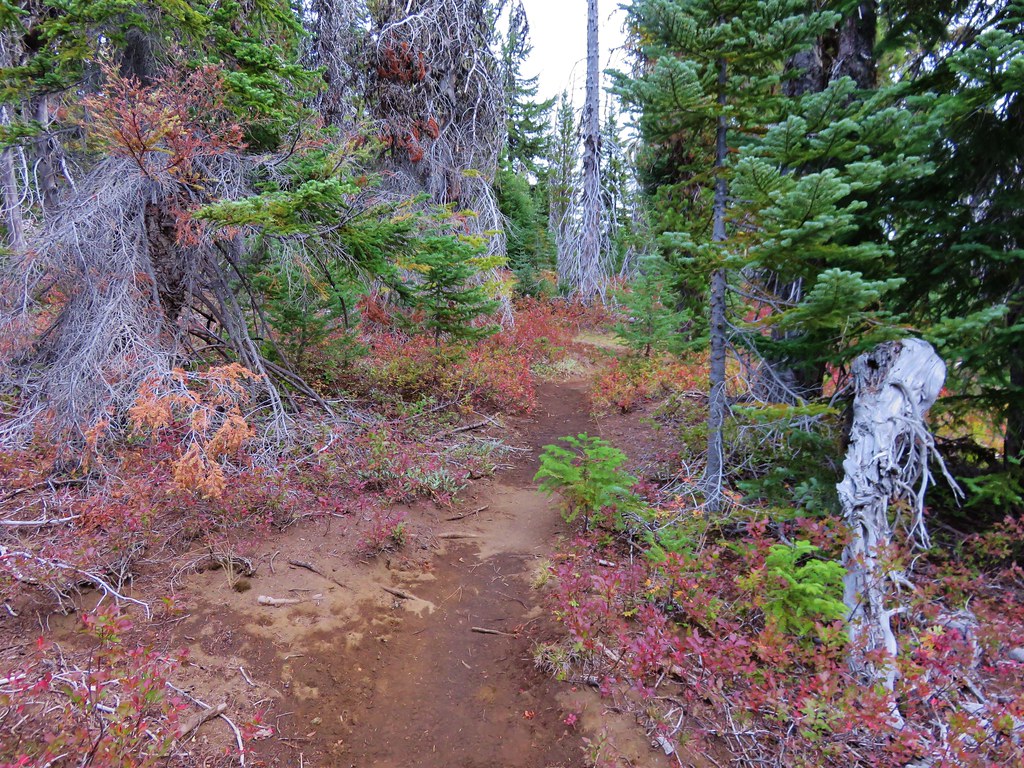
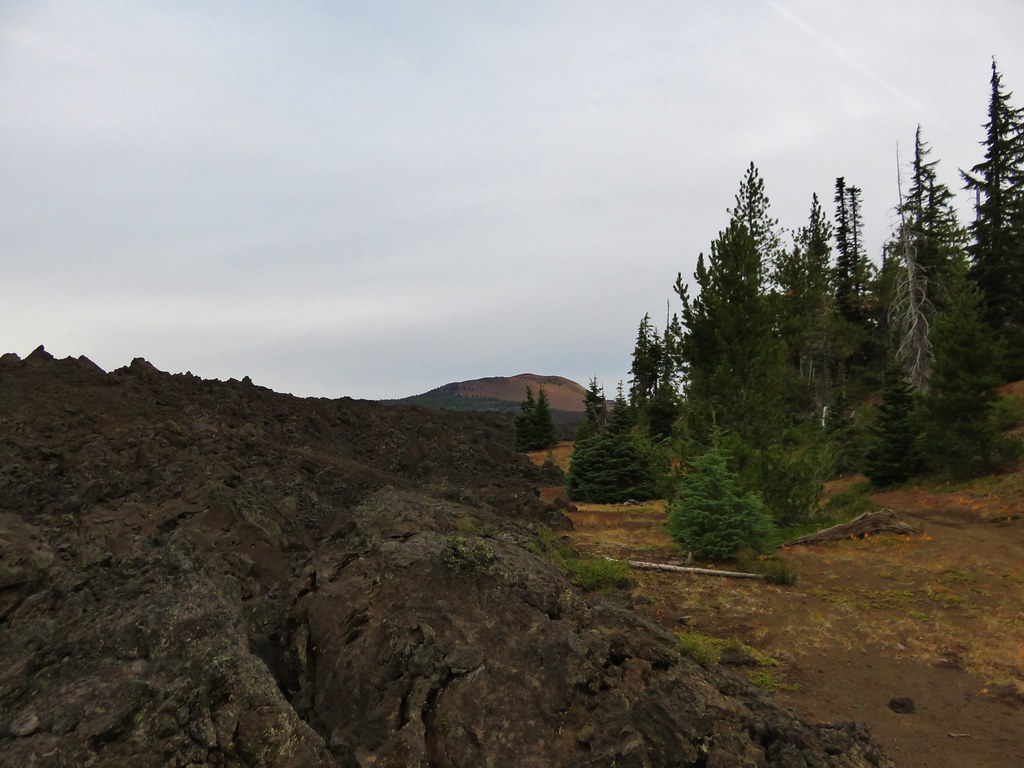
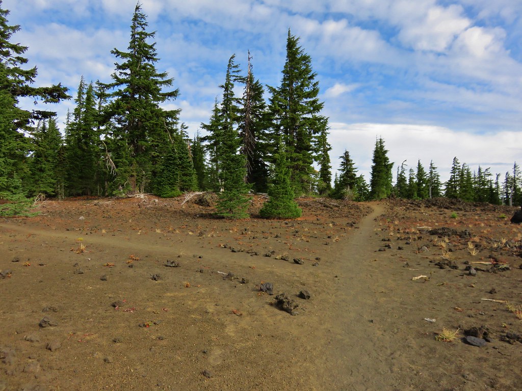
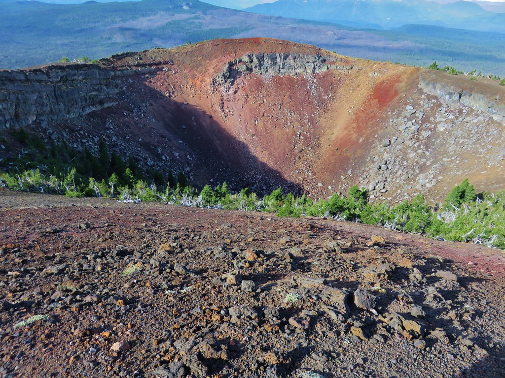
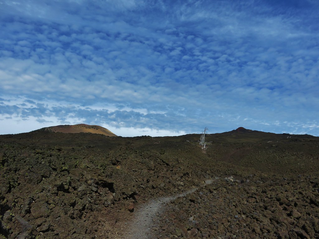
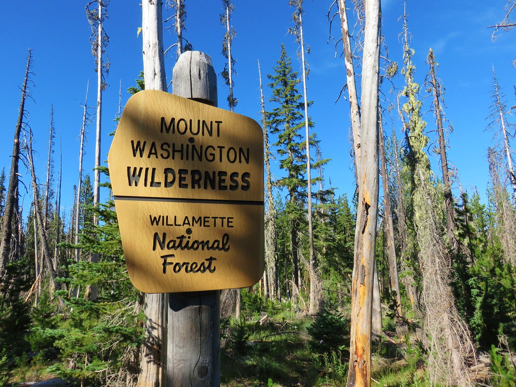
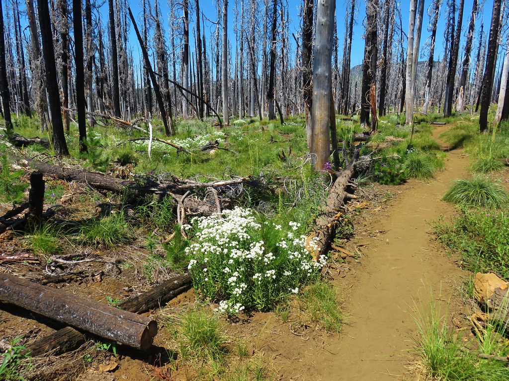
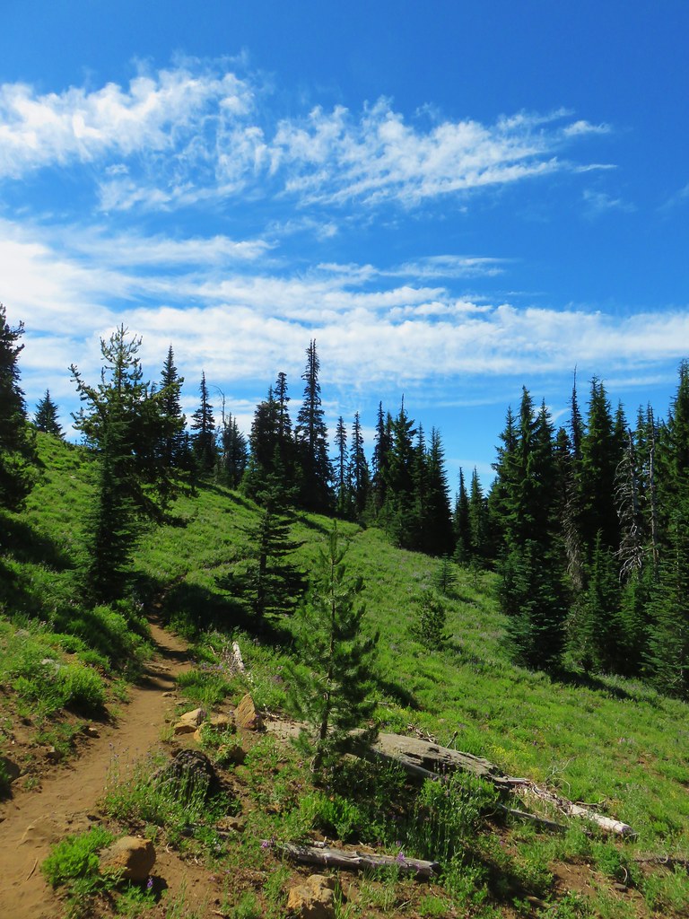
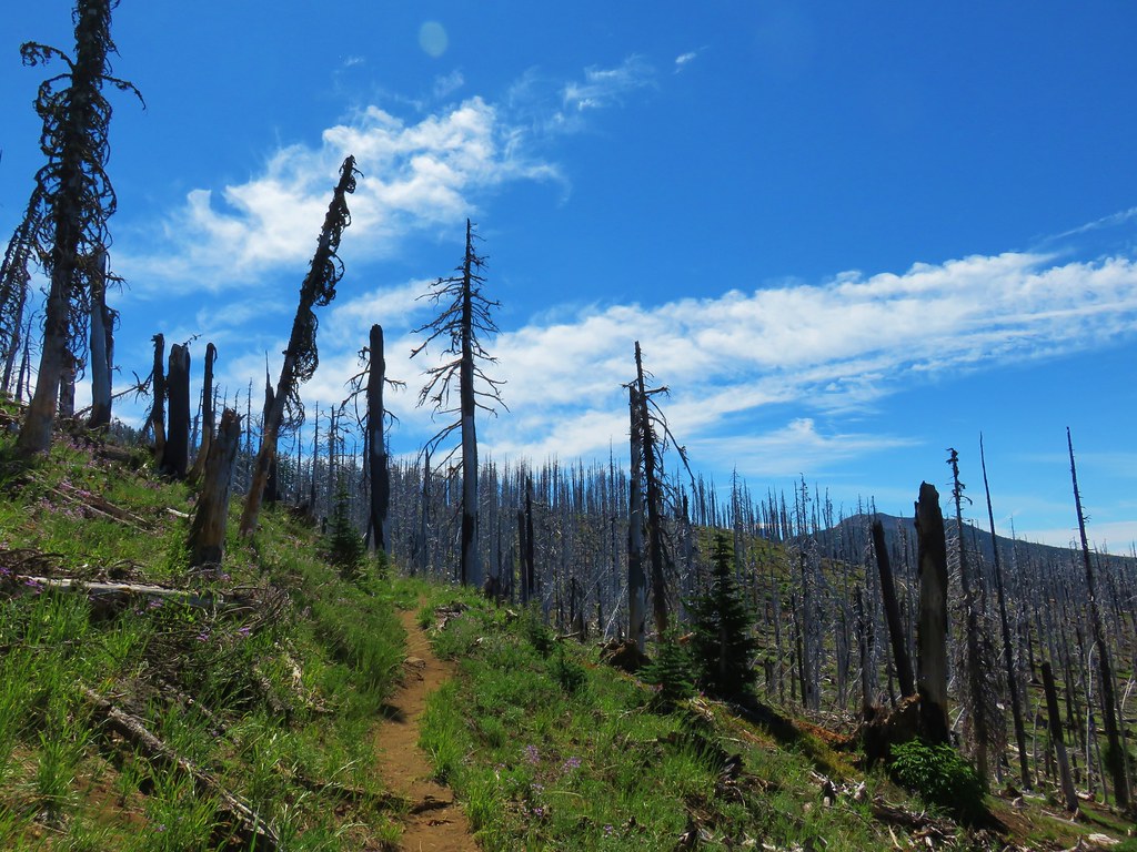
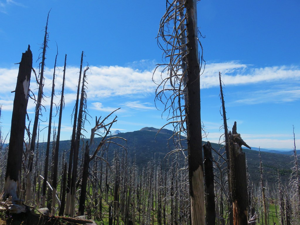
We headed south on the PCT which quickly entered the Mt. Washington Wilderness amid trees burned in the 2011 Shadow Lake Fire.

IMG_6601

IMG_6603

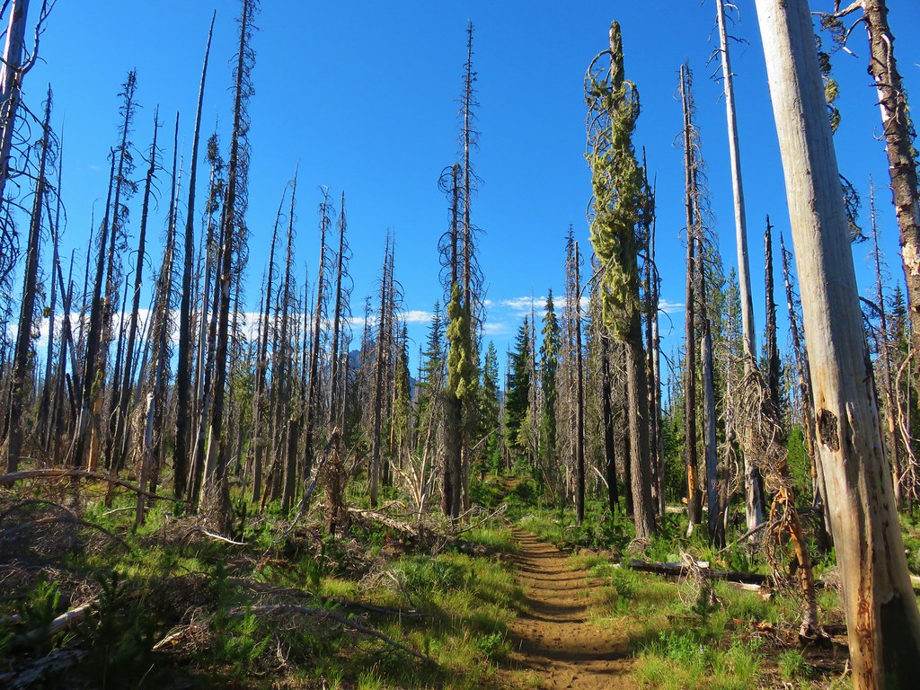
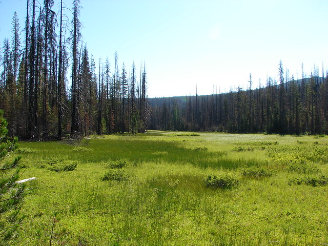
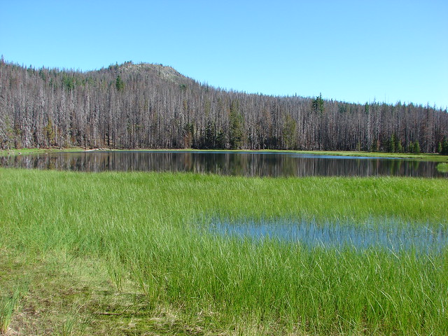
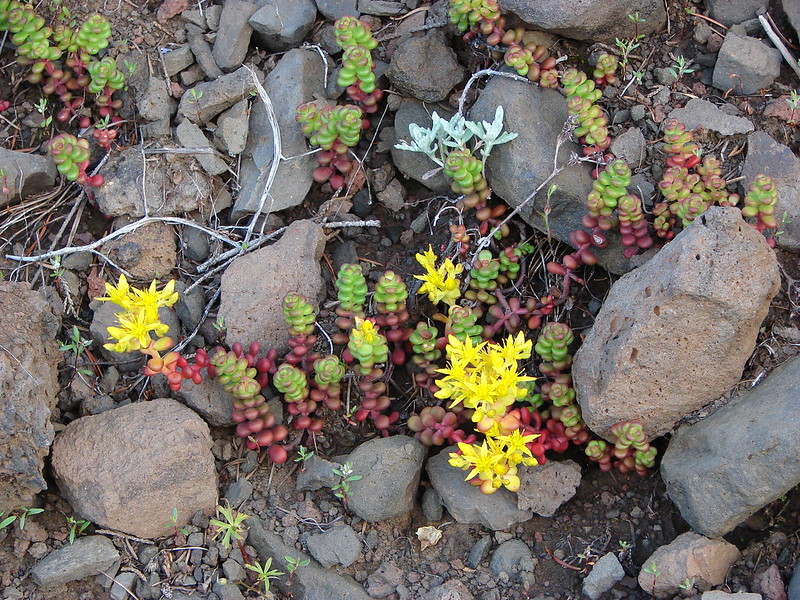
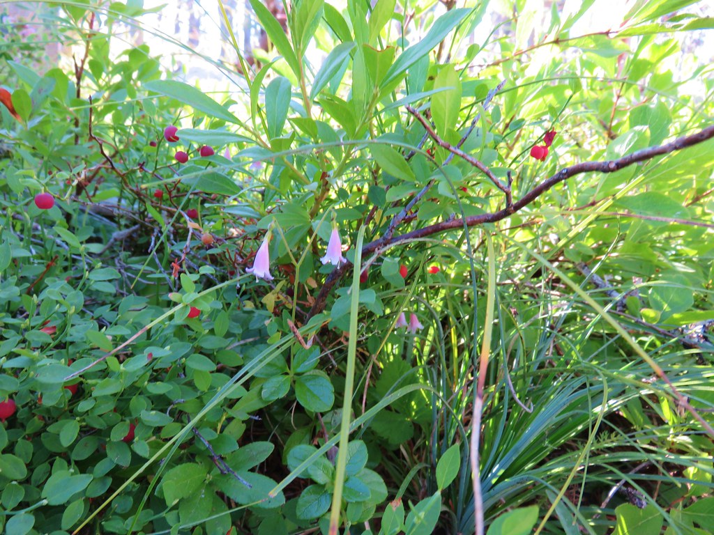
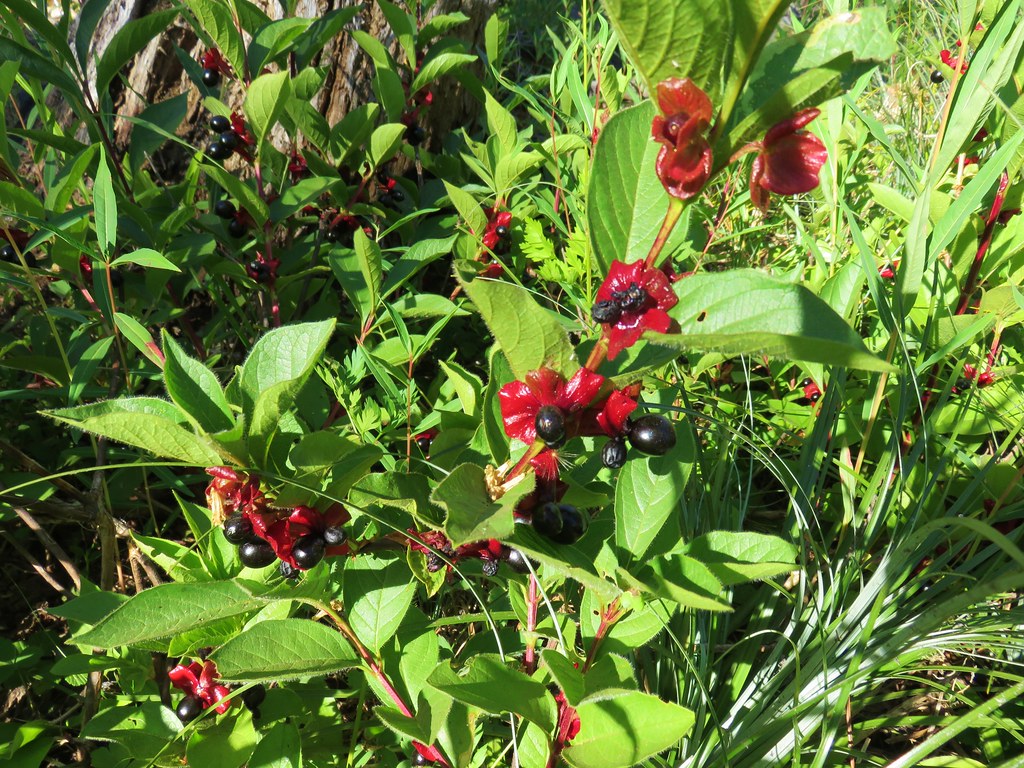
The first two or so miles passed through the burn where despite most of the trees being dead, there was plenty of green and other colors present.

2017-08-05 13.36.29

IMG_6801

2017-08-05 13.37.22

2017-08-05 08.56.33

IMG_6599

IMG_6605

IMG_6610

IMG_6611

2017-08-05 08.55.45

IMG_6628

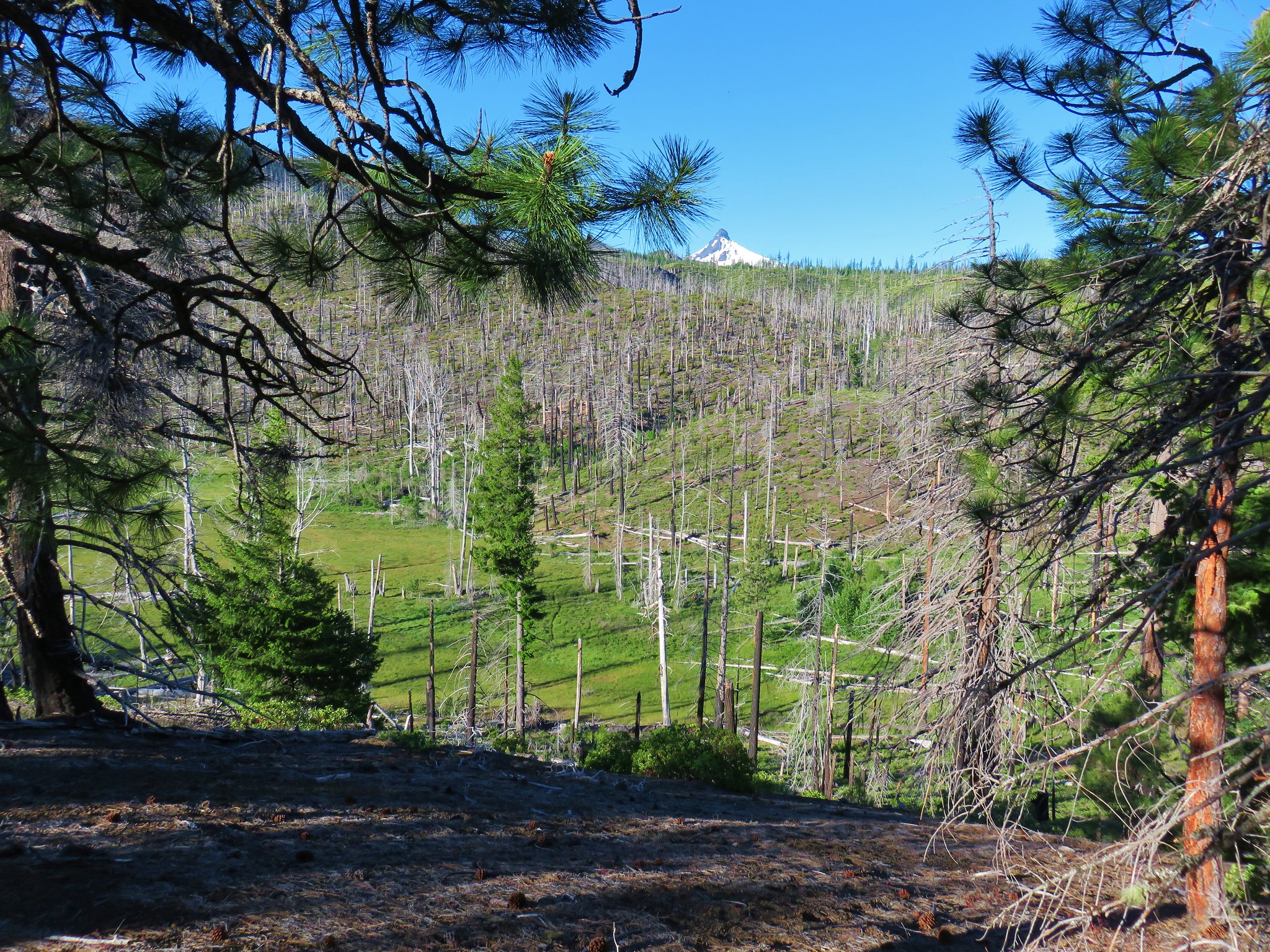
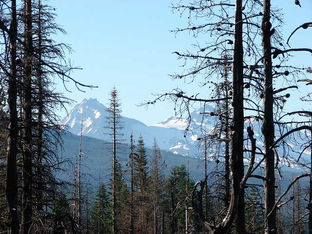
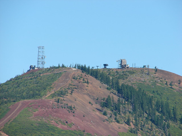
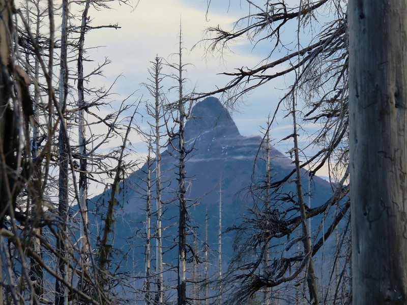
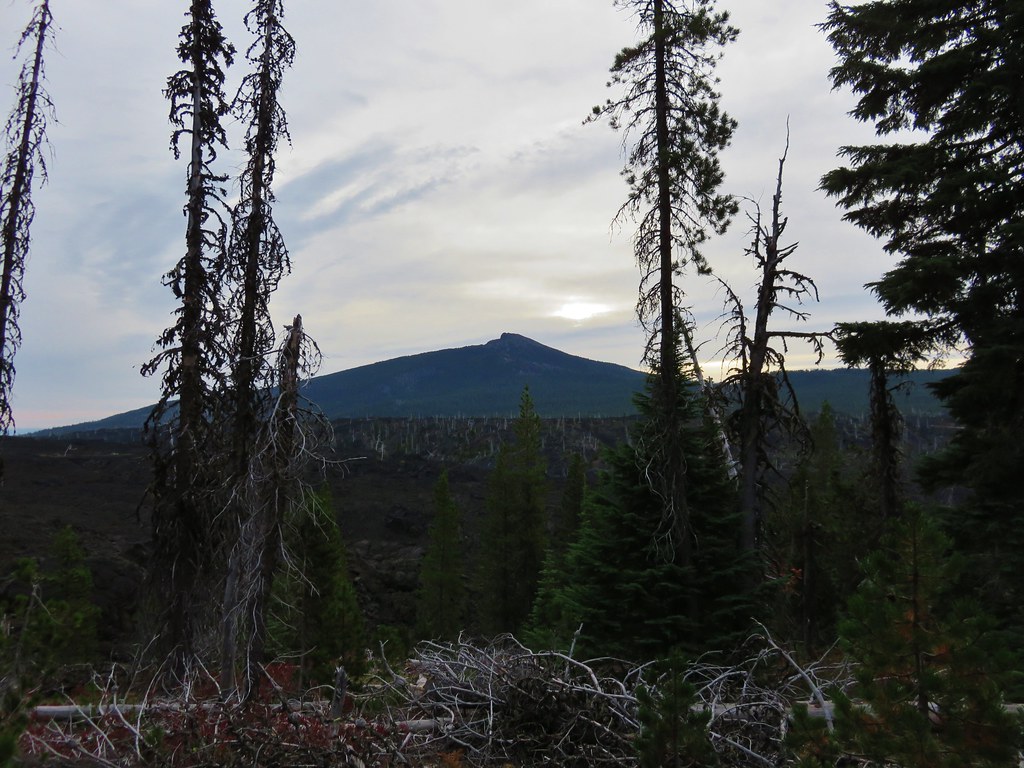
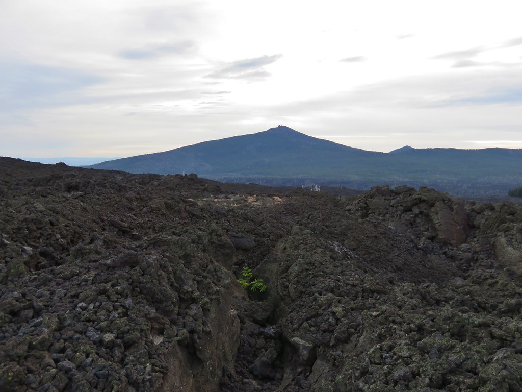
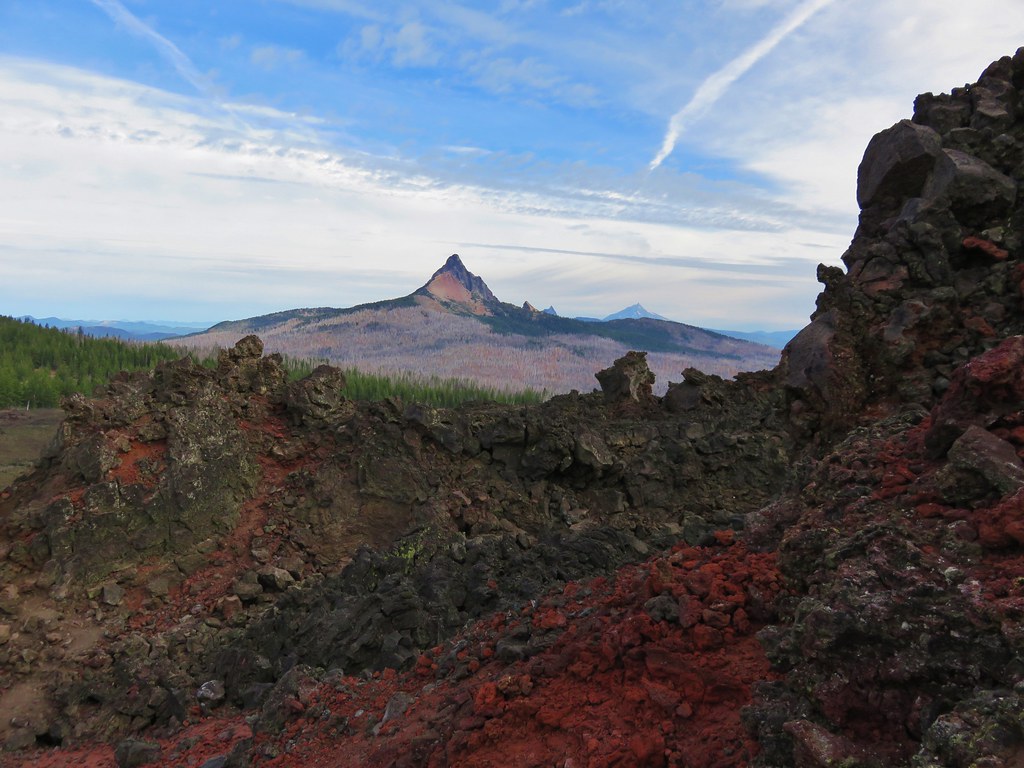
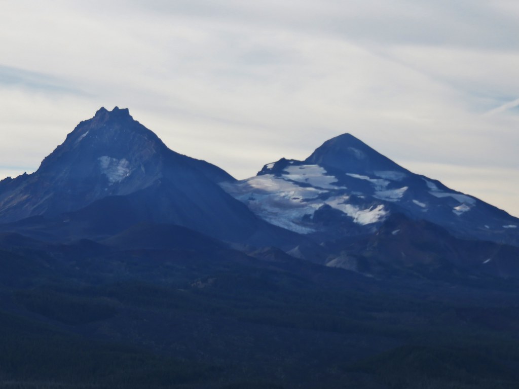
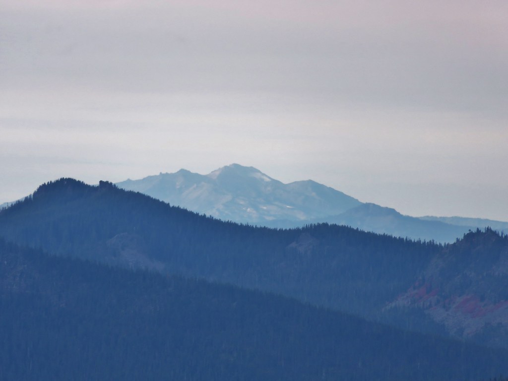
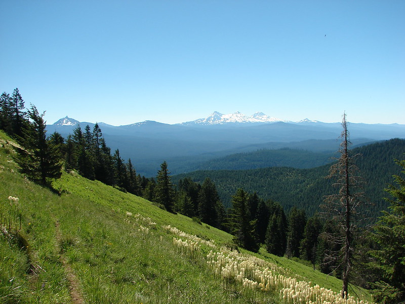
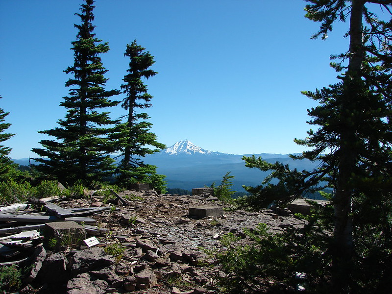
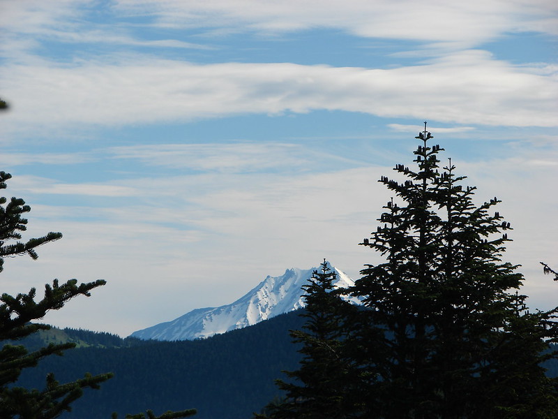
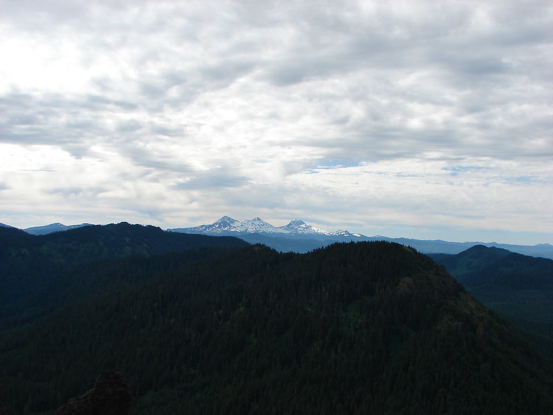
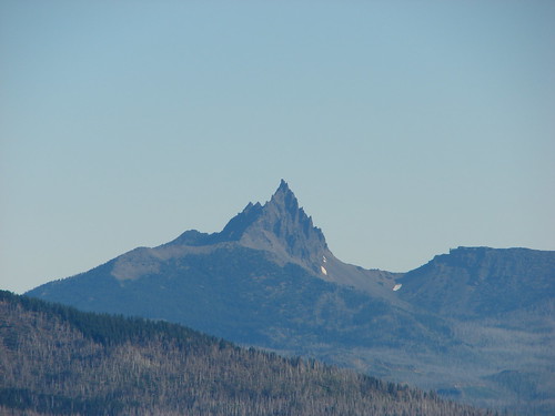
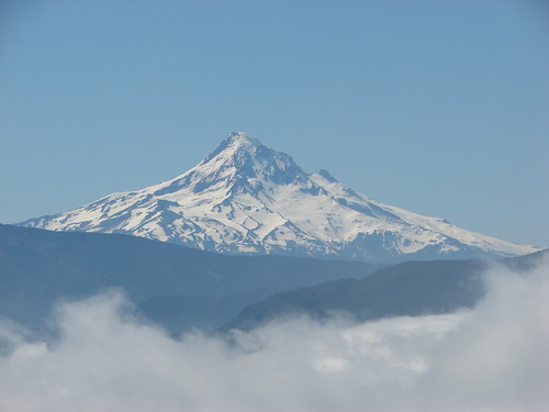
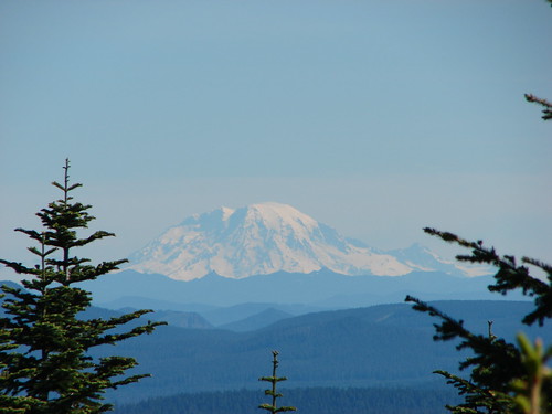
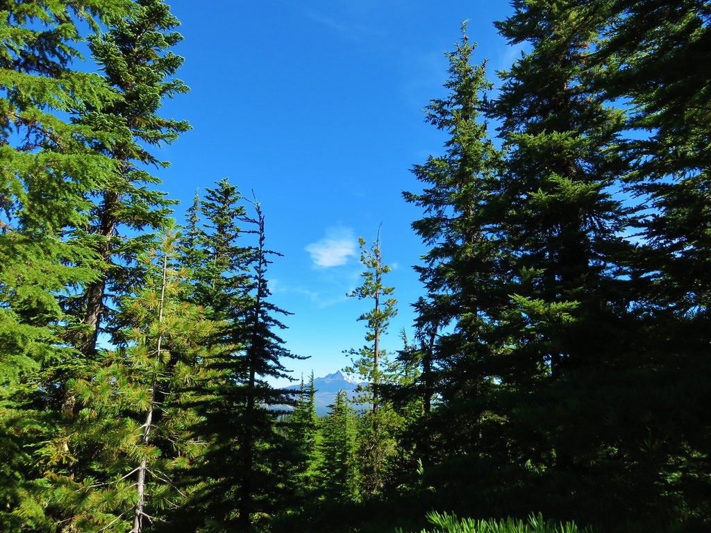
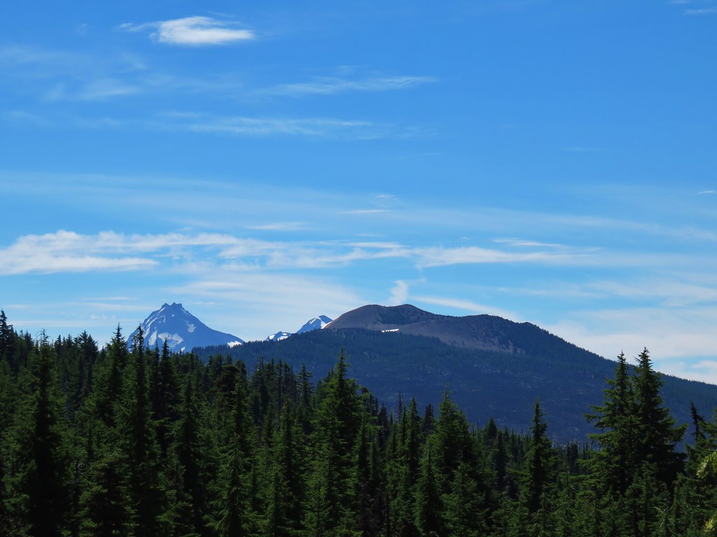
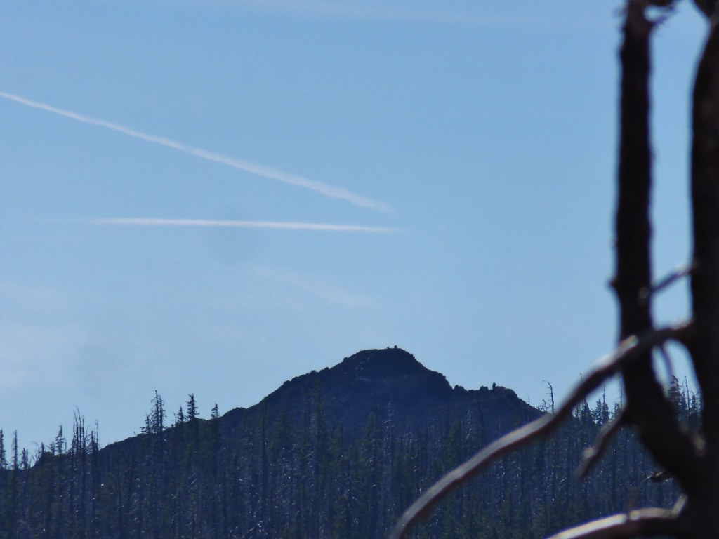
The lack of living trees did allow for some views of both Mt. Washington ahead and Three Fingered Jack to the north beyond Big Lake, the Hoodoo Ski Area and the flat topped Hayrick Butte.

IMG_6644

IMG_6638

IMG_6639

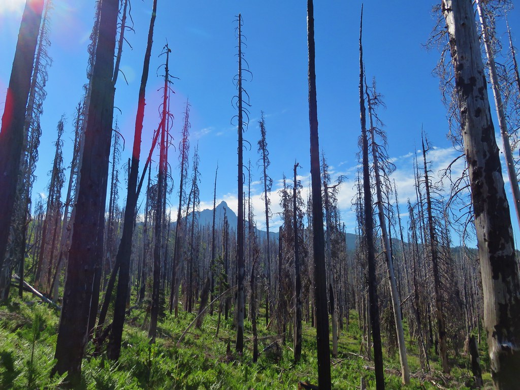
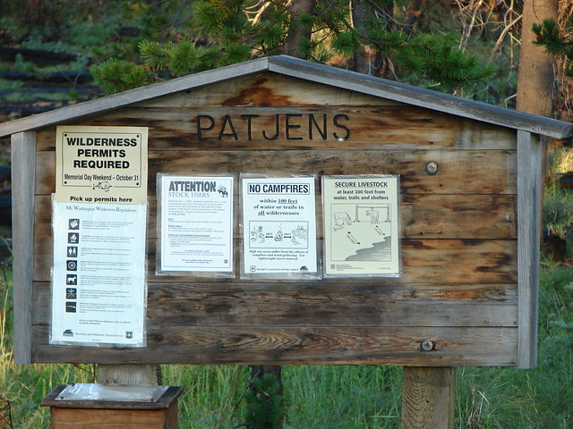
We could also see two small buttes just to the SW of Big Lake which we had hiked around in 2012 when we visited the Patjens Lakes.

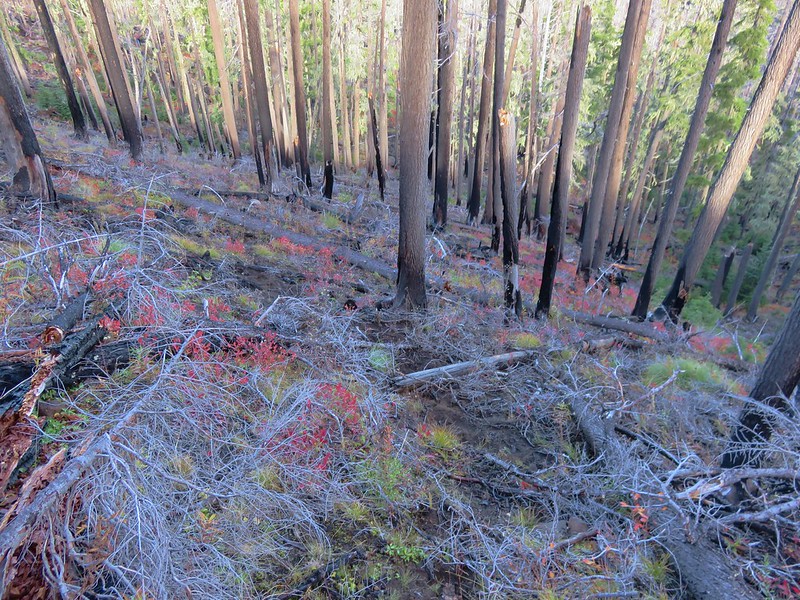
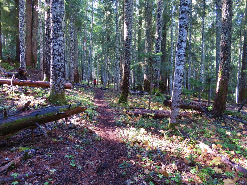
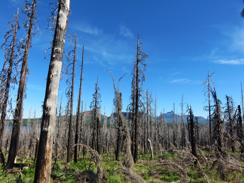
That hike was also done during the first week of August, but less than a year removed from the Shadow Lake Fire. It was interesting to see how the forest was recovering with the passing of several more years.

Patjens Lake Trail
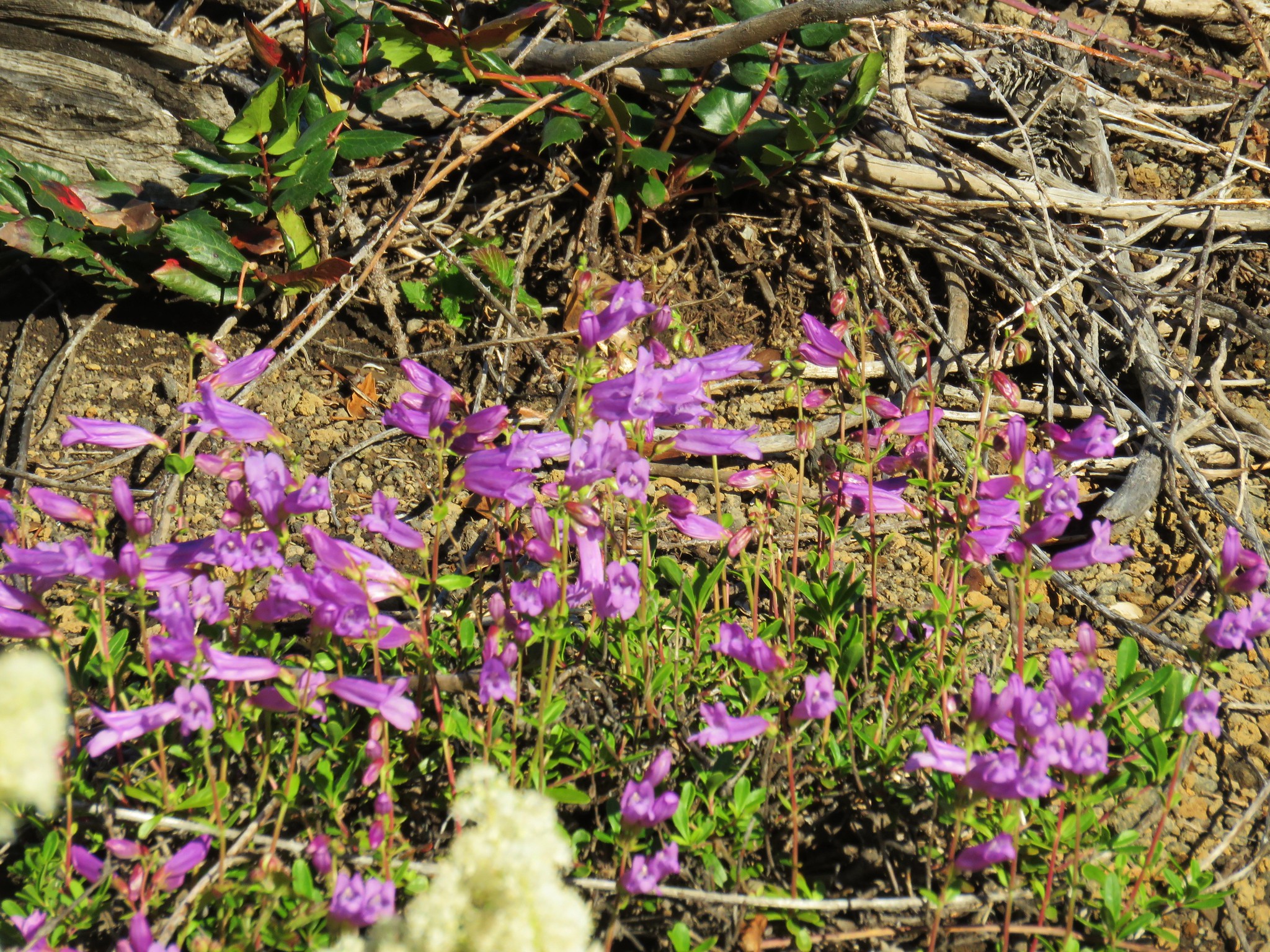
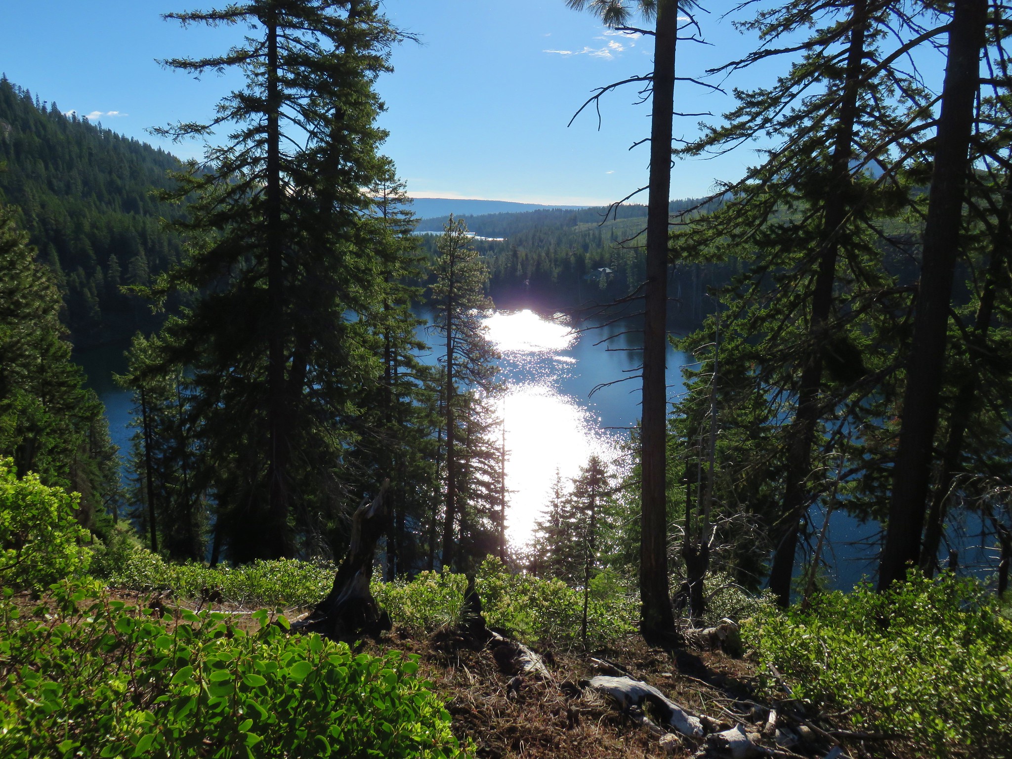
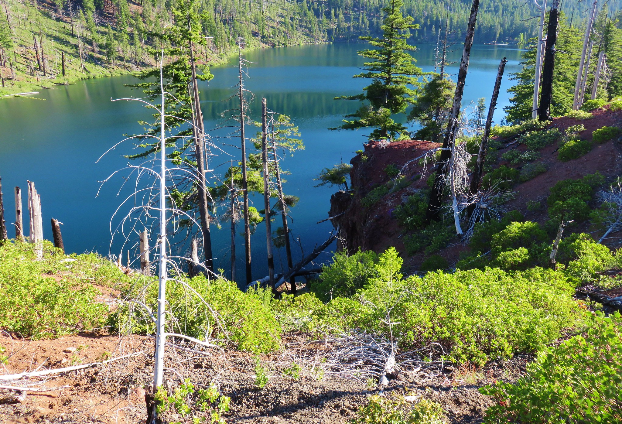
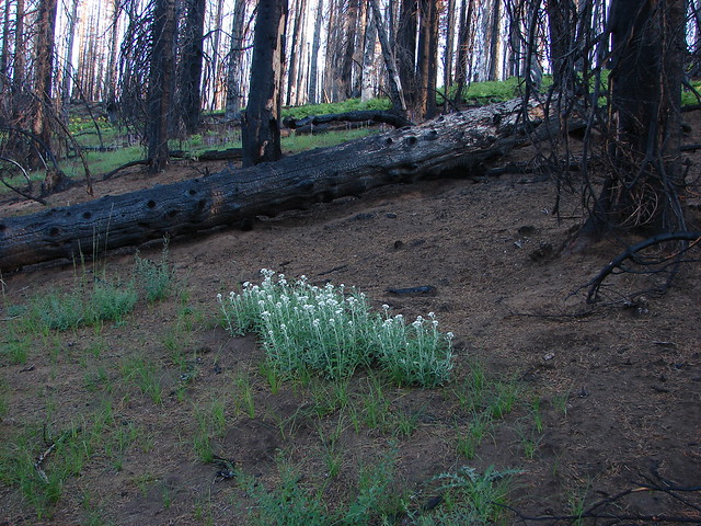
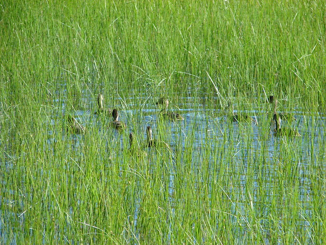
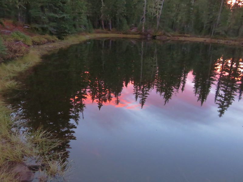
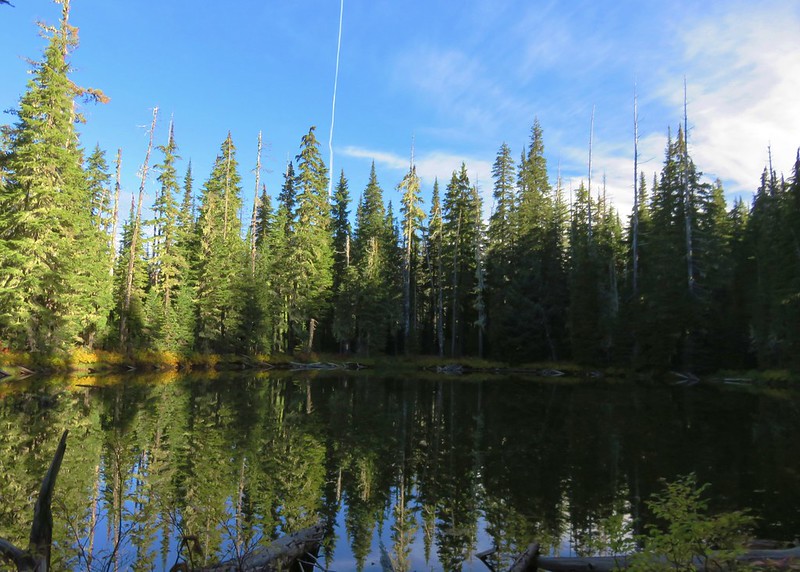
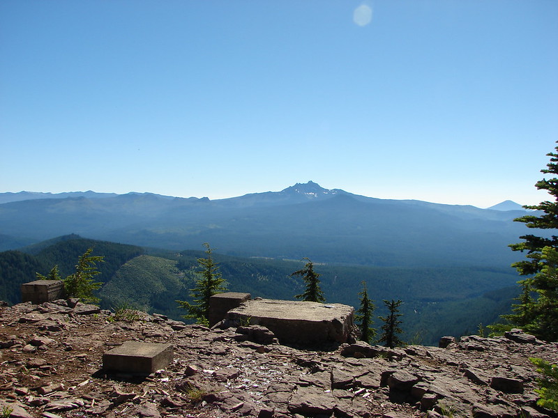
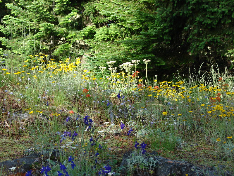
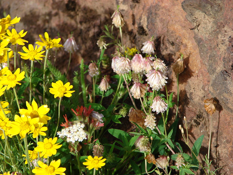
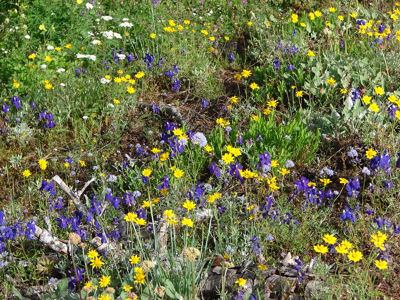
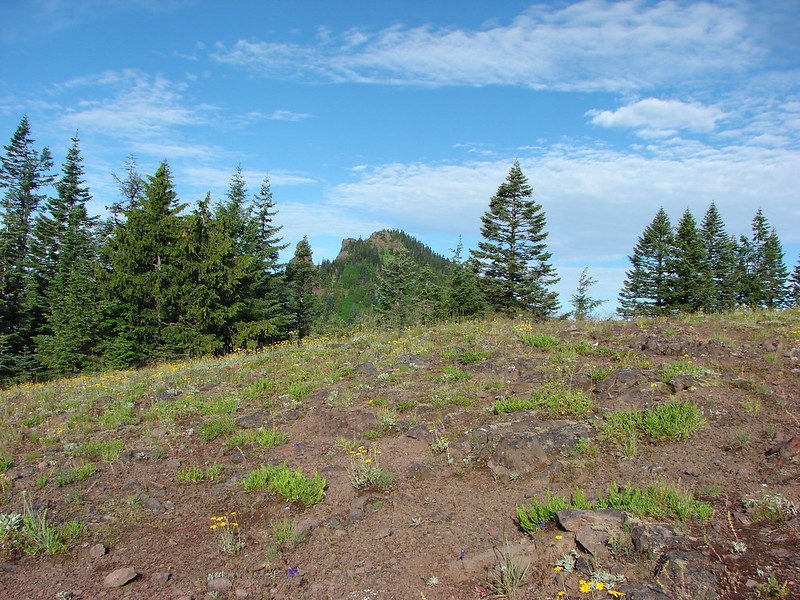
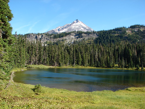
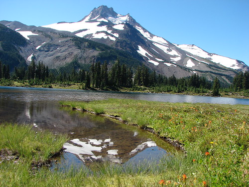
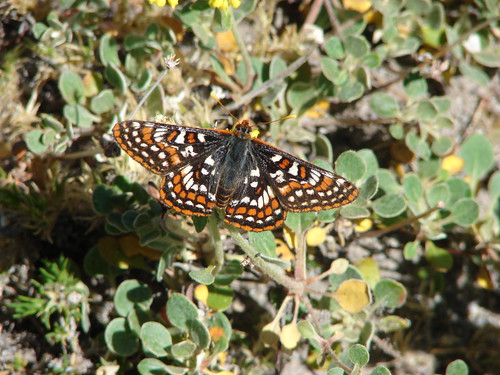
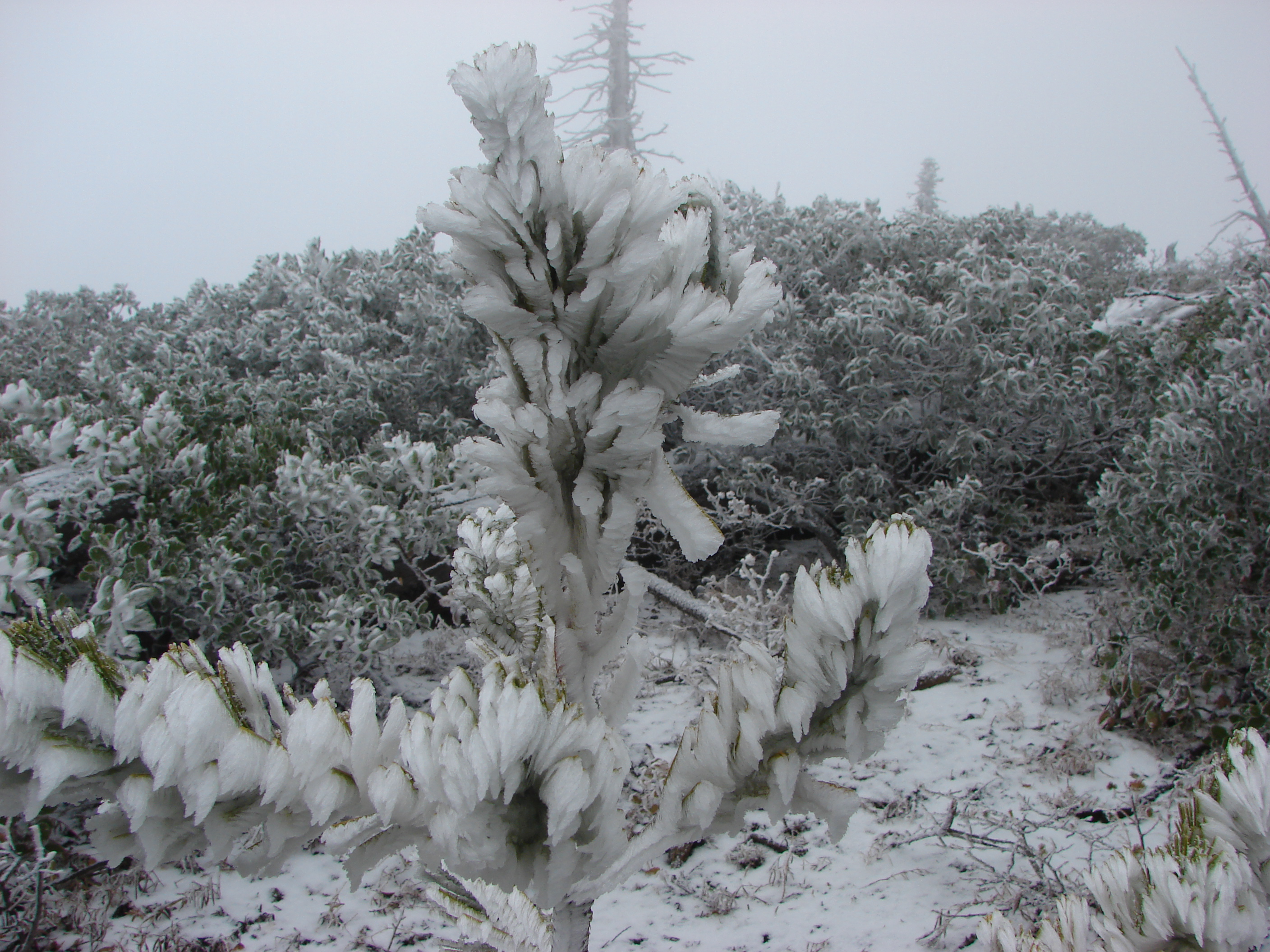
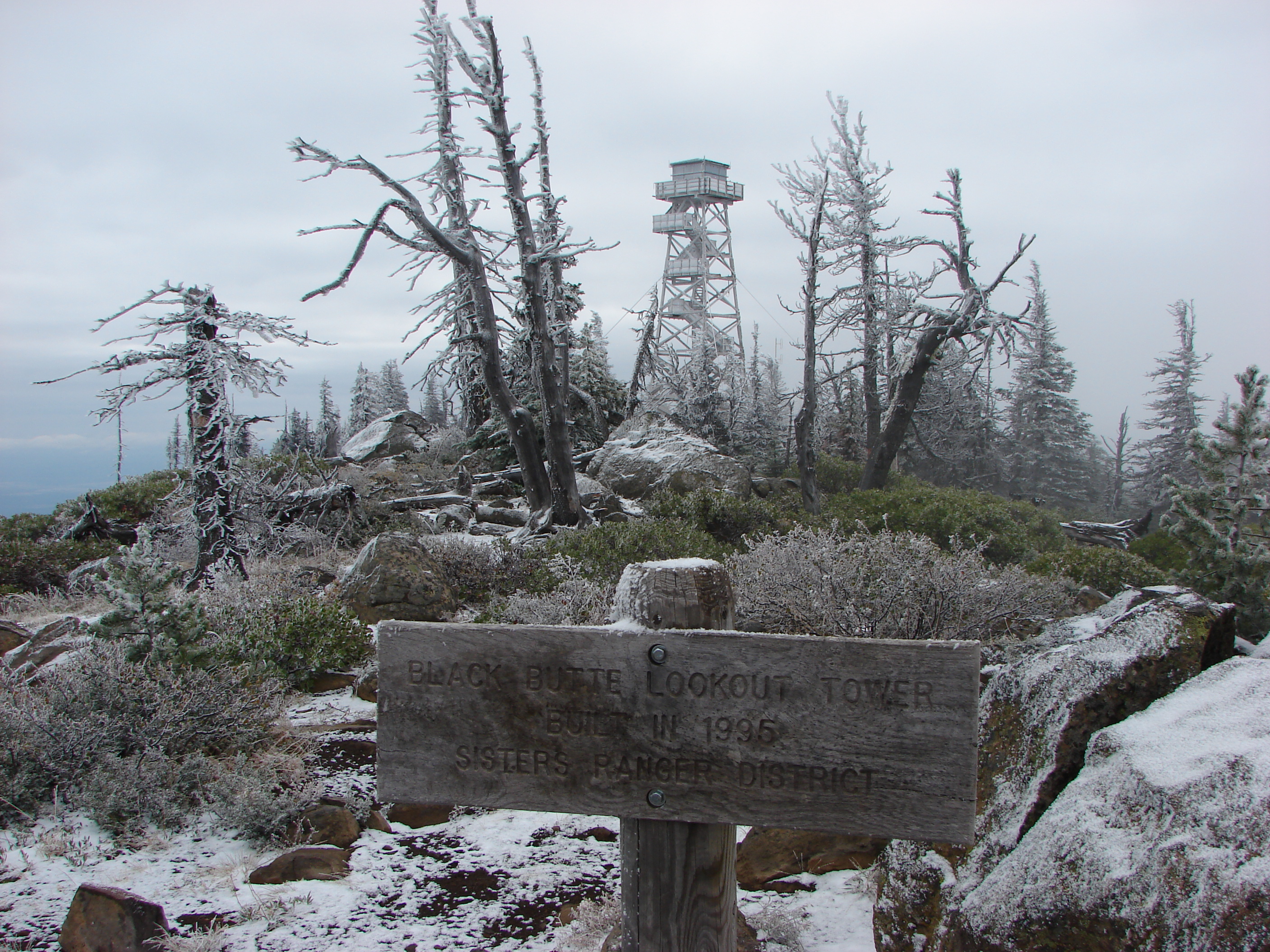
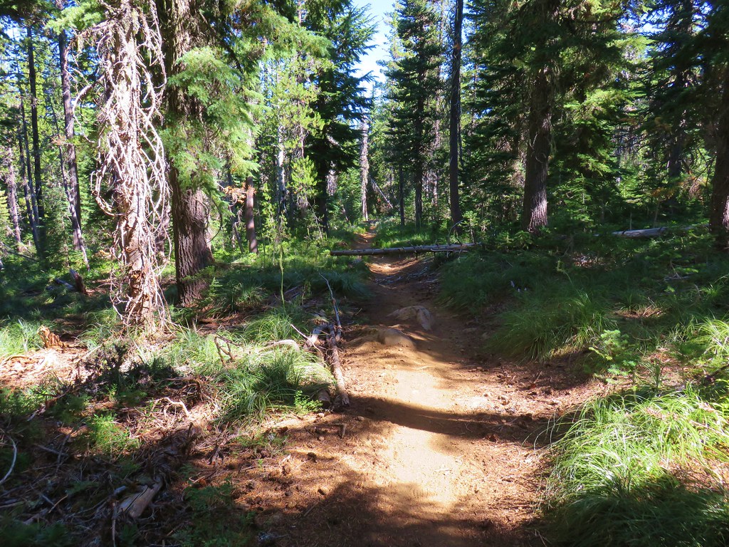
Patjens Lake Trail – August 2012

IMG_6791
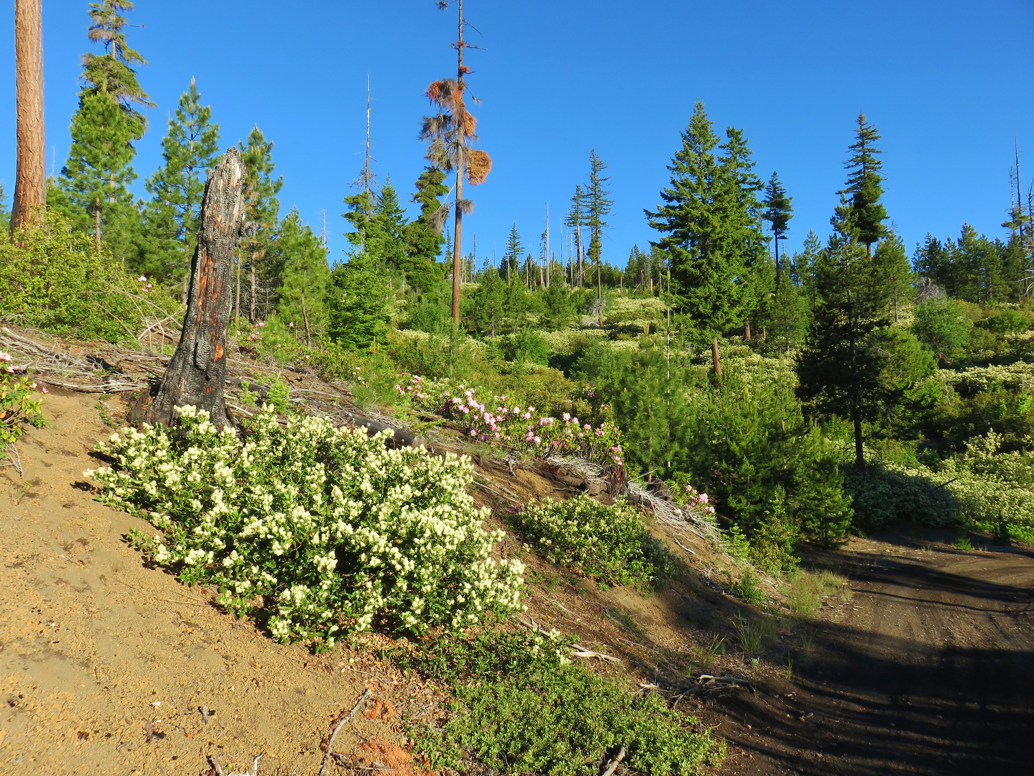
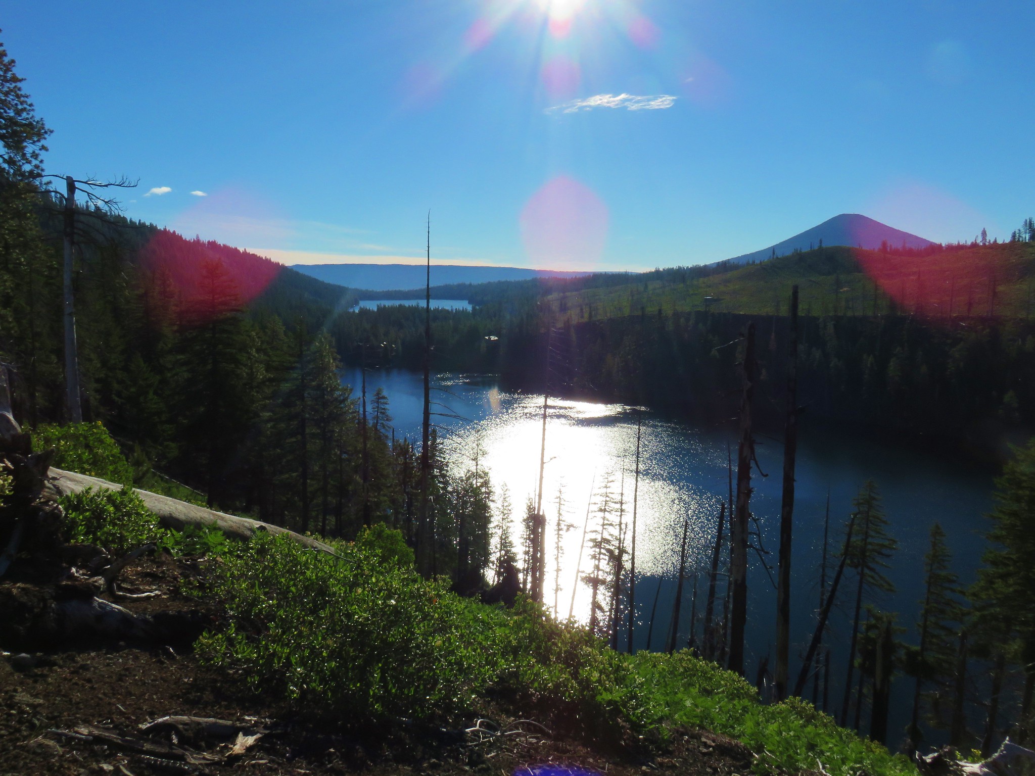
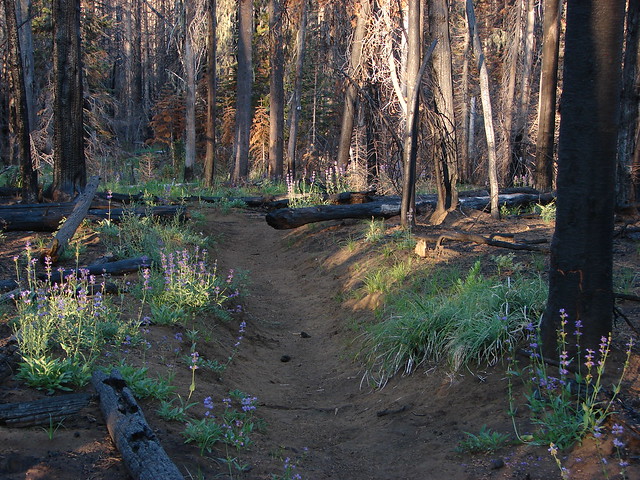
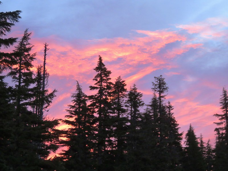
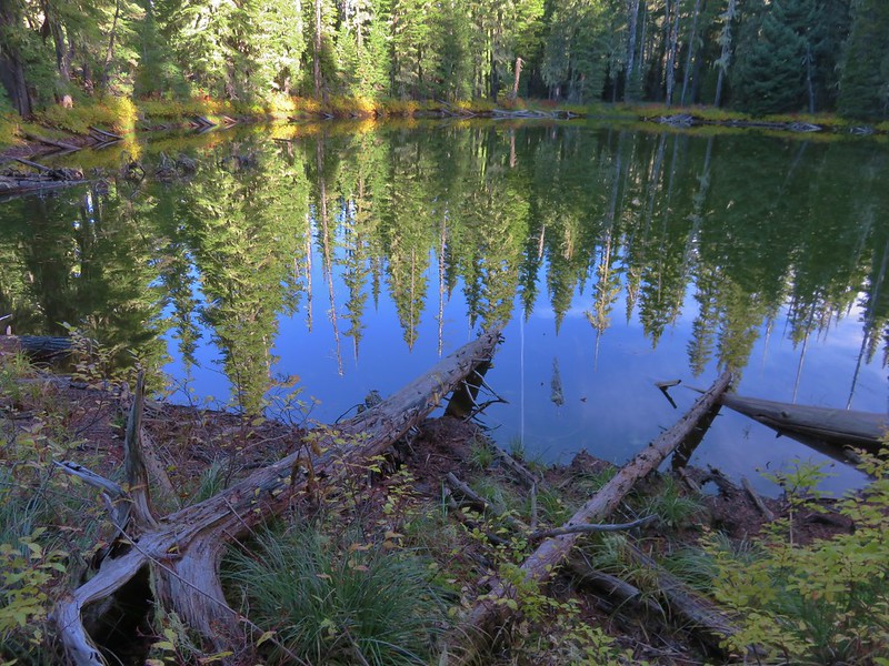
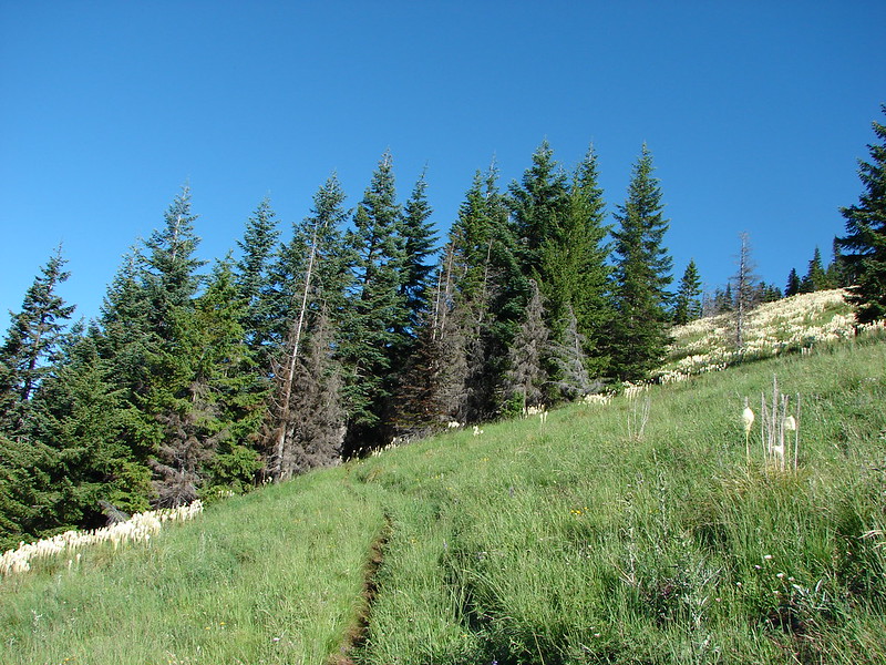
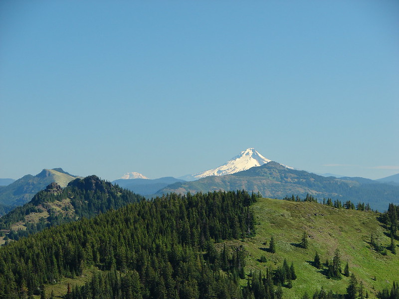
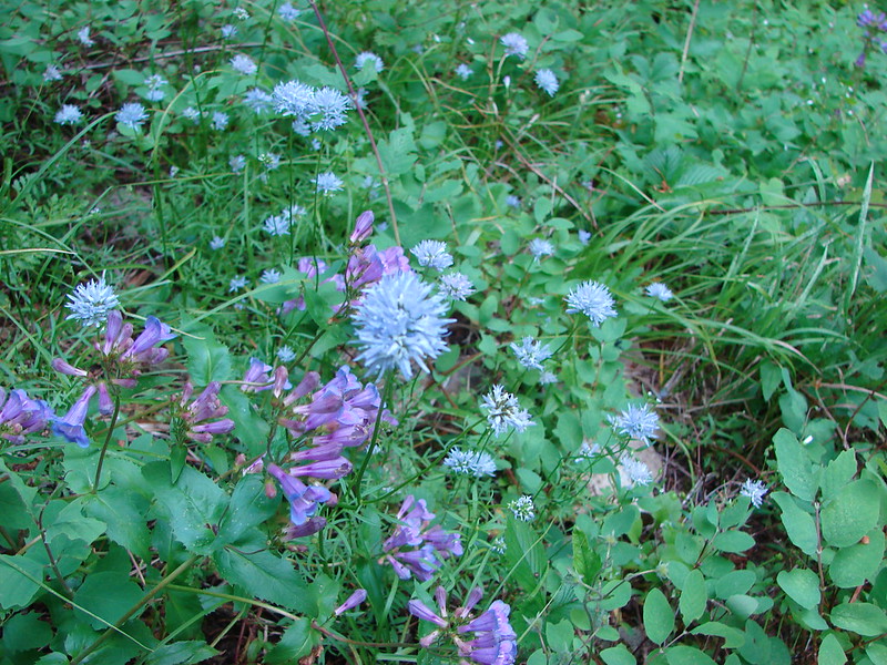
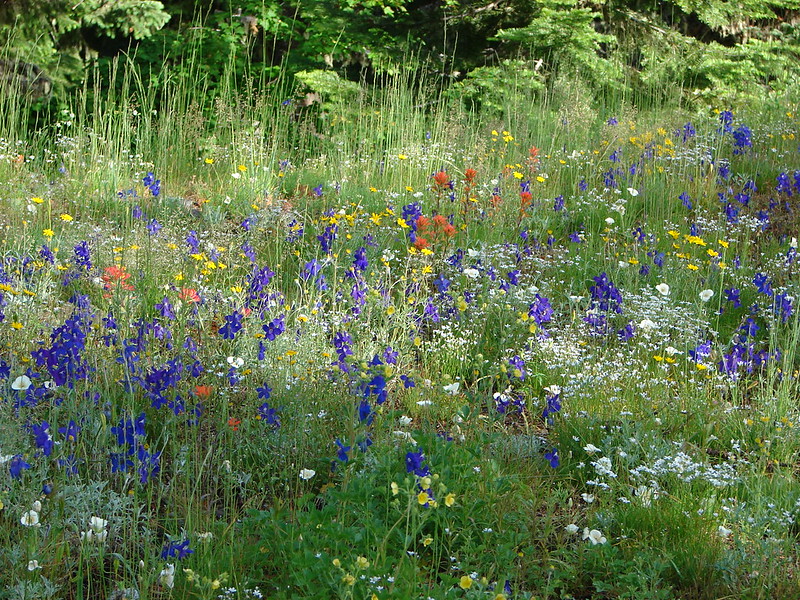
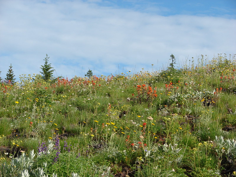
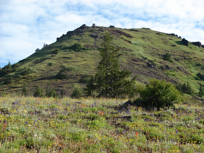
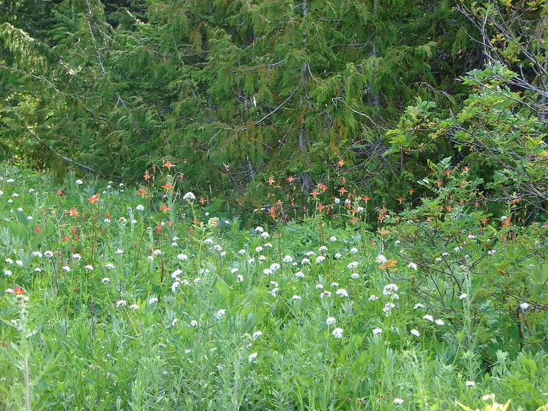
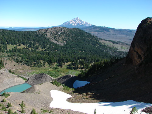
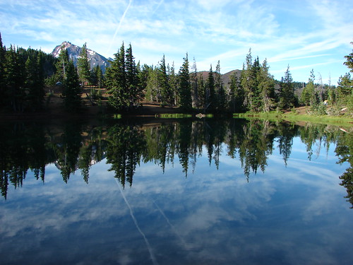
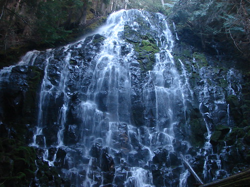
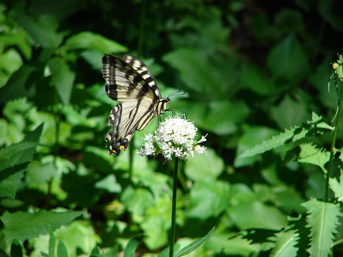
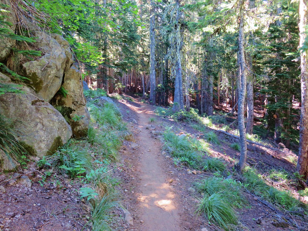
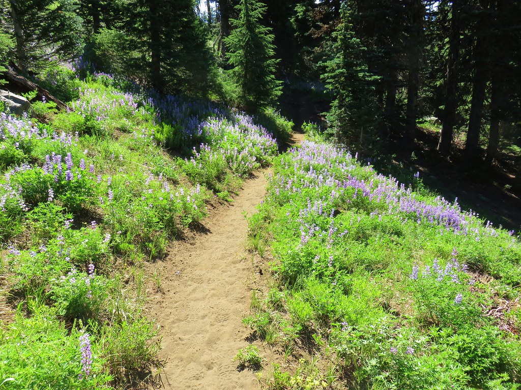
Pacific Crest Trail – August 2017

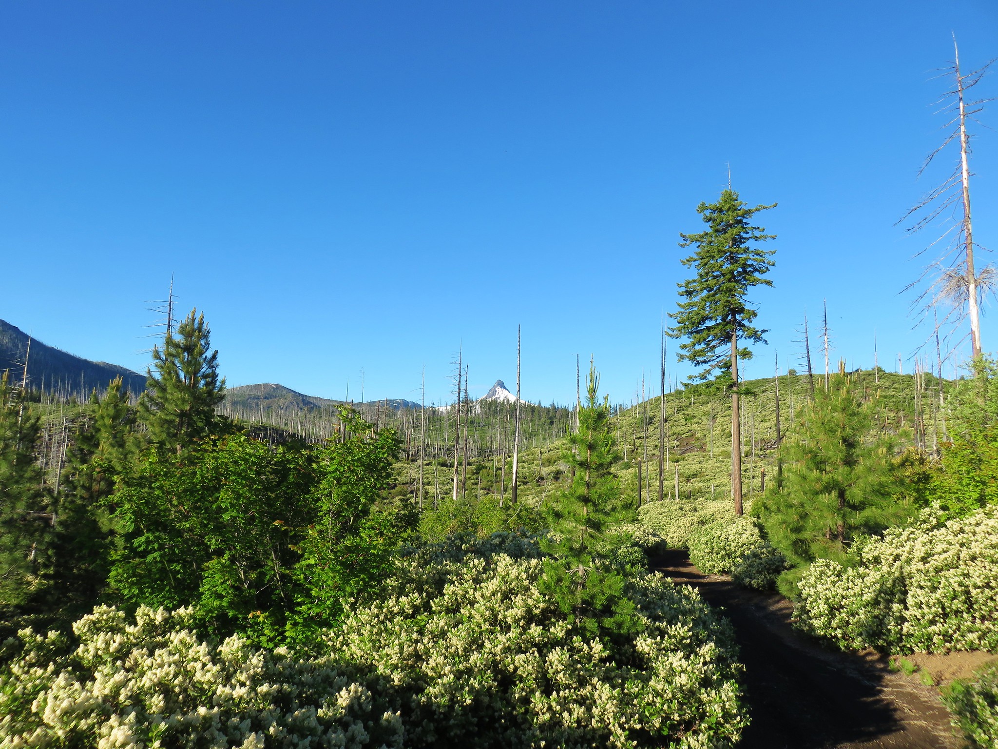
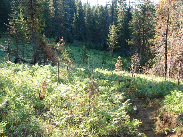
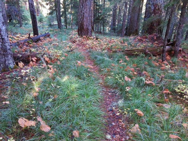
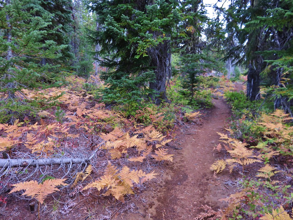
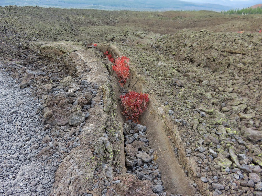
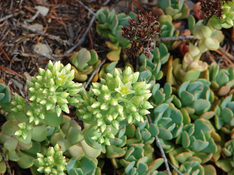
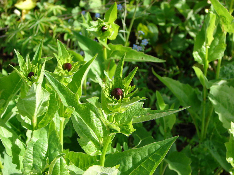
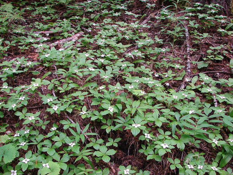
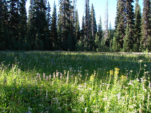
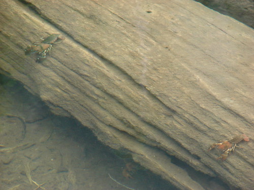
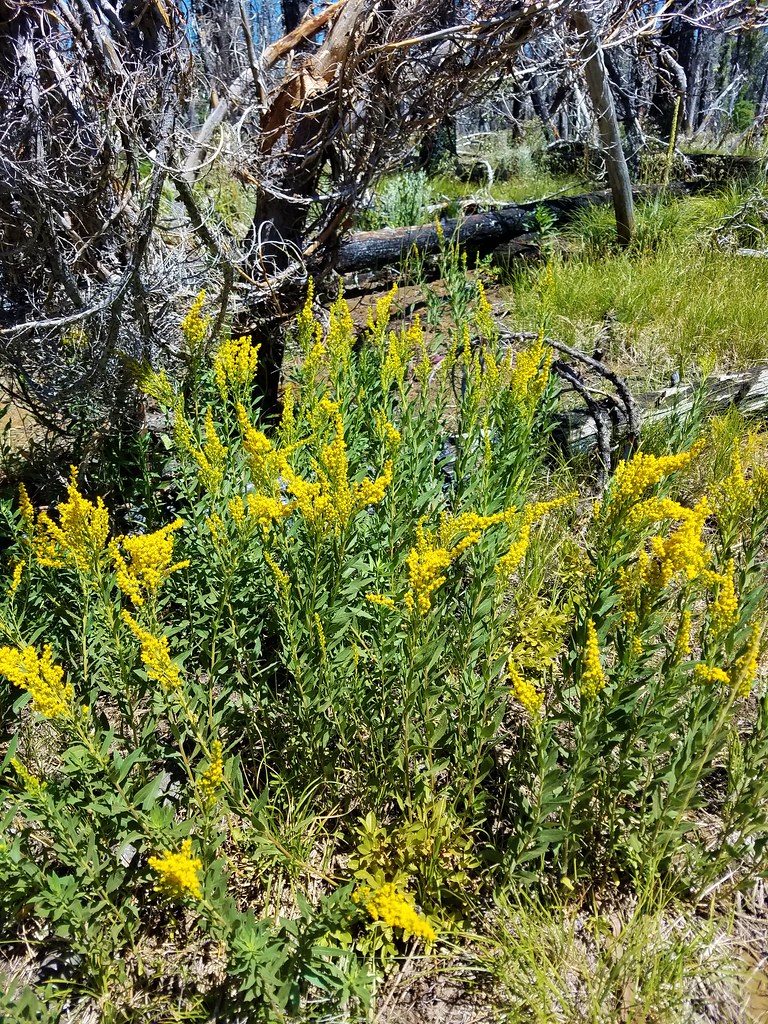
A wider variety of plants including various berries were present now.

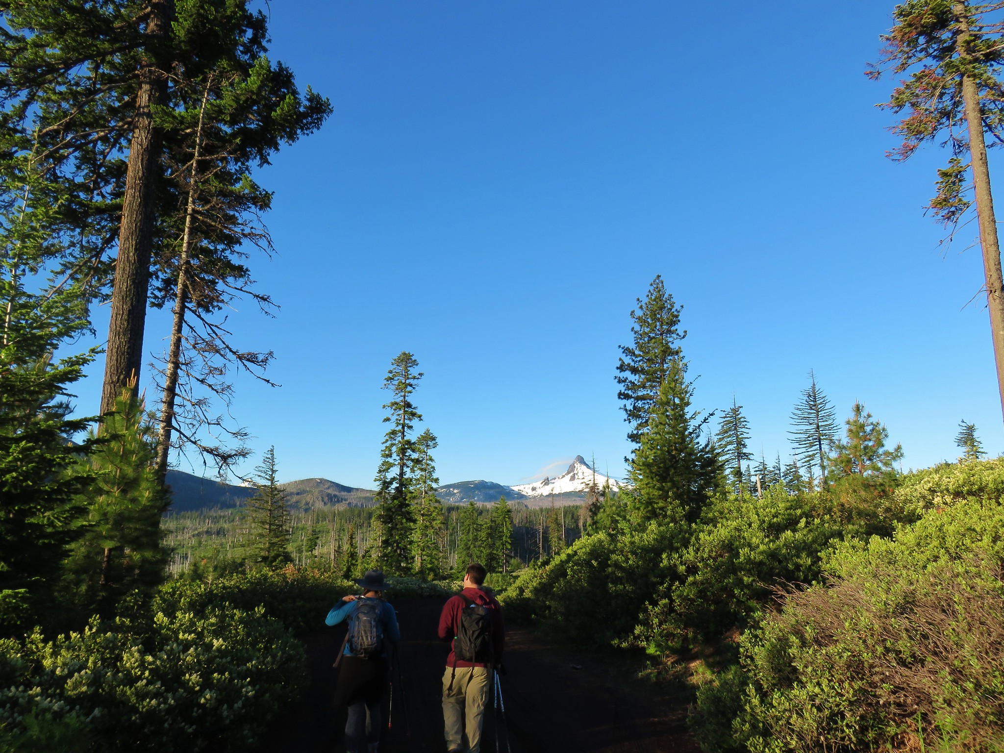
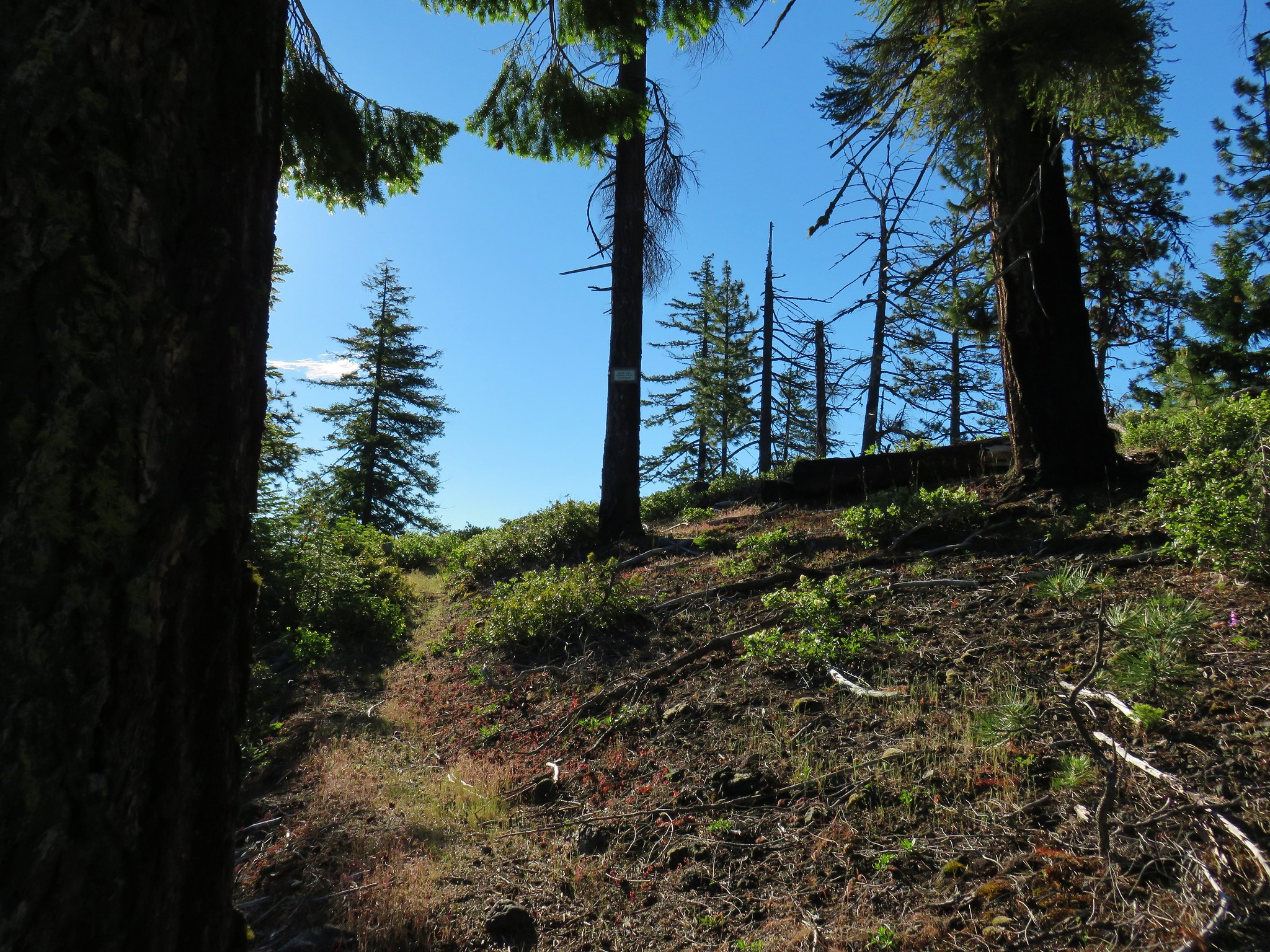
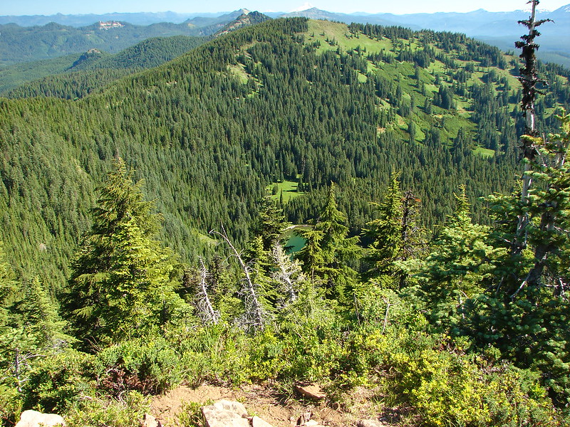
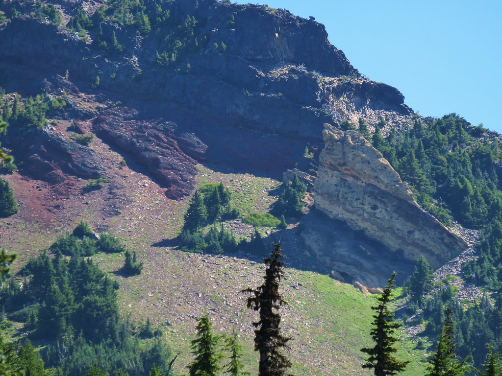
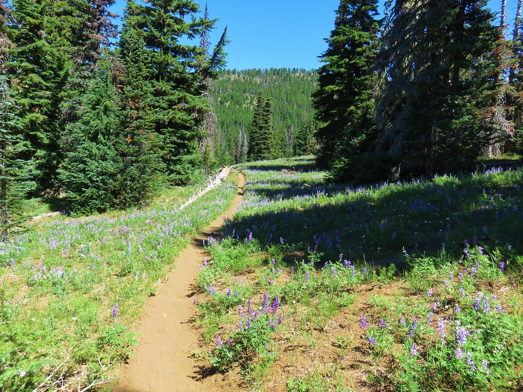
We left the burn area where we were able to see what the forest will look like again eventually.

IMG_6650

IMG_6675

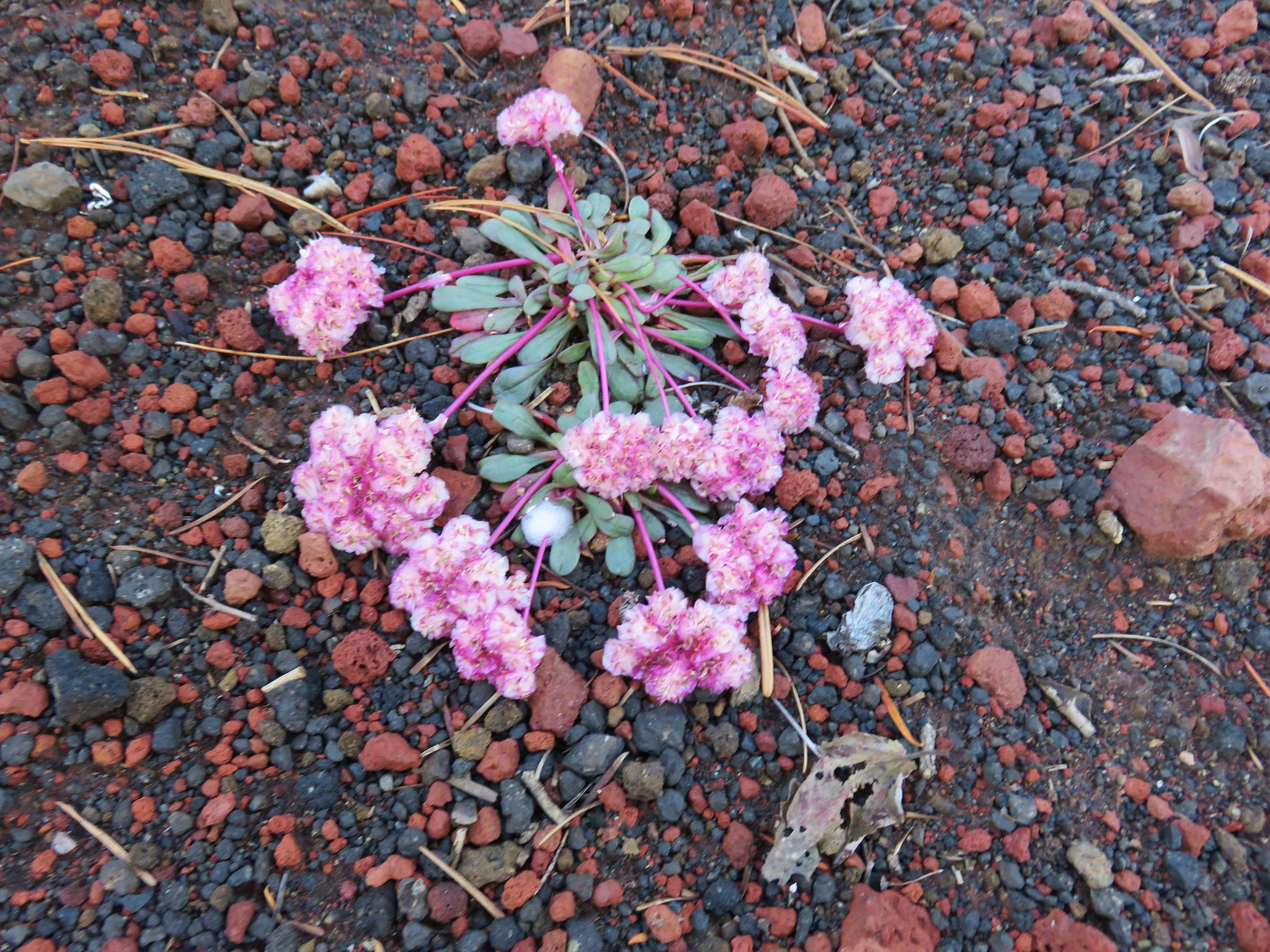
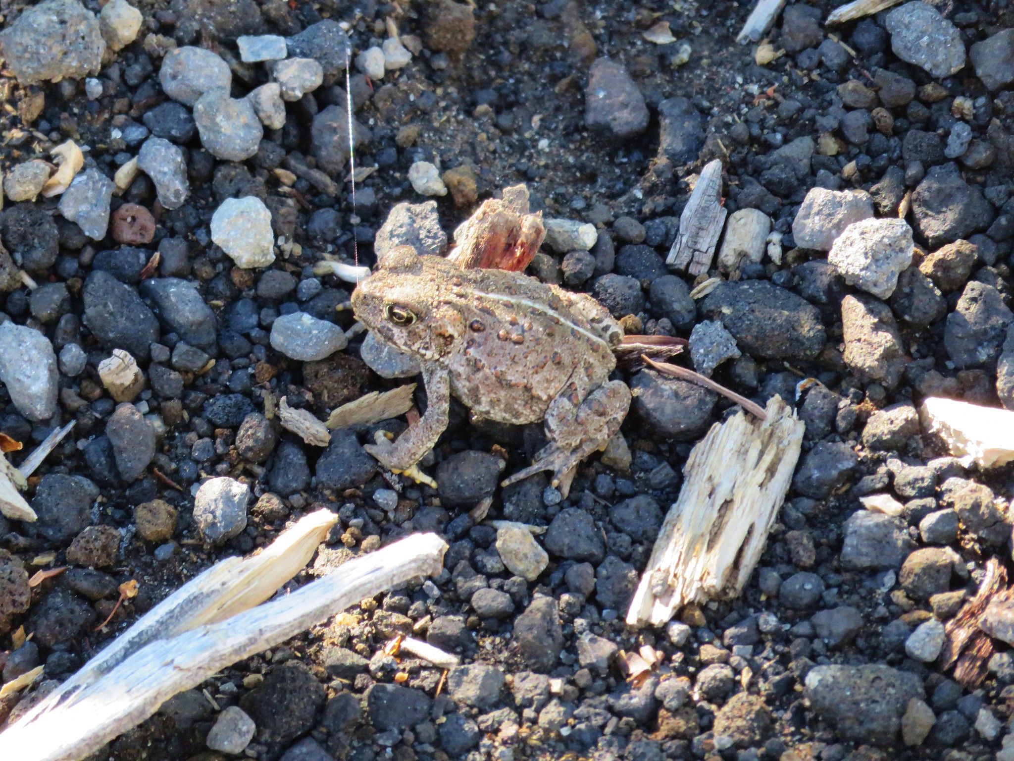
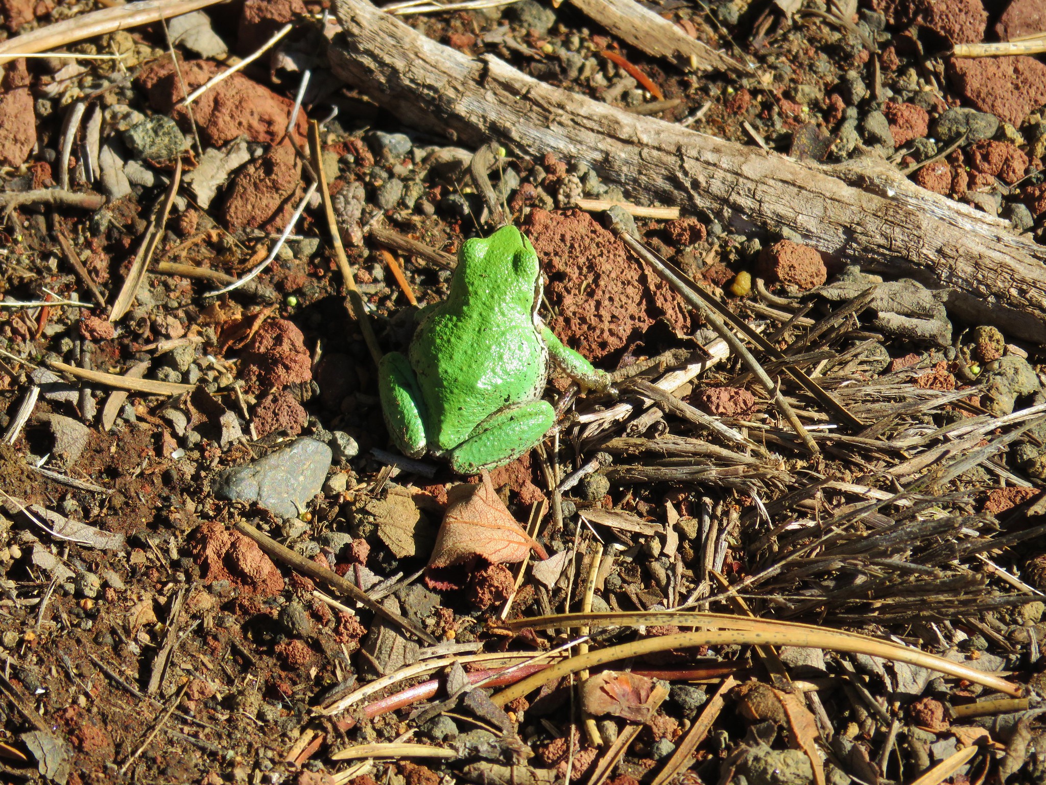
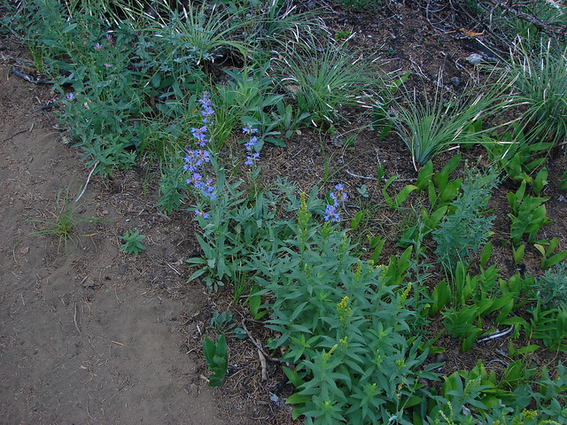
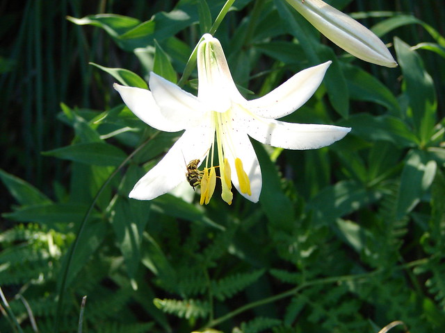
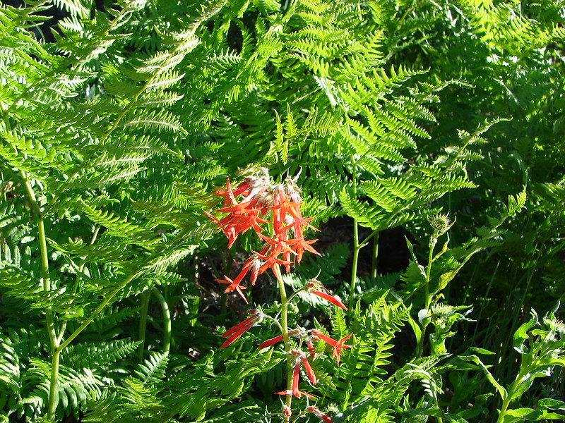
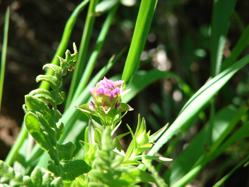
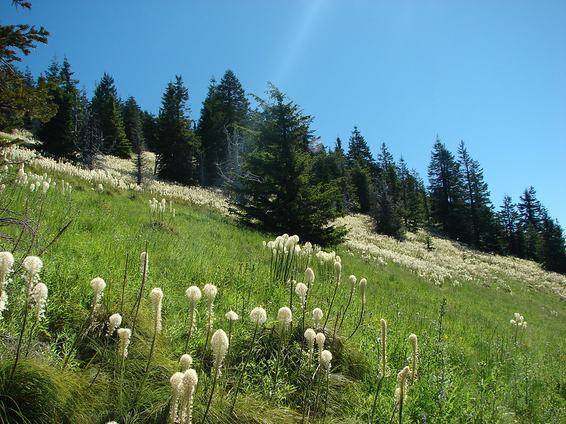
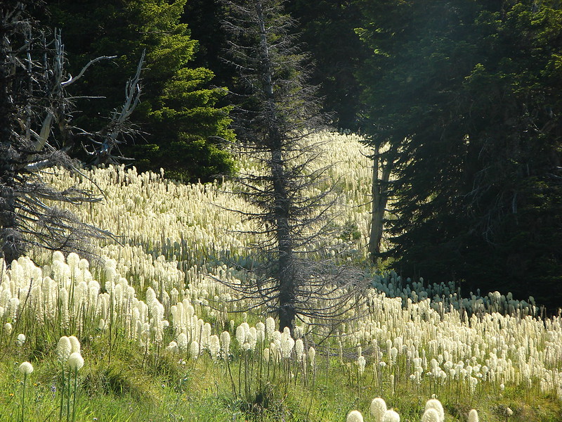
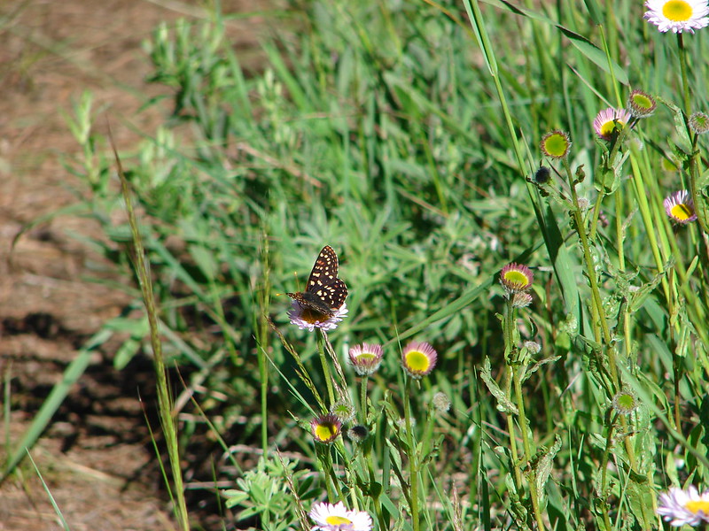
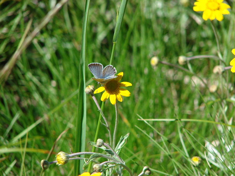
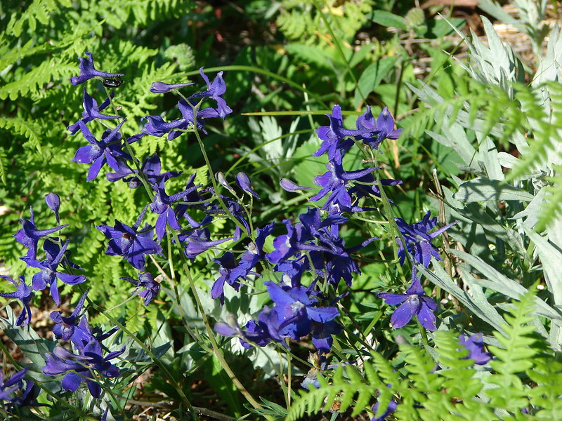
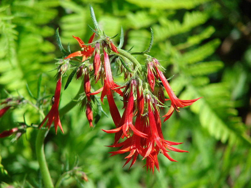
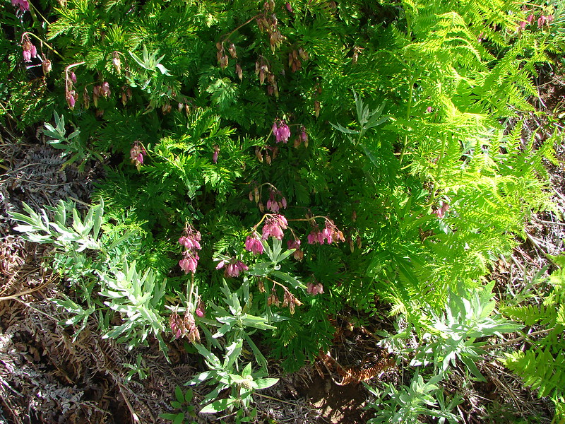
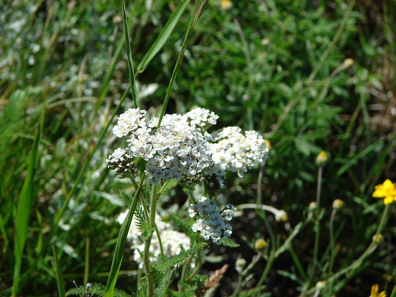
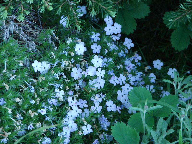
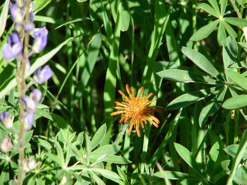
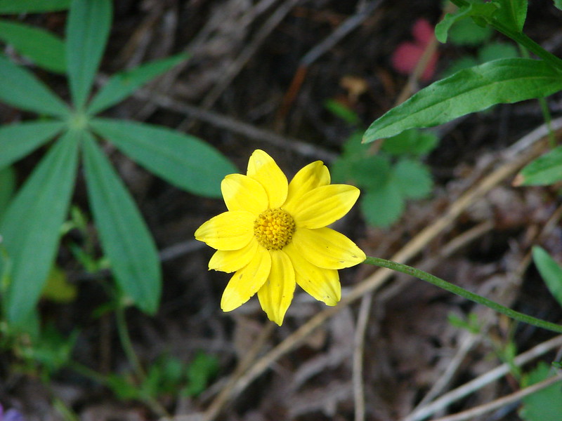
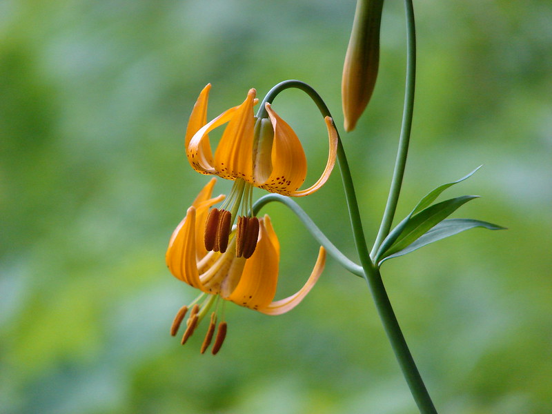
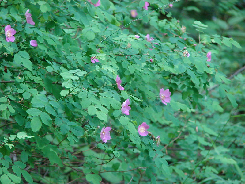
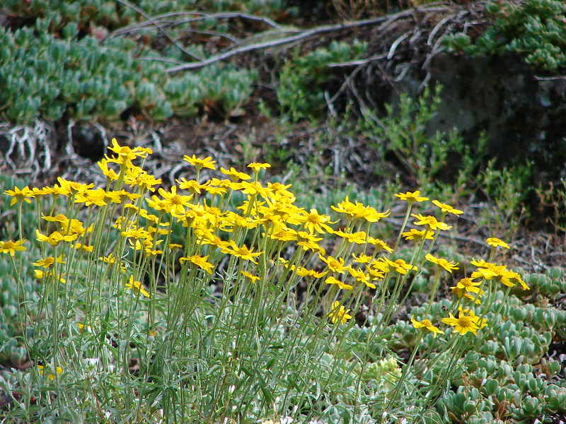
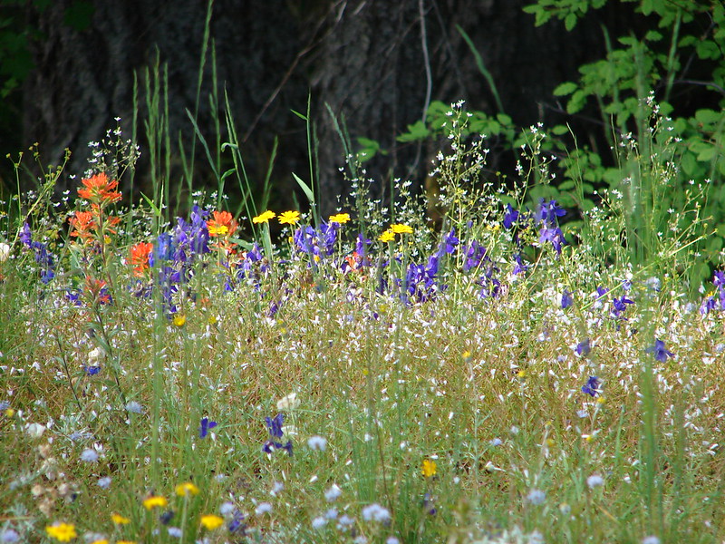
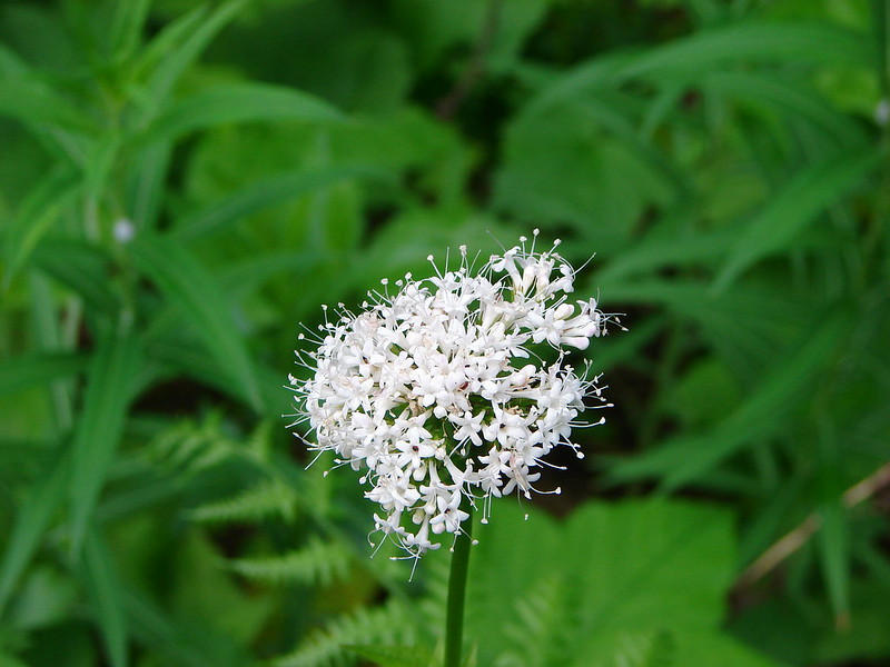
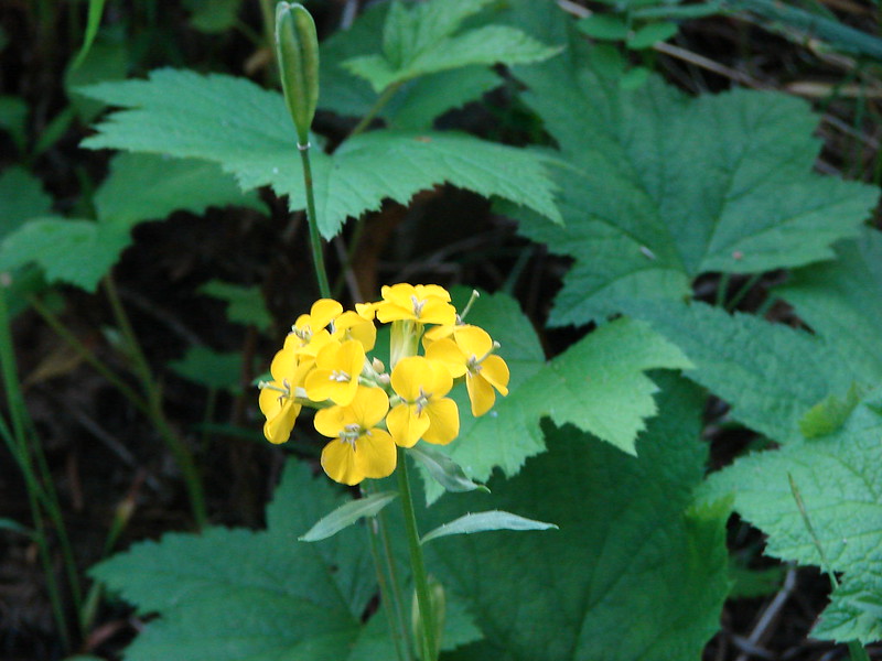
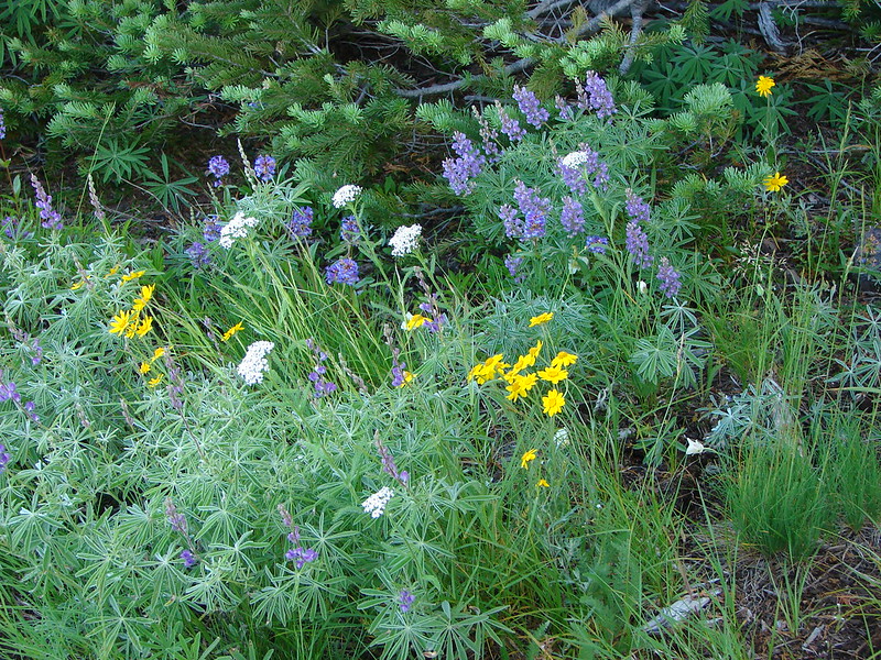
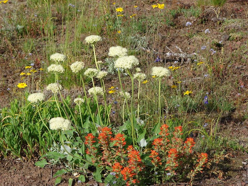
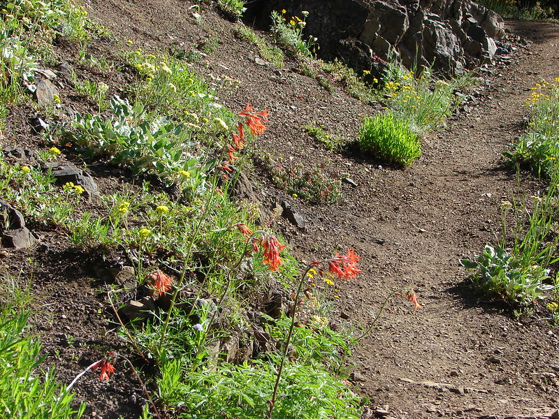
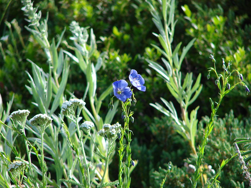
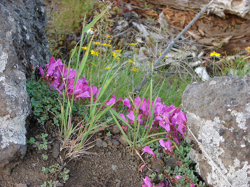
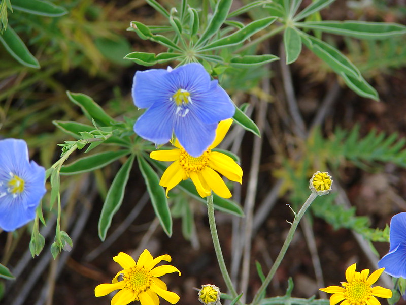
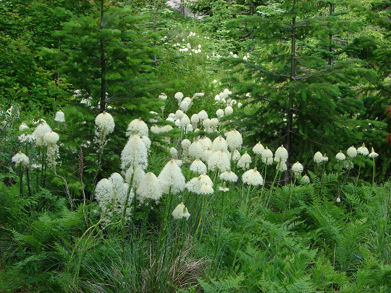
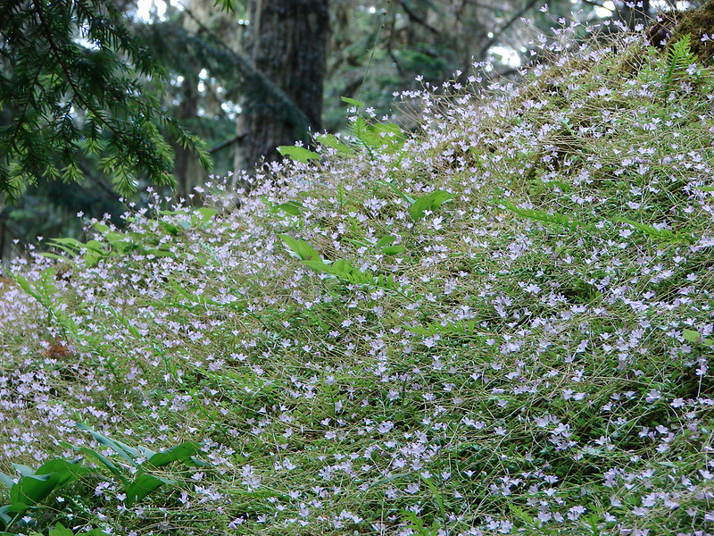
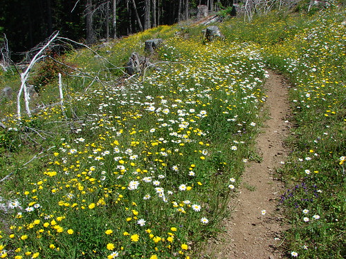
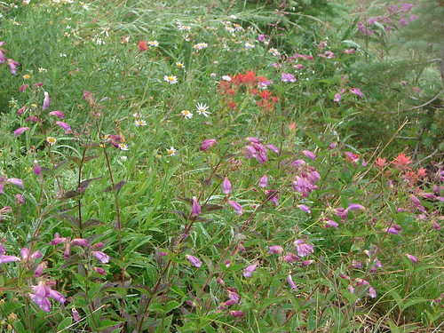
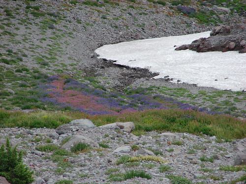
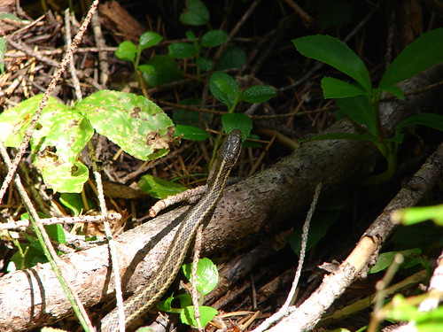
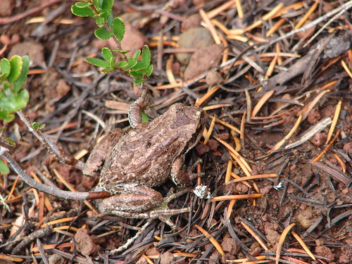
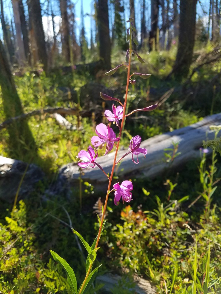
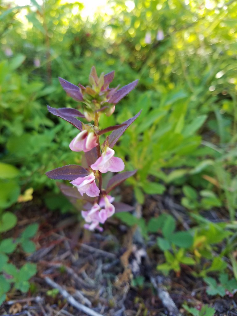
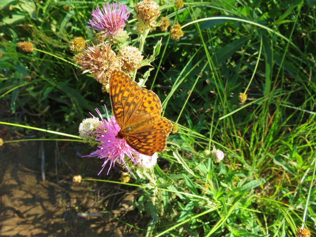
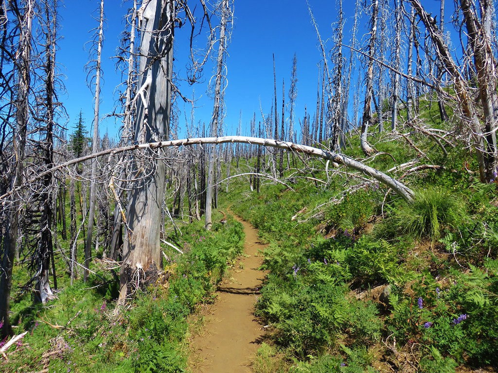
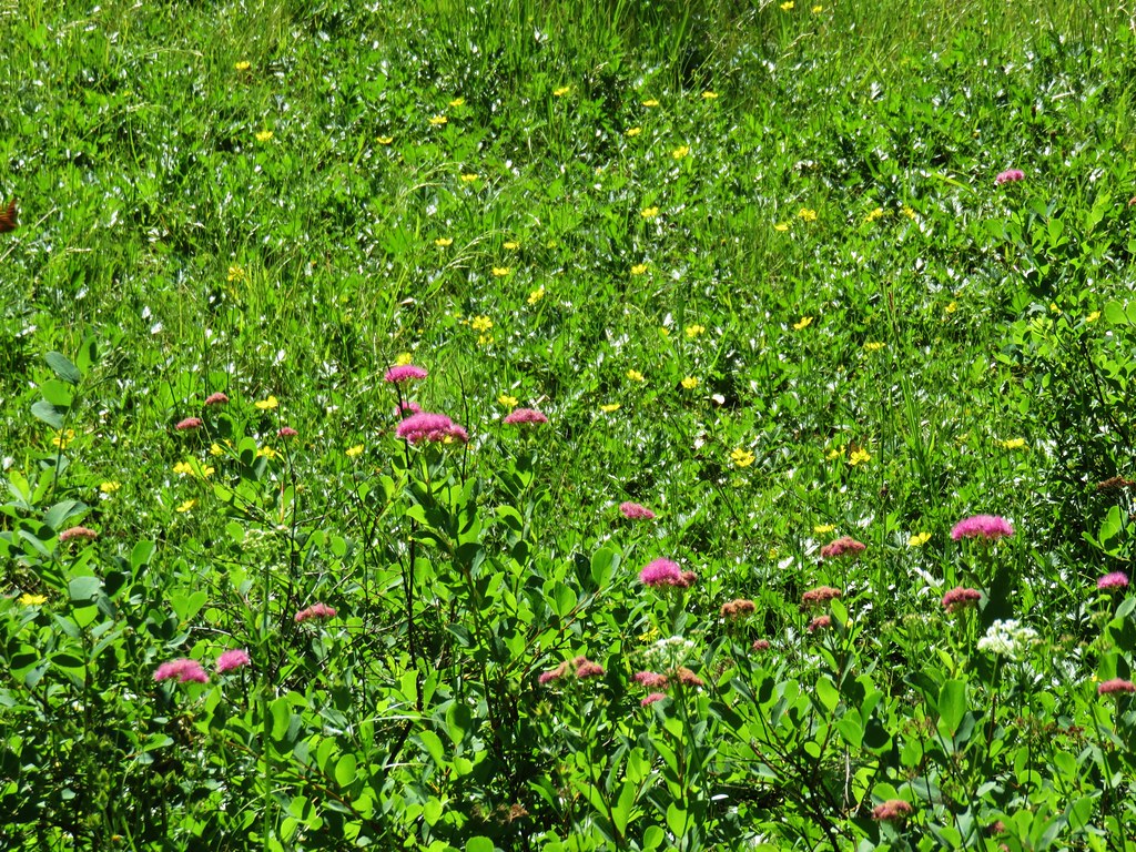
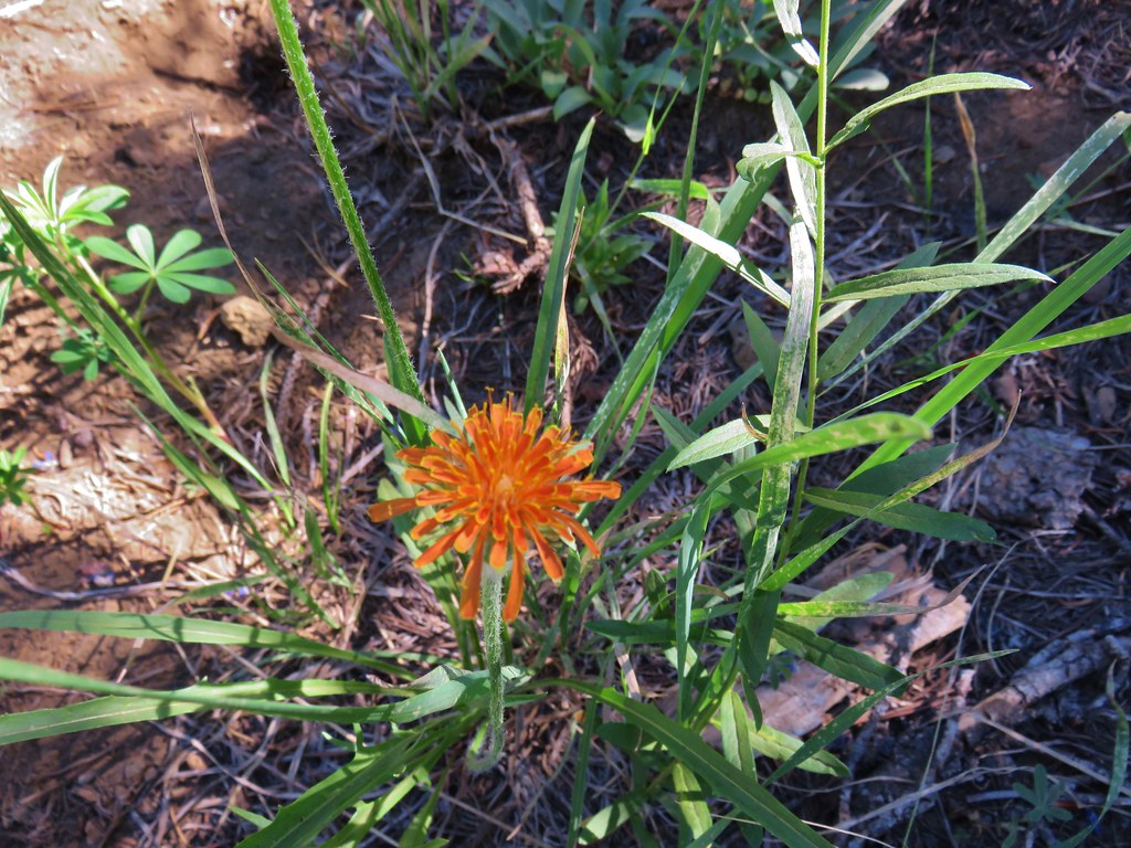
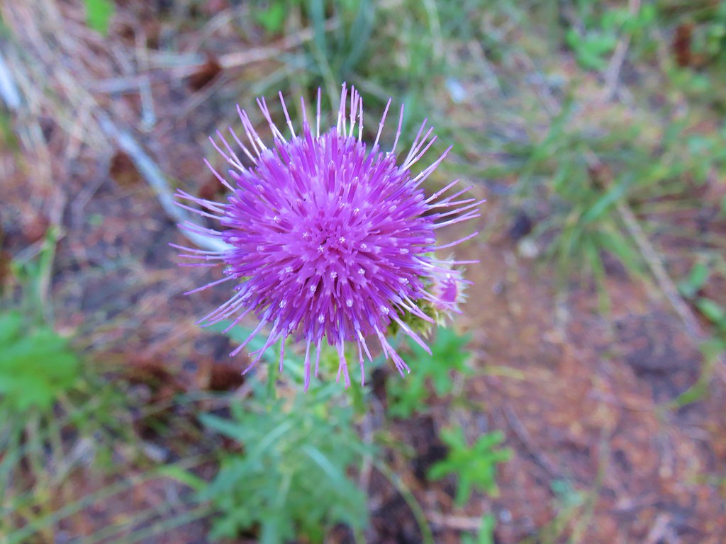
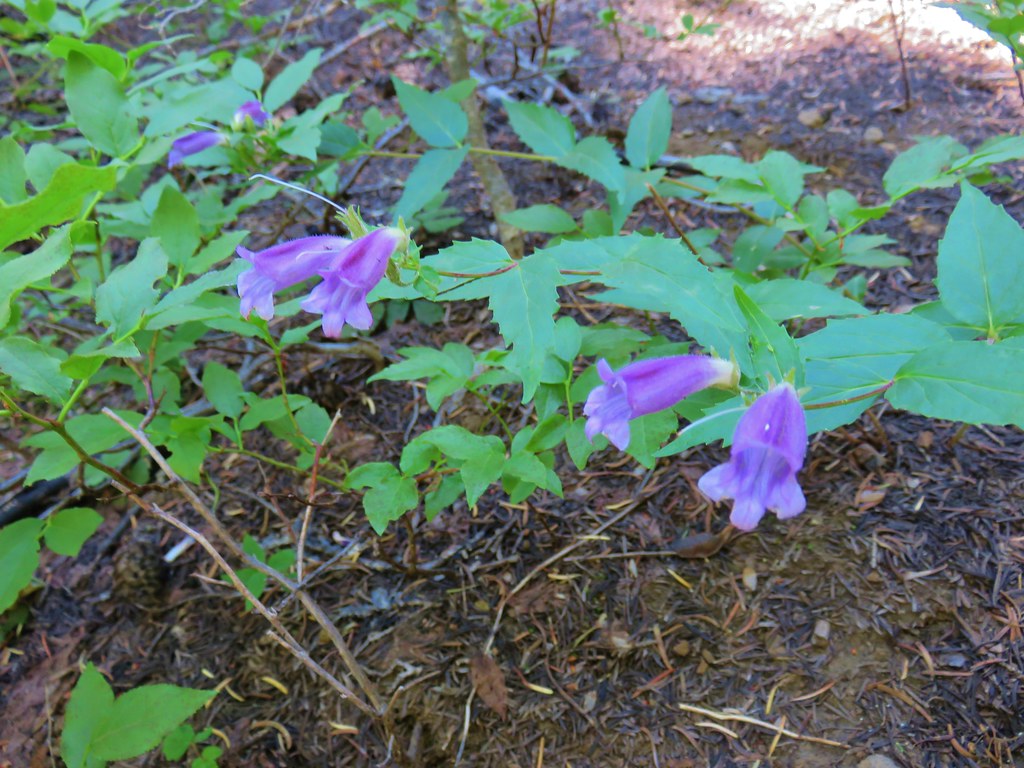
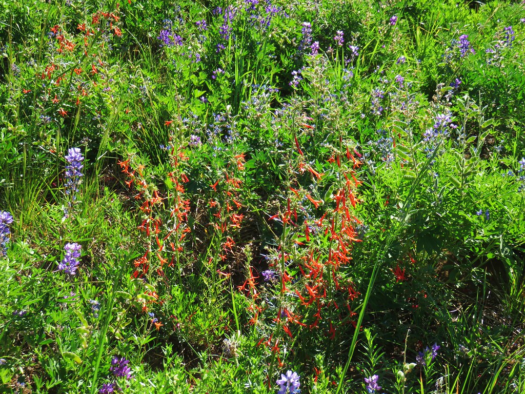
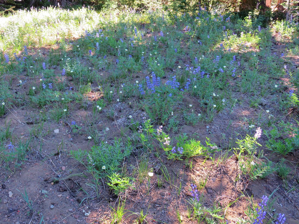
We passed several small meadows and lots of wildflowers as we went.

IMG_6661

IMG_6664

IMG_6653

IMG_6657

IMG_6666

IMG_6670

IMG_6683

IMG_6687

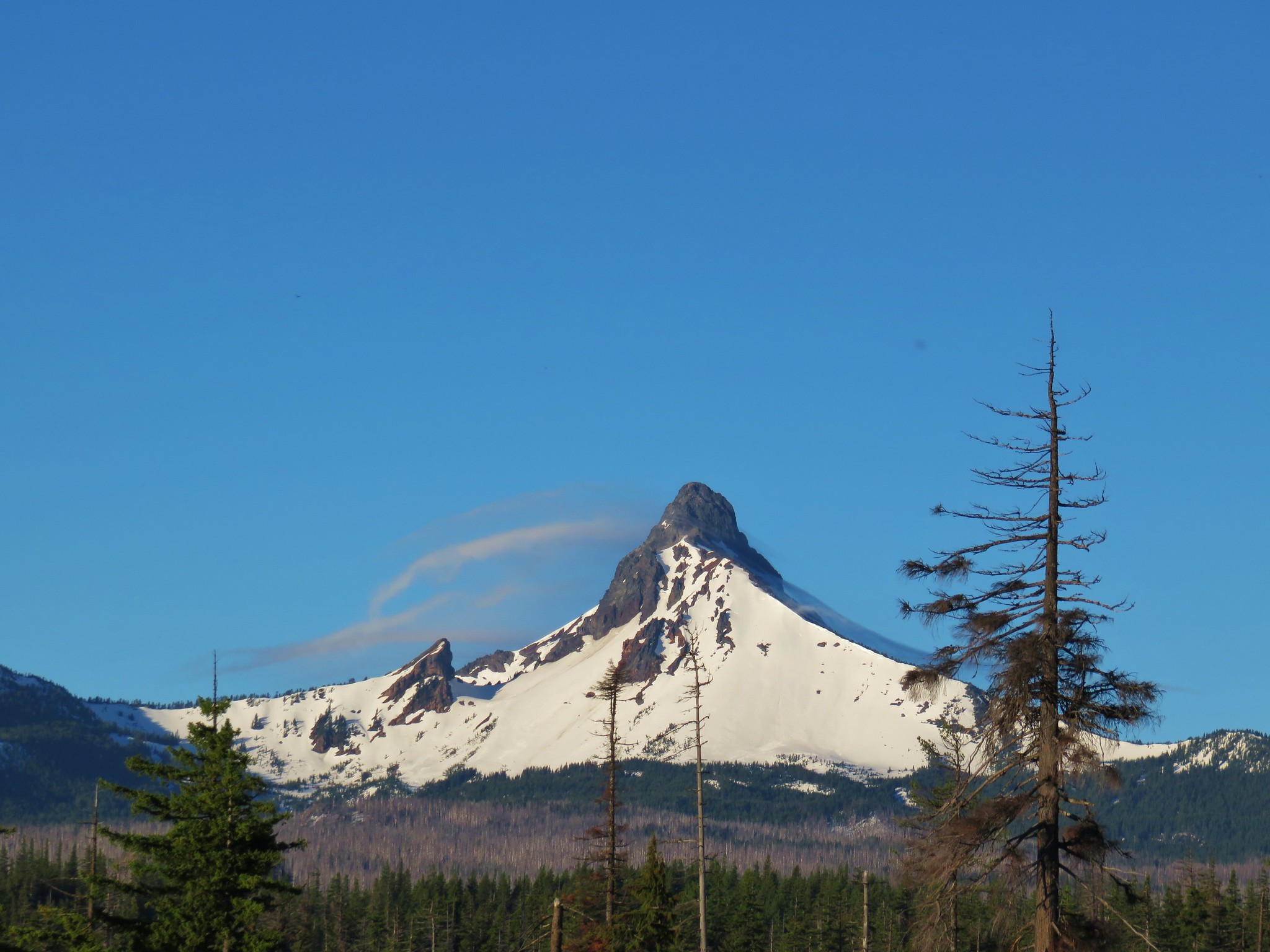
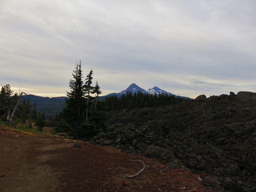
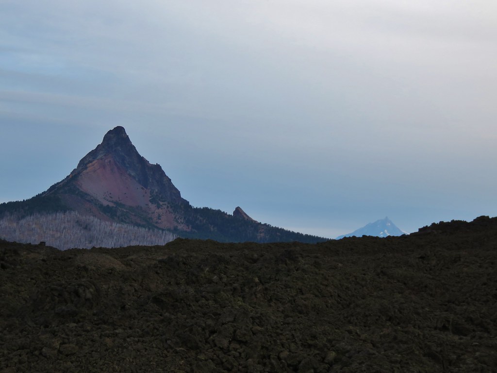
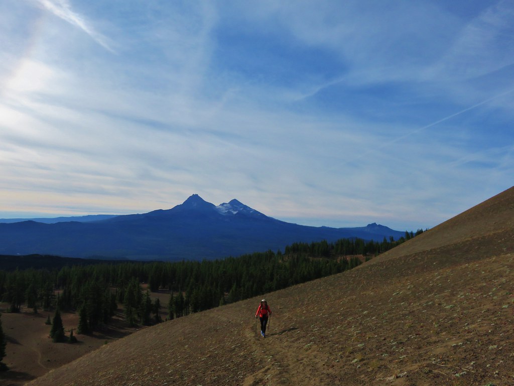
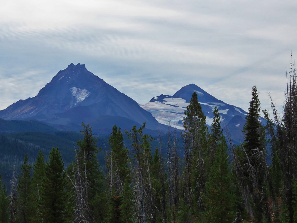
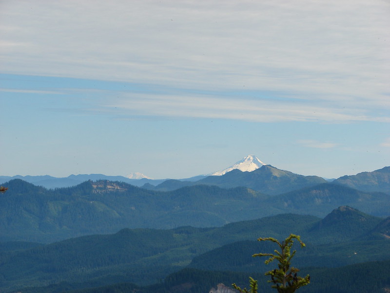
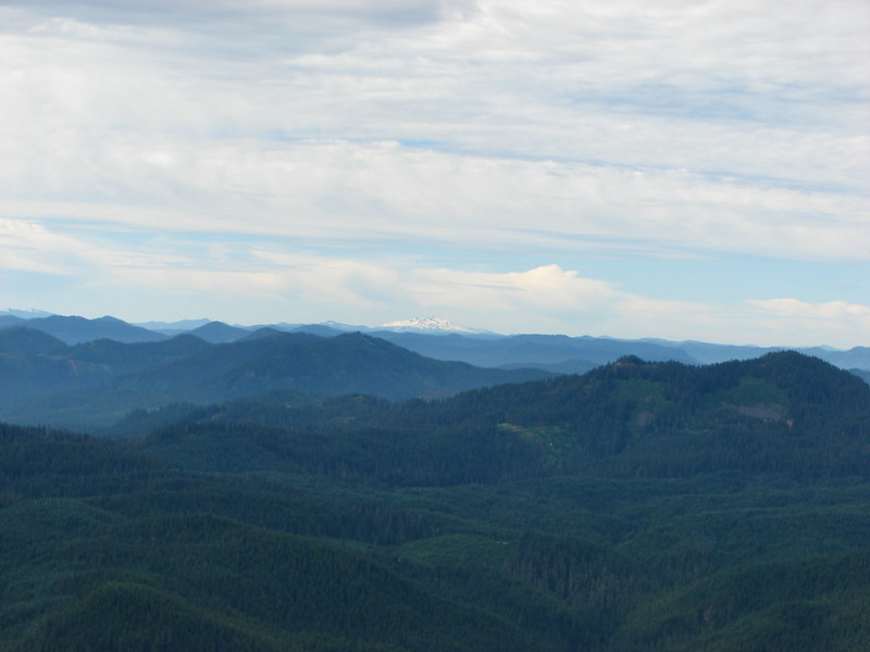
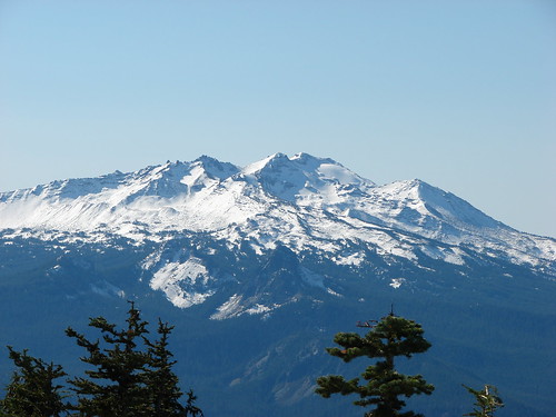
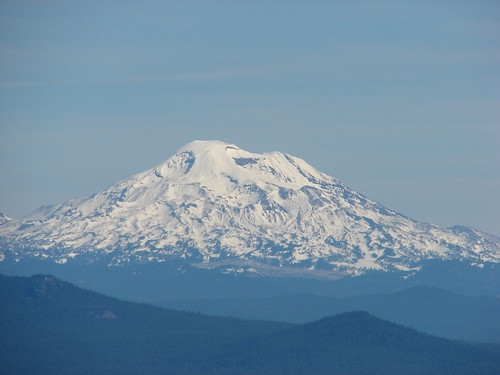
We had been gradually climbing and when a break in the trees allowed us a view to the north where we spotted Mt. Jefferson over the shoulder of Three Fingered Jack.

IMG_6672

IMG_6674

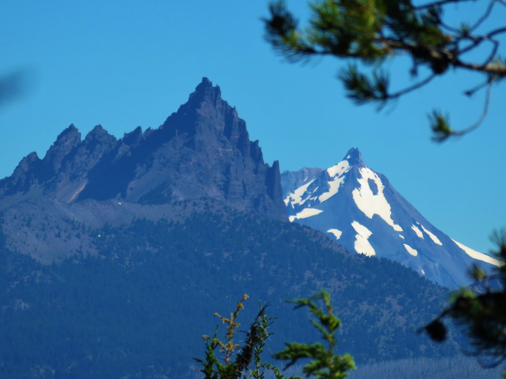
It was a bittersweet view as it reminded us that the Whitewater Fire was burning on the west side of Mt. Jefferson and had already burned over portions of several trails leading to Jefferson Park.

There was no real visible smoke but we knew that it was there and those trails would look a lot like what we’d passed through earlier in the Shadow Fire area.

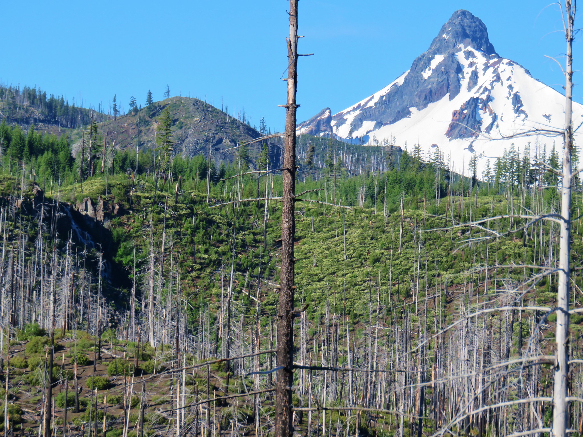
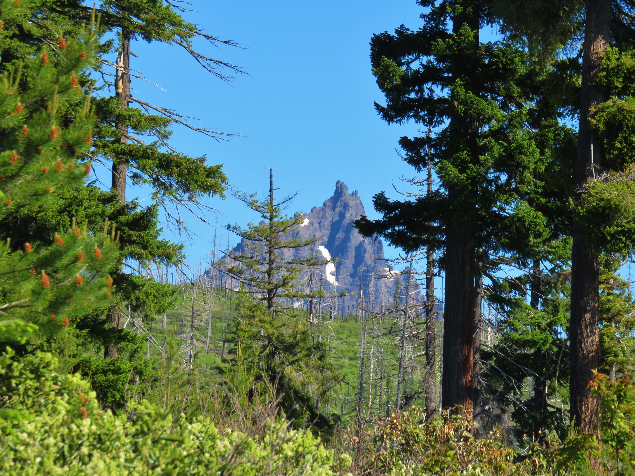
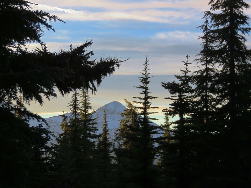
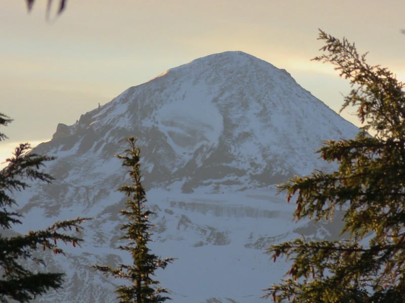
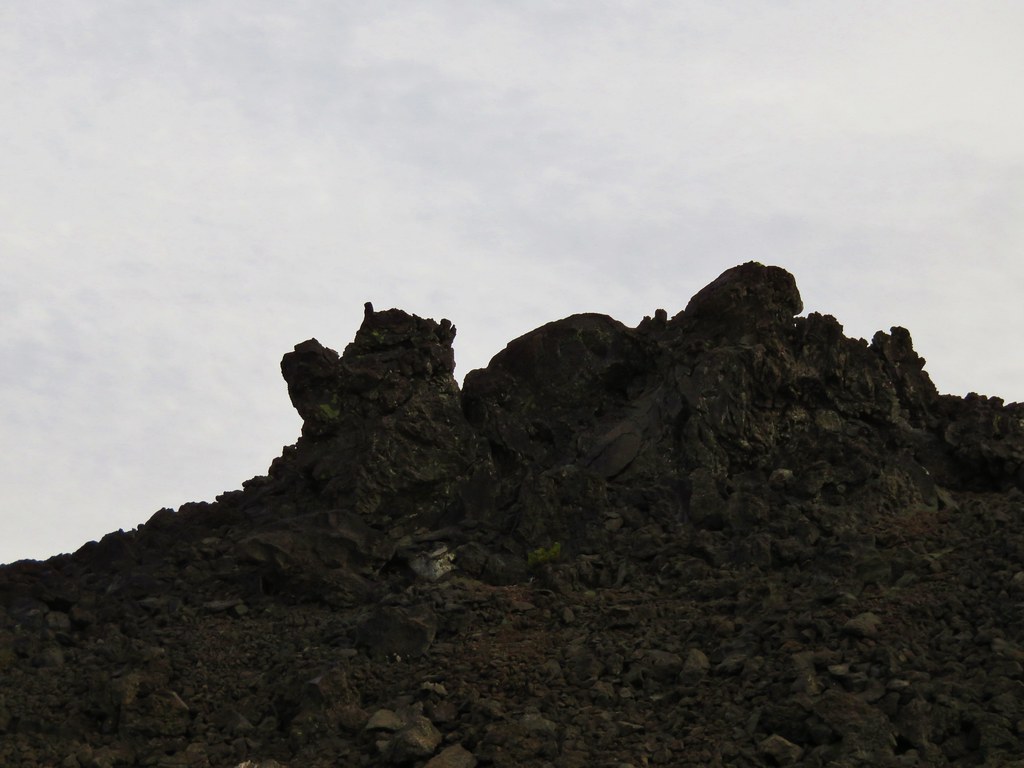
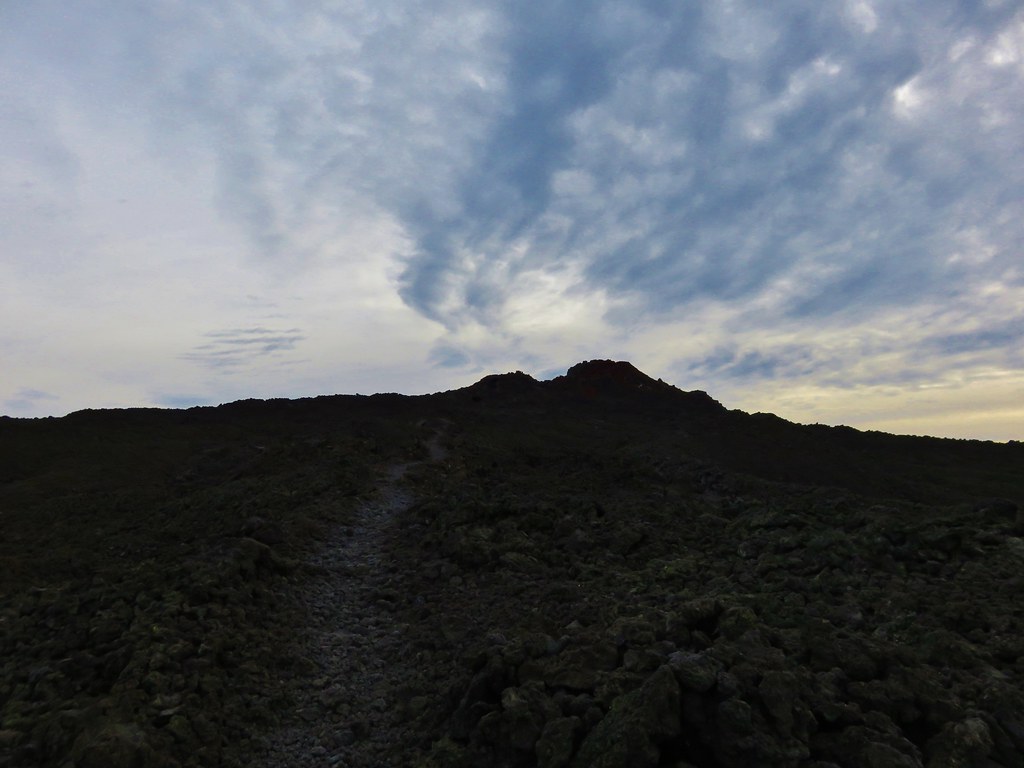
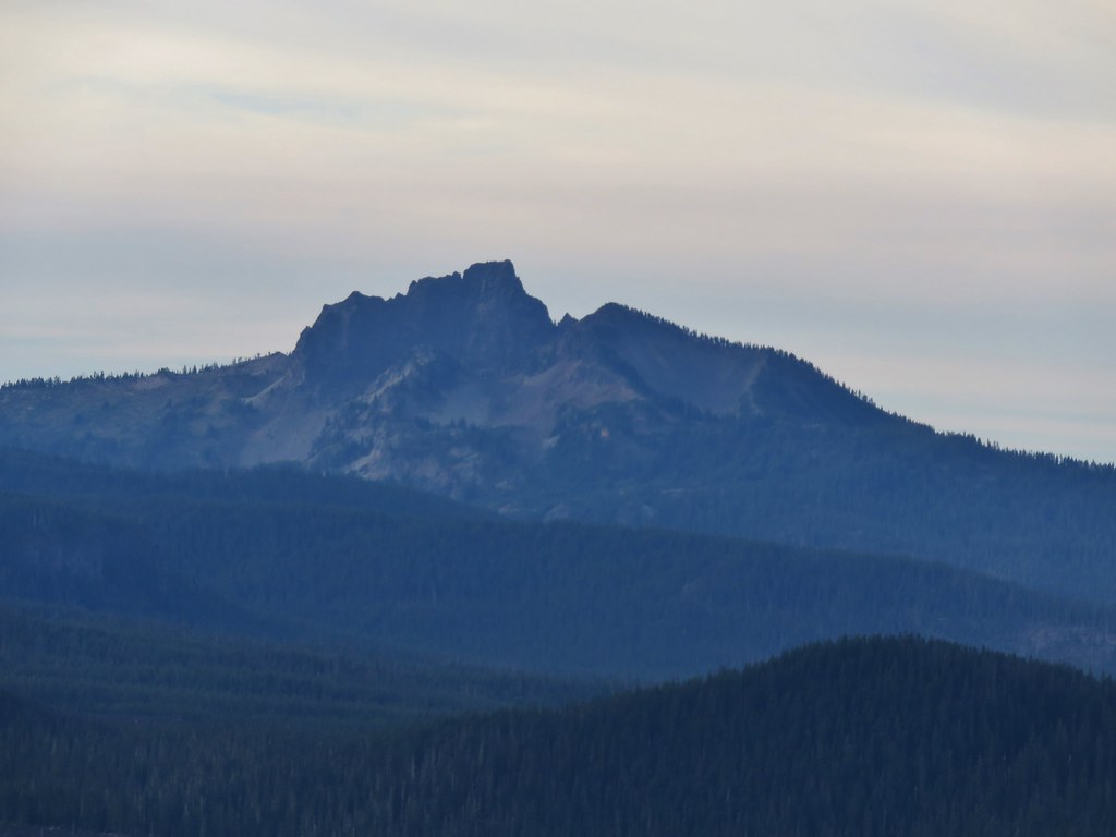
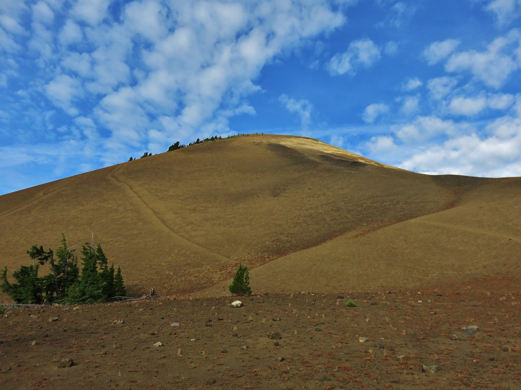
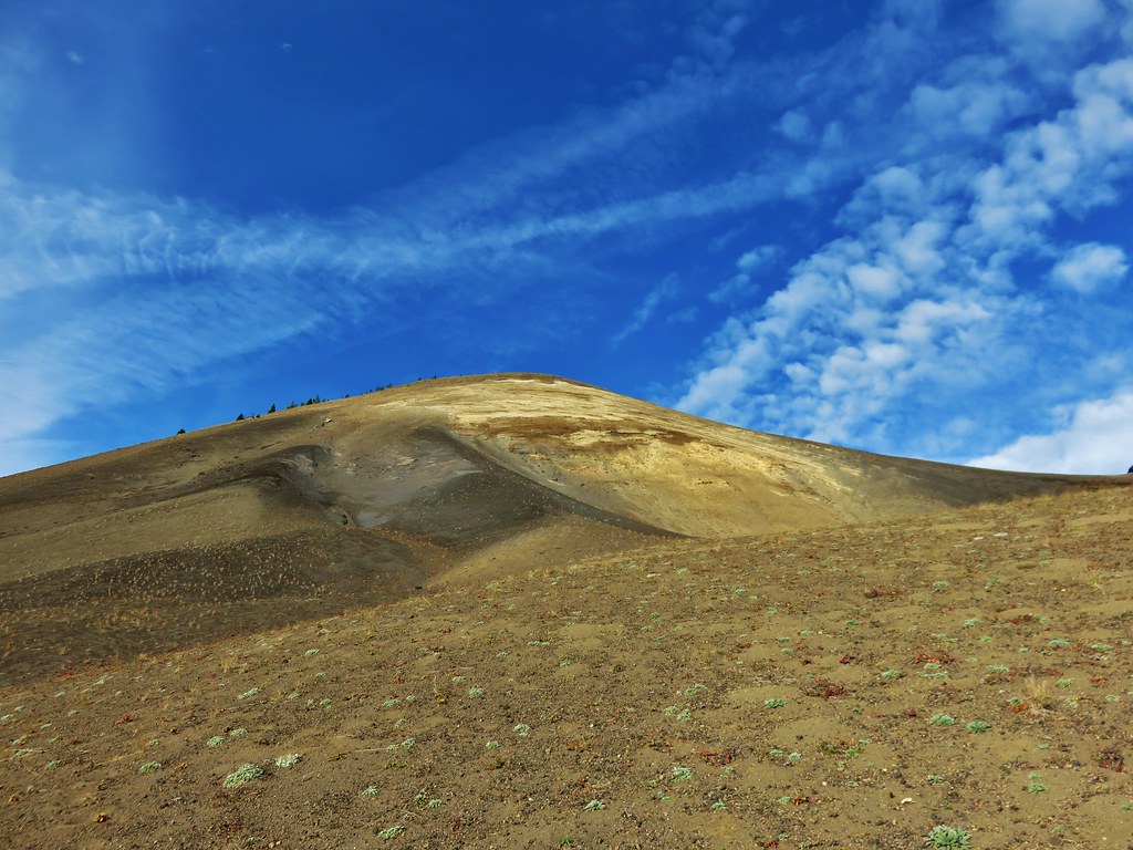
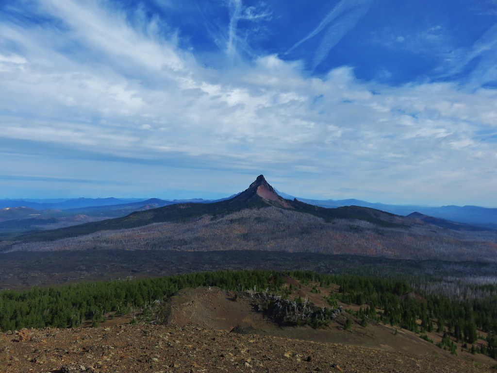
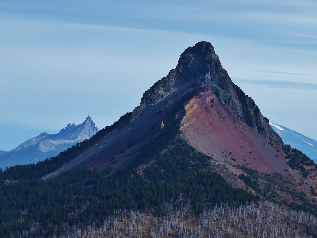
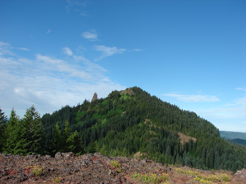
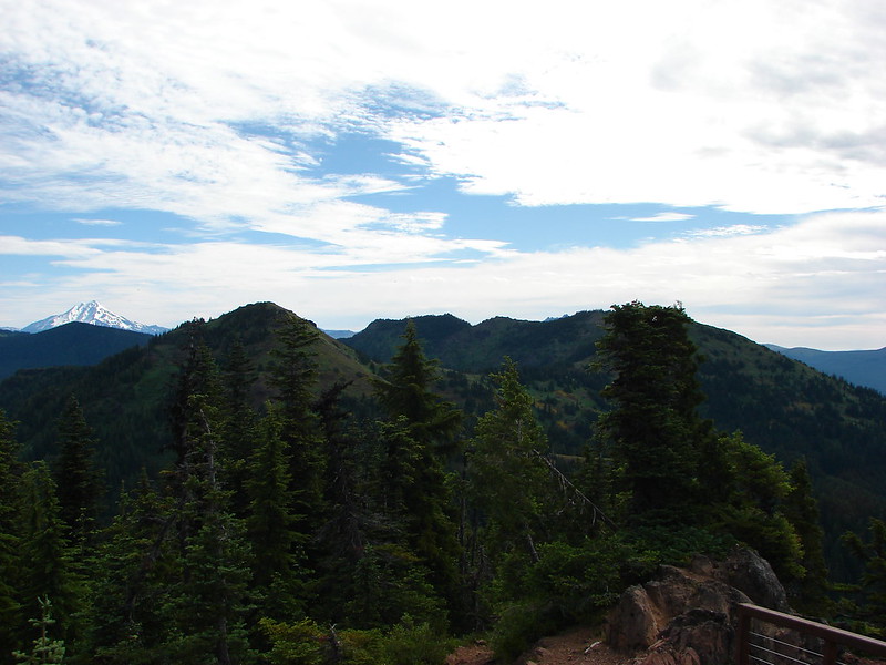
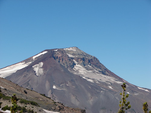
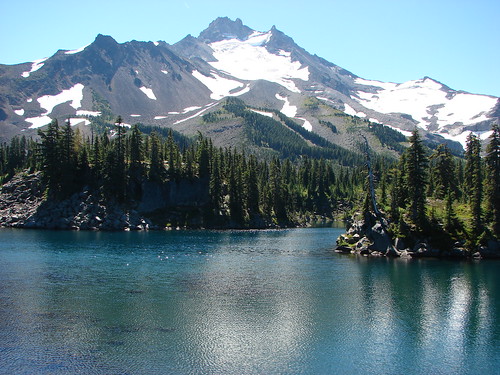
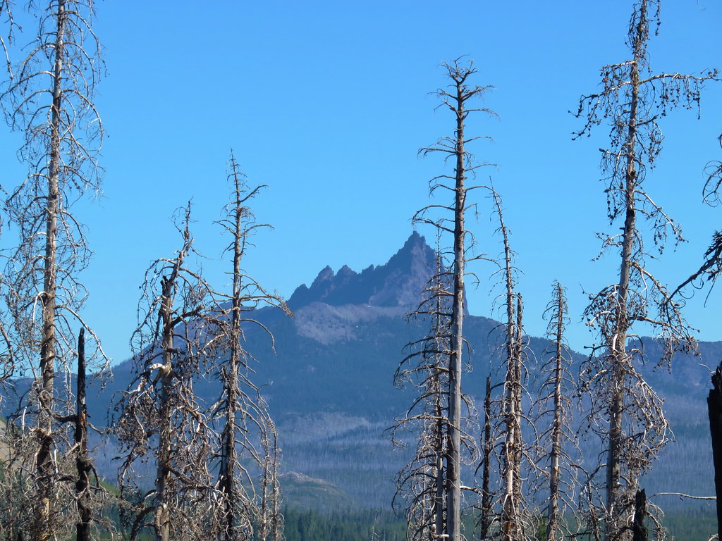
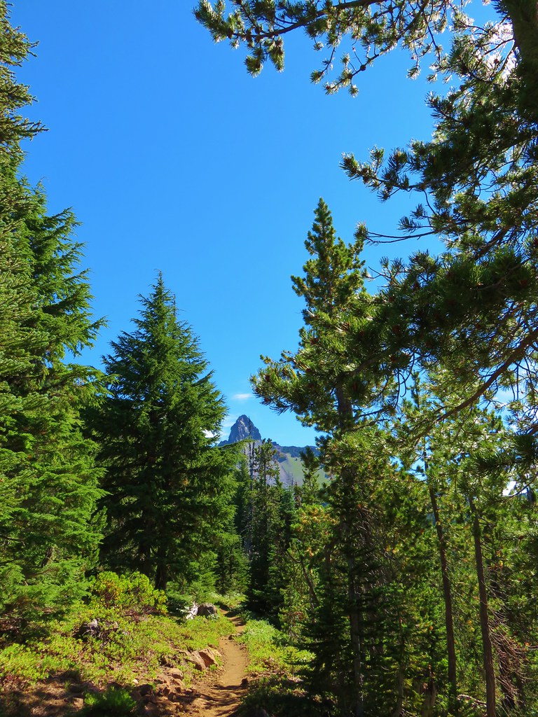
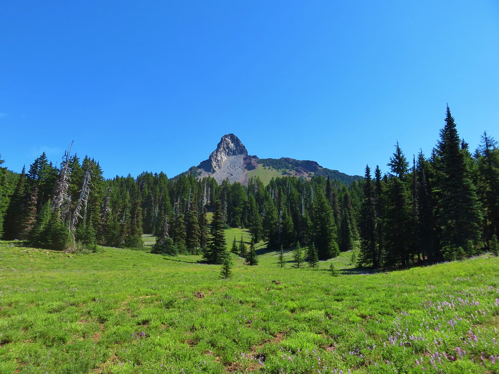
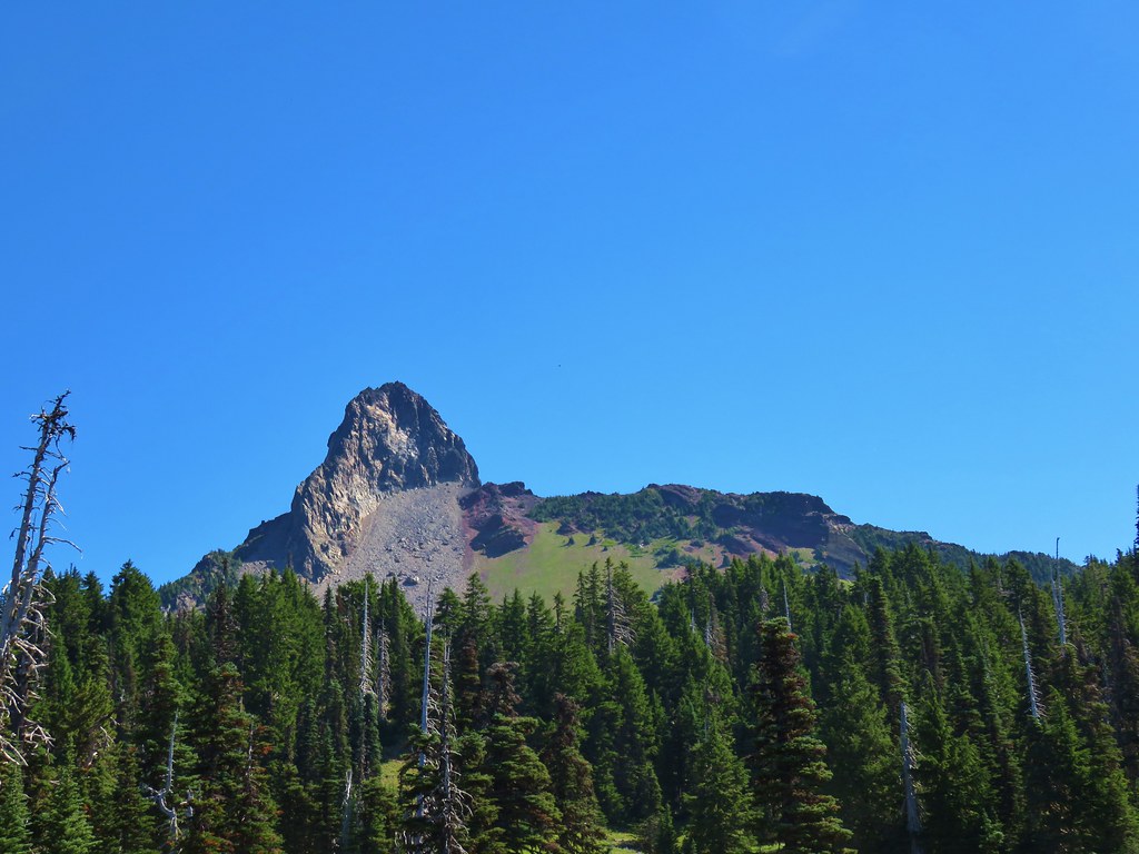
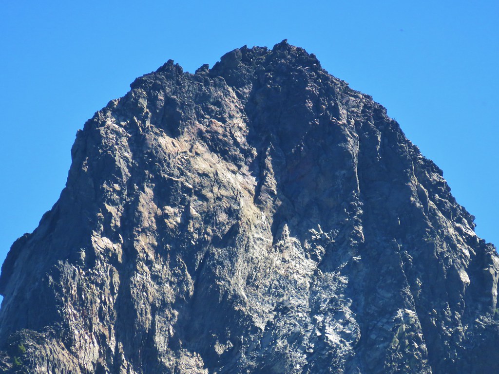
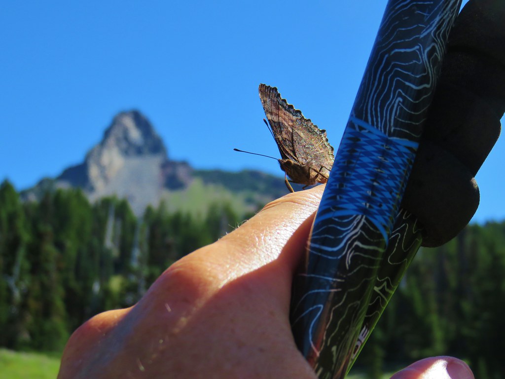
When the PCT began to curve around a ridge to the left the Spire of Mt. Washington came into view.

IMG_6689

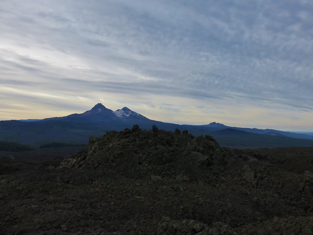
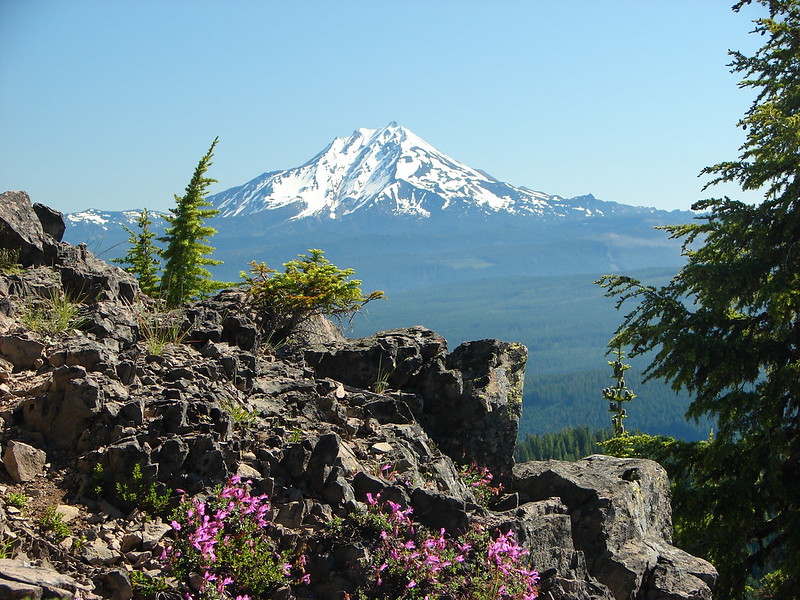
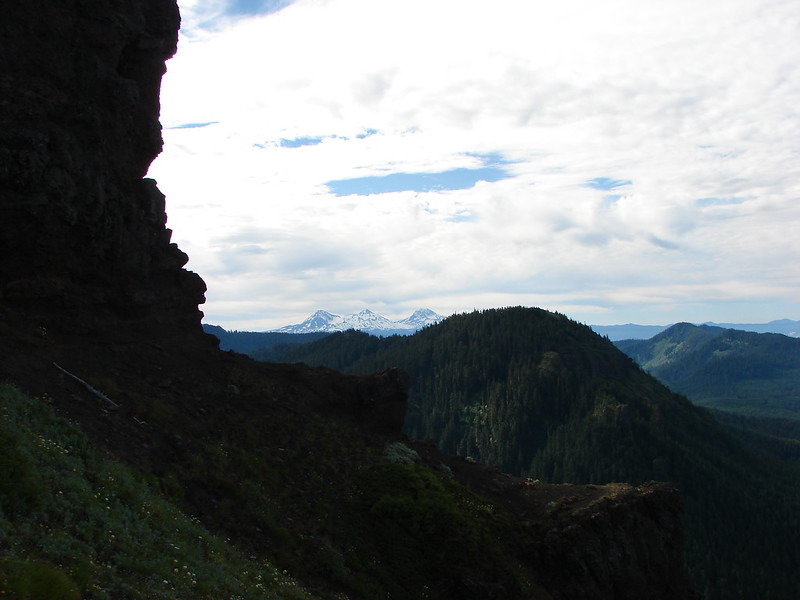
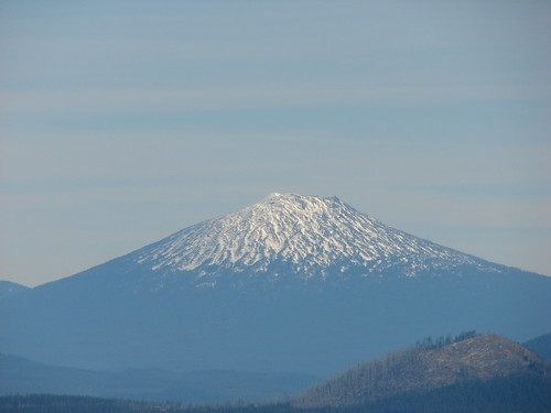
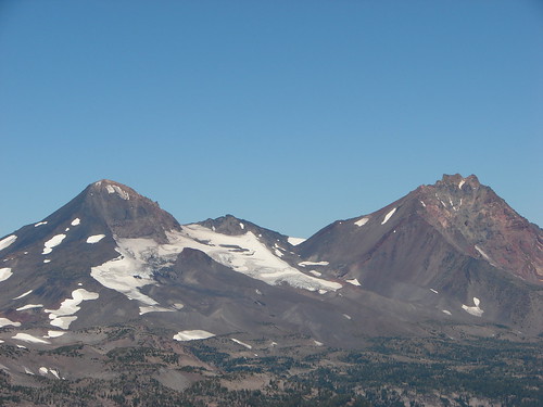
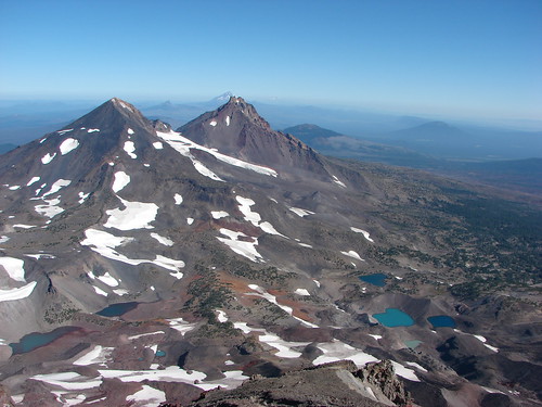
An open hillside then opened up views to the south were several other familiar peaks were visible.

2017-08-05 10.47.55_stitch

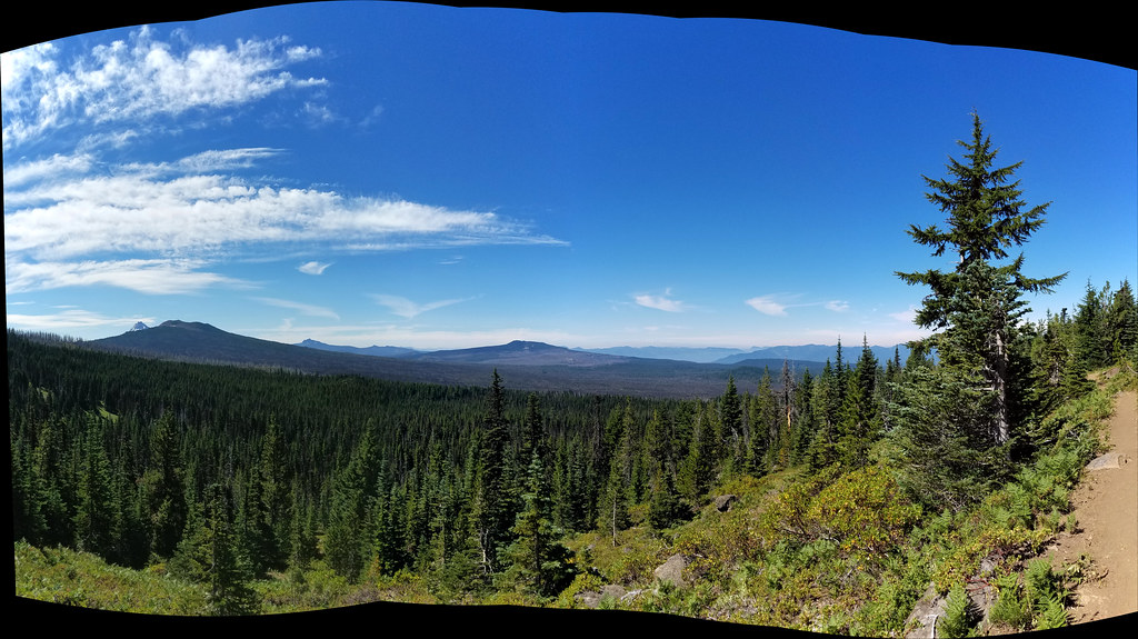
These included the North and Middle Sister, Belknap Crater, the Husband, Diamond Peak, and Scott Mountain.

IMG_6783North & Middle Sister with Belknap Crater

IMG_6697Scott Mountain

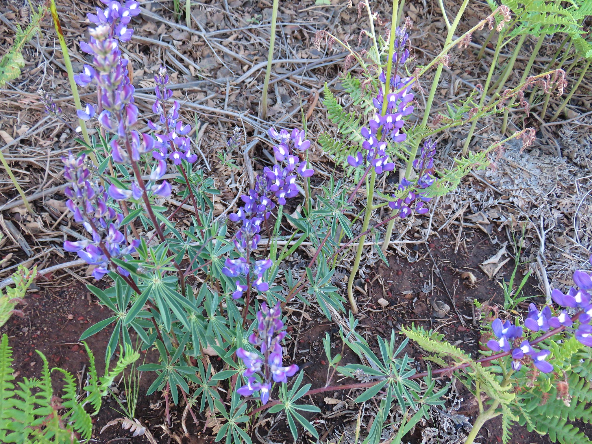
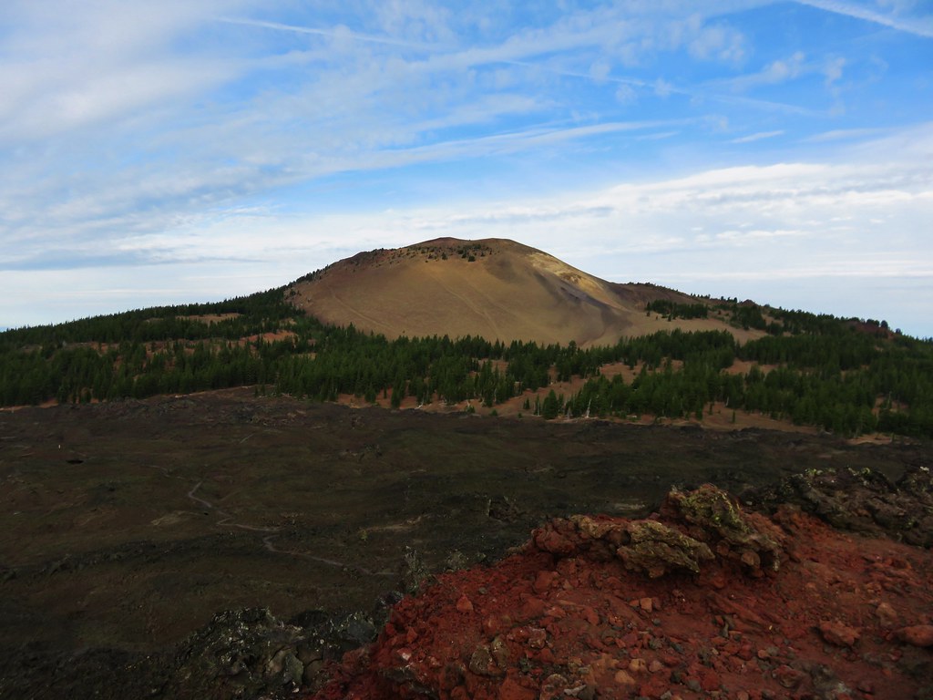
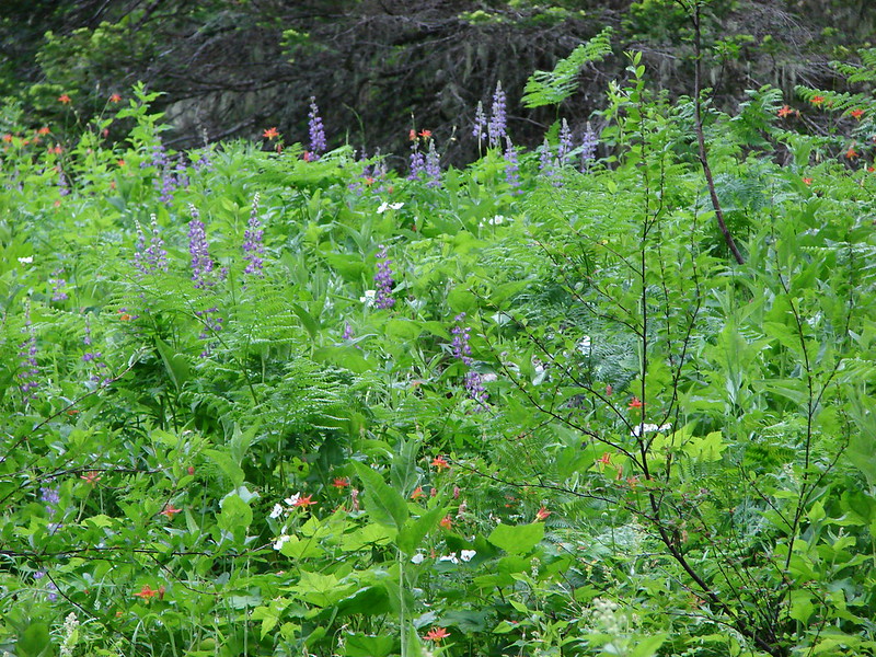
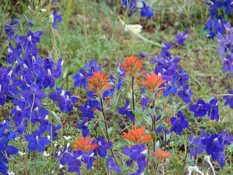
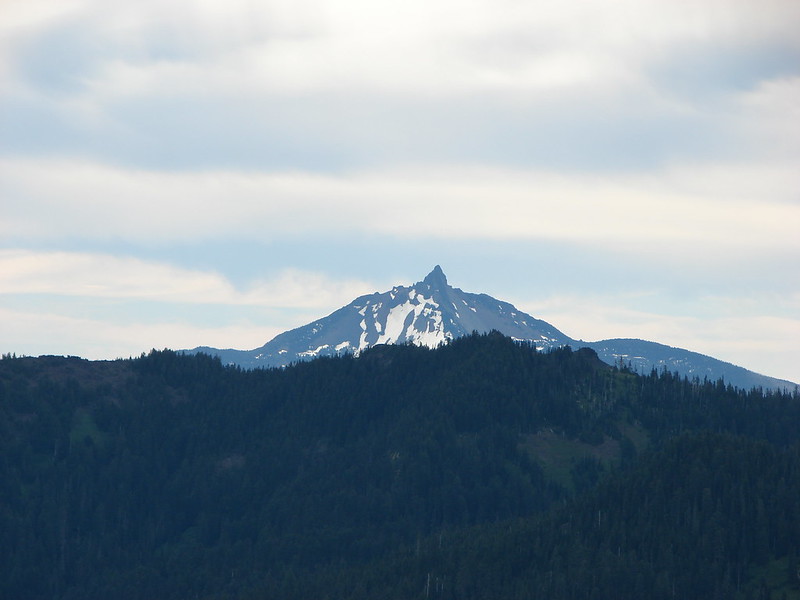
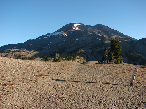
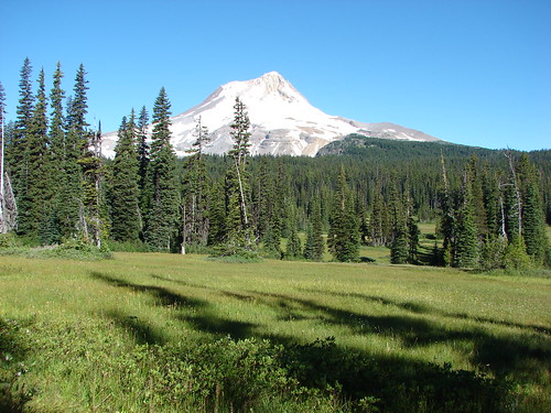
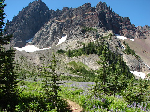
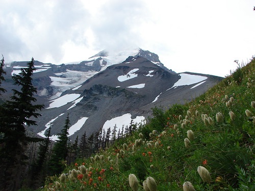
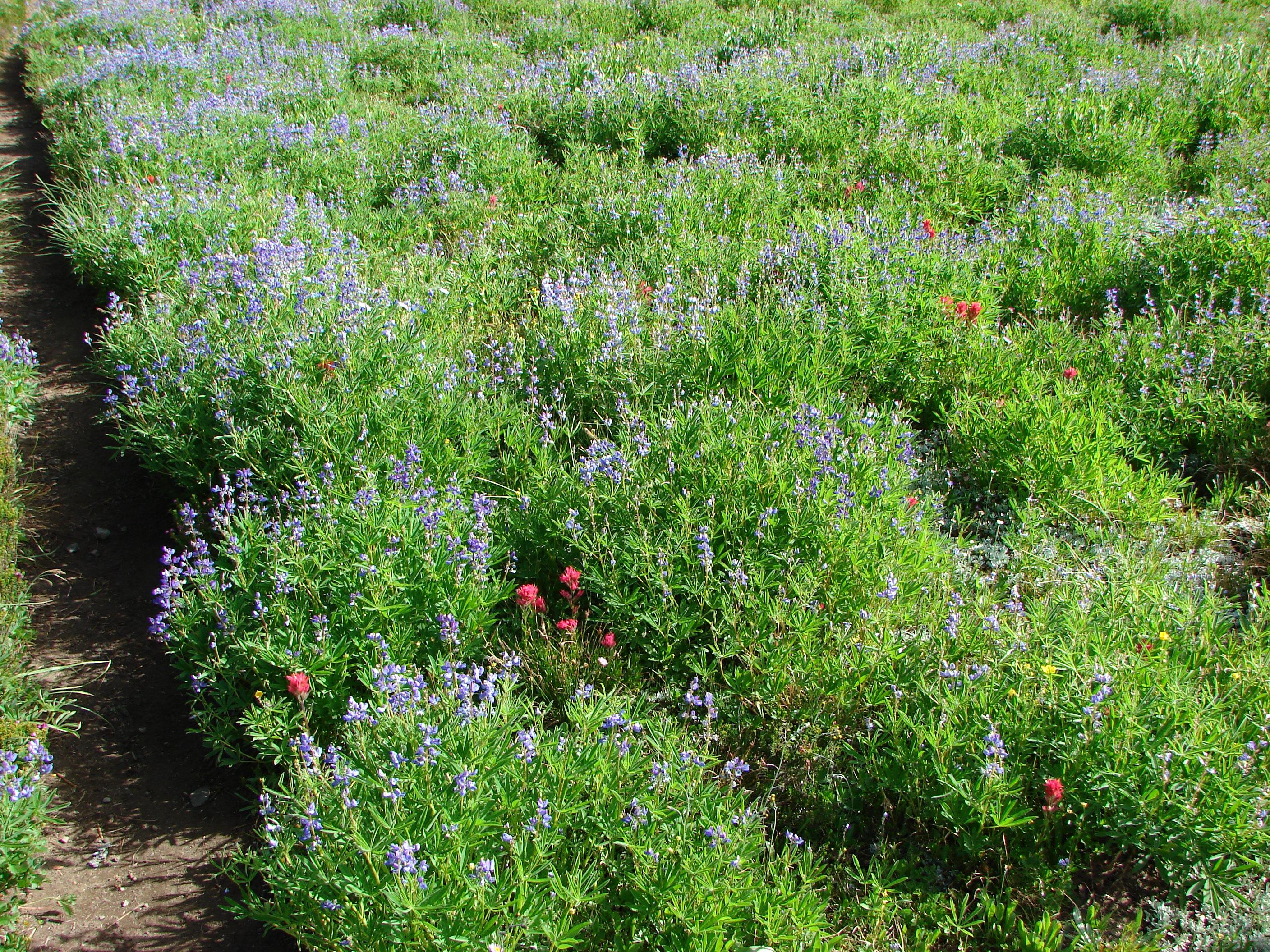
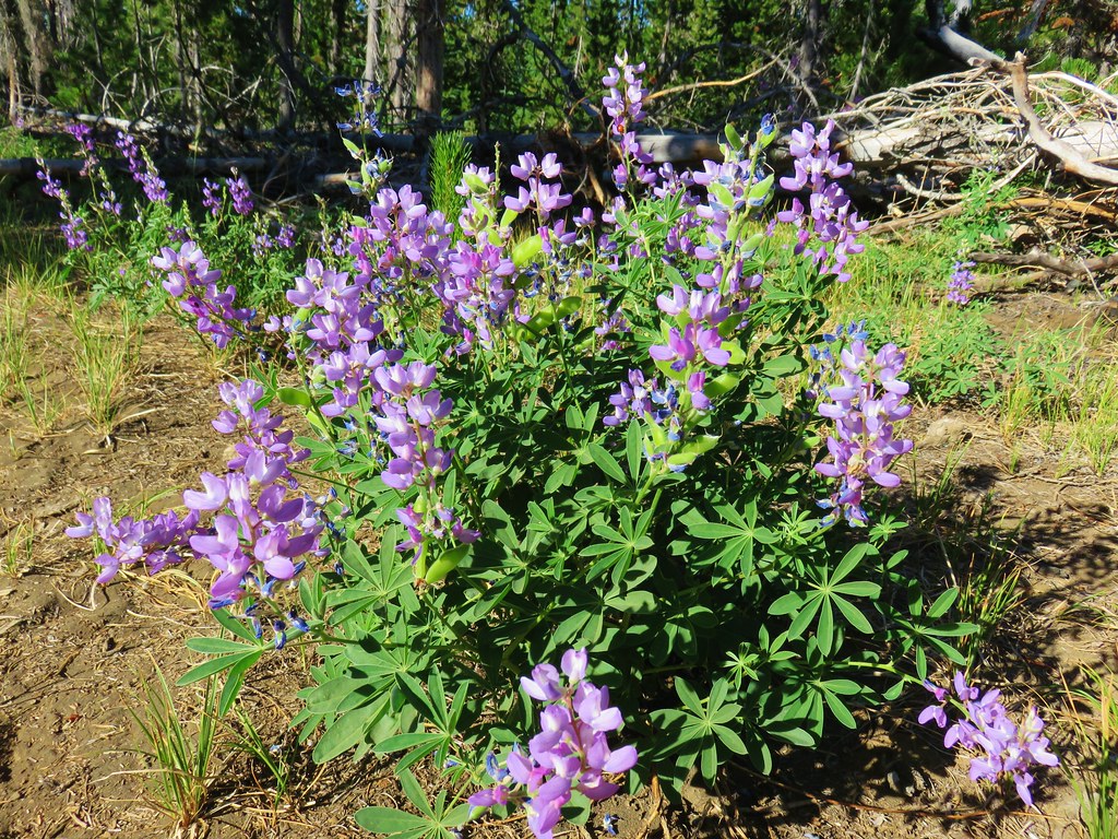
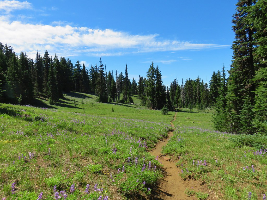
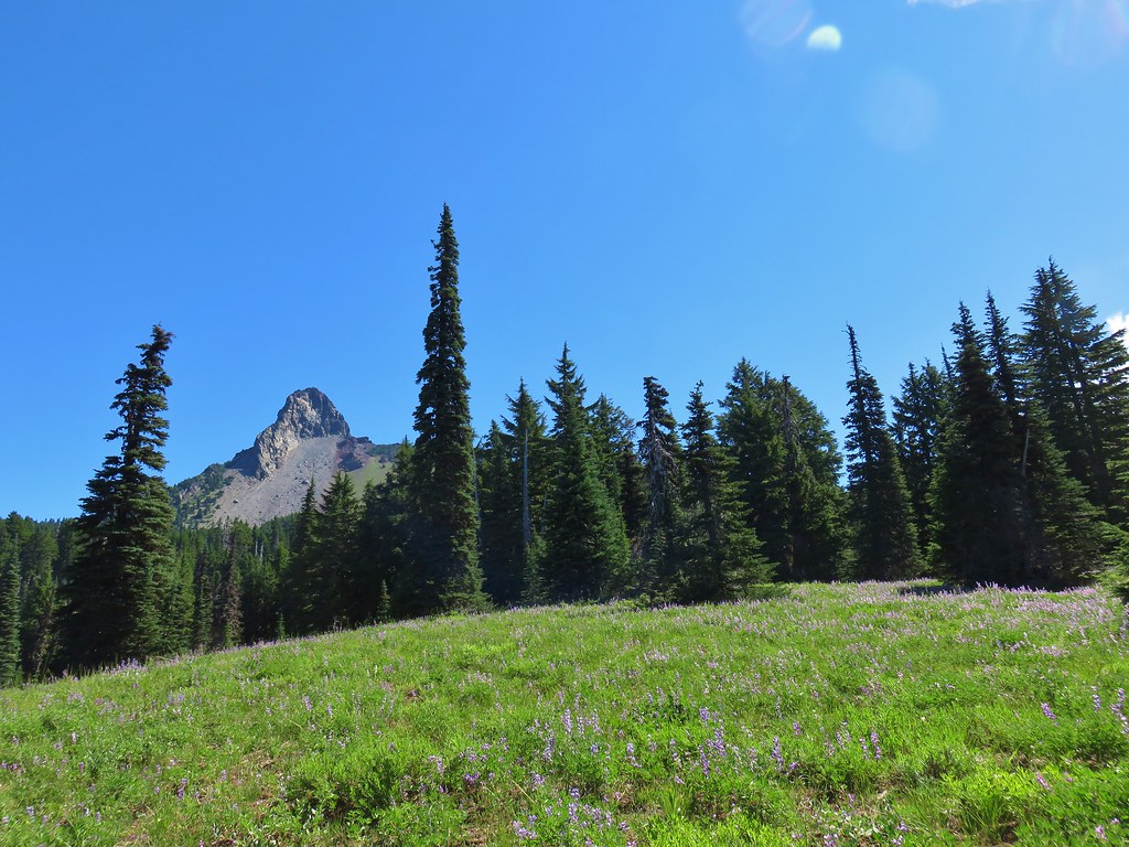
As we continued we passed through some increasingly impressive meadows until reaching a large lupine filled meadow below Mt. Washington.

IMG_6703

IMG_6710

IMG_6718

IMG_6719

IMG_6720

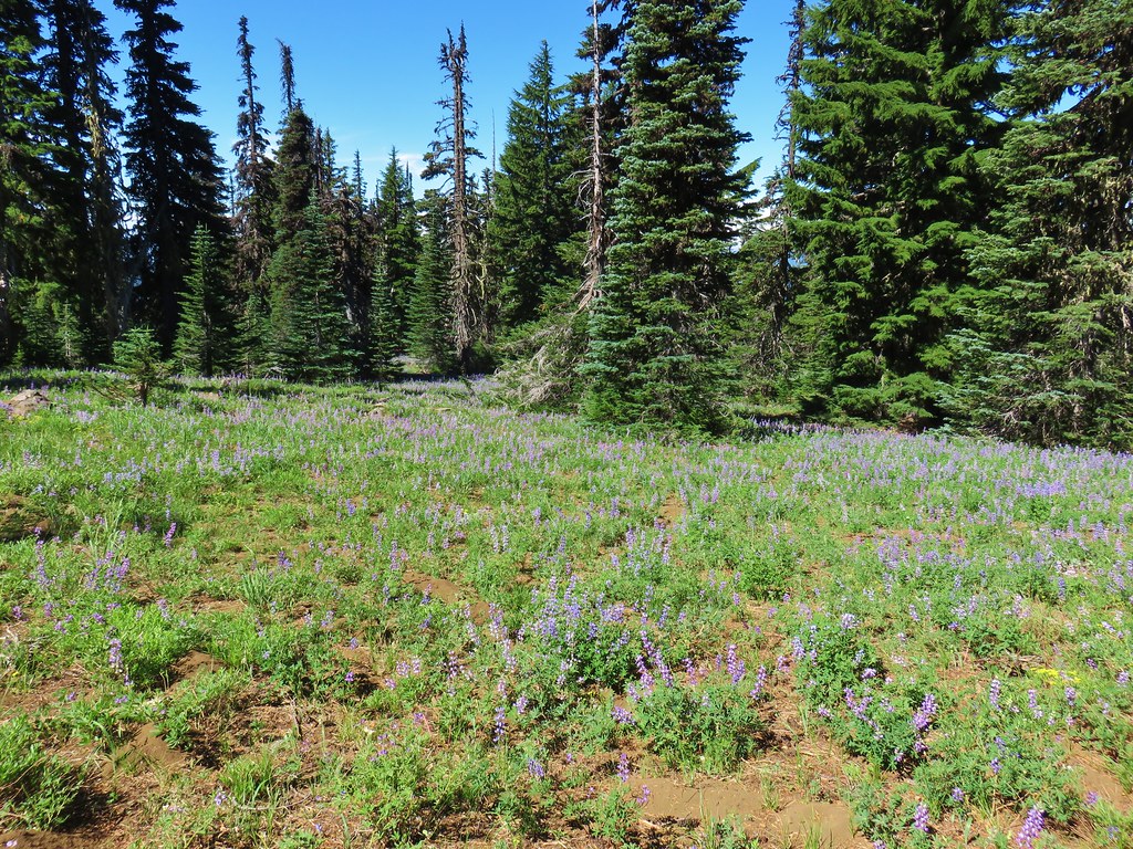
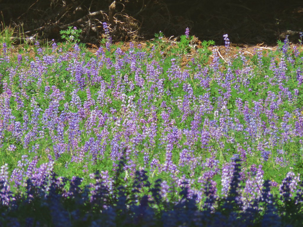
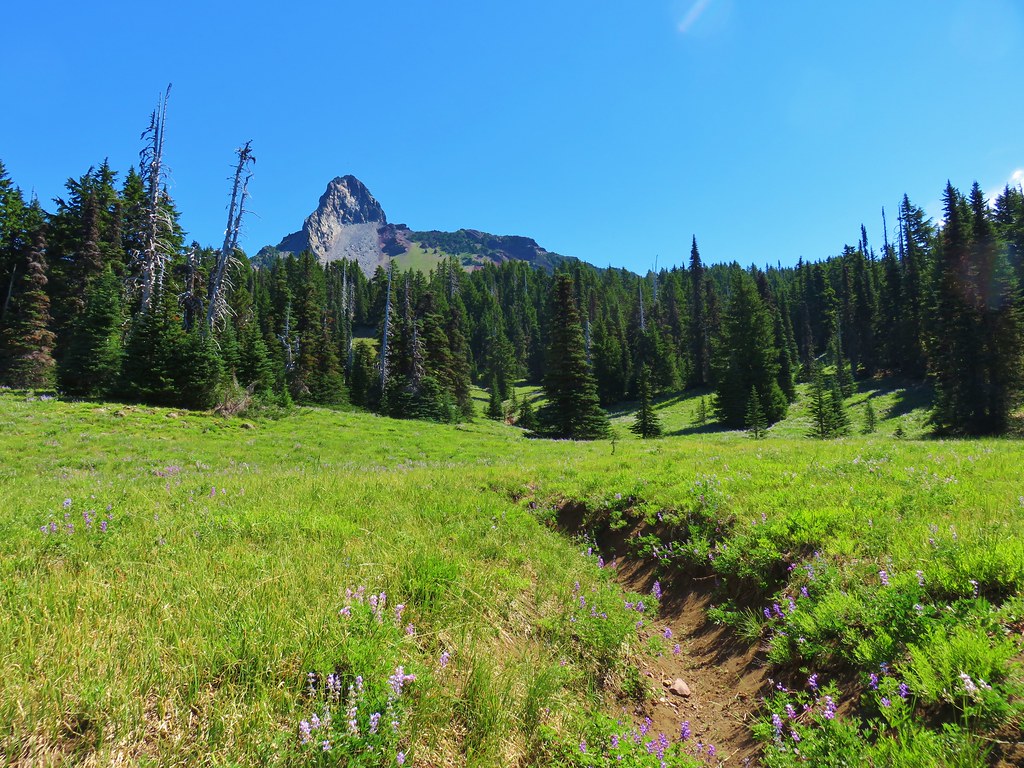
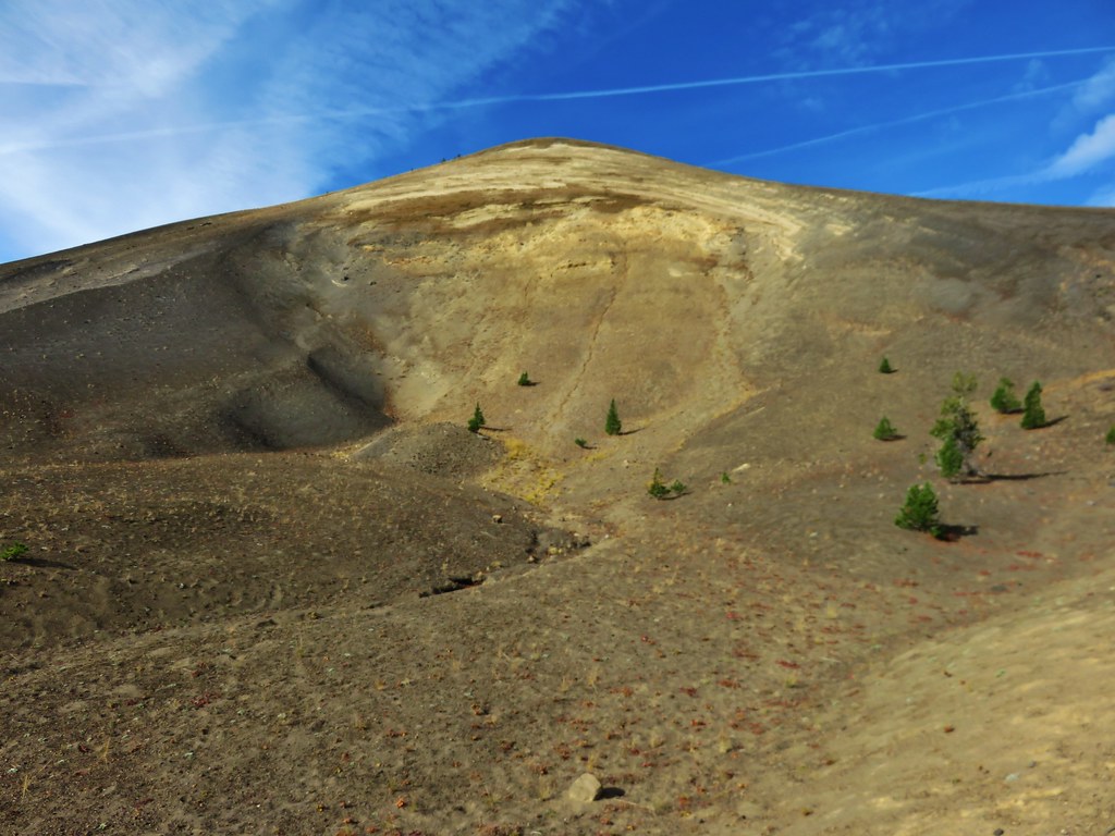
Mt. Washington rose above the meadow where we were able to get a great look at the eroded volcano.

IMG_6733

IMG_6724

IMG_6735

IMG_6744

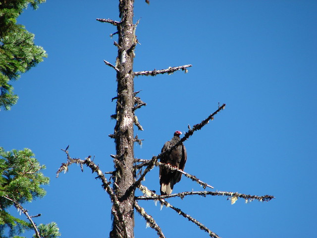
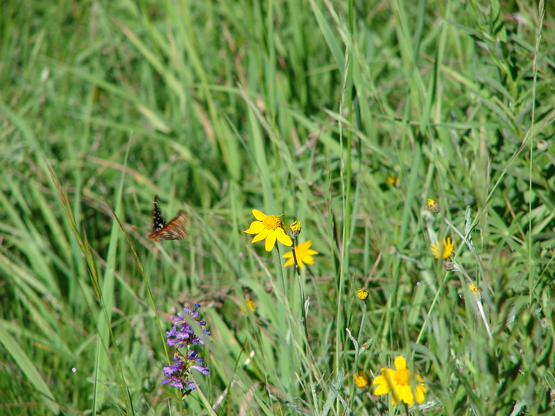
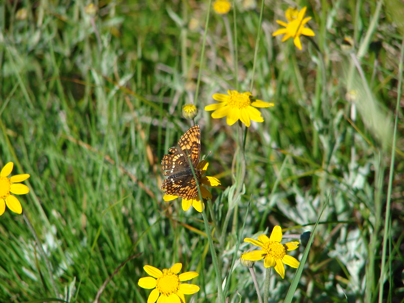
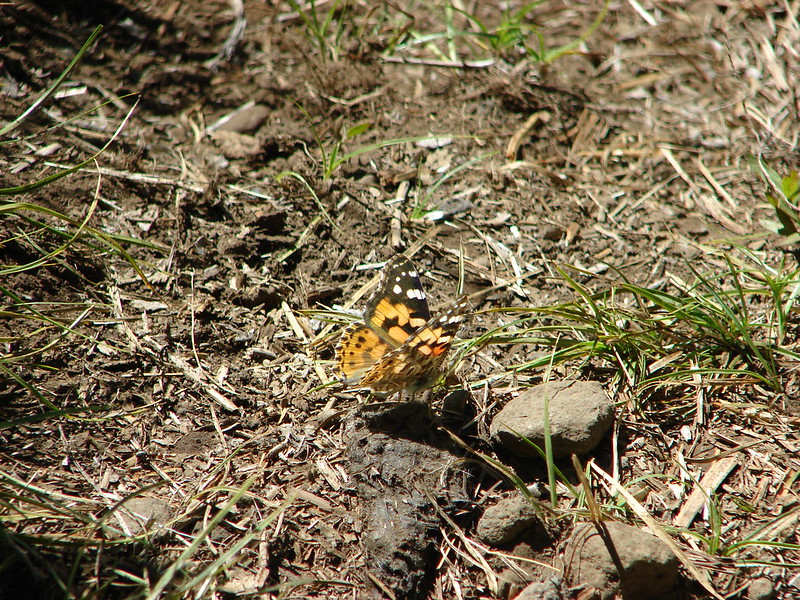
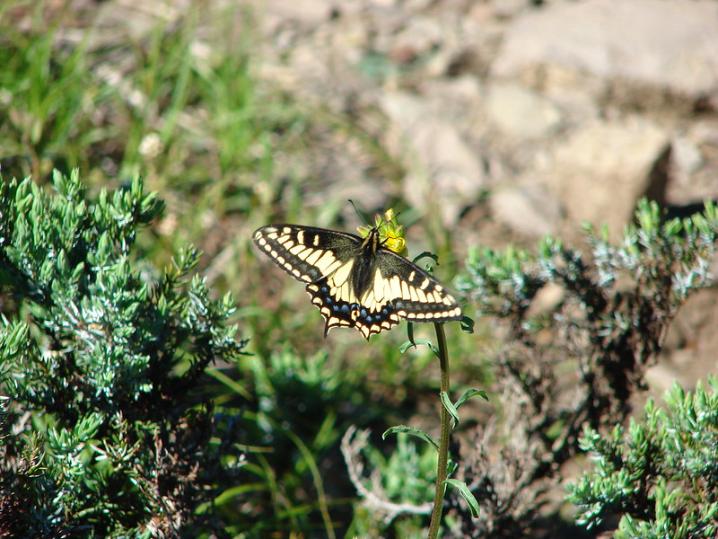
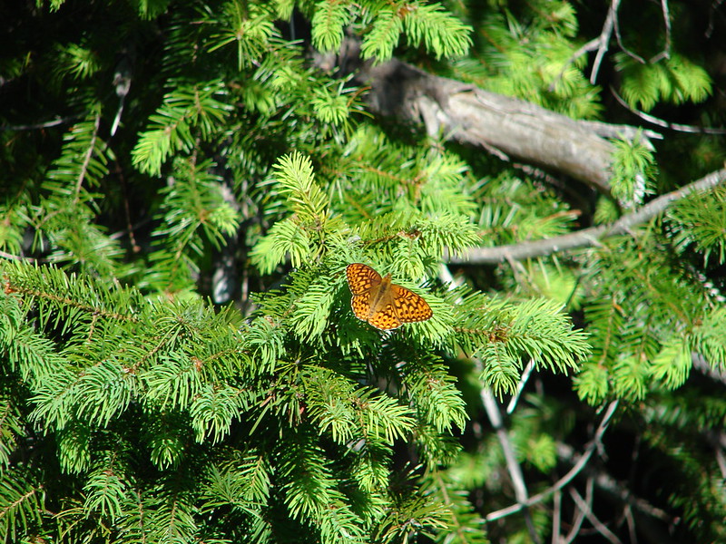
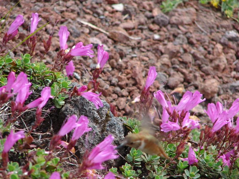
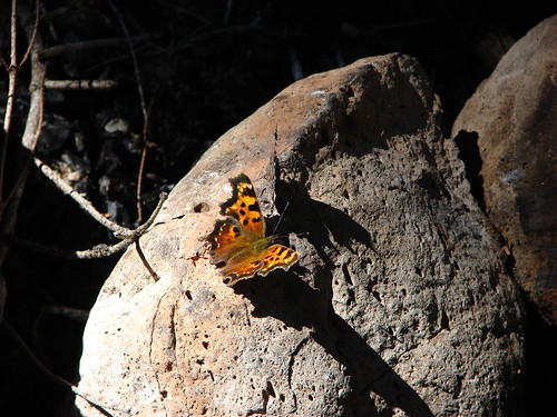
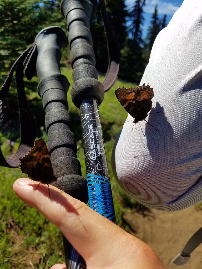
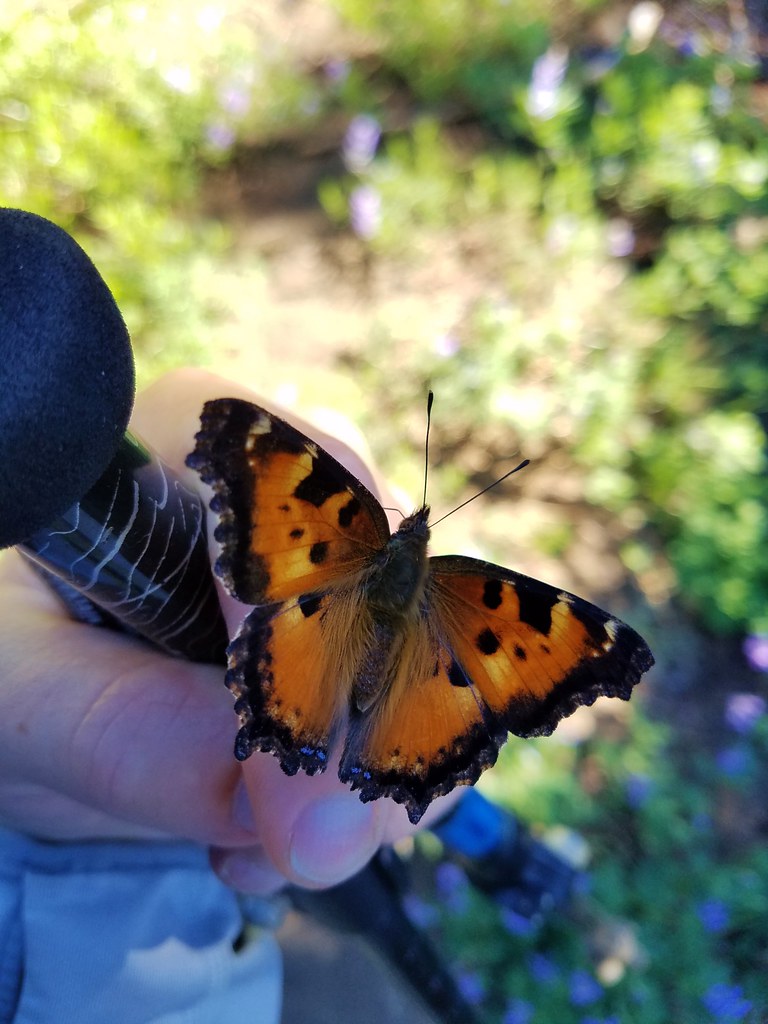
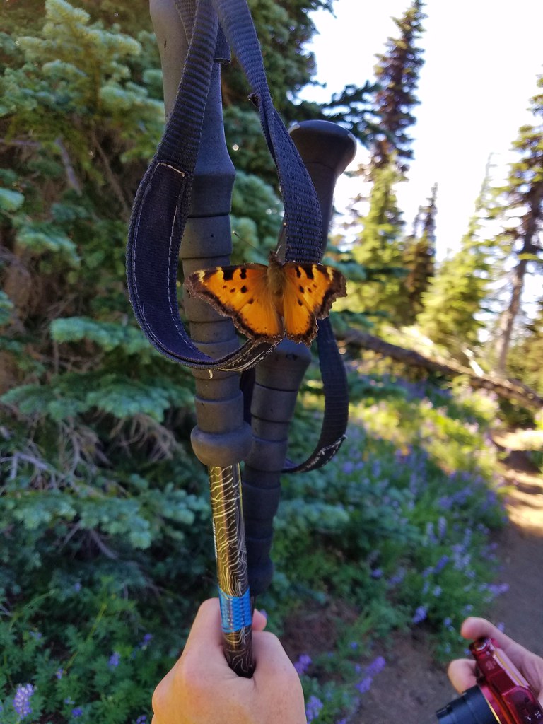
Lupine wasn’t the only thing in abundance in the meadow. There was also a large number of tortoiseshell butterflies who seemed to be overly attracted to me.

IMG_6730

2017-08-05 11.01.51

2017-08-05 11.03.23

2017-08-05 11.03.30

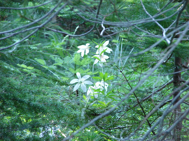
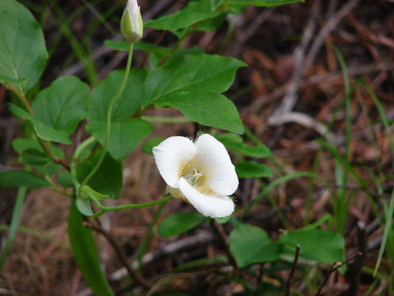
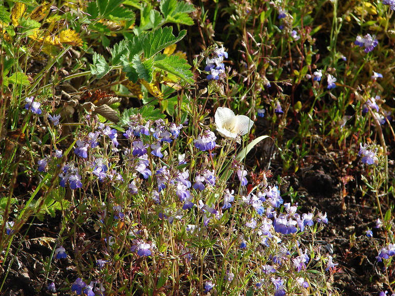
We continued through the meadow where we found a nice display of cat’s ear lilies still in bloom amid the lupine.

IMG_6745

IMG_6751

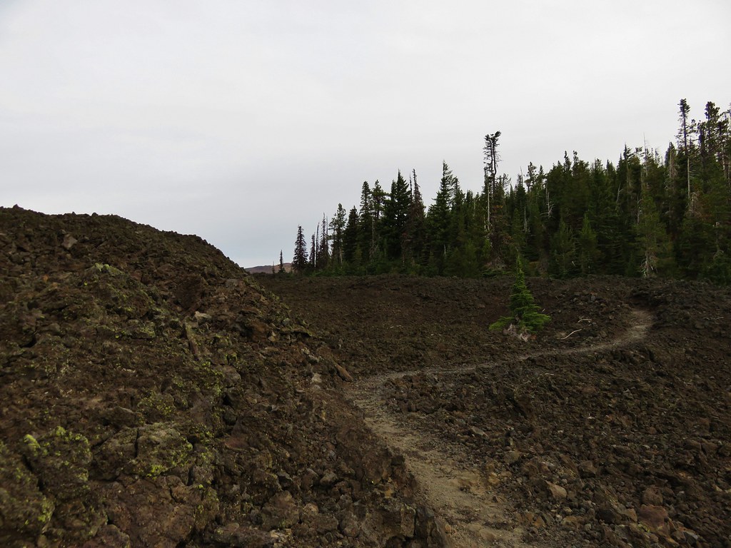
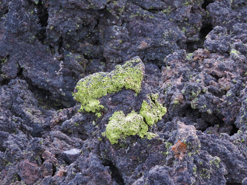
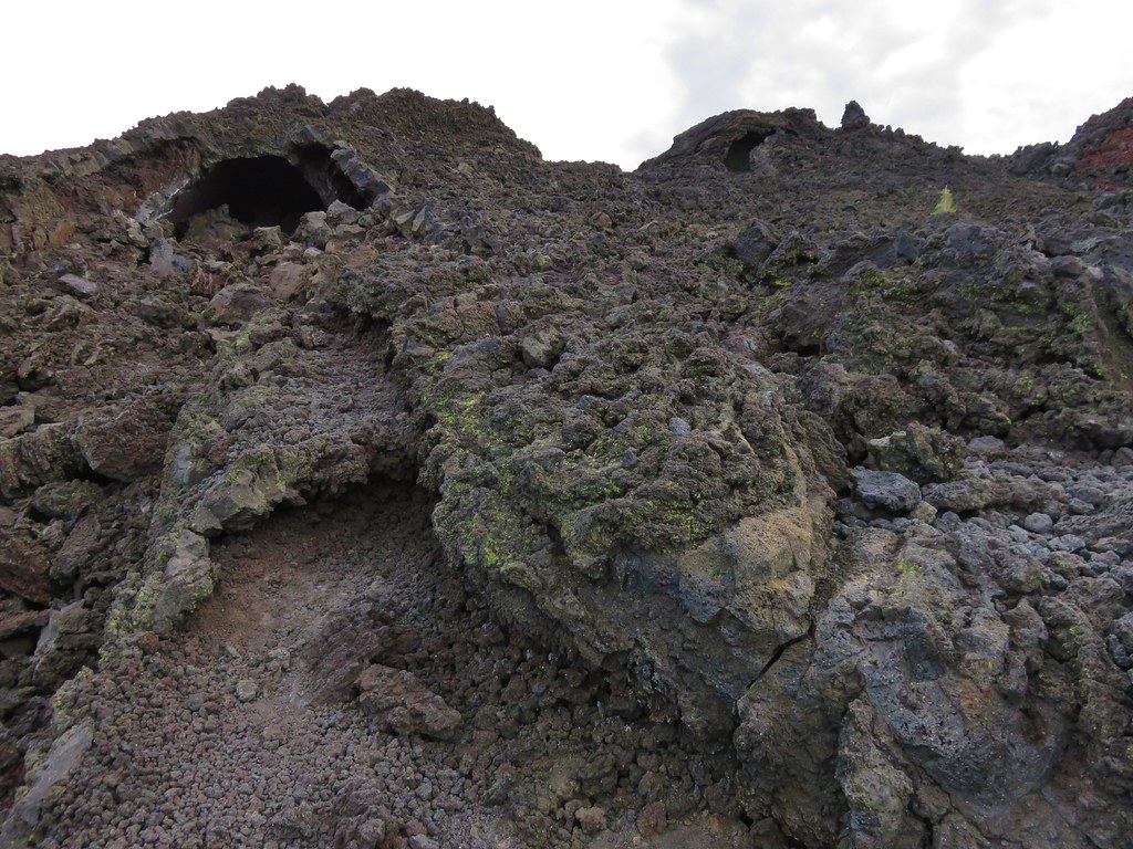
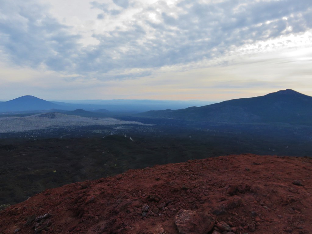
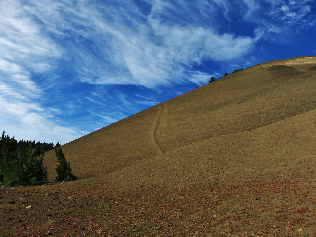
At this point we’d gone a little over 5.5 miles, but the level grade of the PCT and the great scenery so far enticed us to continue a little further to see what else the area had to offer. We decided to follow the PCT until it began to lose elevation as it crossed a valley between Mt. Washington and Belknap Crater. We soon found ourselves in another area affected by fire.

IMG_6755

IMG_6779

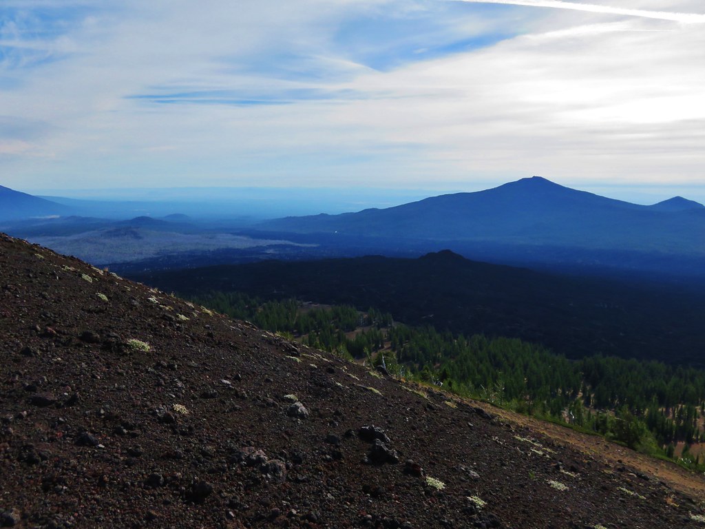
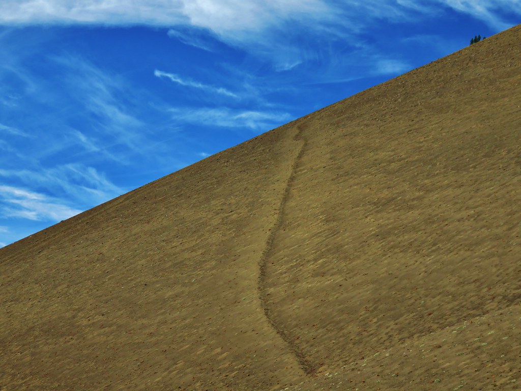
We ended our hike as the PCT bent around a ridge end where it would begin the 400′ elevation loss before climbing up to the shoulder of Belknap Crater which was visible across the valley.

IMG_6762

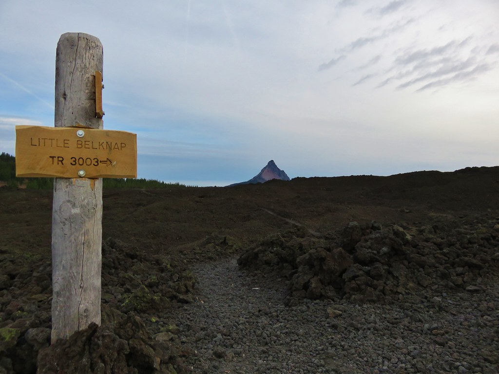
From this vantage point we could also make out Little Belknap Crater.

IMG_6774

After a short break we headed back through the meadows and returned to our car.

IMG_6781

The 12.4 mile round trip had proved to be a lot more entertaining than we’d expected. We hadn’t really known what to expect having selected the hike from the back of our guidebook in the additional hikes section, but it had been a thoroughly enjoyable outing. Happy Trails!

Flickr: Mount Washington Meadows

Categories
High Cascades Hiking Mt. Washington Area Oregon Trip report

Blue Lake

On Father’s Day we were joined by our Son, Dominique, on a jaunt to Blue Lake before heading home. Blue Lake is located south of Highway 20, just east of Santiam Pass. Much of the lake is privately owned but the Elliott Corbett Memorial State Park occupies the western end of the lake.

This area burned in the 2003 B & B Complex Fire and we began our hike at a fire interpretive kiosk in a large paved sno-park lot.
IMG_3194

IMG_3195

Starting here meant a road walk of 2.5 miles before reaching an actual trail but the description in Matt Reeder’s “101 Hikes in the Majestic Mount Jefferson Reagion” (we highly recommend this guidebook) called the final stretch of road “narrow, brushy, steep, rocky and subject to occasional washouts that turn the road into a series of deep gullies”. Given that the hike would still only be between 7 and 8 miles (and an extra 700′ of elevation gain) by starting here we felt it was worth avoiding any more ugly roads for the weekend.

We walked through the parking area, which had a nice view of Mt. Washington, to FR 2076.
IMG_3198

We followed this road downhill. It was a beautiful morning and the view of Mt. Washington was spectacular.
IMG_3208

IMG_3209

The summits of the North and Middle Sister also made a brief appearance.
IMG_3206

After .7 miles we came to a junction with Road 200 which had a sign warning it wasn’t suitable for trailers. We got ourselves confused here due to not re-reading Matt’s description but instead looking at the topographic image in the entry that showed the lake and trail but not the entire road walk. We should have taken Road 200 here but where the map picked up in the book the track was no longer on Road 200 so we mistakenly thought we needed to stay on FR 2076.

FR 2076 was in fairly good shape and was certainly not steep. It was traversing a hillside south toward Mt. Washington.
IMG_3220

After almost a half mile we knew something was amiss. Looking at the GPS showed we were indeed heading for a lake but it was Island Lake dead ahead not Blue Lake. We pulled the book out and read the directions and realized our mistake. We backtracked to Road 200 and once again headed downhill.

Road 200 was not great, and maybe the previous days short but horrific section of Forest Road 2630 in the Ochocos unduly influenced us, but most high clearance vehicles would probably be fine. Although, meeting a vehicle going the other way would be tricky as there weren’t many wide spots.

Walking the road had its advantages though. In addition to the mountain views were wildflowers including a surprising group of rhododendron.
IMG_3216

IMG_3217

IMG_3219

IMG_3230

The rhododendron were upstaged by a nice buck with velvet antlers which Dominique spotted.
IMG_3231

We took our second wrong turn 1.5 miles down Road 200 when we forked right on Road 200 when we should have stayed straight at what appeared to be a pile of rocks. We’d only gone a tenth of a mile when we caught this one and headed back to the rocks to find a road continuing on the other side. Another .4 miles brought us to a parking turnaround. Here we ignored an obvious trail straight up a hill and took a faint path to the left.
IMG_3238

This path began to climb up a ridge to a sign announcing the end of the Blue Lake Nordic Trail.
IMG_3239

IMG_3240

Once we gained the ridge we had a view of Blue Lake below and Suttle Lake a little further to the east.
IMG_3243

Blue Lake fills a collapsed cladera to a depth over 300 feet. The trail followed the ridge along the western end of the lake. We followed it around to a knoll described in the guidebook as the start of private land.
IMG_3258

IMG_3265

IMG_3269

Opposite the lake, on the other side of the ridge, lay a meadow with Mt. Washington looming behind.
IMG_3260

In addition, the seasonal Cache Falls could be seen flowing down the hillside below hidden Cache Lake.
IMG_3255

IMG_3257

After visiting the knoll we backtracked a tenth of a mile along the ridge then headed downhill on a faint path heading toward what appeared to be an old road bed. There was a bit of maneuvering around blowdown to get to the road bed where we discovered a clearer path coming down from a point further along the ridge. Here was also the memorial plaque for the Elliott R. Corbett II Memorial State Park.
IMG_3270

IMG_3271

The trail led into and through the meadow before arriving back at the turnaround at the end of the road walk.
IMG_3272

On the way back up we spotted a toad and a frog along the roads.
IMG_3280

IMG_3289

As we neared the sno-park Three Fingered Jack came into view through the trees.
IMG_3295

IMG_3296

Remember my comment earlier about avoiding any more ugly roads for the weekend? Well Google got us again. We had originally planned on visiting the nearby Skylight Cave after the hike. In June between the hours of 9 and 11 am sunbeams come through an opening in the roof a short lava tube. The driving directions in our “Bend, Overall” guidebook were from Highway 242 but a look at Google Maps had shown what appeared to be a pretty straight forward 5 mile(ish) drive from Highway 20. We had written directions for that route but about 4 miles into our attempt we came to a 4-way junction with no road signs. Our written directions indicated we should go straight but we were on a gravel road crossing a gravel road and the road ahead was a narrow dirt track. We tried using the Garmin to figure out where we were, but the Garmin showed far more roads than Google had and it seemed to agree that the dirt road was the one we were looking for. After some indecision Heather decided to give it a go. It was quickly obvious that that was a bad choice as the road was narrow, overgrown, and rocky in places. When we spotted a wide enough spot to turn around we did so retreating once again to the 4-way junction. It was after 10am and now we had no confidence that we were even where we had meant to be. So we threw up the white flag and decided to try again some other time when we can follow the guidebook directions.

When we got home we looked again on Google and discovered that the dirt track had been the correct route and we’d only been about 3/4 of a mile from the cave. Happy Trails!

Flickr: Blue Lake

Categories
High Cascades Hiking Mt. Washington Area Oregon Throwback Thursday Trip report

Throwback Thursday – Patjens Lakes

On 8/2/2012, a day after our mosquito filled visit to Miller & Maidu Lakes, we were heading home. I had injured my right knee running down the trail to Miller Lake in an attempt to thwart the mosquitoes and it was feeling a little off, but I wanted to give a hike a try on the way over Santiam Pass.

We decided to try Patjens Lakes due to it being relatively short, right around 6 miles, with only 400′ of cumulative elevation gain. The trailhead is located on the NW side of Big Lake off of Forest Road 2690 which is also the entrance road to the Hoodoo Ski Area.
Patjens Lake Trailhead

We stayed right at a fork near the trailhead planning on doing a counter-clockwise loop. A 2011 wildfire had burnt much of the forest along the loop but signs of life were already returning.
Patjens Lake Trail

Goldenrod, penstemon and aster

Pearly everlasting

Patjens Lake Trail

Mt. Washington and Big Lake were visible along the first portion of the trail.
Mt. Washington

The trail looped around a small butte passing a series of meadows and view to the NW of the Sand Mountain Lookout.
Meadow along the Patjens Lake Trail

Lupine

Sand Mountain Lookout

Shortly after passing a horse trail joining on the right the we entered the Mt. Washington Wilderness and began the only real significant climb of the hike.
Wt. Washington Wilderness sign

The trail climbed to a saddle between the butte and a small hill. At the saddle the Three Sisters were visible to the south.
Forest along the Patjens Lake Trail
Small hill from the saddle.

Patjens Lake Trail

The Three Sisters

As the trail descended from the saddle it entered forest that had been spared by the fire.
Patjens Lake Trail

We passed through a series of meadows full of ferns and scarlet gilia.
Patjens Lake Trail

Tall cascade lilies rose above the ferns.
Cascade Lilies

Cascade lilies

Cascade Lily

As we were passing through one of these meadows we encountered a foul reek. There was obviously some sort of rotting carcass out in the brush but we couldn’t see anything. We were a little concerned that it might have been a mountain lion kill or that a bear might be feeding on it so when we heard a ruckus off to our right we were on high alert. The noise turned out to be a pair of turkey vultures who had apparently located the dead animal.
Turkey Vulture

Turkey vulture

We left well enough alone and continued on our way paying extra attention for any large predators that might have been attracted by the smell. Around a mile from the saddle we came to a small body of water on the right side of the trail.
Patjens Lake #1

The first Patjens Lake was approximately .7 miles from the pond on our left.
A Patjens Lake

The trail then passed a large meadow reentering the burn area before reaching the second Patjens Lake.
Meadow along the Patjens Lake Trail

Patjens Lake #2

The third lake was just beyond the second and it looked like they were probably connected for a brief times during high water. We left the trail and began to loop around the third lake in a clockwise direction.
A Patjens Lake

A number of ducks could be seen in the reeds.
Ducks on a Patjens Lake

From the north end of the lake there was a nice view of Mt. Washington rising over the forest to the south.
Mt. Washington from a Patjens Lake

We took a break here watching the ducks and admiring the mountain then continued around the lake back to the trail. A mile and a half from the last lake we came to a junction near Big Lake where we turned left following the lake shore back toward the trailhead. Flat Hayrick Butte and round Hoodoo Butte rose above the blue waters of Big Lake.
Hoodoo and Hayrick Buttes from Big Lake

Hoodoo Butte
Hoodoo Ski Area

Looking back over our shoulders provided big views of Mt. Washington.
Mt. Washington and Big Lake

A mile from the junction at Big Lake we were back at the trailhead. Despite a little discomfort going downhill my knee had held up which was encouraging. The hike had been a good choice for it and it had been a really nice hike even with the burned forest. Happy Trails!

Flickr: Patjens Lakes

Categories
High Cascades Hiking Mt. Washington Area Oregon Trip report

Scott Mountain Loop Day 2 – Mt. Washington Wilderness

We had set our alarms for 5:30am hoping to get a jump on the day and be ready to start hiking as soon as there was enough light. The forecast had called for increasing chances of rain as the day went on and we had watched an increase number of clouds fill the sky the night before including some low clouds descending to the tree tops around the Tenas Lakes. When we stuck our heads out of the tent we were pleasantly surprised to see a sky filled with stars overhead. We turned our MPOWERED Luci inflatable solar lantern on and began packing up. As we cooked breakfast and finished packing the sky filled with color.
Sunrise from our campsite

Sunrise from our campsite with North Sister peaking through the trees

Sunrise from the little lake near our campsite

Sunrise from the little lake near our campsite

We began hiking shortly after 7am returning to the Benson Trail where we headed north .2 miles to the Scott Mountain Trail. Scott Mountain was already catching the morning sunlight as we approached.
Scott Mountain

We momentarily considered heading back up to the summit, but neither of us really felt like hauling our full backpacks up the steep trail. We settled for the few views along the trail below Scott Mountain where the Three Sisters appeared cloud free through the trees.
North Sister
North Sister

Middle Sister
Middle Sister

Middle Sister

After a mile on the Scott Mountain Trail we took the Scotty Way Trail and began descending toward the Hand Lake Trail.
Scotty Way Trail junction with the Scott Mountain Trail

Scotty Way Trail

We followed this trail approximately 1.7 miles to its end at the Hand Lake Trail where we turned left.
Hand Lake Trail junction with the Scotty Way Trail

As usual I had checked the Forest Service websites for the trails that we would be using a couple of days before our trip to make sure there were no closures or alerts we needed to be aware of. The Willamette National Forest page for the Hand Lake Trail listed the current conditions for the Hand Lake Trail as ” open and cleared” as of 7/22/2016.
What part of this picture is “cleared”?
Blowdown over the Hand Lake Trail

For the next two and a half miles the trail (when there was one) passed through burnt forest with faint tread and a good deal of blowdown. For awhile we were able to follow tracks left by a horse; that helped keep us on the right course.
Hand Lake Trail

More blowdown over the Hand Lake Trail

When we weren’t searching for the trail there were some decent views.
Black Crater and North & Middle Sister
Black Crater and the North & Middle Sisters from the Hand Lake Trail

Mt. Washington
Mt. Washington from the Hand Lake Trail

Mt. Washington from the Hand Lake Trail

After approximately 1.75 miles we lost the hoof prints and were forced to make a wide arc to the south away from where the map showed the trail should have been. We were coming up on a steep drop down into a basin where the map showed the trail descending in a series of six switchbacks so using the Garmin we worked our way back toward the location where the switchbacks began on the map.
Looking west from the Hand Lake Trail

With no obvious trail visible we searched around a bit and found what may have been part of the original trail but now it appeared to be a simple game trail from the amount of deer and elk sign we were seeing.
Following a game trail down into a basin

In any event it was the only trail in sight so we followed it steeply downhill reaching the basin where we were able to relocate the actual trail near an unnamed lake.
Unnamed lake along the Hand Lake Trail

Unnamed lake along the Hand Lake Trail

After another quarter mile of faint trail and blowdown we entered unburnt forest on a much clearer trail.
Hand Lake Trail

Hand Lake Trail

A mile and a half on this nicer trail brought us back to the junction with the Deer Butte Trail we had passed the day before.
Hand Lake Trail junction with the Deer Butte Trail

We followed the Deer Butte Trail just over two and a quarter miles back to the Robinson Lake Trailhead ending our final backpacking trip of the year.
Deer Butte Trail

The distance from Tenas Lakes back to the Robinson Lake Trailhead came to 8.9 miles according to the GPS which was almost a mile further than we had expected, but we hadn’t planned on wandering back and forth trying to keep on the Hand Lake Trail. Had we known what a mess that 2.5 mile section was we wouldn’t have even tried it, but we made it and it was another chance to put our navigational skills to the test. Happy (blowdown free) Trails!

Flickr (both days): https://www.flickr.com/photos/9319235@N02/albums/72157674905089576

Categories
High Cascades Hiking Mt. Washington Area Oregon Trip report

Belknap Crater

We had originally planned on backpacking around Mt. Hood on the Timberline Trail on our recent vacation but the weather had a different idea. The forecast called for rain and snow showers for most of the week so we started searching for a Plan B. Between active fires and less than encouraging weather forecasts we decided that a backpacking trip wasn’t in the cards. My parents provided a solution though and we were able to pay them a visit in Central Oregon and do some day hikes from there. We stopped on our way over to Bend to take our first hike visiting Little Belknap and Belknap Crater in the Mt. Washington Wilderness.

The hike started off at the Pacific Crest Trail crossing of the McKenzie Pass Highway.
001//embedr.flickr.com/assets/client-code.js

We followed the PCT through a forest on a small hill surrounded by a lava flow produced by Little Belknap.
003//embedr.flickr.com/assets/client-code.js

006//embedr.flickr.com/assets/client-code.js

010//embedr.flickr.com/assets/client-code.js

Black Crater rose above the lava flow to the NE.
012//embedr.flickr.com/assets/client-code.js

The trail left the forested hill and briefly entered the lava flow before reaching a second forested hill.
016//embedr.flickr.com/assets/client-code.js

Belknap Crater and Little Belknap were visible ahead while the North and Middle Sister loomed on the horizon behind.
019//embedr.flickr.com/assets/client-code.js

023//embedr.flickr.com/assets/client-code.js

The closer we got to Little Belknap the more detail we could make out of the colors and textures of this geologic feature.
022//embedr.flickr.com/assets/client-code.js

The lava flow offered many interesting features and it was interesting to see the few plants that had managed to find a foothold in the rocky landscape.
Lichen on the lava
037//embedr.flickr.com/assets/client-code.js

Turtle
041//embedr.flickr.com/assets/client-code.js

043//embedr.flickr.com/assets/client-code.js

Little tree
045//embedr.flickr.com/assets/client-code.js

Ewok waving
046//embedr.flickr.com/assets/client-code.js

Rock hill
047//embedr.flickr.com/assets/client-code.js

057//embedr.flickr.com/assets/client-code.js

Just under 2.5 miles from the highway we reached the Little Belknap Trail with a view of Mt. Washington and distant Mt. Jefferson.
059//embedr.flickr.com/assets/client-code.js

063//embedr.flickr.com/assets/client-code.js

The Little Belknap Trail climbed to the summit of Little Belknap.
060//embedr.flickr.com/assets/client-code.js

Along the way the trail passes three caves.

Lower cave
071//embedr.flickr.com/assets/client-code.js

Middle & Upper caves
072//embedr.flickr.com/assets/client-code.js

Middle cave
073//embedr.flickr.com/assets/client-code.js

076//embedr.flickr.com/assets/client-code.js

078//embedr.flickr.com/assets/client-code.js

Upper cave (beware it drops about 40′ right near the opening.
084//embedr.flickr.com/assets/client-code.js

085//embedr.flickr.com/assets/client-code.js

The final pitch to the summit is on a dark red cinder path.
093//embedr.flickr.com/assets/client-code.js

The 360 degree view includes several Cascade Mountains as well as some lower peaks.
Mt. Washington, Three Fingered Jack, and Mt. Jefferson
113//embedr.flickr.com/assets/client-code.js

Belknap Crater
112//embedr.flickr.com/assets/client-code.js

North and Middle Sister
115//embedr.flickr.com/assets/client-code.js

Broken Top
107//embedr.flickr.com/assets/client-code.js

Diamond Peak
067//embedr.flickr.com/assets/client-code.js

Black Butte & Black Crater
100//embedr.flickr.com/assets/client-code.js

The Husband
108//embedr.flickr.com/assets/client-code.js

Scott Mountain
109//embedr.flickr.com/assets/client-code.js

After visiting Little Belknap we continued on the PCT until it left the lava flow. Shortly thereafter the trail split at an unsigned junction.
121//embedr.flickr.com/assets/client-code.js

The PCT continued straight but we forked left on the unofficial trail toward Belknap Crater. The trail climbed gradually through a sparse forest to the base of the crater. The views here were great. The blue sky was dotted with white clouds high above the summit.
124//embedr.flickr.com/assets/client-code.js

We were surprised by the various colors and different features on Belknap Crater now that we had gotten close.
129//embedr.flickr.com/assets/client-code.js

The trail skirted up around the north side of the crater before launching more steeply up toward the summit.
132//embedr.flickr.com/assets/client-code.js

134//embedr.flickr.com/assets/client-code.js

140//embedr.flickr.com/assets/client-code.js

The views were excellent from the long summit ridge, especially of Mt. Washington.
168//embedr.flickr.com/assets/client-code.js

151//embedr.flickr.com/assets/client-code.js

171//embedr.flickr.com/assets/client-code.js

155//embedr.flickr.com/assets/client-code.js

181//embedr.flickr.com/assets/client-code.js

There was a large crater on the SE side of the summit which consisted of various colored rocks.
183//embedr.flickr.com/assets/client-code.js

After checking out the summit and crater we began descending down the west side of Belknap Crater toward a smaller crater on the NW flank.
190//embedr.flickr.com/assets/client-code.js

This crater wasn’t as colorful as it was made up of darker lava rocks. At the bottom we could see lots of tracks in the sand.
191//embedr.flickr.com/assets/client-code.js

193//embedr.flickr.com/assets/client-code.js

There was an interesting line going up along the east side of Belknap Crater. We couldn’t tell if it was a game trail or just some odd feature but it didn’t appear to be a trail used by people.
206//embedr.flickr.com/assets/client-code.js

207//embedr.flickr.com/assets/client-code.js

We took a final break on a downed tree near the PCT junction with a great view of Belknap Crater.
208//embedr.flickr.com/assets/client-code.js

The sky was becoming increasingly cloudy as we headed back to the car. It was a sign of things to come. On this day though the weather had been nearly perfect, and we were looking forward to the rest of the weeks hikes.
251//embedr.flickr.com/assets/client-code.js

267//embedr.flickr.com/assets/client-code.js
Happy Trails!

Flickr: https://www.flickr.com/photos/9319235@N02/albums/72157658844385675

Categories
Hiking Middle Santiam Old Cascades Oregon Trip report

Crescent Mountain

Our wildflower adventure in the Old Cascades continued on our way home from Bend on July 6th. The hike we’d chosen was Crescent Mountain which is less than five miles from Iron Mountain as the crow flies. A 4.5 mile trail climbs up the SE ridge of this crescent shaped mountain through a series of meadows to another former lookout site.

The first 2.5 miles climbed through a nice forest with a crossing of Maude Creek at the 1.3 mile mark.
DSC00434

The trail then entered the first meadow which was full of bracken fern and some wildflowers.
DSC00480
DSC00496
DSC00498
DSC00502
DSC00504

The ferns gave way to more wildflowers as the trail continued to climb. Then we spotted a field of beargrass ahead. It turned out to be the most densely packed we’d ever seen.
DSC00539
DSC00719
DSC00720

Butterflies and birds could be seen flying about in all directions. Behind us a view of Mt. Washington and The Three Sisters opened up across the open hillside.
DSC00551
DSC00555
DSC00557
DSC00560
DSC00718
DSC00724
DSC00564
DSC00721

There was a nice variety of flowers in bloom.
DSC00727
DSC00744
DSC00741
DSC00714
DSC00694
DSC00693
DSC00559
DSC00574
DSC00579

The meadows lasted for about a mile before the trail reentered the forest and climbed a ridge to a trail junction. Taking the uphill fork to the right we quickly popped out on the rocky summit where the former lookout had stood. The view here was better than Iron Mountain with Three Fingered Jack unobstructed and Crescent Lake below nestled in the curve of the mountain.
Mt. Jefferson
DSC00591
Mt. Washington and The Three Sisters
DSC00592
Three Fingered Jack and Black Butte
DSC00593
Diamond Peak
DSC00594
Mt. Hood & Mt. Adams
DSC00619
Crescent Lake
DSC00634

There were more flowers, butterflies and birds up at the summit and despite a brief encounter with mosquitoes when we left the meadows we were left alone to enjoy the scenery.
DSC00651
DSC00645
DSC00653
Hummingbird enjoying the paint
DSC00672
DSC00642
DSC00652
DSC00658

Coming down we ran into a pair of hikers passing through the meadow who were equally impressed with the flowers. We agreed that we’d probably timed it as well as could be hoped. It was a great way to end the holiday weekend. Happy Trails!

Flickr: https://www.flickr.com/photos/9319235@N02/sets/72157645550800815/
Facebook: https://www.facebook.com/media/set/?set=a.10204403365071385.1073741892.1448521051&type=1

Categories
Hiking Middle Santiam Old Cascades Oregon Trip report

Iron Mountain and the Meadows of Cone Peak

July means wildflowers in the Old Cascades, the eroded peaks that are now the western foothills of the Cascade Mountains. We were headed over to Bend, OR for the 4th of July weekend so we seized the opportunity to check out a couple of the hikes on the way over and back. On the way over to Bend we decided to revisit Iron Mountain, a hike we had done in 2010 during the final week of July. We missed the wildflower peak that year by a couple of weeks so we hoped we would be hitting the area at a better time this visit.

On our previous visit we did the loop clockwise by starting at the trailhead located on road 15 and heading up Iron Mountain first then through the meadows on Cone Peak. This time around we parked at Tombstone Pass and headed counter-clockwise in order to hopefully have the meadows to ourselves before the trail got crowded.
DSC00001
We took a short detour on the Tombstone Nature Trail that circled around a meadow with flowers and a view of Iron Mountain.
DSC00010
DSC00013
DSC00017
DSC00034

After finishing the nature trail we crossed Highway 20 and started climbing up the Cone Peak Trail. We started seeing flowers almost immediately. It seemed every open area had an assortment of different flowers.
Lupine, Columbine & Thimbleberry
DSC00053
Wild Rose
DSC00055
Columbine
DSC00049
Larkspur
DSC00056
Penstemon & Blue Gilia
DSC00061
Cat’s Ear Lily
DSC00067
Woolly Sunflower
DSC00079
Flower variety
DSC00085
DSC00103
Columbia Windflower
DSC00046
Wallflower
DSC00132
Paintbrush & Larkspur
DSC00136
More variety packs
DSC00137
DSC00138
DSC00195
DSC00214
DSC00234

We’d already lost count of the number of different flower types we’d seen by the time we got to the main meadow 1.2 miles from the highway crossing. In the meadow we found even more types of flowers as well as views of Cone Peak and Iron Mountain.
DSC00150
Cone Peak
DSC00151
DSC00156
DSC00172
DSC00173
DSC00175
DSC00180
Cone Flower
DSC00182
Giant Blue-eyed Mary
DSC00187
DSC00191
Iron Mountain
DSC00158
Scarlet Gilia
DSC00250

We’d been hearing some elk off and on while we were in the meadow and as we were exploring a rocky outcrop Dominique noticed some brown spots in a meadow up on Iron Mountain. There were 7 elk moving through the brush grazing on the vegetation as they went.
DSC00220
DSC00221

We left the meadow and reentered the forest as we wound our way around Iron Mountain to the junction with the Iron Mountain Lookout Trail. There were still flowers everywhere and now we were starting to get views of the snowy Cascade Mountains.
DSC00300
DSC00312
Mt. Hood
DSC00313
Mt. Jefferson
DSC00314
The Three Sisters
DSC00319
DSC00321
DSC00331

At the site of the former lookout is a railed observation deck and bench which allowed for a relaxing rest as we took in the 360 degree view which spanned from Mt. Adams to Diamond Peak.
Mt. Adams & Mt. Hood
DSC00379
Mt. Jefferson beyond Cone Peak and the top of Three Fingered Jack behind Crescent Mountain
DSC00388
Mt. Washington
DSC00377
The Three Sisters, Mt. Bachelor & The Husband
DSC00382
Diamond Peak
DSC00375

The view was so good even a hummingbird took a break from the penstemon to take it in.
DSC00361
DSC00367

We headed back down to the trail junction and continued on our loop passing more flowers, recrossing Highway 20, and returning to Tombstone Pass on the Old Santiam Wagon Road.
Beargrass
DSC00409
Bunchberry & Queens Cup
DSC00414
DSC00416
DSC00422

The flowers had certainly been better than on our previous visit and it looked like they would be pristine for another week or two. It was a great way to start a holiday weekend. Happy Trails!

flickr:https://www.flickr.com/photos/9319235@N02/sets/72157645515763015/
Facebook:https://www.facebook.com/deryl.yunck/media_set?set=a.10204403291949557.1073741891.1448521051&type=3

Categories
Year-end wrap up

The hikes of 2013 – A year in review.

What an amazing year of hiking it was! As we reach then end of 2013 we thought we’d make one final entry recapping the beautiful areas and unique features we were blessed enough to encounter while out on our “wanderings”. We began the year in February at the Oregon Coast, hiking at Gwynn Creek and Cape Perpetua then finished up just a couple of weeks ago, once again on the Oregon Coast at Tillamook Head, 140 miles north of where we had started. Sandwiched in between these two hikes were 40 other adventures in which we climbed mountains, crossed rivers, and scrambled cross-country to explore a small sampling of the trails of NW Oregon and SW Washington. We put together a map of the approximate location of the trailheads for each of the hikes.
2013 Trailheads
An interactive version can be viewed on mapquest using the following link.
http://mapq.st/1bQXoXo

I’ve always been interested in numbers so I have kept quite a few statistics regarding these 42 hikes. Here are some of those that I found most interesting. We visited 10 wilderness and 2 scenic areas in 8 different national forests. In addition to the national forests we hiked in 4 state parks and at a national volcanic monument. Some of the other numbers are as follows:
Total Miles (according to the Garmin) – 515.2
Cumulative Elevation Gained (approx.) – 88,000′
Minimum/Maximum Elevation – sea level/10,358′
Total Moving Time (per the Garmin) – 240hrs 36min
Total Time on the Trails (per the Garmin) – 280hrs 6min
Total Miles Driven (approx.) – 7550 miles

For the most part the weather was good. We had a warm, dry end to Winter which carried into Spring clearing many trails of snow earlier than normal. This allowed for some earlier visits to some of the higher elevation areas and also an early bloom for most of the wildflowers including the bear grass which only blooms every 2nd or 3rd year. A mild summer kept temperatures bearable and despite the dry beginning to the year the fire season wasn’t too bad. Fall brought an early snowstorm and left an early winter wonderland at mid-elevations and some unusually cold temperatures of late created some interesting ice displays.

Words can’t do justice to the beauty of God’s creation that we experienced this so year I’ll try to keep them to a minimum and attempt to let pictures show what they can.
I have to start with the Cascade Mountains. The most awe inspiring creations, these steadfast beacons that on clear days dot the horizon always seem to draw our attention.

From the rim of Crater Lake in the south to Mt. Rainier in the north they rise above the other ridges, rooted in their positions, yet ever changing in order or varying in appearance depending on what our location was. Some of the views we had were amazing.

Mt. Scott, Mt. Thielsen, Mt. Baily, & Diamond Peak from the South Sister Summit
View from the South Sister
Cascade Peaks from Mt. Bachelor to Mt. Hood (minus the North Sister which was hidden behind the Middle) from Mt. Fuji
Waldo Lake
Mt. Washington to Mt. Hood from the Pacfic Crest Trail near Yapoah Crater
Belknap Crater, Mt. Washington, Three Fingered Jack, Mt. Jefferson & Mt. Hood
Mt. Washington to Mt. Bachelor from Three Fingered Jack
Broken Top, Mt. Bachelor, The Three Sisters, Mt. Washington and The Husband
Mt. Rainier, The Goat Rocks, and Mt. Adams from Wildcat Mountain
Mr. Rainier, The Goat Rocks, and Mt. Adams
Mt. St. Helens, Mt. Rainier, and Mt. Adams from Silver Star Mountain
View from Ed' Trail

Individual peaks working from the south to the north.
Mt. Thielsen:
From Fuji Mountian
Mt. Thielsen

Diamond Peak:
From Waldo Mountain
Fuji Mountain and Diamond Peak
From Fuji Mountain
Diamond Peak

Mt. Bachelor:
From Fuji Mountain
Mt. Bachelor
From Tam MacArthur Rim
Mt. Bachelor

Broken Top:
From above Moraine Lake
Broken Top and Moraine Lake
From Fuji Mountain
Broken Top and Ball Butte
From Tam MacArthur Rim
Broken Top

South Sister:
From above Moraine Lake
South Sister Climbers Trail
From Tam MacArthur Rim
South Sister
From Fuji Mountain
South Sister

Middle & North Sister
From Tam MacArthur Rim
Middle and North Sister
From Scott Meadow
North & Middle Sister and Little Brother from Scott Meadow
From the South Sister
South Sister summit view

Mt. Washington
From the Matthieu Lakes Trail
Mt. Washington
From Fuji Mountain
Mt. Washington and Belknap Crater
From Three Fingered Jack
Mt. Washington and The Husband

Three Fingered Jack:

From the Matthieu Lakes Trail
Three Fingered Jack
From Canyon Creek Meadows
Three Fingered Jack from the upper meadow

Mt. Jefferson:
From Fuji Mountain (Dwarfing Three Fingered Jack)
Mt. Jefferson and Three Fingered Jack
From Hanks Lake
Hank's Lake
From Three Fingered Jack
Looking back down
From Bays Lake in Jefferson Park
Bays Lake in Jefferson Park

Mt. Hood:
From Barrett Spur
Mt. Hood from Barrett Spur
From Table Mountain
Mt. Hood from Table Mountain
From Elk Meadows
Mt. Hood from Elk Meadows
From Lamberson Butte
Mt. Hood
From Youcum Ridge
Mt. Hood from Yocum Ridge
From Timothy Lake
Mt. Hood from Timothy Lake

Mt. St. Helens:
Mt. St. Helens
From the Loowit Trail on Mt. St. Helens
Mt. St. Helens from the Loowit Trail
From Johnston Ridge
Mt. St. Helens

Mt. Adams:
From Silver Star Mountain
Paintbrush, penstemon and Mt. Adams

Mt. Rainier:
From Wildcat Mountain
Mt. Rainier

From the giant rock towers of the mountains we move on to the delicate meadows full of wildflowers that often times call the mountains home. We visited amazing wildflower displays near Mt. Hood, Mt. Jefferson, and Three Fingered Jack but the Cascades were possibly outdone by Silver Star Mountain in Washington.
Bear Grass on Mt. St. Helens
Mt. St. Helens from a beargrass meadow along the Loowit Trail
Balsam Root and Paintbrush in the Ochoco National Forest
Paintbrush and balsamroot
Clearcut on Silver Star Mountain
Tarabell Trail
Meadow on Salmon Butte
An arnica in  a meadow of plectritis, larkspur and monkeyflower
Elk Meadows
Elk Meadows
Near Heather Creek on Mt. Hood
Wildflowers along the Timberline Trail at Heather Creek
Mt. Hood Meadows
Wildflowers in Mt. Hood Meadows
Lupine in Canyon Creek Meadows
Three Fingered Jack
On Coffin Mountain
Aster, penstemon and paintbrush
Avalanche Lilies on the Timberline Trail
Avalanche lilies
Western Pasque flowers and Paintbrush near Elk Cove
Mt. Hood from the Timberline Trail near Elk Cove
Barret Spur on Mt. Hood
Lupine and monkeyflower
Gentians in Jefferson Park
Gentians
Jefferson Park
Wildflowers along the South Breitbenbush Trail
Along the South Brietenbush River in Jefferson Park
Wildflowers along the South Breitenbush River
Aster on Yocum Ridge
Aster field on Yocum Ridge
On Yocum Ridge
Wildflowers along the Yocum Ridge Trail
More from Yocum Ridge
Paintbrush and aster

There weren’t many hikes where the presence of water was not felt. We encountered it in various forms and in an array of colors. There were lakes, creeks, rivers, waterfalls, springs, and the Pacific Ocean adding sights and sounds to our hikes.
Roaring Creek
Roaring Creek
McKenzie River
Mckenzie River
Tamolitch Pool
Tamolitch Pool
Russell Lake
Mt. Jefferson from Russell Lake
Umbrella Falls
Umbrella Falls
Diamond Creek Falls
Diamond Creek Falls
Heather Creek
Waterfall on Heather Creek
South Matthieu Lake
South Mattieu Lake
Benham Falls
Benham Falls
Carver, Camp, and the Chambers Lakes
Carver, Camp and some of the Chambers Lakes
Lewis Tarn
Lewis Tarn
Creek near Pamelia Lake
Waterfall near Pamelia Lake
Timothy Lake
Timothy Lake
Little Crater Lake
Little Crater Lake
Frozen pond near Fuji Mountain
Half frozen pond
Birthday Lake
Birthday Lake
Ramona Falls
Ramona Falls
Pacific Ocean at Tillamook Head
View from Ecola State Park
Pacific Ocean from Cape Perpetua
Looking south from Cape Perpetua
Last but not least the most unpredictable of the sights out on the trails are the creatures that call these places home. From flying ants on Coldwater Peak to the black bear who left its tracks in the snow on Fuji Mountain we were the tourists traipsing through their neighborhoods. We spotted our first elk, snow shoe hare, and sooty grouse this year. We also had the mysterious case of “mouse rain” on Salmon Butte which you can read about here:https://wanderingyuncks.wordpress.com/2013/06/20/salmon-butte/
Crawdads in Middle Rock Lake
Tide pool at Cape Kiwanda
Snail
Rough skinned newt
Snake
Tree frog
Spider along the Tam McArthur Rim Trail
Bug on Fuji Mountain
Frog
Butterflies
Zerene fritillary butterfly
Swallowtail butterfly
Edith's checkerspot
Milbert's Tortoiseshell Butterfly on the way up Coldwater Peak
Hoary Comma
Hoary Comma
Clodius parnassian
Birds
Bald eagle
Seagull buffet
Yellow-Rumped Warbler
Owl
Gray jay taking a bath
Duck family
Northern Flicker
Osprey
Hummingbird
Red Crossbill
Osprey flying over ducks on Timothy Lake
Hummingbird
Canada geese
Pelicans
Ducks on Wall Lake
Great Blue Heron
Little guys
Chipmunk
Pika
Douglas squirrel
Golden Mantled Squirrels
Snowshoe hare

Big Guys
Our first elk sighting. Near the Observation Peak Trailhead
Columbia Black Tailed Deer
Elk herd on the far shore of the Deschutes River
Elk
Deer near the Lower Black Butte Trailhead

We’d like to leave you with what each of us found to be their favorite hike and the most difficult. For myself Elk Meadows was my favorite. https://wanderingyuncks.wordpress.com/2013/07/24/elk-meadows/ The variety and beauty we encountered on that hike put it atop my list. As for the most difficult I chose Silver Star Mountain https://wanderingyuncks.wordpress.com/2013/07/04/silver-star-mountain/ which was also in the running for my favorite. The heat on that day made it the hardest one for me.

After much deliberation Heather chose the same hike as I did her favorite, Elk Meadows; something about that day had her mesmerized as we traveled up Gnarl Ridge towards Mt. Hood. For the most difficult she picked Observation Peak due in part to having fallen shortly after we stared the hike and spraining her hand and wrist. It made for a more challenging and uncomfortable hike as she endeavored to keep her injury elevated above her heart during most of the journey. https://wanderingyuncks.wordpress.com/2013/07/09/observation-peak/

Dominique chose Fuji Mountain for his favorite. There was snow and a great view with a reasonable amount of distance. https://wanderingyuncks.wordpress.com/2013/10/09/fuji-mountain/ For the most difficult he picked Table Mountain and the climb up Heartbreak Ridge. https://wanderingyuncks.wordpress.com/2013/06/14/table-mountain/

I am already hard at work putting together a 2014 itinerary which will include some overnight backpacking trips and hopefully visits to the Goat Rocks Wilderness and Mt. Adams in Washington. If all goes as planned we will kick things off in January, take things slow until we’ve recovered from our April half or full marathons, and then be ready to crank things up in May. Until 2014 here is a link to a 2013 hikes in pictures album on Flickr http://www.flickr.com/photos/9319235@N02/sets/72157635497870439/

Merry Christmas & Happy Trails!

Categories
Bend/Redmond Central Oregon Hiking Oregon Trip report

Black Butte

For the final hike of our vacation we decided to say farewell to the mountains for the year. Black Butte provided us the opportunity to get one last good view of the Cascades and a nice bit of elevation gain to boot. We had been checking the weather forecast as often as possible to see if it would be worth the effort and when we went to bed the night before our hike the forecast was for clear sunny skies all day long. They were wrong. lol

My first inkling that something was amiss was when I was loading the car in the morning and there were no stars visible in the sky. As we began our drive to the trailhead occasional sprinkles of rain were falling, but we were committed now and figured that it was early and maybe the clear skies were just a little late.

We arrived at the lower Black Butte Trailhead under cloudy skies but at least there was no rain. The trail set off through pine trees and a carpet of orange ferns.
198
We caught several glimpses of Black Butte on the lower portion of the trail and at least it was cloud free (it had not been on the drive earlier).

Black Butte from the lower trail

The lower portion of the trail passed through a variety of forest types. The ever changing makeup of the trees and plants was very interesting.
208

Cedars
Cedars

213

215

There would have been some mountain views on a clearer day along this portion as well but on this day all we could make out was the snow line at the base of Mt. Washington and Three Fingered Jack. We were still hoping that the cloud cover would burn off by the time we reached the summit so we continued to climb to the upper trailhead.

From the upper trailhead we climbed out of the forest to the more exposed upper slopes of Black Butte. Here the view was virtually unobstructed by trees but the clouds were a different story. There was a thick layer of clouds above our heads but low enough to hide the taller Cascade Peaks. Below us were smaller patches of clouds passing by and sometimes over us.

Mt. Washington
Mt. Washington
Looking down past the clouds

As the trail wound up and around the butte we got our first good look at the lookout tower. We also noticed that the summit appeared to be a bit snowy or at least frosty.
242

We had been overly warm as we climbed so far and had taken most of our layers off but as we entered the “white” zone we were met with much colder air. As we worked our way around the north side of the butte a slight breeze brought even colder air to us and kept this side of the butte wintry white.
264

272

283

To the north we could see the edge of the upper cloud layer as sunlight reflected off the lower clouds.
271
To the NE we spotted the top of a snowy mountain against blue sky – Mt. Hood!

Mt. Hood
Mt. Hood

Further around we found ourselves staring at the base of Mt. Jefferson. The view was strangely reminiscent of the view we’d had on Double Peaks on the opposite side of the mountain just 3 days earlier with clouds covering the upper 2/3rds of the mountain and blue sky apparently above and behind the mountain.

Mt. Jefferson hidden again

At the summit the snow/ice created some interesting scenes.
286

287

288

We explored the area on top of the butte where the lookout tower is not the only structure. A 1924 cupola that was the former lookout and a log cabin where the lookout staff lives were also present.

1924 cupola
1924 cupola

302

Signs on the summit listed the mountain peaks that would be visible on a clear day from Broken Top to the south to Mt. Adams to the north. We were mostly left with our imaginations. 🙂 Looking out over the log cabin we could see a good portion of Three Fingered Jack and some of Mt. Jefferson.

Three Fingered Jack
Three Fingered Jack

We hung around for a little over half an hour hoping that the clouds would break up but the lower clouds just kept coming up from behind us and the upper clouds didn’t seem to be budging. Just as we started to leave though we noticed the upper layer was breaking up to the north and there seemed to be some breaking up near Mt. Jefferson. We turned around and headed back toward the cabin but the low clouds were rising up just in front of us so we again headed back down. I kept looking back though hoping for something when we finally got a little break and the summit of Mt. Jefferson made an appearance over a ribbon of clouds.

Mt. Jefferson
Mt. Jefferson

As the upper clouds retreated south we suddenly had blue sky above us and the frosty coating quickly melted from the trees and plants.
As we came around to the south side of the butte Mt. Washington was a bit more visible.

Mt. Washington
Mt. Washington


The upper layer of clouds retreating south

Just as quickly as the blue sky had appeared one of the larger low clouds enveloped the side of Black Butte and we were once again without a view.

When we got down past the upper trailhead we finally got back out of the cloud and could once again see out to where the mountains would be. Even though the upper layer of clouds had mostly retreated the lower clouds were quickly replacing it and many of them clung to the taller peaks. We did manage to get a good view of several small peaks and buttes though.

Belknap Crater and Little Belknap
Black Crater
Black Crater
Hayrick Butte & Hoodoo

We even got a brief glimpse of North Sisters summit.
363

This time on the lower trail we spotted a decent amount of wildlife including chipmunks, douglas squirrels, golden-mantled squirrels, and various birds. Some were more willing to have their pictures taken than others.
351

368

369

376

We were supposed to meet my parents at the trailhead at 2:00 so they could drop off Dominique (who had chosen not to accompany us on the hike). A series of mishaps led to a bit of an adventure but while we were waiting a group of deer came by the parking area.
384

We eventually met up with my parents and reclaimed Nique and headed home. With that the bulk of our 2013 hikes were behind us. We’ll hopefully get out a couple more times this year, but our activities have now shifted to running for the next several months. It’s the beginning of our race season and we are all starting to train for a 15 mile trail run in a couple of months. Happy Trails.

Facebook photos:https://www.facebook.com/deryl.yunck/media_set?set=a.10202390873000341.1073741863.1448521051&type=1
Flickr: http://www.flickr.com/photos/9319235@N02/sets/72157636523907403/

Categories
High Cascades Hiking Oregon Three Sisters Area Trip report

Matthieu Lakes

After finally successfully hiking Canyon Creek Meadows the next day we headed to McKeznie Pass to visit the Matthieu Lakes. We had been in this part of the Three Sisters Wilderness the previous October on a dreary day that left us without any views of the mountains and too late in the year for flowers. We arrived at the trail head at about 6:30am and were quickly reminded of how cold it is in the Cascades early in the morning. Looking behind us from the parking area we could see the spire of Mt. Washington as the morning sunlight reflected off the volcanic rock. We had already seen one more mountain than we had the previous year and we hadn’t even started hiking yet.

A short path led to the Pacific Crest Trail which we turned left on and started a gradual climb up to the start of the Matthieu Lakes loop. At the loop junction we kept on the PCT and headed toward South Matthieu Lake. As we climbed the tress began thinning out giving us glimpses to the north and west. The further we went the more we could see and soon a string of volcanoes was lined up on the horizon.

Belknap Crater, Little Belknap Crater, Mt. Washington, Three Fingered Jack, Mt. Jefferson, and Mt. Hood from L to R

When we reached South Matthieu Lake North and Middle Sister had joined the visible volcanoes to the south. They rose above the small lake making for a pretty scene.
071

At the north end of the lake was a trail junction for the return loop, but first we continued on the PCT heading for the meadow at the Scott Trail junction. In October we had come from the other direction on the PCT and then taken the Scott Trail back to our car and we could see the potential for the meadow to be a beaut at the right time.
This section of the PCT started along side a lava flow where we spotted a Pika who seemed to be as interested in us as we in it.
081
The trail then passed over the lava flow and headed for Yapoah Crater, one of many cinder cones that helped create the volcanic landscape. The Sisters got larger as we neared and to the north the view became even better as we gained elevation. As we contoured around Yapoah Crater we could even see the top of Mt. Adams in Washington join the volcanic line beyond Mt. Hood. Here the crater hid the Sisters, but as we came around they came into view joined by The Little Brother.
144

A short while later we reached a ridge looking down into the meadow. The purple patches of lupine were visible from above and as we descended other flowers became evident. Pink heather, red paintbrush and several different yellow flowers were joined by a single western pasque flower at the meadows edge. Here we also ran into our first mosquitoes of the day but they were not too bad. The meadow itself was filled with flowers and a view ahead to the Sisters.
158
Here is the same meadow from our visit last October:
23916_4744965989267_997769053_n
We crossed through the meadow on the PCT enjoying the display of wildflowers. Had the mosquitoes been less it would have been a perfect lunch spot, but as it was we just turned around and passed back through.
181

When we reached South Matthieu Lake we took the North Matthieu Lake trail to visit that lake and complete our loop. North Matthieu Lake was much larger than South Matthieu, but being lower in elevation meant almost no view of The Sisters save at the very north end and then only just the tip of the North Sister was visible. What it lacked in mountain view it made up for in color. The water went from blue to green depending on where you looked.
220

Past North Matthieu Lake we encountered a number of small ponds. The last of which was teeming with birds. We spotted a variety of birds in the trees around the pond and sometimes in it.
238
Finally we passed through a small meadow beside a lava flow that was home to a number of butterflies. Here we saw our first California Tortoiseshell.
254

It was a great hike and really nice to be able to visit a place we had been before at a different time. It’s amazing how much timing can change the experience. It was a good reminder that it can be worth going back to a previous hike at a different time of year to see how things have changed. Happy Trails.

Facebook photos: https://www.facebook.com/deryl.yunck/media_set?set=a.10201705197258876.1073741845.1448521051&type=3
Flickr: http://www.flickr.com/photos/9319235@N02/sets/72157634853318672/