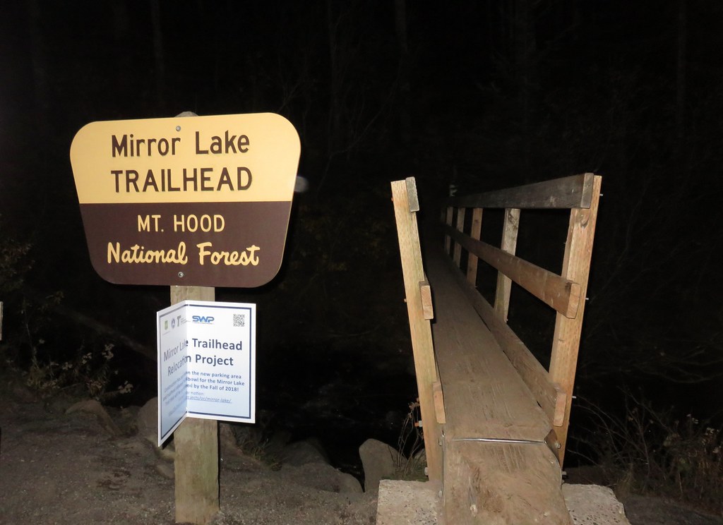
As our official 2017 hiking season came to a close, a break from the recent wet and cold weather provided us an opportunity to turn back to a hike we had be planning to do two weeks earlier. Possible icy road conditions had kept us from attempting the early morning drive to the Mirror Lake Trailhead near Government Camp, OR then.
The Mirror Lake Trail is one of the most popular trails in the Mt. Hood area and the parking area fills up fast so we wanted to get to the trailhead as early as possible. The Federal Highway Administration is in the process of moving the trailhead which is scheduled to be completed in the Fall of 2018 (click here for details).
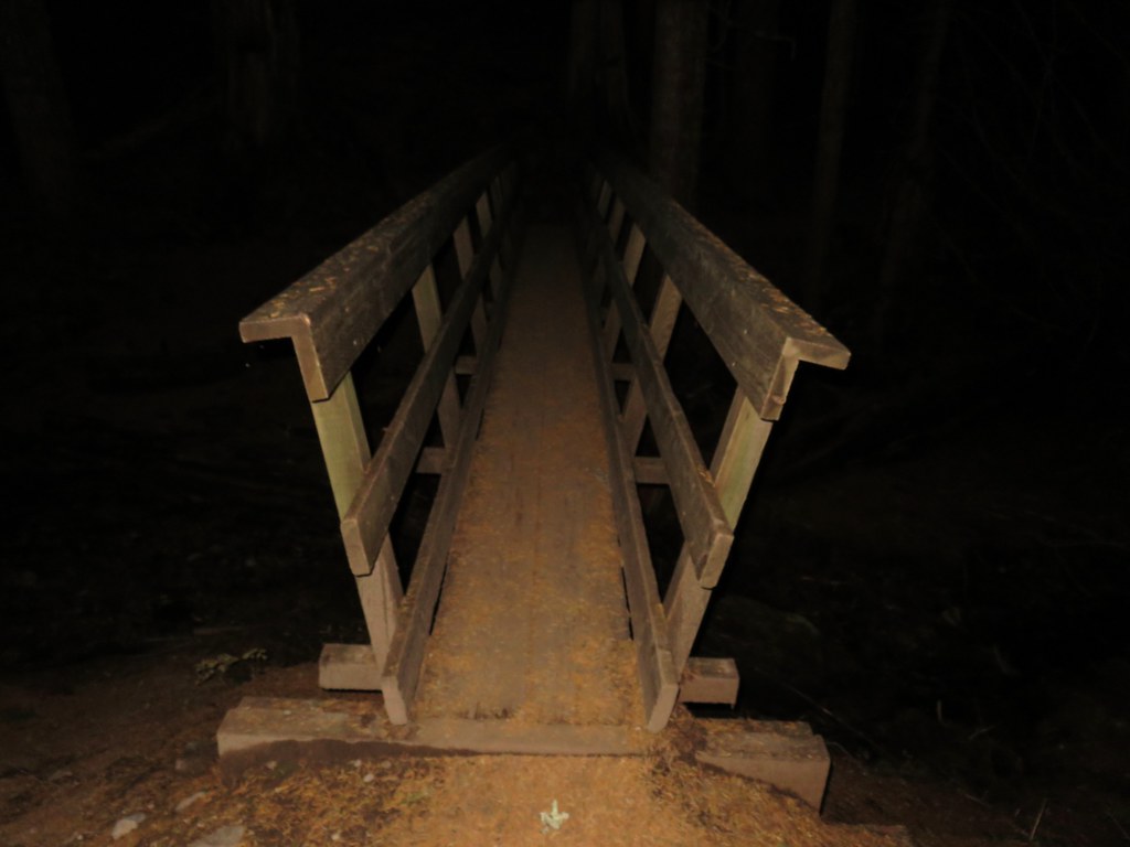
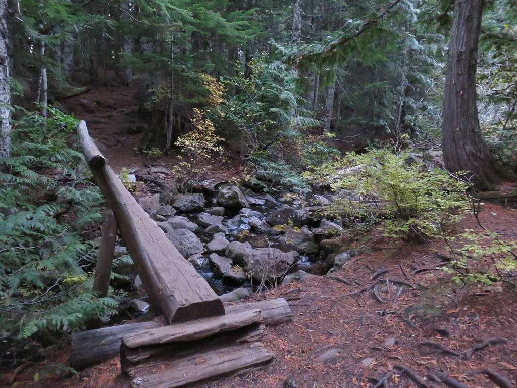
We arrived before dawn and then discovered that the batteries were dead in my headlamp so we had to wait for some light before setting off on the trail which starts by crossing Camp Creek on a footbridge.
A second footbridge crosses over Mirror Lake’s outlet creek.
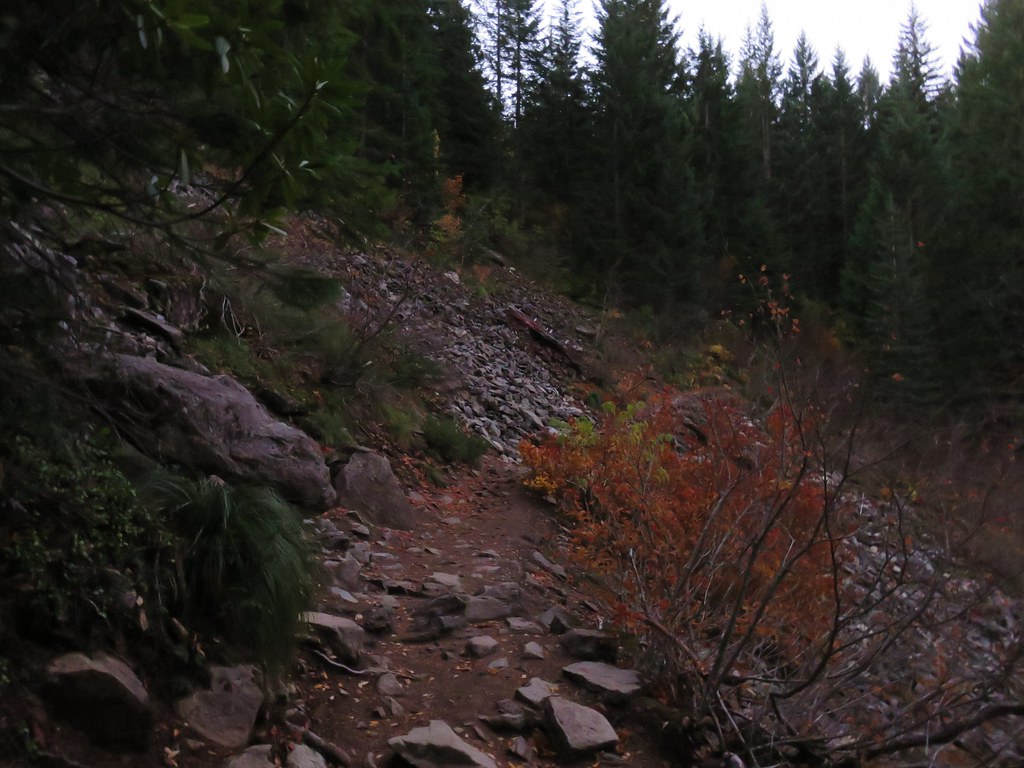
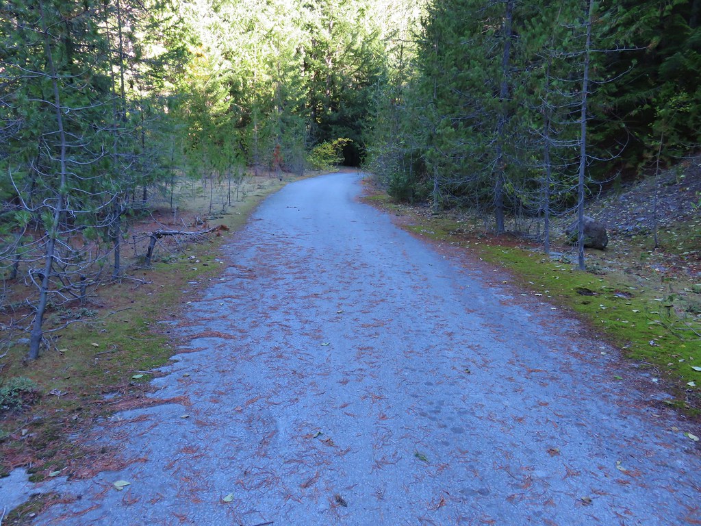
It was still fairly dark as we climbed up towards Mirror Lake which is just 1.4 miles from the trailhead. The short distance is part of the reason for the trails popularity as it makes it kid friendly. As it climbs the trail passes through some rock slides with limited views.
Just before reaching the lake the trail splits providing a loop around the water. We went left crossing the outlet creek again and worked our way clockwise around the small lake.
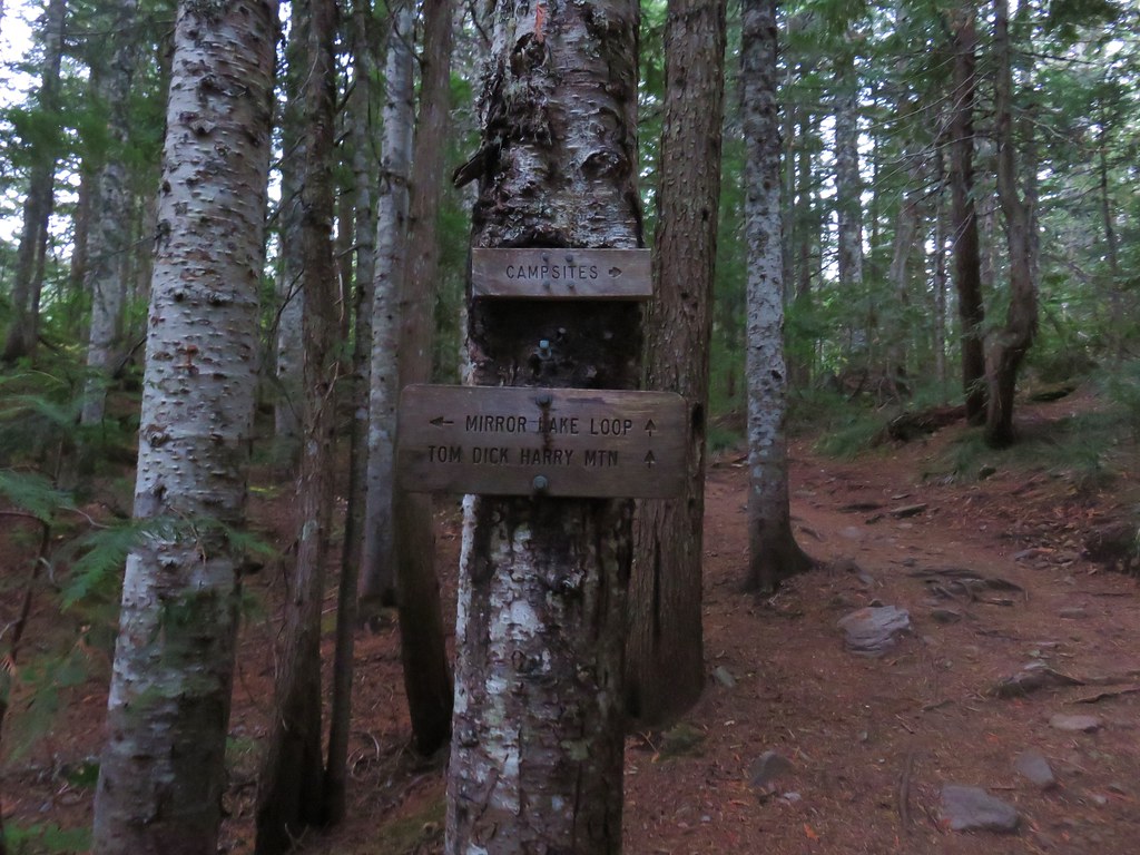
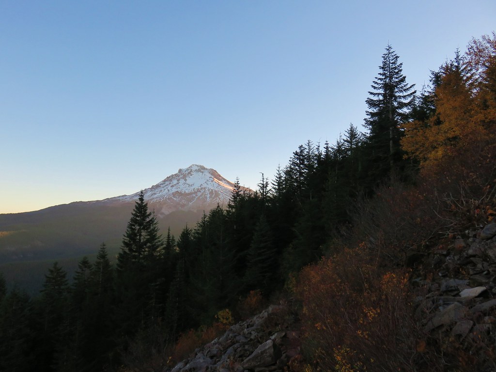
Across the lake we could see our goal for this hike, Tom Dick and Harry Mountain.

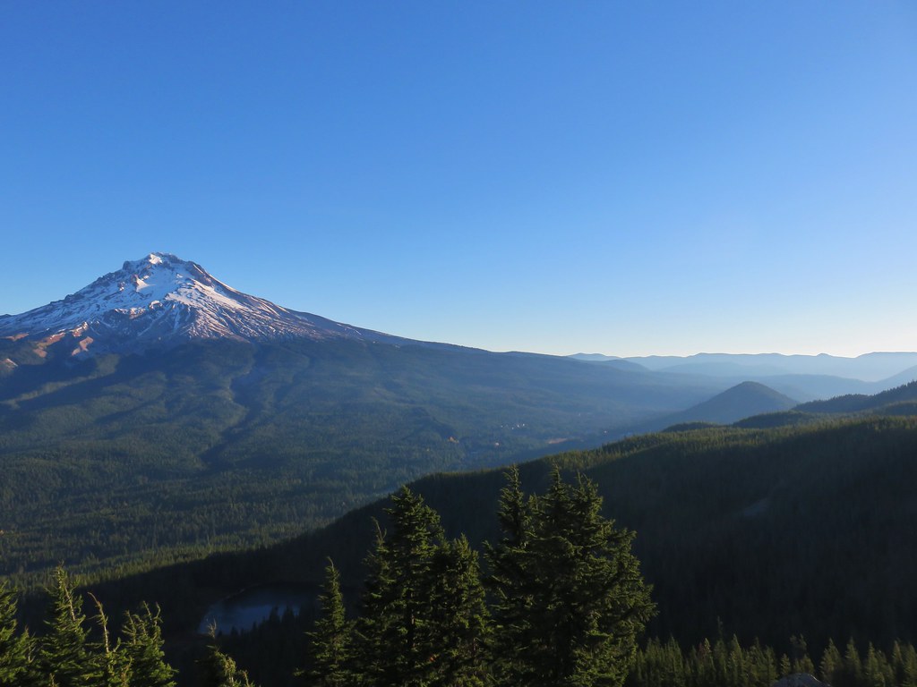
One of the other things that makes this hike popular is that there is a view of Mt. Hood from the south end of Mirror Lake.
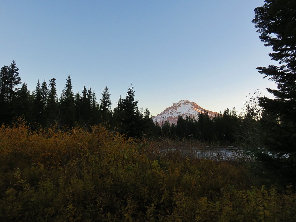
It was too windy to have a reflection of Oregon’s tallest peak.


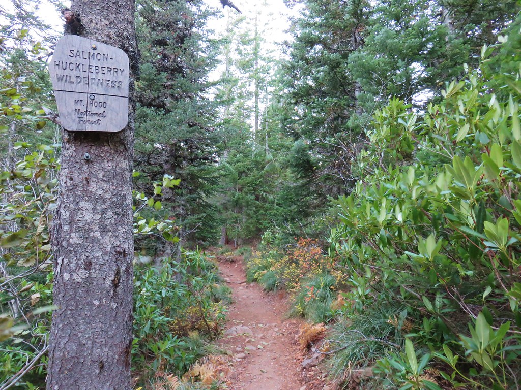
When we came to a T-shaped junction on the west side of the lake we turned left toward Tom Dick and Harry Mountain and we were soon in the Salmon-Huckleberry Wilderness.
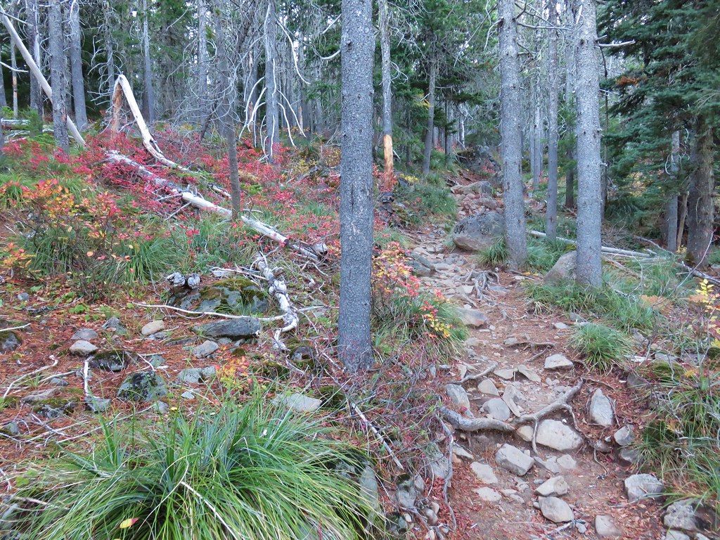
The trail traversed along a hillside passing through more rock slides where we heard some pikas and had a view across Highway 26 and back over our shoulders to Mt. Hood.


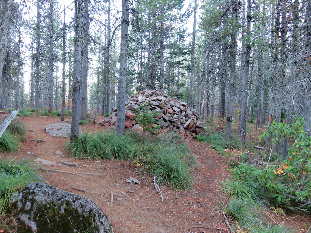
Approximately a mile from the junction the trail turned sharply left at a huge rock pile.
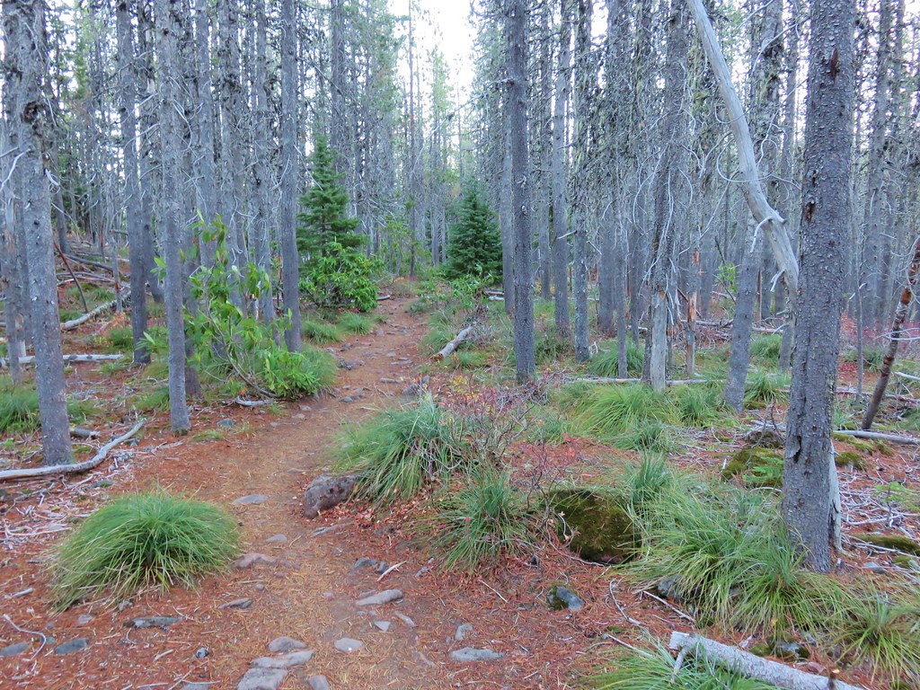
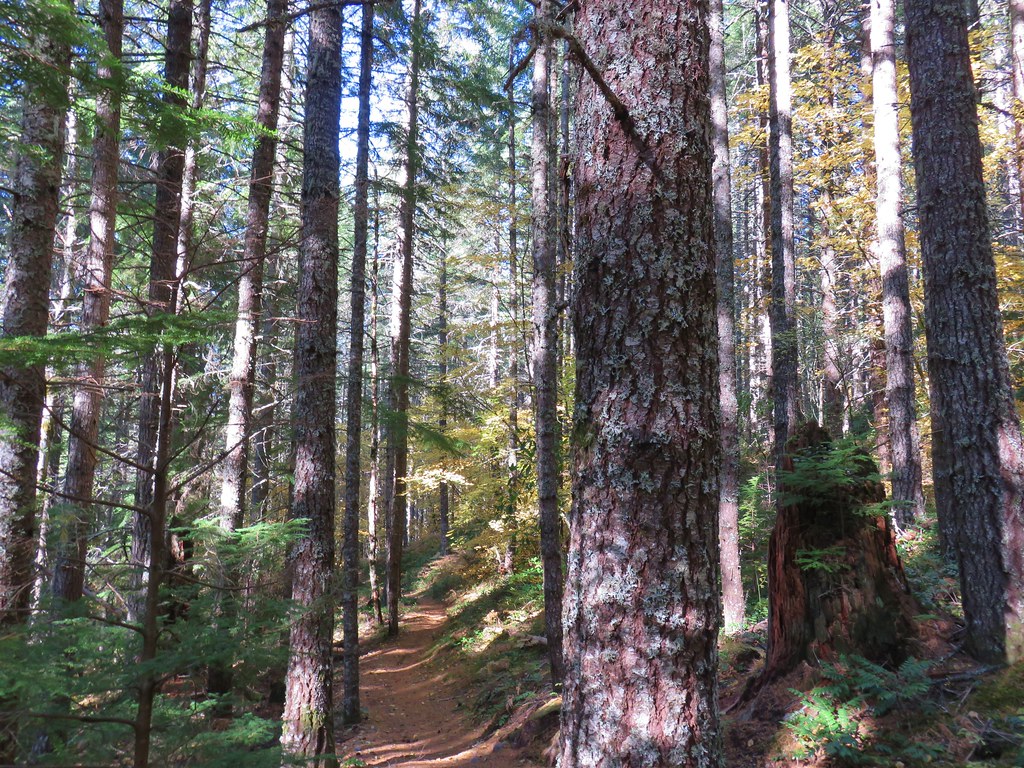
The trail then climbed gradually through an open forest to the rocky summit of the western most of three summits that earned the mountain three names.
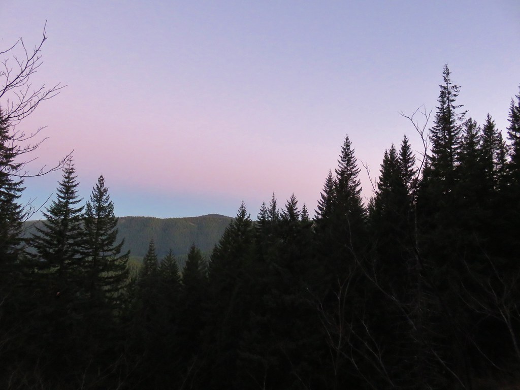
Two weeks before, snow had been down to Mirror Lake and the summit was covered but warmer weather had melted all of it. It was going to be another unseasonably warm bluebird day which allowed us a clear 360 degree view from the summit.
 Mt. Hood and Mirror Lake with Mt. Adams in the background
 From left to right: Mt. St. Helens, Mt. Rainier, and Mt. Adams.
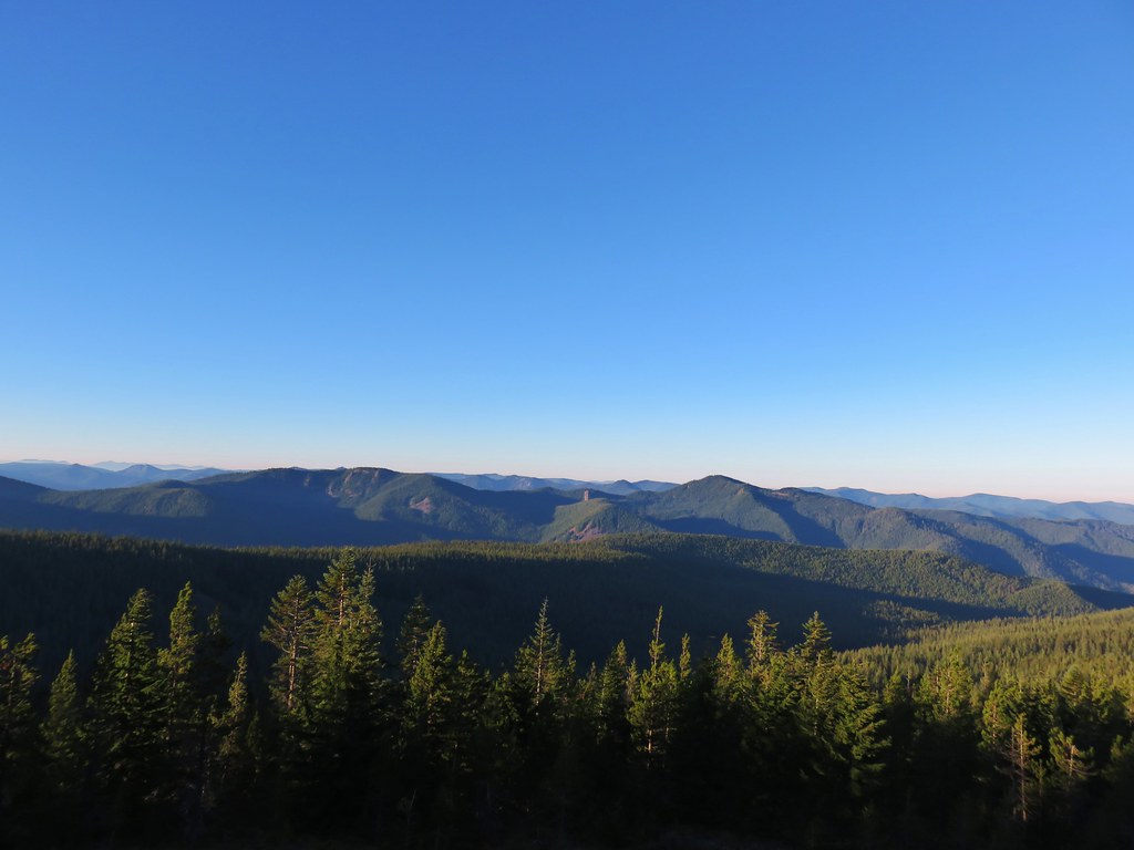 Salmon-Huckleberry Wilderness
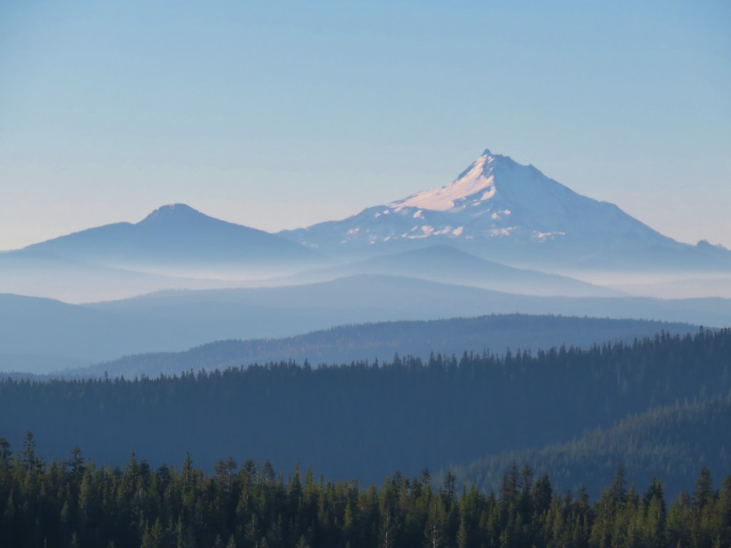
 Mt. Jefferson
 Olallie Butte, Mt. Jefferson, and the top of Three Fingered Jack
 The rest of Tom Dick and Harry Mt.
 Lookout Mountain and Gunsight Butte in the Badger Creek Wilderness east of Mt. Hood.
There were a few other hikers at the summit (those that had working headlamps) but it was still early enough not to feel crowded. We spent a while sitting on the rocks and might have spent more time had it been a little less breezy. Instead of pulling layers out of our packs we headed back down. We passed a lot of people on their way up, but we also passed a number of local residents including a squirrel and a pika who both took a breaks from gathering food to pose for us.

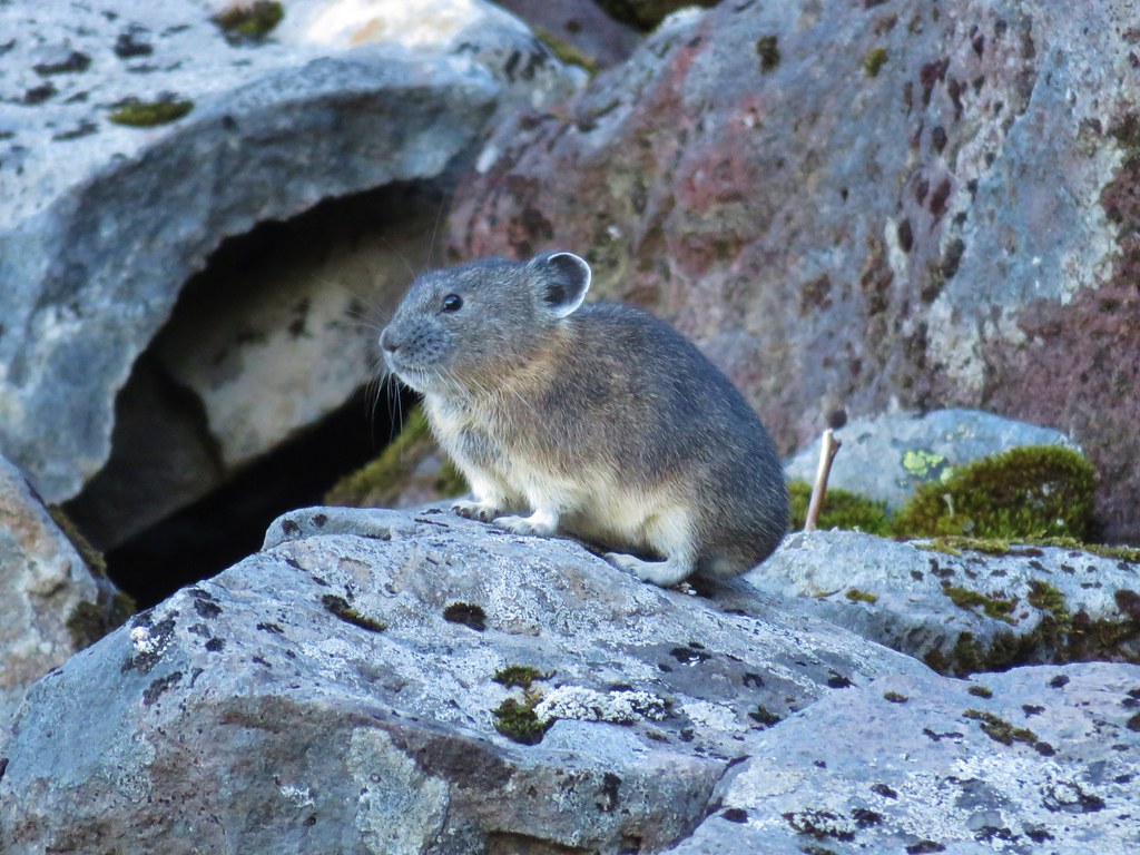
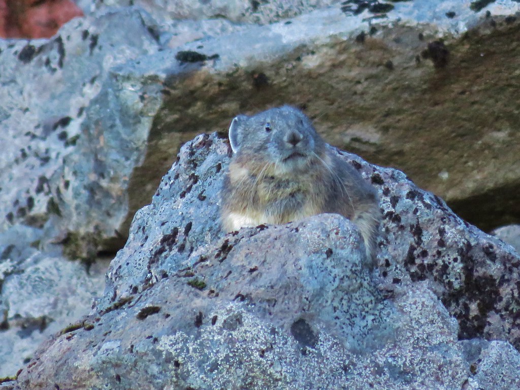
Any hike that involves a pika sighting is a success.
By the time we passed by Mirror Lake there was a steady stream of hikers coming uphill. Luckily the trail is wide enough to allow two way traffic in many places. 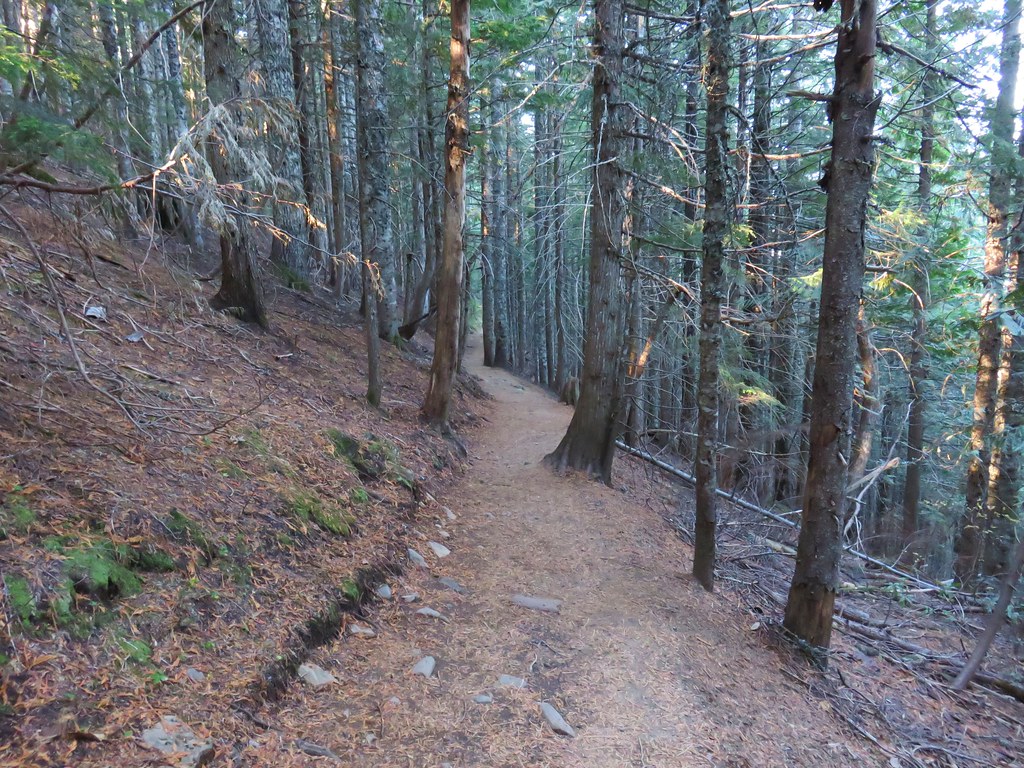
The roundtrip distance for the hike was 6.5 miles with 1500′ of elevation gain. That left us with plenty of time and enough gas in our tanks for a second stop.
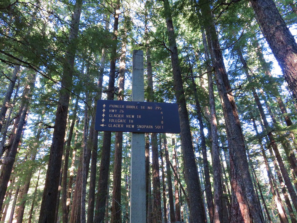
That second stop was basically just across Highway 26. From the current Mirror Lake Trailhead we headed east on the highway for three quarters of a mile where we turned left opposite the western entrance to Mt. Hood Ski Bowl at a sign for the Glacier View Sno-Park. We parked at a gate after just .2 miles and followed a pointer for the Crosstown and Pioneer Bridle Trails.
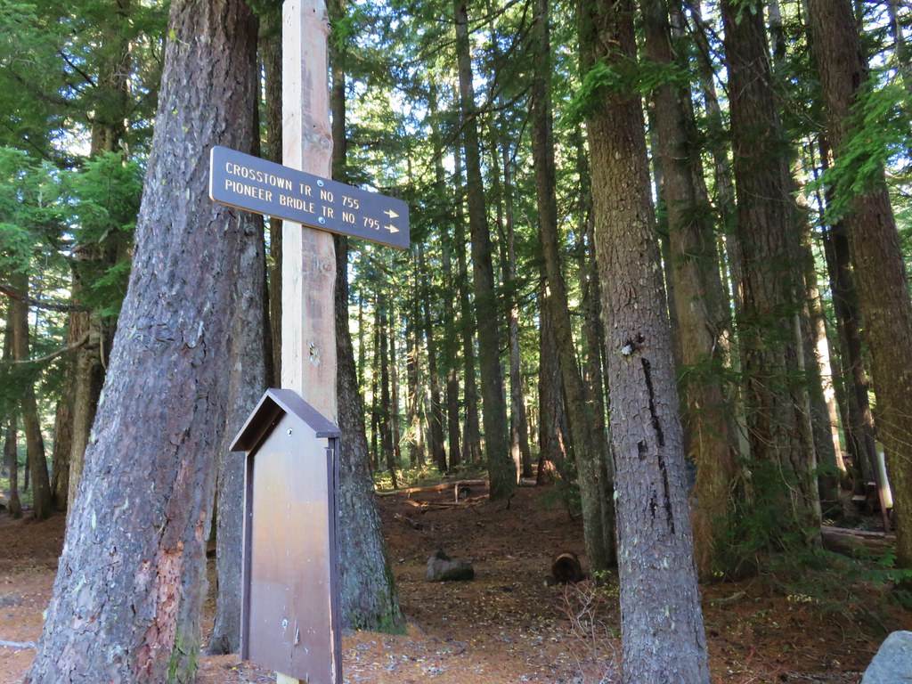

A confusion of trails met here but we followed the pointers and signs for the Pioneer Bridle Trail.
After a very short distance on the Pioneer Bridle Trail we came to a fork where a sign on the path to the left identified it as the “Route of Barlow Road”
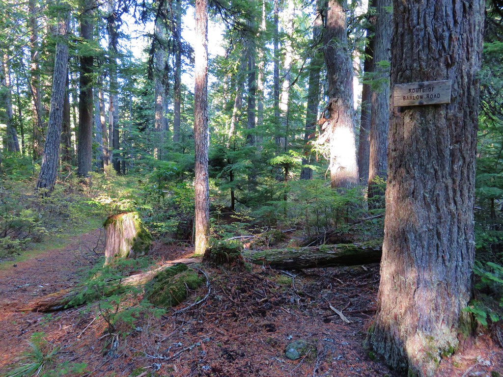
The 80 mile Barlow Road is a historic wagon road was built by Sam Barlow, Phillip Foster and their crews in 1846 as a new route on the Oregon Trail. Although it was steep and rough the route offered an alternative to the dangerous and expensive Columbia River passage. The ability of large wagons to pass over the Cascades to the Willamette Valley led to a significant increase in the number of emigrants to Oregon.
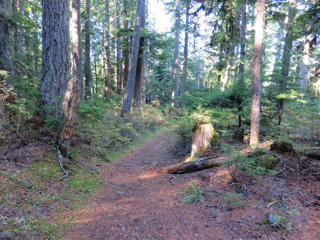
Our route followed the Pioneer Bridle Trail though so we took the signed right hand fork which soon crossed over the small outlet creek of Enid Lake.


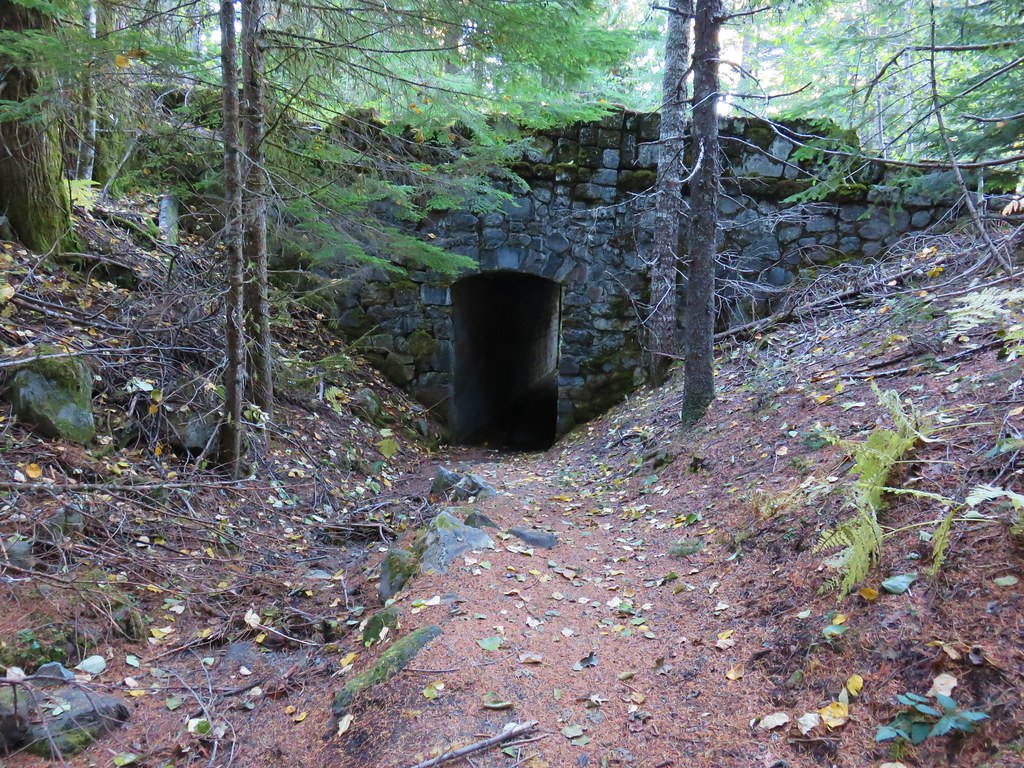
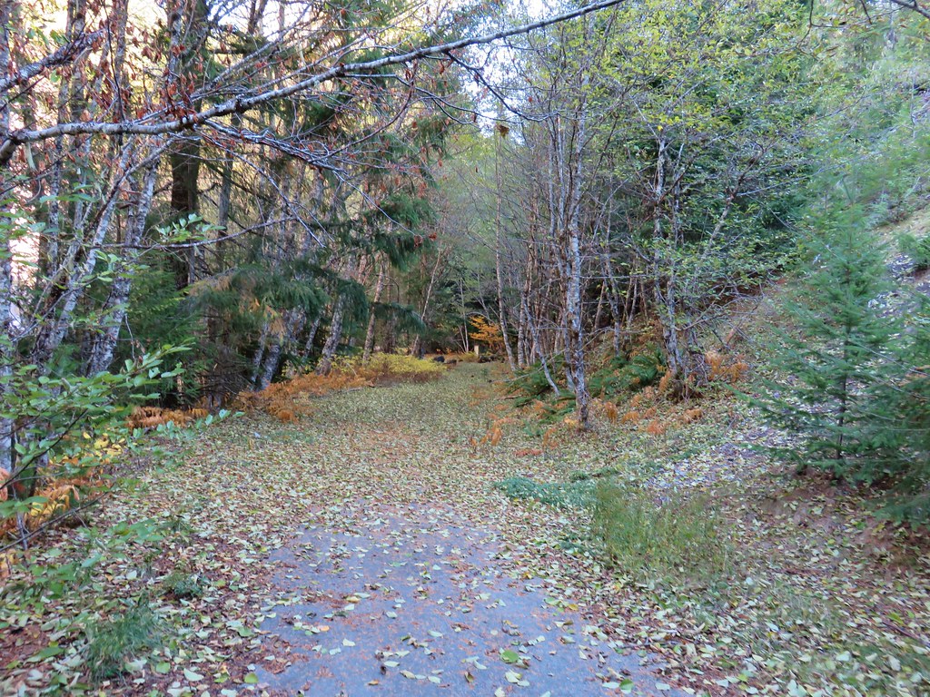
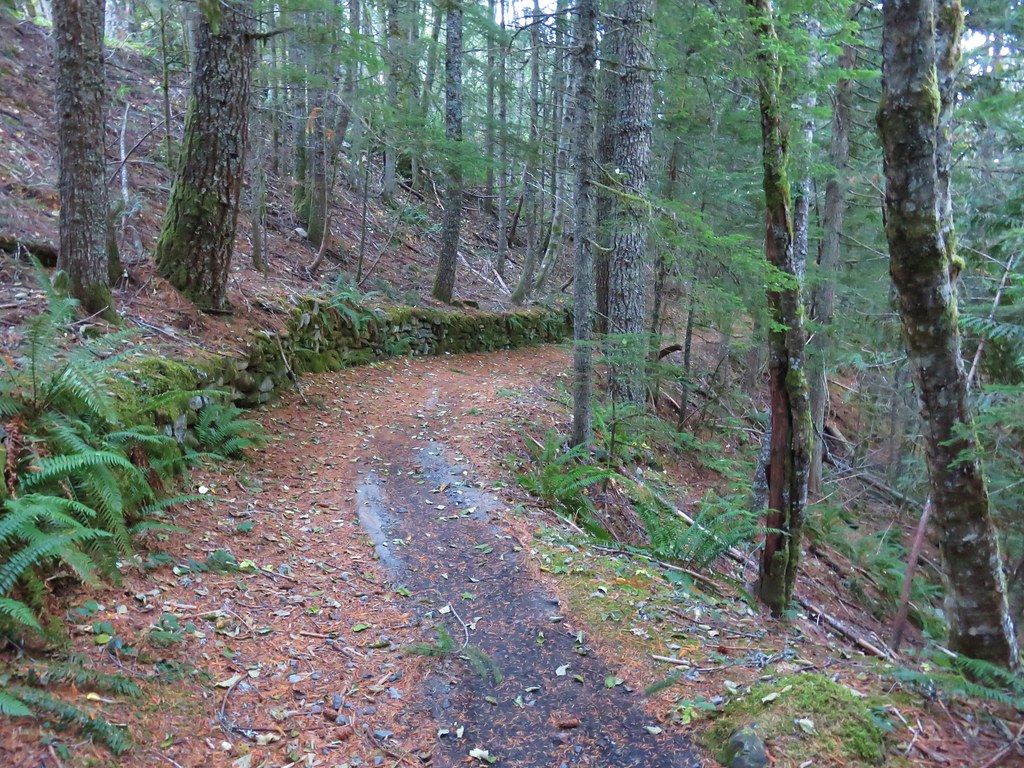
The Pioneer Bridle Trail spent most of it’s time close enough to Highway 26 that the sound of traffic on the road was consistent and for a short stretch was right next to the guard rail which didn’t make for the most peaceful hike. Just under a mile and a half from where we’d parked the Pioneer Bridle Trail passed under the abandoned Mt. Hood loop highway.
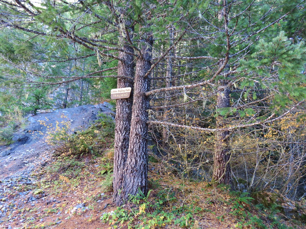
Before descending to the tunnel we took a short spur path to the old road and turned right hoping to visit Little Zigzag Falls.
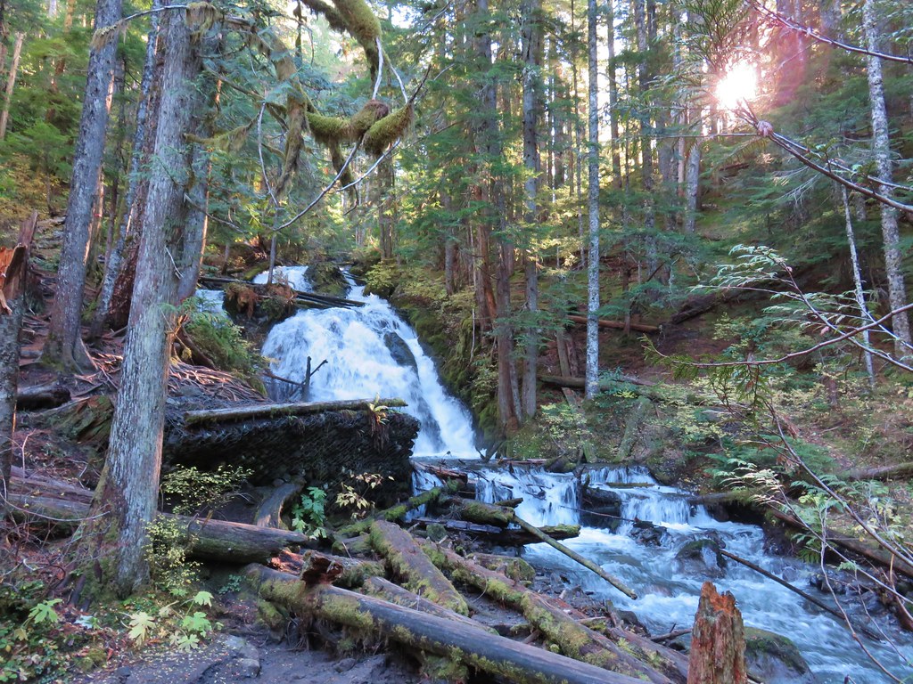
After following the road for a tenth of a mile we arrived at the Little Zigzag Falls Trailhead (yes you can drive here).
A short quarter mile family friendly path here follows Little Zigzag Creek to scenic Little Zigzag Falls.
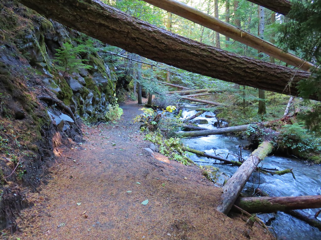
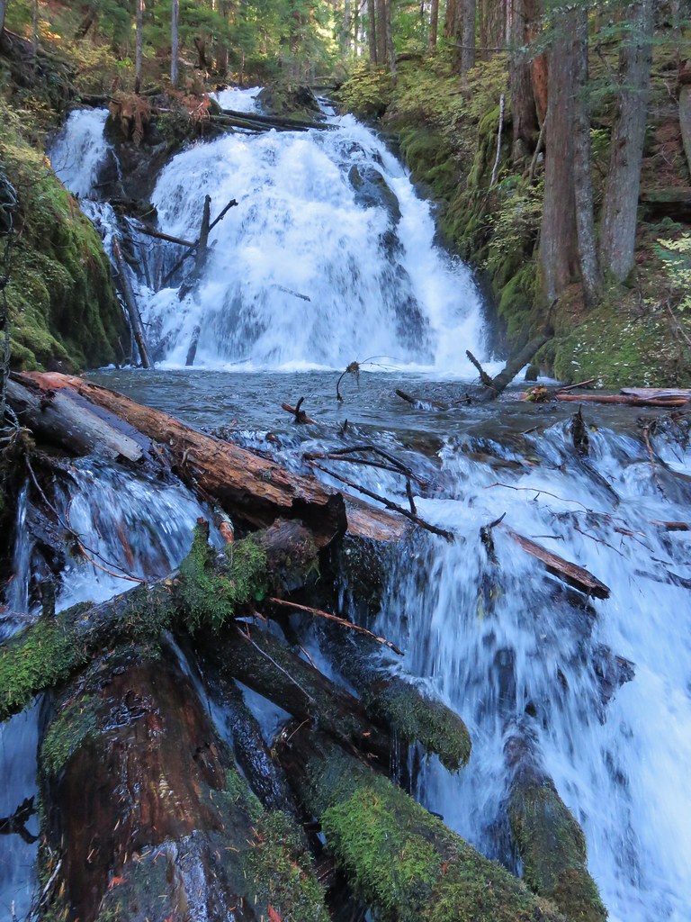

After visiting the falls, which we were lucky enough to have to ourselves for a bit, we returned to the Pioneer Bridle Trail. We turned right and passed through the tunnel continuing west on the trail.
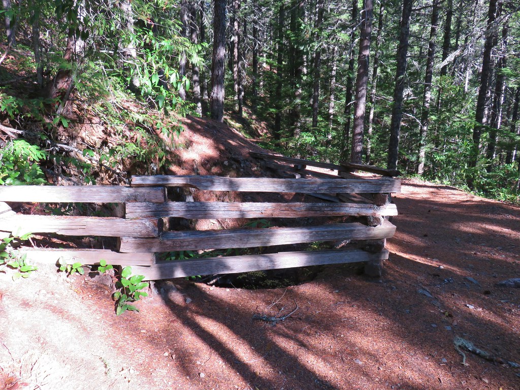
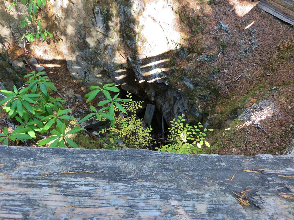
Not long after passing under the old highway the current highway began to fall away from the trail making this section a bit more serene. A fence along the way marked the spot of an old mine shaft.
Approximately three quarters of a mile from the tunnel the trail split. This wasn’t shown on our map or in our guidebook but we forked right which wound up being the Original route of the Oregon Trail.

The trails rejoined in under a half mile (the Pioneer Bridle Trail was often visible through the trees). We continued for approximately another 3/4 miles to the start of a series of switchbacks. We decided to end our hike here instead of descending for about a mile to the lower Pioneer Bridle Laurel Hill Trailhead.
We stuck to the Pioneer Bridle Trail on the way back. The total distance for this hike was 7.4 miles with around 700′ of elevation gain. If we were to do it over as a stand alone hike we probably would have started at the lower trailhead and hiked up to Little Zigzag Falls and back due to how close Highway 26 was to the trail at the upper end but having done the Mirror Lake hike first it made more sense to start at the upper end.
For the day we put in 13.9 miles and we got a lot back. Clear views of 5 volcanoes (and the top of Three Fingered Jack), a lake with a mountain view, a waterfall, some history and best of all a Pika. Happy Trails!

8 replies on “Mirror Lake and Pioneer Bridle Trails”
Mirror Lake is one hike we never got around to when we lived in Portland since I assumed (probably correctly) that is was always busy. Every time we drove up to Hood it looked like the parking area was full. It looks like dawn (?!) worked for you though. And maybe the new lot/trail will help?
Absolutely adore the pika picture!
Dawn worked fine, dawn mid-week would probably even better. There are so many less crowded (longer) hikes with similar views in the area that I doubt we’ll do this one again unless we get to the point that 6.5 Is all we can manage.
[…] Dick and Harry Mountain (post) was also clearly visible to the […]
[…] – 2013, 14, 15, 17, […]
[…] We continued to the right on the Barlow Butte Trail and 0.4 miles from Lambert Rock detoured to the right to what we hoped might be another viewpoint. Trees blocked the view north to Mt. Hood and east to Lookout Mountain. Again there would have been a decent view of Mt. Jefferson from this spot but we did have a good view west to Tom Dick and Harry Mountain above Mirror Lake (post) […]
[…] Laurel Hill – 10/28/2017 & […]
[…] Dick, and Harry Mountain (post) catching the morning […]
[…] Tom, Dick, and Harry Mountain (post) […]