**Note a small portion of this hike burned in the 2022 Kalama Fire.**
It had been a couple of years since our hikes had taken us to the Mt. St. Helens area. We didn’t want to go a third year without making a visit so we picked the 14.1 mile Cinnamon Ridge Loop Hike described here in the Oregon Hikers field guide. A shorter loop was also described in Matt Reeder’s “Off the Beaten Trail” guidebook.
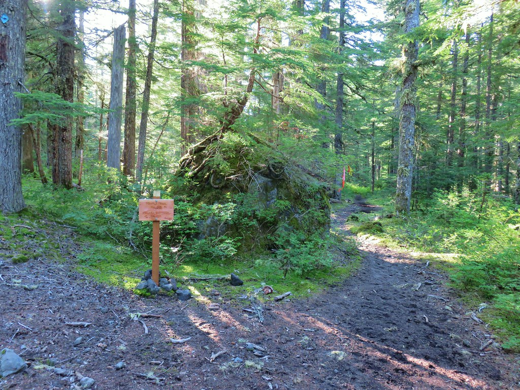
We started at the Kalama Horse Camp Trailhead and consulted the signboard map to confirm our route. (We had a paper map, a downloaded pdf track, and our GPS with us, but you can never consult too many maps.)


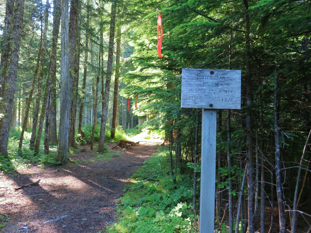
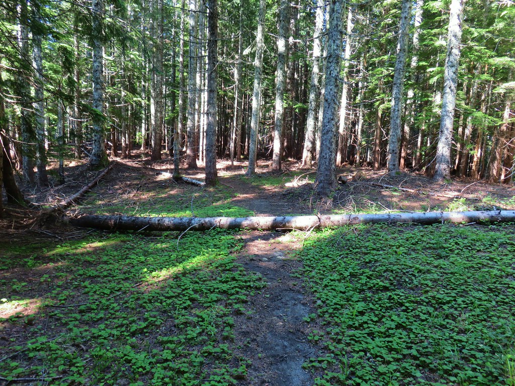
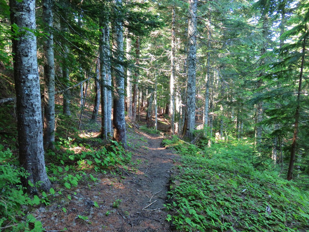
We set off on the Toutle Trail just to the right of the signboard.

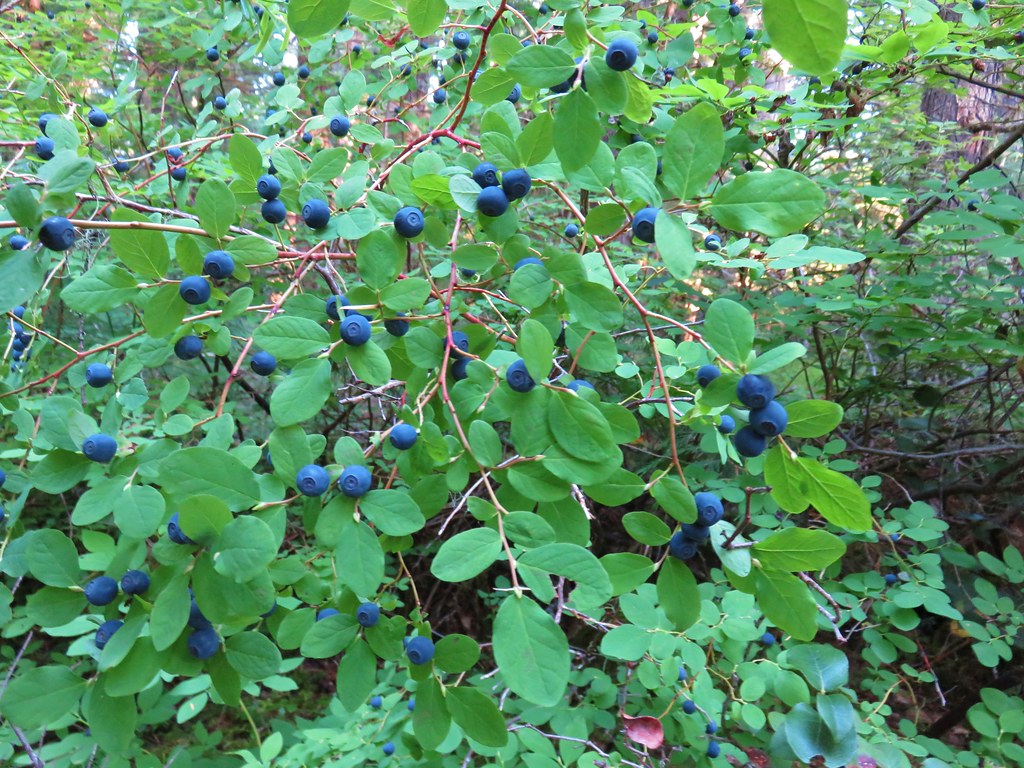
After a short descent the trail crossed an unnamed creek. Ripe berries were everywhere.


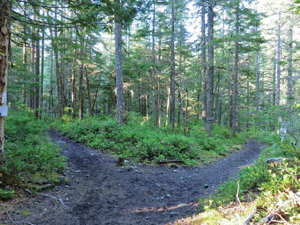
Two tenths of a mile from the trailhead we came to a junction with the Cinnamon Ridge Trail, our return route. We stayed left on the Toutle Trail.
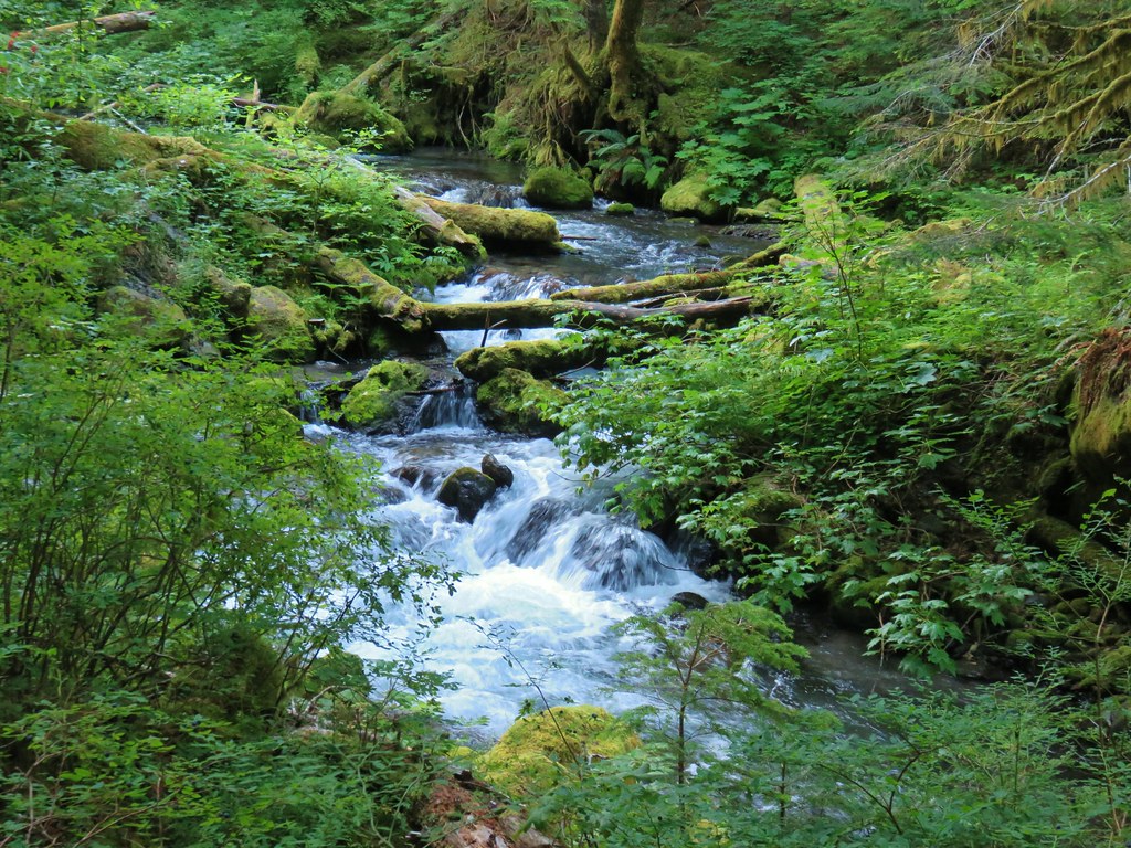
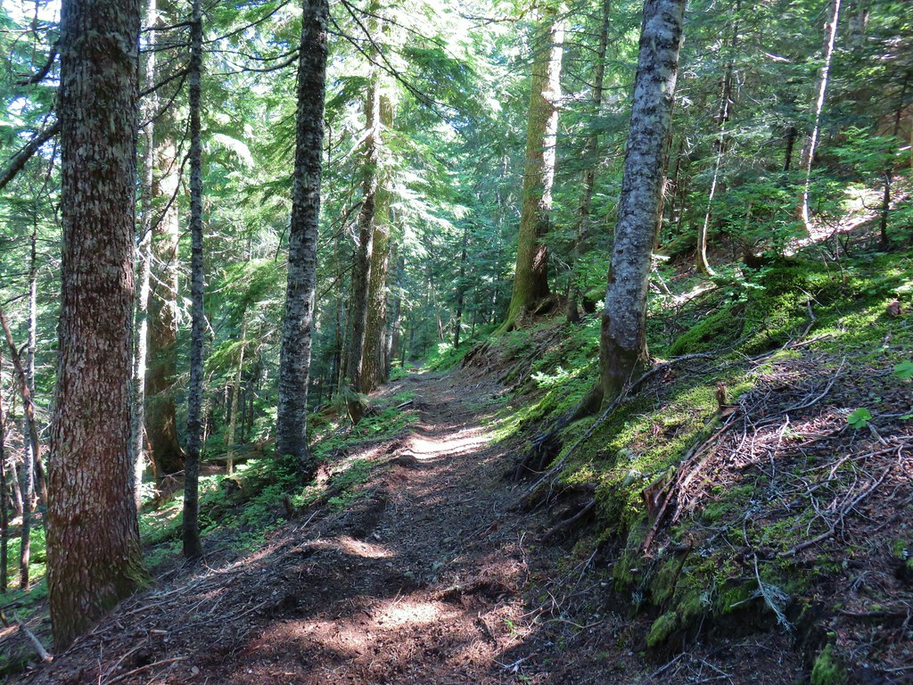
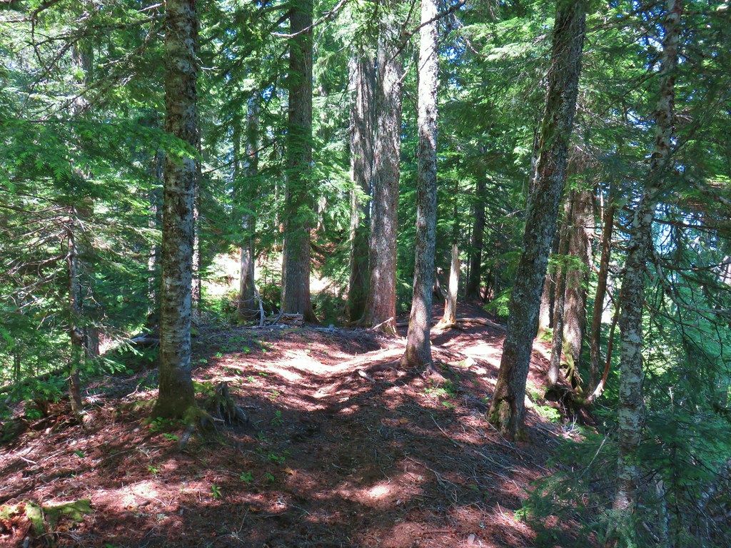
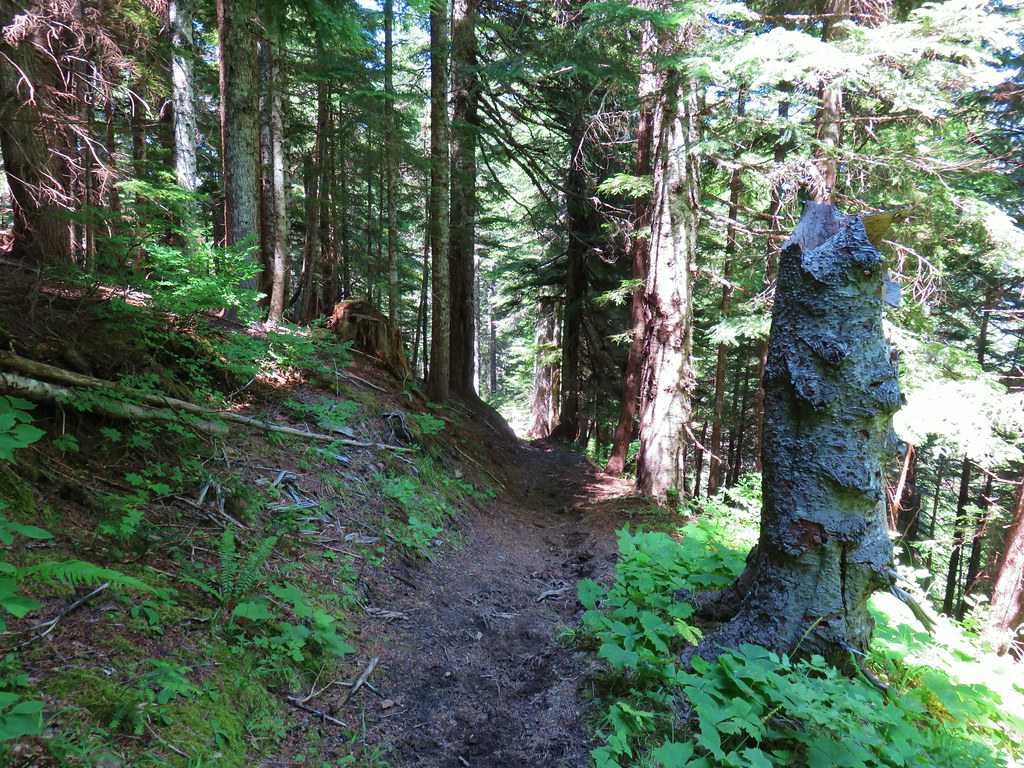
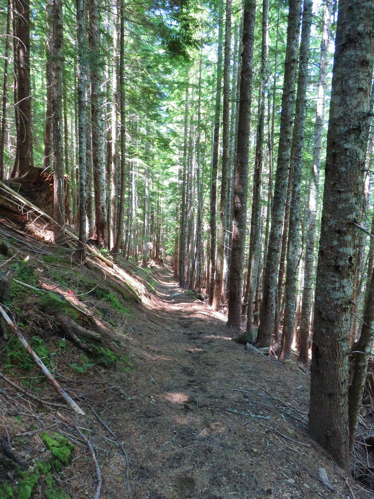
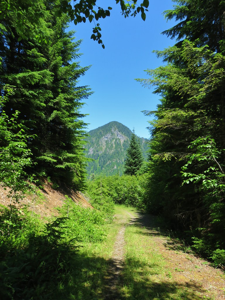
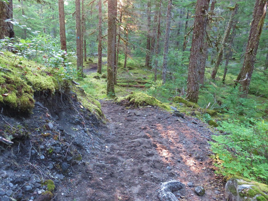 Toutle Trail
 Candy sticks
A short distance later we stayed right at a junction with the Kalama Ski Trail.

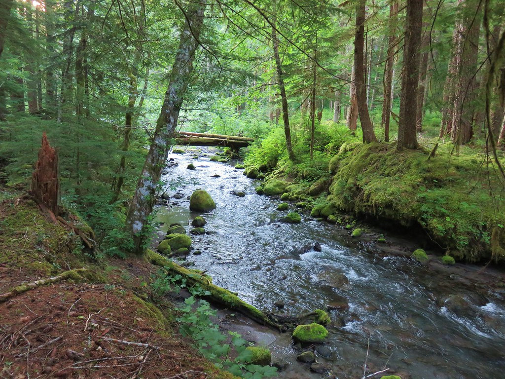
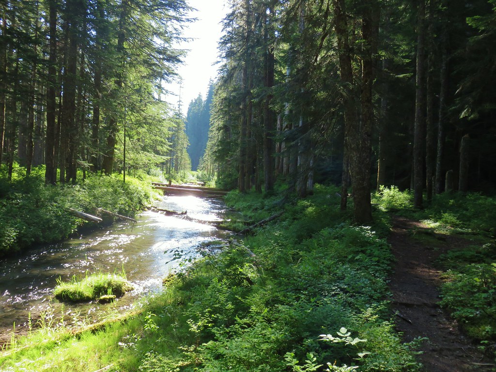
Beyond this junction the trail approached the Kalama River as it passed through the forest.


Yet another junction followed about three quarters of a mile later just after climbing away from the river via a switchback. Again we stuck to the Toutle Trail.

The trail was now a good distance above the river avoiding a series of slides.


 Pinesap
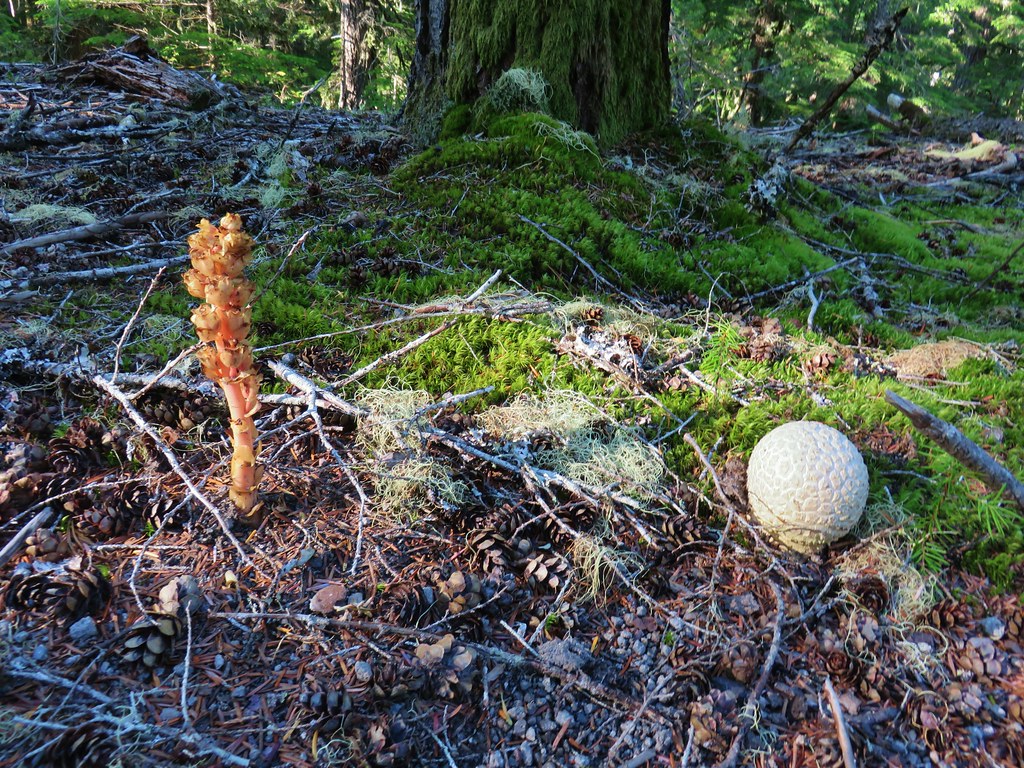 Pinesap and a puffball
Just over 2 miles from the trailhead we arrived at the third and final junction signed for the Kalama Ski Trail where we also stuck to the Toutle Trail.
There had been plenty of ripe huckleberries and lots of pinesap but not too many flowers. There were a few lousewort and twin flowers though along this section of trail.
 Lousewort
 Twin Flower
At the 2.5 mile mark we came to a Forest Service Road.

Reeder’s shorter/easier loop utilizes this road which he lists as FR 8122 (our maps showed it as 8022). He also has you hike in the opposite direction so we would have been coming down the road to this junction then returning to the horse camp the way we’d come on this hike. Since we were doing the longer loop we crossed over the road and continued on the Toutle Trail which was once again closer to the Kalama River.

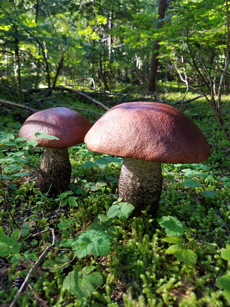
Along this stretch we noticed a few really large mushrooms.

Approximately 1.2 mile from the road crossing we crossed a second road bed where the trail hopped to the opposite side of the river.
A good sized frog jumped off the trail in front of us here.

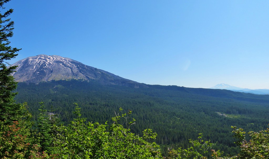
As we neared McBride Lake (now more of a wetland) we obtained our first glimpses of Mt. St. Helens.

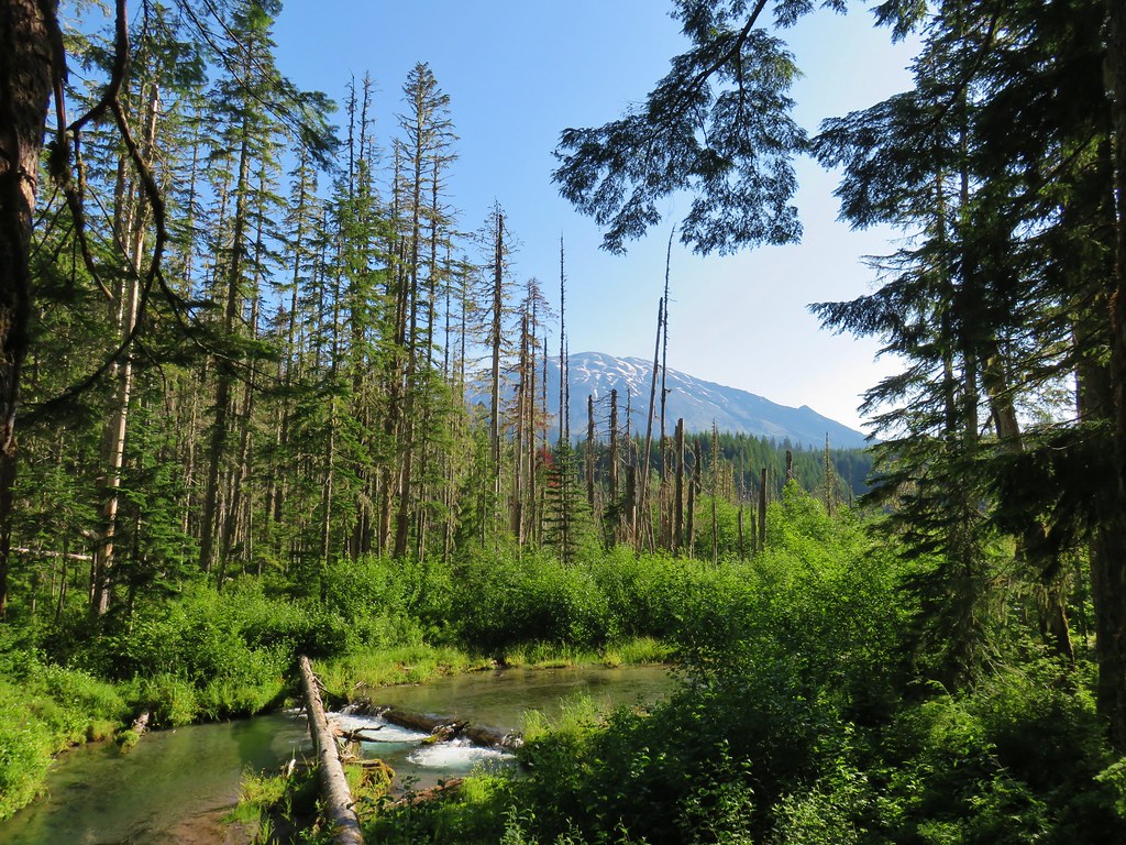

 Mt. St. Helens beyond the remnants of McBride Lake.
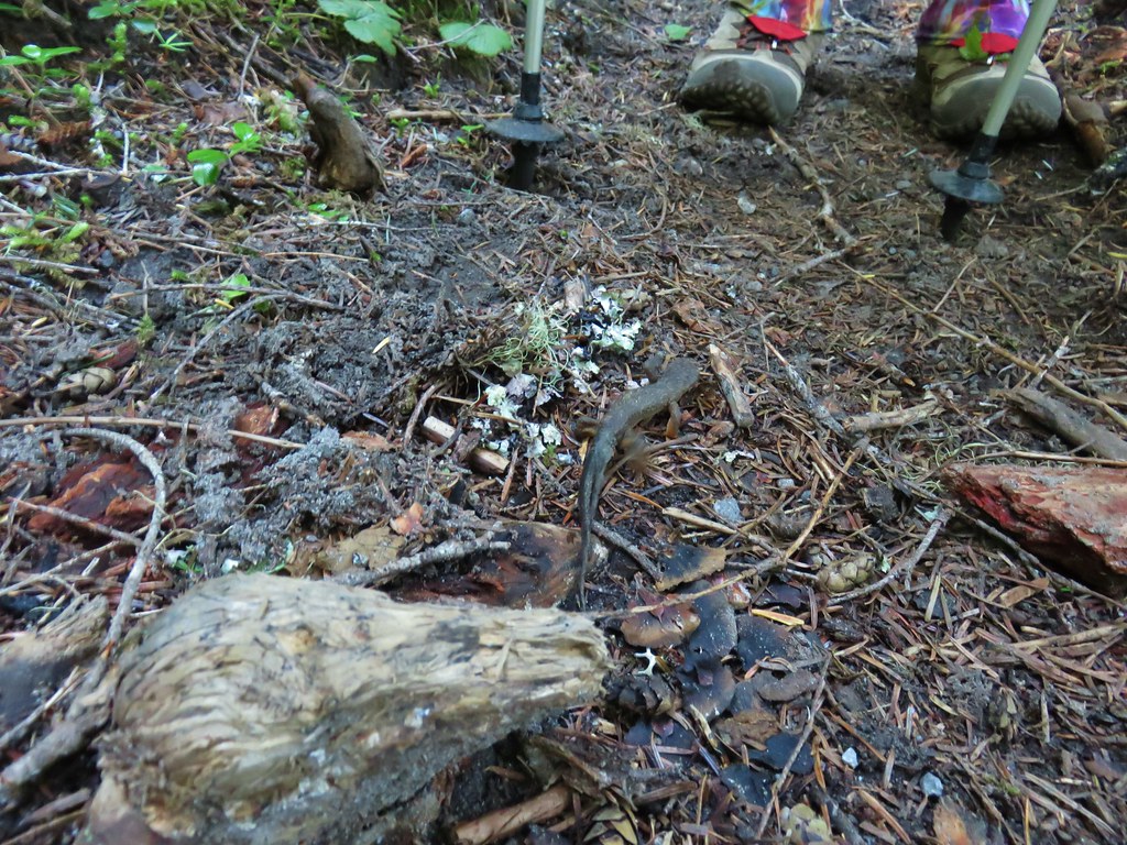
We averted disaster when a rough skinned newt charged Heather but it was only a bluff.
The trail climbed through a nice forest as it passed McBride Lake on its way to Red Rock Pass.

 Cars parked at Red Rock Pass
We didn’t go all the way down to Red Rock Pass as the Cinnamon Trail headed uphill at an unsigned junction about 100 yards above the trailhead.
 Cinnamon Trail on the left and Toutle Trail on the right from the unsigned junction.
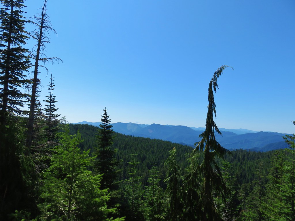
While the Toutle Trail had gained almost 1200′ in the 5.7 miles from the trailhead to the Cinnamon Trail junction the Cinnamon Trail gained nearly 700′ in less than a mile. Although the climb was never particularly steep it provided a good workout. It also provided some nice views of Mt. St. Helens and our first (and best) look at Mt. Adams.


Things leveled out a bit after gaining the ridge where the trail passed through a variety of scenery.


 Fungus on a stump.
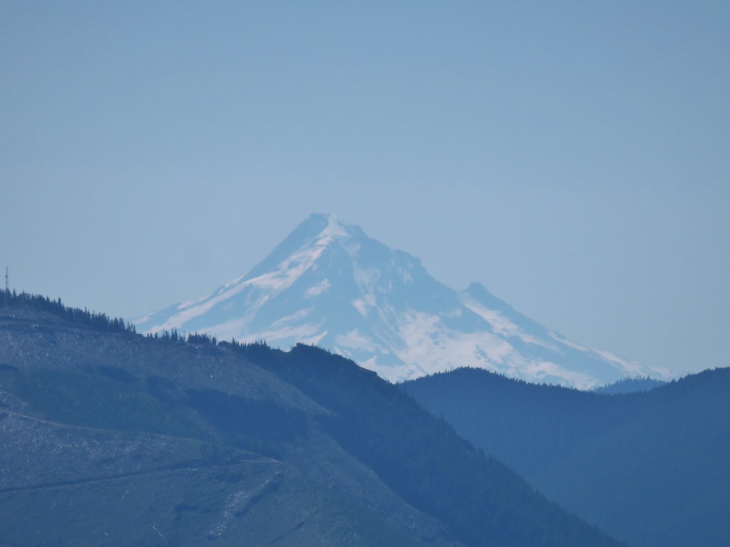
After a little of two and a half miles on the Cinnamon Trail we came to a small meadow with a view south to Mt. Hood.


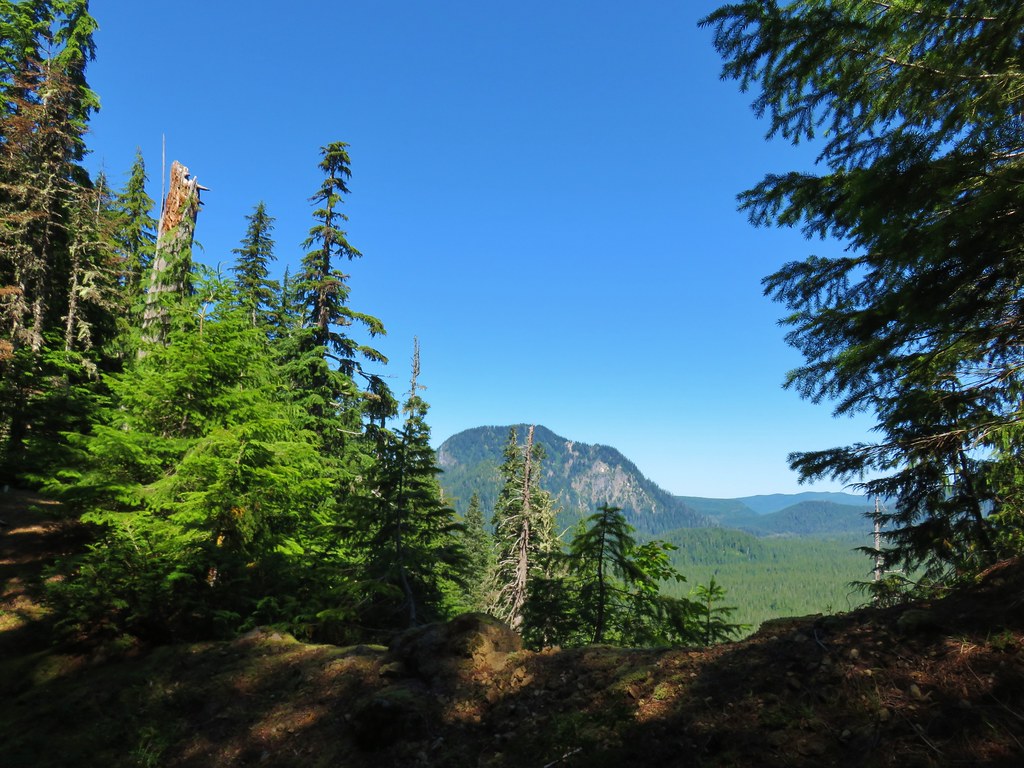
Just beyond the meadow the trail reached a saddle with a view NW to Goat Mountain.
The trail continued to follow the ridge west and then south as it passed around a butte.
 The butte ahead (we didn’t want to have to climb that.)
 Trail wrapping around the south side of the butte.
On the far side of the butte we arrived at another saddle.
 Toad near the saddle.
 Mt. St. Helens from the saddle.
The trail stuck to the north side of the ridge for a bit allowing for some good views of Mt. St. Helens and another Mt. Adams sighting.
 Goat Mountain
 Mt. St. Helens and Mt. Adams
 Another frog.
At the 4.5 mile mark of the Cinnamon Trail we arrived at the first of three successive road crossings (all of the same road).
 Crossing #1
 Crossing #2
 Crossing #3
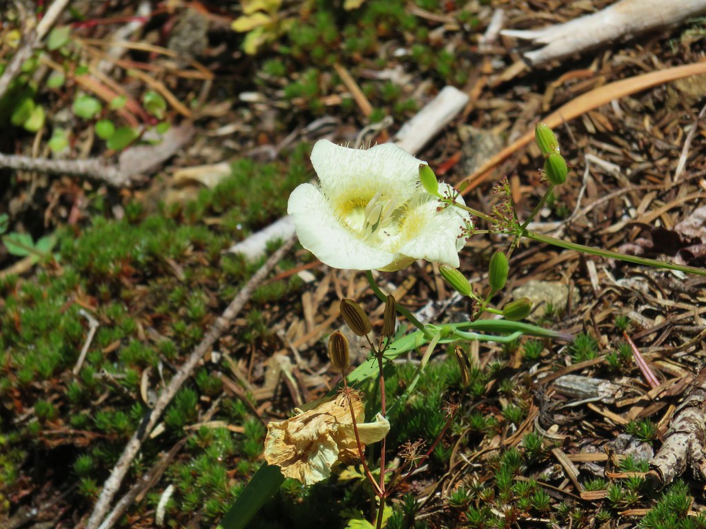
Approximately a quarter mile from the third road crossing the trail began to descend through a small meadow with a few cat’s ear lilies.

Soon we were dropping down along a narrow ridge where we were able to see the top of Mt. Rainier beyond Coldwater Peak.

The sun was glinting off of the equipment on top of Coldwater Peak (post).

The trail continued to descend crossing over another old roadbed before reaching FR 8022 (or FR 8122 per Reeder) 6.2 miles from Red Rock Pass.
 old road crossing.
 Dropping to FR 8022(8122).
We crossed this road onto an old roadbed which we followed for four tenths of a mile.
 Goat Mountain from the roadbed.
 Goat Mountain and Mt. St. Helens
 Ripening berries
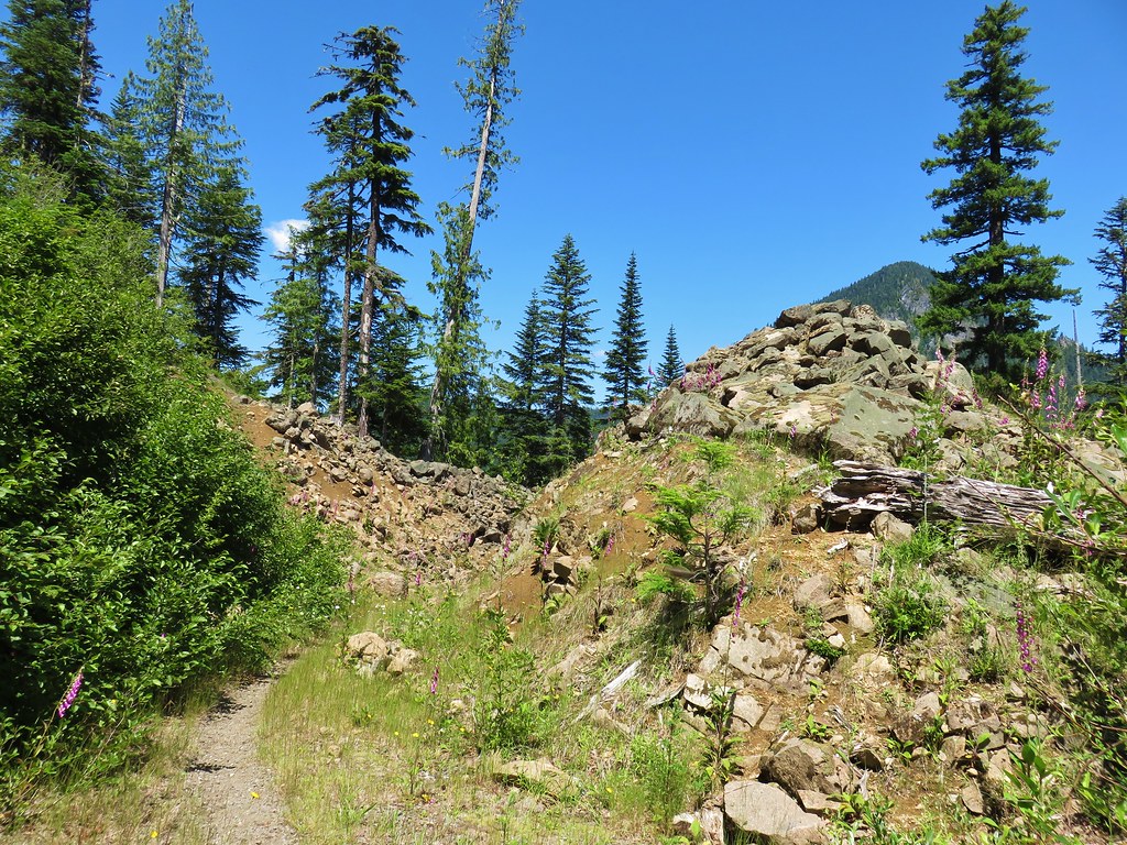 Rock slide along the roadbed.
Shortly after passing through the rock slide the roadbed ended and we were back on a trail.
 Pinedrop
The trail descended for another mile and a half eventually coming back within earshot of the Kalama River but not close enough to provide many views until we arrived at a footbridge across it.
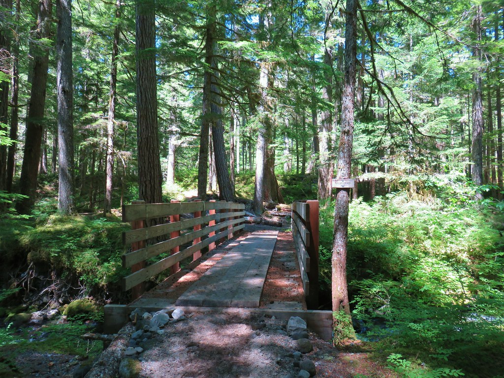


From the bridge it was just 100 yards to the end of our loop and .2 miles from the trailhead. The 14.1 miles combined with nearly 3000′ of elevation gain make this a challenging hike. Despite the difficulty and lack of any real big WOW moments it was a really enjoyable hike. There were plenty of positives; the ripe berries, the river, mountain views, a little wildlife (including some grouse which as always gave us a start when they flew off.), a few wildflowers, and some nice forests to keep us entertained the entire way. Happy Trails!
Flickr: Cinnamon Ridge

One reply on “Cinnamon Ridge – 7/20/2019”
[…] to the north via the Toutle Trail or the same Toutle Trail to the south near the Kalama River (post) which we could have done here to shorten our loop. Instead we stayed straight on the ski […]