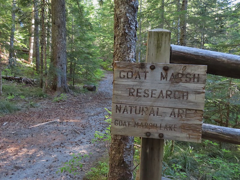
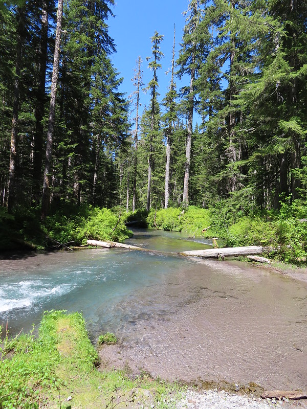
After a wet and mild Spring, Summer announced its arrival with our fist 90-degree temperatures just in time for the weekend. When it gets that warm we typically turn to the mountains for relief but that’s a little trickier this year due to there being quite a bit of snow still up in the Cascades. Even some of the lower elevation mountains are still in the process of melting out. For instance our original plan for this hike had been to visit Silver Star Mountain (post) via the Starway Trail, an approach that we haven’t done yet. While this mountain is accessible recent reports showed several remaining snowdrifts but more importantly the wildflower show is running late. To decide where to go I turned to my spreadsheet looking for hikes that I had scheduled in coming years around the end of June. Goat Marsh Lake was on the schedule for next year and while the Goat Marsh Research Natural Area is located with the Mt. St. Helens National Volcanic Monument. It sits at a low enough elevation that there was a chance that snow wouldn’t be an issue. Using NOAA’s NOHRSC snow depth layer on the PCTA’s interactive map confirmed that snow shouldn’t be an issue at the lake or along the loop we were planning after visiting the lake using the Kalama Ski and Toutle Trails. With a forecast high of 78 degrees it would be warm but not unbearable so with that as our plan we got an early start and headed north to the Goat Marsh Lake Trailhead.
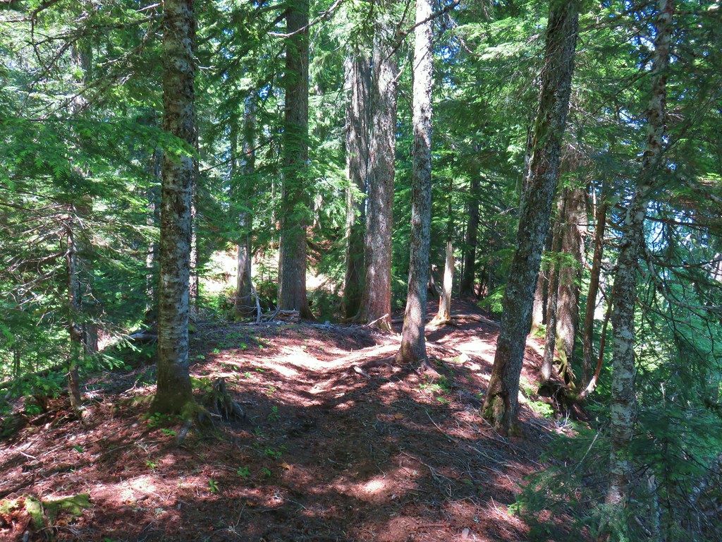
We parked a little up FR 8123 from the trailhead and walked back down to the start of the trail.
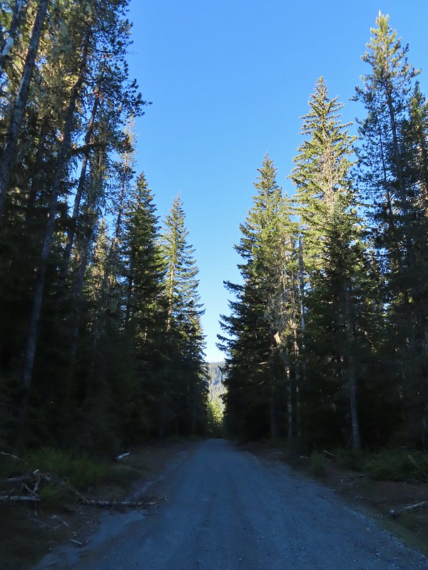 FR 8123

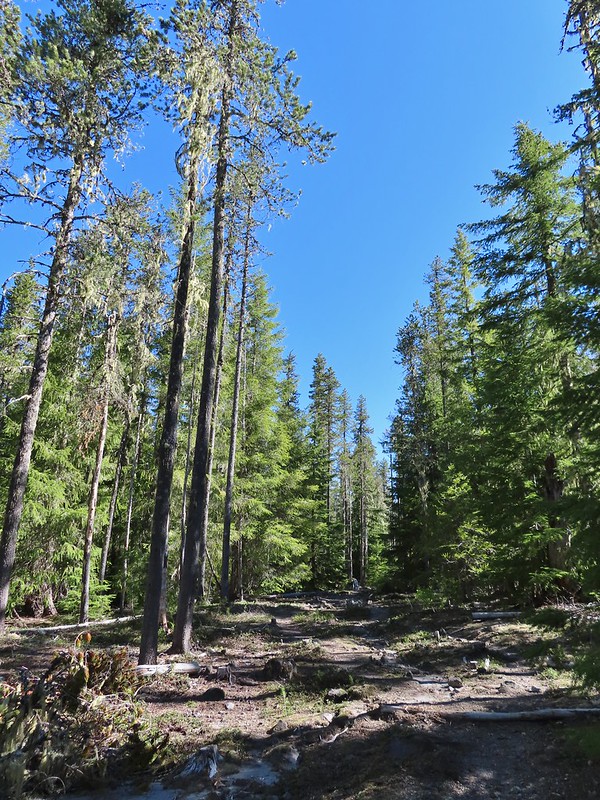
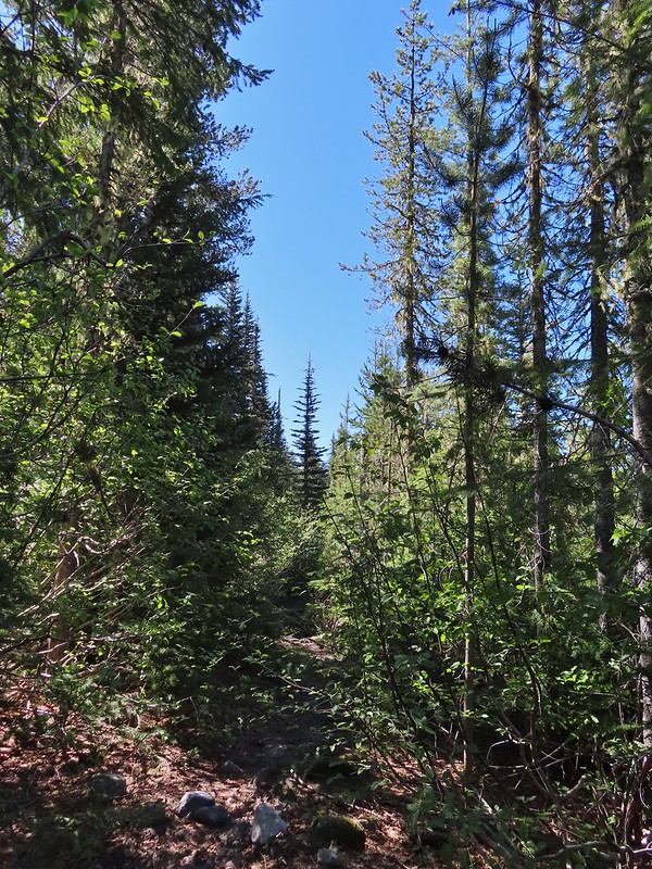
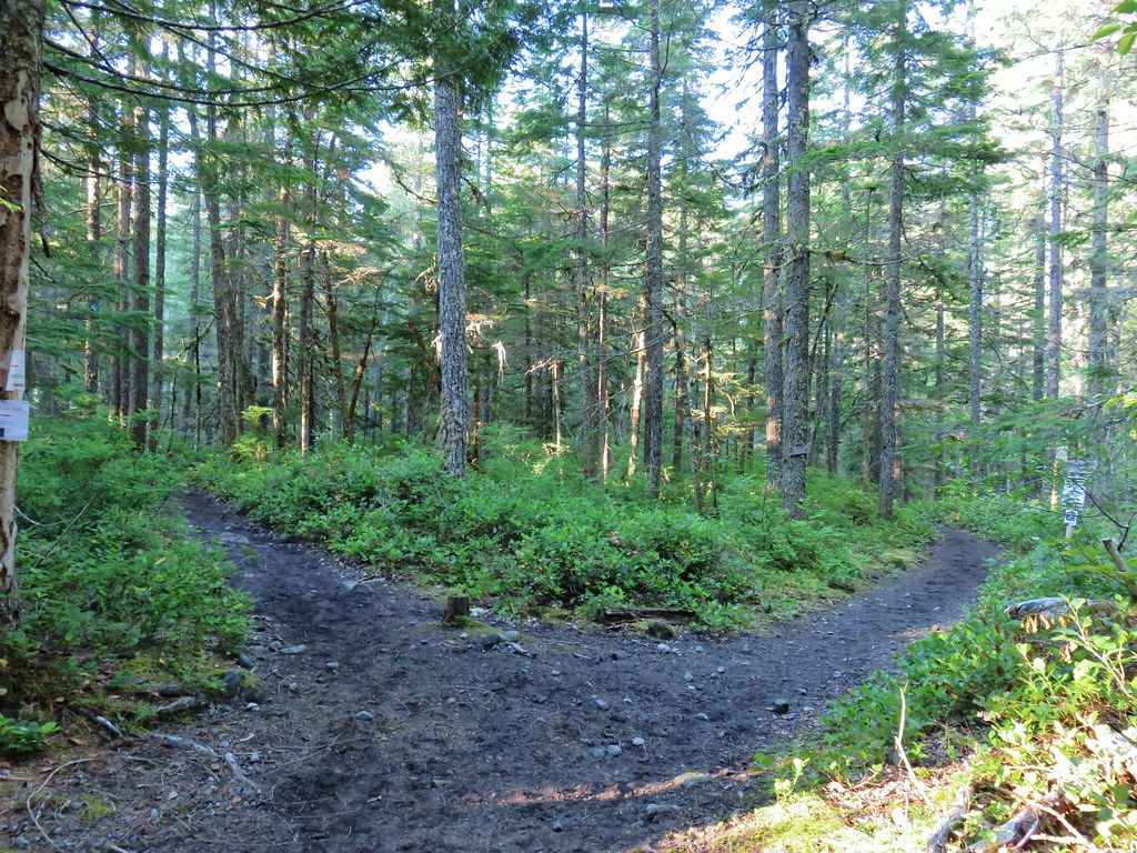
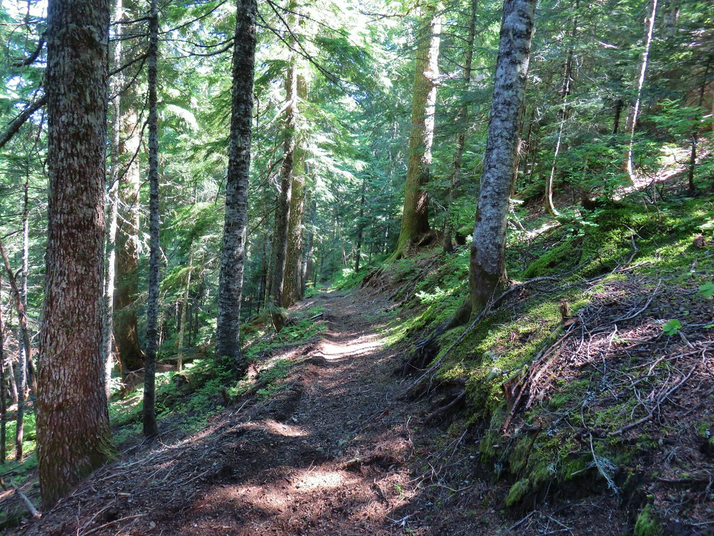
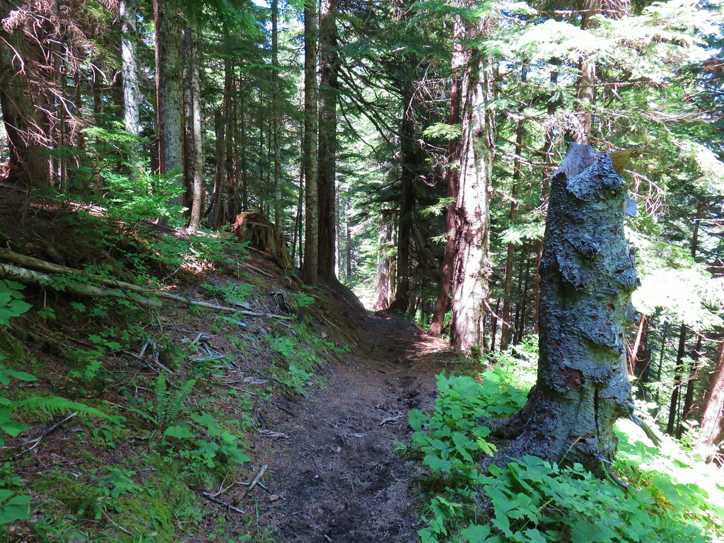
This was the Kalama Ski Trail (Trail 231) and part of the loop we were planning as well as the way to reach the Goat Marsh Trail in a quarter mile.

We followed this path to the junction where we turned right to visit the lake.
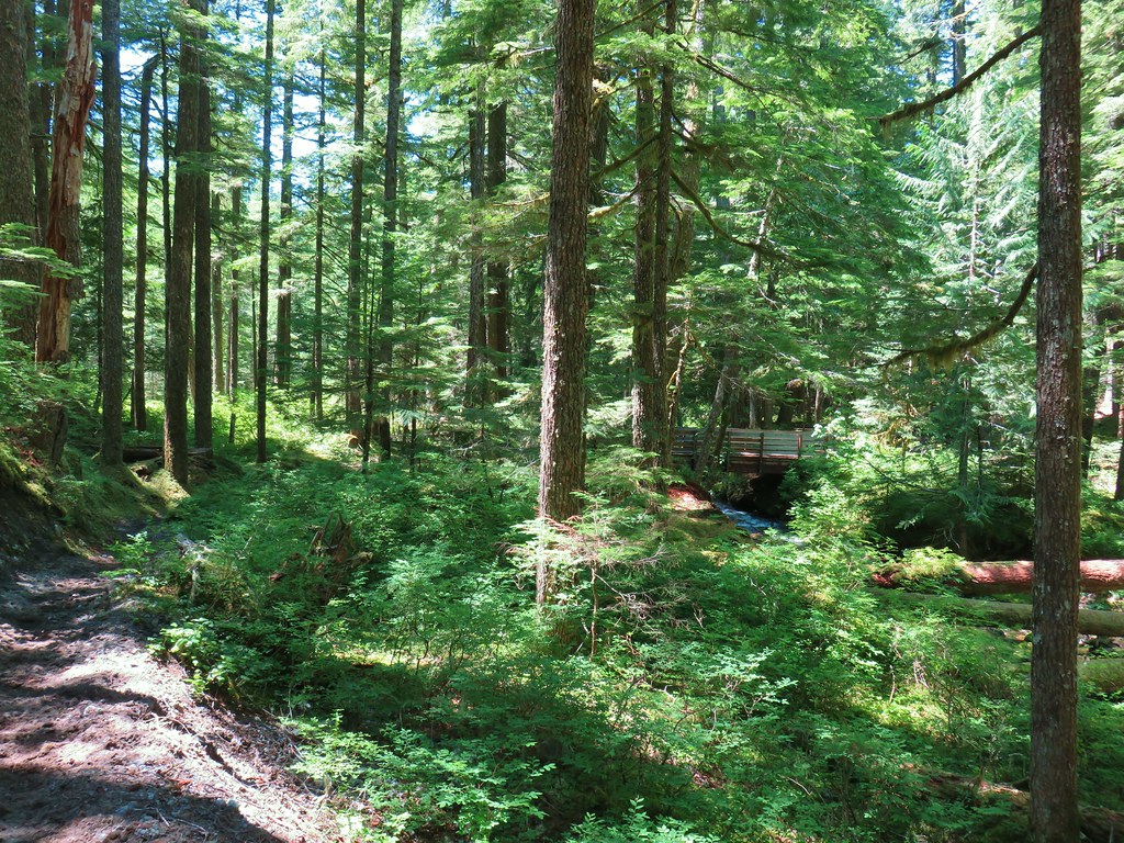
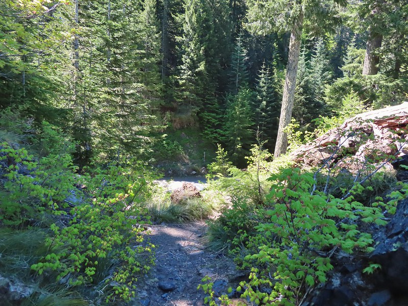
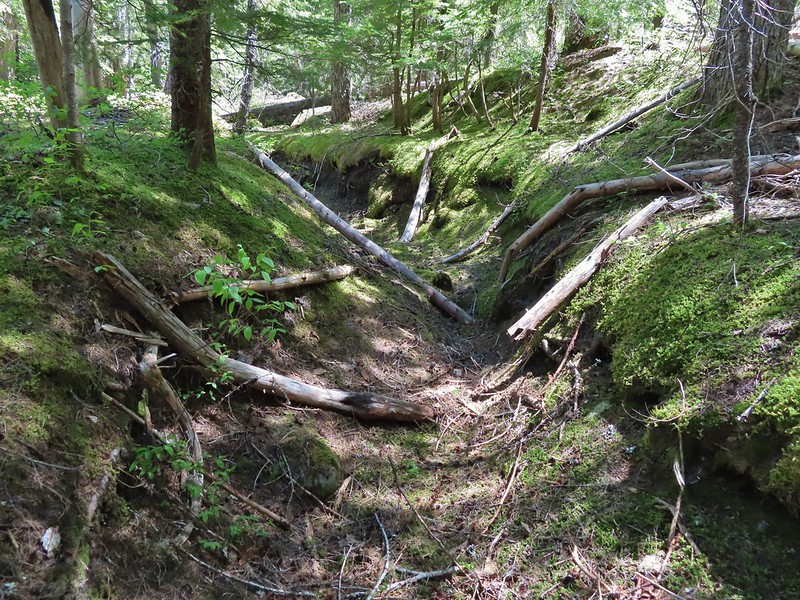
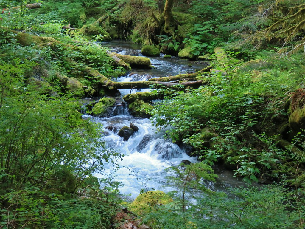
 It appeared the trail had been rerouted at least a couple of times to cross this dry creek bed.


This trail led slightly uphill for 0.5 mile to our first view of the lake. Along the way we’d spotted a cow elk in the trees but she disappeared before we could take a picture.

 Fence at the boundary for the Research Area.
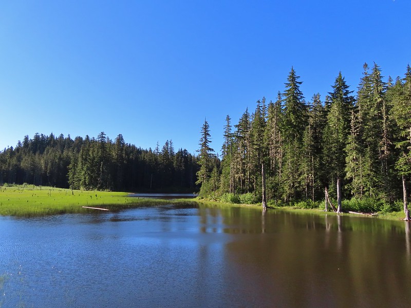
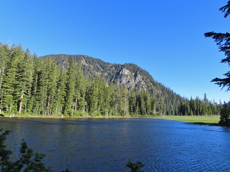 Goat Mountain and Goat Marsh Lake.
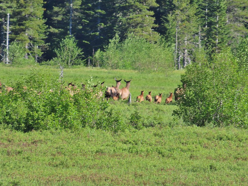
The trail continued around the lake for a little over three quarters of a mile. We spotted two more cow elk and moments later noticed a whole heard, including several calves, further to the north.

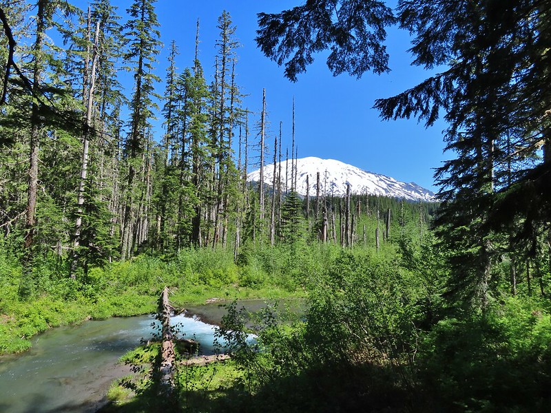
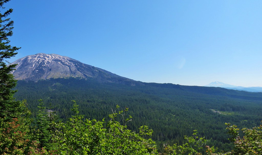
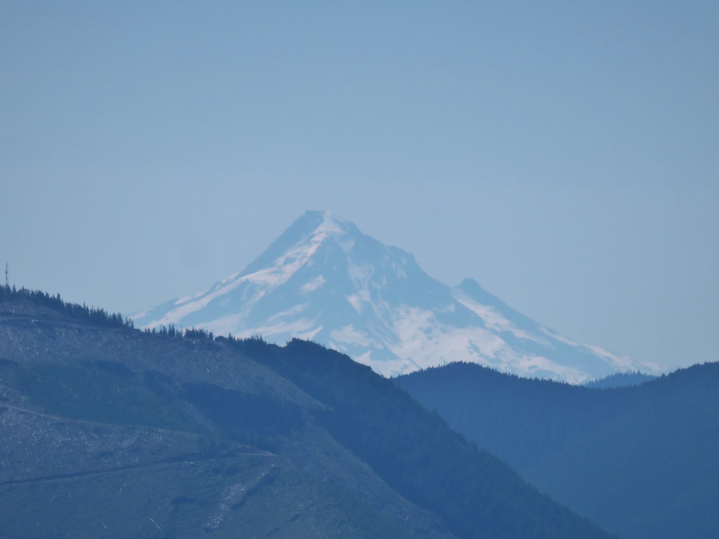
 Mt. St. Helens
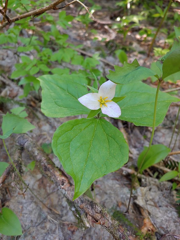
 Trillium
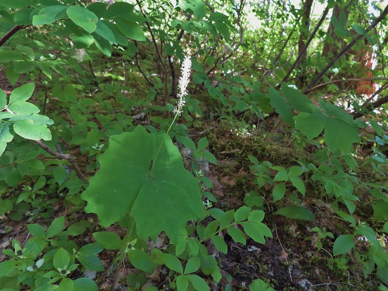 Vanilla leaf


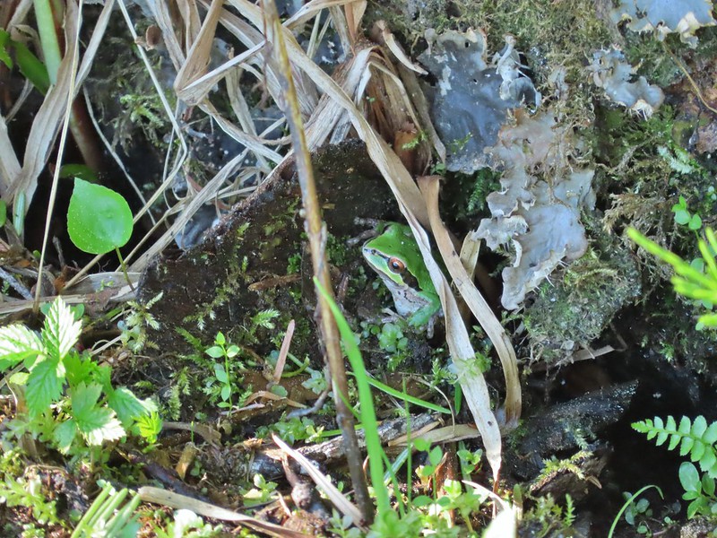
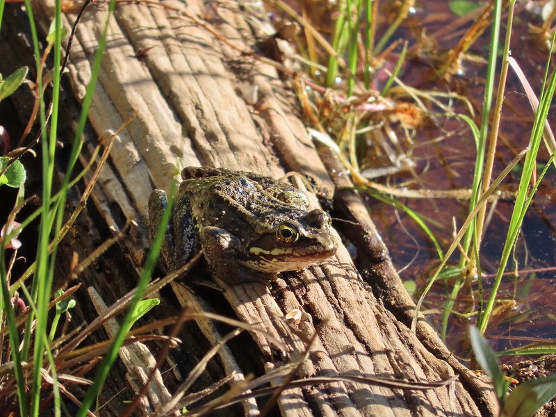 Frog on a log.
 The two cow elk in the middle of the grassy area.


 Calves lined up, this one is a bit blurry due to them moving and the amount of zoom used.
 The elk herd not zoomed in.
 Zoomed
After watching the elk for a while we continued on.
 Coralroot
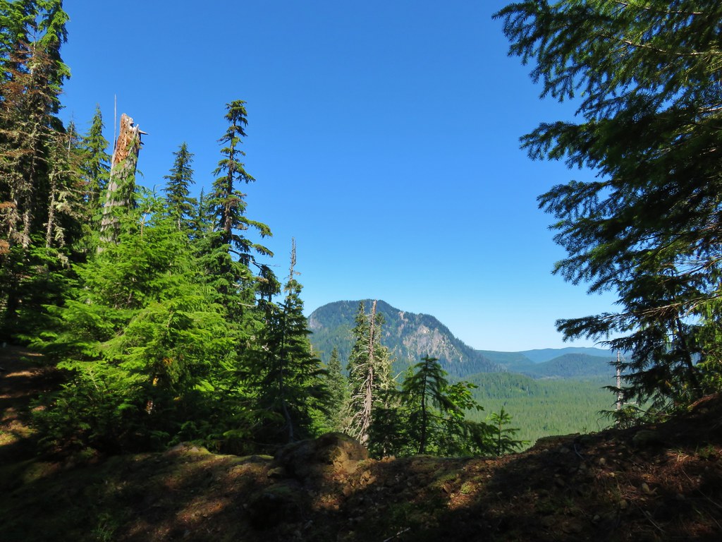
 Goat Mountain
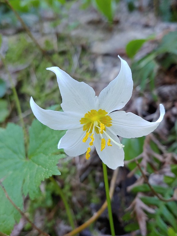
 Avalanche lilies
 Mt. St. Helens
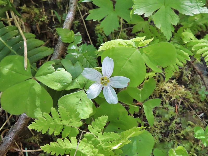
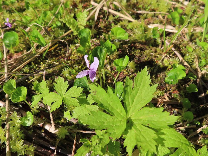 Marsh violet
 Frog under a log.
 Salmonberry
 Sign near the end of the trail.
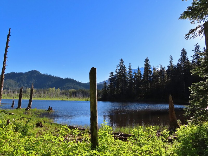
 At the end of the trail.

 Beaver lodge
 Duck and ducklings
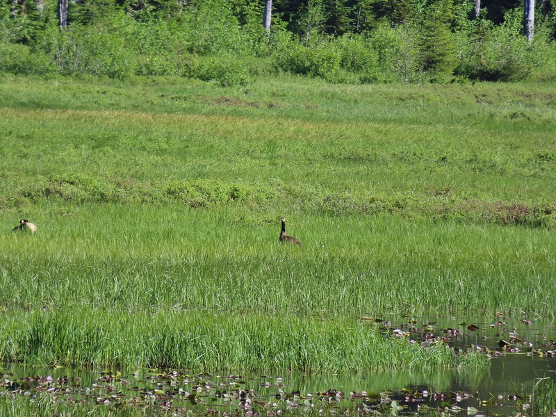 Geese out in the grass.
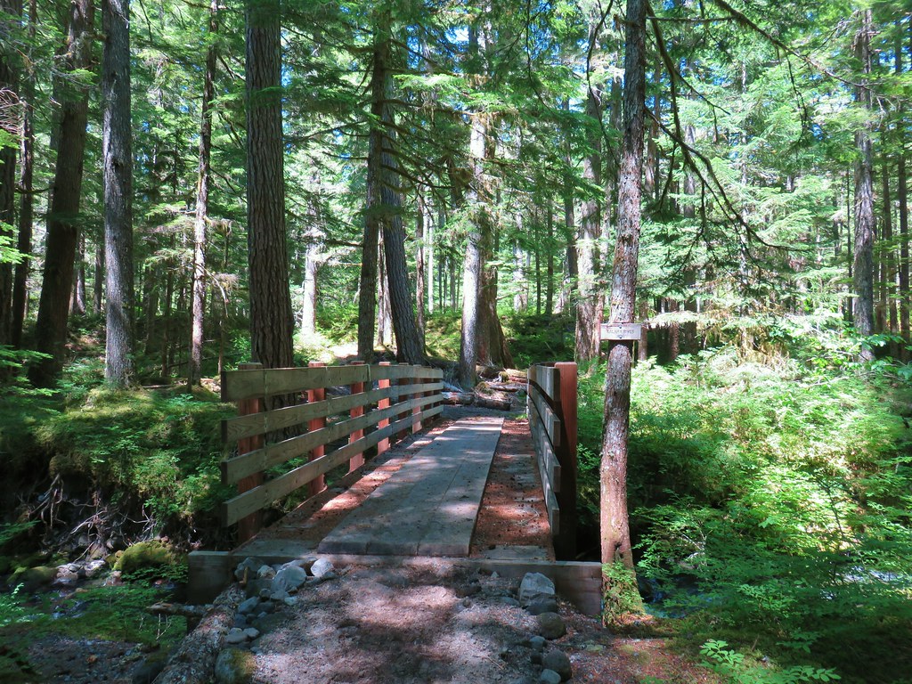
We returned to the trailhead and crossed FR 8123 to stay on the Kamala Ski Trail.

 The road crossing.
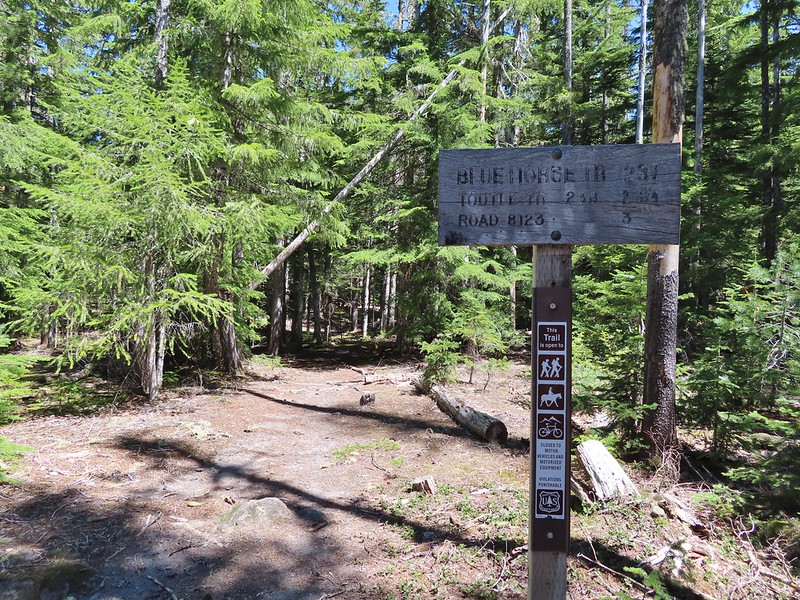
We had a little trouble picking up the trail beyond the sign because there was also a campsite here with several use trails radiating from it. We used our GPS while we looked for the blue diamonds that would identify a ski trail. Heather was the first to spot one and we were soon on the ski trail heading toward Mt. St. Helens.
 In the campsite trying to decide which way to go.

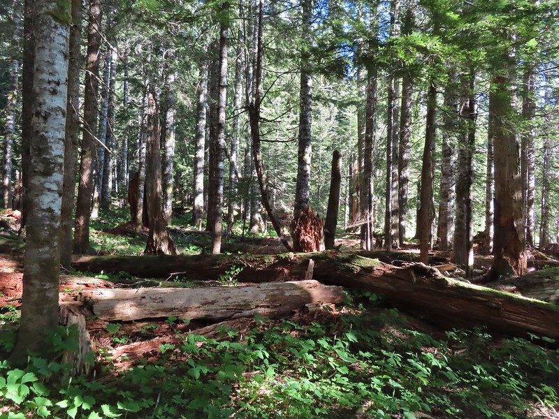
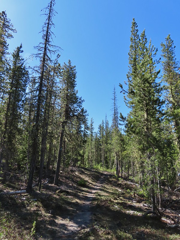
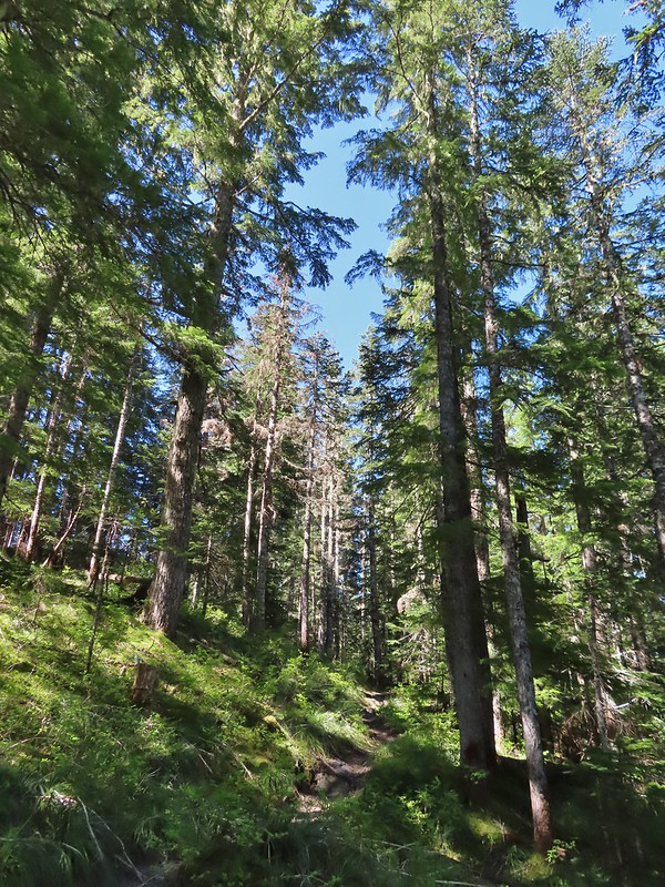
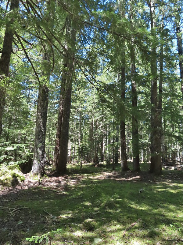
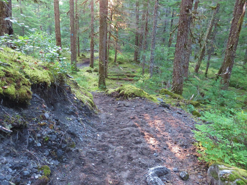
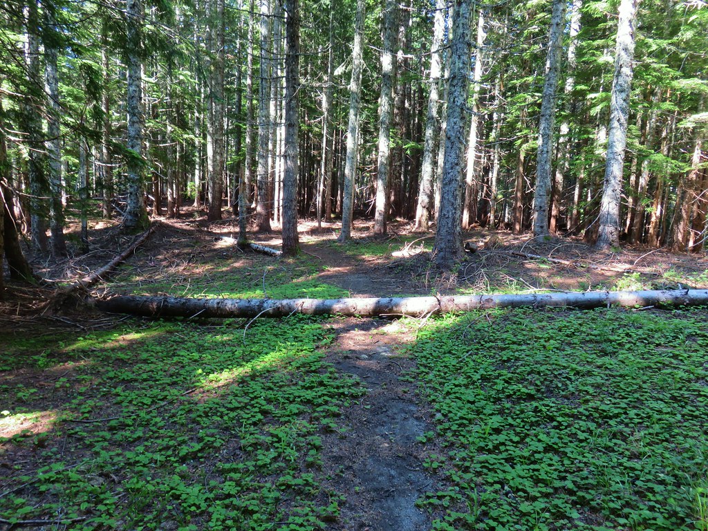
 Once we found it the trail was pretty obvious, at least for a while.
Approximately three quarters of a mile from the road we came to a junction with the Blue Lake Horse Trail. The horse trail can be used to reach Blue Lake (post) to the north via the Toutle Trail or the same Toutle Trail to the south near the Kalama River (post) which we could have done here to shorten our loop. Instead we stayed straight on the ski trail.


We had remarked several times during our Ashland vacation about the lack of mosquitos, and really insects overall, but that was not the case here. While they weren’t a big issue it was noticeably buggier here than it had been in Southern Oregon. The local birds were busy doing their part to reduce the number of bugs.
 Gray jay with a snack.
 Western tanager. Right after this photo he flew straight at us snatching an insect out of mid-air.
Four tenths a mile from the horse trail the ski trail made a turn away from the mountain and headed SE.
The trail became a little more overgrown then came to a series of dry creek beds where we again had to hunt for signs of the trail.

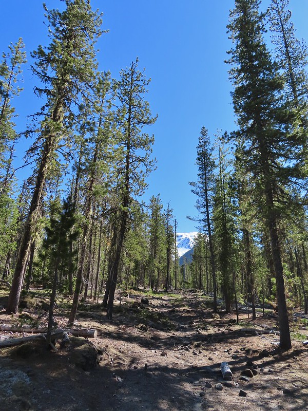
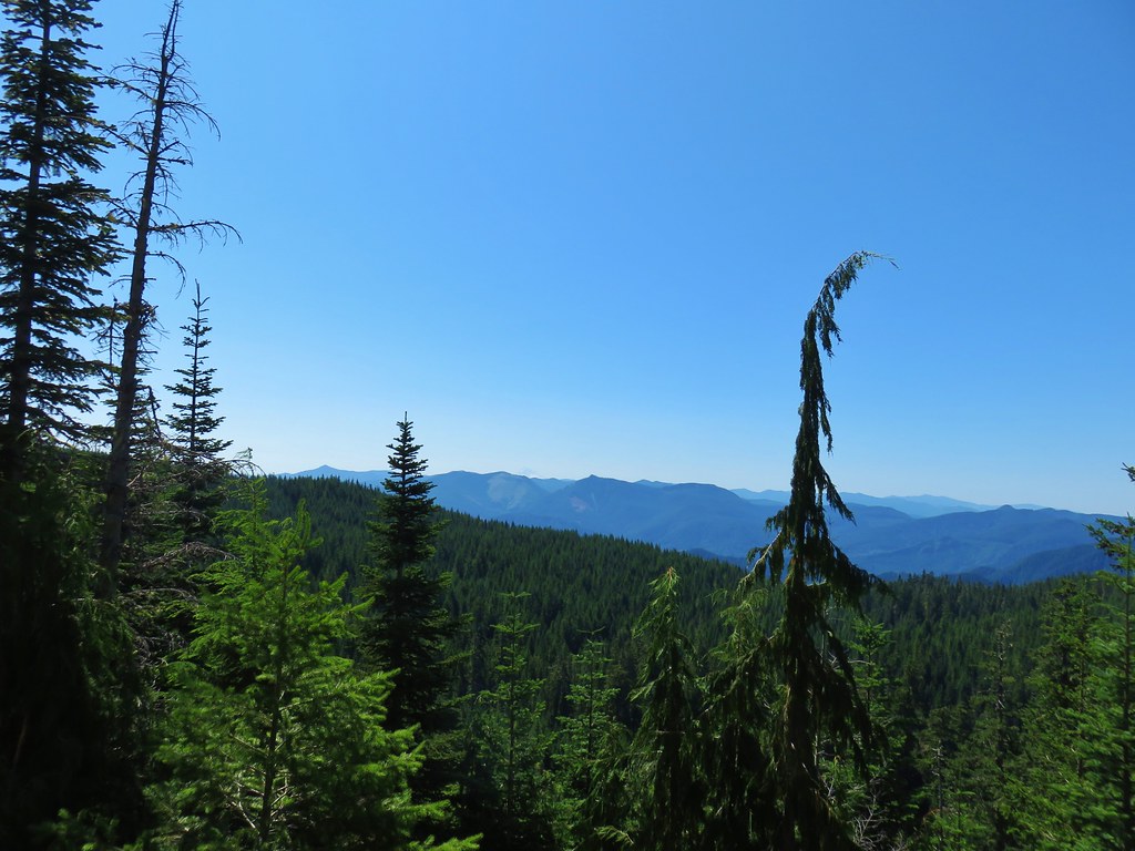
 Butte Camp Dome in front of Mt. St. Helens.

 Crossing another dry bed.
 Where is the trail?
 In one of the creek beds. We were using the GPS along with looking for cairns and/or flagging.
 Goat Mountain
 You can’t really make them out in the photo but there is a pink flag and a blue diamond (on a downed tree) near the edge of the green trees.
We were now entering the section of trail that the NOHRSC indicated there could be some lingering snow patches.
 There was another short brushy section before the forest opened up.
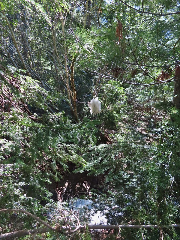 One of the strangest snow sightings we’ve come across.
 My theory was bigfoot hung this.


 The NOHRSC estimated 2″-3.9″ of snow and that seemed to be about right.

Unlike in the Siskiyous this melting snow had produced a fair number of mosquitos so we hustled through this section even though it was scenic.
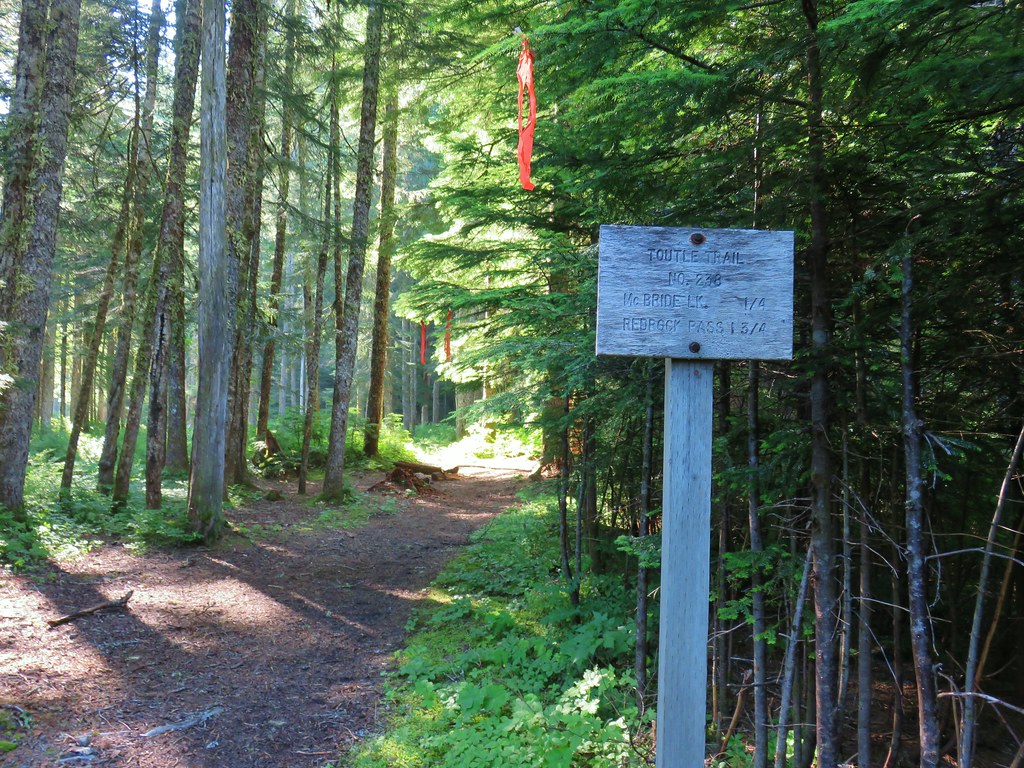
We encountered the first other hikers we’d seen when we arrived at the junction with the Toutle Trail (Approx 3 miles from the Goat Marsh Lake Trailhead). The junction was unsigned and they were considering which way to go to find the Loowit Trail. We pointed them north (left from the direction we were coming, straight for them) on the Toutle Trail and then turned south (right) ourselves onto the Toutle.
 Looking back at the junction from the Toutle Trail. The post with no sign is the continuation of the Toutle while the trail on the left is the ski trail.
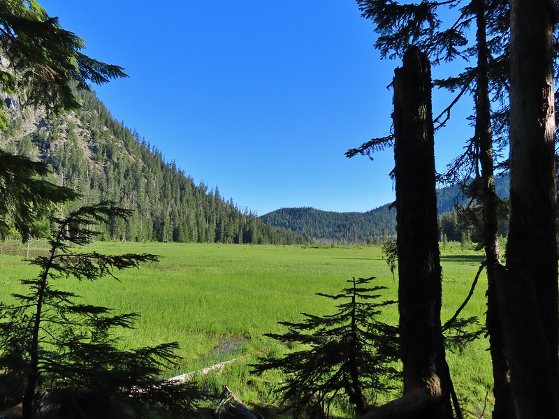
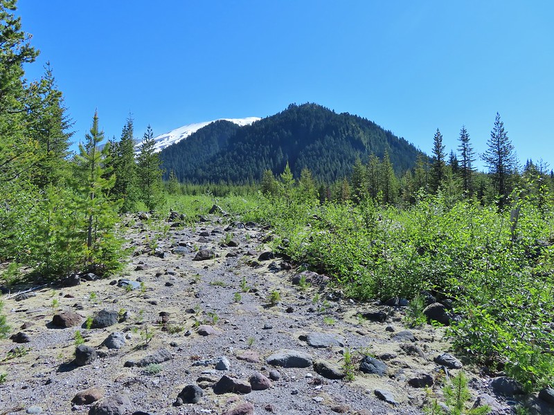
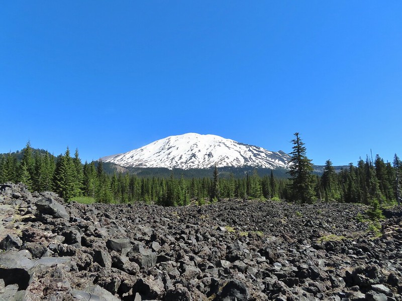
We followed this trail south for half a mile passing through a beargrass meadow that appears to have bloomed heavily last year and a lava flow with excellent views of Mt. St. Helens before dropping to FR 81 at the Red Rock Pass Trailhead.


 Last years beargrass.

 Strawberry
 Phlox
Phlox
 FR 81 below the trail.
 Trail sign at the trailhead.
We crossed FR 81 and continued on the Toutle Trail.
After 100 yards we came to a familiar fork where we had turned uphill in 2019 on our Cinnamon Ridge Hike linked above.
 Raven flyover
 The fork.
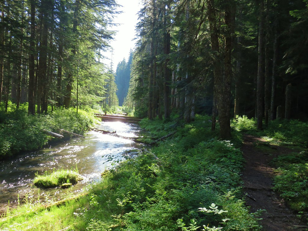
We were going in the opposite direction of what we’d done in 2019. Bugs were a bit more of a nuisance here so we kept a steady pace as we made a little climb then descended to McBride Lake and the Kalama River.
 One of several side creeks we crossed.
 Trillium
 Avalanche lily
 Violet

 Goat Mountain beyond McBride Lake.
 Sourgrass
 Valerian

 Solomonseal
 Saxifrage

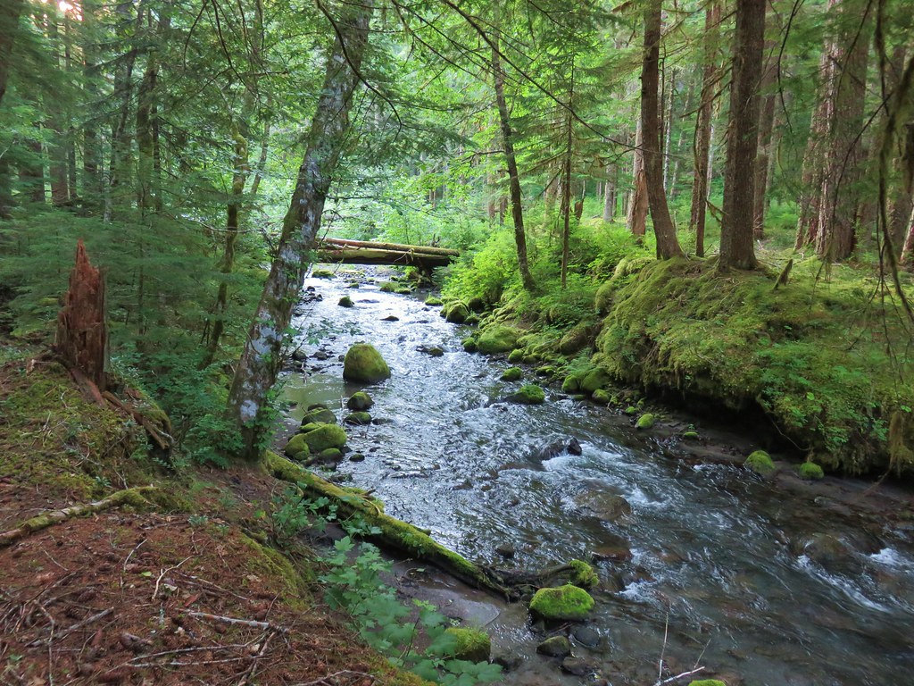
A little west of McBride Lake the Toutle Trail crosses the Kalama River on a closed road bed.

 Kalama River from the road bed.
Our original plan was blown up here. We had intended to follow the Toutle Trail to the start of the Kalama Ski Trail and then take that trail back uphill to the Goat Marsh Lake Trailhead. The problem was I had already forgotten about the Blue Lake Horse Trail and when I had glanced at the GPS and saw a trail extending north from the end of the road bed I mistook it for the ski trail so we followed the road bed a quarter mile to FR 81. (We had a paper map with us but didn’t pull it out to confirm.)

 The Blue Lake Horse Trail on the far side of FR 81.
When we crossed FR 81, two things that should have tipped us off to our mistake. First the sign clearly said “Blue Horse Trail” and second instead of blue diamonds there were orange diamonds with arrows marking this trail.
 The sign did show FR 8123 which was the road the trailhead was on so that fed into us not realizing our mistake at first.
We followed this trail for a third of a mile before we realized what we’d done. We stopped and considered our options. We could back track three quarters of a mile to the Toutle Trail or a third of a mile to FR 81 and follow one of them west to the ski trail. Another option was to continue uphill on this trail to the junction we’d passed earlier and retrace our steps on the ski trail from there back to the trailhead. All of those options meant adding distance and retracing steps. Heather suggested another option, simply heading cross-country for FR 8123 and the trailhead.
 An orange diamond on a tree ahead.
The forest was definitely conducive to cross-country travel so we struck off in a WNW direction. The cross-country hike was about as easy as we could have hoped for and after 0.7 miles we arrived a FR 8123 just 0.2 miles from our car.
 Where we left the horse trail.
 Typical terrain for the cross-country walk.
 It seems like every time we go off-trail we come across a mylar balloon. We’ve really come to despise those things. We packed it and the ribbon out.
 The trickiest part was crossing this dry stream bed but we fortunately came to it at a spot that was perfect for crossing.
 FR 8123
 Coming up to the Goat Marsh Lake Trailhead (and our car) on FR 8123.
I had estimated a 10-12 mile hike with only about 800′ of total elevation gain and we came in at 10.8 miles.


While it had been a warm day, the combination of shade provided by the forest and a fairly steady breeze, it hadn’t been too hot. The hike had provided a lot of diverse scenery and great views of Mt. St. Helens. The wildlife was a big bonus along the Goat Marsh Trail too. It seems like we can always count on hikes in Mt. St. Helens area to be great ones. Happy Trails!
Flickr: Goat Marsh Lake


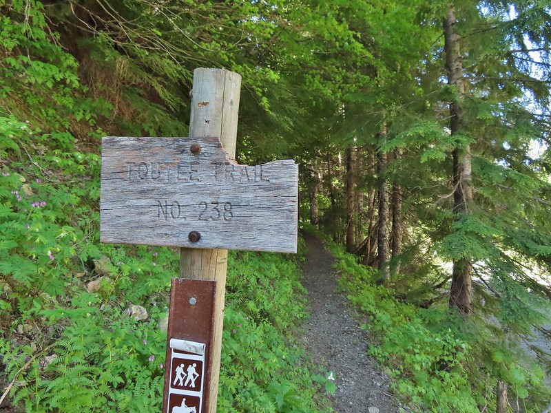
 Toutle Trail
 Candy sticks


 Pinesap
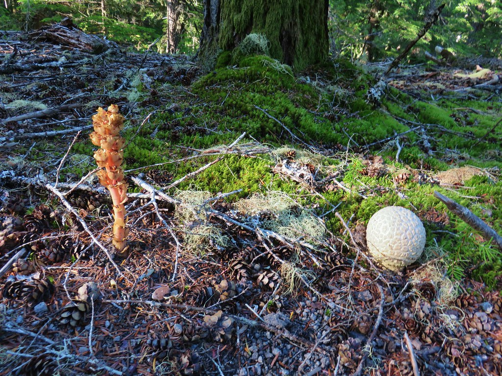 Pinesap and a puffball
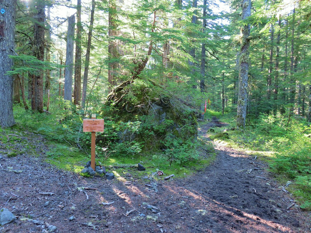
 Lousewort
 Twin Flower


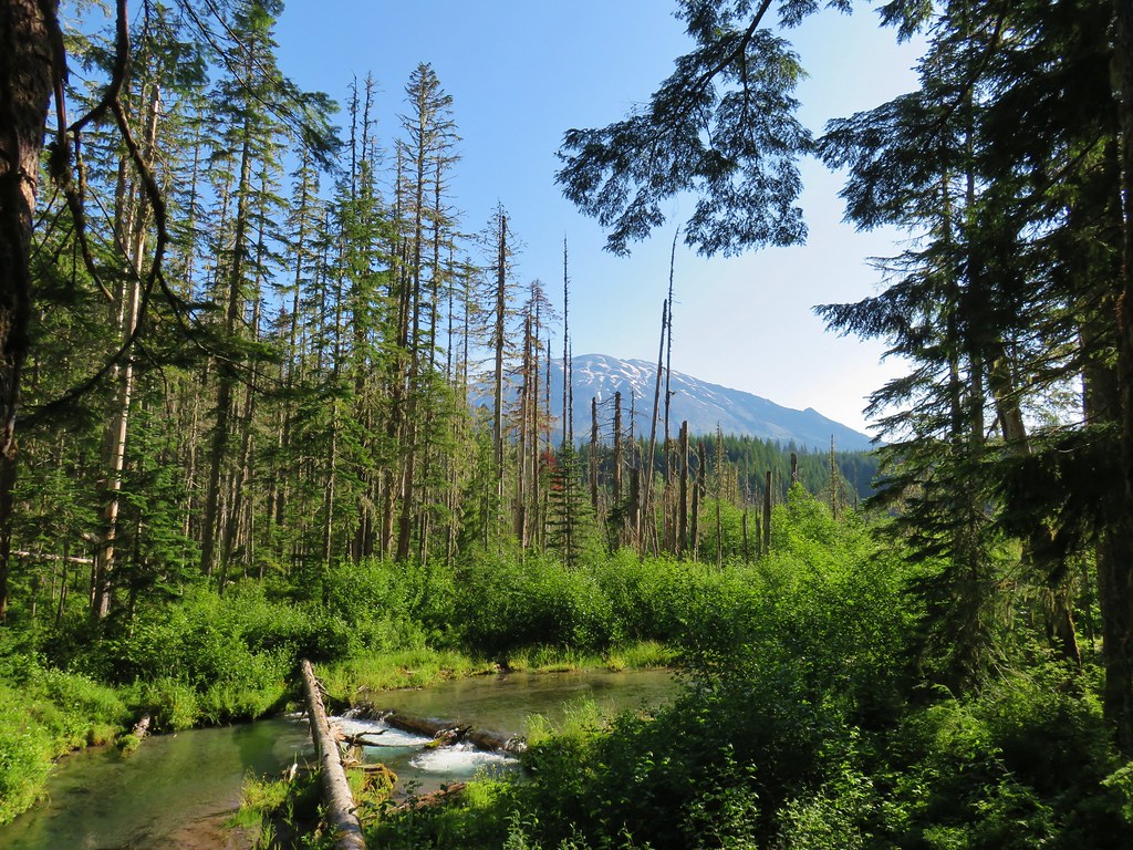

 Mt. St. Helens beyond the remnants of McBride Lake.
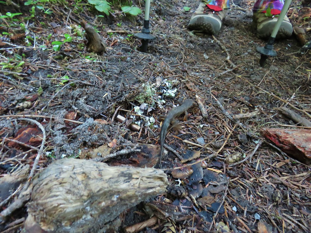

 Cars parked at Red Rock Pass
 Cinnamon Trail on the left and Toutle Trail on the right from the unsigned junction.


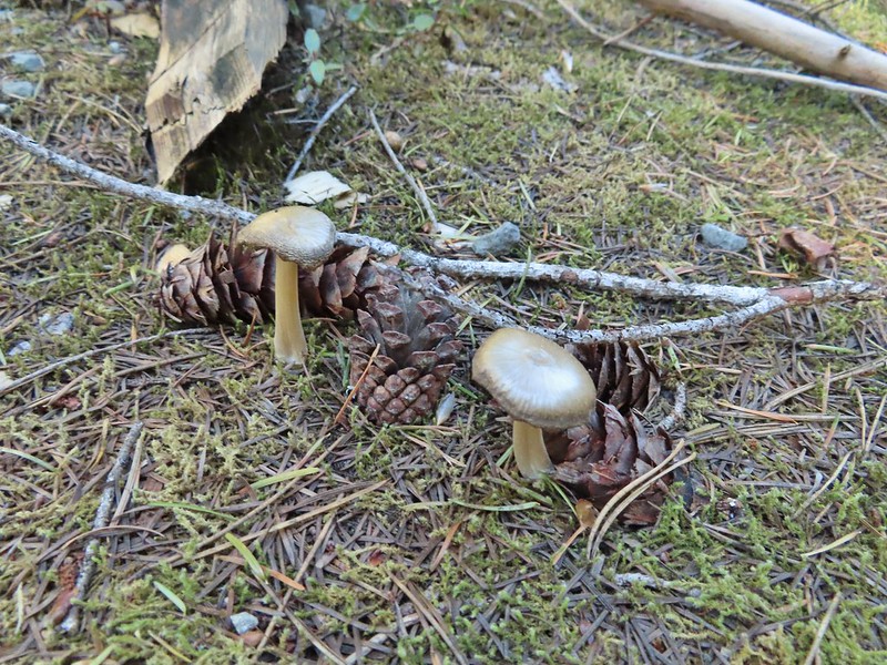
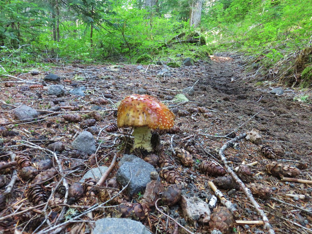
 Fungus on a stump.

 The butte ahead (we didn’t want to have to climb that.)
 Trail wrapping around the south side of the butte.
 Toad near the saddle.
 Mt. St. Helens from the saddle.
 Goat Mountain
 Mt. St. Helens and Mt. Adams
 Another frog.
 Crossing #1
 Crossing #2
 Crossing #3


 old road crossing.
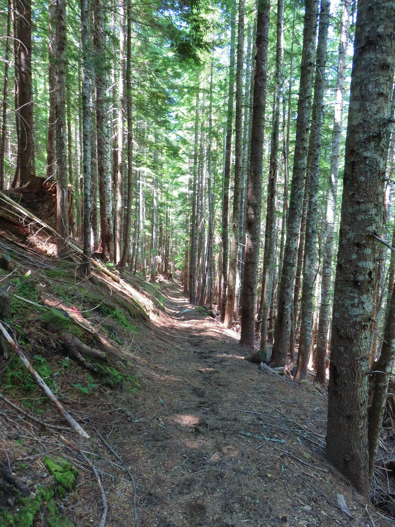
 Dropping to FR 8022(8122).
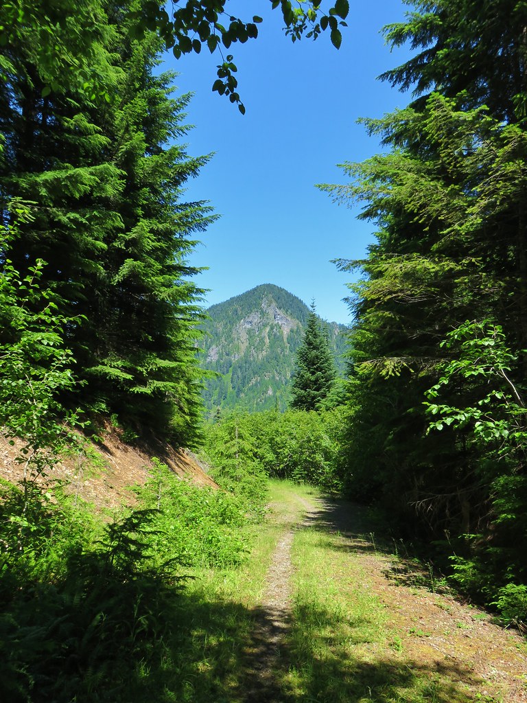 Goat Mountain from the roadbed.
 Goat Mountain and Mt. St. Helens
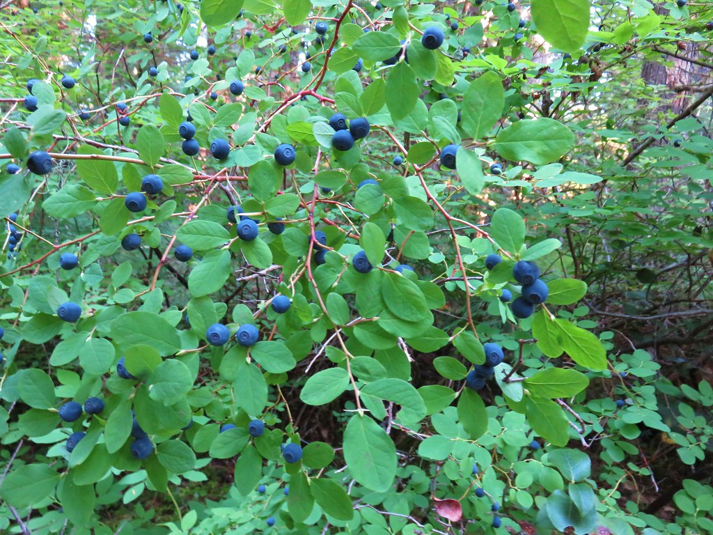
 Ripening berries
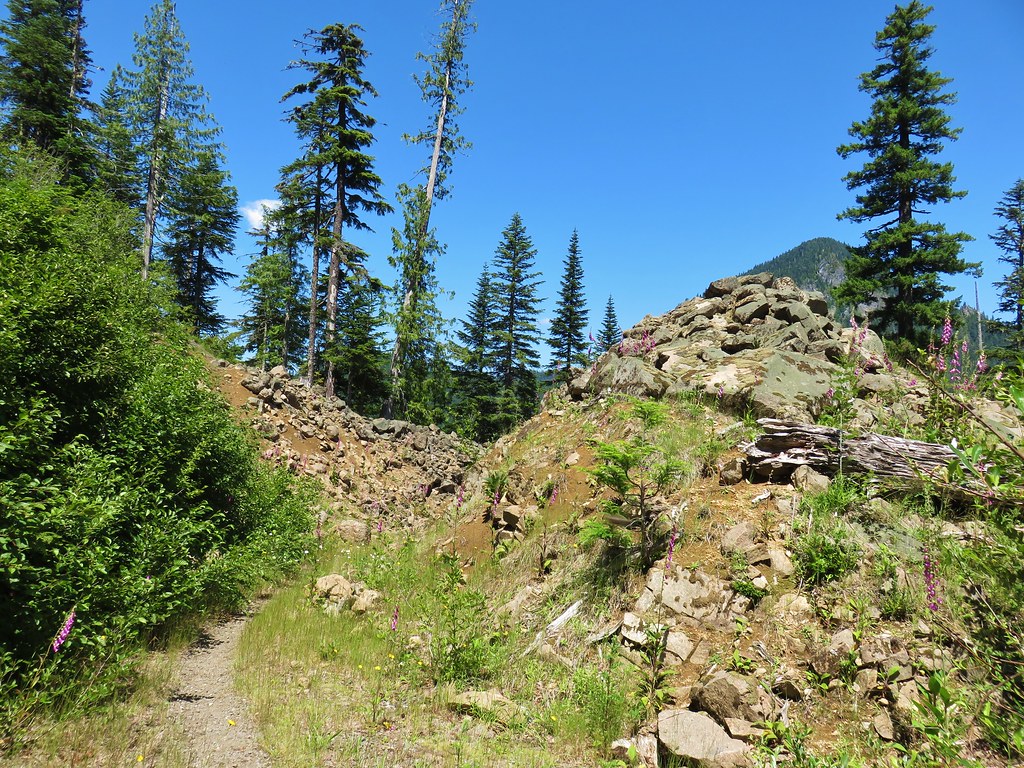 Rock slide along the roadbed.
 Pinedrop