We spent another vacation doing day hikes from home as we continue to take care of our elderly cats. It has created a delay in our plans to visit all of the designated wilderness areas in Oregon, but it also has given us a chance to redo some hikes that didn’t go as planned the first time around and hit a few other hikes sooner than planned.
The first hike of the week was a repeat of a cloudy September 2015 climb to the summit of Maxwell Butte (post). We’d had no views whatsoever that day so a sunny forecast gave us the green light to try again. Once again we parked in the paved Maxwell Butte Sno-Park lot instead of driving the additional .4 miles of gravel road to the actual Maxwell Butte Trailhead.


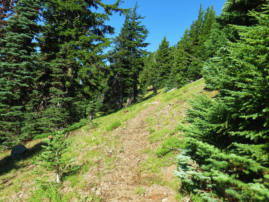
From the official trailhead the Maxwell Butte Trail climbed gradually through a nice forest entering the Mt. Jefferson Wilderness after 1.75 miles. It was sad to find that the unique wilderness sign was missing.

 The wilderness sign in 2015.
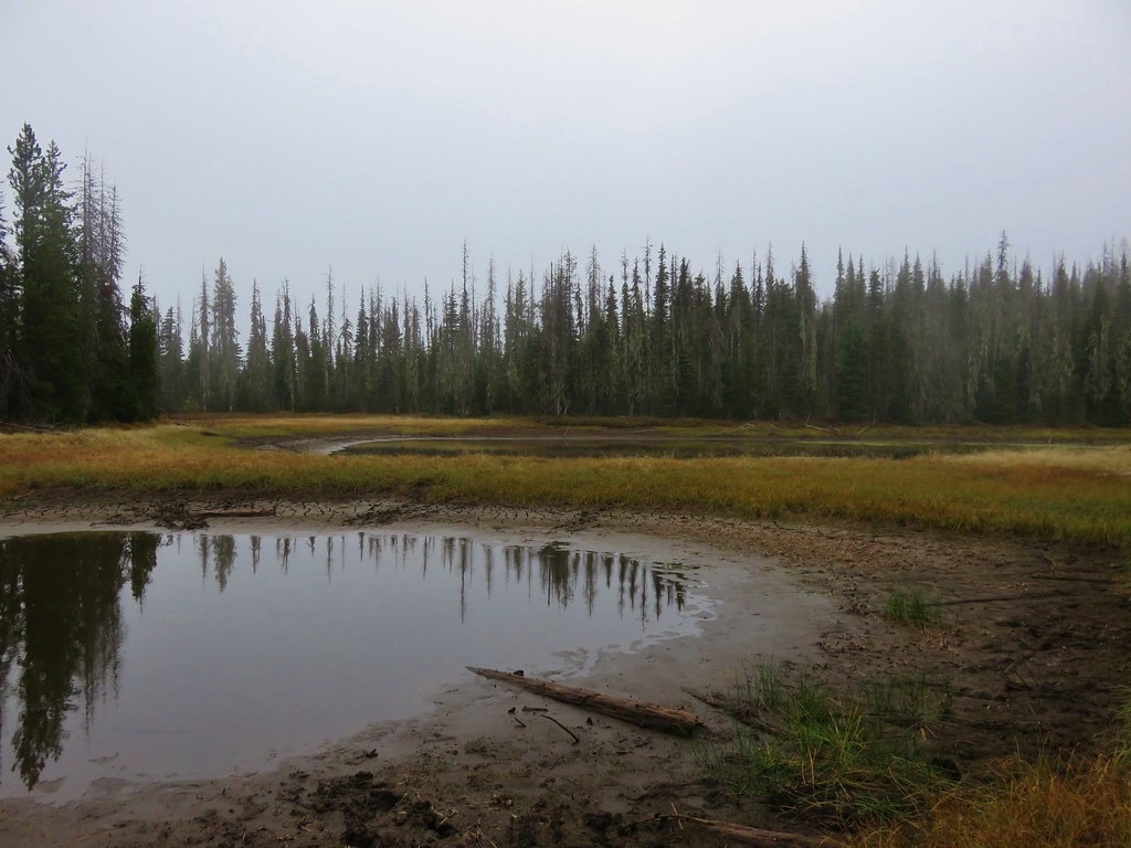
A little more than two and a quarter miles from the trailhead we arrived at a junction with the Lava Lakes Trail near Twin Lakes.

There was significantly more water in the lakes this time around (and better visibility too).

 2015
2015

 2015
2015
Our presence raised a ruckus from a Stellar’s jay.


 2015
2015
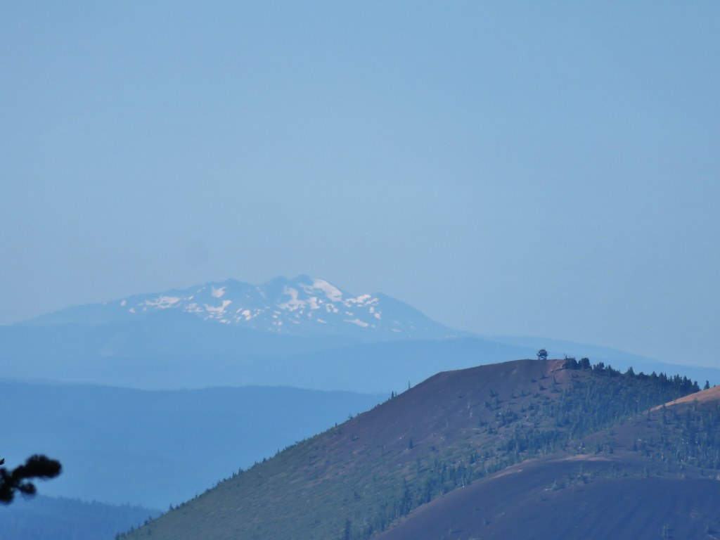
One the way back by later (after the Sun had moved out of the way) we stopped at the lakes to get a photo of Maxwell Butte.

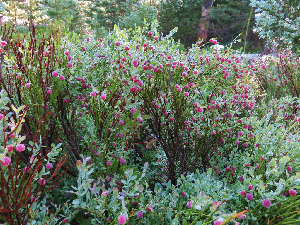
We followed the Maxwell Butte Trail past the lakes as it began to climb up and around the butte. Closer to the lakes we passed a few remaining flowers and some ripe huckleberries.
 Penstemon
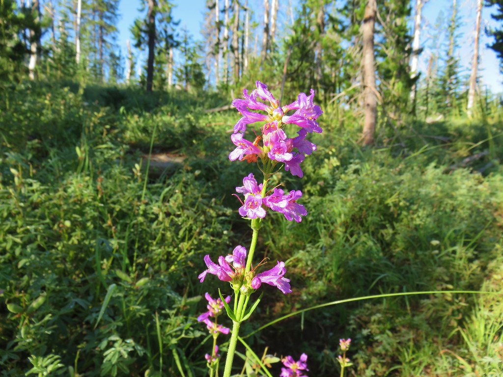
 Lousewort
 Scarlet gilia

 A couple of short (and late) beargrass plumes.
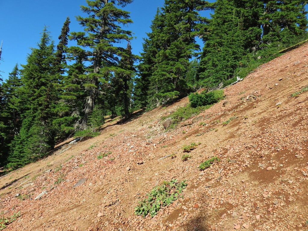
As the trail got closer to the butte we passed through some meadows and open rocky areas where we kept on the lookout for pikas.

 This looked like prime pika habitat to us.

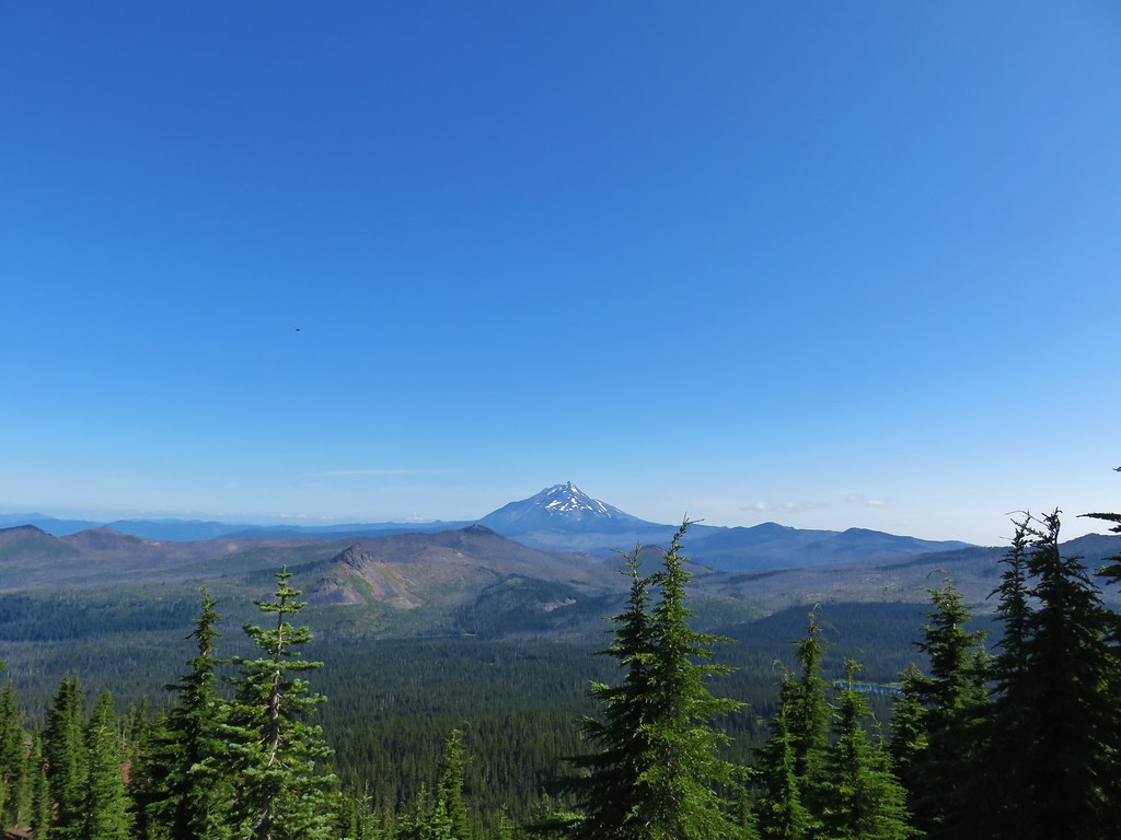
The trail made its way to the south side of Maxwell Butte where our first good mountain view was of Diamond Peak beyond Sand Mountain which we had visited earlier in the year (post).

The trail steepened a bit as it made its way up the south side of Maxwell Butte via a series of switchbacks.

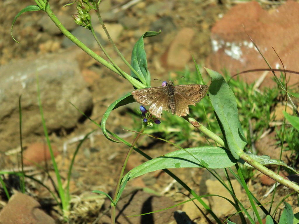
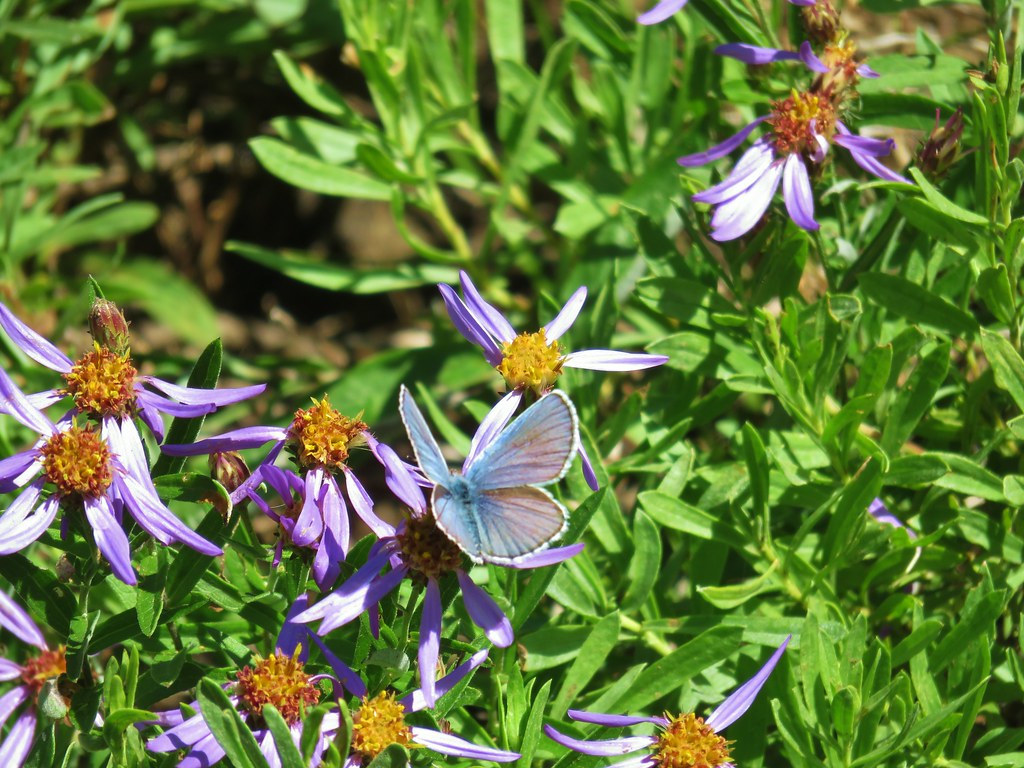
Butterflies and increasingly better views helped keep our minds off the climb.

 Hogg Rock (near left), flat topped Hayrick Butte next to Hoodoo Butte, Mt. Washington with Broken Top behind left and the Three Sisters behind right.
Five and a quarter miles from the sno-park we arrived at the summit of Maxwell Butte where a fire lookout once stood.

The view now included Mt. Jefferson and Mt. Hood to the north.
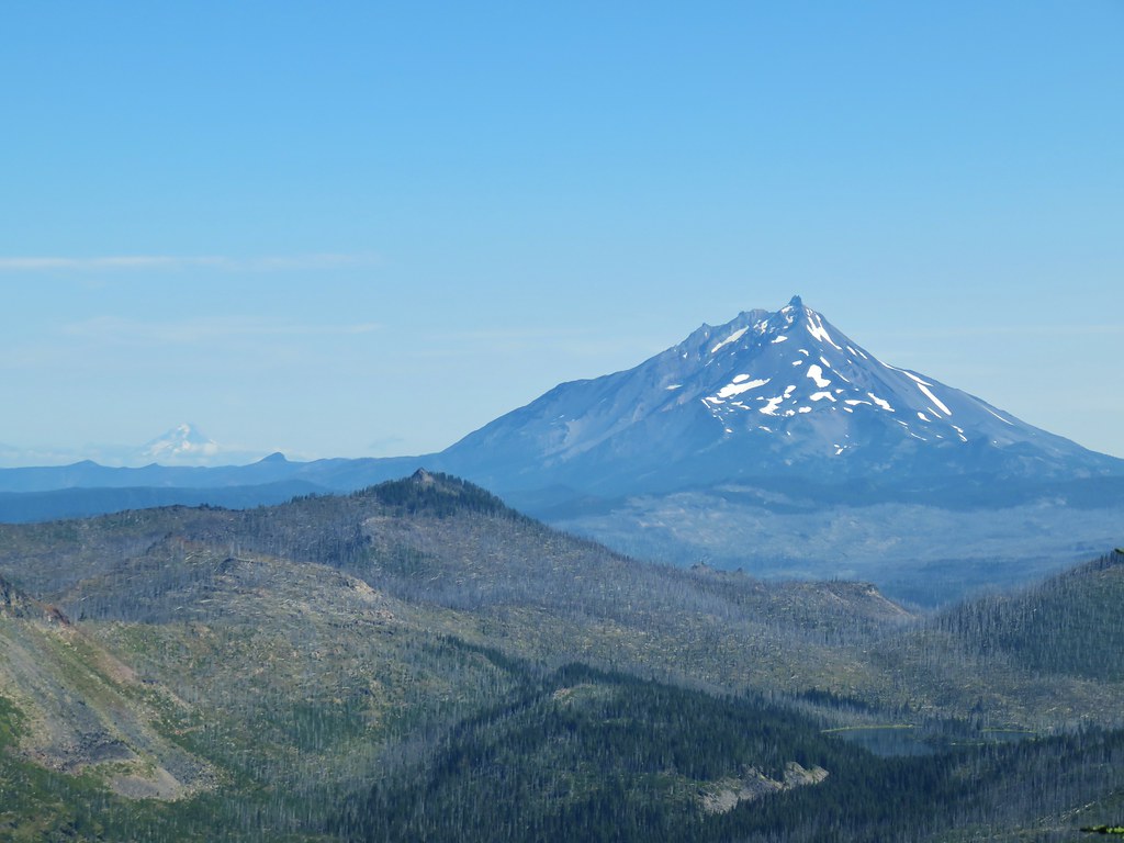 Mt. Hood in the distance to the left of Mt. Jefferson.
Less than three miles away as the crow flies Three Fingered Jack dominated the view east.


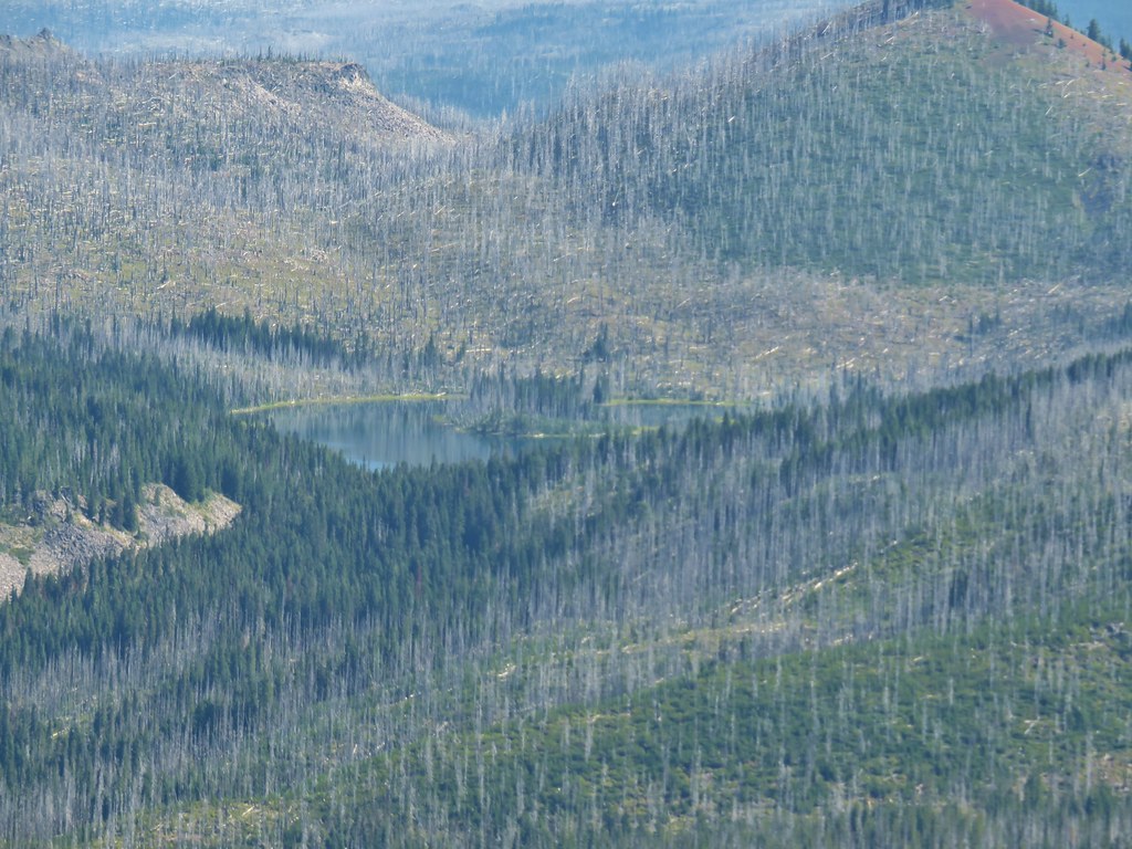
 Mt. Jefferson and Three Fingered Jack with Santiam Lake in the forest below.
 The view south.
 Broken Top, Mt. Washington, and the Three Sisters with Hayrick Butte in the forefront.
 Santiam Lake
 Duffy Lake (post)
 Mowich Lake
After a nice long break taking in the views and naming as many of the lakes dotting the forest below as we could we headed back down. We took a quick detour to check out Maxwell Butte’s crater.

 Paintbrush in the crater.
There were quite a few more butterflies out as we made our way back and we managed to spot a pika gathering greens in the rocky area we had thought looked like a good spot for one.


 Pika
Pika
 Golden-mantled ground squirrel in the same rocky area as the pika.
It had been a successful do-over getting the views we’d missed out on before. Round trip the hike was 10.6 miles with a little over 2500′ of elevation gain. It was a solid start to what we hoped would be six straight days of hiking. Happy Trails!
Flickr: Maxwell Butte 2019

13 replies on “Maxwell Butte – 8/12/2019”
You guys never seem to miss seeing a pika! 🙂
Lol, we have seen quite a few this year. It’s driving my Mother crazy because she never has seen one on trail.
I was up there about 3 years ago and the wilderness sign was in pieces leaning up against a tree. I went up last November after the Scorpions cleared the trail (took them 3 days!) of all the downed snags over the trenches trail and there were no remnants left of the sign then. Not sure who’s responsible for the missing sign, nor why it hasn’t been replaced.
[…] second repeat was to the old lookout site atop Maxwell Butte (post) to get the view that eluded us on our first hike there […]
[…] pond with Maxwell Butte (post) behind to the […]
[…] Butte (post) behind Hoodoo and Hayrick […]
[…] Fingered Jack behind Coffin Mountain, Maxwell Butte (post), Mt. Washington, the Three Sisters, and The […]
[…] Butte (post), Mt. Jefferson, and Three Fingered […]
[…] view of Mt. Jefferson and Three Fingered Jack with Maxwell Butte (post) and South Cinder Peak (post) in […]
[…] Maxwell Butte (post) […]
[…] Butte (post), the top of Mt. Jefferson, Hoodoo Butte, and Hayrick […]
[…] My original plan, before I had the weather forecast, was to head up to the Maxwell Butte Trail (post) in the Mt. Jefferson Wilderness to check out the Lava Lakes Trail which I have been looking at […]
[…] have hiked up Maxwell Butte twice in the past (2015) & (2019) and both times had parked near the restrooms at the Maxwell Butte Sno-Park. With the current […]